please remember you can click on a photo to see a larger version & highlighted text are links to further information
A Tale of Two Emmas
The weather forecast for the weekend was for the hottest temperatures of the summer thus far. No reason to suffer with splendid high country nearby holding the promise of cooler temperatures. Afternoon thunderstorms were also forecasted through Friday. Could we beat the heat? It was worth a try.
We stopped Friday in the late afternoon for an early dinner at Walker Burger. It was 68° with a lingering rain shower that caused us to move to the cab of our truck to finish our meal. Our destination for two nights was a favorite dispersed site we have used often. Rays of sunshine were cutting through the storm clouds surrounding our high point as we made ourselves at home.

mingled with sage and lupine.


The Balsamroot flowers were past their prime at our campsite but I still loved the way the evening sun moved through the leaves and blossoms.

We had definitely beat the heat. It was 58° so the Lady brewed us a hot cup of coffee for our evening walk.

The rosy indian Paintbrush was beautiful as we walked up the trail toward Emma Lake. Clouds lowered onto the surrounding ridge tops.

It is about a mile and a quarter up to the lake with 750 feet of vertical elevation gain, so a nice easy walk with our coffee, still hot as we finished our mugs at Emma.


A group of six backpackers were at the lake with a uncontrolled large dog off leash, disappointingly irresponsible. The group was across the lake fishing from shore. The dog was running everywhere. The lake was populated with small non-native introduced brook trout, most around six to seven inches in length.
This killed my interest in bringing
up my fly rod the next day.
We lingered at Emma Lake and enjoyed the play of light. We slowly walked back down to camp, returning after 8:30 pm.


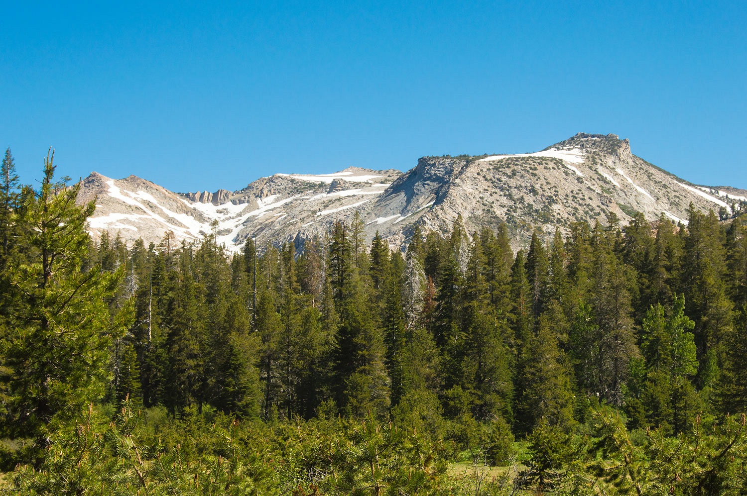
We noticed the ridge line in the center photo above and noted it made a nice route to the summit of Mt. Emma, and so plans were in place for the following morning.
The overnight low was 42°, incredibly refreshing as most areas sweltered in summer heat. The sky was devoid of clouds.

The Lady led the way on the trail to its intersection with the ridge we would ascend.

We began the climb.

We picked this ridge to ascend because it was open and we knew it would provide expansive views as we climbed.


Our ridge merged with the north ridge.

The final 400 vertical feet of the climb was loose talus. I went straight up. The Lady worked the terrain and wound her way to the summit of Mt. Emma.


The two Emmas are named for Emma Mack, the daughter of the Mack family that lived at Hardy Station on the Sonora Pass route - now the current junction of highways 395 and 108. Anna Lake to the south is named for the Mack's daughter Anna.
This information comes from Peter Brownings Place Names of the Sierra Nevada.
The views were well worth the little over an hour of climbing. It is always a good thing to stand upon a mountain top. Emma Lake was below.

Here is a short video of the panorama from the summit.
We started our descent of the south ridge of Emma by walking the spine over to the south facing slopes.

We'd make our way down to the saddle and then drop into the cirque above Emma Lake.

The Lady took her time carefully descending the summit pile of loose rock.


Next was working out a good route down to the lake.


Emma Lake was busy with visitors this Saturday. We found a relaxing spot away from everyone else, easy to do because we had dropped to the shore opposite from the trail access.

We took off our boots and were surprised how frigid the water was. Less than a minute in the water was all either of us could manage with our feet. Even without the crowd we would not have gone for a swim. The wildflowers were spectacular in the lake basin.

We relaxed until most people left and quiet returned to this beautiful place.

Then it was a hop, skip, and a jump back down to our waiting camp.


Clouds built during the afternoon but we did not expect to get any thunderstorms or rain. The passing clouds added a dramatic effect to our dinner time view.

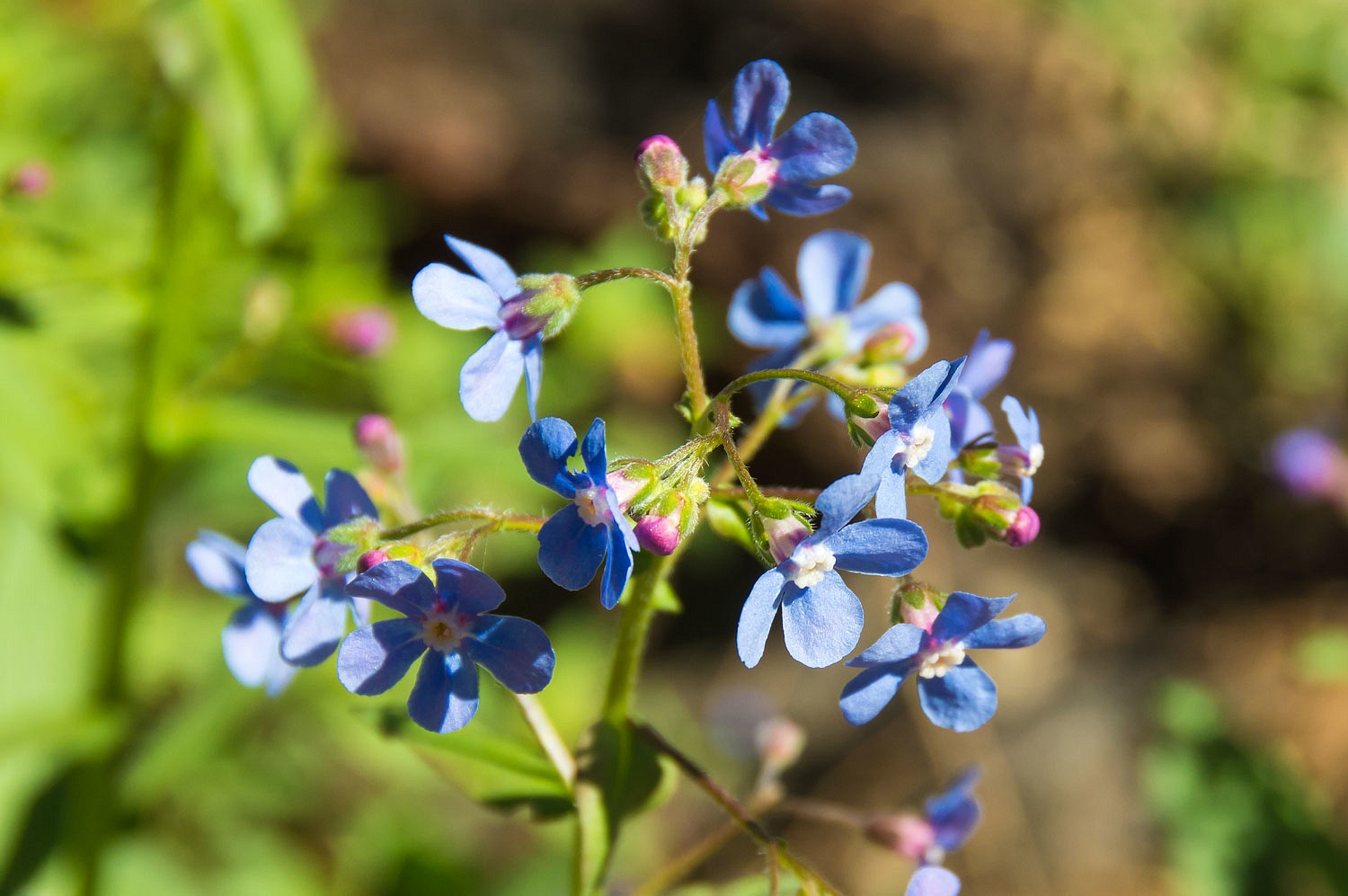
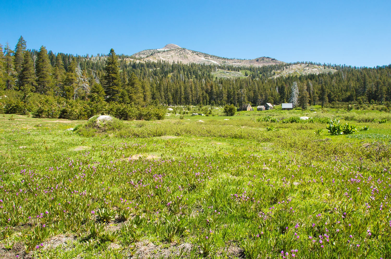
We walked down to Stockade Flats for an evening walk. The Balsamroot still caught our eye along with another flower in the sage we have not yet identified.


We had the whole area to ourselves. There was no sign of any other dispersed campers.

It had been an excellent day. In the quiet surrounded by sage, balsamroot, and lupine, we slept well.

We were in no hurry to get home on Sunday. We broke camp and drove up 108 to Leavitt Meadows. We'd do a quick loop hike to the south and back along the broad meadows the West Walker River meanders through.
We hiked out the ridge route to Secret Lake. In the dry meadow areas we found another new wildflower we wish to identify.


The views along the ridge were very nice.

We stopped at Secret Lake for an hour or so.


A young boy and girl arrived at a cove next to us and quickly were in the water, obviously much warmer water than at Emma Lake almost 2000 feet higher.

We took an off trail route to the head of Leavitt Meadows and the West Walker River. The river was cloudy/muddy with runoff from the recent thunderstorms.


This looked like a nice place to return with my fly rod when the water clears. I'll recheck Bill Sunderland's book.
We intersected with the main trail and followed it back to our waiting truck at the trailhead.

It was mid afternoon Sunday and the day warmed considerably as we drove north on 395. It was 94° in Walker so we decided to continue on to Markleeville where we stopped and enjoyed an early supper. A pleasant breeze cooled the air as we ate outside in the shade. It was 70° as we topped Carson Pass on our drive home.
We arrived home at five pm and were
pleased it was only 84°. We had beat the heat and enjoyed traveling through
such marvelous landscape.