
please remember you can click on a photo to see a larger version & highlighted text are links to additional information
Back Up To Specs
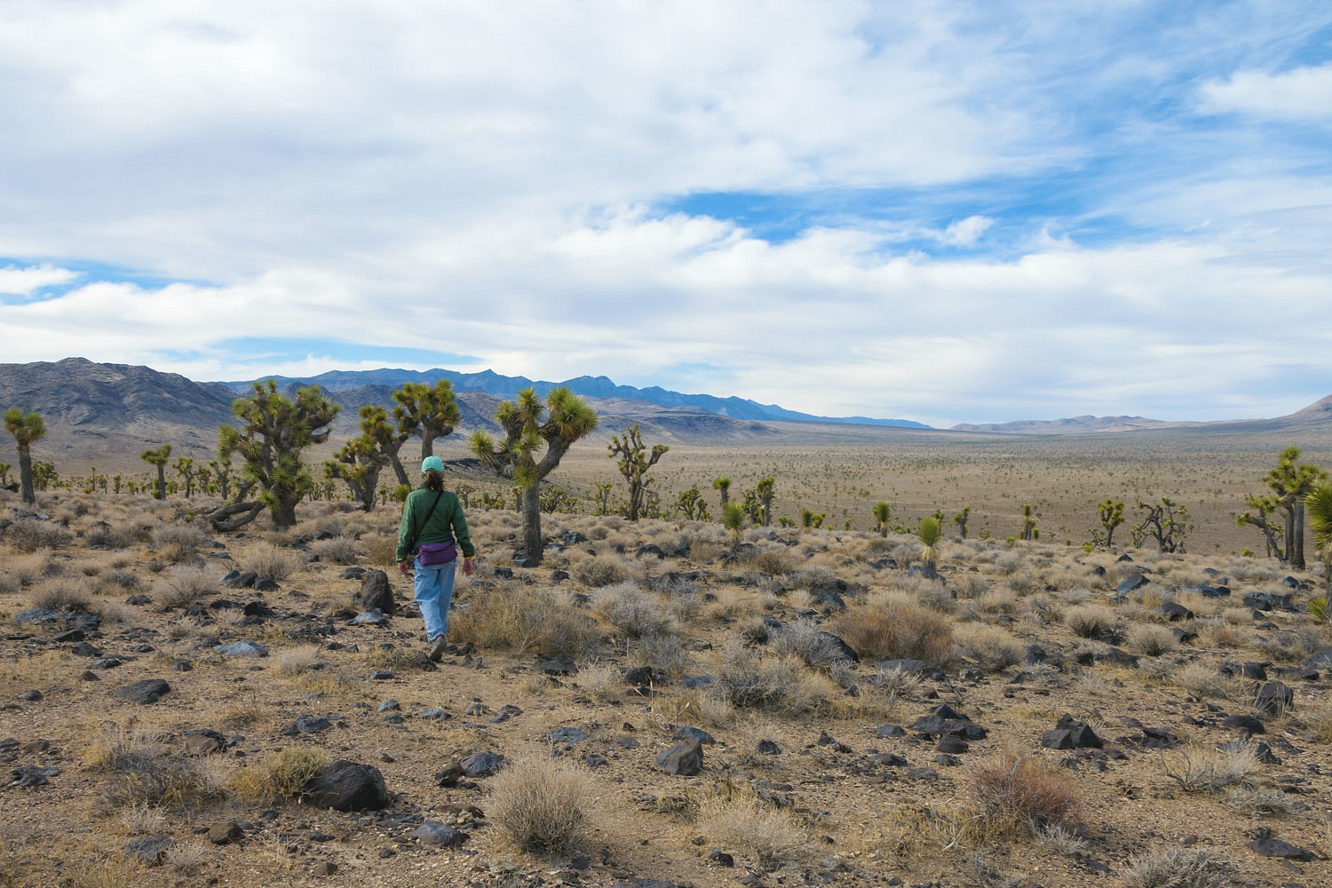
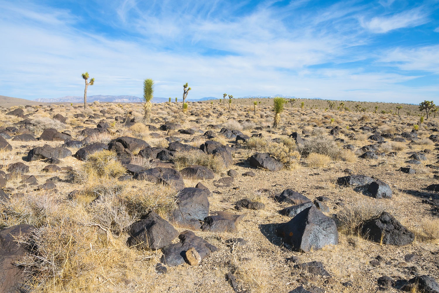
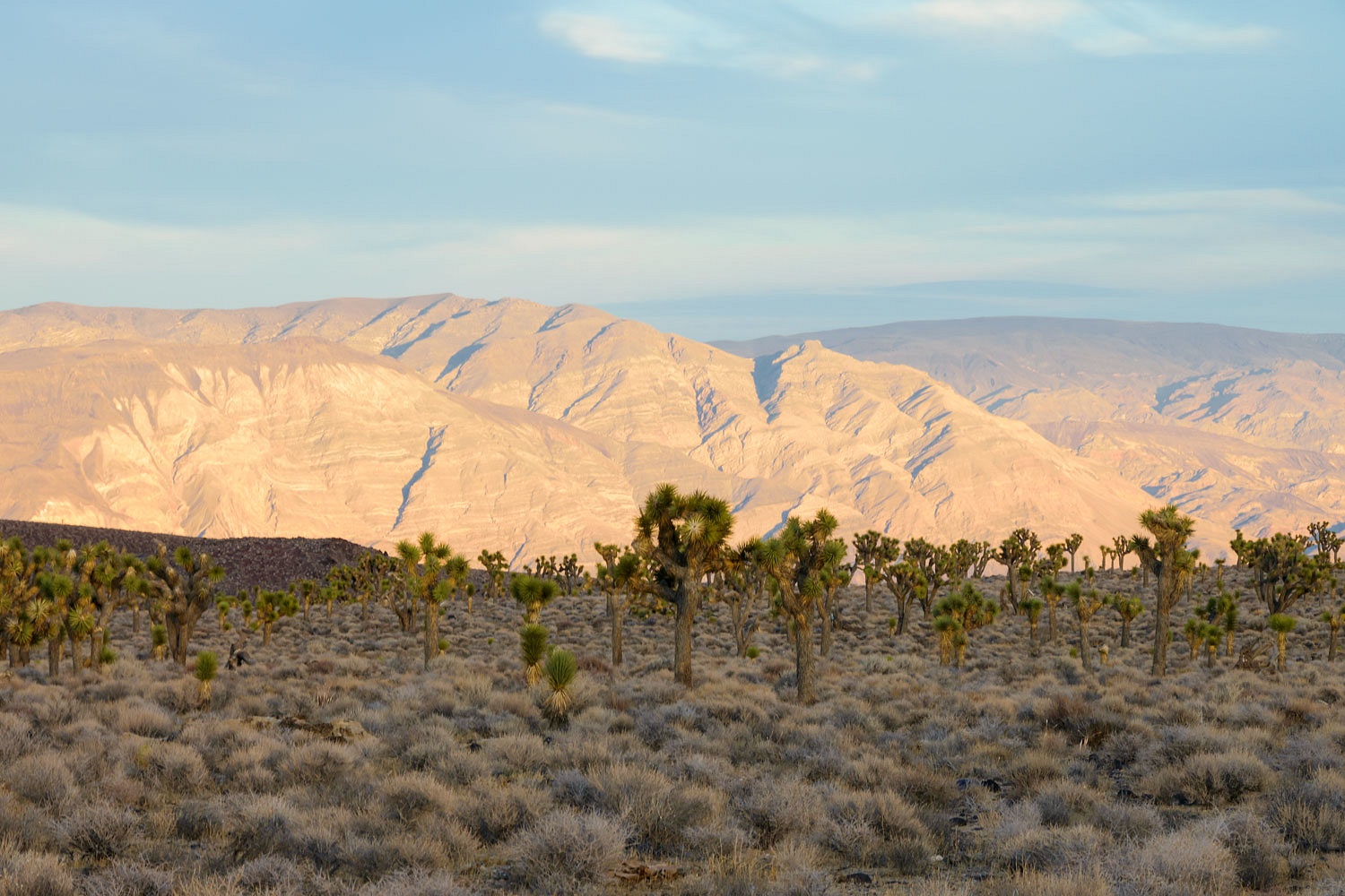
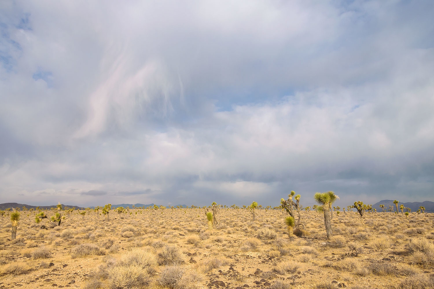
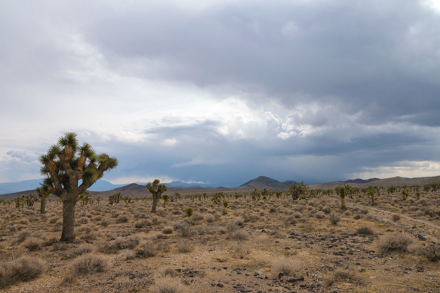
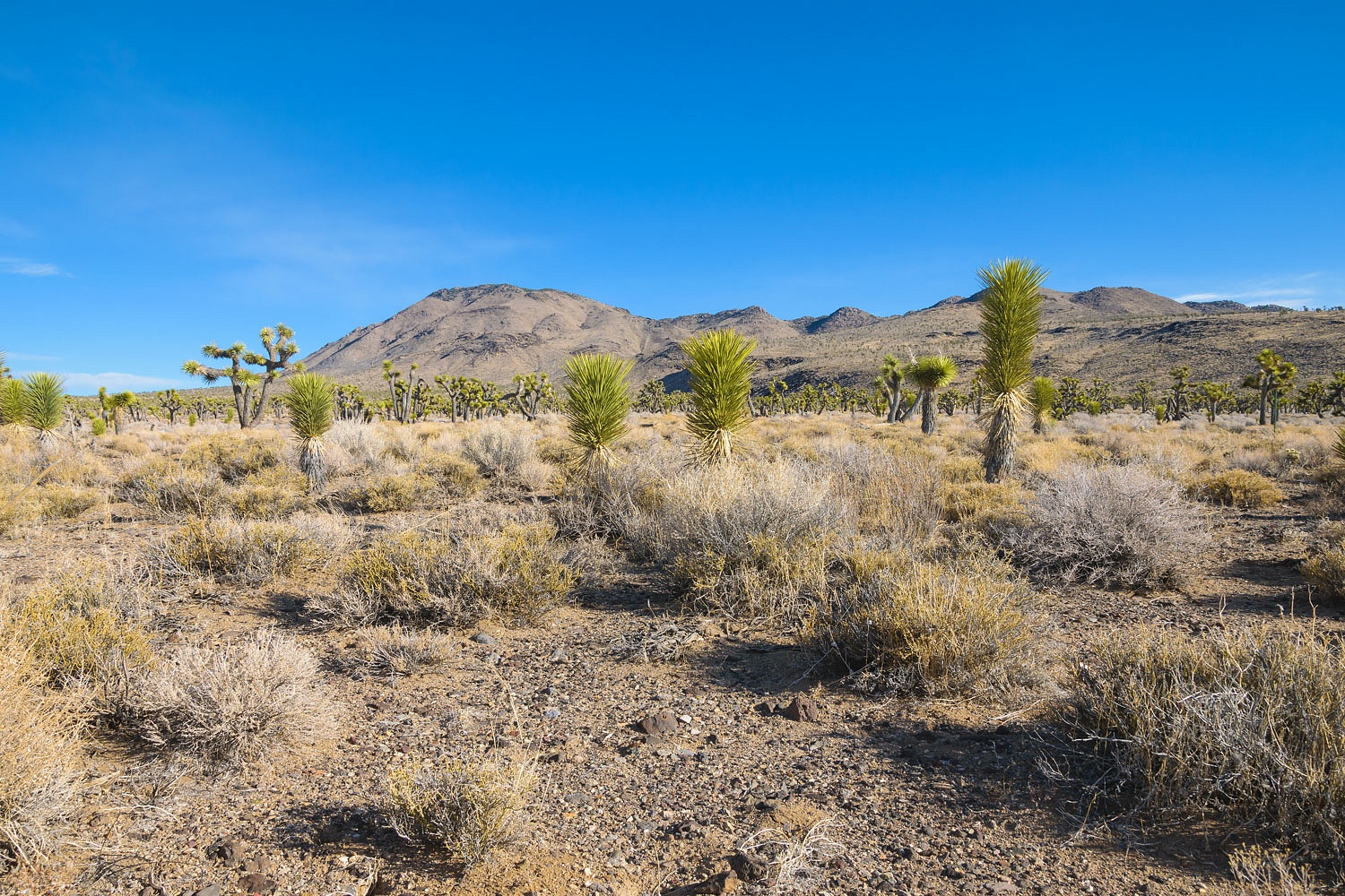
Sandwiched between the Santa Rosa Hills and the Nelson Range on the western edge of Death Valley National Park, Lee Flat is a vast plain containing a fascinating forest of Joshua Trees. Sitting at an elevation of 5300 feet above sea level, where the desert air can chill you to the bone in winter, it was a fitting and lonely place for the Lady and I to explore for a few days.
We had four nights available to be
away. Keeping to the theme of "it never hurts to check" we happily
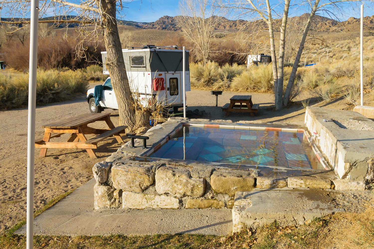
discovered an available campsite at Benton. Our first night was quiet,
relaxing, and restorative. We soaked all our cares away.
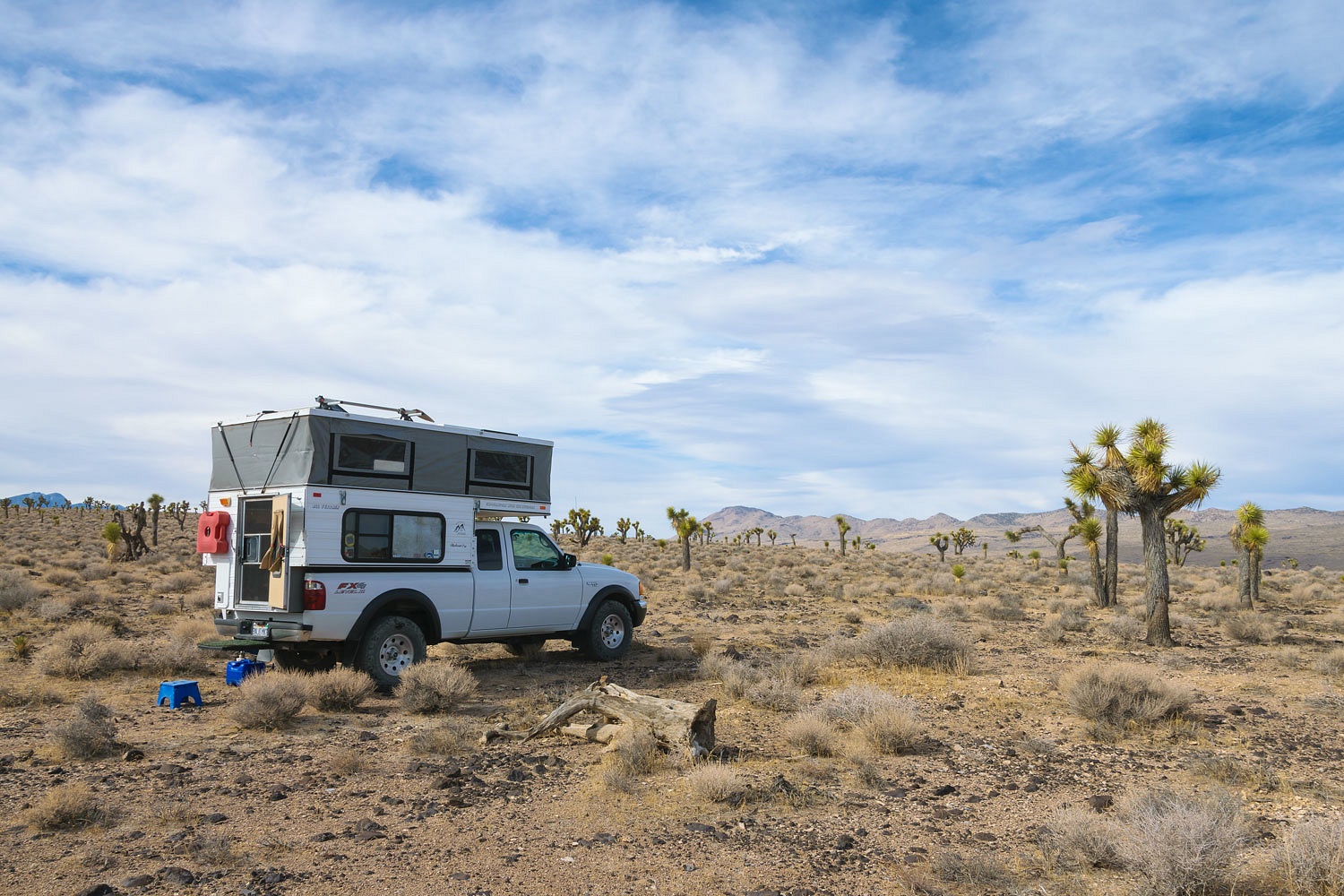
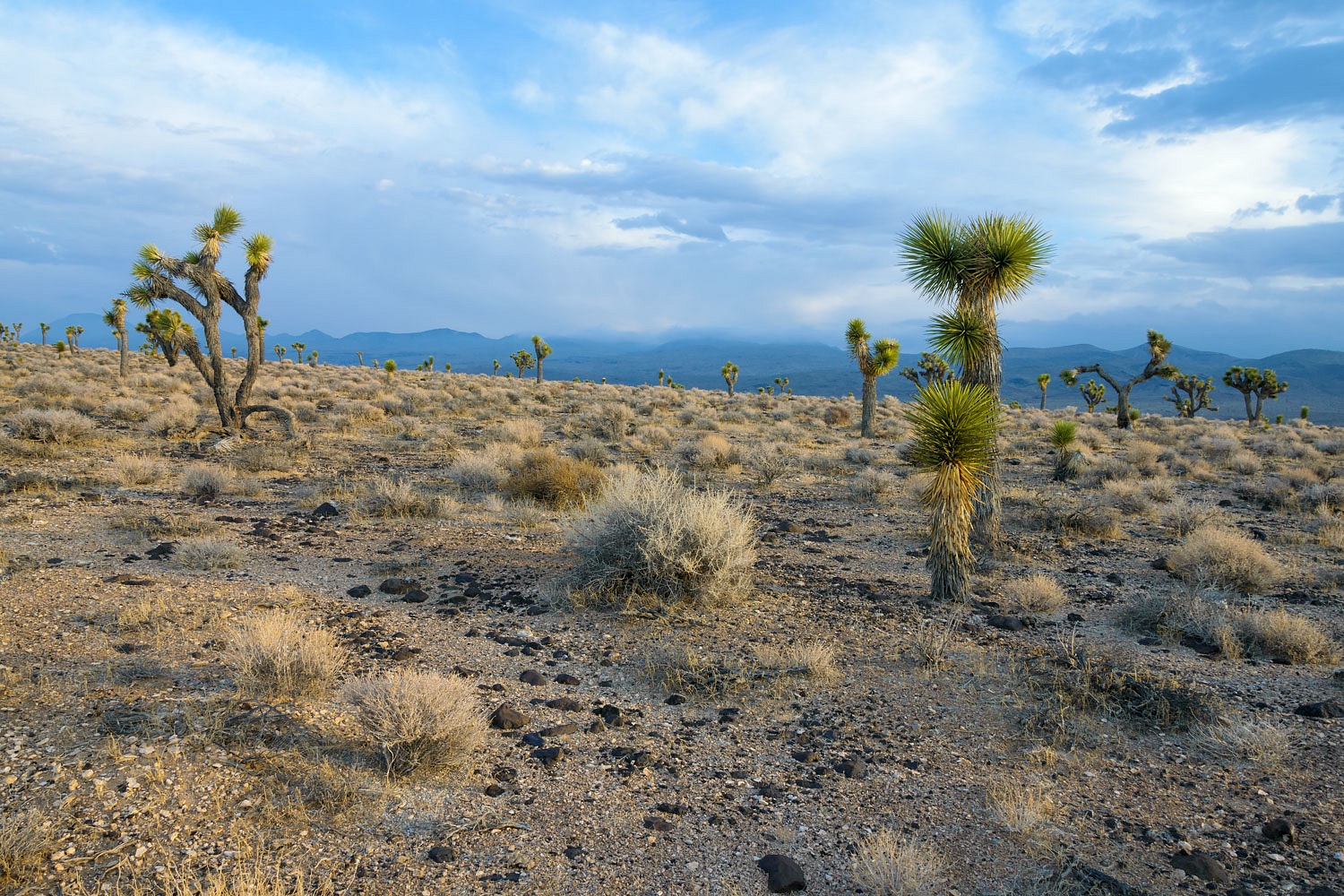
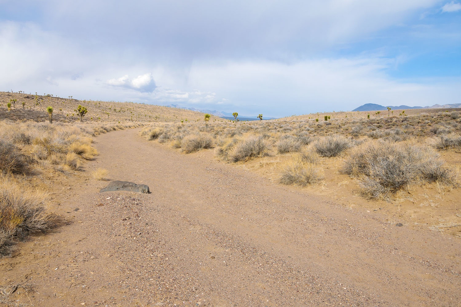
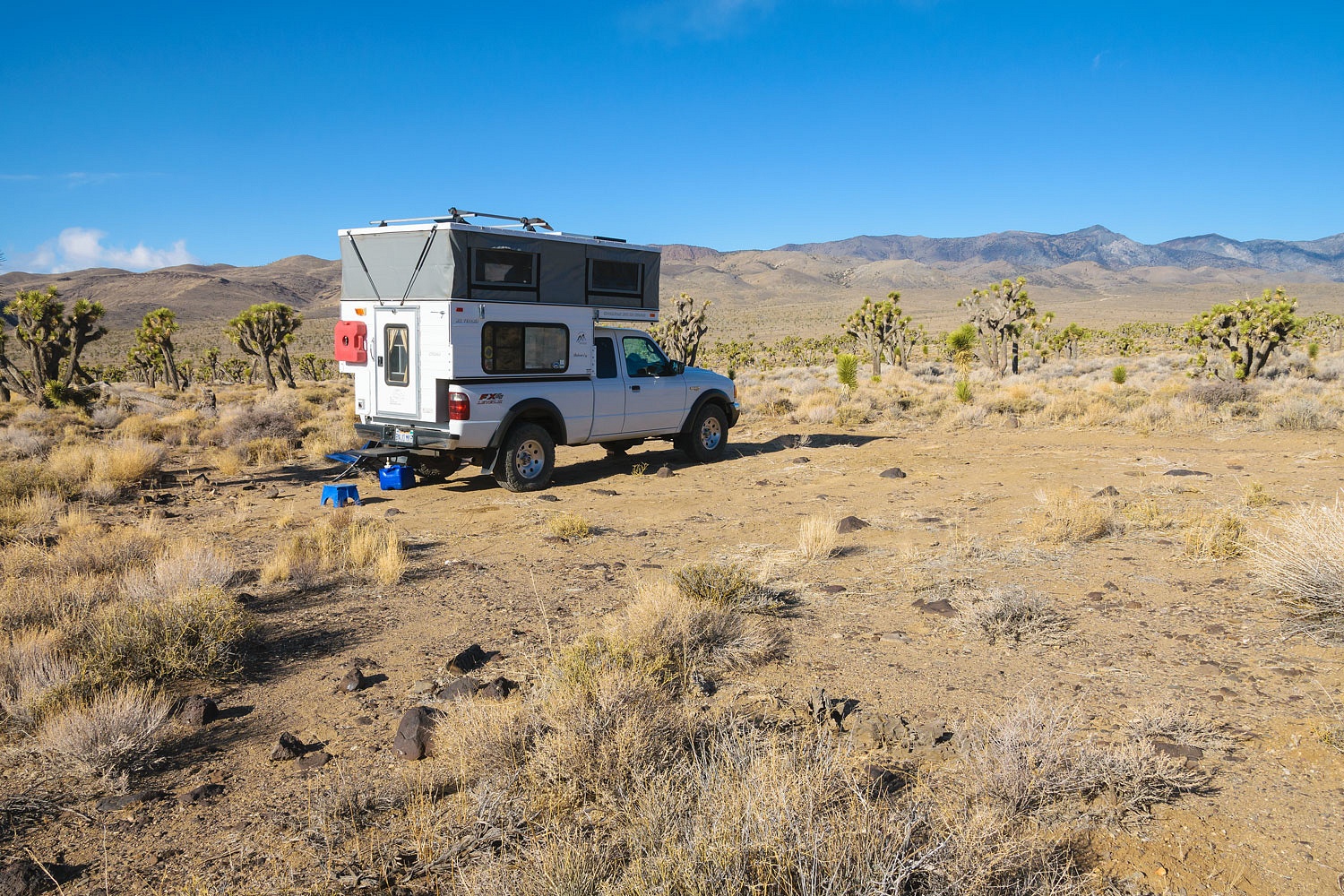
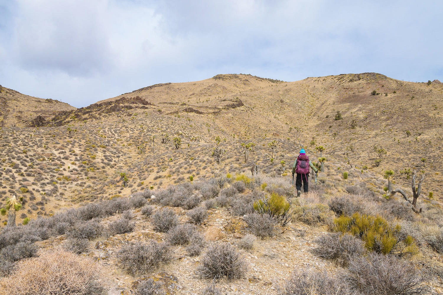
We arrived at Lee Flat shortly after noon the next day. The Lady navigated us to the narrow two track road that would take us to our starting point for our first adventure. The road was rough and slow going in 4x4 low. We bumped along at a pace we could easily exceed by walking. But, we wanted a remote piece of solitude where we could set up our camp.
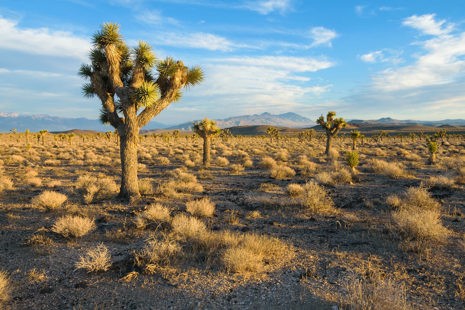
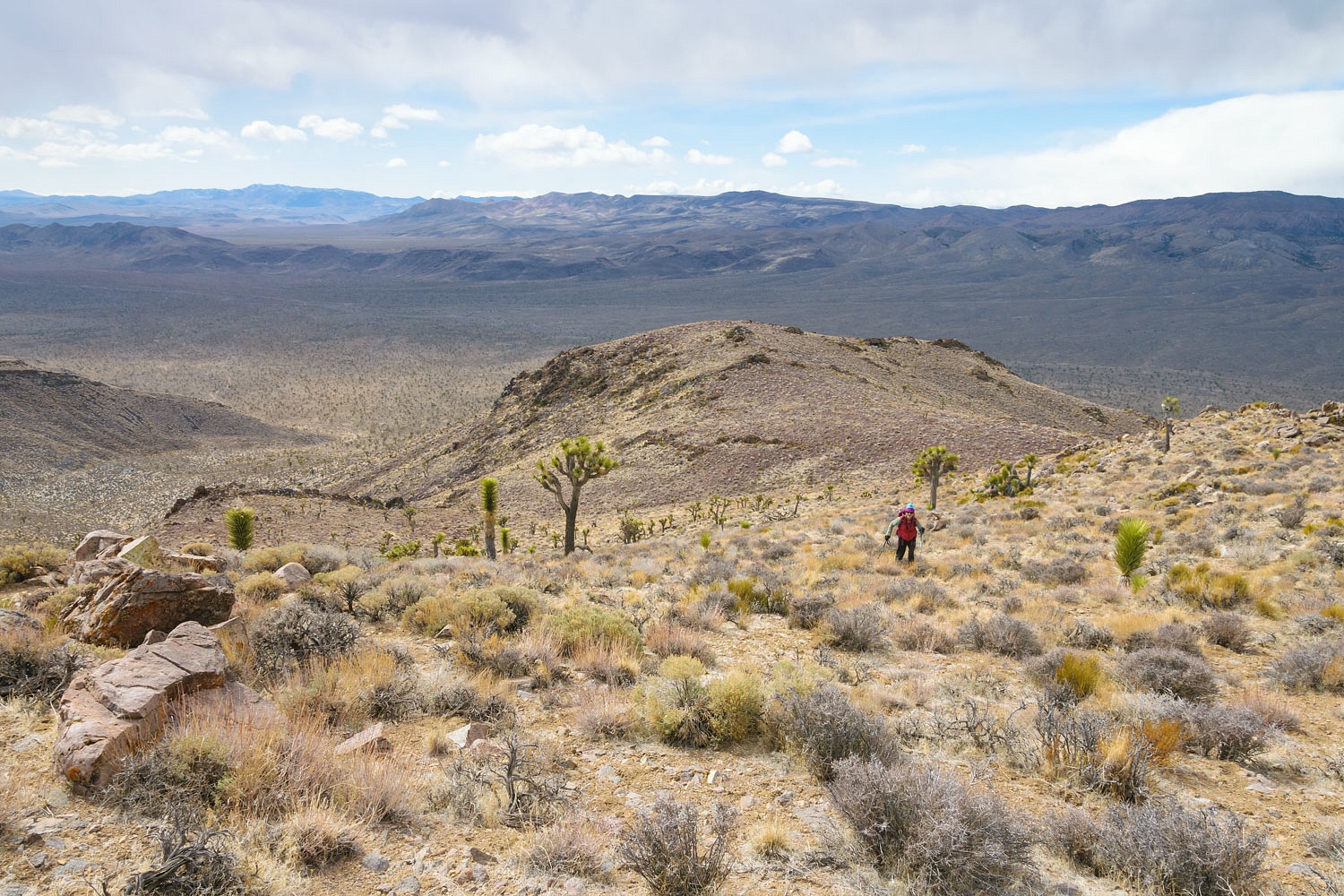
The wind bit and sunk its cold teeth into us. This would be a hallmark of this trip. We walked to the north seeking an overlook to take in the vastness of this place.
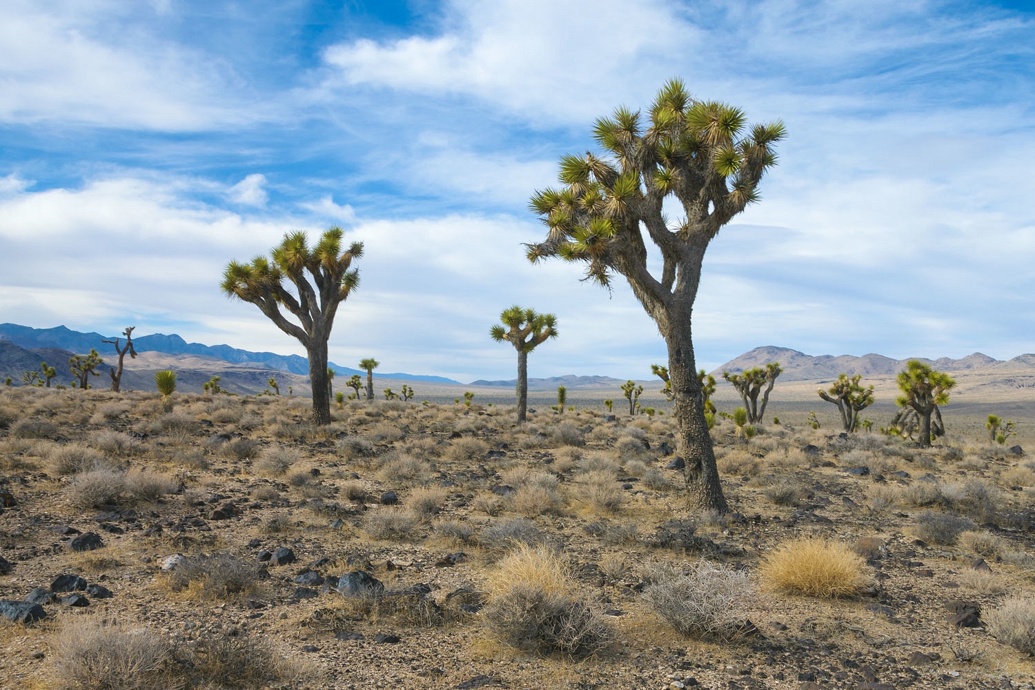
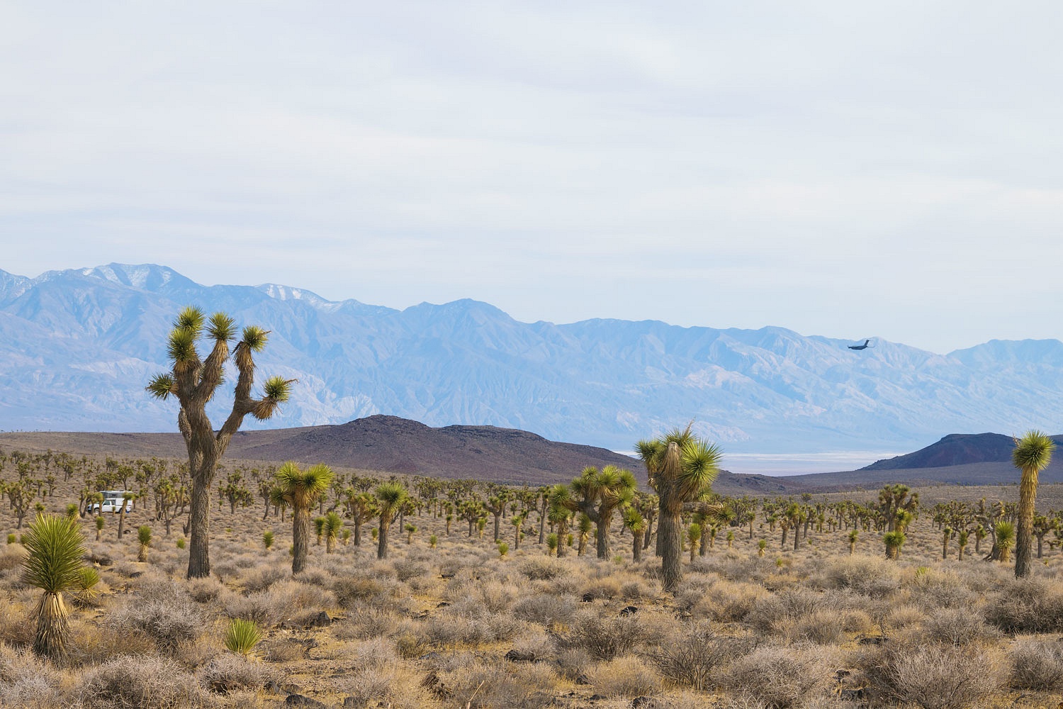
The wind makes an odd noise blowing through Joshua Trees and we learned how tough and sturdy these plants are. They barely show any movement even in hard winds. Another noise caught our attention. We turned and watched a C-17 fly past our truck on its way, dropping into Panamint Valley to our southeast. The Panamint Mountains are beyond.
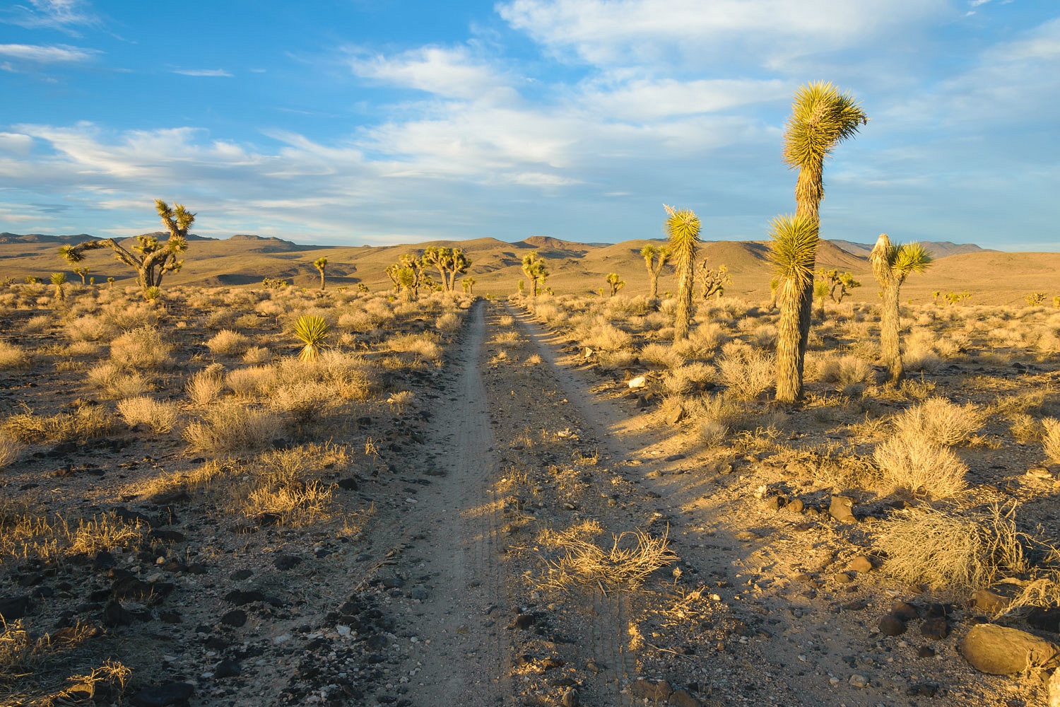
We found an ancient pathway to follow, faint but still visible.
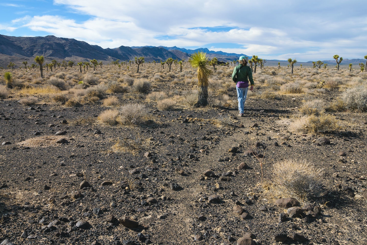
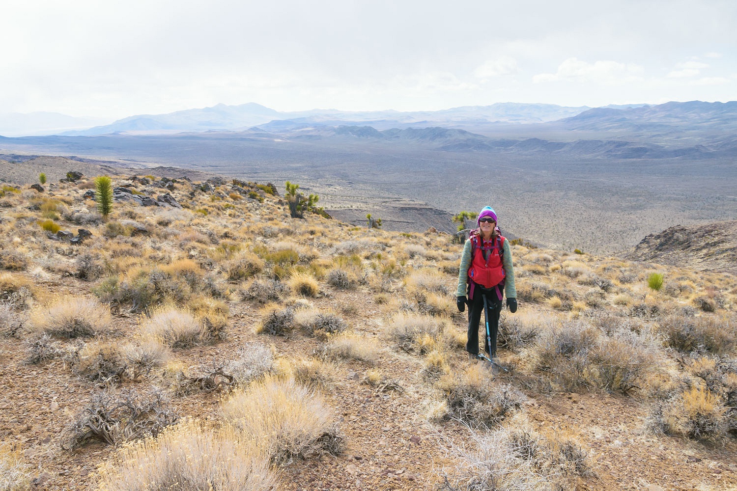
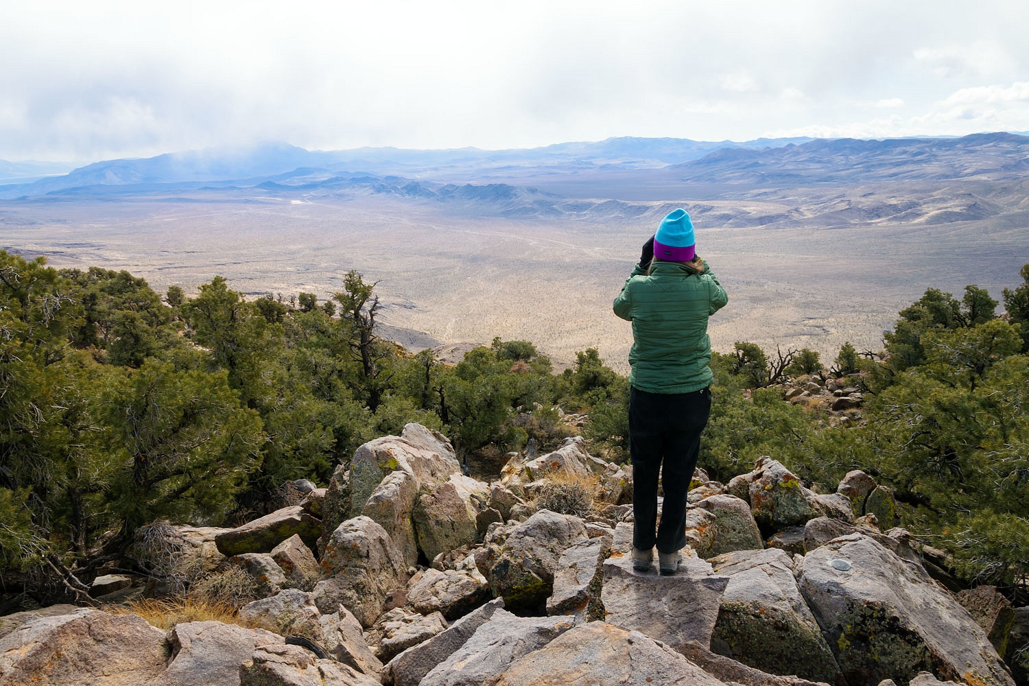
The Lady turned off the trail and took us over to a basalt bluff.
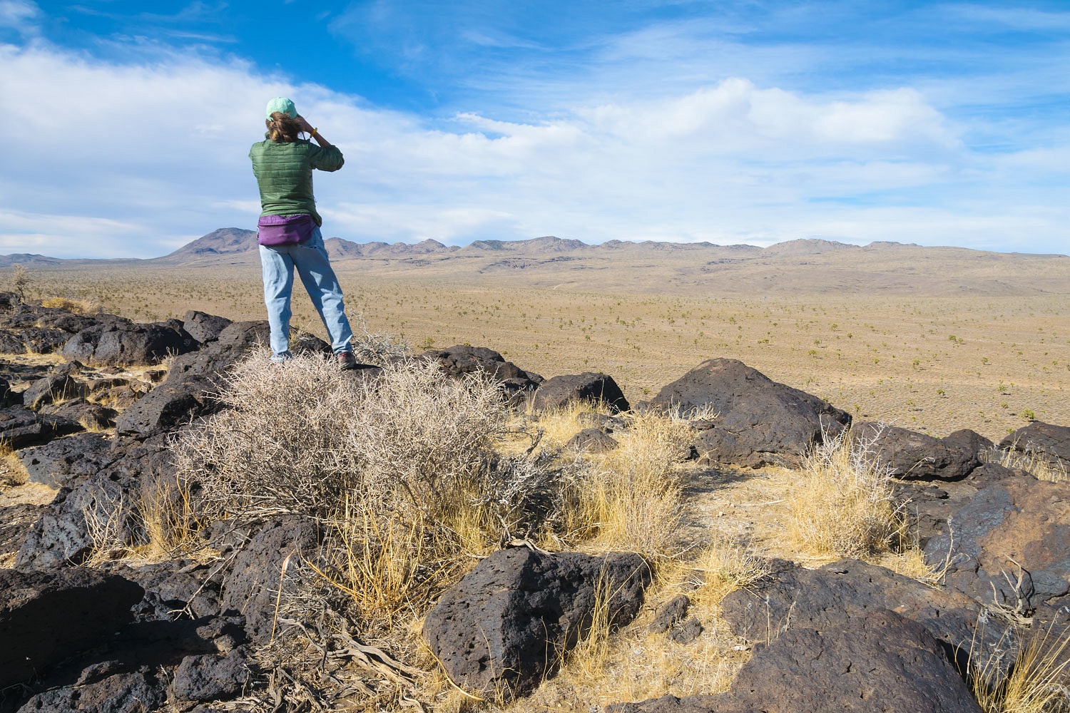
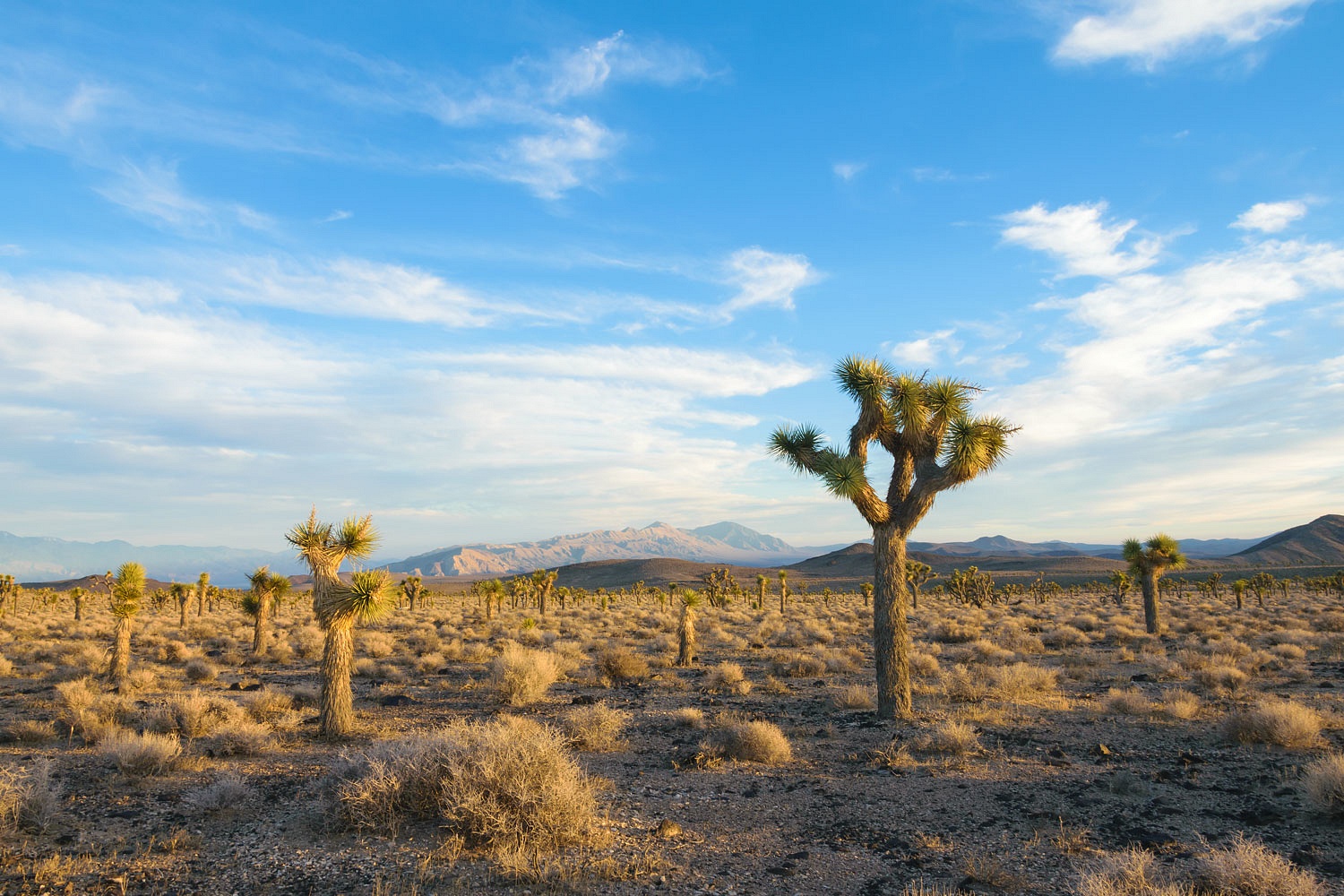
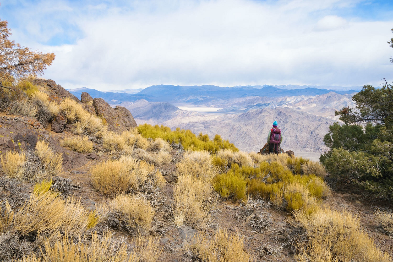
The vastness of Lee Flat spread out to our north with the Nelson Range behind. Its high point, Galena Peak, is just left of Julie, above. To our east was the beginning of Lee Wash that drains out of this broad plateau.
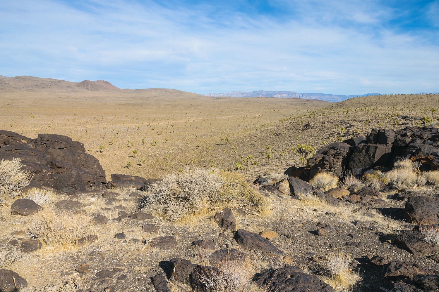
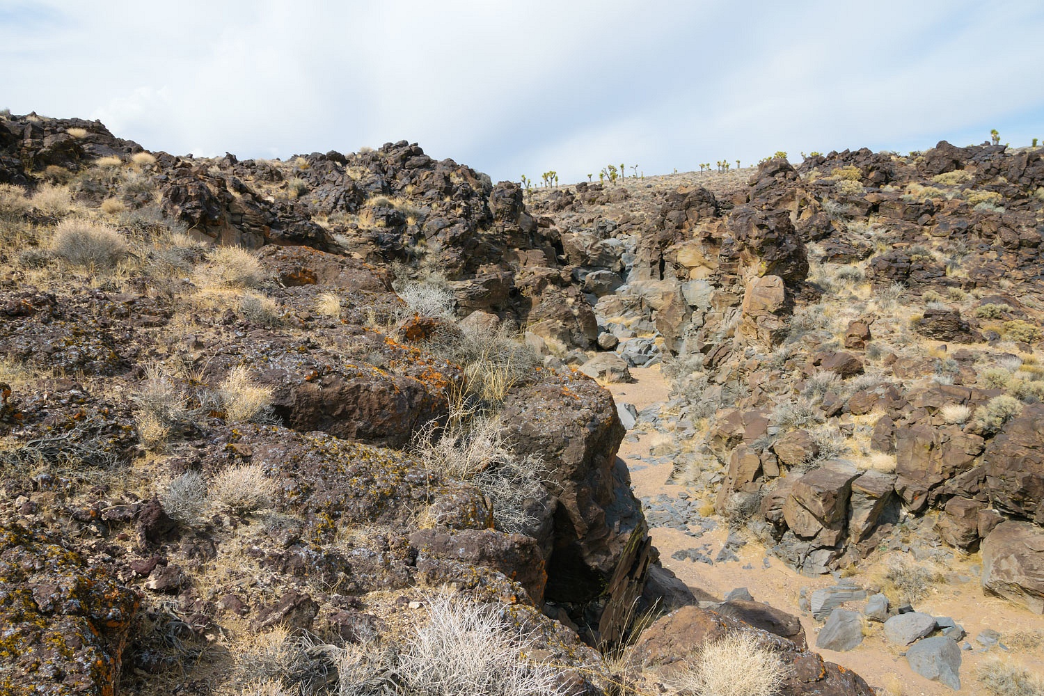
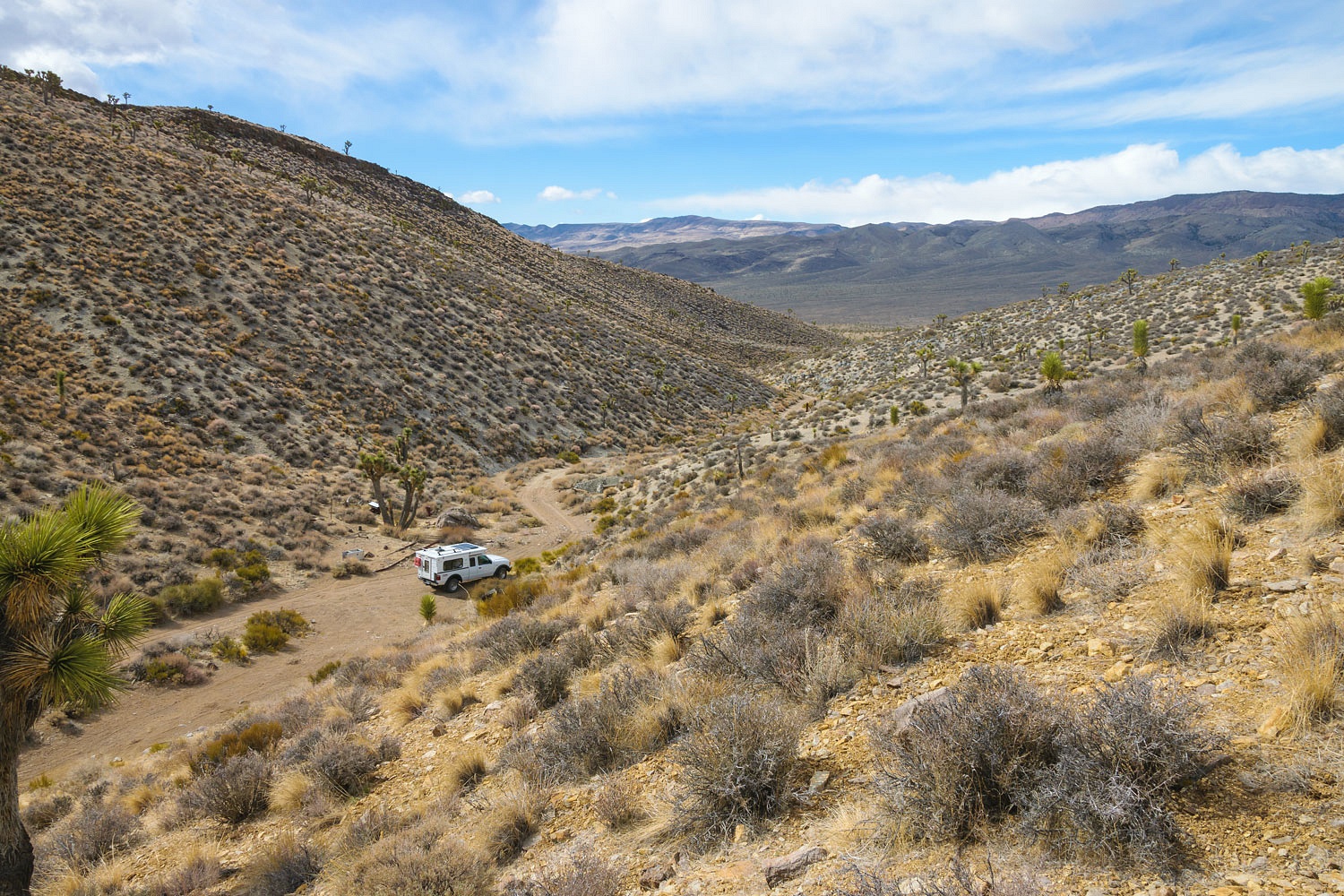
Lee Wash leaves the flats and descends through layer after layer of volcanic rock as it cuts its way down (4200 vertical feet) to Panamint Valley below. The next day the Lady and I would explore the upper reaches of this canyon.
After time well spent atop the bluff orienting ourselves to the area, we turned back toward camp.
The evening light turned golden as we made our dinner.
That is the Argus Range in the distance in the photo above. Here's a telephoto of last light on the Cottonwood Mountains to the east.
The wind rocked the camper through most the night. We both woke from deep sleep when it suddenly stilled. The quiet was immense. There was not a cloud in the sky and the stars pierced the black sky with their clarity. It did not last.
We woke to the wind's return and skies close to spitting rain and snow.
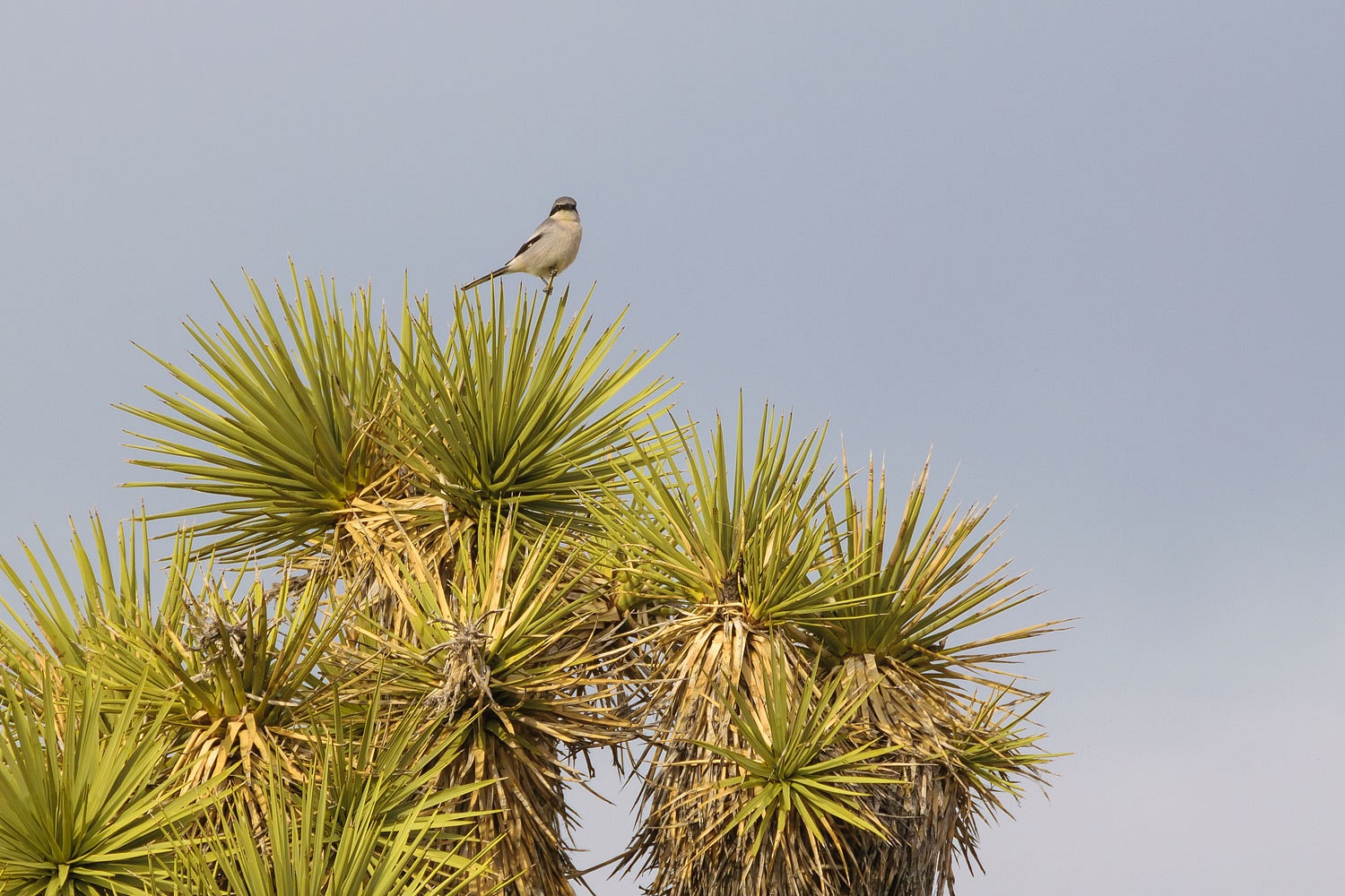
During breakfast - we try to always eat outside in our low chairs - a Loggerhead Shrike masterfully perched in a Joshua Tree to watch. If you check out the link, be sure and read the eating habits of the shrike.
It smelled of rain as virga swept across Lee Flat.
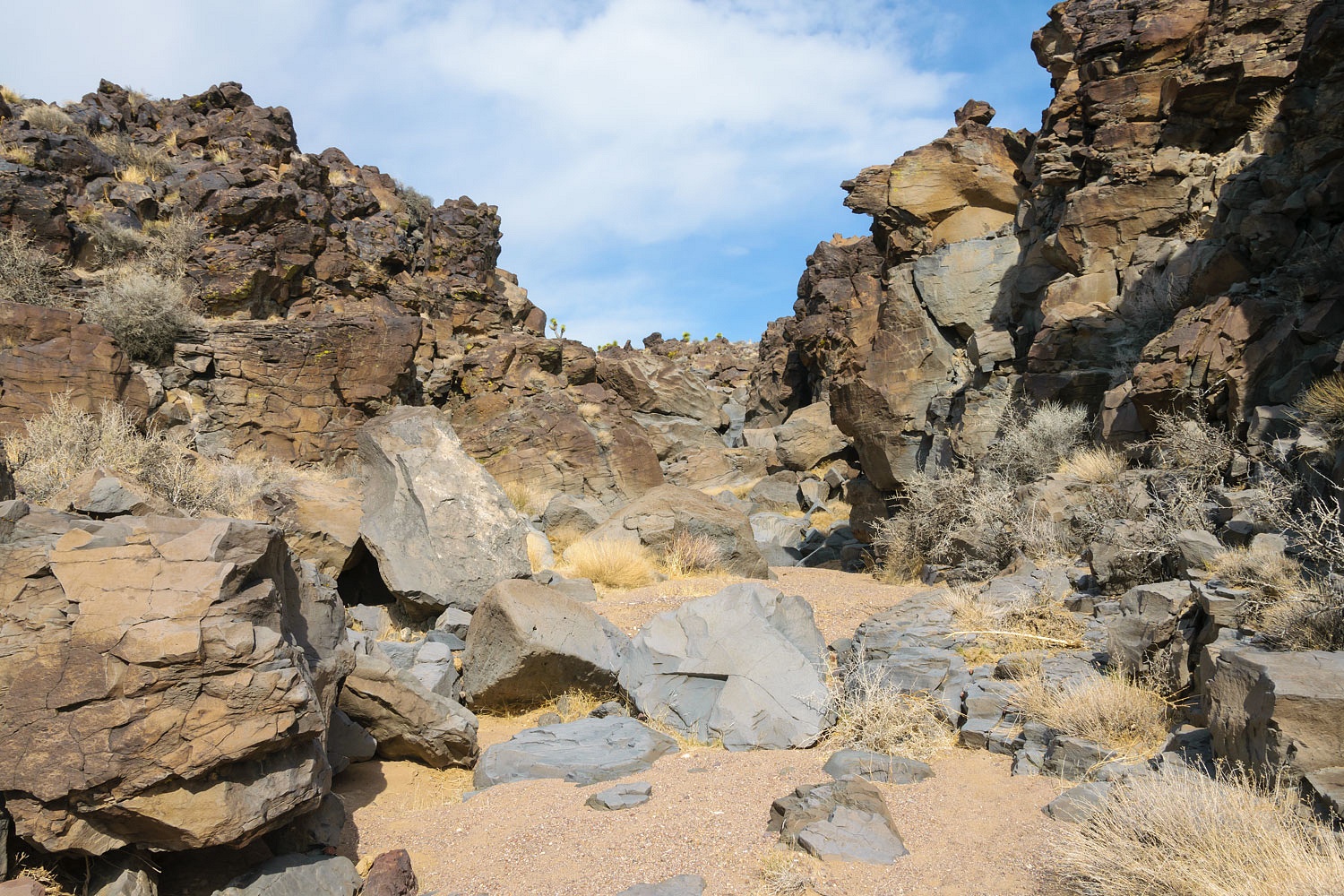
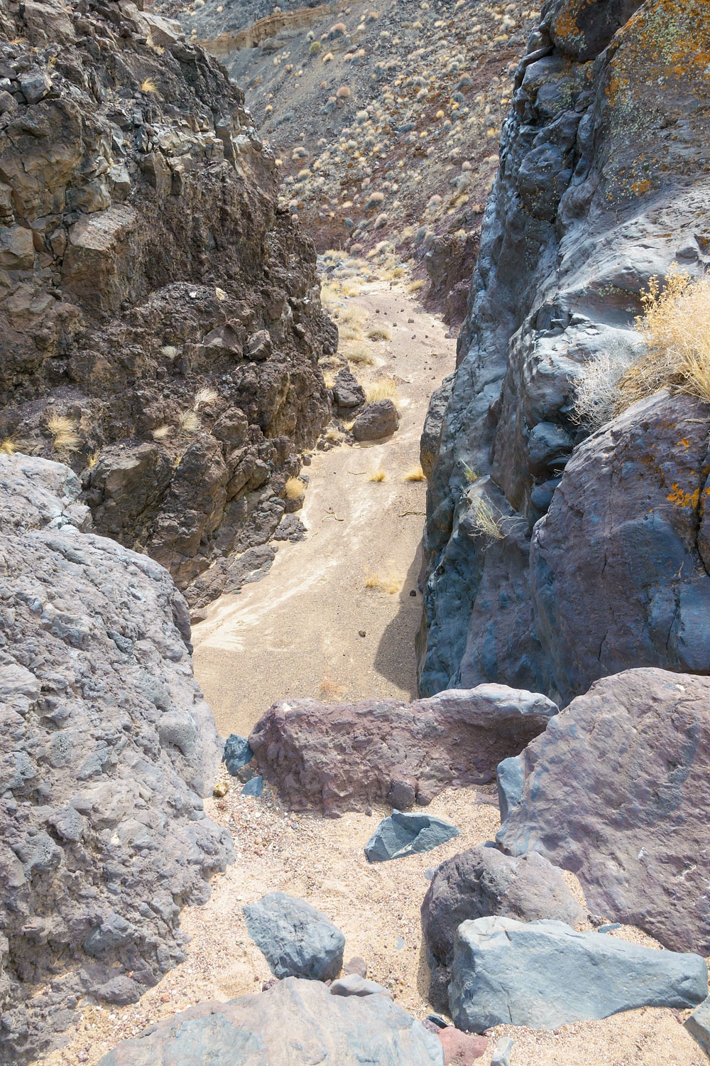
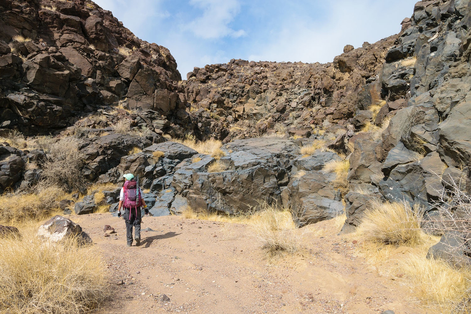
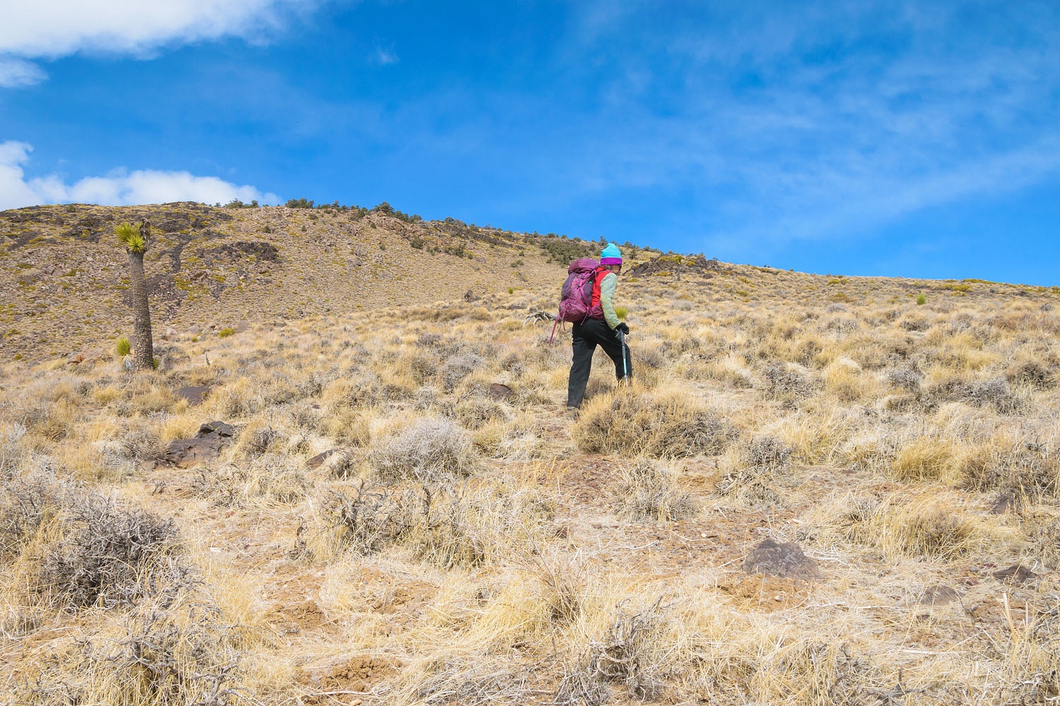
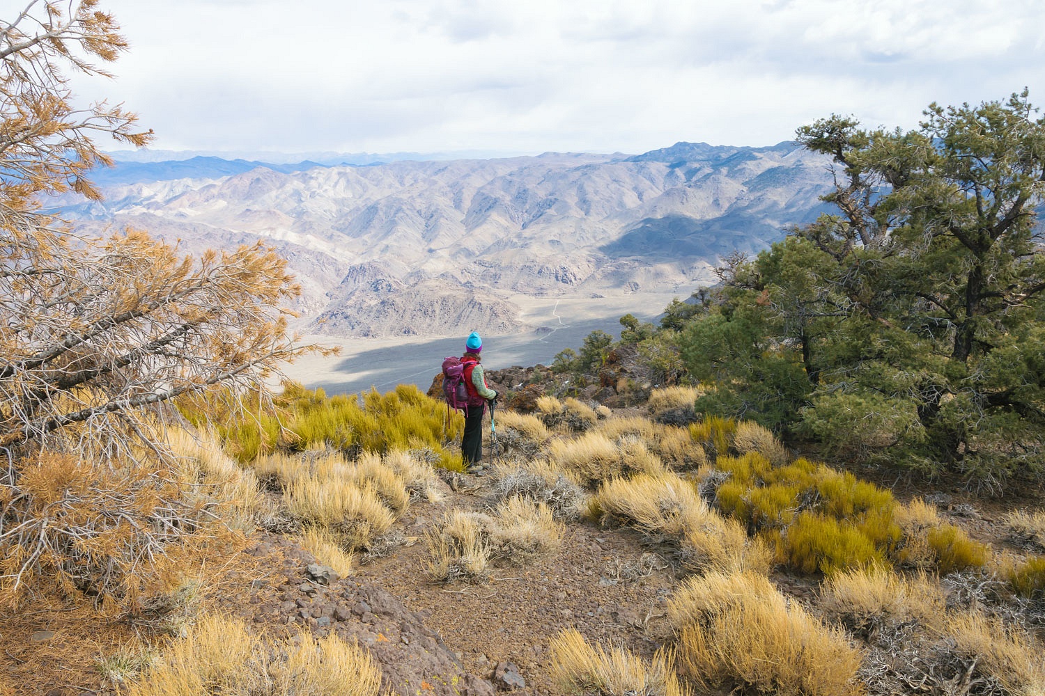
We took our time preparing for our hike to give the day a chance to warm. We started our hike by dropping the 200 vertical feet off the plateau and into the wash. It is a mile and a half to the southeast down the wash before the terrain began to change. Here is a view back.
The gradient steepened and the drop began.
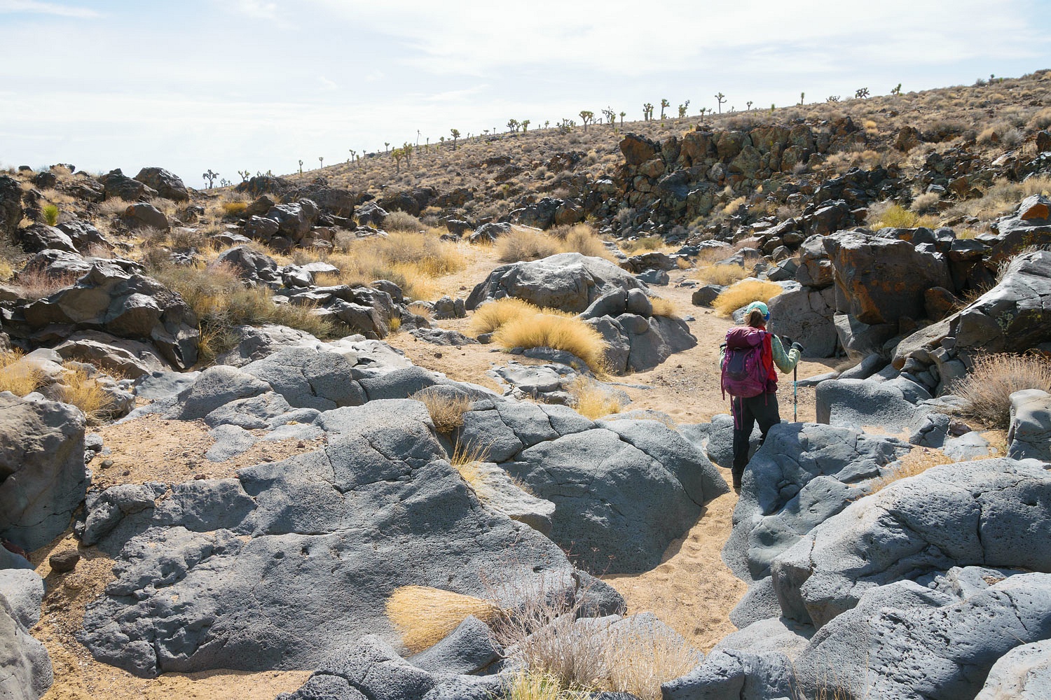
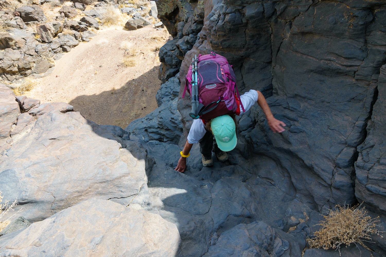
We were using Digonnet's description of Lee Wash in his Hiking Western Death Valley National Park as our guide.
A short quote - "In minutes you find yourself sinking below the surface of the plateau in sudden steps, climbing down polished bedrock, 5, 10, 40 feet at a time. Over the next mile the wash is interrupted by five major falls and numerous low boulder jams and chutes."
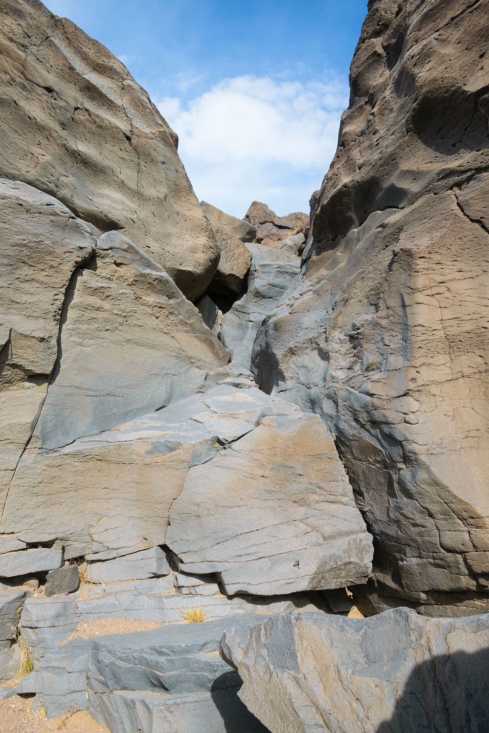
We came to the first fall and peered through the narrow slot.
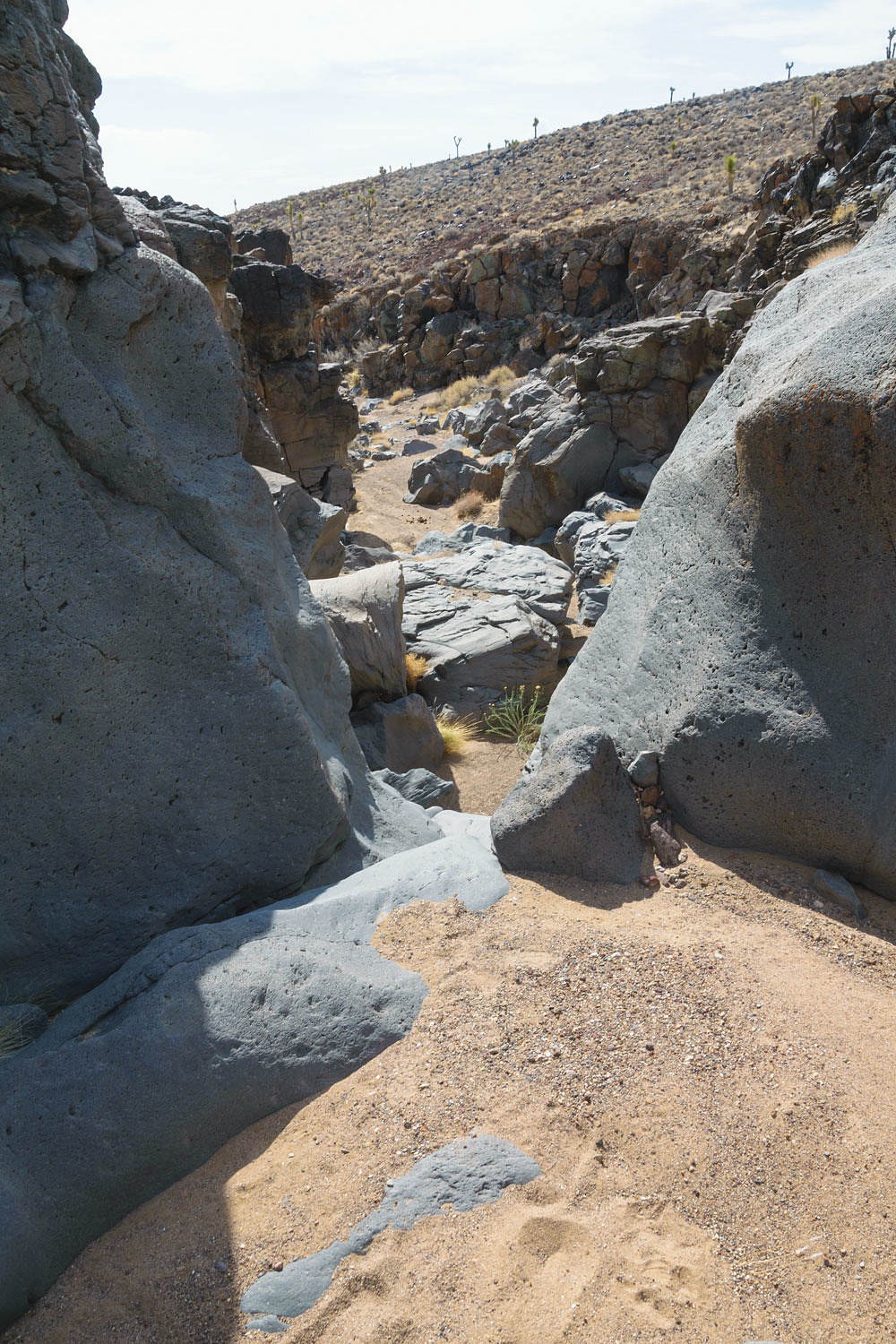
There was an easy bypass. We dropped back into the canyon and backtracked to the first fall.
From the bottom we saw that we'd be comfortable climbing the two polished chutes. It was a bit unnerving view from the top.
We descended part way down the second fall and, again, found it difficult to scope out a climbing route down from above. We found an awful, treacherous bypass filled with loose rock. We went one at a time.
Again we backtracked to get a close look up the second fall.
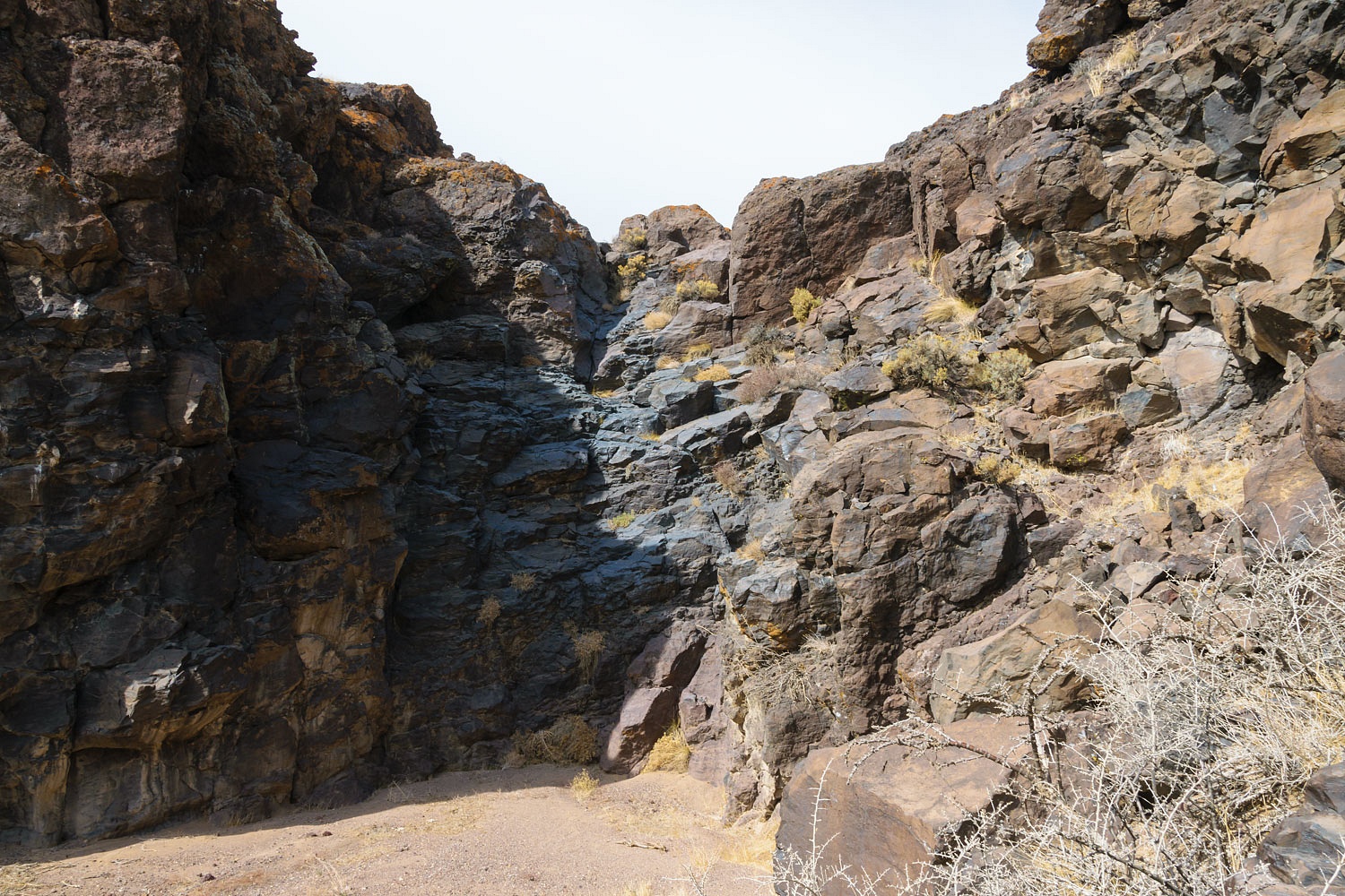
We continued down canyon climbing down short drops. Somewhere along the route we passed the third and fourth falls. The fifth fall was unmistakable, a 50 foot plunge to the gravel below.
Digonnet writes that he down climbed on awful fractured rock on the left of the fall and recommends using a rope for safety. Or, he suggested searching for a bypass. We had planned that this would be our stopping point.
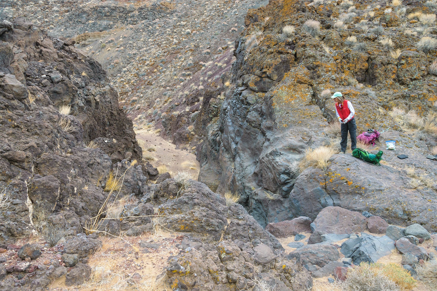
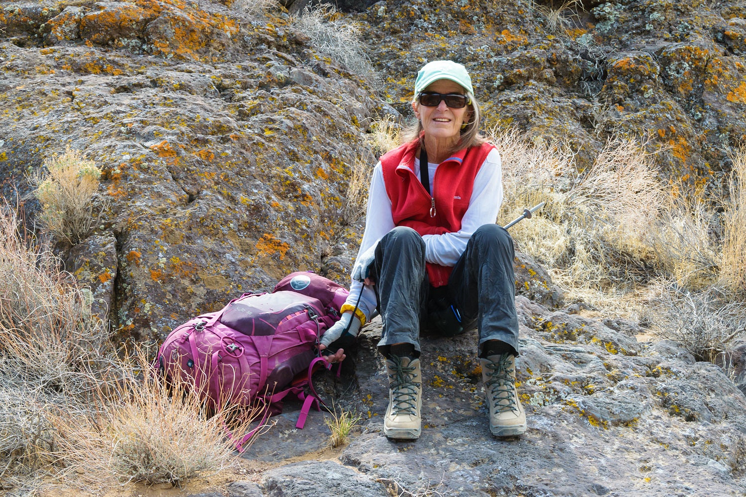
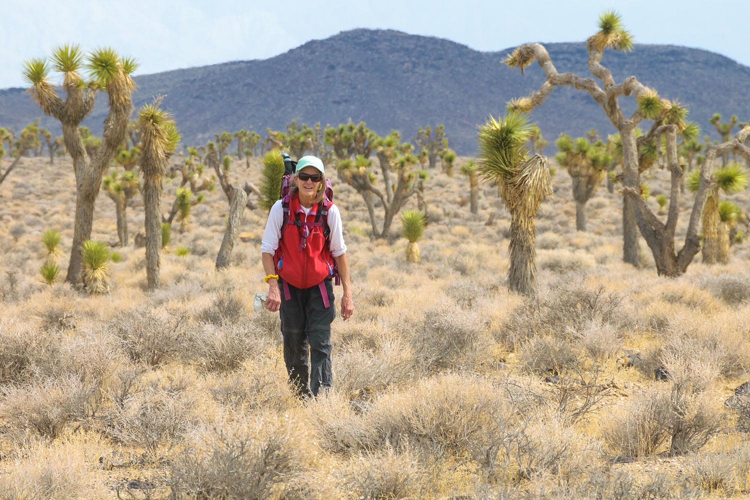
We took a break at the top of the fifth fall. This was the Lady's first hike, after the knee replacements, carrying her standard daypack.
We climbed the point above us and got a nice view back up Lee Wash.

After snacks and water, we headed back up canyon. We believe this is the fourth fall.
And this is the third fall.
I wanted to photograph Julie as she climbed the second fall but she was a bit apprehensive about her ability and wanted to follow me up. She was concerned about her leg strength - doing a high step onto a foothold and then powering up with leg muscles to a full standing position. With watching her excellent recovery progress, I had complete confidence in her. I went first and I was kind of surprised she was followed right behind me. We stopped at the entrance up into the first polished chute. I'm a deliberate climber. Julie is more of a scrappy climber. I worked out and verbalized the moves I wanted to make and then did the short climb. The Lady followed. "Are you using the moves I did?" I asked as she came up. "No," she answered. "I'm just climbing,"
and went right past me and up to the top of the final chute.
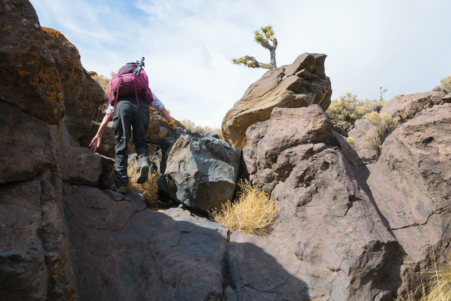
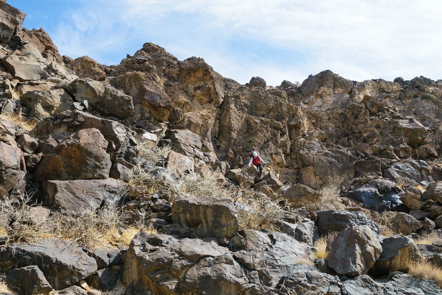
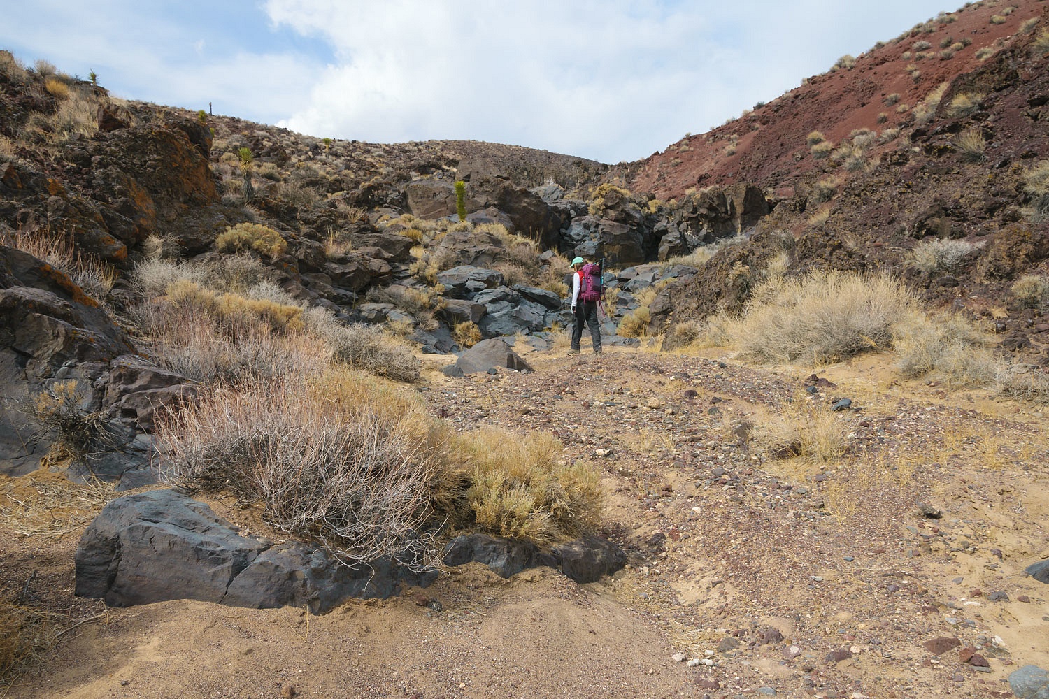
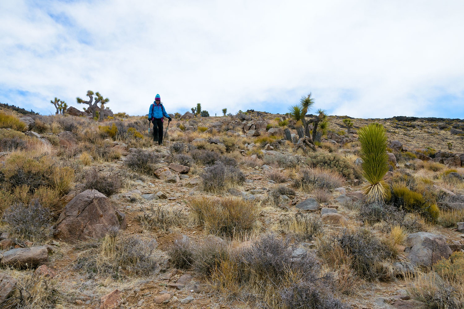
We bypassed the first fall and climbed the rocky side to reach the top of the plateau to head cross country back to our camp.
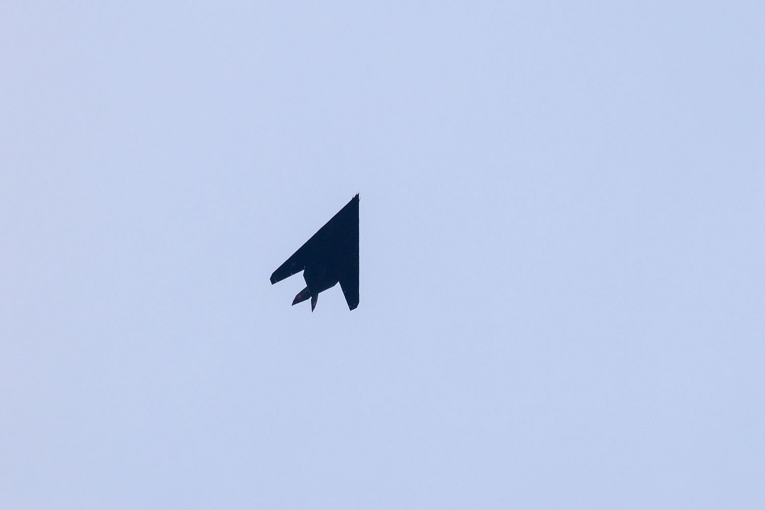
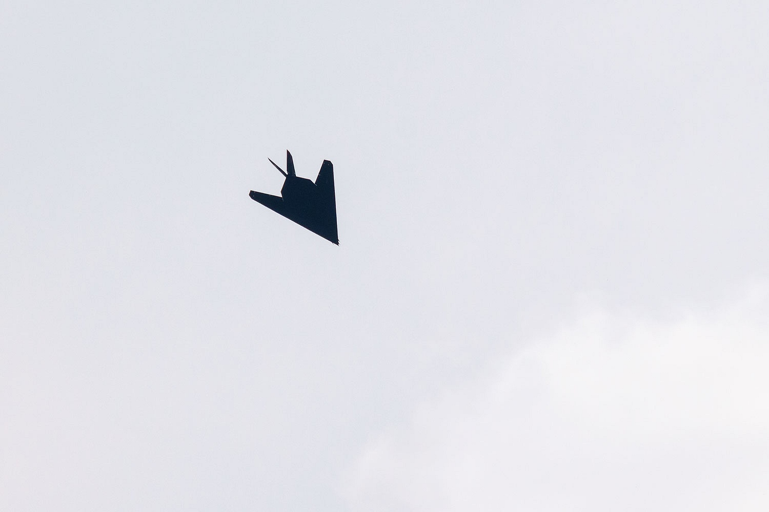
As we walked the plateau we had an over flight by a F-117, our first stealth fighter jet. This must be a rare sight as they were retired from service 13 years ago.
The Lady picked up four Mylar balloons before we reached camp.
It should be illegal to release this thrash into the air.
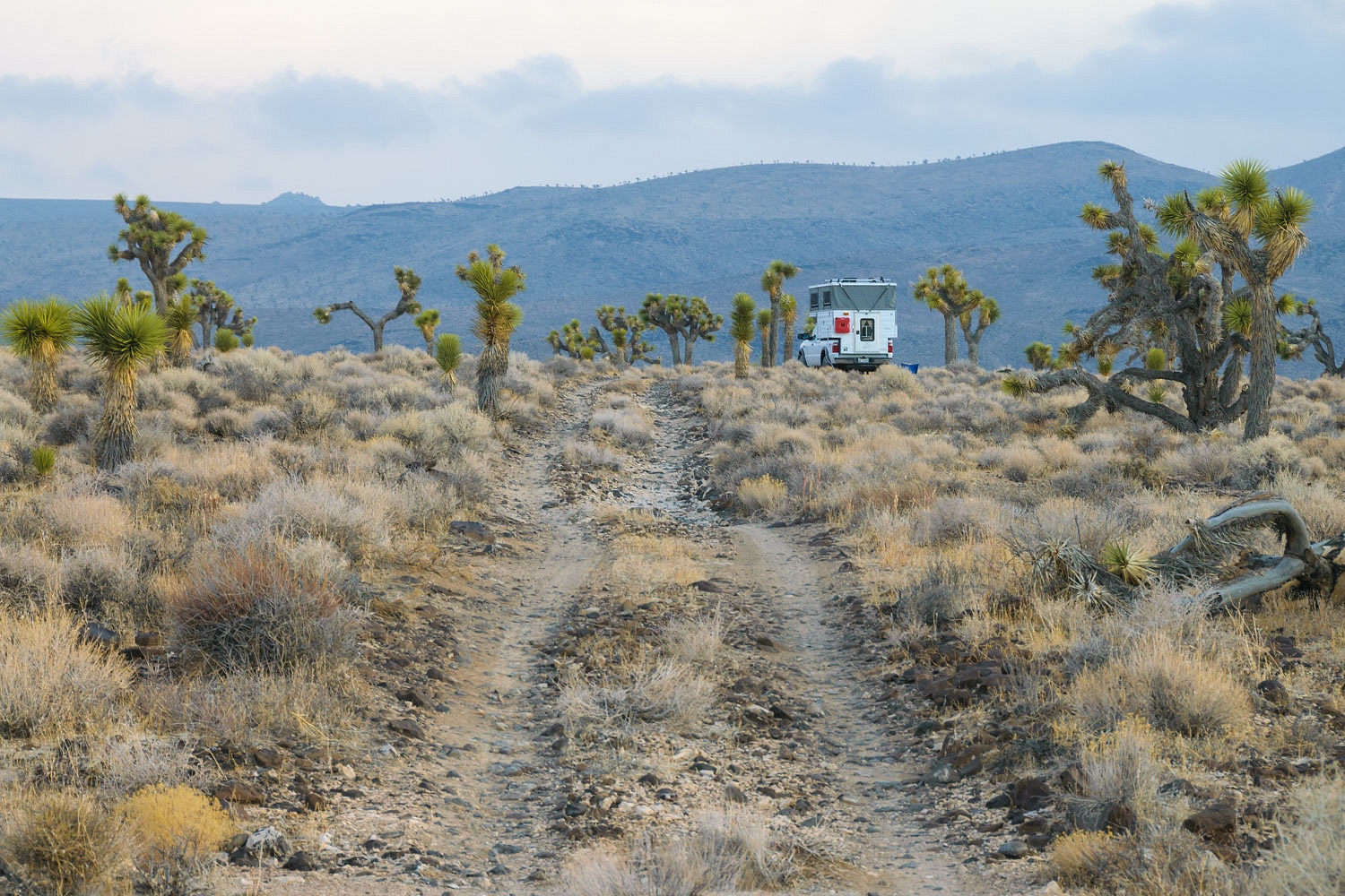
A rain squall was headed at us from the southwest as we packed up camp. Raindrops misted the windshield as we drove out.
It was only a short drive to our next campsite. We took quick showers outside in the cold wind and decided to enjoy the warmth of the camper and eat dinner inside. We went for a nice walk in the night before our game of Scrabble. The Lady had one 51 point word play and followed that with an unprecedented 76 point word. I took a real whooping.
Reveling in her victory the Lady slept well. I did too, but after I read for awhile. I'm currently reading George Putnam's Death Valley and its Country.
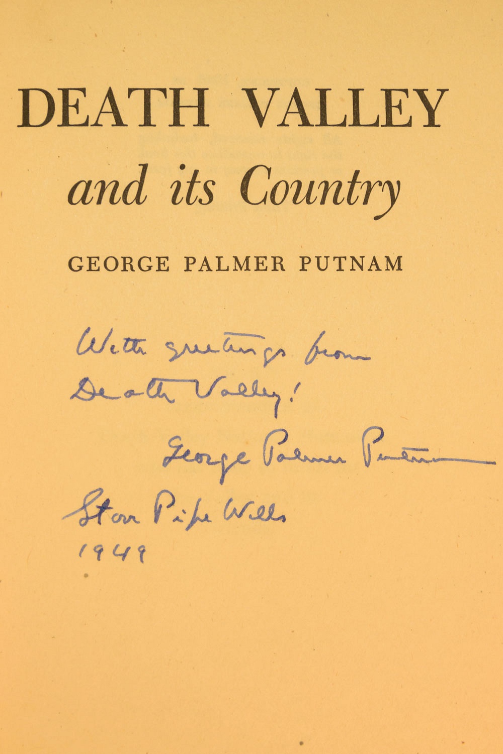
This book was written in 1946 when Putnam owned and operated the Stovepipe Wells Resort. George Putnam was an amazing individual, please take some time to read the short biography in the link above. He was an author, publisher, explorer, military officer in WWII, and husband of Amelia Earhart. And, it turns out, a Death Valley desert rat like many of us. His Death Valley tales from 1946 are, indeed, a fun read.
The wind built during the night. The morning was 29° with at least a 40 mph north wind. It was blowing. Many gusts were higher. Can you say windchill? I knew you could. We stayed in the bunk until the sun crested the ridge to the east. I bundled up and ventured out into the stark clear air.
"Can we? Can we?" the Lady asked repeatedly as we walked in the morning with our mugs of coffee. I knew exactly what she wanted to do. "It will depend on this wind," I cautioned. "If it remains like this, it would make for a brutal hike."
The wind was abating a bit as we returned to the truck for breakfast. The sun had power, as we say, and I was able to set up our chairs on the lee side of truck in direct sun so we could eat outside.
The question came again, "Can we?"
"Let's pack up and drive up the road," I offered, "and see how conditions are up against the mountains."
We drove up to the old Copper Queen Mine site. The wind still blew but not at an intensity that could knock us off our feet. We left the truck in the canyon below as we climbed. The Lady wanted to climb to the top of the Nelson Range - Galena Peak - and it was looking as if the weather just might allow us to do it.
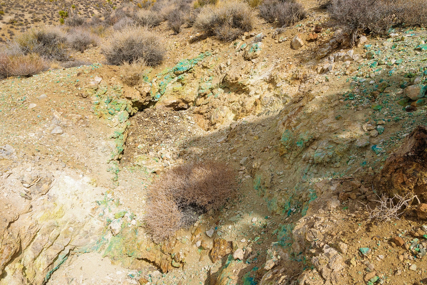
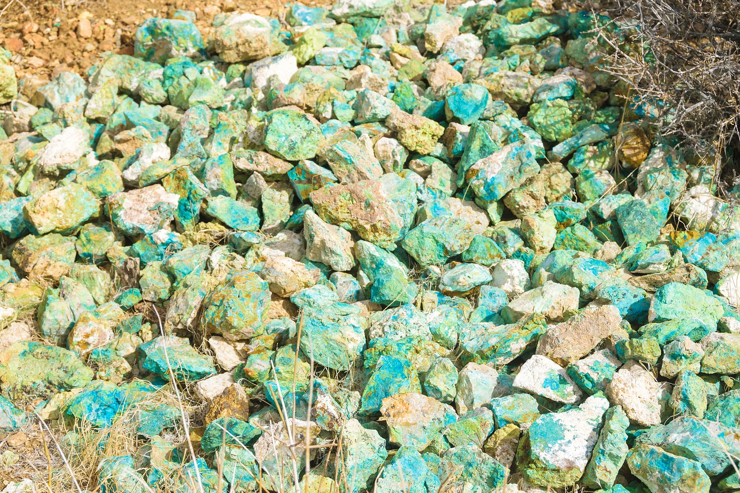
The Copper Queen mine is on the south (opposite) side of the canyon but we came upon an interesting prospect hole with a distinctive seam of copper bearing ore.
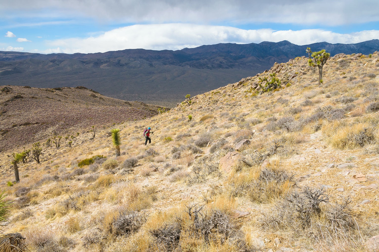
Linking ridges together to take us to the summit ridge was our route up.
She looks happy, doesn't she?
And she kept on going.
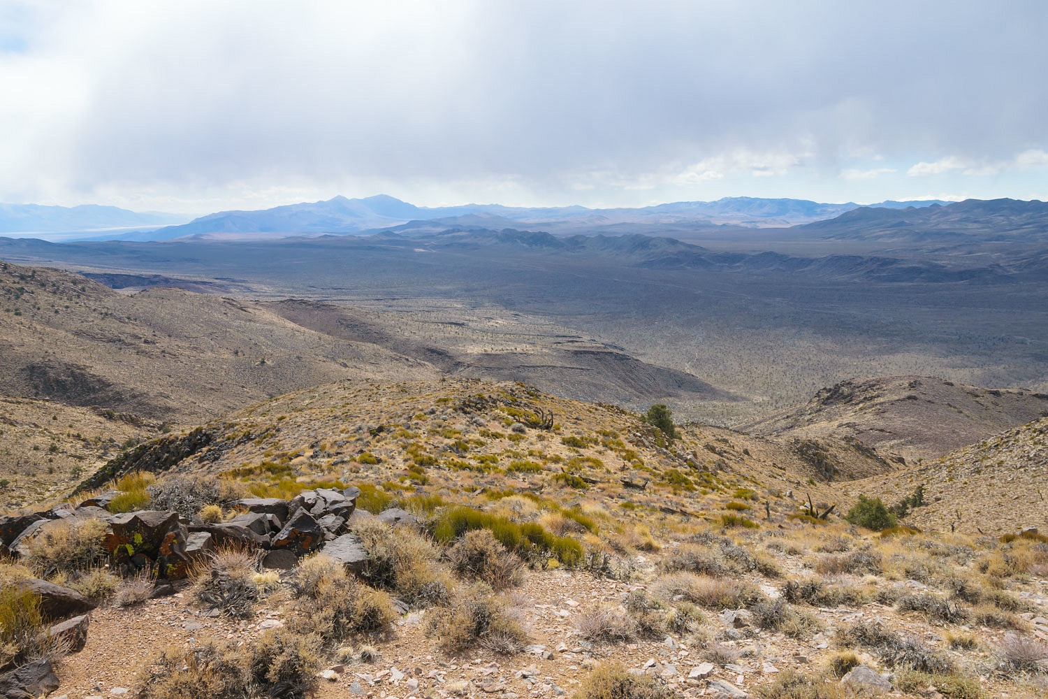
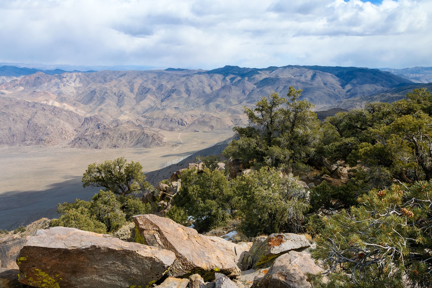
The view down across Lee Flat grew better and better as we climbed. The small Santa Rosa Hills lie along the far edge of Lee Flat. In the distance, from left to right are the Panamints, the Argus Range, the Coso Mountains, and then the Inyo Mountains. Clouds moved fast across the sky with veils of virga.
We soon reached the summit ridge with it cap of Singleleaf Pinyon Pine. The Lady was mesmerized with the view of the famous Racetrack playa with its moving rocks.
And the view down into the southern end of Saline Valley.
We worked our way north up the ridge to the summit.
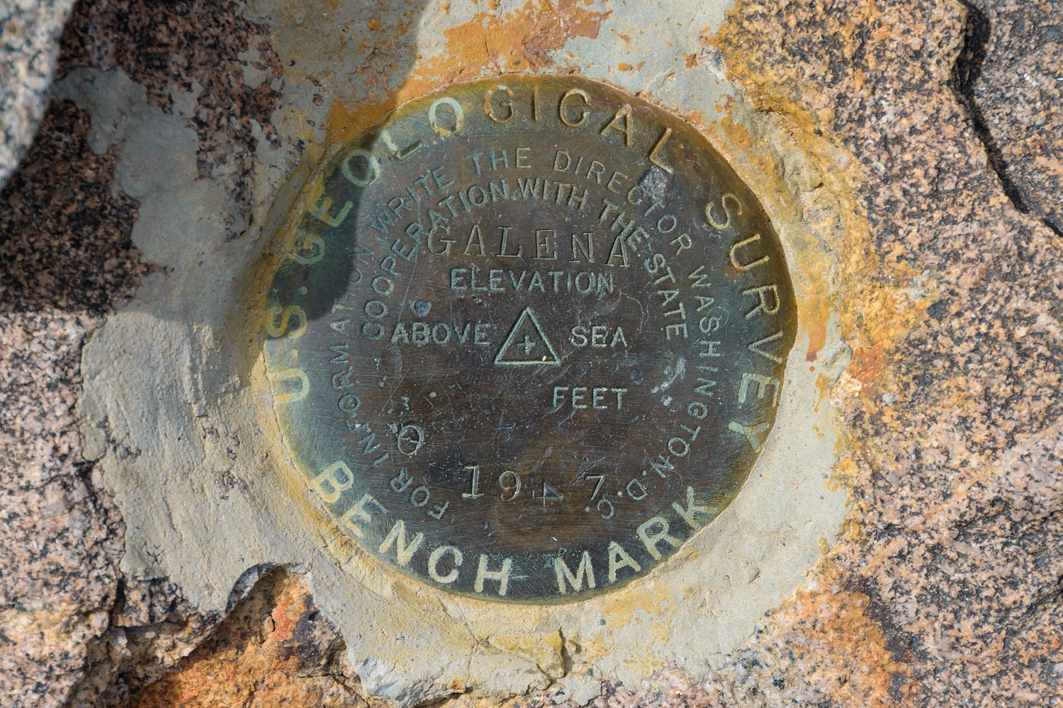
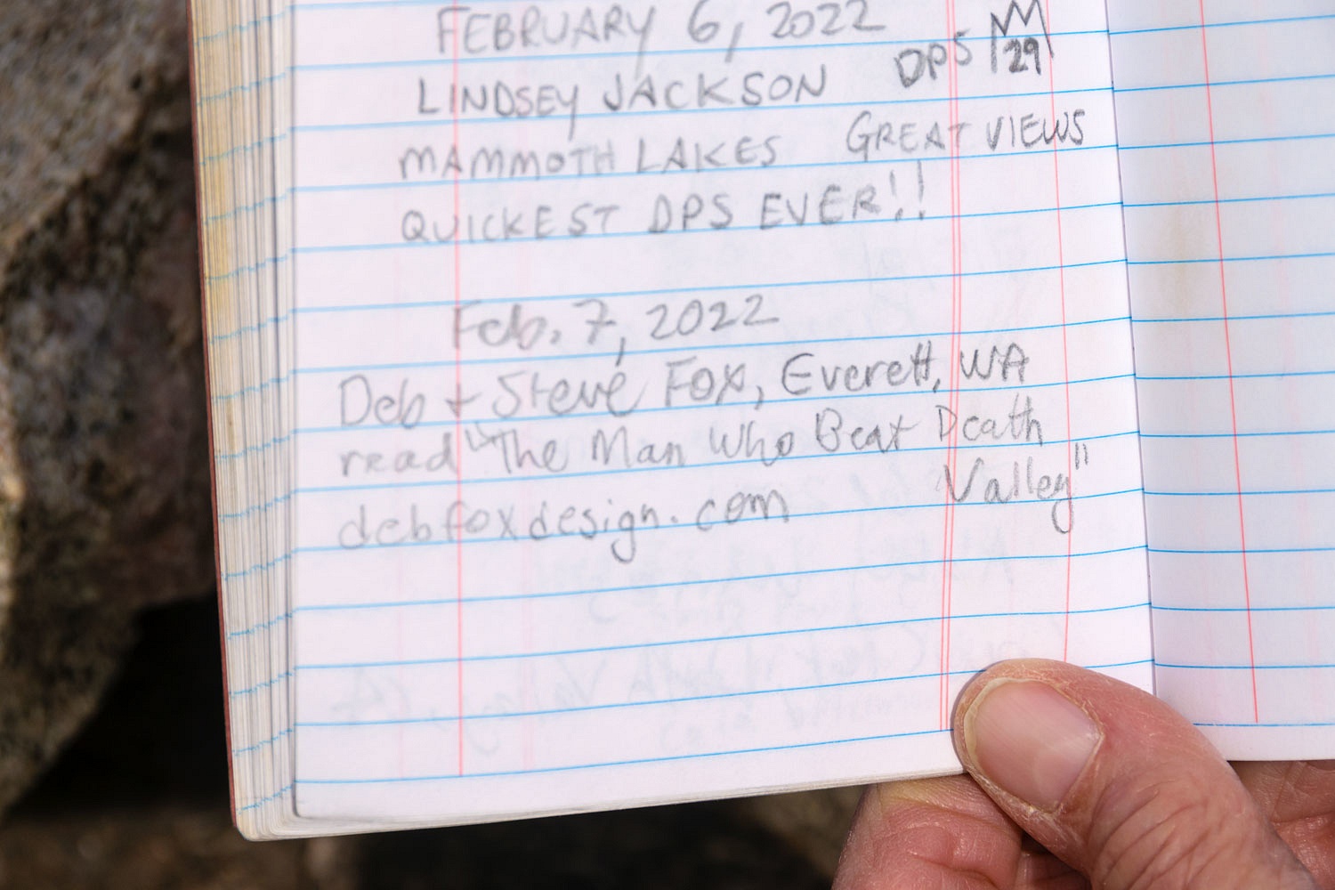
The Lady took care of summit register duties. She found the recent sign in by our new friends The Baggers, Deb & Steve.
The views were fabulous. Here's a panorama of the vast Saline Valley, an incredible 6600 vertical feet below our perch on the summit at 7696 feet.
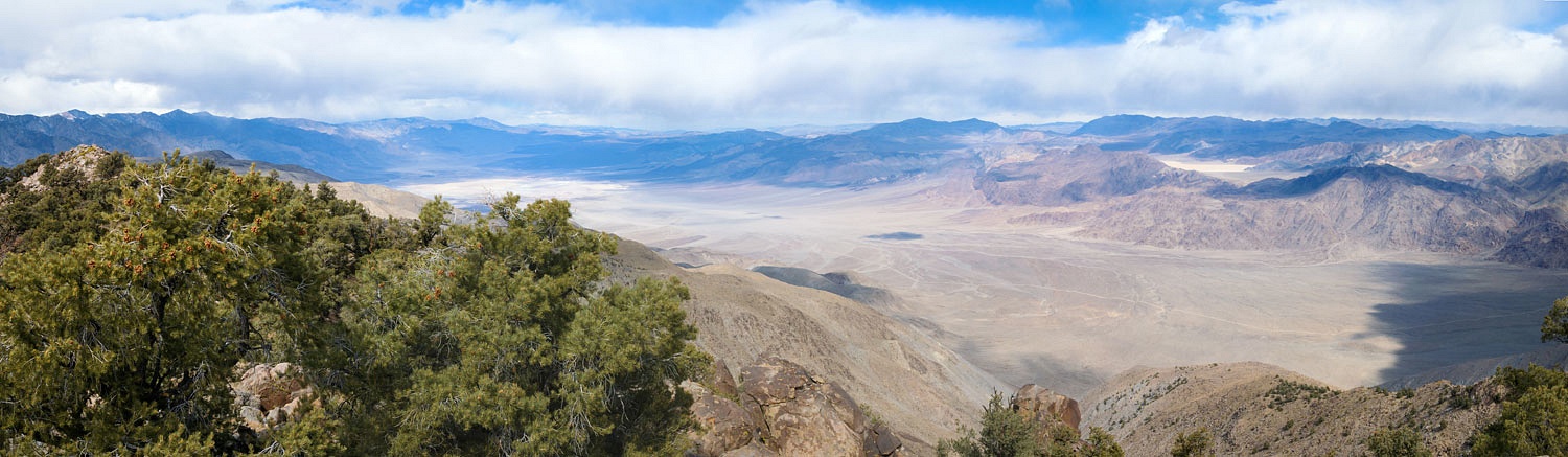
Here's the southern end of the valley where the Saline Valley Road exits Grapevine Canyon.
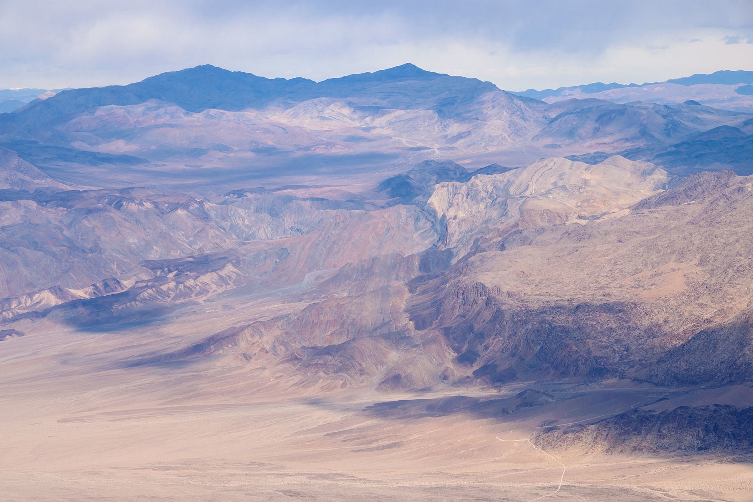
I found this obvious fault line aligned with rock layers that are tilted to almost vertical amazing, breathtaking geology.
That's Lippincott Mine Road in the lower right, above.
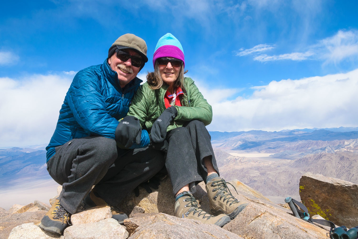
It was time for a summit portrait. Do we look cold?
But not cold enough to keep the Lady from putting her see mores to work in all directions.
It was a short steep climb to the top, only 1500 vertical feet, and taking an hour and 15 minutes. It was the same coming down.
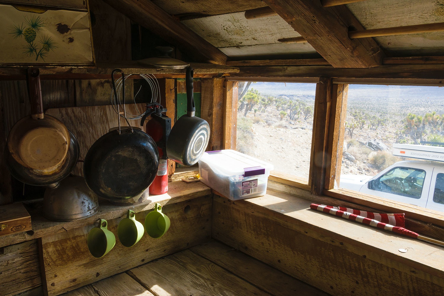
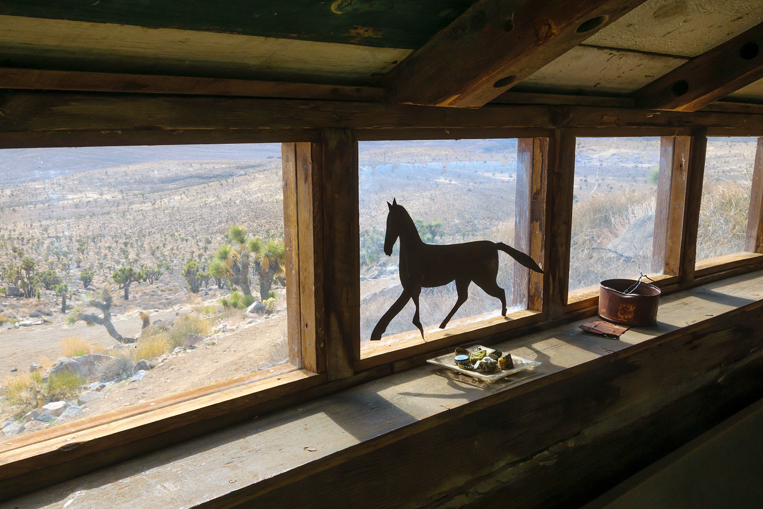
We were back at the truck at 1:00 pm. We had more than enough daylight to drive over to the nearby Nelson Cabin at the Cerrusite Mine.
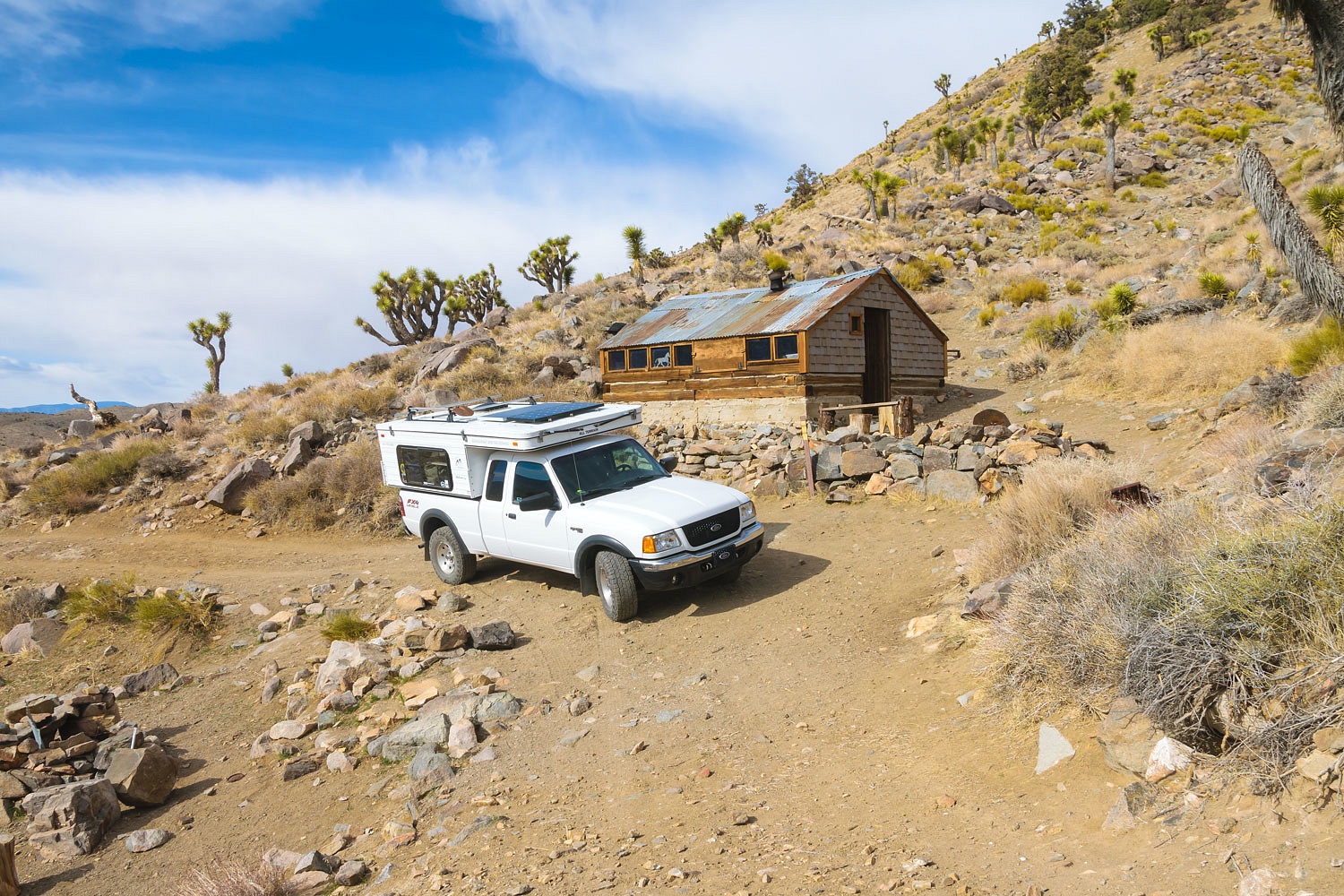
It is a fairly modern cabin with a concrete floor and is available - first come first served - to stay at. It is maintained by volunteers.
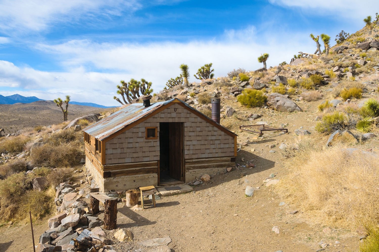
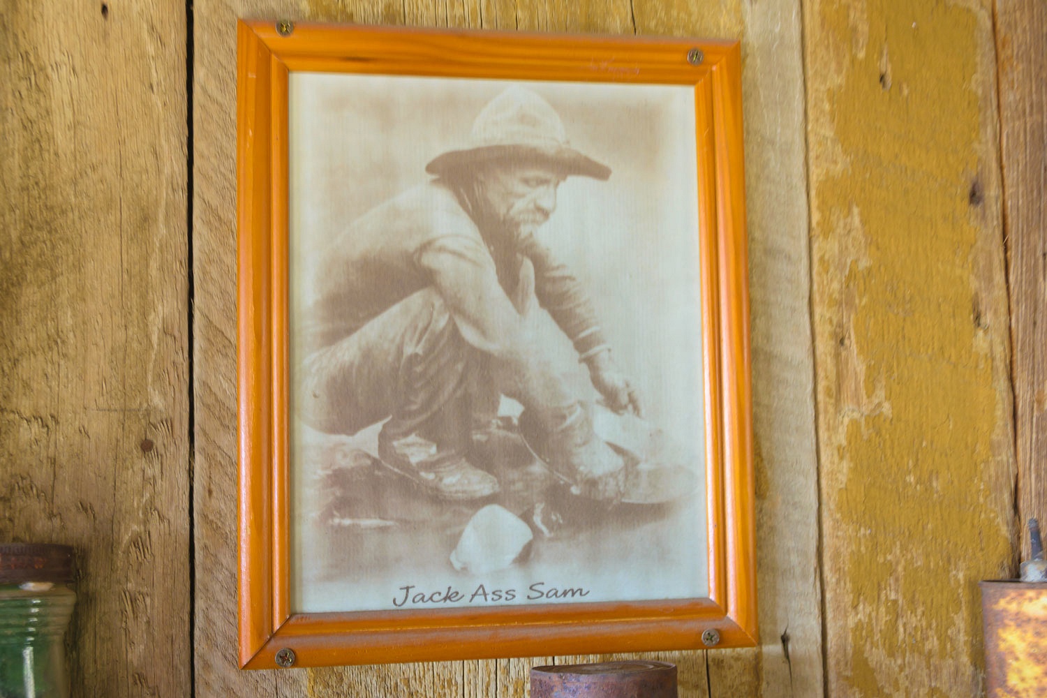
I was curious if Jack Ass Sam built the place.
It was a slow drive back out of the Nelson Range. We found a comfortable spot to camp near Eagle Point just north of highway 190 for the night. The wind rocked the camper and blew shattered sharp snow crystals into our faces as we returned from a walk after dinner. The mountains around us were shrouded in storm clouds.
The morning was clear, 29°. New snow dusted the Panamints, Argus, and Inyo Ranges. As we drove north on 395, the White Mountains had a good new coat of white snow. The storm had come from the east and left the Sierra Nevada without any new snow.
There is no need to add anything more. As you can see, the Lady is back up to specs.