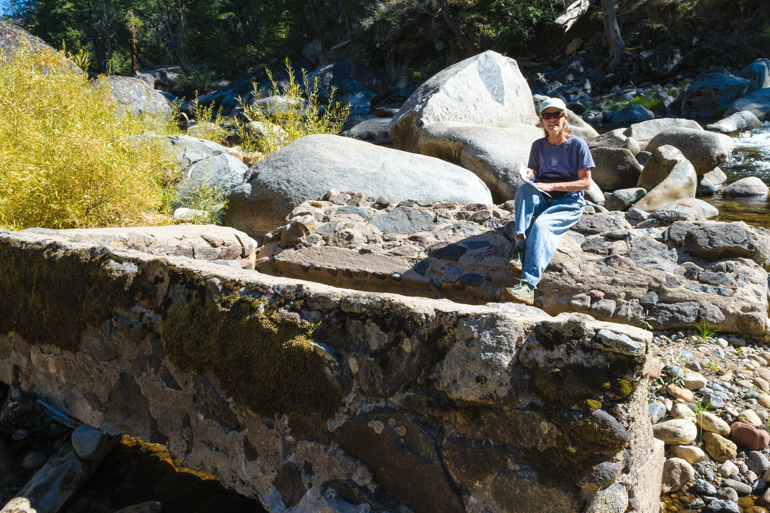
please remember you can click on a photo to see a larger version & highlighted text are links to additional information
Getting Her Kicks at Sixty-six
The Lady woke up a year older on Sunday morning, happy and in fine health and looking for something fun to do. And also searching out a special way to celebrate completing another successful orbit around the sun. We both suggested, since the weather had finally turned colder, checking for an opening at Surprise Valley Hot Springs in the far northeast corner of California. One room was available beginning Tuesday for two nights. It would be our first stay at this hot spring resort.
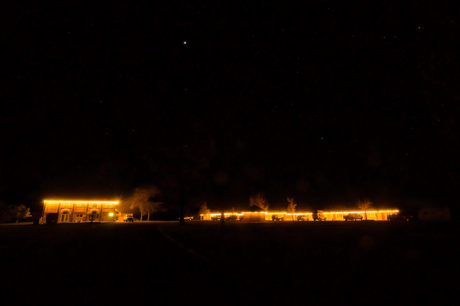
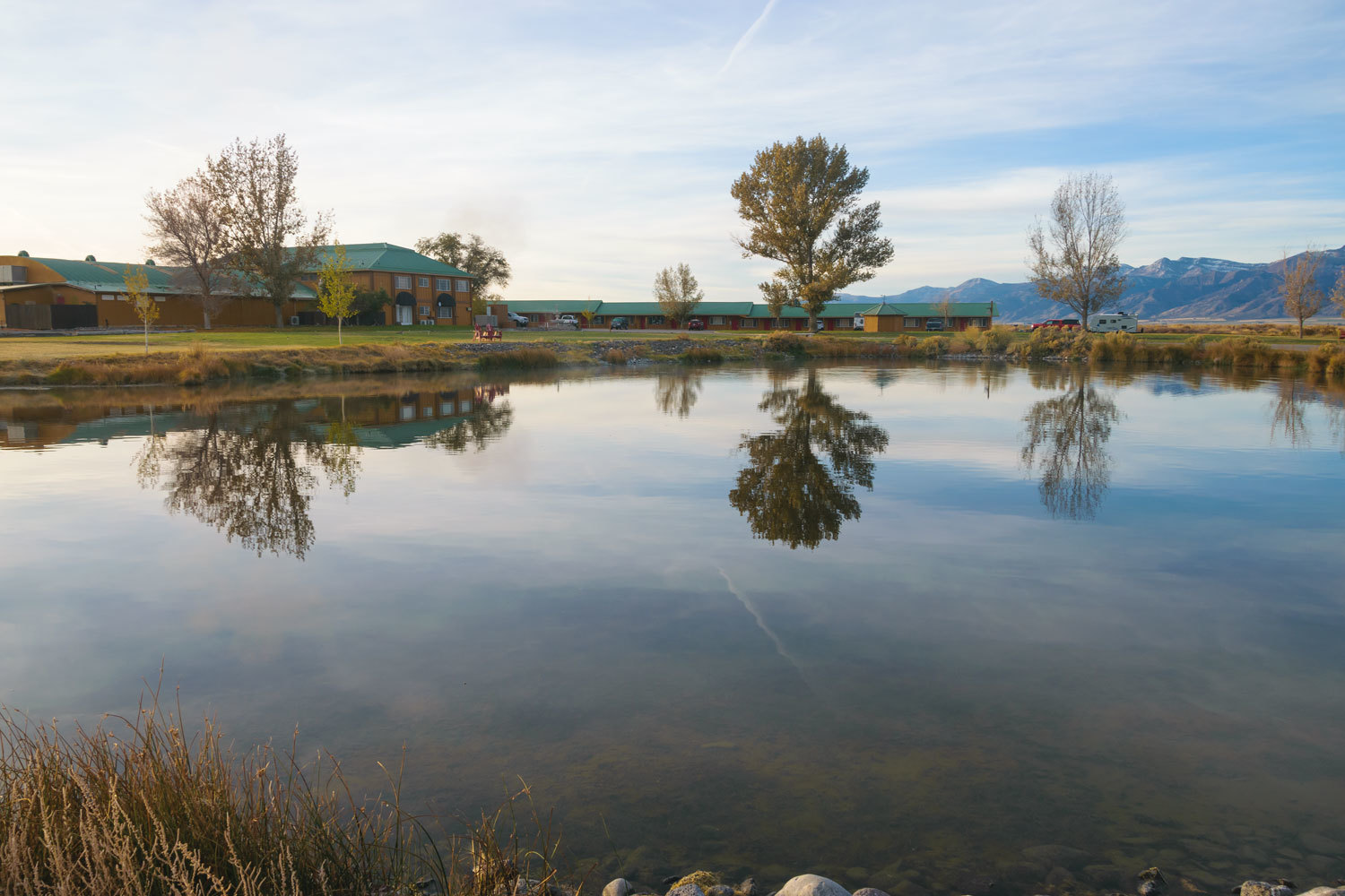
We arrived at our 1600 hrs. check in time. There is no camping. Our room was in a row of small motel style rooms, each with a kitchenette and bathroom. Each room, just outside the backdoor, has a private tub filled with natural hot spring water.
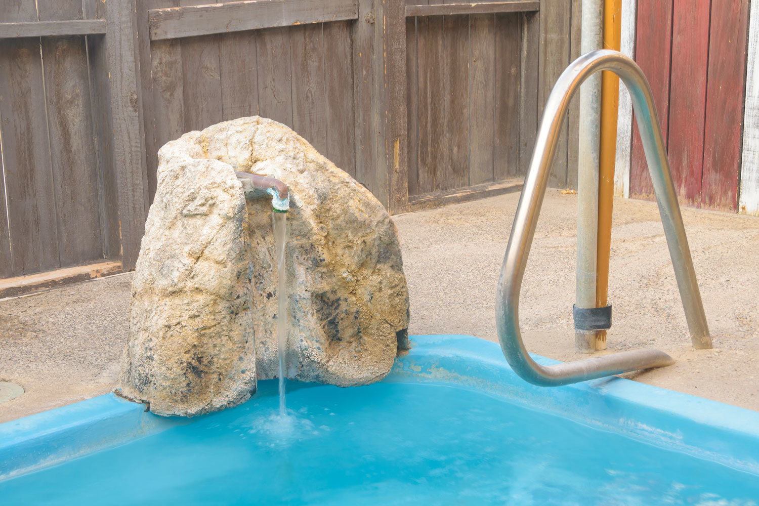
There were controls for mixing hot and cold water, so getting a temperature that was “Goldilocks” - just right for us - was easy.
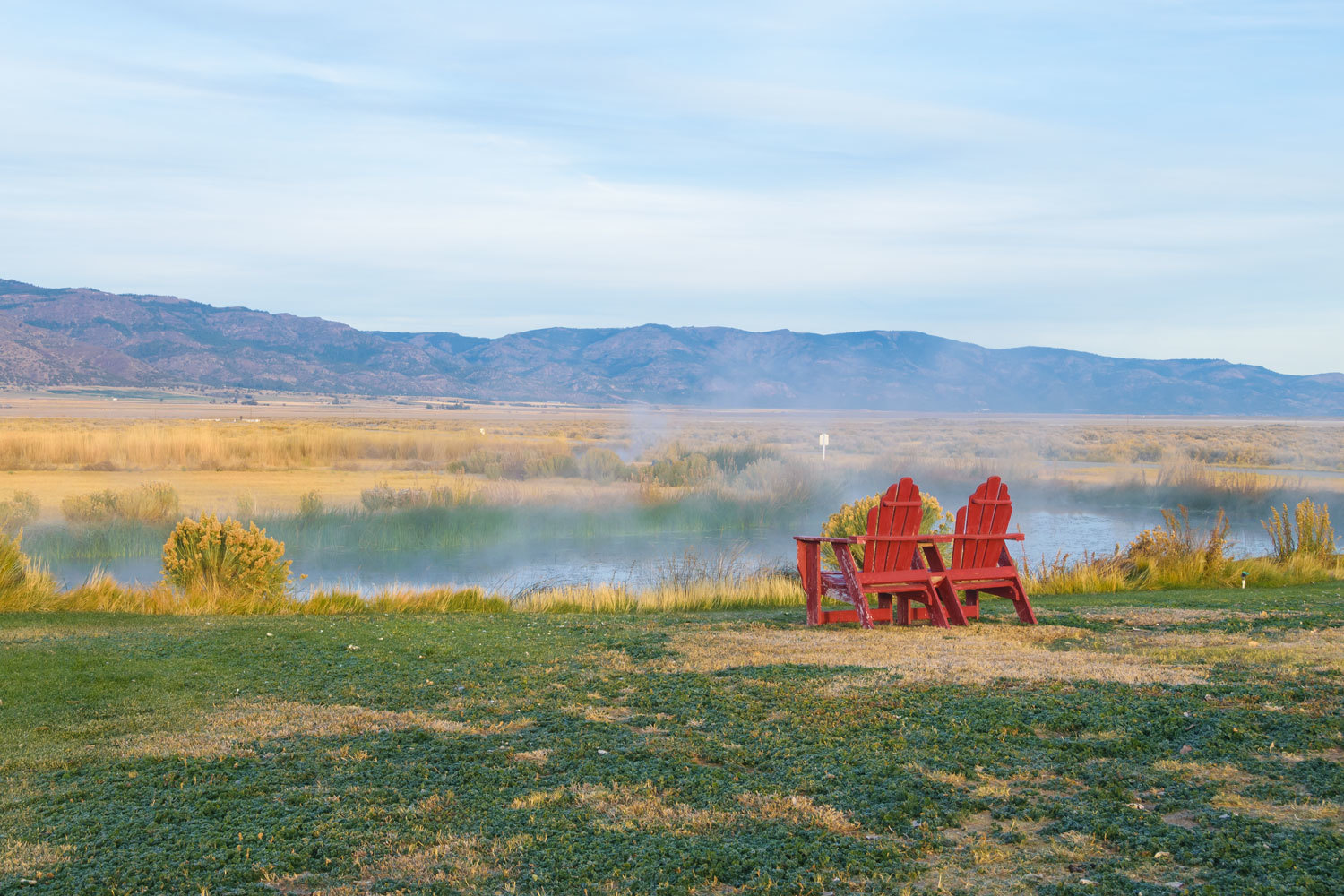
The tub is enclosed by a high wood fence. A gate allows access to the vastness of Surprise Valley. The resort is alone out here. We carried our chairs out away and into the great outdoors. This is where we ate dinners and breakfast.
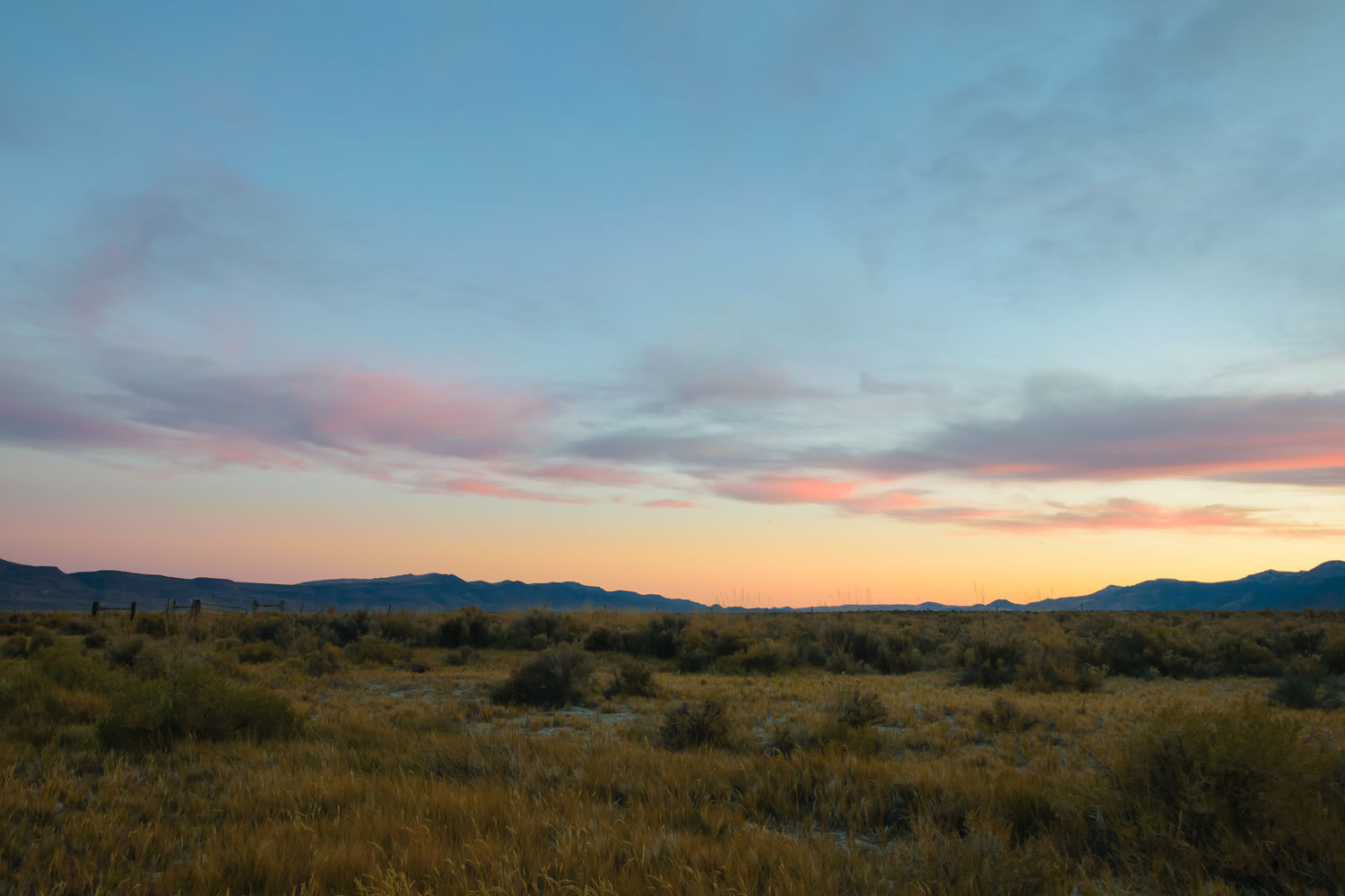
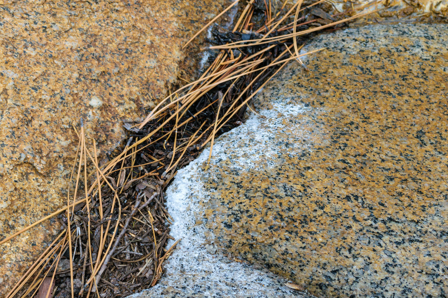
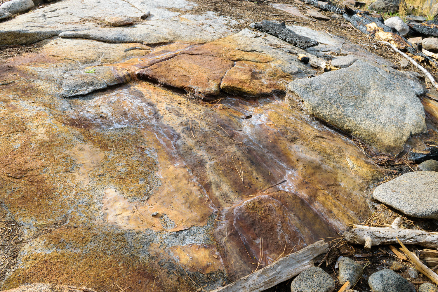
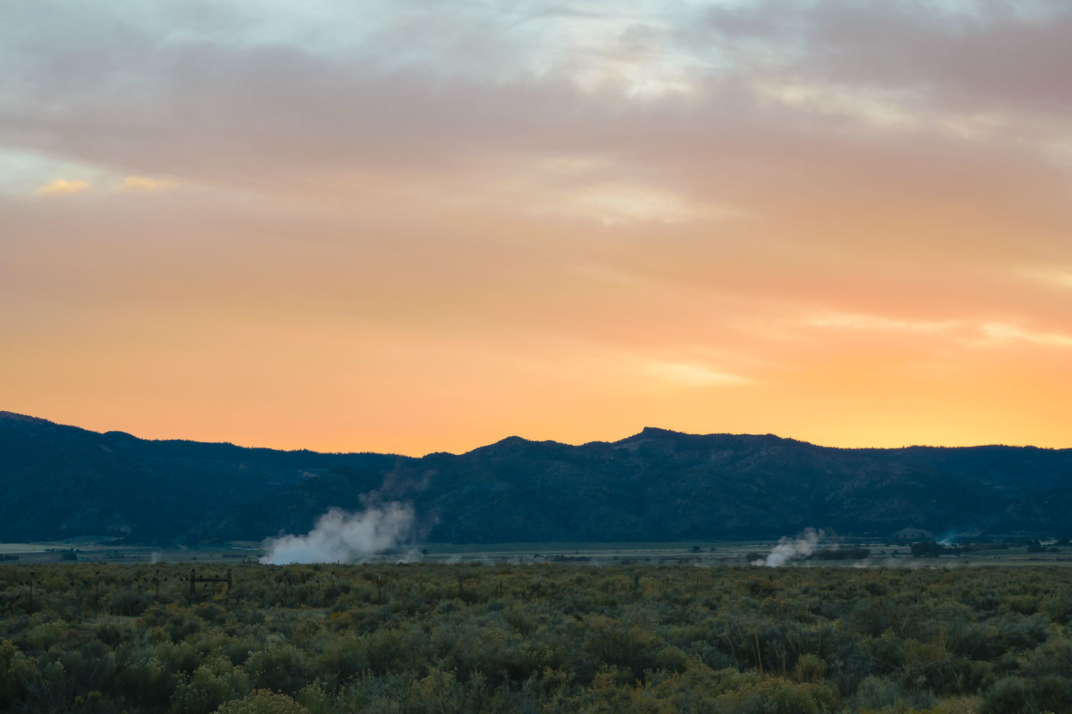
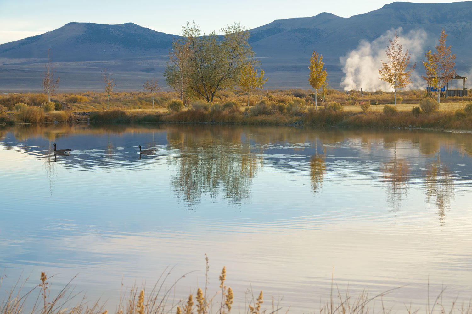
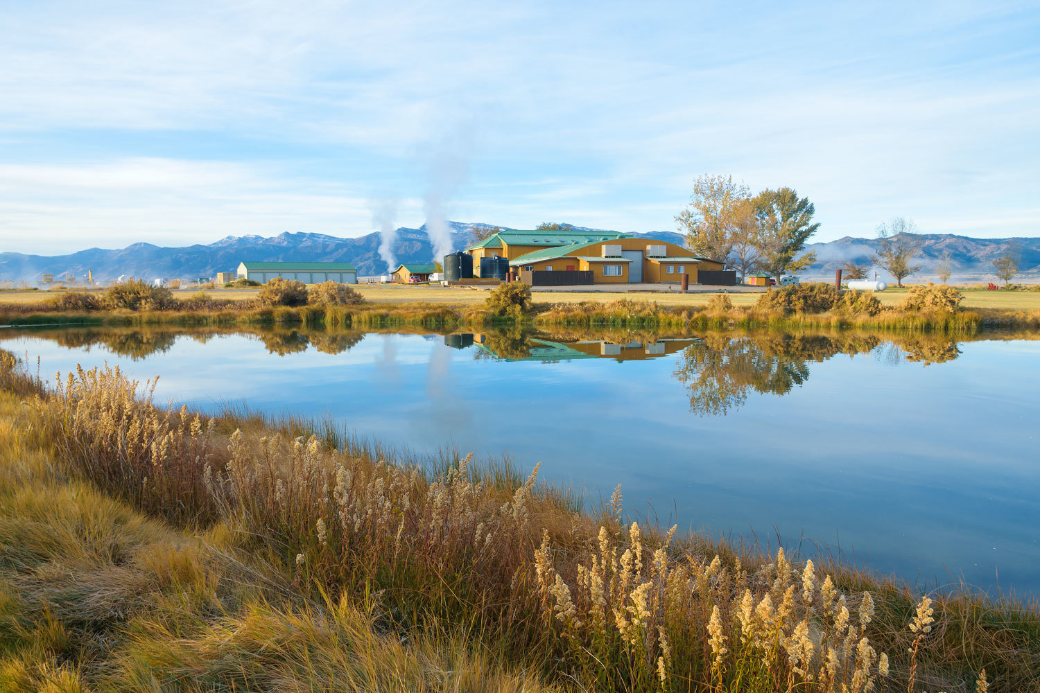
Surprise Valley has many hot springs. We were surrounded by steaming waters.
Coyotes broke out in song as we fell asleep.
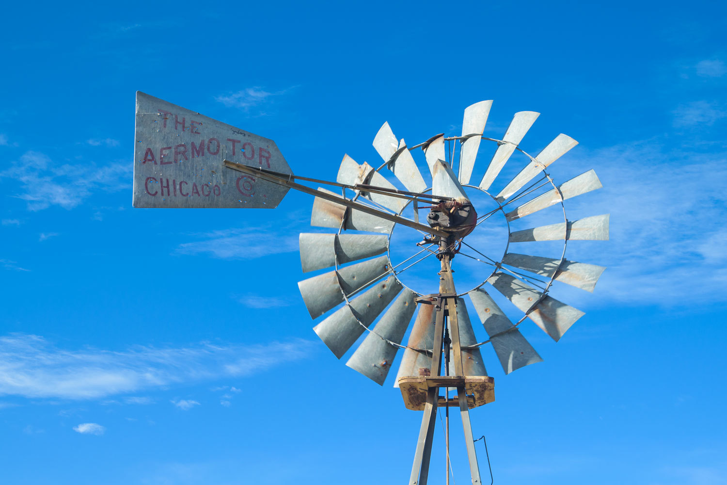
The next morning, we went in search of other hot springs in the area. Surprise Valley is cattle country and alfalfa. It’s the kind of place where folks keep the old windmills in working order.

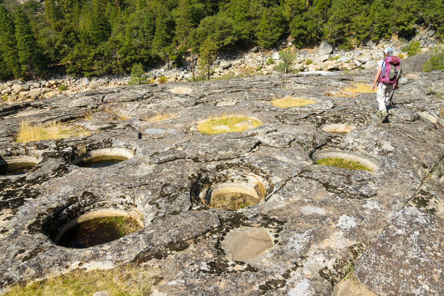
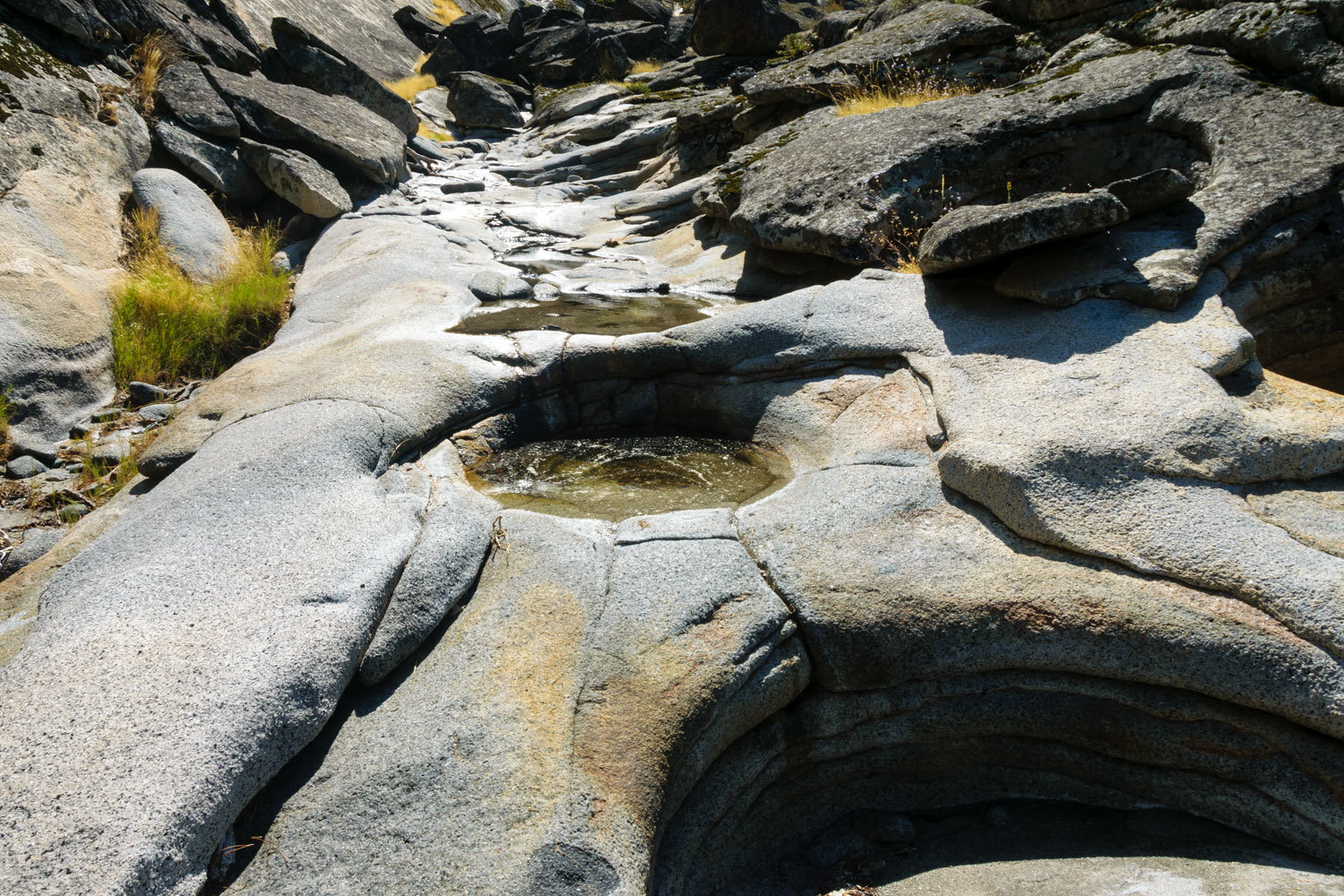
We found these hot springs and saw steam rising – Menlo Baths, Squaw Bath, Leonard’s Hot Spring, Seyferth Hot Springs, and Lake City Hot Springs. All were behind gates and fences and on private property. Since the day was beautiful with broken clouds, shafts of bright sunlight, and occasional snow on the windshield, we drove Surprise Valley Road north up into Oregon. It is wide, wash boarded gravel and winds through wonderful terrain. As I mentioned, it is cattle country and most ranches were rounding up cows and separating the growing young ones from their mothers. Most of the rounding up and cattle driving was right down Surprise Valley Road. One time in particular, we helped with the round up, slowly moving cows to an open gate. Each time we are close to cows like this, we are reminded how incredibly dumb cows are. The cows were quite efficient at leaving their waste behind, in abundance, on the roadway. The undercarriage of our truck was plastered and, let’s just say, we don’t call ‘em “mud flaps” anymore. We hit pavement near Adel and crossed the mountains on 140 at Warner Summit. We recrossed the Warner Mountains and dropped back into Surprise Valley via Fandango Pass.
We thoroughly enjoyed the hot spring water at Surprise Valley. Wednesday evening was clear of clouds. The stars were fantastic. While soaking in the outside tub, the Lady watched for “shooters” and counted the number of satellites that moved so high above us. The night was cold. It was in the twenties when took a break from soaking and went for a long walk in the night.

The rooms are heated with hot spring water. In our room the heat was either on or off. There’s no temperature control except by opening windows. As we prefer to sleep in a cold room, we had windows open. It was 23° outside when we woke the next morning. With two windows open all night, it was 63° in our room when we woke.
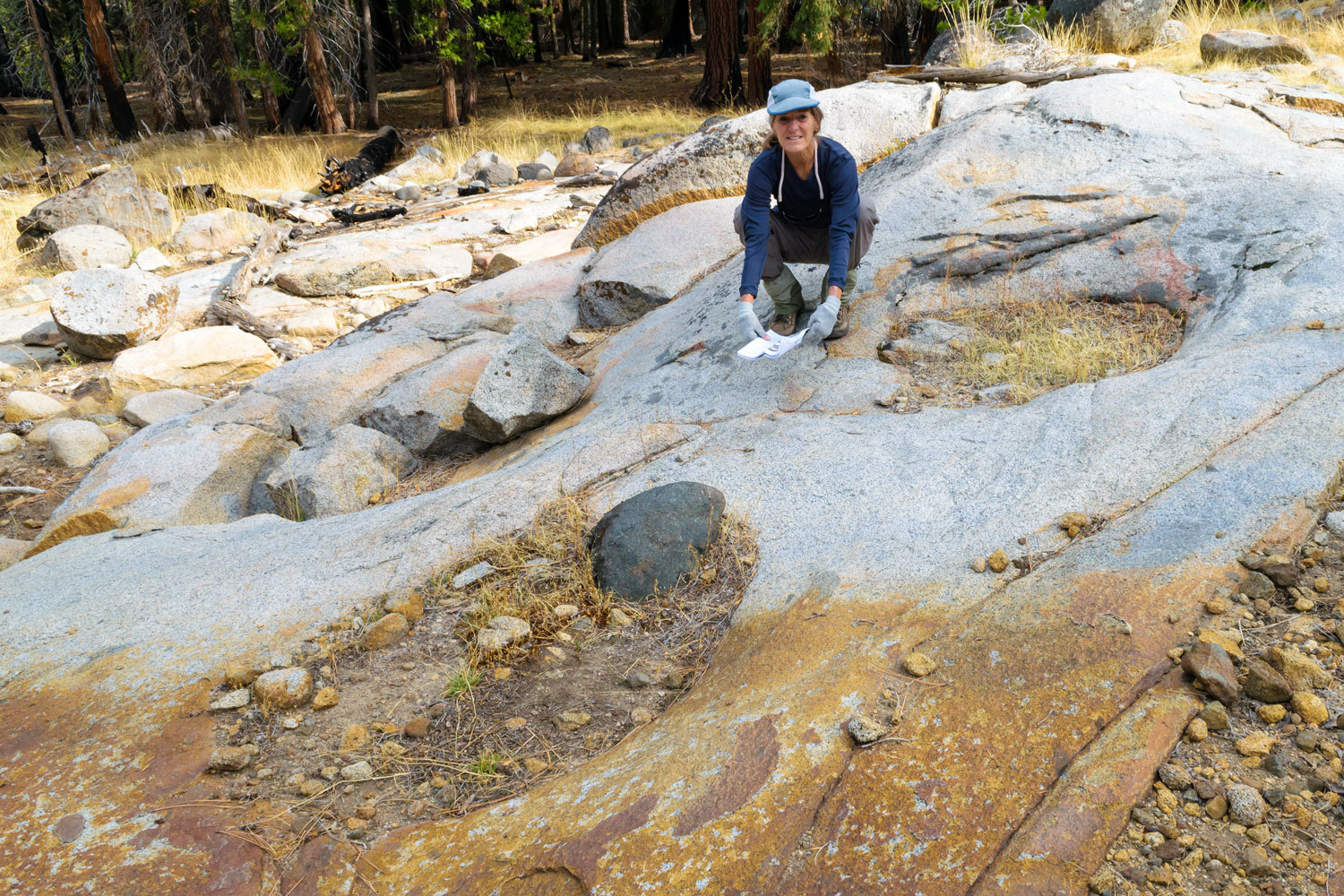
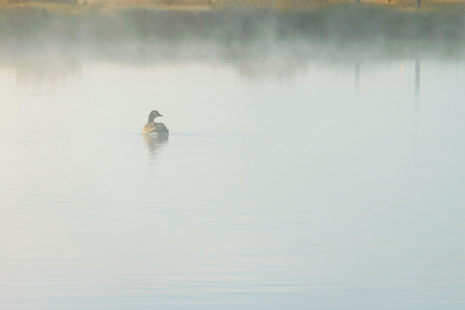
A crisp 23° and cold clear air, you bet we went for a long walk at dawn. Steam billowed up from, seemingly, everywhere.
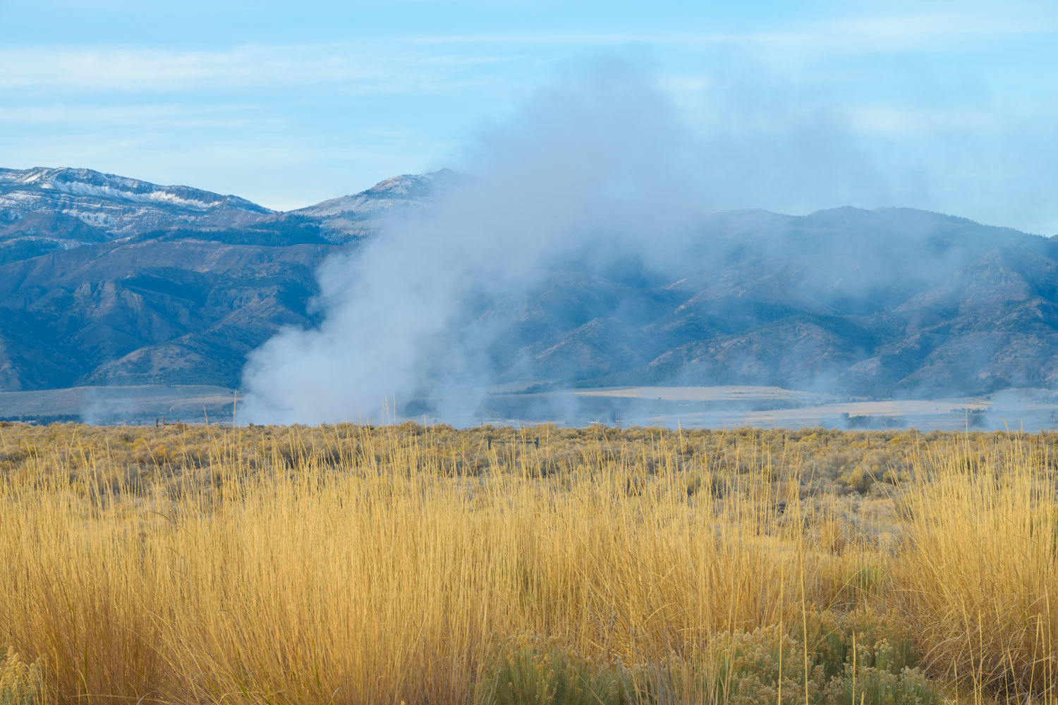
Yes, that is a new skiff of snow on the Warners from the day before.
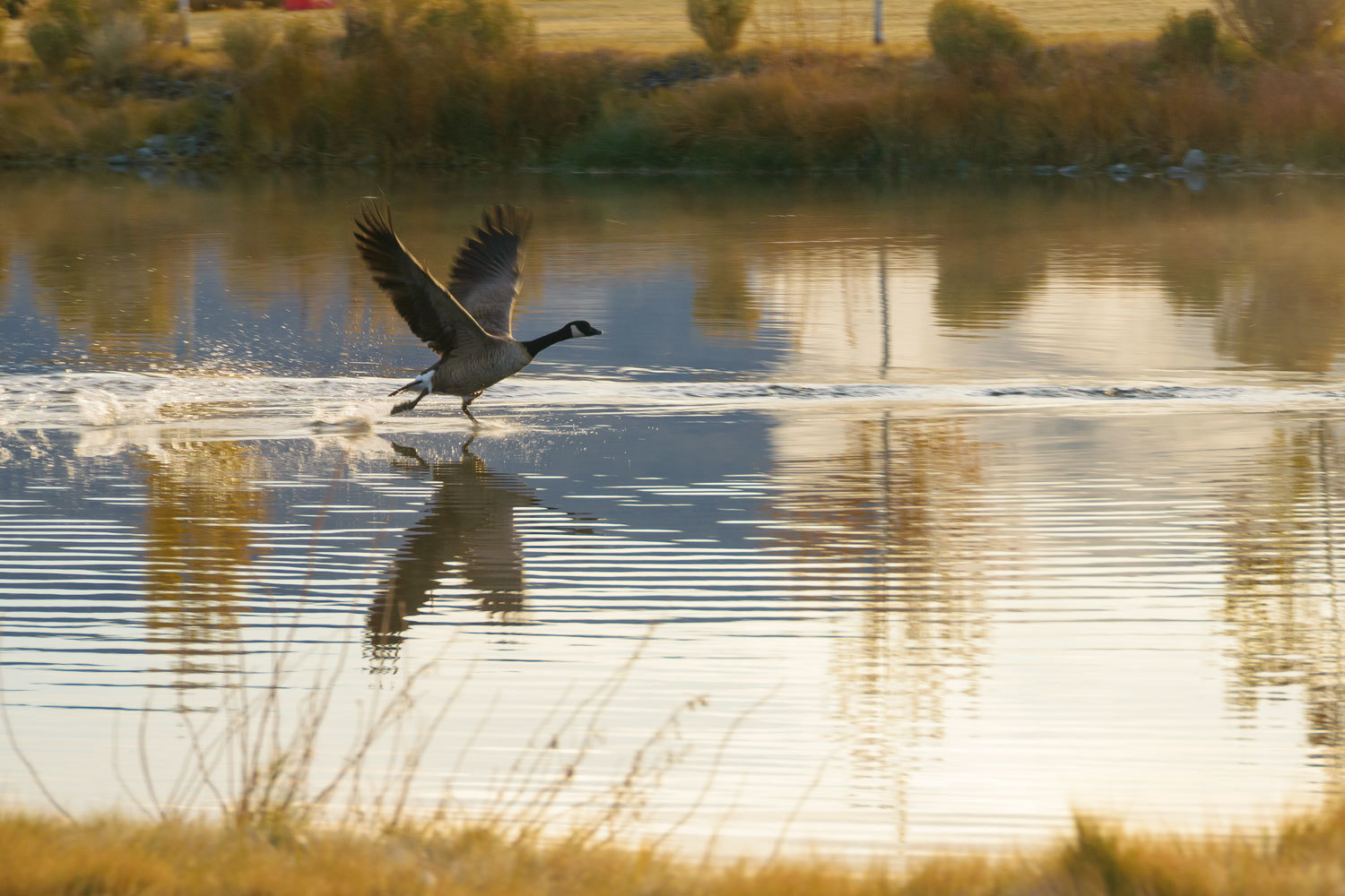
Canada Geese love this place too. So much so that you must always look where you step. I don’t know what spooked these two as we quietly walked.
It was a near perfect morning.

We packed up the truck and camper after breakfast. The restorative magic spring water had rolled the Lady’s odometer from 66 back down to 53. It was time to head home. Neither of us wanted to end up “too young” and possibly loose the wisdom growing older brings.
I should make a note about our friend, “The Sagebrush Reconnoiterer.” He receives our “camped here for the night” InReach messages we send when away from home. When he noted our location, he asked, “It this your new hot springs after the invading Bubbas drove you out of Benton?” We replied that we were celebrating the Lady’s birthday and The Reconnoiterer responded with, “Ah, she’s getting her kicks at sixty-six.” Indeed, she is.
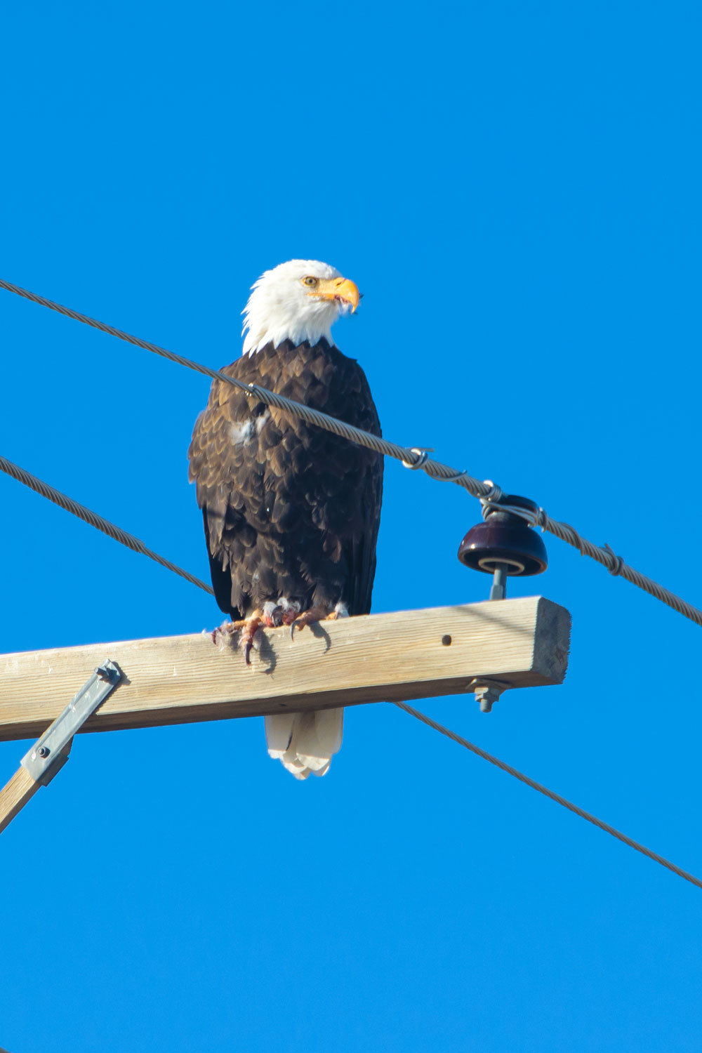
We made a left onto the pavement as we drove out of the resort. The highway was lined with power poles. The Lady loves to watch for perched raptors. I looked ahead and asked the Lady, “How ‘bout this raptor?”

The “Baldy-Headed” eagle was finishing a meal. I believe it was a quail. Quails are abundant here.
Happy birthday Julie!