
Please remember you can click on a photo to see a larger version & highlighted text is linked to additional information.
Please click here for Part Two
Grit & Gold
As we turned east heading toward the border with Utah, we embarked on a quest to walk in the footsteps of history. As Deb’s interest in William Lewis Manly grew - an interest that led to her graphic novel The Man Who Beat Death Valley - she contacted Jean and Leroy Johnson, historians who literally wrote the book on Manly - Escape From Death Valley. They both were very helpful and enthusiastic with Deb’s project and a strong friendship grew between Deb & Steve and Jean & Leroy. Deb has followed in their footsteps with historical research and a budding career as a lecturer. Leroy has since passed. Deb remains very close with Jean. Deb had a copy of Jean’s latest book - Grit and Gold, The Death Valley Jayhawkers of 1849, that we used for reference.
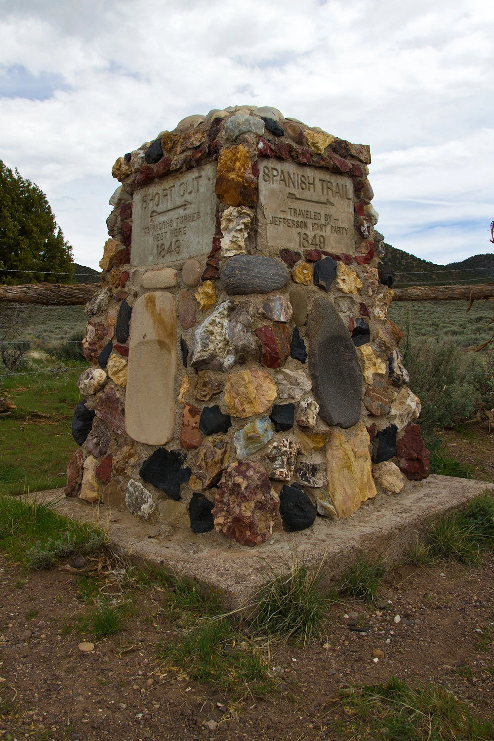
We traveled east on the path the Death Valley 49ers took after deciding to leave the wagon train led by Jefferson Hunt and to follow a bogus shortcut. We stopped at Cave Spring. In this desert area, water is the key to survival, so much of their route can traced from water source to water source.
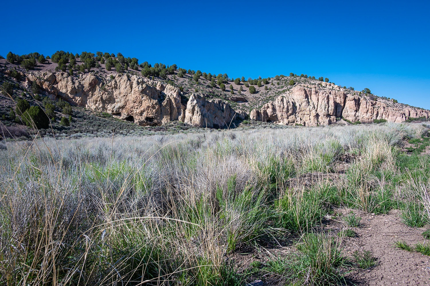
In the photo above, caves are visible at the base of the cliff of volcanic tuff. Their use by humans predates the arrival of white immigrants.
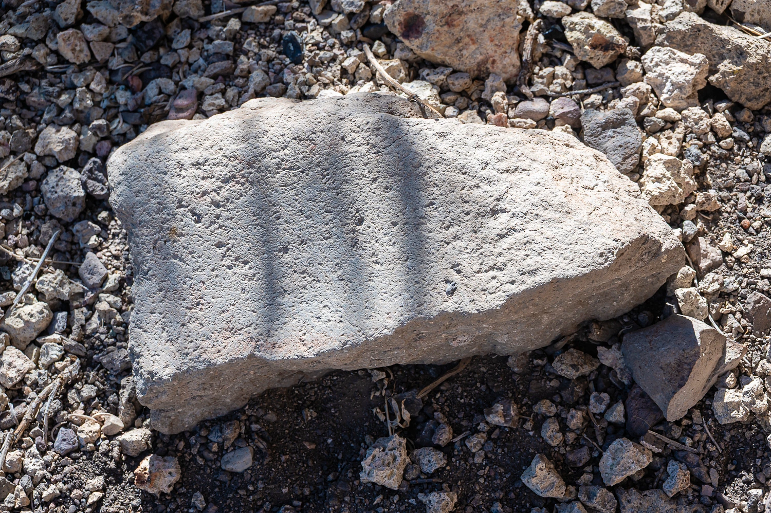
A portable metate.
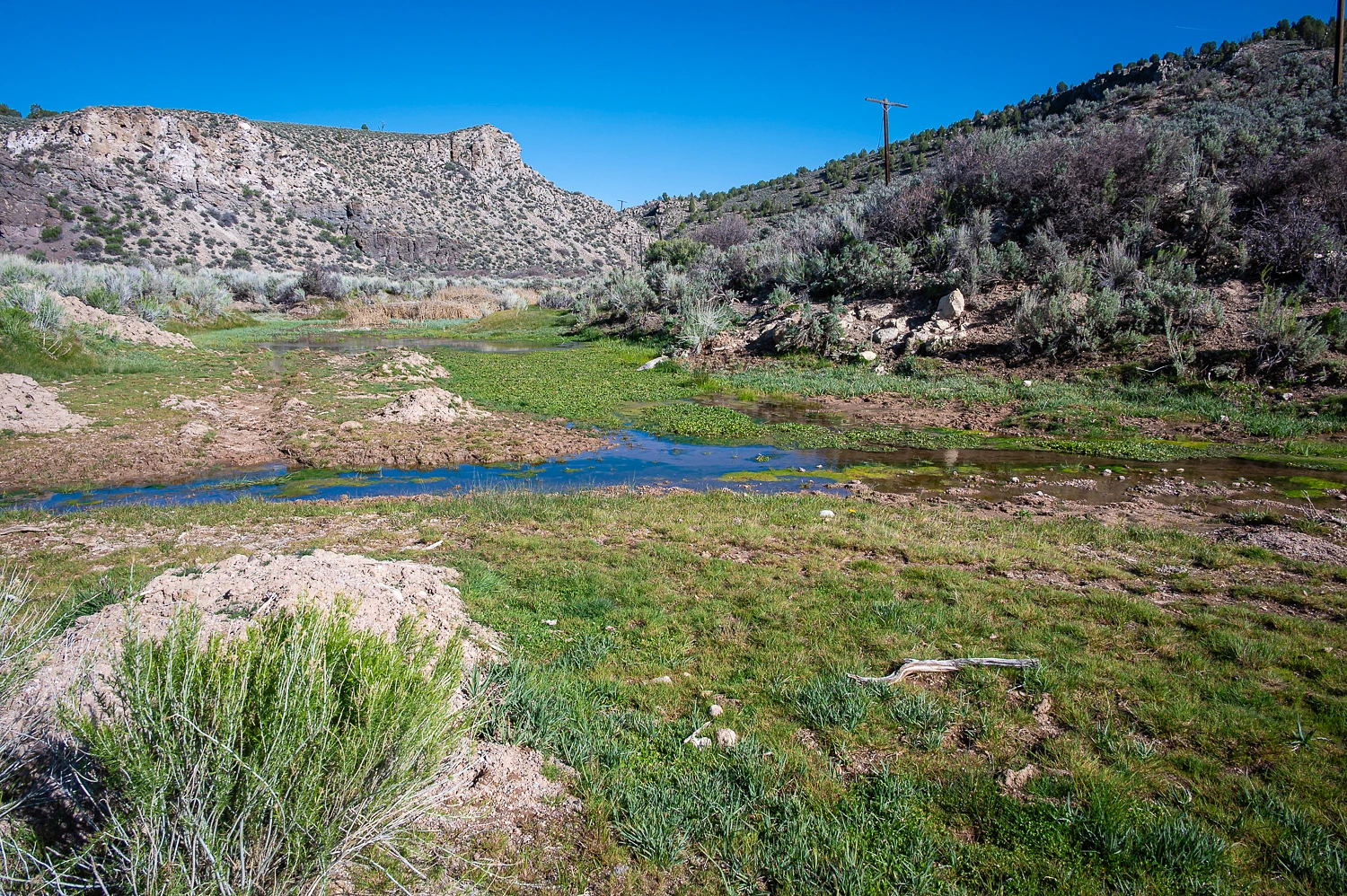
The actual spring is across the small valley near the Union Pacific tracks.
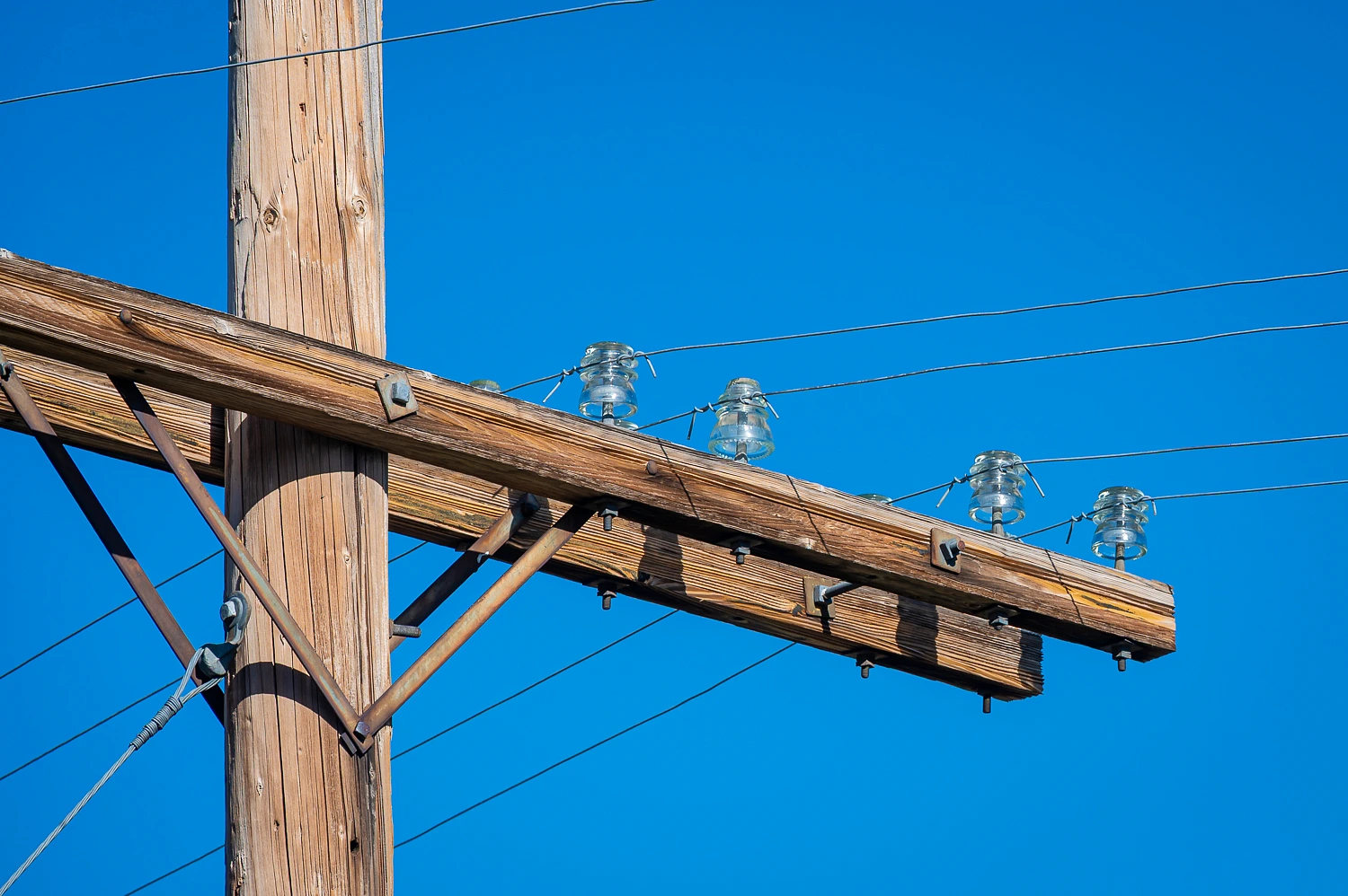
The old power poles along the tracks still have original glass insulators, evidence this is a very remote, seldom visited area. Otherwise, these would be gone or all shot up.
The Death Valley 49ers, the overall group that decided to take the bogus shortcut, was made up of several smaller parties including the group of young men who became known as the Jayhawkers. There were also family groups such as the Brier family, the Wades, and the Bennett & Arcan families, the two families Manly traveled with and ended up saving. Jean’s book focuses on the Jayhawkers but all the other groups were nearby. There were additional groups as well, all with colorful names. Two of my favorites are the Bugsmashers and the Sand Walking Company. Whites from the East were not good with Spanish and California’s great San Joaquin Valley got “Americanized” to Sand Walking.
The whole group, whether they were smashing bugs, hawking jays, or walking in sand, they all were desperate to make it to the California gold fields and get rich quick. So when their guide, Jefferson Hunt, appeared to be a bit confused about the route at the same time a group of Mormon packers (also heading to California) overtook them with a map of a “shortcut” none of them had ever followed, the Death Valley 49ers fell for the shortcut.
After leaving Captain Hunt near present day Enterprise, Utah,
the group did not make it far before the going got extremely rough and the idea of an easy shortcut began to fade. Many turned back and rejoined Hunt, the Death Valley 49ers did not. The place this happened was Headwaters Wash.
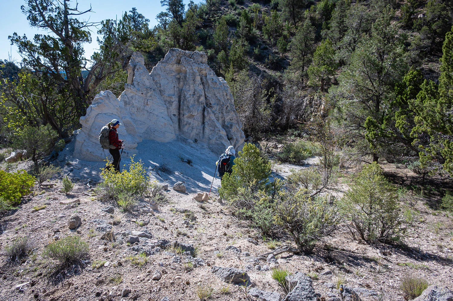
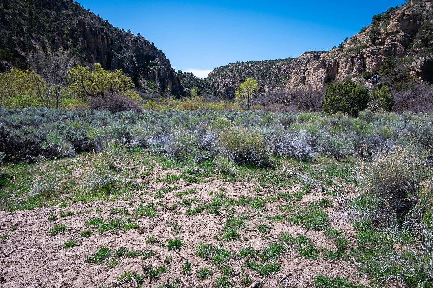
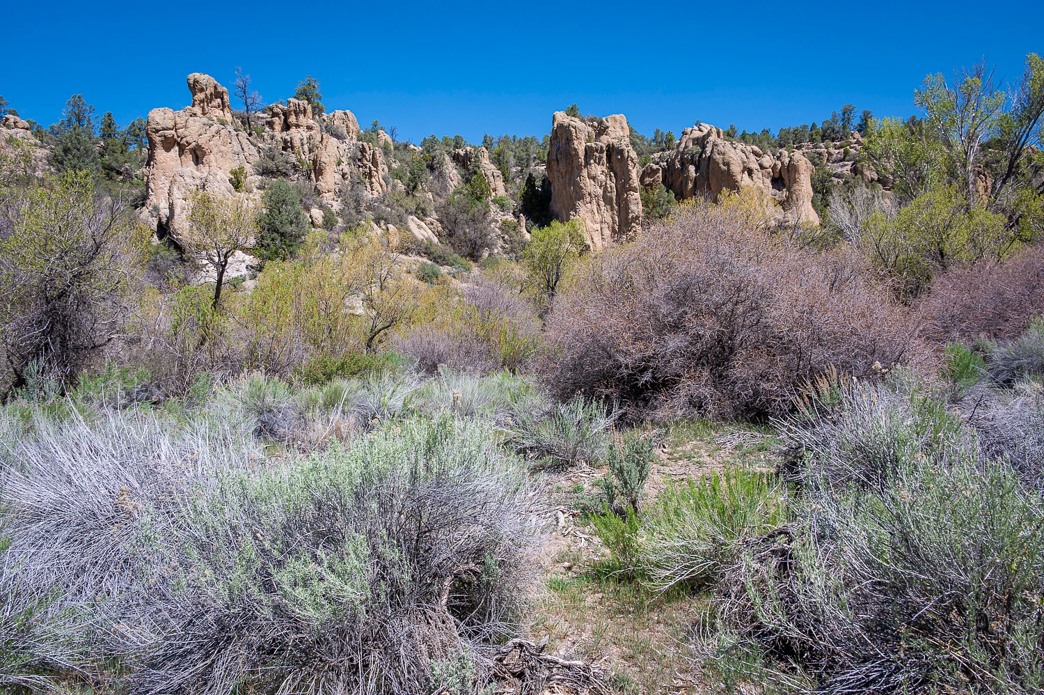
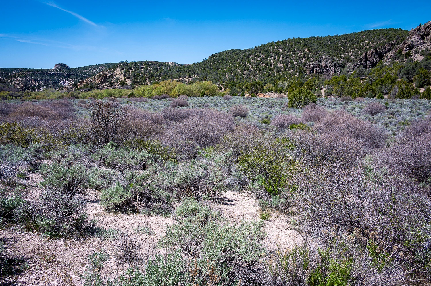
From our camp on the edge of Tunnel Spring Wilderness, the next morning we dropped off the canyon rim and headed down into Headwaters Wash.

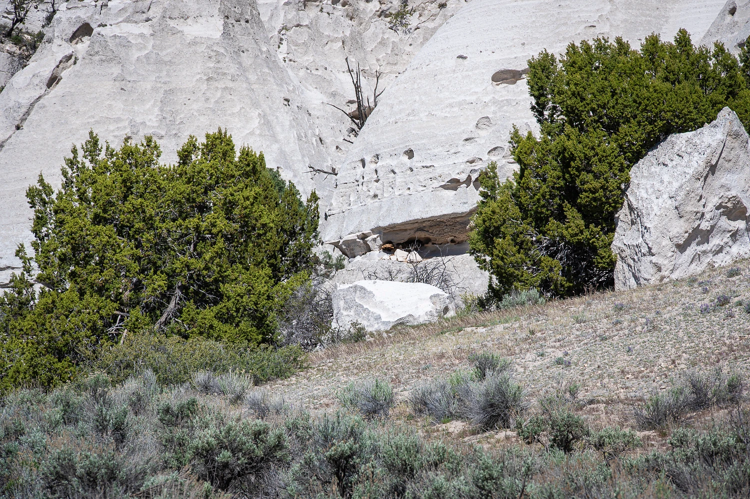
The geology tells the story, welded volcanic tuff with steep cliffs, spires, and towers. White outcrops of tuff were all around us.
If we were back in 1849, we would soon give up the idea of taking a wagon through here. The 49ers did not take wagons this way after their scouts reported back. One scout was William Osborn. We were searching for his inscription from 1849.
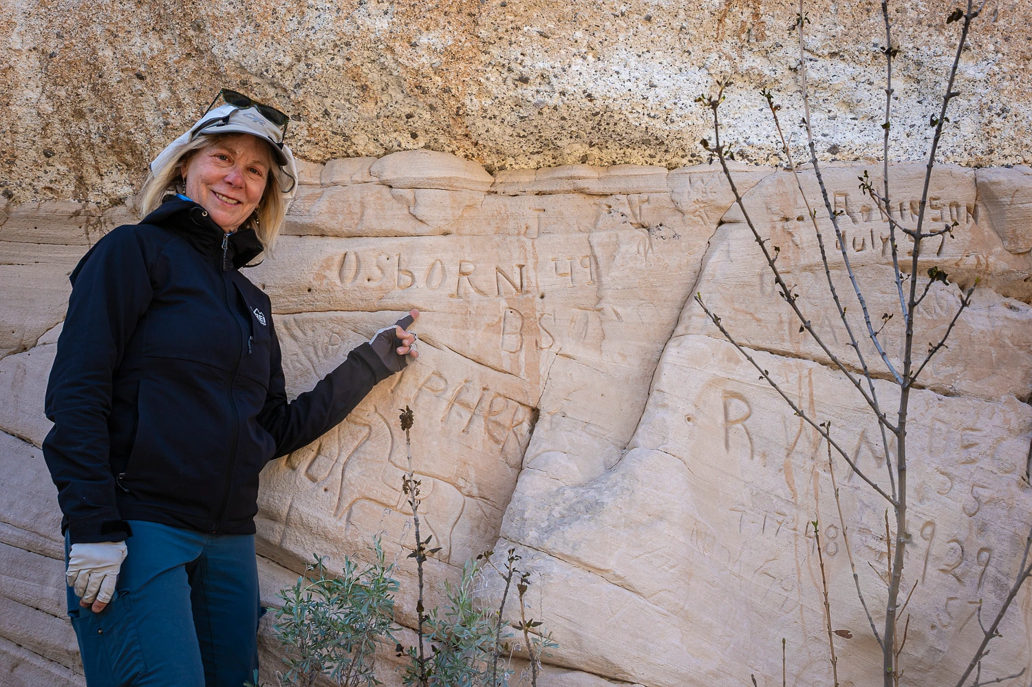
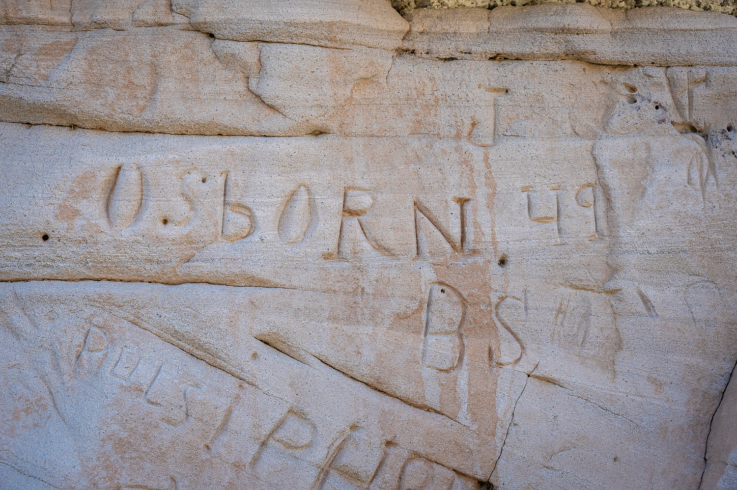
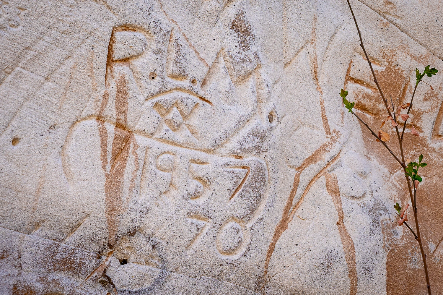
It looks like Osborn started a trend with inscriptions on this wall. Most were from a boy scout group in 1957.
I received this follow up note from Deb. “I promised you info on Osborn. So here it is. I looked up Eshom Valley, where Osborn settled. So Osborn was a Bugs Smasher, rather than a Jayhawker, because he got out via Walker Pass. Makes sense. Eschom Valley is close to Visalia and Walker Pass. I did a cursory look on Newspapers. He was a county supervisor for Tulare County.”
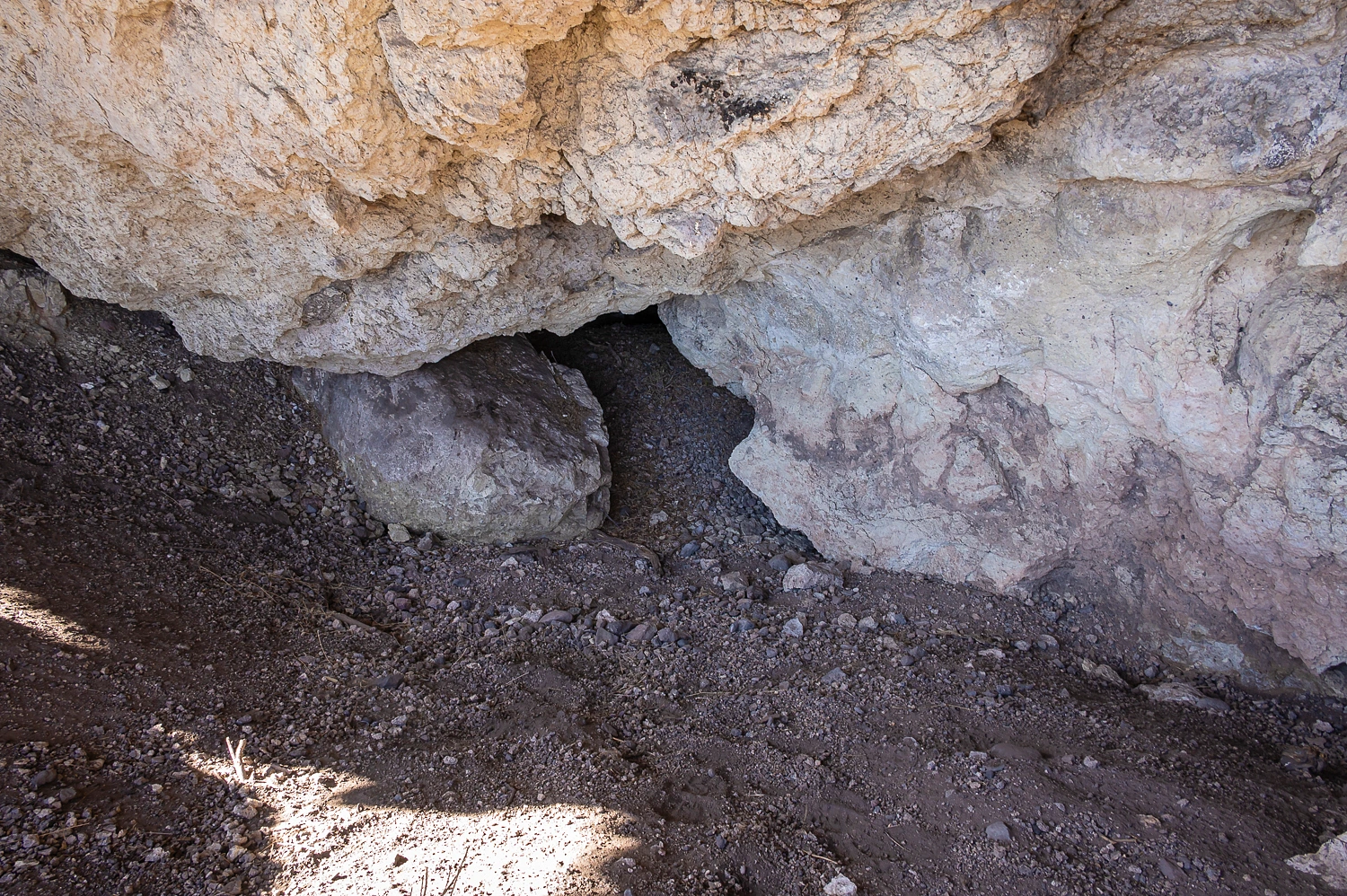
We also kept our eyes looking for signs of much more ancient use, with several possible shelter sites around.
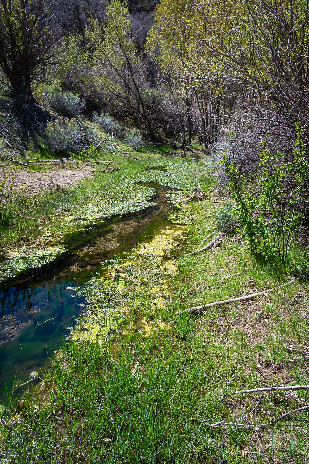
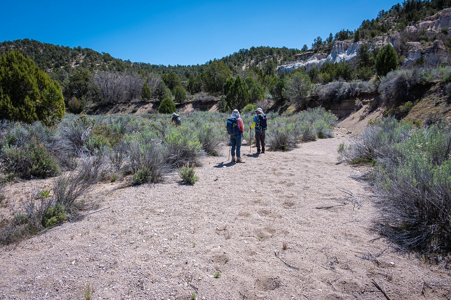
Headwaters Wash has running water and a lush riparian area at Tunnel Spring. Other sections of the canyon are dry.
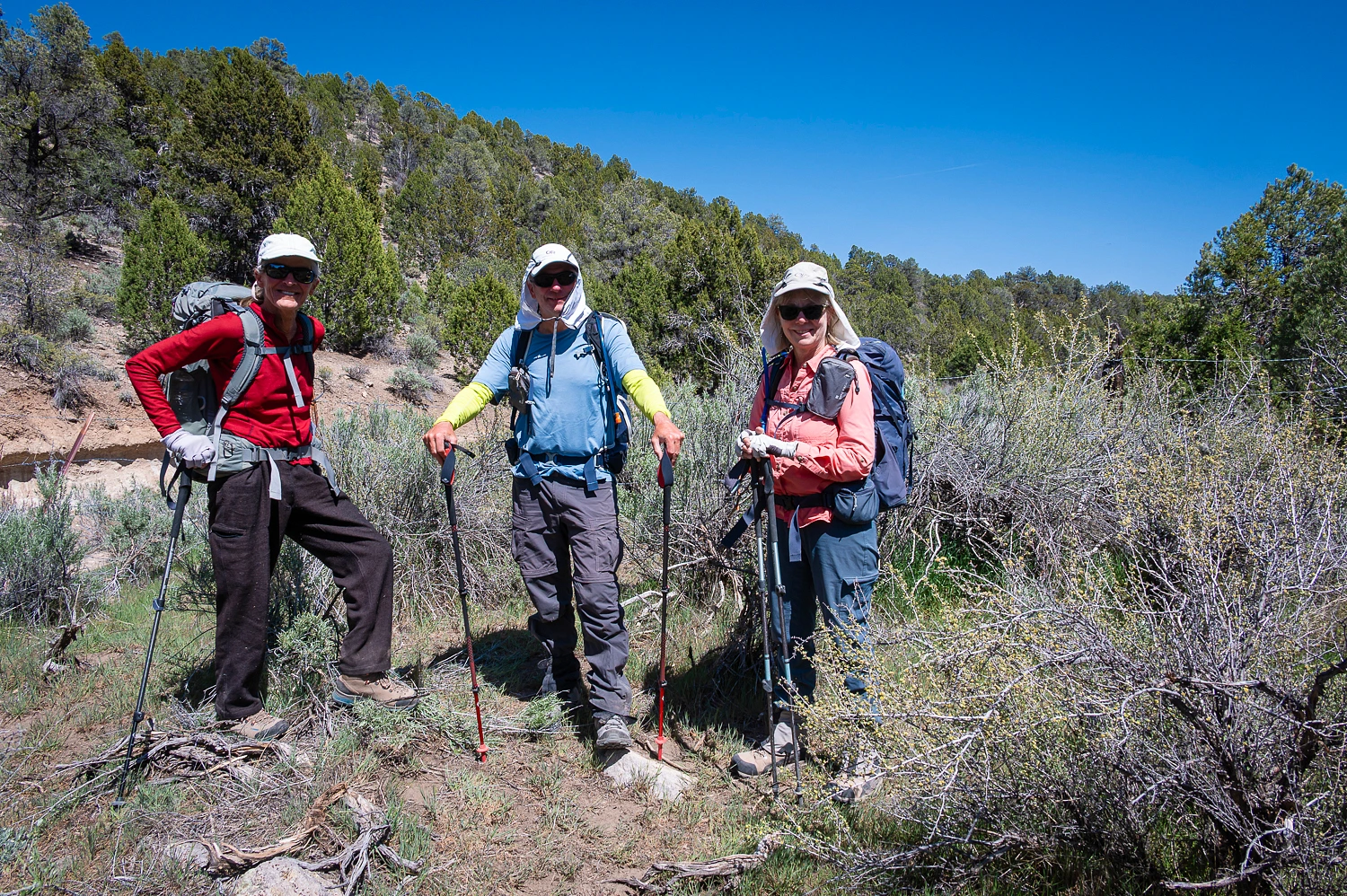
I must note that Deb & Steve had visited here previously. This was an opportunity for them to return and show the area to me and the Lady.
The Death Valley 49ers, with their wagons, stayed up on the rim. From our vantage point we could see why.
Jean, in her book, relates a good story on how they ferried water from here up to the people and livestock above. Jean was also watching our little expedition as Steve was sending her our locations and messages via InReach.
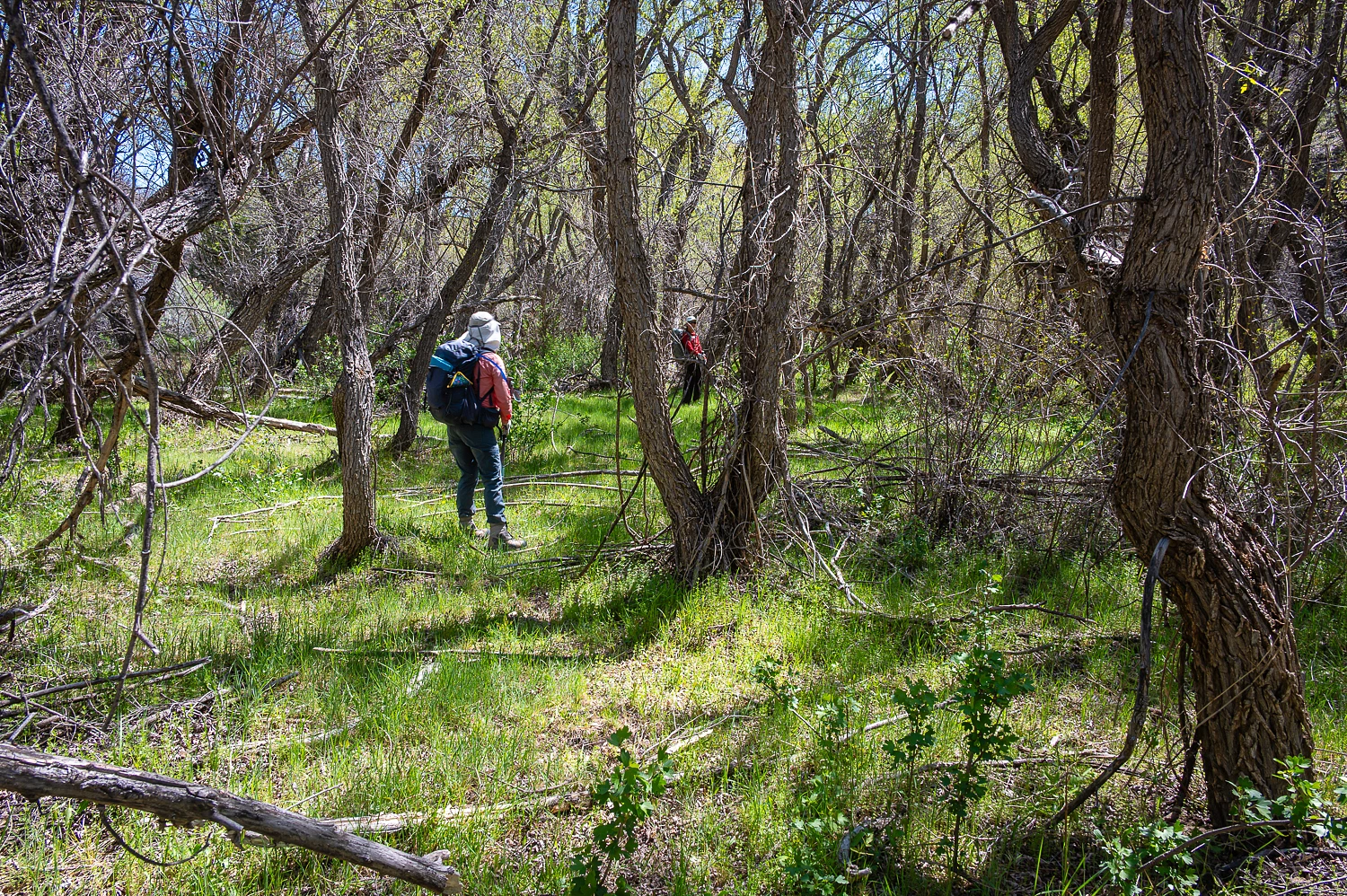
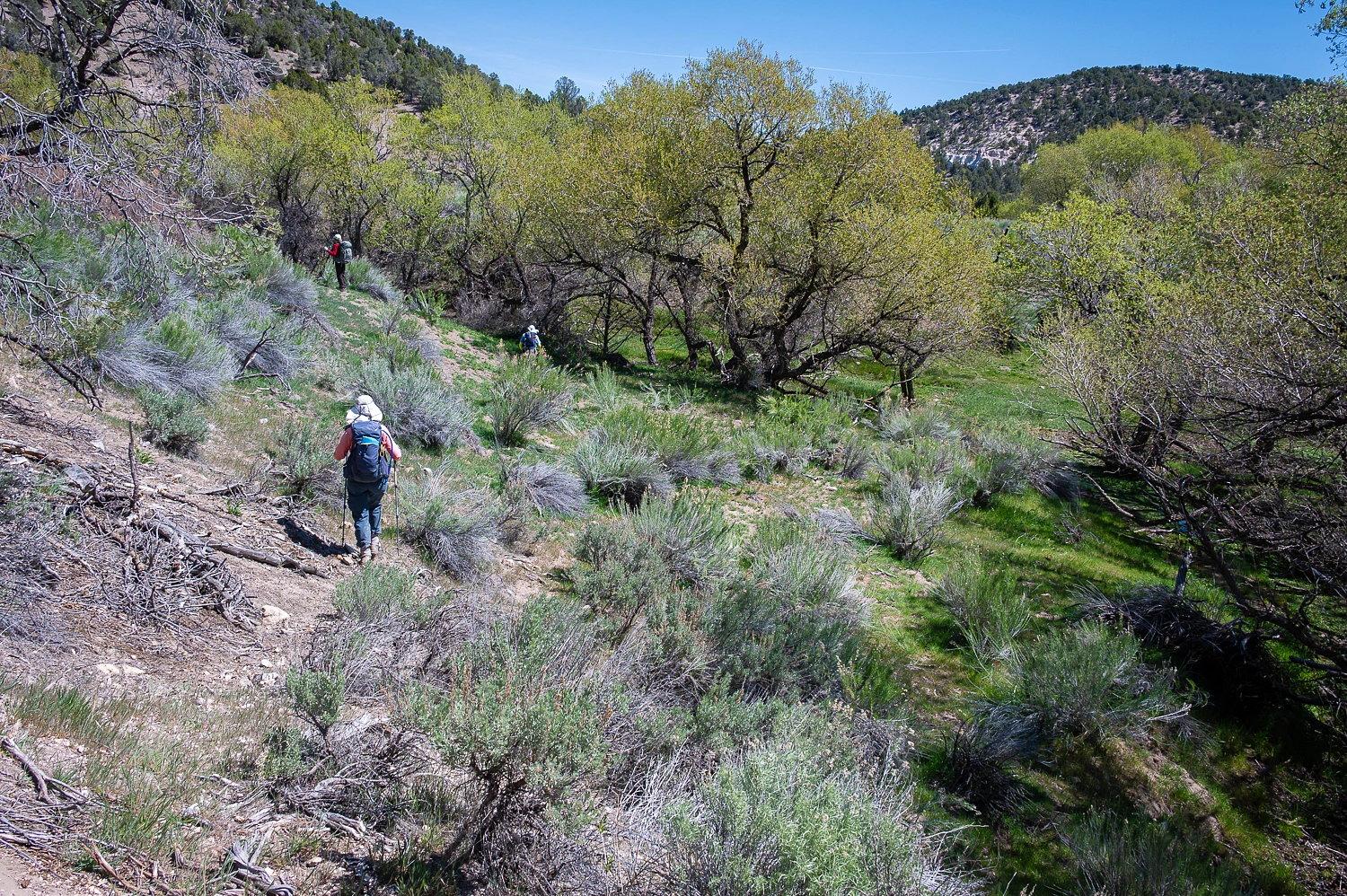
We continued up Headwaters Wash, hiking east.
The Mormon packers, the ones with the shortcut map in 1849, were traveling with pack animals, not wagons. They could move faster and through terrain not passable with wagons. They only let the 49ers get a look at their shortcut map and then took off. They traveled down Headwaters Wash. How do we know? What’s the evidence? It is on this cliff face.
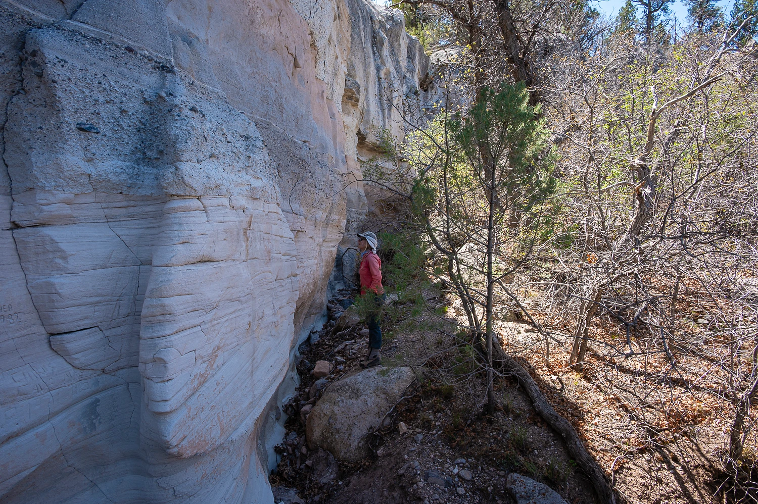
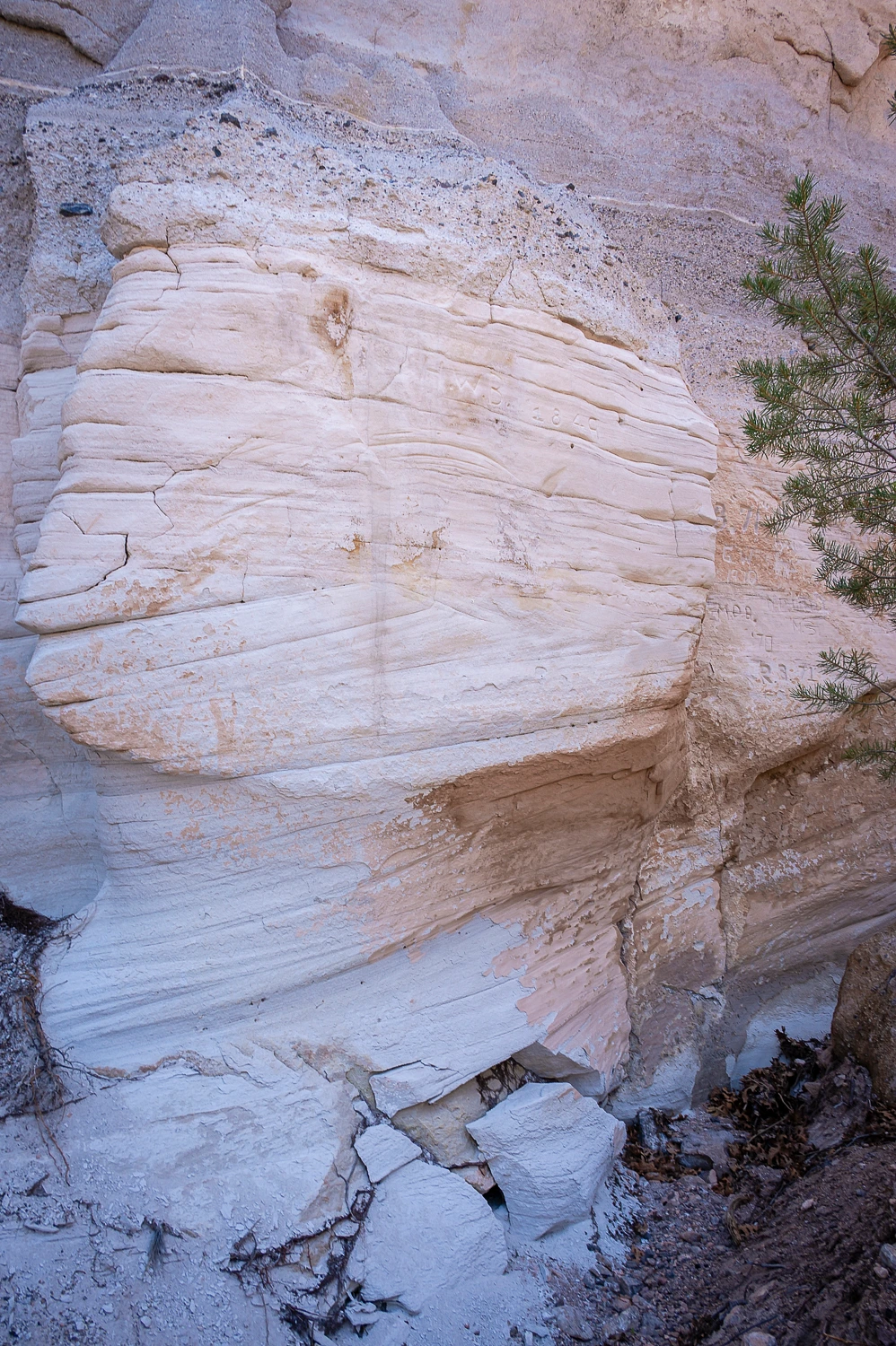
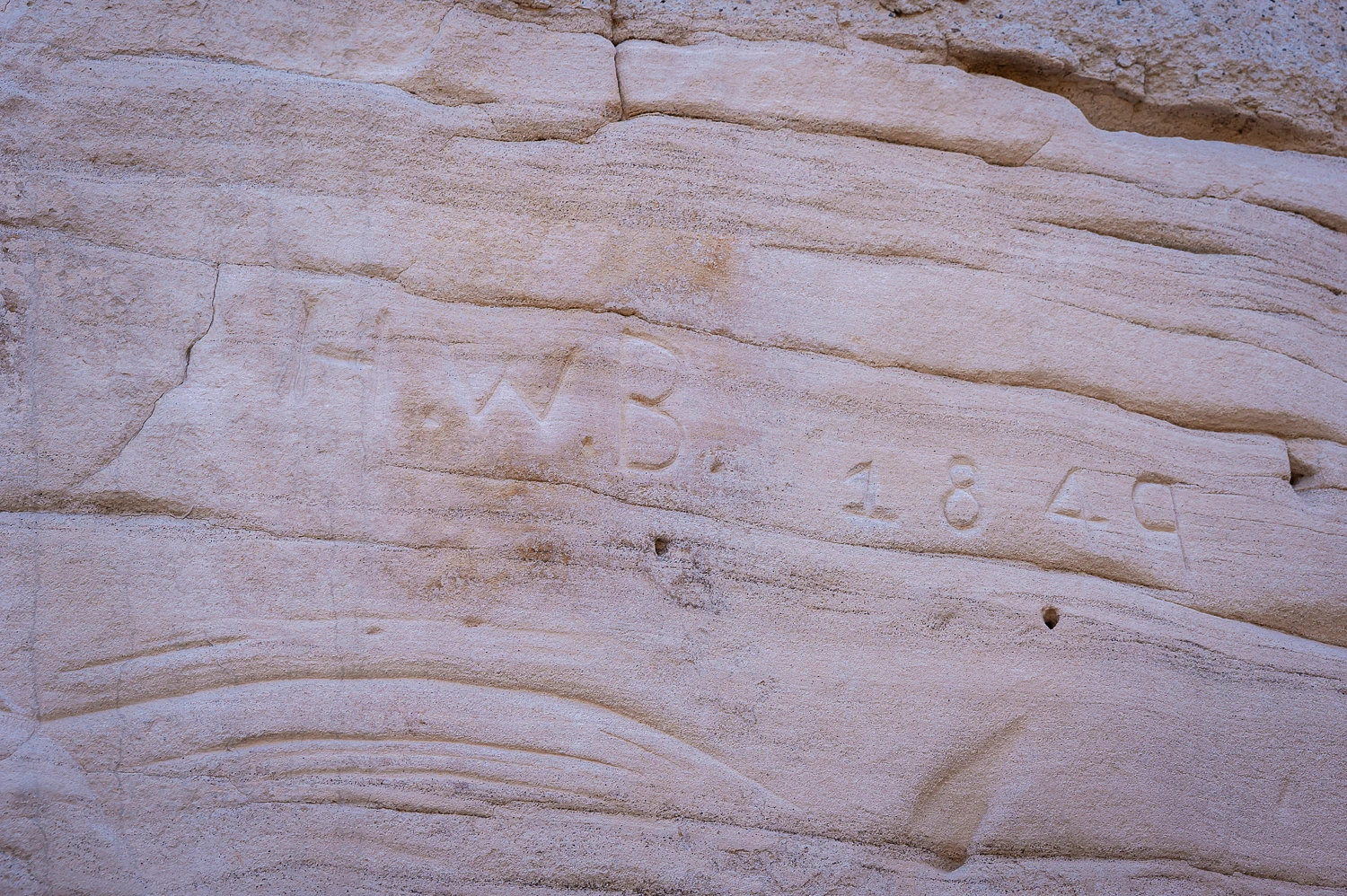
H. W. B. was Henry Bigler. This follow up from Deb -
“I've been going back and forth with Jean, now that we're getting back into the DV '49ers. I thought you might find this interesting. I asked about Bigler, and below is her response. “Bigler was a Mormon. He was with the Flake packers. I don’t recall if he started with them or was originally with the wagontrain and left to accompany the Mormon exploring packers. He wrote a diary. They (packers) camped the night of November 2 at Tunnel Springs. Next day, on the canyon wall across the wash (near the bottom of Barn Pole Hollow), Henry Bigler, one of Flake’s Mormon company “cut the 3 first letters of my name on a Rock.”
We were walking in their footsteps.
We continued up Headwaters Wash until we reached the Utah state line.
Deb said we could not go any further east into Utah as she and Julie were not wearing prairie dresses and, therefore, were not properly attired. Now I kind of got interested in seeing the two of them in prairie dresses. I do know they both have grit, so I held my tongue.
We returned to our camp late in the afternoon after an incredible day. The next day we turned west to trace additional sections of the route of the Death Valley 49ers. We visited a few additional sites along the way.
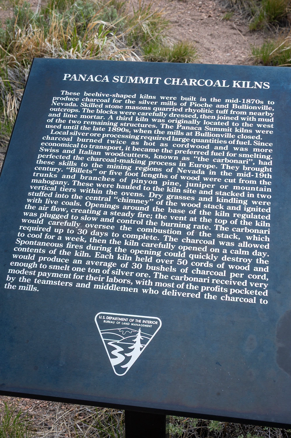
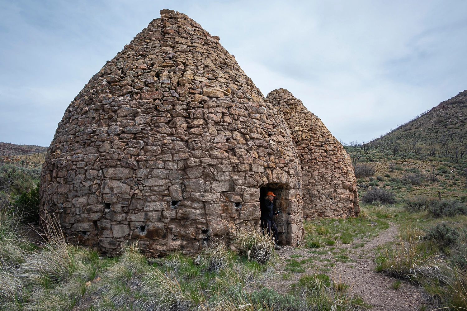
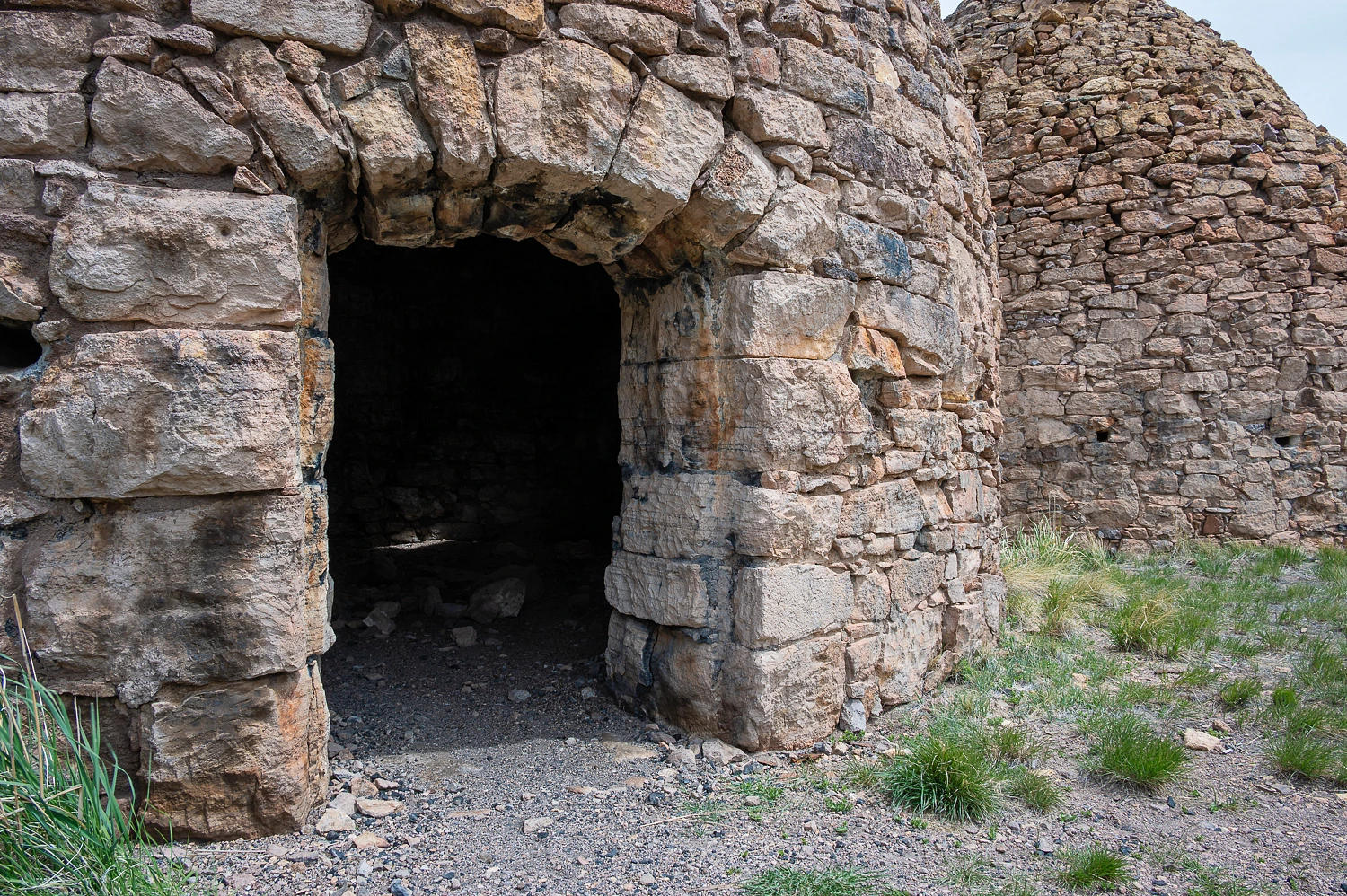
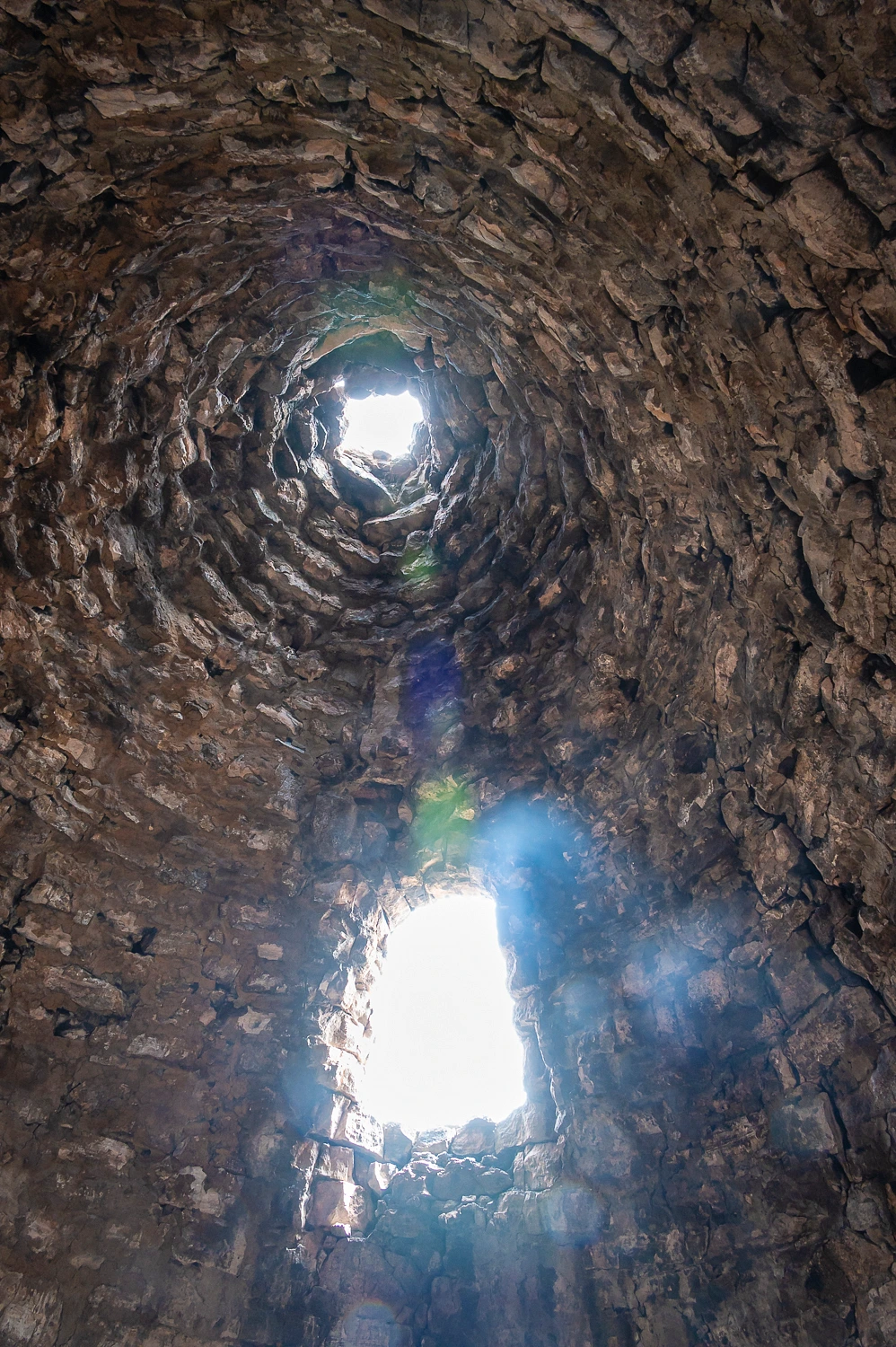
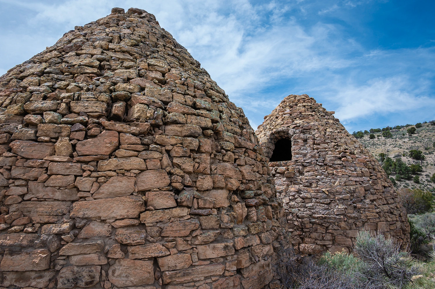
First was the Panaca Summit Charcoal Kilns.
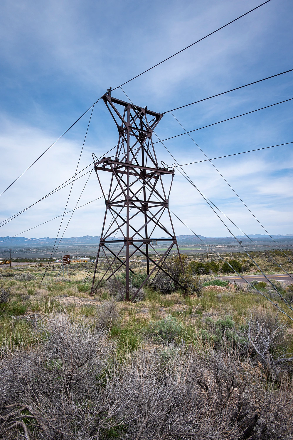
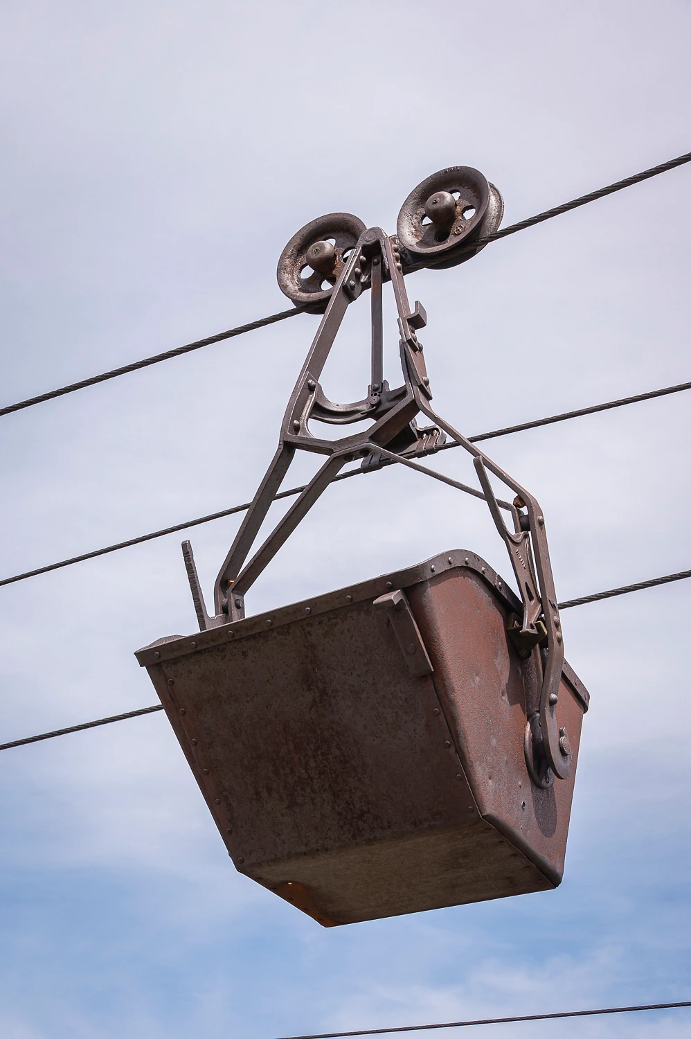
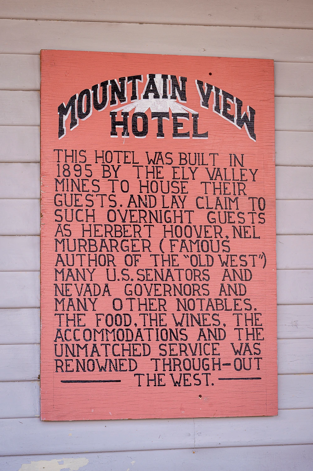
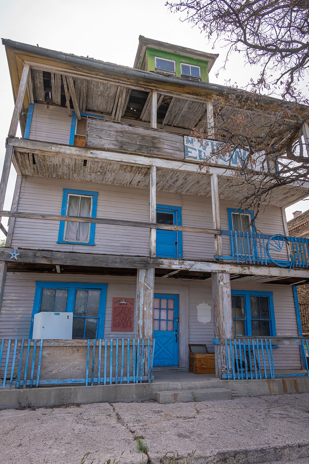
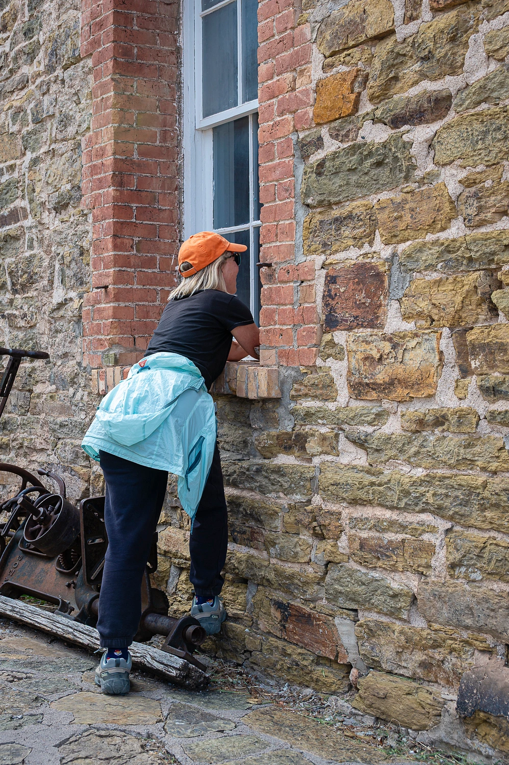
Deb insisted on a stop in Pioche as she heard there was an ore cart hanging from a tramway cable.
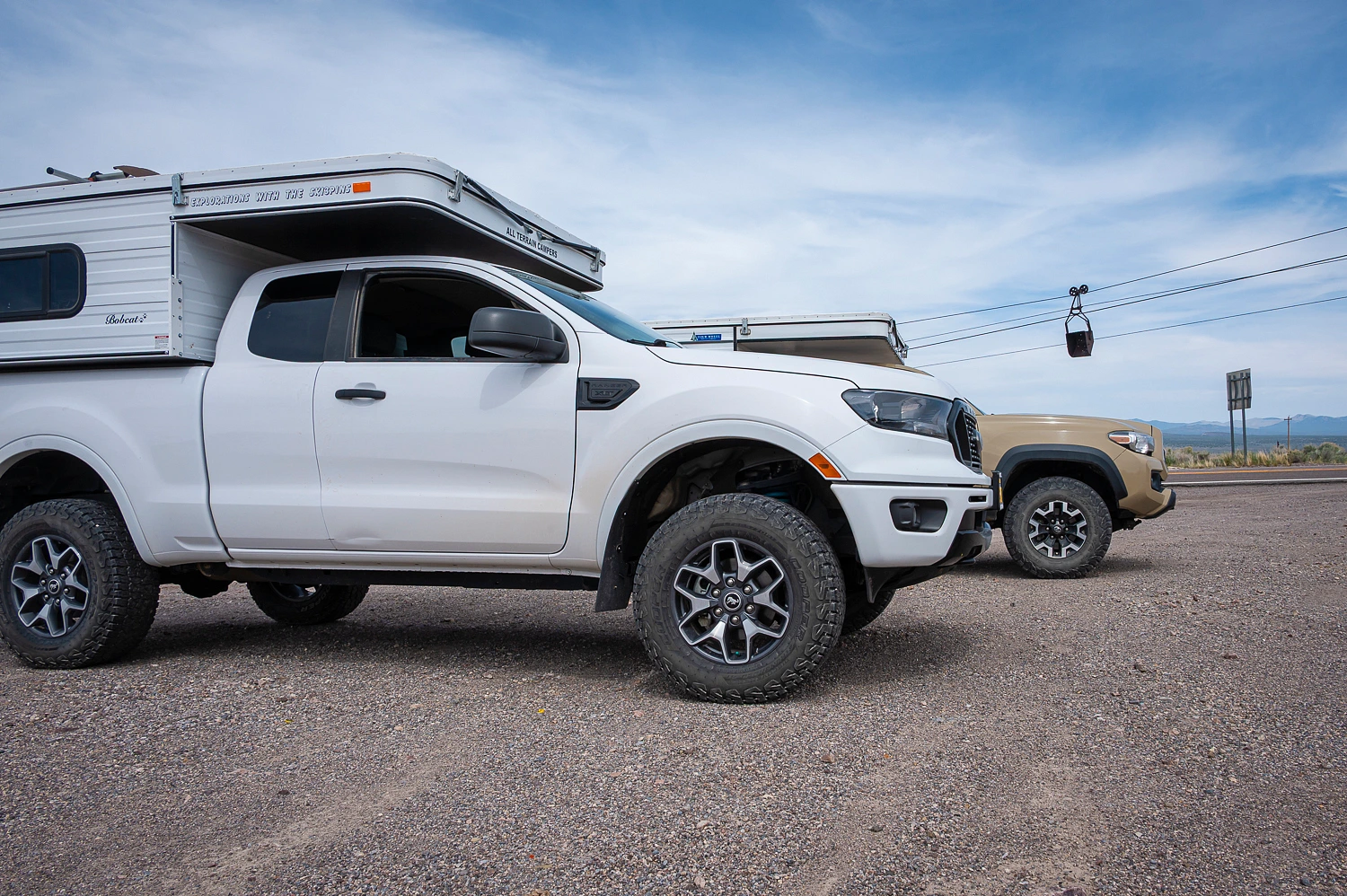
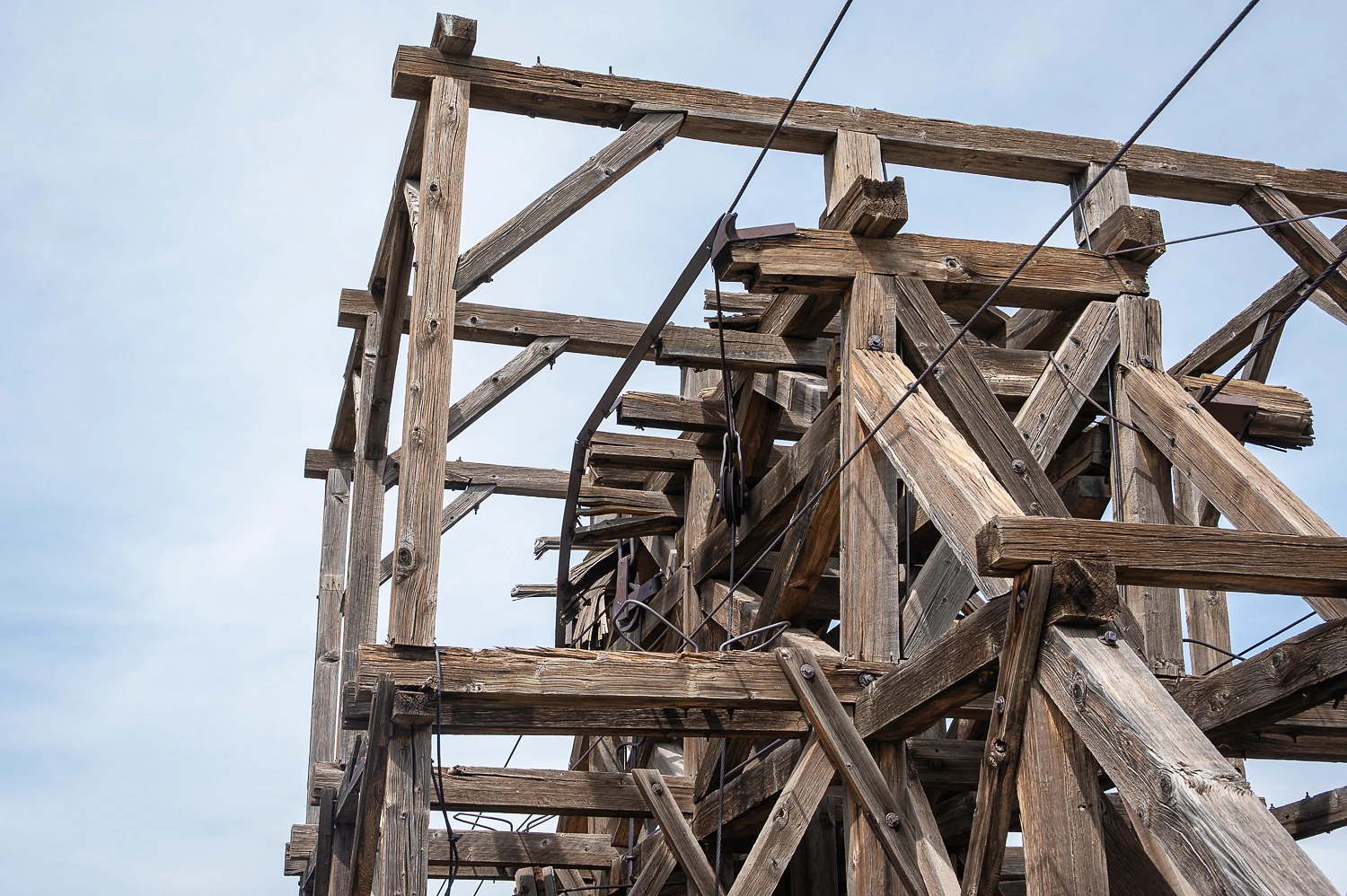
There was so much more. The intact (mostly) tramway ran from the mine above town all the way to the old mill site to the north.
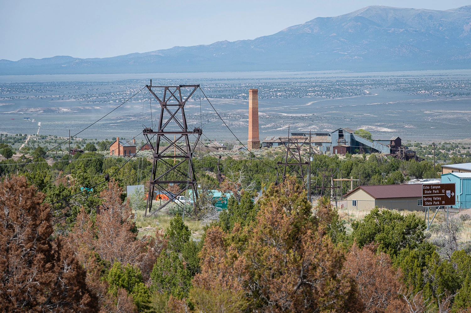
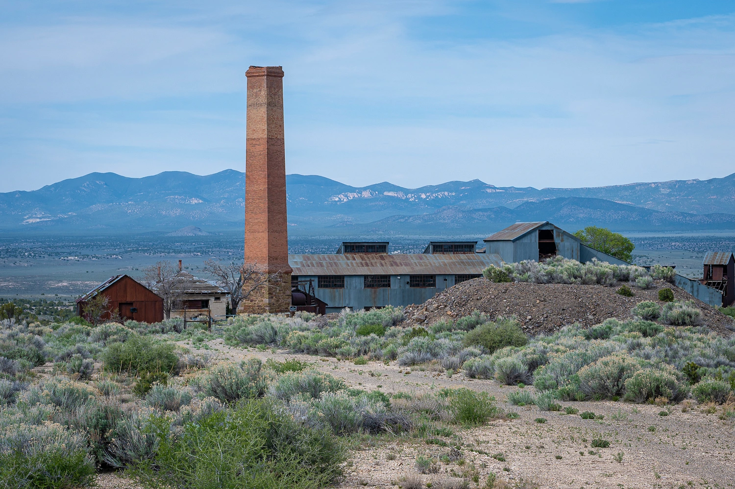
The details of its construction were interesting to decipher.
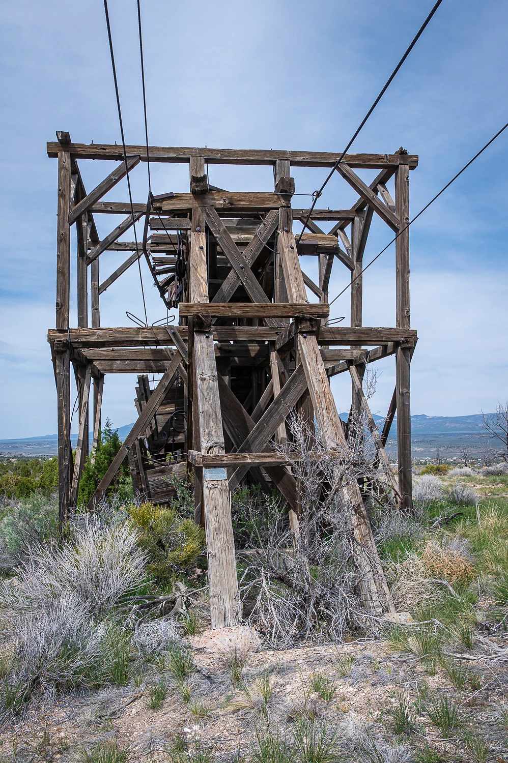
The tramway ran by the cemetery.
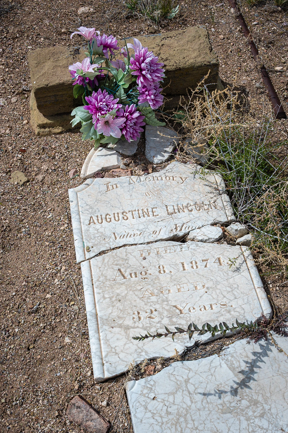
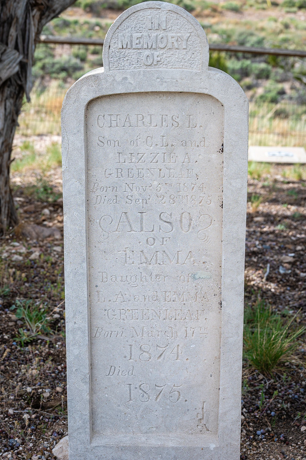
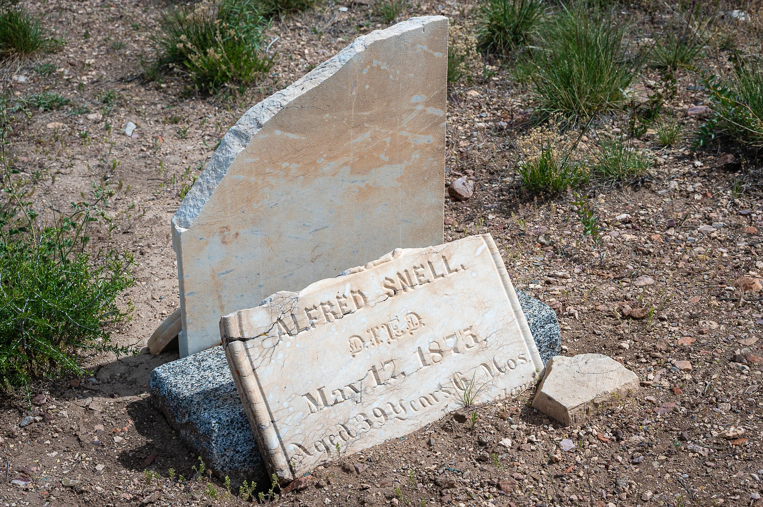
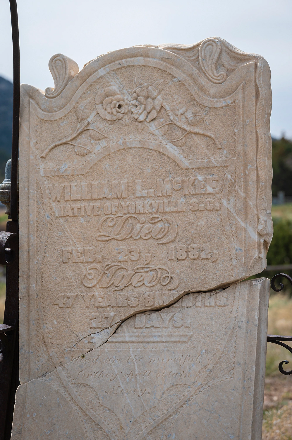
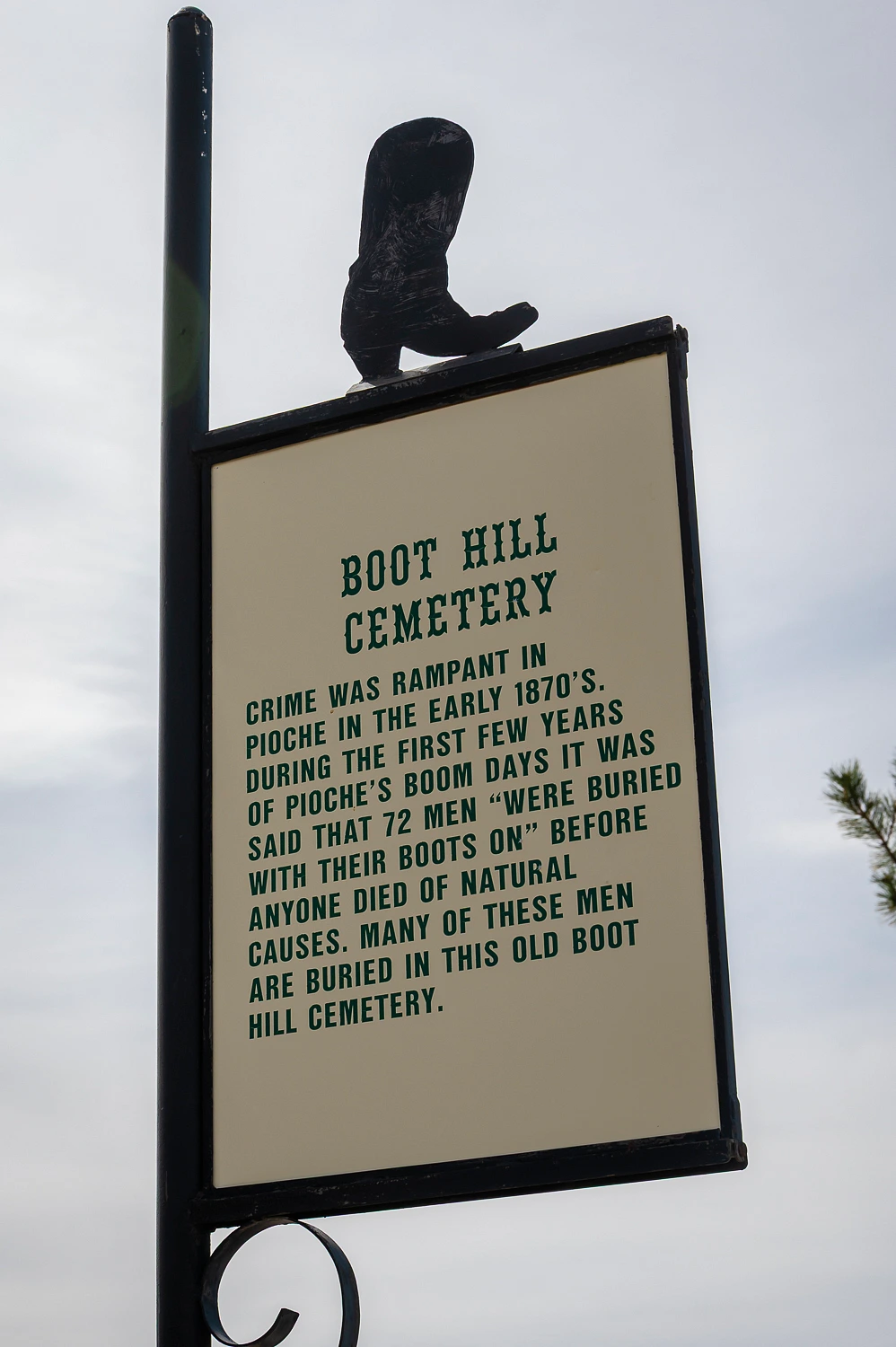
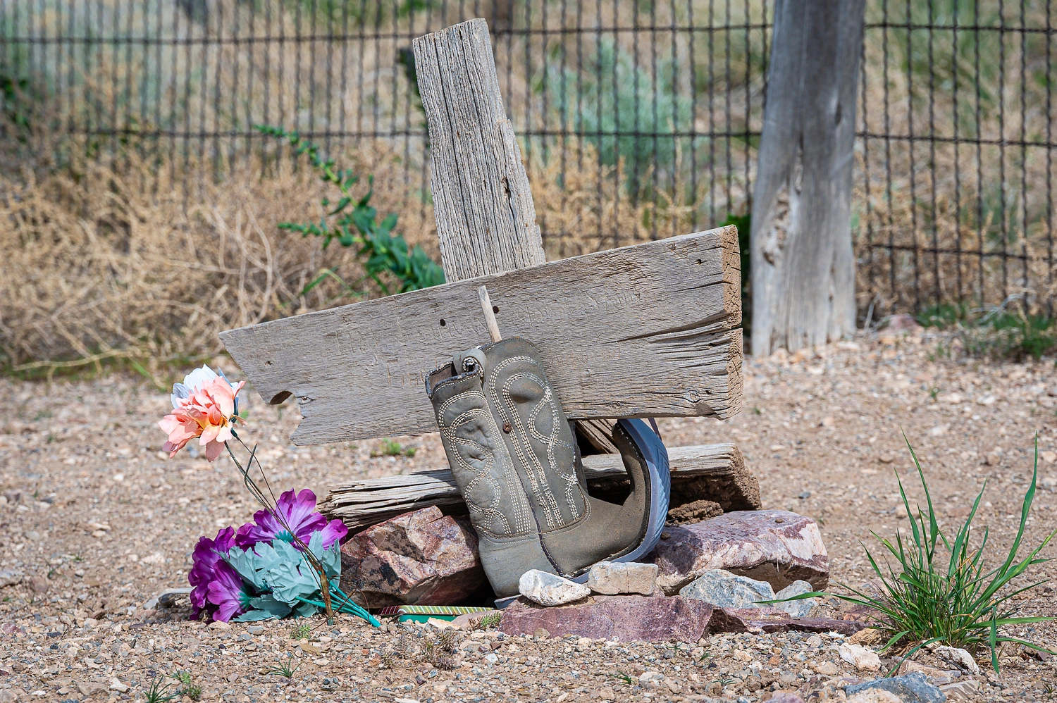
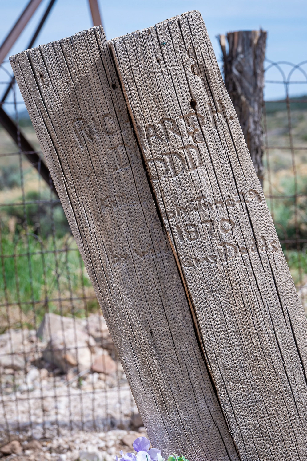
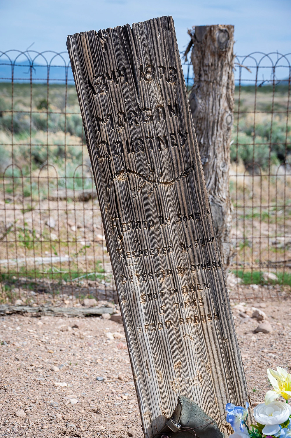
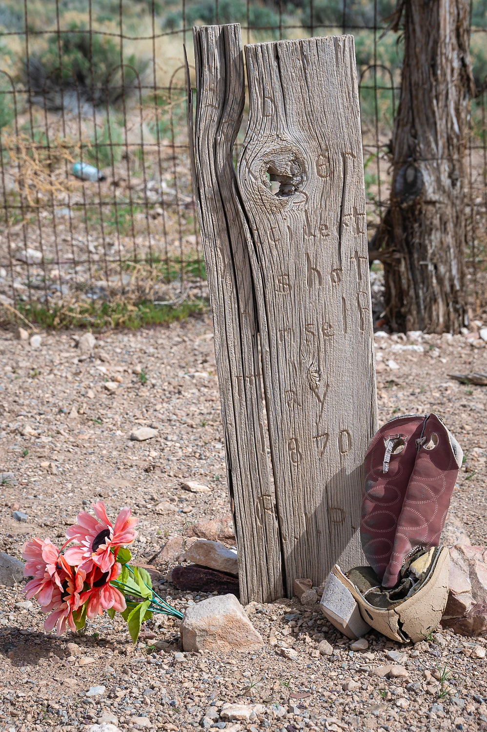
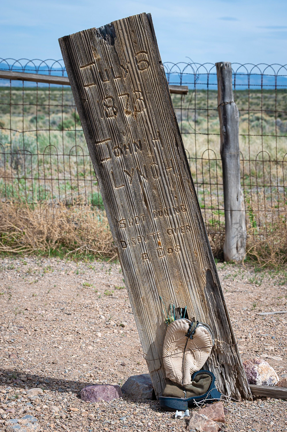
A section of the cemetery was dedicated as Boot Hill.
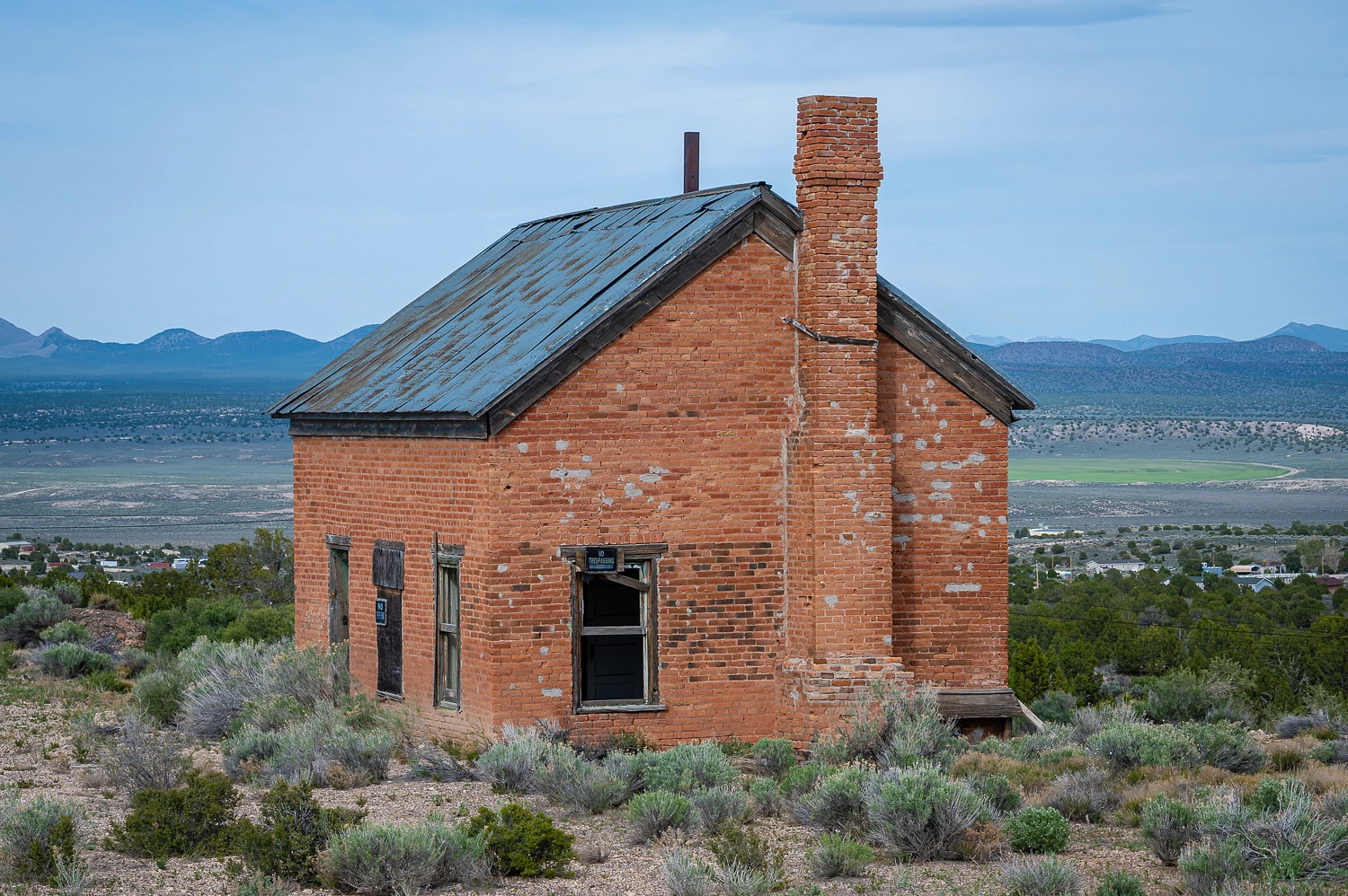
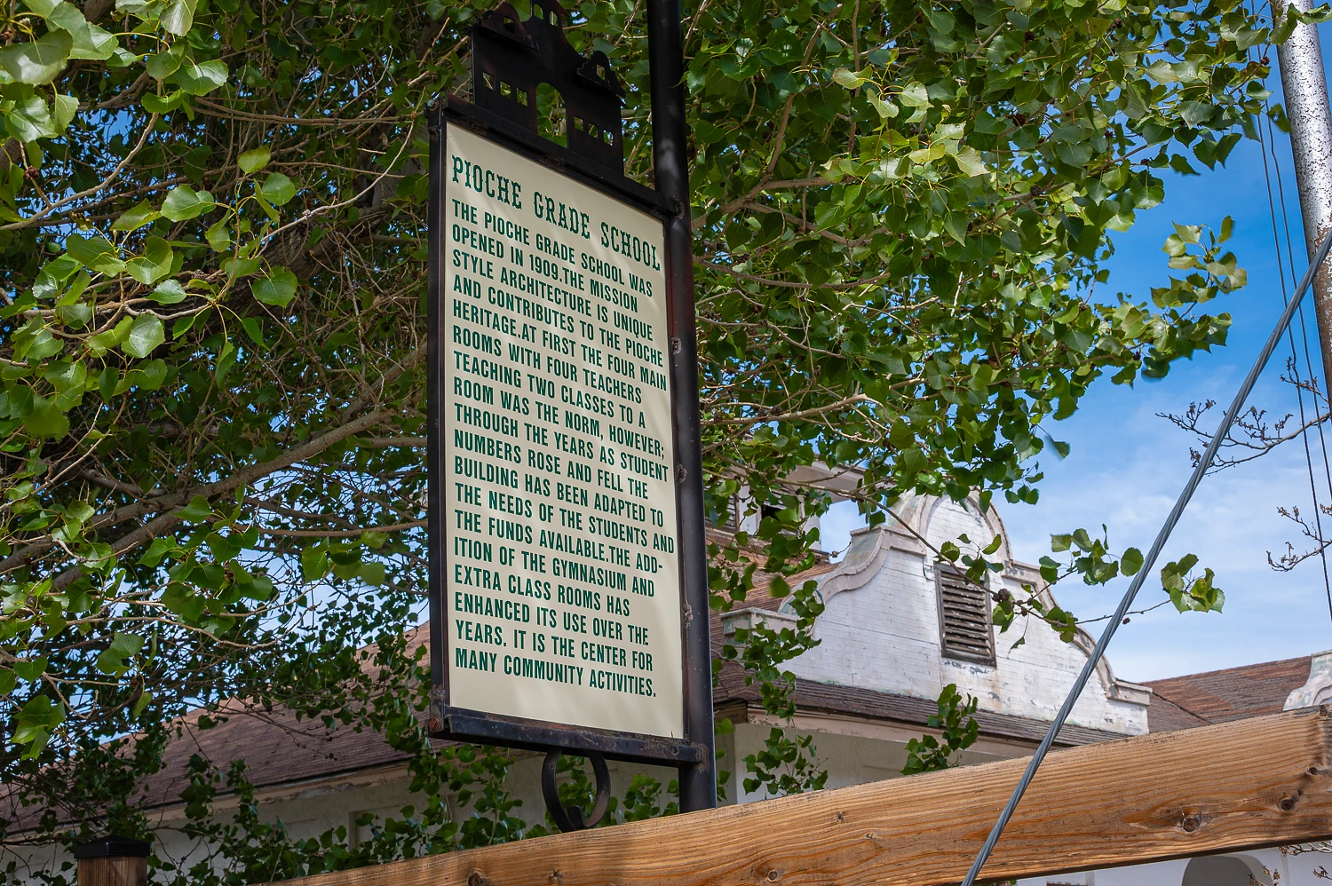
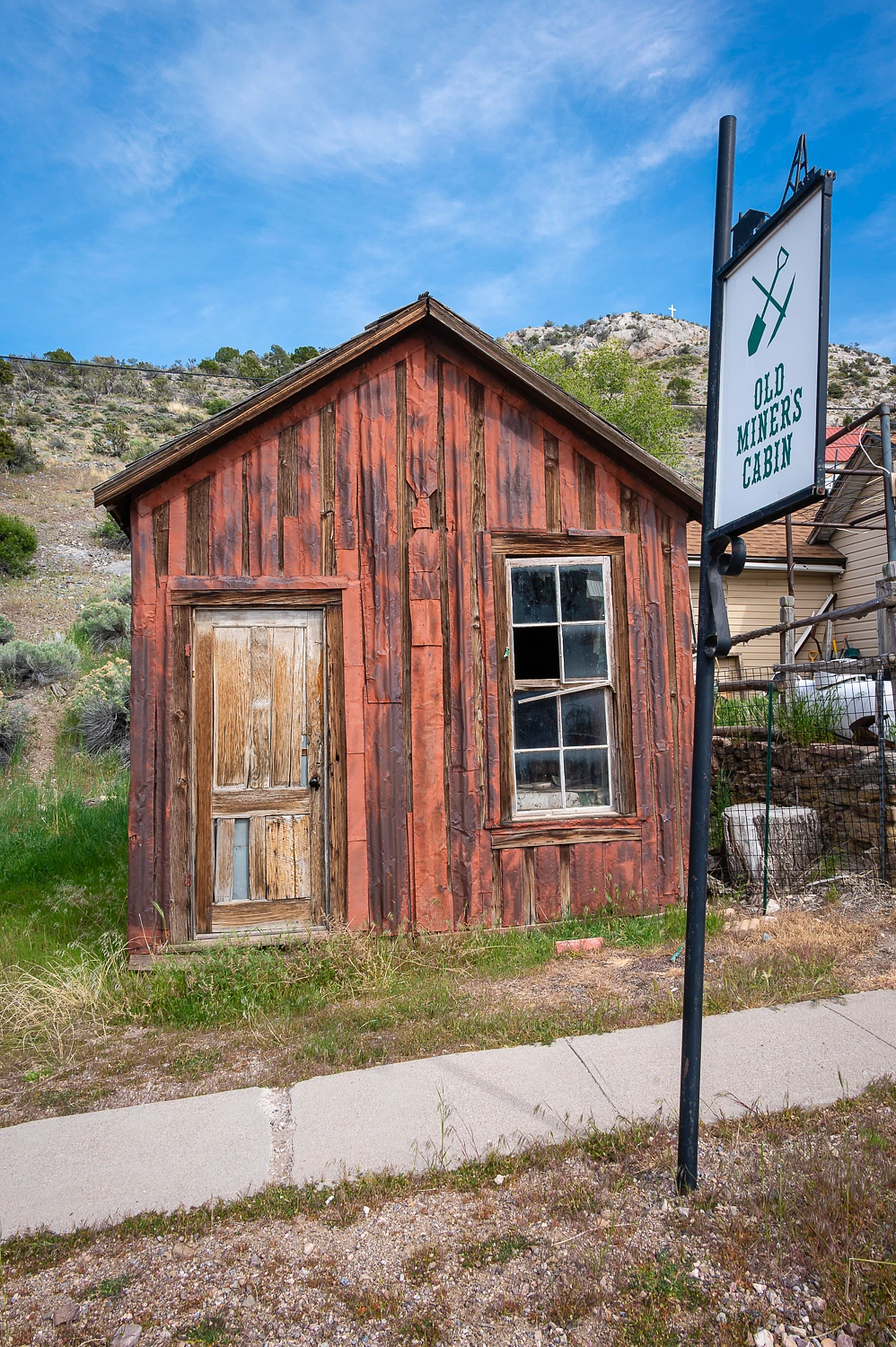
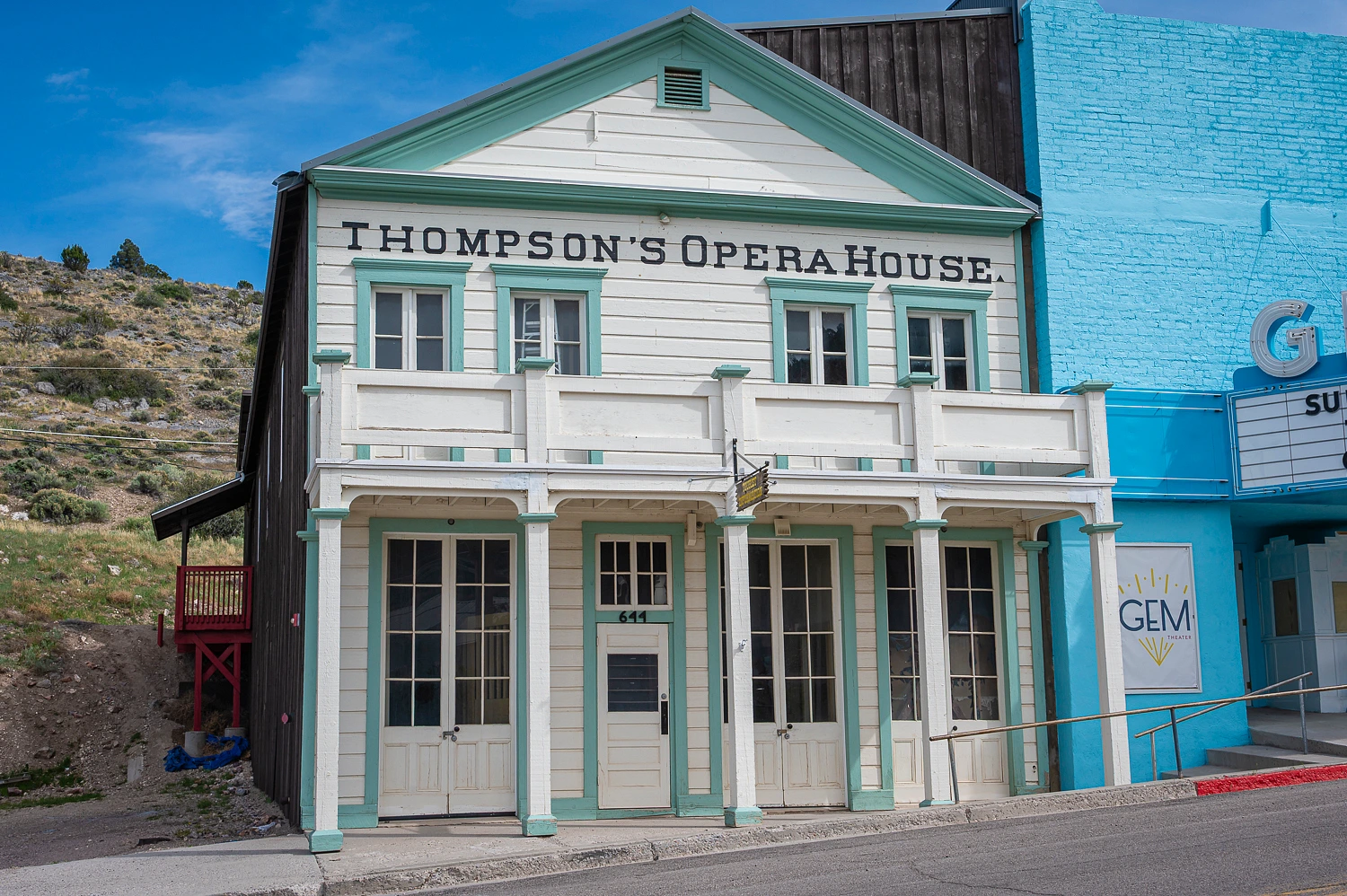
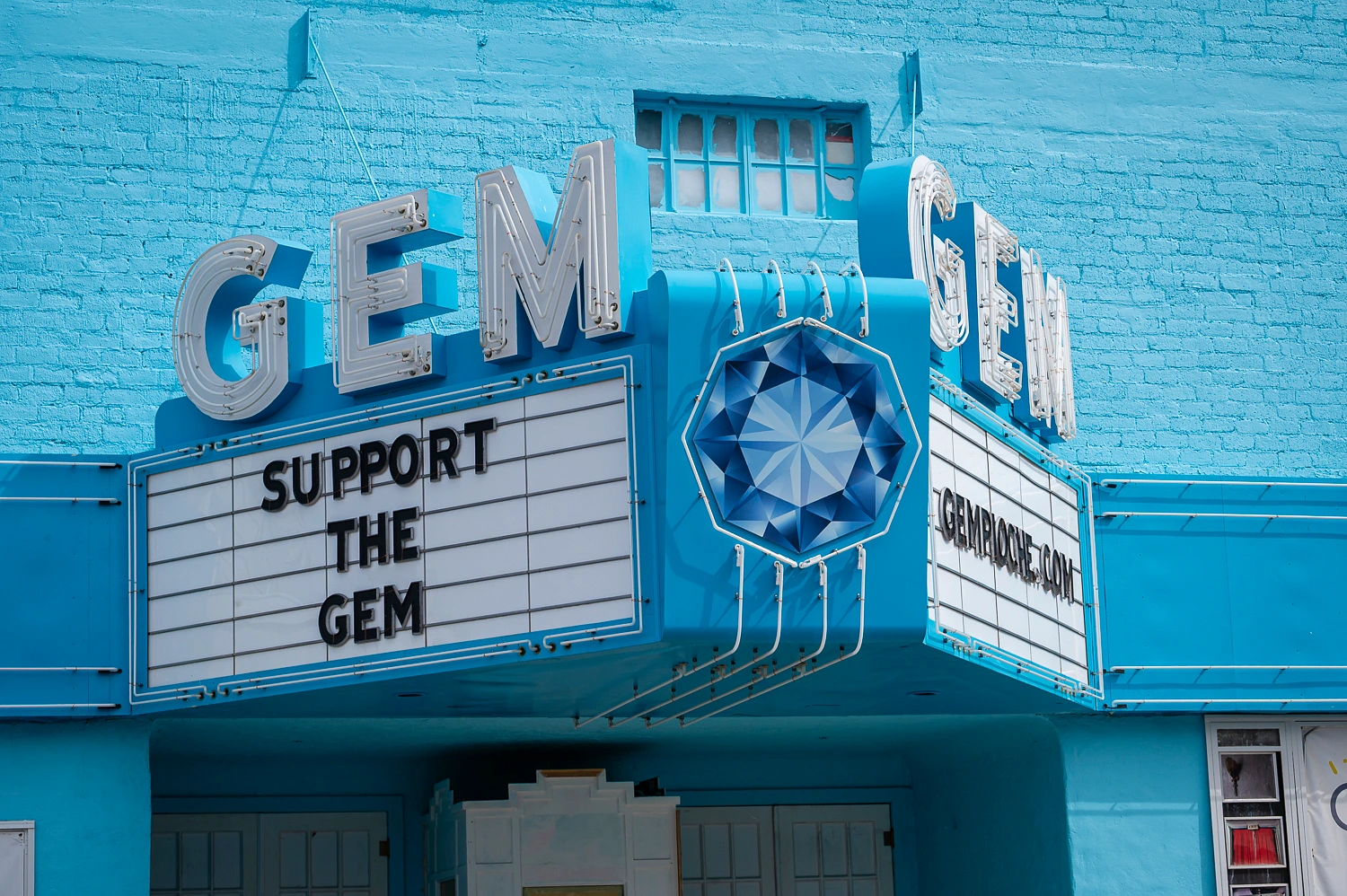
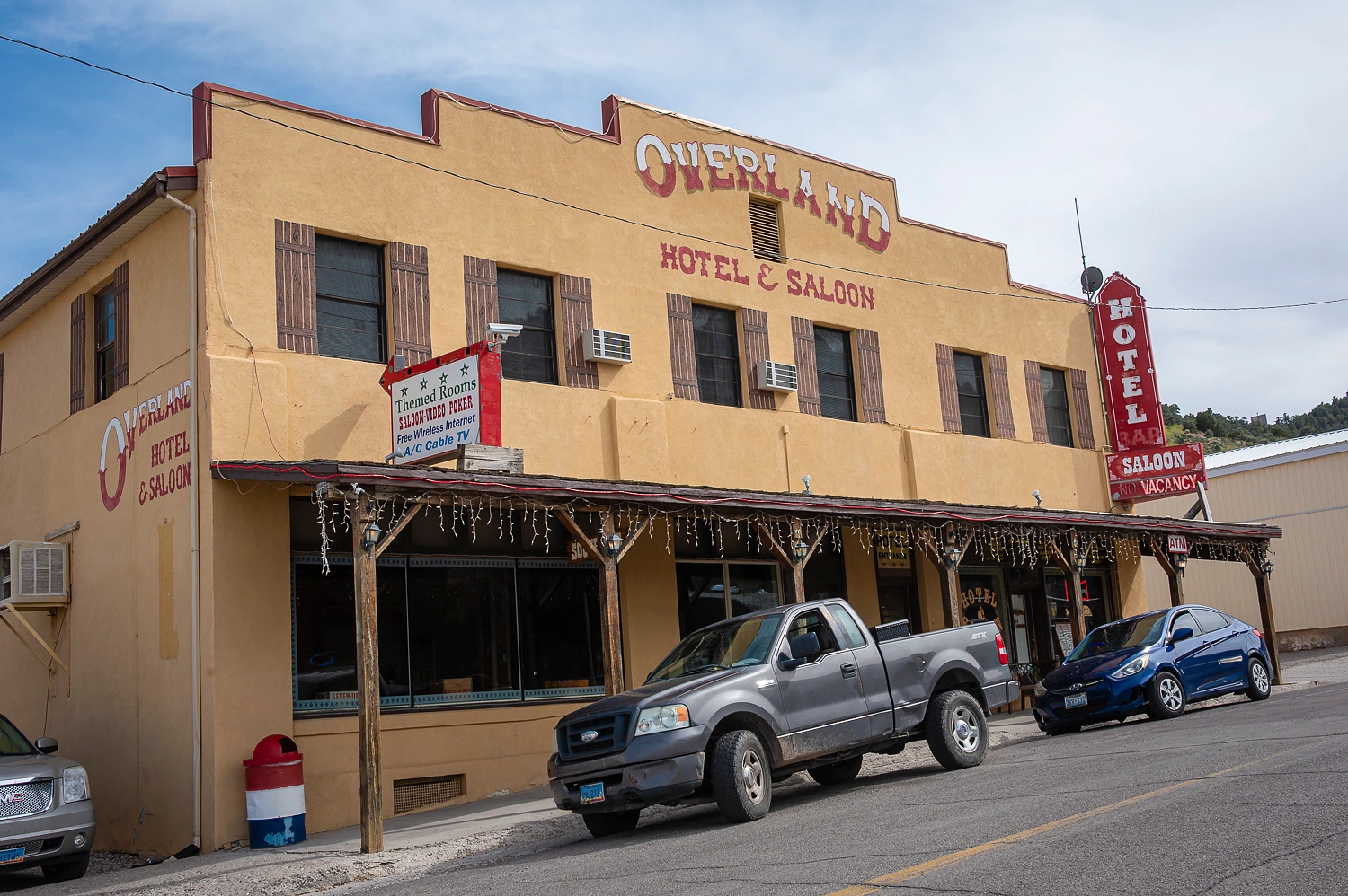
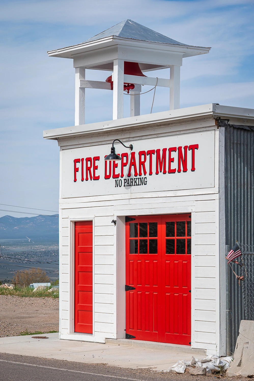
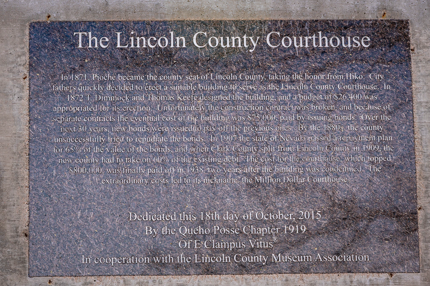
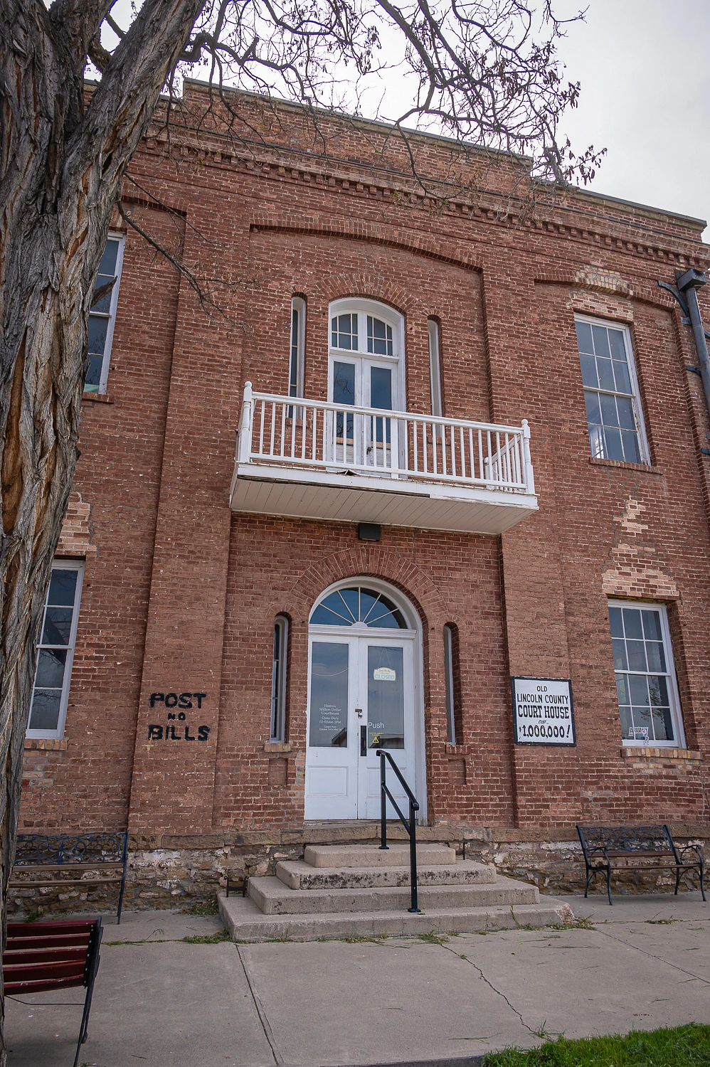
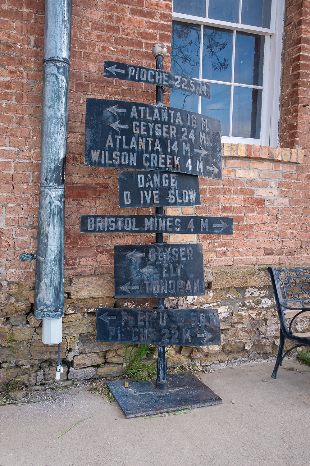
This was fun so we took a walk through the colorful town. We had heard there was a County Courthouse that cost a million dollars to build back in the 1800’s.
Where to next? We’d continue to follow the trail of the Death Valley 49ers. Our adventure continues in the upcoming Part Four.