
please remember you can click on a photo to see a larger version & highlighted text are links to additional information
Paying Our Respects
This trip stated with a phone call from our Little Buddy, Barking Spider.
"I'm surprised to find you home," he said. "I expected you'd be out on a trip somewhere."
"Hey, Julie," I called. "Little Buddy thinks we should be off on a trip."
"Okay," she replied. "Let's leave in the morning."
It was as simple as that. We packed the truck and camper in the evening and left early the next morning, a Saturday, and headed east into Nevada. As we drove on highway 50 between Carson City and Dayton, I asked the Lady, "Where should we go?" We quickly put together a tentative list.
East of Fernley, I pointed toward a distant hill and said, "I think there is an airway beacon up there. Let's check that out."
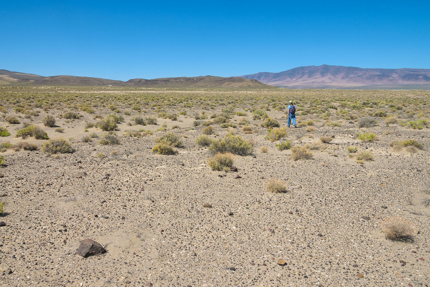
One of our ongoing interests is finding the Airway Beacons between Fernley and Beowawe, Nevada. We took a few hours and attempted to locate any sign or remains of Beacon 229 on a basalt plateau on the edge of the Humboldt Sink.The most difficult task was finding roads that would get us close. Two miles was as close as we could drive.

We headed cross country to the plateau.
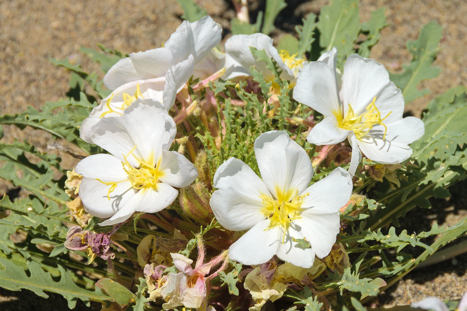
We crossed a series of sand dunes from the retreat of the ancient pluvial Lake Lahontan. The sandy soil of the dunes was perfect for Evening Primrose.
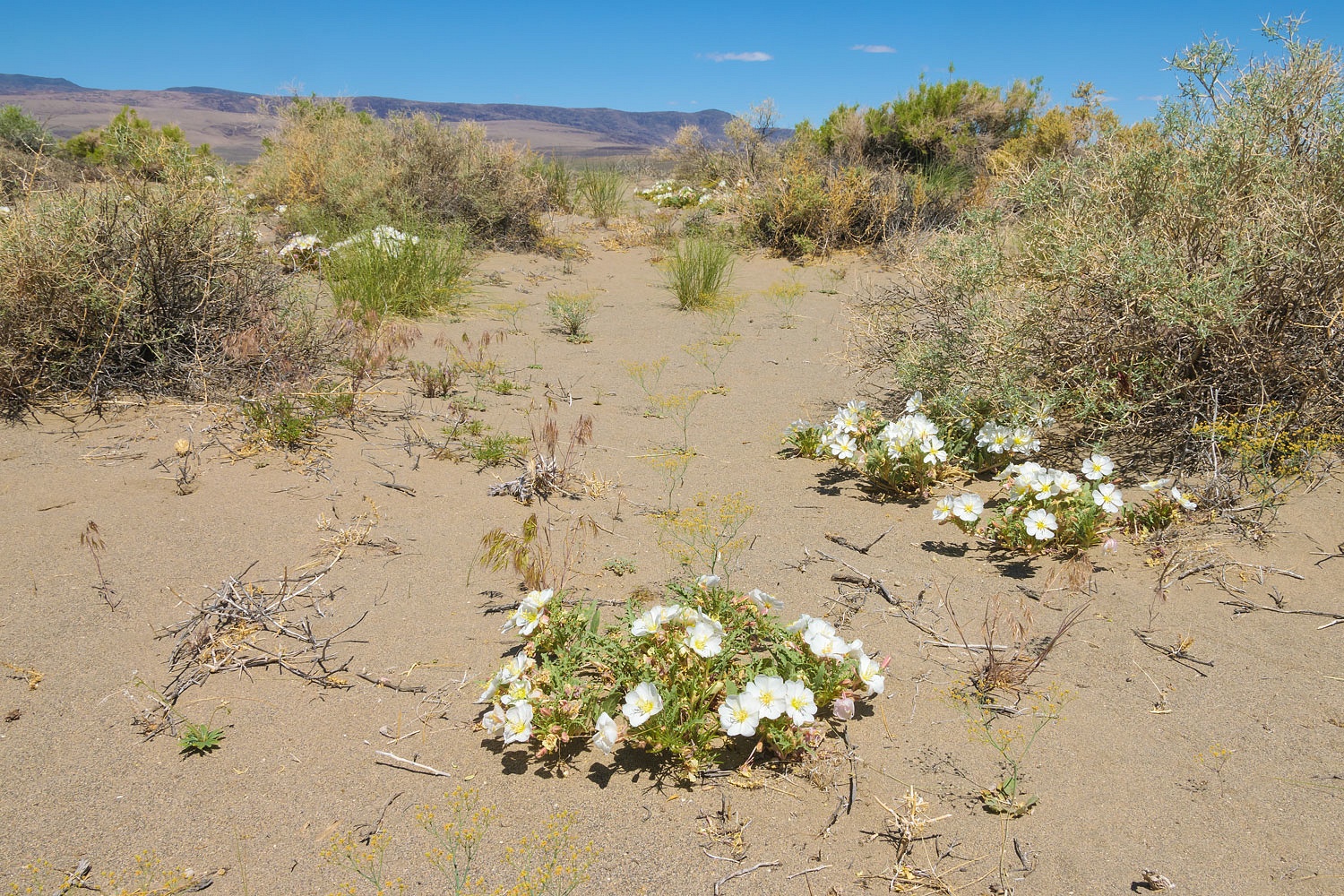
And we, by accident, had timed our visit perfectly for the bloom.
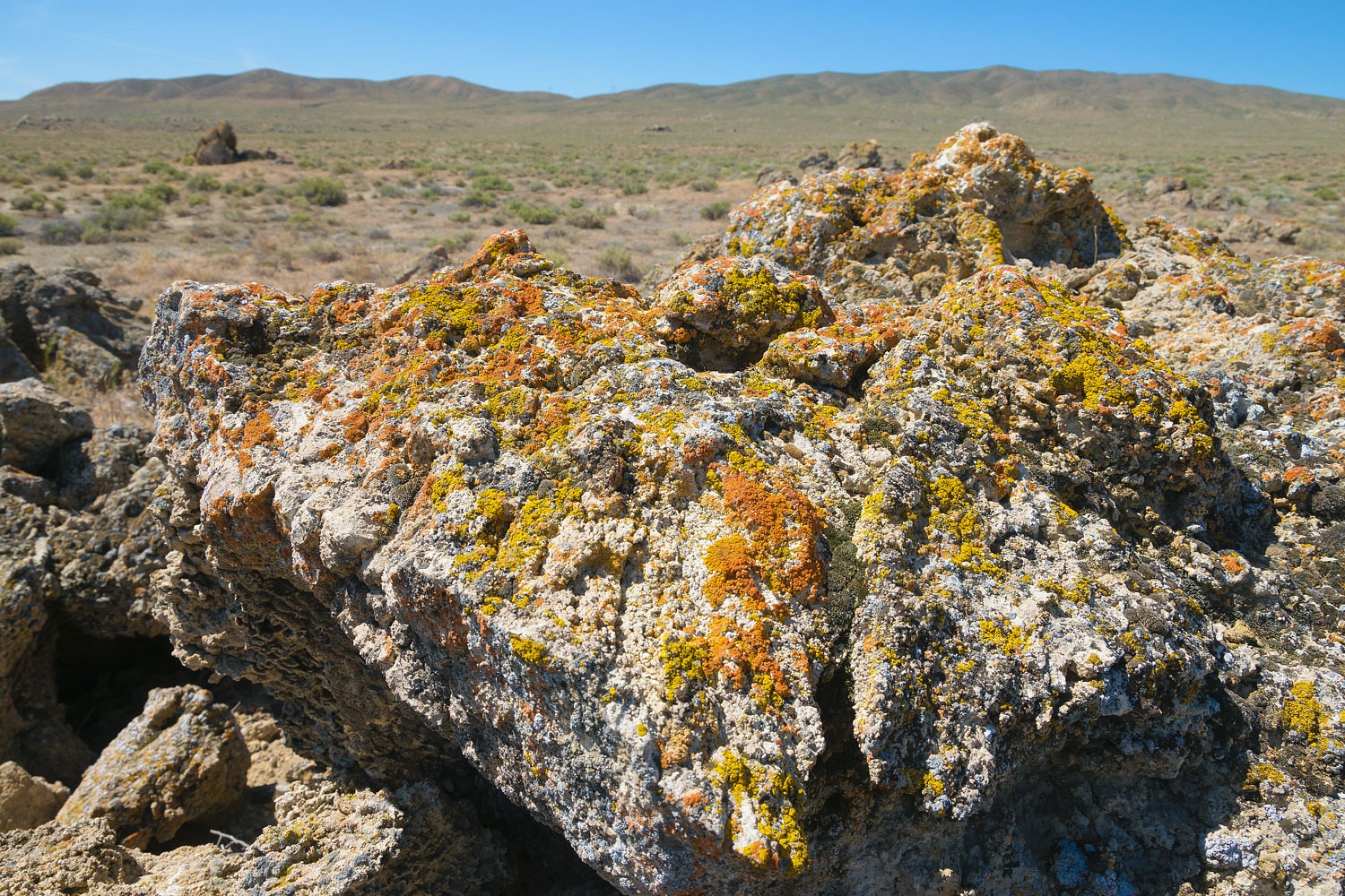
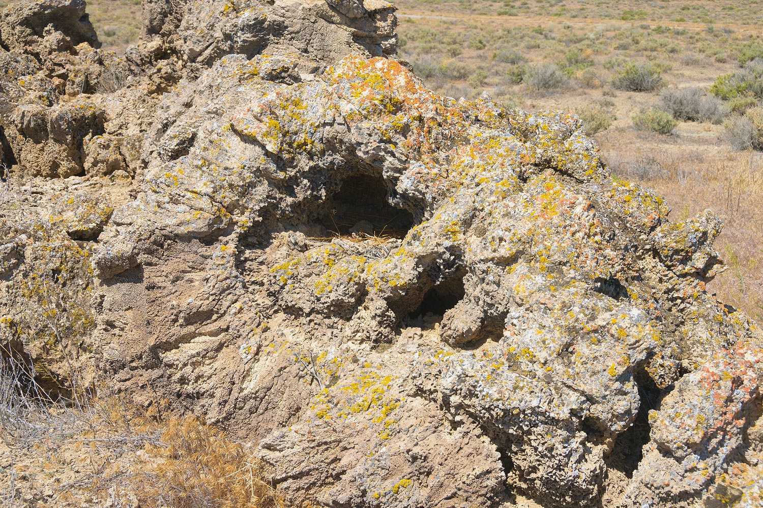
We came upon remnants - of what I suspect to be - wind and wave deposited tufa along the shoreline of ancient Lake Lahontan.
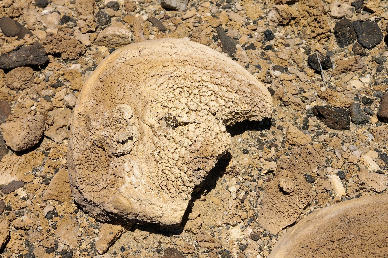
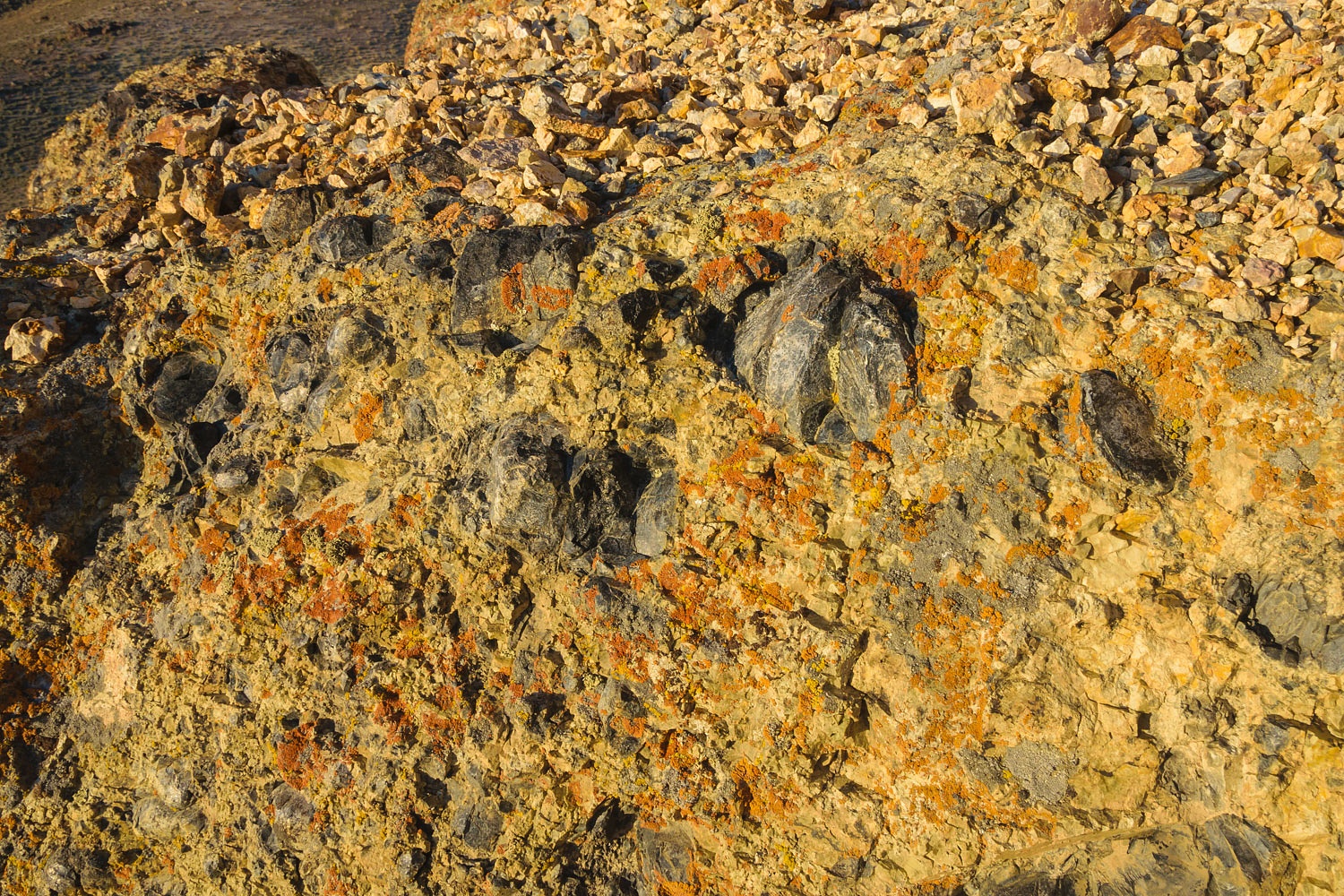
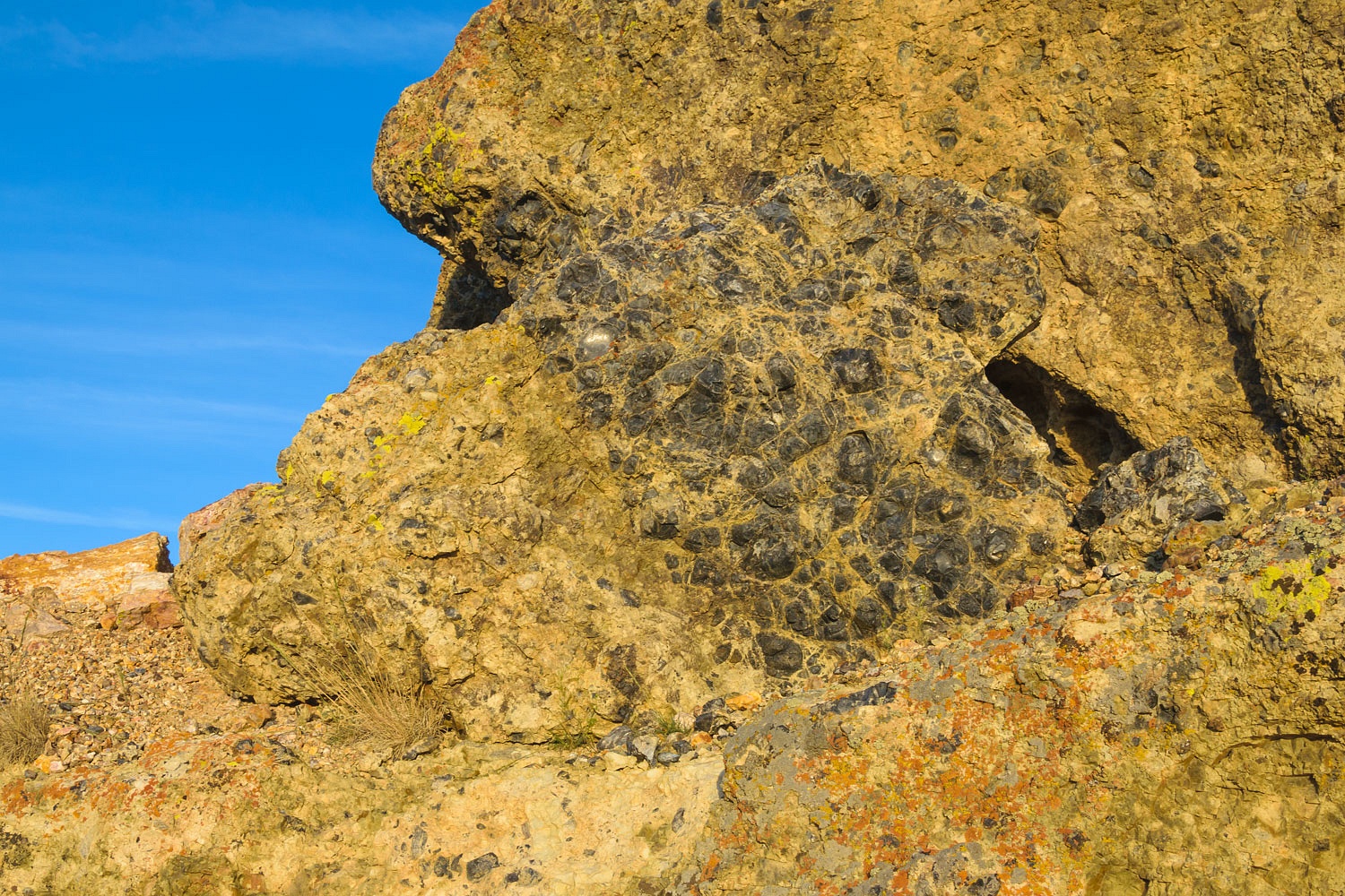
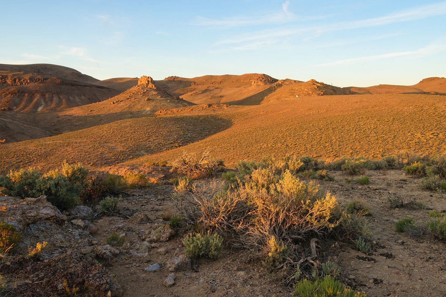
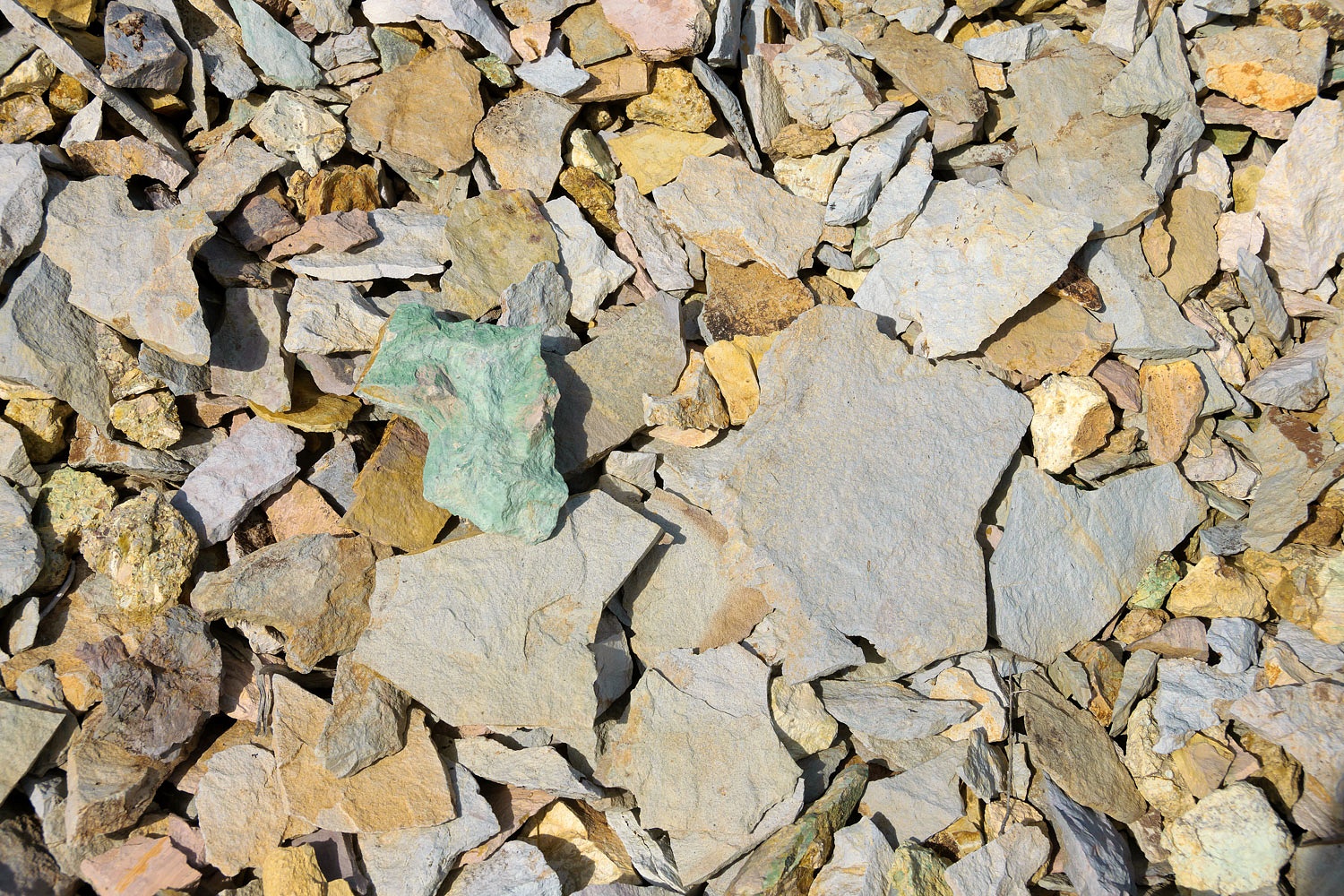
In one place on the top of the plateau - that occasionally holds shallow surface water - was an excellent example of desert varnish and weathering.
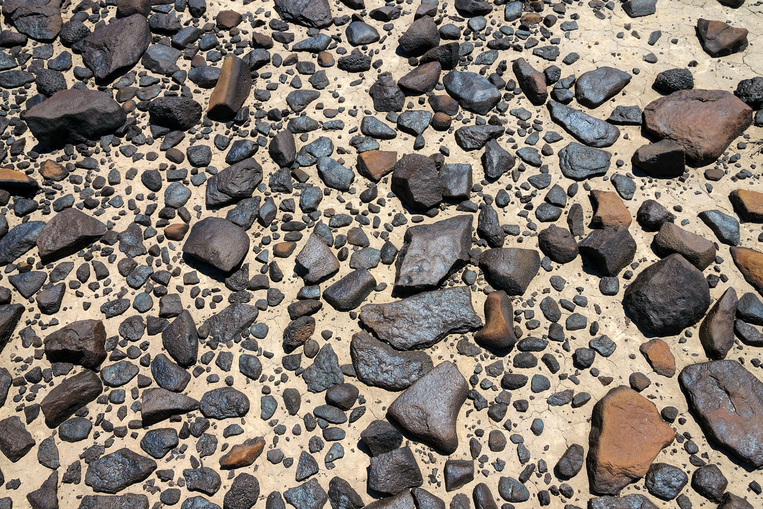
We searched the plateau, which was approximately one mile in length. It was a challenging surface of rugged rock, a great outing for working on ankle strength and balance.
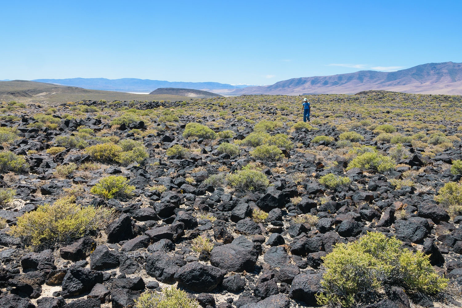
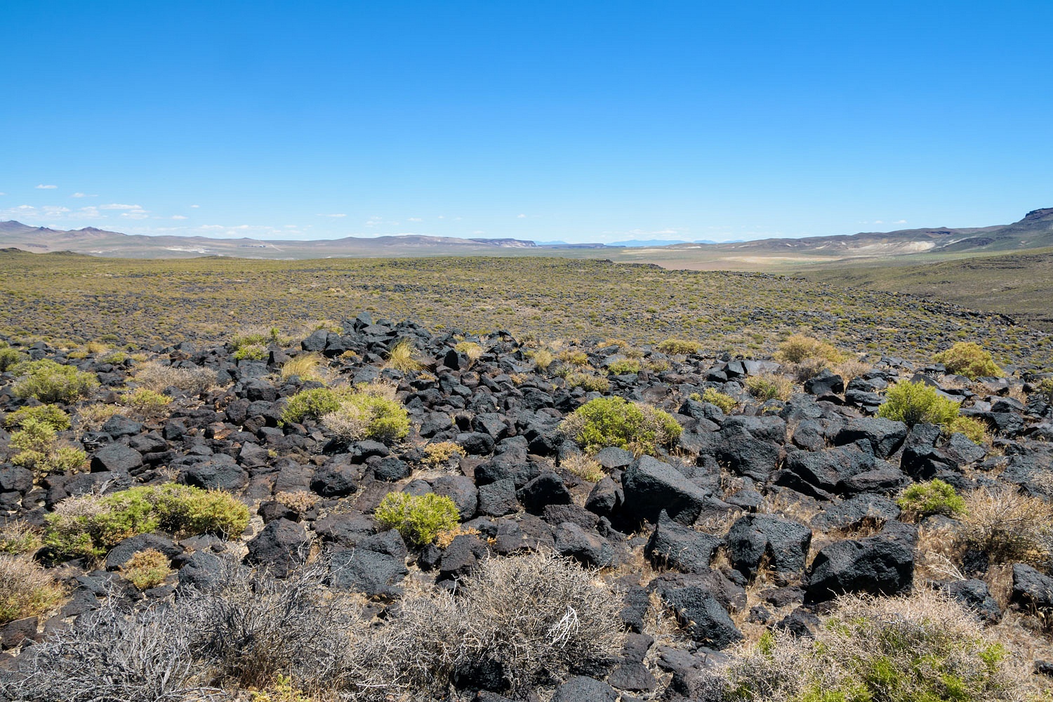
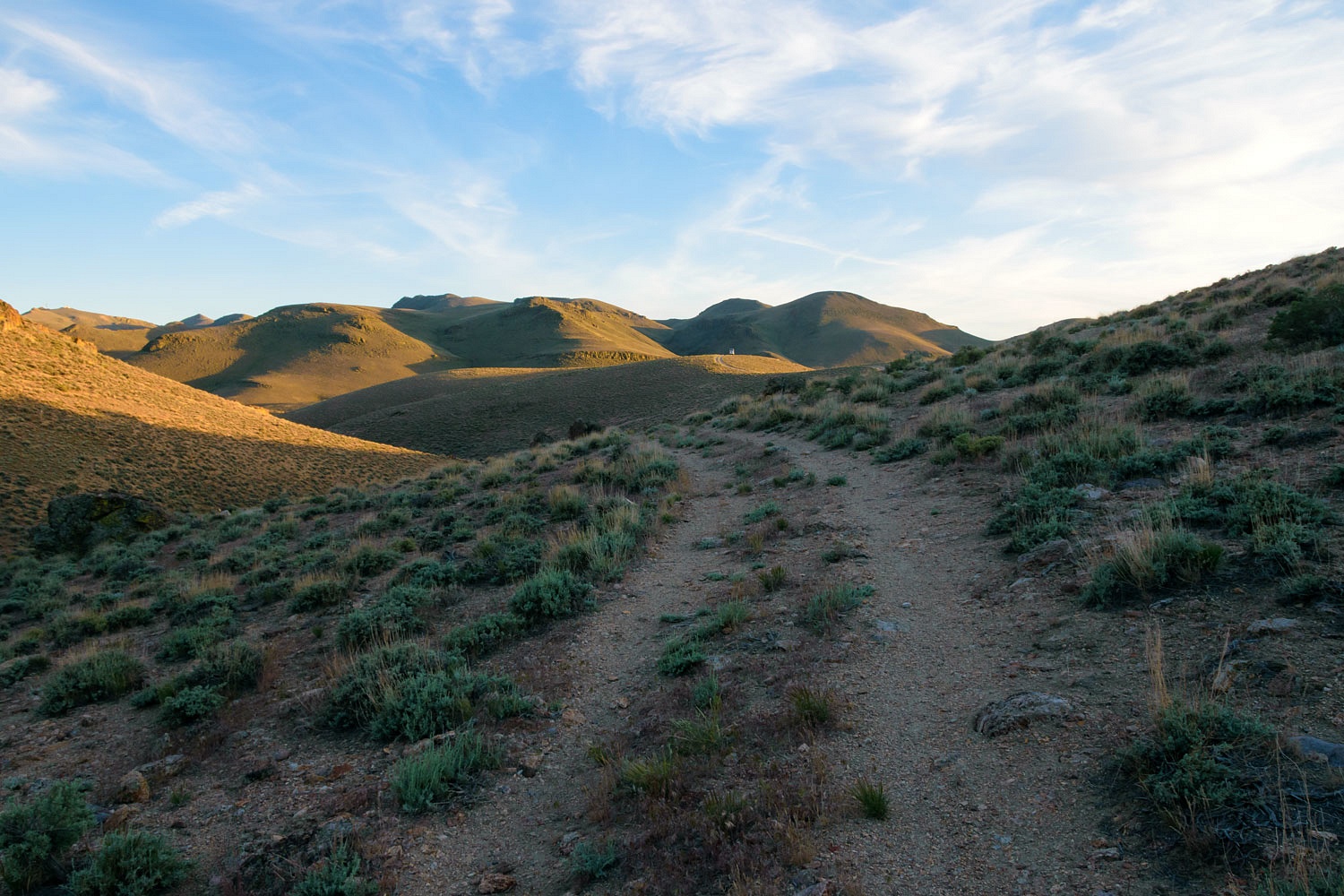
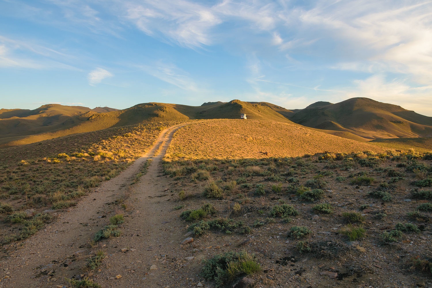
The photo above is looking west down the Airway route. The photo below is the view east down the Airway route.
We did not find any evidence of Beacon 229. But, this hike helped in "getting the lay of the land." More research done after our return may have provided a big clue. Stay tuned.
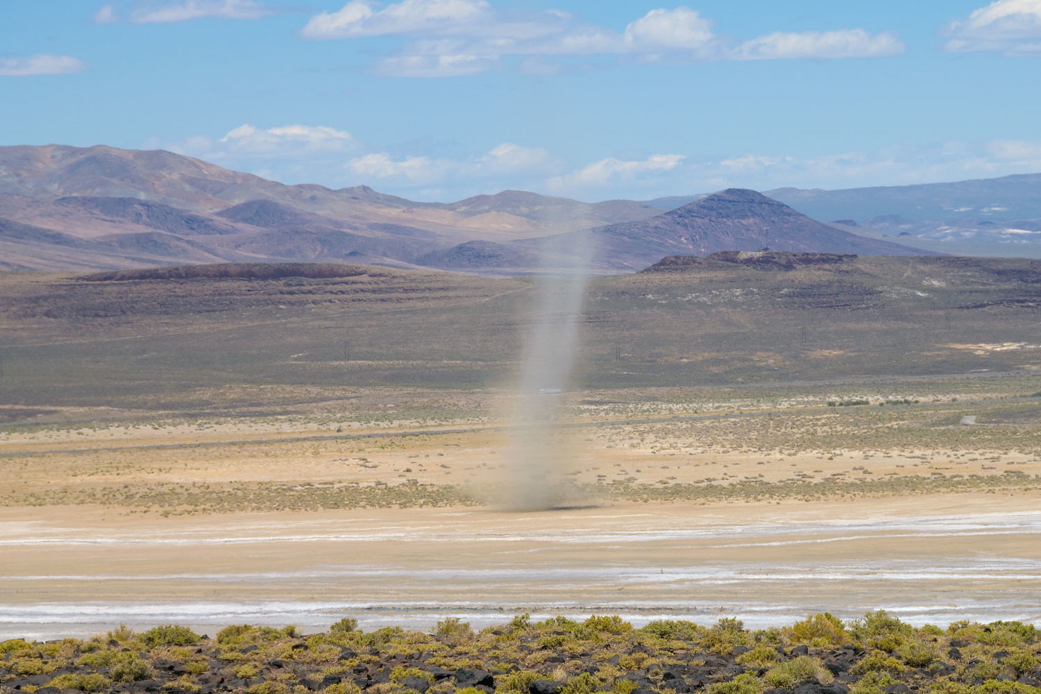
As the day warmed, dust devils moved across the Humboldt Sink.
We moved to the north side of the Humboldt Sink and found a long line of tufa towers associated with Lake Lahontan.
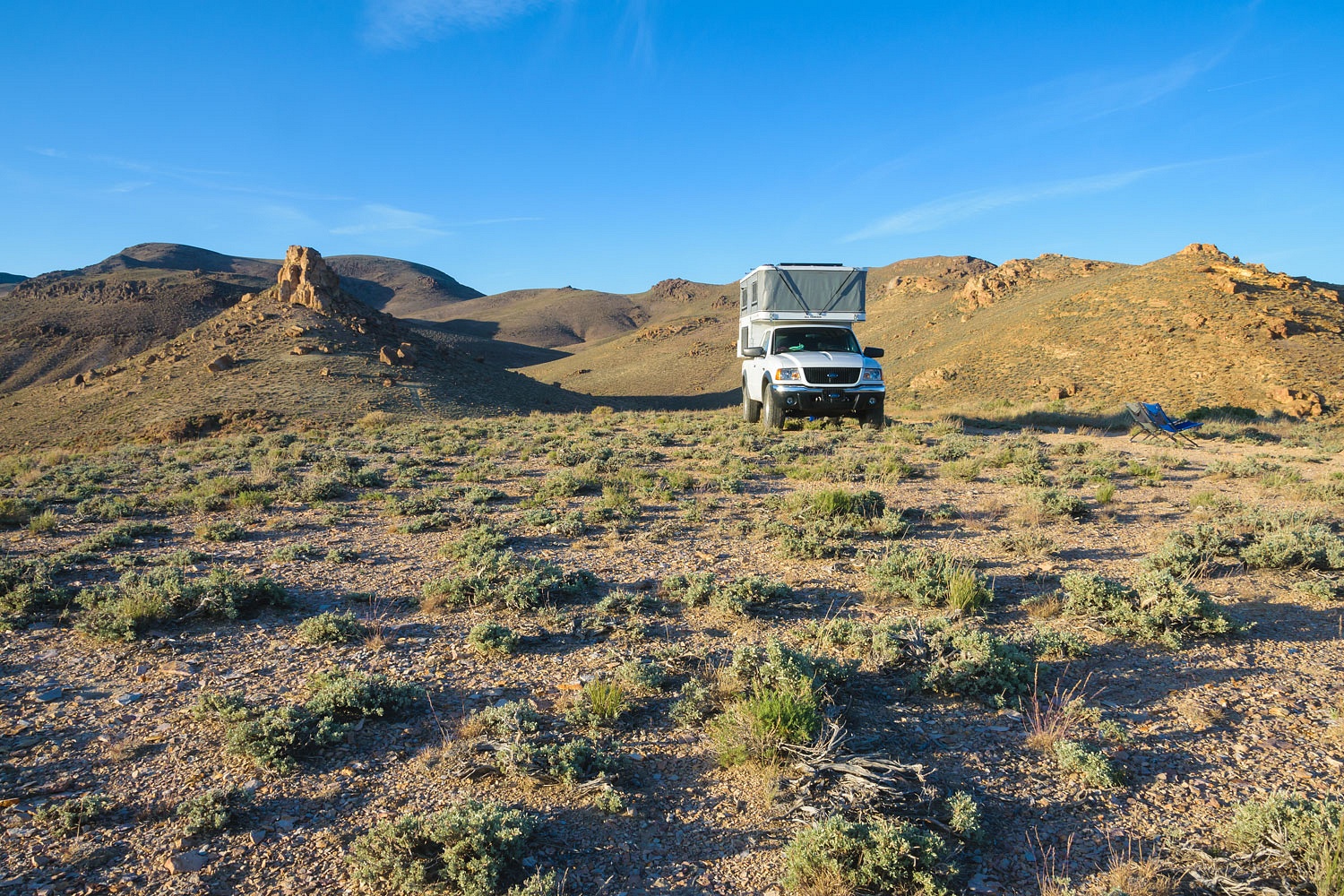
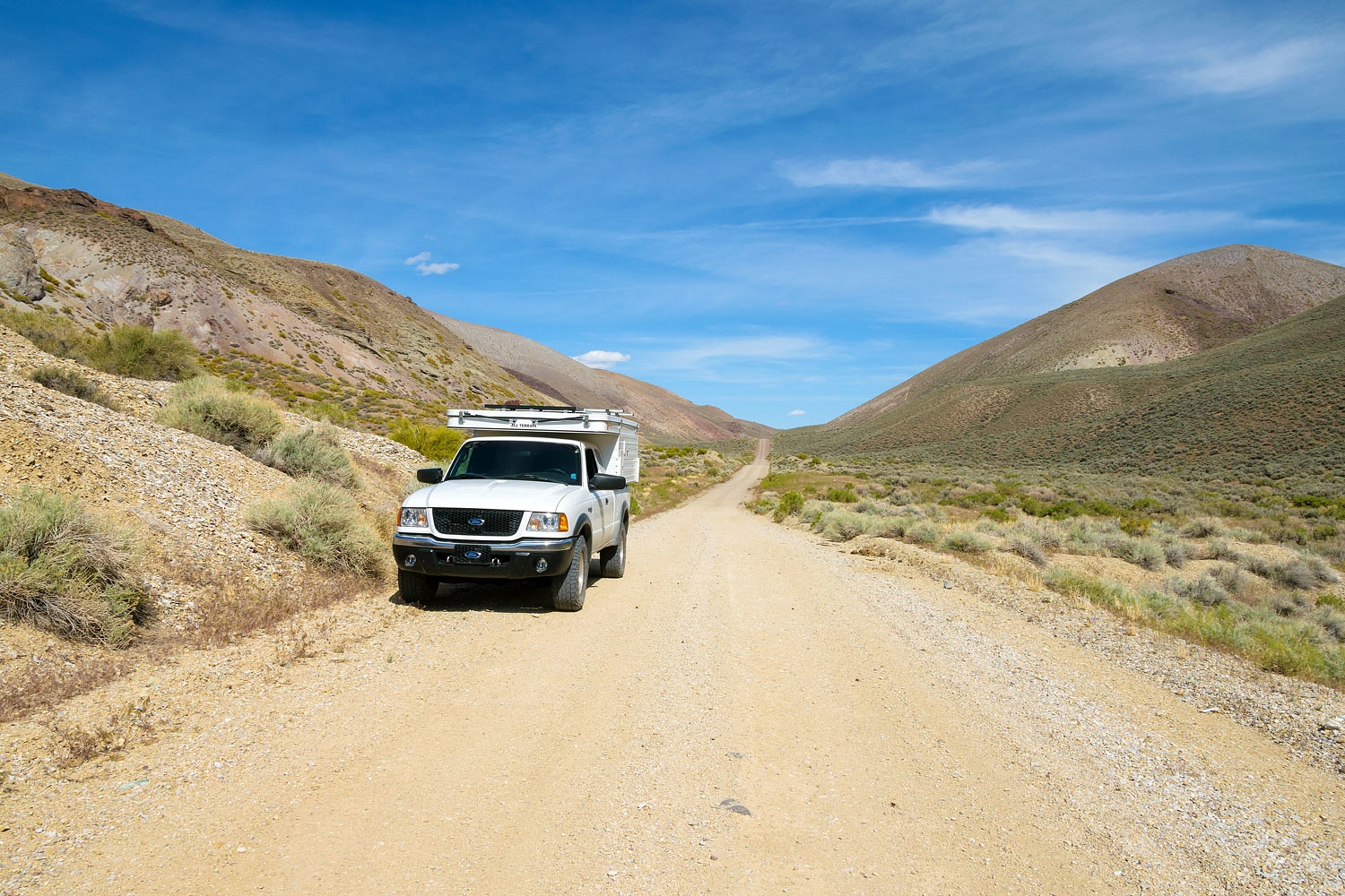
This was our first trip into the area northwest of Lovelock, Nevada. We made our way up a seldom used road to the crest of the Trinity Range and found a perfect highpoint for camp.
We thought that could be the remains of a small volcano, so, after dinner, we explored. We climbed to the base of the hard core and circled it. We found globs of embedded obsidian in the rock.
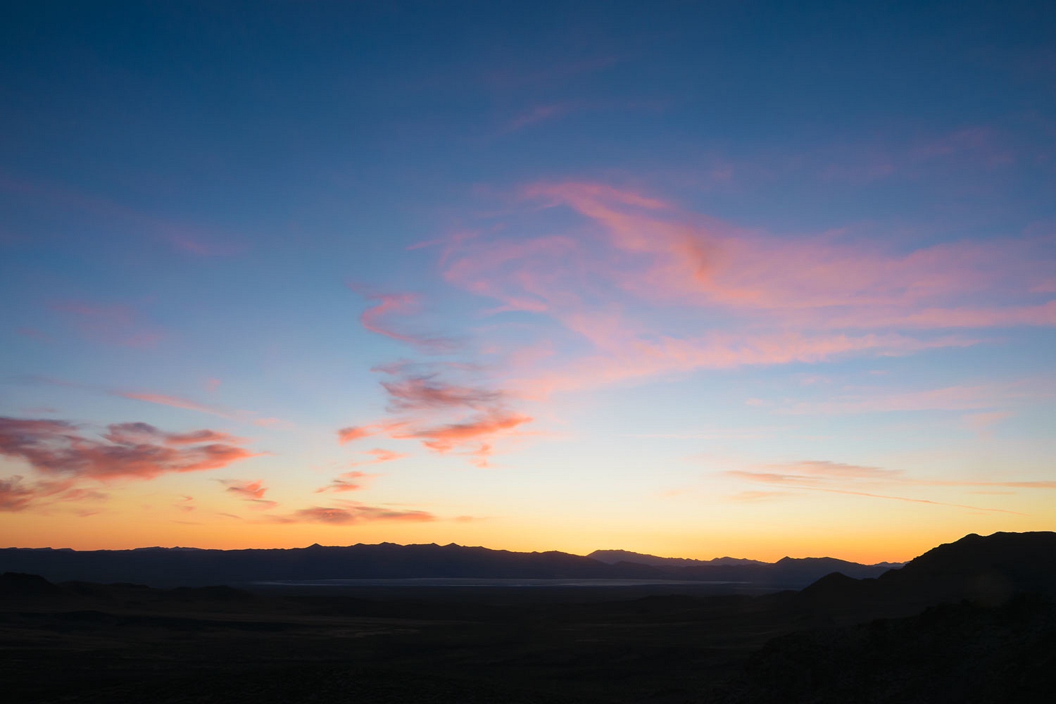
We were alone. The evening light was quite nice.
We continued exploring other highpoints until dark.

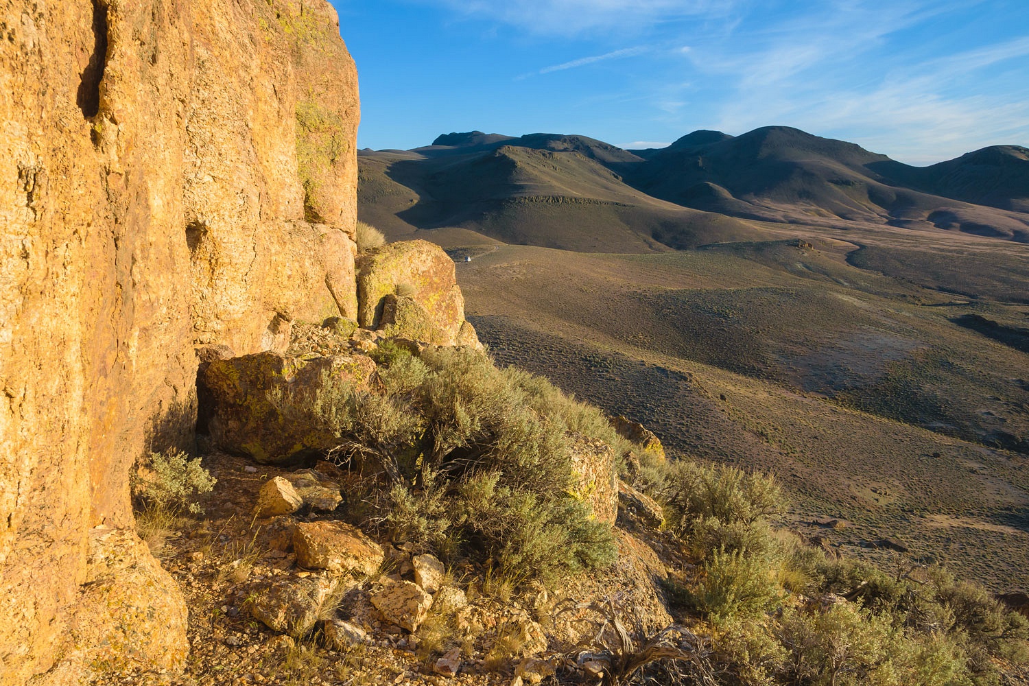
The road we drove over the Trinity Range on was built by the Civilian Conservation Corps in 1941.
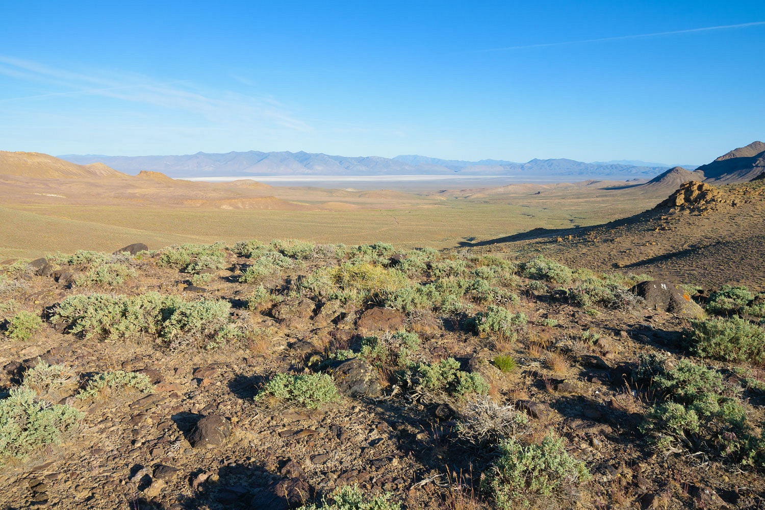
I thought of this as I looked northwest, down into Granite Springs Valley and Blue Wing Flats, the next morning.
This was the same view C.C.C. foreman Floyd Carpenter and his crew had on the morning of February 6, 1941 when they heard the roar of airplane engines up in the clouds and then witnessed a very early model Boeing U.S. Army B-17 bomber (a B-17B) slam into the ground below them with a tremendous explosion and fireball.
Floyd sent one of his crew to Lovelock to alert the authorities of the crash. He and his crew responded to the crash site. The plane went down right along the road they had built.
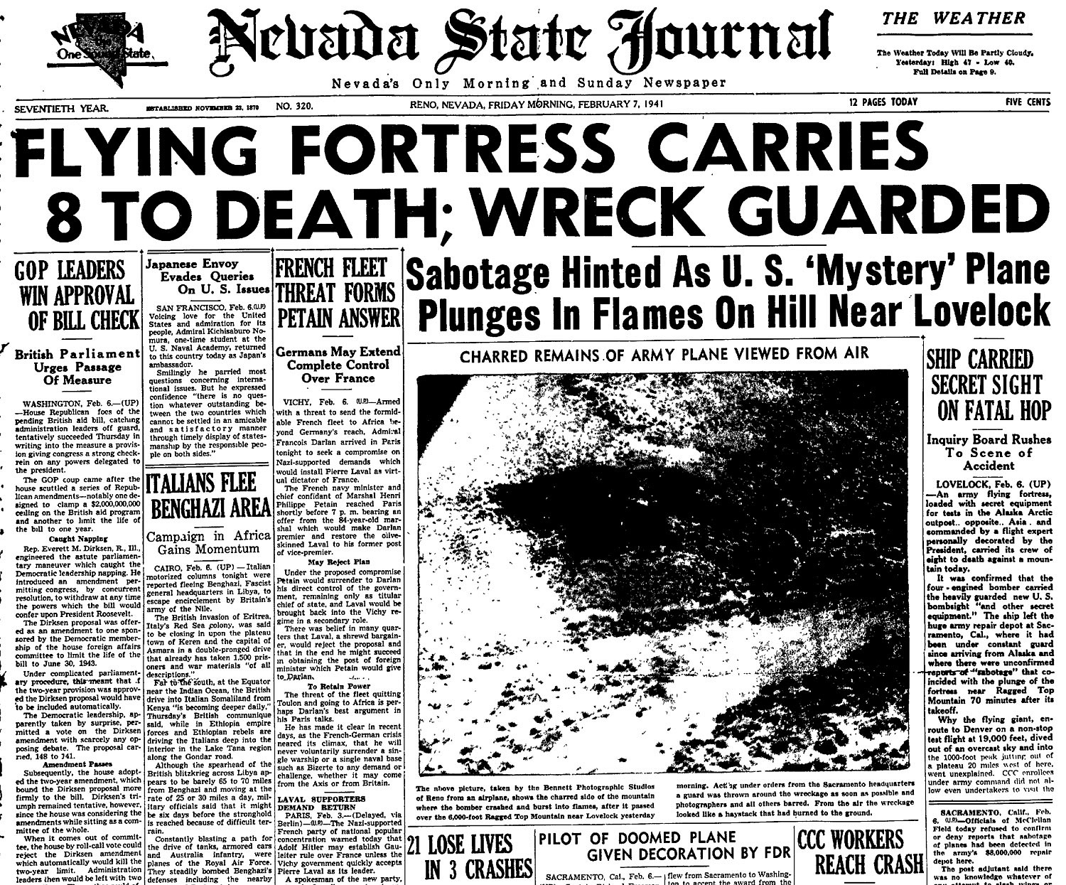
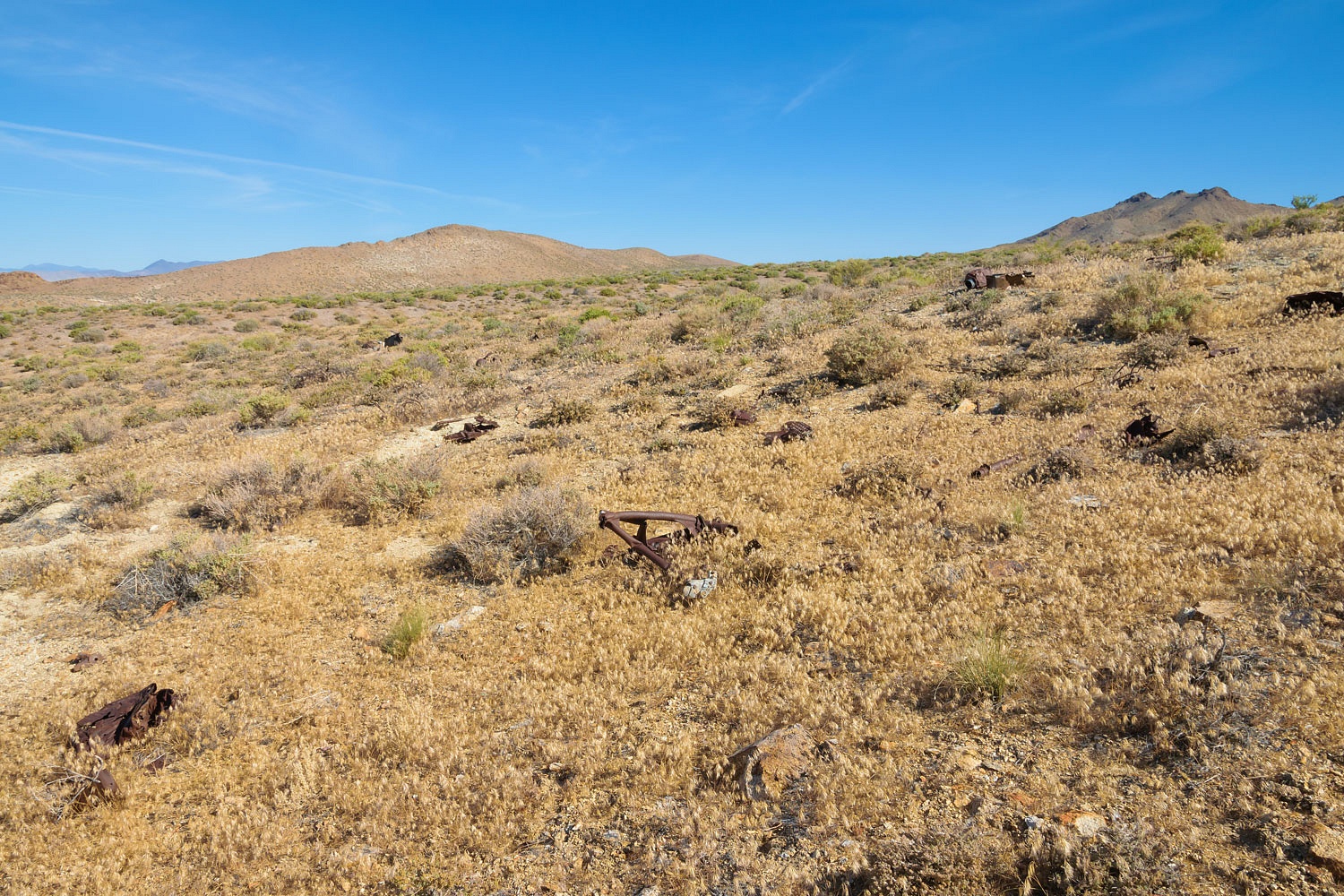
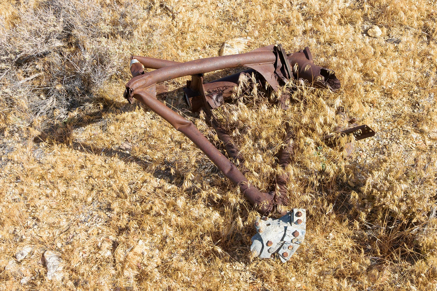
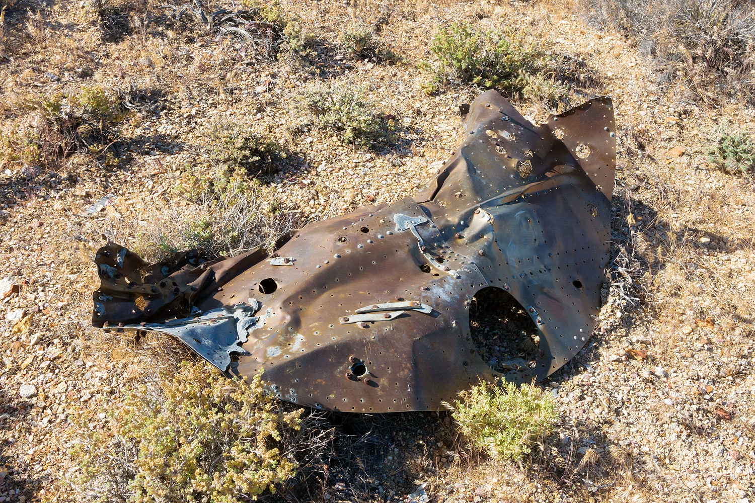
Eight young service men died here. It is hallowed ground. We paid our respects as we wandered the crash site.
The crew of the B-17B was stationed in Alaska.
They were on a training flight, first to Sacramento, then to Denver, and on to
their destination at Wright Patterson Field in Dayton, Ohio. They left
Sacramento early on the morning of February 6th. 70 minutes later the plane went down.
Here are the remains of a landing gear and the firewall behind one of the radial engines.
The pilot, Captain Richard S. Freeman was just 33 when he died. He planned a short leave in Ohio for a family reunion. He had recently been personally decorated by President Franklin D. Roosevelt for his work on humanitarian flights to South American natural disasters. These eight young people's service and deaths should be remembered. I am especially conscious of their - and their families' - sacrifice as I write this on Memorial Day 2022.
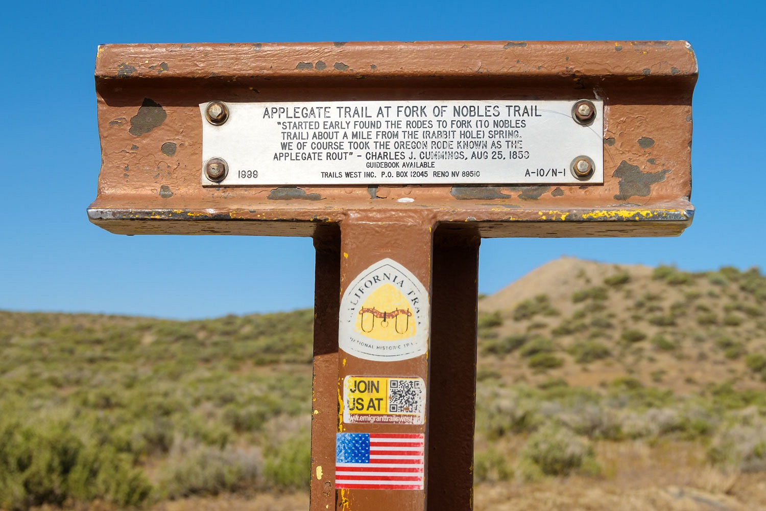
Our next destination was along the historic Applegate Route of the California/Oregon Trail.
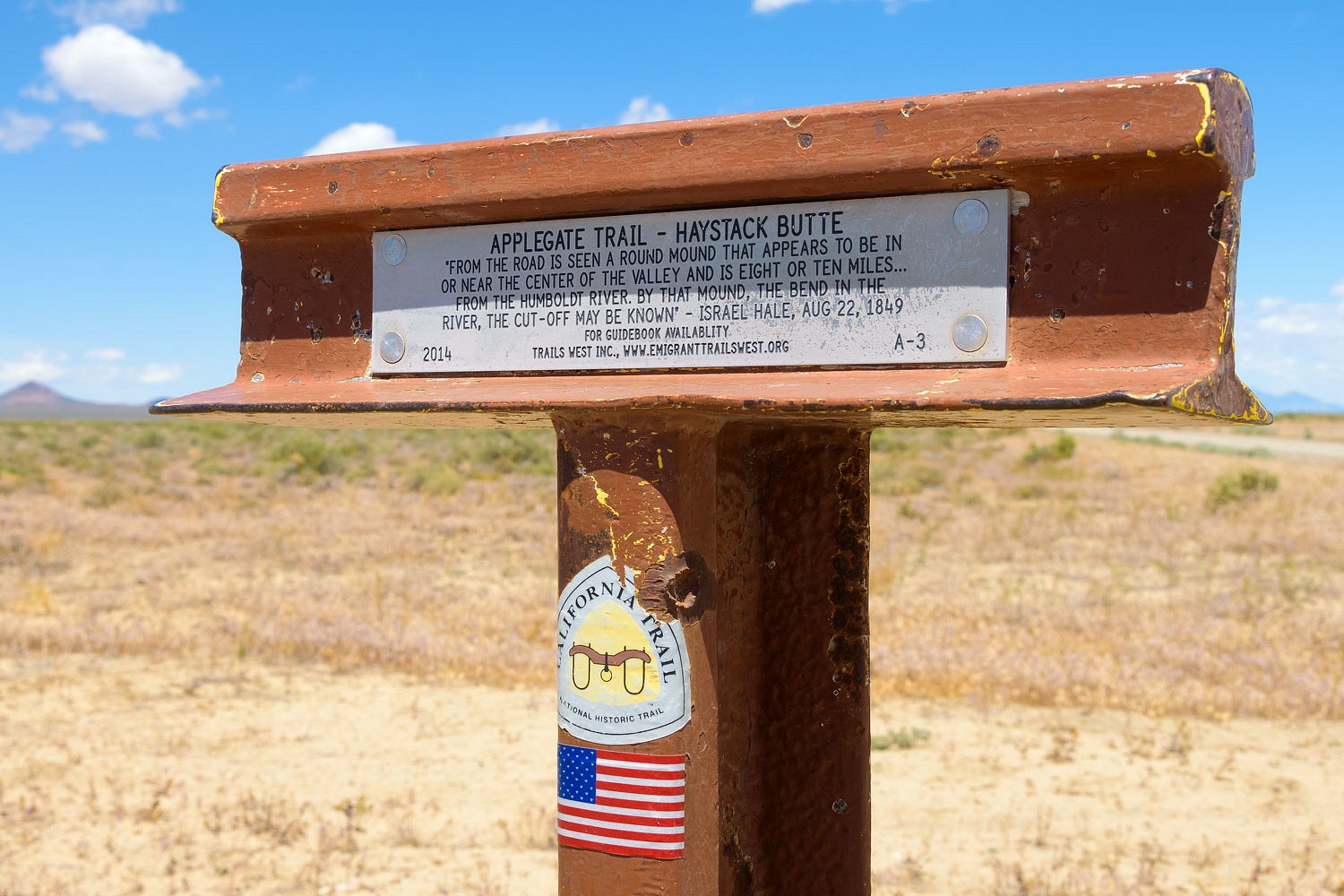
We followed the route west from near the crossing of the Humboldt River.

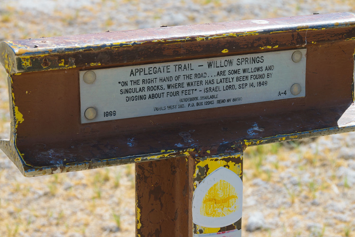
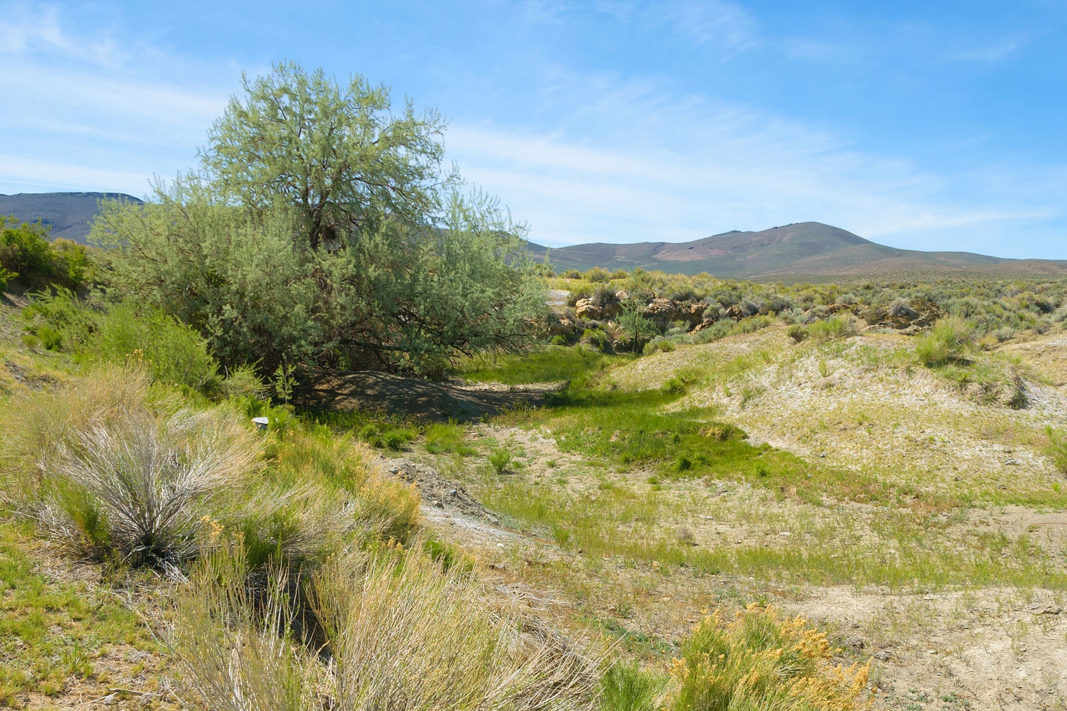
We stopped at Willow Springs as the trail climbed into the Majuba Mountains.
The original route climbed to Antelope Summit and Antelope Springs

After 1857, Imlay Summit was used as an alternate pass across the Majuba and Antelope Mountains.
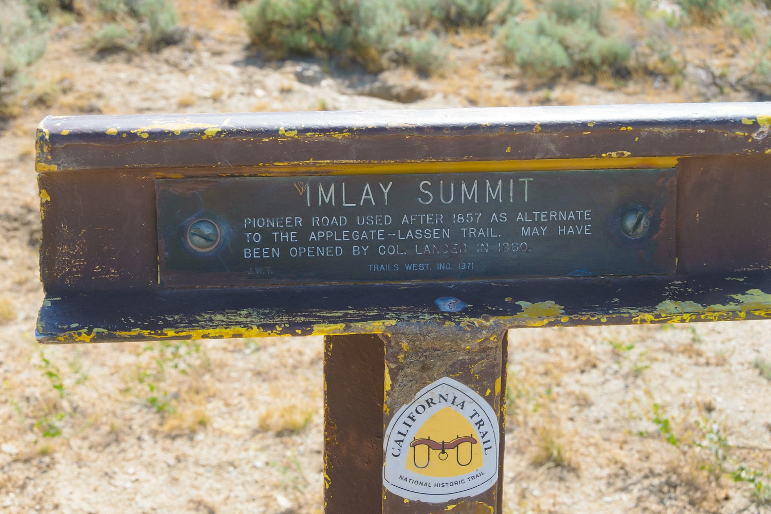
A view from Imlay Summit east back at the broad Humboldt River Valley.

We had a special stop to make in this area. We wished to pay our respects to one of the many immigrants who died during the journey. Note - many thanks to our friend, The Sagebrush Reconnoiterer for information on this special spot along the overland trail.
Susan Coon was pregnant and 40 years old when she and her husband, Issac, and family made the long, hard journey west in 1860 with high hopes for a better life. On August 9th she gave birth to her son, Robert. Two days later she died of complications from the childbirth. It is hard to imagine the family's anguish and tragedy that unfolded here at this remote place in Nevada. Susan Coon's is one of the few remaining original headstones along the California/Oregon Trails.

A stonecutter and member of the group, Frank Dunn, spent the night carving Susan's headstone after her death. The group continued west the next day. In 1932, the son, Robert, hired a trapper to take him to the grave of the mother he never knew. Robert was 72 years old. In more recent times, the family has added a more complete marker.
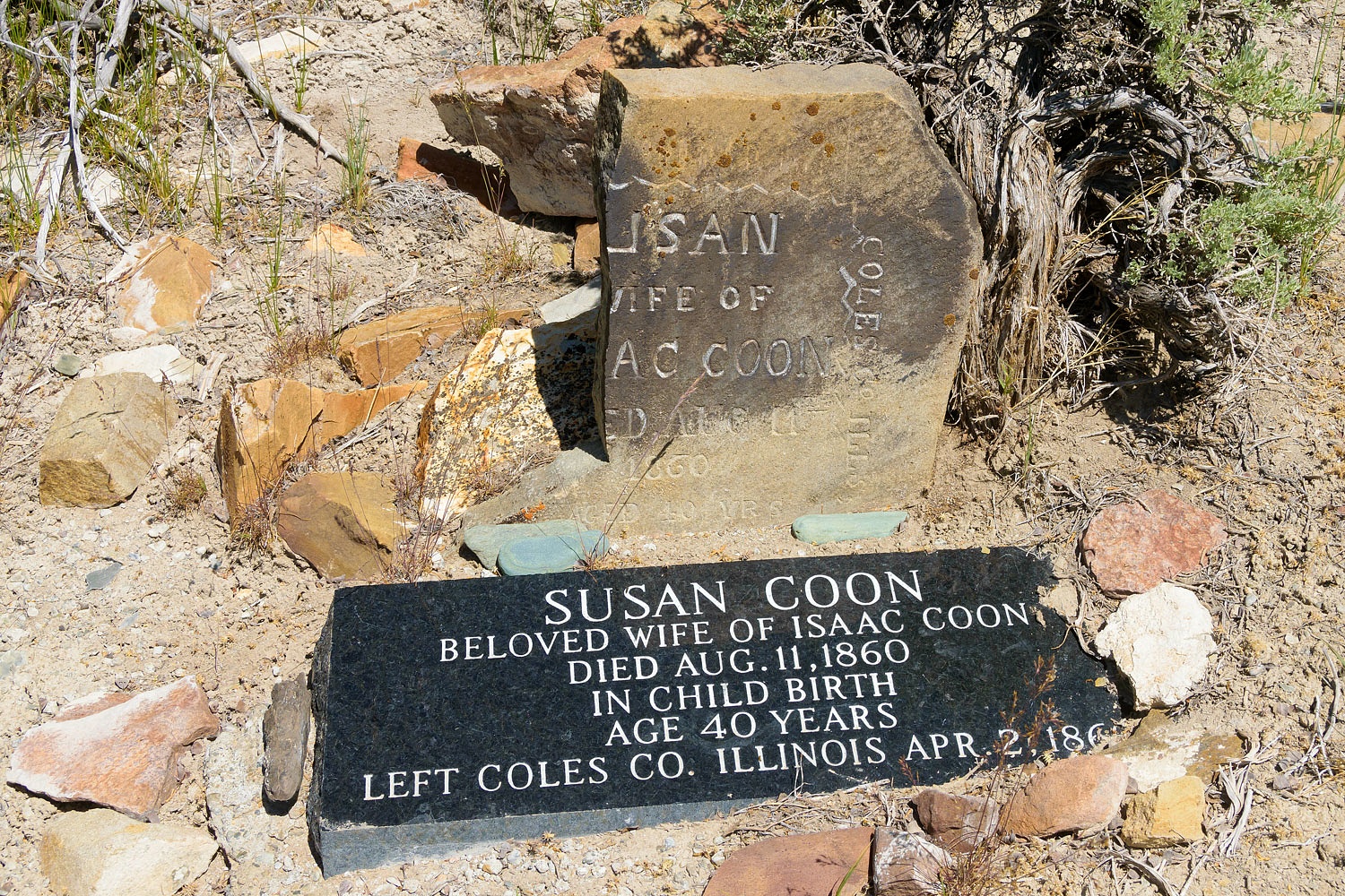
We paid our respects at this humble site and hallowed ground.
We continued our journey west in our, as our friend, The Sagebrush Reconnoiterer, likes to say, modern day covered wagon.
We starting seeing Mormon Crickets at Willow Springs.
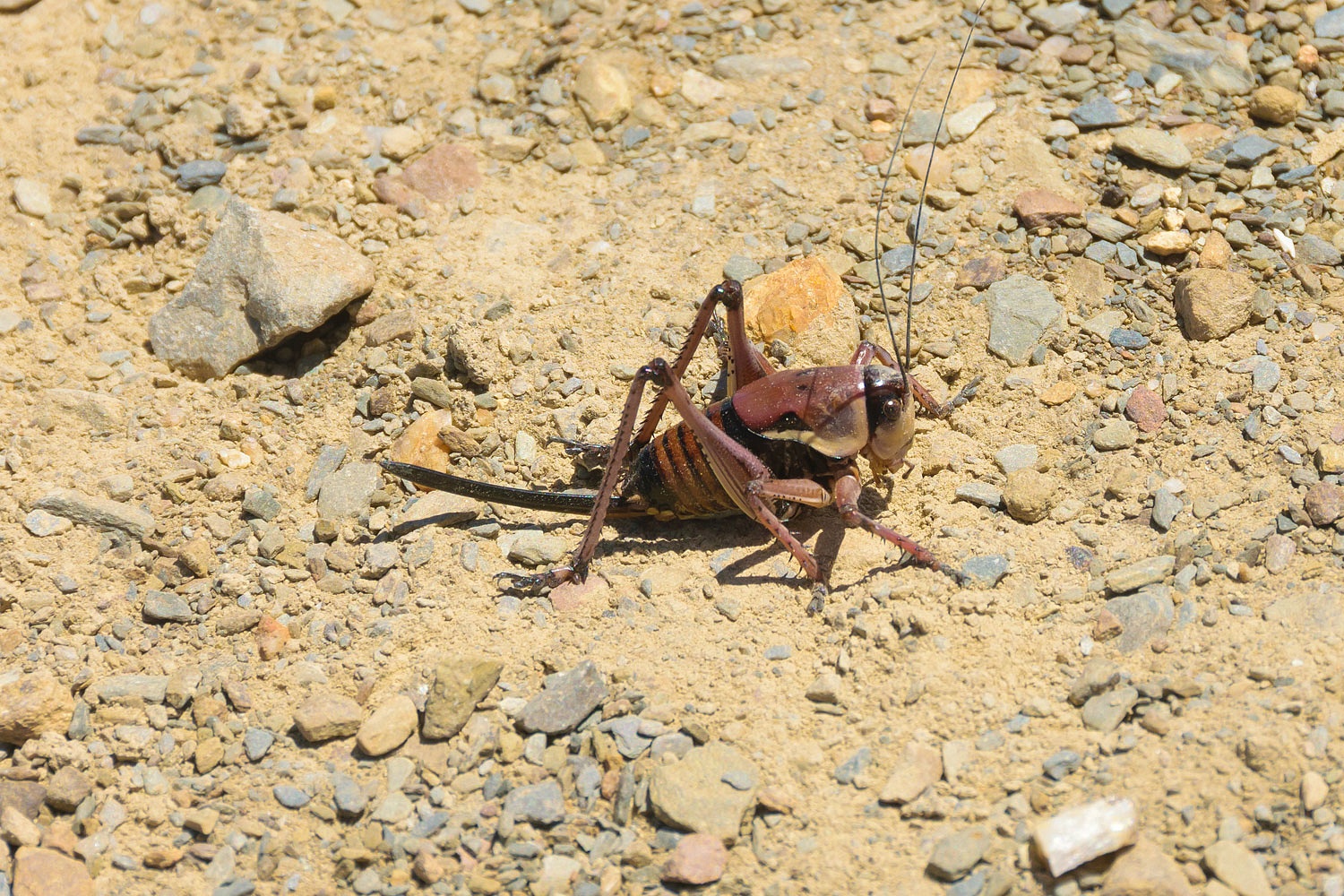
These large insects appear in unforgettable massive infestations in the Great Basin where the ground is crawling with them. At our stops, it was difficult to walk without stepping on one. Cricket guts smell awful. This may be one of those years.

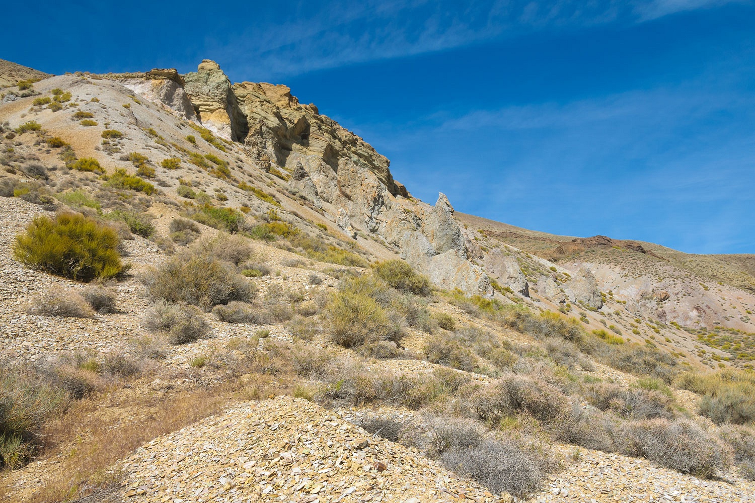
We stopped in Rosebud Canyon under an interesting outcrop of various colored layers of volcanic ash.
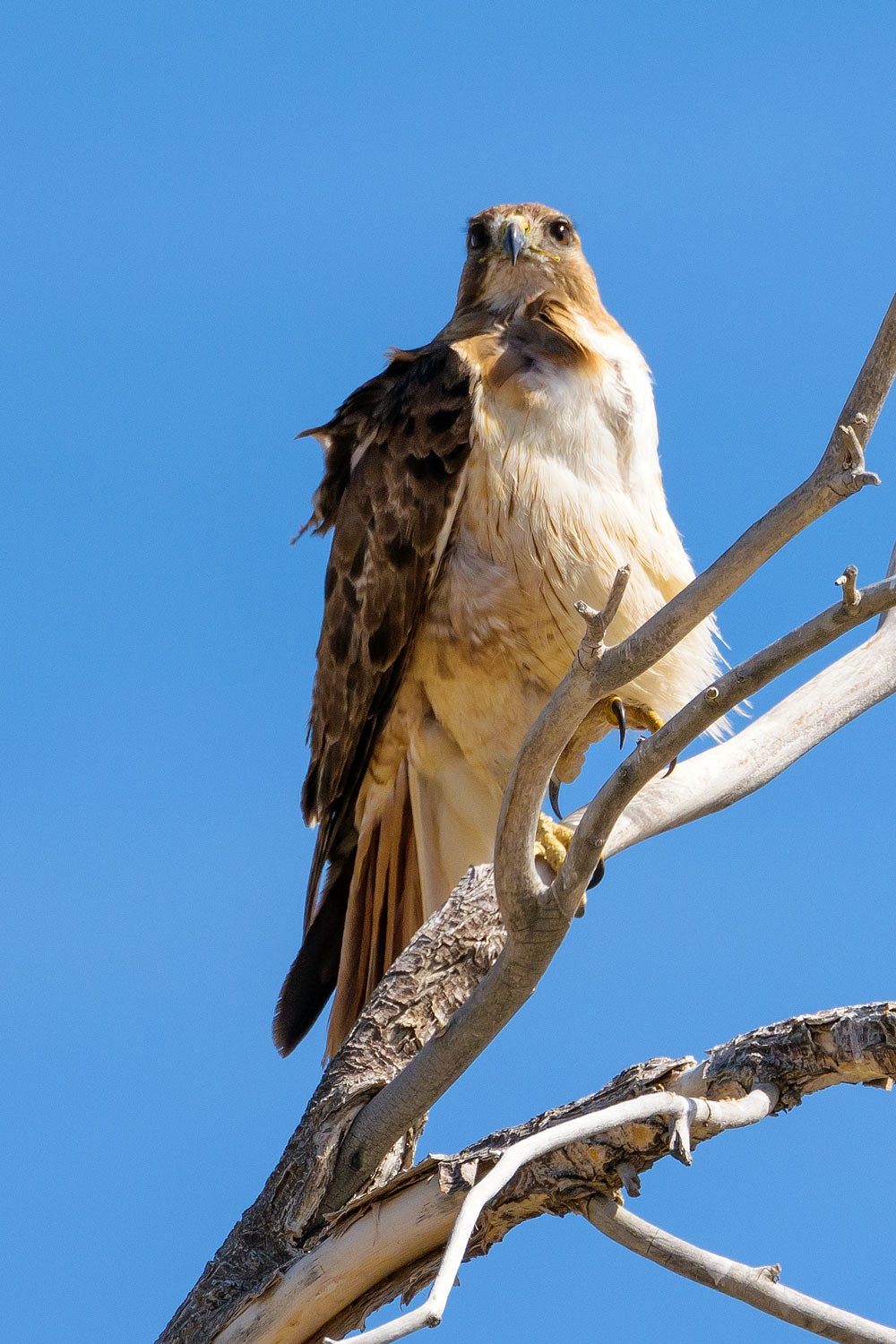
Looking for a cozy lonely spot for the night - no worry about that, we had seen no one else out here - we turned north at a spring. A young hawk kept a watchful eye on us.
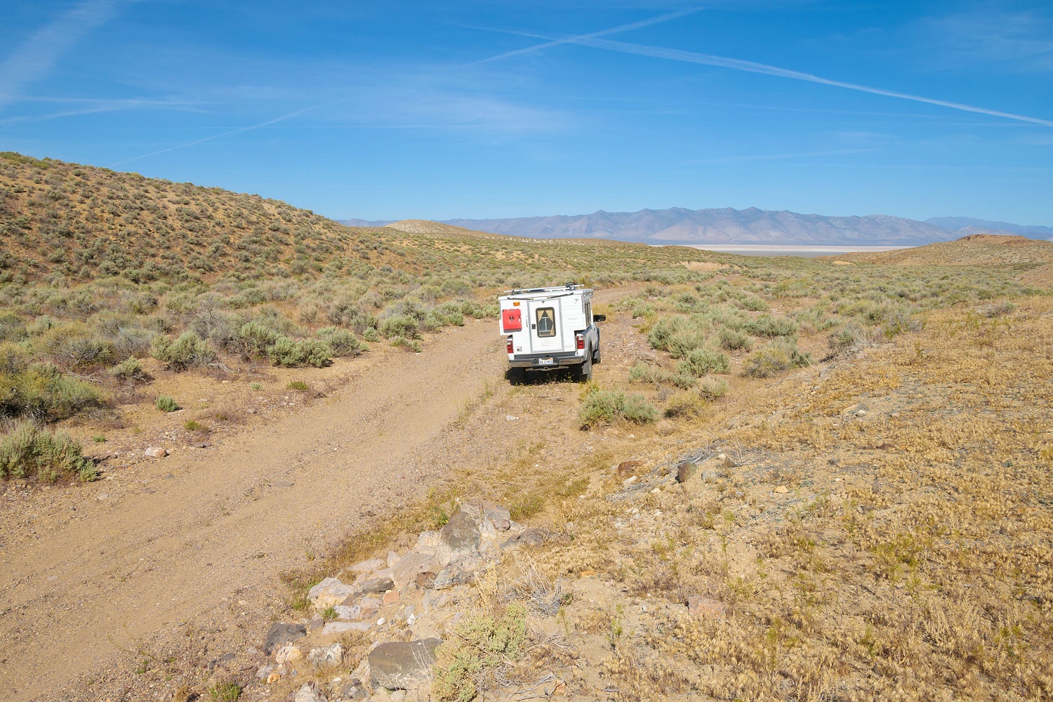
We found a spot for the night along an abandoned haul road from a closed down large mining operation. We wandered the area after dinner.
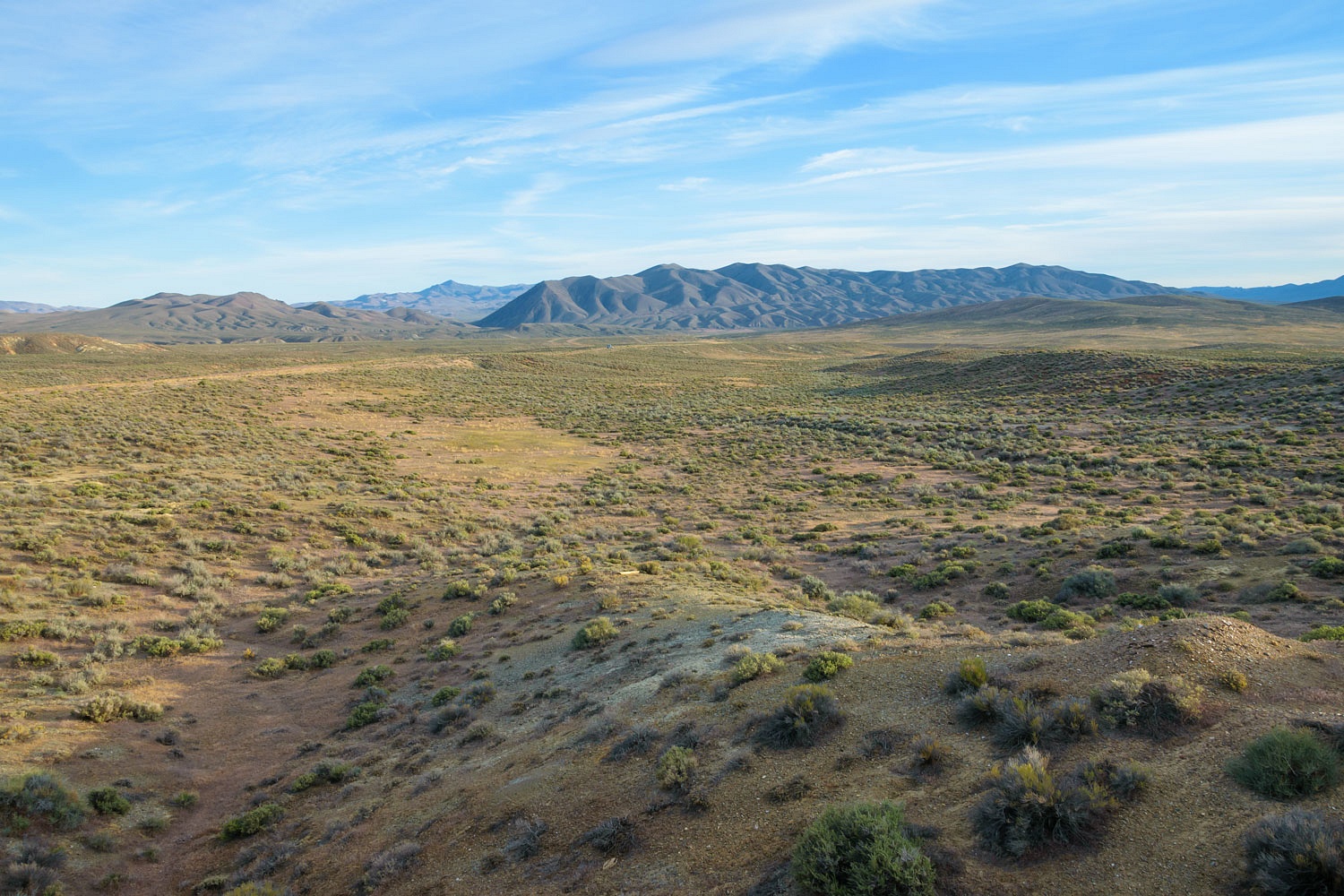
Our truck is the tiny speck just left of center in the above photo.
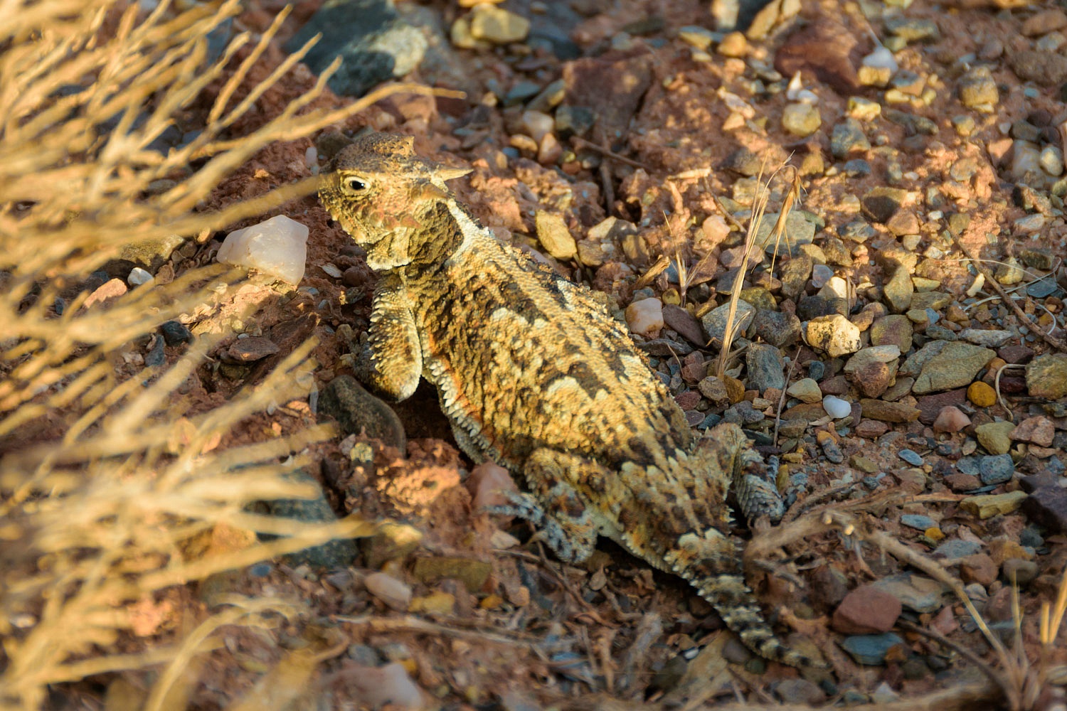
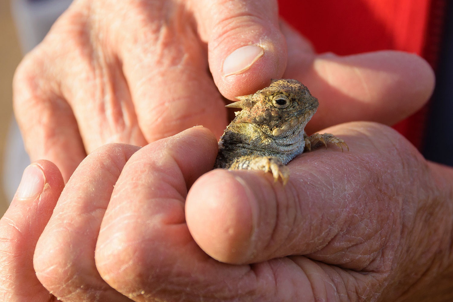
This area was home to numerous of the Lady's favorite creatures - horned lizards, or commonly called "Horny Toads." She likes to call them little dinosaurs. I call them little anteaters - 90% of their diet is ants.
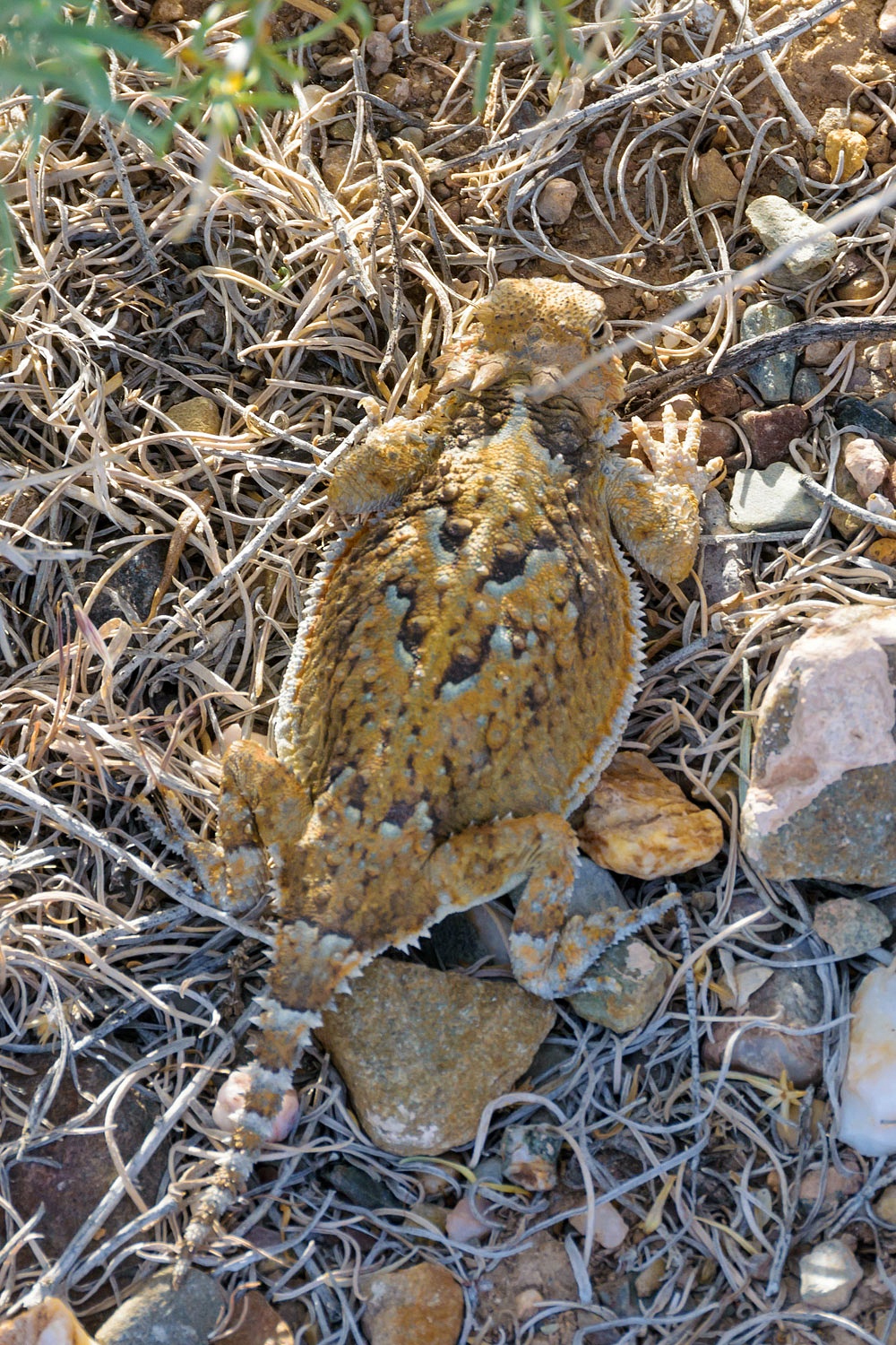
They are docile creatures if you are gentle. I handed a little dinosaur to Julie. The Lady, in her often worn red vest, talked with her little friend and stroked its head.
"You are so pretty! Everything will be okay."
I mentioned to the Lady as we walked back to the truck, "You know, I fear we may have done irreparable harm."
"What do you mean?" Julie asked.
"I'm thinking that little critter is going to tell all its friends, 'I was picked up by a giant, certainly a god. God told me, "You are so pretty! Everything will be okay." God lovingly stroked my horned head!'"
I continued, "It's the birth of a religion. Next time we're out here there will be little churches under the sagebrush. They won't be 'Horny Toads' anymore. They will be 'Holy Toads' all wearing little red vests. They'll start sending missionaries out to the other lizard species spreading the good news from god in the red vest. 'You are so pretty! Everything will be okay.' It becomes scripture. In a few decades different sects will evolve. Those that believe it was a red Patagonia vest and those that are convinced it was a red North Face vest. A few more years down the line and they'll go to war with each other over who's right. And then, oh my god, imagine when they discover cable TV! All their earnings will go to 'Holy Toad' televangelists. Irreparable harm, I say!"
"It's time for you to stop," the Lady told me.
"Okay."
As is our norm, we walked in the evening to take in as much as we could - the light, the sounds - blessed silence actually, the scents.

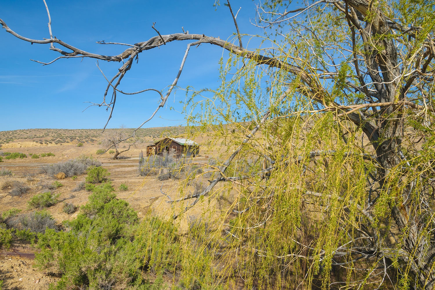
In the morning we rejoined the Applegate Trail at Barrel Springs. A more modern building - on a concrete slab - sits abandoned near a small mine.
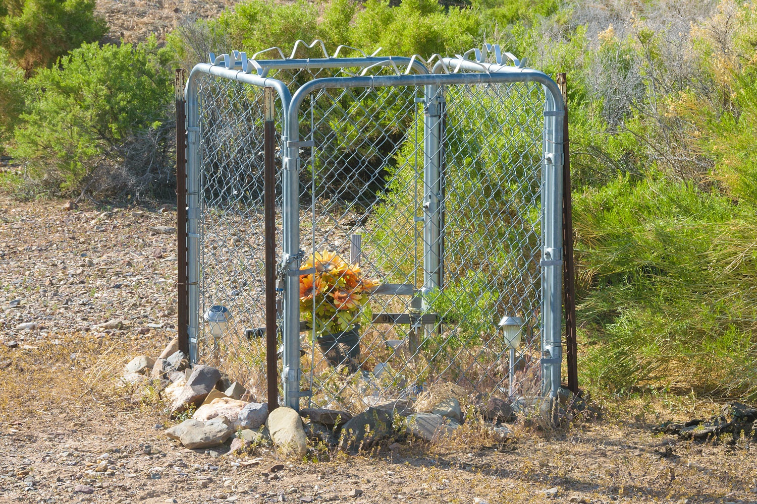
Nearby, crosses stand inside a small enclosure, a protection from cattle. There are initials and "Mom and Dad." And there are solar lights. Bury me out here and the sun, moon, and stars will do just fine.
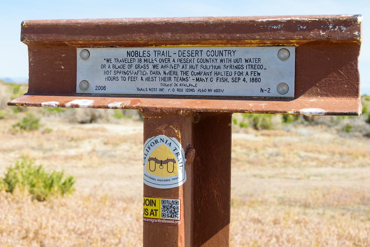
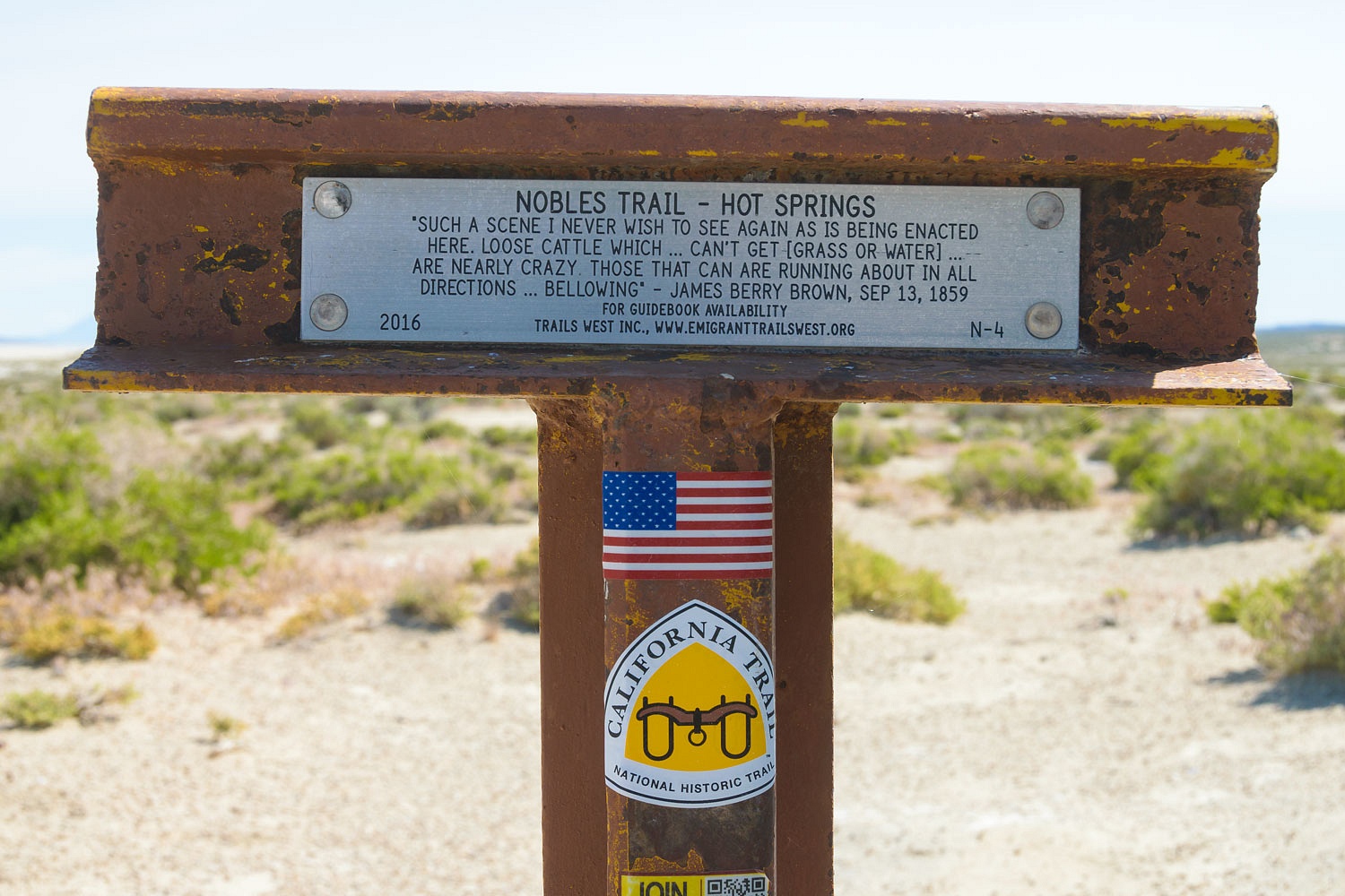
As we passed Rabbithole Springs, we were nearing the Black Rock Desert. The Noble Trail branches off and goes west. The Applegate Trail heads to the northwest and crosses the Black Rock Desert playa.
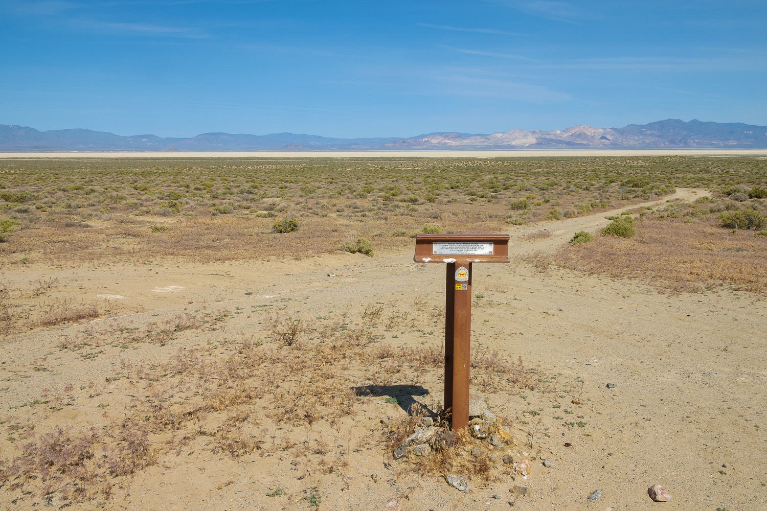
We went west and followed the route of the Nobles Trail along the southern edge of the Black Rock Desert.

This was fascinating country to explore and travel through.

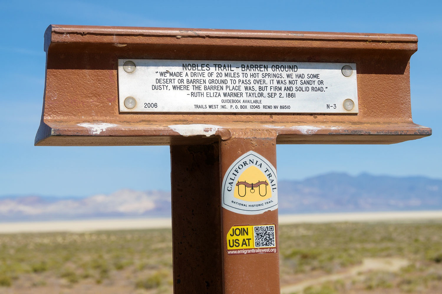
The immense playa of the Black Rock Desert remained in view.
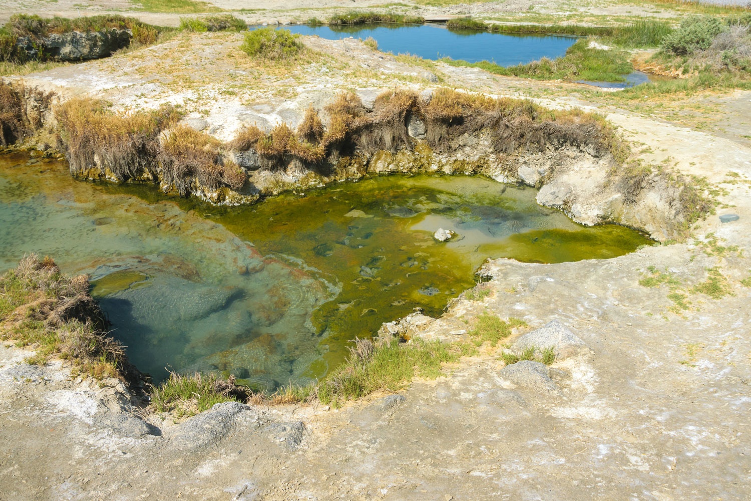
We stopped at Trego Hot Springs.

The water was very hot at the source.
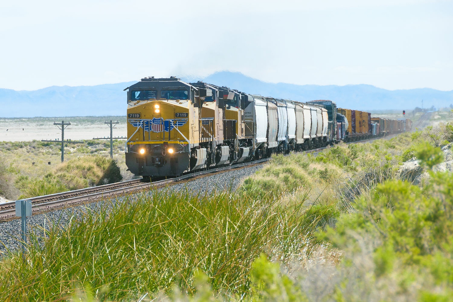
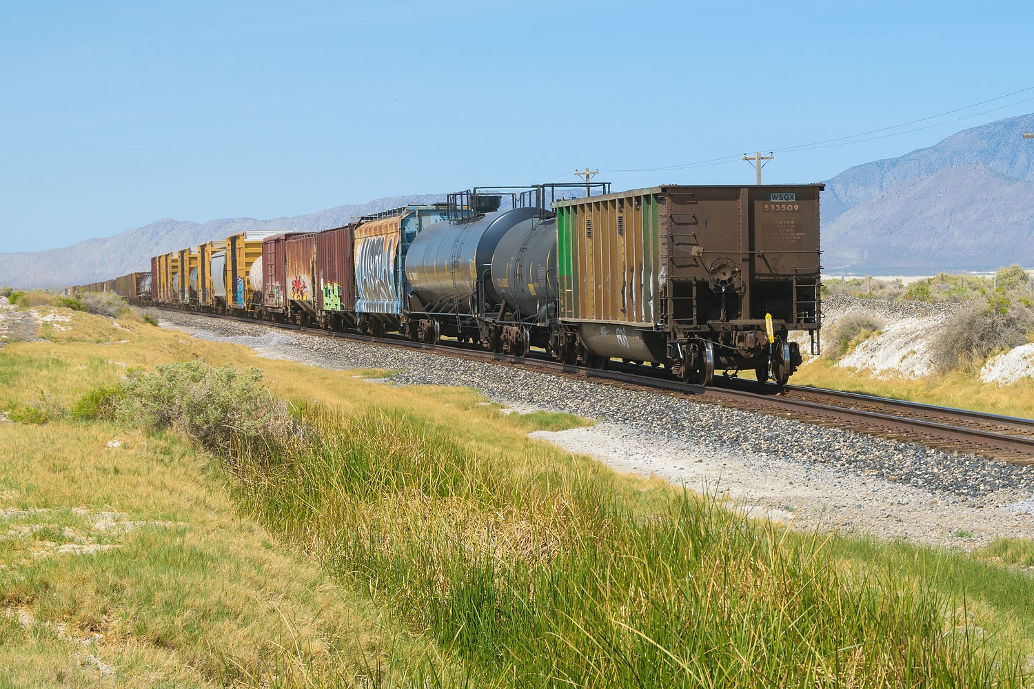
A branch of the Union Pacific
Railroad runs beside the Hot Springs.
After three days in wondrously remote backcountry, we now felt like we were close to civilization once again.
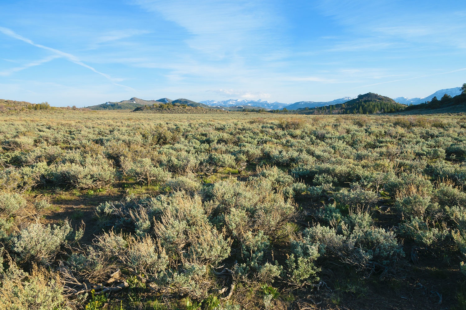
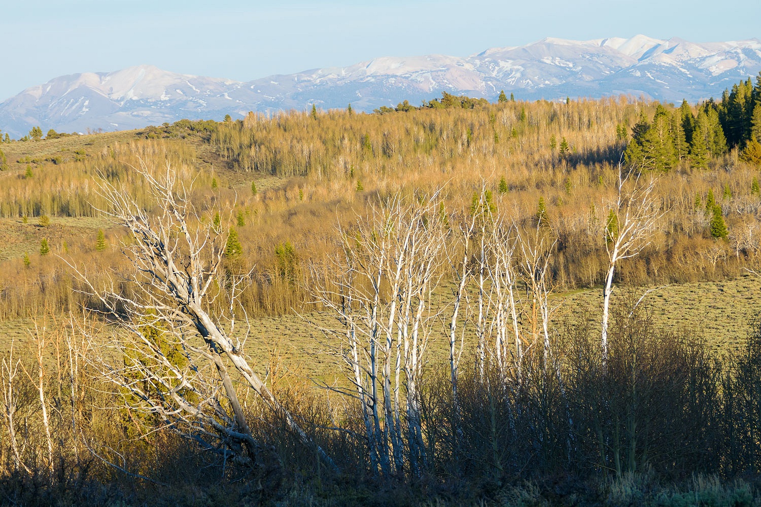
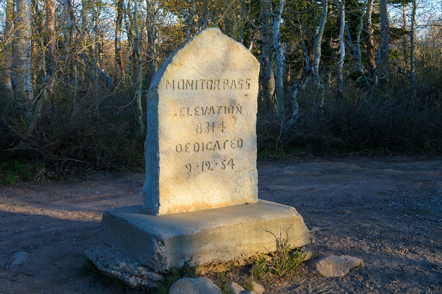
It was time to head home. We turned south on the pavement of highway 447 south of Gerlach. It felt so strange to roll down a smooth surface with our truck. We stayed on small state highways as we continued south. We spent our last night out atop Monitor Pass, a favorite overnight spot close to home. The pass had recently opened for the season. There are several dispersed campsites. All were empty. We enjoyed the continued solitude of our camp sites on this trip. We were alone.
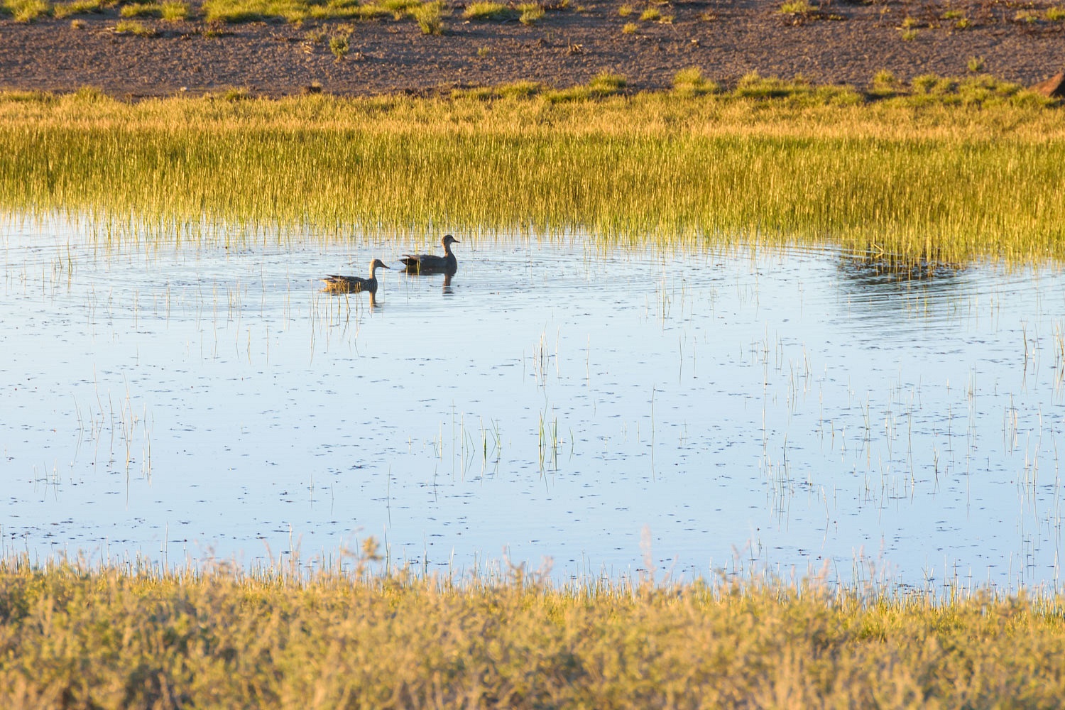
We made a large circle of the area on our evening walk. The large groves of aspen were just beginning to leaf out.
A shallow depression still held water from snowmelt.
It was a refreshing few days for us - no campgrounds, no indoor plumbing. For leaving home without a destination, I feel we did well with our wanderings.