please remember you can click on a photo to see a larger version
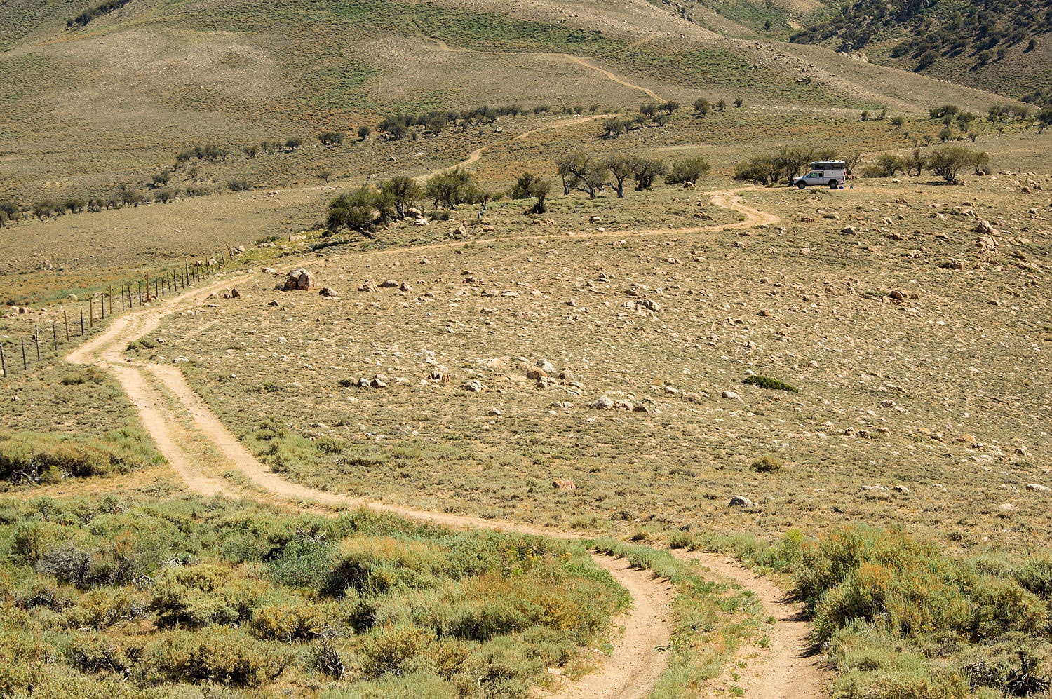
We drove
down the road as the evening cooled. At about the 8400 foot elevation there was
a large campground on the right, Four Jeffery . We pulled in to the almost
empty campground. Looking at the reservation tags, it was filling up the night
of the third. The host was out walking and directed us to a shaded site in aspens
along the creek. That was nice of him.
We walked
after dinner. I laughed as we neared the campground entrance. "When, if ever, do you
think the Forest Service will change the name of the campground?" I asked.
The Lady
looked at me puzzled. I expect this. My humor can be obscure.
I asked,
"Look, how many big Jeffery pines do you see?"
"Three,"
she answered.
"Look
closer."
"Ah, I
see!" she said.
"And
the new campground name should be?" I asked.
She was with
me now and answered, "Three Jefferies and a Big Stump."
Three
Jefferies and a Big Stump served its purpose and we were up before dawn,
refreshed, walking with our mugs of Peets. Mount Humphreys continued to catch
our eye.
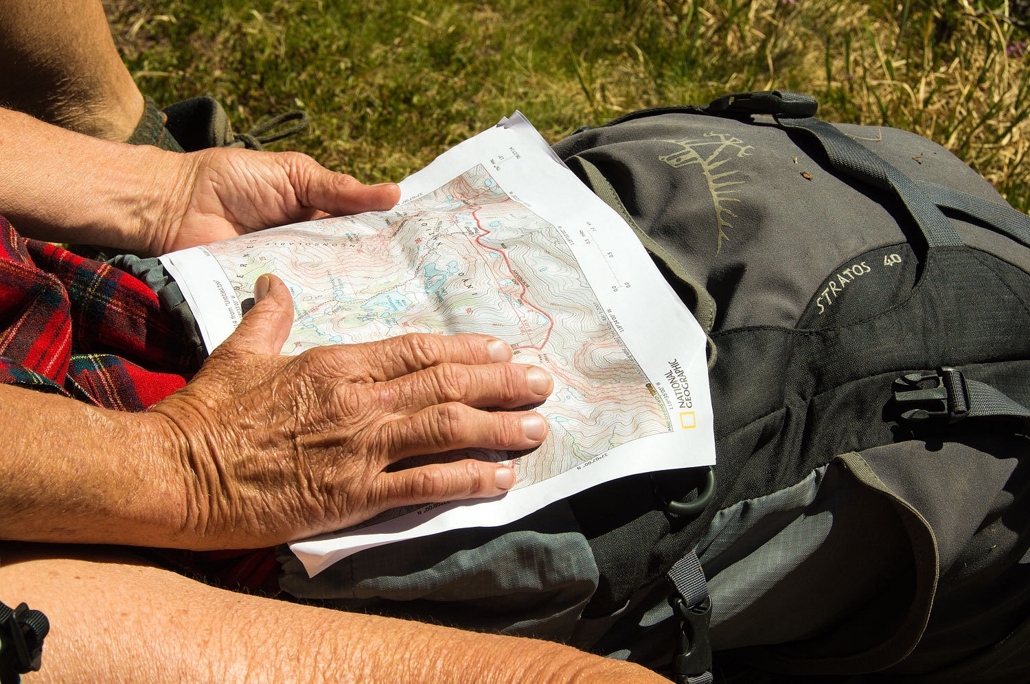
We headed down to Bishop for a store bought breakfast and a place to do some laundry. As the dryer was going round and round and round we talked of our options.
"We can
head over into the Inyos or the Whites." I said.
"Okay,"
the Lady nodded. I could tell she wanted other options.
"We
could head back up in the Sierra, There's a couple more basins we could explore or we could relax for a couple days by hiking up to the promising looking
lakes like Loch Leven and I could exercise the fly rod and see what the fishing is
really like."
"Let's
think on it," was her reply.
We
resupplied at the big market and topped off with gas. The day was heating up. The
line of motorhomes, trailers, fifth wheels, boats, people, people, and more
people was relentless on 395. The huge full parking lot at the South Reservoir trailhead had warn us down. This horde
moving in finished the job.
"It was
so quiet up at our camp for Boundary Peak," the Lady sighed.
I agreed.
"Okay, we are going with our original plan for the Fourth. Mount Jefferson
on the Fourth of July. Now that's patriotic!"
Traffic
disappeared as soon as we turned off onto highway 6. Nevada was waiting for us.
Tonopah was hopping with holiday weekend travelers on highway 95, the main route
between Reno and Las Vegas. Heading east on highway 6, we were again alone. A
couple of vehicles pulling thrillcraft were pulling into the Belmont
Campground. Belmont, along with Dirty Dick's Saloon would probably be busy for the
Fourth. A surprise in this rural Nevada semi ghost town, Dirty Dick's has
added solar, but it is dual purpose - the solar panel array is also a carport.
One large thrillcraft
camp was on the edge of the Toquima Range just off of the Meadow Canyon Road.
Motorcycles were ripping the road up, right in front of us, throwing gravel and dirt and dust, true ambassadors of their wreckreation. Two ATVs almost hit us head on
rounding blind corners at fast speed. We've come to expect this in this area
and drive very cautiously. We left them all behind as we reached our favorite
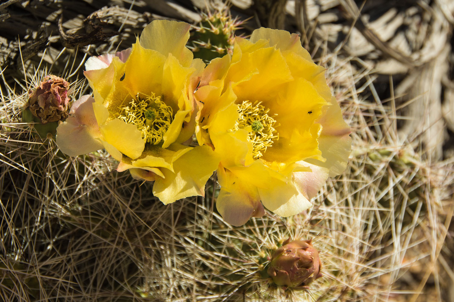
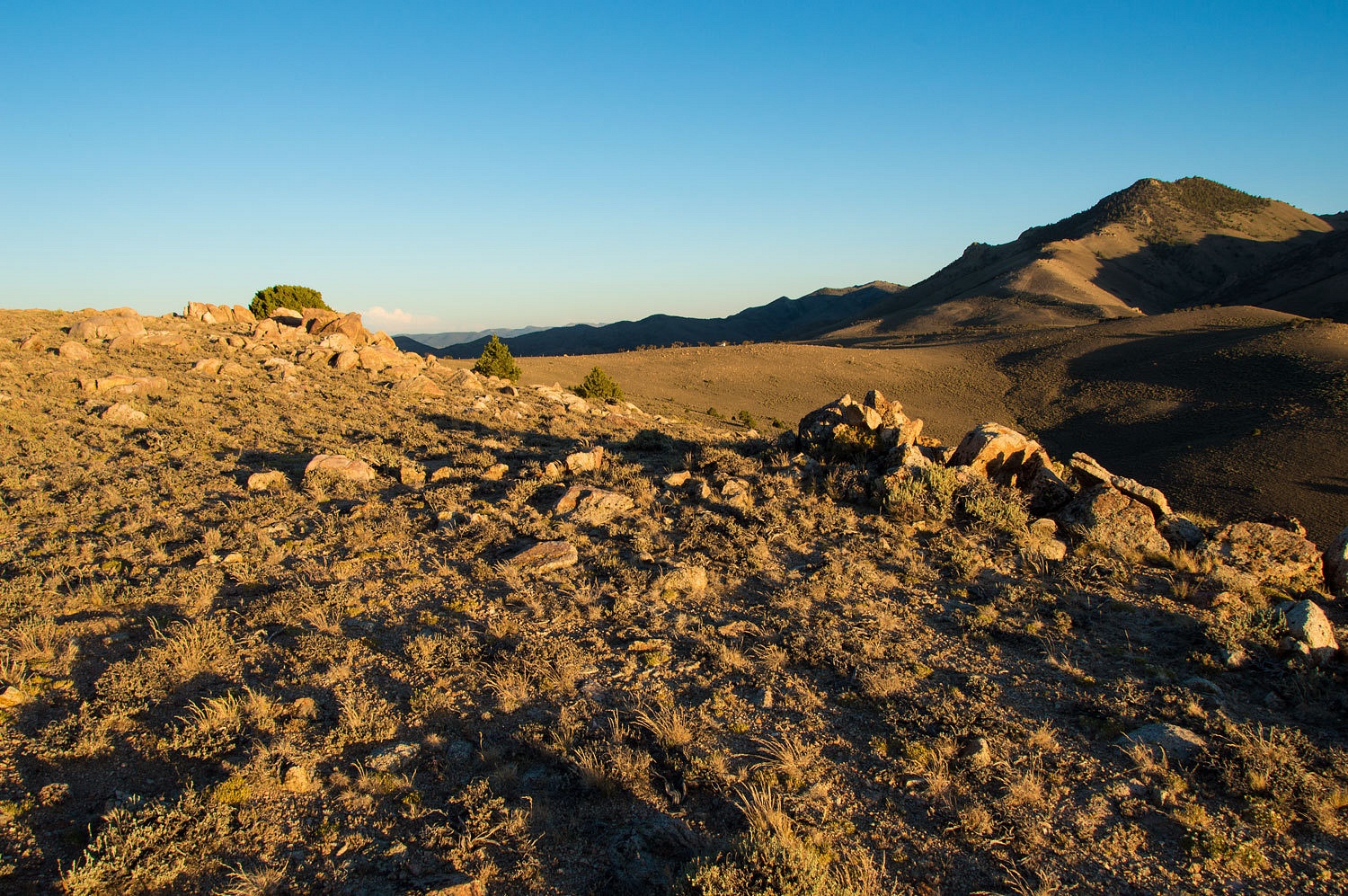
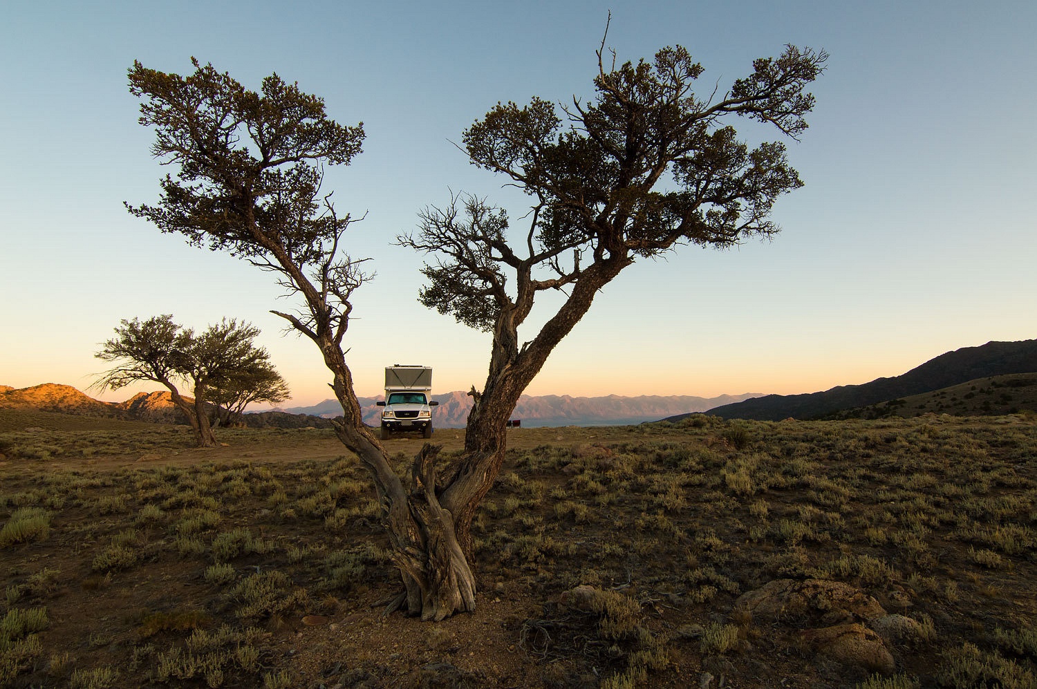
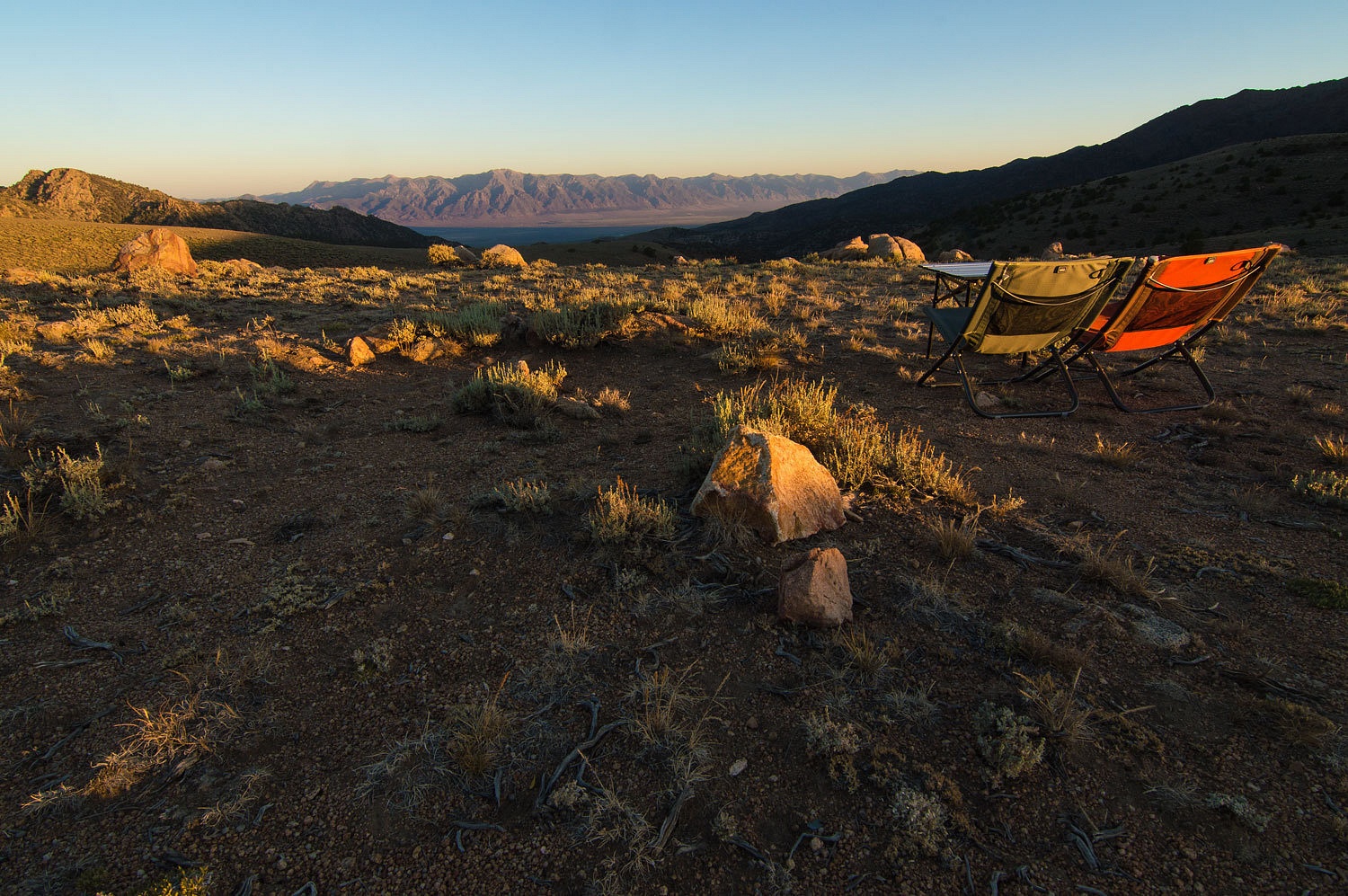
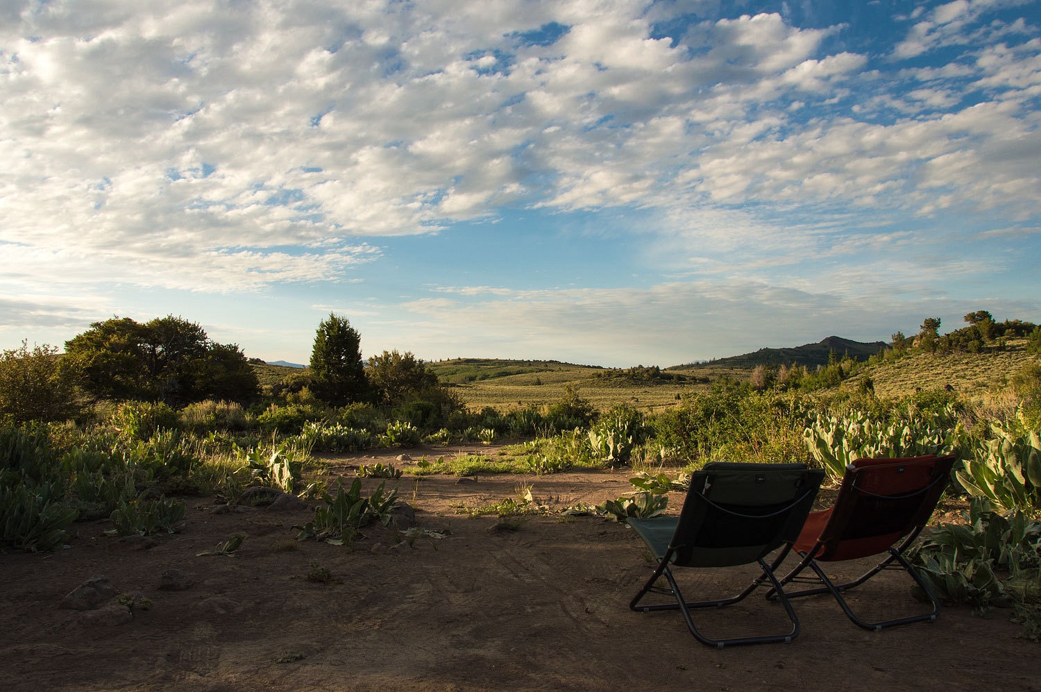
camp spot up on Jefferson Summit, a broad saddle between Shoshone Peak and Mount Jefferson.
Cactus was still in bloom.
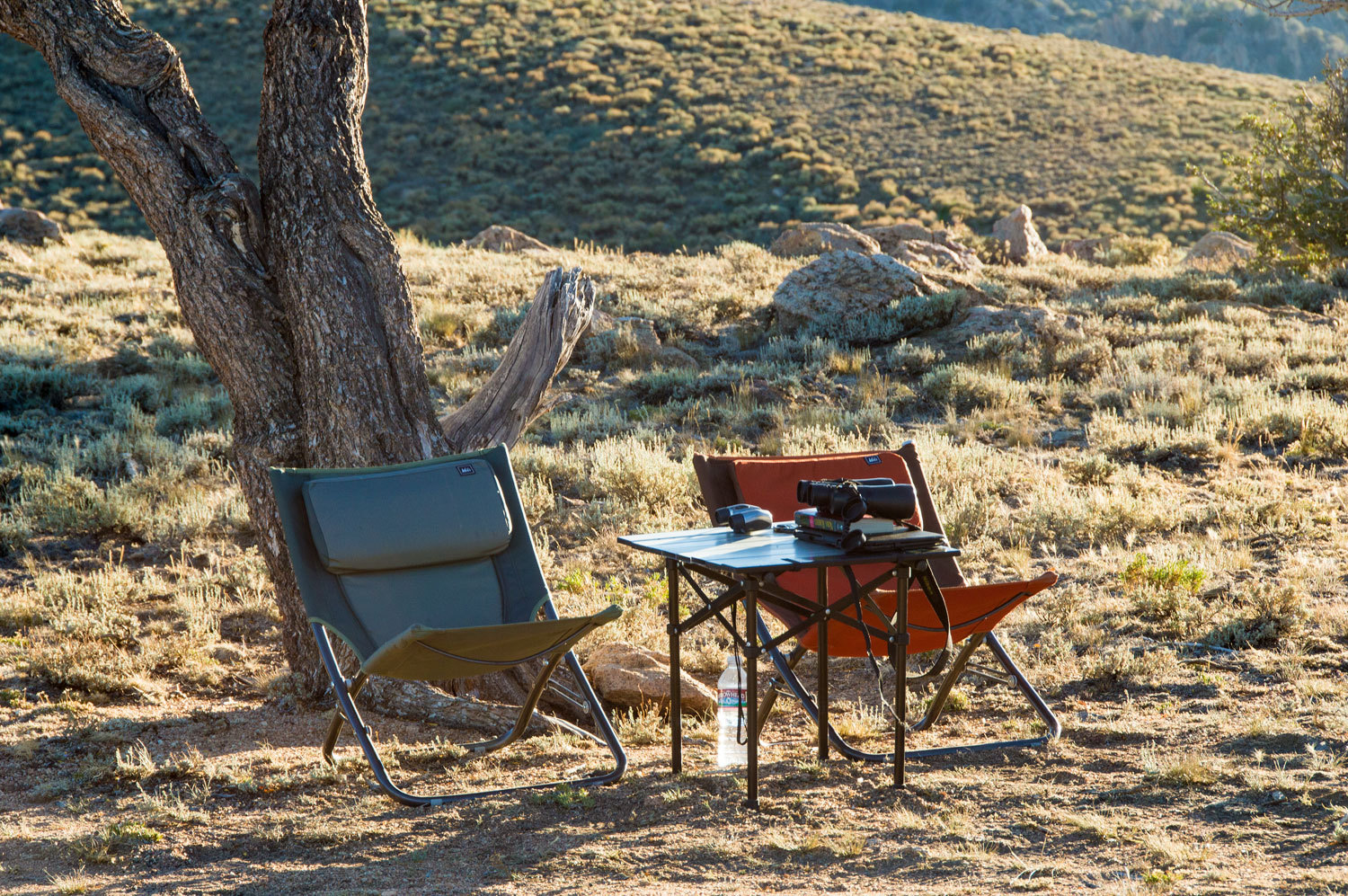
We quickly had camp ready and the Lady whipped us up some fresh guacamole. Got to work on replacing all those expended calories.
Our relaxation station was ready.
And we had some entertainment. An older Tacoma 4x4 pickup with California plates was parked about a half mile before our camp on this spur road. We figured someone was summiting Jefferson's South Summit today. The Lady spotted a single figure, sitting, at the edge of the Alta Toquima Wilderness, where the faint two track turns into a faint foot trail. It was 3:45 pm.
"They
must be taking a break on the way down before returning
to their truck," the Lady said.
We relaxed
with our chips and guacamole and the Lady kept up the reports.
"Male or
female?" I asked.
"Looks
like a guy but could be either. He's up. He's moving up the mountain."
"Really?
Up? Late in the day? Maybe he wants to spend the night on the summit." I
rattled on, thinking out loud. "That'd be cool but a lot of water weight
to pack up there."
The Lady
still had her "see mores" to her eyes. "He's on his butt again,
sitting down."
This
concerned me. When tired, hikers usually remain standing and look around while
taking a breather. Flopping down on their butts can be a sign of being exhausted. This person's pace up the mountain was painfully slow. It was hard
to watch, it was so slow, this pace punctuated with a flop to the ground onto his
butt. At 5:00 pm our hiker had reached the top of the next rise, far from the
summit. He stood there, looked about, and was back on his behind. We lost sight
of him. A while later the Lady announced, "He's heading down."
His pace was
still slow. He still would go immediately to his butt when he stopped.
We had our
showers. The weather was glorious, around 80° with a nice wind. We had our
dinner. The hiker had made it to the point we had first seen him. He flopped
back onto his butt. He sat for a long time. I was concerned. "If he sits
down one more time after he starts out again, we are hiking up to meet him and
checking him out." The Lady agreed.
He continued
toward us. He did not sit down again. We remained casual in our chairs as he
approached us. It was a little after seven. He gave every indication of not
wanting to stop. He was a interesting looking character, almost out of a comic book -
Thor with a summer straw cowboy hat. He was in his early twenties, a bit over 6
feet, I'd make his weight around 195 lbs. He had a fit body shape. Long, sun
bleached blond hair flowed over his shoulders. He was clean shaven except for a
bit of beard growth. He was wearing flip flops with bare feet for foot gear. He
had a light long sleeve shirt on, long nylon cargo pants, and a light
orange/rust colored back pack. He was carrying two trekking poles in one hand. The
Lady engaged him in conversation. She's good, just like the cop at the start
of this story.
"When
did you start up?" she asked.
"Around
two."
"Oh,"
she replied.
"Yeah,
I thought I'd just run up to the top. You guys going up?"
All of his
mannerisms, body language, tone of voice said he was telling us he had quickly
made it to the top.
The Lady
answered without a pause, "Yeah, we're going up but in the morning."
"Great,"
he said. "That's cool. Its great up there."
He was now
past us and on his way. We noticed later his passenger door was open and
remained open, as if he had just crawled into the cab.
In the
morning, just before we headed up, we saw him sitting on the end gate of his
truck. A short time later he was driving out. This was the last we saw of young
Thor.
After dinner
and our interaction with the young man, we took our evening walk.
A rocky outcropping on the point caught the Lady's eyes. It would make a good high perch.
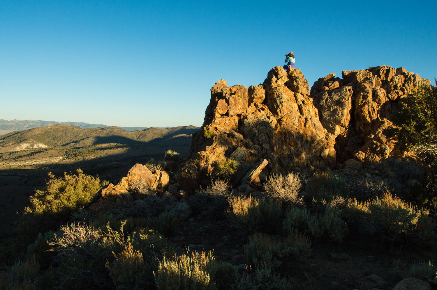
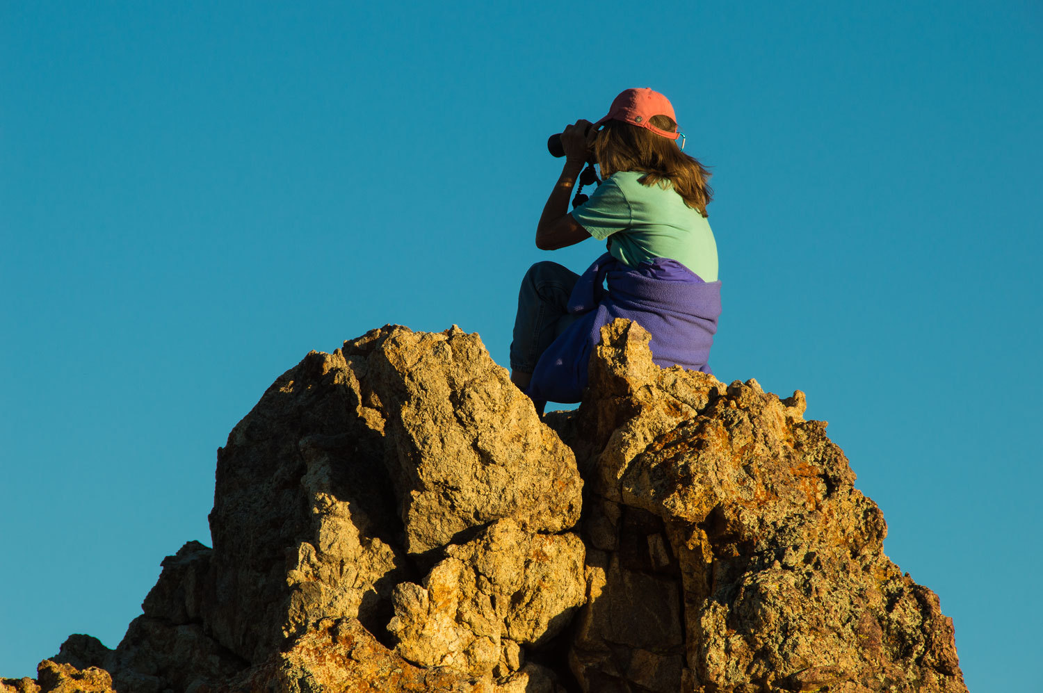
I climbed the twin spire to the right and watched the sunset back toward camp.
The Lady dropped down and then climbed up to join me. She took a seat on the very top and looked down into a cleft in the rock. "Look at this guy!" she said. "You don't need to be afraid." She was now talking to the critter. I joined her and looked in. About two feet down was a slim, but almost comically exaggerated rat face - big ears, long thin nose with a round bulb on its tip, beady eyes. It had a thin, but bushy, long tail. We later identified it, from John Muir Laws, as a Bushy Tailed Wood Rat. It finally darted out of sight. We enjoyed our perch and the views. I turned around to face the rock and downclimb first. My first handhold was covered with sticky fluid. I instantly knew what it was. We confirmed this with John Muir Laws. The Bushy Tailed Wood Rat covers its rocky areas with urine. This was rat piss. I hit several more spots as did the Lady on her descent. "Don't touch you face, your eyes! Don't pick your nose!"
We did not
run back to the camper. We also did not linger. We did think this experience
was quite funny. We washed up thoroughly and then relaxed outside in the coming
night.
It was the quiet, remote Nevada night of our dreams. We woke the morning of the Fourth of July at our high camp.

This was our third trip to the top of Jefferson's South Summit. Our previous trips were two days in a roll, over the Fourth of July holiday in 2011. We started out.

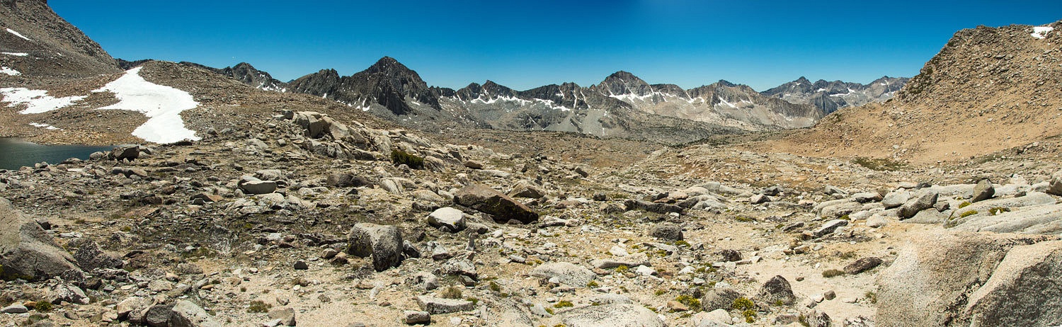
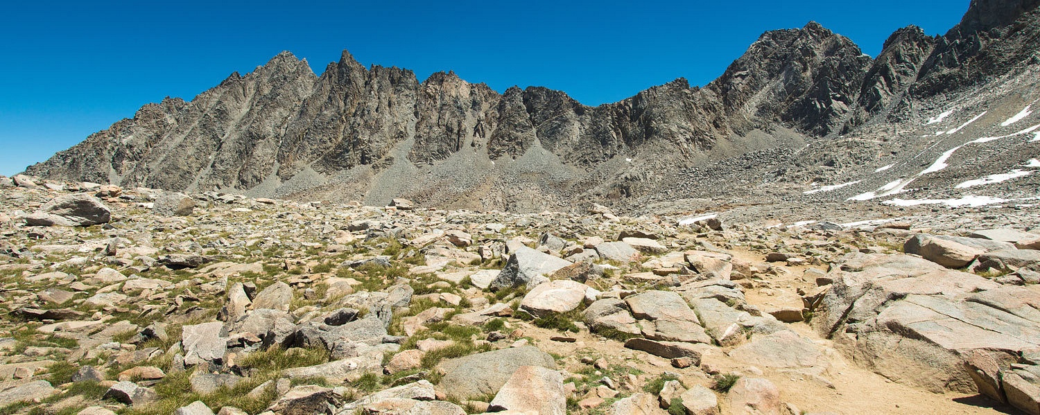
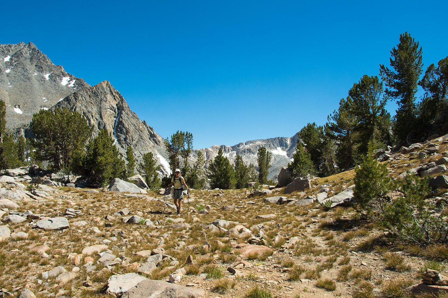
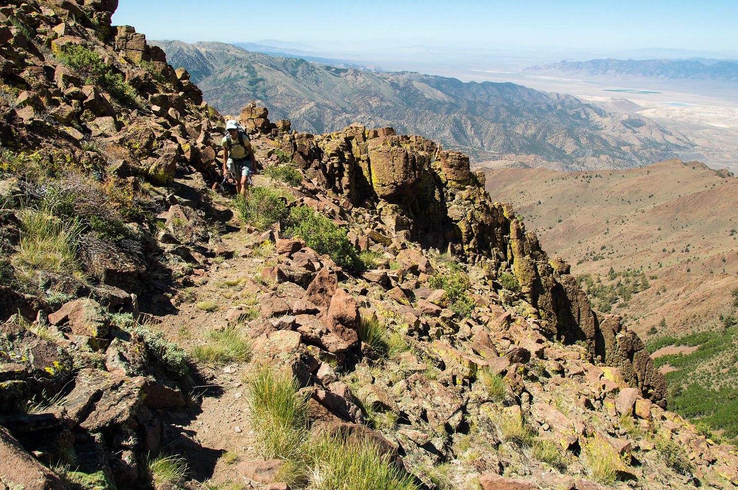
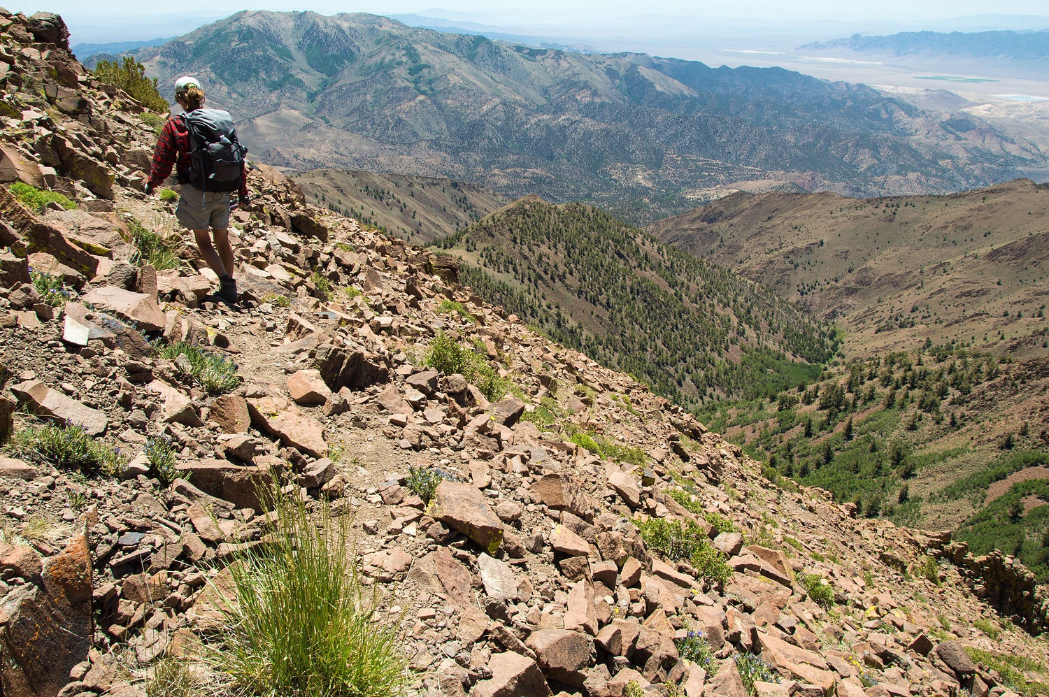
The use trail disappears in the board areas but we knew the way - up!
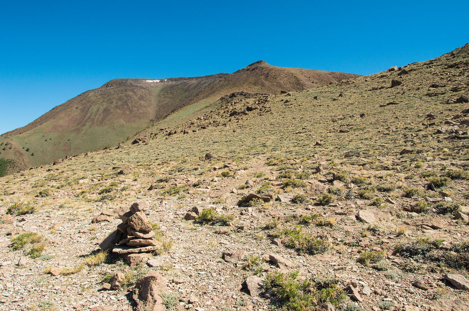
The trail works its way across steep terrain up near the top.
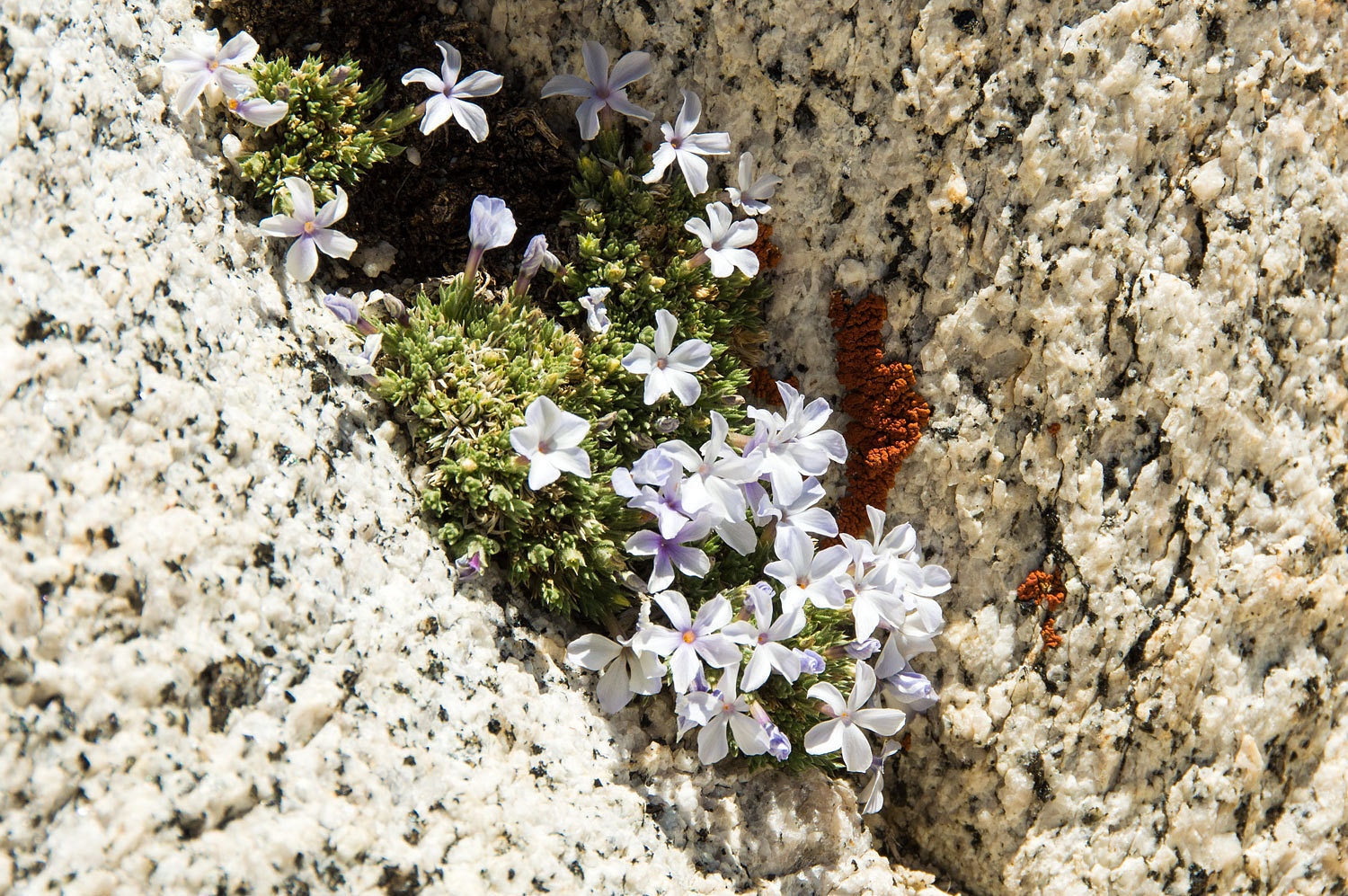
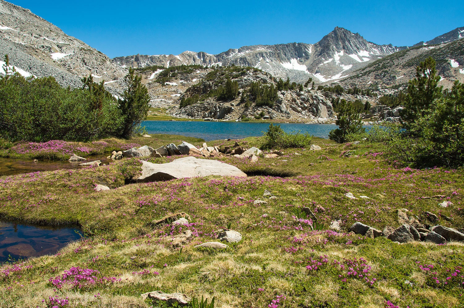
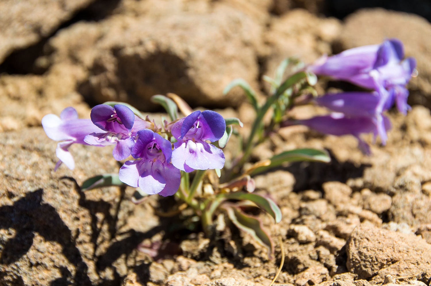
Penstemons and Sky Pilots were the predominant wildflowers up high.
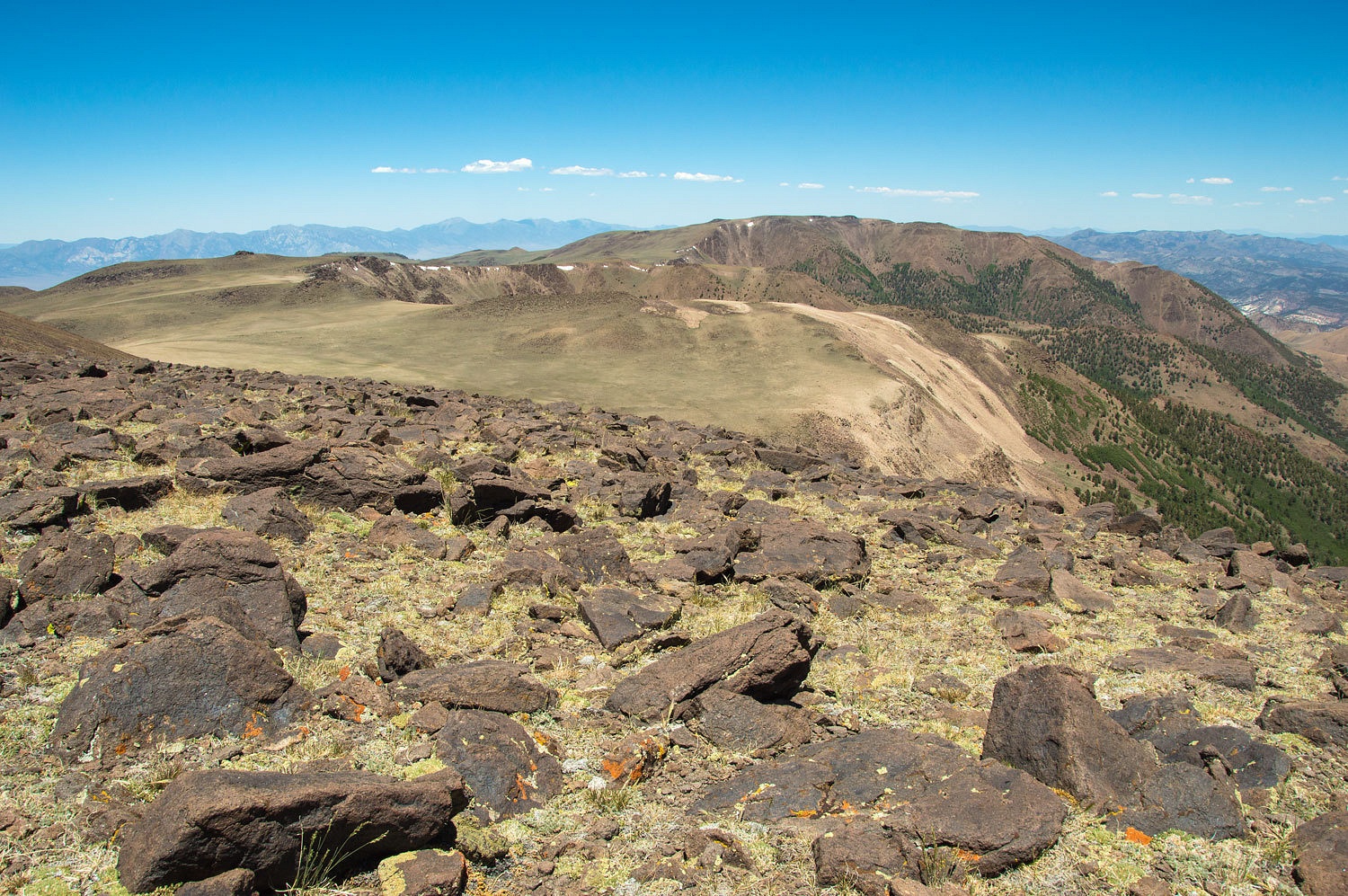
Soon we were back on the summit.


The elevation is 11,949 feet. We were completely alone. We would see no other people this day.
How many people visited the top since we were here in 2011? We searched and searched and searched but could not find the summit register.
The board
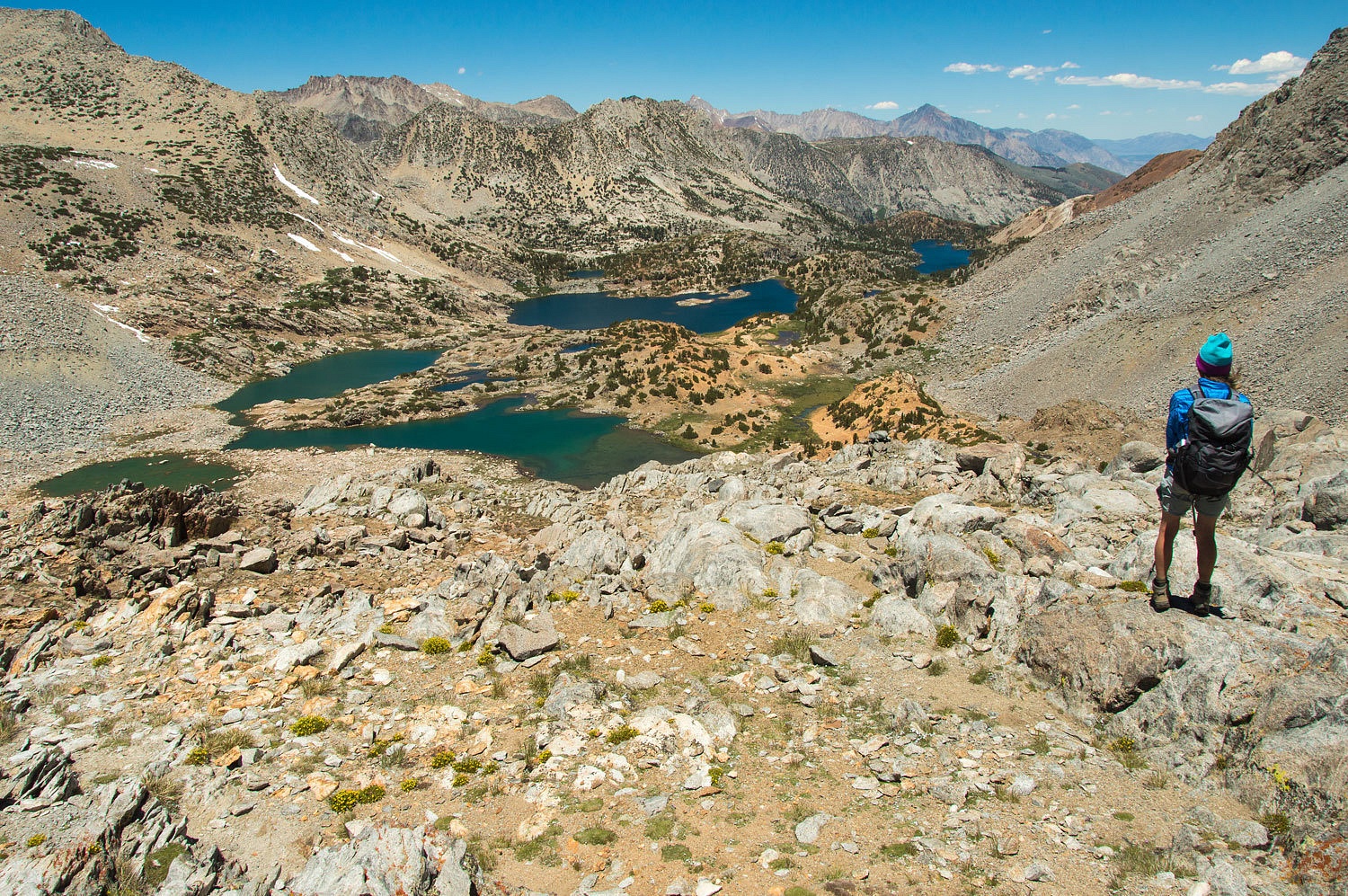
summit plateau is well above tree line. We looked down Pine Creek's canyon. We
had spent two lovely nights backpacking- completely alone - at tree line down
there in 2011.
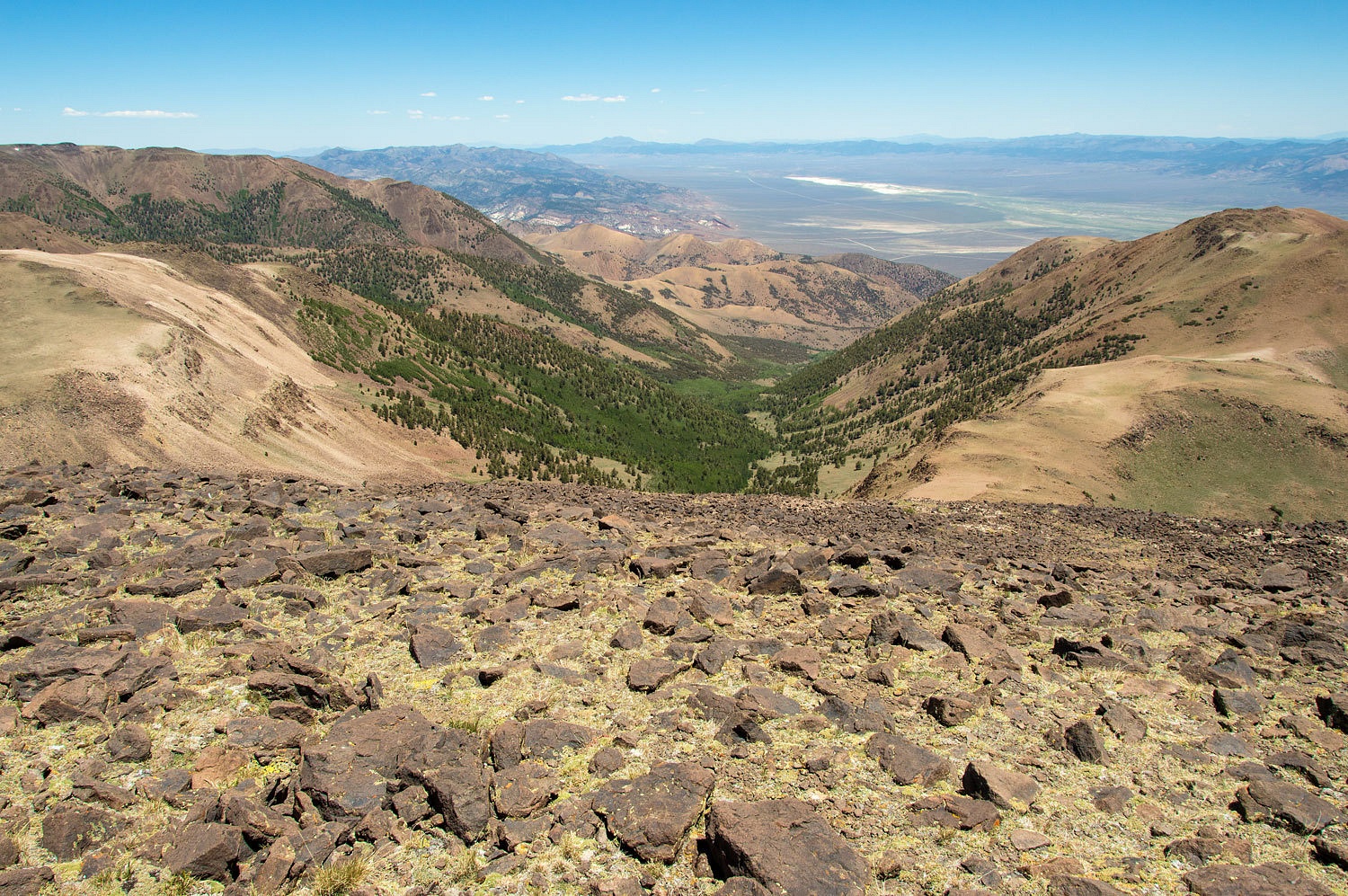
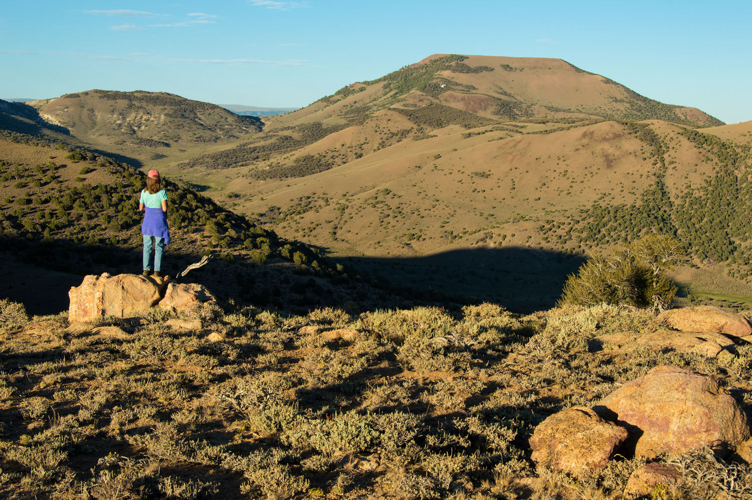
The large plateau of Mount Jefferson, along with the Middle and North summits stretched out to the north. We had wandered about this entire plateau back in 2011.
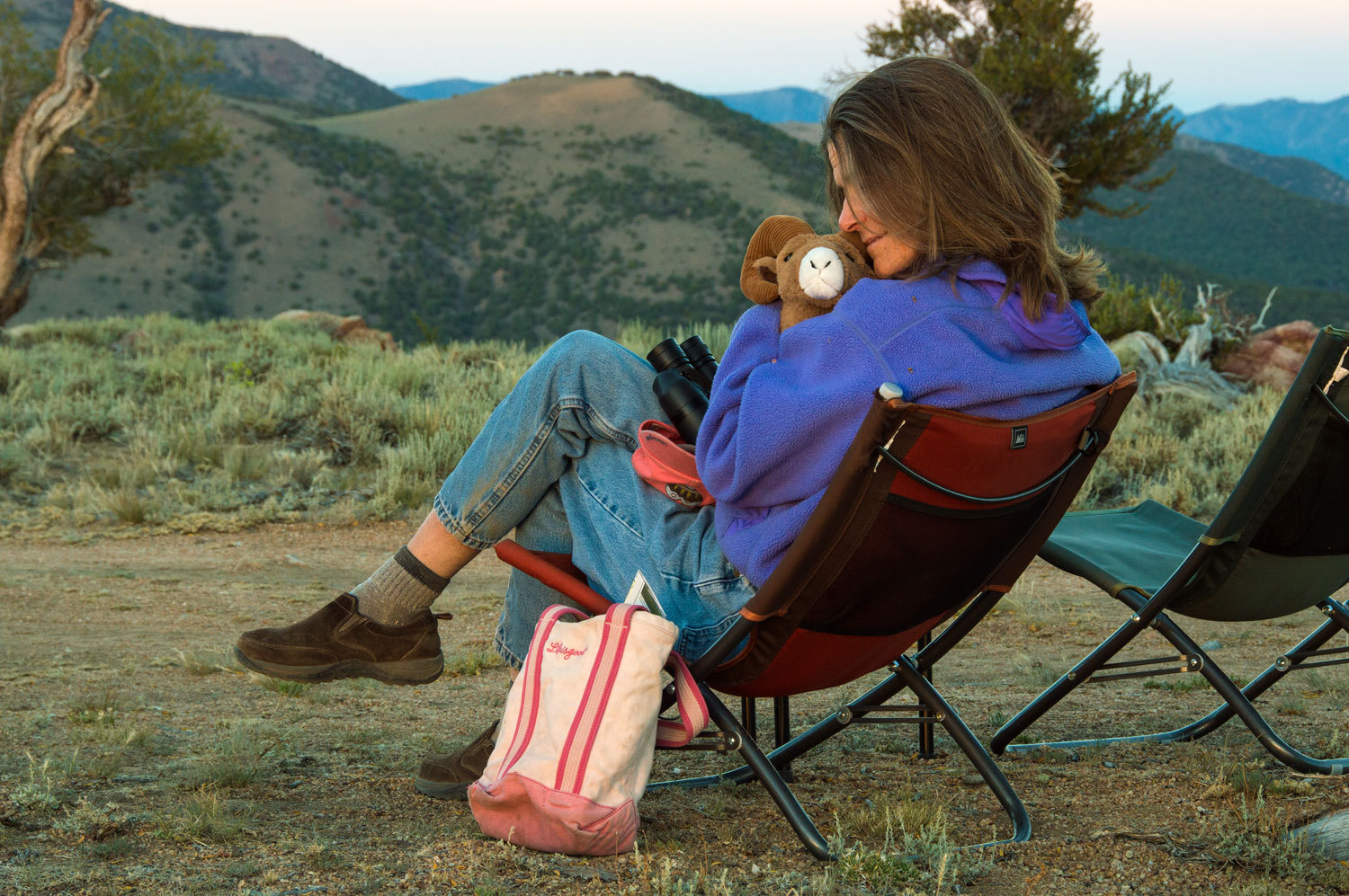
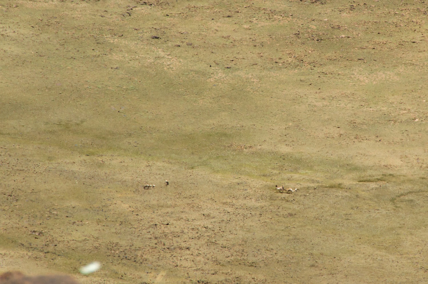
We came upon several bighorn sheep beds on the steep mountain sides on our ascent. The area was littered with sheep scat. "Look at all the sheep nuggets!" I would announce. The Lady would counter with, "I want to see the containers!" We spent a few hours on the summit glassing the area with the Lady's see mores. Rock wrens moved from rock to rock picking up insects. The Lady has this thing with bighorns. I knew we would see sheep. And there they were, "the containers", hundreds of yards away, a group of eight, ewes with their lambs.
This was the perfect place, the perfect way to spend Independence Day. We were on top of Mount Jefferson and we were about as independent as you can get.
Mid
afternoon and it was time to head down.
After dinner, in this fulfilling solitude, we wandered about and explored this broad area as the sun lowered in the west.
All the windows open, a breeze, a perfect temperature, we slept like babies.
We were
ready for morning.
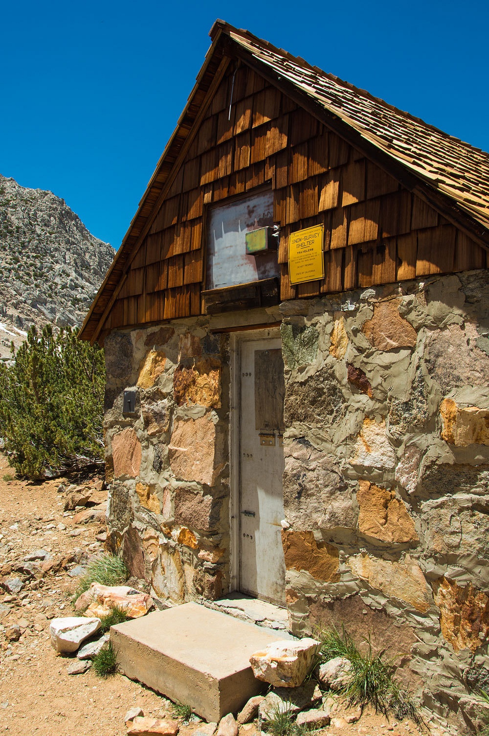
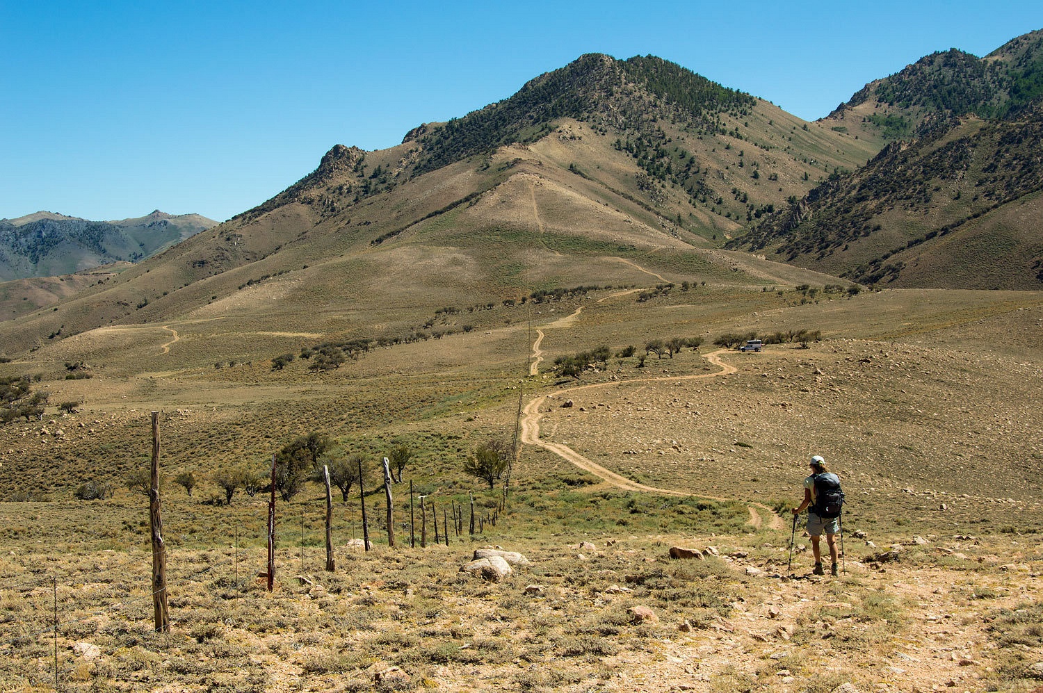
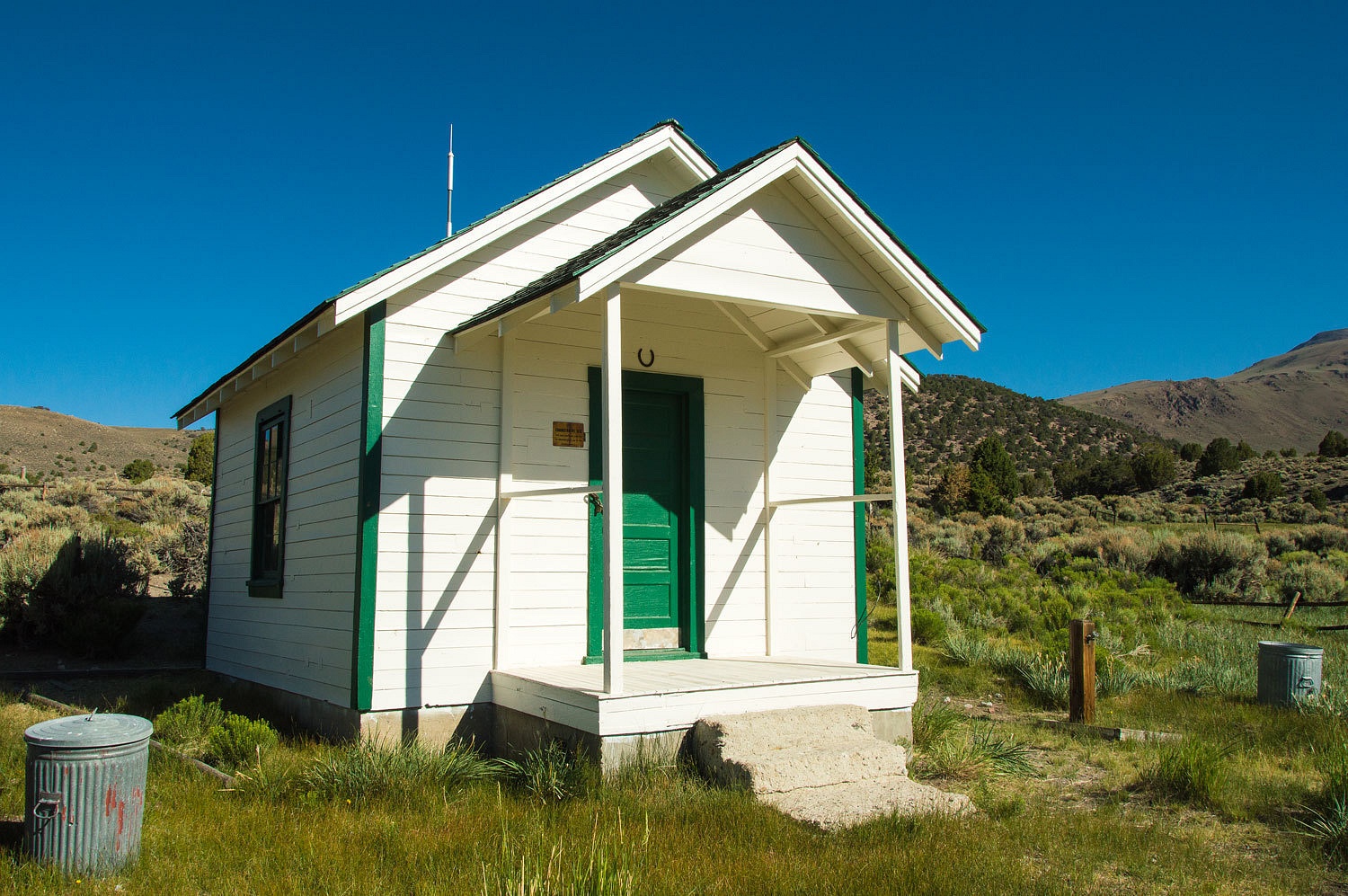
We packed up camp and headed out. We did a quick side trip into the USFS Meadow Canyon Guard Station and were pleased to find it repaired and newly painted.
We know this area of Nevada quite well. We have discovered many interesting out of the way places and look forward to finding many more. We were close, this morning to one of our favorite hot springs. I could see it was on the lady's mind. "Are we?" was all she asked.
We were surprised
to find no one there. But it had been abused the night before, a big Fourth of
July bash. Bud Light bottles littered the area and water sources. General party
litter was everywhere. Fireworks debris was everywhere, firecrackers and
especially large rockets. No attempt had been made to pick anything up. We
arranged the plumbing to fill the tank. I started to make a pile of trash and the Lady
grabbed a couple of small garbage bags along with a large black one. It was
work. This is all on private property. It is with the owner's consent that the public is allowed. These previous
visitors had shown not one ounce of respect.
As the tank
was filling and we were busy picking up trash, two vehicles drove in, two
family groups with one fellow the obvious tour guide. They didn't hesitate as
they drove it. Everyone immediately poured out of the vehicles, one infant in a
carrier was set down next to the tub, right beside me. This was a bit forward
and impolite. I quietly spoke with the alpha male - we had just arrived, were
filling the tank, and cleaning up all the mess. The Lady brought over an arm
load of bottles and added them to my pile. "This is why we don't like beer
drinkers!" she firmly announced. Boy, did these folks get stiff. "And
on top of it," I added, "They drink crap!" The alpha male walked
away with his little couch dog. We had a nice visit with the remainder of the family
group. They had all kinds of questions about hot springs and geology and the area. I
answered questions as best I could. The Lady started filling the large black garbage
bag and mentioned it would be the next day before we were close to any kind of
public dumpster.
"We are
staying over at Pine Creek Campground. We will take all the trash." the
other adult male offered. The alpha male had returned and added, "We will
also stop and pick up that big pile you made over there." He pointed to
where the Lady had a collection mound. He went on, "I know who these
people are. They are in Pine Creek Campground and were bragging about all the
fireworks they had lit off over here. I'm going to give them all their garbage back."
Although the
morning was now warm, the water felt great. We were relaxed, happy.
We spent the
day exploring our way west. We took new routes we wanted to learn about. We
ended up at Walker Burger for dinner. It was a roundabout but fun route. Toward
dark found us at our favorite campsite up on Monitor Pass. We set up camp,
walked, and followed fresh bear tracks. The lights came on down in the Carson
Valley. This smoke is from a fire in the Pine Nut Mountains.

The night air turned cool, but all windows remained open.
This was the last morning of our adventure. We took our time. We were close to home. No reason to hurry.
Last spring's major surgery is far behind me. I considered myself recovered three weeks out. Now I feel I have the majority of my strength back and am pretty much up to specs. I really feel good. The Lady's knees are doing great. Taking care and paying attention to use is paying dividends. Over 75 miles of high mountain hiking and 16,650 feet of vertical elevation gain and loss, we figure we are in shape for the next adventure....................................................................