Sunday, September 27, 2020

Leavitt Meadows - September 2020


 please remember you can click on a photo to see a larger version & highlighted text are links to additional information


 A Brief Respite


"Let's go for a drive today," I suggested. It was Saturday morning. The weather turned a couple of days before with light rain showers at our home and cooler temperatures. The local fires were calming with containment growing. At 8 am Saturday the Regional order closing Northern California's National Forests was lifted, enabling the individual Forests to place their own restrictions as necessary due to the extreme fire conditions . Our local Forest opened roads, trails, and day use areas but required no campfires anywhere - even in developed campgrounds - and no dispersed camping - even backpacking in Wilderness areas. Camping was allowed in developed campgrounds. Regional closure of the Southern California Forests remained in effect.


"Let's take stuff for dinner," I added, "So we won't be rushed for time."

"Were taking stuff to spend the night too," the Lady announced. "In case we find we can stay somewhere. At least we'll be ready."


After throwing supplies together, we headed down the west slope of the Sierra Nevada into the Mother Lode. We drove south on California's highway 49 until Sonora and turned east up highway 108 heading for Sonora Pass.


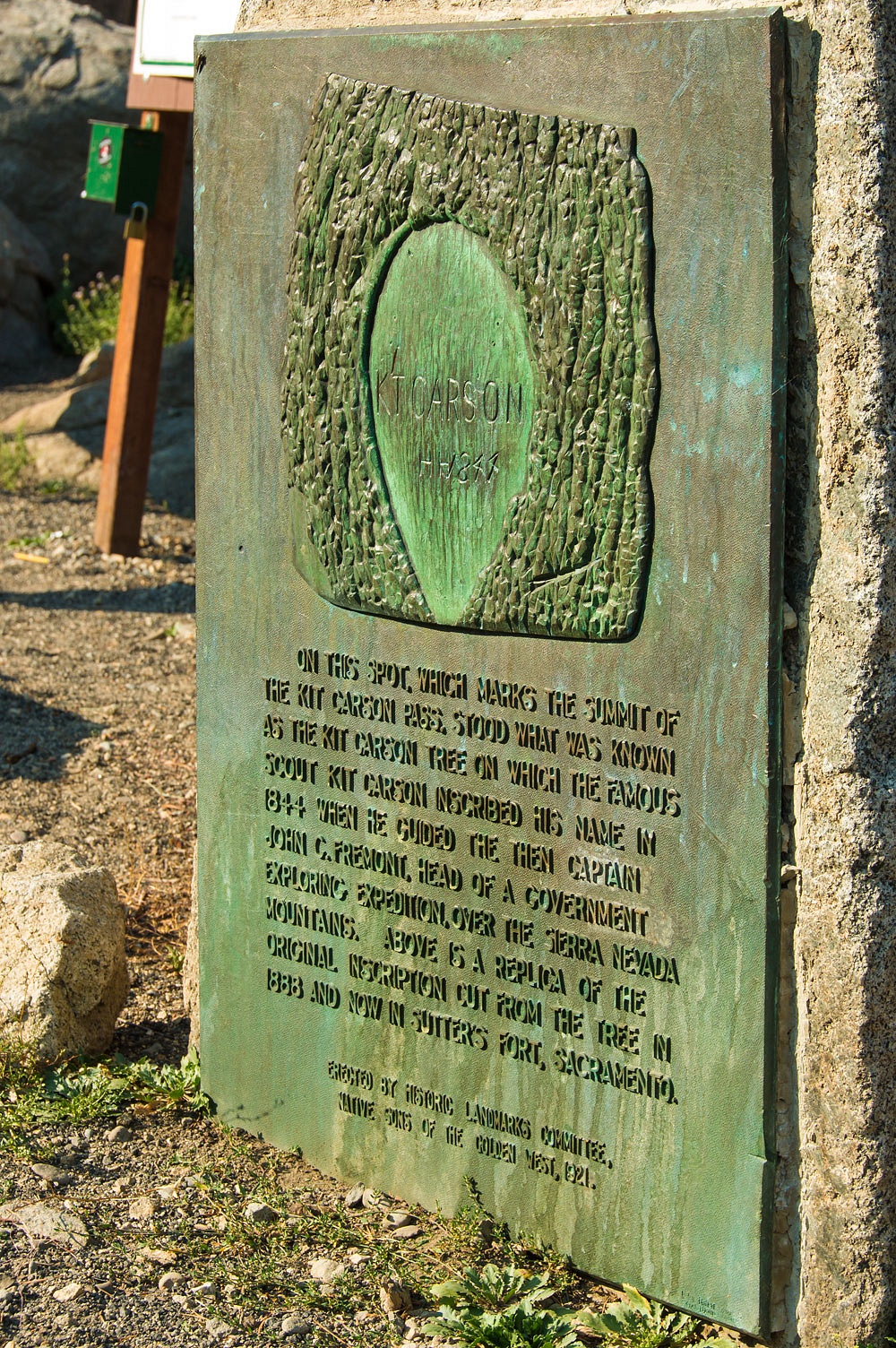
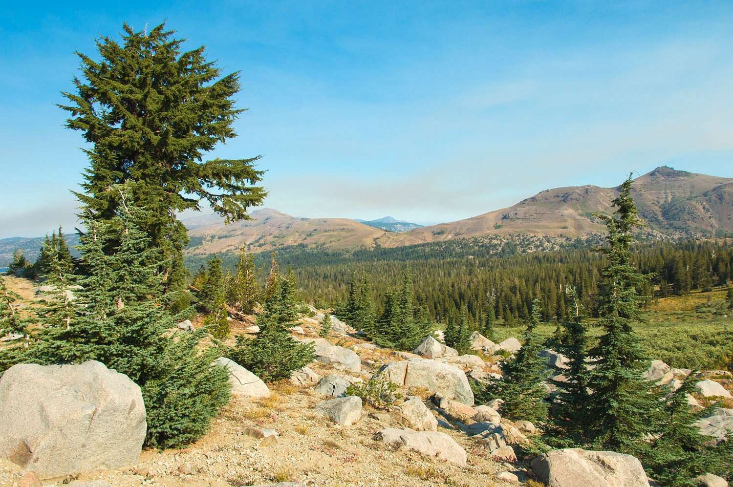
Although we have driven over Sonora Pass many times, it was always east to west. This would be our first trip driving up the west slope, one of our reasons for this quick trip. The smoke was much better but still evident. Our drive was peaceful and uneventful.


With the Forest closure, everything was very quiet, until we pulled into the private Kennedy Meadows Resort. The place was filled to overflowing. So many people were packed in such close quarters. It appeared all the cabins and rooms at the resort were filled. It looked impossible to shoehorn another large RV into the resort's campground. This is not meant to be a slight on the resort at all, but people's actions were a shock to see in the middle of a global pandemic. Large groups were gathered and interacting, most without face coverings or social distancing. We turned around without stopping and quickly retreated from Camp Covid, shocked that so many behave as if there is a designated pee section in the swimming pool.

Note: Credit to Neil deGrasse Tyson for the so appropriate "pee section of the pool comment" I heard him use recently in regard to the spread of coronavirus and those who do not wear face coverings.


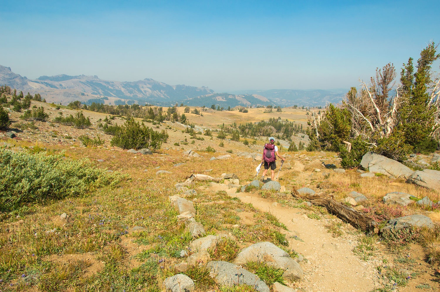
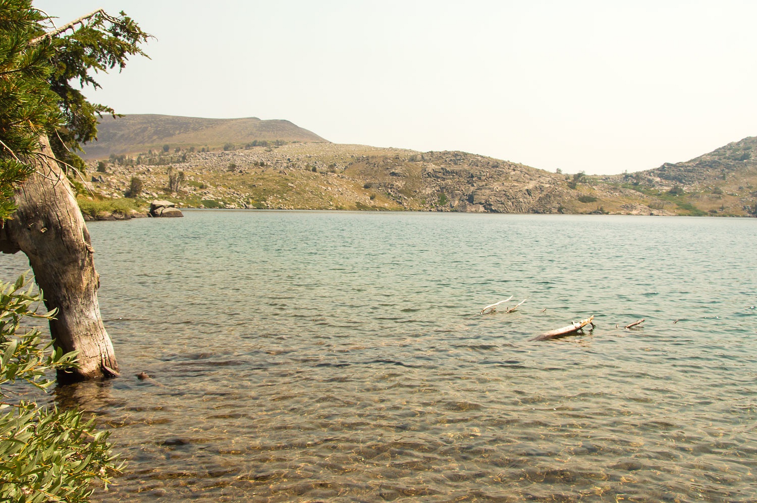
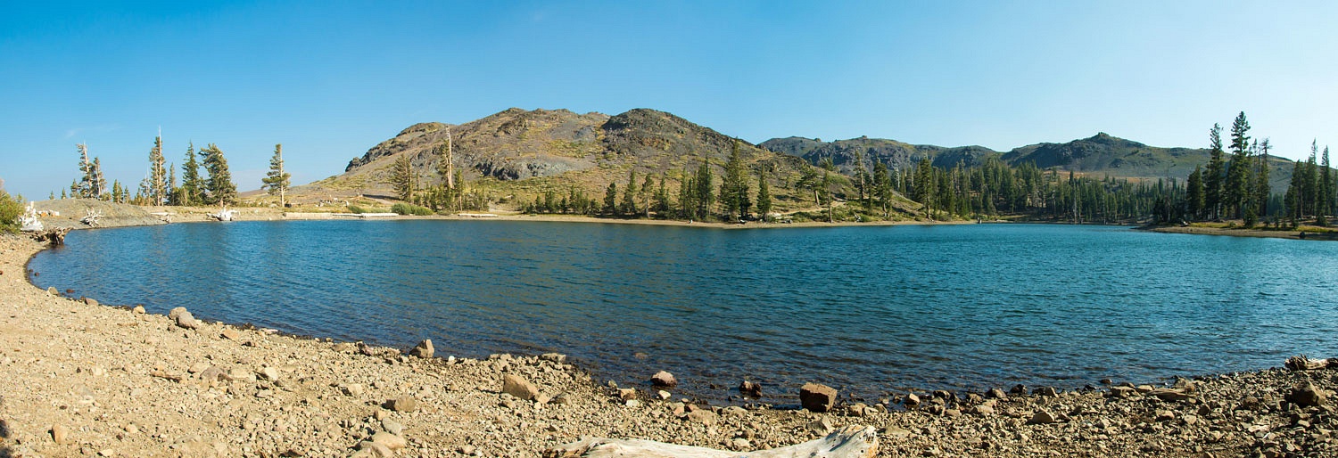
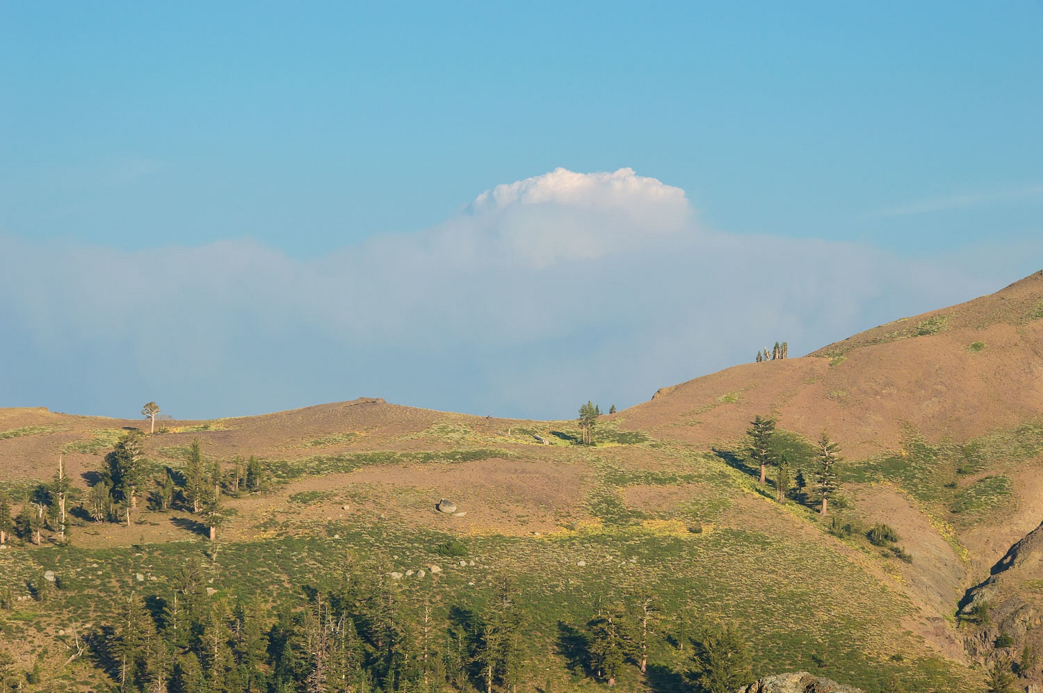
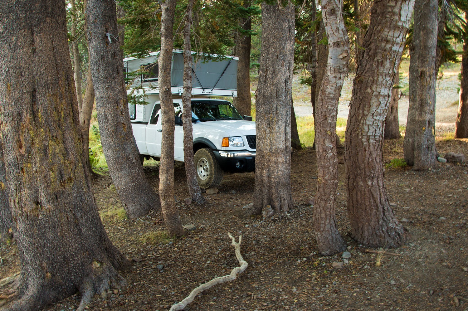
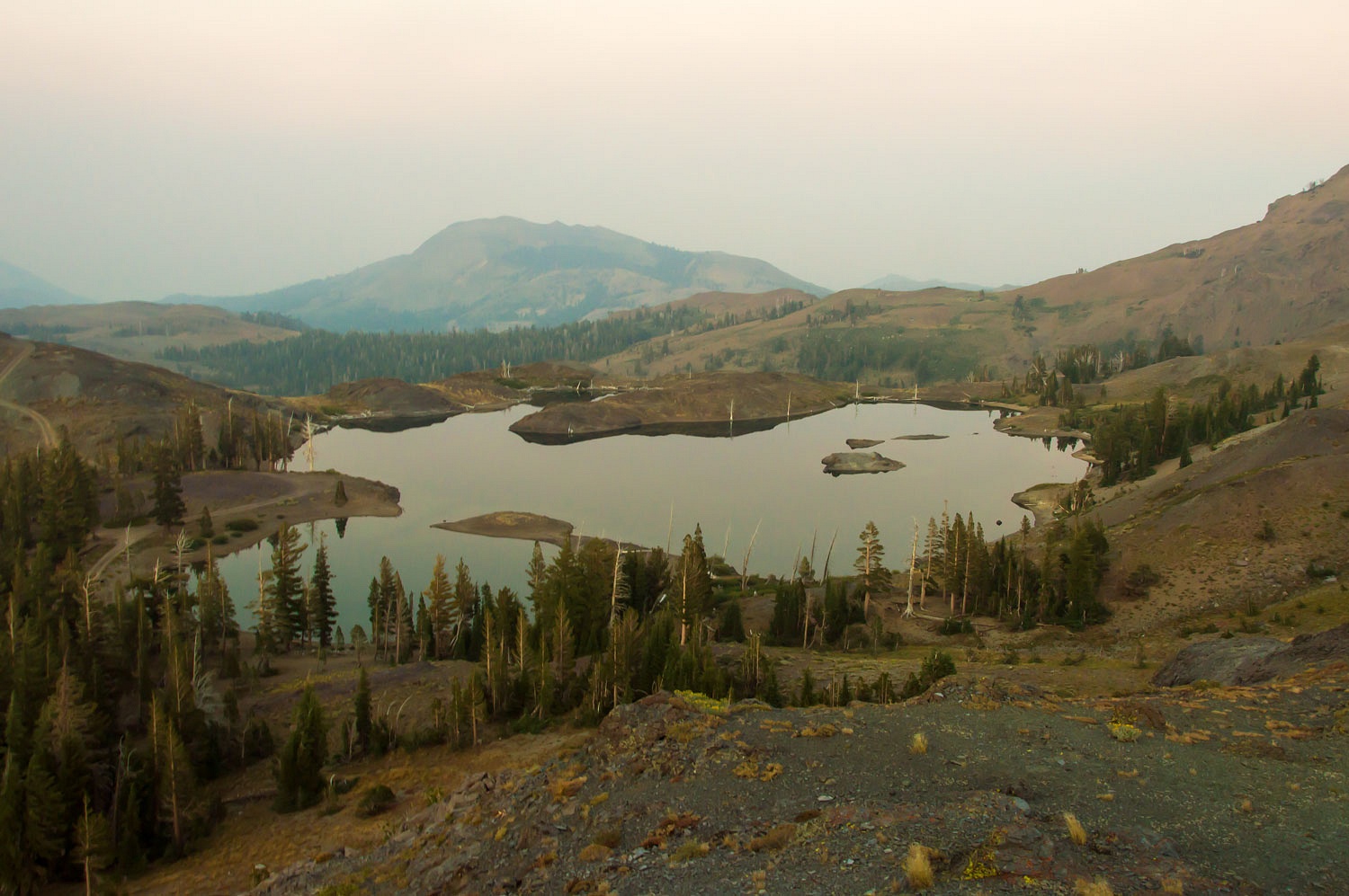
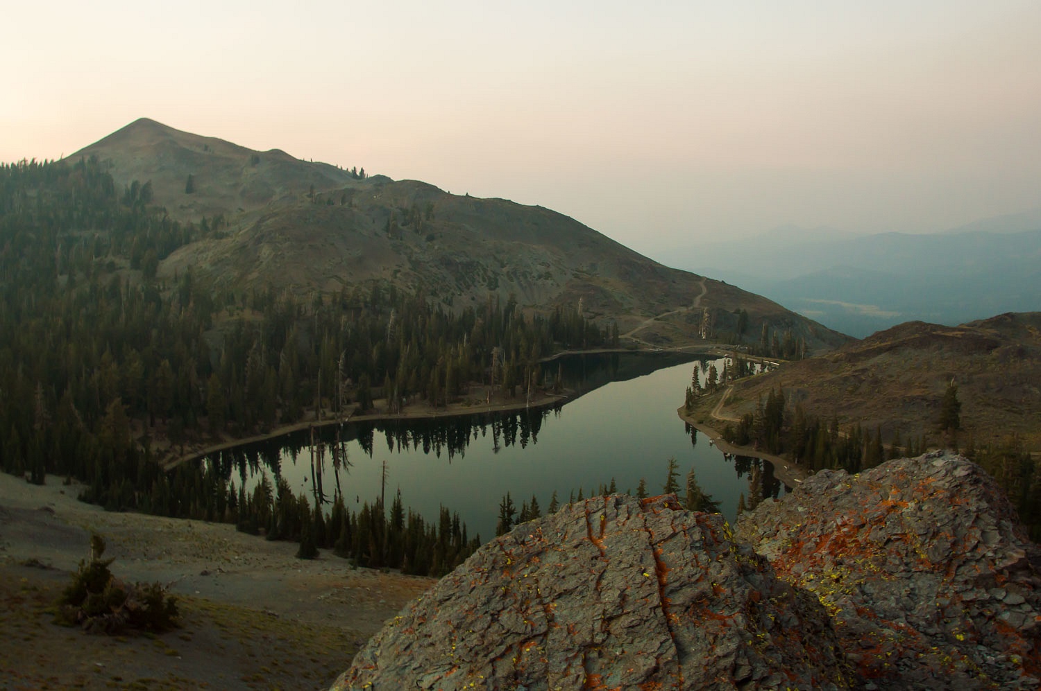
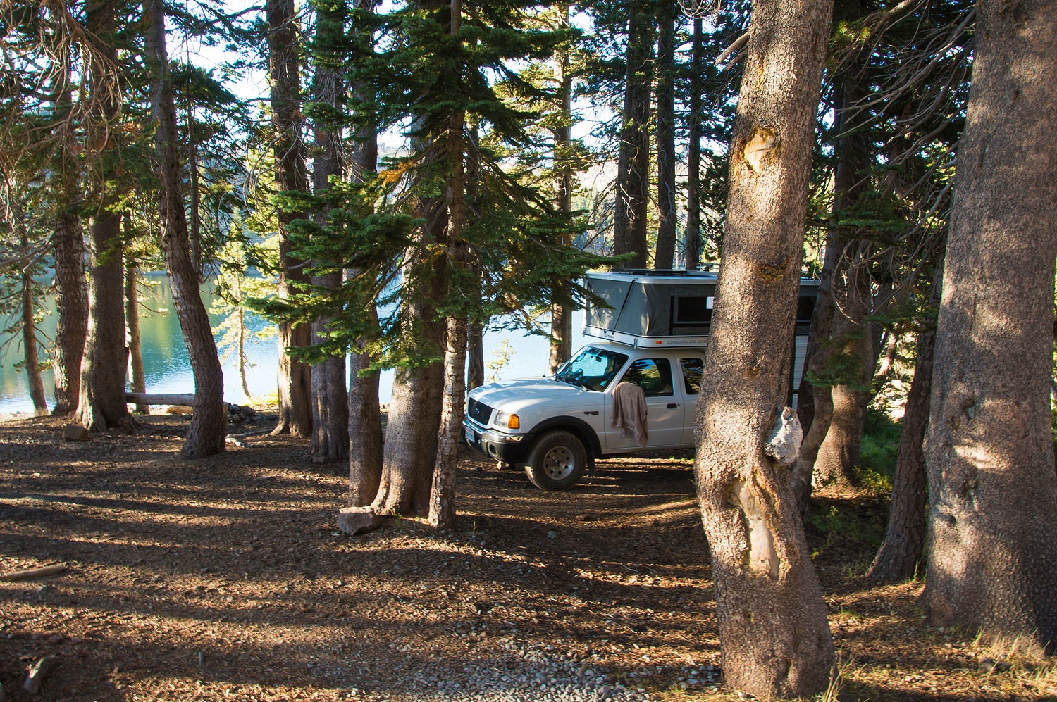
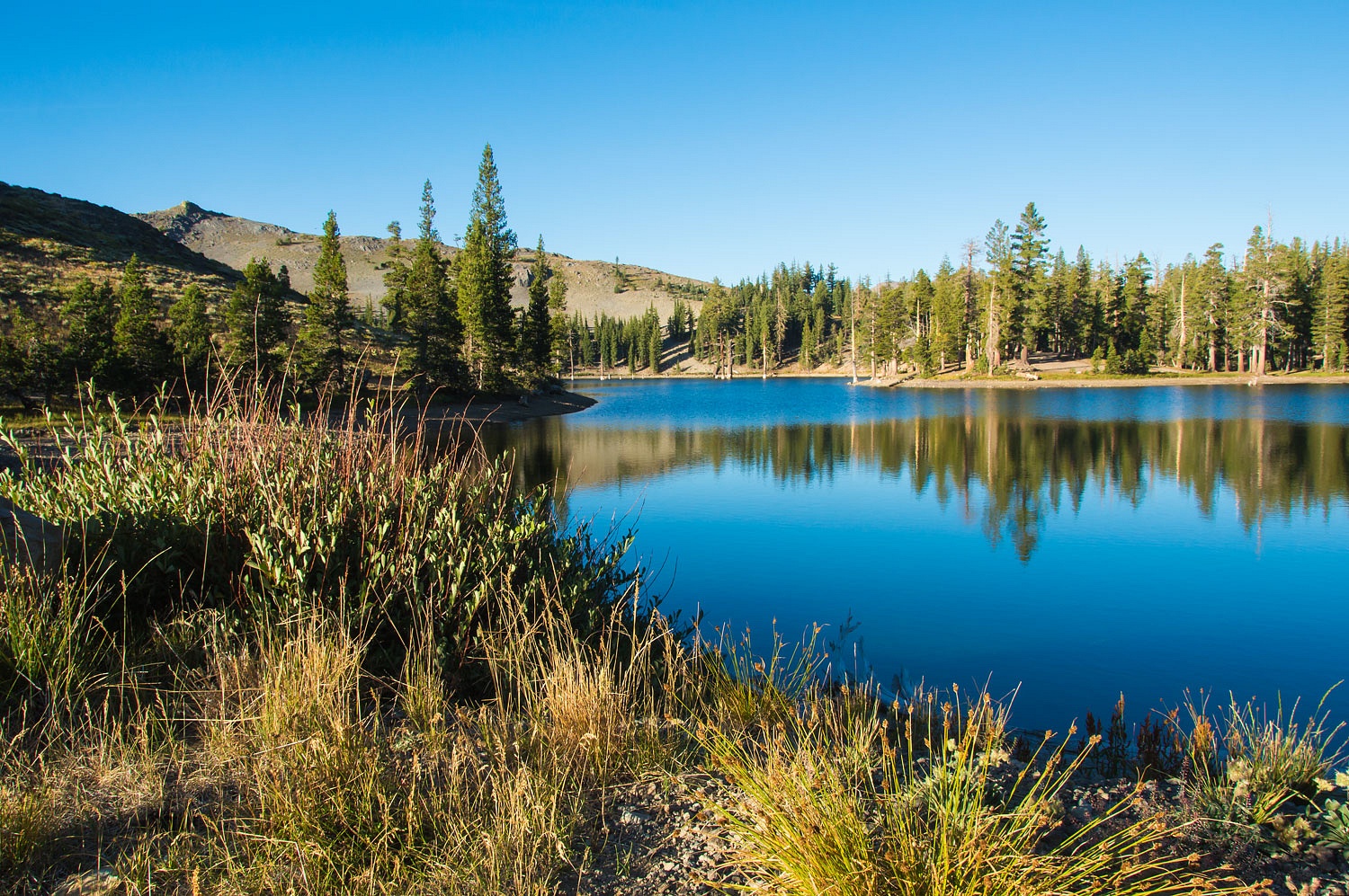
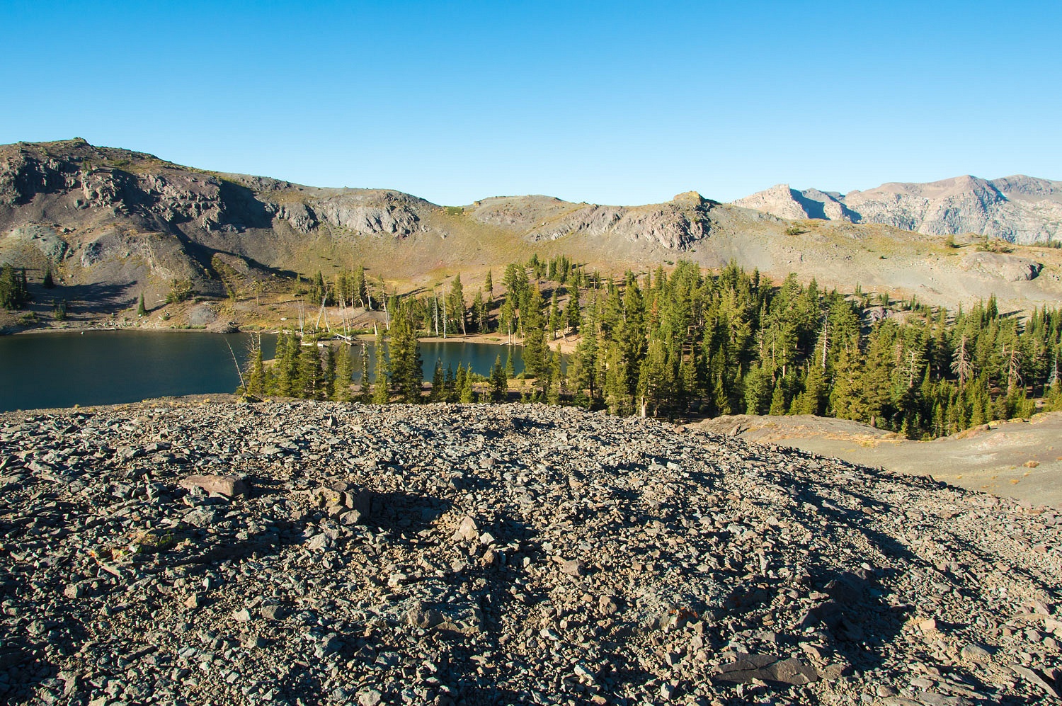
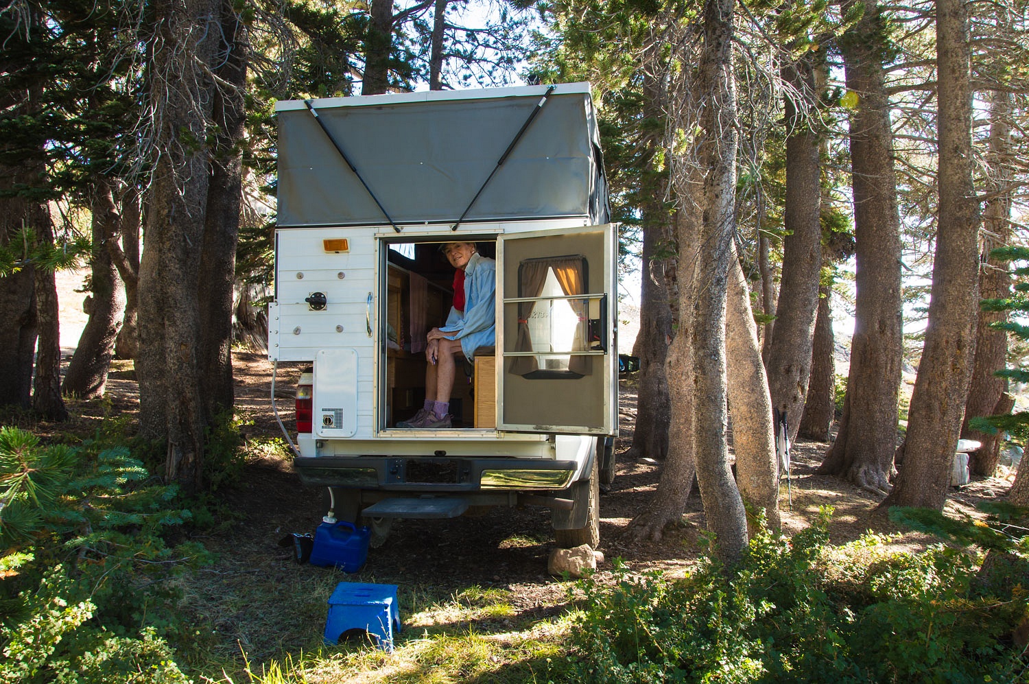
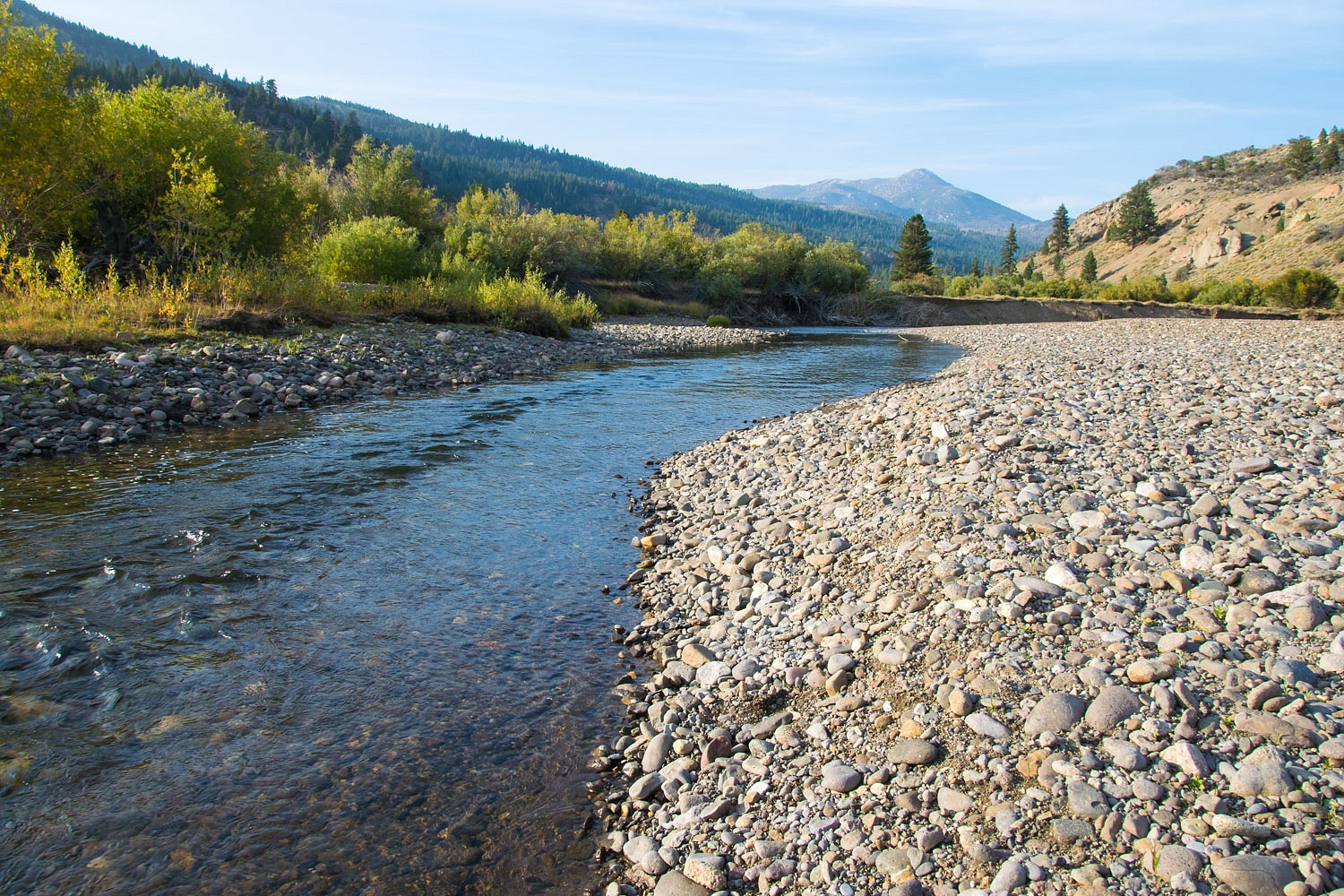
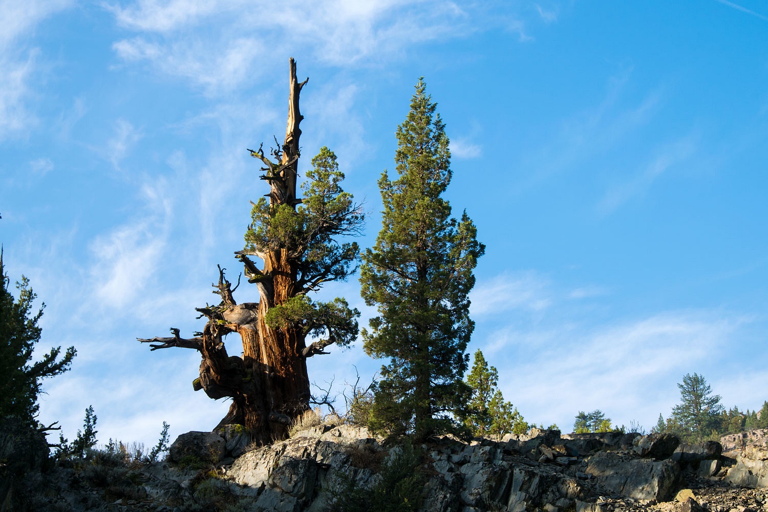
Up from the mess at Kennedy Meadows, highway 108 was quiet over Sonora Pass. The clearest air was up high. The twisting turns and high mountain majesty were delightful.  In short order, mid afternoon, we were down to Leavitt Meadows along the West Fork Walker River. The elevation here is 7100 feet. We pulled into the small Forest Service campground. It had reopened that morning and was less than half full. We decided to stay and found a secluded site that would do.


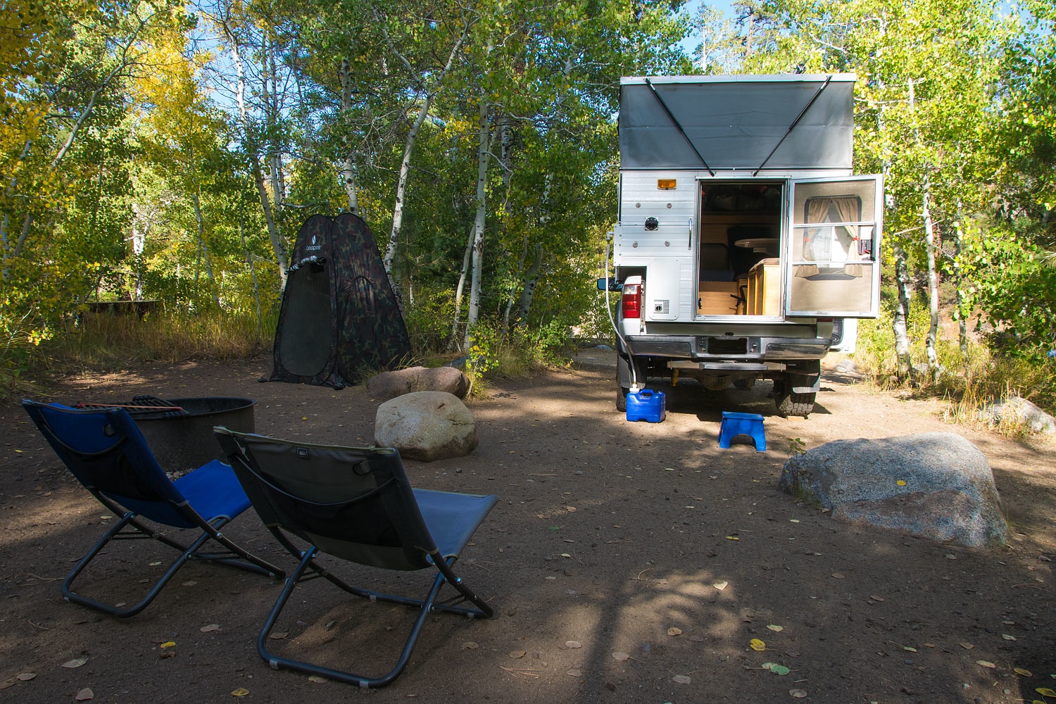
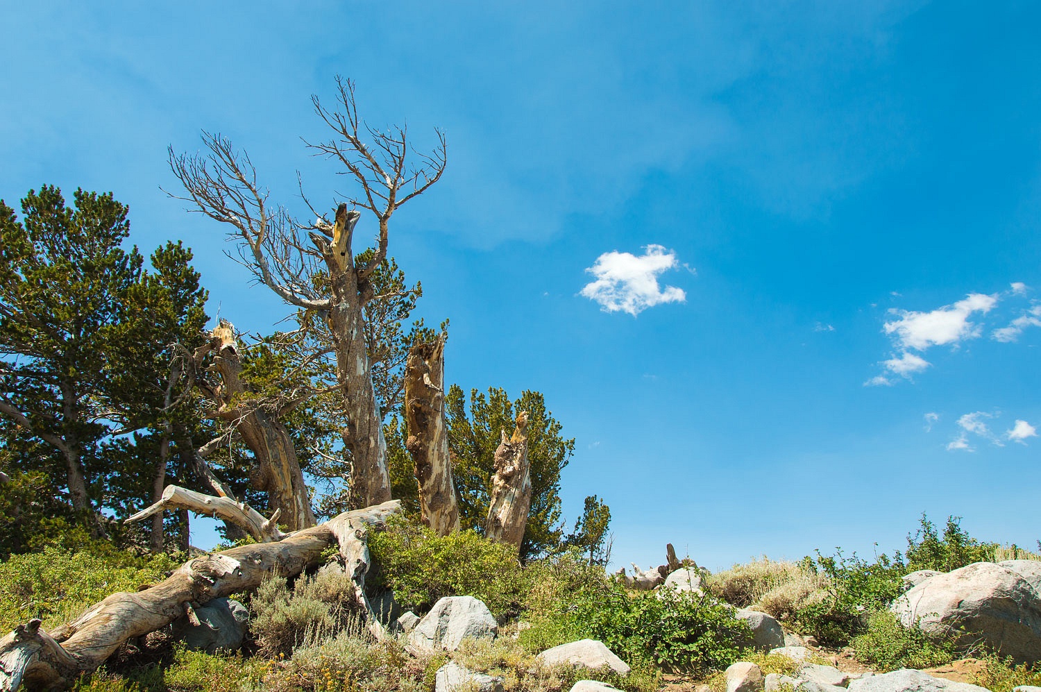
The campground is along but above the West Walker, set in an aspen grove.


With the campfire ban we would be free from campfire smoke and the small sites do not accommodate larger RV's and their usual generator noise. So this little campground worked well for one night away, a brief respite.


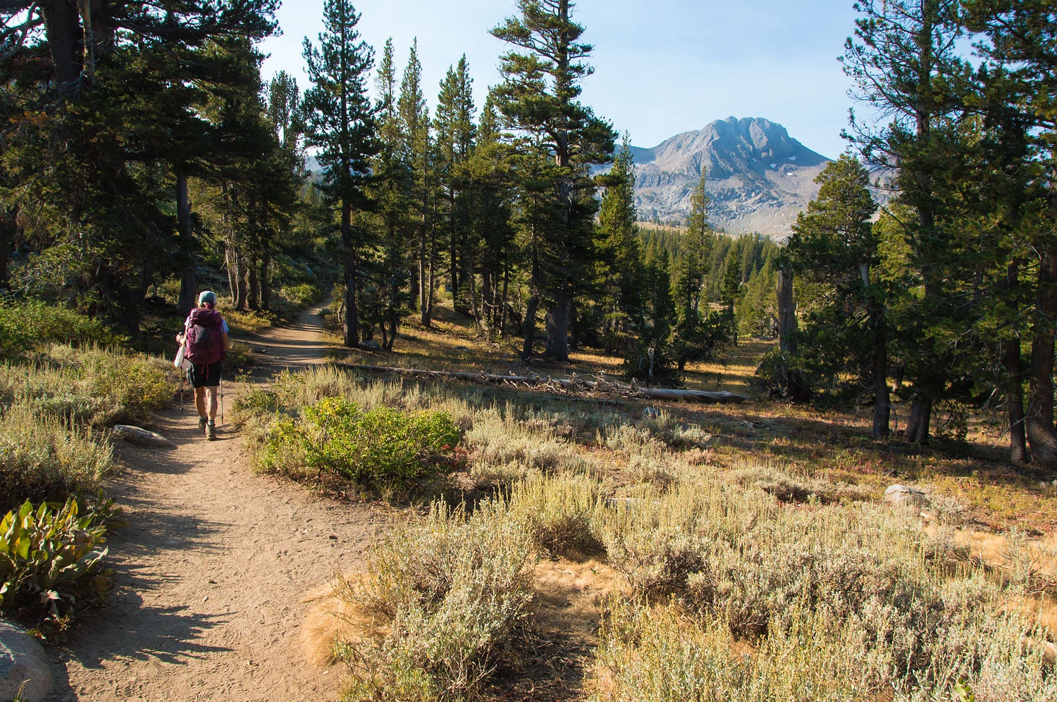
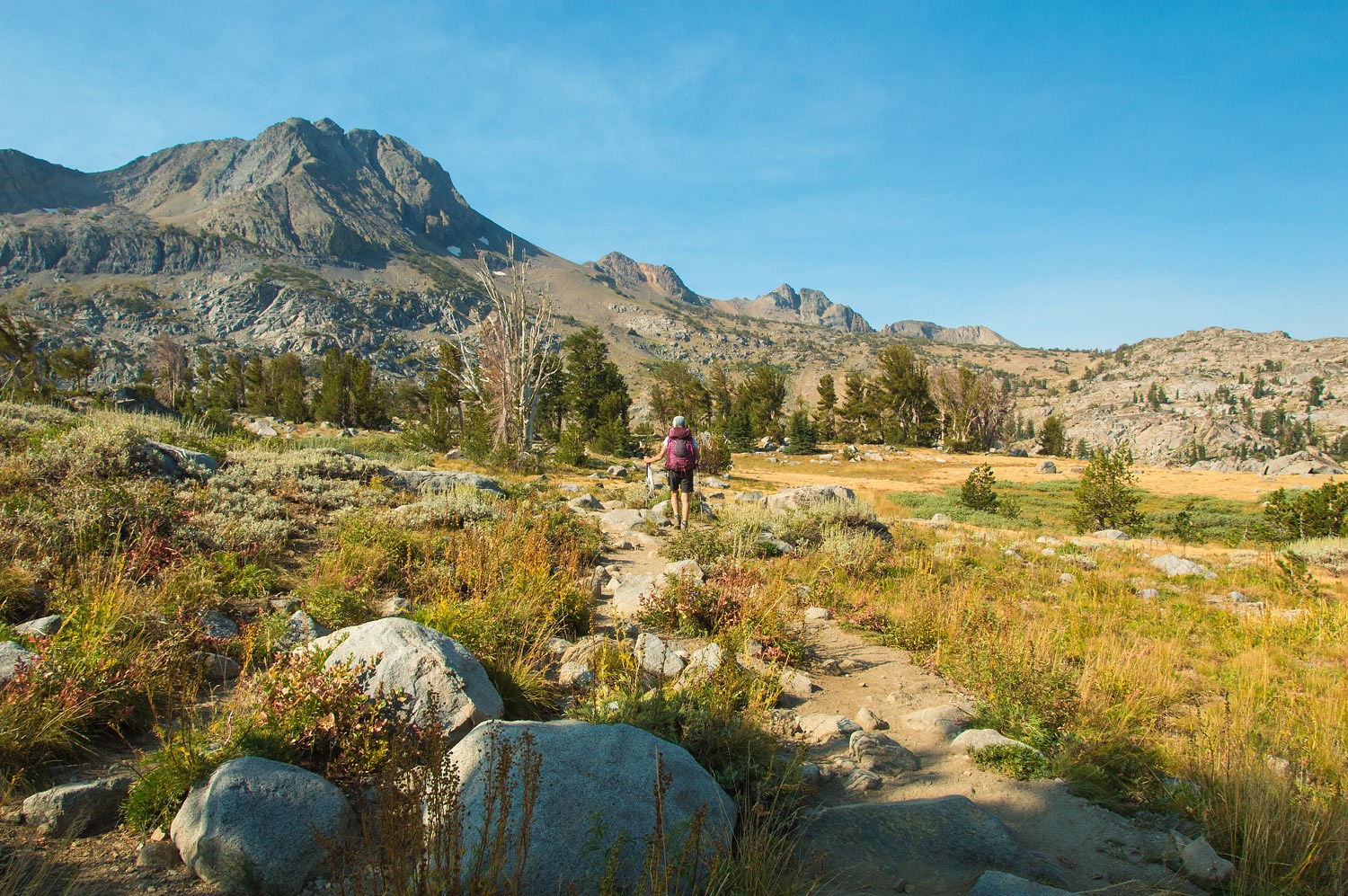
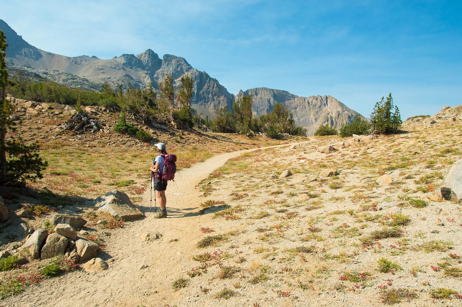
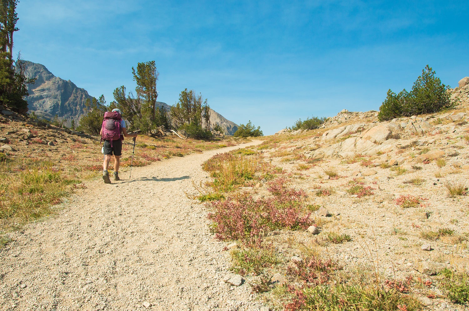
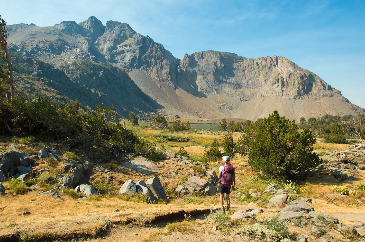
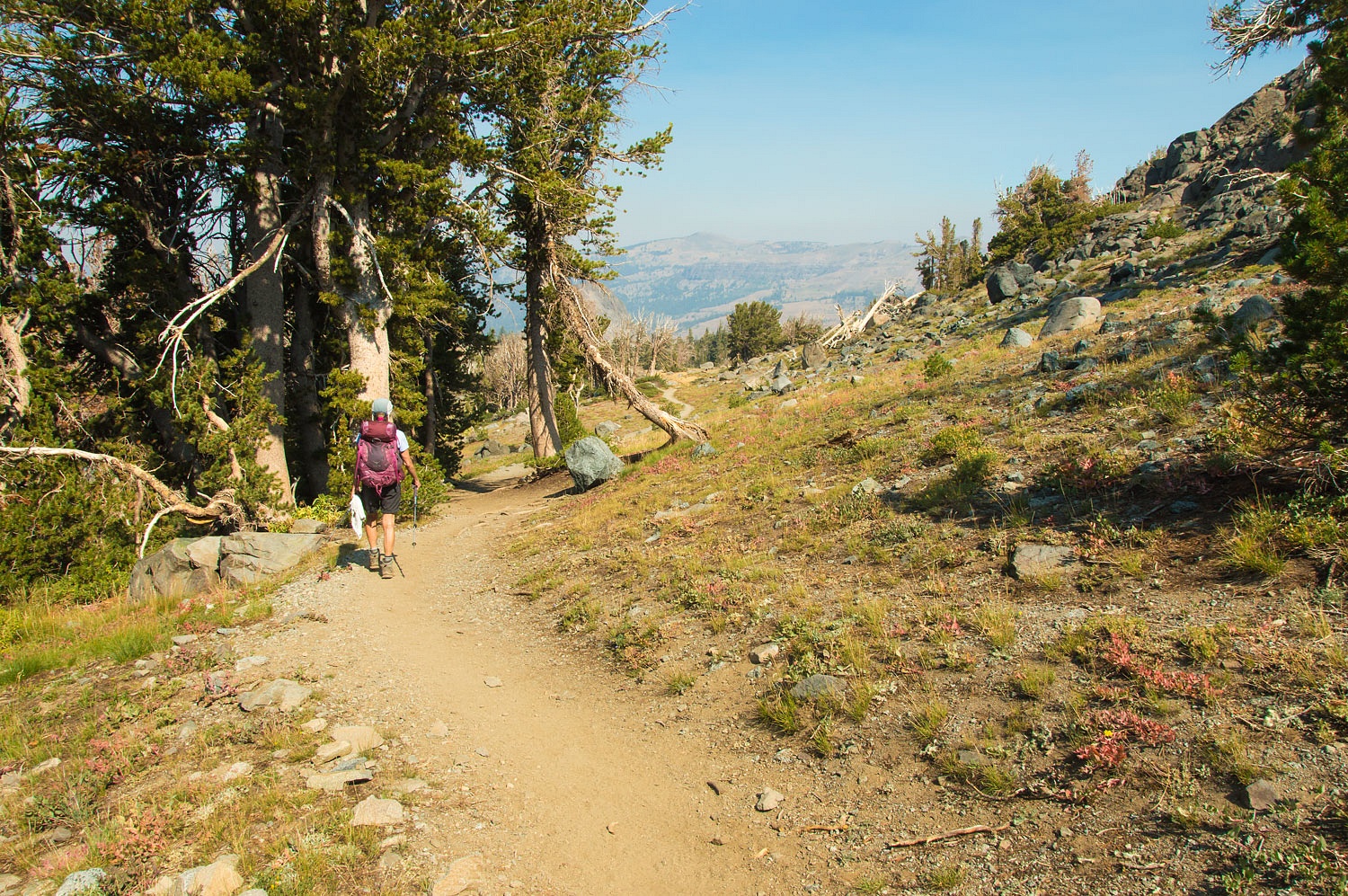
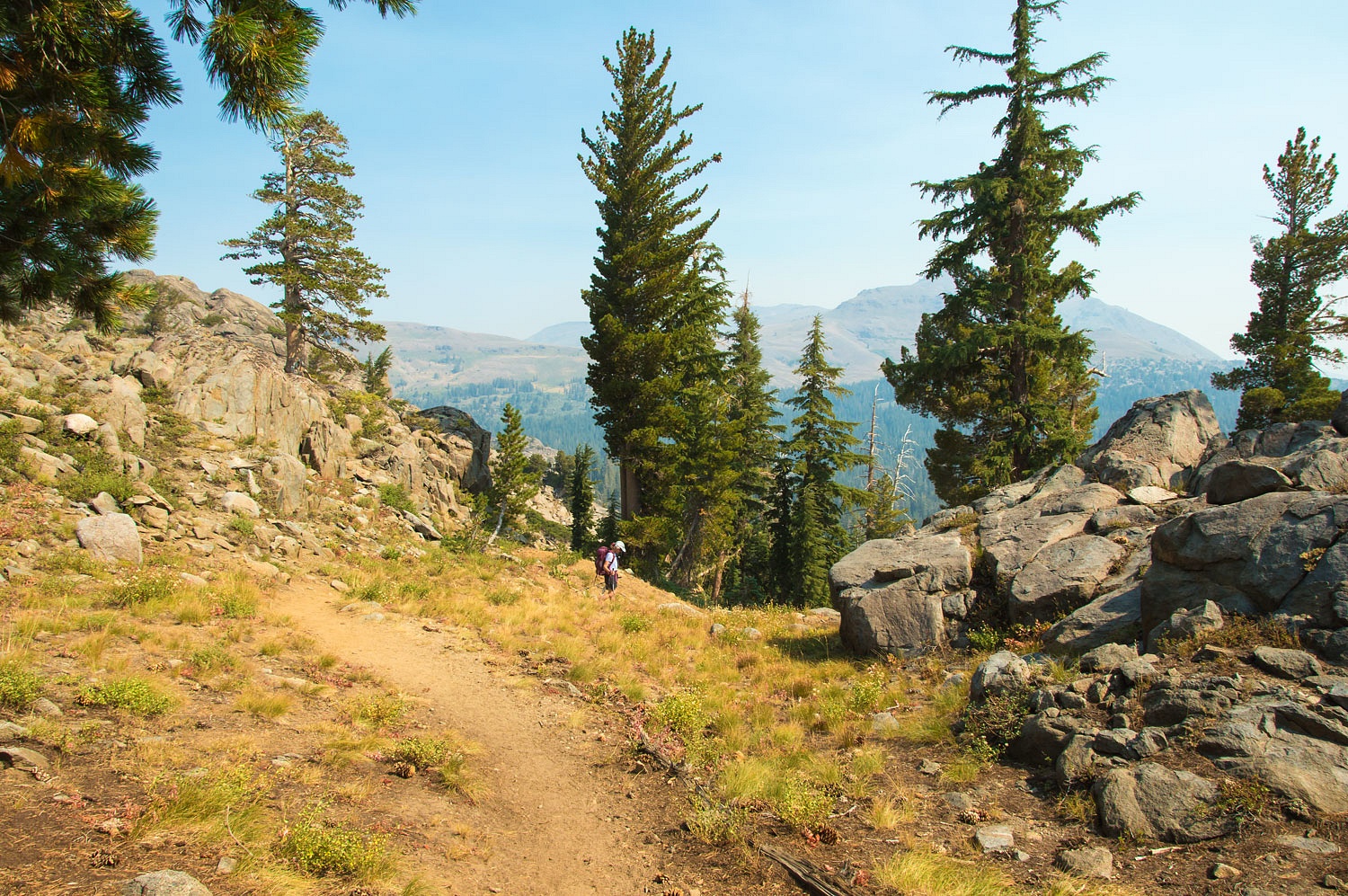
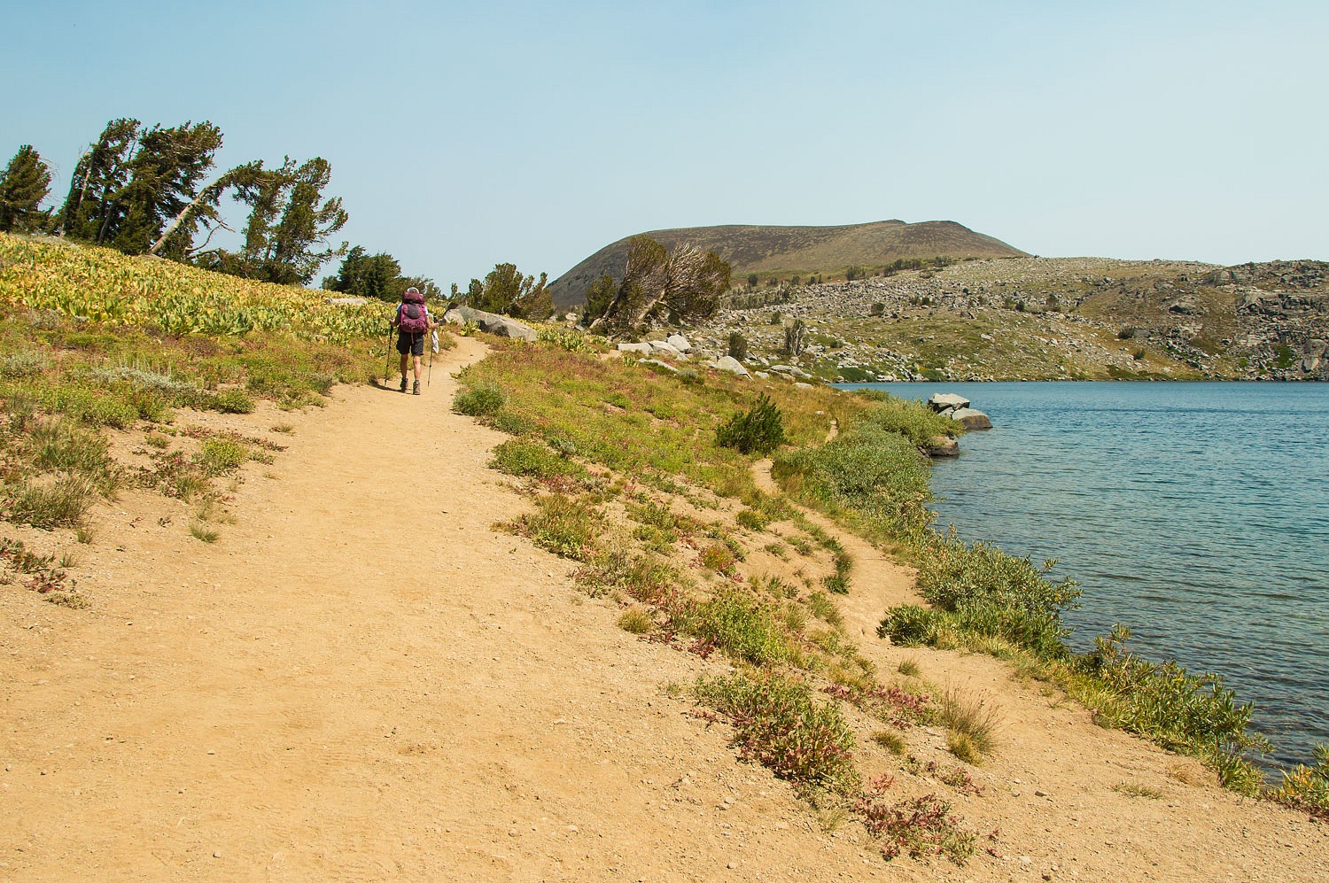
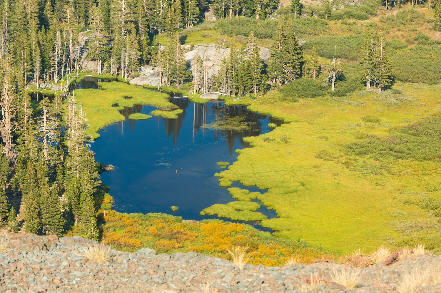
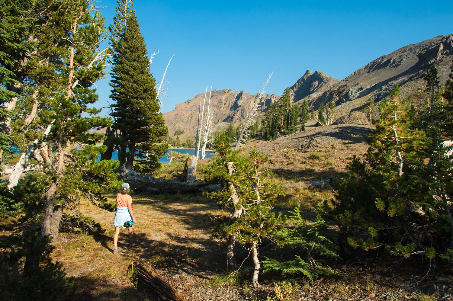
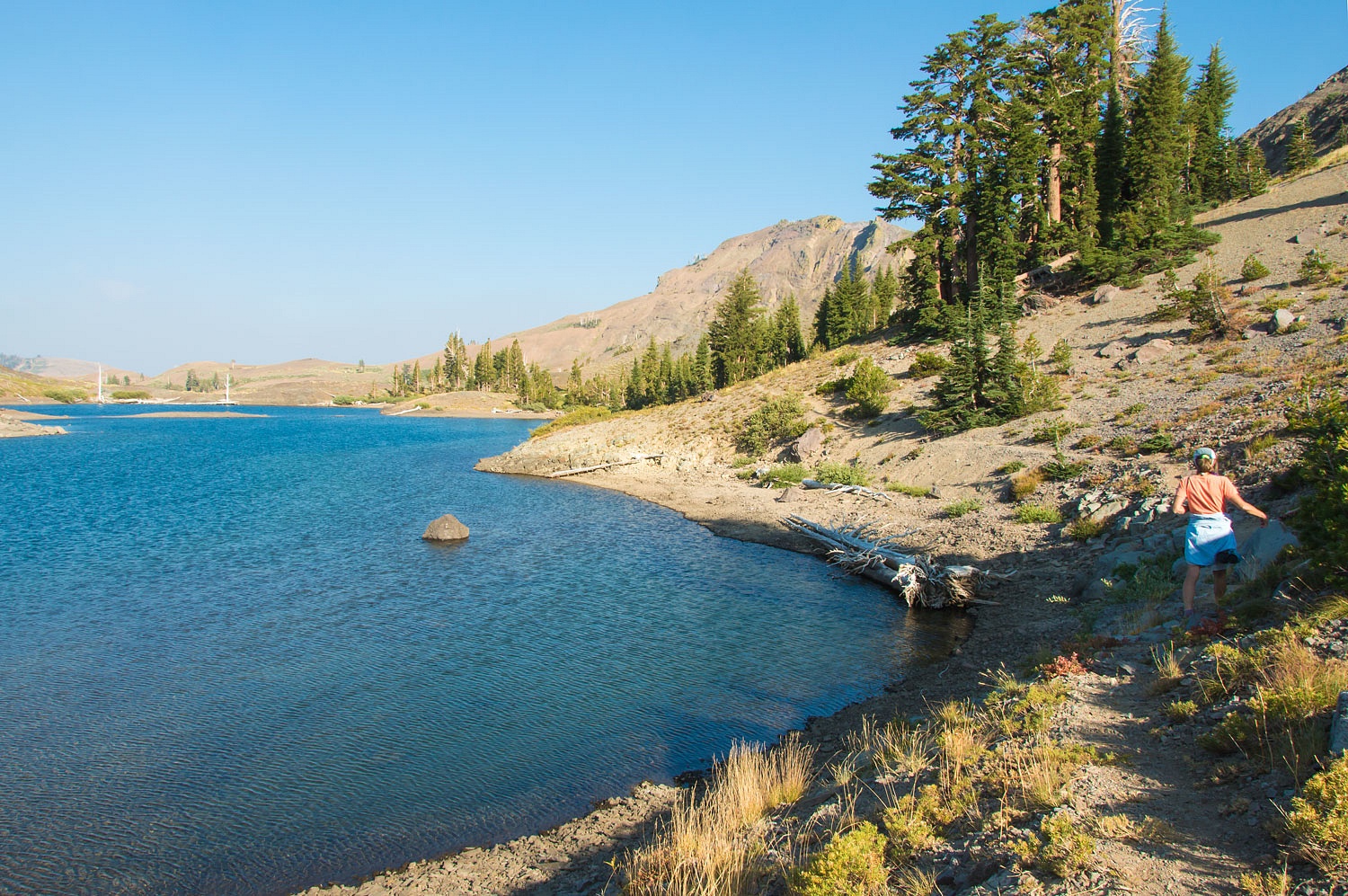
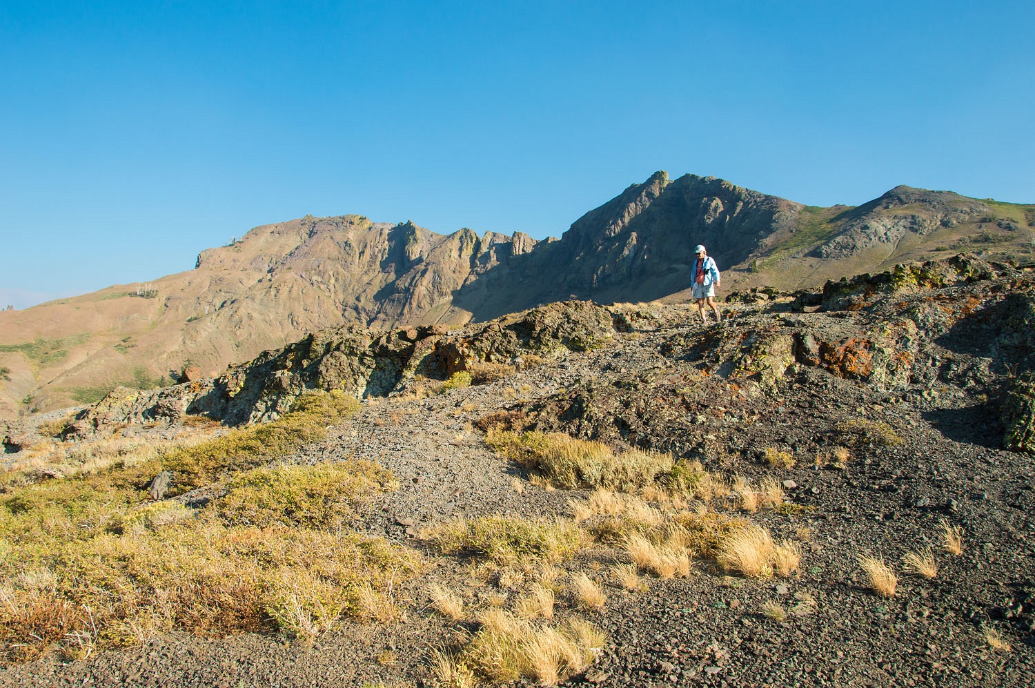
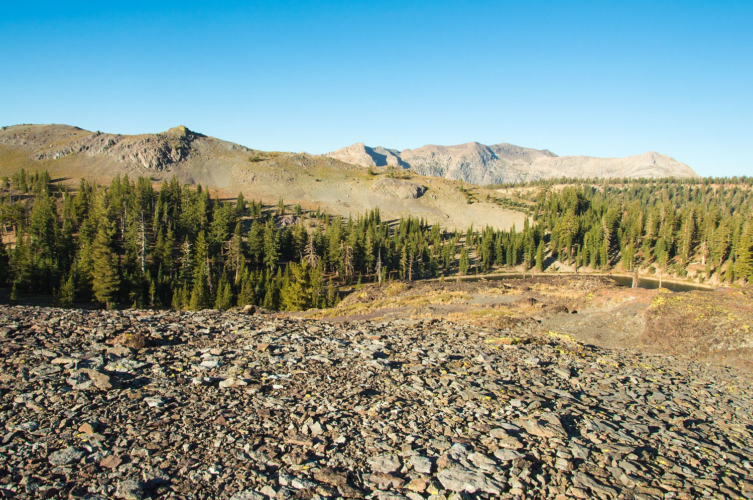
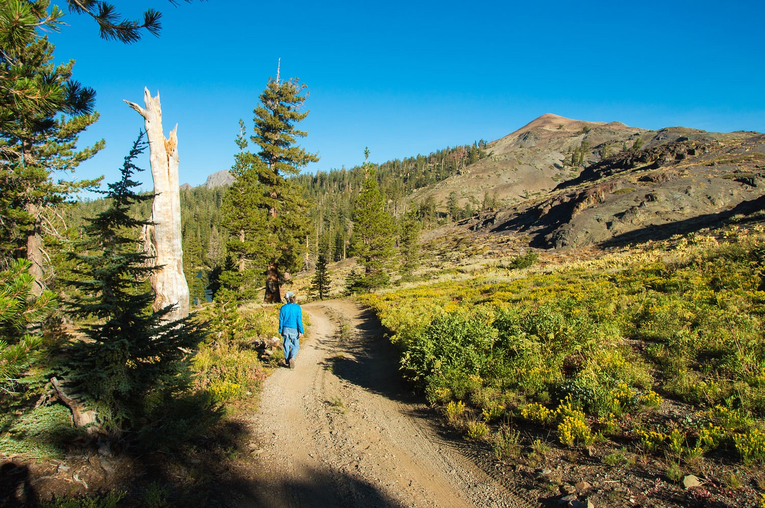
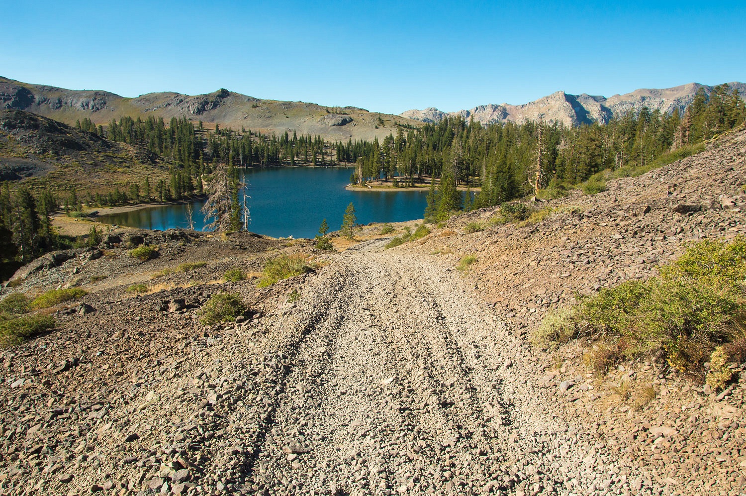
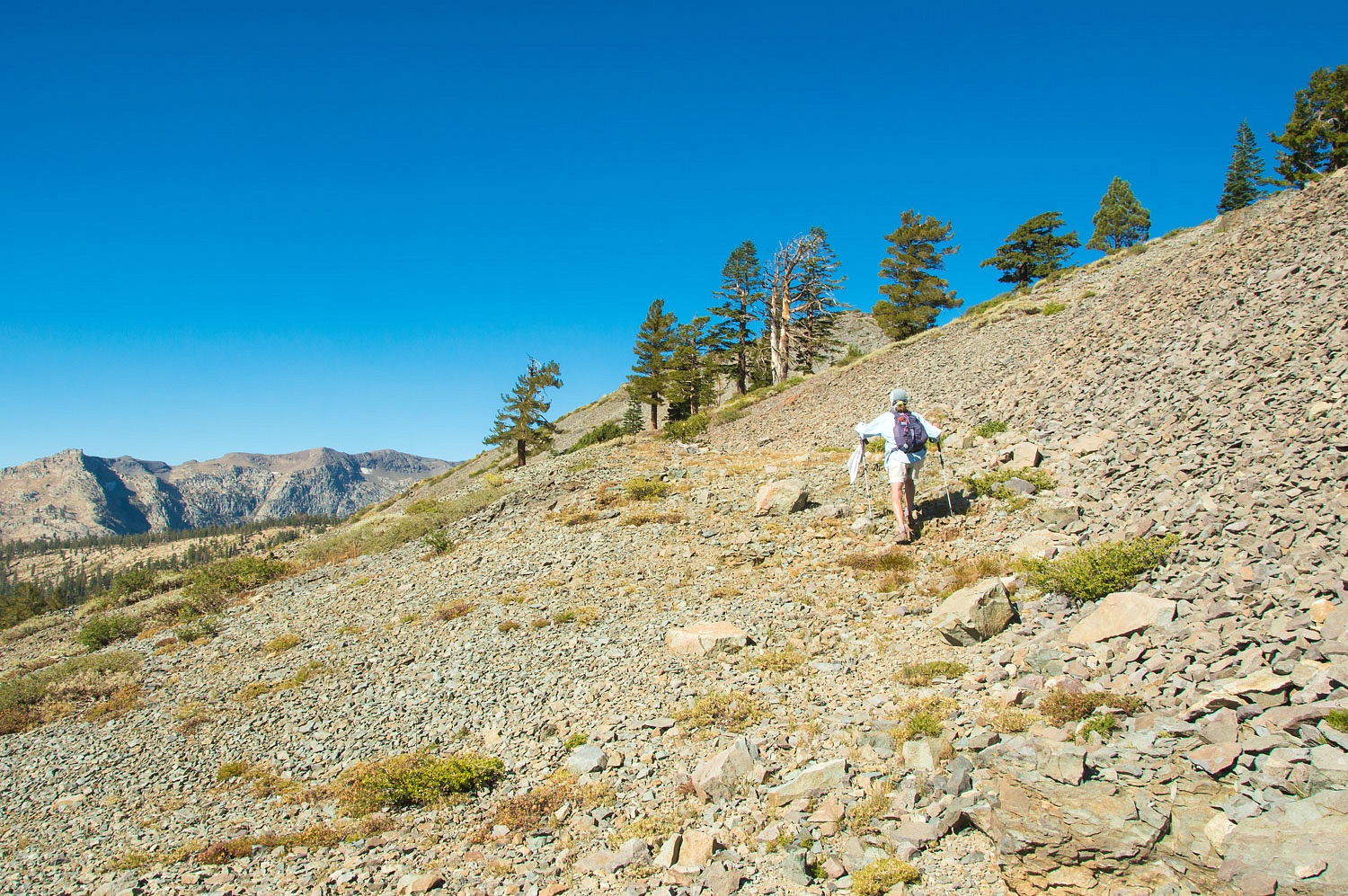
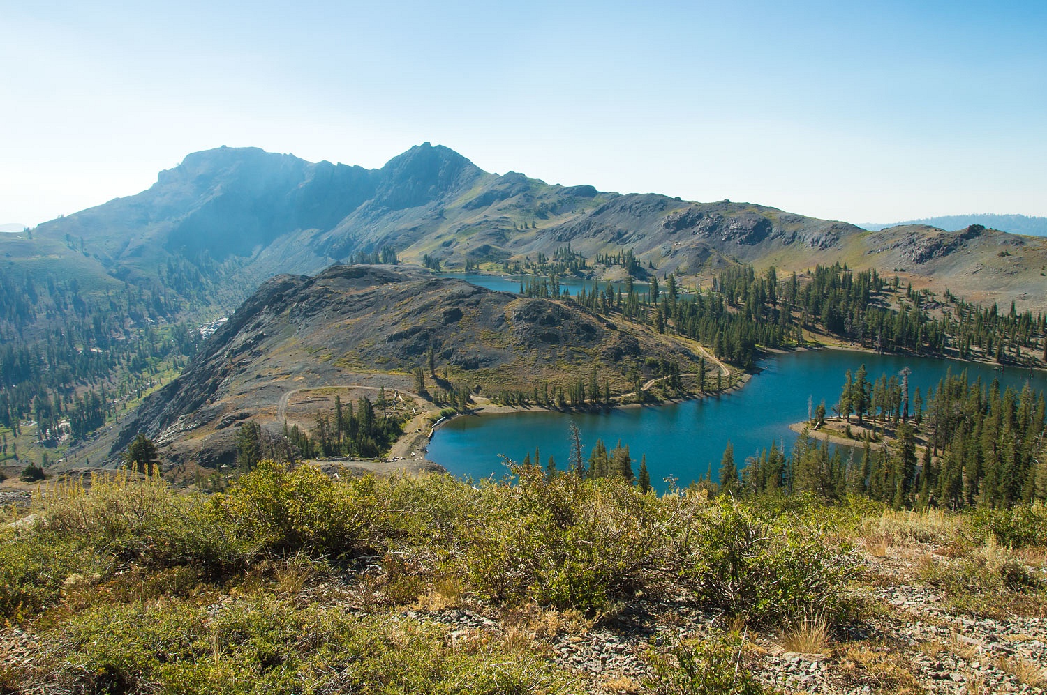
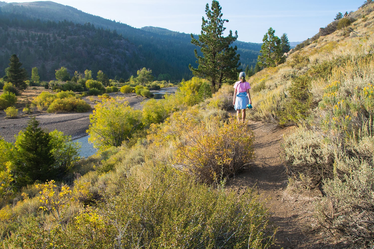
But we did not hang around the campground. We headed up the trail along the edge of Leavitt Meadows and were alone.


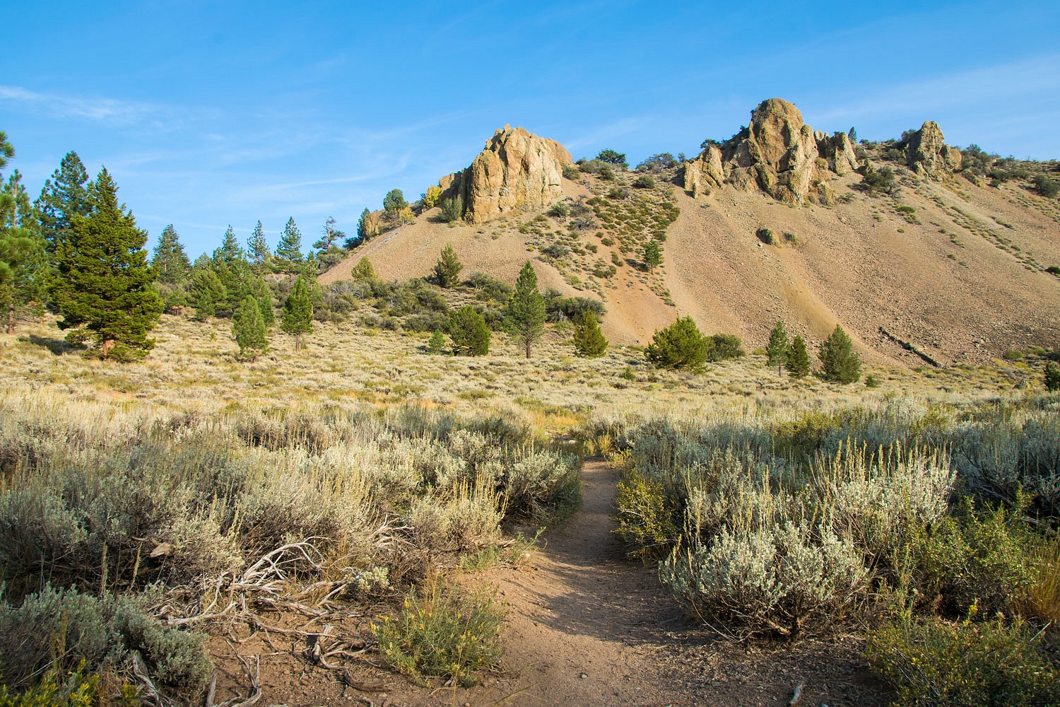
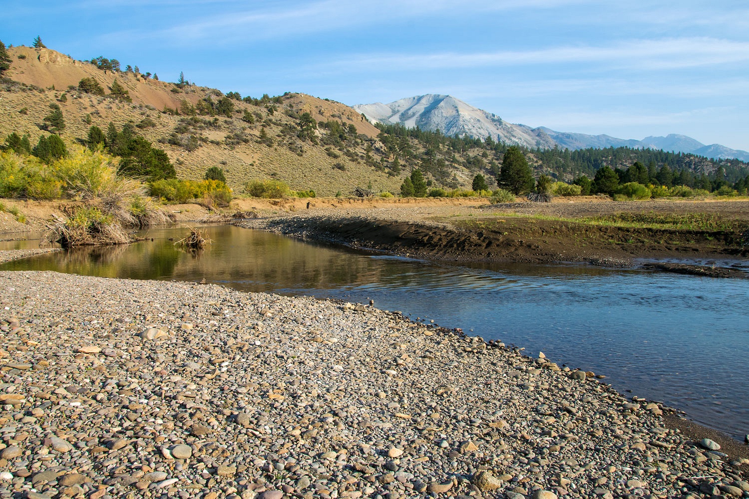
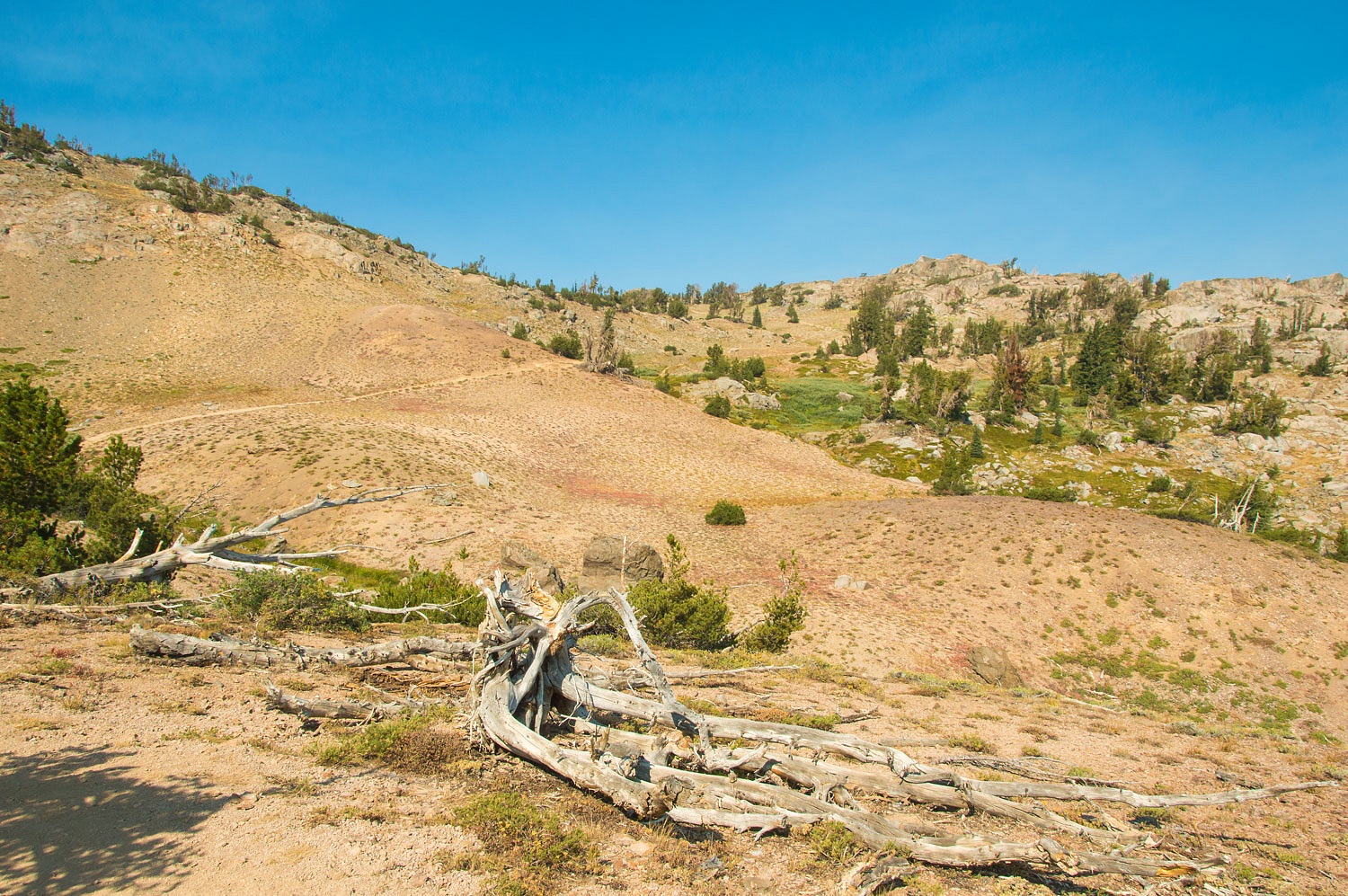
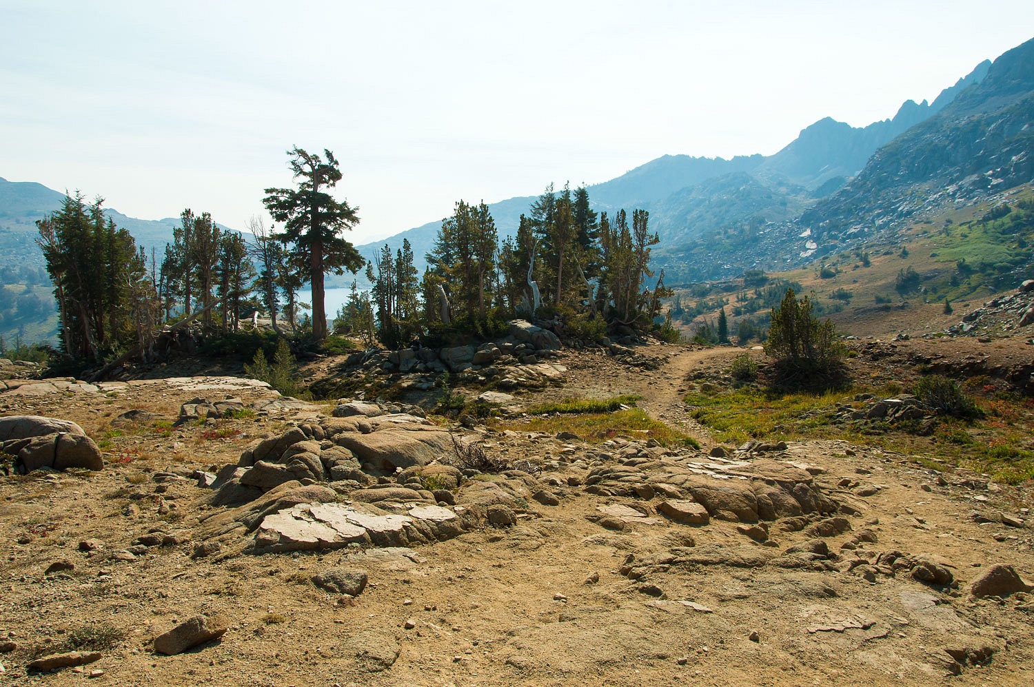
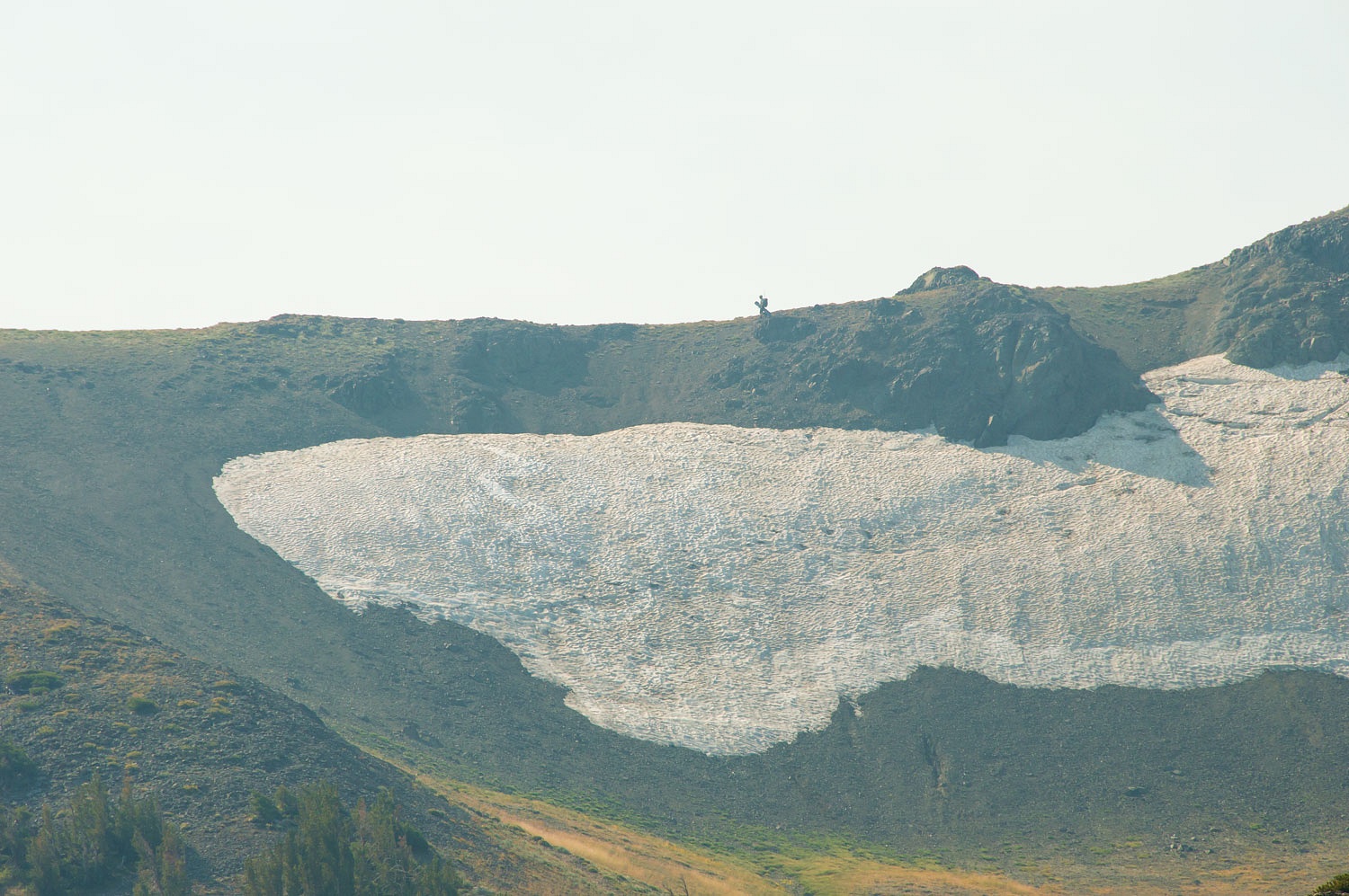
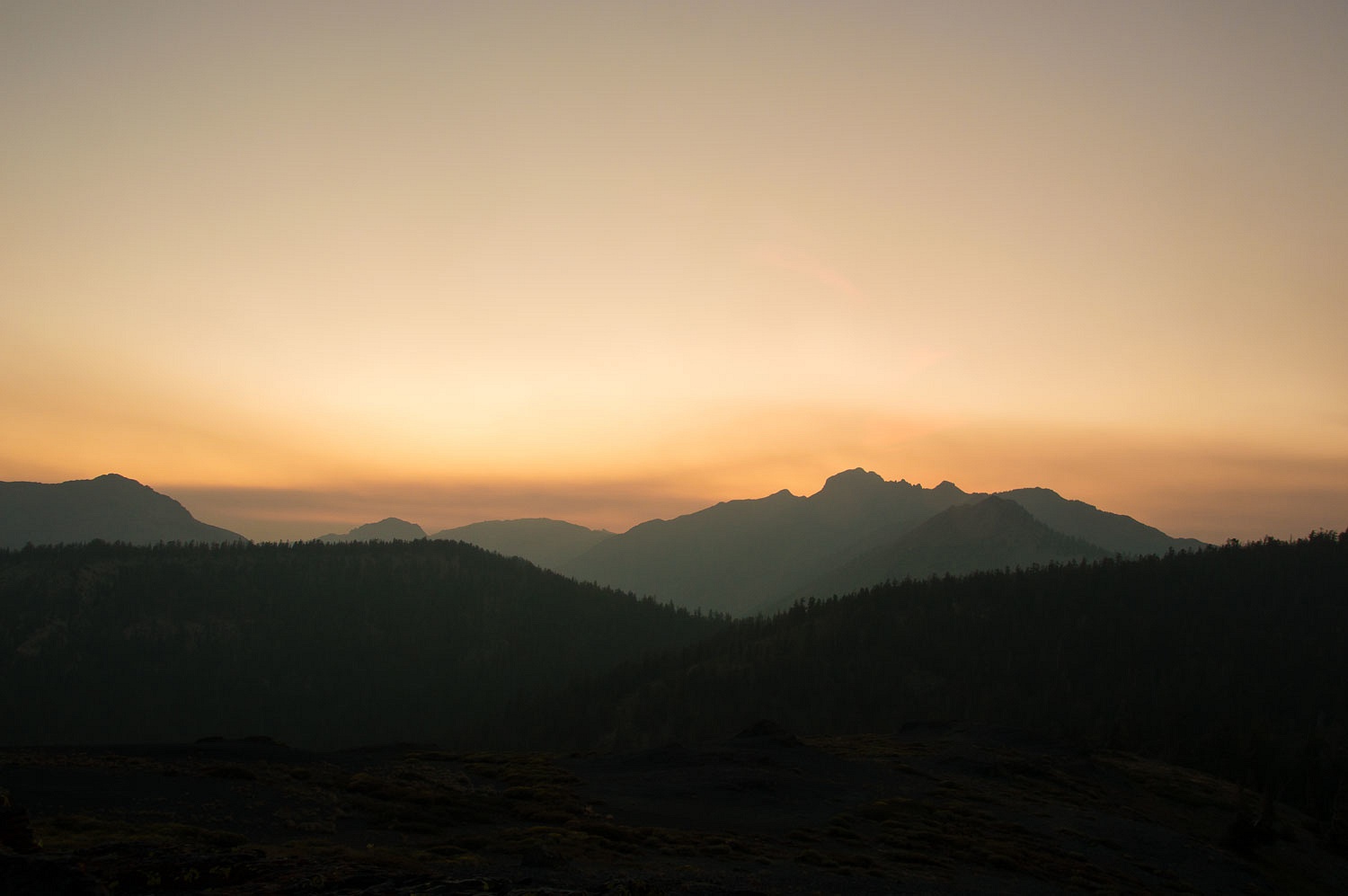
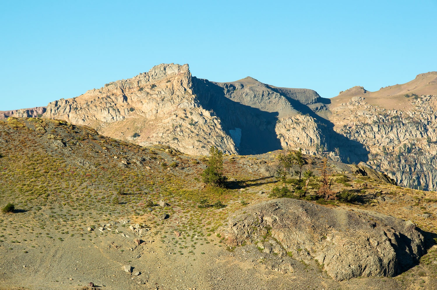
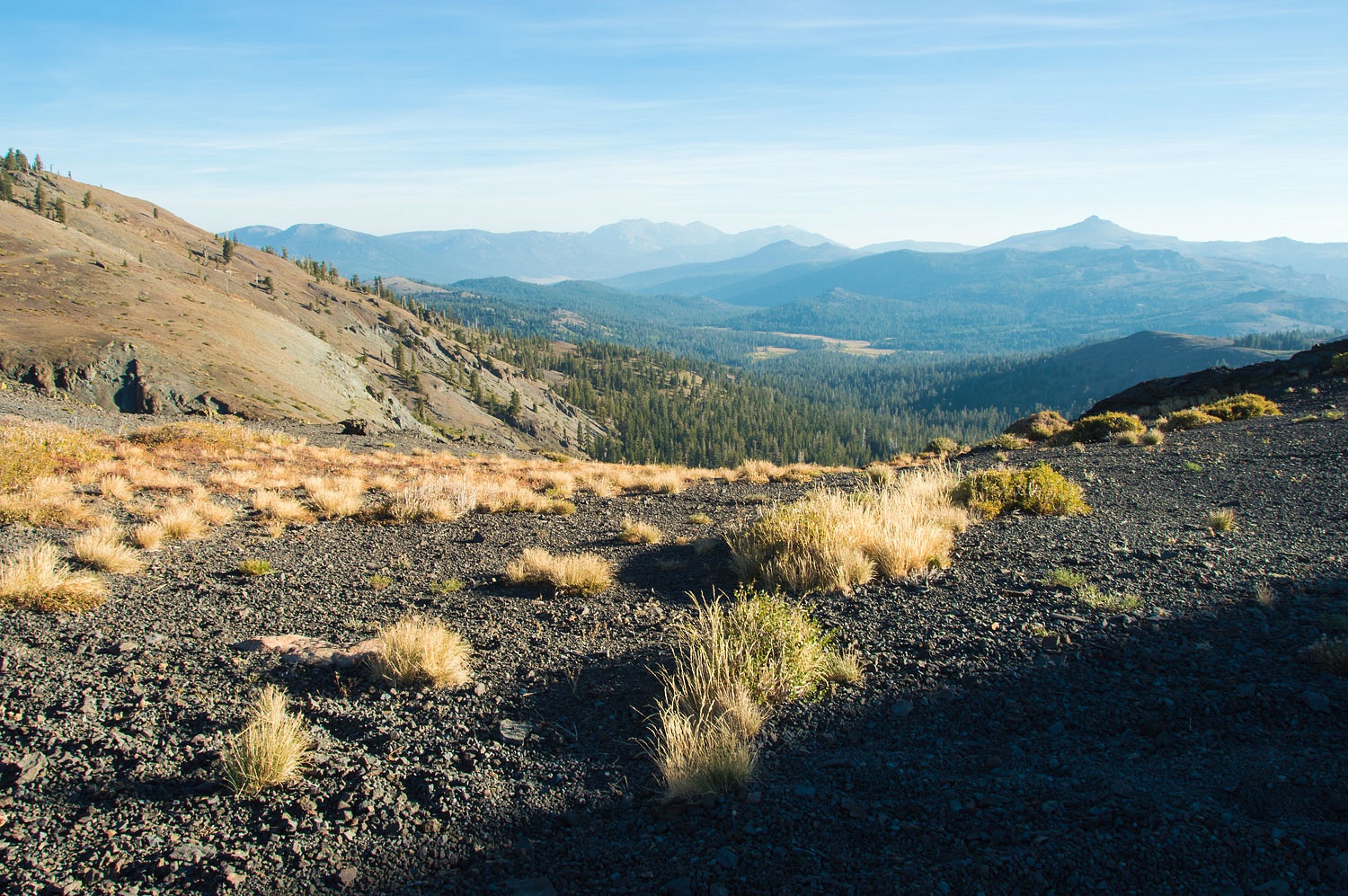
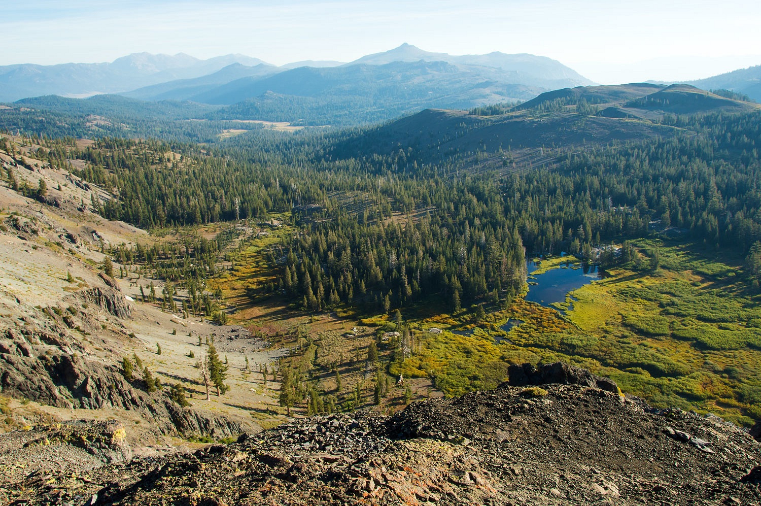
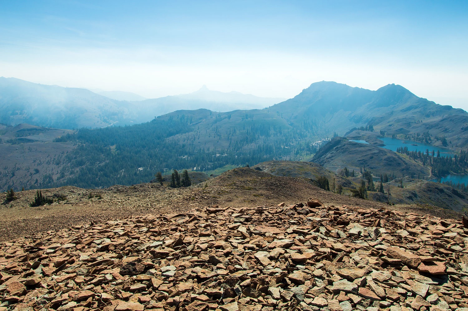
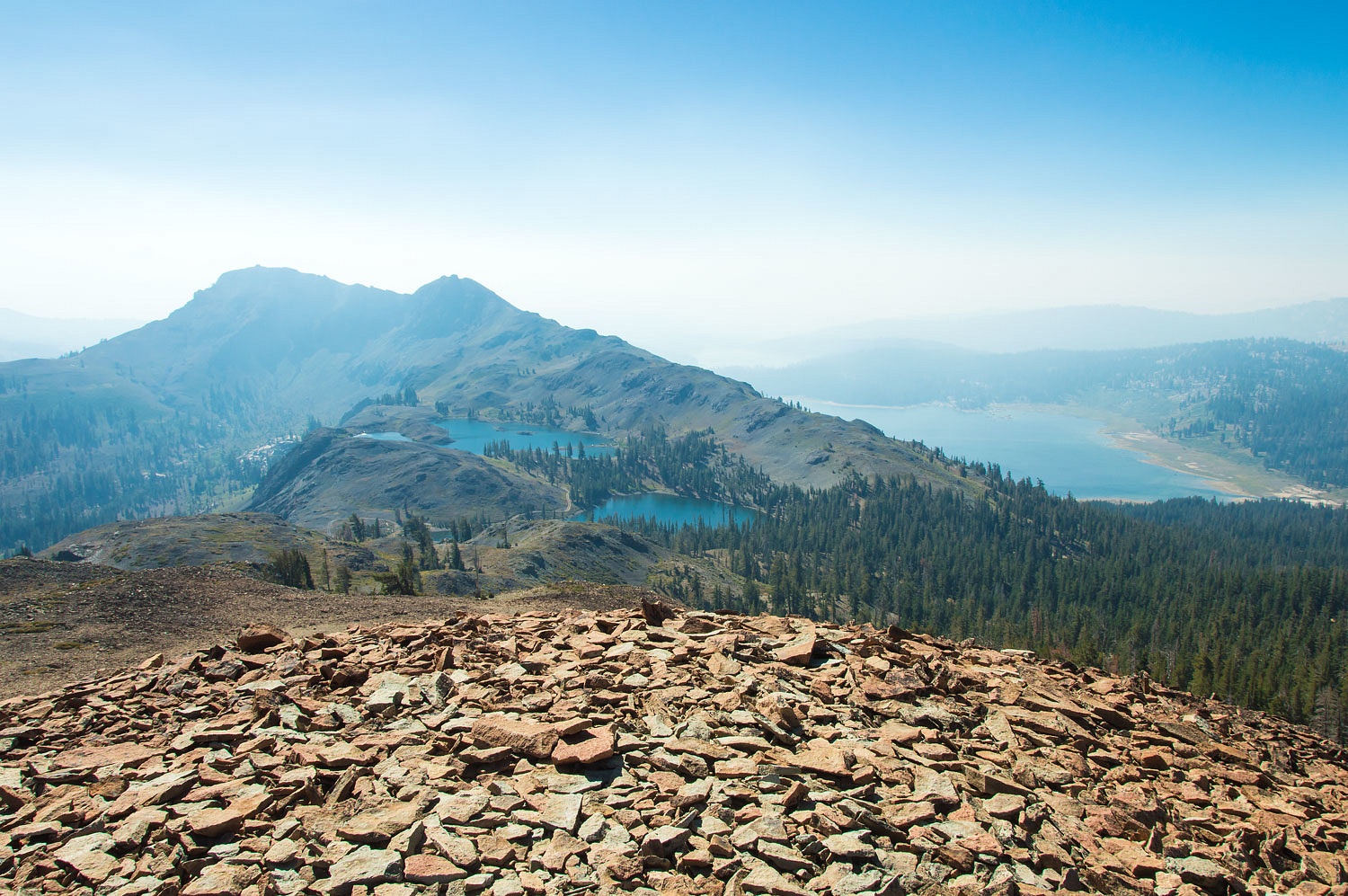
We left the trail and wandered the expanse of the meadows. It was so nice for this break from home and stress from weather and fires. Most remarkable was that the Slink Fire to the immediate north was not producing any smoke spilling over into this area. Smoke from the Creek Fire was putting smoke into the vistas to the south as photos in the morning will show. We climbed back up to the trail and turned back toward camp.


Night is coming early as we enter fall. The air chilled as the sun set. With no roaring campfires, our neighbors would all turn in early with the cold. It would be a quiet night. We still walked in the night as we usually do. It was such a surprise to see a star filled sky again.


We walked up past the pack station. A loud generator kept the lights on. Oakley the dog embarrassed his owner by ignoring every command to stop barking. When you hear a grown man actually begging his dog to please shut up, there is no doubt the dog runs the show. The man was embarrassed. Oakley never shut up. As we turned in the darkness the barking never wavered. Nor did the plaintive, "Please, Oakley, please, Oakley please stop barking."


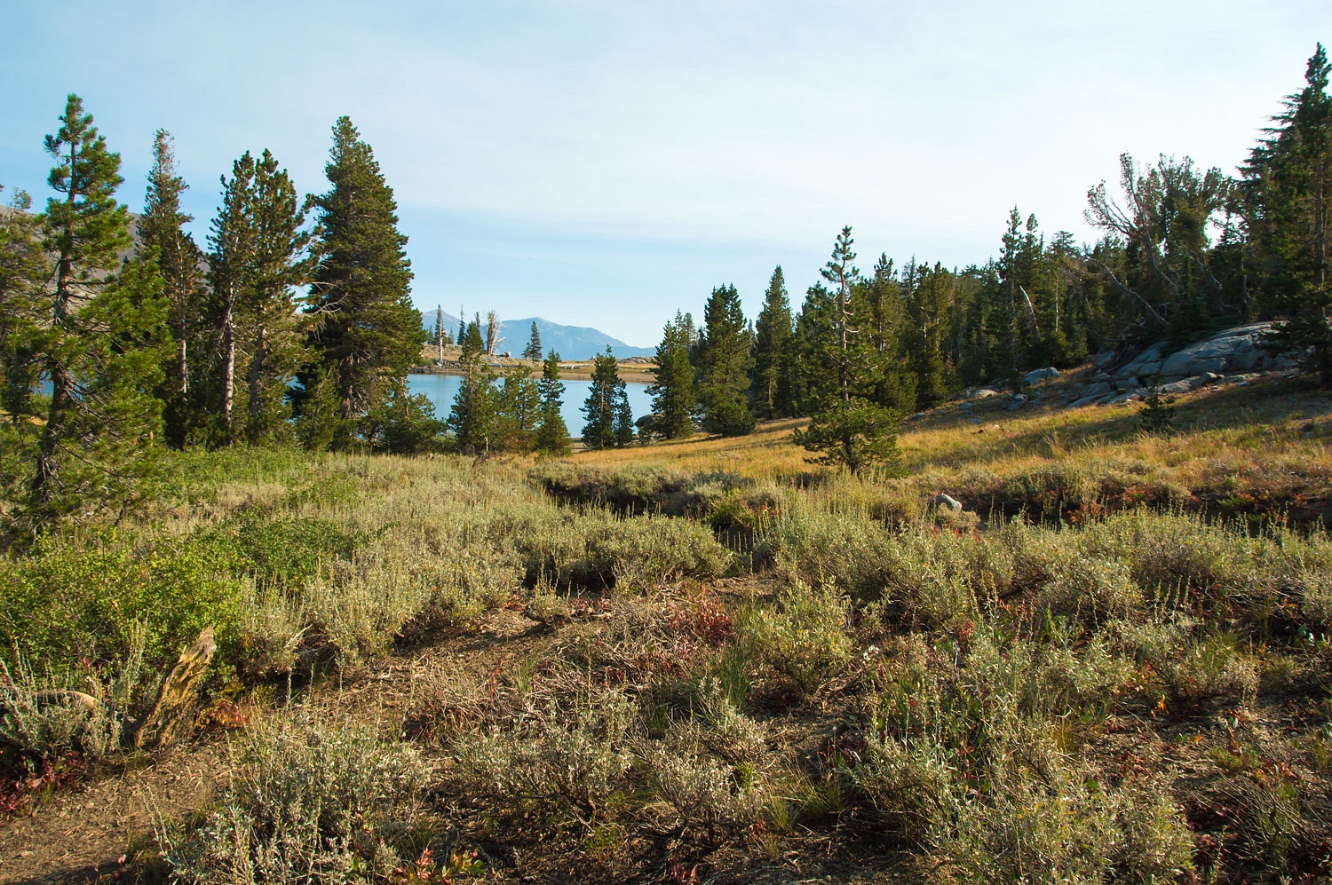
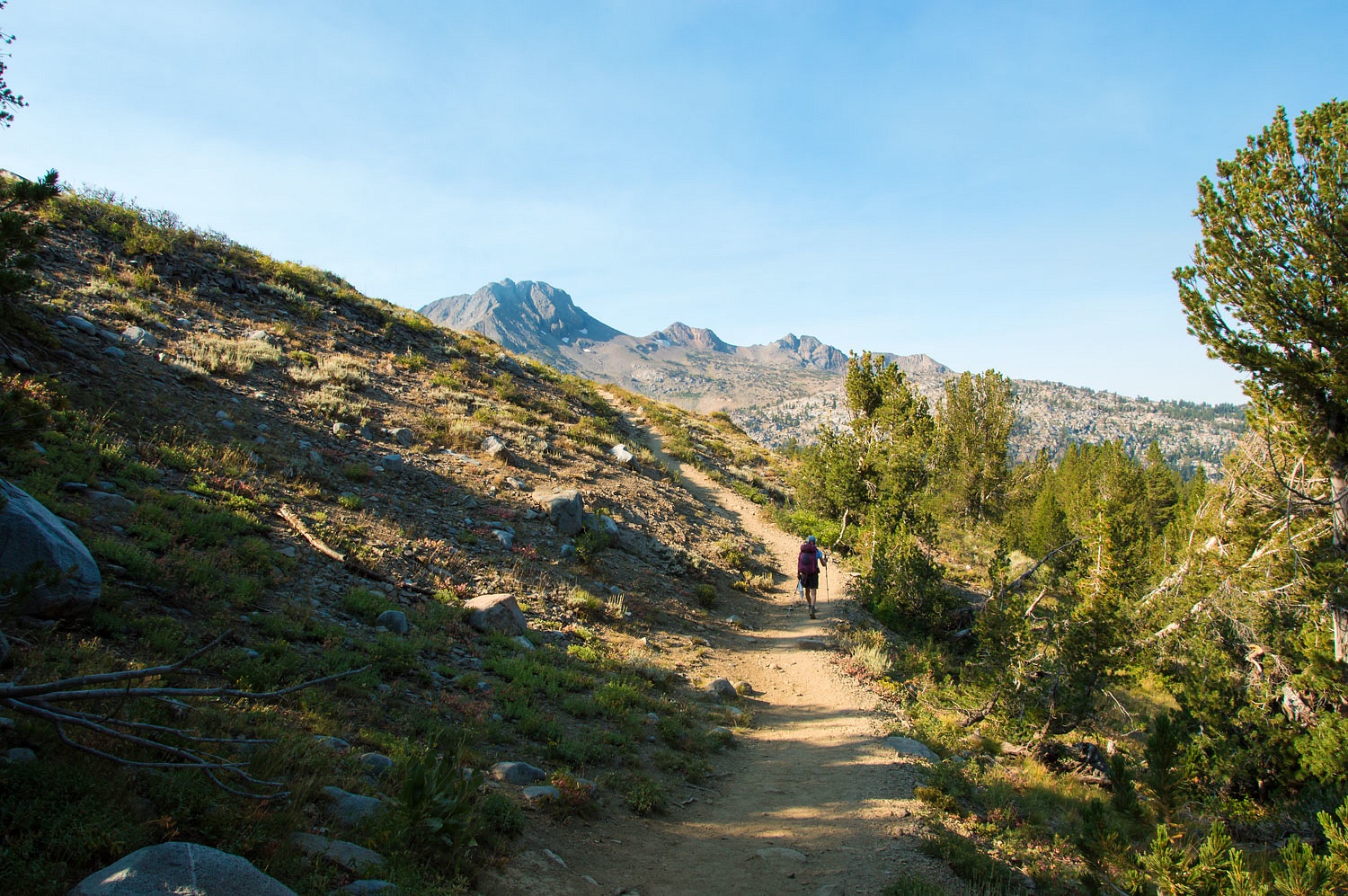
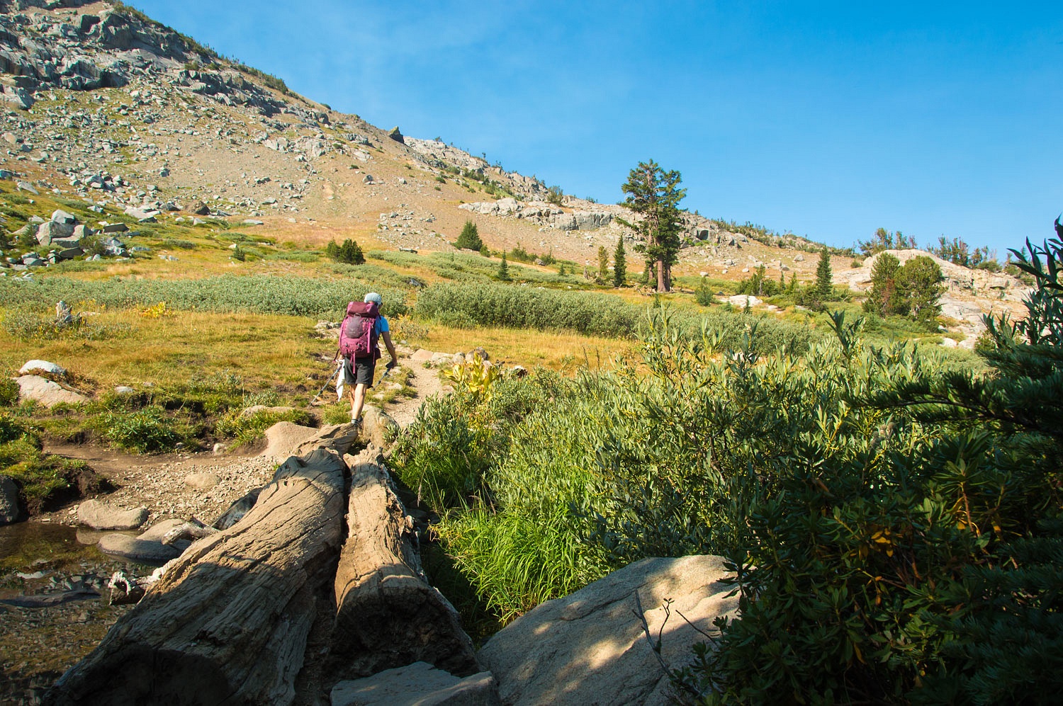
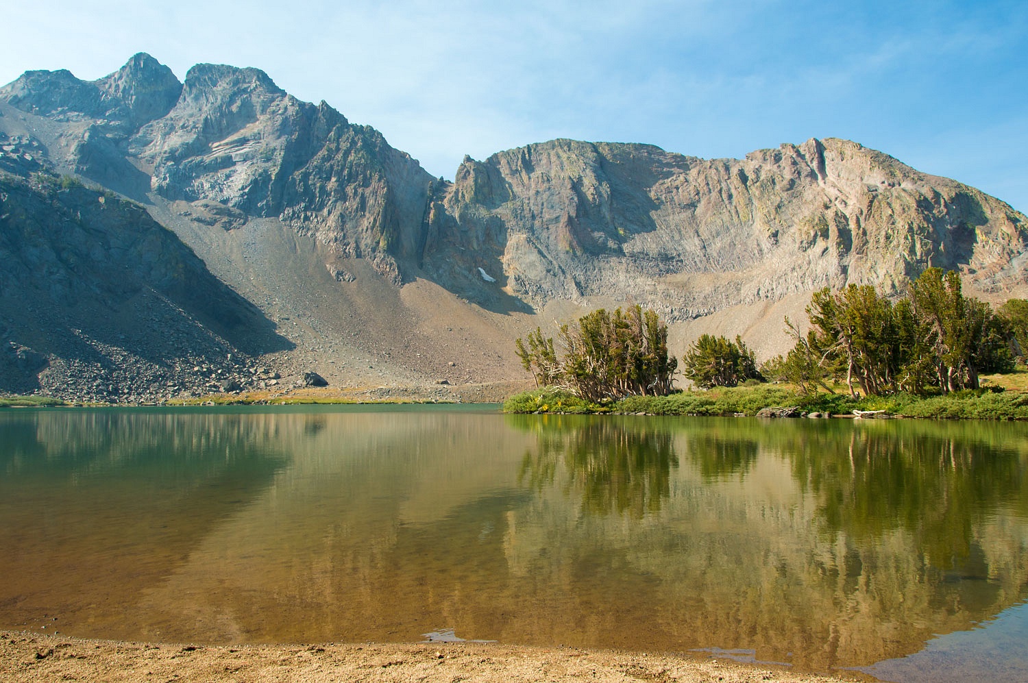
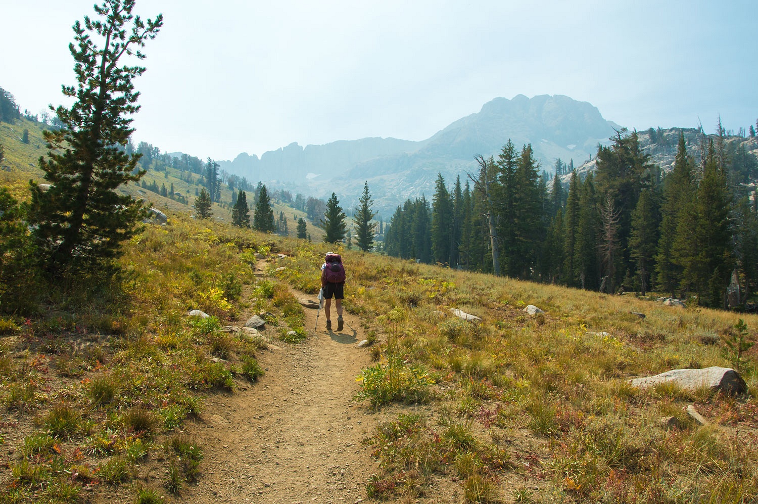
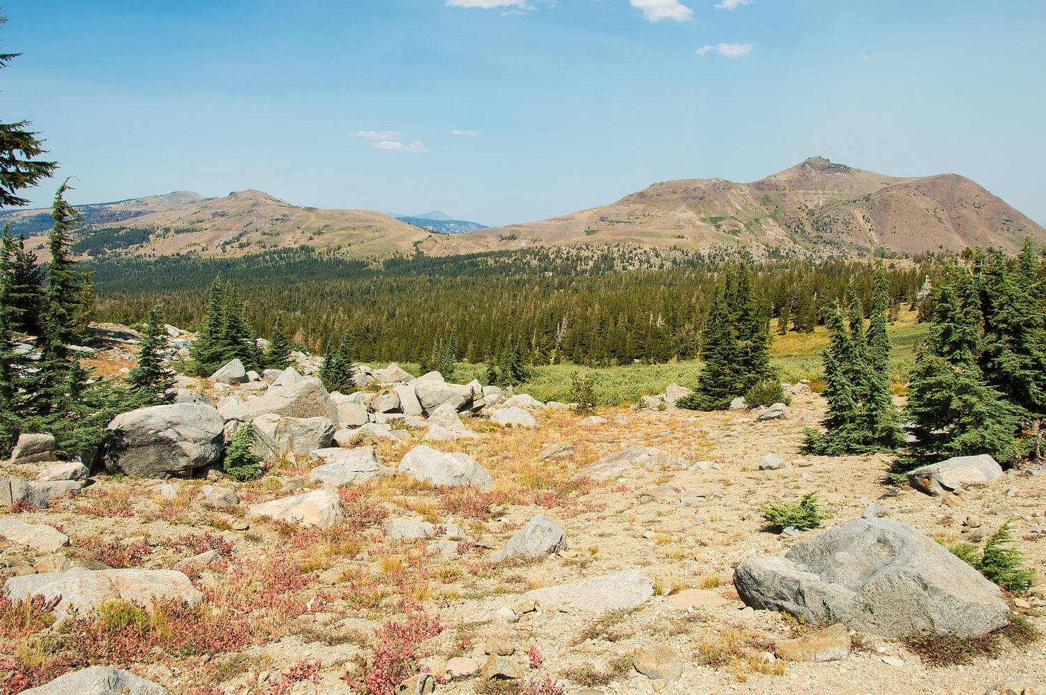
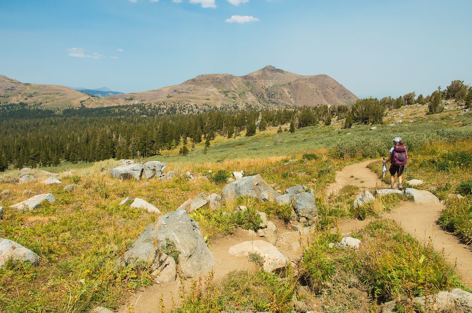
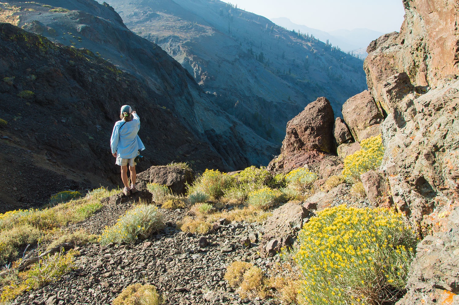
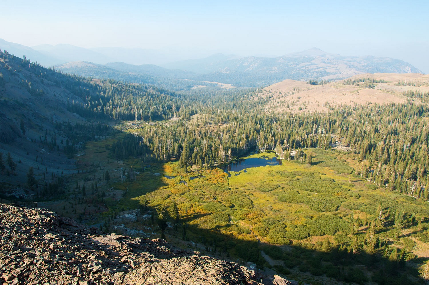
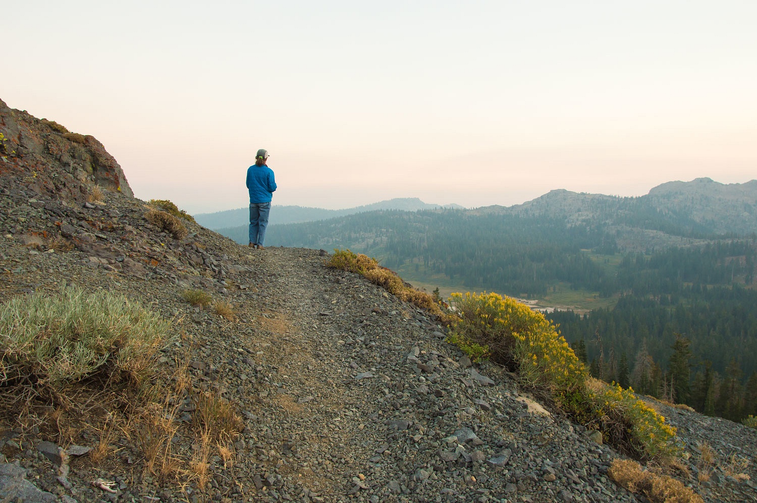
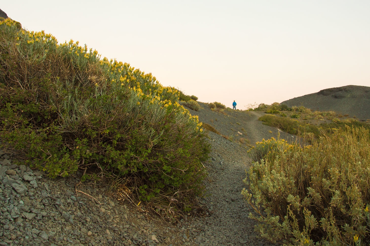
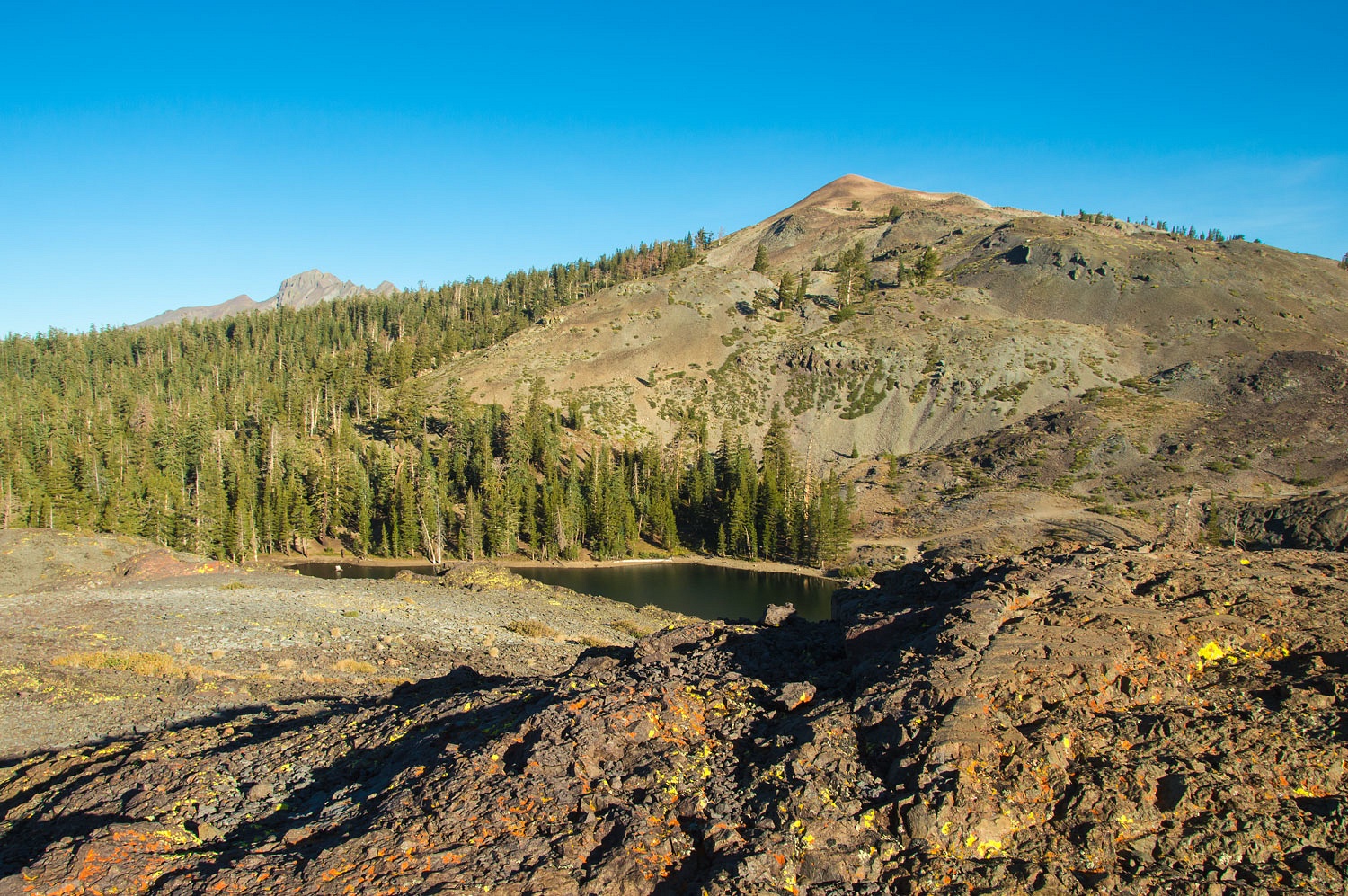
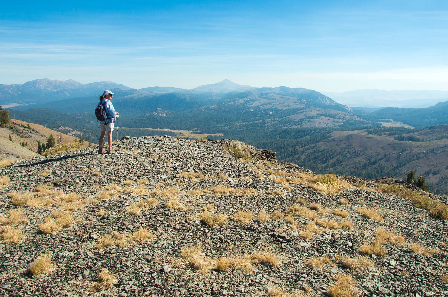
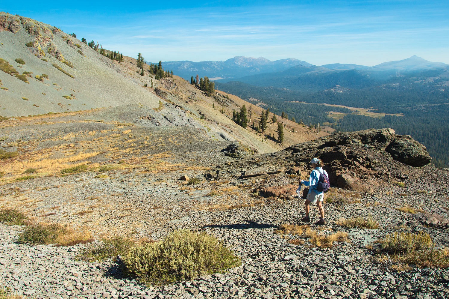
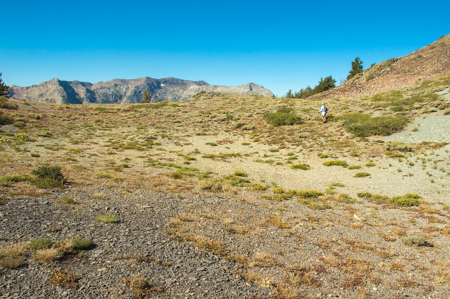
It was 39° when we woke the next morning. Soon the Lady was out of the camper with our two mugs of Peets Coffee. We retraced our walk of the previous afternoon and returned to Leavitt Meadows. Smoke was drifting in from the Creek Fire to the south.


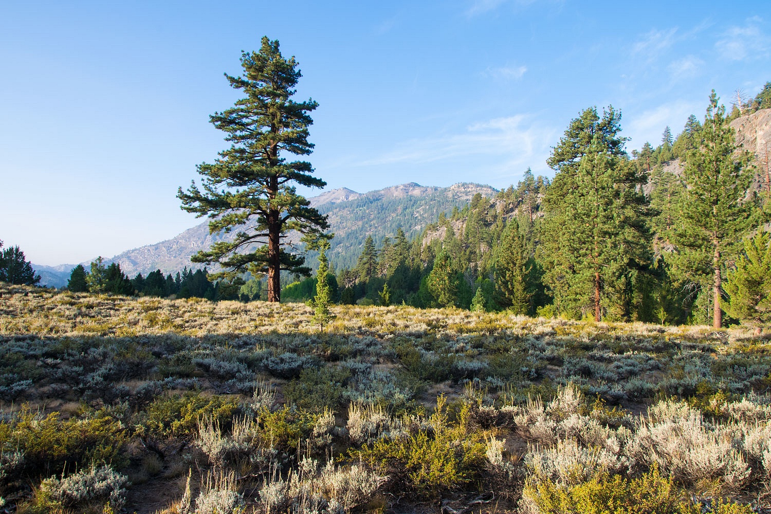
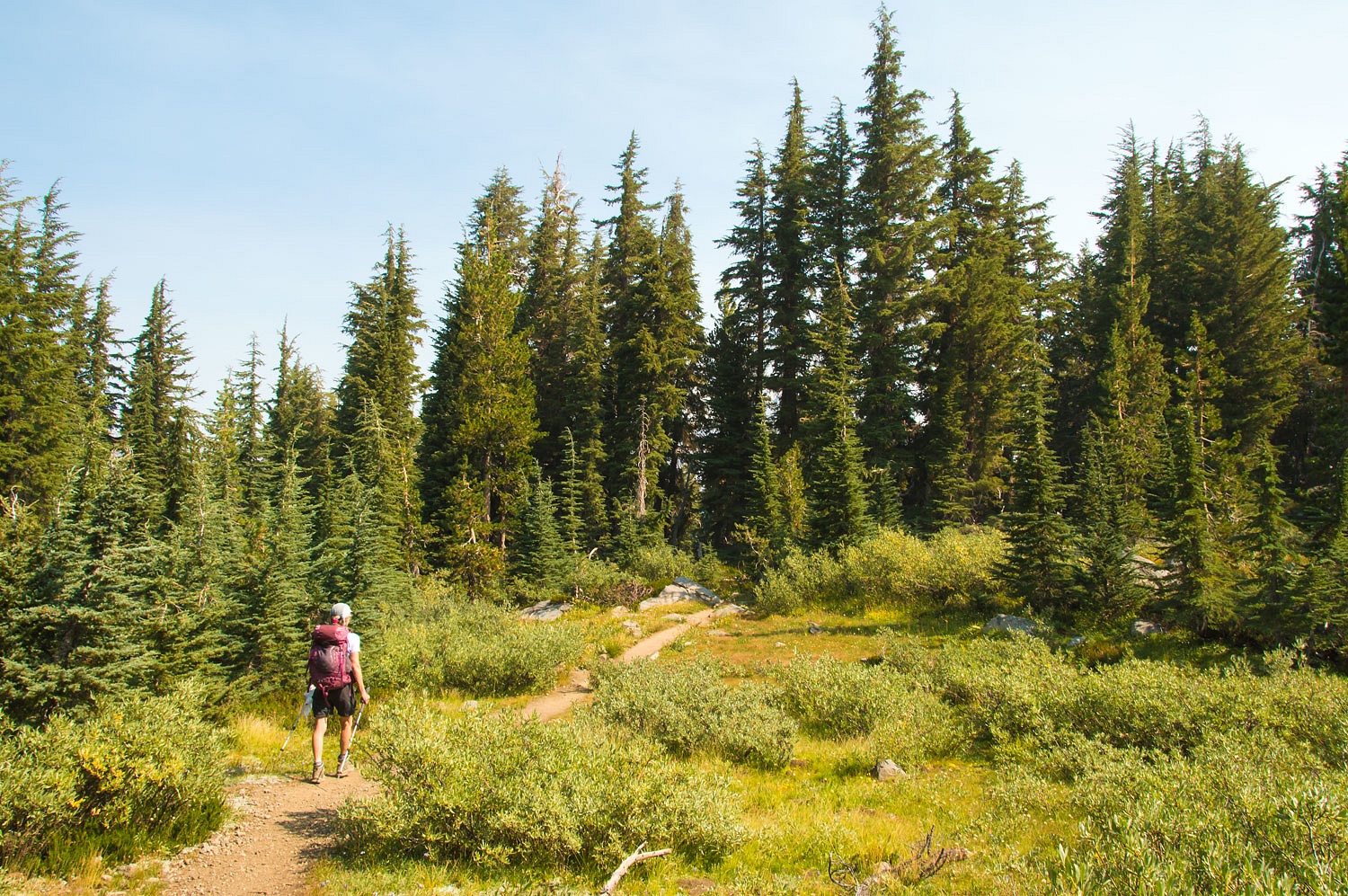
This was a wonderful place to wander in the early morning.


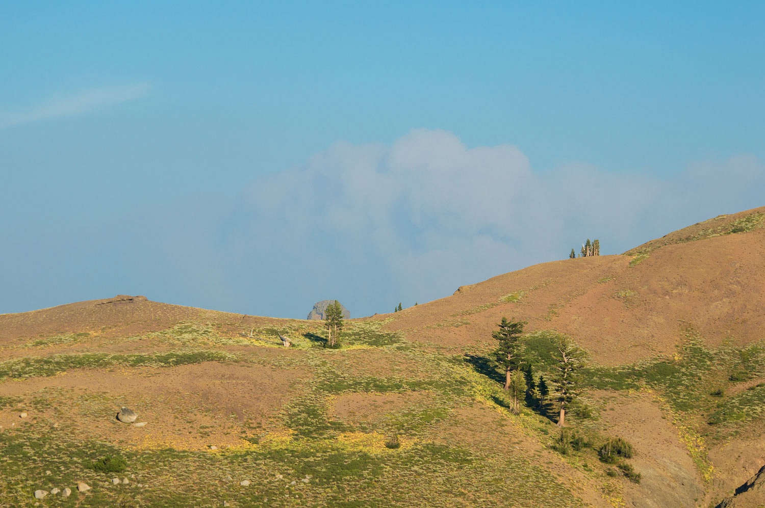
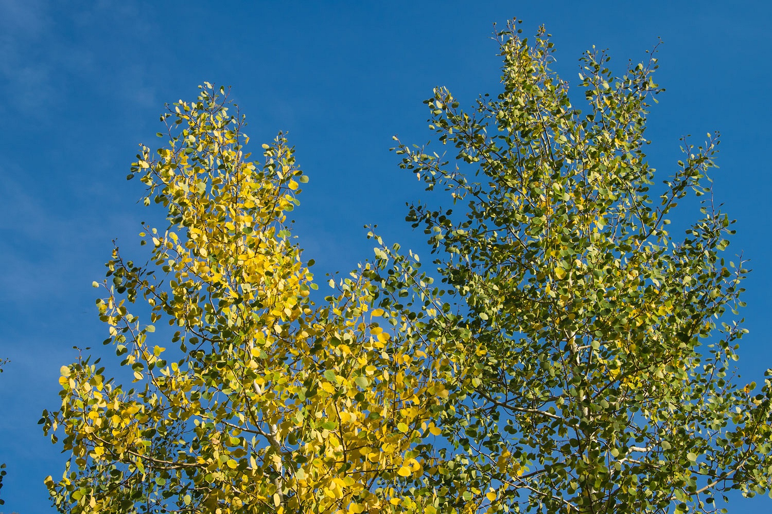
Breakfast was simple back at the camper - goatmeal, fresh peaches from our trees, and granola. The aspen leaves are just beginning to turn yellow and gold.


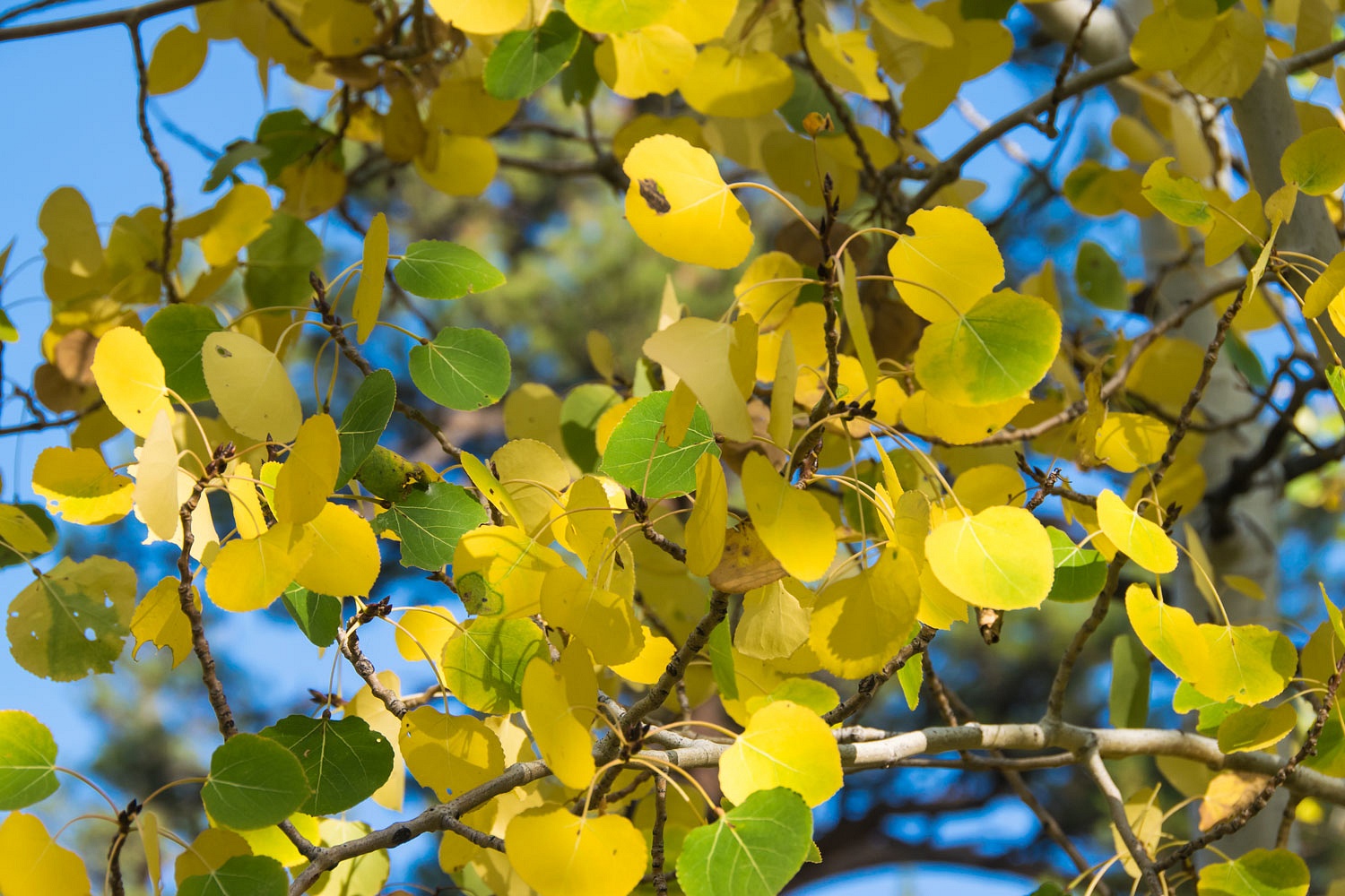
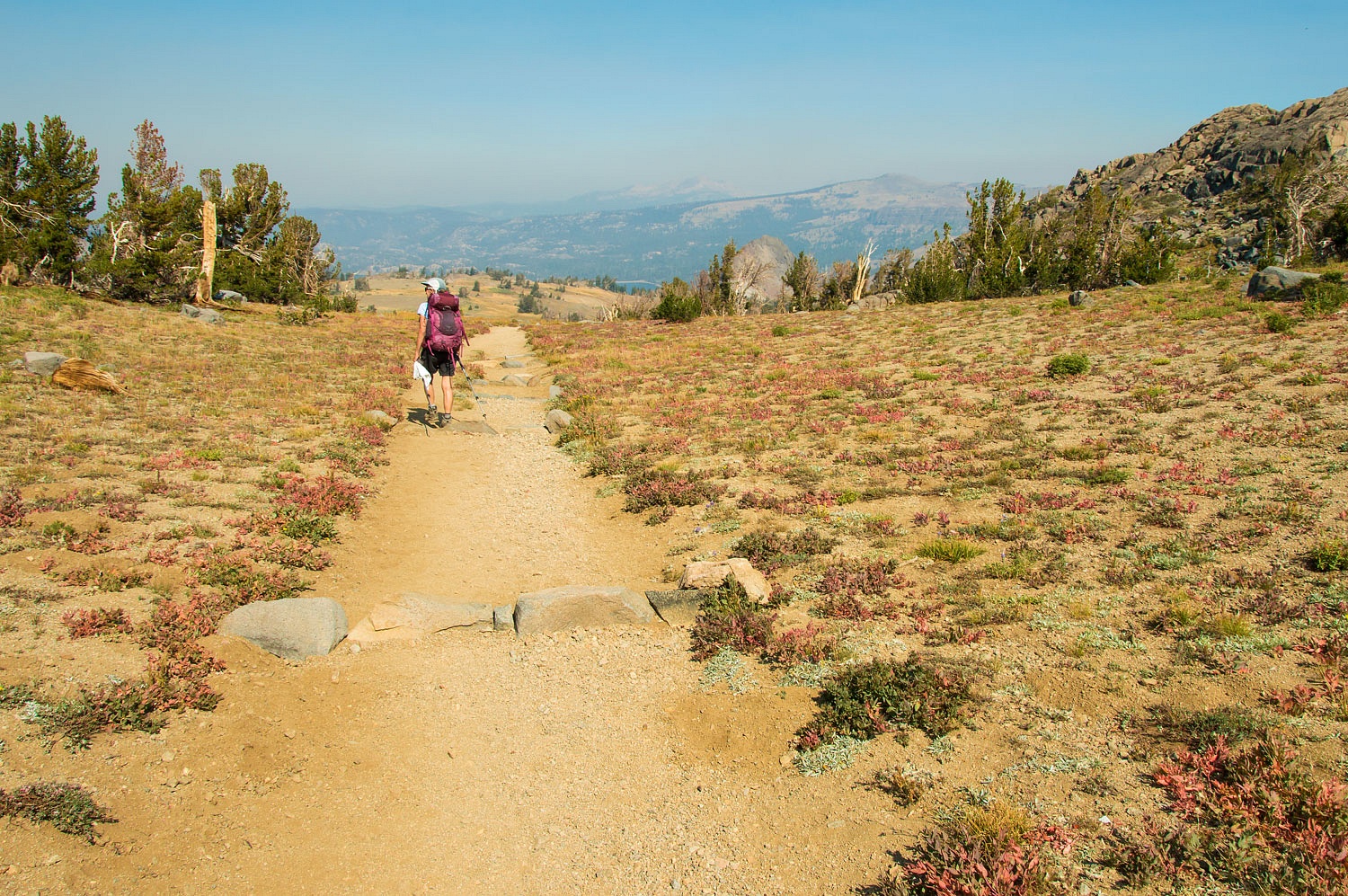
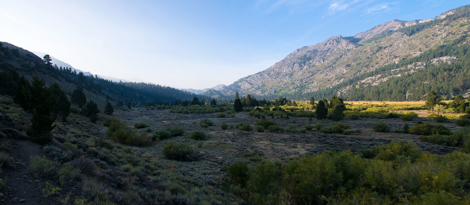
We packed up and turned north at Sonora Junction onto 395. We stopped on Monitor Pass and were pleased with how little smoke the Slink Fire was producing. We returned home through Hope Valley. The aspens there are just beginning to turn.


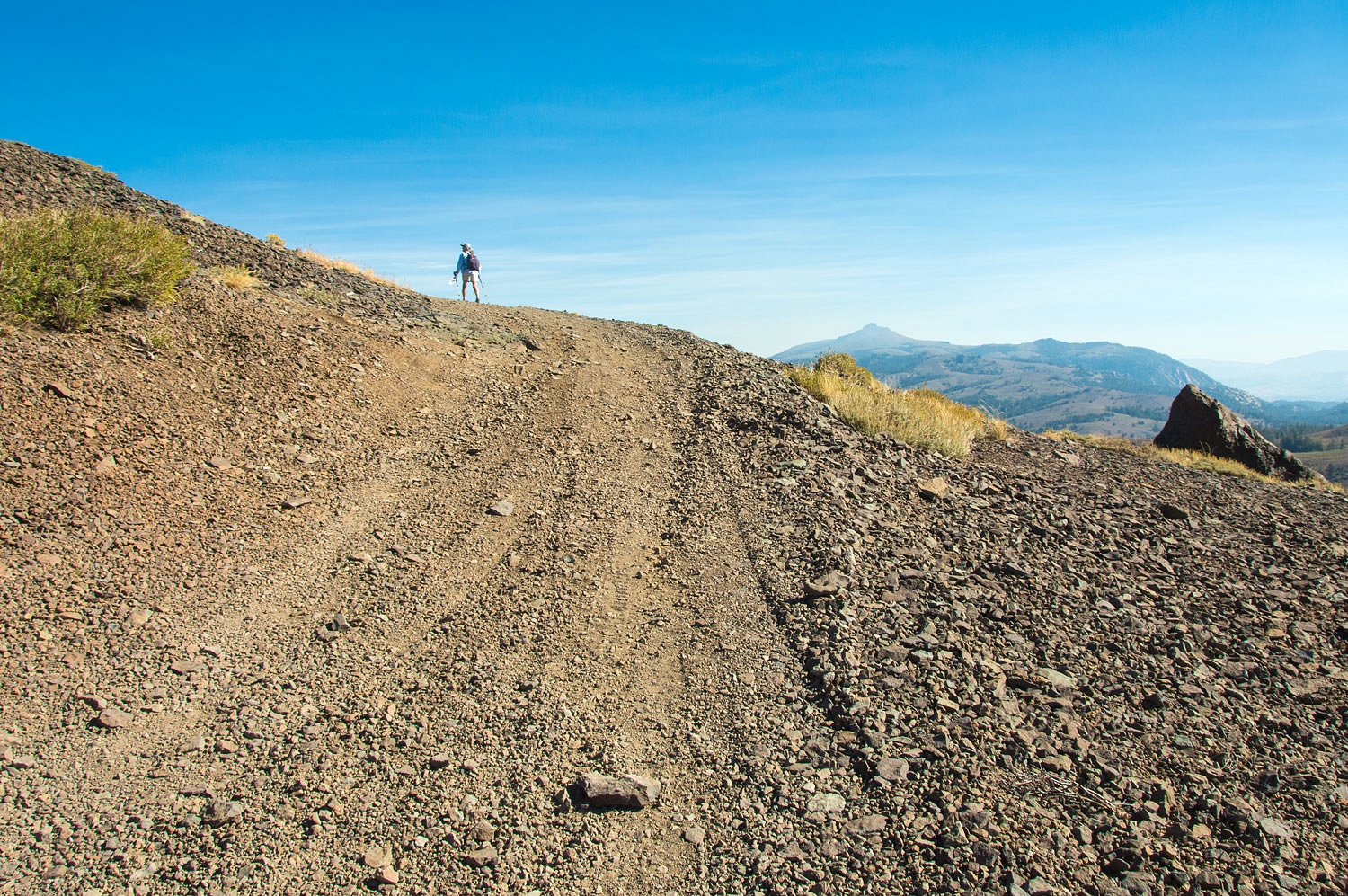
So this is how our idea to "go for a drive" turned out. Yesterday, Saturday the 26th we went for another drive, this time west to east on highway 4 over Ebbetts Pass. The smoke was worse in the Mother Lode foothills but lessened as we climbed in elevation. Saturday was also the opener for rifle deer season. Every turn out was taken, a vehicle parked. Camo with an orange hat was the dress code. We stopped for lunch at the top of Pacific Summit and carried the chairs out to a high granite point overlooking the Mokelumne River. We pointed out so many familiar landmarks - Round Top, The Nipple, Jeff Davis Peak, Reynolds Peak, Markleeville Peak. We were at home.

Tuesday, September 22, 2020

Carson Pass - Mokelumne Wilderness - September 2020


please remember you can click on a photo to see a larger version & highlighted text are links to additional information


 Before All Hell Broke Loose


"Will you go hiking with me today? You should go hiking with me today. I would like that." The Lady asked me this during breakfast early Friday morning before Labor Day Weekend. A heat wave was upon us. Fires raged across California, but it would get much worse. A red flag fire weather warning was going into effect Labor Day evening. PG&E had alerted us our power would go off Monday evening through Wednesday to keep their power lines from starting fires. And the Labor Day Weekend hordes would soon be flowing up the mountain.


"Yes," I answered. "Friday would be a good day for a hike."


We arrived at Carson Pass a bit after 8 am. The large parking lot held only a few other vehicles. Carson Pass over the Sierra crest is named for the mountain man Kit Carson who crossed here with John Fremont in February 1844.


As the monument states, the original tree inscription is now on display at Sutter's Fort in Sacramento. Most historians agree Carson inscribed the tree on a later crossing herding sheep into California hoping to sell at a large profit during the Gold Rush. Easy evidence of this is the inscription was close to the ground, ground most likely deeply covered with snow in February.


We hiked south on the Pacific Crest Trail into the Mokelumne Wilderness. Note: these are my photos used by permission on Sierra Wild's webpage for the Mokelumne.


Round Top Peak is the prominent landmark on the right in the above photo. 


We soon passed by Frog Lake. It sits on the crest.


The Pacific Crest Trail turned to the southeast and drops along the east face of Elephants Back. Both Round Top and Elephants Back were seen in our last trip story - Lost Lakes - August 2020.


We took the right fork and continued on the trail to Winnemucca Lake.


Although the air at this elevation was fairly clear, smoke from the nearby Slink Fire was billowing over the crest and blowing west. Here's a photo to the north.


In the above photo, the peak on the right is Red Lake Peak. Many believe this is the peak John Fremont climbed in February 1844 on his second expedition west and became the first white man to view magnificent Lake Tahoe. His description of Lake Tahoe in his expedition journal doesn't quite match the view afforded by the summit of Red Lake Peak.


We continued on to Winnemucca Lake at the base of Round Top Peak. Smoke was streaming in from the east over Winnemucca.


We did not stop but crossed the outlet and began the climb up to Round Top Lake.


The sky to the west was beautiful and clear.


But smoke was catching up to us from the east and quickly obscured the view back down to Winnemucca Lake.


There is a small pass to cross to reach Round Top Lake.


The lady watched a snowboarder preparing to get his "September turns" on one of the remaining snowfields on the north face between Round Top and The Sisters.


We have skied this slope many times especially when the spring corn snow is at its best. A set of ski tracks is visible down the left side of the snowfield. The Lady spoke with the skier responsible for those turns the previous Wednesday  shortly after he made his "September turns."

The skier happily exclaimed, "I got eight turns in!"

Yes, the Lady hikes up here often.


We took a break at Round Top Lake at the base of The Sisters.


We watched the snowboarder. He got two or three turns in on the hard icy crust. A lot of noise and chatter, but he did earn his "September turns!"


"I want to do my circle at Carson," the Lady answered earlier during breakfast when I asked. "Hike where?"


"My circle" requires turning north and dropping down to Woods Lake on the Lost Cabin Mine Trail. So we turned north.


The ruins of an old mining operation - Lost Cabin Mine - sits on top the ridge to the west of Woods Lake. Relics remain.


We started backcountry skiing at Carson Pass 38 years ago. One of our favorite lunch spots was sitting in the sun against the walls of what we called the lost cabin. The old cabin finally collapsed about 20 years ago.


The final drop to Woods Lake is steep.


We left Woods Lake and hiked up the canyon to return to Winnemucca Lake. It was hot and smoke had settled into the folds of the terrain.


We earned a nice break at smoky Winnemucca Lake.


The afternoon updraft winds from the hot Sacramento Valley - warm air rises - were taking over and pushing the smoke back over the crest. The skies were clearing somewhat overhead.


We headed back to the trailhead at Carson.


The dark peak in the center distance in the photo above is Mount Tallac, a prominent peak on the west shore of Lake Tahoe.


Carson Pass is a well used and popular area year round. The backcountry skiing is incredible, especially if you enjoy hard wind slab. Mokelumne Wilderness is one of our local jewels.


We arrived back at the trailhead at 1:30 in the afternoon. An early time so to beat the beginning wave of holiday weekend traffic. The hike is around 10 miles. It had been a wonderful day hiking the Lady's "my circle" although it is more like a lollipop. I hope the Lady will ask me again :)


Labor Day Weekend was horribly hot. It ended with a front moving through to the north that brought violent east winds - the red flag fire weather warning - from Oregon south into California. The destruction from all the fires is mind boggling and heartbreaking. A few small fires broke out near our home but have been contained. One was arson set. During the Public Safety Power Shutoff, a nearby house burned due to an accident with a generator. Quick action saved our area. The smoke visible in the photos above are nothing compared to the smoke and hazardous air quality that descended on all of us after Labor Day.

Wednesday, September 16, 2020

Lost Lakes - August 2020


 please remember you can click on a photo to see a larger version & highlighted text are links to additional information


Home Maintenance


The young man arrived right on time early Monday morning to seal both of our asphalt driveways.

"How long before we can drive on them?" the Lady asked.

"Give them at least 24 hours." He answered.

"I'll move the truck up to the neighbors," I told the Lady. "We'll spend tonight out somewhere."


The young man was finished with the project mid afternoon. Both gates were closed and we were on our way.

"Where shall we go? the Lady asked.

"I've got an idea. A high spot we can try. Maybe we can get above the smoke."


The 4x4 road was rougher than we remembered but was no problem. We drove the spur road down to the lower reservoir and found a spot near the small dam that created this impoundment.


It was four in the afternoon and this was our view from camp.


Lost Lakes sit on the Great Basin side of the Pacific Crest. We wandered the area before dinner. A deer was out in a meadow pond below us.


This large meadow area is part of the headwaters of the West Fork Carson River. The two small reservoirs that are called Lost Lakes, were built by downstream ranchers in the Carson Valley.


We circled the upper reservoir.


The eastern rim of this basin includes a precipitous drop to the headwater meadows below.


Smoke from all the wildfires hung in the drainages below us.


The Slink fire, burning in the Carson Iceberg Wilderness to the southeast started the previous Saturday. The smoke plume boiled up in the few minutes we were able to view it from a high point.


We returned to our small campsite for dinner. We were able to shoehorn the truck and camper into the lodgepoles and raise the downhill side by driving up on rocks to level. It made a cozy camp.


The Pacific Crest Trail runs along the ridge to the west of Lost Lakes. Two Pacific Crest backpackers were camped at Lost Lakes this evening - the only neighbors. This is a popular spot along the PCT before continuing north to Carson Pass. 


We walked south on the Pacific Crest Trail for our evening walk. Smoke filled the valleys around Blue Lakes, Pacific Gas & Electric hydroelectric reservoirs.


We left the trail and climbed to a high point to take in the views as night came along with the rising near full moon.


Here's upper and lower Lost Lakes.


The smoke was also thick to the west. The peak on the right is Round Top, the highest peak in the Eldorado National Forest. Round Top will come up again in our next blog post.


We woke to very pleasant temperatures in the mid fifties the next morning. The air was still and delightfully clear as the night time down slope winds had settled the smoke into the basins.


No surprise, the Lady insisted we climb a few high spots with our morning mugs of coffee. The views were wonderful.


And, she decided the peak on the right, below, was the destination for a quick hike after breakfast.


The smoke had cleared a bit from the Carson Valley below us.


The three peaks in the center of the photo above are Freel, Jobs Sister, and Jobs - The Tahoe Trifecta.


We wandered back to camp for breakfast.


A short illegal hill climb used by vehicles (not a legal system road) starts up the ridge to the north. It does not go far.


The Lady led the way up.


A hop, skip, and a jump and we were on the summit of point 9374.


Round Top is on the left, above, and Elephants Back is to the right. Fremont's second expedition camped near the base of Elephants Back in February 1844 before crossing what is now called Carson Pass on the way into California. The Pacific Crest Trail parallels Forestdale Divide Road in this area as it heads to Carson Pass.


Here's a view to the west down Summit City Canyon on its way to join with the Mokelumne River.


Smoke from the Slink Fire quickly flowed in from the south almost obscuring the Pacific Crest ridge. The high point on the right (on the end of the ridge) is The Nipple.


Luckily we were just above the smoke.


This was just a quick overnight to allow the asphalt seal job to dry - home maintenance. It was a pretty darn nice place to hole up for a night.