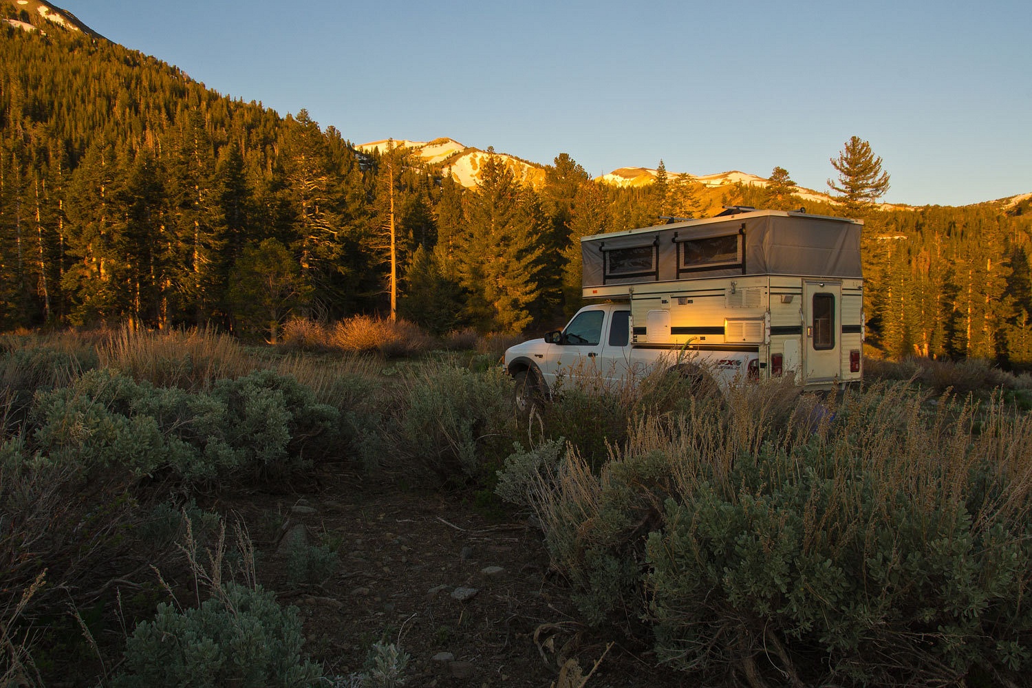
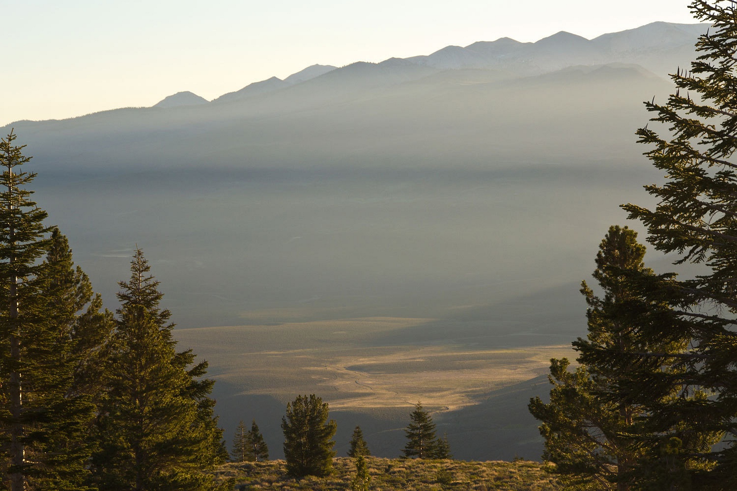
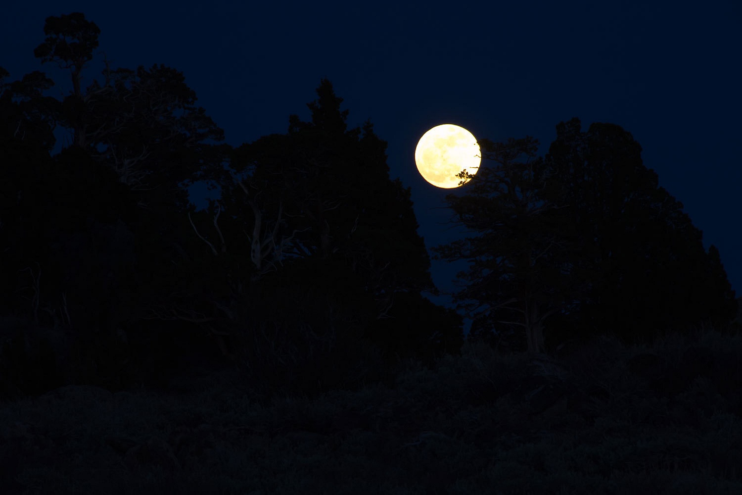
please remember you can click on a photo to see a larger version
“Do you think we will be able to get back out this road with this rain?” The Lady’s sleepy voice asked.
The rain had
started around midnight, near as I could tell. The drumming of the raindrops on
the camper roof just above our heads would almost wake us but then the hypnotic
rhythm would push us deeper into slumber. It wasn’t until a harder squall
brought the Lady back to consciousness with the memory of the long dirt road we
had driven into this remote spot in the middle of Nevada; the kind of road that
could turn to gumbo.
I listened
to the steady downpour. Not much we could do in the night, not after this much
rain. I thought better about my usual response, “We’re going to find out.” That
wouldn’t help with a restful sleep the remainder of the night.
“We’ll get
out. No problem. There are no grades. It’s mostly flat, even if it’s slime, no
problem.” I worked at sounding reassuring. Her relaxed breathing comforted me
as she settled back against me into a deep sleep. I hoped I was right.
We had
checked the weather, again, before taking off late Friday afternoon for the
Memorial Day weekend. There was a chance of storms Friday night into Saturday for
Nevada. Early Friday evening got us to Fallon and a fill up of the gas tank. We also
grabbed some dinner at a Mexican place just off of Maine Street. The special, a 20 ounce
lobster dinner for $29.99 seemed a little out of place in the Carson Sink. We
went with more standard combination plates. Not bad eats. We continued east on
highway 50 as darkness started to come and we pulled off on the dirt track to
find a secluded spot for the night.
I was right,
no problem the next morning. We were back on 50 a little before seven and
headed east toward Austin and a meet up with a new friend. The outside
temperature was 41°. Our elevation was just above 4000 feet. That would put
snow level around 6000 to 6500 feet. The storm air mass to the east turned out to be colder.
The snow started at Drumm Summit and seriously started sticking to the pavement
as we starting climbing to New Pass Summit. We were cutting first tracks to the
east and the big semi on our tail was holding back, taking advantage of the opportunity to
follow. It was still snowing across the Reese River Valley but the road
cleared. The semi pulled around us and passed. 50 miles an hour was too slow.
He was going to make up some time when he could.
The
recognizable rig was outside the café in the International Hotel in Austin. We
had corresponded with the owner but had not yet met in person. Friends had
vouched for him, told us he was a decent fellow, a good guy. We walked through the falling
snow and the slush on the boardwalk and entered. We found him at the counter with
his breakfast of French toast. It was DirtyDog. We were heading for Ophir.

Highway 50
over Austin Summit and the Toiyabe Range was fairly clear of snow and easy
going. We turned south down the Big Smokey Valley and found ourselves back into
the storm. Snow was sticking on the valley floor. After turning up Ophir Canyon
Road, we stopped at the cemetery at foot of the mountains.
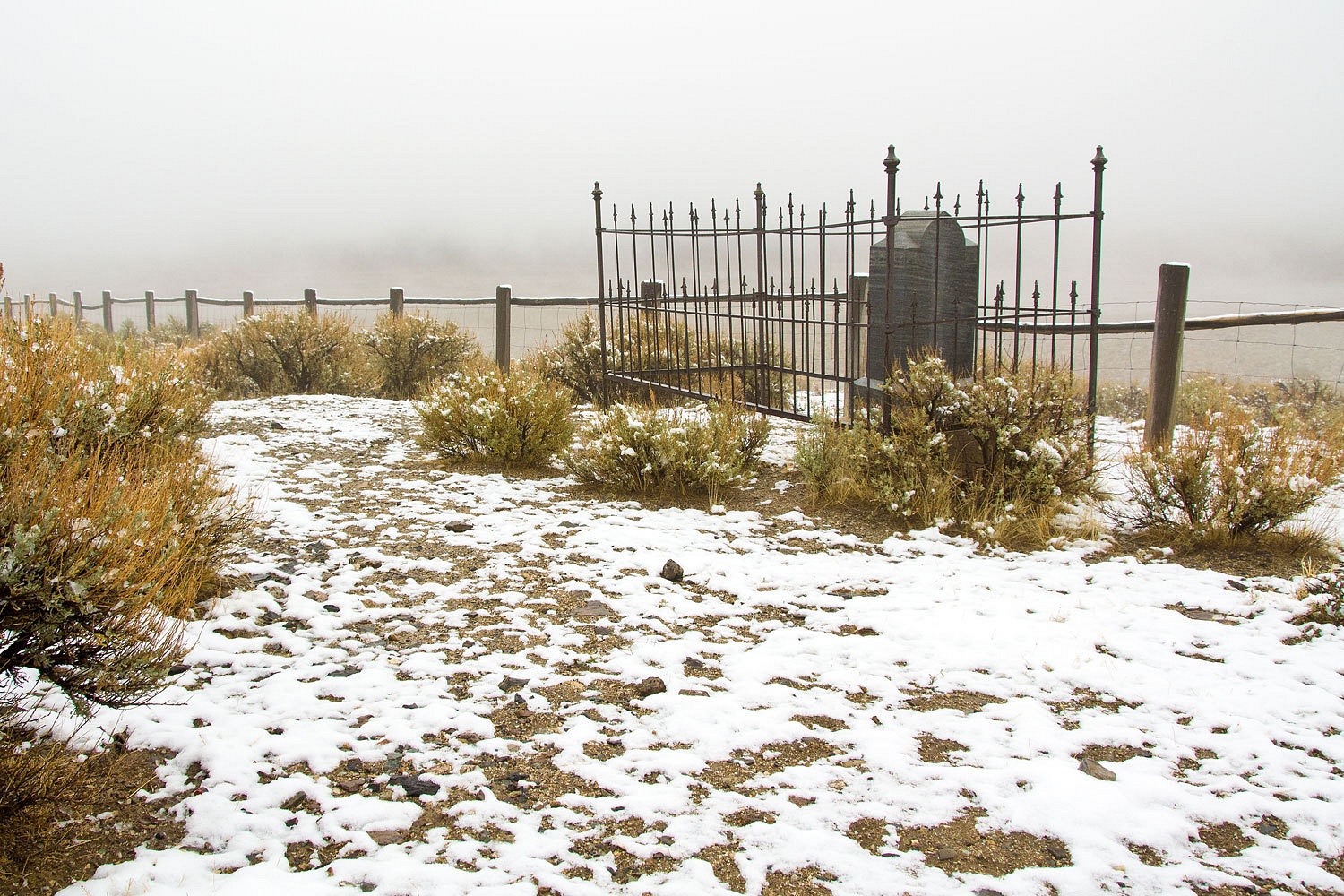

DirtyDog
briefed us about his companion, Diego, the original dirty dog. He told us Diego
was territorial, protective of his space and pack, was 10 years old and pretty set in his ways, and that he was grumpy after
being in the truck so long. We figured that meant don't run at him and try to give him a hug.
There is a
sign at the bottom of Ophir Canyon – steep rough road. It is also narrow and tight with vegetation, especially with branches weighted down with snow. The
road crosses and recrosses the creek many times. We led the way up. At one
place the Lady got out and held up branches to help get us through. It was nice
to have 4x4 low range.
We set up
camp across from the ruins of the mansion.


Aaron
(DirtyDog) is an Internet entrepreneur. Besides
having started the Wander the West website, he also
has ownership in the website Camping-USA.
With a background in mining geology and a passion for old mining towns and
their history, he has the Western Mining History website.
Ophir is exciting
because of its setting in the high Toiyabe Mountains, its early age (1860’s), and its buildings that resemble stout rock fortresses.
With hopes
that the weather would clear, we chatted for a bit and got acquainted. It was a
wide ranging enjoyable conversation encompassing favorite books from Twain’s
Roughing It to Richard Menzies Passing Through to Leopold’s Sand County Almanac,
but probably most centered on Thoreau’s Walden. Later on I got the feeling we
should have included London’s short story, To Build a Fire.
We enjoyed a
tour of Aaron’s palatial All Terrain Camper, custom built for a flatbed. The
camper’s design shows purpose and style. The only thing we could see that it
was missing was a bumper sticker that reads “Chateau du Chien.”
We were anxious
to get out and explore Ophir..


Aaron
pointed out that the quality of concrete was a clue to age. Older foundations at
sites far from freight transportation hubs had little cement and lots of native
materials thrown in to make concrete.

As we walked about the ruins, Aaron suggested the book Riches to Ruins as a guide to use when visiting old mining sites.
The quality and style of the rock work on the large buildings is impressive.
The quality and style of the rock work on the large buildings is impressive.

Here is a photo of Ophir in the old days.

As evening
approached, Aaron asked that I photo document his fire building prowess in the snow.


The storm
was breaking as night came.

It was going
to be a cold night but we had Aaron's campfire to warm us.

We were
surrounded by history, camped amid another Western boom and bust. As we lay in our camper there were sounds outside – the wind, the stream, the intermittent flurries
of snow and graupel on the roof. Would we also hear the sounds of ghosts?
Sunday
dawned looking like the weather could go either way. Clouds were streaming
overhead interspersed with promising patches of blue sky and piercing shafts of
sunlight.


It had been
a quiet night alone up this canyon, no ghosts. What would this new day bring?


Diego was
ready to find out.

There’s
something about the steep rugged mountain ranges of Nevada, they call you up to
the top; at least they call us. The vast vistas, the storm washed sky; the joy of physical exertion,
that and more called us up – “Sunday go to meeting” for outdoor folks.


At one turn
Aaron and Diego headed to the east, around a corner, to get a view of the Mount
Jefferson massif of the Toquima Range across the Big Smokey Valley.


How do you
get to the top post holing in new snow? One wonderful step at a time.

Soon we were
at the top of Ophir Summit and exposed to the full force of the wind. Many
think of Nevada as bare desert wasteland; for us it is high alpine ridges and
unmatched panoramas.


And amid
this vastness the most beautiful sight was rimed Phlox in its springtime glory.

We dropped
back down out of the wind. We pulled out
our snacks and water and then planted our butts on our packs. Still clad in our insulated parkas, wool pants, fleece
hats, gloves, and mountain boots, we sat and let the morning sun warm us. We looked out
across the Toiyabe Range.


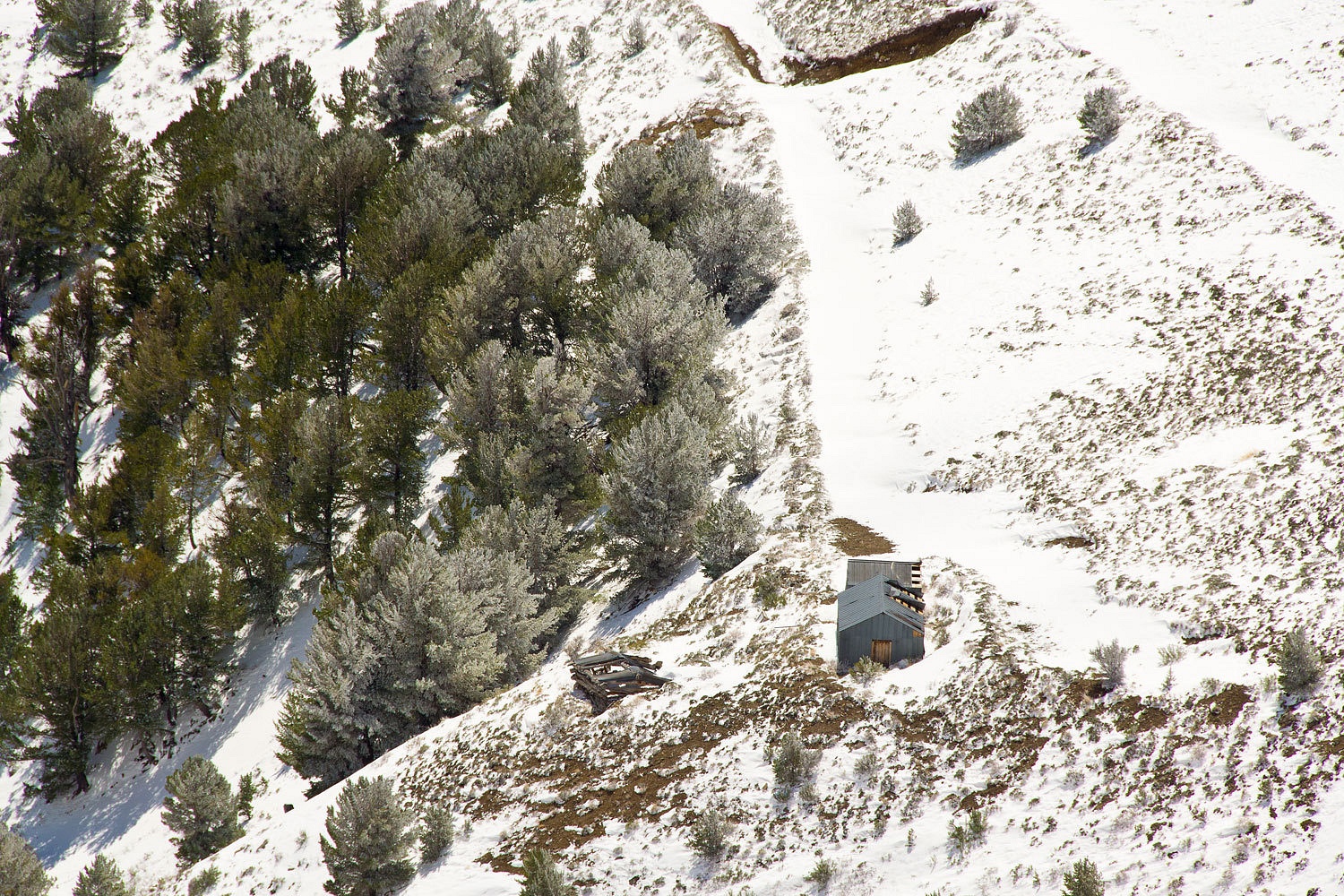
Far below us
was a newer small mining complex but associated with an older log structure.
We headed
back down to Ophir and camp.

Later in the
afternoon we explored more of Ophir. We were curious about the location of the
Murphy mines and where all the tailings had come from.

There was a collapsed
tunnel entrance on the north side of the canyon. The remaining opening was tiny.
We could see another tunnel across on the south side of the canyon. We had
tried to reach it the previous afternoon but after fighting our way through the
bottom land thicket, we gave up. This afternoon the Lady did some more scouting
and found a faint trail complete with a two plank bridge across the creek. This
tunnel had a collapsed entrance also but with a wider opening we could see
into. A plank bridged water draining from the mine and two ore cart tracks disappeared
around the corner.

The once
proud red brick chimney of the furnace is reduced to rubble.

We explored
the cabin remains.

The previous
evening as she was sitting in her chair, Diego walked up and gave the Lady
kisses. Aaron announced that we had been accepted into the pack. This afternoon
as we relaxed around camp, Diego relaxed also.

I looked
over and said, “Hey Diego, how you doing?”
He got up
slowly and shaking. With his head down he staggered in my direction. It was
sad, heartbreaking sad. I swear I could hear old bones creaking.
“Yeah, you’re
part of the pack,” Aaron said. “He’s giving you the sympathy walk!”
Diego barely
managed to reach me and put his head between my knees. I gently rubbed him.
“This is all
an act to get sympathy?” I asked.
“Wait ‘til
you see him later when he wants his cheese.” Aaron replied with a smile.
Aaron had
decided he would elevate this night’s fire to art.
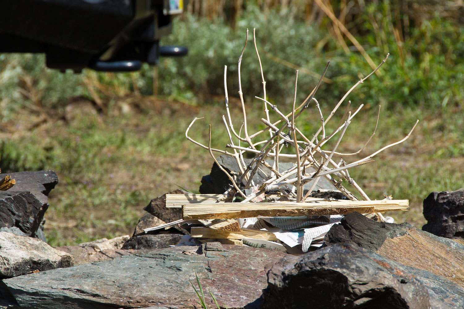
It was. It
had been a good day. It ended with stories. Diego danced and pranced when it
was cheese time. We turned in.
I dreamt
about ghosts. Maybe I heard some. I thought about the people who had lived and
toiled in this remote canyon in the 1860’s. What were their hopes and dreams? Did
some of them gather the wealth they sought? How many died here? It was certainly a
different life than we enjoy. We have more comforts; they had a simpler
life, a harder life. But, it is impossible to compare or make value judgments. Instead, I
tried to listen.
I thought
about the new claim post staked just outside our camper door. Dated 5 Feb.
2012, it claimed a mineral lode 1500 feet long and 300 feet wide, stretching across
the canyon. I thought about the resolution brought before the Nye County Road
Commission in 2011 on claiming Ophir Canyon Road as a minor county road. Are
the ruins of Ophir soon to be a ghost themselves? Will this old site, that we
have visited twice and enjoyed, not be here if we return? Ghosts, they haunted
my sleep.
Monday morning
dawned clear. It was a morning to be quiet as I walked in the early light.


It was
Memorial Day. I thought of my far distant relation, a captain, the first
American officer wounded in battle, Montreal 1775. My thoughts moved to
ancestors and history I have turned up about their service in the War of 1812, the
Civil War, World War One, World War Two, my brothers in Vietnam, and now sons
of friends in the Middle East. I thought
about the Lady’s Father, a young Marine in World War Two driving AmphTracs and
surviving 5 major beach heads in the Pacific. He was on Tinian when the atomic bomb was loaded.
Far too many of us have similar stories. Memorial Day.
We broke
camp early. Today was a travel day. It was time to head back.


A little
clean up was necessary from the errant pruning while descending from Ophir.

It was great
to meet Aaron and Diego and make a new friendship.

We parted
ways. Aaron headed north. We headed out to explore some new territory, new
places to learn about.
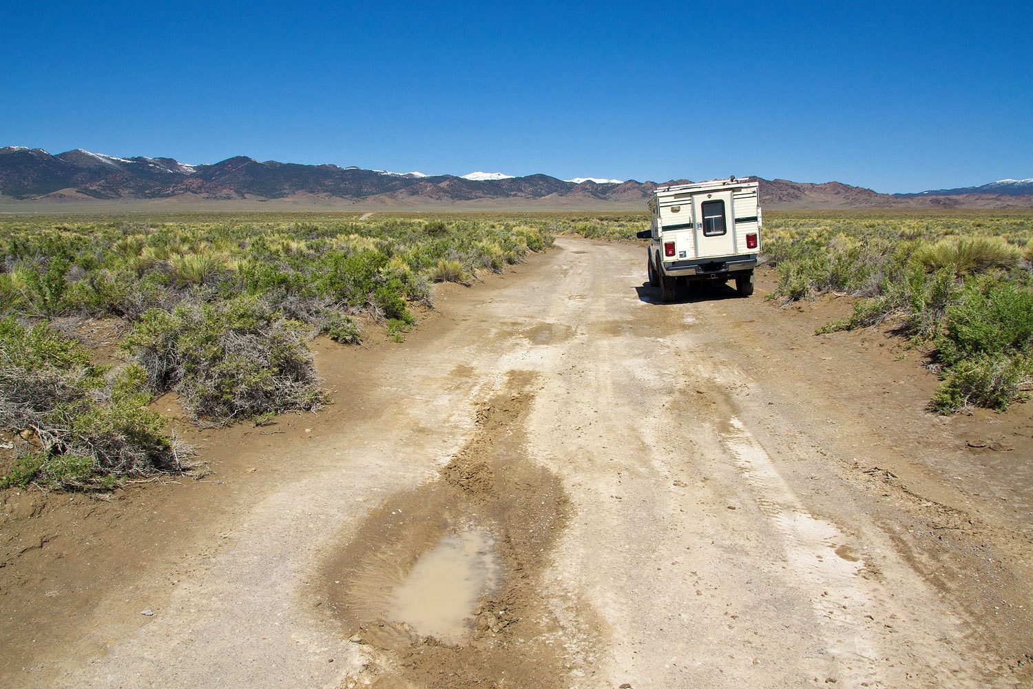
Ah, but that’s
another story……………………………………