
please remember you can click on a photo to see a larger version & highlighted text are links to additional information
Please click here for Part One
Back in the Candy Store
When we first explored up Black Point Canyon, we described the fun experience as being “like kids in a candy store.” A description of the hike had shown up on Jim’s Boone’s Bird and Hike website just a few days before we left on that trip to Death Valley and we jumped at the chance to explore a new canyon. I’ve known, since then, the Lady was looking forward to a return visit.
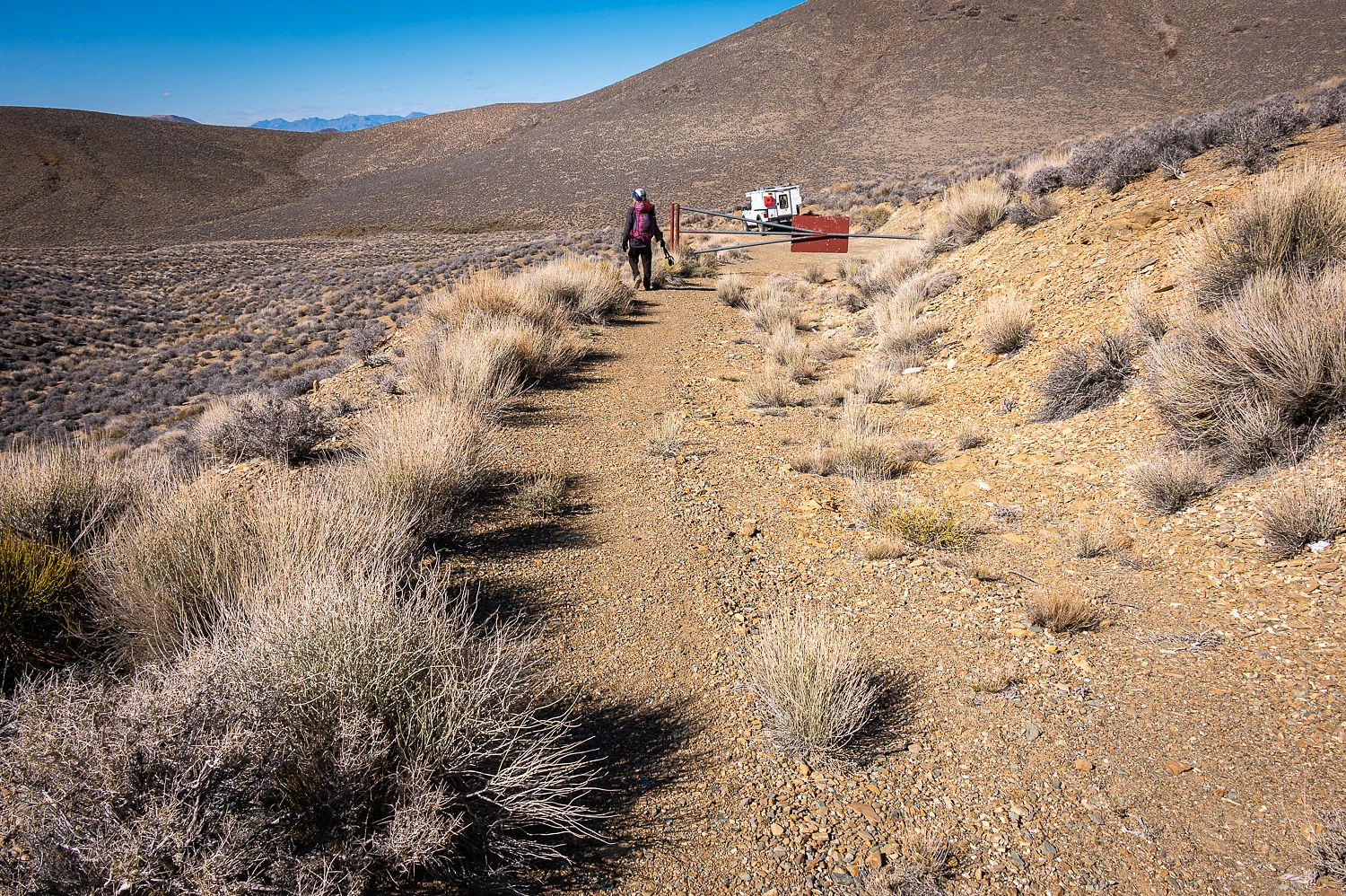
We drove to the trailhead alongside highway 190 west of Stovepipe Wells. As we rounded the north side of Tucki Mountain, we saw the storm front coming from the north. This front dropped into the Great Basin from the north and carried little moisture. Its impacts would be cold and wind. Clouds worked against the north slopes of Tucki Mountain as we started up the wash on the long approach to the mouth of the canyon. Note: Deb had work to get done and did not join us on this hike. We missed her.

The geology and rocks and scrambles and climbs up the many dry falls are the stars in this canyon. We were exactly like kids in a candy store.


As the canyon narrowed, the fun meters ramped up.


We reached what we’ve called the guardian of the canyon. The Lady was first up.


I was second and Steve followed up, kindly carrying on his pack Julie’s trekking poles she had left part way up the chute. I had stashed my camera in my pack to make the climb.


The mosaic and stretched pebble outcrops are outstanding in Black Point Canyon.


We continued up the canyon.


Our turn around time was 1400 hours. We stopped for a long break at 1330 and then started back down and out of the canyon.

We were in the full brunt of the wind as we descended, especially as we reached the long alluvial fan leading down to the trailhead. The wind was approaching hurricane force. Several times we were stopped in our tracks by wind gusts. Lucky Julie had her pack on that helped keep her from being blown back up canyon. I’m serious about this. The northern reaches of Death Valley were shrouded in virga and swirling dust. Upon reaching our vehicles, we huddled up against the lee side of our camper to discuss options. This was to be our last night camping together. Deb & Steve were leaving the next morning for Las Vegas and a visit with family. We decided on the wise decision to call it. Deb & Steve headed east for Vegas. The Lady and I turned west. Maybe we’d find an option for camping that offered some shelter from the brutal wind. Or, we’d find a motel room in Lone Pine. Panamint Valley was a swirling caldron of dust. North of Keeler, along the dry Owens Lake, it was a brown out with the blowing dust and a struggle to keep the truck headed down the road.
We found a room available in the Dow Villa Historic Hotel. The Dow Villa is where many of the early movie stars stayed during filming in the nearby Alabama Hills. We stayed in the Gene Autry room on the second story overlooking Main Street in Lone Pine. It was a simple, comfortable room, that was fun. We were surprised how much we enjoyed this small furlough from our usual camping routine. After scrubbing off real good in the shower. We put on clean clothes and had a simple dinner down the street at the Mount Whitney Café. We attempted to wander the streets of Lone Pine after eating but the wind remained brutal and the temperature was falling like a rock.
The Lady grabbed us coffee in the hotel lobby early the next morning. The warm brown water sure had us missing our Peets Coffee. The wind had calmed. The temperature was in the low twenties. Broken clouds still raced along the Sierra front. We wandered down to the Totem Café for a sit-down breakfast. The coffee was only a bit better but the breakfasts were good – but with way too large portions. How can people shovel all that food down at one time?
We checked out of the hotel room and came up with a plan. I have been studying early 1900’s topographic maps of Death Valley. They show many long-abandoned trails that prospectors and travelers once used to reach townsites such as Harrisburg and Skidoo from Death Valley. I have several of these routes marked on our mapping program. We headed out the Aguereberry Point Road in search for access to explore these old trails in the future.
I was well aware of what would happen next. Remember the knack? We’ve explored Trail Canyon on the east side of the Panamint Mountains before. Our last visit was in February 2023.There are several mines that operated near the confluence of the north, middle, and south forks of Trail Canyon. In the mid 1900’s a road was put in from the top that descended down into the north fork as a shorter option to reach the mines. It washed out in the 1970’s, is impassable to vehicles, and continues its inevitable decay. The access is off of Aguereberry Point Road and is marked on our map. The Lady, our navigator, noticed this as I drove. “Let’s look at the old road! The turn is coming up!” The road is blocked a short way in. We managed to get the truck turned around and safely parked. The Lady headed for the saddle for the view down into the depths of Trail Canyon.

The wind had calmed considerably but, here, was still around 30 to 40 mph out of the north. The temperature was in the high thirties. The wind chill bit into us. The change was dramatic as we crested the saddle and dropped a short way down the south slope. The wind was calm. The sun was warm on our faces. The Lady started in. “Let’s hike down to the confluence this afternoon! We’re here. It’s out of the wind. I’ve always wanted to!” This is exactly what I knew would happen.
“It’s close to noon.” I pointed out. “Do you know how far it is to the bottom?” I asked.
“Yes! I checked it out in Digonnet’s book. It’s 2700 feet of elevation loss and 3.5 miles. It’s easy and we have all afternoon! Can we? We’re here. It’s just right down there. Let’s go!”
We returned to the truck, grabbed our packs, and started down the series of old switchbacks.

We took care crossing the many washed out sections.


We reached a point where we could see where the road entered the wash and the confluence (left center) came into view.

We continued down and reached the switchbacking road’s end and started down the wash.

The road is a steep grade but the gradient of the upper wash is the steepest section of the hike. We found only a few traces of the road remaining in the wash of the north fork.
We enjoyed the hike down and were surprised at one narrow section, and wondered about the size of the vehicles that were once used here.


We are always excited to find stretched pebbles.


After three and a half miles, we reached the confluence and our lunch spot from back in February.


We left the truck at 1130. We reached the bottom at 1330 hrs. Our turn around time was 1400 hrs., so we were doing well. It was during our stack break at the bottom when the Lady turned to me with a serious look on her face. It signaled a light had been turned on.
“You knew all along we were going to do this today, didn’t you? You had this planned!”
“Yup,” I replied with a smile.
We relaxed until 1400 and started up. The Lady was a happy girl.


When we reached the truck, I was not aware that the Lady was watching our hiking time.
“It’s a quarter to four,” she announced. “We shaved 15 minutes off our time on the hike up.”
“It was pretty straight forward and easy - a fun hike!” I added. I had gotten her off the roof.
On our way out Aguereberry Point Road we came upon “a run” (as in a group of off roaders getting together and declaring "Let's make a run to Death Valley!"). I’ve mentioned in this blog previously that “a run” is the most dangerous thing we’ve come upon in the backcountry. Several years ago, we were nearly hit by a large group of vehicles on “a run” - driving recklessly in mass down a mountain road. A pack mentality takes over on “a run.” We’ve seen large groups illegally drive off road – cross country – and set up massive camps with large negative impacts on the land and resources. A reminder, in Death Valley National Park the group size limit for backcountry camping is a maximum of 12 people and no more than four vehicles.
This blocked our – and several others – way.


A slight bend in the road on flat ground - I’ll leave it to you to come up with your own conclusion on what happened here.
The cigarettes, flip flops, and beer crew got to work – with resulting resource damage – righting the vehicle.


Except for the encounter with “a run”, it had been an excellent day. We had one more day to spend in Death Valley. It was time to find a place of solitude and quiet to camp, away from others so that my thin thread of tolerance would remain intact.
Note: A big thank you to Deb & Steve for their company and sharing the adventure. These two are skilled, safe, and competent. Most importantly, they are fun and pleasure to be around! Oh Deb, Julie says she'll do the trip down into Trail Canyon again with you when you say.
Next up – a treasure hunt aided by our friend, The Sagebrush Reconnoiterer.
Our adventure continues. Please click here for Part Three.
No comments:
Post a Comment