
please remember you can click on a photo to see a larger version & highlighted text are links to additional information
Got Her Off the Roof
A friend, Patrick, best summed up how the Lady was dealing with our continued winter weather and her desire to shovel snow off our roofs.
“So, it seems you now can't keep her off the roof? I know Julie is a Mountain Goat and hiking always seeking out high places... Is she going stir crazy and not able to get out and go places? Is the roof the only release she has? Perhaps a road trip will keep her off the roof.”
It was early April. The weather remained “iffy” with fronts – now smaller in strength – continuing to pass through. Would we get a long enough break in the weather to venture out on an adventure?
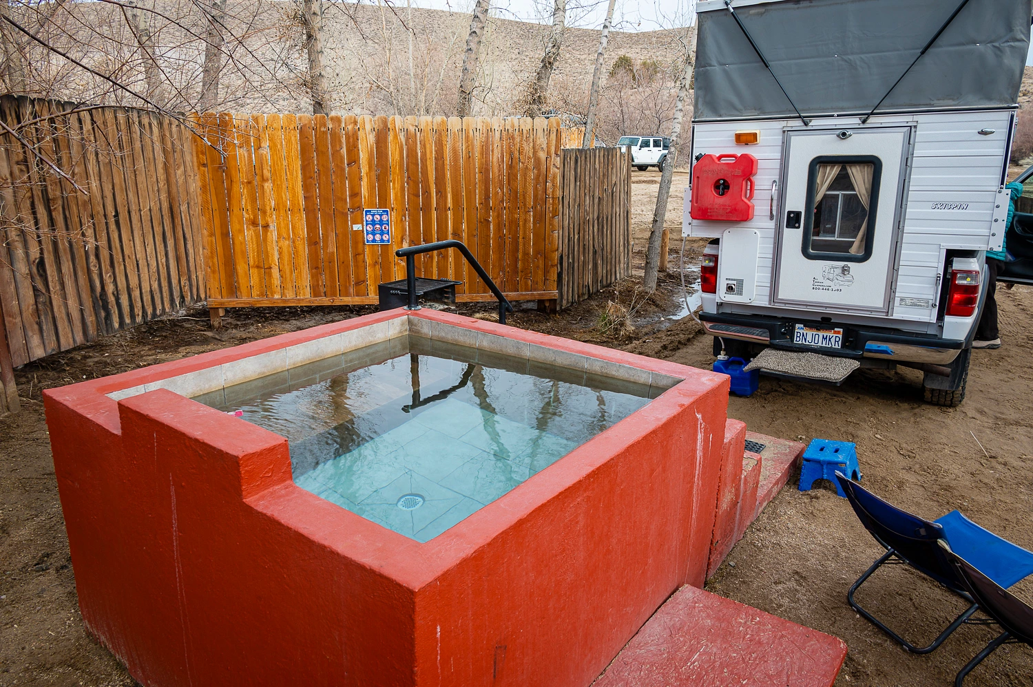
The Lady was also craving a soak in natural hot spring water. “To treat my ‘shovel elbow’,” she said. She has the knack for finding cancellations at Benton. She watches like a hawk, and she caught one. It aligned with a break in the storms. A site was booked for the following night and we were off the next morning.

The storm that brought us over a foot of rain in a couple of days, after we had received a series of cold storms that dropped nine feet of snow, also hit Benton and the resulting flooding did quite a bit of damage. The damage is being repaired.


Highway 120 to the west was also damaged. It remains closed.


Benton Hot Springs was covered in sandy debris and the hot creek cut a new channel and now runs alongside the road.


Thankfully, the important things remain the same – the vistas, the surroundings, Northern Harriers watching from the cottonwoods, and the magic of the restorative hot spring water.


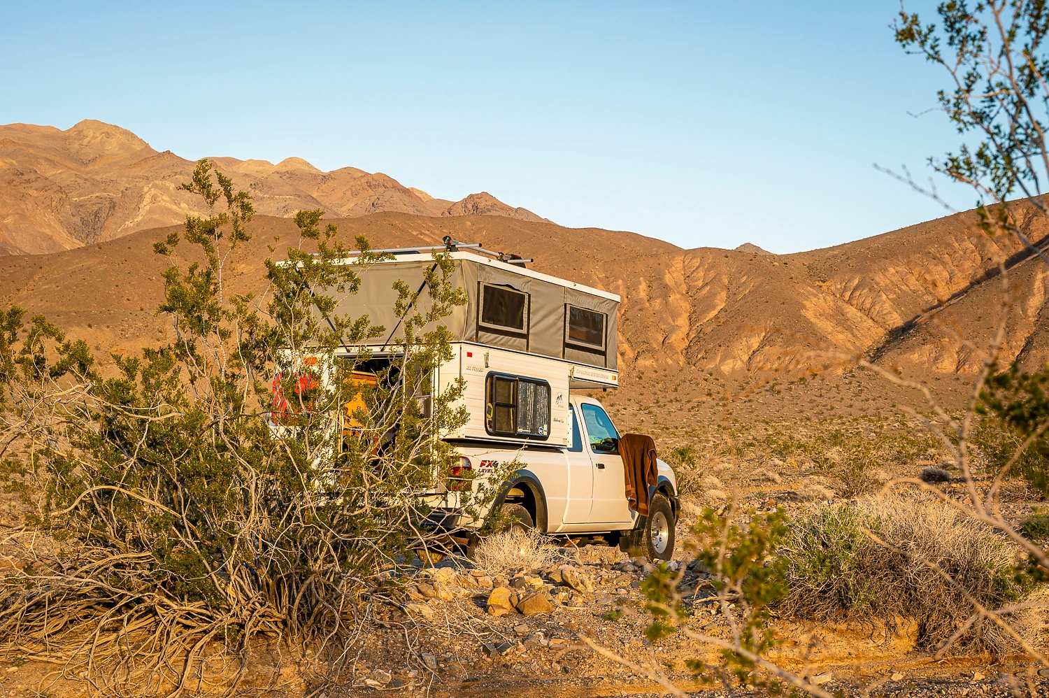
We knew Death Valley was our destination. We had no real plans, but we knew we’d come up with something. Our new friends, Deb & Steve were in the Park. We sent a message, “Where will you be Saturday night?” I made a suggestion to the Lady, “How about camping up LeMoigne Canyon Road and hike up Black Point Canyon again?” After more than 40 years of romping around the backcountry with her, I have the knack of knowing what will get her excited.
A message back from Steve & Deb said they’d meet us. But a problem arose. We discovered it when we stopped at the turn off to LeMoigne Canyon Road. The road was closed. That same pesky storm had taken this road out.
We drove down to the Stovepipe Wells Ranger Station and inquired about the damage and contemplated alternative plans. A small, unattended child with her dog was outside the station. A dogfight erupted. A young woman NPS ranger tried to break it up and asked if an adult was with the girl as the chaos continued. A man, inside in line behind us responded, “Oh, she’s with me,” and he turned and remained in line. I had had enough. We left and we needed a place far far away from the public where my thin thread of tolerance would not be tested further. This spot fit the bill nicely.
Deb & Steve found us and settled in.
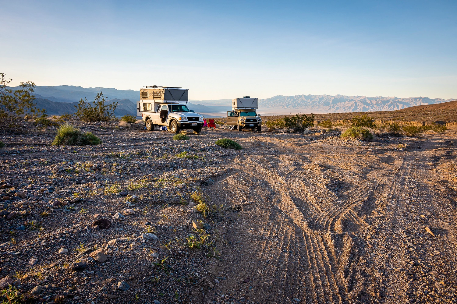
It was an enjoyable time reuniting and getting caught up with our friends. The girls got to talking – I knew this would happen. Remember, I have the knack – and plans changed. We’d summit Tucki Mountain the next day – it was close and a hike to the top had been discussed on our previous trip – and Black Point Canyon would be the following day.
We drove the rough Tucki Mine Road the next morning up to its high point. The high saddle provided a nice place to park and to camp that night. The route to the summit of Tucki Mountain is cross country and is a fun route-finding challenge. Although only 4.5 miles to the top, with all the ups and downs of crossing subsidiary ridges, it feels longer.
Up and over the first ridge, following a long-abandoned dirt road, brought us to a broad valley.


The remains of the cabin lay at the west end of the valley – far left in the photo below.

As we climbed the ridges, the views grew better and better.

And we did climb.

Telescope Peak dominated the Panamint Mountains to the south.

The top of Tucki Mountain is labeled “Death” on the USGS 7.5 quad. The benchmark agrees.

With the outstanding vistas, including the Sierra Nevada crest soaring in the west, and our great companions, we found it a very lively place, not dead at all. The Lady loves summit registers, has to find it and have a look, even prior to getting her pack off.

It was time for a round of summit photos.


Shadows were long when we returned to camp. Deb had recently read about the nearby Tucki Mine – below us to the east – so we walked down to explore.


Only one building remains. The second has collapsed. This mine was worked into the 1970’s.

Since this is of more recent vintage, a nonstick pan was not a surprise.

I could not find the hammer.

The night was uneventful except for the building wind. We were rocked to sleep. The following morning driving back down Tucki Mine Road, we stopped to explore up Telephone Canyon – a phone line once ran up this canyon to the Skidoo townsite – and visit Telephone Arch and Telephone Spring with its arrastra.
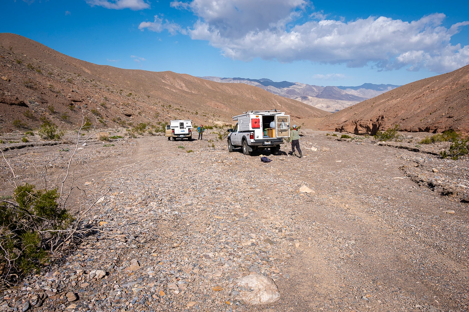


Clouds were building in the northeast and the force of the wind increased as we hiked back to our trucks. Weather was moving in. Our next destination was Black Point Canyon.
The adventure continues. Please click here for - Part Two.
No comments:
Post a Comment