
please remember you can click on a photo to see a larger version & highlighted text are links to additional information
Amateur "Ologists" Afoot in the Backcountry
The Lady and I came back a day early from this trip and I'll give you a jump start on the story. We came home early from Nevada because of the heat and the Mormon Crickets. We would have stayed if it was only one or the other. In the heat of the day the crickets headed for shade. So did we. There wasn't enough room for everyone.
Julie and I are not real geologists or archeologists - not by a long shot - but we occasionally play them on an internet blog. It is a fascinating endeavor to understand some of the details in the landscapes we travel through. Add in searching for the pieces of history left behind - archeology - and our explorations are truly rewarding for us.
We left home for Nevada early Tuesday morning. We had quite a list of things to search for. How successful would we be?
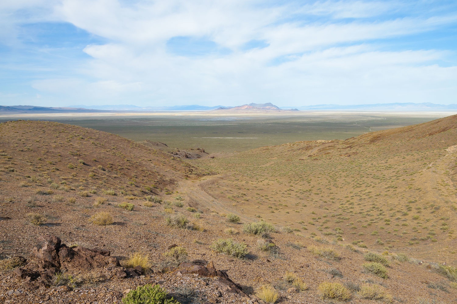
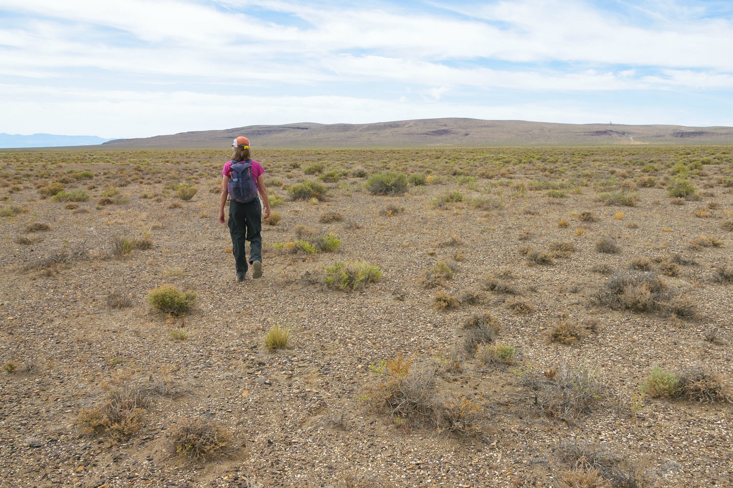
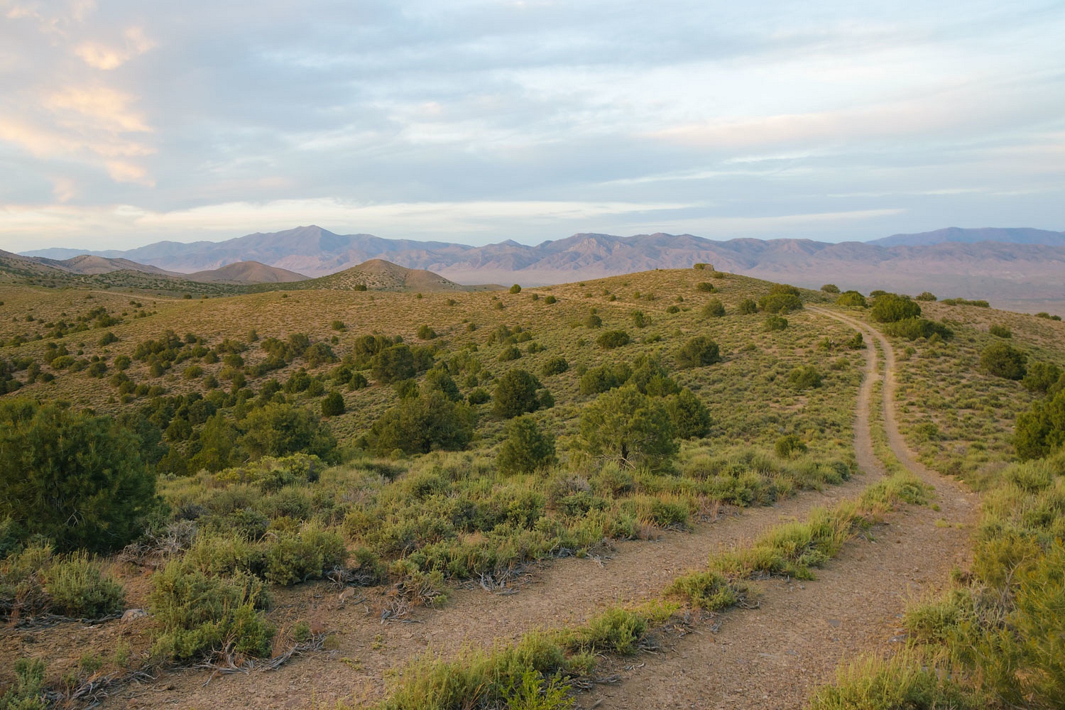
Our first stop was on the edge of the Humboldt Sink east of Fernley.
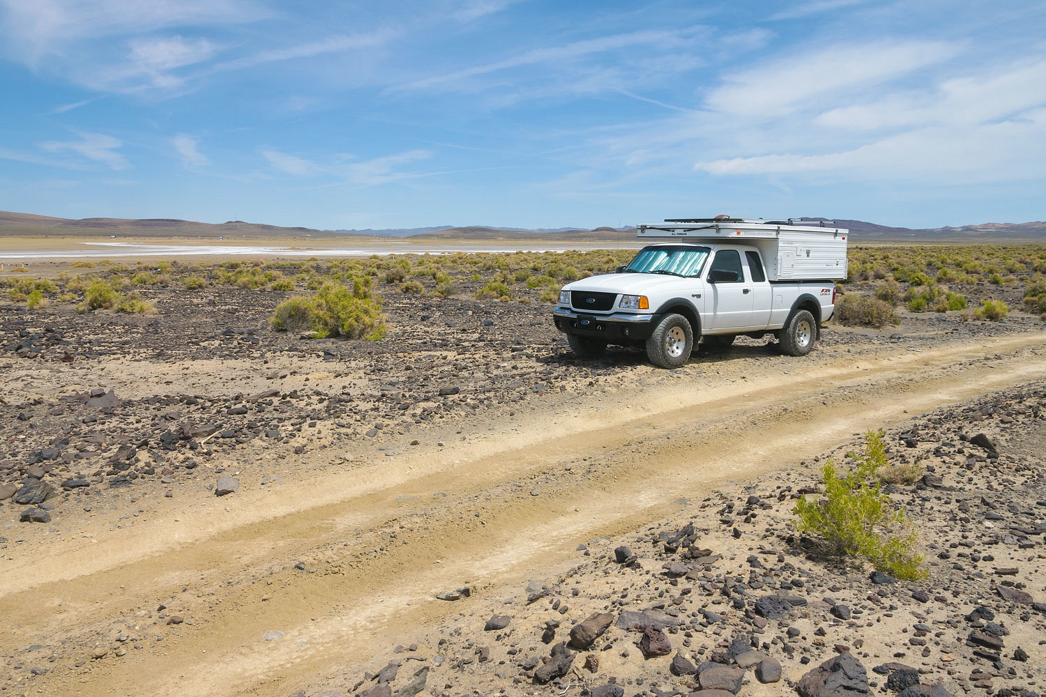
We searched this area on our last trip for Airway Beacon 229. In that post I stated I had uncovered more information and, "Stay tuned."
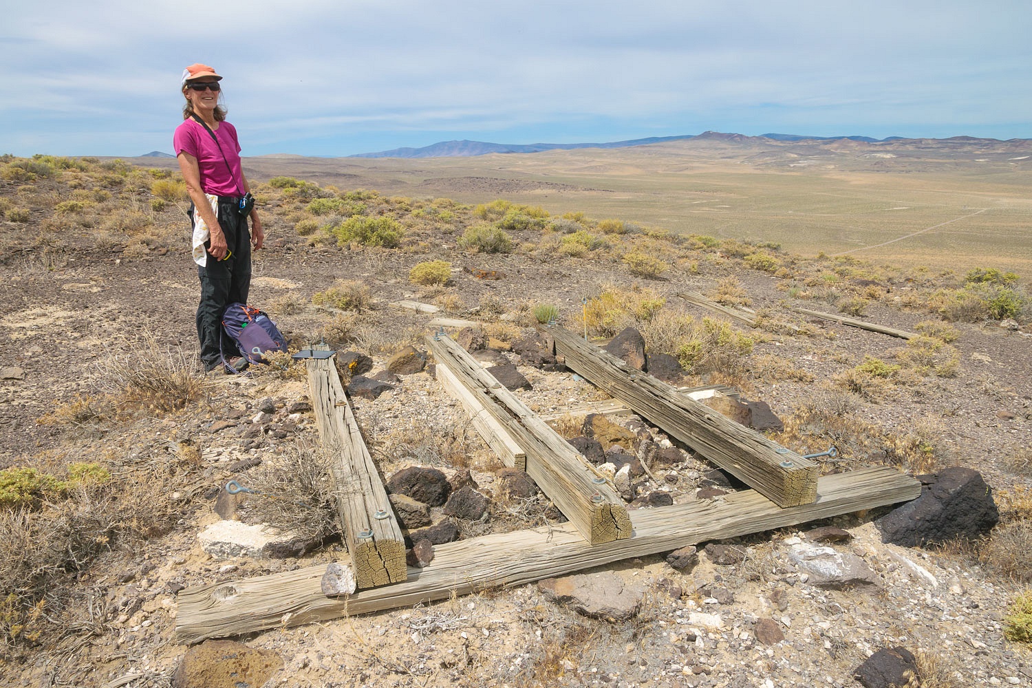
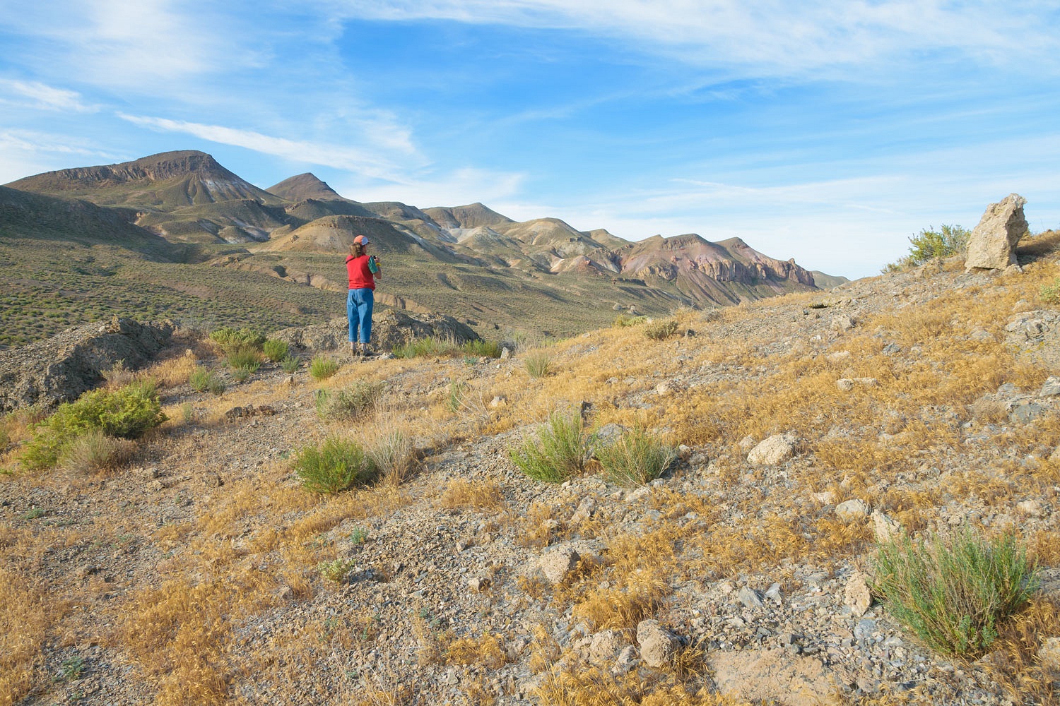
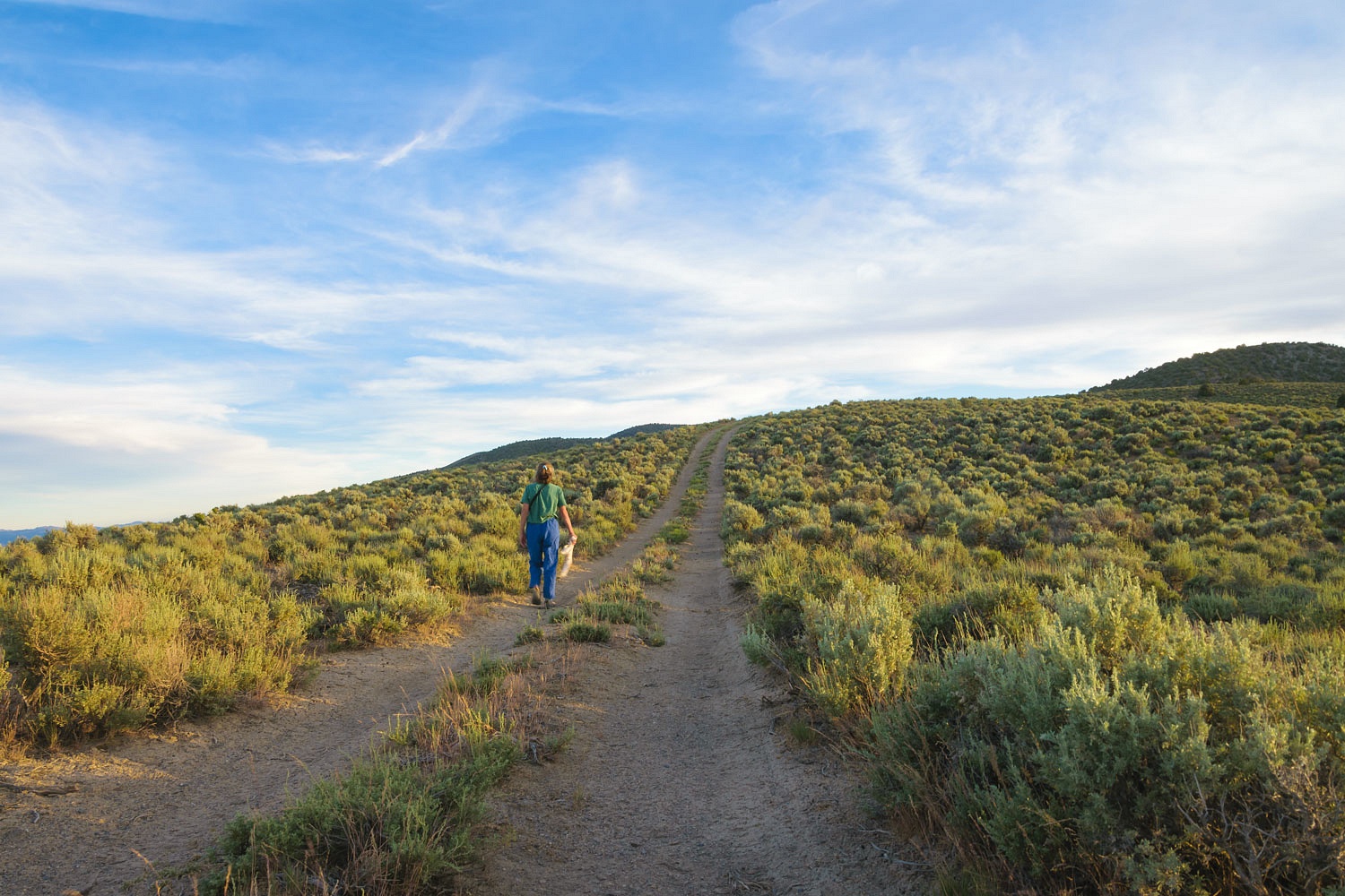
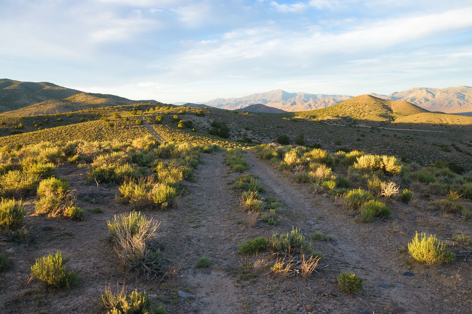
We set out on foot cross country. We located a very faint road I believed was put in for access to service the beacon site.
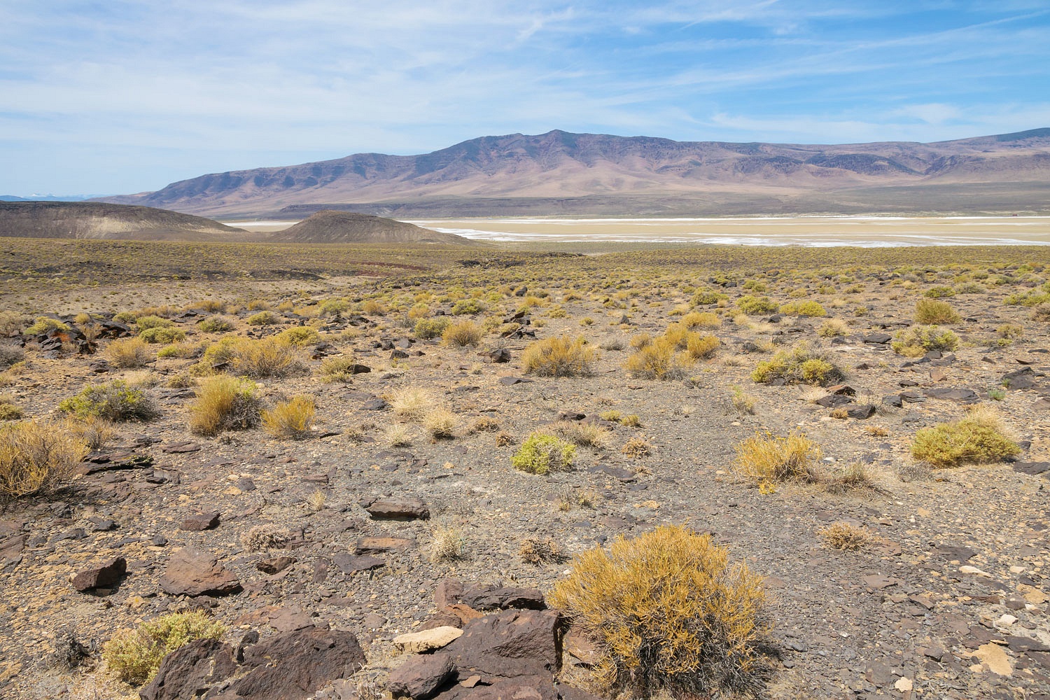
The beacon would have sat on a high point so its light was visible. Our excitement grew as the faint road led up.
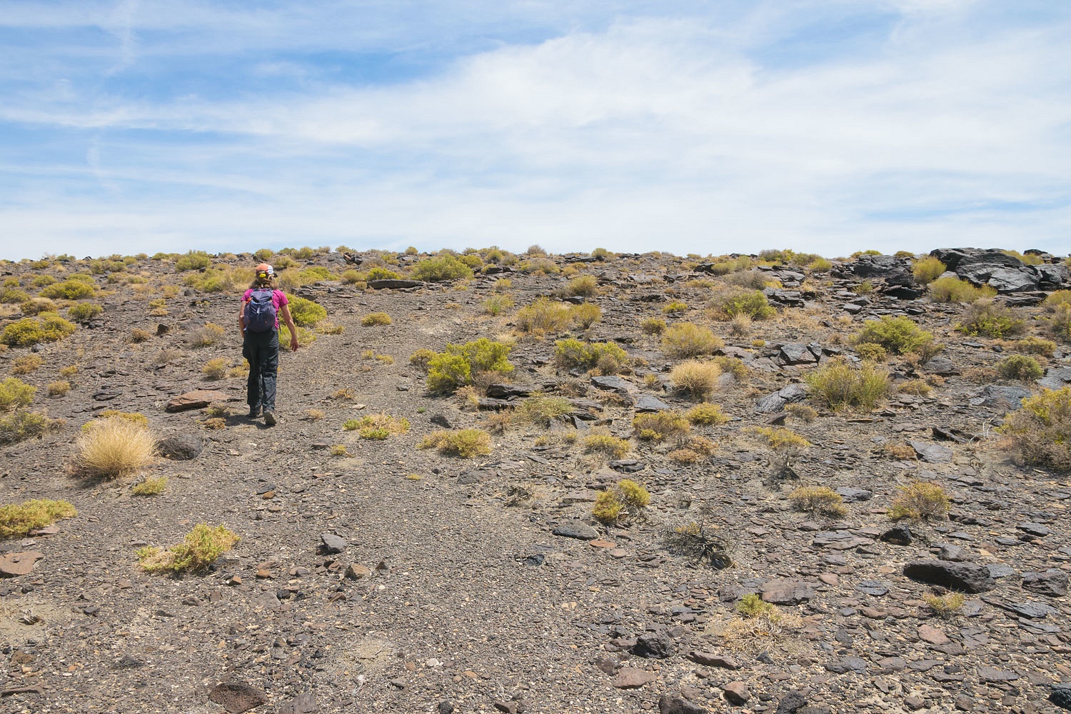
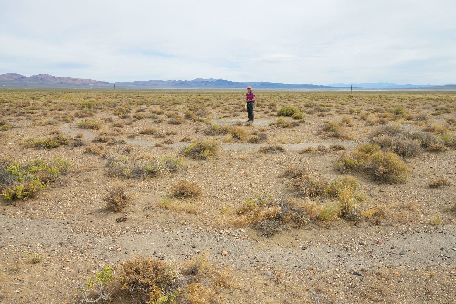
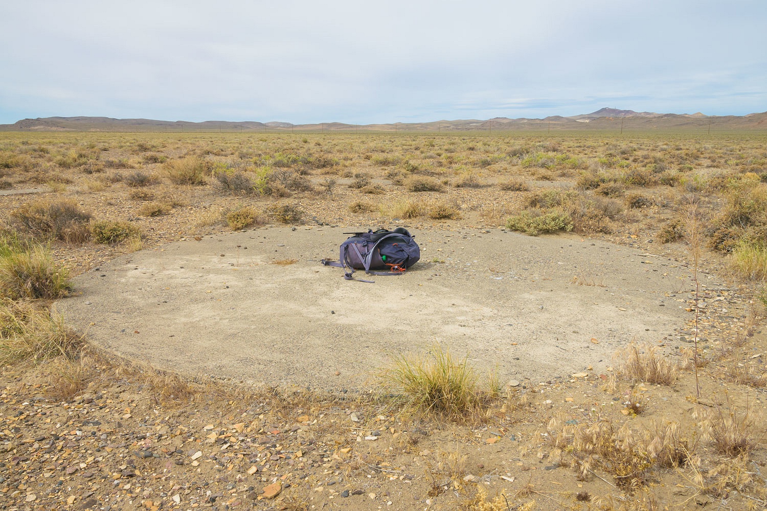
Success!
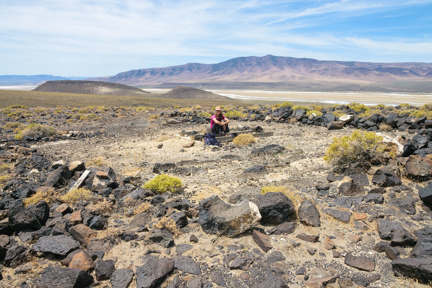
The wooden timber base and anchor rods are all that remain. I will not add a lot of detail here on the beacon sites or the transcontinental Airway established by the U.S. Department of Commerce in the 1920's. I will add those updates to my master blog on the portion on the San Francisco/Salt Lake Airway route we are working on finding and documenting all that remains on site.
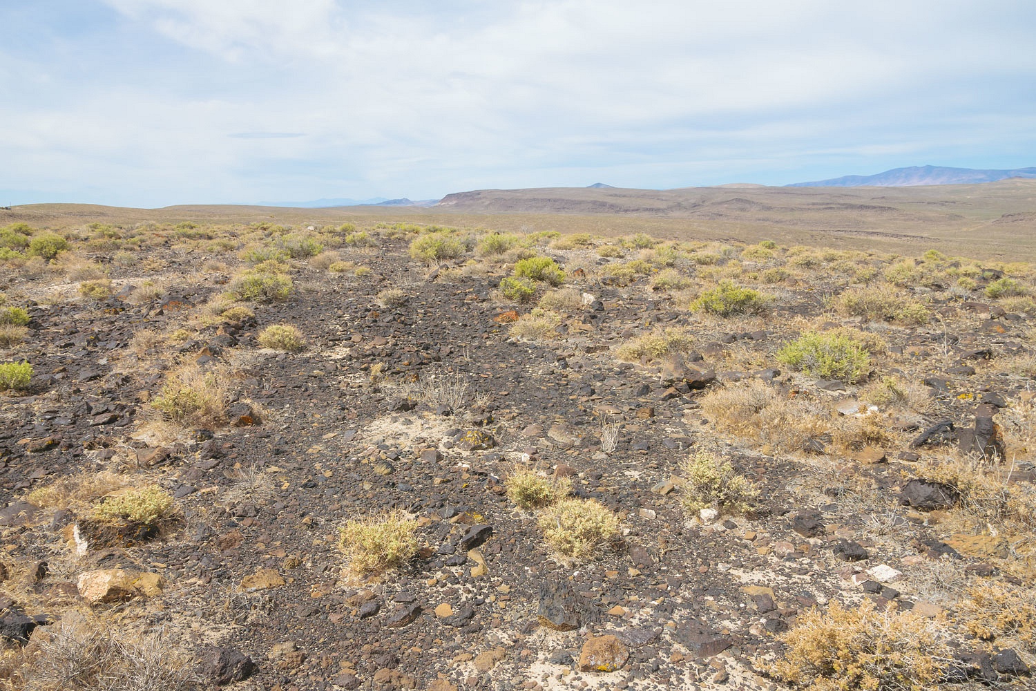
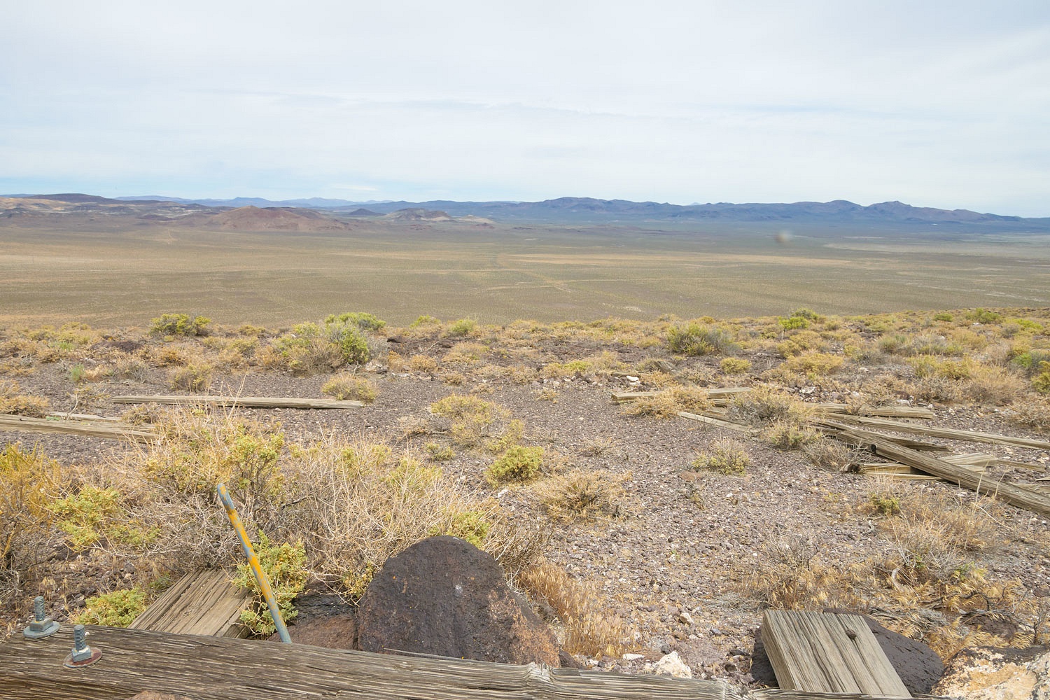
Our next stop was the location of Beacon 234. My information is that it was placed on Desert Peak.
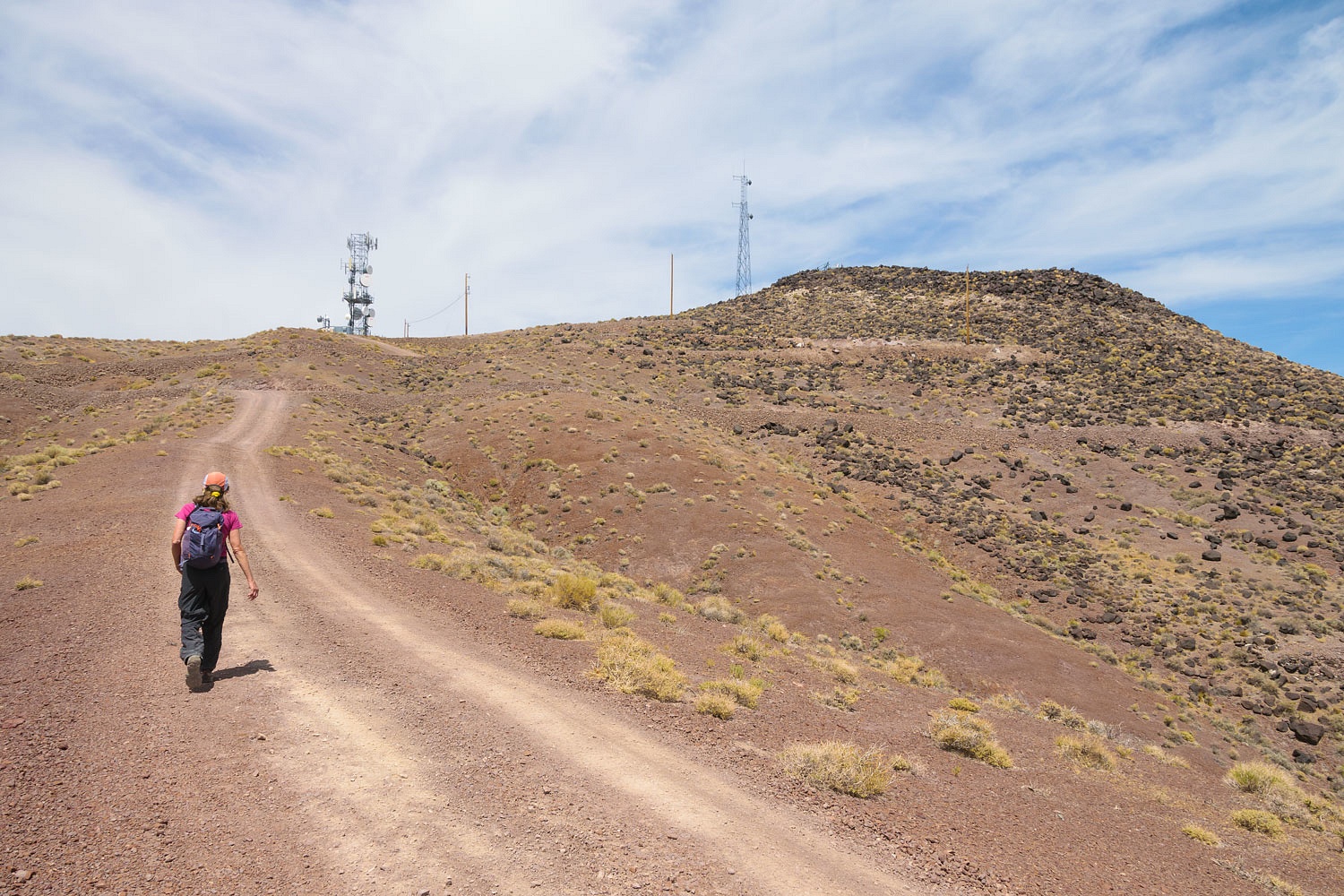
There are now two modern communication sites on Desert Peak along with a new access road. I believe the beacon sat on the saddle in the upper right in the photo above. The peak has a commanding view west down the route of the airway.
We found no evidence of any beacon remains up here. Much of the area has been disturbed with the placement of the newer facilities.
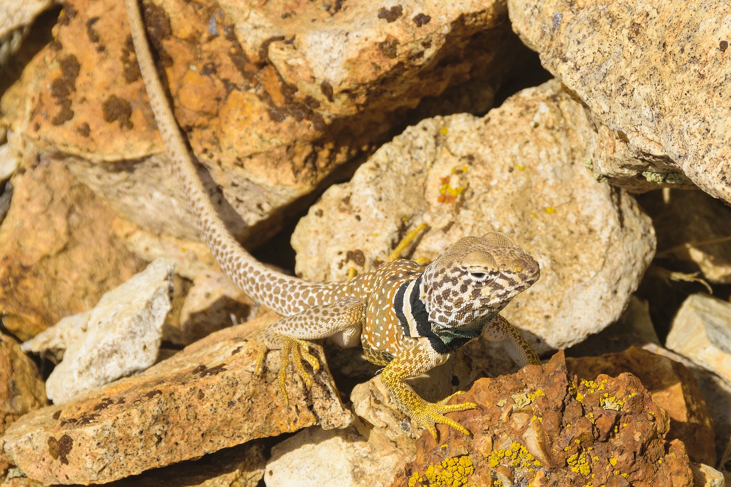
We found a beautiful example of a Great Basin Collared Lizard.
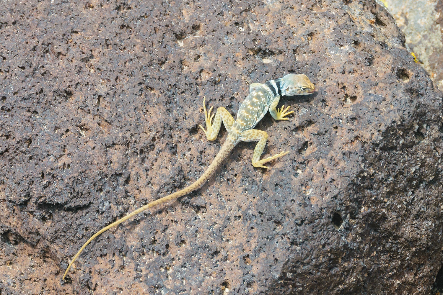
My god, are we adding amateur herpetologist to our "ologist" list?
We also found "Bob" on Desert Peak. (I'll call the fellow Bob in this story). Bob was a technician working on one of the installations. Loud music was blaring from an open work truck parked at a fenced enclosure. It was obvious someone was working inside and likely had no idea anyone else was up here. We did not want to scare the bejesus out of someone. Look up "remote" in the dictionary and I bet there's a photo of this location. We kept at a distance from his vehicle as we conducted our search and, when he appeared, gave a big wave.
Bob was from Louisiana. In fact, he had left Louisiana that morning, flown into Sacramento, California, picked up a company truck - F-350 crew cab, long bed with a work canopy, 4x4 diesel - and filled it up with fuel. "I put $360 on the company card filling this truck up," Bob said in his thick Louisiana accent. "I felt like I was making a mortgage payment." Bob works for a global communications company and would be making stops at several sites before returning home after 10 days or so.
The Lady has a remarkable gift with conversation. There's no small talk. She easily gets to the meat of a subject, a skill honed by a career dealing with middle school children. She asked about Bob's family and did he have any kids? His answers flowed.
"My oldest daughter has a boyfriend. I was really moved. He just asked me for her hand in marriage. I was moved."
"When's the wedding?" the Lady asked with a big grin.
"Oh, he ain't asked her yet, popped the question. He asked me first. He put me in a bad place. I'm suppose to keep my mouth shut. He better ask her while I'm gone."
"You like him?" the Lady asked. "You think it's a good match?"
"Yeah, I do. They're good together. My daughter's a bit heavy and not a lot of confidence. He helps her with that. He's good. Lot better that then the first guy."
"You didn't like him?"
"Nope. he was nervous and stammered all the time. I took him outside for a talk. Told him the rules, straight up. I had my sidearm along. It was the Fourth of July. Fireworks were going off. I fired four shots into the ground. That kid never came back around. Good. I like the guy that asked. He'll be good with her."
Bob continued with his stories. "Now my second daughter, she's a different story. Talks all the time. Into everything. She just turned 16 and she, honest to god, thinks she's going to get a new car. I'm suppose to buy her a new car? I told her there's a word she needs to hear a lot more often, 'No!'" Bob took a deep breath and went on. "I told her $5000, $6000 max for a car. That's about right for something to play bumper cars in. She is not getting a new car. You know, when a guy comes around asking about her I'm gonna say, 'Oh thank you! You can have her. She's yours.'"
We enjoyed our chat with Bob and we wished him well. We did not fish for an invite to the wedding.
Next up was to search out the location of Beacon 239, on the top of Cinnabar Hill. We made the climb to the summit.
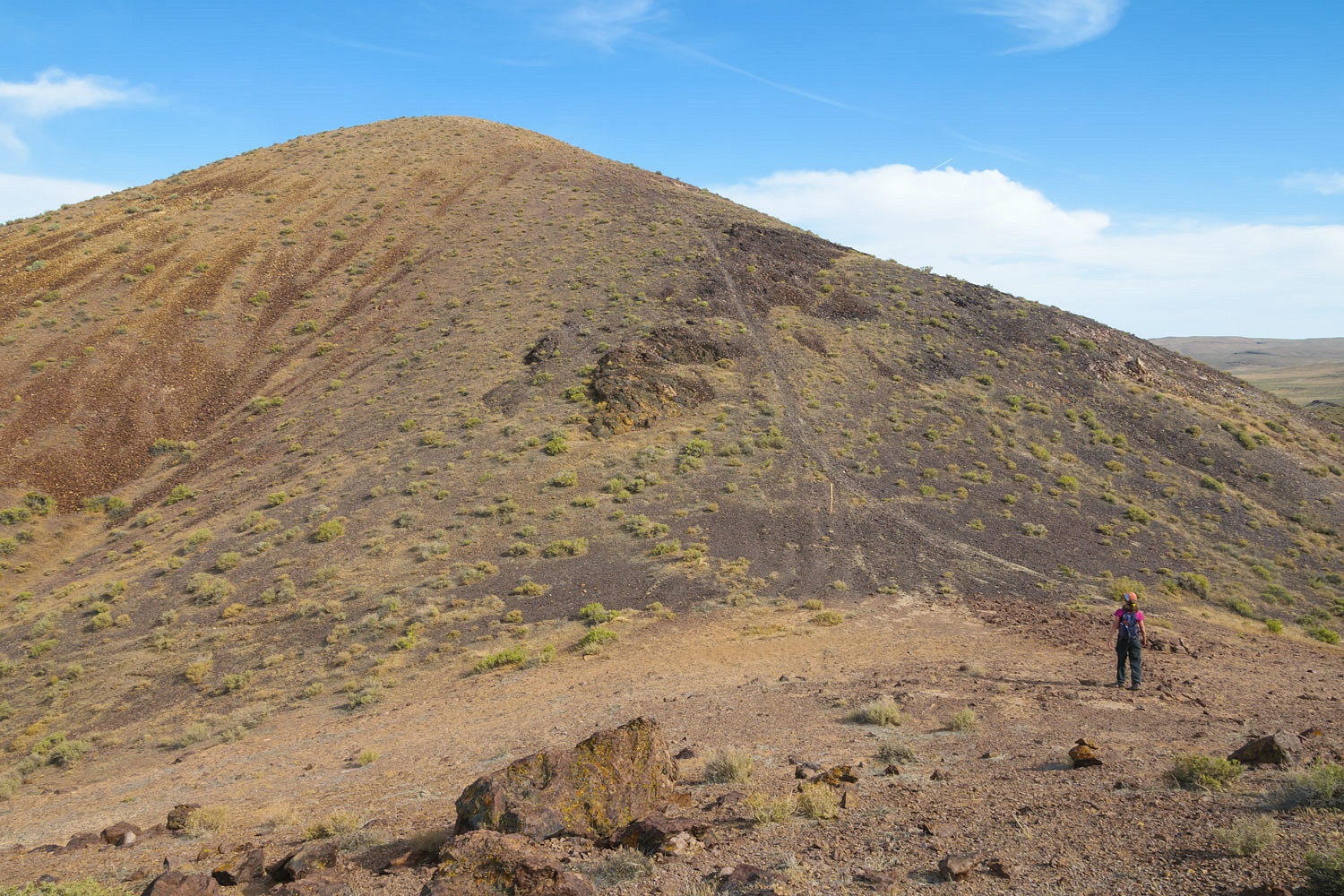
This location has a good line of sight east down the route of the Airway - to the right along the northern edge of the Carson Sink.
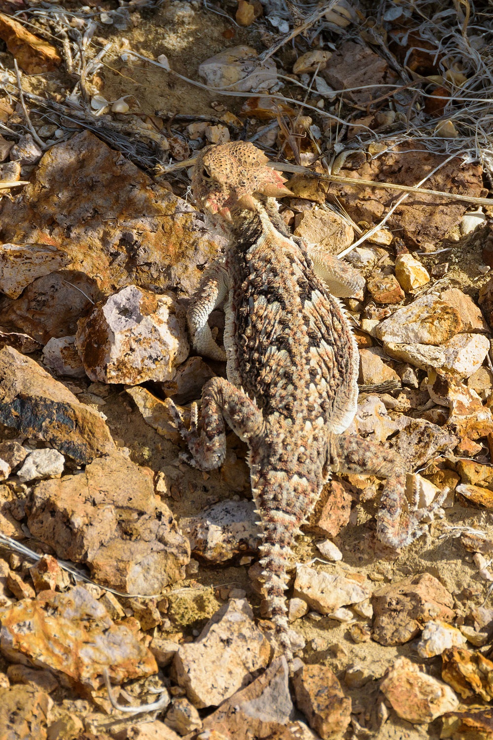
We found no evidence of a beacon site. We did find a very inquisitive collared lizard.
And we always marvel at the camouflage coloring on the horned lizards.
We were pleased to see that the new "Holy Toad Red Vest Religion" has not reached this far south, yet. It will get here. Religion always does.
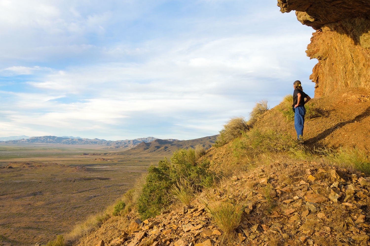
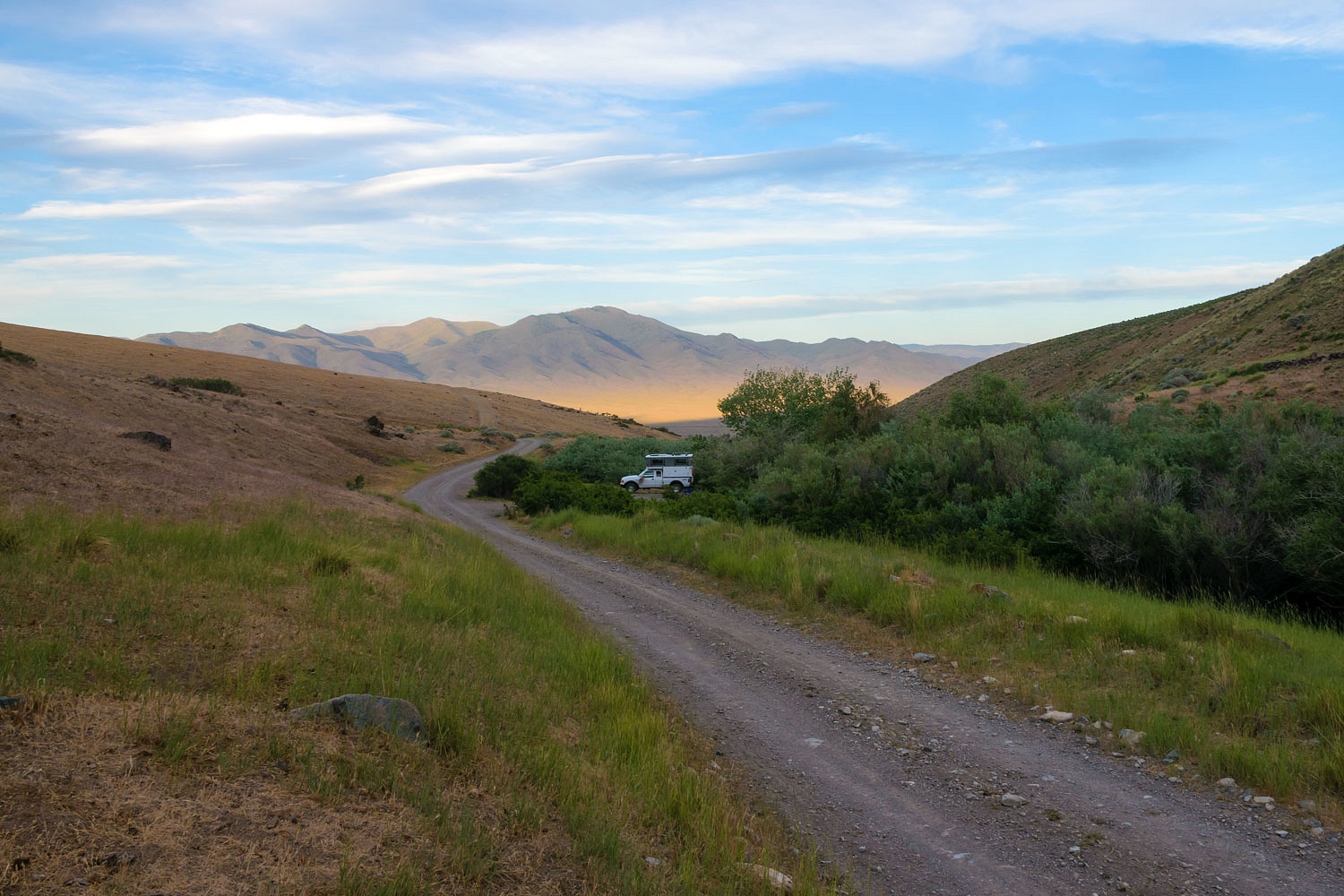
We found a nice spot for camp and made ourselves at home for the night. We investigated possible shelter sites....
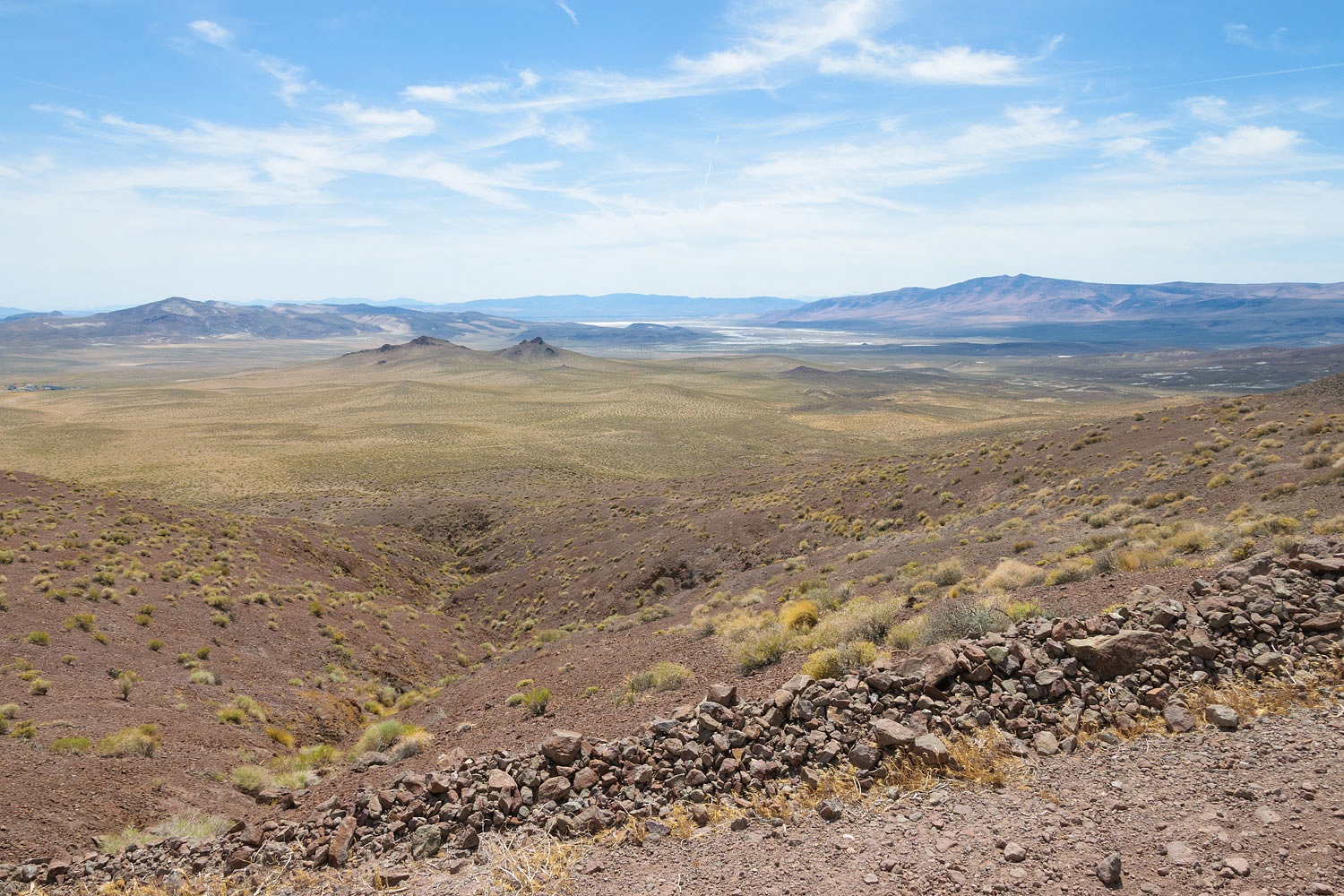
.......and walked out to overlooks to the east.
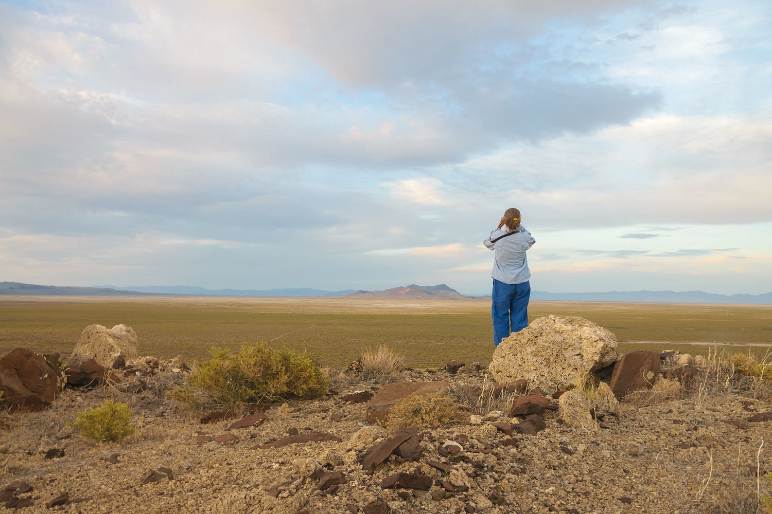
During the Pleistocene, this area was filled by Lake Lahontan. Those light colored rocks around Julie are blocks of wind and wave deposited tufa.
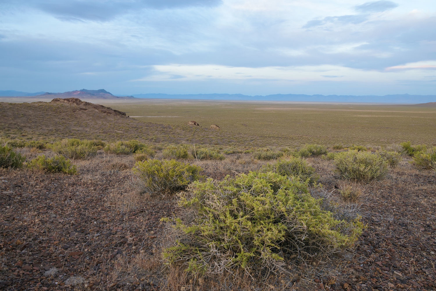
We also had an excellent view over the broad plain where the Parran Intermediate Landing Field - part of the Airway route - was located. We would explore there in the morning.
It was a pleasant night. We slept with all the windows and door open. Morning was bright and crisp.
Our campsite was on the ancient high shoreline of Lake Lahontan. The huge boulder (above) looked to be undercut and eroded by wave action and the lake facing side was encrusted in tufa.
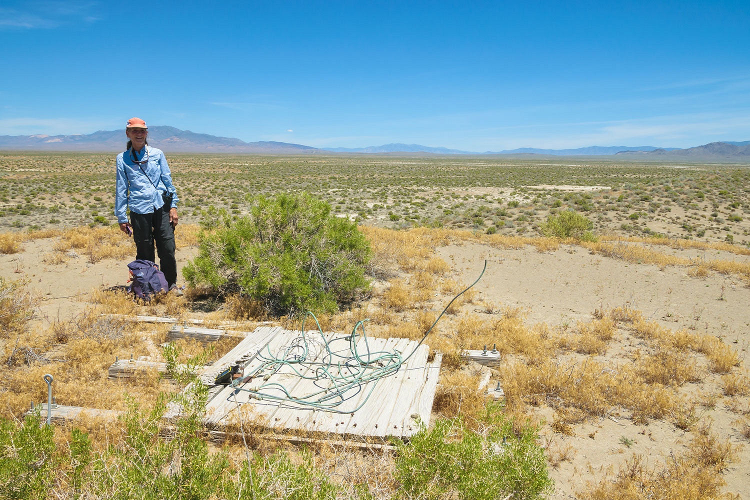
We worked our way down rough two tracks to reach the site of the Parran DOCILF (Department of Commerce Intermediate Landing Field). There was an emergency landing field every 30 miles along the Airway. We parked at the location of Beacon 24 on the edge of the landing field. We first located this beacon site in 2015.
The center of the landing fields were marked with a center concrete dot with two concrete circles around in. What remained here after over 90 years? We headed out cross country to find out.
Another success!
As a reminder, the beacon number refers to the air miles from the beginning point (west to east). Beacon 229 that I previously mentioned was 229 miles from San Francisco. Beacon 24 was 240 miles from San Francisco.
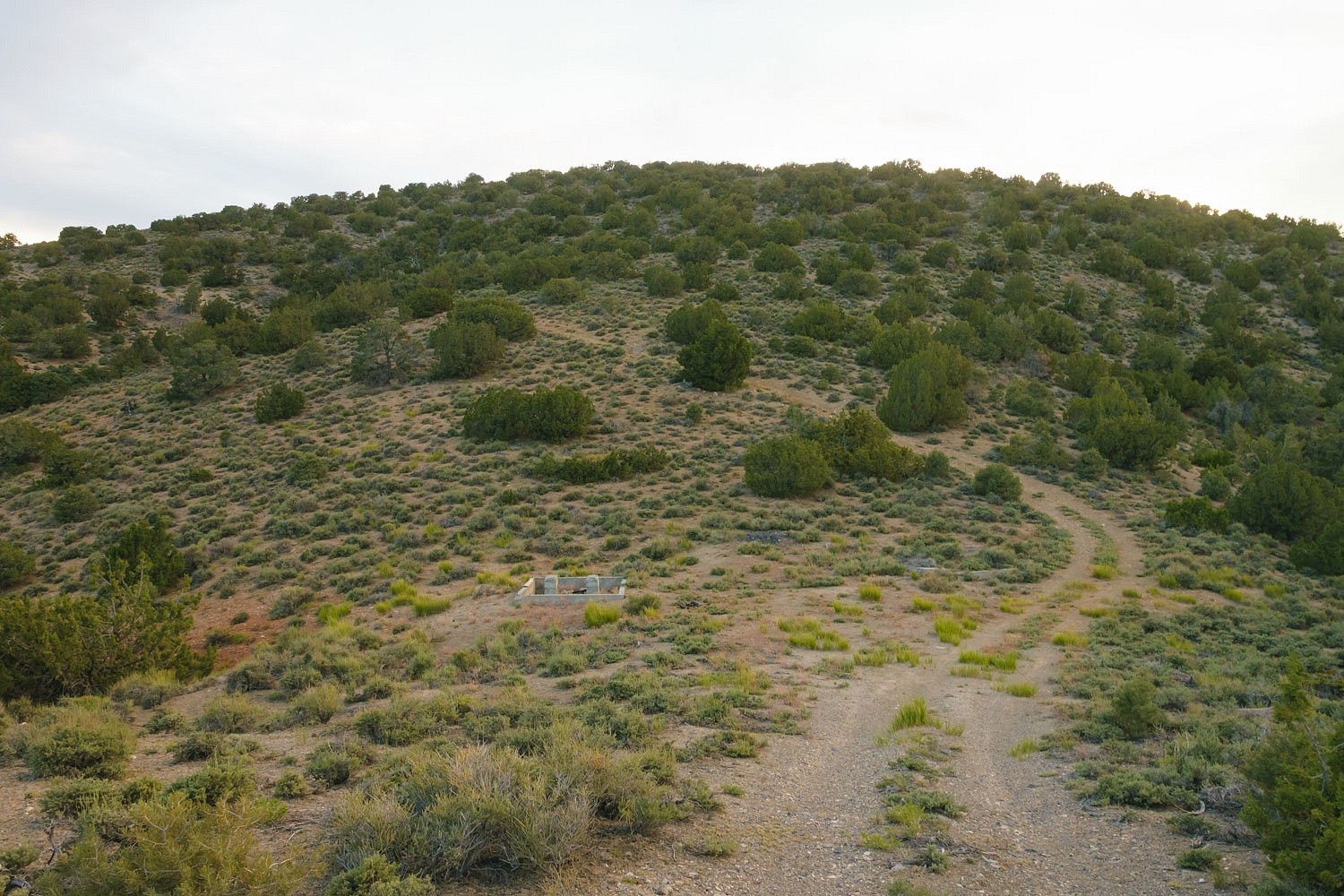
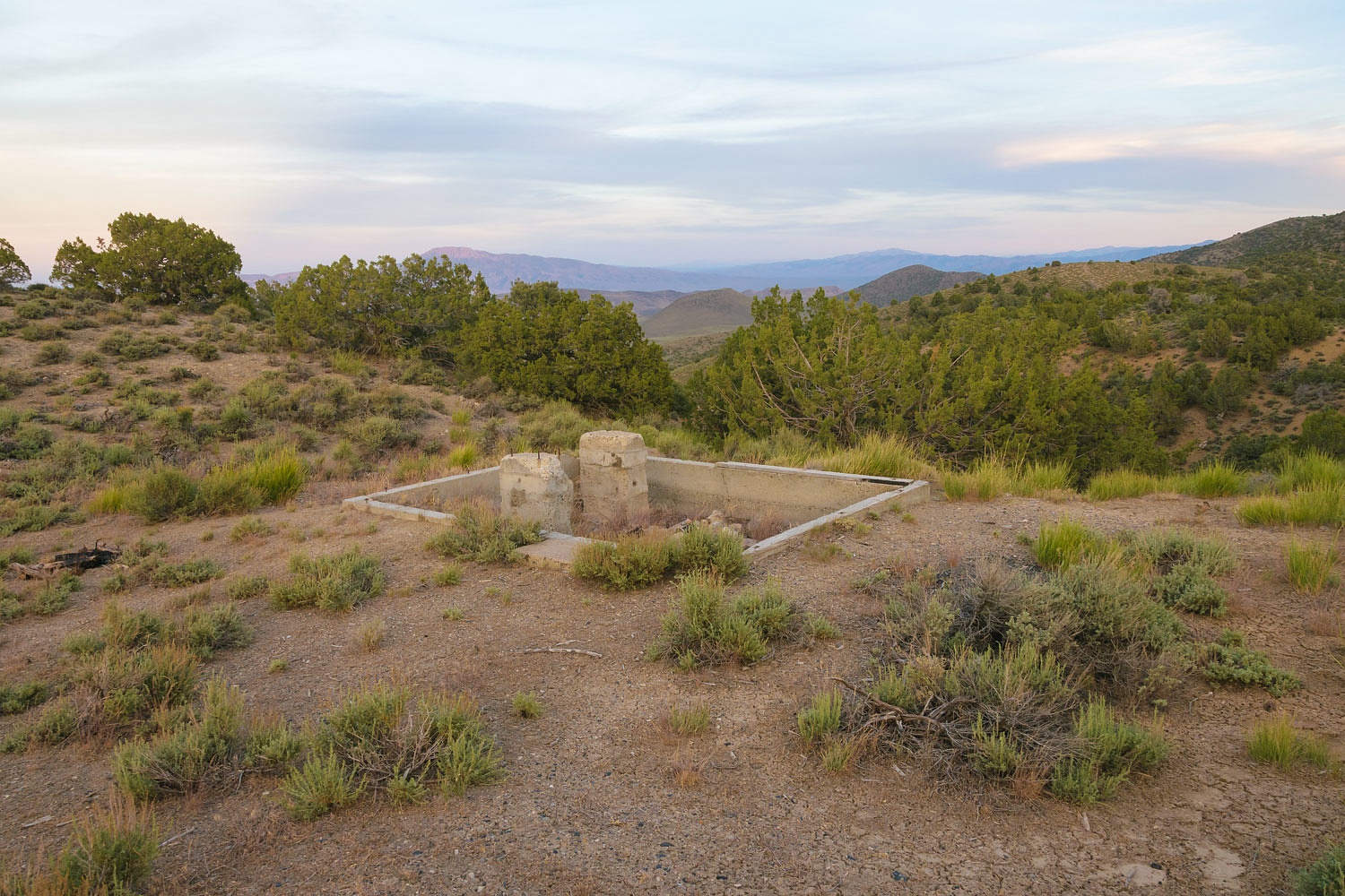
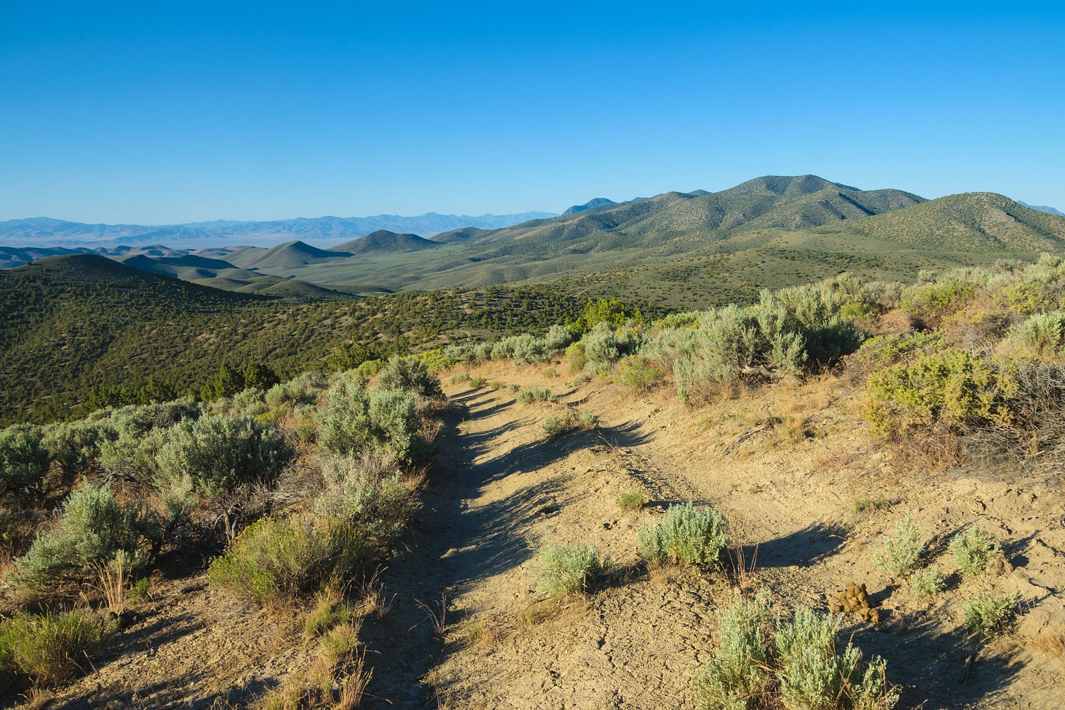
Our next search was for the site of Beacon 243. It would be about a 4 mile round trip hike cross country. Again, we intersected a faint trace of a road that was once used to service this beacon.
Another success!
The remains are similar to Beacon 229, a timber foundation and the distinctive anchor rods at the four corners. The view from here overlooks the site of the Parran DOCILF.
Most interesting in the above photo are the still visible series of curved recessional shorelines of Lake Lahontan as the lake's waters receded. Pretty darn cool.
We continued west and moved along the northern edge of the Carson Sink. We searched for the location of Beacon 25. A note, I use many pieces of information to try to pinpoint where these beacon sites were on the ground. These include the old maps of the Airways, historic USGS topographic maps from that time period, historic Nevada Department of Transportation maps, along with old newspaper articles and aviation publications from that time. Other researchers have also provided valuable information. These searches entail a lot of research prior to hitting the ground.
We parked at an old Bell Telephone Relay Station.
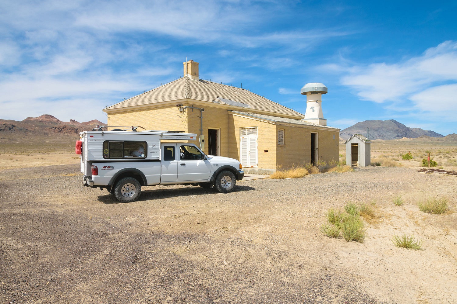
These buildings are along the route of the first transcontinental telephone line that was completed on June 17, 1914 between New York City and San Francisco. A thorough search of the area failed to turn up any evidence of Beacon 25. A new communications building (not pictured) is nearby and it is possible it's construction removed any sign of the beacon.
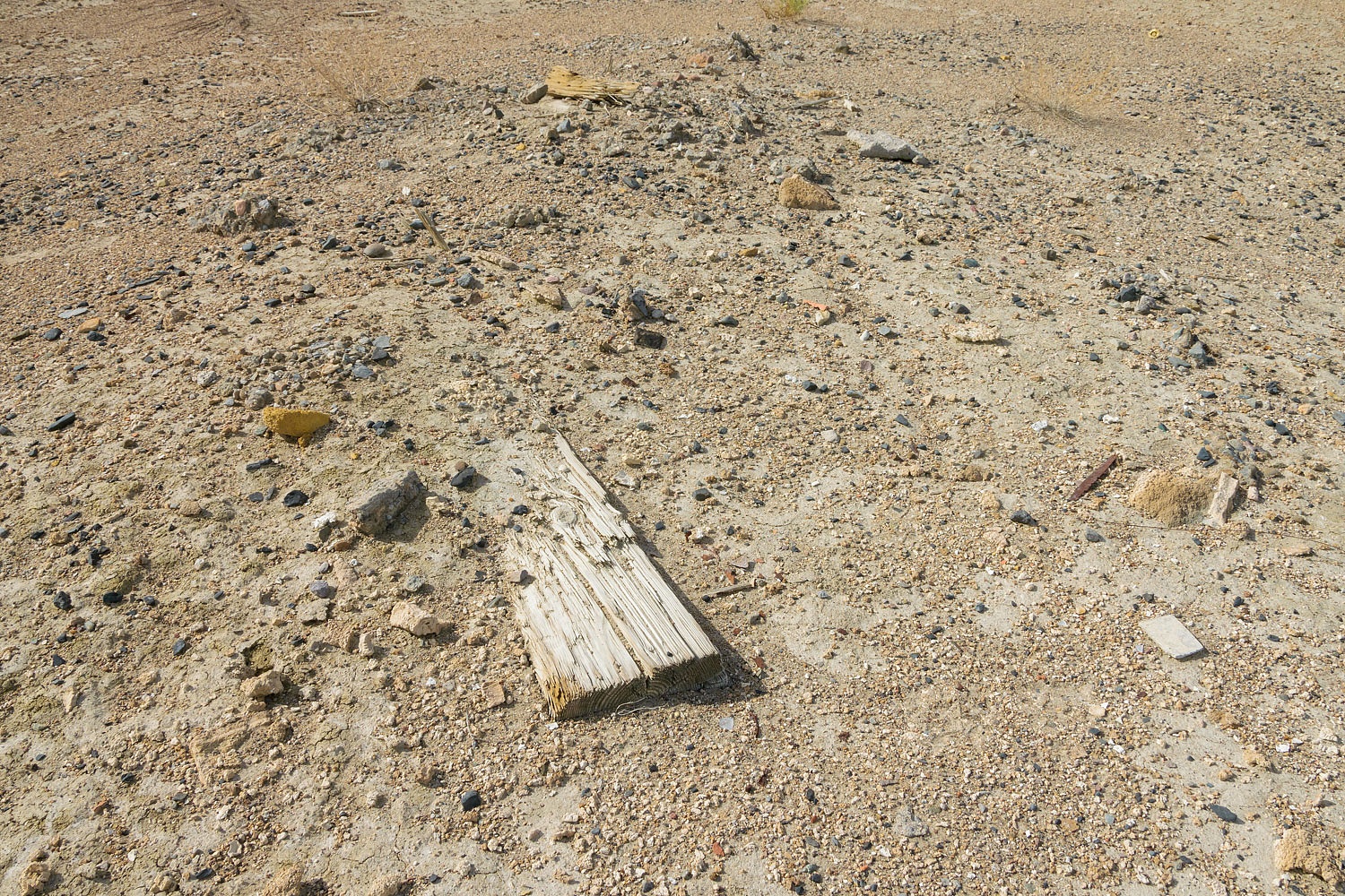
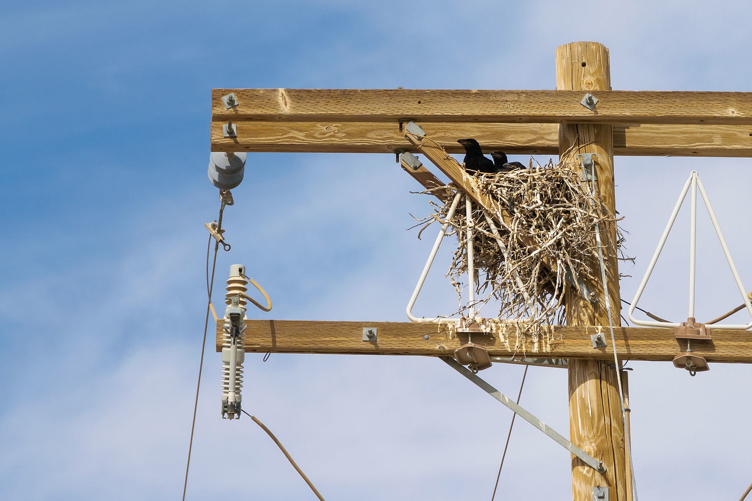
We continued 19 miles east to the site of Beacon 269. It is also near a Bell Telephone Relay Station. Very little remains of the beacon but we are confident we found it.
Three young ravens - still in their nest - watched us as we searched.
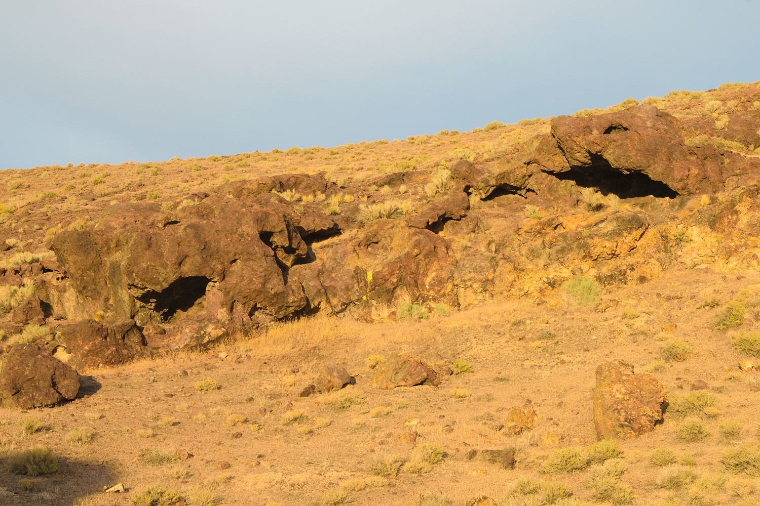
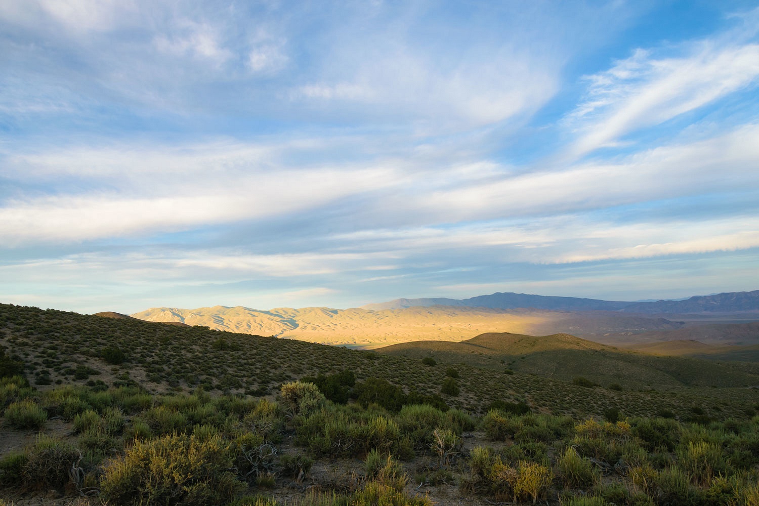
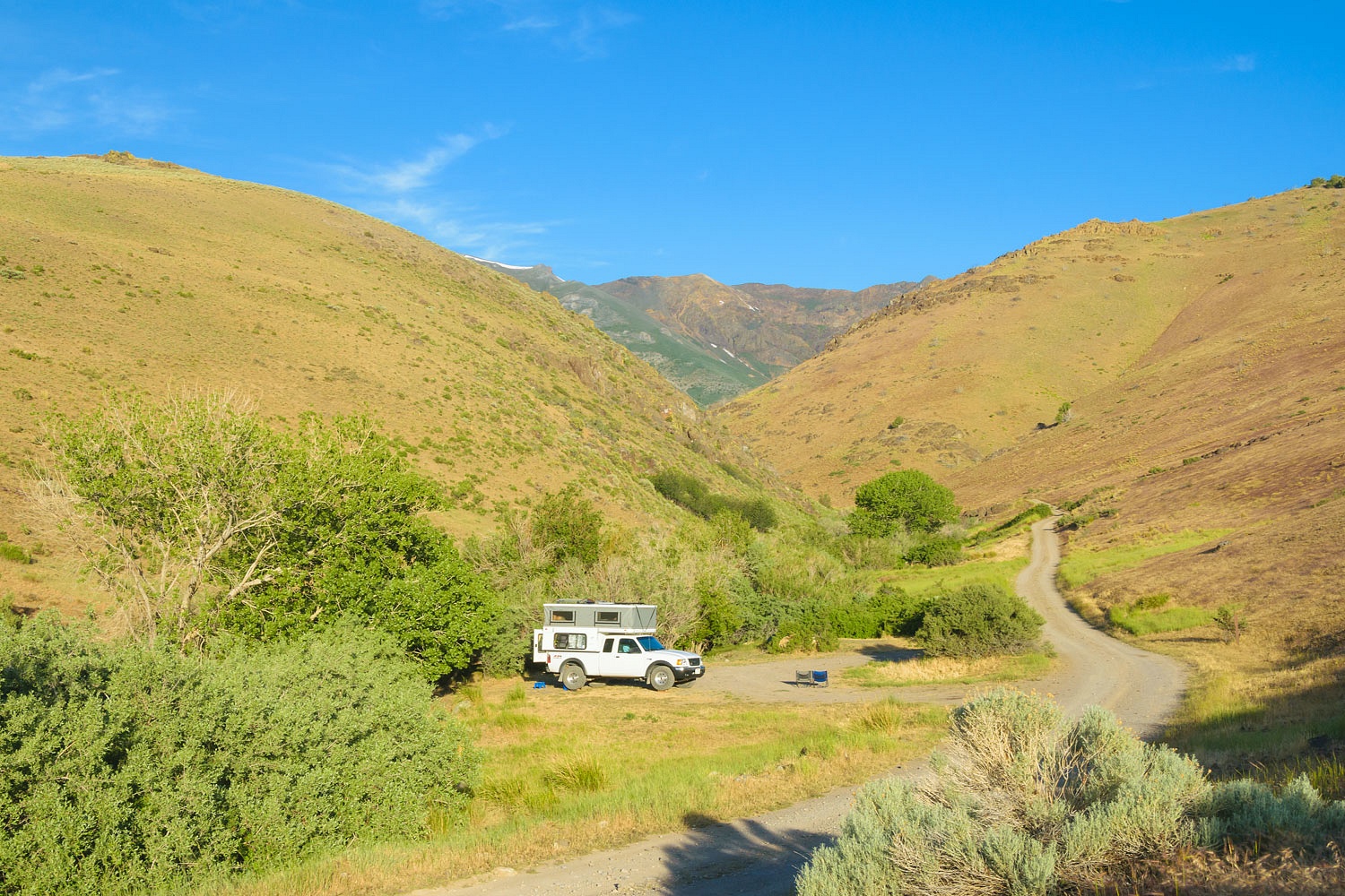
The day had warmed considerably. It was heating up. We crossed over the small mountain range to the cooler northern side to find a spot to spend the night. We were now back above the Humboldt Sink and south of Lovelock. We returned to a high spot we've used before to overnight. There are a series of high rock shelters above that we climbed to and investigated. They are difficult to reach and, I don't believe, received much use as ancient habitation sites. Still, it was much fun to explore in the glorious evening light.
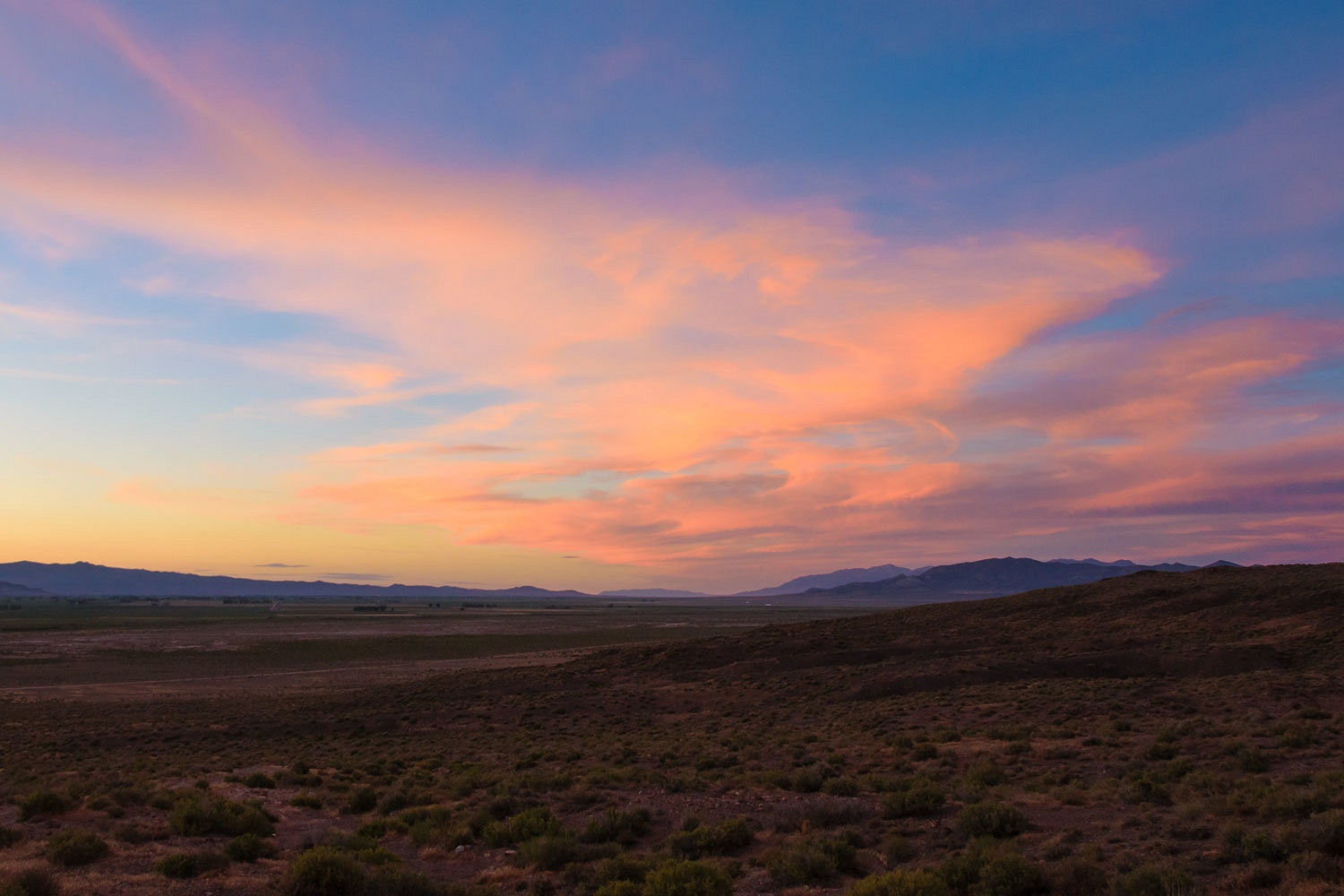
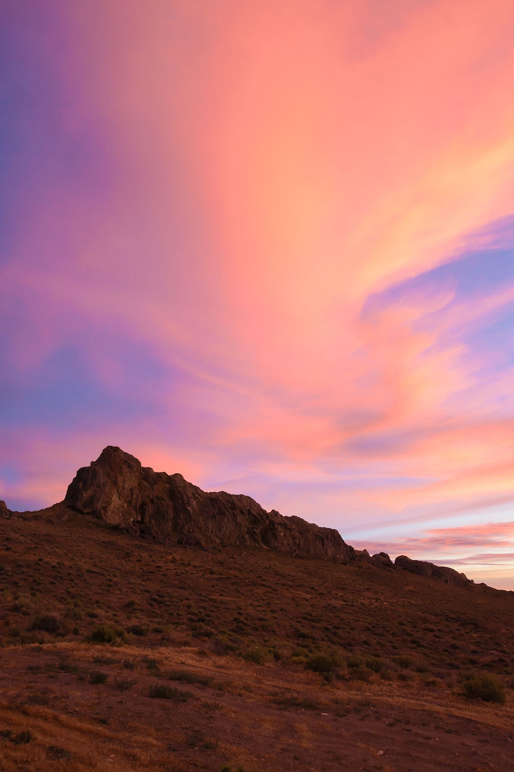
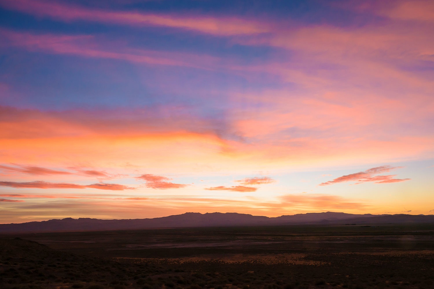
It was 85° as we sat out. A wind and cloud cover to the west that obscured the direct sunlight made it comfortable.
The clouds took on a fiery glow after sunset.
We waited until after dark to shower and climbed up into our bunk. Coyotes had erupted in song around us. We lay in bed, reading with light from headlamps, when a male voice yelled. It was too indistinct to make out words. It came from below us and fairly close. We turned off the headlamps, sat up, and watched out the open, screened window. Suddenly a flashlight lit up below us (about a quarter mile away), its light circled in the air, and then went out. This was odd. Who was out there in the night? We got our clothes on, climbed out of the camper, and sat in our chairs to watch. The flashlight came on again twice for short periods of time. Several times it pointed directly at us. I pointed out to Julie that the light never illuminated us, therefore whoever it was, most likely, never saw us. The incident lasted over a half hour. The main road was below us and ran parallel to the mountainside. Whoever it was mostly likely was on the road - walking, making camp, what was going on? The mystery was solved when a car engine started, headlights appeared, and the vehicle slowly moved on its way. The car had gotten a flat tire, the man yelled his disgust at the situation, and numerous times used a flashlight to help with the tire change.
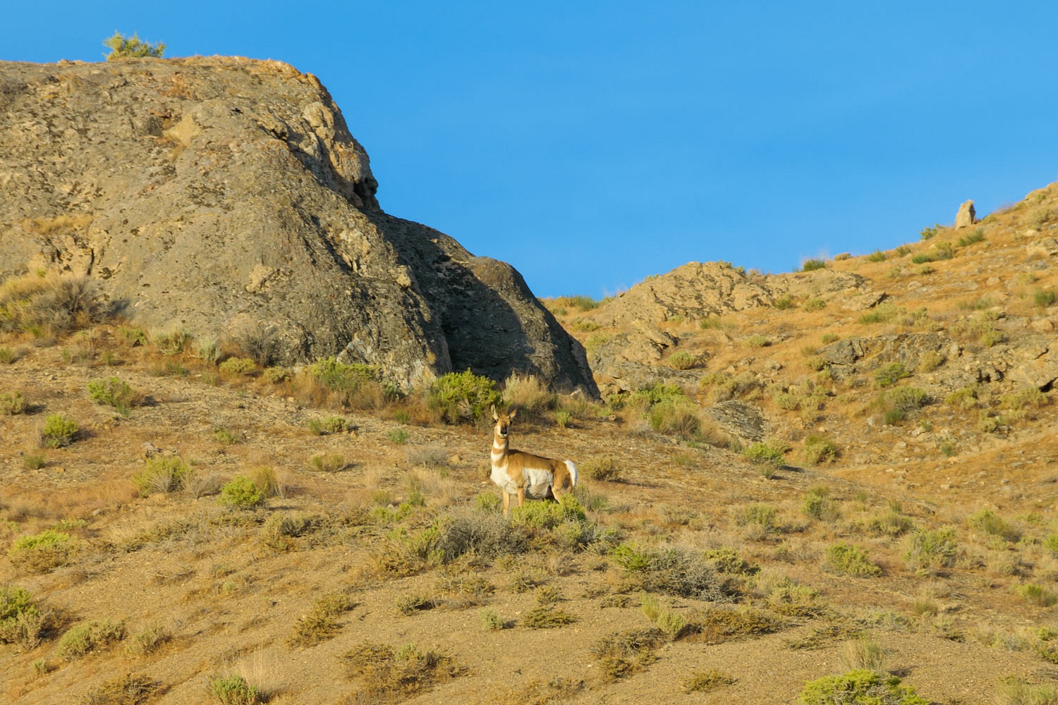
It was 74° when the sun rose the next morning. Mom pronghorn moved her twins up and past our camp. She moved them ahead of her and then stopped and watched us.
The Lady soon had our coffee ready. On mornings like this I often hear the Lady say from inside, "I love the smell of our coffee in the morning in our camper. It brings me so many happy memories!"
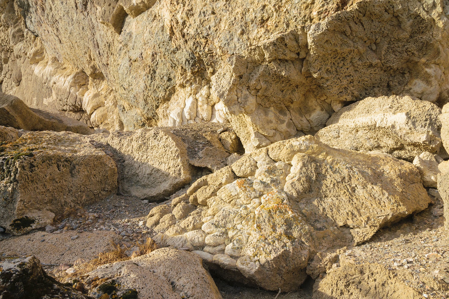
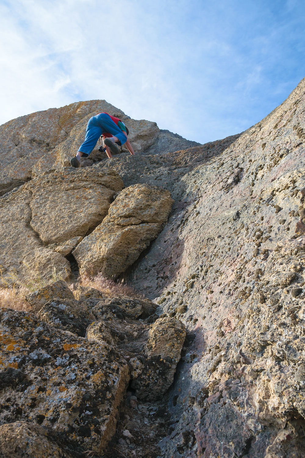
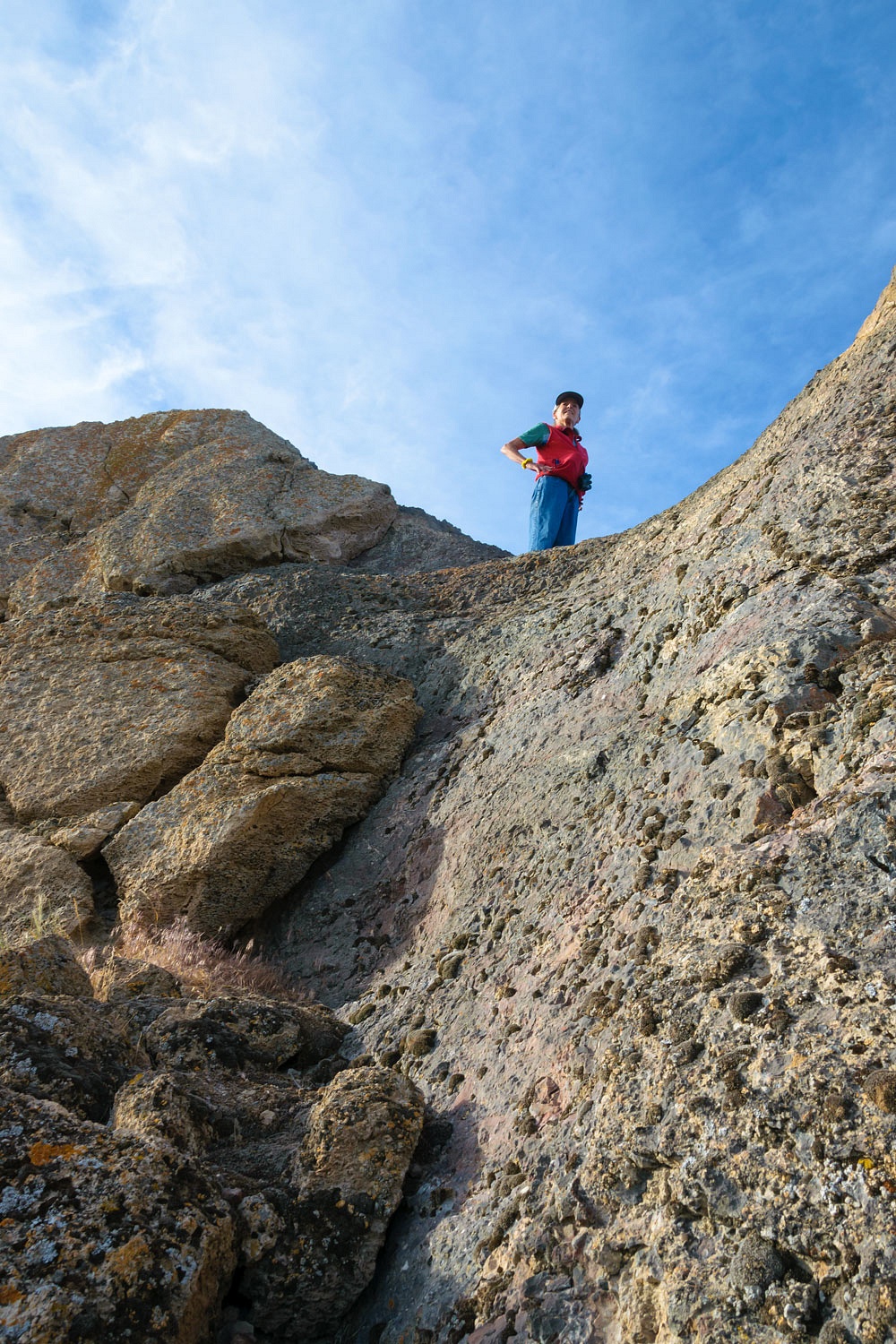
I knew where the Lady wanted to head on our morning coffee walk. A vertical fin of limestone rises up from the ridge. It stood on the ancient shoreline of Lake Lahontan. The lakeside of the cliffs are heavily encrusted in tufa. It is an amazing sight.
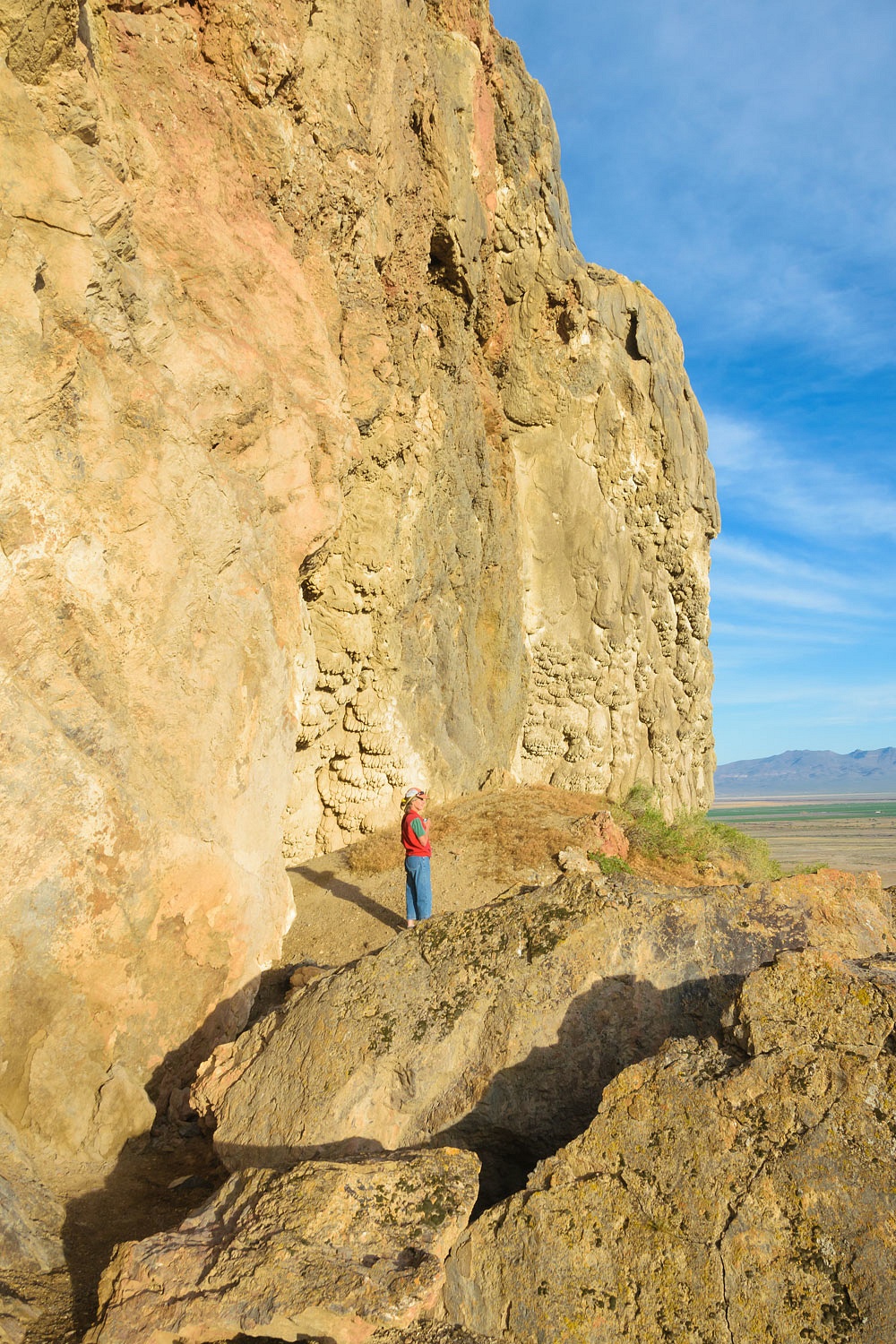
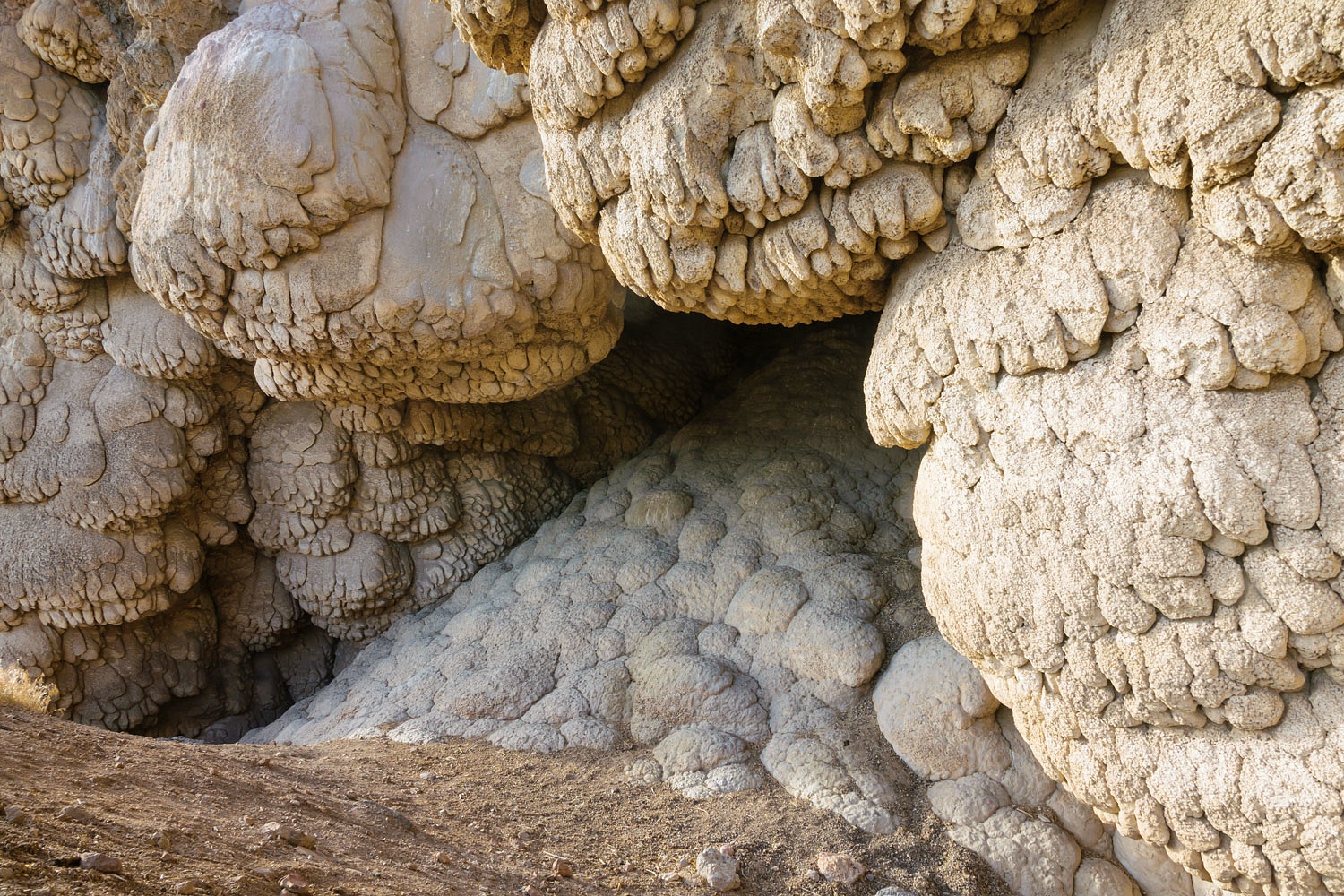
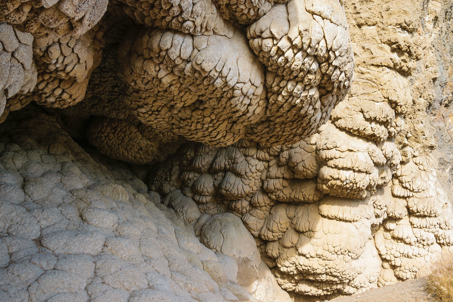
In places large blocks of tufa have fallen from the vertical walls.
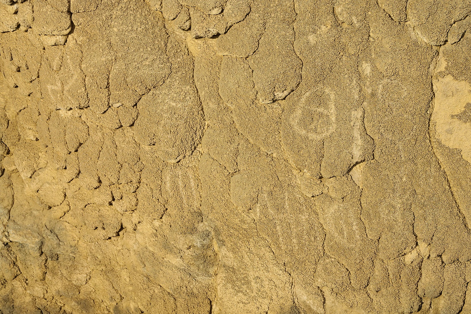
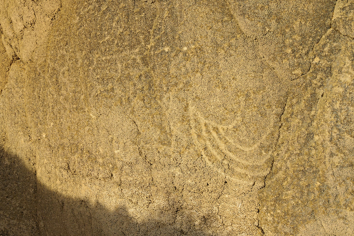
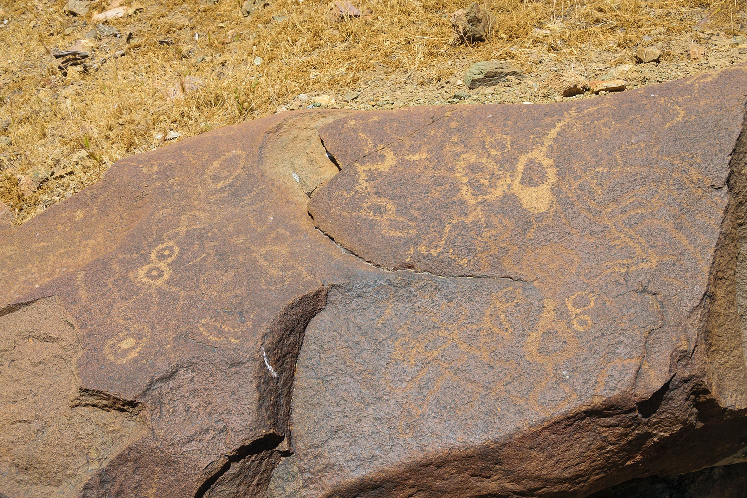
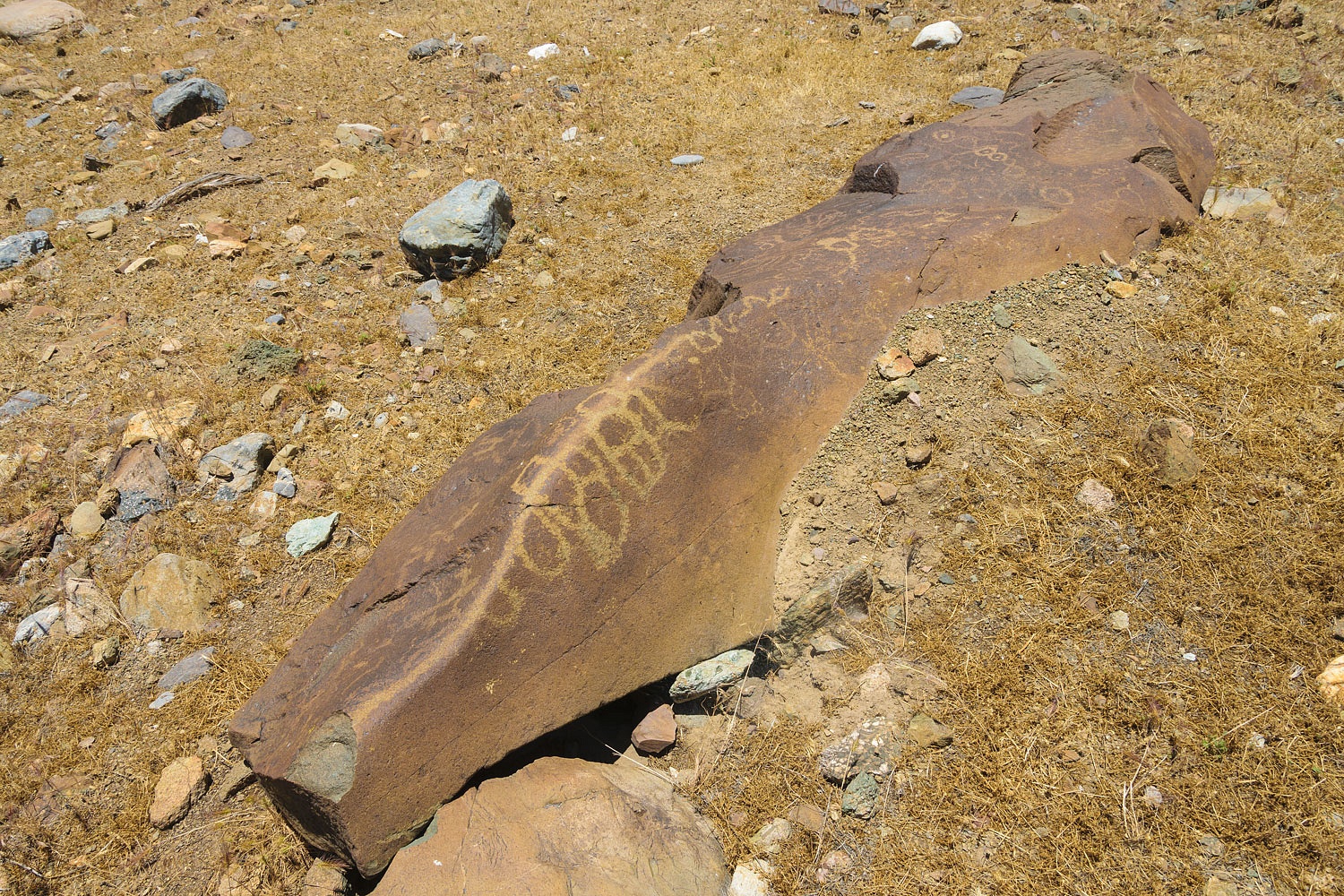
There are petroglyphs.
As I was taking photos, the Lady disappeared. If she seems to disappear, always look up. You'll probably find her. I looked up.
We continued our coffee walk. We stopped at another viewpoint. Notice the deeply carved ancient high shoreline of Lake Lahontan in the distance.
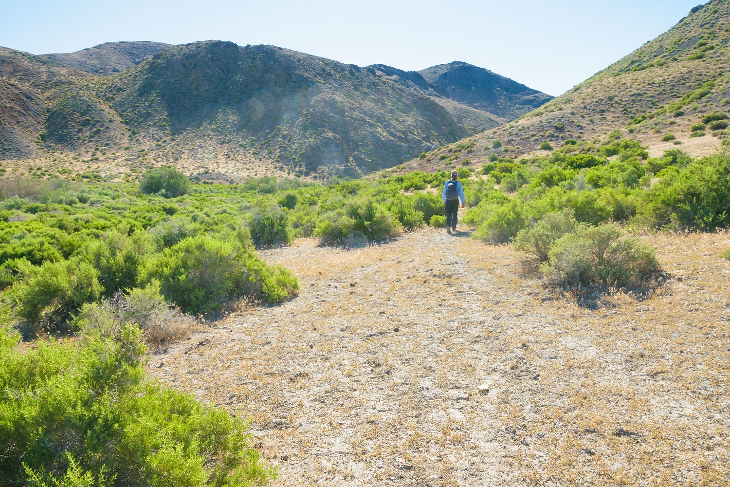
We expected this would be a hot day. It turned out to be a very hot day. We had one more beacon site to find north of the Carson Sink. We drove to the closest point, parked, and we made our plan. It would be close to a 4 mile round trip hike. It was 96°.

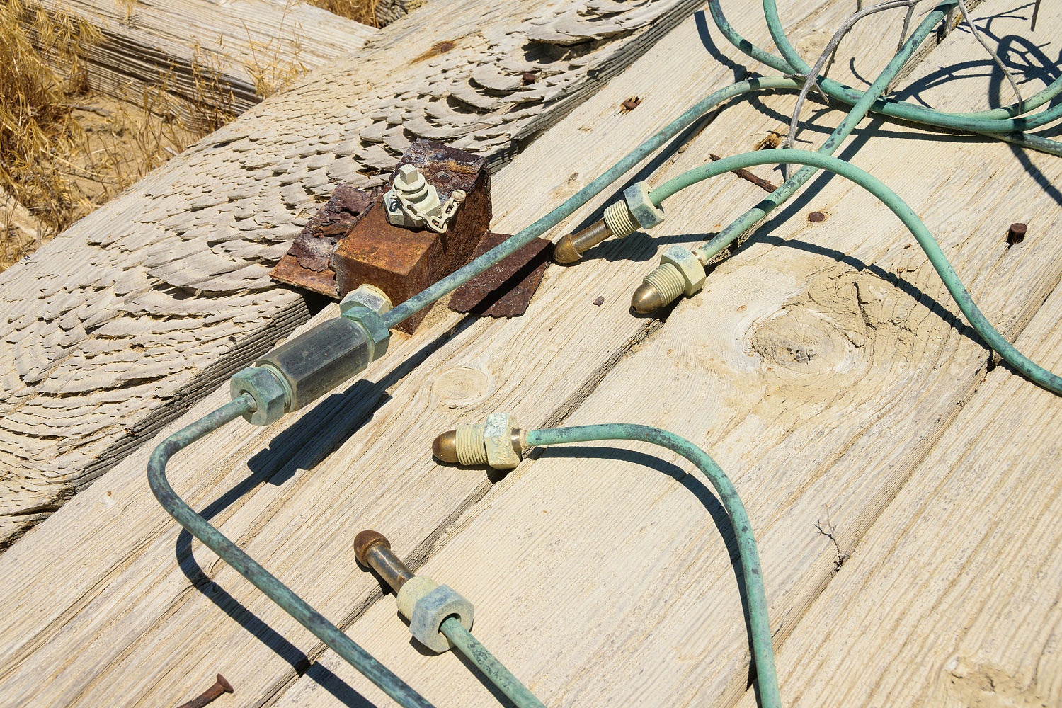
We take these conditions very seriously and are highly confident in our abilities to do this safely. We would not attempt this otherwise. Out here in this heat life is simple. If you are not drinking and peeing, you are going to die. We brought along ample water to continue drinking enough that we needed to stop and pee. Following a handheld compass bearing brought us to the ruins of the (number unknown) beacon site. Success!
The timber base, the wood plank floor, the four anchor rods, and the tubing for the acetylene gas that powered the blinking light remain.
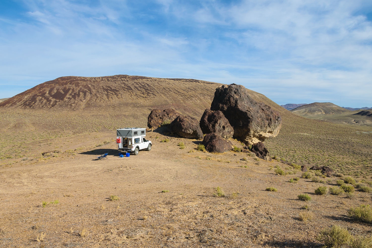
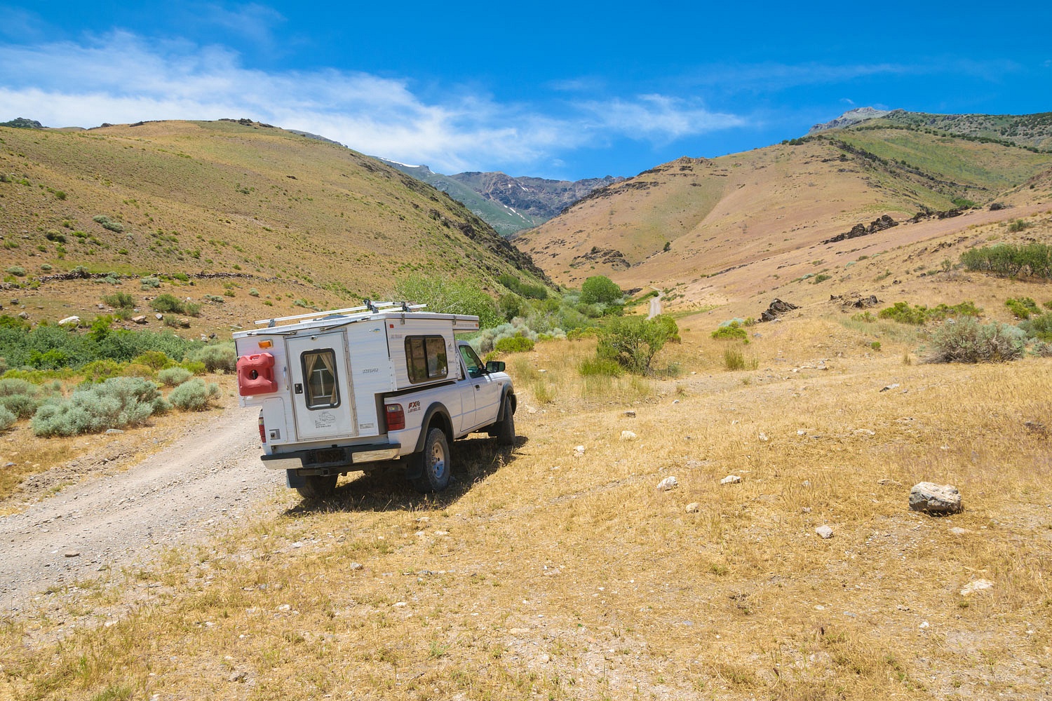
It was 98° when we returned to the truck. We continued east passing the sites of beacon 28A, the Humboldt Intermediate Landing Field, and Beacon 30, all previously found and documented. The outside temperature indicator in our truck registered 110° at one time as we crossed the bottom of Buena Vista Valley. We needed to reach a cool high spot to spend the night. We drove up a rough spur road at the top of McKinney Pass. We set up camp on the top of small hill. The shade from the small junipers, and the wind, made it comfortable. Unfortunately we had reentered the territory of the Mormon Crickets, photographed and mentioned in our last trip story.They shy away from large creatures, so it was not too bad relaxing in the shade. We hate and avoid stepping on the crickets. Their ooze stinks terribly and you just don't want to carry cricket guts around on your shoes. Mormon crickets can be close to three inches in length.
We waited until sunset and the cooling evening before we walked.
It was over 2 miles to a site I wanted to photograph. Airway Beacon 30, mentioned previously, was powered by a generator at the base of the hill. A long cable ran uphill to the beacon. I had not previously photographed these remains.
It was a pleasant evening walk and it was close to dark when we returned to our camper.
It was cooler the following morning, 64°. We had not seen or heard another vehicle for over a day. It is a liberating feeling to be all alone in vast country.
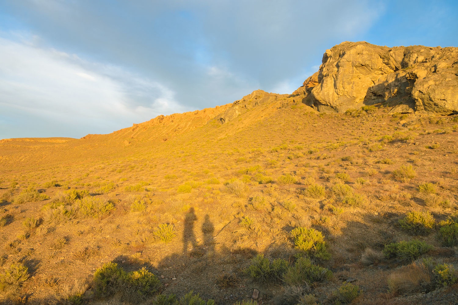
The above photo is midway back from our turnaround point on our morning, before breakfast, coffee walk. The tiny white spot left of center is our truck and camper.
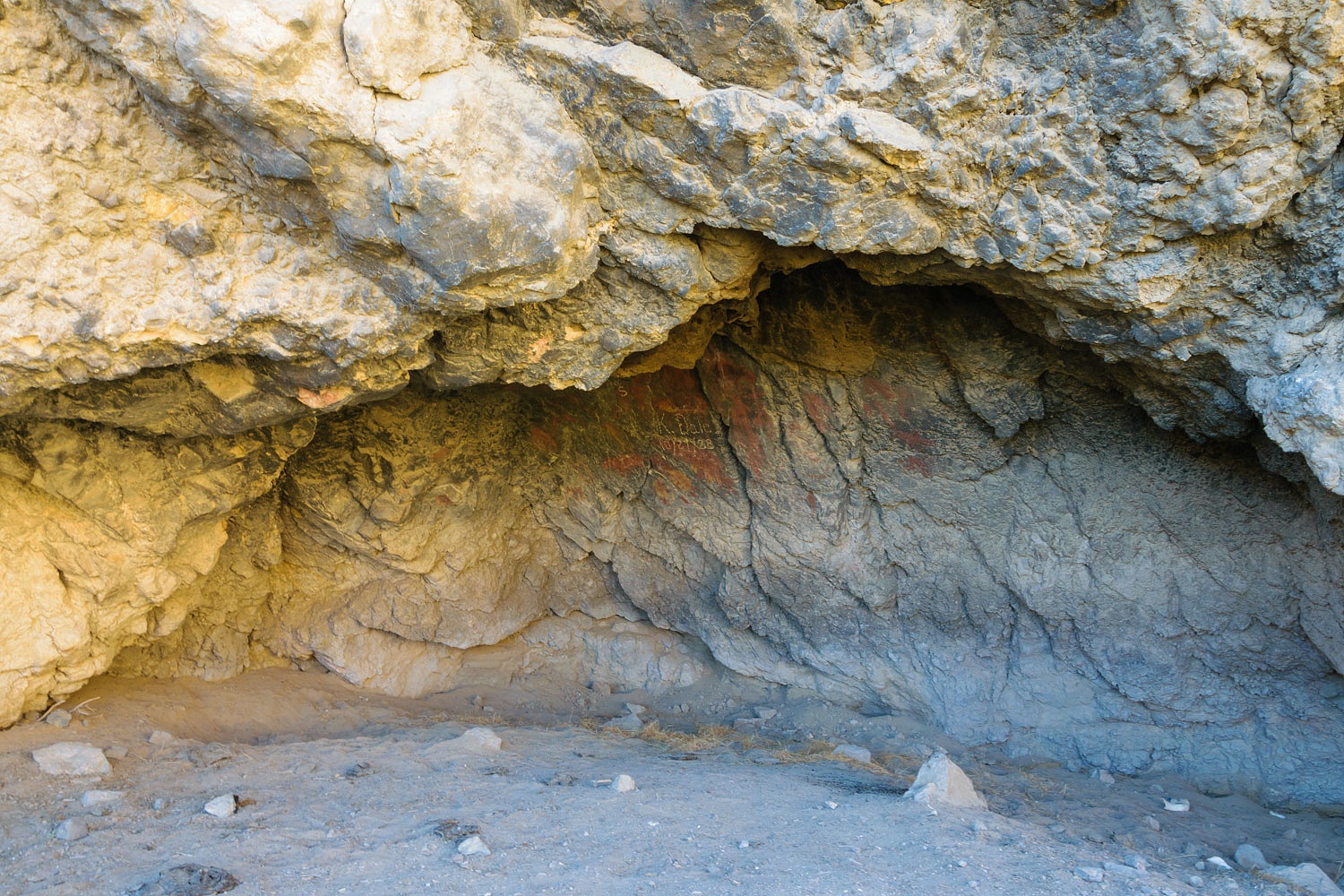
We packed up and left early in an attempt to avoid the coming heat as much as possible. We were switching gears over to prehistoric archeology and ancient rock art. With my research, I hoped I had made a good educated guess on where this site was. It was, again, a cross country hike from where we could reach with the truck.
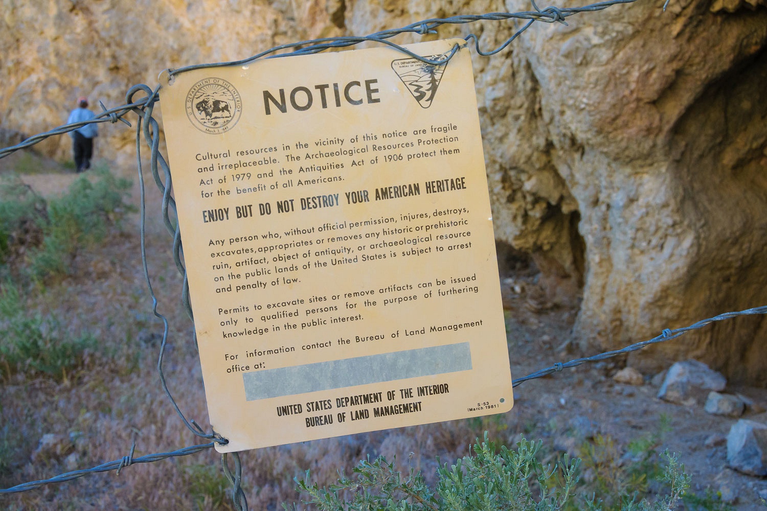
Success! We found the rock shelter site at the base of a cliff.

BLM archeologists conducted an excavation here in the 1970's. A cow feces layer is mentioned in the report, so we were glad to see that a fence is in place to now keep cattle away.
One point made in the report caught my attention. A ancient layer of vegetation was found, put down on the floor by the inhabitants to made this cave comfortable.
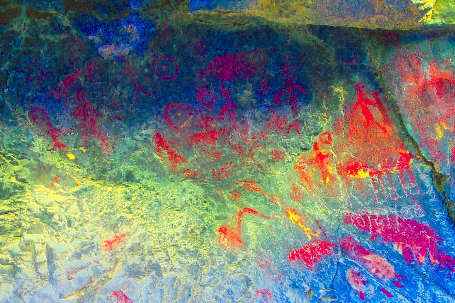
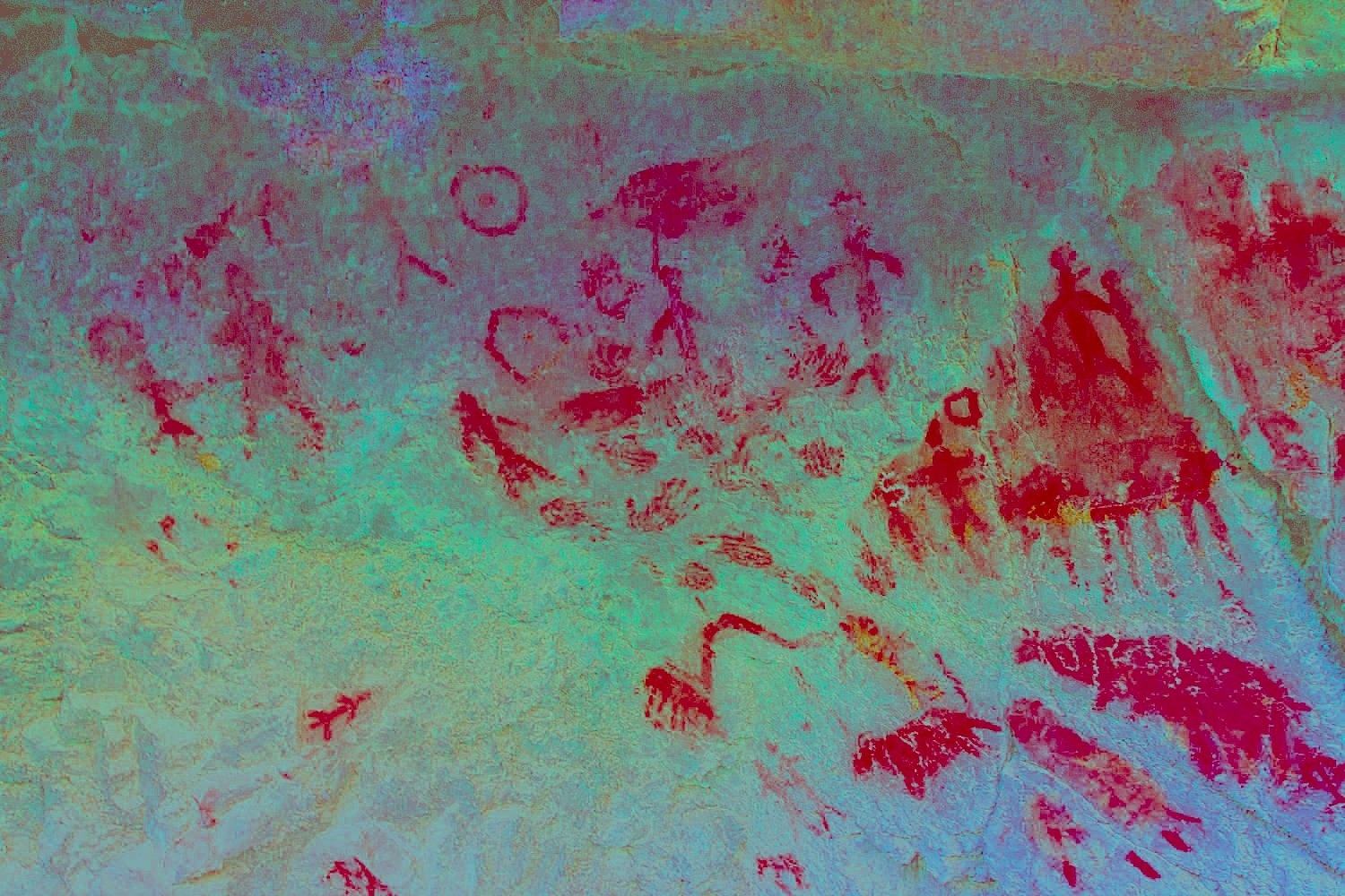
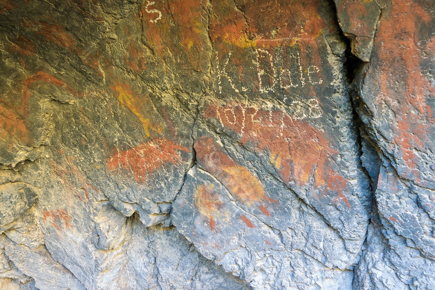
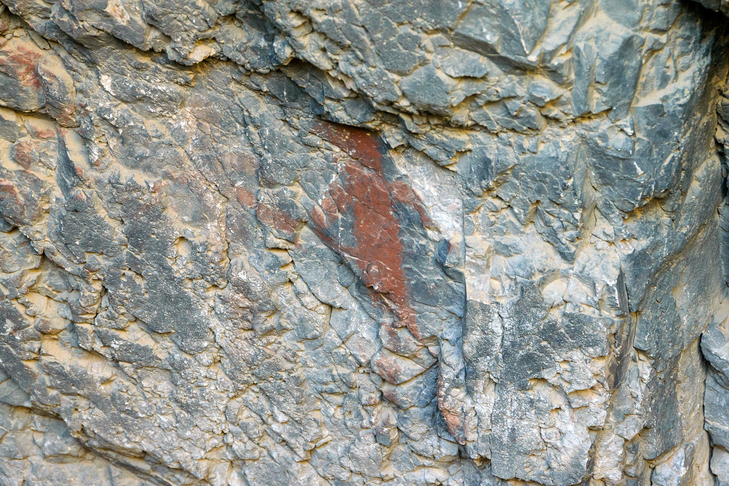
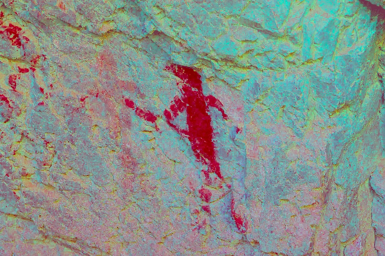
The pictographs - in red, yellow, and white - were excellent. I will use DStretch to help bring out some details.
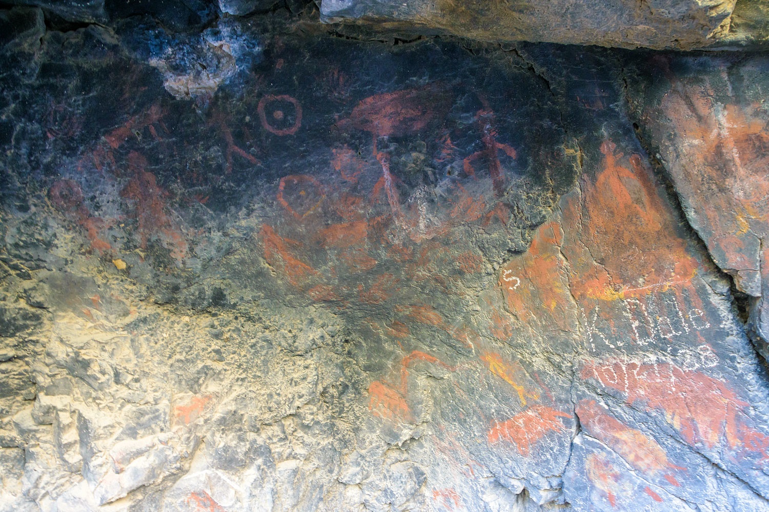
There was one "cowboy glyph" almost 100 years old. I believe that is a brand symbol above to the left.

What animals do the yellow pictographs depict?
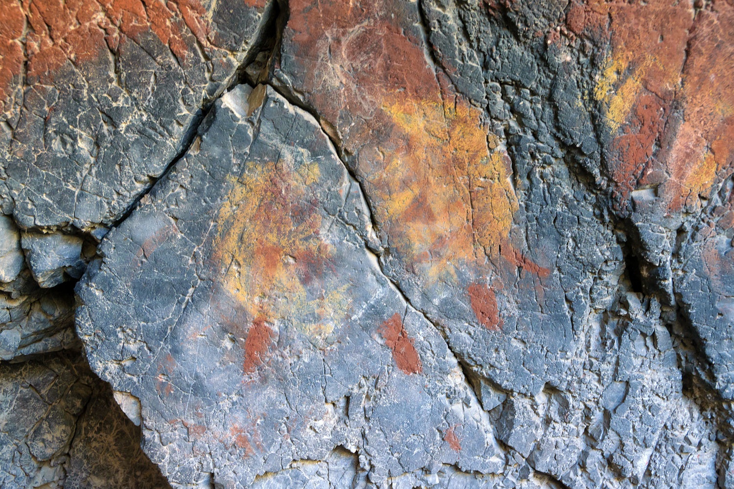
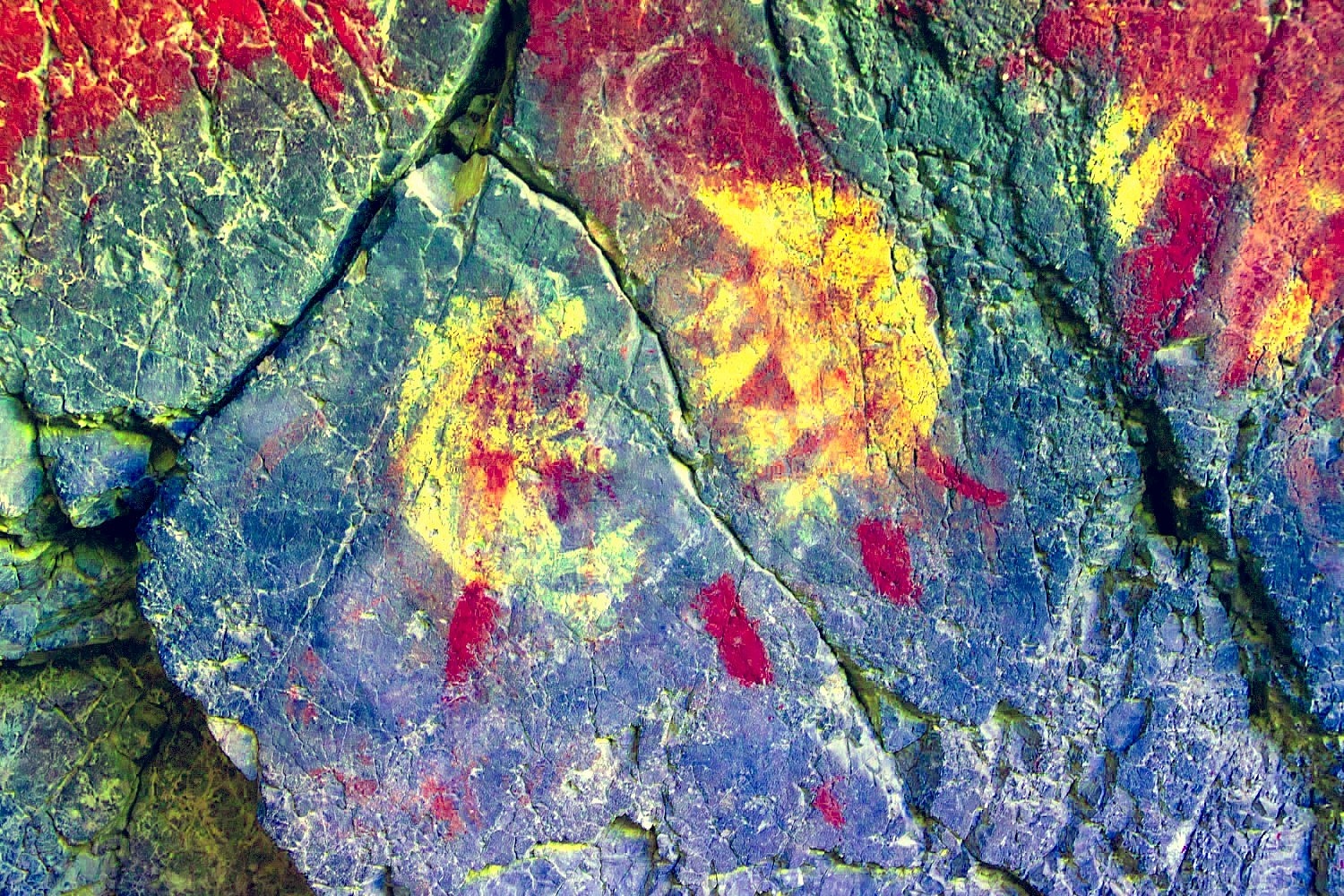
Bears, badgers? What do you think?
Dstretch shows that there are older pictographs here. The pictographs are not all the same age.
This was a shelter for warm weather use. It faces the north and never gets direct sunlight. It was a wonderful cool place on this hot day. Finding and visiting this site was the highpoint of our trip.
Addition: Many thanks to a reader for this additional information on the K. Dale inscription.
This might be your man. He is buried in Big Meadow Cemetery in Lovelock, Pershing County, Nevada.
Obit:
“Rights Held for Kenneth D. Dale
Lovelock, Nov 29 [1945]
Funeral services were held Friday at the Methodist church for the late Kenneth D. Dale, 46, Rev. Lewis Whitehead officiating. Well
known in Pershing county as a mining man. Dale died at Henderson. He
was born in California, the son of Mrs. J.R. Gill of Lovelock. He was
married to Miss Winfield Hanson in December, 1936, and they made their
home in Las Vegas. He is survived by his wife , his mother, and a
sister, Mrs. Helen Barnes.”
He died of T.B.
Geologyjohn trying on a different “olg” hat (genealogy).
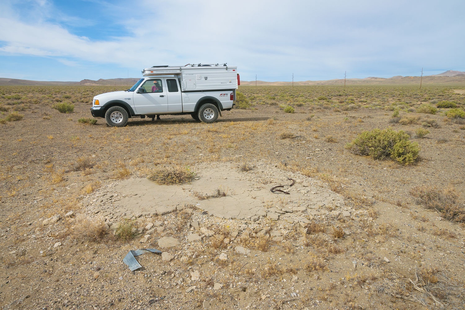
We found something quite unusual close to the truck on our way in. It was a child's bubble maker toy laying on the ground. We came in on a ranch road that ended at fencing. Did a granddaughter come in with her grandpa, the rancher? Was it a child and father? Feral horse tracks were the most recent on the trail but we finally located a adult sized shoe track and a smaller child's track. The Lady asked the question, "Why does someone have to give a child something like this to get them to come along?"
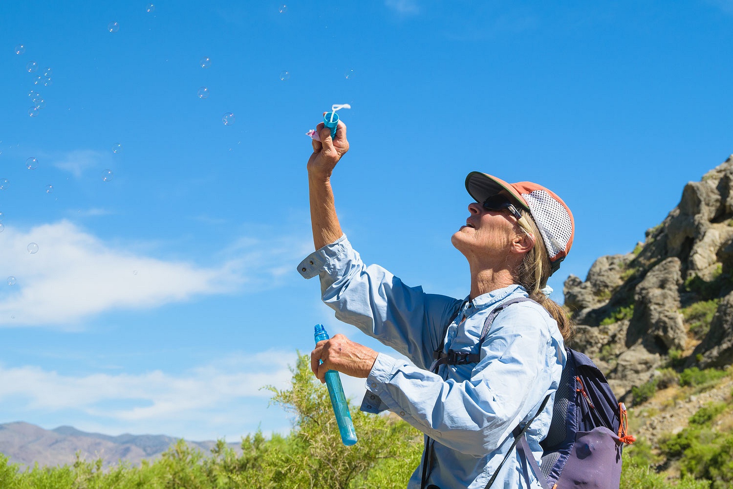
Several days later I have the definitive answer. Because the kid will not put it down. The Lady is still playing with it. Bubbles in the camper. Bubbles in the house. Bubbles out on the deck. I hear this driving down the road. Julie is hanging out the window with the wand. "Slow down! That's too fast to make good bubbles. Slow down!" Bubbles in the truck.
There's a bright side, You all know what to get her for her birthday.
We had one more beacon site we wanted to try and find. It was early in the day and the temperature was already 94°. This hike was different than the one the day before. It was a six mile round trip hike including a steep climb. We talked it over. We'd save it for cooler temperatures. We headed back toward home.
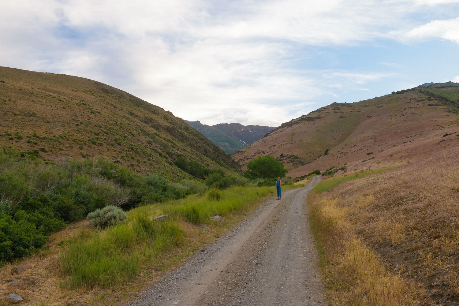
The outside thermometer in the truck showed 107° at one point in our travels this day. We grew tired of the heat. "You know what I want?" I asked the Lady. "I want to sit under a cottonwood tree. Let's find a cottonwood tree to sit under for the rest of the day." We went in search of a cottonwood tree, a cool spot, and a place to spend the night.
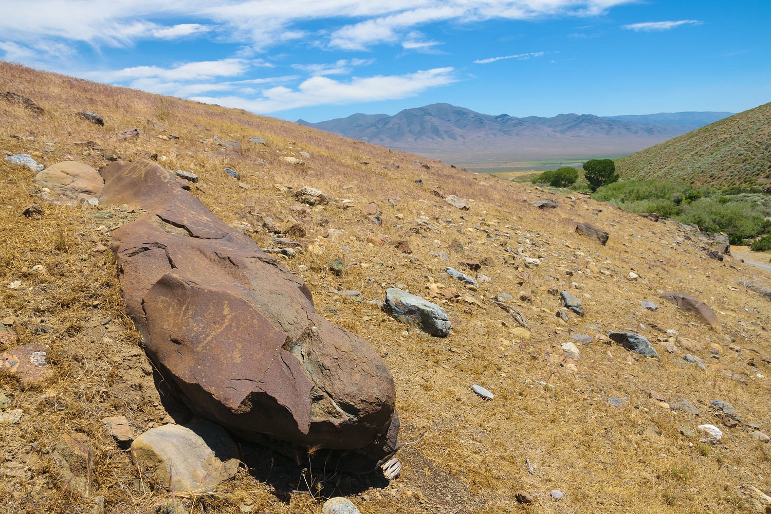
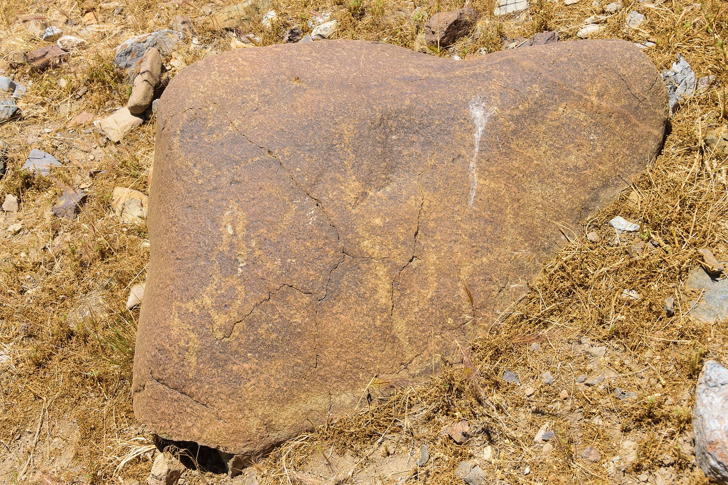
The cottonwood trees were along an ice cold stream flowing in an east facing canyon carved into a small rugged mountain range. Nevada literally has over 300 mountain ranges. The petroglyphs carved into rounded rhyolite boulders made the area even more delightful.
There were Mormon crickets here and it was hot. Remember the beginning of this story -
"We came home early from Nevada because of the heat and the Mormon Crickets. We would have stayed if it was only one or the other. In the heat of the day the crickets headed for shade. So did we. There wasn't enough room for everyone."
Here we discovered mormon crickets climb cottonwood trees. We learned this fact as they dropped onto us from above as we sat in the shade of the cottonwood tree along the charming trout stream.
Honestly, we thought it was quite humorous. They felt like they weighed at least a pound each when they hit, an exaggeration you will kindly allow me. It finally cooled enough after sunset we felt like going for a walk, carefully trying not to smash crickets underfoot.
The wind blew hard down canyon during night. It was hard to stand when outside. The camper rocked. The weather was changing. We took it in stride - like dealing with crickets - and slept pretty well.
Morning dawned crisp and clear.
On our morning walk we made that decision to head home early. As we drove, the headwind out of the west was hard and brutal. We bucked it most the day, dropping our truck's mileage considerably. The weather change was very evident the next morning at home. The storm was on us and it rained hard. Amateur meteorologists also?
All in all it was a very successful trip and we are pleased with our many successes with both historic and prehistoric archeology. We also celebrated our other "ological" finds, but we two amateur entomologists are sure looking forward to a mormon cricket free adventure the next time we head out!
Bubbles! A sure sign of a young heart.
ReplyDeleteThanks, Professor Dan!
Delete