"Where shall we go?" I
asked the Lady as we approached Austin. "We can head into the Toiyabes
again, hike sections of the Toiyabe Crest Trail."
I rambled on. "Back to Mt.
Jefferson? We haven't climbed Shoshone Peak. How 'bout more of the Monitor
Range?" Everything was piquing her interest but I was not setting off a big smile. I continued.
"How 'bout Great Basin National
Park?" I asked.
"I love Great Basin!" she
answered. "Let's go there!"
"Things to consider." I
added. "The 4th of July holiday is coming. Wheeler Campground has not
opened yet because of snow. Strawberry Creek is closed. There could be more
competition for campsites. Let's get there mid morning tomorrow and I bet we'll
have our pick of spots before the wave of visitors washes in."
The Lady was still piloting our craft
as we climbed Austin Summit. "Do you remember the times we've run into
mormon crickets up here?" she asked. Once you've driven through a swarm of
a million or so of these huge katydids covering the road you'll never forget
it. I was too late to knock on wood or any other incantation to ward off the
now spoken subject. The sound of tires crunching thousands of dark red insects
began around the next corner. "Hold on to the steering wheel. Foot off the
gas. Don't brake. Continue to drive." I hoped my direction would help.
Slime covered the road. Smashed mormom crickets. Millions of smashed mormon
crickets. Other drivers had done equally as well avoiding catastrophe as the
Lady with driving through this slick as calf slobber on a pump handle slime. No
vehicles were over the side. The stench was choking. We rolled up the windows
trying to hold our breath.
"Looks like they're back,"
I finally got around to answering the Lady's question as we rolled out of the
ruby syrup.
We were now especially empowered. If
we could handle mormon crickets, we could handle anything.
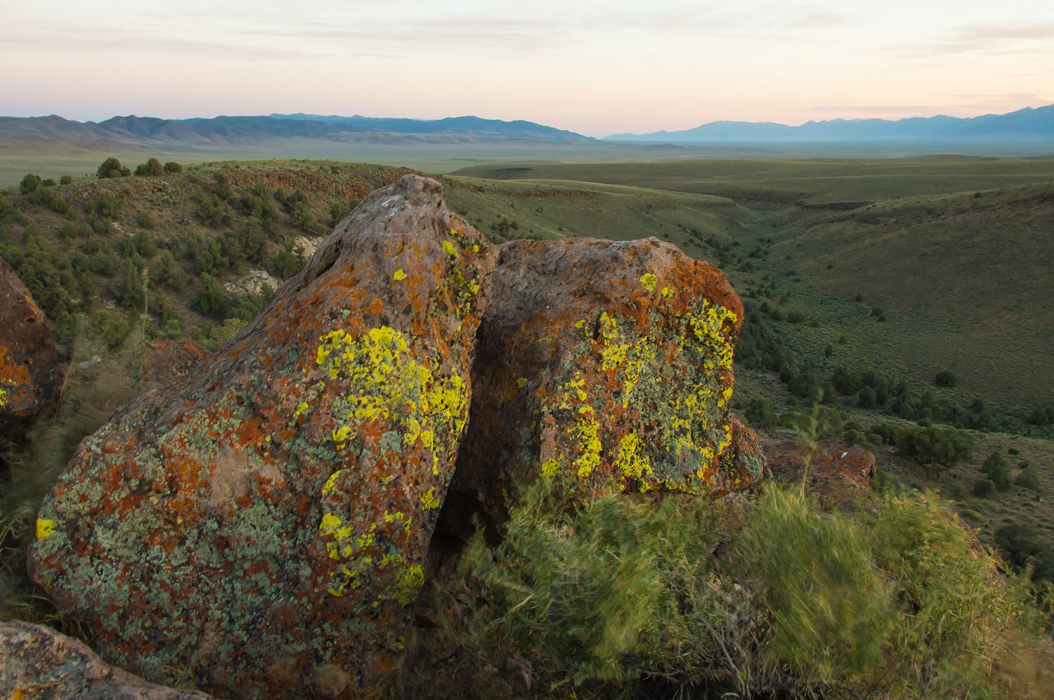
Our overnight spot was the small -
but now always seems busy - campground at Hickison Petroglyph Site.
We look forward to our evening walks
here before sleep.
Baker Creek Campground is a favorite
for us at Great Basin National Park. It is near a trailhead that offers
hikes up into lesser used high country
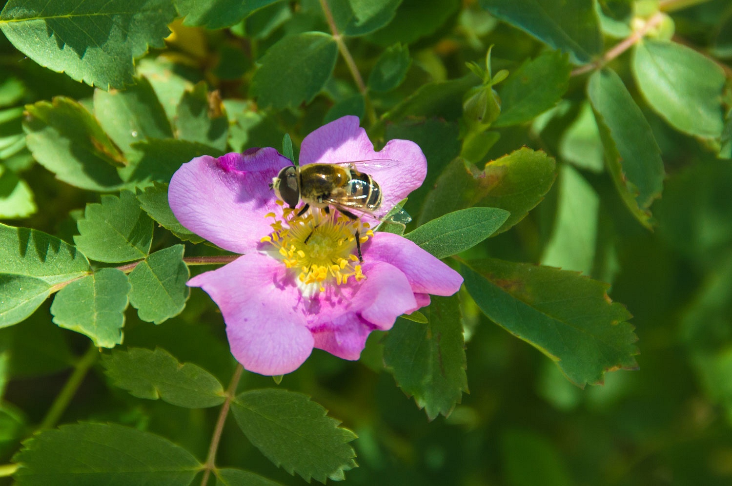
in the Snake Range. Our favorite campsite was empty. We settled in and watched
the pollinators on the wildroses.
It was warm so we put on our sandals
for a short afternoon walk. The South Baker Creek over the ridge to Baker Creek
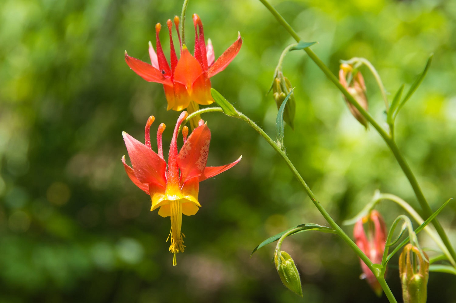
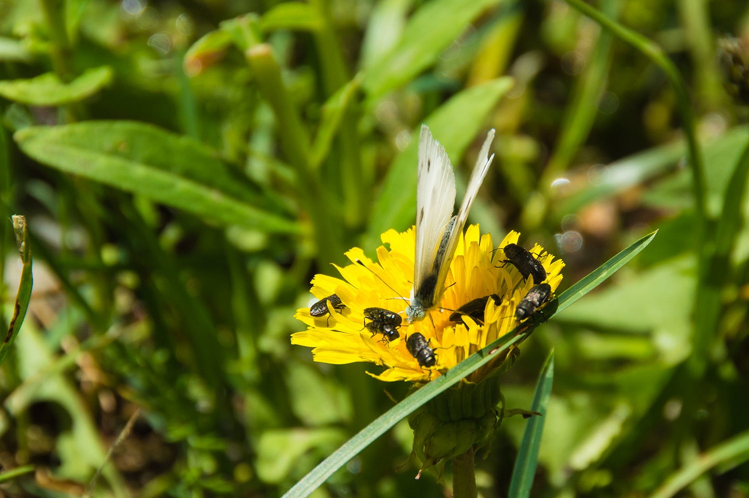
makes a nice four mile loop from the campground. Many wildflowers were out
including Crimson Columbine.
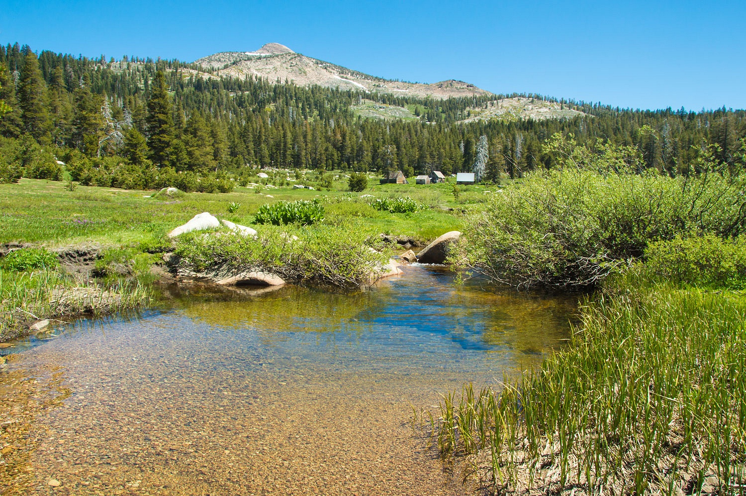
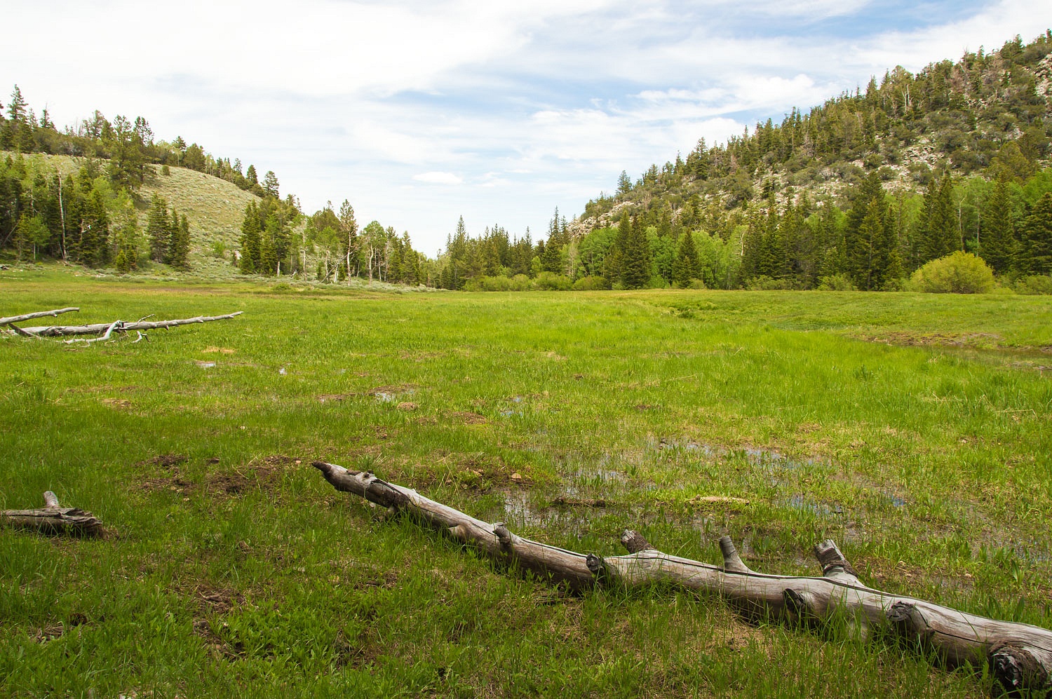
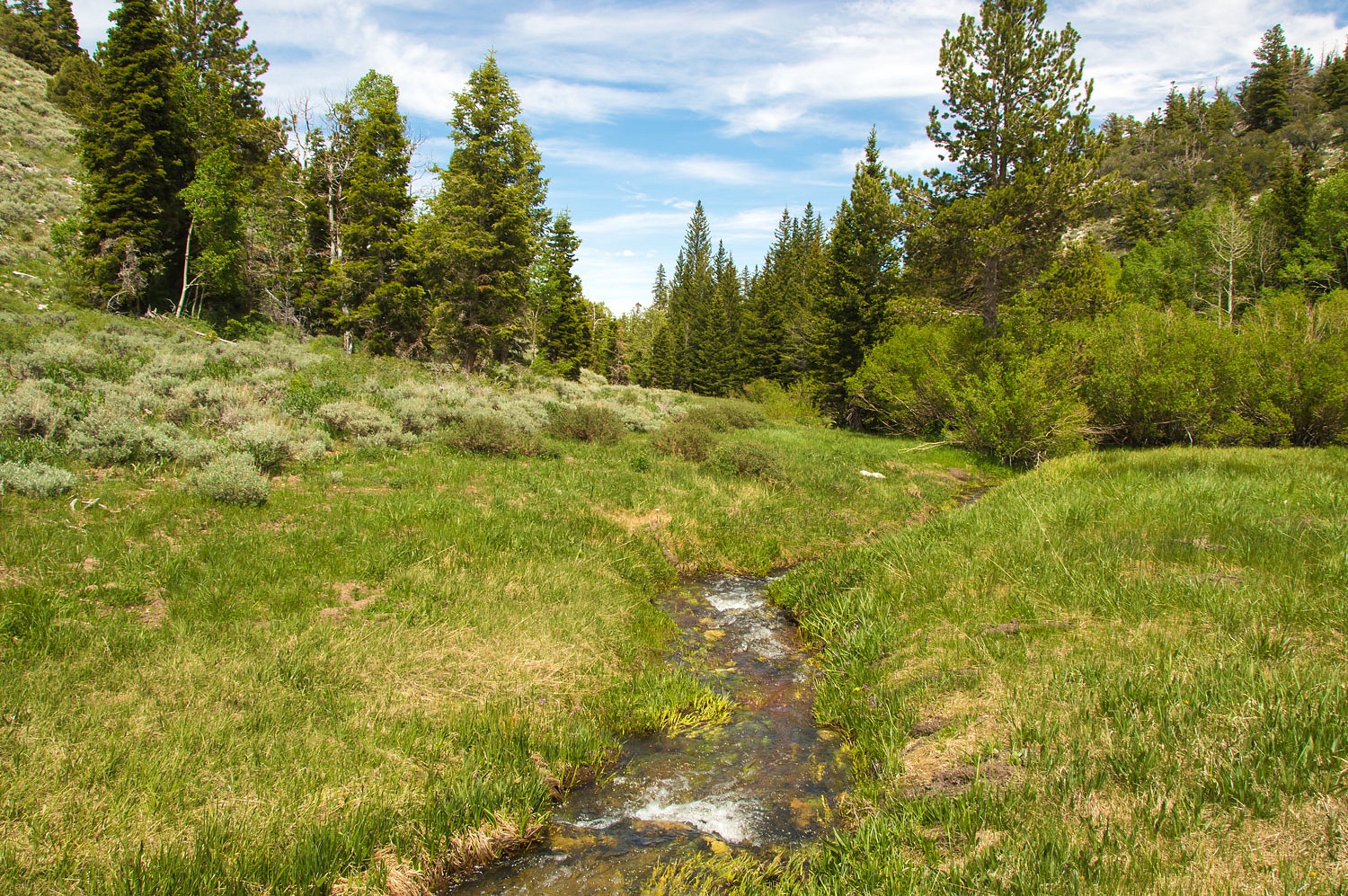
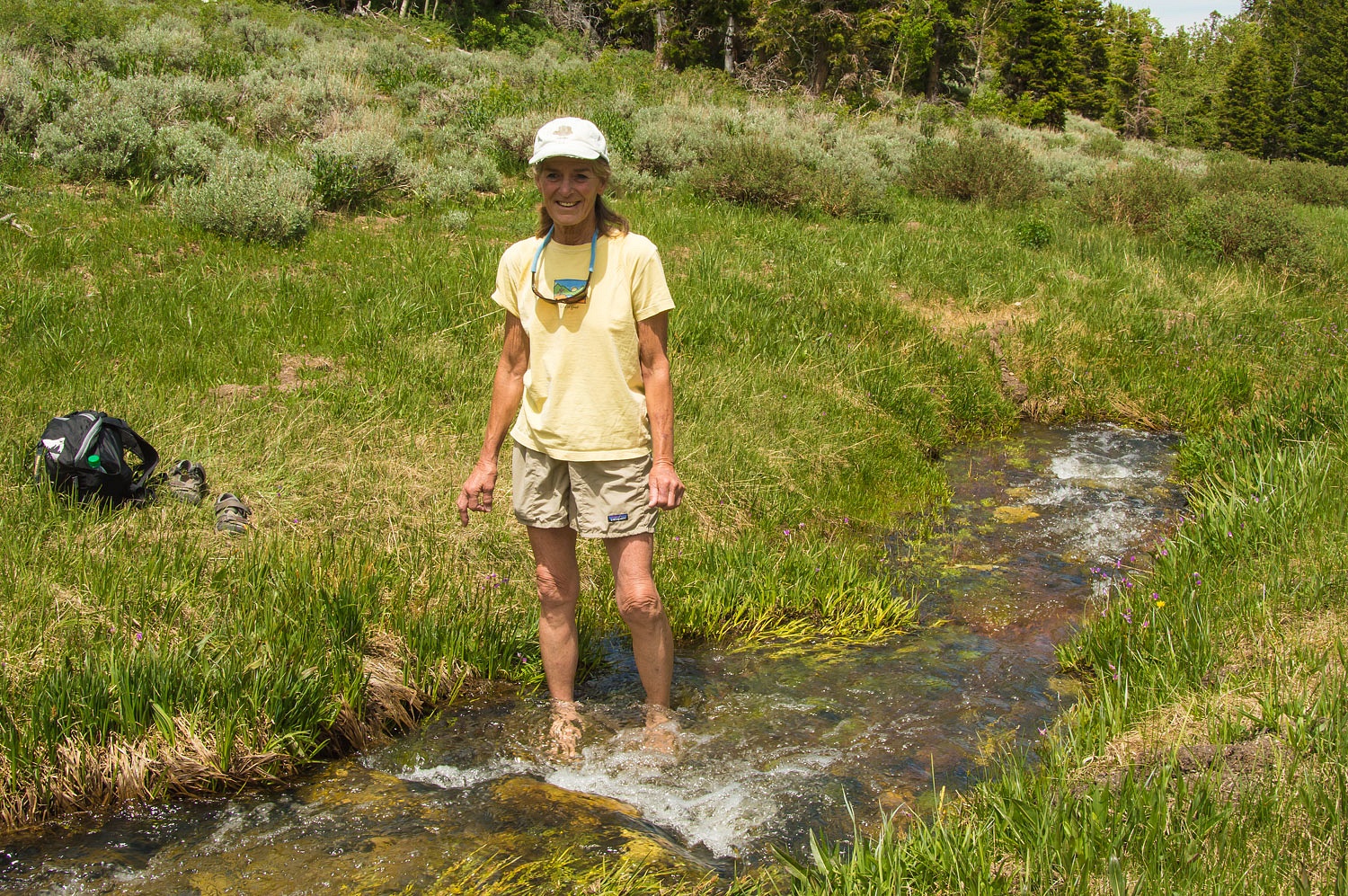
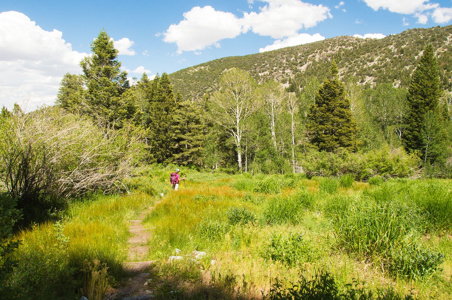
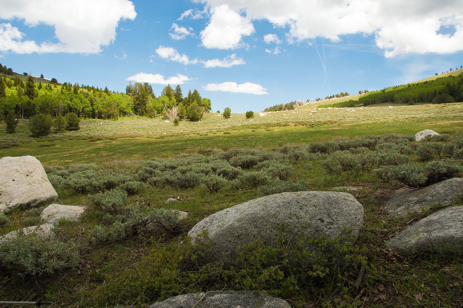
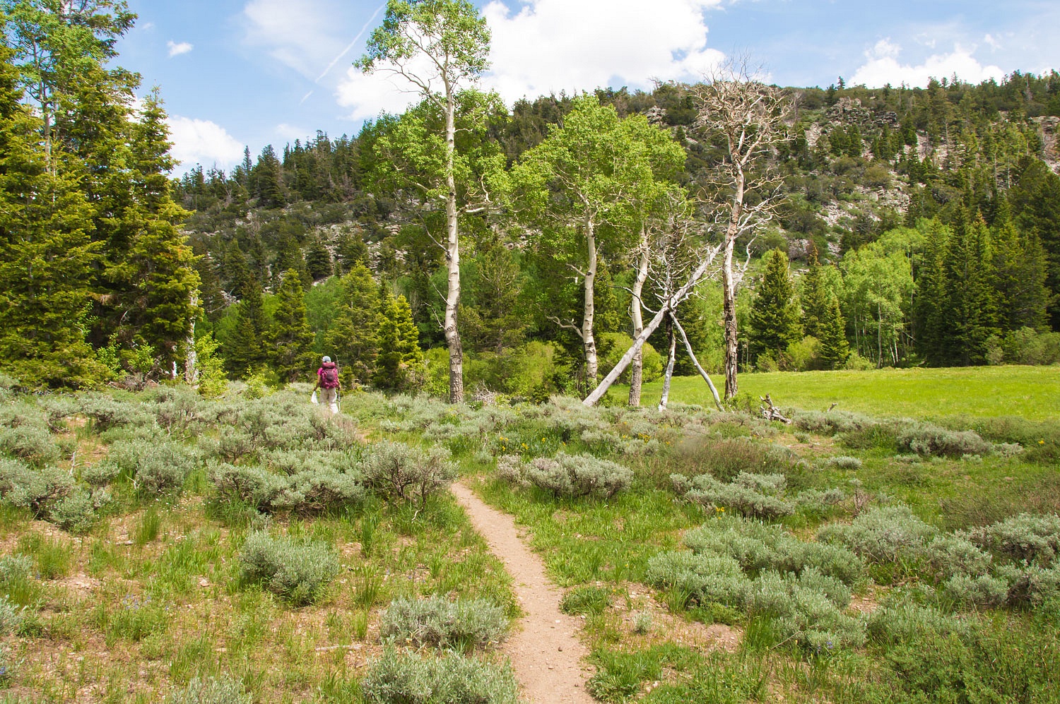
The first small meadow along South
Baker Creek is one of our favorite spots.
The Lady loves getting into cold
water.
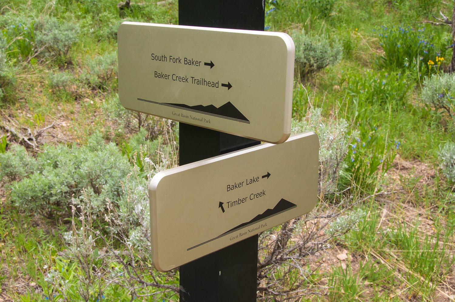
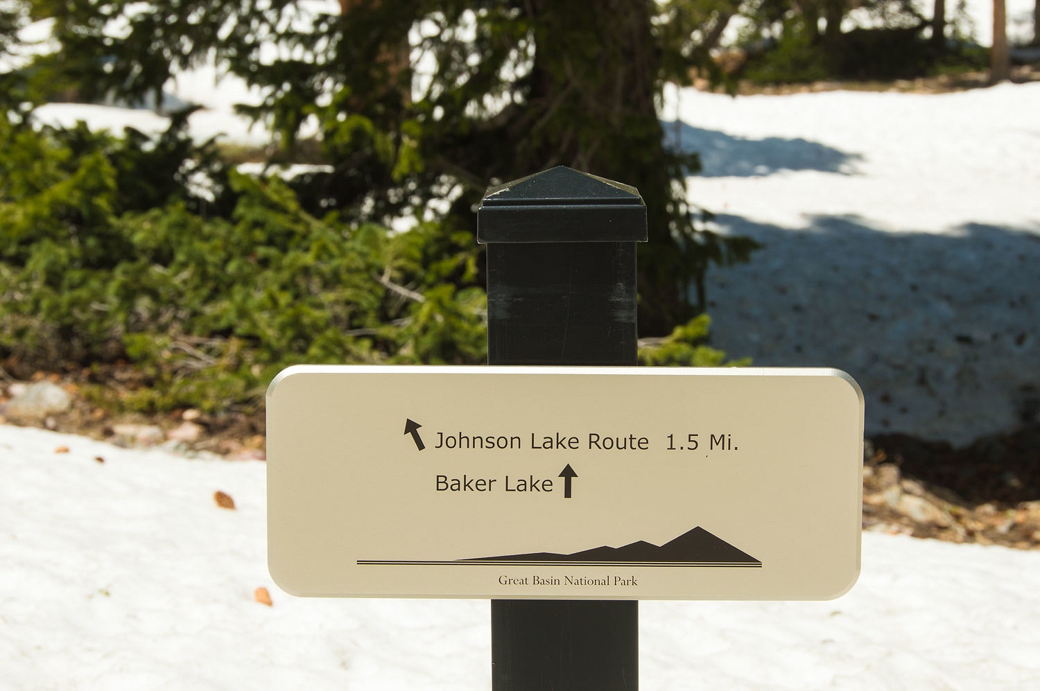
New signage has gone up along the trails in the last couple of years.
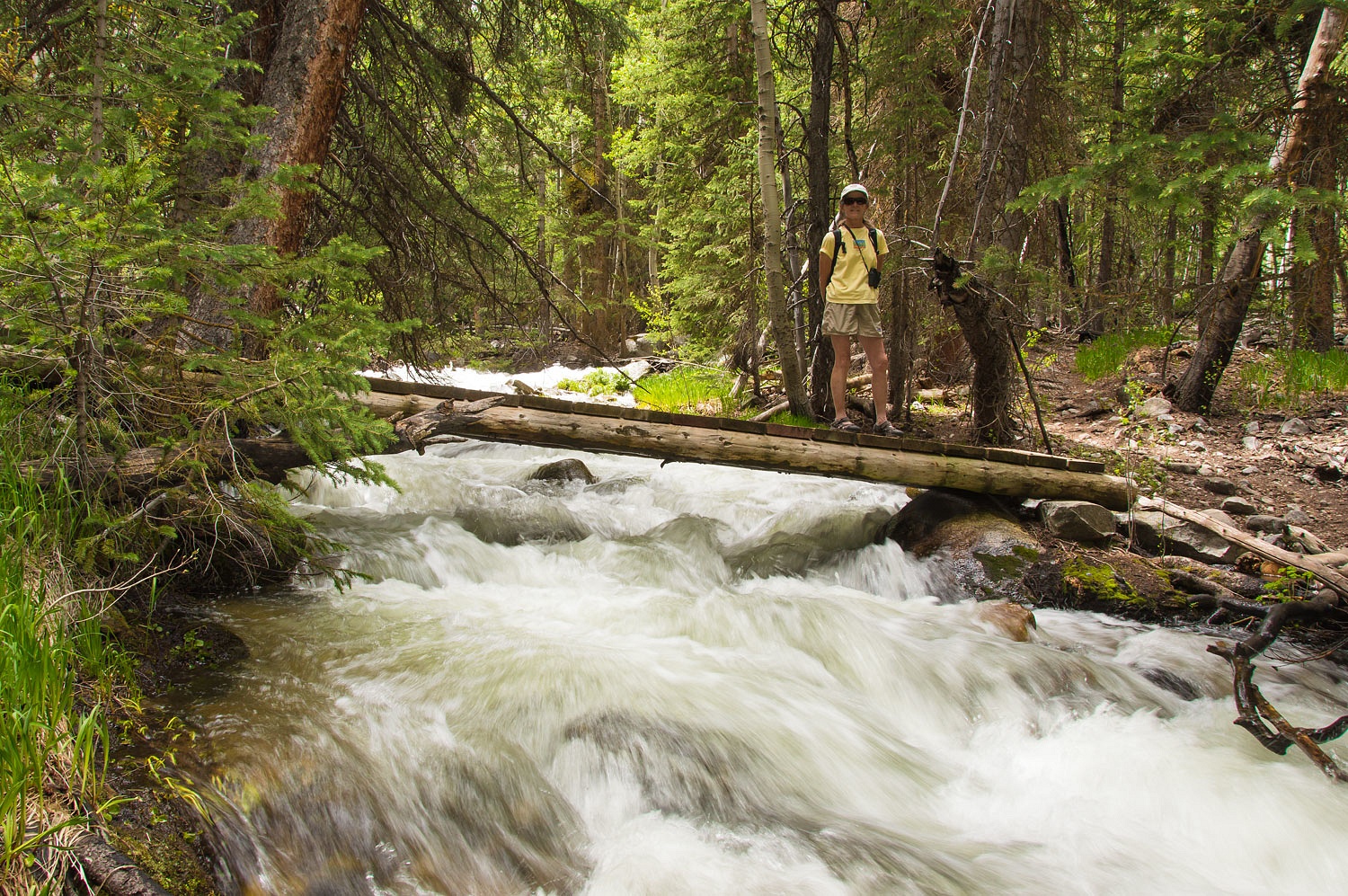
We crossed over the ridge and crossed
Baker Creek, heavy with snowmelt.
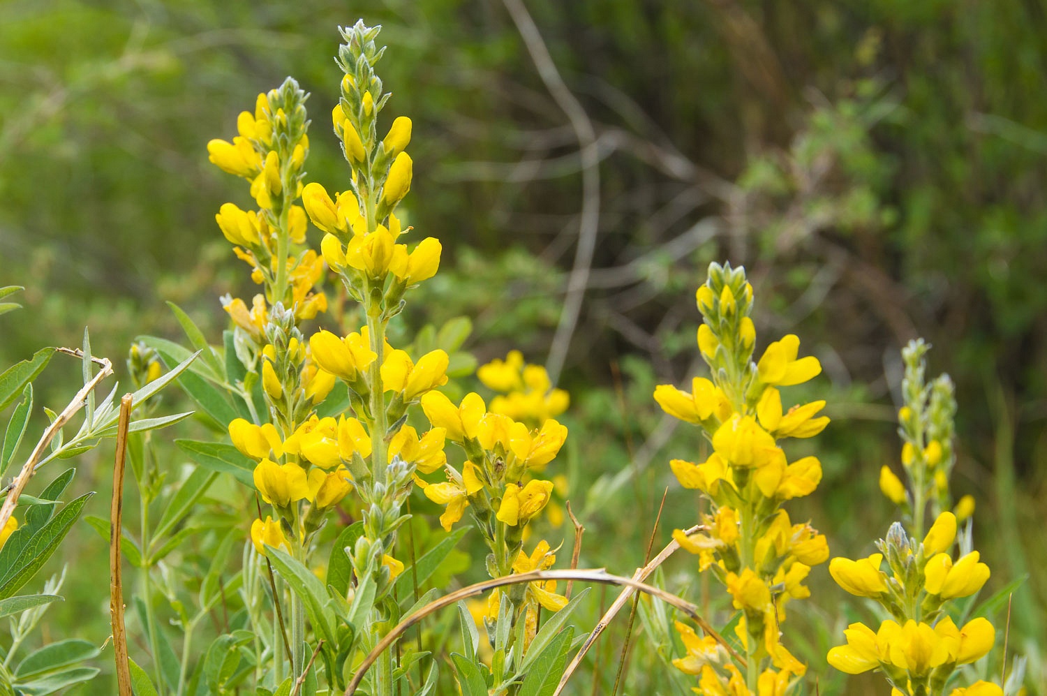
A yellow lupine like flower was
profuse in areas along Baker Creek. We finally identified it as Yellow Sweet Clover. It turns out to be an introduced
non-native invasive species.
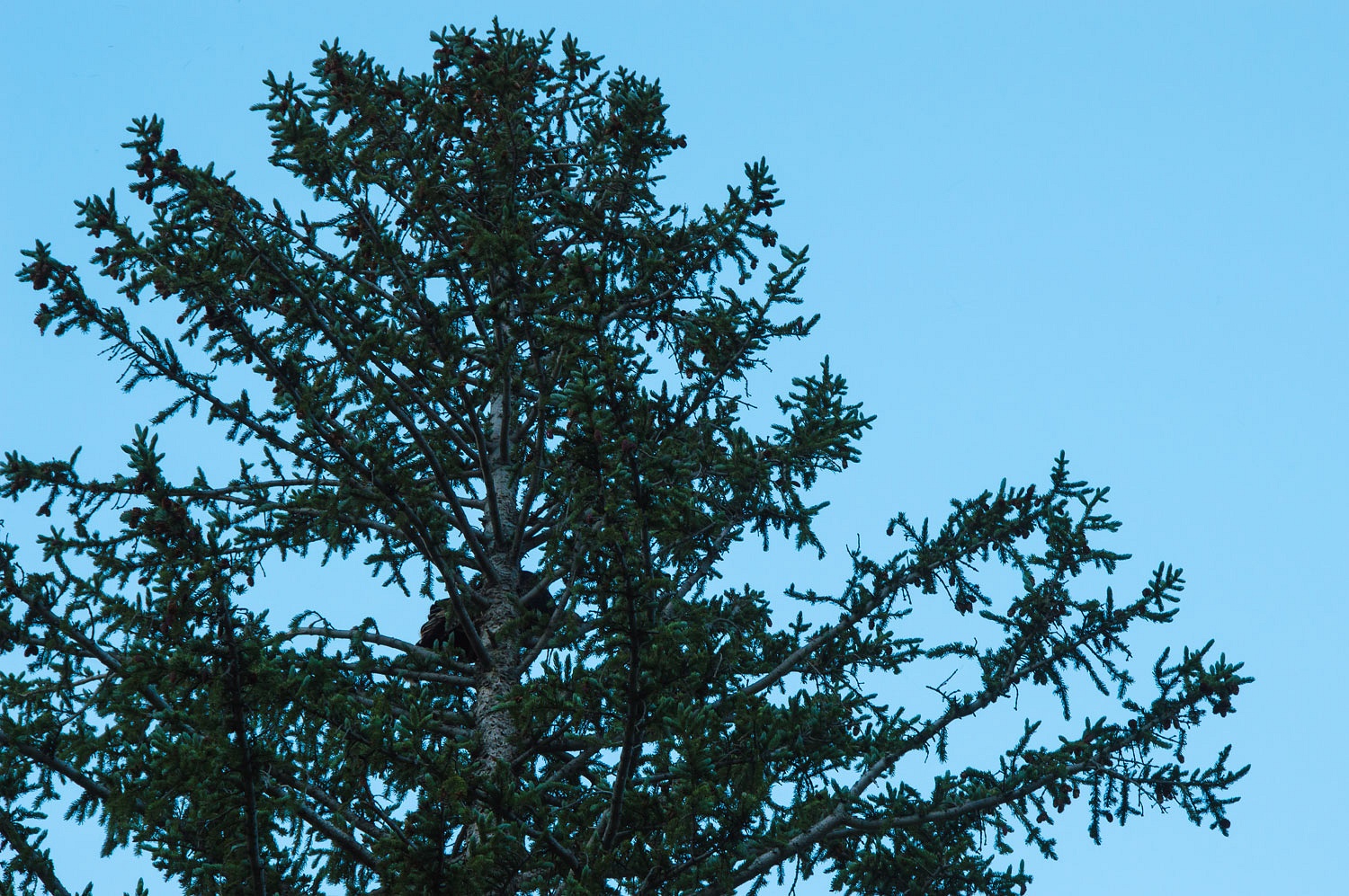
At dusk we checked the big fir tree
near our campsite. Sure enough, as before, turkeys were roosting high in the
tree. We knew we'd hear them wake up around five the next morning.
We rolled over and then slept another
half hour or so after our early morning turkey wake up calls the next morning.
After a leisurely morning - a long walk with coffee and the big bowls of goat
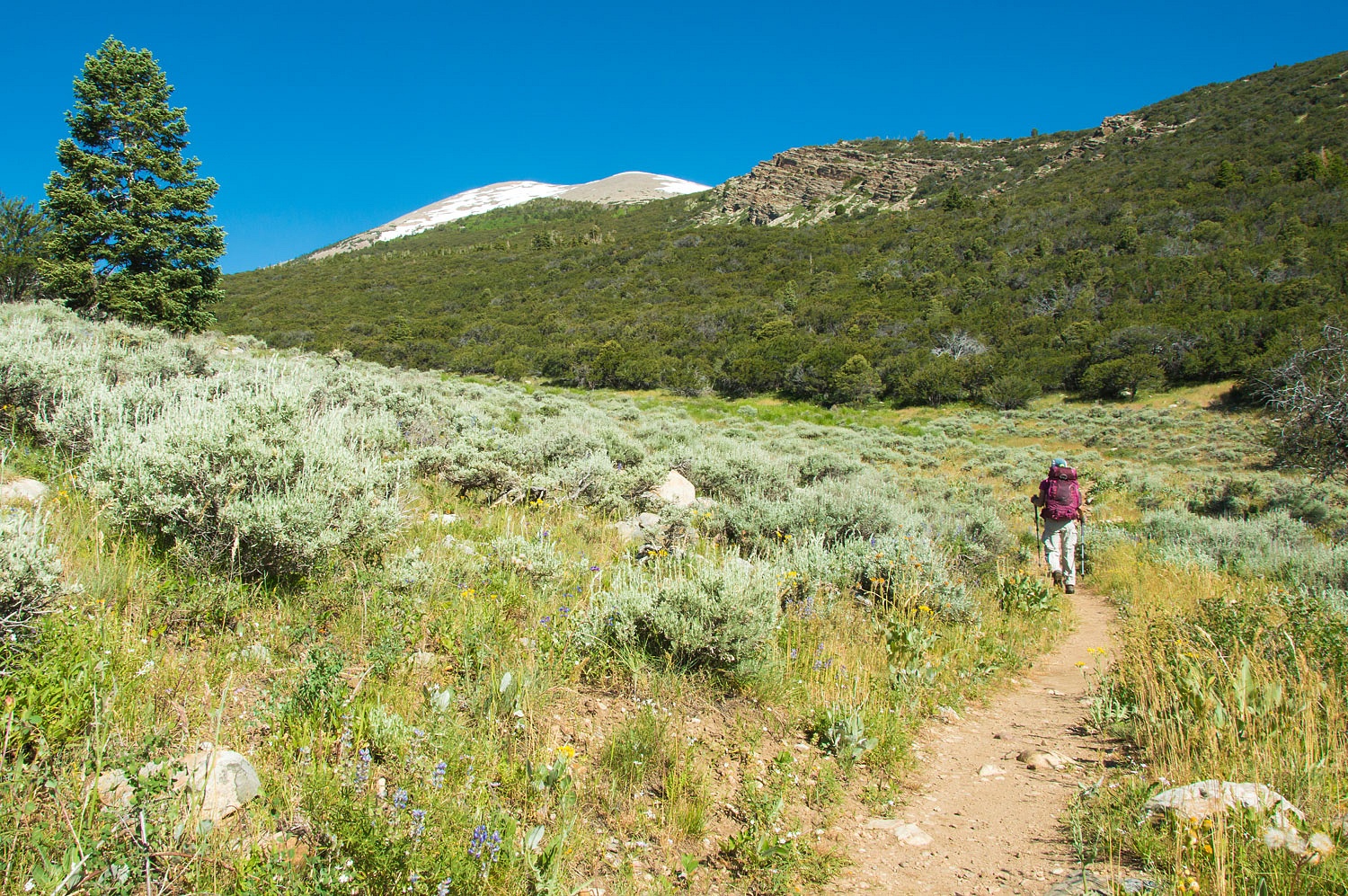
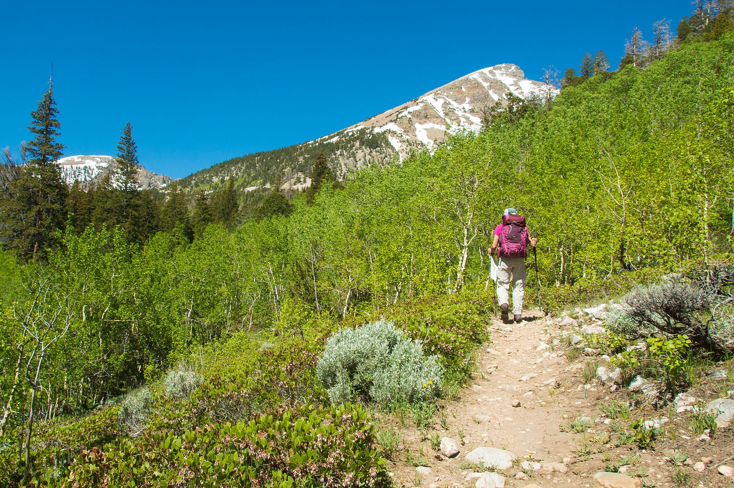
meal with fresh fruit for breakfast - we started up Baker Creek to Baker Lake,
an elevation gain of close to 4000 vertical feet from our campsite.
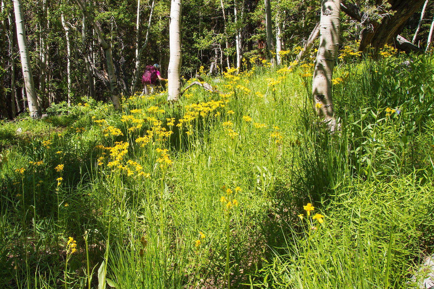
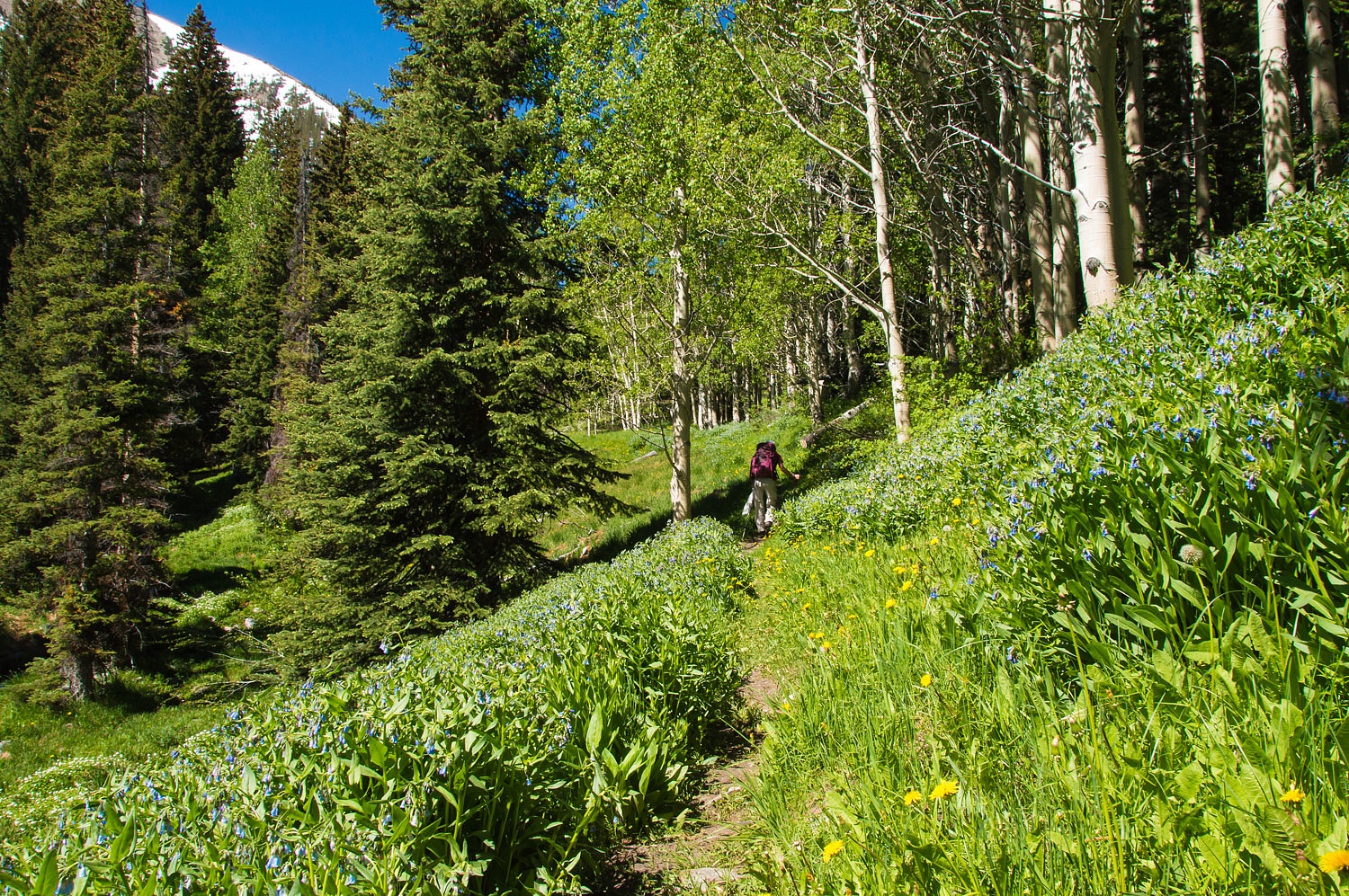
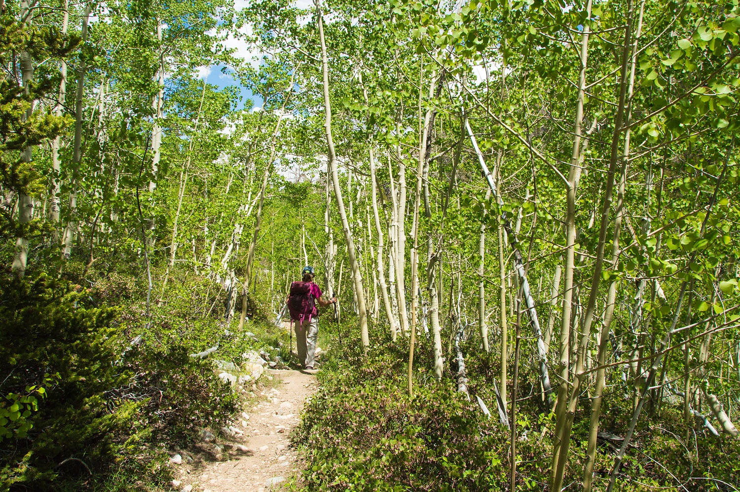
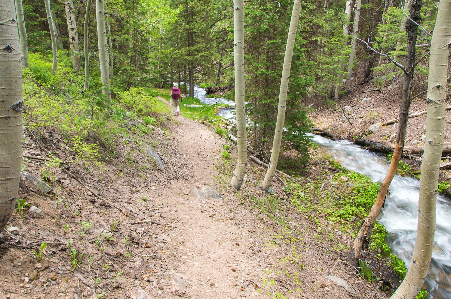
The areas among the aspen groves
were lush gardens of wildflowers.
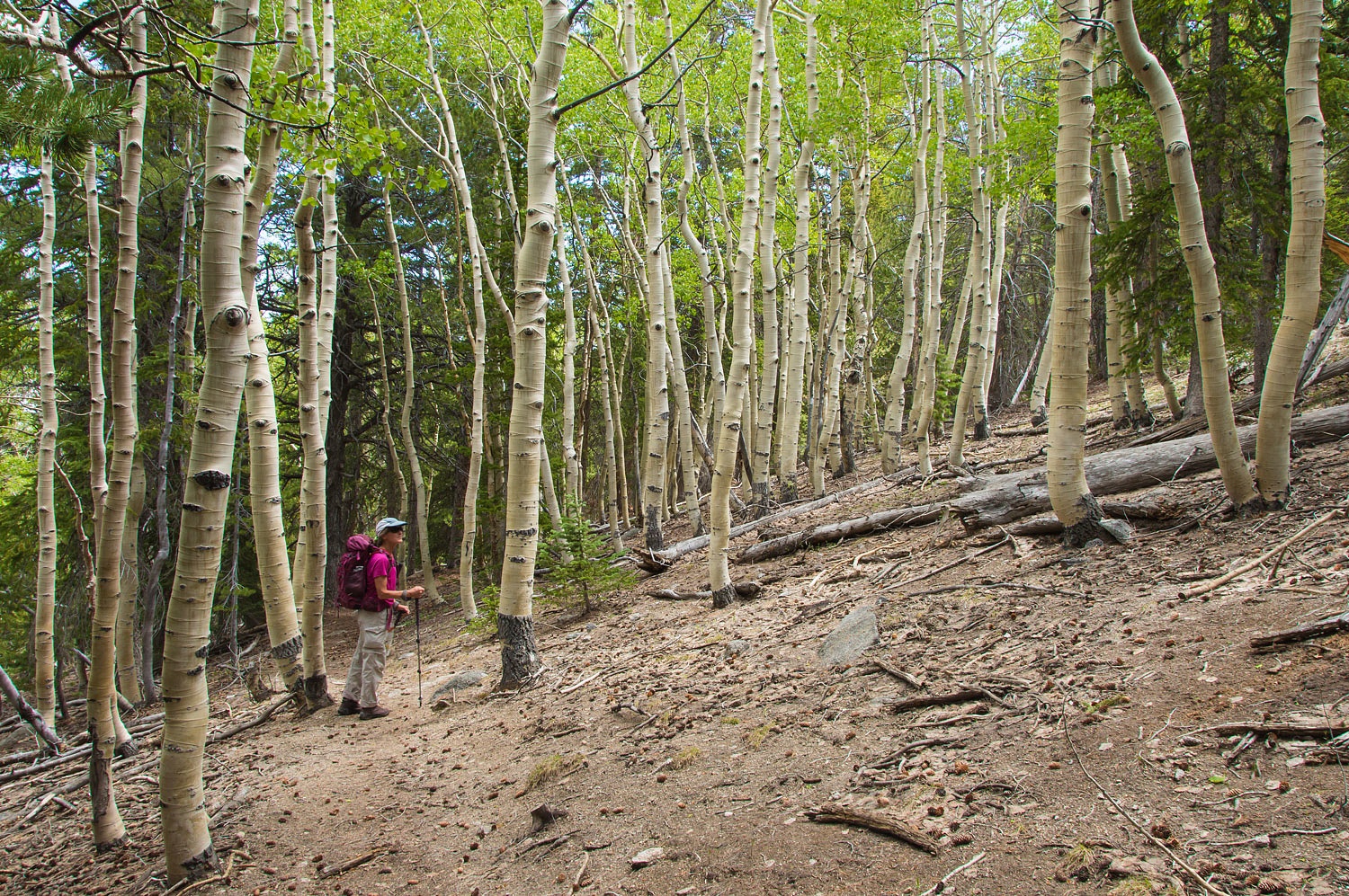
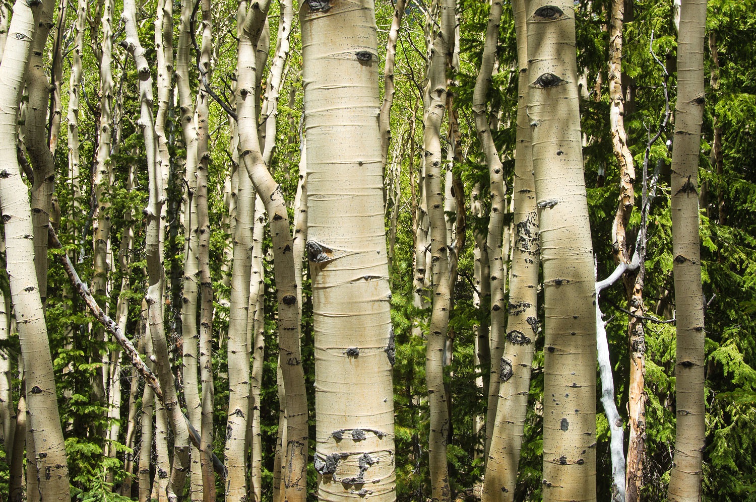
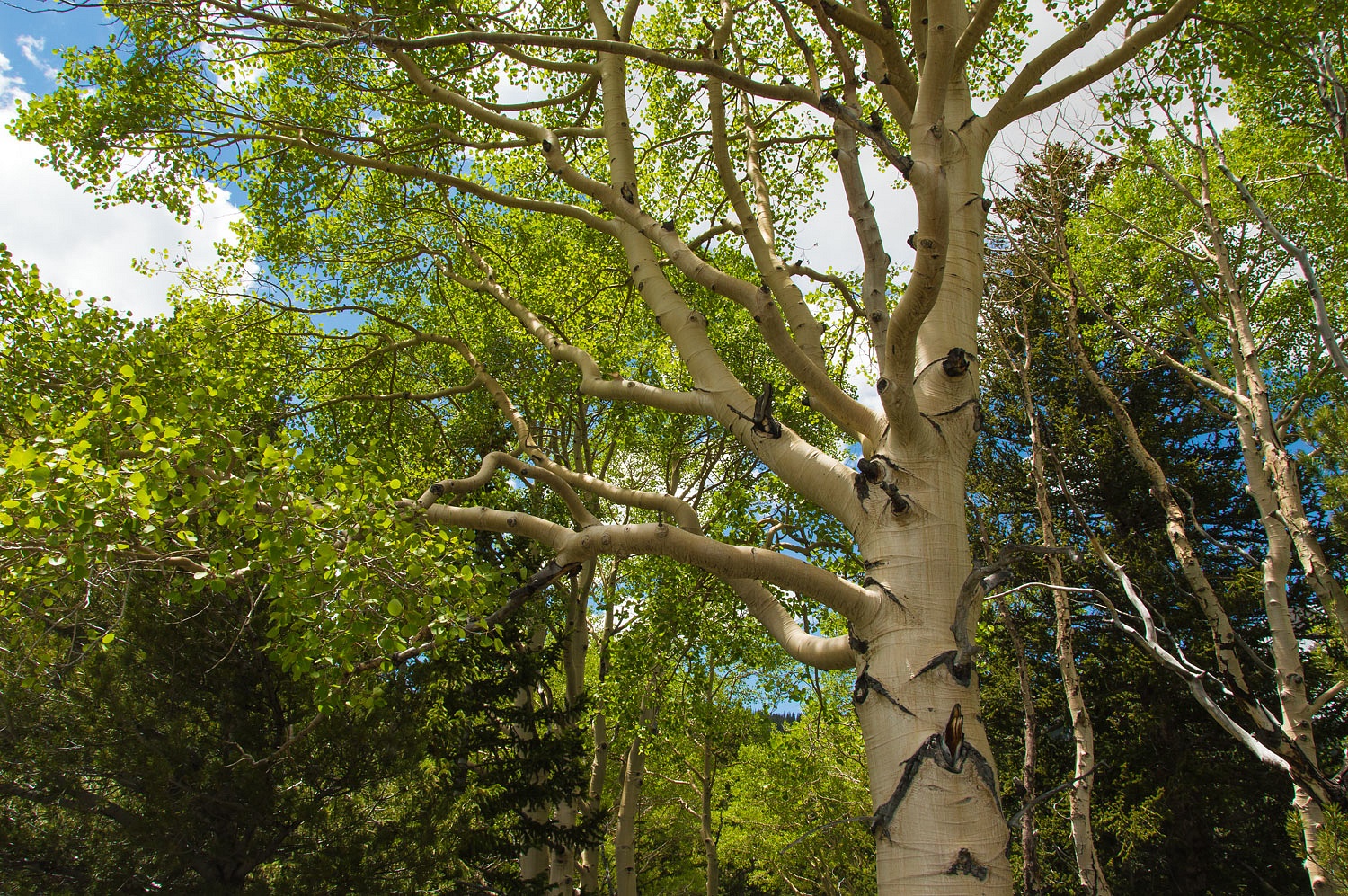
The aspen are extensive and the Lady
mentioned over and over that we must return for fall colors.
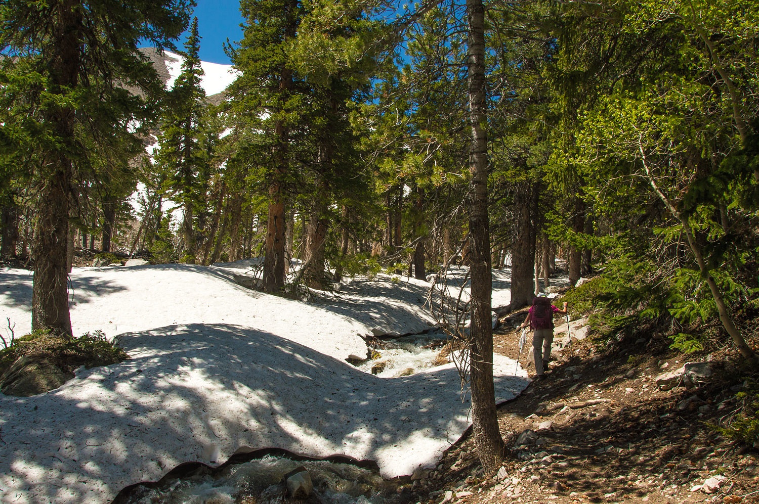
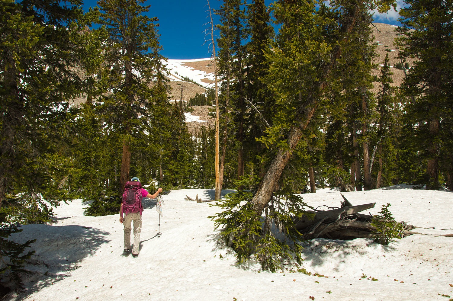
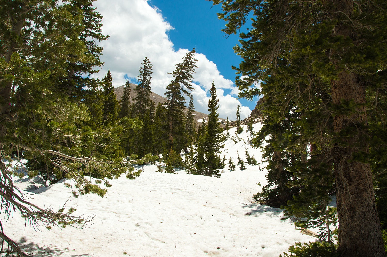
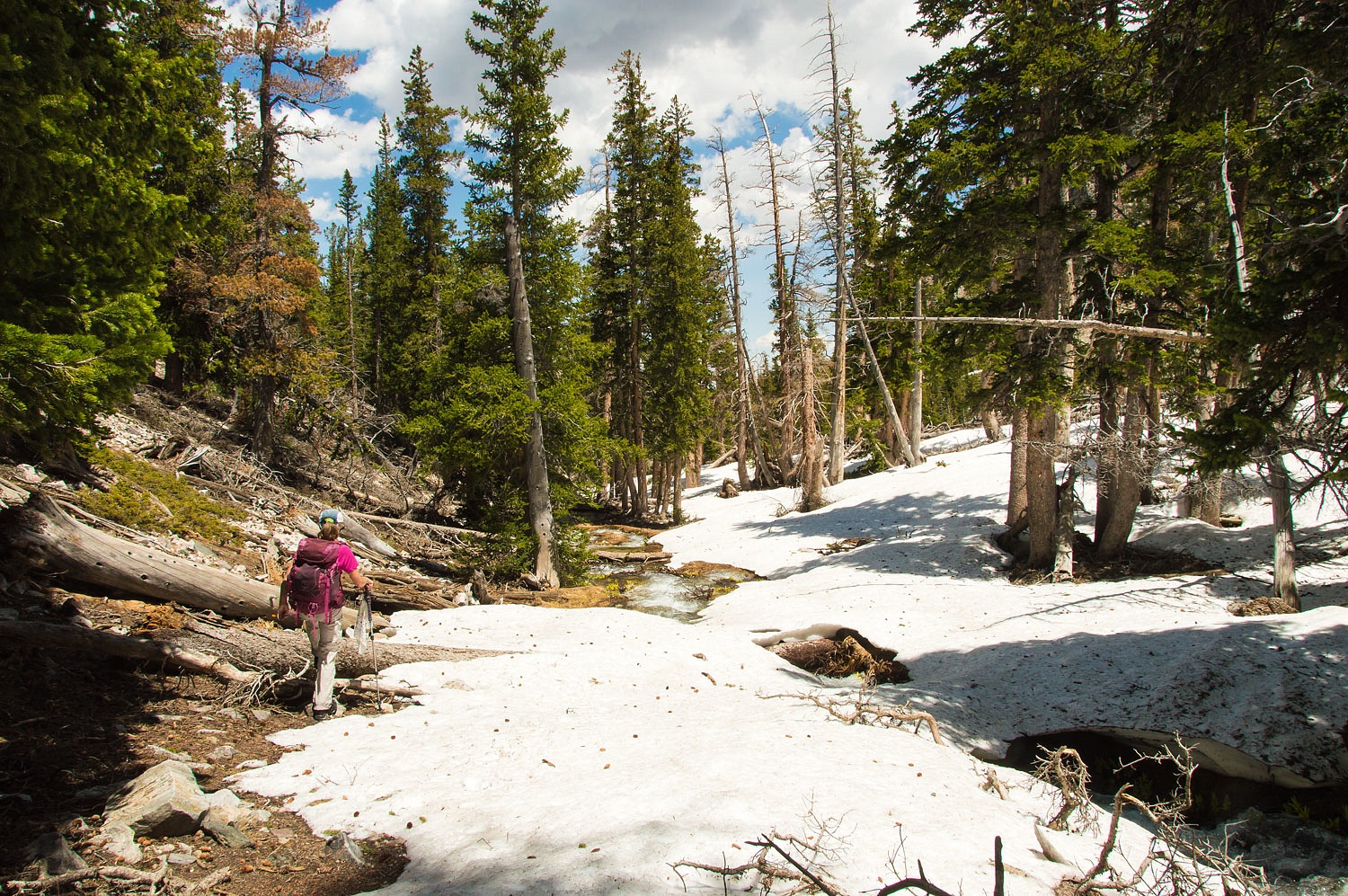
We ran into heavy snow at around 9800
feet. It was impossible to follow the trail from here on up.
It was time for some map work. The
contour lines indicated the route up and the need to continue straight up,
resisting the urge to move toward the north that would lead to steep snow
covered slopes above the swollen Baker Creek. Better to climb into the upper
basin and then turn to the north and drop slightly down to the lake on gentle
terrain. It's amazing the valuable information a topographic map can provide.
It was slow, careful going over snow on
this warm day. We stuck to the shade in hopes of hard snow. We avoided rocks or
down trees protruding from the snow - heat sinks that quickly soften the snow
with possible voids underneath. I only went into my crotch a few times.
"Stay loose when you punch through!" the Lady directed.
"Getting even with me for
telling you how to drive through mormom crickets?" I asked as I extricated
myself from the sloppy cold depths. "You know I weigh a bit more than you
do!" I added for good measure. After a thousand feet of vertical climb
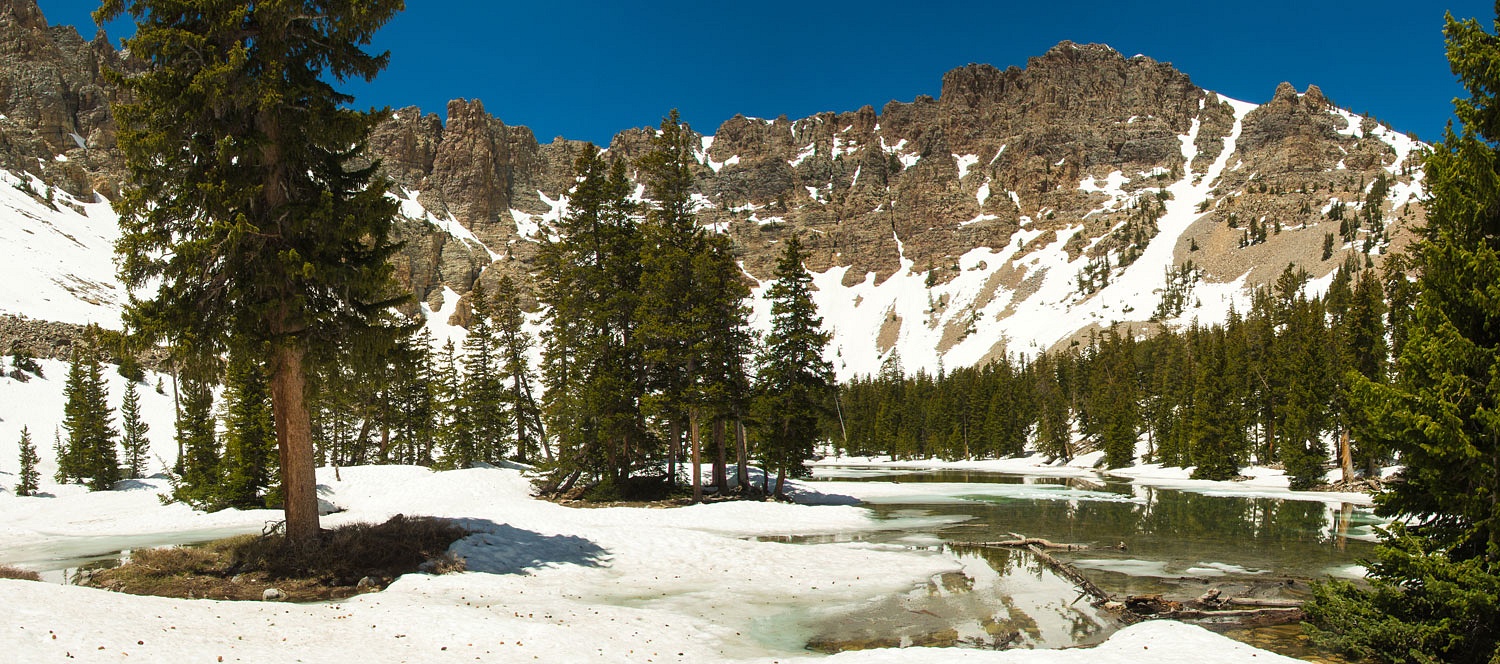
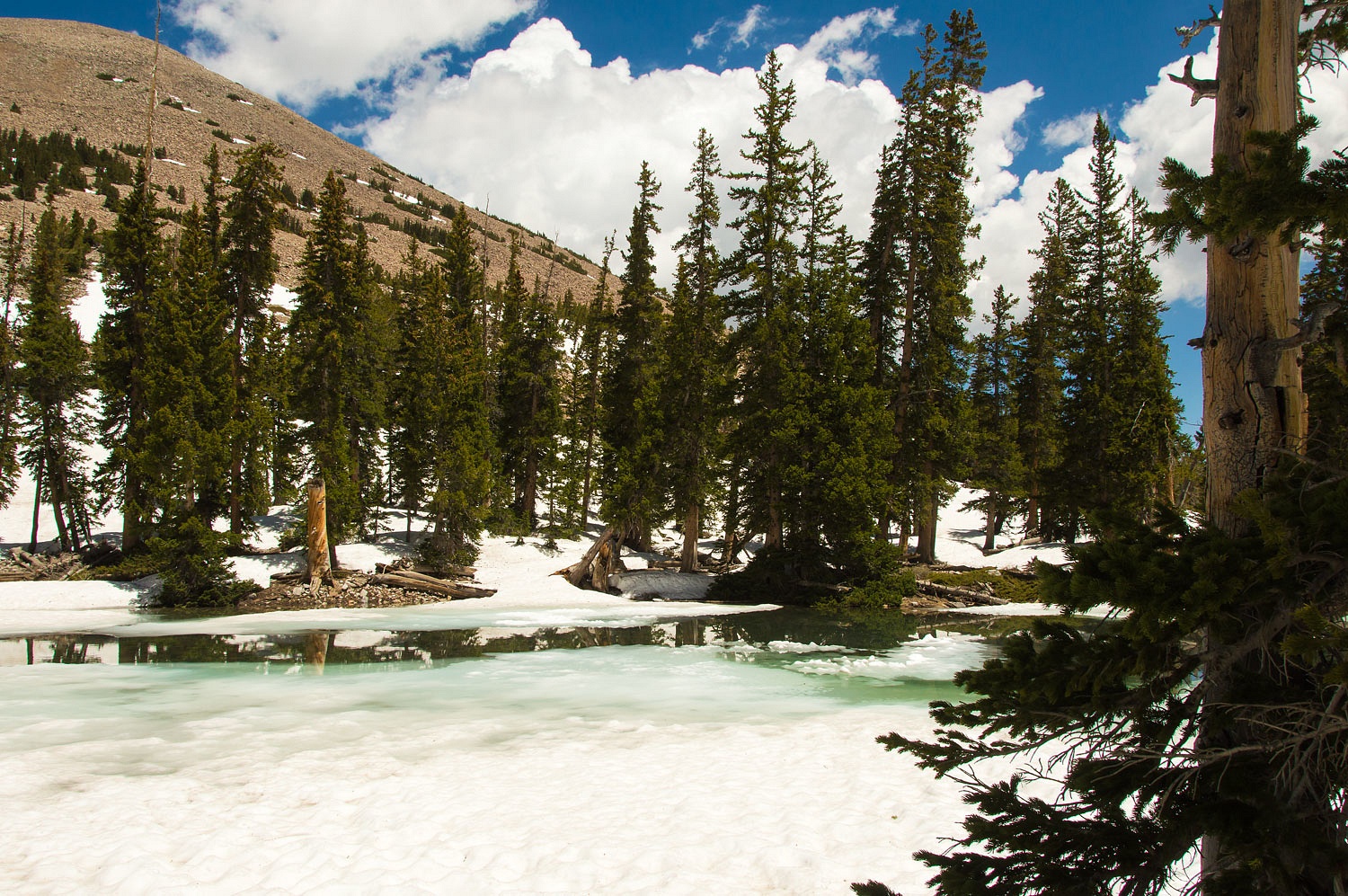
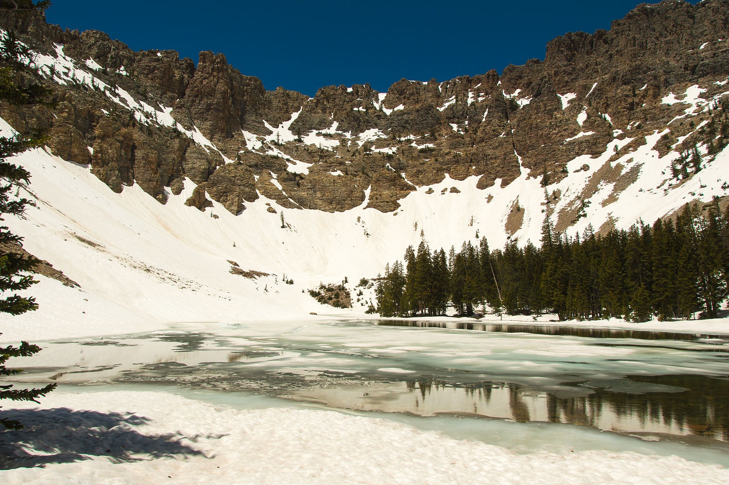
with snow, we reached Baker Lake. We were alone here on the Fourth of July.
The lake was still mostly ice and
snow covered. We found a small oasis of rock near the lake shore for a lunch
spot. It was glorious country.
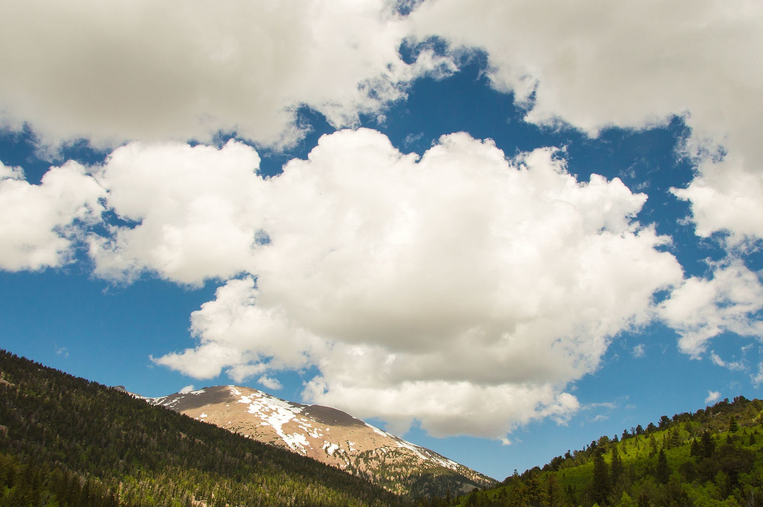
We were surprised to see possible
thunderstorm build coming over Pyramid Peak just to the south and thought it
prudent to start back down.
For the descent we moved further
south to a more open, sunny slope to drop down that was mostly snow free. It
worked fairly well except for all the deadfall near the bottom. We traversed back
toward the north and intersected the route of the trail along Baker Creek.
On our return hike down to the trailhead we
encountered a couple of groups heading up to Baker Lake, obviously thinking the
trail would lead them safely there. We cautioned them about conditions up high and the difficulties in route finding.
The last thousand feet of the climb is snow. Late in the day with soft snow could
mean a lot of post holing in places. Do you know the route? Have you been there
before? Do you have a map? Do you have a solid boot that will allow kicking
good steps into the snow slope and keep your feet dry? Do you know how to
arrest a fall? Are you ready to set up camp on snow if you reach the lake?
We worried but tried to be gentle and
kind but with full disclosure of what lay ahead for them. We asked them to take
care and remember to stop while they were still having fun.
We thoroughly enjoyed all the wonders
as we hiked back to camp.
We had a great day and a wonderful
celebration of the Fourth of July. We were back at camp mid afternoon and got a
bed of charcoal coals going in the fire pit. We both love fresh sweet corn and
no better way to cook it than in the husks right on top of the coals. We had corn
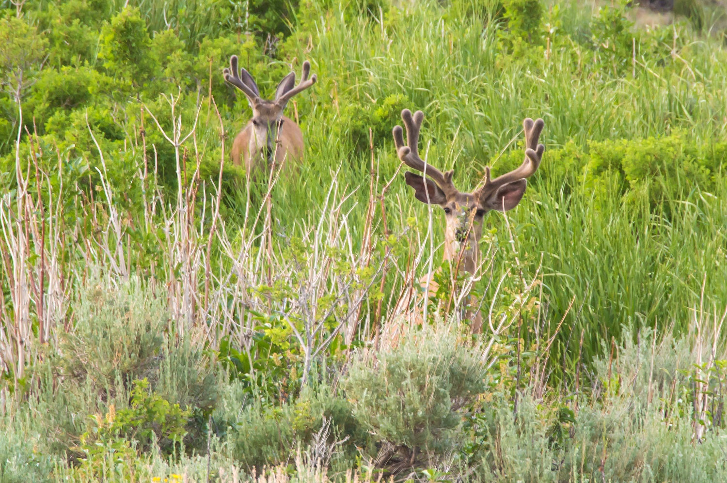
every night at camp in Great Basin. After dinner was a walk back up to the
trailhead to watch the big boys - mule deer bucks - come out to browse in the
twilight.
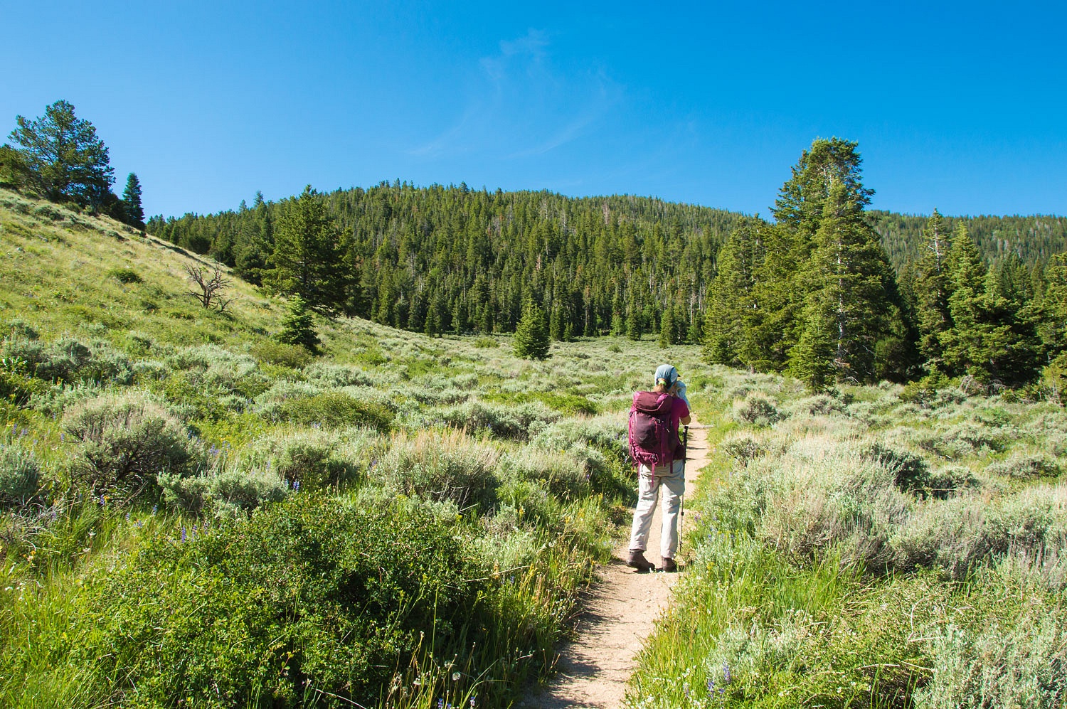
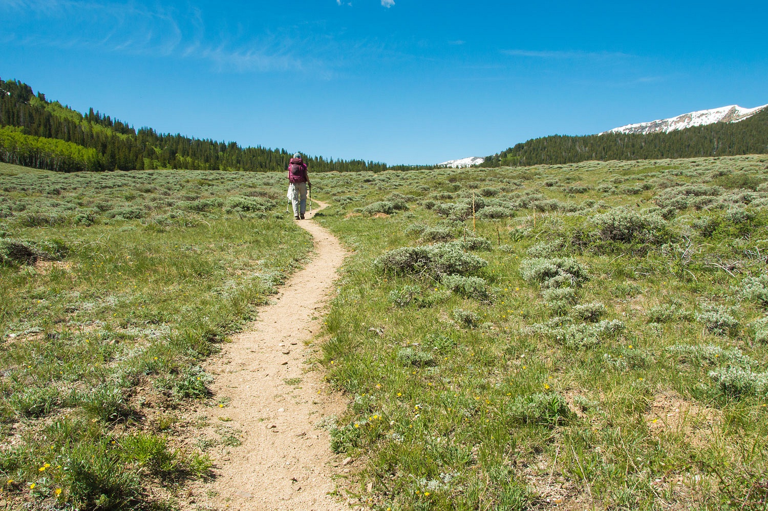
Friday morning we were ready for
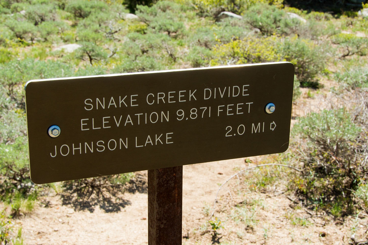
another good hike, this time up Timber Creek to the top of the Snake Divide.
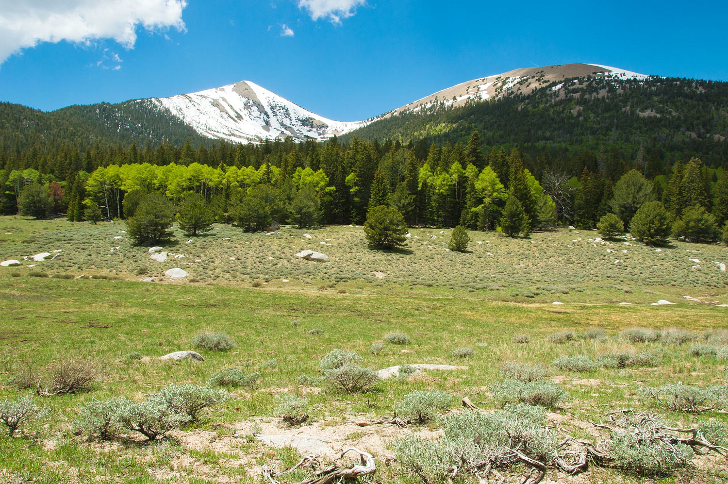
The trail crests at the top of the Timber
Creek drainage and drops over into the top of South Baker Creek - a high open spot and another of our
favorite places in Great Basin National Park.
It was an easy additional .75 mile up
to the divide.
On a previous hike to Johnson Lake -
at the top of Snake Creek - we dropped down to Johnson Lake from the saddle just
west of Pyramid Peak and returned to Baker Creek Campground over Snake Divide
and down Timber Creek. Today we found an out of the way spot on the ridge, took
in the views, and relaxed.
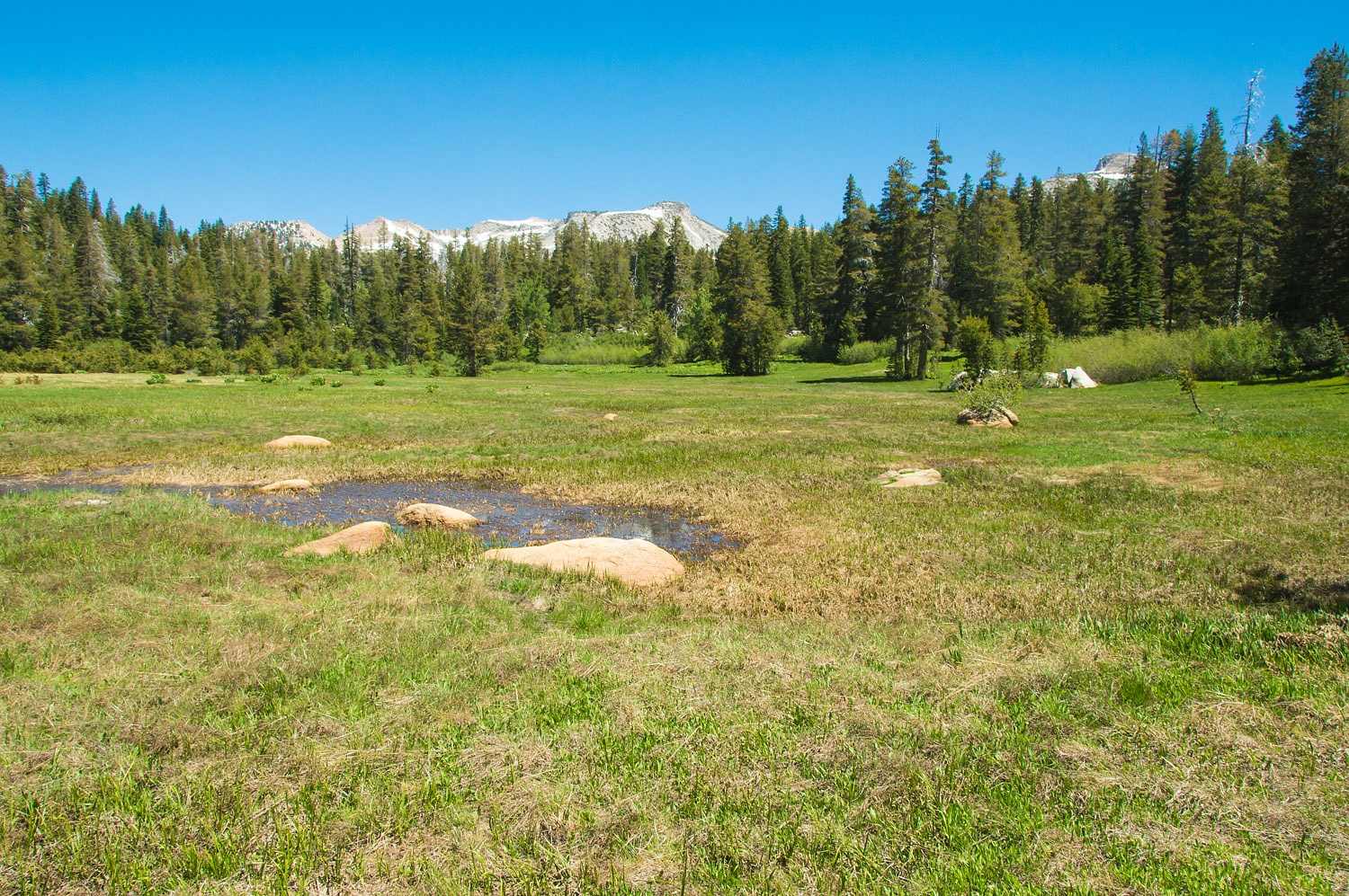
We dropped back down to the meadow
where South Baker Creek begins.
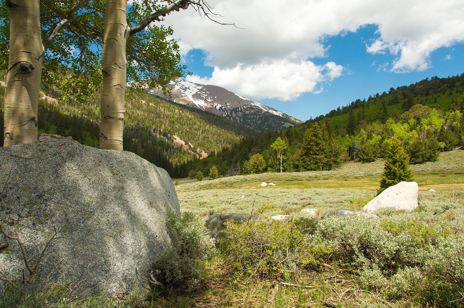
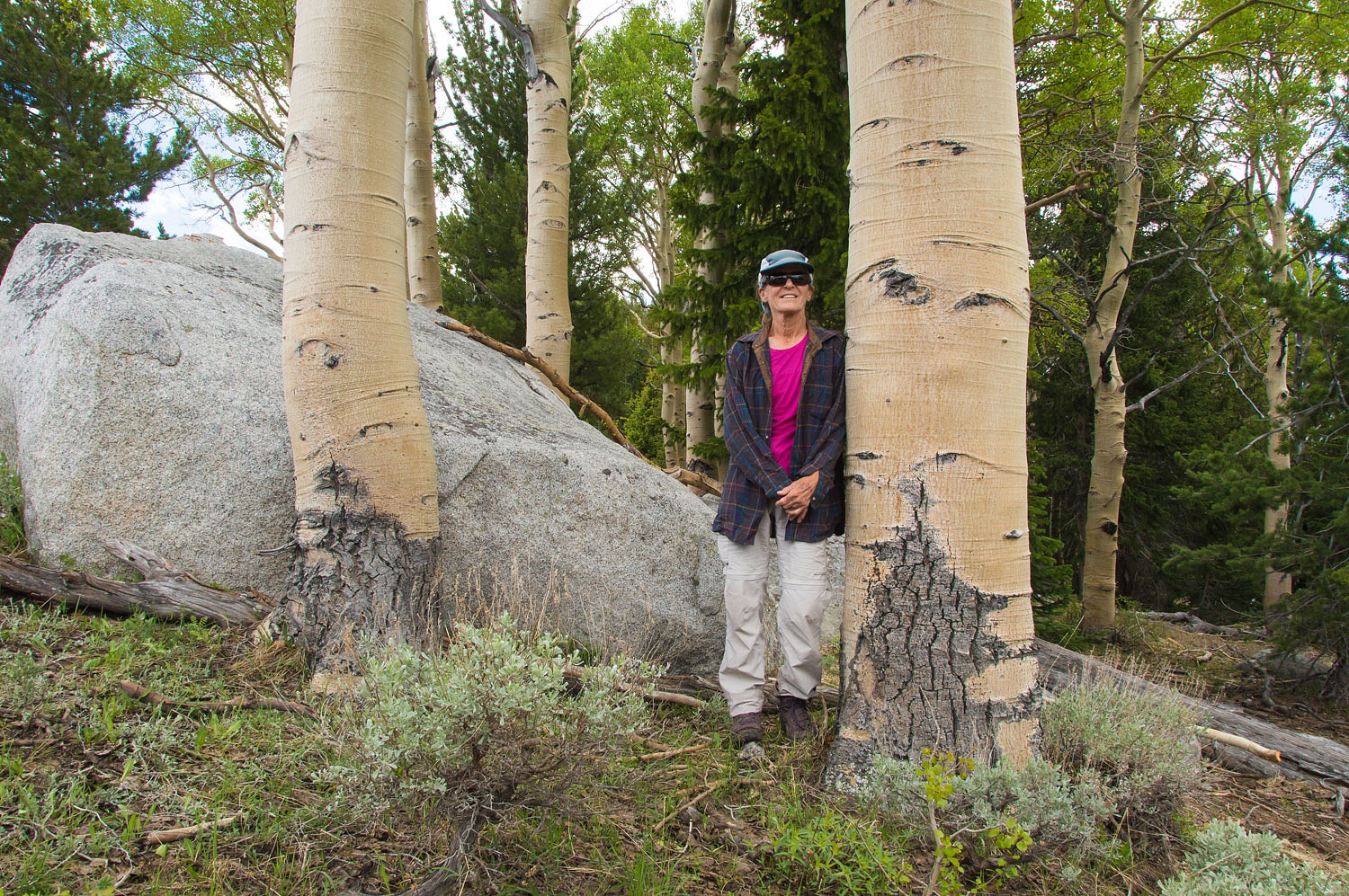
An outcrop of boulders on the
meadow's edge holds a grove of large aspen. We climbed up on a large, flat slab
of granite and fell asleep listening to the breeze through the aspen leaves.
With fresh elk tracks around, we hoped
to see elk but they remained out of sight. The clouds built more than the
previous day.
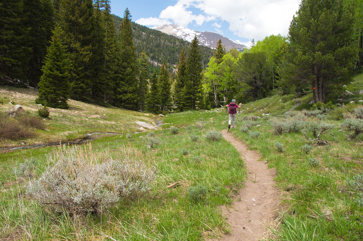
Our route back to camp was down the South Baker Trail.
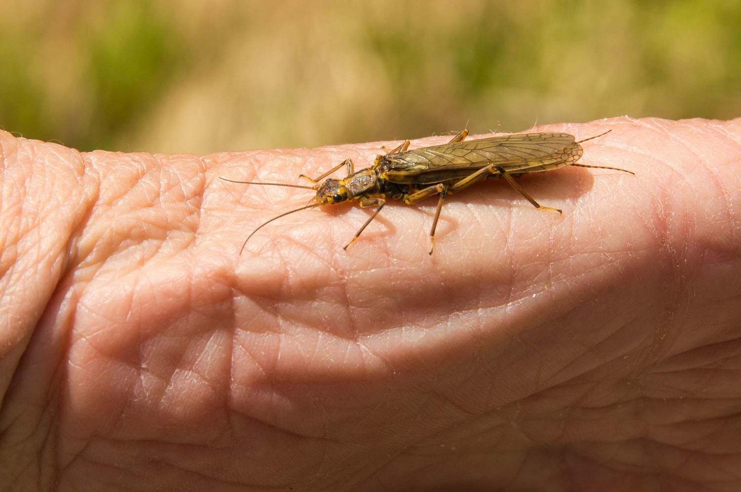
Whenever we find a large adult
stonefly it gets this flyfisher's heart racing and rod arm twitching.
South Baker Creek was also running
high.
Our hike back to camp was wonderful
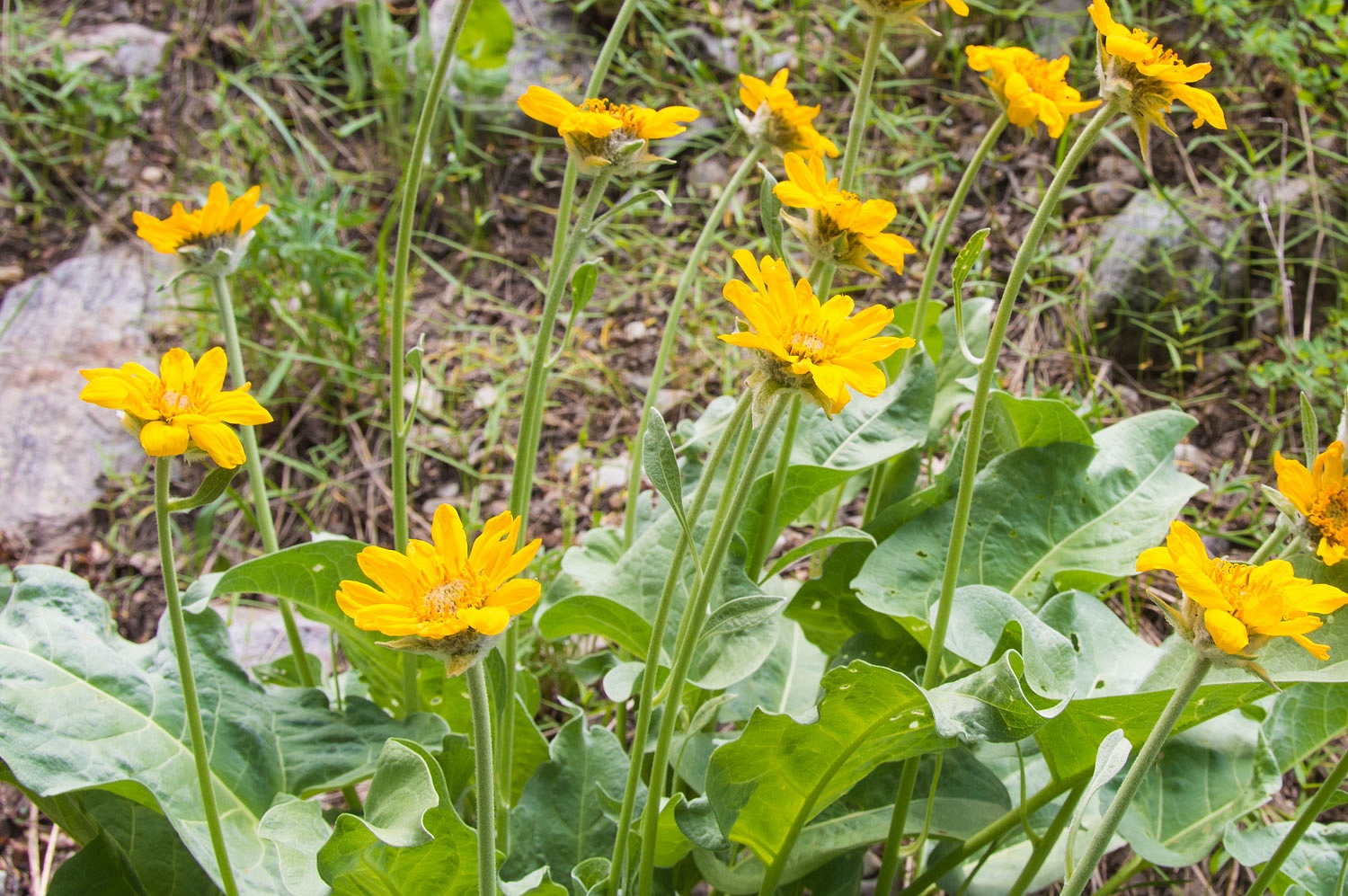
with the small meadows and the last of the flowers on the Arrow-leafed Balsam
Root.
Back at camp, again mid afternoon, it
was roasted corn on the cob, chat with pleasant neighbors, a short rain shower, check on the
roosting turkeys, and head back up to visit with the big boys. This time I
decided to carry the camera along and boosted the ISO in hopes of a few photos in
the waning light.
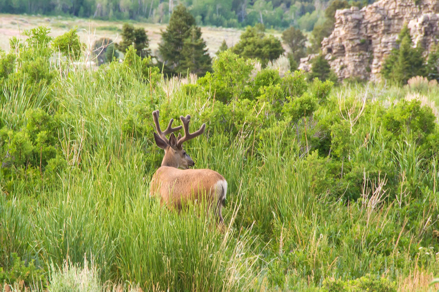
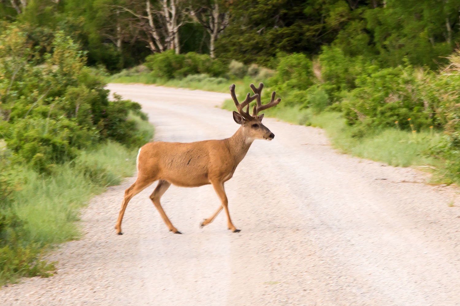
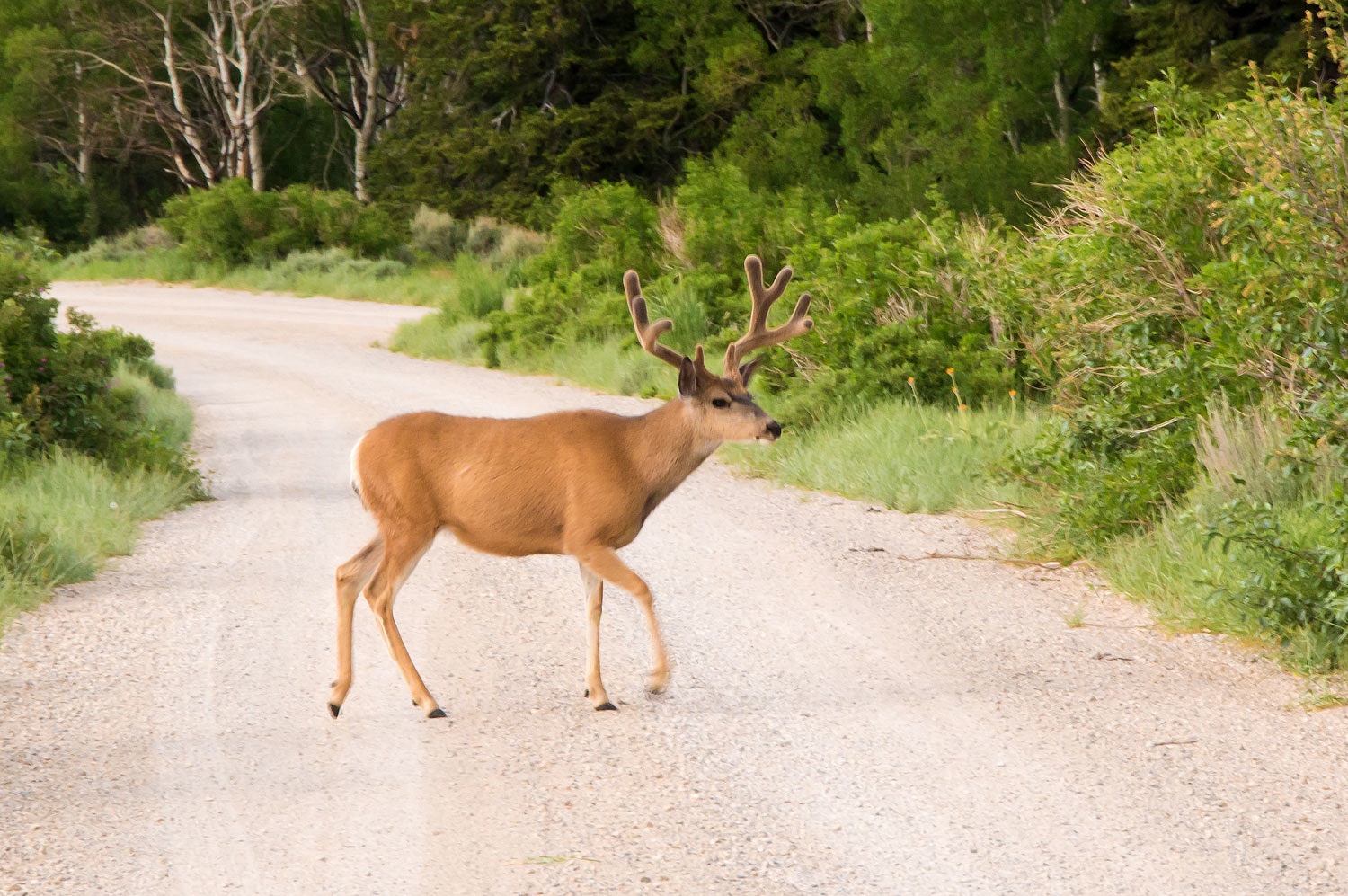
All the guys were out this evening.
This big four point was recognizable
with the double brow tines on the right and notch out of his right ear.
This big four point had prominent
long brow tines.
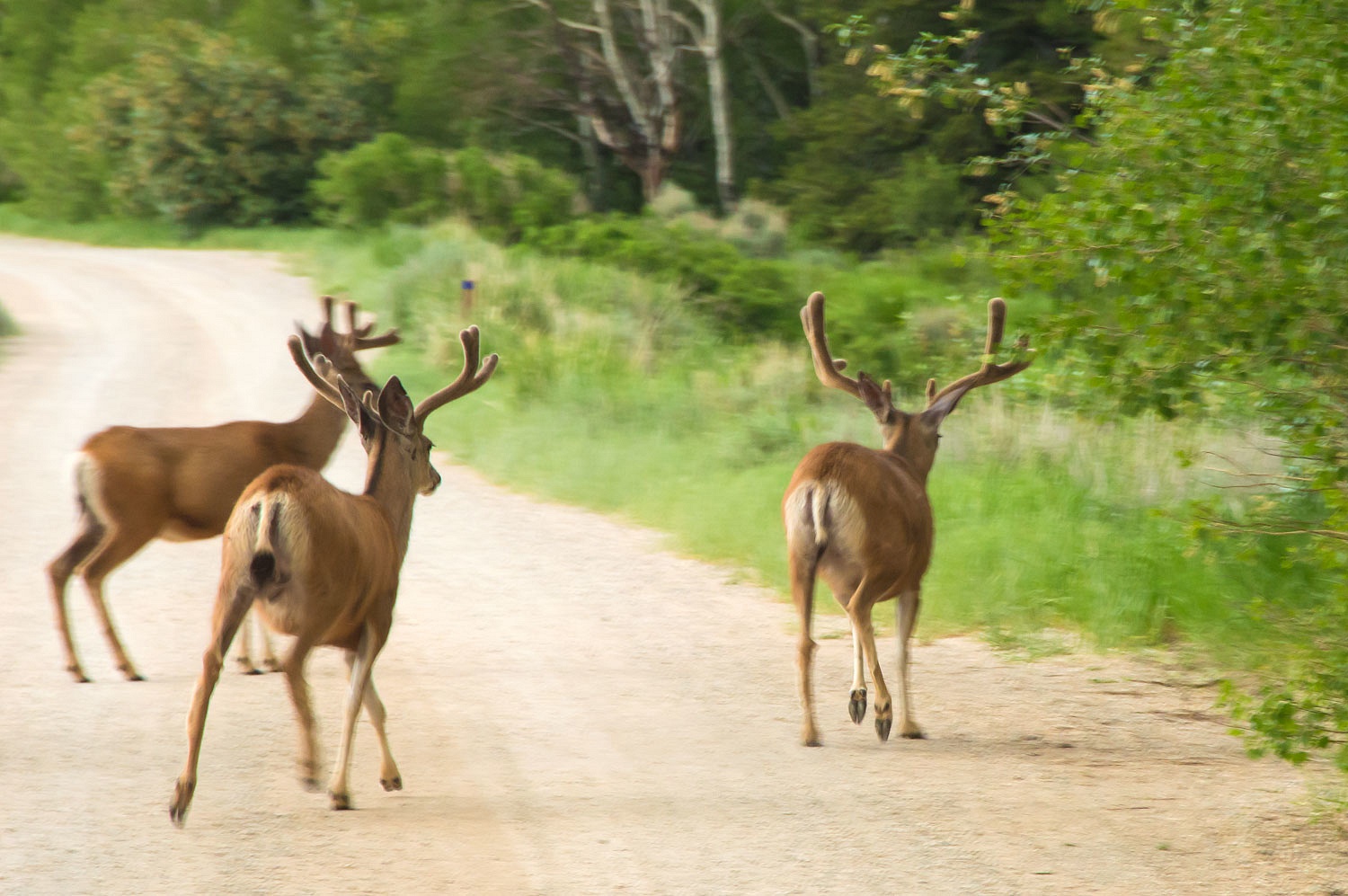
Four point after four point crossed
the road.
Other bucks decided to follow.
Big notched ear came out of the aspen
for one last pose before dark.
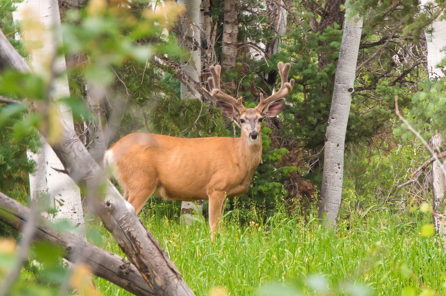
Our favorite buck we saw every
evening we called "Big Rack".
He was the oldest and wisest of the
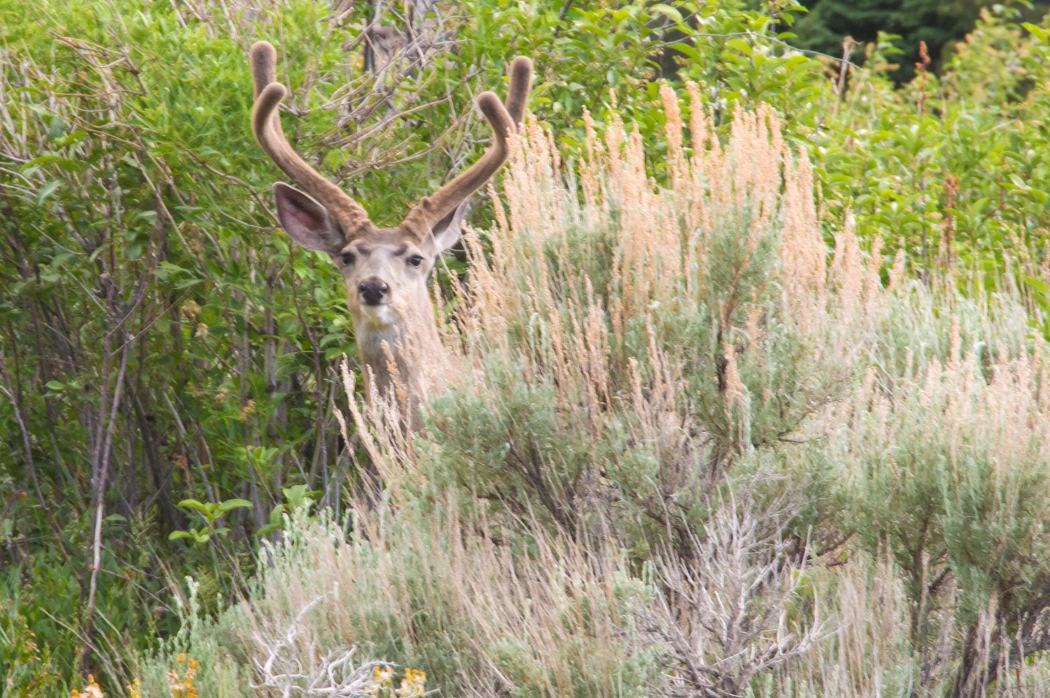
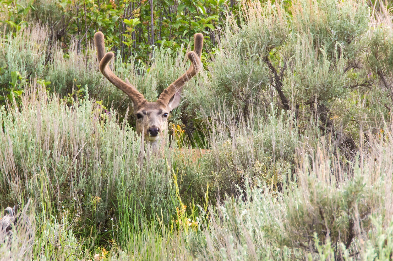
big boys as shown by his actions. He carried an atypical rack - a massive fork
horn with no brow tines. He was cautious but not jumpy. He was also independent, as in this instance he did not follow the others across the road. He continued to browse unconcerned but kept his eye on us. When it
was apparent we were going to hang around for a while to watch him, he calmly
laid down as to say, "Well, I'm going to watch you too!"
The flowing water of Baker Creek
lulled us to sleep again on our final night in Great Basin. The turkey wake up
call came the next morning at five am. It was time to head home and after a leisurely
drive back west on highway 50, we arrived home early evening.
We can't wait to get back to Nevada.
Where shall we go?