Tuesday, October 27, 2020

Western Great Basin - October 2020

please remember you can click on a photo to see a larger version & highlighted text are links to additional information


The Plan Went Up In Smoke


A mountain for her birthday. That's all the Lady ever wants for her birthday, and she'd mentioned Glass Mountain several times in the last month. I try not to be too much of a dummy and I took that as a hint.


Glass Mountain sits on the northern rim of the Long Valley Caldera. It is named Glass Mountain because of its massive outcrops of obsidian - volcanic glass. A bit over 11,000 feet, it is a short but steep climb.


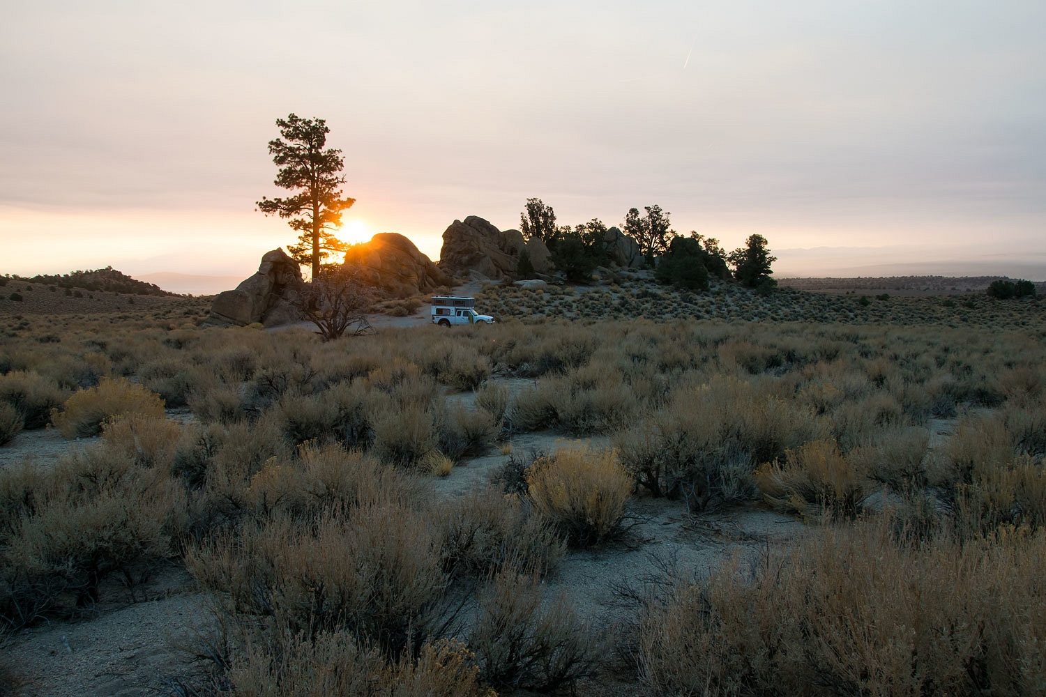
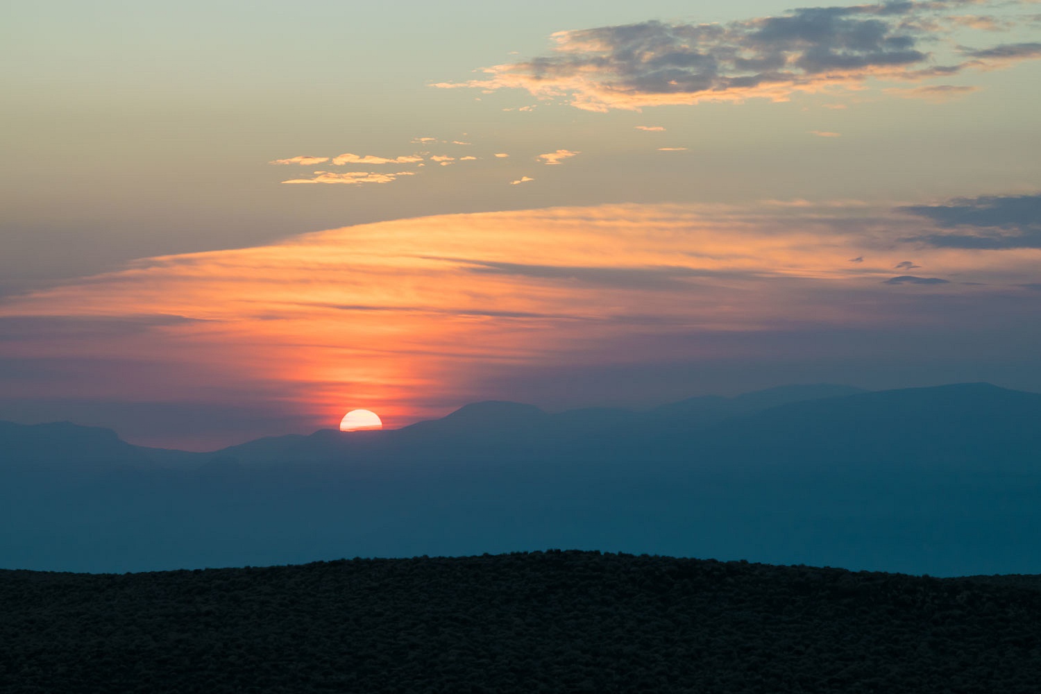
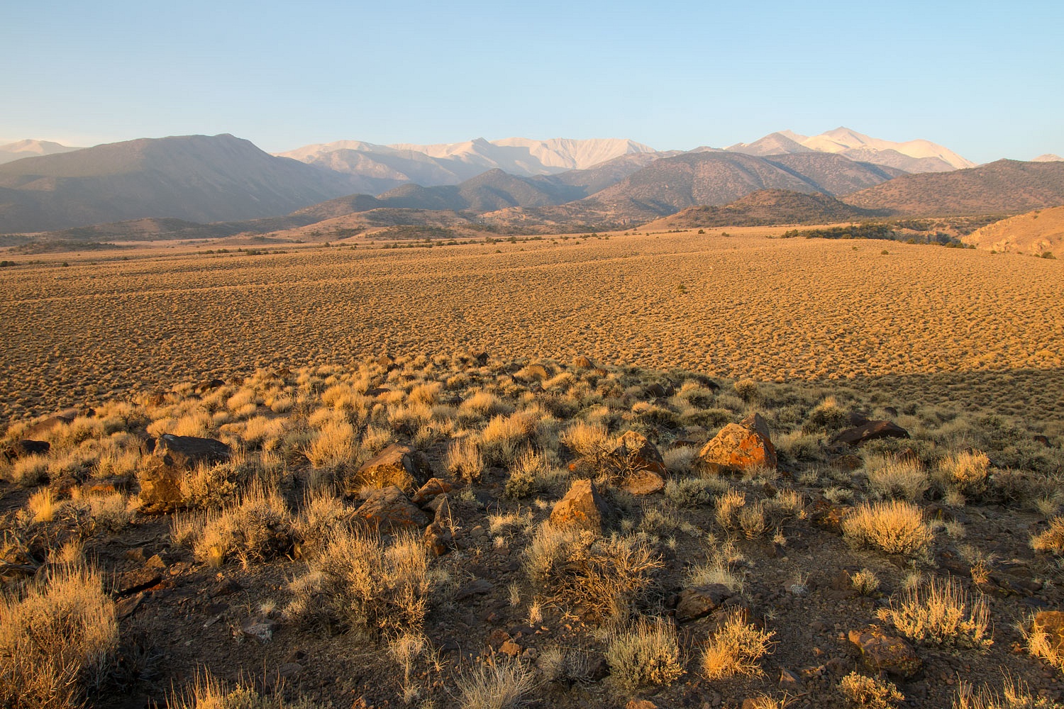
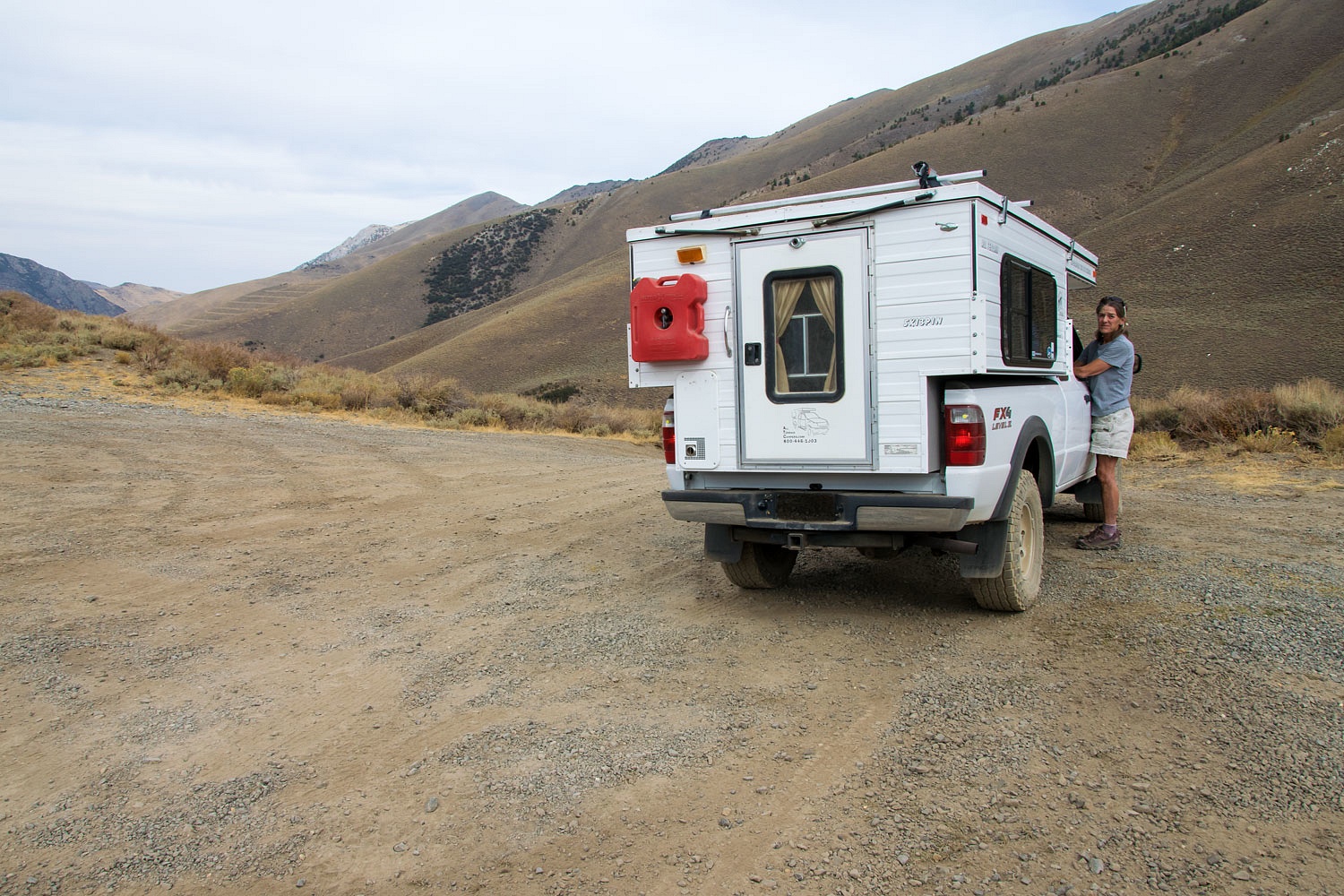
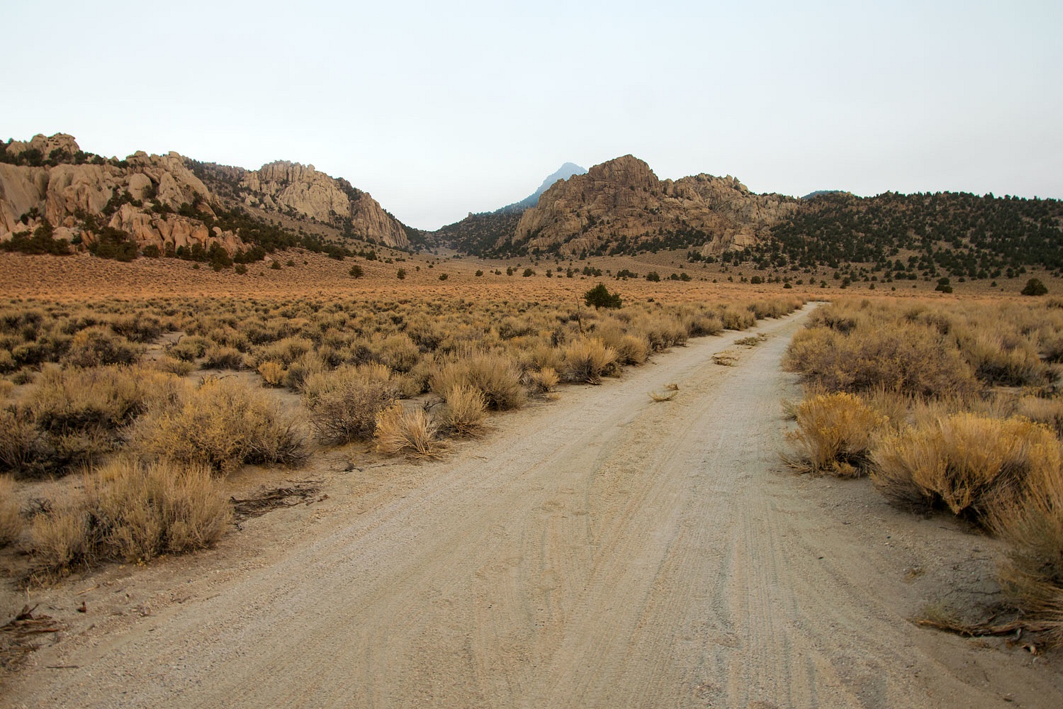
Our region has suffered under a massive mantle of smoke for weeks and weeks. So long, it is feeling like the new norm. As we approached our campsite in the nearby Granite Mountains, Glass Mountain's summit was capped in smoke. The east wind was eroding the smoke underneath and rising it upward. Would it continue through the night? We hoped so, but we'd be patient as we took in the day's ending.
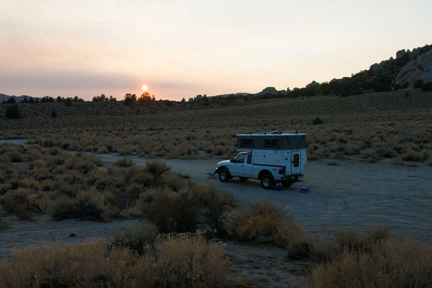
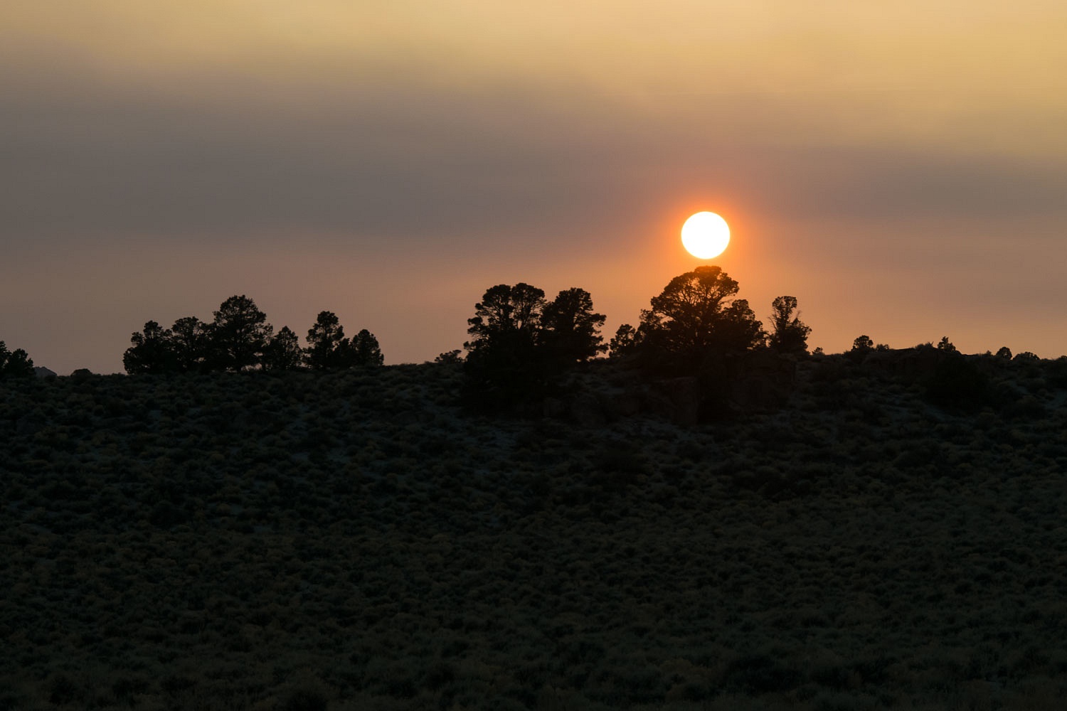


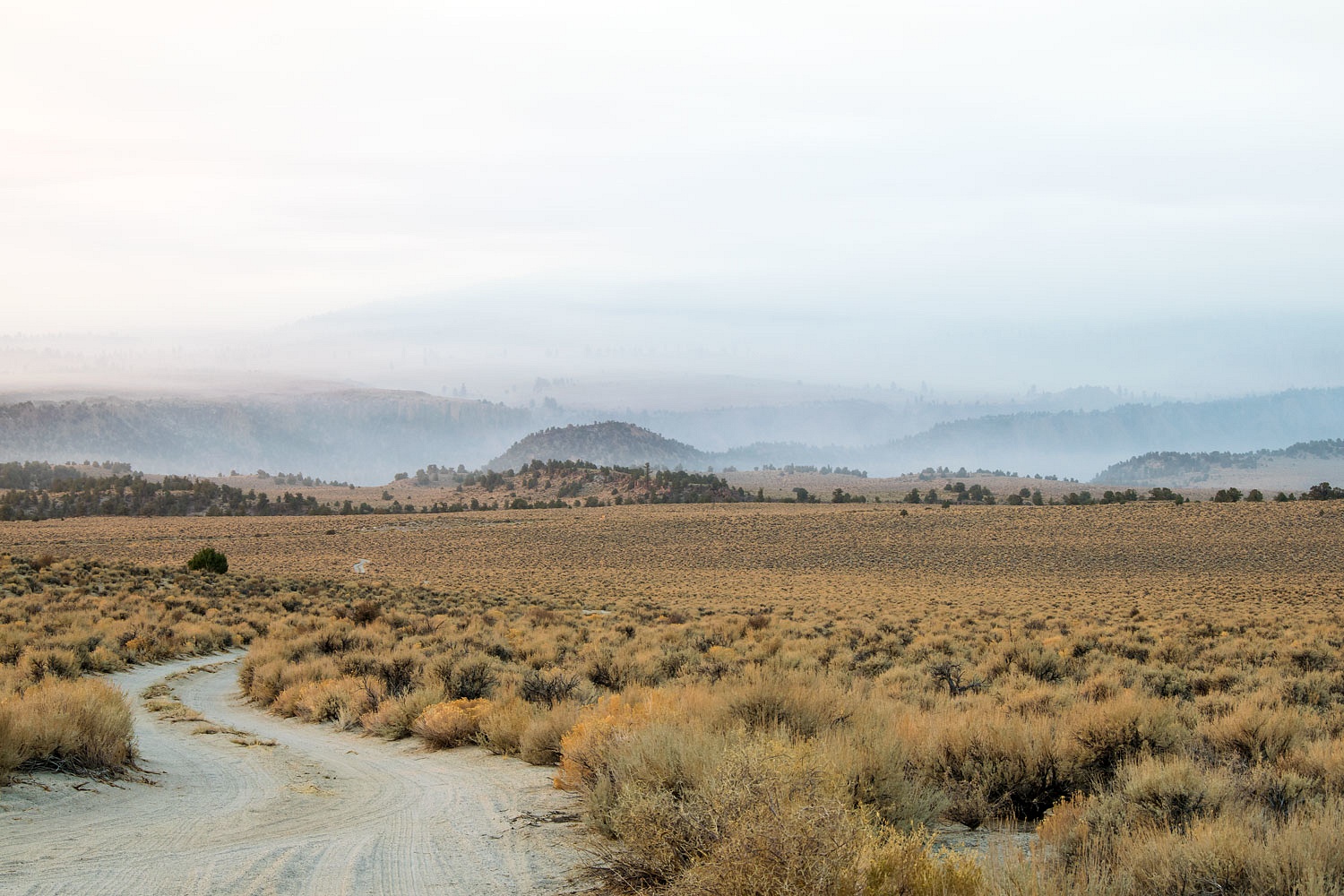
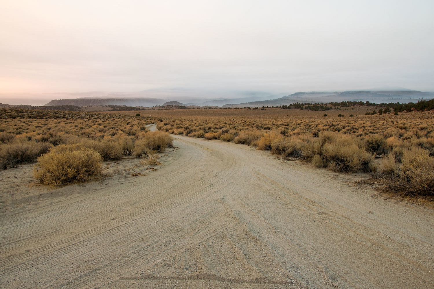
The wind died after sunset. The night was still. Smoke and cold settled into the folds of the landscape. Glass Mountain was completely obscured by smoke the next morning. The plan for a happy birthday trip to the summit went up in smoke.


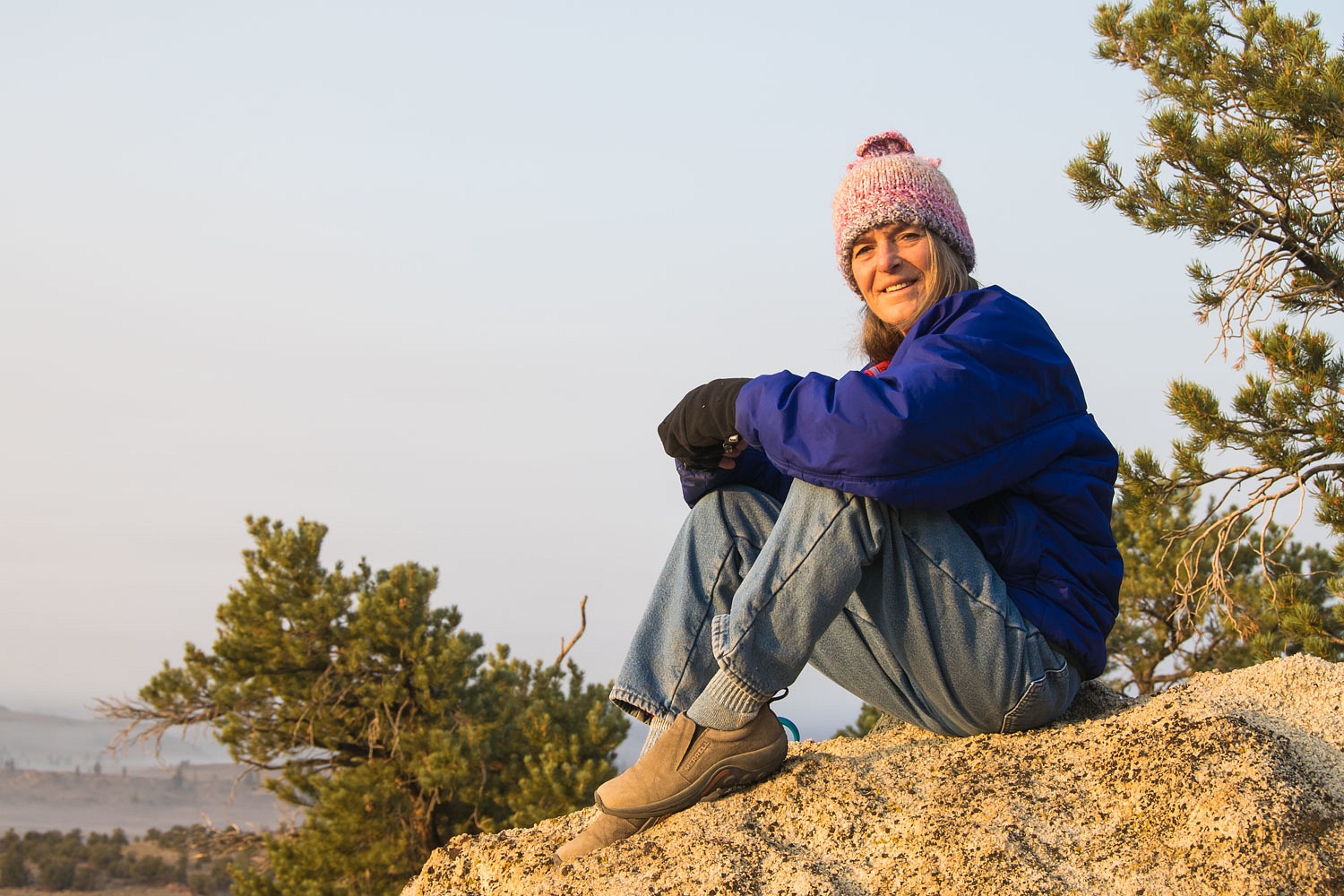
I should mention coyotes erupted in song at dawn. "They're singing Happy Birthday to me!" the Lady said with a smile as she wiggled up close against me in our cozy bunk.


We walked with our mugs of coffee down the spine of granite below camp. It was the Lady's birthday. Of course, I promised to still need her and still feed her now that she's 64.


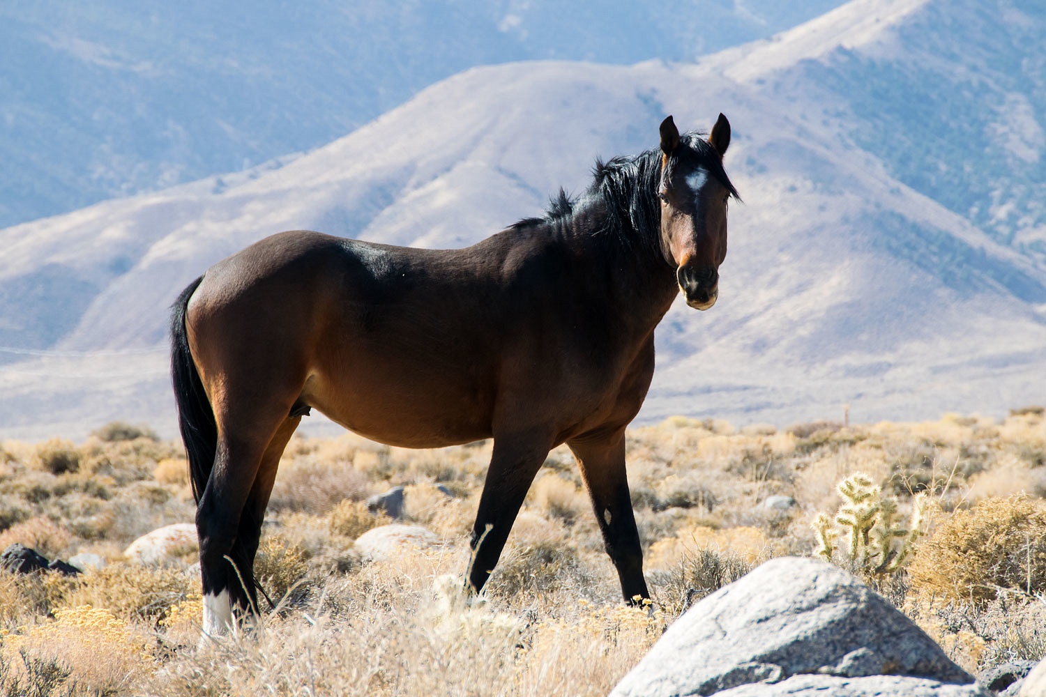
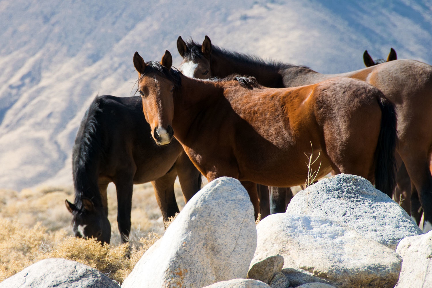
What to do? We headed east to the Nevada side of the White Mountains. We hoped to find less smoke. Instead we found feral horses.


The southern end of both the Whites and Fish Lake Valley were smothered in smoke. The northern end, where we were, was a bit better. We've been searching for an archeological site in this area without success so we put in a few additional hours learning where it is not - we consider that valuable information, optimists that we are.
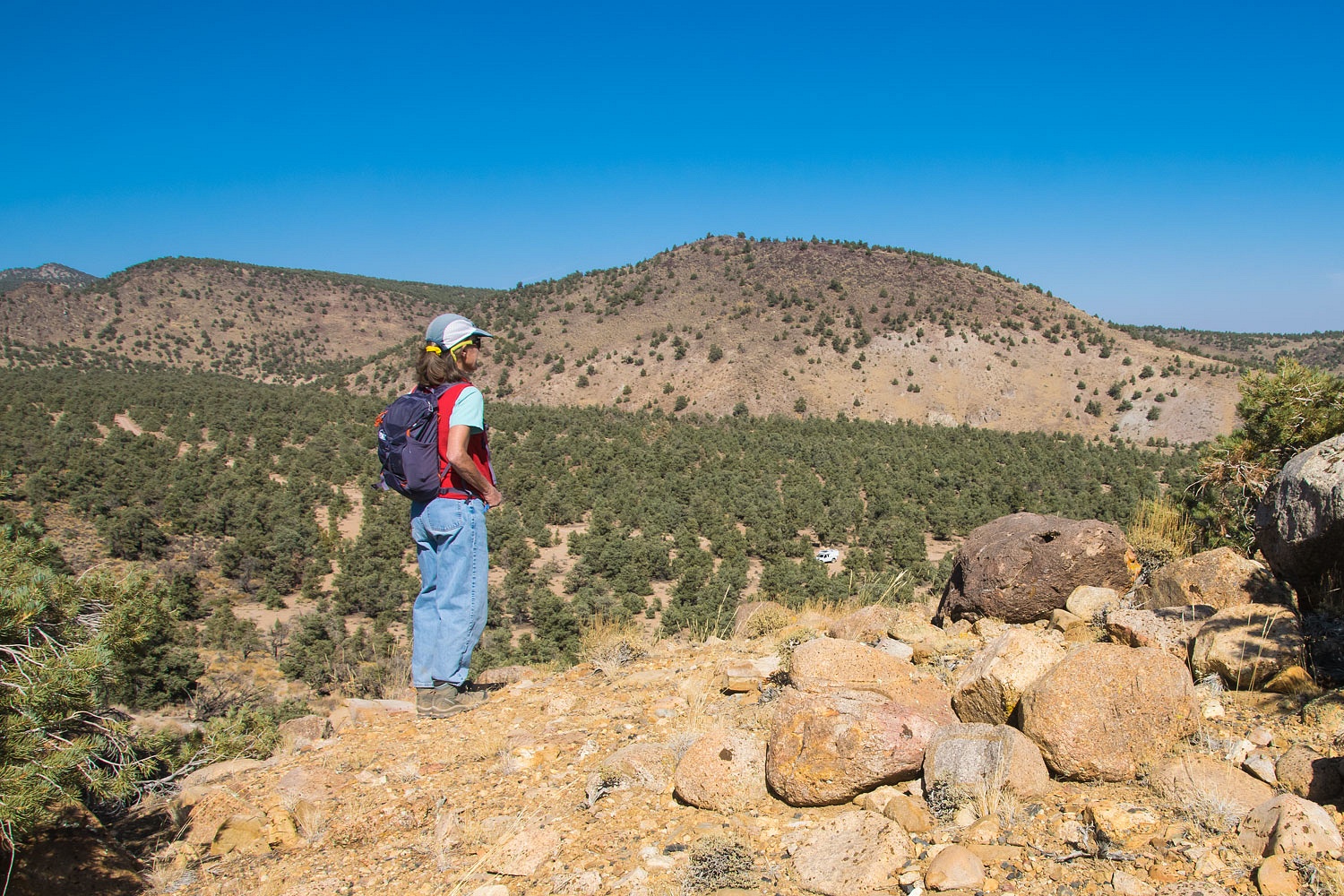


We explored up a small side canyon where the Red Rock Mine ruins are located.


Although the mercury mine produced for over 30 years, the end finally came and the land returned to the Inyo National Forest. In 2012 the Inyo secured public funding and removed highly contaminated structures and soils to make the place safe - the continuing saga of mining history in the American West.


We explored the ruins.
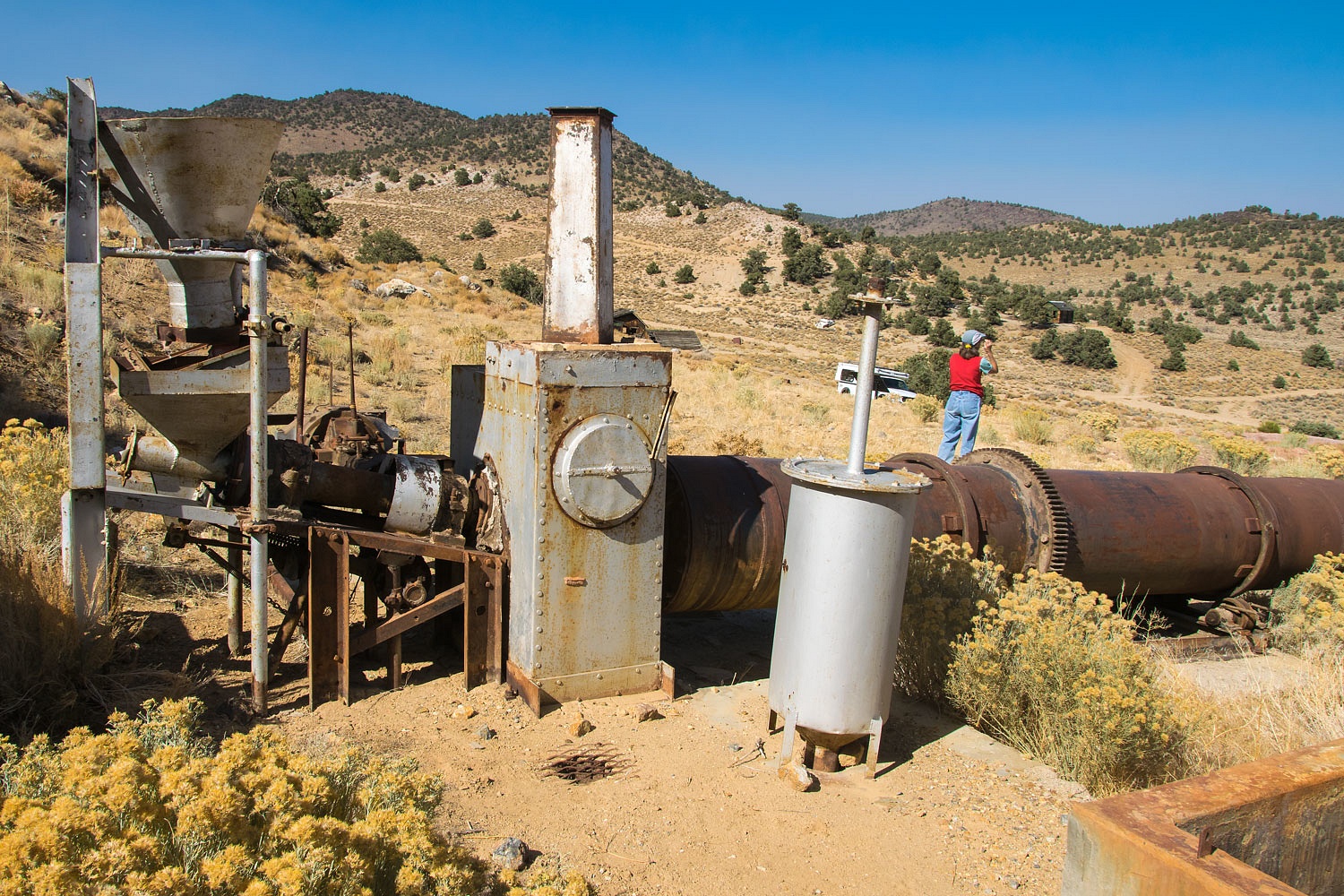


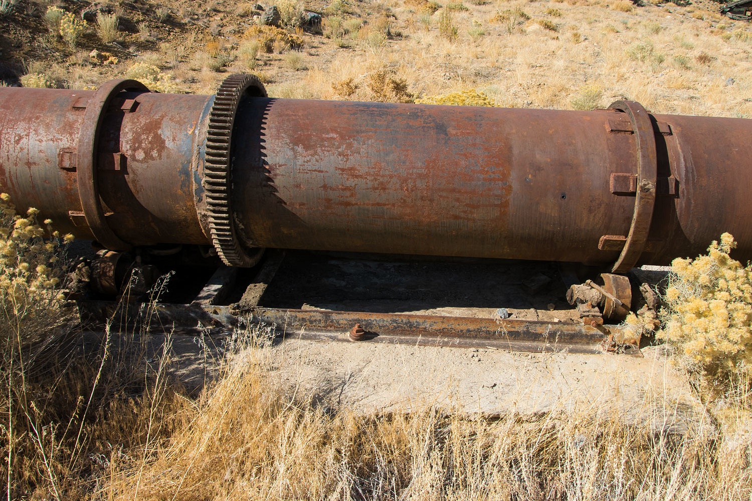
This is the remains of the Gould Rotary Kiln Furnace  for melting and condensing mercury. It was asbestos and brick lined and rotated,  powered by a Model A Ford engine. From the Desert Magazine article I provide a link to below -

"Equipped with a 30-ton Gould rotary kiln furnace, the present plant transforms raw ore into molten quick-silver in 30 minutes or less, and is capable of handling 25 to 32 tons of concentrates in a 24-hour shift. Costing $65,000 to install, a mill of this type is economical to operate and re-covers from 95 to 98 percent of the quicksilver, said Walter. Only one man to a shift is required to oversee its operation; the Model A Ford engine that revolves the brick-and-asbestos-lined rotary kiln burns only a gallon of gasoline per hour; and the heating unit, which maintains a temperature of 1200 to 1600 degrees F. in the roasting drum, burns from seven to nine gallons of diesel oil per ton of ore in the course of 24 hours operation."
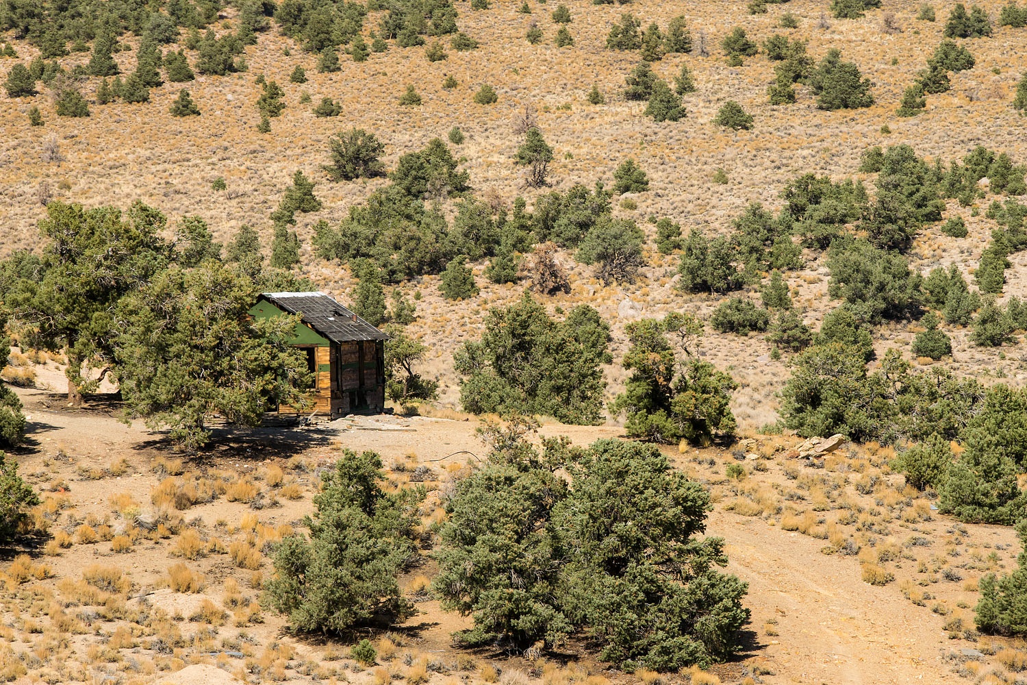


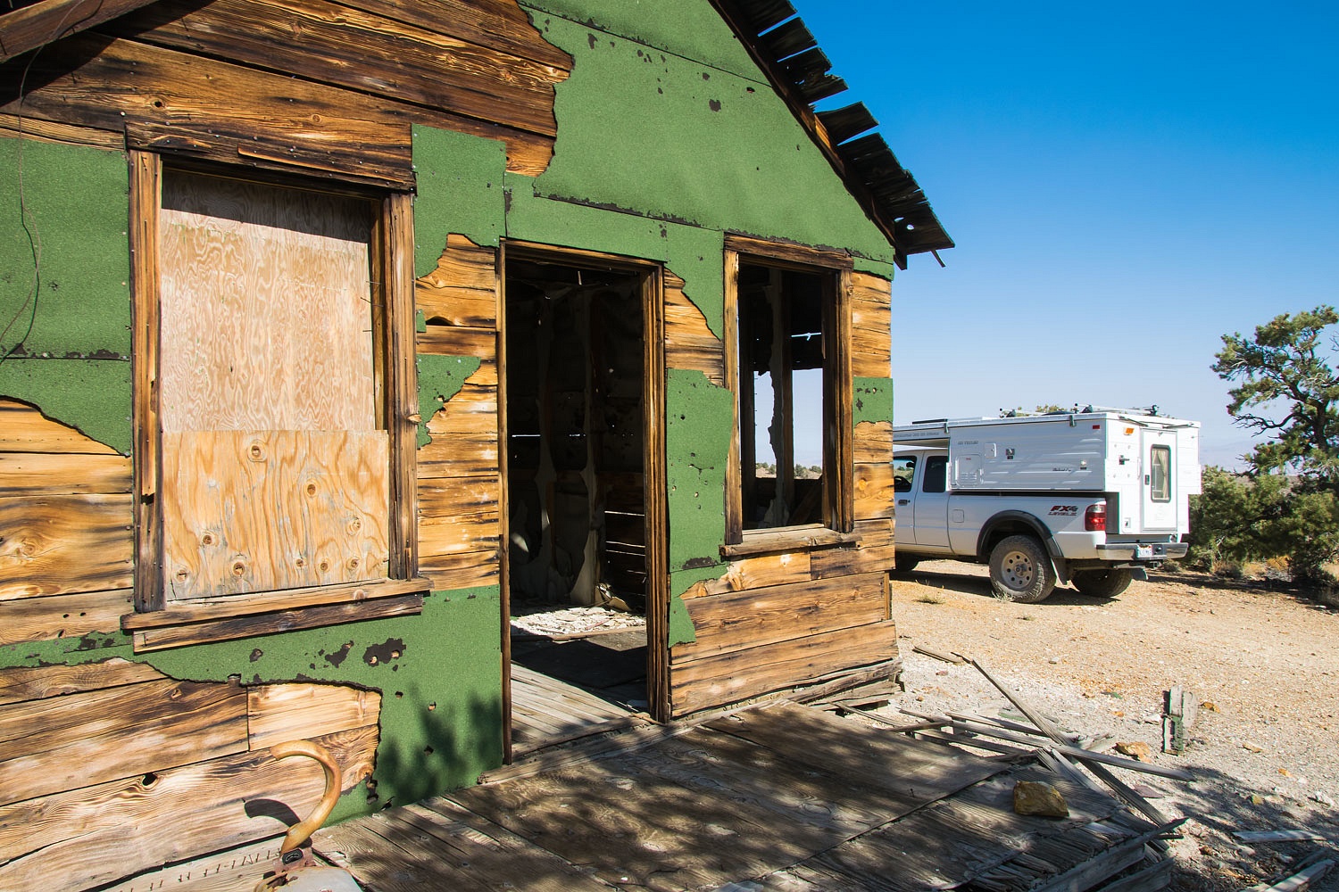
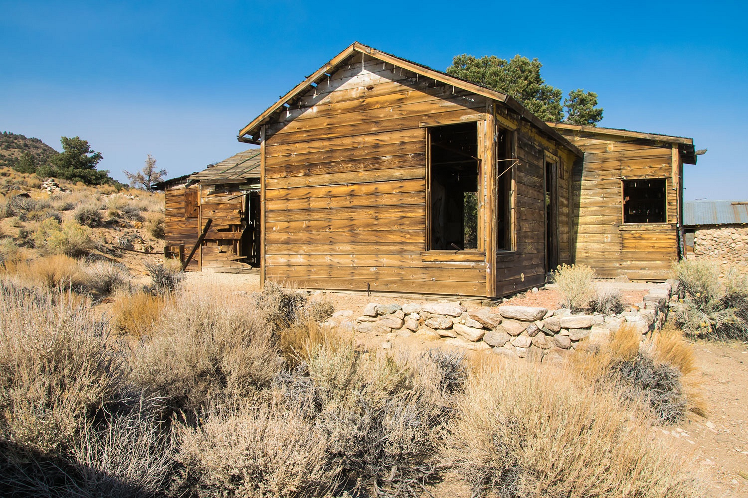
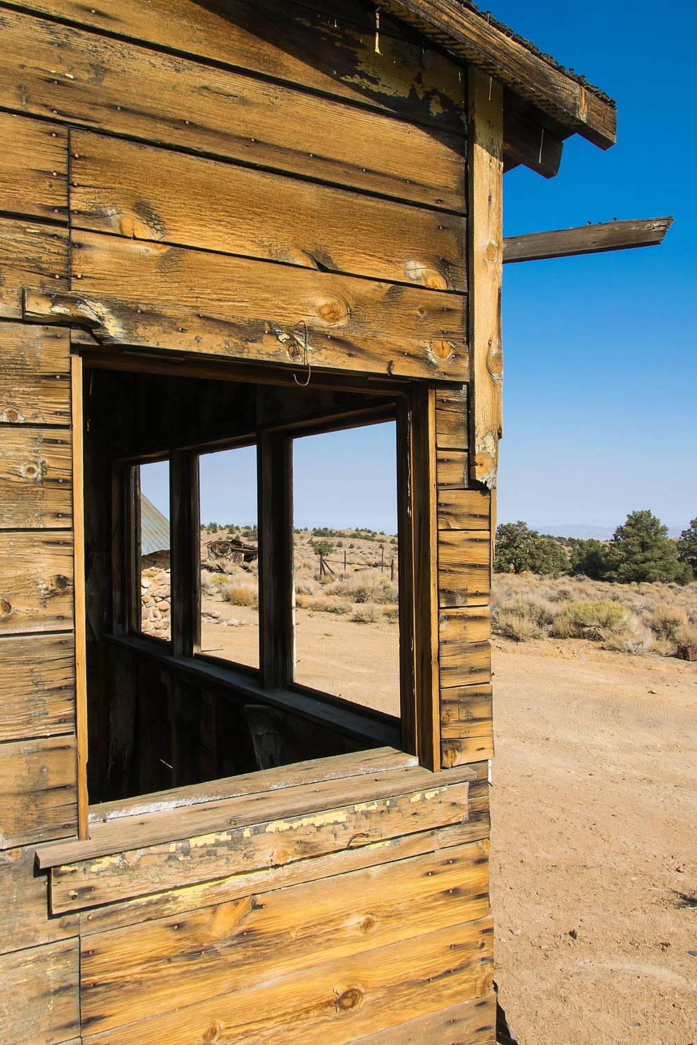
The Dunnigan's house was the center piece.


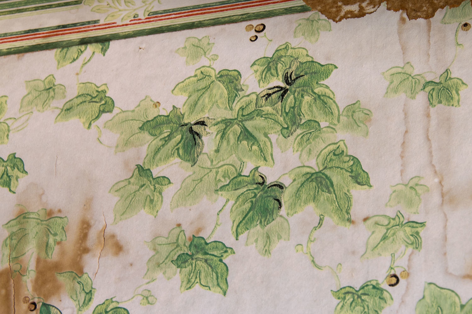
The inside of the house had the usual semi literate graffiti on the walls - juvenile, judgmental, inflaming, and uninformed. We suspected the same people responsible for the graffiti were also responsible for all of this damage from firearms.
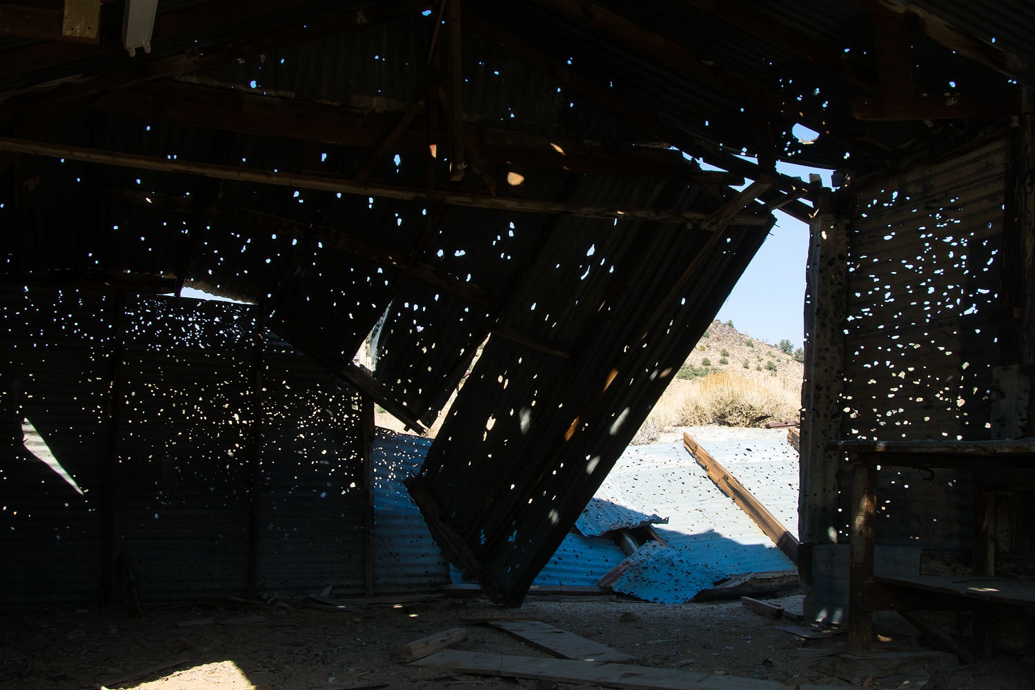
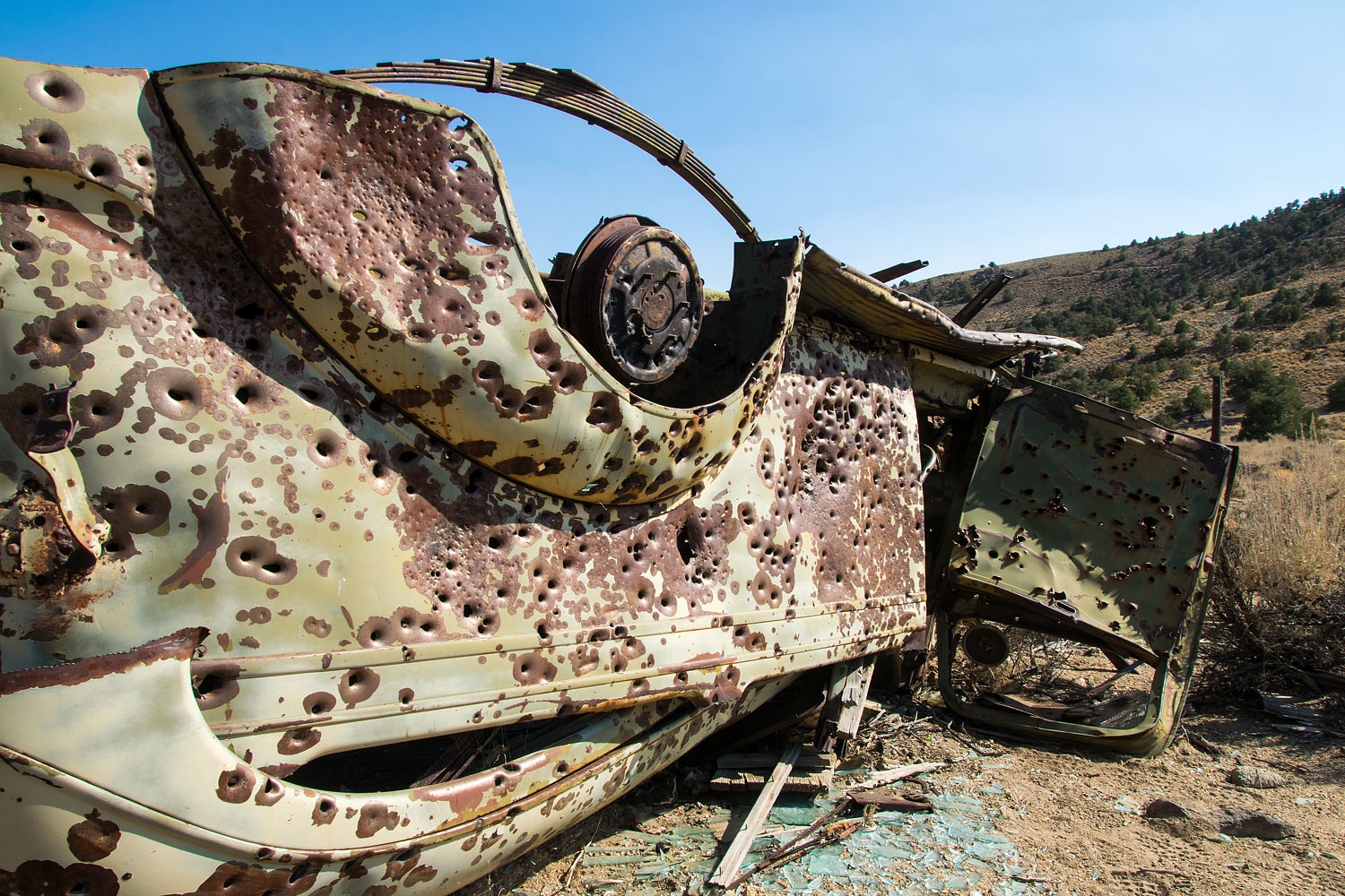


A multipage article on the Red Rock Mine - while still in operation - is found in the February 1956 issue of Desert Magazine. It starts on page 11.


We moved to a different ridge and resumed our archeological search. Smoke surrounded us.
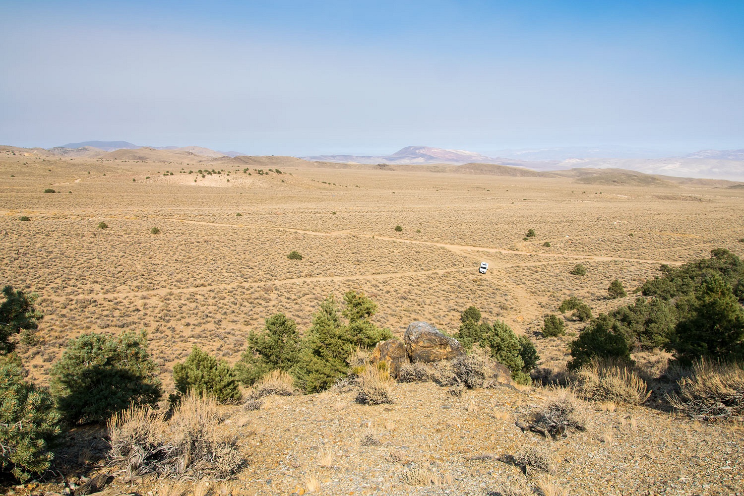


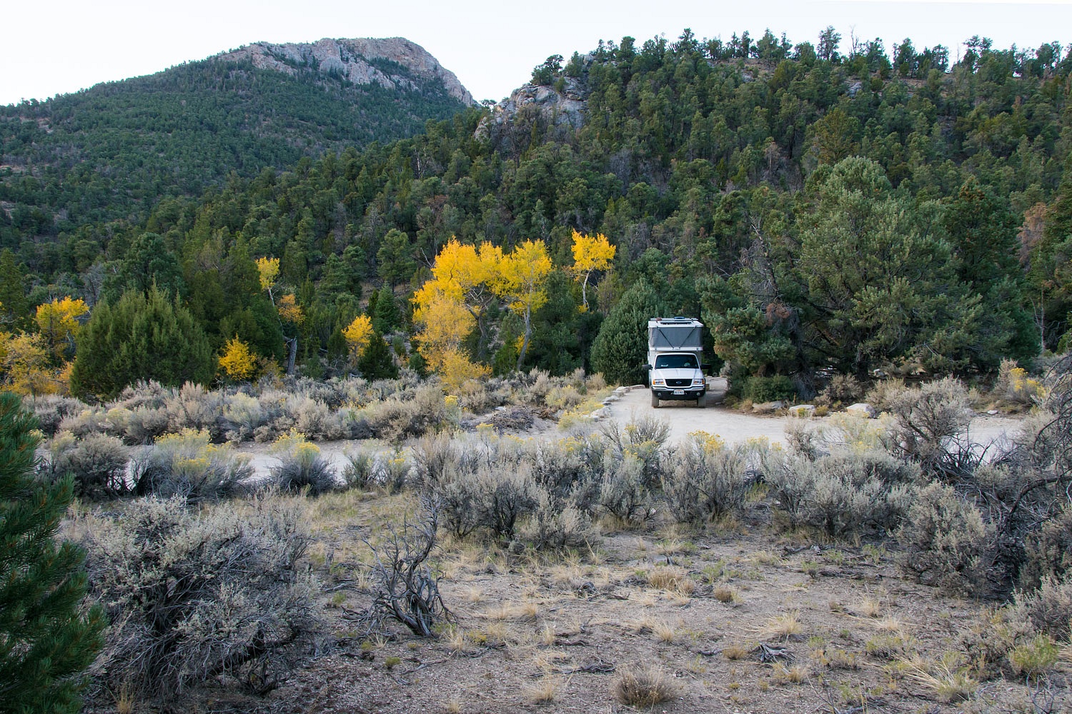
Thoroughly convinced we could confidently eliminate this area from future searching, we drove north, put the truck into 4x4 low, and bumped along to an old favorite campsite. We love this spot for the views, quiet, and solitude.


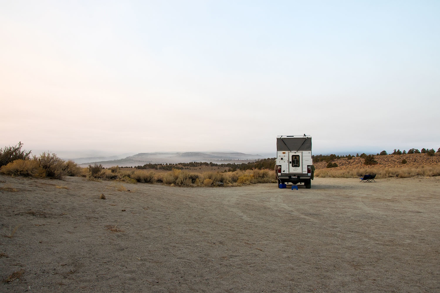
Overnight it was again completely still allowing the smoke to move north up Fish Lake Valley and settle into every nook and cranny. This was the morning we woke to.
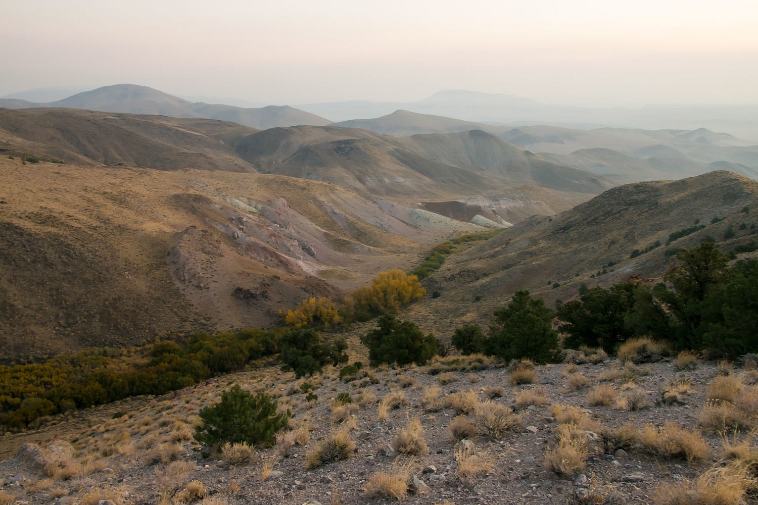
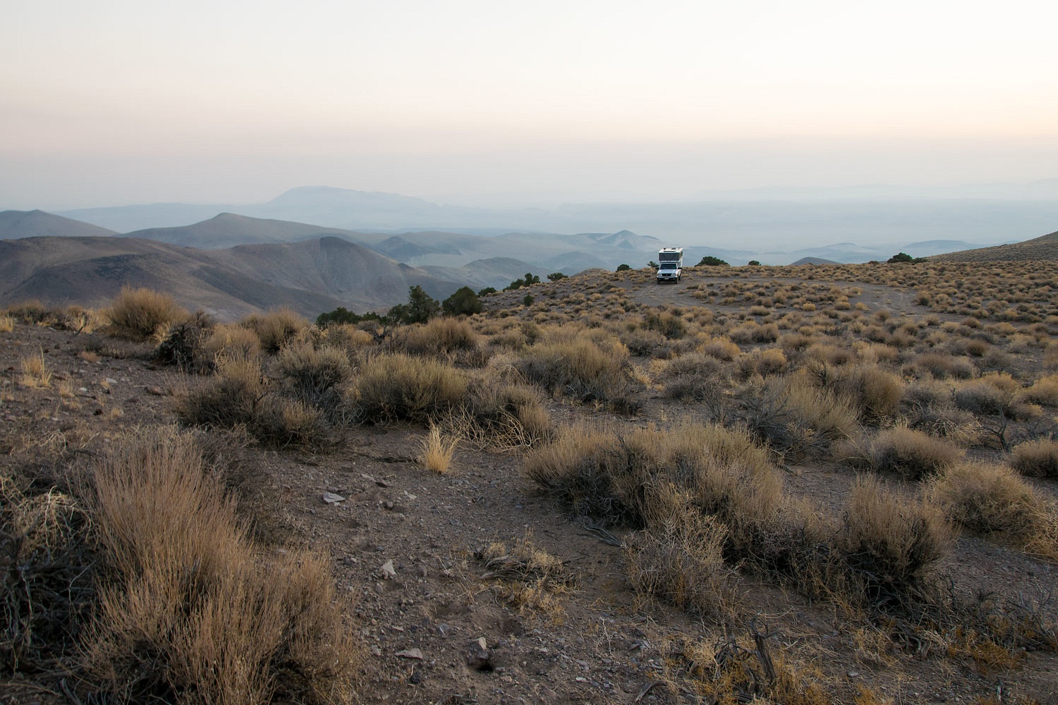


Camp was right at the top of the smoke layer. The diffused sunlight through the smoke gave an eerie cast to the light as we walked with our morning coffee. Coyotes sang.
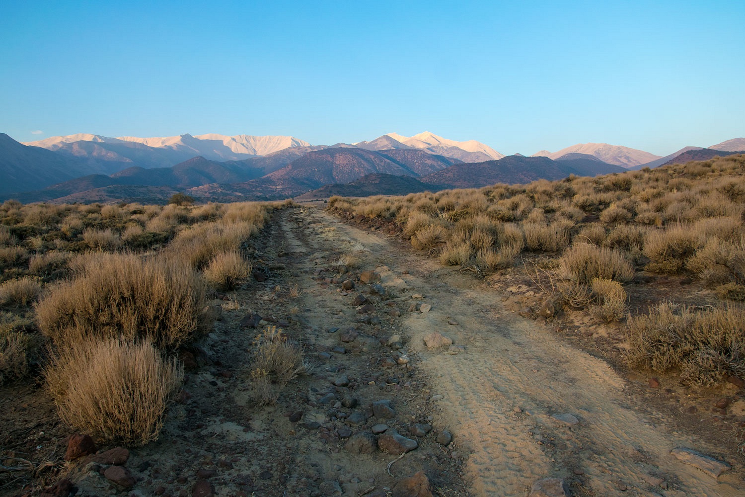
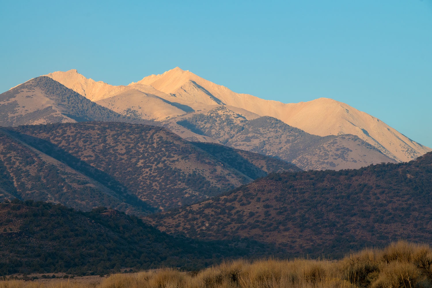


We cut our adventure short. We received a notice that our electricity, yet again, would be shut off at home due to Red Flag fire conditions and winds up to 50 mph. We picked up supplies in Gardnerville and returned home to make sure all was as safe as could be. What a year 2020 has been..........


Electricity has been turned back on here at home along with phone and internet, or you wouldn't be reading this now ;)



Friday, October 16, 2020

Great Basin National Park - October 2020 - Part Three


please remember you can click on a photo to see a larger version & highlighted text are links to additional information

Note: Please click here for Part Two


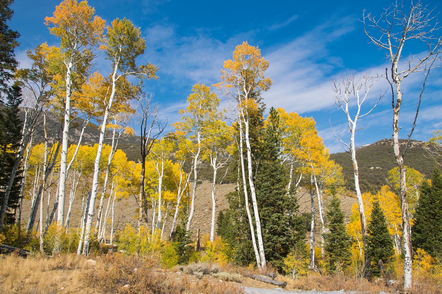
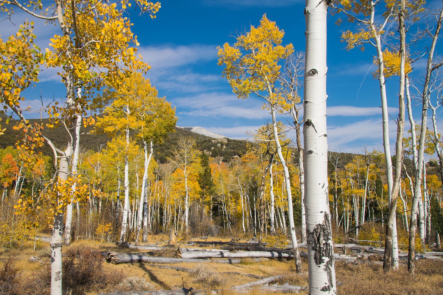
The Color of Autumn


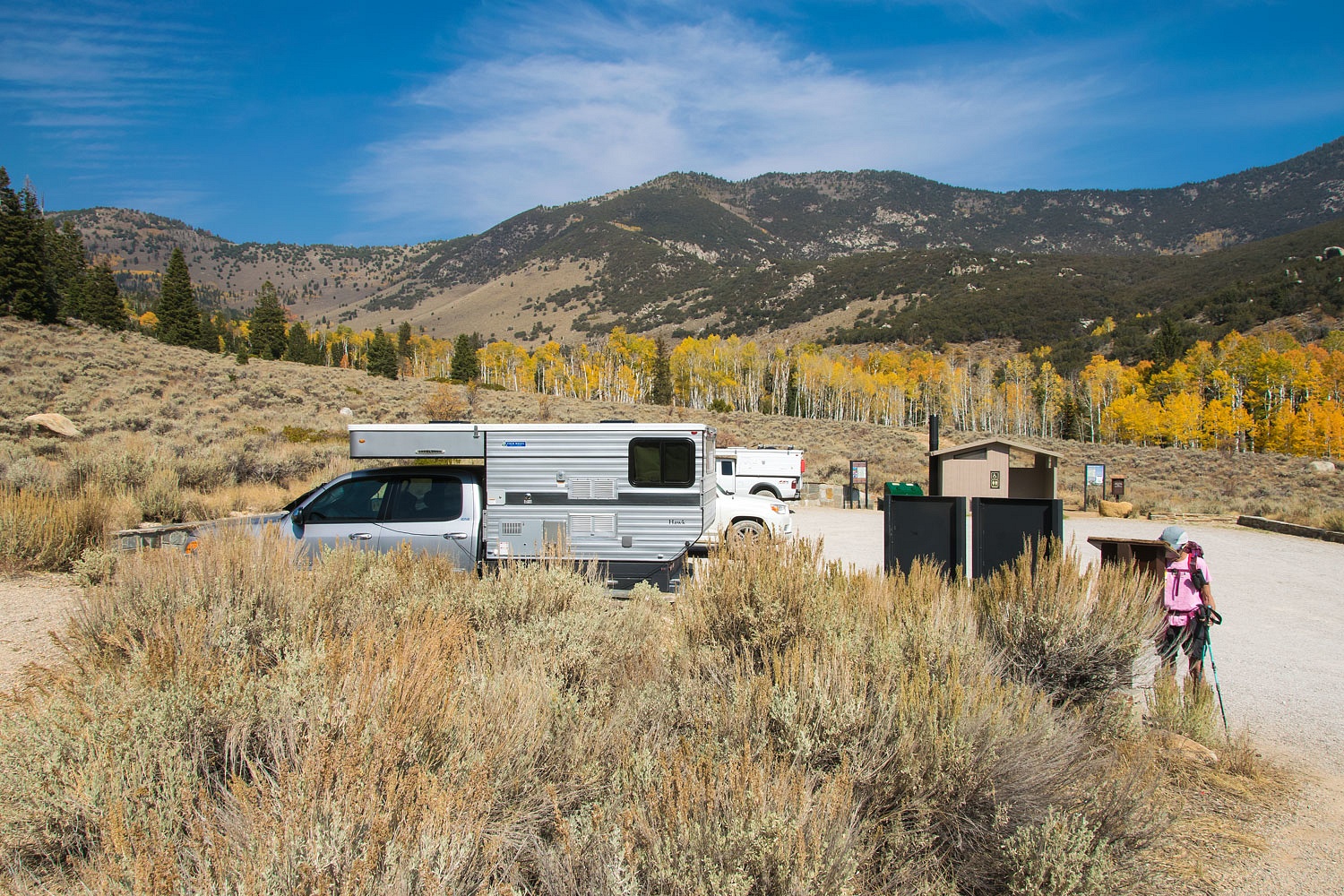
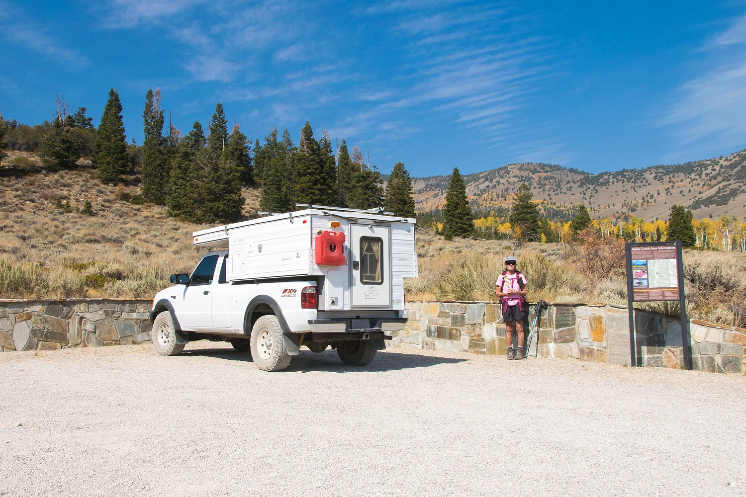
We packed up camp after breakfast Wednesday morning and drove south to the Snake Creek drainage. It had been several years since we'd been up this dirt road and were very pleased with the improvements the National Park has completed. Campsites have been designated and improved. CXT toilets have been installed. Trailheads have hardened parking areas and signage. Many new trails have been created. Bravo to the Park Service for good work. We parked at the trailhead at road's end.


Where to go? We had no plans, we just wanted to explore, stretch the legs a bit more and oil the joints. Only two other vehicles were parked. We decided on making a loop by taking the new trail up to Dead Lake and coming back down the Johnson Lake Trail. The sky was surprisingly clear this morning with scattered clouds. It was looking like a beautiful day to be in the mountains. The Lady, of course, signed the trail register.


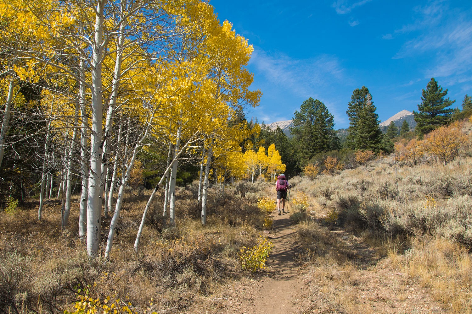
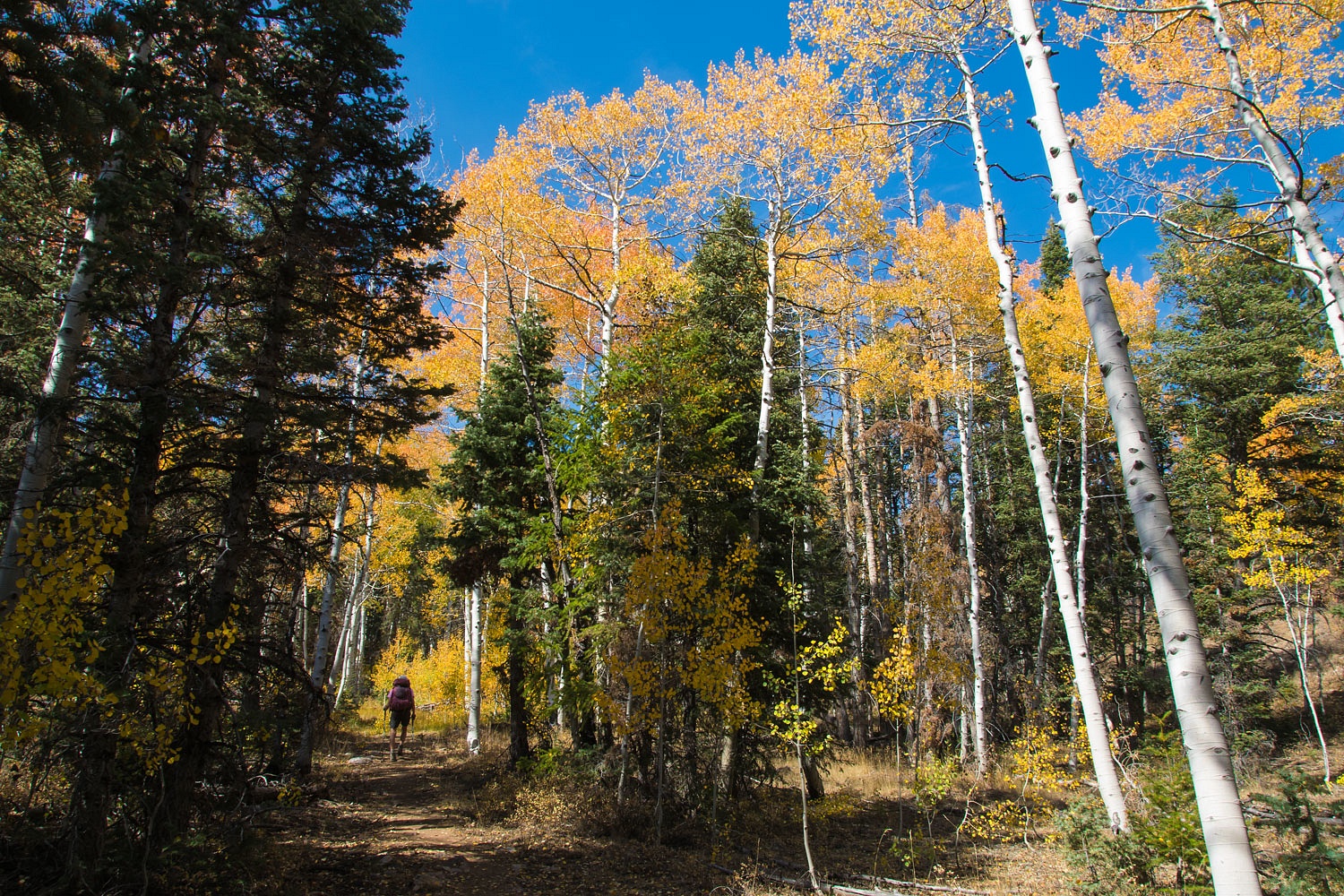
The aspens were very nice on the steep grade up to Dead Lake.


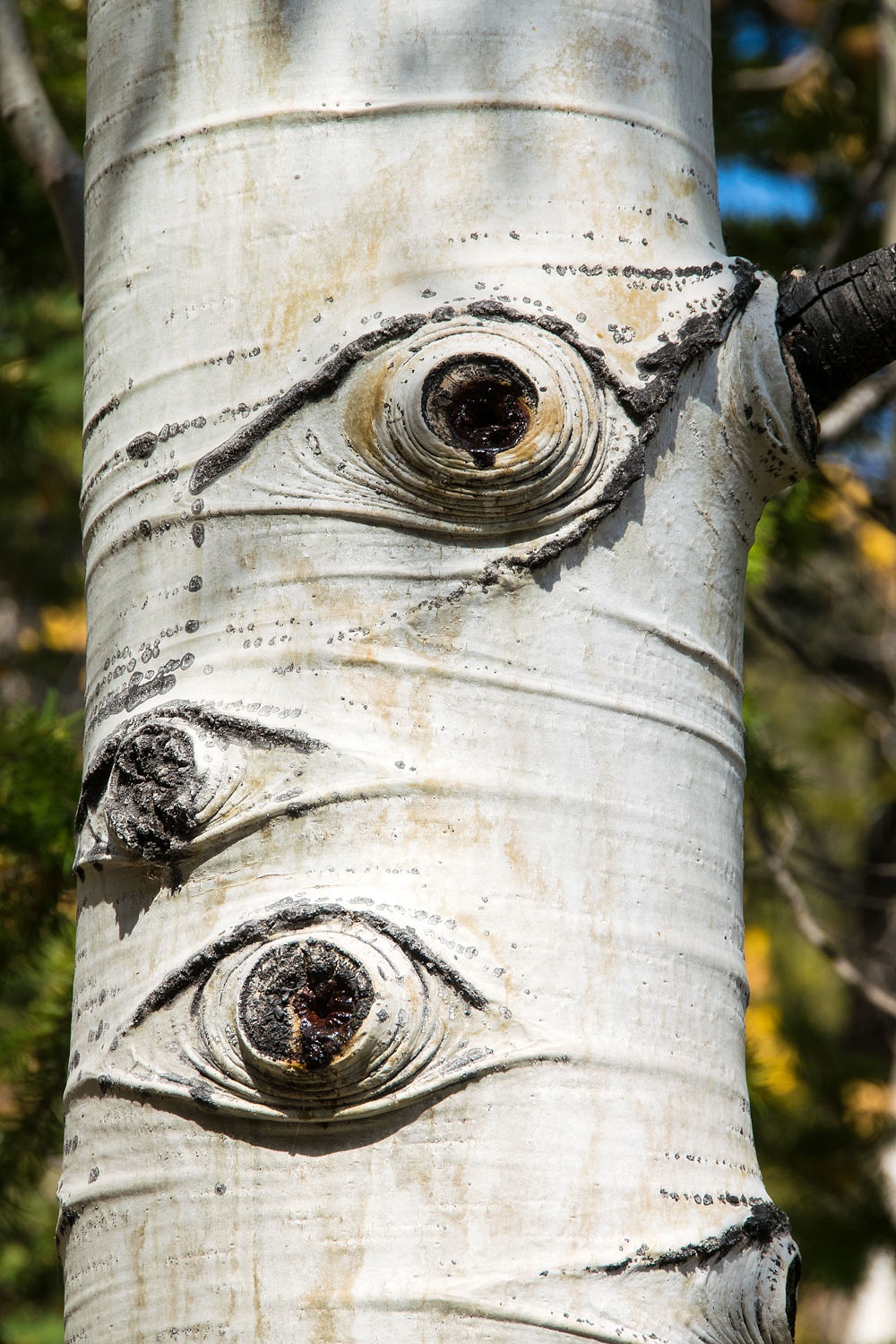
Many times we felt ghosts were watching us.


To add to the aura of spookiness, Dead Lake was dead, only a shallow remnant.


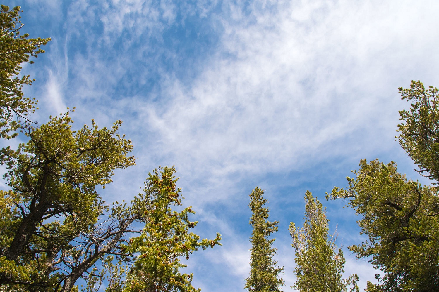
We intersected with the Johnson Lake Trail after a bit under 3 miles and then climbed a high knob for a relaxing break. We found the perfect granite boulder for a backrest and just looked up and enjoyed a smoke free blue sky above us.


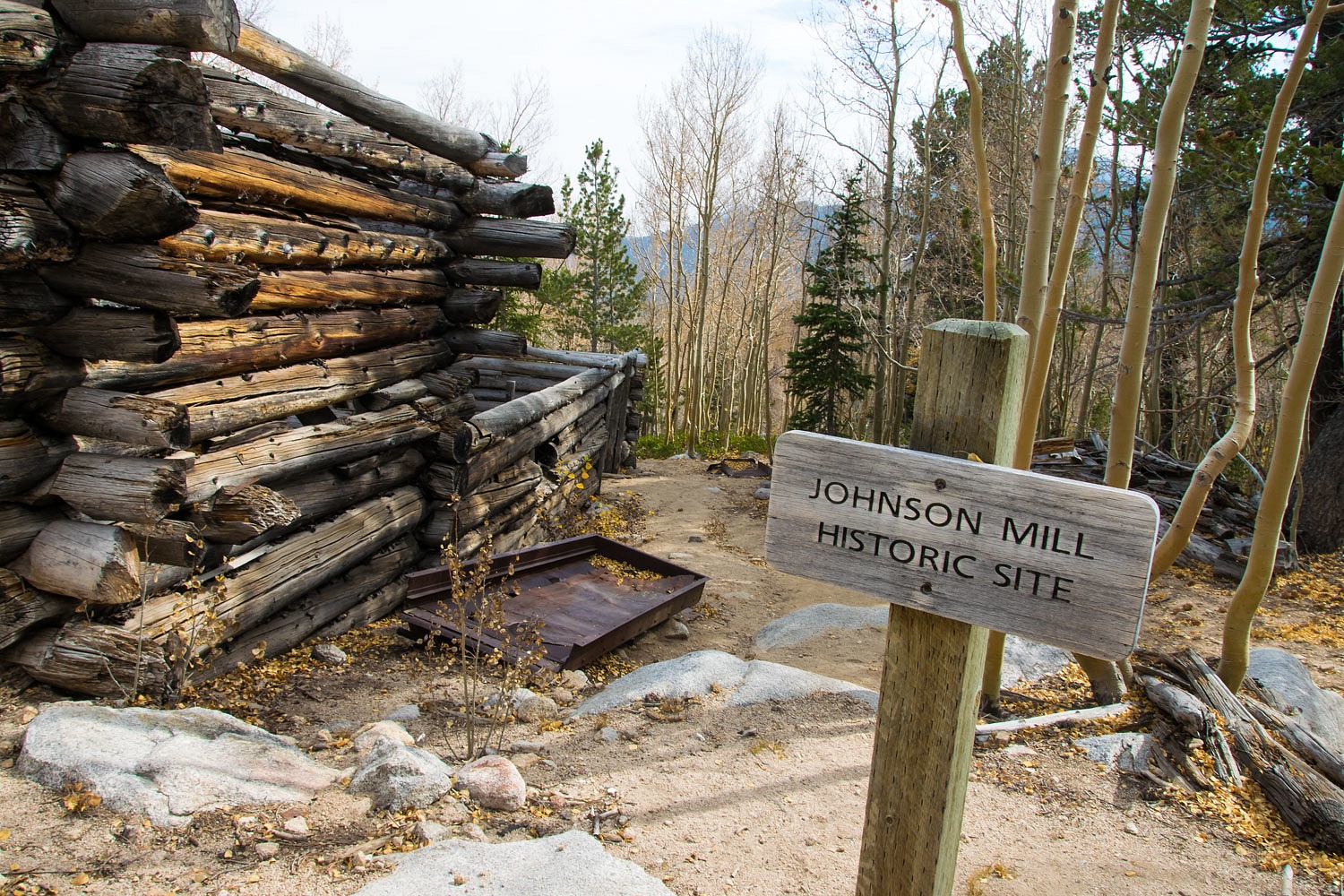
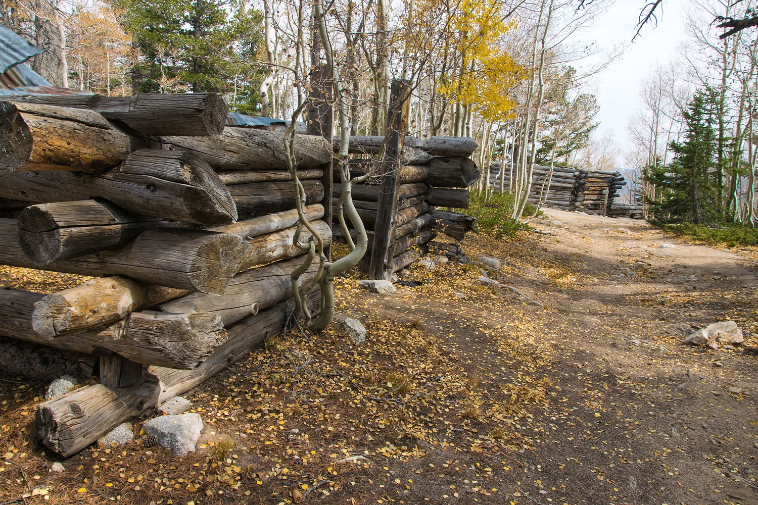
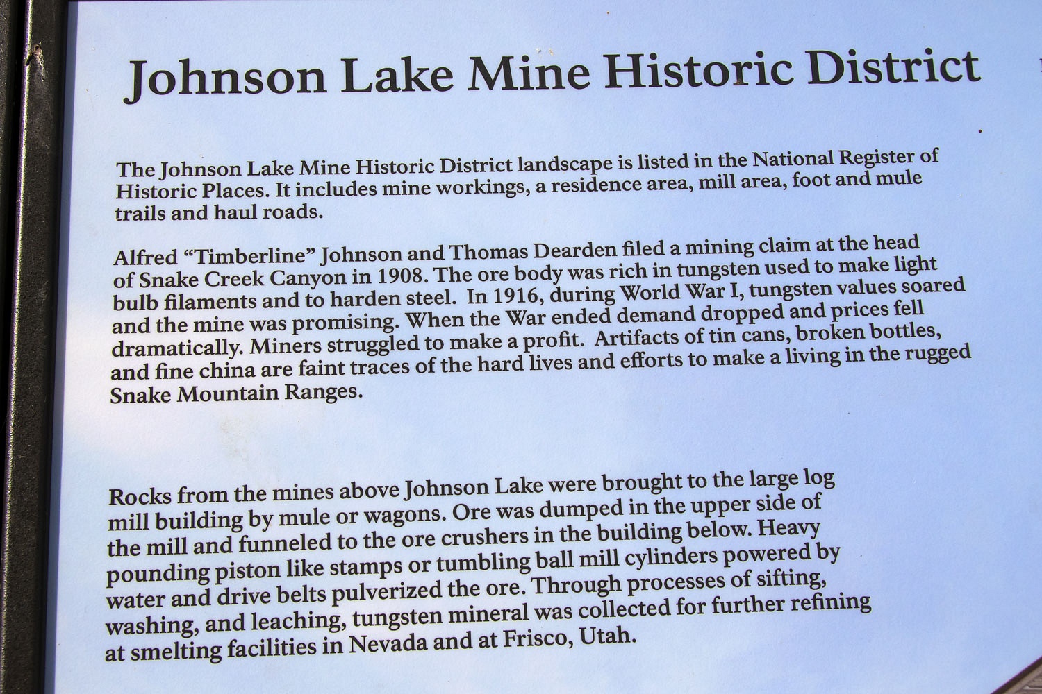
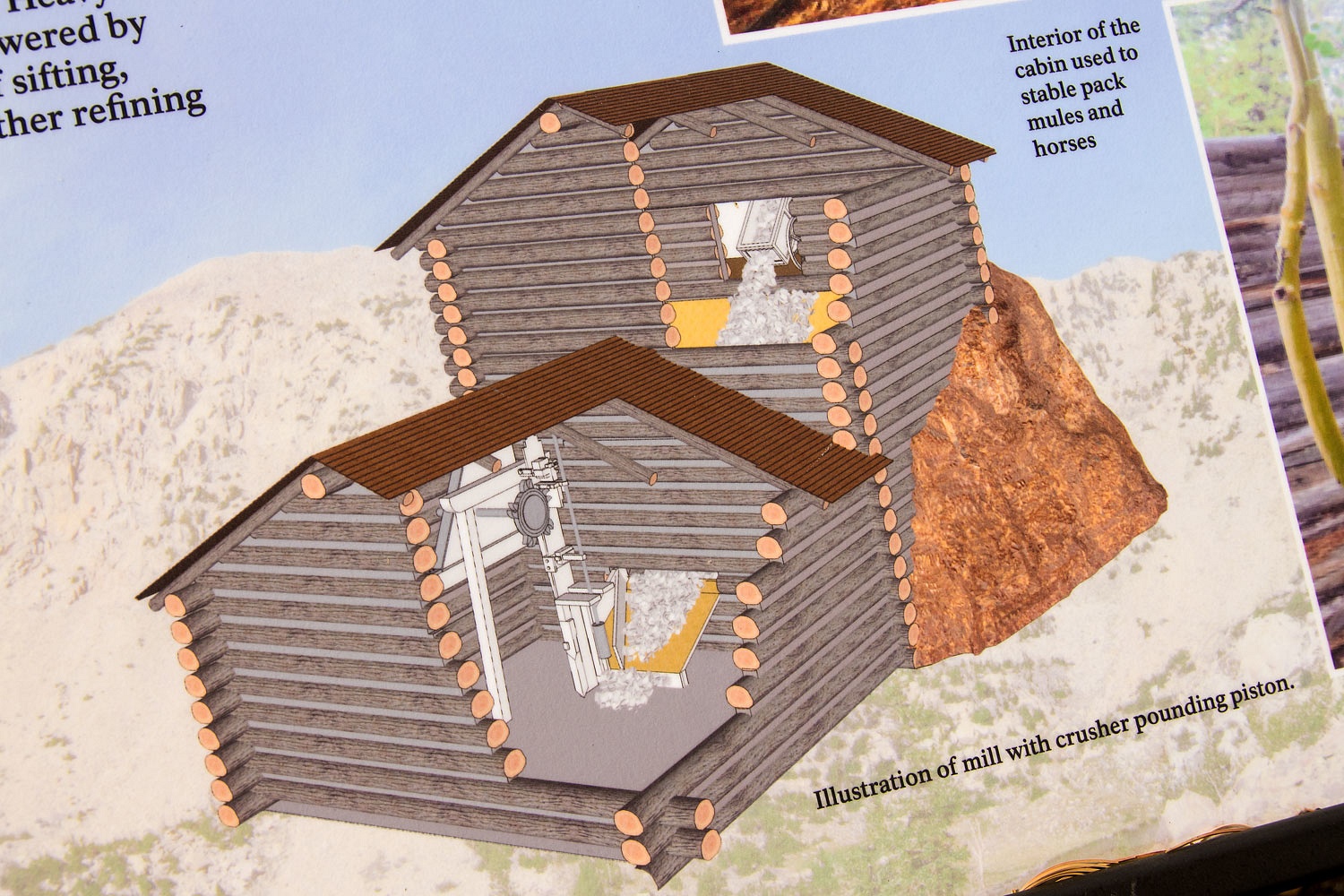
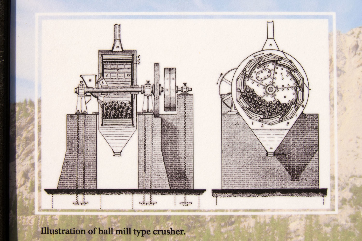
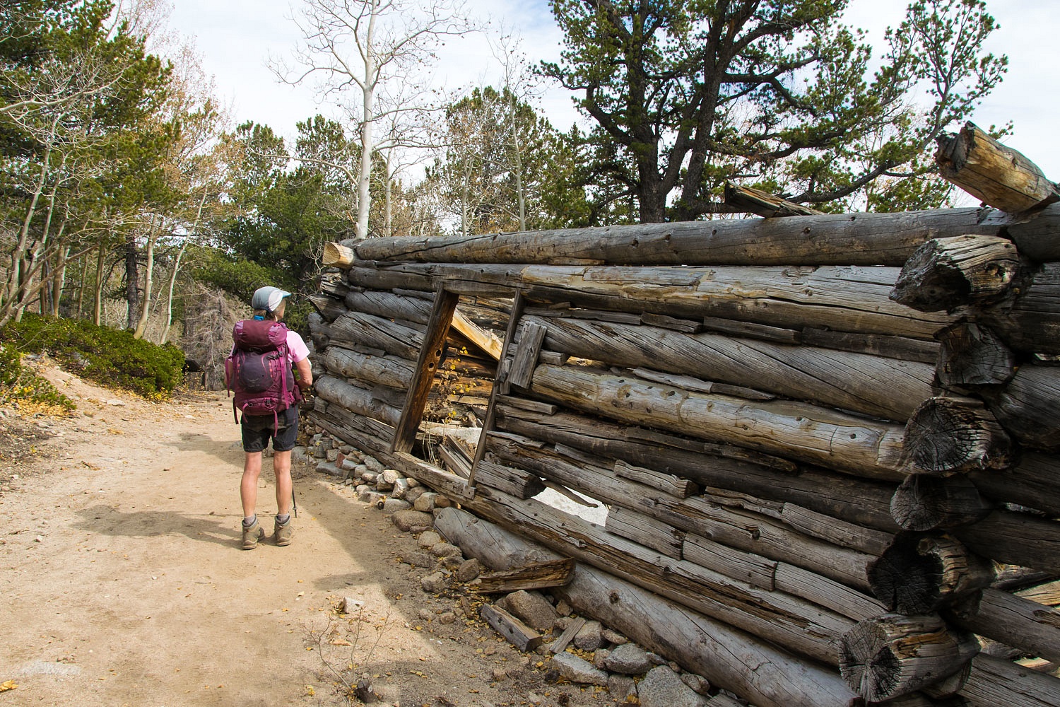
We've been to Johnson Lake before and decided not to return because we were enjoying solitude. The other hikers had gone to Johnson Lake - the popular destination from the trailhead. We did hike up to the old mill site about .8 mile from Johnson Lake.


Nice interpretive signs have been installed explaining the mining history.


We turned back and descended the Johnson Lake Trail.


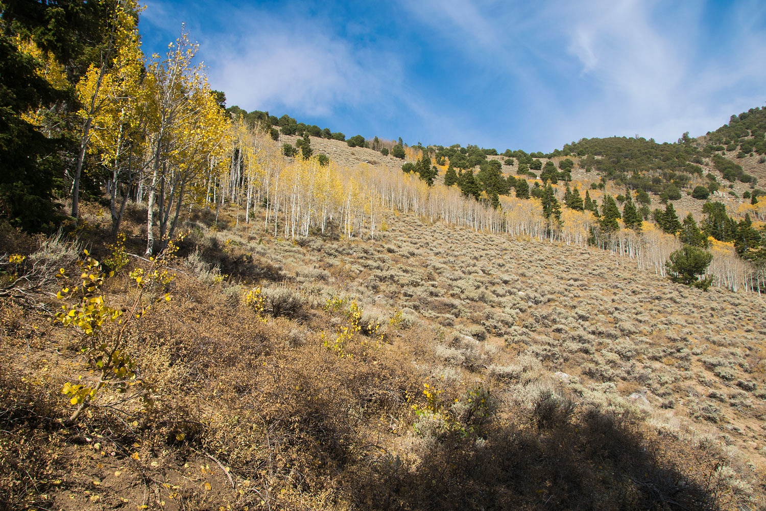
Ghost groves lined the slopes below Snake Divide, where we had enjoyed the views from on Monday.


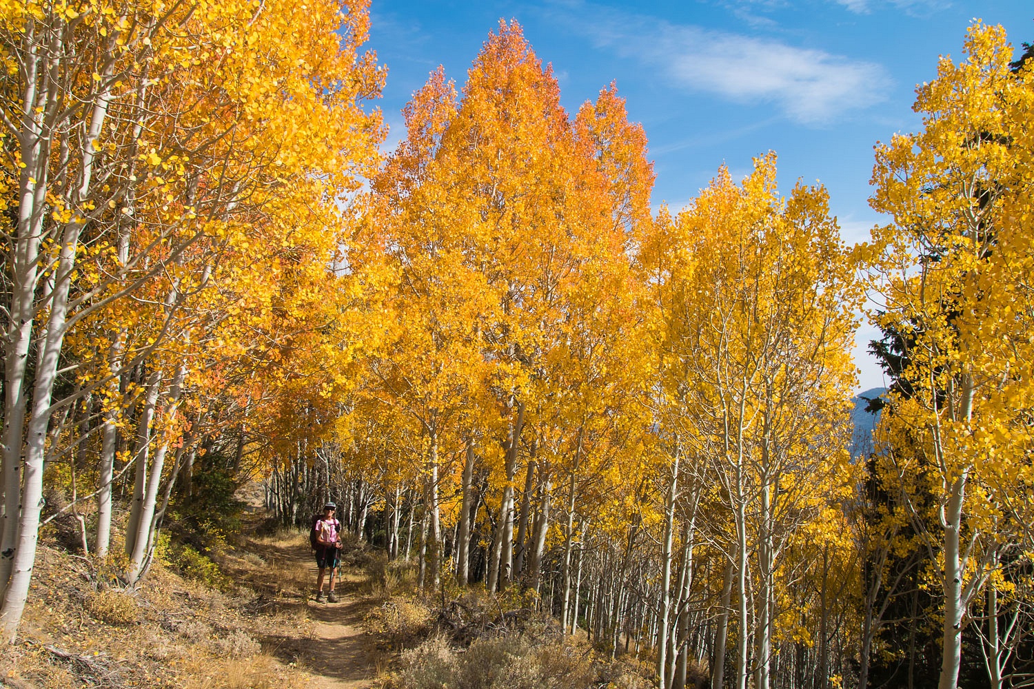
The trail passed through one spectacular grove, the highlight of the hike.


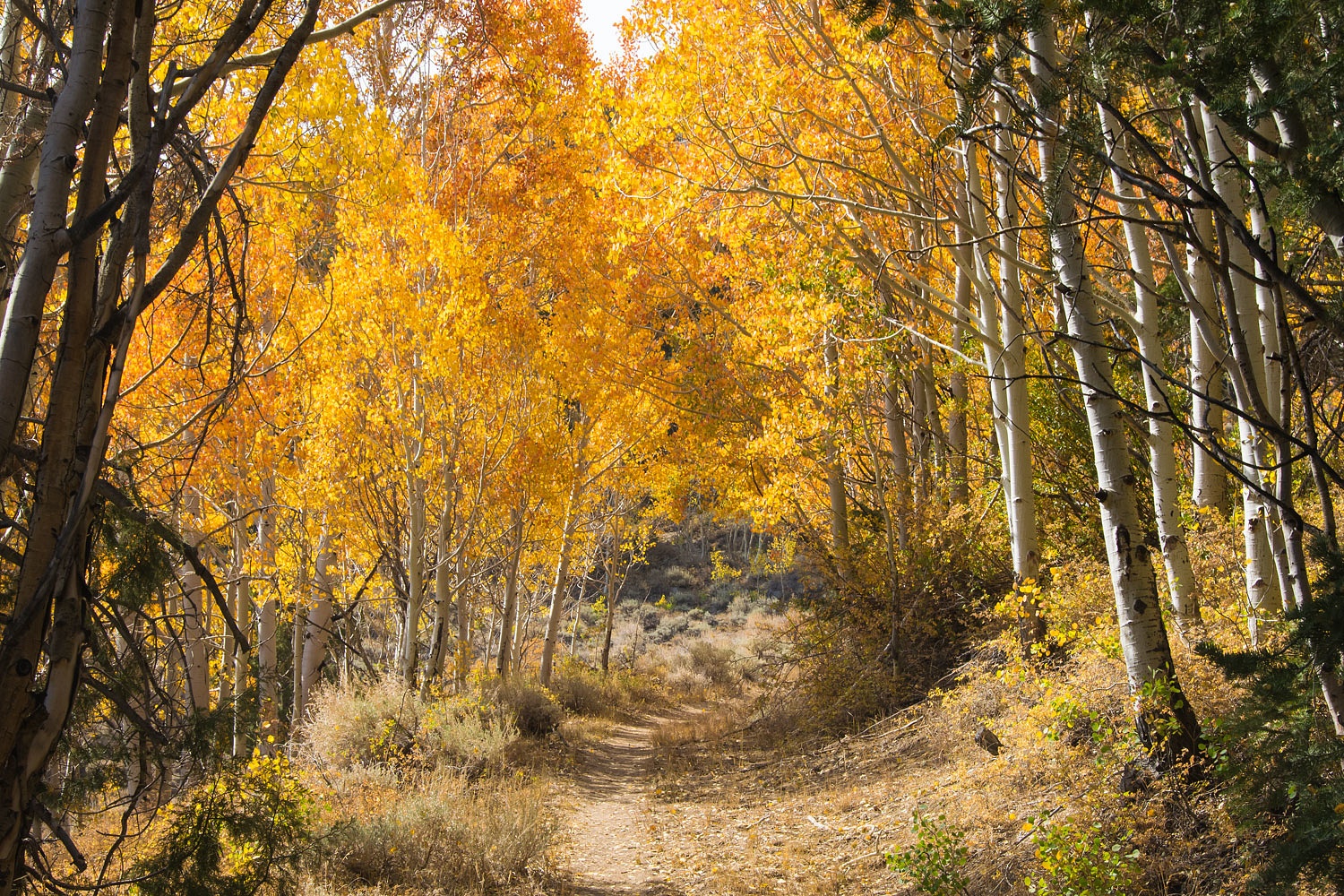
Here's a view back up the trail through the aspens.


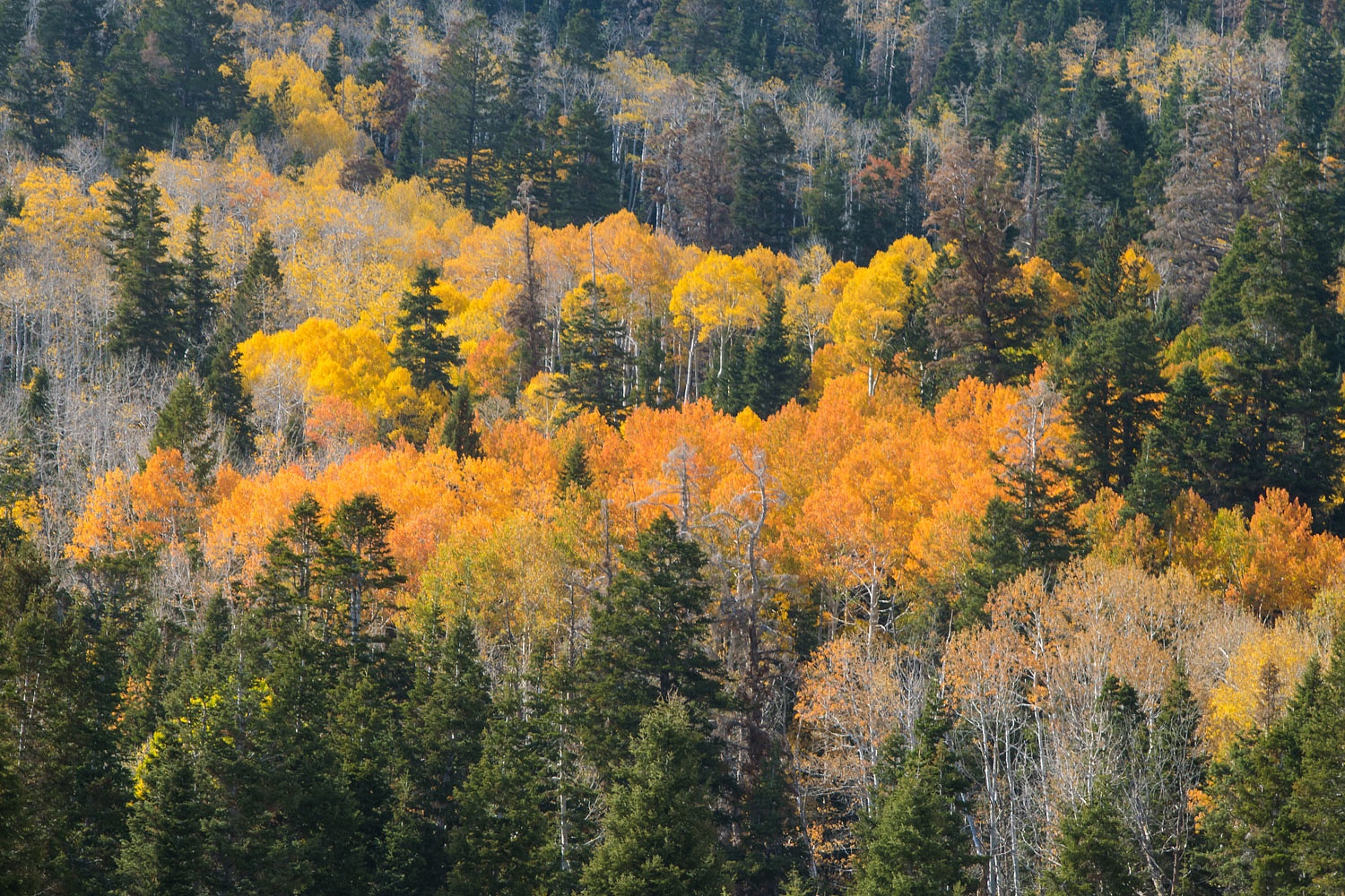
Many other colorful groves dotted the hillsides.


Towering aspens lined Snake Creek as we neared the trailhead.


There are 7 or 8 designated campsites along the road - and Snake Creek - below the road's end. Only one campsite was taken when we drove up in the morning. With so few people out hiking, we mistakenly thought most campsites would be available on our drive back down. Only one was not taken - this spot must be on some free camping app - but we considered it the best one.


We considered just popping the top and staying at the trailhead but the regulations posted on the signs clearly said camping in designated campsites only. We were good. This is a great little National Park and we wanted to be exceedingly respectful.


There was a spring across from camp and we scoured the area in the evening looking for petroglyphs and habitation sites without success. The area had the proper juju.


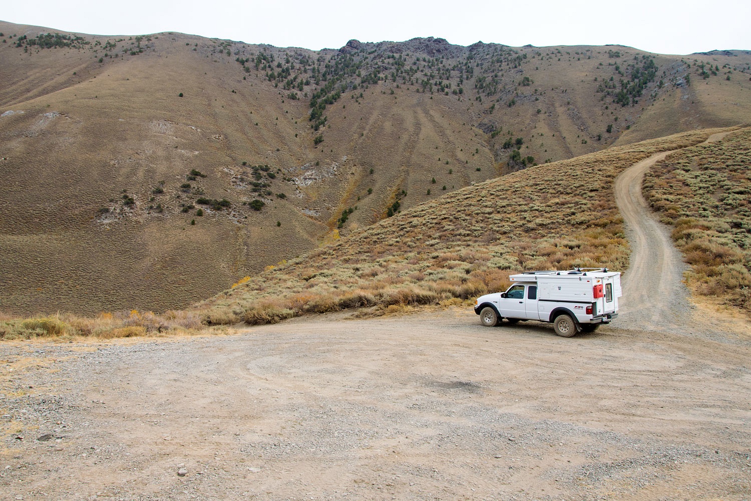
Thursday was a day of driving, time to work our way home. In the middle of Nevada we took a dirt road over the crest of the Toiyabe Range, east to west. We stopped at the top.


There are many dispersed sites along the creek draining the west side. But it is big game hunting season in Nevada. We found one empty, pleasant site in the higher reaches of the canyon. It was empty because it was above where a trailer can be hauled to along with additional trailers to haul in ATV's and Utv's. When did hunting become sitting on your butt, driving around on a machine with a rifle, up and down roads hoping to find something to shoot and kill? These hunters sure must enjoy noise and dust.


We were concerned road traffic, engine whine, and dust would be intolerable, but it stopped early and we had a quiet, pleasant night.


We got an early start the next morning. The big hunting camps lined the canyon below us. It was hunter heaven. Camp trailers, fifth wheels, motorhomes, Atv's covered huge areas. Big belly boys relaxed in camp chairs.


The morning was warm. We lowered the windows and returned waves from the hunters. We broke into our favorite hunting song from the Da Yoopers.


"It's the second week of deer camp

and all the guys are here.

We drink, play cards, and shoot the bull

but never shoot no deer.

The only time we leave the camp

is when we go for beer.

It's the second week of deer camp,

it's the greatest time of year!"


Back on the not so lonely highway 50, we entered the urban sprawl that now starts at Silver Springs and stopped and picked up groceries for home at Trader Joe's in Carson City. Next stop were our eye exams in South Lake Tahoe and our trip was complete - an autumn color trip brought about by a satellite image and an eye exam.