
please remember you can click on a photo to see a larger version
The Last
Summer Break Trip
We were
heading to Idaho. This was our big trip plan for this summer - to meet up with
my fly fishing cousin from Seattle. Keith, aka "The Big Guy", now
a retired university professor, (scroll down in the link to Keith Stamm) weaves his fly fishing adventures into stories some of which he has
shared in his book - Quest for Home Waters. It had been 5 years since our last adventure
together, too long, so when The Big Guy suggested a time and a place we rose to
the opportunity like a trout to a well presented dry fly. It was "On to
Idaho!"
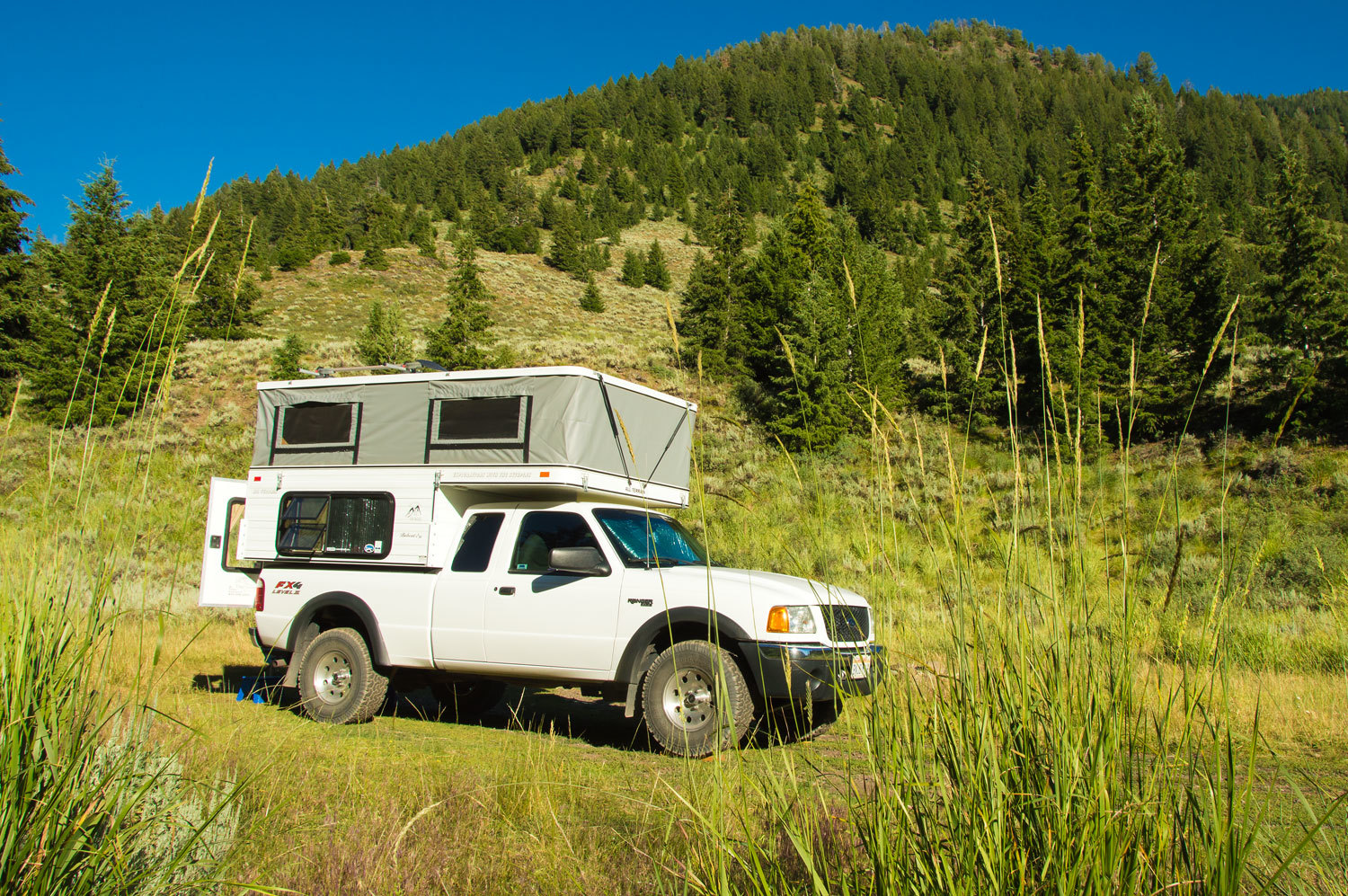
The truck,
camper, and gear was packed. We lit out of here before dawn on Saturday morning
and headed into Nevada. I had a surprise in store for the Lady. Out on the
eastern edge of Nevada, high up in the Snake Range was a long loop hike she longed
to complete. Our last attempt was blocked by snow.
"Let's
start the trip there," I suggested.
"Really!"
she beamed. "I'd love that!"
Saturday evening,
with our camp set up in Great Basin National Park's Baker Creek Campground, we
walked as the daylight waned.
"I
think his mother did that to him," I said as we watched the huge mule deer
browsing with his companion. "I think she messed up his left antler so he
wouldn't get shot."
"Half
Rack. I going to call him Half Rack!" the Lady responded. "And his
friend is Big Fork."
This was
going to be a theme of the trip, the Lady giving names to the critters we
encountered.
Half Rack
wore a classic four point mule deer antler on the right side. His left antler
was atypical, deformed, a large mass down the side of his face.
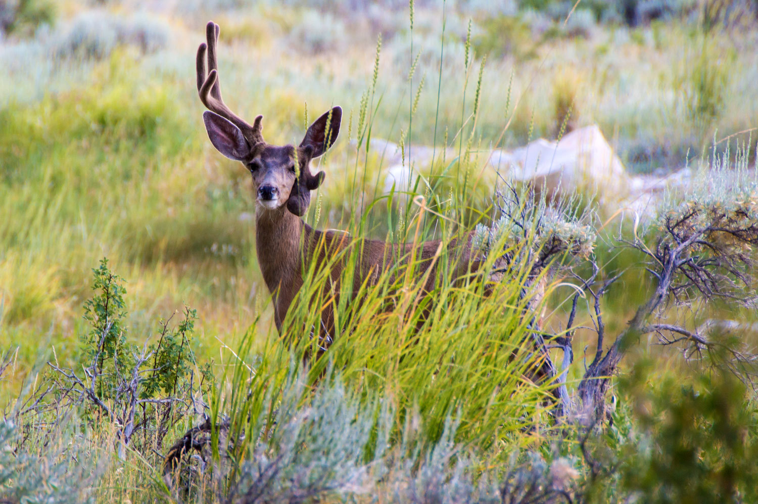
We said goodbye to Half Rack and Big Fork and moseyed
back down the canyon. We walked in the growing darkness. The near full moon
rose over the eastern ridge line.

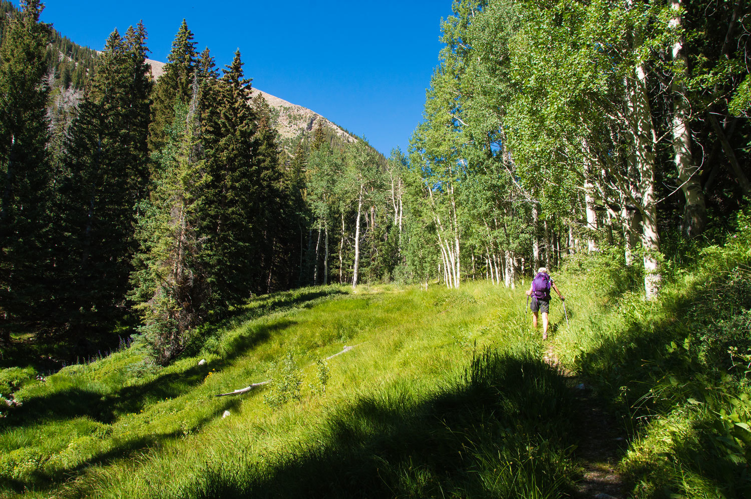
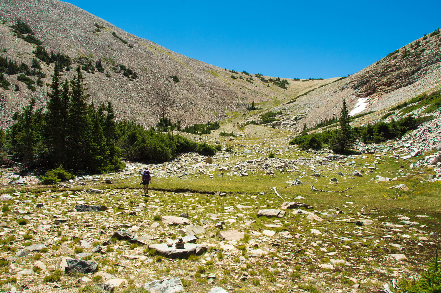
Early Sunday
morning we were on the trail up Baker Creek. The aspens were bare of leaves,
still waking from winter slumber when we were here a couple months ago.
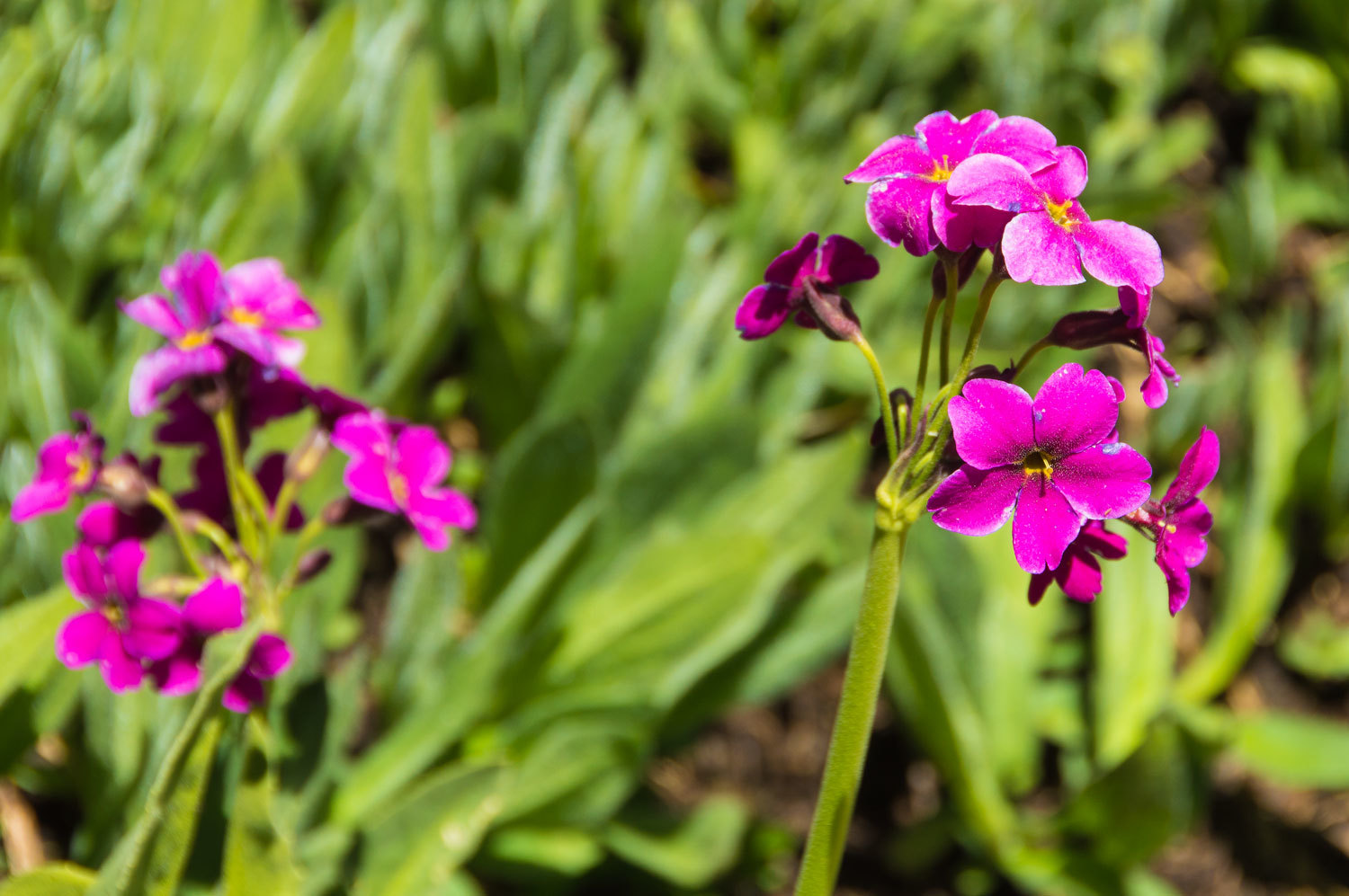
We took a
break along Baker Creek and watched a White-lined Sphinx moth work its way
through the profusion of Parry's Primrose.

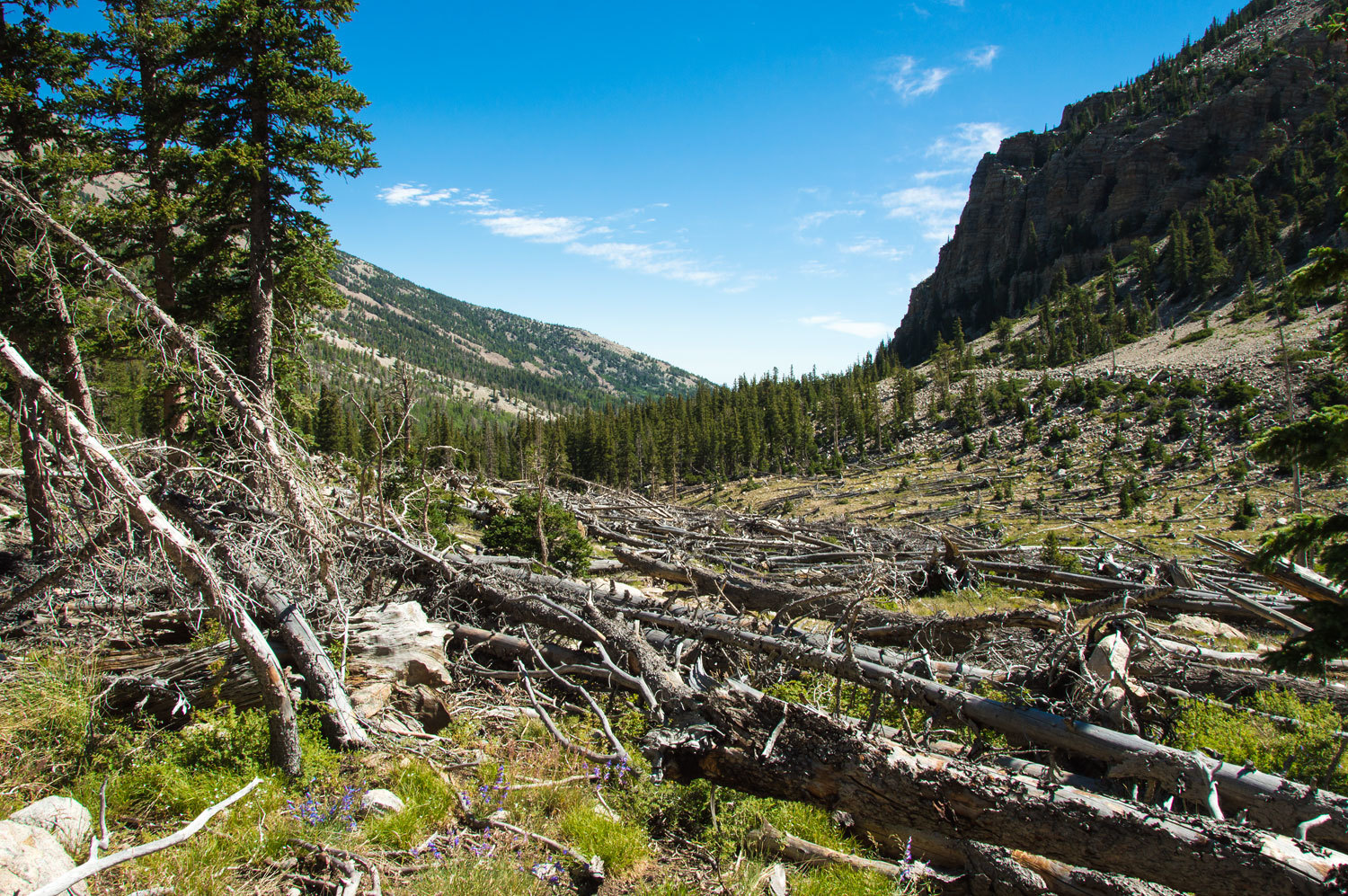
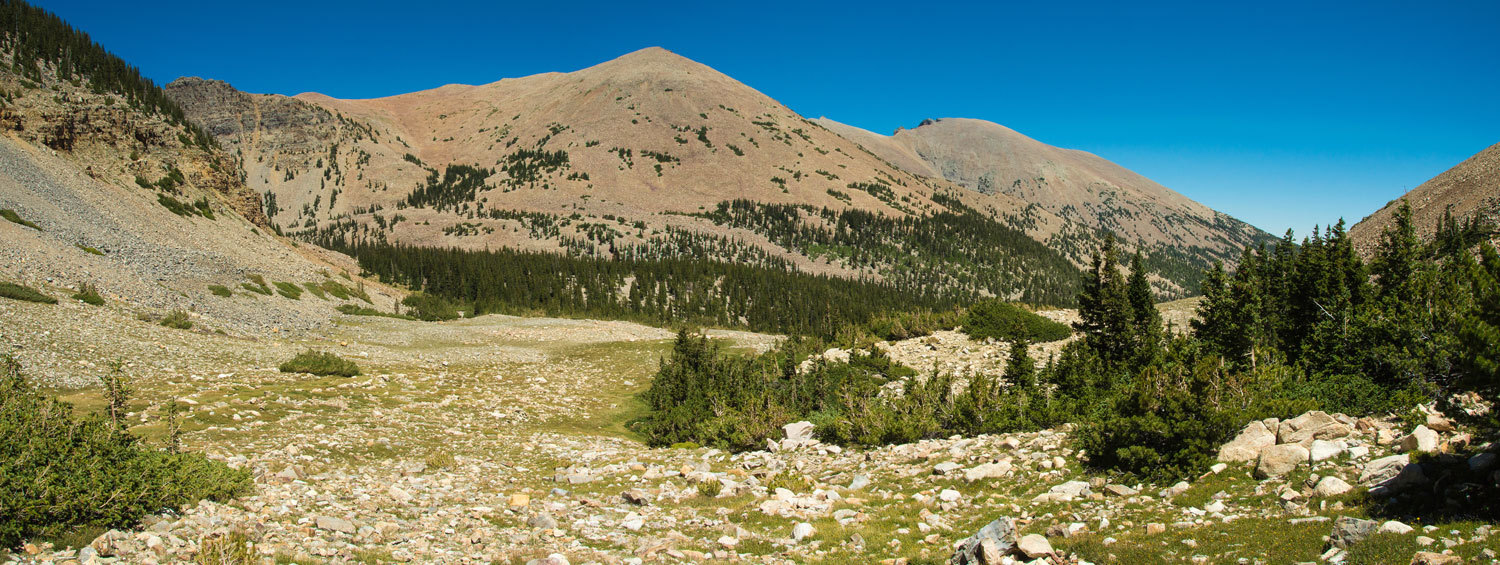
The terrain
opened up into a side canyon that, sometime in the past, had been swept with a devastating
snow avalanche. A large swath of timber was down with their tops pointing down slope.
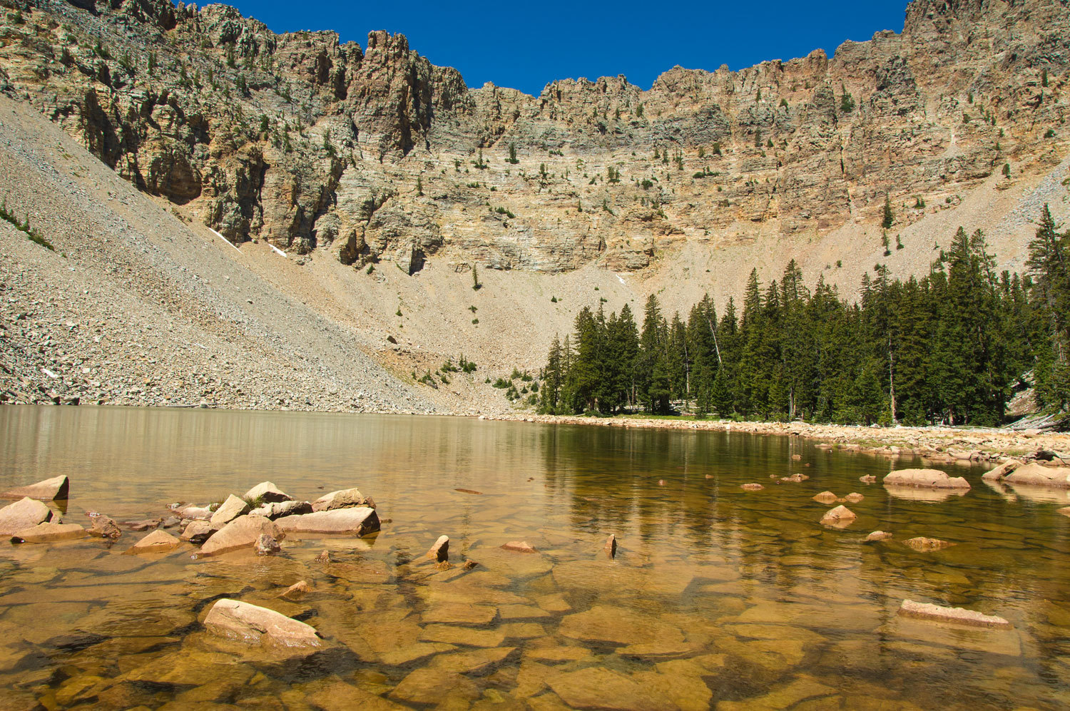
In a high
glacial cirque cut into layers of limestone - rock that started its life on the
bottom of an ancient sea - was Baker Lake.
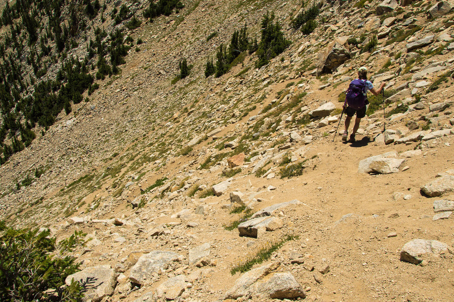
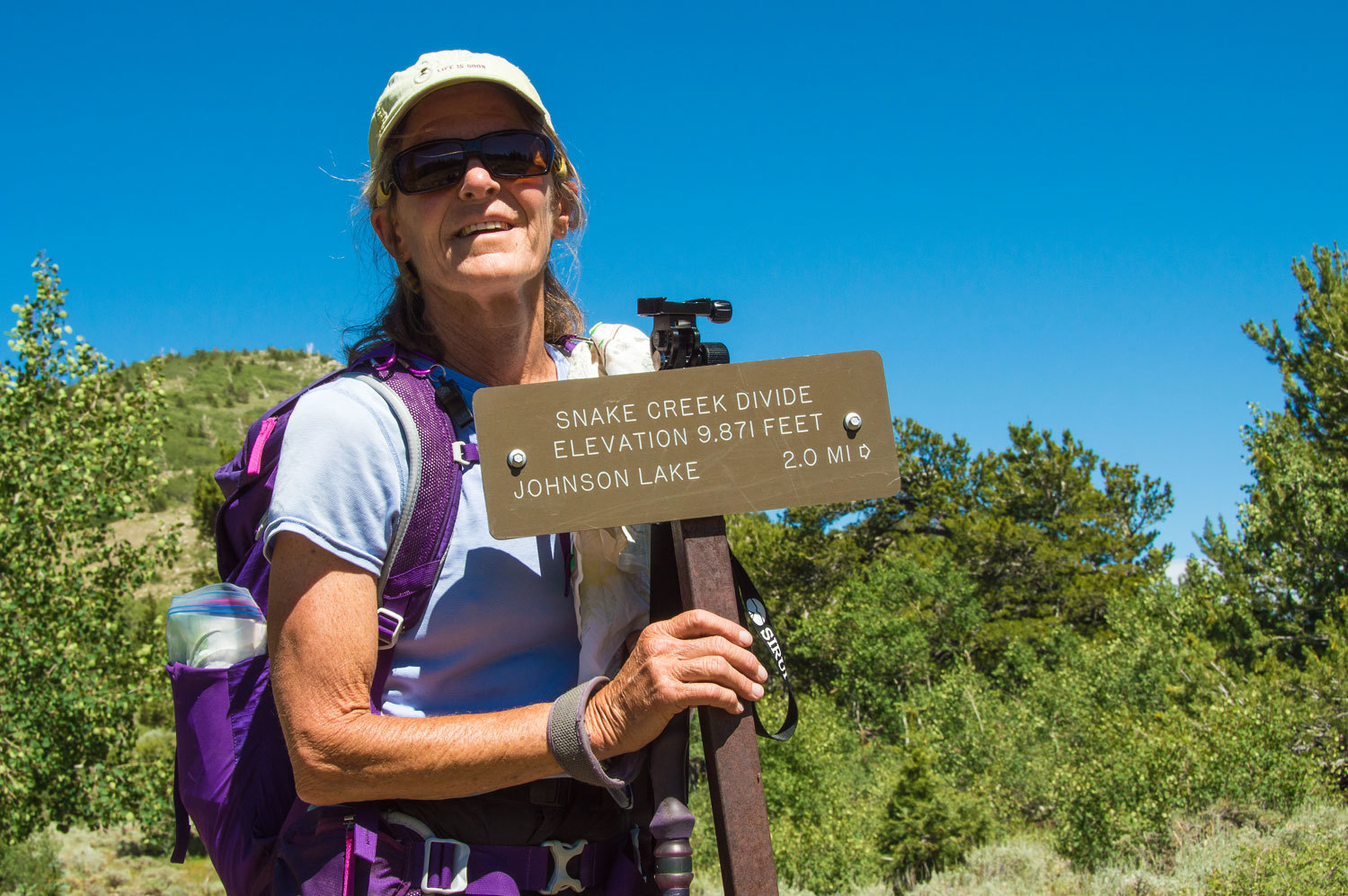
The trail
was good to Baker Lake, most hiker's destination. Our route continued across
the upper reaches of the Baker Creek Basin and topped out on the 11,200 feet
saddle separating Baker Creek from the Snake Creek drainage to the south. The
route is sporadically marked with cairns but with topo map reading skills, the
way is easy to see.
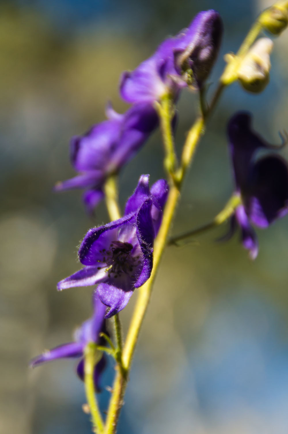
We found
clusters of alpine columbine among the rocks.

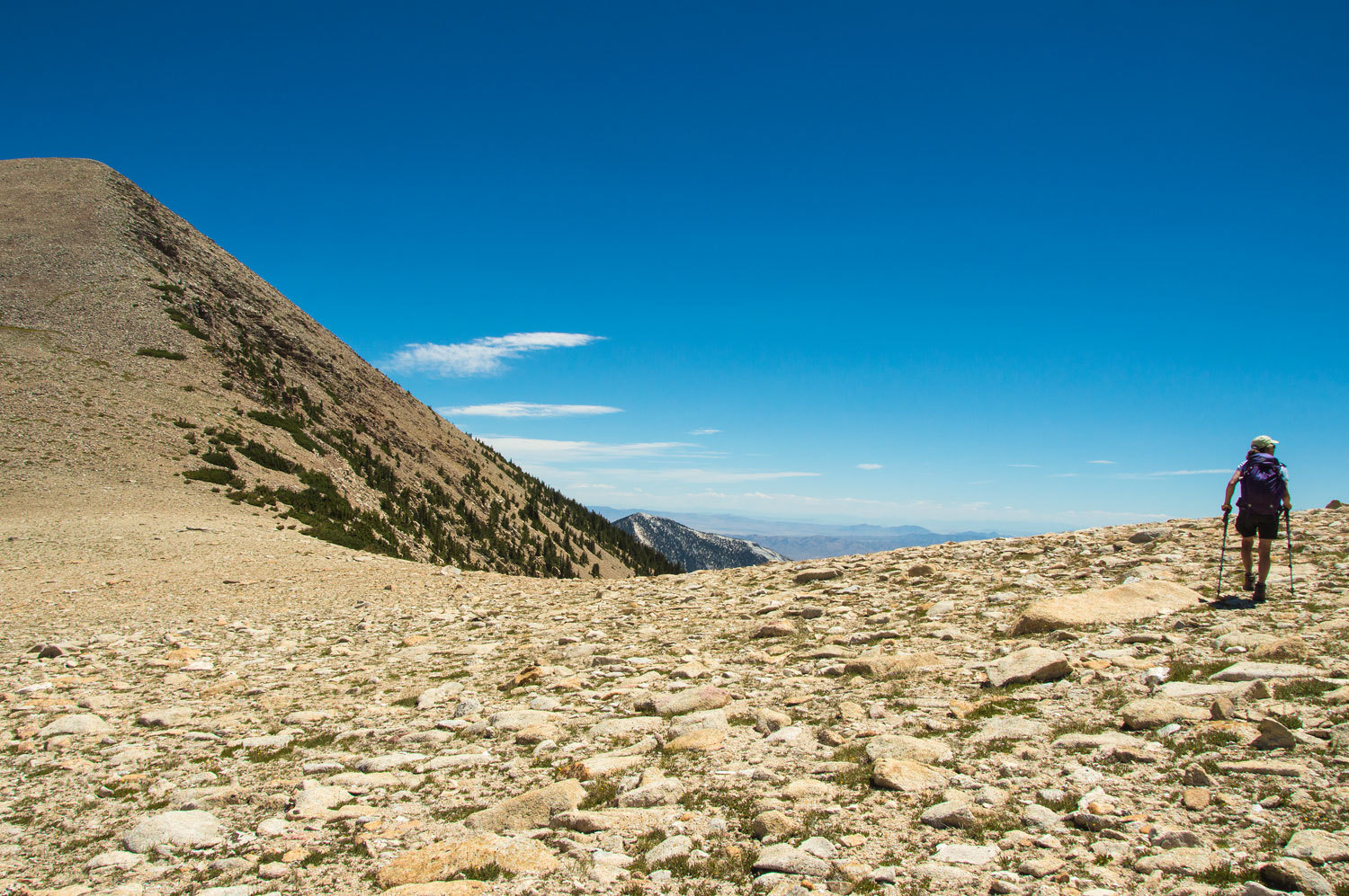
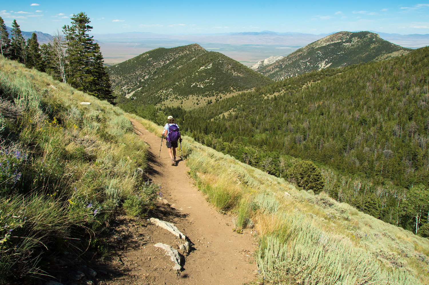
As we
climbed the rock changed from limestone to granite and the panorama down Baker
Creek opened up below us.
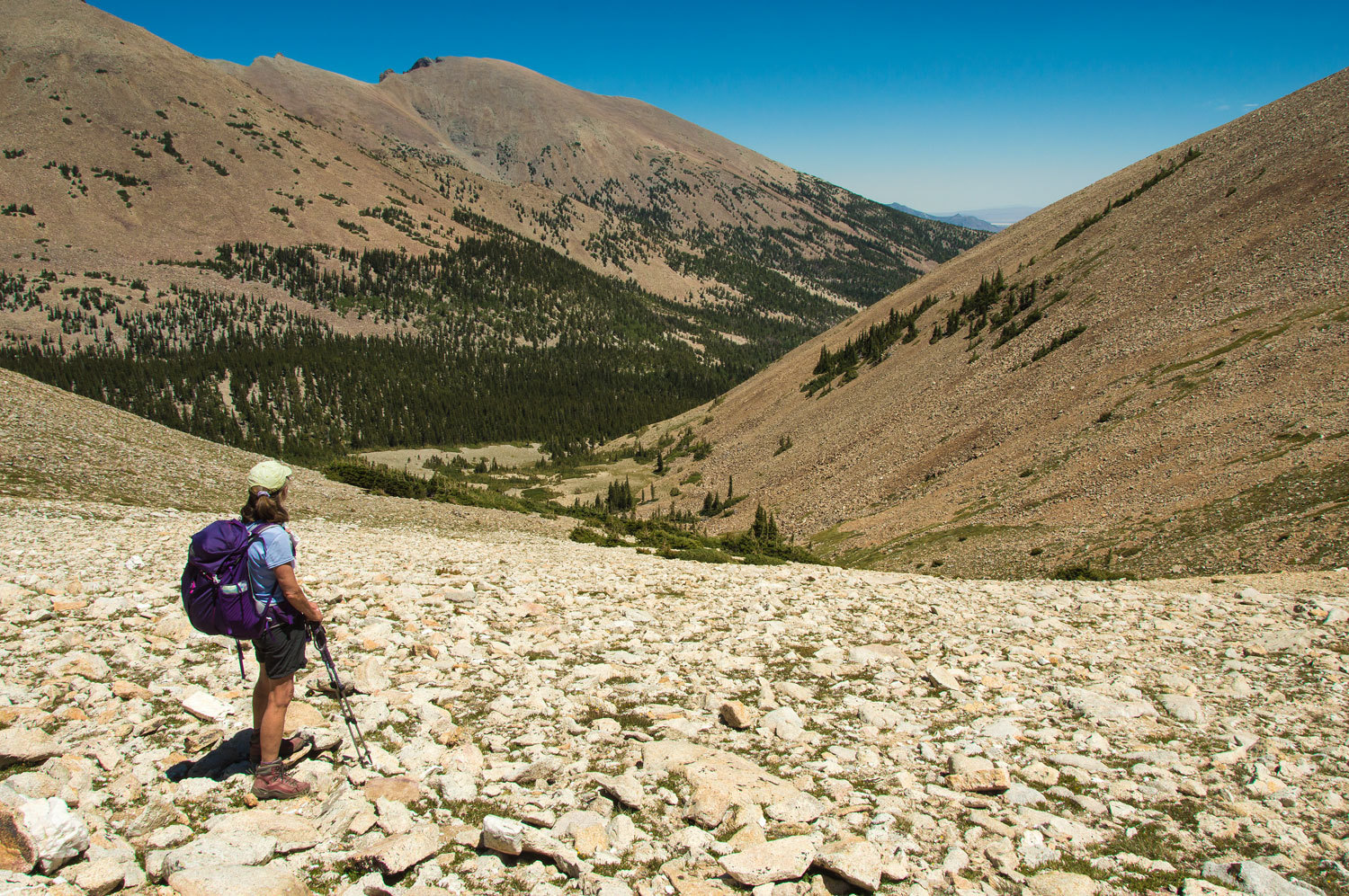
We continued
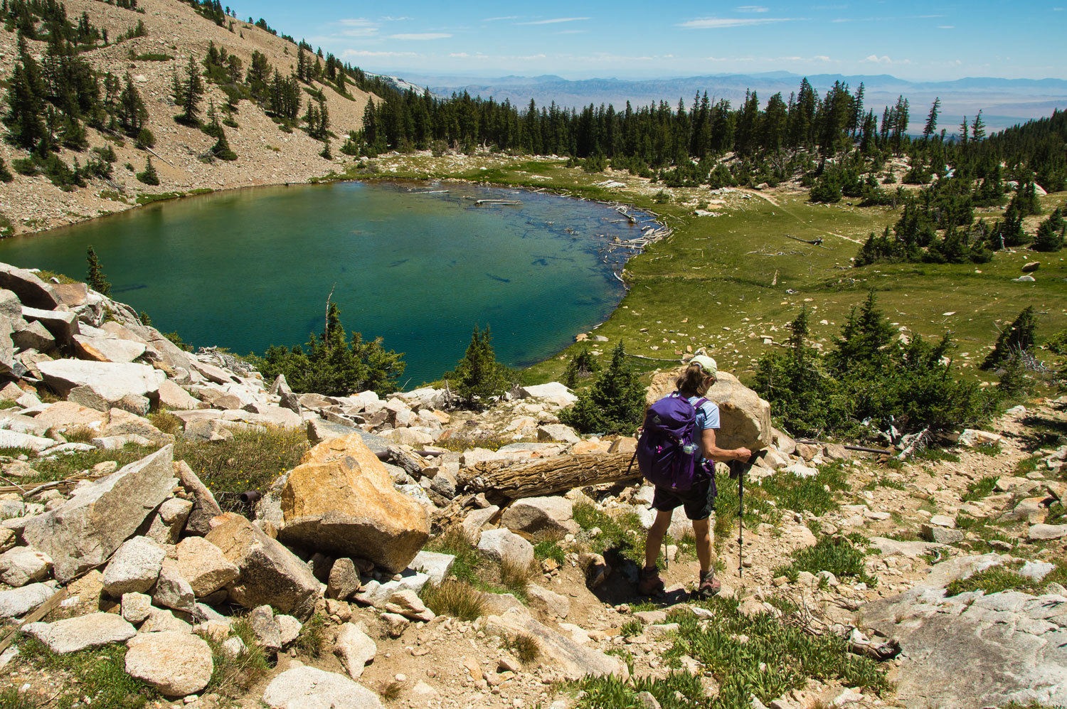
to climb to the high saddle just below the summit of Pyramid Peak.
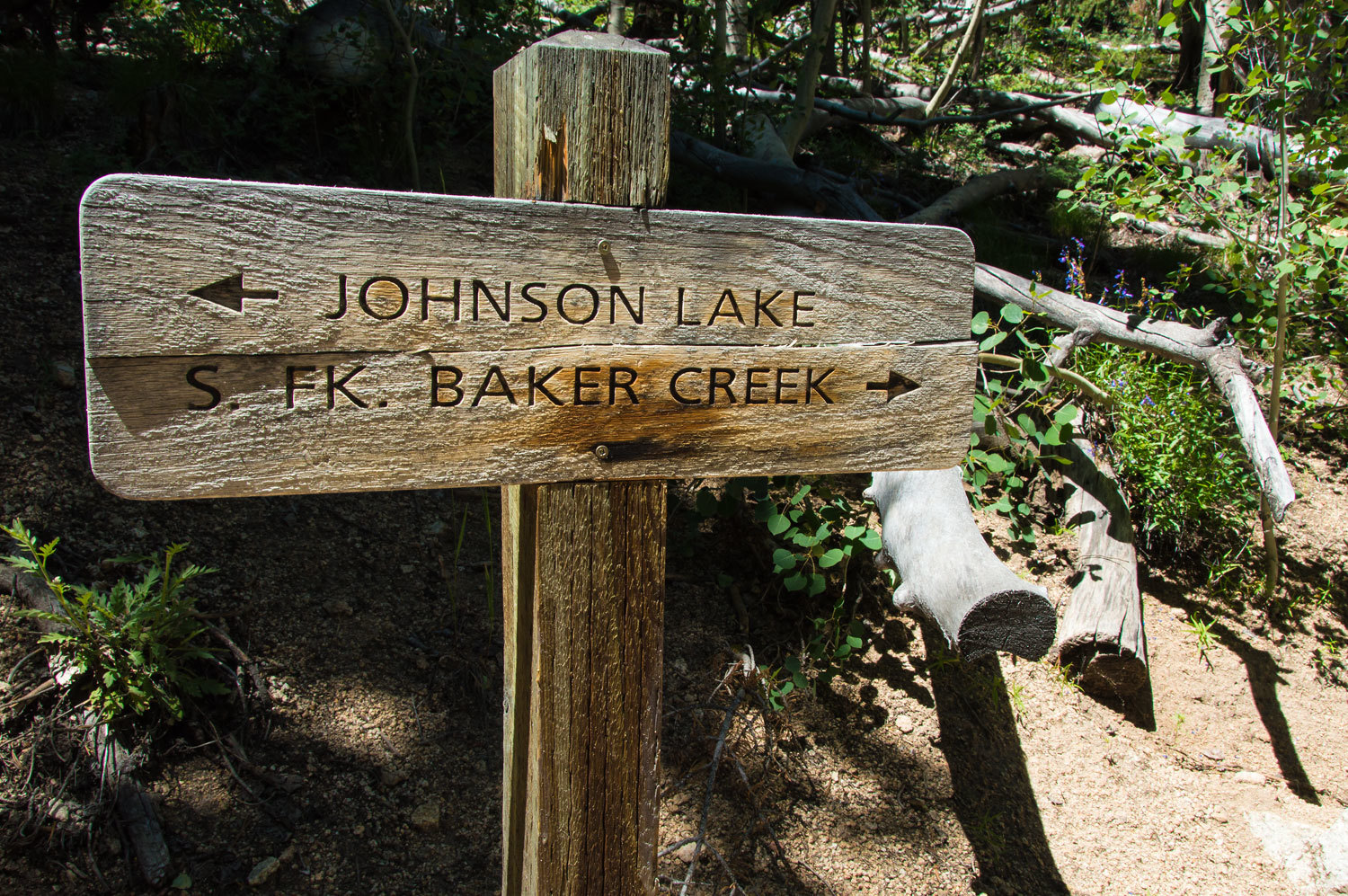
Johnson Lake
was down below us on the opposite side of the ridge.

We were soon
down to Johnson Lake.
We stopped
for a break, a snack, and to refill our water bottles along a tiny cascading
creek. Parry's Primroses lined its banks.
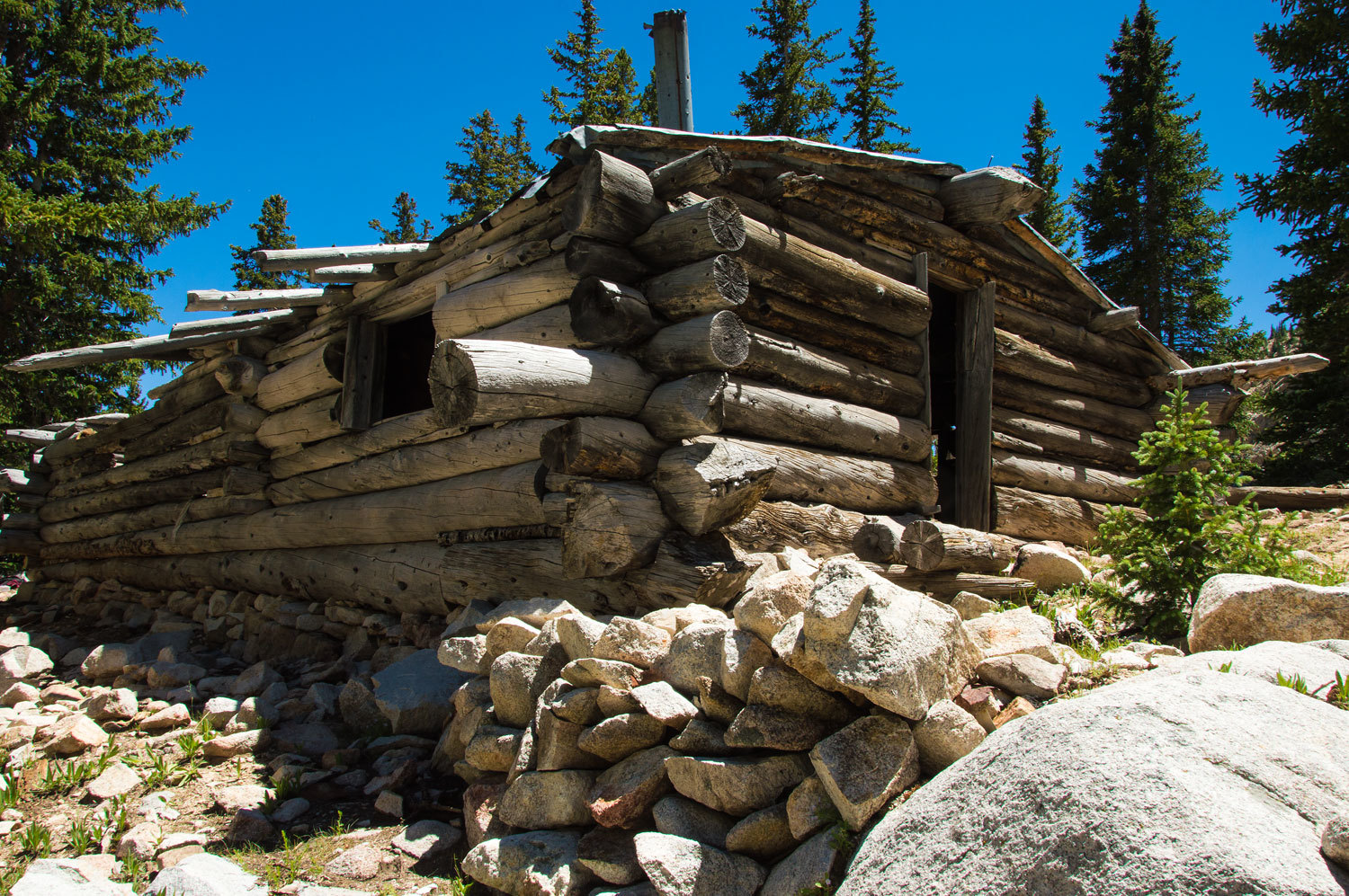
The Johnson
Lake Basin is home to an abandoned tungsten mine. Old log buildings litter the
area and a tramway cable still ascends up to the mine. Information on this
historic site can be found here -
Currently a
non-profit group, along with help from AmeriCorps workers, is working on replacing rotten logs to "arrest
decay". If you are into solitude, Johnson
Lake is not a good choice this summer. The group expects to be up here into
September. The trailhead is several miles down Snake Creek so it has taken much
effort to maintain a work camp up here above 10,000 feet.
The trail
down the Snake Creek canyon from Johnson Lake is the old, steep, rough, now
impassable by vehicle, truck road to the mine. After a couple miles of descent, we were so pleased to leave it
and begin the climb over the ridge back to the Baker Creek side.
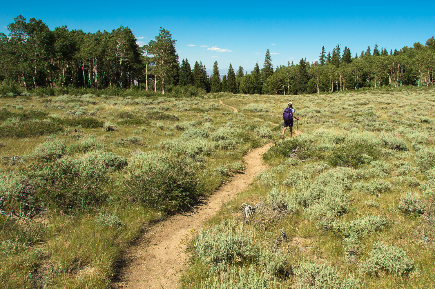
We reached
the divide between South fork Baker Creek and Timber Creek. This is
one of our favorite places, high mountain meadows bordered by thick groves of
aspen. The steeper ground has pinyons and junipers and bristlecone pines show
up on the high limestone ridge to the east.
Our route
was down the Timber Creek Trail, and a long steep drop back to our campsite
along Baker Creek.
This was an
over 15 mile loop for us with just under 4000 feet of elevation gain and loss - a good
day. Monkshood lined the banks of the now joined forks of Baker Creek near
our camp.
The
campground had several open sites now that it was Sunday night. It was quiet.
Turkeys roamed at will, several times dashing between us as we ate dinner
outside. We watched them on our evening walk. The Lady was unaware that these
large birds roost in trees overnight for safety. We chuckled as a group climbed
the steep canyon side to the top of a cliff and used that as a launching pad to
fly over into a tall fir tree near our camper. Here they spent the night.
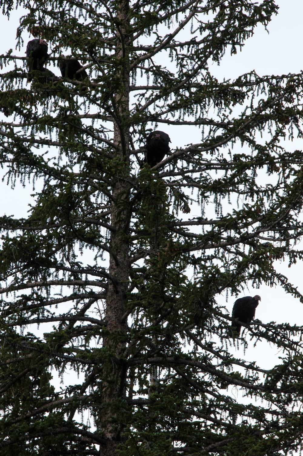
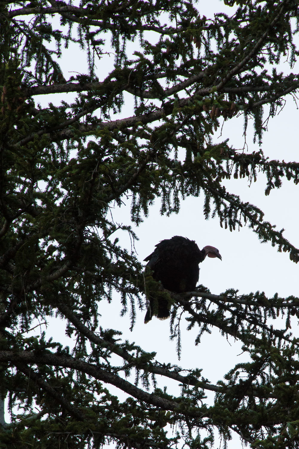
Turkeys wake
in the morning at first light. So did we.
Monday was a
day of driving for us and we covered around 400 miles. Highway 93 took us into
Idaho where we turned onto highway 75 to access our next destination, the
Sawtooth National Recreation Area.
We know the
area well and drove through Sun Valley and up Trail Creek. We found a nice
dispersed campsite for the night along Wilson Creek.
Dispersed
camping is allowed only after getting away from Ketchum and Sun Valley. We did see that many seasonal workers appear
to move trailers, campers, and camps around in this area for cheap seasonal living.
Early
Tuesday we took care of resupply and getting my Idaho fishing license in
Ketchum. We don't much care for touristy kinds of towns but Ketchum has a charm
we enjoy. We like Ketchum. Early in the morning when the shops are just opening
is the best time. We enjoyed chatting with the young strong kid at the fly
shop.
"You
two ought to go to Goat Lake!" he said after talking with us awhile.
"What
species of trout live there?" I asked.
"I
don't know, " he answered honestly. "I don't fish. I swam and laid in
the sun!"
"Both
of those are noble pursuits," I replied and he smiled.
We picked up
two excellent cinnamon rolls at the Bigwood Bread Cafe.
They were gobbled
up and gone before we reached the top of Galena Pass and our drop down into the beautiful Sawtooth Valley.
We have made
several backpack trips into Idaho's White Cloud Peaks. The first two were with
my cousin, The Big Guy, and my oldest brother, Fastshot. In 1998 we did a multiday
circle of Castle Peak from the Fourth of July Road trailhead, fly fishing all the
lakes along our route. We were in a creative mood and penned limericks
throughout the trip to celebrate people, places, and events. Most of them were collaborative
efforts. One of us would begin with a theme and the group would weigh in. It
was an infectious endeavor. The Lady also served as scribe. I remember us both being aroused from sound
sleep at first light one morning by the Big Guy's voice booming from his tent.
"Julie,
get your pencil and paper!" his voice echoed around the high basin.
"I've got one for you to write down!"
Our next
stop on this trip was returning to Fourth of July Road and doing a long day
hike into the spot where we spent our last night backpacking in 1998 and a
subject of several of our limericks.
One they
wrote about me -
The
fly fisherman from CA
his hair was
starting to gray
with nymphs
and dry flies
he could
always get by
at the high
alpine lakes where he'd play
We found a
nice secluded dispersed spot to camp for two nights away from the busy
trailhead. The White Clouds is one of our newest Wilderness areas, a wonderful
outcome after many decades of work.
After
setting up camp we hiked up the 4x4 road to the Phyllis Lake trailhead and
continued up to the lake.

We were
alone up here and the wind had a cold bite to it on this warm afternoon. We
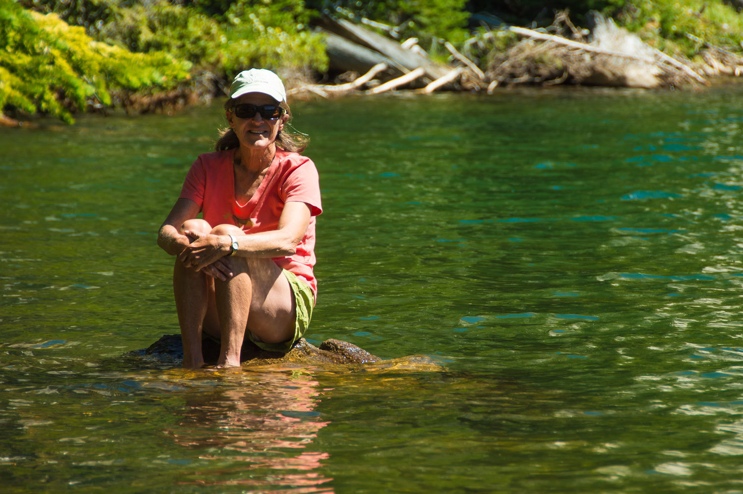
wouldn't go for a swim. But we still relaxed the afternoon away.

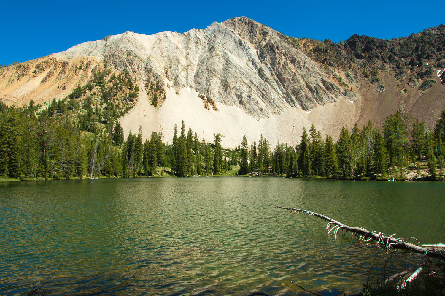
An
outcropping of the classic white limestone that gives the White Cloud Peaks
their name rose up above us.
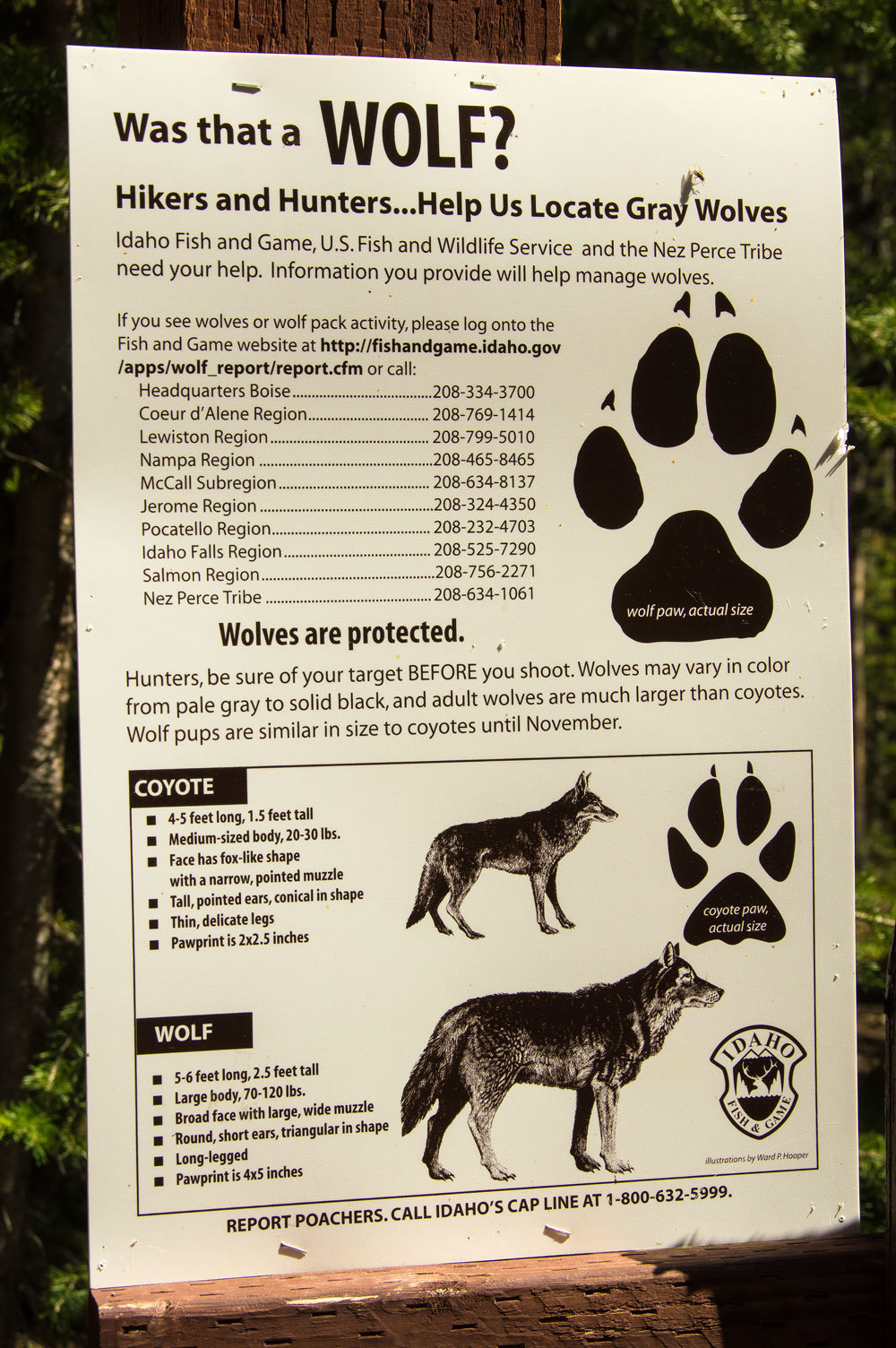
It was great
to see information about the reintroduction of wolves back into Idaho and back into the key role they
play in the ecosystem.
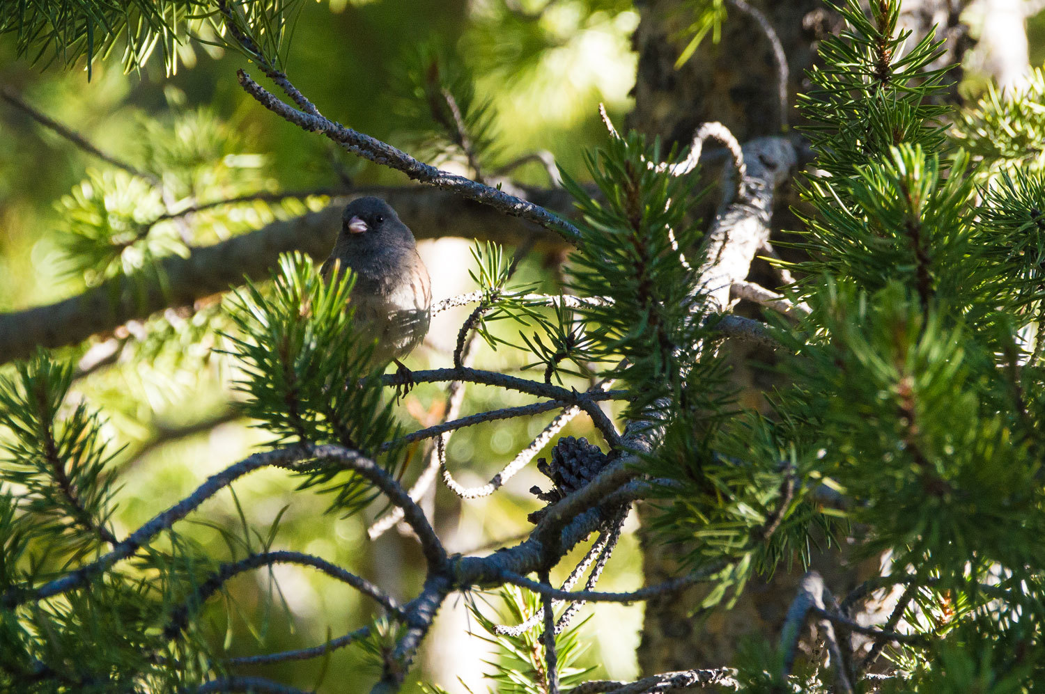
On our quiet
walk after supper we watched the rustle of wild creatures around our
camp.
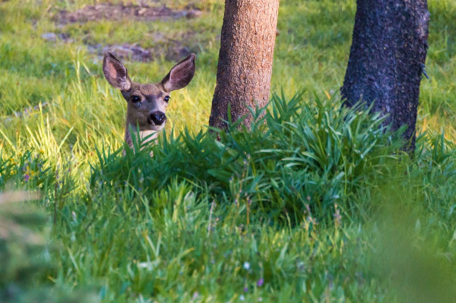
This deer
was undisturbed by our presence. The Lady called her "Mom", easy to differentiate
from the others with her notched right ear.

This doe
carried scars and was cautious. Her name was "Skiddery."
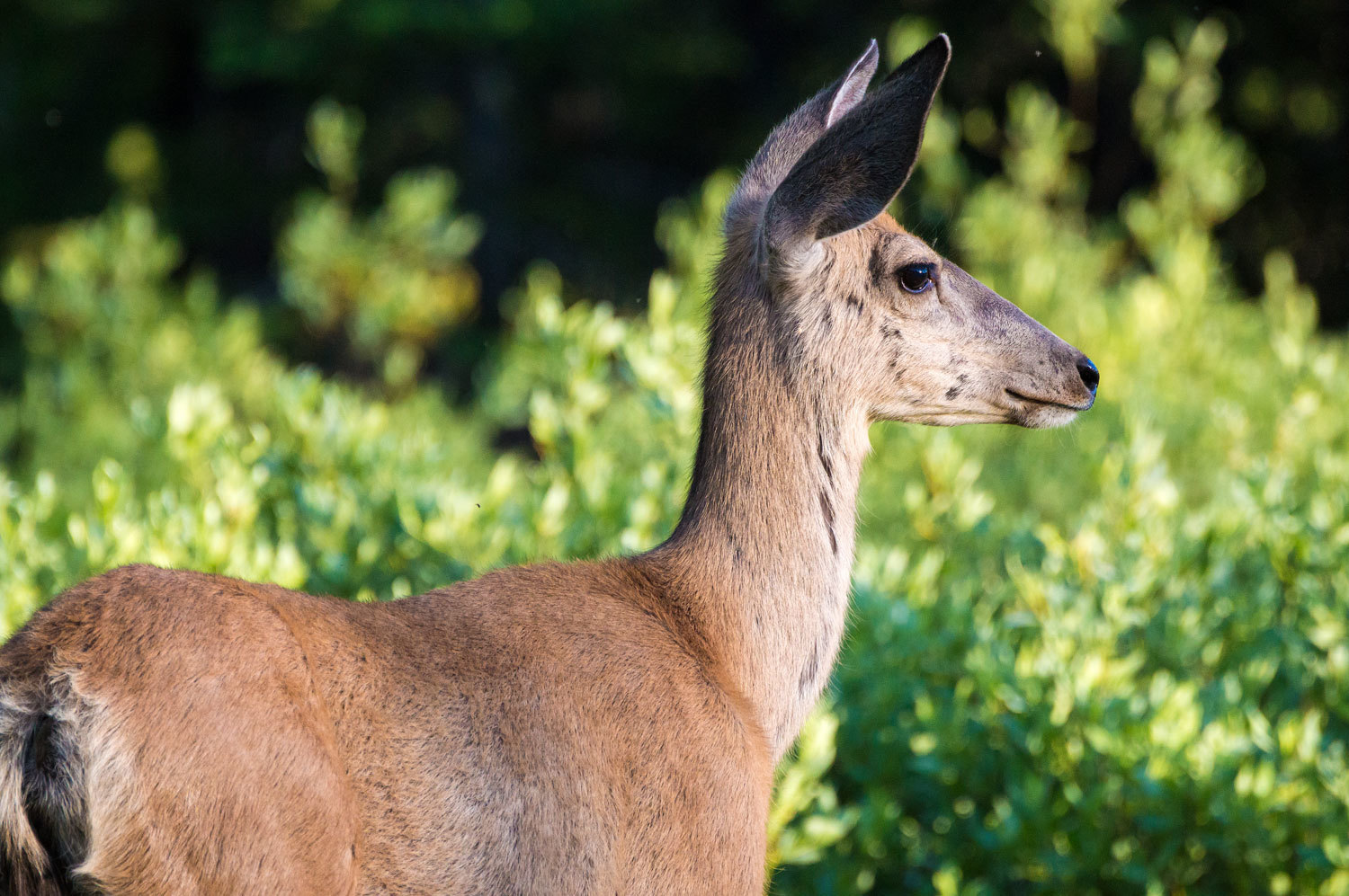
Still, they
and others were our companions around camp. In the photo above,
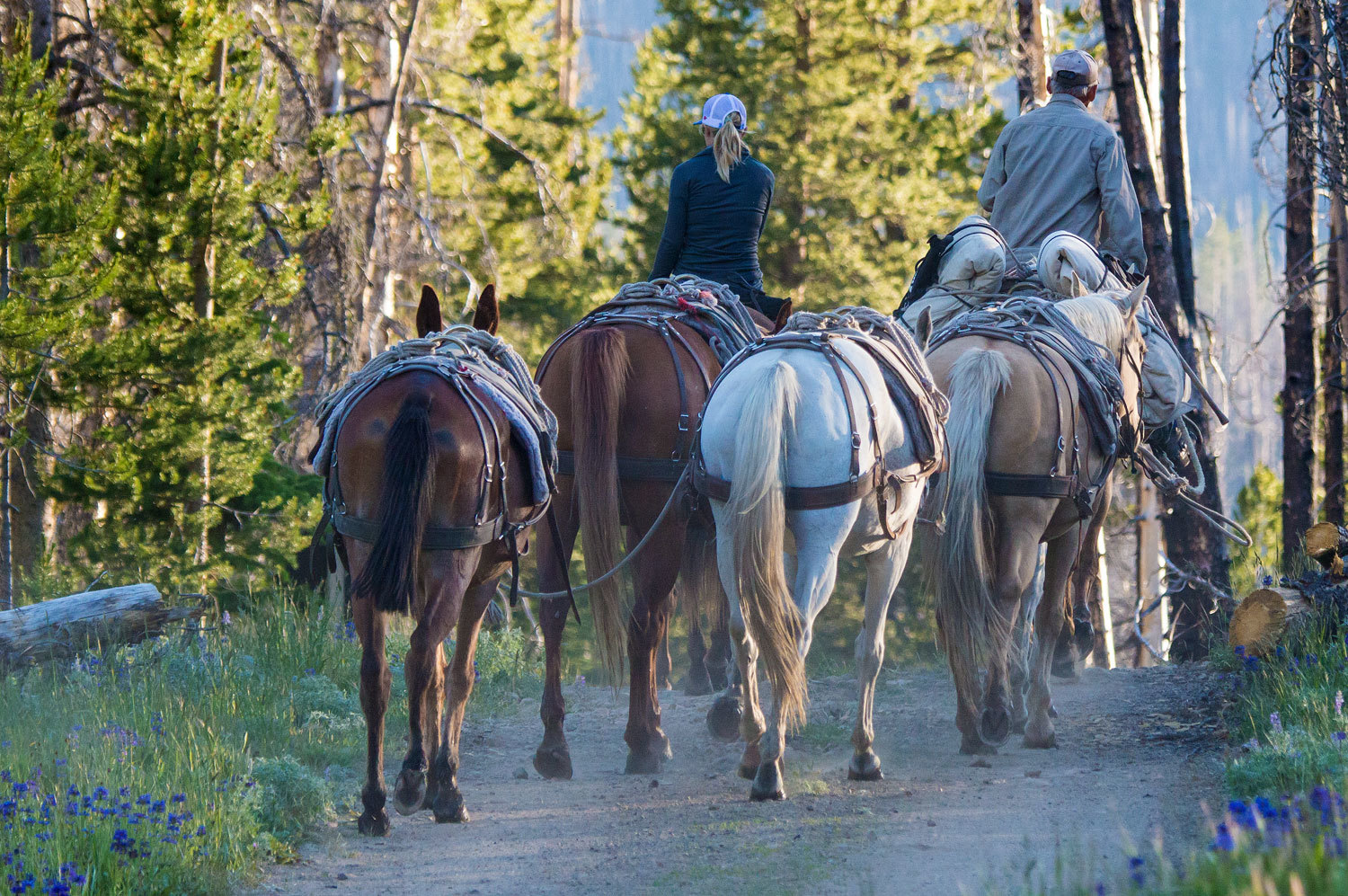
"Skiddery" is beside us and intently watching an outfitter come out
in the evening after packing in a client's camp into Chamberlain Basin.
We slept
soundly even though we were so excited about the next day's trip into that
remembered spot in the White Clouds.
Our
adventure continues in Part Two - Please Click Here
No comments:
Post a Comment