please remember you can click on a photo to see a larger version & highlighted text are links to additional information
Trails Through History
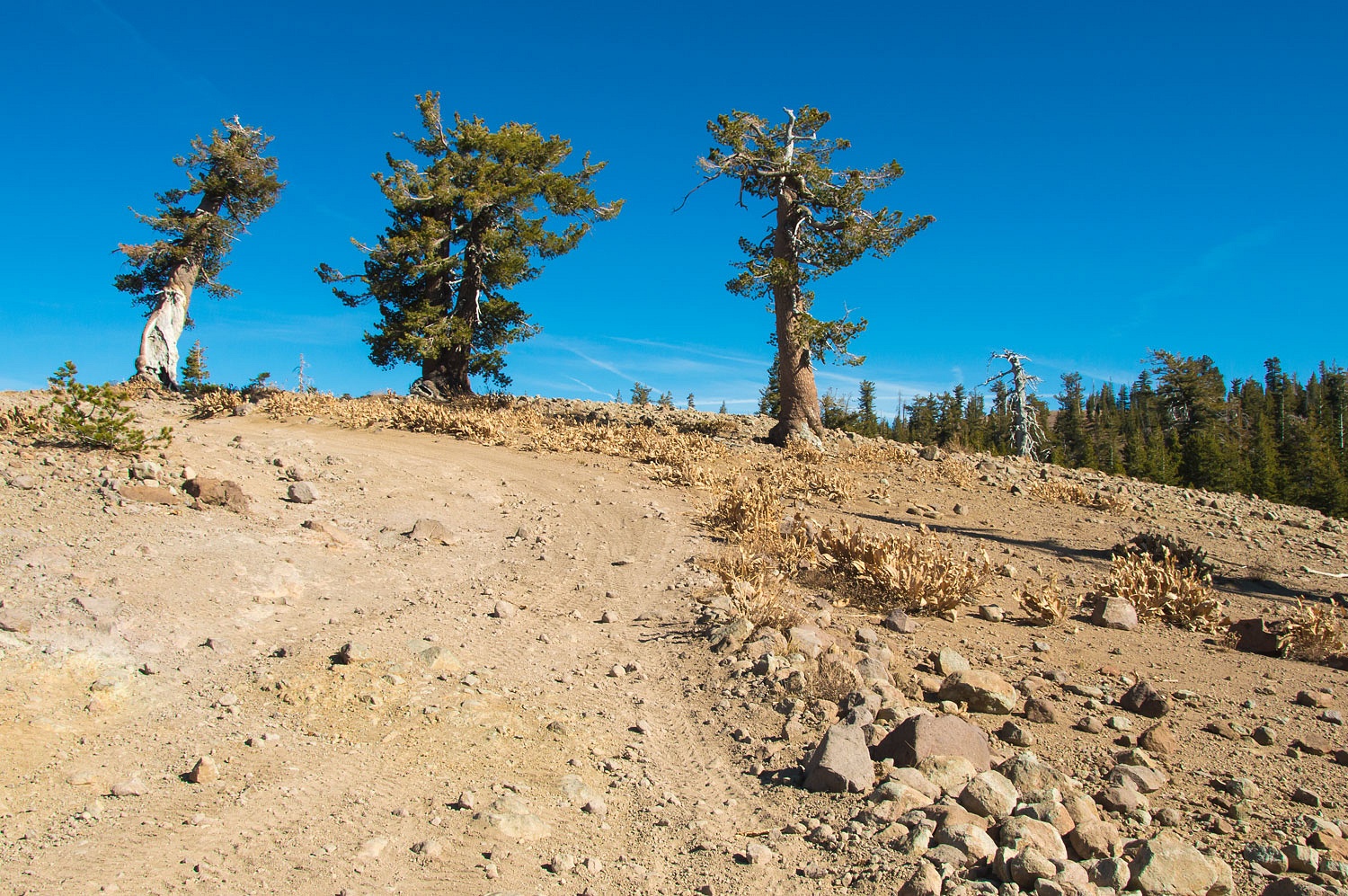
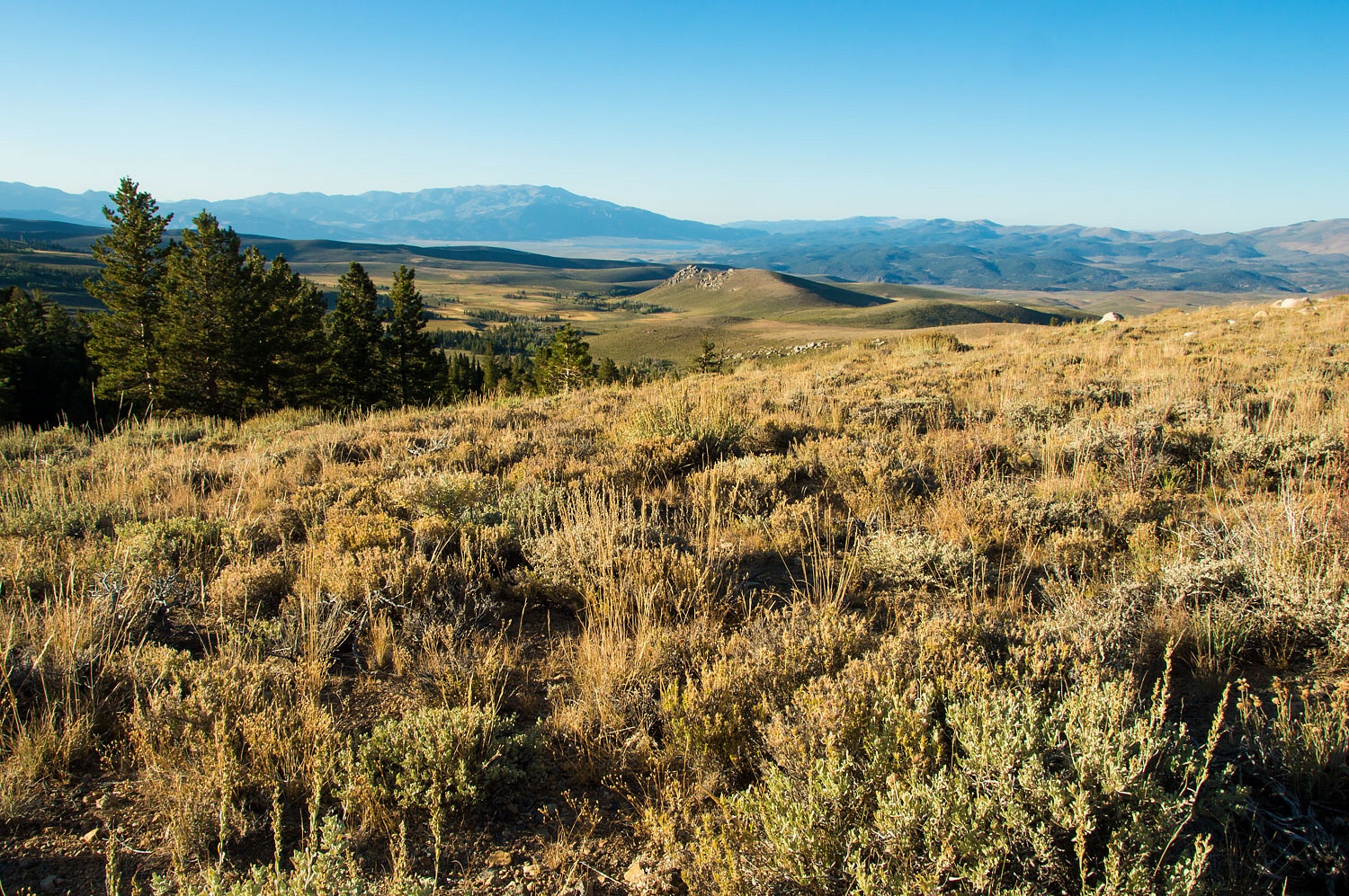
We had a Plan A and a Plan B. Both
involved hikes to high country history. Plan A fell by the wayside when we
found our favorite "Big Rock" campsite occupied near the end of Green
Creek Road and the trailhead into the Hoover Wilderness. It was still early
afternoon on Friday so we drove back out to highway 395 and headed south to
Plan B. Mono County's Lundy Lake Campground was near empty and an easy walk to
our trailhead so we secured a private site on Mill Creek that runs along the
campground. We set up camp and relaxed. On all our many visits to Lundy we had
noticed the old road bed on the south side of Lundy Lake that steeply climbs
and then turns into Lakes Canyon. This was our objective for the next day, our
Plan B.
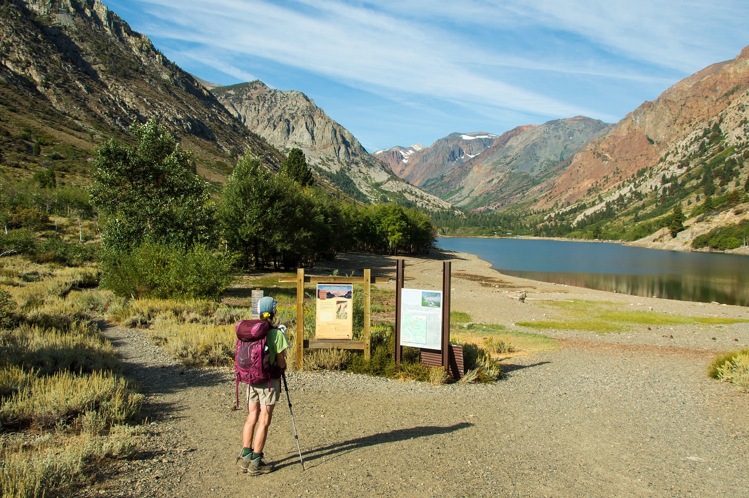
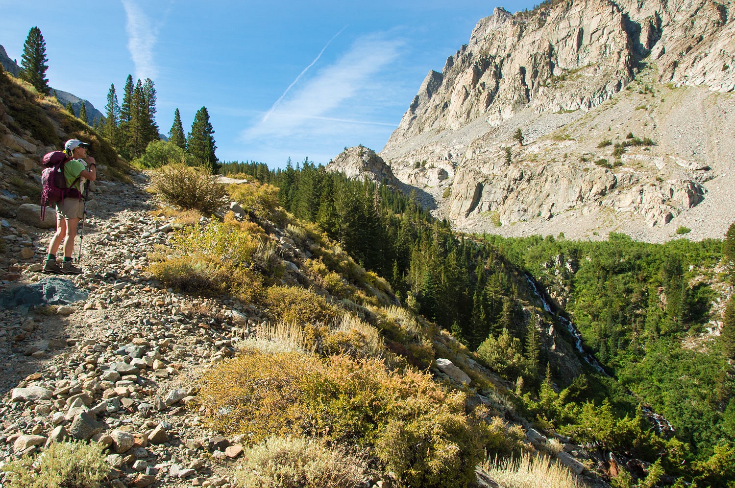
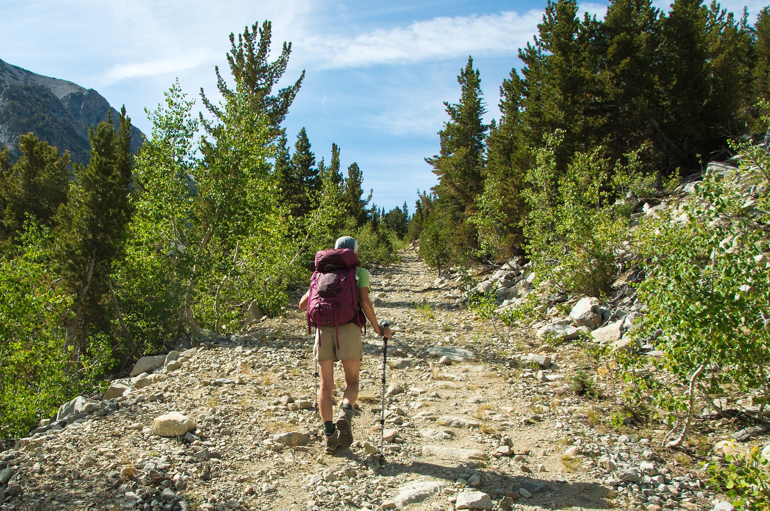
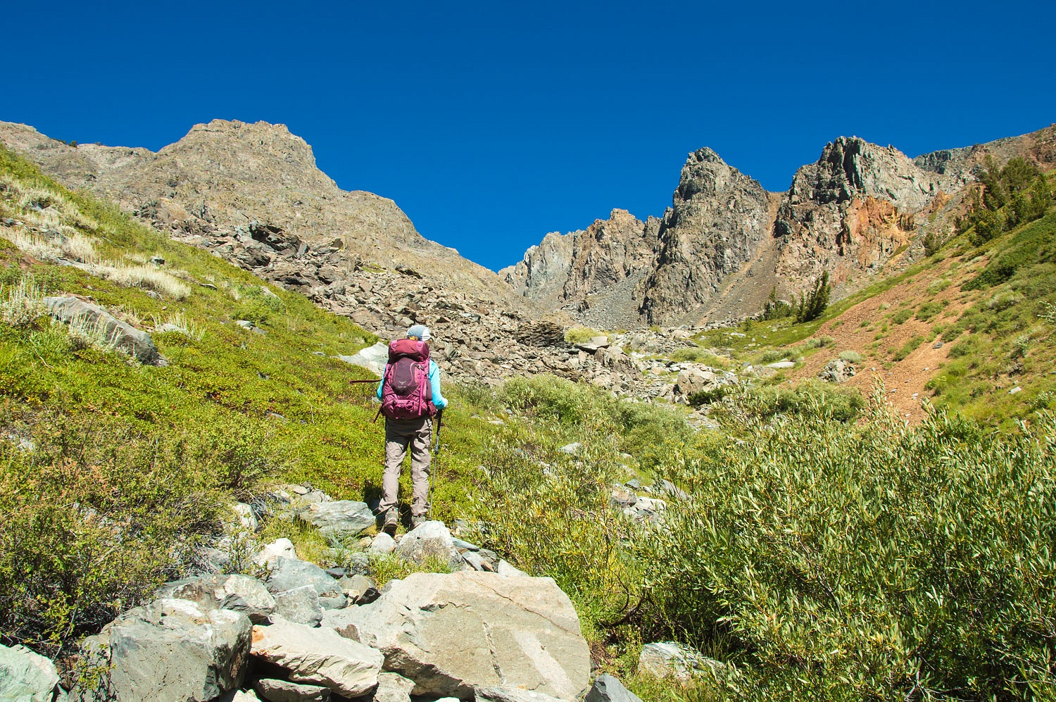
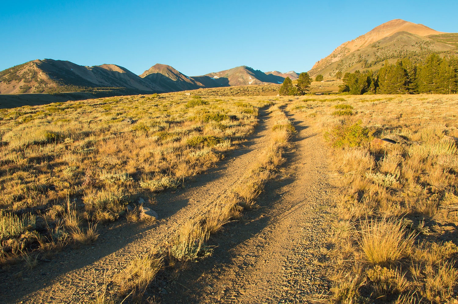
The trailhead for Lakes Canyon is at
the south end of the Southern California Edison dam on Lundy Lake that diverts
water to a powerhouse and then into the aqueduct that supplies water to Los
Angeles, it's northernmost water source.
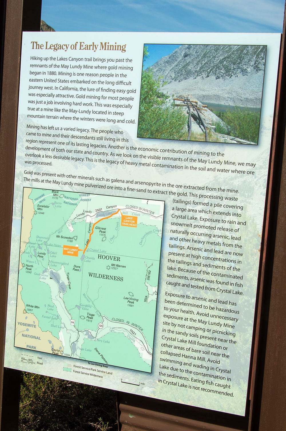
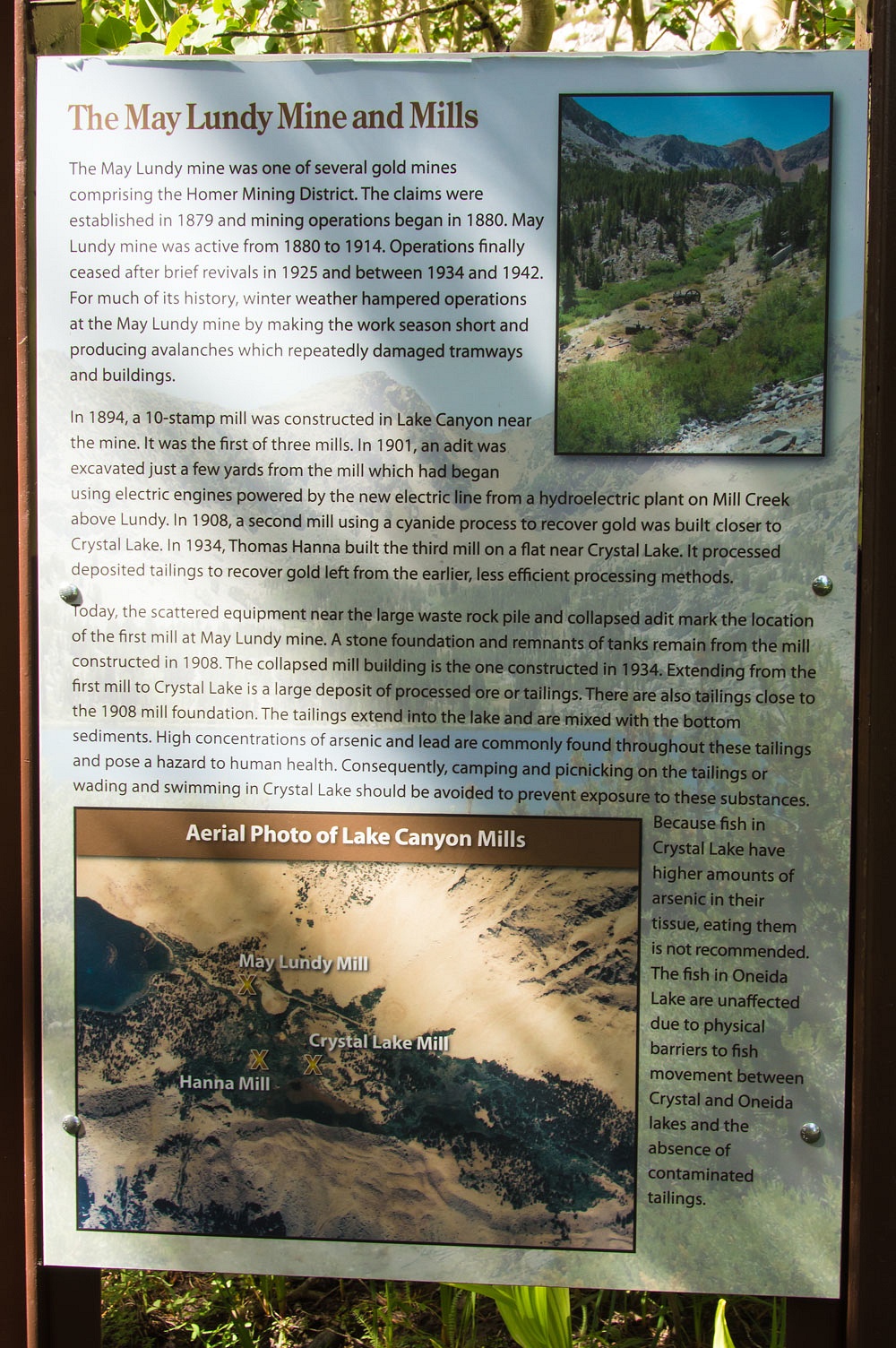
Signs at the trailhead provide
information on May Lundy Mine that sits high in Lakes Canyon and also warns of
the lead and arsenic contamination - a
legacy of the mines - in the high basin.
"Exposure to arsenic and lead has been
determined to be hazardous to your health. Avoid unnecessary exposure at the
May Lundy Mine Site by not camping or picnicking in the sandy soils present
near the Crystal Lake Mill foundation or other areas of bare soil near the
collapsed Hanna Mill. Avoid swimming and wading in Crystal Lake due to the contamination in the sediments. Eating fish caught in
Crystal Lake is not recommended."
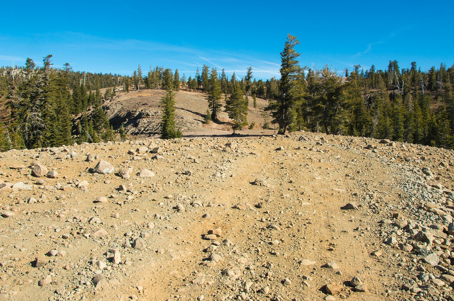
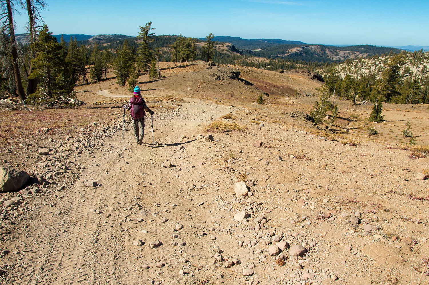
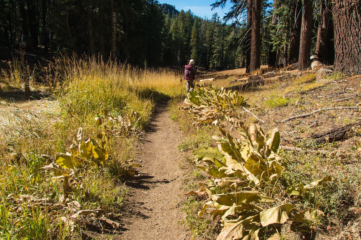
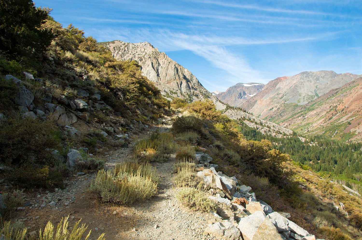
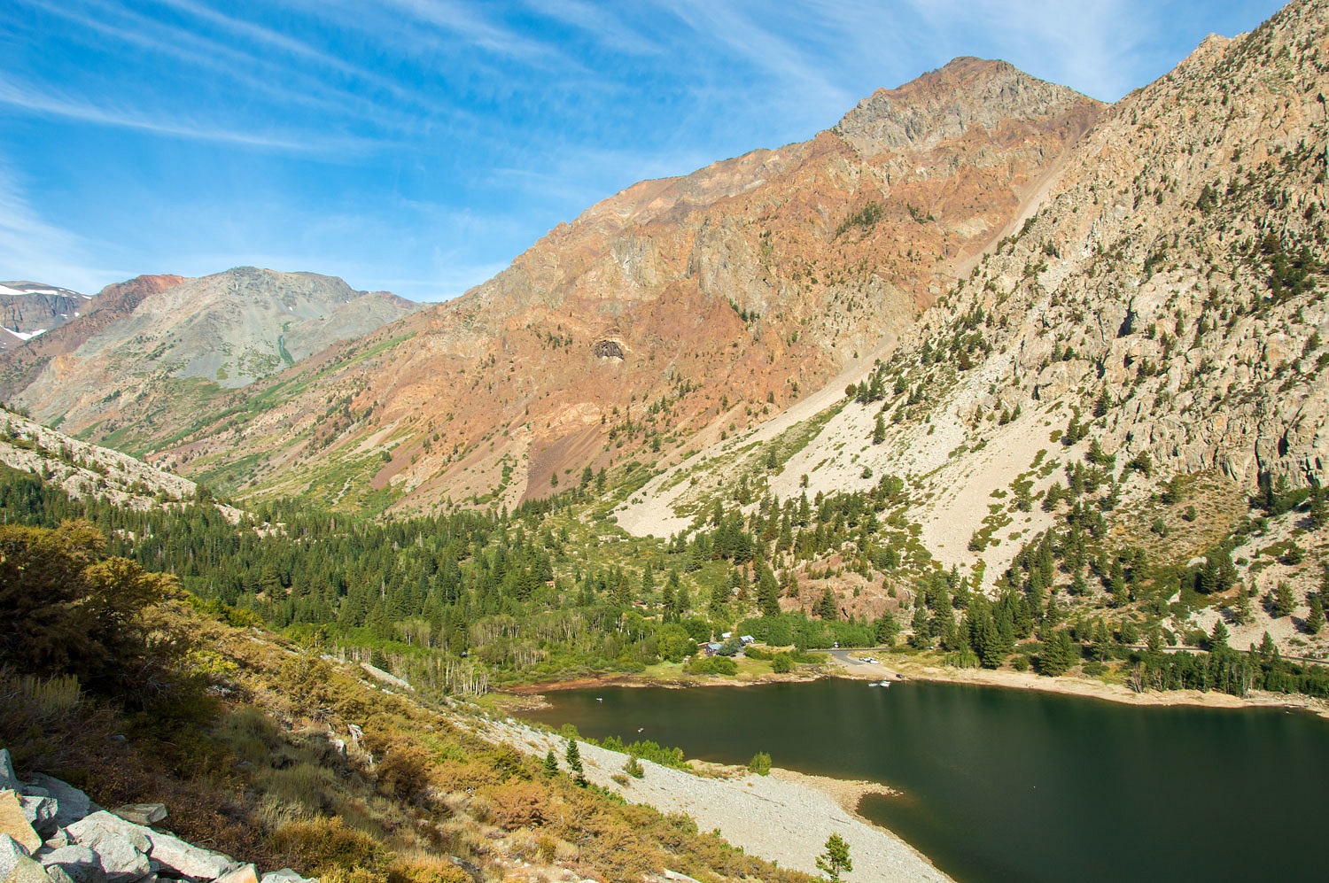
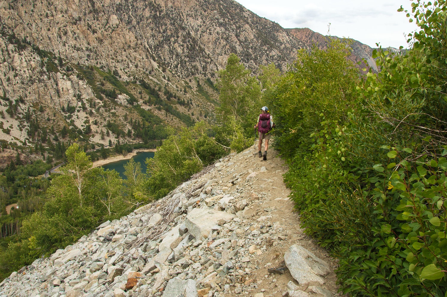
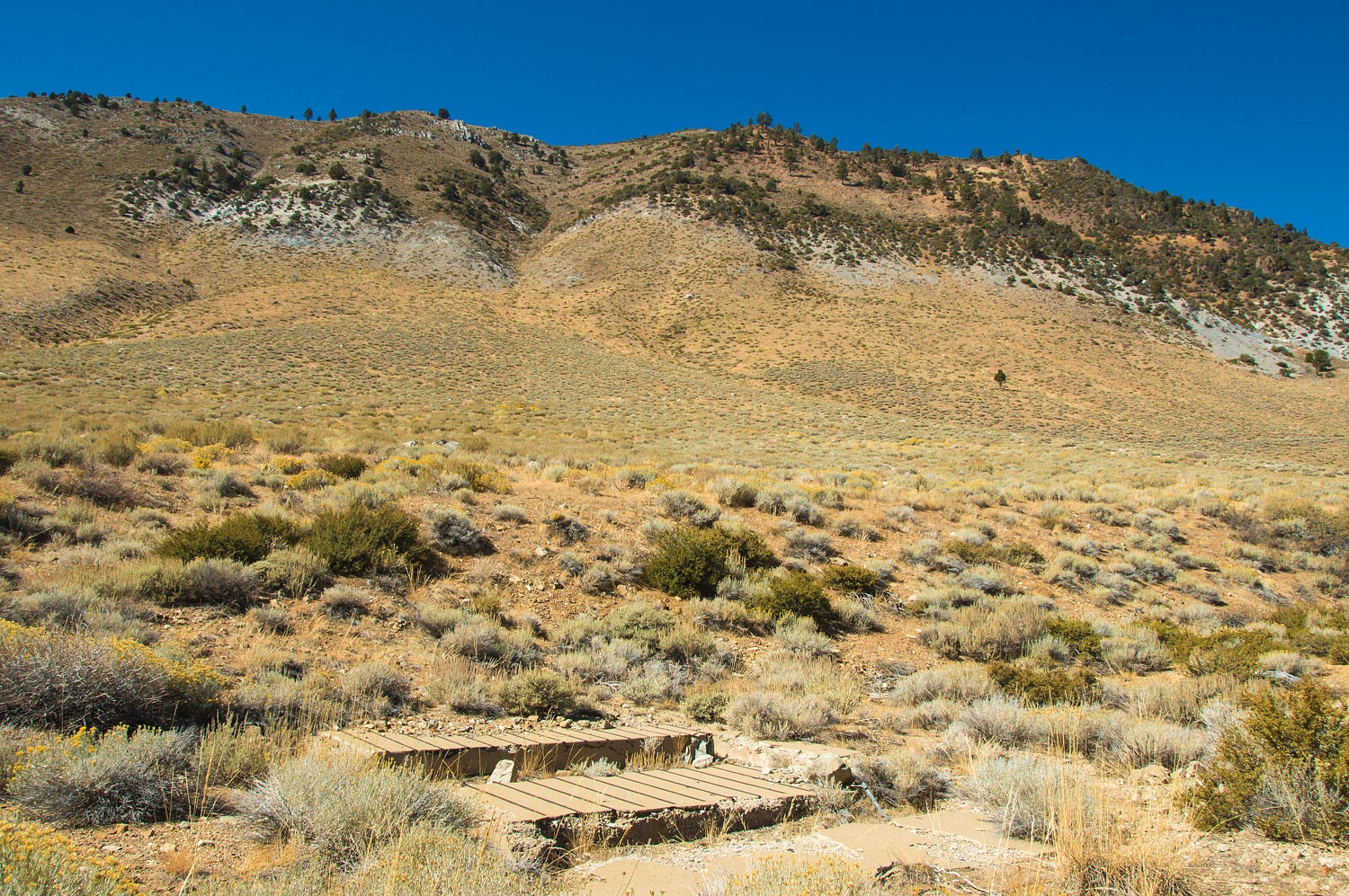
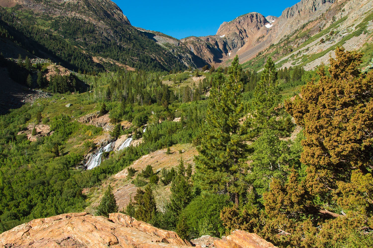
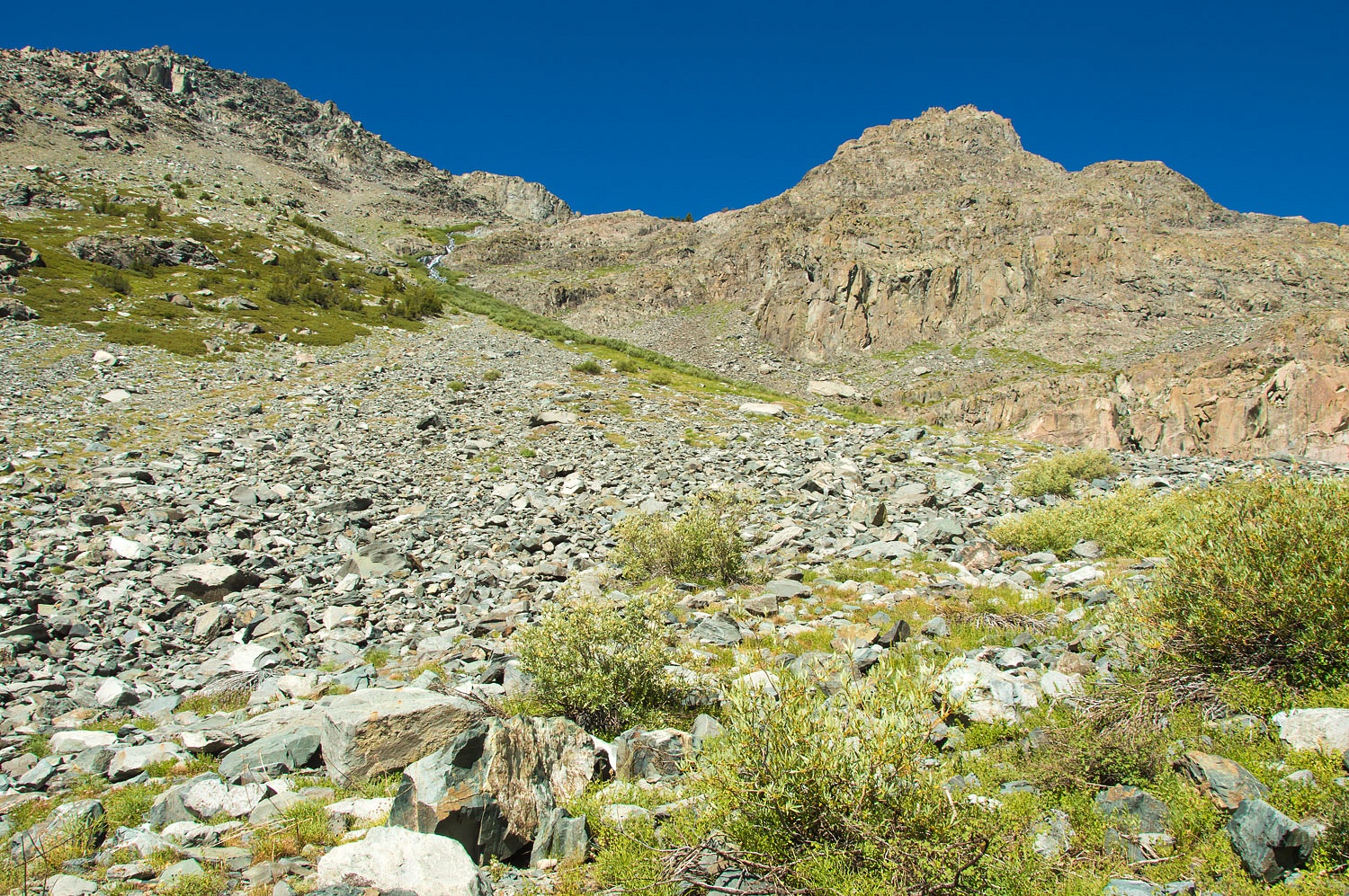
The old road bed leads up to nice
views.
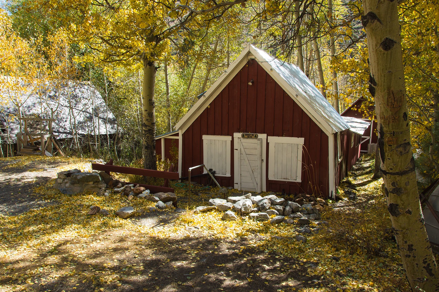
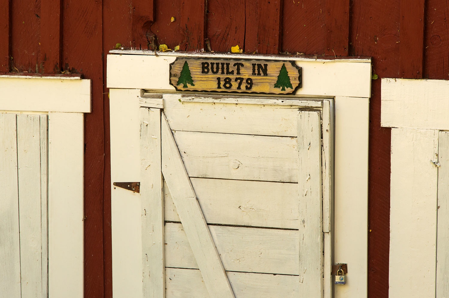
Gold was discovered here in 1879. The
settlement of Lundy grew quickly. Lundy's remains are part of the current small
fishing resort, rental cabins, and private campground at the west end of Lundy
Lake.
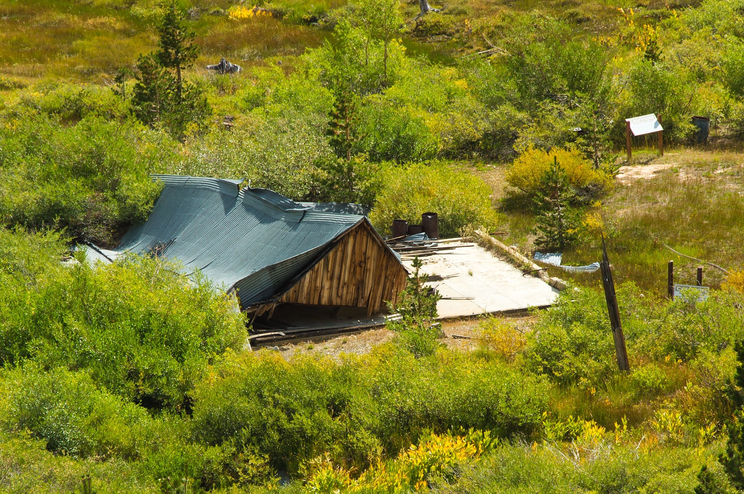
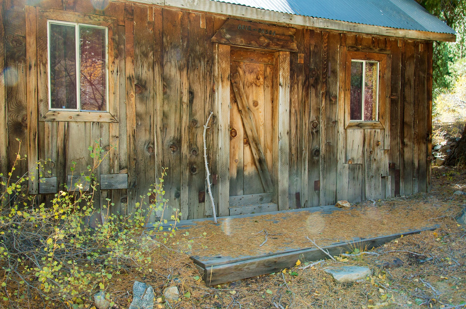
A few of the original buildings
remain at Lundy.
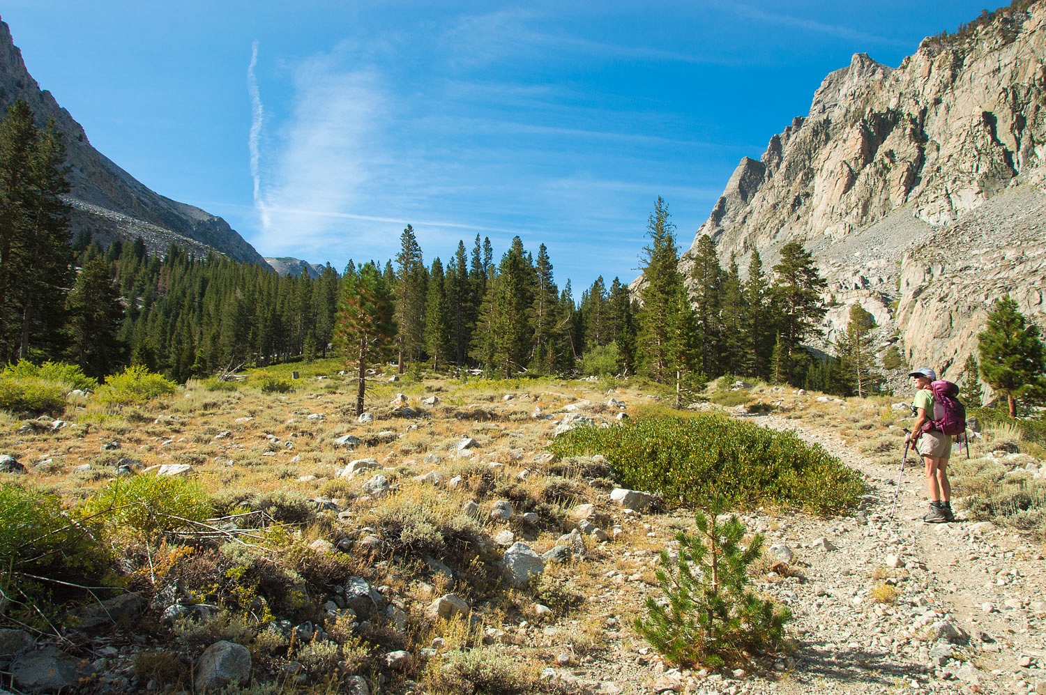
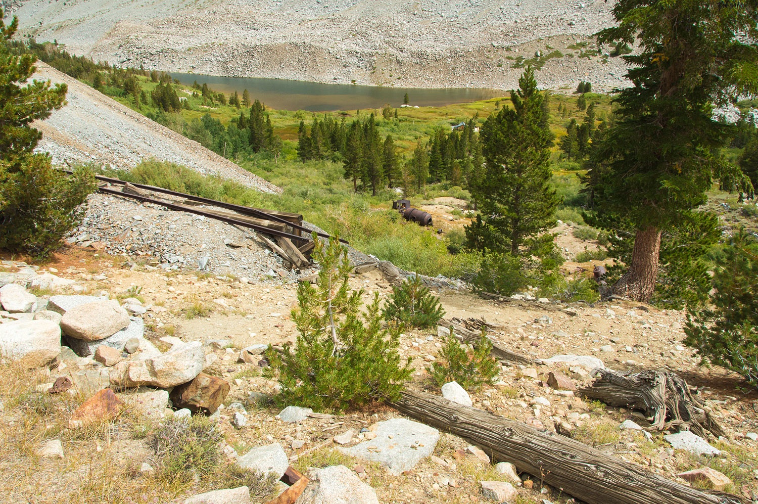
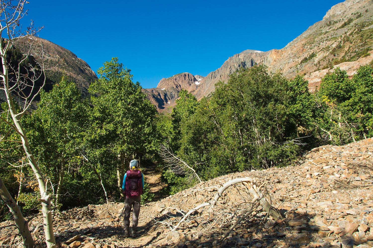
Finally the old road turned into
Lakes Canyon. We were still far less than half way to the mine ruins. An old
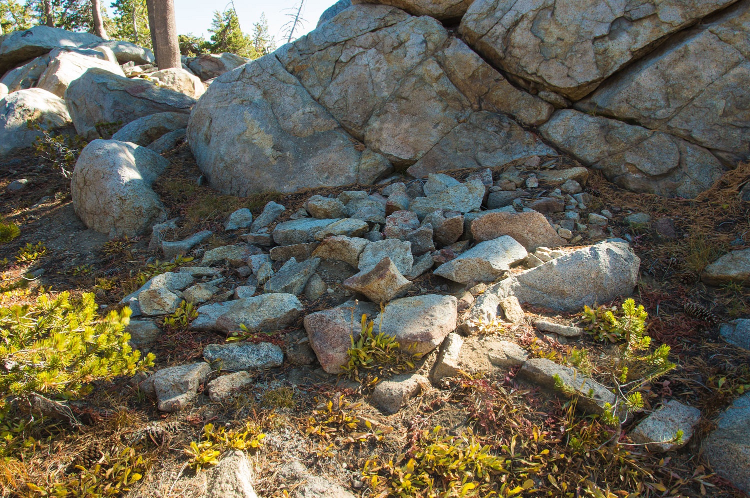
stone toll house once stood in this area.
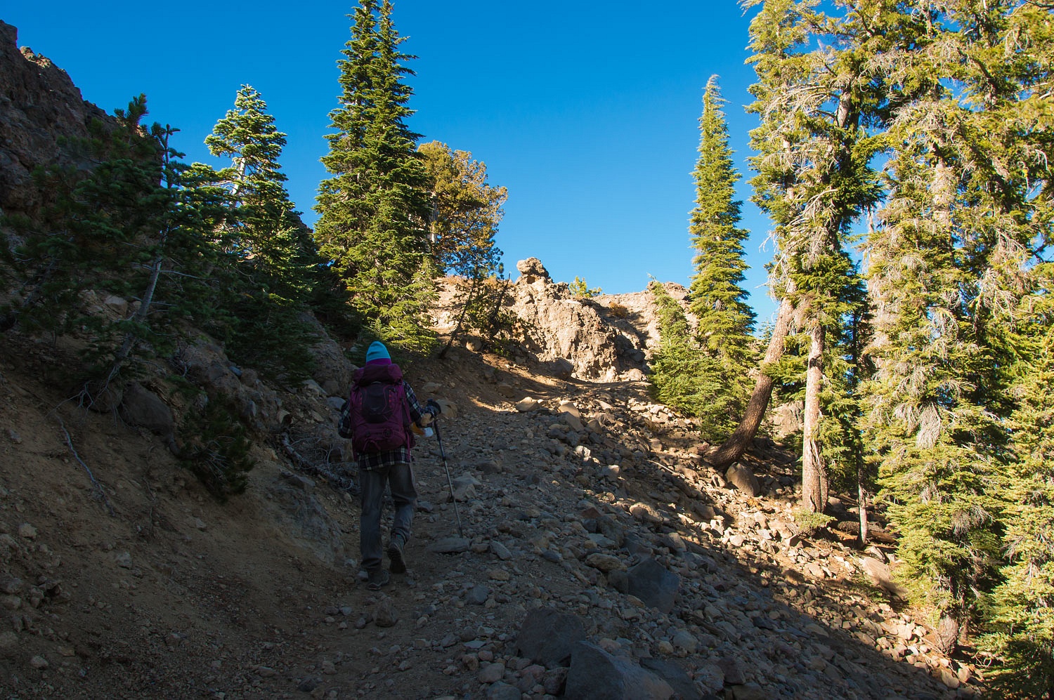
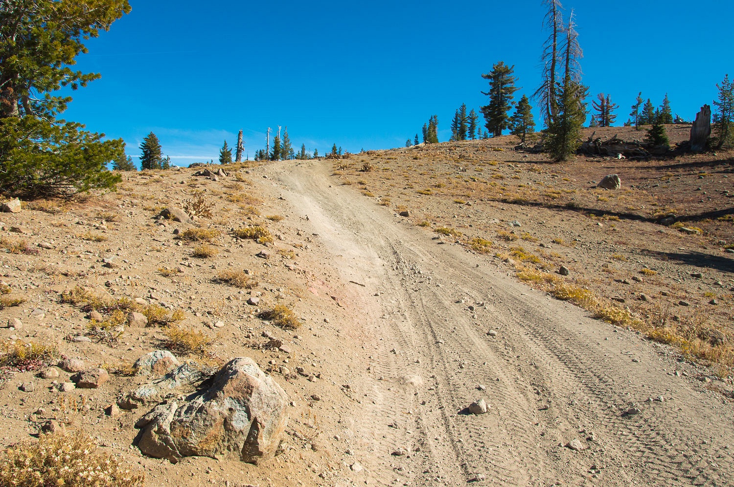
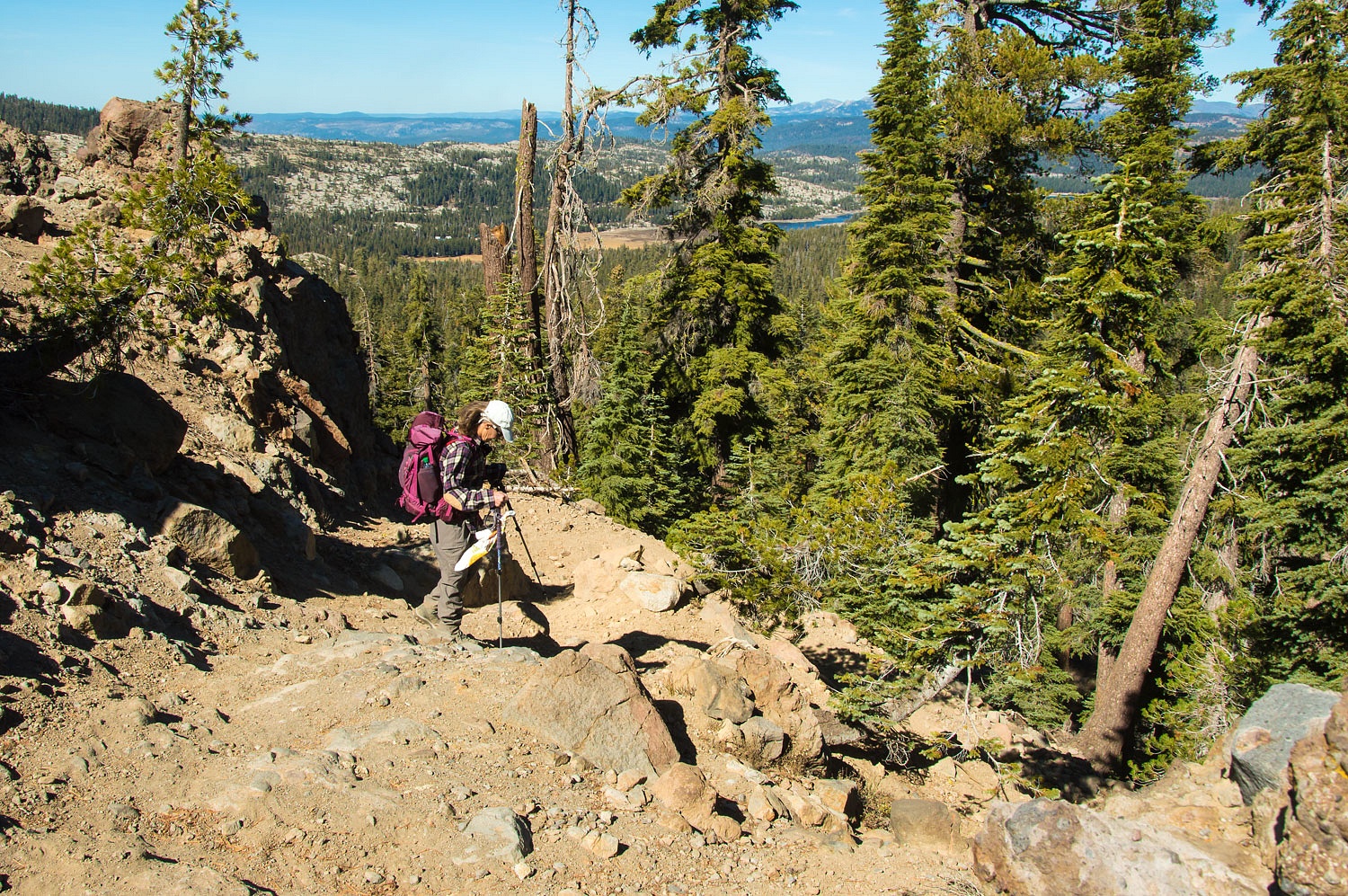
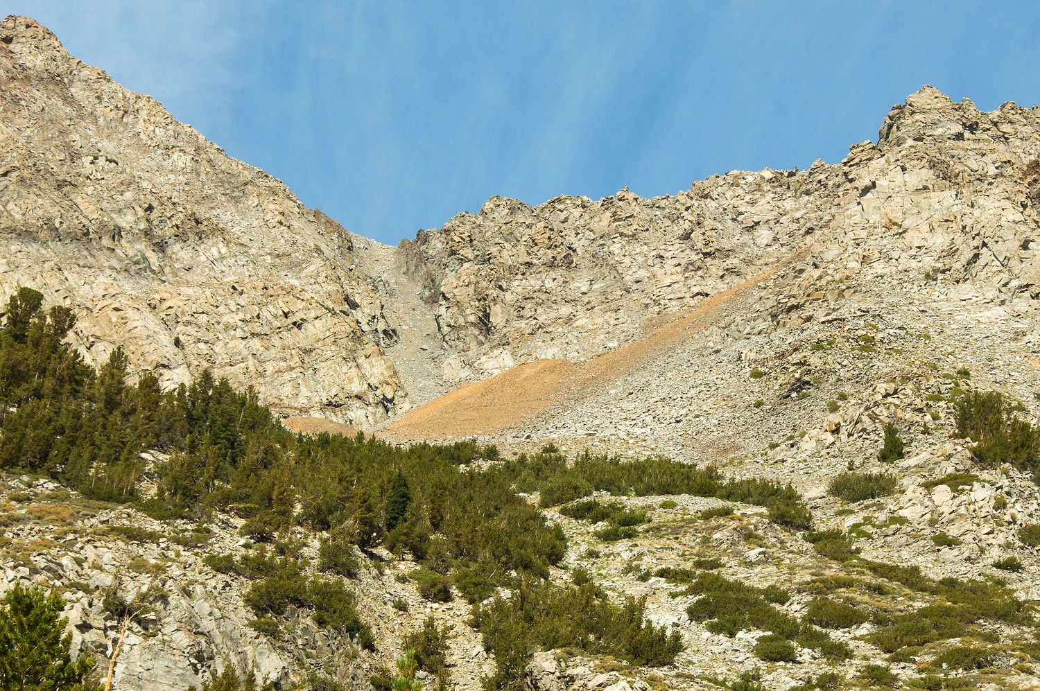
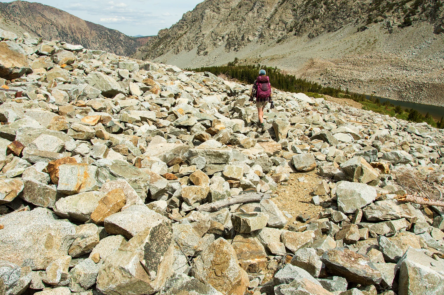
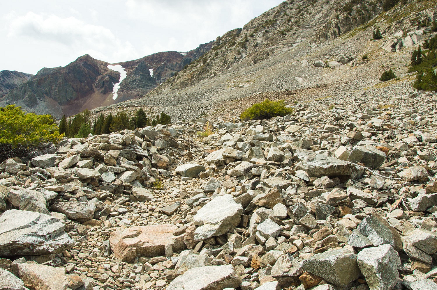
In places on the climb into Lakes
Canyon the route was a trail.
And in places long sections of old
road bed remained.
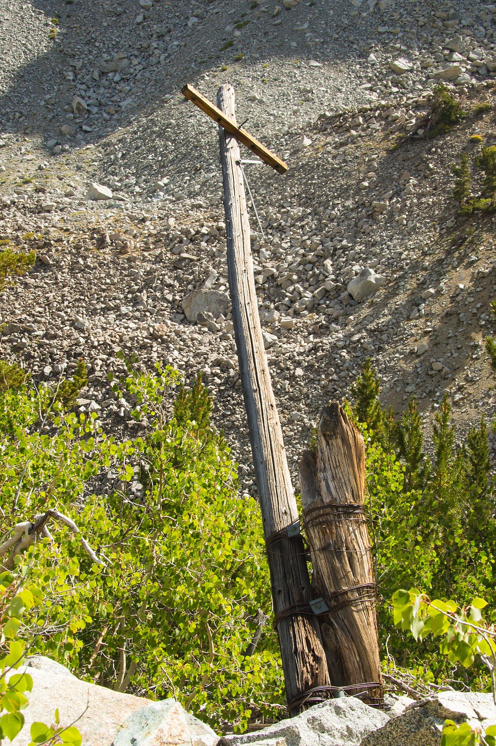
A few old telephone poles remain.
Notice that in places it was easier
to attach poles to tree stumps than to dig a hole. The telephone was invented in 1876 and the Bell Telephone Company was founded in
1877. The wires for this line were stretched in 1882 from Lundy to the May
Lundy Mine and then on to Bennettville near present day Tioga Pass. At the time
it was celebrated as "The Highest
Telephone Line in the World" as it crossed over the crest at 12,250 feet.
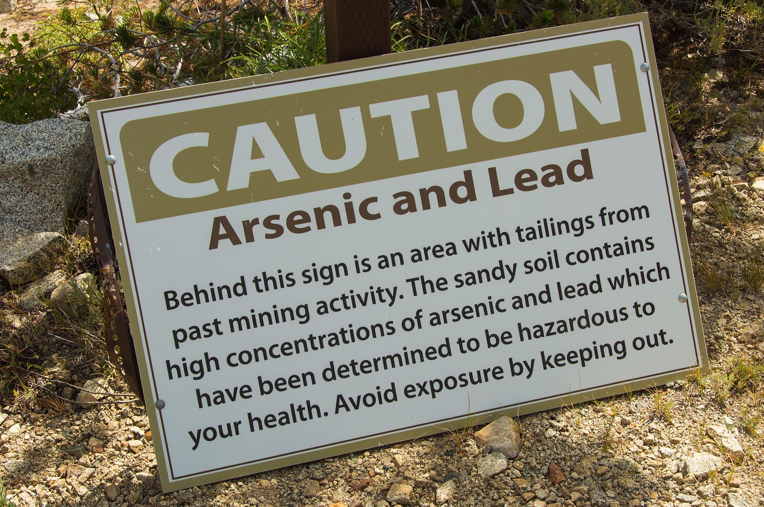
More signs were posted as we neared
the mine and mill sites.
These signs were posted in numerous
locations.
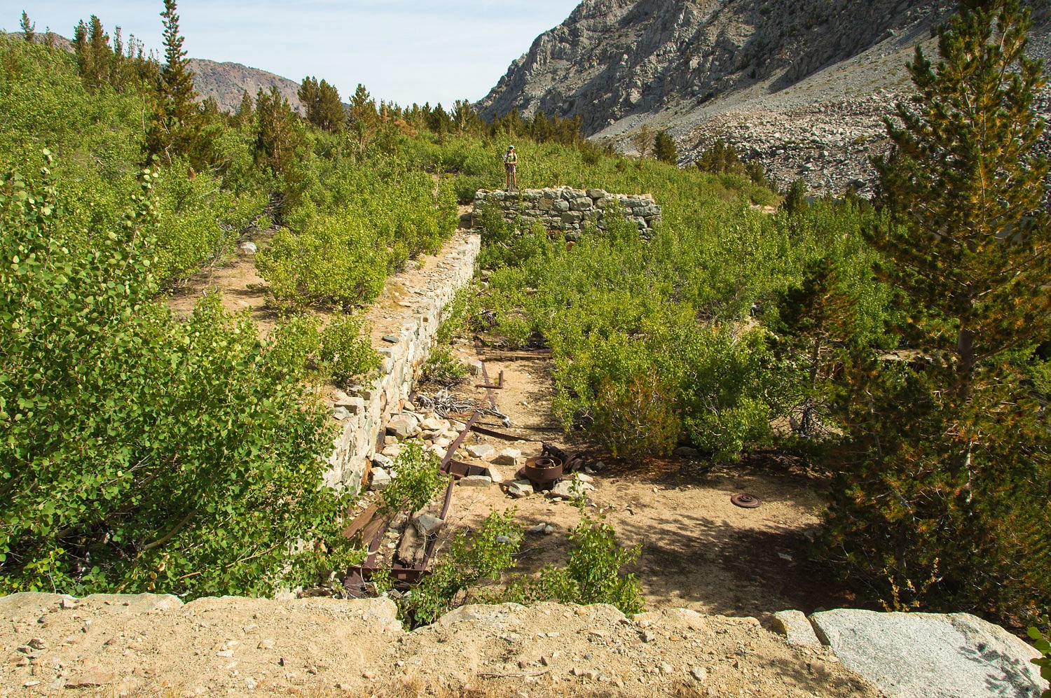
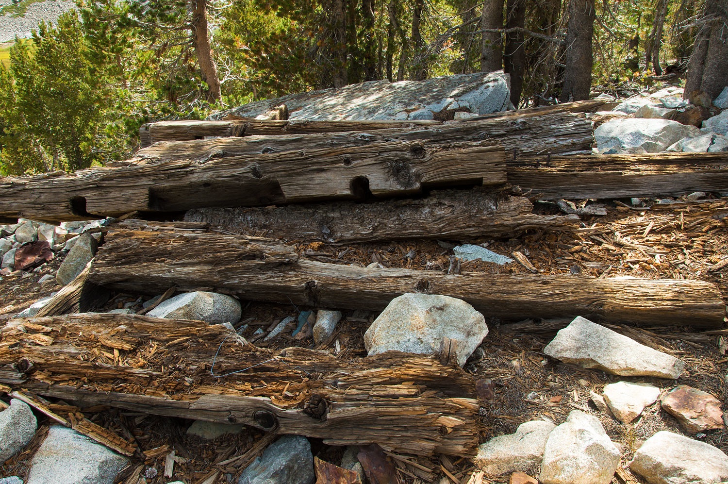
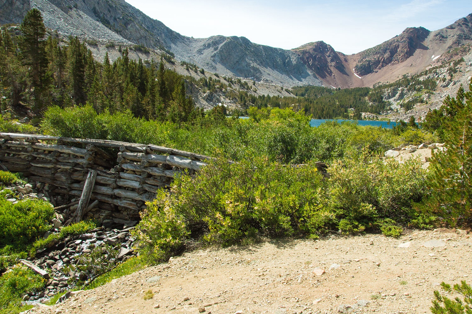
The foundation of the Crystal Lake
Mill.
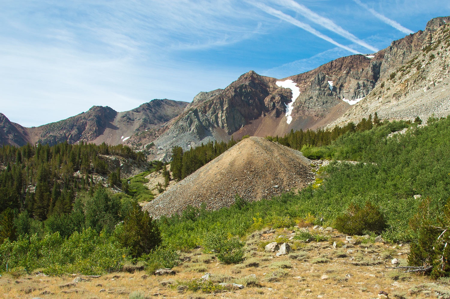
We climbed up to the large tailing
pile.
The adit into the May Lundy Mine collapsed
years ago, maybe with a bit of help from explosives.
The May Lundy Mine sits high on the
ridge to the west. Tailings below the mine entrances are visible.
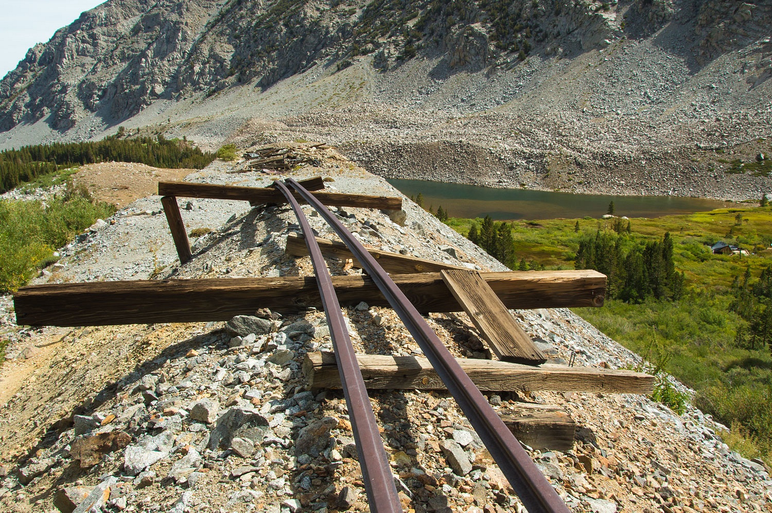
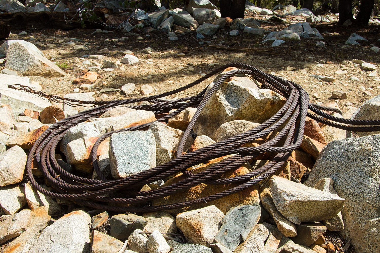
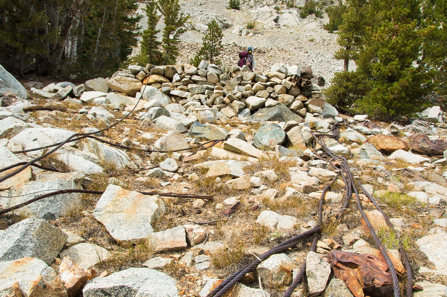
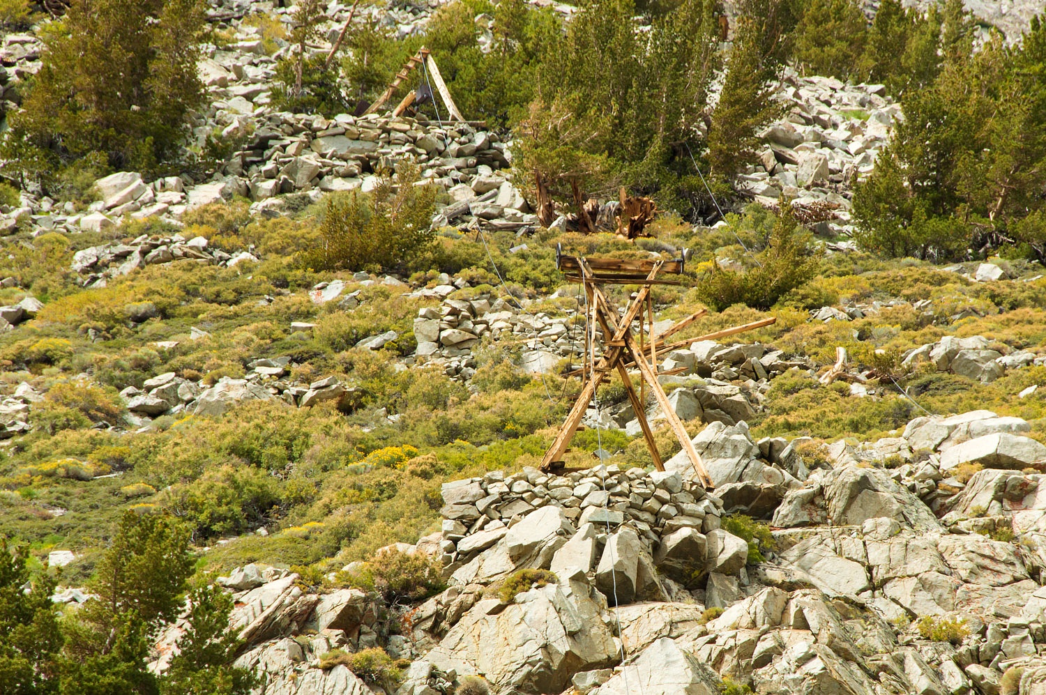
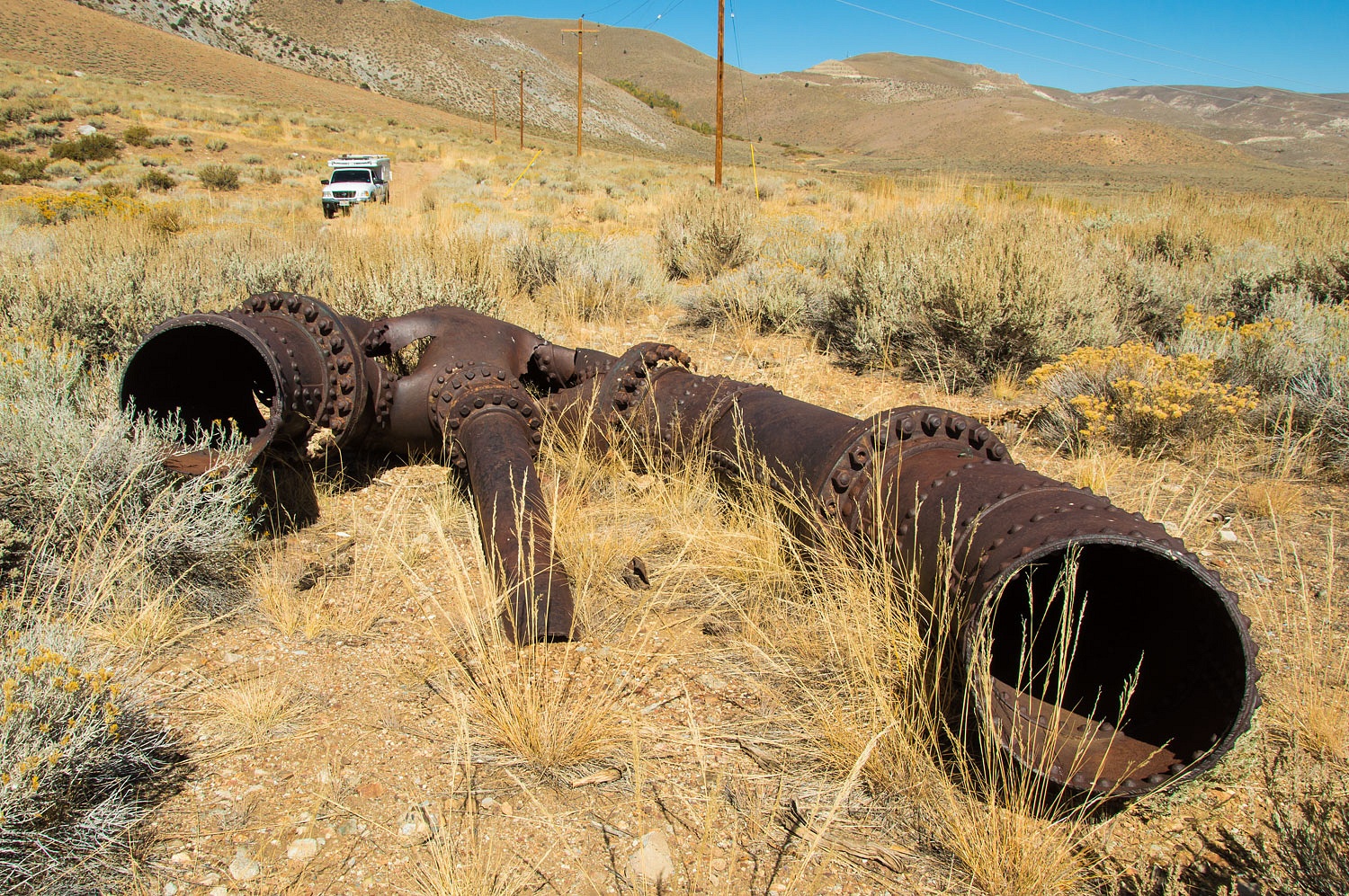
A tramway up to the mine was
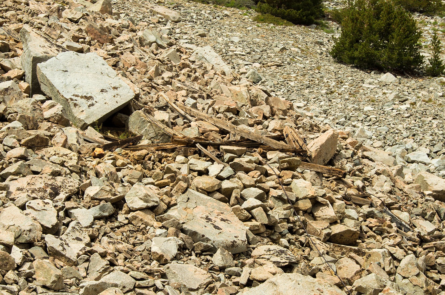
constructed in 1882 to bring ore down to the May Lundy Mill. We found the ruins
of bottom tram tower.
We explored uphill to find other
remnants of the tram.
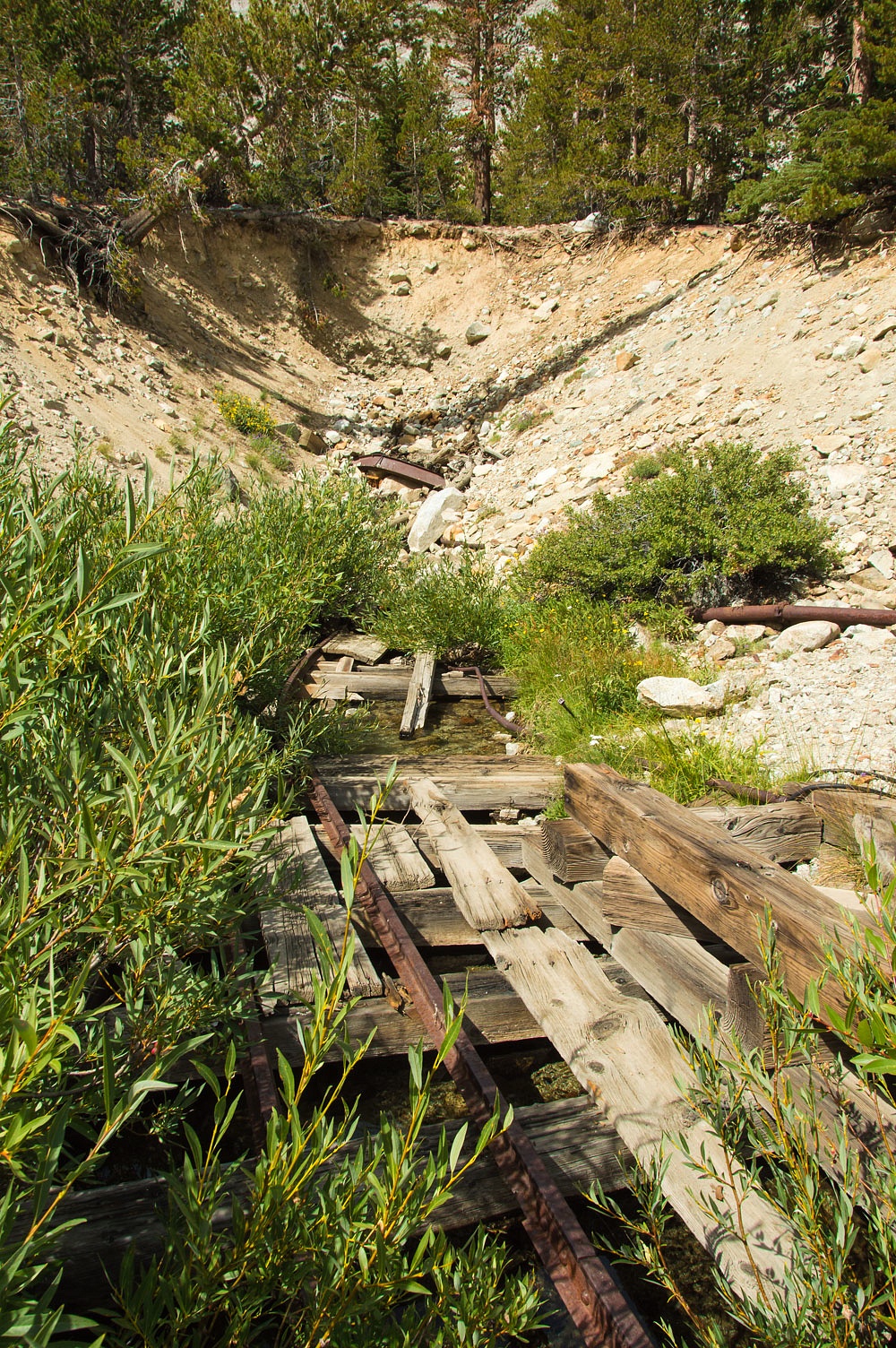
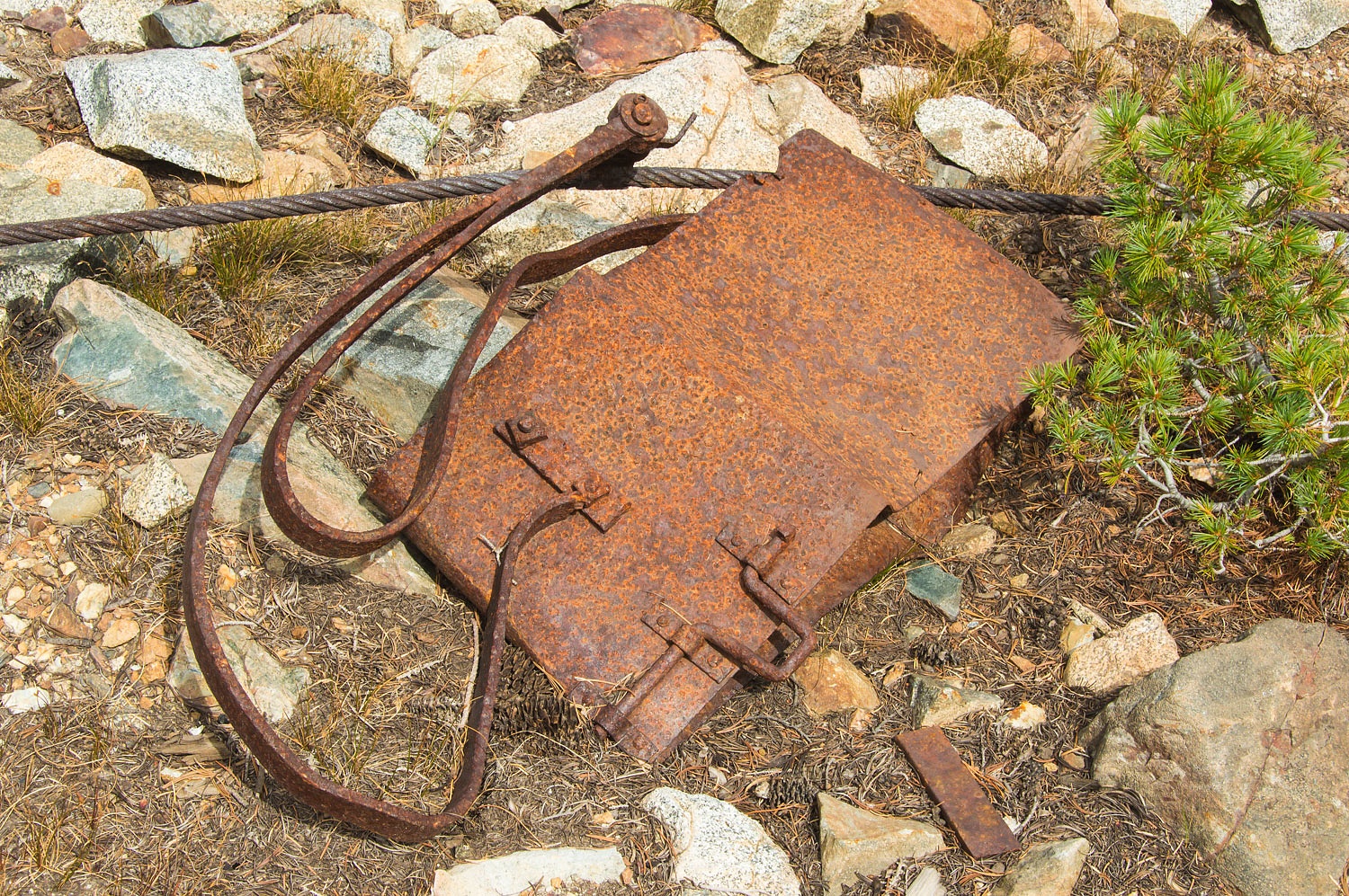
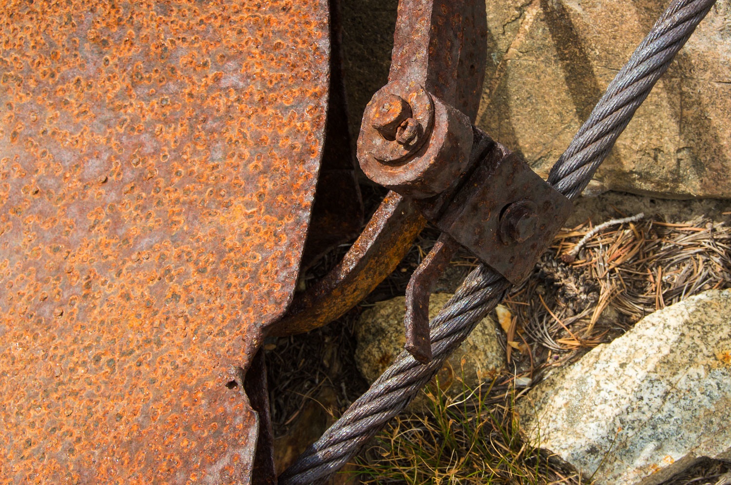
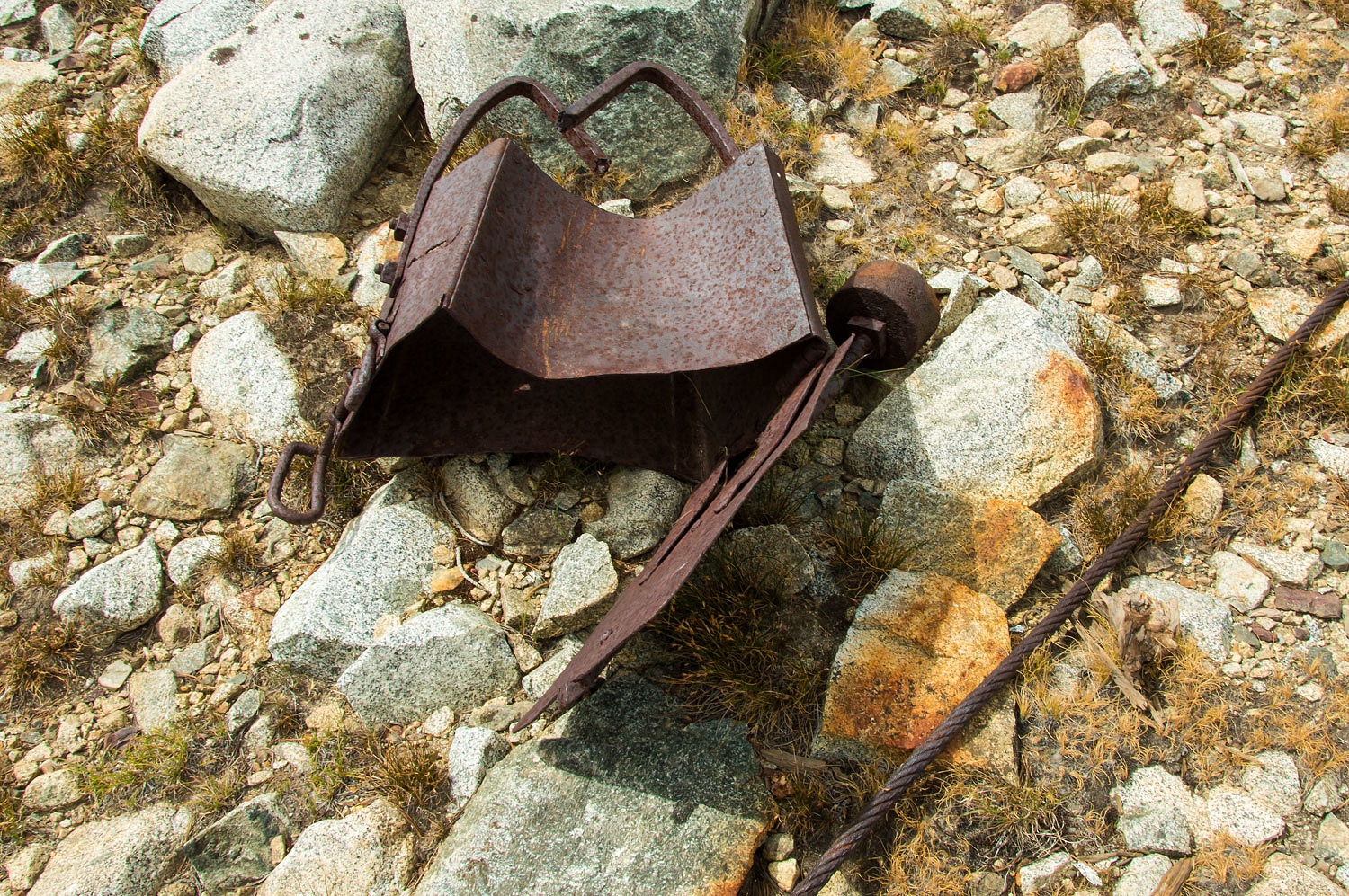
The buckets were small and the bottom
door had a counter weight to control the dumping of ore. Buckets and pieces of
buckets litter the steep slope.
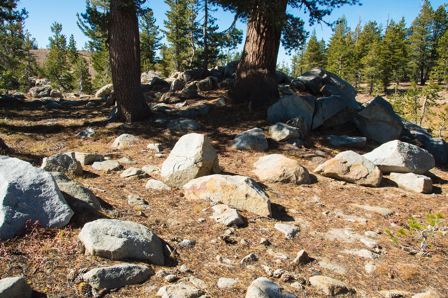
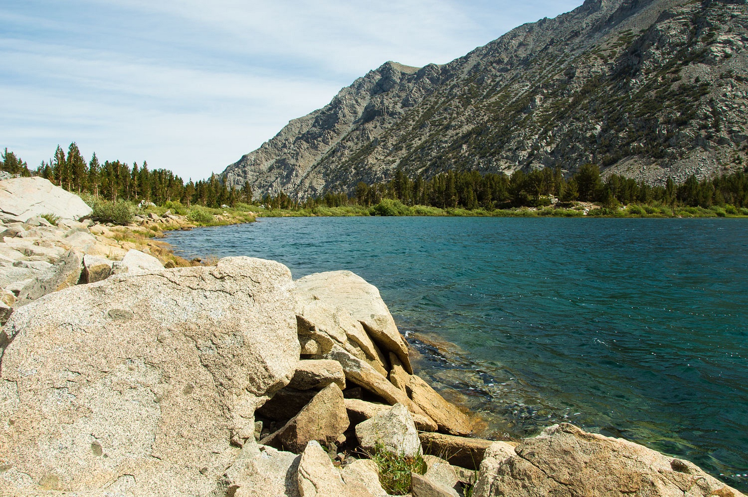
We climbed up to Oneida Lake that
sits just above the mill sites. The remains of a log and earth dam still stand
at the outlet of Oneida Lake, although the area behind the dam has filled in
and the dam no longer holds back water.
We explored along the lake and then
took a long break by huddling out of the wind on the lee side of huge talus
blocks.
Go back in time before the current
road (highway 120) ascended Tioga Pass up Lee Vining Canyon from the east. What
were the older trails used to move through this extremely rugged terrain?
A trail to Bennettville (37°56.263'N
119°15.600'W) ran south from the May Lundy Mill, up
past Oneida Lake, and then up and over Dore Pass down into the Lee Vining Creek
drainage. Remnants of the old trail are faint but can still be seen on Dore
Pass (37°58.954'N 119°15.758'W). Another trail climbed east out of the cirque
to cross the Warren Divide. Traces can be still be seen on the ridge top
(37°59.102'N 119°14.785'W).
We left Oneida Lake and returned to
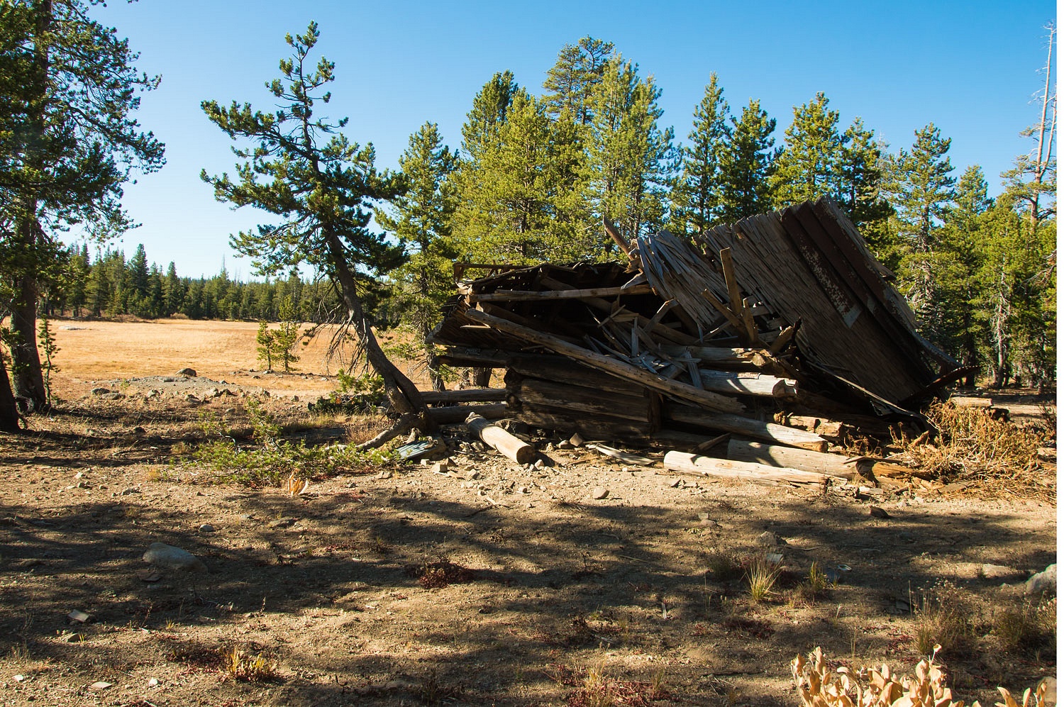
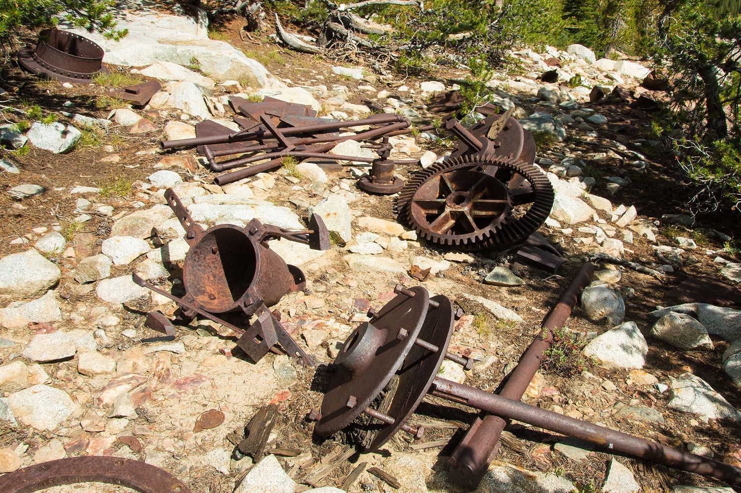
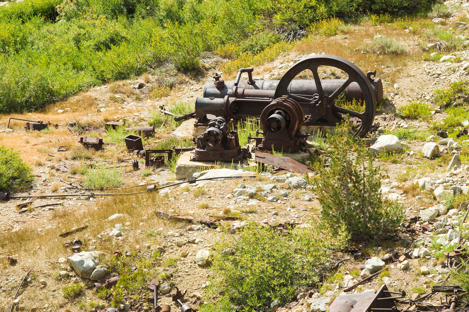
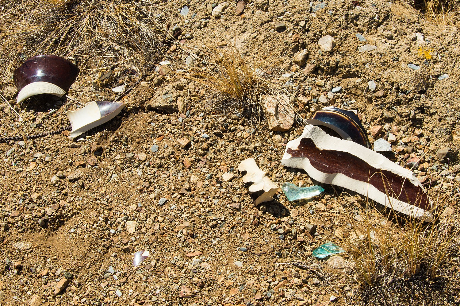
the ruins. Machinery and relicts cover the area.
The last mining activity took place
up here between 1935 and 1941. In 1935 Thomas Hanna secured a loan from the
federal Reconstruction Finance Corporation for $48,000. Hanna constructed a
cyanide process mill to work the tailings from the previous mining. The ruins
of a two story bunkhouse remain.
Gold mining ended in 1942 when President
Franklin Roosevelt declared it nonessential to the war effort. With Hanna unable
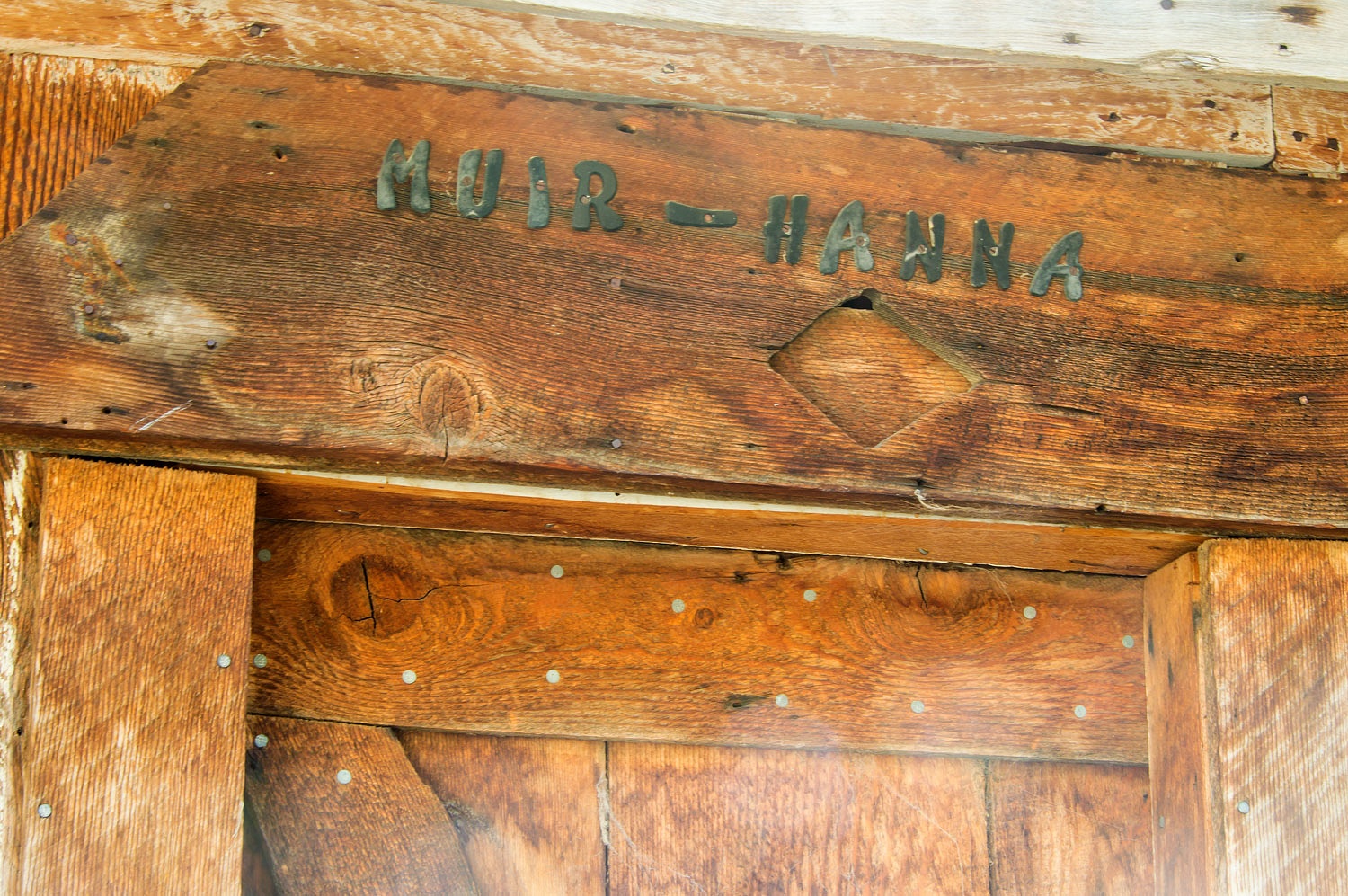
to repay the loan, the operation was foreclosed on in 1942. Thomas Hanna was John Muir's
son-in-law. He married Muir's daughter Wanda, in 1906. The resort at Lundy Lake uses their
old residence as a rental cottage.
On our descent crossing a high talus
field, we found the old trail that climbed up to the May Lundy Mine. Among the
rocks, it was hard to see until we were on it.
We continued our long descent out of
Lakes Canyon and worked our way back to our camp below Lundy Lake.
I want to thank my friend David A.
Wright for turning me on to much of the history of the area. In 1999 David, a
local historian, accompanied author Alan Patera to Lundy and showed him around
the numerous sites. The result was the highly detailed book - Lundy - where much of the information I've shared can
be found. David also shared with me information
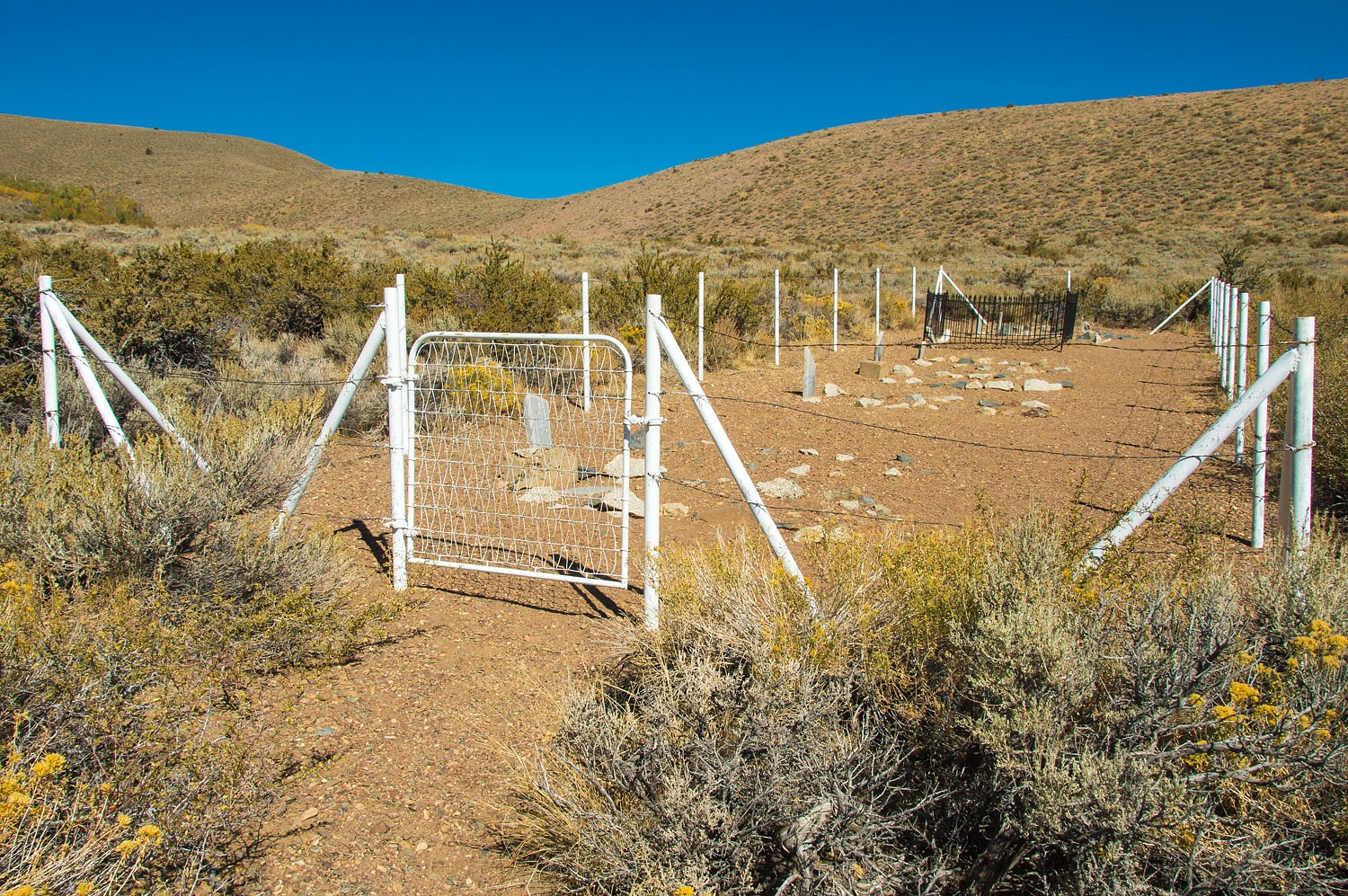
about the snow avalanches that destroyed both the Mill Creek Powerhouse - just
above Lundy - and the Jordan Powerhouse - just out of the canyon - on March 7,
1911. We visited the ruins of the Jordan Powerhouse.
Eight people lost their lives in
these avalanches. The victims are buried nearby in a small humble cemetery.
The headstones were fashioned from
pieces of the marble switchboard salvaged from the smashed powerhouse.
I'm told that workers from the nearby
Southern California Edison powerhouses hold an annual day of remembrance and keep
the cemetery tidy.
You can also find additional information
about Lundy on my friend Aaron Walton's website - Western Mining History.
Several of David A. Wright's photographs
of Lundy can be found here - Ghost Towns
The 20 acre patented mine
claim around the high May Lundy Mine recently came up for sale. It has since
been obtained by the Forest Service and is now public land, part of the Inyo
National Forest. I got a big chuckle out of the realtor's sale pitch - May Lundy Mine - All Offers Considered.
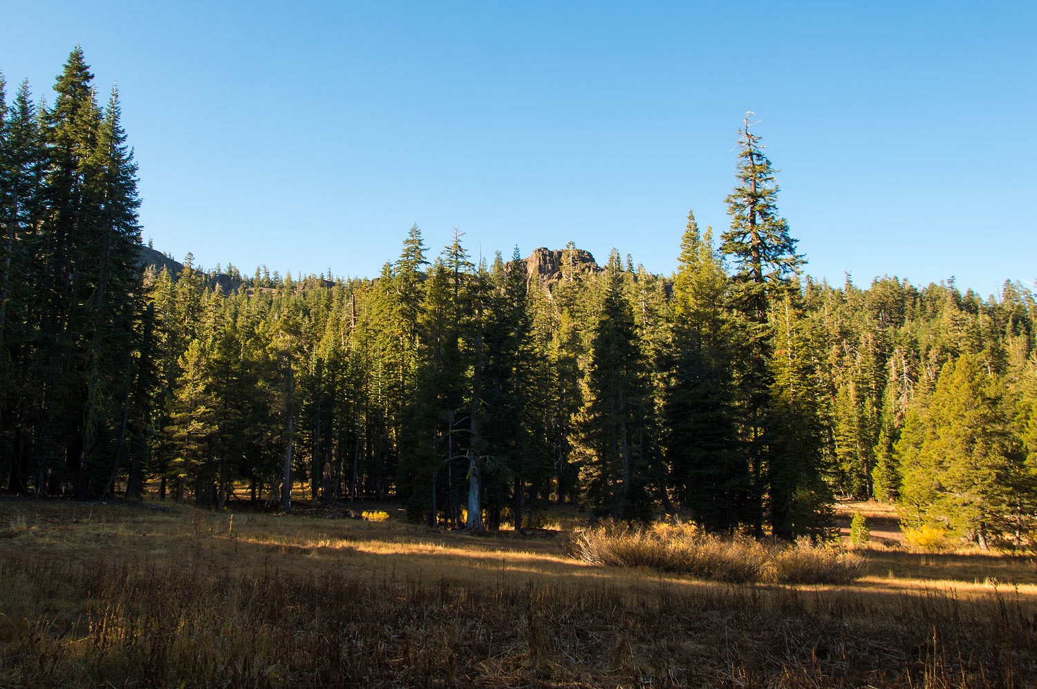
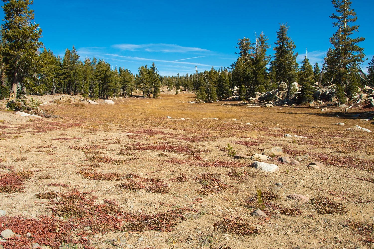
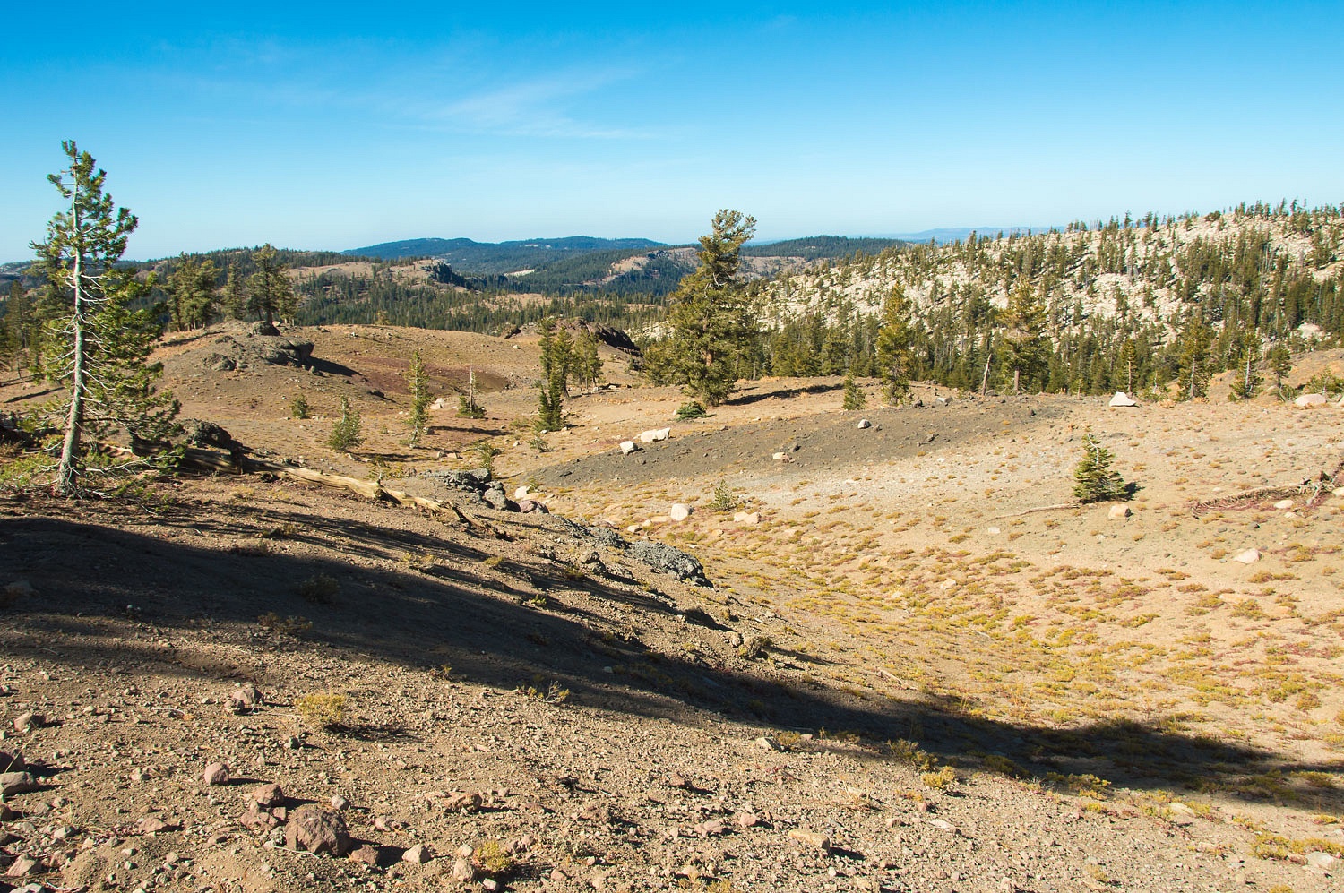
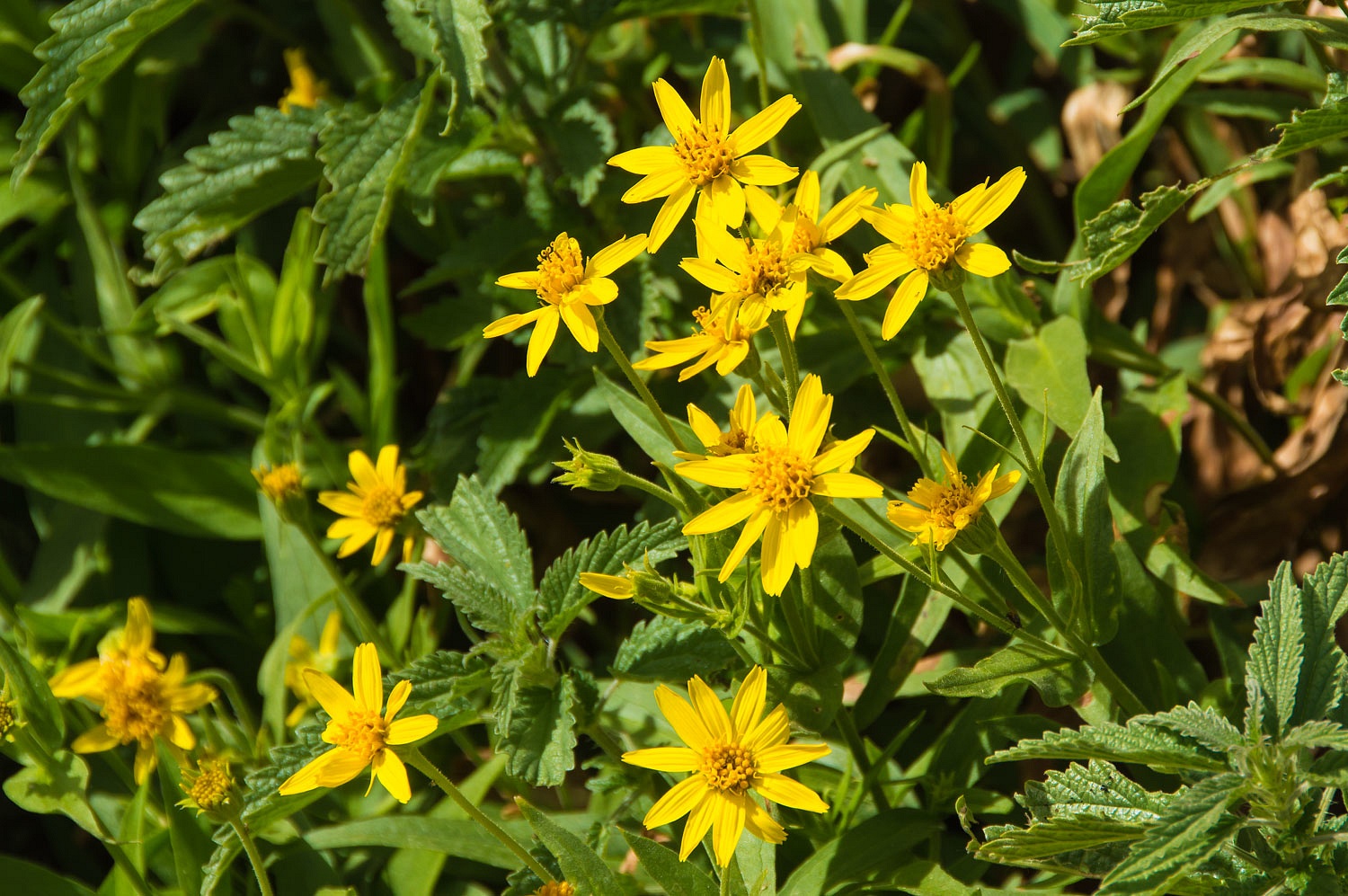
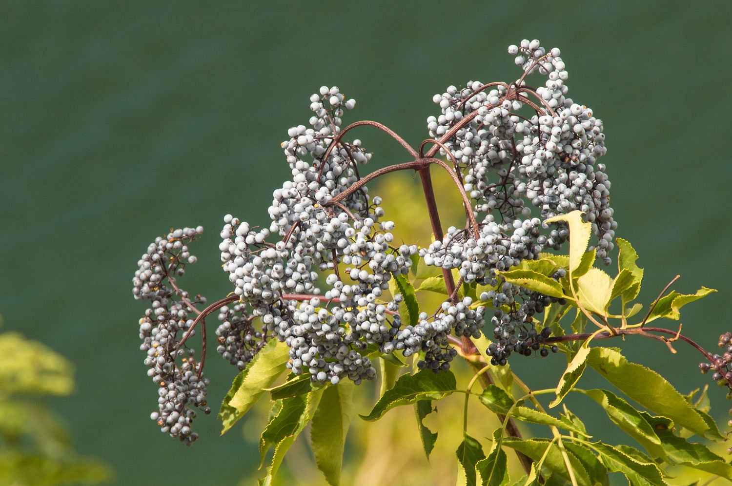
I should mention, but you already
know this, we were also surrounded by natural beauty throughout the day.
After a quiet Saturday night at the
campground, we packed up early Sunday morning and drove up to the trailhead.
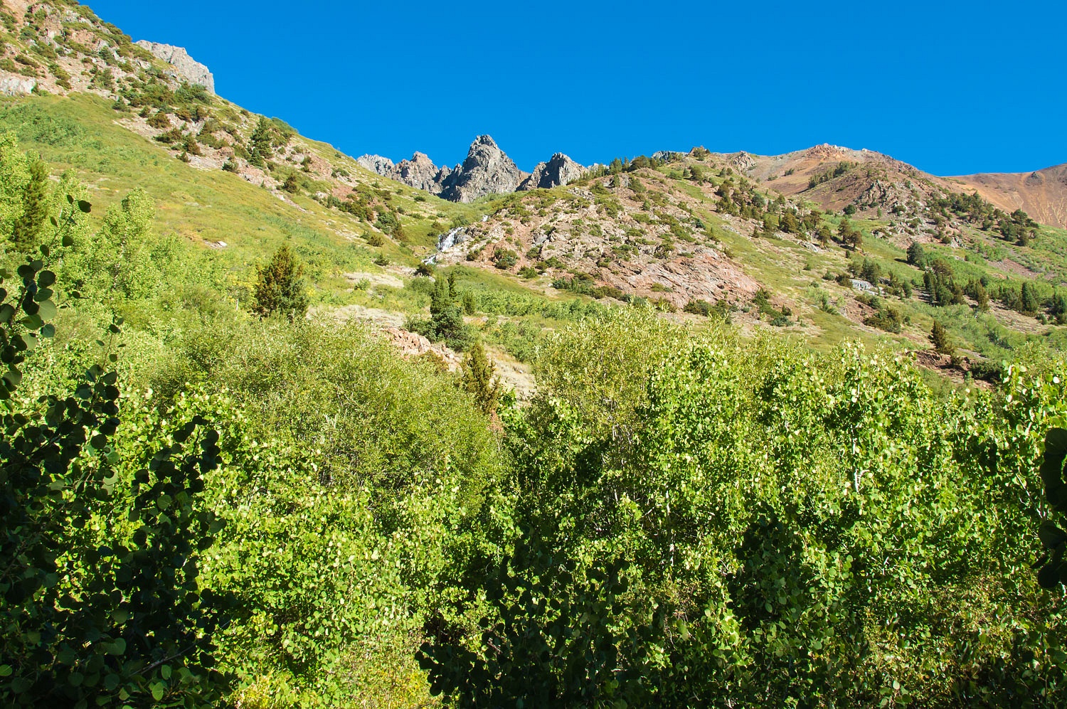
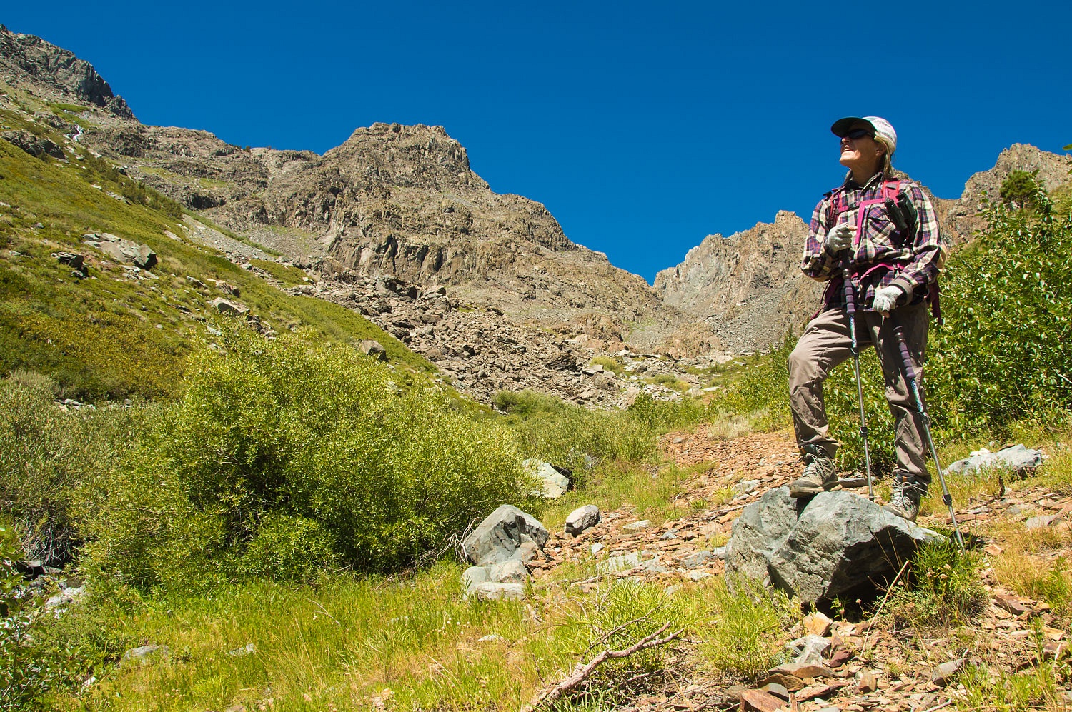
The Lady wanted to make an attempt at reaching Burro Lake from Mill Creek.
We started out from the trailhead.
Last October, with our friends Andy and SR, we had found
what we thought was the beginning of a use trail up to Burro Lake. We started
our climb on that faint trail.
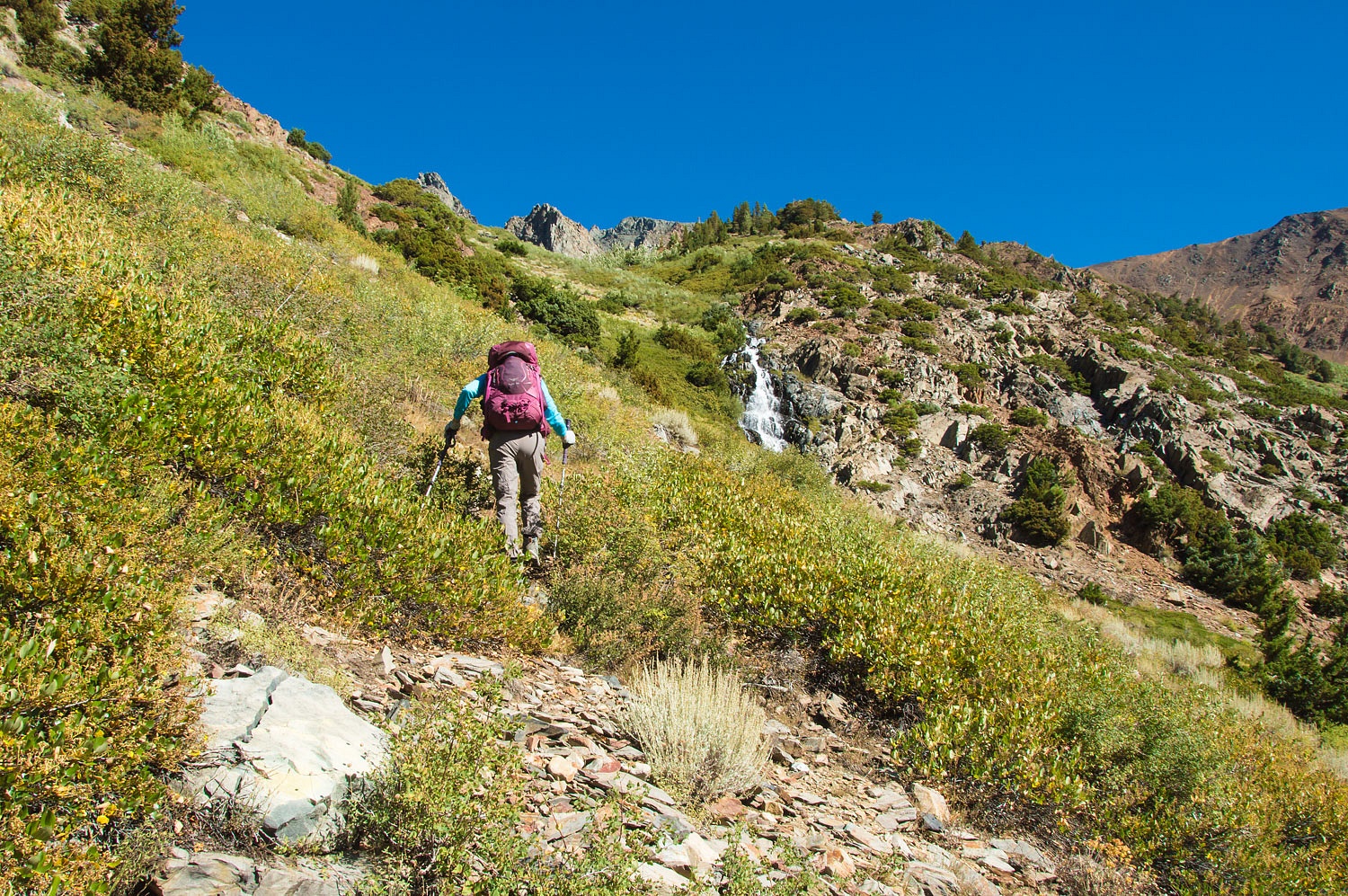
Our plan was to climb this steep
drainage.
There was no use trail. We found a
few random stacked rock cairns, but they were meaningless. The thick vegetation
was the challenge on this section. It was a tangle and when we broke out we
took advantage of any clear passage we could find.
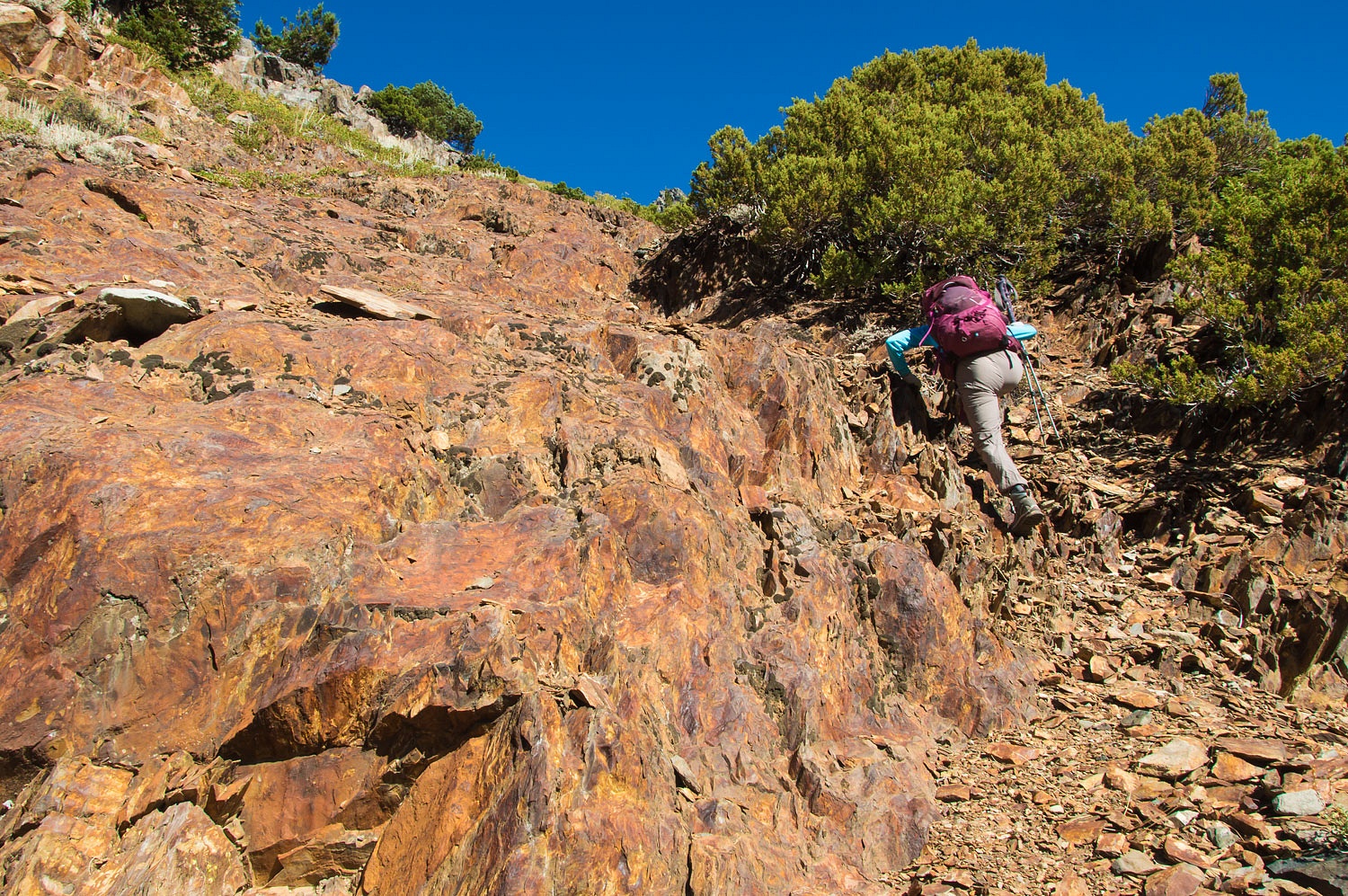
It turned into big rocks and thick
brush to reach the small basin above the first cascade.
The vegetation thinned as we climbed out of the basin.
Extremely steep terrain was ahead. Again it was obvious there was no use trail up to
Burro Lake.
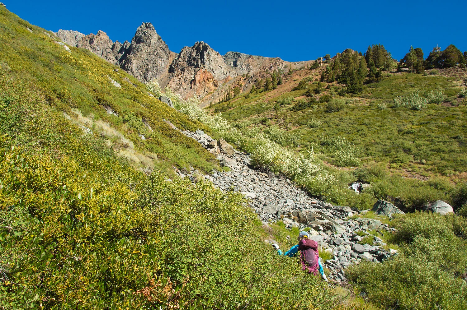
A look at our topo map told us that
if we surmounted that waterfall high above us, it was still a mile further up to
Burro Lake.
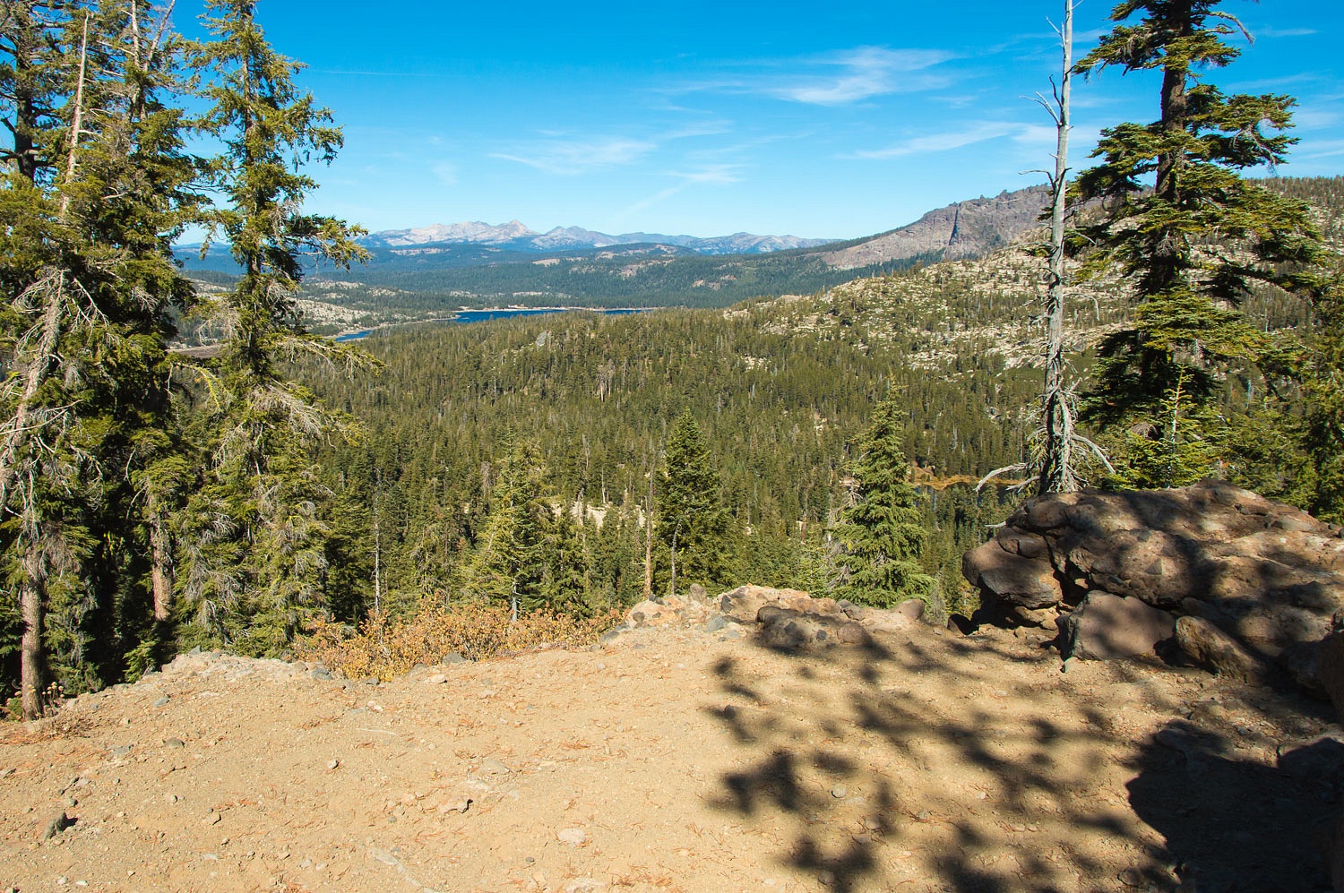
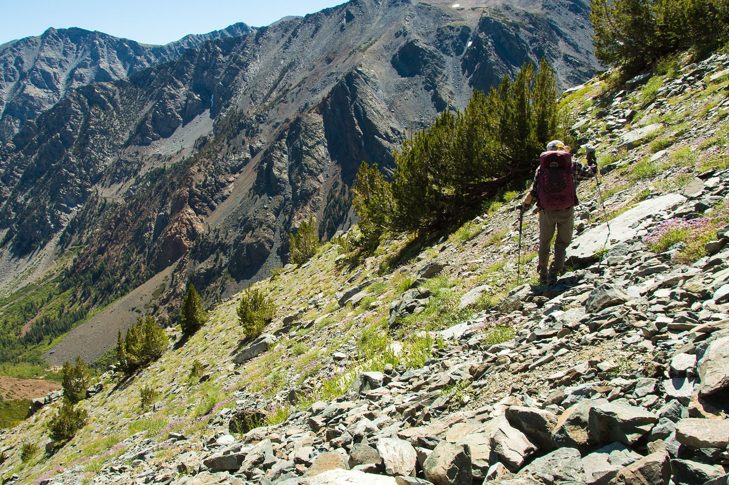
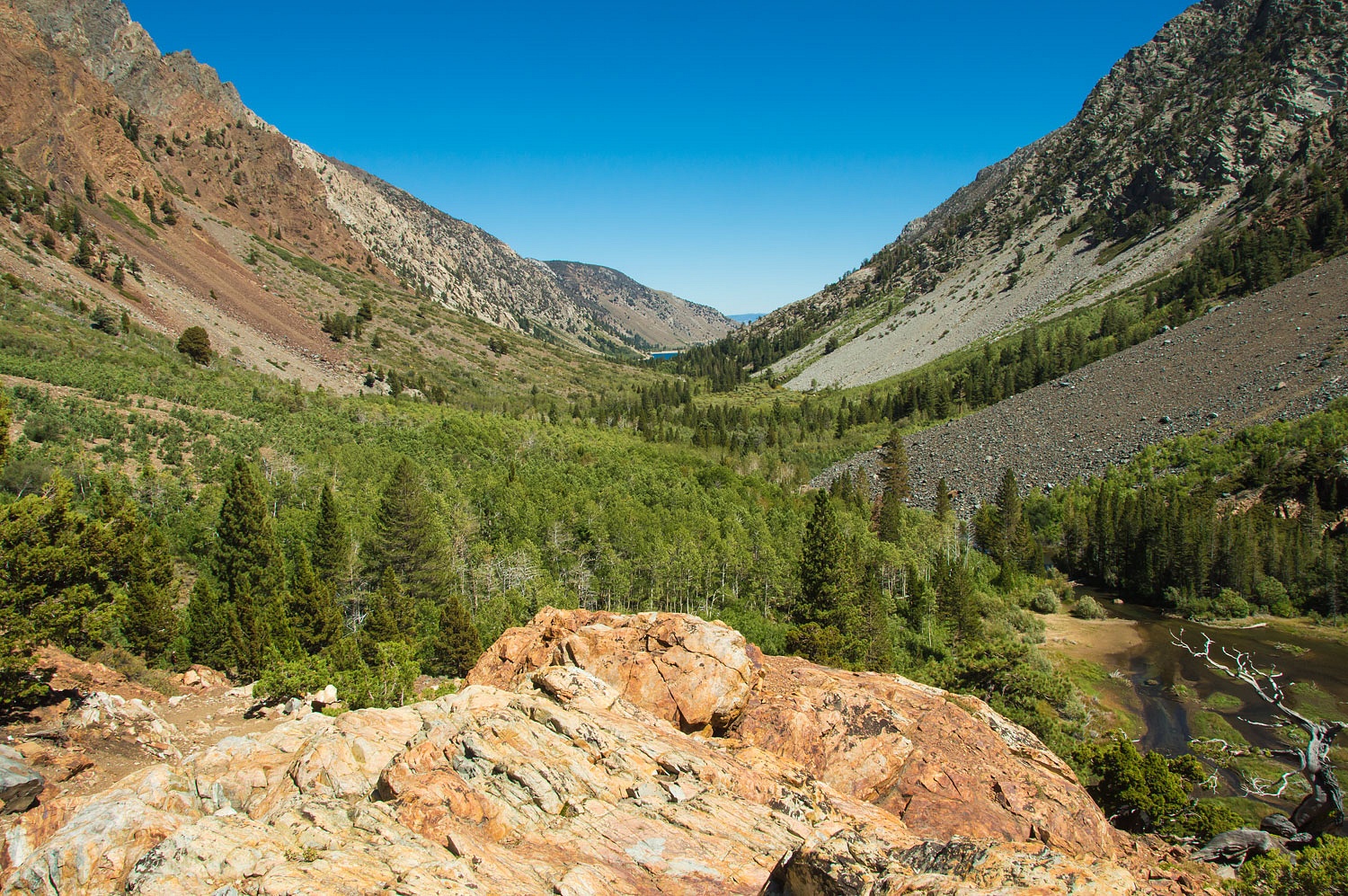
We continued the climb. The views were
incredible.
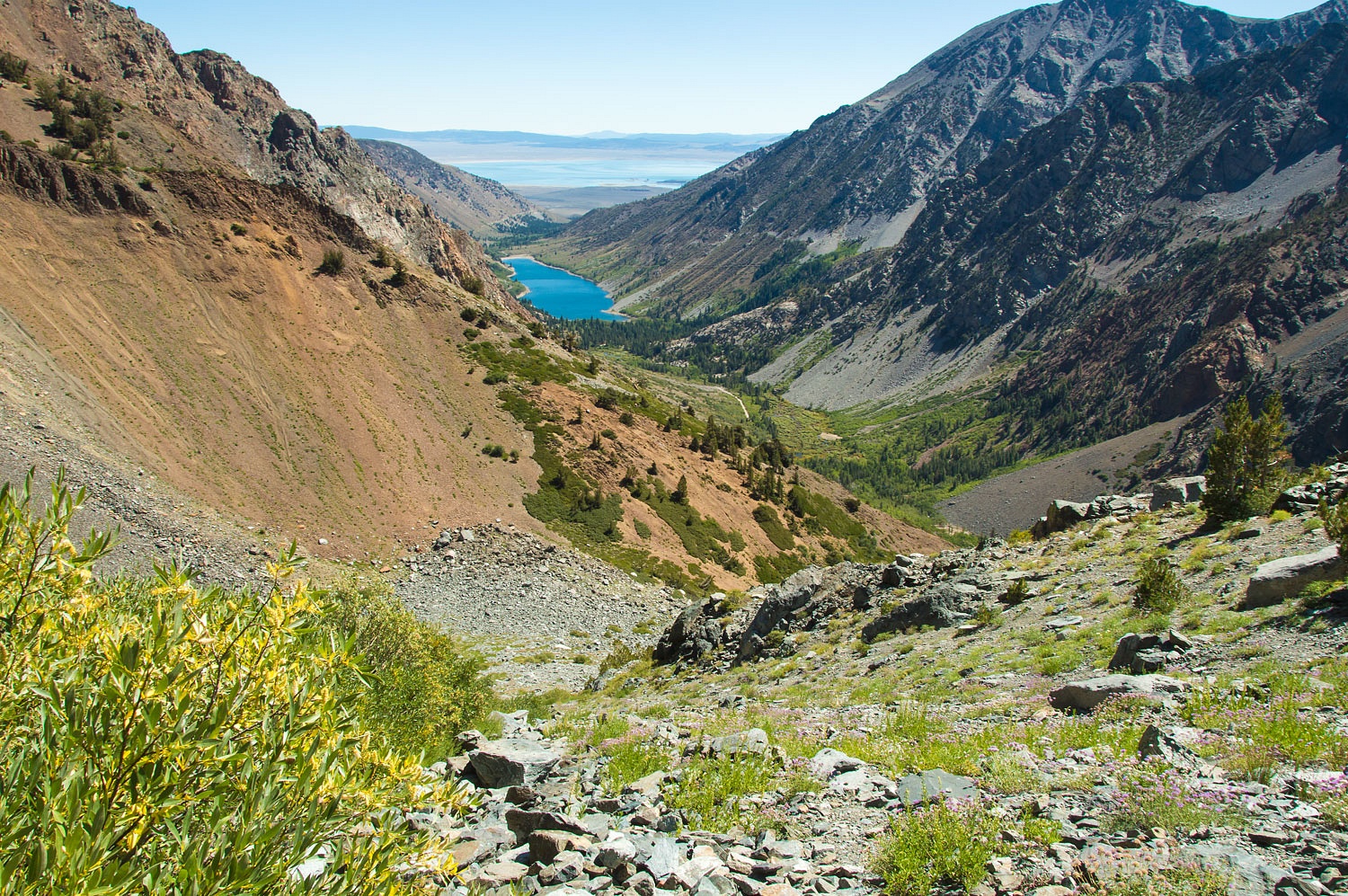
In the upper right of the above photo
you can see our route of the day before up into Lakes Canyon.
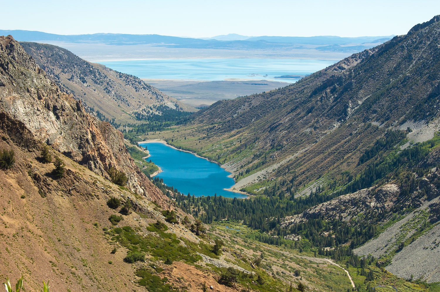
Here is a zoom down to Lundy Lake and
Mono Lake in the distance.
We stopped just below the falls. Good
lord it was steep.
It was still worth all the effort to
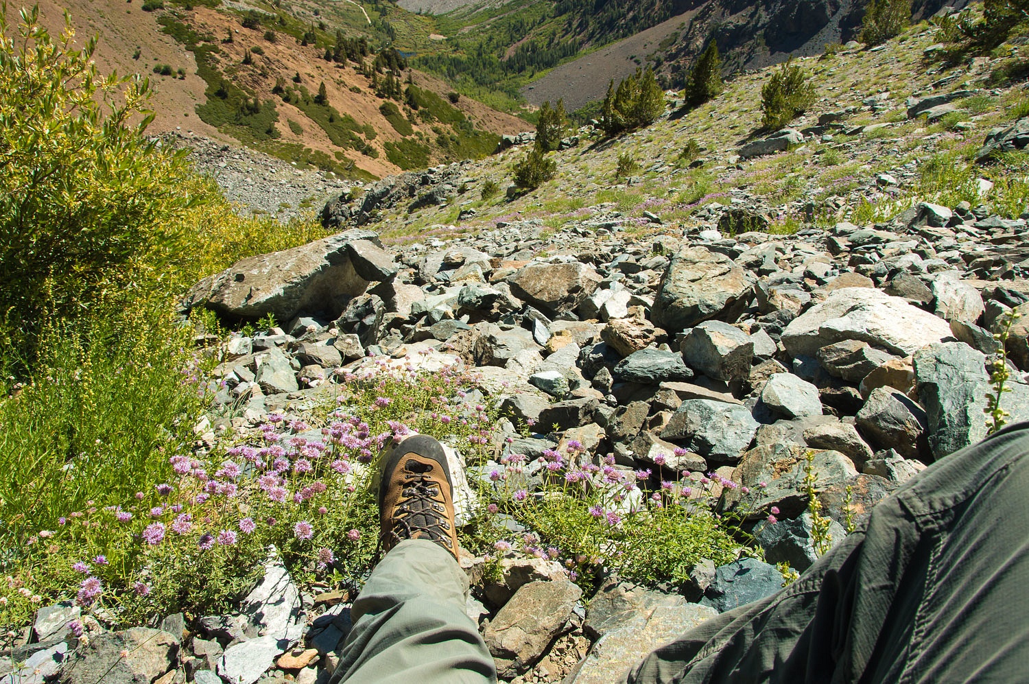
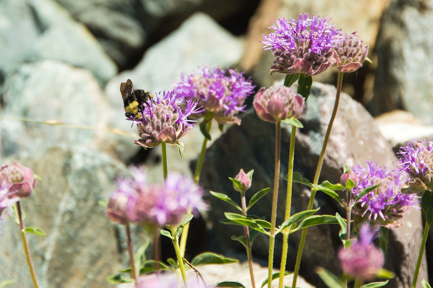
sit in this high spot. The steepness did not bother the bumble bees at all.
The ground was exceptionally hard. It
was now impossible to kick a boot edge in to get a firm foothold. It was too
dangerous for us to continue on this route. "If our objective was to find
out if a use trail existed," I commented to the Lady as we snacked.
"Today has been an excellent success. We found out here is no use trail."
"I should have never turned
around and looked down slope," the Lady answered. "My god this is
steep!"
We decided, wisely, it was time to
carefully work our way back down.
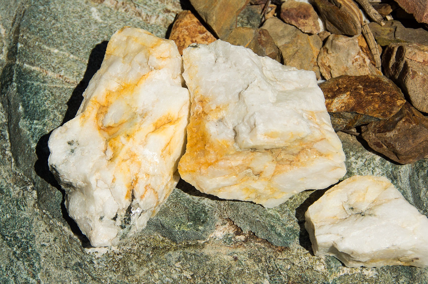
On the descent I stopped to examine
quartz from the quartz veins and wondered if it was related to the veins worked
in the May Lundy Mine, where, if I remember correctly, three million dollars in
gold was produced.
What a day this was, with the
opportunity to climb high into rugged terrain.
Exiting the last tangle of stunted
aspen, we rejoined the Lundy Canyon trail and returned to the truck.
We treated ourselves to fish tacos at
Whoa Nellie Deli and then
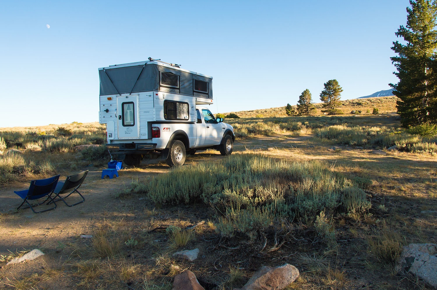
headed north to an old favorite campsite where we spent a wonderful quiet
last night out.
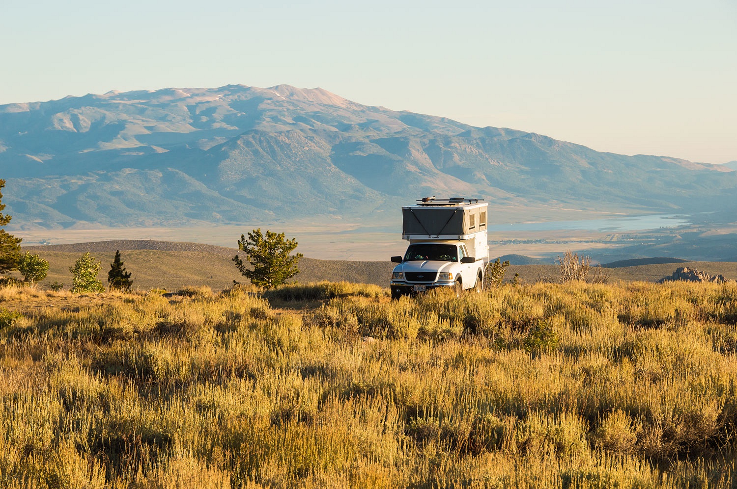
Monday's dawn was perfect at this
high lonely spot.
We walked with our morning mugs of
coffee, a necessary ritual, as the sun warmed us and the land.
We were soon back home. Plan B had
been outstanding. We can't wait to return and give Plan A a shot.
Please note: the photos of the cabins at Lundy, the powerhouse ruins, and the cemetery were taken on a return trip in October but are included in this story.