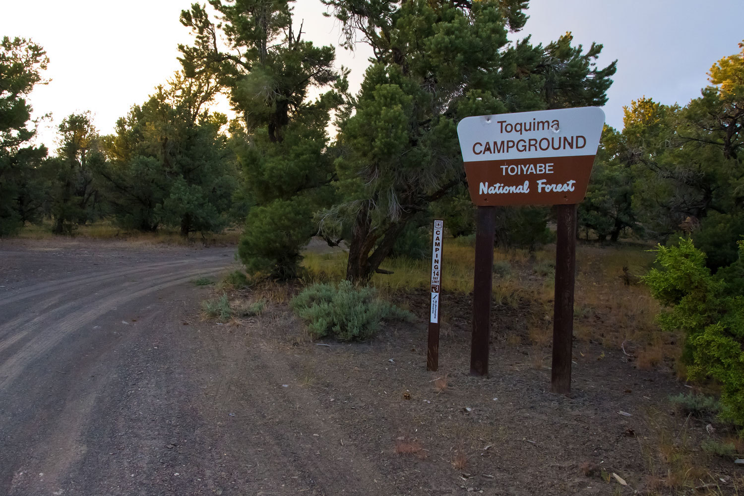
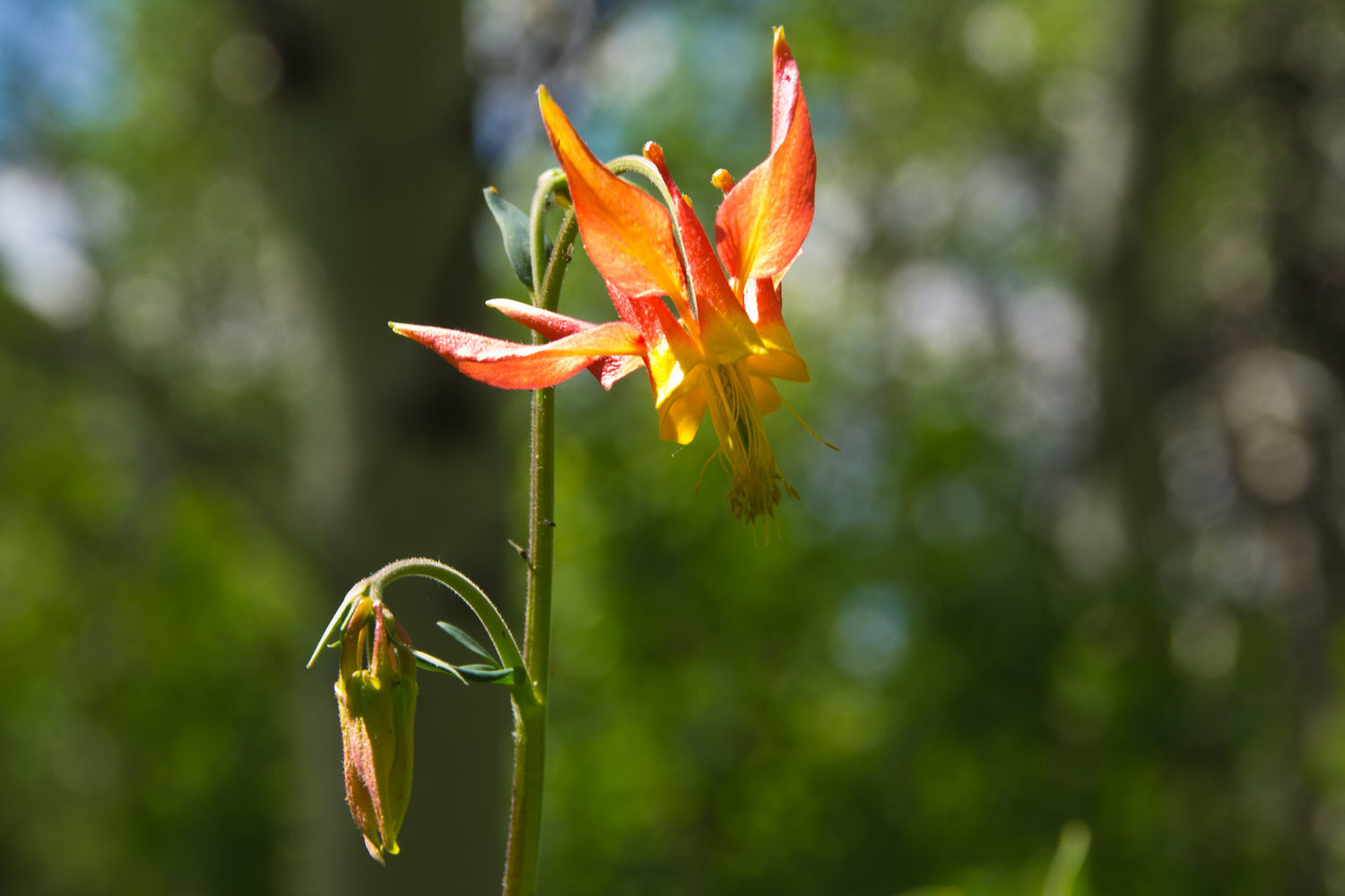
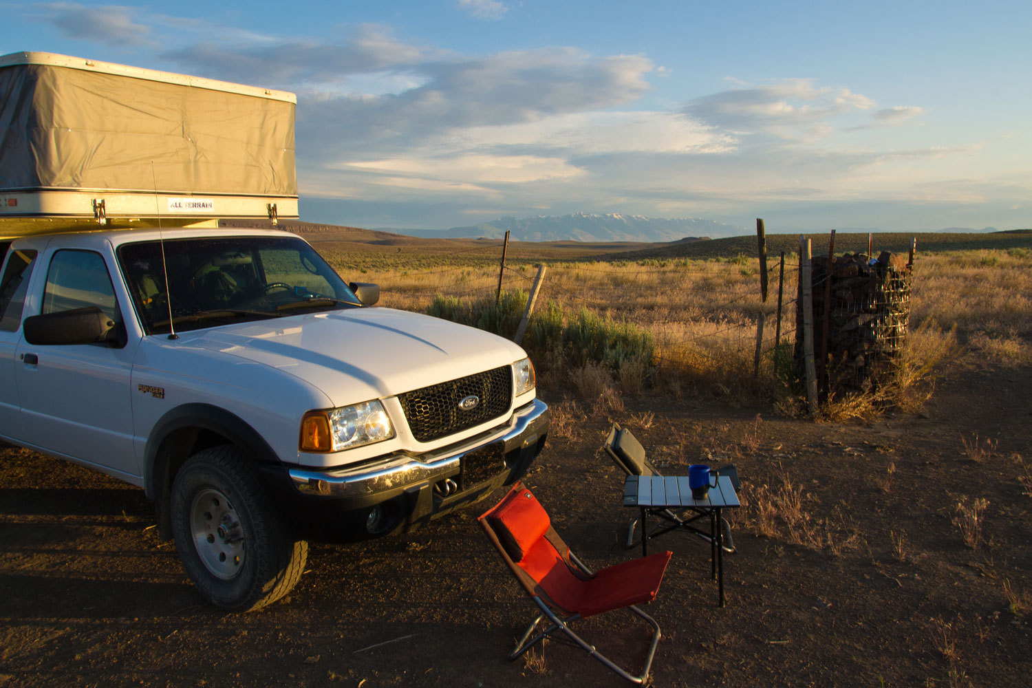
please remember you can click on a photo to see a larger version
We had some definite set plans but we also built a little time in for days with no set destinations. Some things worked out, others didn’t, but we sure got our feet wet and discovered new places we will return to. This trip approached epic adventure status.
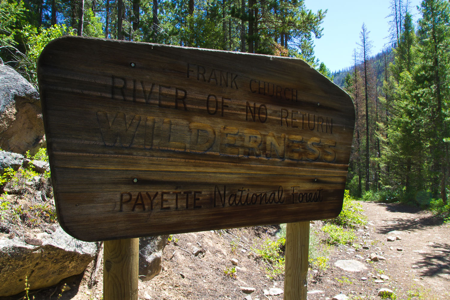
Our two
fixed plans were a backpacking trip into the Frank Church Wilderness followed
by another into the Sawtooth Wilderness of central Idaho. We enjoy the travel
to and back almost as much as the main destinations. We hate the Interstate so
we devised an interesting route to get us to McCall, Idaho and our rendezvous
with our companions on our trip into the “Frank,” brother “Fastshot” from
Colorado and my cousin from Washington, “The Big Guy”.
We headed
out early and did our first breakfast on the road at the Roadrunner in Dayton,
Nevada. From there we headed through Fernley, Nixon, past Pyramid Lake, made a
stop in Gerlach, and on to lunch in the central park in Cedarville, California.
From there we headed through Vya, Nevada and across the Sheldon Wildlife
Refuge. If you’re thinking about visiting Sheldon, I’d hold off until the
pipeline project is done. Driving down a graded dirt road with a posted speed
limit of 40 mph and being caught and passed by many construction vehicles,
including 18 wheelers, going 60 to 65 mph was a bit of a distraction. We
stopped at Virgin Springs and decided to go a bit farther. Topping the gas tank
off at Denio Junction with expensive fuel was worth it to visit with the folks
having their evening beverages outside and listening to them swapping stories
with one another. The Lady talked with the women folk inside the bar (a
bathroom break) and came back with the information that the county road we
wanted was not marked with the number but was called “White Horse Ranch Road”.
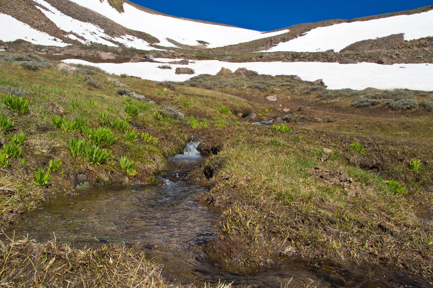
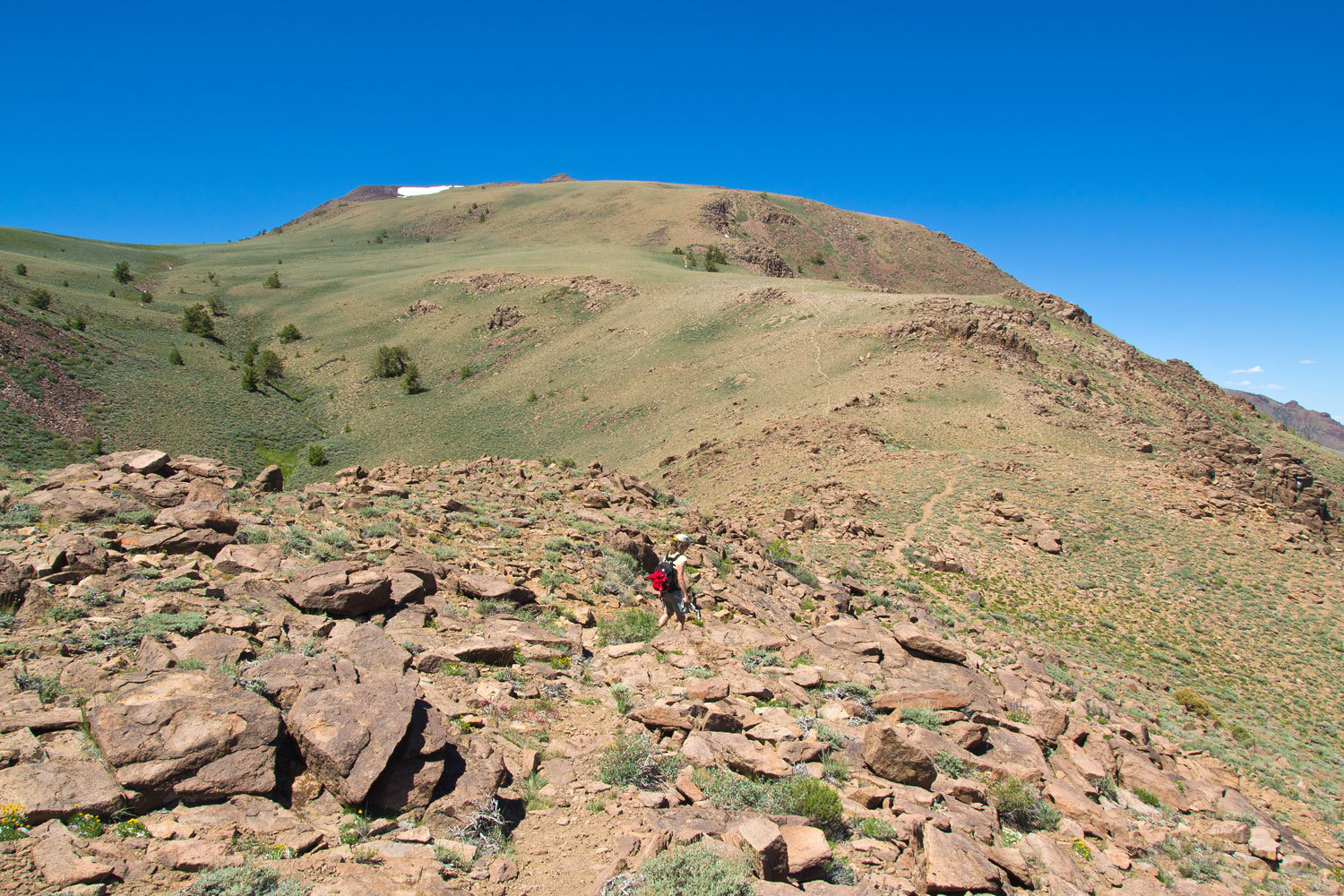
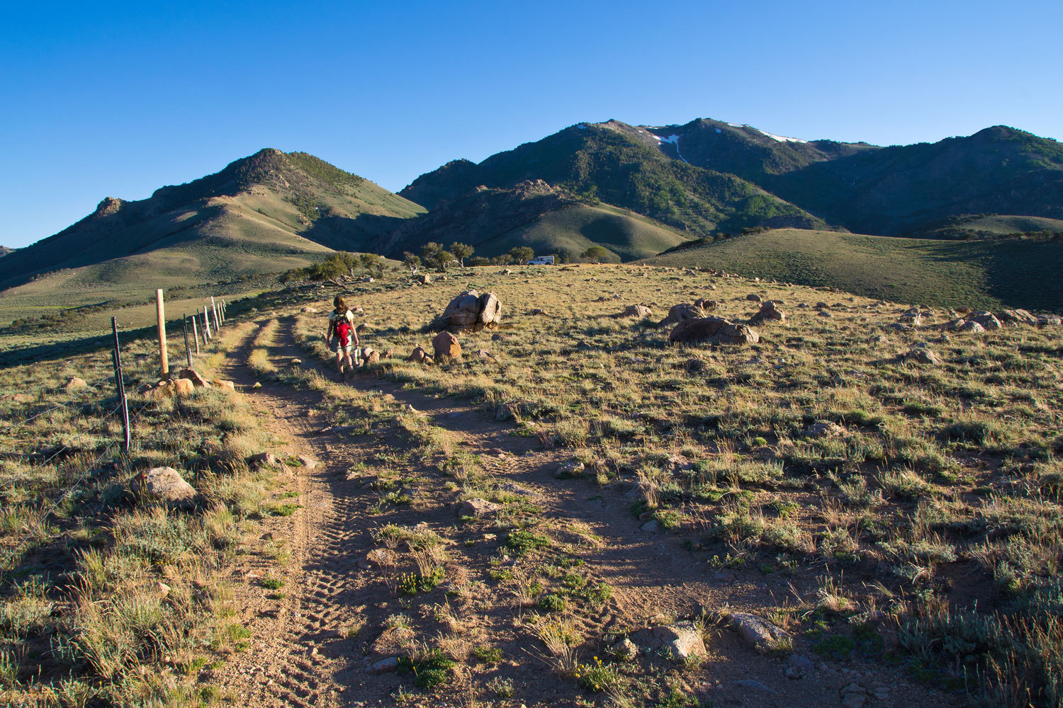
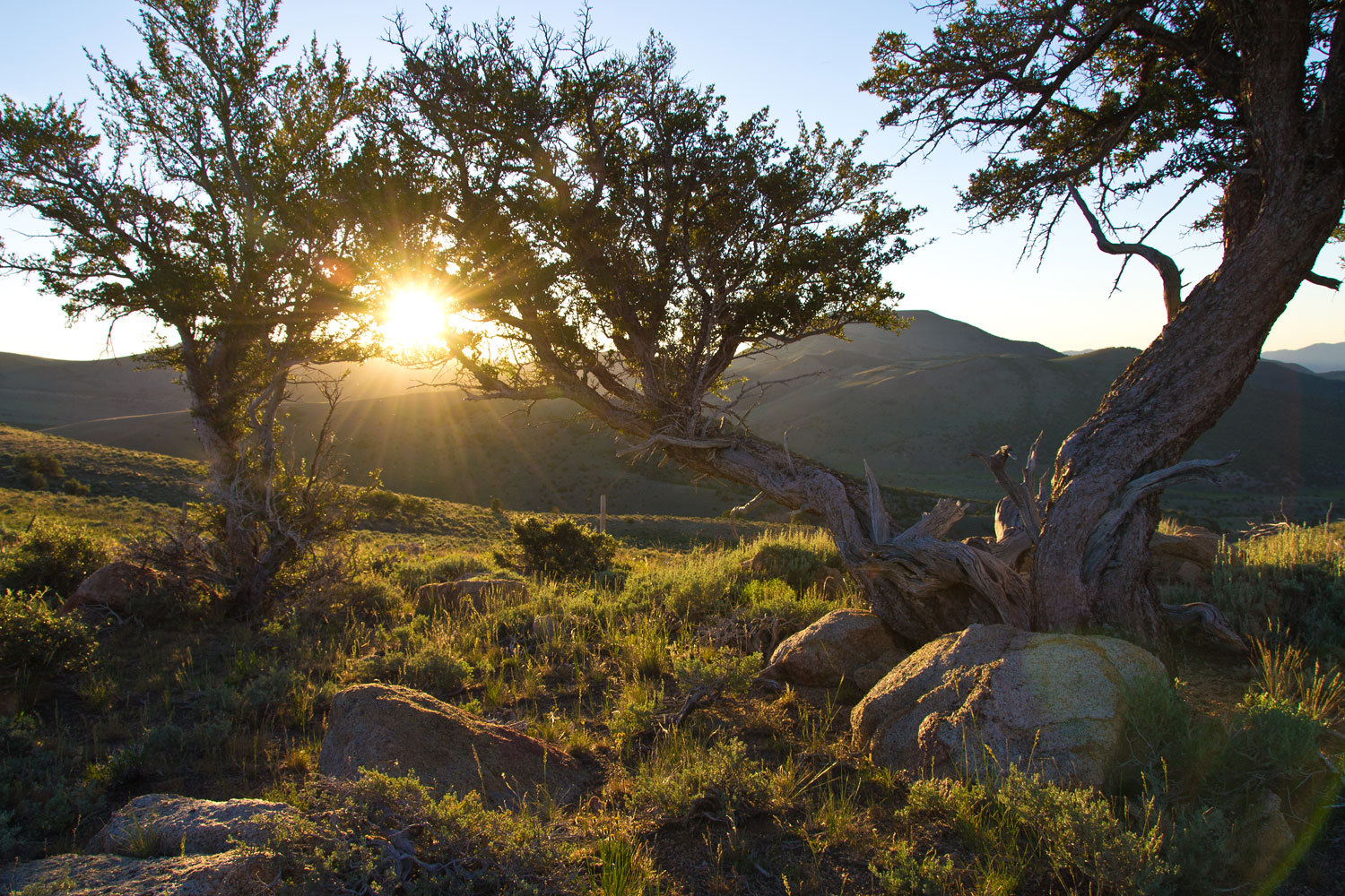
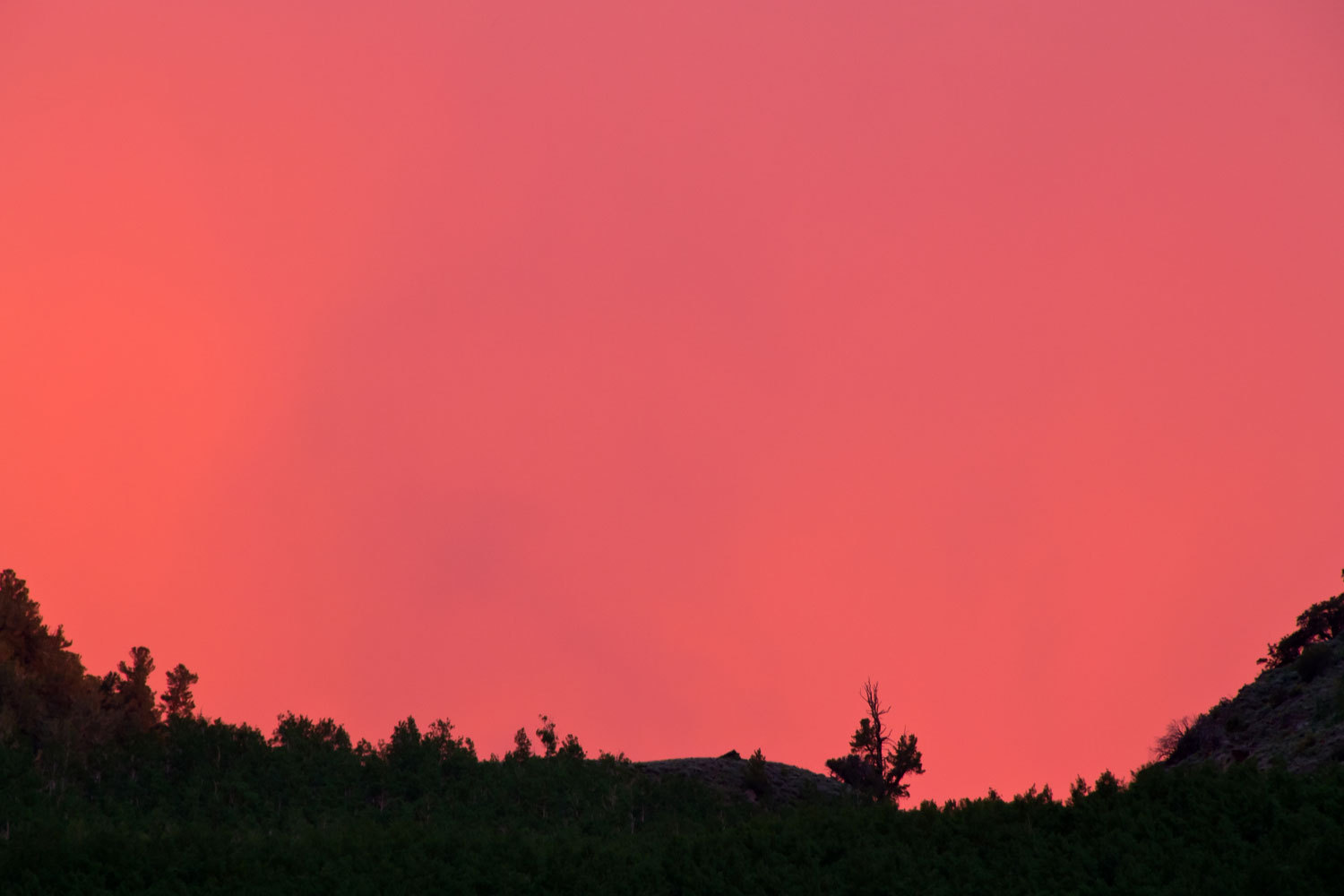
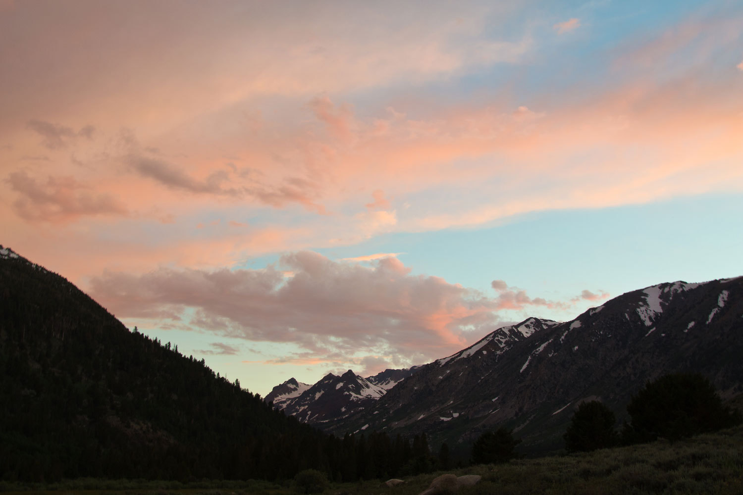
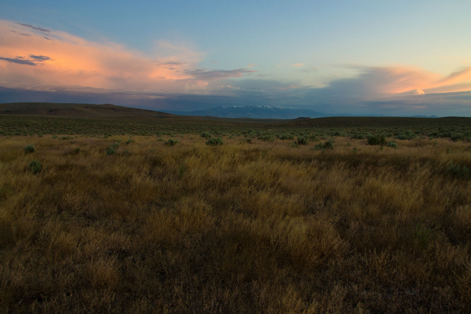
We were looking for a spot for the night high up in the Trout Creek Mountains
of southern Oregon. We hit the top and spotted a two track dirt road that
headed down a line fence. The gates were posted as BLM land. We drove about 3
miles and came to a plateau that offered a view to the northwest of the eastern
escarpment of Steens Mountain. This would do!
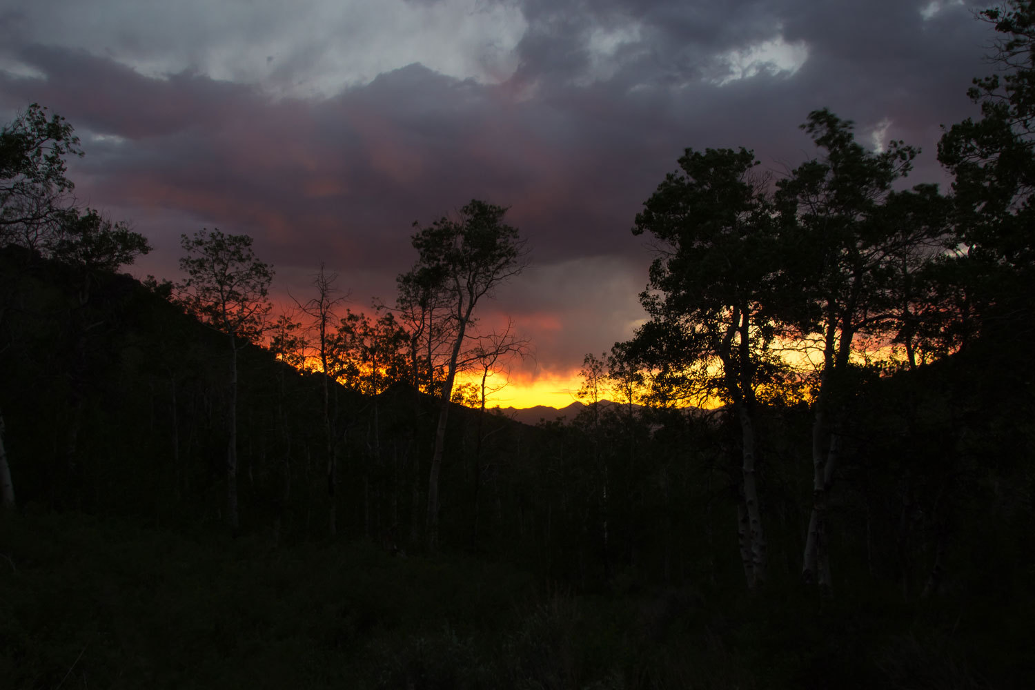
We set up
and enjoyed dinner. On our evening walk we watched a large thunderstorm moving
to the north. Overnight we were hit hard with an impressive storm that was
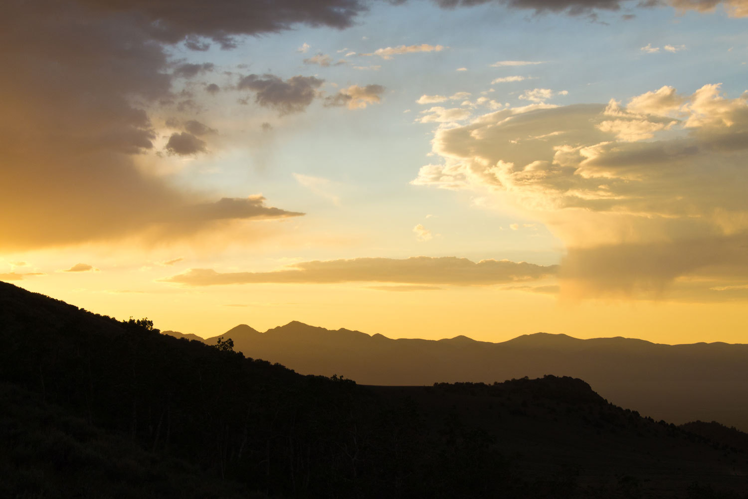
still lingering at sunup the next morning.

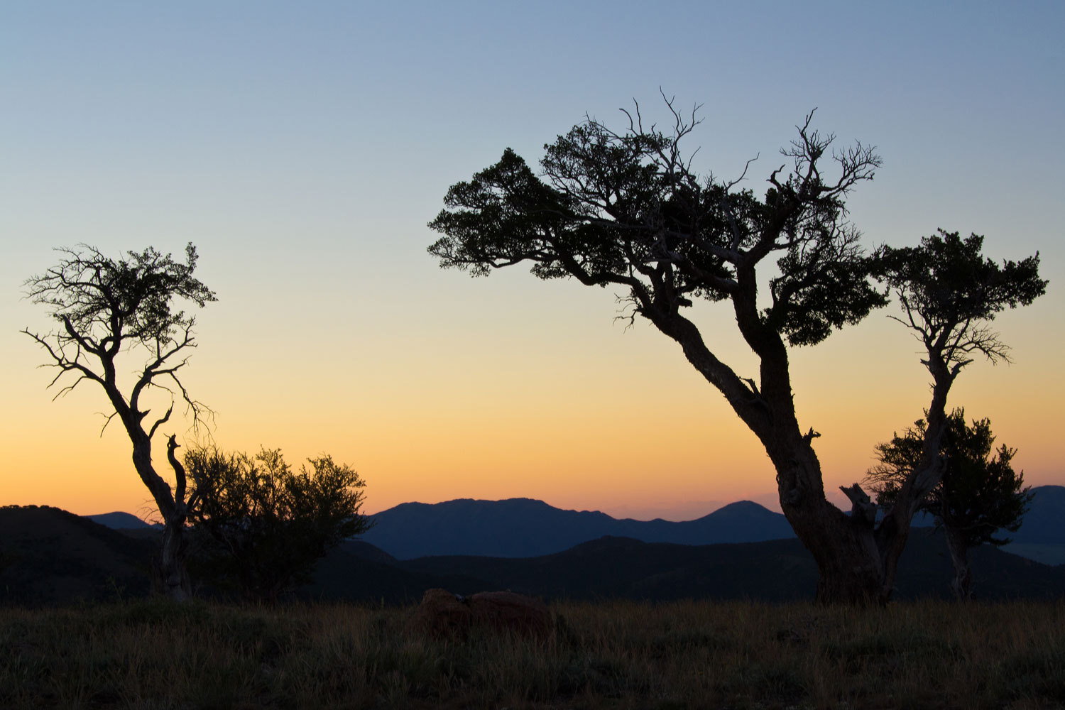
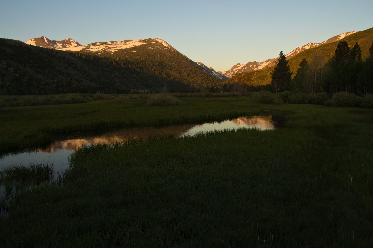
First light
on Steens Mountain.
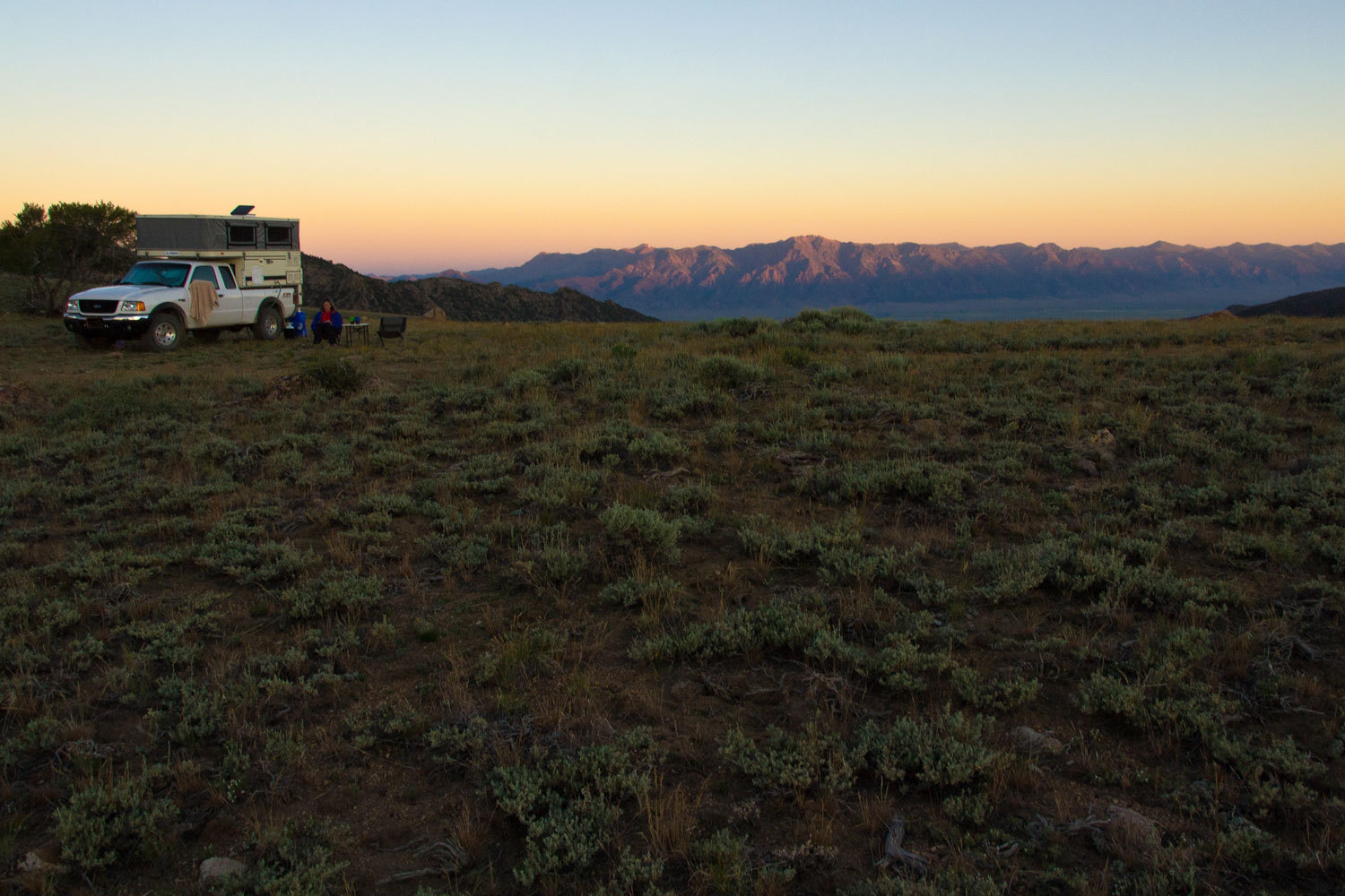
As much as
we enjoy our customary first breakfast on the road in small town café, nothing
beats a breakfast spot like this watching a sunrise all alone.
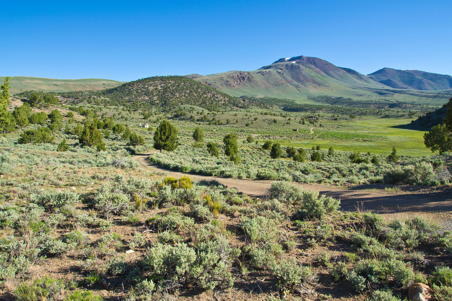
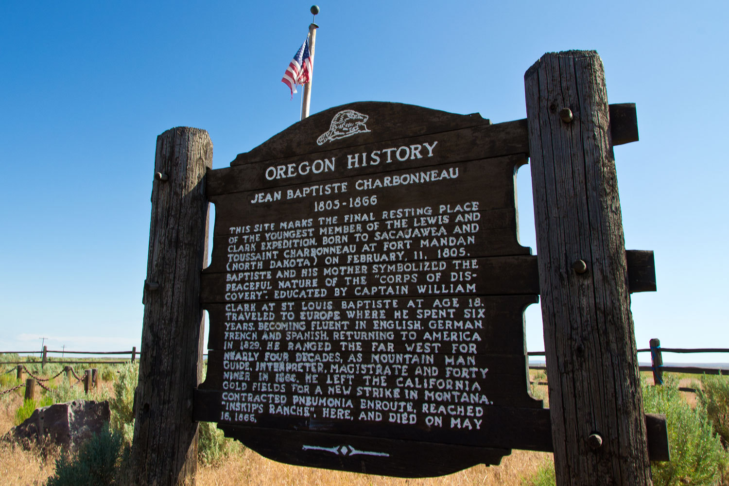
From here we
headed down past the White Horse Ranch

and
continued to find historic spots to stop at along the way.
We filled up
the gas tank in Jordon Valley and headed north on the dirt road to Succor
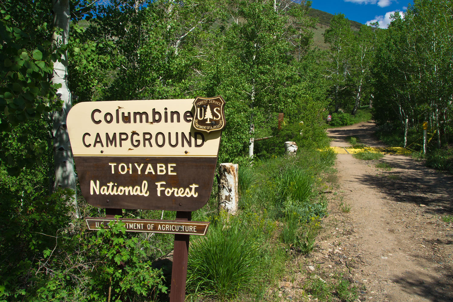
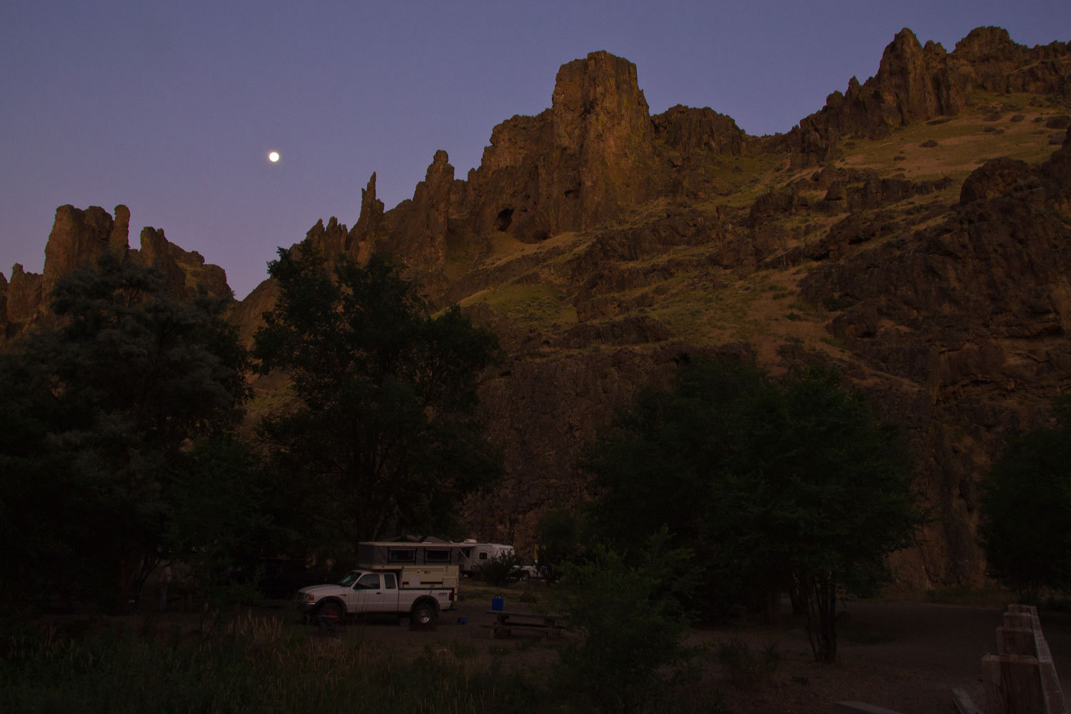
Creek, one of Dirty Dog’s recommended spots.
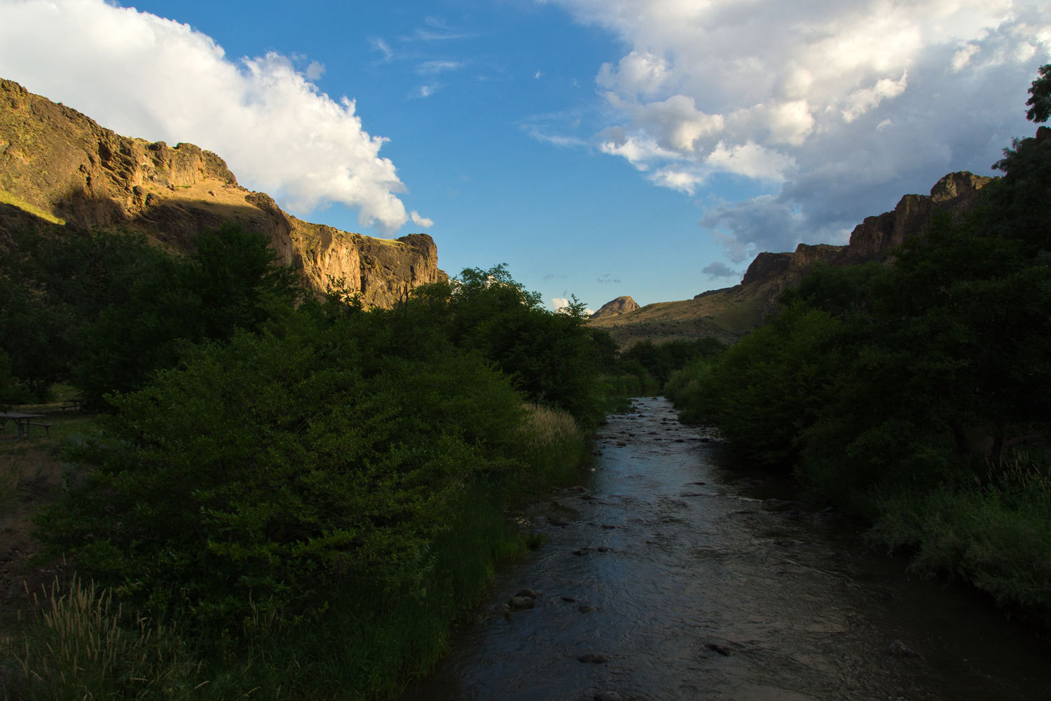
It is an
interesting geological area so we settled in and spent the night. We were up
early enough before sunup that a photo of the setting full moon was in order
over our campsite.
It was now
Sunday and time to head to McCall and rendezvous with the boys. There must be a
brew pub in McCall. We figured that’s where we’d find them.
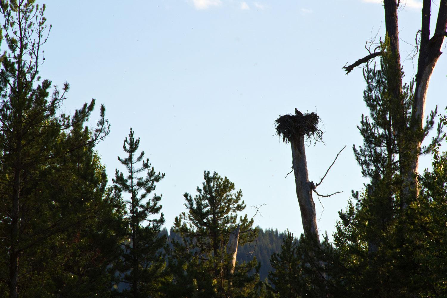
Ospreys are
about our favorite birds. They fish with reckless abandon. Getting the fish is
their main focus. They plunge into the water. Getting back out and getting
airborne again looks secondary. They are so successful, bald eagles, our
national symbol; get most of their fish by stealing from osprey. That just
seems fitting on so many levels…………..
Our most
memorable osprey experience was in Cooks Lake Basin in the Wind Rivers several
years ago. A pair of osprey were teaching their offspring to fish. When the
young ones would hesitate to dive a parent would knock them out of the sky into
the water. We roared with laughter as it happened over and over and delighted
in witnessing this event.
McCall sits
on the south end of Payette Lake. It is beautiful country and an incredible
location for this small city. Late afternoon after meeting up with our
companions, we were sitting in Rotary Park right on the lakeshore. Motorboats
running across the lake, families enjoying the water at the beach, people
disregarding the “no dogs on beach” signs, and ospreys picking off trout all
caught our eye. The ospreys would rotate their catch in their talons until the
trout was head first and aerodynamic as they headed toward us and flew
overhead. As we sat we could hear the distinctive osprey “chirp”.
Investigating, we saw the nest was in the highest fir, right in the park. You
got to like a town with an osprey nest right in the middle of the park where,
without concern, the adults rip fish apart and feed their young.
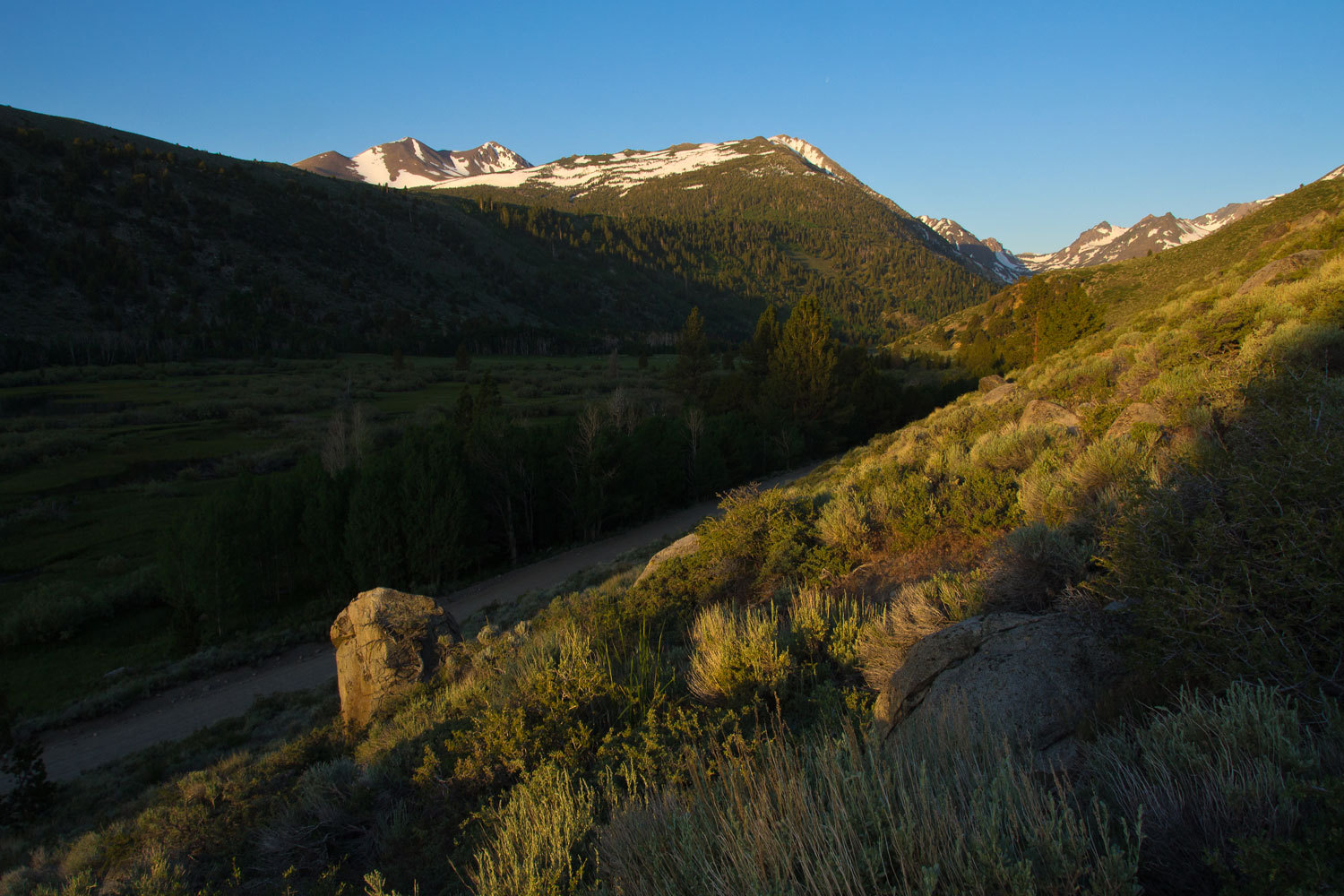
The next
morning we had a long drive to the trailhead at Big Creek. The estimate I had
heard for taking the 65 mile drive was 2 hours. It took us 3.5 hours to go the
75 miles.
Do this
drive. It is spectacular. We took Lick Creek Road east out of McCall. Soon it
turns to dirt and then gets narrower and narrower as it climbs. It crosses the
divide between the Payette River drainage and the Salmon River. We were stopped
at this pass as a grader opened the road. The long hard winter snows we had
here at home was also felt here in the Idaho high country. From the top the
road makes a long descent until hitting the South Fork of the Salmon River. We
were heading to the small hamlet of Yellow Pine so we took the road up the East
Fork of the South Fork of the Salmon. All rivers were high and roaring. There
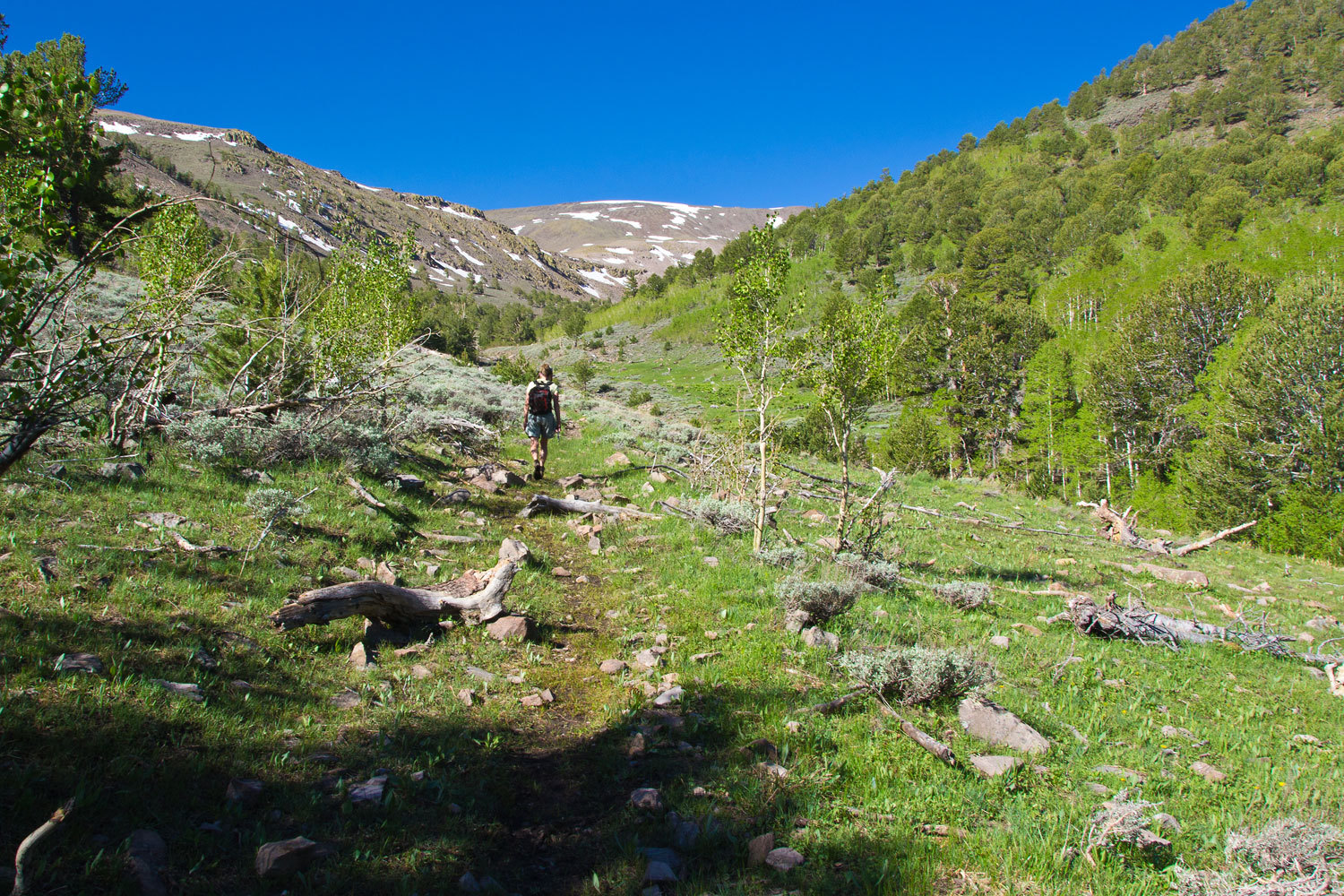
is much opportunity for dispersed camping in this area of the Payette National
Forest. This would make a great place just to wander in, explore, and enjoy.
More on
Yellow Pine later.
Just past
Yellow Pine we turned northeast on Big Creek Road. This road climbs out of the
South Fork drainage and crosses a high pass and then down into the Middle Fork
Salmon River drainage. It is a steeply climbing dirt road. We were stopped by a
road crew with an excavator repairing damage caused by two huge landsides. This
road was just opening up also.
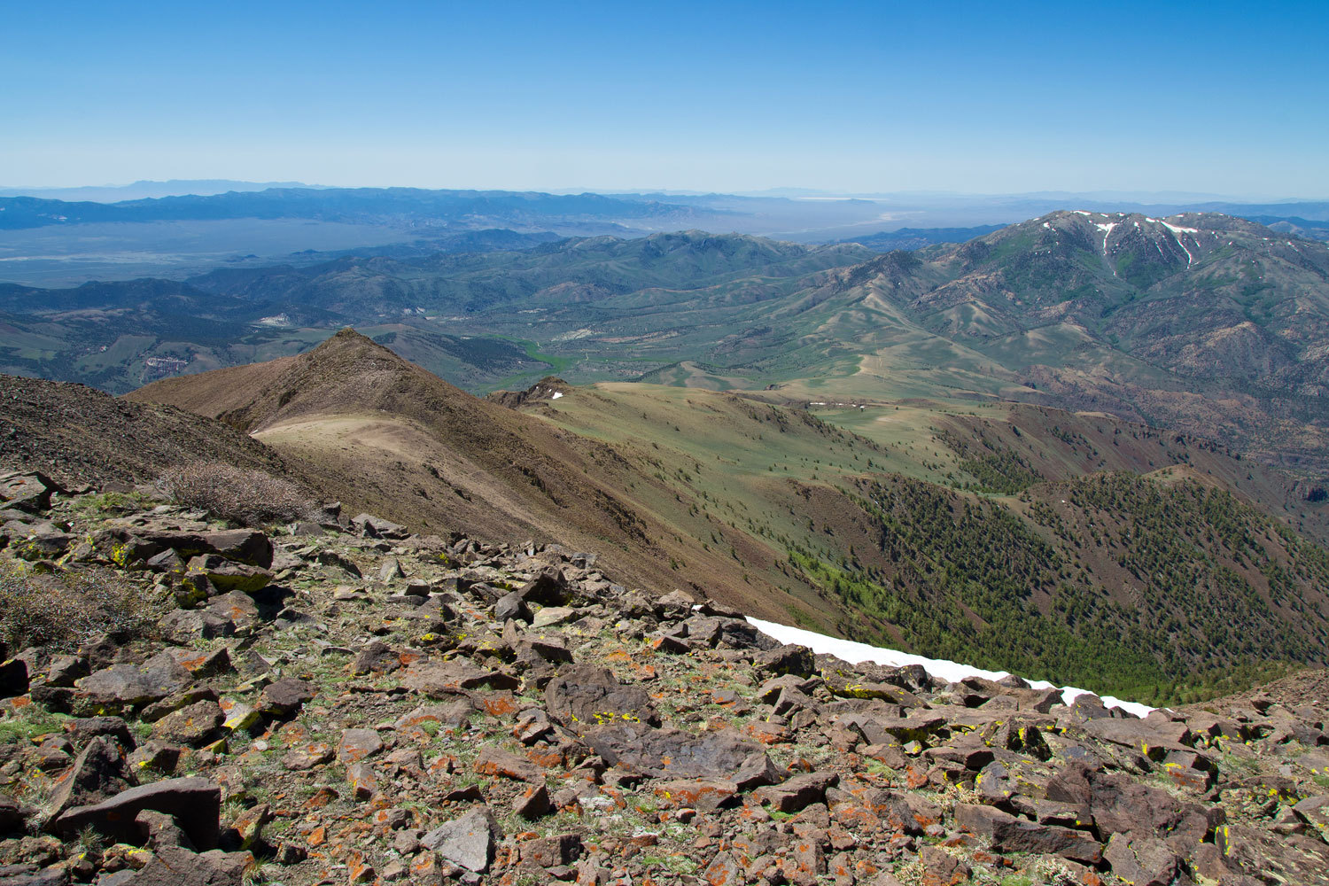
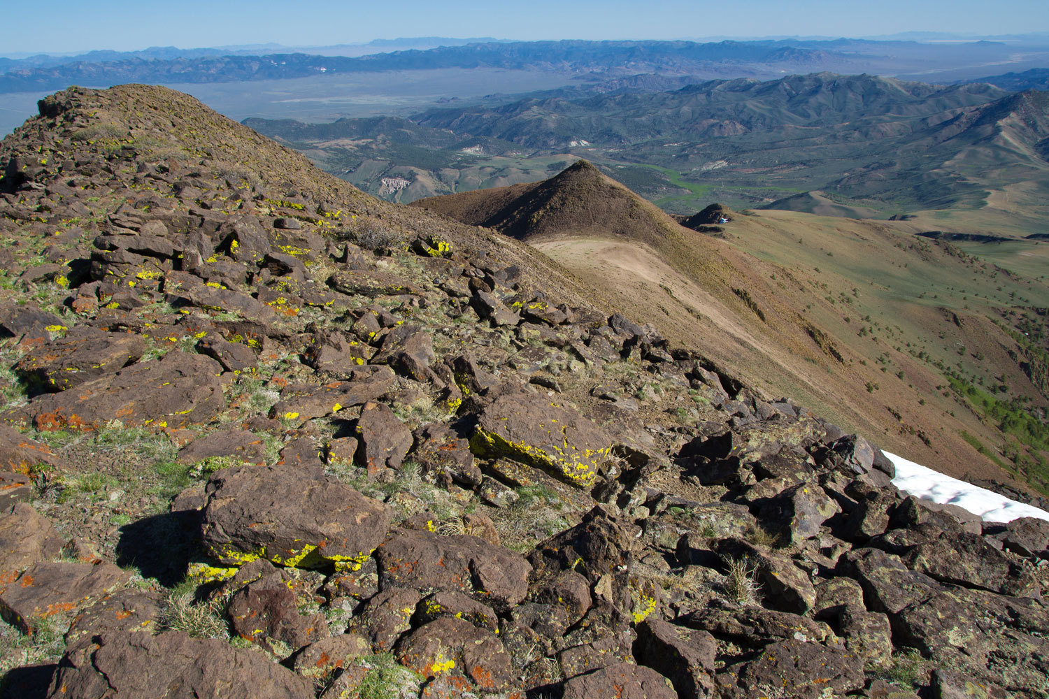
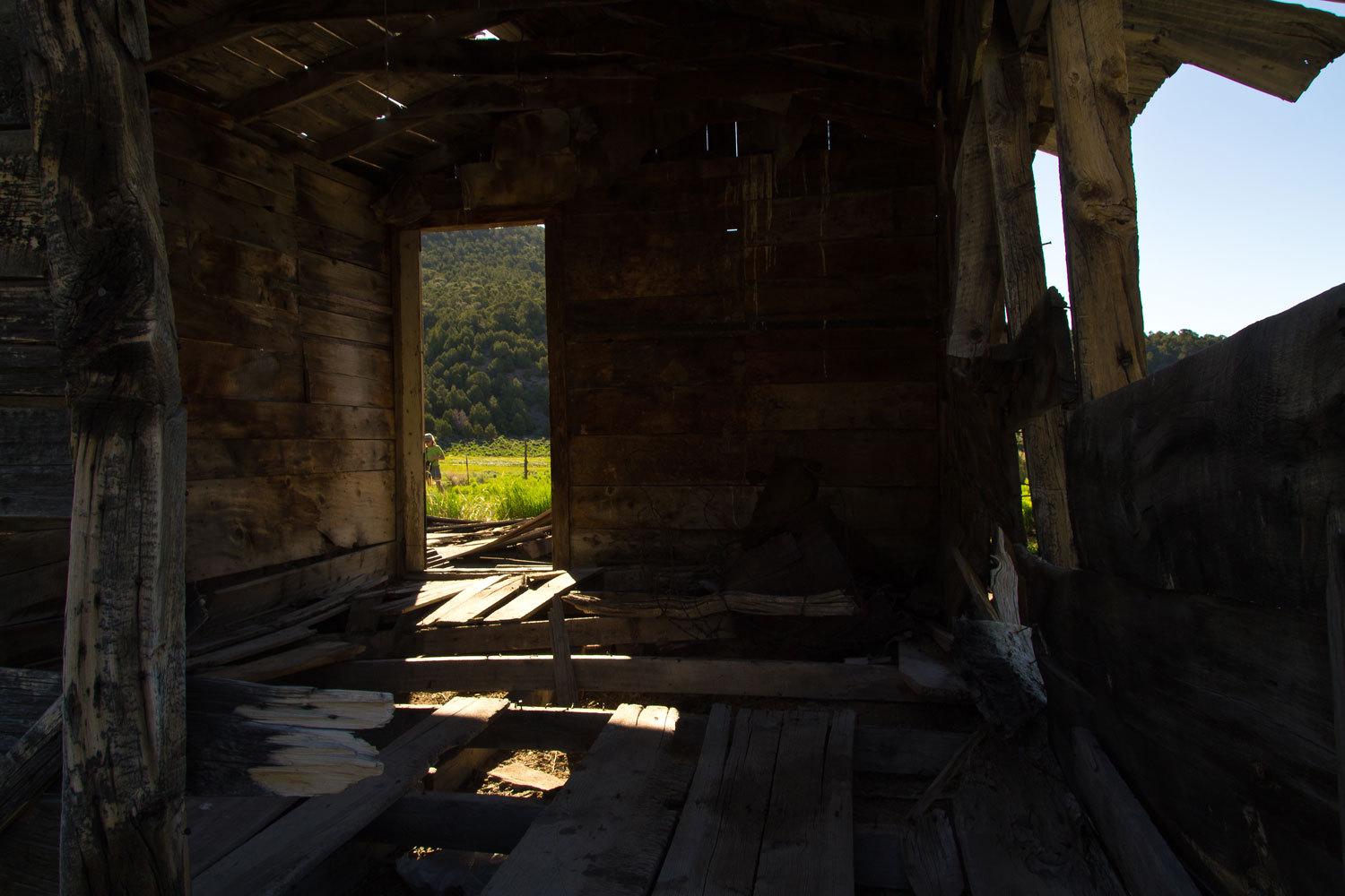
Go to Big
Creek. The road drops into Big Creek Valley (a major tributary to the Middle
Fork of the Salmon). It is really pretty country far away from anywhere. There
is opportunity for dispersed camping.
You come to
the settlement of Big Creek itself and at the end of the road is the airstrip.
This is a different world, a backcountry grass airstrip in the bottom of a remote
canyon, and incredible mountain homes that people who pay tax attorneys rather
than taxes access with their private planes. It is a hell of a long ways out
there.
Our
destination was the Big Creek Trailhead just past the airstrip.
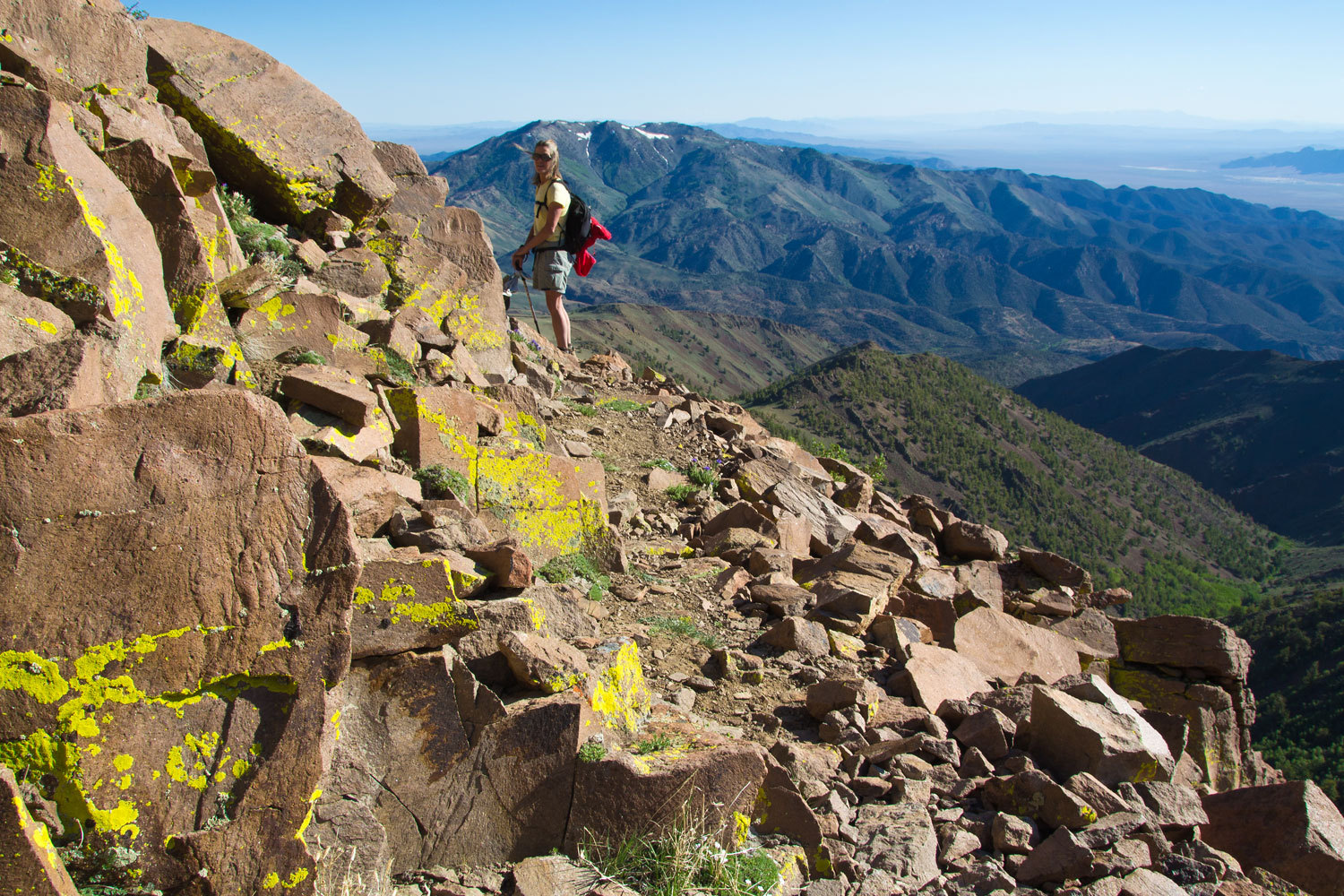
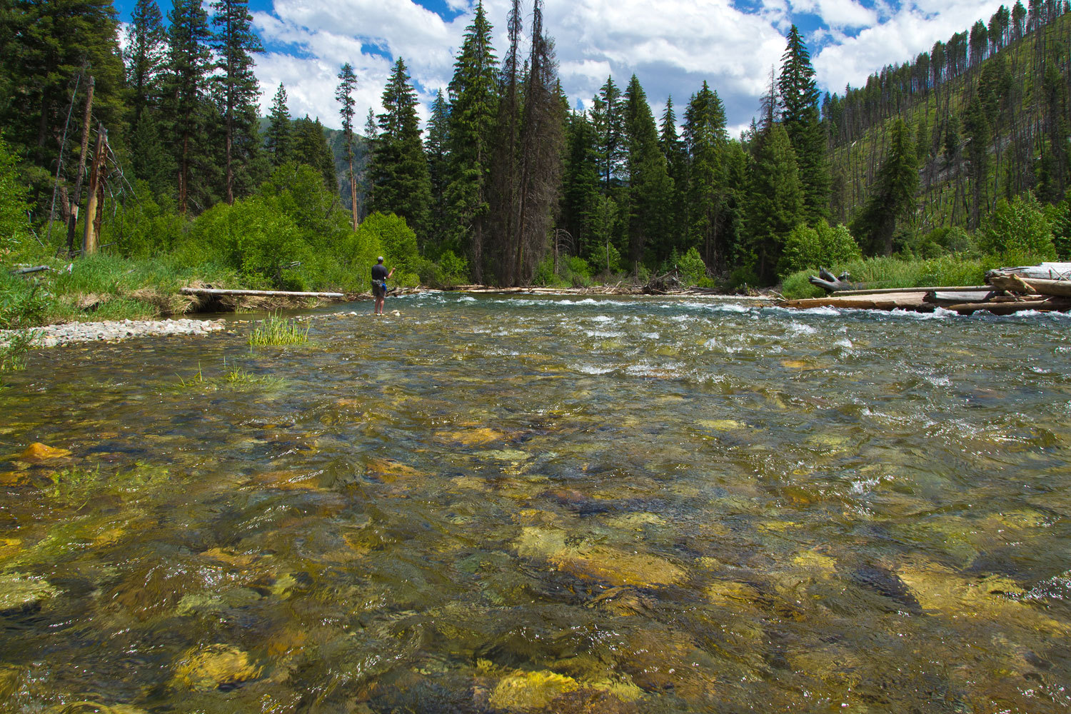
Big Creek is
special water for wild native cutthroat trout, catch and release only, all 34
miles of it below the trailhead before it joins the Middle Fork. This is why we
were here.
Unfortunately,
we picked the wrong year. Big Creek was not a big creek; it was a huge roaring
torrent of a river. It was dangerous as others had apparently found out.
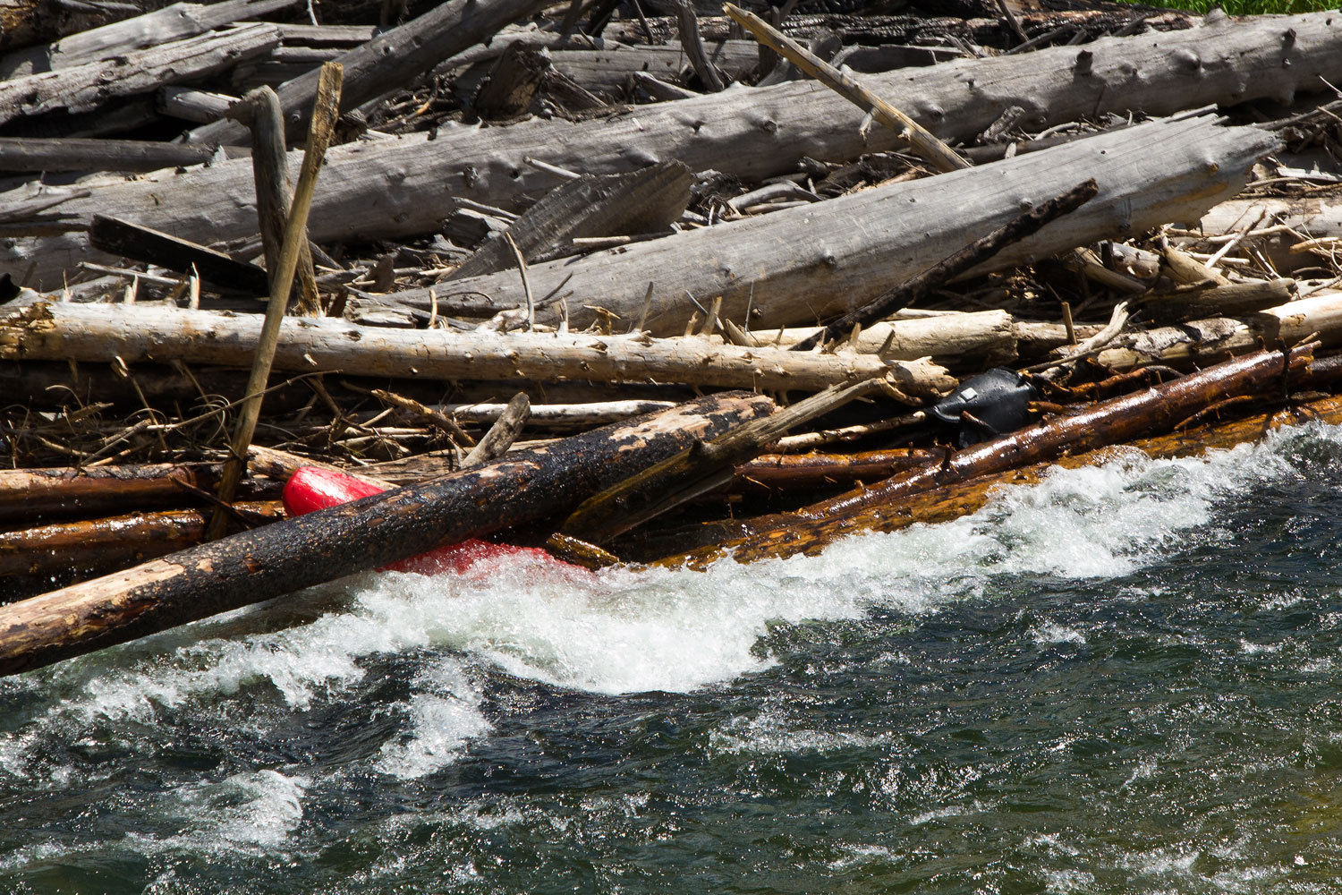
Wade into
this river to fish, if you got knocked off your feet, you could die. It was six
miles down before we found the first fishable water.
And, it was
here we met the two characters, one from Spokane with his buddy from Tennessee.
They had their backpacking camp set up above this spot. As the Big Guy and I
approached, they were in a loud, friendly conversation with each other. They
each were enjoying a can of beer.
“Oh, were
sorry!” one of them said when they saw us. He said it in such a way that I was
more than a little curious about the subject matter of their conversation we
had missed.
The Big Guy
has a nice way about him and soon had them chatting. We learned they had been
here two years ago. One of the fellows gave a long and impressive list of
places he had fly fished in the west and he concluded with the statement, “On
our last trip this was the best fishing of my life, but, not this year! The
river is more than twice as high. The brush along the river is three times as
high and awful to get through and then you don’t dare go in the water, you
could die. Did you see that kayak trapped in that log jam?”
“This spot
below you is the first fishable spot we’ve seen. Can you get down to the water
here?” I asked as I looked at an apparent steep trail over a huge downed log.
“Oh, it’s
awful dangerous but you might be a bit spryer than me.”
“Big Guy, we
can make it. Let’s give it a try down here.” I said after I dropped over the
top of the log.
At the
water’s edge we found a corral of sorts made out of rocks that held four
floating cans of beer, cooling in the cold river. After we passed and moved out
to the main river, one of the fellows easily climbed down, grabbed the beers,
and headed back up.
The Lady and
Fastshot joined us. The Big Guy hooked a stout feeling trout that he got a
fleeting look at. It easily broke off in the heavy current.
As we
climbed back up, we saw that, indeed, the cooling beers had been saved from
possible theft, but we also saw hidden back in the brush three 18 can cases of
Coors Light.
Big Creek
looks like it could be an incredible wilderness fly fishing Mecca,
unfortunately, not this year. The Lady and I will return.
I kept being
reminded of one of my favorite lines from the movie, Tremors, “We picked the
wrong damn day to leave Perfection!”
At least
below our campsite was an osprey nest.

These two
parents were not as accustomed to people as the McCall osprey. We all got
strong warnings not to come too close.
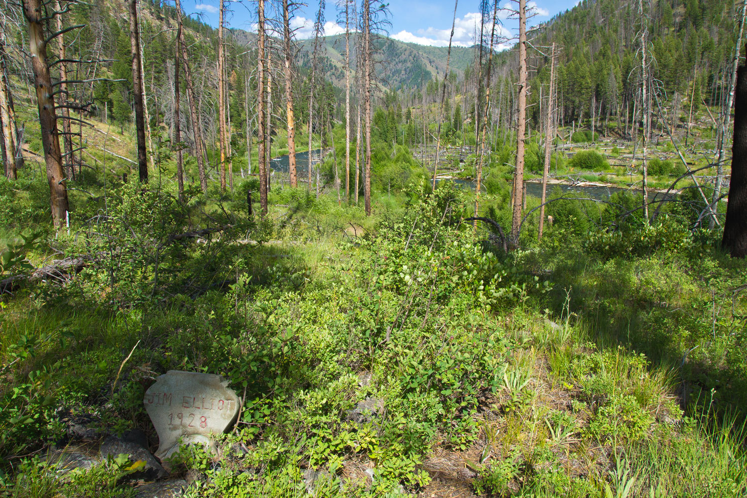
The Lady was
our navigator with the 7.5 quad on our Big Creek adventure. Showing on the map
about a half mile below our camp was a small “x” and the word “Grave”. On our
last evening we went searching.
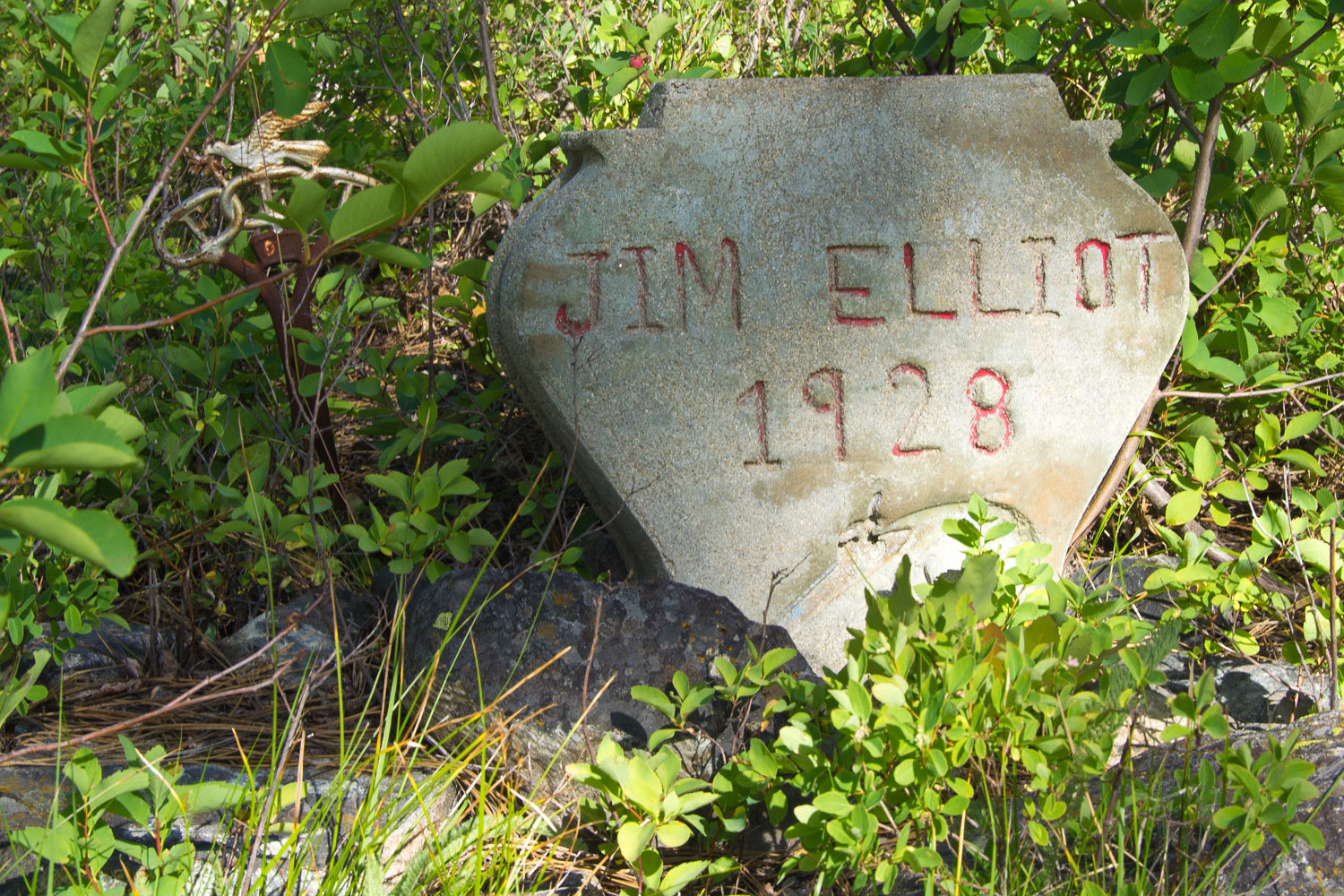
Not bad for
a final resting place.
Fastshot
noted the small flintlock pistol impression adorning the concrete headstone.
One word of
warning about this area, several fires had burned through in the past and trees
are falling everywhere, even green ones are falling over or breaking off. Even
with little wind we heard and saw trees just come down. On our final night in
the canyon a small thunderstorm went through. The sound of falling trees was as
loud as the thunder. This is a dangerous and scary place. We decided to go out
a couple of days early.
This brings
us to Yellow Pine. As we left the beer camp, the Big Guy chatted more with the
two characters. They told us about Yellow Pine and hearing that we had just
driven by on our way in, said we really needed to stop and to be sure and check
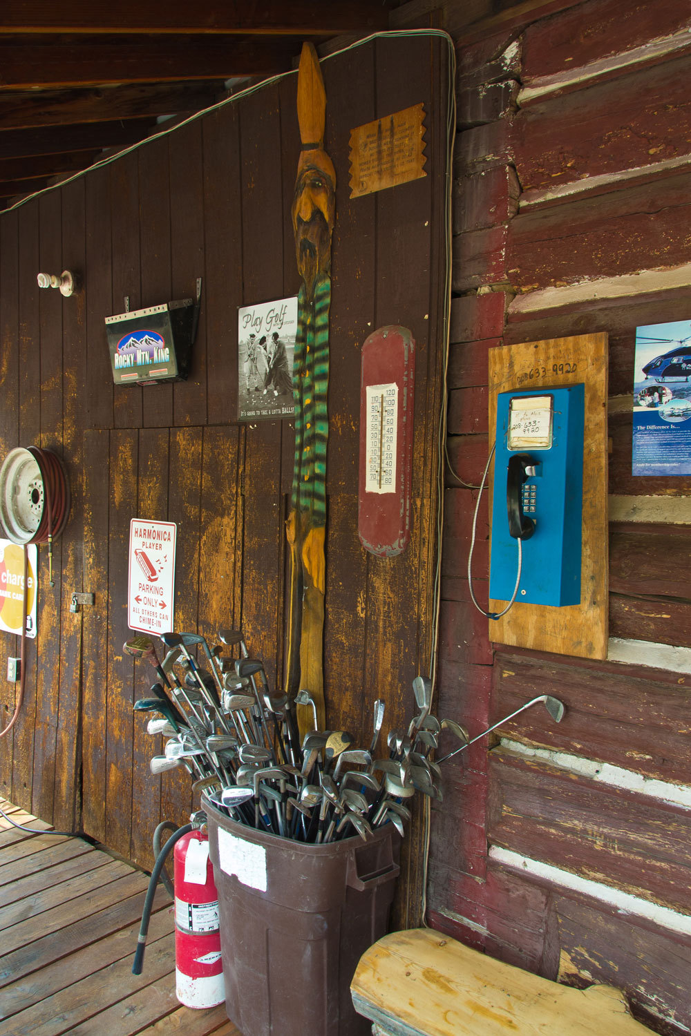
out the nine hole golf course.
“You have to
ask at the general store where it is and you have to check at the Silver Dollar
to find out when the general store will be open,” they told the Big Guy.
Main Street
Yellow Pine, Idaho
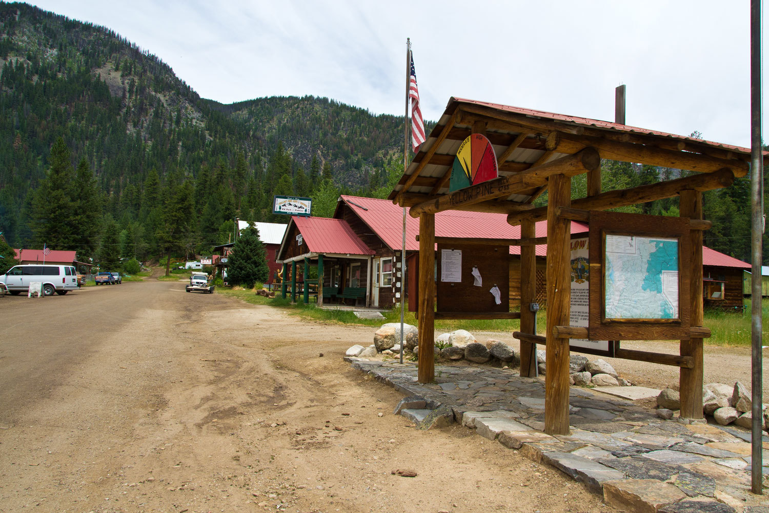
The General
Store……………..
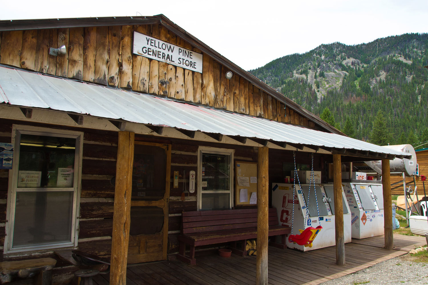
……..wasn’t
open but there was a fellow and his border collie sitting outside at a table.
“How you
doing today?” I asked.
“I love
border collies!” the Lady added.
“Thanks,
she’s a good dog,” the man replied.
“Full of
energy? I bet she can jump! She’s pretty!” the Lady continued.
“Yup, you
got that right,” he answered.
“What you
working on?” The man had his laptop open.
“Oh,
checking my emails.”
“What?” I
was surprised.
“Yeah, who’d
have thought? It was just a few years ago Yellow Pine got phone and electricity
out here. Now they have Wi-Fi.”
“Know when
the General Store will open?” I asked
“Gotta check
up the street at the Silver Dollar. I’m just down here using the Wi-Fi.”
“Where’s the
golf course around here?” I asked.
“I don’t
know but I do know they got a bunch of clubs there you can use if you didn’t
bring yours.”
The Lady and
I had already stopped and talked with two women in front of the Silver Dollar
Bar & Grill. They had asked where we were from, what we were up to, and if
those other two fellows were with us. We filled them in and then walked down
Main Street. We noticed right away that after we left other locals walked over
to the women to find out about us. They were filling in one gentleman about us
when we returned from the General Store.
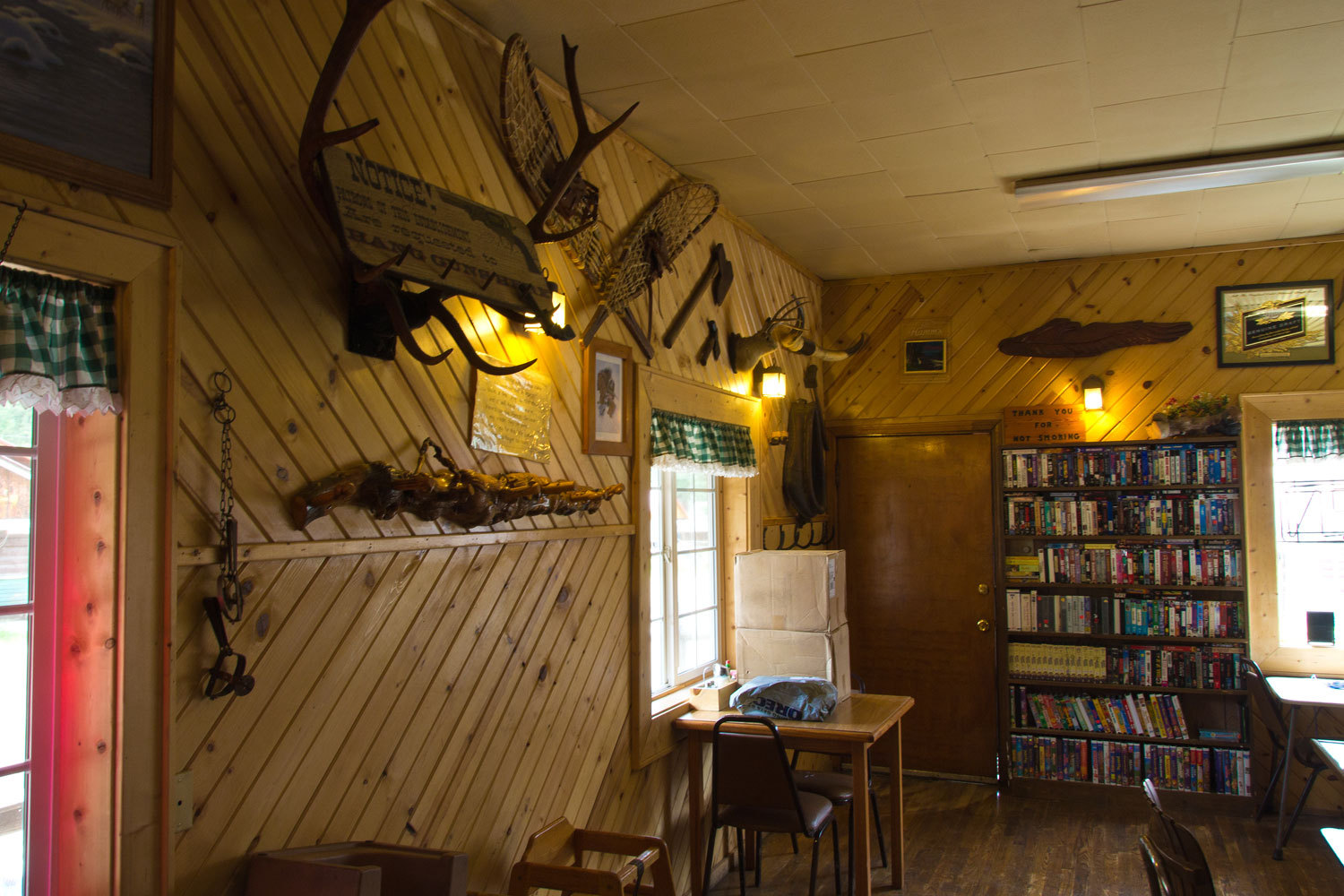
Yellow Pine
is just a fun town.
“Your two
buddies are inside having a beer and Joyce is making them a burger. Joyce might
know if the General Store might be open sometime today if you need something,”
one of the women filled us in as the other finished up telling the gentleman we
were from California.
We joined
the boys inside the Silver Dollar.
After lunch
we said good bye to the two nice women outside as we left. They hadn't moved.
“You coming
back for the harmonica festival? It’s the first weekend in August,” one woman
asked.
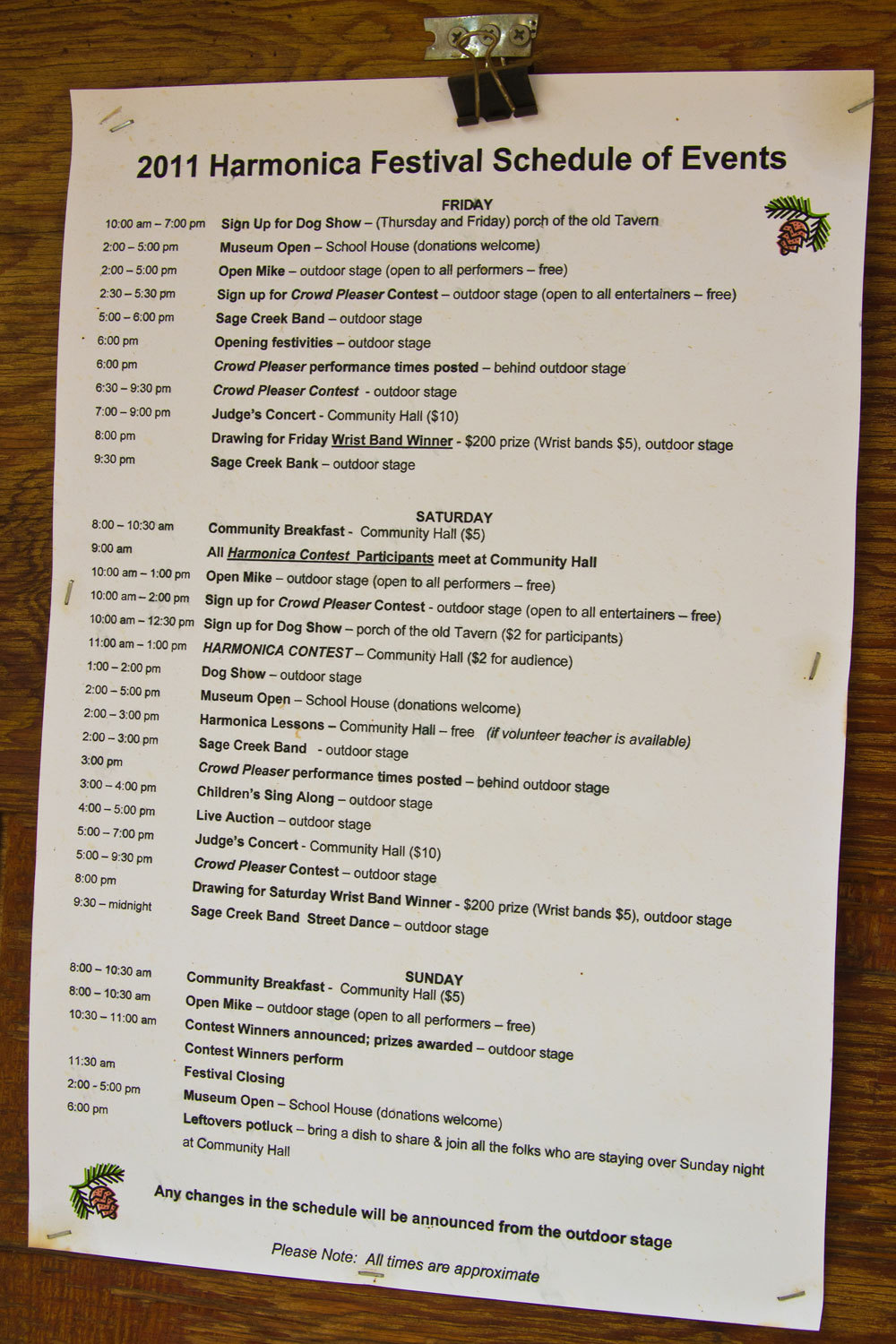
As we
continued our Idaho adventure we were occasionally asked, “You going to the
Harmonica Festival in Yellow Pine?”
We really
liked Yellow Pine.
Well, what
to do? We had come out of Big Creek early and we still had a couple of days to
spend with Fastshot and The Big Guy. We spent one day on the East Fork of the
South Fork of the Salmon down from Yellow Pine. It was high but somewhat
fishable. Small steelhead smolts would hammer our flies, but none of us brought
up any big fish.
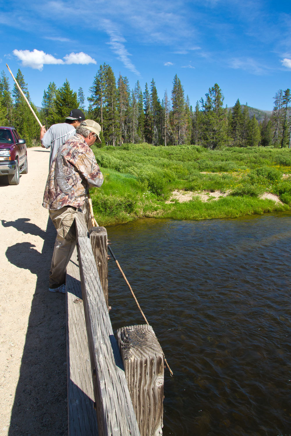
We headed
back to McCall via the South Fork of the Salmon River and the road to Cascade.
It’s a longer drive but not as rough as the Lick Creek Road. In McCall the boys
hit the brew pub and the Lady and I hit the grocery store for fresh grub and
bag of briquettes. The fellow at the fly shop suggested we fish the North Fork
of the Payette River just south of McCall.

There is a
piece of public land, BLM, and dispersed camping is allowed. We found a nice
campsite, the water was warm, the fishing not so good, but we roasted fresh
sweet corn on the coals, had a crunchy salad, and we provided the boys with
Bitch Creek beer brewed in Driggs as the osprey kept watch.
The next
morning we said good bye to the boys. Fastshot was heading home and then to his
father-in-laws’ ninetieth birthday party in southern California. The Big Guy
headed to central Oregon in search of serious trout where an eight pound, 23
inch wild rainbow counted as the high point.
The Lady
& I hit the Laundromat to freshen up our backpacking clothes, repacked our
packs, and got ready for the second phase of our trip. We headed out from
McCall about midmorning with a full tank of gas. Our route was the Warm Lake
Road east from Cascade, past Warm Lake and over the divide to Johnson Creek
where we would hit the Landmark Stanley Road. This is mostly dirt and about 100
miles to Stanley. It was an enjoyable drive through beautiful country. It was
also busy with people camped in almost every dispersed site along the way. The
country was particularly nice over on the Stanley side, especially Elk Creek
and Bear Valley Creek. These are creeks that flow into the Middle Fork of the
Salmon and are all a wild trout and salmon fishery. Elk Creek and Bear Valley
Creek are meadow creeks with good spawning habitat for Chinook salmon that are
able to make it up over 700 miles from the Pacific.
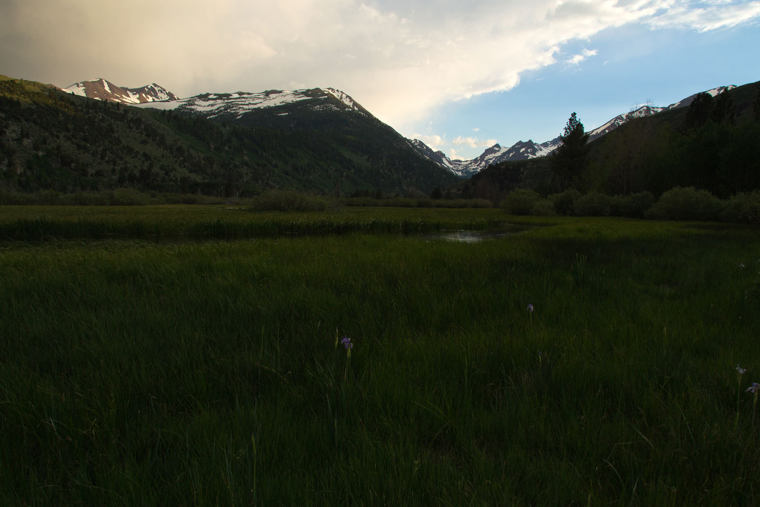
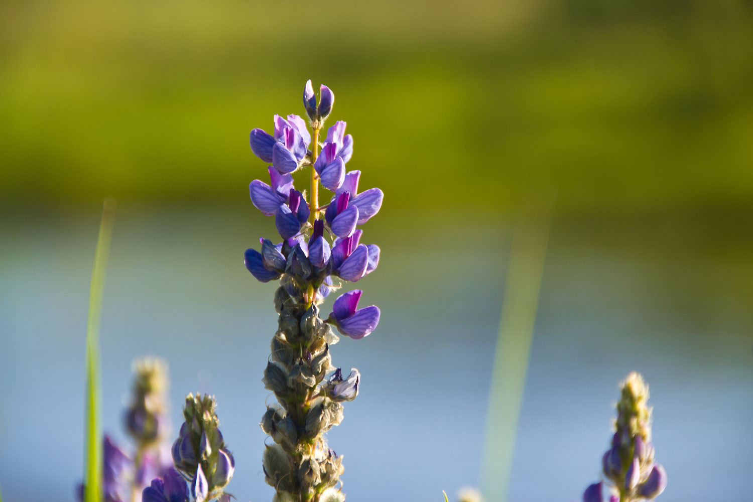
We found a
great campsite along Bear Valley Creek.
Tribal
fishing is allowed for salmon. I’ll let these pictures speak for themselves.

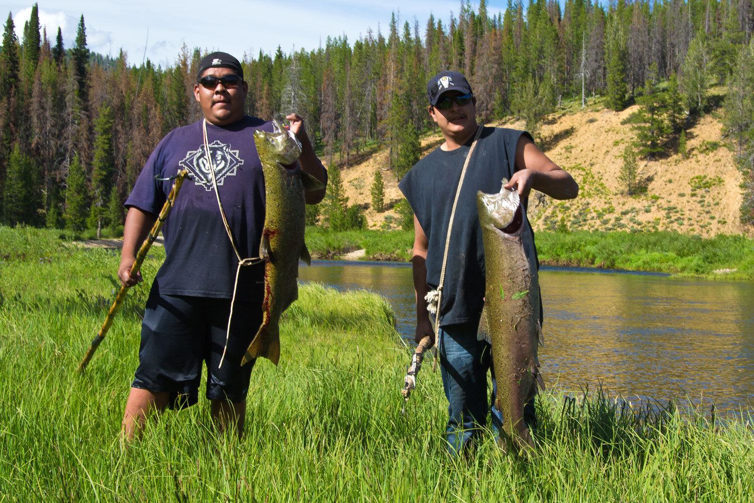
I asked for
and was given permission to take these photos. The Lady was brewing us a cup of
coffee when I noticed the Indians arrive to fish. She heard the yelling but did
not know what was going on. They moved on and I showed the Lady the photo of
the two young men with the Chinook.
“Oh my gosh,
oh my gosh! I have never seen a fish that big! I want to see a fish that big
alive in this beautiful water!”
After dinner
we quietly wandered the meadows and along the creeks. It was a beautiful night
in beautiful country.
Although we
searched a lot of water, we were unable to find a salmon for the Lady to see.
The next
morning’s sunrise over Bear Valley Creek.
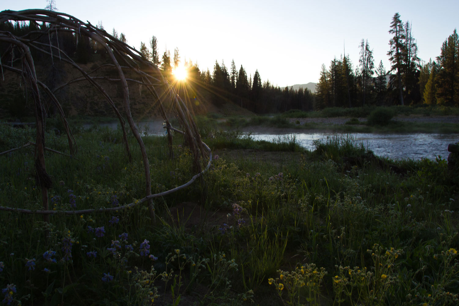
I don’t know
if the structure is a frame works for a sweat lodge or if it is a rack for
drying salmon. There is a rock fire pit in the center.