please
remember you can click on a photo to see a larger version & highlighted
text are links to additional information
Please click here for - Part Two
Leroy's Map
I had bought - and both Julie and I read
and enjoyed - Deb Fox's (Lake Bagger) graphic novel "The Man Who
Beat Death Valley" before we met her. William Manly (the subject of Deb's novel) and John Rogers
selfless rescue of the Bennet and Arcan families from Death Valley during the
California Gold Rush is one of the most endearing and heroic stories of the
American West. This incredible story needs to be remembered and shared with new audiences. What are my thoughts on Deb's book? This review aligns with mine
- San Francisco Book Review.
To sit in the evenings and chatter on
and on about history with Deb was a highlight of all our Death Valley
adventures. To join her and Steve in the Death Valley backcountry and search
for clues on where William Lewis Manly may have actually walked, well, that
just had fun written all over it.
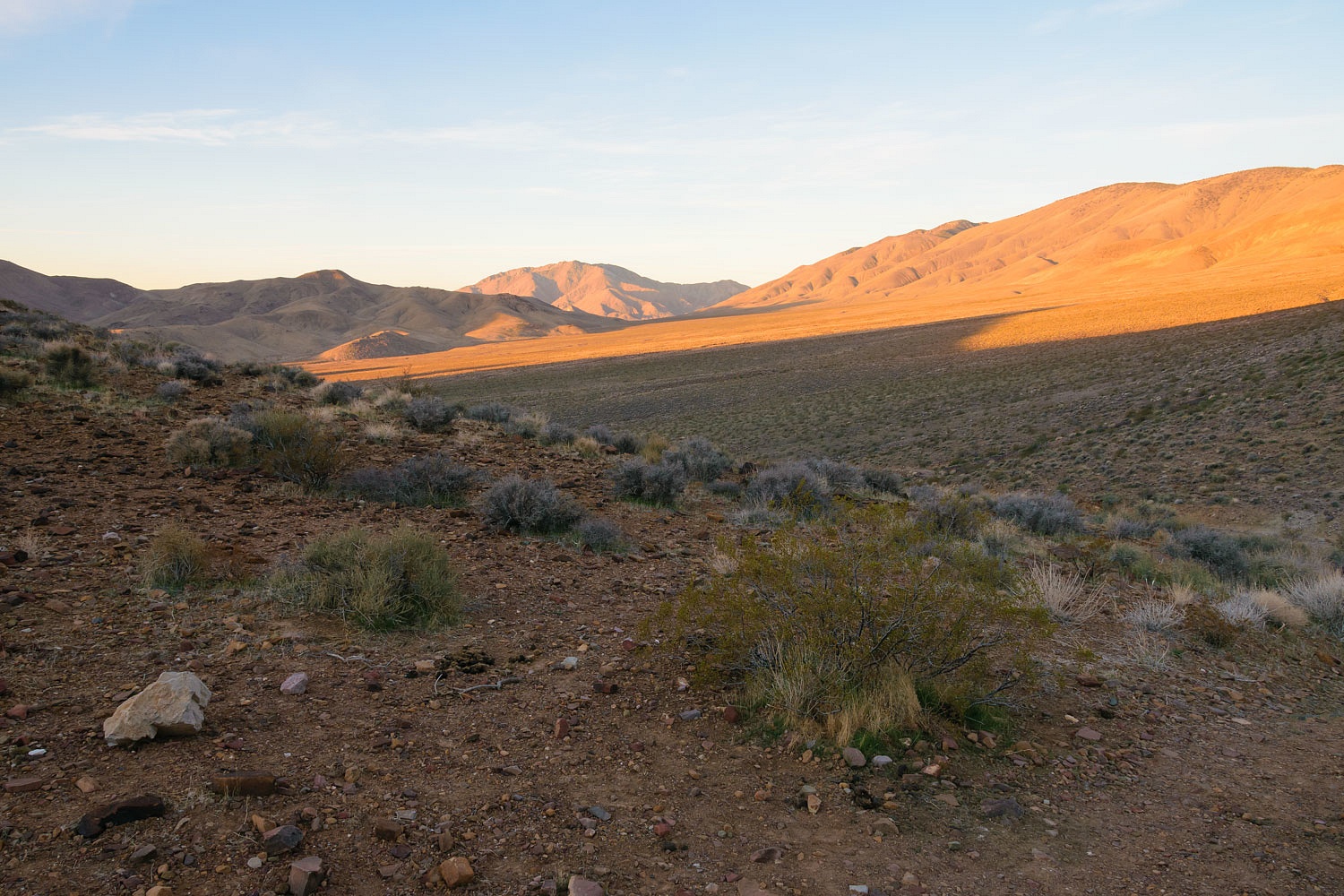
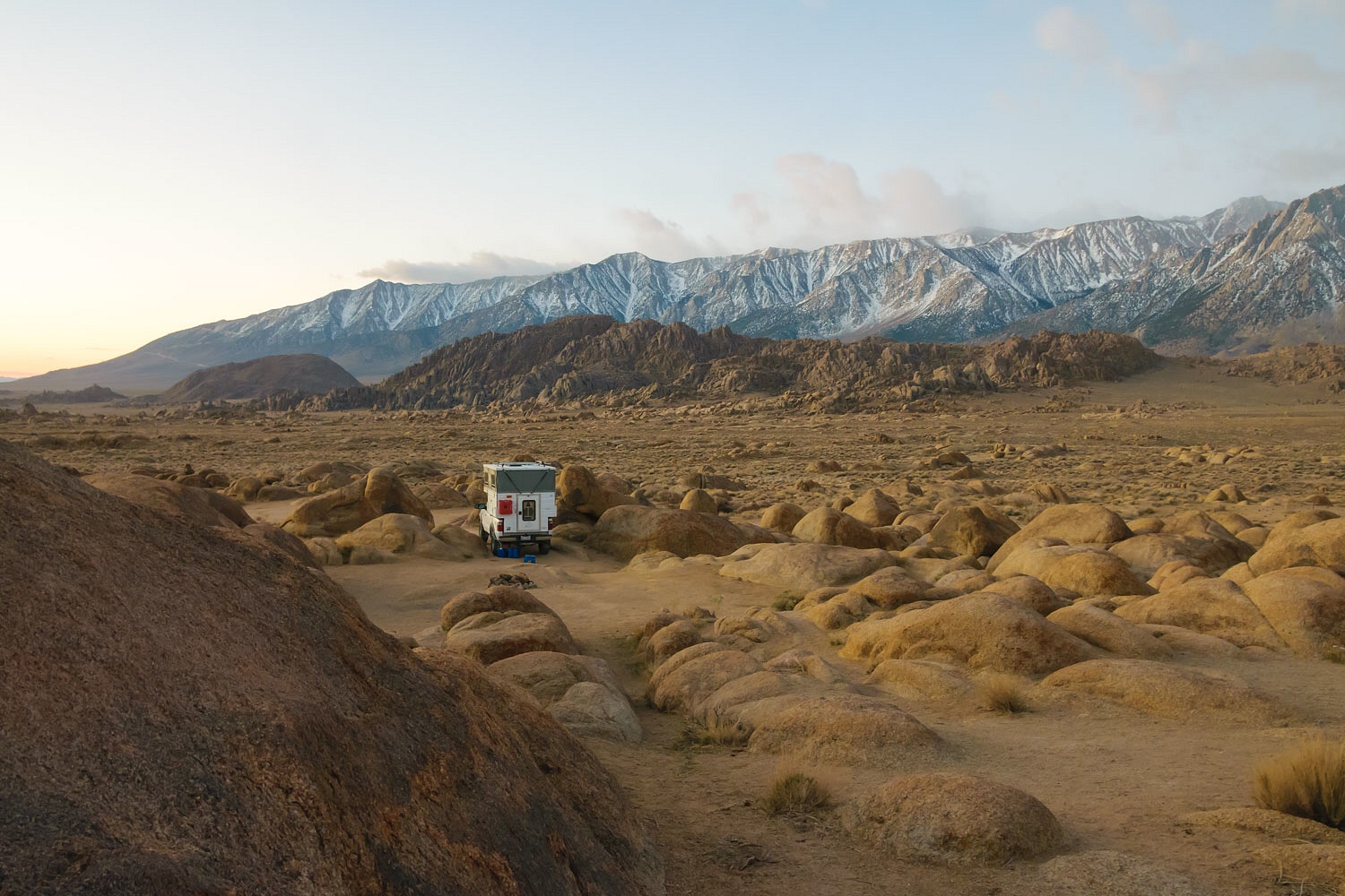
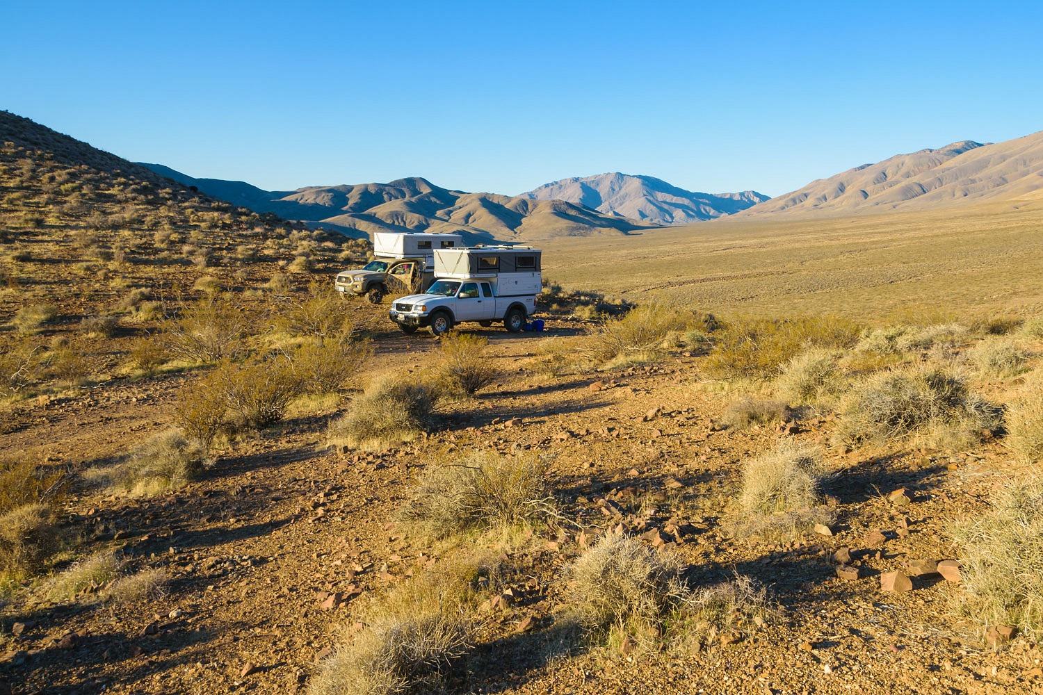
As I mentioned, it was 93° in Furnace
Creek. Not hot enough to fry an egg on a sidewalk, but it looked like the
general store was starting to stock up for the tourists. Steve said it was 65
miles to his waypoint for a possible campsite in the Butte Valley area and we
had enough daylight to reach it. We headed for higher ground and cooler temperatures.
The 65 miles were not highway miles,
not by a long shot. Badwater Road is paved with the majority of its length with
a 45 mph speed limit. We turned on to the dirt West Side Road and forded the
mighty Amargosa River.The wash was bone dry as it usually
is. Banging on washboard with hard tires and the handheld radio came to life.
"Time to air down!" Deb announced. We did the long climb up into Warm
Springs Canyon and passed the abandoned talc mines and continued up. Deb
announced on the radio that our turn on a seldom used rough two track was
coming up. It was time for low range.
"We're doing a lot of wiggling
and twisting to get around these boulders up here!" Deb kept us updated on
the route as they led the way in their Tacoma. The road was steep, narrow, and
rough.
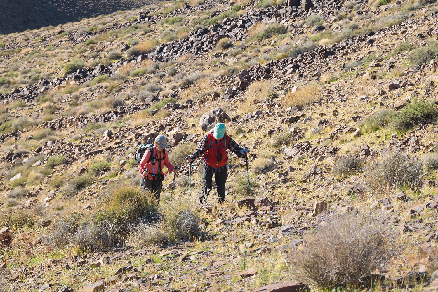
"I don't like the looks of
that!" the Lady firmly said as the road left the wash and sidehilled up
to a saddle. We crawled along watching the Bagger's progress ahead. The Lady
sat forward in her seat, eyes glued on every rock, turn, dip, and encroaching
boulder ahead.
"This is looking okay," the Lady's
commentary continued.
"It's not a scary drop off this
shelf."
"We can make this. Keep
going!"
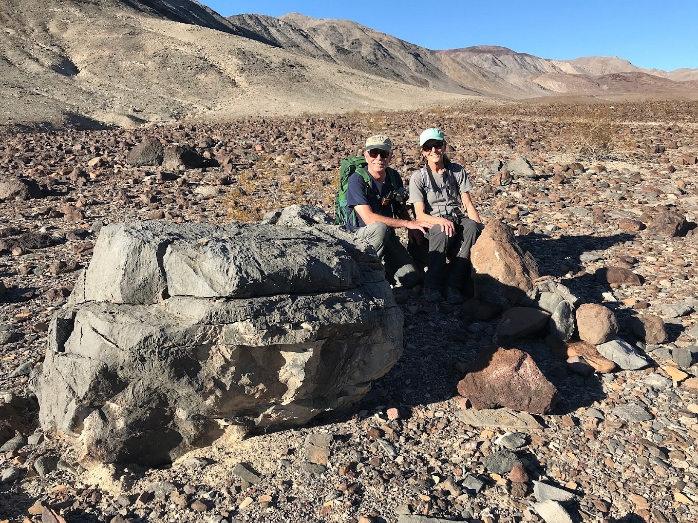
We joined the Baggers at the saddle
after a steep final climb.
There was just enough room for our
two vehicles. The downside was the spot was used as a jackass stud pile. Male feral burros (descendants of the African Wild
Ass; the male is a jack, the female a jenny), like other equine species, males mark
their territory with large piles of their manure. The women, understandably,
wanted our front porch presentable and clean and put shovels to work. Note: the
proper name for a burro or donkey is ass, and since that term's used in the
bible, I'm sticking with using feral asses.
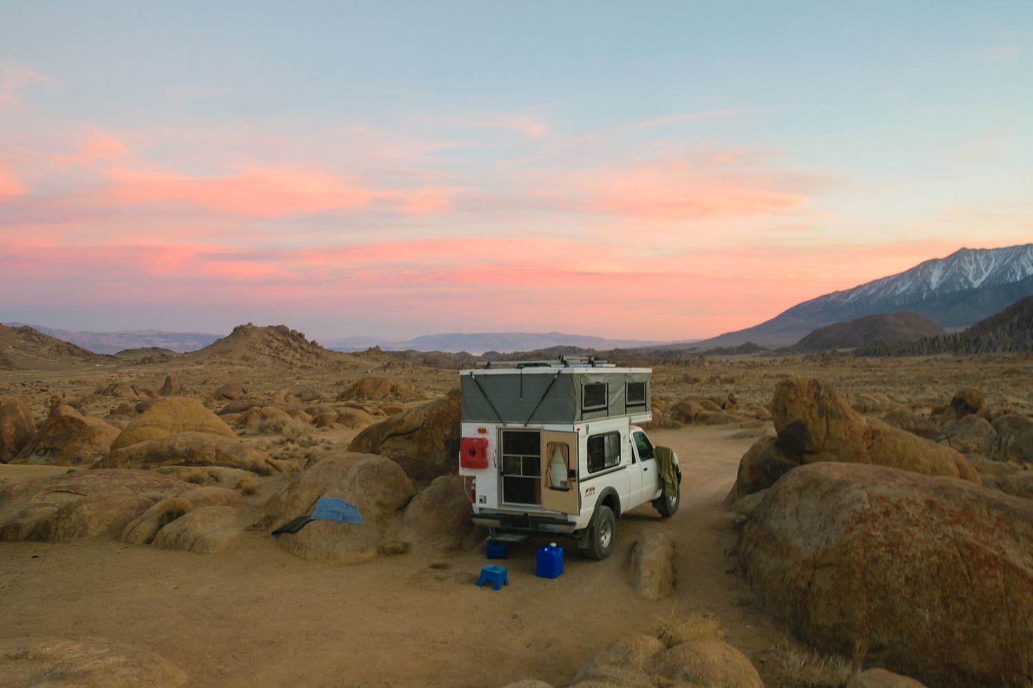
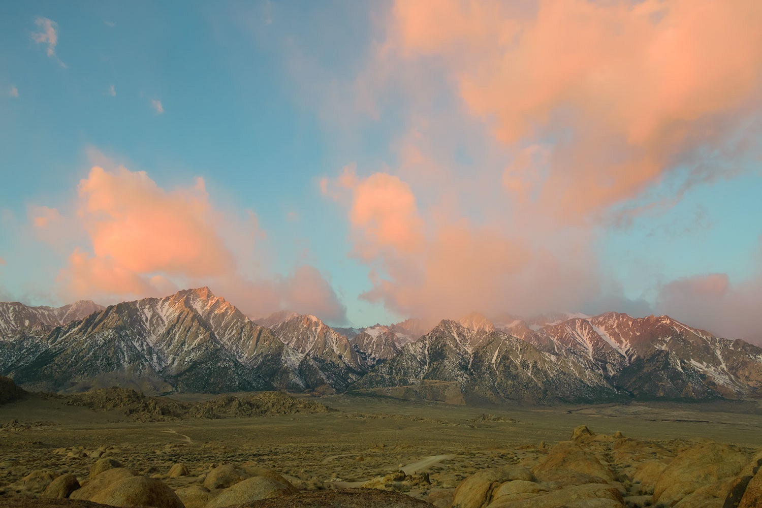
It was 20° cooler up on this remote
saddle when we arrived and set up our camp. The temperature dropped quickly as
night came. A stiff wind out of the east drove us into our respective campers
early. Morning came with temperatures in the low forties. The wind remained.
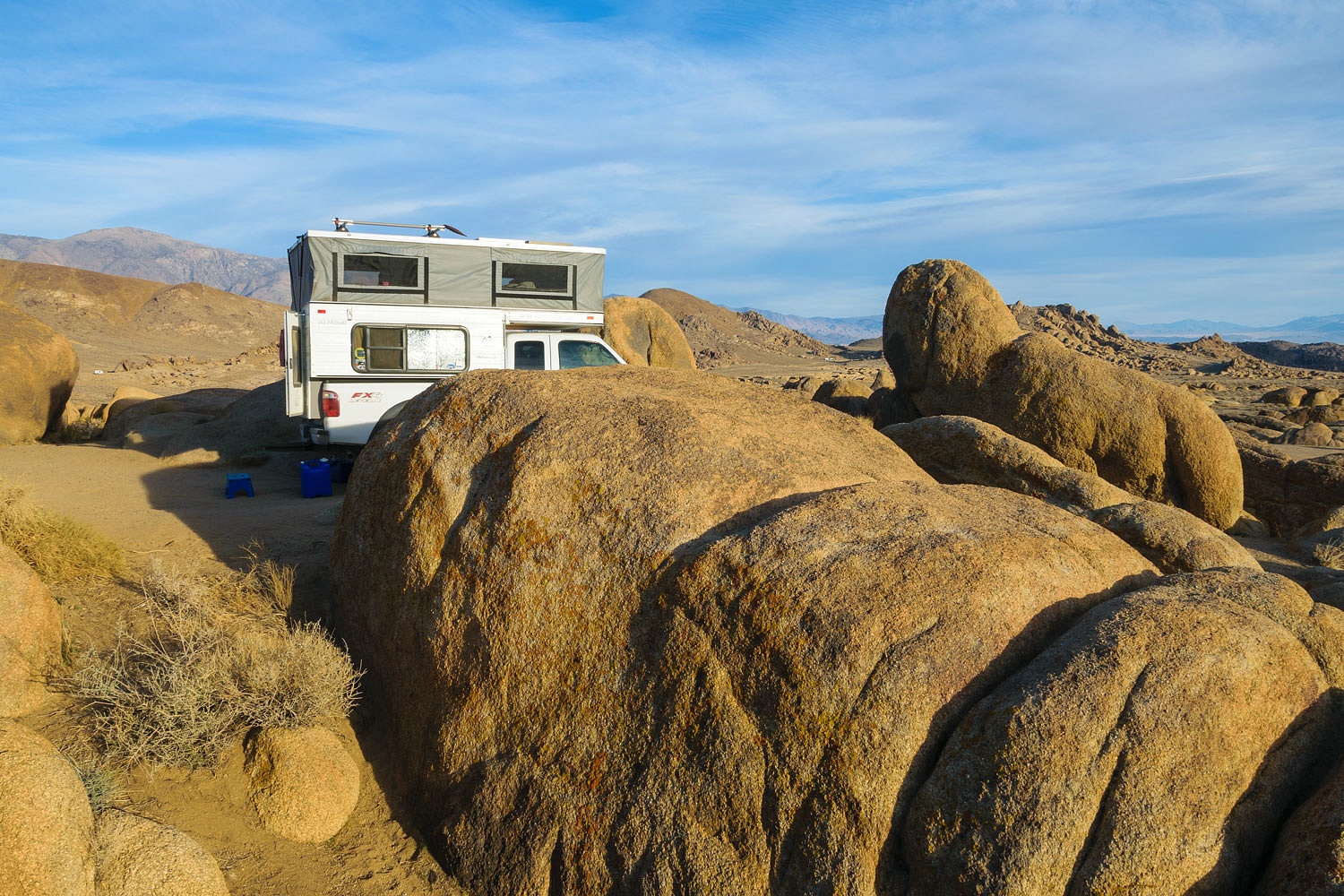
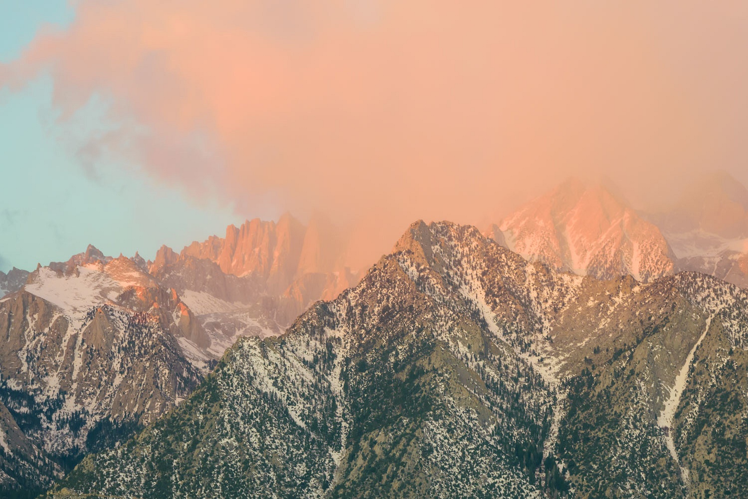
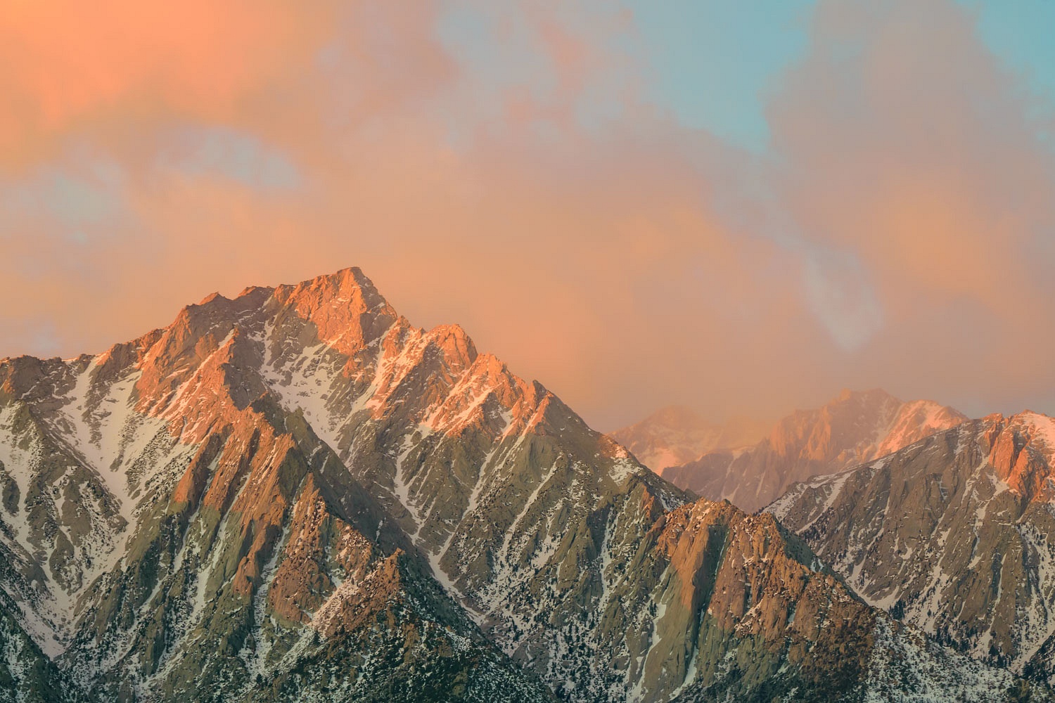
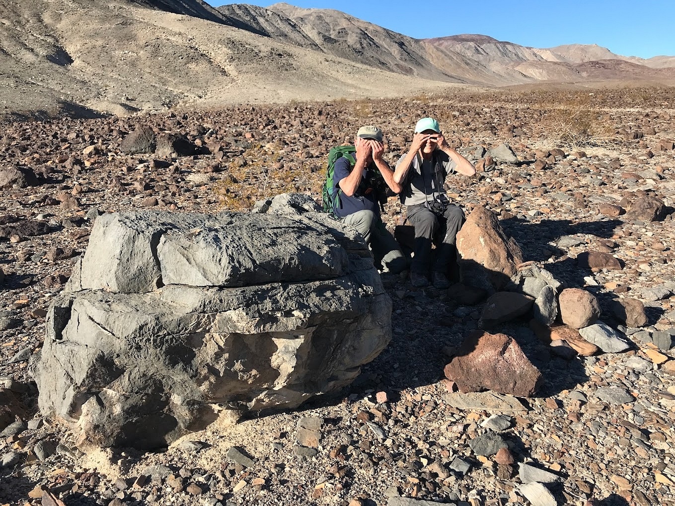
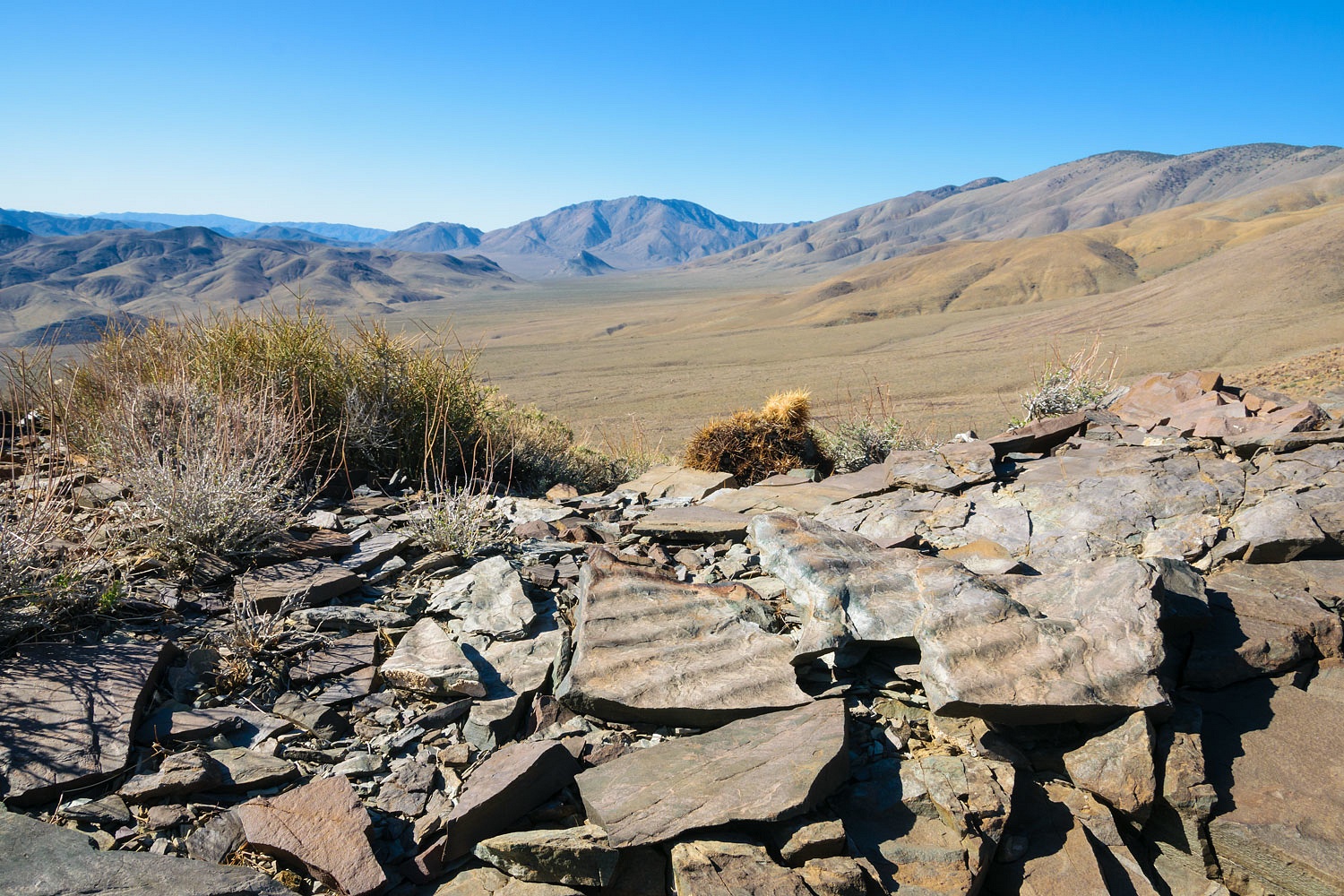
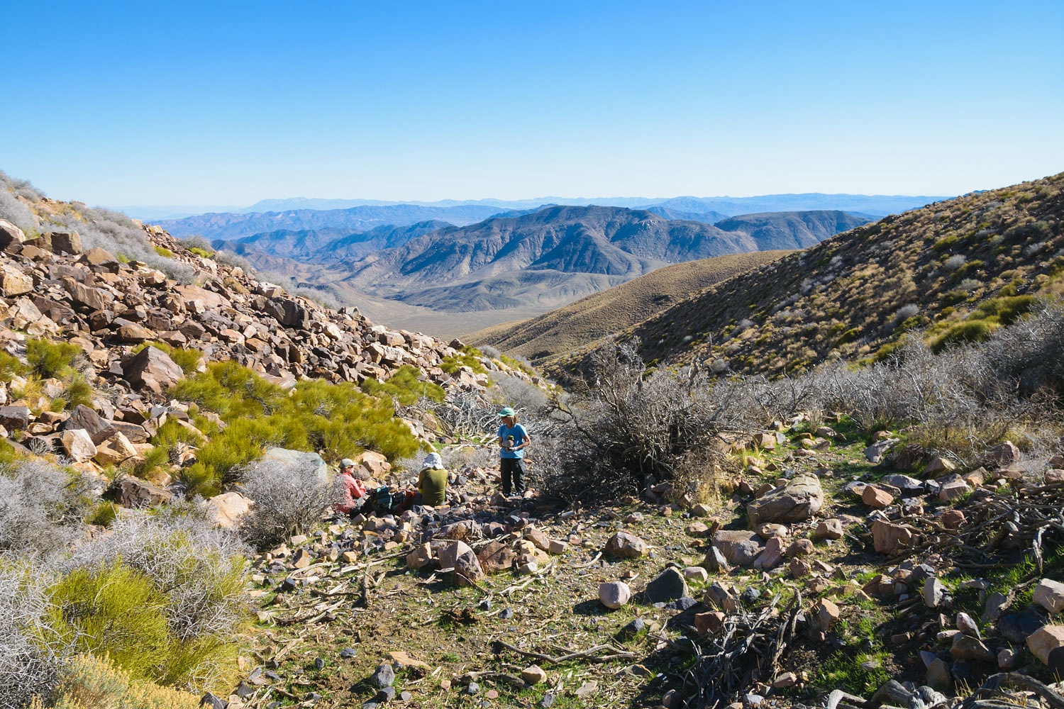
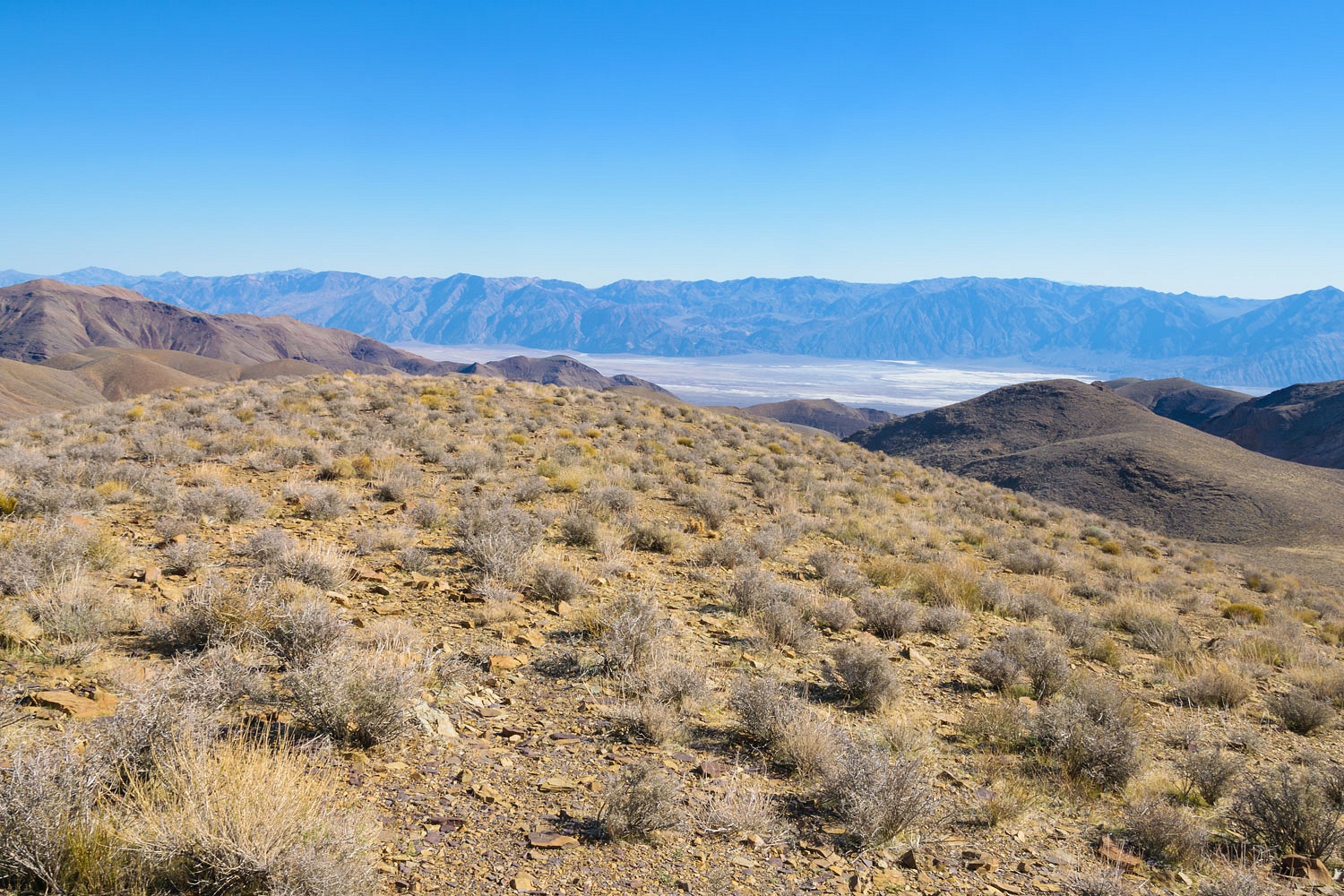
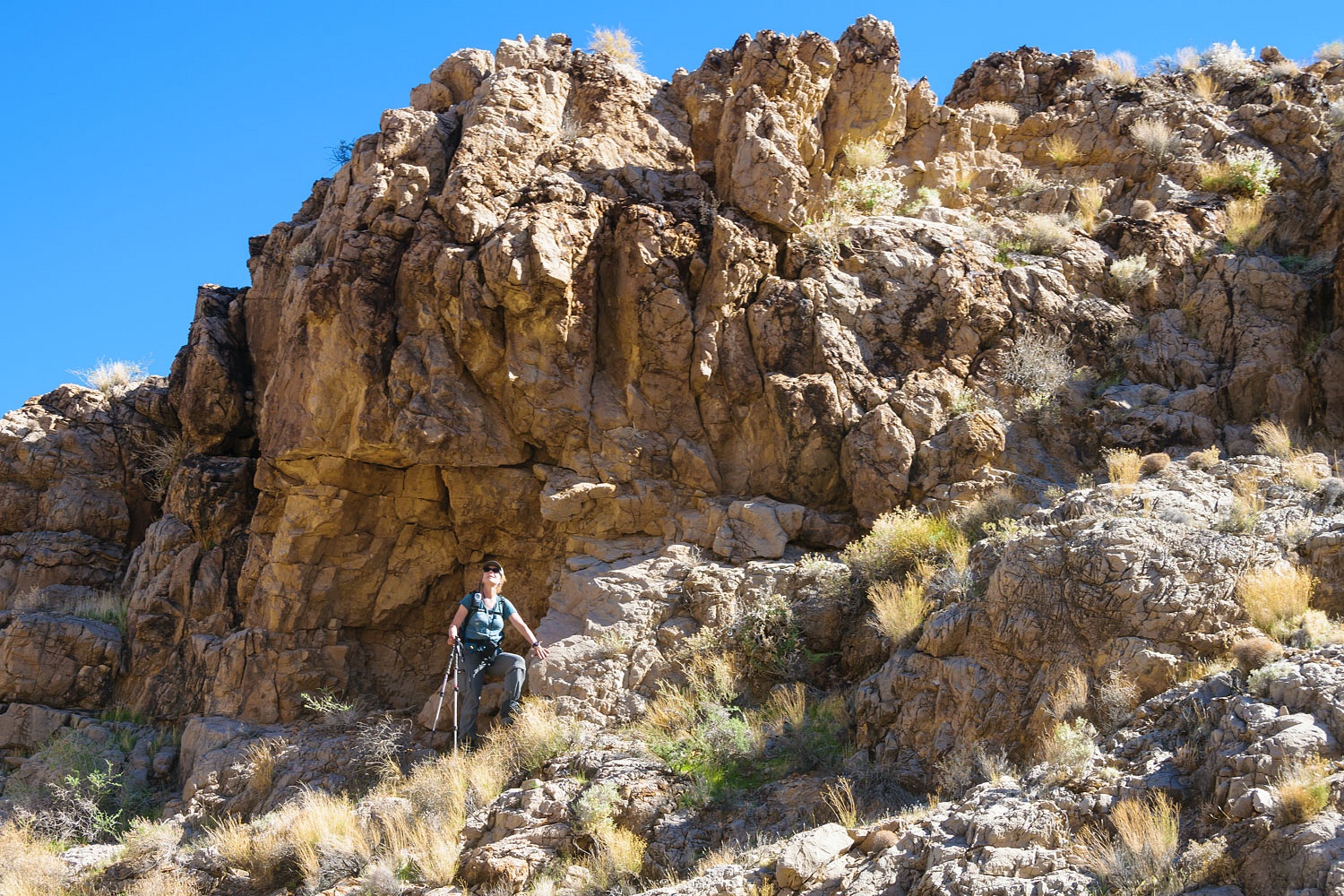
This was a spectacular spot.
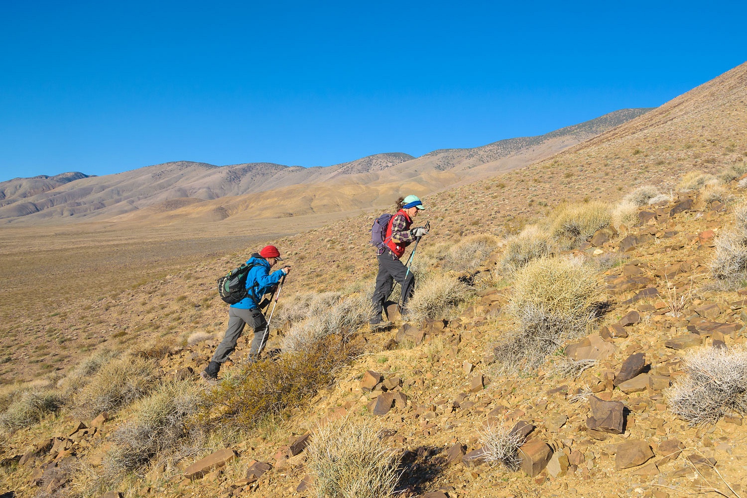
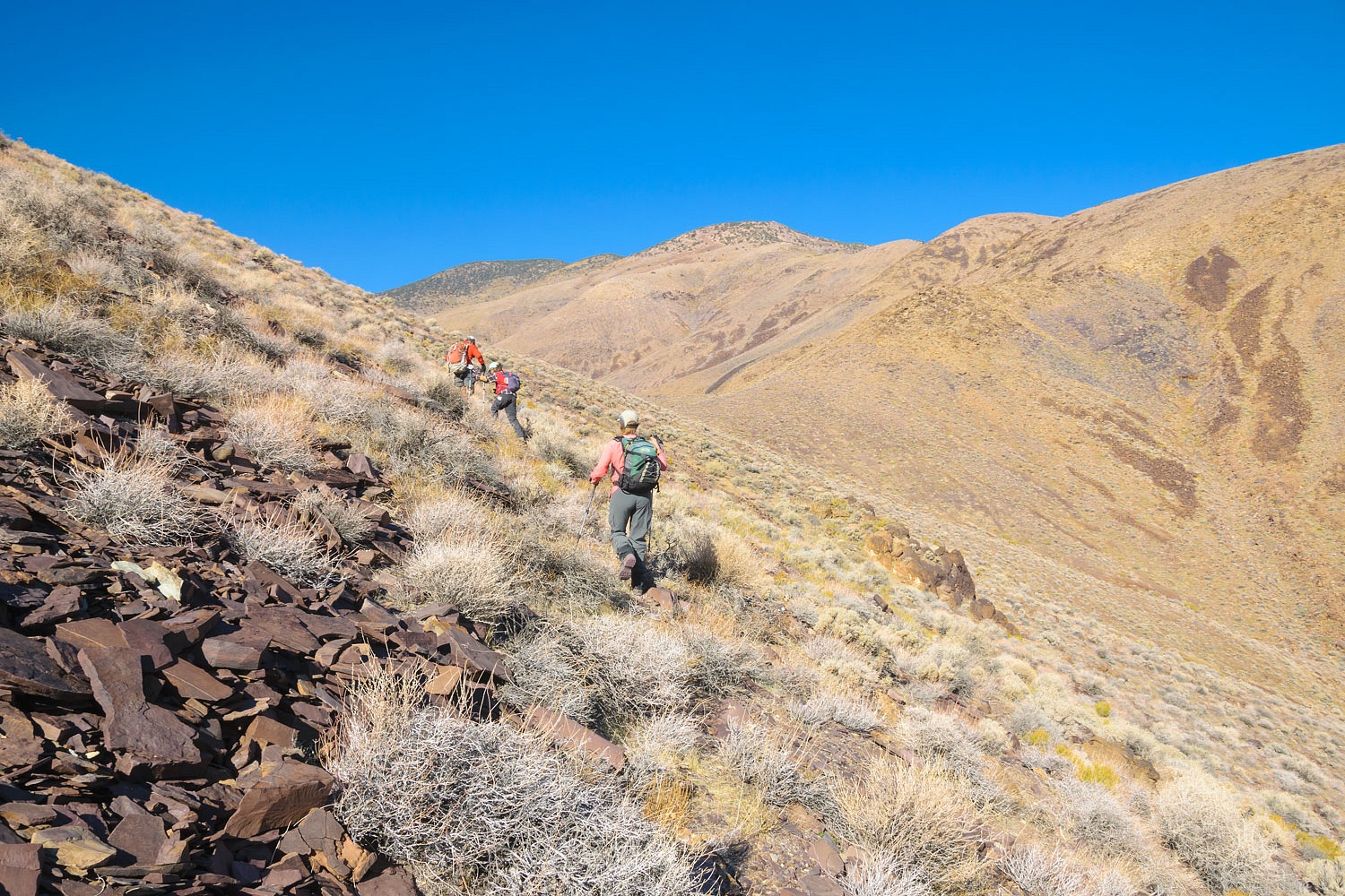
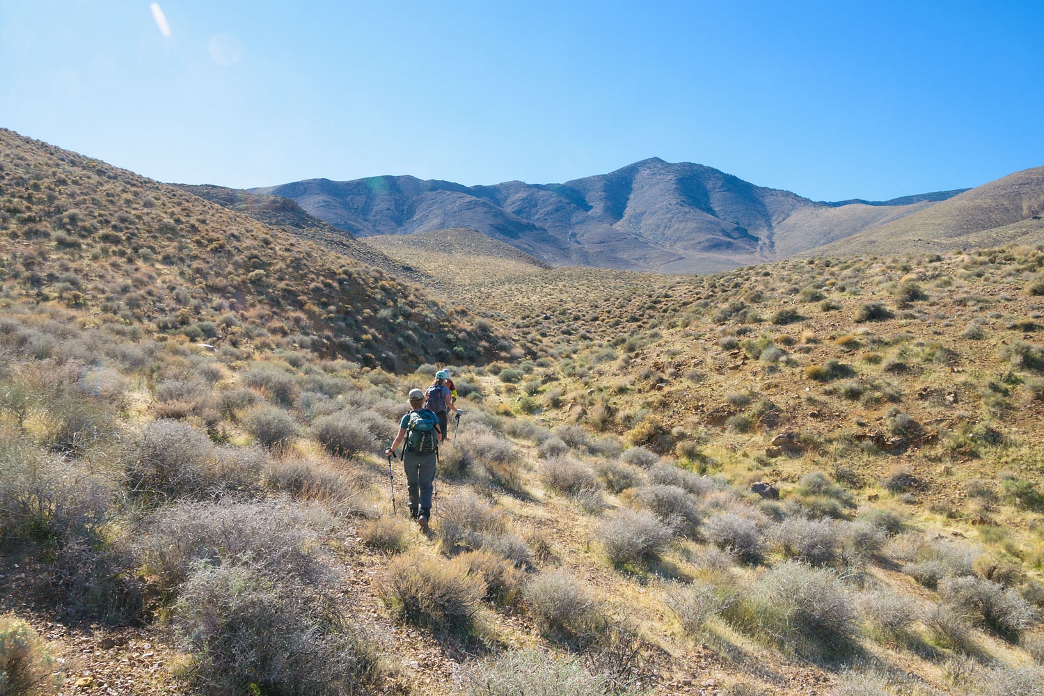
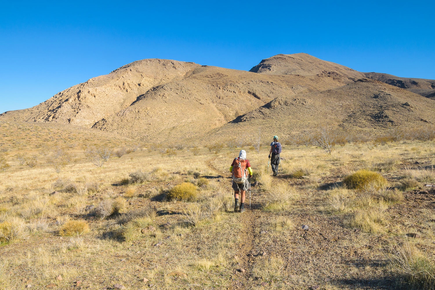
We had two days of hard hiking ahead
for us. We started out this morning
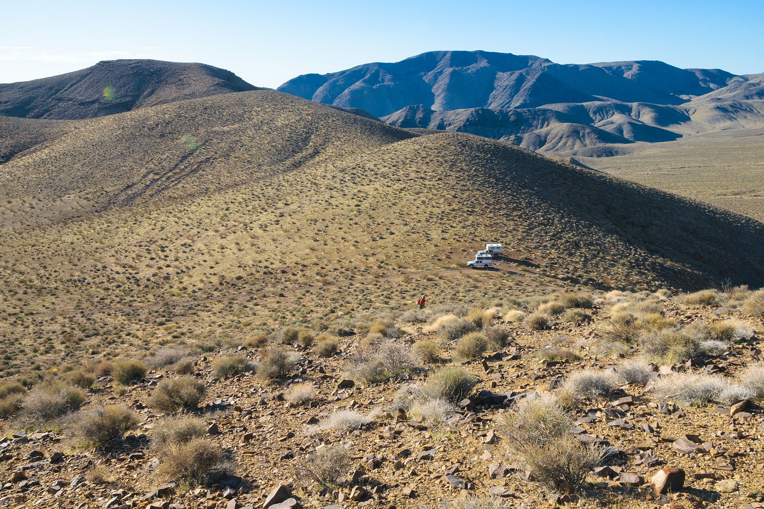
climbing straight up the ridge north of camp.
Camp below quickly started looking
very small as we went up.
The women kept up easy conversation
as we climbed.
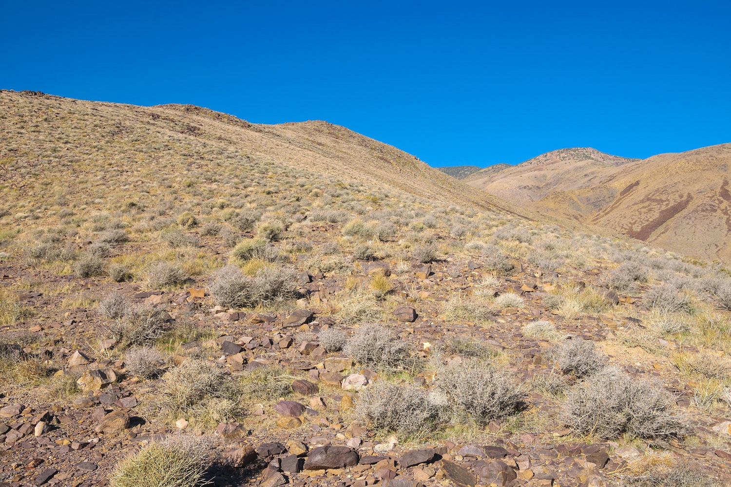
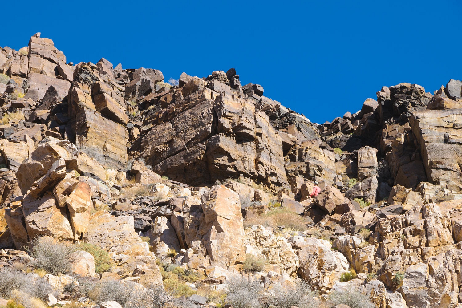
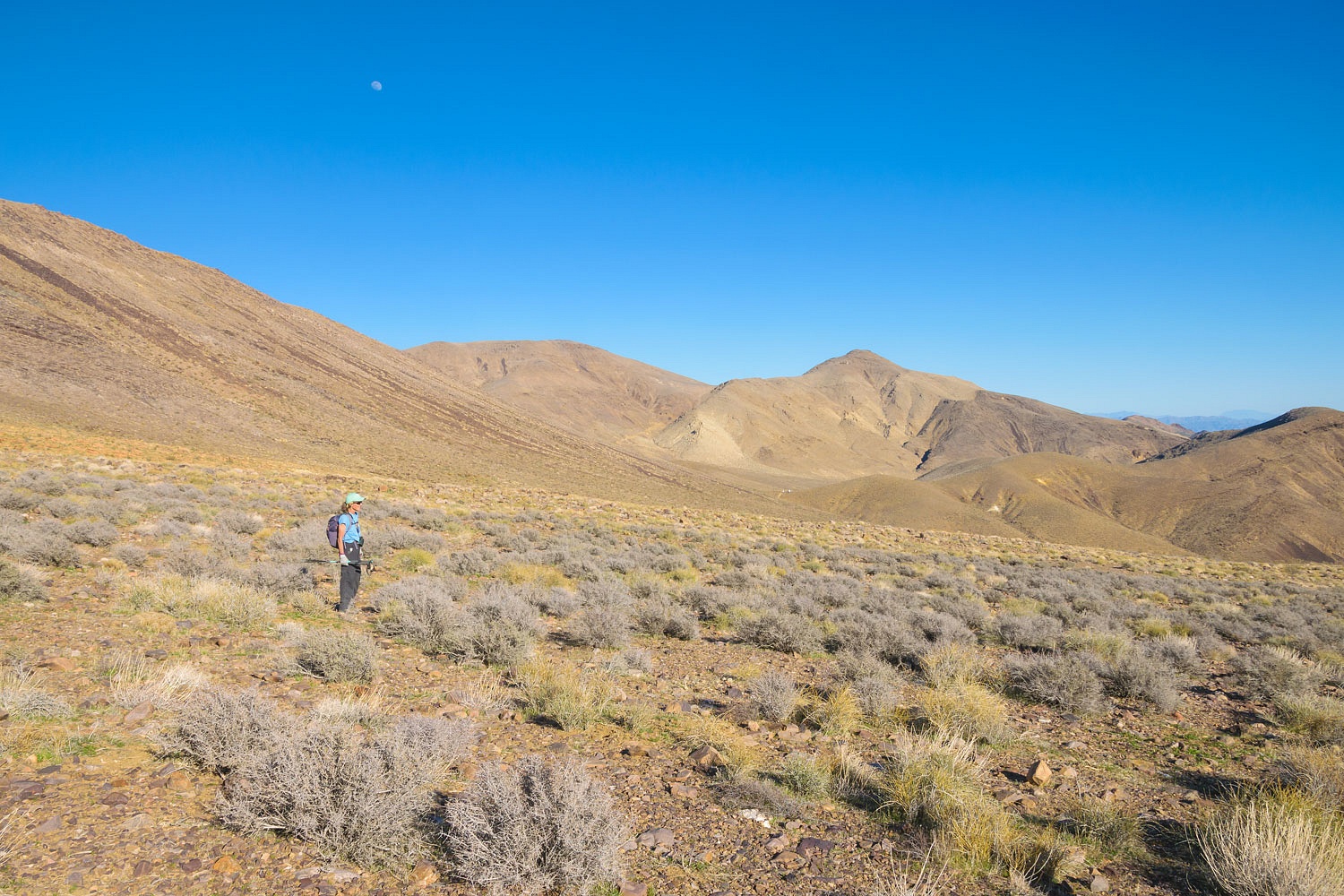
We moved off the ridge and sidehilled to gain a high saddle.
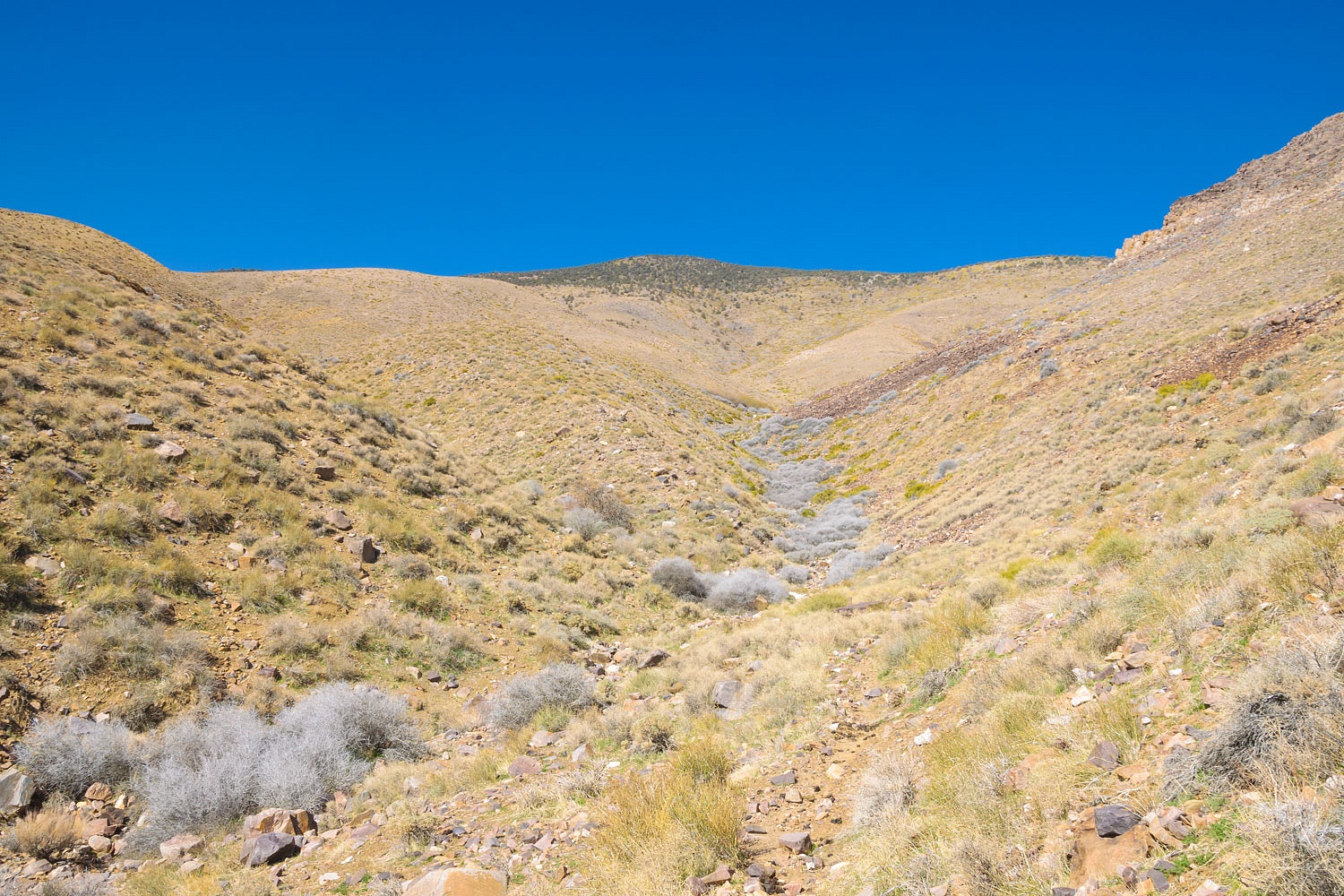
Why were we up here? The answer is Leroy's
map and the route William Lewis Manly took leading the families out of Death
Valley in 1850. Later in his life, Manly wrote his account of what is called
"The Escape from Death Valley."
Leroy and Jean Johnson became fascinated with Manly's incredible story
and spent years researching and hiking and searching to determine the actual
route Manly and Rogers and the families took to safety. The Johnsons are the
recognized experts and their edit of Manly's manuscript with their personal
notes on the route is a classic - Escape From Death Valley Anyone interested in Death Valley's more recent history should have this
book.
There is now general agreement among
most historians - based heavily on the Johnsons' extensive work - on the routes
Manly and Rogers took to exit Death Valley, return from the San Fernando Valley
with supplies, and then lead the Bennet and Arcan families out of Death Valley
to safety. History is always fluid and later a map hand drawn by Manly toward the end of
his life surfaced that suggested a possible different route. Leroy walked it
and made numerous notes on his USGS 15' topographic maps.
Deb, as she was writing her novel and
doing research, contacted the Johnsons for their advise and help. They became
friends. Sadly, Leroy passed away this past October. Deb and Jean remain in close
contact. Jean freely allowed Deb and Steve access to Leroy's notes and maps.
So, for the next two days we would walk that possible alternate route, guided
by Leroy's map and his handwritten notes upon it.
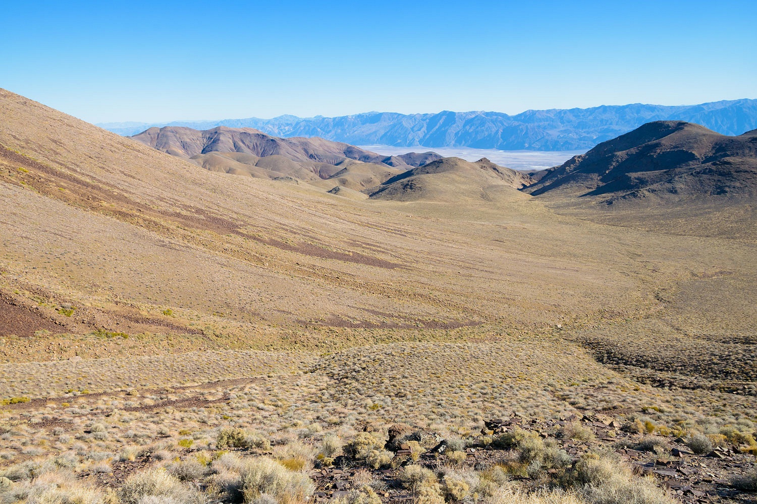
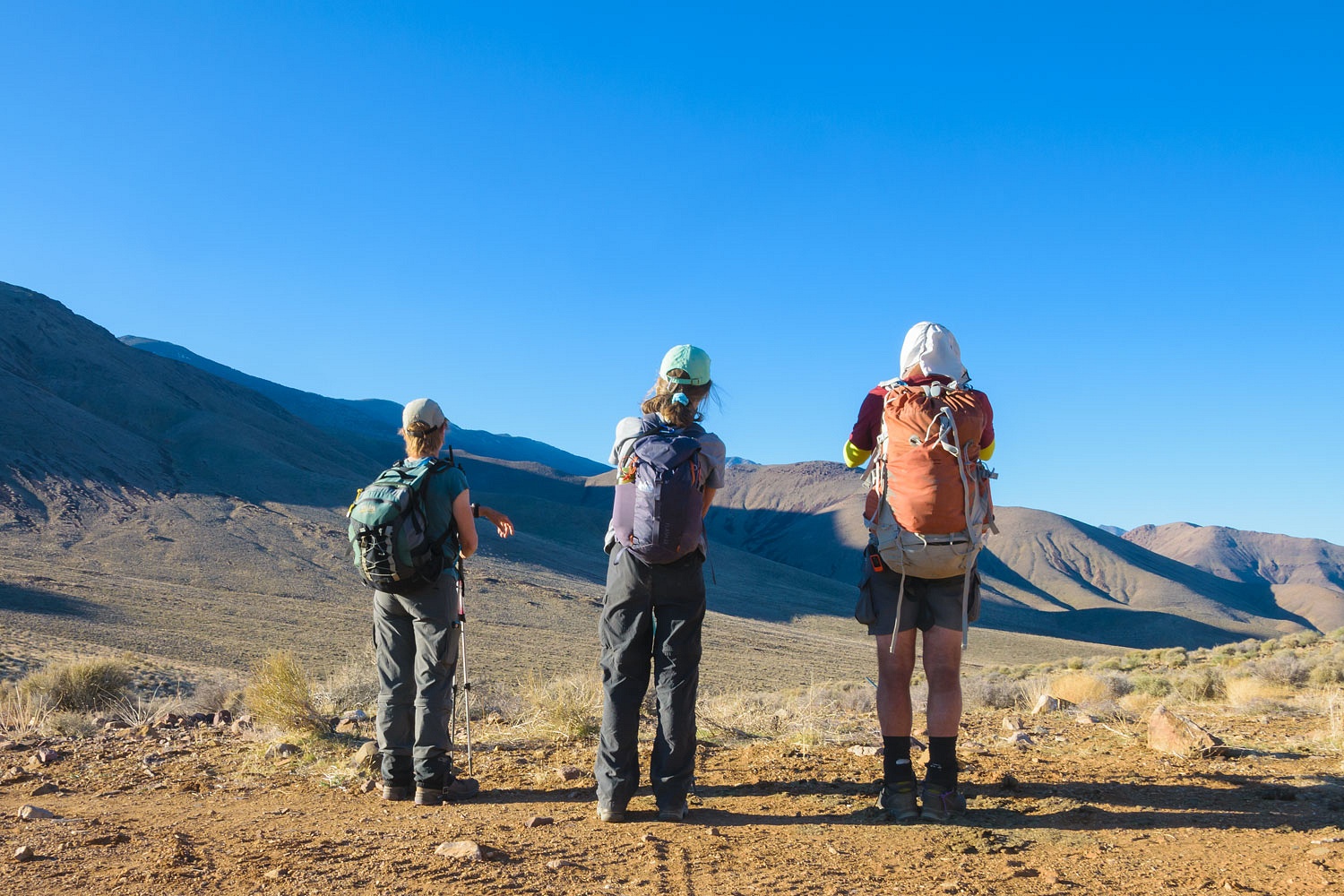
The question was, did Manly and
Rogers lead the Bennet and Arcan families up this unnamed canyon below us to
escape from Death Valley?
And did they cross this high pass to
make their way to water at Arrastre Springs?
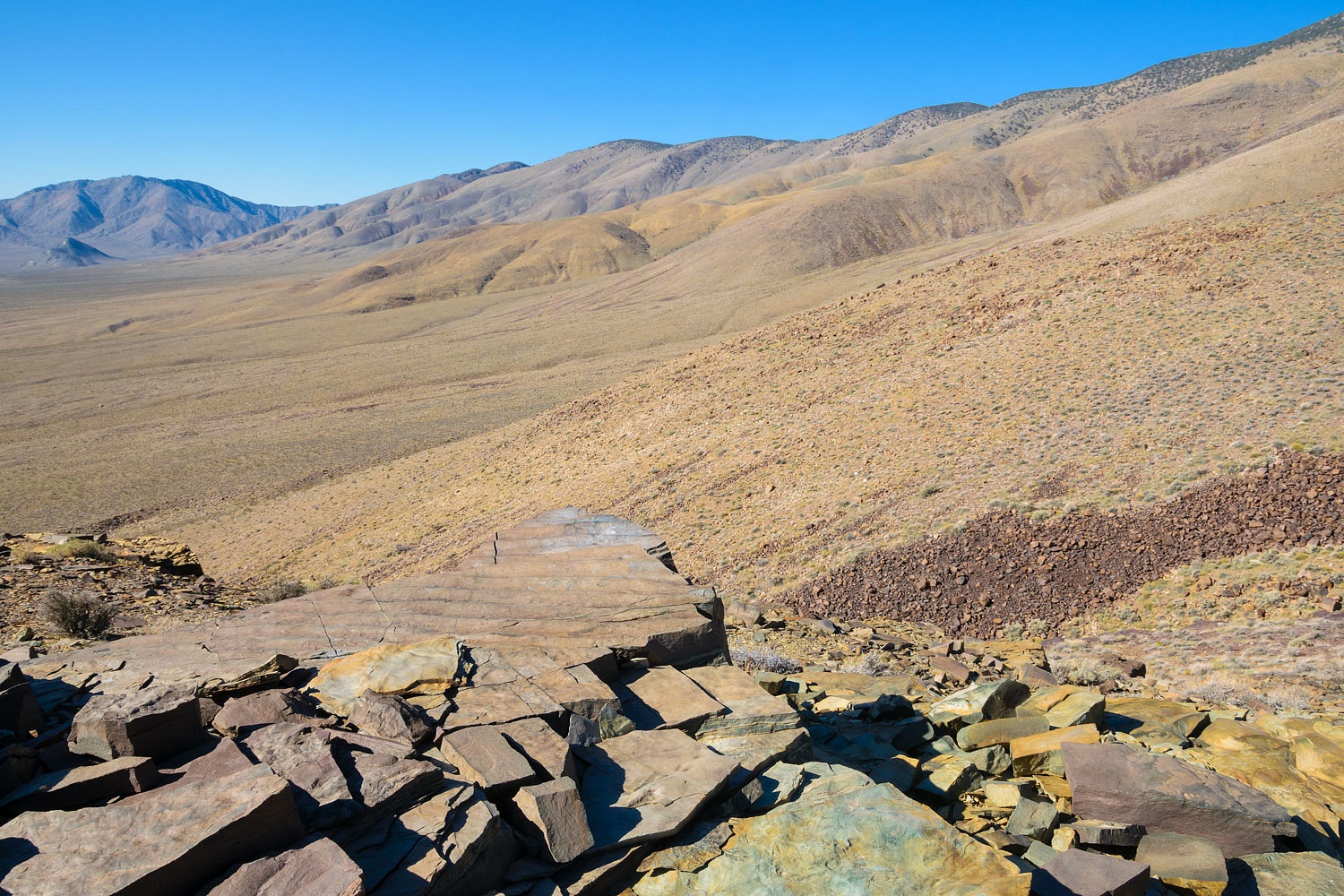
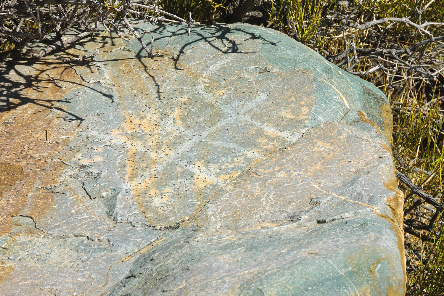
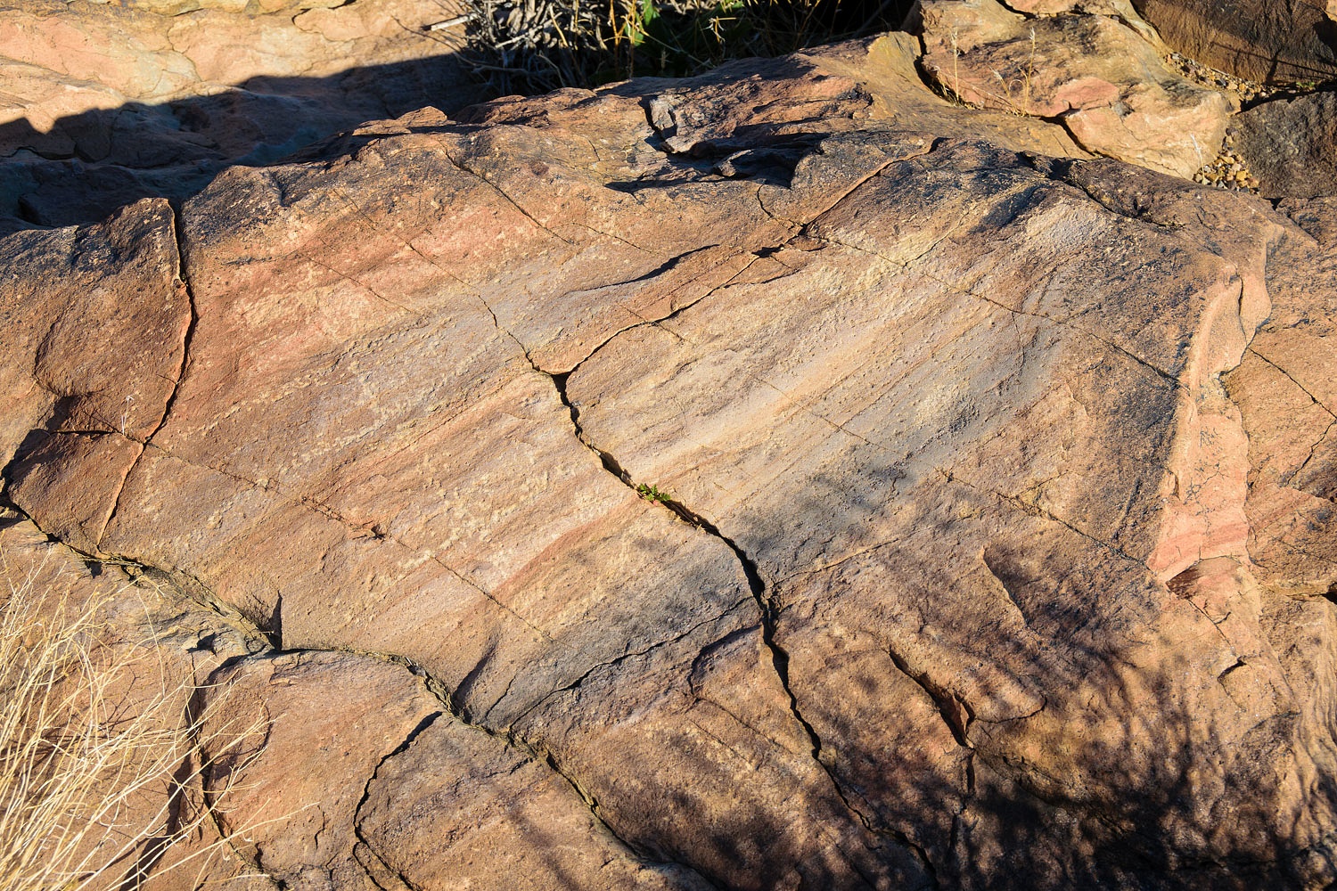
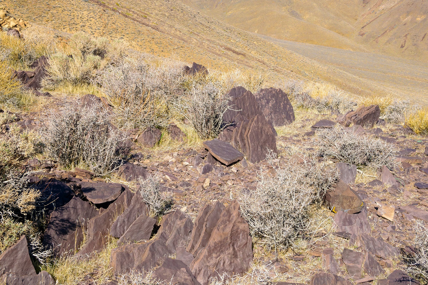
The rock quickly distracted me. Here
on the top of this high ridge was ripples from flowing water across silt
preserved as fossils in stone.
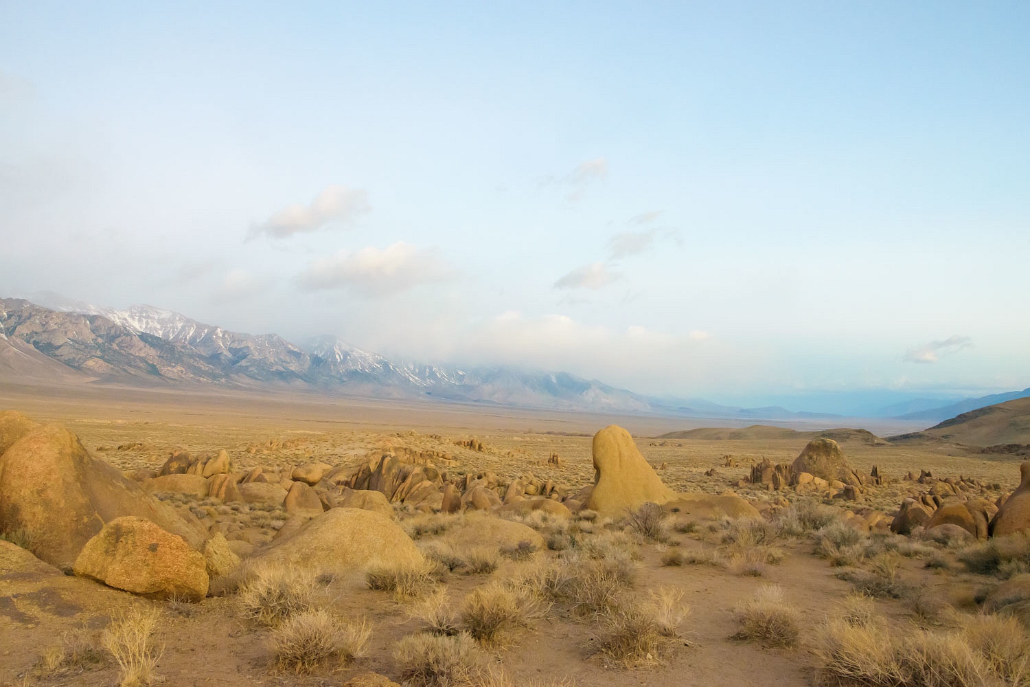
Note in the photo above - a nice view
of Striped Butte in Butte Valley to the southwest.
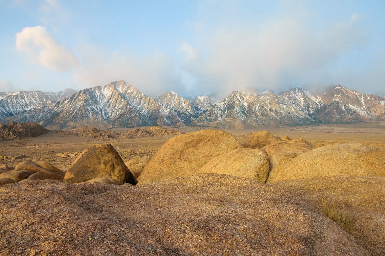
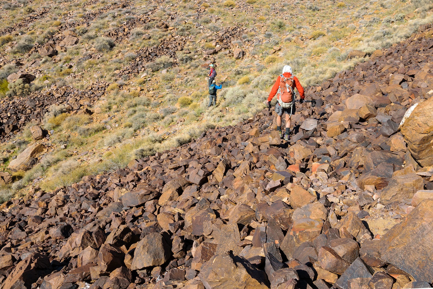
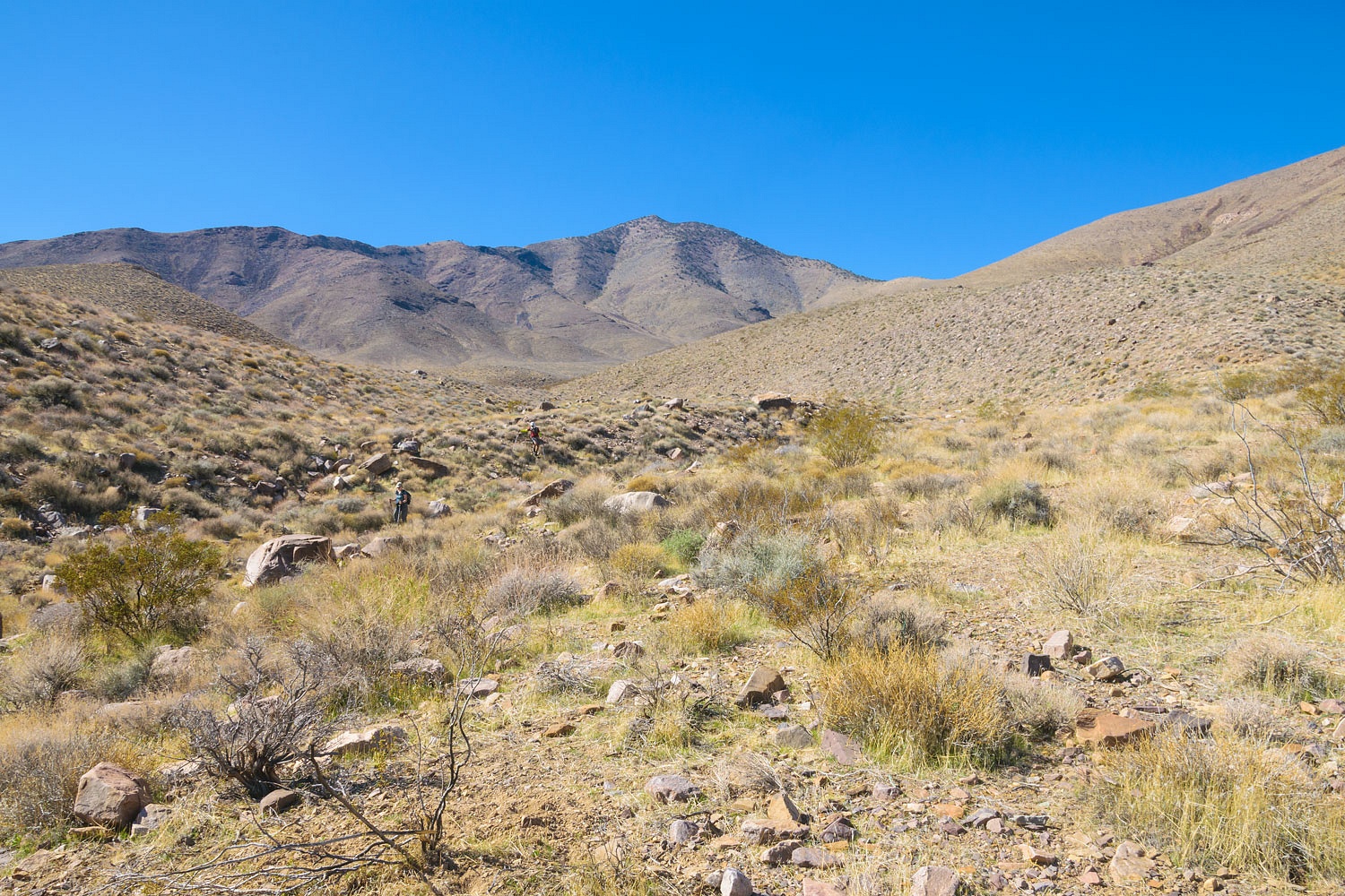
The terrain ahead was steep with large talus fields.
We did not expect - it was a long shot that they used this route - to find any sign of their crossing. But
our goal was to experience the terrain as we made our way.
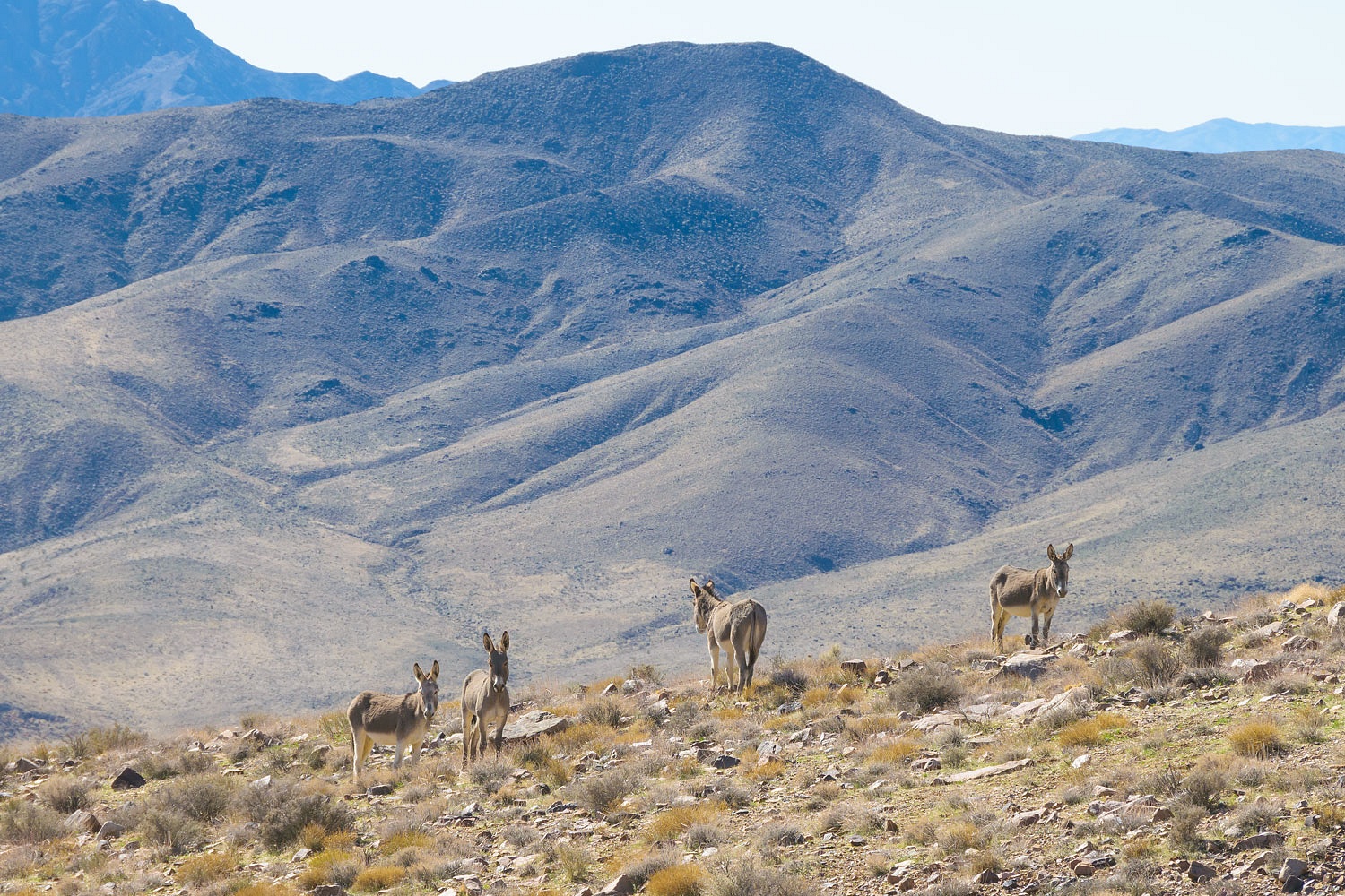
The resident asses kept their eyes on
us. Notice the pregnant belly on the jenny on the right.
We spread out across the area making
use of the four sets of eyes and looked for signs of ancient trails - early
white travelers would have made use of evident Native American routes through
this rough terrain. We found none.
Finally we were below Arrastre
Springs. Several trails worked they way up the draw toward the springs.
Signs of ancient use were evident.
We spread out again to cover the
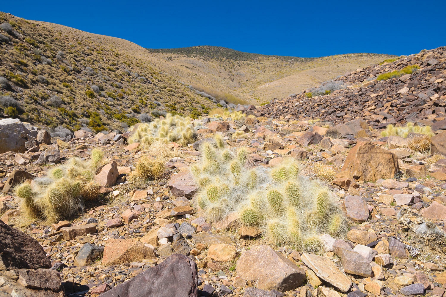
area. I went high on the east side and quickly got distracted by the flora - Grizzlybear Cactus.
The springs are in the mat of willows
ahead in the center. Note that in the heart of winter (same season Manly came
through here) the springs do not show as a bright green spot on the landscape.
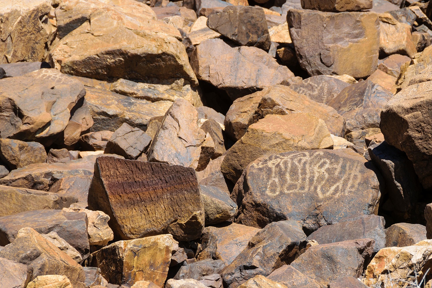
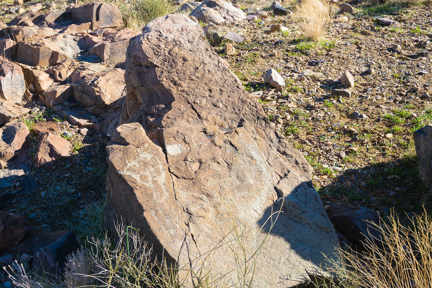
We paused in the draw immediately
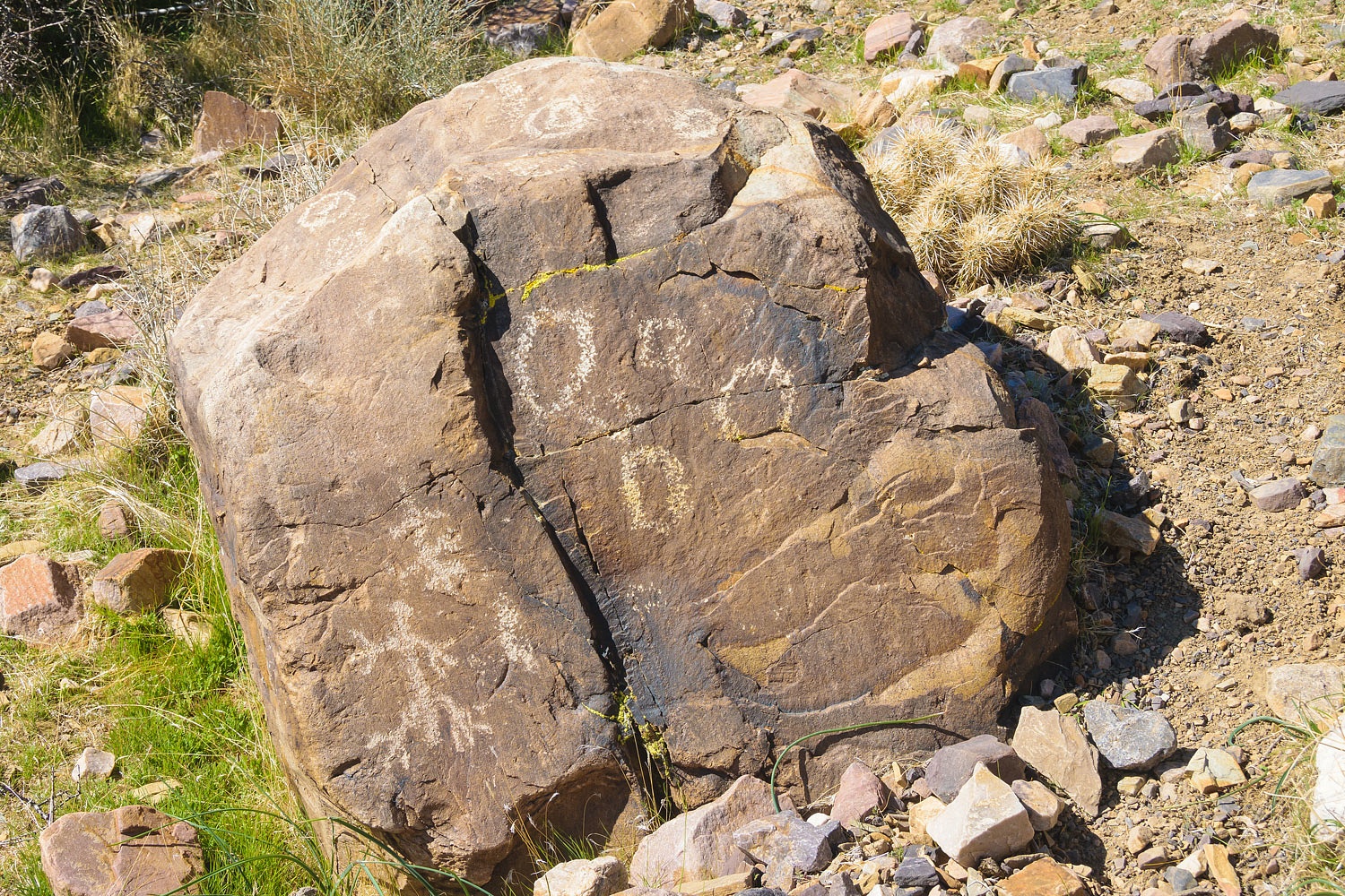
below the springs for a snack and water. Almost in unison from the group I
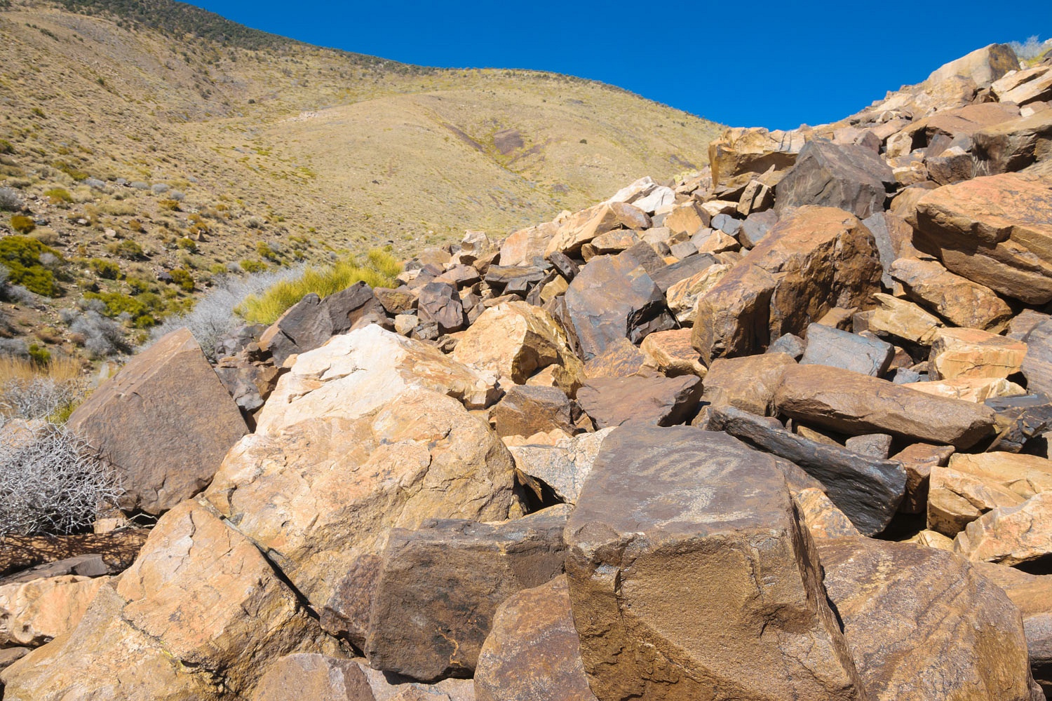
heard, "Did you see the petroglyph you are almost sitting on?"
I looked down.
The rest of the group looked up at
the broad steep talus slope above. I heard,
"Oh my god!"
"Wow!"
"Look at that!"
"And over there, too!"
My planned snack break was aborted.
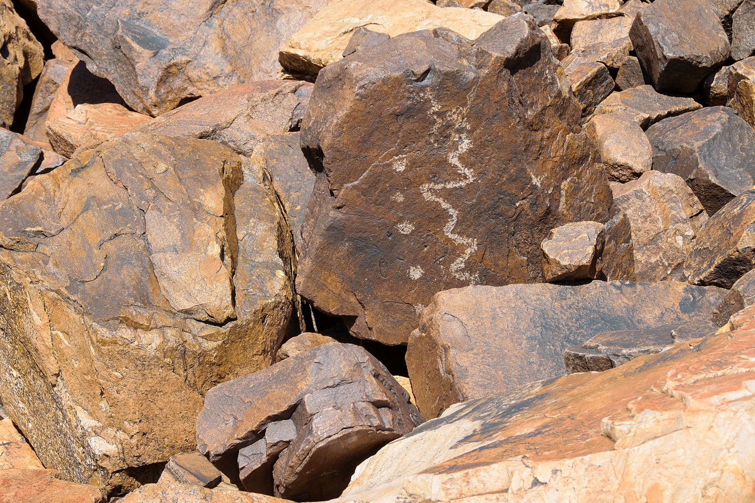
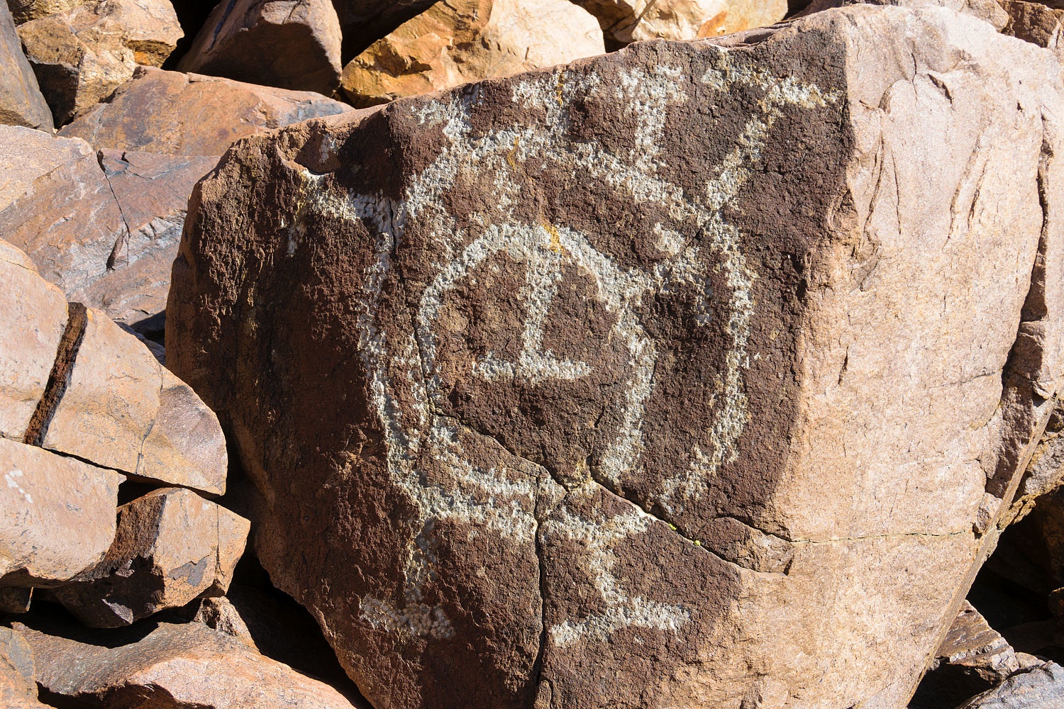
We climbed up into an amazing site.
This was the most elaborate and
interesting of the petroglyphs we found.
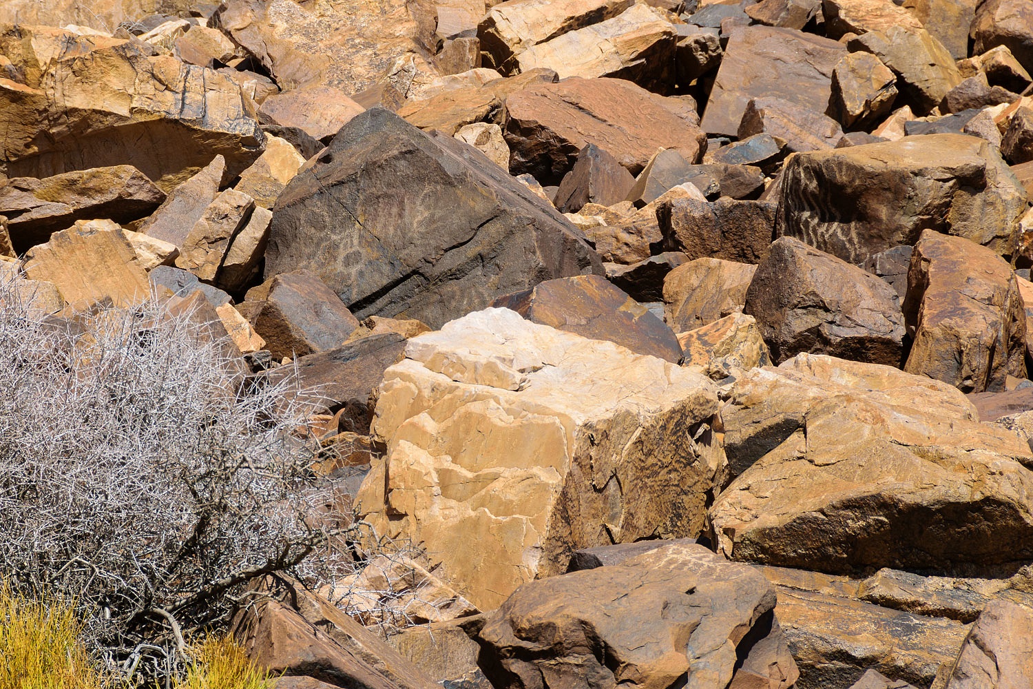
The talus field led to a band of
cliffs above. That's where we spotted Deb (pink shirt), not wanting to miss any detail. This
is a telephoto shot.
Our radios came to life. "I can
see the San Bernardino Mountains from here!" We heard the excitement in
her voice.
We each worked our way down and
regrouped at the impenetrable thicket of willows. They were just beginning to
flower, leaves will emerge later. It's said there are two arrastras hidden in the willows. We could not see them.
We returned to our packs and I finally got my snack.
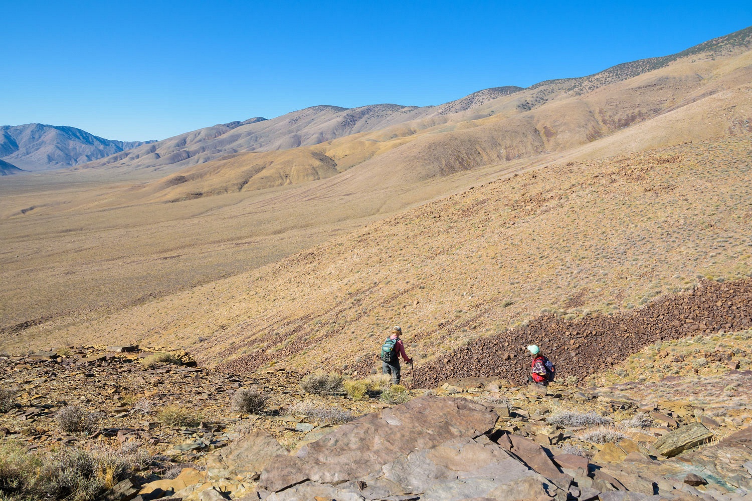
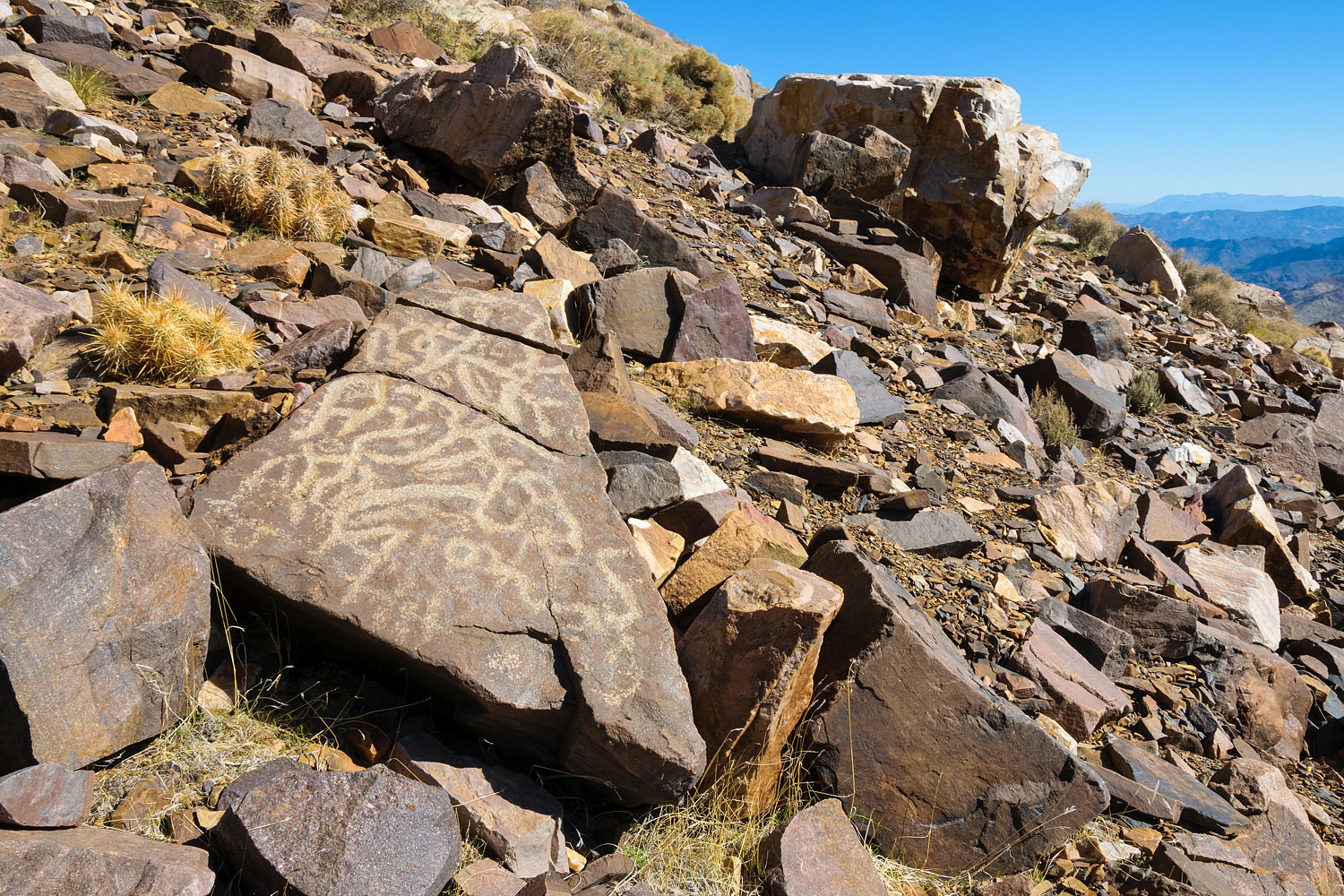
It was time to start down and take a more direct route back to our campsite.
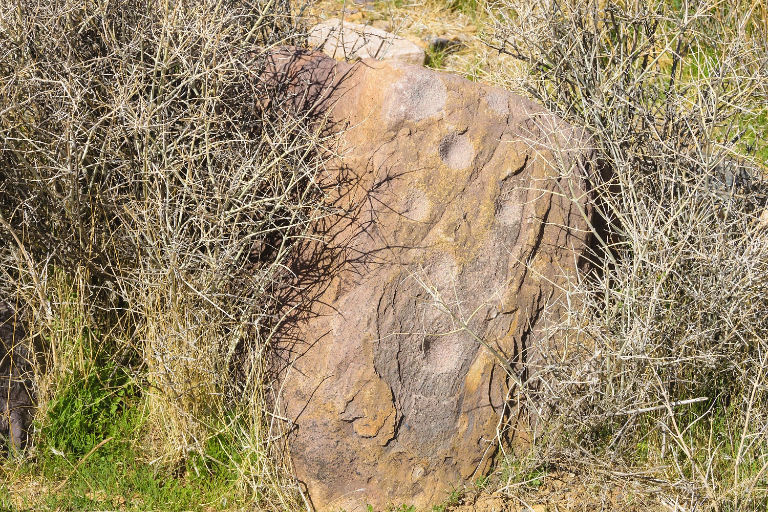
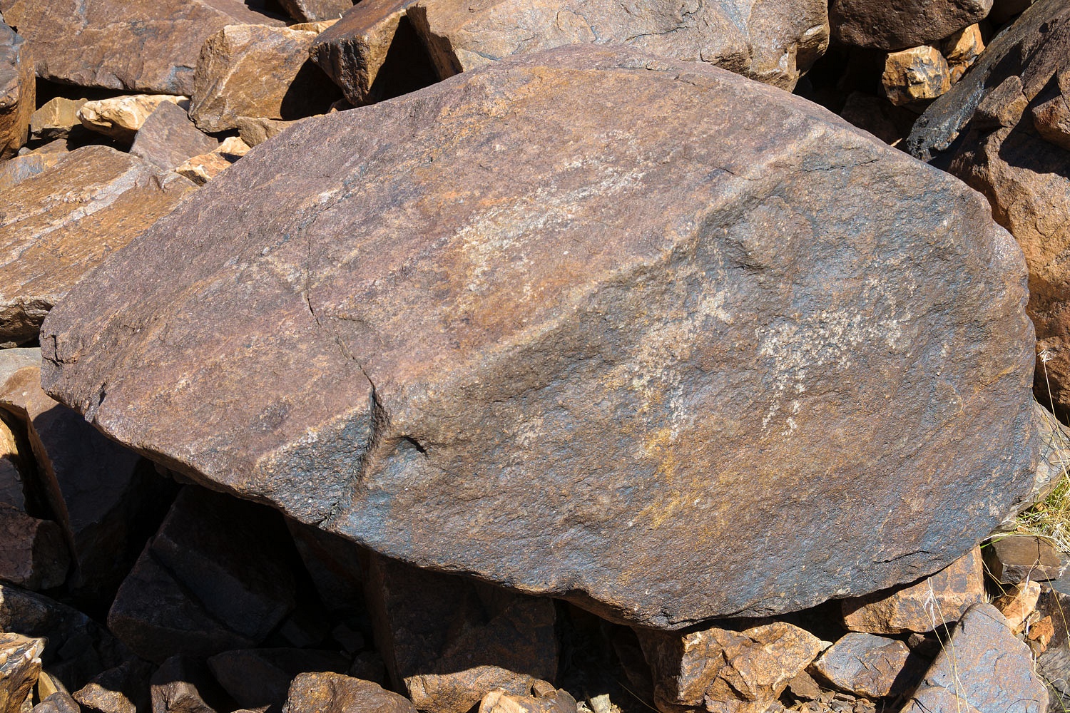
We found a trace of an old path down
the bajada and we were excited to find an ancient site along the route with
petroglyphs.....................
.................and a metate
(grinding slick) decorated with a petroglyph.
Finally, our distant camp - just right
of lower center - came into view.
We arrived back at camp around 4:30
after a long day making our way across rugged terrain. It had been a great day.
The wind had subsided - it had been ripping through that high pass earlier in the
day - and it made for a pleasant night sitting under the bright moon and stars
overhead, telling stories and enjoying each other's good company.
Please permit me a quick aside with
my story. There came a point when talking with Steve that I
realized I really liked this guy. It was when he mentioned "Big
Grill". In putting together their travel and camping platform, they choose
a 2018 Toyota Tacoma 4x4 pickup. They like the truck except for "Big Grill".
This is the current fad in light truck design to seemingly inject the front end
with Botox to make in look big, mighty, strong, and dripping with testosterone.
In real use it accomplishes nothing but block the view right in front of the
truck needed when negotiating rough backcountry roads. Lack of "Big Grill"
is another reason we love and care for our good old reliable truck. "Big Grill" is just silly.
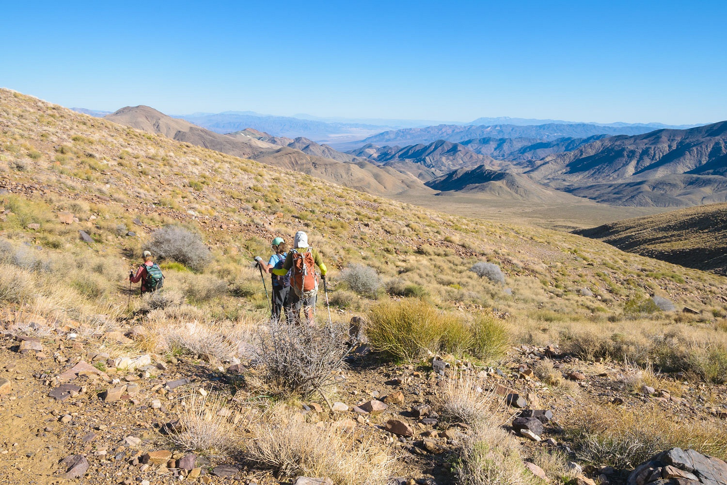
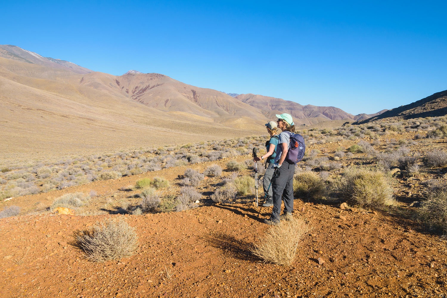
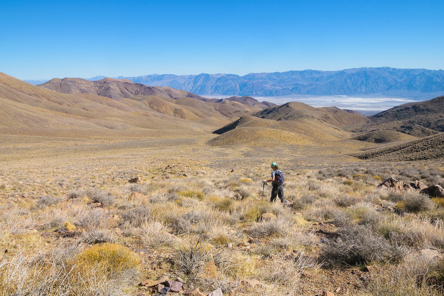
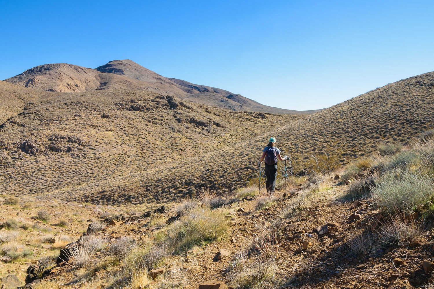
Our objective for the next day was to
explore down the unnamed canyon that the Manly and Rogers group may have
ascended in the escape from Death Valley. From camp we hiked the mile or so
over to a saddle to drop into the drainage. It starts out broad and open.
This upper basin drains into two
canyons. Our objective was the canyon to the north (center in the photo below). The
views down into Death Valley were wonderful.
We again split up to cover more area.
We wished to thoroughly cover the higher ground leading to the high saddle we
crossed the previous day. Julie and I climbed a steep ridge that led to the main
wall of the Panamints.
Steve worked the slopes to the south
of us and Deb explored the top of the canyon we would descend.
I, of course, got distracted by the
marvelous rock outcrop we came upon.
This is the same layer of rock with
fossil ripples that is exposed in horizontal layers at the saddle we crossed
the day before. Here on this ridge, a mile from the saddle, it is exposed in
near vertical layers showing the incredible folding that took place in the
formation of these mountains. Wow!
We reunited and started down
the canyon. Here's looking back at Steve and Deb as Julie and I searched the
benches above the wash for ancient habitation sites.
We found the remains of old mining
claim markers. We found no evidence of development of the claims.
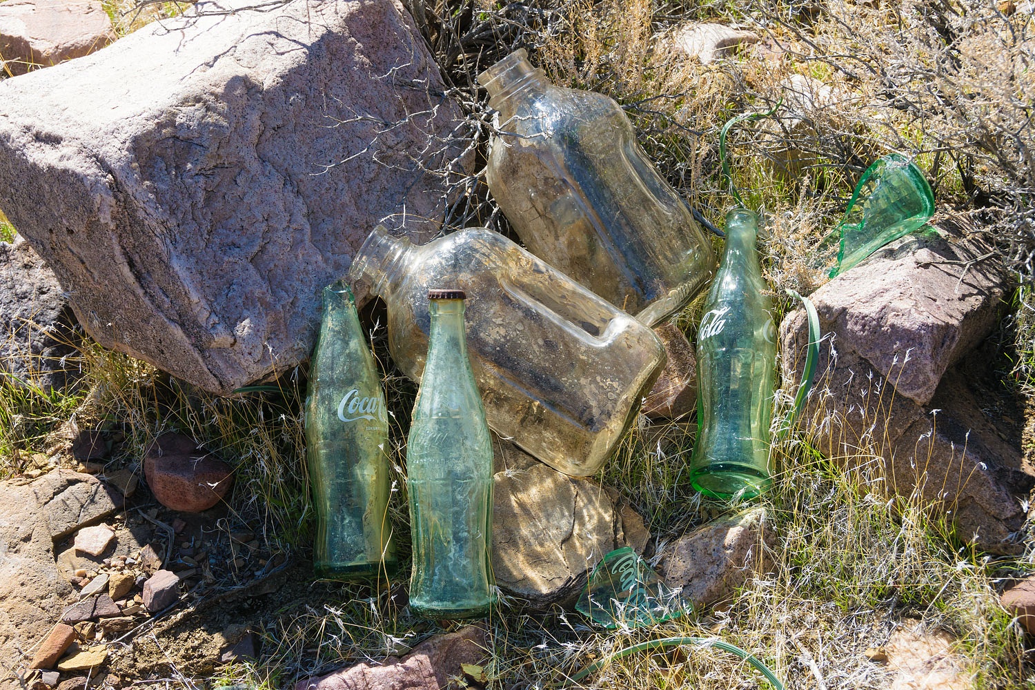
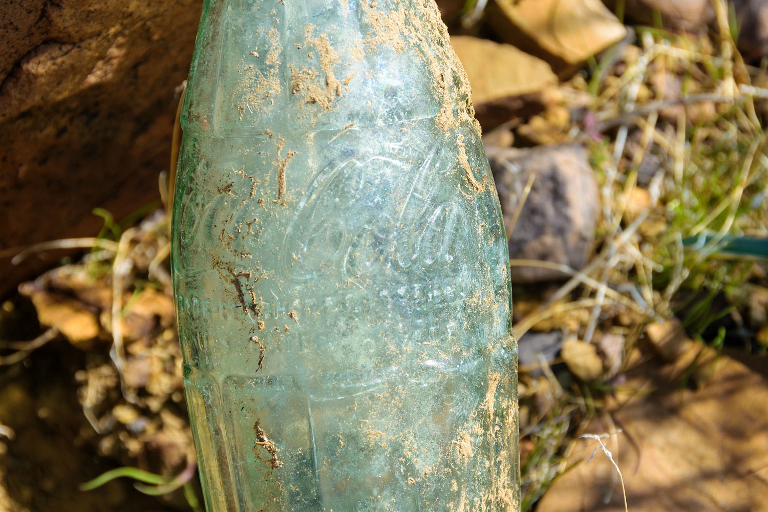
We also found an assortment of glass
bottles indicating there may have been a miner's camp here.
They sure liked Coca-cola. From the
information I found here - Dating Old Coca-Cola Bottles - this camp probably dates from the
late 1950's, very recent history. The embossed logo contour bottles were
manufactured up until the late 1950's when the painted logo bottles began.
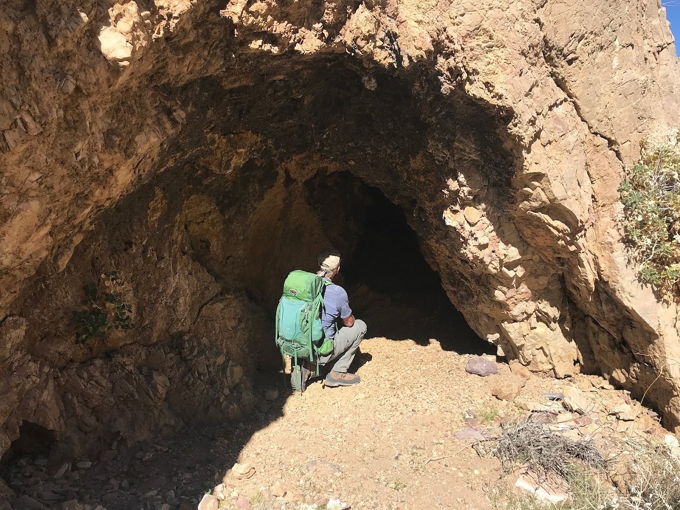
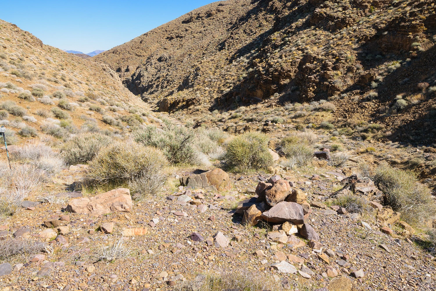
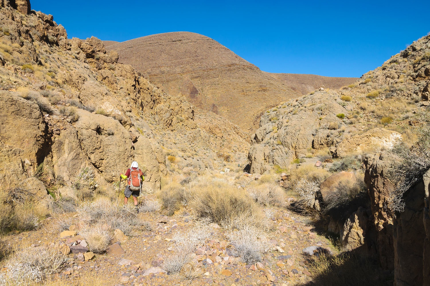
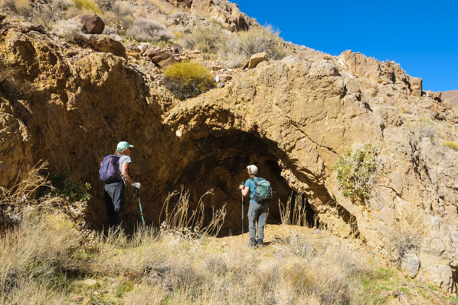
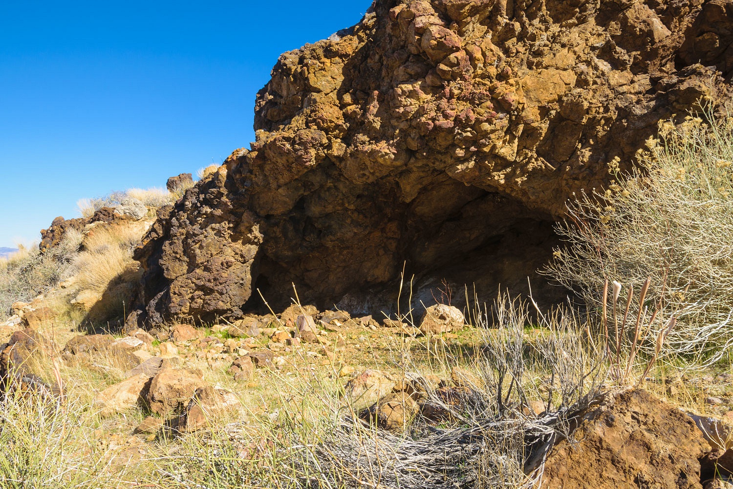
The canyon narrowed as we dropped.
We came upon a feature that
definitely matched Leroy's notes on his map - a cave.
Julie climbed up to the mining claim
rock pile shown in the photo above to the right above Steve. Deb investigated
what looked to be a shelter site much higher- it wasn't one.
As my Dad always told me, "Hang
out with women that like to climb."
We stopped for lunch lower in
the canyon around 1:00 pm. and talked about a turnaround time and the estimated
amount of time needed to reach camp. Oh, how much fun it would have been to
have explored further. But it was prudent to turn around here. Besides, we were
taking a different route back to camp by returning via a side canyon and
doing further searching.
Near where a note on Leroy's map said
"two rocks" we found another shelter site.
Further on we intersected with a well
defined trail, took it south, traversing the head of another canyon, and into the
main broad basin we had dropped into at the start of our hike. It was nice easy
going.
We regained the saddle we had started
from early this day and took one last look back down canyon. It reminded me of
William Lewis Manly and the escape party taking a look back after climbing to
the crest of the Panamints in early 1850 and saying, "Goodbye Death
Valley," giving Death Valley its name.
This was our last evening with our
new friends. We so enjoyed sharing adventures and time with them. But, the
story is not quite yet told.
There's a bit more to cover please click here for the
final chapter - Part Four.