
please remember you can click on a photo to see a larger version & highlighted text are links to additional information
Part two of our winter adventure. Click here for Part One.
Tanked for New Years
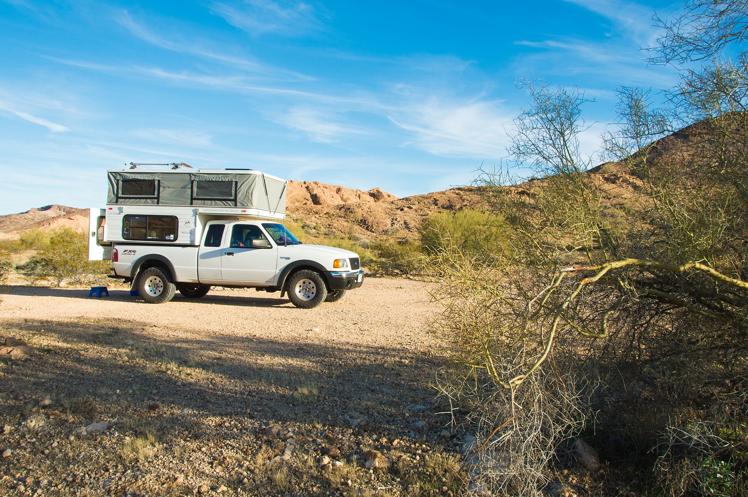
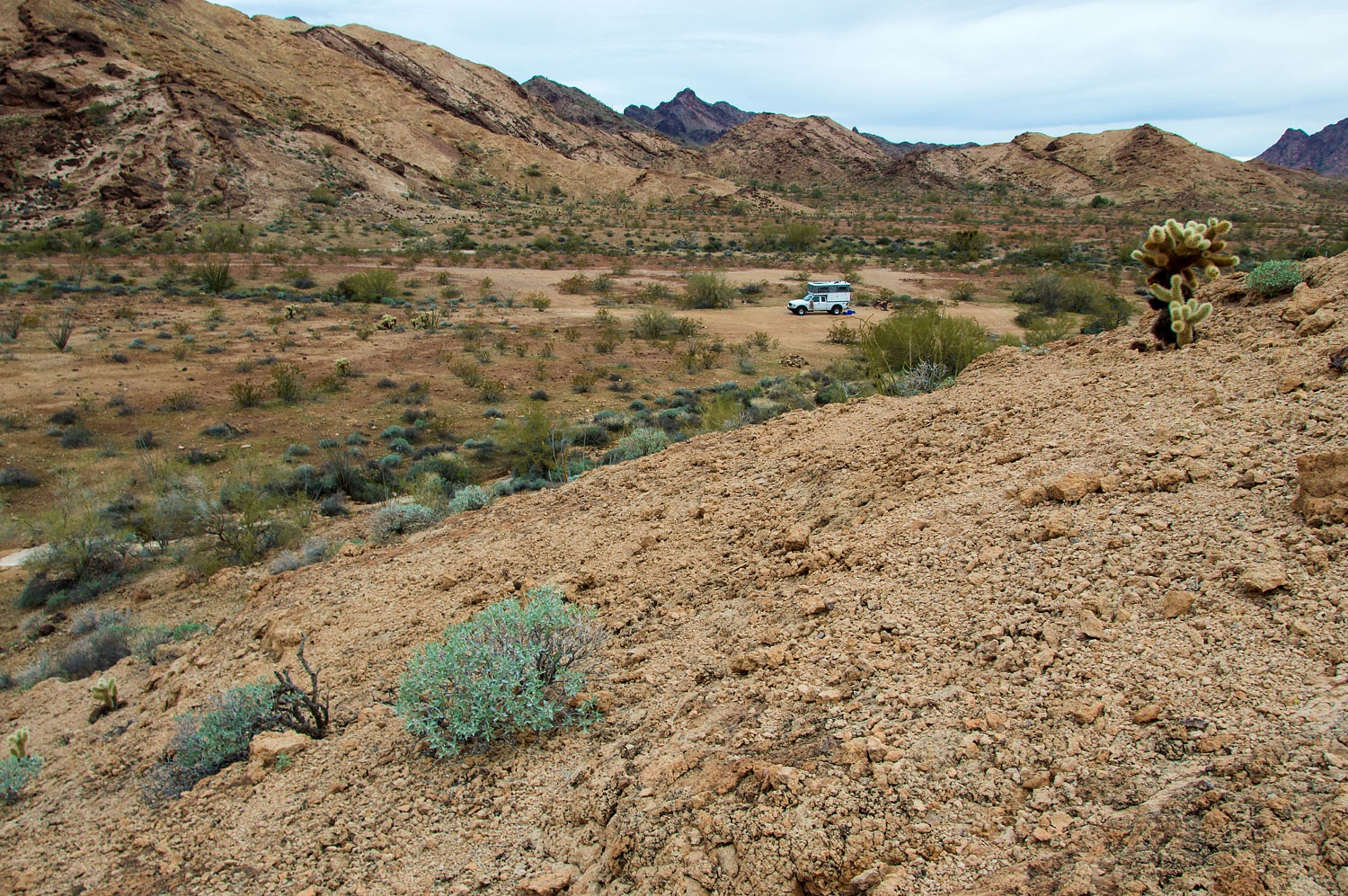
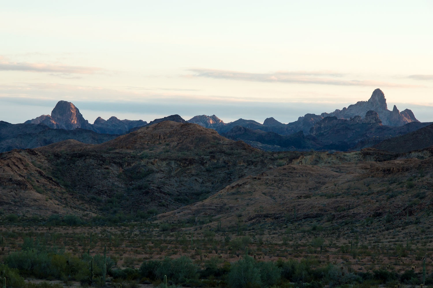
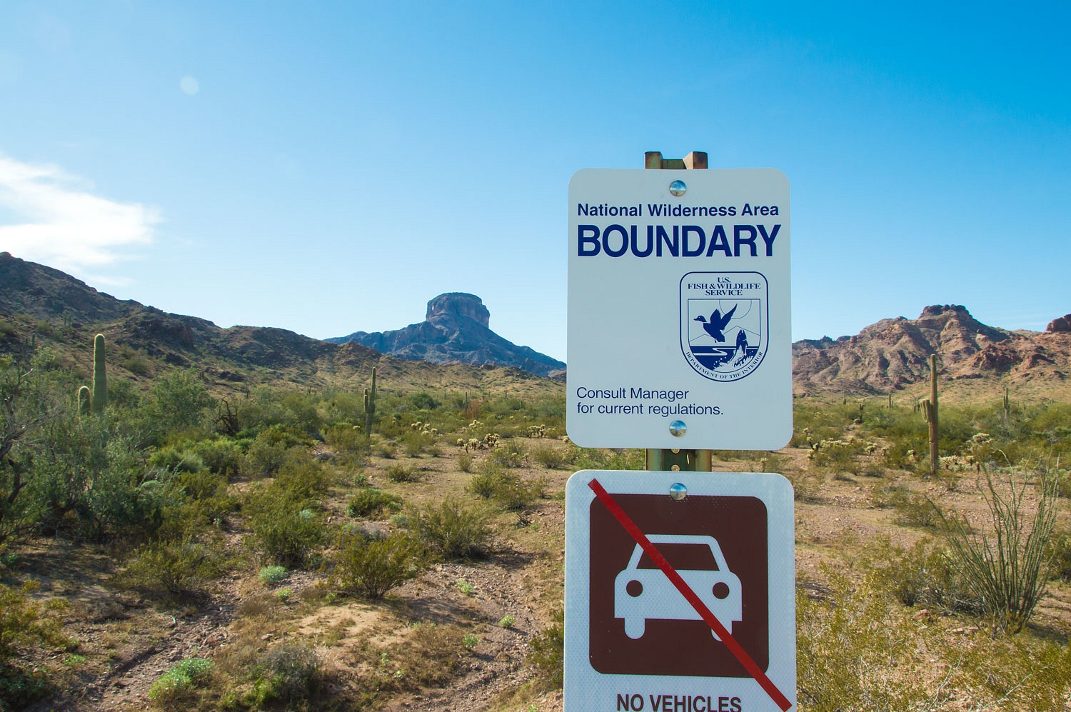
It was an easy drive to Kofa National Wildlife Refuge from the Mojave. We arrived mid
afternoon even with the time change from Pacific to Mountain Standard Time. Getting through the dreaded Quartzsite area was not too bad. The white cancer (RV's
parked everywhere) was evident but had not yet spread and engulfed every piece
of flat ground for square miles around this annual RV ritual site.
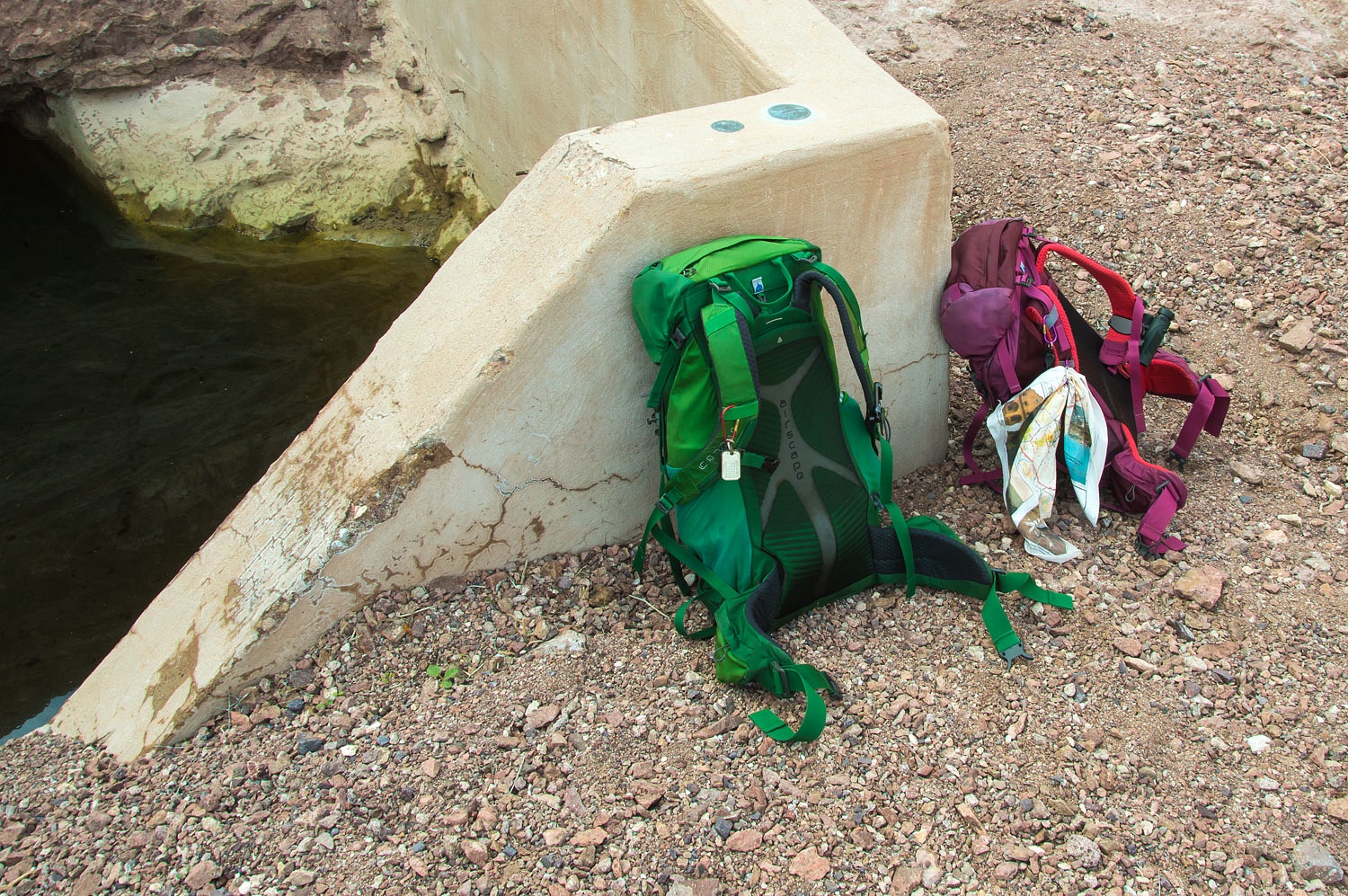
Solitude greeted us after our
4x4 drive out to Horse Tanks. We set up camp.
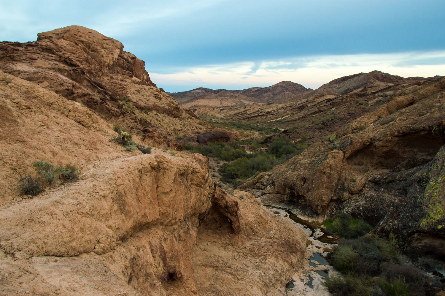
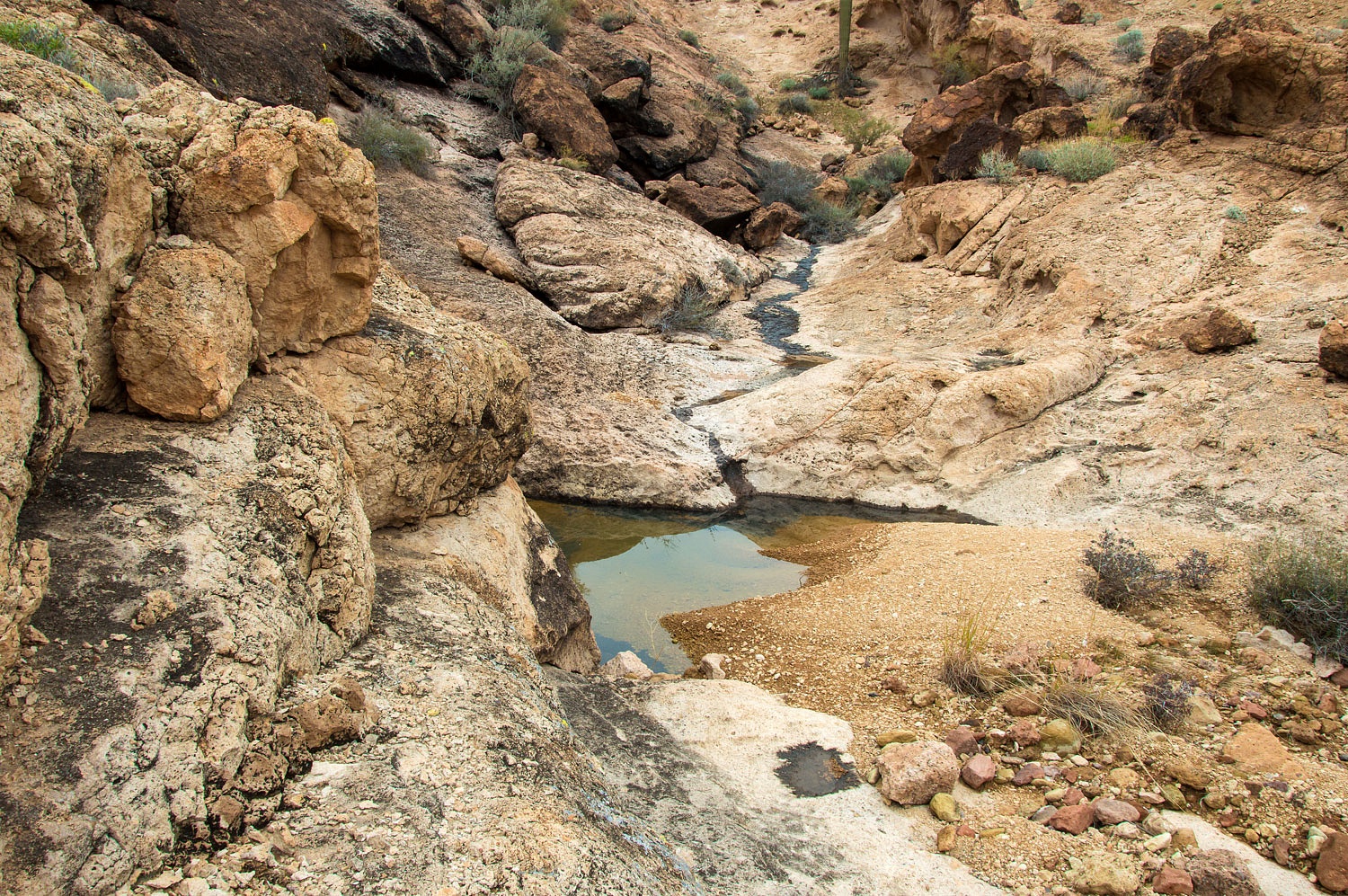
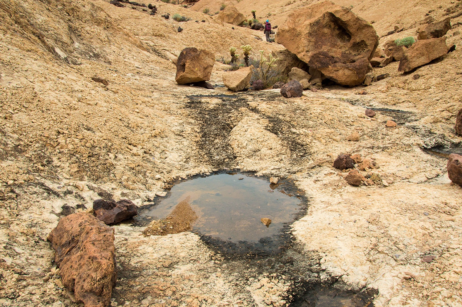
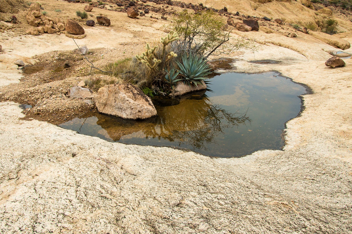
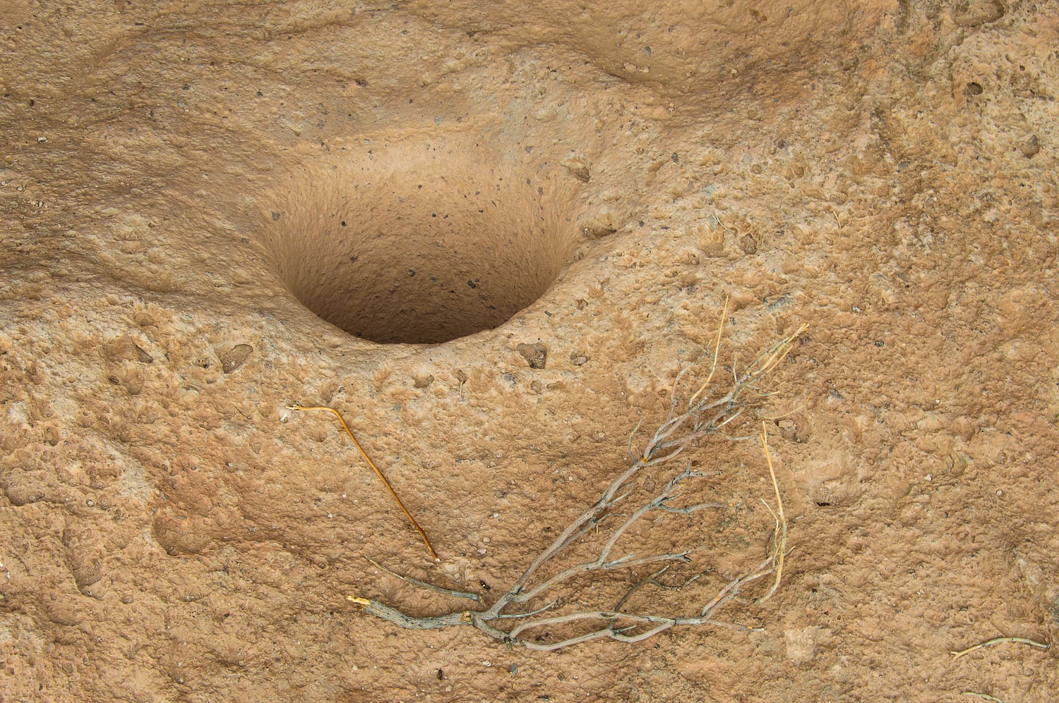
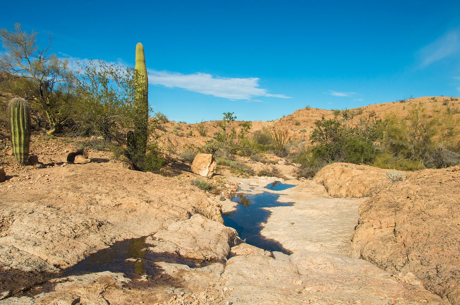
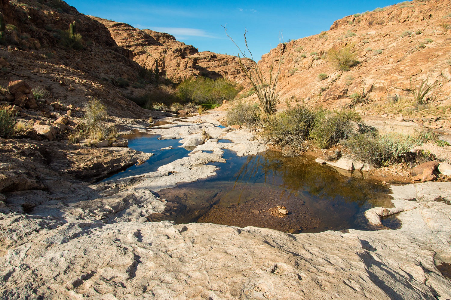
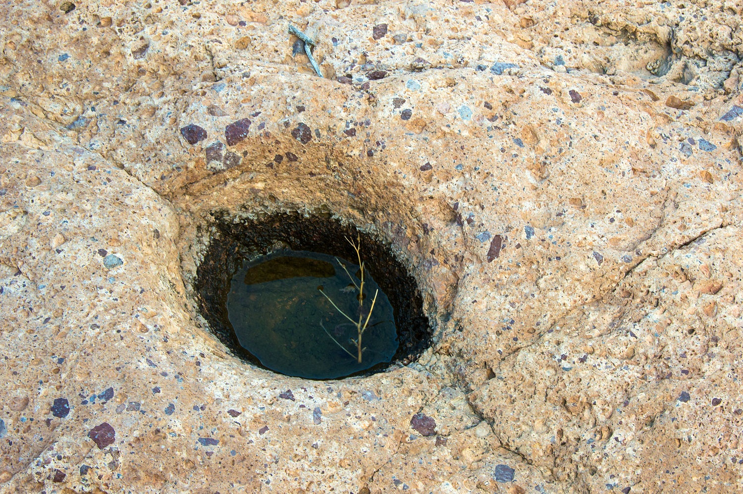
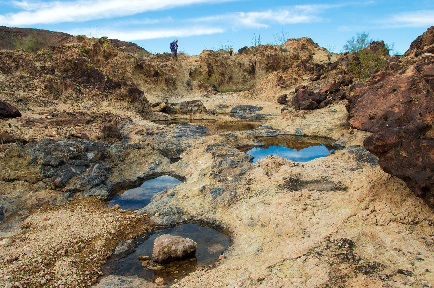
The storm that dumped snow in the
Mojave provided rain here in the Castle Dome Mountains. Bedrock depressions -
called tanks or tinajas - that capture and hold water from
rain events are vital for survival in these arid lands. We were excited to
find so much new water and found this a very special time to visit here. In the late
afternoon we climbed high above the Horse Tanks.
The weather remained cloudy and cold.
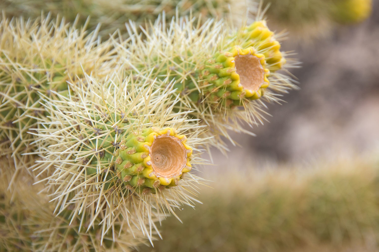
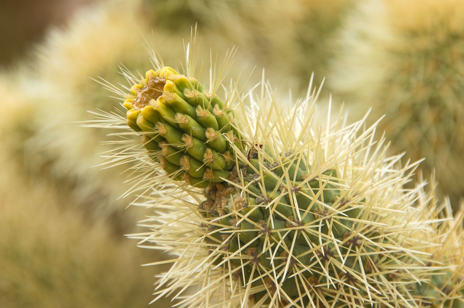
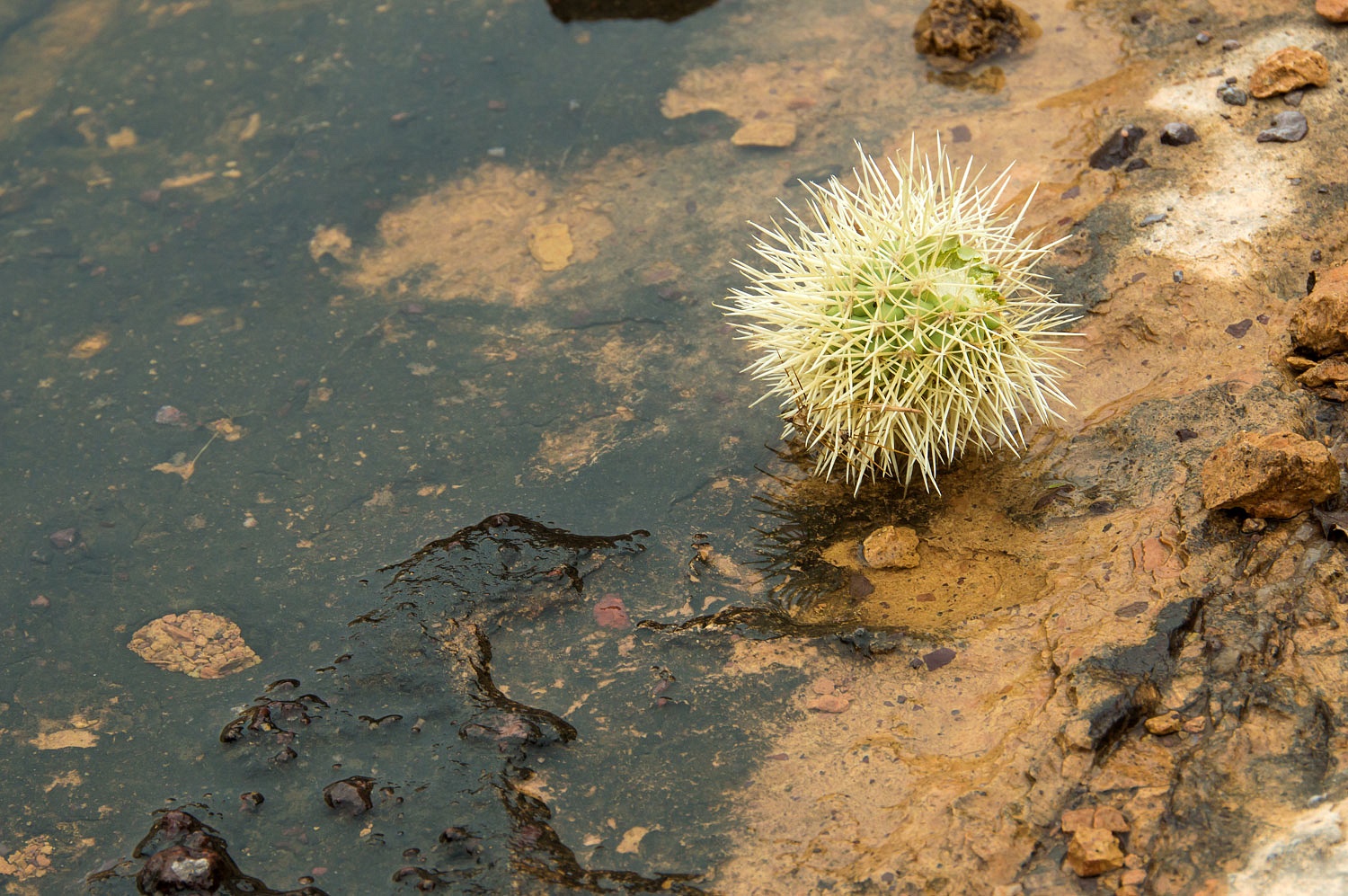
Cholla had cast off their flowers.
Cholla had cast off their flowers.
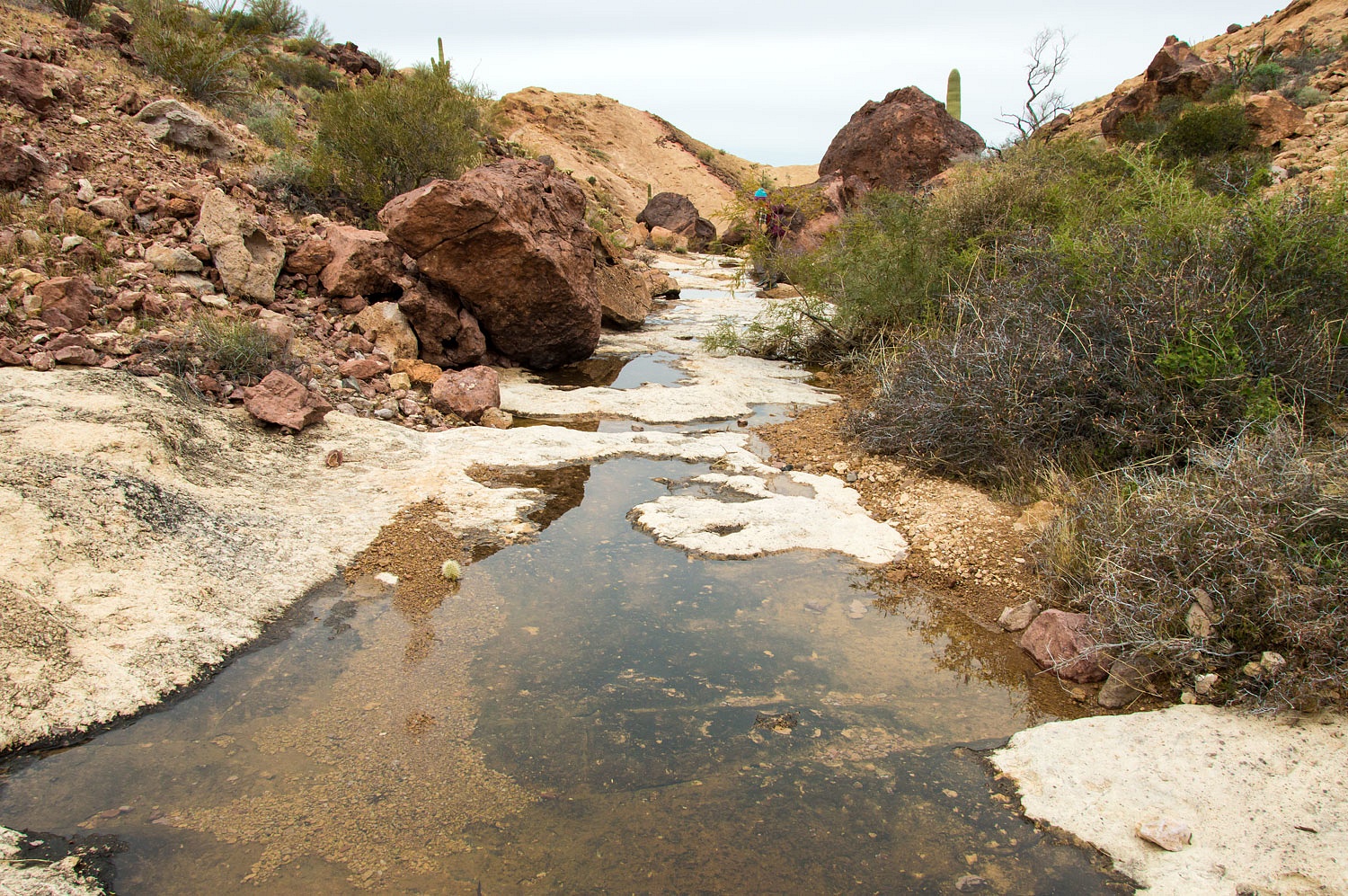
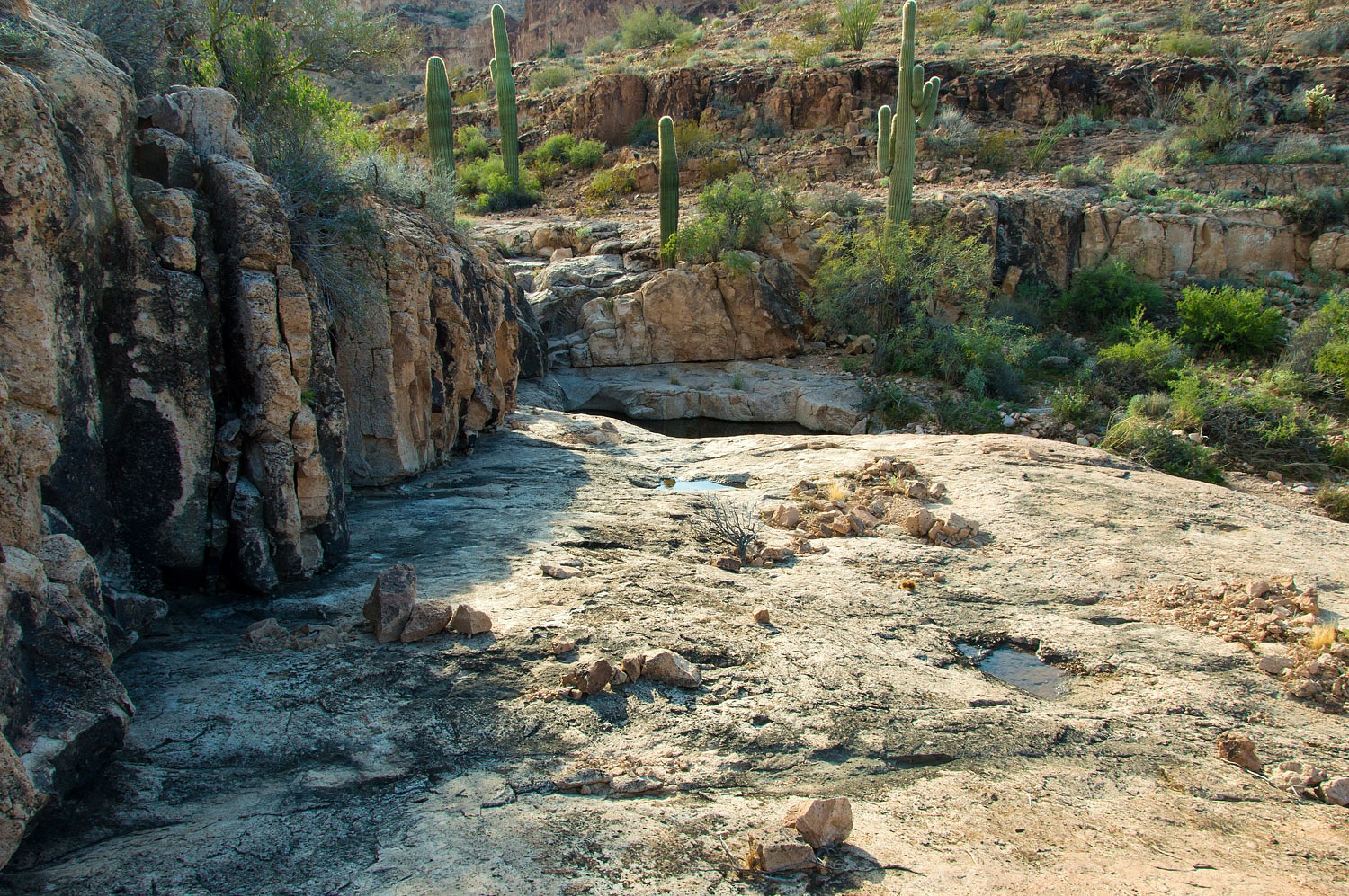
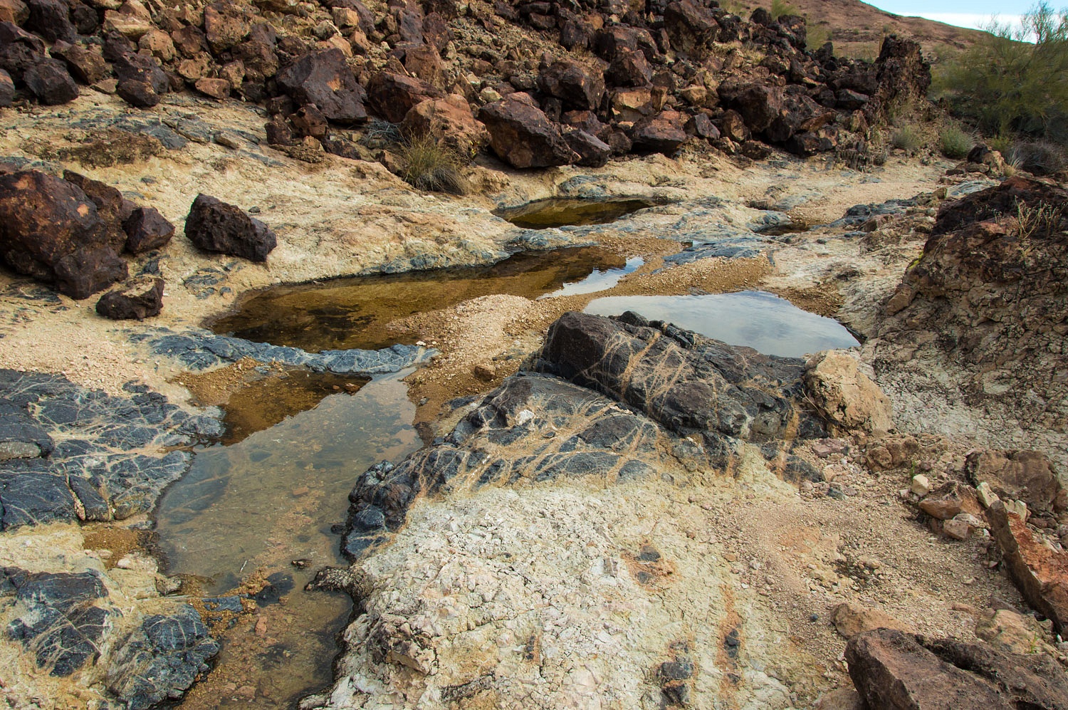
The next morning we explored the Gray Tanks on our early morning coffee walk and, again, were so pleased with our
timing with the abundance of water after the rain.
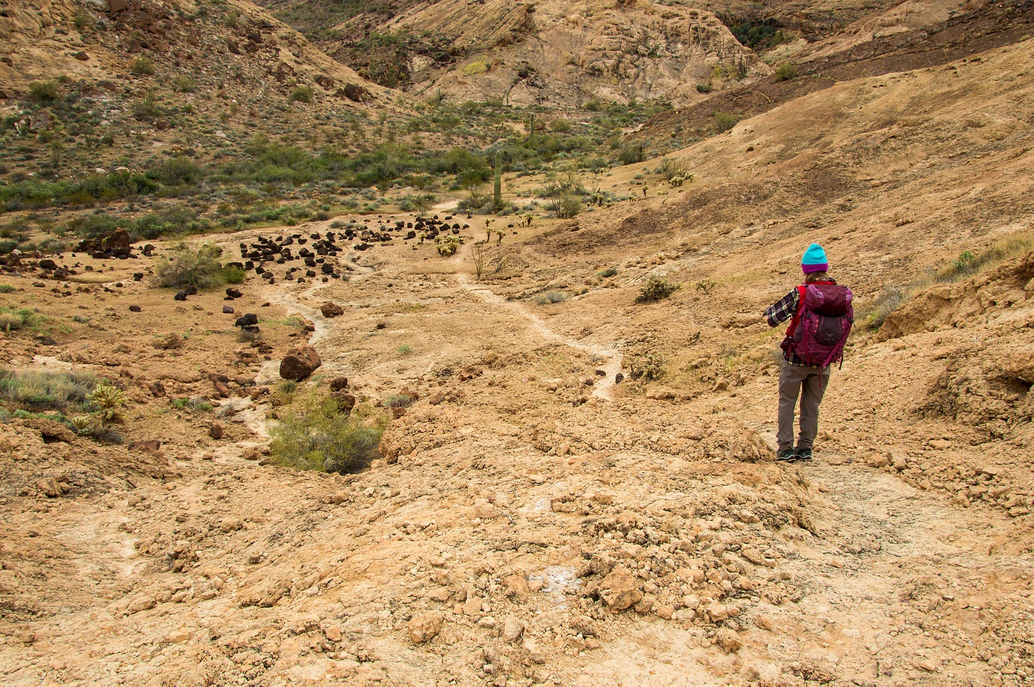
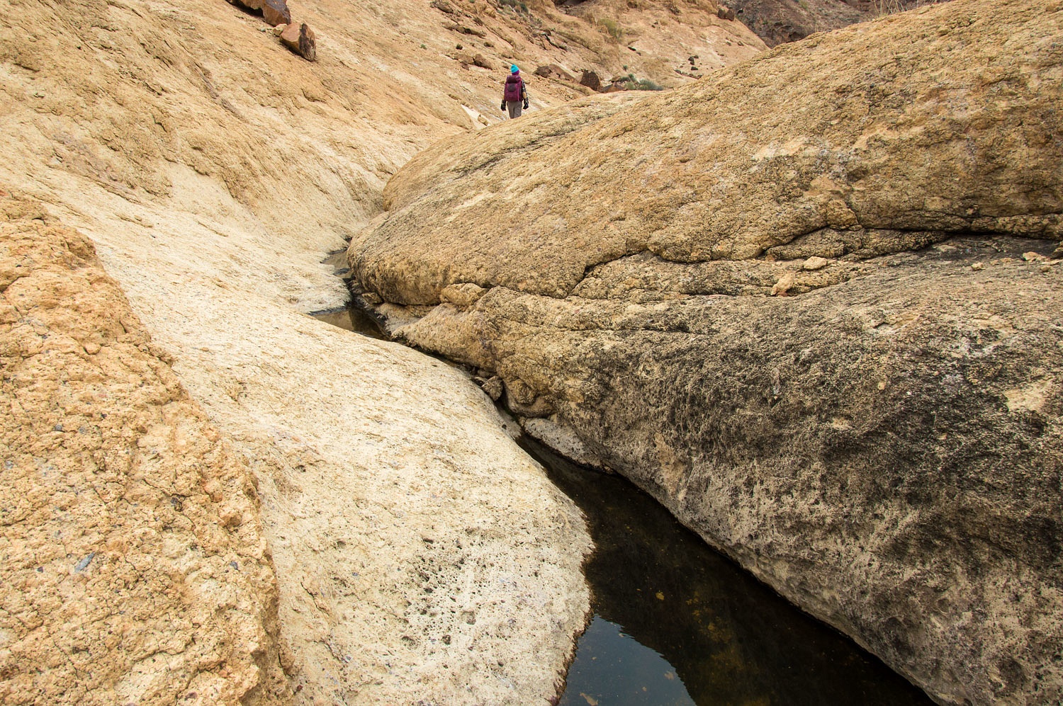
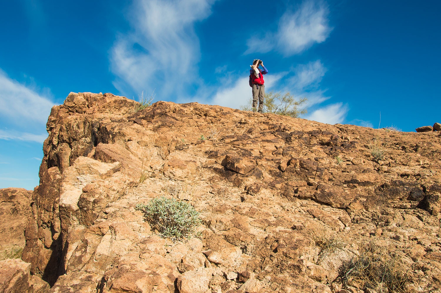
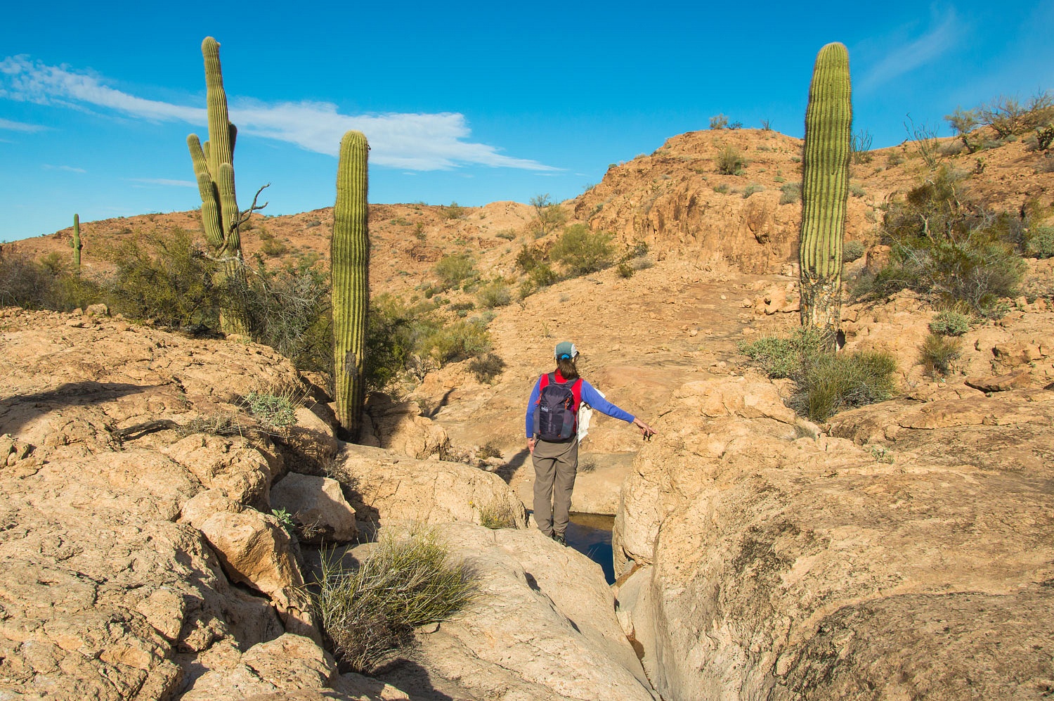
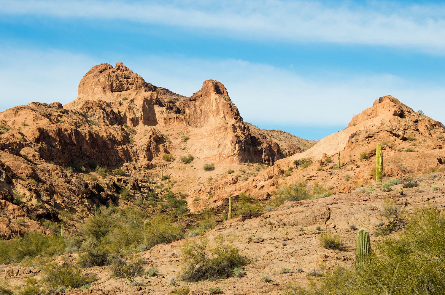
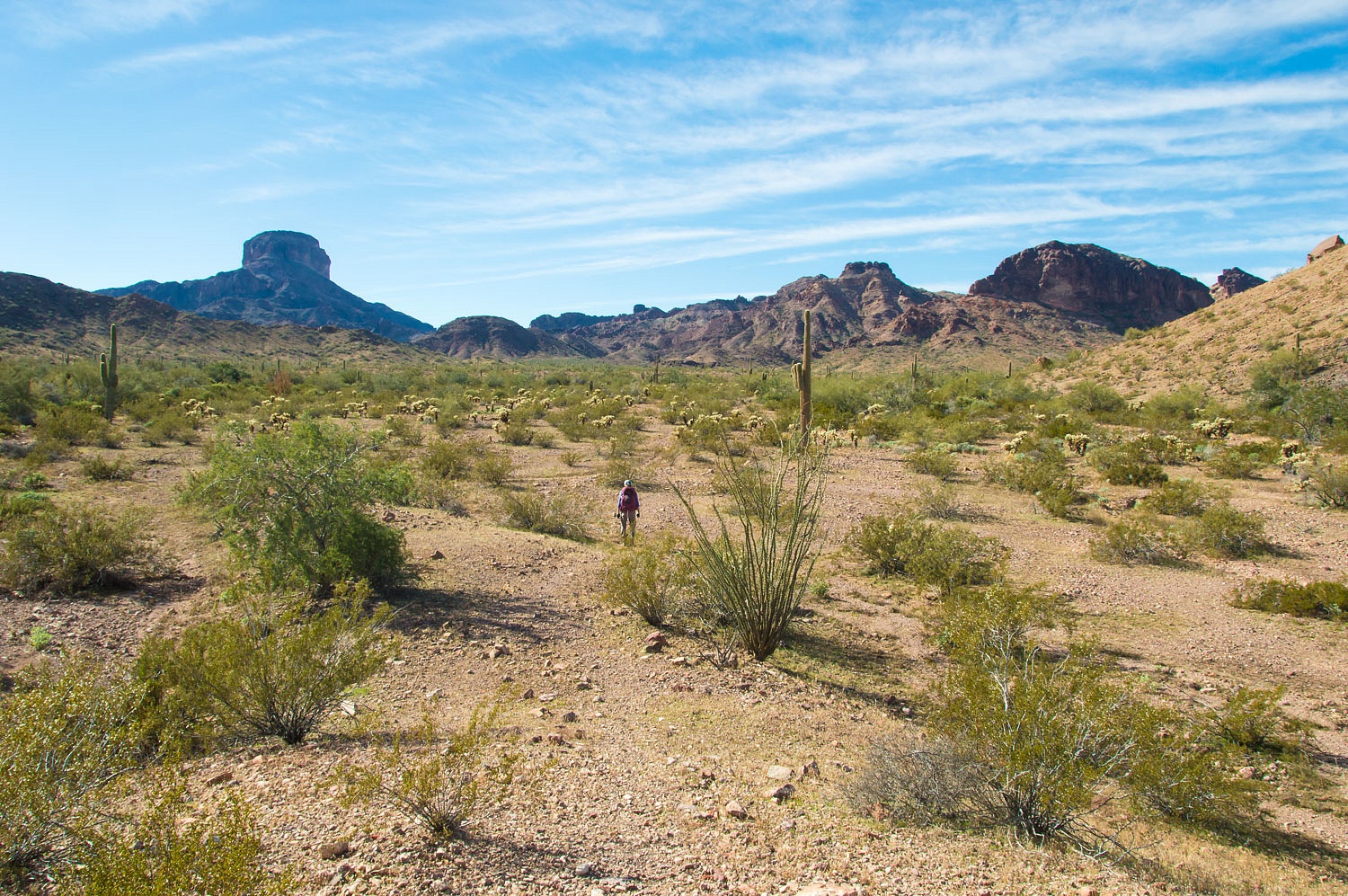
We spent the day hiking, climbing,
and exploring the high drainages that came together at the Gray Tanks. It
was cold but the wind was not bad as we set off. Ancient trails run through
this area.
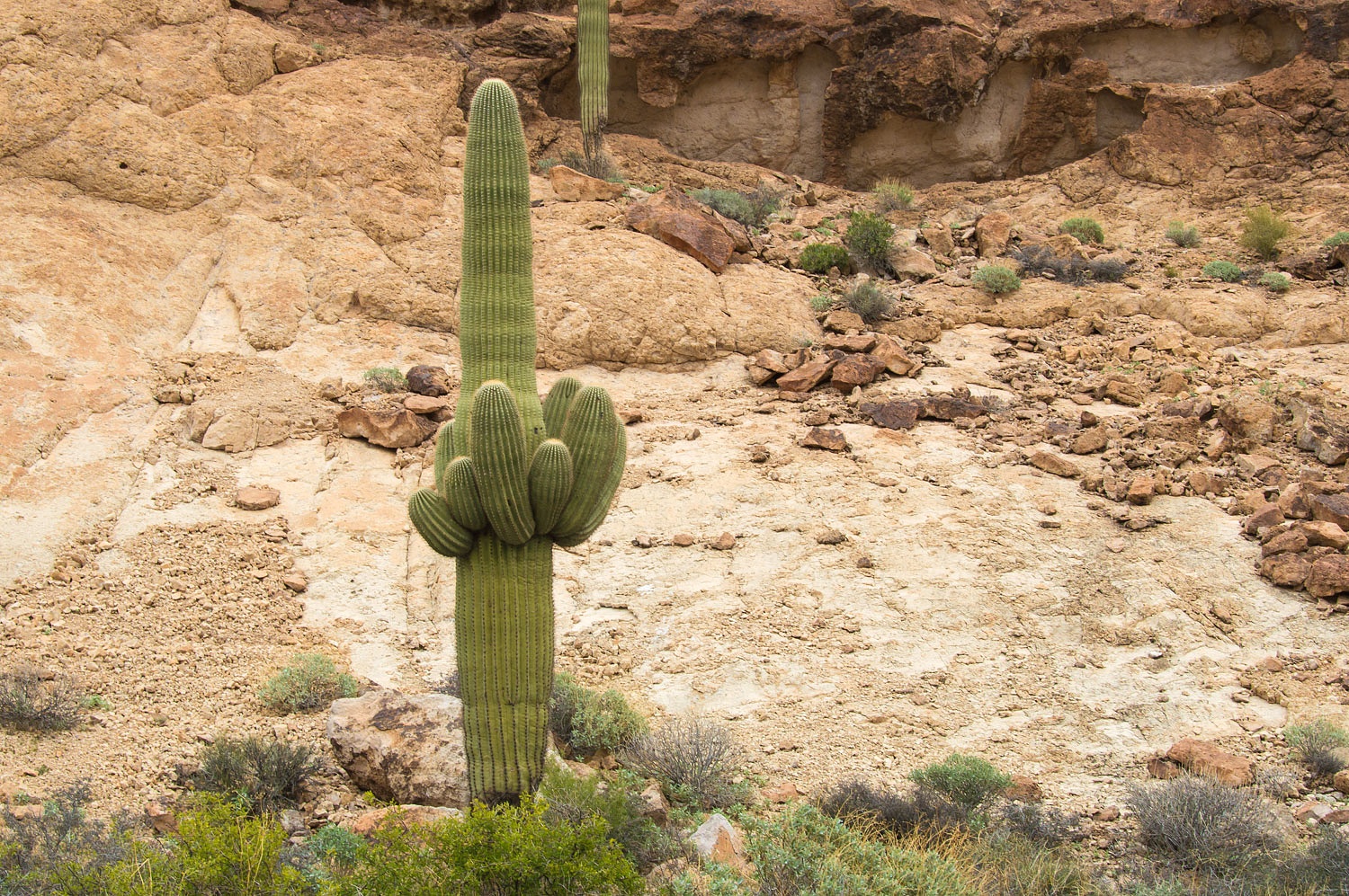
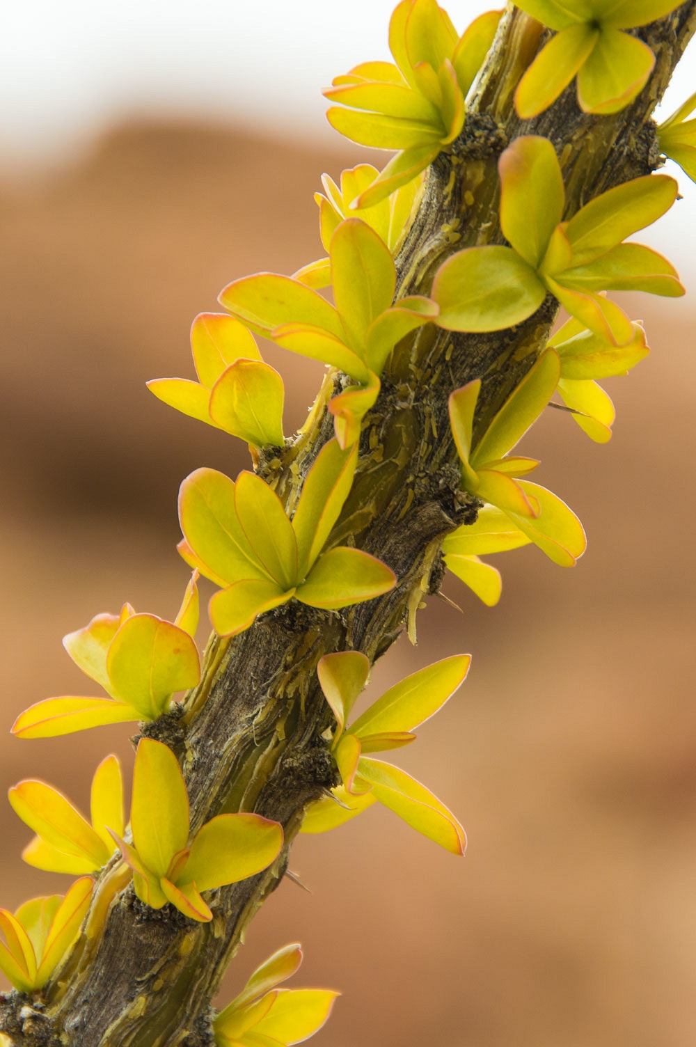
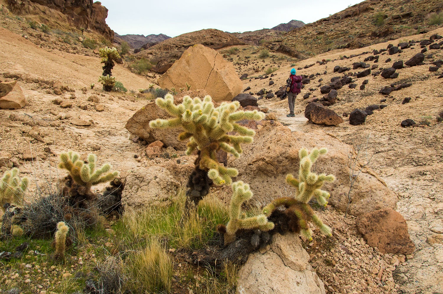
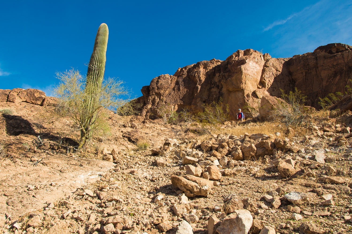
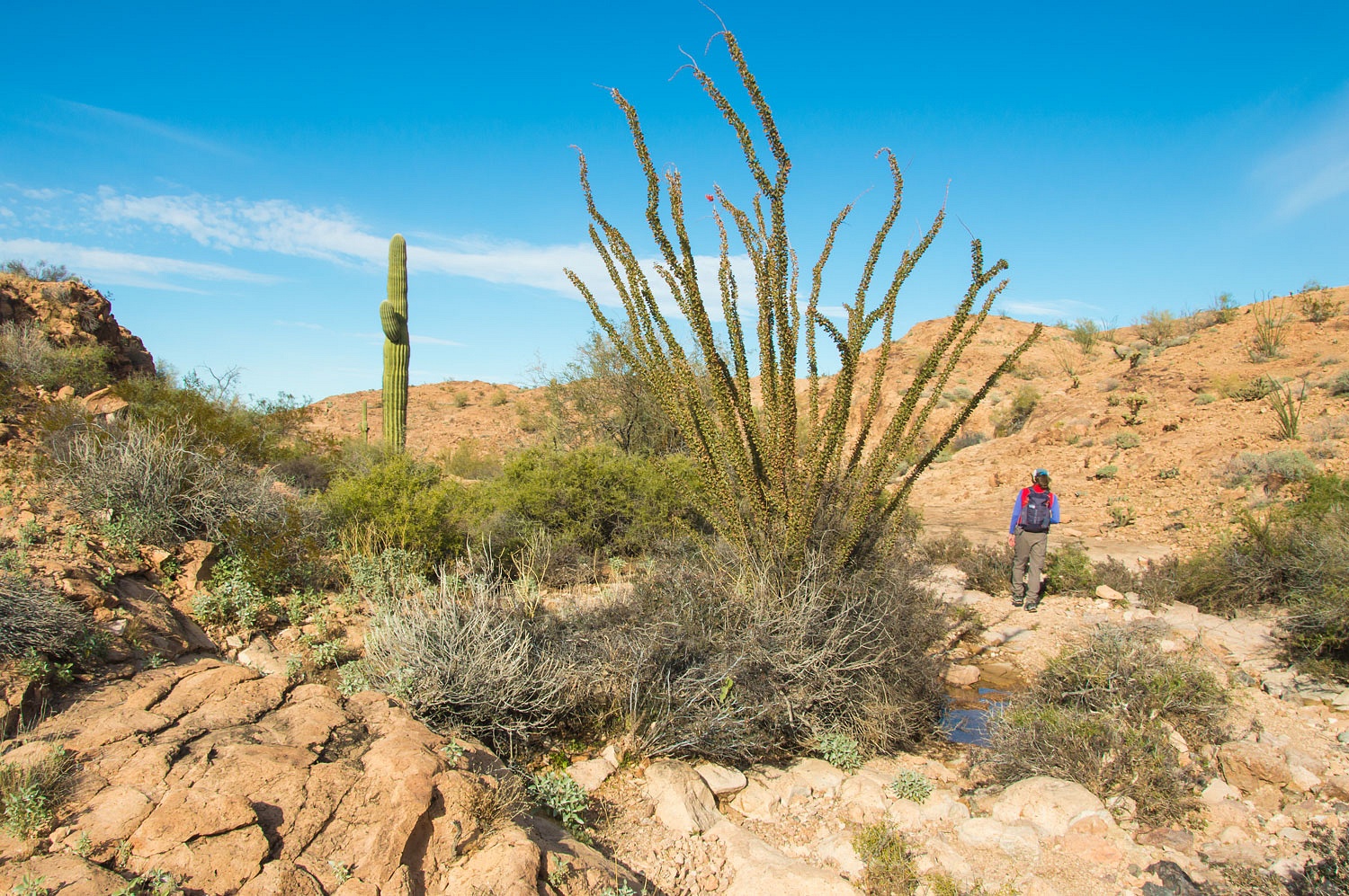
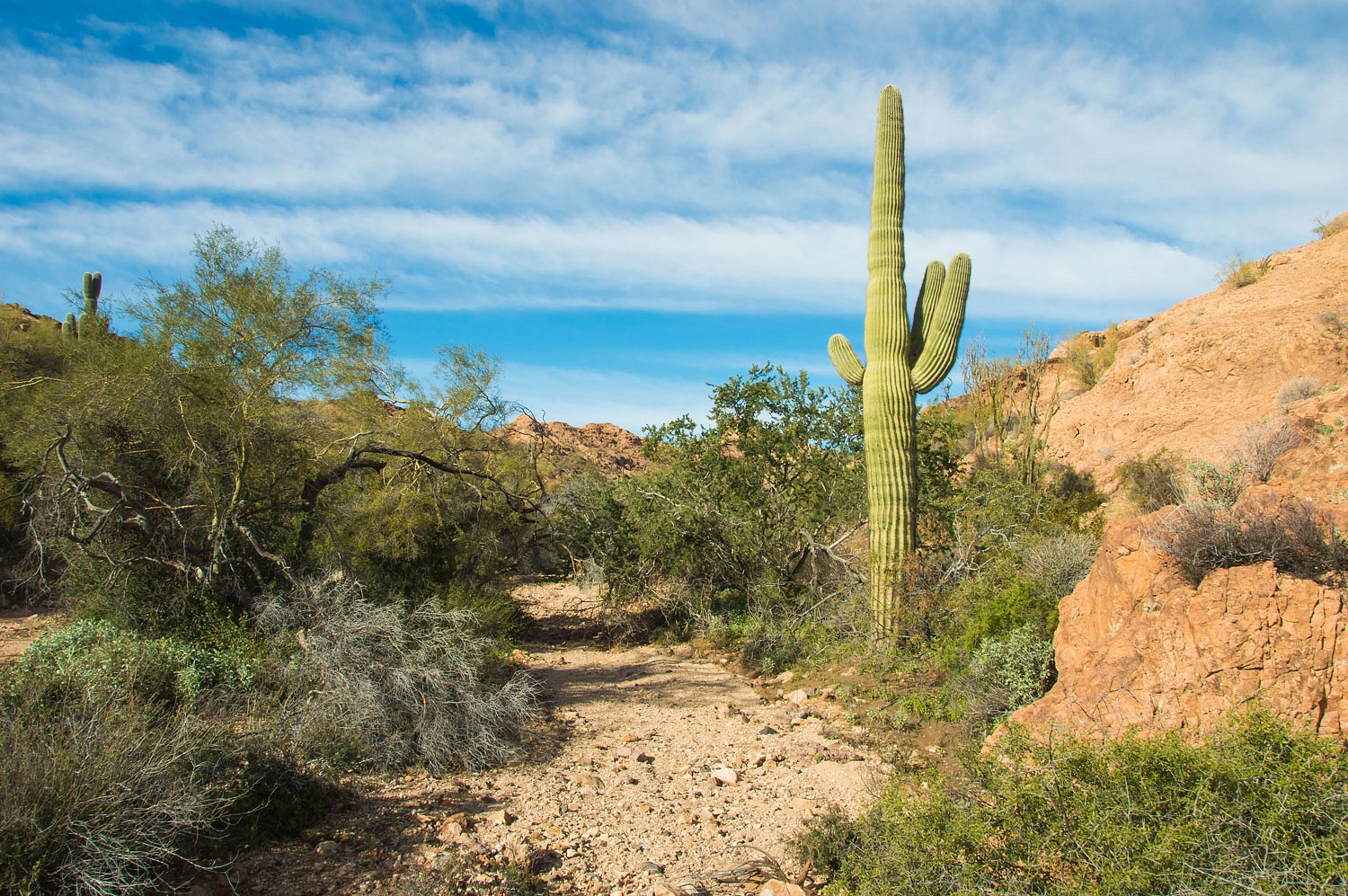
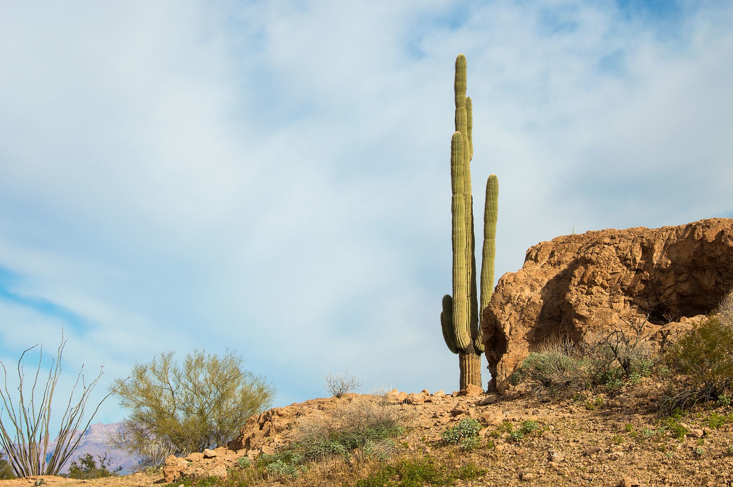
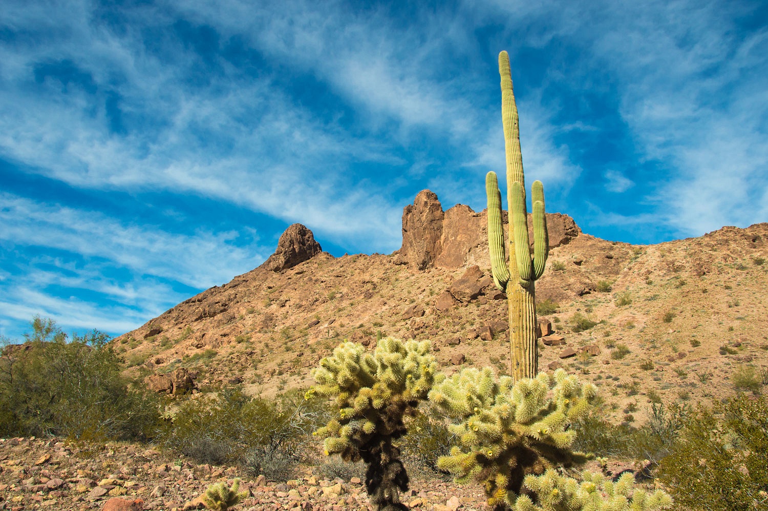
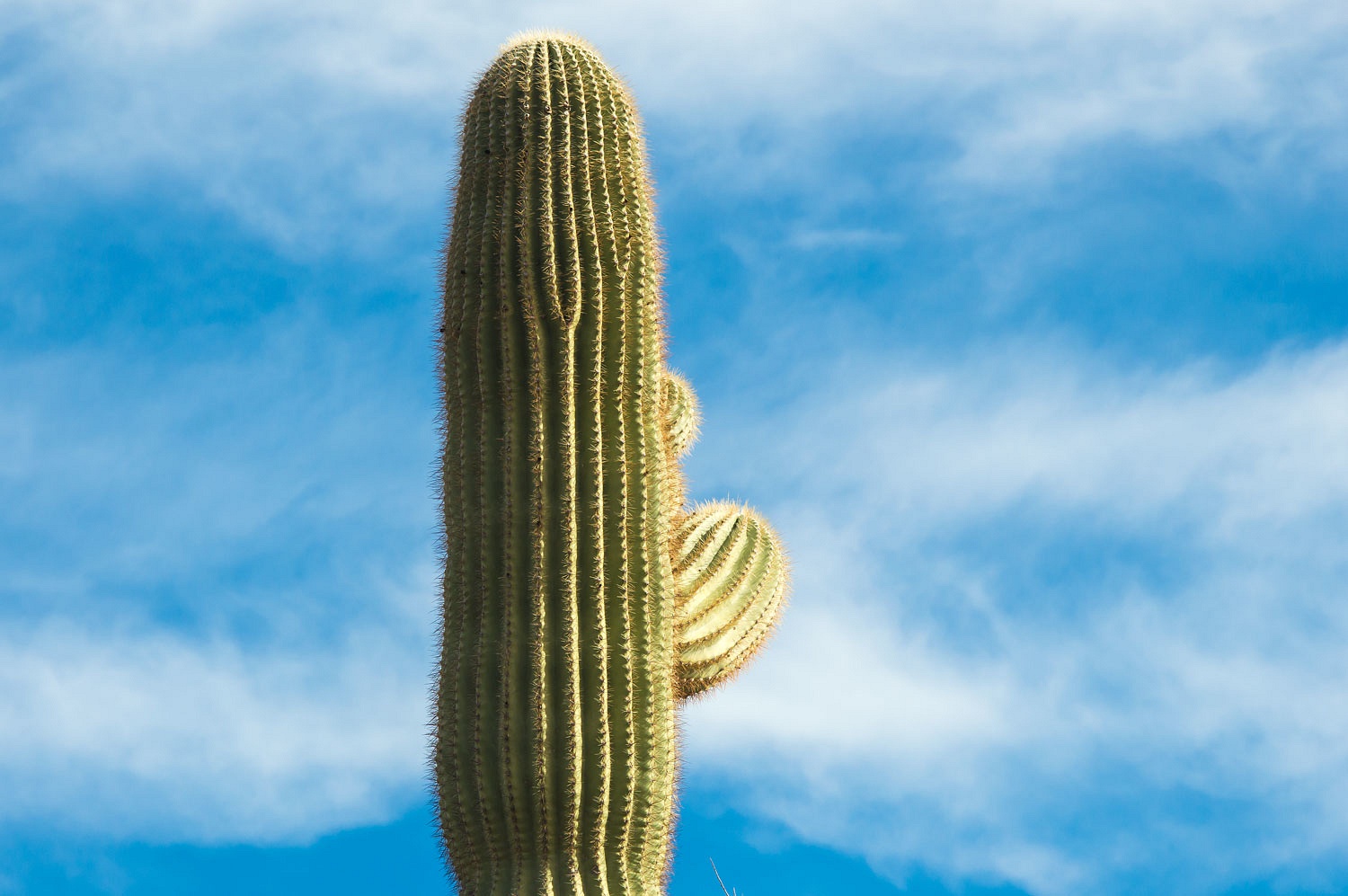
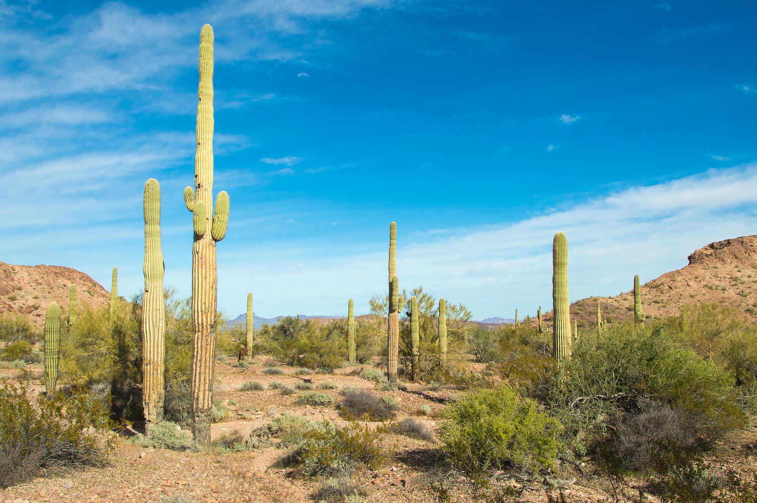
This is the land of Saguaro,
Ocotillo, and Cholla.
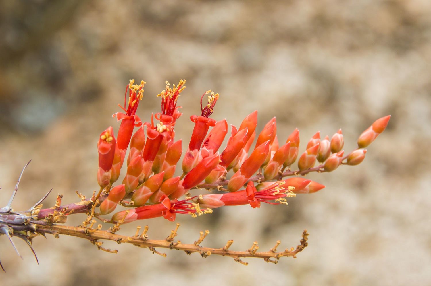
This was an thrilling
landscape to move through.

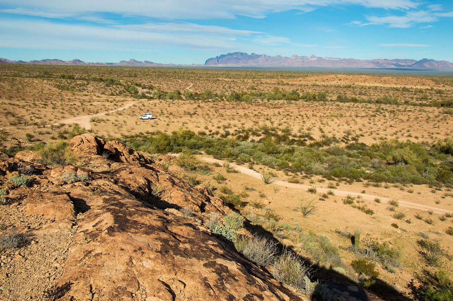
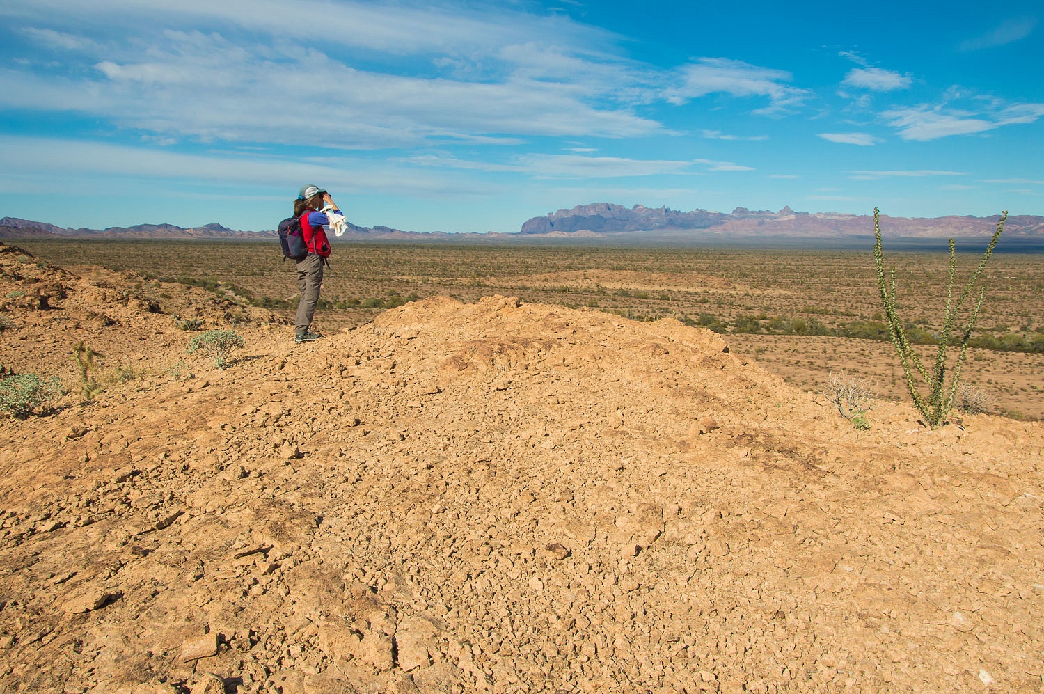
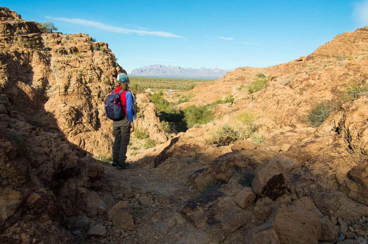
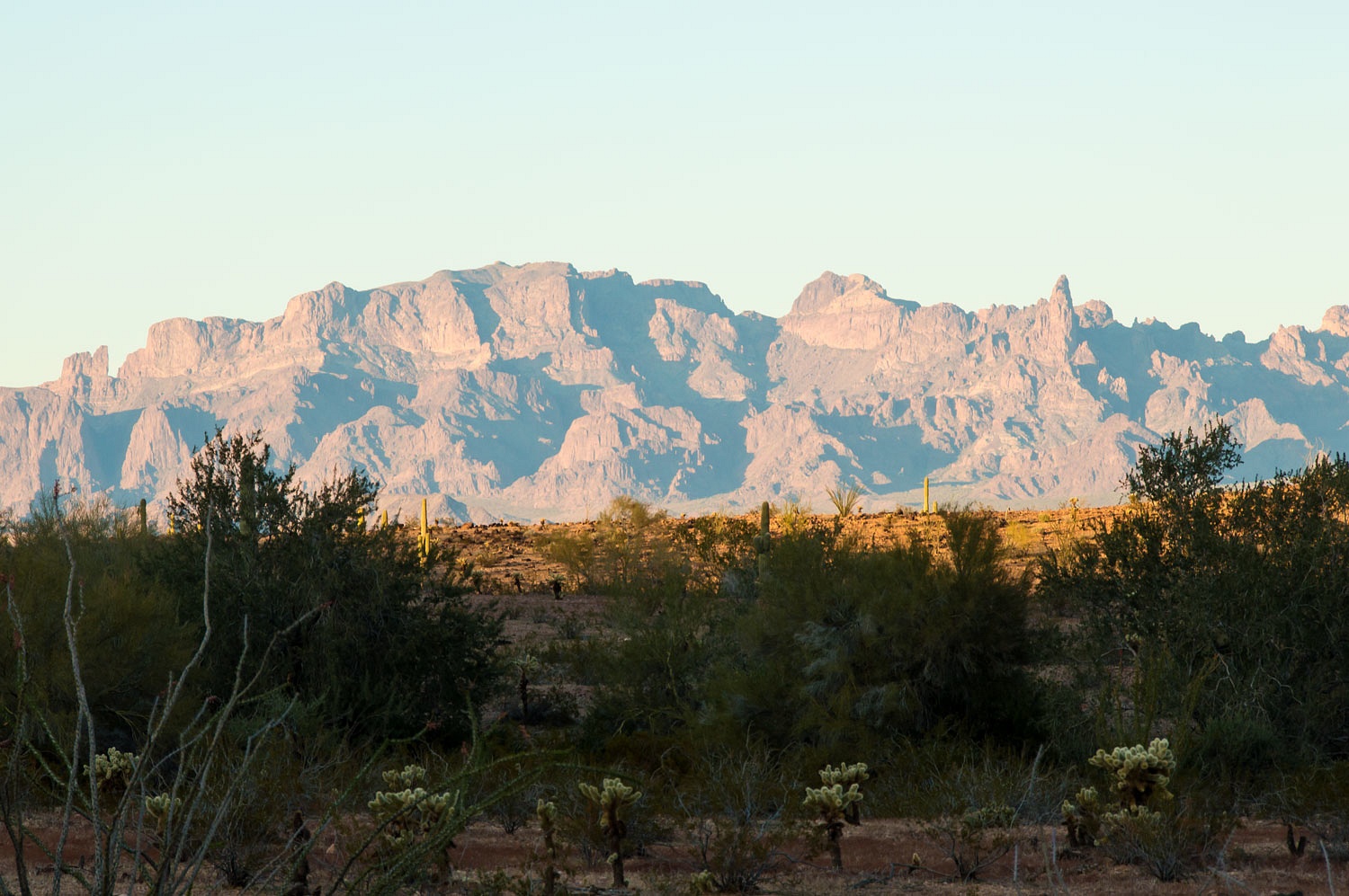
We reached a high point and took in the view to the north - across King Valley with the Kofa Mountains beyond.
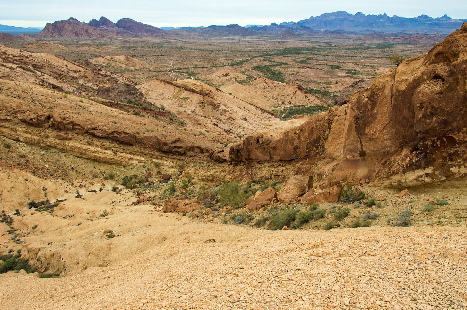
We descended an adjoining drainage
and continued our wandering and explorations.
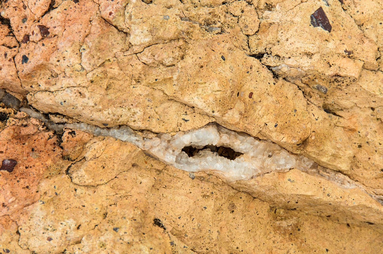
The Lady continuously commented on
the seams of quartz that filled cracks in the welded volcanic tuft.
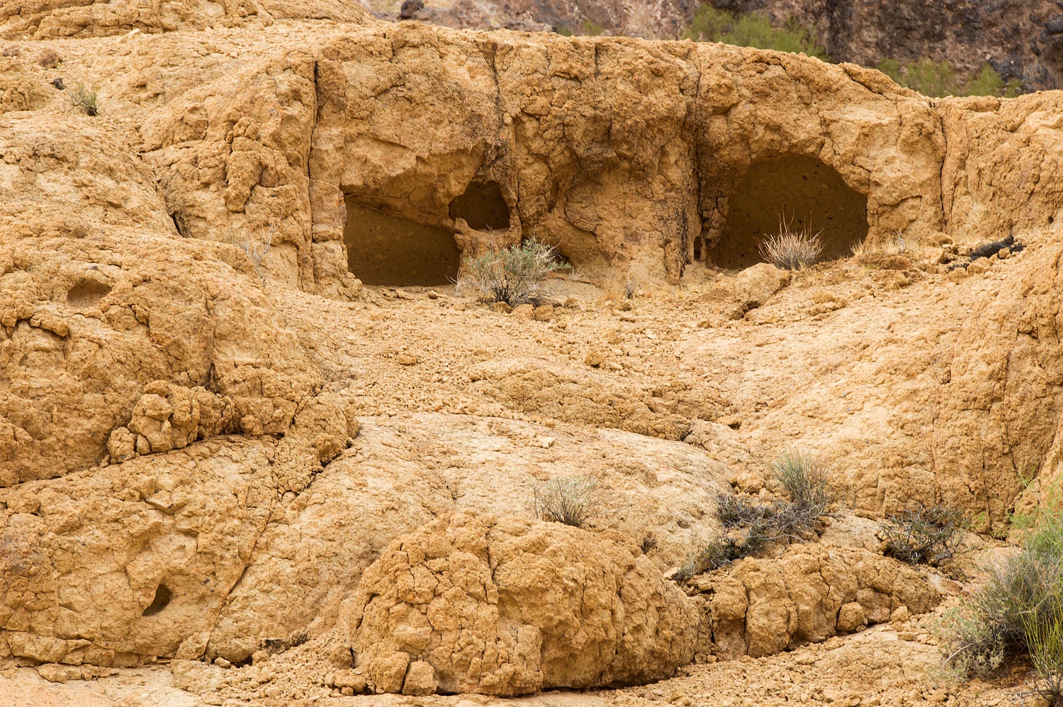
Natural shelters were abundant and we
explored every one we could.
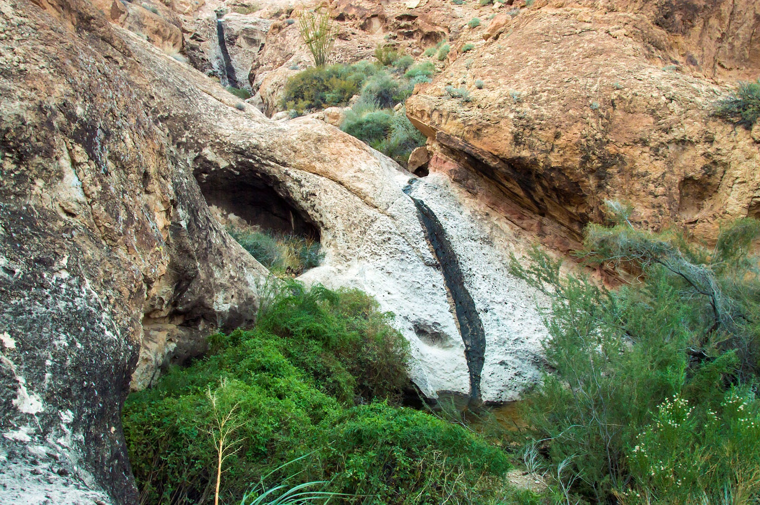
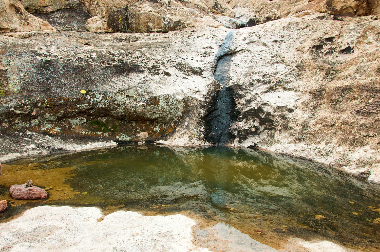
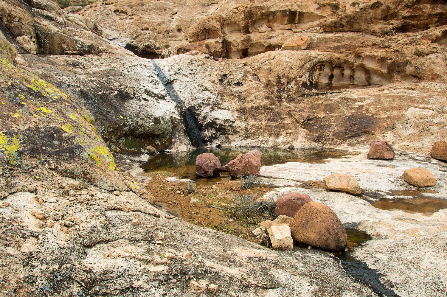
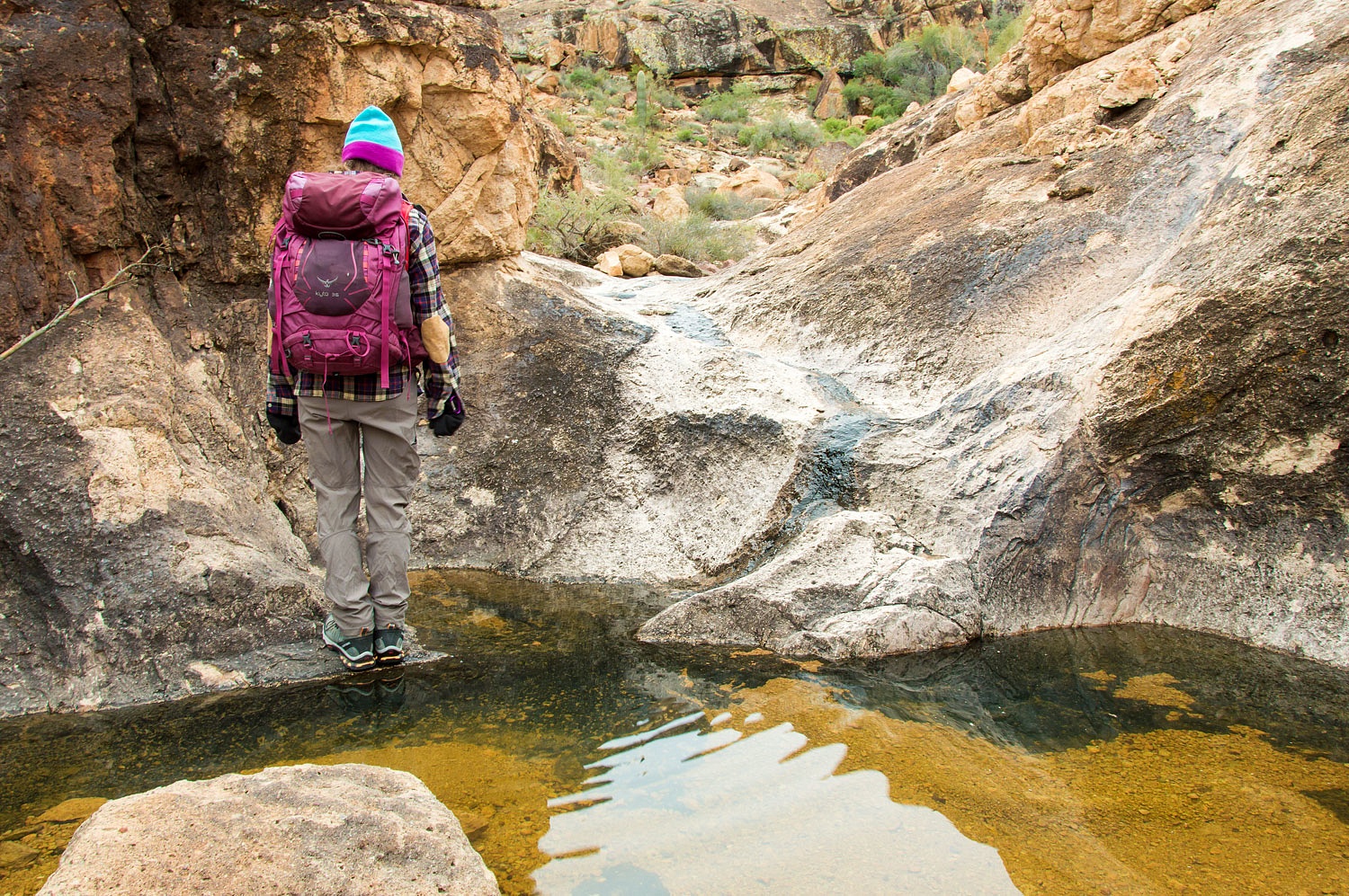
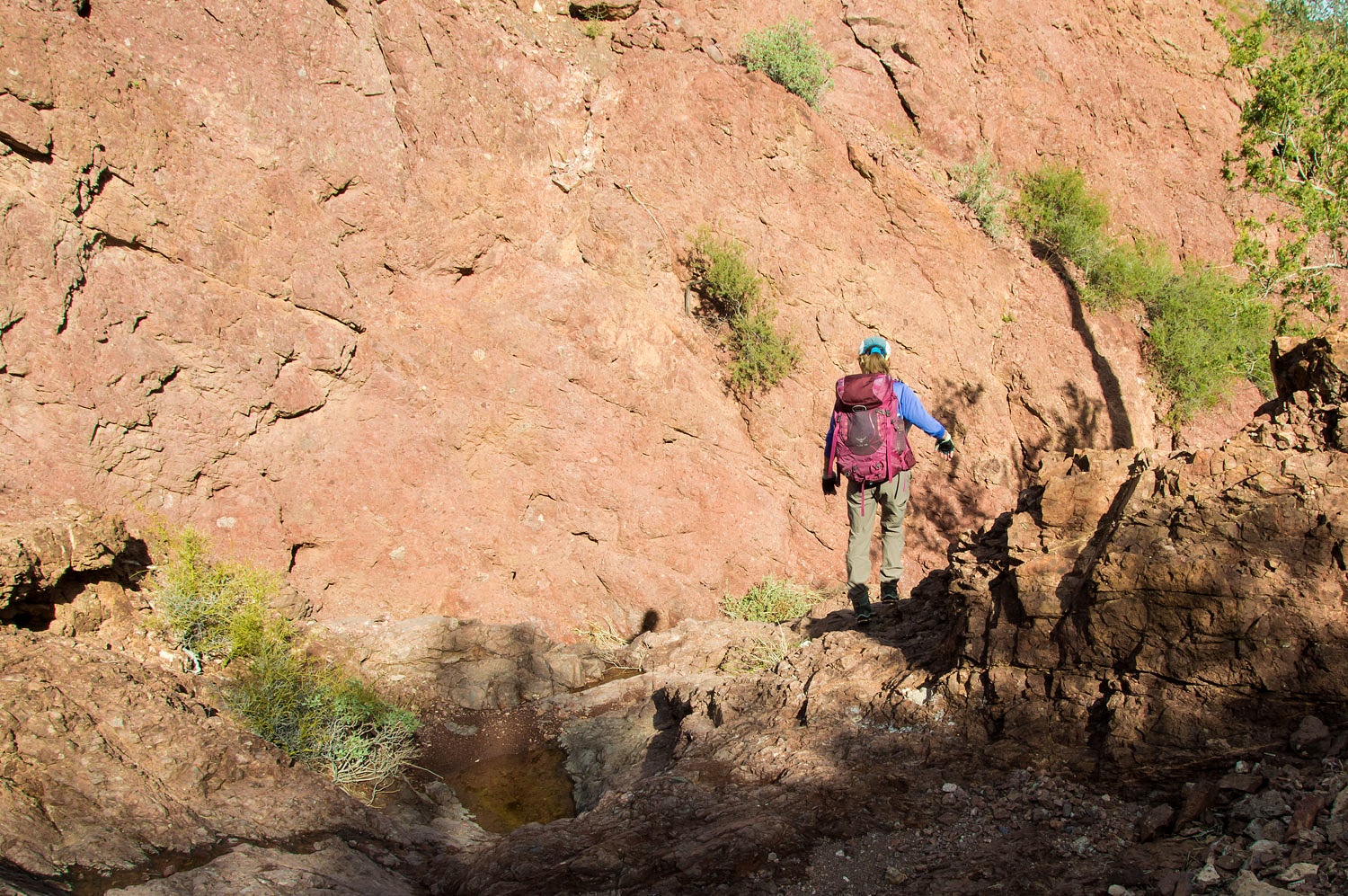
We approached a drop off with a
plunge pool below.
As we stood at the top of the small waterfall, we spotted
a man below us in the canyon. The Lady waved to him.
"Do you know where the
petroglyphs are?" he called up. "My name is Hari as in hurry hurry
hurry."
We down climbed and introduced
ourselves to this energetic young man from India.
"Yes, we know where the
petroglyphs are," I answered.
"Can you show them to me? It
would save me so much time. I drove all the way out here from San Diego,"
Hari explained.
"Sure," the Lady answered.
"Oh good! Thank you! But first I
must show you something. This is very important. You must come with me!"
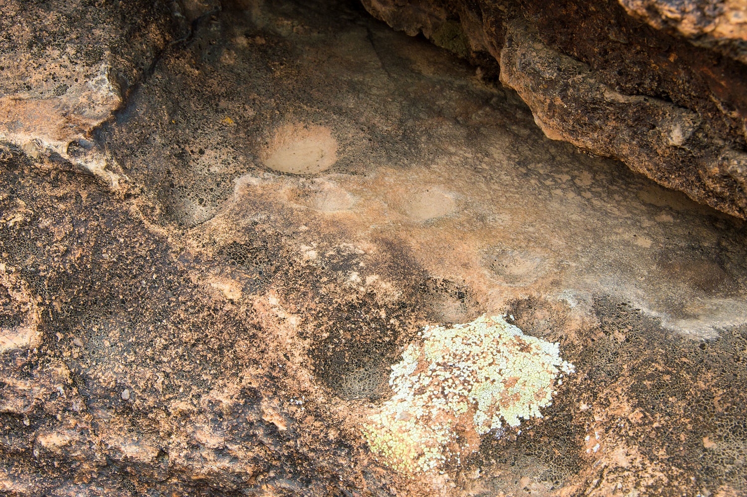
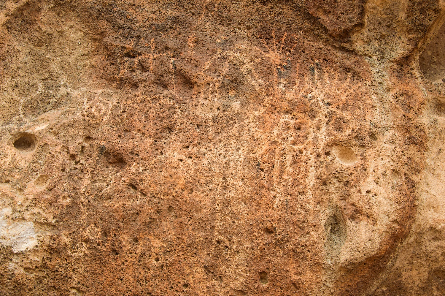
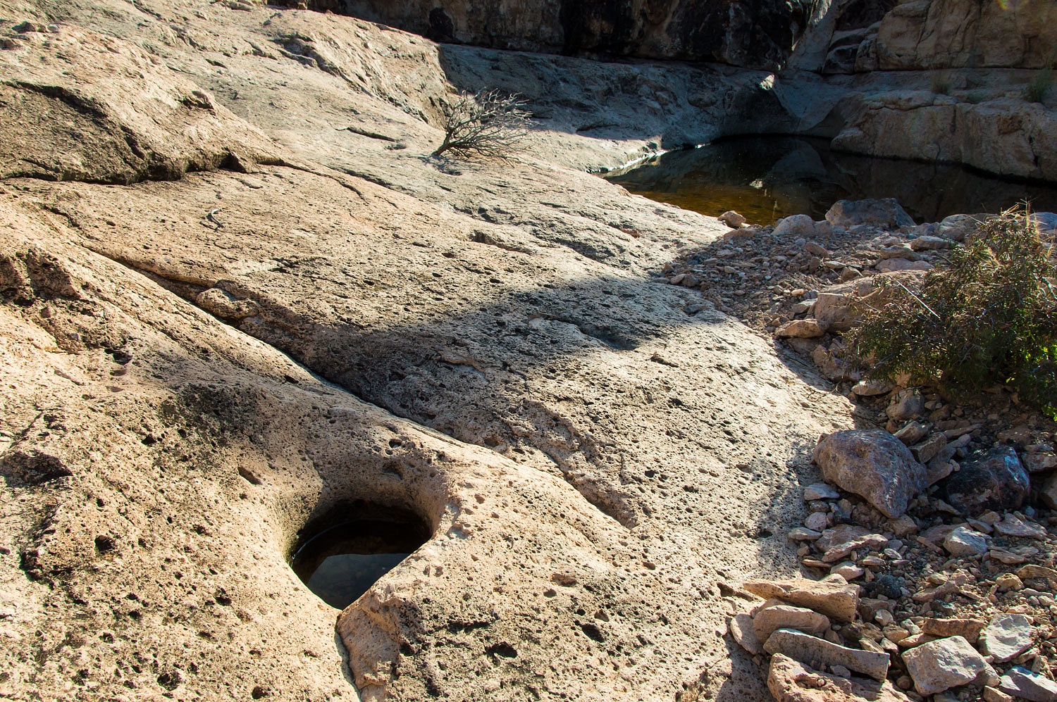
We followed Hari to the back side of
a boulder. A natural shelf held several small grinding holes called cupules.
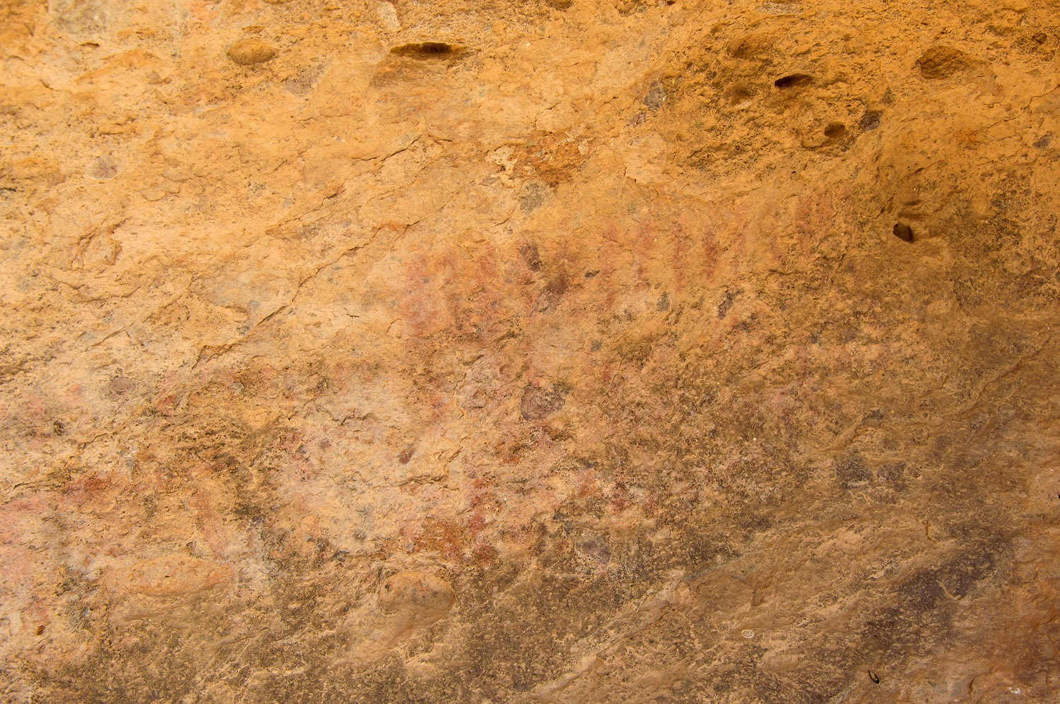
Hari also pointed out faded pictographs above the cupules. We wondered if we
would have found them without Hari's insistence. We thanked him.
We relaxed along the running water,
snacked and drank while Hari filmed the site he had found. We then enjoyed
showing Hari the three main rock art sites, shelters, and bedrock mortars that
show long use and habitation of this area. In talking and sharing stories with
Hari, we soon discovered we have a mutual acquaintance in the ancient rock art community.
It was a pleasure to meet Hari. We passed on information about a site he could visit the next day in the Kofa Mountains
and he shared a site we could possibly search for as we traveled further east
in Arizona.
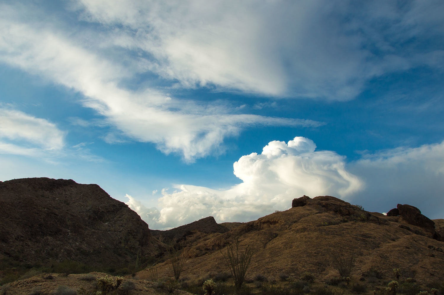
Thunderstorm clouds built in the
south the next morning as we broke camp. We wondered and would watch to see how
this may impact our day.
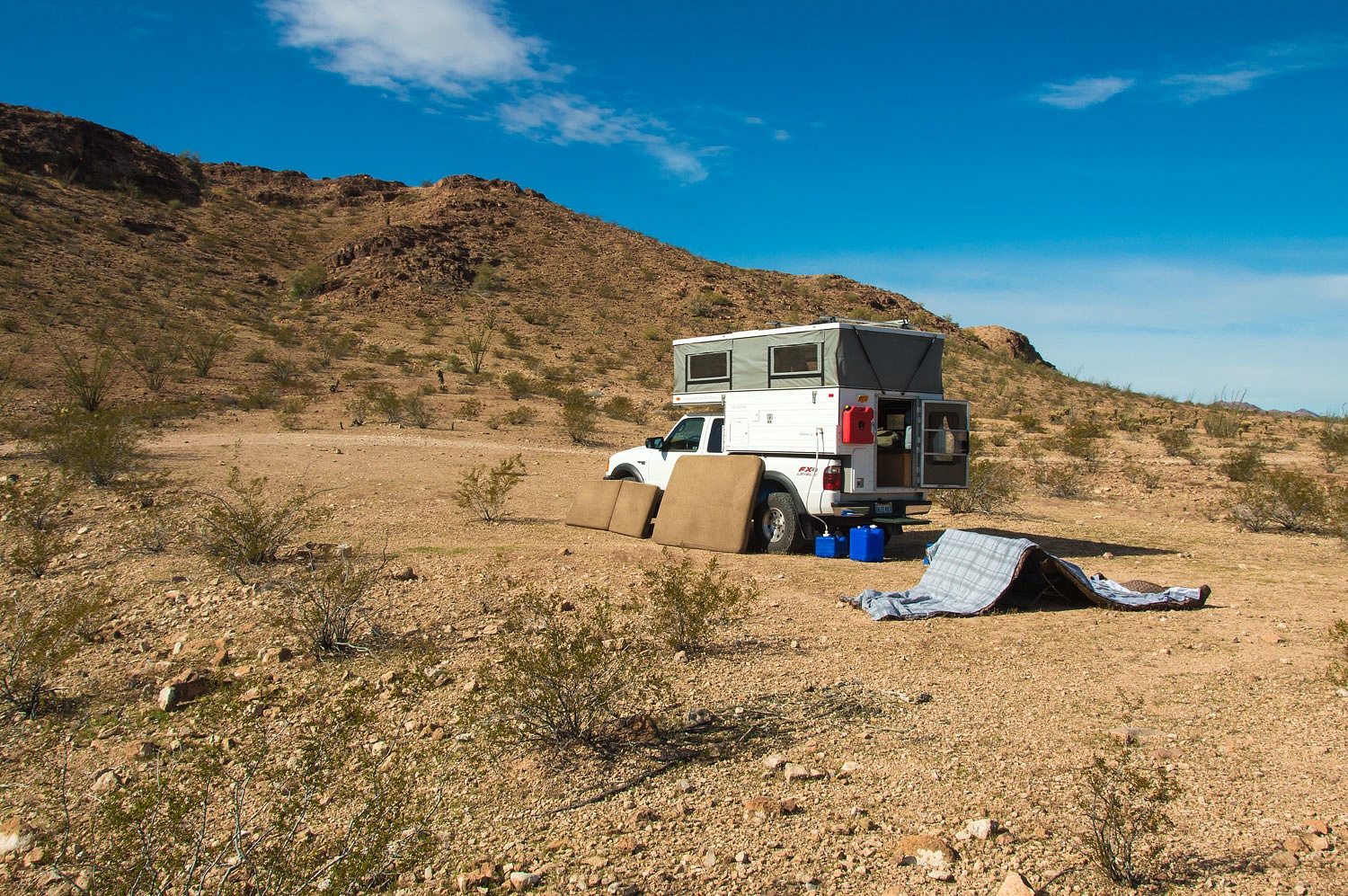
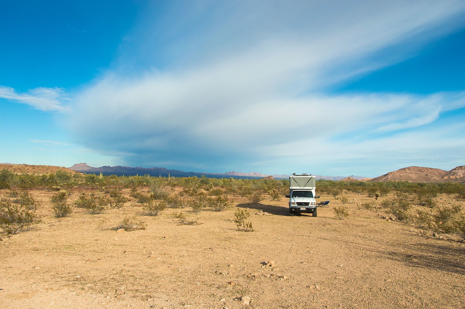
We drove only ten miles to our
next camp spot but the drive on rough roads took over two hours. We found a comfortable spot at the mouth of another canyon cut into the Castle Dome
Mountains. It had warmed to an amazing and delightful 60°! The sky was blue
above. Since it was early in the day we took advantage, opened everything up, and
dried and aired out our camper and bedding. After the days of storm and cold,
this was a wonderful turn in the weather.
We were camped below a spot on our
topographic map called "Little White Tanks." We were anxious to
explore. A natural shelter caught our eye as we entered the canyon.
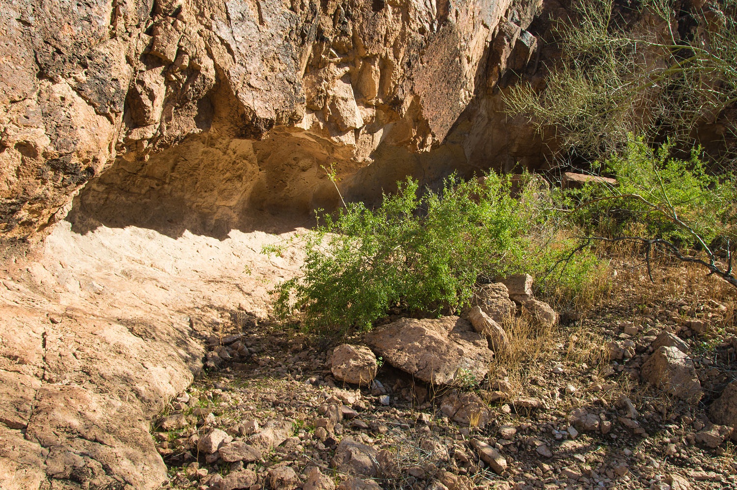
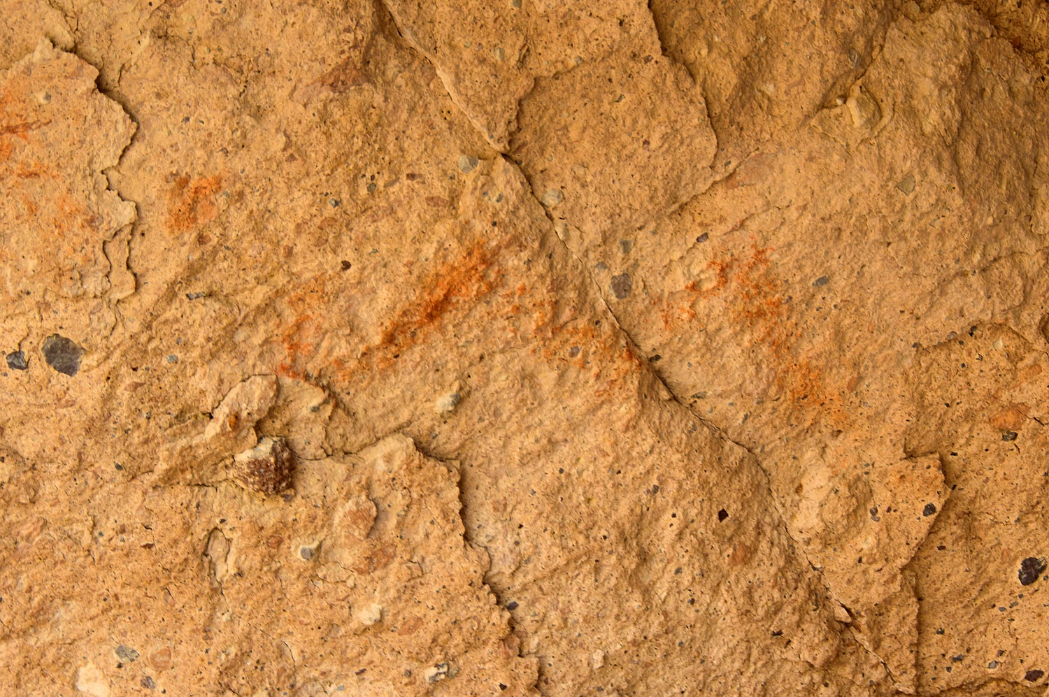
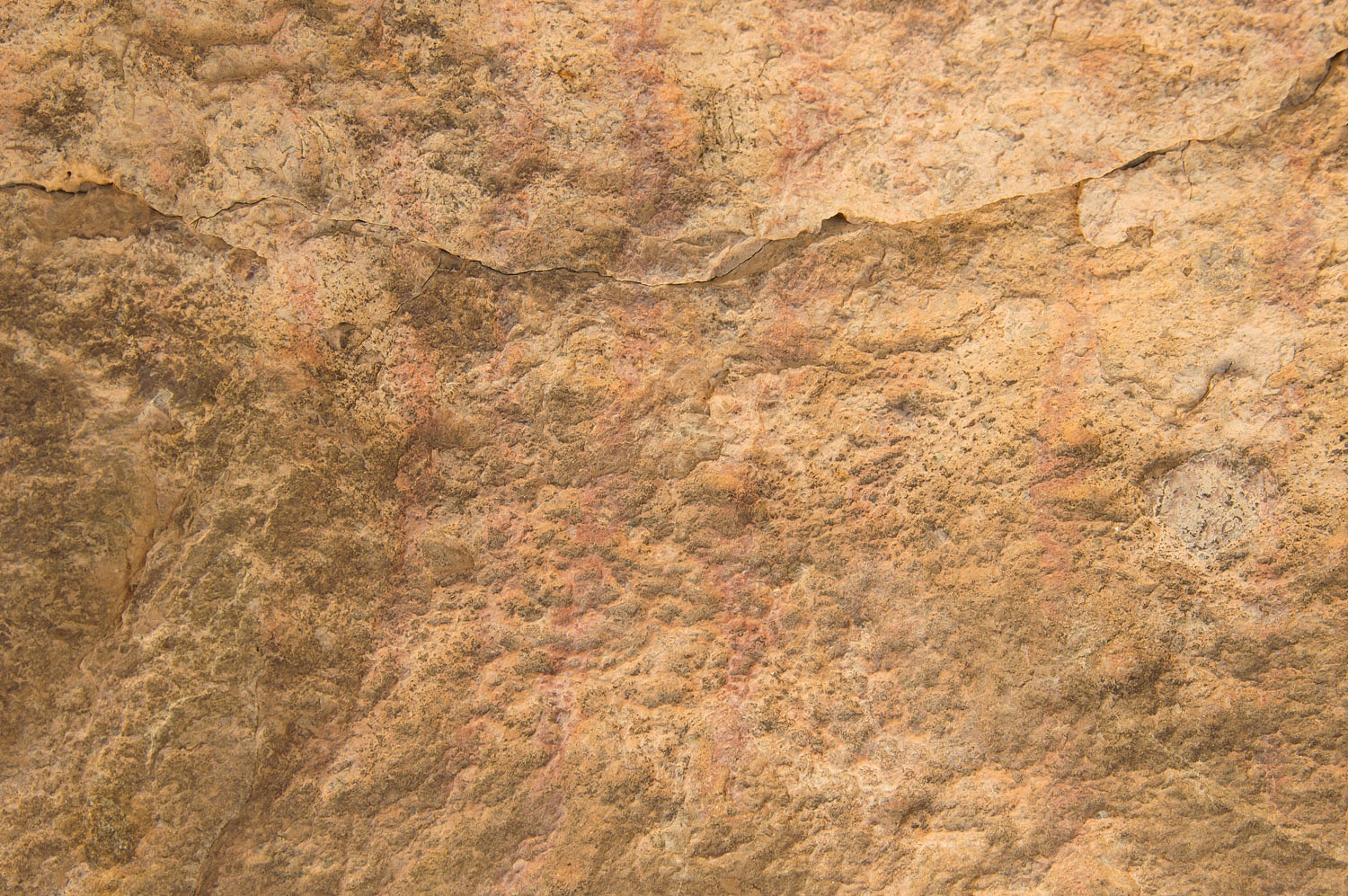
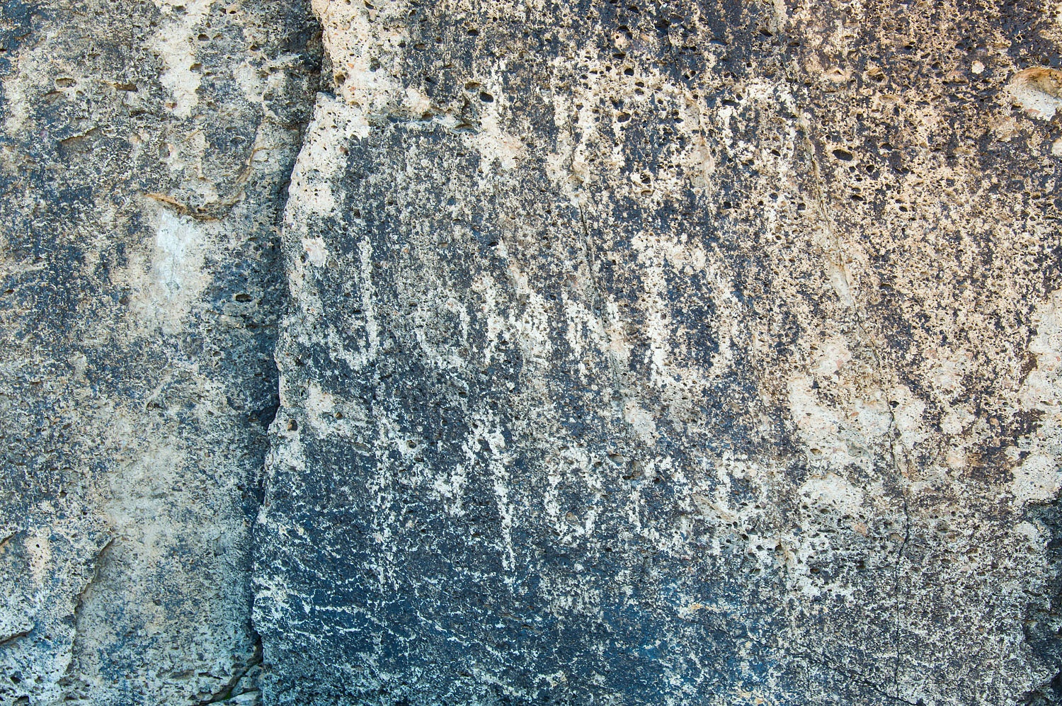
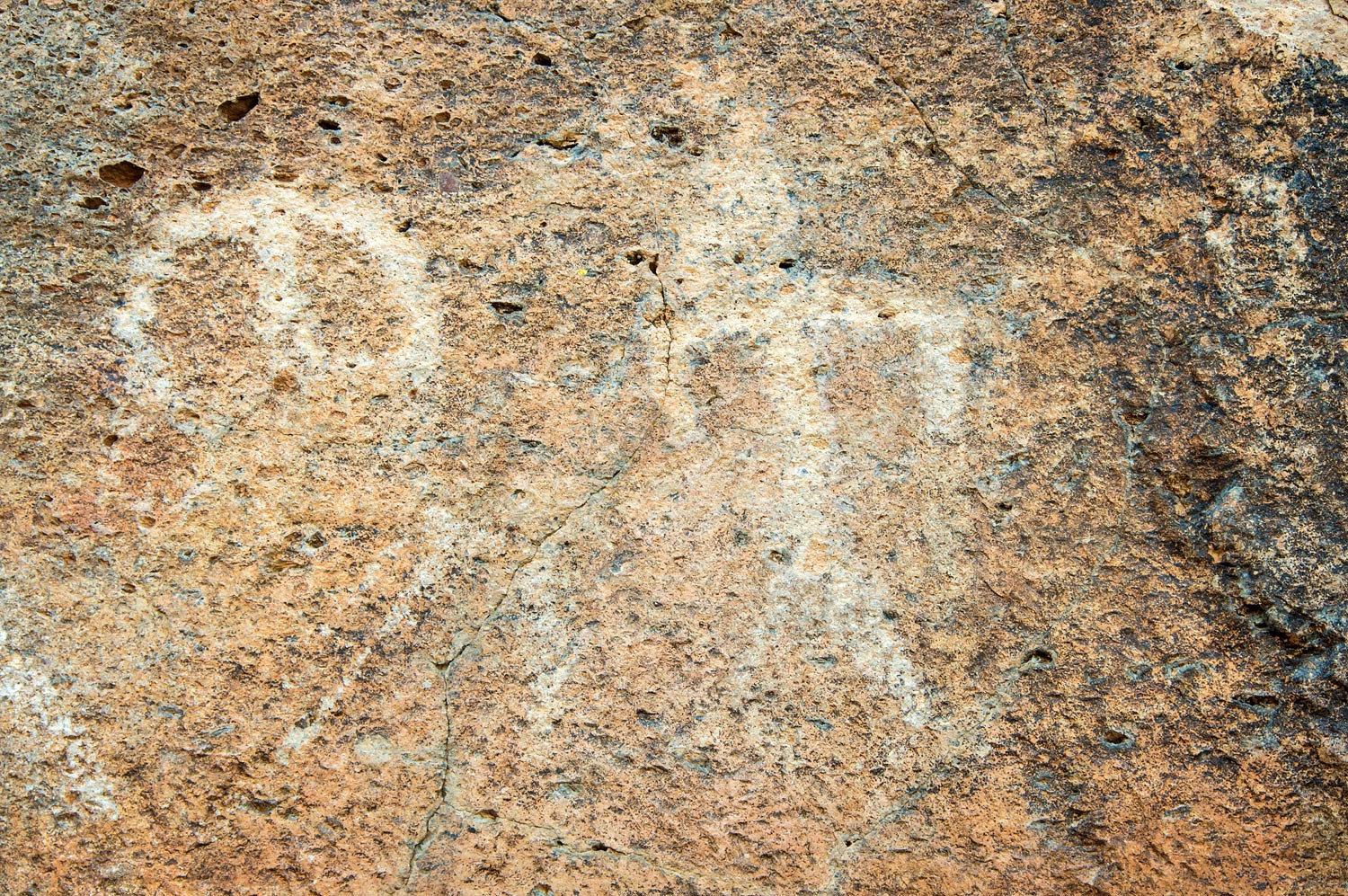
We found faded pictographs on the
walls and ceilings.
The Lady did a thorough search.
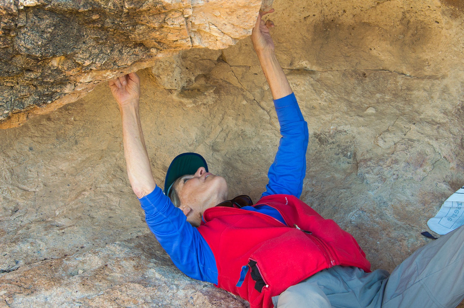
The Lady decided we
needed to climb and investigate all the shelters above.
She searched with her see
mores.............
.......and we continued up to the
ridge top that offered expansive views.
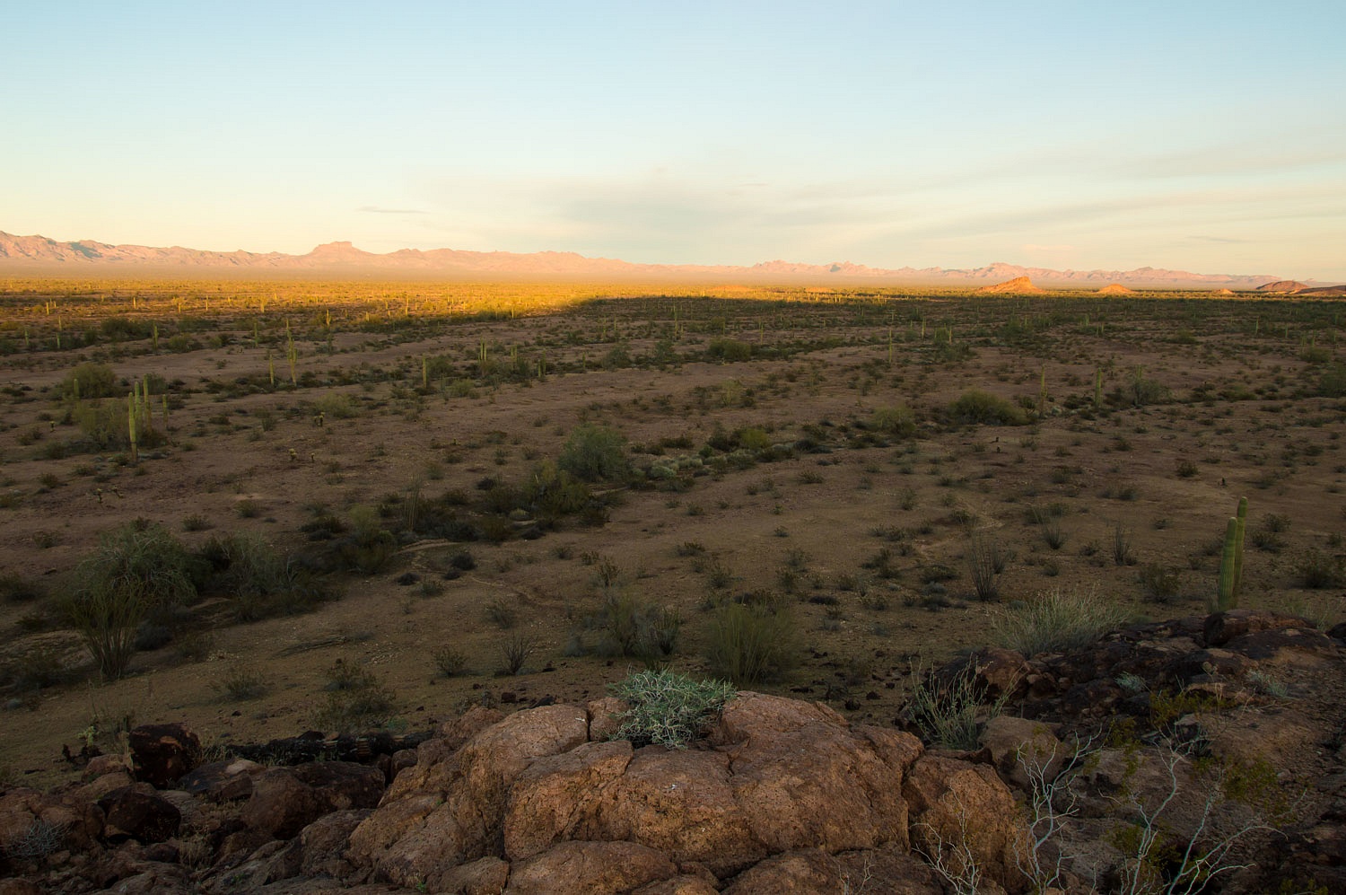
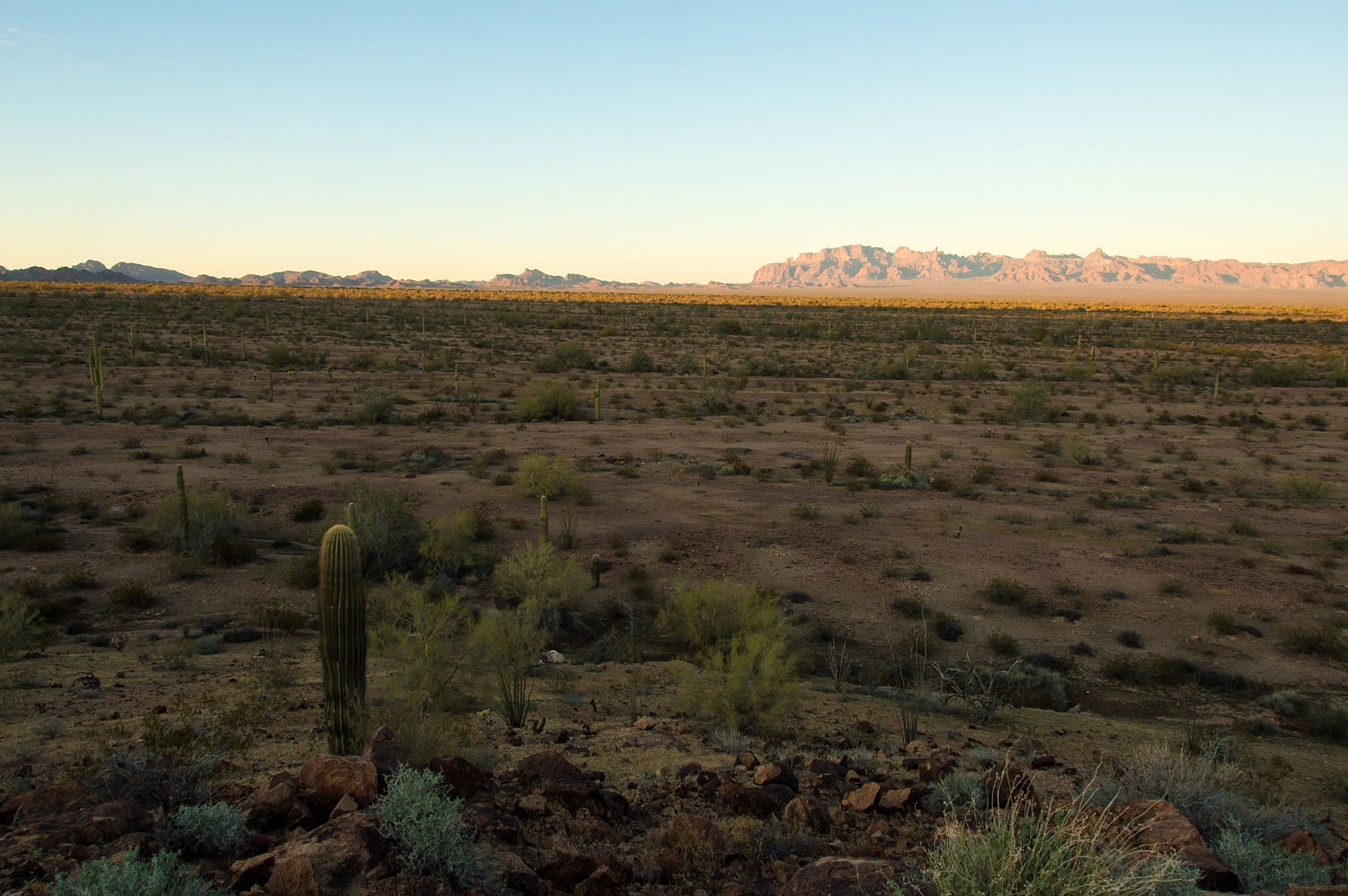
We continued out the ridge. The
views allowed us to orient ourselves to new landmarks. We dropped down into the
headwaters of Little White Tanks.
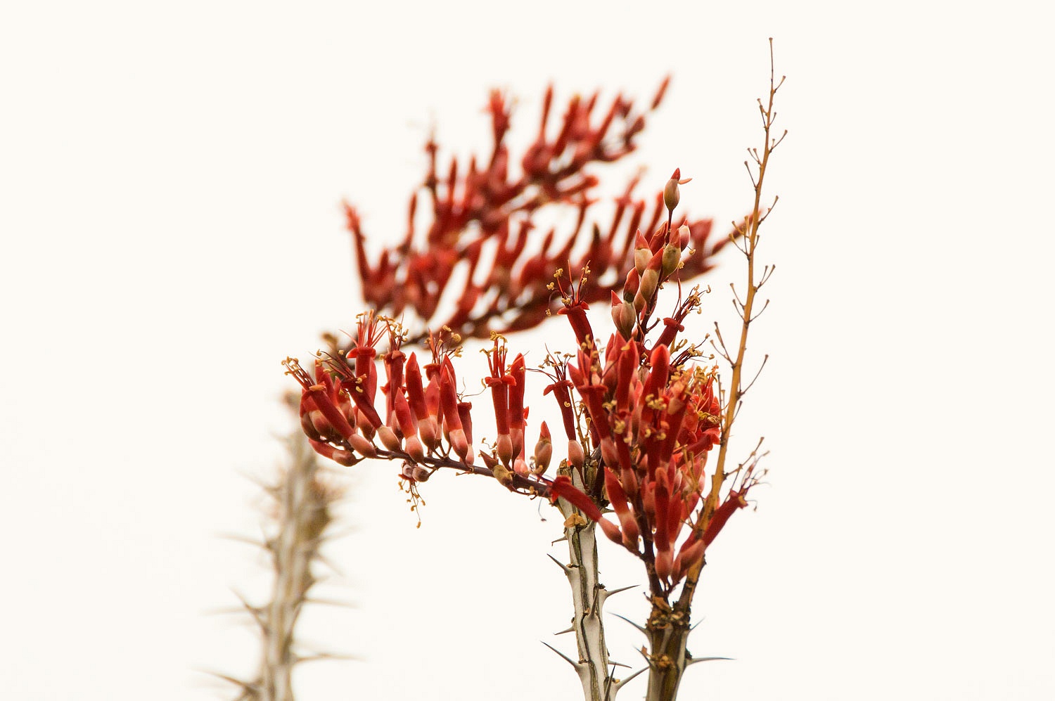
This was still the land of saguaro
and ocotillo.
Further down the deepening canyon we reached the top of a pourover into a deep plunge pool. If it had been
warmer, we may have been tempted to go for a swim.
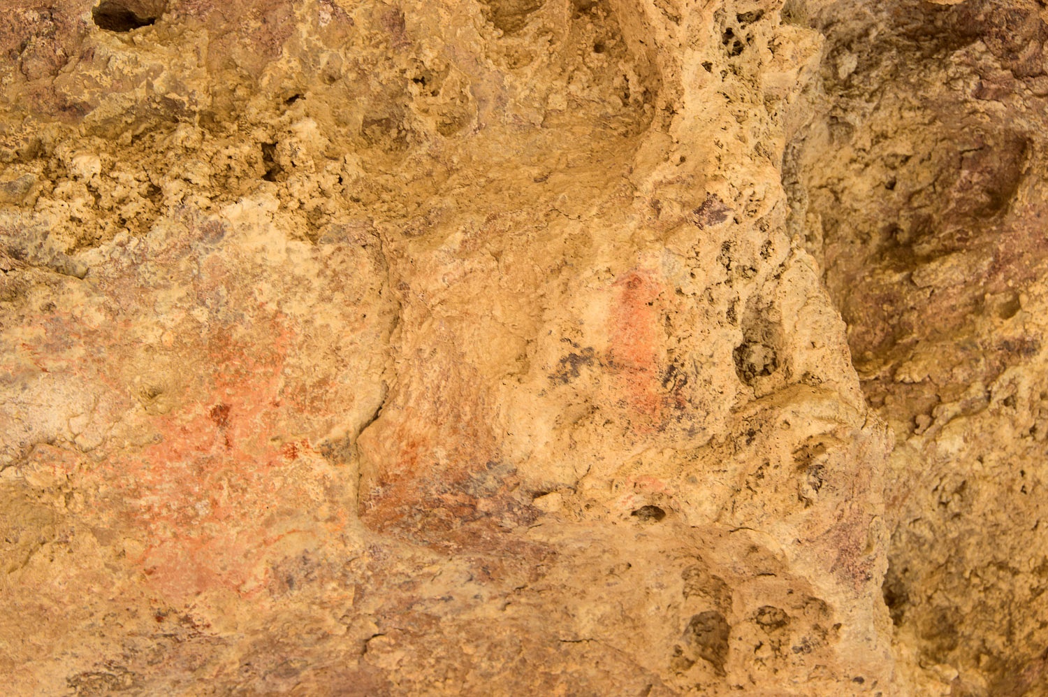
This had been an important site in
the distant past as shown by mortars and faded petroglyphs.
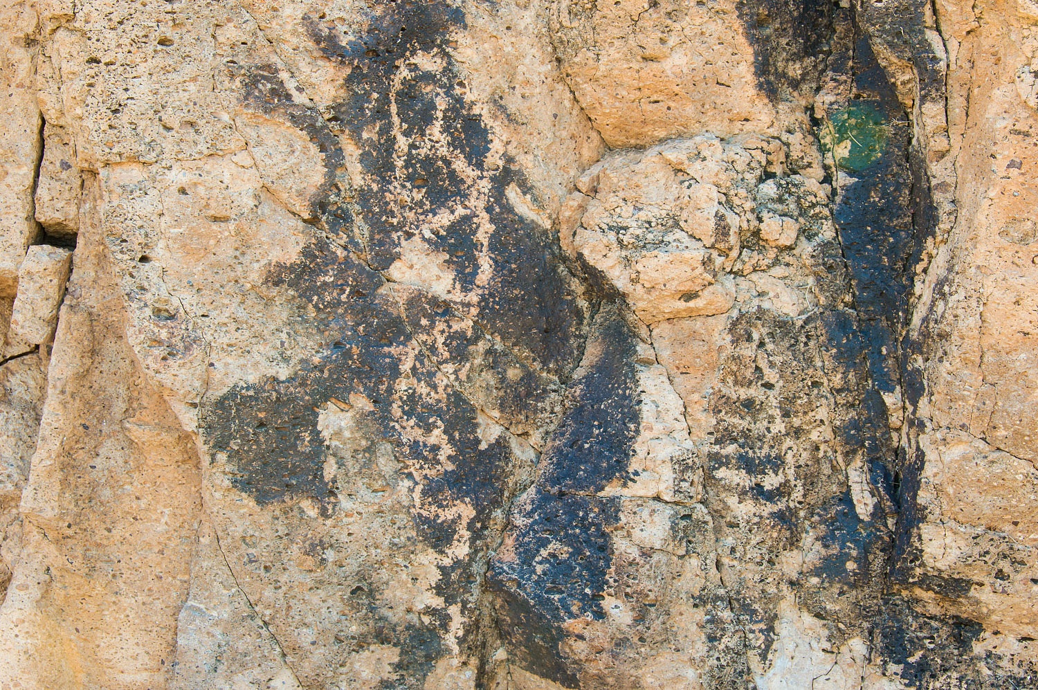
There was one "cowboy
glyph" from 1909.
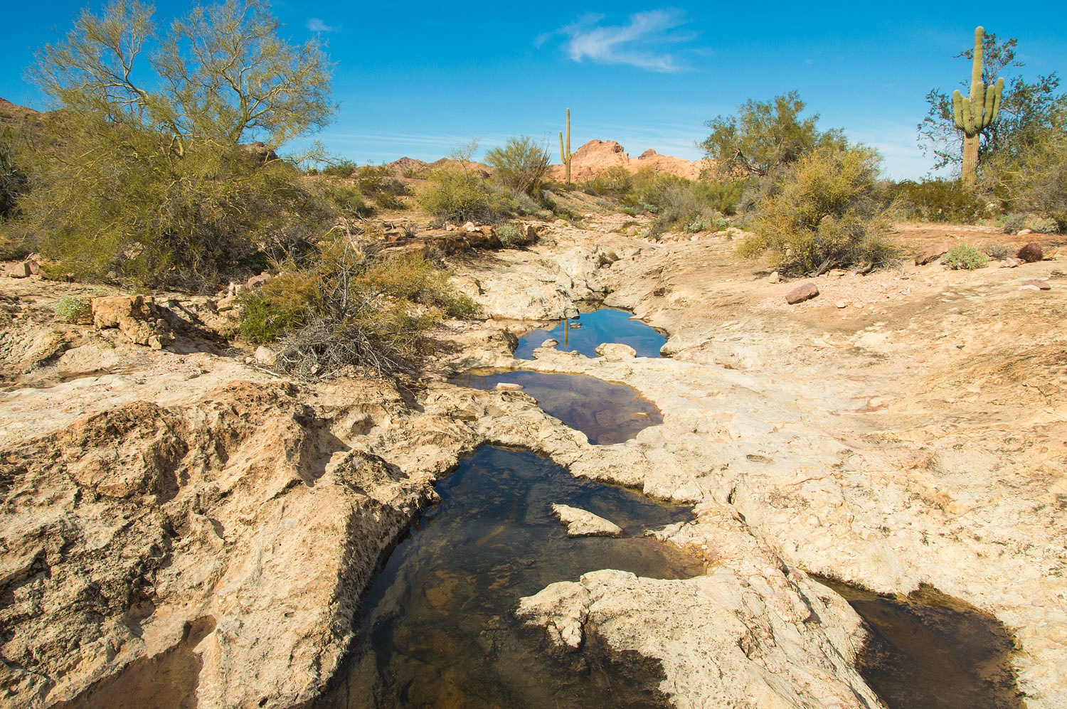
We continued downstream.
One tank has been created in recent
times with a small dam. We posed for pictures at the USF&W game camera set
up to record visitors.
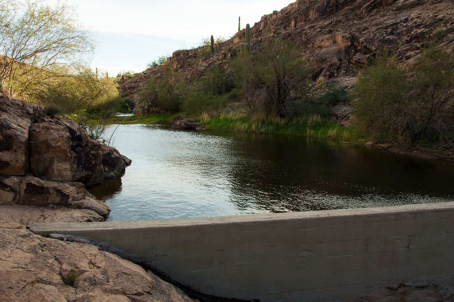
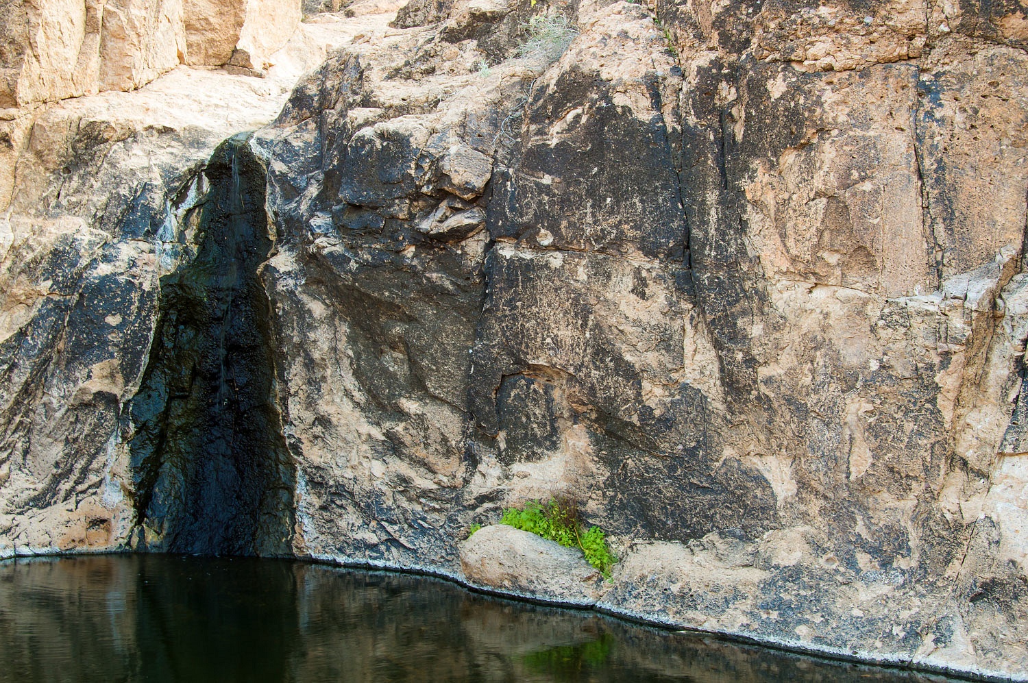
The natural pool below the dam was the
largest of the tanks. Fencing was placed to keep domestic livestock out of the water.
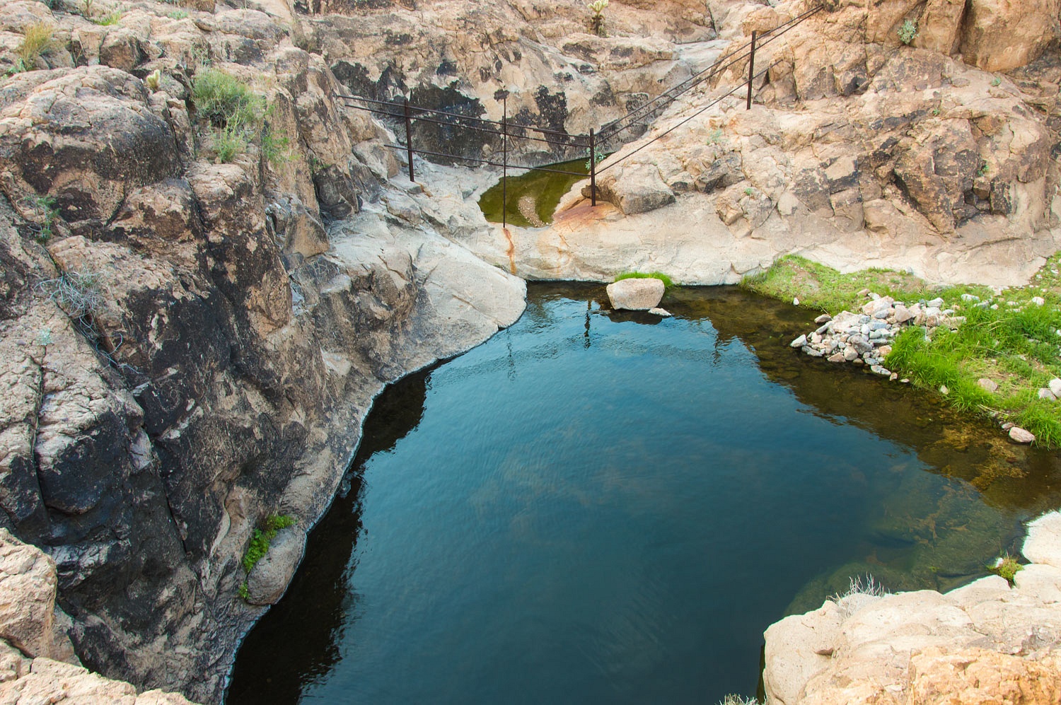
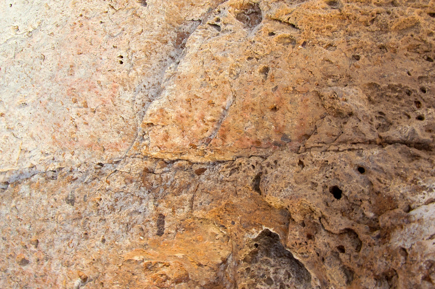
We down climbed to the pool and found petroglyphs lined the walls enclosing the tank.
We were within sight of our truck and
camper.
For fun, we decided to climb the wall
on the left and descend into a smaller connecting canyon to return to camp to
watch the last of the storm that had skirted around us all day.
Somewhere during the down climb along
the large tanks, the Lady remarked, "We got tanked on New Year's
Eve!"
"Well, since we don't
drink," I added. "This is the best way to get tanked."
It was New Year's Eve. We should
celebrate. To do so we walked out to a small high point about a half mile from camp and
watched the last light and shadows of 2019 move across the landscape and call
the year to a close.
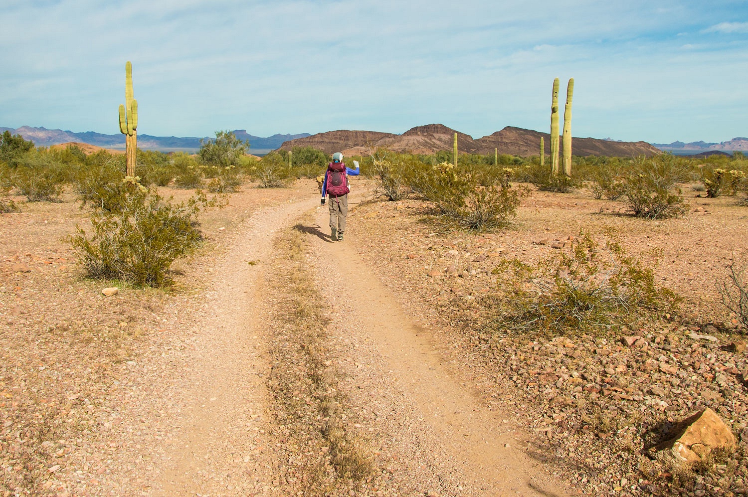
2020 came in with perfect weather. Our map showed that the road we camped along continued about a mile further and
ended at the base of a small point. We used the easy walk out the road to reach
our next area for exploration.

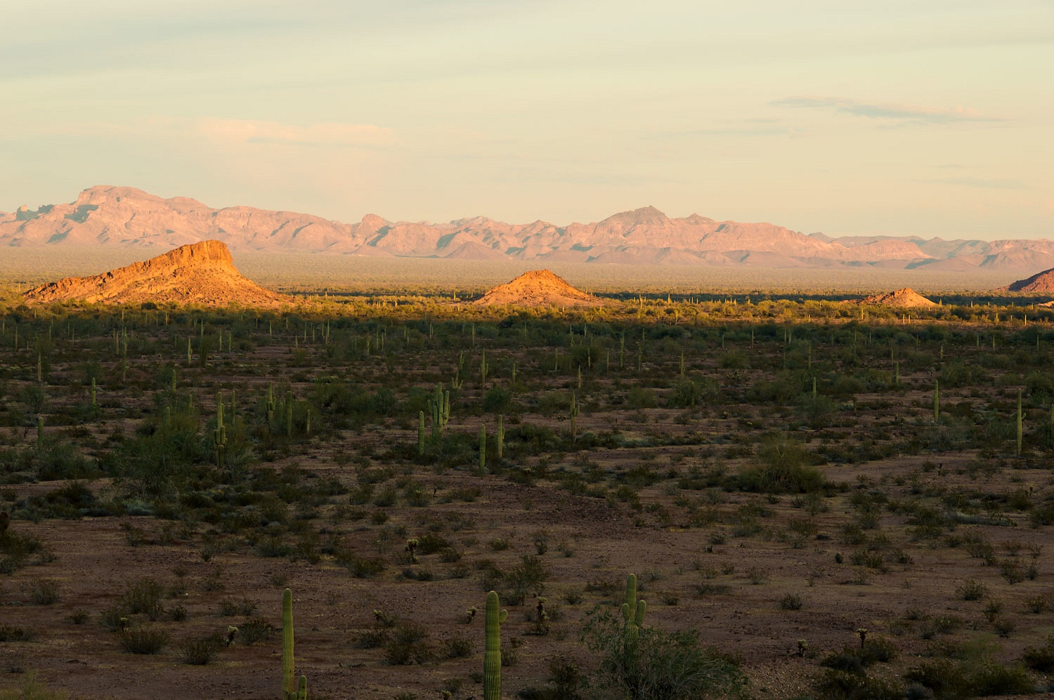
Each small canyon emptying out of
Castle Dome Mountains was ripe for exploration and adventure.
We rounded the point and took a
bearing from our location on our topographic map to Figueroa Tanks using a
compass. The Lady removed her compass from the map, held the compass in the
proper position, rotated her body until the magnetic needle was
"boxed" in the needle outline, and thusly took the bearing from the
map to the field. She found a distant landmark that was on the bearing line that
we could hike toward, therefore keeping us on the proper direction of travel. Using
the scale of the map (1:24,000) we estimated the distance to our destination. We started hiking.
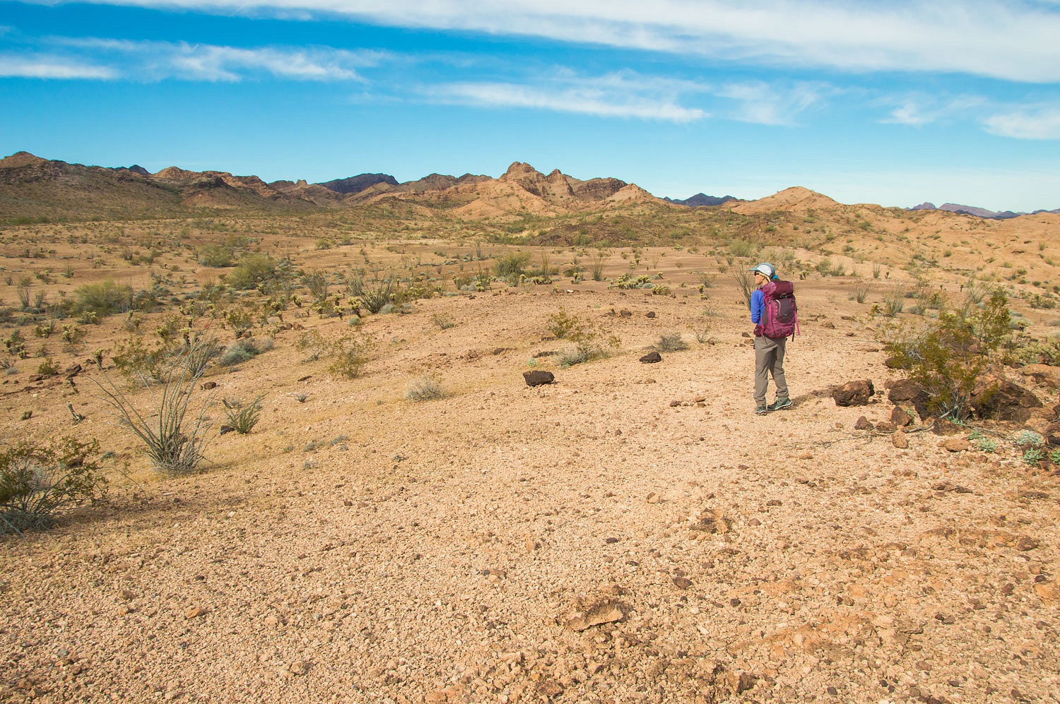
As we say - in a hop, skip, and a
jump - we arrived at Figueroa Tanks.
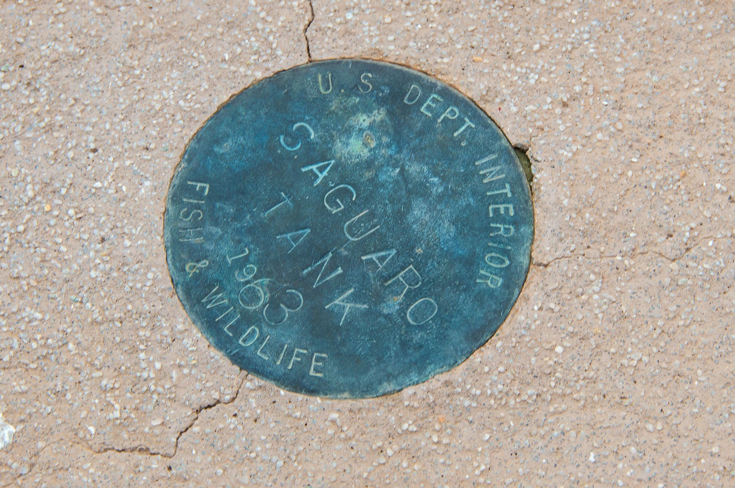
Our next objective was Saguaro Tank,
another spot labeled on our topo map. It was around three miles cross country
from Figueroa Tanks. We came upon tinajas holding water in a beautiful bedrock
section of a wide wash we crossed.
We intersected a road not shown on
our map. The road ended at the Castle Dome Wilderness boundary.
We again got a bearing from our map
to take to the field. The Lady started out on that direction of travel line that would take us to Saguaro Tank.
As the raven flies, Saguaro Tank was
1.5 miles away from this location.
This was an incredible landscape to
travel through as it was full of wonders.
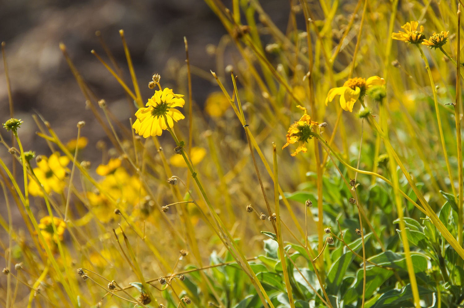
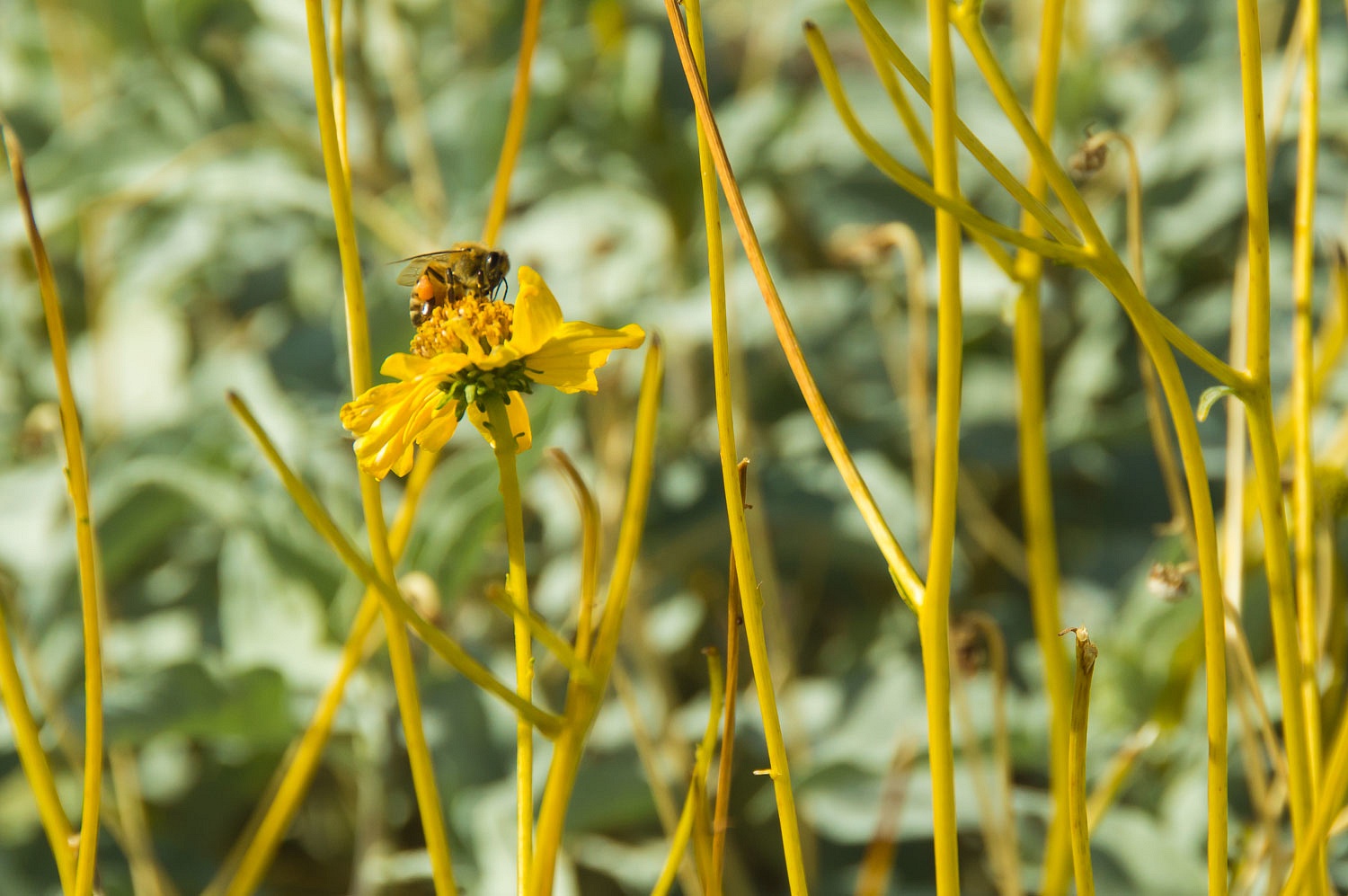
Brittlebrush was the only flowering
plant we saw.
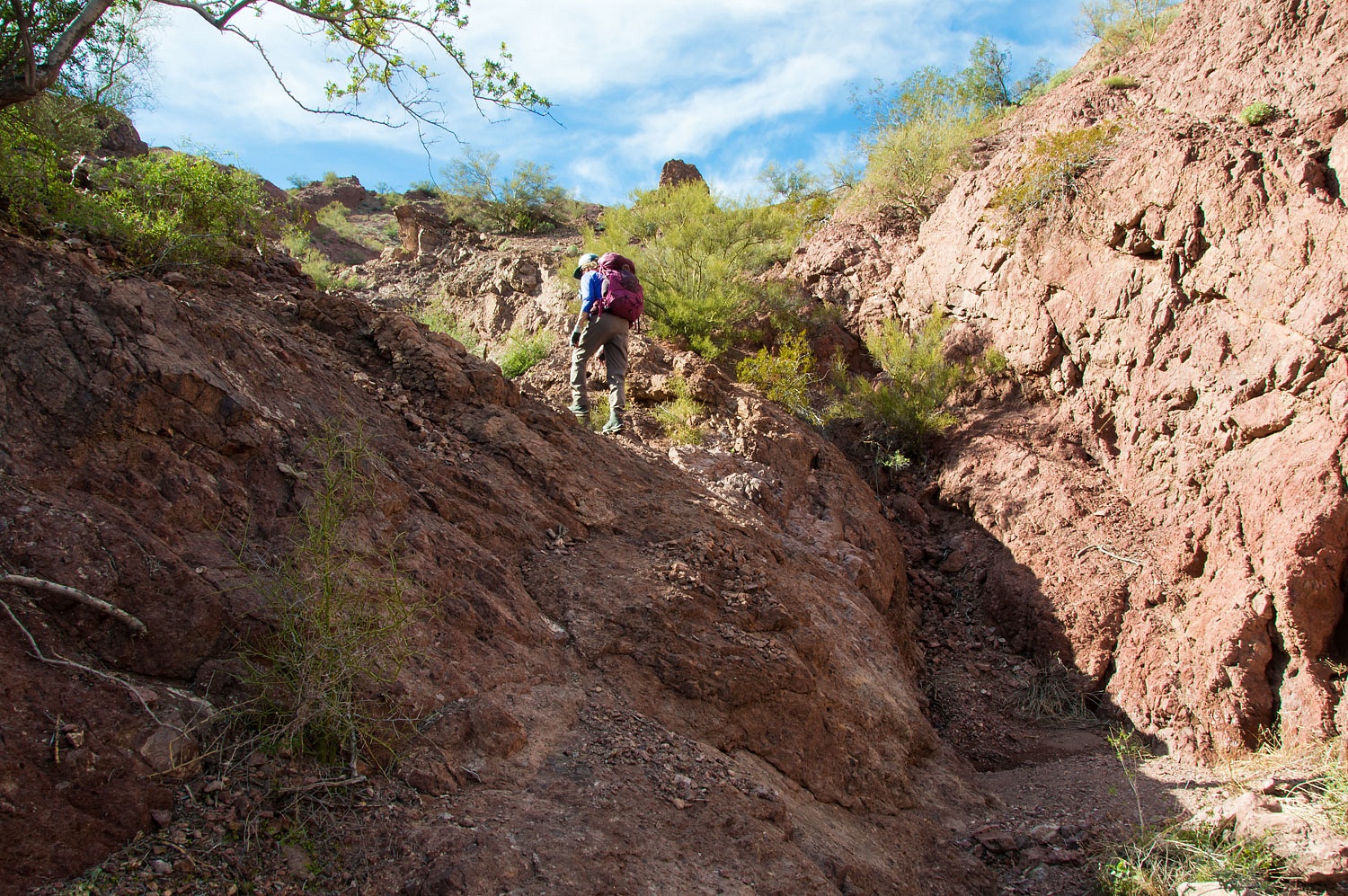
We entered a small steep canyon and
climbed up to the developed tank also outfitted with a game camera. Red lights
flashed recording our arrival.
This was a marvelous day wandering
through and exploring new territory for us. It was also excellent practice using our navigation skills to find the points we wanted to reach. It was soon
time to head back down the canyon.
This was our last full day in Kofa
National Wildlife Refuge. The day was warm allowing us to comfortably hike in
short sleeves. We had plenty of time to reach camp - six miles away - before dark. But even if
darkness came, we'd have no problem moving in the night. Confidence built from
years of experience brings a calmness that envelopes our backcountry adventures
and negates any need or desire to hurry. Why rush through this exceptional
place?
After another blissfully quiet night, we packed up the next morning and headed further east into Arizona's backcountry.
Click here for Part Three.