
please remember you can click on a photo to see a larger version & highlighted text are links to additional information
Please click here for – Part Two
Gold Butte National Monument
We stopped in Overton for gas. With cell service there, the Lady gave us an overview of the weather trends. We decided to stay in this general area and happily returned to Gold Butte.

Years ago, we stopped at this sign along Gold Butte Road that is still in place.

Last year we noticed a new sign was erected explaining the origin of the first.

But putting up a sign hardly guarantees its validity, no matter how colorful its message is. Here is a more factual history of the sign – Nay’s Sign at Juanita Springs.
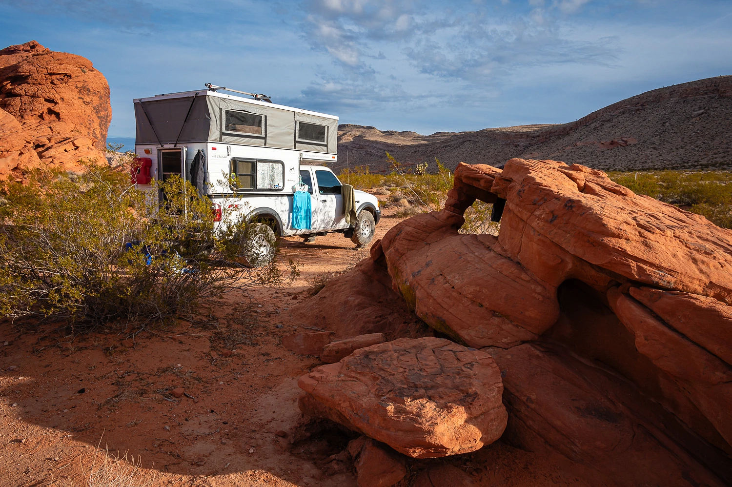
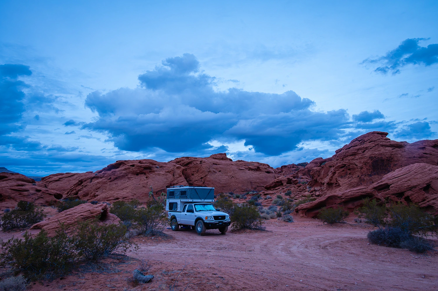
We were exceedingly pleased how quiet it was out here. There were none of the large Bubba camps at Whitney Pockets. We met and saw only two other vehicles on our drive in. Not that we expected to see anyone where we would be exploring.
We were settled in our campsite by mid afternoon. The afternoon light was gorgeous as we wandered and reacquainted ourselves with this special place.


At the high point, I was surprised the Lady had her phone out.

“What’s up?” I asked.
“I was curious,” she answered. “I have cell service if I stand right here. I’m checking if there’s been any cancellations at Benton for an open tub on our drive home.”
“Any?”
“No, all booked up.”
The Lady took this photo inside the camper this afternoon.

The day’s last light was quite special.


Sunrise the next morning was equally special.


For our early morning walk, we moseyed down into the main wash to a petroglyph panel that most never notice. It is high up on the Aztec sandstone. Nearby are possible shelter sites.


We took a wandering route back to camp.


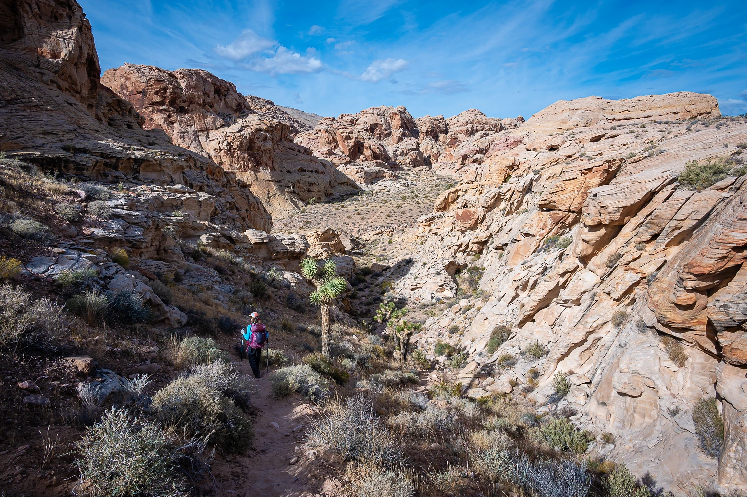
As was the plan for this trip, after breakfast, we headed out to spend the day hiking and exploring.

I’m fascinated with how what’s known as “Moqui Marbles” form.


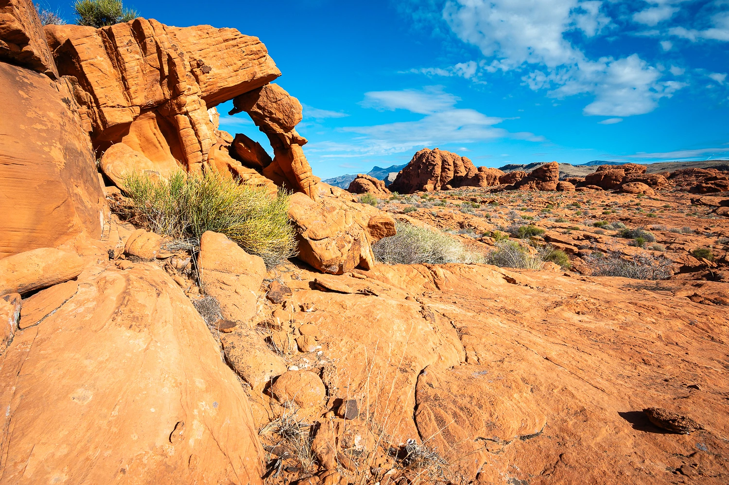
We began our hike with a meandering route – as the terrain allowed - over to what is called Little Finland, an area of spectacularly wind and water sculpted sandstone.


The Lady, as always, seized the high ground.


The Lady kept ahead of me as I wandered about with the camera trying to absorb all the magic around us.

She had a surprise for me when I finally reached her up on a high point. “There’s a tub available at Benton the night of the 24th!”

“Book it.”
We made our way out to a favorite landmark of ours for a lunch break.

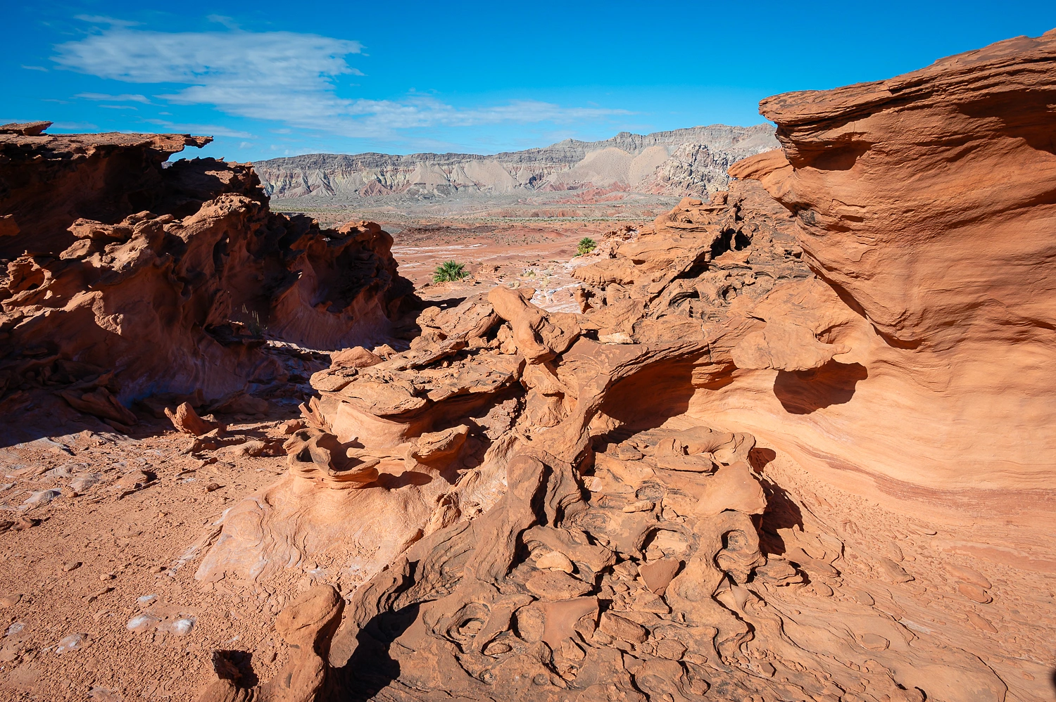
We continued out to Hartman Tanks, and area of exposed sandstone in a broad wash system, that holds water in depressions called tanks or tinajas.


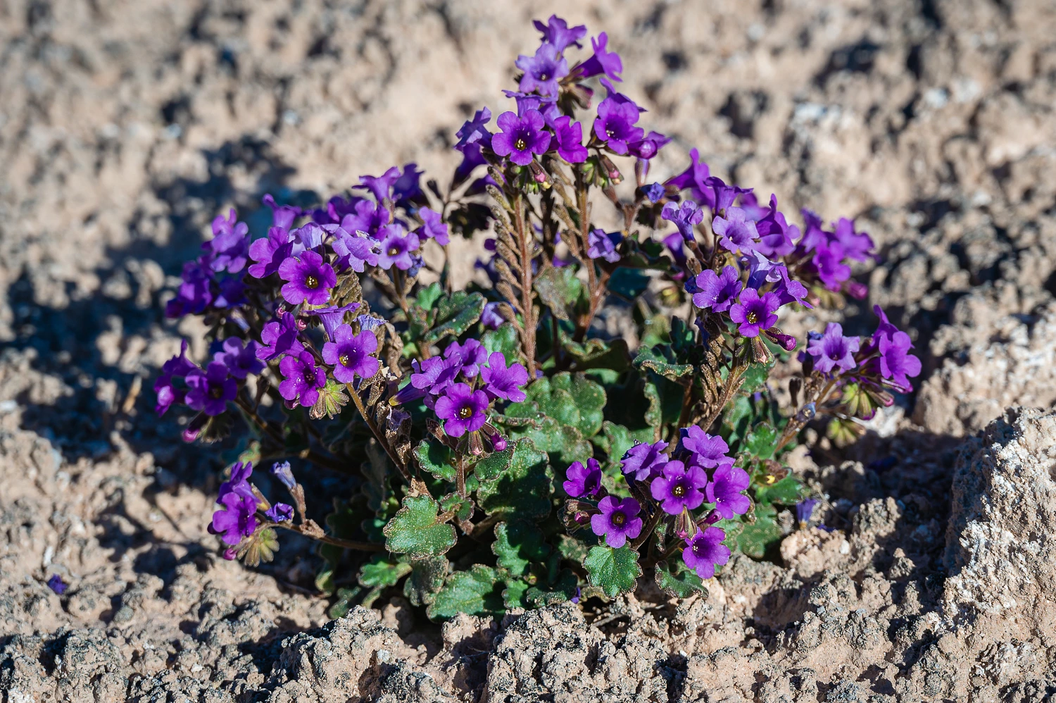
We found Beautiful Phacelia (Phacelia pulchella) in only two places.
Although the terrain, in places, looked flat, it was far from it.

It was a maze of gullies.

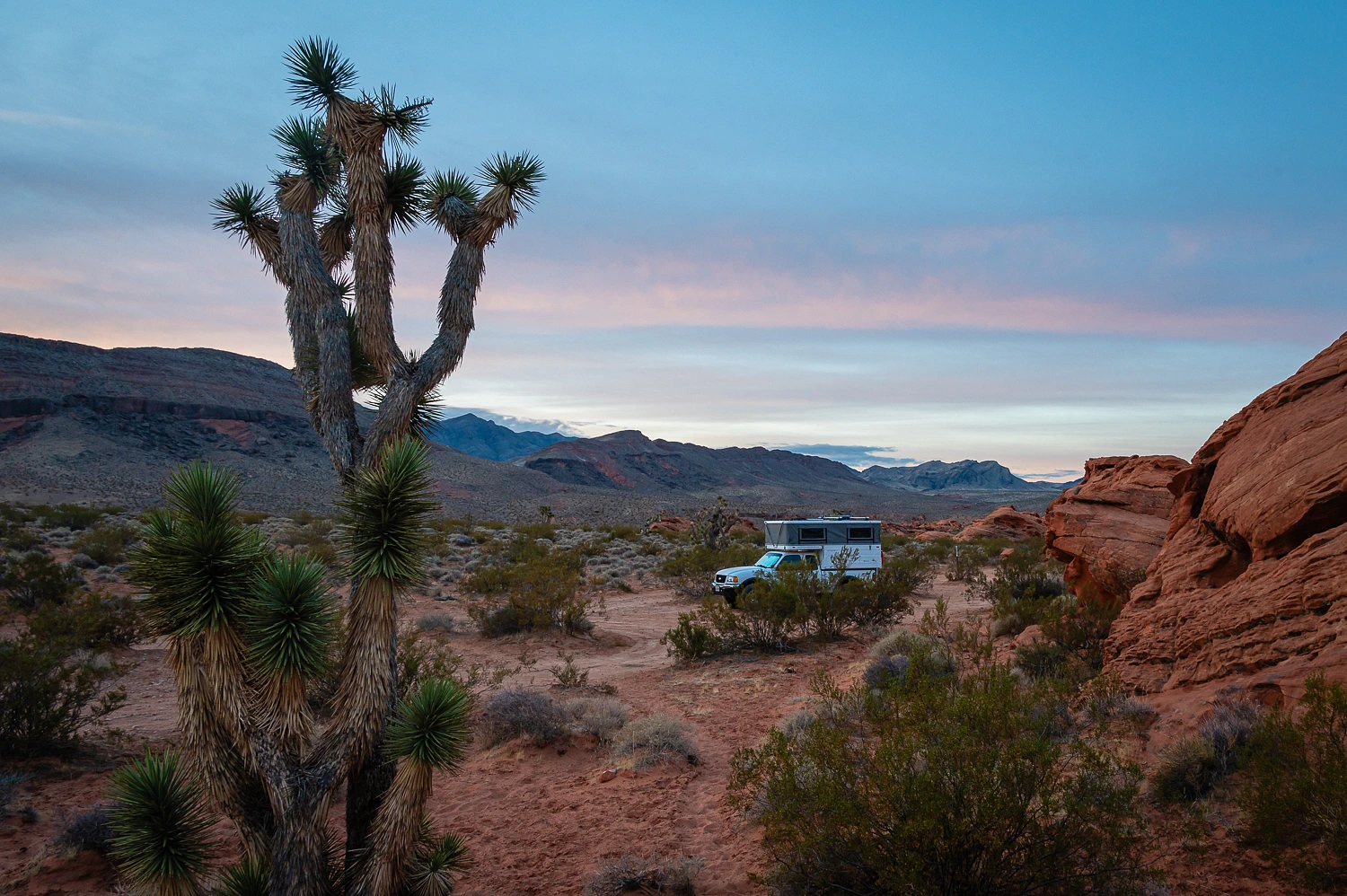
These photos perfectly describe our evening.

Our predawn walk the next morning, as we relaxed with the sunrise and our mugs of Peets coffee, took us to the red sand dunes to the north of our camp.


It was breakfast time back at camp and after, we headed out on another day long hike.
We did a similar hike here about eleven years ago. This time we added a few extras.


We found a new to us petroglyph panel at the start of a steep drop into a basin.

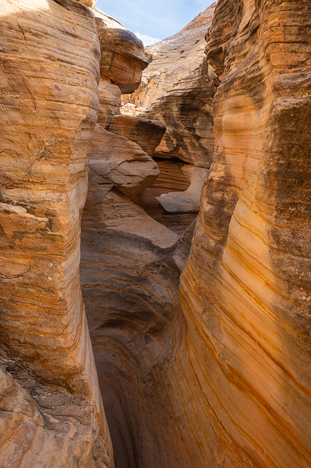
This was the start of a canyon that would take us through this massive sandstone formation.

It quickly narrowed into a nice slot.


We looped back south on expansive sandstone after we exited on the lower end.


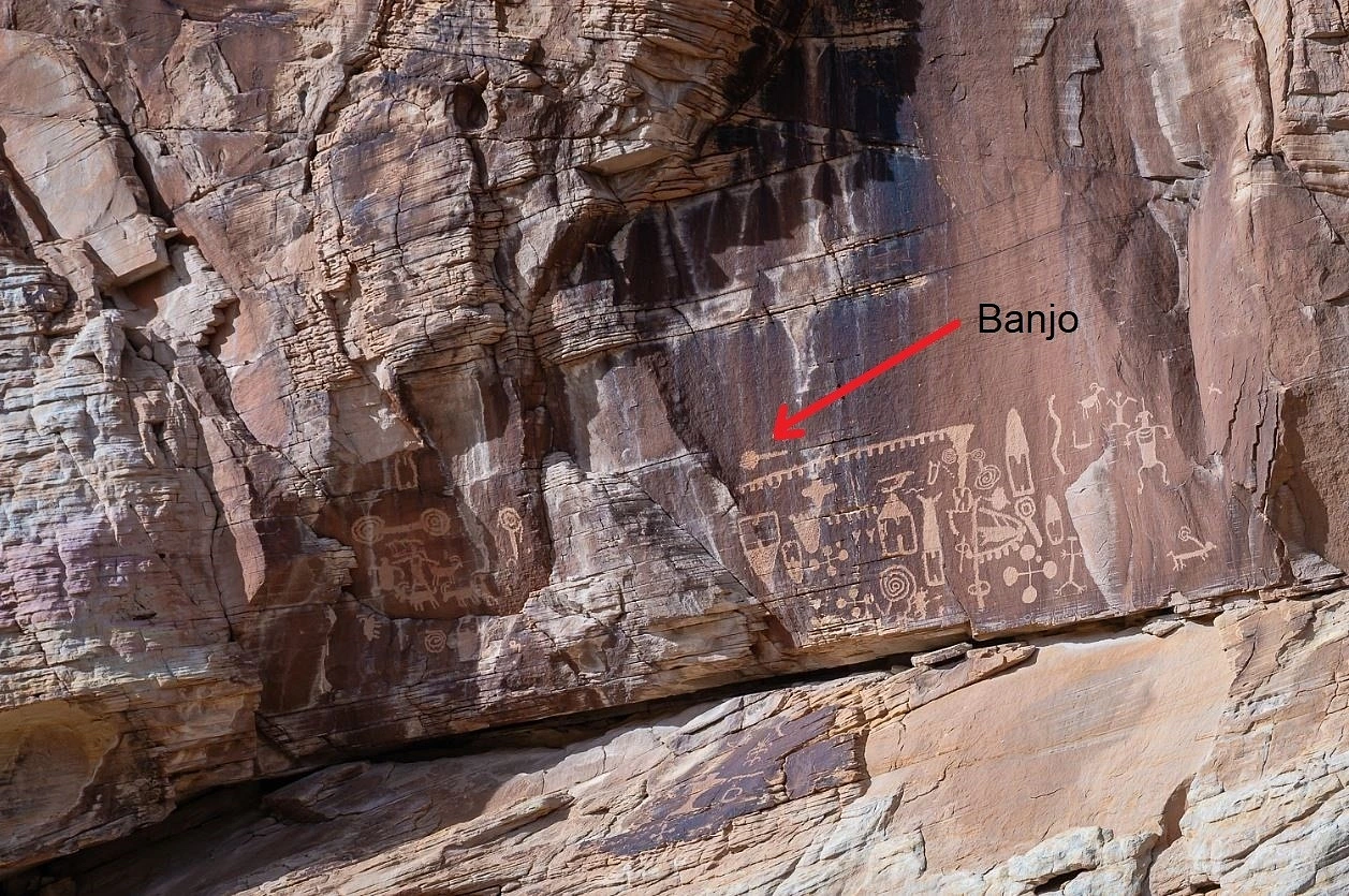
Today, we revisited petroglyph panels found on previous hikes in this area.


Addition: Our good friend, Dan, pointed this out in one of the petroglyph photos. Thanks Sharp Eyed Dan!
We returned to camp, took care of chores, and it was time to celebrate. It was the night of the Winter Solstice! The Lady purchased this t-shirt in 1986. It has been a winter solstice tradition ever since.

After our showers, dinner, and with the Lady wearing her t-shirt under her warm fleece, we found a high point to sit and take in the quiet and solitude of this special evening.


We woke the next morning to skies threatening rain.

We bid farewell to this wonderful place, comfortable and secure in the knowledge that the sun had, once again, turned the corner.
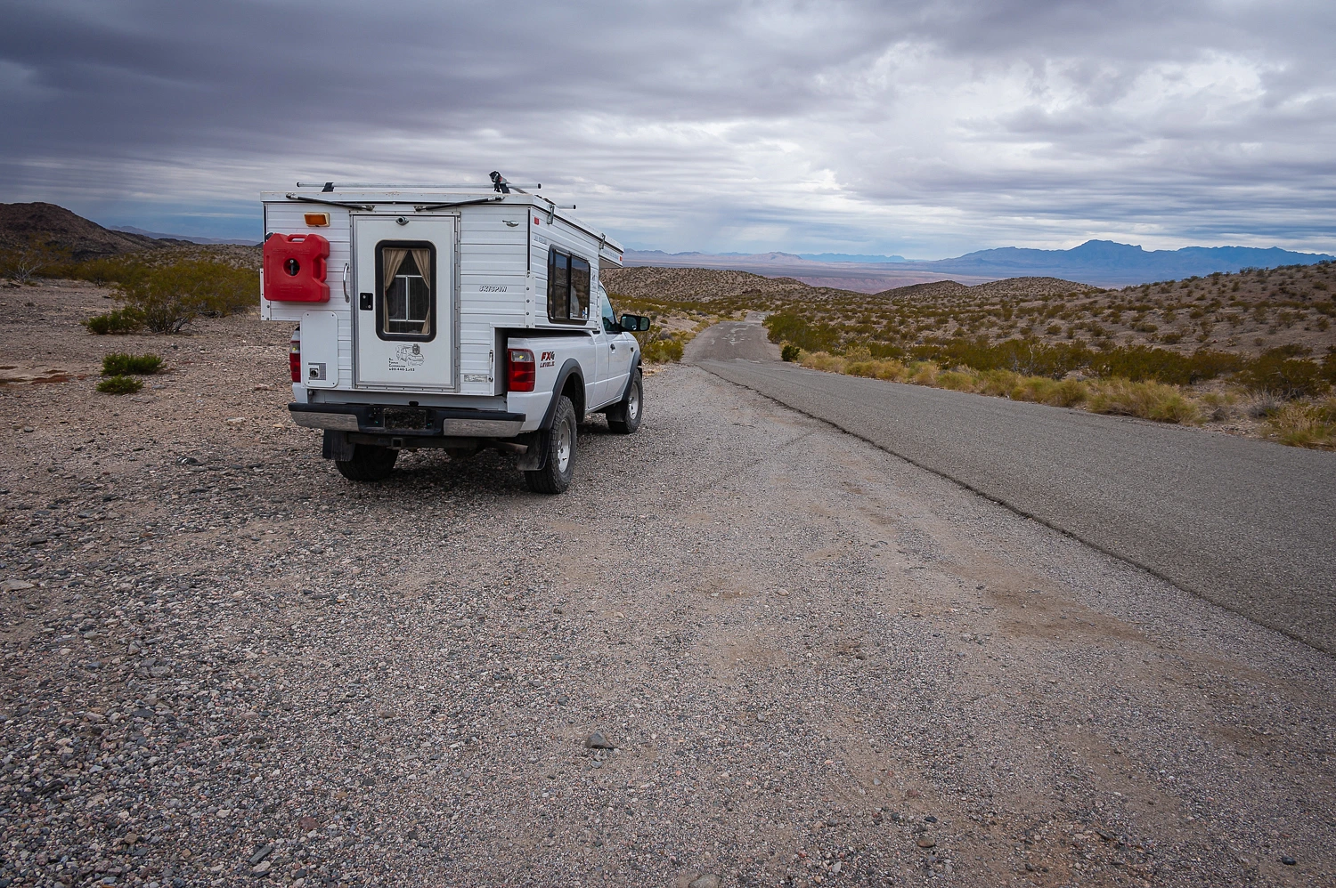
Rain splattered on the windshield before we reached pavement. We had three more nights out before we returned home.
Our adventure concludes in the next chapter. Please click here for - Part Four.
No comments:
Post a Comment