
please remember you can click on a photo to see a larger version & highlighted text are links to additional information
Please click here for - Part Five
Crickets, Dinosaurs, Water, a Fort, and a City
We pulled into the Dinosaur National Monument’s Canyon Visitors Center midmorning. The fellow behind the counter was jovial and loved to talk. The small visitors center was empty when we walked in and he quickly asked, “Do you have questions?”
“Yes, I do,” I responded, “Is it best to spray all the Mormon Cricket guts off the truck while they’re still wet or wait until they’re dry?”
“Wait ‘til they’re dry. Besides in the heat they dry real quick anyway.”
I had given him permission to elaborate on the subject.
“They’re not too bad here today,” he continued and gained momentum. “Oh, but you should have seen it yesterday. We had a family here yesterday with a little girl. While they were inside the crickets moved in and the walkway and patio outside were covered. And you know how the crickets don’t stay still. The girl looked outside through the glass and threw a tantrum. Poor thing. Scared to death. She was crying and screaming. No way was she going outside. The family was stuck in here.”
“What did you do?” I provided the necessary coin drop in the slot for him to continue.
“I got the big shopvac from in back and vacuumed a pathway for them to get to their car. Mom carried the girl.”
“Well, I’m glad I only need to spray the guts off our truck,” I replied. “I don’t think it would be fun emptying and cleaning out a shopvac.”
On our drive out from Echo Park, the Harpers Corner Road had large patches of Mormon Crickets. Slimy parallel ruby-colored tire tracks cut through the insects. The Lady marveled how the surviving crickets moved in to munch on their smashed brethren, so the ruby ribbon was dotted with clusters of new crickets. There is nothing like the smell of smashed mormon crickets or their distinctive crunch under a tire.
We entered Utah and turned north on highway 191, a wonderful drive up and over the Uinta Mountains. North of Vernal we stopped and hiked out to the Dinosaur Trackway on the shore of Red Fleet Reservoir.

It’s about a mile and half out to the reservoir.

There is a warning sign at the trail's end.

I learned there are hundreds of tracks here from around 200 million years ago left behind by meat-eaters called Dilophosaurus.
Unfortunately, the reservoir was filled to the brim and the tracks are below the highwater line. A visit in the fall would probably be best. We only found one track. It was about 12” in length.

Although I’m far from an expert on the subject, I suspect the saturation of the rock (and tracks) when seasonally underwater and then the blistering exposure to the hot baking sun as the reservoir level drops vastly accelerates the fracturing and crumbling of the Nugget Sandstone the tracks are in.
We continued our journey north on 191 and the turned west on 44. This road runs south of Flaming Gorge Reservoir. Although too early in the day to camp, we drove out the Red Canyon Road to look at a couple USFS campgrounds. As we drove past the Red Canyon Lodge on tiny Green Lake, a sign said ice cream. We turned it. It would make for a nice break from the truck. We walked into the small store adjacent to the restaurant.
“Why is it so quiet here today?” the Lady asked the two teenage girls behind the counter.
“The restaurant is closed today,” one of them explained. “It’s really busy here when it’s open.”
A small bowl of ice cream, more than enough for us to share, was $3.50. We picked a flavor. As one girl was scooping the ice cream into a paper bowl, the Lady circled the small store and stopped at a stack of bricks of 24 bottles of drinking water.
“We’ve been going through our water since it turned hot,” the Lady said across the room. “I’m getting one of these.”
She plopped it onto the counter as the first girl handed me our bowl of ice cream. The second girl scanned the barcode, looked at the computer screen, and said, “Your total is $43.89.”
The Lady looked up from her billfold. “The ice cream is $3.50. The water is $40.00?”
“Yeah, I just scanned it. The screen says $40.00 right here.” The girl pointed and added, “I’m surprised.”
“I’m not paying forty dollars for water, I’m sorry.” The Lady carried the water back to the stack. “Maybe this is why this water is covered in dust,” she observed.
“I don’t blame you,” the girl said. “I wouldn’t buy it.” The second girl eagerly nodded her head in agreement.
The ice cream was good.
There was a little general store in Manila, Utah before entering Wyoming. The Lady reminded me about the water. Inside a brick of 24 bottles was five bucks. All the folks in the store gathered around to hear the Lady tell the story of forty-dollar water up the road a piece.
Wyoming 414 runs parallel with the north slope of the Uinta Mountains. We turned onto dirt hoping to find a dispersed campsite near Hoop Lake and Beaver Creek. Unfortunately, most subsidiary roads were closed as fire crews were preparing for a prescribed burn. The campground at the lake was almost empty so we found a site we liked. It is a USFS campground operated by a concessionaire. With primitive sites, a rough dirt road, no working water system, and no garbage containers, we felt the $22 a night fee ($11 for us geezers) was grossly high. For comparison, the well-kept Big Atlantic Gulch BLM campground at South Pass was $6 a night with trash and water.
We enjoyed our evening walk that included mule deer, speed goats, bald
eagle, and beaver. We did not see any of the bighorn sheep that have recently been reintroduced into the area.

Hoop Lake is a manmade reservoir and is stocked with a hodgepodge of trout species.
The road into Hoop Lake reminded us of the road into Green River Lakes, chalked full of potholes, muddy ruts, washboard. Many of the potholes would be best described as craters. We encountered the fire crews driving in as we were driving on our way out. We moved to the side and stopped. Two crew trucks followed the lead vehicles. They swerved from side to side, back and forth, in an effort to miss as many of the potholes and craters as possible, without much luck. The Lady and I have lived together for over 40 years. That became instantly apparent when we simultaneously said, “Five bucks says somebody in the back pukes.”
Back into Wyoming, we pulled into Fort Bridger and made a quick stop at a grocery store for supplies. We then headed over to Fort Bridger State Historic Site. As the fur trade was dying, Jim Bridger and his friend Louis Vasquez built a small stockade and trading post here to supply the growing number of immigrants headed to the Oregon Territory and later, California. The trading post has been reconstructed at its original location.


The site then became a military outpost.


This building is the museum.


Fort Bridger was a fun stop that we thoroughly enjoyed.
It was time to put on some miles. We headed north and then west and entered back into Utah and drove north along the west shore of Bear Lake. A huge storm was pounding the area just to the north of the lake, our direction of travel. We were back into rain and storm when we entered Idaho. We drove over the Bear River Range on highway 36. Since the dirt roads were now mud, we found a decent campsite in the Emigration Campground at the summit.

With paved loop roads and campsites, a working water system, and garbage services, the $20 fee was more reasonable. It was also concessionaire run but by a different company than at Hoop Lake.
Our next destination was City of Rocks National Reserve, a noted point along
the California Trail. City of Rocks is in Idaho, but our route took us back into
Utah and then back into Idaho to get there.


The old trail wound its way through picturesque granite outcroppings and boulders.


Many of the travelers left inscriptions on Camp Rock…..


………and Register Rock.


The boulders also held much older rock art.


The adjacent mountains and outcrops also are a joy to explore and scramble about.


There are no non reservation campsites inside the National Reserve and Idaho State Park. The area, because of the excellent granite, has become a nationally known rock-climbing area. This place, even midweek, was quite busy.
We found a very nice dispersed campsite on nearby BLM land.
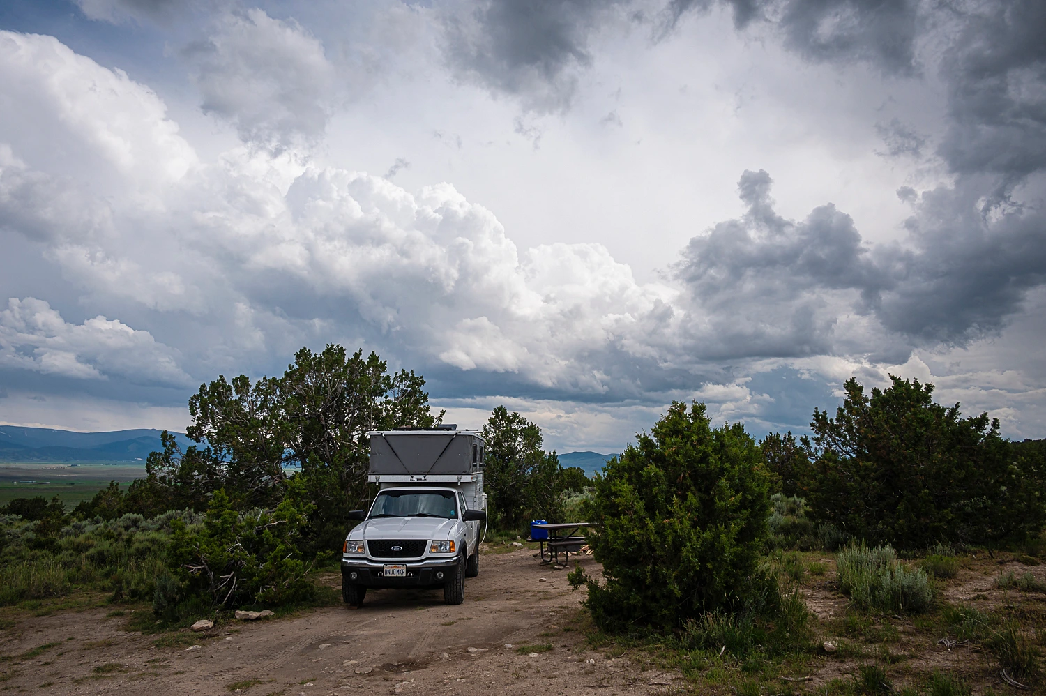
We were hit twice by storms including two rounds of small hail and drenching rain. Afterward the scent of juniper and wet sage were incredible. We managed to get a long walk in as the day turned to night.
We headed north the next morning to visit two more “cities of rocks” in Idaho.
Our adventure continues. Please click here for - Part Seven
Believe it or not, there are recipes available for mormon crickets. Yum!
ReplyDeleteThe Native Americans made use of the crickets, and why not? Dried, crumbled, and sprinkled over ice cream, I hear they are excellent ;)
Delete