
please remember you can click on a photo to see a larger version & highlighted text are links to additional information
Please click here for – Part Two
The Summit Bid
We quietly left the campground Sunday morning. We drove out to the Hells Canyon Overlook and had fun identifying the distant features depicted on the signage. Our favorite part of the drive was the open slopes covered with wild onion in bloom. We’ve been known to stop and graze.
We turned on the gravel road – FR 66, I believe – and made a stop at Twin Lakes.
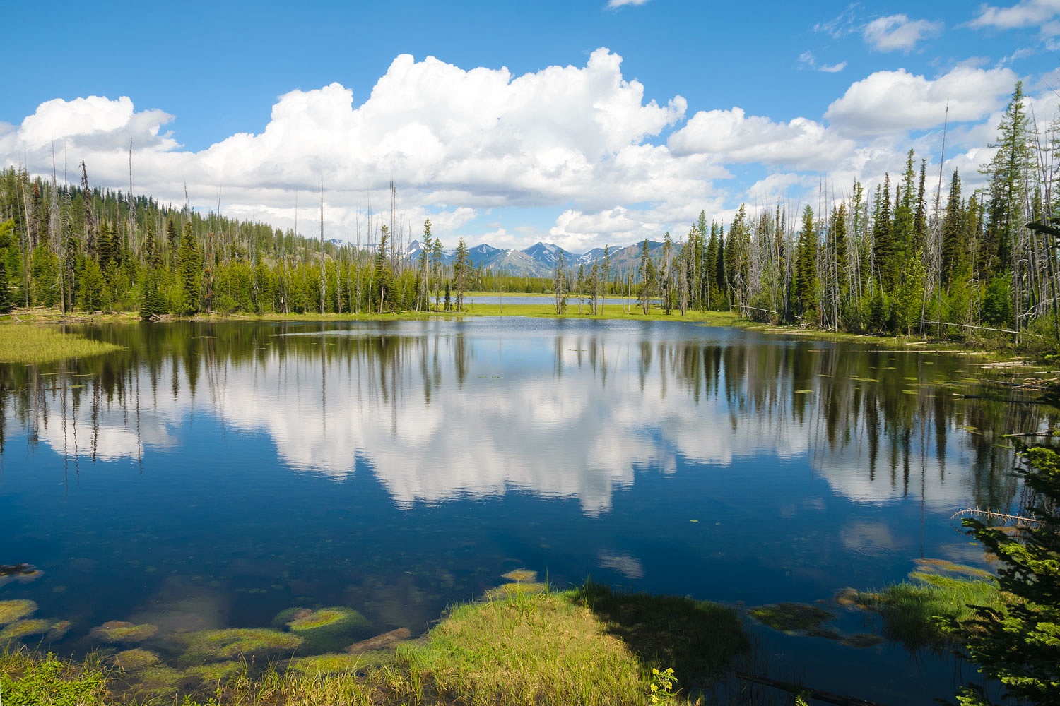
The small primitive campground was full. There are trails into the Eagle Cap Wilderness from Twin Lakes, so it’s possible it might make a good jump off point for exploration.
Fish Lake – it appears to be the major destination along 66 – was packed. We did not bother to stop.
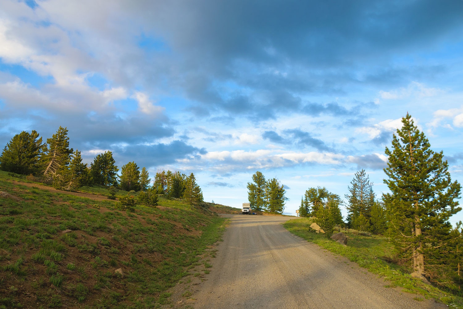
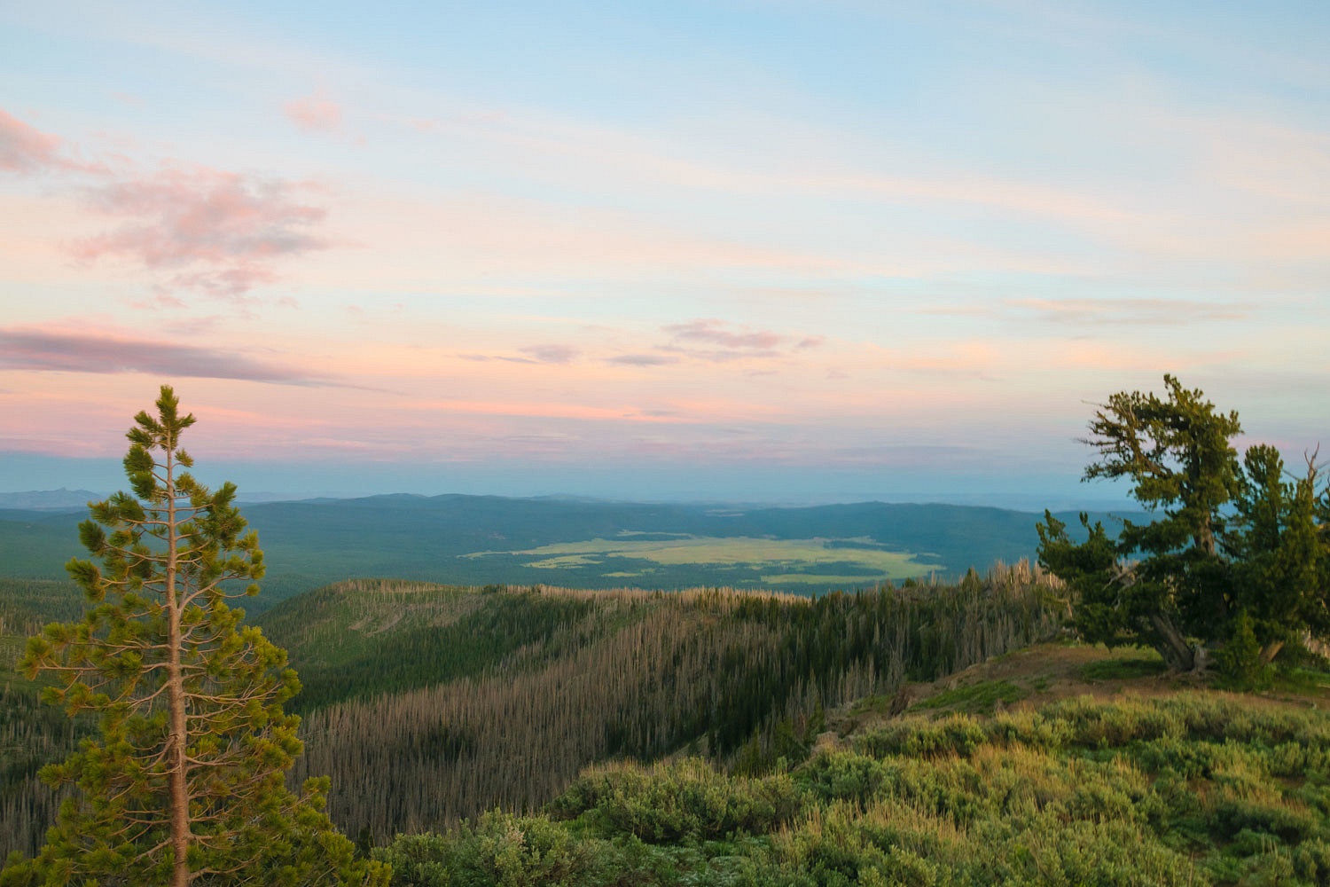
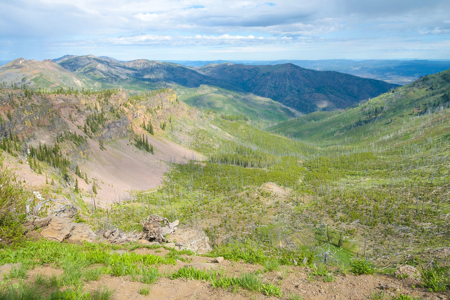
We continued on 66, the dirt road back to Halfway. Initially, there was very little traffic. On one downgrade we stopped to take in the amazing view.
Late morning as we approached Halfway, we met a large group of full-size pickups driving up, maybe 8 or 9. It looked like a Sunday drive. The group was led by a Ram flatbed that we guessed was a local ranch truck. A teenage girl stood on the flatbed, center cab, and held on to the headache rack. I pulled aside in a wide spot and let the group easily pass. Near the end of the line was a loud diesel pickup. It had a massive lift and large oversized tires. The tires were mounted on offset rims that put the tires well outside of the fenders. He could not get by us. Bubba had made his truck so big it could not go into the mountains. There was a lot of talk going on in the cab of the truck as Bubba looked down from his high throne and tried to figure out what in the world to do. I could not make out any words, they were drowned out by the rattle of the mighty diesel, and when I looked up, I could only see the bottom of his chin moving. I’m still chuckling about this encounter. I expect he was one of the local’s relative from the city who had been invited along.
When we had parted with the Sages, days before, we received a wonderful invite for a summer BBQ dinner – grilled hamburgers with all the trimmings, corn on the cob, ice cold watermelon, and finished off with Mud Slide ice cream. It was topped off with an offer to spend the night at Fort Sagebrush with the kicker that always hooks the Lady – a washer and dryer to do laundry. And how ‘bout another round or two of Scramble for the Lady and the Bride!
We had a grand time with the Sages! The food, company, conversation, and Scramble were outstanding. The views from the Fort are expansive. Elk, deer, quail, bluebirds, raptors, fox kits are most often in view out their windows. We were treated to the best sunset colors of the trip. Too bad we were all too full and lazy from the good eats to get up and find a camera.
Thank you so much for your kind hospitality and friendship!
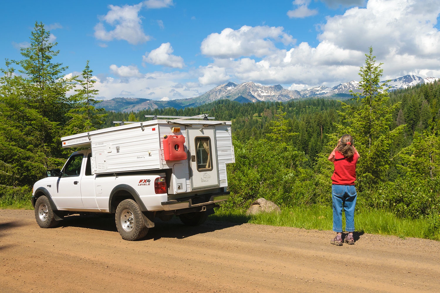
We left Fort Sagebrush the next morning, the Fourth of July. After a quick resupply stop at the grocery store, we turned the truck toward Prairie City. We were off to explore the southern side of the Strawberry Mountain Wilderness.
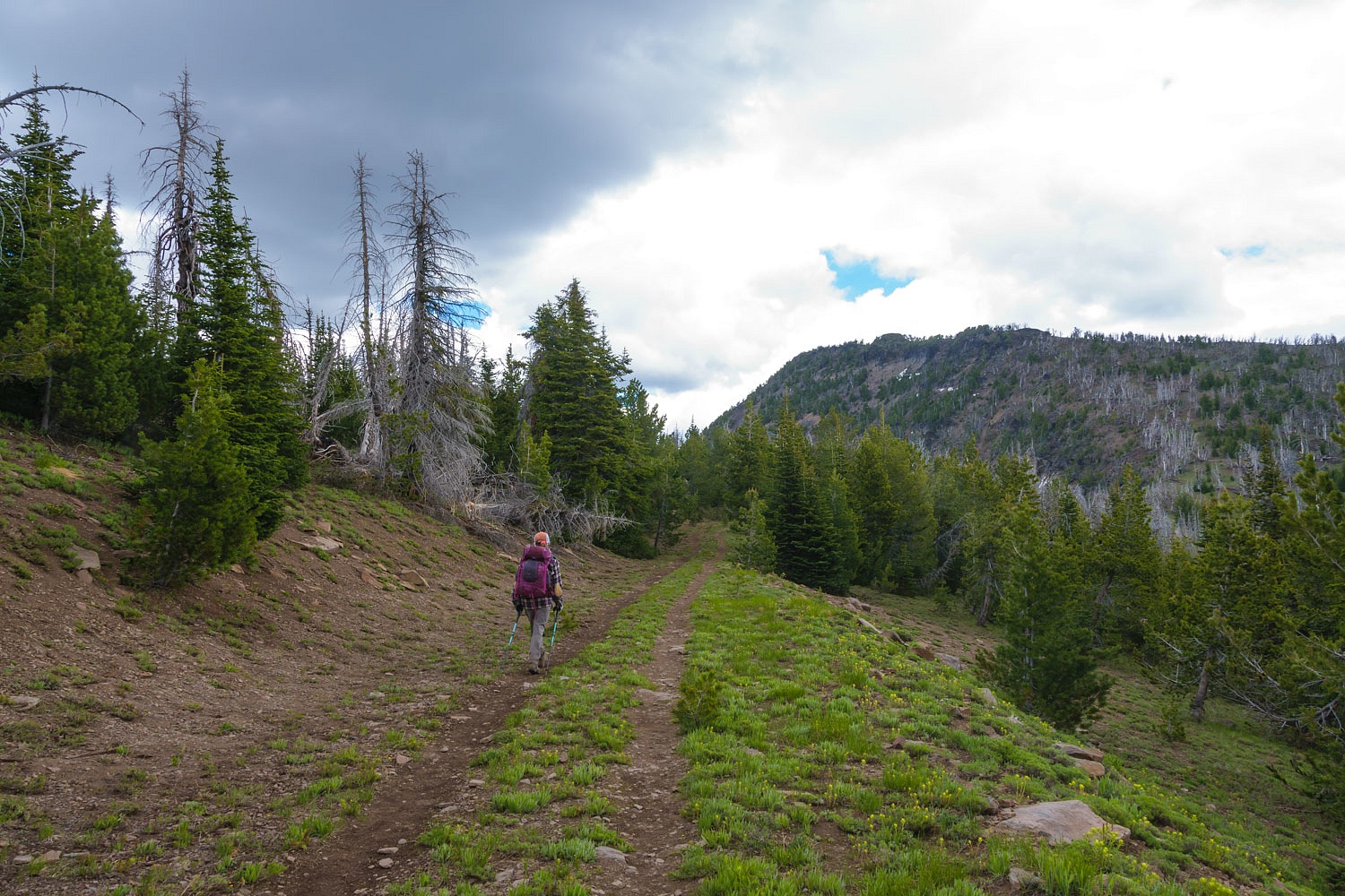
We took the county road south from Prairie City. It intersected with FR 16 that runs along the southern side of the Strawberry Mountains. Several roads work their way north to trailheads that access the Wilderness. We explored. The roads were quiet. We especially enjoyed the large open prairie meadows of Logan Valley with its nice views of the Strawberry Mountains. Big Creek Campground, in Logan Valley, was surprisingly busy. And we wanted to go higher.
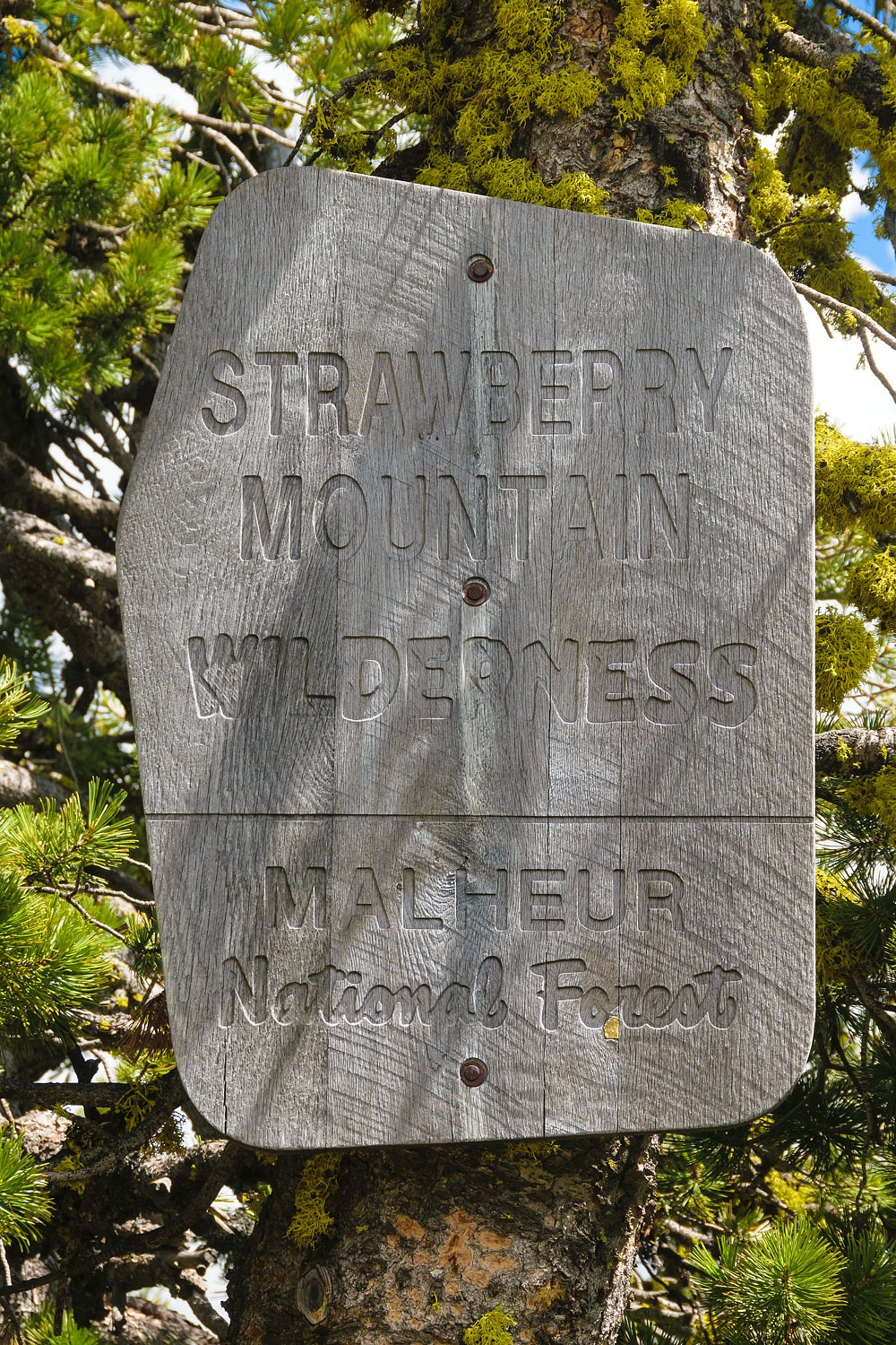
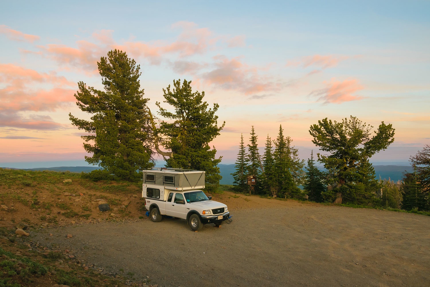
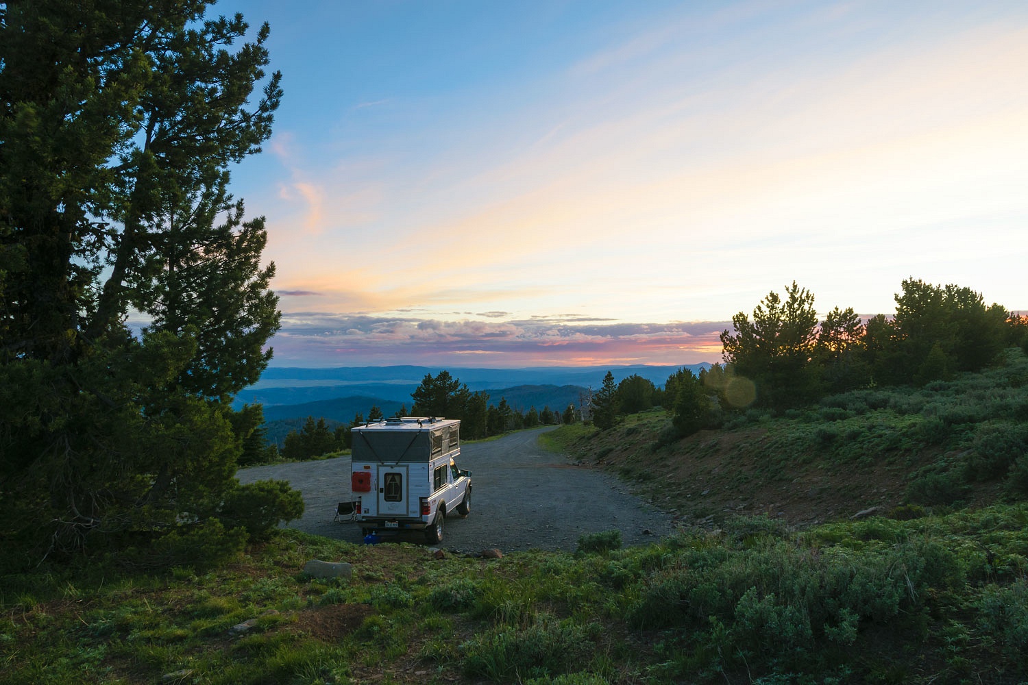
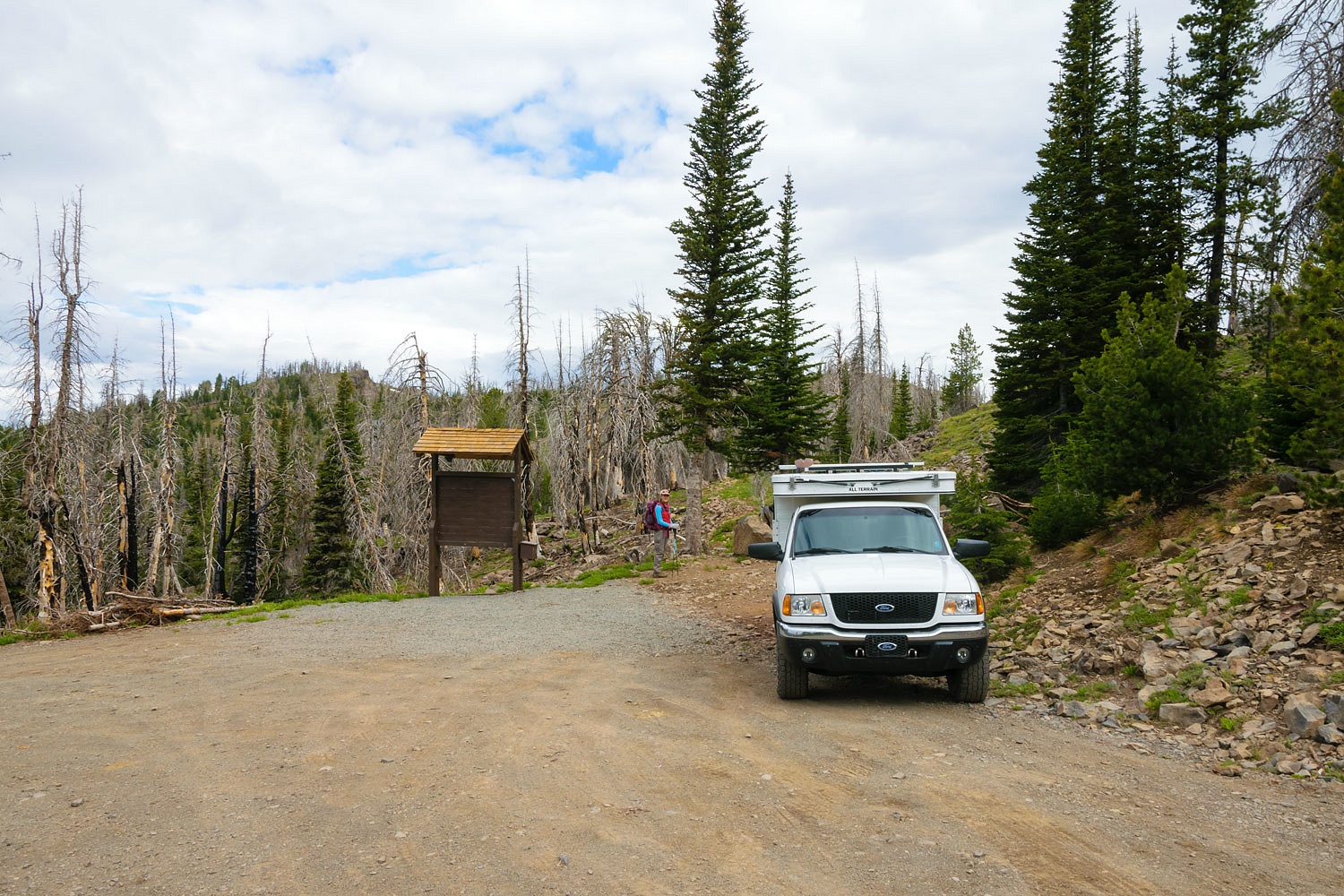
We found the road that goes high and ends at two trailheads near the crest of the Strawberry Mountains. We parked at the trailhead for High Lake at 1500 hrs. It is on the edge of the Strawberry Mountain Wilderness.
The Lady looked down into the cirque that holds High Lake. “Let’s go down to the lake!” the Lady said. “it’s not far, is it?”
“A mile and a half. A hop, skip, and a jump.” I answered.
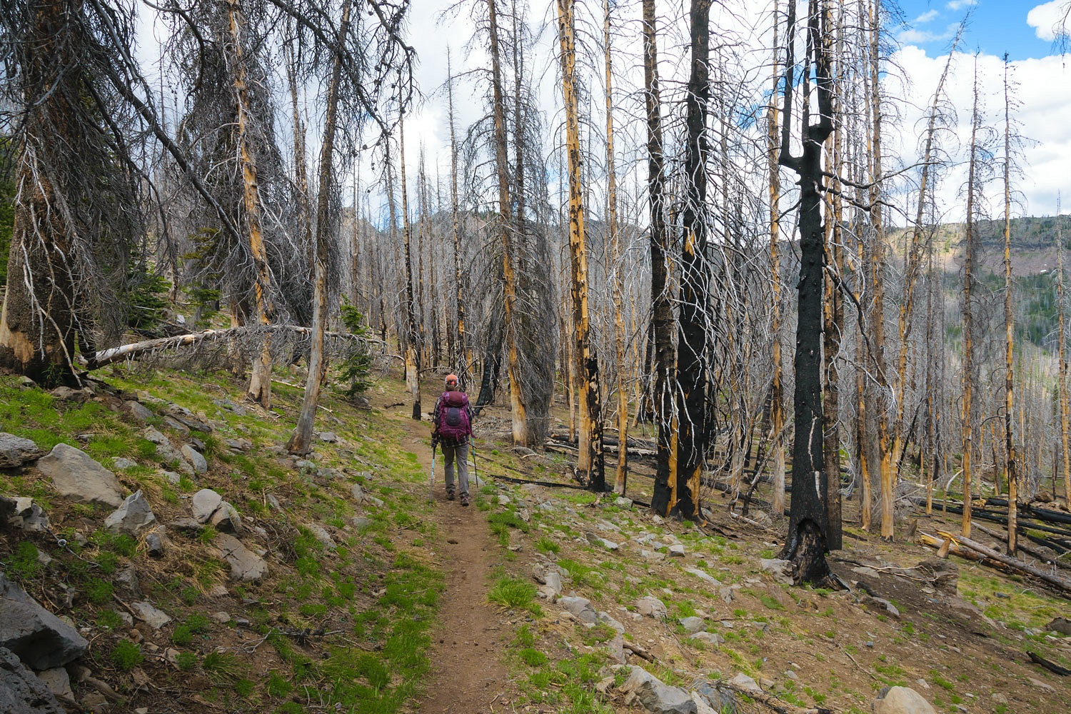
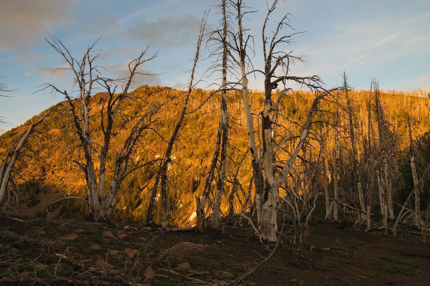
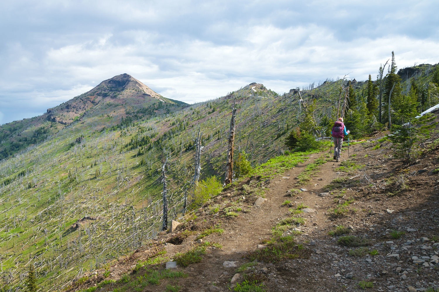
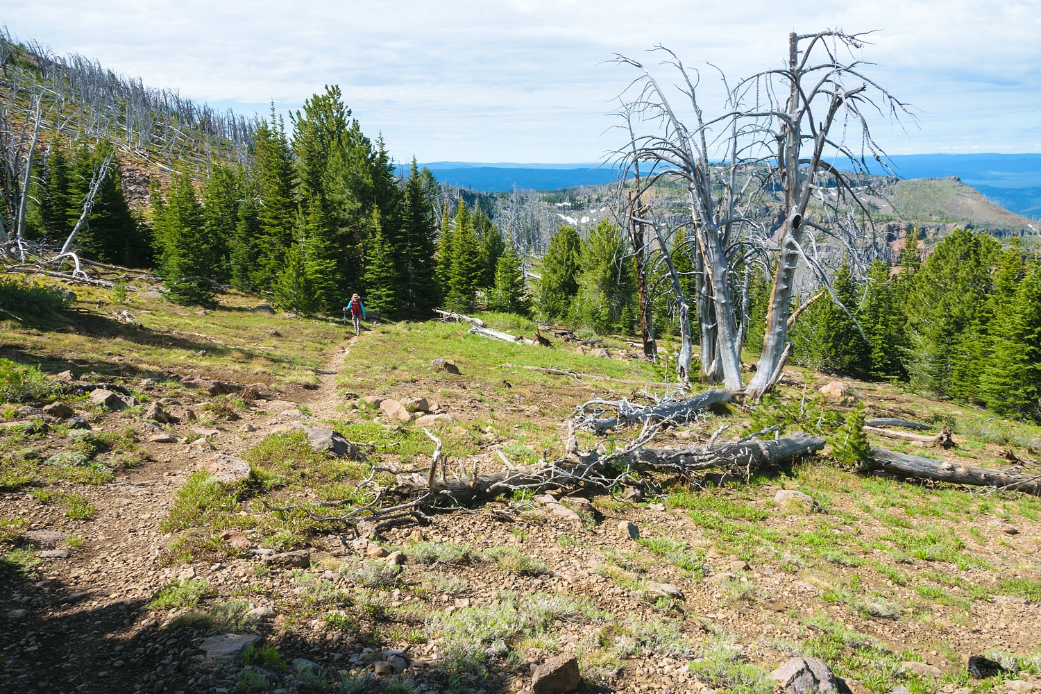
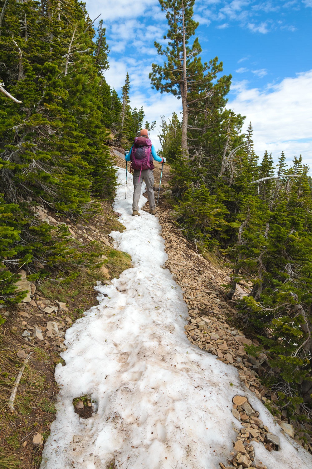
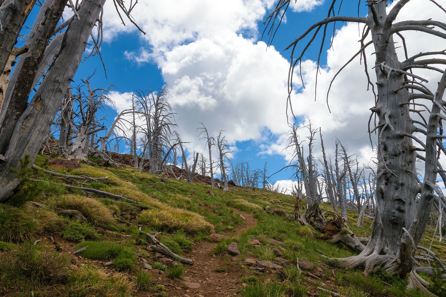
In many of the following photos, you will see burn scars. Most was burned during the Canyon Creek Complex Fire in 2015. The area around High Lake was also previously burned in the Strawberry Complex Fire in 2013.
There were two family groups at High Lake. This accounted for the three other vehicles at the trailhead.
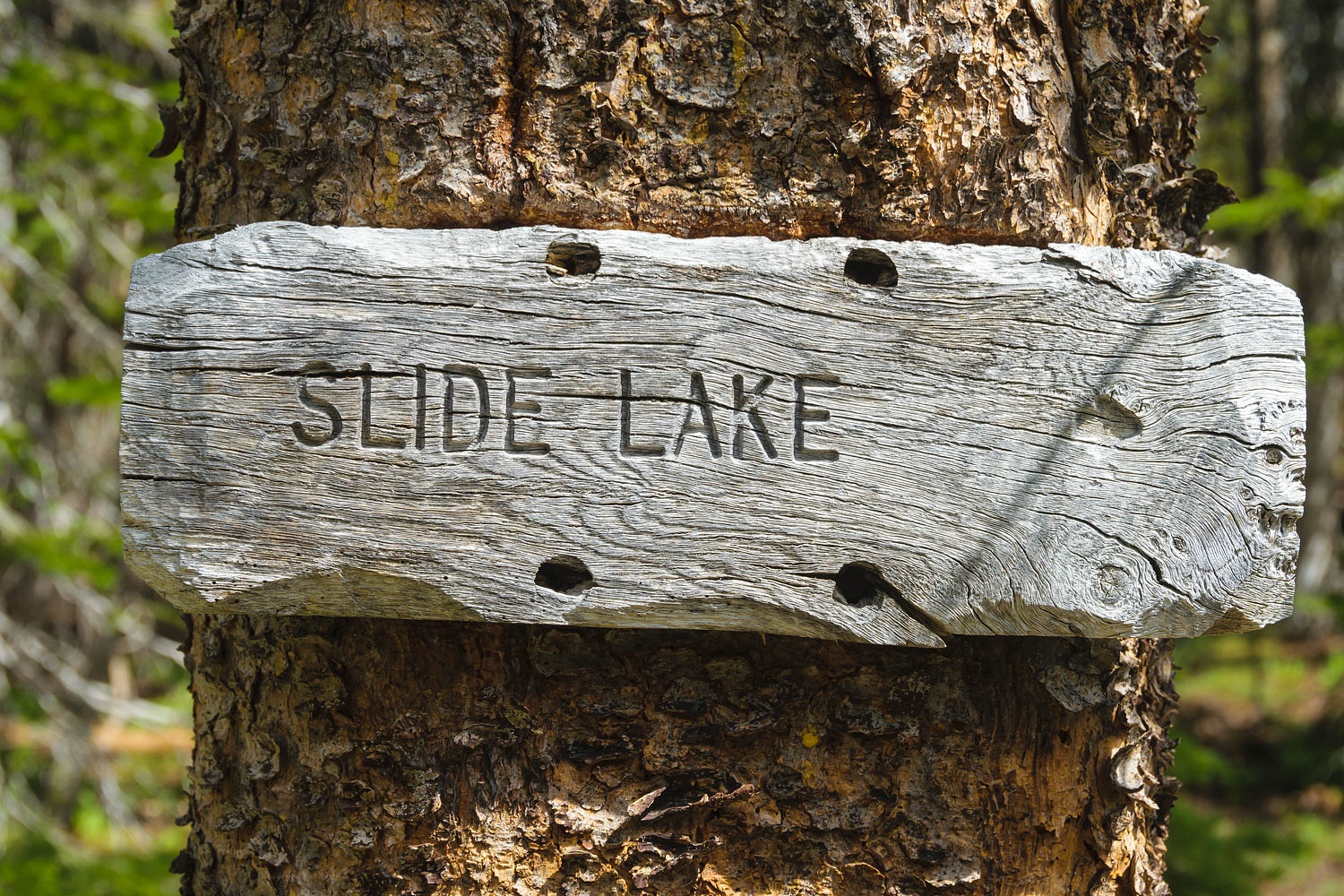
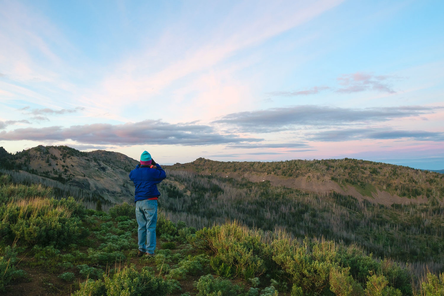
“How far is it up to the rim to get a view down at Slide Lake?” The Lady asked and immediately added. “I want to go there.”
“A mile and a half. A hop, skip, and a jump.” I answered and immediately added. “So, when you add the two together it’s a hop, skip, and a little bit of a walk.”
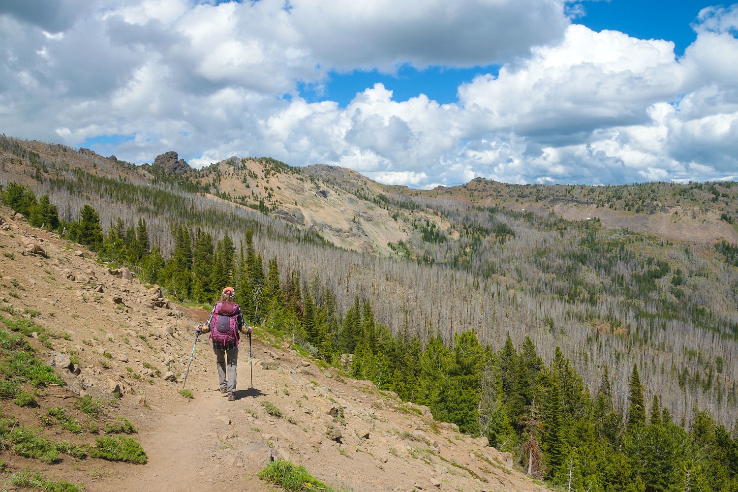
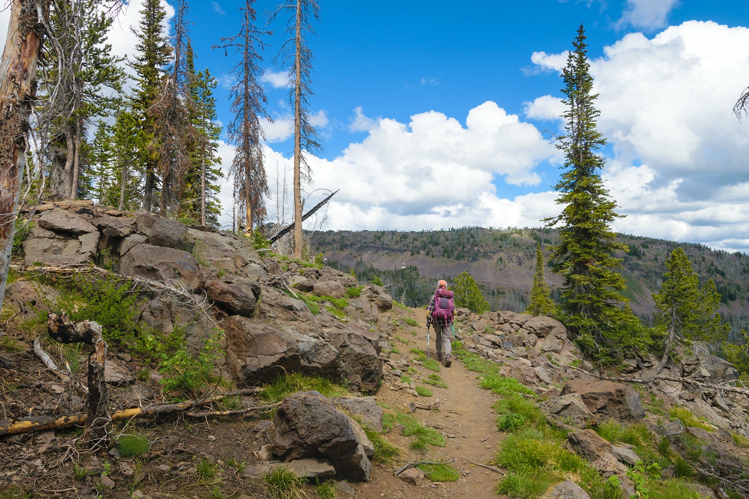
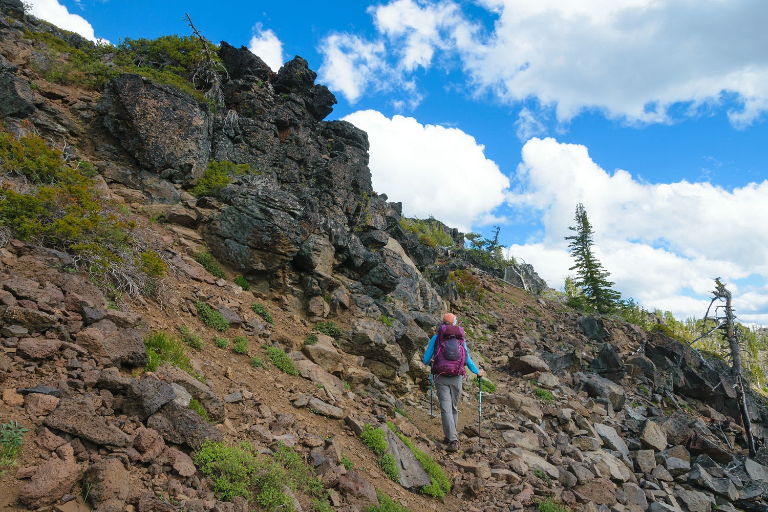
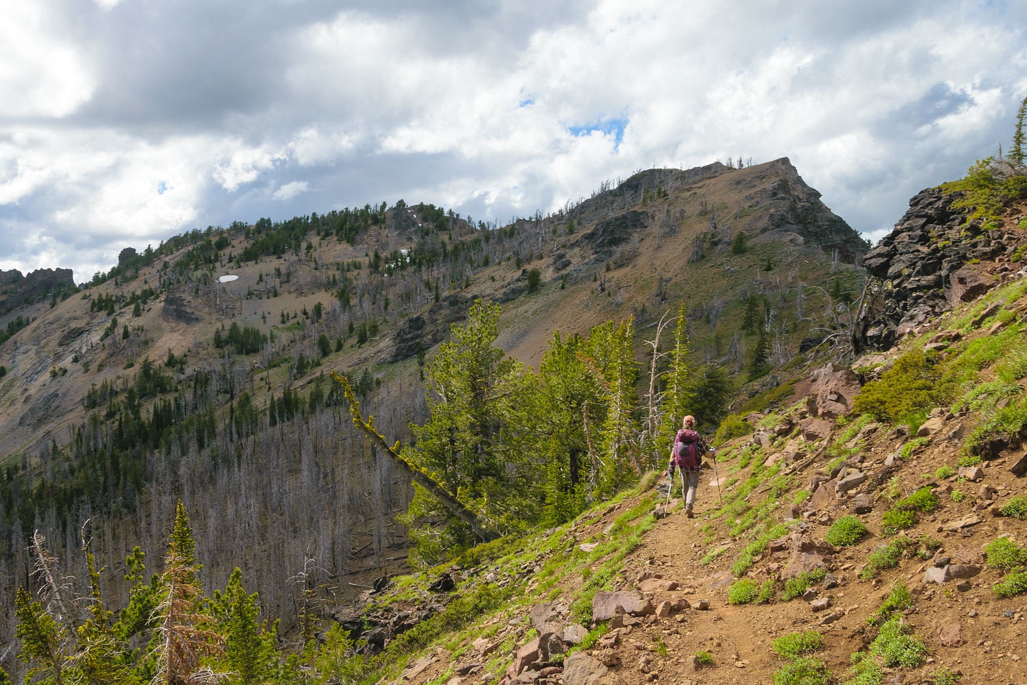
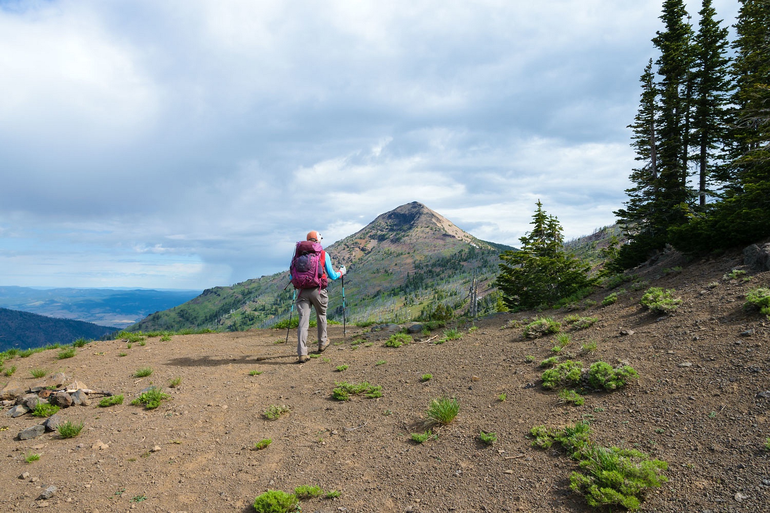
The trail climbed up above High Lake and then, after a long switchback, topped out on the rim.
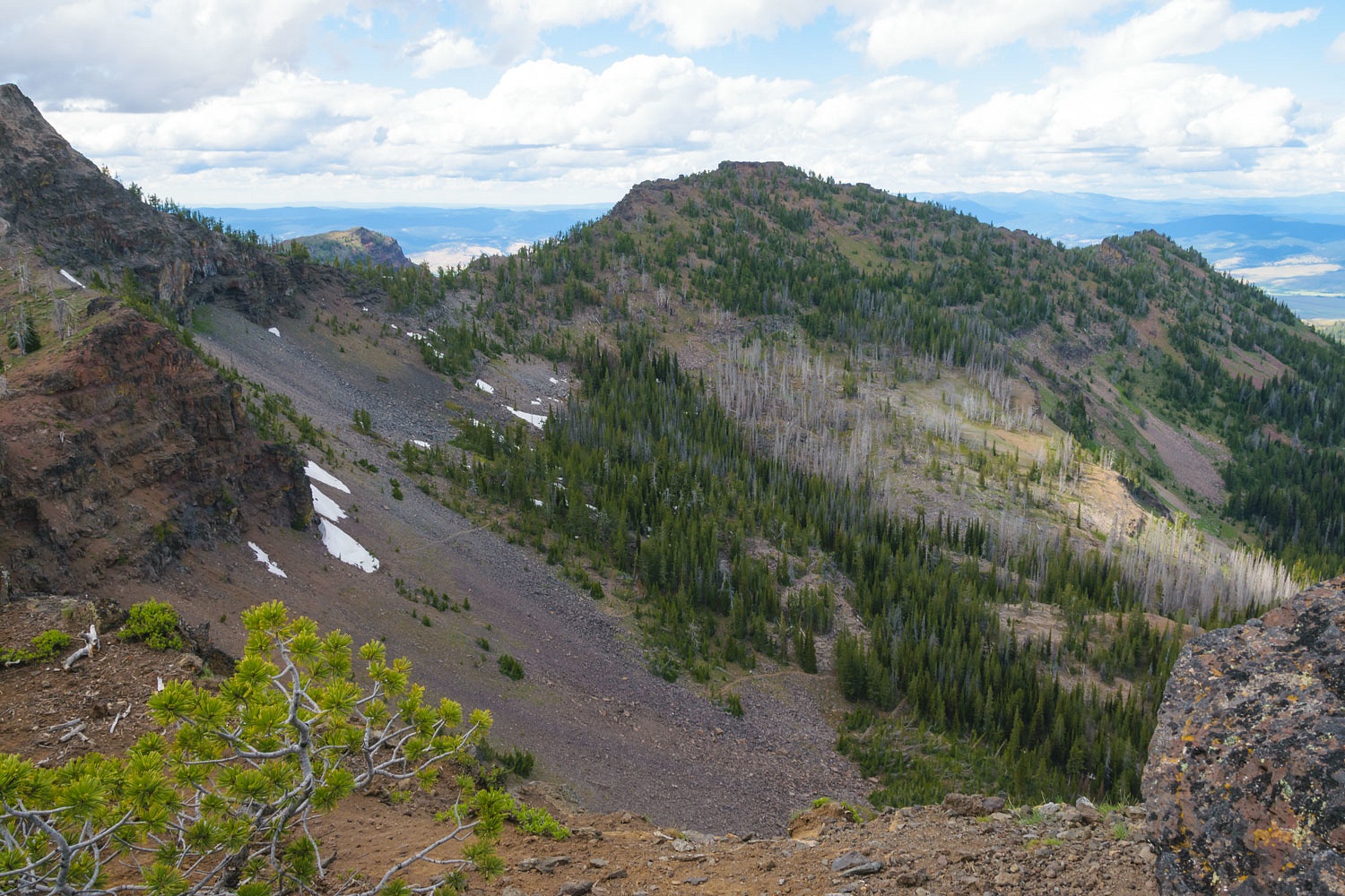
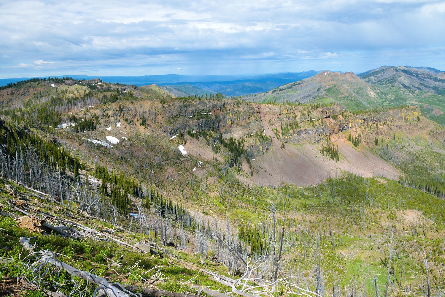
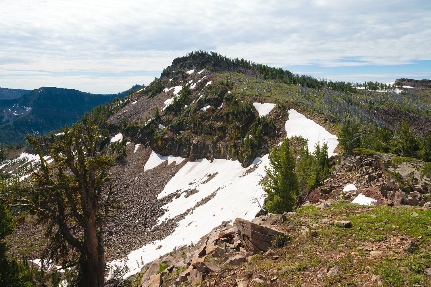
The first view we got was into the Mud Lakes cirque to the southeast.
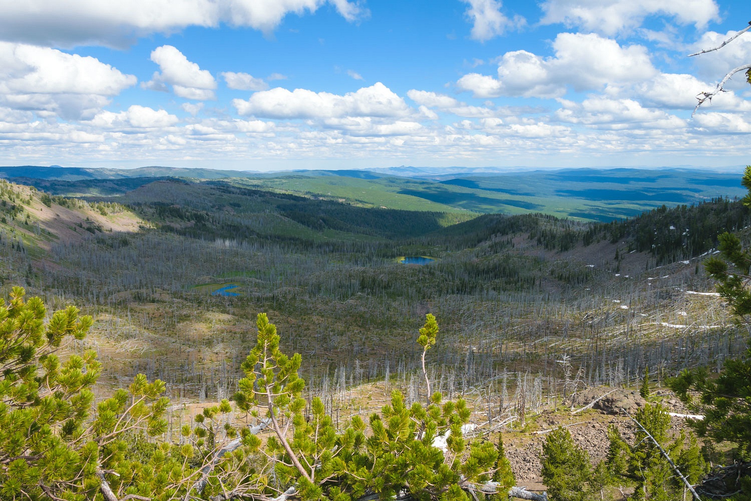
One advantage of the burn scar is how well the hummocky terrain stands out from the till deposits as the last glacier melted away.
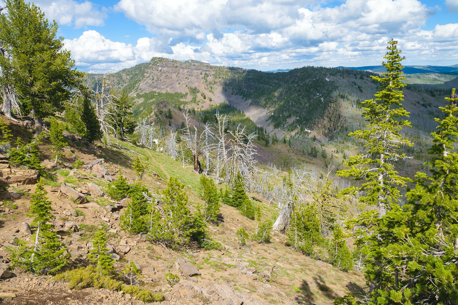
We climbed to the north to look along the ridge line between Mud Lakes and the Slide Lake cirque.
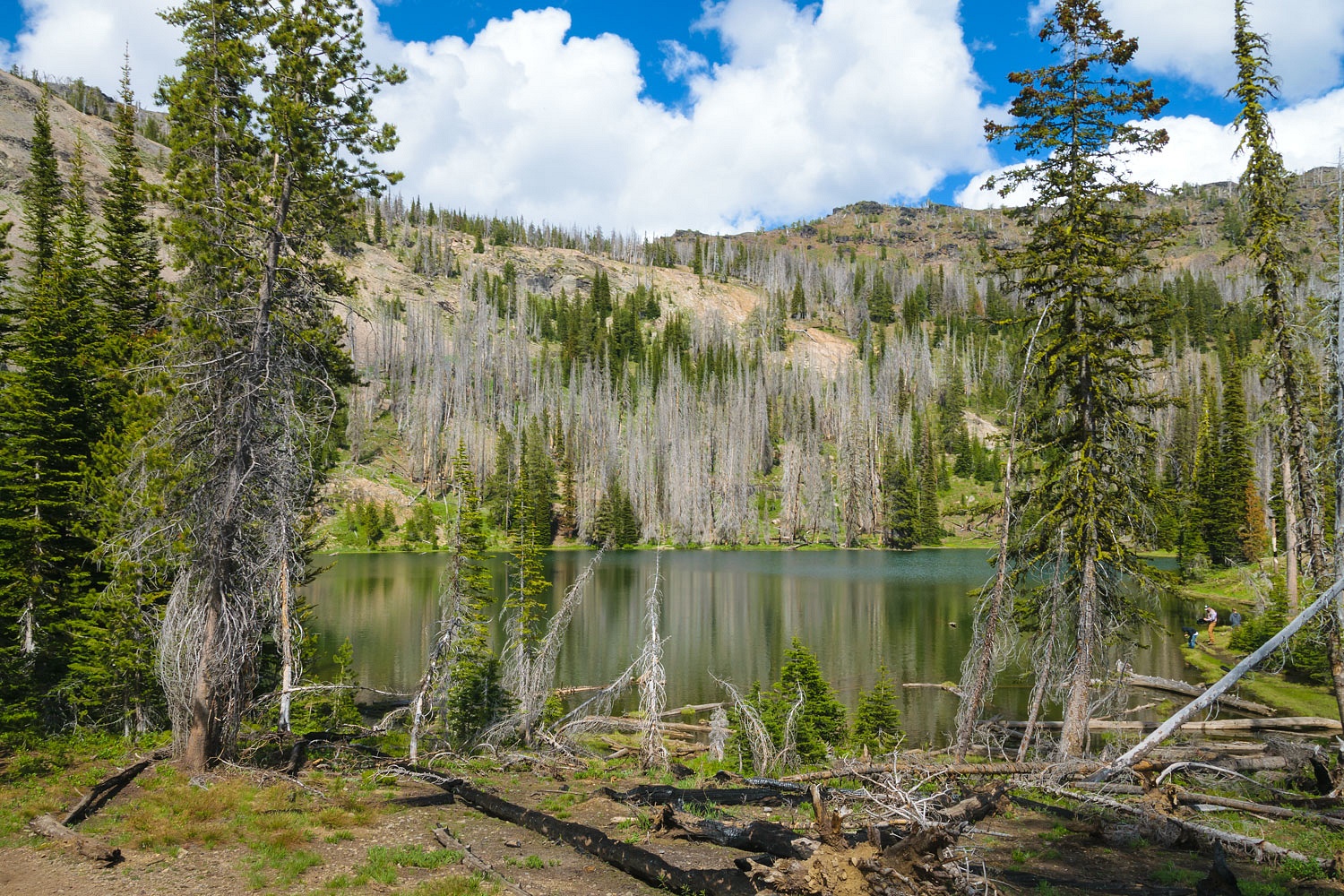
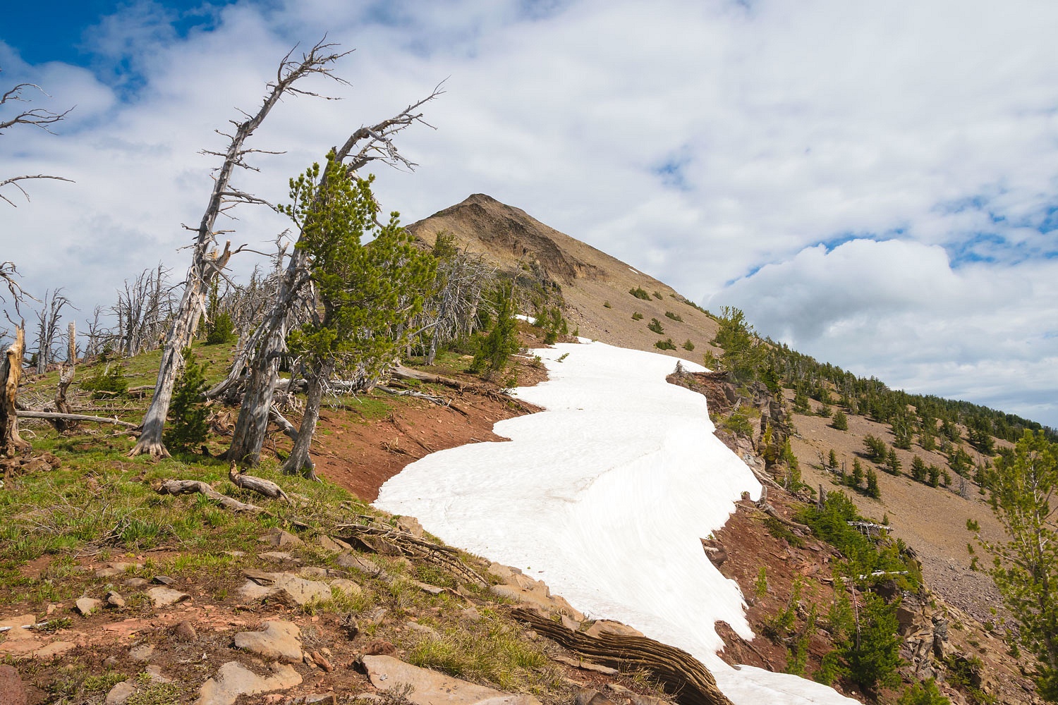
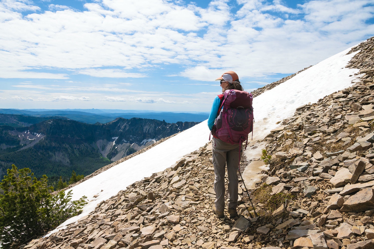
Next, we climbed up to a point to look into the beautiful Slide Lake cirque.
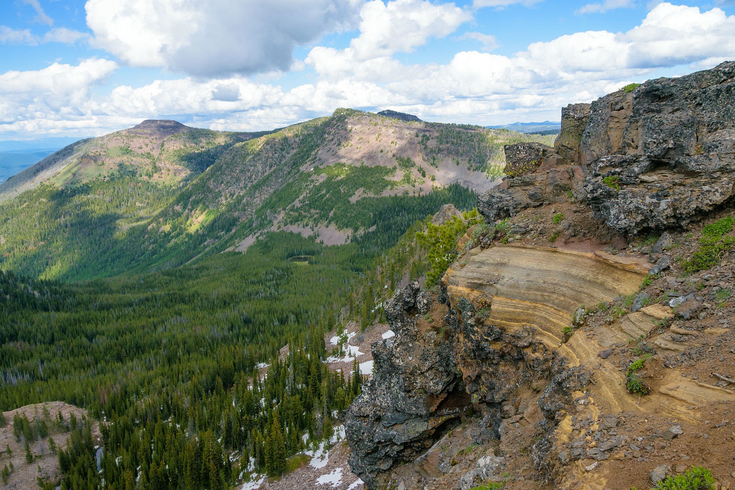
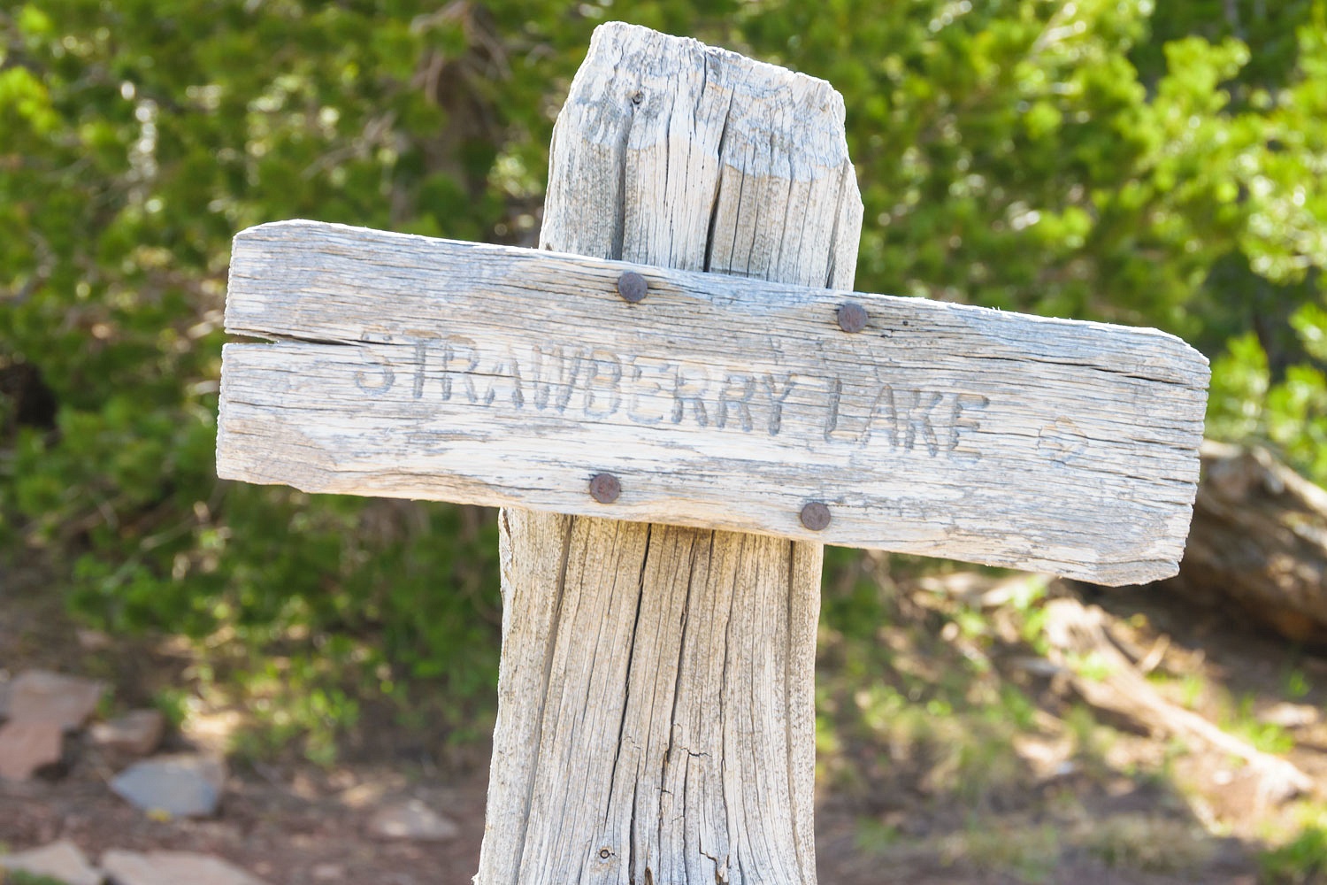
Slide Lake is out of view, tucked into a lobe of the basin to the right. Below is the headwall of the cirque with the trail switch backing down. This trail will take you down to Strawberry Lake.
We took in all the views as we sat for a while. We wanted to give the people down at High Lake time to hike out to their vehicles and leave. That was our plan.
We started back down.
High Lake was quiet, everyone had left. Up we went back to the trailhead.
It was a quick 6 miles. We were back at the trailhead at 1730 and the plan had worked. We had this beautiful high point all to ourselves.
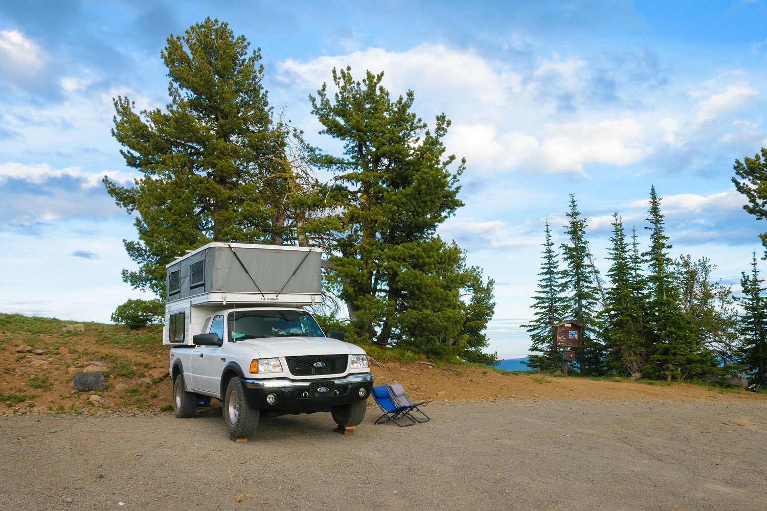
We showered, had dinner, and battled mosquitoes, the worst of the trip. I had recently modified a thermacell devise for high elevations – increased the size of the air intake port. Here's a link to the "how to" I followed - Modifying A Thermacell For High Elevation. It worked well with it sitting between our chairs and we ate dinner in luxury.
The night of the Fourth of July was glorious, especially at 8000 feet. We wandered down to the other trailhead and out the trail along the ridge a ways.
Here’s Logan Valley to the southeast.
We sat out in our chairs and called this our Independence Day.
It was almost dark when we heard a vehicle approaching. We were soon bathed in headlights. The new SUV pulled up beside us and stopped. He was a night sky photographer from Burns.
“I photographed the Aurora Borealis from a high spot near my home in Burns last night,” he explained. “I know the aurora is possible when I get interference on my satellite TV. You can’t see it by eye but in shows with long exposures. I thought this would be a great place to shoot from. I hope the thin cloud cover on the horizon burns off. That’ll hurt. I really drove to get up here.”
We quietly chatted with the photographer for about an hour. He recent had changed over to mirrorless and was shooting with a 1.8 11mm wide angle.
“By the way,” he added. “This is a great spot for the August Perseid meteor shower, if it’s clear, of course.”
We said goodnight and told him not to worry about disturbing us. The Lady heard him leave sometime in the night. I did not.
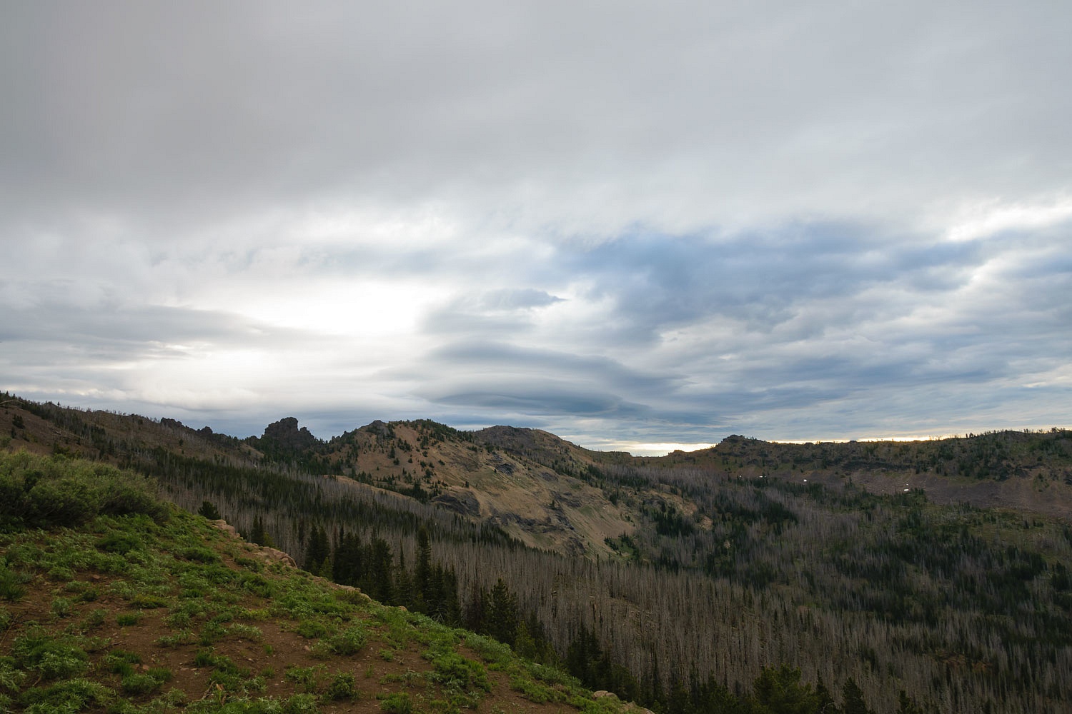
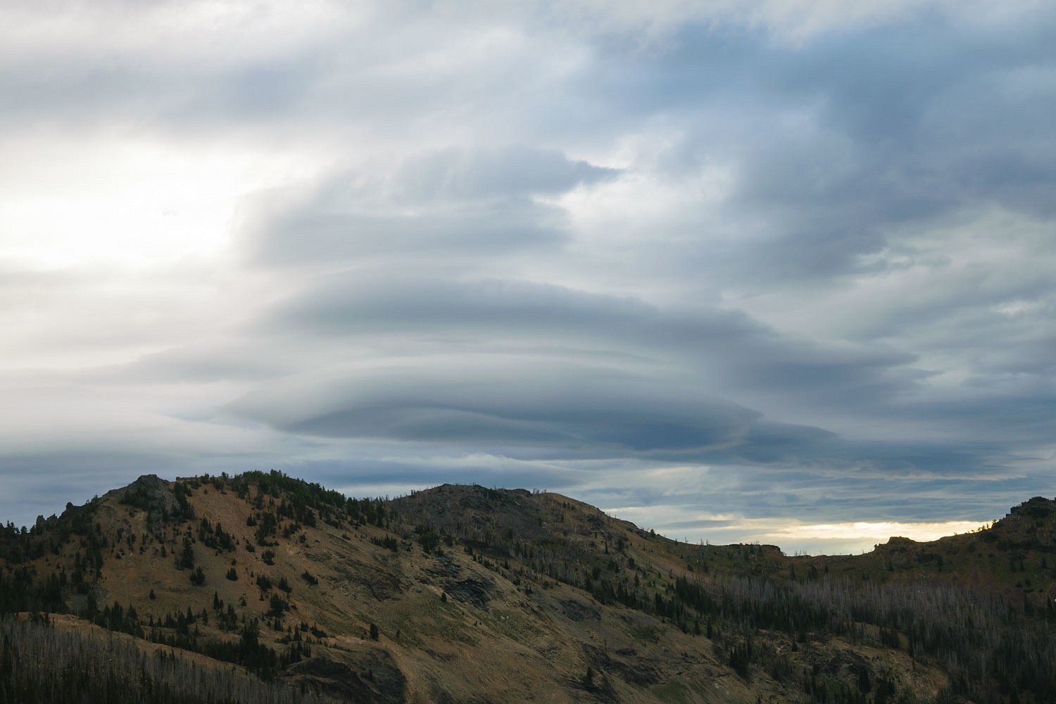
There was heavy cloud cover the next morning. The lee side of the Strawberrys also showed stacked lenticulars, meaning high winds aloft. This could affect our decision whether to go high. The Lady wanted her summit.
We took our time, but prepared to hike. We’d keep an eye on the sky and clouds.
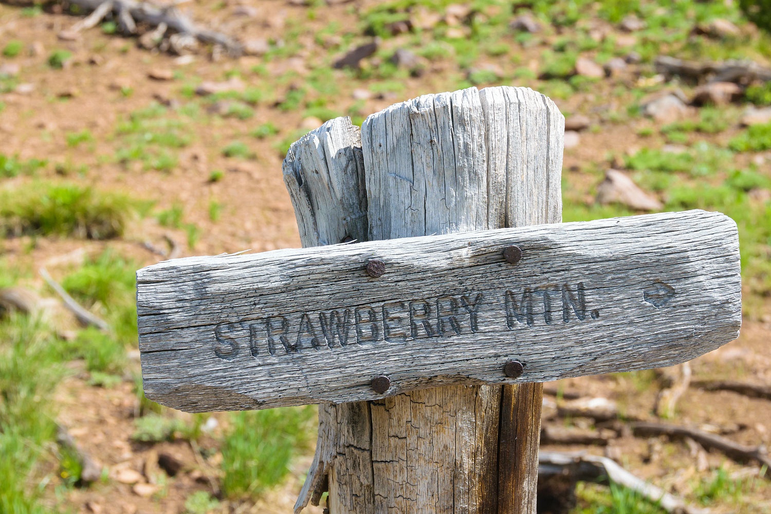
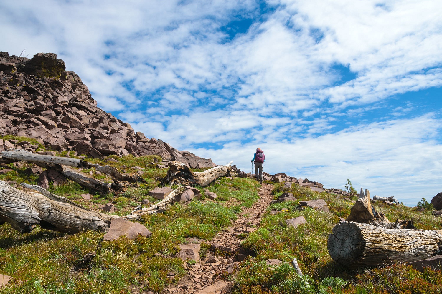
The Lady expressed her thoughts aloud. “Let’s at least head out the trail. We can still watch the sky. If it looks good, we go.” The Lady wanted her summit. We packed up and drove down to the lower trailhead. The Lady signed the Wilderness register.
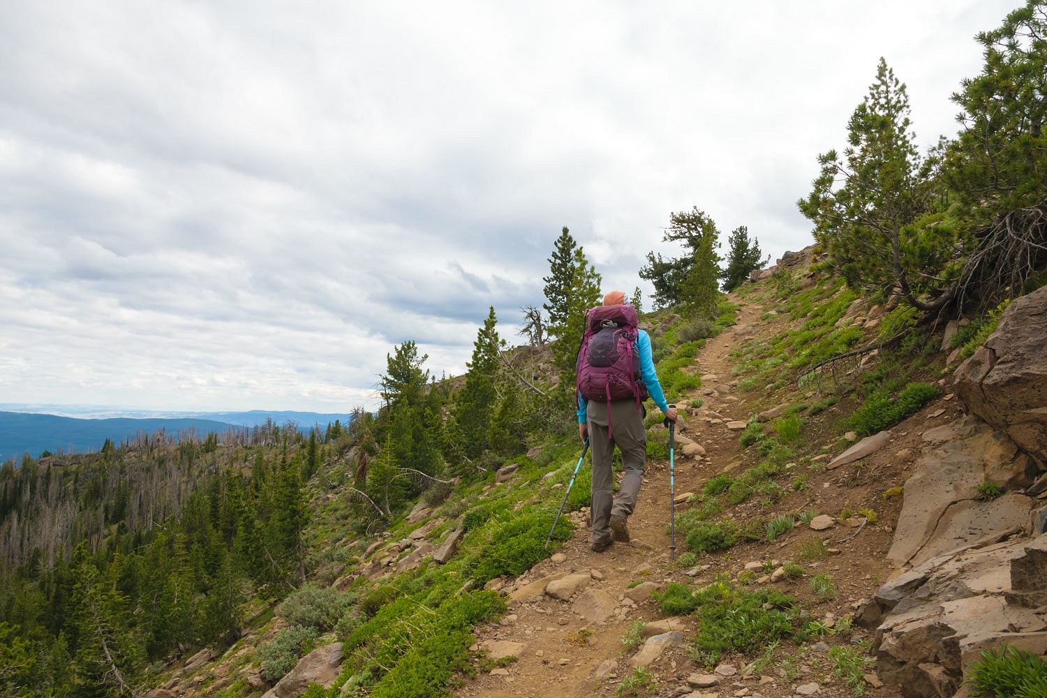
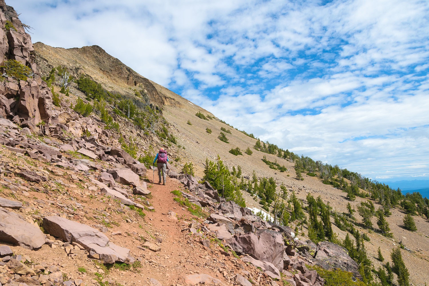
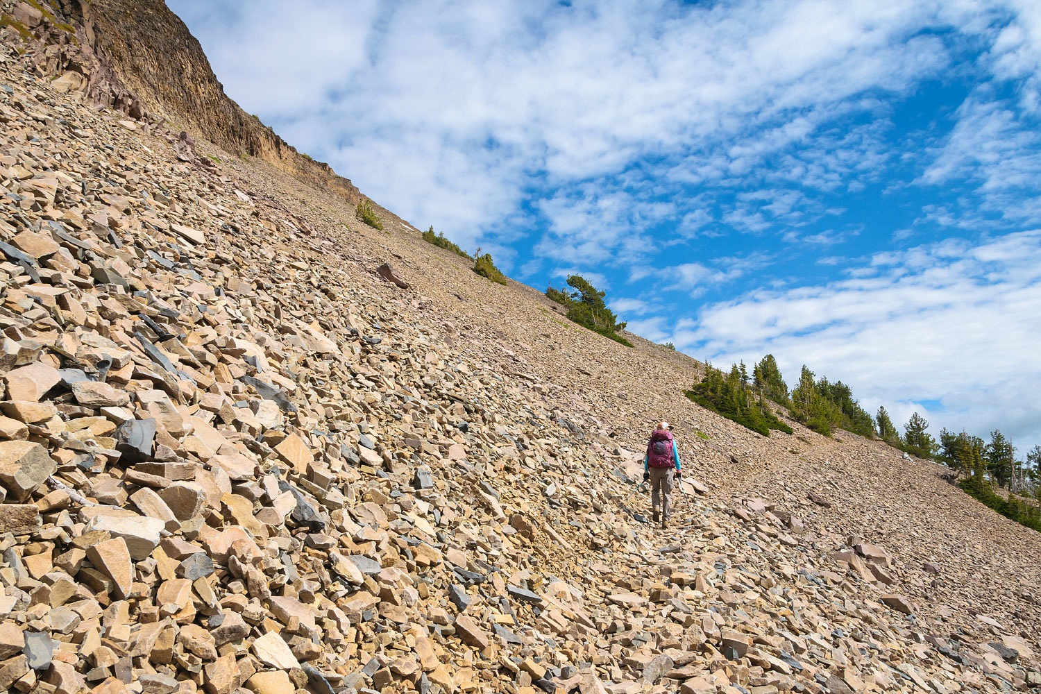
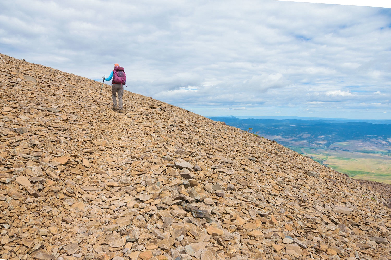
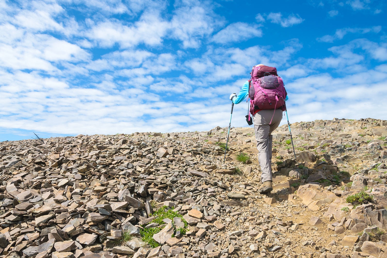
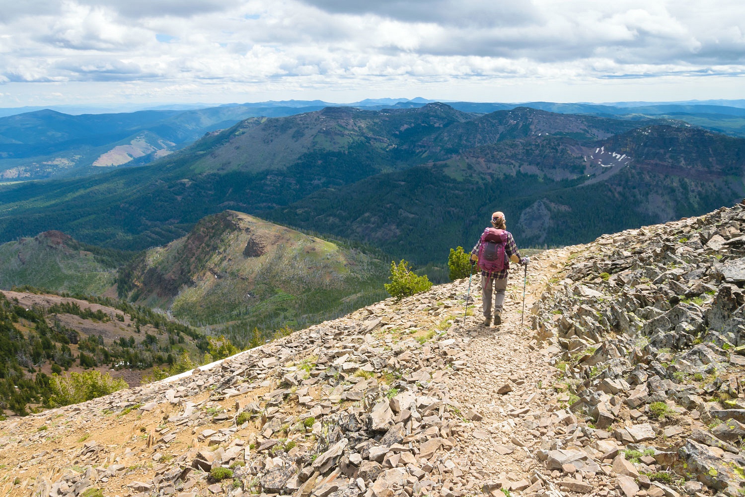
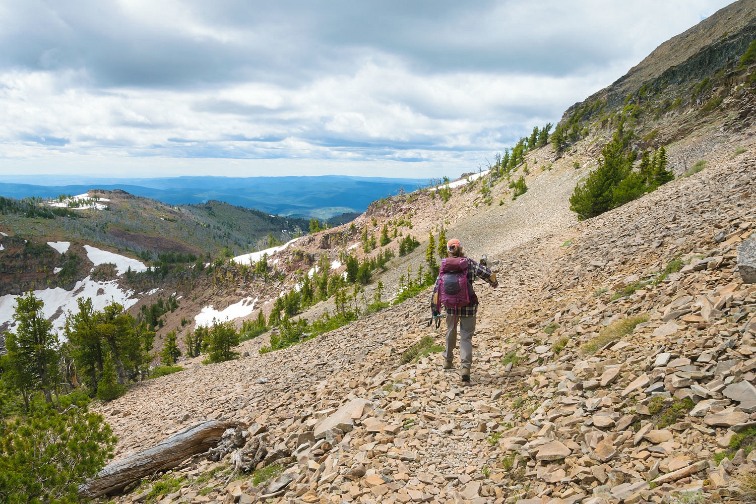
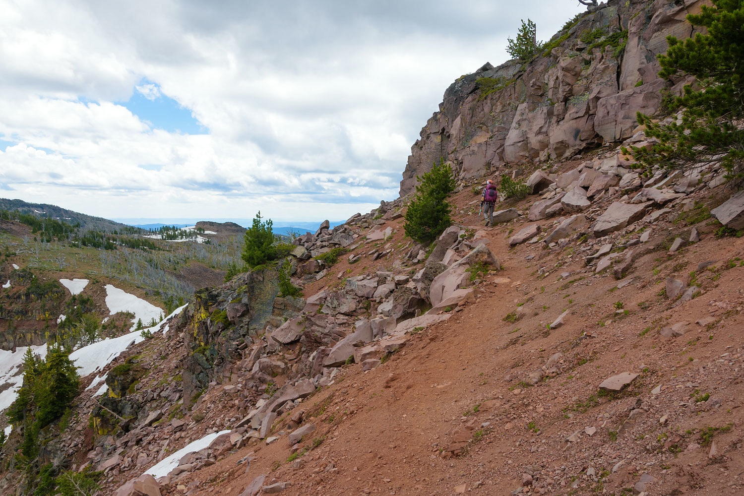
It is 3.75 miles to the top of Strawberry Mountain via this route. The longest section of trail is traversing along the ridgeline on the windward side. (Hint that it’s the predominantly windward side. Many of the burnt trees have been toppled by the wind.) Around a corner and the peak finally comes into view.
We were still watching the sky.
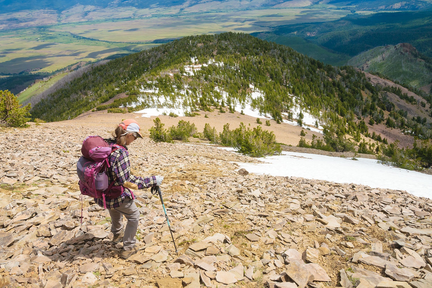
Here’s views down into the cirque of the Indian Creek drainage.
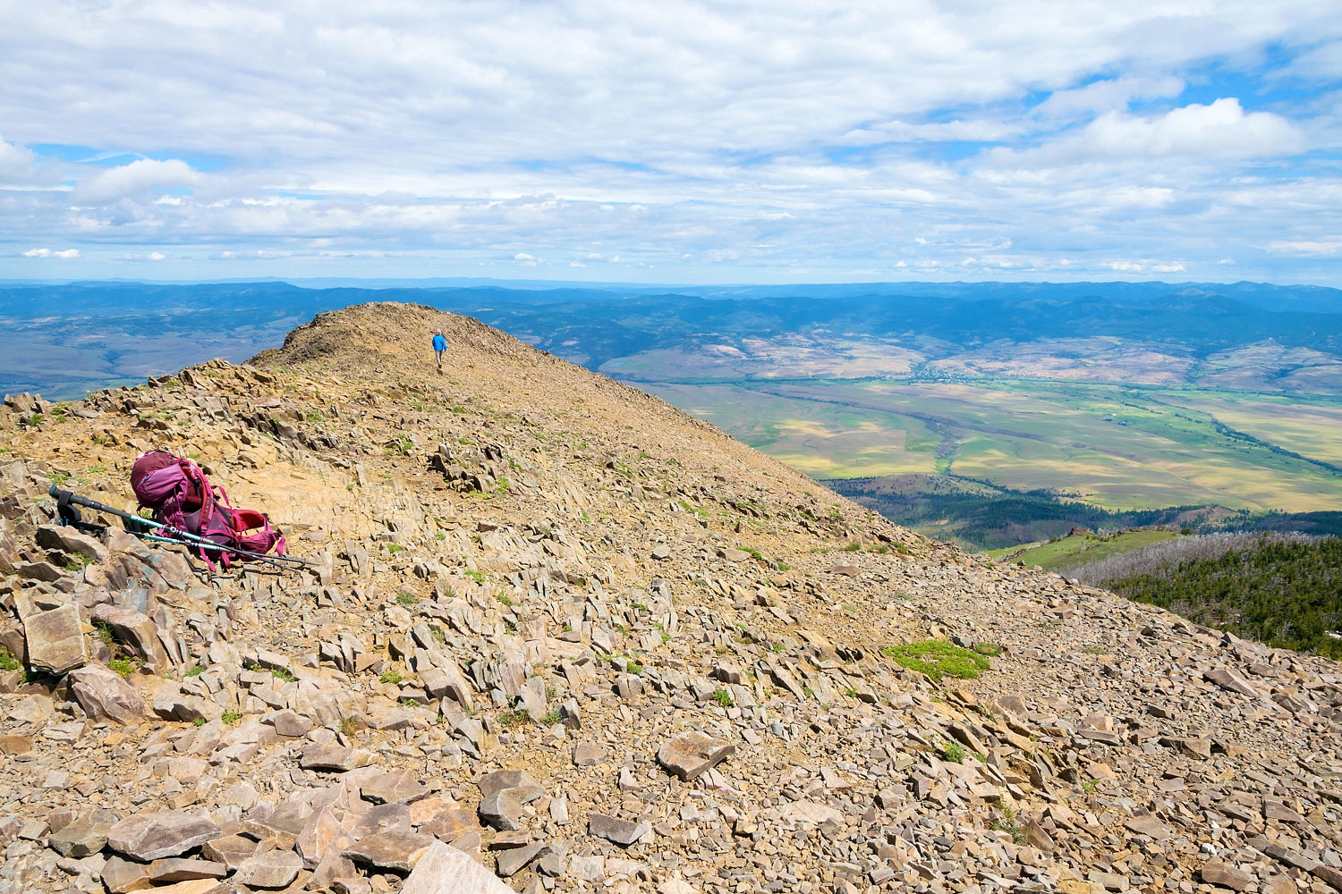
There was one last climb to a switchback that led to the top of the ridge.
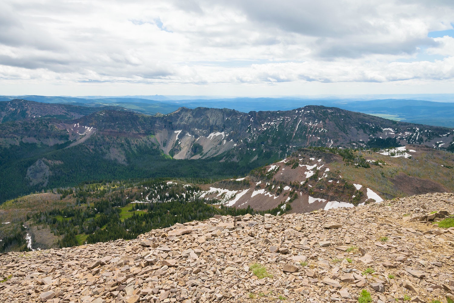
Here was the intersection with the trail we were on a week ago when we were blocked by snow.
There was still snow on the headwall that turned us around but we were surprised with how much had melted in a week. There was a set of tracks where two people had climbed up the day before. (We talked with them.)
The sky said go. We headed up.
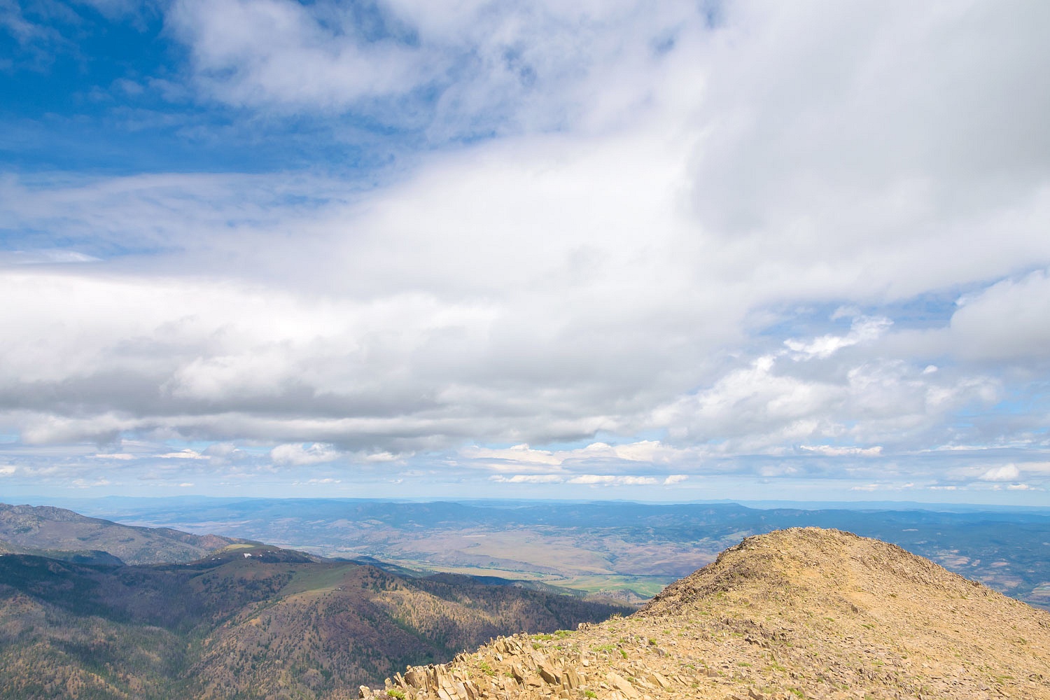
A hop, skip, and a jump and the Lady was on top where she loves to be. Strawberry Mountain 9038 ft.
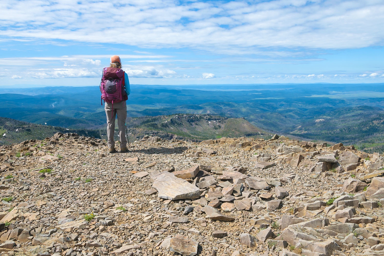
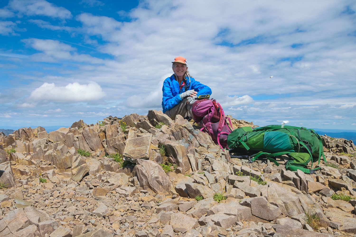
We were on the top at 1040 hrs. We relaxed and enjoyed the summit and watched the clouds slowly build. Yes, we were alone on the summit and trail.
40 minutes later and it was time to head back down. The photos speak for themselves, most of the time better than I can.
The Lady got her summit. And how are her knees after the two total knee replacements? She now goes downhill as fast as she goes uphill.
We left the trailhead in the truck shortly after 1300 hrs. We needed to search for a nice place to spend the night and work our way home the following day. But we got sidetracked and for a good reason.
Our adventure continues. Please click here for - Part Four
No comments:
Post a Comment