
Electronic Warfare Park
We figured friends were seriously starting to doubt our sanity. Our church going friends were probably down on bended knee in prayer beseeching divine intervention for our well being. We were off again into Nevada. What could possibly be out there in that barren wasteland?
We, although, did not
have second thoughts as we stopped at the signal light onto Highway 50 in Stateline, Nevada. I gestured toward the casinos and
asked the Lady, “Want to turn in here, get a room, feast at the buffets,
and gamble away the weekend?” She just looked at me, aware of my joke. That
lifestyle boggles our minds.
We had
recently explored the Grimes Point Archeological Area. Studying the topo maps for
the area, I saw there were possibly other nearby sites to discover.
Although we
were gently rocked to sleep with the sounds of fighter jets from nearby Fallon
Navy Air Station, morning was quiet and still before sunrise.
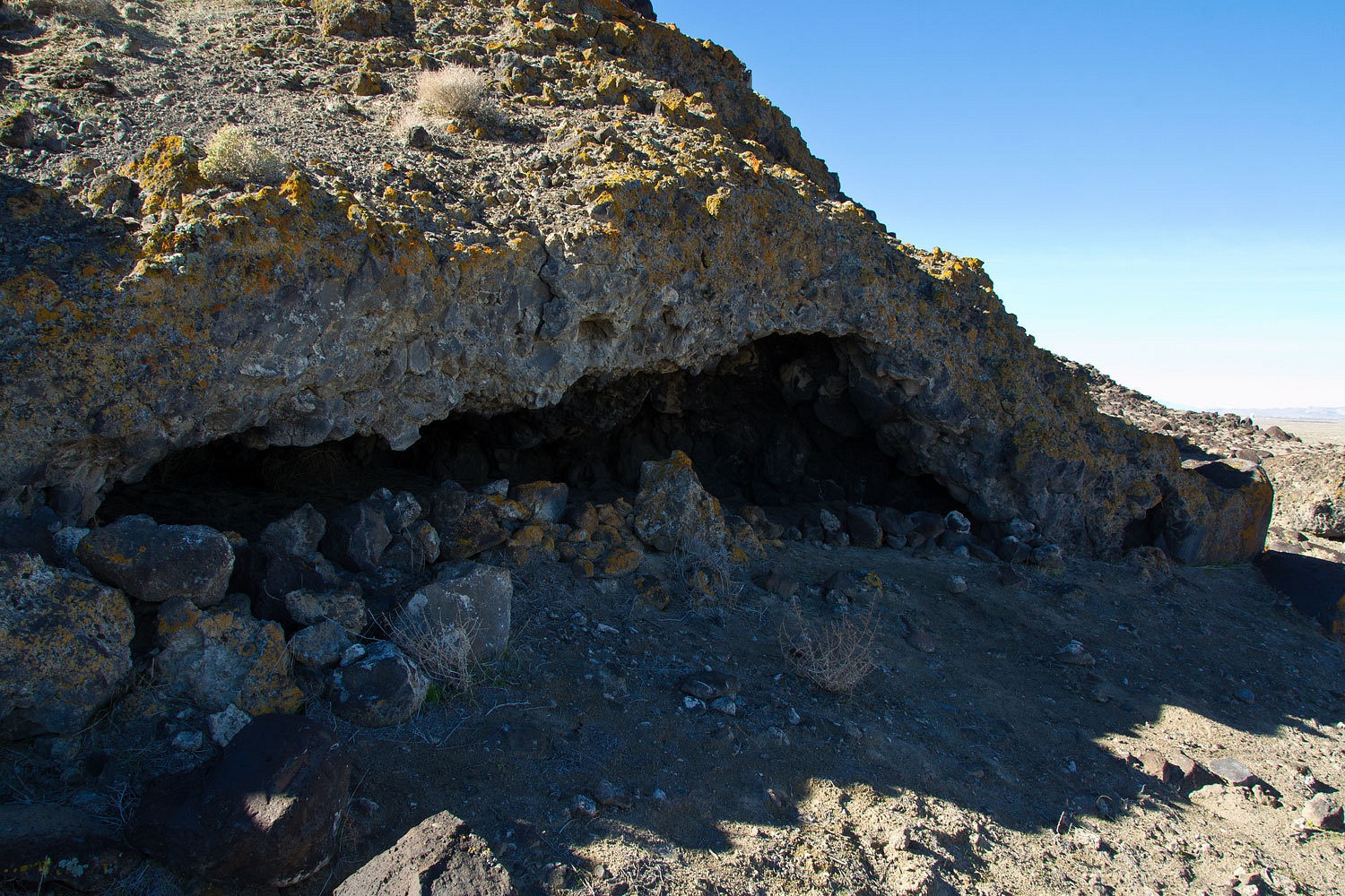
We investigated
a series of caves and shelters in the area.
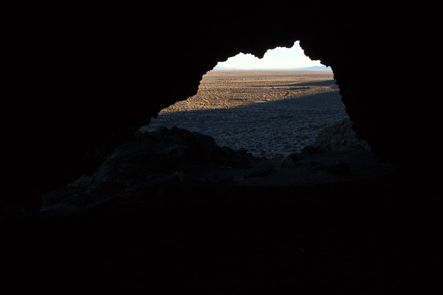
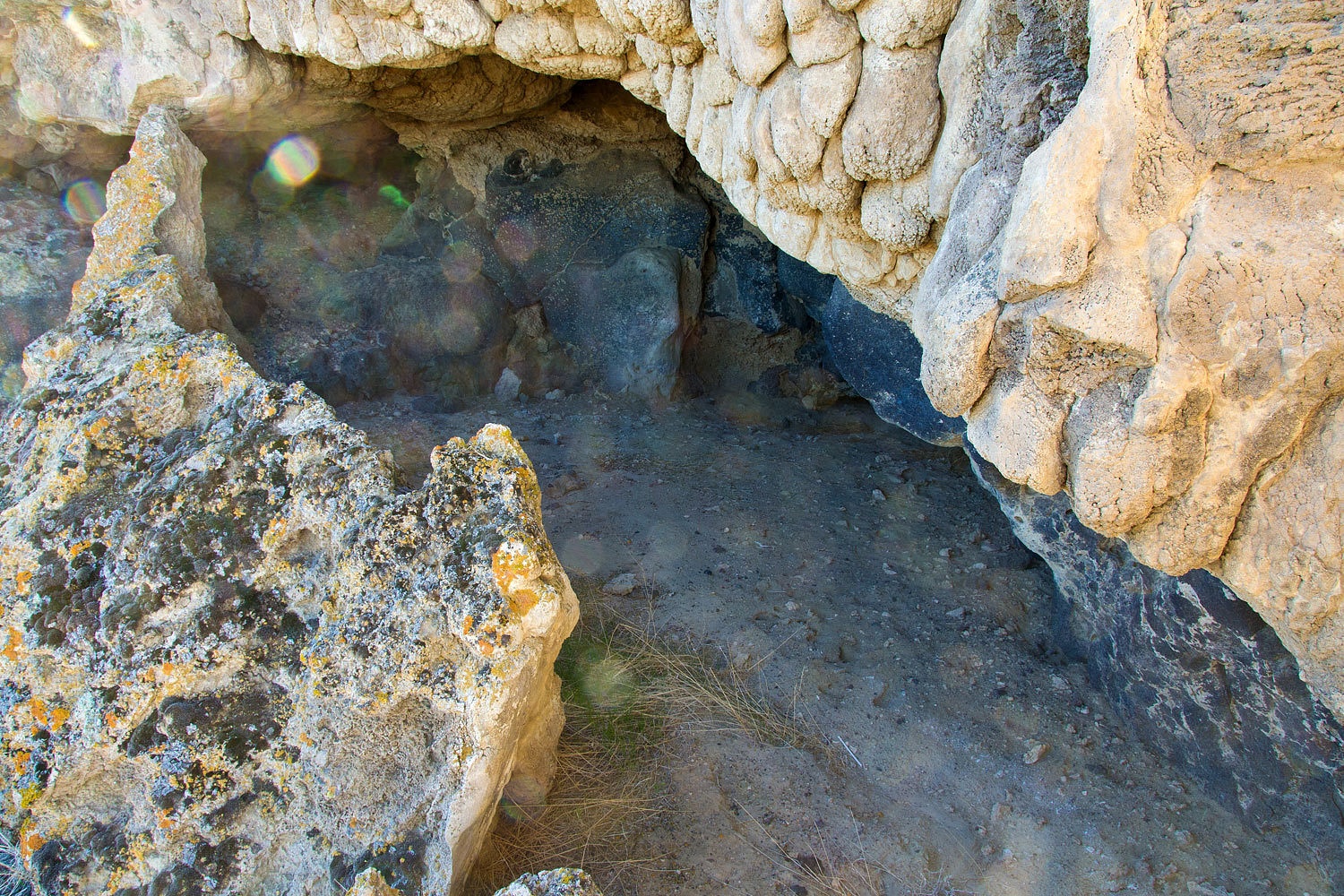
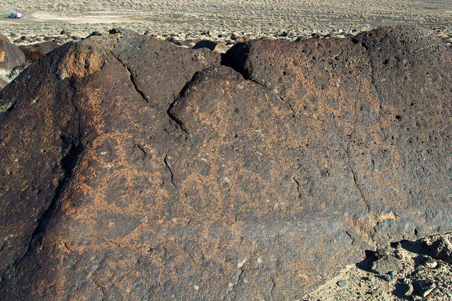
The most
interesting shelter still had remnants of walls………………
………………………along
with a boulder out front with old petroglyphs slowly fading with desert
varnish.
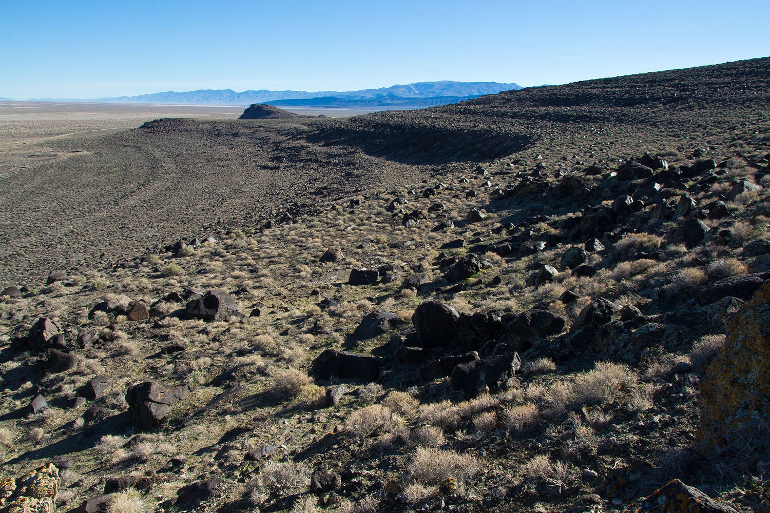
We climbed
and explored the ridge line, marveling at the terraces marking the ancient
shorelines of Lake Lahontan.
We have made
several trips into Dixie Valley and we will keep returning. There is
always something new to discover and explore out here in this
interesting terrain. The US Navy completed its buyout of the entire valley in
1995 and turned it into, according to this article, “The nation’s only Drive-Thru
Electronic Warfare Park.”
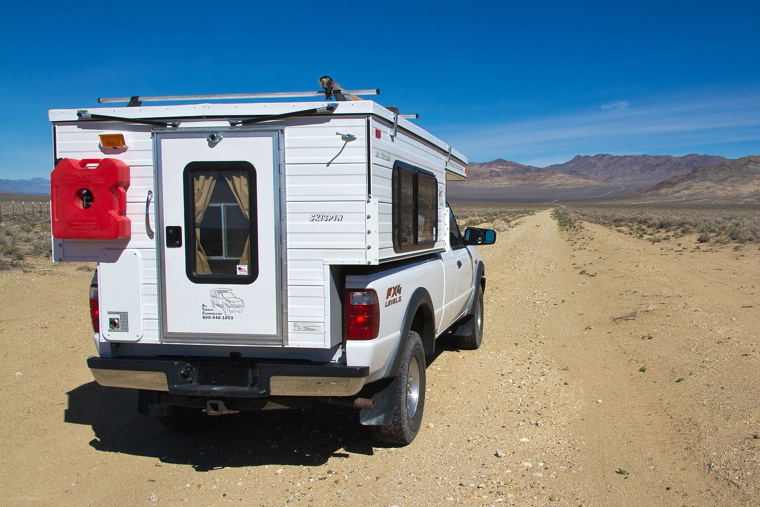
A spur road leads to Wonder.
Wonder
exists as the usual broken down ruins of mills and mining operations, sad, neglected,
abandoned. We have been out to Wonder twice before.
This trip we continued
north into Dixie Valley. A visible fault scarp/rupture along the base
of the Stillwater Mountains on the valley’s west flank. It runs almost the
length of the range, testimony to the power of the 1954 earthquake.
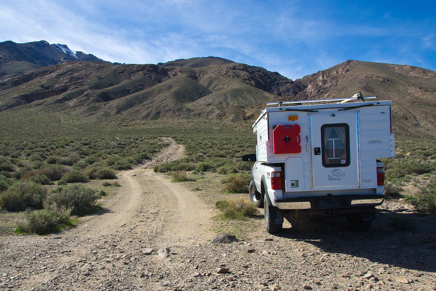
We explored
up the Little Box Canyon Road. This interesting canyon starts out guarded by a
series of high pour overs.
On a hike
across the alluvial fan we came upon a monumented section corner.

Our Public Land Survey System was yet another invention of Thomas Jefferson. With this marker we could pinpoint our location – beginning 120 miles north and 204 miles
east of California’s Mount Diablo.
If you aren’t
into the trivia of land navigation in the middle of Dixie
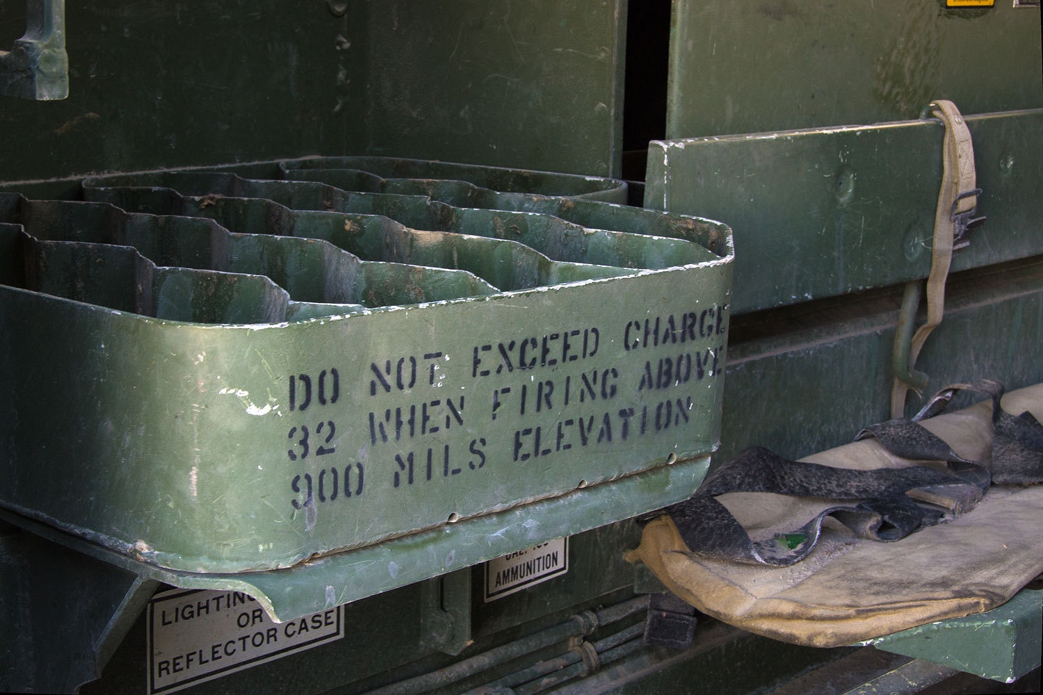
Valley, other items should catch your eye. The Navy has set up villages resembling Afghanistan.
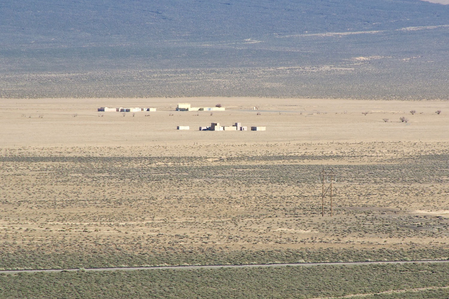
We ended our day at the now gone site of Dixie Valley, Nevada. It was a spread out
ranching community, a haunting place filled with memories.
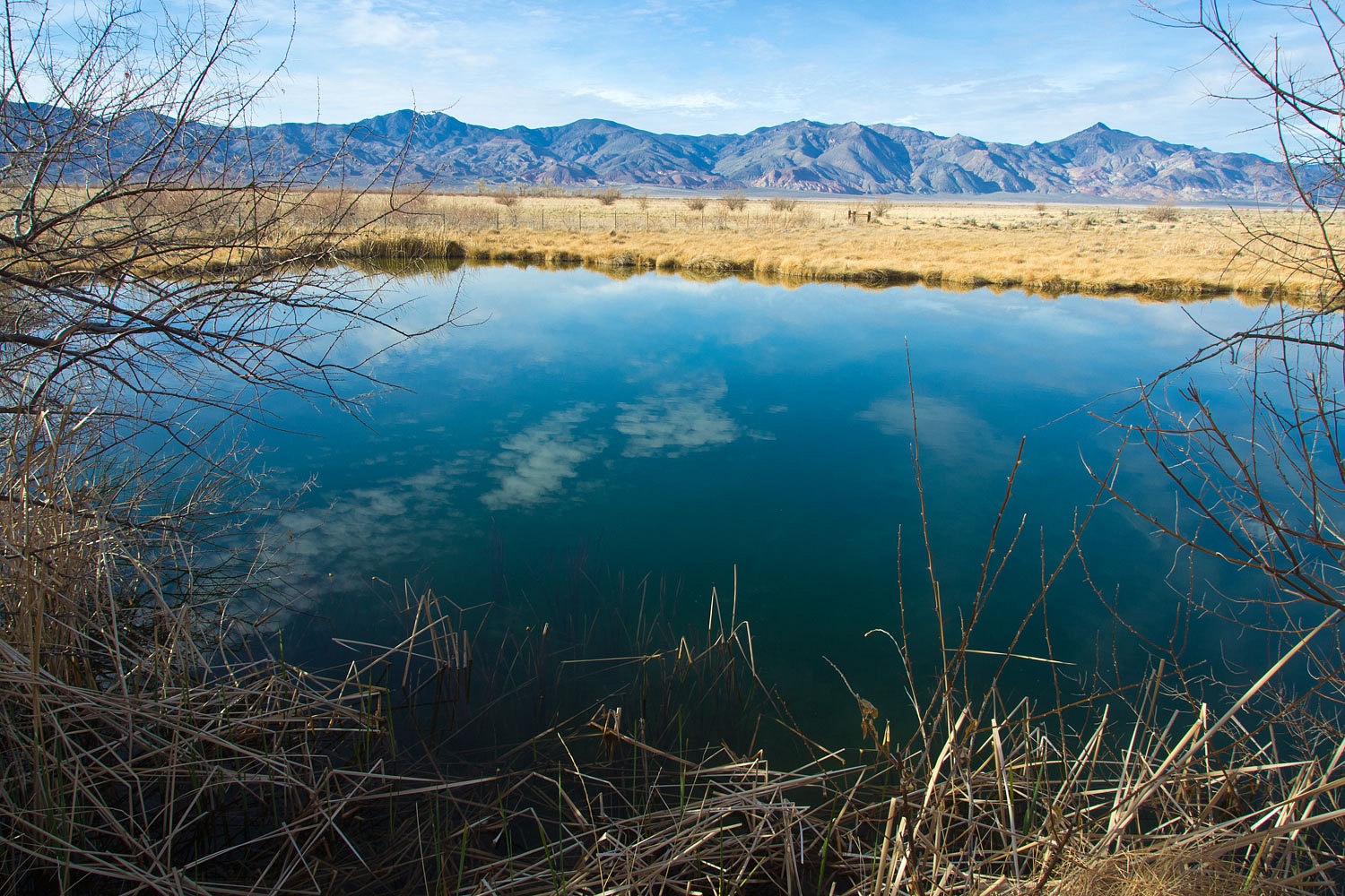
The homes, the school, the outbuildings are gone. The abundance of artesian/flowing wells remains - water that makes this place an oasis.
The homes, the school, the outbuildings are gone. The abundance of artesian/flowing wells remains - water that makes this place an oasis.

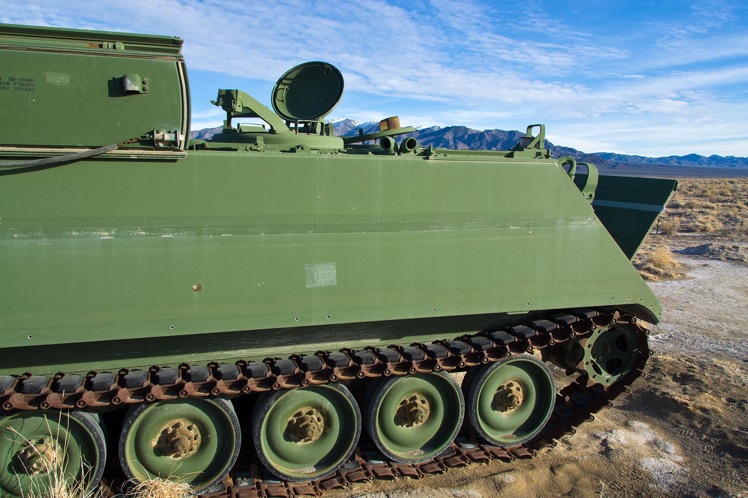
There are
more recent arrivals, targets for our top gun pilots to acquire.
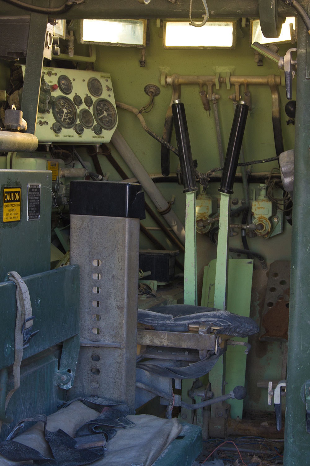
I’ve operated
tracked snowcats so I felt at home with the familiar controls.
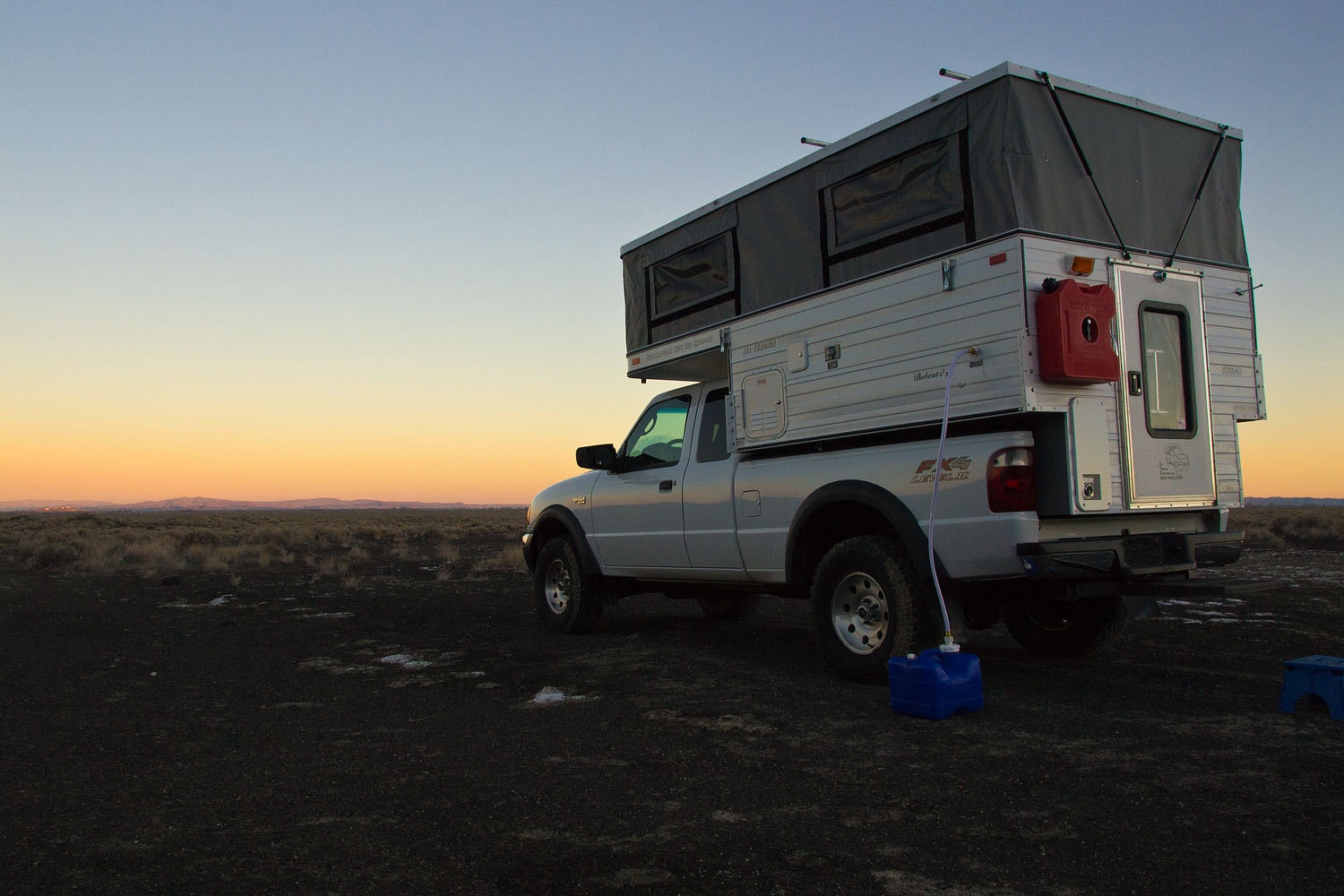
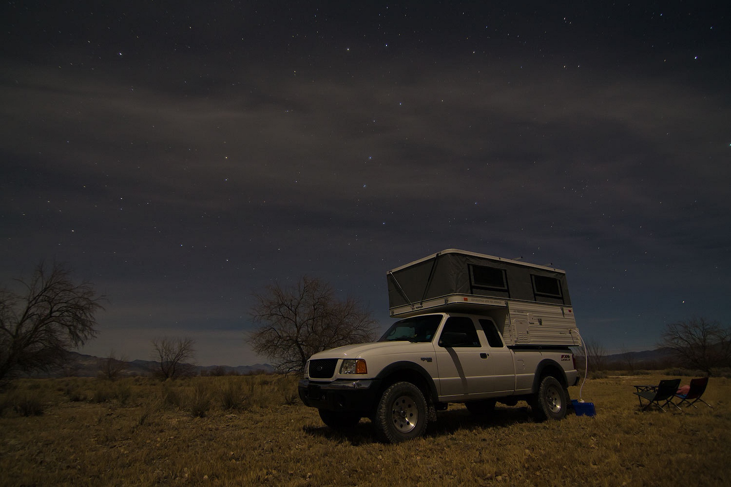
We found an excellent
spot to spend the night.
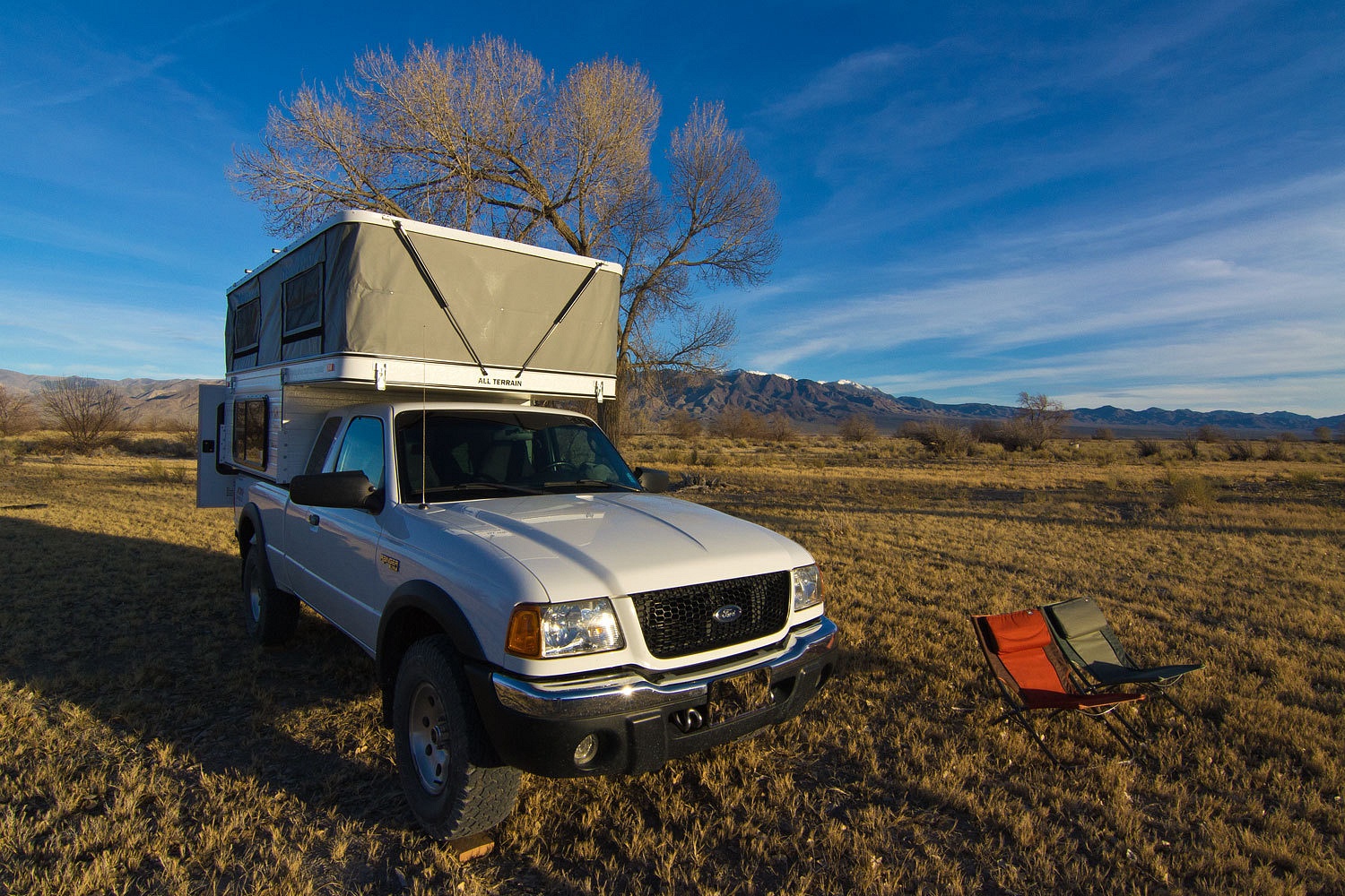
Complete with an
expansive view for dinnertime.
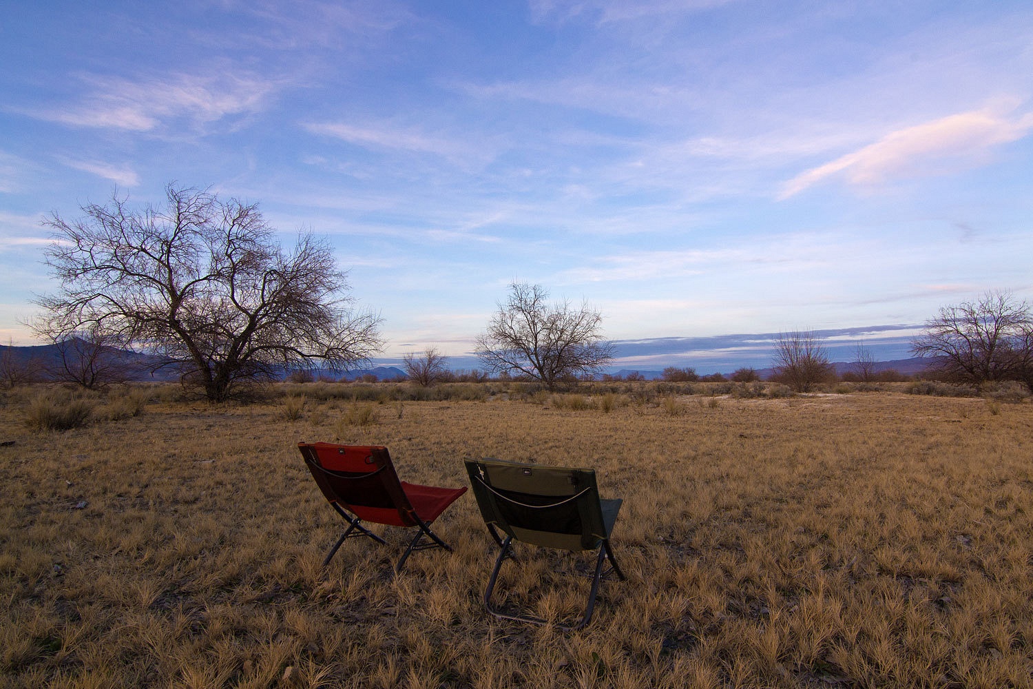

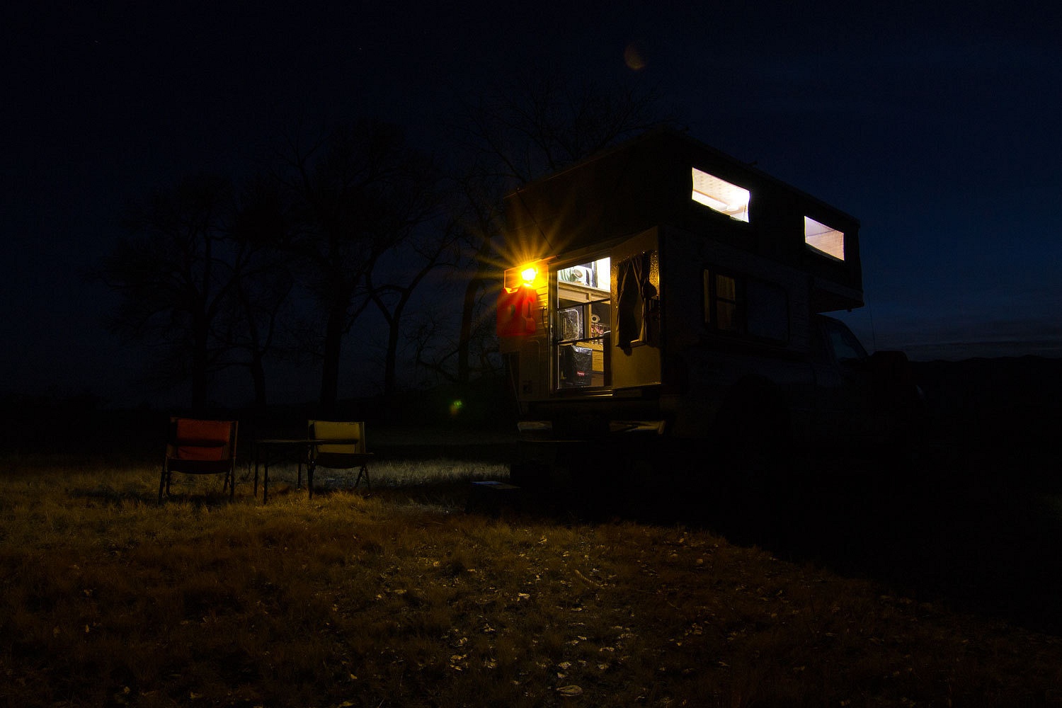
The half
moon was high above in the night sky, perfect for a long night walk. We were surrounded
with the songs of coyotes and the luxury of being all alone out here.
It was an
amazing night.
And an
amazing dawn.
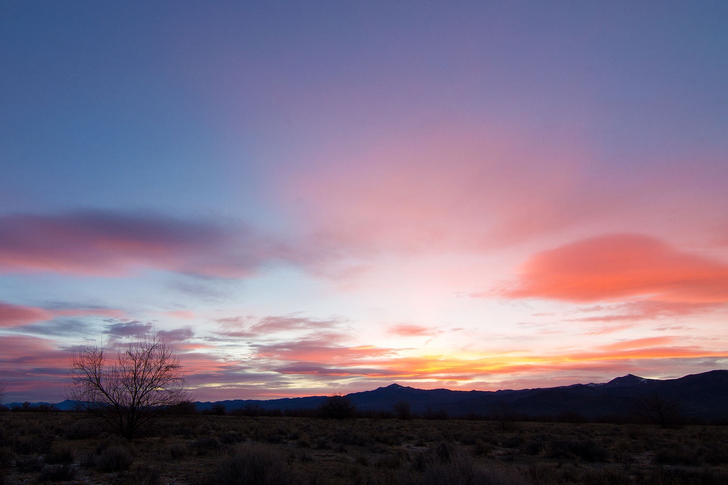
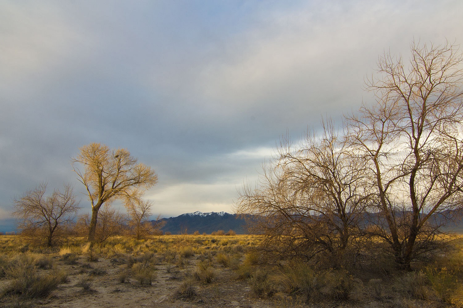
The skies
were overcast as we pulled out from camp. We continued north stopping at the sprawling Dixie Valley Hot Springs.
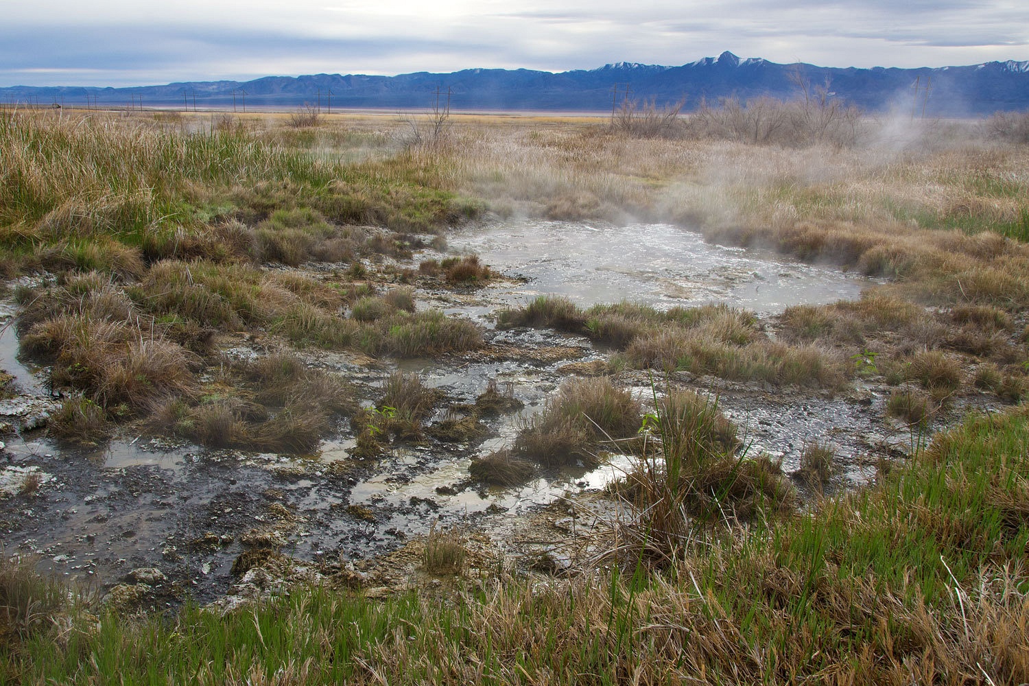
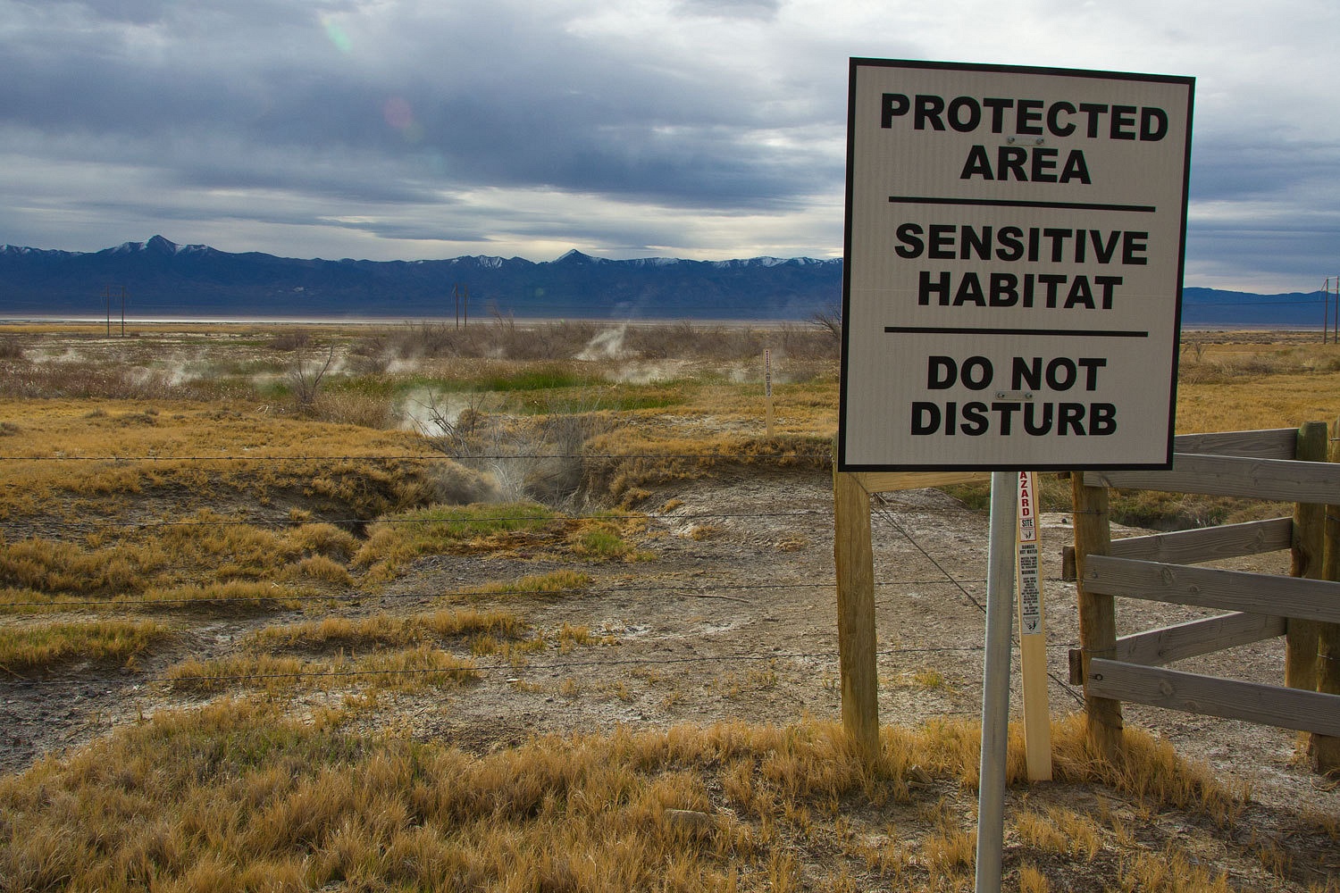
The signs
left us puzzled. If this area is sensitive habitat and protected,
why is it hammered by cattle and the ground covered with cow pies? This is one
place I would not want to get my water downstream from the herd.
Our
explorations continued and will continue in Dixie Valley……………………………….
No comments:
Post a Comment