Plan A or
Plan B was the question we pondered; it was back and forth. We were getting
away for just an overnight, to be outside, do some close by exploring. Friday
night in bed at home we checked the weather forecasts. Plan A was highs in the
thirties with an overnight low of 16°. Plan B was colder, high of 30° and a low
of 5°. Plan B was a further drive but the vistas spectacular and we could camp
right at our own private hot spring – don’t start taking notes, we have never even
hinted at this location in the past – and darn near guaranteed no one else
around for miles. Plan A was closer and an opportunity to take a look at
things we have just driven by on previous trips.
A storm cleared
out on Friday both at home and in western Nevada. We were at the Roadrunner Café
in Dayton at 7 am, opening time. Three regulars were already at the counter.
The same cook was busy in the kitchen and the waitress was working today. The banter
was familiar and friendly, “Bob if you’re not reading the paper, Frank wants
it.” The waitress’ beau came in with a buddy. Every spare moment of hers was then
spent cuddled up next to him at his table. He was boasting a crisp white
Seattle Seahawks Conference Champions t-shirt. He was going to have a good
weekend.
We were
going with Plan A. First stop was Virginia City. East out of Dayton is the back
way up Six Mile Canyon. The mountains were dusted with a new thin layer of
white starting right at the valley. Just a little after eight am found us driving
down lonely Main Street. There was three inches of new snow here at 6200 feet.
Yeah Virginia City is a tourist trap but a lot of history was made here. This
is where Sam Clemens started as a reporter for The Territorial Enterprise and
became Mark Twain. The Mark Twain Museum was on the left in the Territorial
Enterprise building. We passed the Bucket of Blood Saloon. A large sign
advertised the Suicide Table. “Well, I’ve seen enough,” the Lady stated.
“Don’t want
to stop?” I asked.
She just
looked at me.
We drove
down the grade through Gold Hill and Silver City. Deciding we didn’t want to drop
all the way down to highway 50 outside of Carson City, we looped back to Virginia
City on the truck route. We drove a back street that paralleled Main. I asked
the Lady, “Still seen enough? Anything you want to stop and check out?” She
just looked at me.
The skies
were clearing of clouds. The air was crisp, cold, and clean. It was a pretty
morning and at a little before 9 am, half of Plan A was already completed. “This
is such a pretty day,” I said. “Let’s go with Plan B, gas up in Fallon, and
continue east. Cold air and hot springs is sounding really really good.”
South of
Fallon, traveling through Eightmile Flats – Salt Wells Basin we were surprised
at the amount of water. This stayed in our minds as we dropped down from Sand
Springs Pass into Dixie Valley. The south end of Dixie was a large shallow
lake.
“If it is
this wet here,” I said, “The roads we need to take are gumbo and impassable. We
ought to just turn around here.”
“Back to Plan
A,” the Lady said with a smile. “No need to get stuck and not have any fun!”
“Pull out ‘Traveling America’s Loneliest Road’. Let’s stop at Grimes Point and Soda Lake on the way
back,” I suggested.
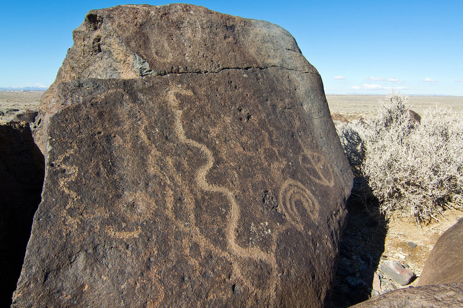
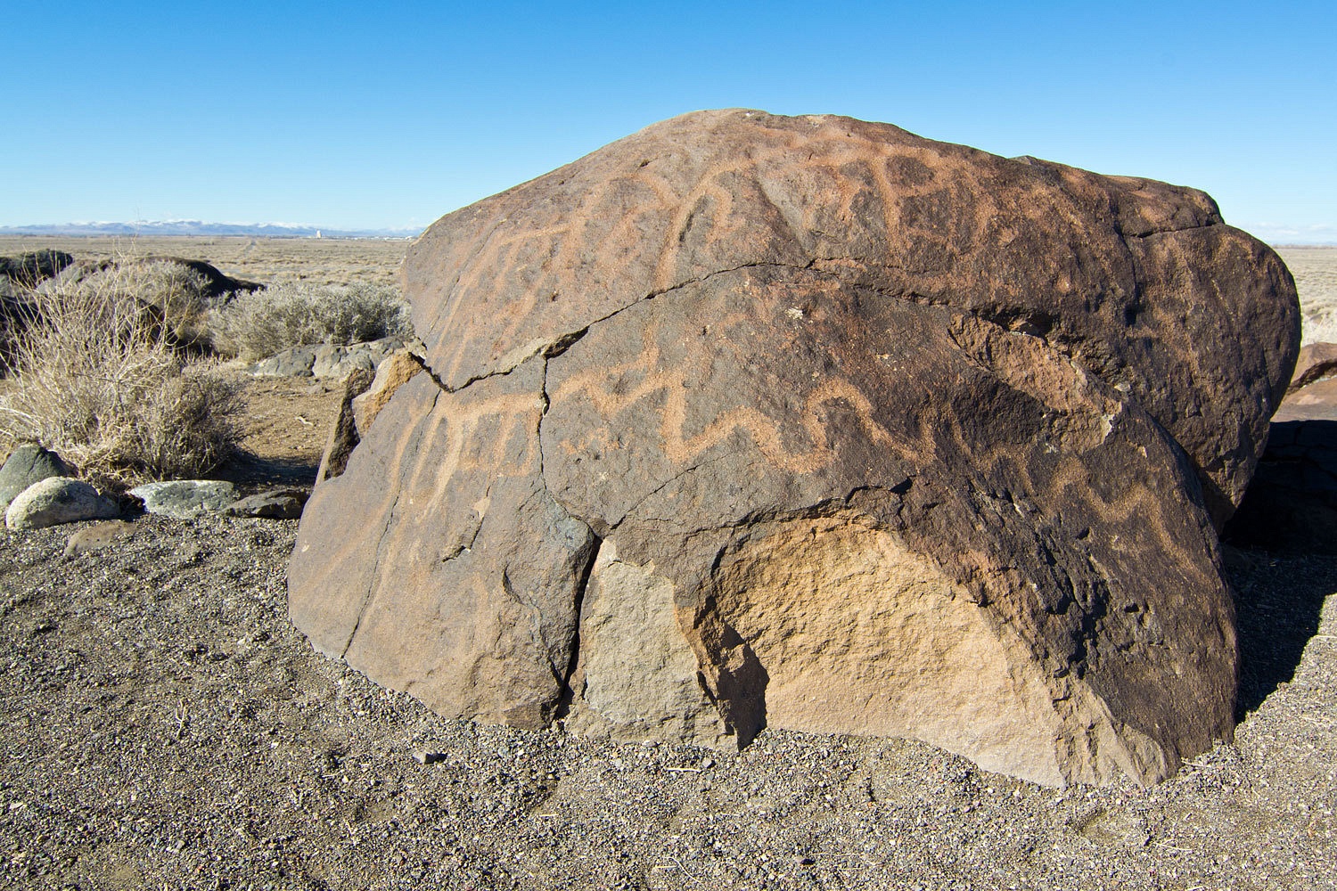
Grimes Point
is a developed archeological site on BLM administered land. Long gone beach front property on Lake Lahontan for the ancient ones, the heavily desert
varnished volcanic boulders are covered with petroglyphs created over a long
span of time.
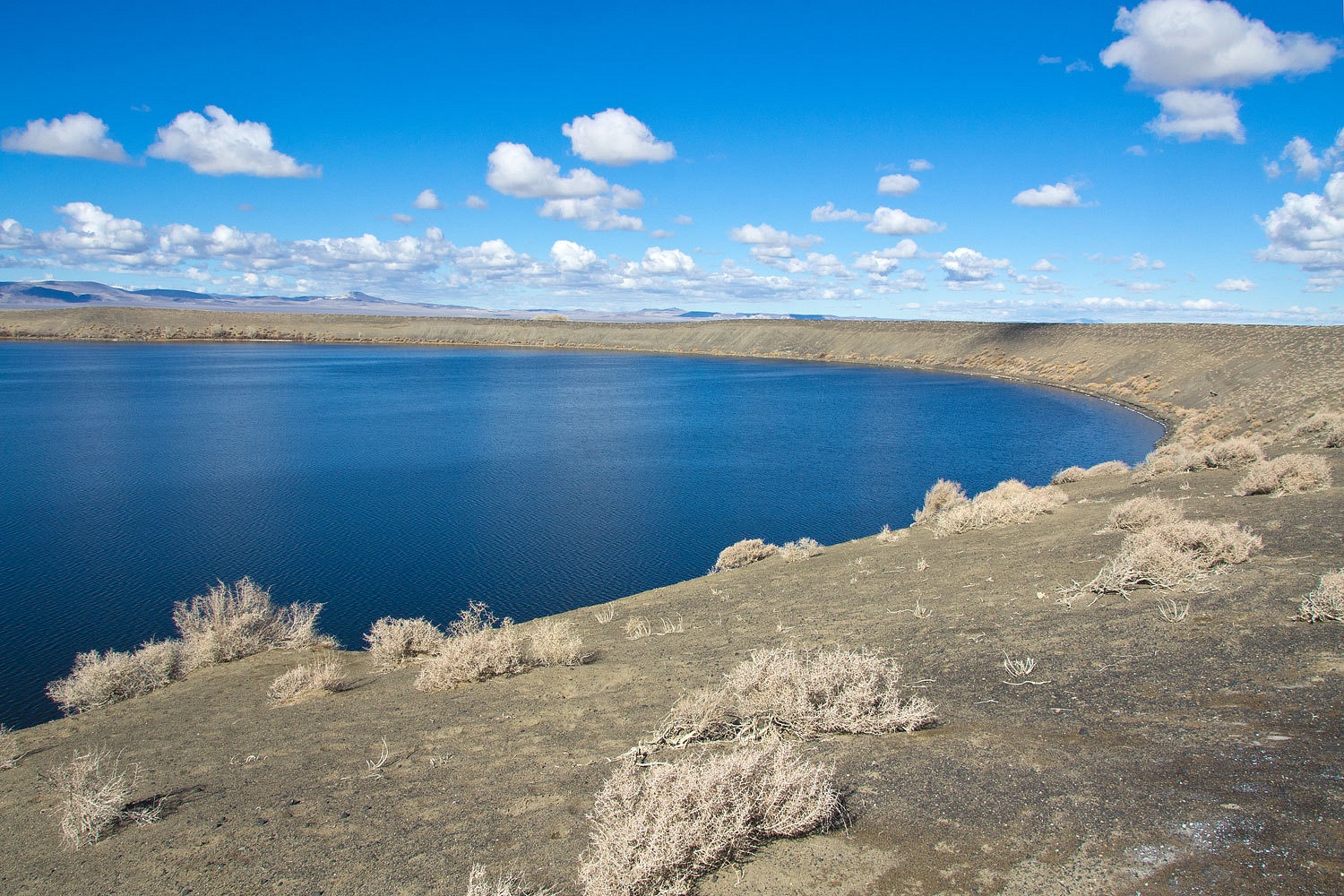
Our next
stop was Nevada’s newest volcano, a basalt maar that erupted less than 7000
years ago. The maar, filled with ground water, is called Soda Lake.
Soda Lake is said
to be the most exciting place for birding in the Lahontan Valley with a list of unusual birds including Pacific loon, oldsquaw, surf scoter,
white-winged scoter, curlew sandpiper, golden plover, and Sabine’s gull. A sign
announces that it is managed as a Churchill County Recreation Area but it appears
over run with dirt bikes and maggots, indiscriminate shooting, and partying.
The lake was rimmed with ice. It was cold and the area was quiet. Many water
birds were visible on the lake but hard to identify because of the distance.
The center
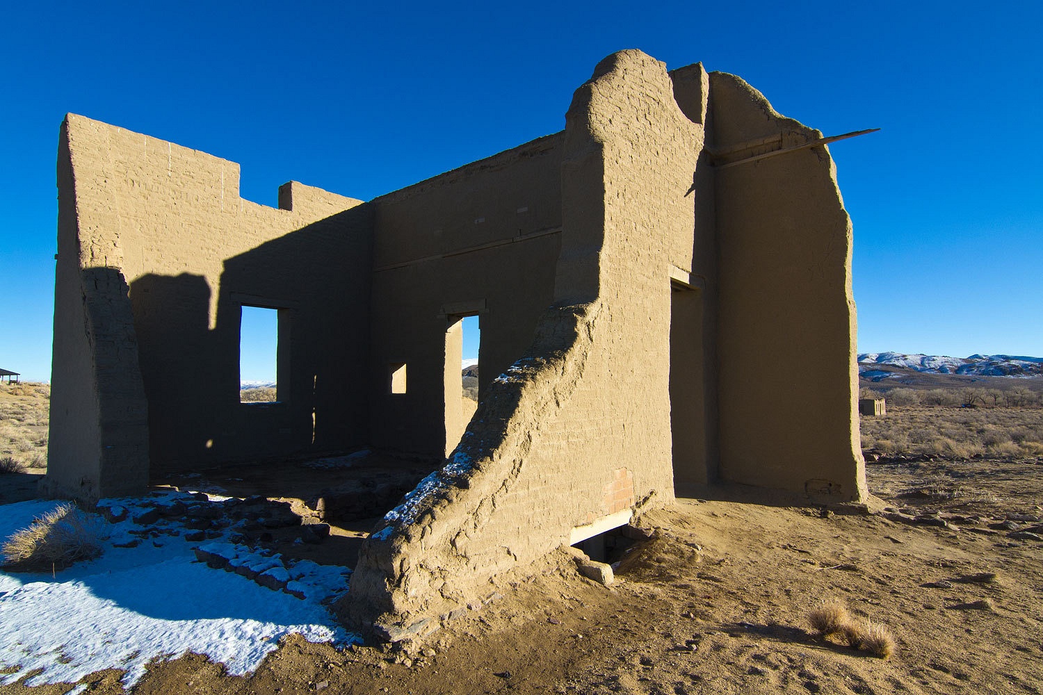
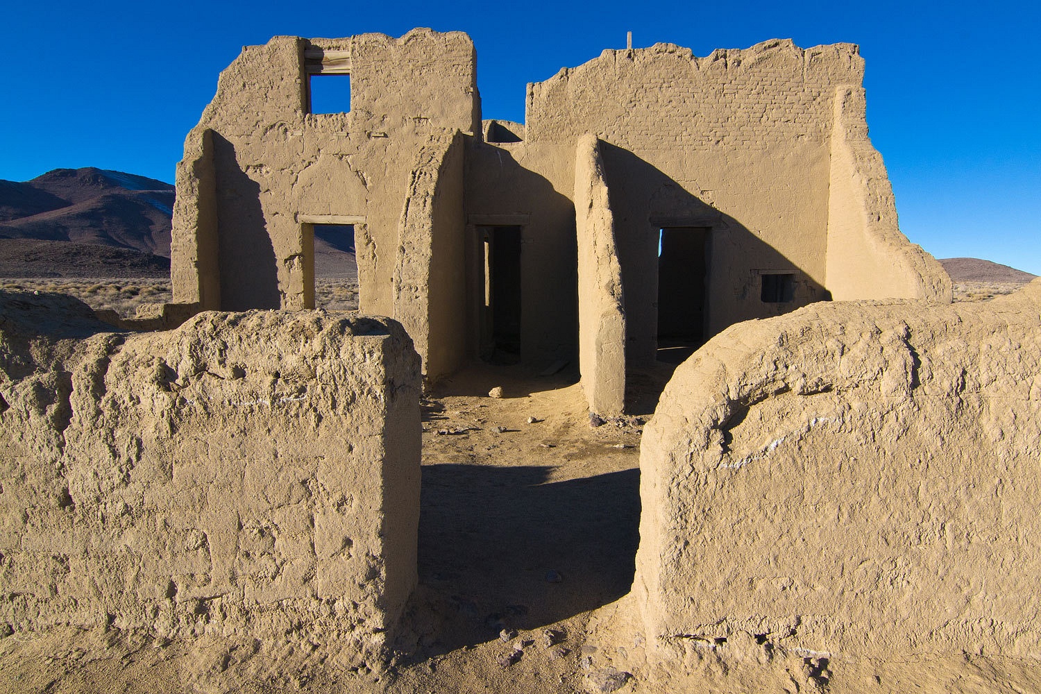
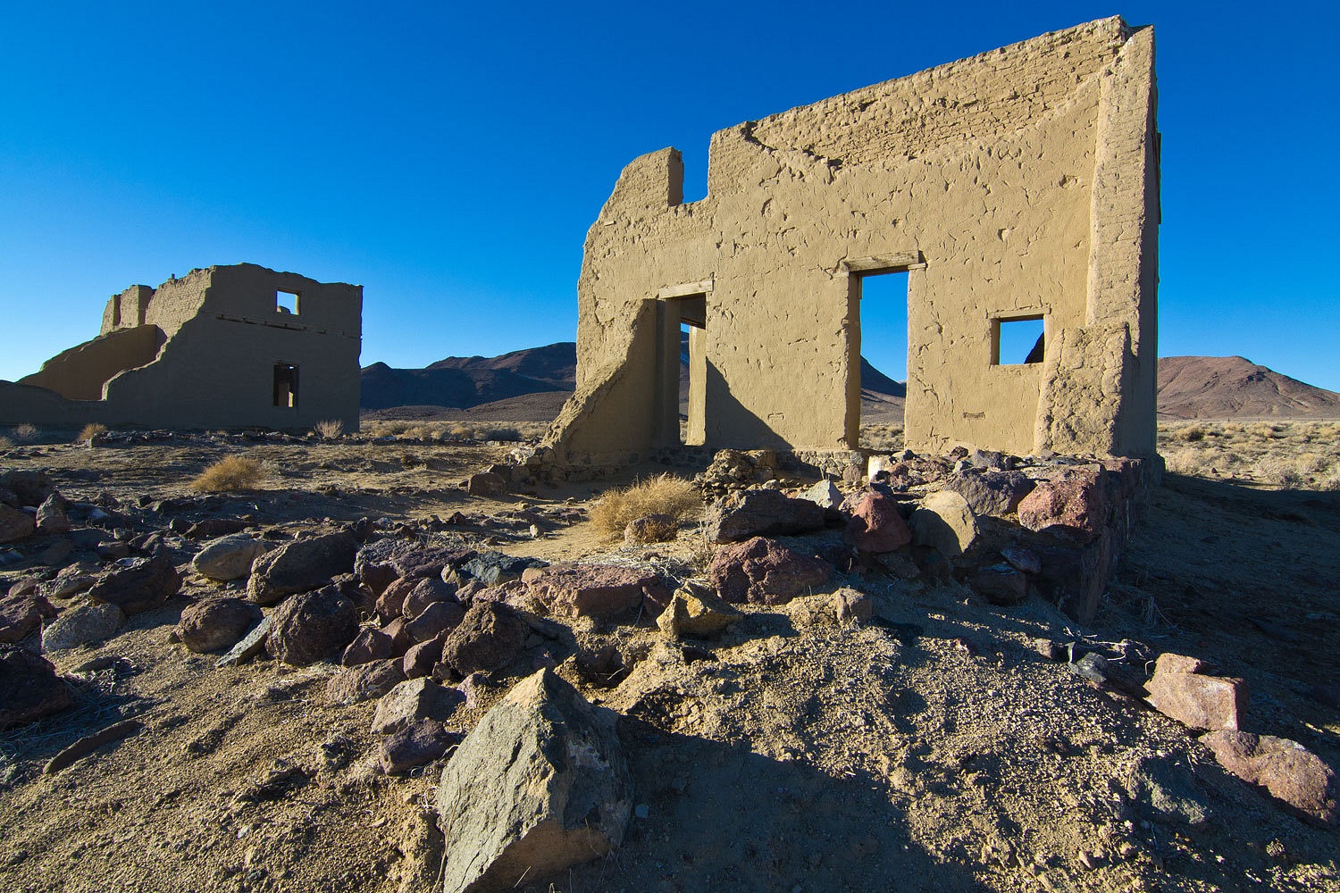
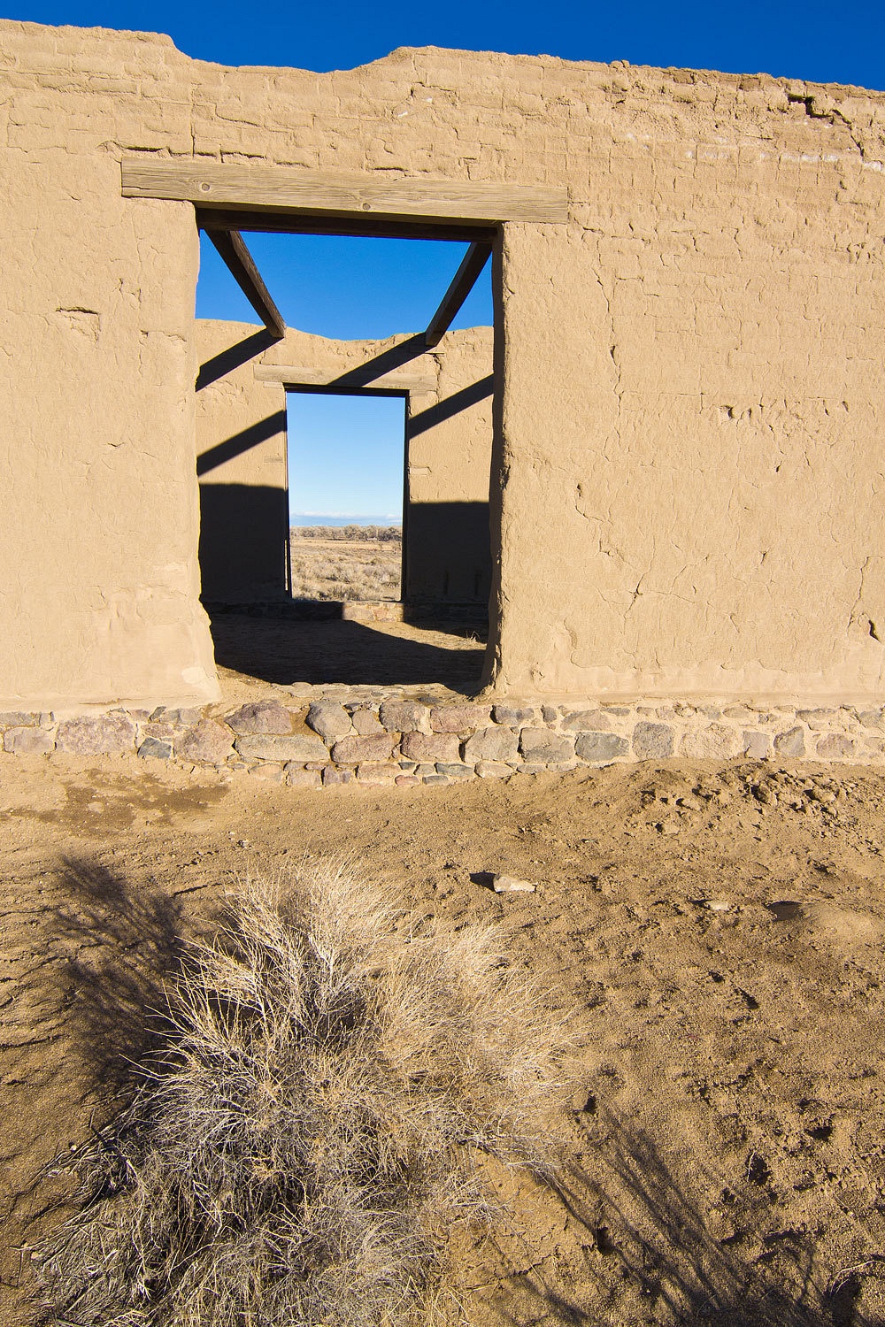
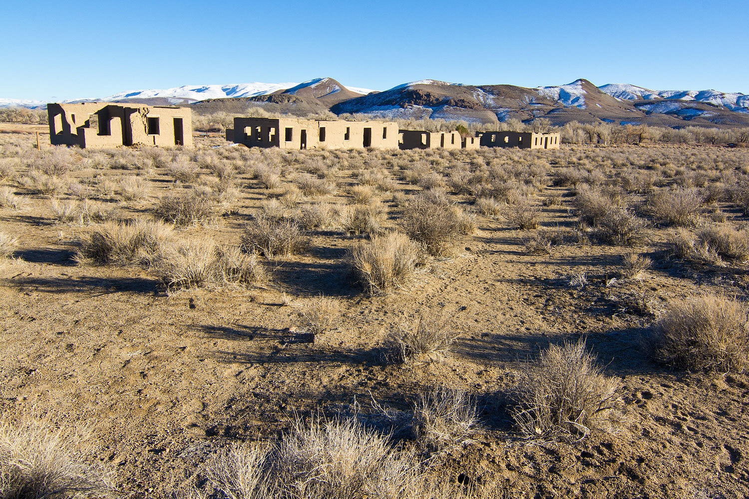
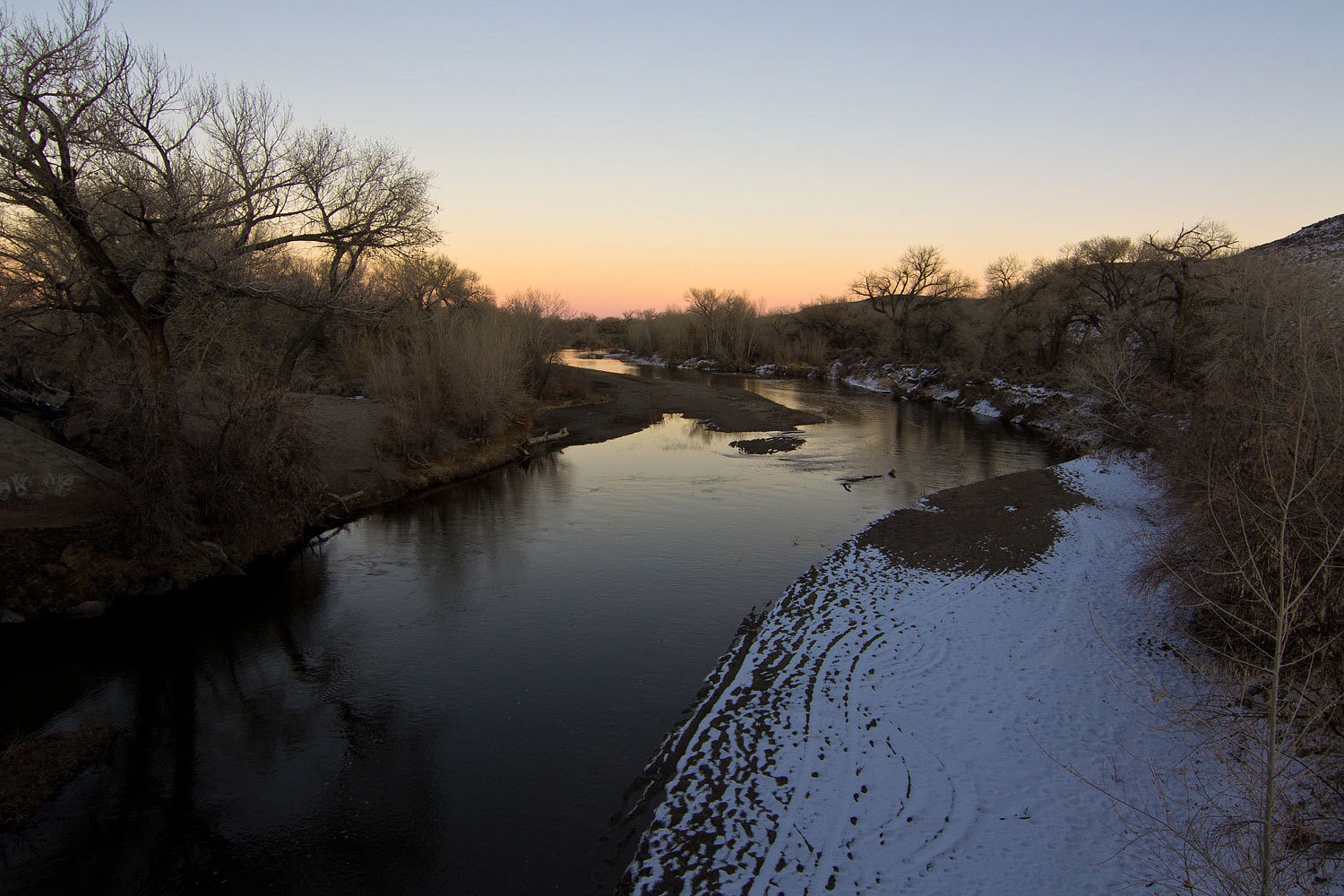
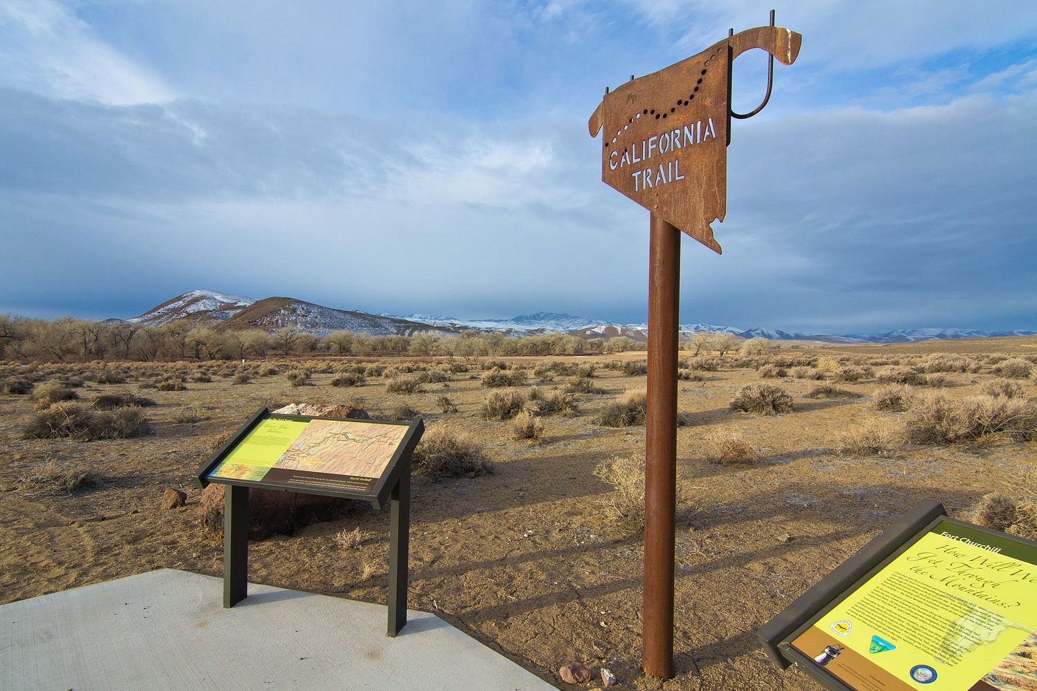
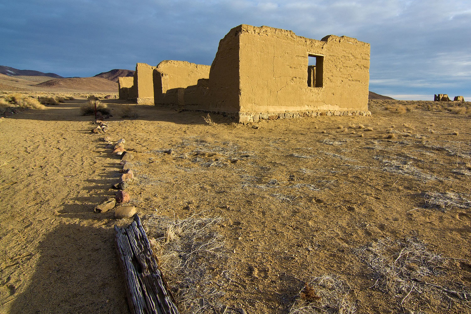
piece for Plan A was Fort Churchill, a Nevada State Park. The stark adobe ruins
of civil war era Fort Churchill sit on a plain above the Carson River. The fort
was constructed in 1860 at a cost of $180,000 in response to ill conceived
battles between the whites and the Paiutes.
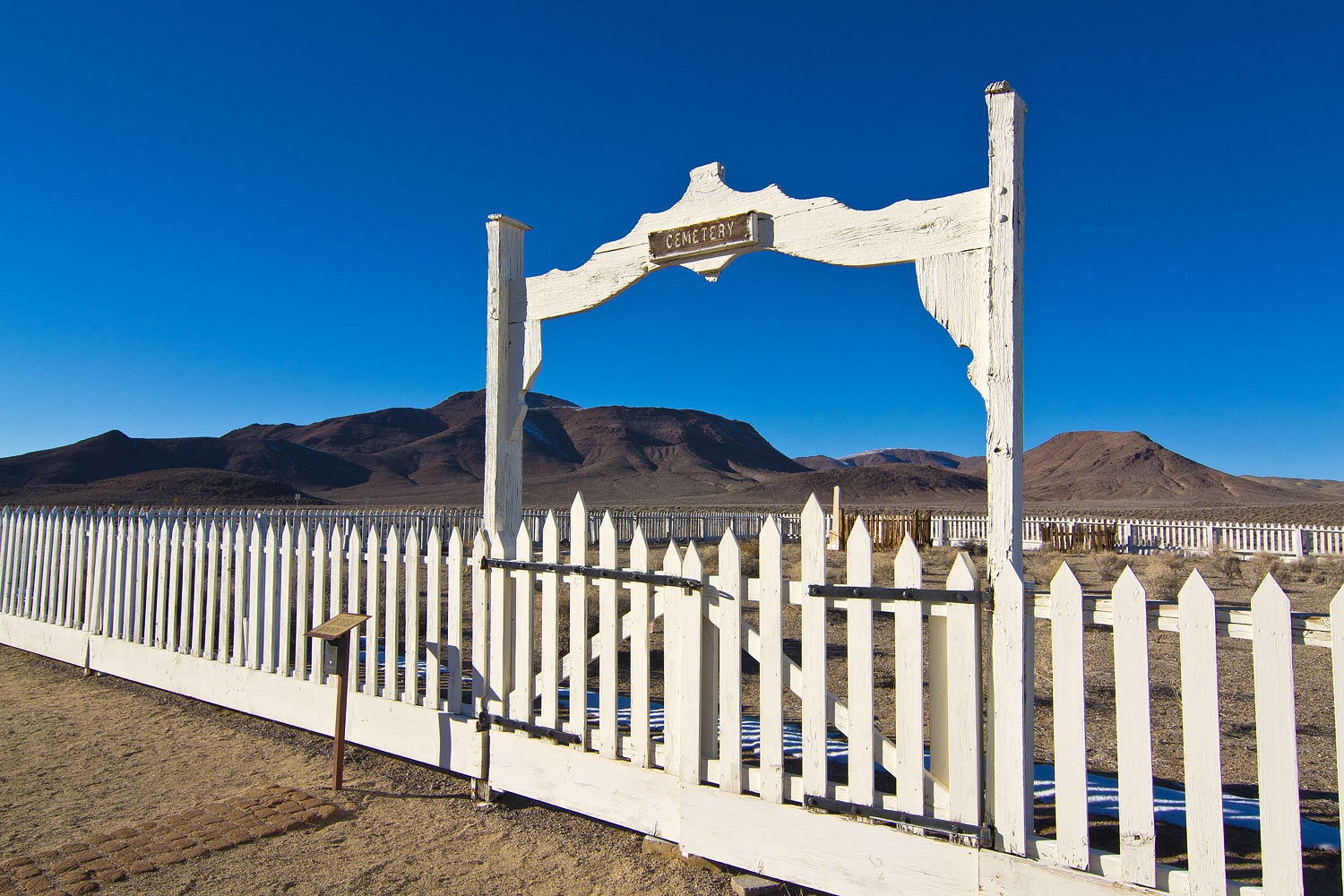
All the bodies of military personnel were removed in
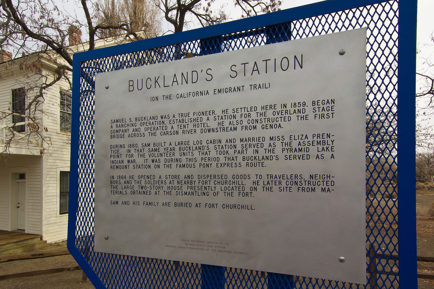
1885. A local ranching family, the Buckland’s, bought the decommissioned fort
in 1870 at auction for $750. Sam and Eliza and several children who died early
in childhood are buried here.
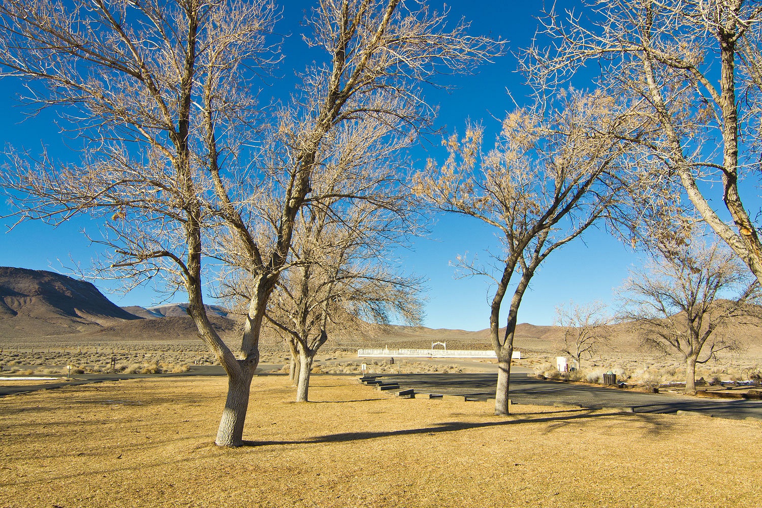
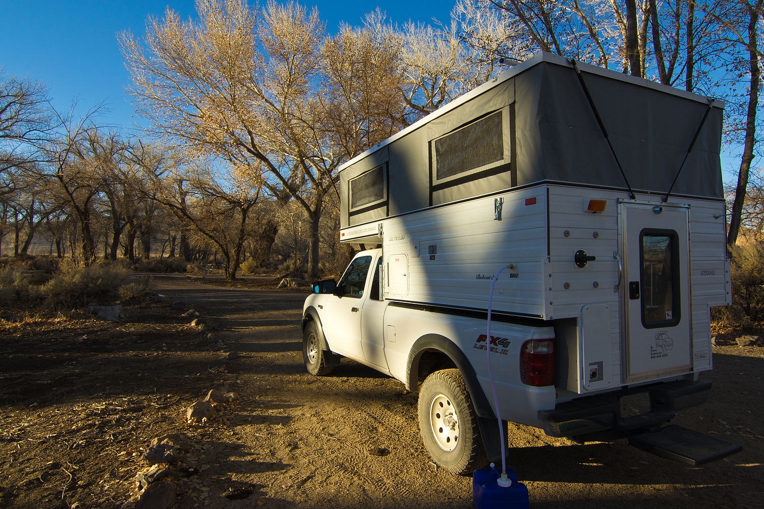
After
setting up in the campground – we were completely alone – we explored the
ruins in the late afternoon
.
.
We returned
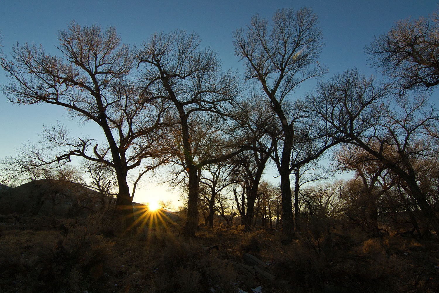
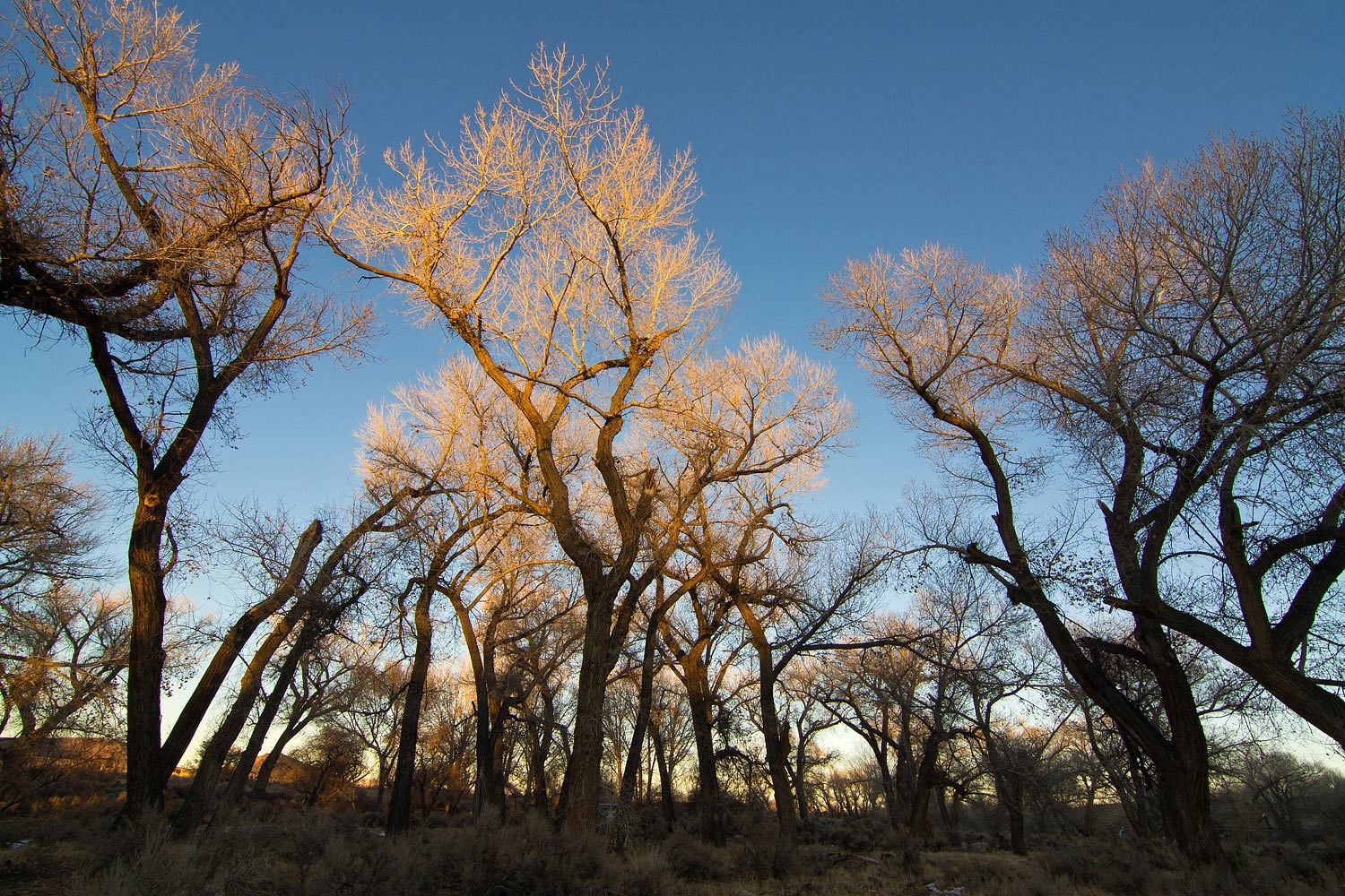
to camp, buried deep in the cottonwoods along the Carson River.
We took a
long sunset walk.
As expected,
the air temperature dropped with the sun. We enjoyed our outdoor showers, had
dinner, and played a game of scrabble. The final score was 235 to 335, but
an enjoyable game because of the interesting play of words. The victor is
trying hard not to boast too much.
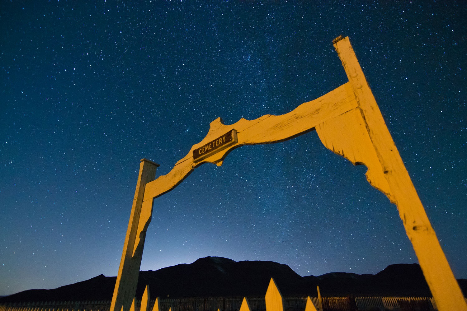
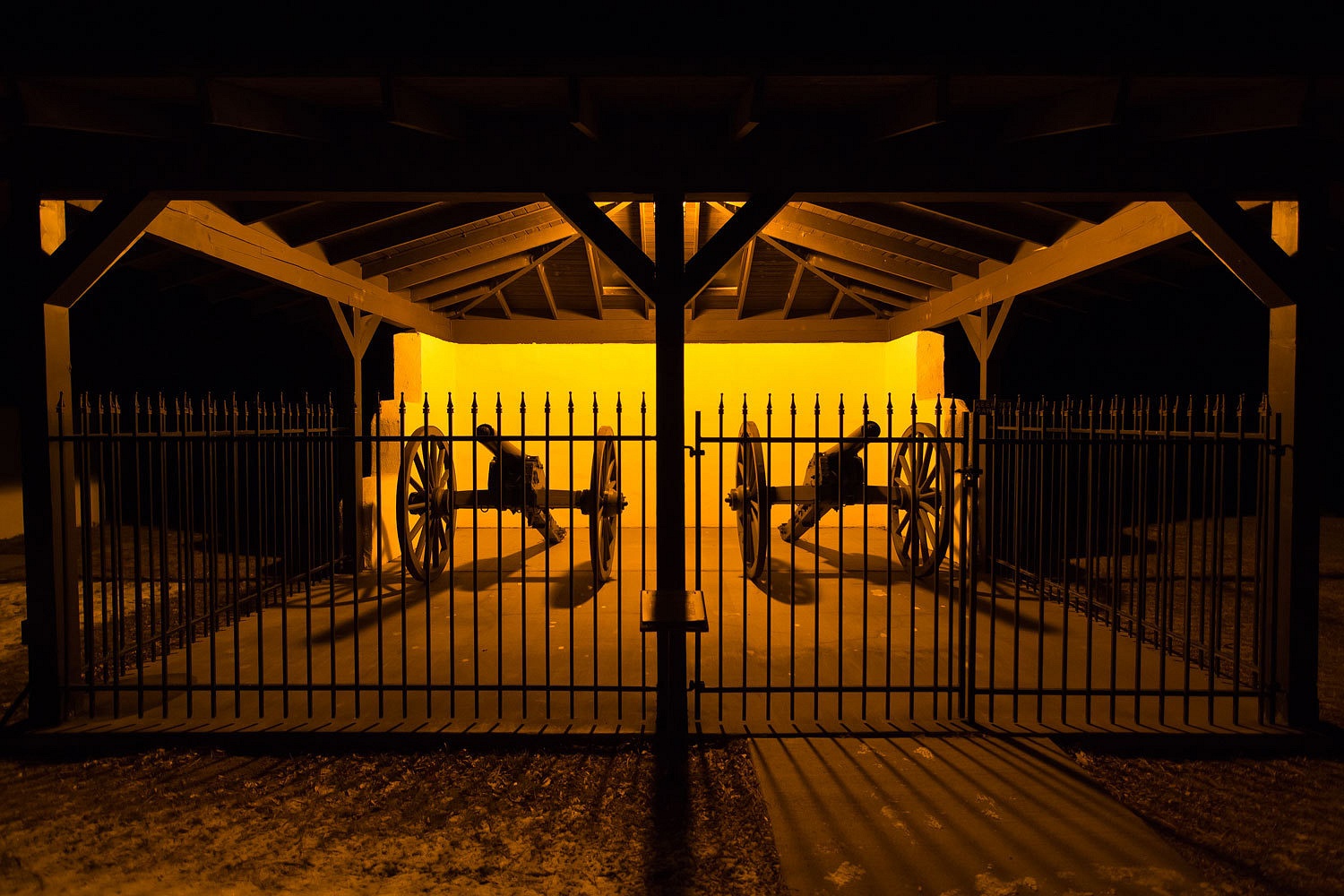
We walked
back to the ruins in the dark of the night. I wanted to try some night photos. Coyotes sang
in the distance as we again visited the cemetery with the Milky Way above.
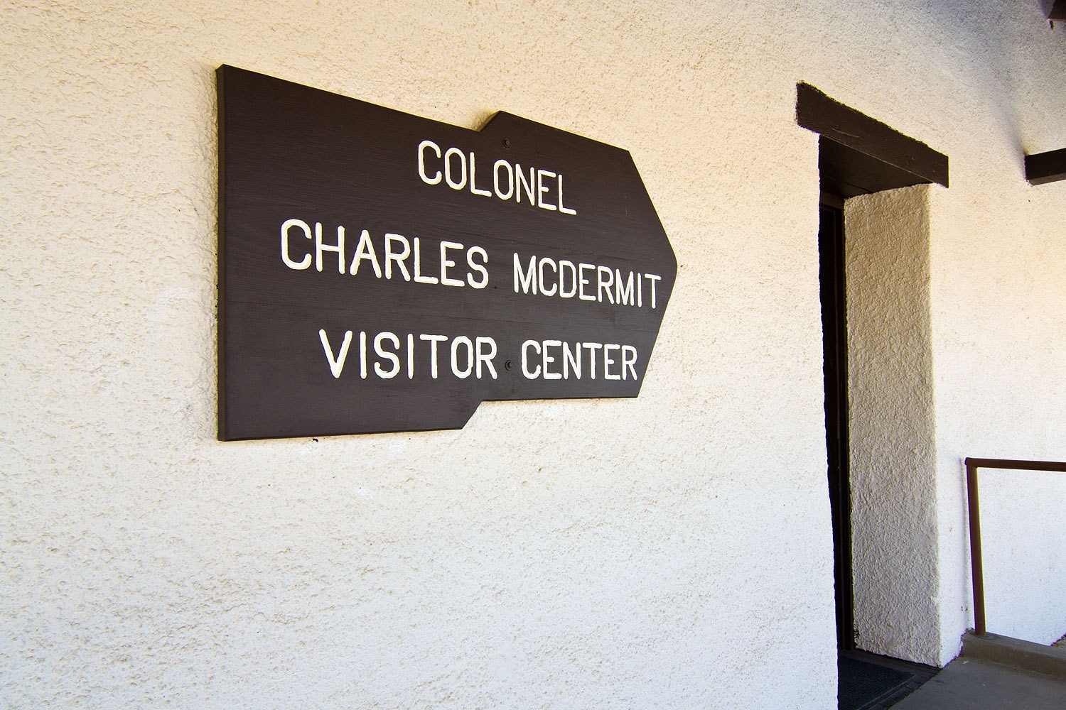
The eerie
yellow light painting the fence and arch came from the Visitors Center.
This was our
coldest night thus far in our new camper. The morning’s low was 18°. We do not
run heat at night. We enjoy the cold and our warm toasty bedding and warm
bodies. All Terrain Campers uses a 16000 BTU furnace and it is placed at floor
level. Every one of those BTUs was appreciated this morning and warm happy feet
are an essential start to a wonderful new day.
We were
surprised by the cloud deck this morning. The sun still managed to work its
dawn magic.
After a leisurely
breakfast outside, in the campground that was ours alone, we dropped the top and
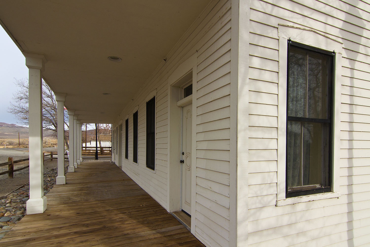
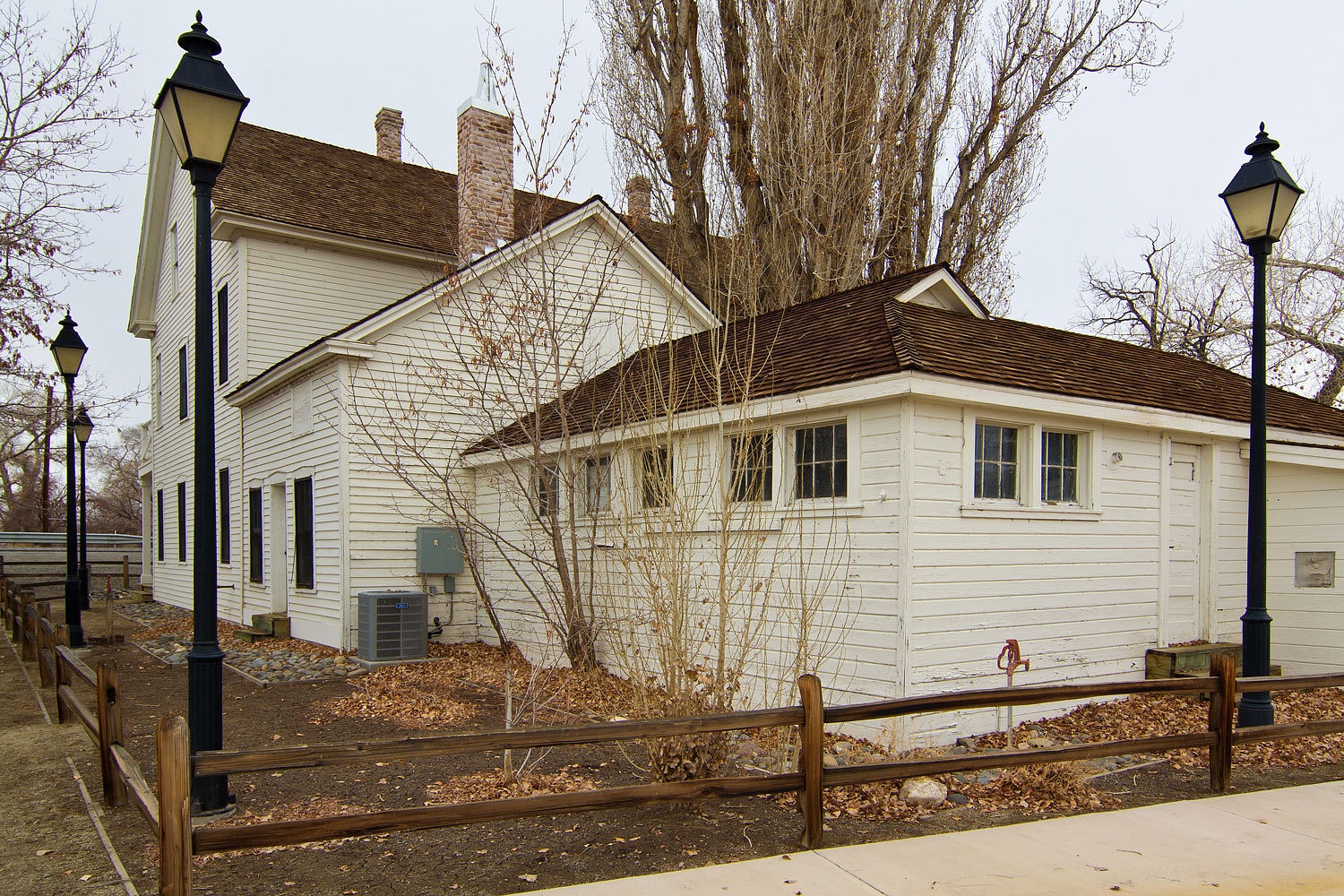
headed out. Our first stop was the nearby Buckland Station, also part of the
Fort Churchill State Park.
We highly
recommend stopping here. The downstairs is open most
weekends. This includes a well crafted ten minute video of the history. The ranch
house was built in 1870 using materials removed from the abandoned fort. After Sam
and Eliza’s passing, the ranch had several different owners and slowly fell
deeper and deeper into decay. It was acquired by the Nevada Parks Division in
1995 and its restoration continues, a nice success story.
The clouds
had thickened and light snow flurries greeted us as we left Buckland Station.
We took the dirt Fort Churchill Road back to Dayton. We have no need to repeat
that drive. All the hills and mountains were shrouded in clouds as we continued,
once again, up Six Mile Canyon Road to Virginia City. “Three chances in two
days to see the sights in Virginia City, want to stop?” I asked the Lady. She
just looked at me. We did not stop.
Our next objective
was a quick stop at Washoe Lake State Park. The Teds and the Barking
Spiders have used this as a quick getaway so we checked it out.
It had been
a cold and delightful weekend. Winter in Nevada is a special time. Our camper
makes it possible and comfortable to visit places during off seasons and the
bite of cold air still makes us feel alive. And, we always have Plan B.


Wonderful photos, as always! I am sure you have read Twain's "Roughing It" -- he has some laugh-out-loud stories about that entire area of Nevada.
ReplyDelete"Roughing It", what a classic! It is a joy to see the area Sam wandered through in the 1860s. I keep loaning my copies out to friends, loose track of the books, and find replacements at used book stores. It is a must read and thanks for the comment!
DeleteBeautiful photos; looks like a great trip.
ReplyDeleteThanks again for the link. It looks like an interesting place to poke around. As you mentioned cold, dark and lonely in the winter, but still very scenic.
ReplyDeleteSteve