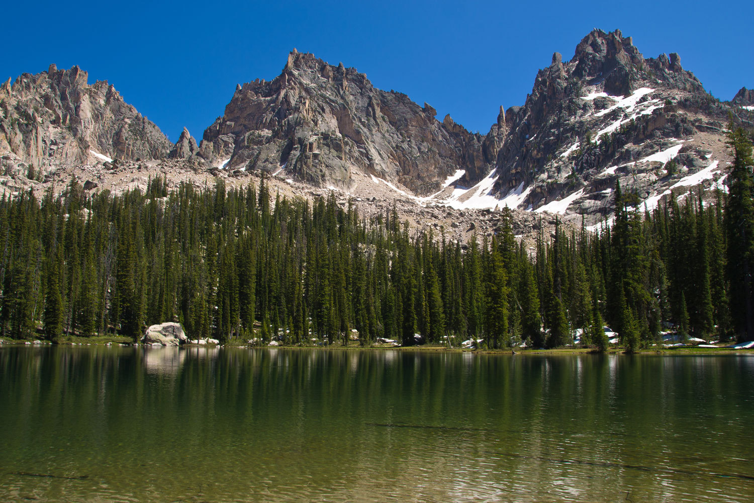
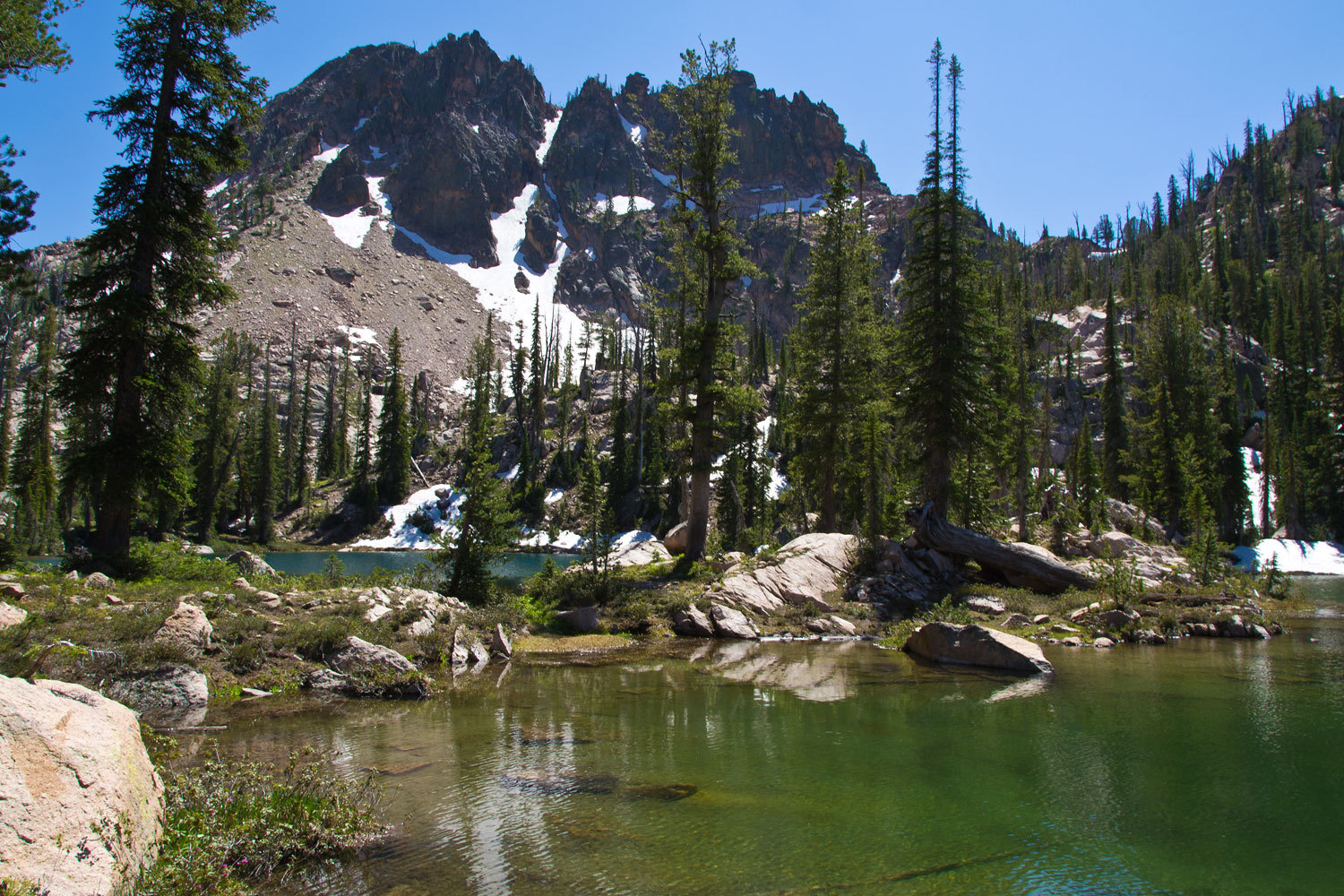
Have you been surprised at the weather? We are experienced with backpacking into the Rocky Mountains and accustomed to daily afternoon thunderstorms. We were having day after day of blue skies. Something was wrong.
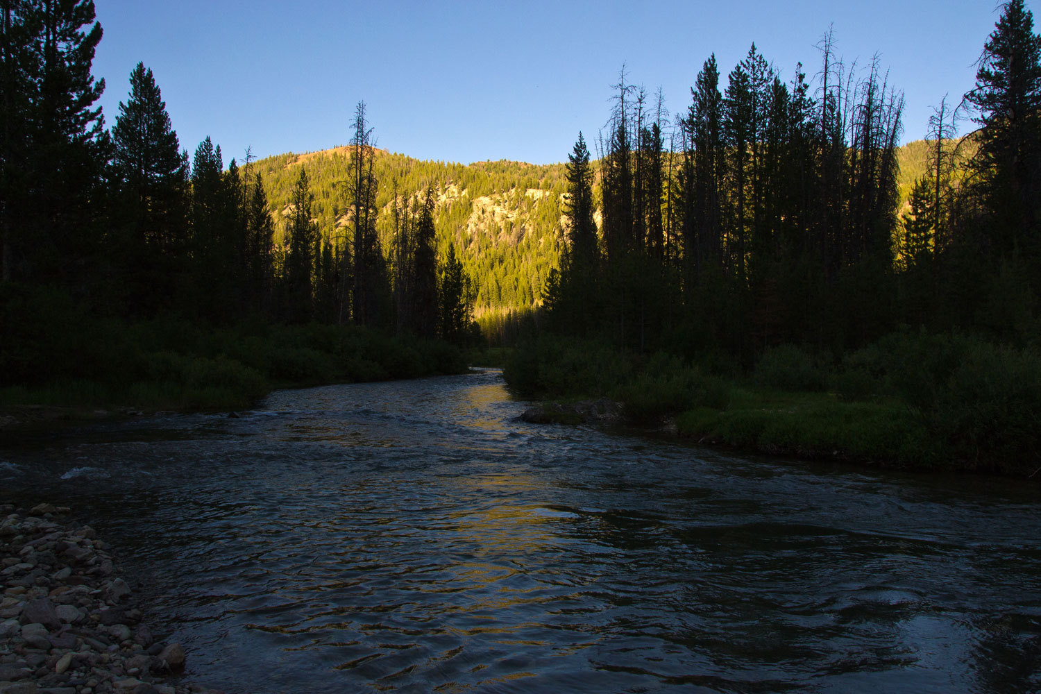
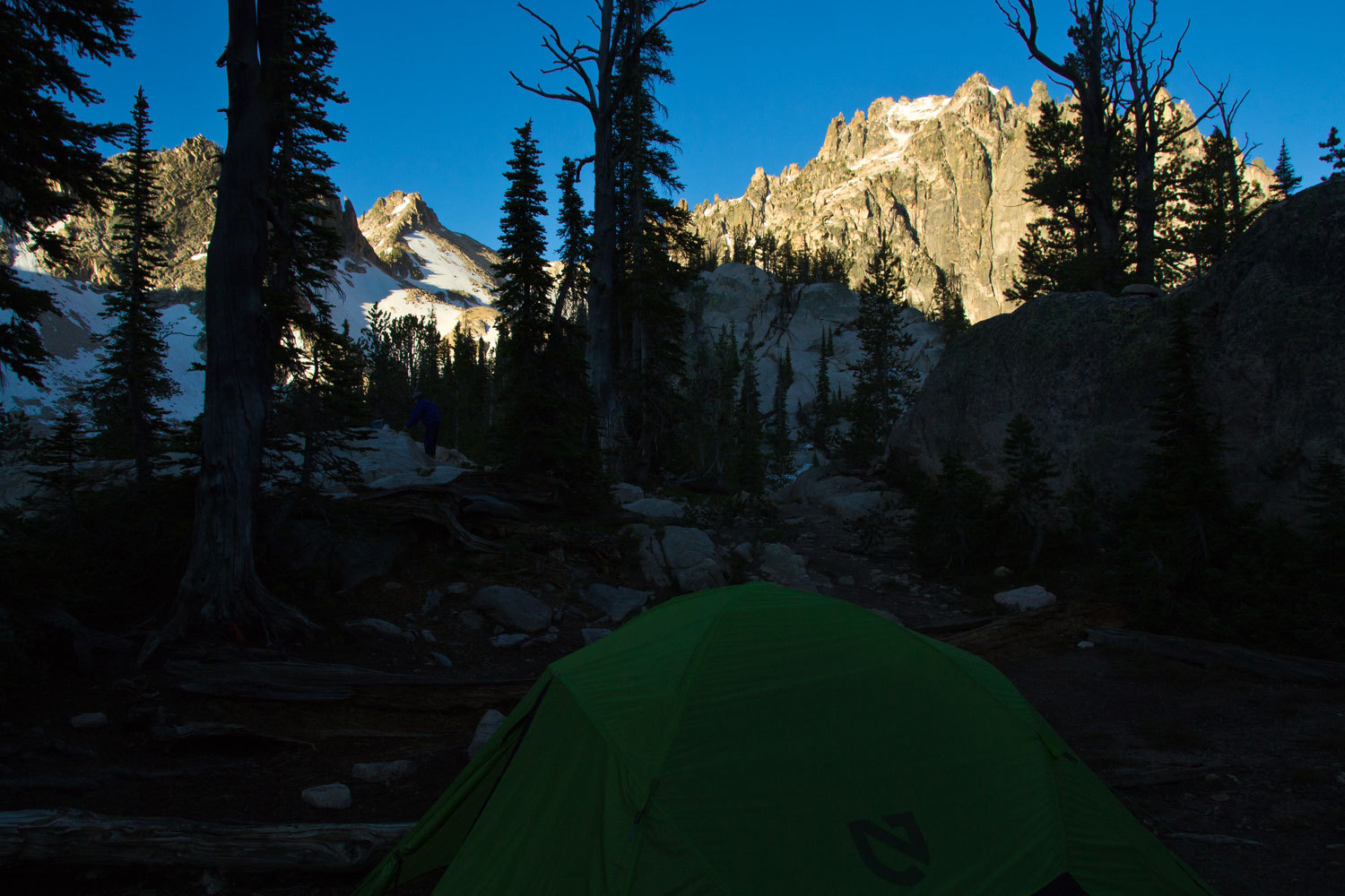
Next morning
was still and clear.
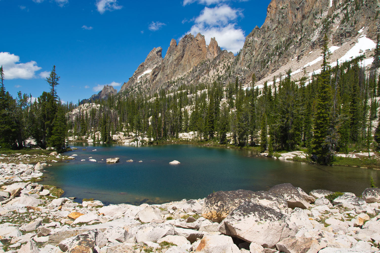
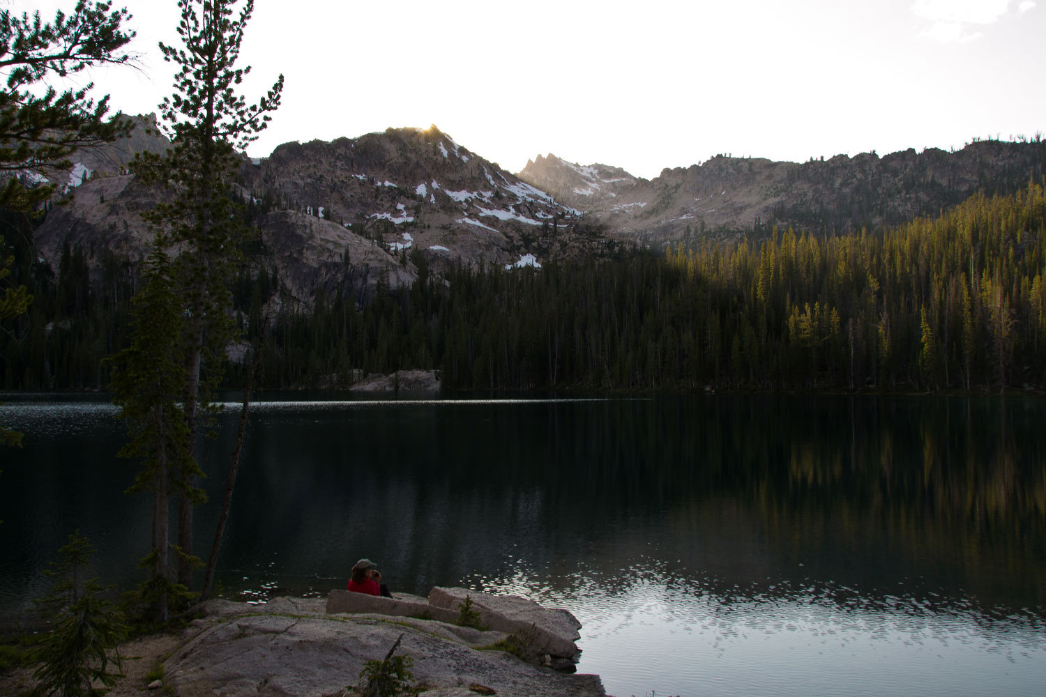
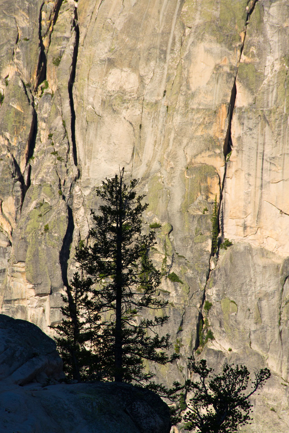
The morning
silhouette of trees against the soaring granite was mesmerizing.
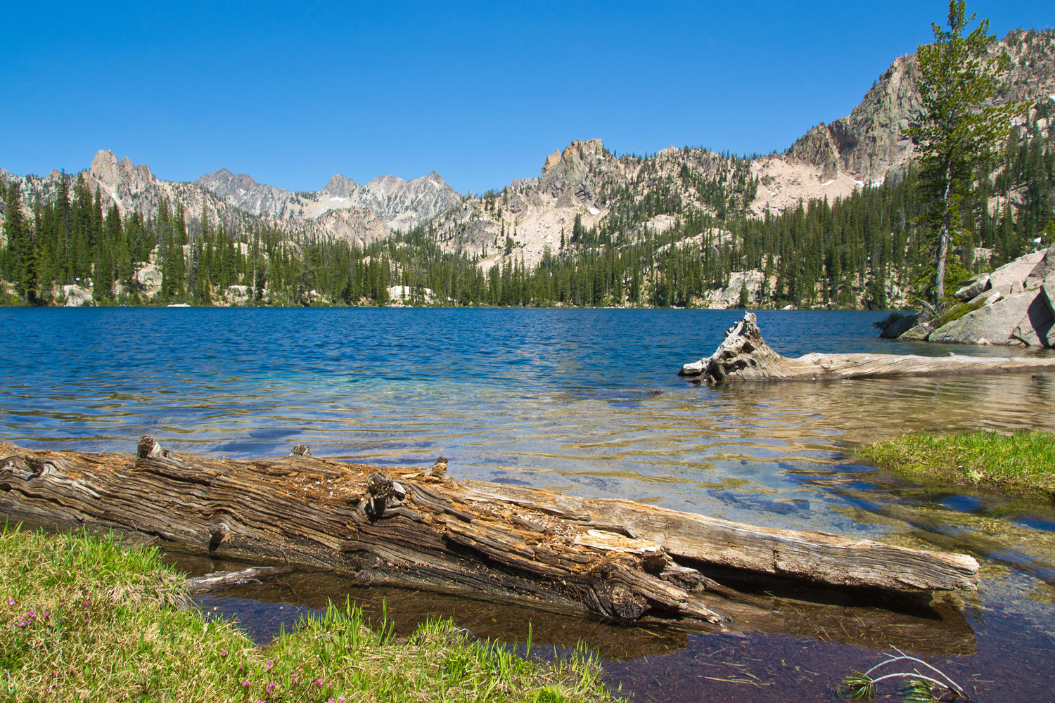
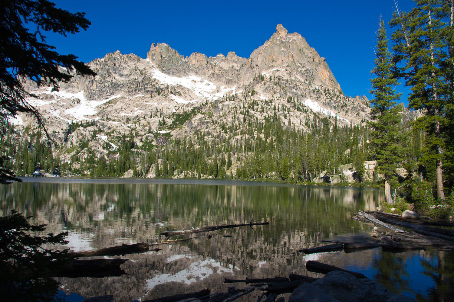
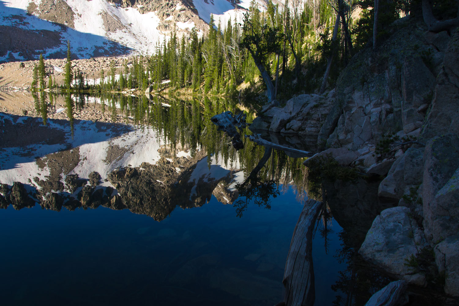
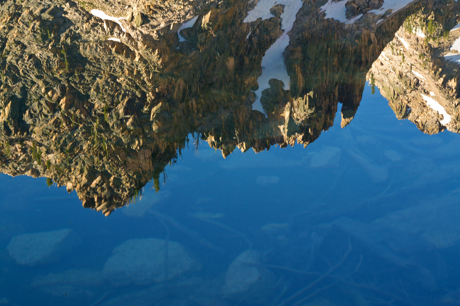
as were the
reflections in the crystal clear water
What to do
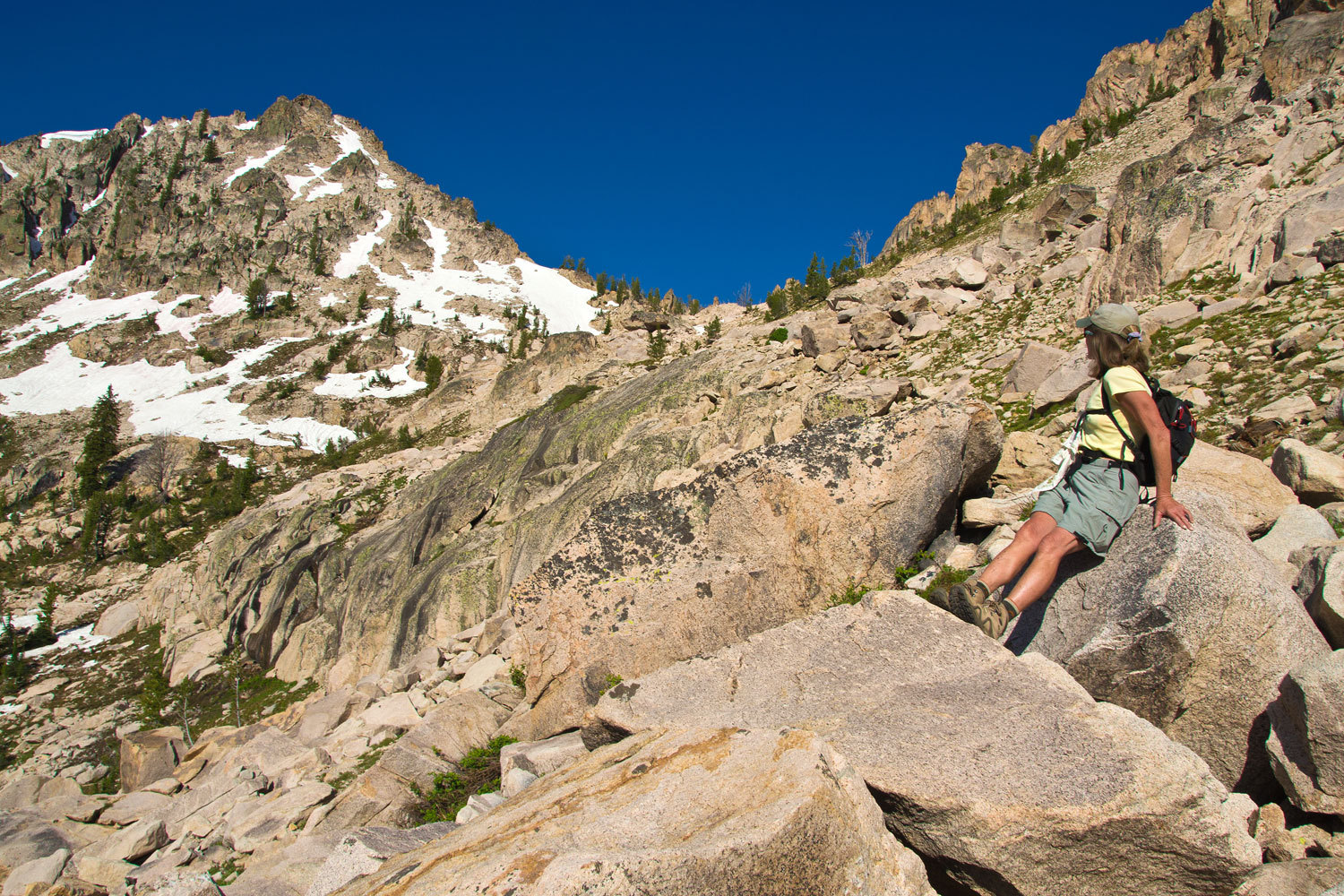
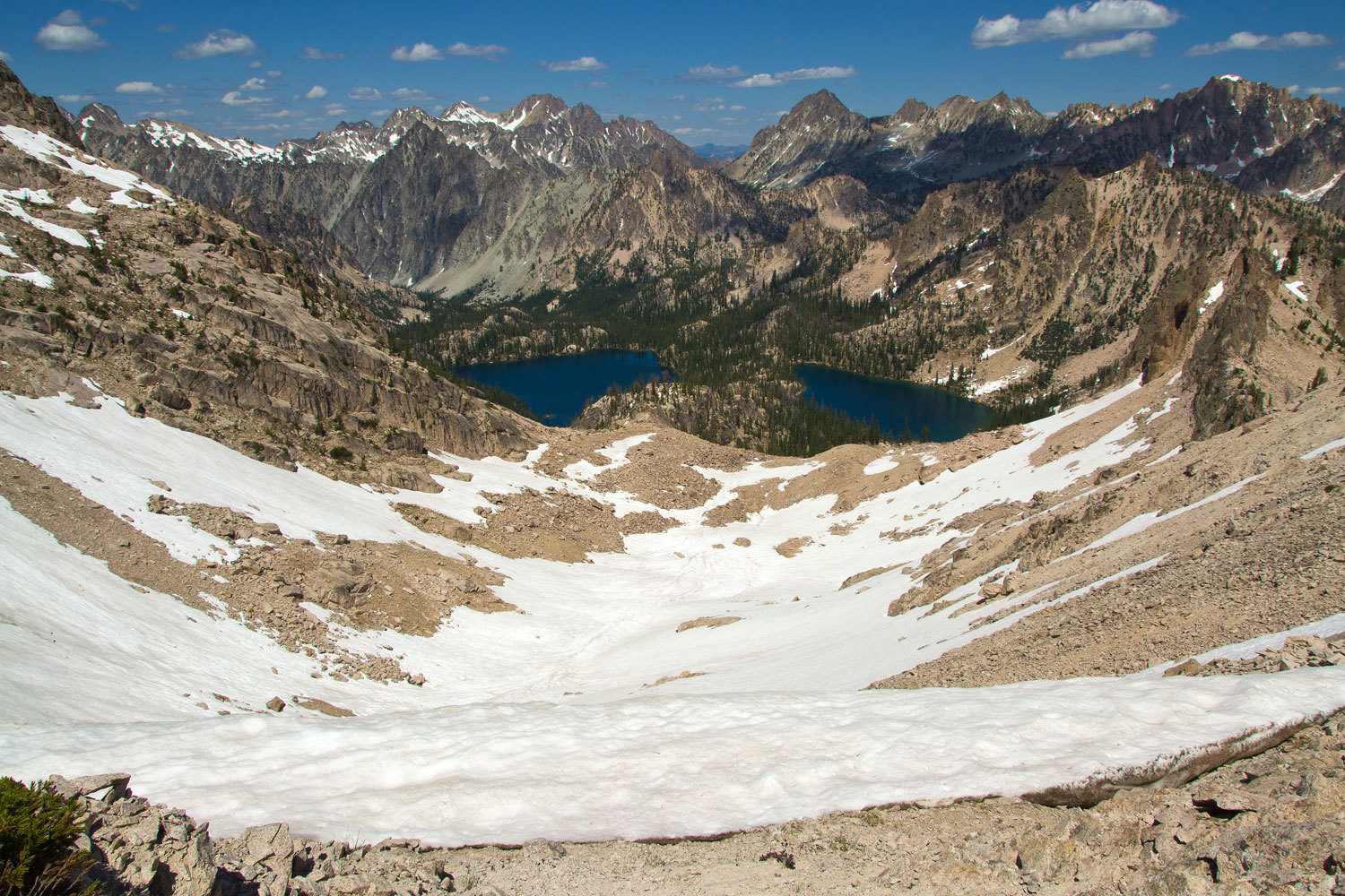
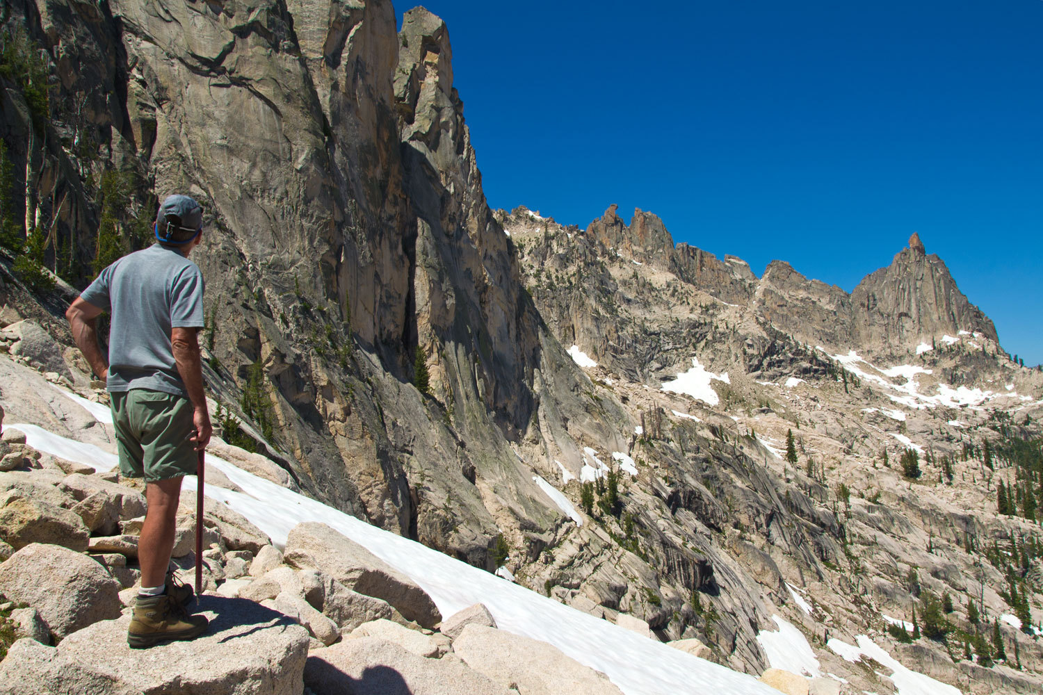
today? We decided we needed to go high and get up close and personal with all
this soaring granite.
The Big Guy
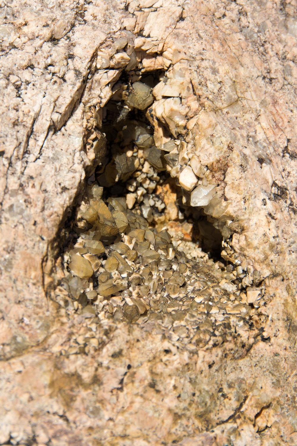
had told us to keep our eyes open for crystal vugs in the granite of the
Sawtooths. He said it was noted for gas pockets in the cooling granite where
quartz crystals would slowly grow.
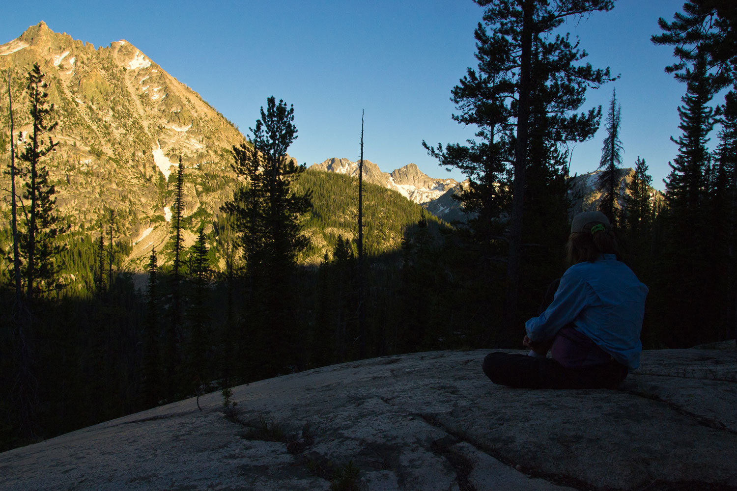
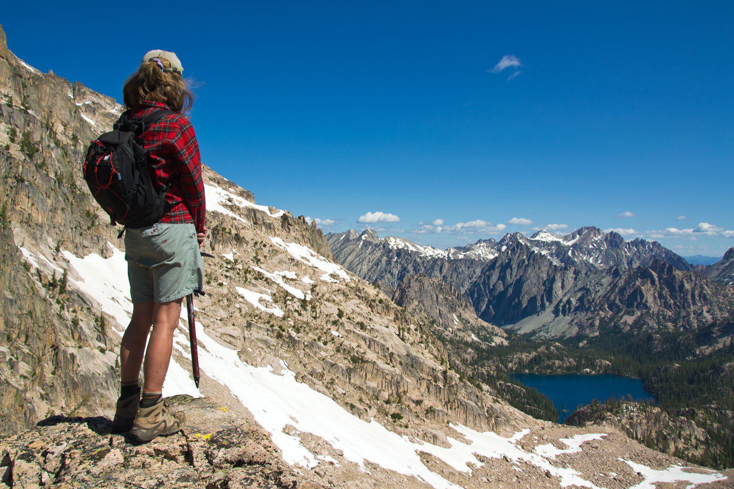
We snacked,
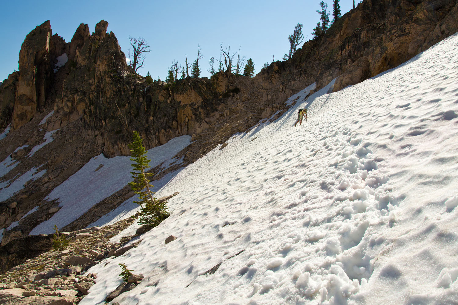
climbed, napped, and looked for crystals around our high perch.
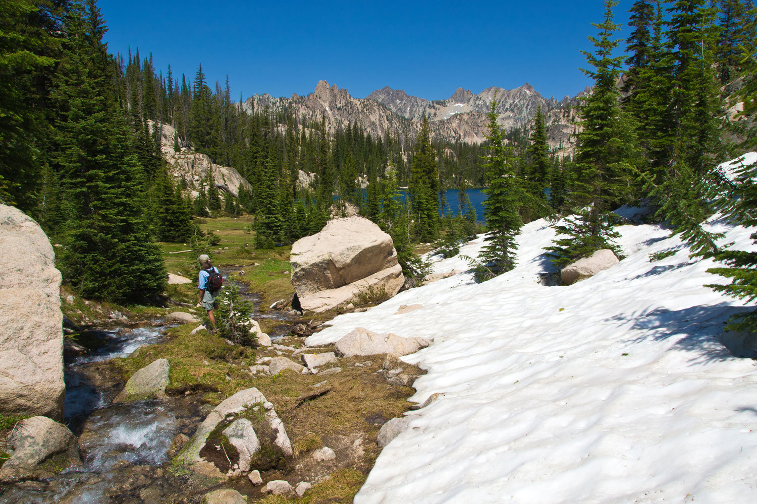
We took
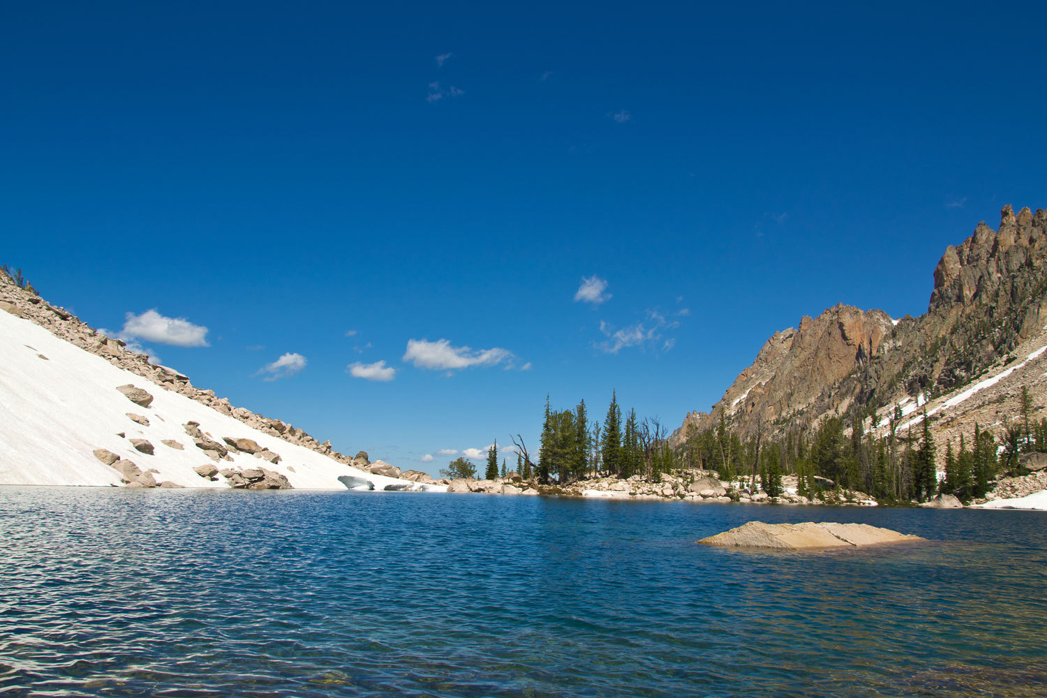
advantage of the snowfields for an easier route back to Upper Baron and time
for a swim in ice cold water.

It was now
Friday night. A couple of small groups had come and gone through the basin.
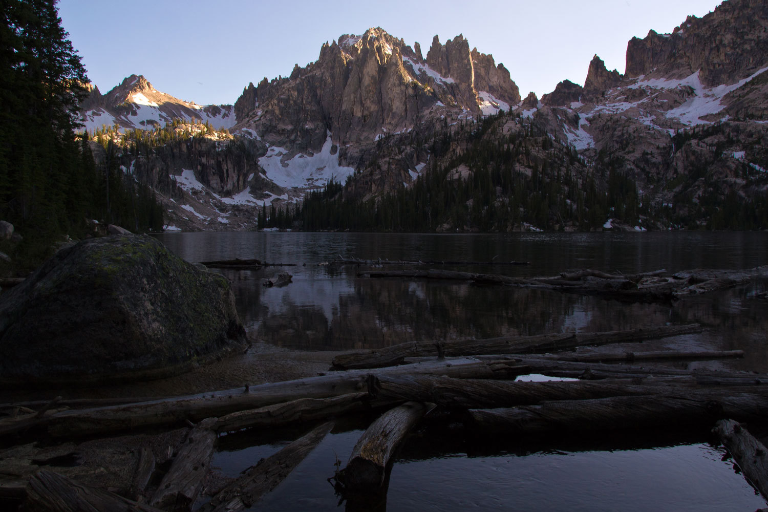
This night we were completely alone. After dinner we wandered down to Lower
Baron Lake to take in the darkening world.
How long
could this weather hold?………………..
The Lady
wiggled in the sleeping bag Saturday morning just as the light started to grow
outside. A strange sound came as drops hit the tent fly.
“It’s
raining!” we said almost simultaneously.
“I left some
clothes hanging outside……..” Her voice trailed off as she hurried out of the
tent.
She was
quickly back. “There’s some open sky and clouds. It doesn’t look too bad.”
The drops were
more sporadic on the tent fly.
“Well,
finally we may have some dramatic light for photos this morning,” I said.
“Let’s get up.”
“Coffee
time! I’ll make coffee. Let’s get dressed. You get the camera.” The Lady loves
early morning.
The sky and
morning light was all we could have wished for.
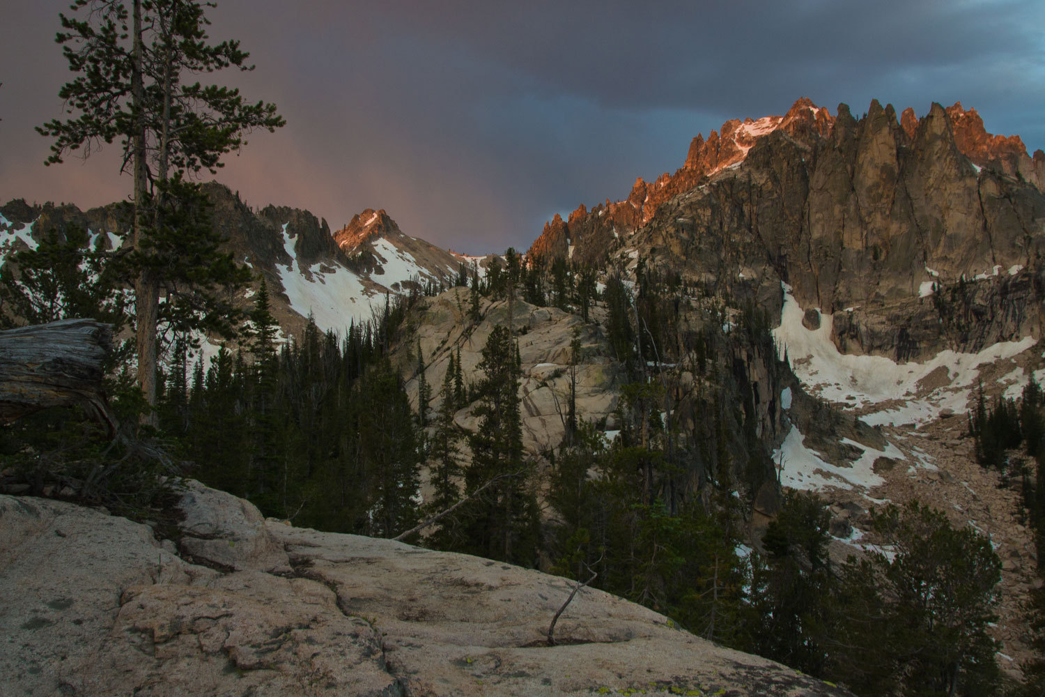
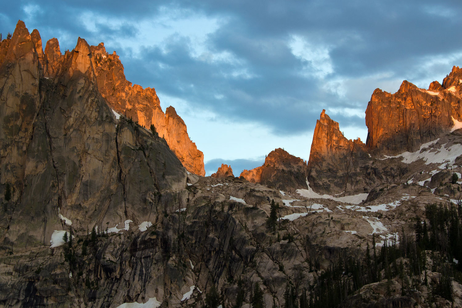
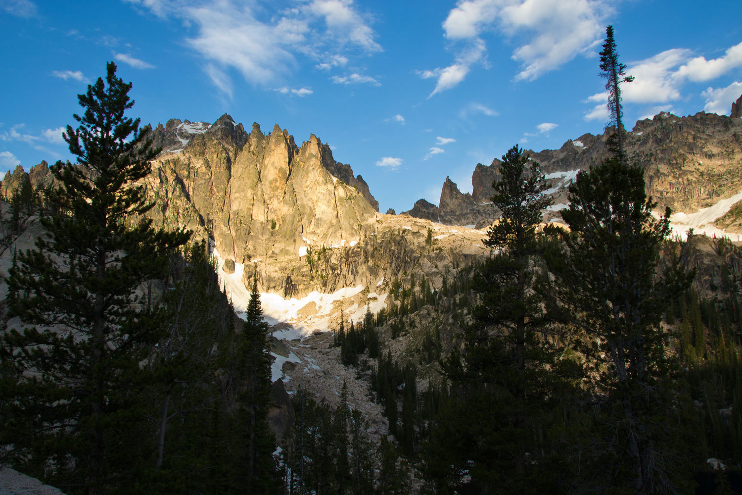
It was an
incredible morning. It was obvious the weather was changing. Our plan was to
pack up and hike out as far as Redfish Creek, find a camping spot, do some
exploring in a new area, and have just a short hike out back to the boat on
Sunday.
“You think
it’s going to storm today?” the Lady asked as we finished up breakfast.
“Well,
there’s no build but there is a lot of moisture in these clouds. A little cloud
over us and it’s raining. Today we could get hit with a thunderstorm.”
“How ‘bout
if we just hike all the way today? If it storms later, we will be packing up
wet tomorrow morning. Why don’t we go out, find a spot to camp, and we can do a
day hike into Sawtooth Lake tomorrow. I’d love to see Sawtooth Lake!” She
asked.
When we hit
the main Redfish Creek trail, it was obvious the Lodge was making money with
the shuttle boat. There was group after group of day hikers headed up the trail
as we were going out. It rained off and on as we worked our way down the
canyon.
“Can’t see
much of the sky with this narrow view up,” the Lady said.
“I know, but
something about the way it feels today, I think it is going to boom.”
“There’s
still a patch of blue sky here and there,” the Lady added.
“Yeah, I
know, but I’m a bit concerned about all these day hikers. They are in shorts
and t-shirts and have tiny day packs with obviously not much in them. It’s
going to storm. They are going to get soaked and then if the storm is lighting
up over Redfish Lake, that shuttle boat isn’t going to be out on the water,
running out here to pick them all up.”
“Oh, I
didn’t think about the boat not running,” the Lady replied.
“Well I
think we’re making a good call. We still have a couple of hours before I think
something will build. My other concern is this is a Saturday night in the
busiest recreation area in Idaho. The big music festival is in Stanley today.
We don’t have a campground reservation for tonight. I’m not going to worry, but
we may need to be patient and may have to drive a ways before we get a spot.”
“We got our
truck and camper, we’ll be fine,” she answered.
“Yup, we’re
luckier than most with more flexibility.”
“I love our
camper. I’m really glad we got it.” She finished our conversation.
After eight
easy miles we were standing on the dock at the inlet to Redfish Lake. It was
noon. Two minutes later the shuttle pulled up, more day hikers headed up the
canyon, and we climbed aboard.
Redfish
Lodge runs a Laundromat and shower facility just past the lodge. A couple of hours
later all our laundry was done and we had enjoyed hot showers. We also got a
couple of blocks of ice for the ice chest. We checked out all the campgrounds
around Redfish Lake. They were all full. We checked out the two campgrounds at
Lower Redfish Lake. Full.
Just up the
road toward Stanley is Sunny Gulch Campground. We had reservations for there
the next night, our scheduled day to come out. We pulled in and talked with the
campground manager.
“Oh just
grab any spot that doesn’t have a tag,” the lady told me. “We have 45 units and
only 9 reservations for today. We’re filling up some but we’ll still have some
empty spots overnight. And, if you pick a spot that doesn’t have a reservation
tag for tomorrow night, we’ll just move your reservation for tomorrow to that
site so you don’t have to move.” She was really helpful.
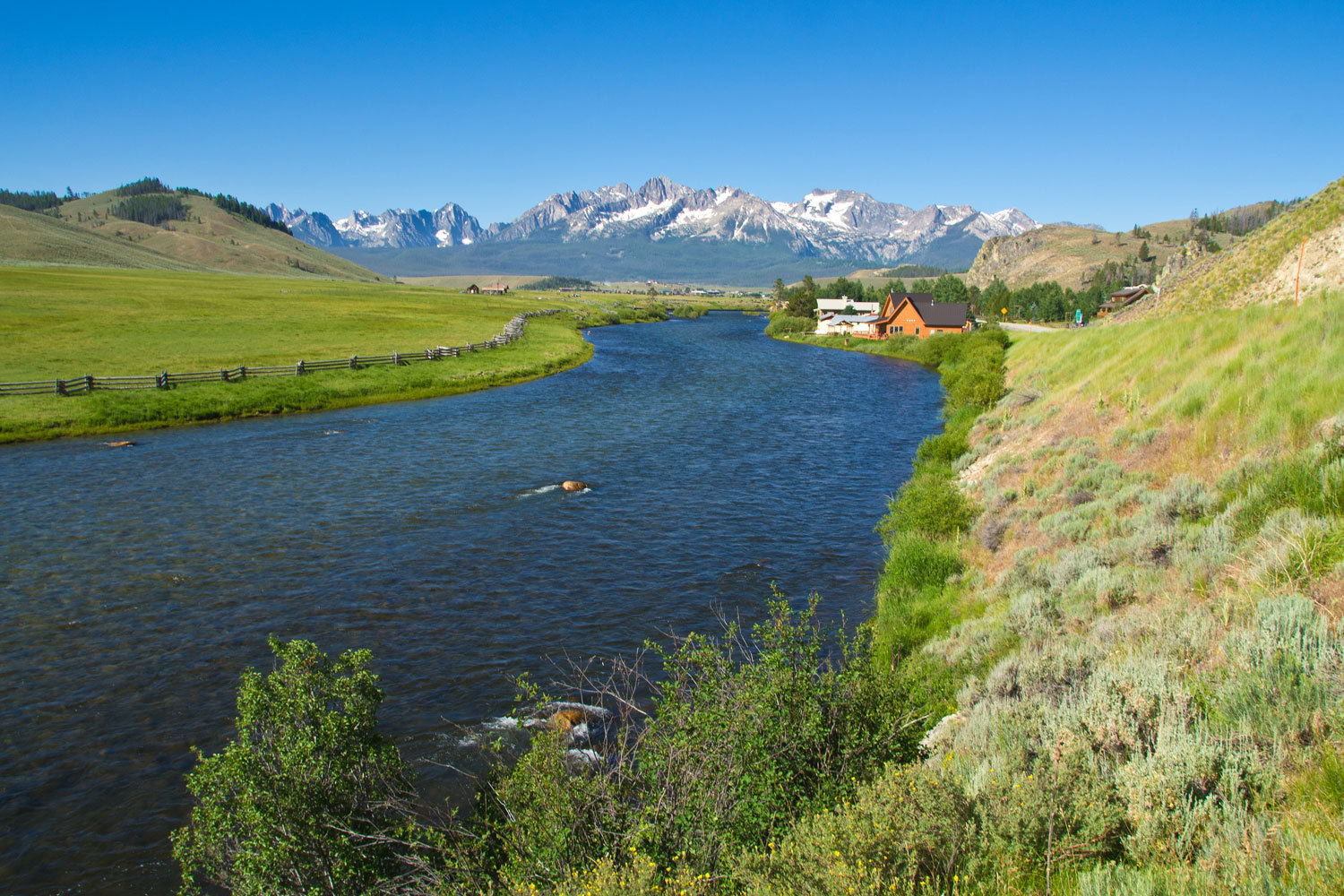
Sunny Gulch
is a nice campground. It is along the Salmon River. The sites are mostly widely
spaced from one another so there is a nice sense of privacy.
We grabbed a
spot, site #16, and then headed north to check out the Iron Creek Trailhead,
tomorrow’s starting point. The storm hit as we came back out the gravel road.
It was a big one. The thunder and lightning gods were making up for the days
they had missed. We ducked into the market in Stanley for some fresh food for
the cooler.
It was a
good old fashioned Rocky Mountain afternoon.
Sunset and
storm at Sunny Gulch Campground.
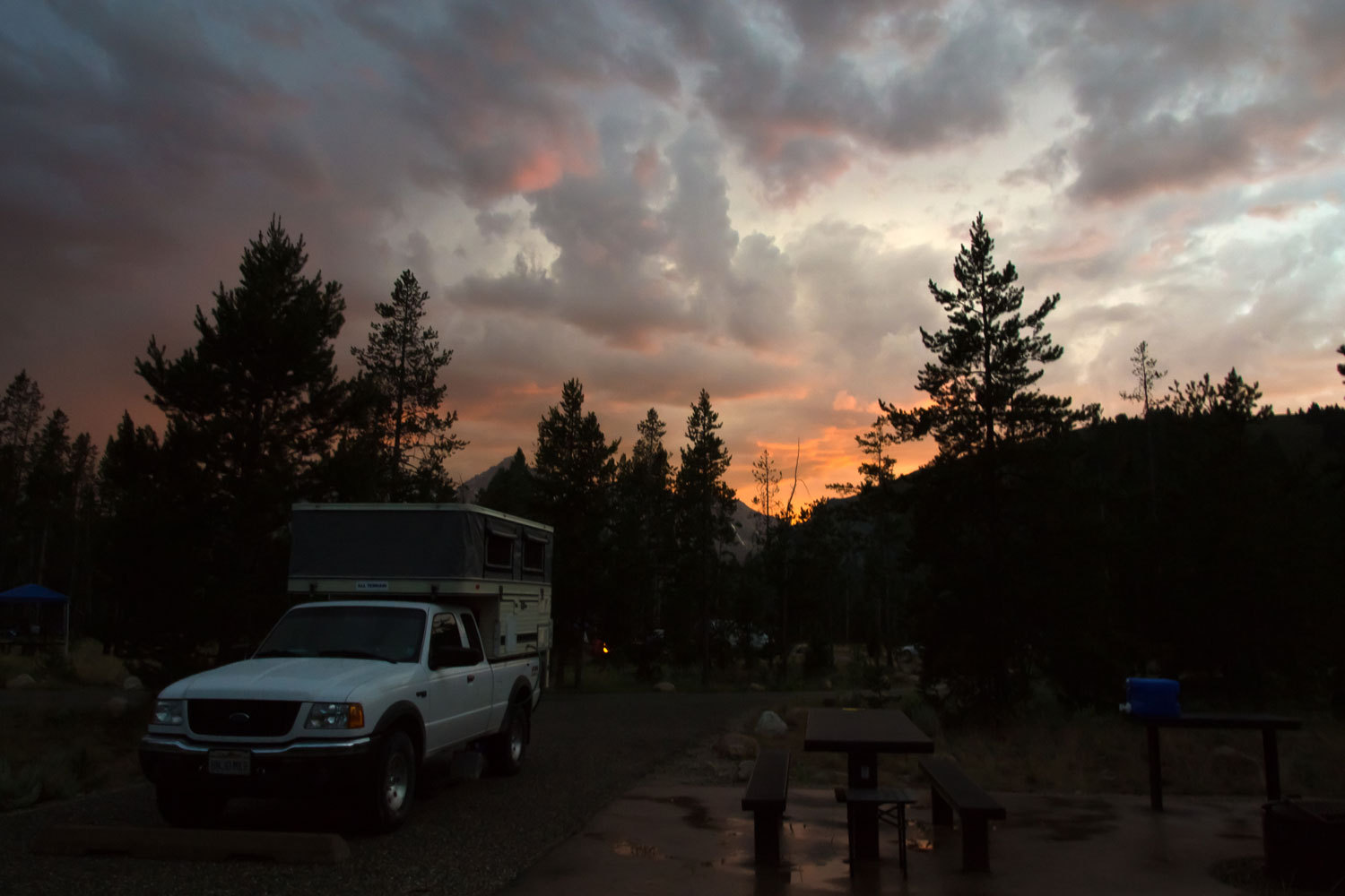
We were
lucky. The storm broke over the campground just as we drove in. The Lady brewed
us some Peets, the smell of good coffee just fit with the new coolness to the
air and the fresh washed scent of sage. Towering clouds with the colors of
evening were our ceiling as we sat outside and had dinner. Just as it turned
dark another storm rolled in and we fell asleep surrounded by flashes of
lightning and the Lady counting off the seconds to the thunder clap until her
deep breathing and quieted voice told me she was asleep. The rain continued on
the camper roof until I also was asleep.
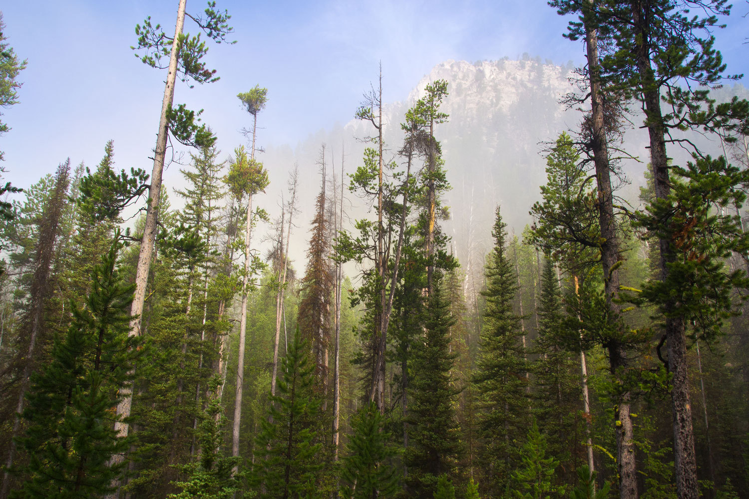
The next
morning dawned with a thick layer of fog in the Sawtooth Valley.
We started
out from the Iron Creek Trailhead and headed for Sawtooth Lake. As we climbed
we started to break free of the fog.
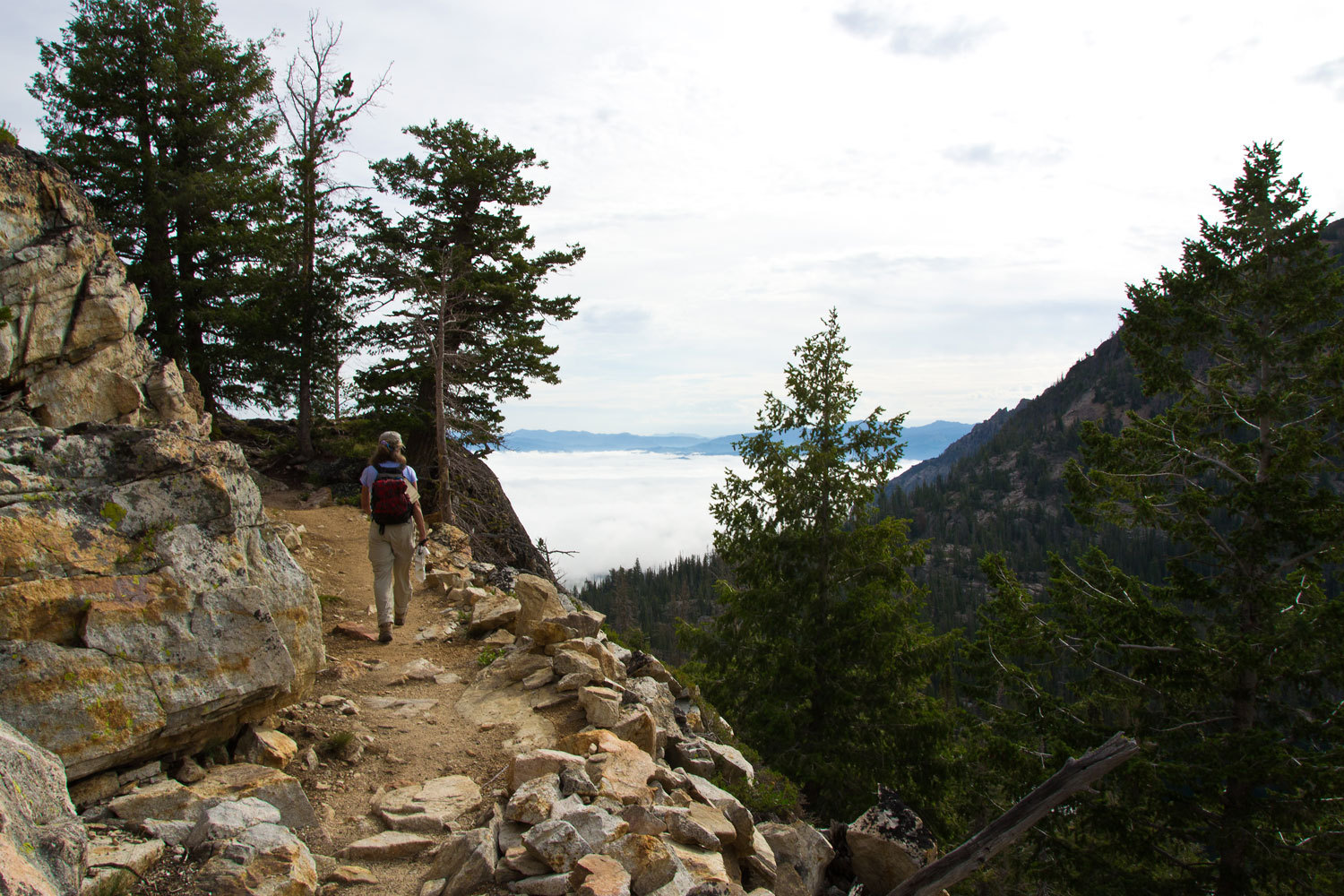
By the time
we climbed past Alpine Lake (a different lake than before, I think there’s
three Alpine Lakes in the Sawtooths) we could look down on the shrouded valley
below.
In short
order we had covered the five miles up to Sawtooth Lake.

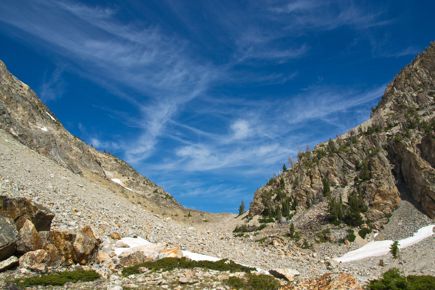
We continued
past the length of this large lake and dropped over the divide and continued
down to a view point encompassing the open basin beyond. This is beautiful
country. Even if you are not into backpacking, take the time to venture up the
trails into the Wilderness on day hikes. We highly recommend this hike up to
Sawtooth Lake. From our lunch spot the light was nice back in the direction of
the divide.
We retraced
our steps and passed the tarn above Sawtooth Lake that the snow and ice had
just come off.
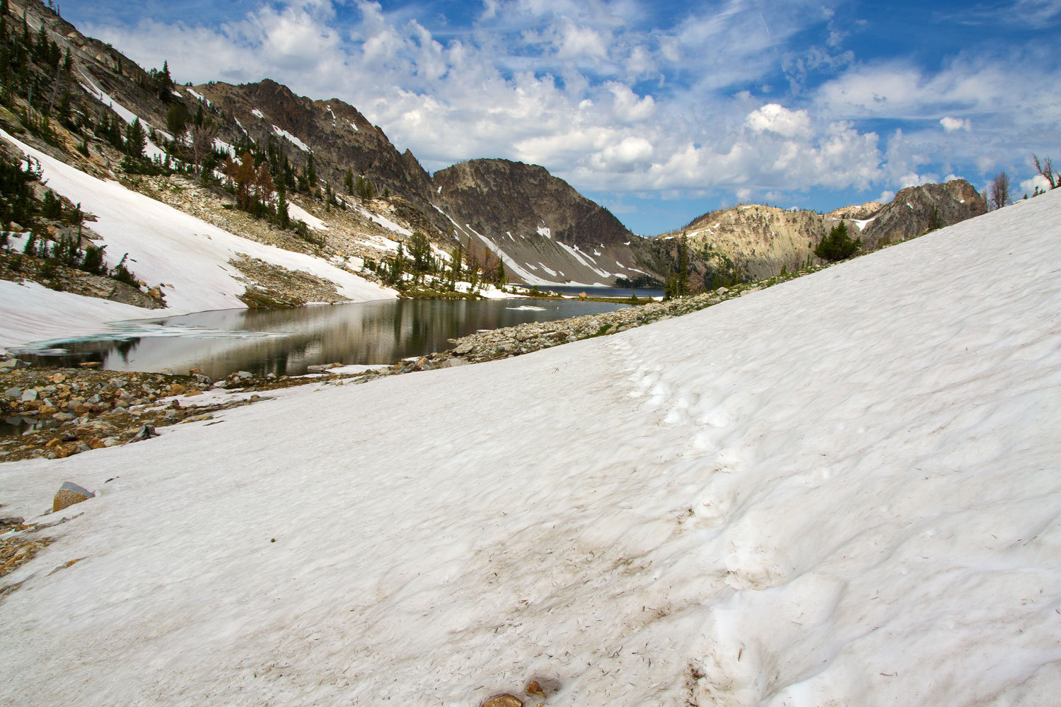
Sawtooth
Lake is big and beautiful. It was a little after noon and the clouds were
showing signs of an afternoon build.

We were back
to the trailhead around two and as we drove out the thunder was just starting.
The Rockies were returning to normal. We spent the remainder of the afternoon
poking around Stanley Lake. The thunderstorm moved north leaving our campground
dry. We relaxed before we made dinner, sitting and watching the world around us
from our chairs outside the camper. A sparsely timbered bluff rises up on the
opposite side of the Salmon River. An amazing show unfolded before us. Two
golden eagles came in low, one following the other, in formation, moving just
above ground level, swooping behind the trees on the bluff. If the first eagle
spooked out a prey animal, the plan was for the second eagle to nail it. This
was all within 50 yards of us. They would circle back and repeated the flight
pattern four times. Not having any success, they caught a thermal and rose
quickly out of the area. Almost immediately after, a redtail came in and
duplicated the eagles’ hunting pattern. It too was unsuccessful after several
passes. How could we be so lucky? And then the ospreys showed up! We heard the
distinctive chirp and wondered why the one bird was being so vocal. It came to
us. The vocal osprey was a young bird learning to use its wings and hunt for
itself. The larger adult flew high above in a defensive position if its
offspring would need help or protection. They worked back and forth over the
river until on one pass back over us we noticed a trout in the young osprey’s
talons. It landed out of sight from us but now both ospreys were in a chorus of
chirps. All we could think was that was one proud parent.
A sad note
to this evening’s show was the airstream trailer from Texas in the next site
down from us. We could hear their TV inside the trailer. They were watching the
evening news.
Our trip was
coming to an end. In the morning we were starting for home.
Its habit I
guess, we’re early risers. Early morning found us alone on the road, driving
south up the Sawtooth Valley. We wanted to take time to drive into Pettit Lake
and Alturas Lake to check out the trailheads for possible future trips. As we
passed other landmarks – Smiley Creek – Fourth of July Road – it brought back
happy memories of past adventures. Soon we were up and over Galena Summit and
dropping into the Wood River drainage, the Ketchum area. Traffic picked up.
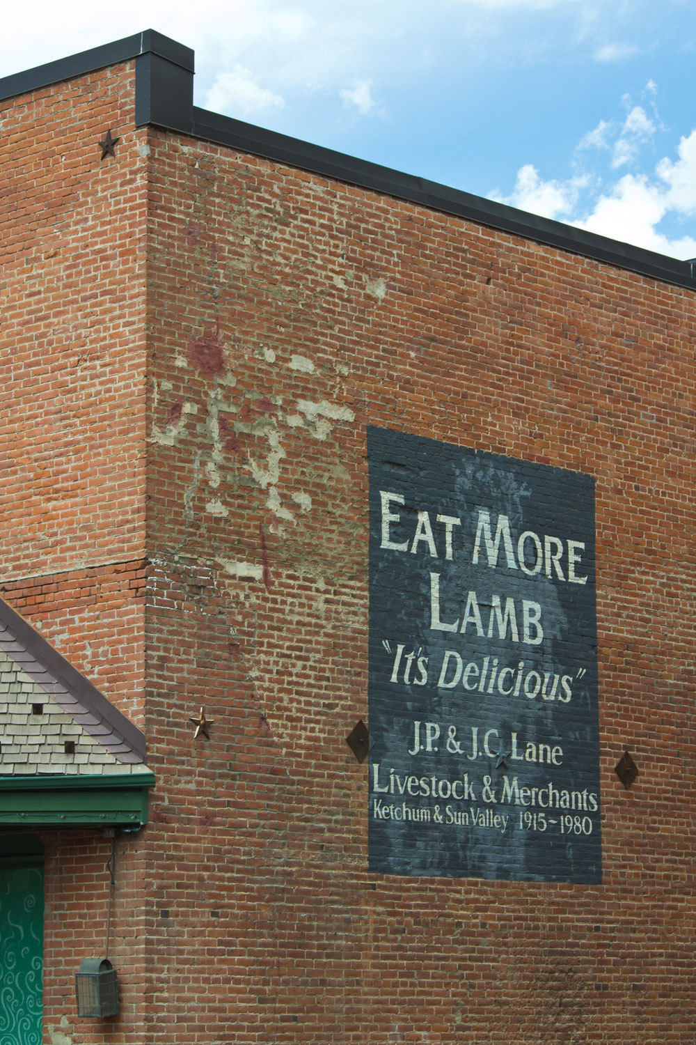
We’ve always
enjoyed Ketchum. We stopped, hit the grocery store, and had an early lunch in
an upscale bakery/café. Yeah, we can be civilized. The food was good and worth
the money.
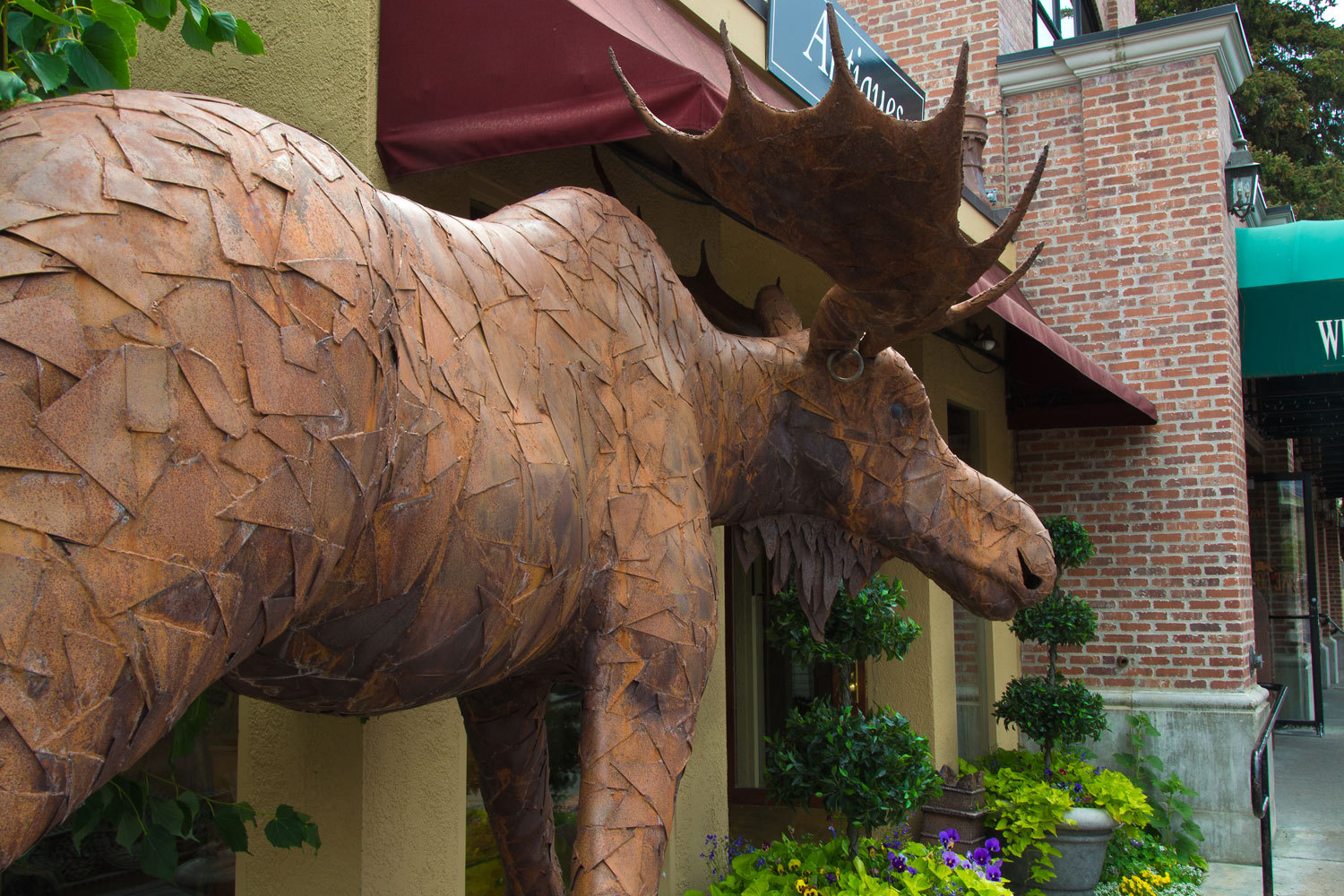
I must be
getting old, probably set in my ways quite a bit. It just did not seem right
for a western town to have a moose statue with an ear ring.
We avoided
the Interstate.
We headed
west to Mountain Home and then turned south on 51 deciding we needed to see the
Owyhee River again. Into Nevada and below the Wildhorse Reservoir, we found the
USFS Wildhorse Crossing Campground empty. Not a spectacular place, but
pleasant, and worked well for an overnight spot. A large mule deer doe with her
twin fawns worked the area as we took our evening walk.
“Where we
off to this morning? The Lady asked as we headed south, windows down in the
cold morning and the heat cranked up. She was relaxed, looking out the window.
“Elko and
then heading south on a secondary road to intersect 50 in the Eureka area.”
“Elko.
Lamoille Canyon is outside of Elko, right?”
“Yup.”
“Let’s spend
a few hours up Lamoille Canyon!” She is really getting into this just see where
the road takes us thing.
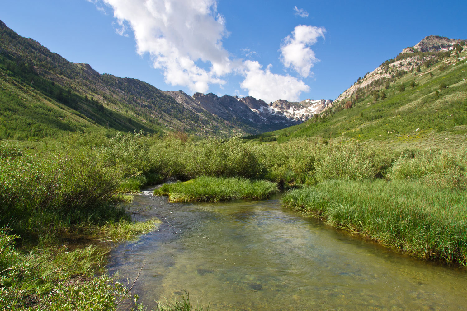
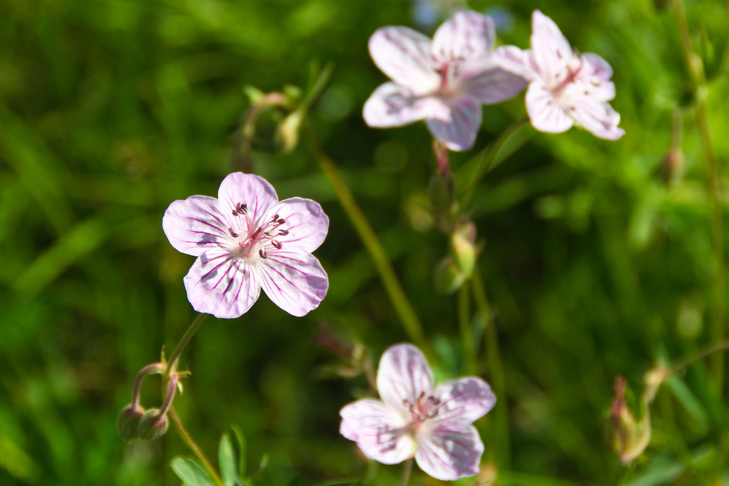
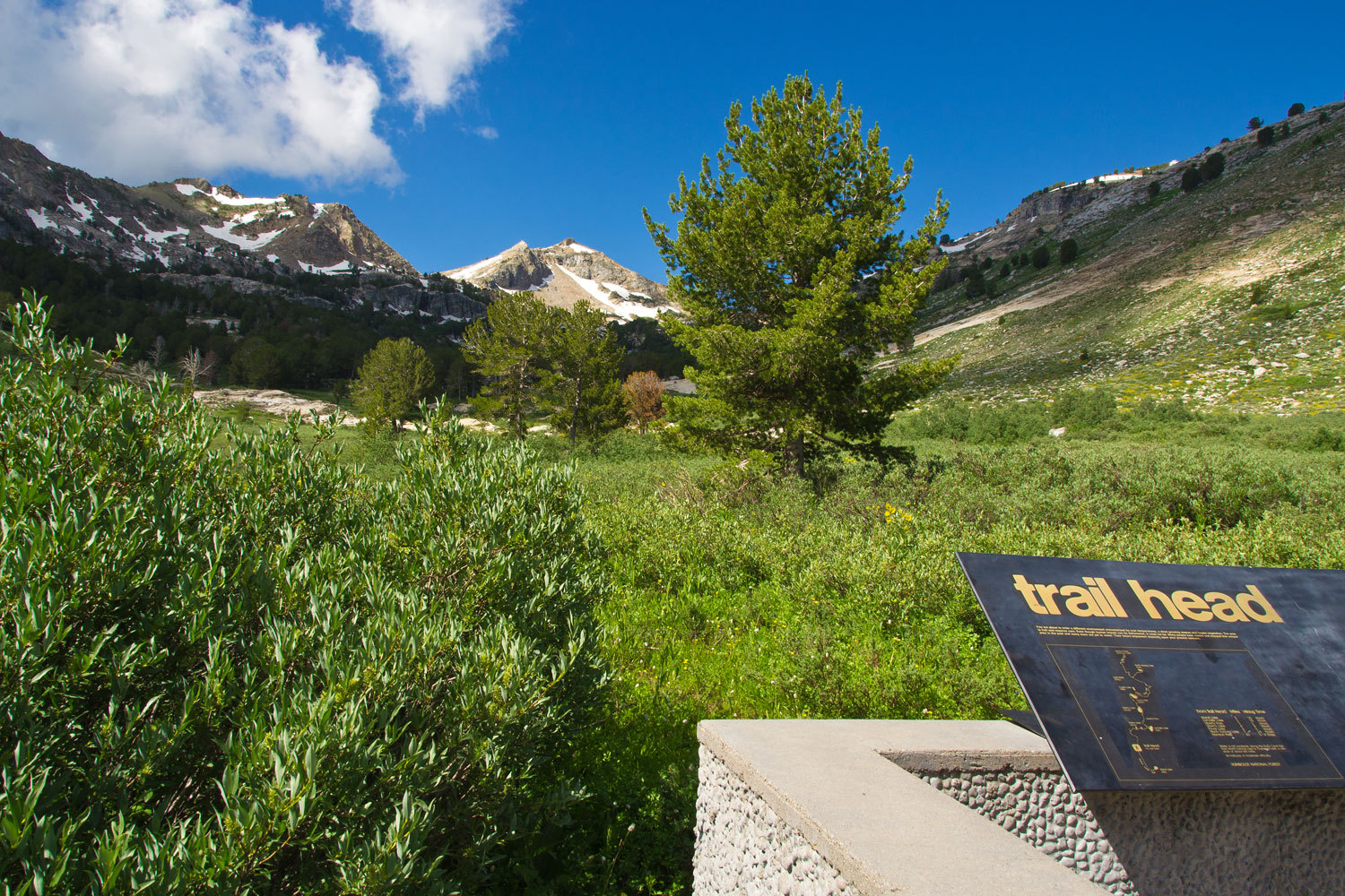
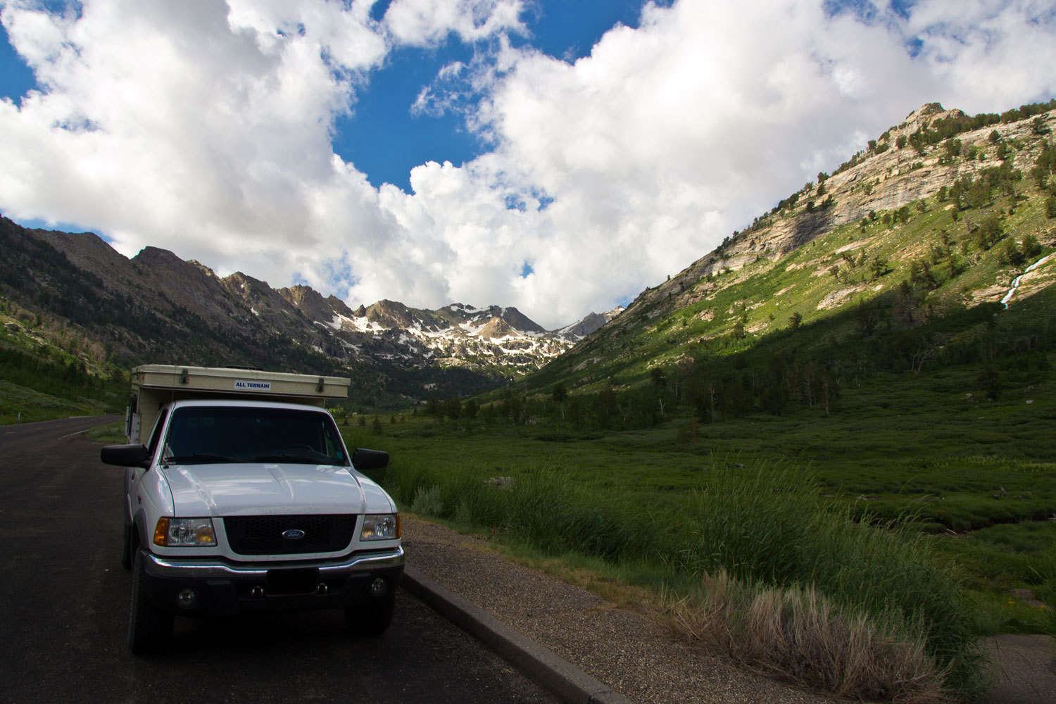
We have been
in the Ruby Mountains before. This was getting reacquainted with an old friend.
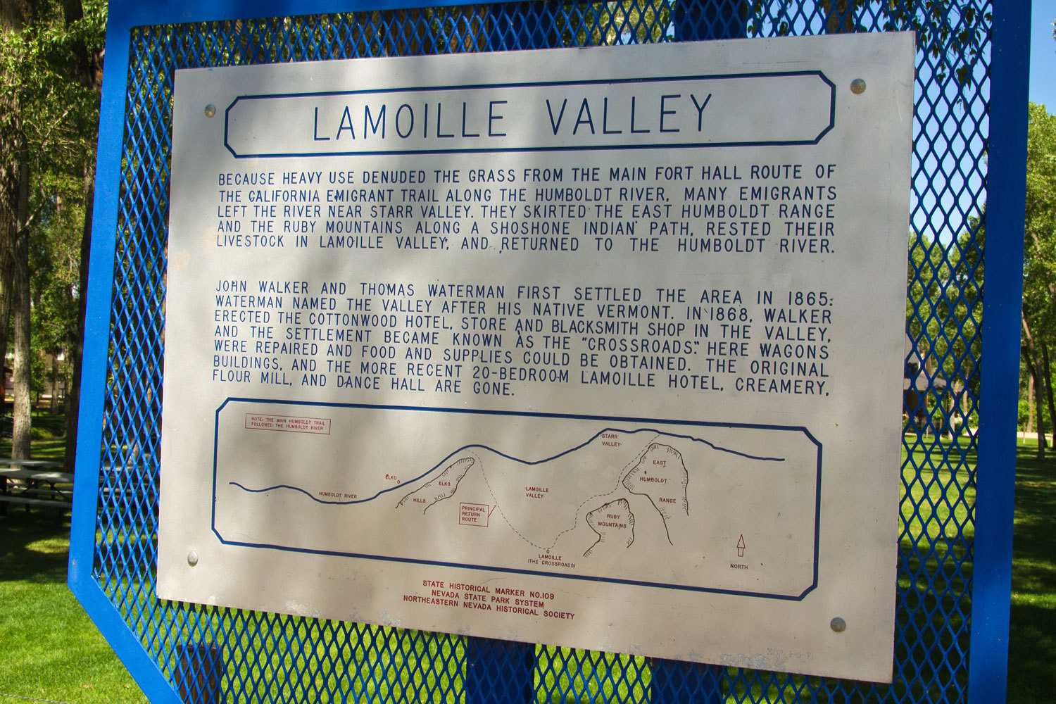
At the
bottom of Lamoille Canyon sits the old small town of Lamoille. If you’re into
western history – the California Trail – be sure and stop here.
We dodged
thunderstorms as we headed south on gravel. A big one hit as we were filling up
with gas in Eureka on highway 50.
We figured
we’d be in the Austin area for our last night.
“Big Creek
is just south of Austin in the Toiyabes, right? The Lady was thinking again as
we headed west on 50.
“Yes, on the
west side of the Toiyabes,” I answered.
"We
kind of started this trip with Big Creek, we ought to spend our last night on
Big Creek. That would be fun!”
We drove up
into the canyon above the campground until we found a good dispersed site.

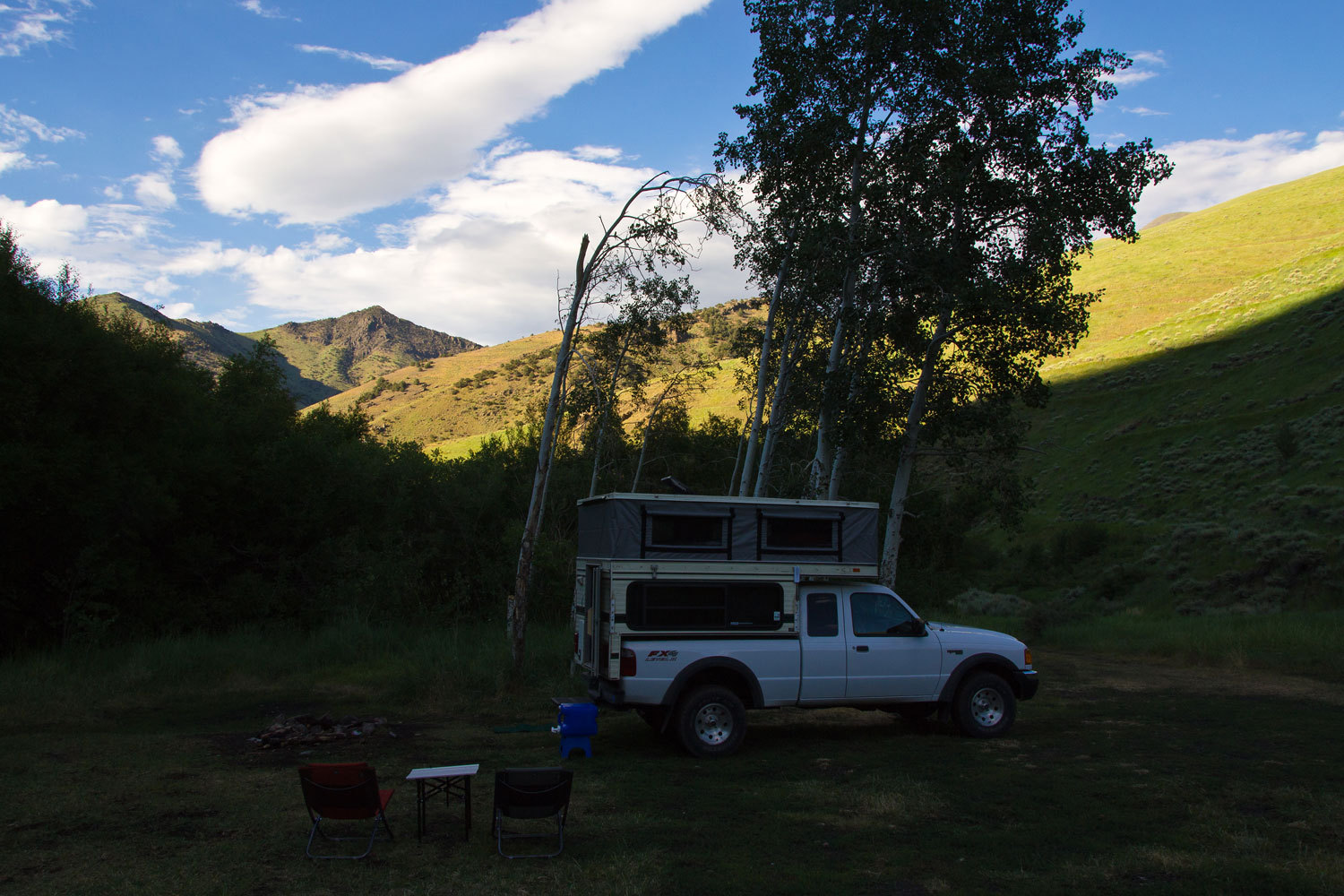
After all we
had done, in the morning even Highway 50 was feeling big to us. We turned off
on 722 which parallels 50 and is the back way to Eastgate.
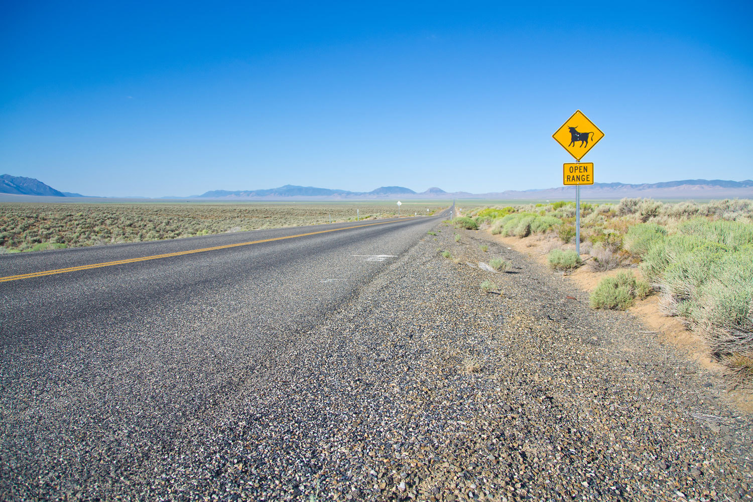
The Lady
loves these open range signs in Nevada. Take at look at the corresponding signs
in California. It is a profile of a dumpy looking dairy cow. You hit Nevada and
a robust, tail up, happy horned beast takes over.
“You can
always tell when you are in Nevada!” She smiled.
“Yes you
can!” I said as we stopped to take this photo on the outskirts of Fallon, a
Navy Top Gun town.

Thanks for
coming along for the ride through this story of our trip. We hope it gives some
of you ideas for future travels. For us it brings back memories of thunderstorm
sunrises, high mountain passes, and wide open places - The West.