
please remember you can click on a photo to see a larger version & highlighted text are links to additional information
Home Maintenance
The young man arrived right on time early Monday morning to seal both of our asphalt driveways.
"How long before we can drive on them?" the Lady asked.
"Give them at least 24 hours." He answered.
"I'll move the truck up to the neighbors," I told the Lady. "We'll spend tonight out somewhere."
The young man was finished with the project mid afternoon. Both gates were closed and we were on our way.
"Where shall we go? the Lady asked.
"I've got an idea. A high spot we can try. Maybe we can get above the smoke."
The 4x4 road was rougher than we
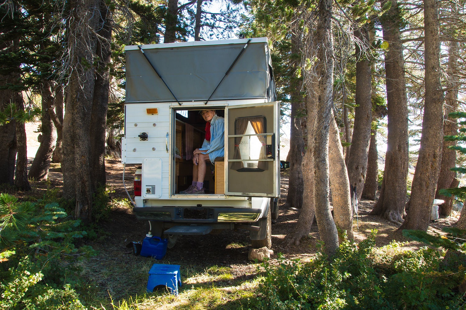
remembered but was no problem. We drove the spur road down to the lower
reservoir and found a spot near the small dam that created this impoundment.
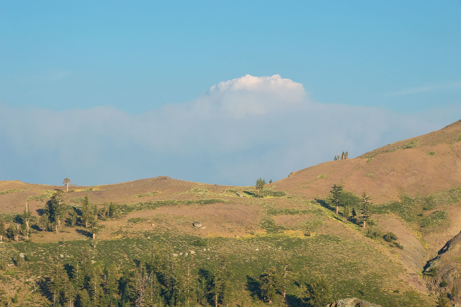
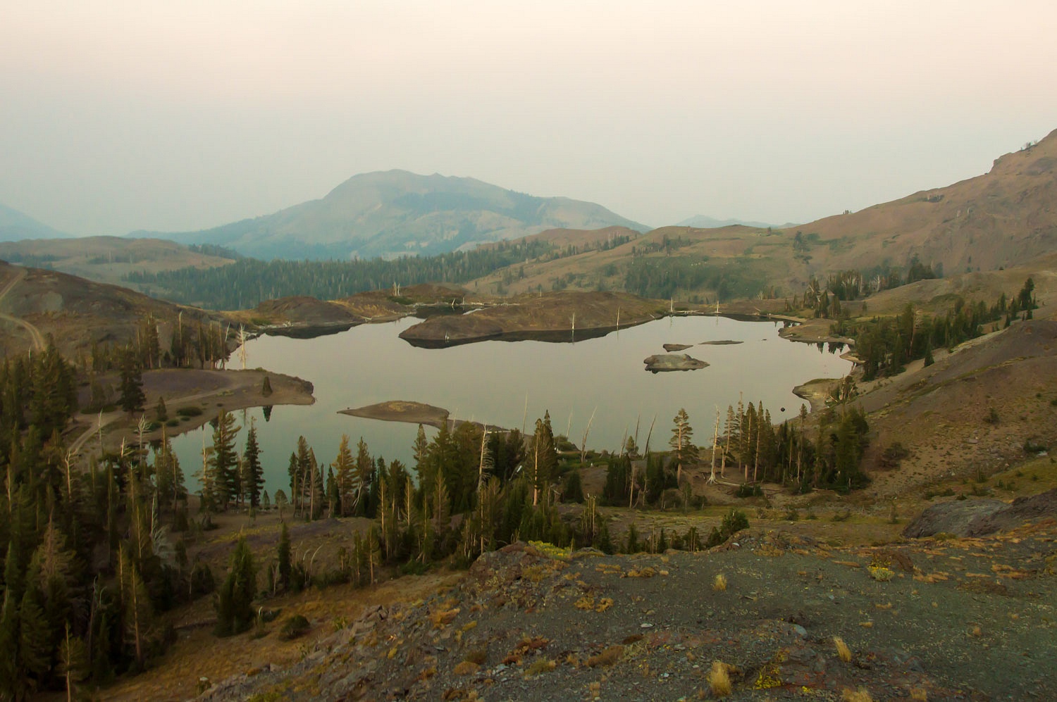
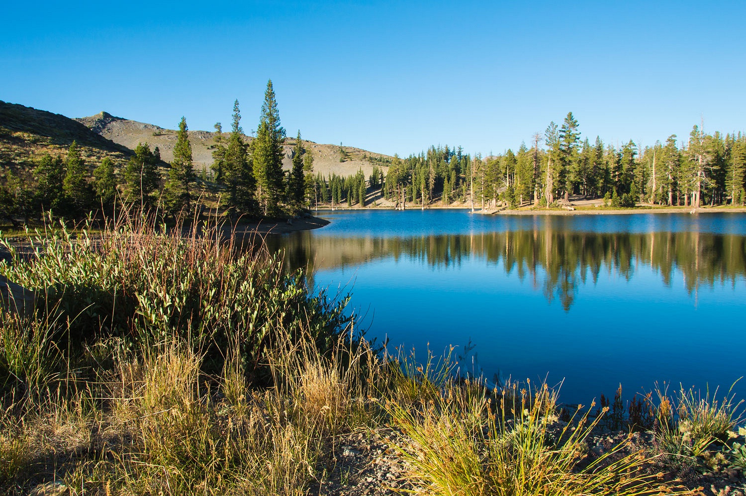
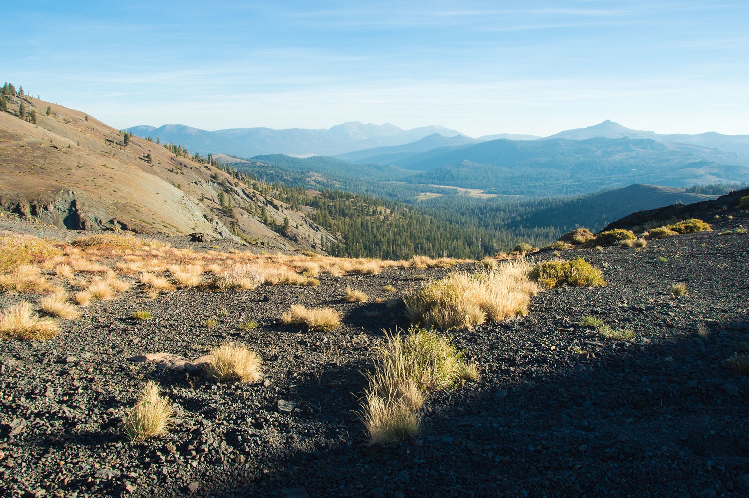
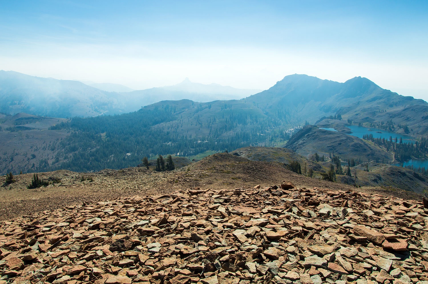
It was four in the afternoon and this was our view from camp.
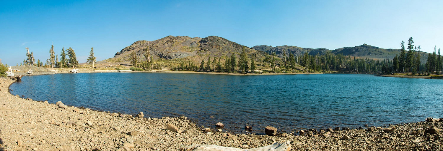
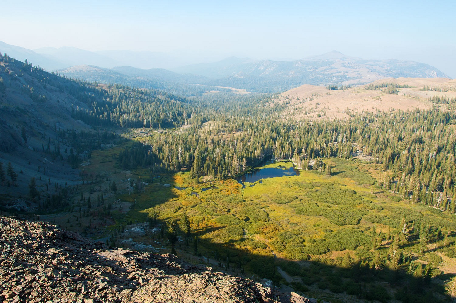
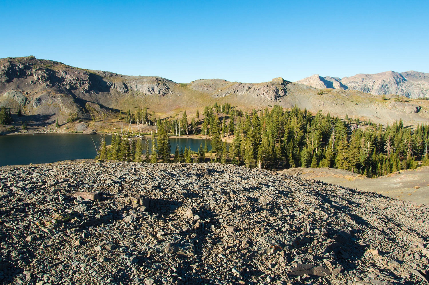
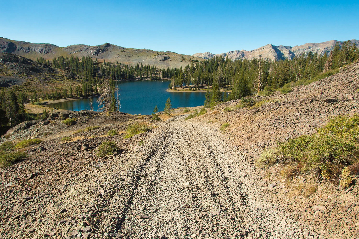
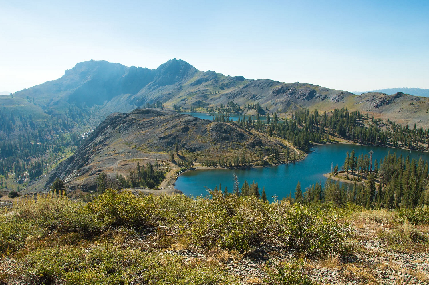
Lost Lakes sit on the Great Basin side of the Pacific Crest. We wandered the area before dinner. A deer was out in a meadow pond below us.
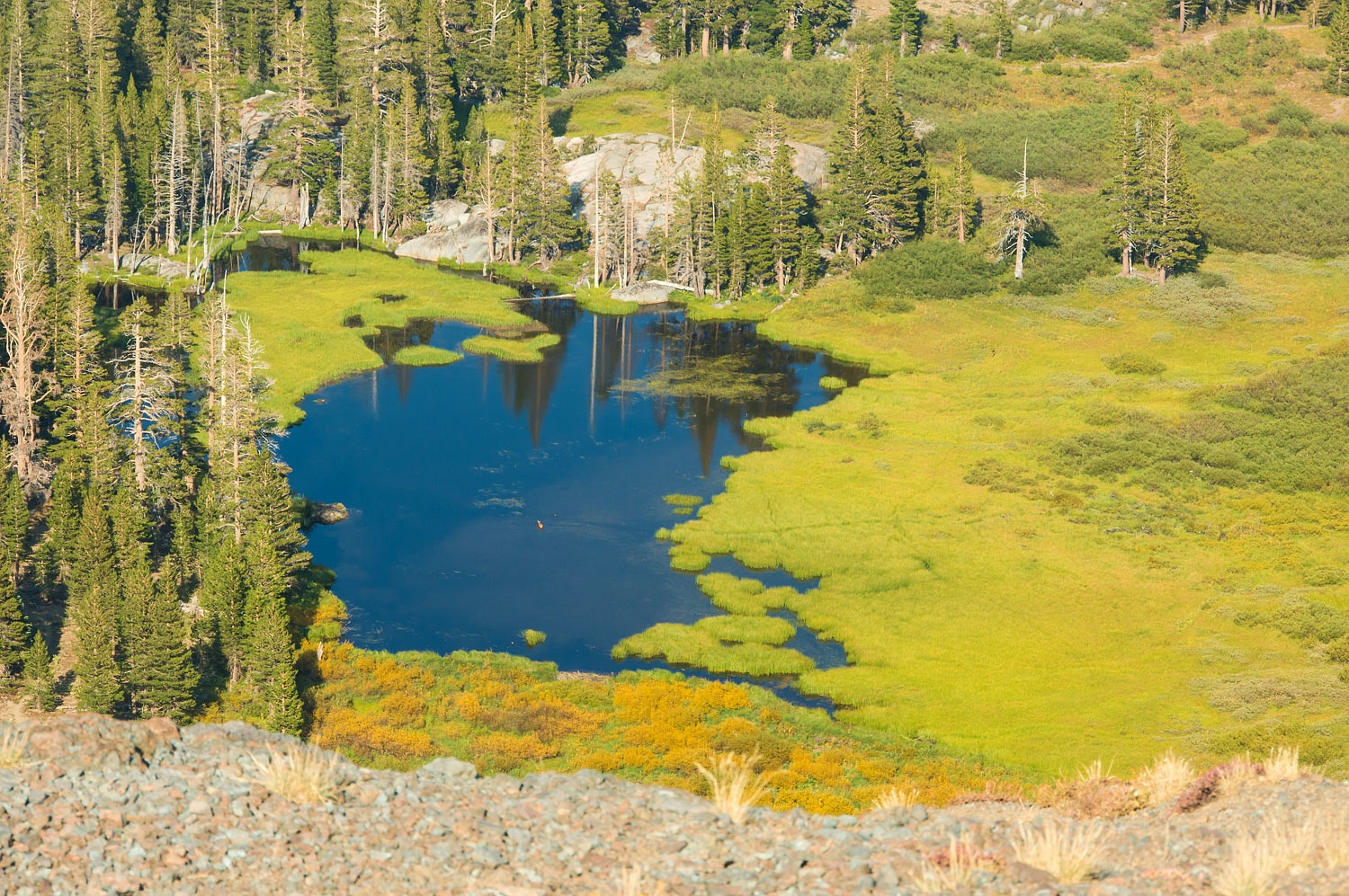
This large meadow area is part of the headwaters of the West Fork Carson River. The two small reservoirs that are called Lost Lakes, were built by downstream ranchers in the Carson Valley.
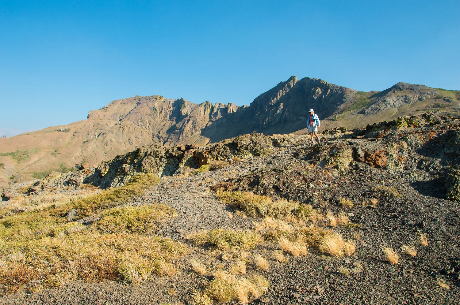
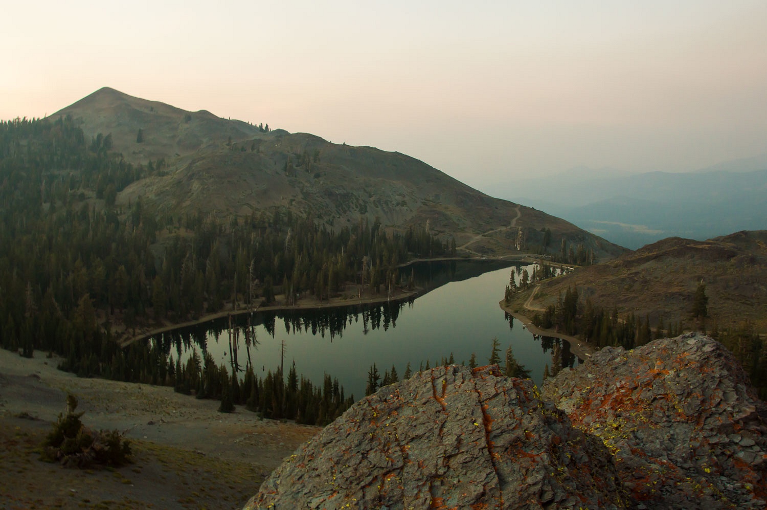
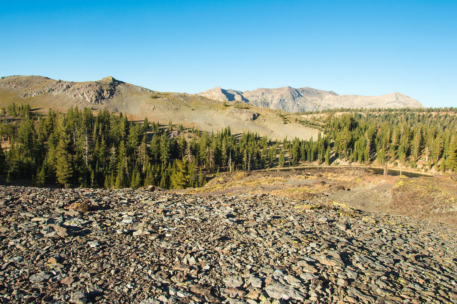
We circled the upper reservoir.

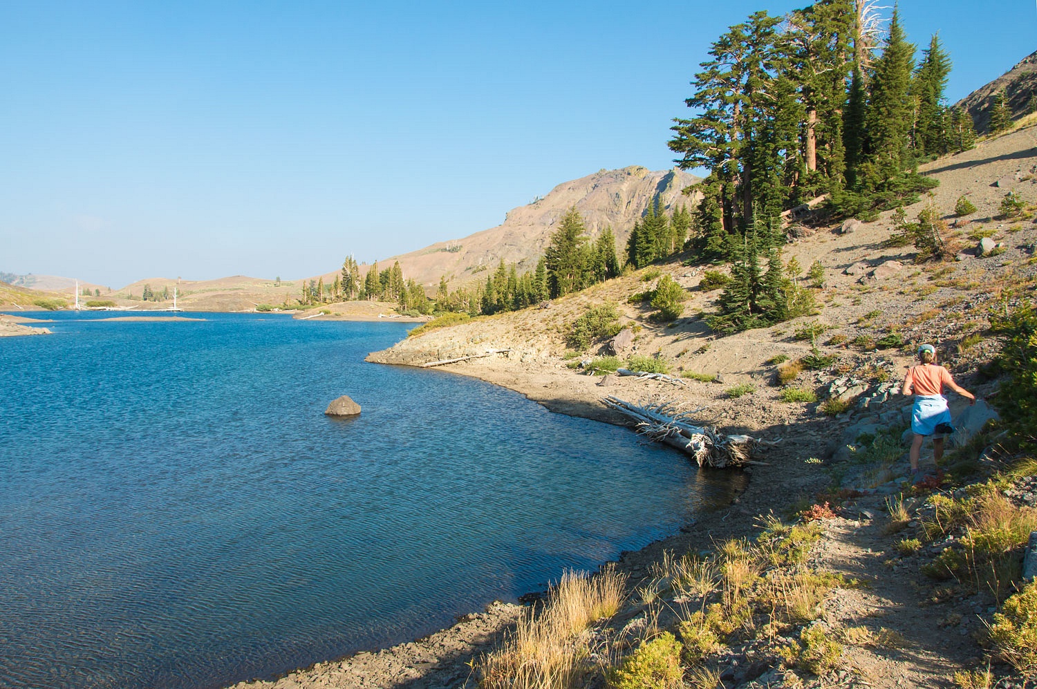
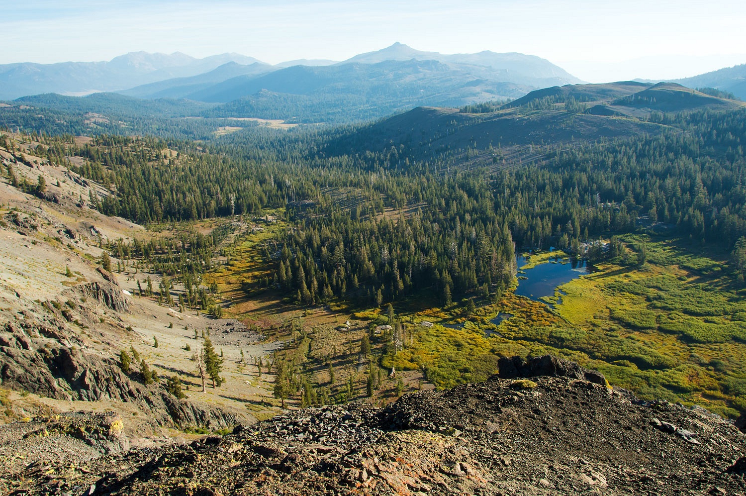
The eastern rim of this basin includes a precipitous drop to the headwater meadows below.
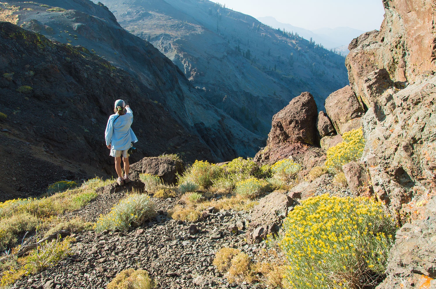
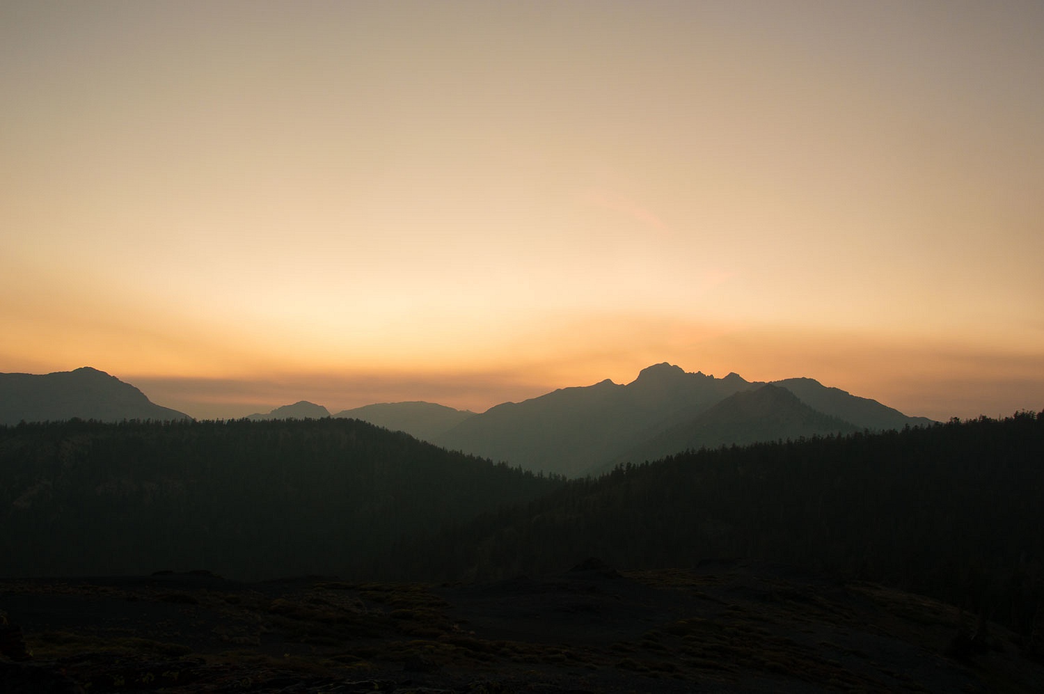
Smoke from all the wildfires hung in the drainages below us.
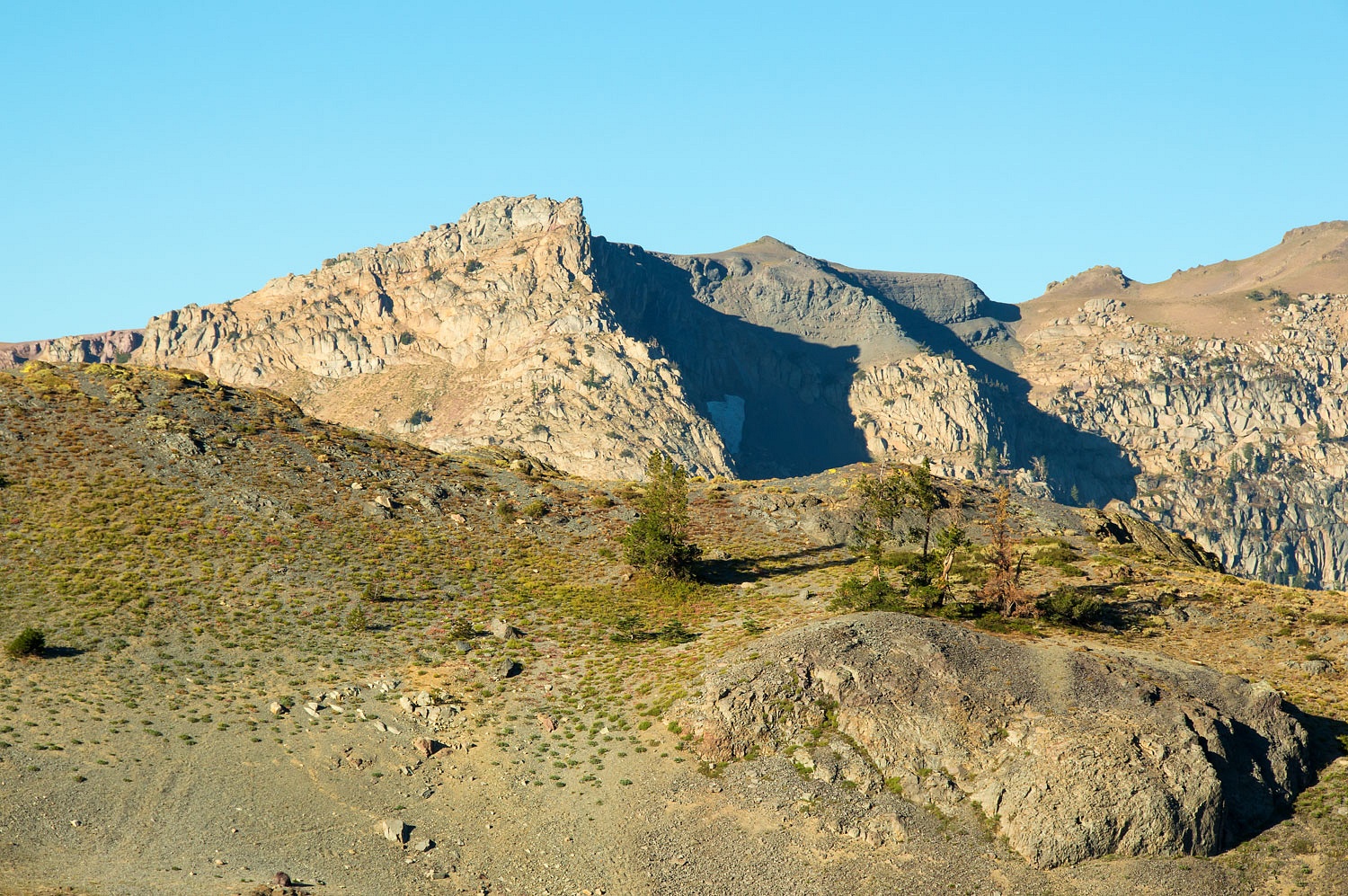
The Slink fire, burning in the Carson Iceberg Wilderness to the southeast started the previous Saturday. The smoke plume boiled up in the few minutes we were able to view it from a high point.
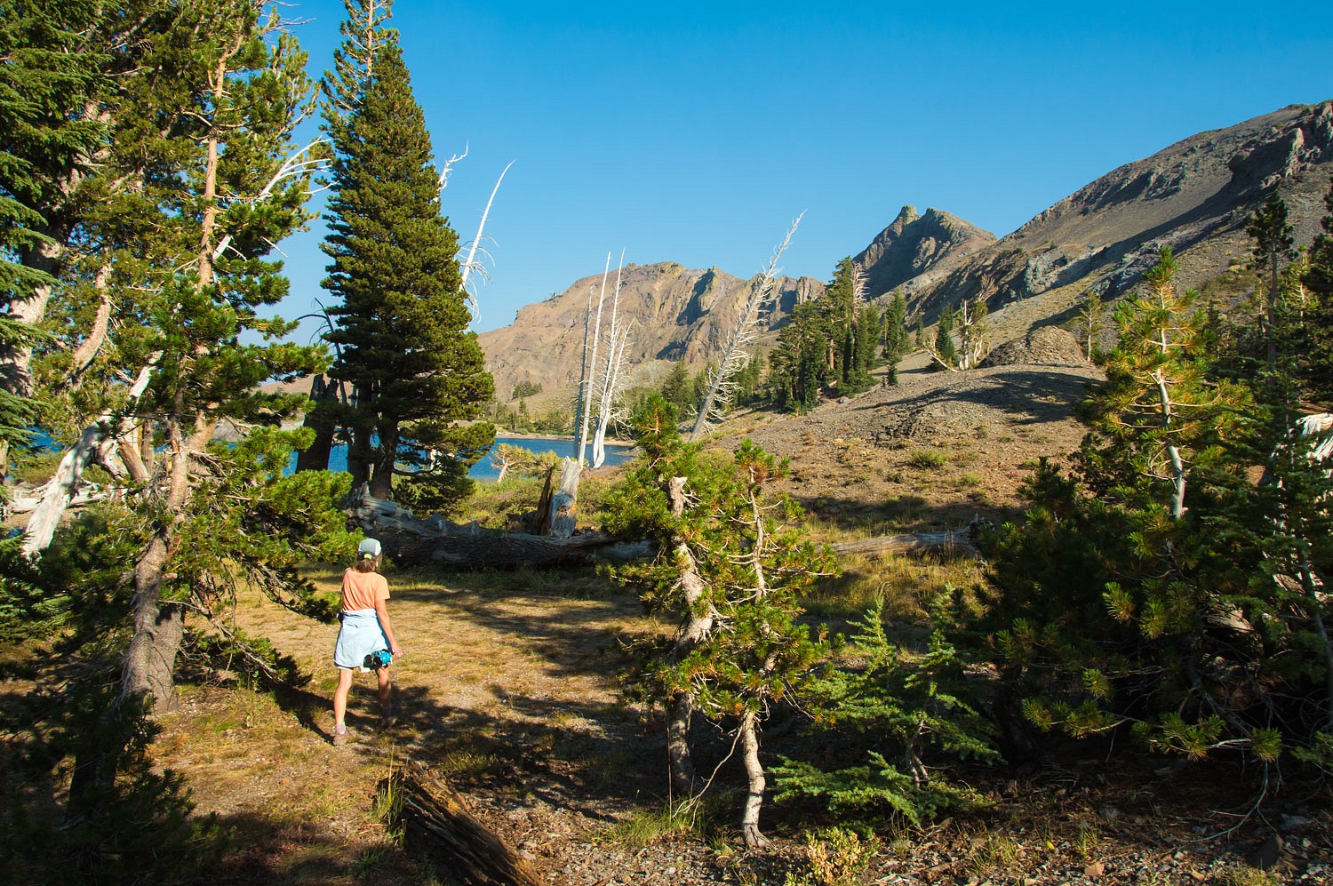
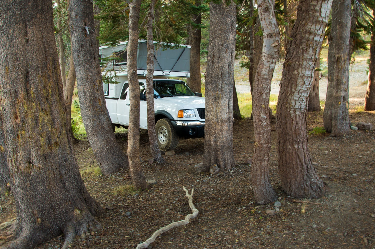
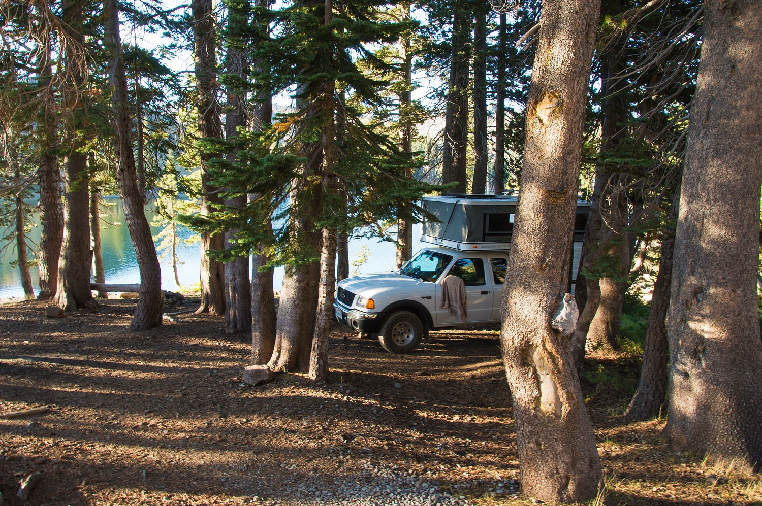
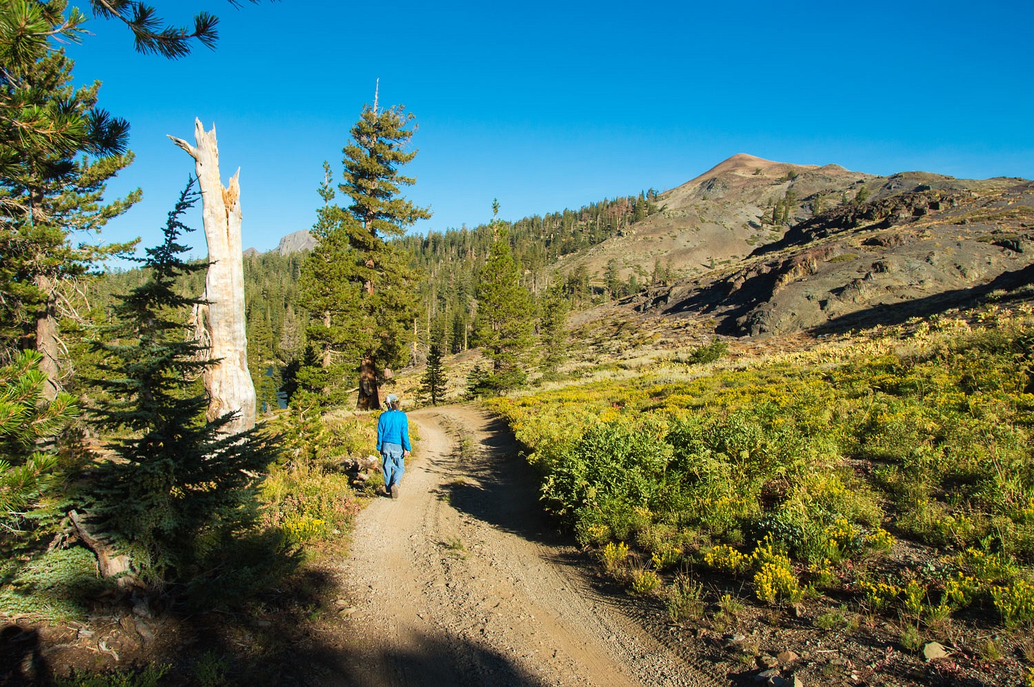
We returned to our small campsite for dinner. We were able to shoehorn the truck and camper into the lodgepoles and raise the downhill side by driving up on rocks to level. It made a cozy camp.
The Pacific Crest Trail runs along
the ridge to the west of Lost Lakes. Two Pacific Crest backpackers were
camped at Lost Lakes this evening - the only neighbors. This is a popular spot along the PCT before continuing north to
Carson Pass.
We walked south on the Pacific Crest Trail for our evening walk. Smoke filled the valleys around Blue Lakes, Pacific Gas & Electric hydroelectric reservoirs.
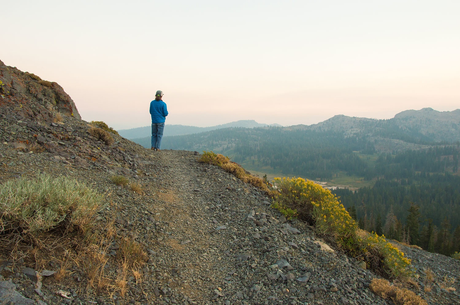
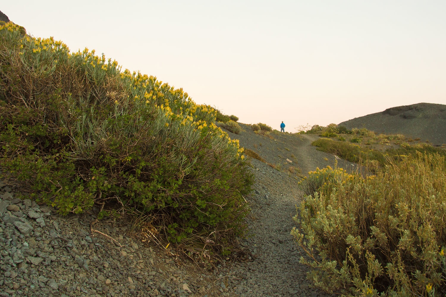

We left the trail and climbed to a high point to take in the views as night came along with the rising near full moon.
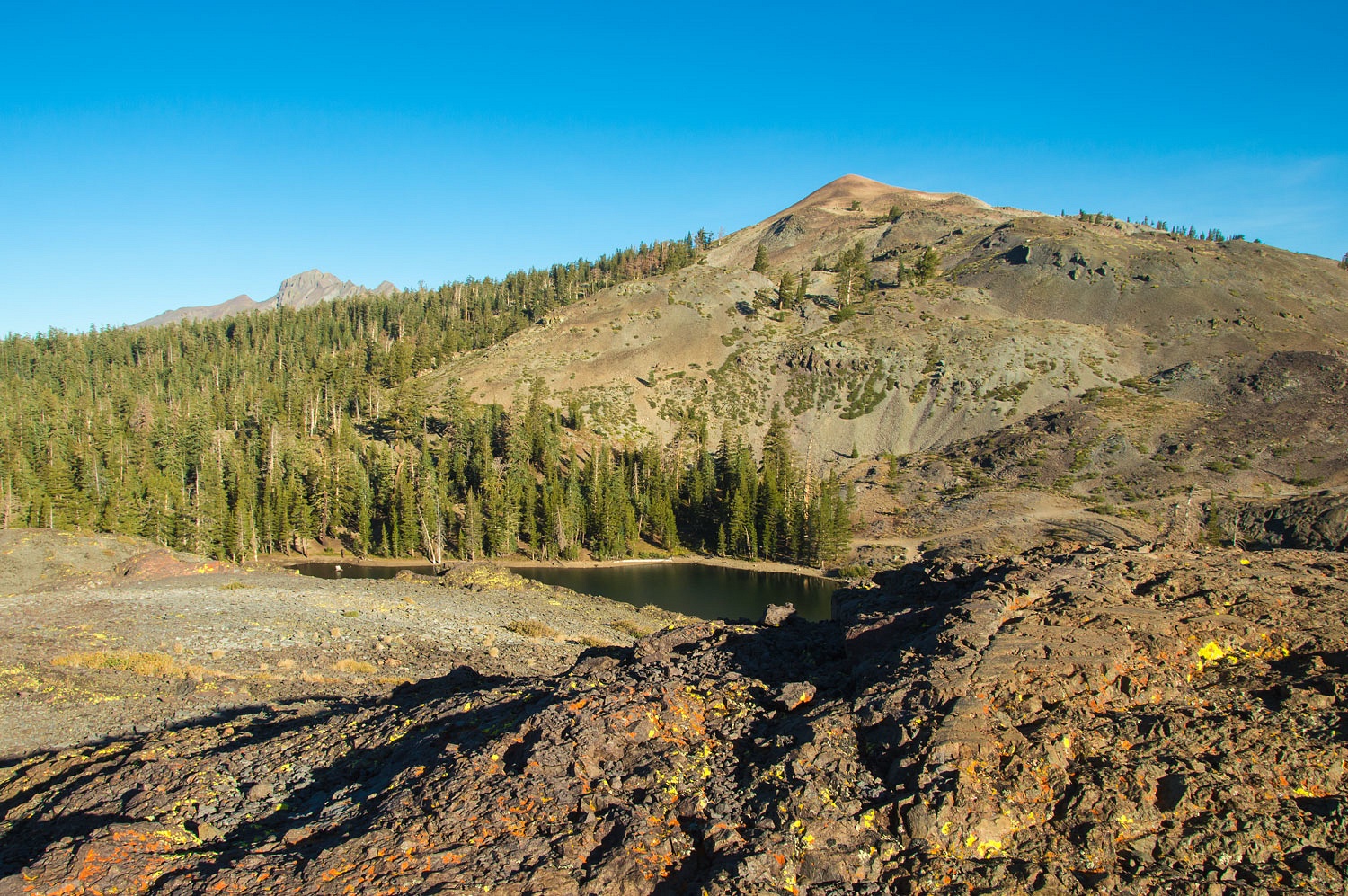
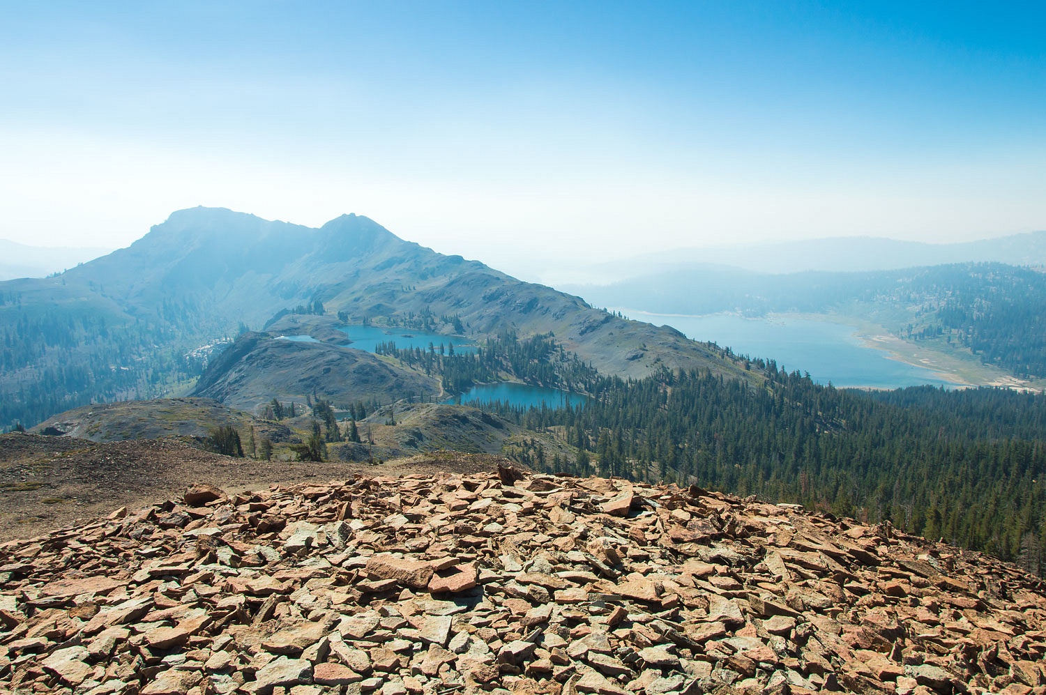
Here's upper and lower Lost Lakes.

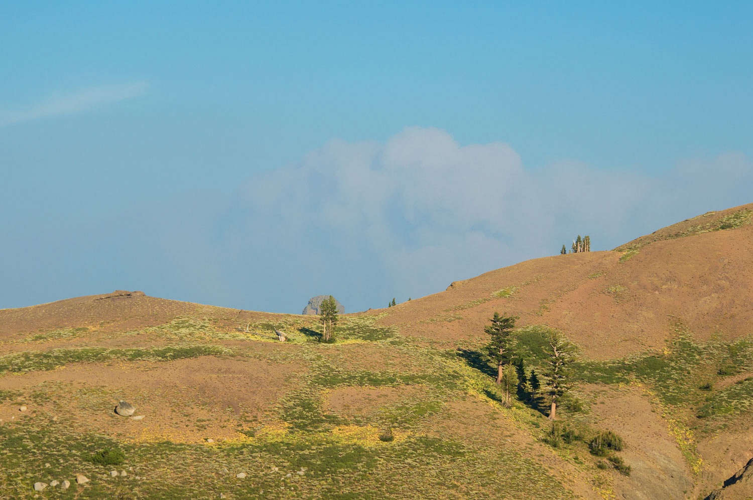
The smoke was also thick to the west. The peak on the right is Round Top, the highest peak in the Eldorado National Forest. Round Top will come up again in our next blog post.
We woke to very pleasant temperatures in the mid fifties the next morning. The air was still and delightfully clear as the night time down slope winds had settled the smoke into the basins.
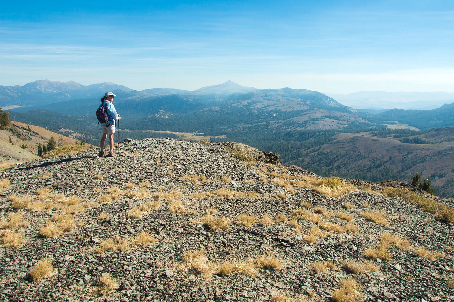
No surprise, the Lady insisted we climb a few high spots with our morning mugs of coffee. The views were wonderful.
And, she decided the peak on the right, below, was the destination for a quick hike after breakfast.
The smoke had cleared a bit from the Carson Valley below us.
The three peaks in the center of the photo above are Freel, Jobs Sister, and Jobs - The Tahoe Trifecta.
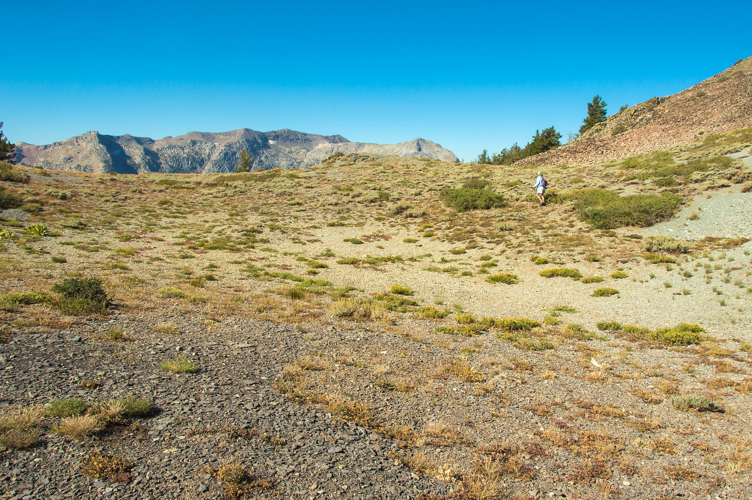
We wandered back to camp for breakfast.
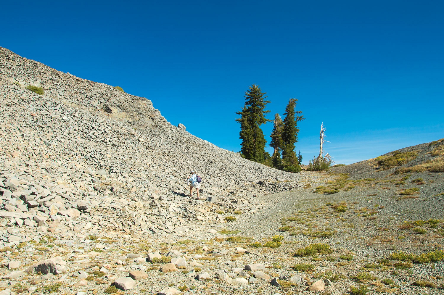
A short illegal hill climb used by
vehicles (not a legal system road) starts up the ridge to the north. It does not go far.
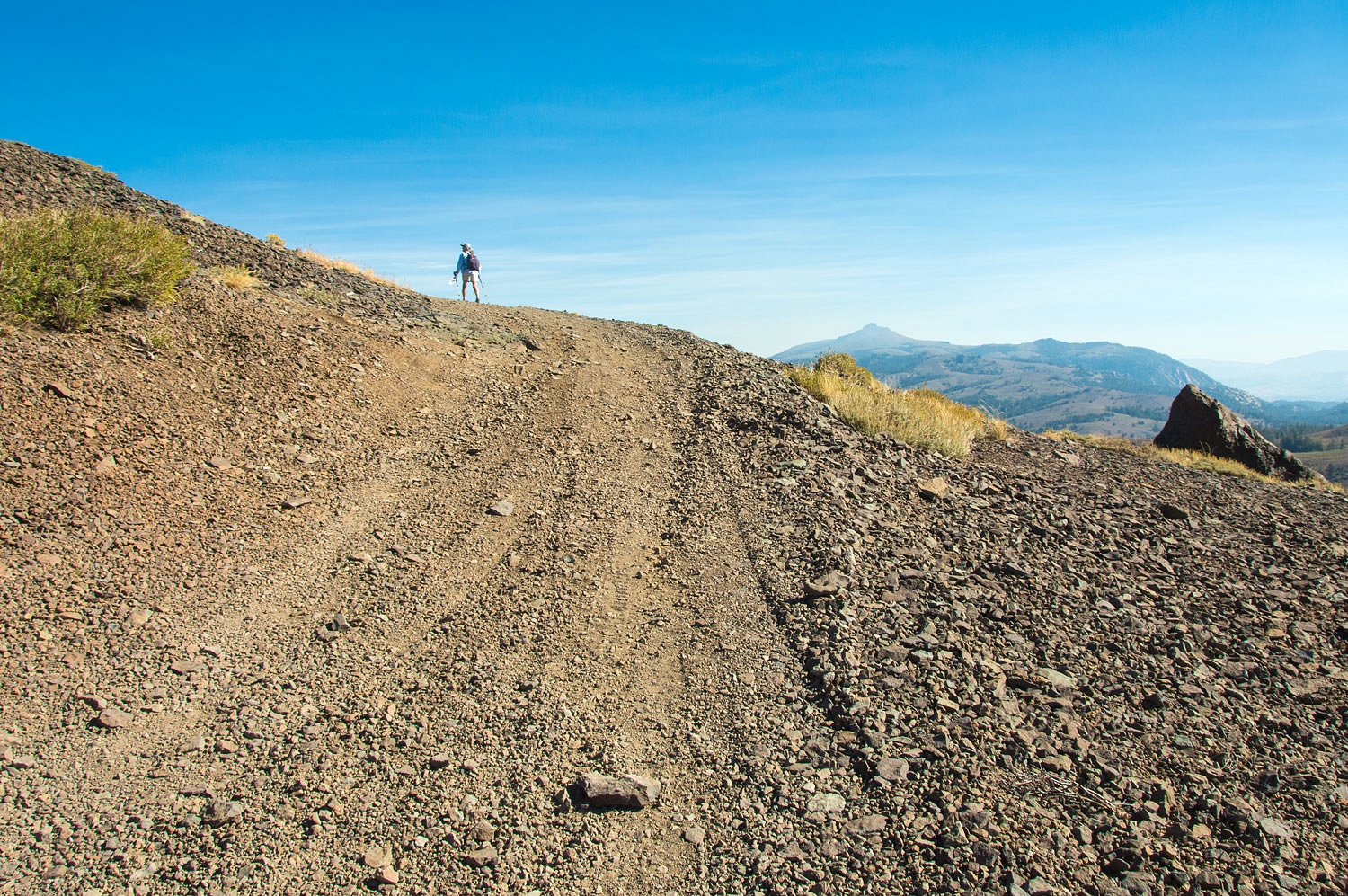
The Lady led the way up.
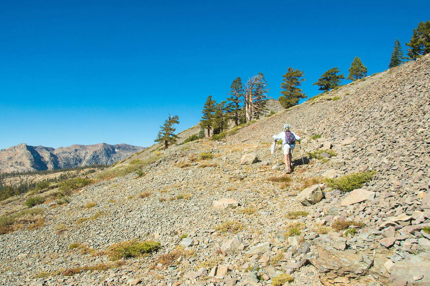
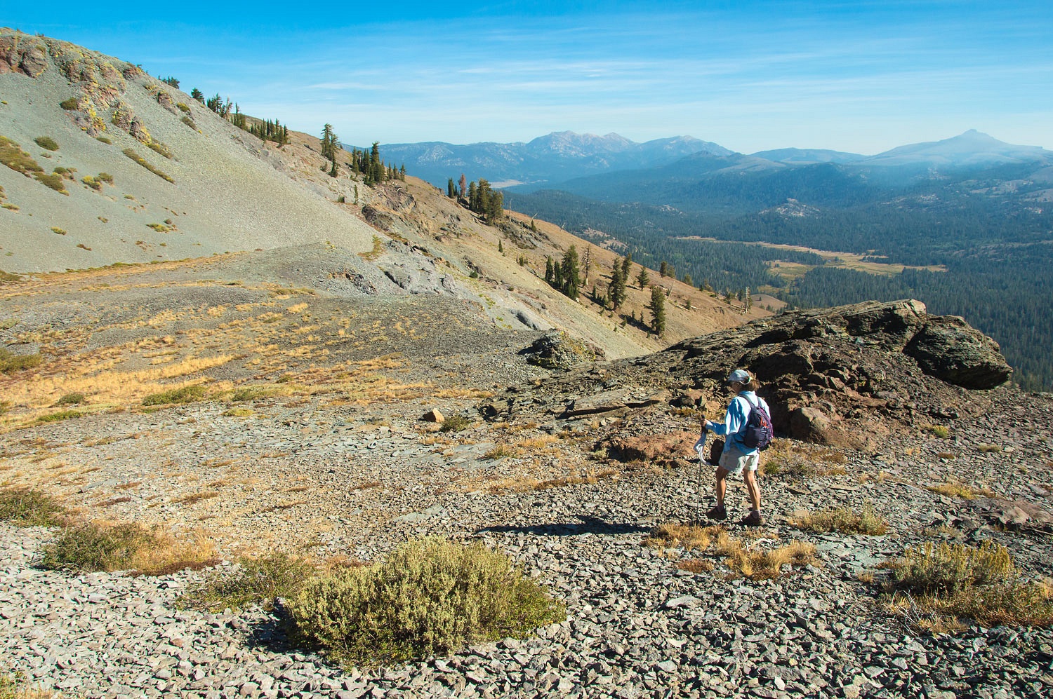
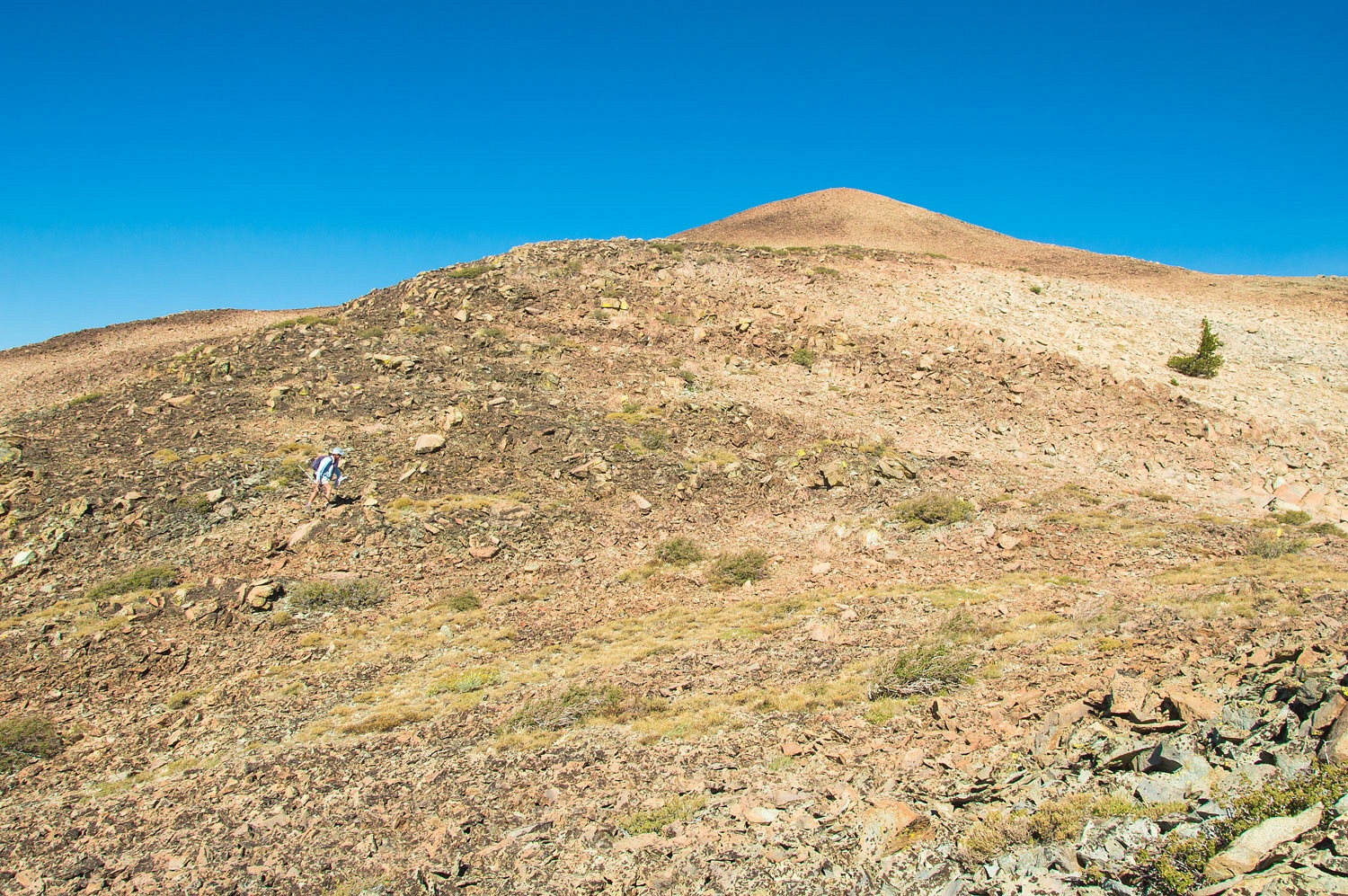
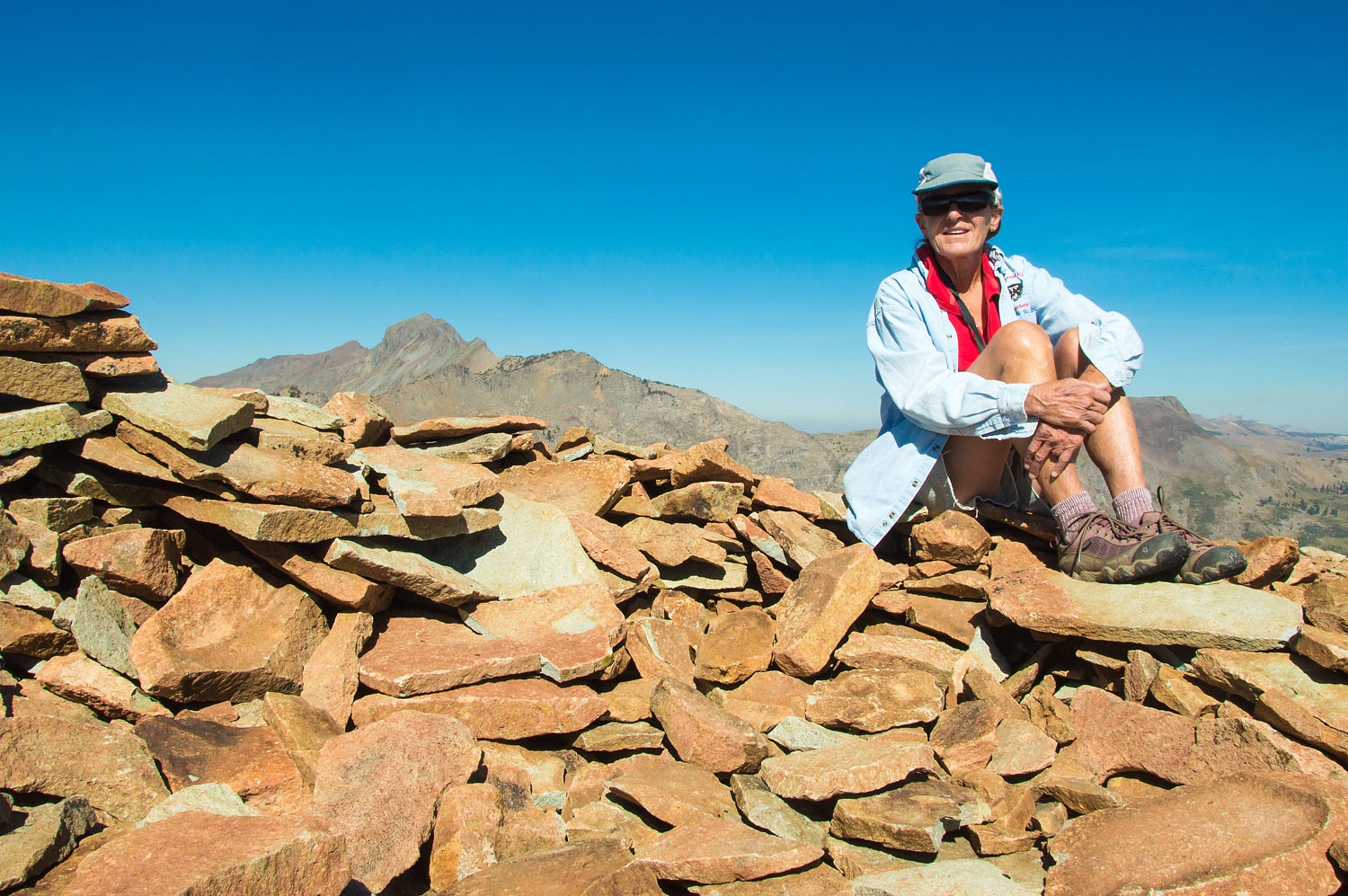
A hop, skip, and a jump and we were on the summit of point 9374.
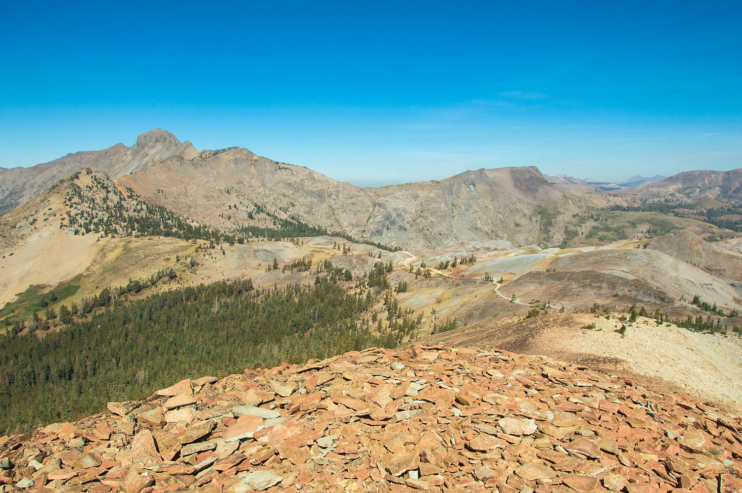
Round Top is on the left, above, and Elephants Back is to the right. Fremont's second expedition camped near the base of Elephants Back in February 1844 before crossing what is now called Carson Pass on the way into California. The Pacific Crest Trail parallels Forestdale Divide Road in this area as it heads to Carson Pass.
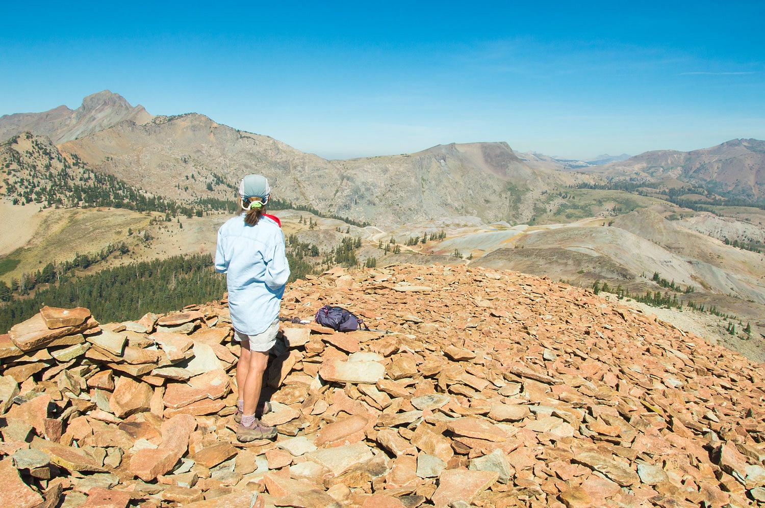
Here's a view to the west down Summit City Canyon on its way to join with the Mokelumne River.

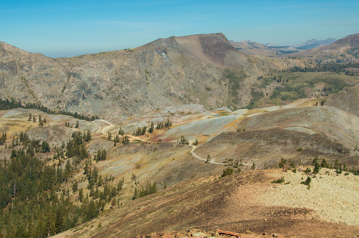
Smoke from the Slink Fire quickly flowed in from the south almost obscuring the Pacific Crest ridge. The high point on the right (on the end of the ridge) is The Nipple.
Luckily we were just above the smoke.
This was just a quick overnight to allow the asphalt seal job to dry - home maintenance. It was a pretty darn nice place to hole up for a night.
Thanks Monte.You made it into the forest just before it closed.
ReplyDeleteGreat to see some of that area.
I have seen the "Nipple"from the Blue Lakes road at hwy 88.
Frank
Thanks Frank! This trip was the last day of August, before Labor Day weekend.
DeleteWell that was fast. I’m not trolling, just trying to start a discussion. Been looking back at some of your recent posts,
ReplyDeletealmost all covering areas I know and love. Even specific campsites! Kind of alarming! I live in Truckee, been camping,
backpacking, bc skiing, “wandering the west” since the 70s. FWC owner for10 years. So we’ve got a lot in common!
Just curious.
K
If you look at our blog you will see that it is personal stories and not a travel guide. I do not give directions to a location or coordinates, as is becoming the norm with many young youtubers who live with electronic devices. When asked, I never supply additional information.
DeleteThe special places, the fragile sites are never shared or their location appropriately obscured. I receive many more complements on my ability to misrepresent locations than I do revealing someone's favorite place. In that regard, I feel pretty good about the always ethical question about sharing a visit to somewhere.
This year has been taxing for all of us with the massive influx of new people to the outdoors. It makes me feel like a native cutthroat and suddenly a load of brook trout have been dumped in my home waters.
Indeed, every post is approached as ethically as I can and I attempt to add as much education as possible without coming across as preaching - and usually fail.
These are our personal stories and here's my personal answer to you.
If one chooses to, one can locate landmarks and place names mentioned here on a topo map or on Google Maps, locate the roads and 4x4 trails accessing them, the foot trails used. Secret places are not given away here. Nor, in reality, are there truly secret locations yet to be found. As stated, these blogs are in no way a guidebook. In general, those who take the time to do research to find a location will be good stewards when they visit, as are these two fine folks. Those whose intent is to act up might stumble upon these places, unfortunately that is the way it is. In the Sierra Nevada, it is also difficult to be truly alone, due to popularity. Blame that on the times, not those who are simply sharing their experiences in word and in fine photography.
DeleteAs always, a wonderful post with great photos. Will we ever have a September without smoke?
ReplyDeleteI sure hope so. So does Julie. Thanks for the nice comment, Dan!
DeleteI agree with David, Ski3pin does a good job of telling their story and keeping locations on the "down low" . But with some research mysteries become evident. Thanks Ski3pin, Mike
ReplyDelete