
please remember you can click on a photo to see a larger version & highlighted text are links to additional information
If The Smoke Don't Get You, The Brush Will
It was a Saturday morning at breakfast. Because of all the current issues - covid, smoke, wildland fires - we were not traveling and staying close to home.
"What do you want to do today?" the Lady asked.
I replied, "Climb Two Peaks."
I knew the answer would get an immediate happy dance from the Lady and away we went. A short drive from home and we reached the Desolation Wilderness trailhead, although our destination was outside the Wilderness.
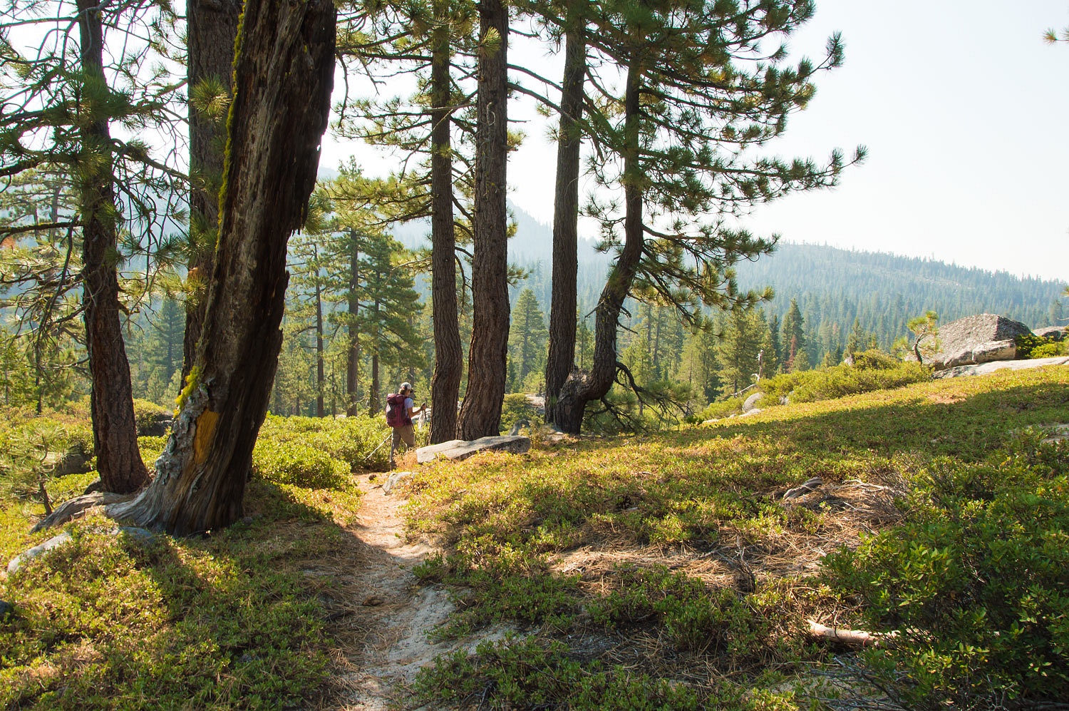
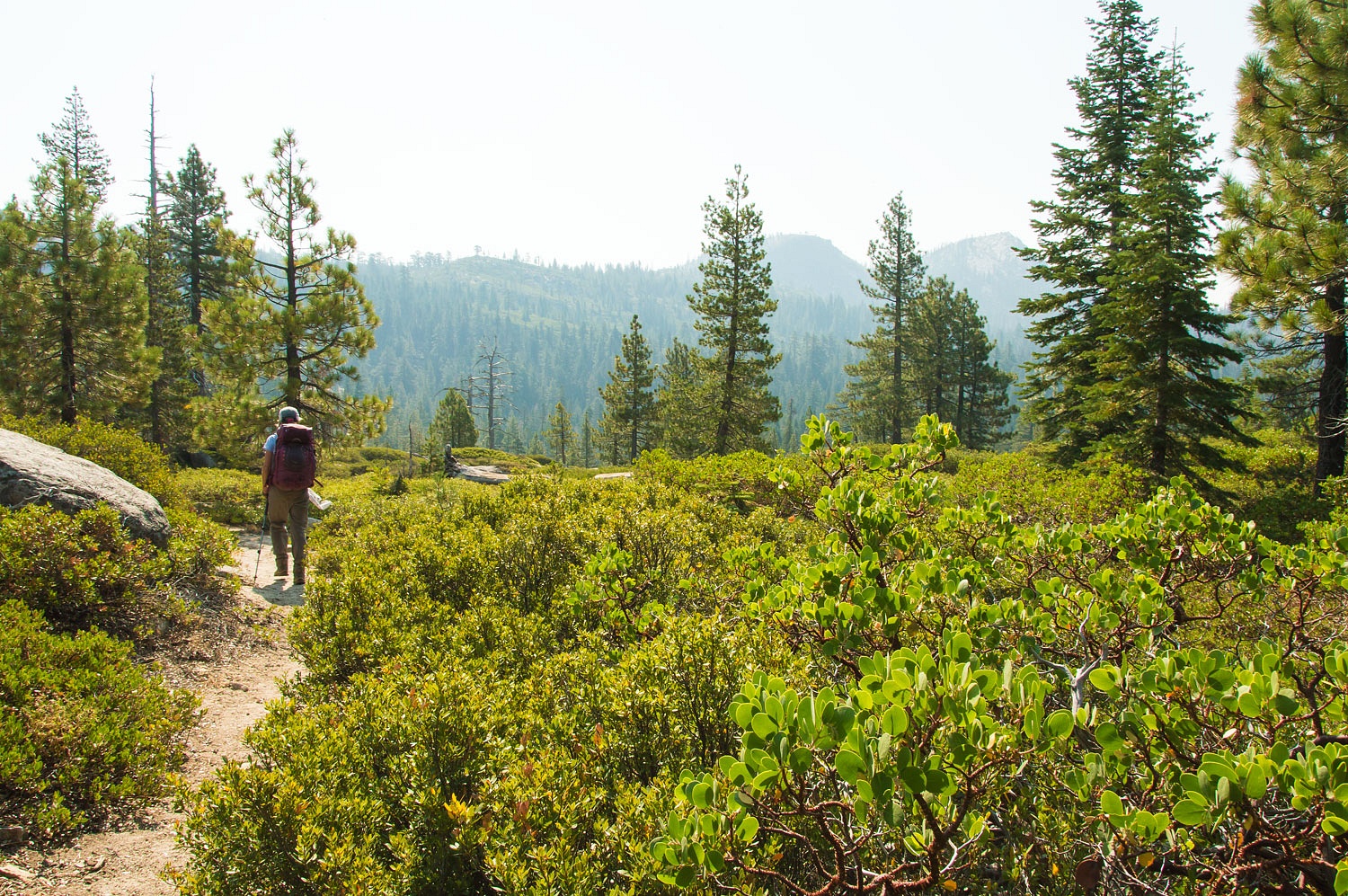
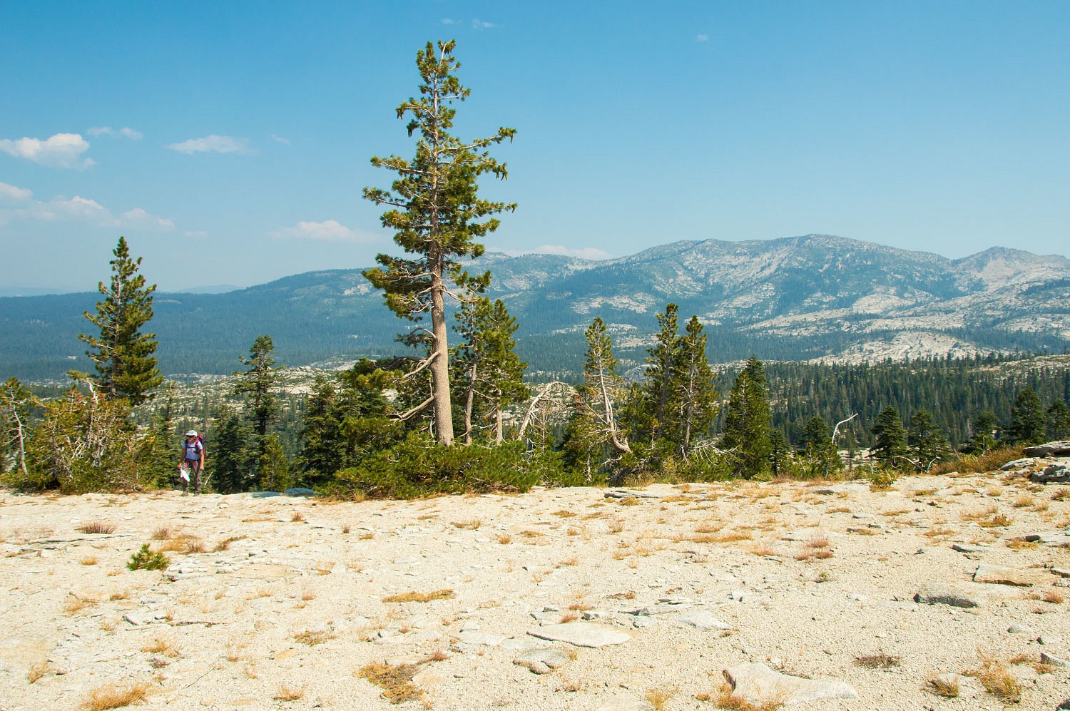
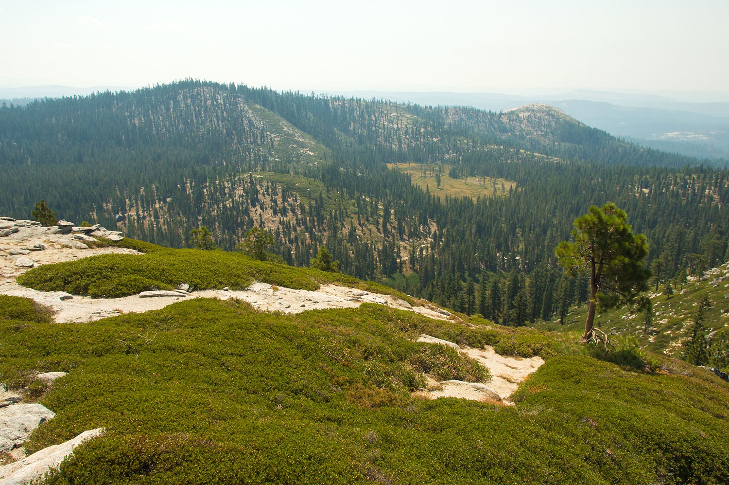
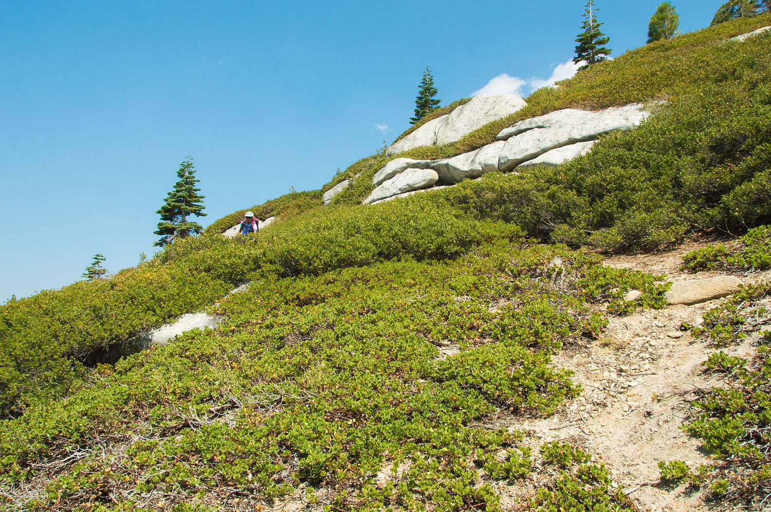
We chatted with three young women at the trailhead and offered a suggestion to add to their three day backpack trip. We hiked down to the Bassi Fork of Silver Creek. Smoke from fires hung in the air. Two Peaks tried to stand out to the south.
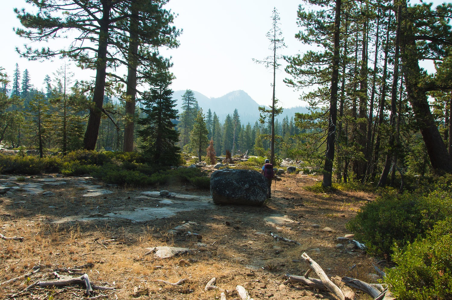
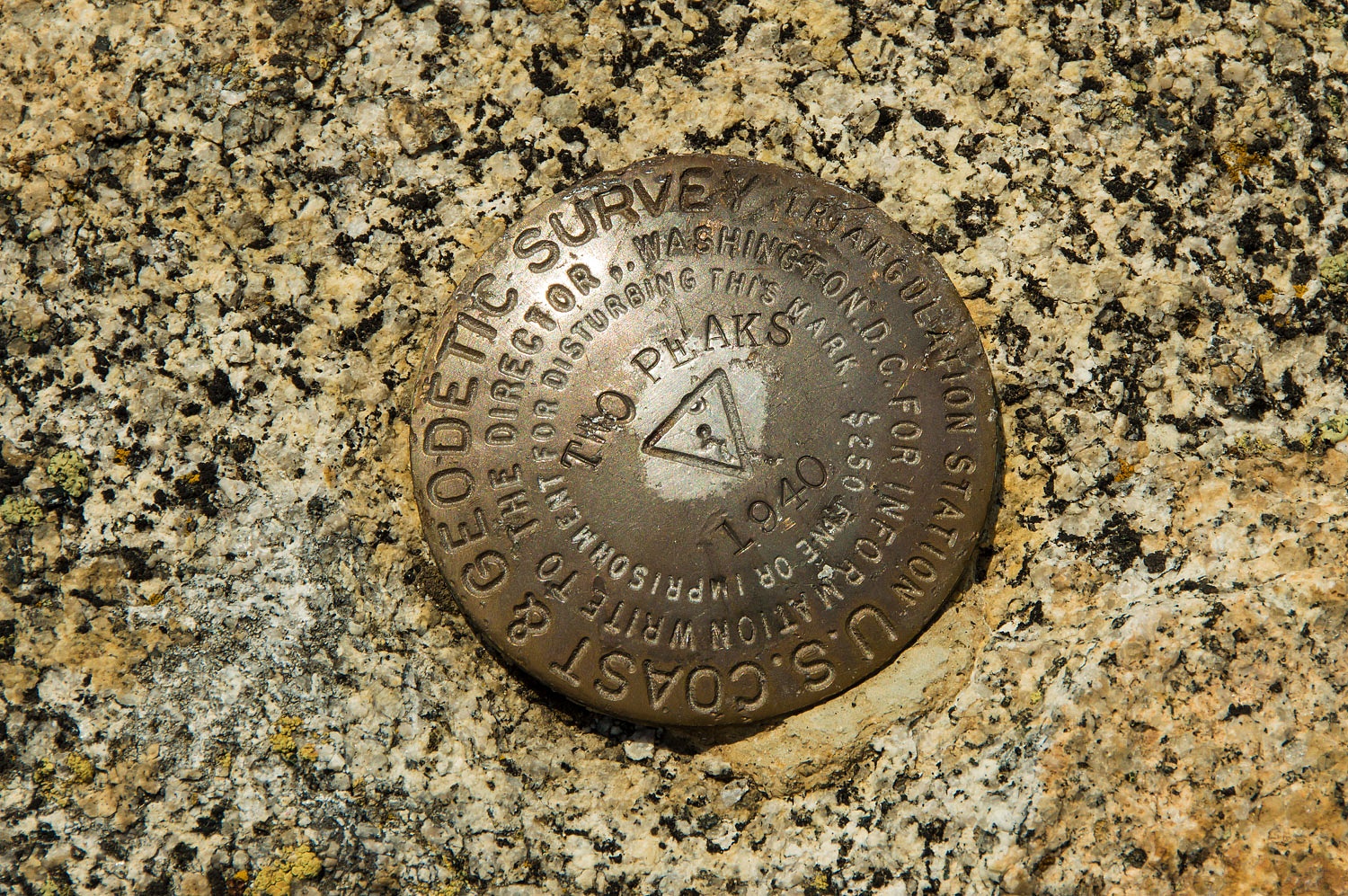
If you wish to become proficient with navigation using topo maps, it's important to pull out your map often and observe the depiction of the terrain with contour lines on the map and constantly compare it to the real world. It is also important to consider perspective. The topo map indicates the eastern summit of Two Peaks (on the left in photos above) is 18 feet higher than the western peak, but from this perspective (angle) it sure looks lower.
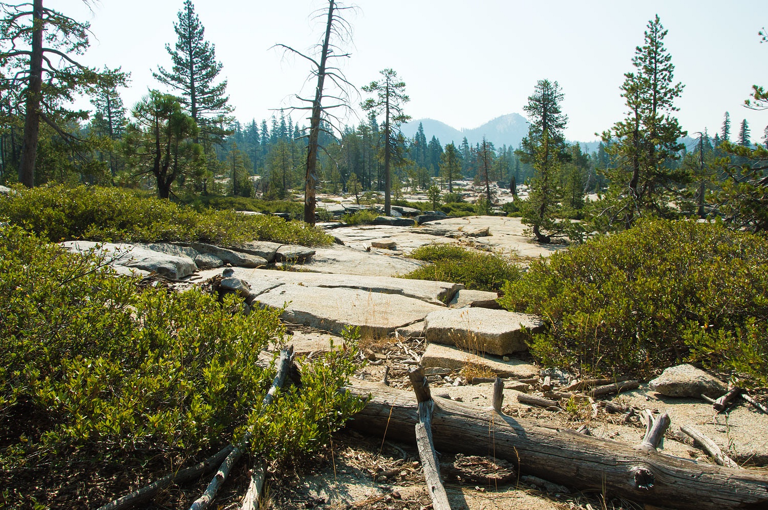
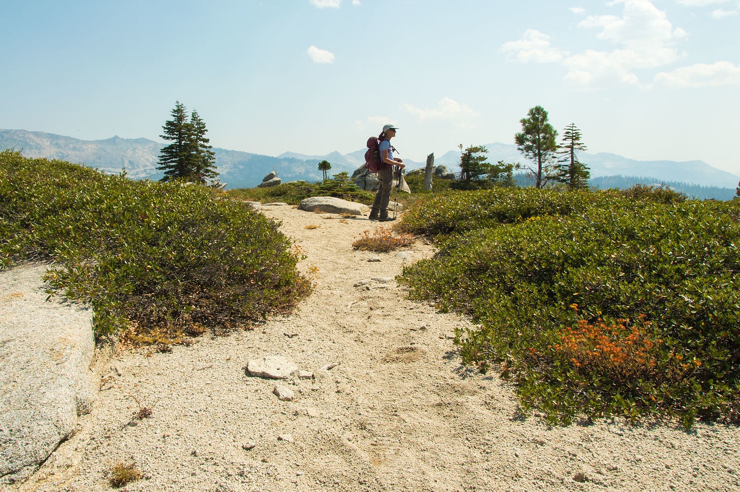
The trails and intersections in this area are not signed. Prior knowledge (research and planning) and a map & compass are essential for ease of finding your way or as we practice, "Staying Found."
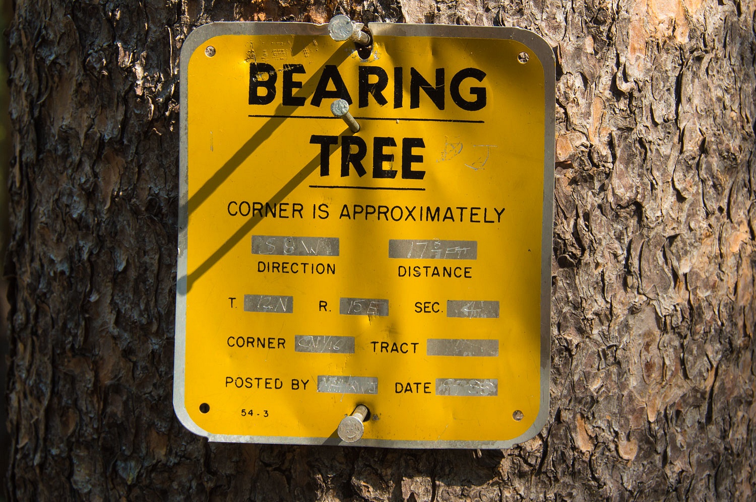
Hiking south from Bassi Fork we came upon a land survey poster tacked to a tree.
A little understanding of the Public Lands Survey System (PLSS), that dates back to the founding of our United States, and a map can quickly pinpoint actual location on the ground, a gold mine in the exercise of "staying found".
This "bearing tree" poster gives directions to a land survey monument. The monument is a bit over 17 feet away. The direction (or bearing) to the monument is South 8° West (S8W). Surveyors use a quadrant compass. Most outdoors people, as we do, use an azimuth compass with the compass circle divided into 360 degrees, so a conversion is necessary. South is 180° and add the 8° to the west (if the shift was to the east, the 8° would be subtracted). This makes the bearing 188° (all bearings are in relation to True North and we, of course, use magnetic declination adjustable compasses that enable the us to "speak the language of true north" as all USGS topo maps do.
Standing at this poster with our back to the tree and our compass indicating a "direction of travel" line of 188°, a bit over 17 feet away we found this -
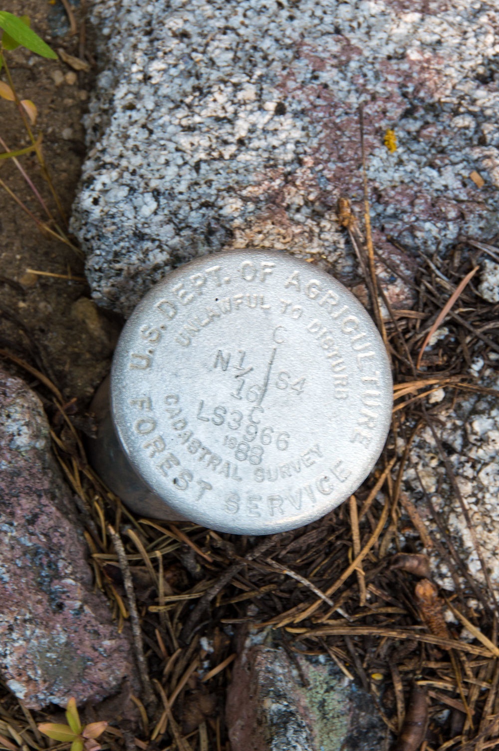
The poster states Section 4 of Township T12N R15E. Here is a photo of the map and with section 4. PLSS land survey lines on USGS topographic maps are always in the color red.
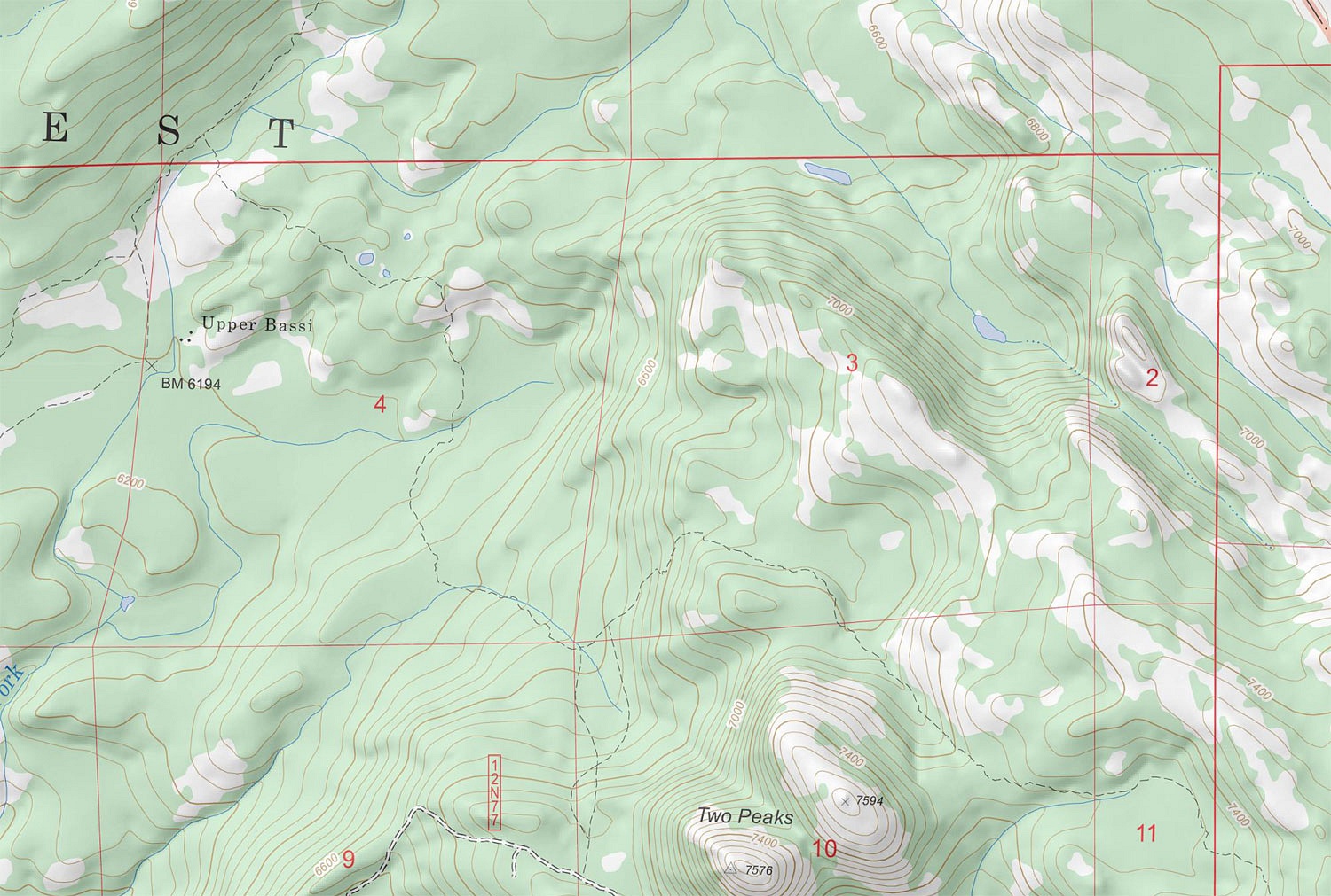
The poster and monument indicate this as the CN 1/16 Corner. This can get complicated in a hurry, so don't over think this. I find it easiest to take it a step at a time along with an already good idea of where we are on the map. Refer back to the above map and section 4. Section 4 has four section corners - the four corners of the square. If I divide section 4 into four quarters as in the photo below -
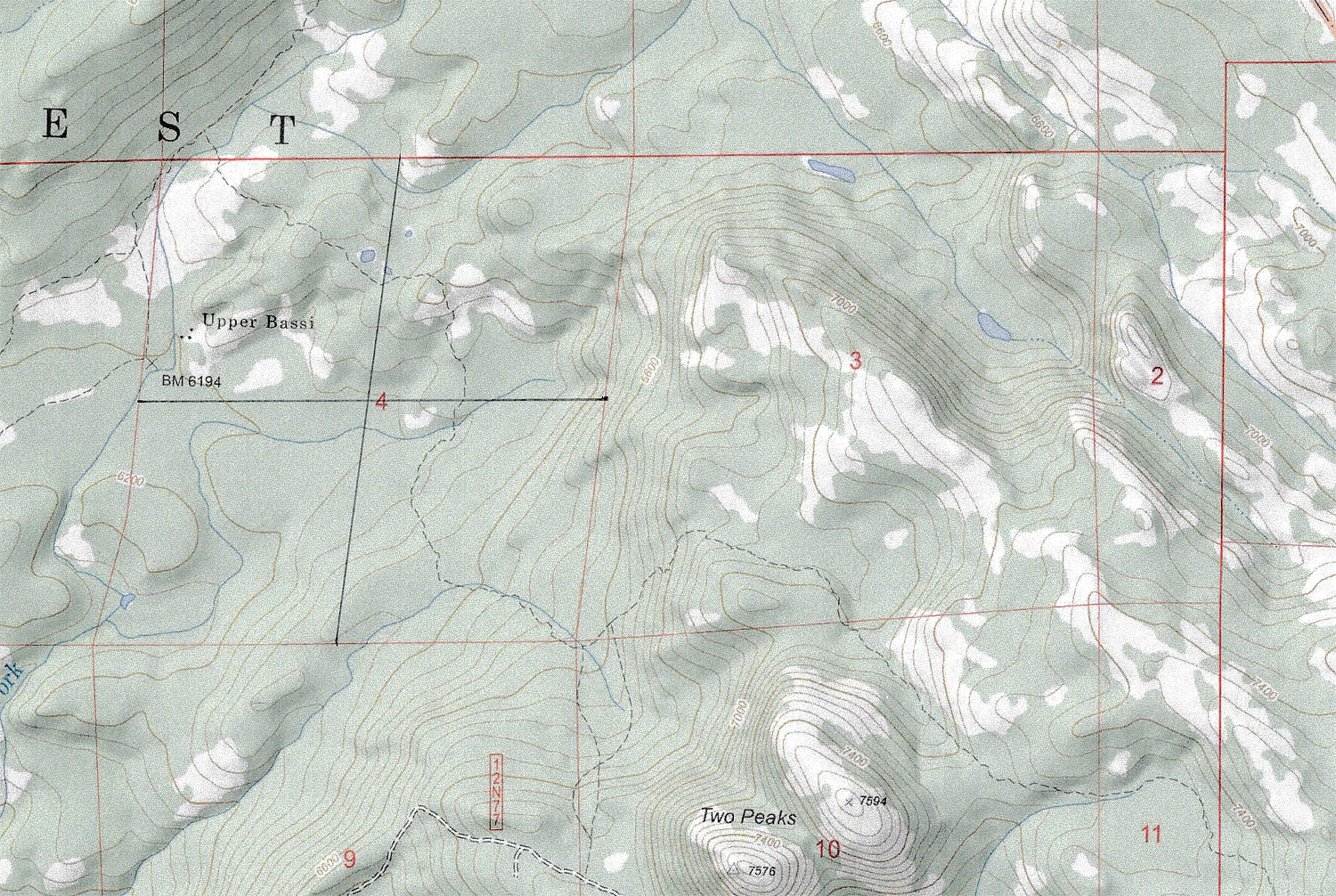
- I have added five 1/4 Corners, north, south, east, west, and center.
It is common to divide a quarter of a section into quarters and these are 1/16 quarters of Section 4. This "quartering" adds 1/16 corners and on the map below I've "quartered" up the NW1/4 of Section 4 and have CN1/16 marked - our location on the map.
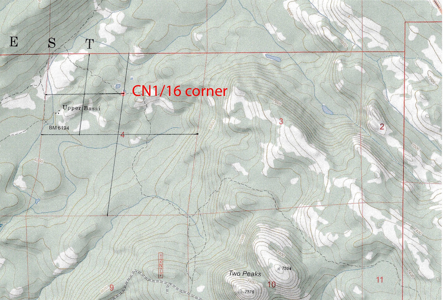
We already have a known "position line" on the map - we are hiking southeast on the Two Peaks Trail, the dashed black line crossing Section 4.
Land survey posters and monuments are found on our public lands. With a little knowledge and practice, we now had a confirmation of our location - we were "found".
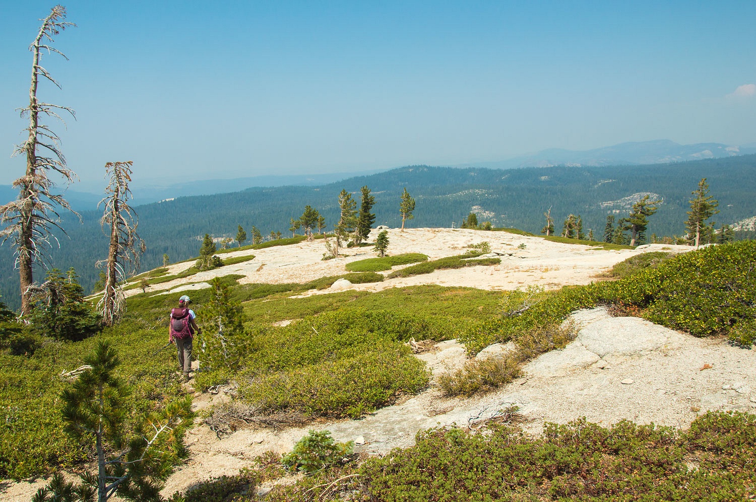
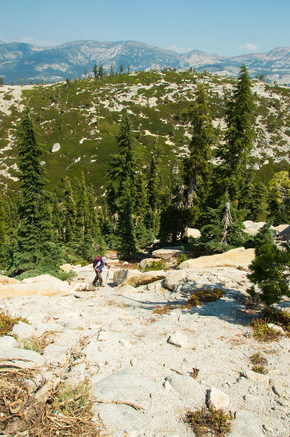
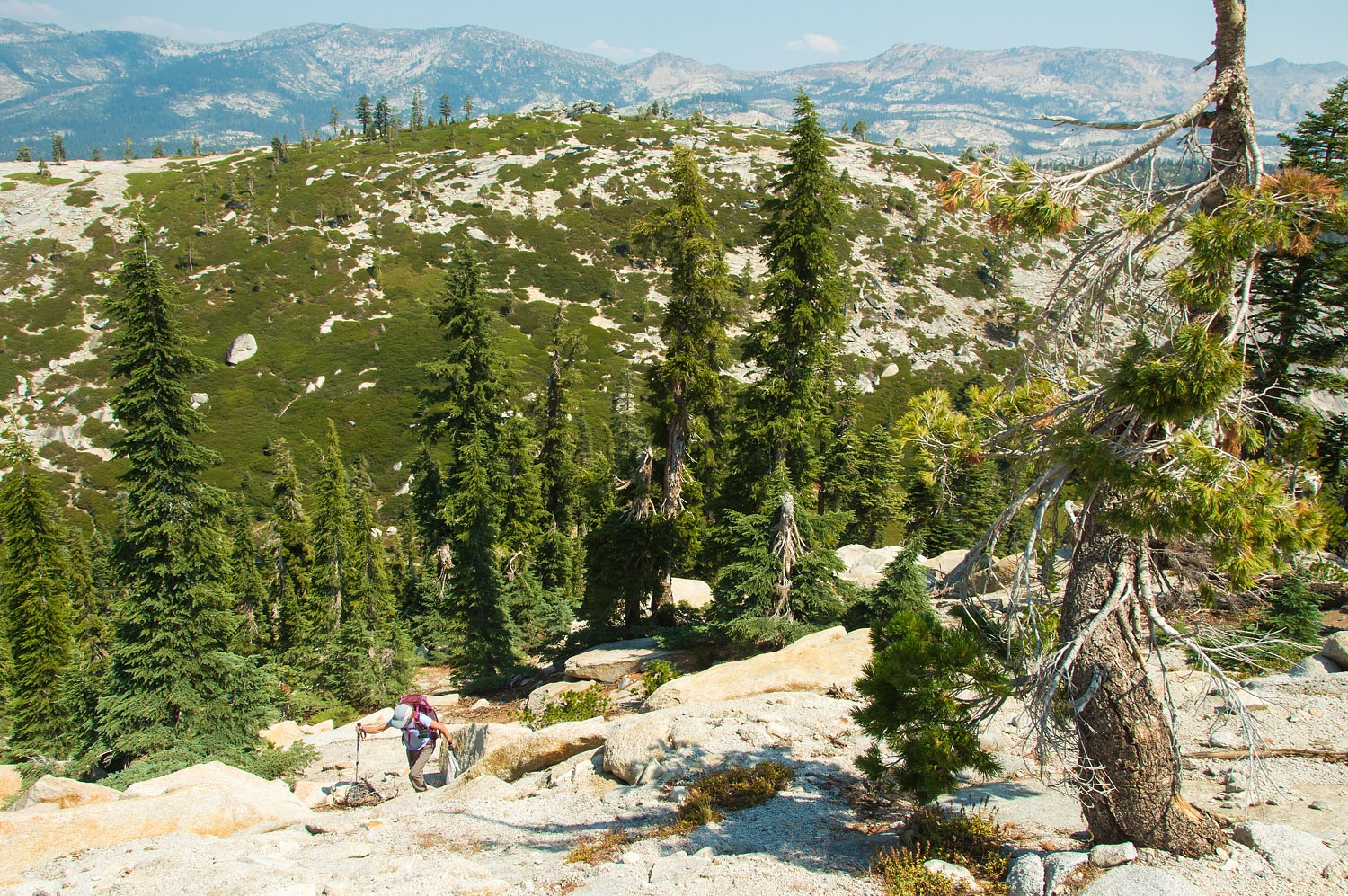
We continued on the trail toward Two Peaks. The smoke worsened.
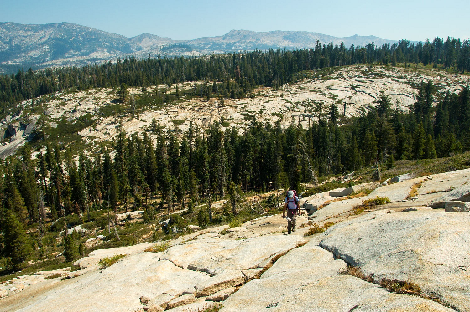
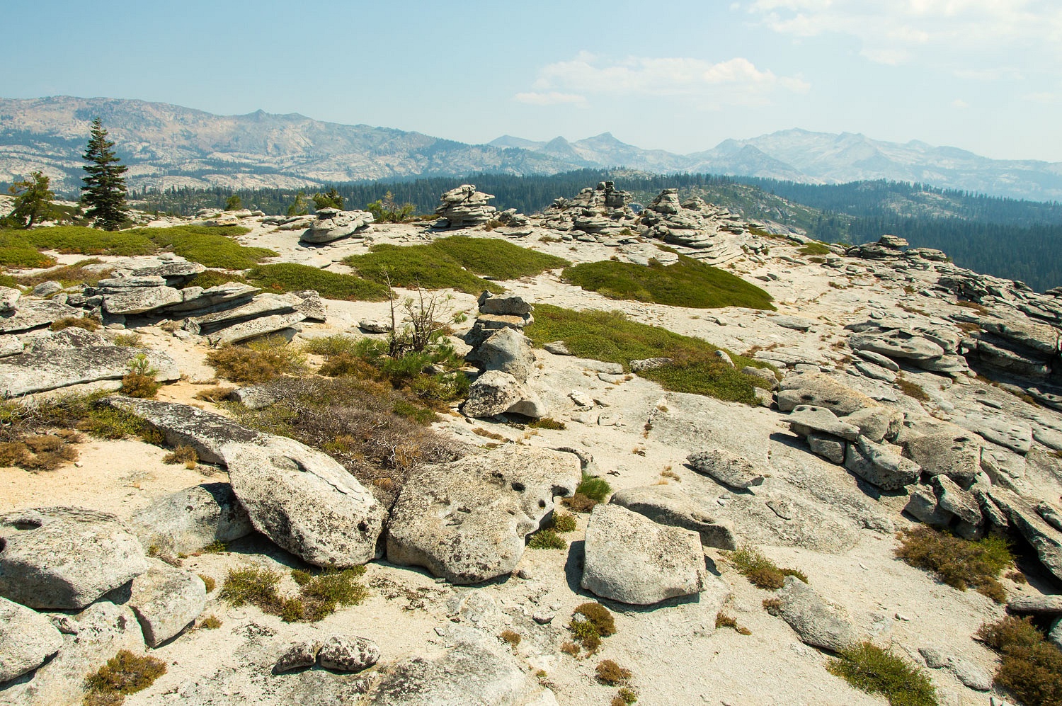
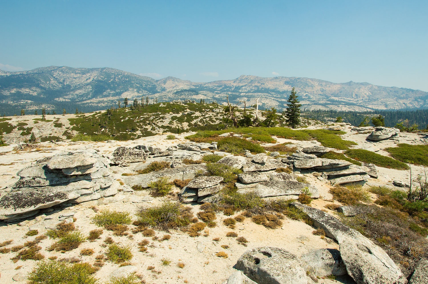
We reached the eastern side of Two Peaks and left the trail and climbed the open granite slabs. The skies were a bit better to the east.
There is an old historic - not shown on maps - trail to the top of the eastern peak. There are trail blazes still visible cut into trees.
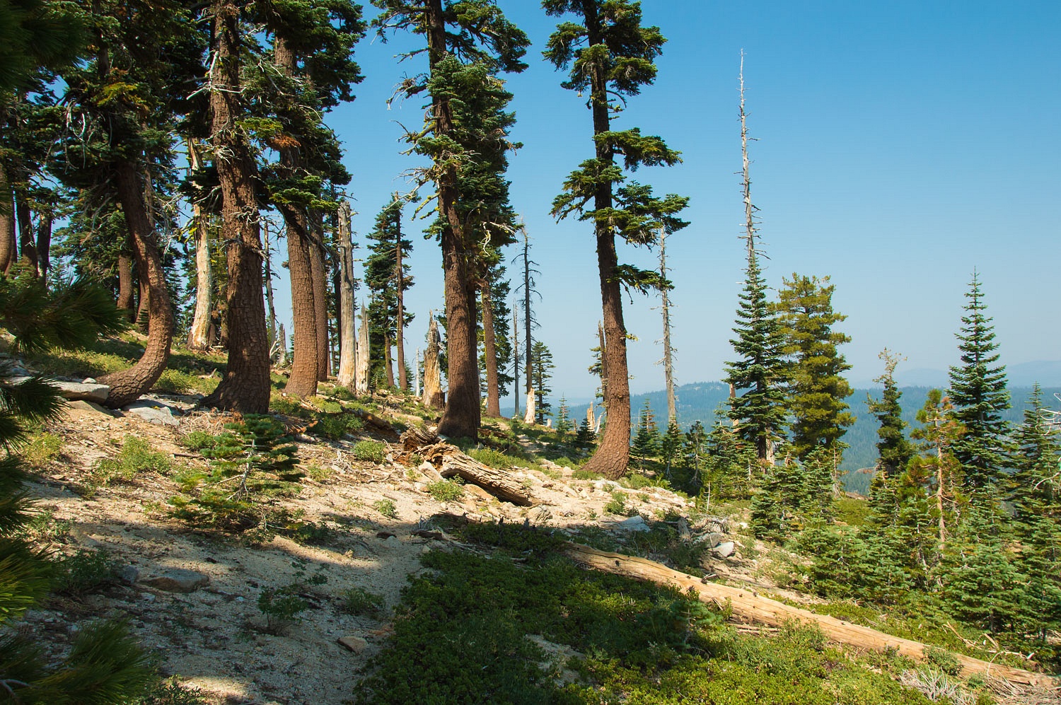
Do you also notice the bend in the trunks of the Red Firs? This is caused by winter's deep, heavy snow pack creeping down slope.
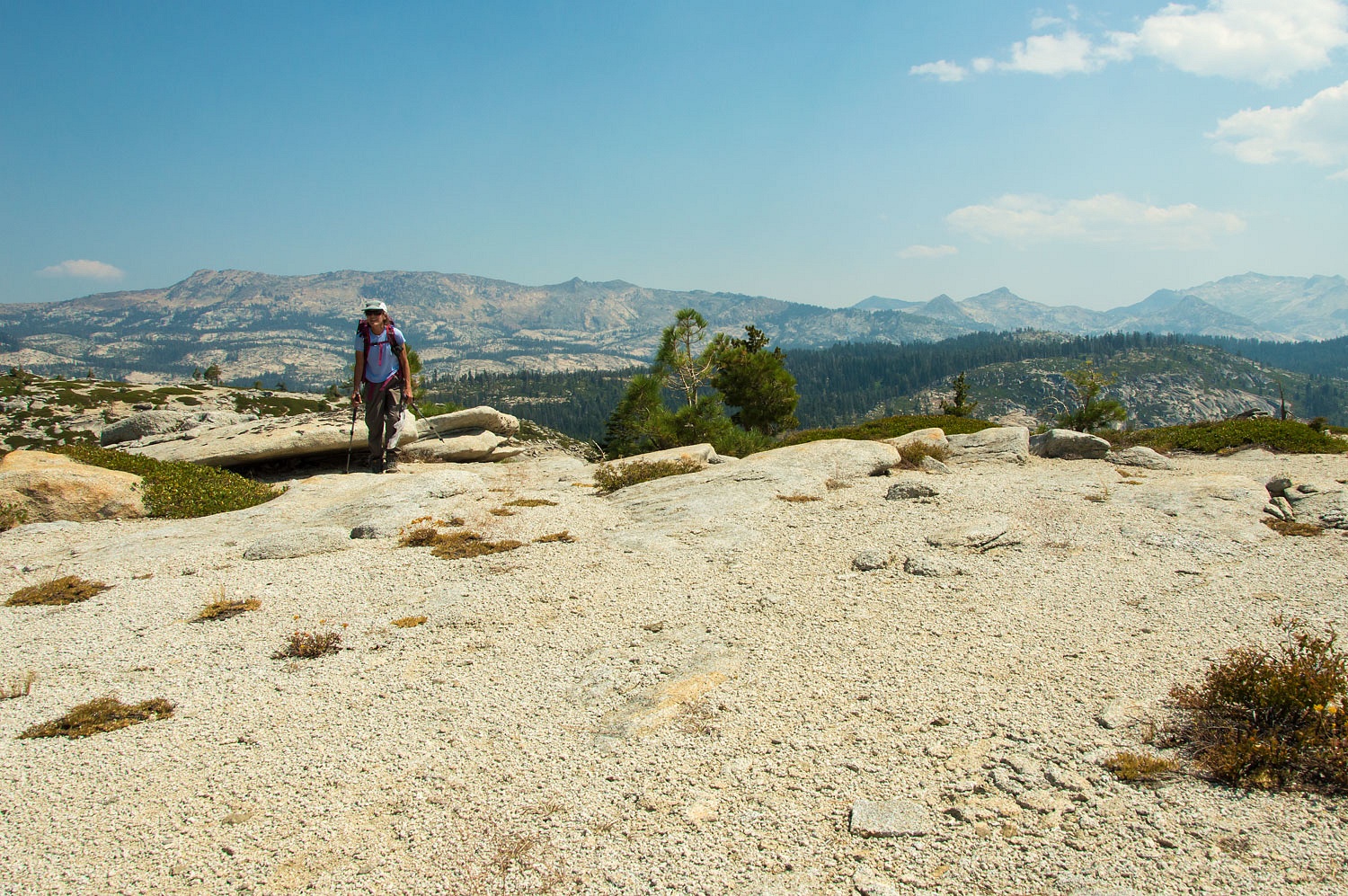
We crossed the trail and continued straight up to the summit ridge. Desolation Wilderness' Crystal Range spread across the east.
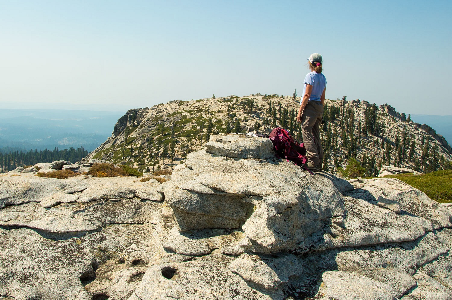
We turned south to the summit.
The more rugged western summit looked oh, so close.
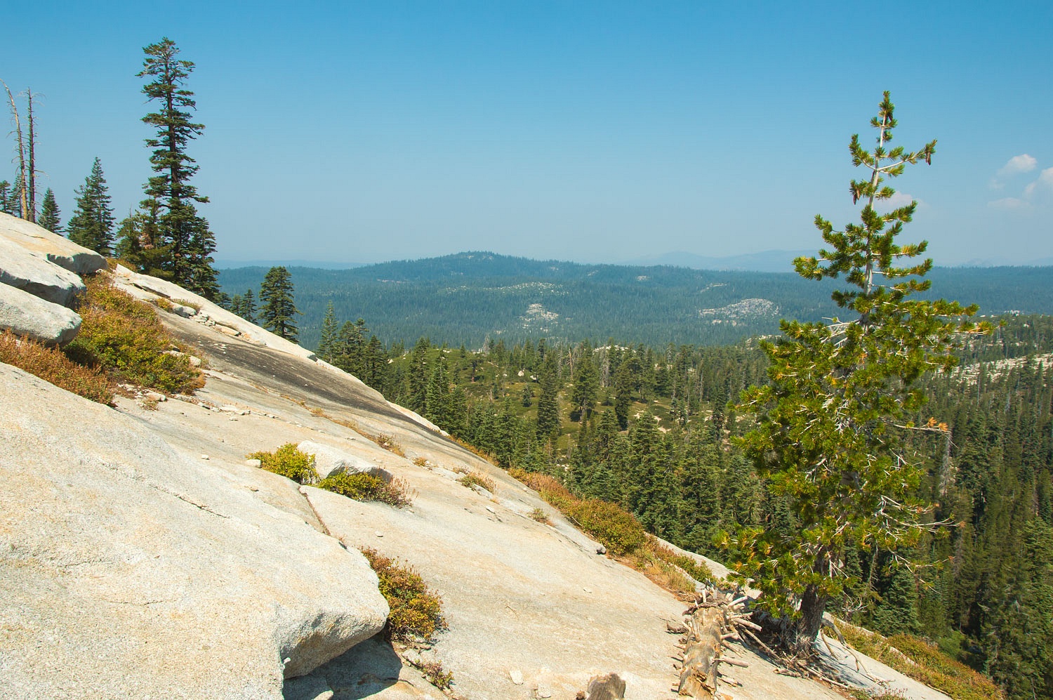
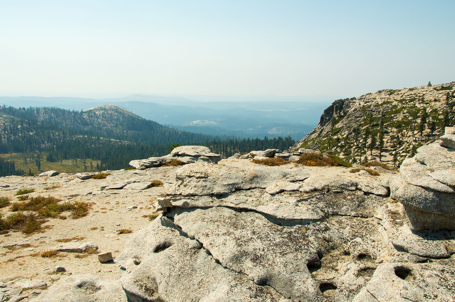
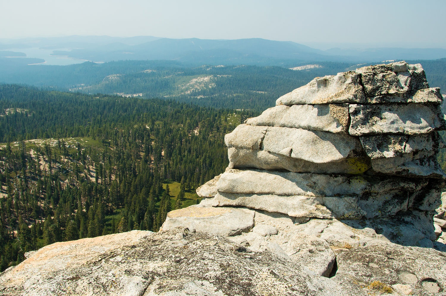
Mortimer Flats, Slick Rock, and Icehouse Reservoir (almost obscured by the smoke) lay to the southwest.
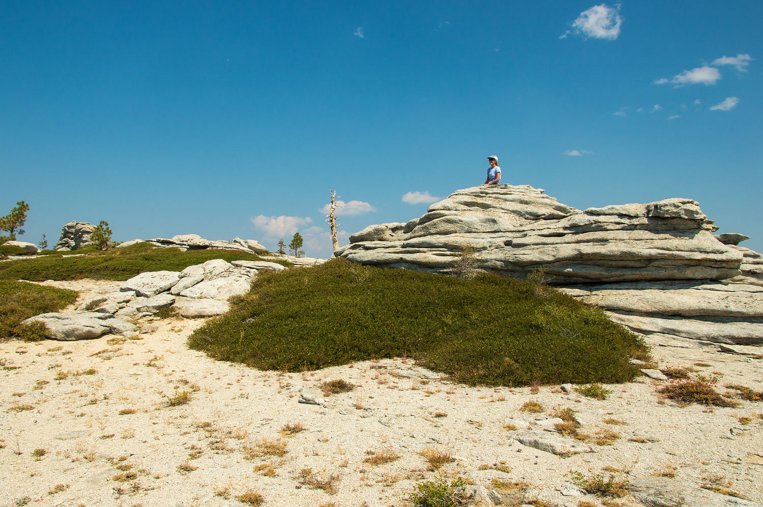
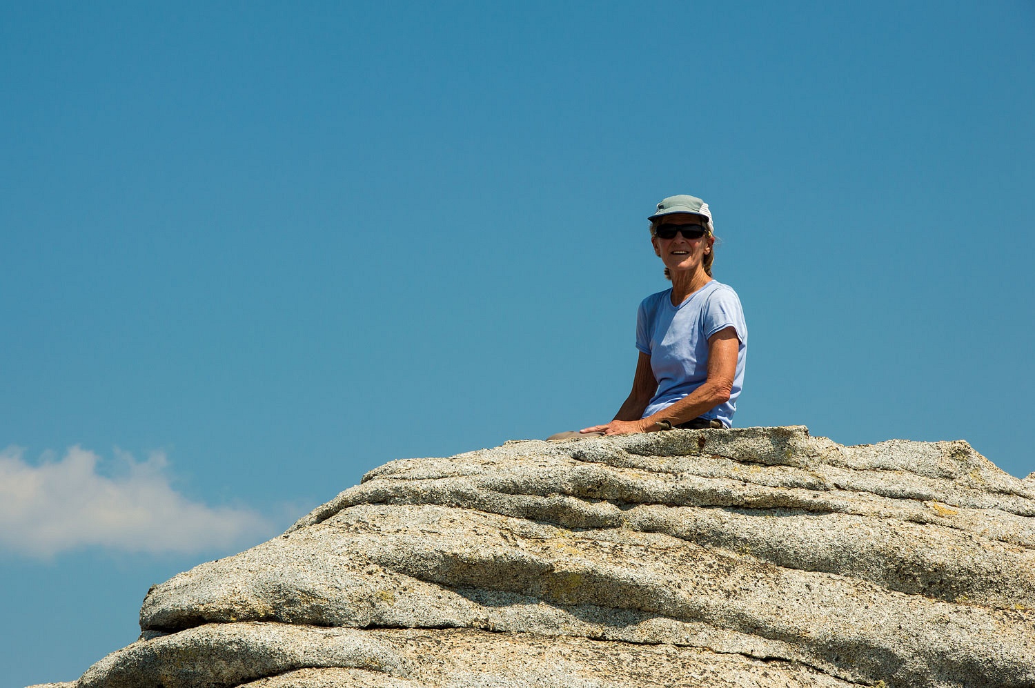
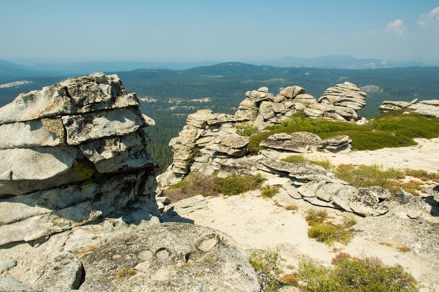
The Lady always loves being on top. The horizontal fracturing of the granite creates amazing knobs on both summits of Two Peaks.
It was time to drop to the saddle between the peaks. We headed north down the ridge and then turned west.
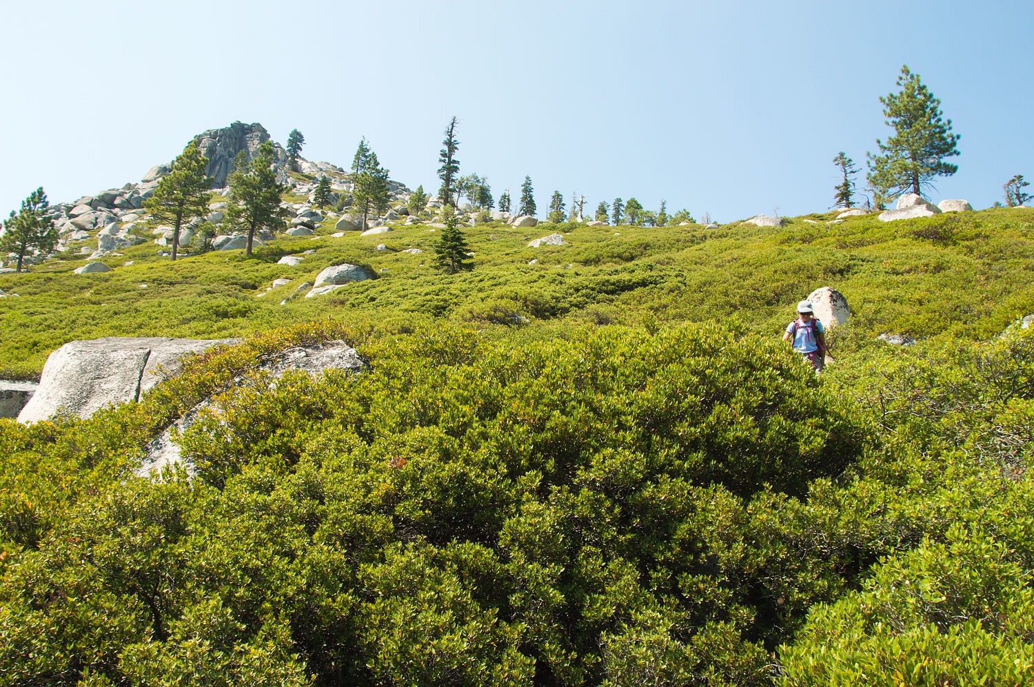
We both remembered, from our last time on top around 2007, a rough use trail that dropped down to the saddle. We did not find it. Either our memories were faulty or the brush has grown. The descent was miserable through Huckleberry Oak. There was at least a hundred yards of never touching the ground with our feet, walking on branches, and holding on to brush. Experience had taught us, "This will be a long pants day."
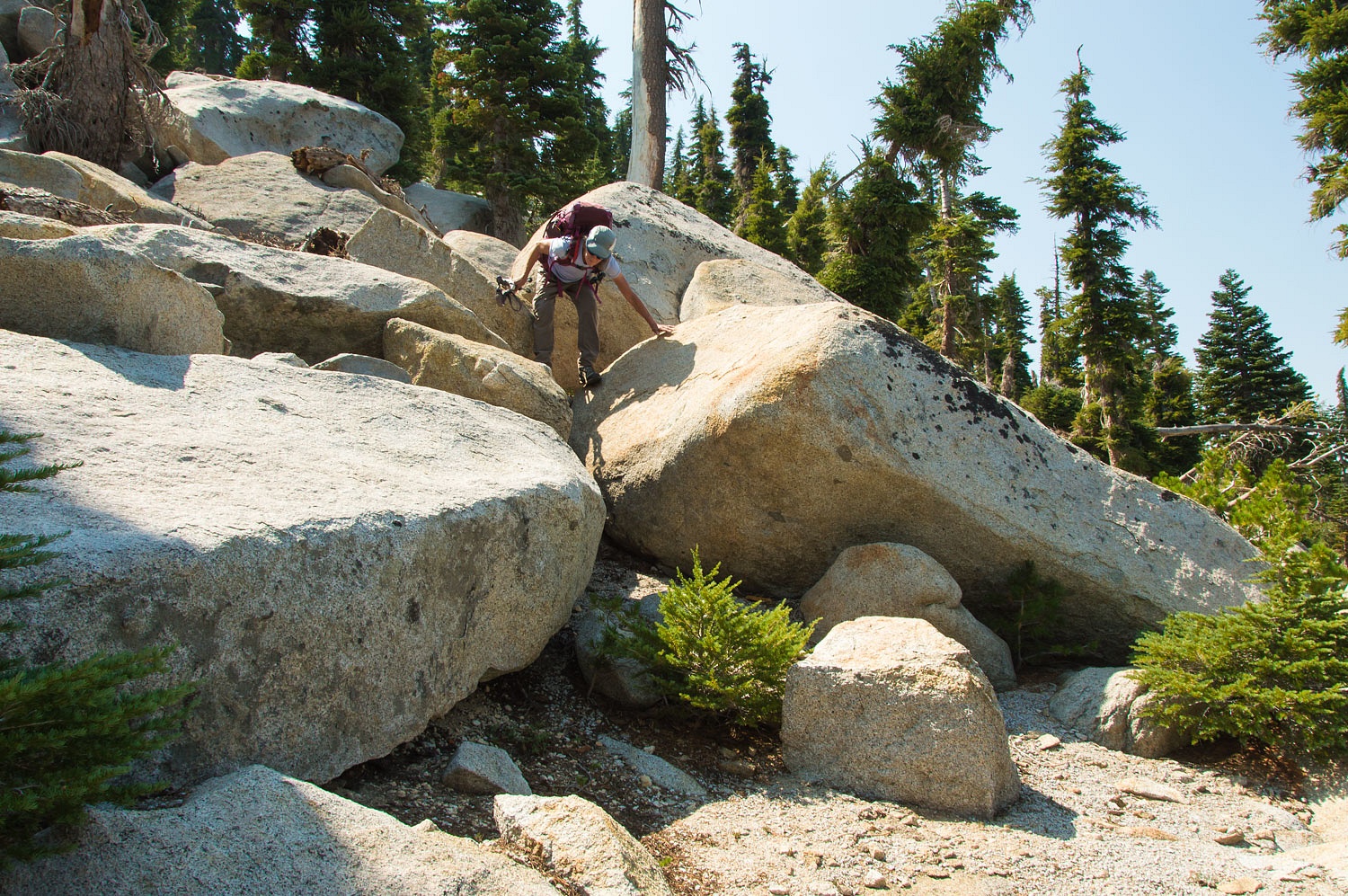
Reaching the saddle, it was now climbing up through the huge granite blocks and pockets of Mountain Hemlock.
In a hop, skip, and a jump, as we say, we were on the top.
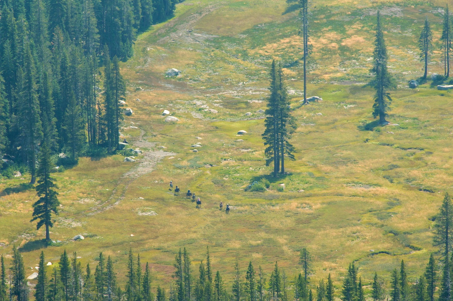
Here's a telephoto shot of Mortimer Flats and a group of mules and riders coming off of the use trail to the top of Slick Rock.
Union Valley Reservoir to the west was barely visible through the smoke.
What goes up must come down. Concerning Two Peaks, that means descending granite blocks and climbing over down Mountain Hemlocks and Red Firs.
Again from out last trip here, we remembered a faint use trail from the saddle south to the base of Two Peaks. It did not exist. An epic descent through huckleberry oak did.
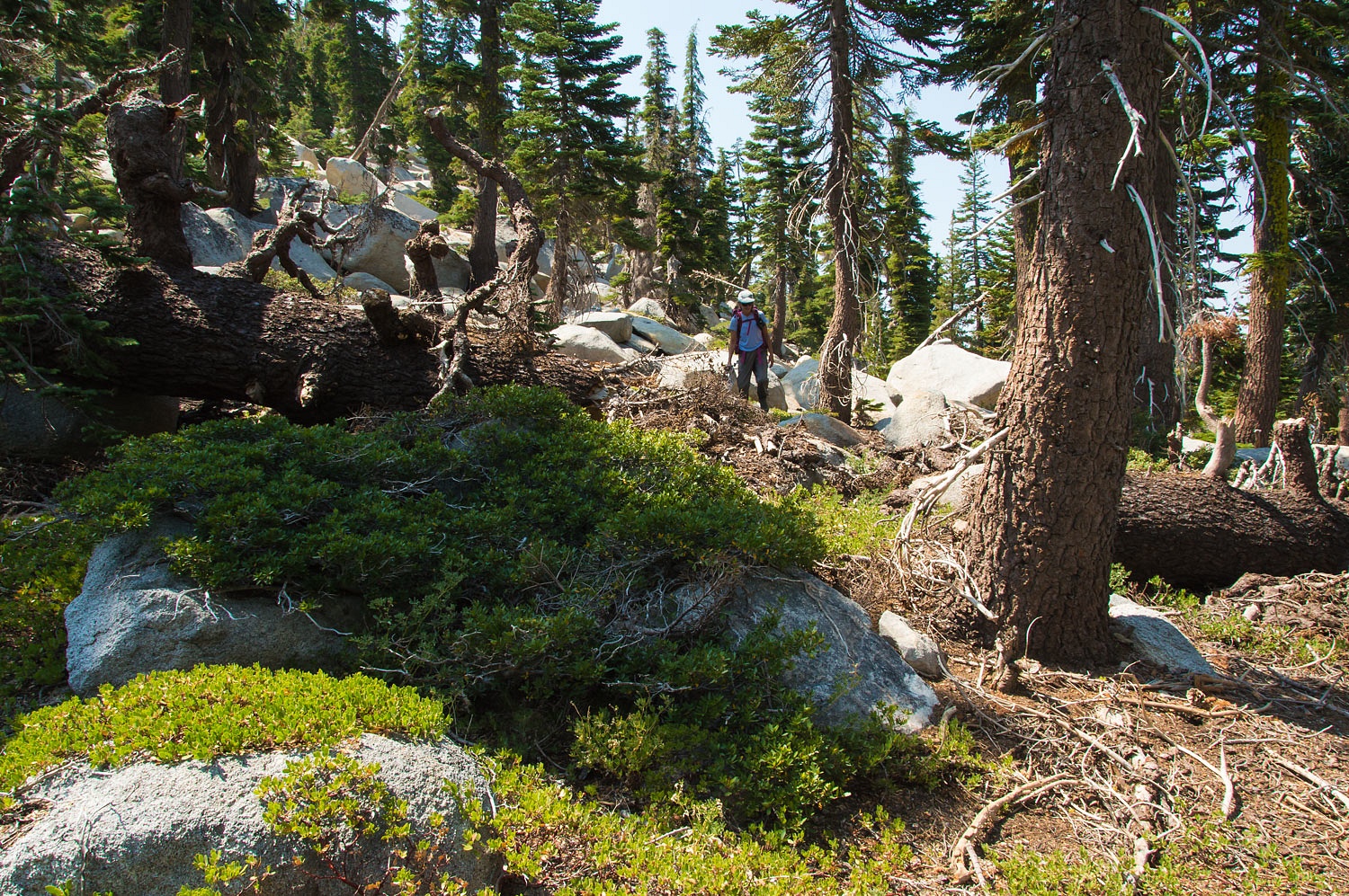
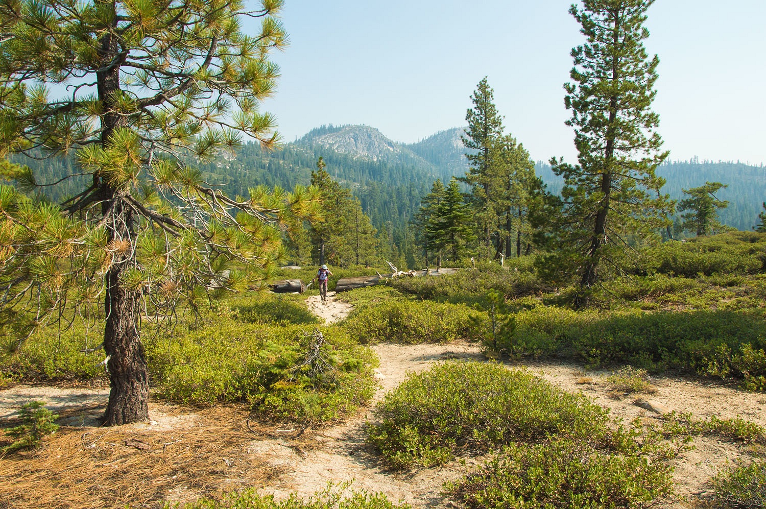
Either tough or stupid, and most likely a mixture of both, we finally reached flatter terrain. We followed a system of meadows and then intersected back with the Two Peaks Trail and followed it back to the trailhead. This made for a rugged 14 mile round trip. Smoke had cleared somewhat as we looked back at Two Peaks.
It had been a wonderful day of smoke and brush. And, after a thorough inspection, no ticks. A very pleasant surprise.
Note: Two Peaks Trail passes by Two Peaks on the east side. It does not go to either summit.
Fun fact that you probably already know -- those tree trunks curved by snow creep are sometimes called "pistol butts," since they look like the curved handles of old-time single shot pistols.
ReplyDelete"Pistol Butts," I'm going to quiz a few old timers - at least they think of themselves that way - on that term. It is fun and thanks for checking in, Dan!
Delete