
please remember you can click on a photo to see a larger version & highlighted text are links to additional information
Before All Hell Broke Loose
"Will you go hiking with me today? You should go hiking with me today. I would like that." The Lady asked me this during breakfast early Friday morning before Labor Day Weekend. A heat wave was upon us. Fires raged across California, but it would get much worse. A red flag fire weather warning was going into effect Labor Day evening. PG&E had alerted us our power would go off Monday evening through Wednesday to keep their power lines from starting fires. And the Labor Day Weekend hordes would soon be flowing up the mountain.
"Yes," I answered. "Friday would be a good day for a hike."
We arrived at Carson Pass a bit after 8 am. The large parking lot held only a few other vehicles. Carson Pass over the Sierra crest is named for the mountain man Kit Carson who crossed here with John Fremont in February 1844.
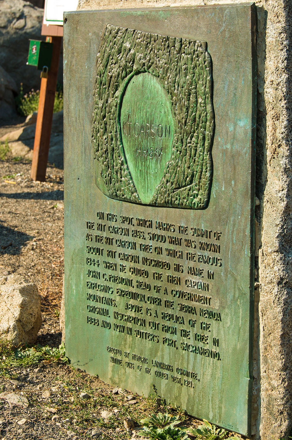
As the monument states, the original tree inscription is now on display at Sutter's Fort in Sacramento. Most historians agree Carson inscribed the tree on a later crossing herding sheep into California hoping to sell at a large profit during the Gold Rush. Easy evidence of this is the inscription was close to the ground, ground most likely deeply covered with snow in February.
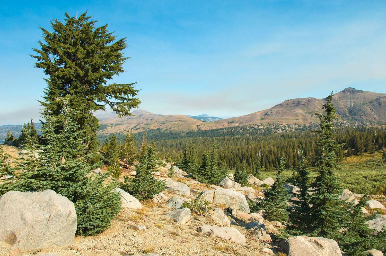
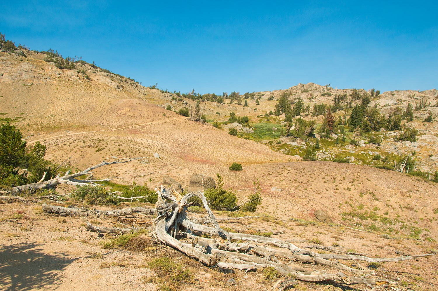
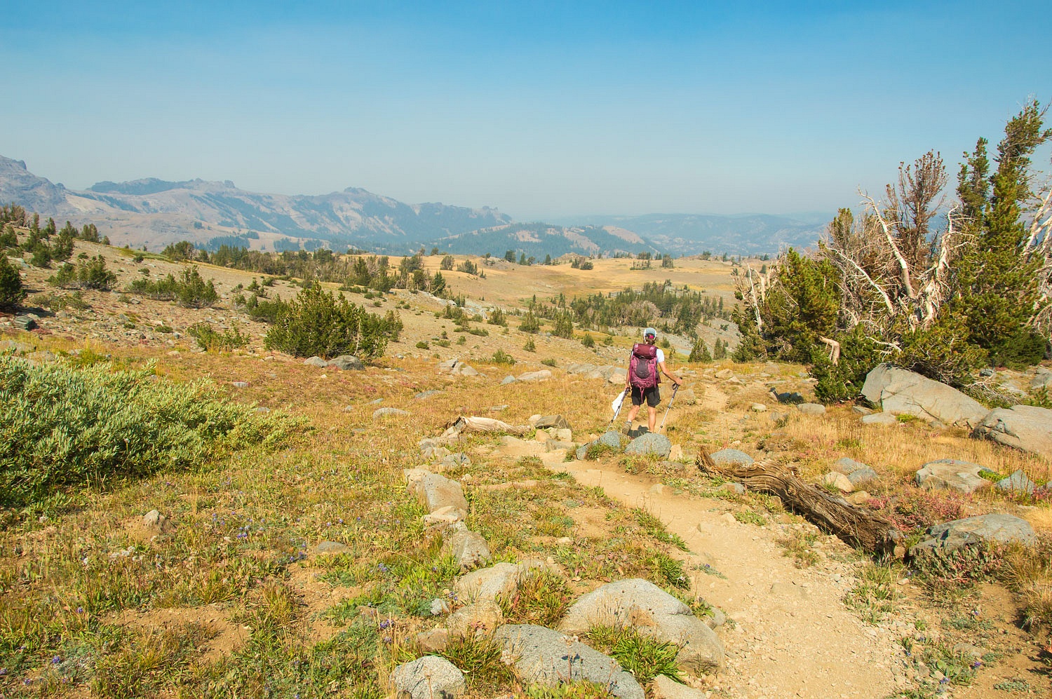
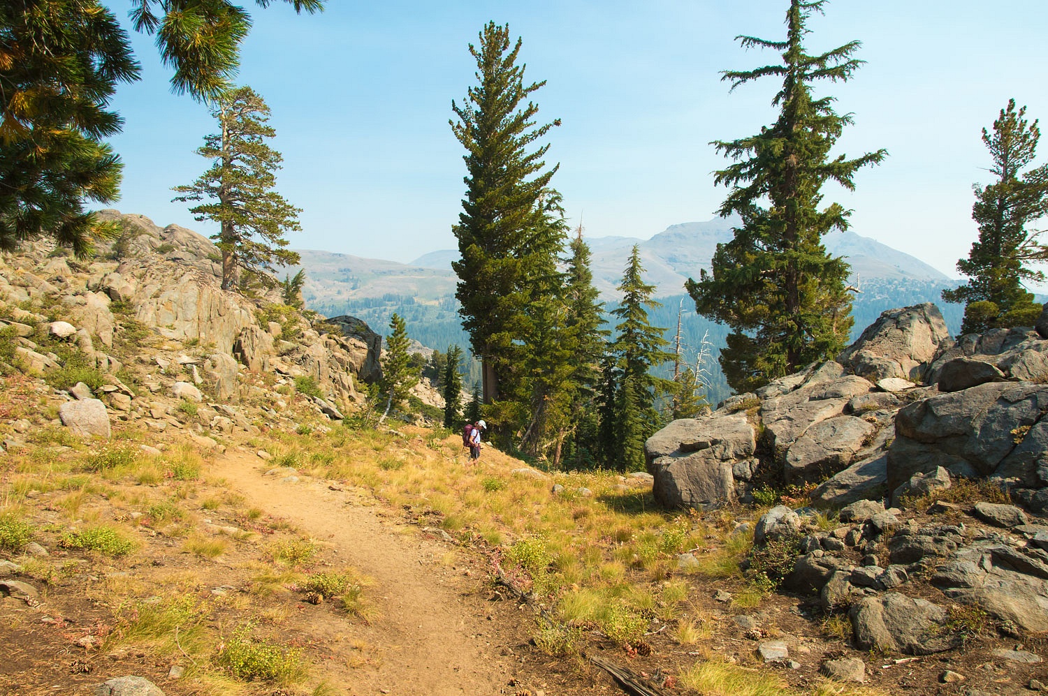
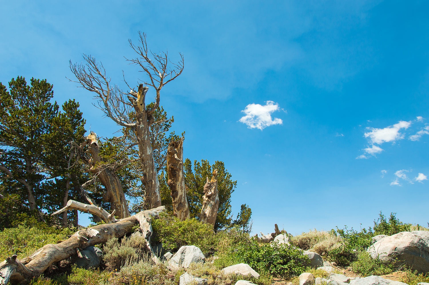
We hiked south on the Pacific Crest Trail into the Mokelumne Wilderness. Note: these are my photos used by permission on Sierra Wild's webpage for the Mokelumne.
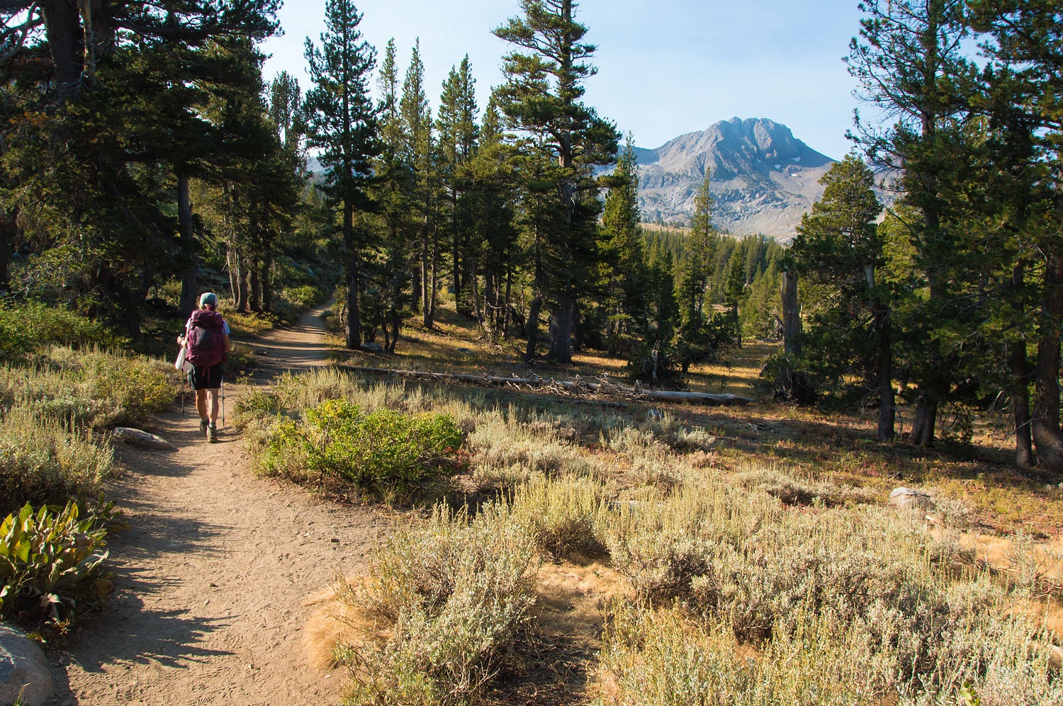
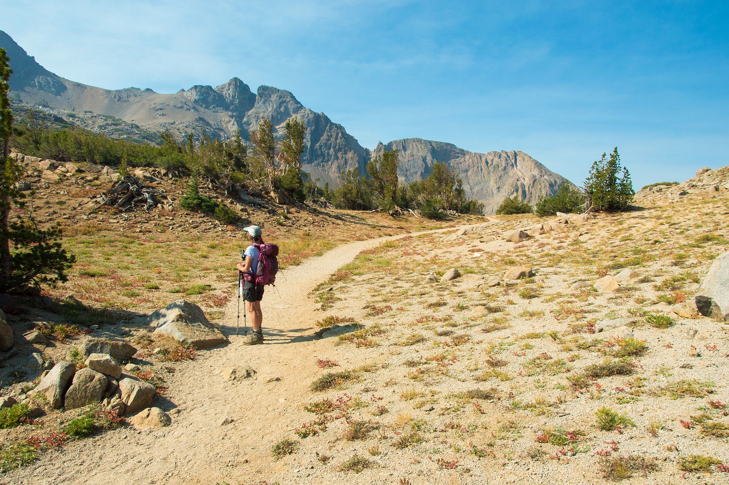
Round Top Peak is the prominent landmark on the right in the above photo.
We soon passed by Frog Lake. It sits on the crest.
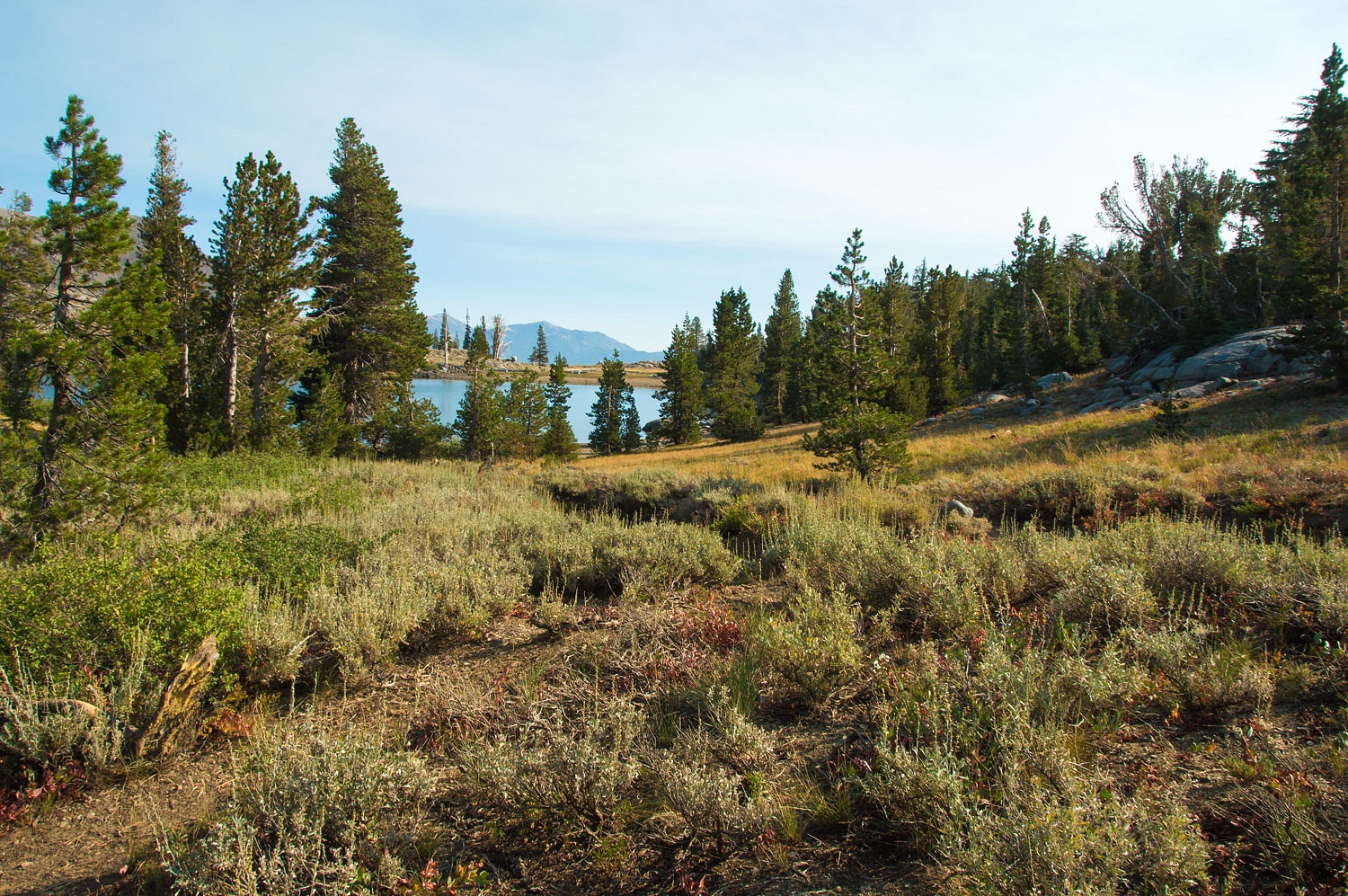
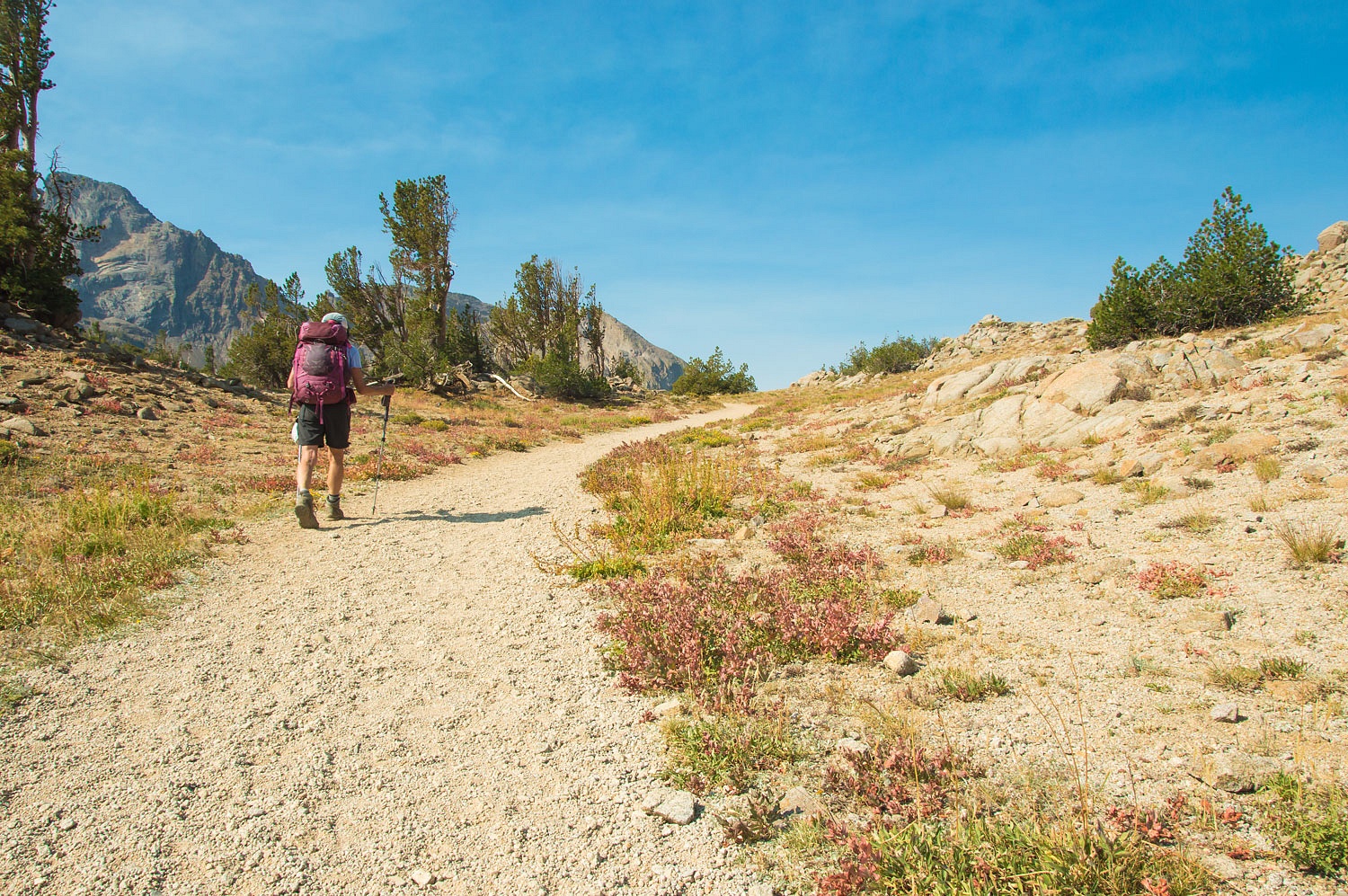
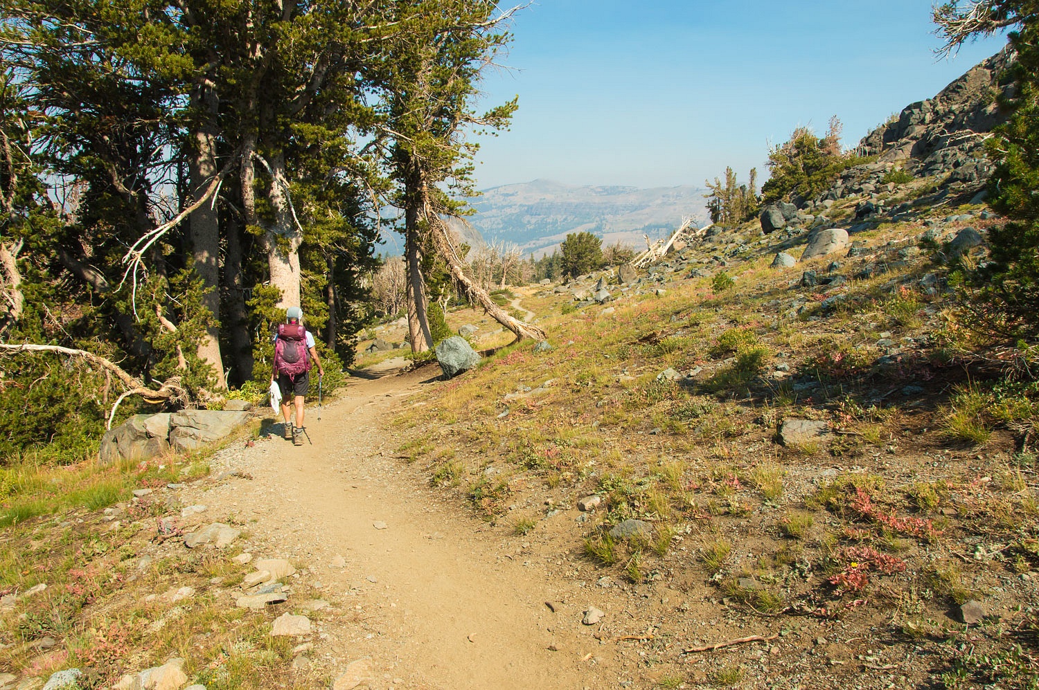
The Pacific Crest Trail turned to the southeast and drops along the east face of Elephants Back. Both Round Top and Elephants Back were seen in our last trip story - Lost Lakes - August 2020.
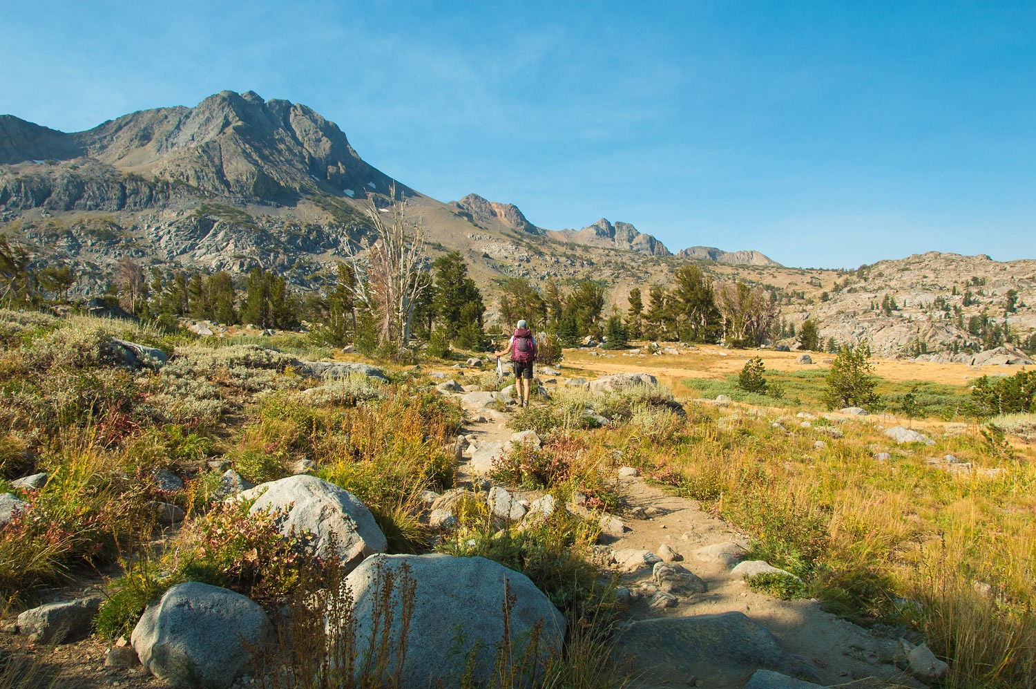
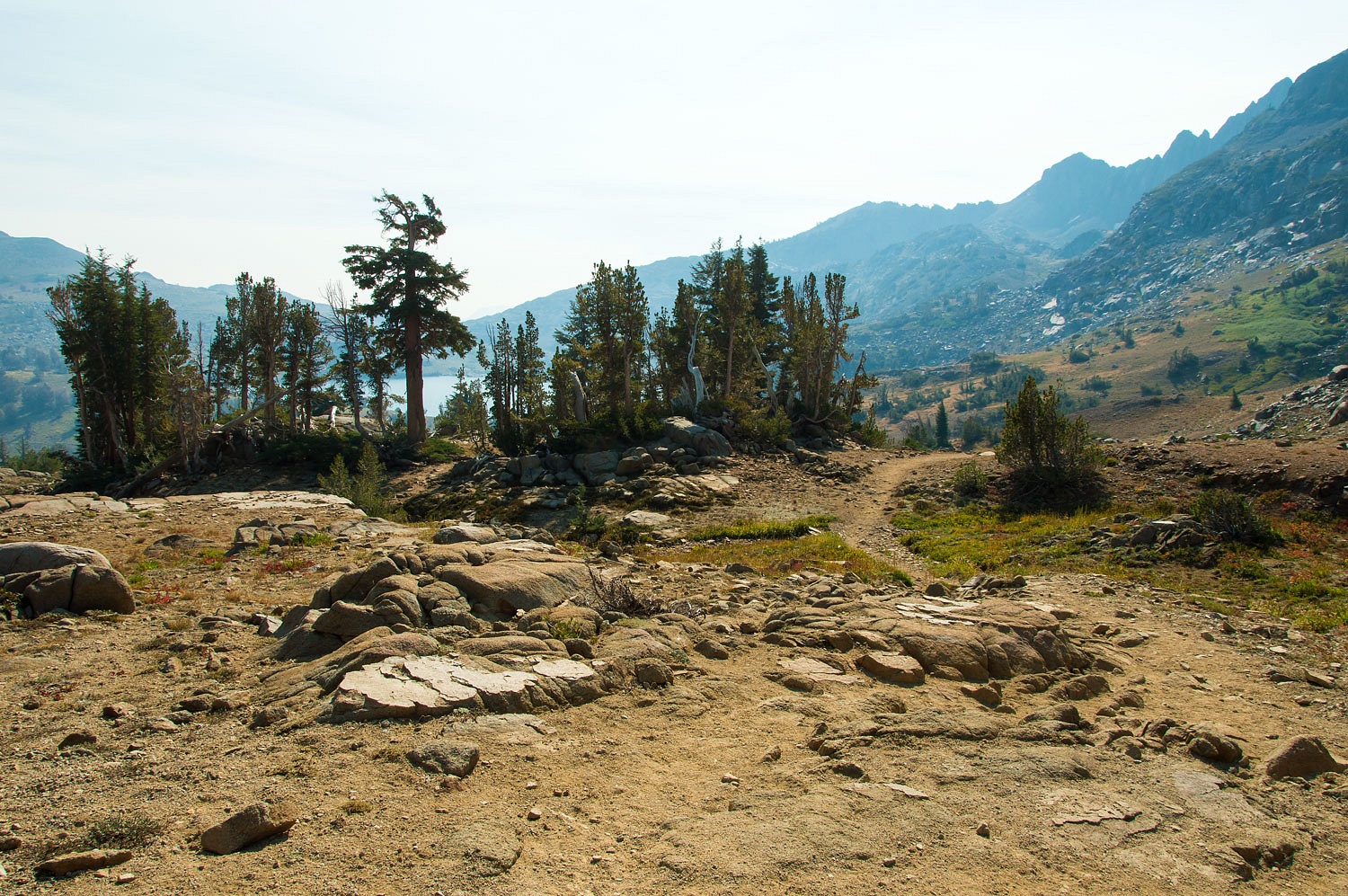
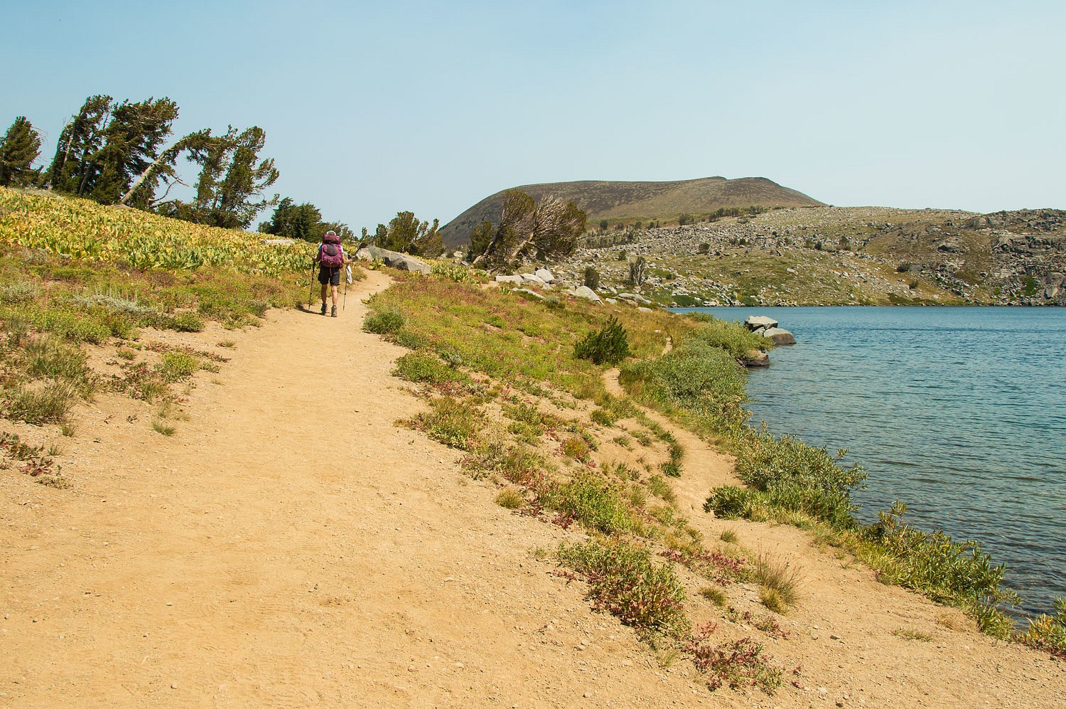
We took the right fork and continued on the trail to Winnemucca Lake.
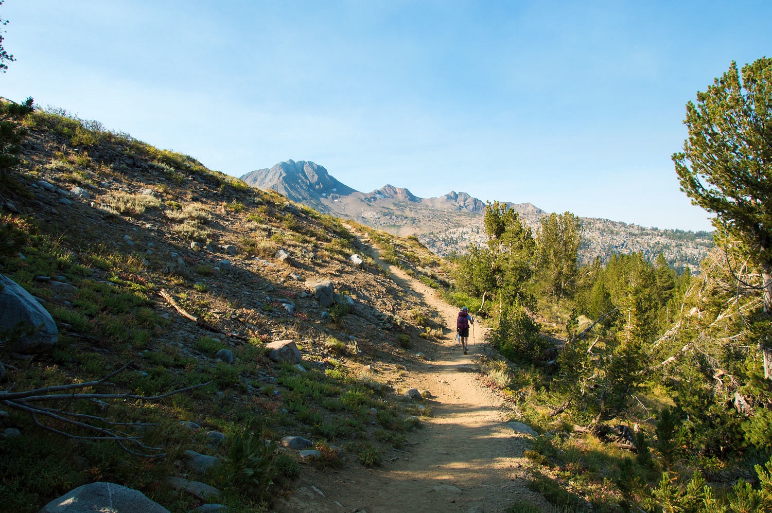
Although the air at this elevation was fairly clear, smoke from the nearby Slink Fire was billowing over the crest and blowing west. Here's a photo to the north.
In the above photo, the peak on the right is Red Lake Peak. Many believe this is the peak John Fremont climbed in February 1844 on his second expedition west and became the first white man to view magnificent Lake Tahoe. His description of Lake Tahoe in his expedition journal doesn't quite match the view afforded by the summit of Red Lake Peak.
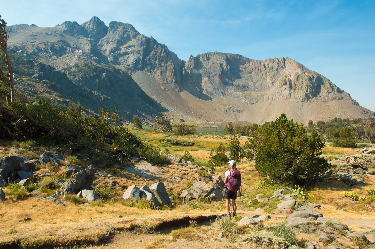
We continued on to Winnemucca Lake at the base of Round Top Peak. Smoke was streaming in from the east over Winnemucca.
We did not stop but crossed the outlet and began the climb up to Round Top Lake.
The sky to the west was beautiful and clear.
But smoke was catching up to us from the east and quickly obscured the view back down to Winnemucca Lake.
There is a small pass to cross to reach Round Top Lake.
The lady watched a snowboarder preparing to get his "September turns" on one of the remaining snowfields on the north face between Round Top and The Sisters.
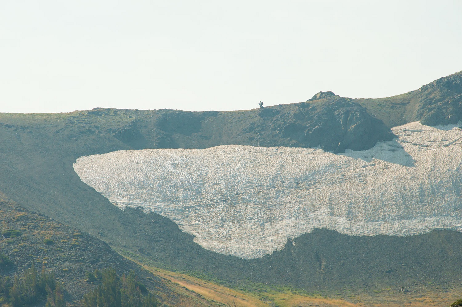
We have skied this slope many times especially when the spring corn snow is at its best. A set of ski tracks is visible down the left side of the snowfield. The Lady spoke with the skier responsible for those turns the previous Wednesday shortly after he made his "September turns."
The skier happily exclaimed, "I got eight turns in!"
Yes, the Lady hikes up here often.
We took a break at Round Top Lake at the base of The Sisters.
We watched the snowboarder. He got two or three turns in on the hard icy crust. A lot of noise and chatter, but he did earn his "September turns!"
"I want to do my circle at Carson," the Lady answered earlier during breakfast when I asked. "Hike where?"
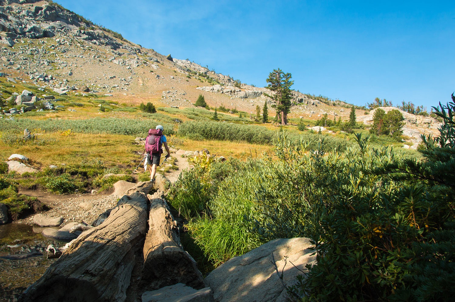
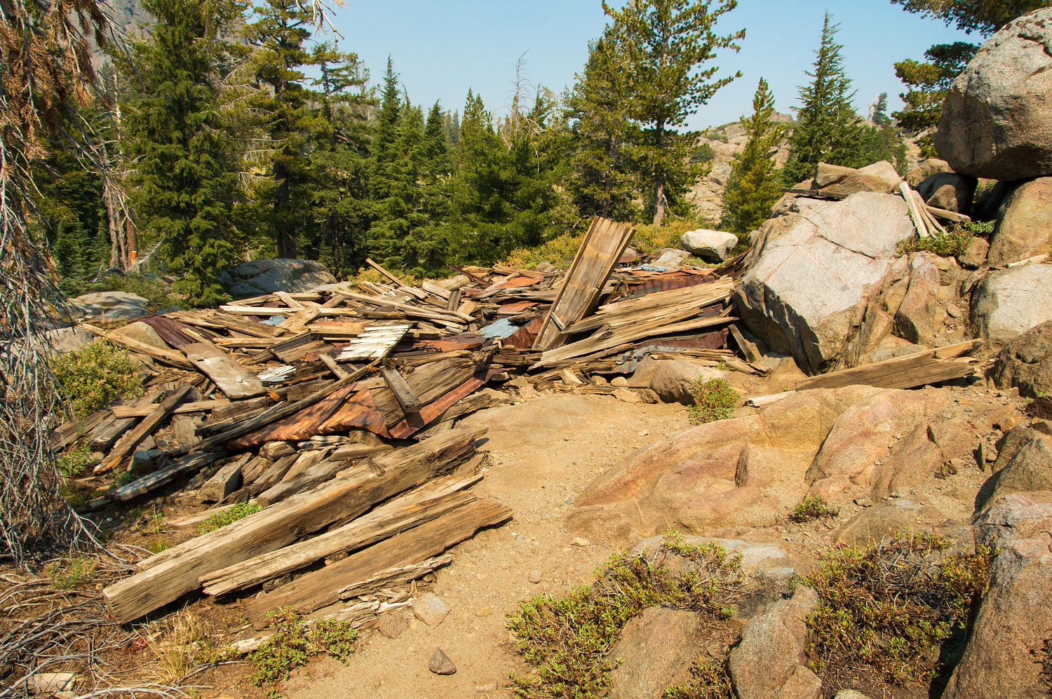
"My circle" requires turning north and dropping down to Woods Lake on the Lost Cabin Mine Trail. So we turned north.
The ruins of an old mining operation - Lost Cabin Mine - sits on top the ridge to the west of Woods Lake. Relics remain.
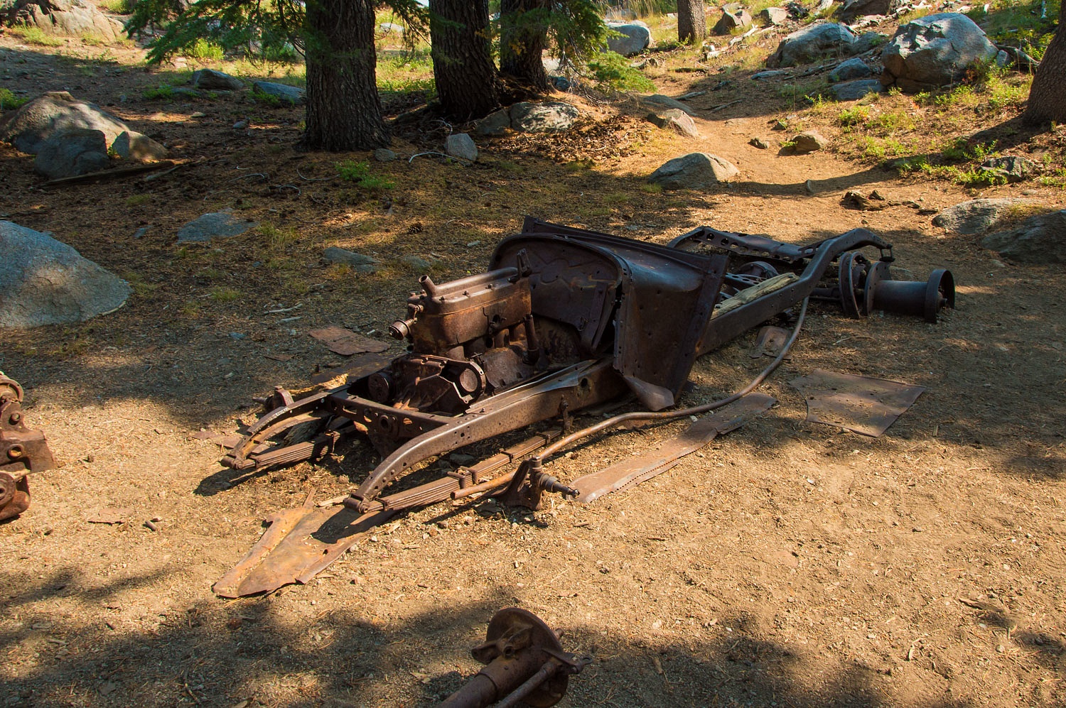
We started backcountry skiing at Carson Pass 38 years ago. One of our favorite lunch spots was sitting in the sun against the walls of what we called the lost cabin. The old cabin finally collapsed about 20 years ago.
The final drop to Woods Lake is steep.
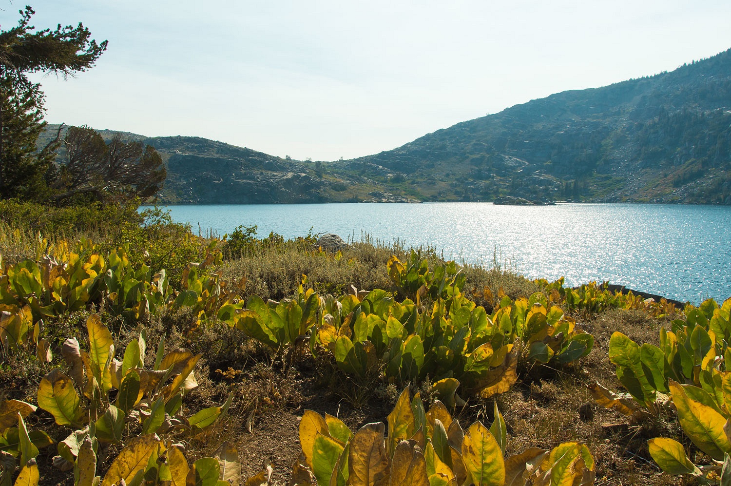
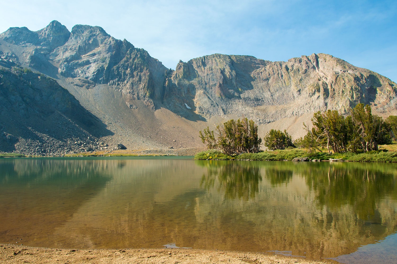
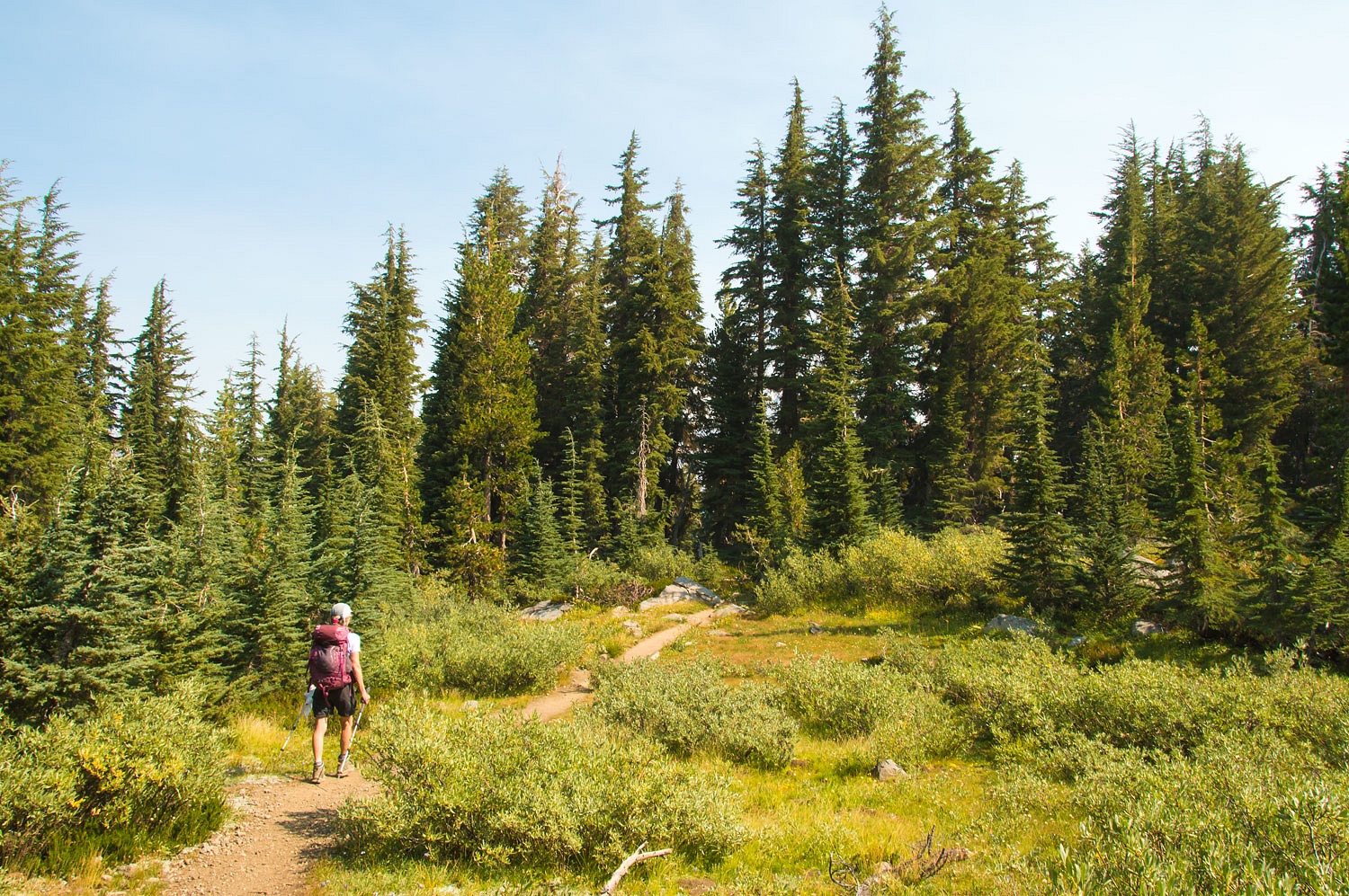
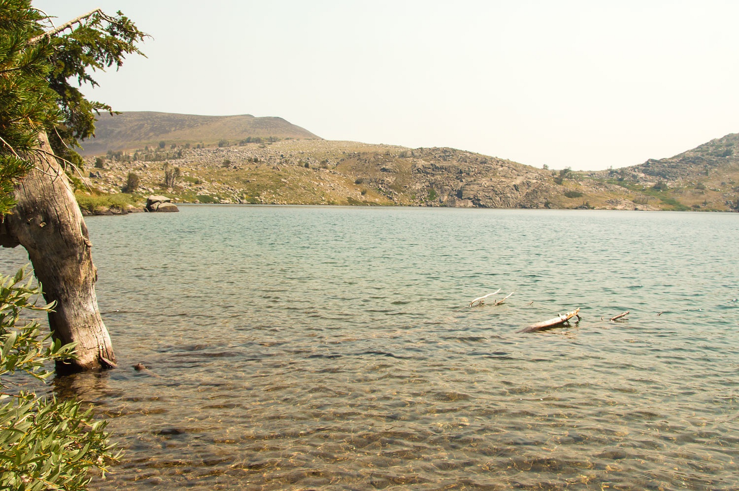
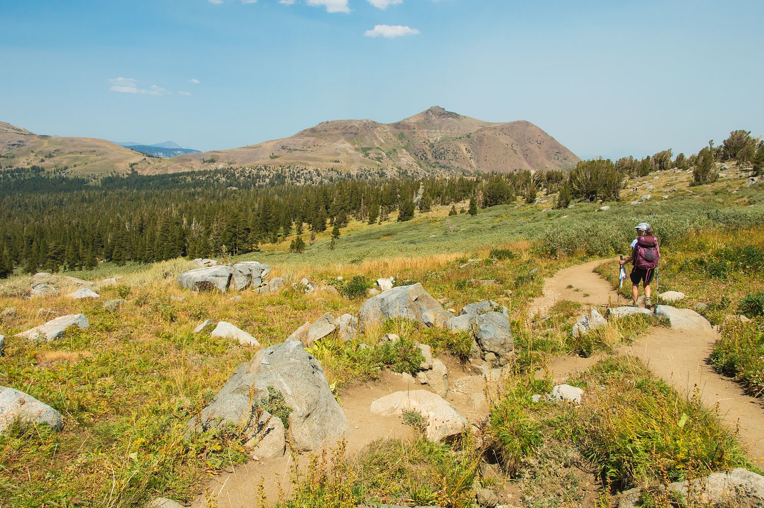
We left Woods Lake and hiked up the canyon to return to Winnemucca Lake. It was hot and smoke had settled into the folds of the terrain.
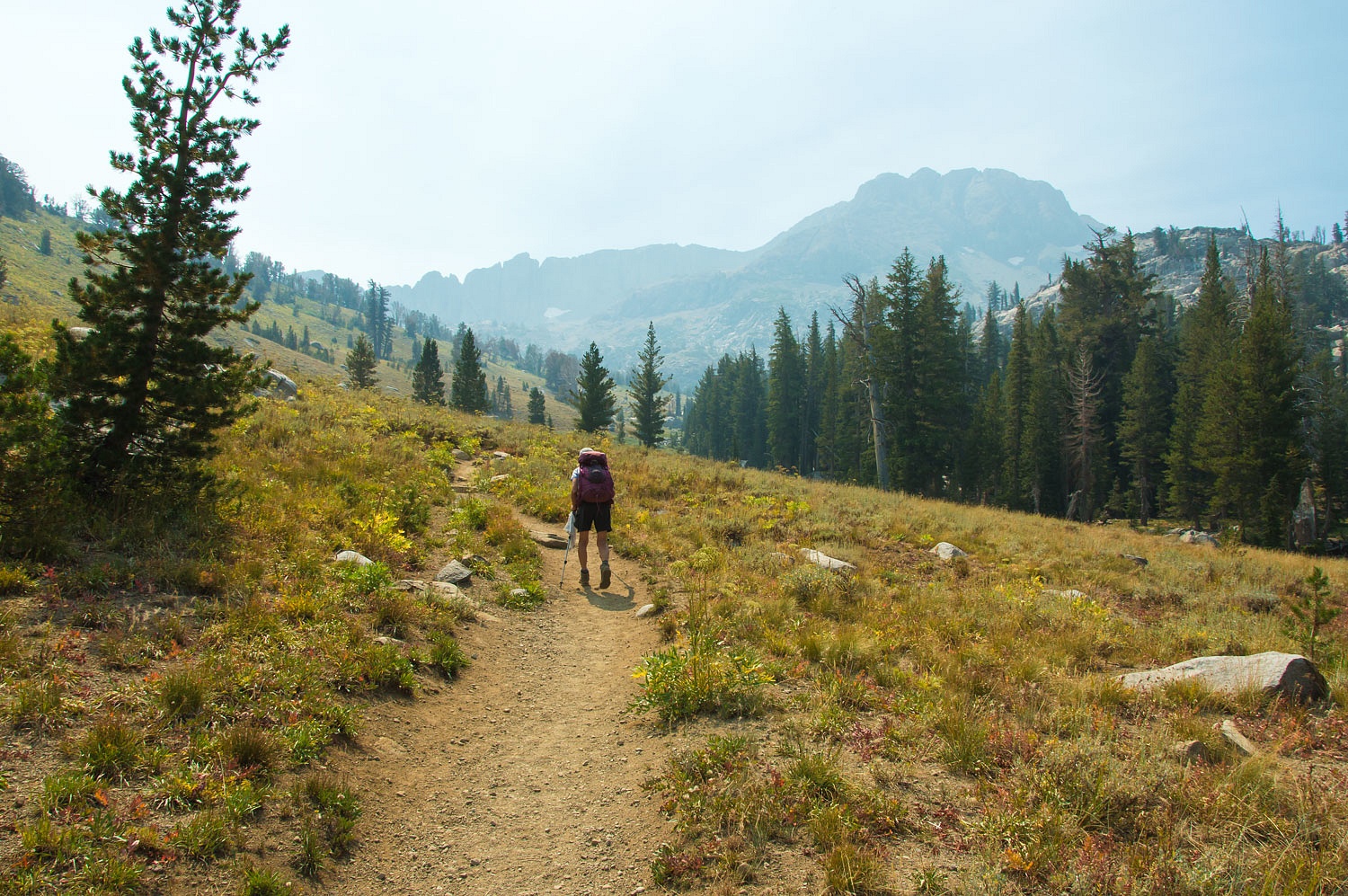
We earned a nice break at smoky Winnemucca Lake.
The afternoon updraft winds from the hot Sacramento Valley - warm air rises - were taking over and pushing the smoke back over the crest. The skies were clearing somewhat overhead.
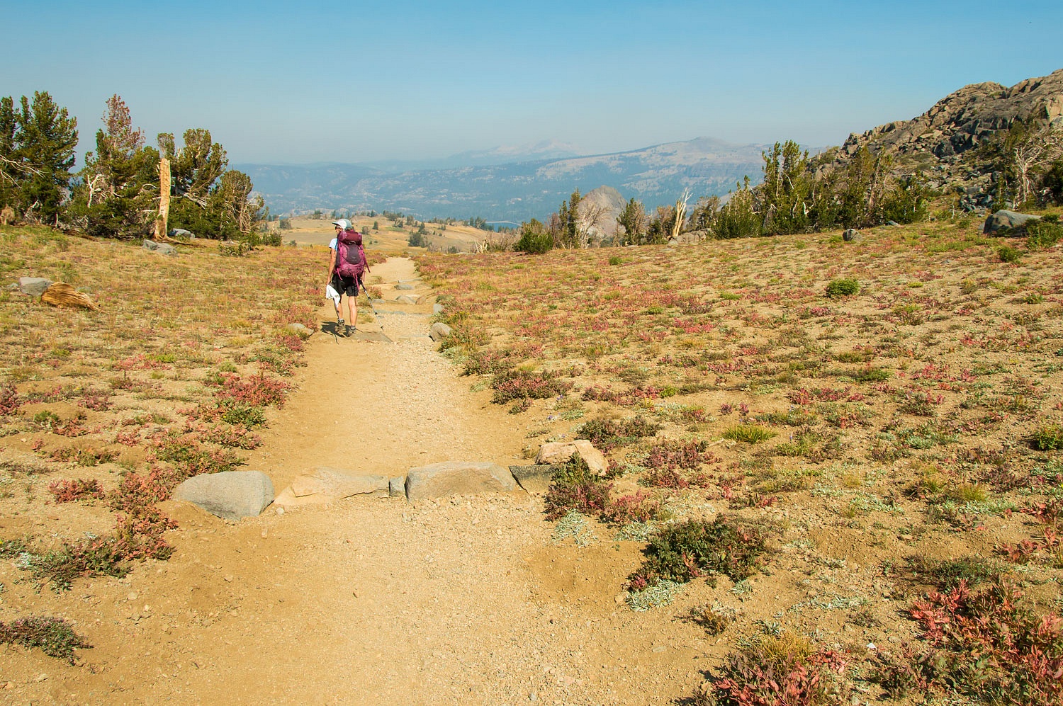
We headed back to the trailhead at Carson.
The dark peak in the center distance in the photo above is Mount Tallac, a prominent peak on the west shore of Lake Tahoe.
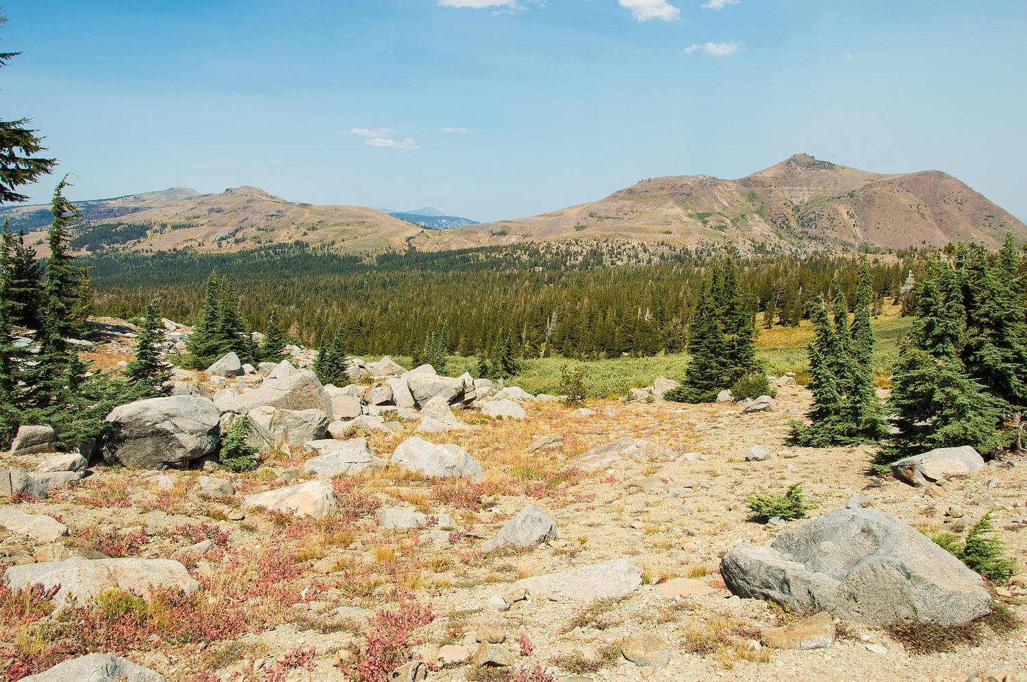
Carson Pass is a well used and popular area year round. The backcountry skiing is incredible, especially if you enjoy hard wind slab. Mokelumne Wilderness is one of our local jewels.
We arrived back at the trailhead at 1:30 in the afternoon. An early time so to beat the beginning wave of holiday weekend traffic. The hike is around 10 miles. It had been a wonderful day hiking
the Lady's "my circle" although it is more like a lollipop. I hope
the Lady will ask me again :)
Labor Day Weekend was horribly hot. It ended with a front moving through to the north that brought violent east winds - the red flag fire weather warning - from Oregon south into California. The destruction from all the fires is mind boggling and heartbreaking. A few small fires broke out near our home but have been contained. One was arson set. During the Public Safety Power Shutoff, a nearby house burned due to an accident with a generator. Quick action saved our area. The smoke visible in the photos above are nothing compared to the smoke and hazardous air quality that descended on all of us after Labor Day.
Thanks for showing us what blue sky looks like -- it's been quite a while . . . . Very sorry that your home was inundated with smoke, but glad that the fire did not reach you.
ReplyDeleteDan, the air has cleared remarkably, blue skies and star filled night the reward! Thanks for the kind comment!
Delete
ReplyDeleteThanks Ski3pin for the write up. I live in Davis and the last month has been horrid with the smoke. Your blog inspires my wife and to keep wandering. Always look forward to your post. It's getting trickier to find excursions that can be done during the Covit and fire outbreak. Mike
Mike, we're glad we can inspire and thanks so much for the kind comment!
Delete