
"Come on shooter!"
It was a surprise how many years had passed since our last visit to Dixie Valley. We have been out there so many
times we consider the vast valley an old friend. I guess this was yet another episode
of How Time Flies.
We know this place - the nearby ghost towns, the several hot springs, the U.S. Air Mail beacons, the earthquake scars, the geothermal plants, the nearby nuclear underground detonation, and the U.S. Navy.
I provide a look at the history in this earlier blog post -
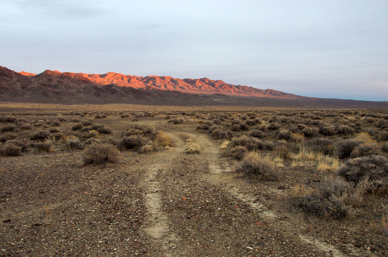
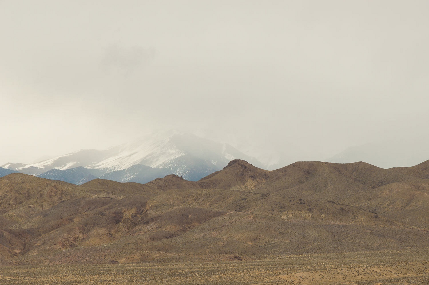
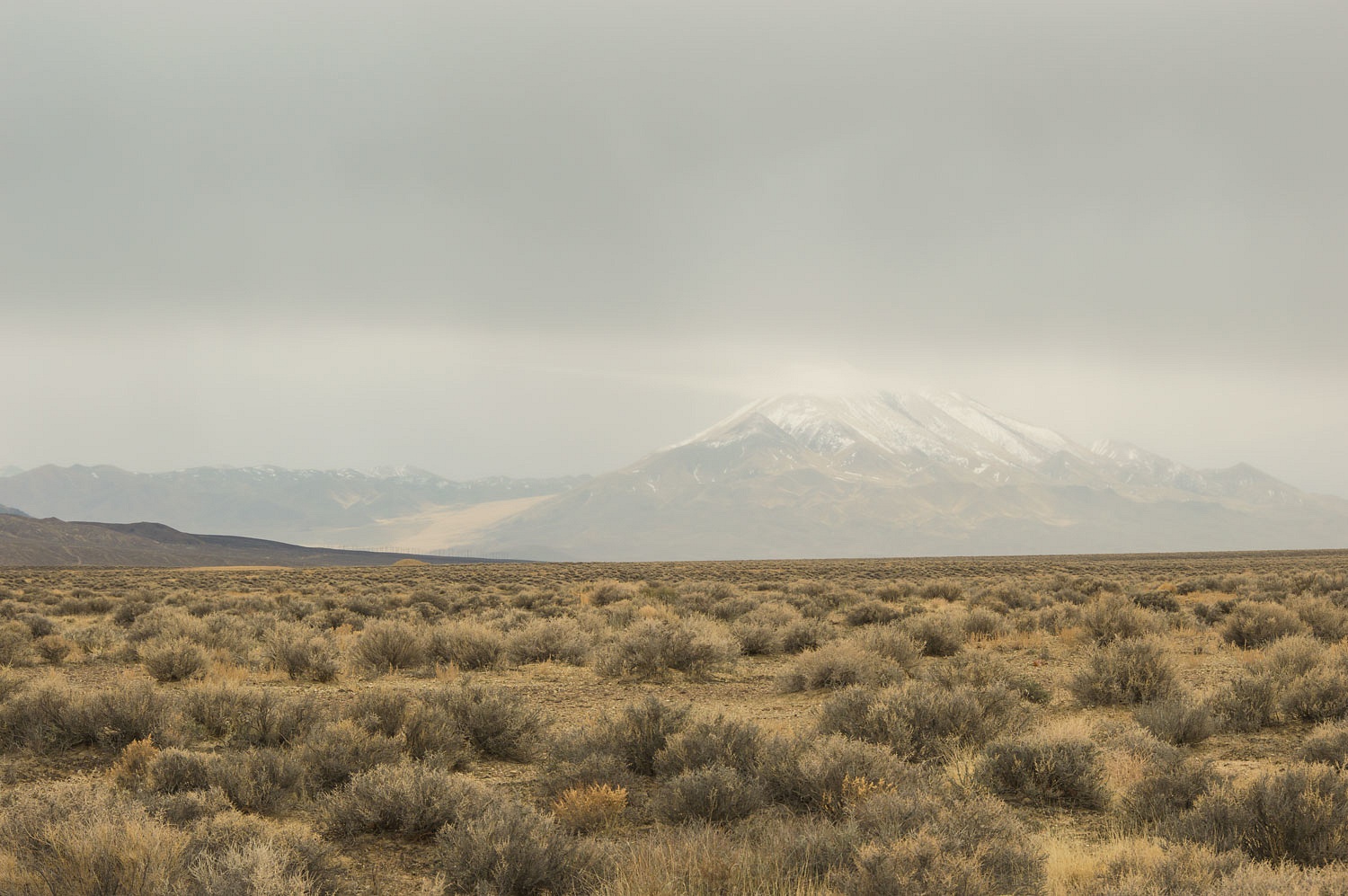
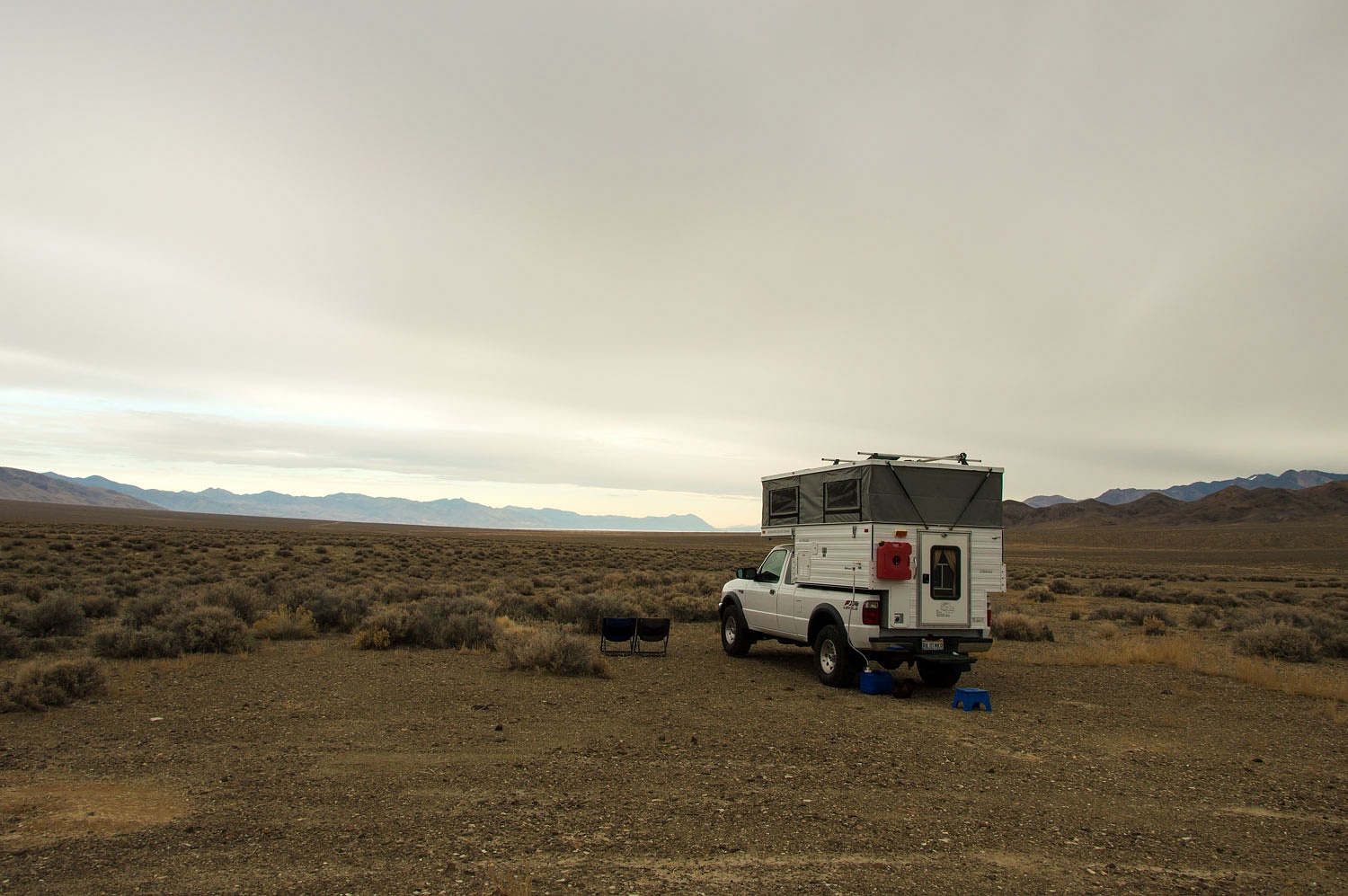
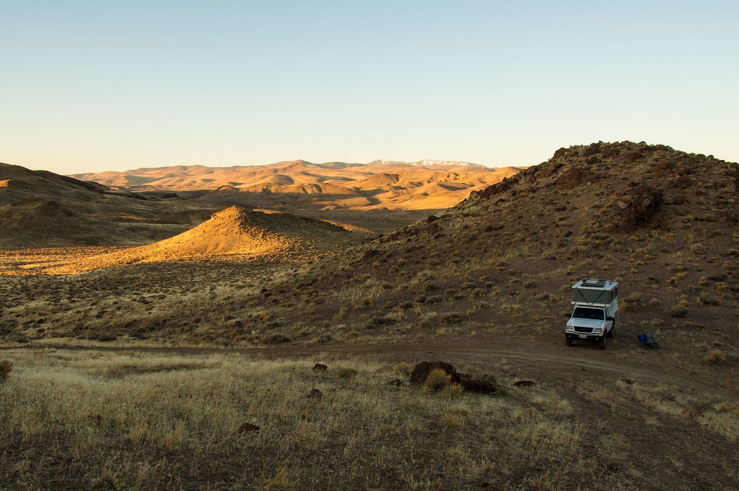
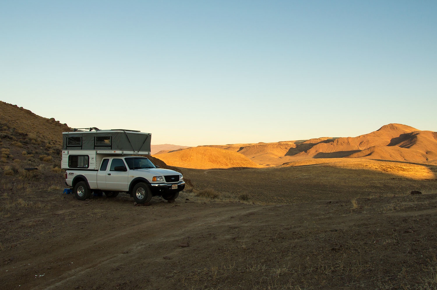
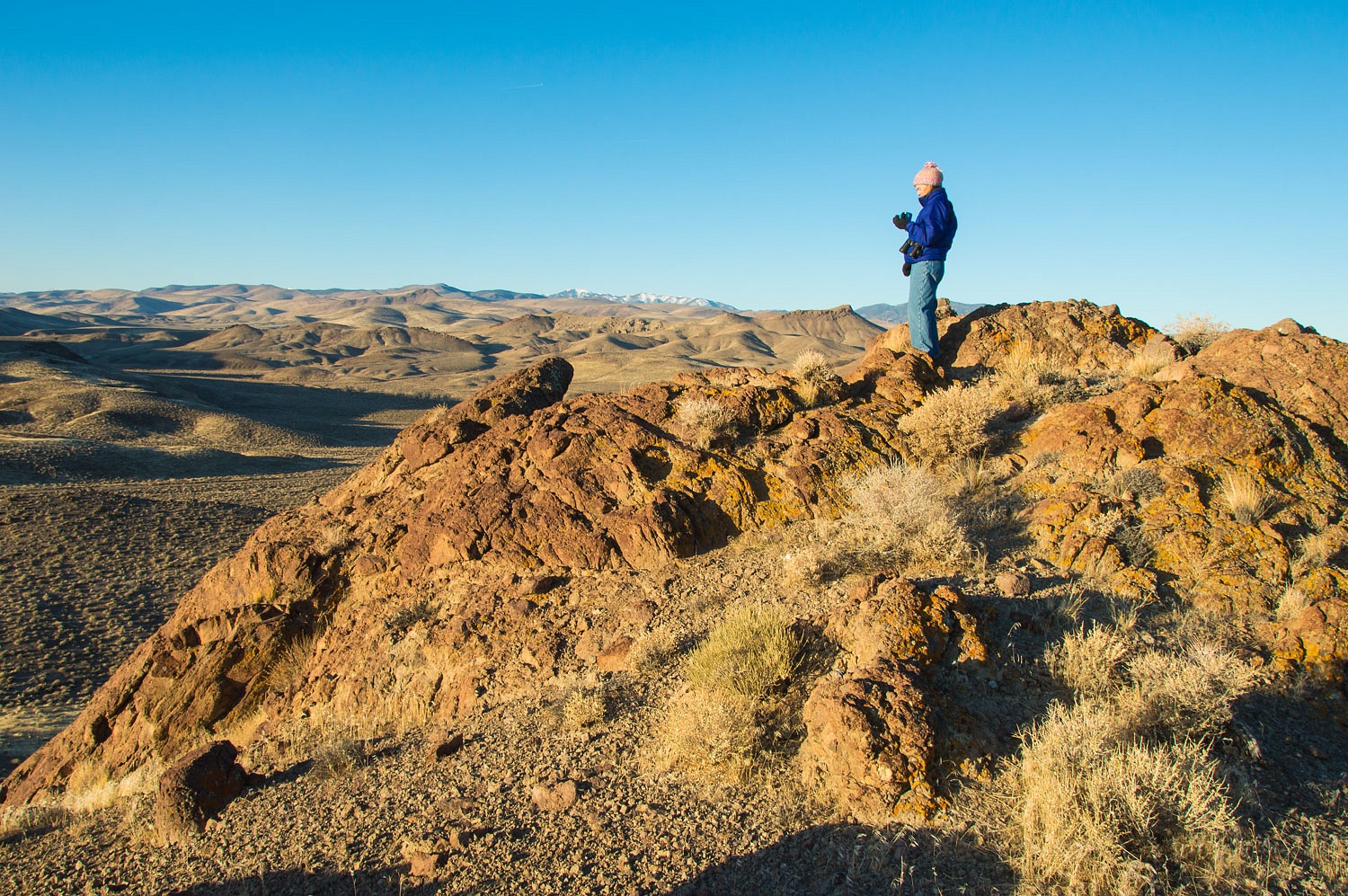
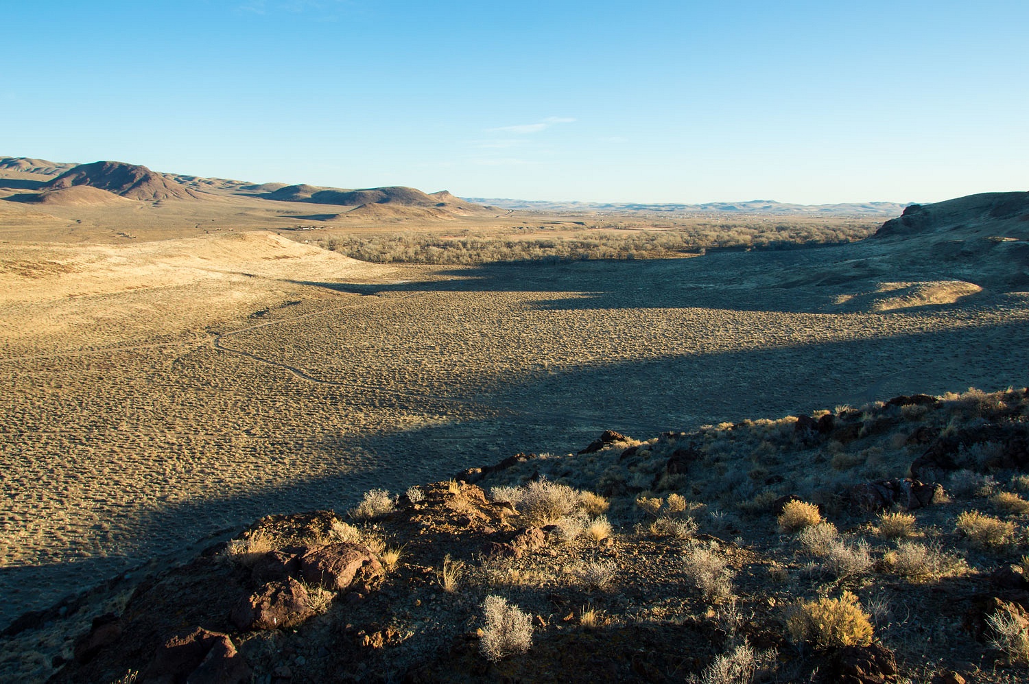
Why did we return for a short quick trip? A quiet lonely night in the bottom of a vast beautiful Nevada valley. We arrived late afternoon on a Friday. A rough two track led west off the Dixie Valley road. We turned and headed down the road with hope it would lead to the kind of campsite we like. It did and we watched the last play of light across the Louderback Mountains and the snow covered Clan Alpines beyond as we settled in.
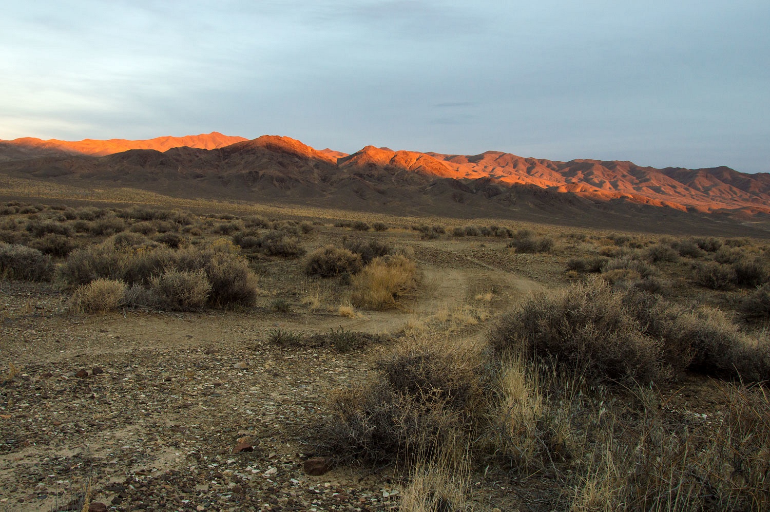
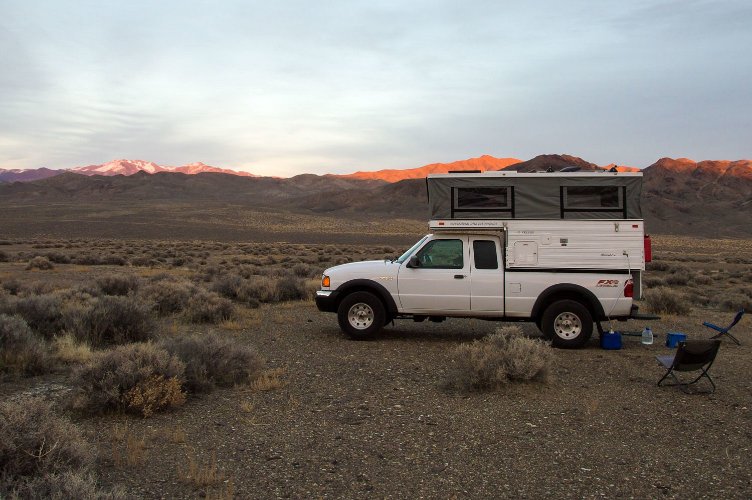
We sat out in the night. The sky to the north was filled with stars. Our chairs were pulled close together.
"Come on shooter!" the Lady
whispered. She loves shooting stars. Seeing at least one is required before we
can climb into the camper for sleep.
"Come on shooter!"
The song dogs - coyotes - woke us near dawn. I climbed out of the camper to find storm clouds coming from the south.
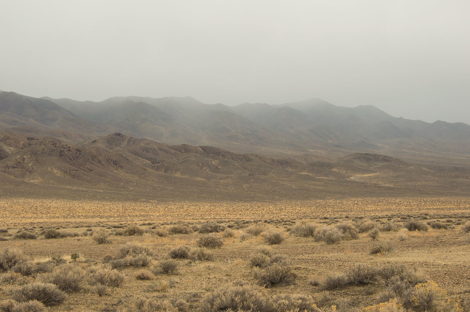
It was snowing lightly as we dropped the top and headed north toward partly sunny skies.
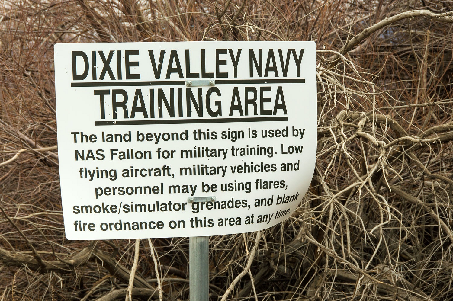
The U.S. Navy uses Dixie Valley for Top Gun training. The area south of highway 50 is live fire and the area north - open to the public - is non weapon fire. When we see a fighter jet out here, it is usually a few feet above the ground. It surprises and thrills us at the same time.
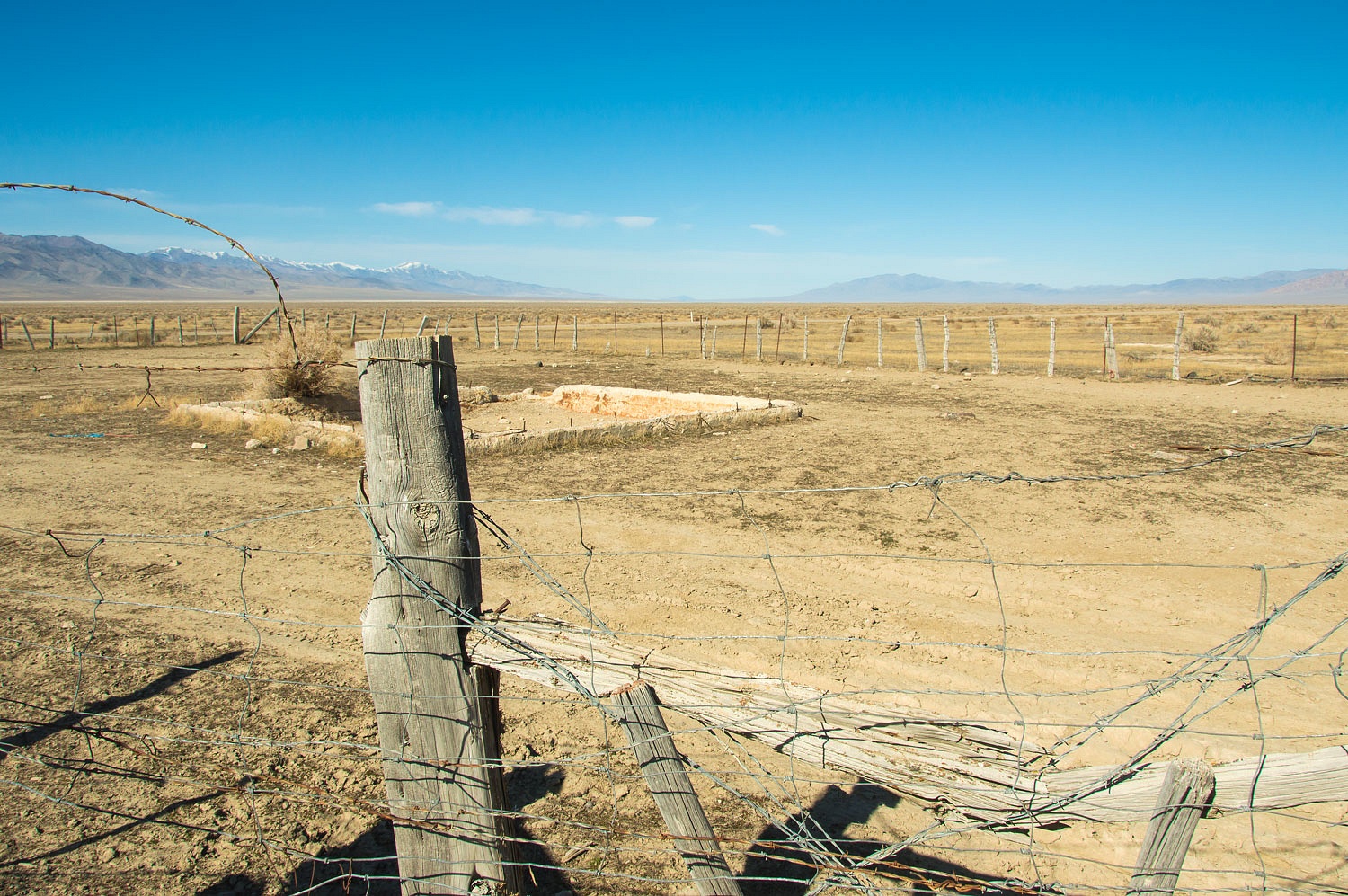
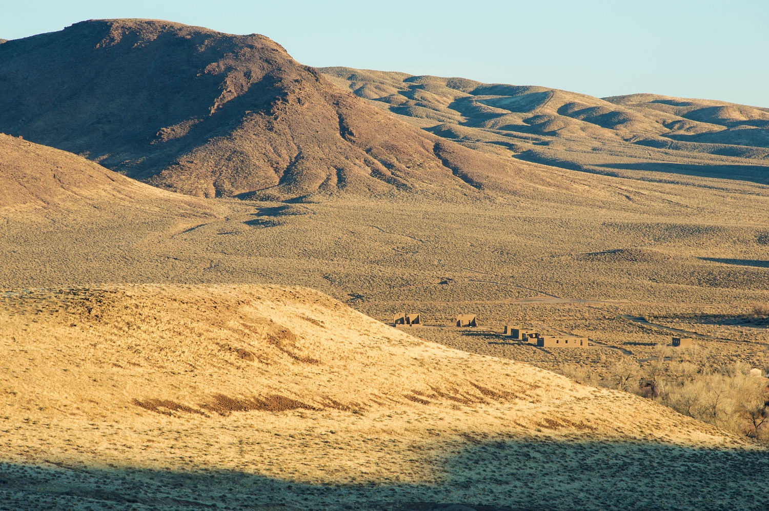
The old settlement area was the center of Dixie Valley agriculture prior to the Navy acquiring the land.
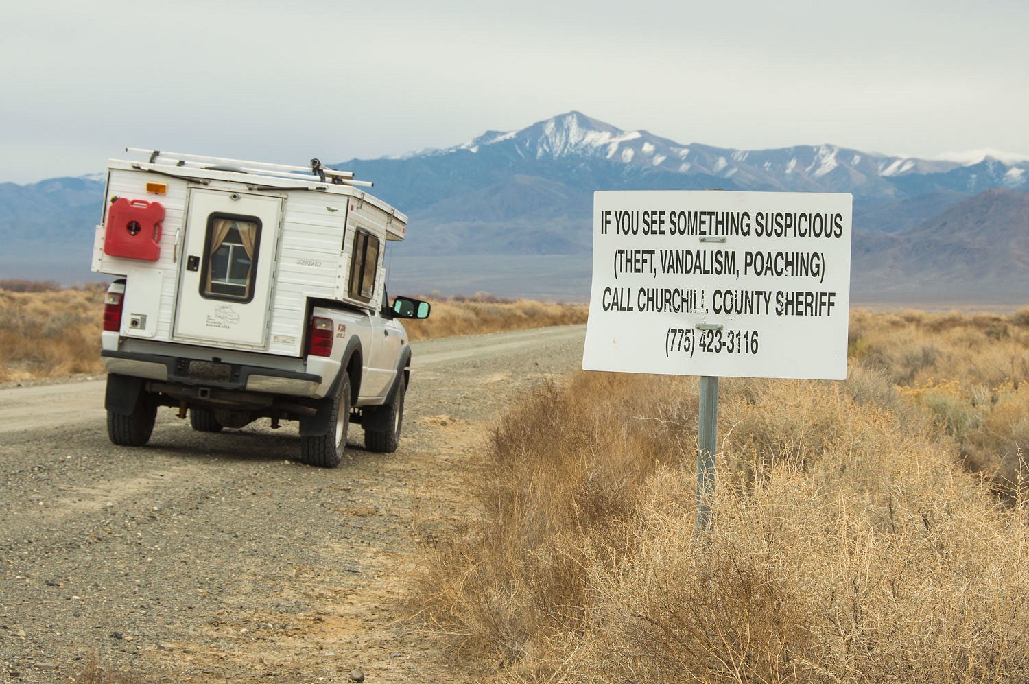
New signs are now posted and, sadly, the area is suffering from vandalism.
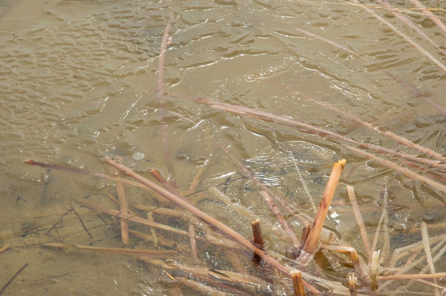
Many artesian/flowing wells abound with several ponds, pretty amazing to see in this arid landscape.
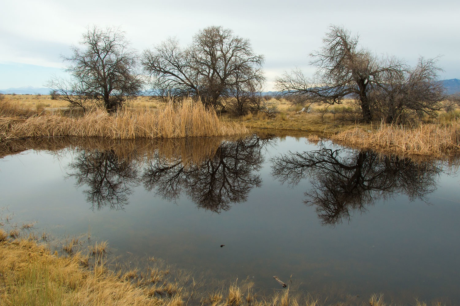
On this cold morning all the shallow water had a layer of ice.
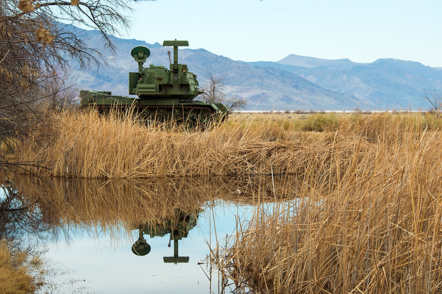
I wonder how many times this target has been acquired in fighter pilot training.
"If only our garage was big enough," the Lady sighed.
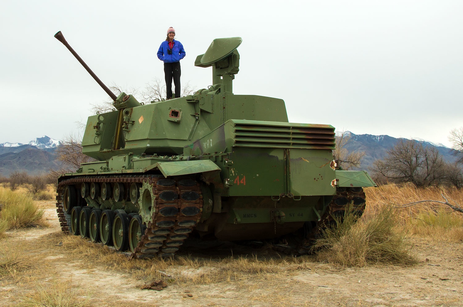
Many military targets are hidden in the area.
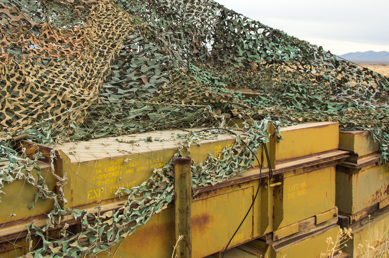
This building was erected around 15 years ago and is now a prime example of the vandalism abuse that goes on out here. The interior is trashed.
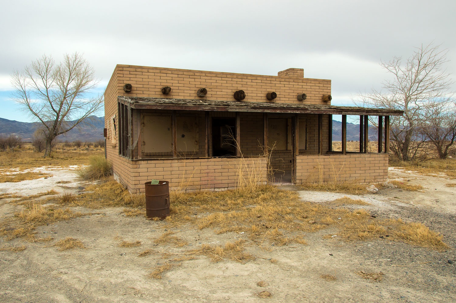
Visitors last summer jokingly turned it into a fast food joint.
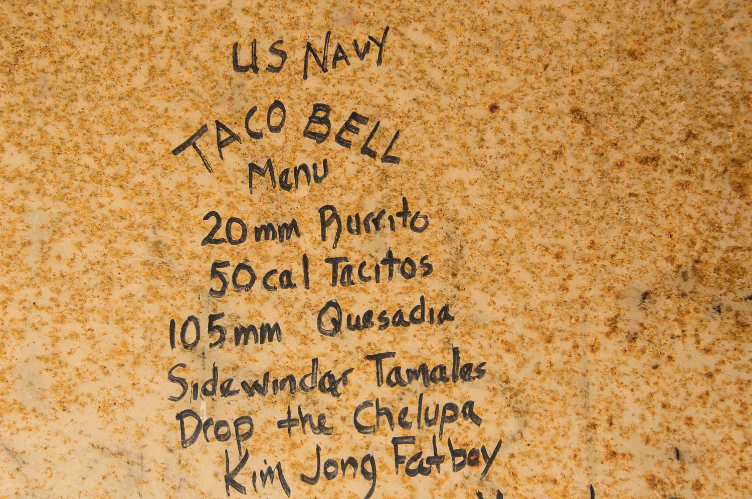
As you'd expect, the graffiti artists went way too far and expressed foul political views, the kind you'd expect from vandals. I've spared our kind readers with careful cropping of the photo.
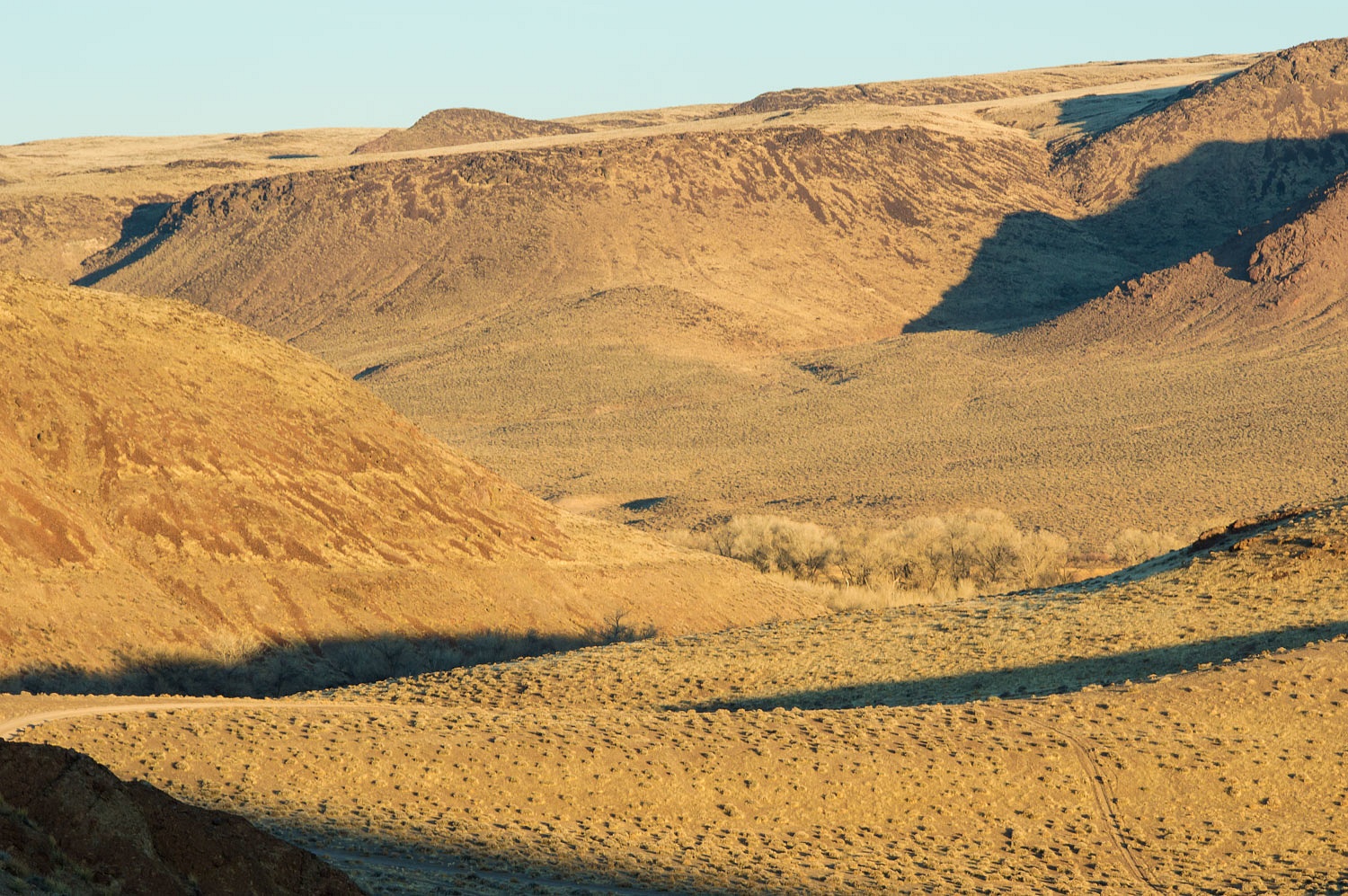
After visiting the settlement area, the long lonely road awaited us.
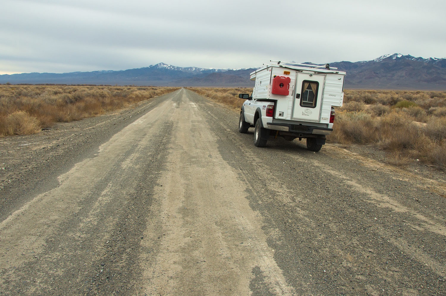
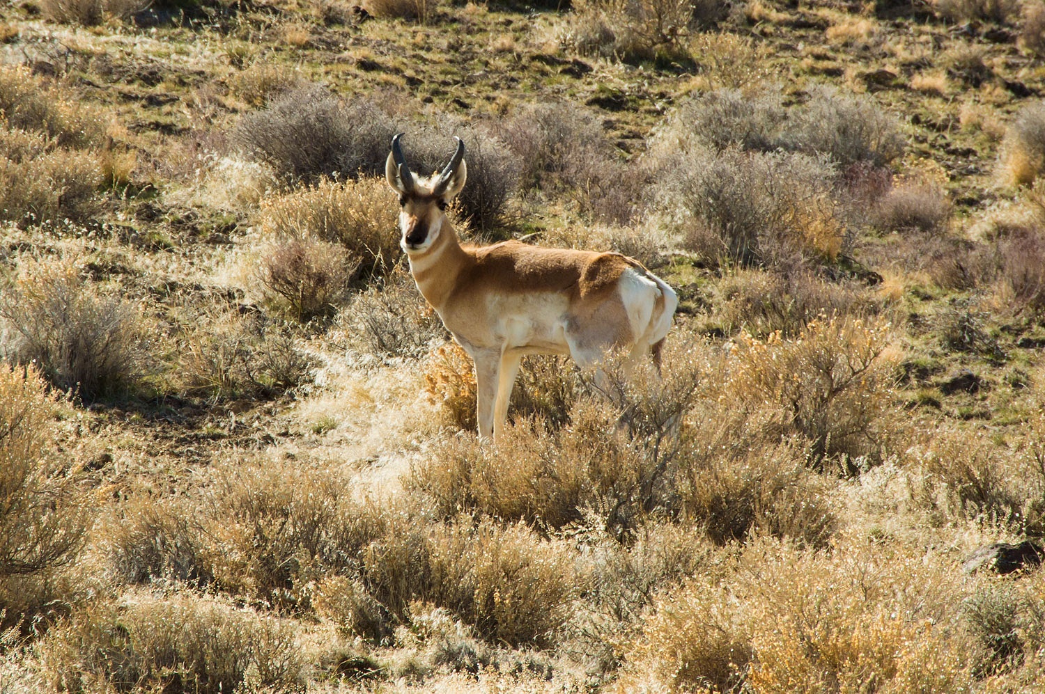
We drove past Dixie Valley Hot Springs. All the drilling has ended here. What remains are several capped wells. We exited the north end of Dixie Valley, entered Pleasant Valley and then climbed up to McKinney Pass. We always see speed goats in this area. Today was no exception.
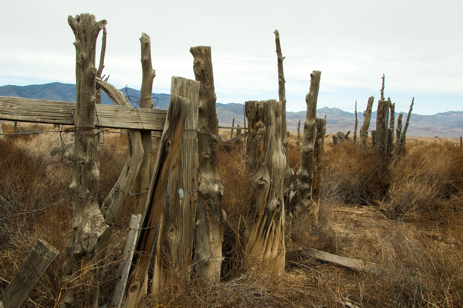
Since our Nevada benchmark map marked the "Buena Vista Windmill," we stopped at the large old corral enclosure.
The windmill is long gone. Look close and you can find the torch cut base. Buena Vista Valley was one of the short cuts on the California Trail to reach the Carson Route. Immigrants left the Humboldt River before its sink and used this broad valley to reach the Carson River near present day Fallon.
We took that route and crossed the
Carson River near Fort Churchill.
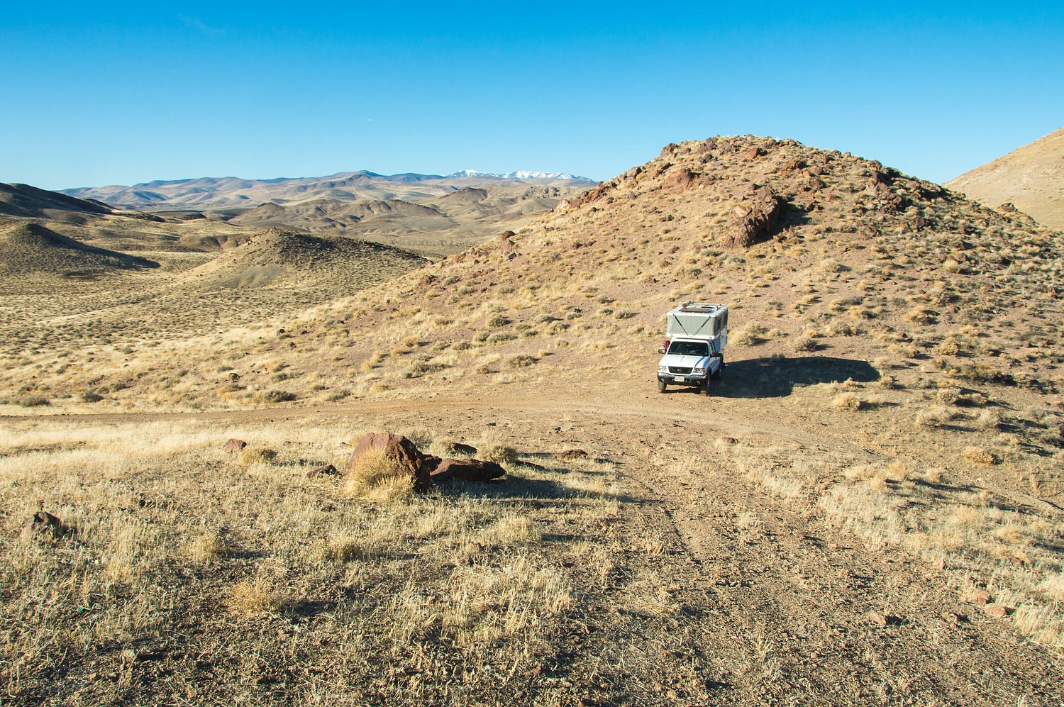
We returned to a dispersed campsite
we've used before, a high saddle in the Desert Mountains overlooking the Carson River valley and Fort
Churchill.
Like the previous night, we took in the last sunlight moving across the land. The night was wondrous. The temperature was 50°. quite warm, and allowed us to sit out and take in the vast star filled sky. We also watched the vehicle headlights snake along alternate highway 95. The continuing suburban sprawl moving south from Silver Springs is a growing disappointment.
"Come on shooter!" the Lady
whispered. "I want to see shooters!"
Our dreams came true.
The morning's first light was special as the sun rose. The morning low was 28.
We climbed the high points with our coffee, not difficult but not easy either. We surprised ourselves and did not spill a drop.
The sun was high when we were ready to resume our travels.
We traveled south on the approximate route of the Sonora Route of the California Trail. It left the Carson River, headed south, and intersected with the Walker River near present day Yerington.
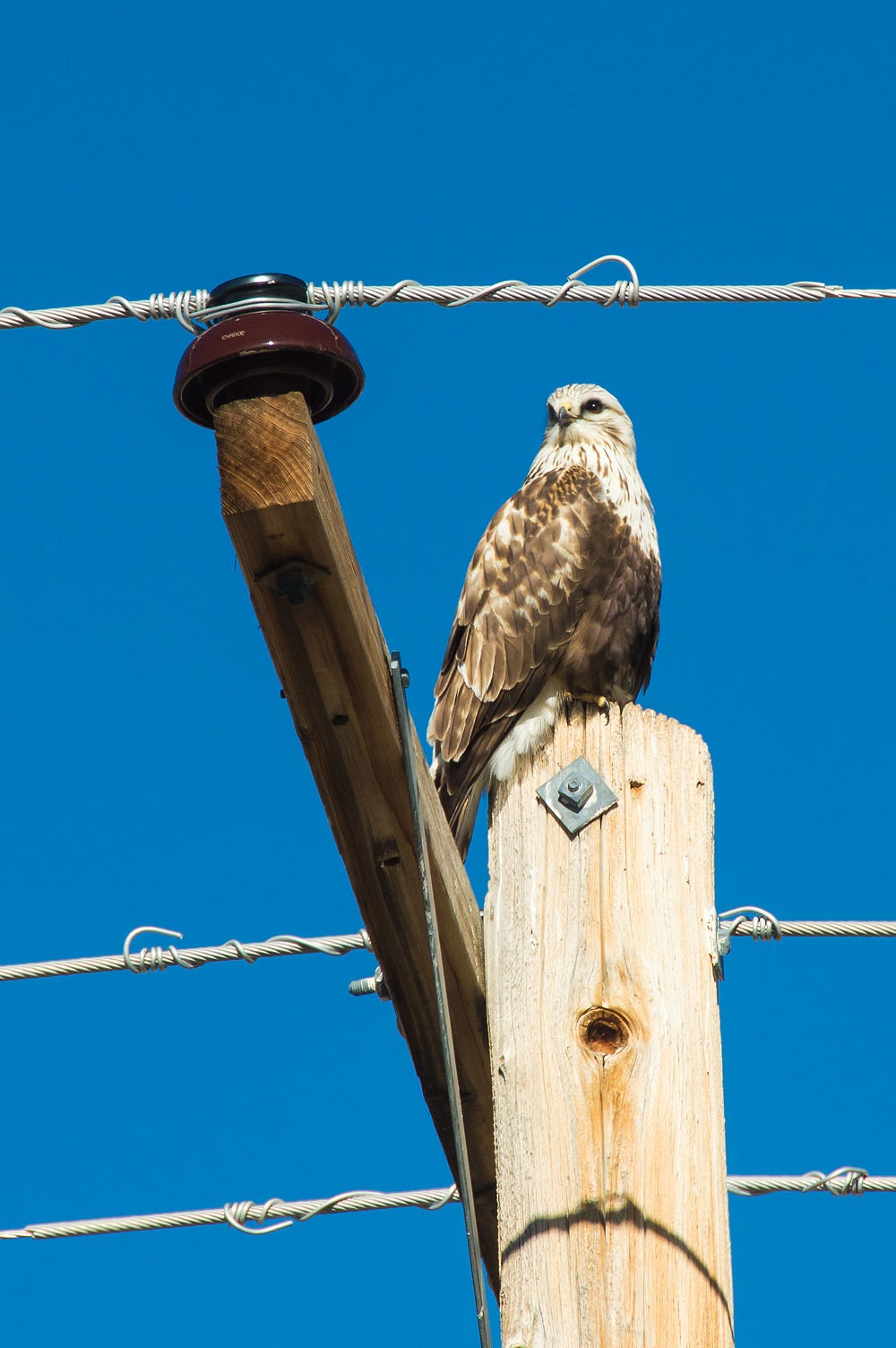
Along with loving to see shooters, the Lady loves to see hawks as we drive. The agricultural expanse - mostly onions - of the Mason Valley is an excellent place to spot and watch raptors in the morning. This one perched on a power pole caused us to turn around and take a photo.
Two nights out in Nevada fit the bill
just right. The night sky delivered. "Come on shooter!"
I never get bored of your adventures and pictures, keep em coming. Unfortunately I'm have been grounded for the past 5 months due to unforeseen circumstances but am looking forward to trucking again. Thank you
ReplyDeleteThanks!
DeleteThere is still so much to see out there. Thanks for sharing.
ReplyDeleteYou are most welcome, David!
Delete