
We have
taught land navigation classes for over 25 years. Working through various
federal and state agencies and other organizations we have taught school kids,
women, hunters, back country travelers of all types, in addition to search and
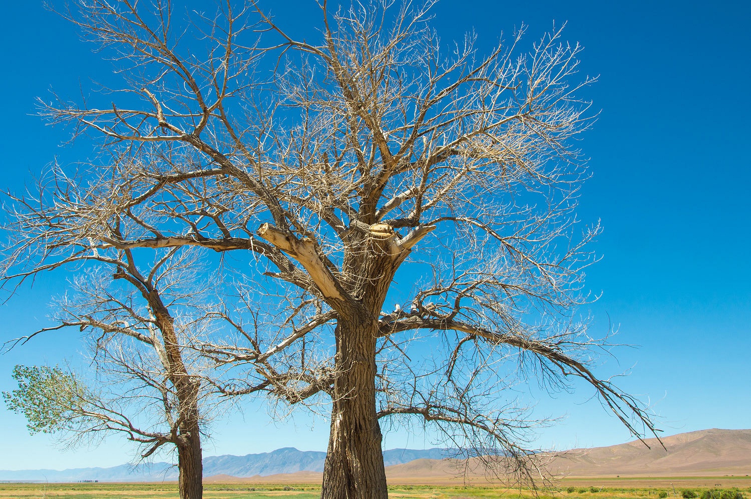
rescue professionals. Needless to say, we love maps. Maps are a wonderful
window into the outdoors. They are essential for trip planning and keeping us
found. They bring the landscape to life. They also speak of history with the
names bestowed on terrain features. On our first backpack trip into Colorado's Flat Top Wilderness, several years ago, we did a wonderful cross country route that took us down into the Williams Fork.
Curious about the name, I researched and I learned about the mountain man, Bill Williams, that the river was named for. Thusly, the
USGS 7.5 quad had led me deep into the romance and lore of the wild West. The
next drainage south drew me into a darker reality of our history with its name
- Dead Mexican Gulch. The map held another tantalizing tidbit. High up in Dead Mexican
Gulch was a tiny X with the word "Grave".
We did not
have the time to dig into the mystery and visit the gulch on that trip, but it
haunted me for years, that grave on the map in what had to be - the map told
the story - a high beautiful glacial cirque with a mean, culturally degrading
name.
Around a
dozen years ago the Lady and I returned to the Flat Tops, just the two of us,
and enjoyed another multi day backpack trip. We fly fished for large cutthroat
trout in the Williams Fork and high alpine lakes. And, one day when the weather
did not foretell deadly afternoon thunderstorms, we went high, crossed the
exposed alpine tundra plateau that is the Flat Tops, and dropped down into Dead
Mexican Gulch.
In no way do
I, as the cowboys say, want to be "planted beneath a mound" when my
time comes. I'd much prefer that my remains go to my friends the coyotes and
ravens. That's the way I'd like return to Mother Earth. But, if a grave be my
fate, there'd be no prettier place for eternal rest than this high cirque we
dropped into - Dead Mexican Gulch.
In silence
we came upon the grave, a large mound of carefully piled stones. At its head
was a wooden cross with a carefully lettered sign. It read, "JOSE VELARDE
Killed by Lightning SUMMER 1922."

I suspect
Mr. Velarde was a sheep herder; maybe even Basque and not Mexican at all. It
was obvious he had people who cared, evidenced by his beautiful grave up here
so high and close to heaven. A man who was honored, in all probability a good
and decent man, and certainly sad to be dismissed as just the Dead Mexican.
We paid our
respects, descended the gulch, and returned to our campsite longing for this
place to be renamed Velarde Gulch.
Why do I
remember Jose Velarde in the introduction to this trip story? Because in the
trip planning for our Memorial Day weekend adventure we encountered another disturbing
- at least to us it rang out as disturbing - terrain feature name. Looking over
the map, in the southwestern end of Nevada's Buffalo Valley, it stuck up out of
the landscape like a sore thumb - Squaw Tit.
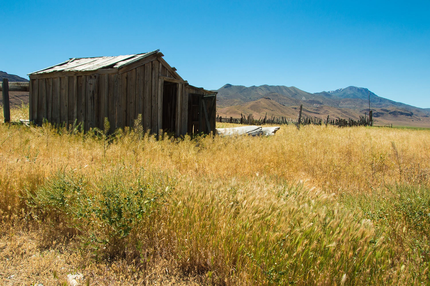
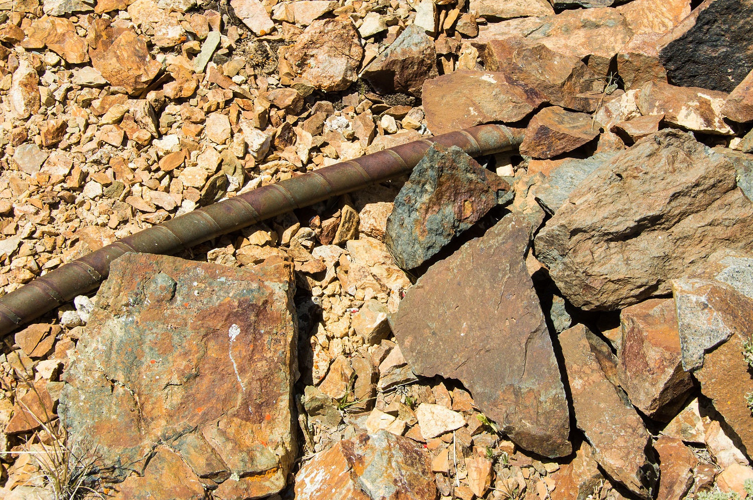
We made a stop at the ruins of the old Jersey Valley Ranch.


It was
Saturday of Memorial Day weekend and the start of the Lady's summer break from
school. Oops, I've been writing that line too many times. Correction - the start
of the Lady's retirement from teaching, thirty five wonderful years at the same
middle school. We headed out into the center of Nevada to continue our search
for U.S. Airmail airway beacons, hot springs, and all sorts of critters.
We retraced
our entry into the series of Basin and Range valleys of our last trip into Jersey Valley.
We made a stop at the ruins of the old Jersey Valley Ranch.
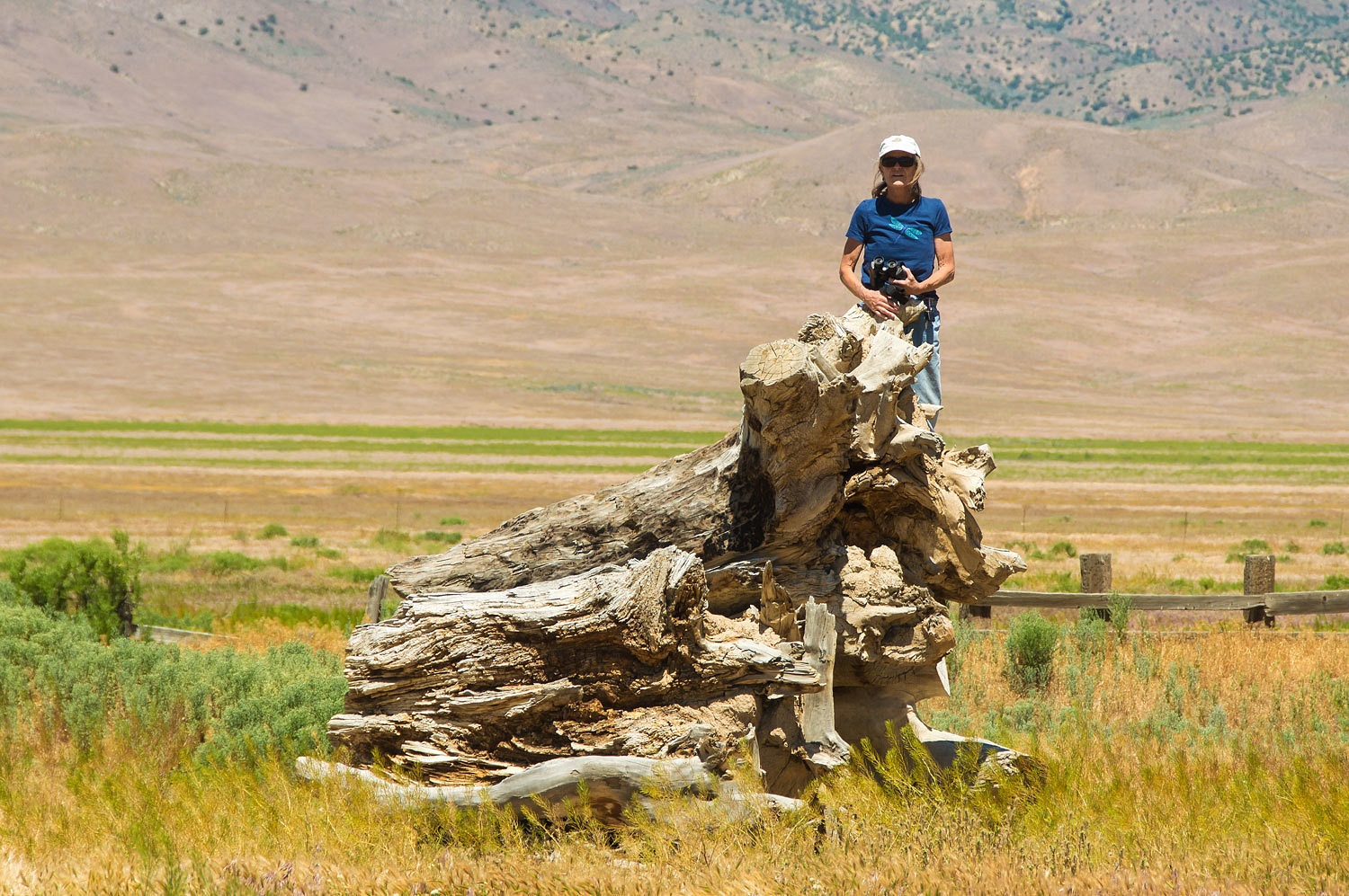
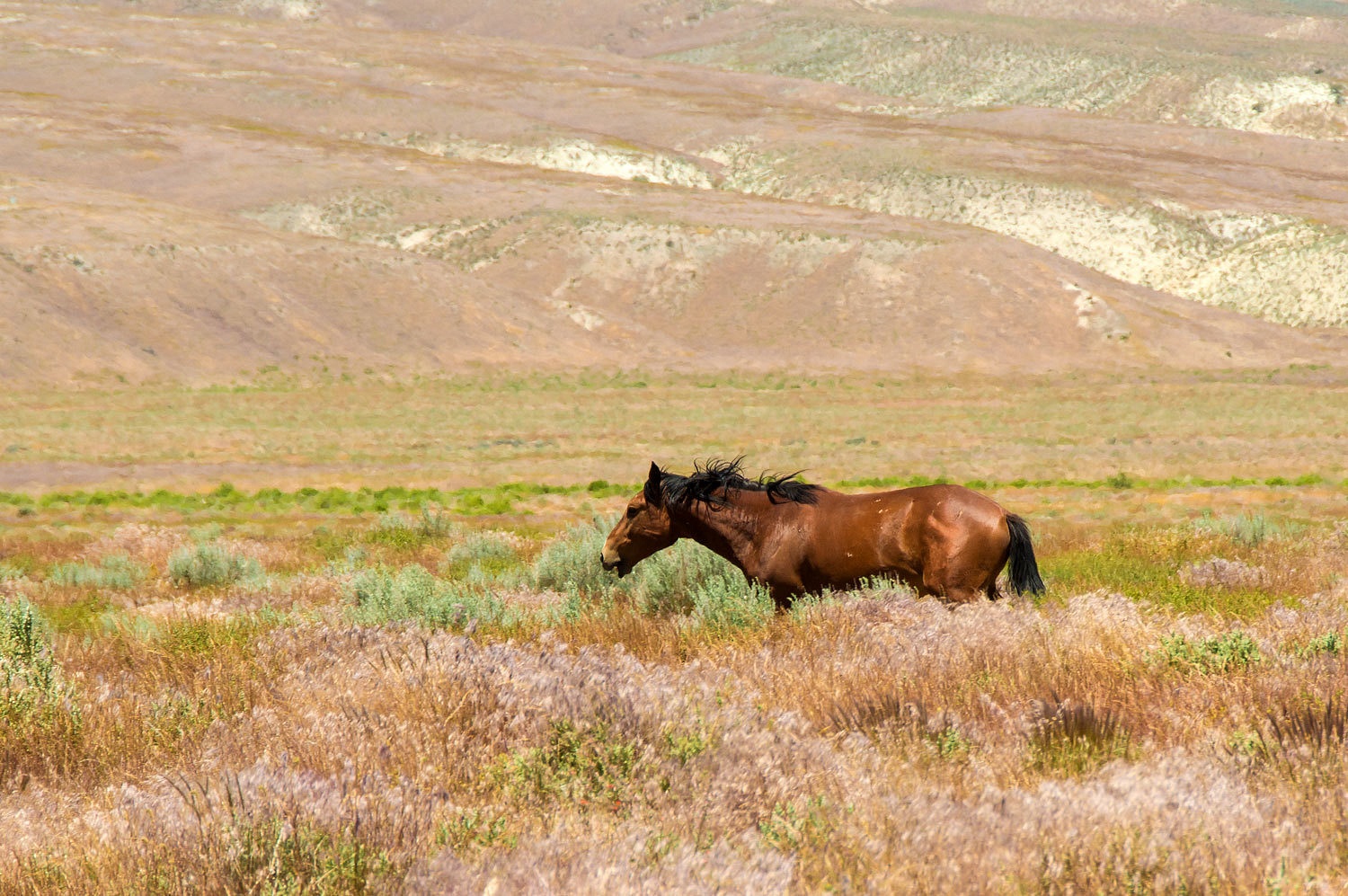
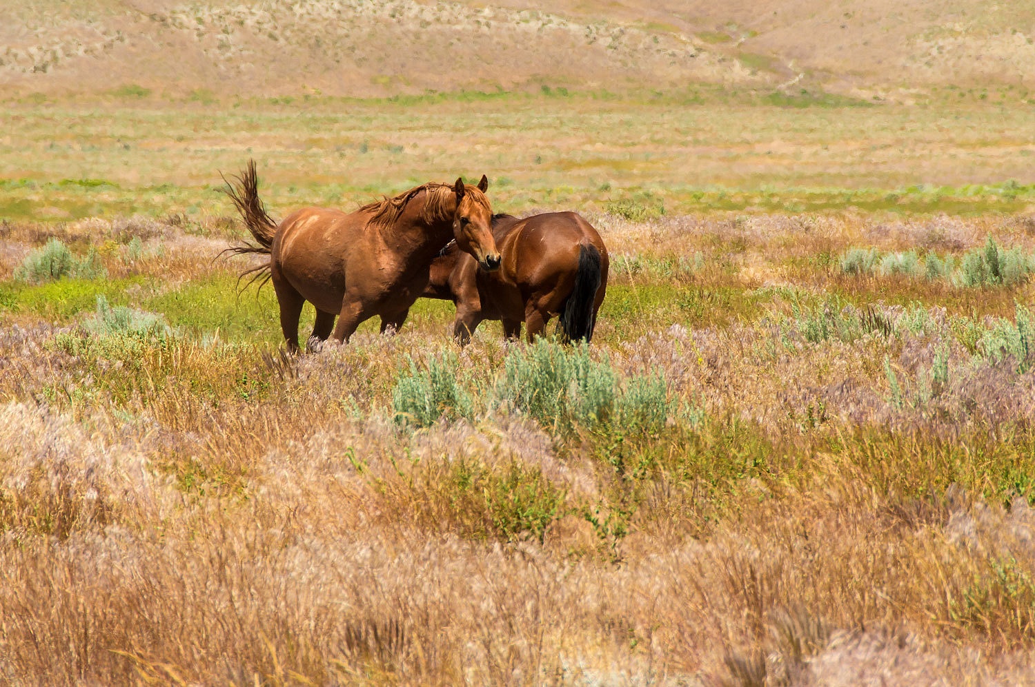
The Lady
climbed high with her see mores and spotted feral horses.
The original
route of the transcontinental airway system across Nevada was along the
transcontinental railroad tracks -Interstate
80 today. A short cut was quickly established that cut off over a hundred
miles. It ran in a straighter line between Battle Mountain and Fernley. The
system included an Intermediate Airfield approximately every 30 miles. The
location of the Fernley Intermediate Field is being turned into an industrial
park as the urban sprawl advances east from Sparks. The remains of the
Humboldt Intermediate Field are in the south end of Buena Vista Valley. We
visited that site in March of 2015.
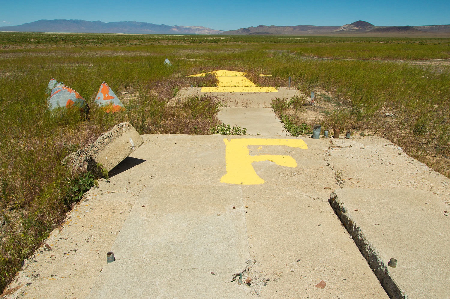
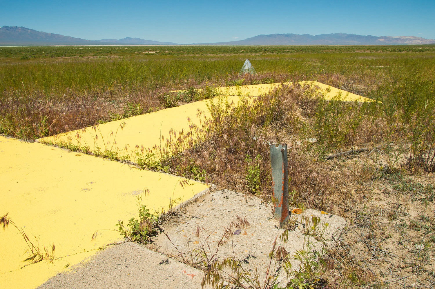
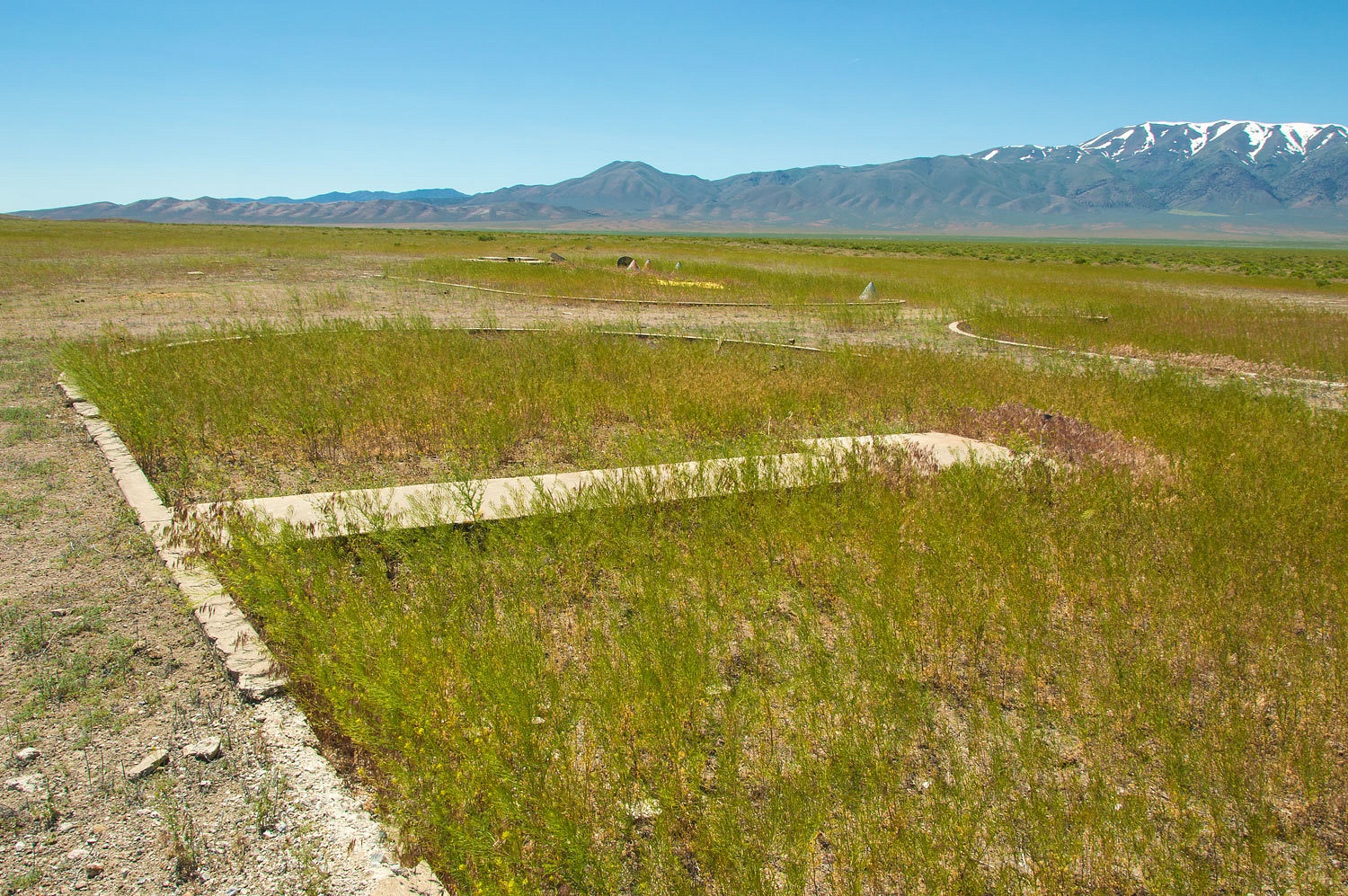
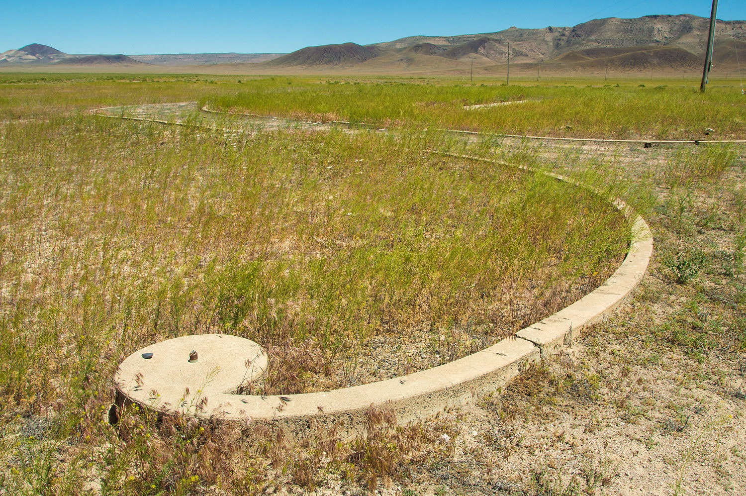
We were
looking for the remains of the Buffalo Valley Intermediate Field. The road in
was in terrible shape. The Lady walked in as I worked the truck around the
obstacles. The concrete arrow pointing the way east had been repainted by
someone to its original yellow. The grounds are fairly well preserved with
curbs and walkways still intact, including a large generator station.
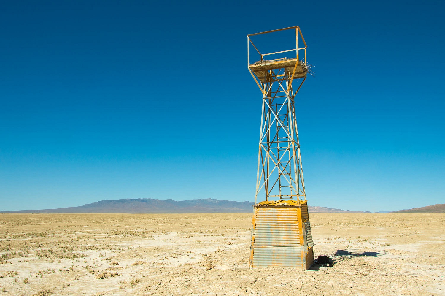
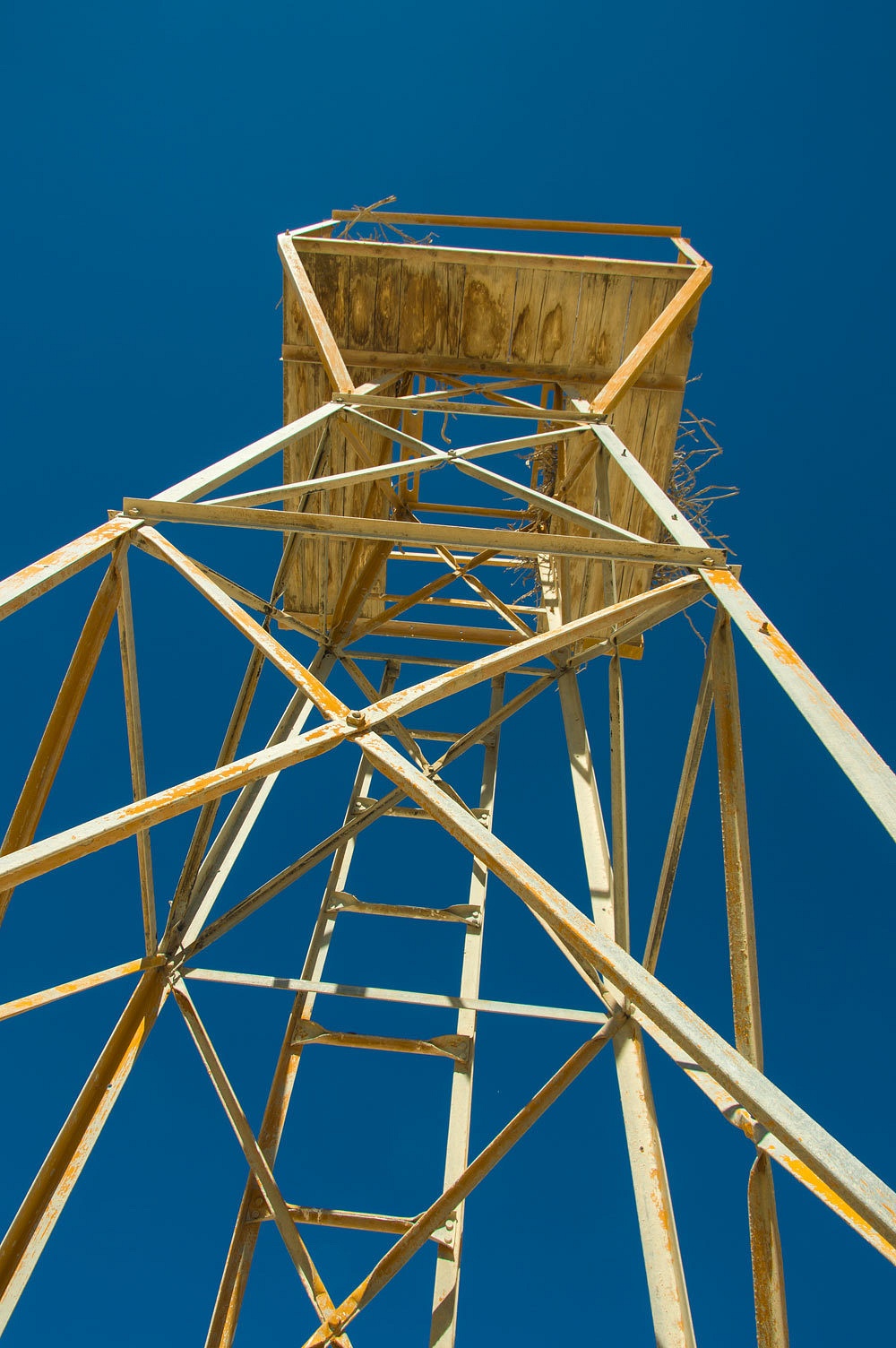
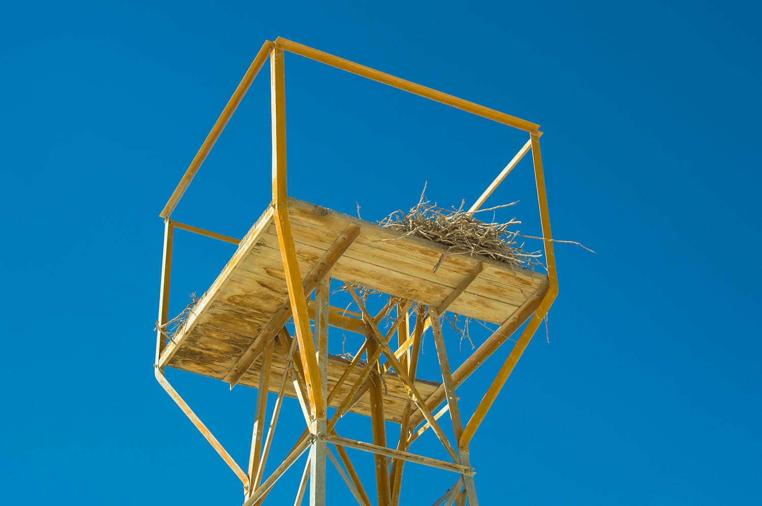
Our next
stop was the location of the next airway beacon to the east. We found an area
to park the truck and started across the broad Buffalo Valley, a one way hike
of 3.5 miles. What would we find?
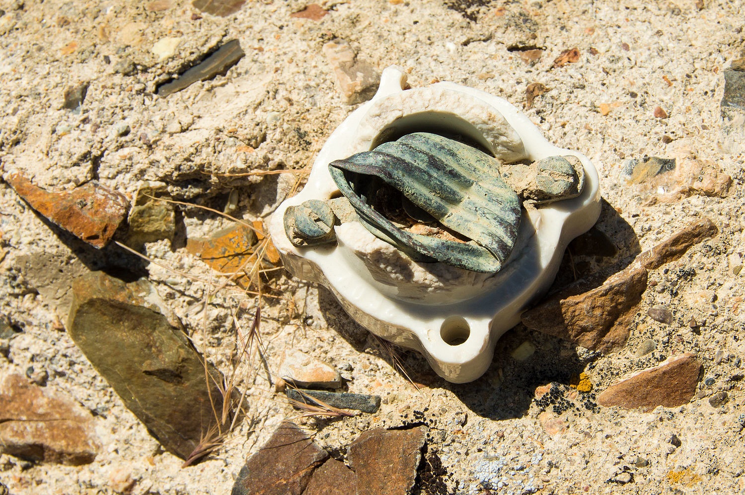
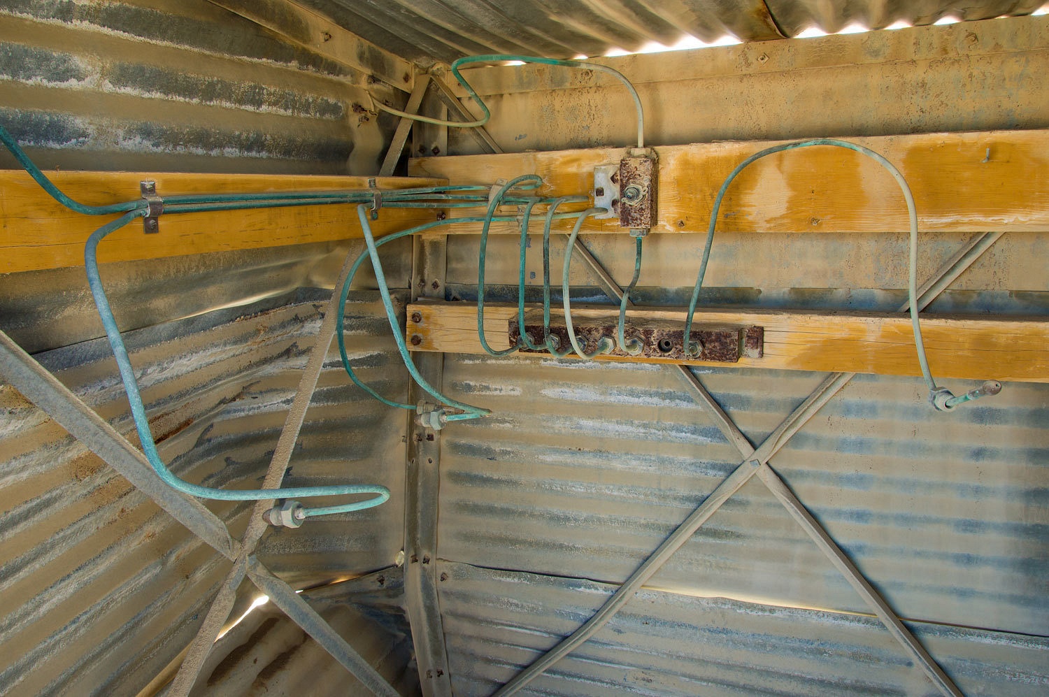
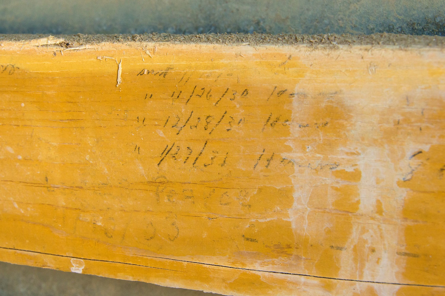
This was an
acetylene powered flashing light. Five hook ups remain inside along with
records of when tanks were changed out.
We were
thrilled to find another fairly intact beacon, saved because of its remote
location.
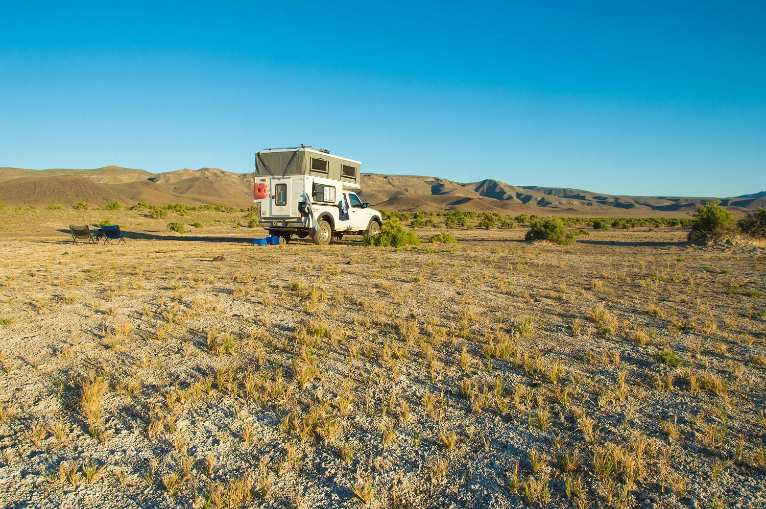
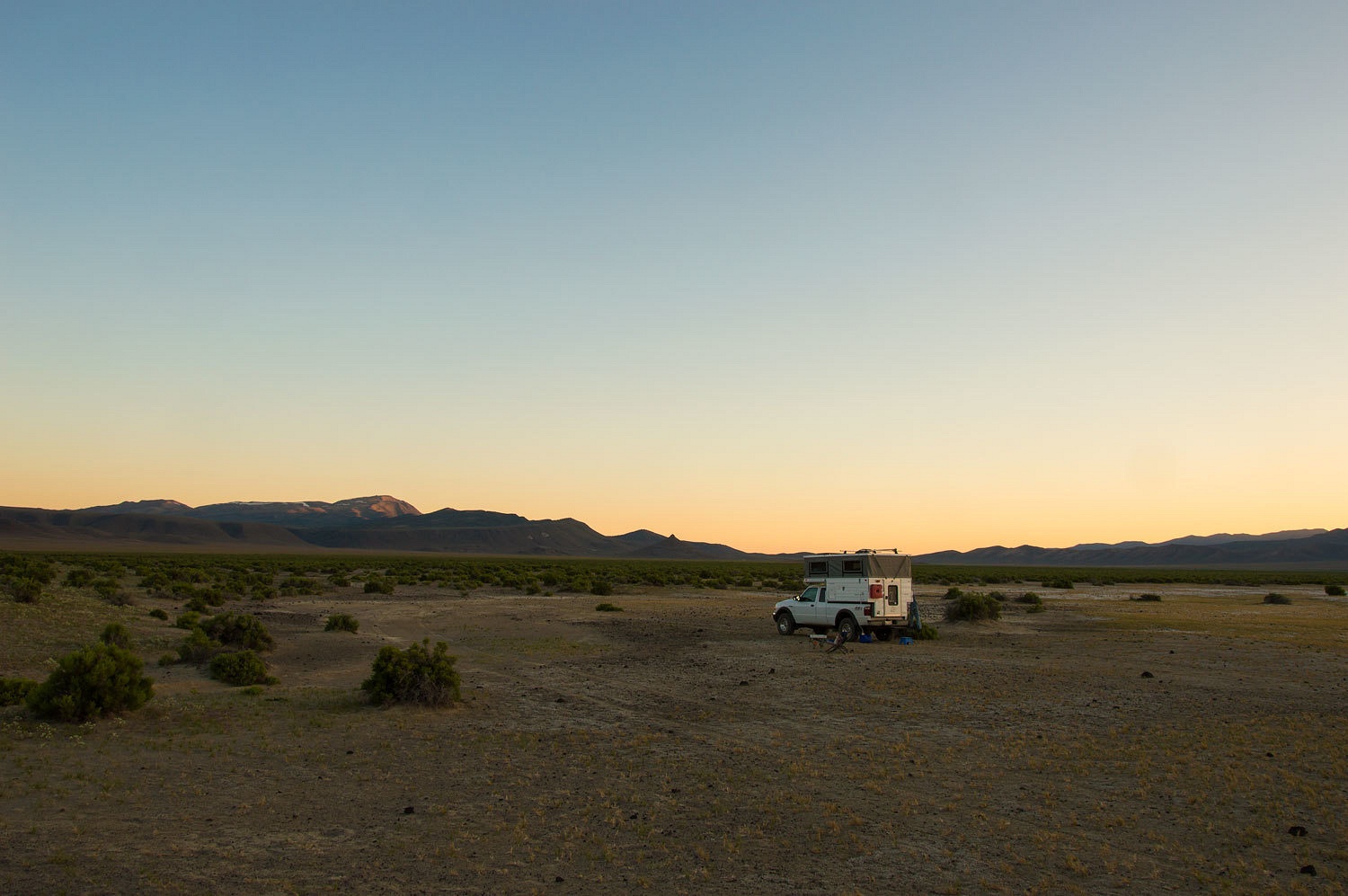
We hiked
back to our truck we had left at the sprawling Buffalo Valley Hot Springs. A
young couple was exploring the area, the first evidence of other people we had
seen all day. They continued on their way as we set up camp for the night.
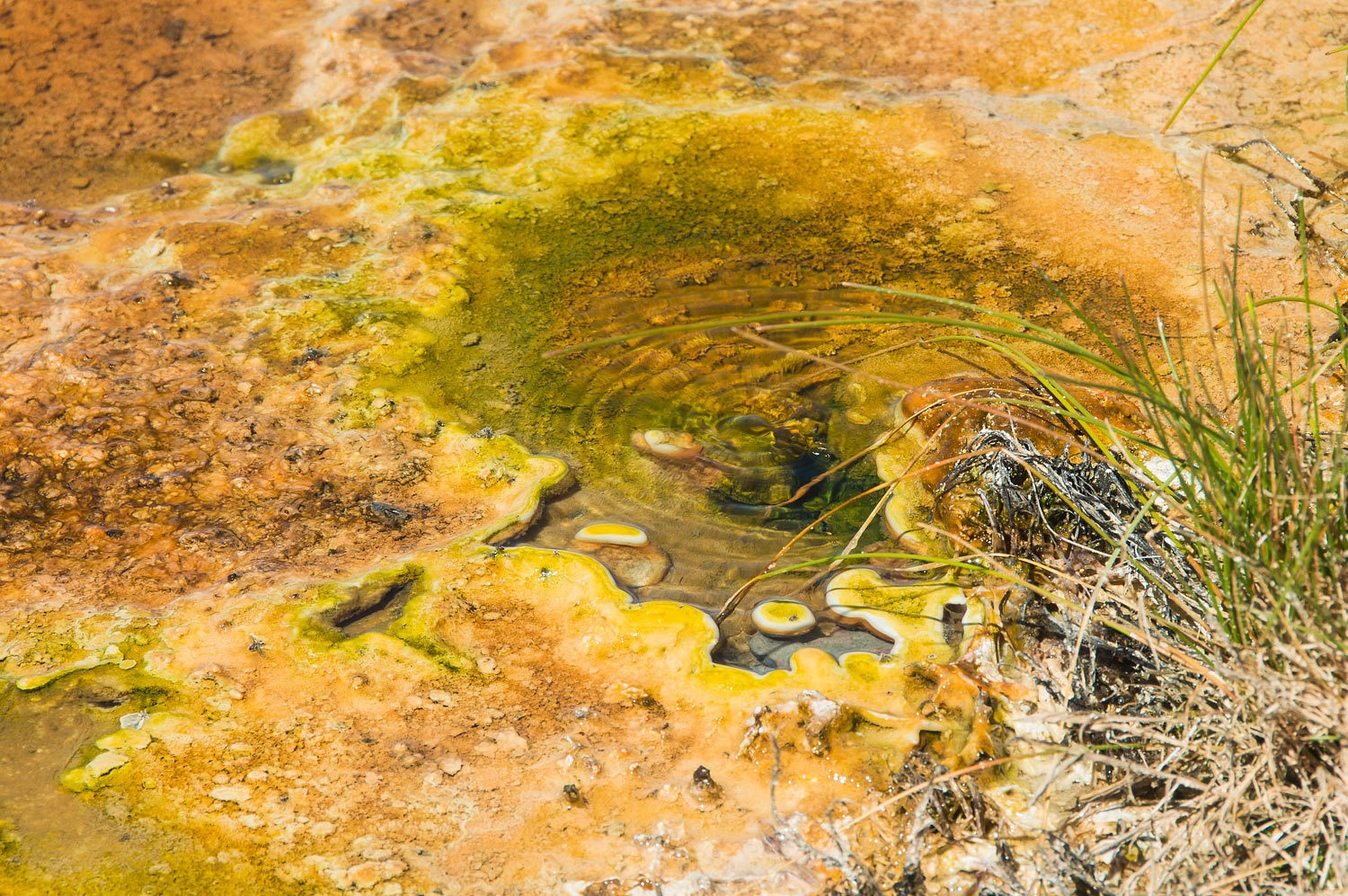
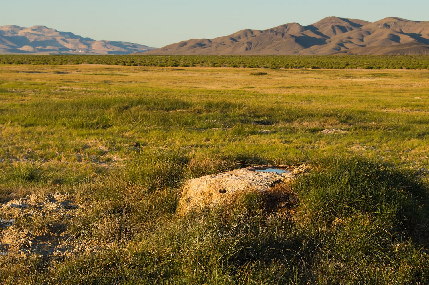
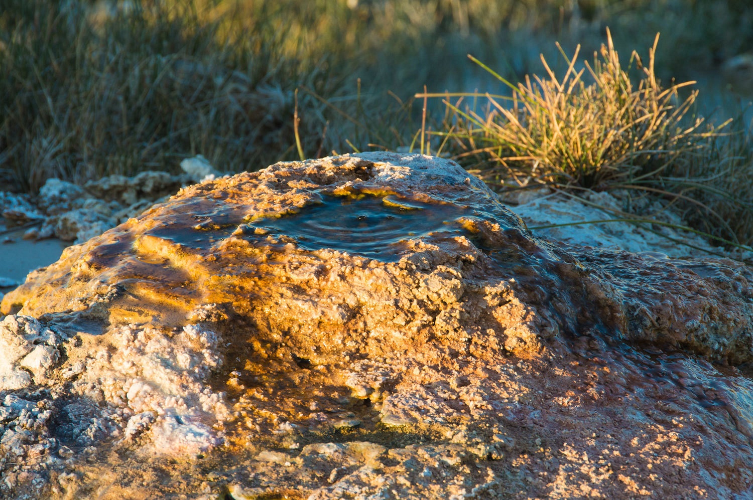
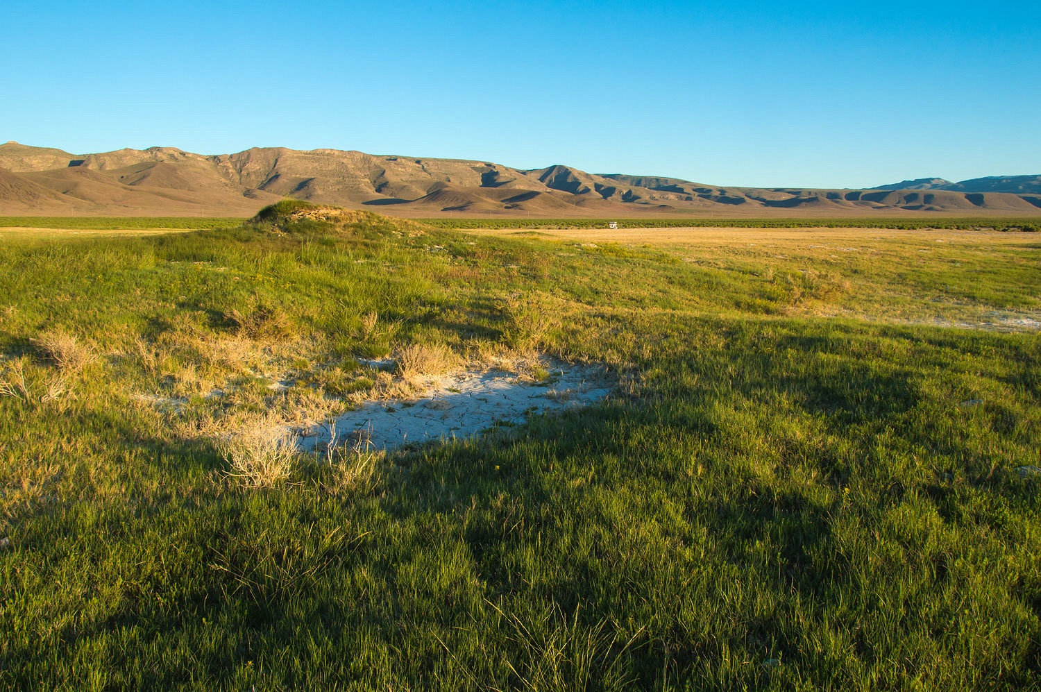
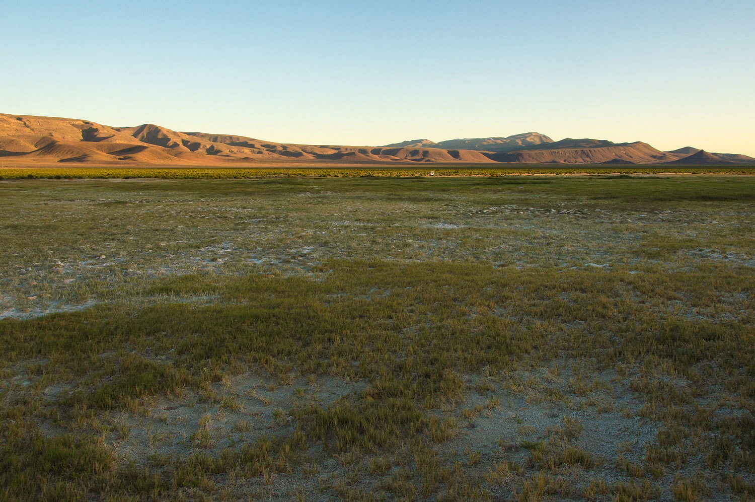
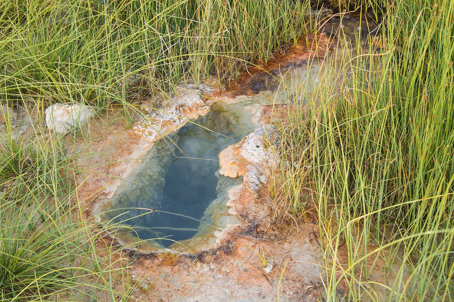
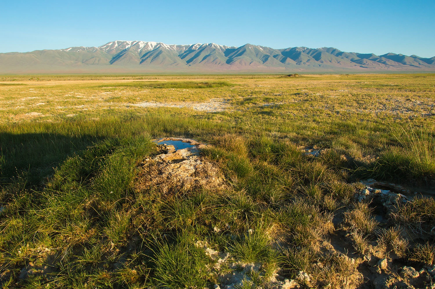
Buffalo
Valley is an incredible geologic feature that covers several acres. Many small
springs pop up over the area. The water is very hot but not much volume in the
individual springs. It is a gorgeous area.
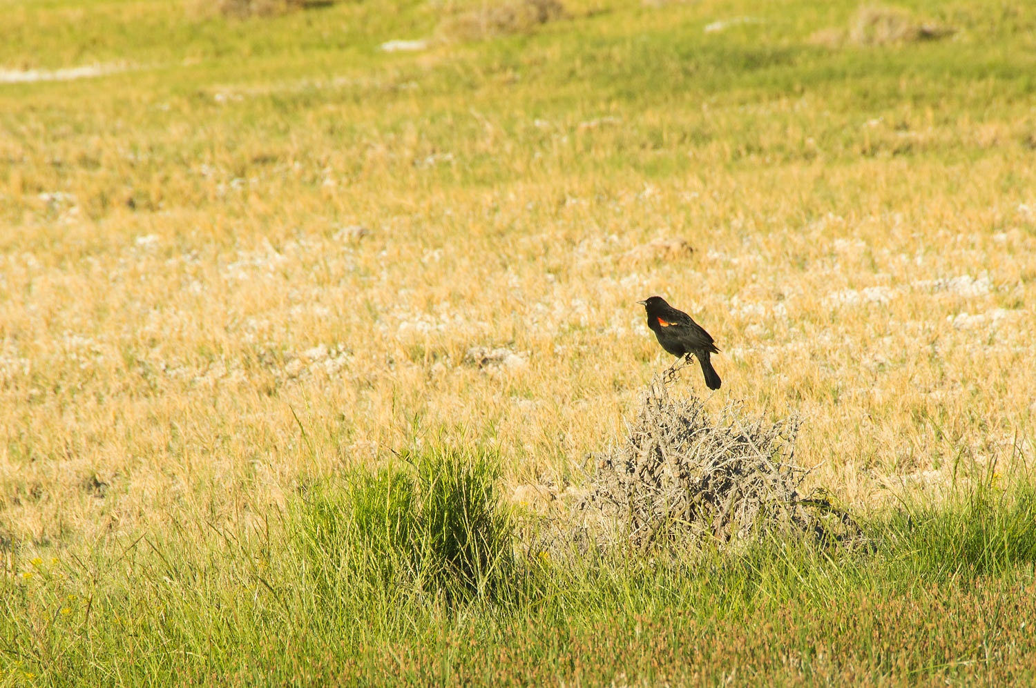
This was an
exquisite spot - quiet - accented by the songs of red wing blackbirds, killdeer, and
coyotes. This evening was about as good as it gets; absolutely wonderful.
We awoke Sunday
morning to 38°, delightfully cool. The Lady snuggled against my back as we
awoke. We discussed our plans for the day. The Lady said, "Maybe, if we
have time after climbing Needle Peak, we can climb the Tit too!" This
brought us back to Squaw Tit. Wow, talk about something that hits two nails
with one blow - a demeaning term for a Native American female and a crude term
for a woman's breast. It hardly slips off the tongue like the celebrated French
word, Tetons. We talked about what we might change the name to. I suggested
"Native American Breast", but that was just too bulky, clumsy, and
obvious. With the feature such a perfectly symmetrical cone, we settled on
calling it "Hollywood."
Sunrise was
just after 5:30 am, so we were up and out and about nice and early.
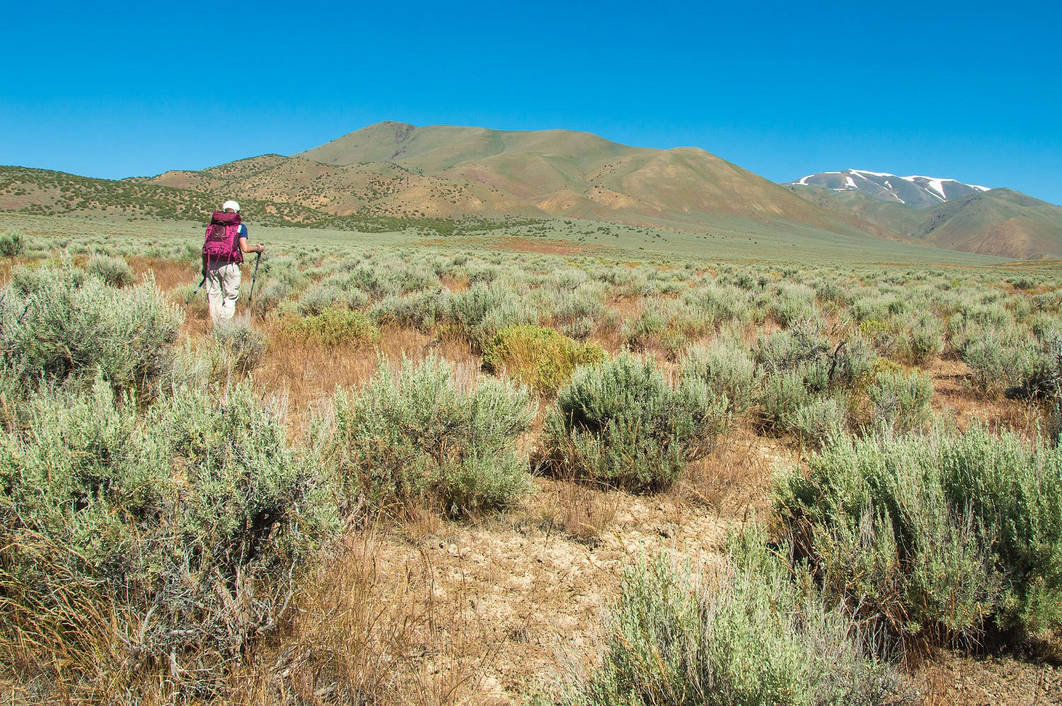
I had
information that an airway beacon once sat atop Needle Peak in the Tobin Range.
We would climb the peak and see what, if anything remained. We drove back to
the divide between Buffalo Valley and Jersey Valley and began our cross country
trek from there.
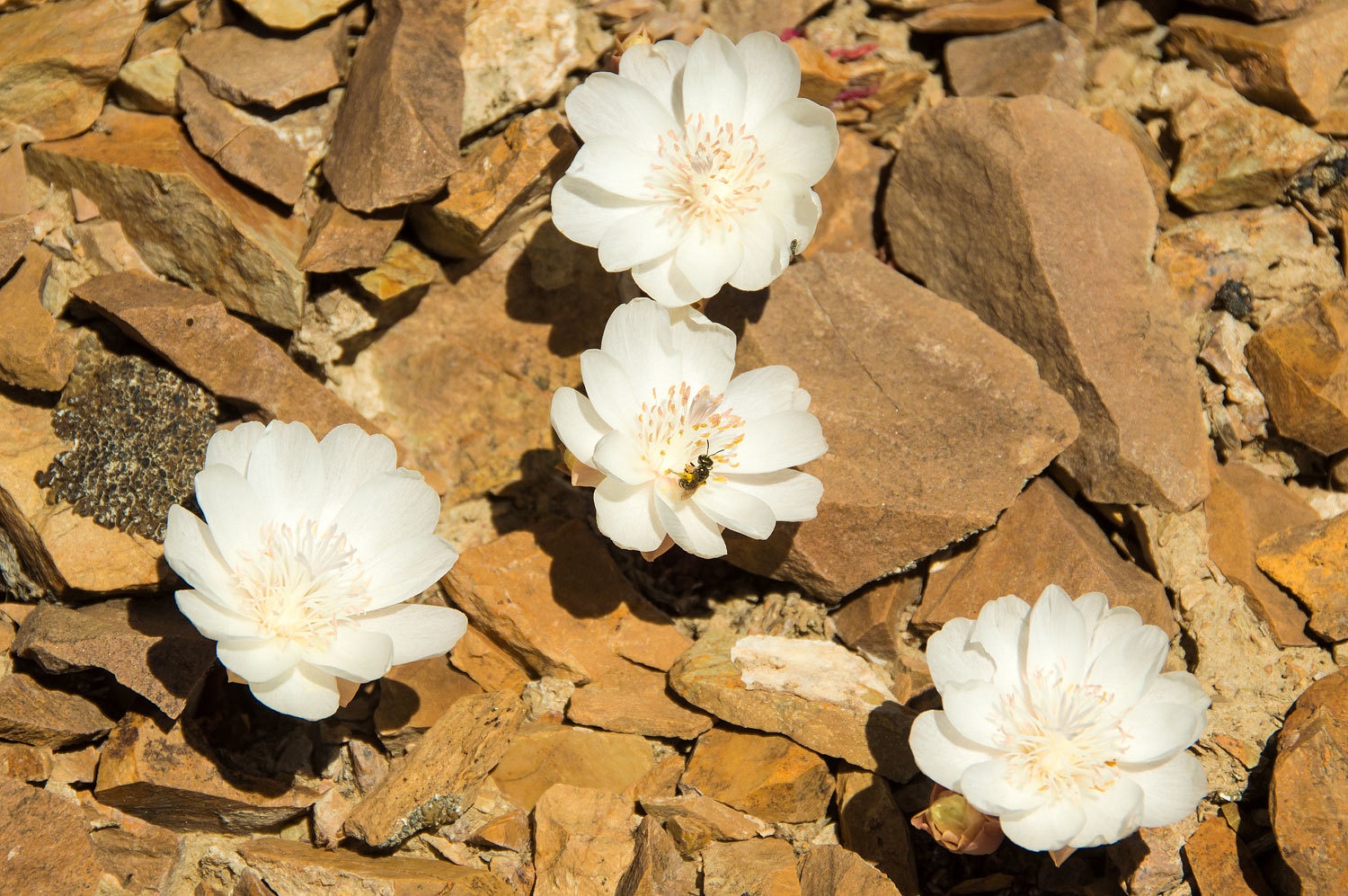
Although not
abundant, we did find a few beautiful wildflowers.
Note: I'd
appreciate an ID of the second flower. It grows at elevation on barren rocky
slopes in direct sunlight. It grows in small clusters.
edit: Thank you to Steve and Taku for pointing me to the Bitterroot.
Bitterroot east of Reno, NV
edit: Thank you to Steve and Taku for pointing me to the Bitterroot.
Bitterroot east of Reno, NV
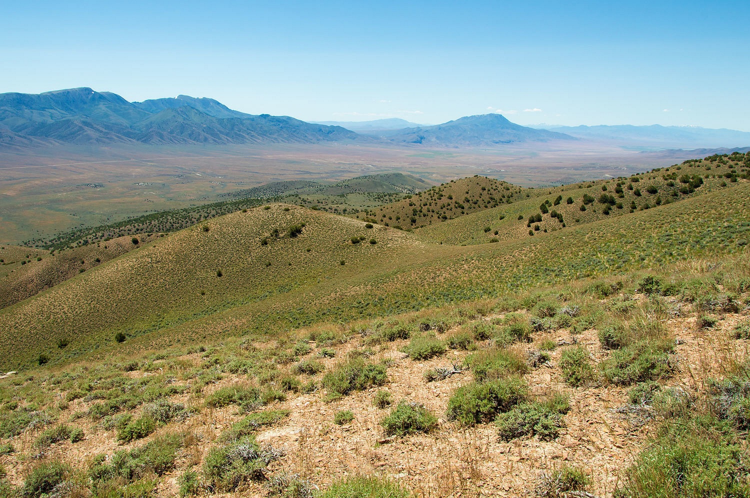
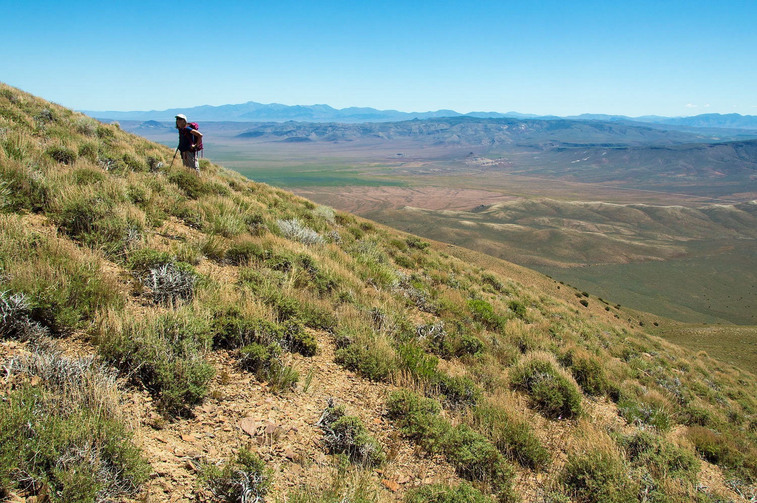
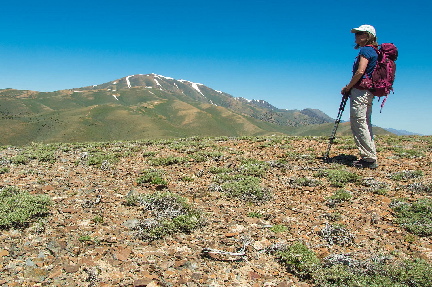
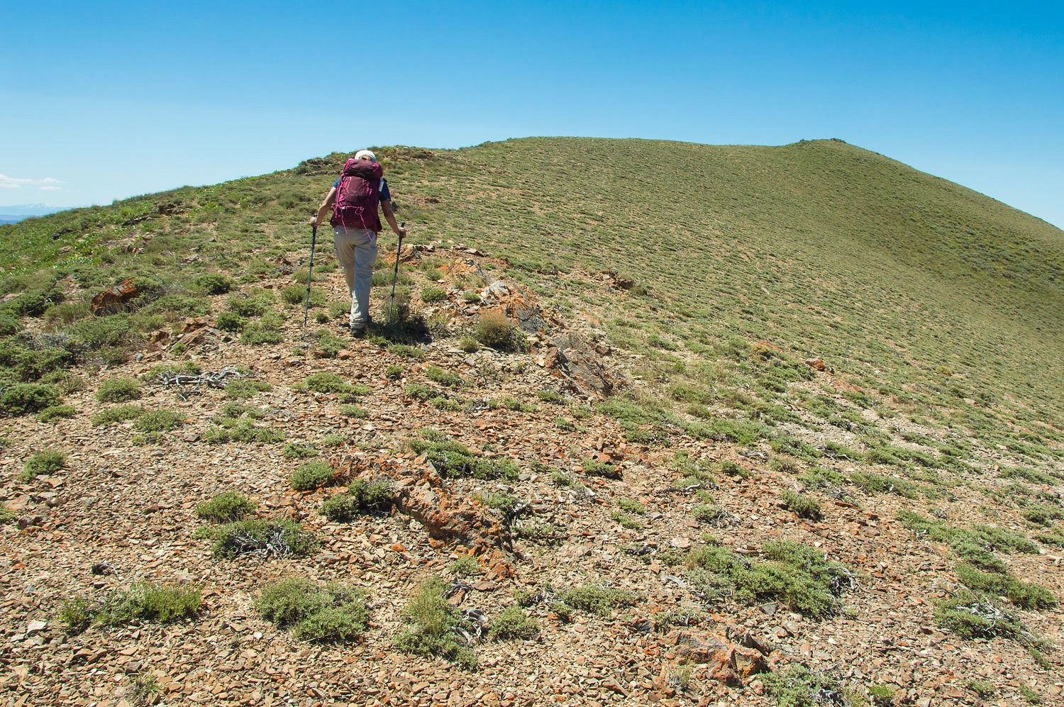
Even in the
flat light of midday, the views were amazing as we climbed.
We reached
the summit ridge and every respectable peak always has a false summit.
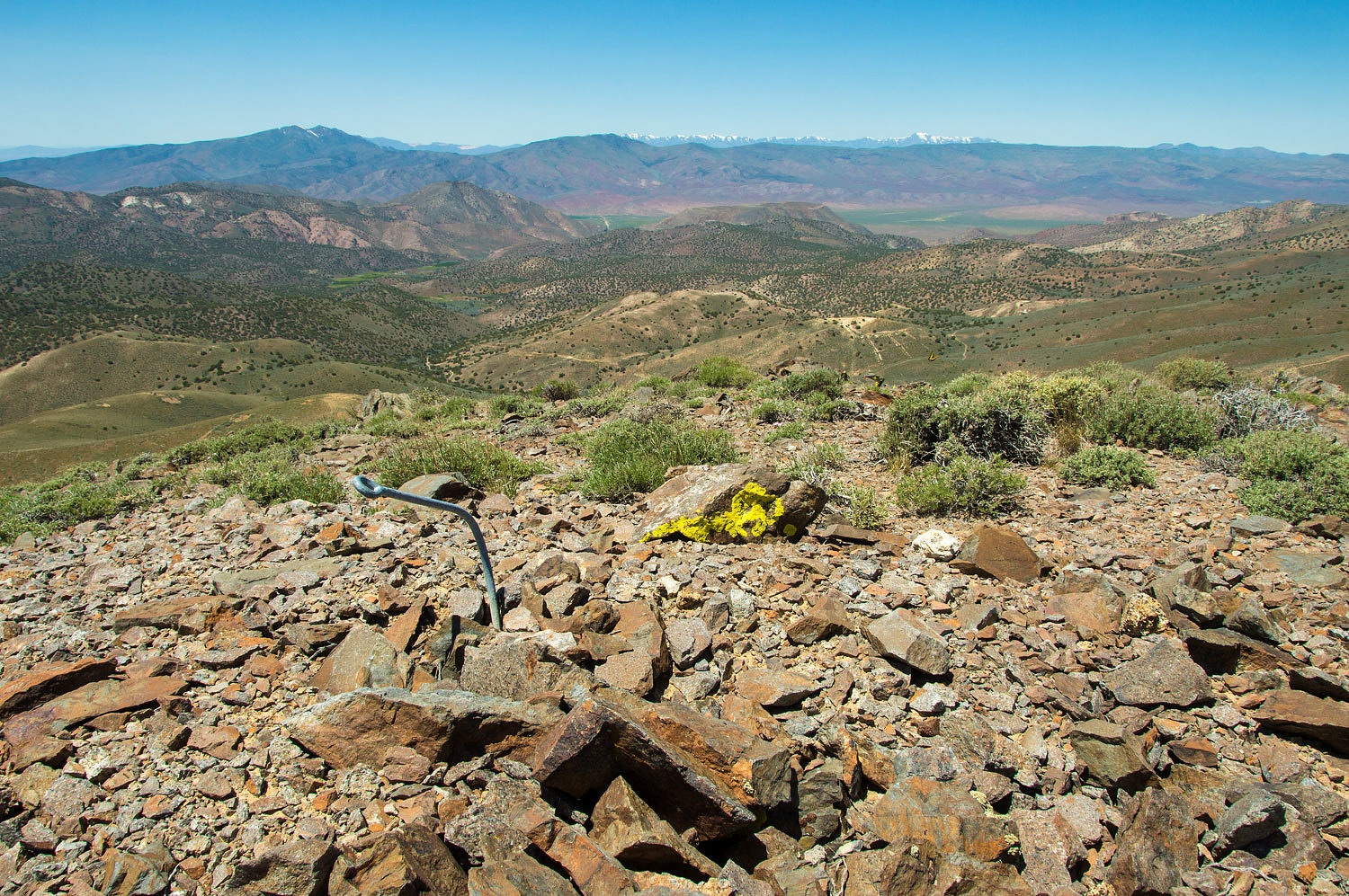
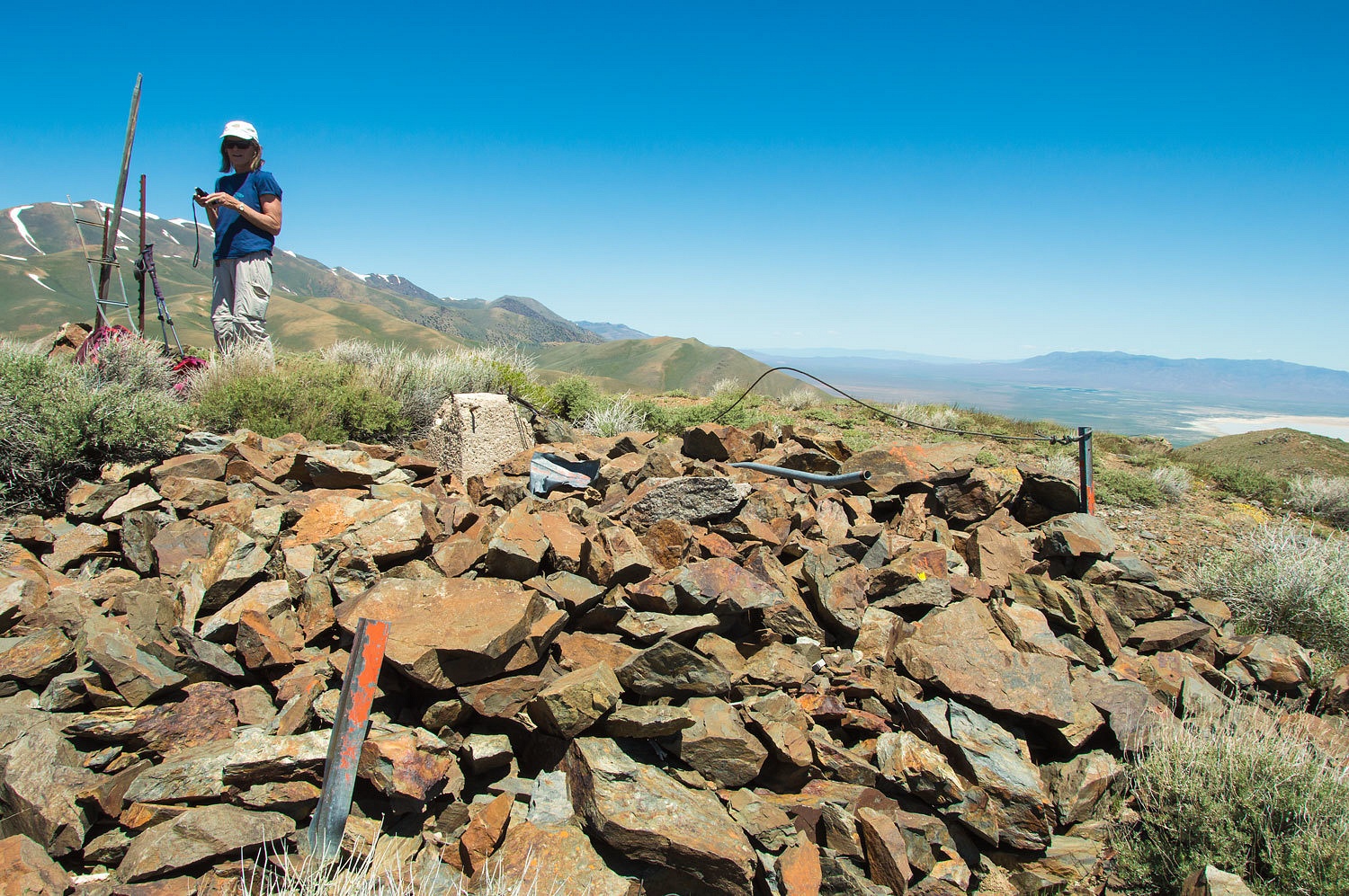
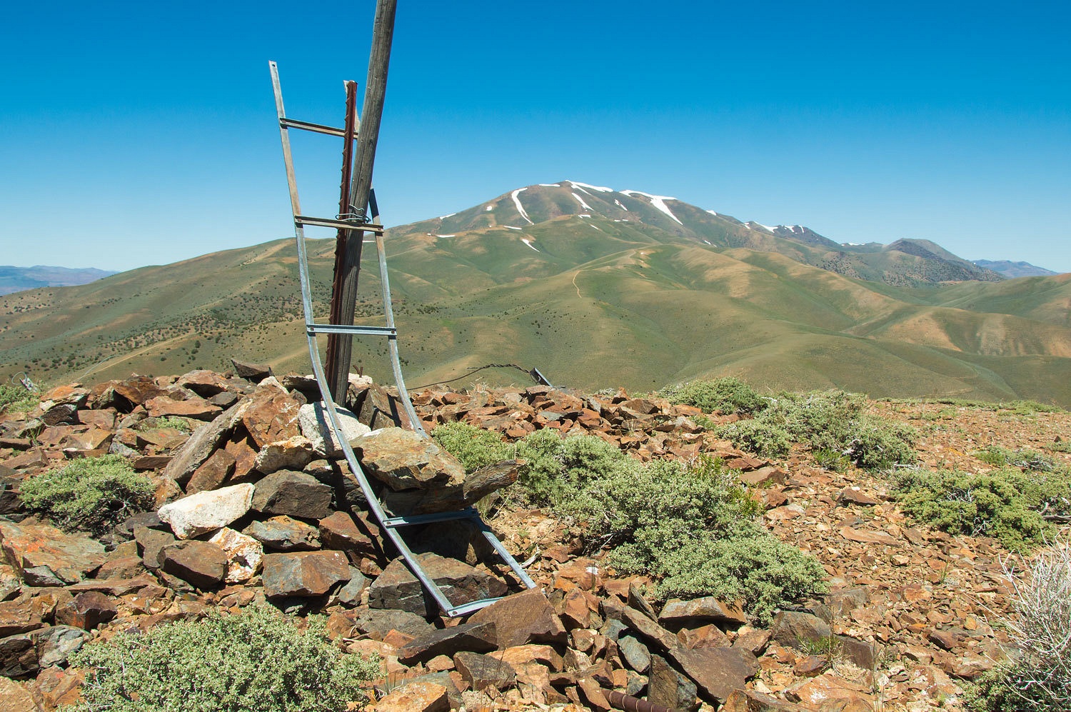
The beacon
atop Needle Peak flashed out a code that identified the location and was
electrically powered by a generator. It looks like it was possible the
generator building sat beside the beacon. Ironically, the only remains of the
beacon tower is the ladder. We did find heavy cable.
Here is a
video view.
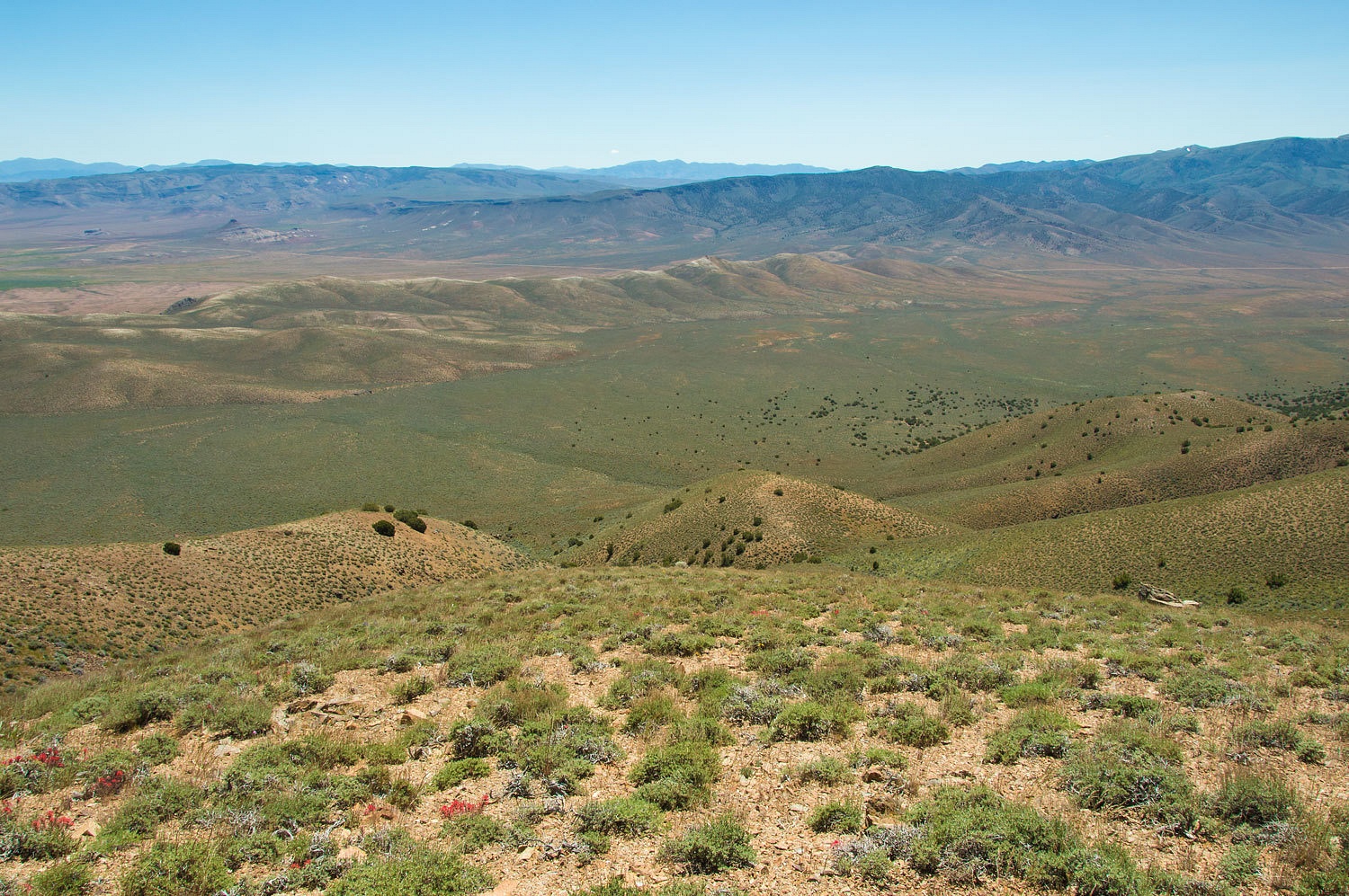
On our
descent from Needle Peak we saw one vehicle putting up dust on the Jersey
Valley Road, the only sign of other people we had seen all day. We stopped on a
bench and took in the view to the east across Buffalo Valley.
The round
trip to the top of Needle Peak was a bit over 12 miles with almost 3000 feet of
elevation gain, most of that in the last two miles to the summit. We arrived
back at Jersey Summit at 4:15 pm and were surprised to see a truck approaching
from the west, the second sign of other human life the entire day. We had our
chairs out and were pulling off our boots as the truck stopped beside us.
"You
guys okay?" the man asked as he leaned toward his open passenger window.
"Yes,
we're fine," I answered. "Thanks so much for stopping and checking on
us."
"What
are you guys doing out here?" He looked puzzled. "You out just
enjoying the weekend?"
"We
climbed Needle Peak today!" the Lady smiled. "We're just getting
back."
"From
here? You went to the top from here?" he asked.
"Yes,
it was a good day and a lot steeper than I thought it was going to be."
the Lady continued.
"Do you
two have any idea where you are?" He was a good guy and turned serious.
"Tell me, where are you right now?" He wanted to check on us and I
let the Lady take over.
"We are
at the top of Jersey Valley," the Lady answered. "We are parked at
Jersey Summit."
"Bingo!
Jersey Summit!" he said with a smile and pointed at the Lady.
"Yes
and we'll probably camp down near Buffalo Hot Springs tonight," she
continued.
"What?"
he asked. "Out there on the flats?"
"Yes,"
the Lady replied and then asked. "What are you doing out here? Do you work
at the big mine out to the east? Are you a miner?"
"No,"
he answered. "I'm with the Buffalo Valley Ranch."
"Oh,
then you have a great place to stay tucked up below Tobin." He was getting
an idea the Lady knew her way around. "You could get to the top of Tobin
from your place!"
"That
would be very very steep." he answered. "You two have a great time.
Take care."
He continued
over into Buffalo Valley.
We
considered finding a place for the night near "Hollywood" and
another, unnamed on the map, less perky outcropping to the east that I called "The
Cow Pie" because, well why do you think? The Lady quickly corrected me.
"It's the Buffalo Chip!" The cheat grass was so awful we continued
back to our wonderful spot near the hot springs.
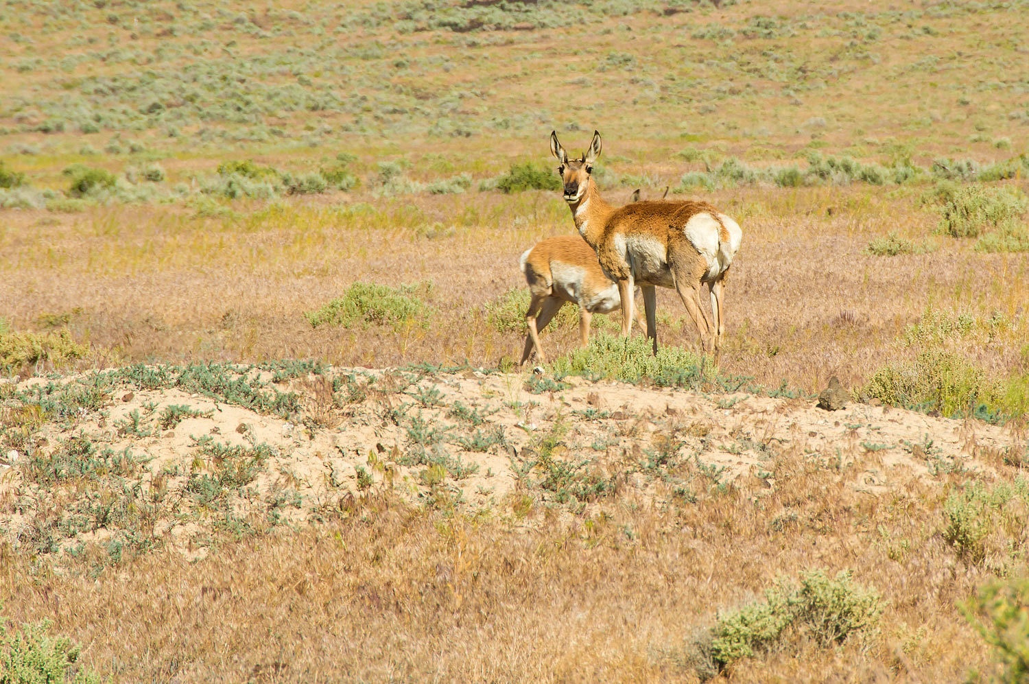
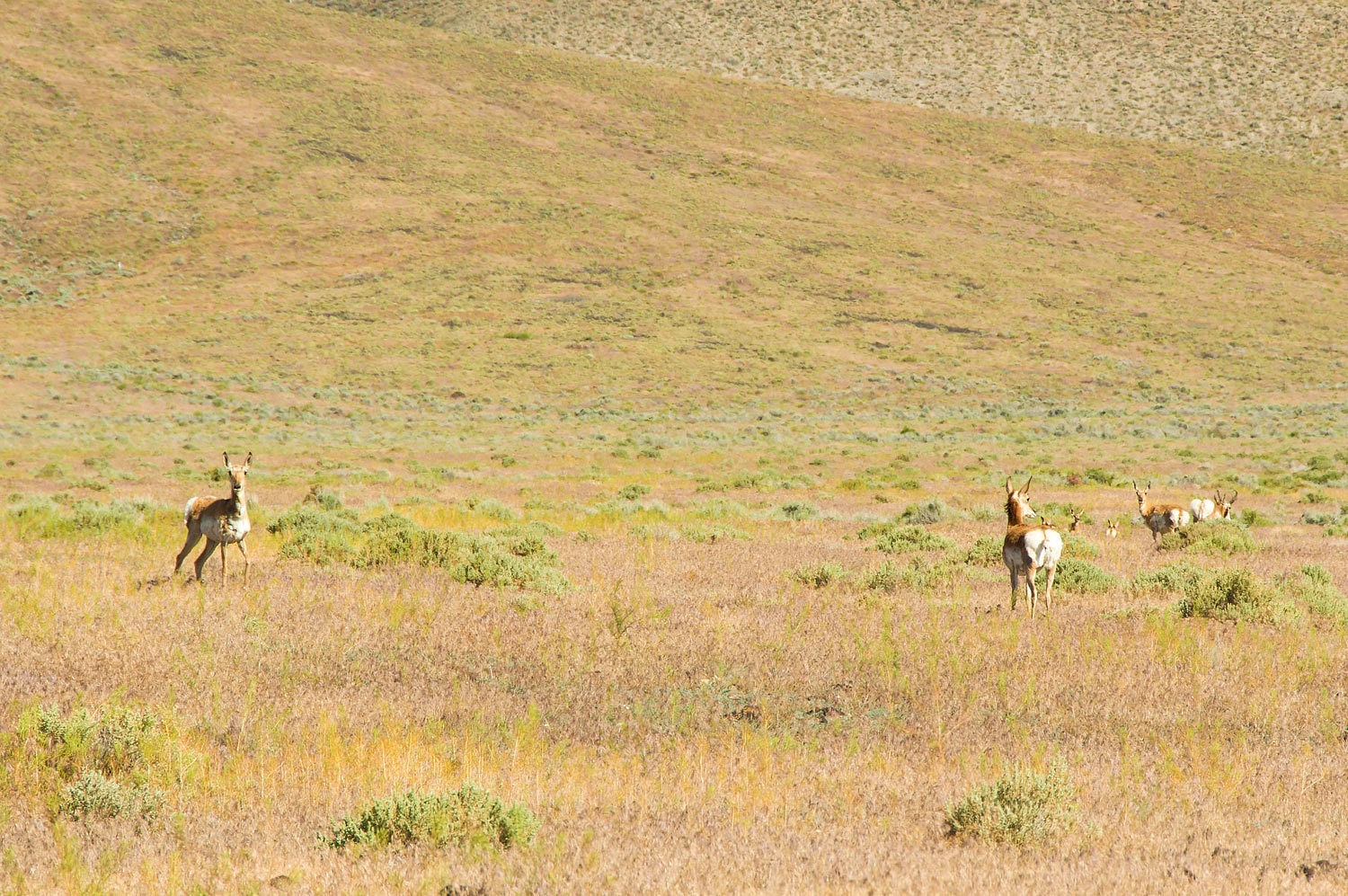
Pronghorn
were abundant with their new little ones as we drove in Buffalo Valley.
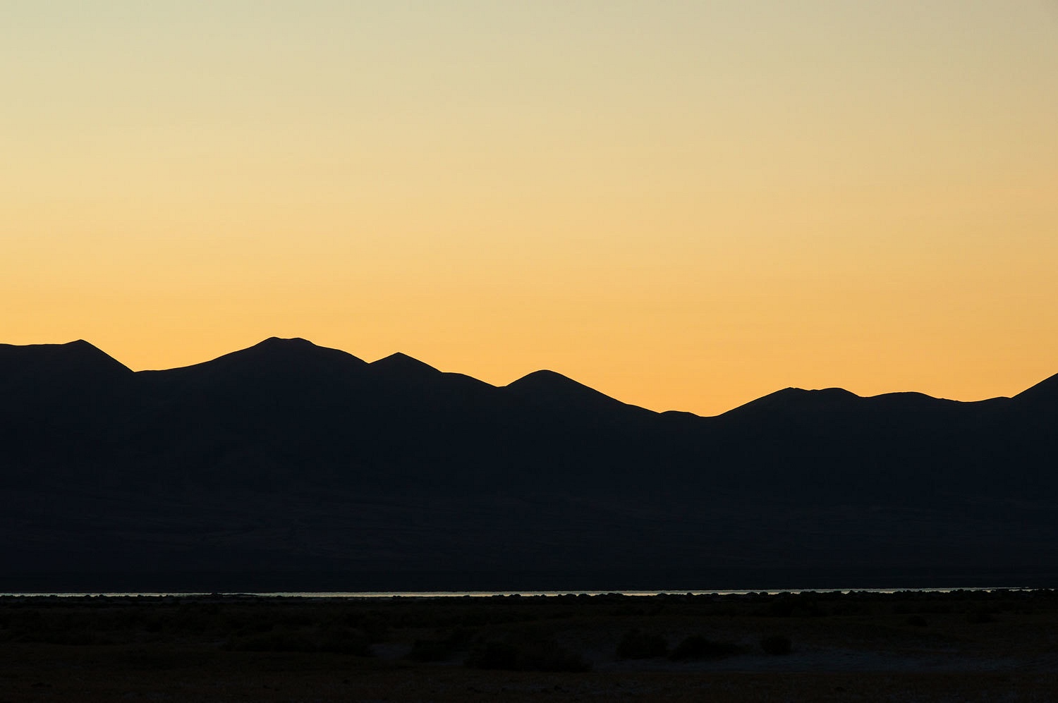
We settled
in at our lonely camp and watched night, the stars, and the song of coyotes
settle in all around us.
It was a wonderful
first two days of our trip. But, we were only getting started. What was in
store for us as we continued beyond Buffalo Valley?
Our
adventure continues in Part Two. Please CLICK HERE
Julie/Monte, the second wildflower looks like something in the bitterroot family.
ReplyDeleteWonderful TR and place to explore!
Looks like a bitterroot but the tips of the petals don't look as pointed as a bitterroot. Any other photos?
ReplyDeleteLoved the blog - thanks for sharing! I'd like to get to the top of Mt. Tobin one of these days, seems like a corner of Nevada not a lot of folks get to explore.
ReplyDeleteHello, how are you? I just ran across your blog; I’m the guy from Jersey Summit!
ReplyDeleteWhen will you be back for a visit in Buffalo Valley? I would love to hear from you.
jerryannis@hotmail.com