Monday
morning, Memorial Day, dawned a couple of degrees warmer than the previous
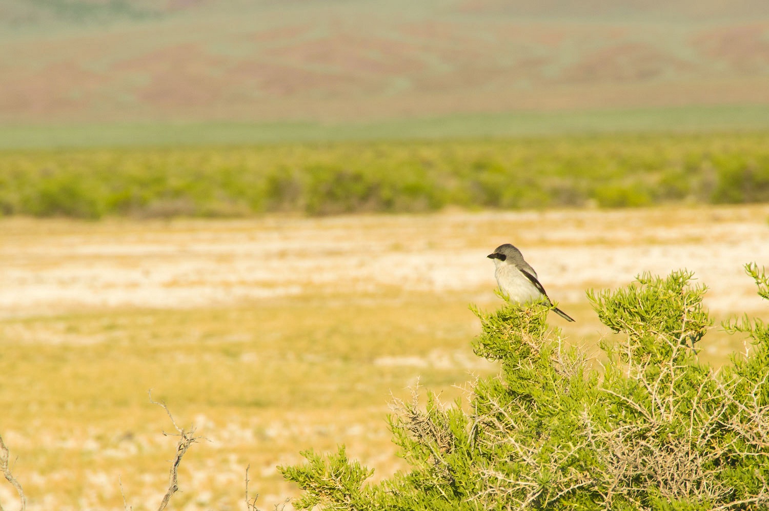
morning. We wandered across the hot springs area for our morning walk. A Loggerhead Shrike joined us.
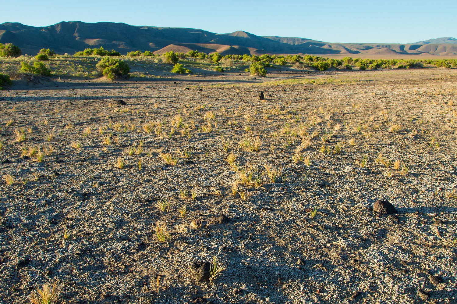
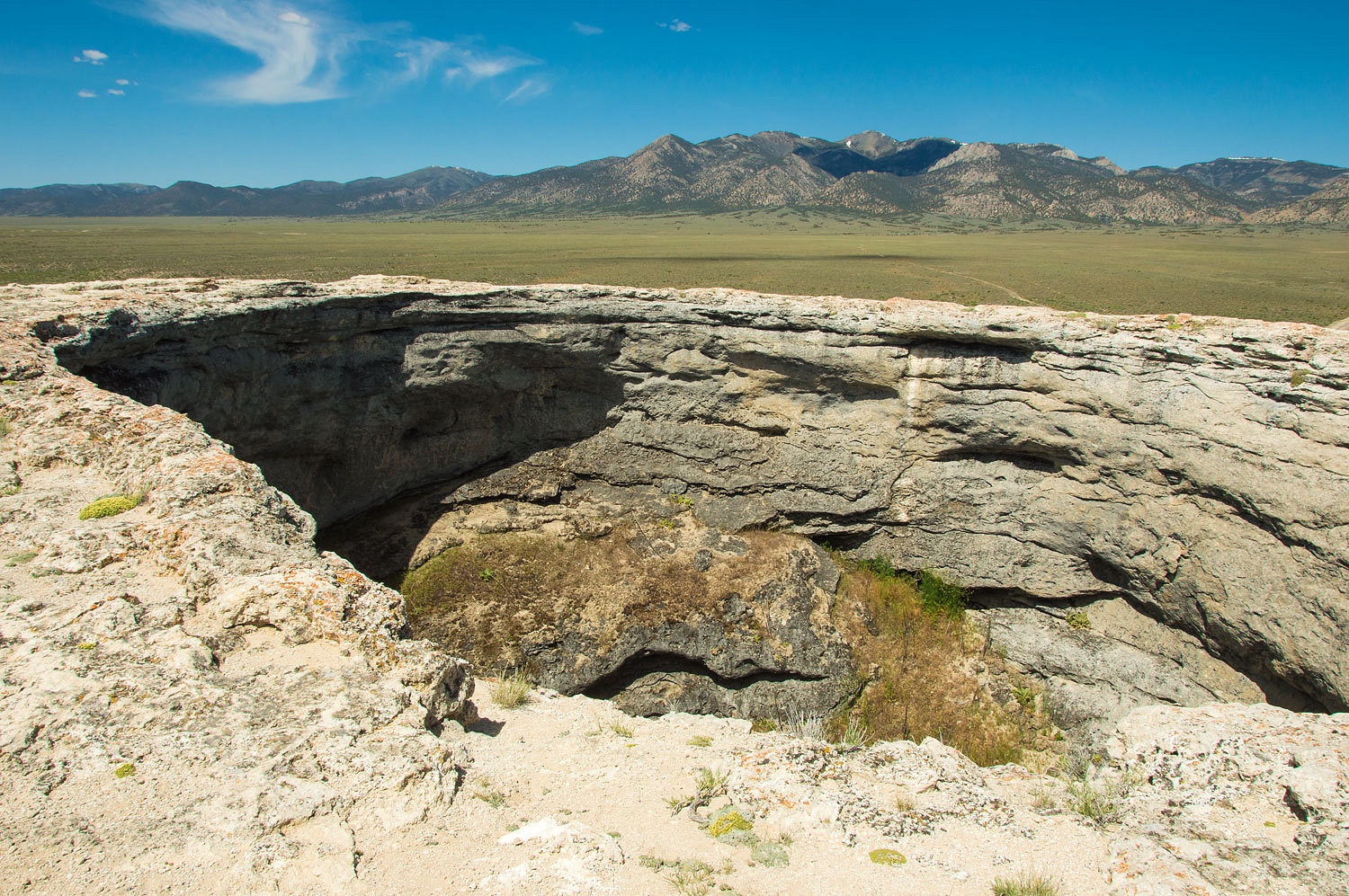
The volcanic
ejecta scattered about suggested the explosion of several small volcanoes along
the edge of Buffalo Valley was a recent geologic event here.
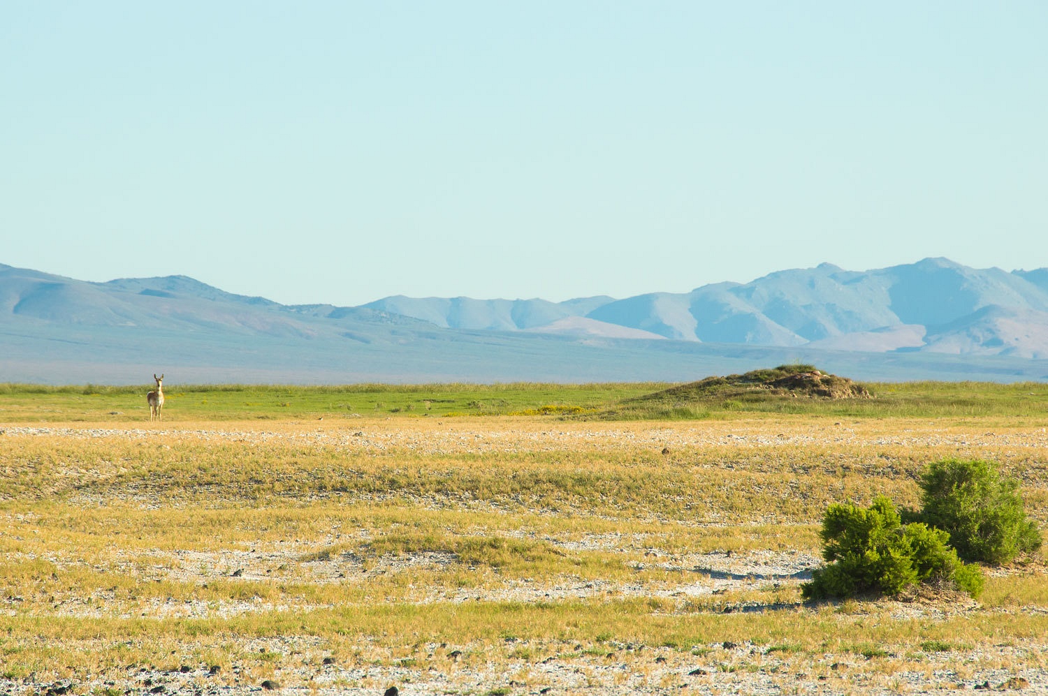
A female
speed goat attempted to sneak up on us as we ate breakfast.
Our plan was
to head east out of Buffalo Valley. We would leave exploration of Hollywood
(aka Squaw Tit) and the Buffalo Chip to another trip next spring. There is so
much more to explore to the south along with the line of volcanoes that it will
be well worth a return trip. The Buffalo Chip is a mass of interesting volcanic
rock that oozed straight up and the still molten top dripped over the edges
like taffy. Hollywood is similar rock but with additional layers, intrusions, and
capped with rock that forms, dare I say, the nipple. So many things to see out here!
We had
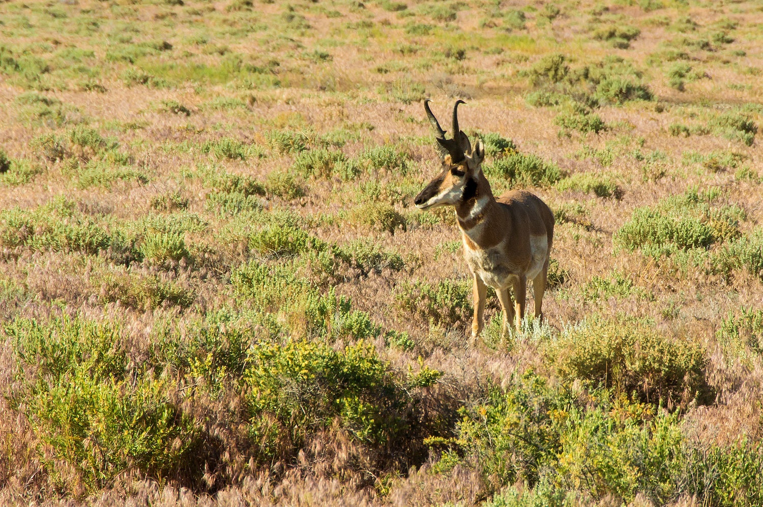
another airway beacon to find and that took priority. An old pronghorn buck
said goodbye as we left the hot springs.
We parked
the truck on the broad divide between Buffalo Valley and Valley of the Moon. It
would be around 2.5 miles across rough country to the beacon location. We
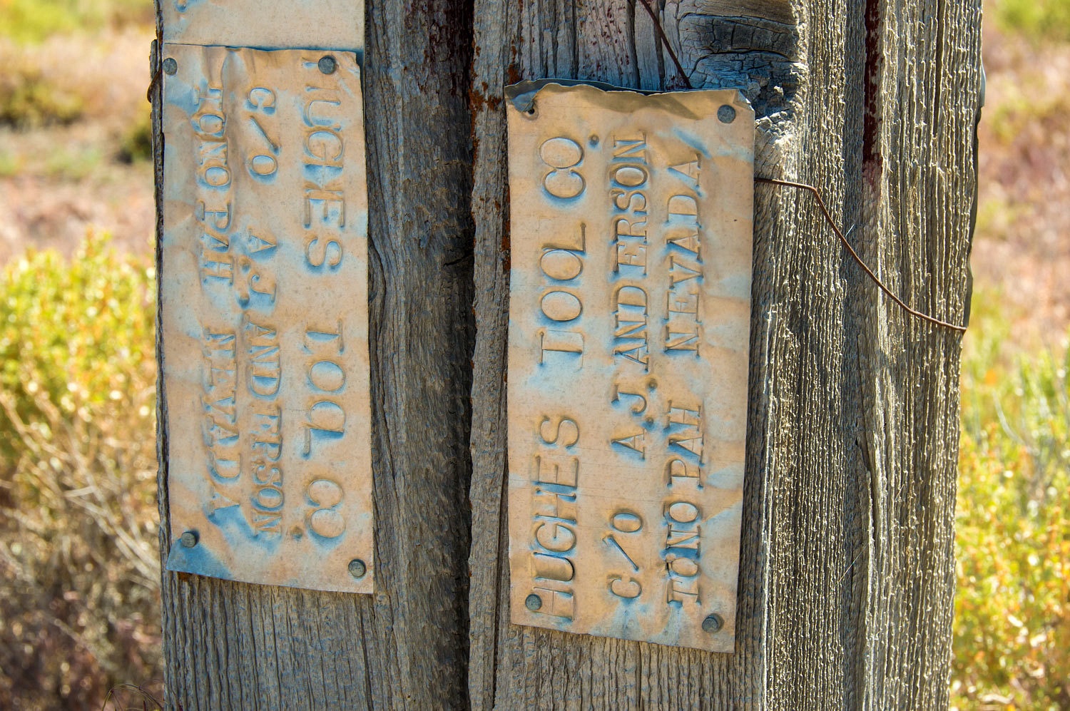
discovered that this area was extensively explored for mineral deposits and
claimed, many years ago, by Howard Hughes.
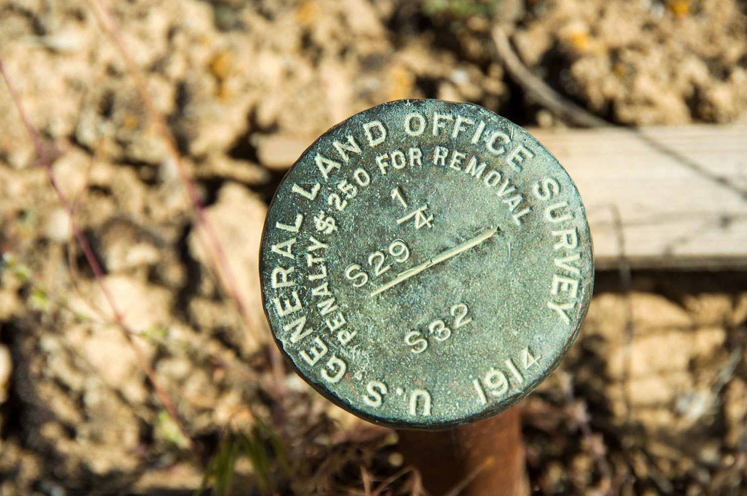
We came upon
a land survey marker that pinpointed our location.
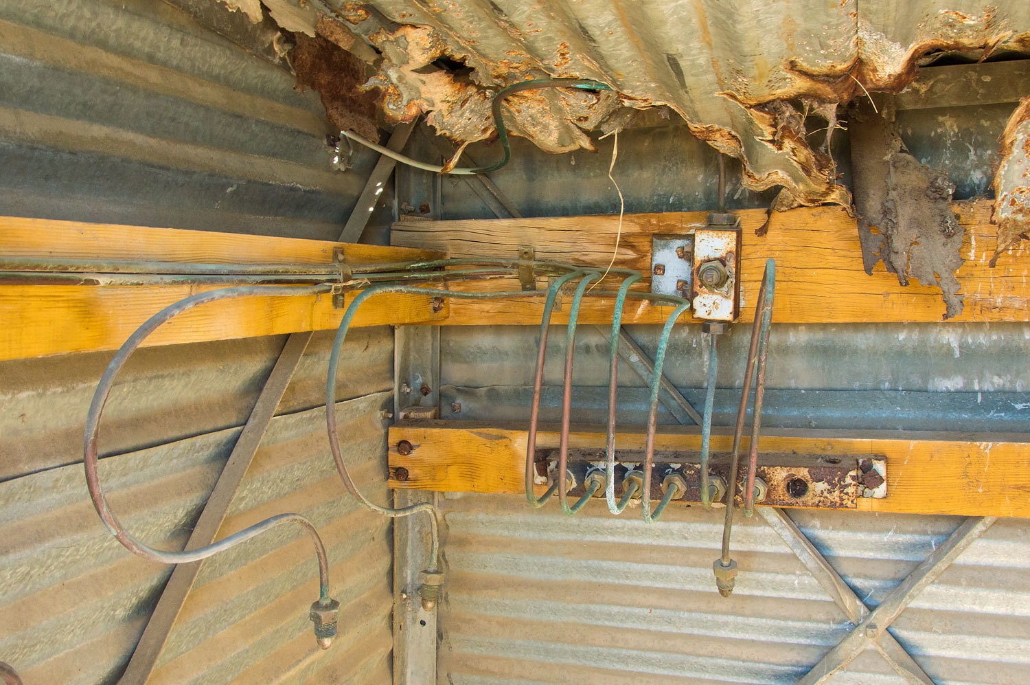
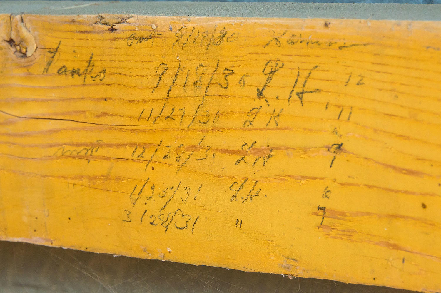
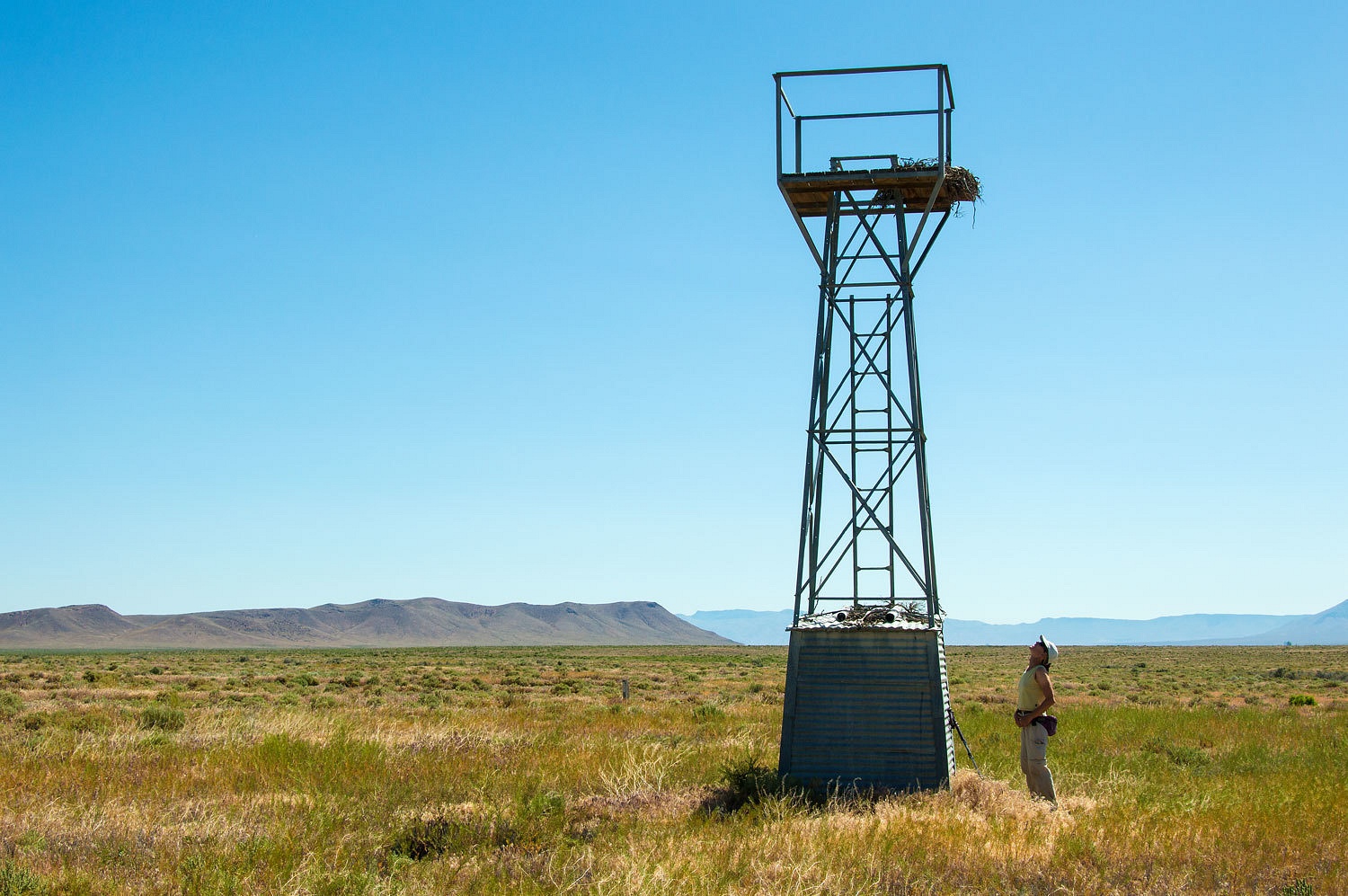
And out in
the middle of nowhere was the airway beacon we sought. It was also powered by
acetylene.
As the Lady
was exploring outside, she got the feeling she was not alone.
Two about 4
week old redtail hawk chicks were watching her.
We did not
want to disturb this nest so we headed out immediately. We also kept an eye to
the sky. One of the parents soared high above and we were pleased it did not
show any sign of distress.
Past the
huge gold mine complex our road intersected with highway 305 with the now alien
feel of pavement underneath our tires. We headed into Battle Mountain for one
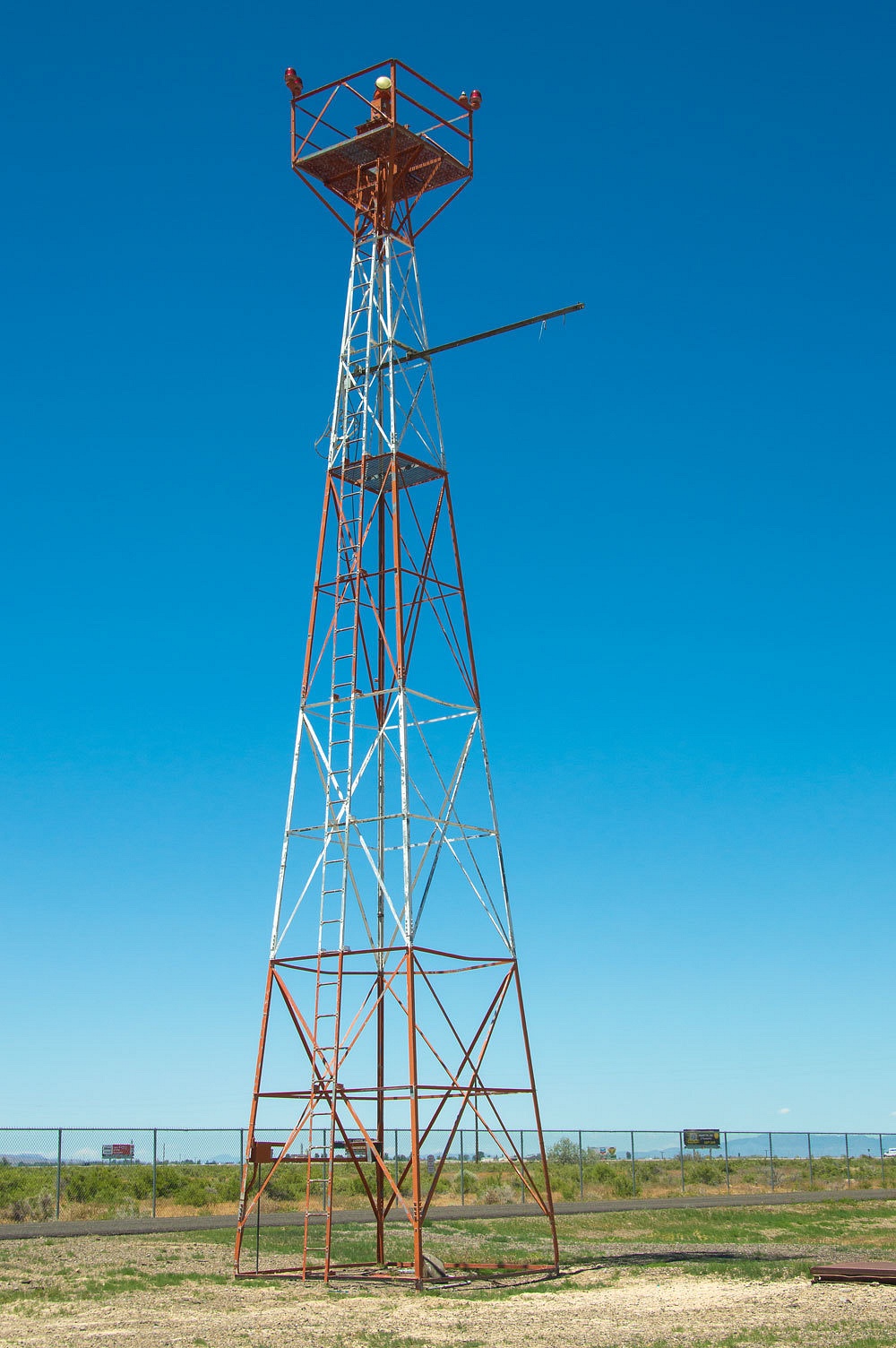
last stop on our airway exploration. The Battle Mountain Intermediate Field is
still used as an airfield. Although the concrete arrow is long gone, a high
beacon still remains in use.
We have now
visited every airway site along the route between Battle Mountain and Fernley.
We decided
to head south on highway 305 toward Austin, our first time to travel this
route. A long time on our list, there was another hot spring to visit.
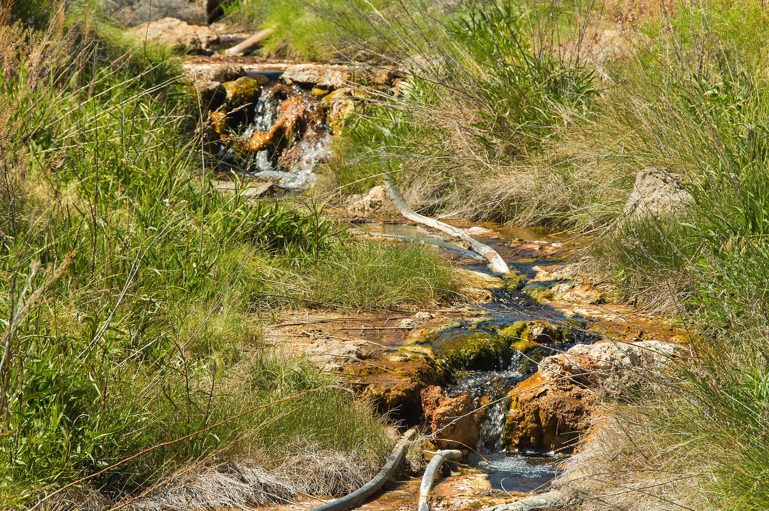
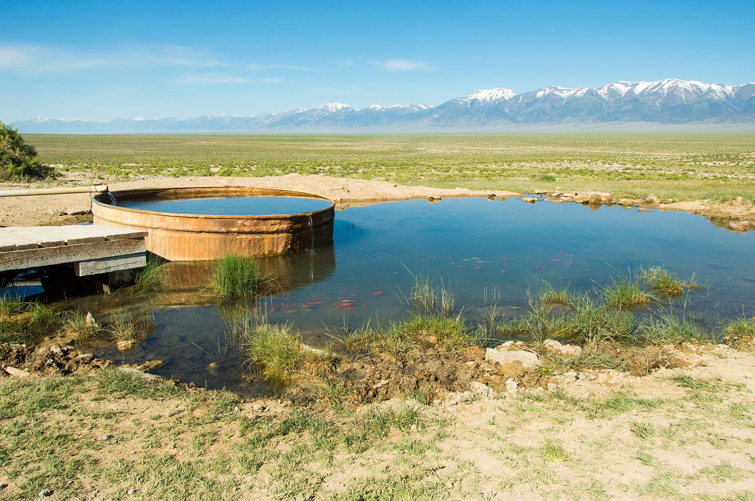
This was
amazing. The source bubbled up with an incredible flow of hot water.
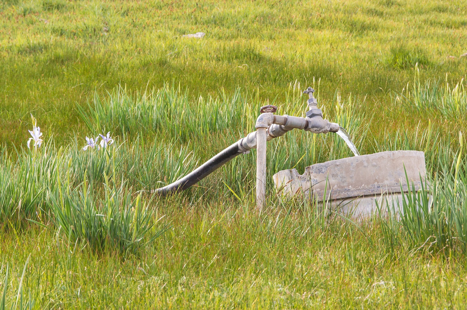
A plastic
cattle watering tank was a bit askew but was filled with two plastic pipes from
the springs.
The water
was hot. I was able to put my arm in past my elbow but only for a short time.
This could be pleasant and soakable in cooler weather. We would want to drain
the tank, clean it up, and refill. There would probably a bit of a wait to
allow the temperature to drop to a delightful level.
The highway
305 corridor down to Austin was wonderful. There is a lot of potential for
exploration and solitude out here. We arrived in Austin around 4:30 in the
afternoon and topped off the gas tank and then decided on an overnight at Bob
Scott Campground. To our surprise, the campground filled up on this weekday
evening. We found the solitude we need by crossing highway 50 and enjoyed the wonderful Toiyabe Range terrain
to the south.
The next morning we stopped
at a well known spot in the Great Smoky Valley, a place to avoid on a holiday
weekend, but quiet on this Tuesday morning. Invasive species were in abundance.
A drive over
Pete's Summit brought us down into Monitor Valley. We visited what many people
feel is the finest hot spring in all of Nevada and found things have changed.
Diana's Punchbowl - I do wonder who Diana was - is a major hot spring that has built up
a large travertine dome, that, very unfortunately, is being destroyed by
thoughtless motorheads who have turned it into a hill climb challenge. So sad.
We walked
away from the destruction and enjoyed the broad expanse of Monitor Valley.
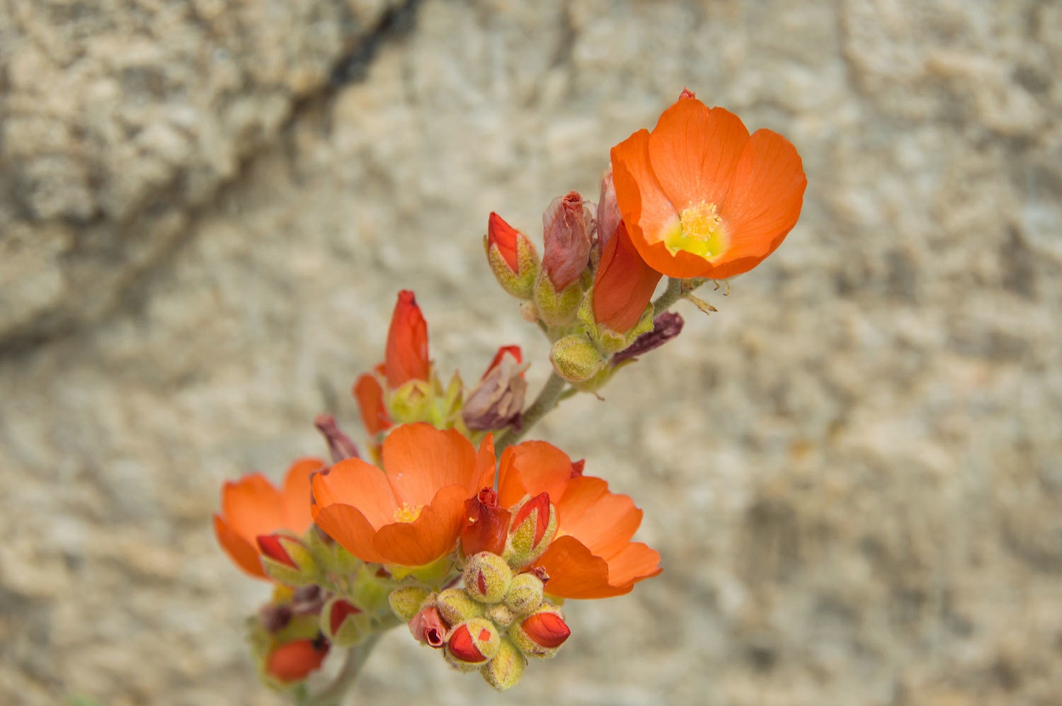
We climbed
back up over the dome and found Desert Globemallow still surviving in an area
too steep for vehicles.
The layering
of travertine has voids that readily collapse and crumble under turning tires
and vehicle weight.
We found ferocious
noseeums at Pine Creek so we continued south. On a whim we turned up
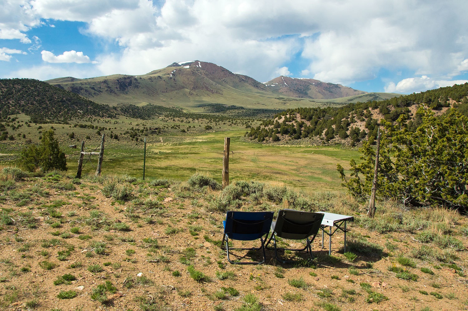
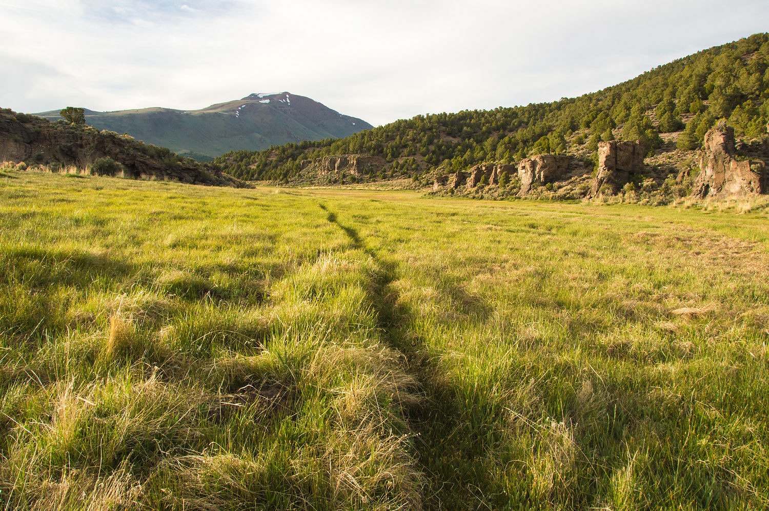
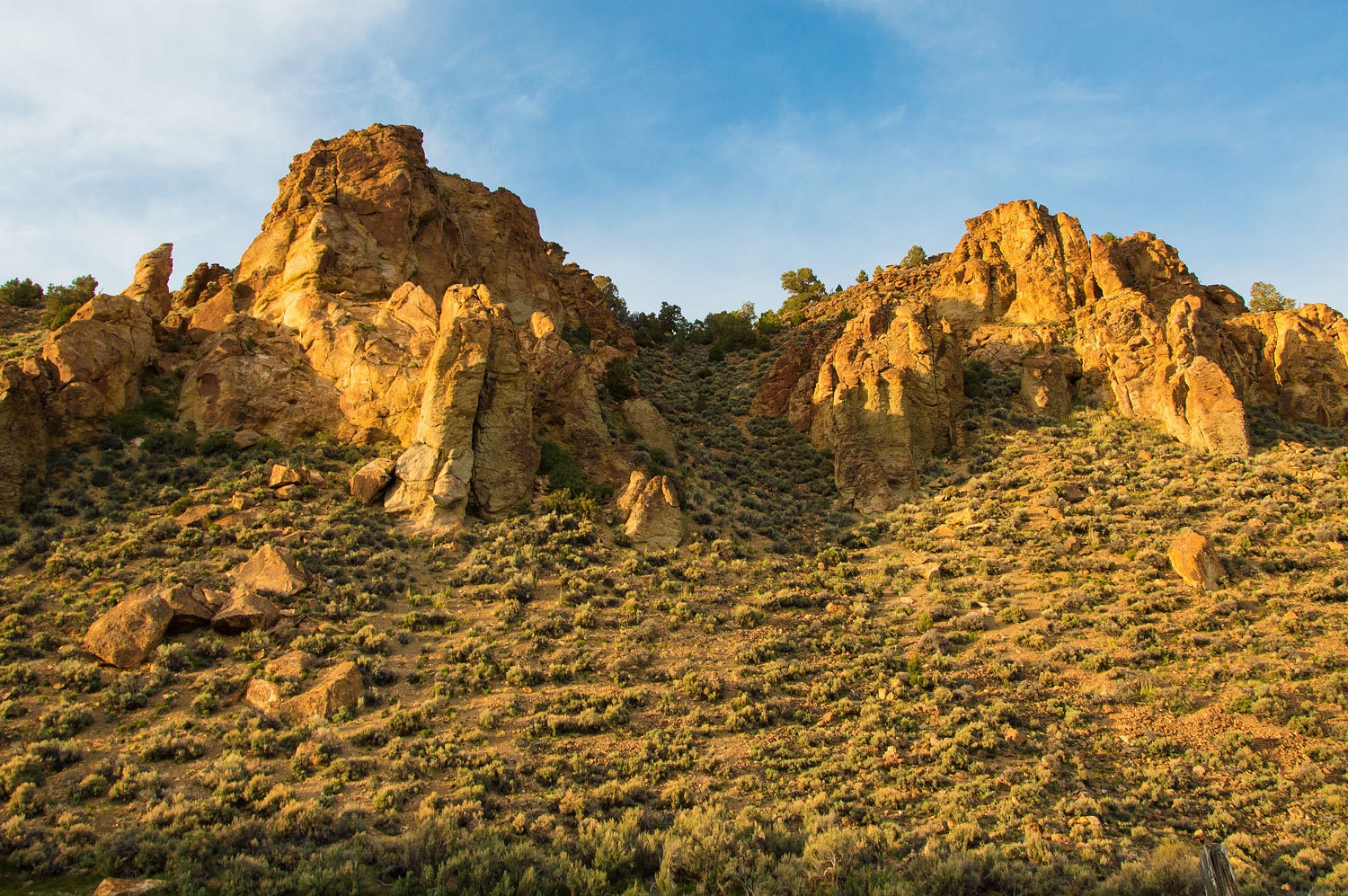
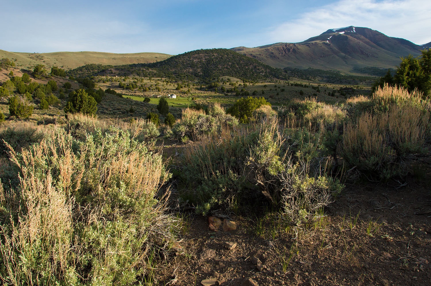
Meadow Canyon, a place we have visited several times. We were alone in glorious
surroundings. What a spot to spend an afternoon and night!
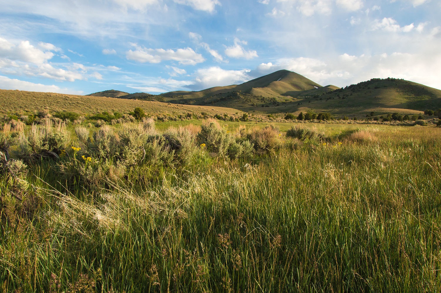
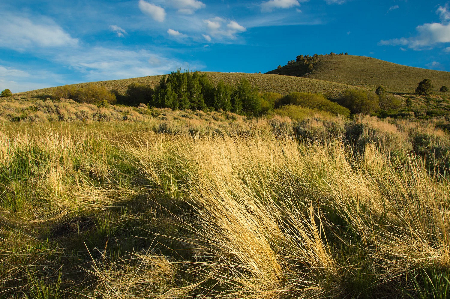
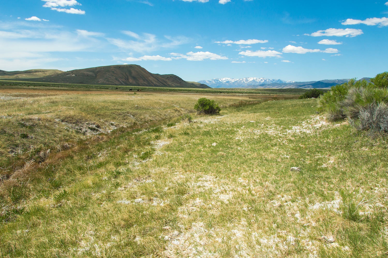
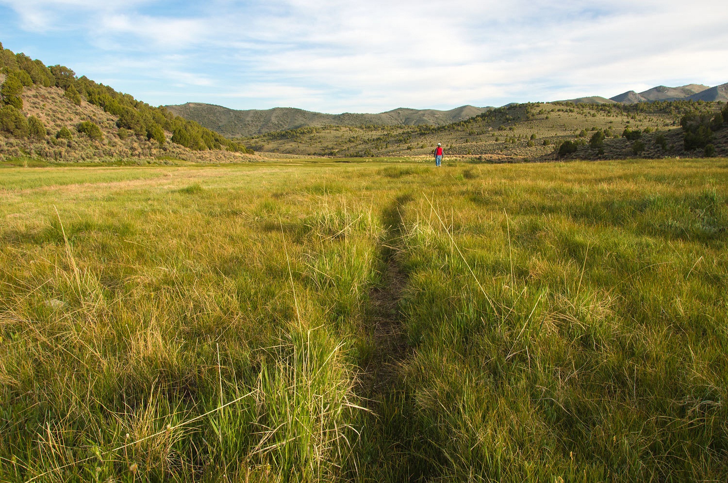
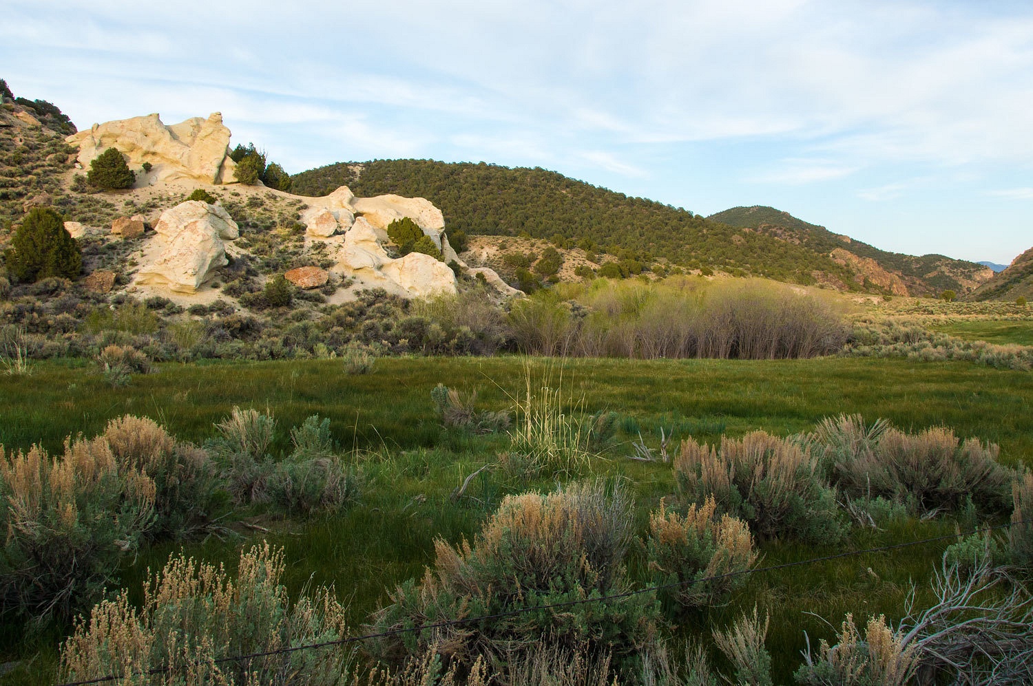
The meadow
system is extensive.
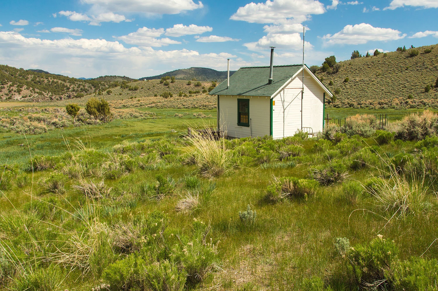
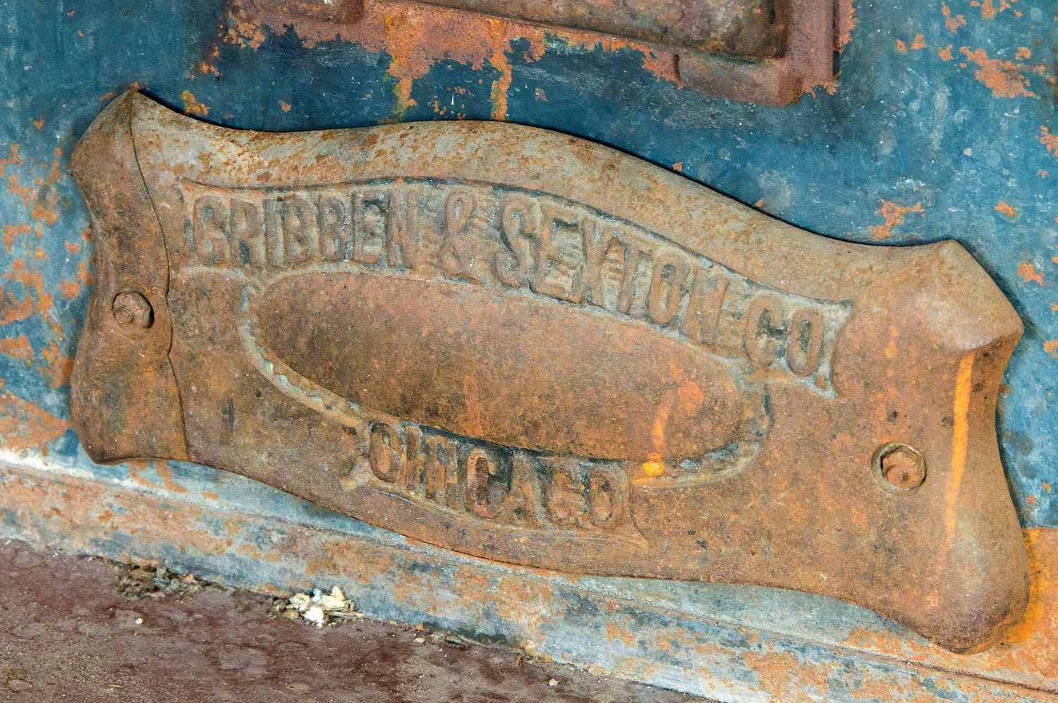
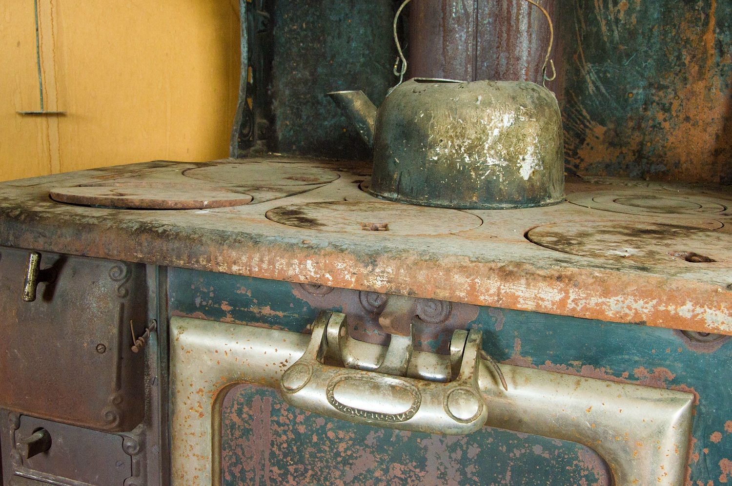
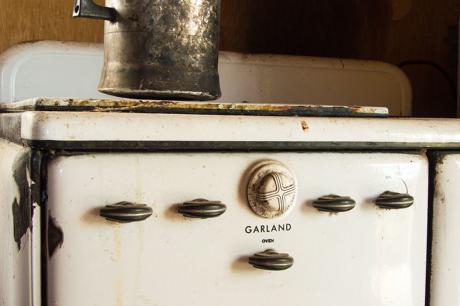
We wandered
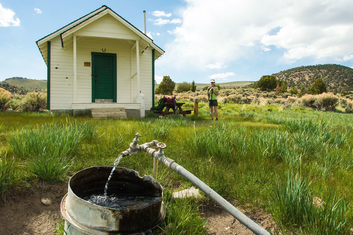
about and stopped by the old Forest Service guard station.
The cool
clear water from the spring out front was darn near perfect.
We returned
to camp for supper and a shower.
After I
warmed water for our showers, the Lady was getting her clothes off inside the
camper as I waited outside. I noticed a large animal down canyon about a half
mile or so in the meadow. I opened the camper door.
"I
believe a feral horse is down canyon in the meadow. May I have the see
mores?"
I took a
look down canyon and returned to the open camper door.
"You
want to pop out and take a look see," I told the Lady. "It's not a
horse. It's an elk."
The Lady was
excited and watched the elk through her see mores until it moved out of sight.
This set the
stage for our evening. We were going looking for elk.
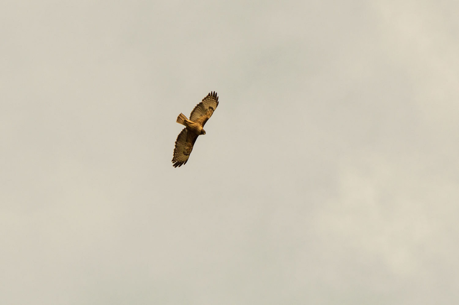
A very vocal
redtail soared above. Possibly it had a nest nearby.
We wandered
until dark, turning around about 2 miles down the meadow system.
We moved
over to the road and walked it back to camp. We didn't find any elk but it was
still a darn near perfect evening. Yes, we slept well this night. And, coyotes
woke us with their songs.
We woke with
the sun and wandered back to the guard station. The Lady wanted more of that marvelous
spring water.
The weather
was changing. By afternoon it was dreary and dripping rain. After a mid afternoon
stop at Walker Burger, we decided to head home.
What will we
do now that we have visited all the beacon sites on this remote section of the transcontinental
airway system? What next will pique our interest? I've been gazing at maps as I
often do. I found this spot up on Oregon's Steens Mountain - Whorehouse Meadow.
Even though the name has been officially changed to Naughty Girl Meadow, it
still might be worth a visit.












I love the view for elk watching. So beautiful! And there will be so many more adventures to come! Thank you for posting!
ReplyDeleteWho knew Nevada could be so green? Thanks for taking us with you!!
ReplyDeleteLove the beacons. I’ve got a photo of that same burro in Smoky Valley from 2006 (it looks identical). Sad Dinah’s Punchbowl was closed off. I have visited only once, in 2006. My buddy, driving his truck, drove straight up, while I took the circular route around the north side. My buddy was excitedly yelling into the CB for me not to come up quickly like he did ... I’ve camped that same trip at Pine Creek (the winter of 2005/2006 was wet thus the road up and the creek were pretty much one). Never knew of Meadow Canyon. That vista from the guard station is probably the most gorgeous view I’ve seen!
ReplyDelete