
Osborn mountain is to the east of Lower Green River Lake. Its broad
summit plateau is hidden from view by a much lower bump in the ridge. Although
there are pieces of an old use trail in places, this is a rough cross country
route. Our reason for going up? We were hoping for a view into some of the
least visited terrain of the Winds.
We headed north from Lower Green River Lake. The Lady checked on the
two swamp donkeys with her see mores.
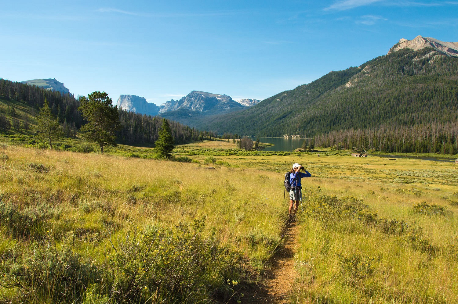
They were still in the area. We also heard several Sandhill cranes but
could never spot them. The view down the Green opened up as we climbed.
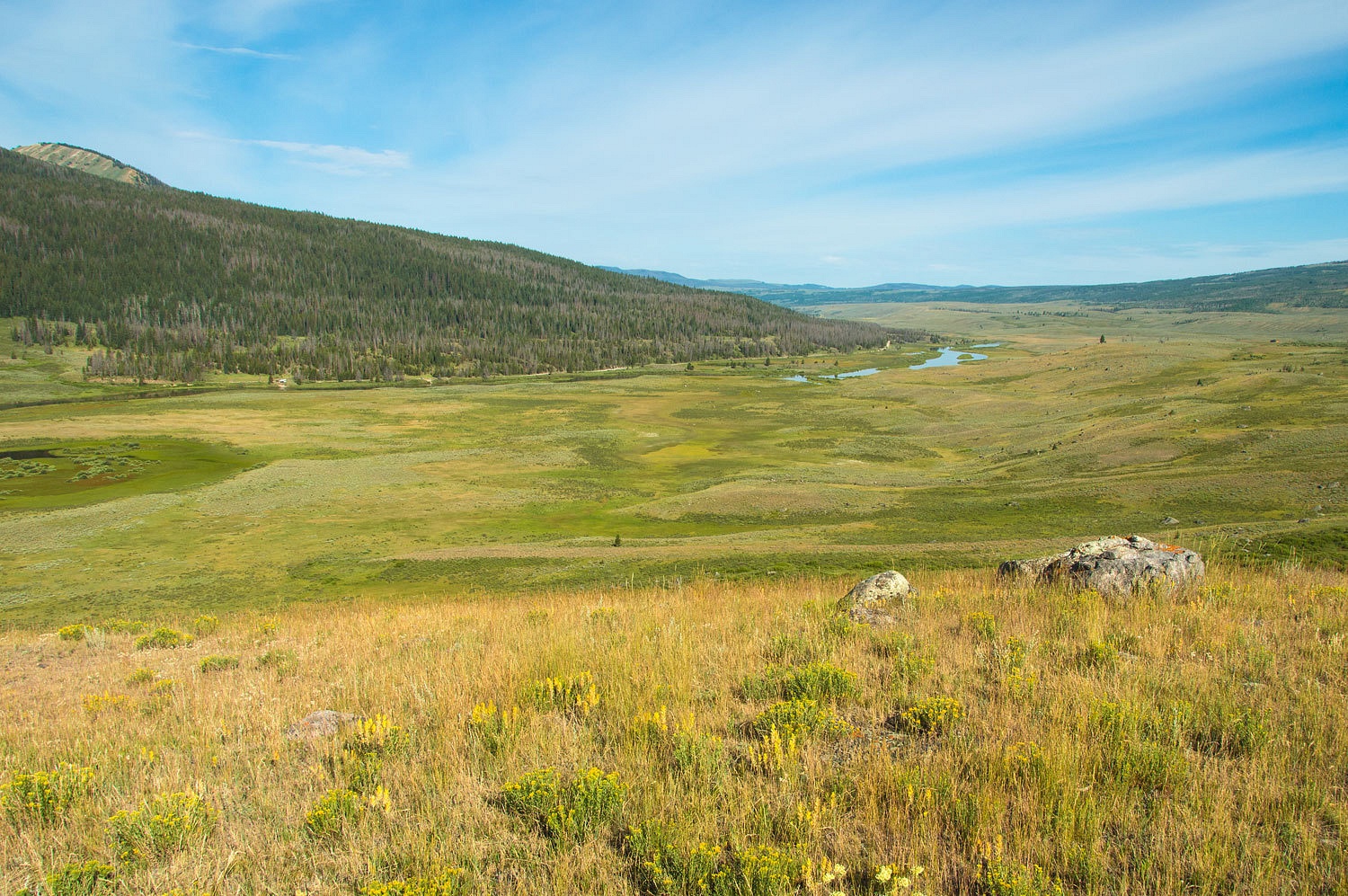
This part of Wyoming was once covered with a sea that laid down massive
layers of sediment. During the compression of the Laramide Uplift, the
sedimentary rock folded and finally cracked and the underlying older granitics
popped up, rising an amazing 50,000 feet, one of the highest uplifts on earth.
The Green River flows down this area of faults and large blocks of tilted sedimentary
are visible.
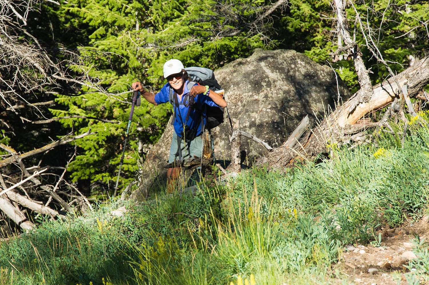
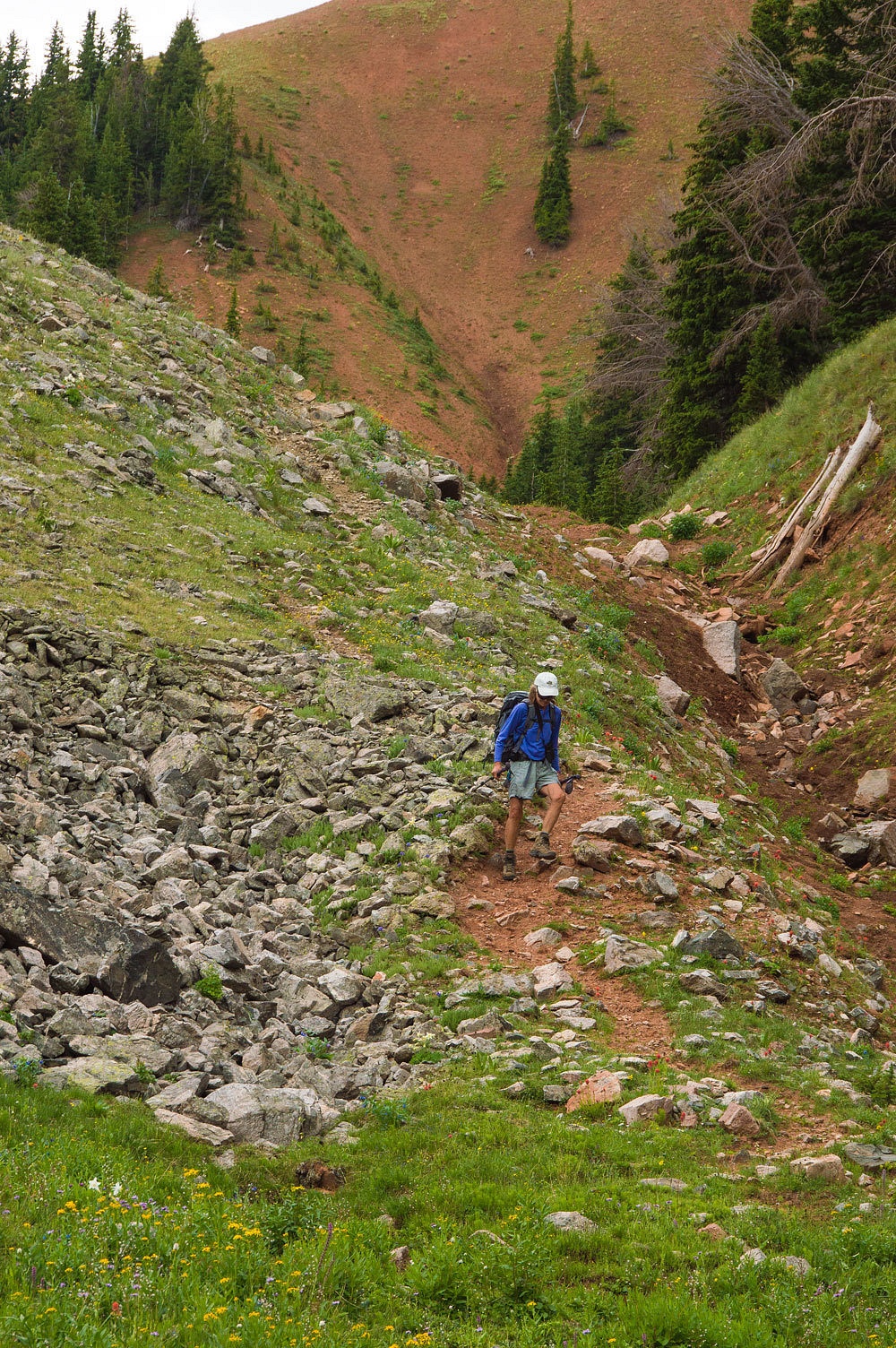
The center portion of this hike is the most difficult. We hit
extremely steep side hills. The densely timbered areas were covered with
downfalls. It was hard and very slow going.
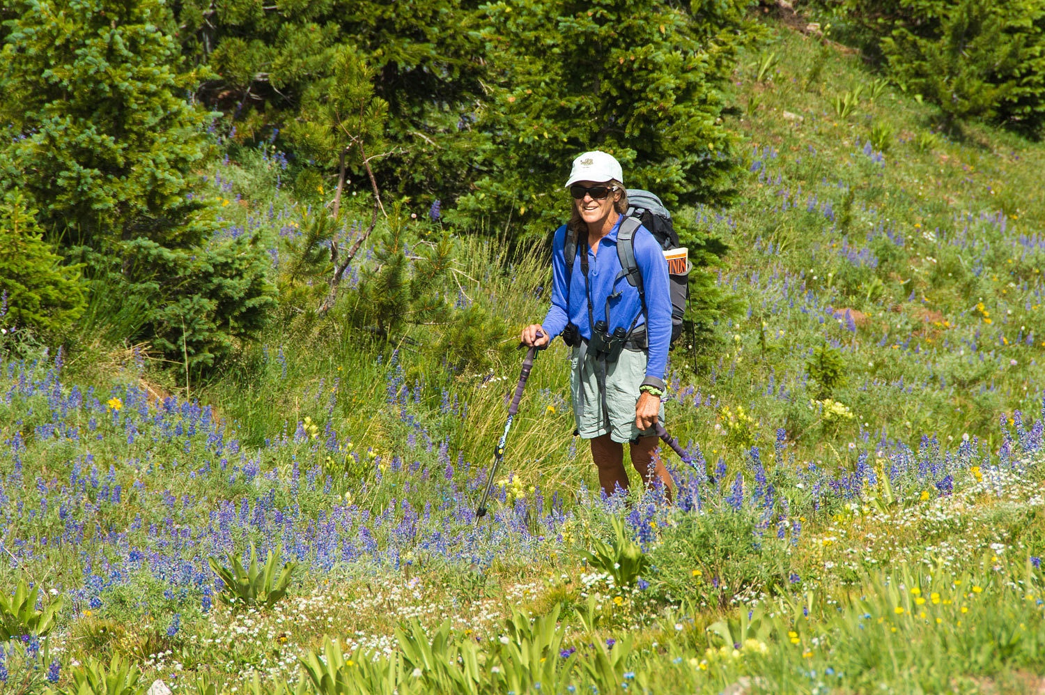
There were stream crossings and areas of bog. We turned south out of the
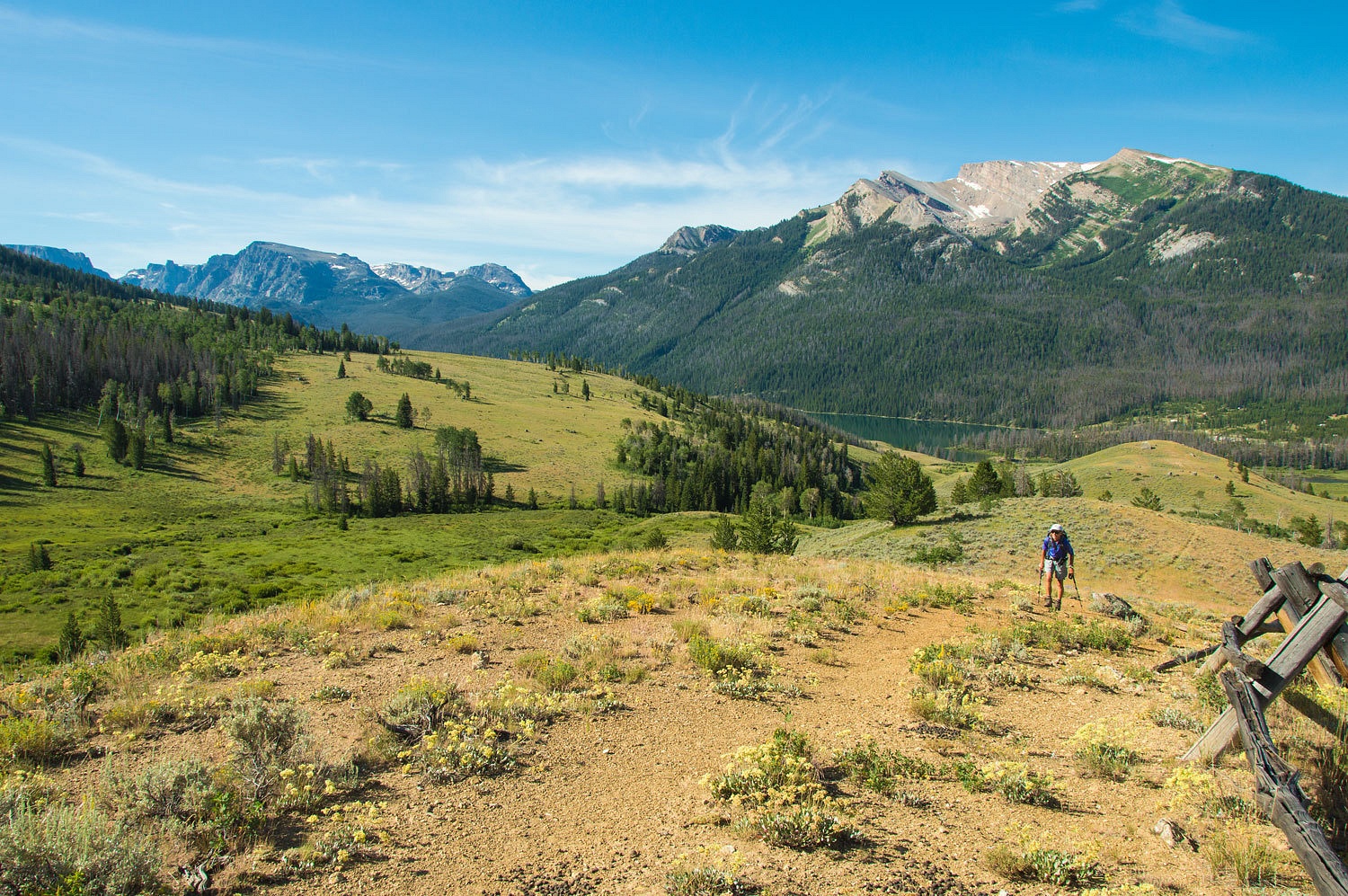
Mill Creek drainage and headed for a low point in the ridge to the south.
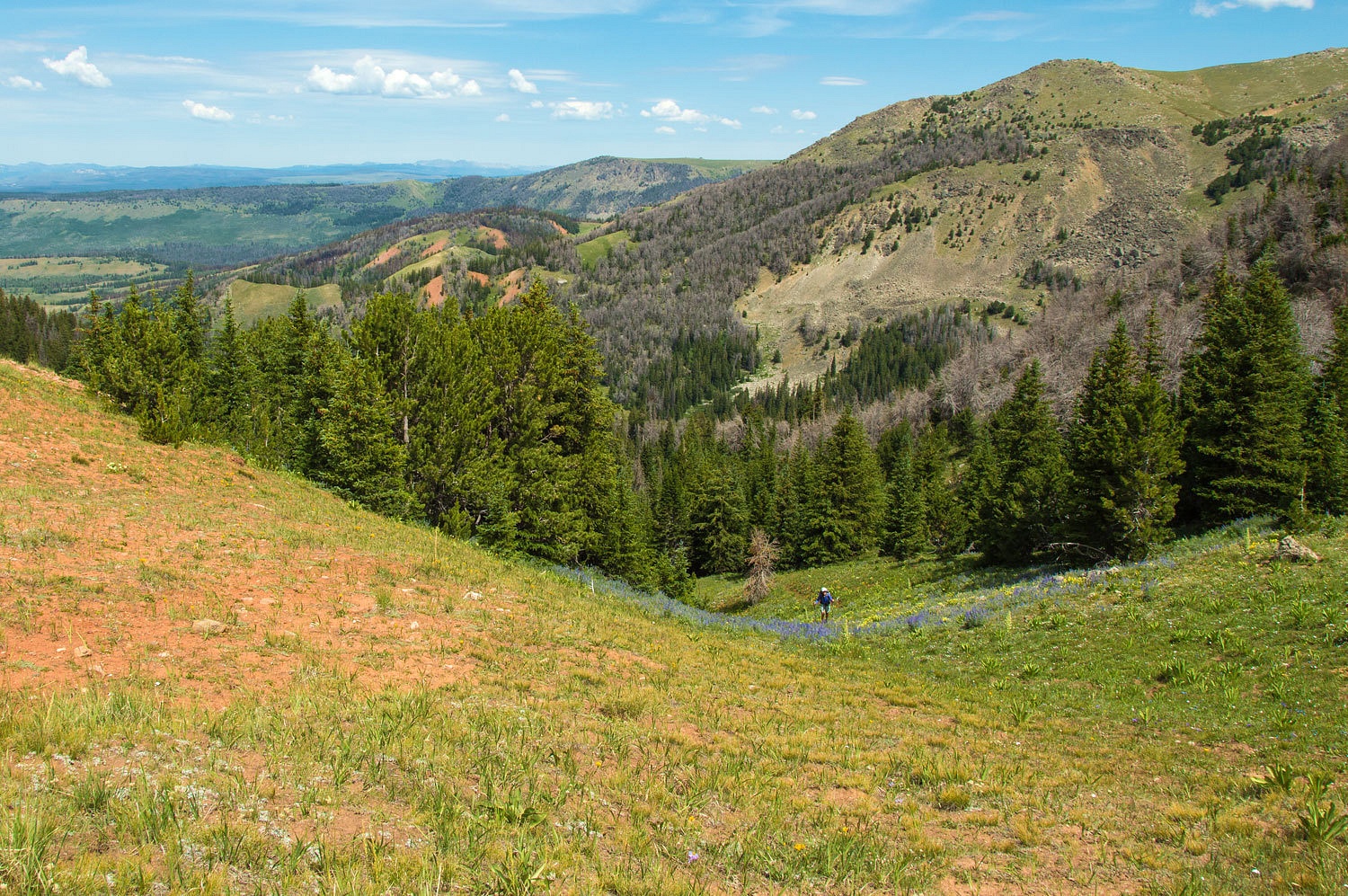
We were happy to finally be out of the steep tangles down below.
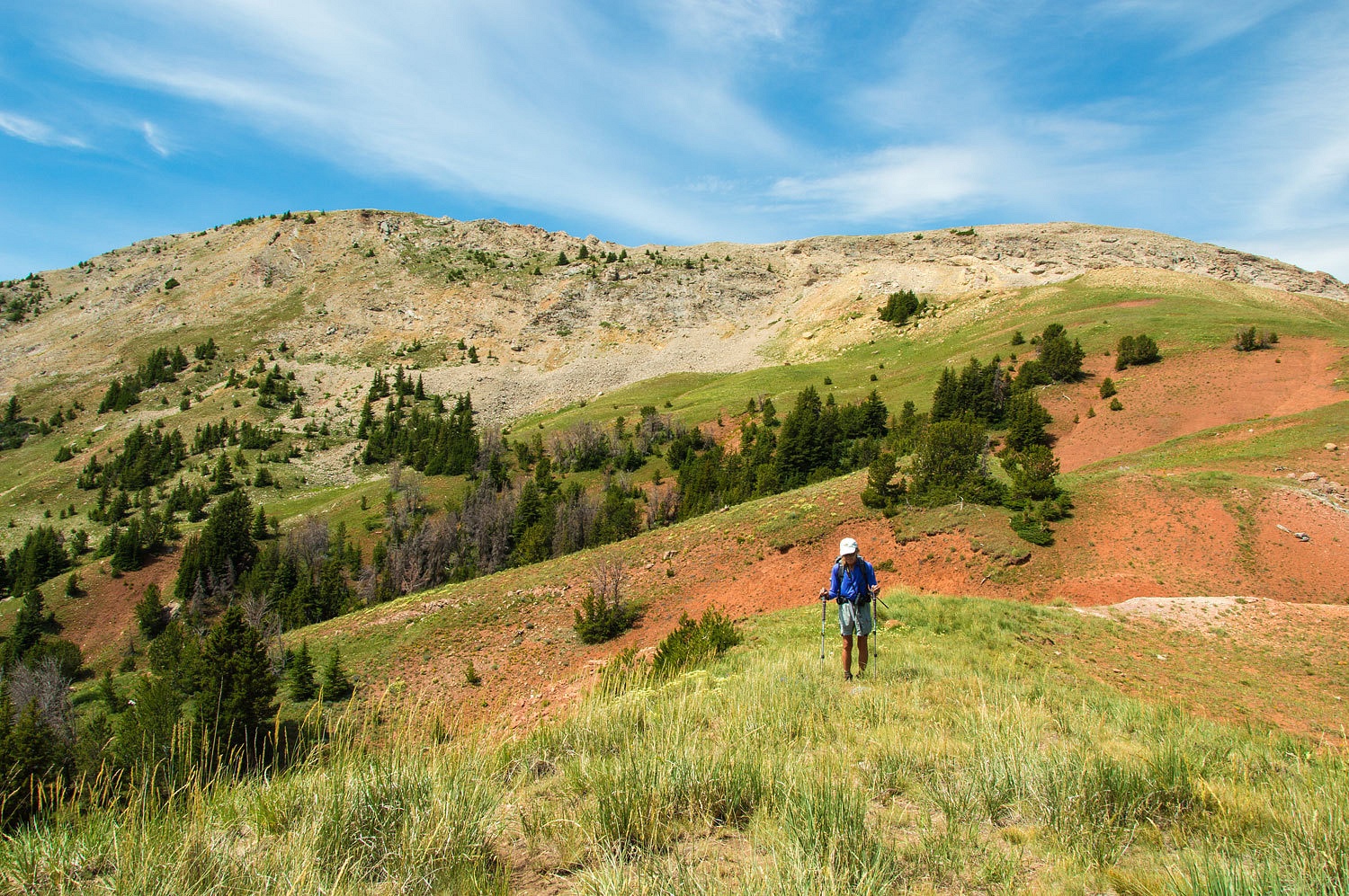
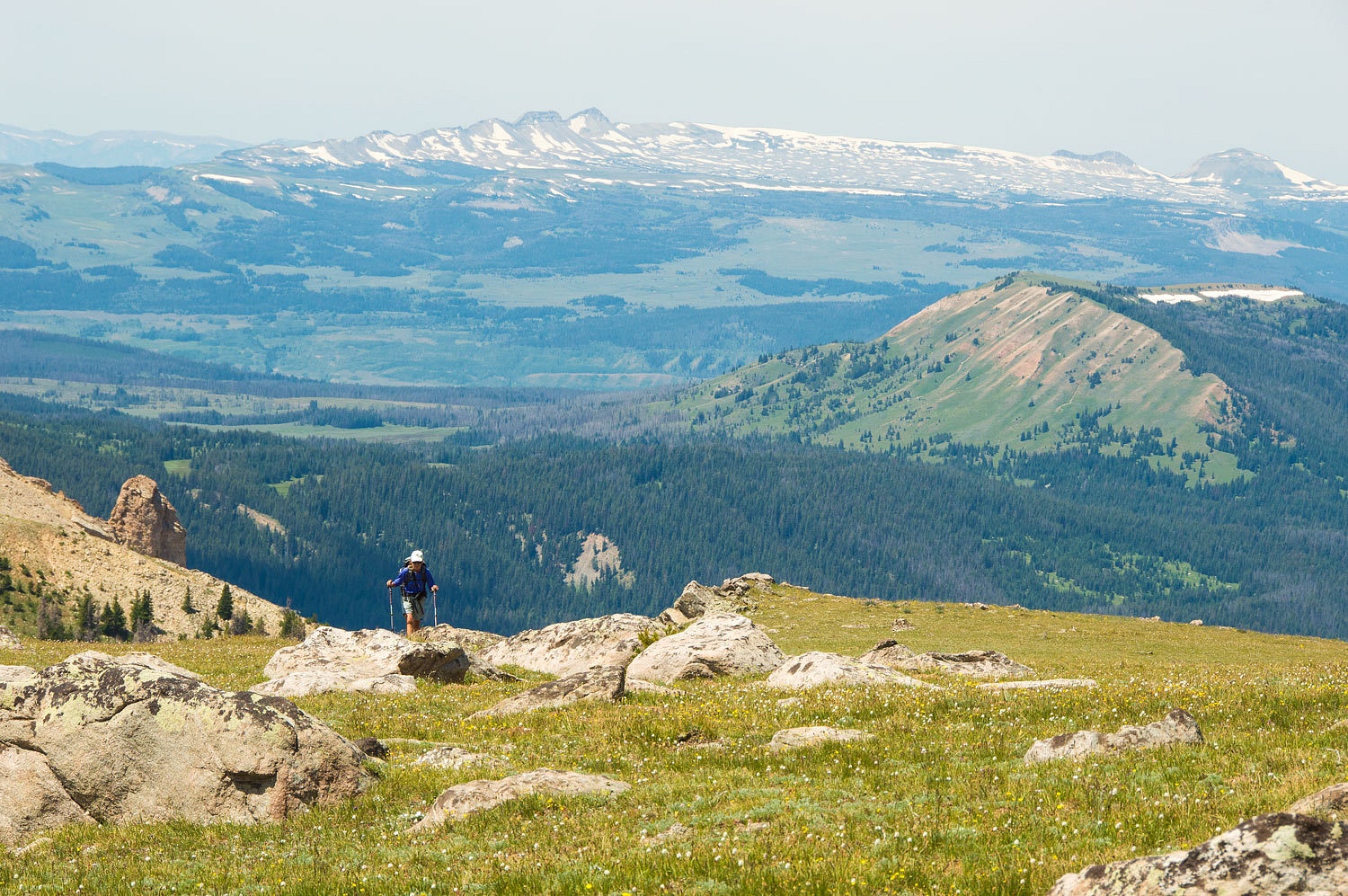
At the gap in the ridge - right on the fault between the granite to the east and the sedimentary rock to the west. A later photo will illustrate - we turned and climbed to the east. The ridge line visible from Lower Green River Lake is behind the Lady.
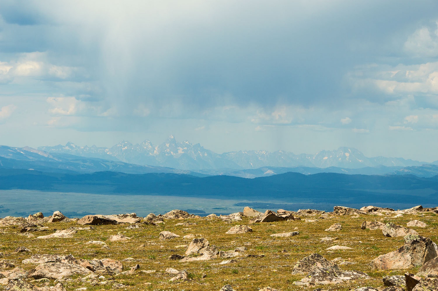
We were surprised with seeing the Grand Teton off to the northwest.
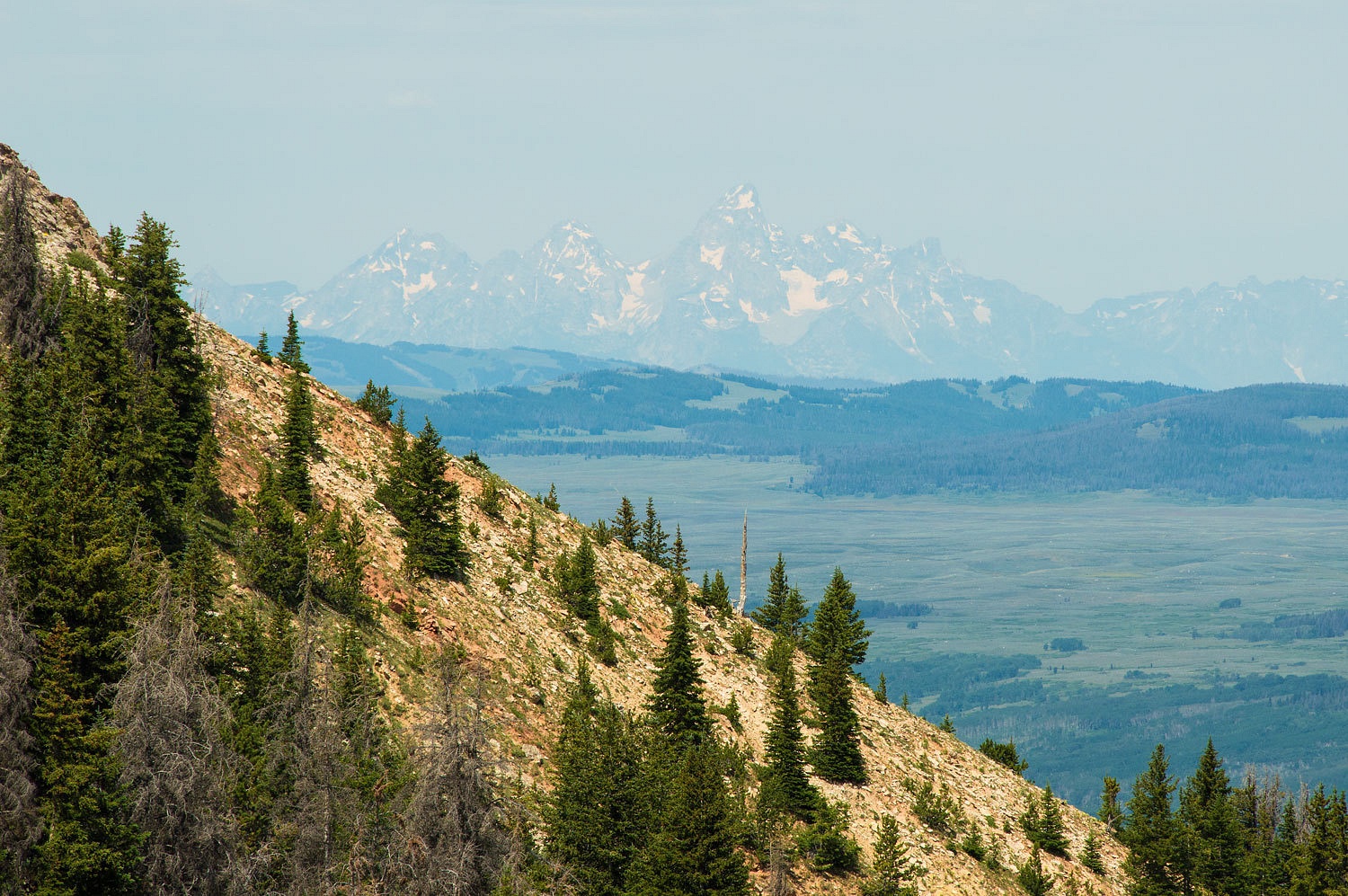
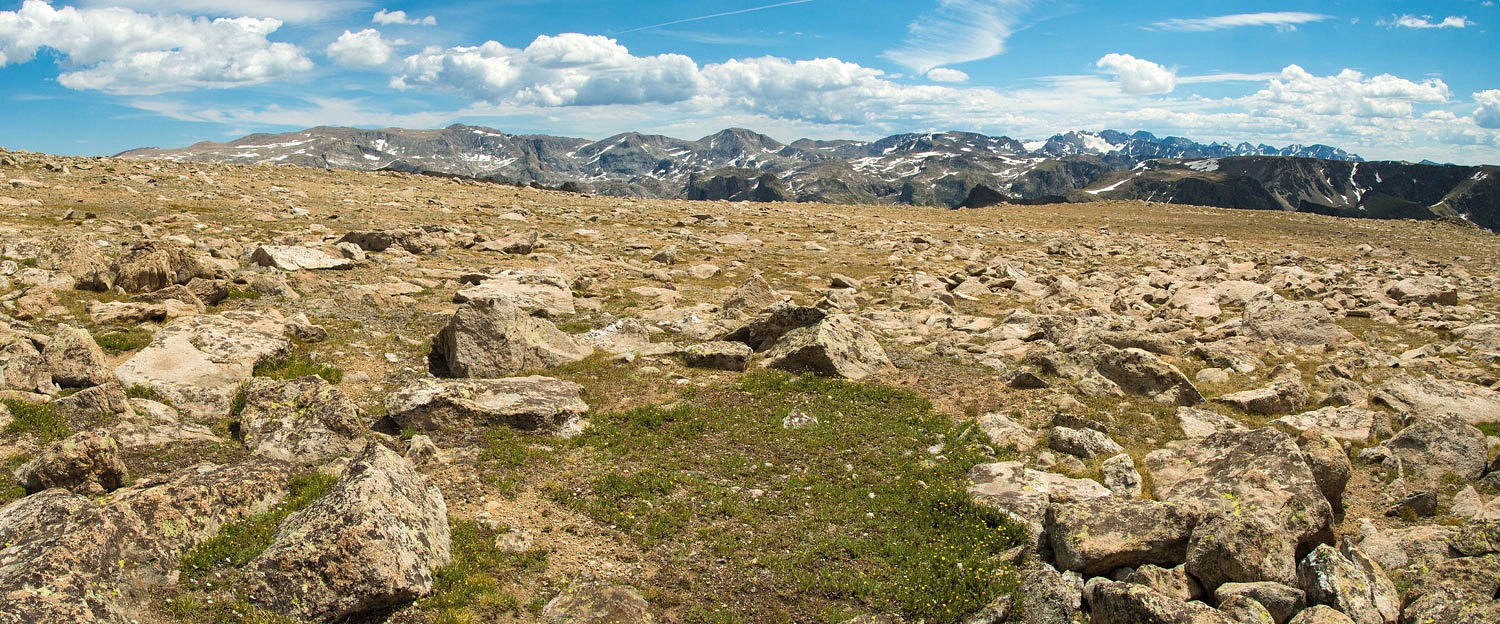
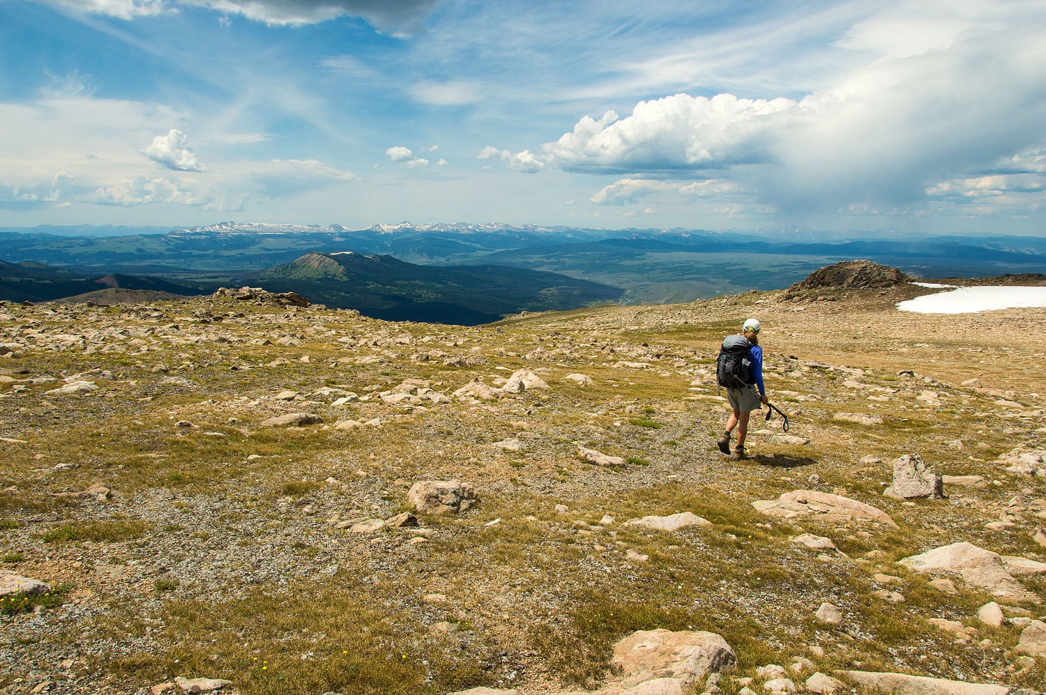
We reached the broad, sloping plateau. Still two miles to go and much steeper than it looked. Remarkable vistas opened up with the Gros Ventre Range coming into view to the west.
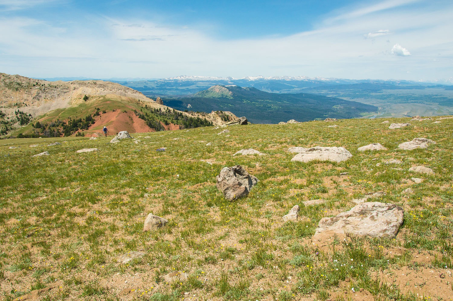
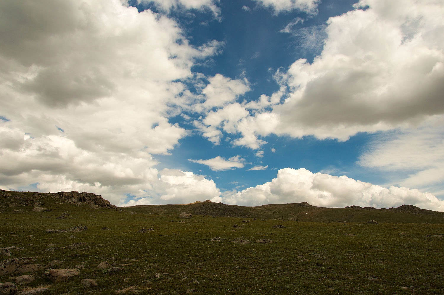
This had an exhilarating top of the world feel on this broad plateau of several square miles.
The plateau to the north was split open by the upper cirque of Mill Creek.
Climbing higher and the vista included the upper Green River, the Gros Ventre Range, and the Tetons.
And far above timberline, up near the top, was a large band of elk.
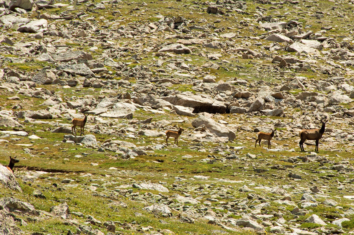
The cow to the right was the alpha female. The wind was in my direction, they could not smell me. I sat still. She was the only elk concerned. Even the large bull just stretched out on his back. She raised her head high with a straight neck and her nub of a tail upright and did her elk prance back and forth. The four young ones followed suit. They were enjoying the action.

The others could care less, so it seemed. Finally she convinced them all to get up and move and they disappeared over a small rise. There are very few exit points off of this plateau. I expect they had not gone far.
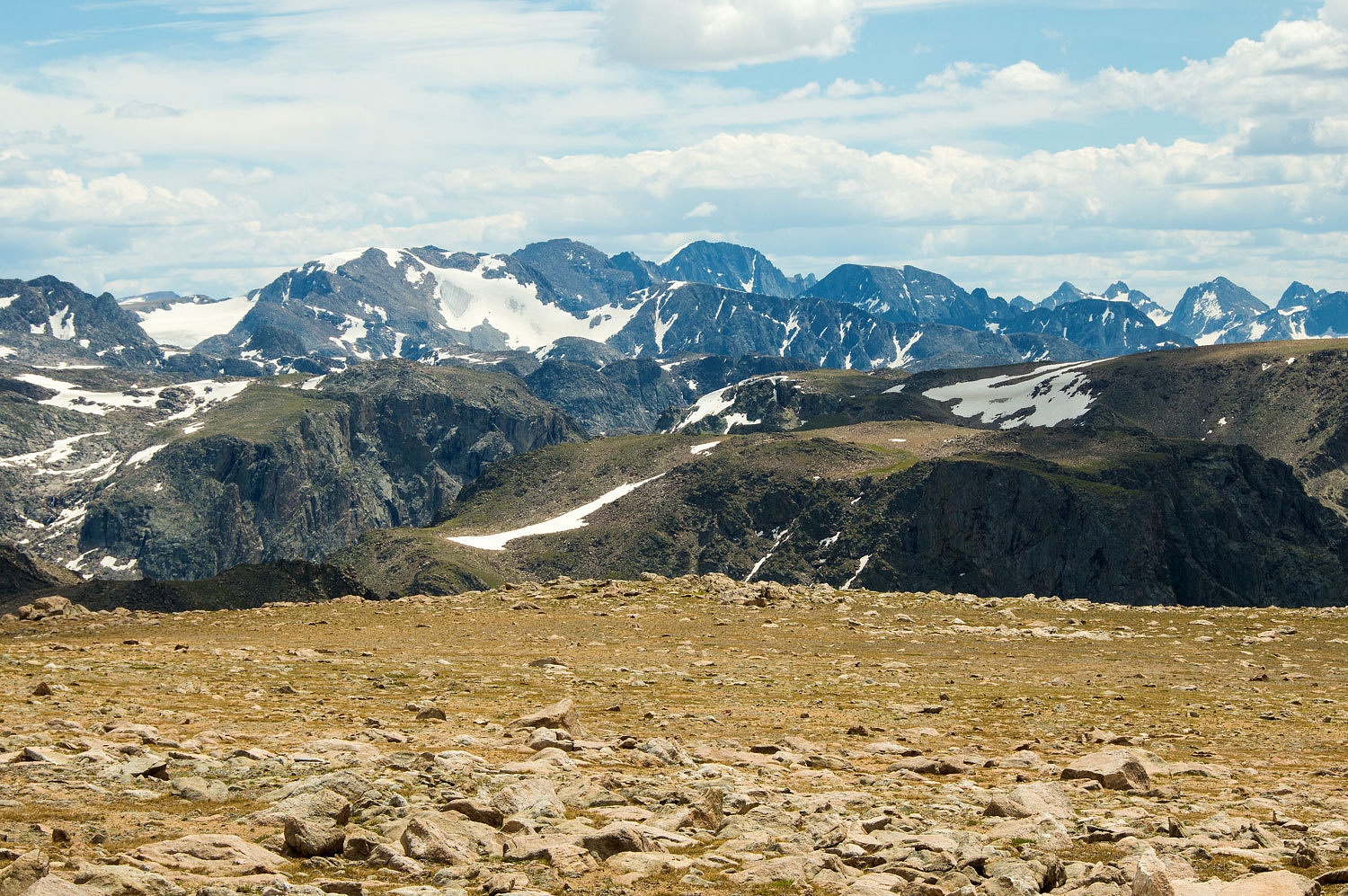
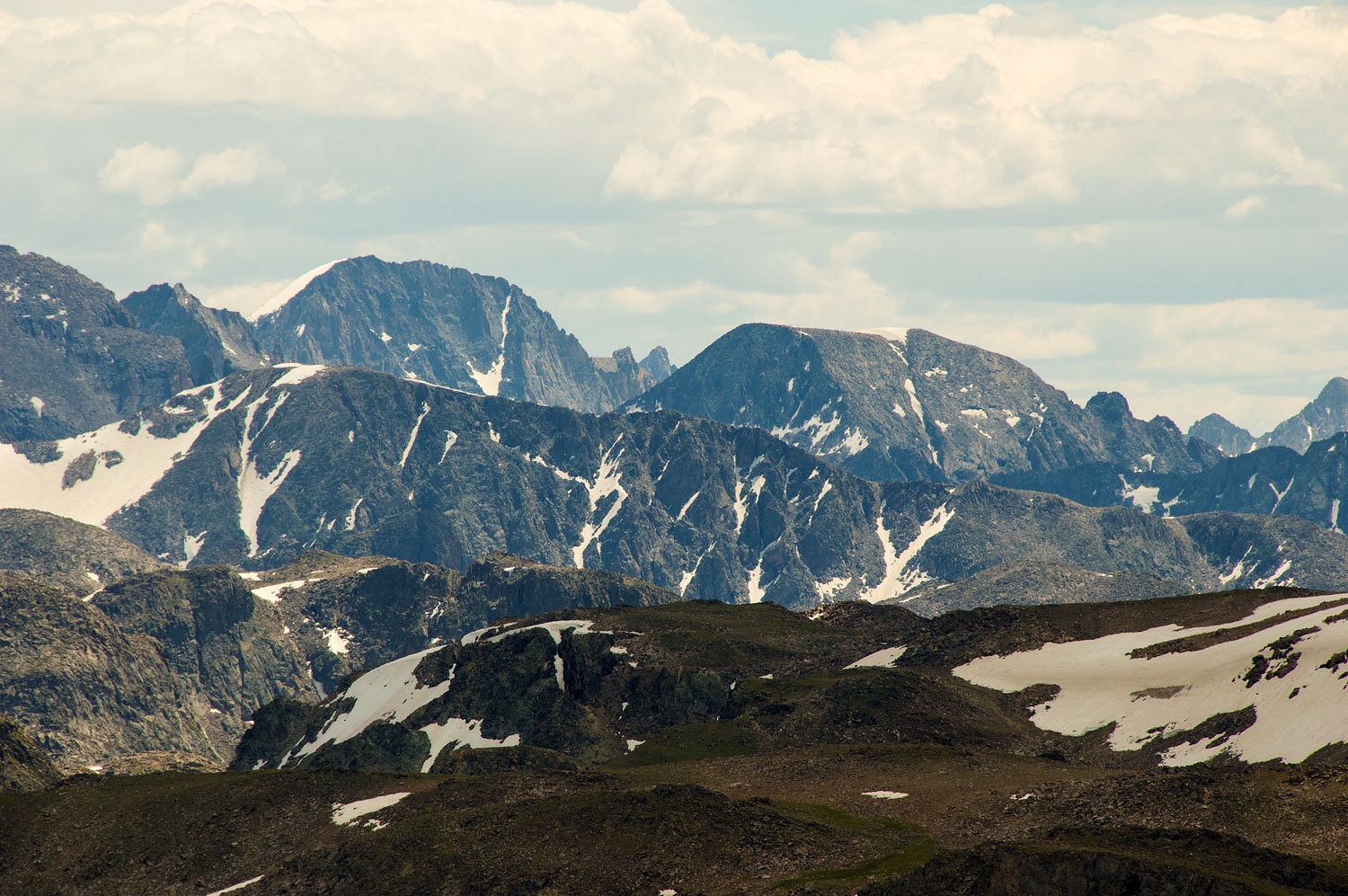
Finally the length of the northern crest of the Wind River Range came into view.
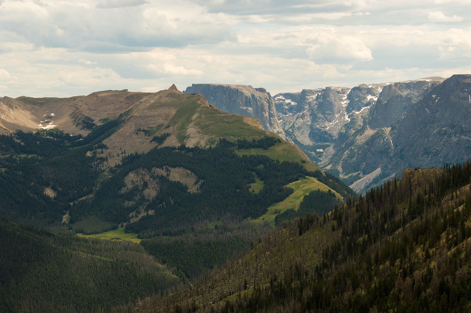
This is one of the most remote areas in the lower 48 states. We were on the edge of the USGS Down Mountain, Wyoming quad. One of my favorites because it says in the lower right hand corner, "No roads or trails in this area."
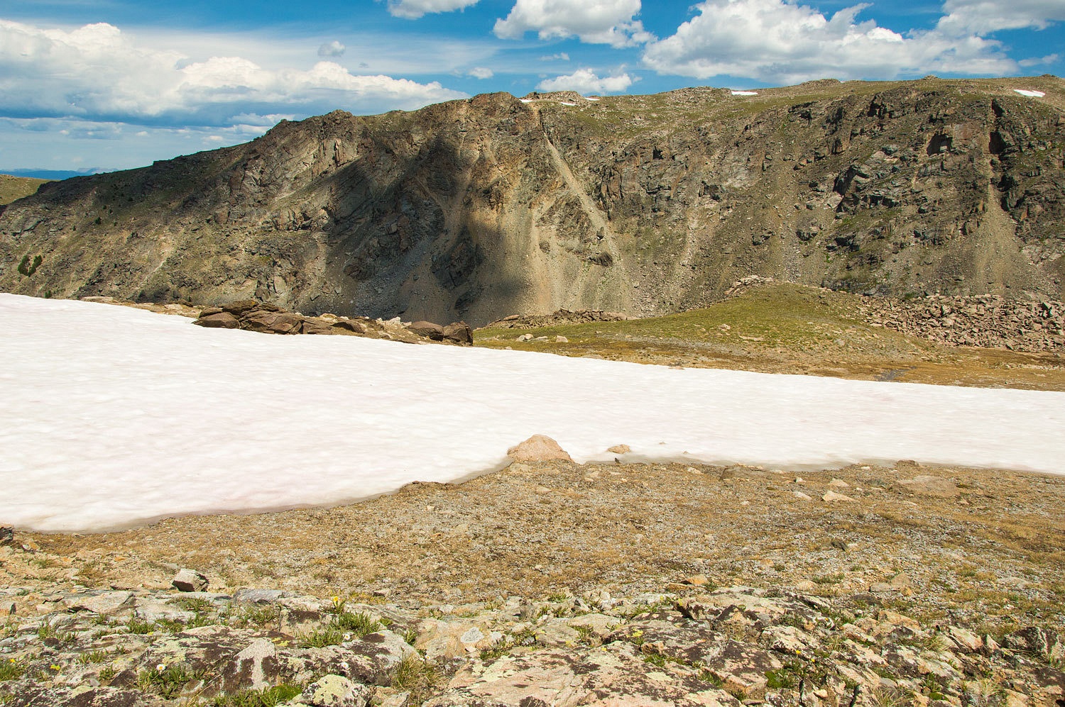
This is extremely rugged terrain cut with deep glacial gorges.
Glaciers dotted even the western side of the Winds. Gannett Peak is just right
of center in the photo below.
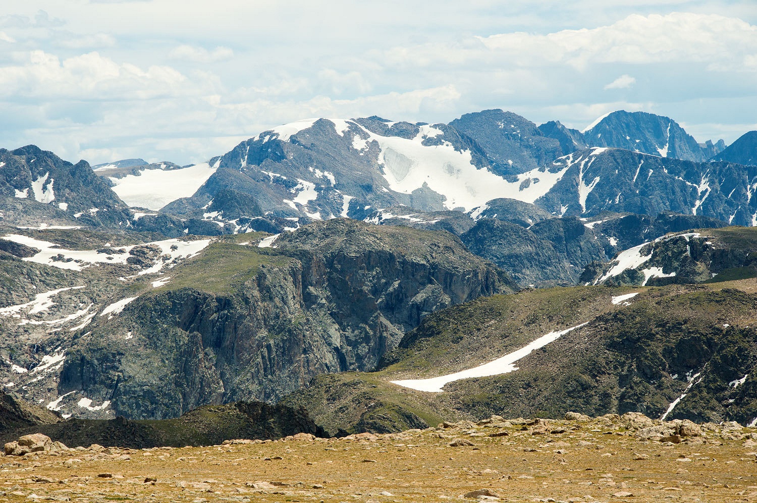
The foreground ridge hides the glaciers where the Green River begins.
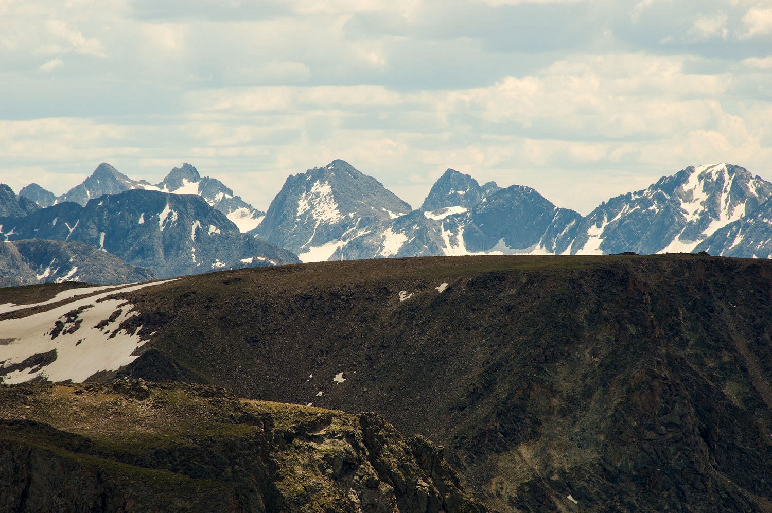
To the southwest was the top of Squaretop.
We pulled out the maps and compass and identified all the peaks.

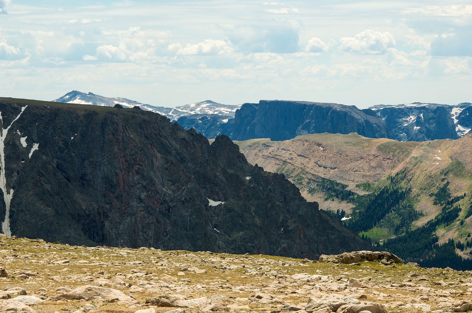
It is hard to see but the eastern edge of Osborn Mountain ends in vertical cliffs dropping down into a complicated jumble of cirques. We noticed a rain squall between us and the Grand Teton.
Although a long ways away, it was time to start moving down.
Clouds were also building to the east.
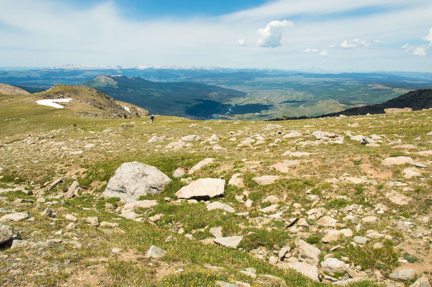
As we dropped in elevation, Squaretop started to look like Squaretop again.
We found our exit gully along that fault line, granite to the east and sedimentary to the west.
This had been a great day. Although only hiking around 12 miles, the
elevation gain was 4000 feet. We stopped once in the trees, low down on the
mountain, to let one rain squall pass. We talked about how many people think
our packs are large, but it is so important to have the 10 essentials and be ready
for that unplanned night out. It is always at the end of the day that the rain
moves in or you run into a moose or a grizzly.
By nine in the evening the clouds had really settled in. I had given
up on a repeat of that marvelous caddis hatch. This was more than a passing
thunderstorm.
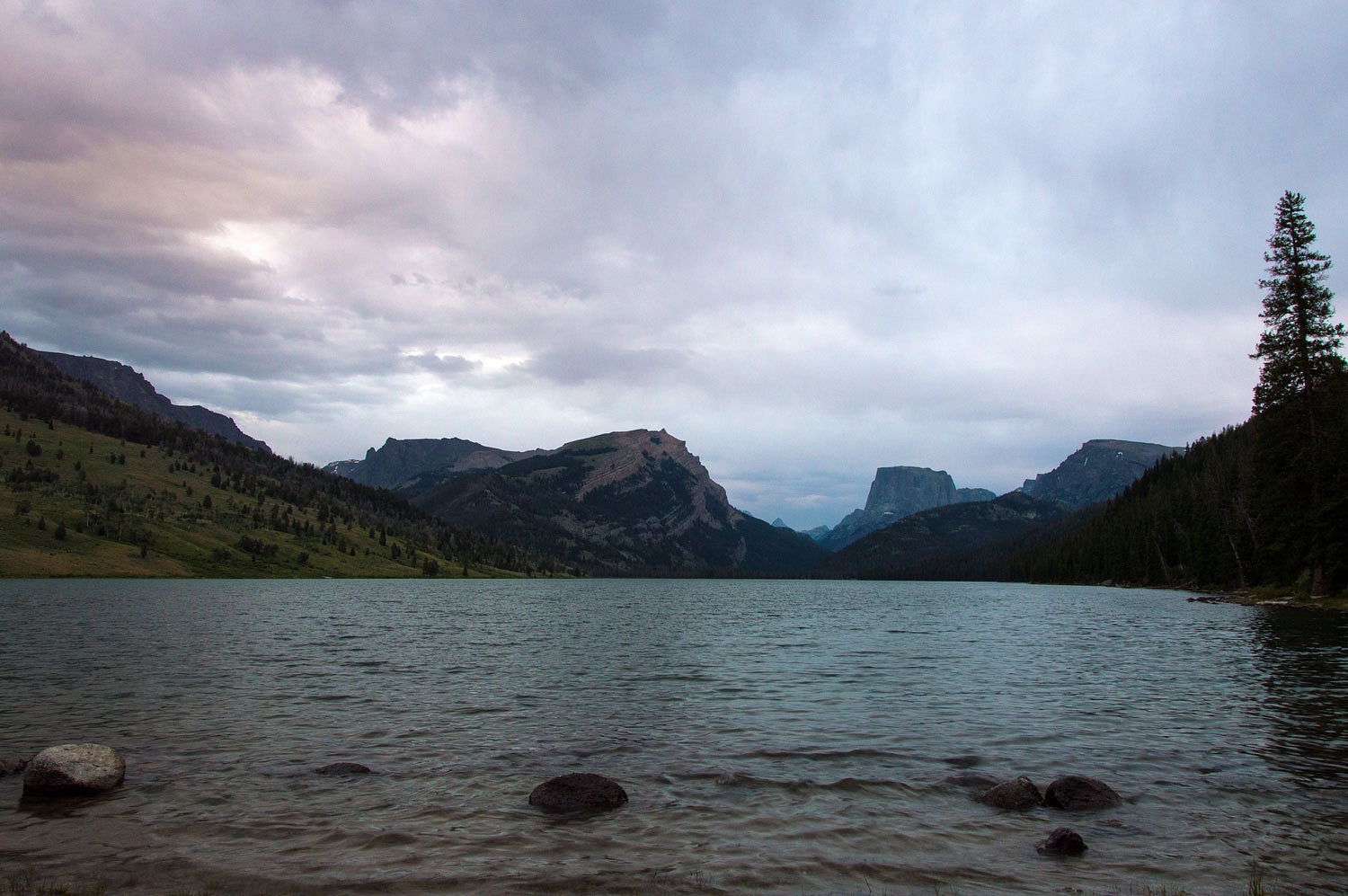
There was rain on the roof of the camper off and on during the night.
We were glad we had hit the mountain top when we did.
Continued in Part Six - Please Click Here
No comments:
Post a Comment