
please remember you can click on a photo to see a larger version & highlighted text are links to additional information
Embracing Solitude & Searching
For Remnants
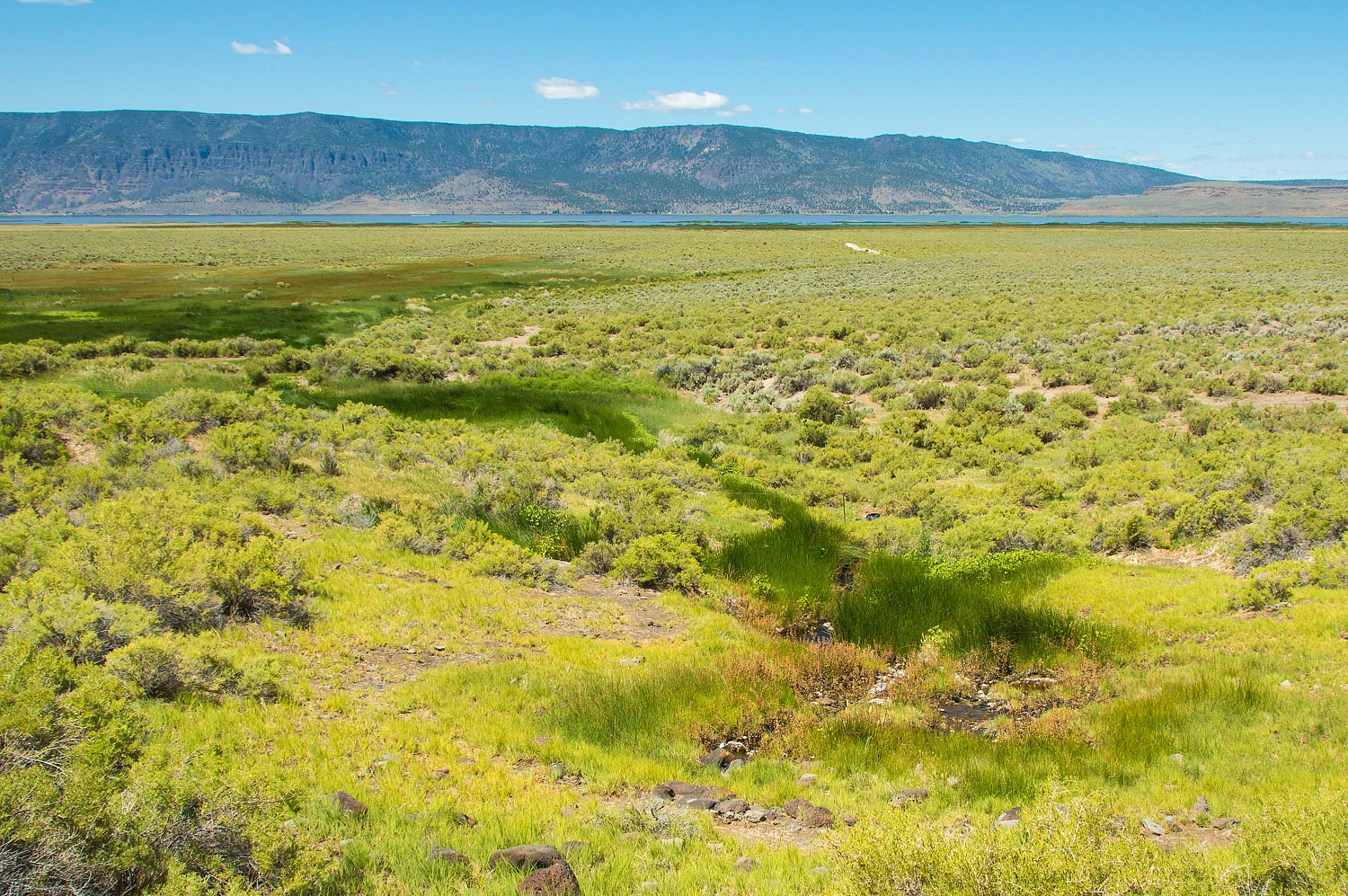
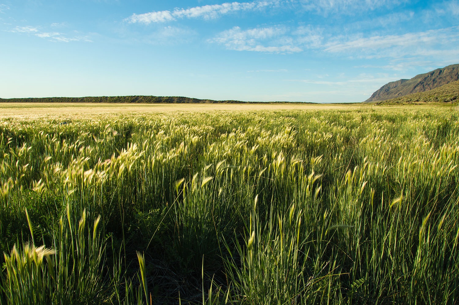
Warner Lakes in southern Oregon are the remnants of a
ancient pluvial lake.The remaining chain of shallow lakes and
marshes are an amazing wetlands in an arid landscape. The birding is incredible as are the visuals. Most people stay on the main roads. We turned off.
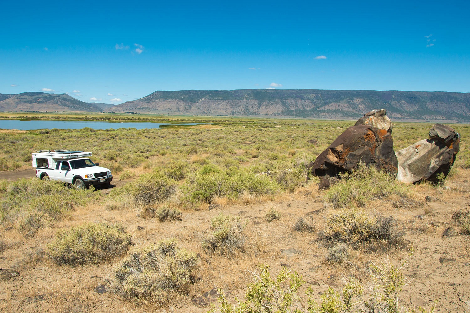
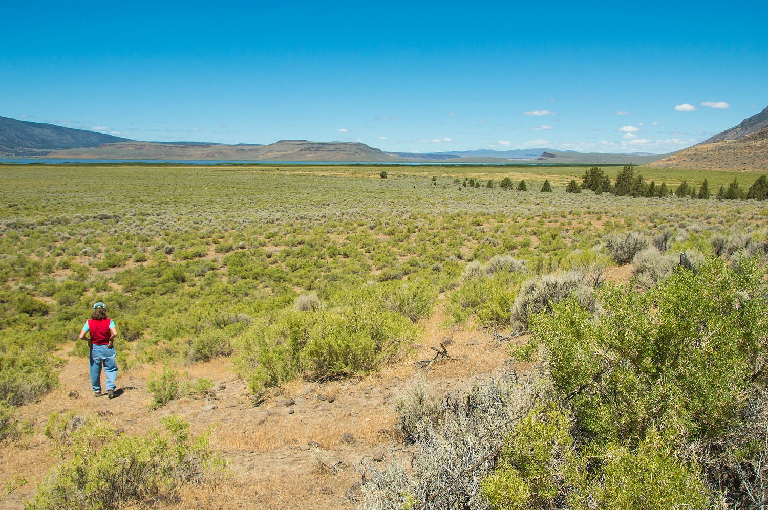
It was obvious this was a resource
rich area that past inhabitants would have been drawn to. We spent the day
searching for evidence. The eastern edge of the basin is up against the
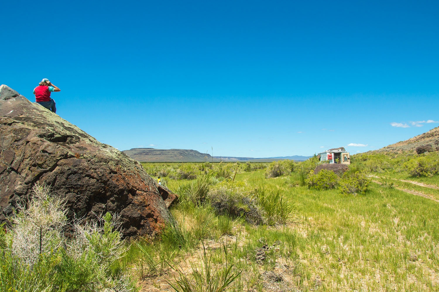
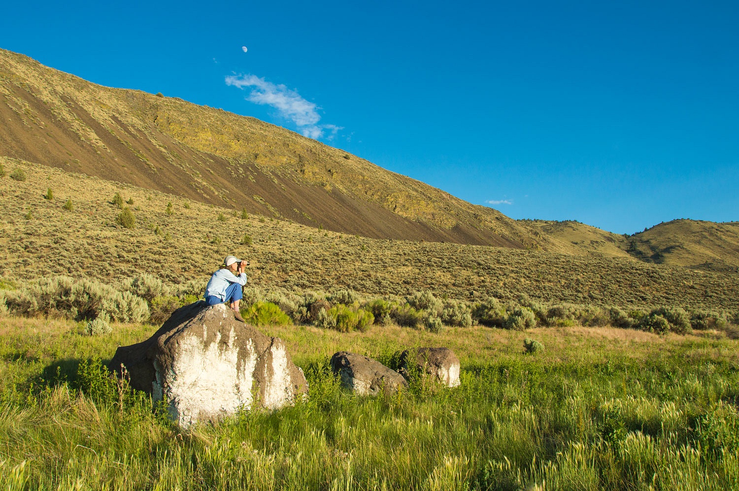
escarpment of Hart Mountain, topped with cliffs of ancient lava flows. Large
boulders have tumbled down from the cliffs. We thought they'd make excellent
canvases for ancient artists. The Lady kept her see mores at the ready as I
slowly drove the rough road up the basin, between the wetlands and the rim
rock.
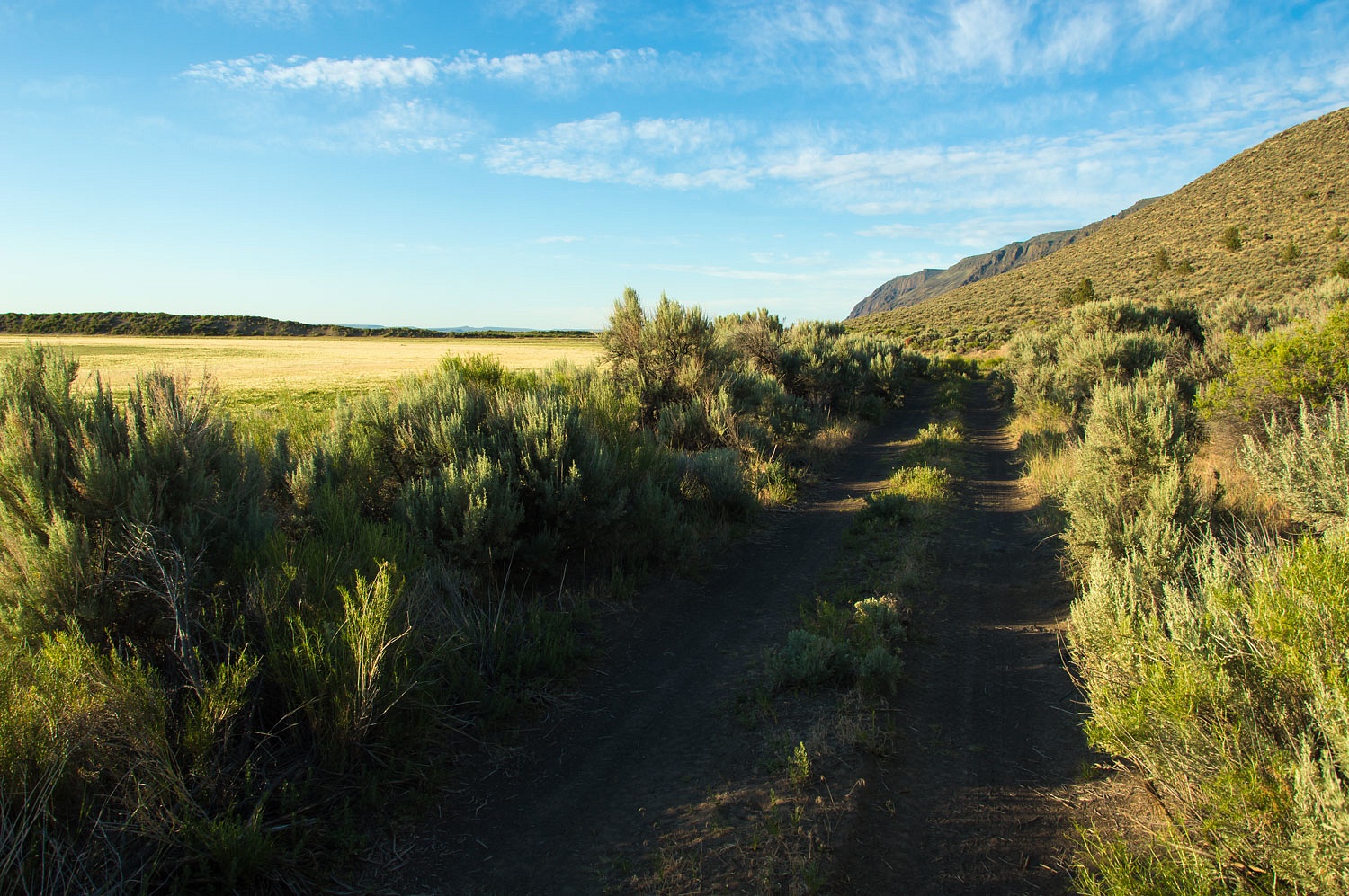
The drive was filled with discovery.
After passing an abandoned homestead,
our topo map indicated a hot spring at the base of the escarpment.
The road passed through an open gate.
The gate posts were covered with signs warning the area was private property
and under 24 hour video surveillance.
A large filthy cattle trough sat near
where we parked. A black PVC pipe led up to a source. The water was extremely
hot. Our USGS geothermal notes listed the water
temperature as 154°. The last visitors - awhile back - had attempted to soak by lining the
trough with a plastic tarp. Everything remained from their visit, rotting in
place. Thus, the signs were understandable.
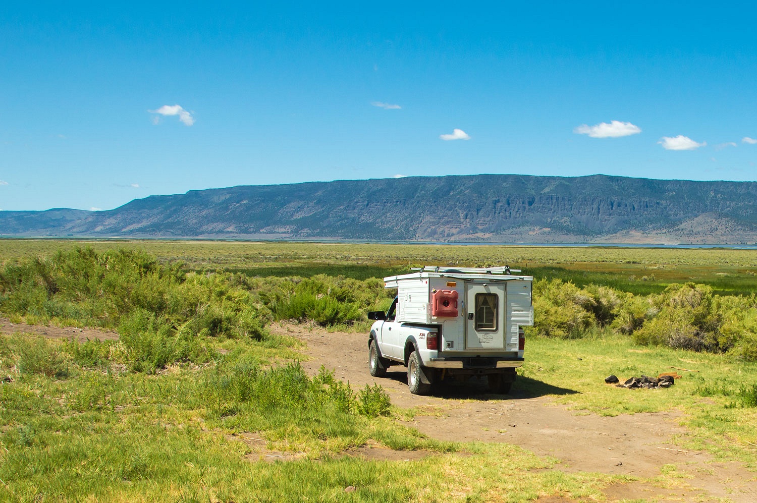
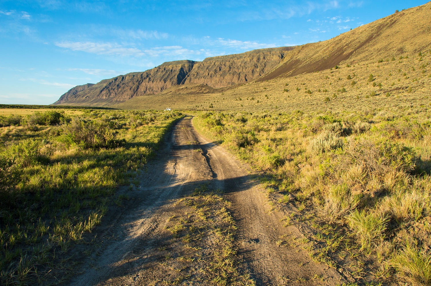
We continued north as the road
deteriorated into a faint two track. We intersected with the route of the Central Oregon Military Wagon Road. The road was begun in 1865 and was to run from Boise,
Idaho to Eugene, Oregon.
The military road entered the Warner Lakes
Basin by descending the drainage to the north of the Lady in the photo below.
In reality the road project turned out to be
a scam. The company picked to build the road was awarded three sections of public land
for every mile of road built. Therefore, the company designed a circuitous route
through the best land.
The company took title to enormous
acreage and most of the road was ever little more than a trail.
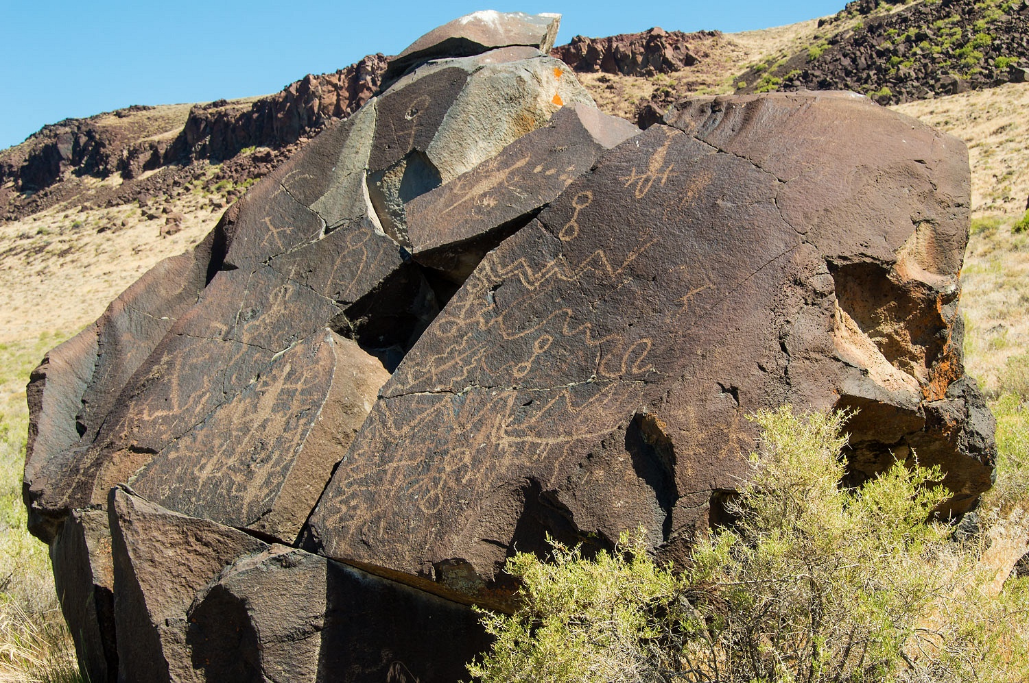
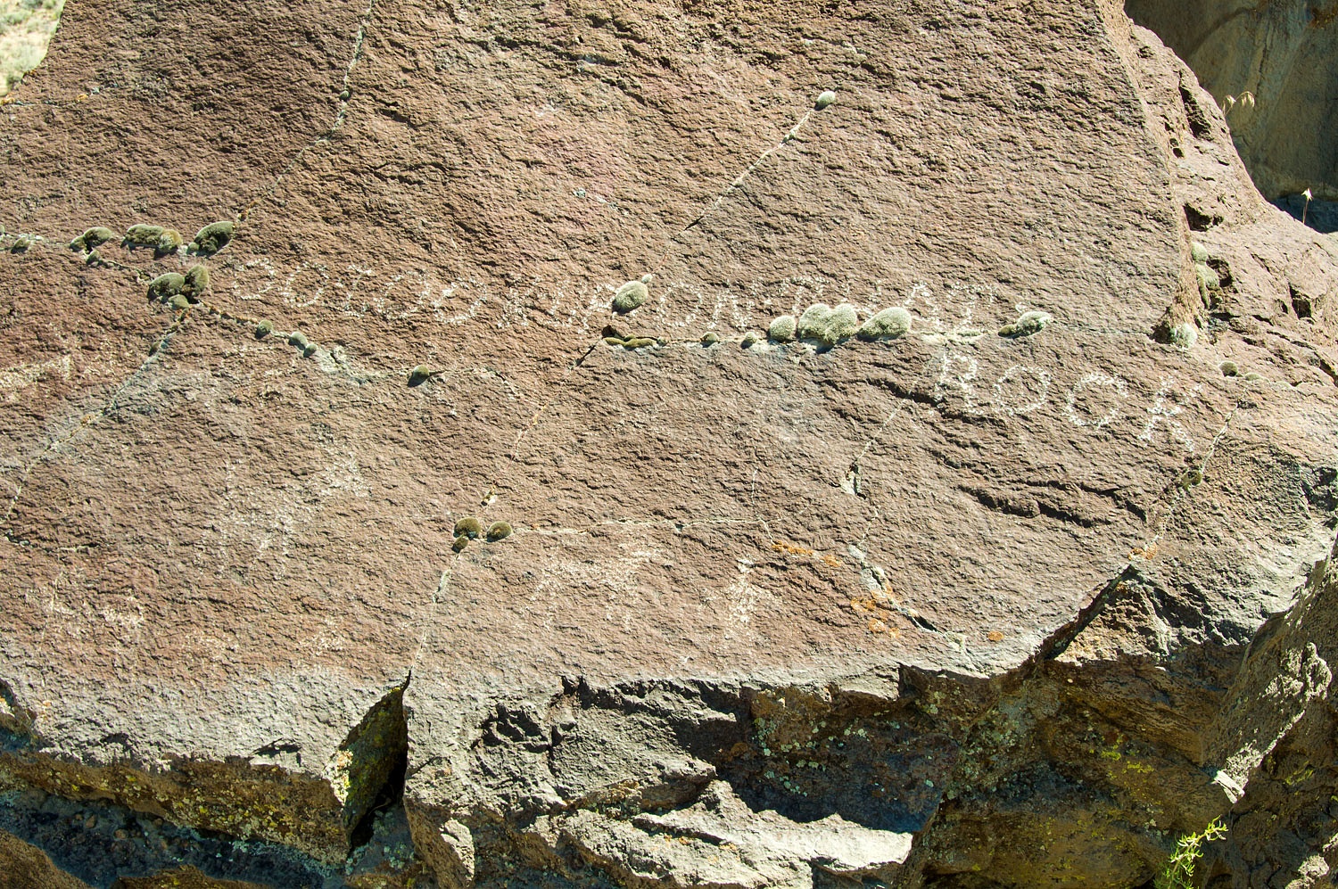
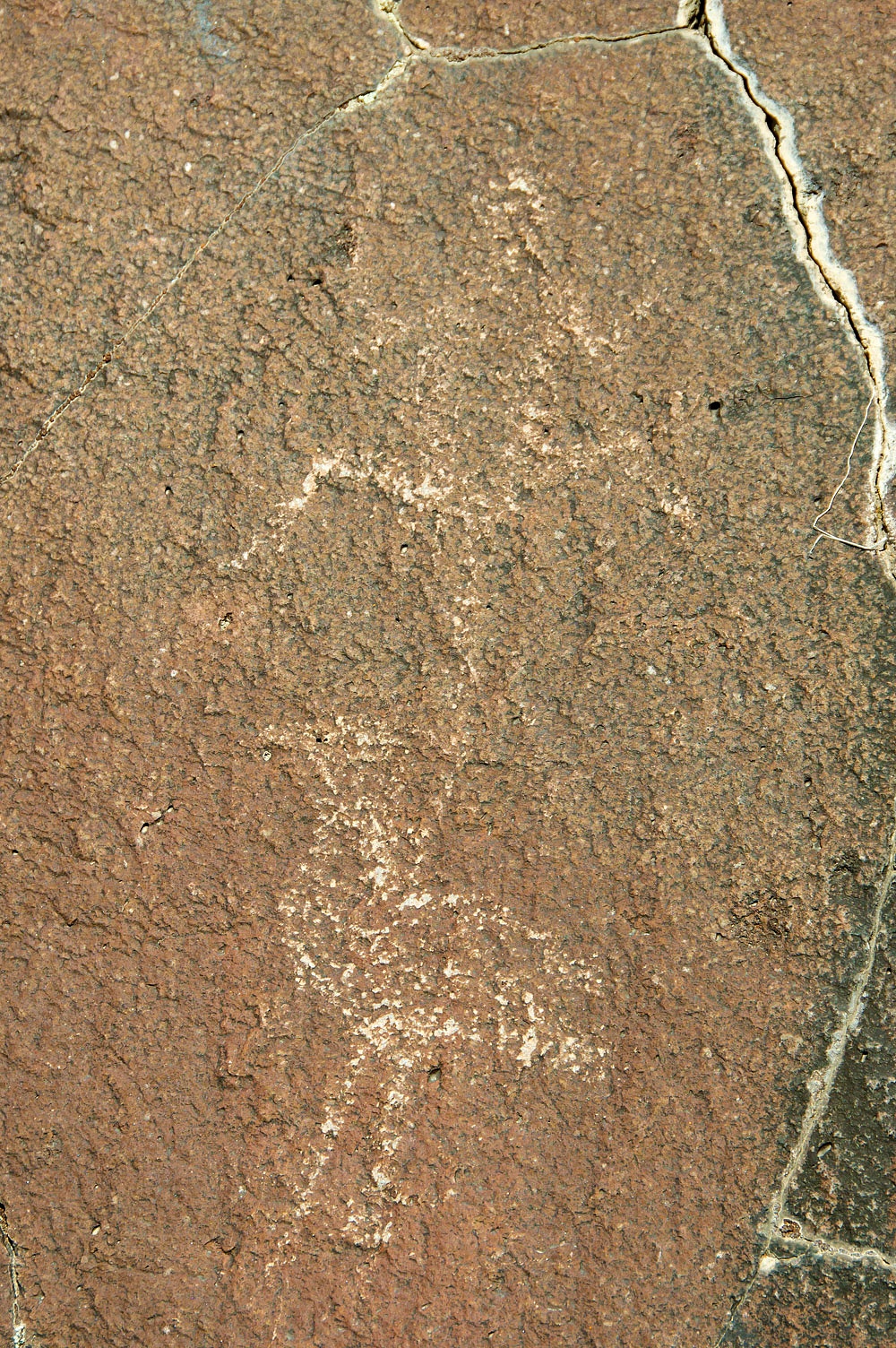
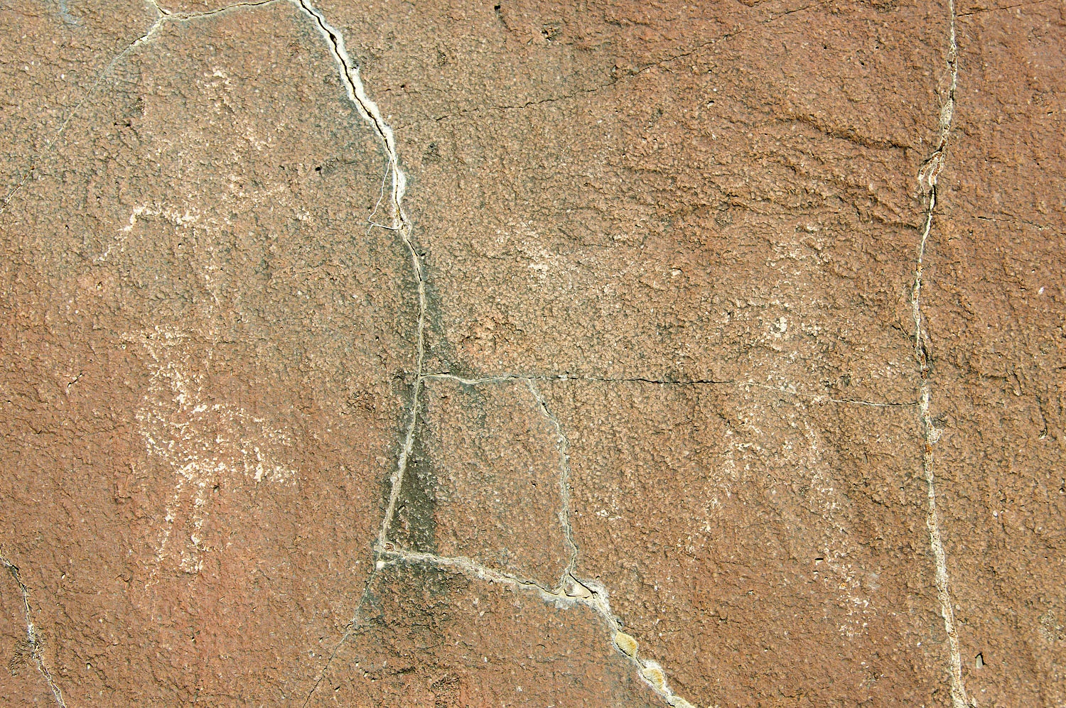
Further north - now on the route of
the military road - we stopped for lunch, surrounded by ancient artwork.
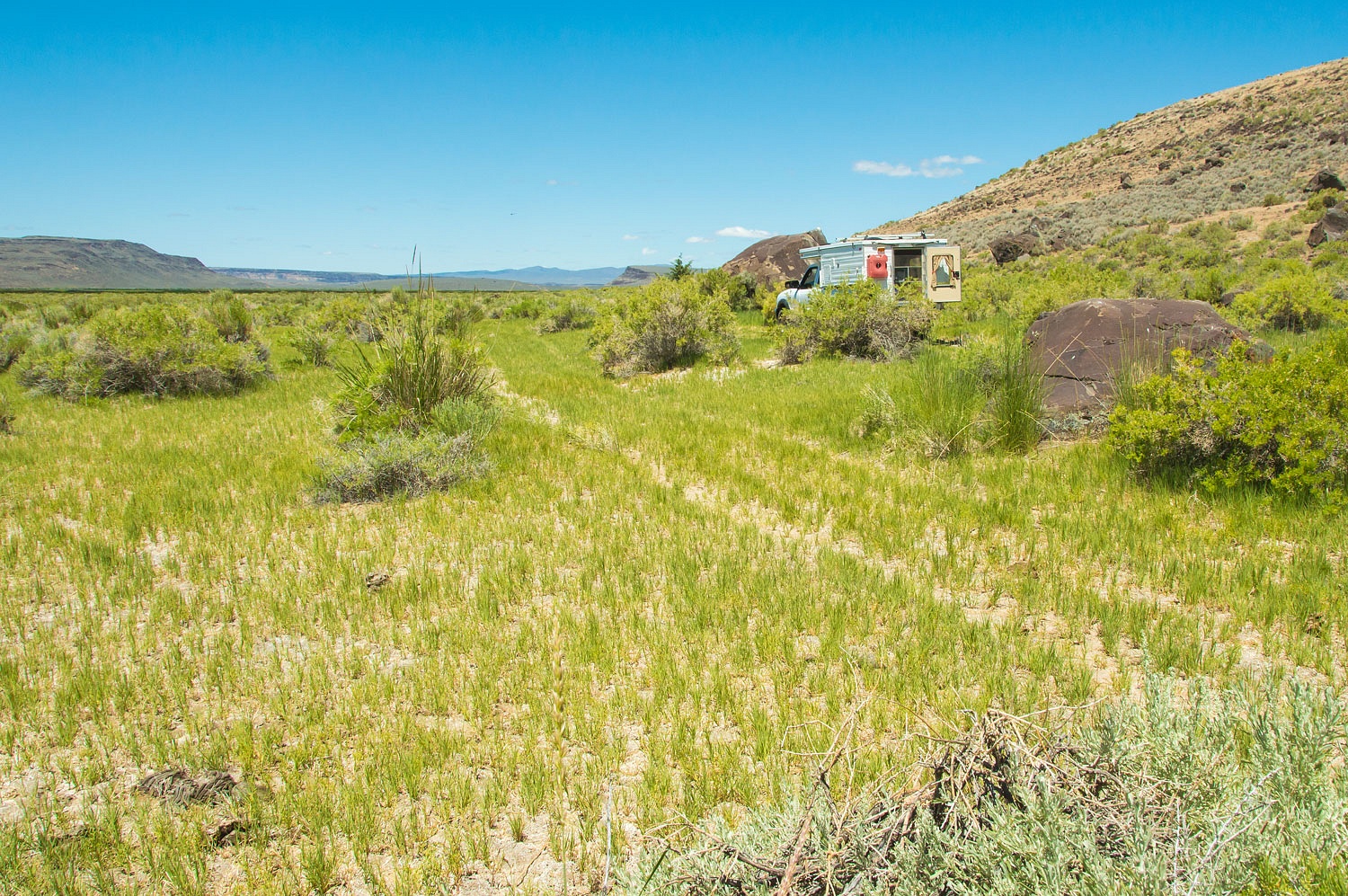
Parking in the middle of the road was
fine. It was hours since we'd seen any evidence of other people.
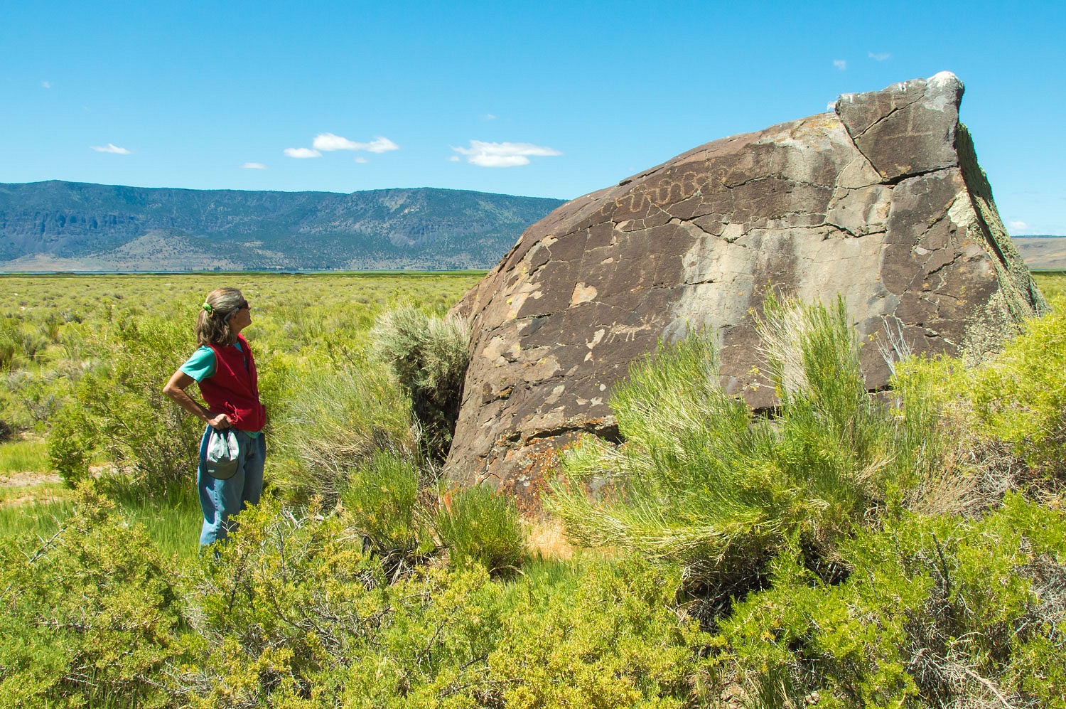
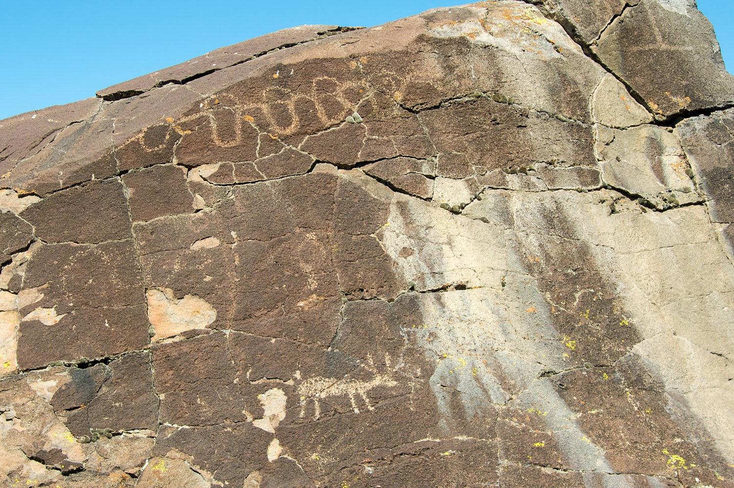
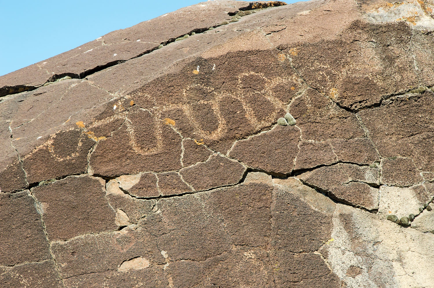
The top petroglyph sure looks like a
depiction of the string of lakes in the basin, doesn't it?
The road became so rough and
faint and ended at fence. It was time to end our attempt at reaching the
remnants of the old stone bridge, a crossing on the military road in the narrows between
Crump Lake and Hart Lake from this direction. We turned around and retraced our
route back.
Pavement along the west side of
Warner Lakes took us north to Plush, Oregon.We've been through the tiny town of Plush
many times on our way to Hart Mountain National Antelope Refuge. The old story is the town was named when a
drunk slurred his words during a poker game announcing he had a flush. Good
story, I'm sticking with it.
Finding no active poker game, we
continued north.
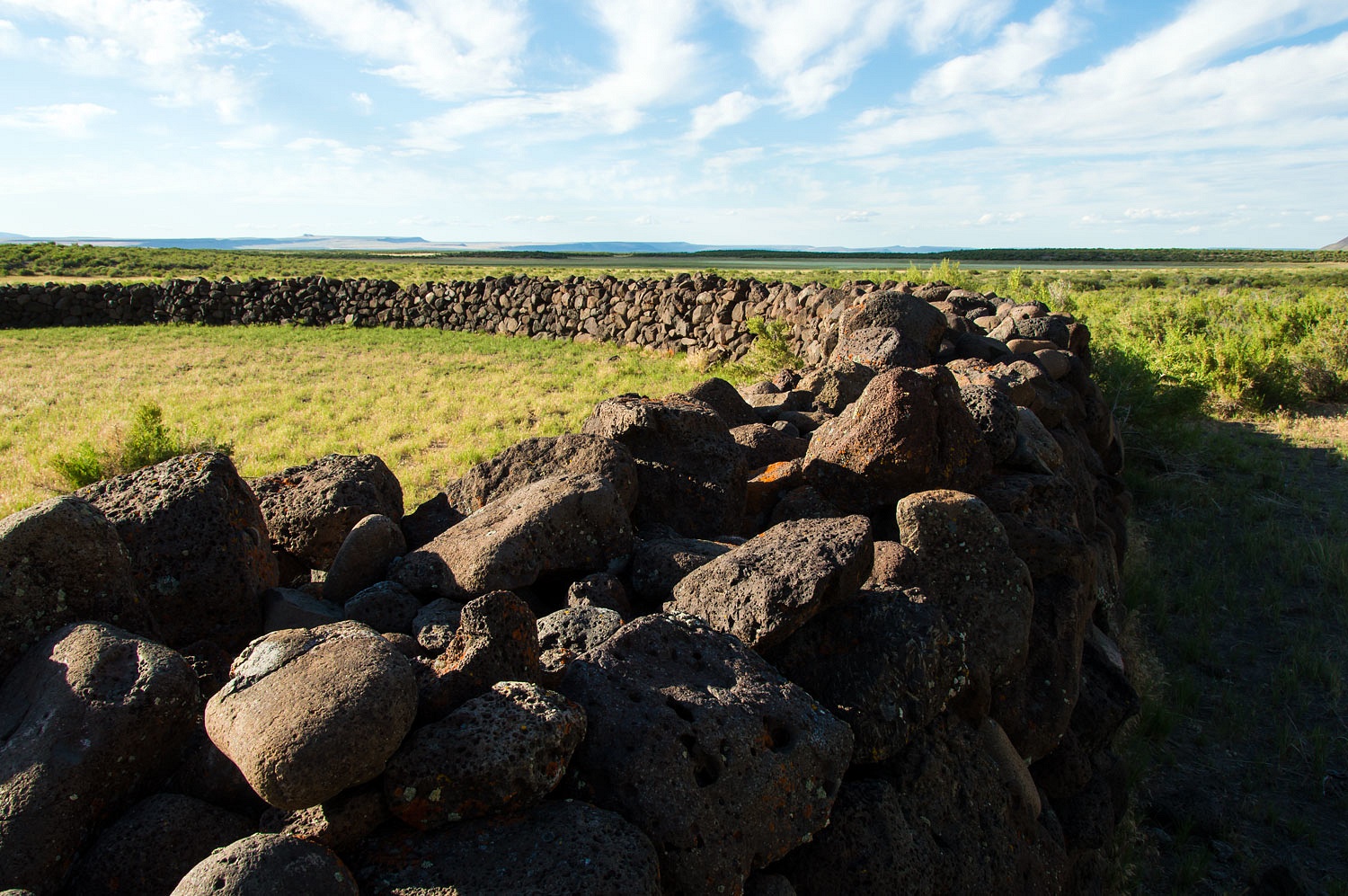
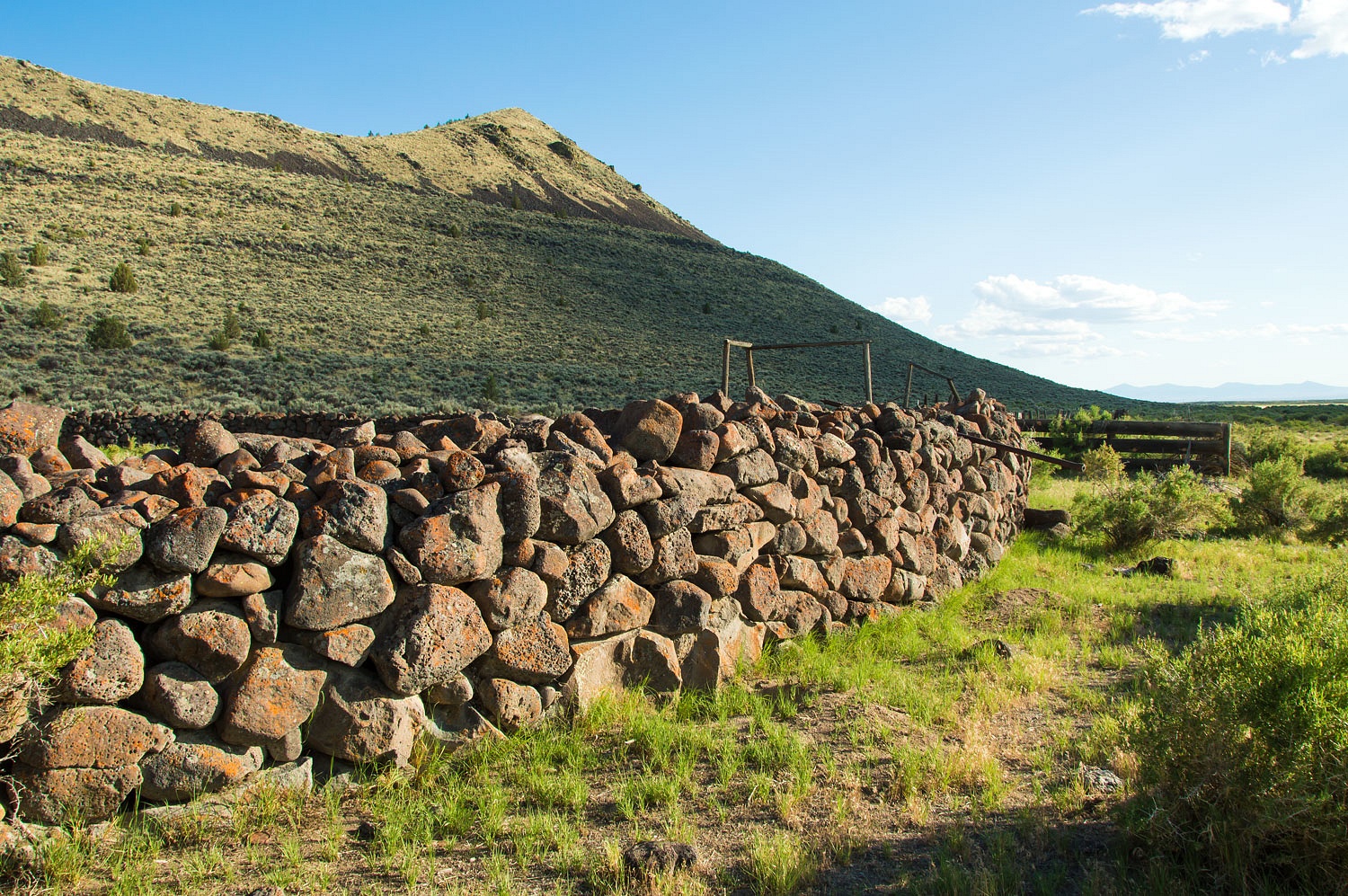
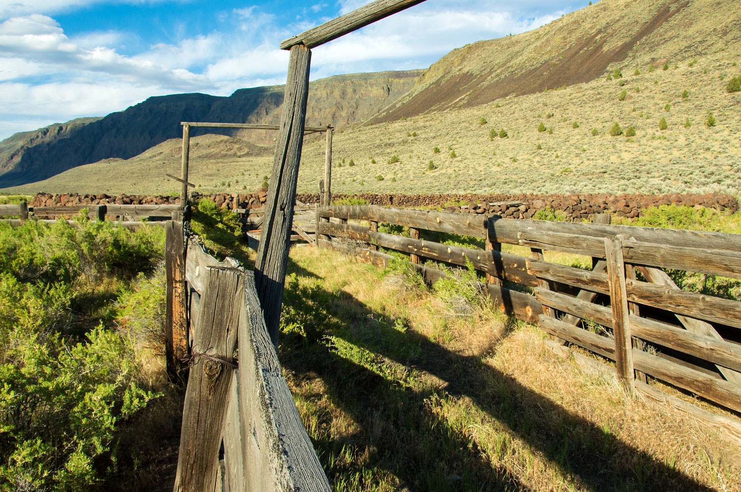
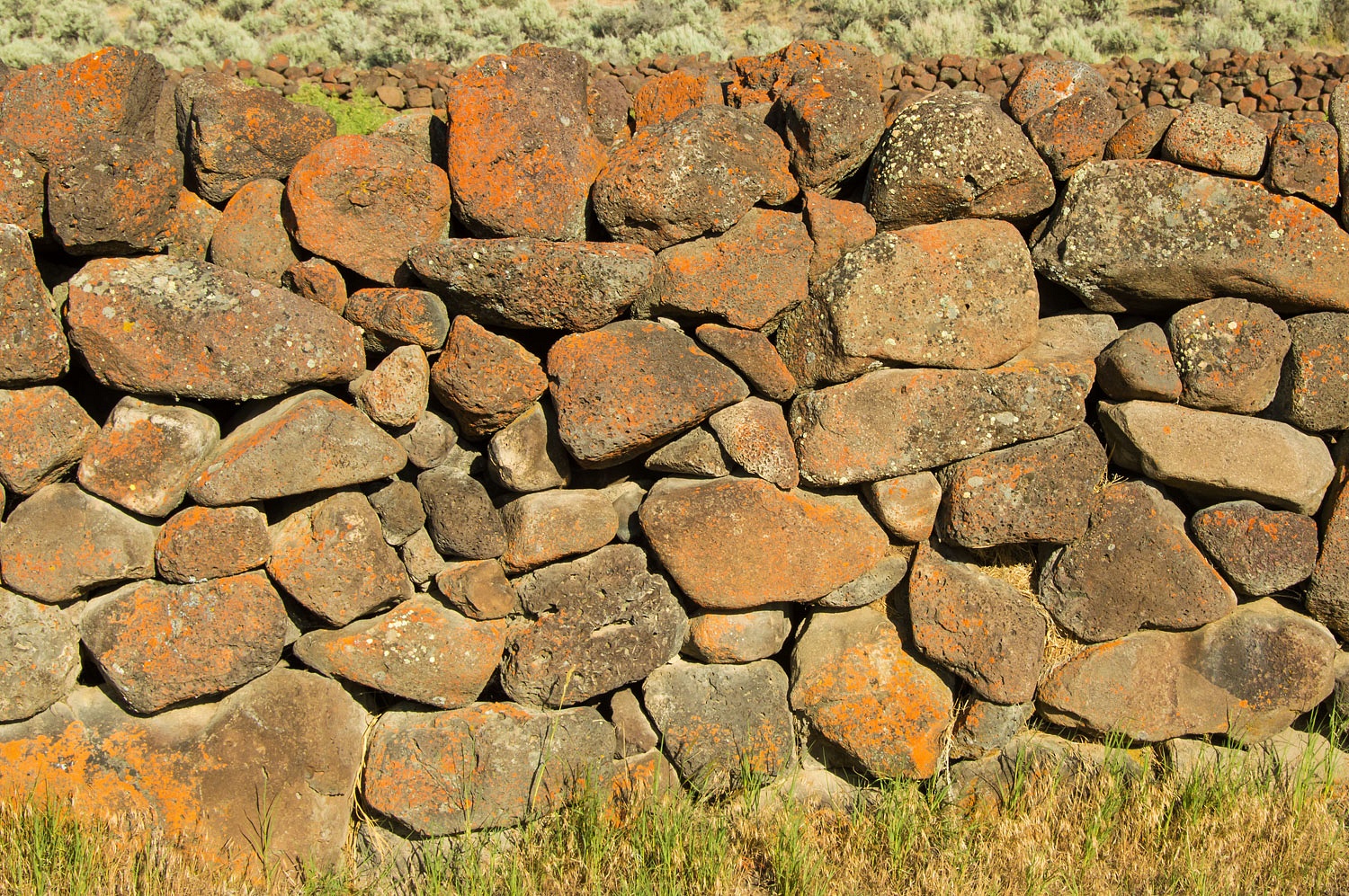
It was several years ago that I first
saw a photo of the Stone Corral. Of course it was quickly followed with,
"We should go there." A narrow, rutted, rough two track leads to the
site, a little over four miles and figure forty minutes travel time.
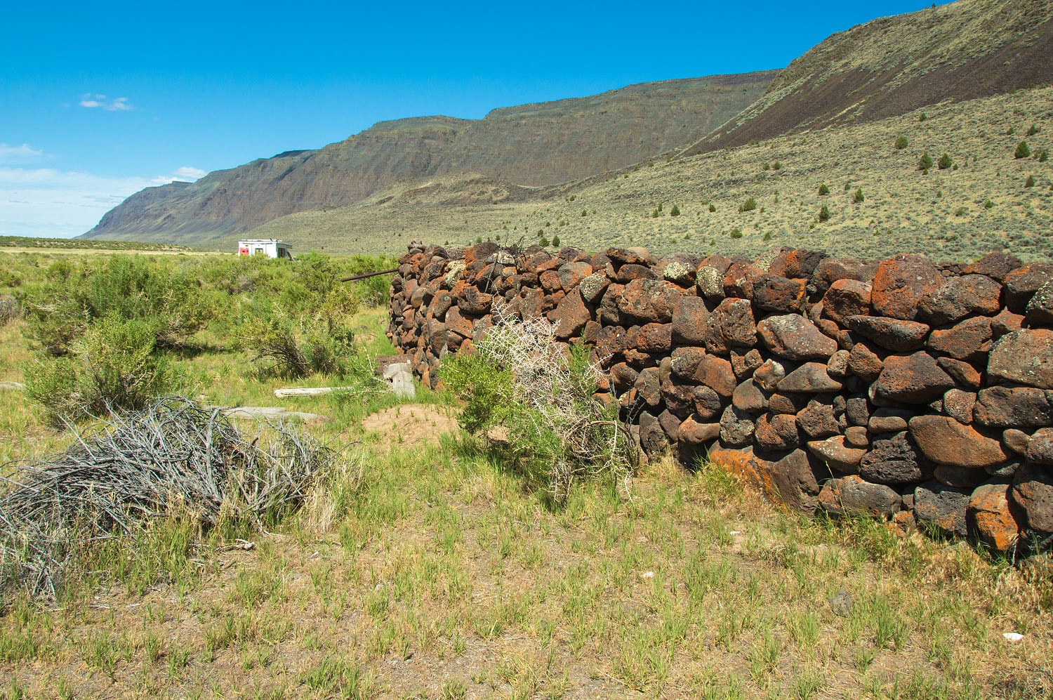
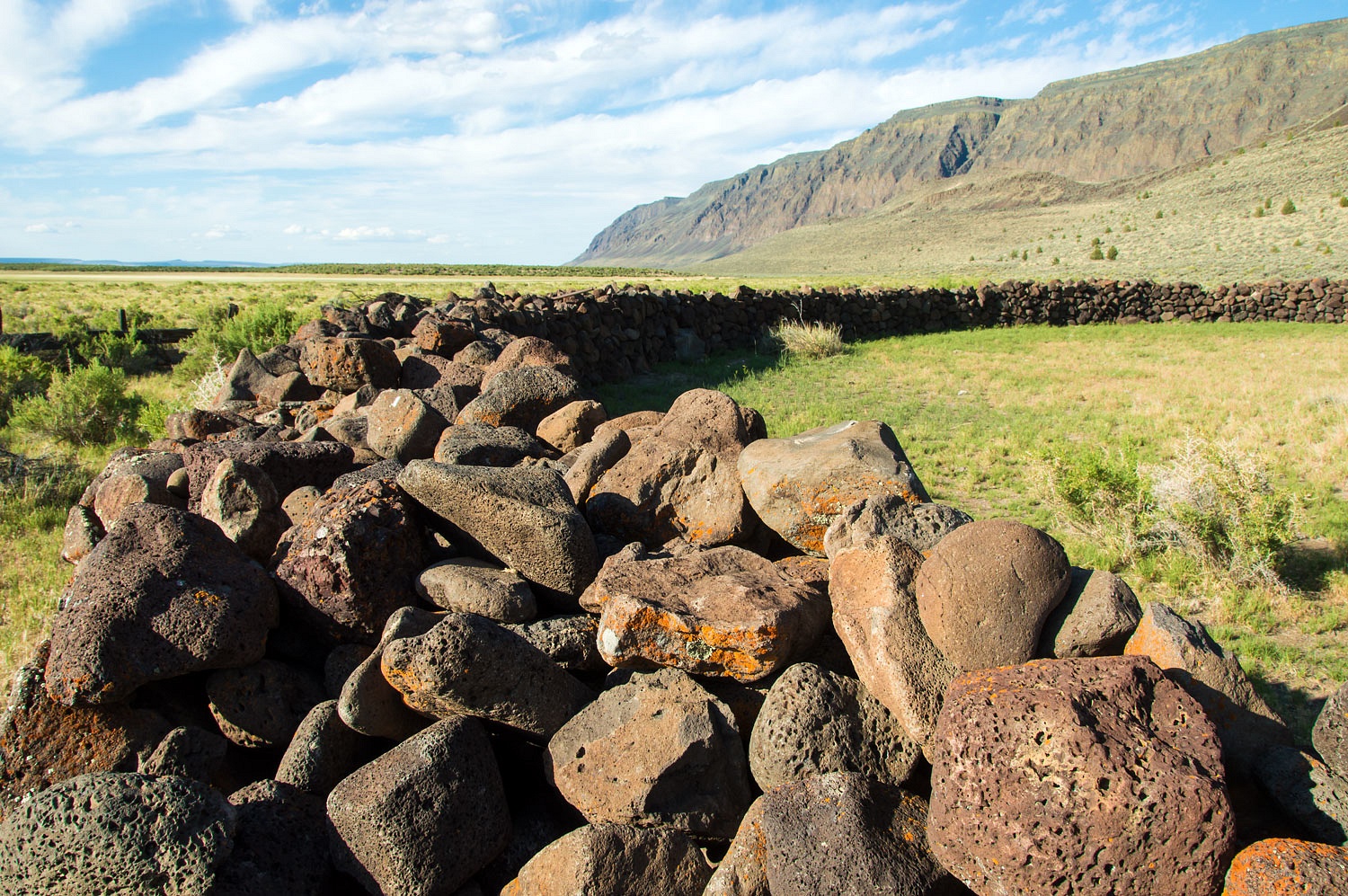
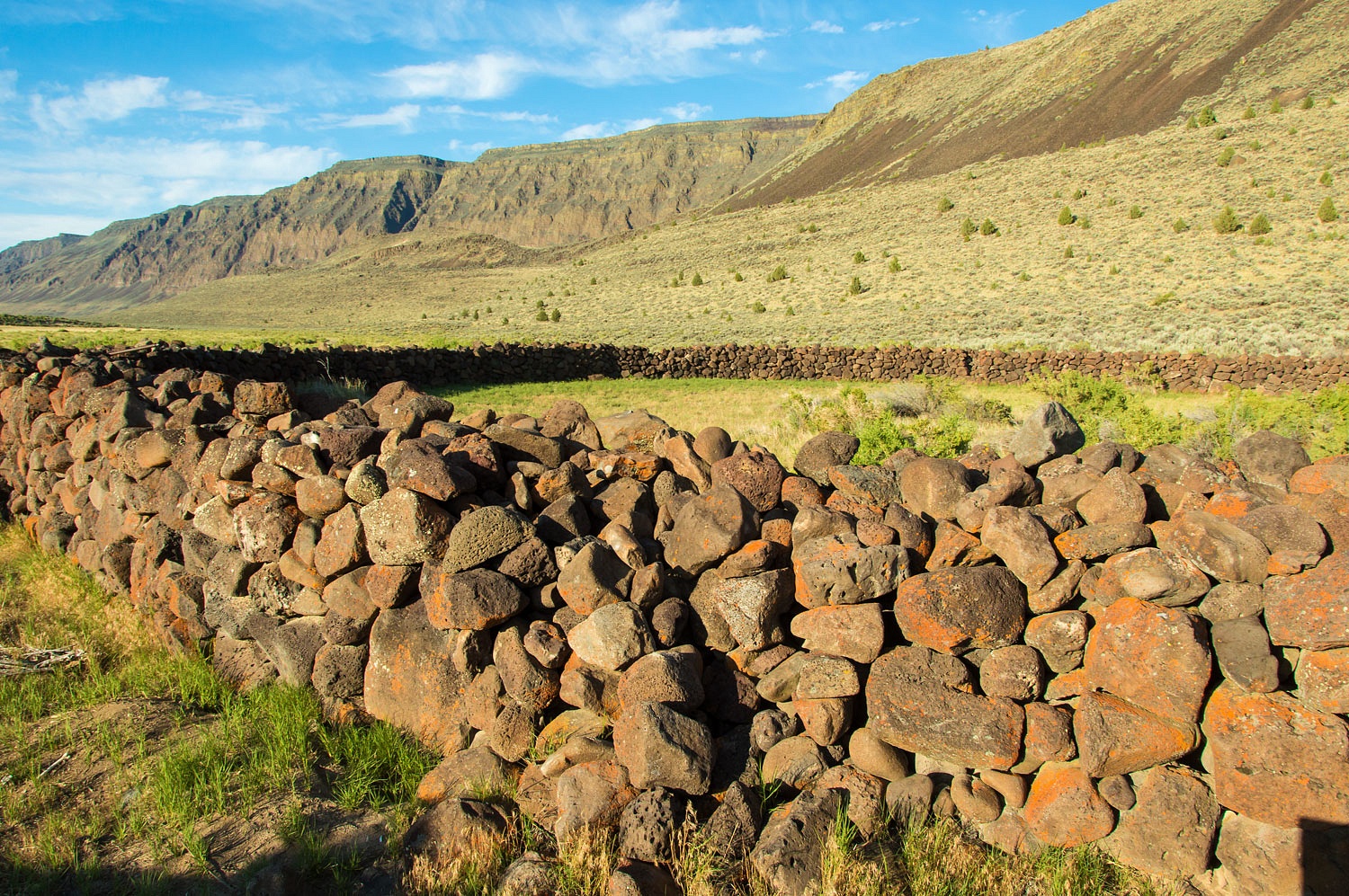
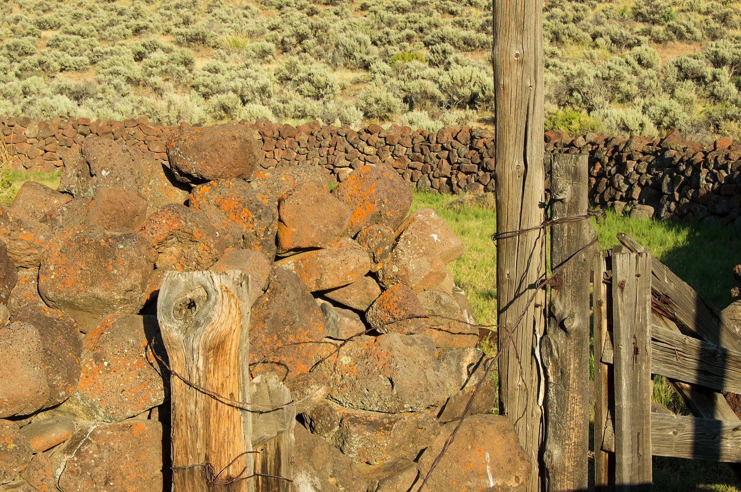
The structure is massive. I found nothing on line in regards to its history. I expect a good source would be a
stop at the Lake County Museum.
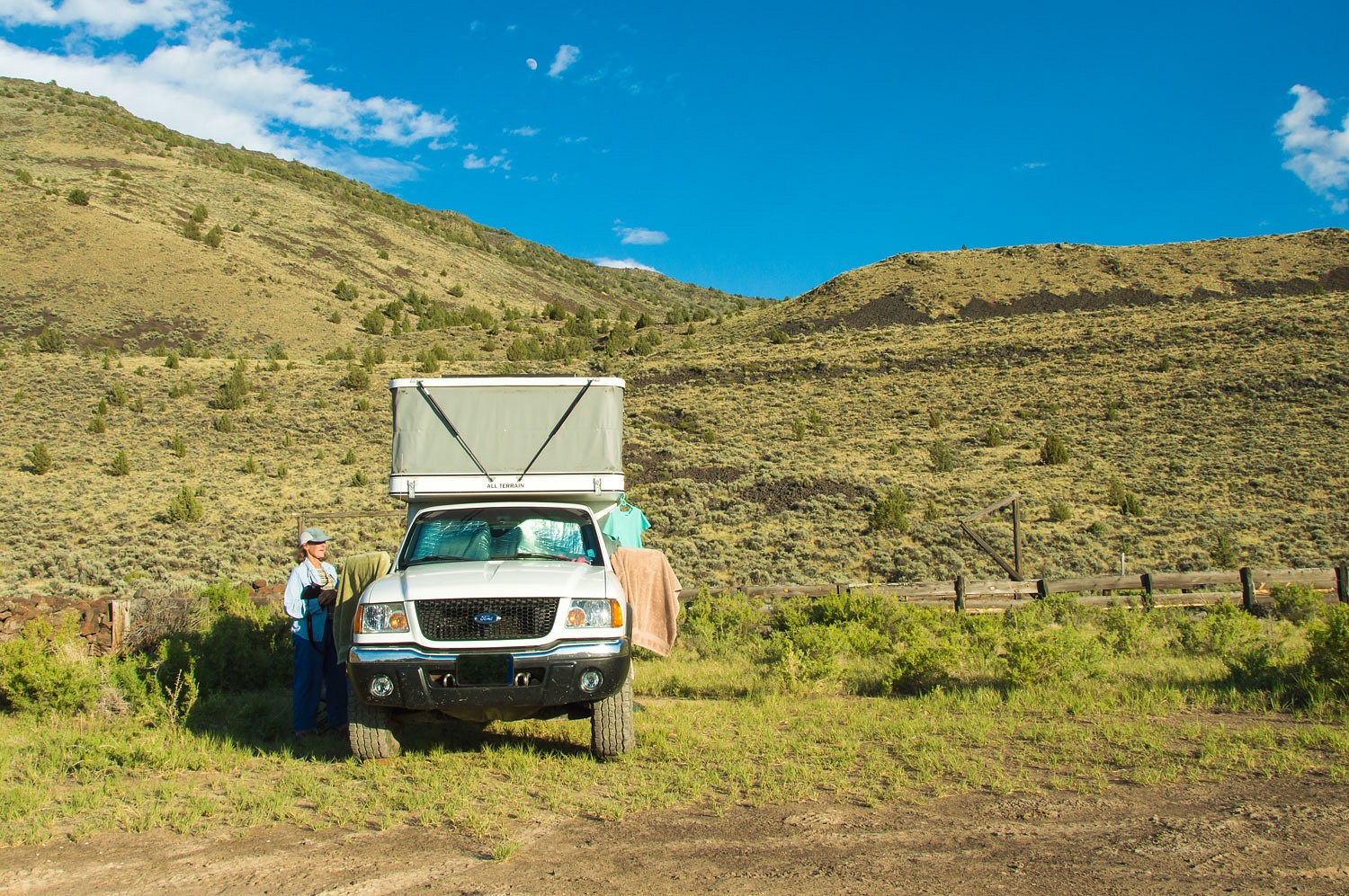
Completely alone out here, we spent
the night. As usual the truck and camper looked like a gypsy camp.
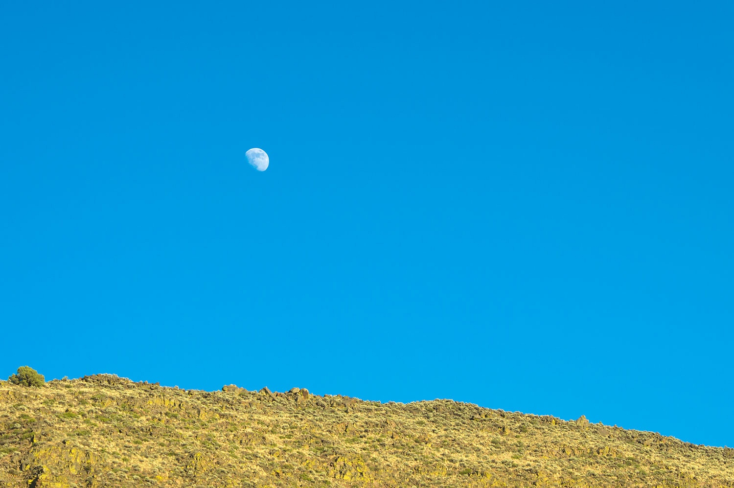
This was another incredible evening,
blessed with solitude. We walked back to, and then along Stone Corral Lake for
our evening wanderings.
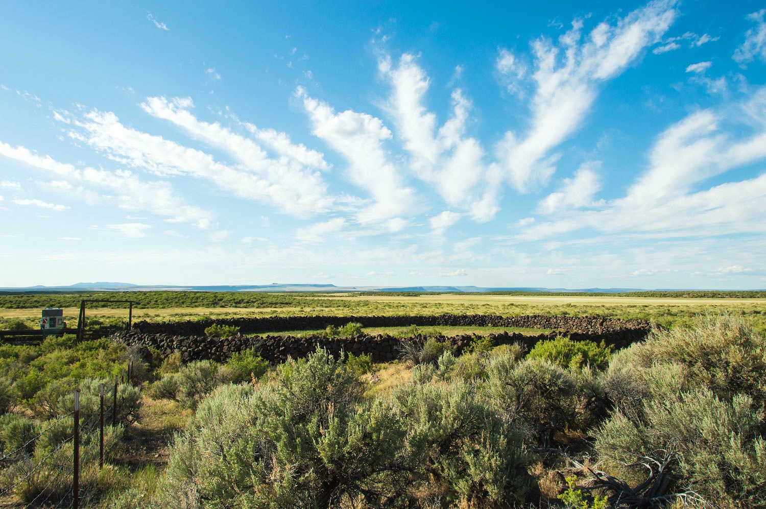
Years of drought have taken a toll on
the Warner Lakes. Stone Corral Lake is not really a lake anymore. I waded out for
a photo.
The Lady always with her see mores.
Coyotes were yipping as we turned
around to return to camp.
We found this area utterly fascinating,
so full of history, wildlife, and vivid landscapes - it made us feel alive.
After a wonderful night, the following
morning we packed up and headed west. Where would we end up?
Thanks for the trip report. Sigh, another place to go. Although having read about this area many years ago in stories by William Kittredge, notably "Owning it All" we have skirted around the area but not done a good tour.
ReplyDeleteTaku, thanks for the kind comment and book recommendation!
DeleteThank you for your write-up of your intrepid wanderings. I've been through eastern Oregon a few times, and the vastness of the landscape is breath taking. you have encouraged me to go back and continue exploring. Thank You, Mike Stewart
ReplyDelete