
please remember you can click on a photo to see a larger version
After a busy
Saturday, Sunday was ours. I suggested to the Lady that we take advantage of
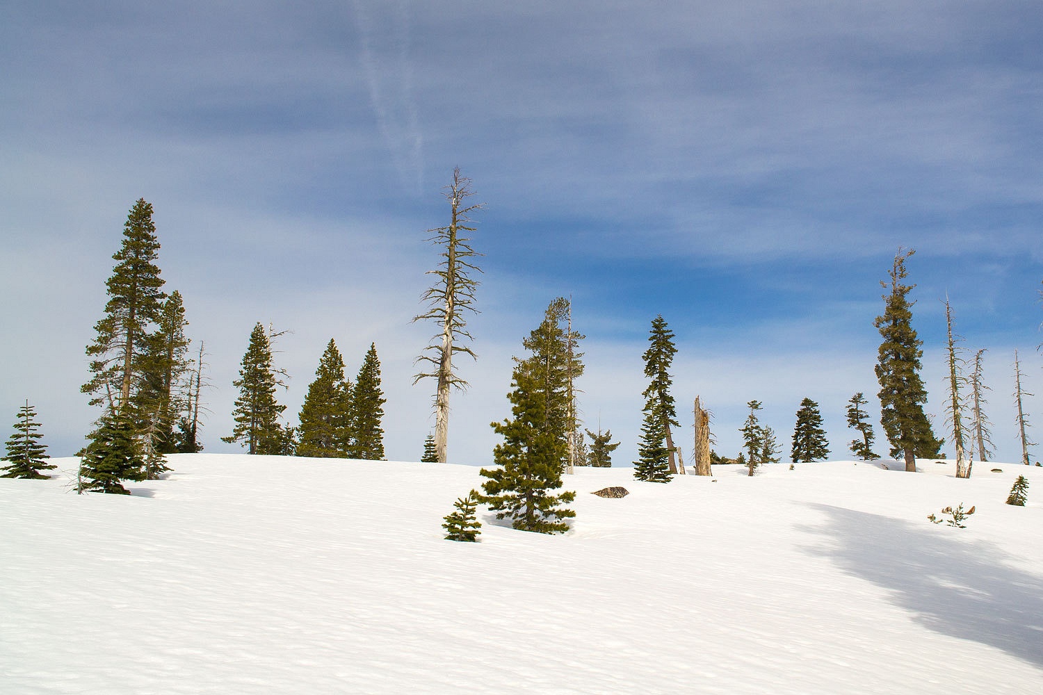
our 85% of normal snowpack and go for a long ski tour into the north end of
Desolation Wilderness. Our best winter days in the mountains have been long ski tours where we rely on all our skills, from route finding and
navigation to avalanche hazard assessment to ski skills to match the terrain.
It is an almost unbelievable sense of freedom to be able to travel through the winter mountain
landscape wherever our desires may lead us.
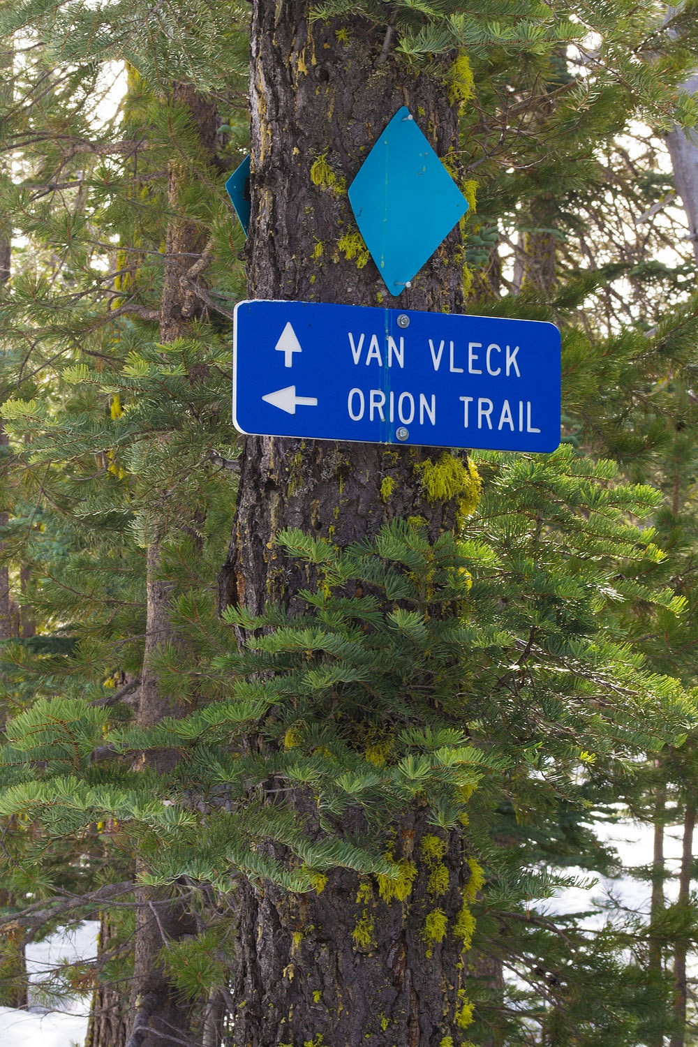
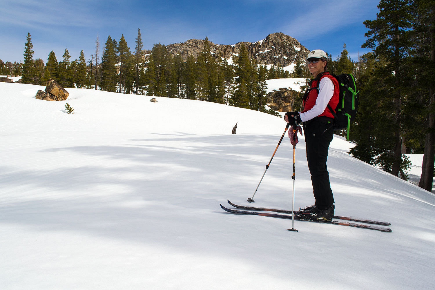
We first
traveled out the Orion Trail. and then turned on the trail we helped develop
that leads to the Van Vleck Bunkhouse, a USFS public rental available in the
winter to skiers and snowshoers. We have also put in many volunteer hours working to help keep the Bunkhouse up and working and available for public use.
Overdue for another storm, the weather has been warm and many of the critters
are awake in the woods, including black bears. These very fresh bear tracks were on top of Saturday's snowshoe tracks.

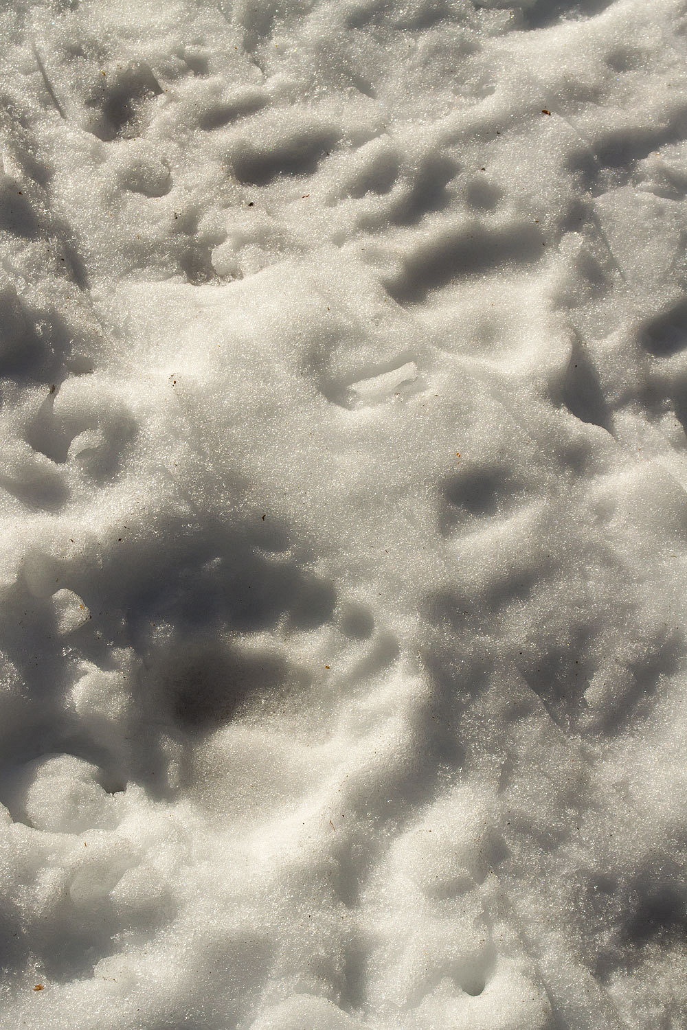
In our area
most bears nap and don't go into a full hibernation. We regularly see bear sign
during warm periods. We also saw fresh coyote and bobcat tracks on this trip.
Many people instinctively believe the Sierra Nevada freezes up completely in the winter. Except for the
highest realms, this is not the case. Water flows all winter in the streams channels under the snow. On this warm morning
the South Fork of the Rubicon River had little surface ice.

A large warm storm came through the end of January dumping heavy rain up to 8000 feet. This area
received six inches of rain in a short period, a rain on snow event that
unleashed large volumes of water down the watercourses, eroding the
snow and washing away snow bridges. We knew that crossing streams would be
the crux of this trip.
After
crossing the river (there is a foot bridge here for the ski trail) it was time
to put on climbing skins. We had some elevation to gain.

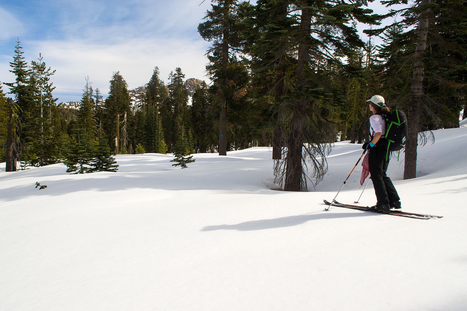
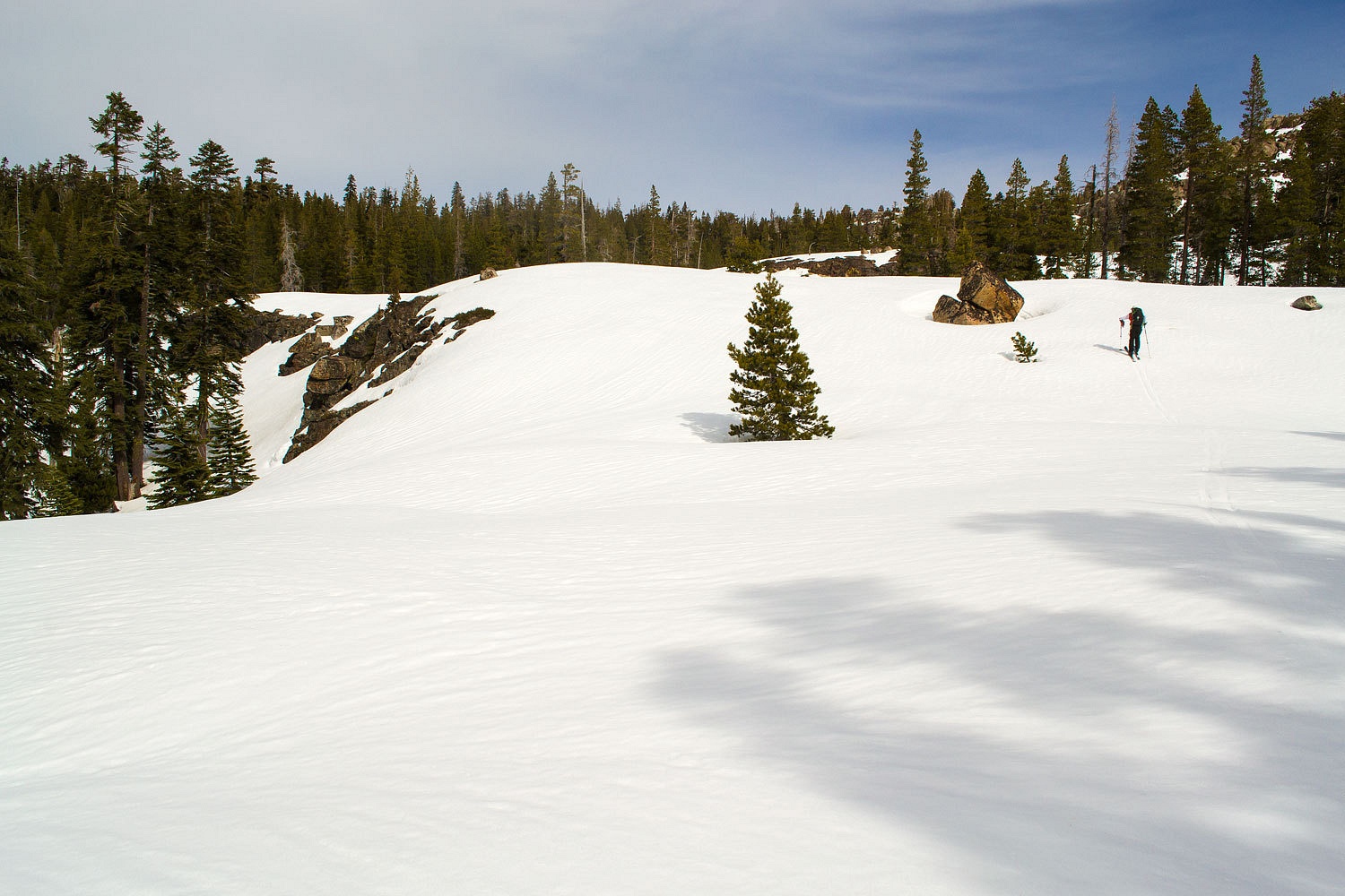
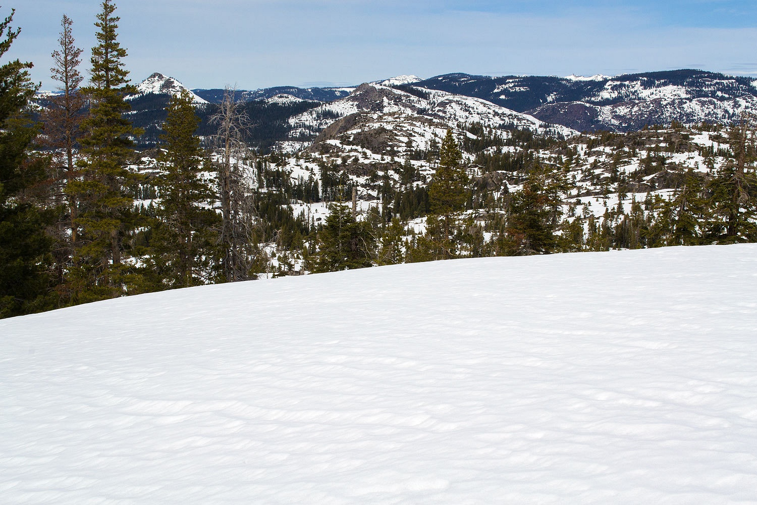
Leaving the
trail and climbing, we spotted Brown Mountain to the northeast, our landmark for the day. We
would be making a large circle that would eventually take us to the high south facing
slope of Brown.

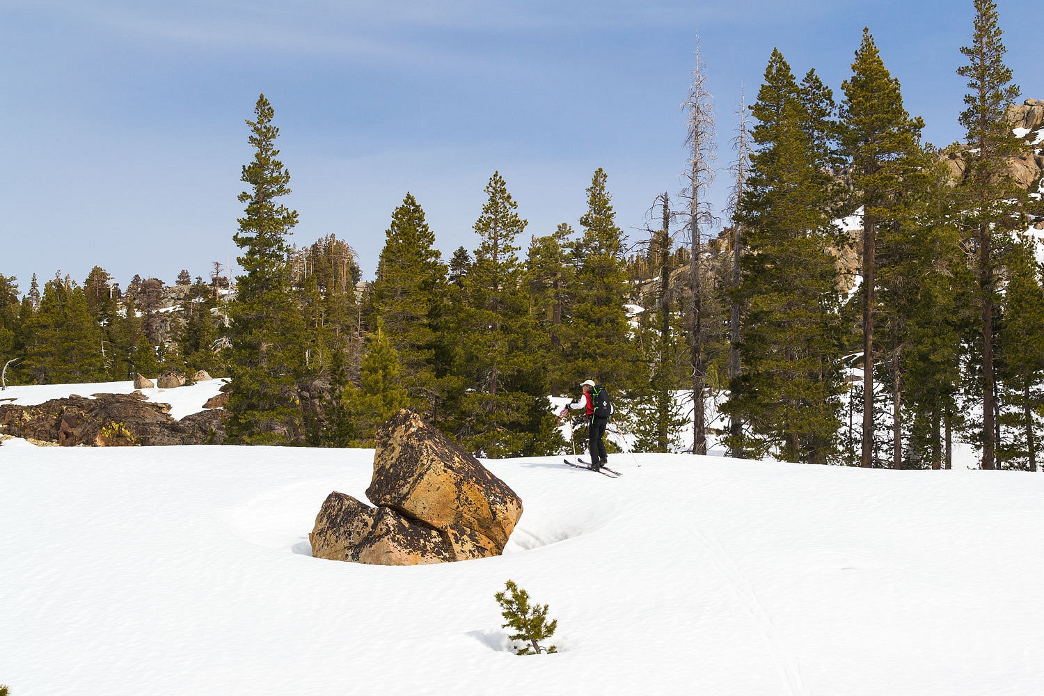
We
intersected our marked Shadow Trail and continued east.
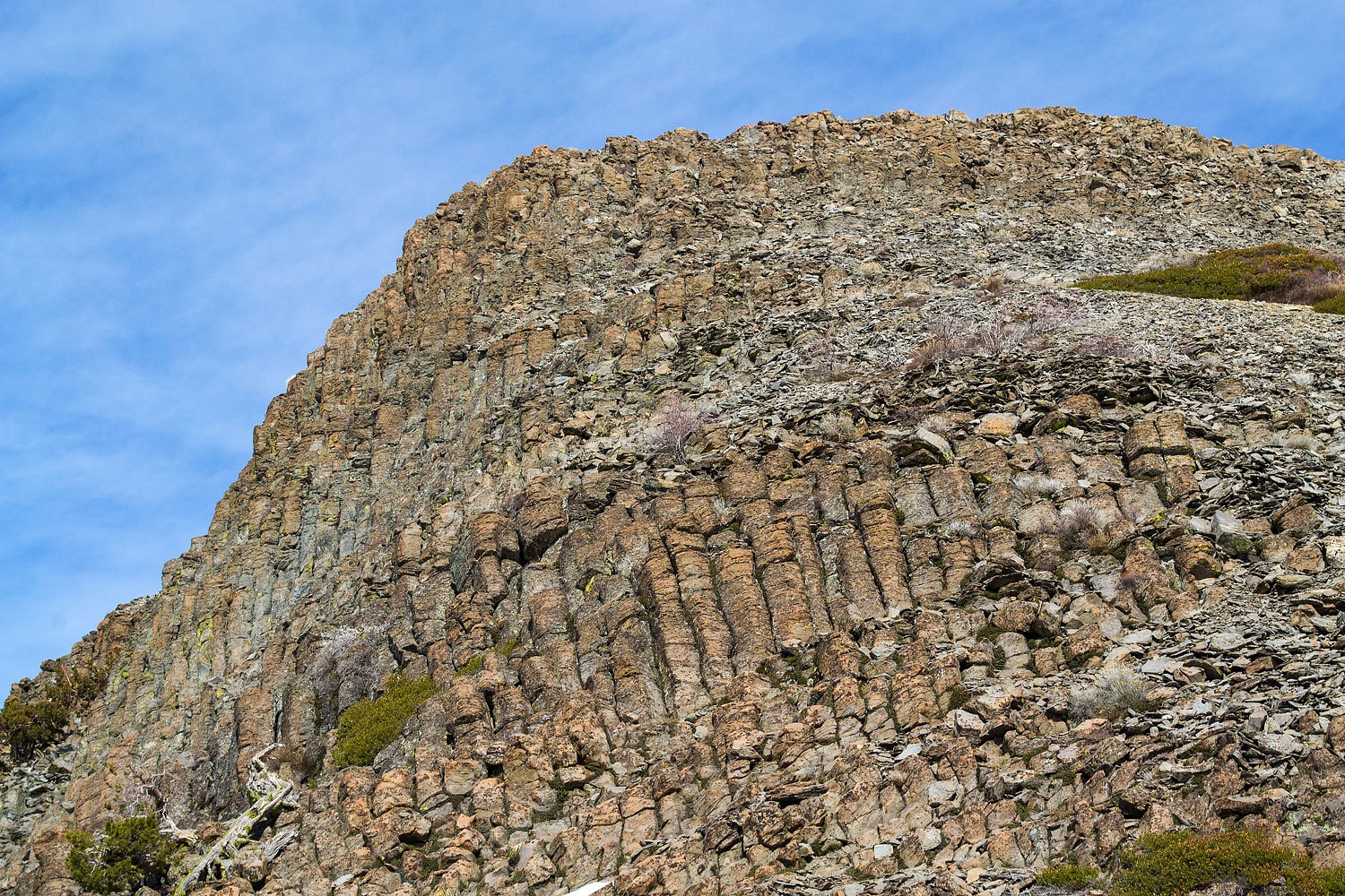
When you are
traveling through a predominately red fir forest on a north facing exposure, you can
pretty much bet you are at over 7000 feet in elevation.
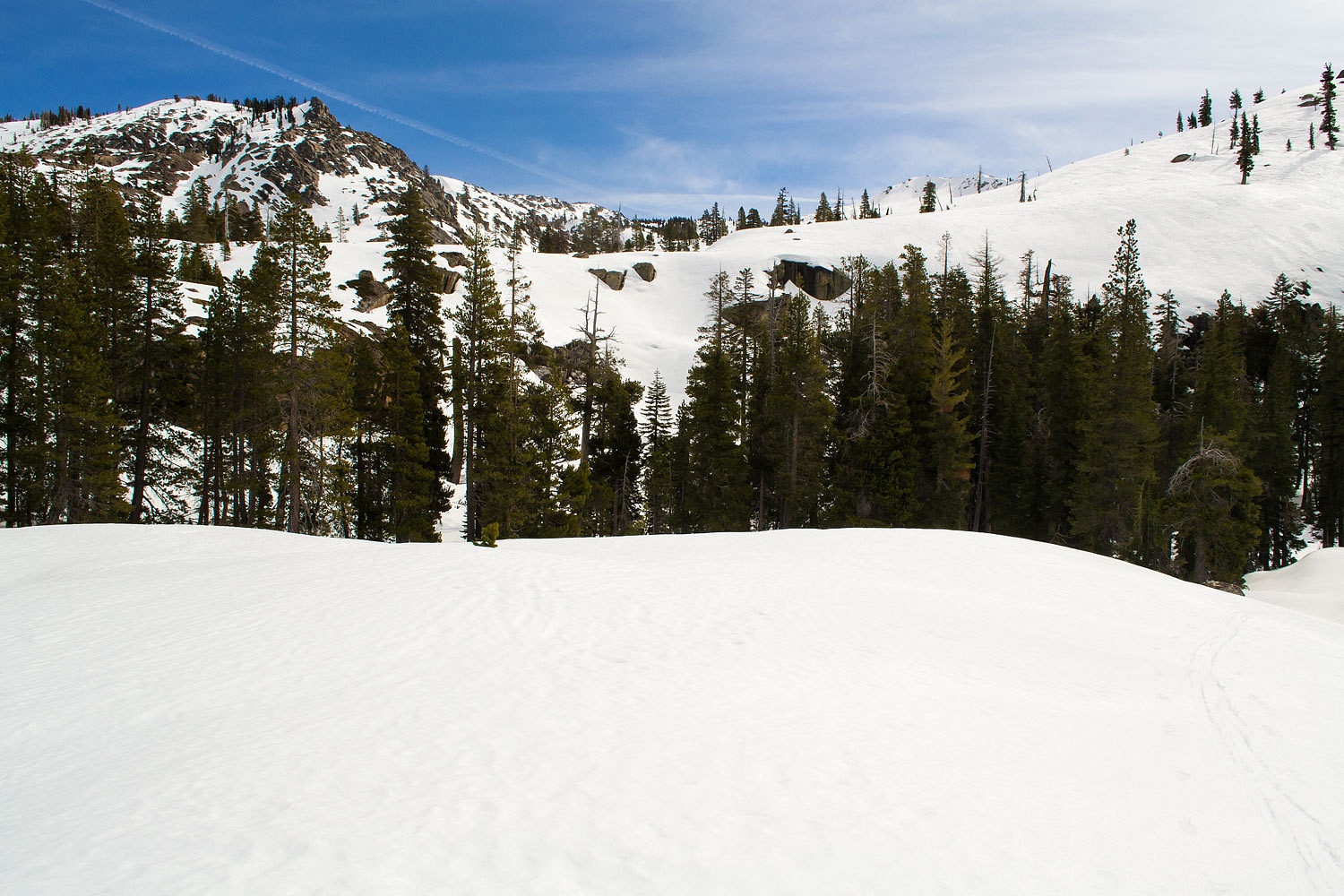
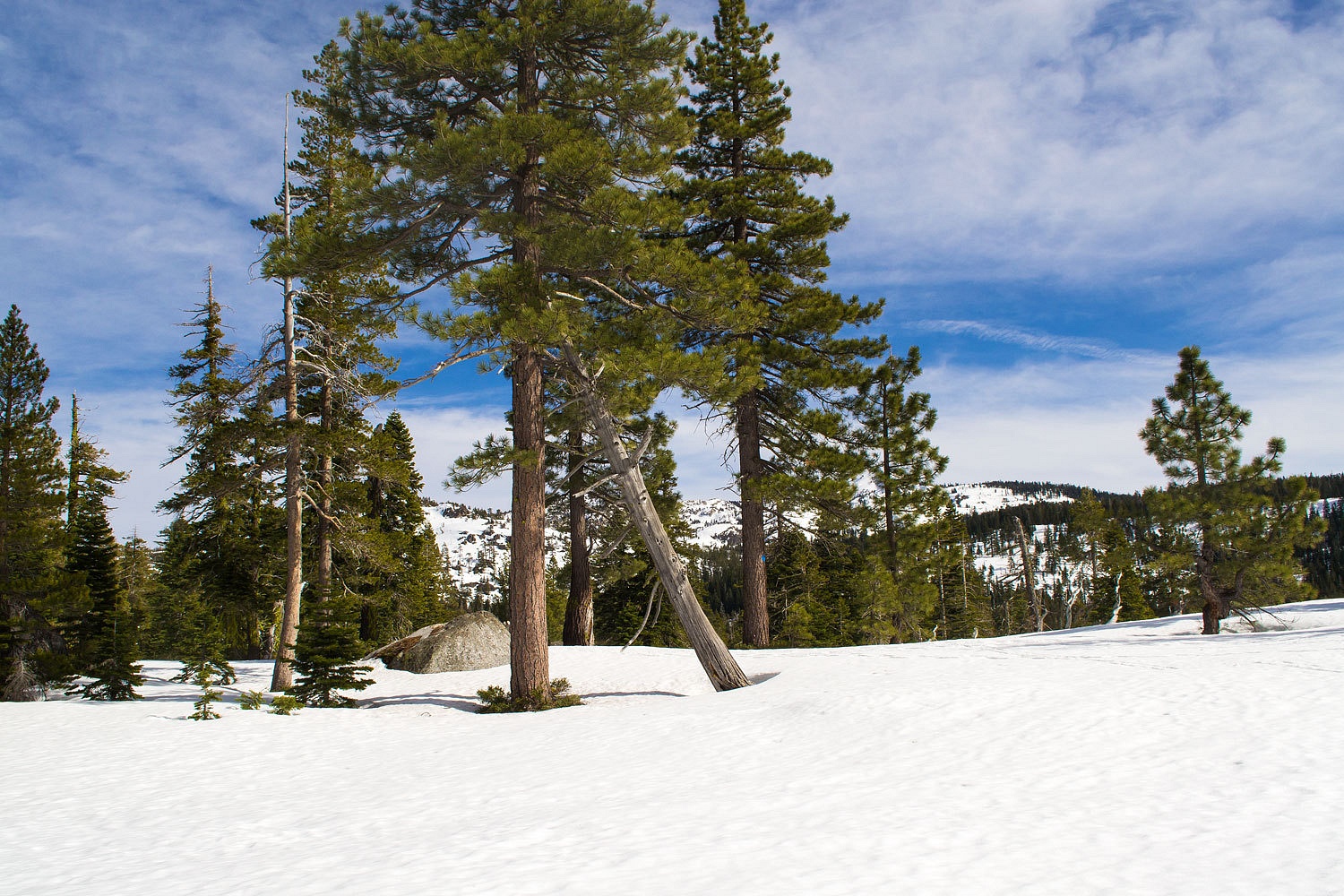
The Shadow
Trail ends at a large flat with a nice view. We now left all trails behind and
were on our own for navigation. We first climbed up to a bench above Shadow
Lake. A great place hemmed in with soaring granite ridge lines.
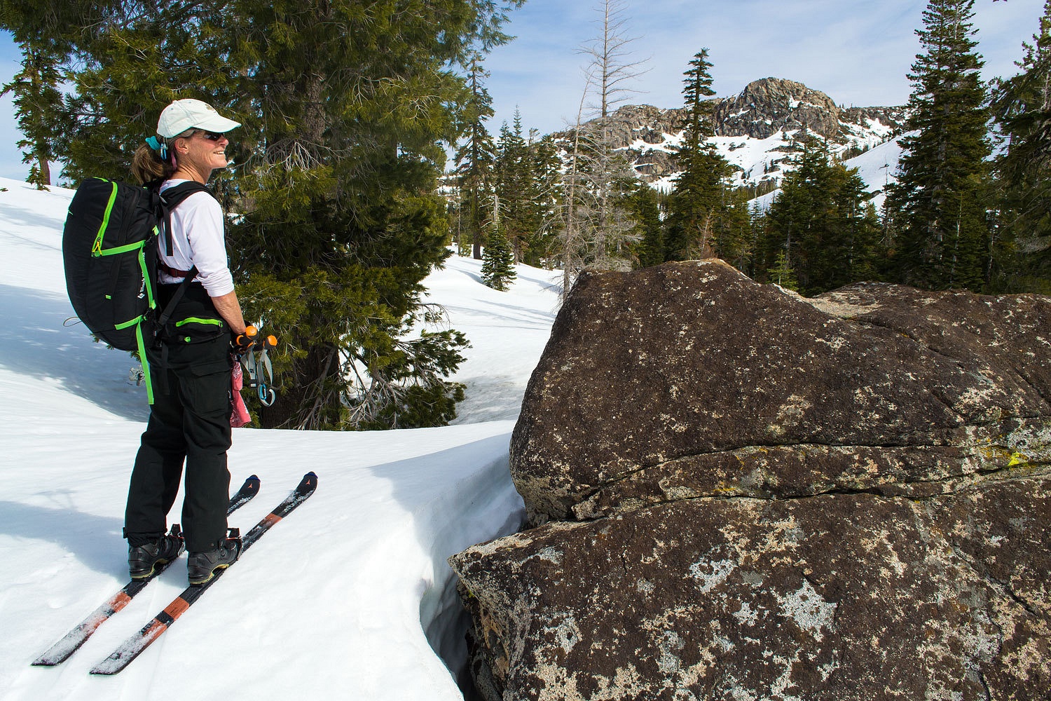
We enjoyed a
snack break and the wonderful vistas.
To continue
on our route, we dropped into the stream course draining out of the east end of Shadow Lake.
Our next objective was a saddle to the north (left) in the rocky ridge line in the above photo.
We stopped
at the east end of Shadow Lake and looked back into the sun.
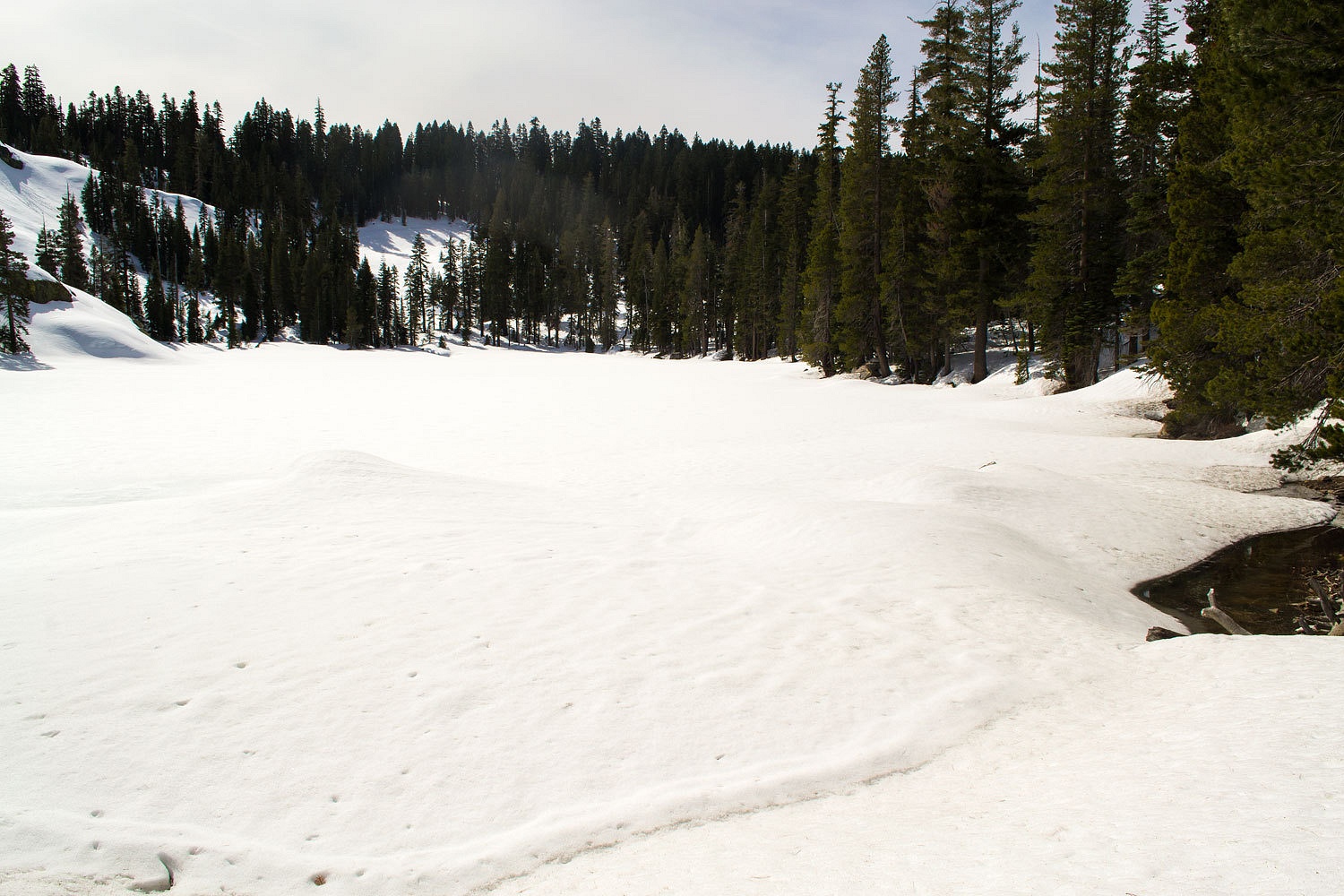
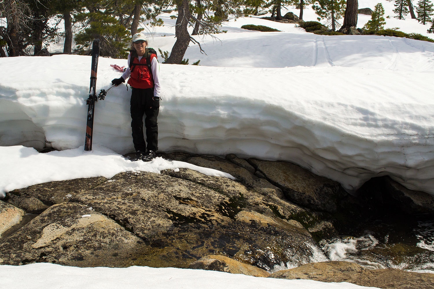
We hoped to
find a snow bridge across the outlet stream (one of the headwater forks of the
S. Fork of the Rubicon) before the gradient steepened and water flow picked up speed tumbling
down the canyon, now all open water. We lucked out and found a snow bridge. Open water is about
twelve feet down in the hole just to the Lady's right.
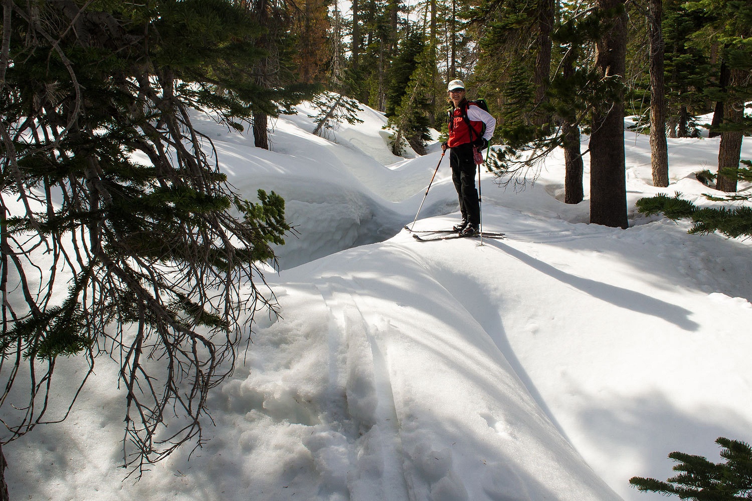
It is
important to take note of snow covered streams. There is the real danger of
punching through and going into the water below. Just recently a young girl was
rescued near Donner Summit and the gripping story of the National Park Ranger who
died in the Sierra several summers back is impossible to forget.
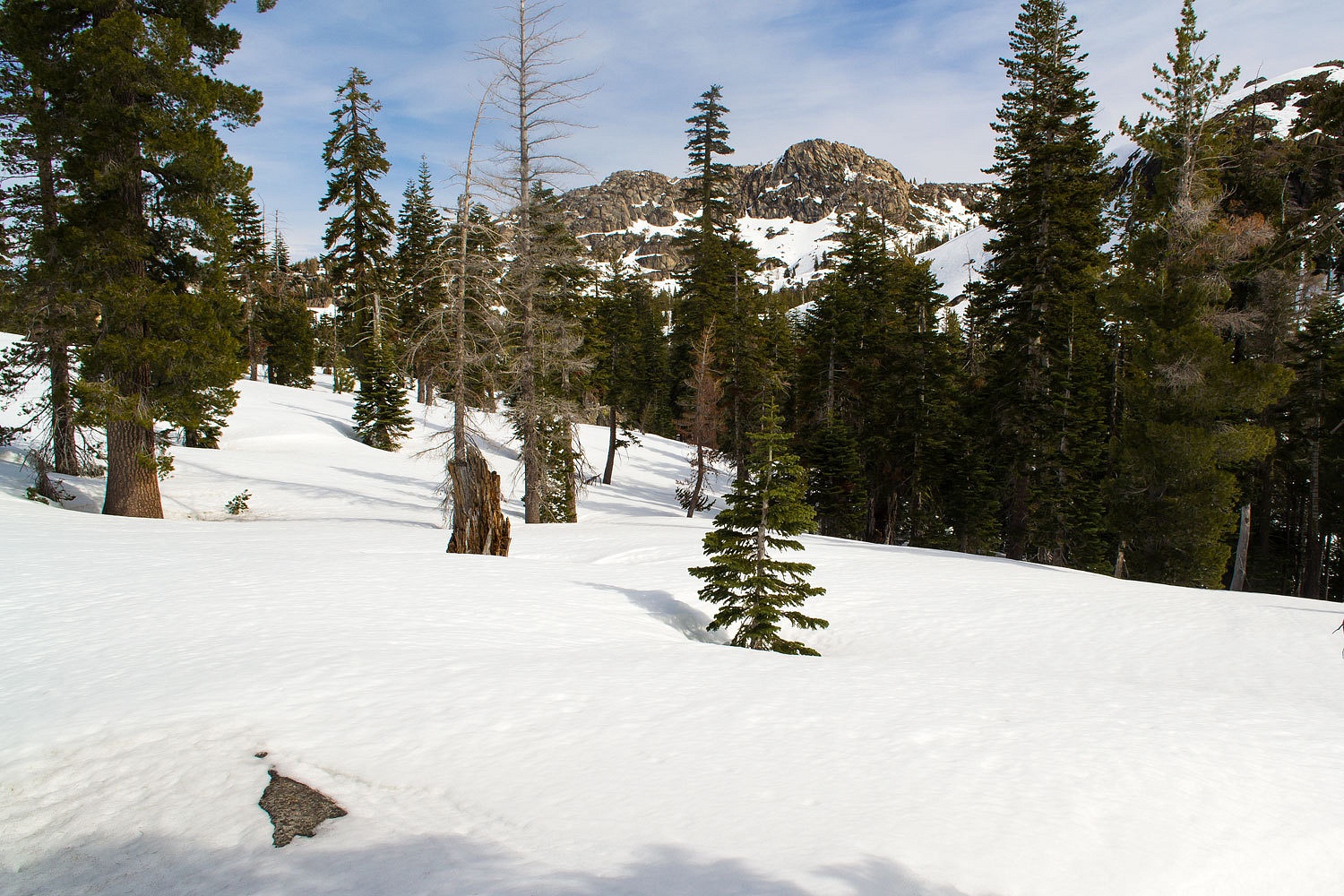
After a steep
drop in timber, the terrain opens up. This is one of our favorite spots..
The basin above us, below the northeast face of Tells Peak, is also one of our favorite
places. When the spring corn is ready for harvest, it is worth the long ski in.
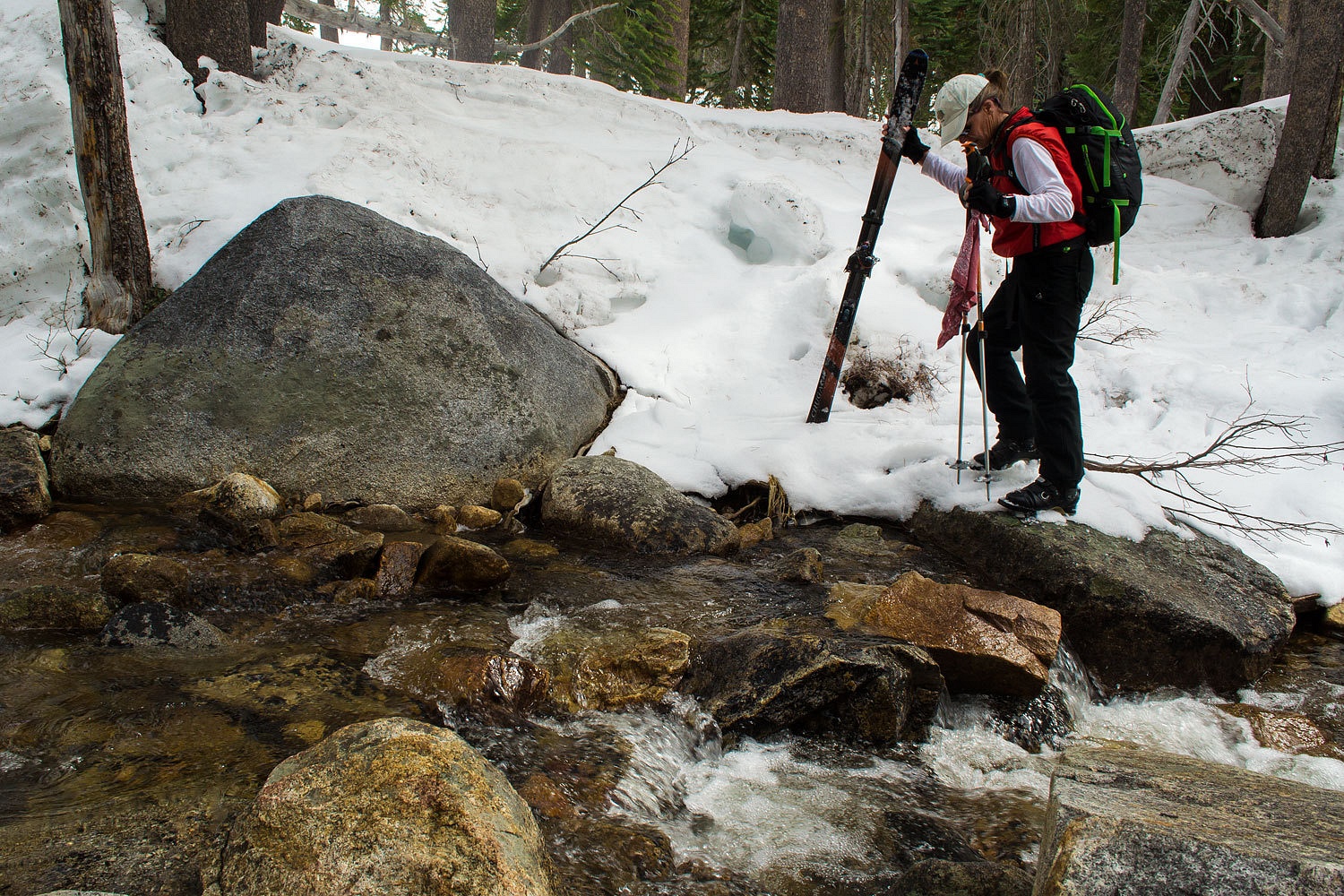
We had the branch
of the South Fork of the Rubicon coming down from Huth Lake to deal with. It was
entirely open with deeply cut snow banks and fast flowing water. Scouting around we found a spot we could
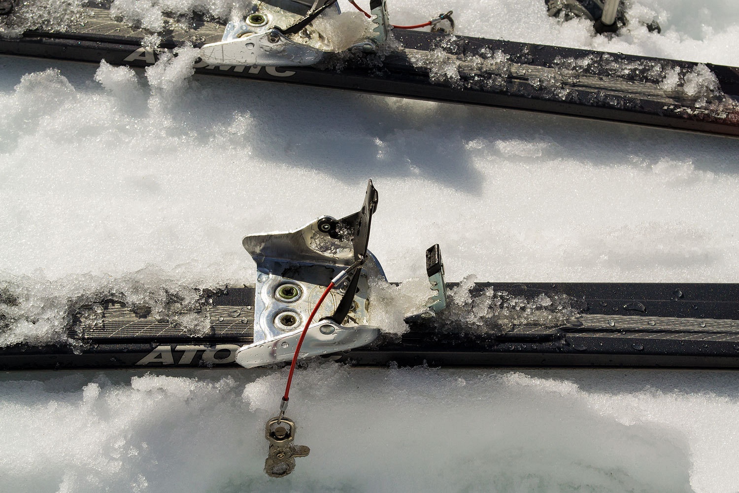
sidestep down with our skis, pull off the skis, and cross without getting wet.
These new plastic ski boots sure help.
The history
of area place names many times brings us a nice chuckle. Most high country lakes did
not have trout until white men got involved. In the early nineteen hundreds,
summer cabins started to appear along highway 50 in the Echo Summit area. These
were mostly vacation spots for the well to do from the San Francisco area. Back
in those days who else had the money or the time available for such an extravagance?
In 1922 a group of these gentlemen formed The Mount Ralston Fishing Club. They are
responsible for the first trout plantings in the area's high lakes. They also
named many of the lakes. Not wanting to be so bold as to blatantly name the
lakes after themselves, they took the first two letters of their names and put
them together. They liked how it turned out. The names were exotic and some
even "indian" sounding. Think of them when you study your maps and
see small lakes such as Toem, Osma, Ropi, Jabu, Waca, and Huth.
We climbed
out of the small basin up to the saddle. The view to the north included Guide
Peak, Devils Peak, Squaw Peak, and Twin Peaks.
The terrain
gets very interesting dropping off from this saddle. In the area to our north
the Sierra granite has fractured in a pattern of large blocks. Although appearing as fairly gentle terrain, it holds challenging gullies and cliff faces of
less height than the 40 foot contour interval used on our 7.5' USGS topo. The Lady always says, "Beware of what lies between the contour lines!"
Snow
conditions varied throughout the day but, overall, were good and made for easy
travel. Our first challenge was a very steep drop off of the northeast side of Peak
7556. On this sheltered aspect, the snow was softening wind slab, surprisingly
turnable. We enjoyed the descent but skied cautiously. We next handled dropping into and crossing two
gullies, happy to find safe snow bridges across the water. We climbed to the
top of a knob. Below us was a half mile of gentle down slopes with a soft melt
freeze layer. Not quite corn, but it would do nicely. Turn after turn after
turn- junipers, small jefferies, and glacial erratics marking our slalom course
- fun, fun, fun!
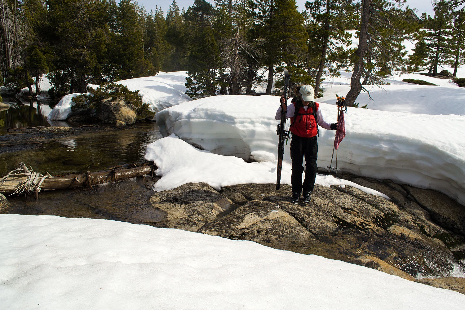
We came to
our second open water crossing.
Navigating
through the gullies and cliffs and open water in this blocky terrain to reach the south slope of Brown
Mountain took patience and attention to details. Next time I think we can find
an easier route. But, we were successful and made it to our navigation
landmark.

From high on
Brown's shoulder, we looked down on all the tracks on the Orion Trail. A lot of
folks on skis and snowshoes were out having fun on this beautiful Sunday.
We were
surprised how good the snow was as we descended down Brown's shoulder with tele
after tele, figure eighting each other's turns.
We stopped
for another long break at a place along the Orion Trail we call lunch rock.
All we could
think about was skiing 3 pin and how wonderful life can be.
This ski
tour is only around 10 miles but covers some demanding terrain. It's a fun test of
our navigation skills with map & compass. We were back at the car at 1435. A
crockpot dinner was waiting for us at home along with the apple pie the Lady
had baked. Life is good.
Woo hoo! Great fun! Is it time for a Go Pro, so we can watch you folks figure eighting down the open bowls of corn snow? Just a thought . . . .
ReplyDeleteSki3pin - The Movie? Oh, what a thought. Many years ago the Lady started saying, "You know, we've gotten to be good enough skiers that we no longer fall down, now we crash!"
ReplyDelete