
I was up
before dawn. The wind that rocked the camper all night had subsided. It was
another gorgeous winter morning in Death Valley National Park. I walked over to
the cars.
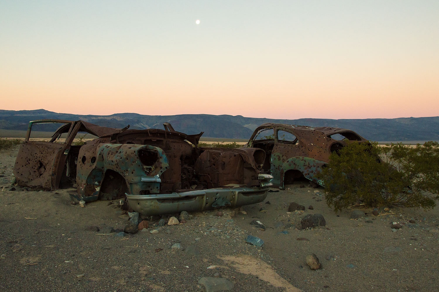
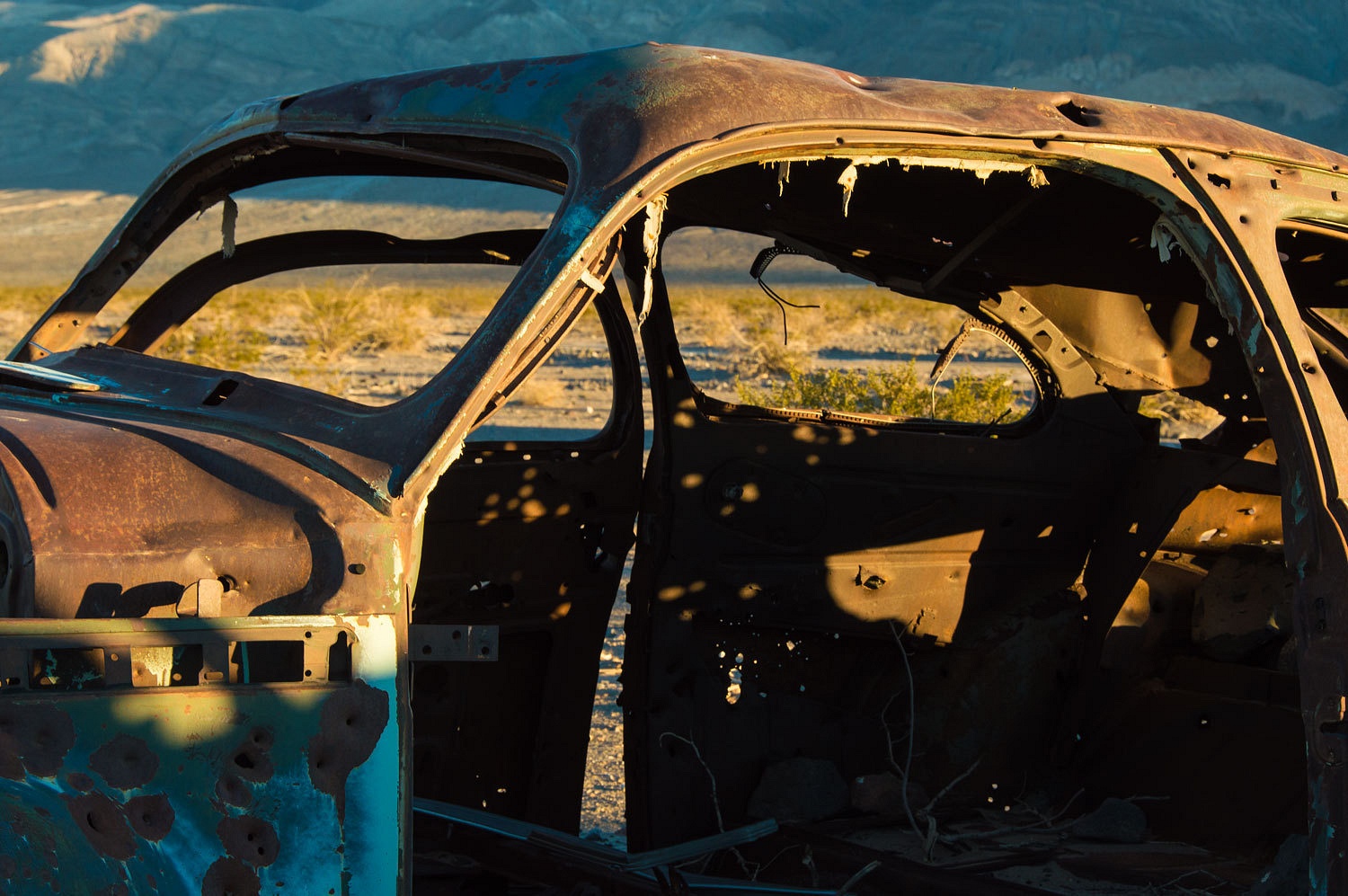
How sad that
the desert has been a dumping ground, a place thought so worthless that the
sight of discarded junk won't matter. And
on this still, quiet morning, my eyes could not leave the bullet holes.
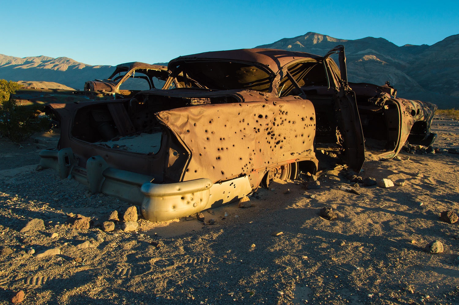
I took a sip of coffee and pondered. I imagined I was 200
years or more in the future. There was a team of archaeologists trying to piece
together the story told here. I surmised that in the future people could be
unable to grasp the concept that 20th century Americans would stand around a
vehicle and senselessly blast it full of bullet holes for recreation.
The presence
of so many bullet holes would certainly give the archaeologists pause, shock
them, and turn the course of their investigation. This overwhelming evidence of carnage would indicate a
violent assault and struggle to them. On this cold morning my mind worked on
the various scenarios possible in the future archaeologists' report on "The Battle Of
Lake Hill Road". After a few chuckles, I felt it wrong to let these
bullet holes tell them the wrong story and lead to an error in the historical record. I wrote a note on a scrap of paper and
carefully tucked it away, well hidden, deep in the rusted ruin. Along with the
date, the note read, "People are this stupid and shoot anything they can
find just for pleasure." With another sip of coffee and the first sunlight
hitting the crest of the Argus Range, I felt better and joined the Lady back at
camp.
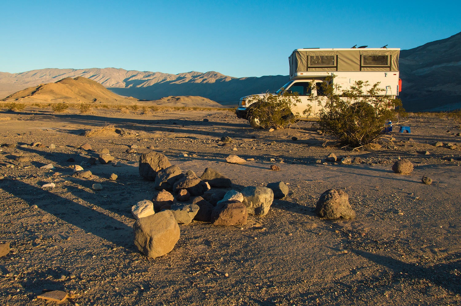
After
breakfast we drove over Townes Pass to Stovepipe Wells. Initial plans were to
meet the Teds Saturday afternoon in Marble Canyon for their last night in the
Park and our first. Getting a flat tire fixed, snow, and traffic clogged mountain highways
delayed us for hours. We made it as far as Panamint Valley. We spent the
next morning at Stovepipe hoping to intercept the Teds as they came out the Marble
Canyon Road. We later found out they arrived 15 minutes after we went on our way. We needed time to reach
and set up camp at our new destination.
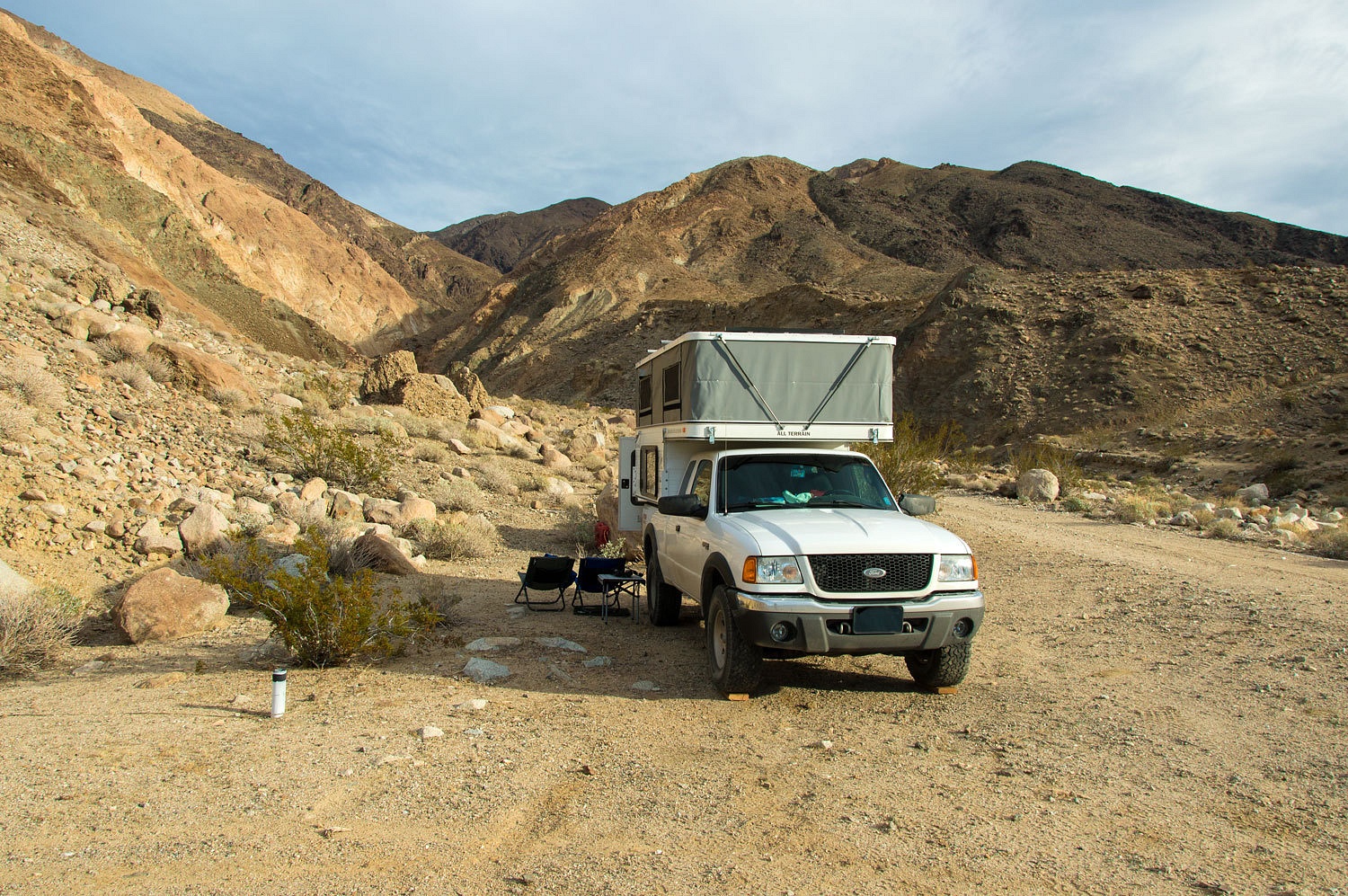
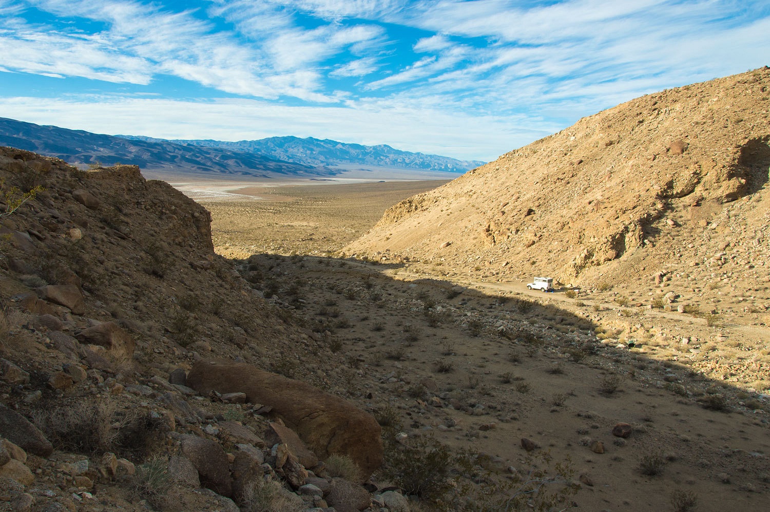
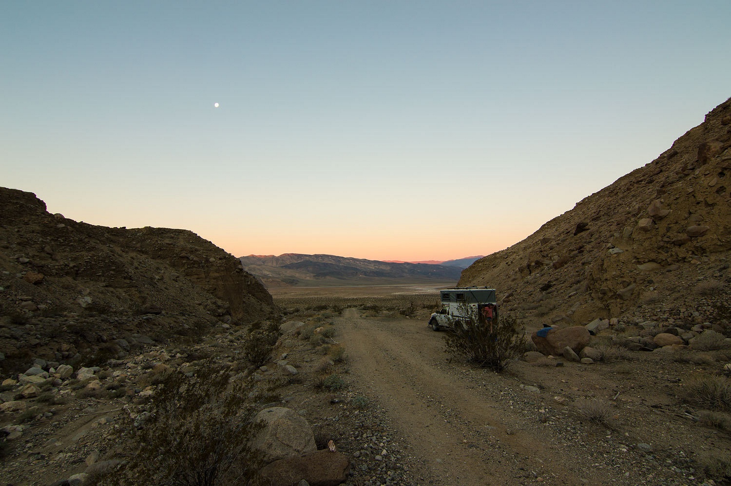
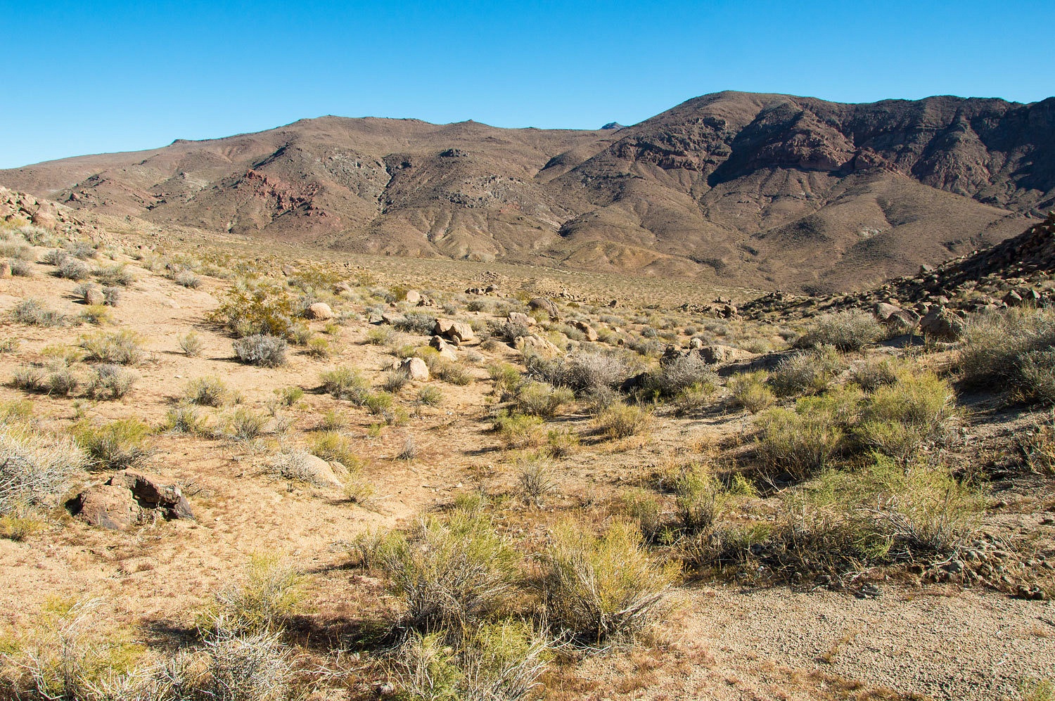
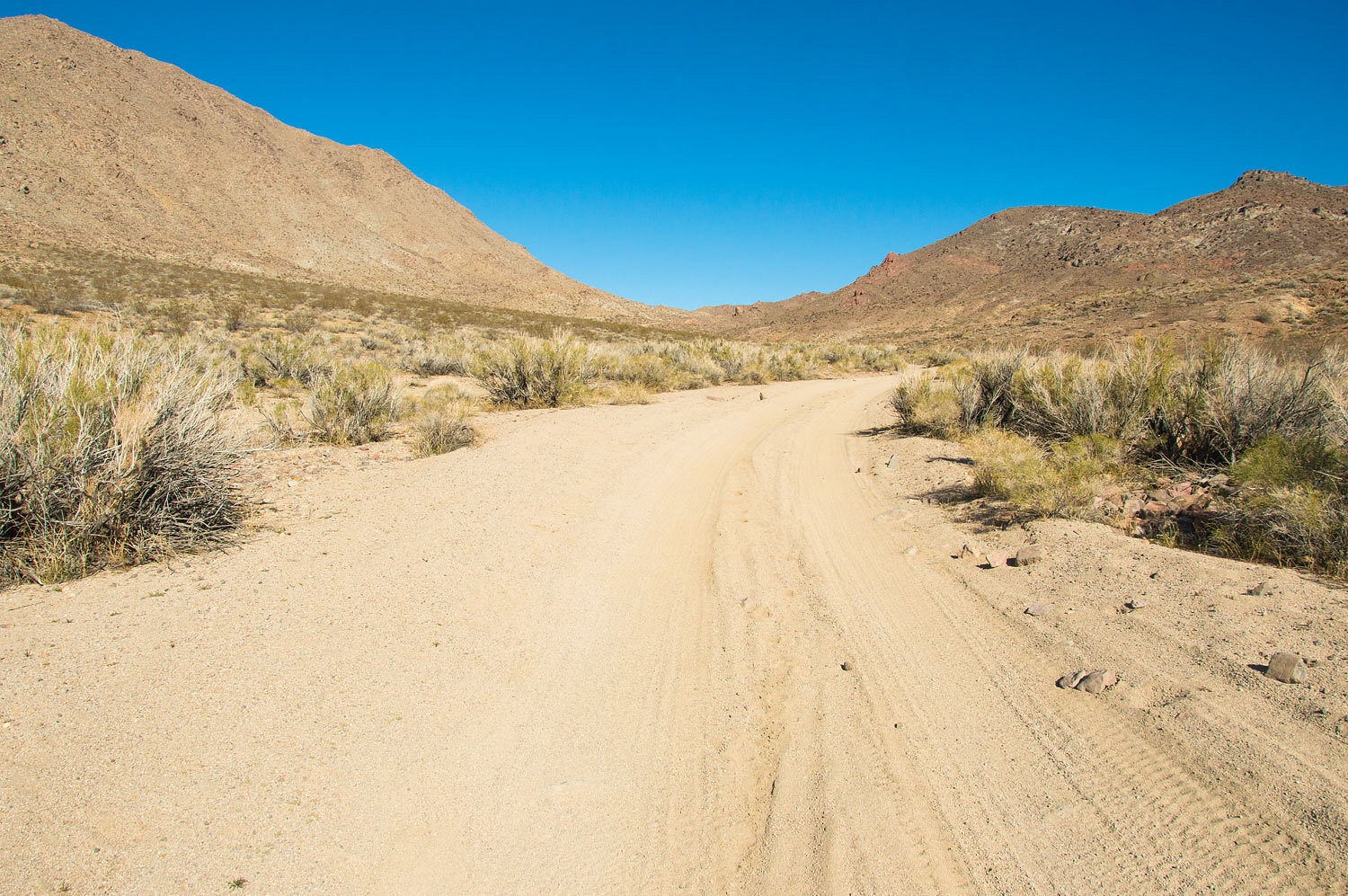
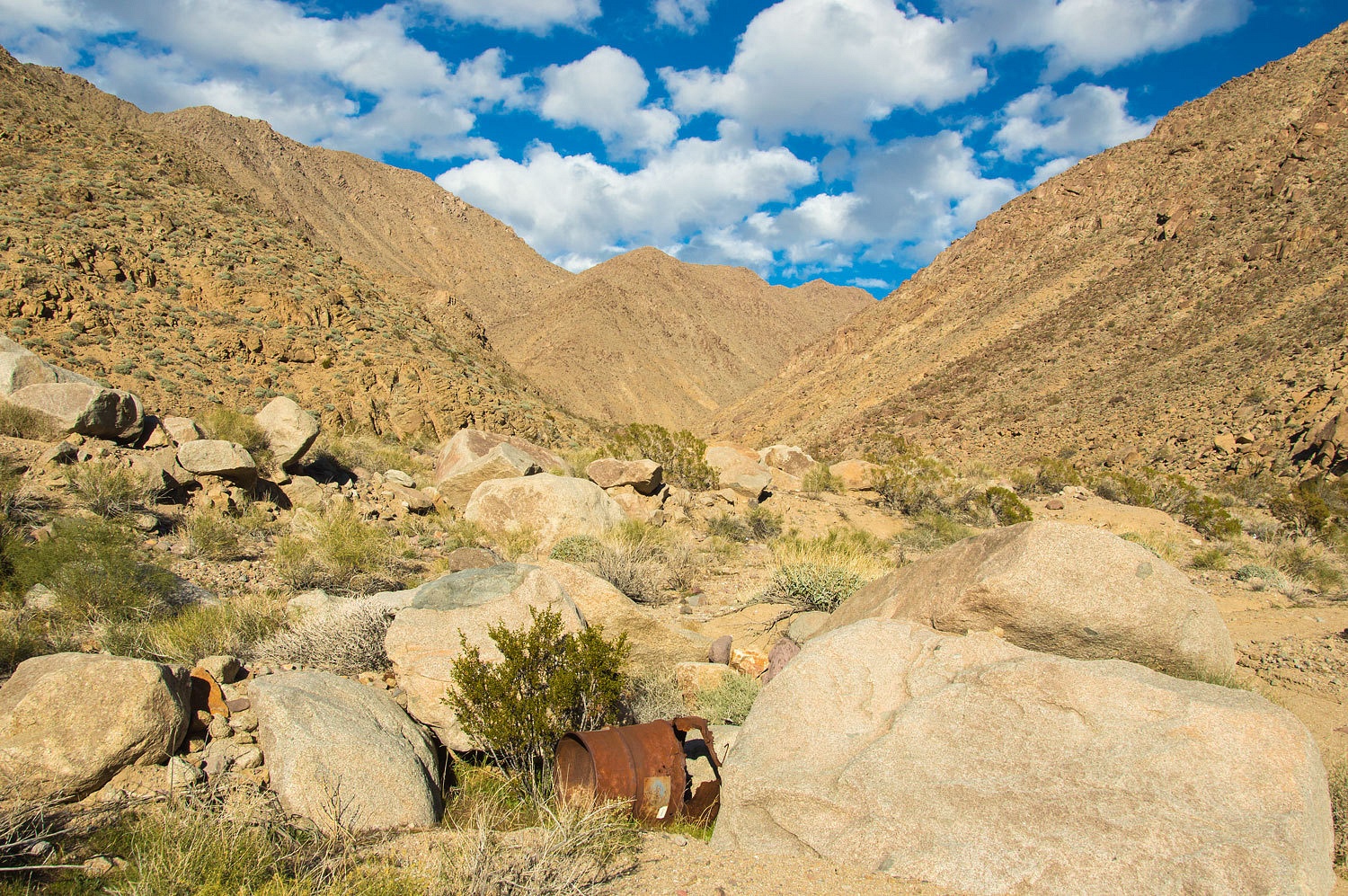
Coyote
Canyon is a drainage on the west side of the Panamint Range. A rough 4x4 road
leads up into the mouth of the canyon where we set up camp.
Our first task
was to investigate the route between Coyote Canyon and the mouth of Goler
Canyon about a mile and a quarter to the south. It could be after dark the next
day when we exit Goler and hike back to camp so we wanted to know the route
well.
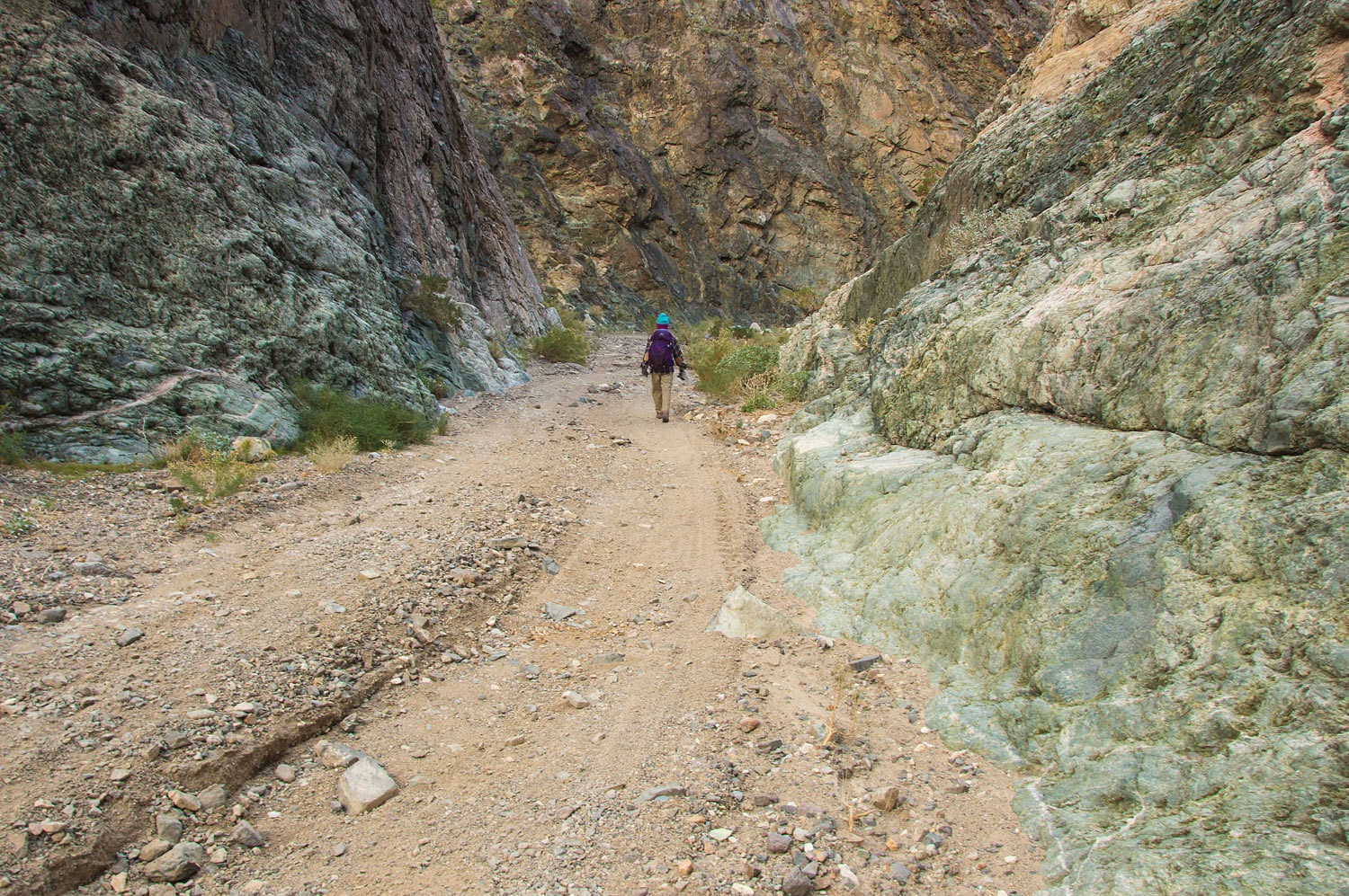
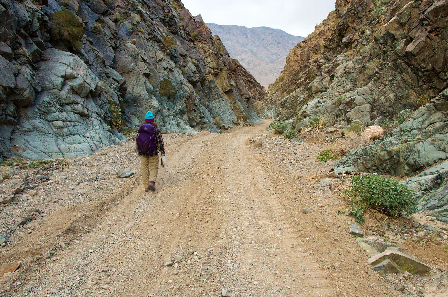
We reached
Goler late afternoon with some remaining sunlight................
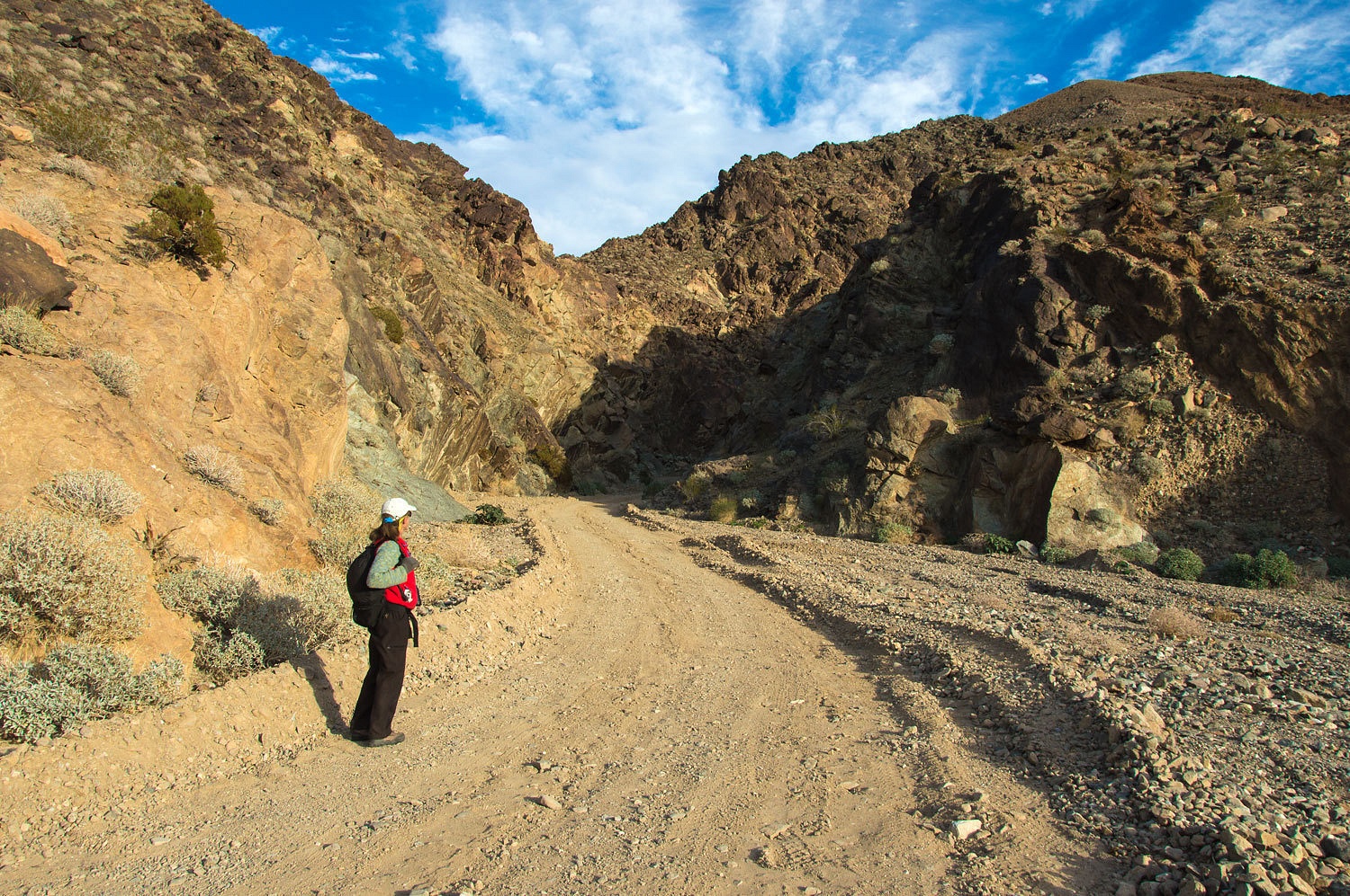
..................and
then retraced our route back to Coyote Canyon.
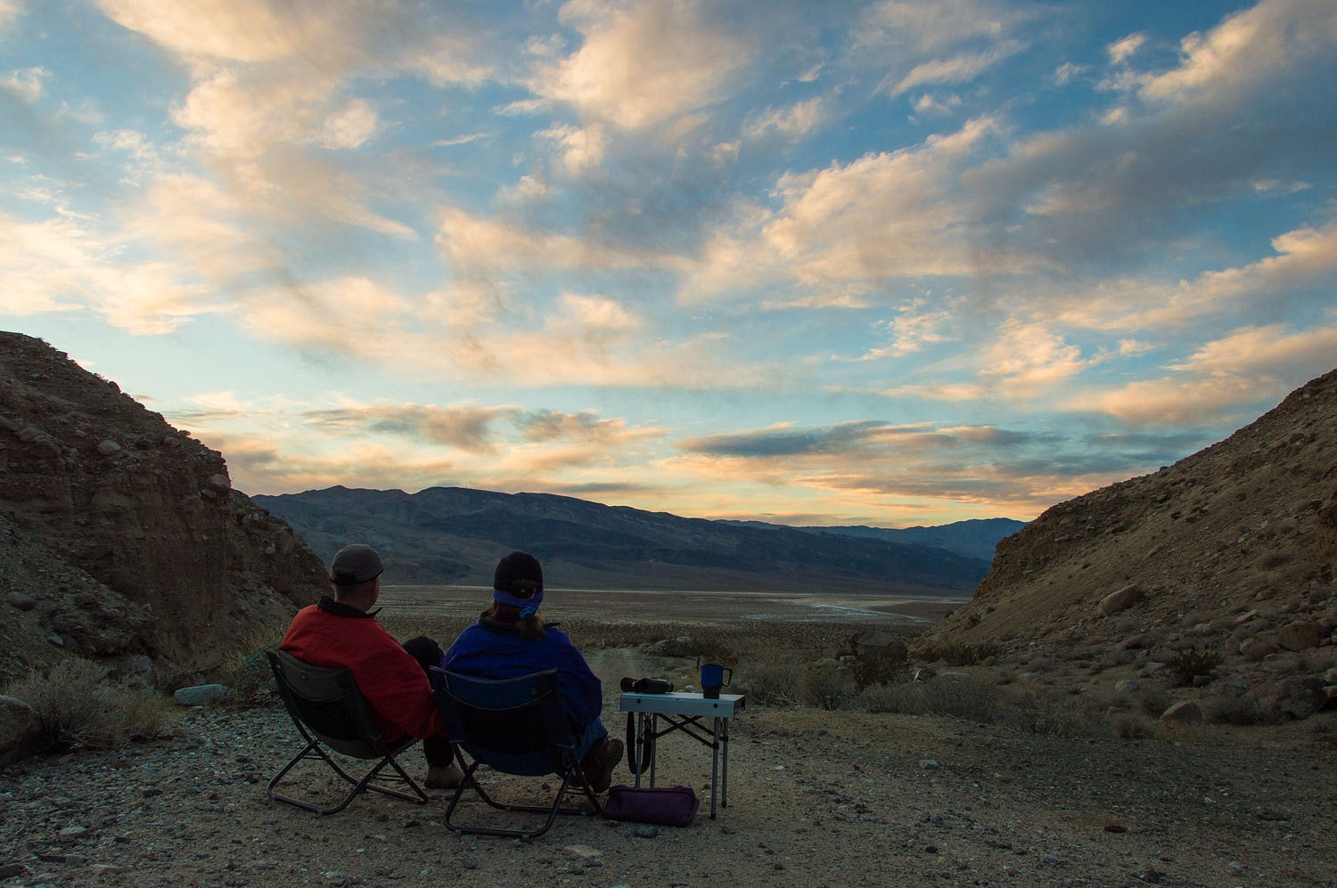
With other
visitors nonexistent, we felt the middle of the road was the best view and
dinner spot. With the down slope wind, it also put our backs to the
wind-chill. We quietly watched the world
make its change to night, a damn fine occupation.

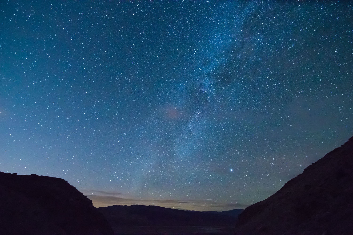
The
overnight low was again well below freezing. We slept like death, oh, oh so
well in our comfortable bunk.
We were
excited about our day ahead, accomplishing a long hike on our list for quite some
time along with the opportunity to explore new territory; discover new secrets.
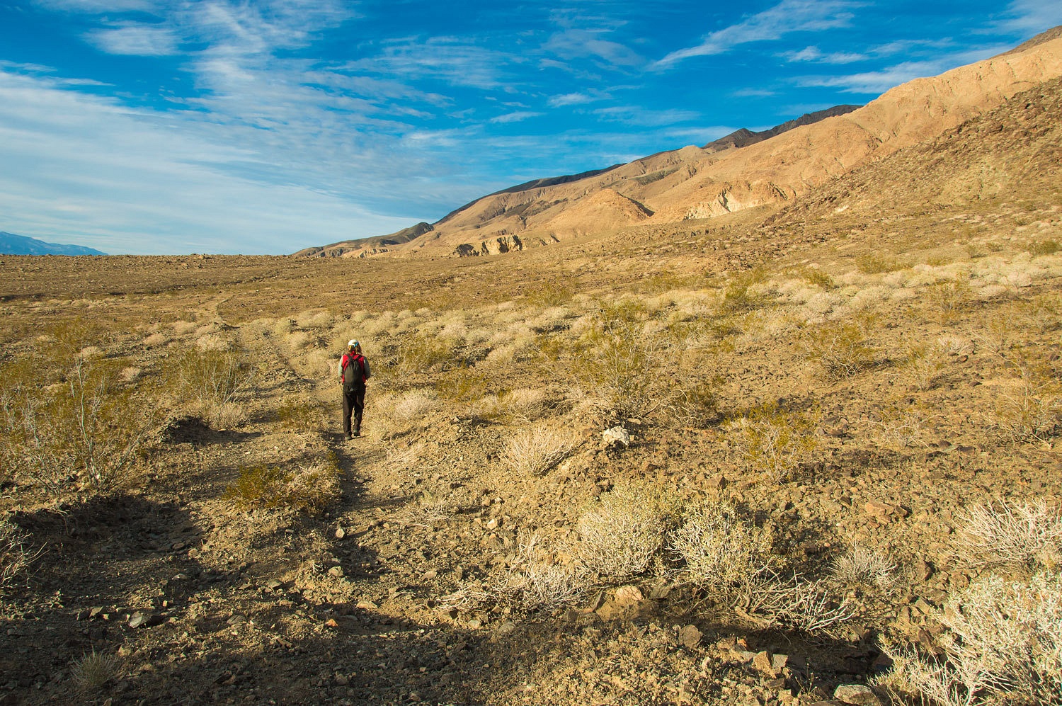
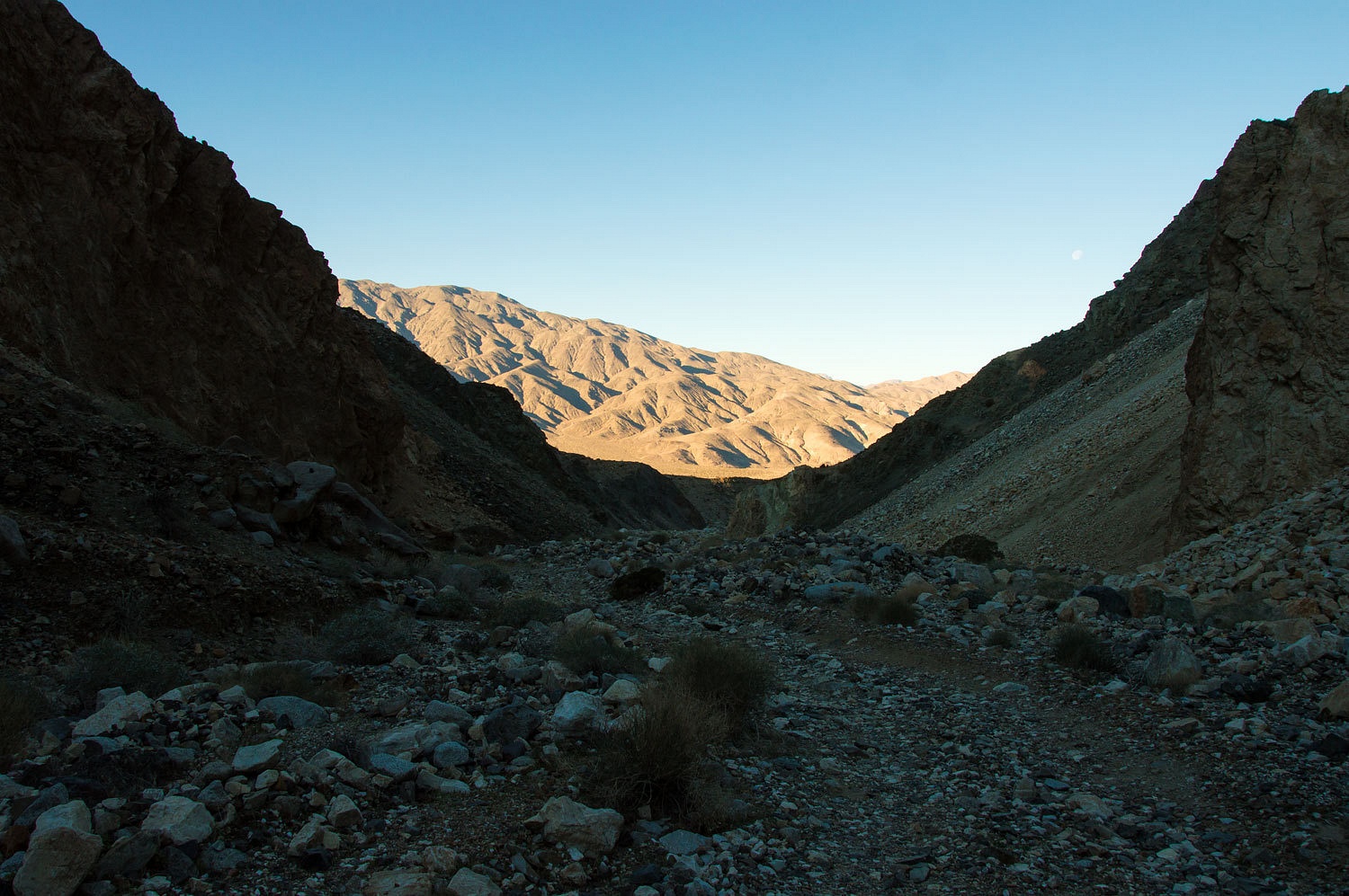
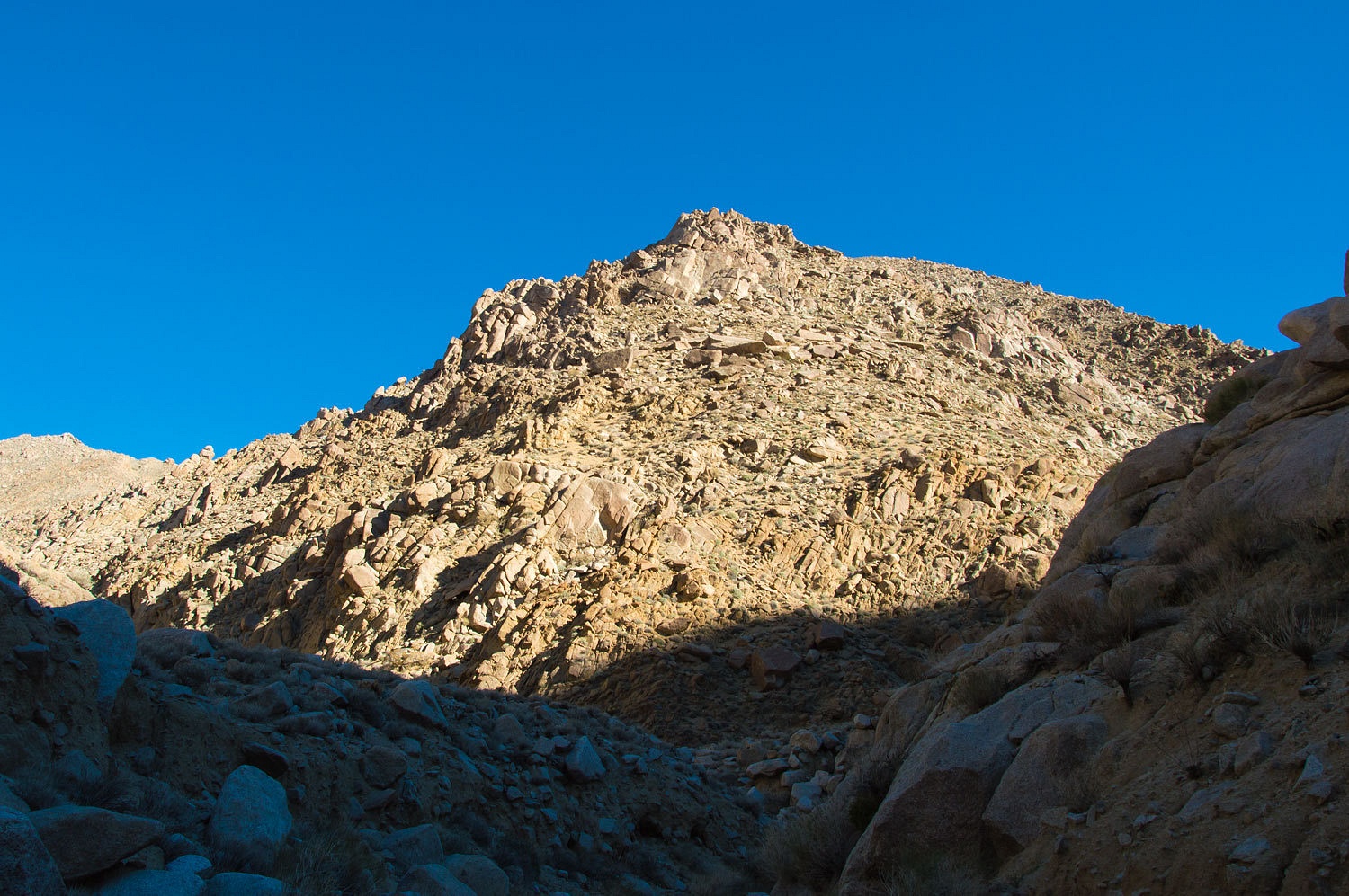
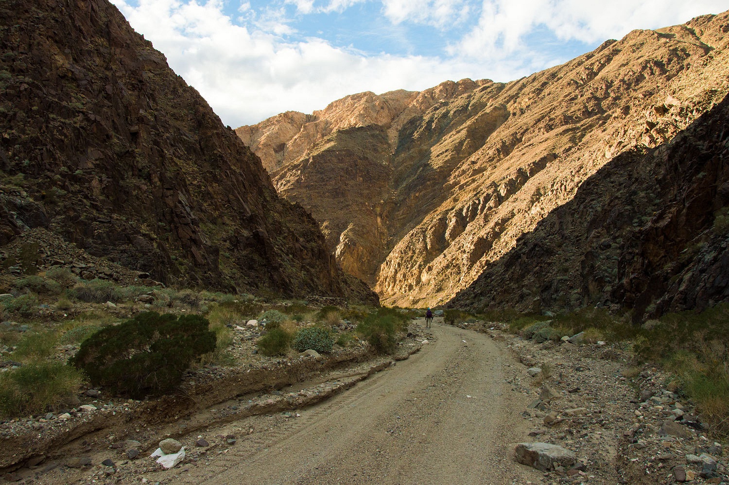
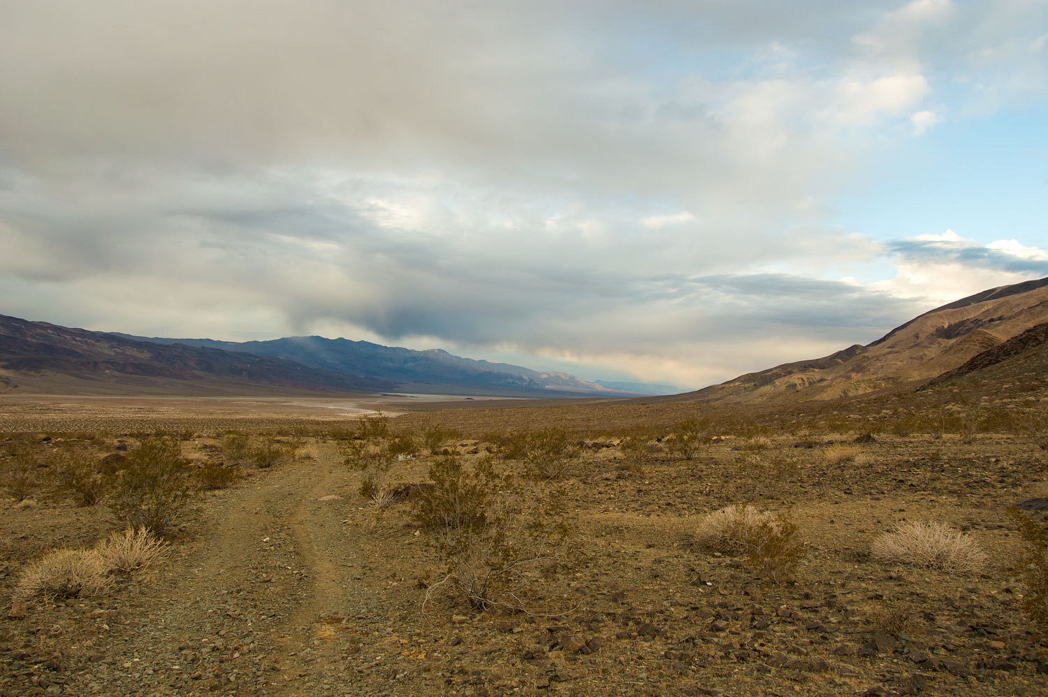
We started up Coyote Canyon. It was cold. We were envious of the sun filling
the lower Panamint Valley below.
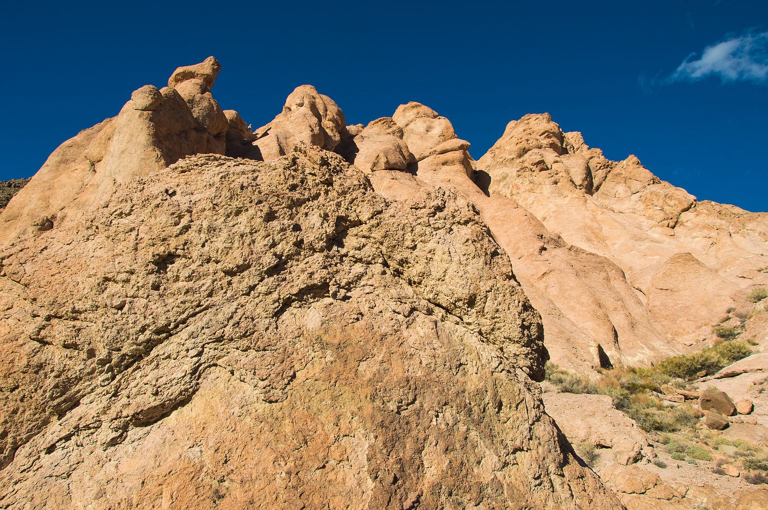
Digonnet offers a good description on the complex geology up Coyote Canyon in his hiking guide book. We started with Triassic granodiorite and then traveled through a
zone of Precambrian dolomite and quartzite. Next up was my favorite, the
Kingston Formation - stretched pebbles!

A billion
years ago glaciers dumped thousands of feet of glacial till - debris. It was buried,
heated and squashed under enormous pressure - stretching the pebbles.
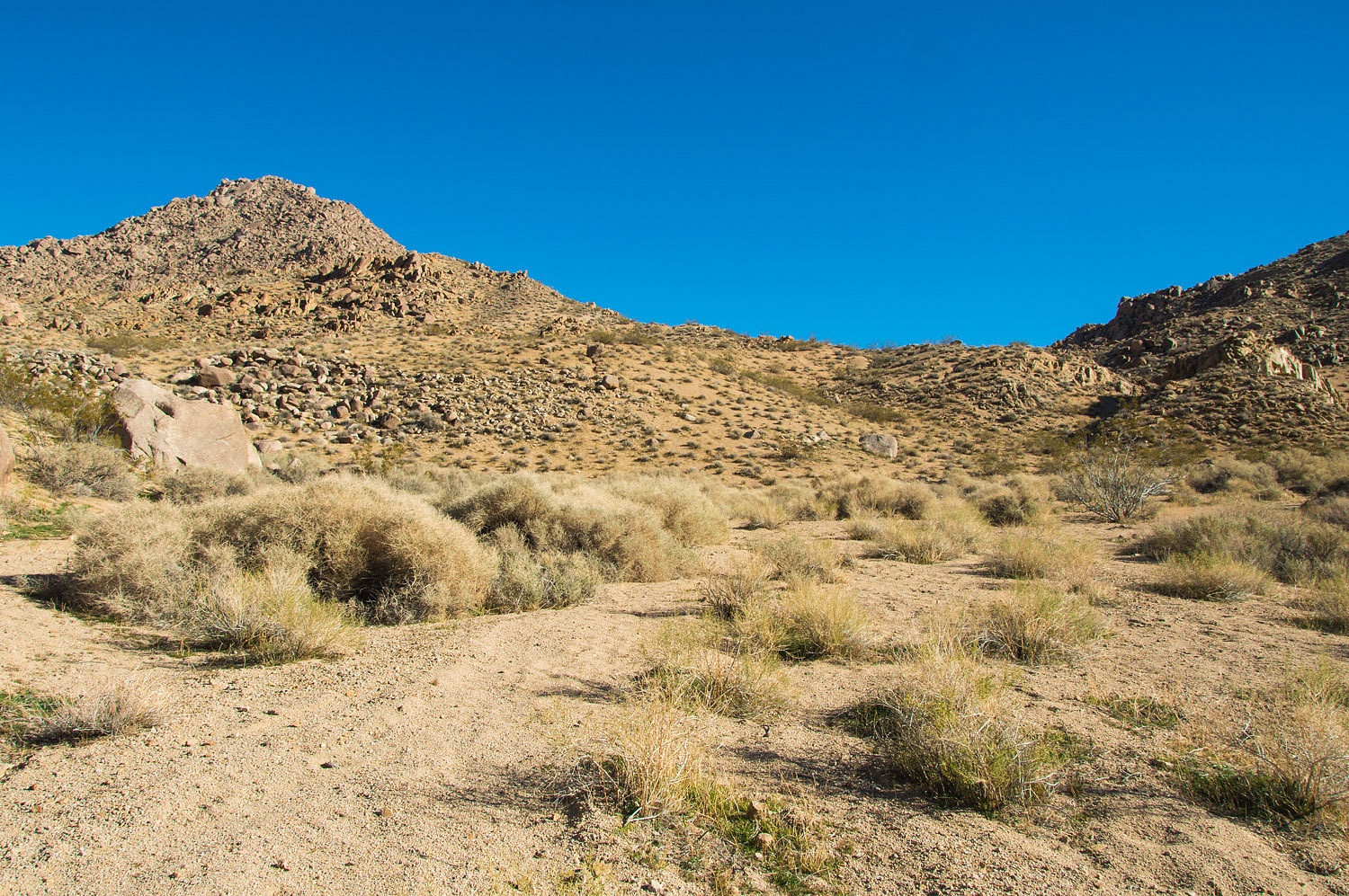
We continued
up canyon and marveled at how tenacious desert plant life is.

At around a
mile and a half up from camp, we reached the end of the steep rocky track of
the road and came to the Gold Spur Mine.
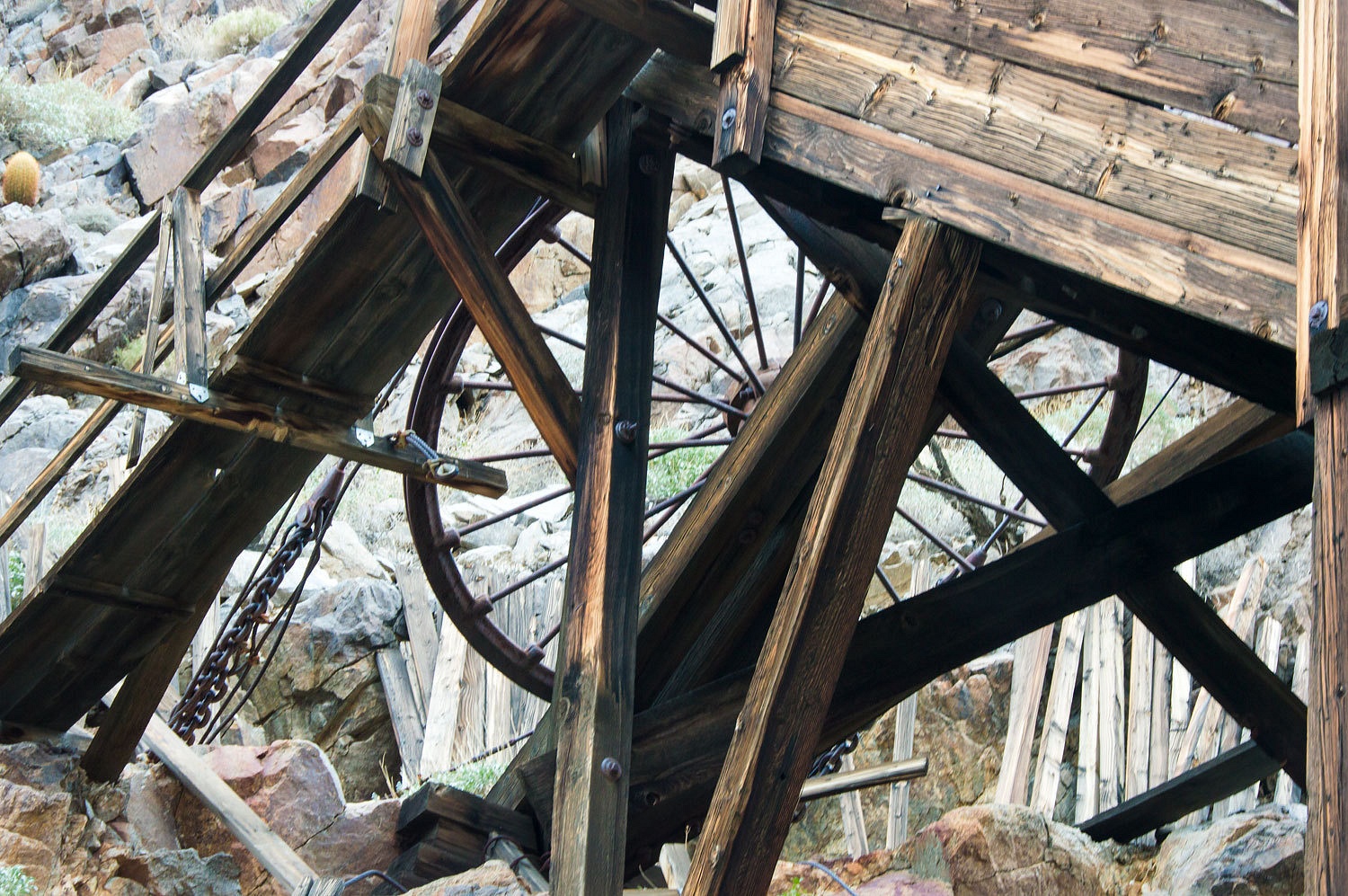
Among the
usual scattering of busted down buildings, an upended and gutted cabover
camper, broken and discarded mining equipment, the tramway working its way up
the steep southern wall of Coyote Canyon is worth seeing. Digonnet calls it a
"jig-back tramway" that used the weight of the upper bucket filled
with ore to raise the empty bucket below up to the mine. An extremely steep trail,
missing in areas of rock slides, snakes up to the third tram tower and
the mine workings high up the canyon wall. It looks like a challenge to ascend. This
will be worth a trip back here to
explore. Our route today led us higher up Coyote.
We continued
up the rugged canyon bottom. The rock changed to quartz monzonite. This was what
we came to explore. Digonnet says this, "For the next hour you will wander
along a beautiful gorge slithering through a paradise of granite."


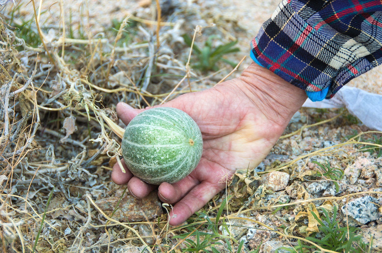
We came upon
vines of coyote melon in the canyon bottom.
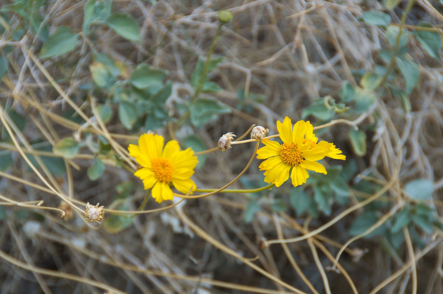
And also
brittlebrush.
The Lady
kept track of our position on the topo map.
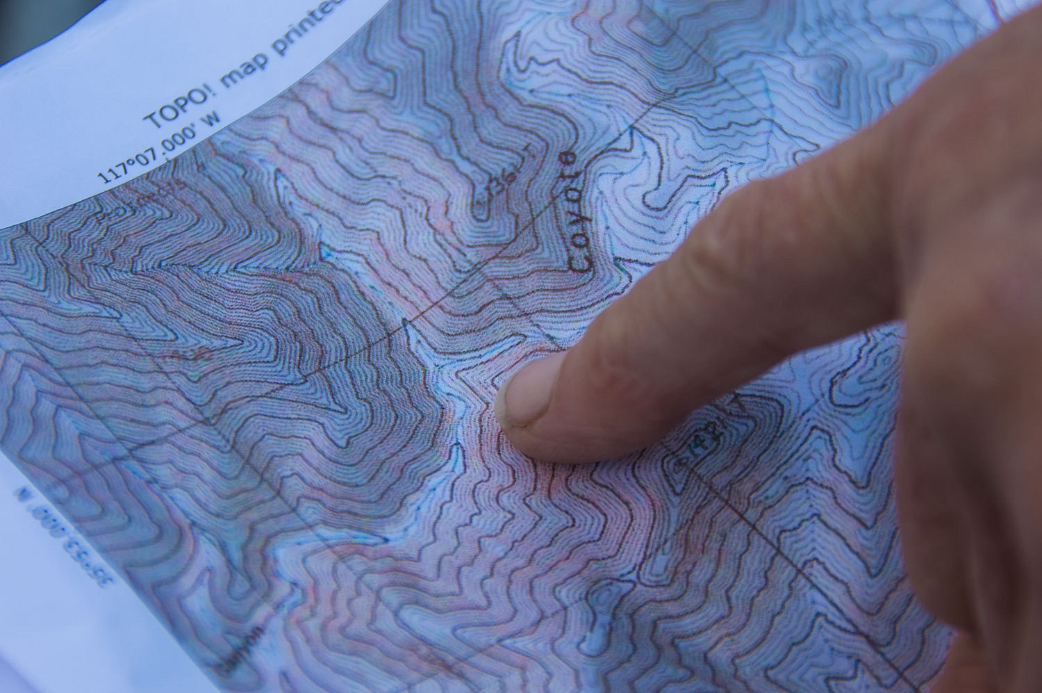
At one point
a side canyon appears to be the main canyon, leading straight ahead. Attention
to our map and confirming with our compass, we found a place to climb
the 10 foot high cut bank of the wash and continue up the correct canyon.
It was cold.
This was a day for mid weight underwear, tops and bottoms. And heavy fleece mittens
and our fleece hats putted tight down over the ears. Sunlight ahead teased us over
and over as we moved up canyon. Would we ever reach it?
We did, and
took our first long break, basking in the sun and loving life.
We had also
reached a decision point, where did we want to exit Coyote Canyon and climb
over the ridge and drop into Goler Canyon?
We took a side canyon to the east and headed
in a northeasterly direction aiming at, when it became visible, a saddle
depicted by the contour lines on our topo. Although the overall gradient
had eased, there was still climbing involved.
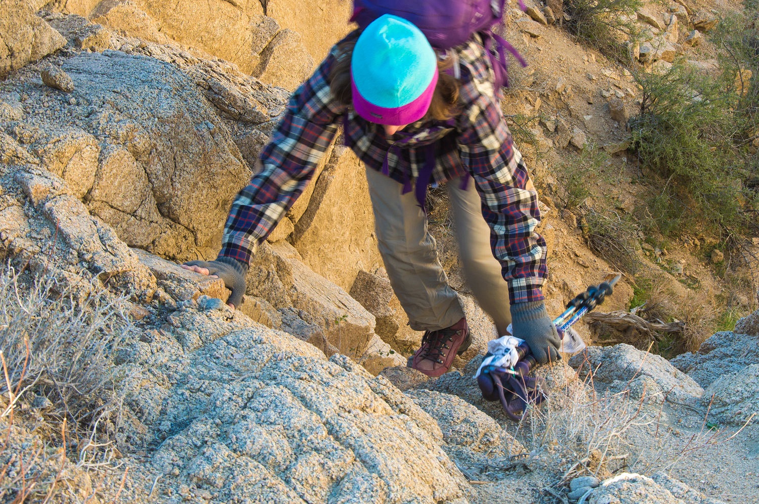
The last
mile to the ridgeline was a slog uphill in beach like sand. It was good to feel
the muscles working and the terrain and views were spectacular.
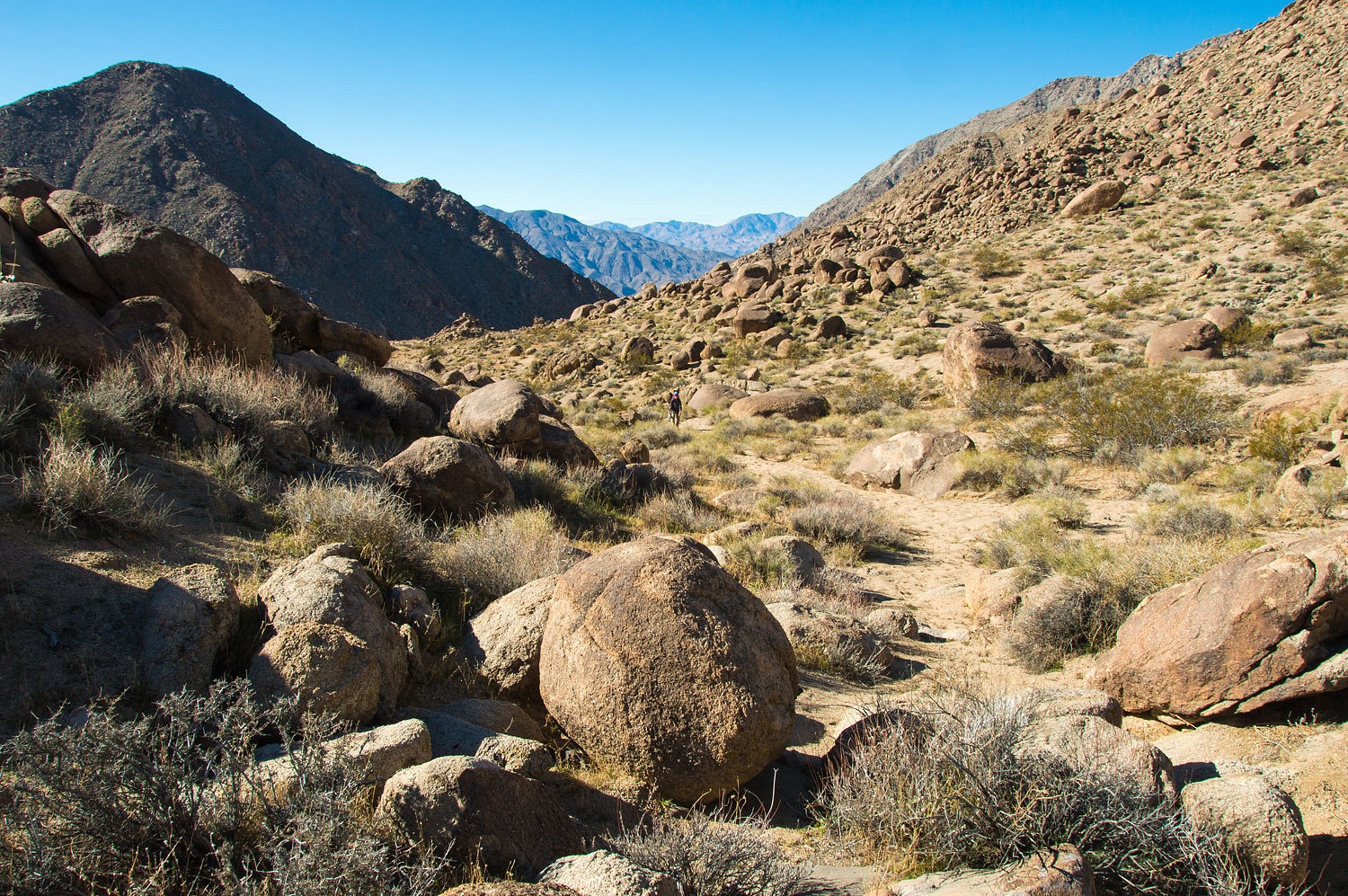
We reached
our destination on the ridge and got our first view into the broad, open upper
basin of Goler Canyon.
The Goler
Canyon Road lay in the bottom, along the edge of the mountains to the east.
It was about a mile away.
We moseyed
down the road in the quiet, enjoying the solitude and lack of any vehicles and
any man-made sounds. Down canyon the road leaves Goler Canyon proper, climbs a
gentle rise, and then steeply descends a side canyon.

A short ways
down this side canyon, we consulted the map and plotted a cross country route
to take us up and over a steep ridge and drop us down to our next destination.

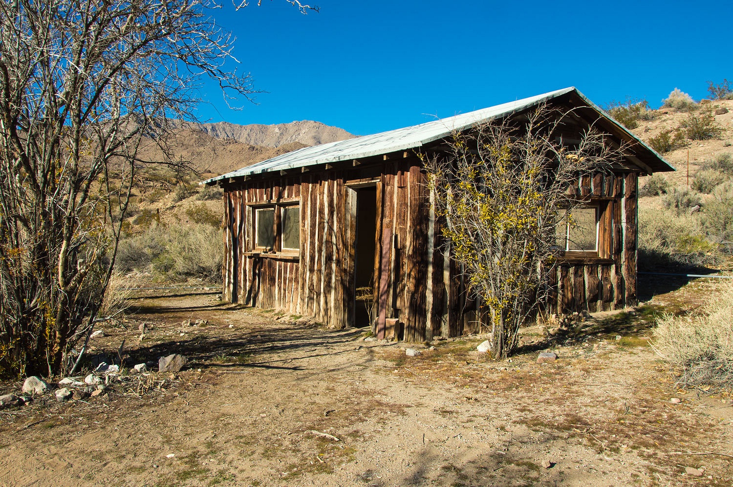
The Barker
Ranch was the infamous desert hideout of the Manson Family. Charlie and 25 of his
followers were arrested here in October 1969 for destruction of equipment in
Death Valley National Monument. They were later tied to the gruesome and senseless
murders they were convicted of committing.
The main
buildings were lost in an accidental fire in 2009.
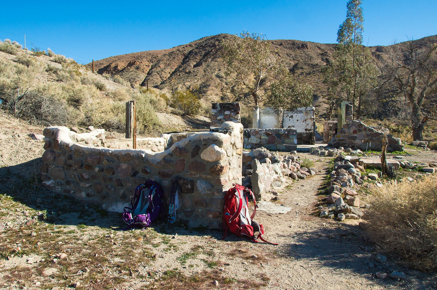
Emmett
Harder, in his book These Canyons Are Full Of Ghosts, tells his first hand
account of the Manson Family in this area, including the story of the Manson
girls frolicking in the spring fed pool behind the ranch house while doing laundry.
A couple of
wooden buildings remain.
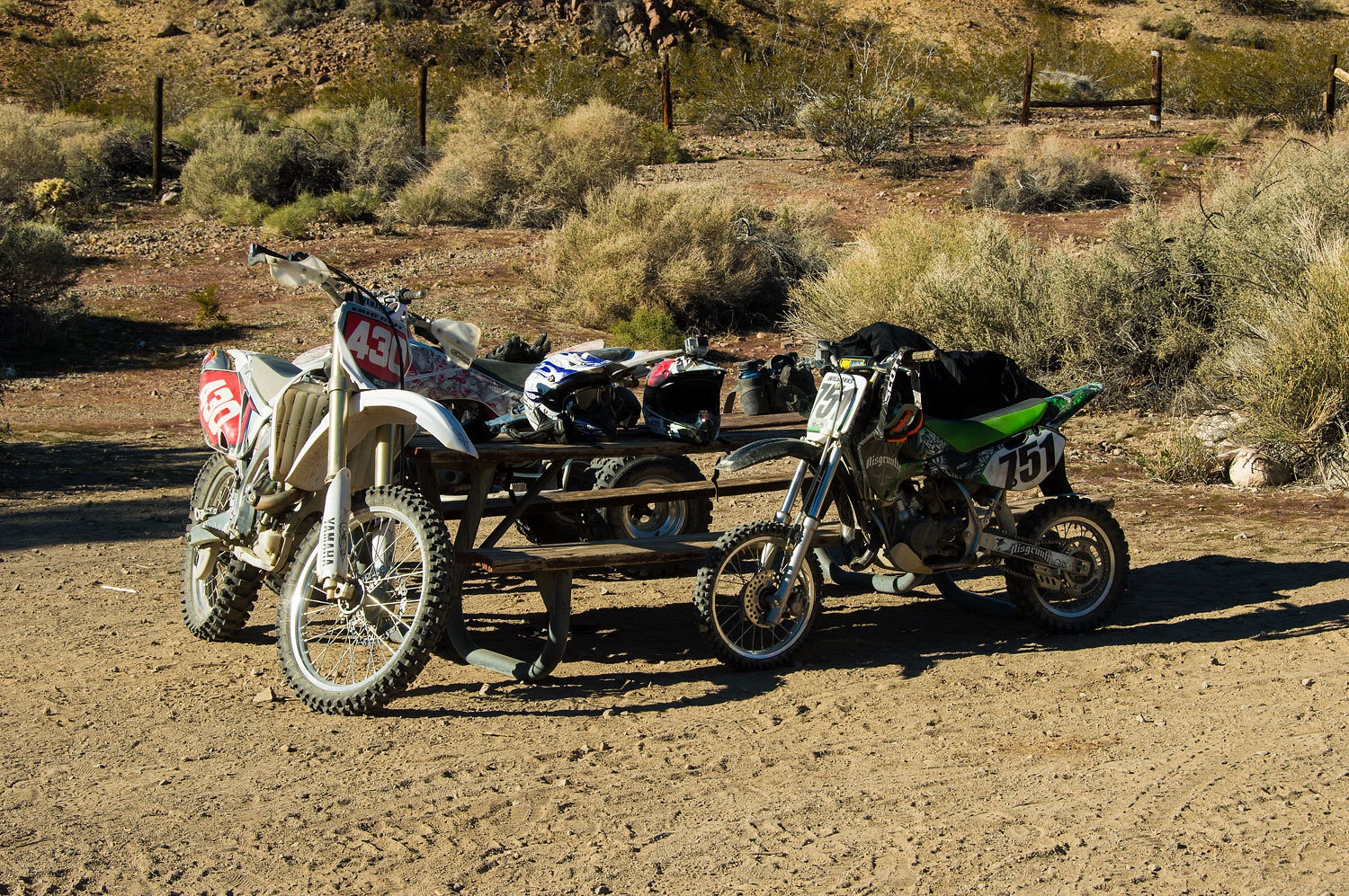
Unfortunately
we encountered a pack of modern day lawbreakers at Barker Ranch. They were riding green-stickered motorcycles and a quad illegally inside Death Valley National Park.
The regulations are clearly stated at the boundary where they crossed into the Park.
It was
around 1:45 pm and we had seven and a half miles back down Goler and
across the bajada back to our camp. We quickly reached Sourdough
Springs..................
.....................and
a bit later, crossed the National Park boundary.

Our patience
was rewarded and the illegal mechanized crew passed us, heading down canyon,
and we were again completely alone.
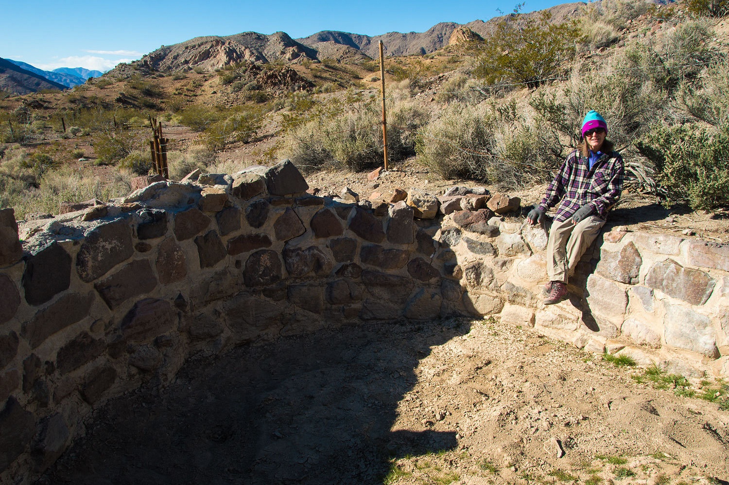
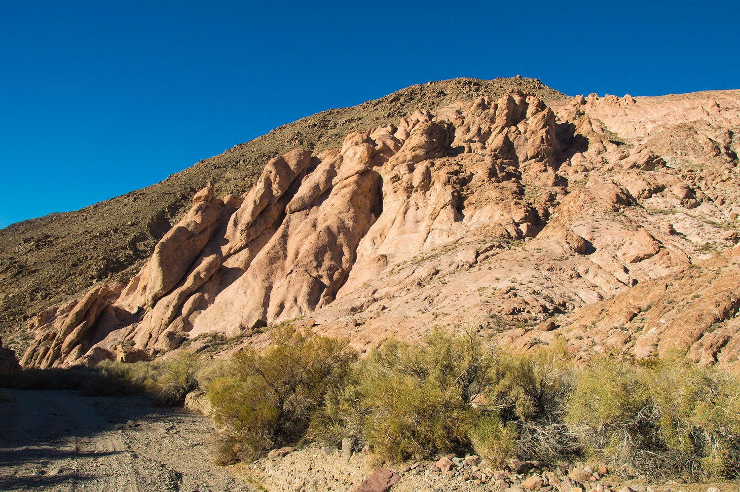
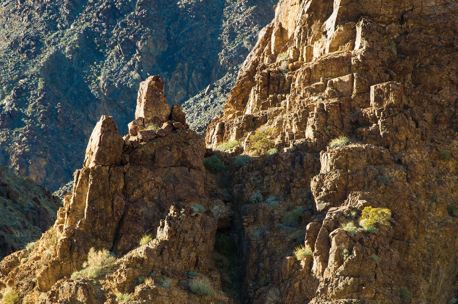
Descending
the canyon, and just before reaching the ruins of the Keystone Mine, we were
amazed by an incredible, towering outcropping of rhyolite. The complex geology
in these canyons is amazing!
Just above
the Keystone Mine is the confluence back with Goler Canyon. We will explore
this section of roadless canyon on our next venture up here.
With the
slanting late afternoon light, the canyon walls above were enchanting.
The Keystone
Mine is private property and contains the usual collection of discarded tools,
equipment, vehicles, and housing; abandoned ruin and bullet holes.
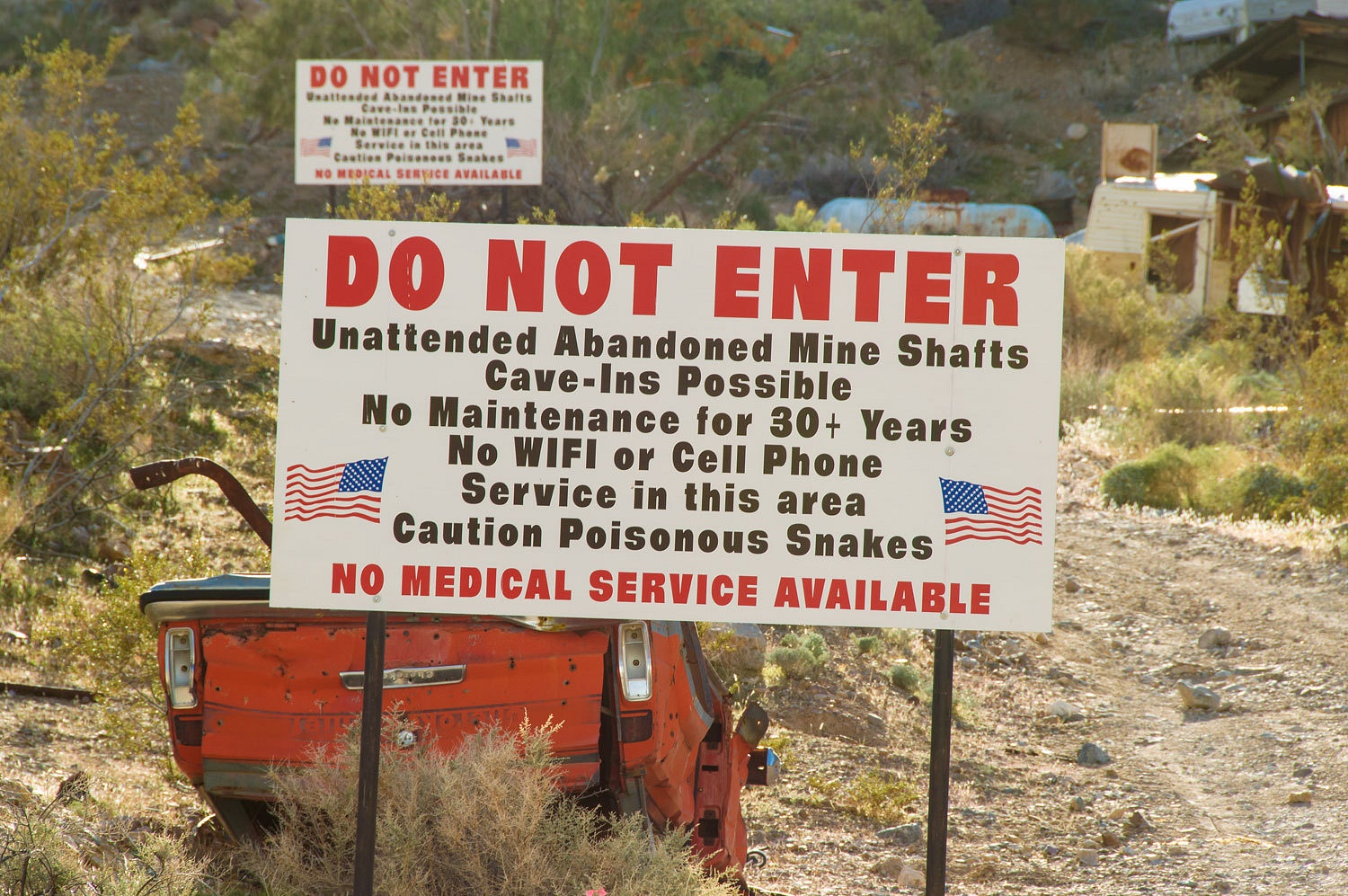
I was kind
of bummed about the lack of WiFi.
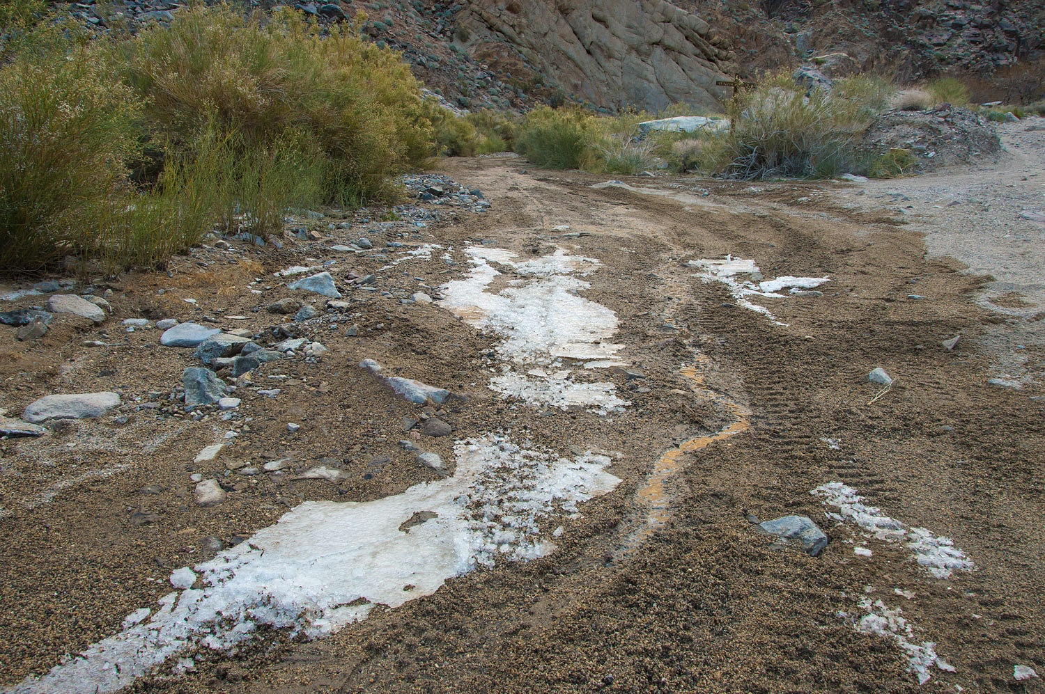
In places
spring water flows in the canyon bottom.
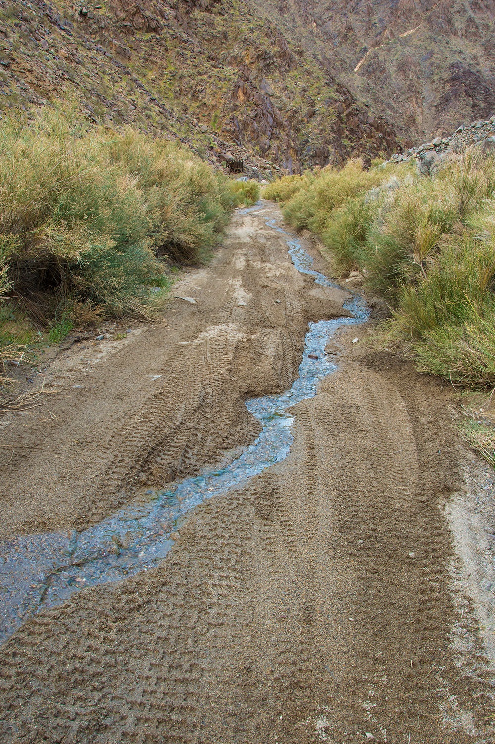
On this cold
day, in most places, it was frozen into ice.
Inyo County
had recently graded Goler Canyon Road from the bottom to up near the National
Park boundary. They did an excellent job that helps make this area
available to stock, street licensed 4x4 vehicles and provides access for the
public.
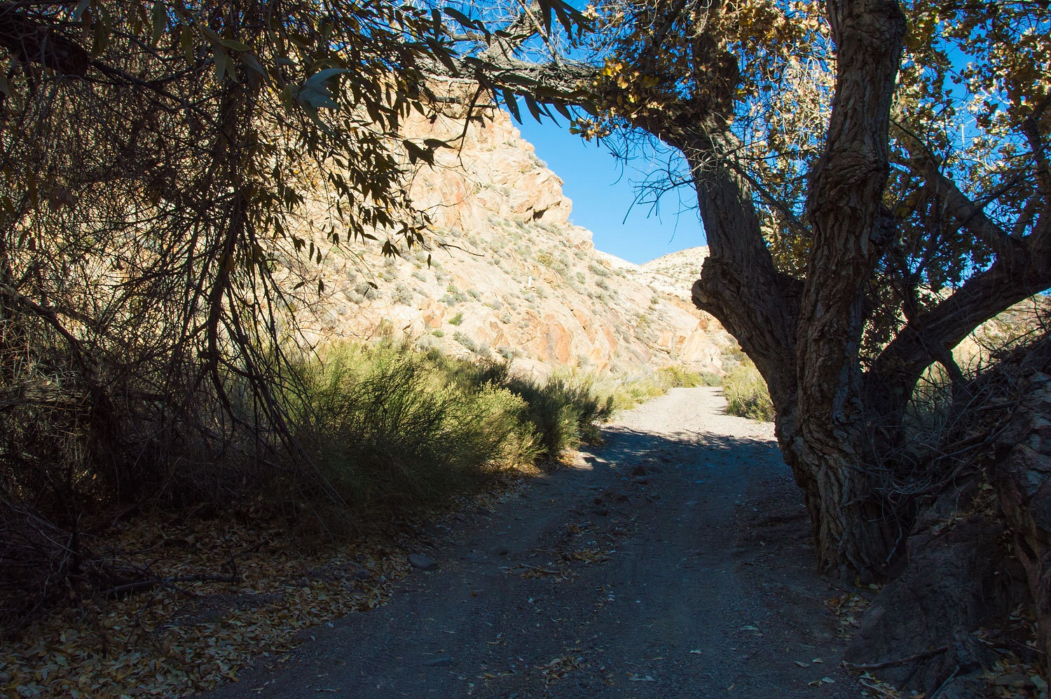
We enjoyed
our late afternoon ramble down Goler Canyon.
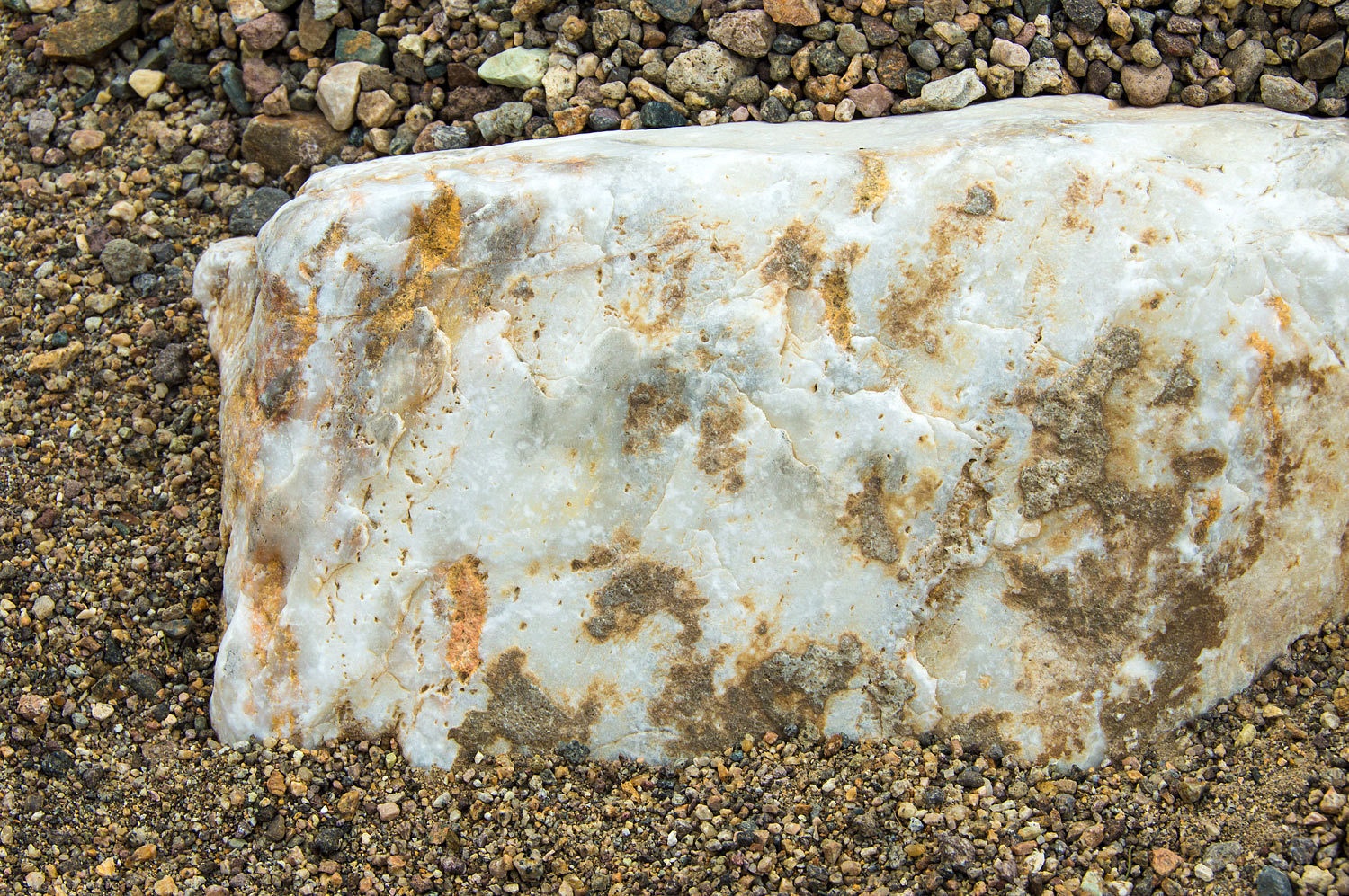
Chunks
of quartz littered the roadway.
This was
such a delightful canyon to hike down and we were so pleased to have it all to
ourselves on this quiet day.
We reached
the mouth of Goler Canyon and were surprised to see veils of rain falling in
Panamint Valley.
We returned to camp at 4:30 pm. Our
afternoon showers refreshed and warmed us, dinner nourished us, and memories of
such an incredible day hiking the canyons of the Panamint Range ran through our
dreams as we slept.
Our
adventures were far from over. What were the ski3pinners up to next?
Our adventure continues in Part Two - please Click Here.
Monte,don't get to bummed about the "bullet ridden junk",there are other better things to keep in your thoughts.
ReplyDeleteIt is a strange thought ...why do people shoot at dead,junked cars,oh and also signs?
I still haven't figured out those thoughts.
Great photo views.
Will start on 2&3 next.
Frank
i love exploring death valley and joshua tree and anza borrego - so much history and so many hidden gems....thanks again for sharing....
ReplyDelete