
"Do you
think it looks low. I think it looks low." the Lady was looking at our
left front tire Tuesday morning as we walked with our morning coffee. Looking
at the tire had become a ritual since finding the tire flat on the truck in our
garage at home late afternoon christmas eve - too late to get it fixed and no
hope getting it fixed on christmas day. Besides, we had dinner and festivities
to prepare for the houseful of people we were shuttling up to our home for a
white christmas. This meant getting the tire fixed Saturday morning and a late
start to our trip.
Saturday
morning we found our preferred tire shop closed, they were all taking a long
holiday weekend. Good for them! That left us with choice number two.
"The
bead was leaking. That's the only leak I could find," the young woman said
as she rolled the repaired tire out of the shop.
"I'd
think the bead seal was broken because of the tire sitting completely flat with
all the weight of the truck on it. Did you check it after the repair?" I
asked.
"No
leak, it's holding air," she answered.
We were both
leery of that explanation but the tire was holding air. Thus began the ritual
of watching the tire. It and the other tires had gotten a good workout reaching
our camping spot.
"If you
think it's low, let's check the pressure," I replied.
"No. If
it's low we'll know something's wrong. I don't want something wrong!" The
Lady's logic made sense in a kind of roundabout way.
"We
have a spare tire and an air compressor. This is easy. If there's a problem
we'll take care of it and our chore for the day will be getting the tire
repaired," I added.
"I'll
get the tire gauge," the Lady said as she turned to retrieve it.
"Sixteen
pounds, it's low. It must have a slow leak. Let's pump it up and see how it
does."
The tire
held air with no visible leak. But there obviously was a problem. We were
heading for town.
We got the
tire repaired in Pahrump. There was a hole. A couple of items from the grocery
store and we were back on the road and wanted to get into position for
adventure number two.
Mid
afternoon we turned up into Hole in the Wall wash. We would relax. The earlier
hour allowed us to pour warm water over each other with the sun still shining,
a decadent treat for sure. We snacked on chips and homemade salsa and made a
fresh salad with chunks of chicken for dinner.
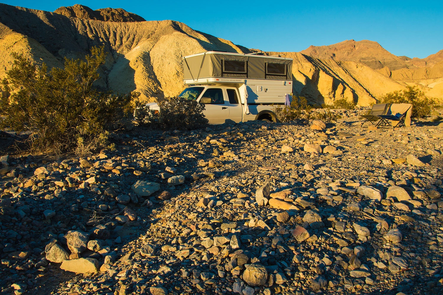
One vehicle
drove out just after dark. We walked up through and beyond the gap in the
night. We were the only people in the area, a surprise.
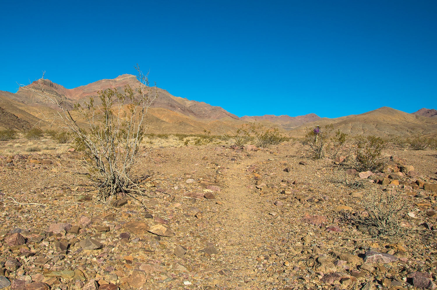
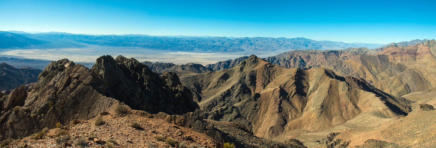
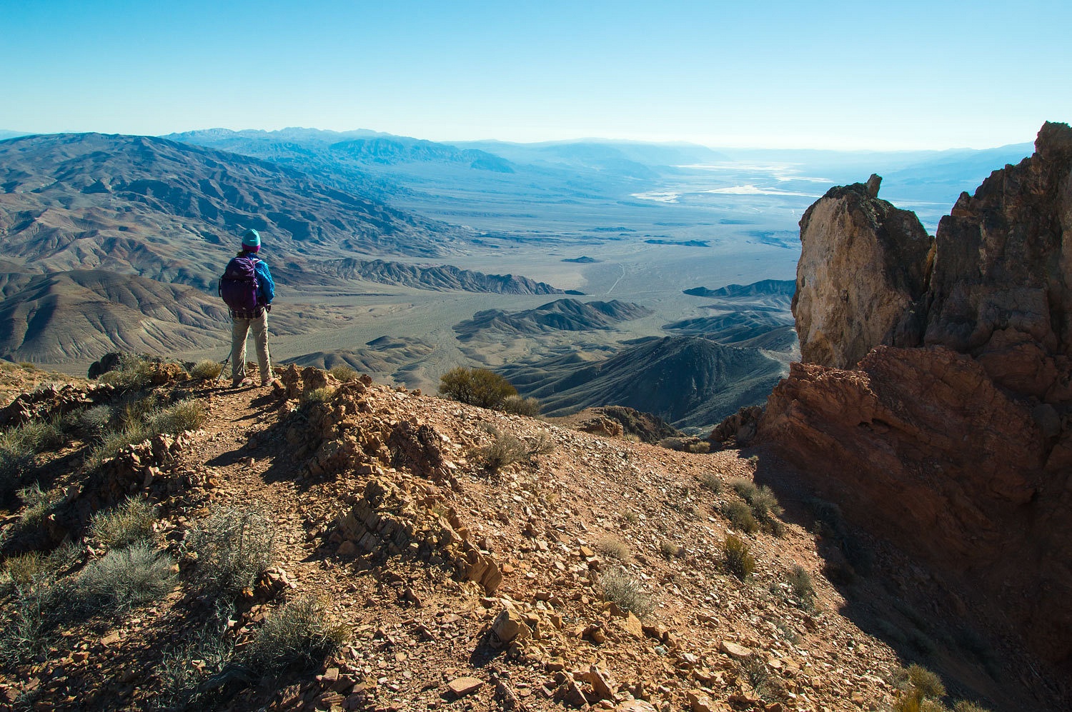
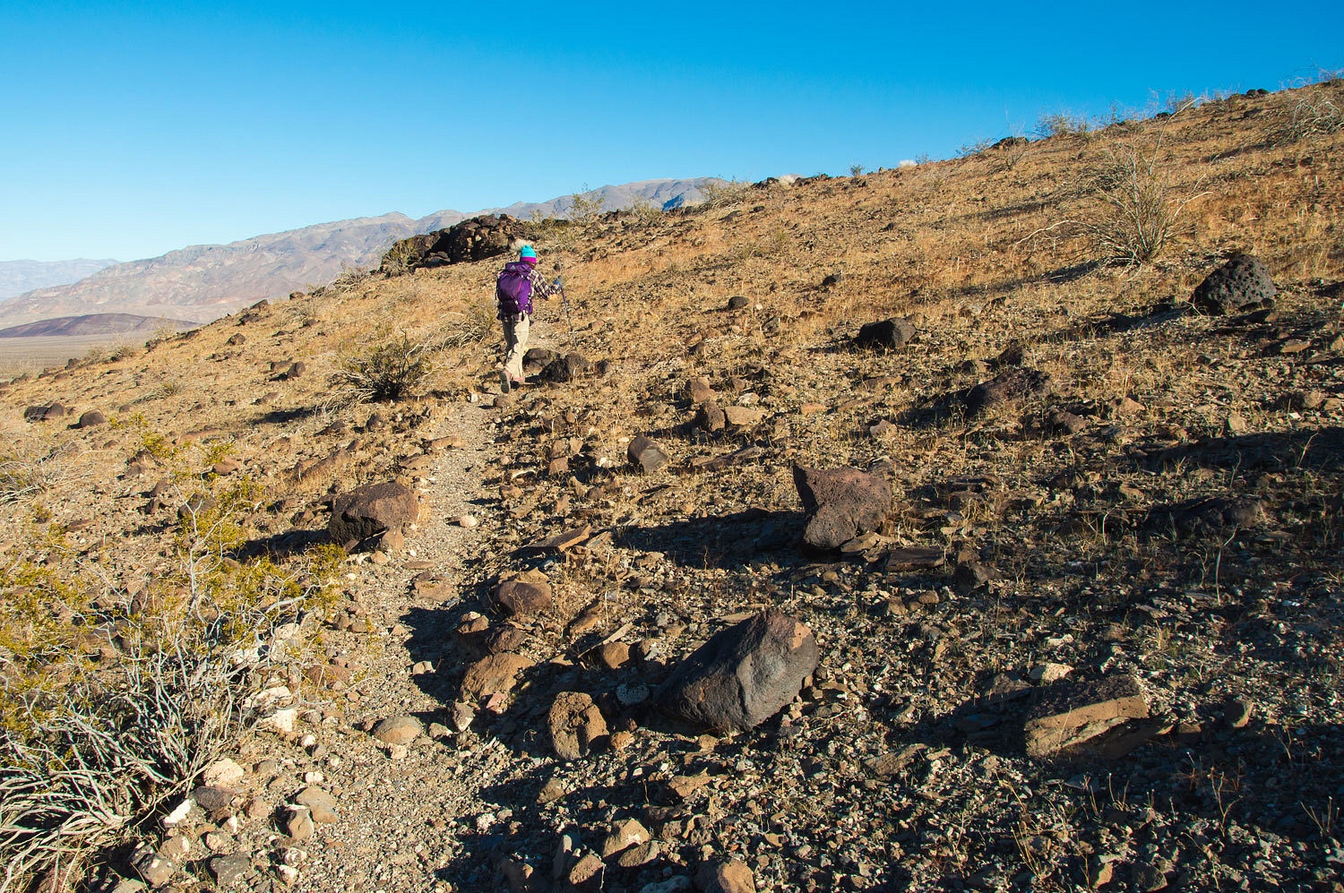
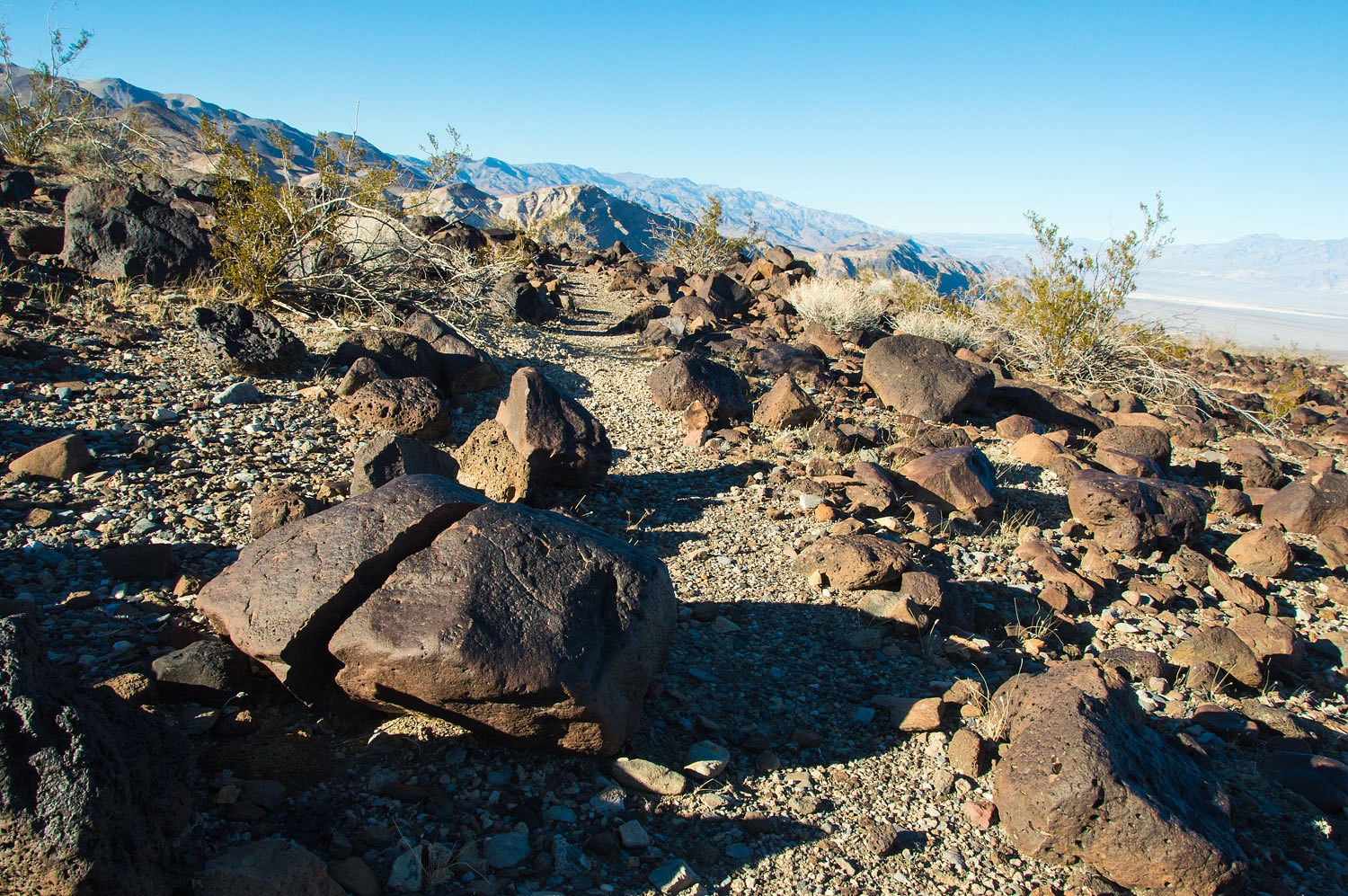
Our
objective for Wednesday's hike was the top of Corkscrew Peak, a prominent
Grapevine Mountains summit north of the Daylight Pass Road. We parked at a pull
out along the highway and started up a broad wash that led to a use trail I had
spotted on Google Earth.
We turned
and hiked up a narrow side canyon.
This gave
access to the trail and a series of ridgelines climbing to the summit.
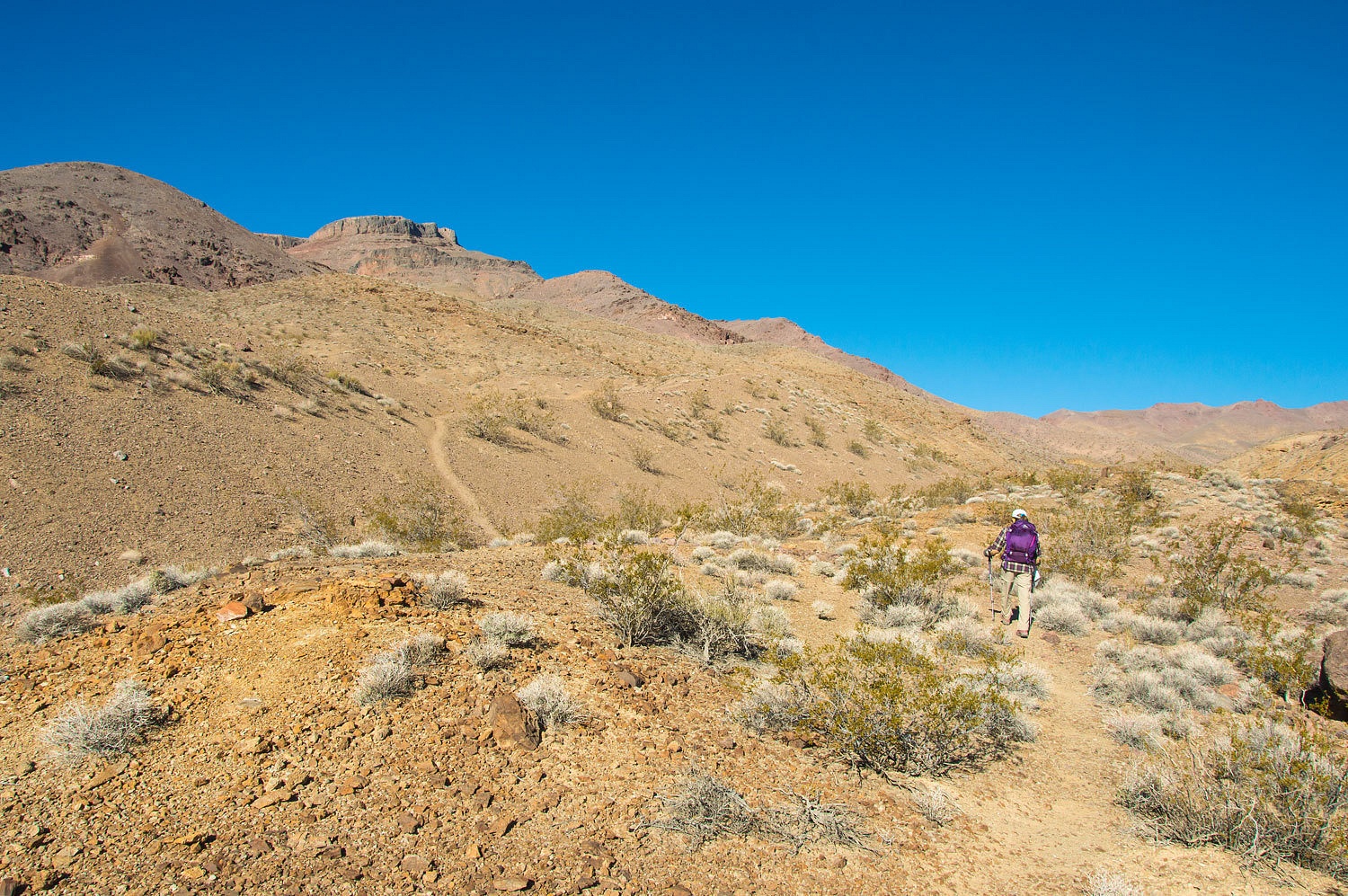

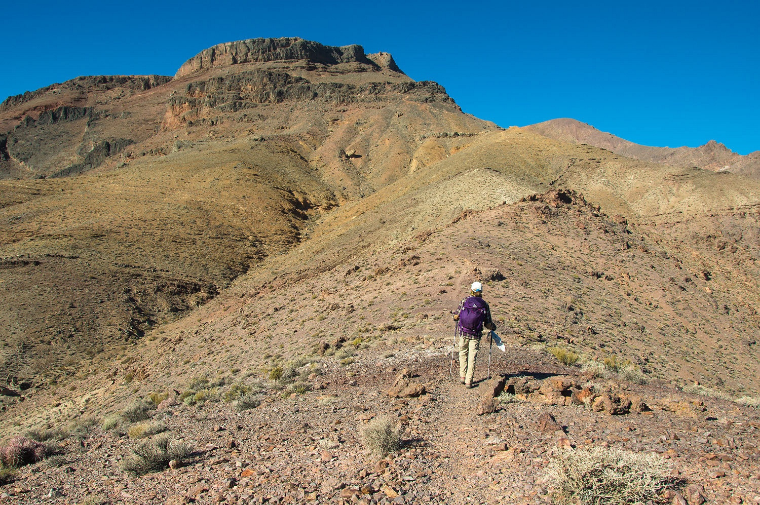
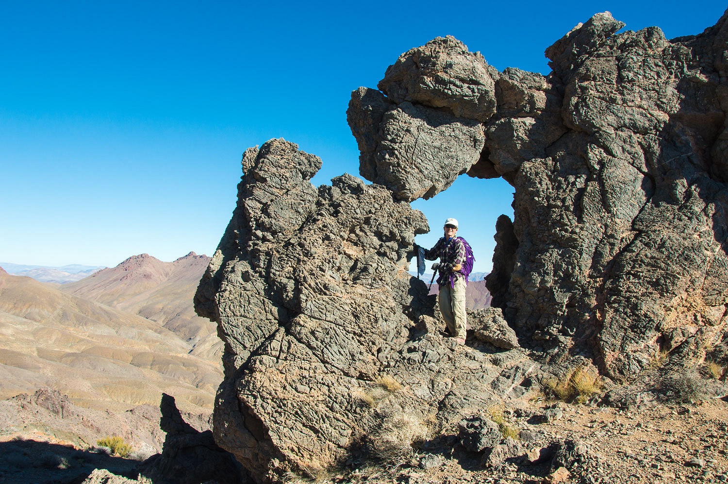
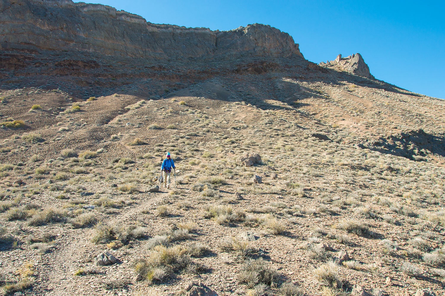
This use
trail is very straightforward in getting about its work in gaining elevation.
It is steep. To reach the summit you must thread the eye of the needle.
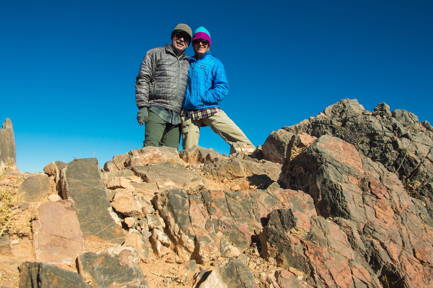
I believe
the Lady is happiest on the top of a mountain.
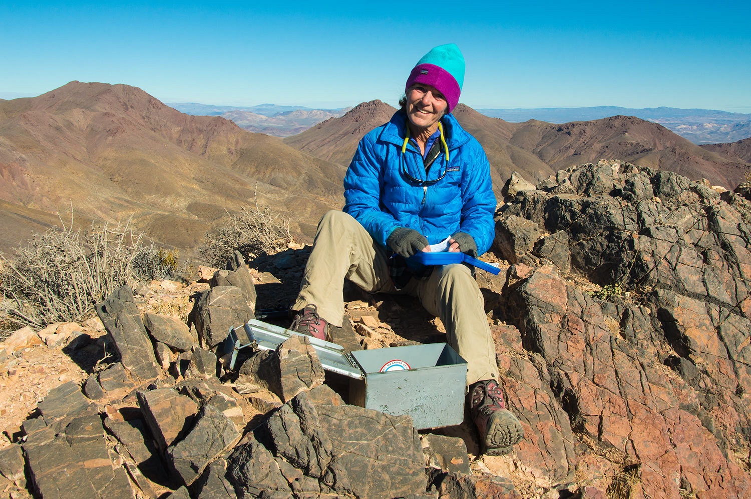
The vistas
were outstanding.
The view
west across Death Valley and the Cottonwood Mountains and the Inyo Mountains
with the snowy crest of the Sierra Nevada beyond.
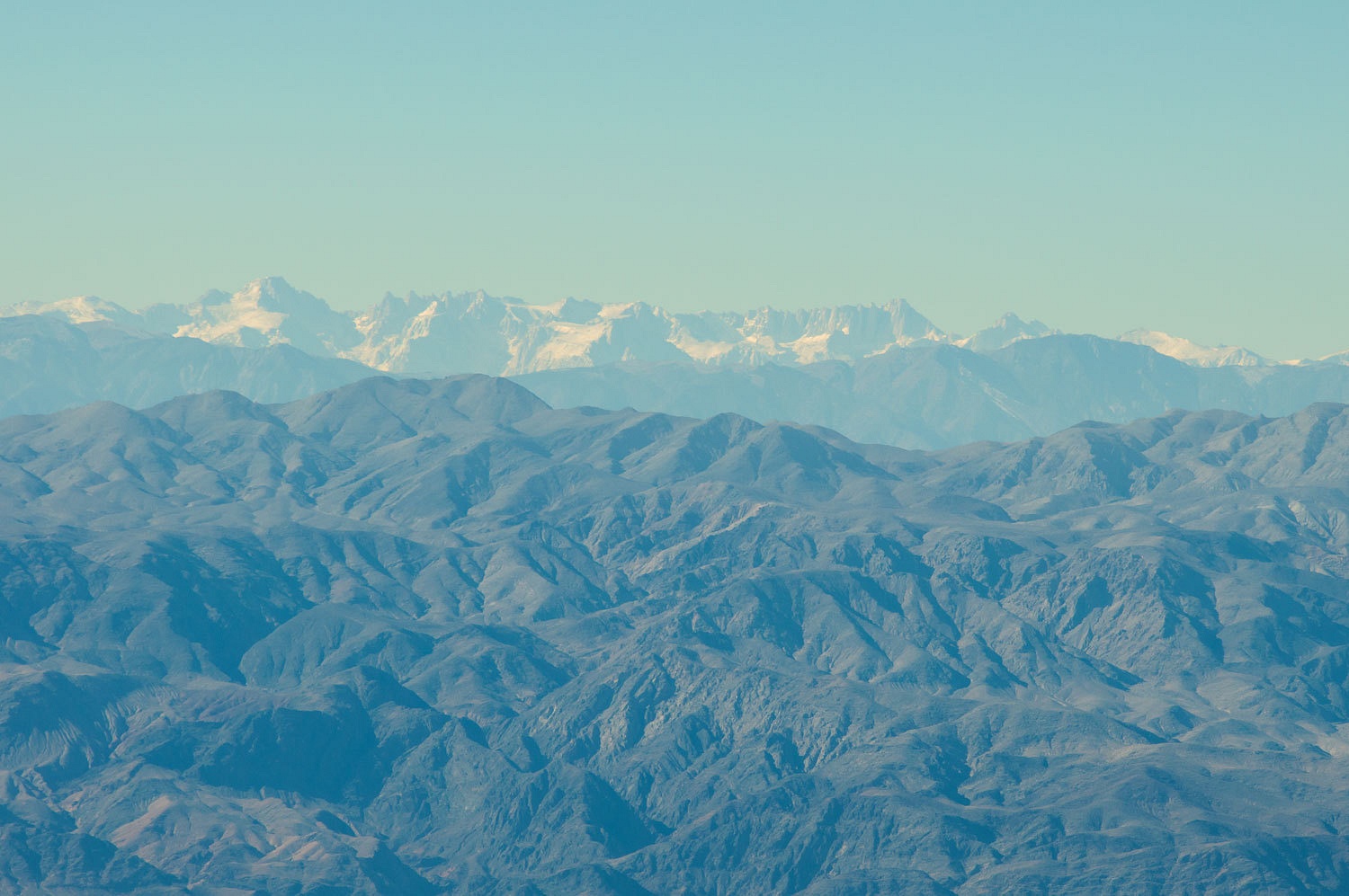
Here's a
telephoto shot over the Cottonwoods and Inyos with the Sierra crest from
Langley (left) to Mount Whitney. As the crow flies, Whitney's summit is 72
miles away.
It was the
colors and ruggedness of the Grapevine Mountains to the north that drew my attention.
We both were
happy.
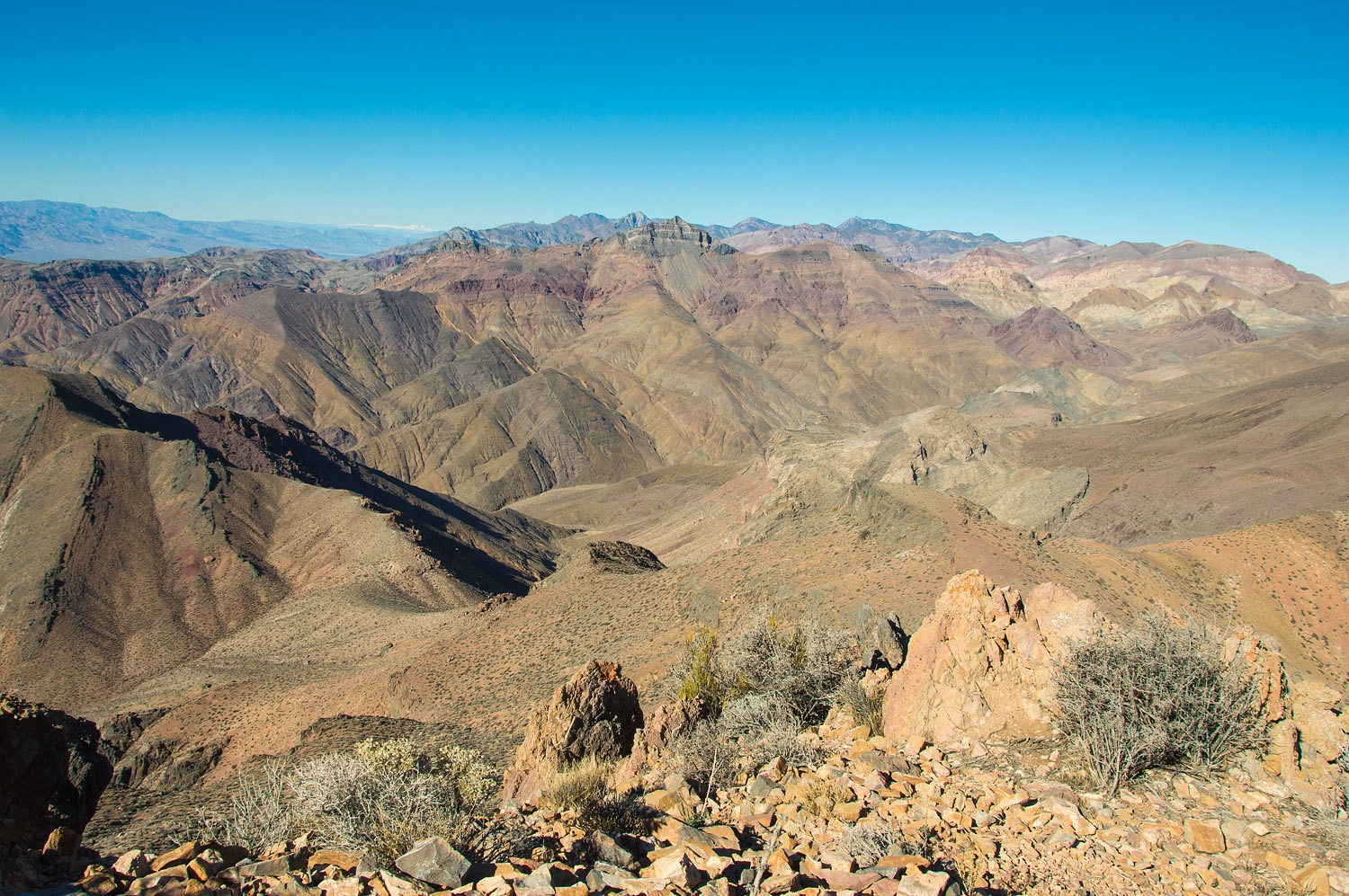
We took our
time on the descent and enjoyed the view south down the length of Death Valley.
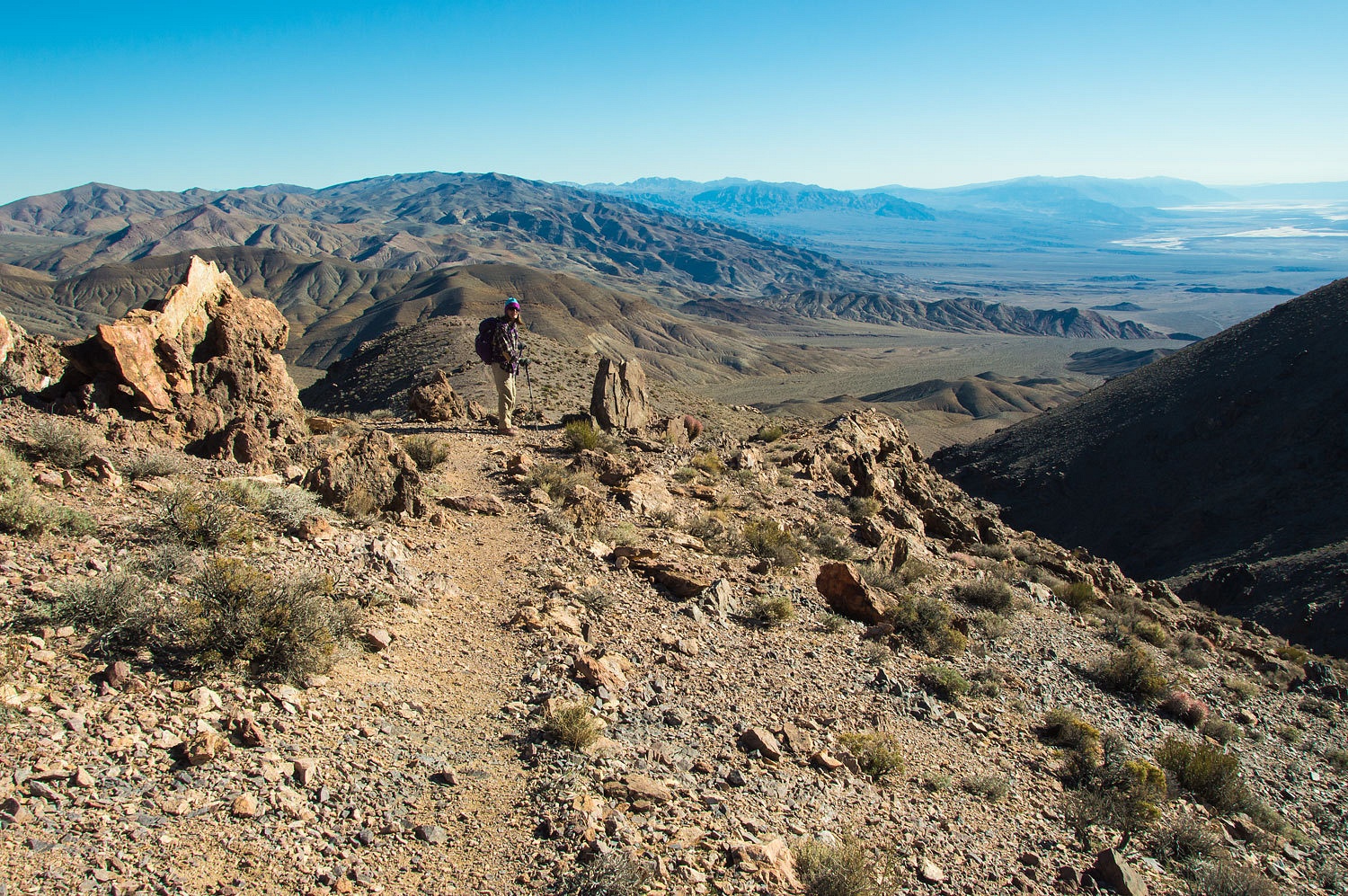
We met a
young man on his way up just as we started down. Scott made the top and then
caught up with us and joined us on the hike down. This was his 25th trip to
Death Valley. He, like us, is definitely addicted to the wonders of this place.
We keep getting drawn back again and again. Our visit with Scott was an
unexpected pleasure and added to such an enjoyable day.
Upon
reaching the truck we headed east and up Daylight Pass and then quickly turned
onto Monarch Canyon/ Chloride Cliff Road to find a camp spot our new friends,
Team Shadyapex had recently told us about. Although windy and cold this
evening, this spot was outstanding.
From this
high vista point the night sky seemed almost endless. The night was perfect.
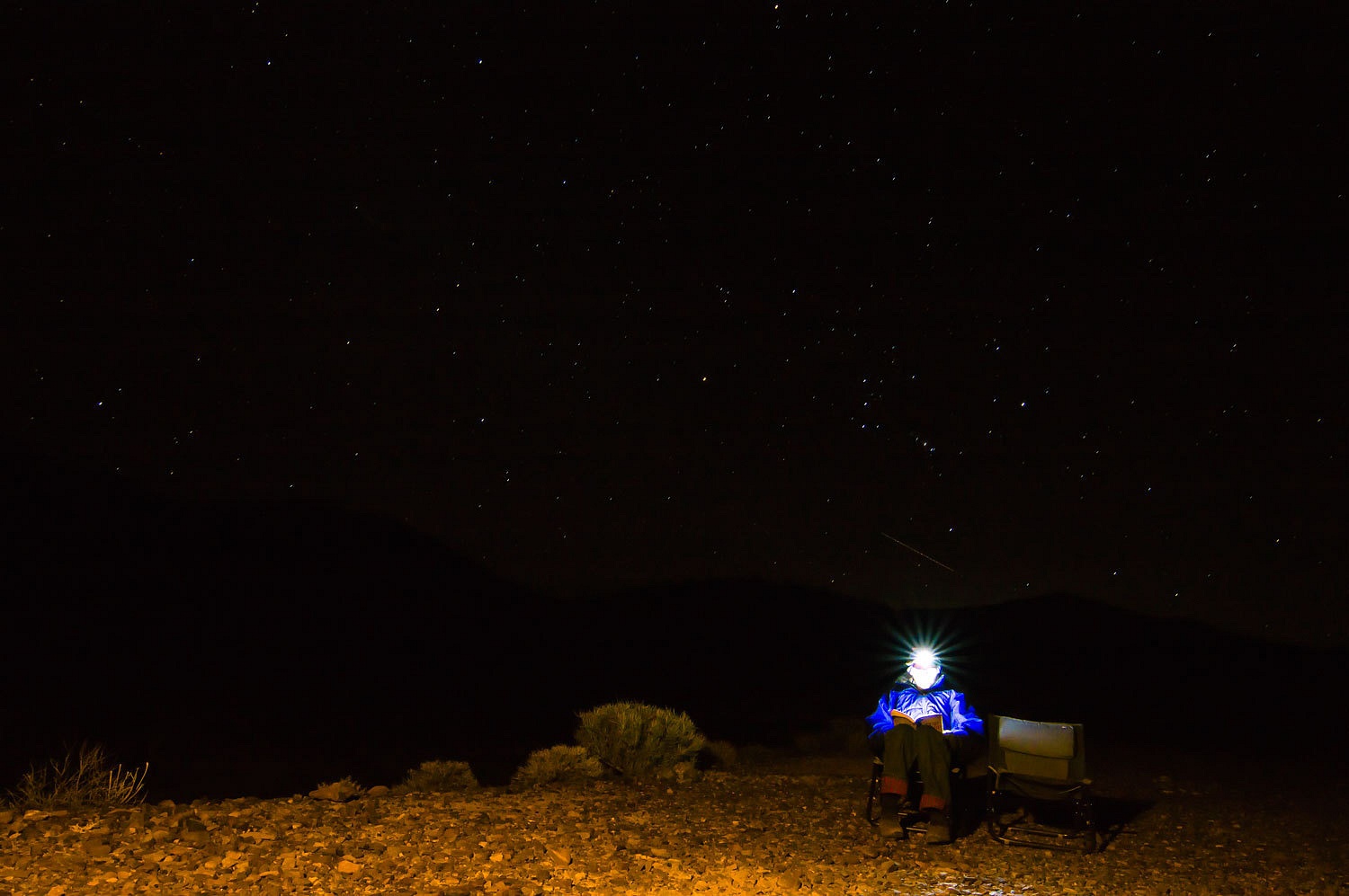
Although the
Daylight Pass Road was out of our line of sight, the headlights of passing cars
spilled light over the landscape.
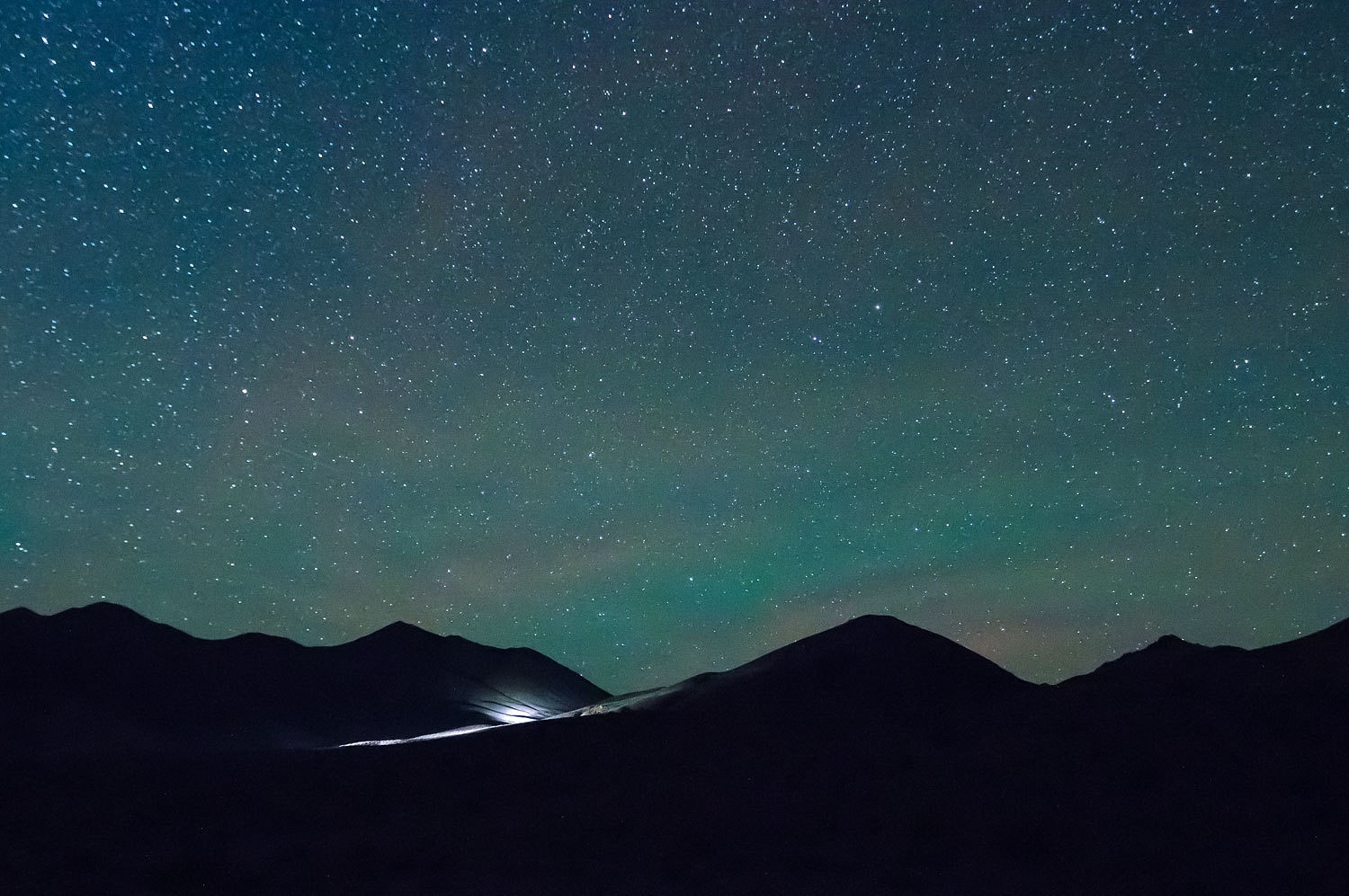
We took a
long walk in the morning with our coffee mugs. The wind was brisk and the
temperature cold, down in the twenties. We walked until sunlight washed over the whole area.
That is
Corkscrew Peak on the left.
Today, New
Years Eve, we were heading back to a favorite area for more exploration. But
first we stopped to investigate a shelter that Scott had spotted and shown us
on our hike down Corkscrew. We climbed up into an interesting swallow canyon.
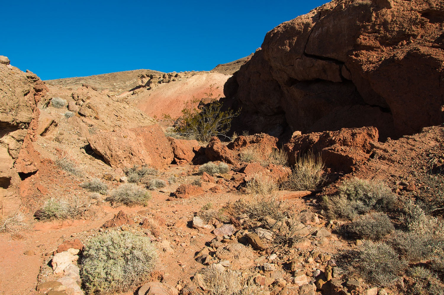
Most of the
artifacts in the area were old milled lumber, rusted corrugated metal, and old
cans.
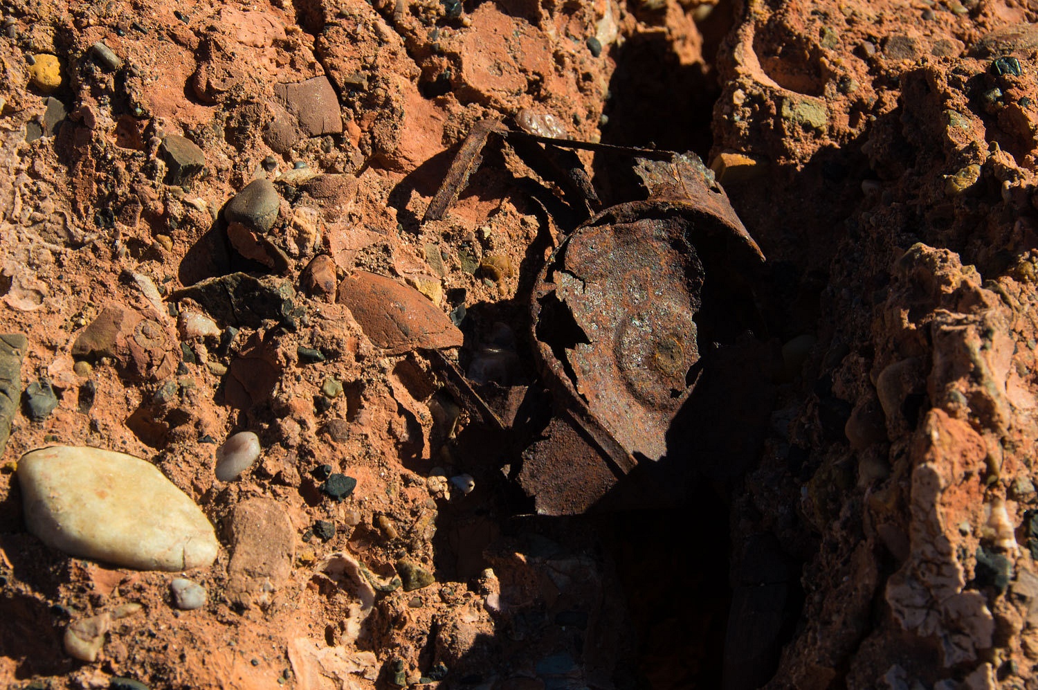
This seemed
to indicate this was probably an old stopover spot for prospectors on the route
over Daylight Pass to Rhyolite.
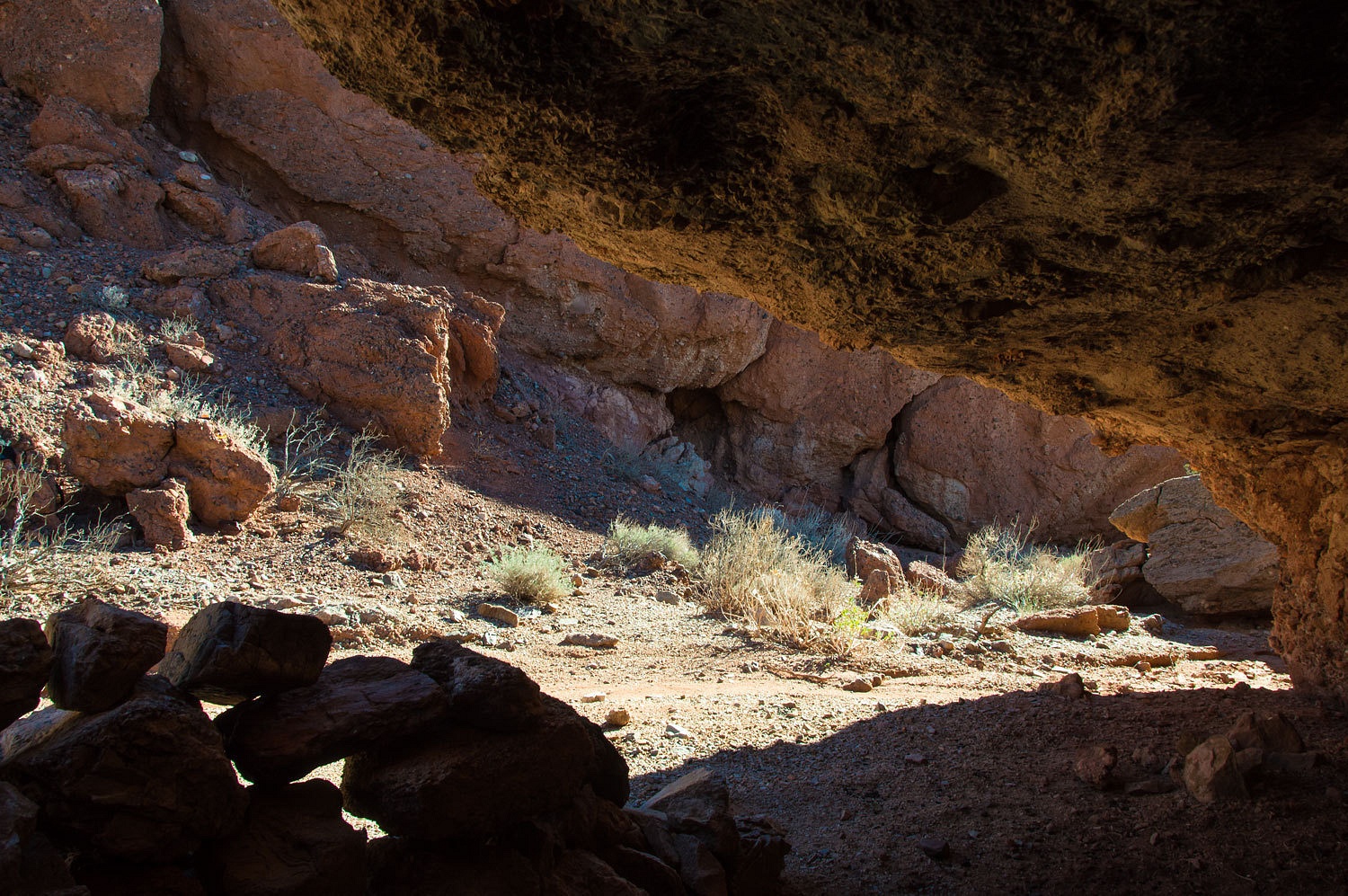
These days
it is an often used shelter for bighorn sheep based on the sign.
The wind was brisk and the temperature 12° colder than the previous day. By chance, we had picked the nicest day to summit Corkscrew Peak.
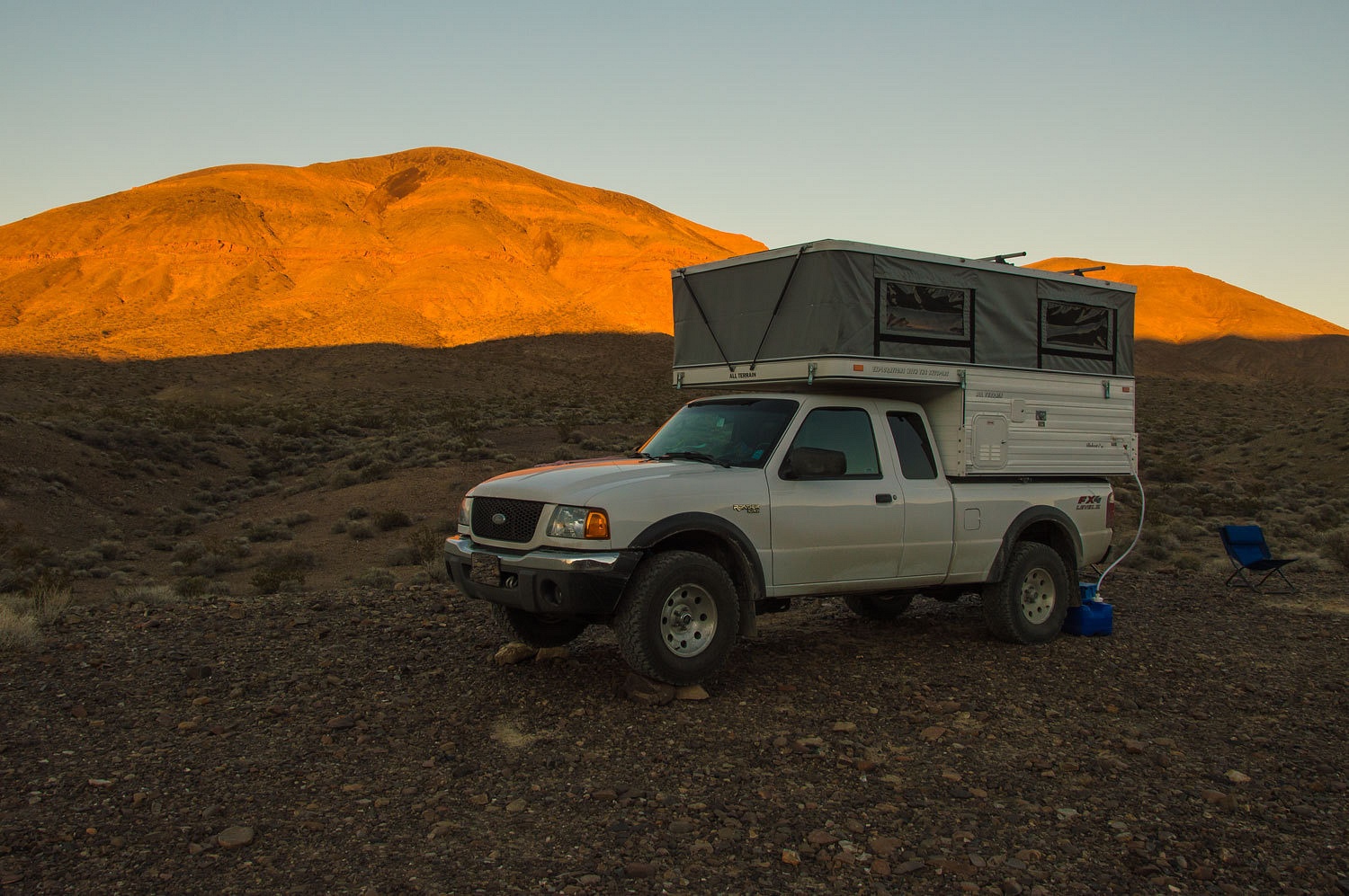
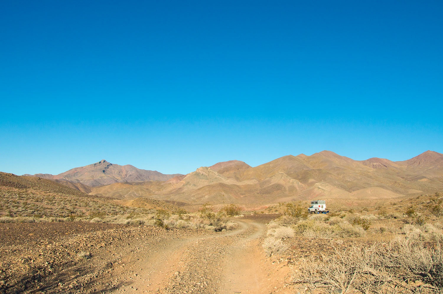
By early
afternoon we were back at one of our all time favorite camping spots in the Park, near
the end of LeMoigne Canyon Road. The views are expansive and the legendary roughness
of the road keeps use very light. Why were we back? We wanted to continue our
exploration of old trails in the area.
It makes sense that the Death Valley 49ers followed indian trails in finding their way across this demanding landscape. Later,
the prospectors and miners probably did the same and expanded the network of
routes. Then came the roads, the area's inclusion in the NPS system, and now use
is mainly recreation. But sections of old
trails exist and their origins could trace back to prehistoric times. For us, it
is a special thrill to find and walk these old routes and enjoy the pleasure of letting our minds
drift far far back in time.
An alternate
route to use to access LeMoigne Canyon by foot is the old indian trail from
Emigrant Campground to our camp spot on LeMoigne Canyon Road. It is three miles
across. Our explorations have shown that the trail actually runs from the mouth
of LeMoigne Canyon to the mouth of Emigrant Canyon. It is a spur off of this
trail that leads to Emigrant Campground.
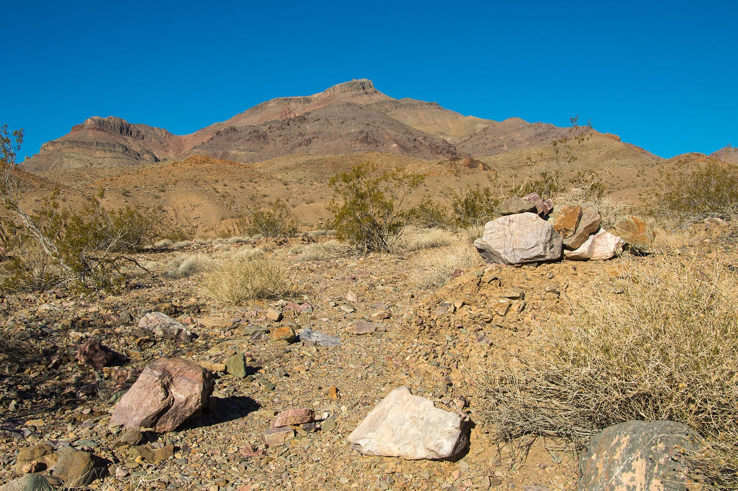
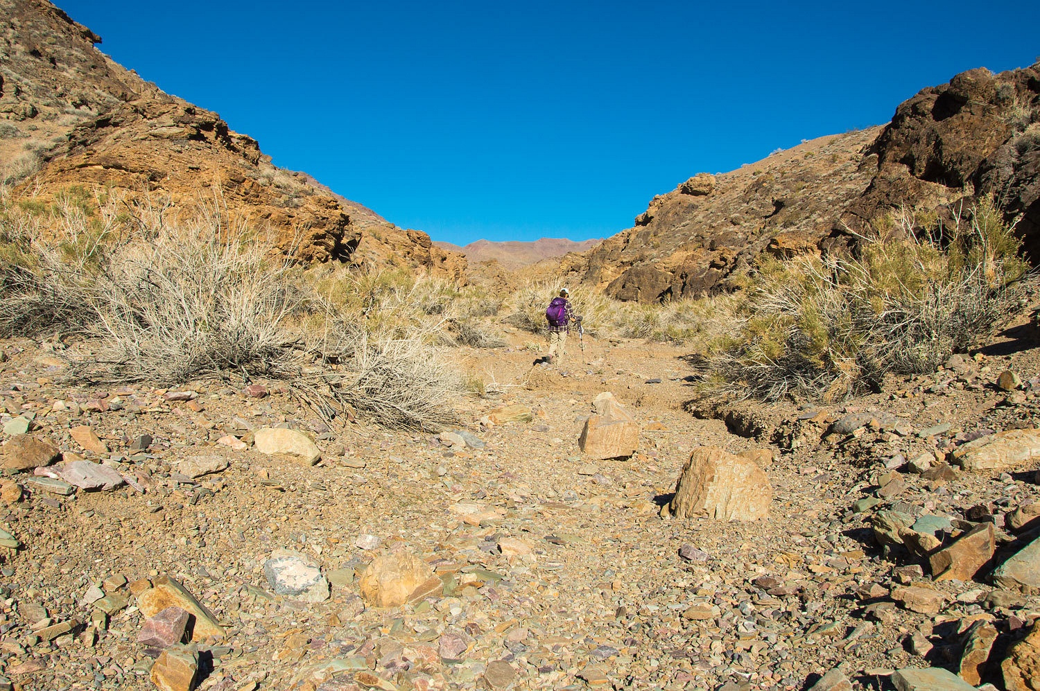
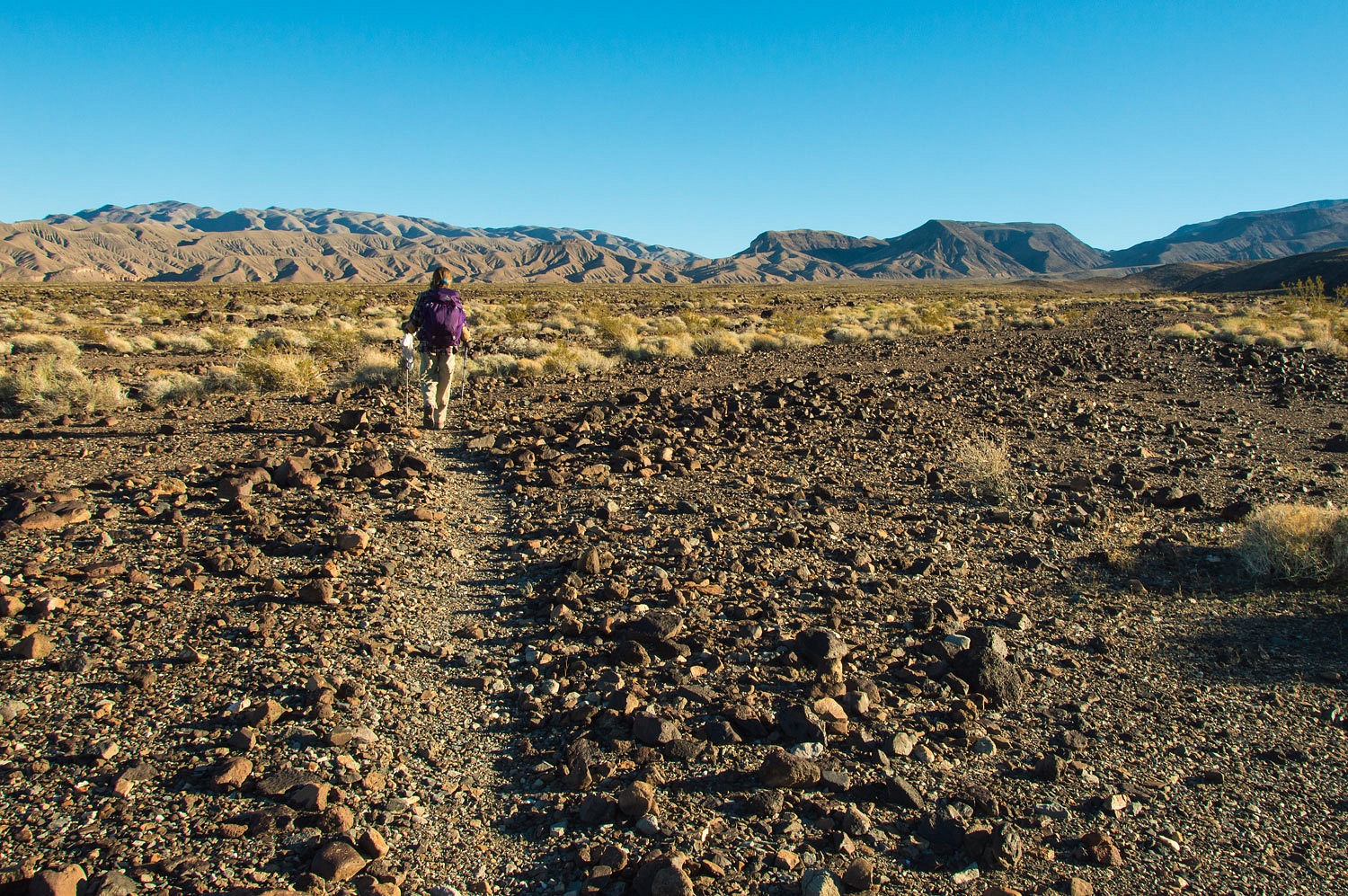
This
afternoon we headed south, toward highway 190 on the old trail.
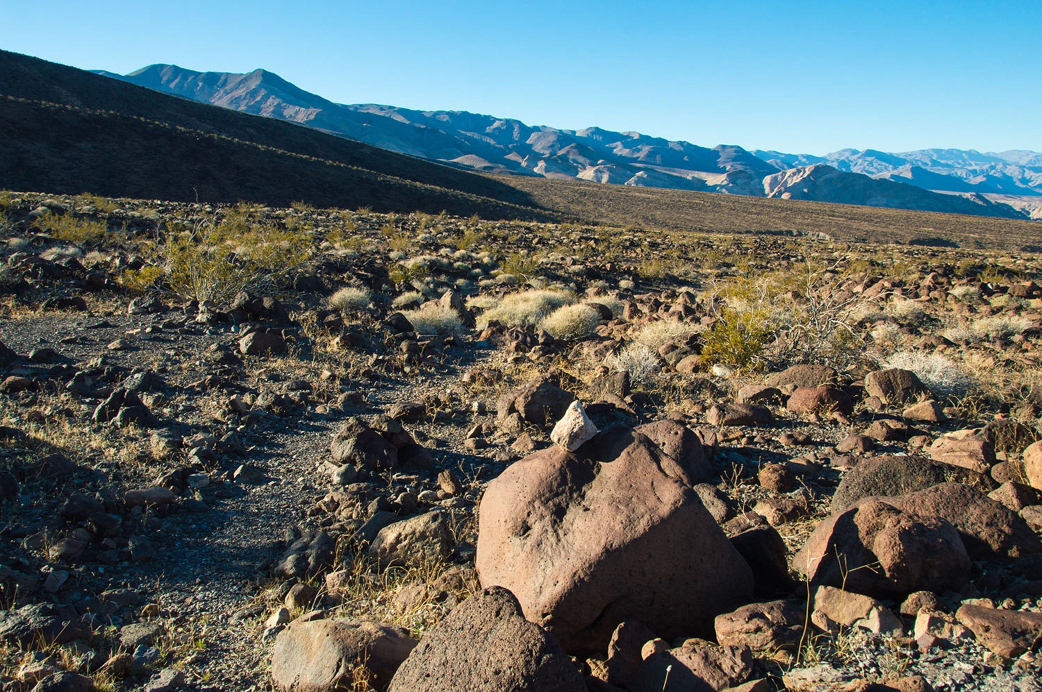
As you can
see, there is a well defined path. There are occasional cairns along the route
and I've been told they are considered historical and travelers are asked not
to disturb or add to them.
Across this
rough country, it is nice to have an easy path to travel.
This view is
toward Tucki Mountain. Emigrant Campground area is on the far left in the
distance.
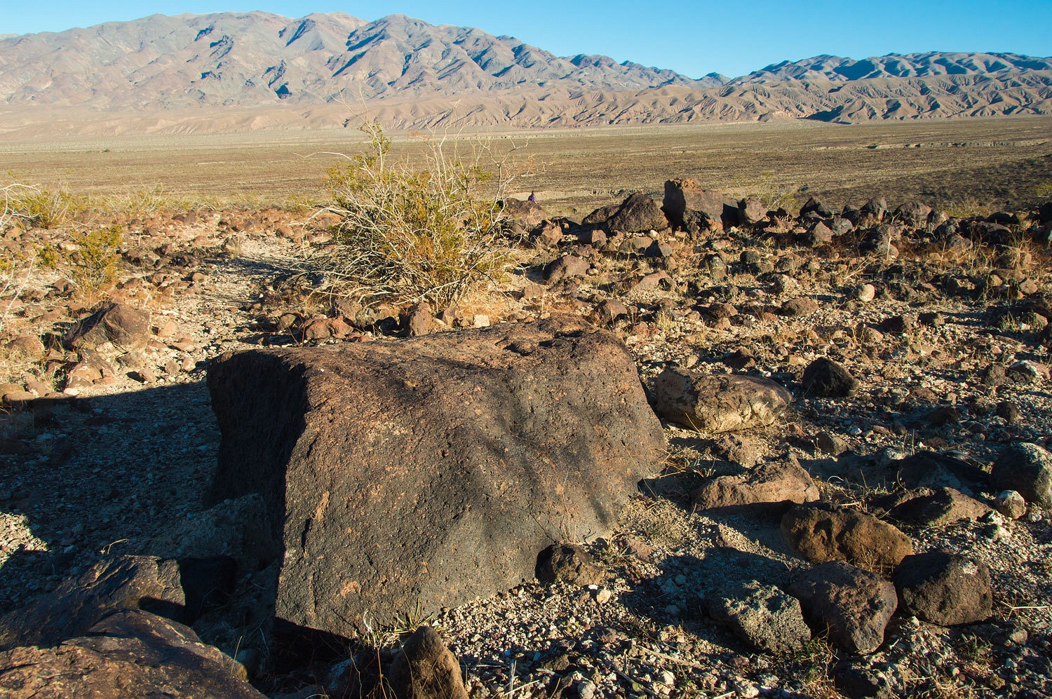
The trail
drops down and crosses several deep washes. From a distance this terrain
appears like a broad, flat plain. Walking across it, you find, on the contrary, it is it rough terrain.

Far past the
spur to Emigrant Campground is this interesting, lonely artifact.
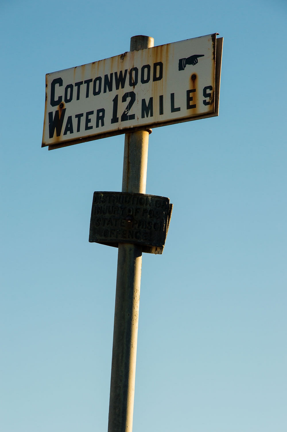
The hand is
pointing the way we came and most likely is indicating the distance to the
famous springs up in Cottonwood Canyon. Getting from here to those springs
would make a very interesting route. This is what we would explore tomorrow, New
Years Day. And far up in the upper reaches of Cottonwood Canyon above the
springs is a similar lonely sign post that points the way to Keeler on the
shores of long gone Owens Lake. The story gets more interesting.
Past this
point the trail is still well defined and continues on toward Emigrant Canyon.
We continued
on to within a half mile of highway 190 and turned around to return to our
comfortable camper. The late afternoon was a beautiful time to walk this
ancient trail.
What will we
find tomorrow?
Our story continues in Part Three - please Click Here
No comments:
Post a Comment