
Corridor
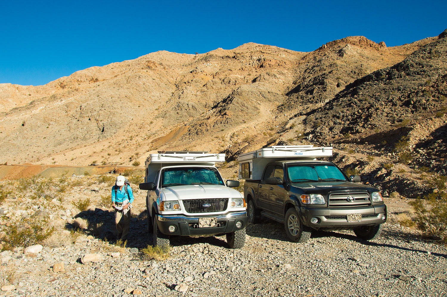
Canyon has been on our list for several years. Now was the time. The trailhead
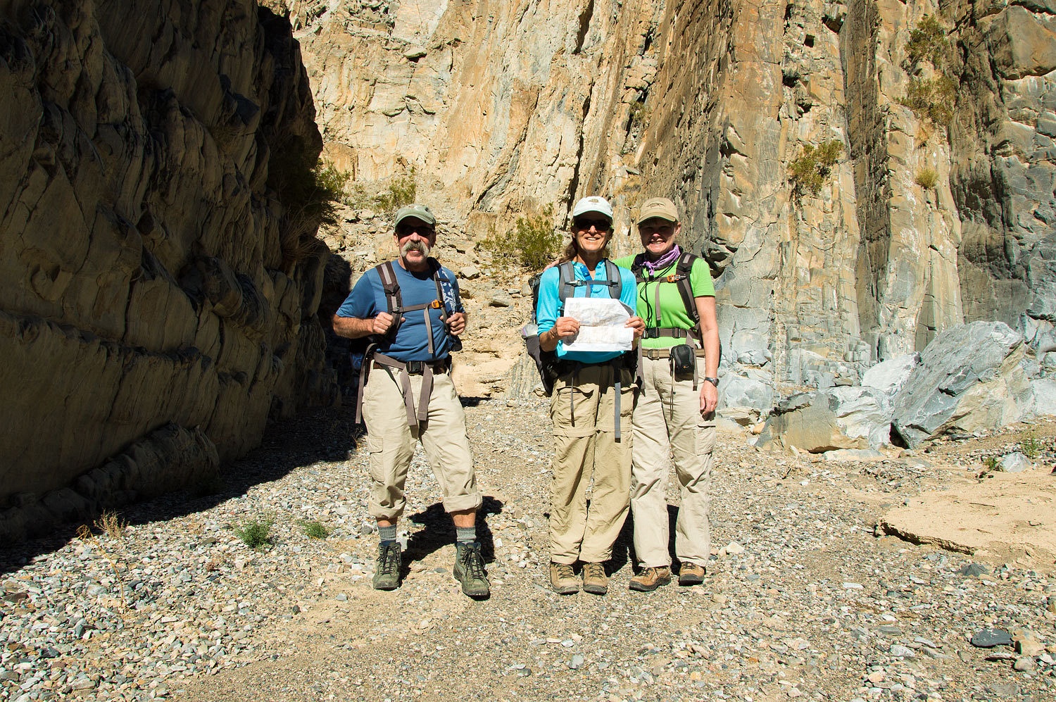
- Ubehebe Lead Mine - was about 7 miles from our camp. We arrived early. The
Lady had her topo map and was ready to keep us "found" throughout our
adventure.
Corridor
Canyon is well documented in Digonnet's Hiking Death Valley and also on Jim
Boone's birdandhike website. We
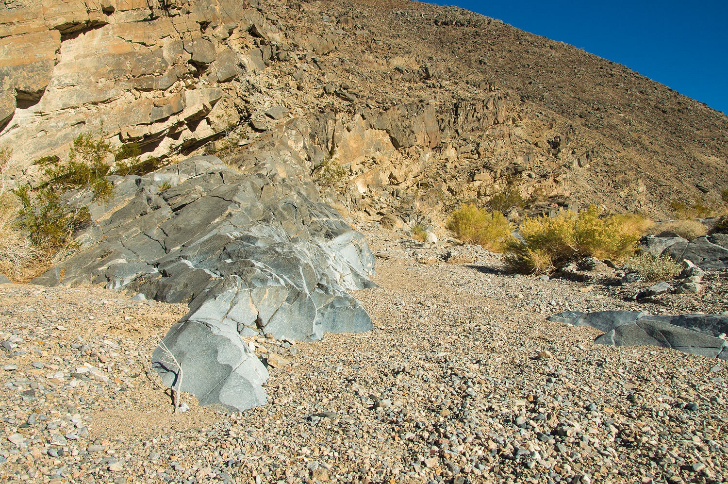
headed down the wash from the ruins of the lead mine.
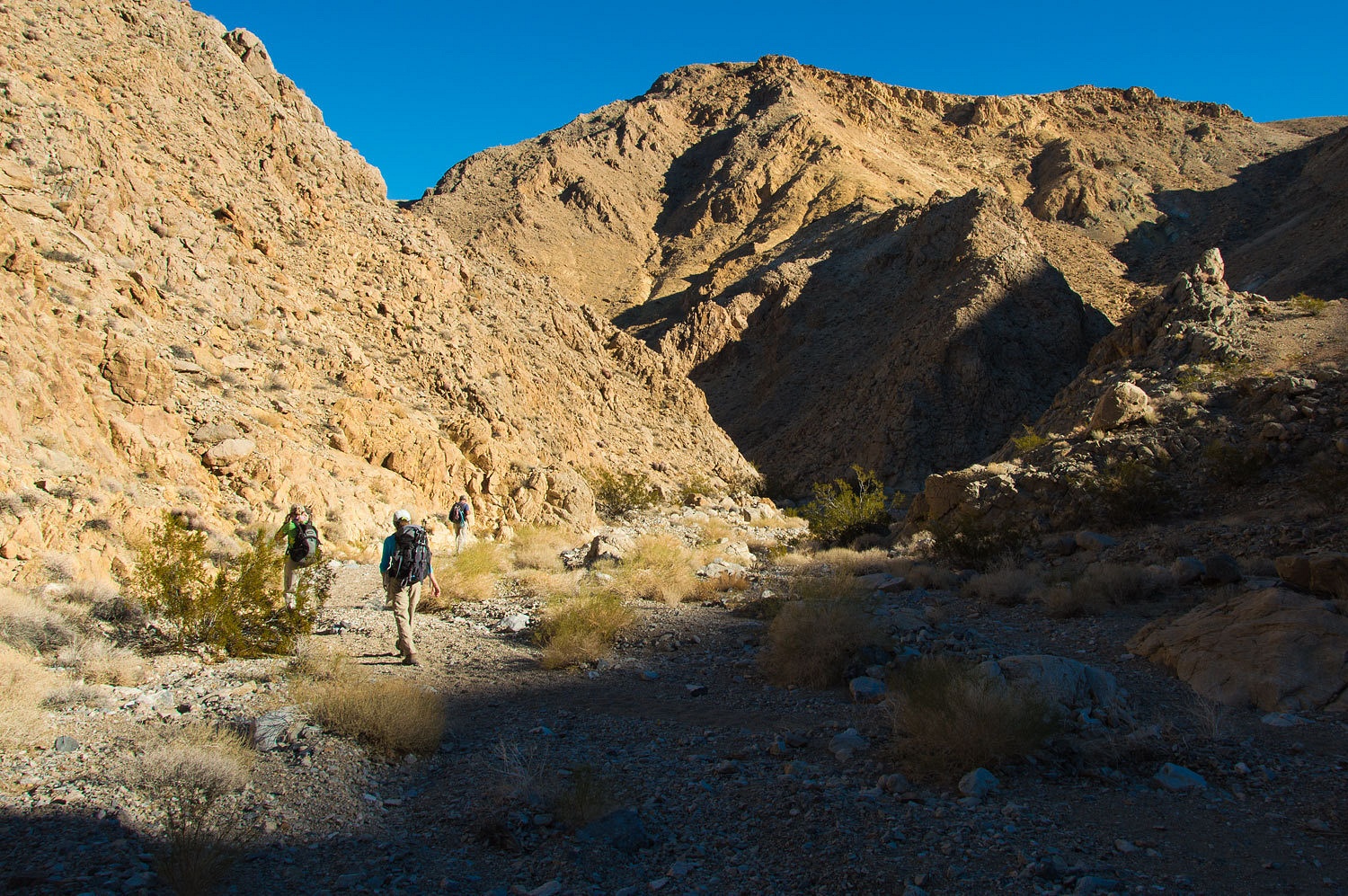
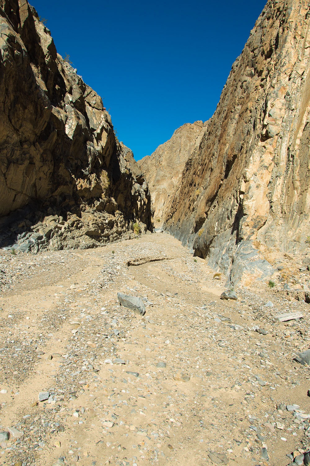
This hike is
opposite of most canyon hikes in Death Valley as you hike down canyon and
return up canyon instead of up and then back down. Corridor Canyon is reached after hiking 3 miles down side
canyons, most of the hike is not in Corridor Canyon.
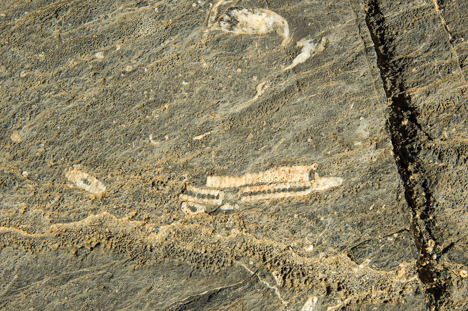
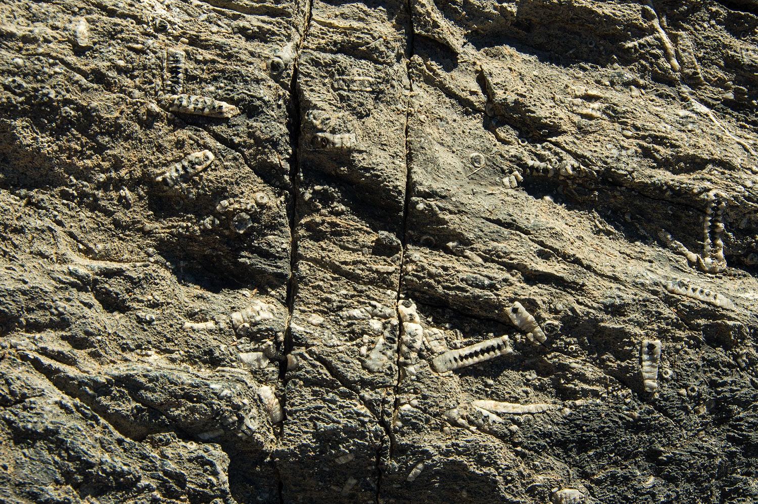
We felt the
fossils here were better than we found in Perdido Canyon.
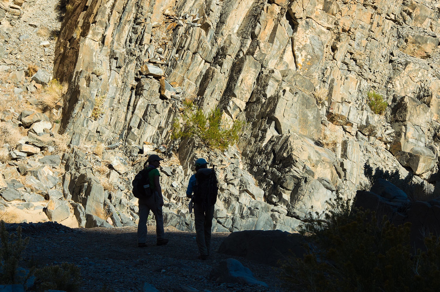
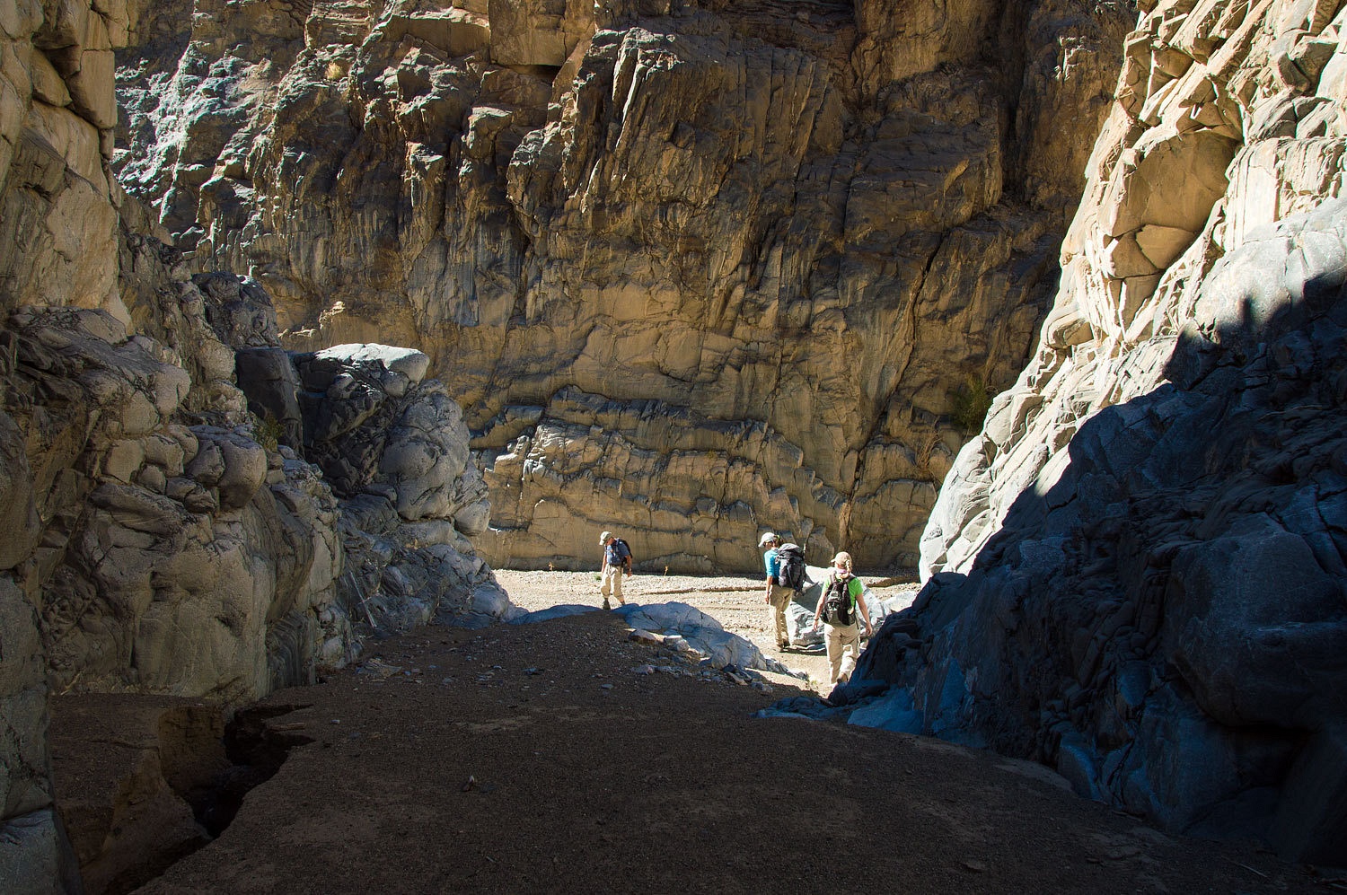
The approach
hike to Corridor was outstanding. The canyon varied around every corner. After
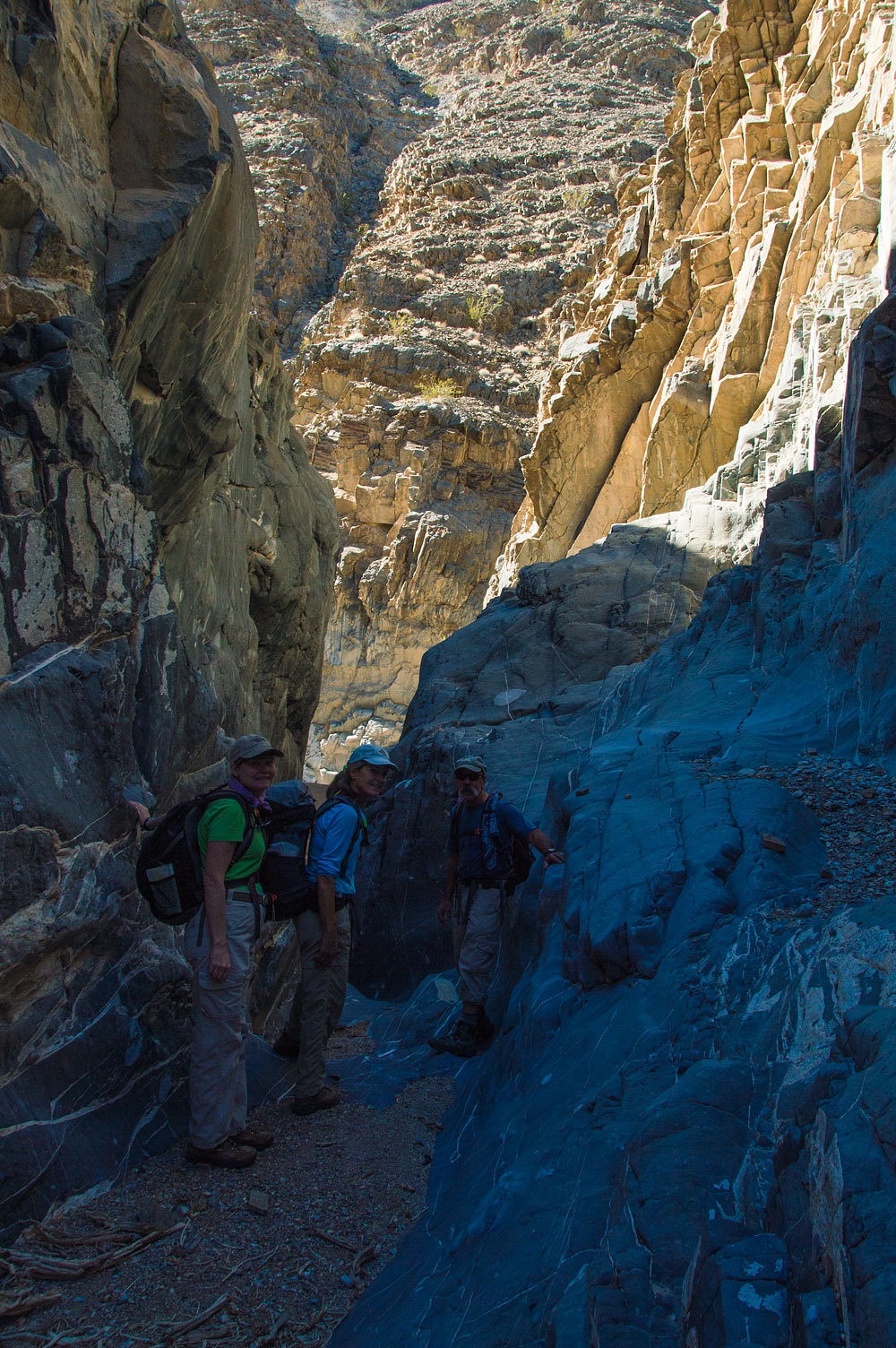
about a mile and a half, we entered the first narrows.

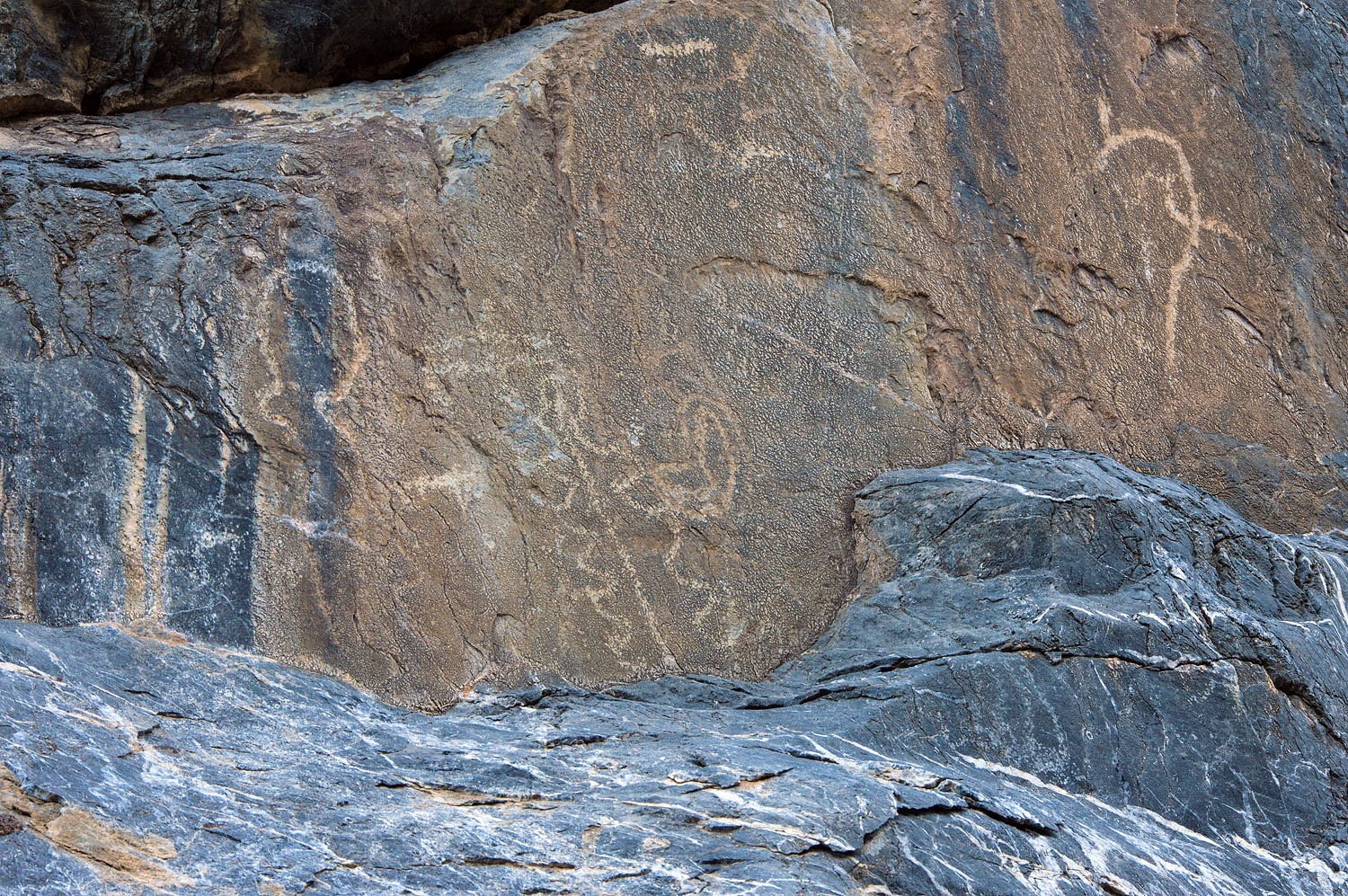
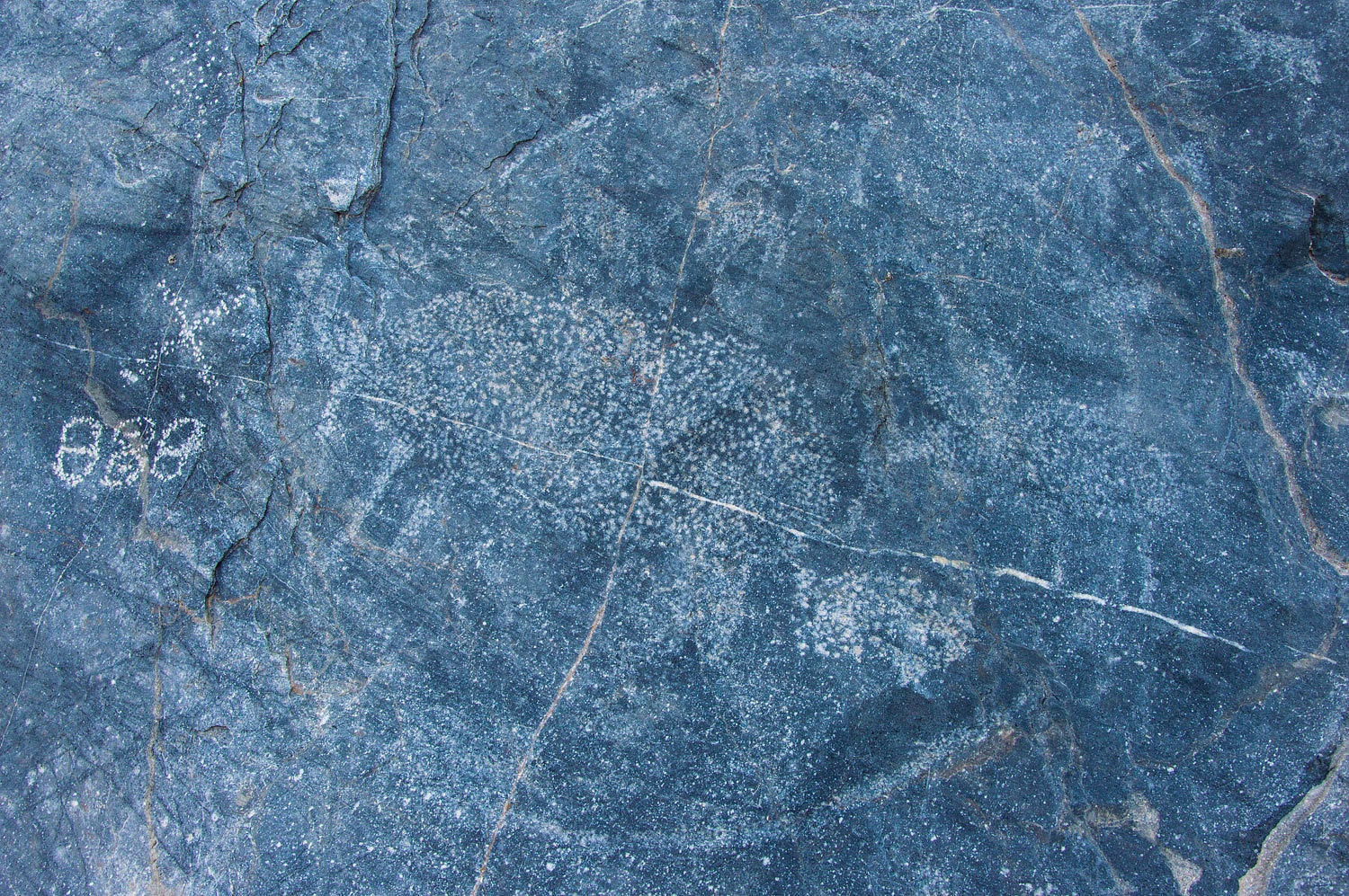
In the
tightest section we found excellent petroglyphs........................
..........................along
with pictographs.
One of the
famous petroglyphs is the large bighorn sheep in a circle.
My favorite
sheep glyph was the one heading downhill.

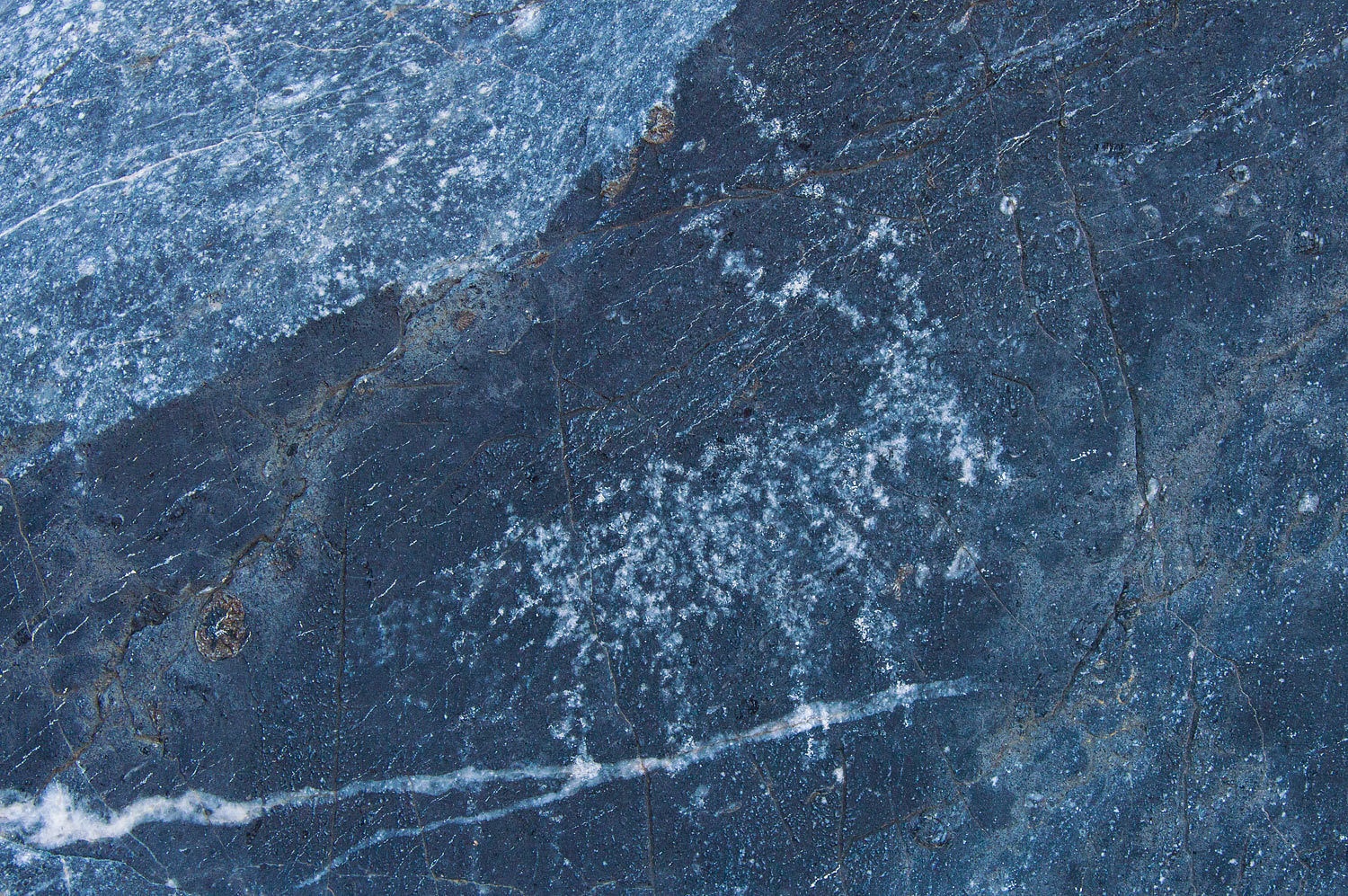
I wonder what the ancient artists would have thought if it was revealed to them that their rock canvas was once the bottom of an ancient sea and contained fossils of creatures that lived 400 million years ago? That thought makes me realize what an extraordinarily short blip of geologic time man has been on earth.
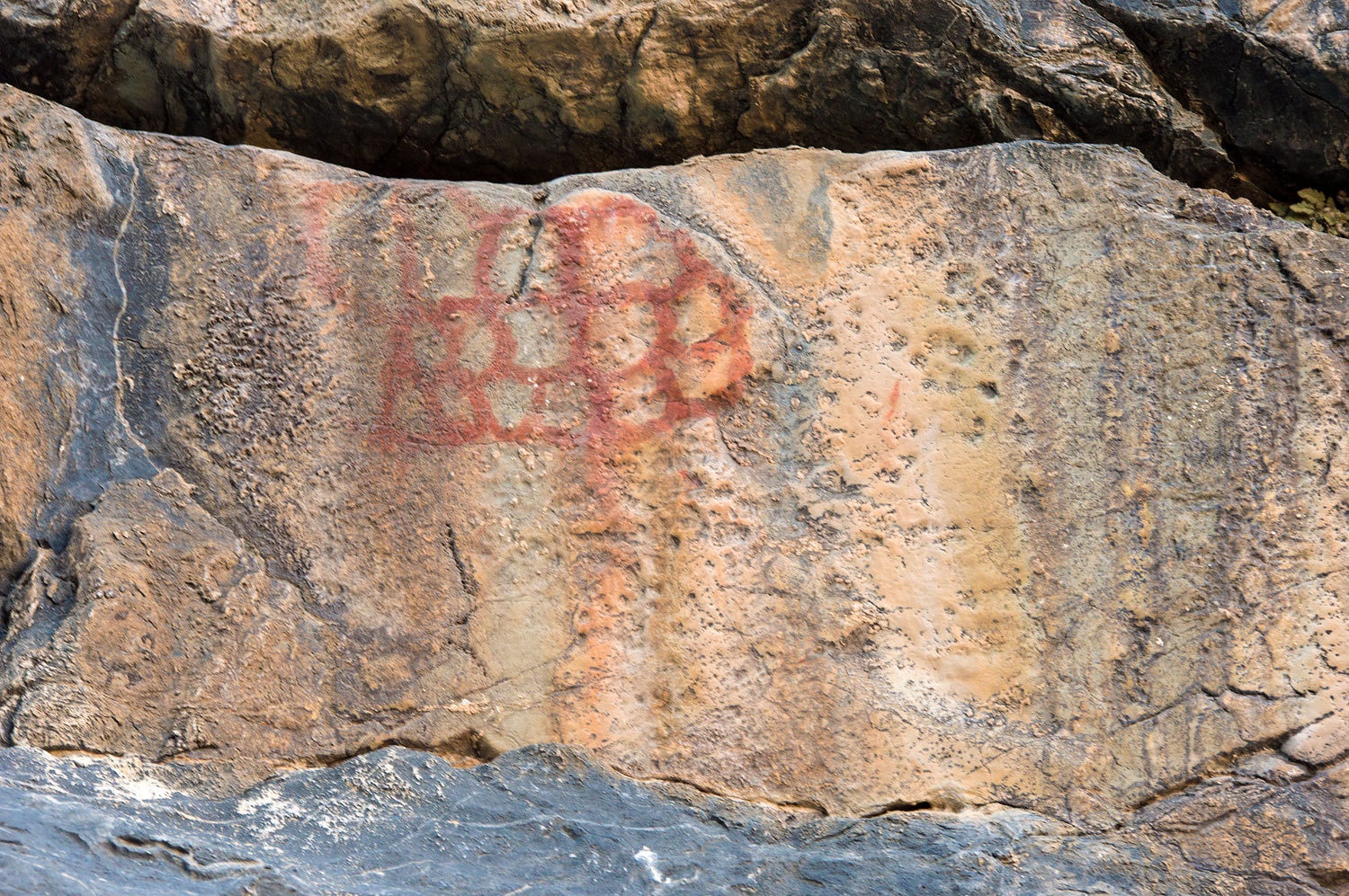
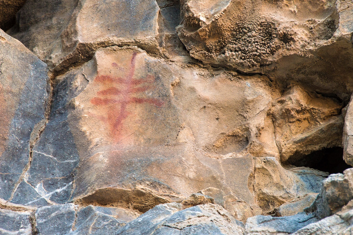
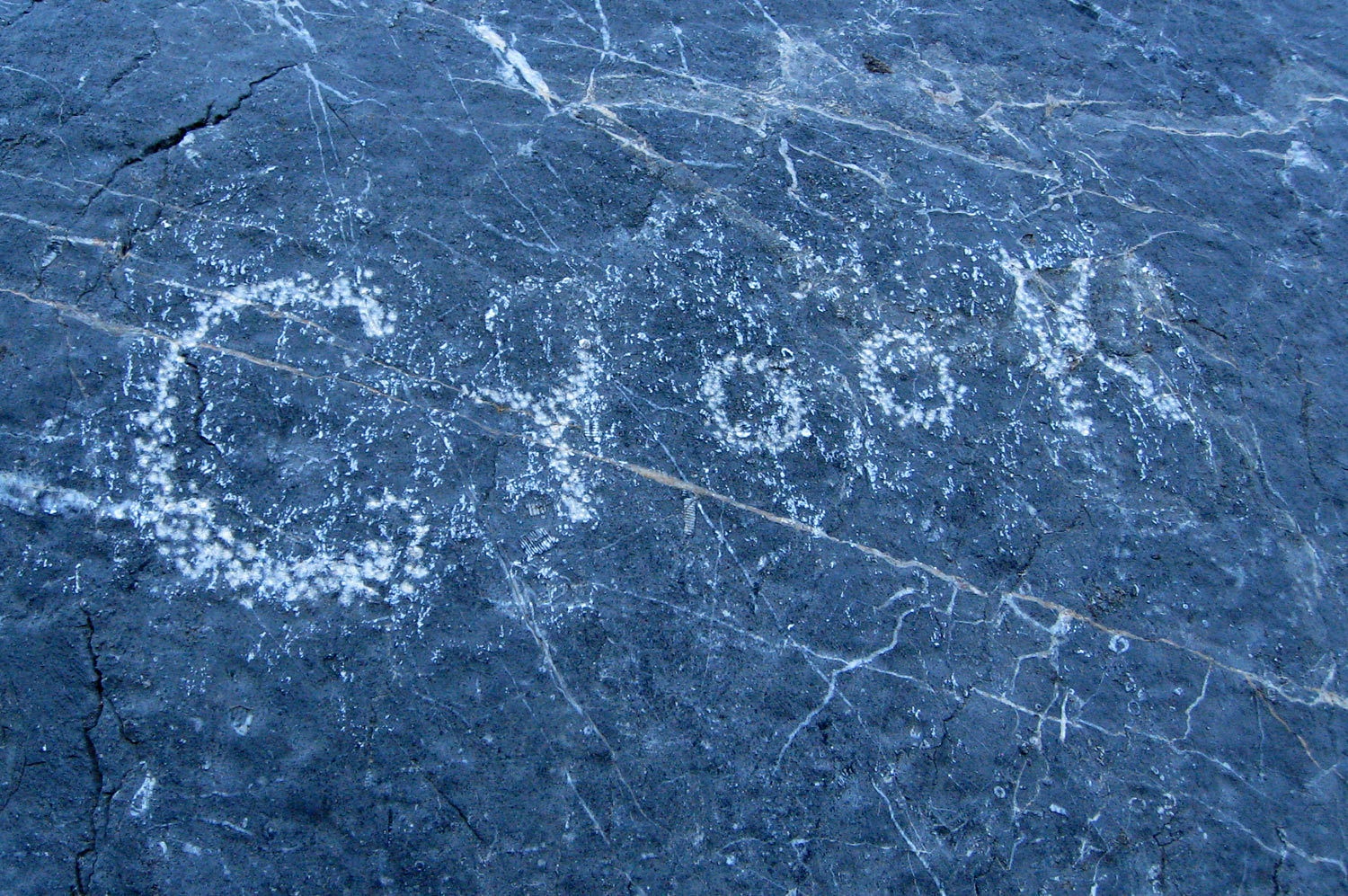
There were
also historical inscriptions from the more recent past.
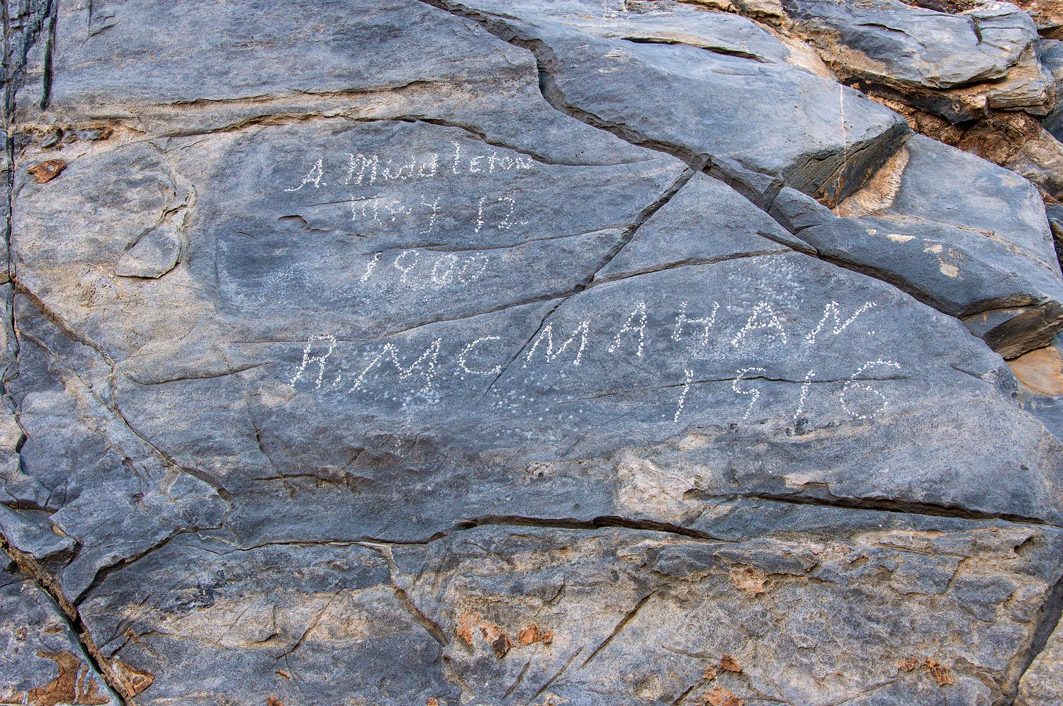
I want to
thank Mom Spider for the following photo........................
..........................and
her research identifying Crook as the prospector who, in 1915, was the first to
report the Racetrack's mysterious moving rocks.


Please click Here for Part Three
The narrows
opened and joined a broad wash. The side canyon we descended was a part of
this much larger drainage. We continued down.
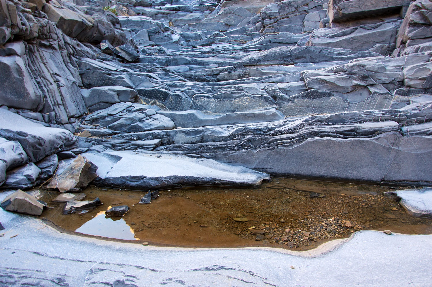
This larger
canyon began to tighten.
The tilted
strata was becoming vertical.
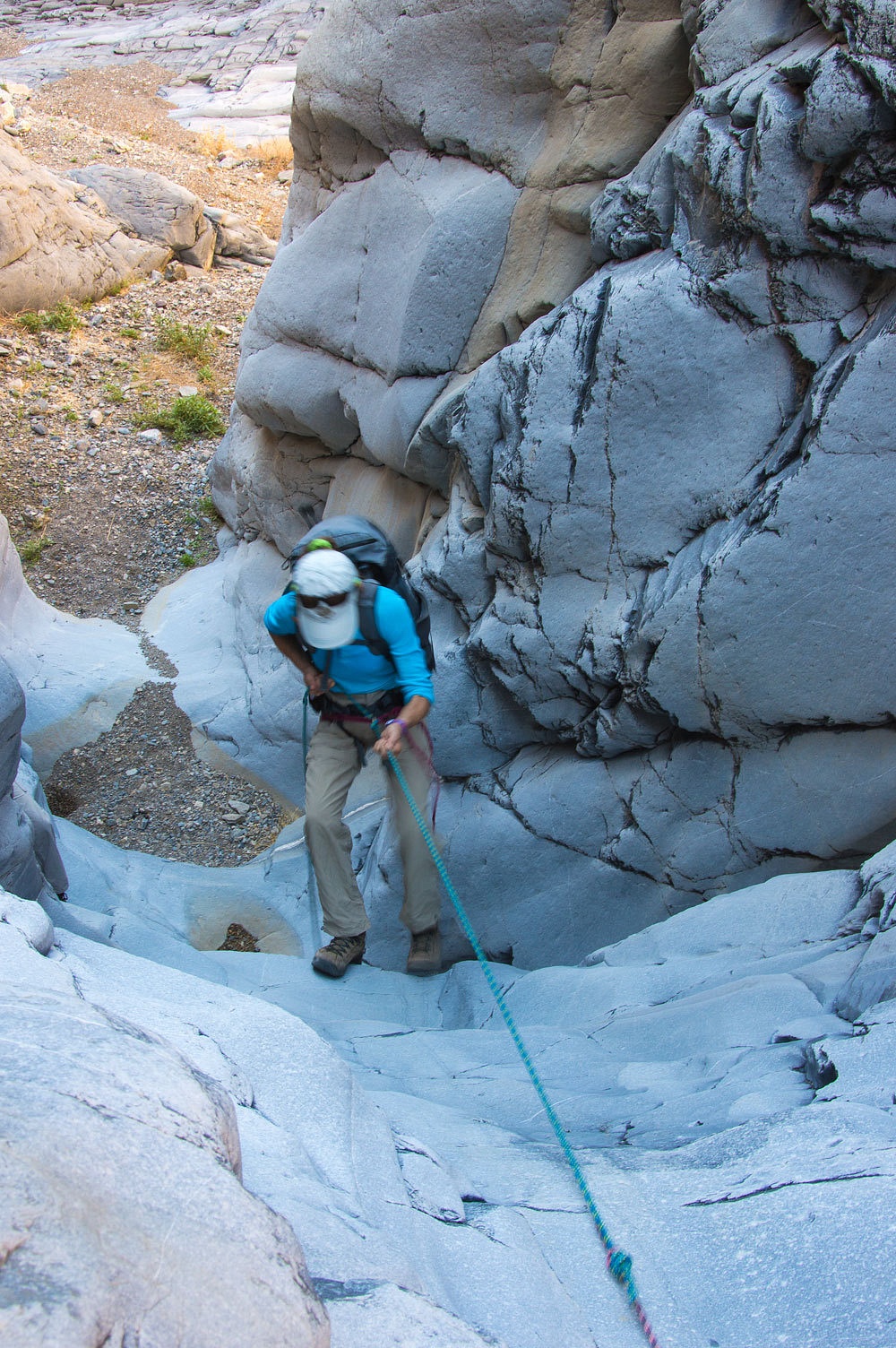
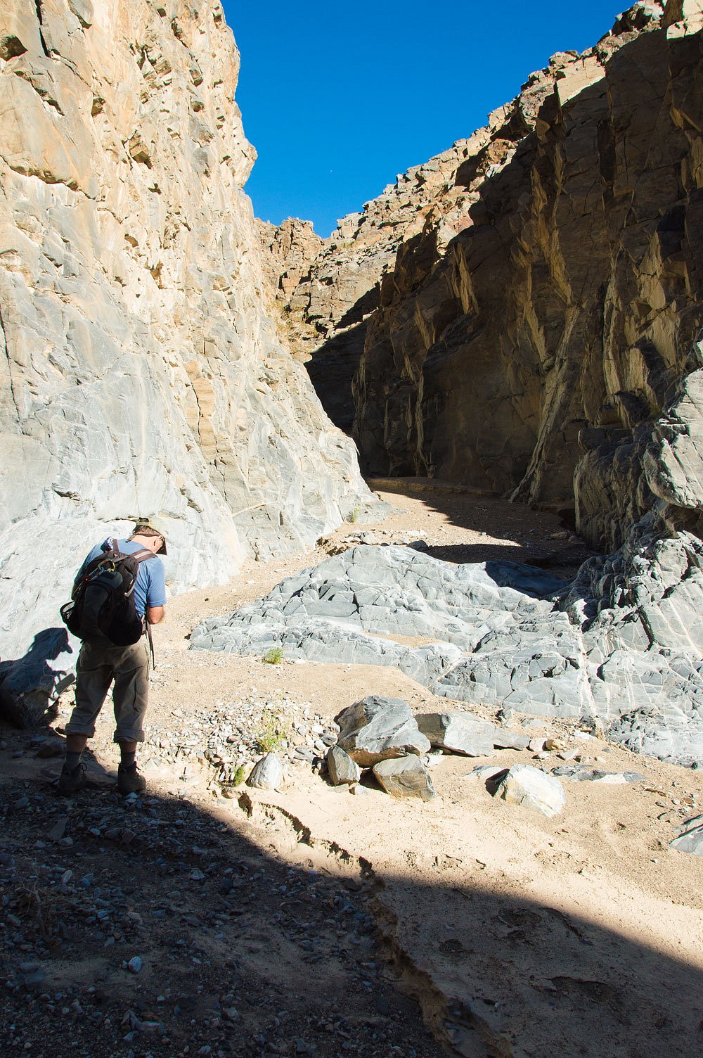
The canyon
narrowed and we arrived at the "scary pour over". The fall off was
higher than we expected. The last rain event had scoured the canyon below down
to bedrock. We have seen earlier photos where a deep layer of sand and gravel
was at the base of the pour over lessening the height by several feet. We had to deal with the
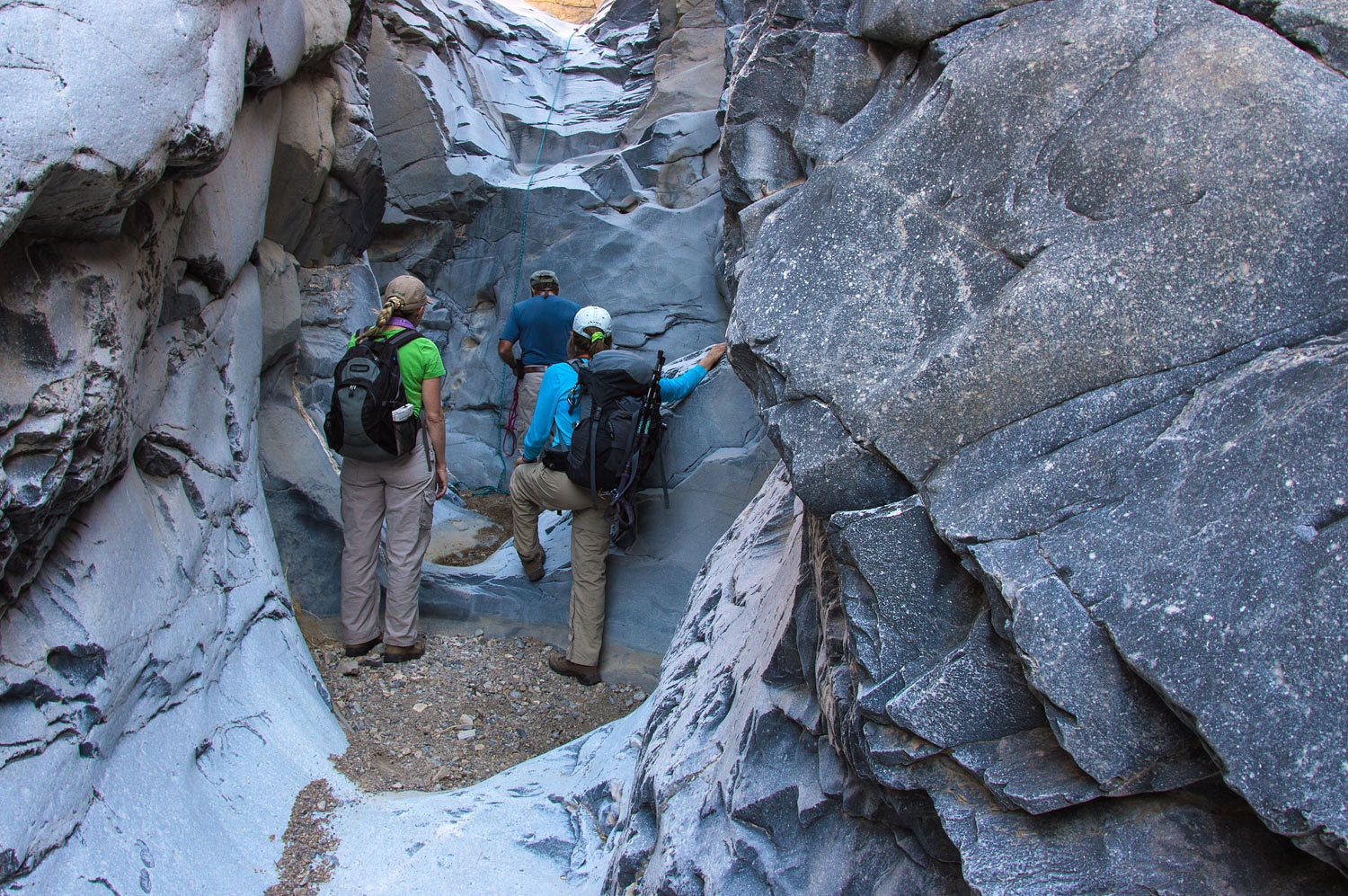
hand we were dealt. Barking Spider had brought along a length of climbing rope.
There was a good belay spot at the top. Barking fashioned a seat harness from a
section of accessory cord and with a locking carbineer attached himself to the
end of the rope. I belayed him as he down climbed. Making the judgment this
effort was both doable and safe, I belayed as he climbed back up. Barking found
a suitable chockstone anchor in a narrowing crack above. We pooled our
equipment. The Lady and I had a couple of webbing loops and more locking
'bineers. The anchor was set and Barking fixed the rope in place. We took turns
lowering ourselves down.................................
...........................until
we were all safely down.
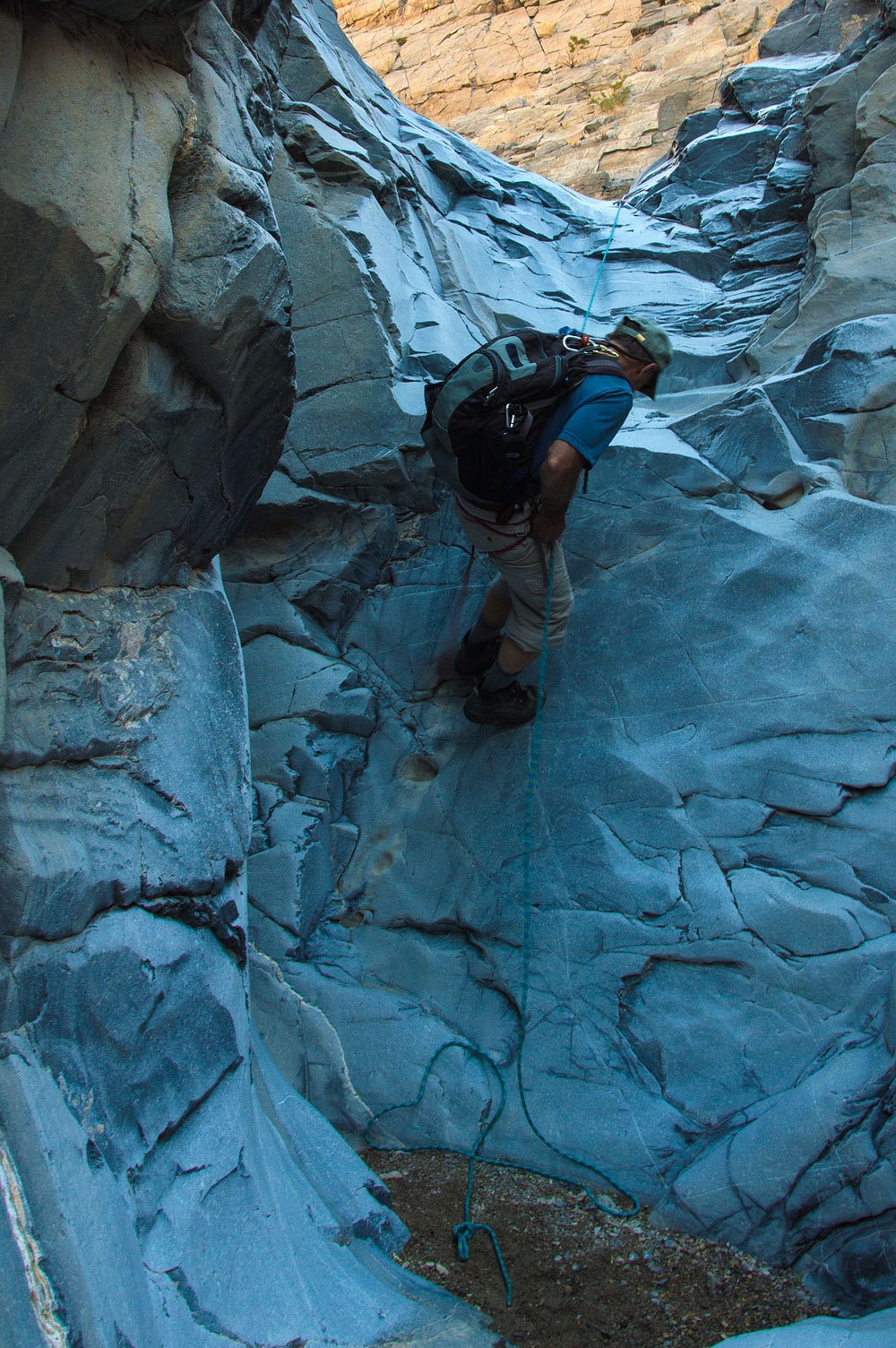
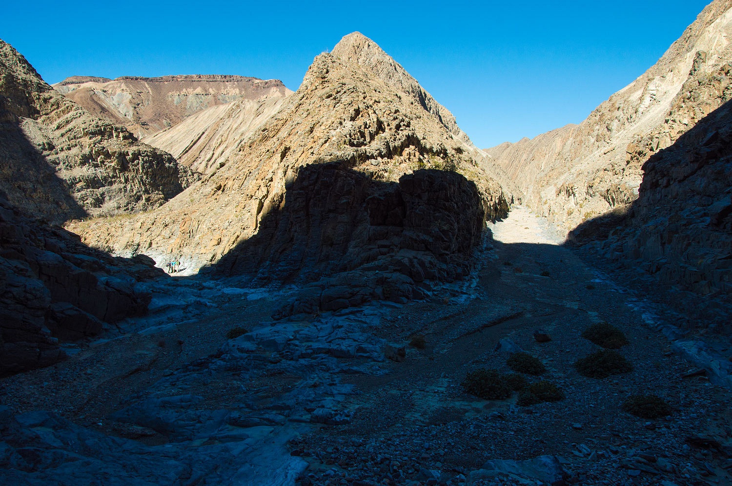
The canyon
continued to narrow and steeply drop as we descended further. This was exciting
terrain.
This side
canyon, the path of that broad wash above, narrowed to only a few feet
wide............................
............................before
it dropped us into The Corridor.
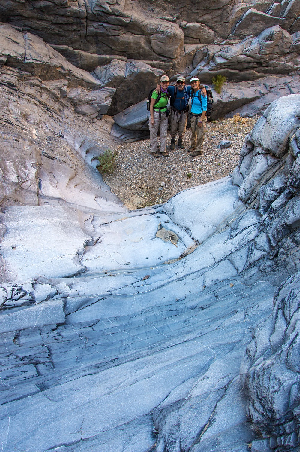
The Lady determined
our location on her map.
The Corridor
is a mile long near straight slot of missing vertical layer of
limestone. It was pretty darn cool.
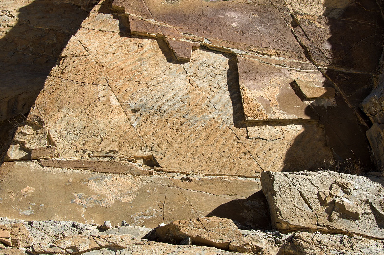
On one wall
was an exposed section of fossilized ripples in mud.
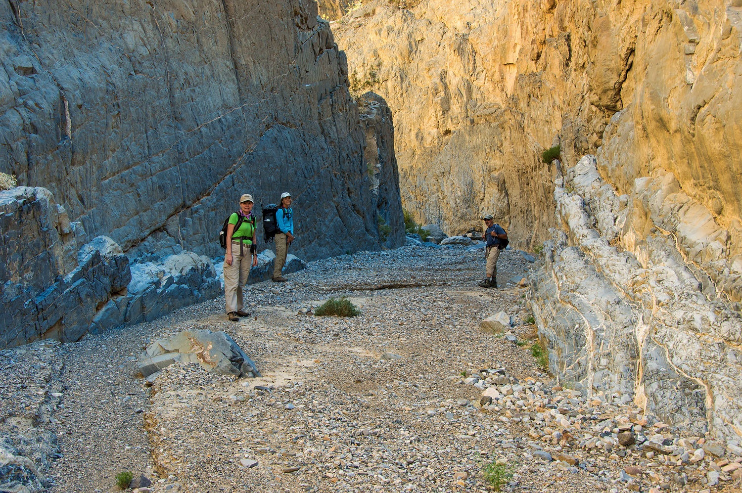
At the
southern (downstream) end of The Corridor the canyon makes an amazing 180°
turn. The group is on the left, in the sun, finding a nice spot for a break and a
snack.
Our break
was short as we were anxious to backtrack up The Corridor to its upper end.
We returned
to our narrow slot and the pathway back to our trucks. The canyon bottom was
littered with sheep pellets and remnant pools of water.
We were soon
back to the pour over. Don't forget to notice the petroglyphs.
Barking tied
up his harness and self belayed up the fixed rope with a prusik loop as he
climbed. He then belayed each of us as we followed. The familiar clipped
dialogue of climbers was repeated three times.
The climber
said, "Up rope!" and when the rope grew taut, "That's me!"
and then asked ,"On belay?" Out of sight above a voice answered,
"Belay on!" "Climbing!" the climber announced. The voice
above responded, "Climb on!"
I was last
up. The lady climbed up ahead of me.
We pulled
the rope and anchor and headed up the canyon. We found no
footprints, except ours, below the "scary pour over" or in The
Corridor below.
We
thoroughly enjoyed our adventure in Corridor Canyon. Barking expressed his
opinion it was the best Death Valley canyon he had traveled.
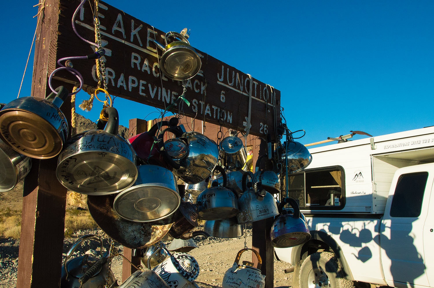
We reached
our trucks mid afternoon and finalized our plans for the next day. We again passed
the famous Teakettle Junction.
The next day
was one for the girls. I'll explain in Part Three.
Please click Here for Part Three
Congratulations on your lifetime pass and the pictures!
ReplyDeleteWhat an awesome hike! Thanks for sharing the views.
ReplyDeleteThis one is now on our expanding list!
ReplyDelete