
please remember you can click on a photo to see a larger version
The nights
were wonderful, cool, and we slept with all the windows open. The creek was
nearby, its soothing melody a tonic for sound sleep. Our fellow campers were
quiet, as how we would wish every mountain campground to be.
Tuesday
morning the Lady wiggled to life. She was enjoying this. Our water bottles,
food and snacks all had to be ready the evening before. Morning was for coffee,
a walk as the world wakes, breakfast, get the boots on, the packs, and hit the
trail.
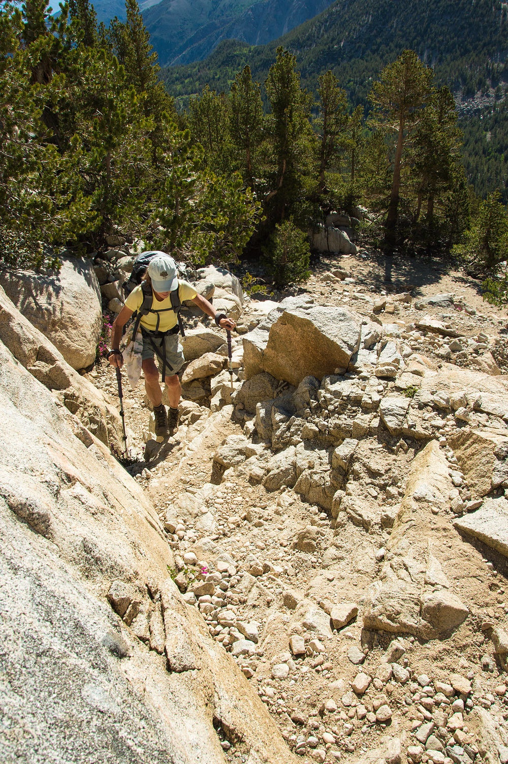
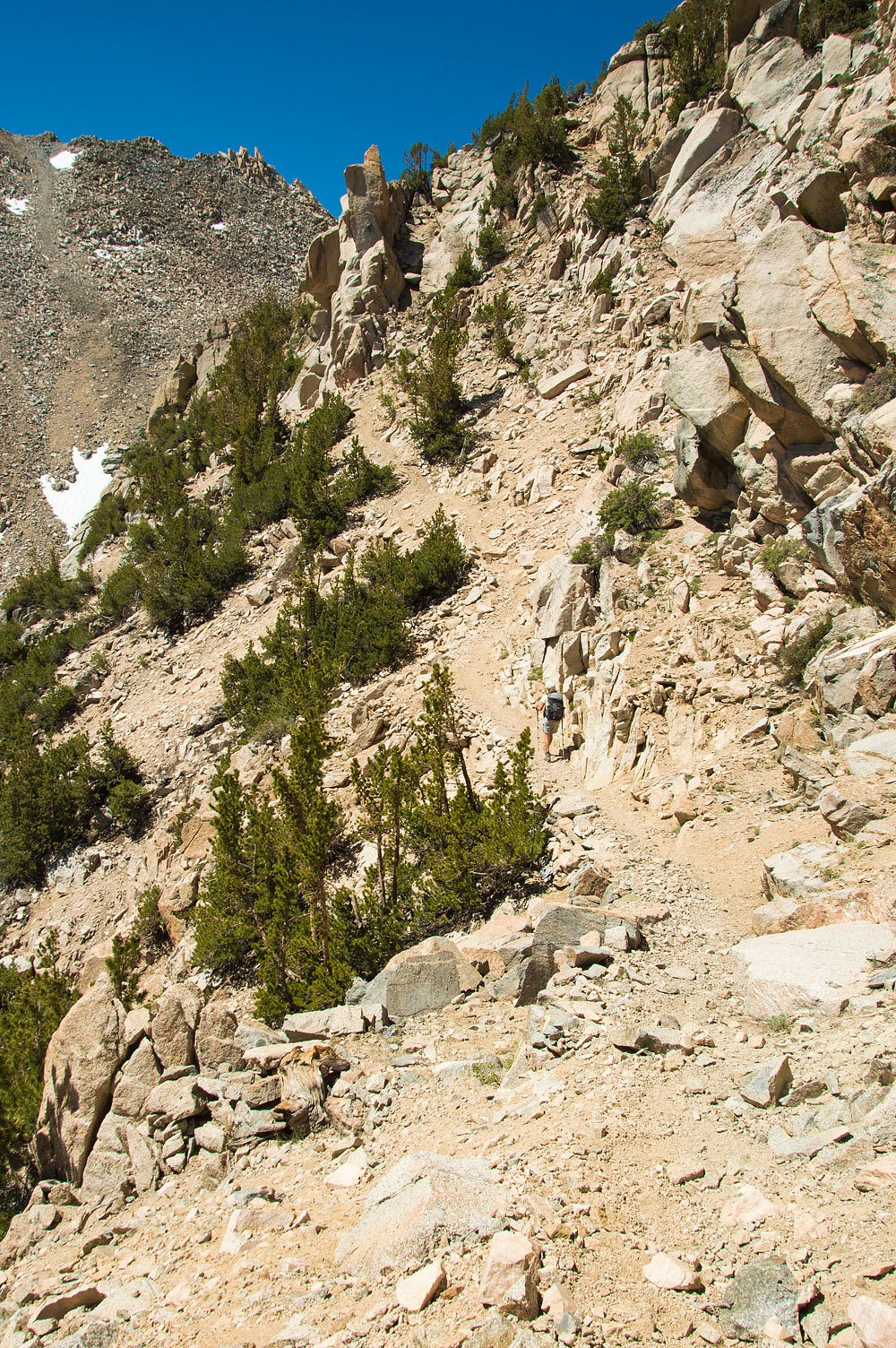
The trail to
Lamarck Lakes goes right to work. After crossing the North Fork of Bishop Creek,
it switch backs it way up the lateral moraine. Topping out, it is level only a
short distance and then ascends a rocky point in steep, tight switchbacks. This
wakes the legs up nicely.
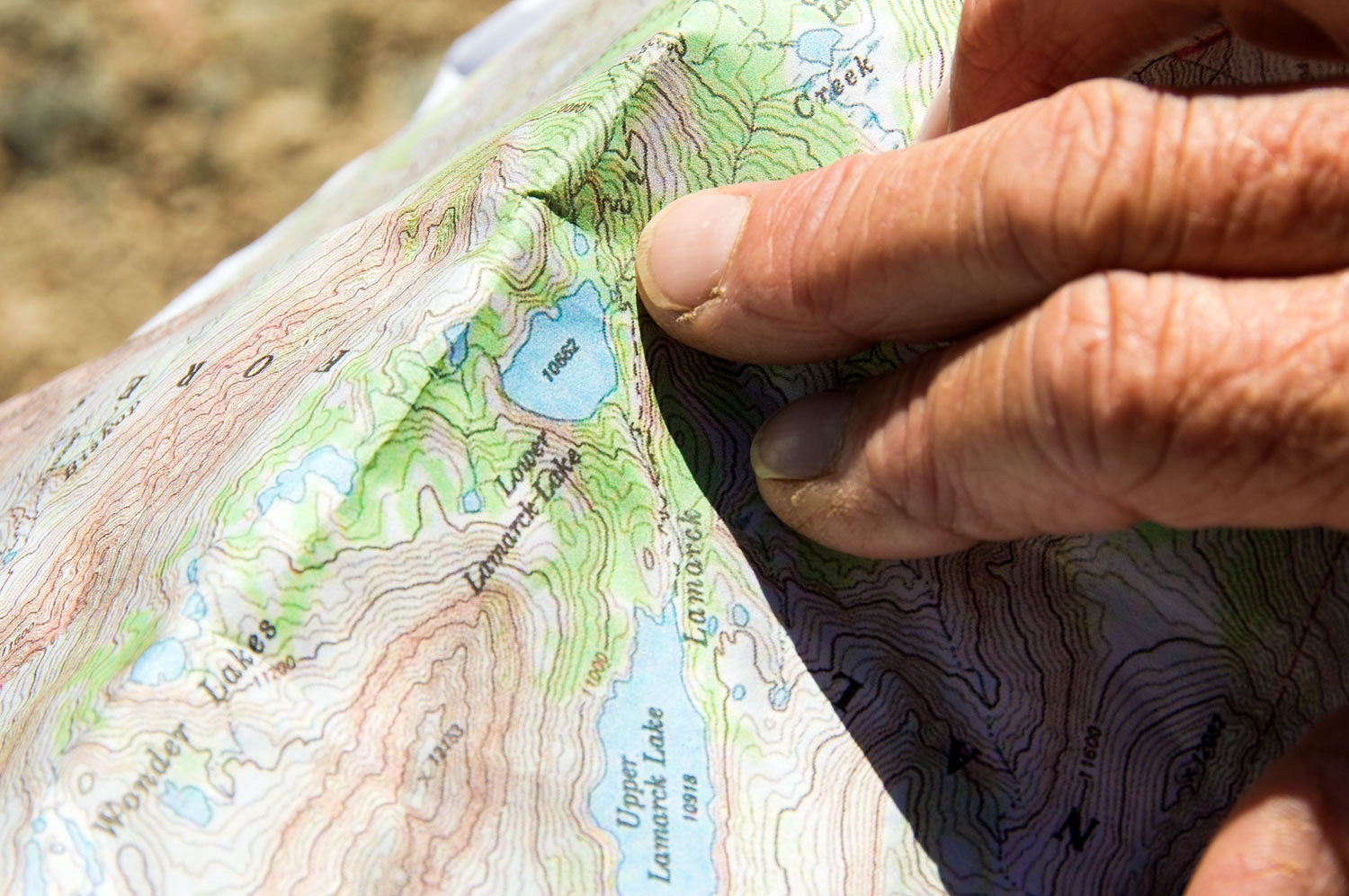
The Lady
keeps her navigation skills sharp by keeping us continually "found"
on the map.
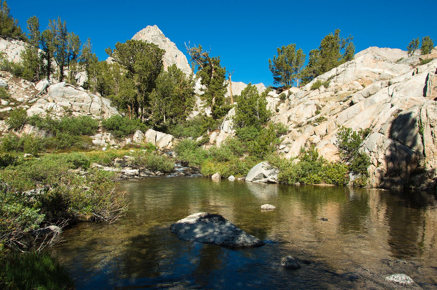
There was a
little wet rock hopping at the outlet from Lower Lamarck Lake.
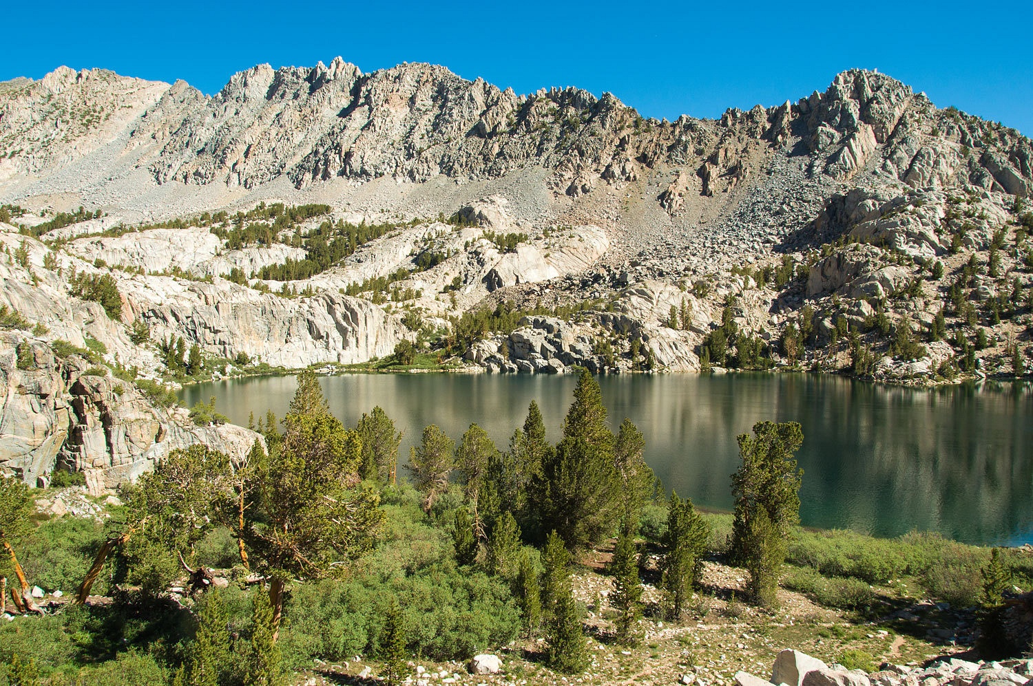
Beautiful
trailwork took us on the climb along and above Lower Lamarck Lake.

The trail
ends on the map at Upper Lamarck Lake. We were looking for the route to Lamarck
Col, a high rugged pass on the Sierra Crest between the John Muir Wilderness on
the east and Kings Canyon National Park on the west. We climbed the granite
knob to the south of Upper Lamarck to get a view to orient us.
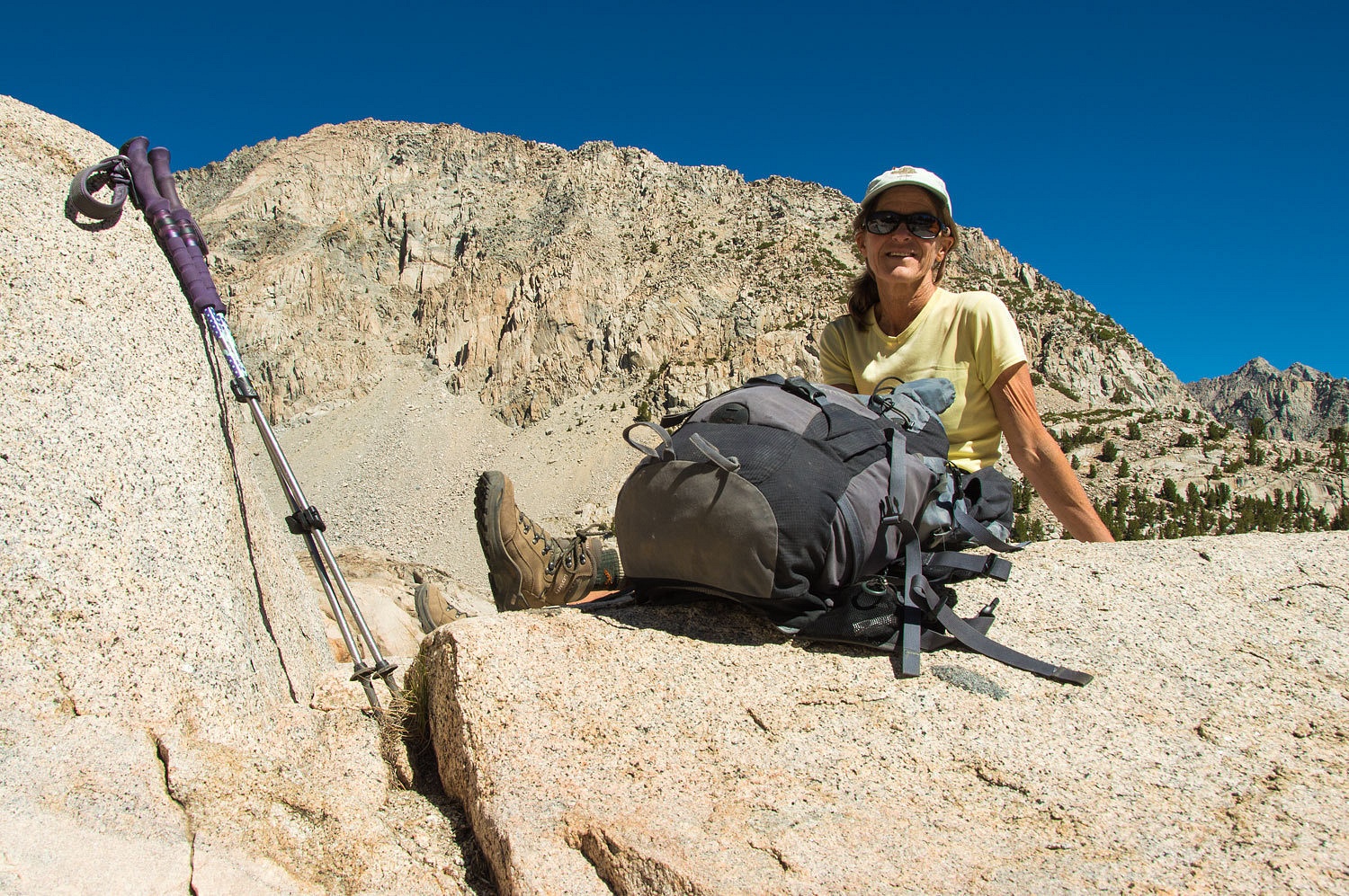
We spotted
the trail to the col steeply switch backing up an almost vertical point on the ridge. We
climbed steeply down to the east from our point to intersect the steep gully
running toward this ridge. There we found a very nicely defined trail. We
started the climb.
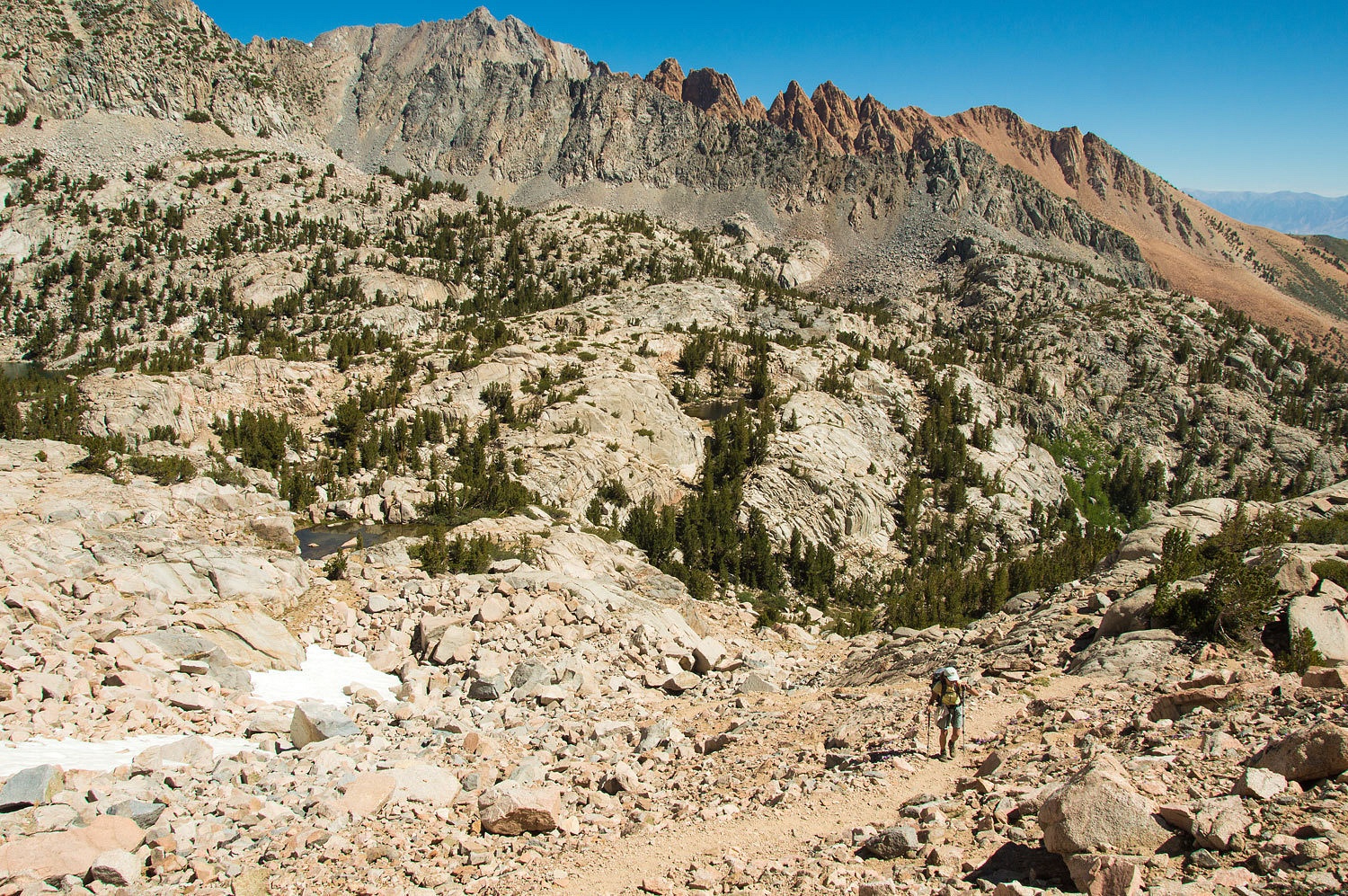
The trail
rounded a corner and traversed across a steep gully dropping into the drainage
to the south.
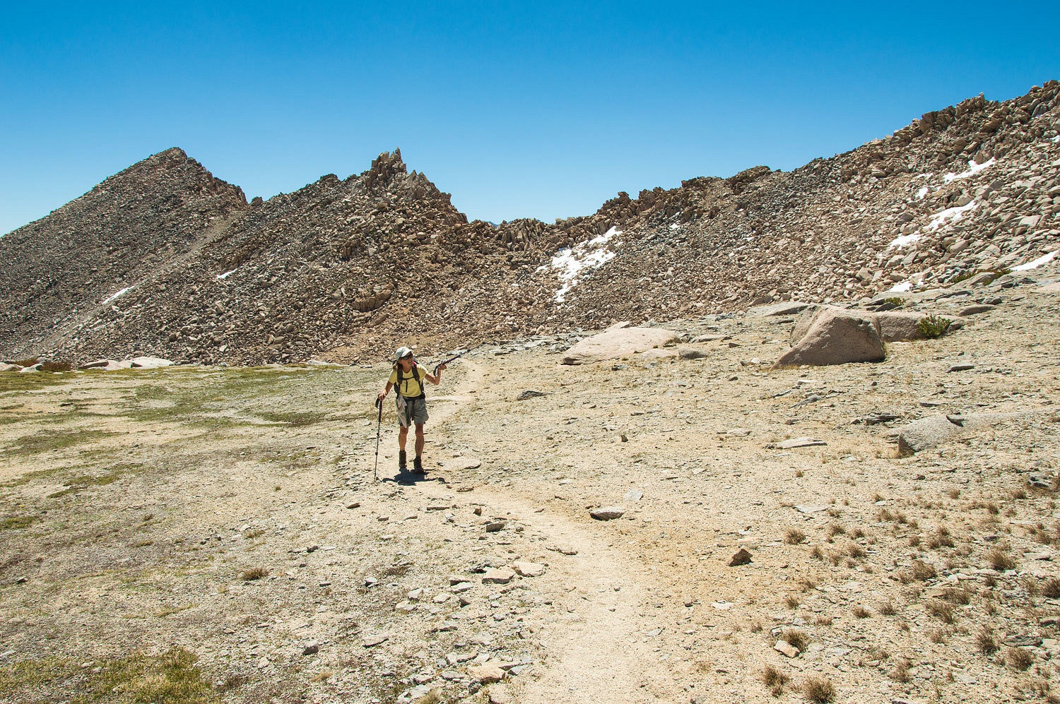
A climb
through a notch in the rock and we entered the high hanging cirque that leads
to the col. This cirque is long and has three high benches to ascend before
reaching the top. Topping out after climbing the first bench, now well above tree line, the Lady pointed
at the second bench and asked, "Is that the col?"
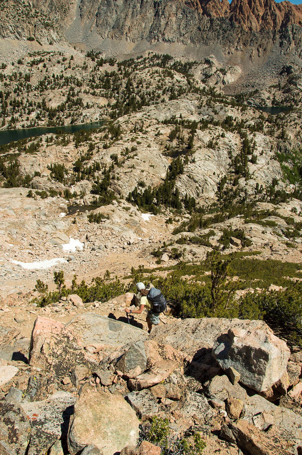
Continuing
to climb, she headed for the second bench to find out. It is a hump up to the col.
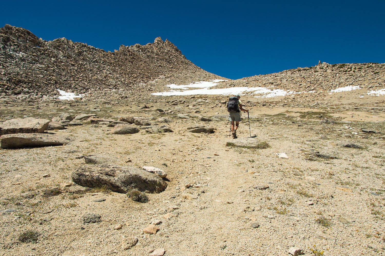
Topping out
on the second bench only revealed the next step to climb.

The defined
use trail ended in this area, most likely because of the large snowfields that
linger here well into summer's end in a usual non-drought year.
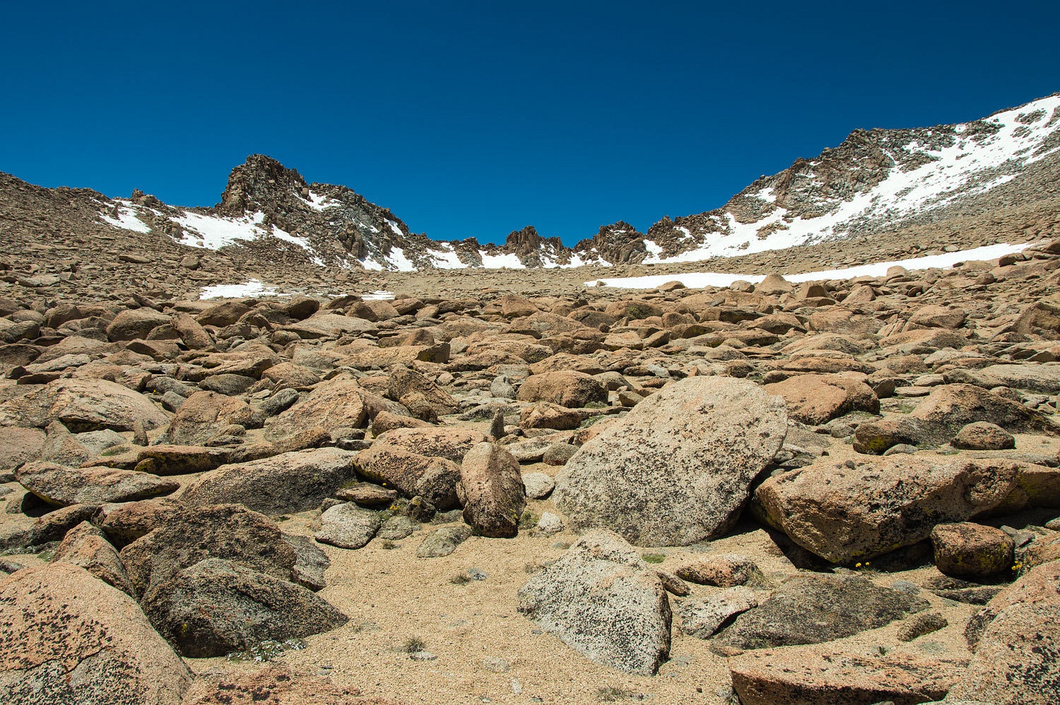
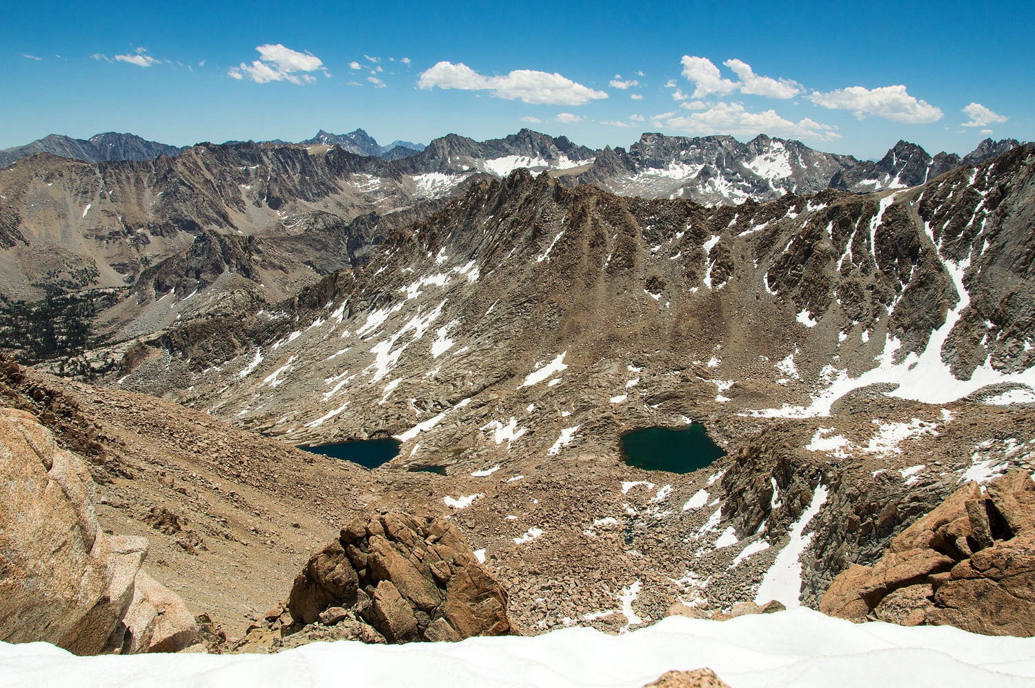
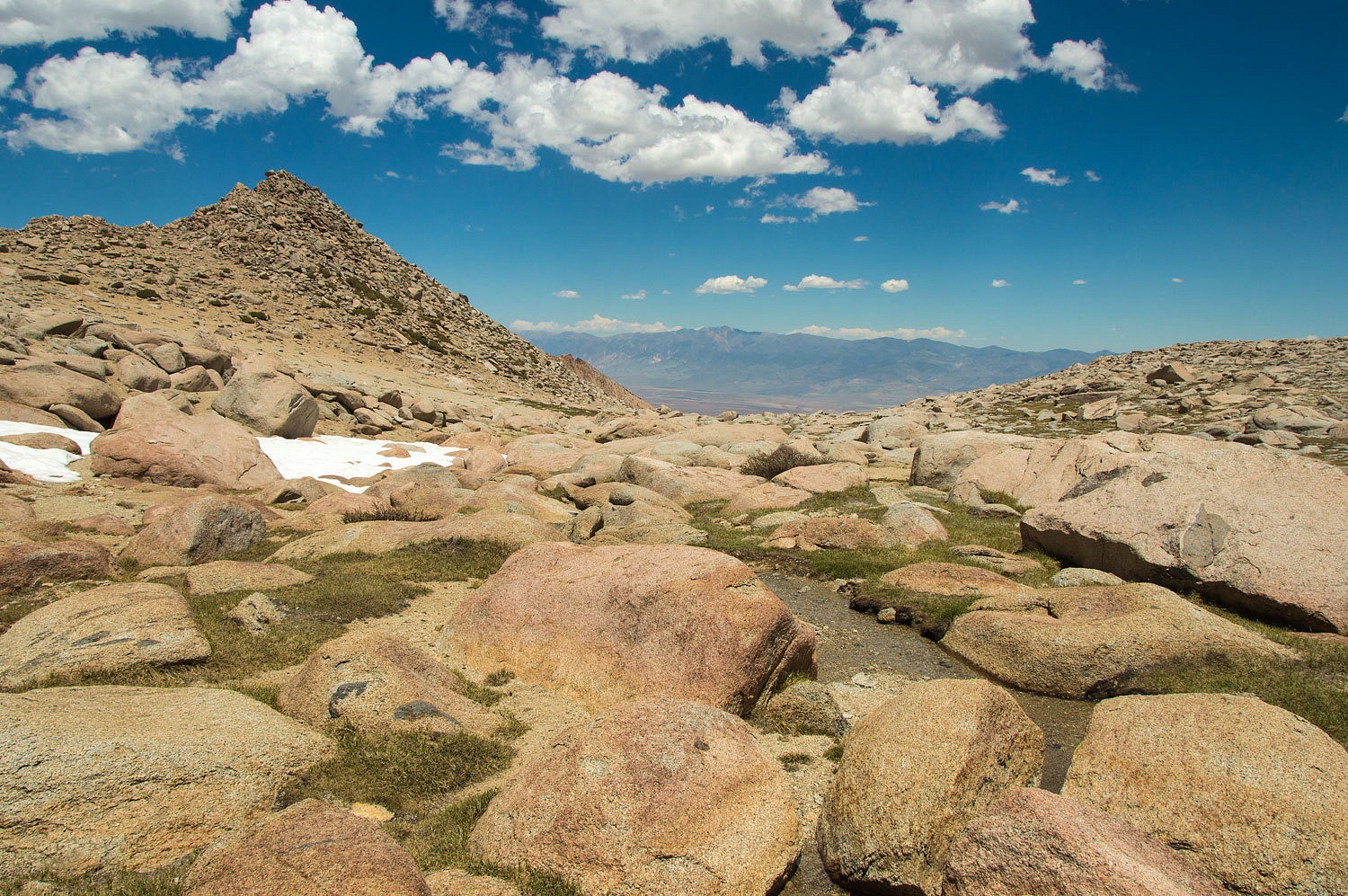
Topping out
on the third bench, the crest and col finally came into view.
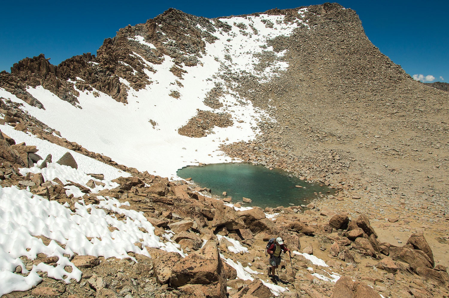
Lamarck Col
is the first low spot right of the point on the left in the photo below, where
the tracks in the snow lead.

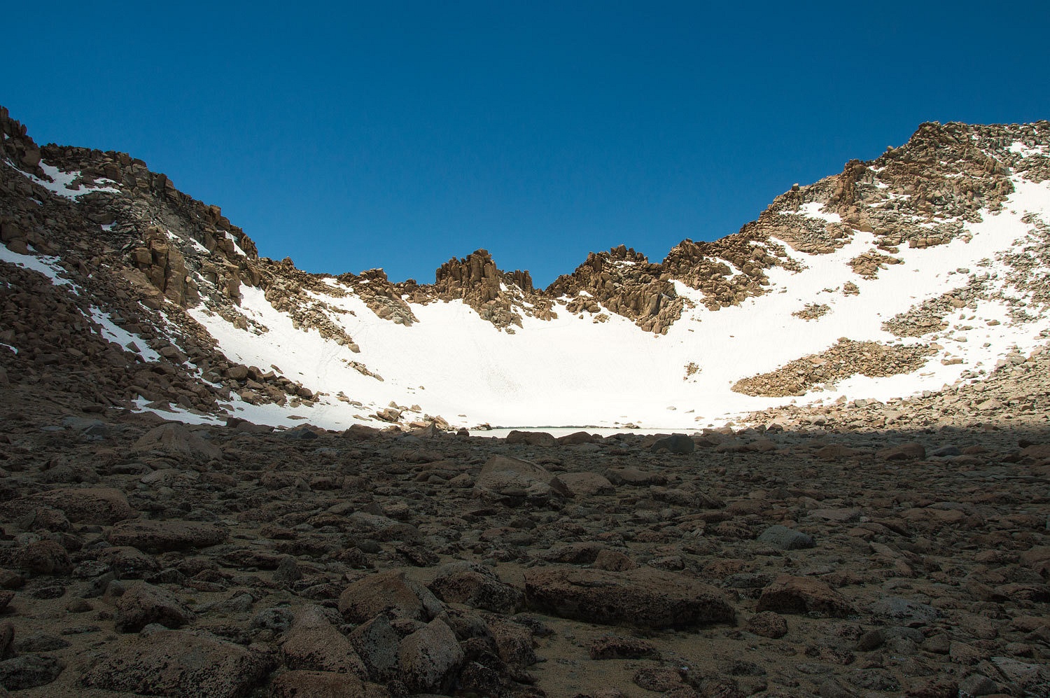
It is
recommended to camp at this tarn and climb the steep hard, refrozen snow in the
early morning for safety. Getting direct sun in the morning the snow softens
quickly, especially around rocks on the edges or outcrops in the middle. Later
in the day is risky. People have punched through to their waists with legs
plunging into the tangle of rocks below, sometimes with injuries. As much as I
wanted to look into Darwin Basin on the other side, we climbed the bare rock to
the left of the point.
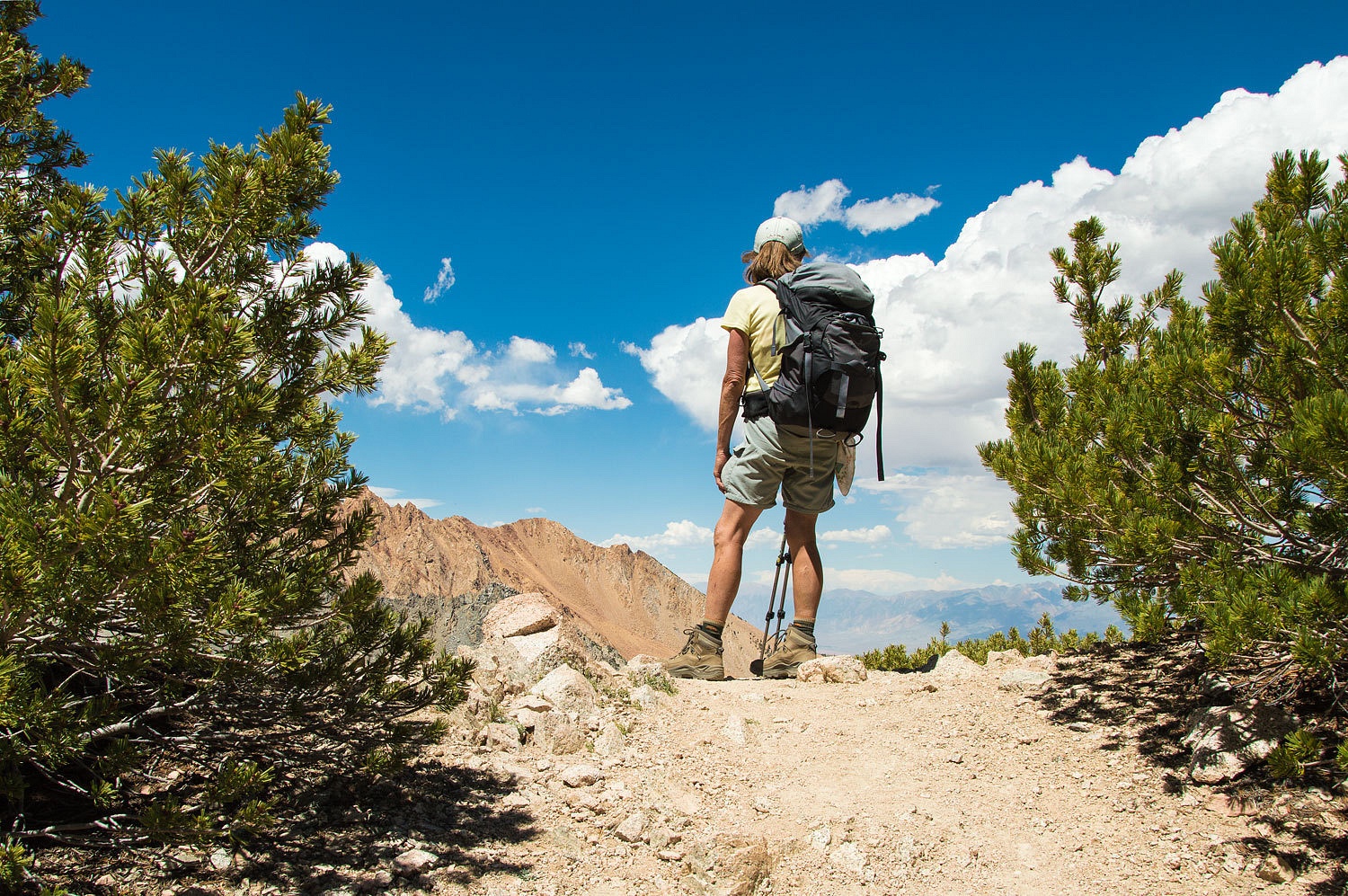
The visuals
from this remarkable, alternate high point at 13,000 feet did not disappoint.
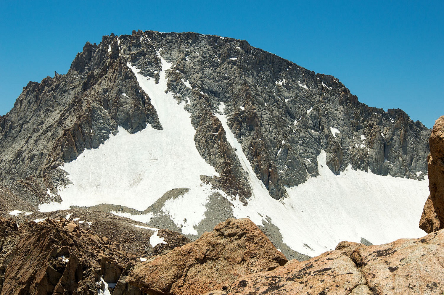
We had a
tremendous view of Mount Darwin with its glaciers.
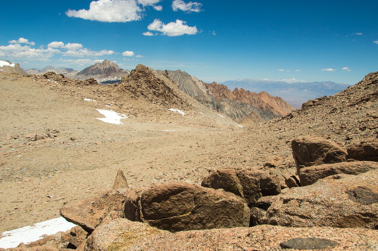
The view to
the north was dominated by Mount Humphreys. To the right, across the Owens
Valley, rose the White Mountains with White Mountain Peak on the far right and
Montgomery Peak on the north end.
I had an
alternate reason for my interest in Lamarck Col. I first heard about the November 18, 1942
crash of a military aircraft into the Mendel Glacier above Darwin Basin from our
friend, Pat Macha. Pat has information and commentary about the crash on his
website - here. It is a sad, but riveting story that was well crafted in Peter
Stekel's recent book, Final Flight. Lamarck Col is the "easy way" to
Mendel.
This was a
glorious high perch. Cold wind streamed over the ridge. It was time to go. As
we exited the top basin, we took one last look back.
We stopped
for water in the second basin, ice cold from melting snow.
The stark
beauty of this high country was almost overwhelming.

Back at the
high notch and the start of trees, the Lady looked down at Grass Lake and in
the far distance, North Lake near our camp.
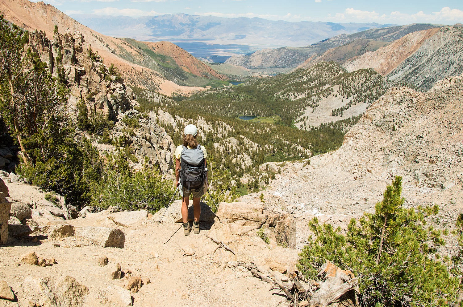
Soon we were
on the ridge point high above Upper Lamarck Lake.
We took our
time dropping back down the route, often saying to each other, "Would we rather be here or back at
camp?"
We took a
long break back at outlet from Lower Lamarck Lake.

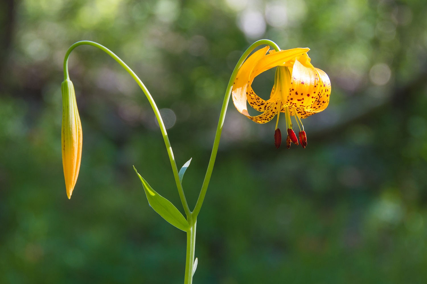
Late
afternoon found us back along Bishop Creek's North Fork among stunning Leopard Lilies.
This was
another wonderful day for us in the Sierra high country. Our muscles were warm
with use and our souls equally warmed by the landscapes we were honored to
become a part of.
Tomorrow -
Up Bishop Pass!
Continued in Part
Four - Please Click Here
"The stark beauty of this high country was almost overwhelming."
ReplyDeleteThat captures perfectly the sentiment I was searching for yesterday in my comment to Part 2. :)
Love the photo of the Leopard Lily. Looking forward to Part 4.