
please remember you can click on a photo to see a larger version
We made it into Stanley, stopped at Sunbeam Hot Springs along the Salmon River, and then headed up the Yankee Fork Road to explore.
We made it into Stanley, stopped at Sunbeam Hot Springs along the Salmon River, and then headed up the Yankee Fork Road to explore.
Bonanza
Ghost Town below Custer.

The Yankee
Fork Dredge.

Bottles in
the window of the Custer Museum.

Downtown
Custer Ghost Town.
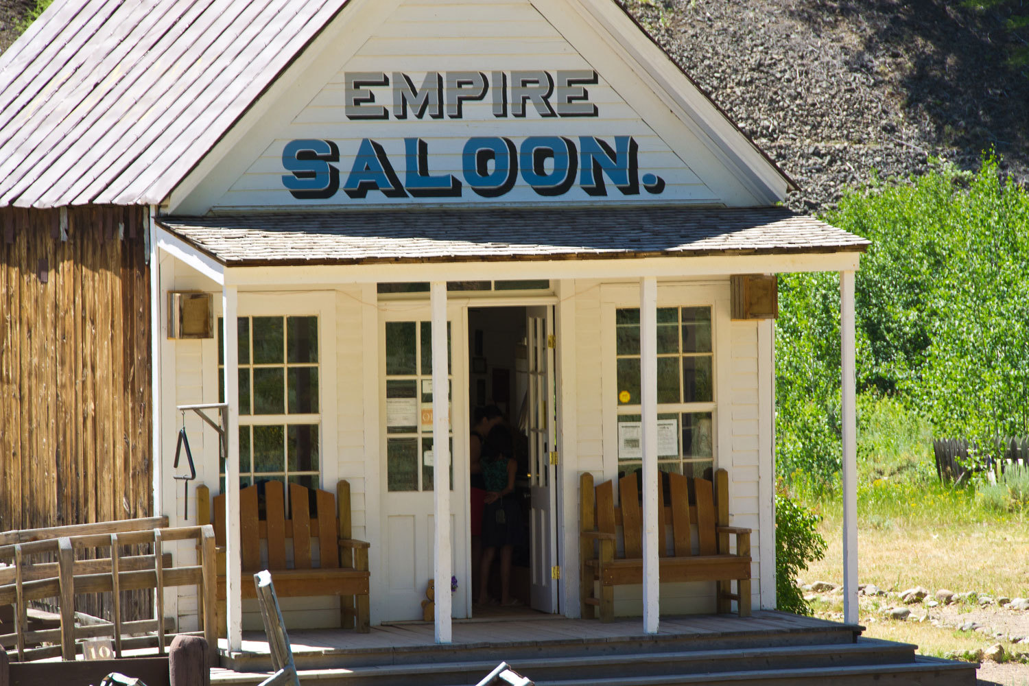
The woman
docent in the Empire Saloon was very knowledgeable and fun to talk with
although this exhibit didn’t need much explanation.

Custer was
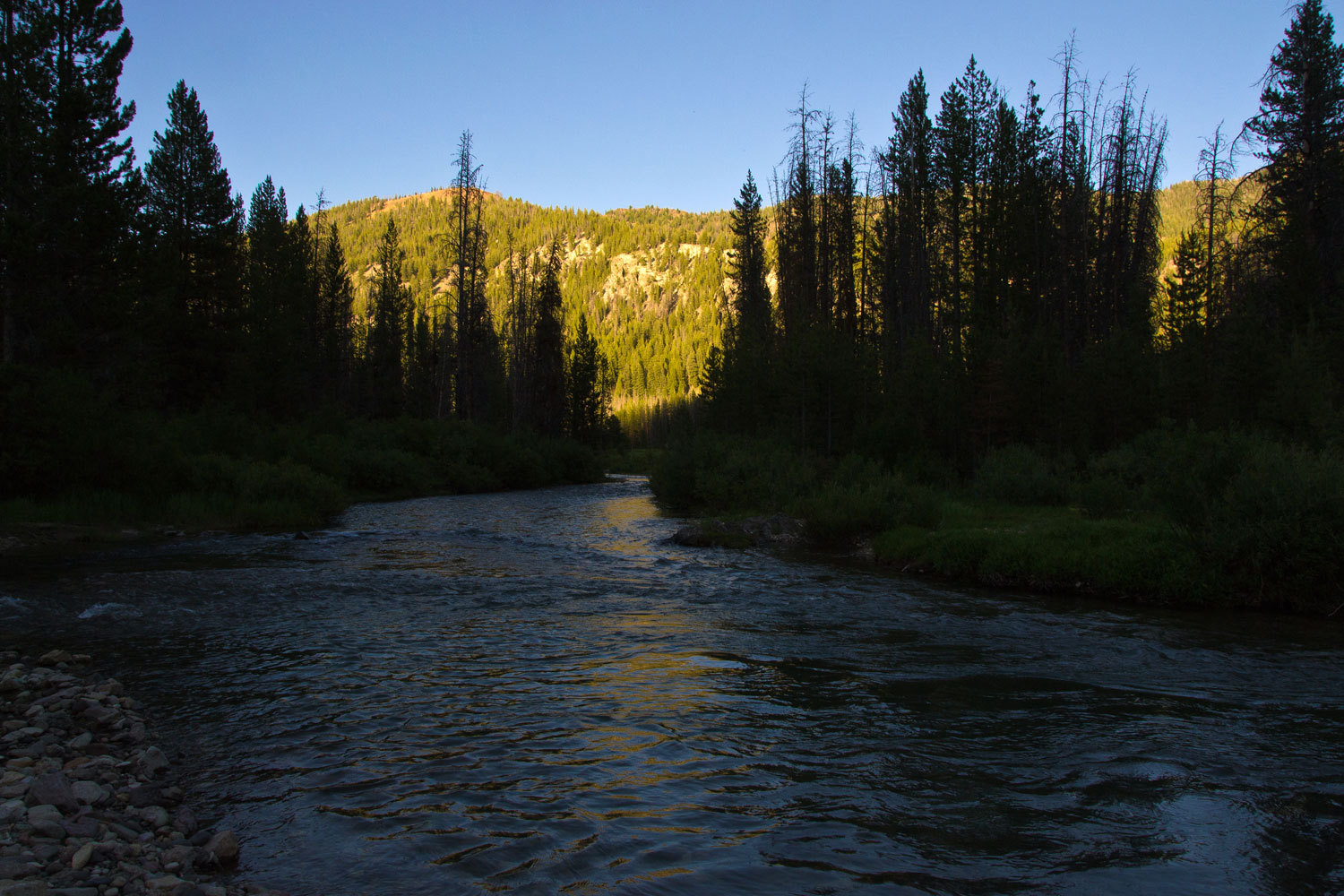
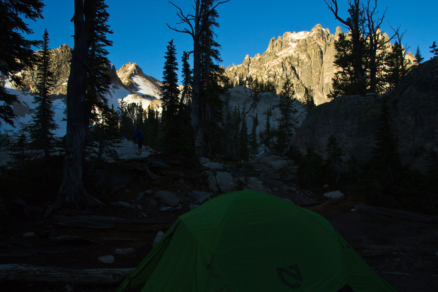
an enjoyable stop. We then headed up the Yankee Fork of the Salmon River and
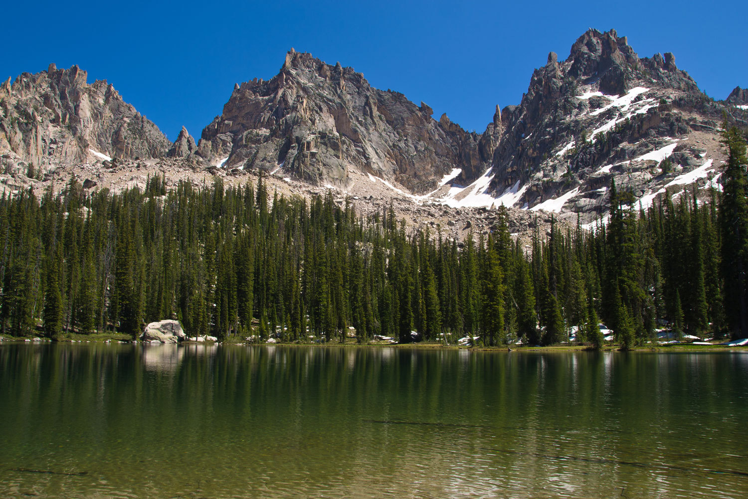
found a nice campsite. This was our view from our chairs as we had dinner.
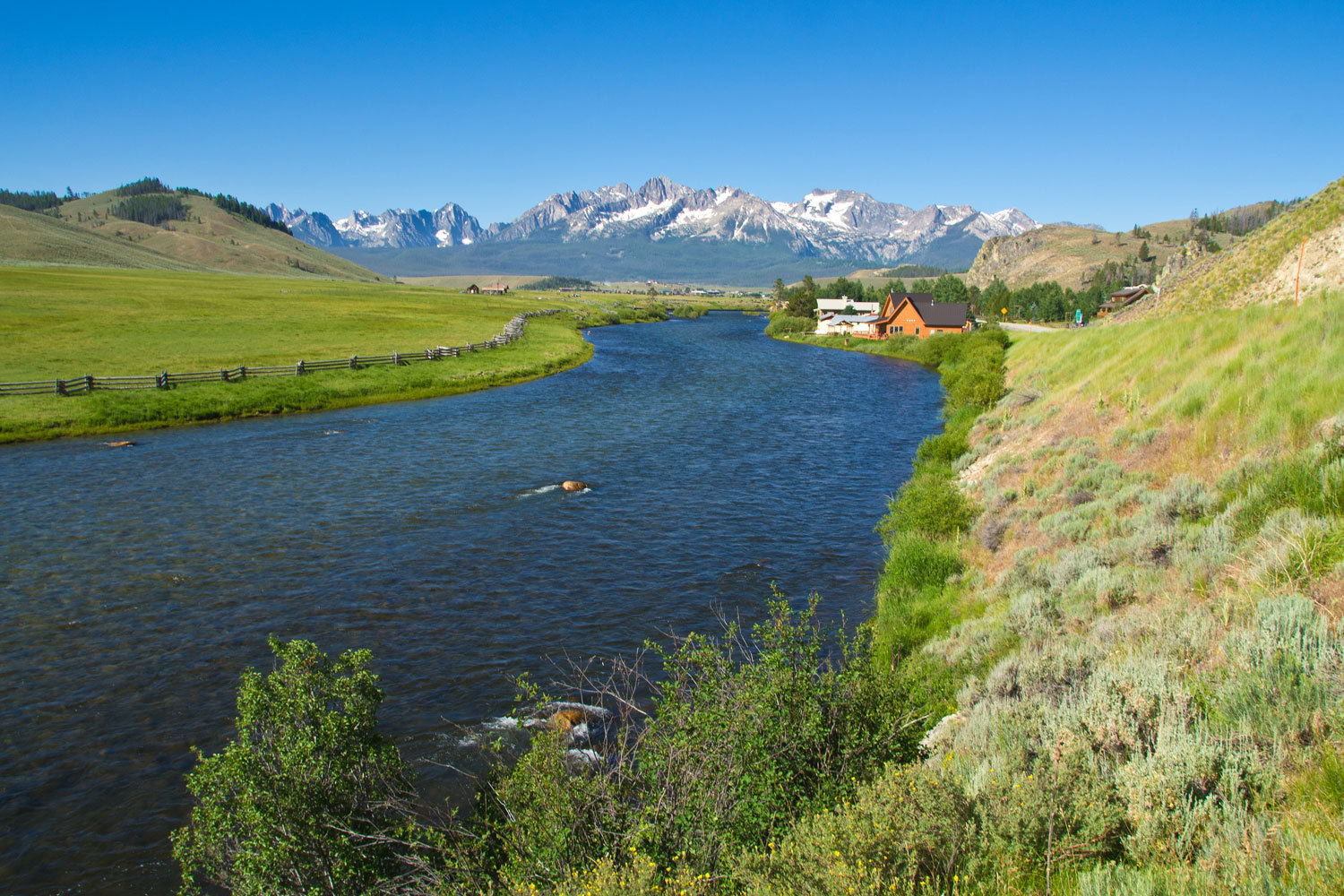
Sunday
morning we headed into Stanley, the gateway to the Sawtooths.
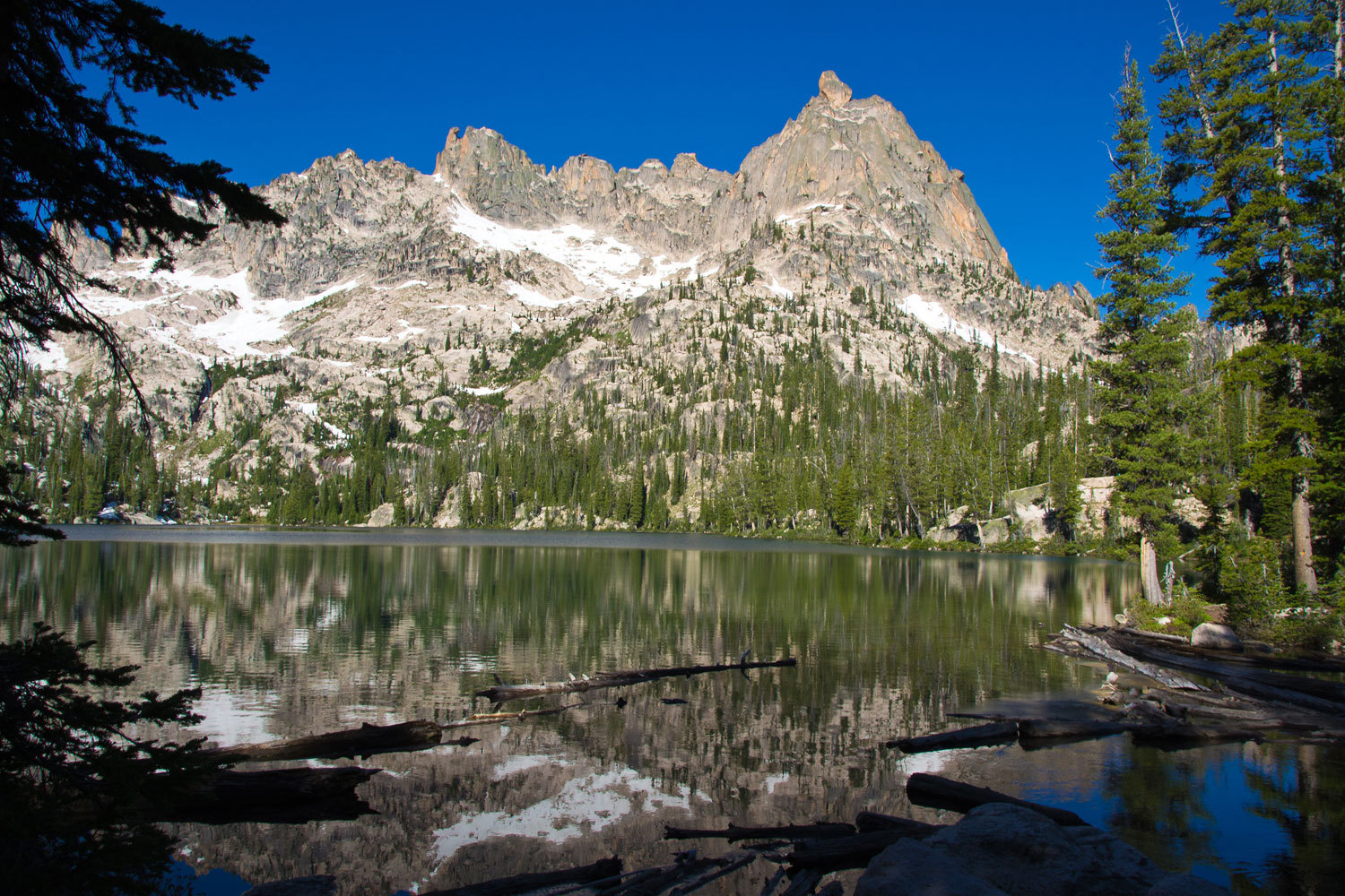
We had
reservations for a campsite in Point Campground on the north shore of Redfish
Lake. Point campground has just 15 drive in sites and only small campers and
tents are allowed, no rv’s or motor homes. It also has a few walk in tent
sites. There is a swimming beach on the west side of the peninsula and the
bathrooms are heated with running water and flush toilets. We think this is the
best campground at Redfish Lake. It is within walking distance of Redfish Lodge
and the Visitors Center.
The next day
we were to begin our seven day backpack trip into the Sawtooth Wilderness.
Into the
Wilderness.
Three years
ago, while backpacking into Idaho’s White Cloud Peaks, we met a young man who
told us about Warbonnet Basin in the Sawtooths. It was a good enough story to
get us searching maps and zooming in with google earth and making plans. This
was our first trip into the Sawtooths.
The Lady
& I have developed a fairly efficient camper routine. There was a lot to do
this morning. Up early, enjoyed our coffee, breakfast, change into backpacking
attire, stow away all our traveling gear, drop the top and secure the camper,
drive over and drop the Lady & our packs at the Redfish Lake Lodge dock,
park the truck in the Wilderness trailhead parking, and walk back to join the
Lady for the boat ride to the end of Redfish Lake.
“There’s
nobody here and it’s seven thirty,” the Lady said as I walked up, “Sign says
they open at seven.”
“That’s what
they said when we talked with them yesterday afternoon,” I added as we looked
around.
“Well as
busy as it was here yesterday, it is so beautiful and quiet this morning. I’m
happy.” She smiled.

A couple
from the Lodge came out. They wanted to rent a boat for the morning.
“Someone
will be out to take care of us. Isn’t it beautiful?” The Lady told the couple,
her attitude was infectious.
A climbing
guide from Stanley joined us. He was meeting clients up Redfish Canyon. The new
guy showed up.
“Take care
of renting a boat to this couple. What boat do you use for the shuttle? We’ll
stow our backpacks and be ready to go when you are.” I told the young man.
Soon the
fifty horse Merc was propelling us across the smooth water. We were happy we
had dressed warm against the wind and spray. It’s about a ten minute ride to
the dock at the end of the lake. This ride saves you five miles of trail along
Redfish Lake. The guide took off to get to work and the Lady & I were alone.
After stowing our outer layers and eating a snack, it was time to saddle up.

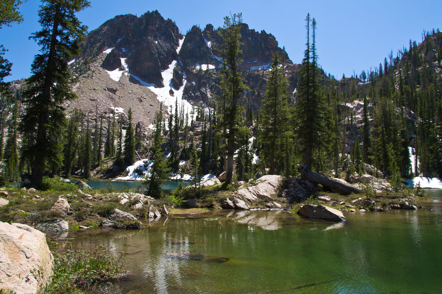
By noon we
were at Alpine Lake and surprised there was evidence of only one other camp at
this reportedly busy place. We set up camp, grabbed the topo and our daypacks,
and set out. We had some reconnoitering to do.
We quickly
polished off the couple miles to the top of Baron Pass which gave us good views
of our route into Warbonnet Basin. Along the way we met four men.
“How you
guys doing?” I asked.
“We’re
whipped. We camped at Alpine Lake last night and tried to make it into
Warbonnet Basin today.”
“Didn’t make
it?”
“No. My
buddy had some good information about the route. We found only a couple of
cairns but made the high point where we could see Baron Lakes. There’s a steep
gully on the other side that gives access to a steep basin covered with
snowfields you need to climb. There’s one set of tracks across the snow. This
is way beyond what us flatlanders can do.”
“Flatlanders?”
the Lady said. “Where you from?”
“All of us
are from Illinois.”
“I’m from
Illinois!” the Lady smiled. “Where in Illinois?”
“Half of us
are from Bloomington and half from the nearby small town of Streator.”
“I’m from
Streator!” the Lady exclaimed and Streator stories came pouring out along with
interesting connections.
“Why did you
want to get into Warbonnet Lakes?” I asked.
“We heard a
story about amazing fishing for cutthroat trout. You can catch fifty fish a
day. All the lakes are good in the basin.”
“Similar
story to what we heard; must not be much of a secret. We are planning on
spending a few days in there, but we will do a scouting trip tomorrow with our
daypacks and see if we’d even want to carry our big packs over.”
“Lots of
steep snow,” the fellow added.
“We brought
our ice axes. So where you guys going to head now?” I asked.
“We might
just camp right here but we’re hoping we’ll have the energy to make it to Baron
Lakes.”
These guys
looked whipped.
After
topping out at Baron Pass and taking in the views, we returned to Alpine Lake
to find we now had neighbors, lots of neighbors. We enjoyed the evening light
and also walked out for the views down into Redfish Canyon.

Warbonnet
Basin and the entire Goat Creek Drainage is a special management area inside
the Sawtooth Wilderness. There are no trails and the special regulations include
no fires and no dogs. This is one of the most primitive areas in the
Wilderness.
Tomorrow,
into Warbonnet Basin.
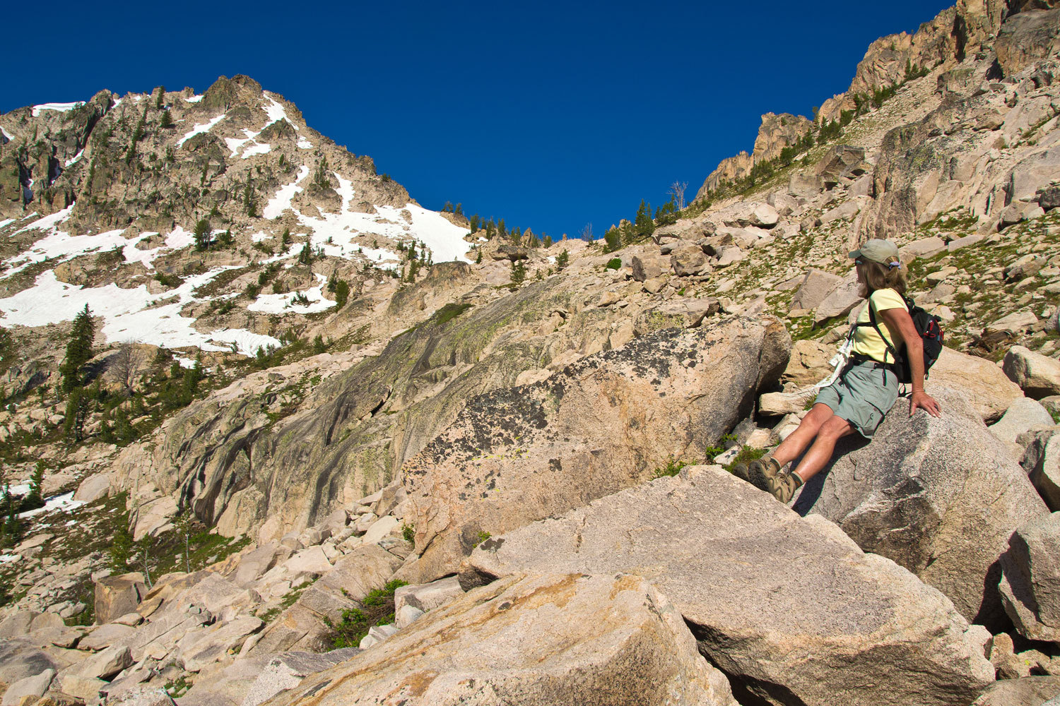
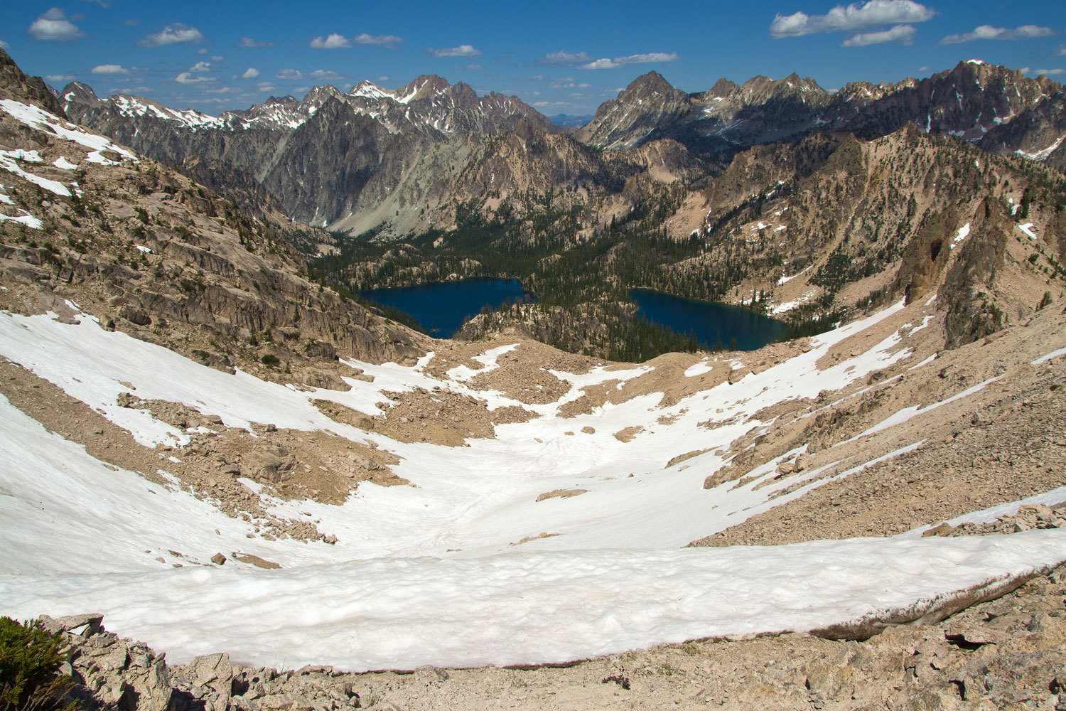
In the above
photo we have already climbed high above Alpine Lake and our route is to
traverse over to the pass, climb the ridge of the peak on the left, drop over
the other side to another saddle, and then drop down steep awful scree into
Warbonnet Basin. Afterward we called it an interesting mountaineering exercise.
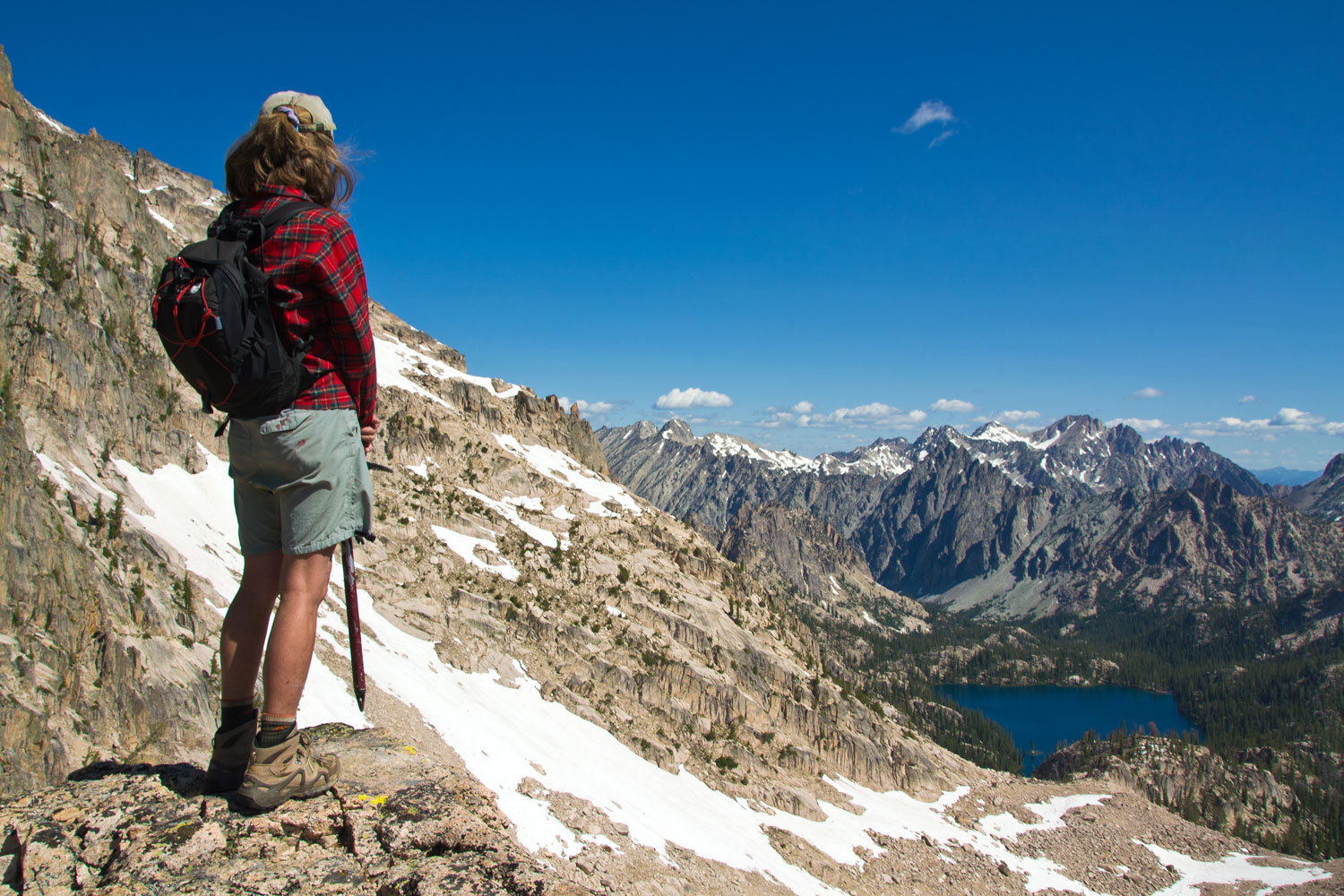
View from
the high saddle down at Baron Lakes. This is not the saddle the Illinois boys
made. It was necessary to climb from the saddle they reached and not down climb
the gully. Behind the Lady, out of view, is the steep drop into Warbonnet.
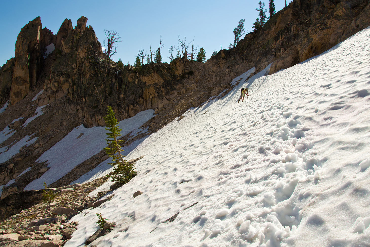
Sorry, no
death defying route photos, the camera got stowed in the pack as both hands
needed to be free.
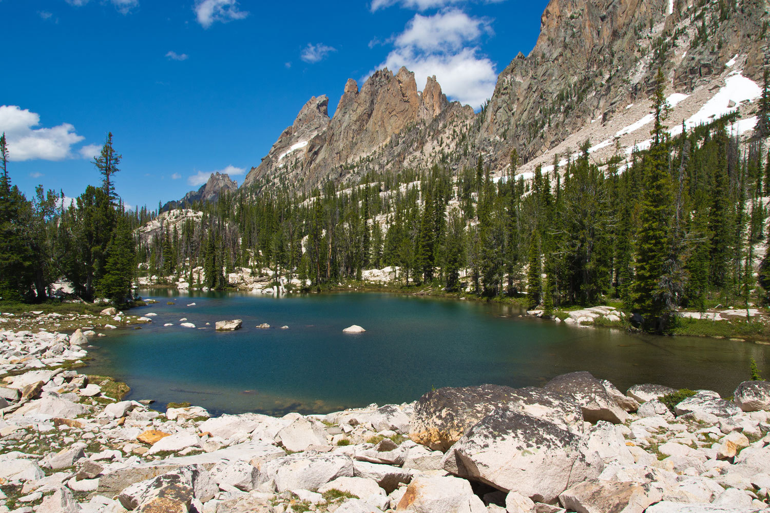
The views at
both Upper and Lower Warbonnet Lakes were incredible.
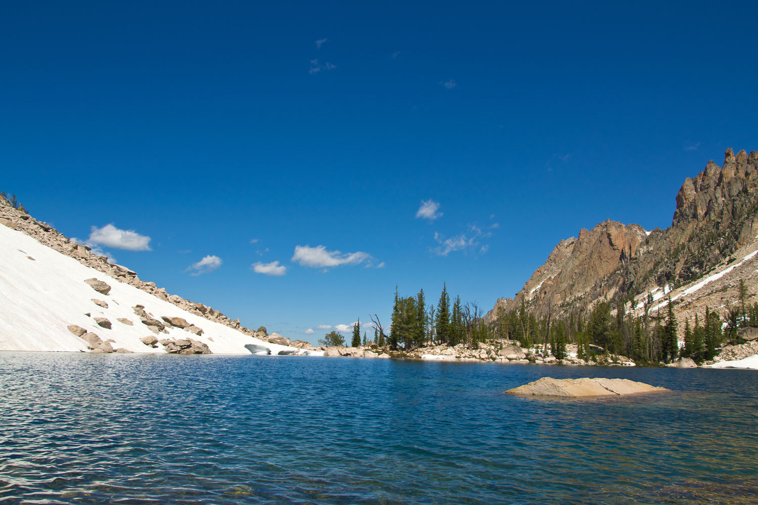
This place
is an alpine paradise.
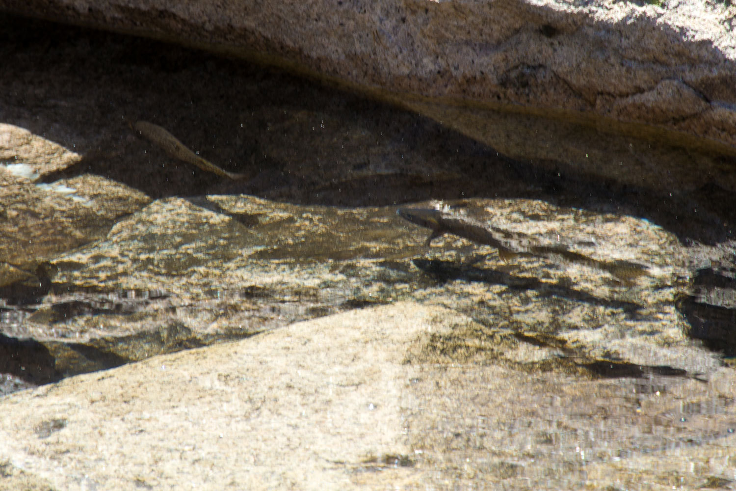
And, the
stories about cutthroat trout were true.
Enroute on
this interesting mountaineering exercise we decided that we were not going to
carry our big packs over the terrain we had crossed. With the condition of the
route, it just looked stupid to do so. We decided we’d make a long day of it in
this beautiful basin and explore everything we could.
After being
surrounded by sharp granite spires, we were surprised to find open smooth
Yosemite like granite on the south side of the basin.

Below
Warbonnet Lakes is the string of the Feather Lakes with the incredible granite
spires of Warbonnet Peak above.
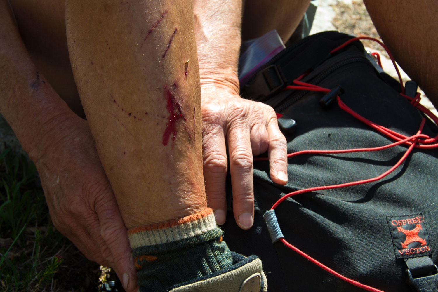
We descended
the basin on the northside of Goat Creek, crossed above the steep drop off down
to lower canyon, and climbed the south side of the basin back up to the
Warbonnet Lakes. Most of this is across and along steep talus slopes and
eventually you will find loose rocks that will bite you as the Lady discovered.
Warbonnet
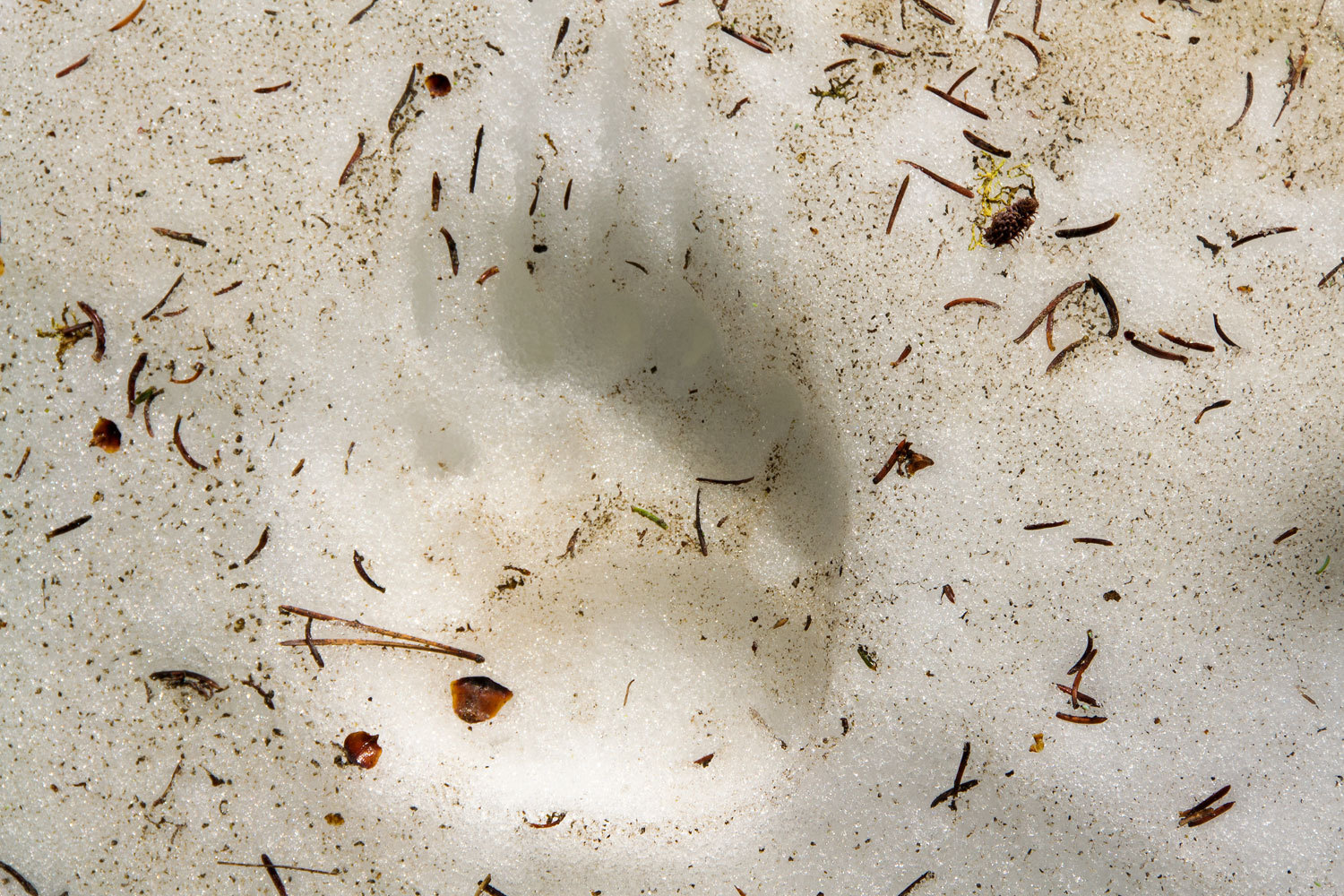
Basin is a very special place. It takes a lot of effort to get in there.
Although we did not see any, there was ample sign - fresh tracks and white fur
hanging from brush - of the Rocky Mountain Goats that live up here, the reason
for the special management area.
Back at the
high saddle the Lady pulled out her see mores and glassed the basin below us.
She spotted a possible campsite high on the ridge between the Baron Lakes.
“Well, if
we’re not going to carry into Warbonnet Basin, I want to camp there. I don’t
see anybody down at those lakes.”
“Looks good
to me!” I answered.
We took a
little different route back to Alpine Lake. It wasn’t any easier.
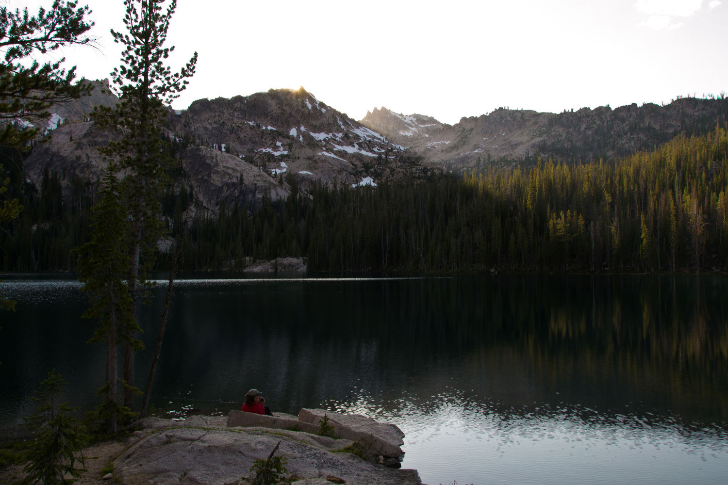
We enjoyed
the sunset and tried to avoid the crowds that continued to stream in.
Tomorrow,
into the Baron Lakes.
The trails
in this area are very well laid out with very comfortable grades. We were over
into the Baron Lakes by mid morning. The north slope down from Baron Pass was
still mostly snow covered and in the morning shade the snow was hard and icy.
We needed to be cautious. The Lady’s camp spot she had seen turned out to be
great. We made ourselves at home and decided to explore and relax the rest of
the day.
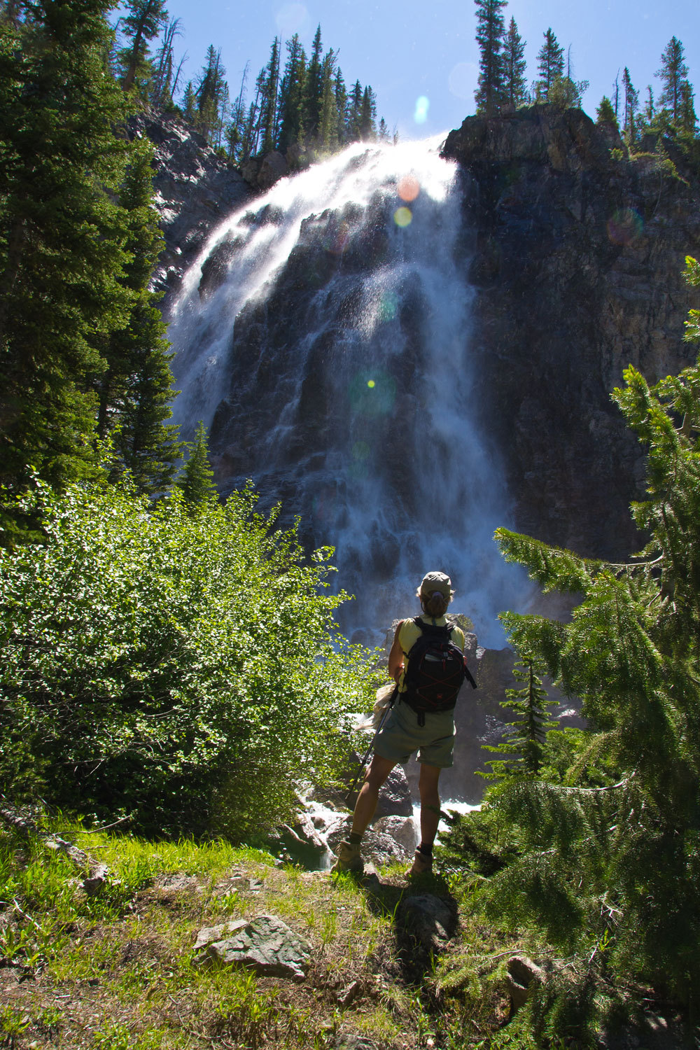
We headed
down to Lower Baron Lake. Waterfalls tumble off of the east side of Warbonnet
Peak to the inlets to Lower Baron Lake amid wildflower covered meadows. It was
a great spot for lunch and a nap.
At Lower
Baron we met a group of backpackers, two couples from the San Francisco Bay
Area. They were a delight to talk with. We shared stories and information about
places we had been. They explained they were an informal club that called
themselves “The Old Timers Backpacking Group.” They said there use to be
several couples over the years but they were all that were left. They told us,
“You’re from California, you ought to join us. You look like you’d fit right
in!” They were fun. They busied themselves with setting up their camp and we
continued on with our exploration. Their travel plan was to continue on to
Sawtooth Lake and then out to the Iron Creek Trailhead.
We both love
maps. That night in the tent with our headlamps we poured over the Warbonnet Peak
quad before sleep. The Lady was getting ideas.
“Look at
this, and this! There are all these lakes off trail around us! I want to see
this one and this one………”
“Tomorrow’s
your day. Let’s make it a cross country navigation exercise. We’ll see
everything you want to see.”
The sunrise
was gorgeous. The high peak with all the granite spires is Monte Veritas.
We headed
back down to Lower Baron Lake with a view of the east side of Warbonnet Peak
and what is called Big Baron Spire.
Next stop
was the third and lowest and smallest Baron Lake. It’s about a quarter mile off
trail and appears to have the largest brook trout. The Lady was doing a great
job navigating. We continued on to the base of Baron Falls, a couple of miles
down canyon.
From here we
headed back up canyon but turned east into a neighboring high basin. We were
not alone traveling up into this basin.
Braxon Lake
sat right below the ridge line at the head of the basin.
From here we
decided to follow a compass bearing that would take us to tarns on the divide
between the two basins.
This was a
wonderful spot, far from any trail. Just before reaching these tarns, in heavy
timber, an elk stood up about twenty feet ahead of us. Elk are huge at this
range.
Continued in Part 3 - Click Here
Ah, ha! The origin of your masthead photo :-)
ReplyDeleteWhat a wonderful trip you had. The scenery is spectacular! Wow.