
please remember you can click on a photo to see a larger
version
“We made
such good time yesterday. We don’t need to hurry this morning do we?” I heard
the Lady’s sleepy voice as she was cuddled tight against me. The alarm had
sounded again at 4:00 am.
“I’m so
comfy cozy!” she continued as her wiggle worked its way into a full blown
stretch. I resisted the temptation to launch into a John Wayne impression about
“burnin’ daylight!” Besides, we were a long way from daylight and I had already
gotten enough scowls from the Lady about other terms that had creeped into my
vocabulary. Texans were now “Texicans” and fellow travelers along the trail were
now “Pilgrims.”
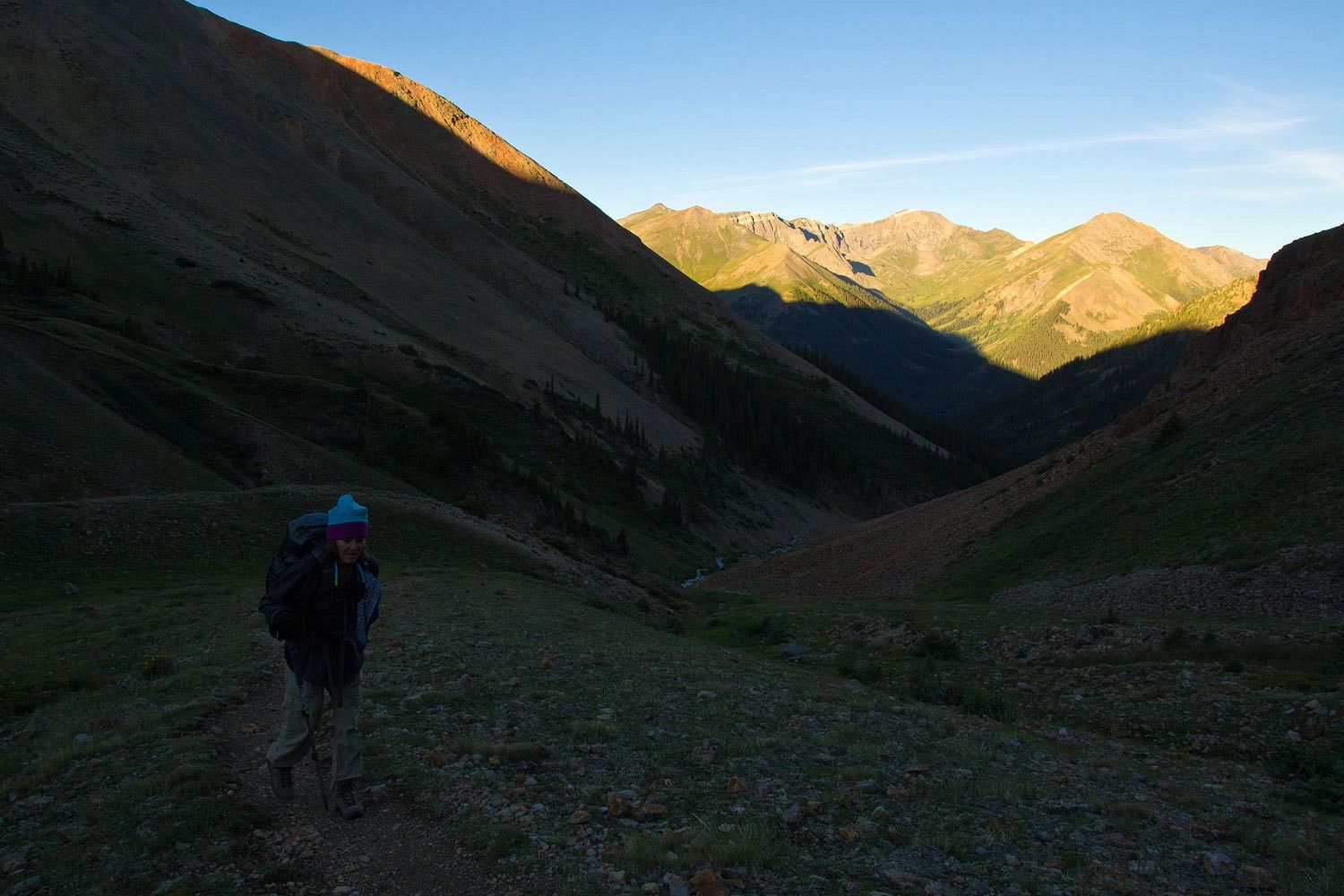
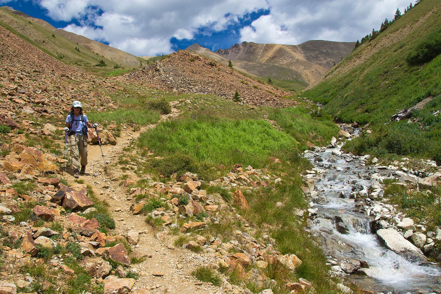
We started hiking
15 minutes later than yesterday, very excusable but we did have a little further
to go, four miles further and a total of 4800 feet vertical gain. We reached
the trailhead and this morning we turned left and headed up Silver Creek.
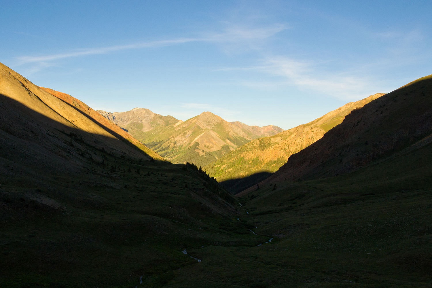
The sun was
starting to hit Handies to the west when we reached Monday’s turn around spot.
We were
hiking east into a high west facing basin with ridge tops well over 13,000 feet.
It would be a long time before this area felt the warmth of the sun.
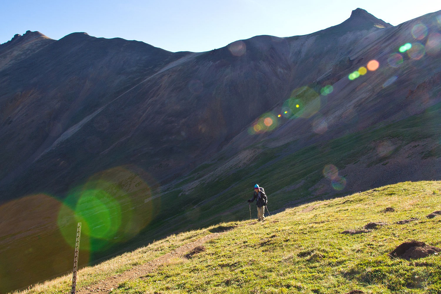
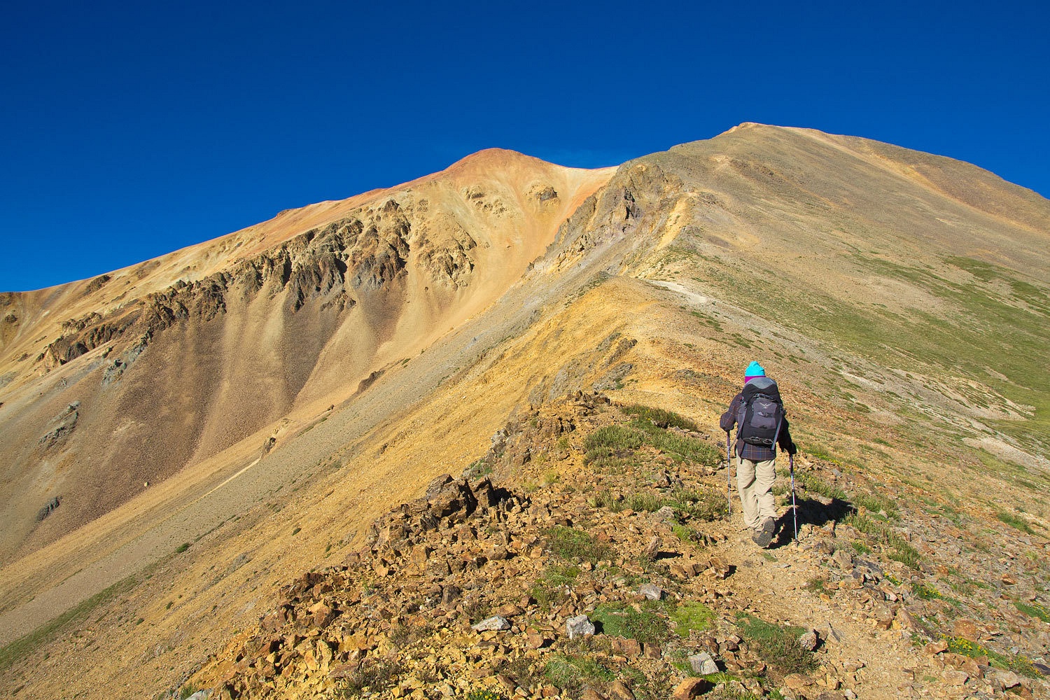
The trail
switchbacks up out of the basin and reaches the northeast ridge of Redcloud Peak.
This was sunrise for us this morning.
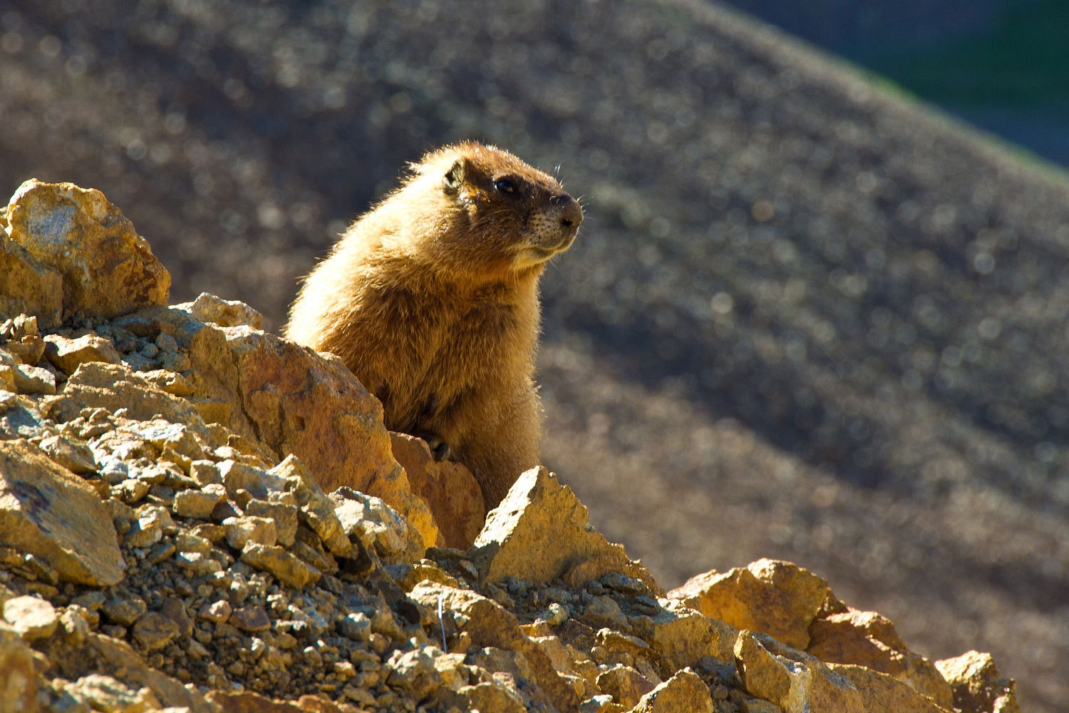
The whistle
pigs were also up, enjoying the sun, and watching the first pilgrims pass by.
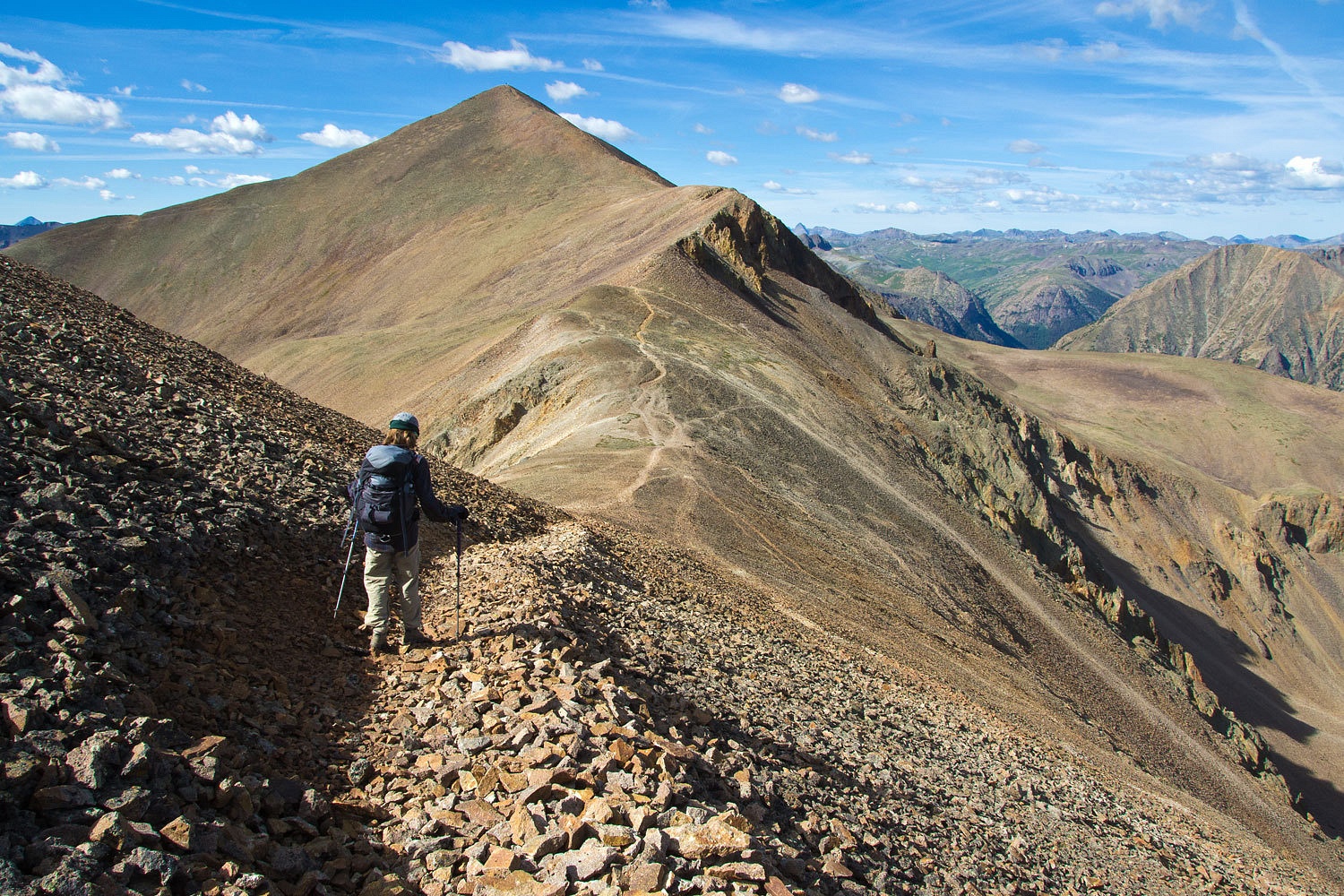
The
northeast ridge was a fun ascent.
The Lady
topped out on the subpeak and then went for the top.
The Lady is
always excited about summits and curious about what she can see from the top.
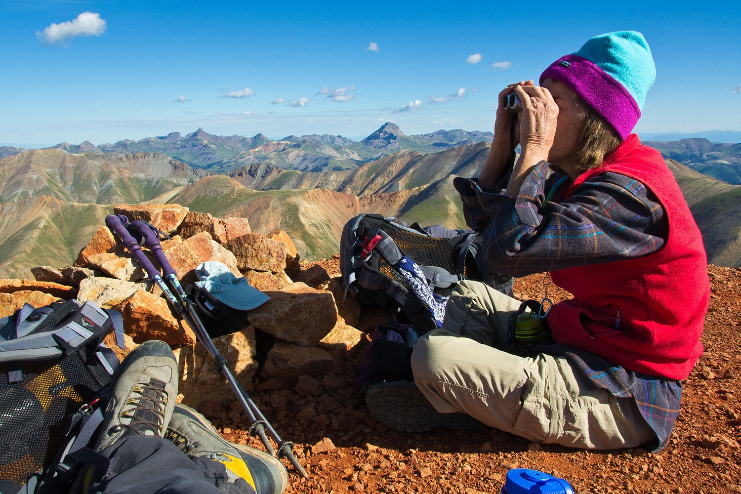
She looked
down to see if Stew was up.
The day
before had been a nice warm up. Today was 5 miles with 3700 feet vertical,
again in three hours. Those 15 minutes hadn’t hurt.
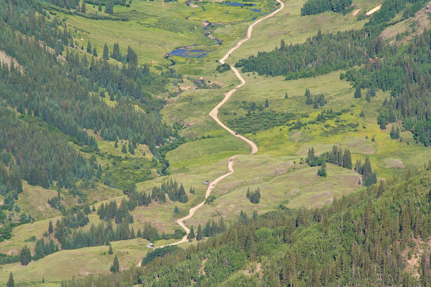
Here’s a
wide angle shot to the west up the Lake Fork of the Gunnison and the Cinnamon
Pass Road. Grizzly Gulch and Handies is just to the south.
Here’s a
view to the north.

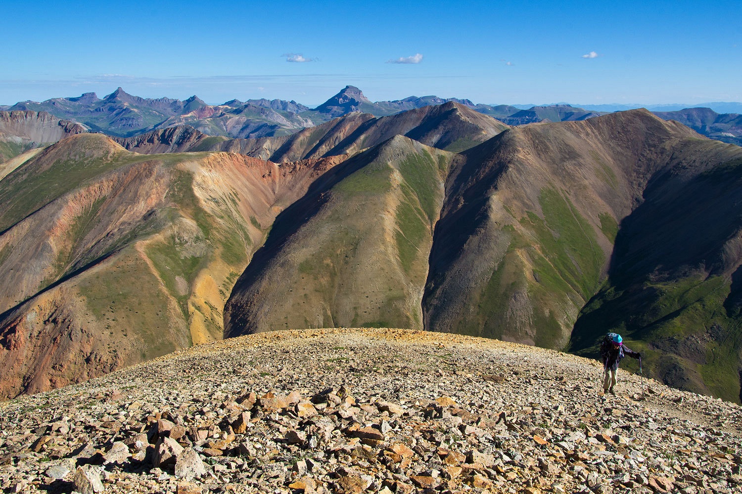
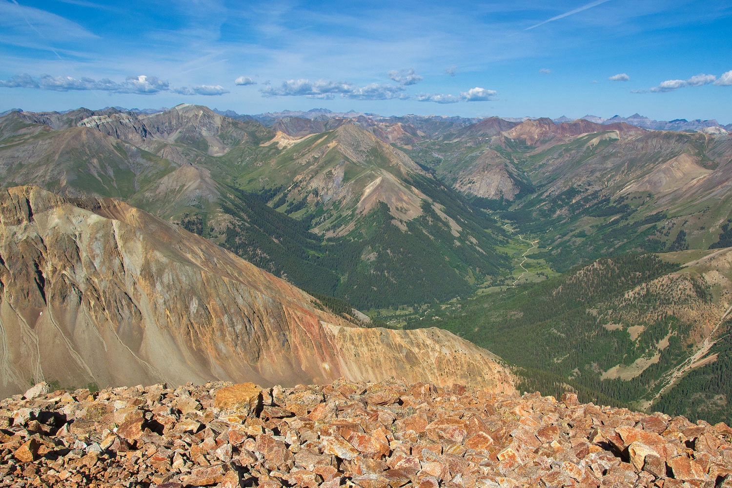
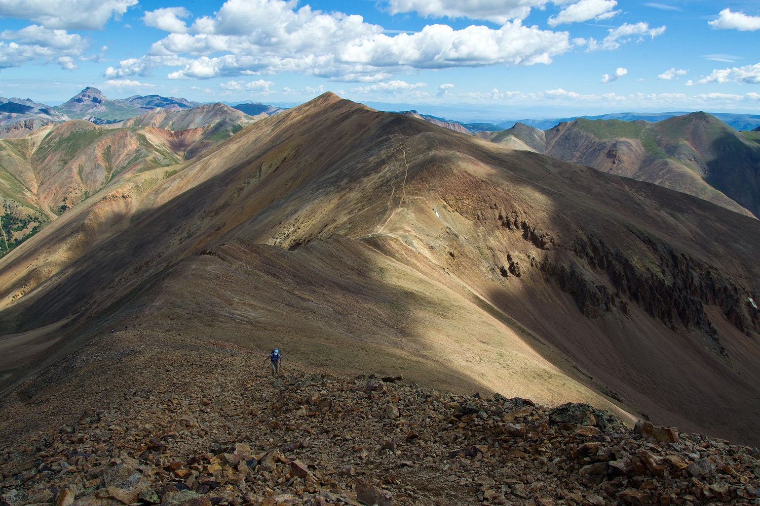
And a view
to the south and our next 14er of the morning, Sunshine Peak.

It’s a mile
and a half along this ridge with a pretty significant saddle
in between; significant enough to designate Sunshine as a separate peak. We
started off.
The views,
terrain, and just the experience of being up here were spectacular.
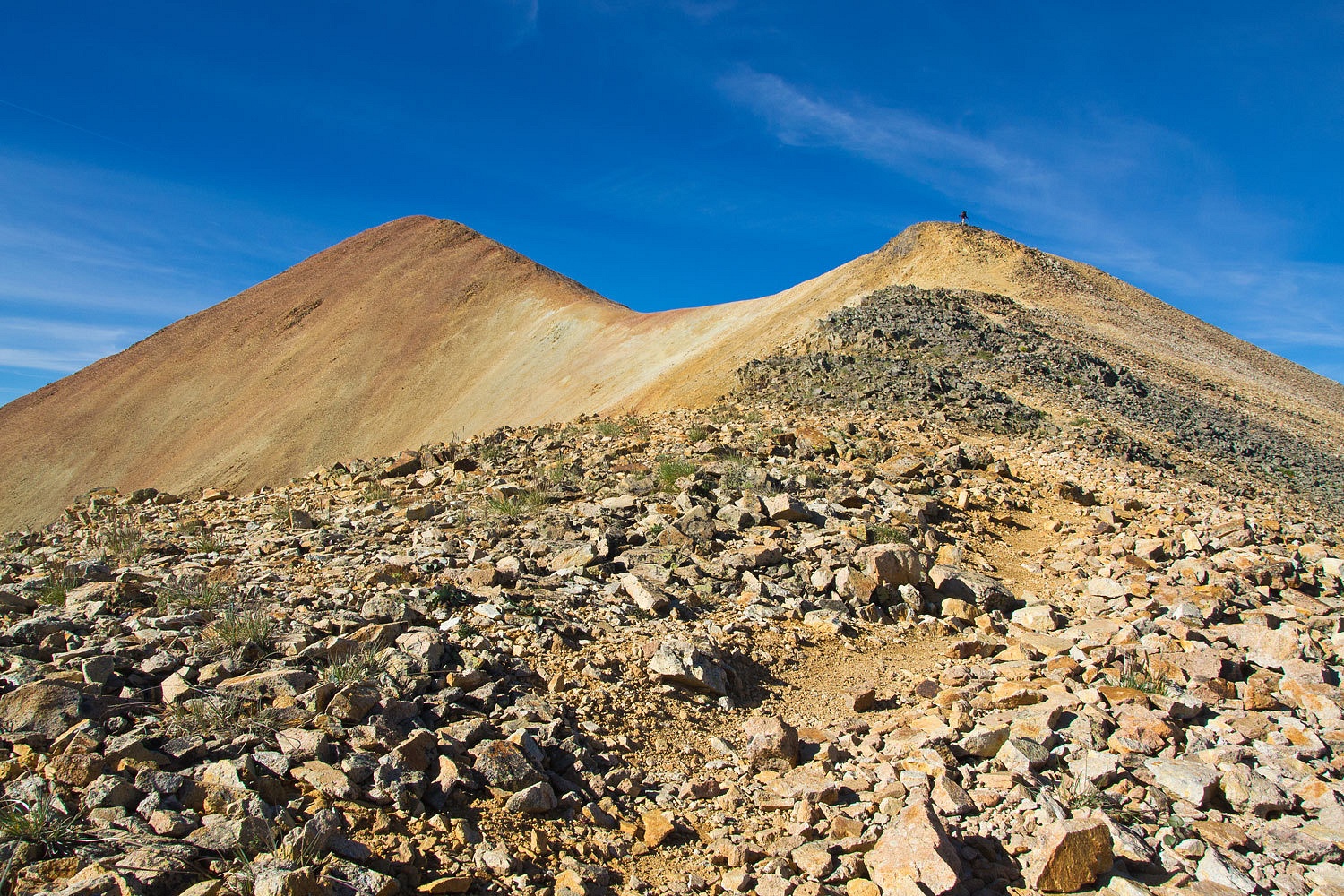
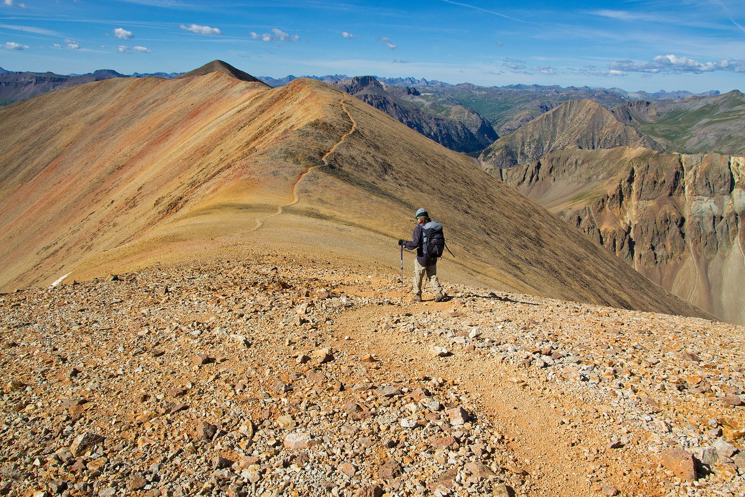
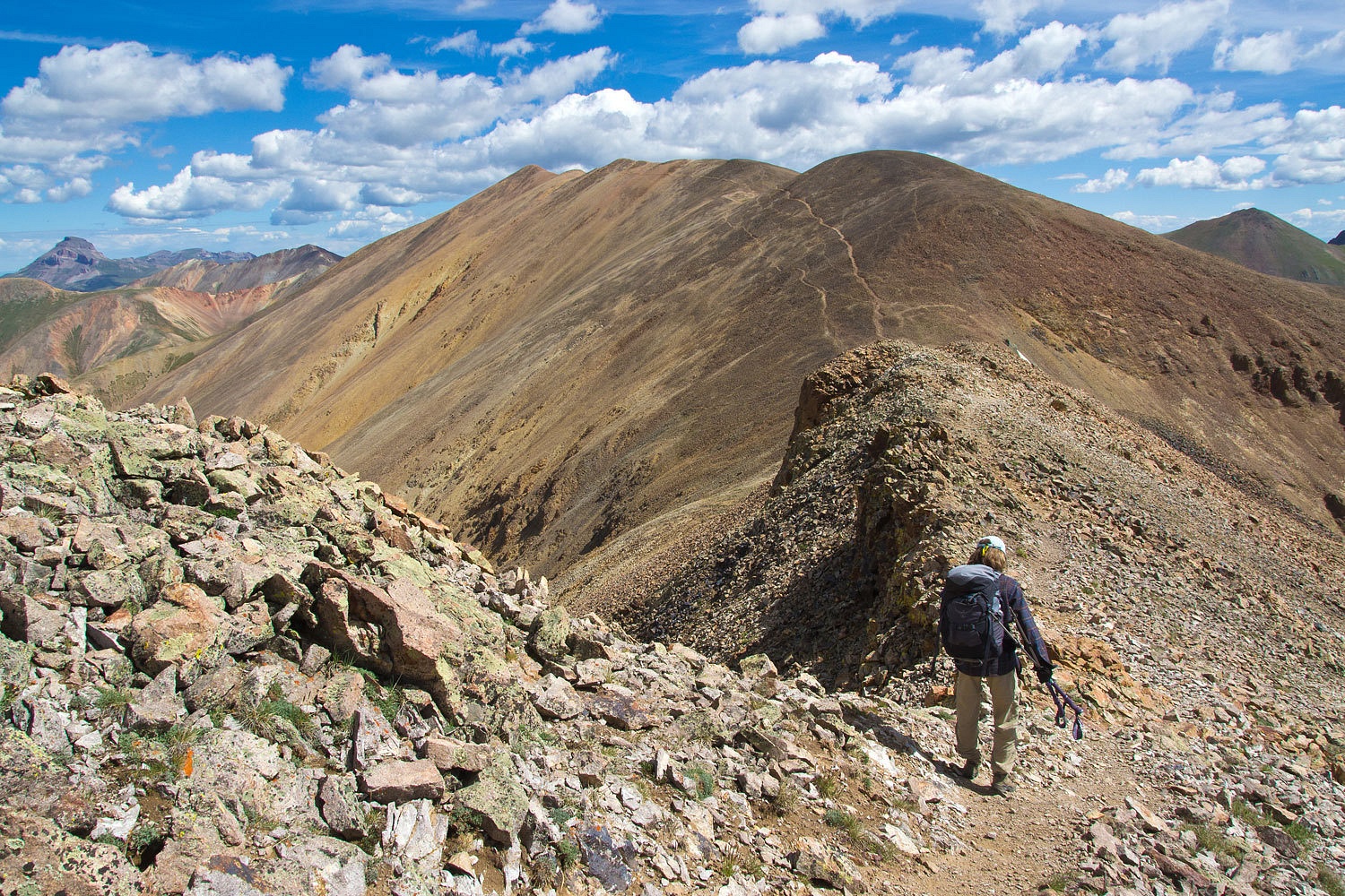
Here’s a
view to the north at that saddle and the Lady working her way up Sunshine’s
north ridge. Redcloud is the high point beyond.
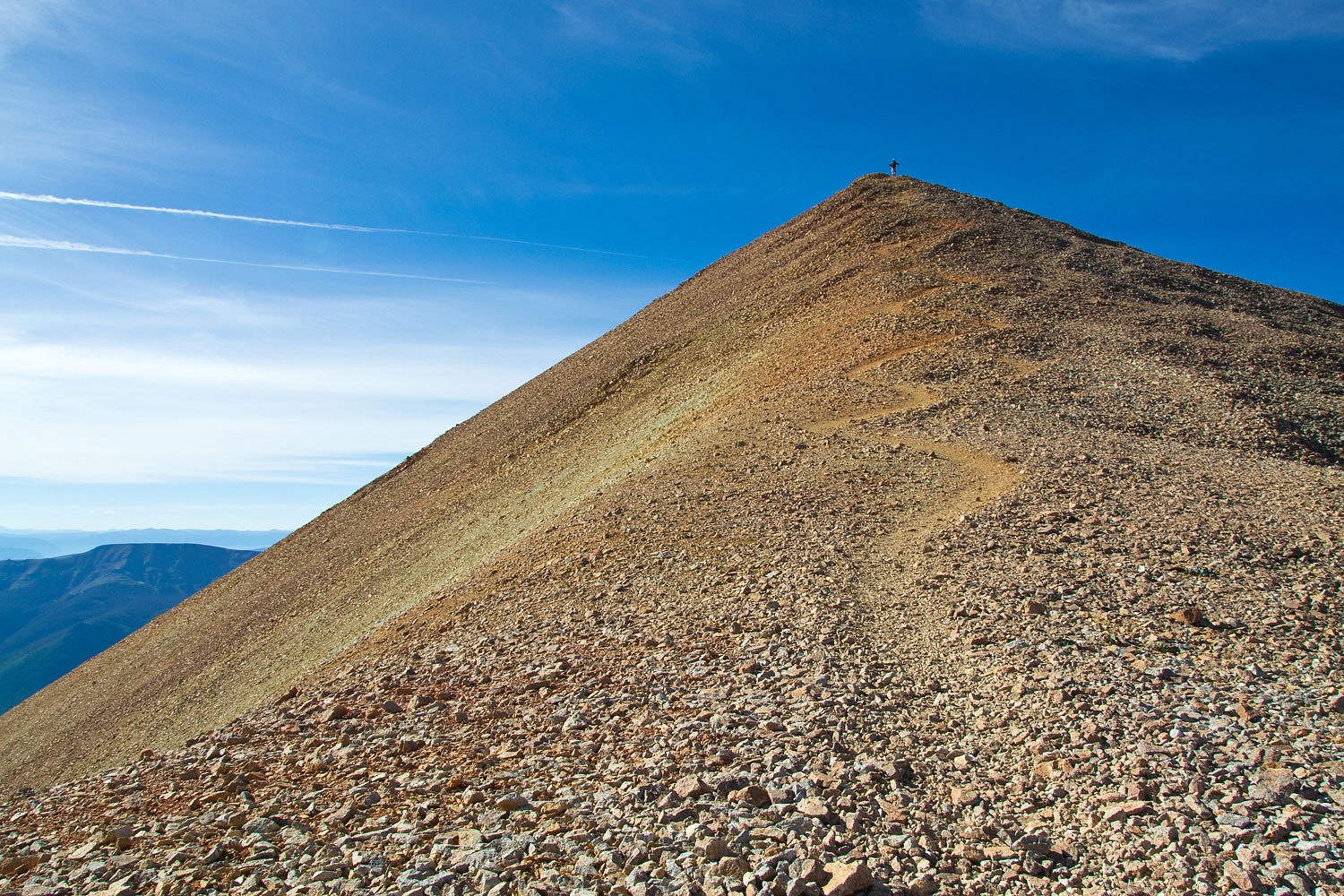
Summit of
Sunshine Peak, 14,001 feet.

Notice that
the clouds this morning are a little different than the day before. Those wispy
high ones that look kind of like mare’s tails are called mare’s tails. Old time
field weather forecasters would say that mare’s tail clouds can be an indicator
of an approaching front.
After
talking with a nice fellow from Bosnia who had bivouacked high up in Silver
Creek Basin the night before, we headed back over to Redcloud.
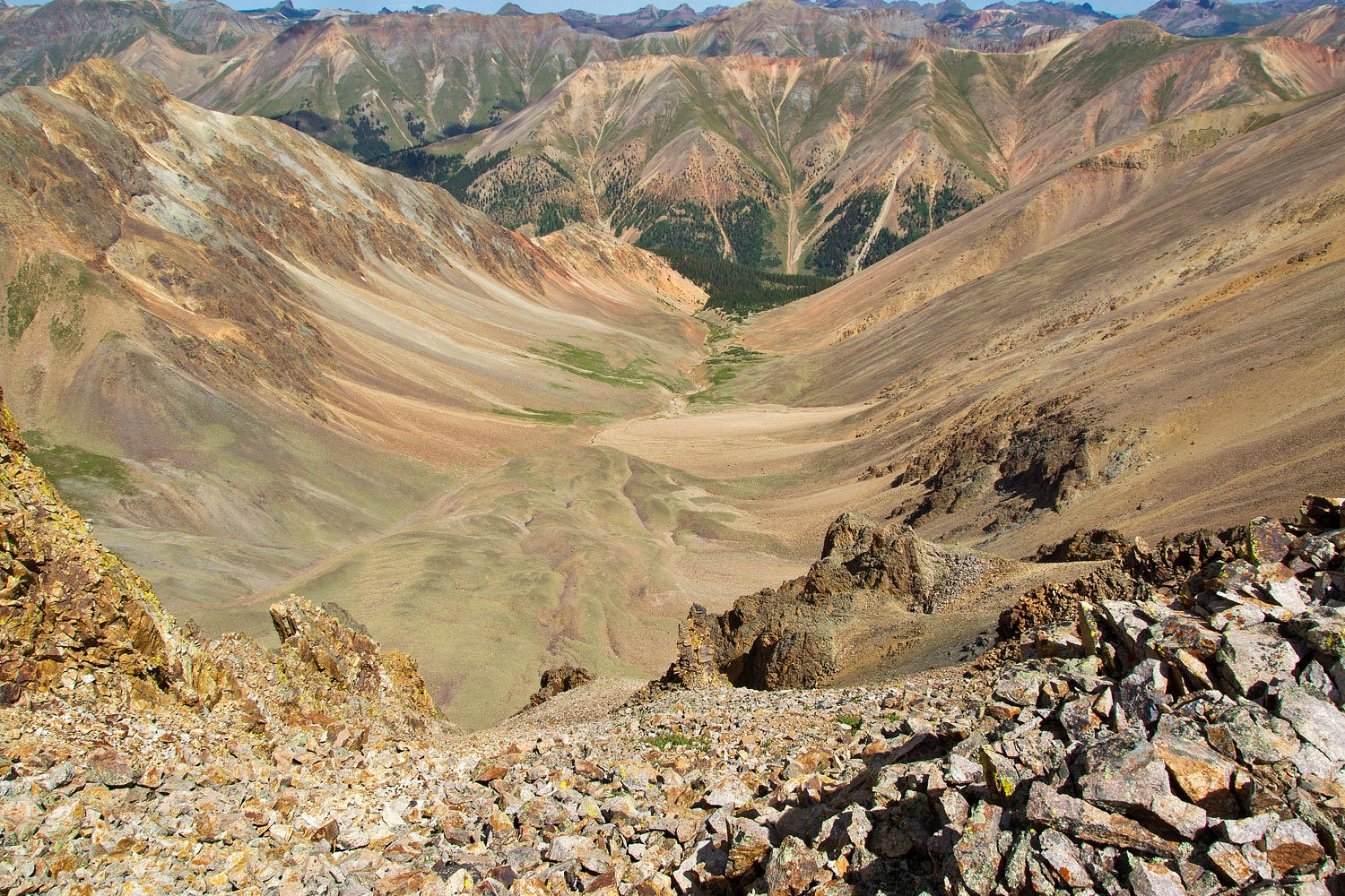
The drop off
from the ridge into the South Fork of Silver Creek is impressive.
We setup a camera
timer shot on the summit of Redcloud Peak, 14,034 feet.

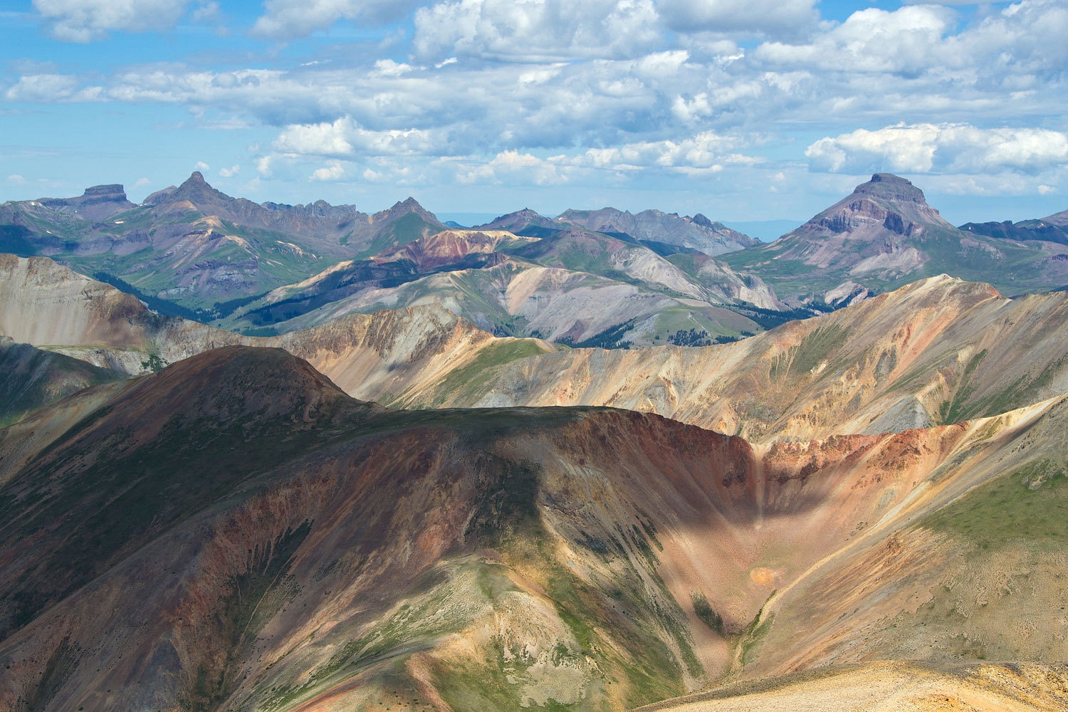
This is one of
our favorite telephoto views to the north. Besides all the beautiful red rock
of the San Juan Mountains (ever wonder where all that red sedimentary rock in
Utah came from?), this is a close up of three of our favorite summits, from right
to left, Uncompahgre, The Matterhorn (a high 13er and a pyramid, doesn’t look
like the Swiss Matterhorn), and The Wetterhorn (it looks like the Swiss Matterhorn).
After all
our wanderings up high, we left the top of Redcloud around 11:45 am. We enjoyed
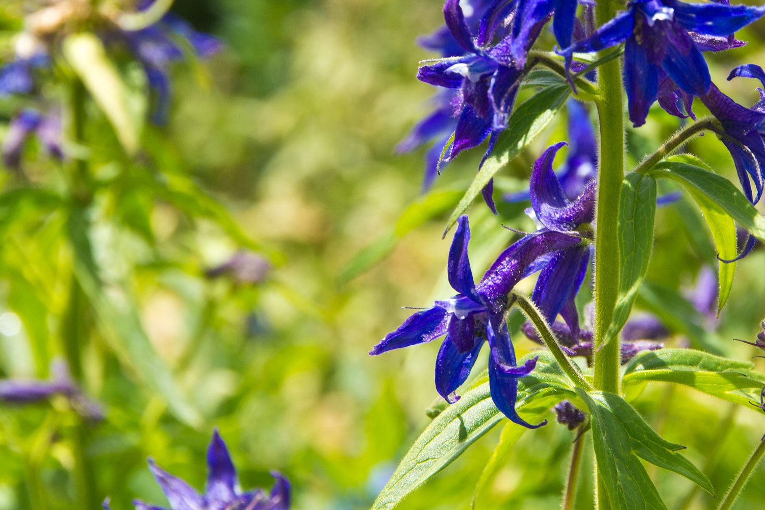
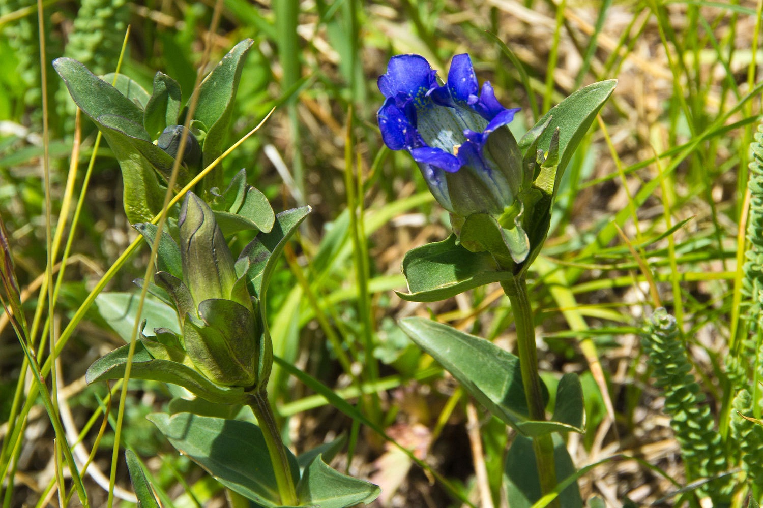
the hike back down and talking with pikas and whistle pigs. The tail end of
summer’s wildflowers were nice with larkspur and gentians and the previously photographed
columbines.
We did
notice that Silver Creek is silver and wondered why.
Why would
anybody be in a hurry to come down from here? We were not.
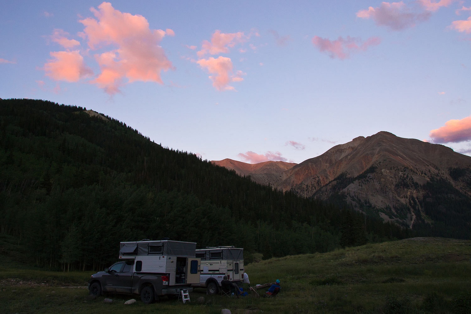
We rejoined
our buddy Stew at camp. He reported that the vehicle traffic was down from
previous days but the road was drying out, generating dust, especially from the
faster atv’s and utv’s. We sat in our chairs and resumed our hobby of
perfecting waving techniques. You see everybody that went by waved at us and we
felt a deep responsibility to reciprocate. Stew worked on a good old fashion
American wave with just a hand in the air. The Lady worked on her Miss America
parade wave, a dished hand with back and forth movement at the wrist. I wanted
the Queen of England’s wave, highly dignified, honestly looked like she was
actually answering every single wave, and all with almost imperceptible hand
movement. I hardly mastered it.
Stew is a
wonderful camp companion. During our lazy times we had ongoing discussions on
the geology of the San Juans. As I have said, Stew comes prepared. He pulled
out his copy of Roadside Geology of Colorado. He pointed out that we were
surrounded by volcanic rock and that possibly six ancient calderas had been
identified, hard to see now because of massive erosion and then recent
glaciation. I asked why were there volcanoes, we were not along the ring of
fire, was this a hot spot like Yellowstone? Stew investigated further and said
it was possible this area, way back in time, was on a mid ocean ridge similar
to Iceland. The Lady wanted to know how high these volcanoes were since in
their now much eroded state are over 14,000 feet high. Stew investigated
further, perhaps well over 17,000 feet. And, he pointed out that much of that
eroded material possibly had gone west to settle into shallow sea basins.
After the
din of the maggots died away – I started calling this road the Maggot
Superhighway – and we were again alone up in this wonderful country, we enjoyed
our final night here and with our buddy Stew.
A note to
clarify the term maggot, it referrers to the atv (quad) and the utv (side by side), completely
unnecessary machines invading our public lands. The first use of this term may
come from a reference and comparison to sheep being called range maggots and
atv’s were then called guadra-maggots. Currently I like to tie the term to quagga mussel, like the atv, a destructive invasive species. The National Park Service
has the most appropriate approach, limiting use of backroads to street legal
and street licensed vehicles only. This should be adopted by all our public
lands agencies. It is a shame that the local communities in this area have sold
their souls to the devil and promote this invasion, appearing to be desperately
wanting tourist dollars from any source. The long term detriments will soon
outweigh the short term perceived monetary gain. This is why our evenings were
so special, it was so noticeable when the noise and exhaust fumes were gone.
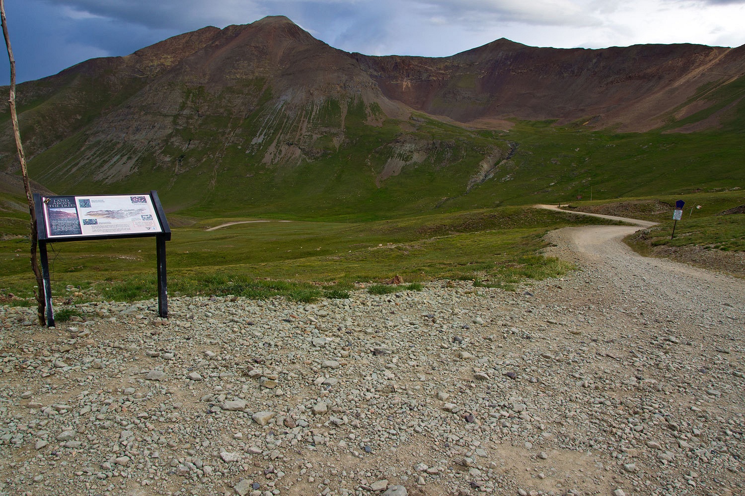
Stew was
heading home to the east Thursday morning. We were heading west over Cinnamon
Pass. To enjoy the drive and area in peace, we were on our way at 6:30 am.
Clouds were low and heavy, the mare’s tails were correct, it was going to rain
again.
It was a nice drive to the top.
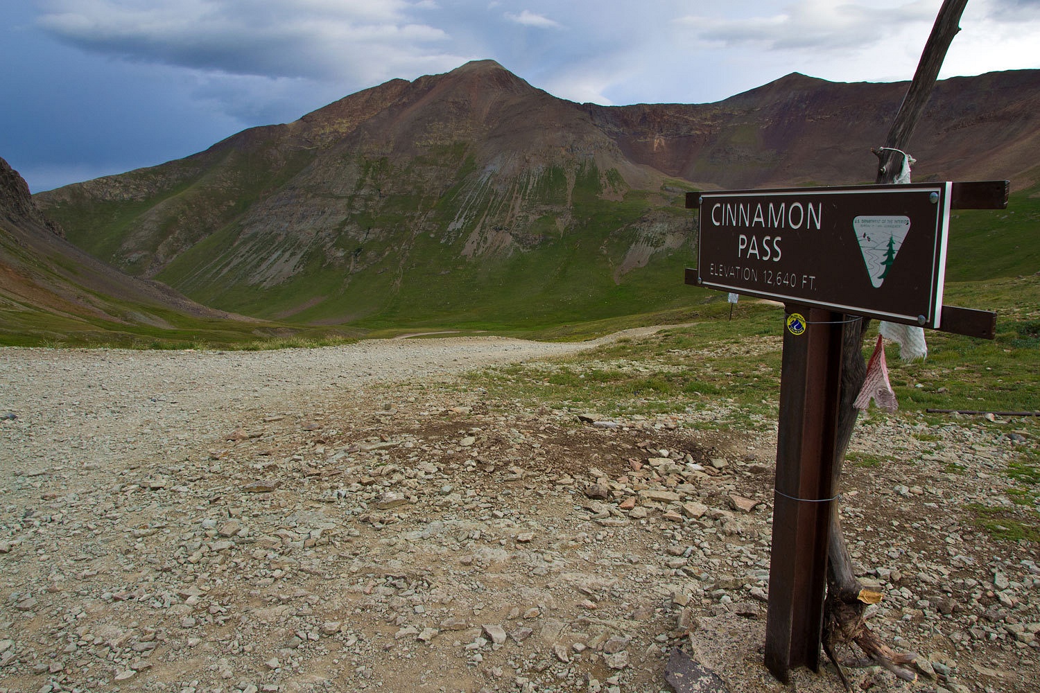
We were the
only ones on the road. Our plan was working.
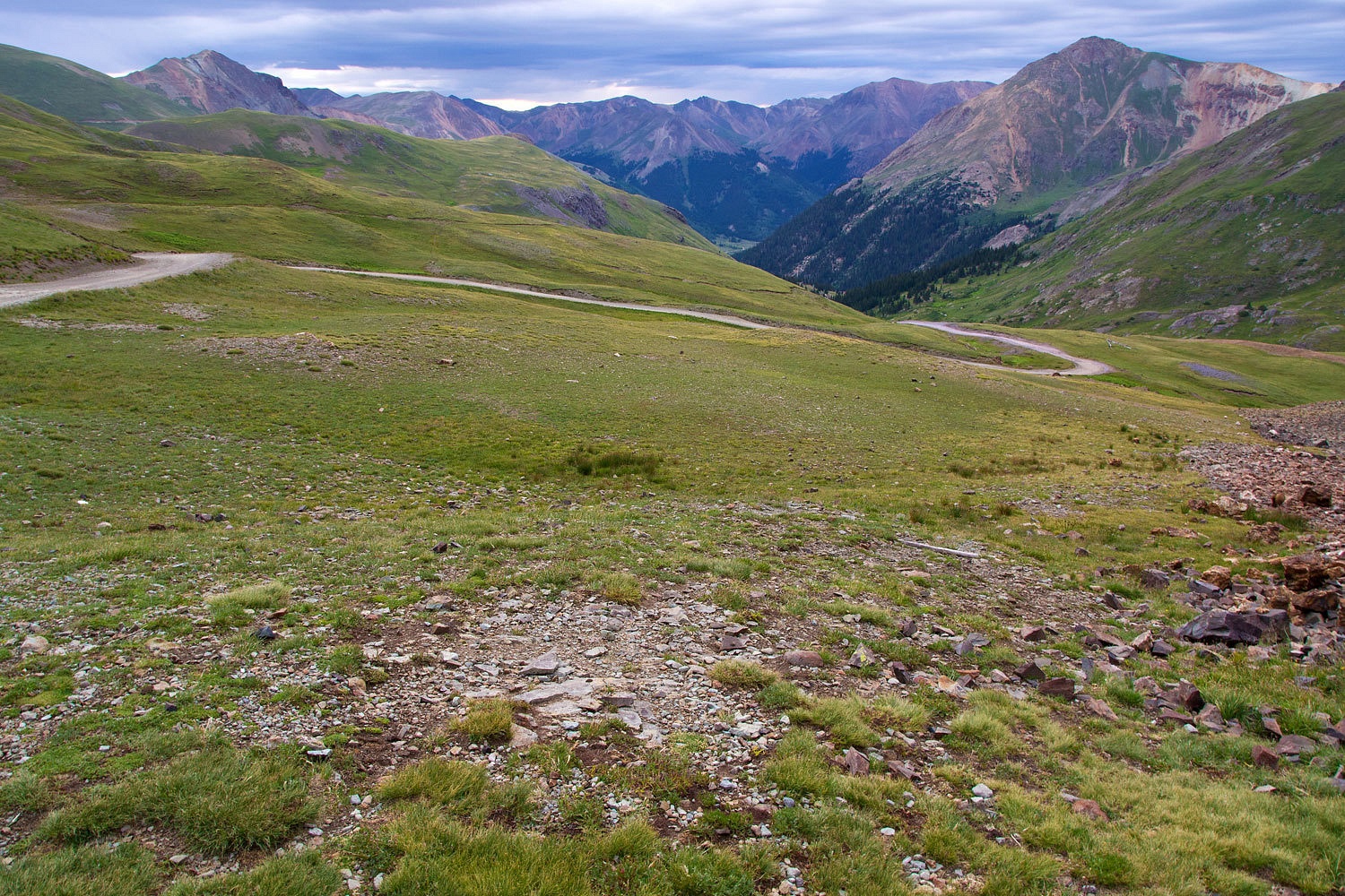
Again
without meeting another vehicle we dropped down the west side to the ghost town
far below.
This new
storm front had chilled the idea of making another try for Sneffels. Where
should we head? We needed to tend to some domestic chores – resupply food and
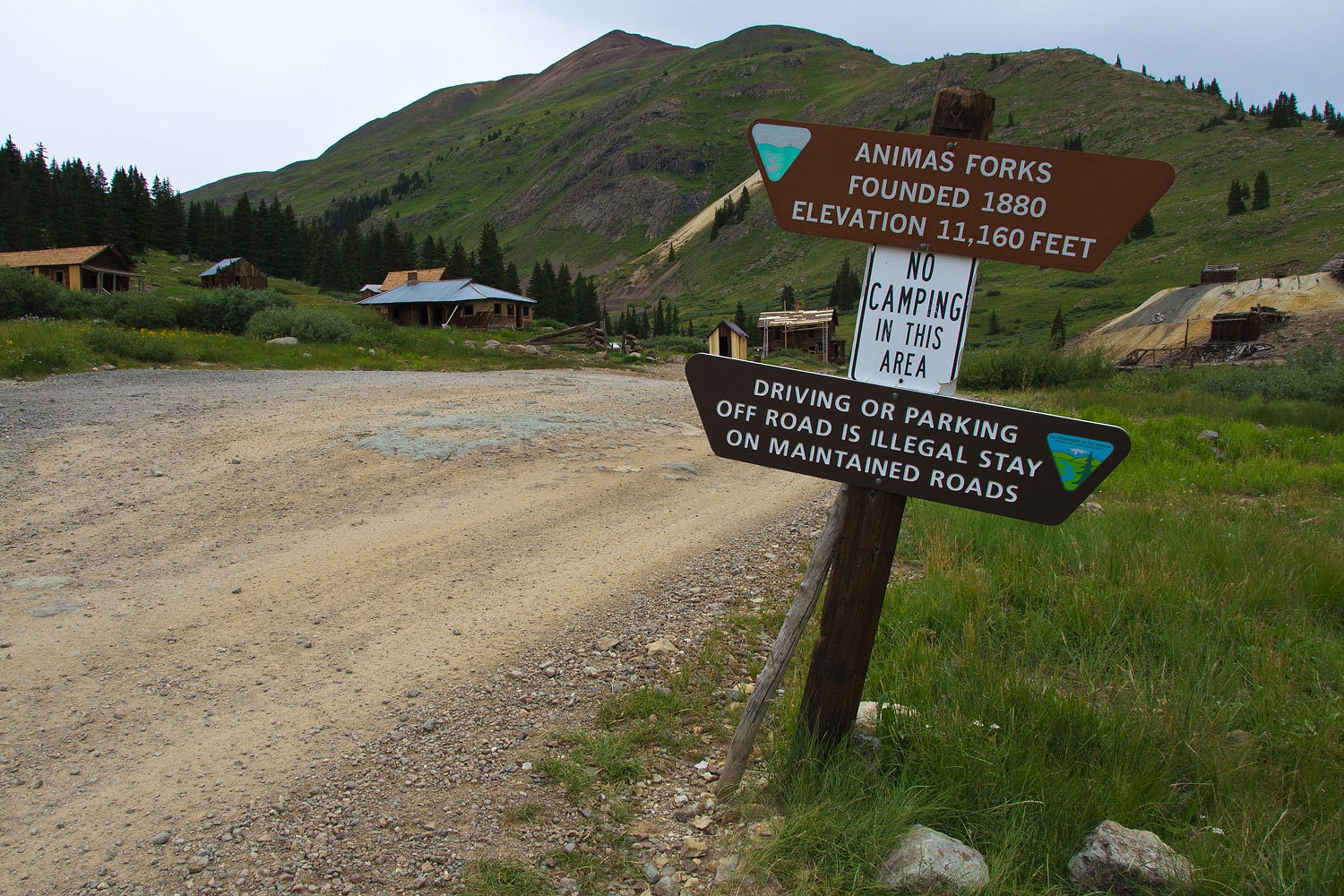
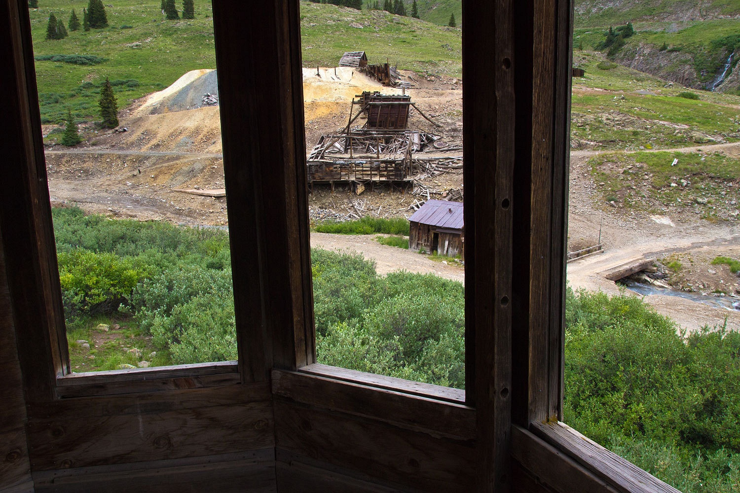
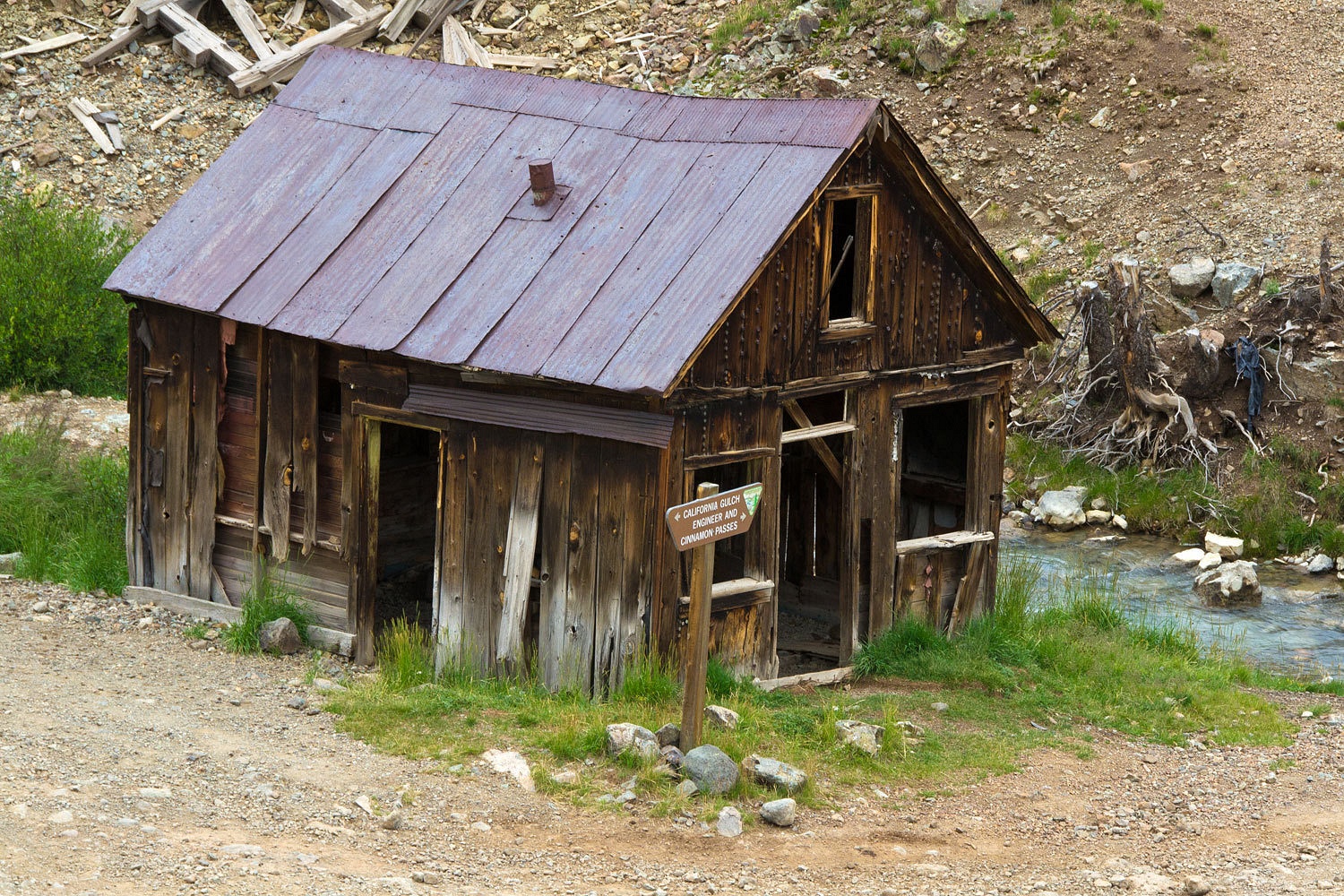
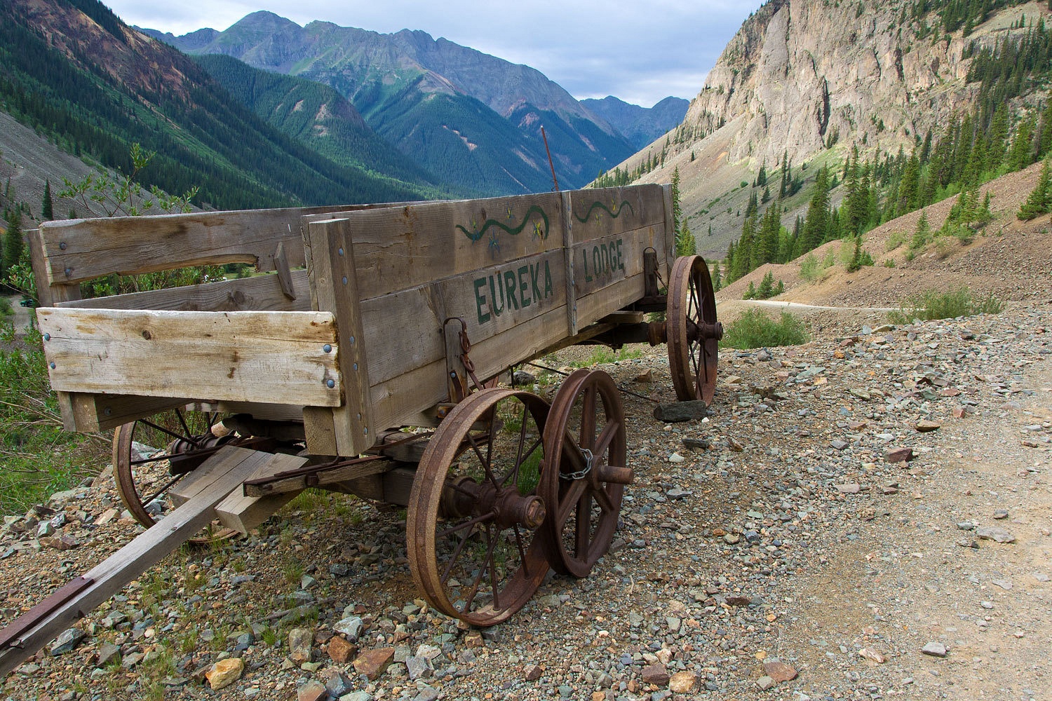
do laundry. We decided to head down the Animas River Canyon to Silverton.
Under cloudy
skies we passed by the old site of Eureka.
It was time
to start toward home but we soon discovered that many more adventures were
ahead for the ski3pinners……………………………………………………………………….
The story continues in Part Six - Click Here
No comments:
Post a Comment