
please remember you can click on a photo to see a larger version
This story will be a little different; a glimpse into what we’re up to when not away on an adventure with the truck.
The county
middle school girl’s volleyball tournament was Saturday. This is the Lady’s 31st
year and her girls fought hard. They were undefeated in pool play and advanced
to the semi finals where they were eliminated in the first match in two games,
both 23 to 25. These were good games with the athletes showing good volleyball
skills, especially at this age. The loss was tough on the girls but a good life
lesson.
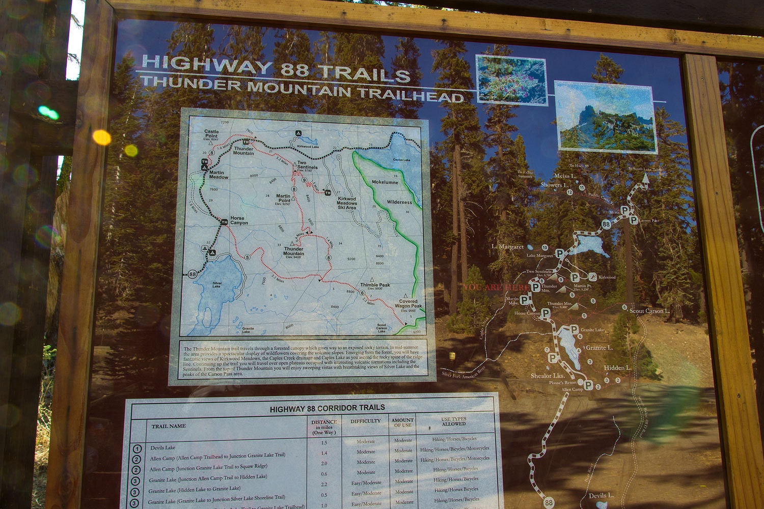
Sunday, we
had some fall chores to attend to. But wait a minute, “We were inside all day
yesterday, can’t we go on a quick hike? We could go up to the top of Thunder
Mountain. We’d be back mid afternoon with enough time to change the oil in the
truck and take the awning off from the deck.” This is what I heard the Lady say.
The Lady cooked up a batch of waffles for breakfast with maple syrup and blueberries and the packs were sitting by the door. Yeah, we could run up a mountain first. There are several handy ones in the backyard.
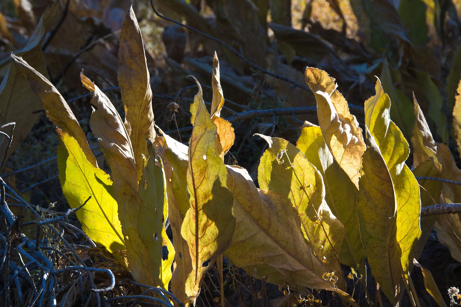
As we hit
the trail, the Lady was in love with the fall smell of drying mule ears
and the rattle of their leaves in the breeze.
The waning
half moon was above the tops of the western white pines.

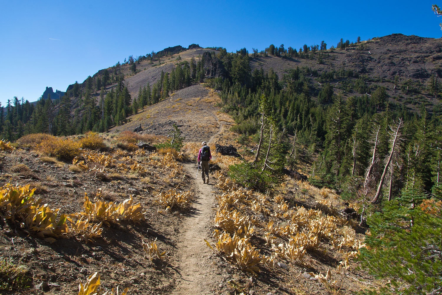
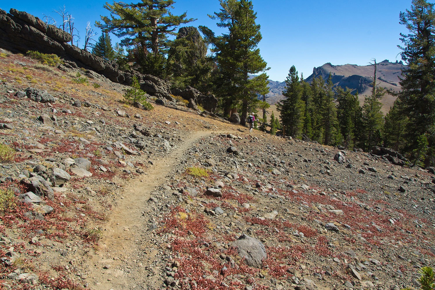
The trail
hits the top of the volcanic ridge and heads up the spine.
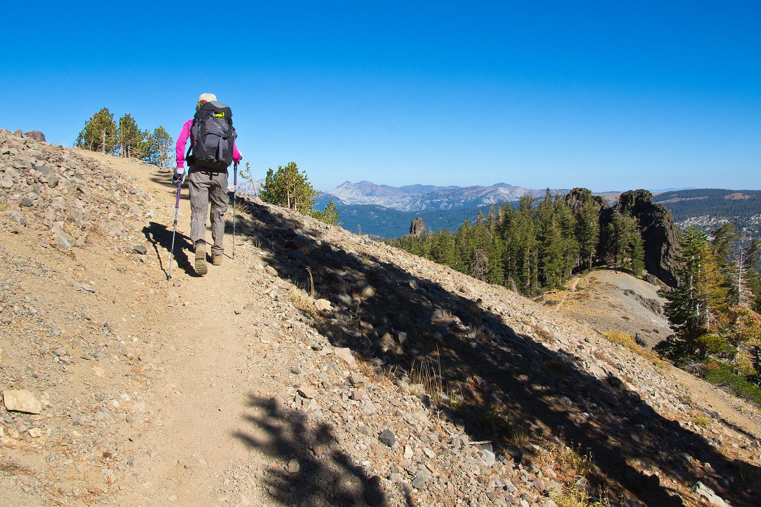
The views to
the north across both the highway 88 and highway 50 corridors into Desolation Wilderness were wonderful. Yeah, this was better than chores.
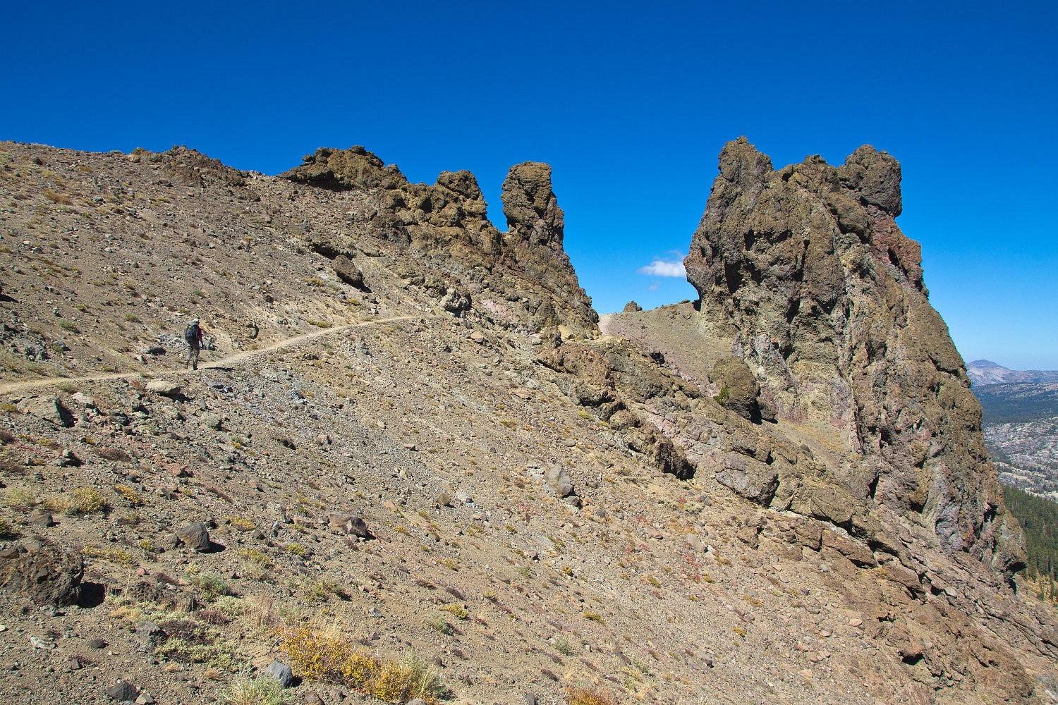
This is a
spur ridge line west of the Sierra crest. It runs from Martin Point up to
Thimble and Covered Wagon Mountain and includes the famous West Pass, the
highest point on the Carson Route of the California Trail, the most used route
into the gold country for the 49ers. It is also the west side boundary of
Kirkwood Ski Resort.

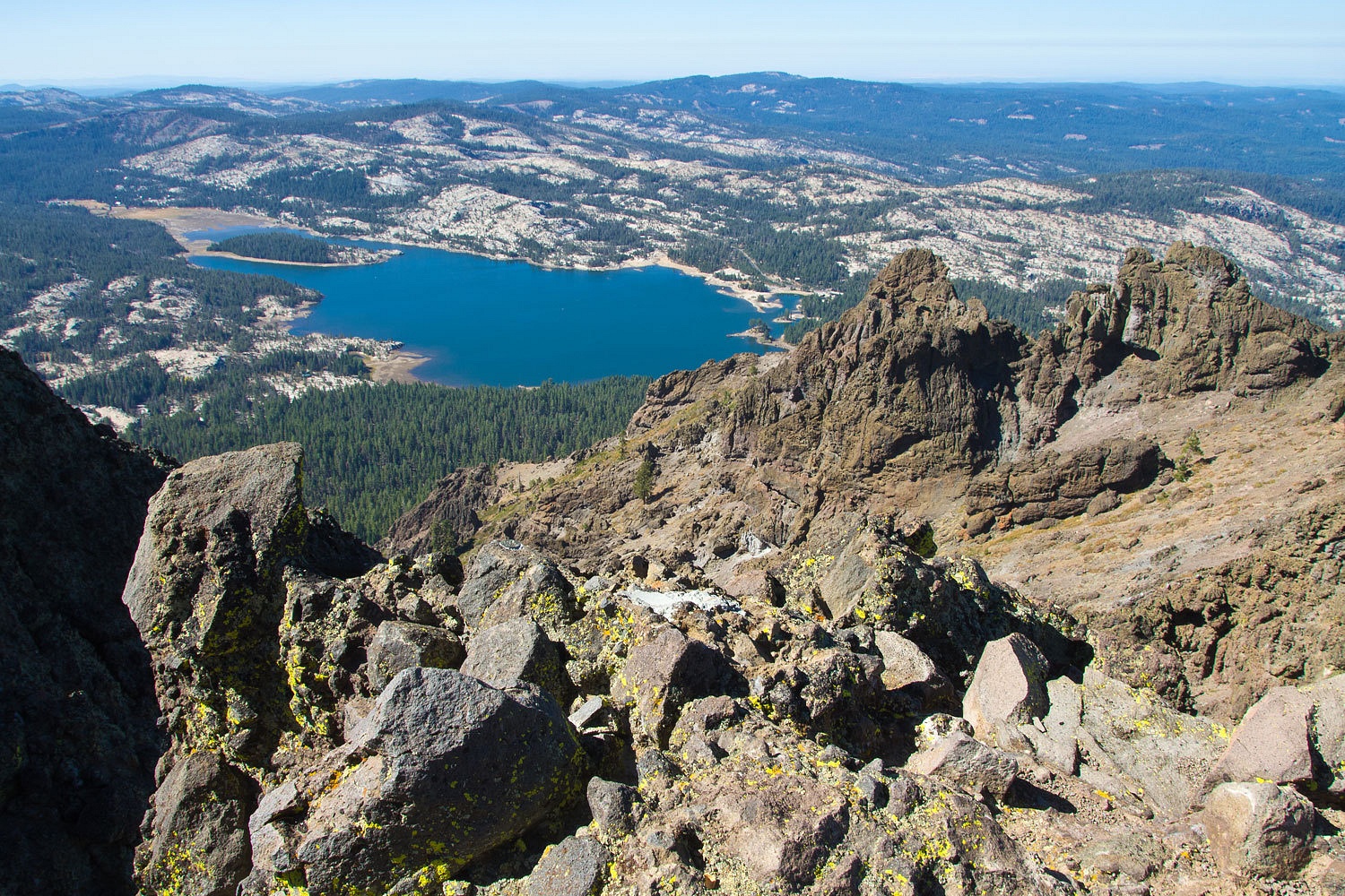
Thunder
Mountain is a high point just off to the west of the main ridge. The summit
gives a nice view to the west down at Silver Lake.
The view to
the north and east with Martin Point in the foreground. Red Lake Peak is to the
far right. Some believe this is the peak Fremont climbed in February 1844 and
where he got the first view of Lake Tahoe.

This is a
view into Desolation Wilderness. Pyramid Peak and the Crystal Range are on the
left. Jacks and Dicks peaks are in the center with Desolation Valley below.
Mount Tallac is to the right.

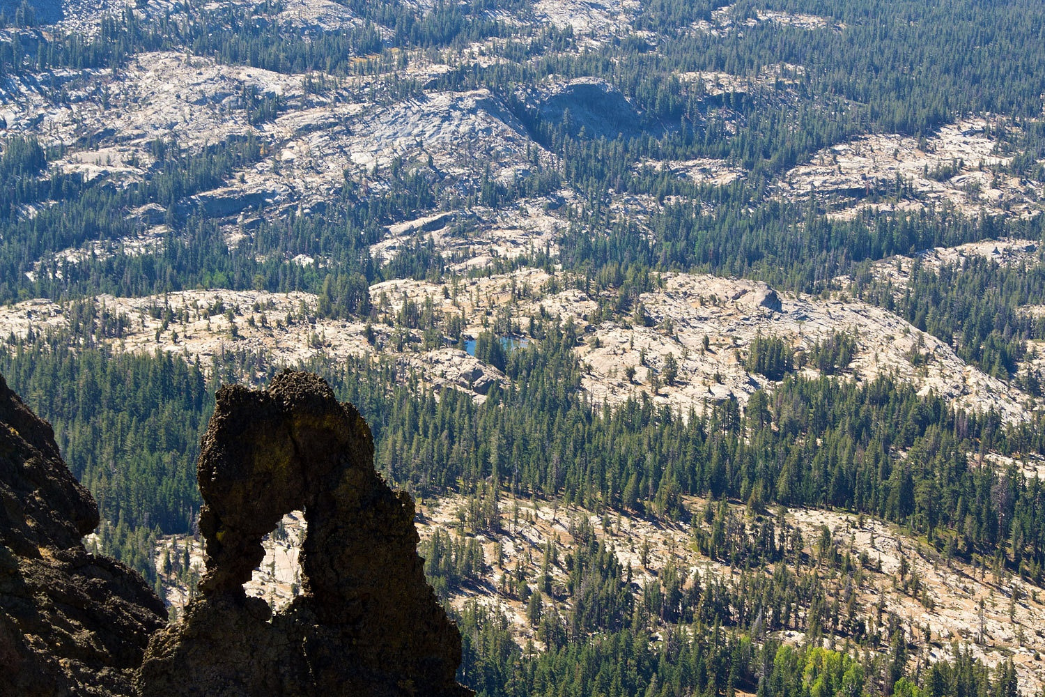
To the south
is the exposed Sierra Nevada granite that the Tahoe area volcanics lie on top
of.
We had water
and snacks on top and then headed back.
Round Top in
the Mokelumne Wilderness – and the highpoint in the Eldorado National Forest –
is off to the east. Round Top had a station on its summit in 1876 as part of the Davidson Quadrilateral.

This is a
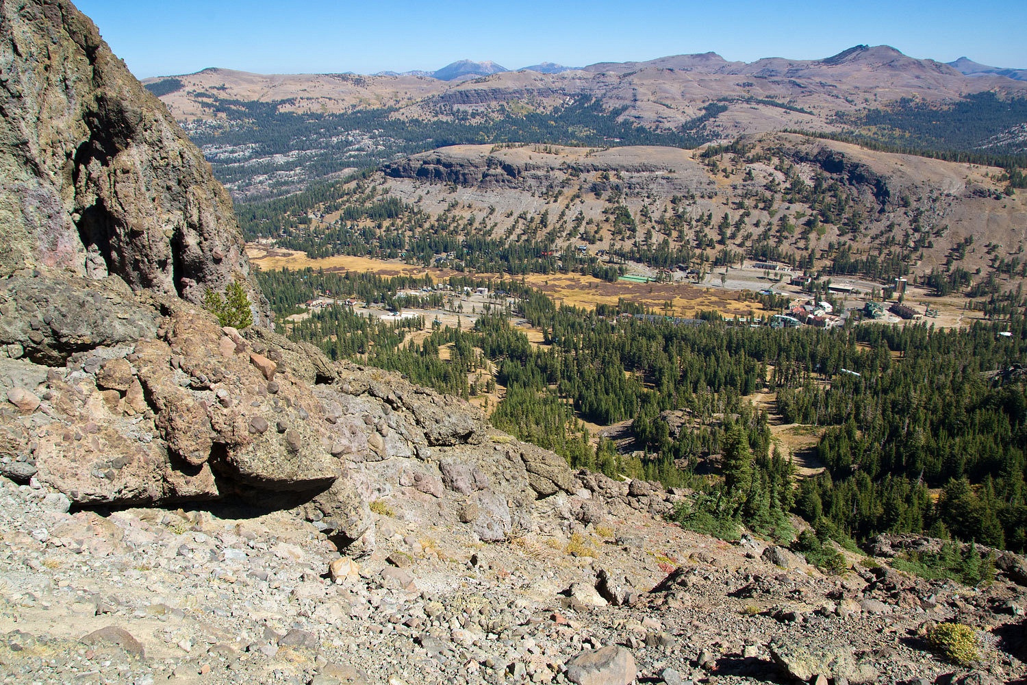
fun trail on many levels, including its native plants.
Kirkwood
Meadows and the development associated with the ski area is down below to the
east.
We wound our
way back down toward Martin Point.
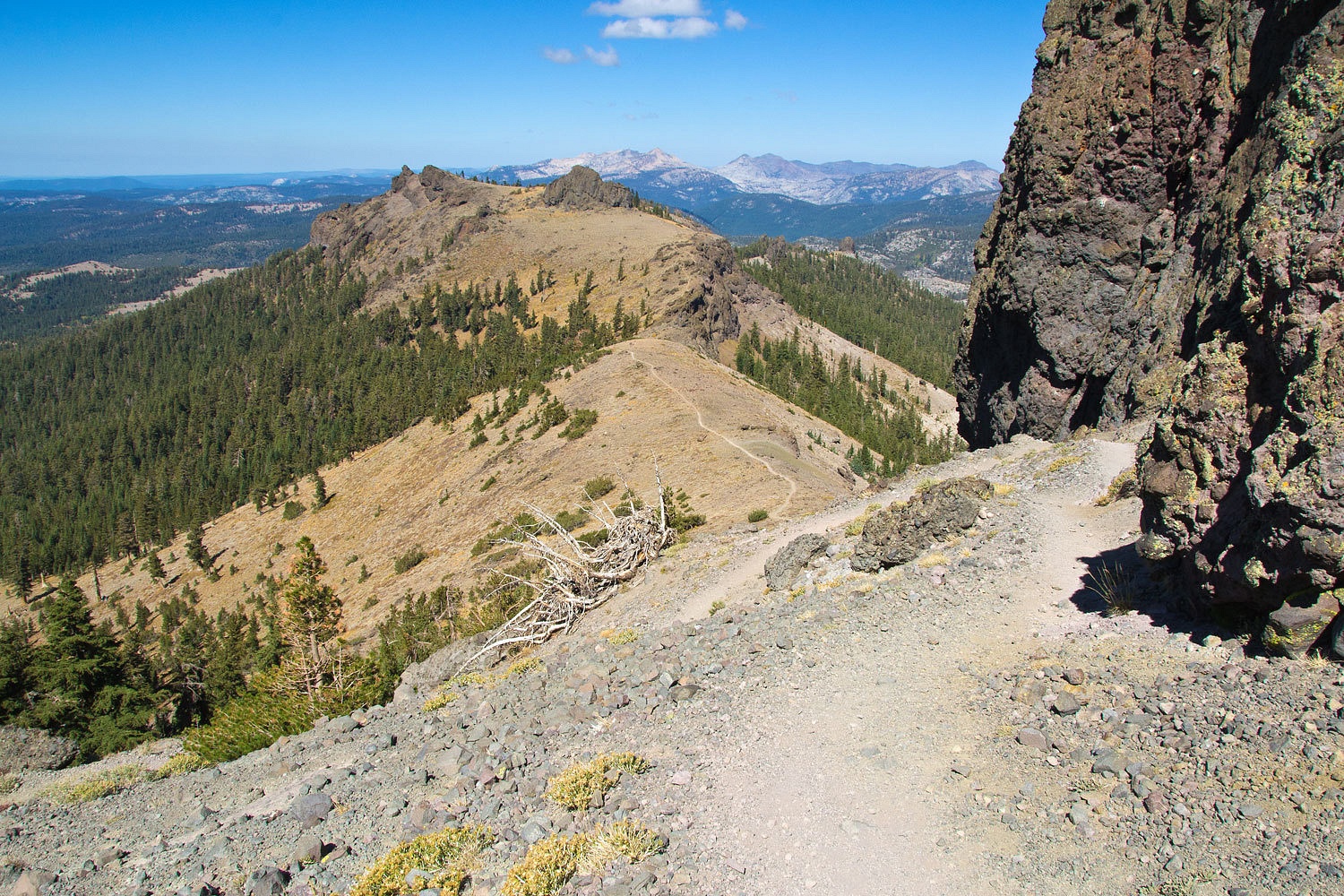
And past
Sentinel Rock.
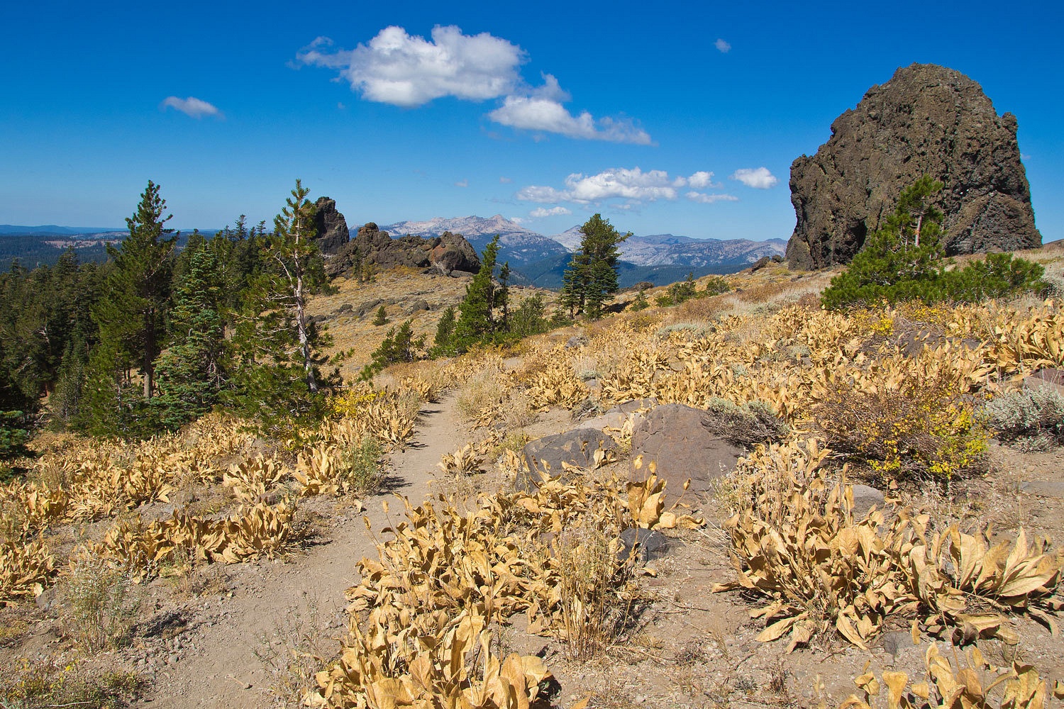
Off the ridge
line amid the large red firs was a wonderful large western juniper.

We stepped
off the trail to walk along the crest of the Carson Spur above highway 88

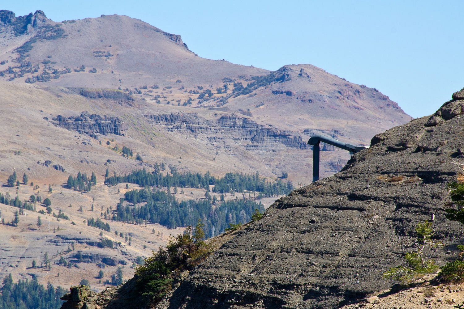
These are to
defect the wind down onto the lee side of the ridge to help prevent cornice
build over the highway.
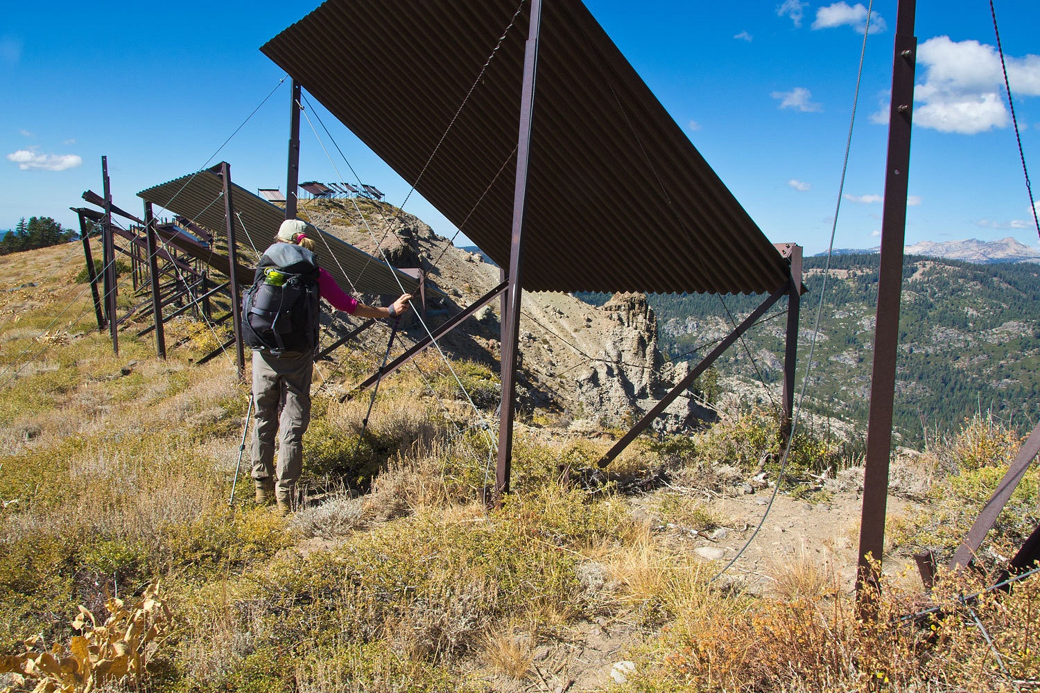
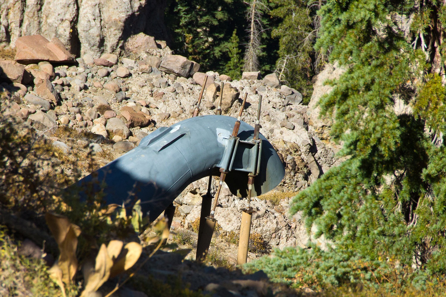
Down below
are several Gazex emplacements CalTrans uses for avalanche control.
Here is a demo of a test firing - Gazex on the Mt. Rose Highway
Living where we do, we're lucky to get any chores done with all the wonderful distractions around. We enjoy
living in the Sierra Nevada and treasure the opportunities our
backyard has for adventure. By the
way, oil was changed and the awning was taken down successfully. Chores were
finished at 4:30 pm.
I have just spent two enjoyable evenings reading through your whole blog. As a future FWC or ATC owner, a teacher, and a Tuolumne County resident, I found so many gems to relate to. I am not sure exactly where you are located, but there were enough clues that I figure if you can get there for the weekend, I probably could too. I am not the hiker that you two are, but maybe if I get out a bit more, it will come.
ReplyDeleteYour photography is fabulous. What camera do you use?
sassygirl, thank you for the kind comments. Clues are there, as you say. Good luck with you camper acquisition, just remember it is only a tool to get us there, kind of like cameras. Composition, lighting, looking and seeing, taking pictures, capturing moments is more important then camera model or brand. I use the cheapest and lightest Nikon DSLR, currently a D3100, mainly because I use the viewfinder, hate the live view screen. Been looking through that little hole a long time; I'm a creature of habit. I hung a heavy 18-200 zoom lens on it because I only wanted to carry one lens. It does nothing spectacularly but most things okay. The camera is pulled in and out of my pack in snowstorms and desert dust. It gets tossed about the truck and camper. I've only broke one once; that's just part of the trips. Thanks again.
Delete