
please remember you can click on a photo to see a larger version & highlighted text are links to additional information
Johnson Canyon
We’ve been hit with storm after storm here at home; an observation and not a complaint. You can imagine the Lady – little miss bundle of energy – does not deal well with being house bound. Shoveling snow burns off lots of calories, but falls far short of what is necessary to keep up with her “being outside” needs. I believe she is part border collie. No complaints from me at all.
A break in the weather was forecast, just barely. Could we get away with a four-night stay in Death Valley? Would the weather there and here at home allow it? The night before our departure from home, we checked on the tub sites at Benton. No way would there be an opening over the xmas holidays, would there? Maybe people with reservations were scared off by the continuing winter weather? There was one opening. We scored once again.
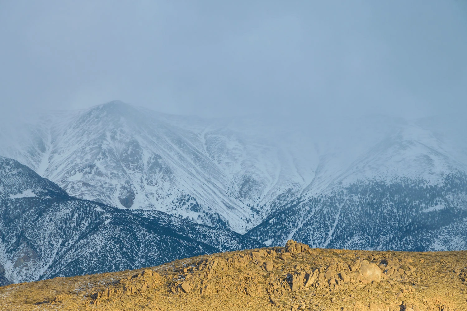
The morning we left home, chain controls were still in effect on the Sierra Nevada roadways with a speed limit of 25 or 30 mph, observed only by the smart drivers. It was slow going, but we are experienced with winter mountain travel. Here’s the view from our tub on our cold winter evening at Benton – the last rays of sunlight attempting to break through and the White Mountains shrouded in storm.
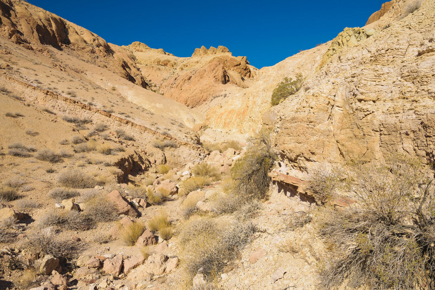
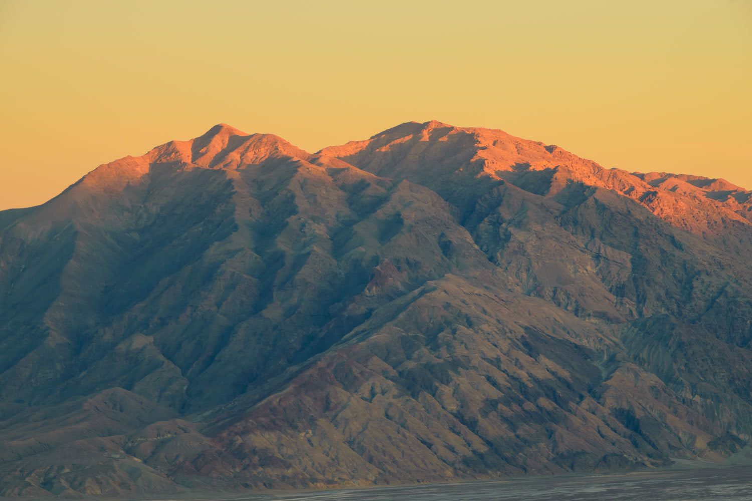
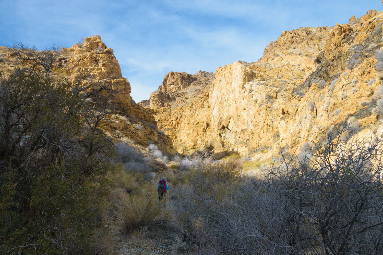
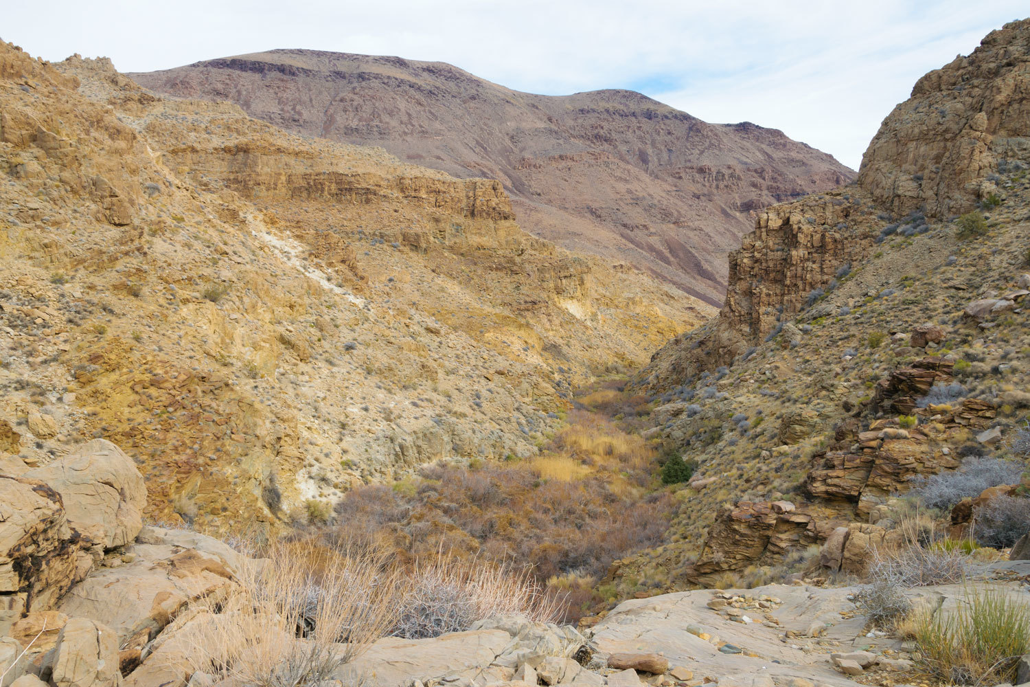
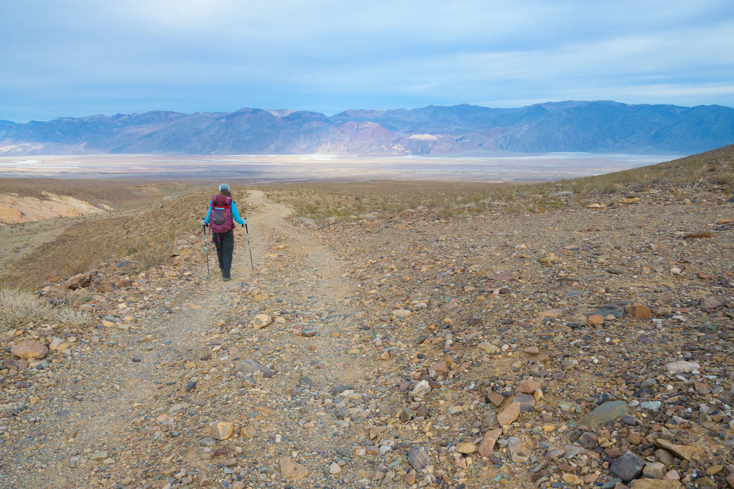
Death Valley National Park is slowly recovering from the beating it took with heavy rains and flooding this fall. The West Side Road had recently opened, so our plan was to return to Johnson Canyon. We’ve spent a lot of time in the eastern canyons of the Panamint Mountains. Johnson Canyon is one of our favorites.
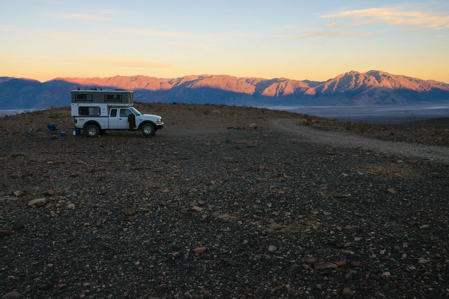
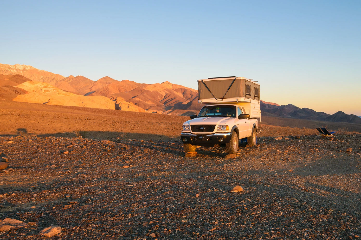
Our camp was set up mid afternoon. This gave us ample time to enjoy the sunset.

We were completely alone. No one else was up Johnson Canyon Road. We spent four nights here completely alone. As is our habit, we set track traps to see if anyone came by during our absence from our camper. No one else ventured up Johnson Canyon during our stay. Perfect!
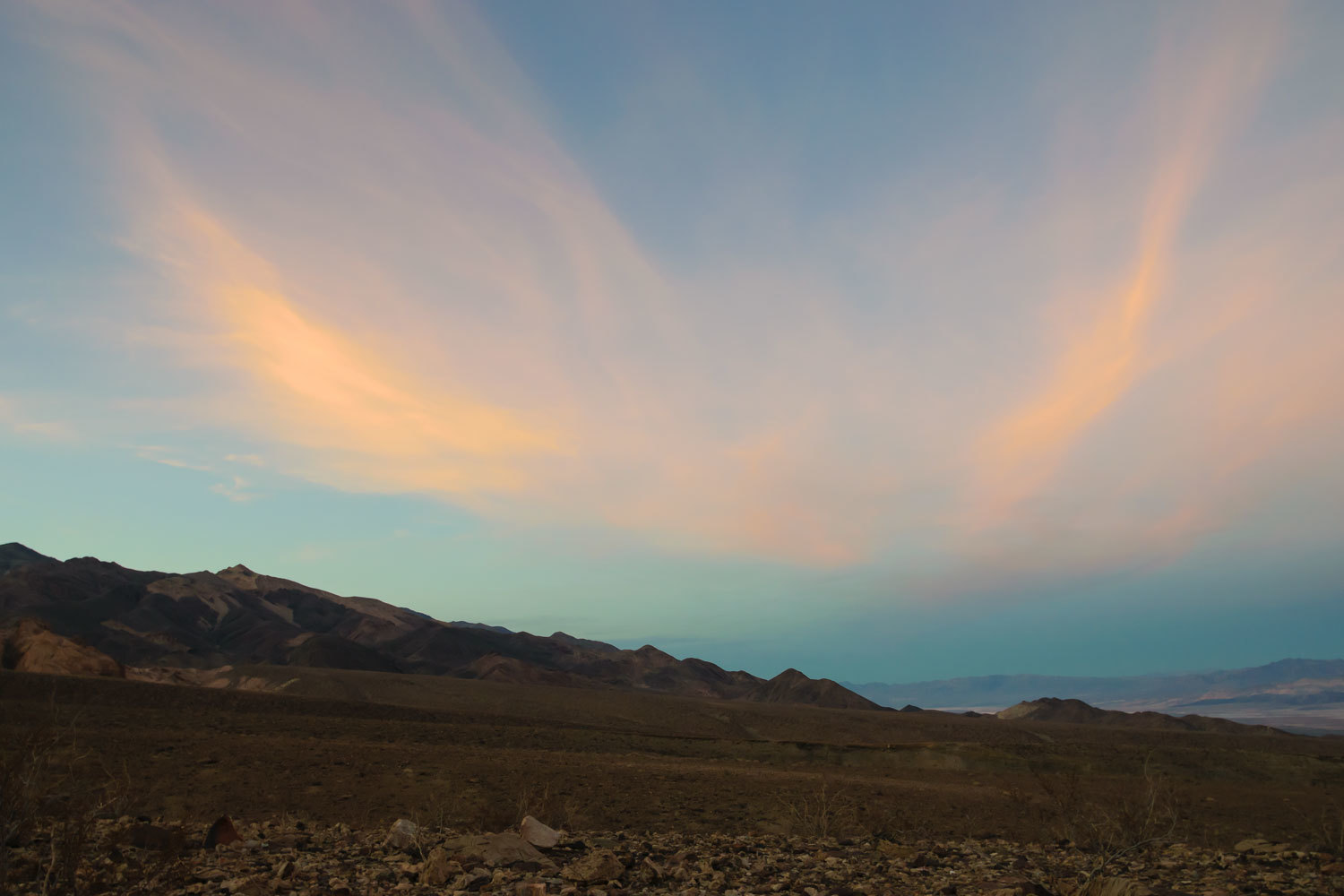
Not only was the solitude perfect, so was the weather. Temperatures reached into the high 60’s. We slept each night with the windows open. The overnight lows pegged at 52. And there was no wind! Absolutely amazing. This was the best conditions we’ve ever experienced here. It was, indeed, perfect.
Here is dawn the next morning.
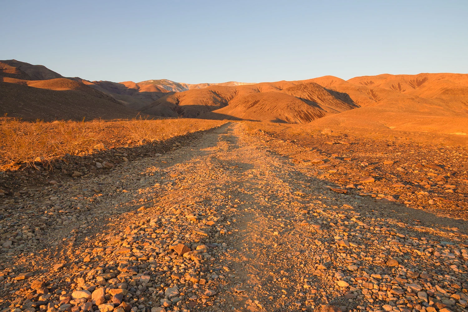
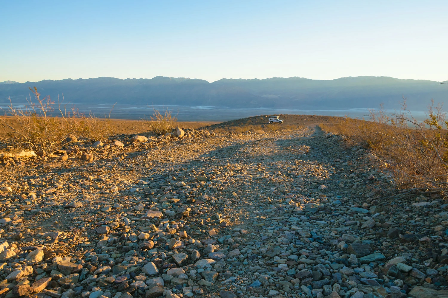
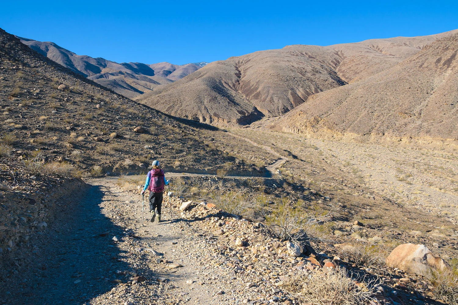
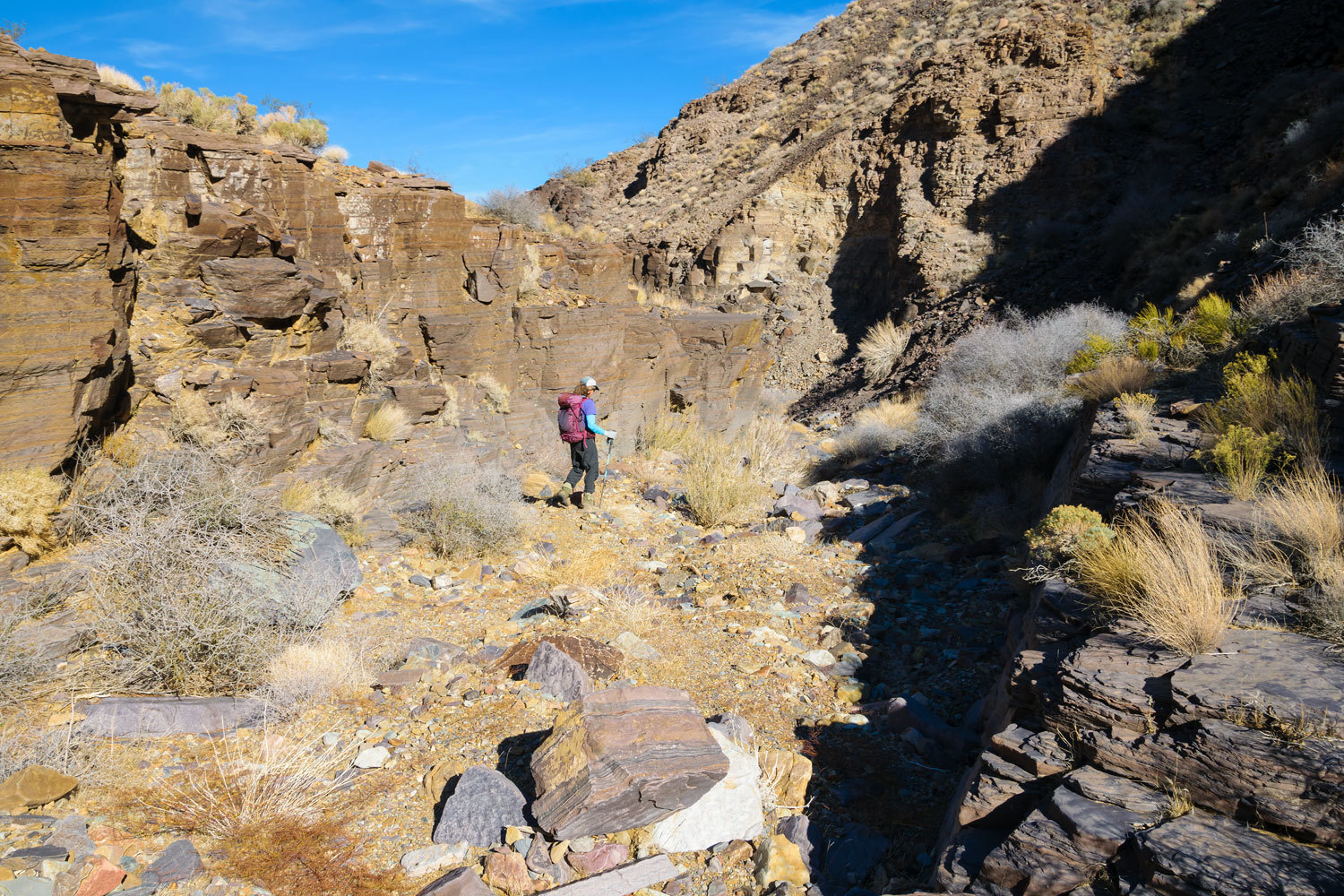
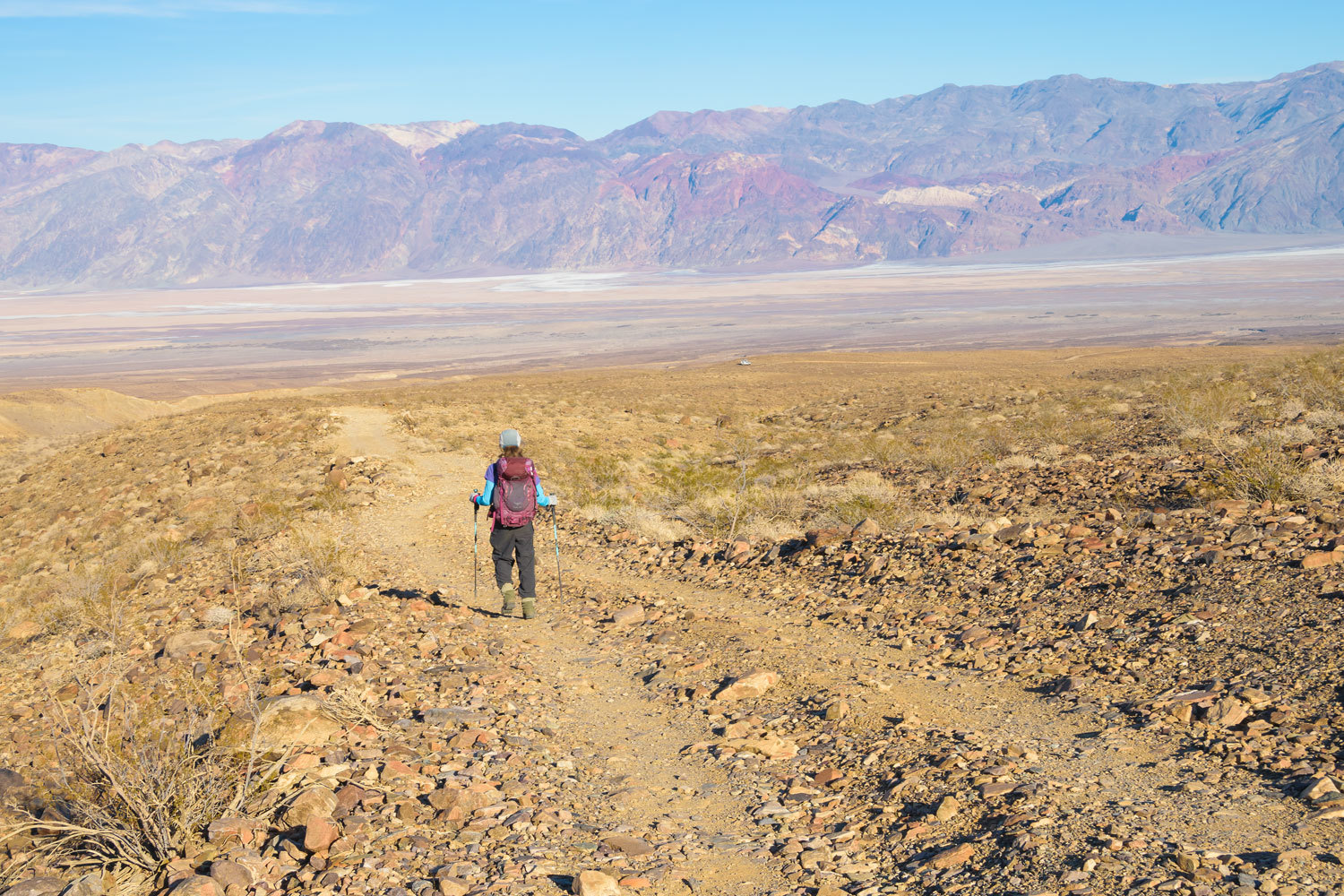
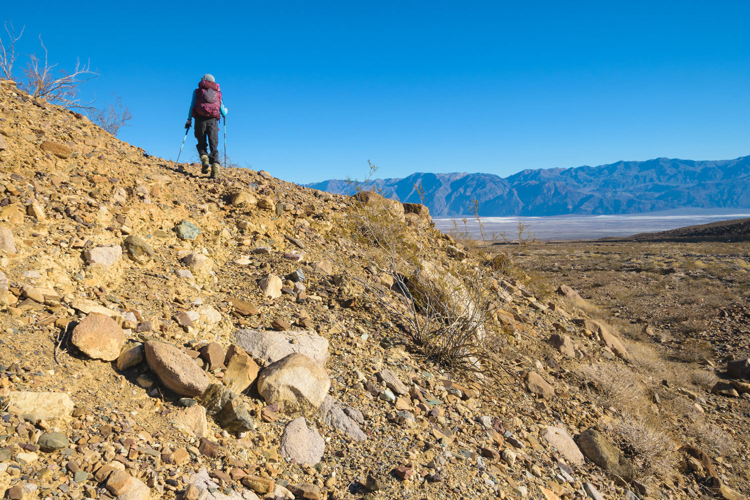
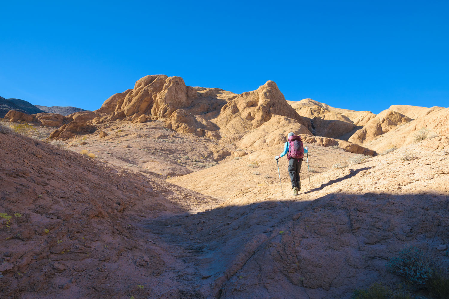
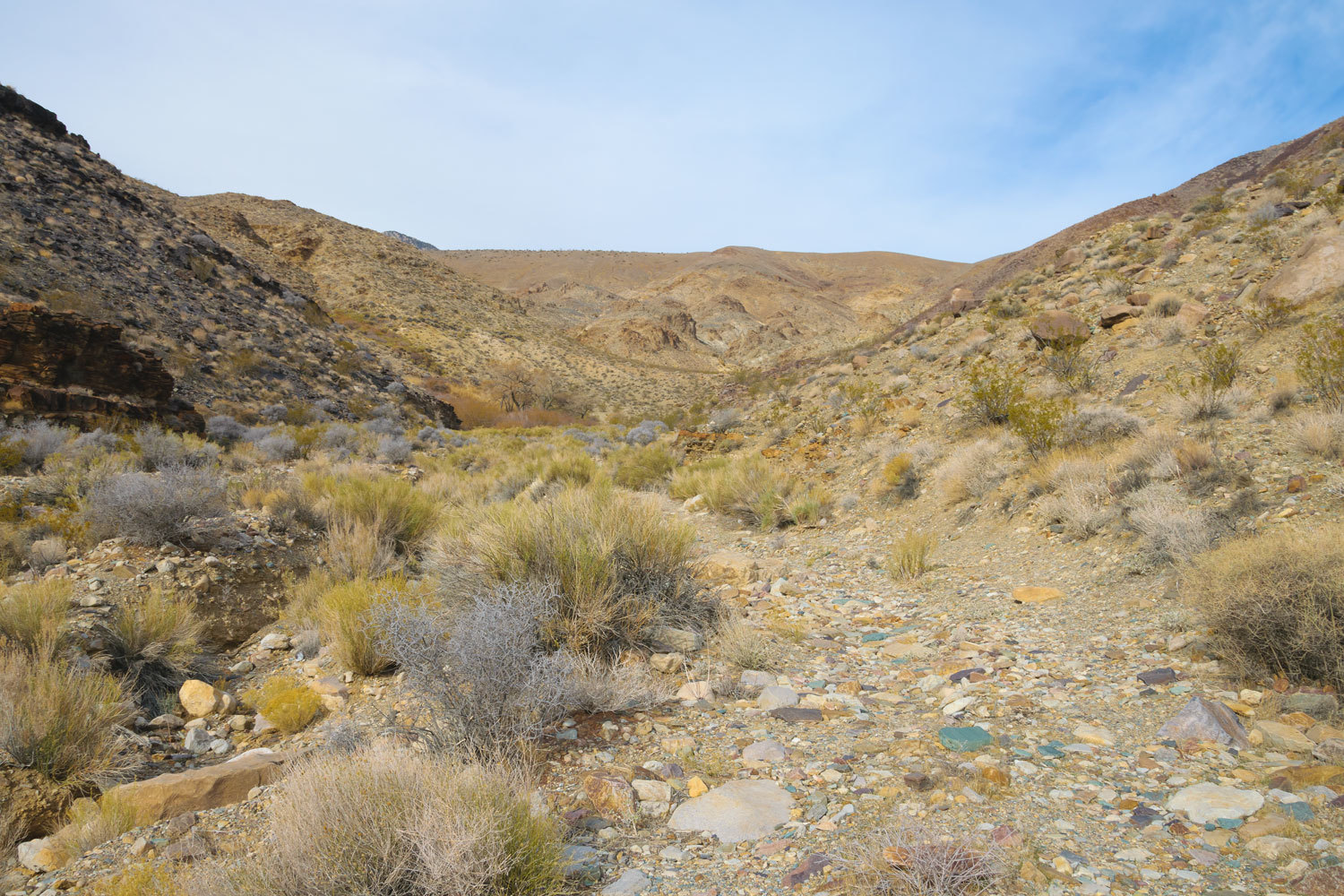
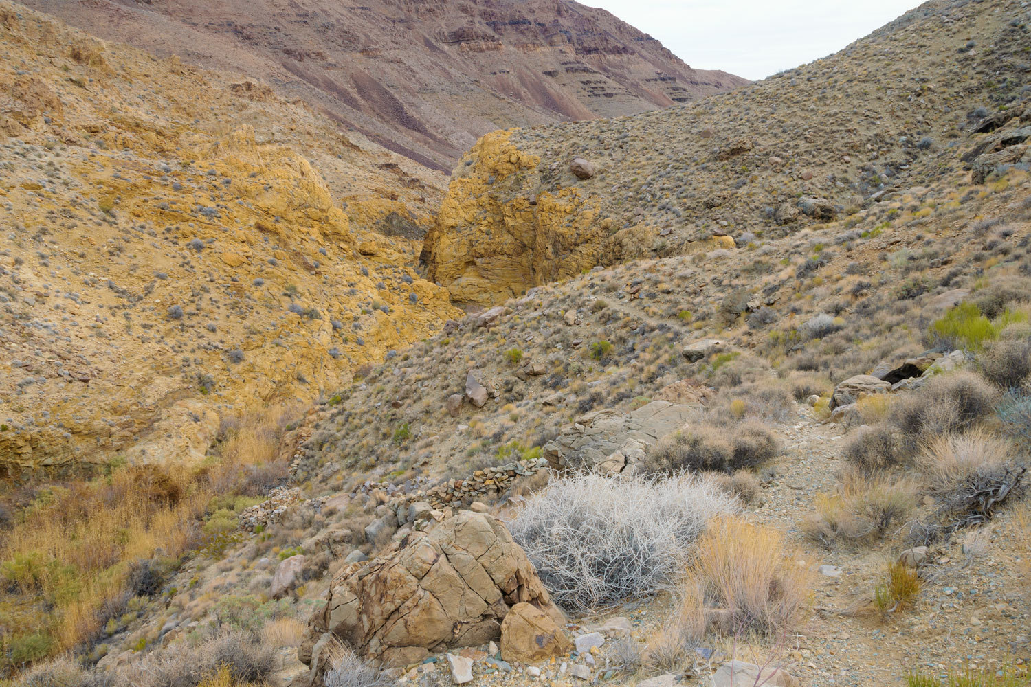
We spent our first full day exploring up the south fork. The road makes a long drop into Johnson Canyon’s wash.
Yes, we could have driven further up Johnson Canyon, but our spot was best for our planned explorations over the next three days. Also, camping out in the open gives the longest time in direct sunlight, which is quite short at the winter solstice. It also allowed for the best view of the night sky. And, the few miles added to our hikes only help in keeping us young and fit.
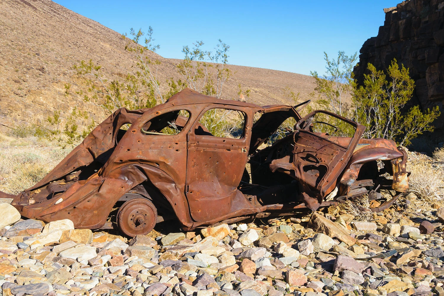
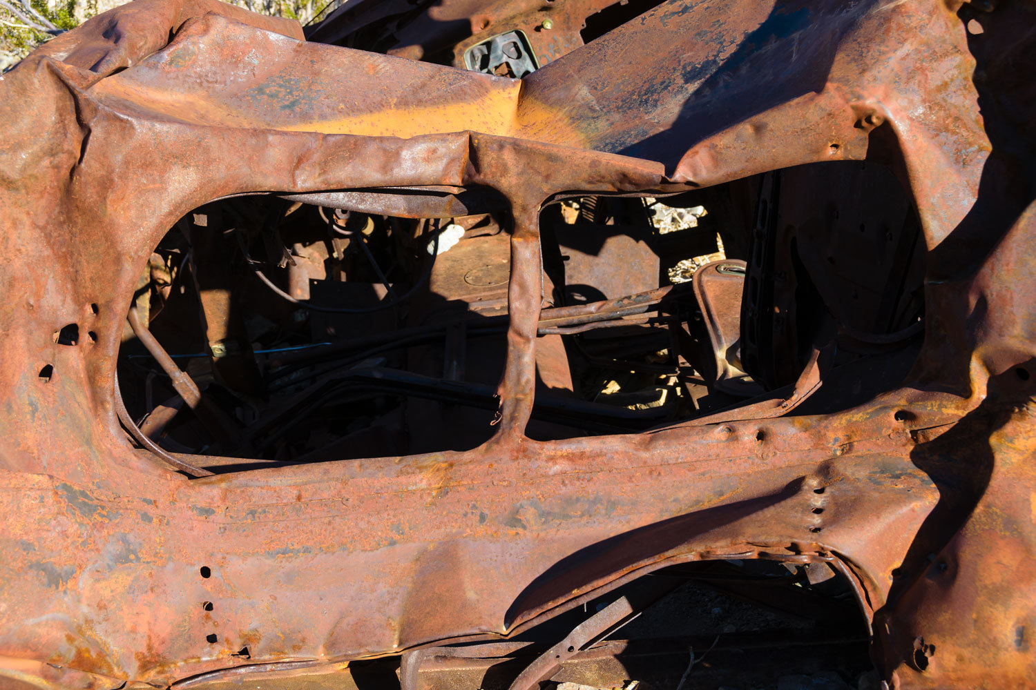
We stopped at the 1934 Chrysler Airflow, a landmark just inside the mouth of the canyon. Every time I see a shot up old vehicle, I expect future archeologists will believe gun battles involving car chases were commonplace. Our entertainment industry certainly tells this story.
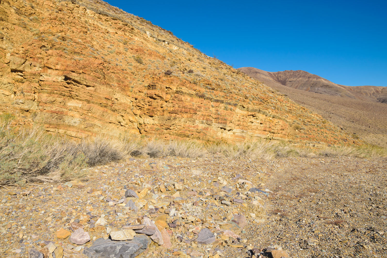
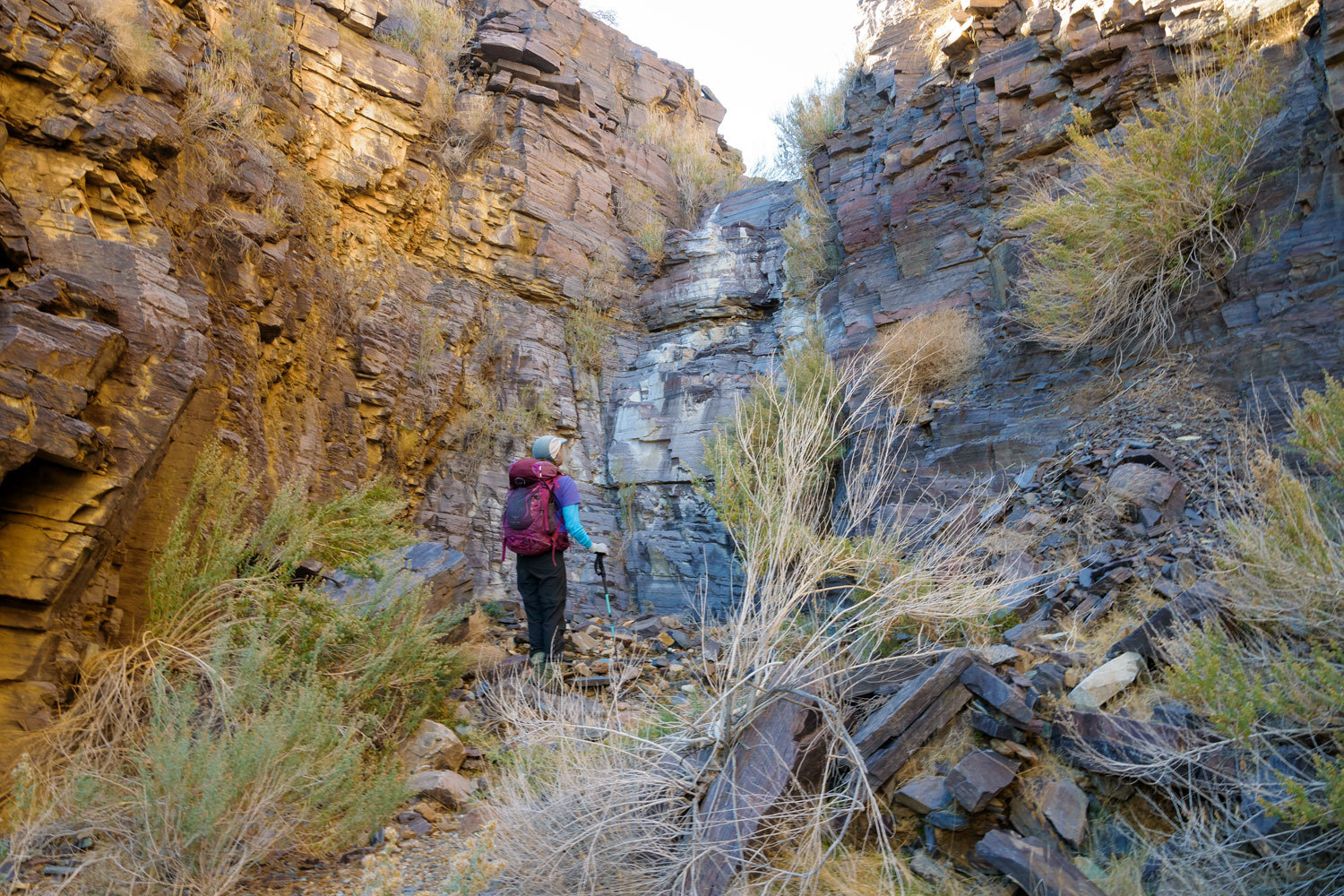
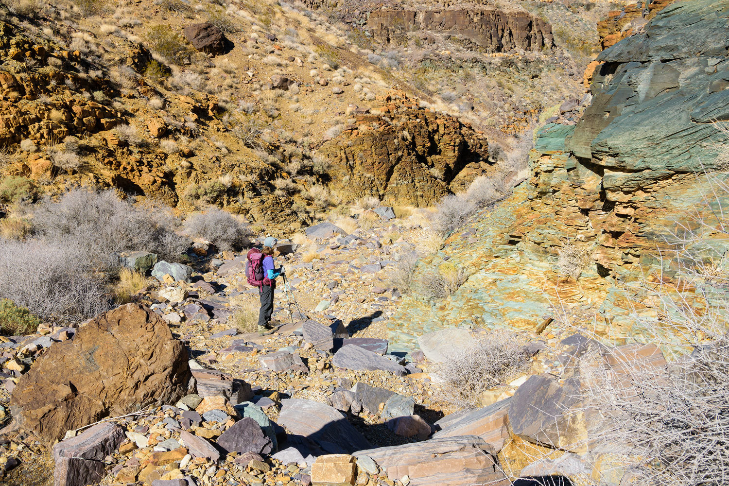
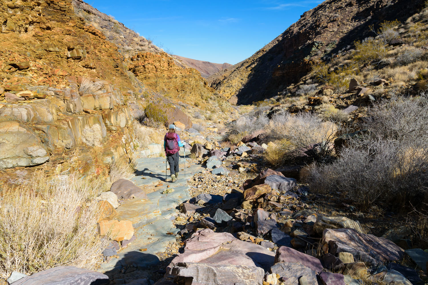
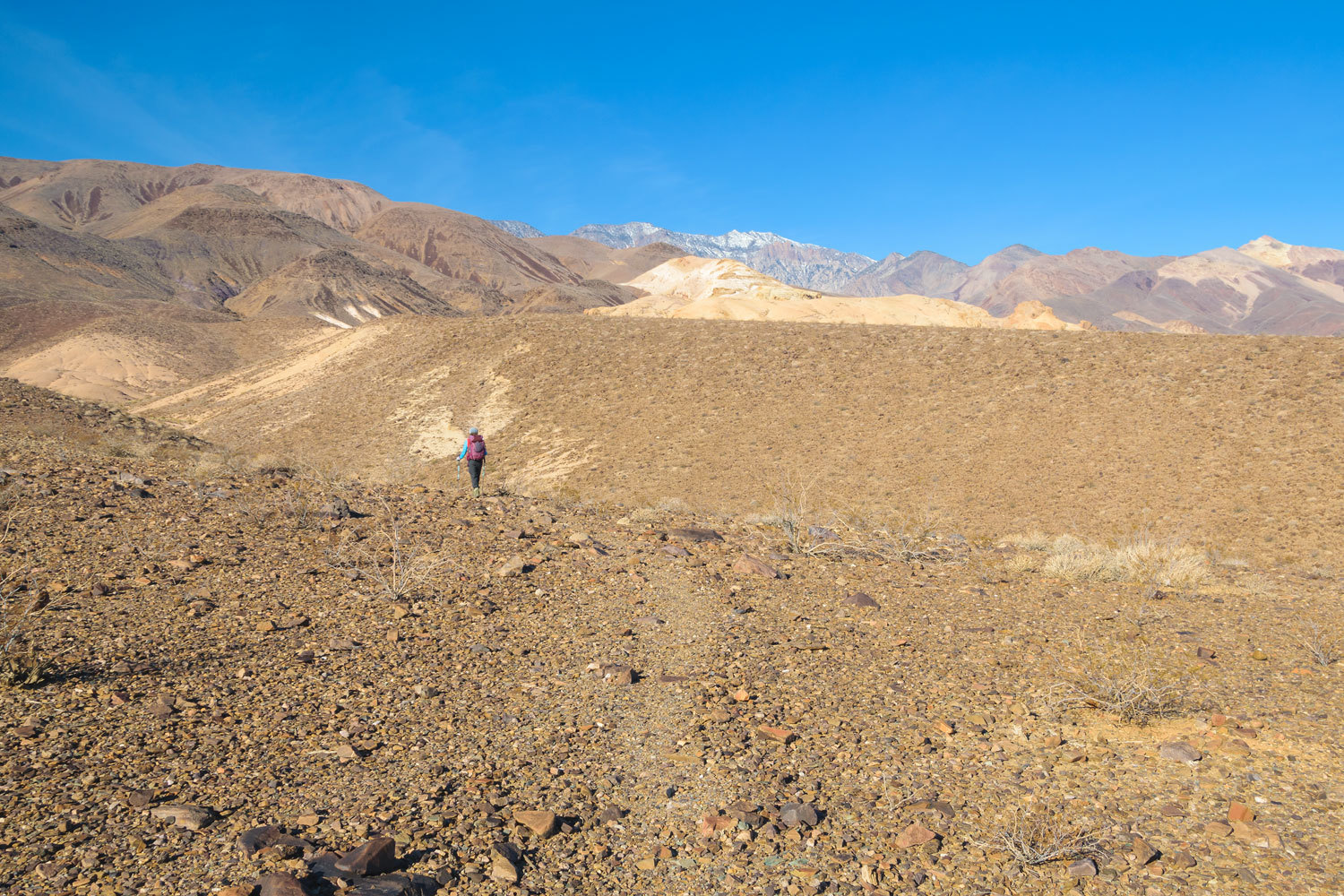
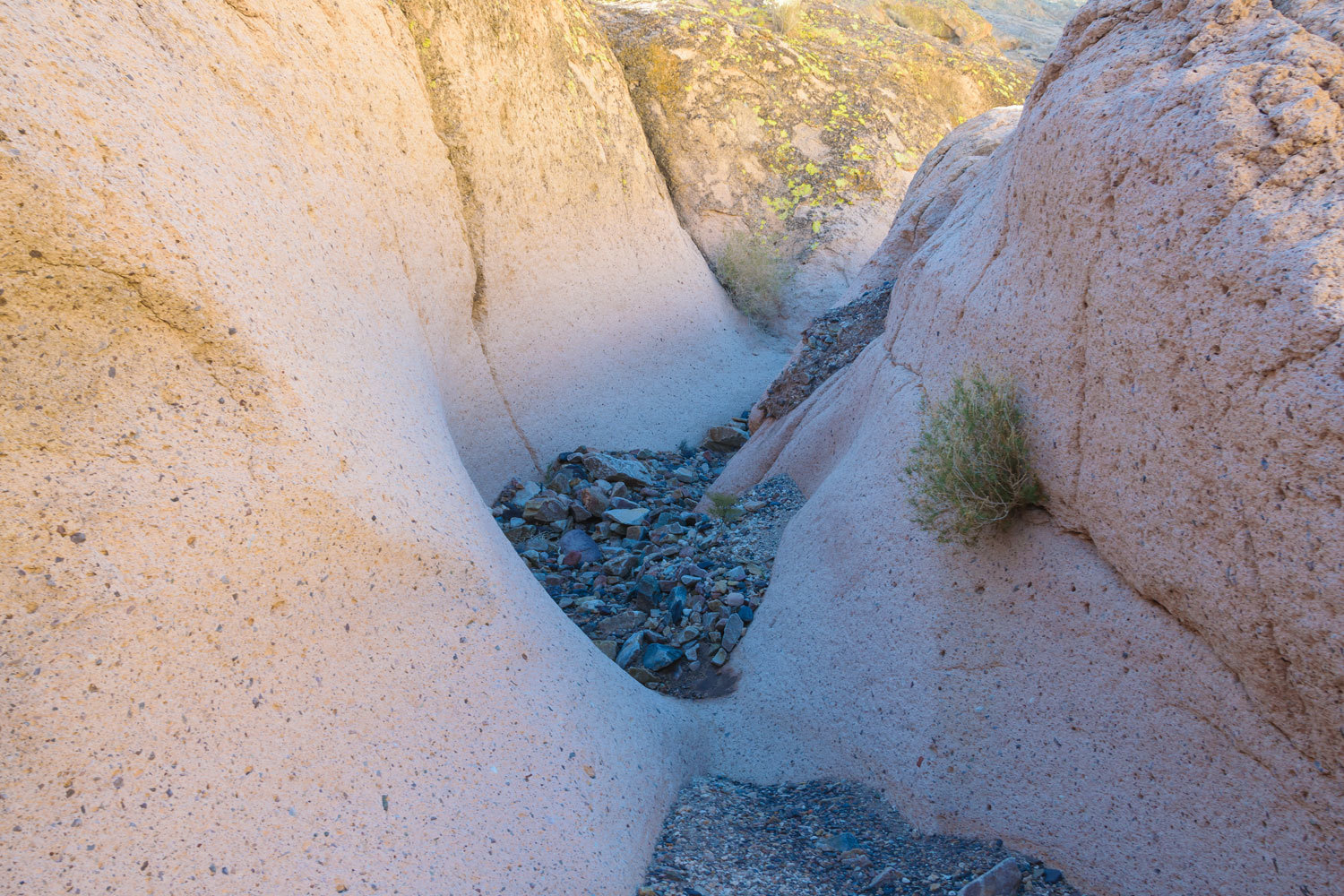
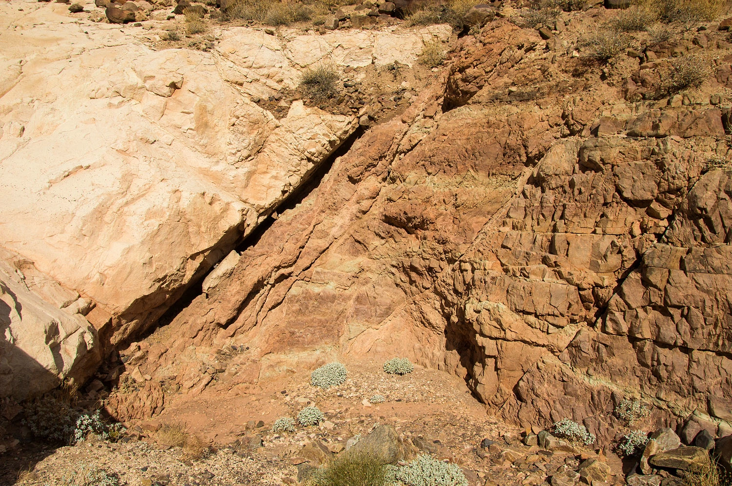
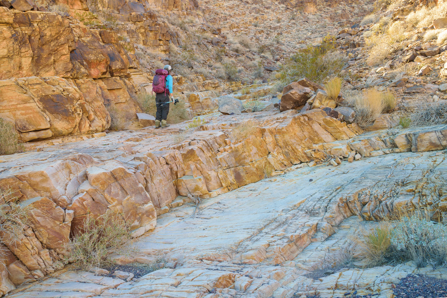
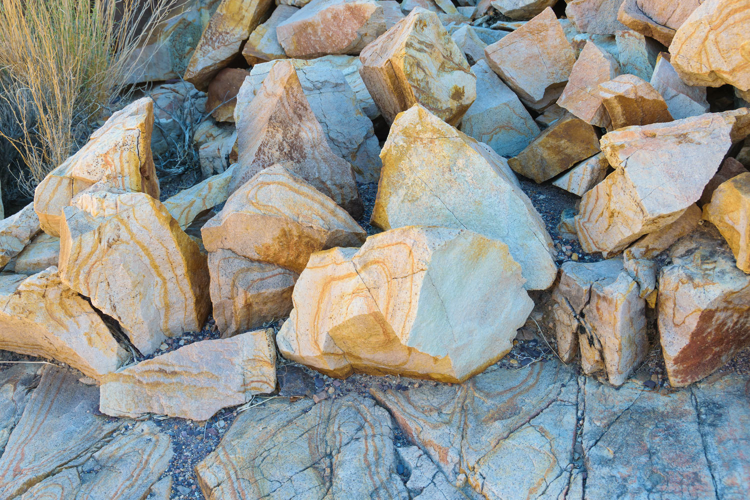
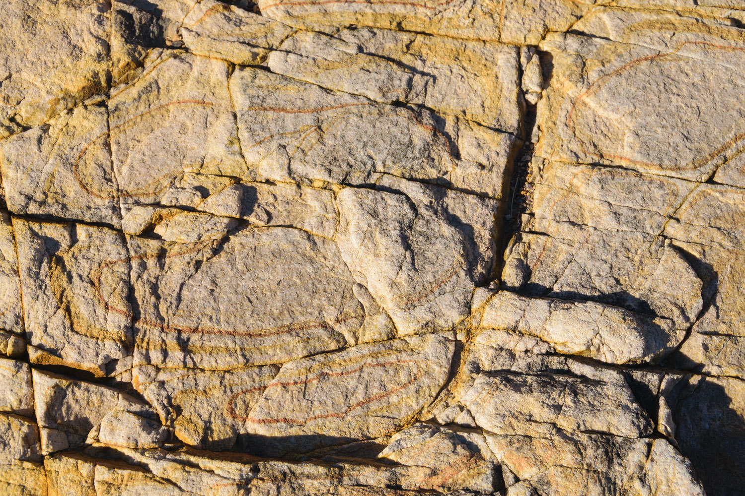
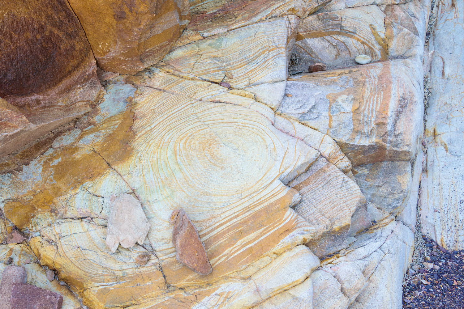
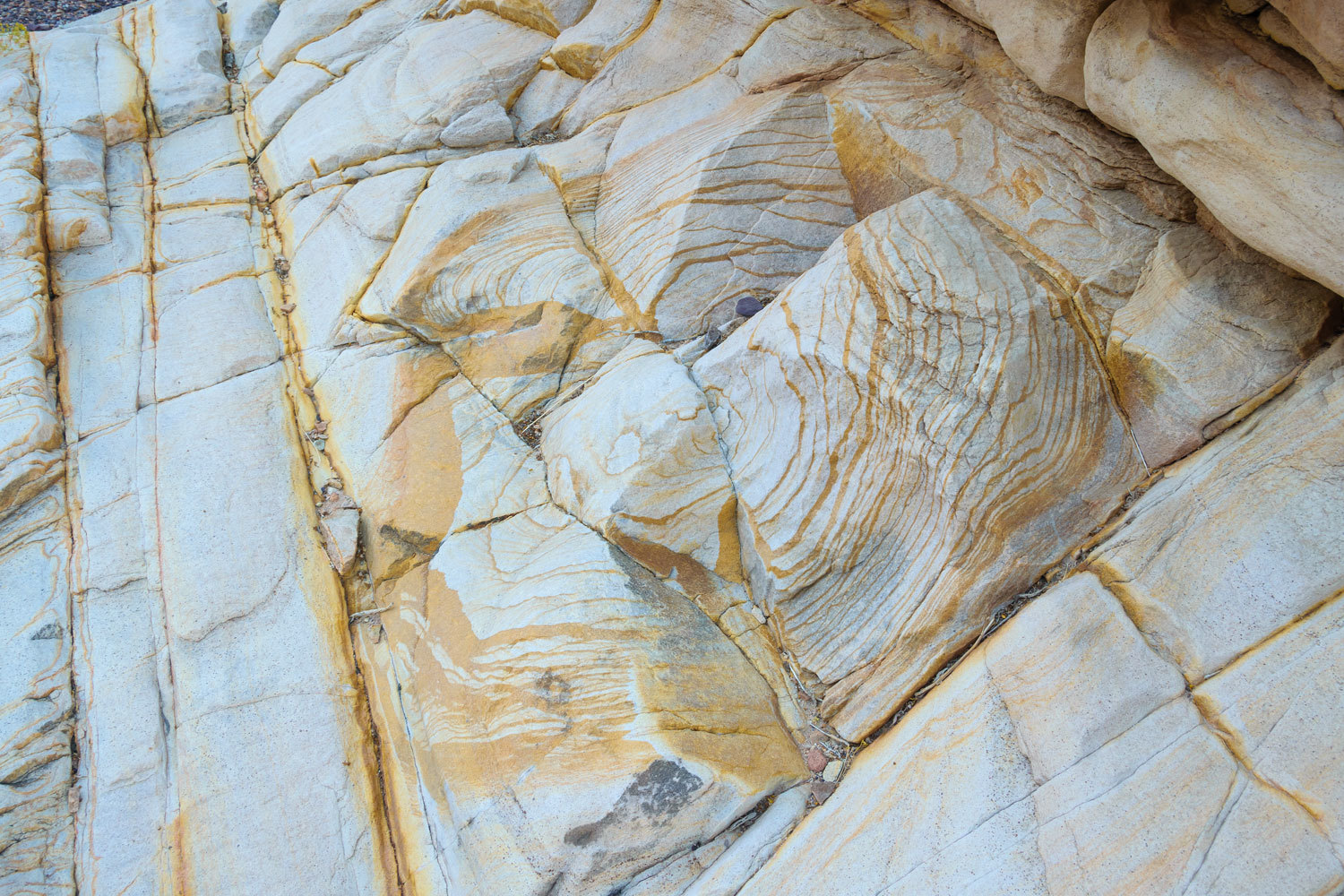
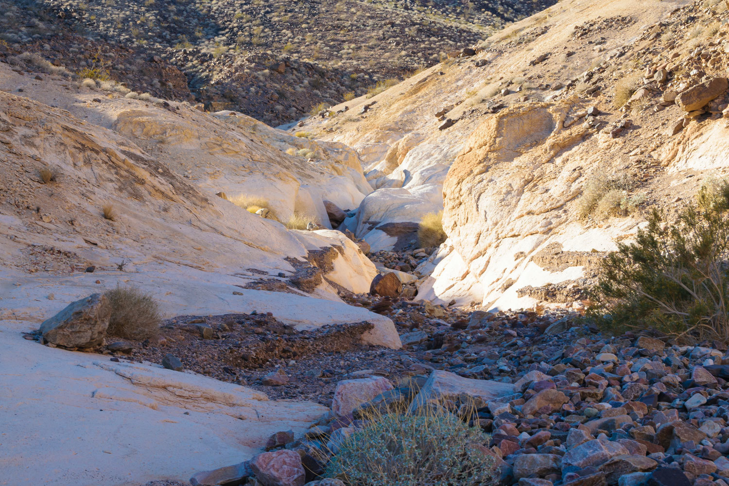
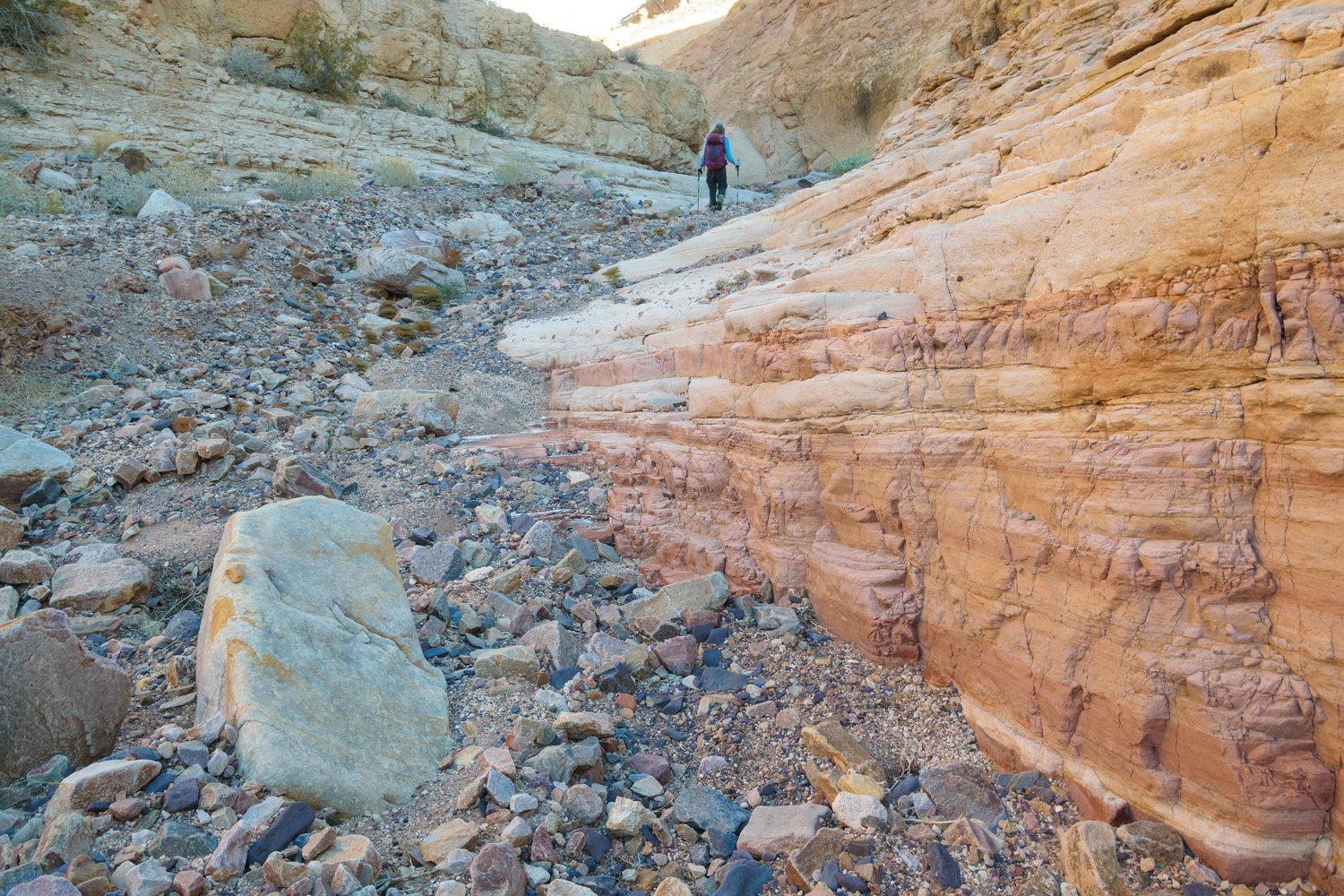
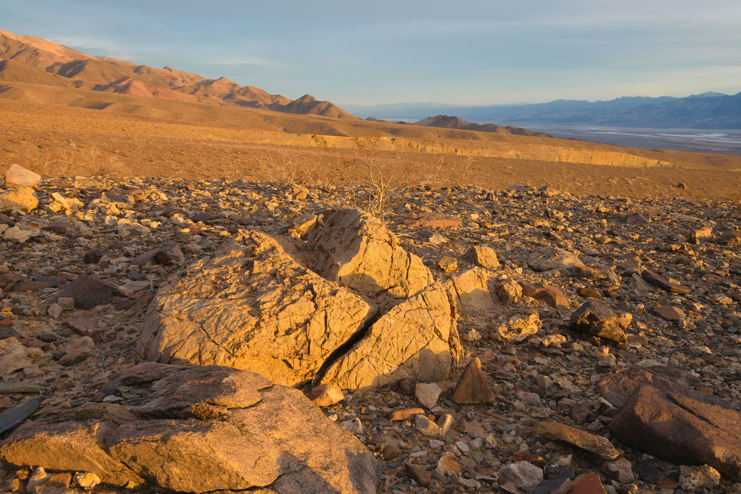
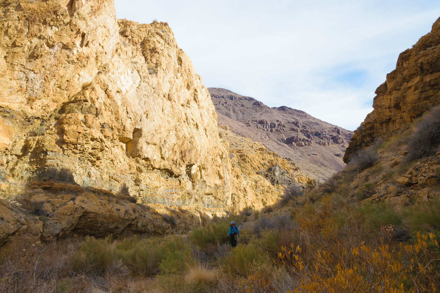
We reached the confluence with the south fork and turned up its rugged wash. We paid attention to the wonderful layering in the rock.
I did not take photos hiking up canyon because of the sun beaming directly down canyon into the camera lens. The following photos of our descent provide a better view. On one highpoint in a corner of the canyon we were surprised at what we found.
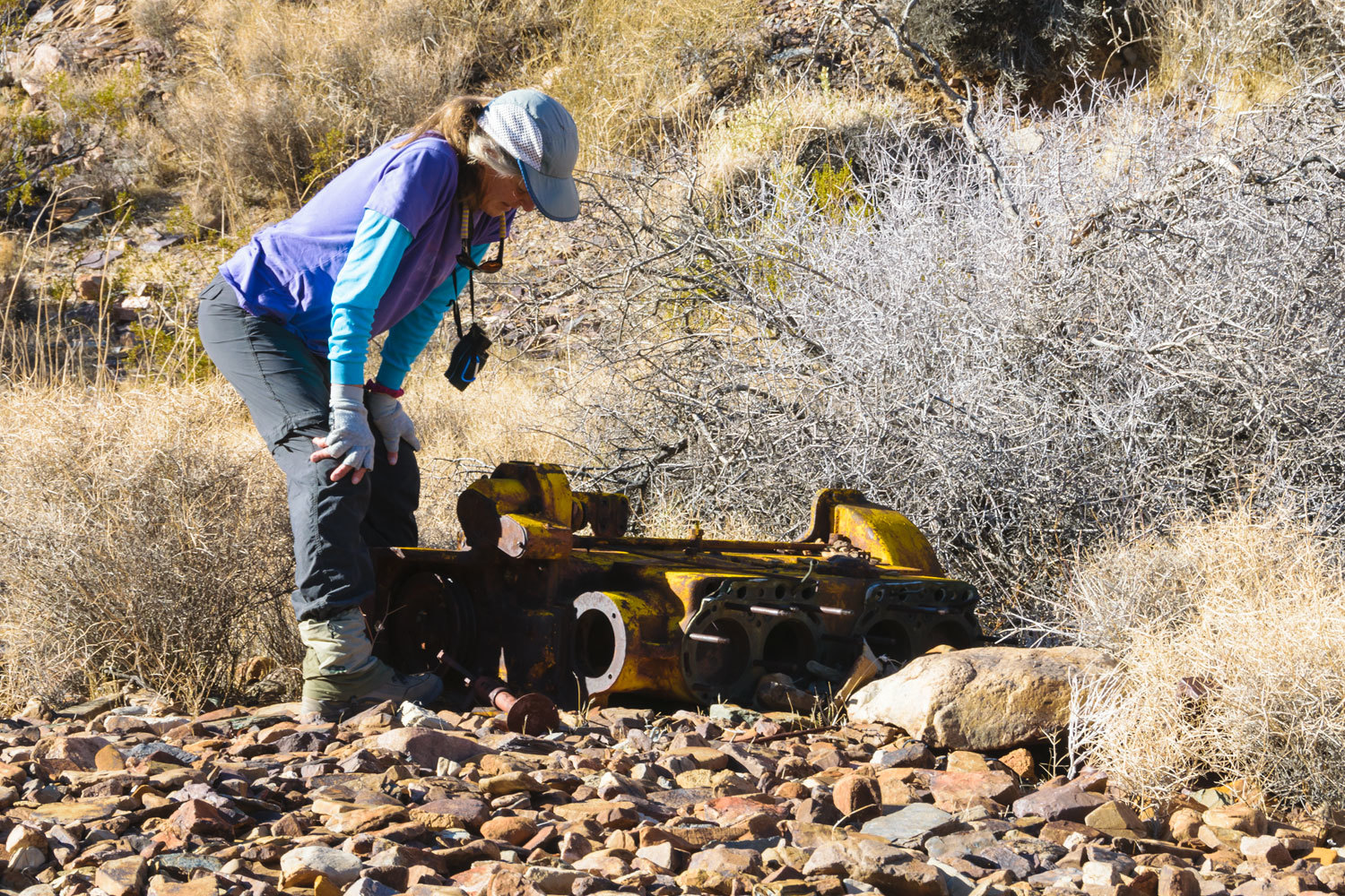
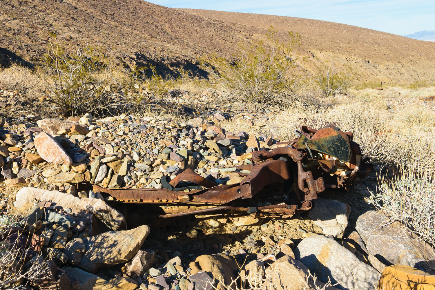
This old four-cylinder engine was massive.
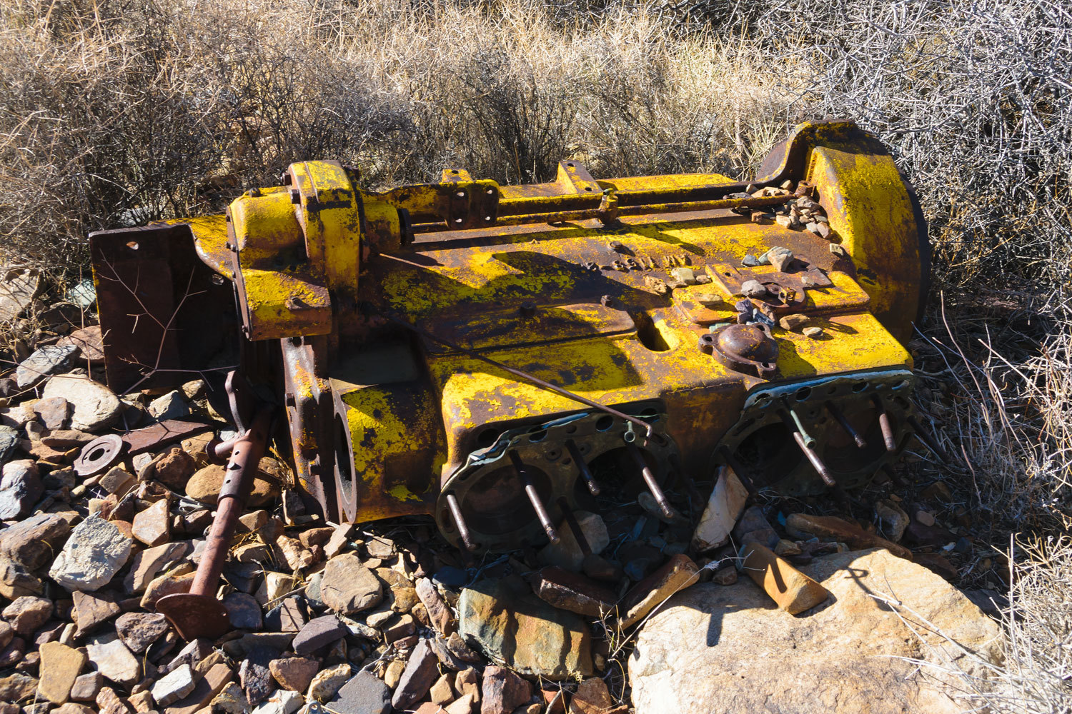
Other large heavy items were nearby.
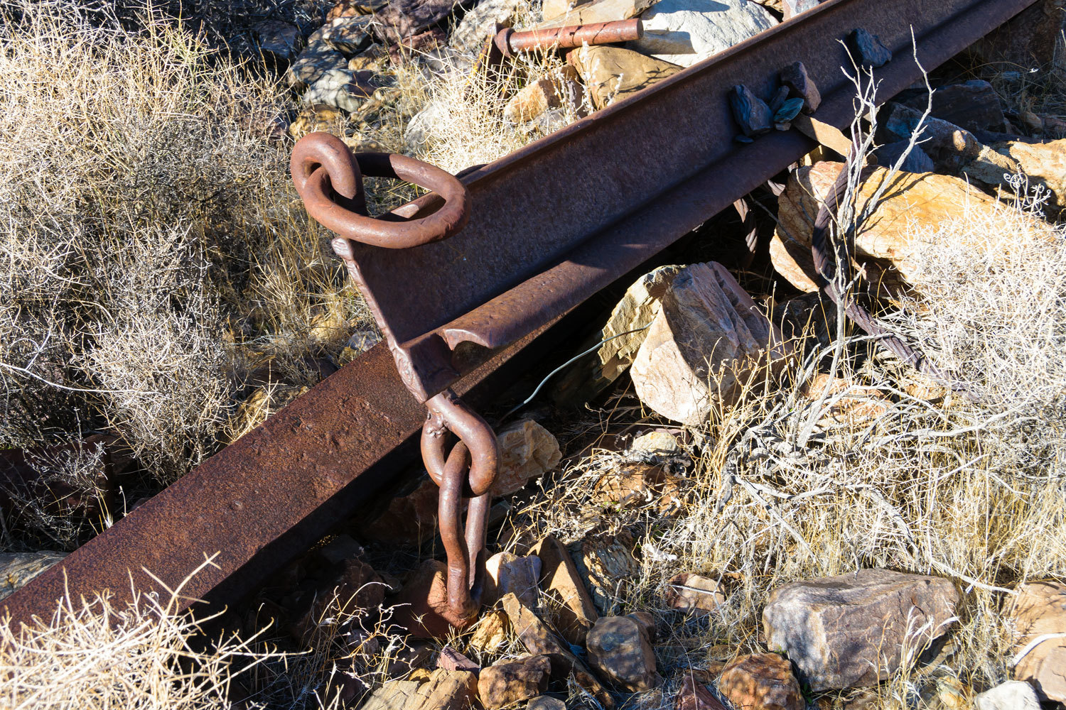
How did this stuff get up here? The USGS topo map indicates a few prospects on the slopes of this canyon but no mine. There are no road cuts above.
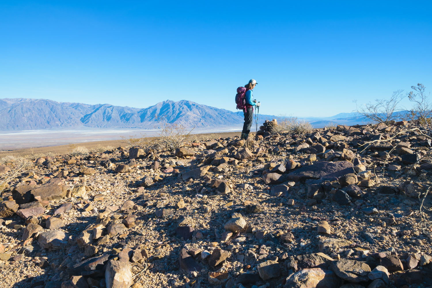
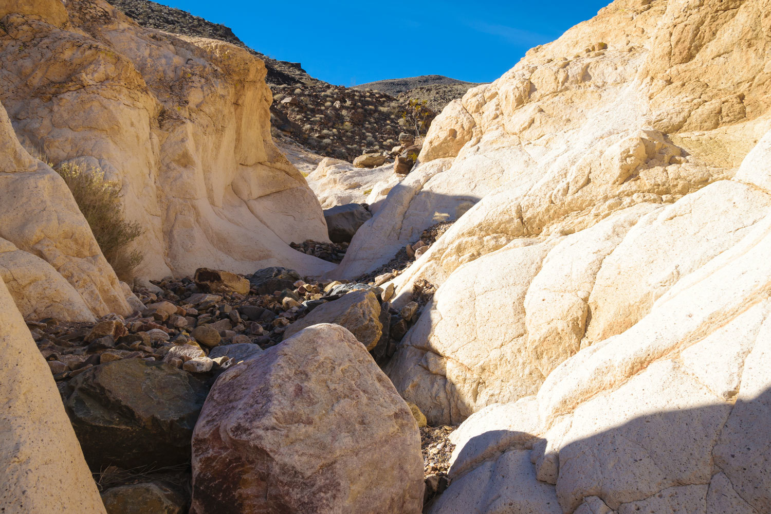
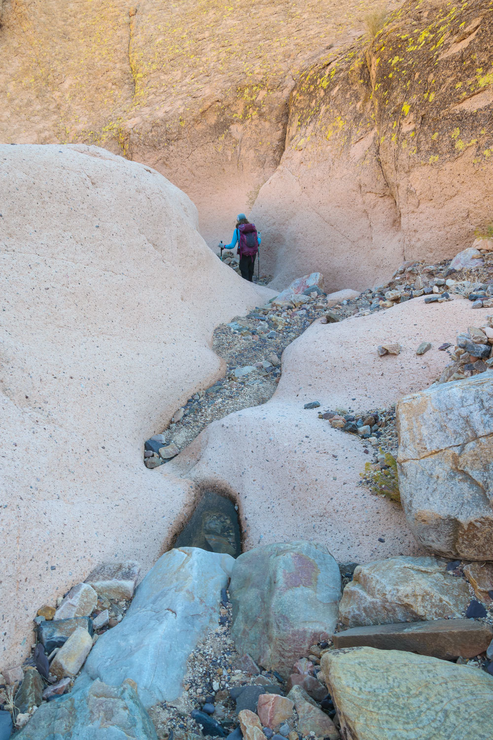
We continued up to the high dry fall in the south fork.
It looked like it could be carefully climbed. There was also the possibly of a steep bypass on the left side, but we were at our turn around time and we made this our stopping point. Spring has much longer days.
Here is our descent of the south fork. Again, how did that equipment get up to where we found it?
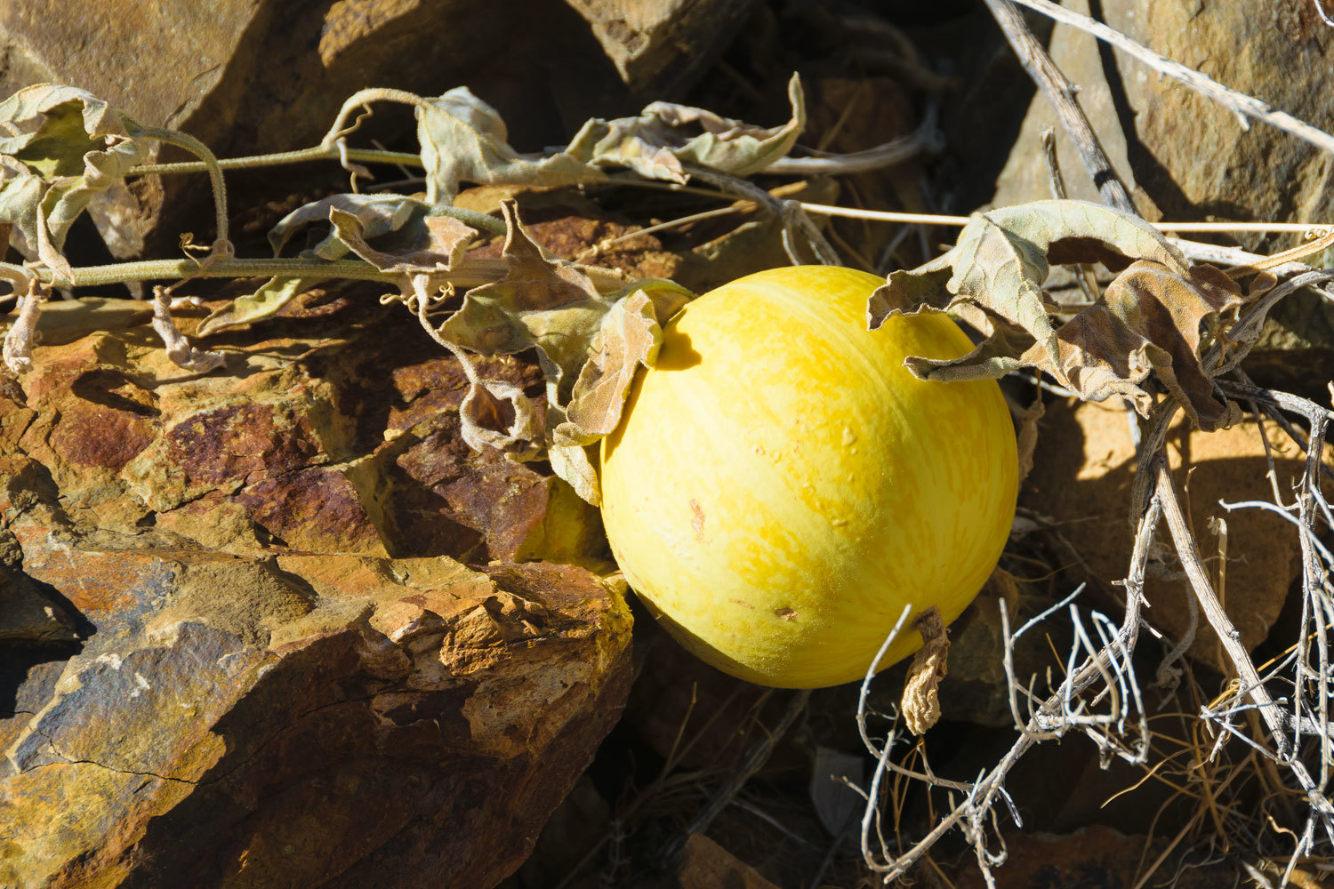
We found coyote melons.
We returned to the scene of the gun battle.
There is another vehicle buried in the wash down from the Chrysler.
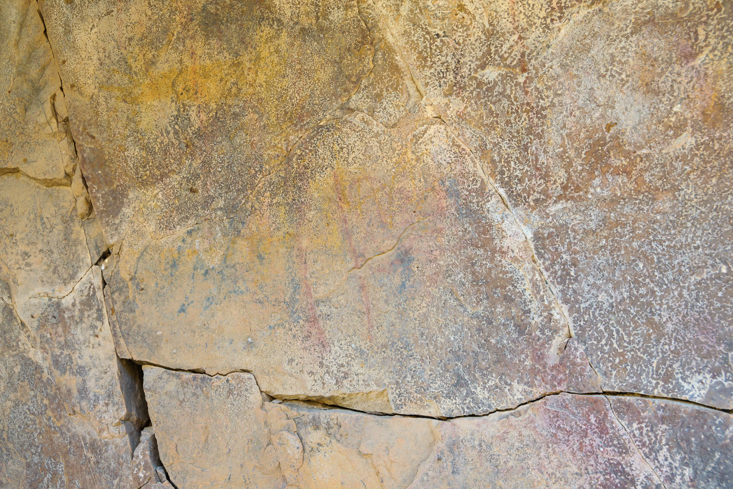
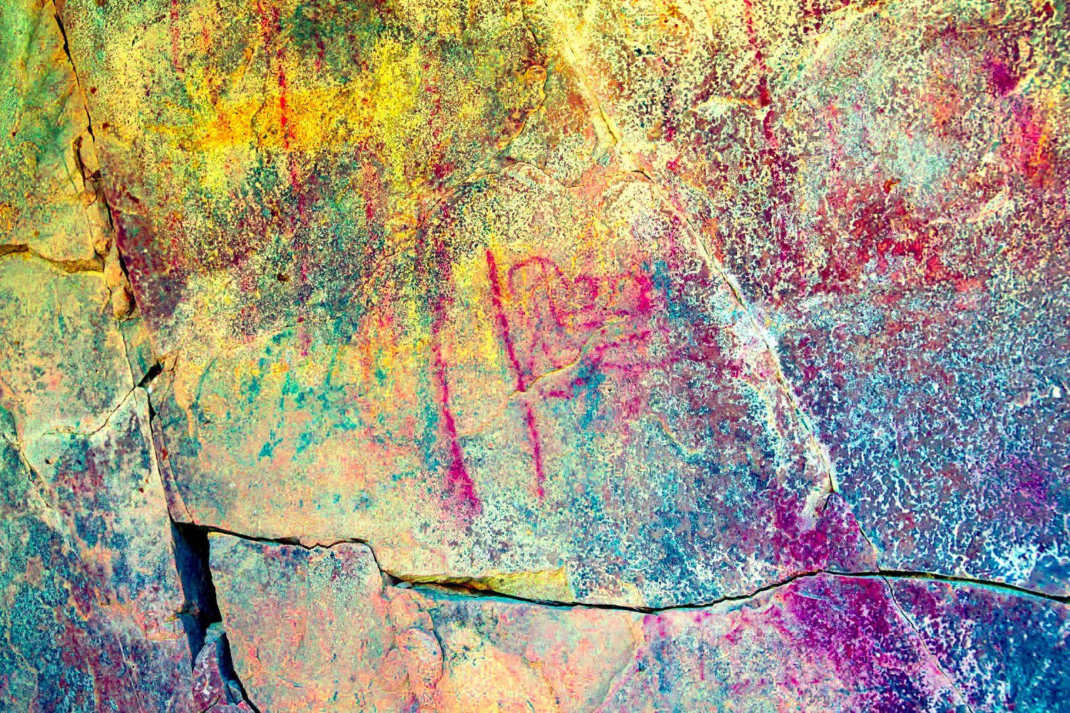
We’ve spent many trips searching Johnson Canyon. Did we find what we were looking for on this hike? Yes. A small pictograph site.
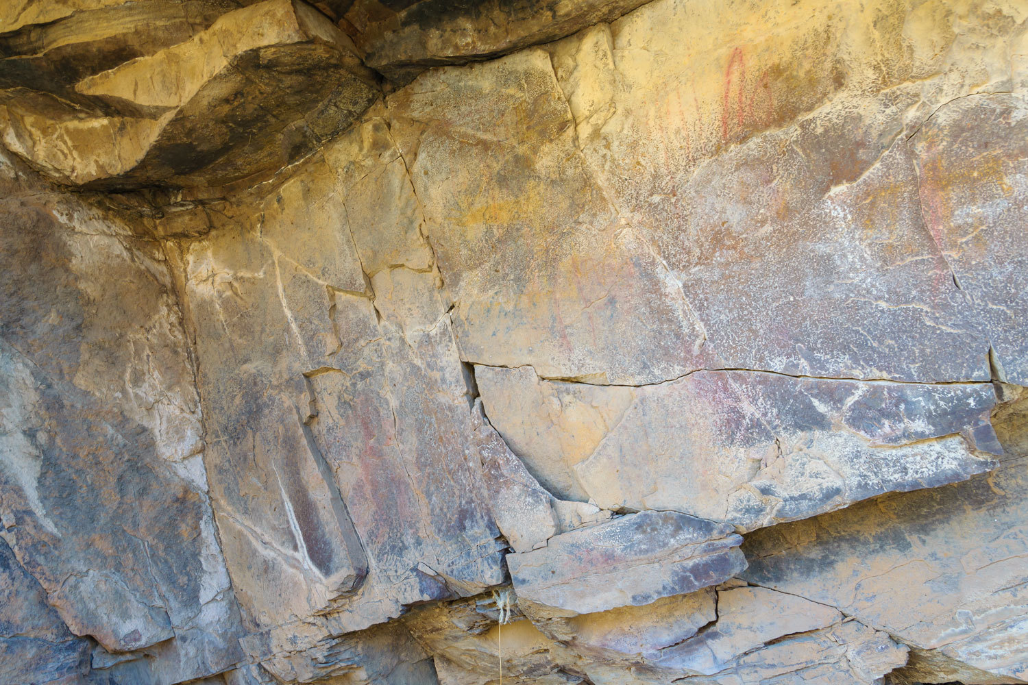
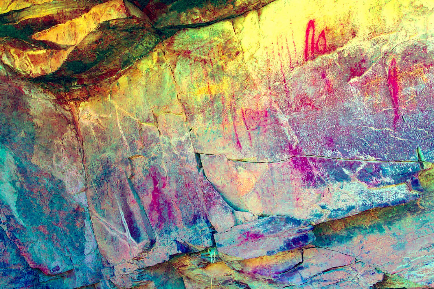
DStretch helps here in bringing out the pictographs.
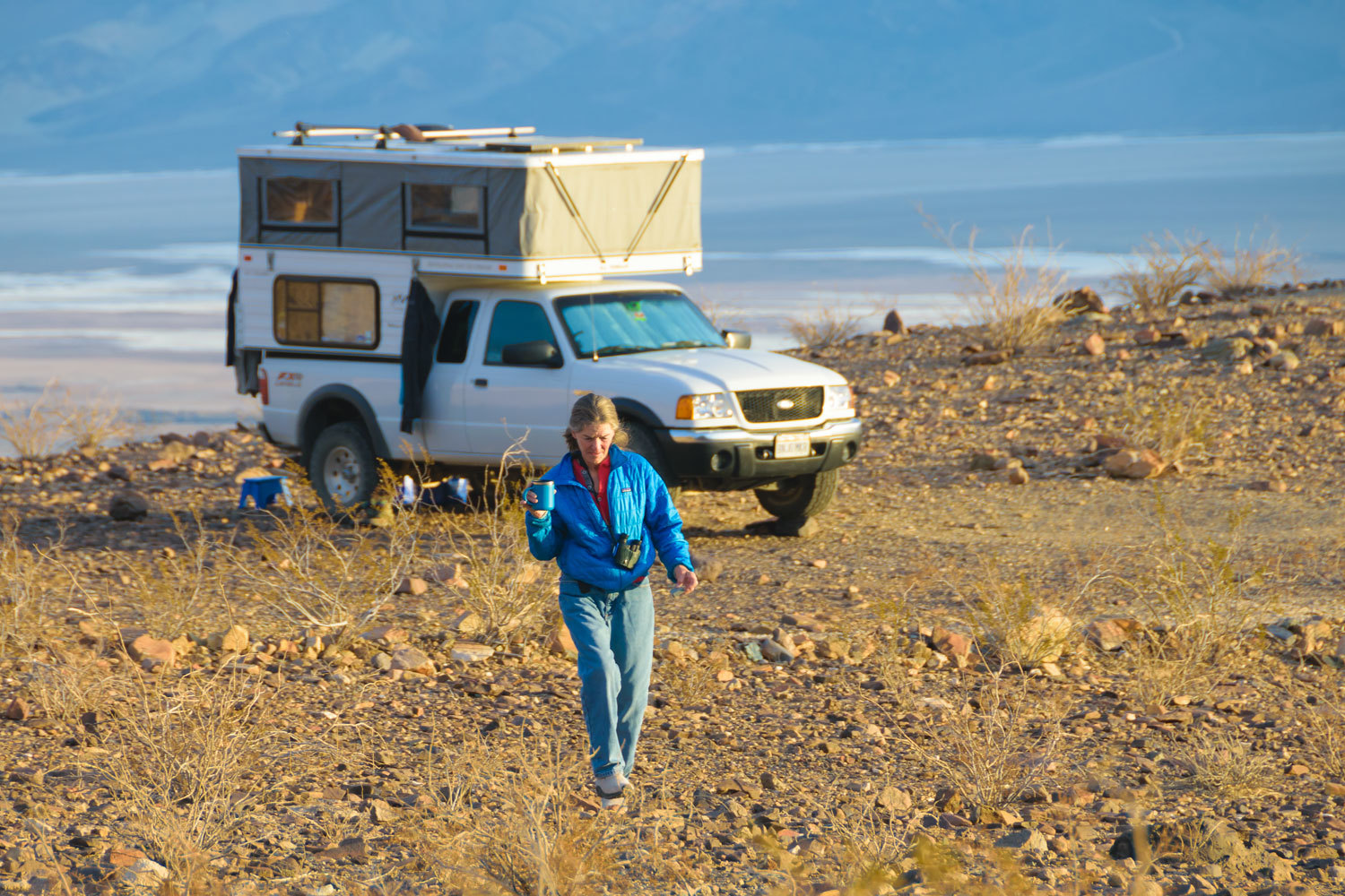
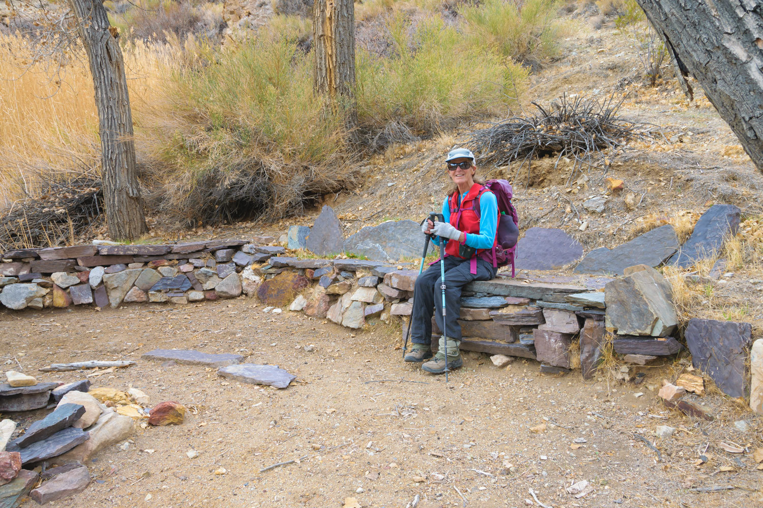
We returned to our happy little home on wheels.
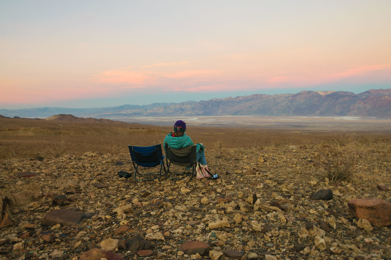
Our evening perch. Our view was from the Furnace Creek Inn to the north down to and past Ashford Mill to the south. With the pleasant temperatures, we could sit out as long as we wished.
The next day we spent exploring the old historic Indian trails that run north and south along the flank of the Panamints. The old routes were used long, long before the road was built up Johnson Canyon.
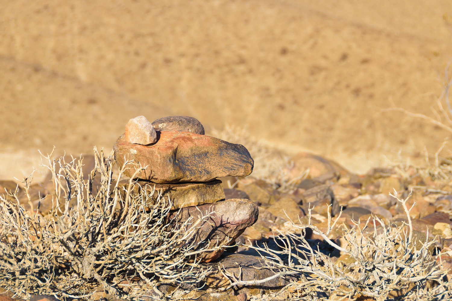
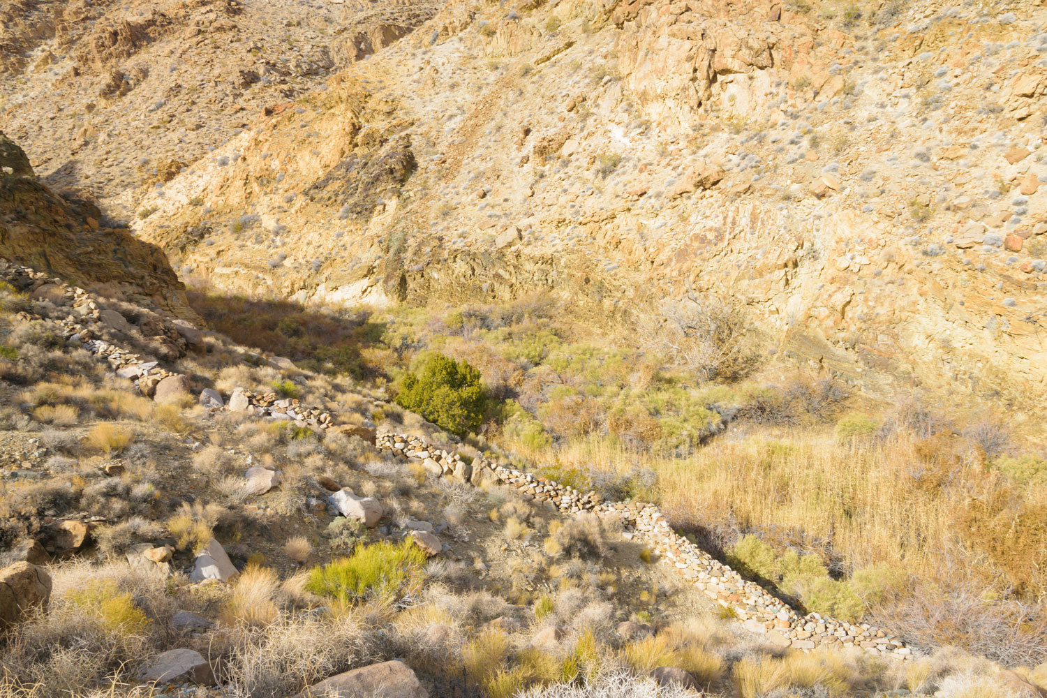
At places they are marked with stacked rock cairns that should not be disturbed.
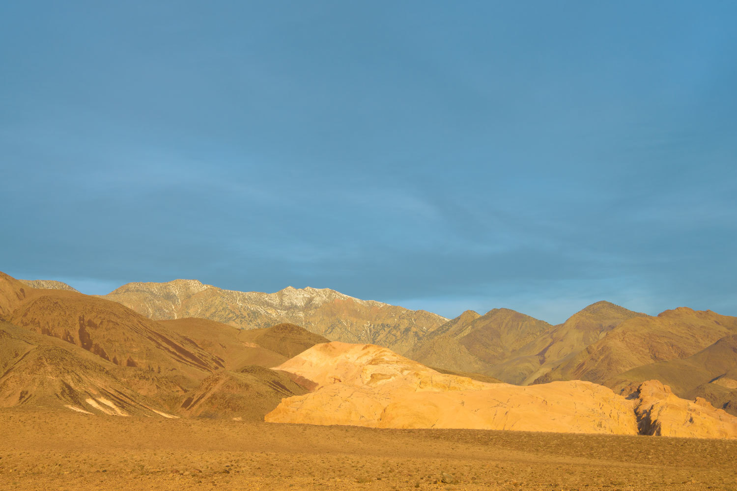
We climbed up into an area capped with welded volcanic ash that the geologic map report as being 7.5 to 15 million years old. Note: we’ve explored in this area several times and returned to see what else we could find.
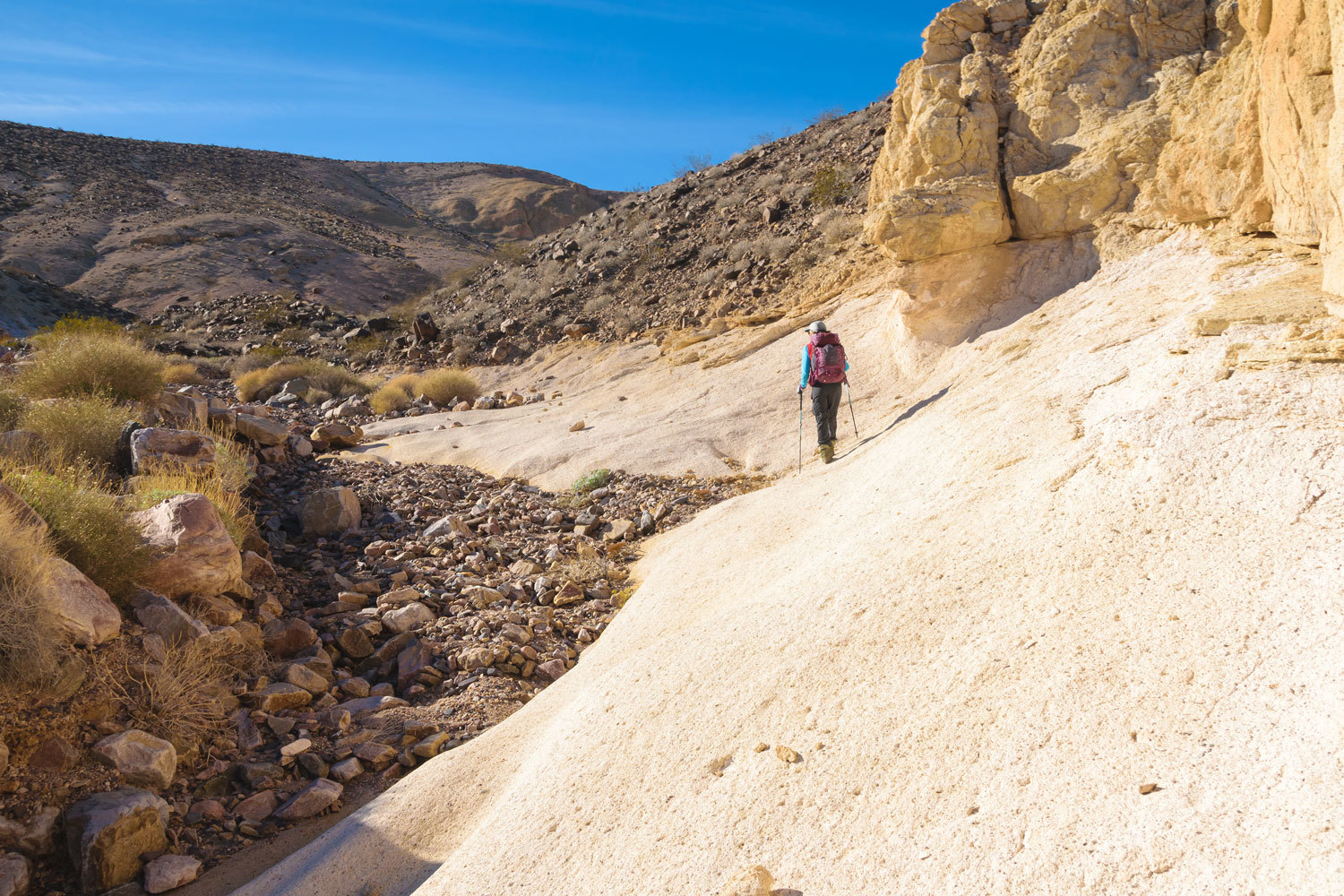
We followed a narrow canyon that’s been cut through the welded ash.
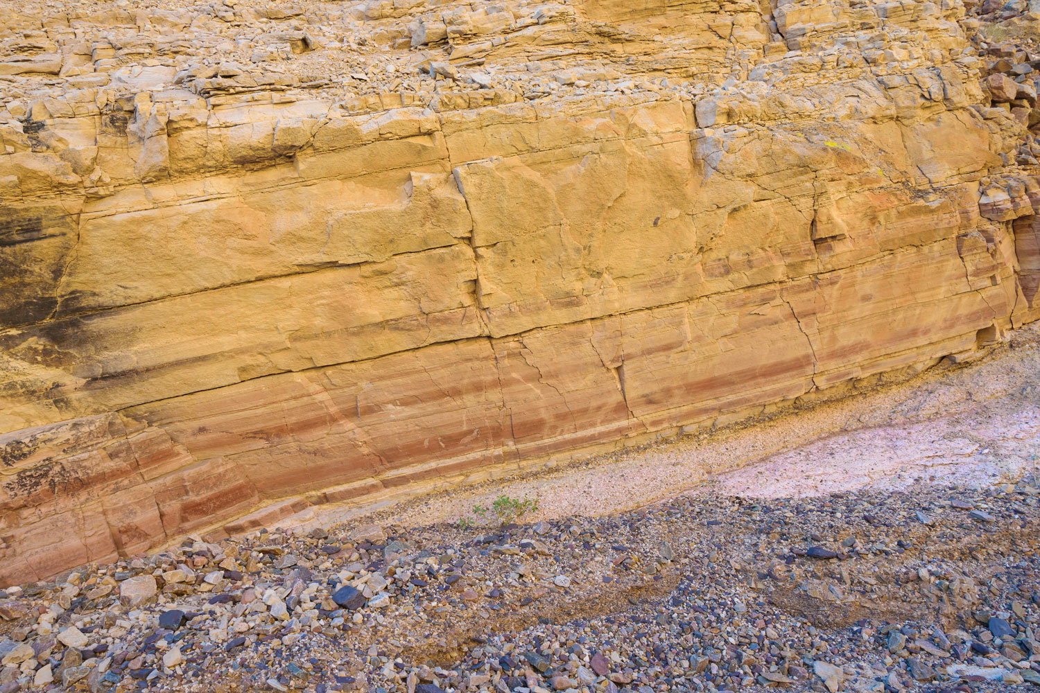
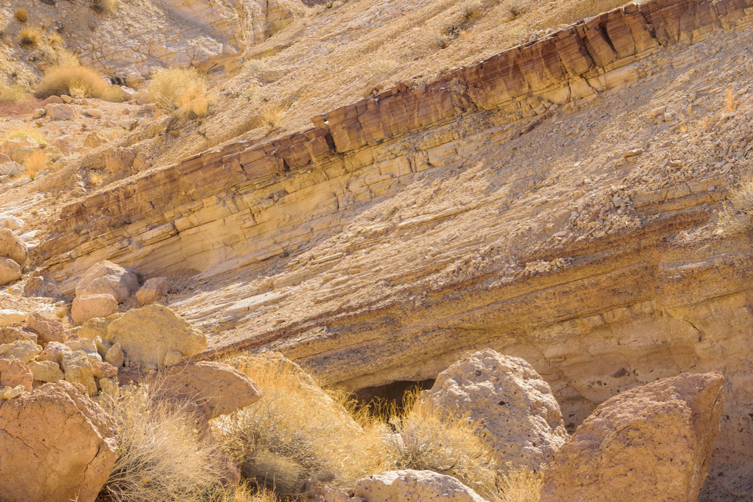
The welded ash overlays layers of sedimentary rock. All has been uplifted and tilted.
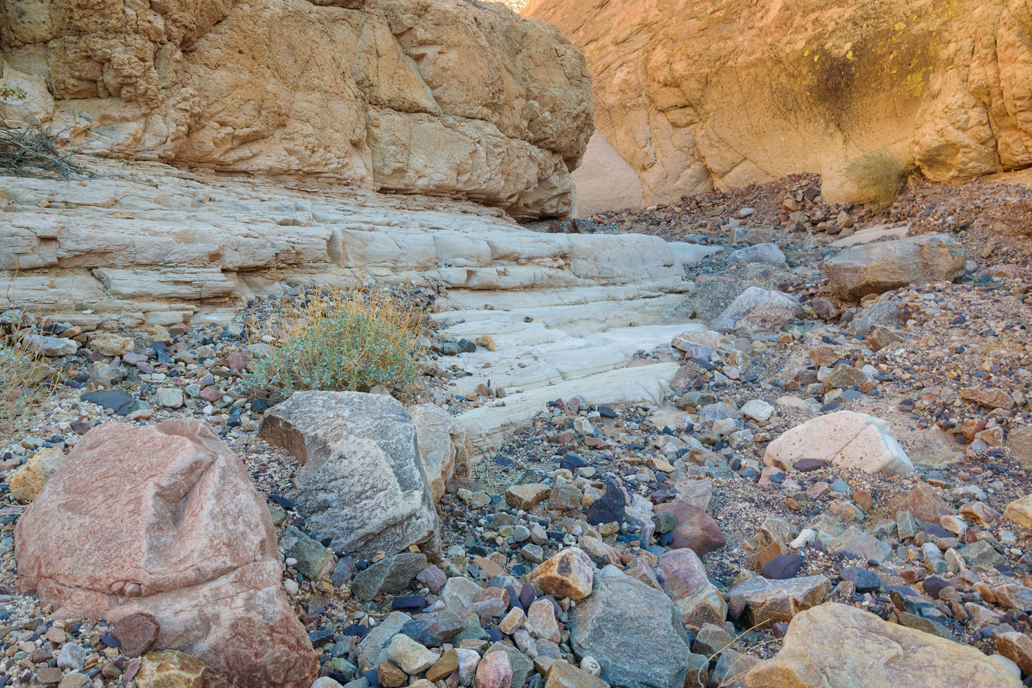
These banded layers of mudstone or siltstone are atop layers of coarse sand and gravel, all at the same tilted angle.
It is difficult to keep the layering lined up because there are many faults that run along the front of the Panamints. The layers no longer line up.
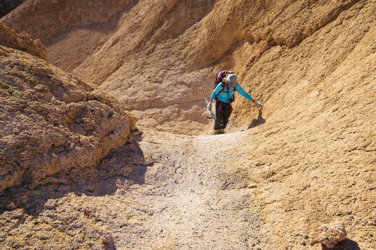
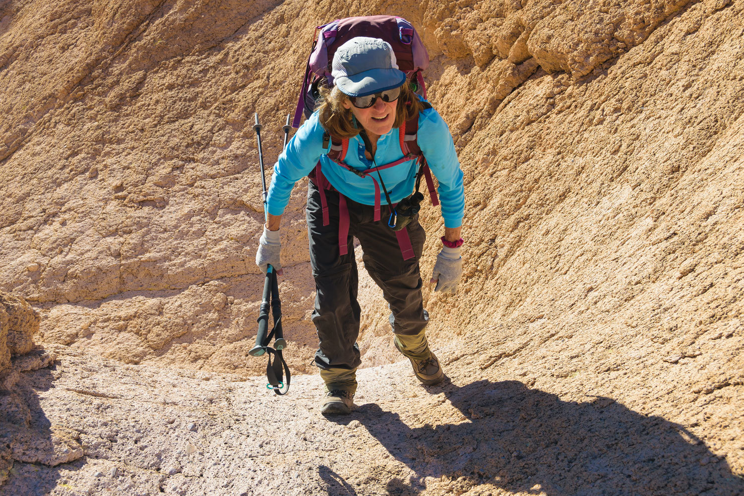
We found a minor fault line and Julie became my spokesmodel
for seismic offset of around 2 feet.
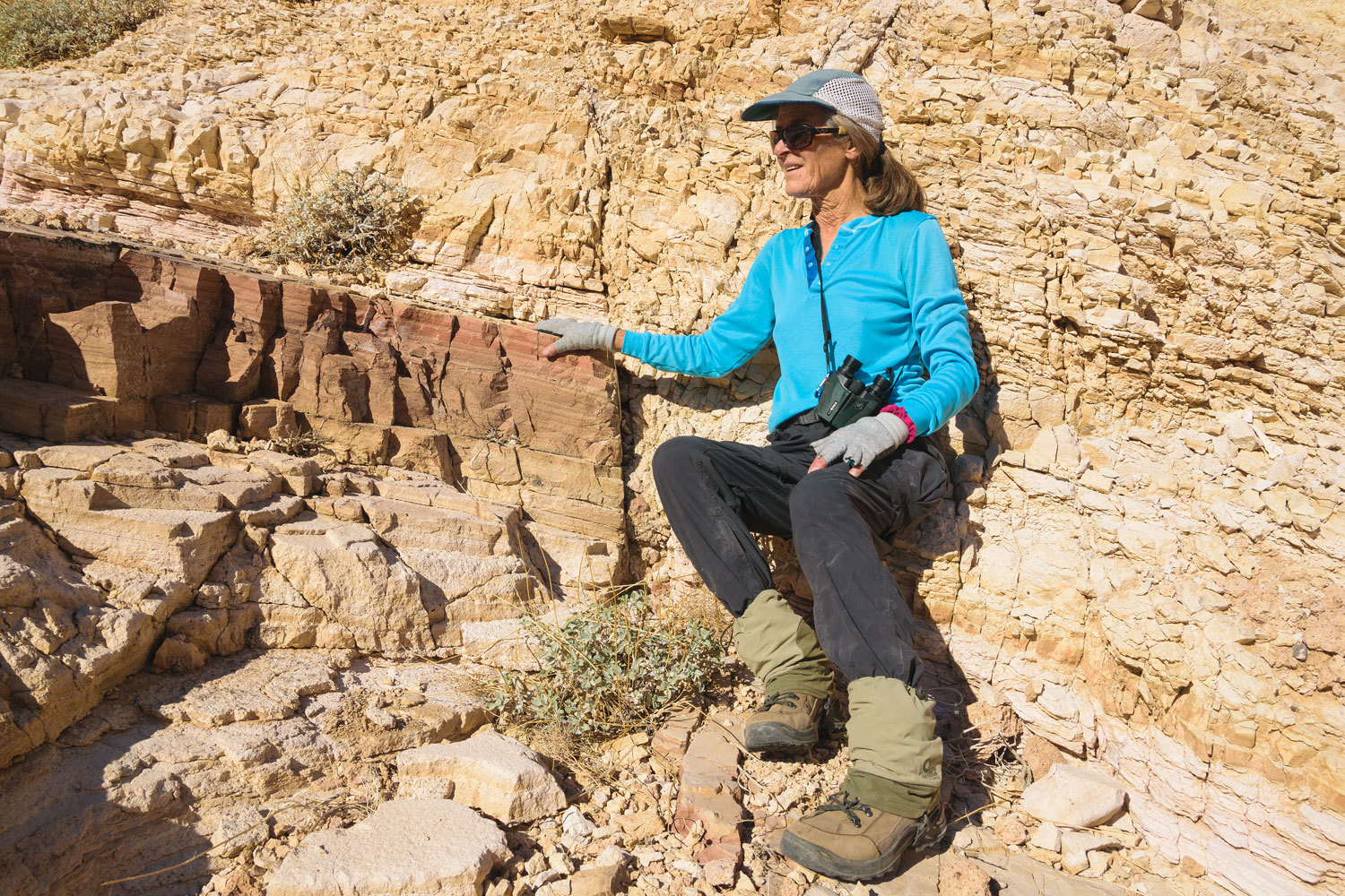
Her feet are on the layer to the right of the fault and her hand is on the same layer to the left of the fault.
Here’s another view.
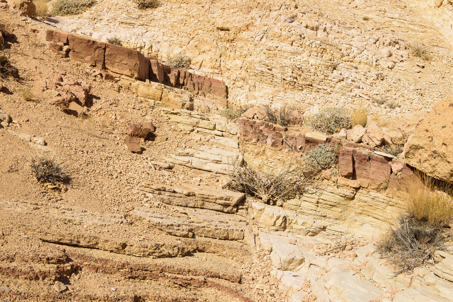
Also notice the layers of mud or siltstone above layers made up of coarse sands. It was fun to trace the layers where they are exposed by erosion as the mountain block was uplifted.
It was fascinating to try and make sense of it all. The Earth is sure a fun round ball to take a ride on. The sedimentary layers must be older than the 7.5 to 15 million year old rock above it.
One side canyon always draws us up due to its colorful layered rock.
We climbed into the heights of the welded volcanic ash.
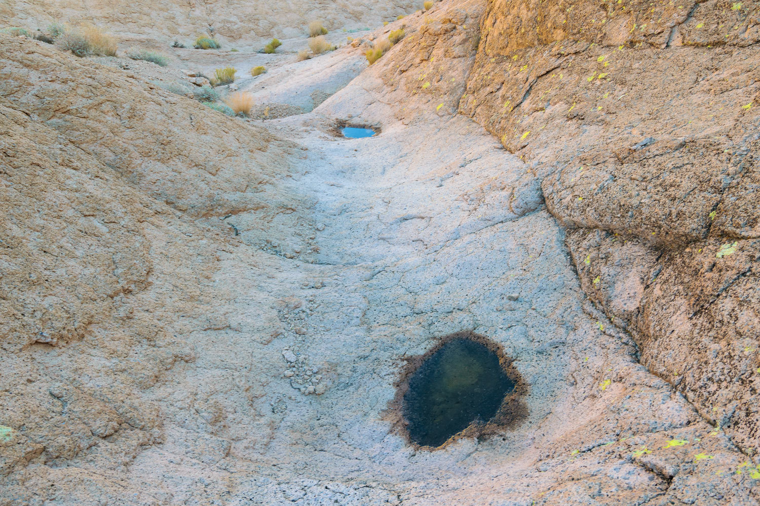
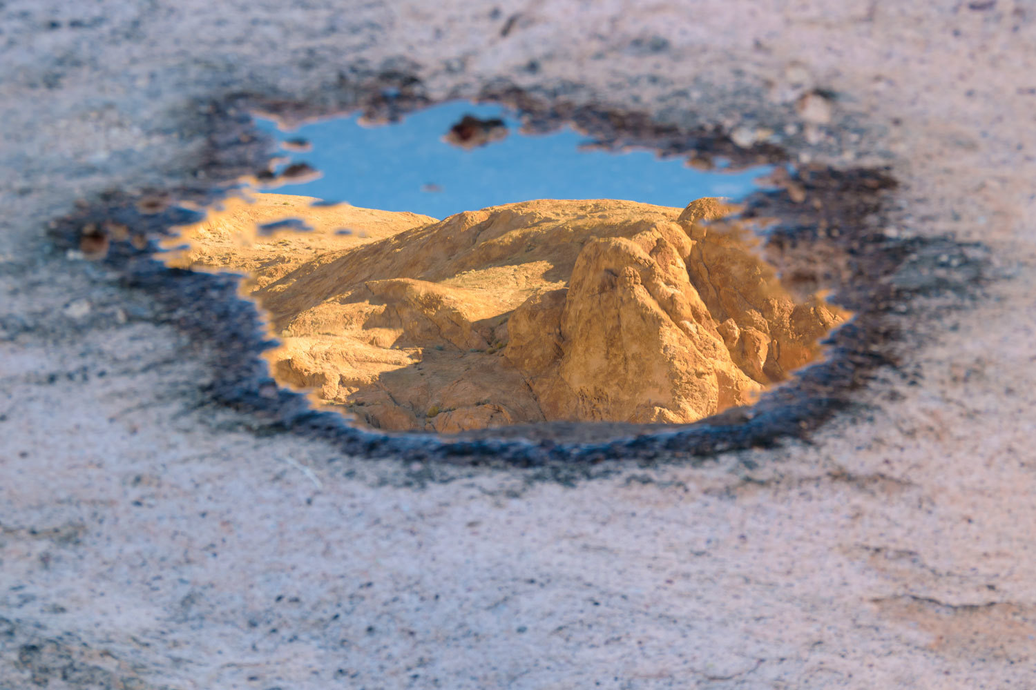
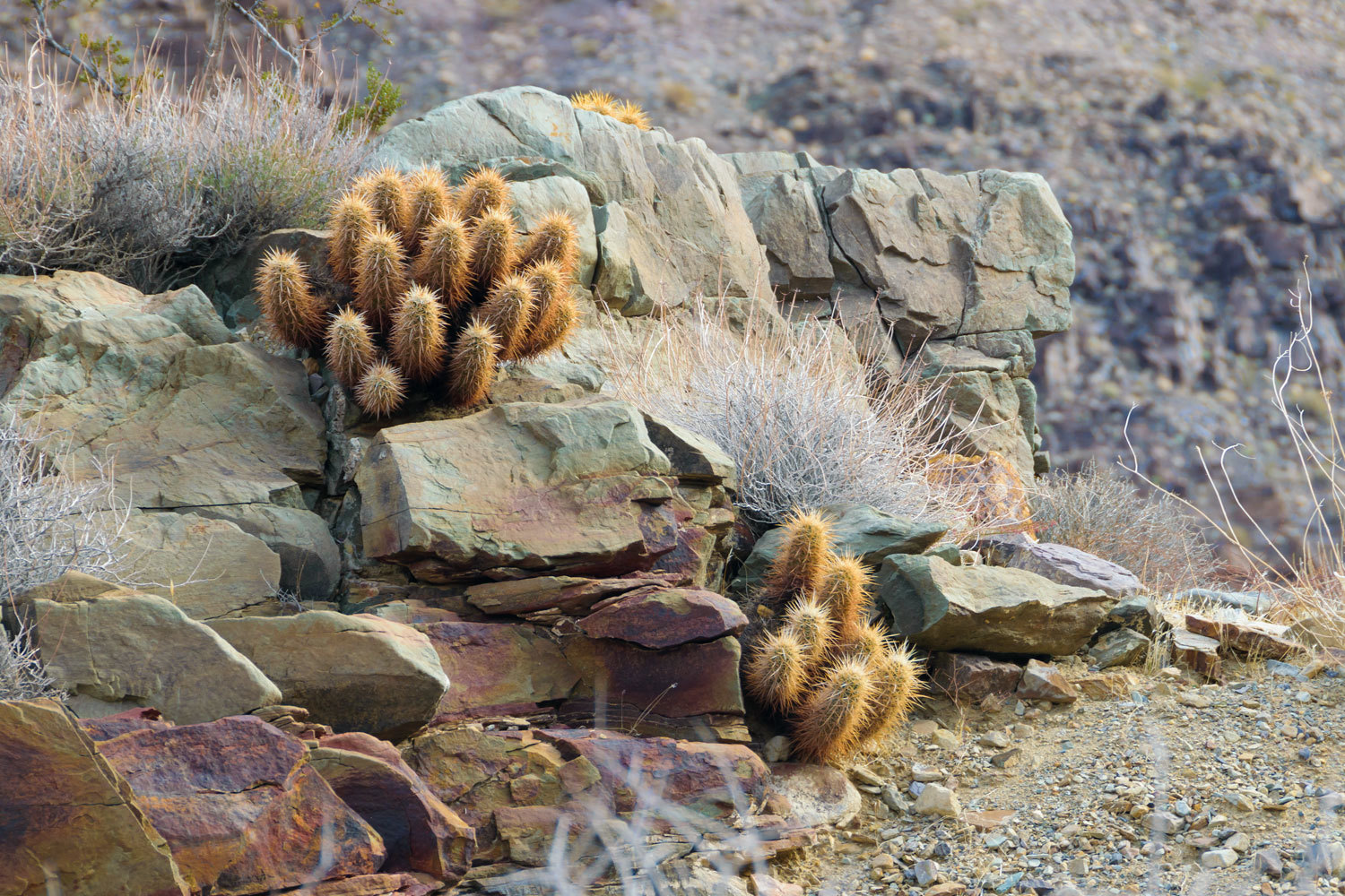
This is bighorn country where the sheep find water in tinajas.
We turned around mid afternoon and worked our way out and back to camp.
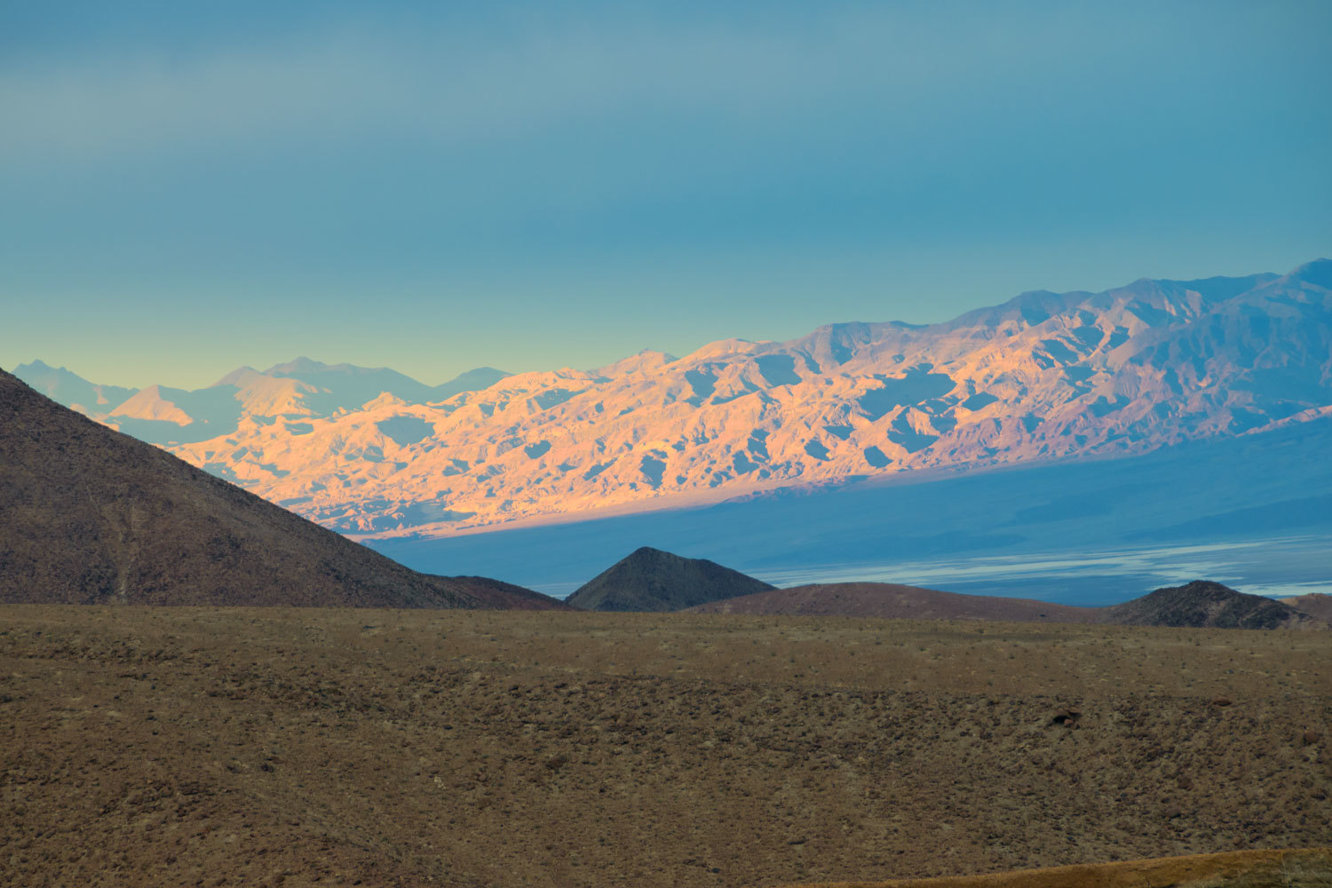
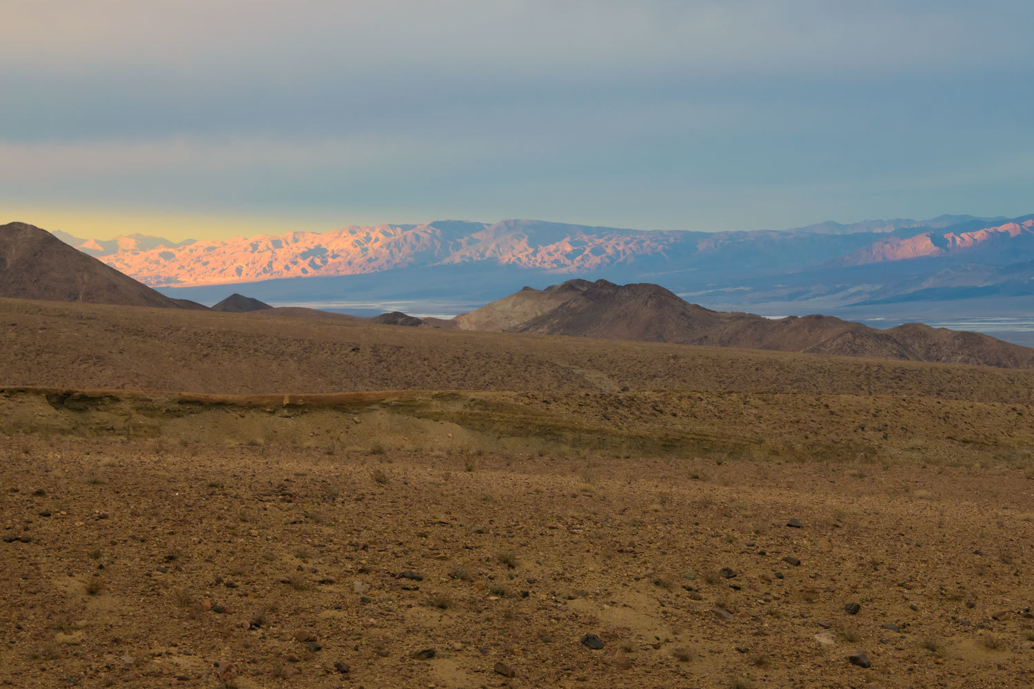
We again sat out after dinner and watched the light play out across the landscape. Thin clouds were beginning to show in the sky. A detail it is good to pay attention to.
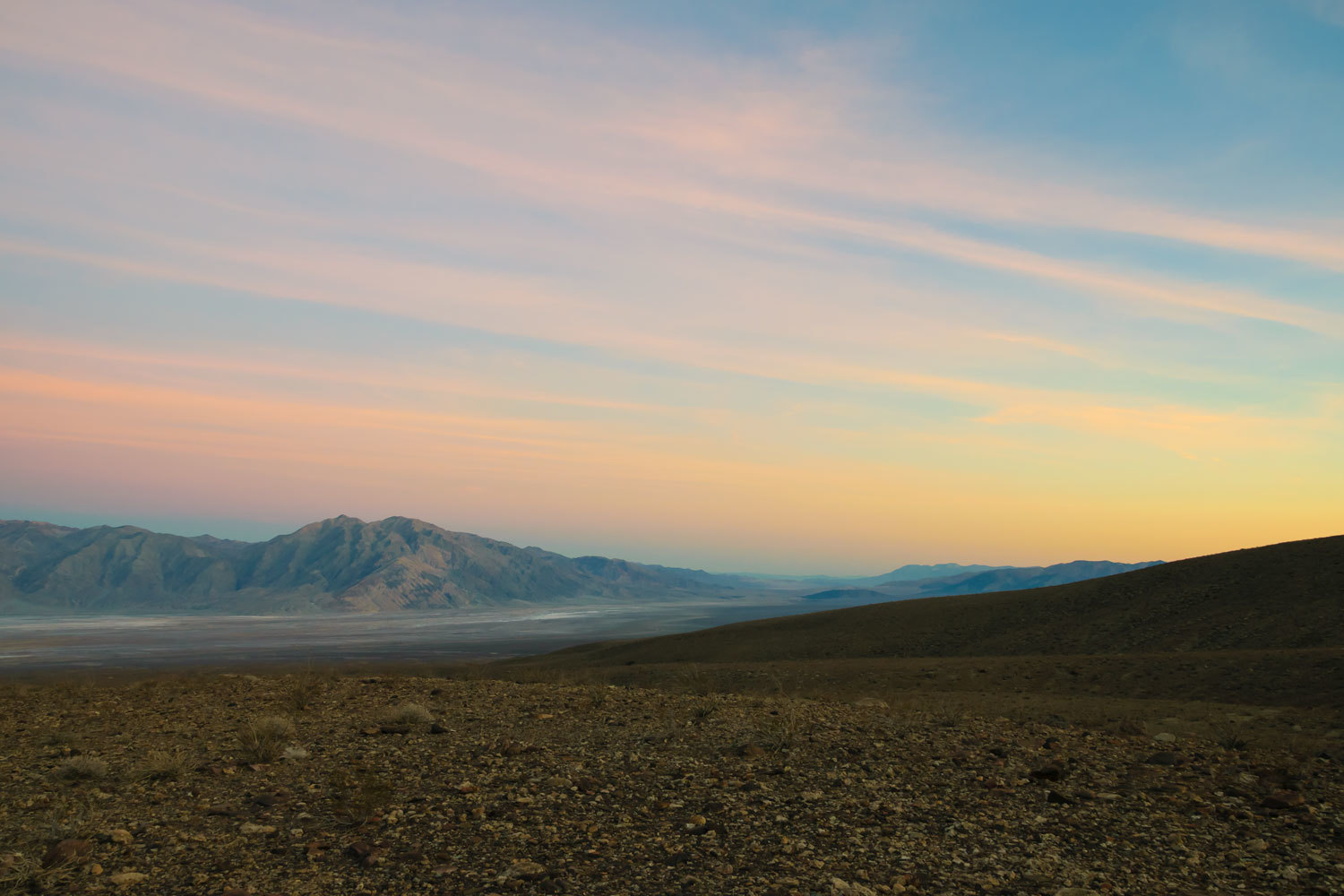
The next morning brought thicker cloud layers.
Coffee was ready and we went on our early morning walk.
The Lady made a discovery, an old steel tape measure.
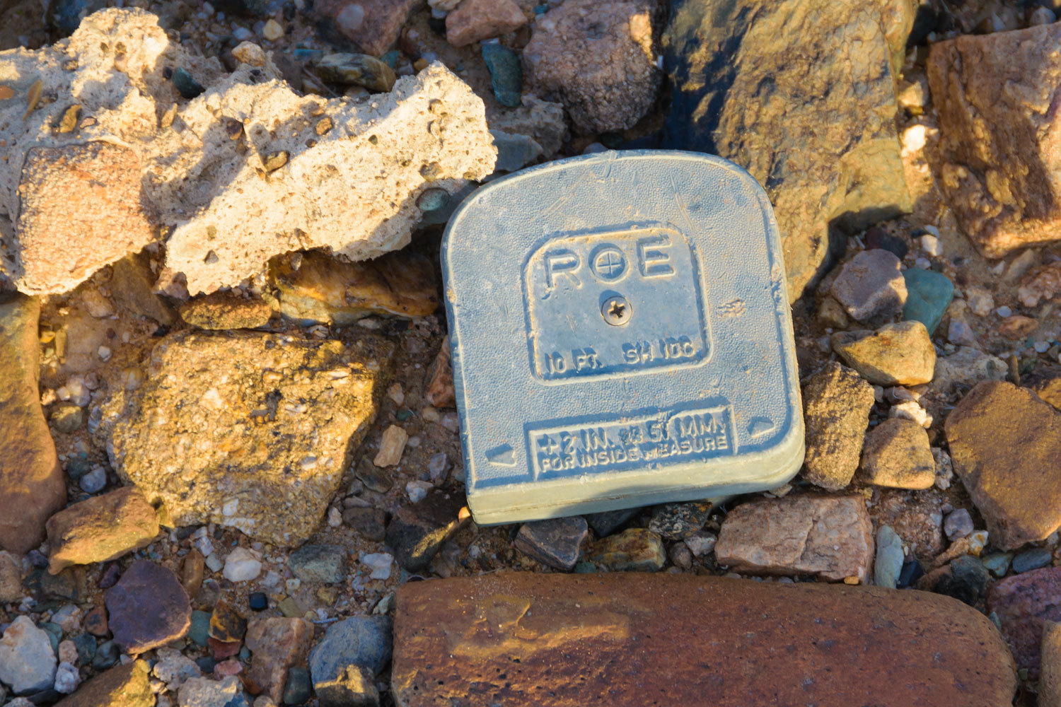
It had to be old because it was made in the USA.
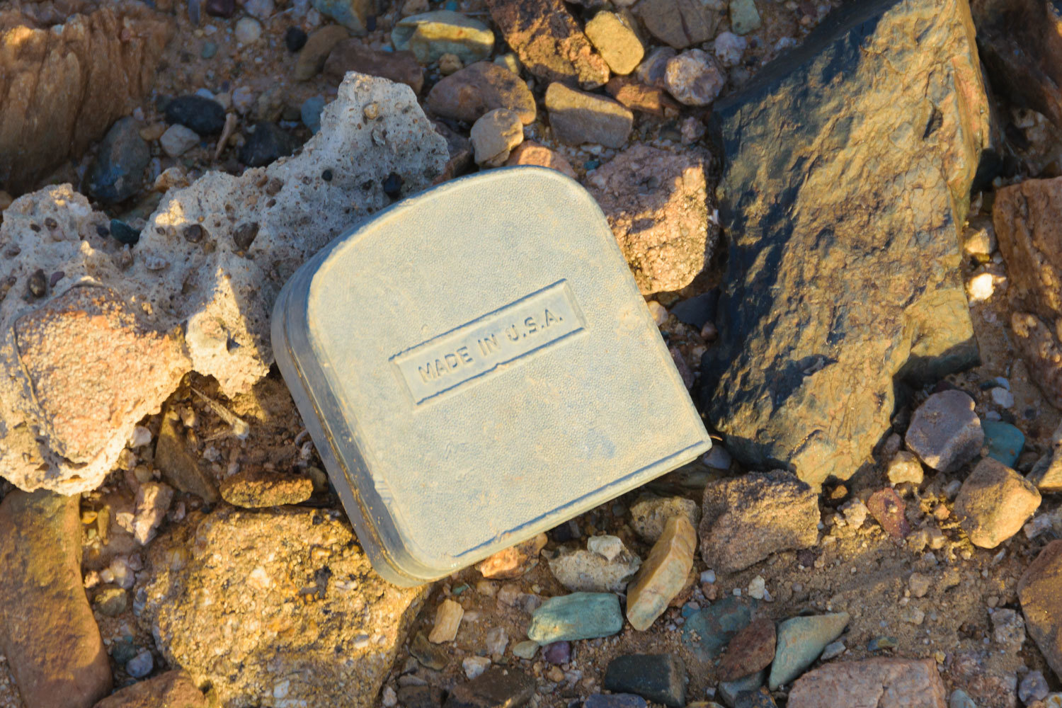
From my research, I place this around 1960. Here is a link if you are interested in the long history of the Roe Company.
For our last day in Death Valley, we headed up canyon to Hungry Bill’s Ranch. We’ve been to Hungry Bill’s twice before and I included links to its history in past blog stories –
December 2016 Death Valley Trip
These canyons that cut into the Panamints are a joy to explore.
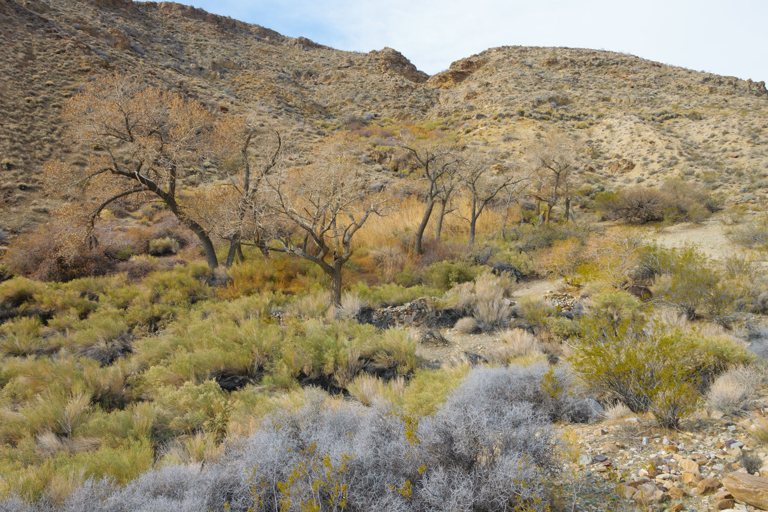
We passed Wilson Spring, named for Tom Wilson, Hungry Bill’s son-in-law, who lived here.
The narrows in Johnson Canyon above Wilson Spring are one of our favorite places in Death Valley. Yes, we do have a long list of favorites.
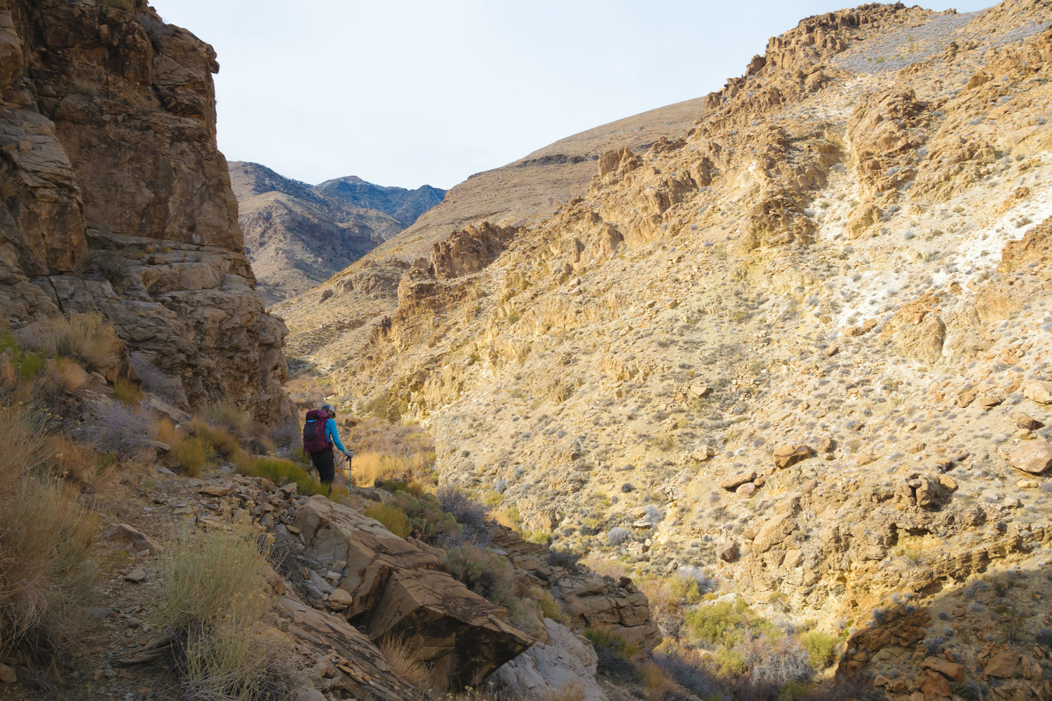
We made a mistake with route finding. We hadn’t had difficulty before, but this time we missed a turn and climbed high instead of walking a narrow ledge. Upon reaching the top of a ridge with its view, we saw our mistake and how to correct it. We made it to another view spot.
The mistake took time and we were now a half hour past our turn around time. In our world you don’t survive if you don’t follow the rules. We drive that point in repeated during all the backcountry skills classes we’ve taught. We followed our own advice and turned around.
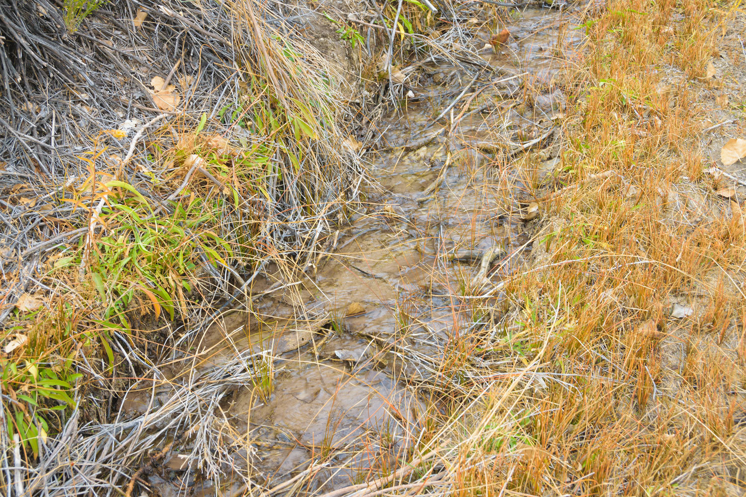
On our return hike down canyon, we made a stop at Wilson Spring with its abundance of surface water.
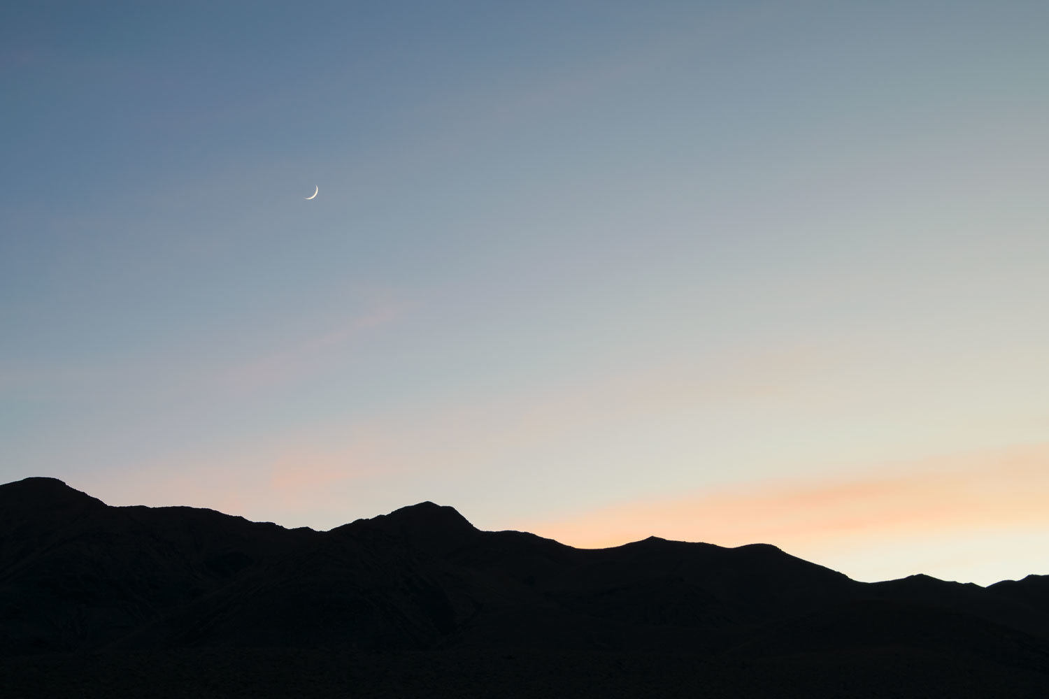
The predicted change in the weather was upon us as we reached camp.
We packed up the next morning and started toward home. The storm was in full force when we dropped into Owens Valley and intersected with highway 395. Sheets of rain pounded down as we drove into Bishop mid afternoon. This was turning into a real storm. We abandoned our plans for a dispersed campsite in the volcanic hills. We got a motel room and enjoyed a sit-down meal of Mexican food. Las Palmas has a nice Carne Asada plate, a fine excuse to be a carnivore. Julie had a chicken burrito.
The drive home was uneventful but was the expected slow crossing of the Sierra in winter snow conditions. Even with the weather, people were streaming into the Tahoe Basin. New Years Eve was right around the corner.
I've just finished writing this. I'll call the Lady inside to help edit. She's outside shoveling snow.
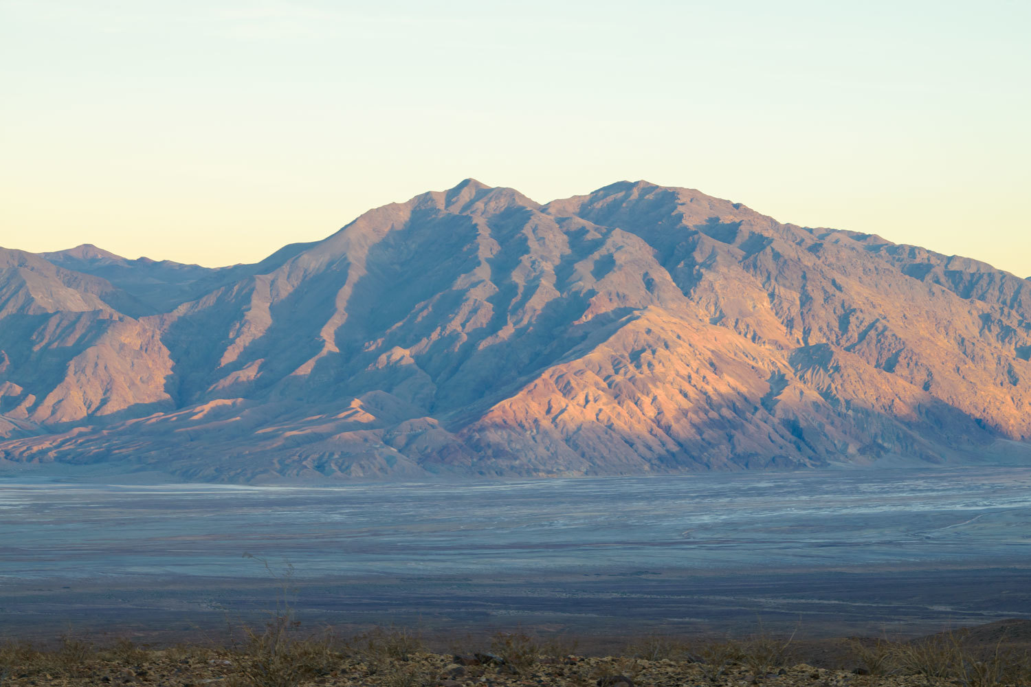
The last two photographs look like a Maxfield Parrish painting. So beautiful.
ReplyDeleteThanks Deb!
Delete