
please remember you can click on a photo to see a larger version & highlighted text are links to additional information
You can click here for - Part Two
No Bigfoot, No Ghosts
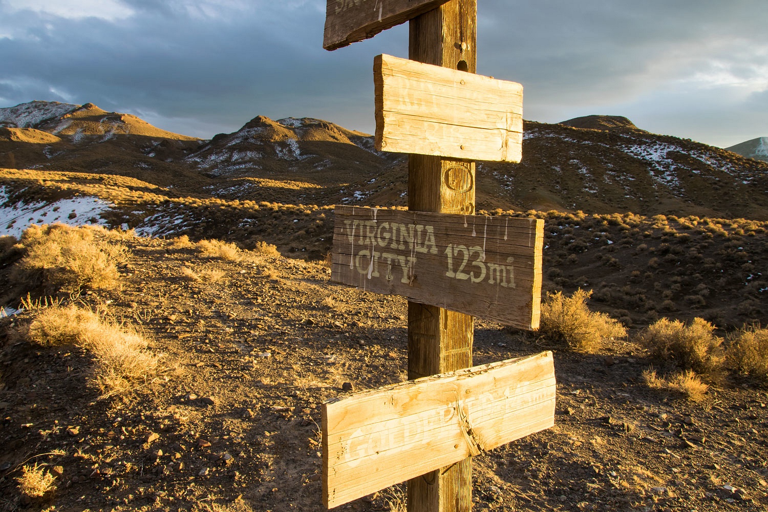
My goodness we were feeling young and feisty after our stay over at Benton. The Lady had a suggestion. Our friend, the Sagebrush Reconnoiterer, kindly sent us several books from his library. The Lady dug right in. One book was an out of print travel guide for Owens Valley from 1972. Included in the guide is a daytrip over Westgard Pass on highway 168. This route over the White Mountains began as a toll road to reach the new diggings at White Mountain City in the 1860's on the edge of Deep Springs Valley. Later, in the early days of the automobile Anton Westgard was appointed by the director of the Federal Highway Administration to survey a route for our nation's first transcontinental automobile highway. Westgard drove cross country in 1911 using what is now highway 168 (and Westgard Pass in his honor) to enter California from Nevada. The transcontinental route - that became the Lincoln Highway - ended up crossing further north on what is now highway 50.
With all the information covered in the 1972 book in regards to 168 and Westgard Pass, we were surprised that the three black & white photographs included were all taken at the site of White Mountain City. The Lady wished to locate each photo site and recreate the photos from 50 years before.
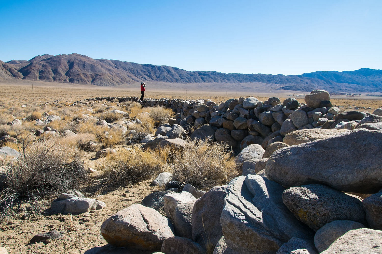
Here are the three current/reenactment photos we took.

Sorry, we won't be including the originals for comparison. You'll have to trust us. The only real difference was in photo 2. Julie stands on an updated water diversion.
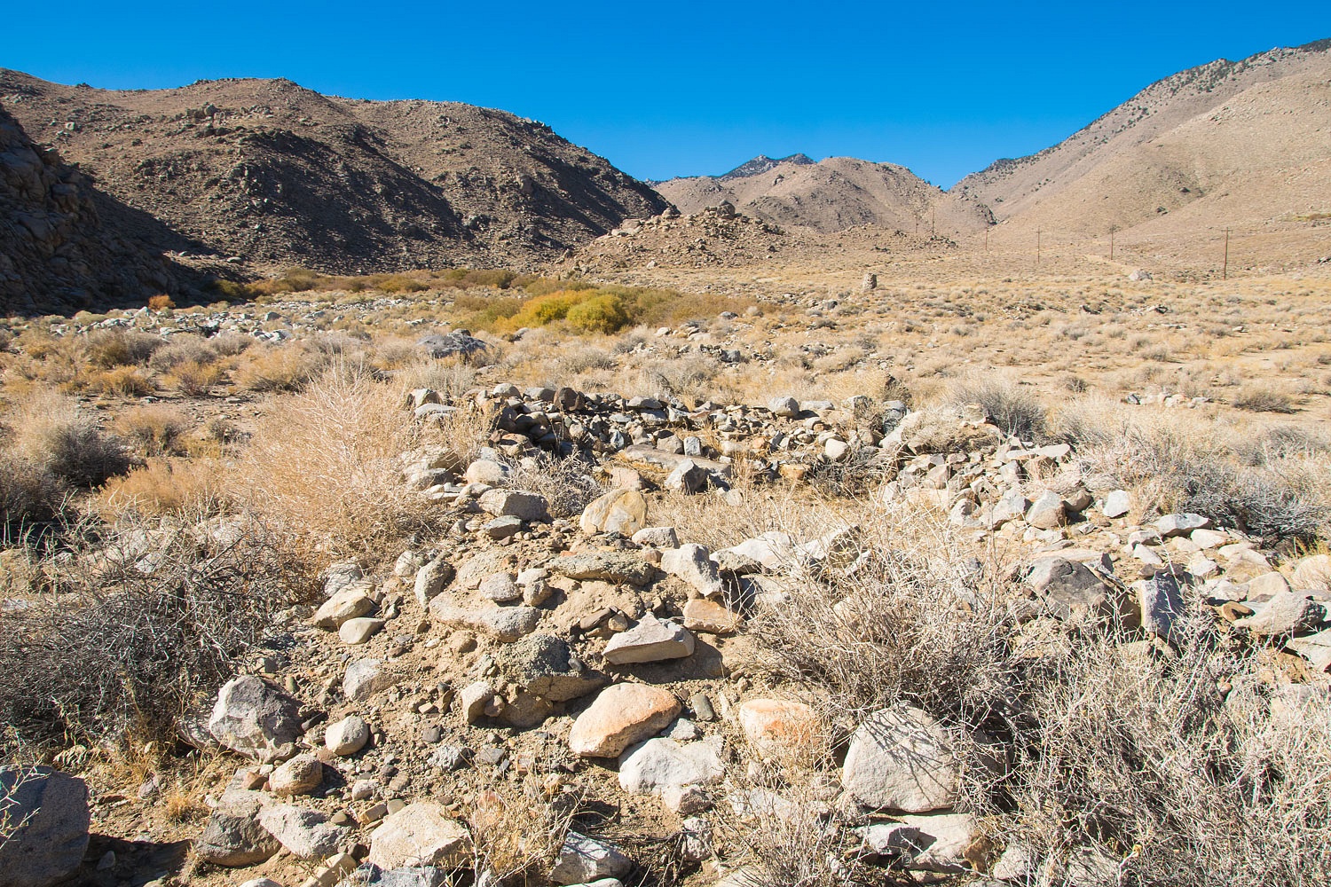
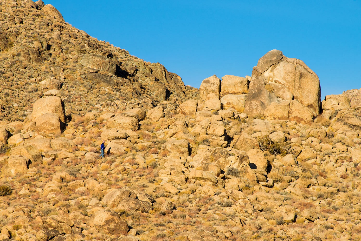
The first photo location is on the alluvial fan south (below) of White Mountain City. There is a large stone corral.
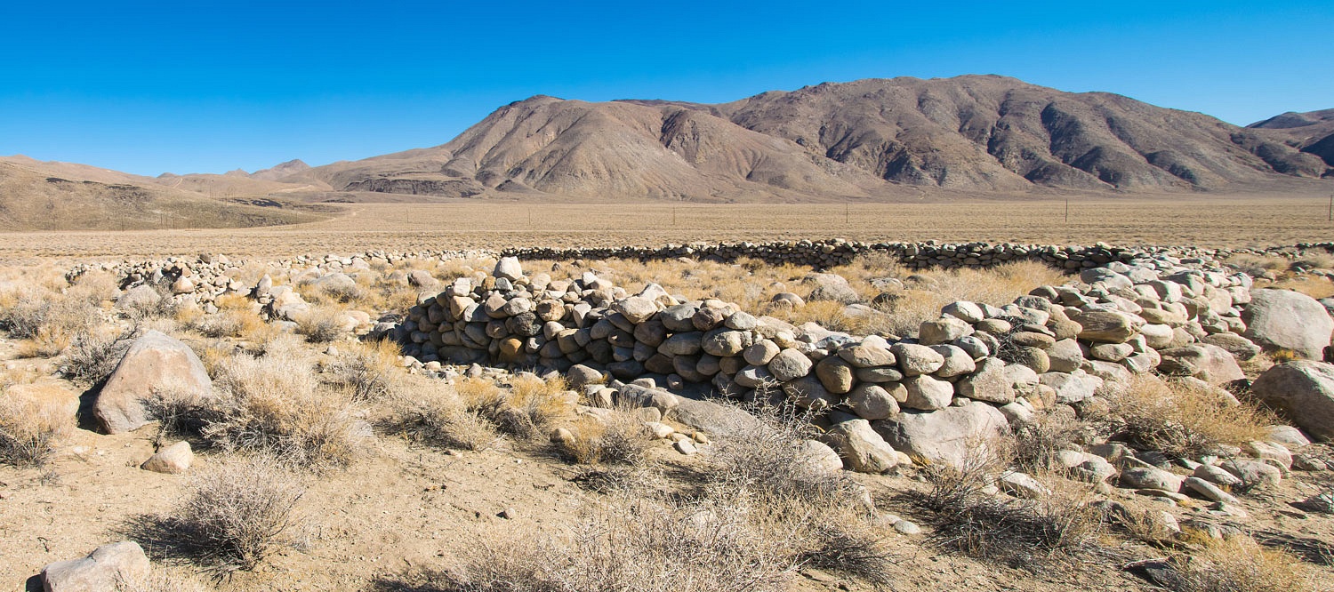
There are also hundreds of feet of stacked stone zig zag walls.
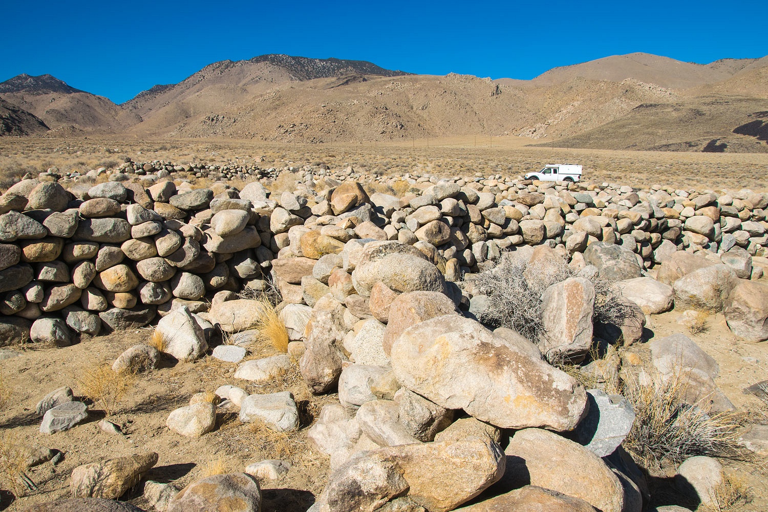
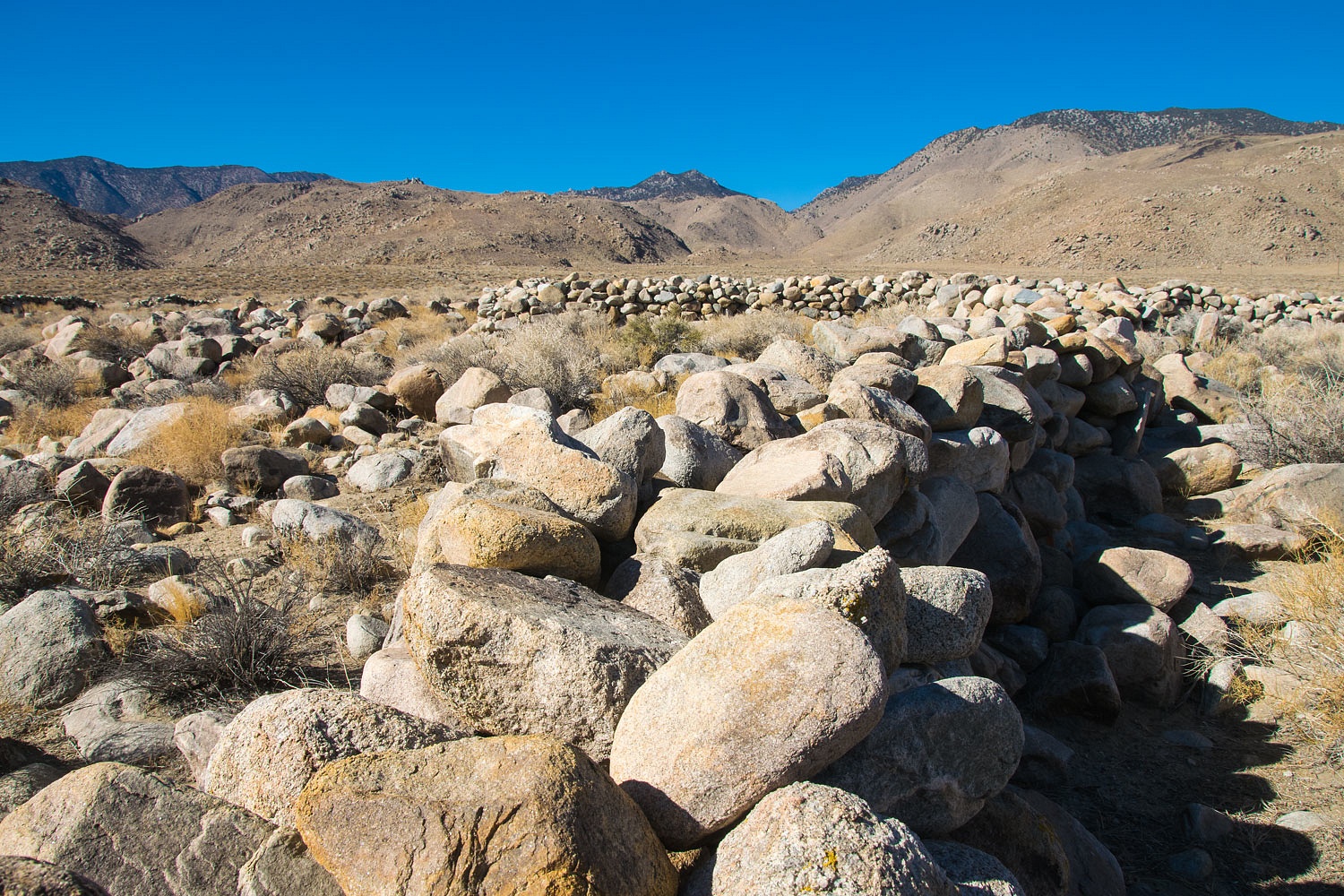
This must have been a stock yard for possibly ranching or a freighting operations. I imagine this must have been supplied with water by a diversion from Wyman Creek. I did not take the time to look for evidence.
The second photo is at the water diversion site that captures water from Wyman Creek and sends it across Deep Springs Valley to the Deep Springs College. Deep Springs College is a very unique institution of higher learning that was founded in 1917. I recommend taking a look at the provided link.
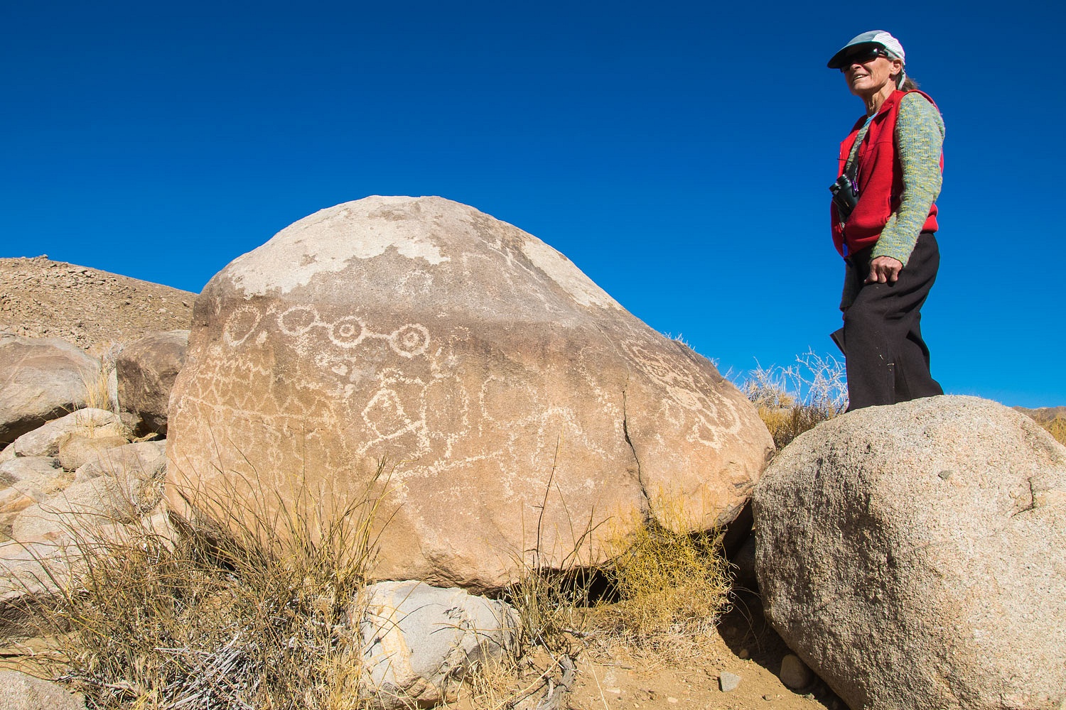
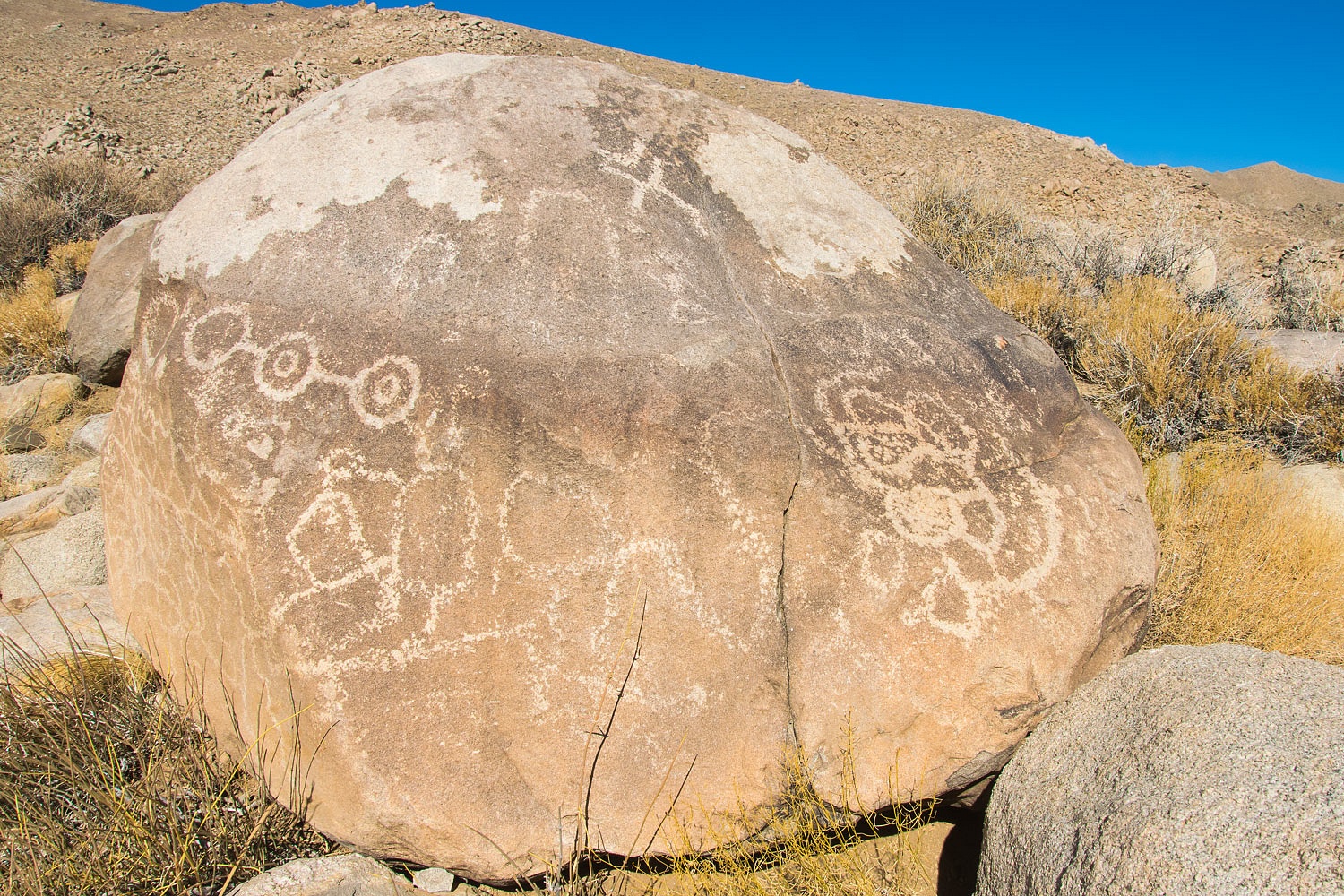
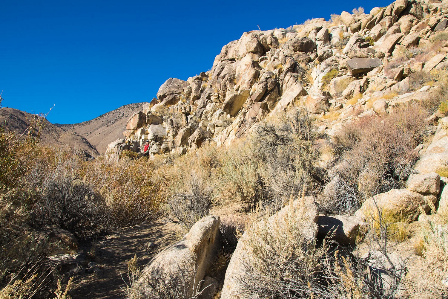
Photo three is in the area above Wyman Creek, and the reason for us to visit here. The mouth of Wyman Canyon with its year round stream would have been excellent for ancient peoples.
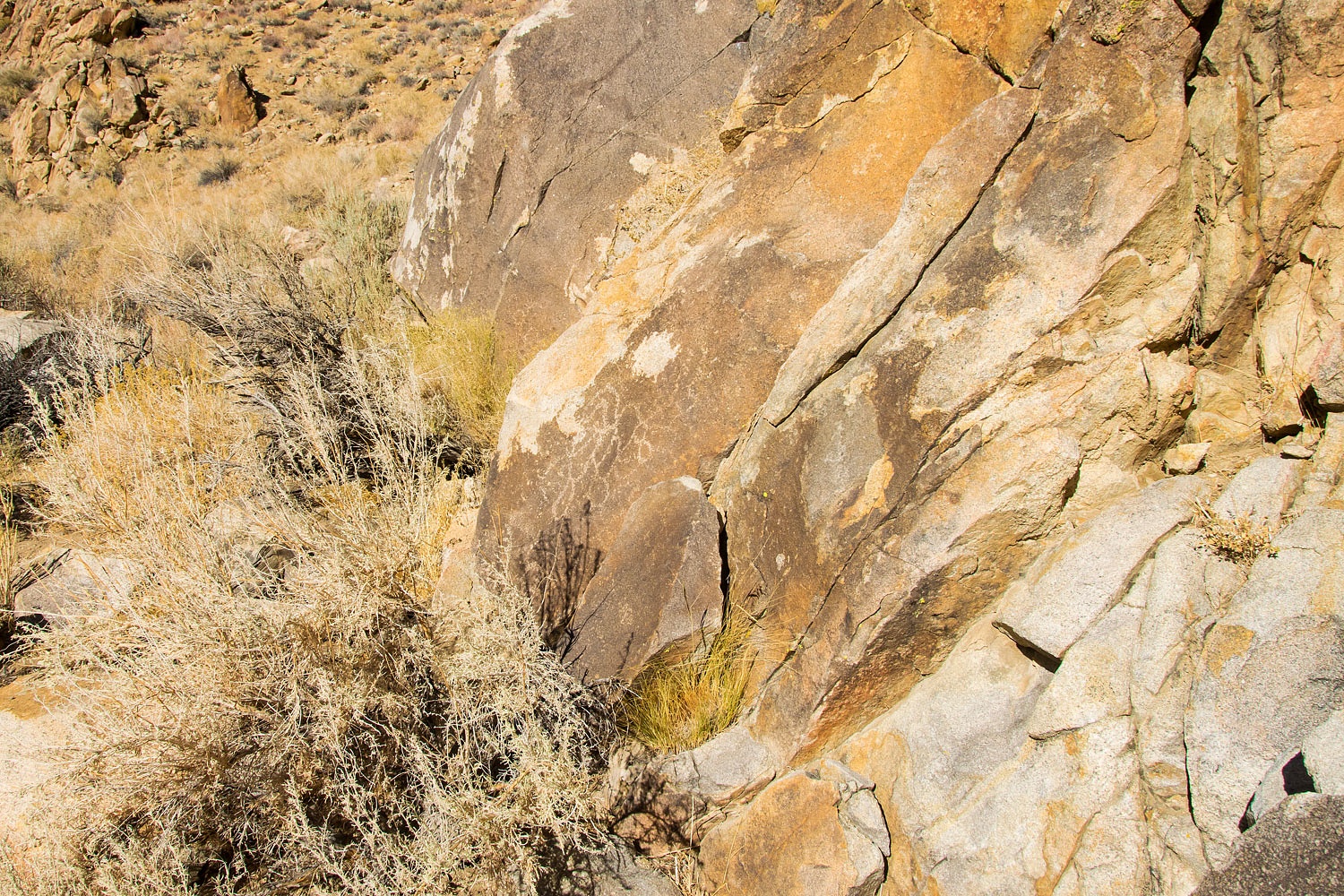
Further up canyon looked interesting to search for more rock art.
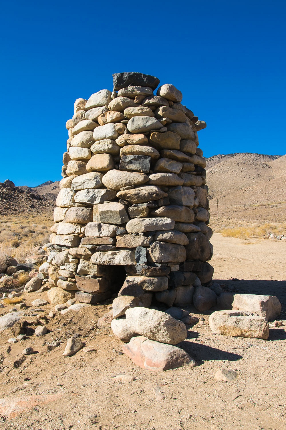
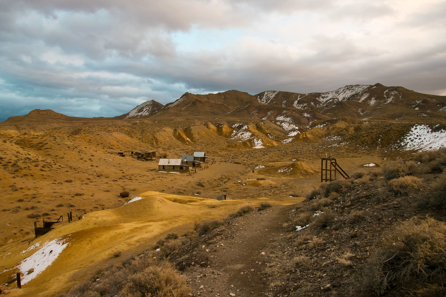
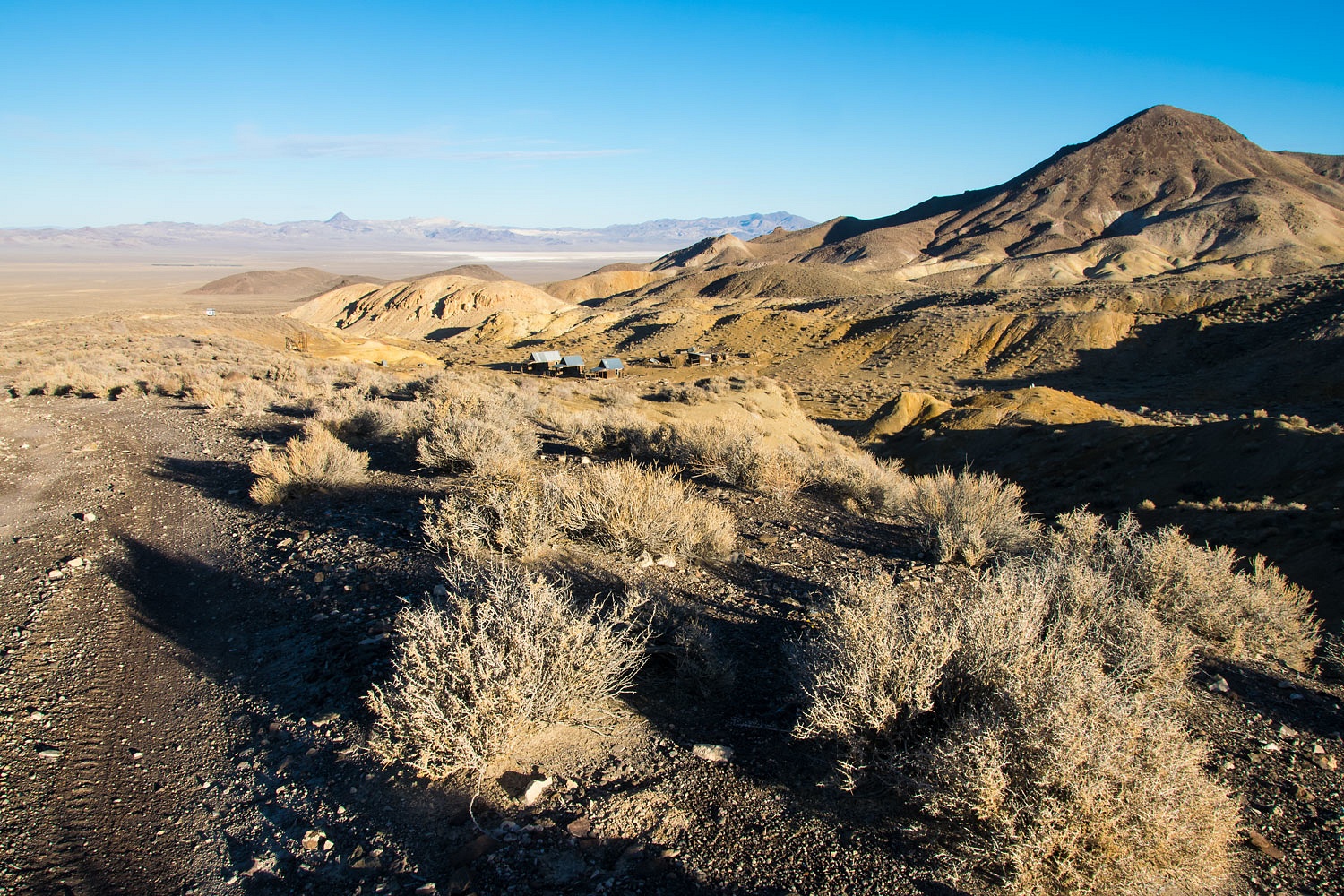
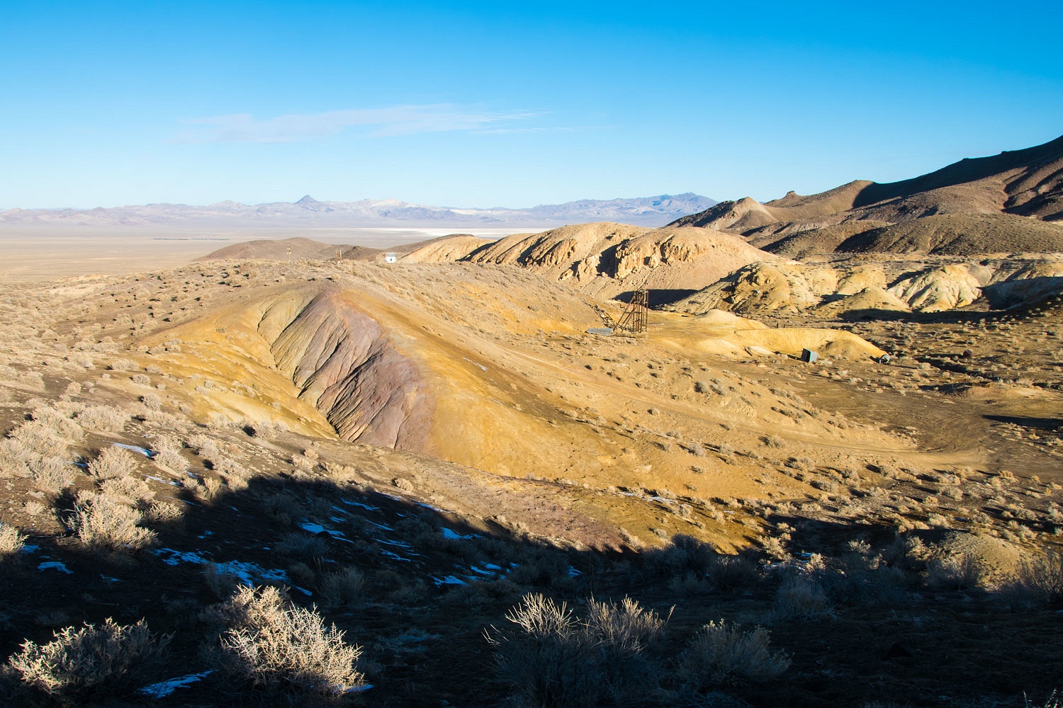
White Mountain City remains were mostly of stacked stone structures.

The center piece of the old town site is a short smelter stack.
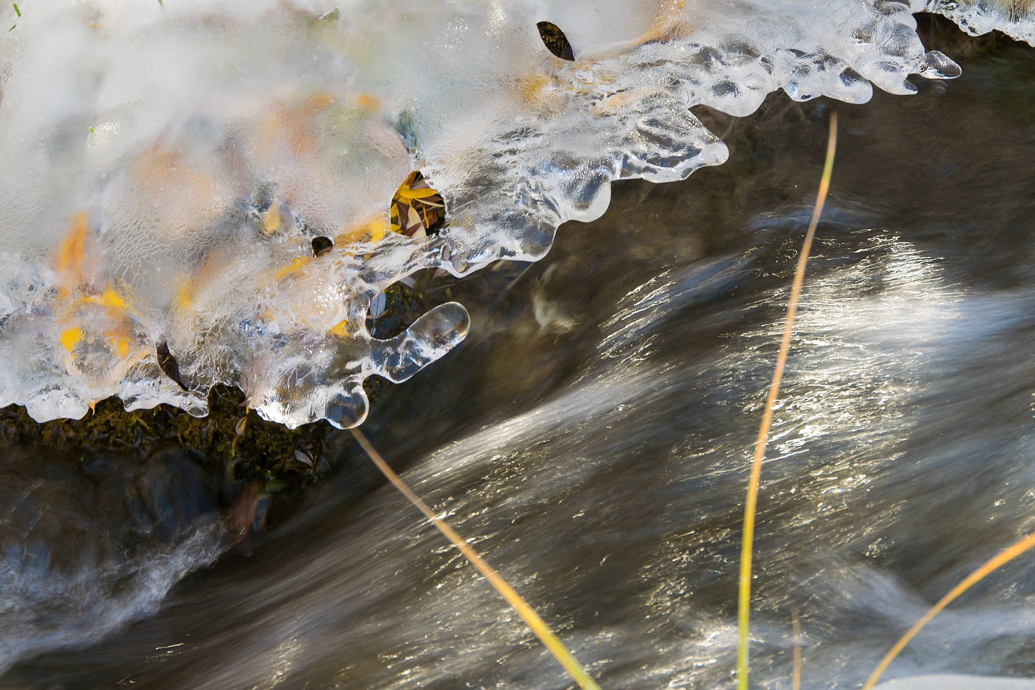
We explored the entire afternoon. The creek was lined with thick ice in the cold riparian area.
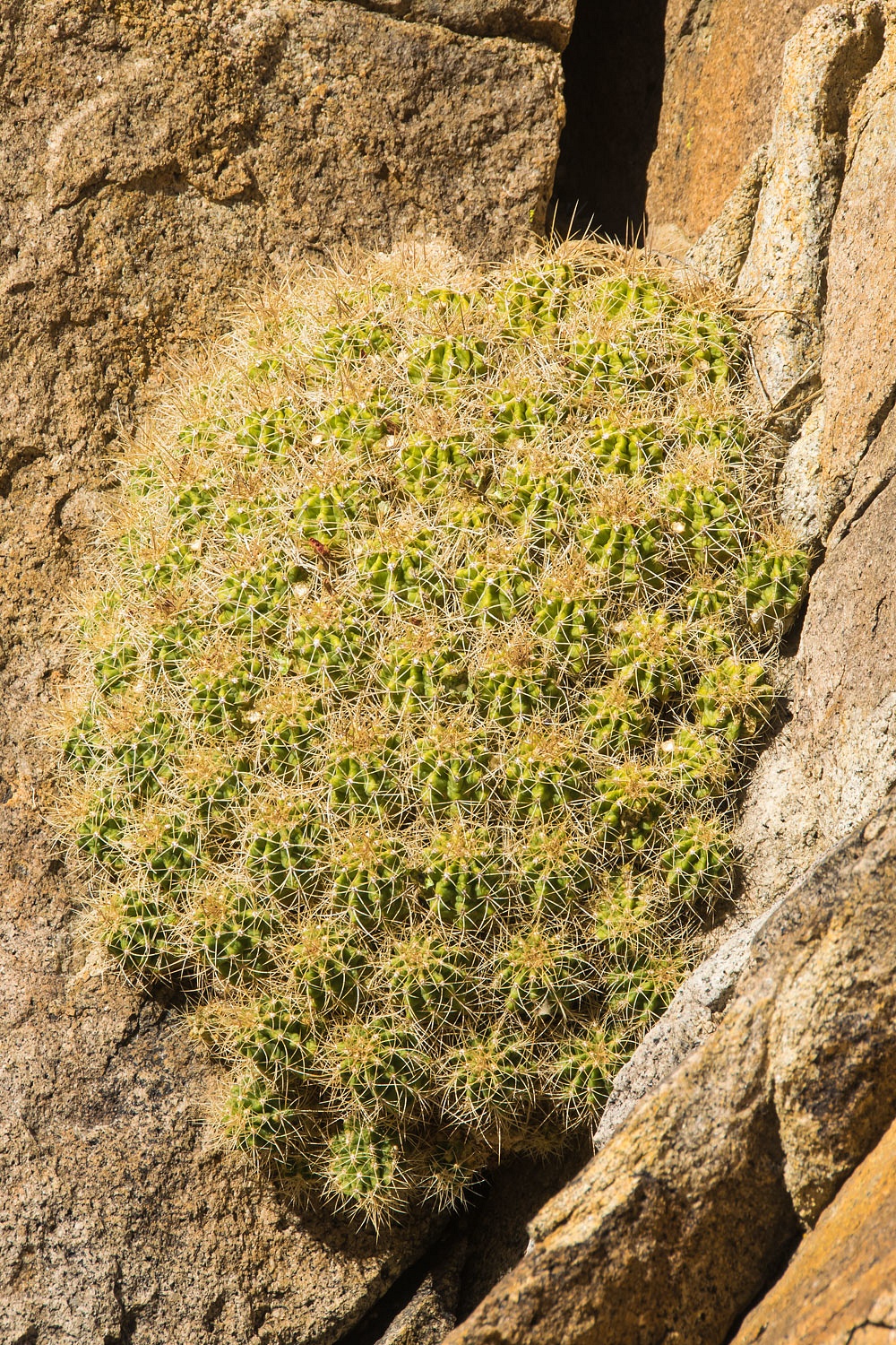
We loved this cactus making a living in a vertical crack in the granite.
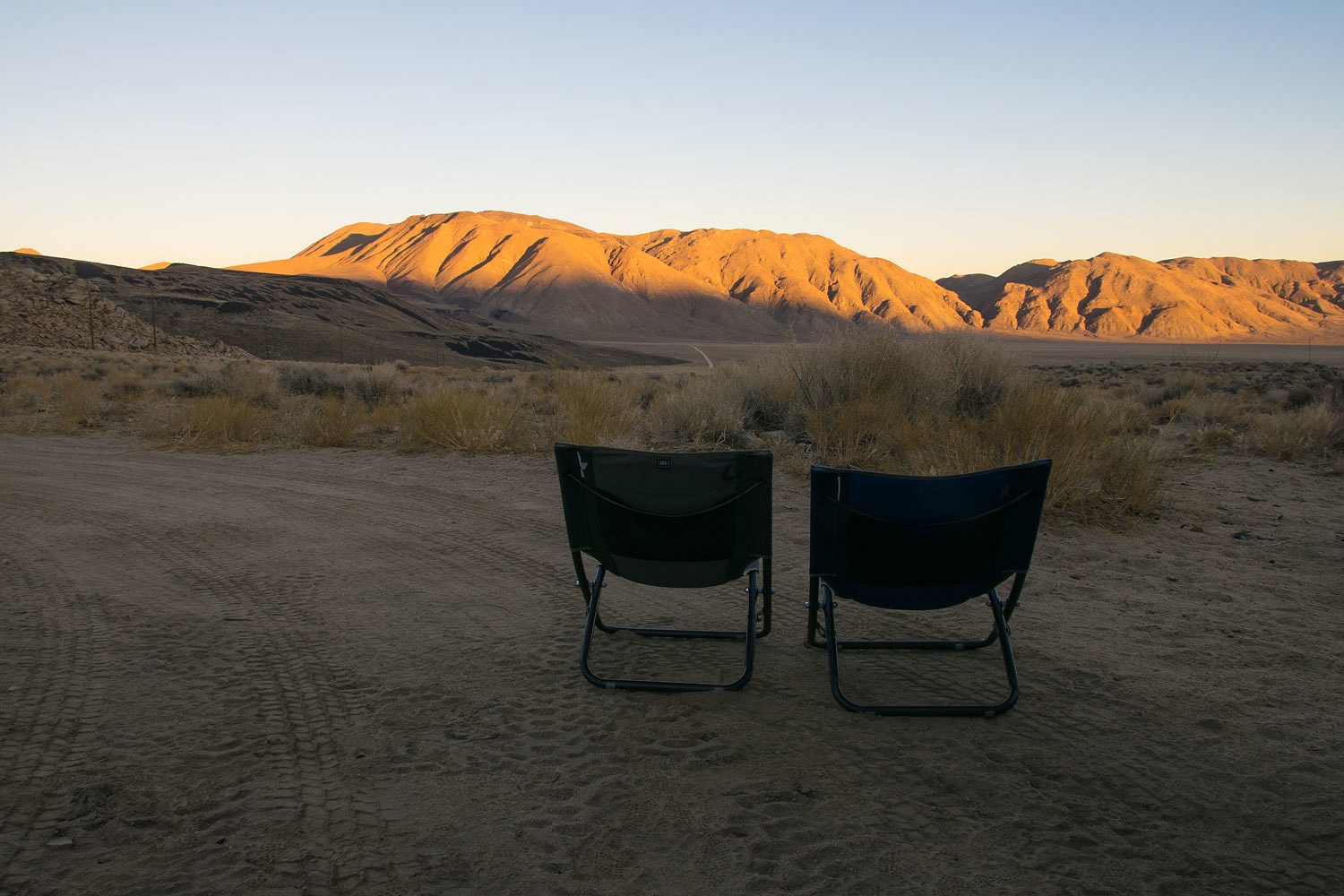
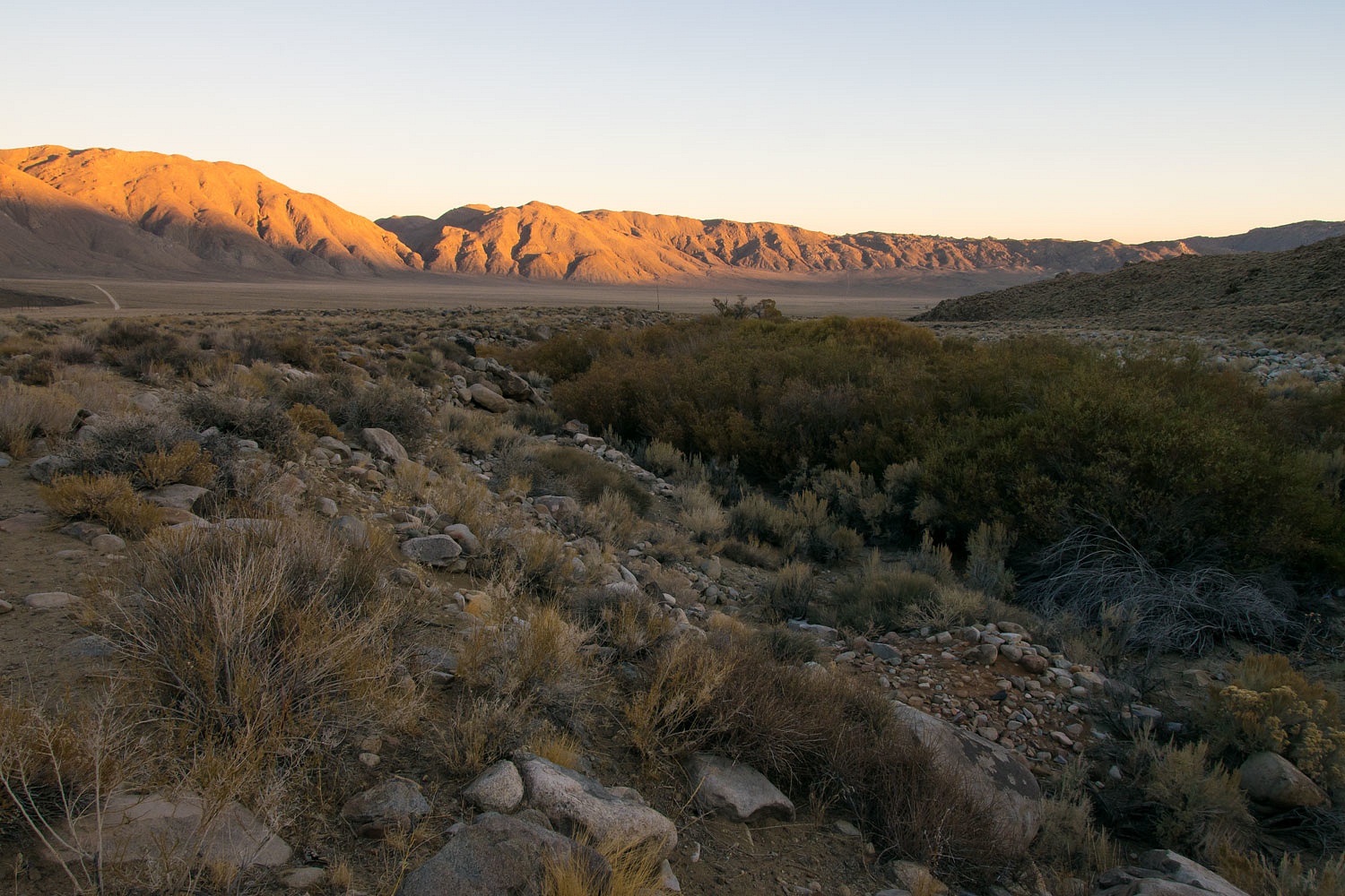
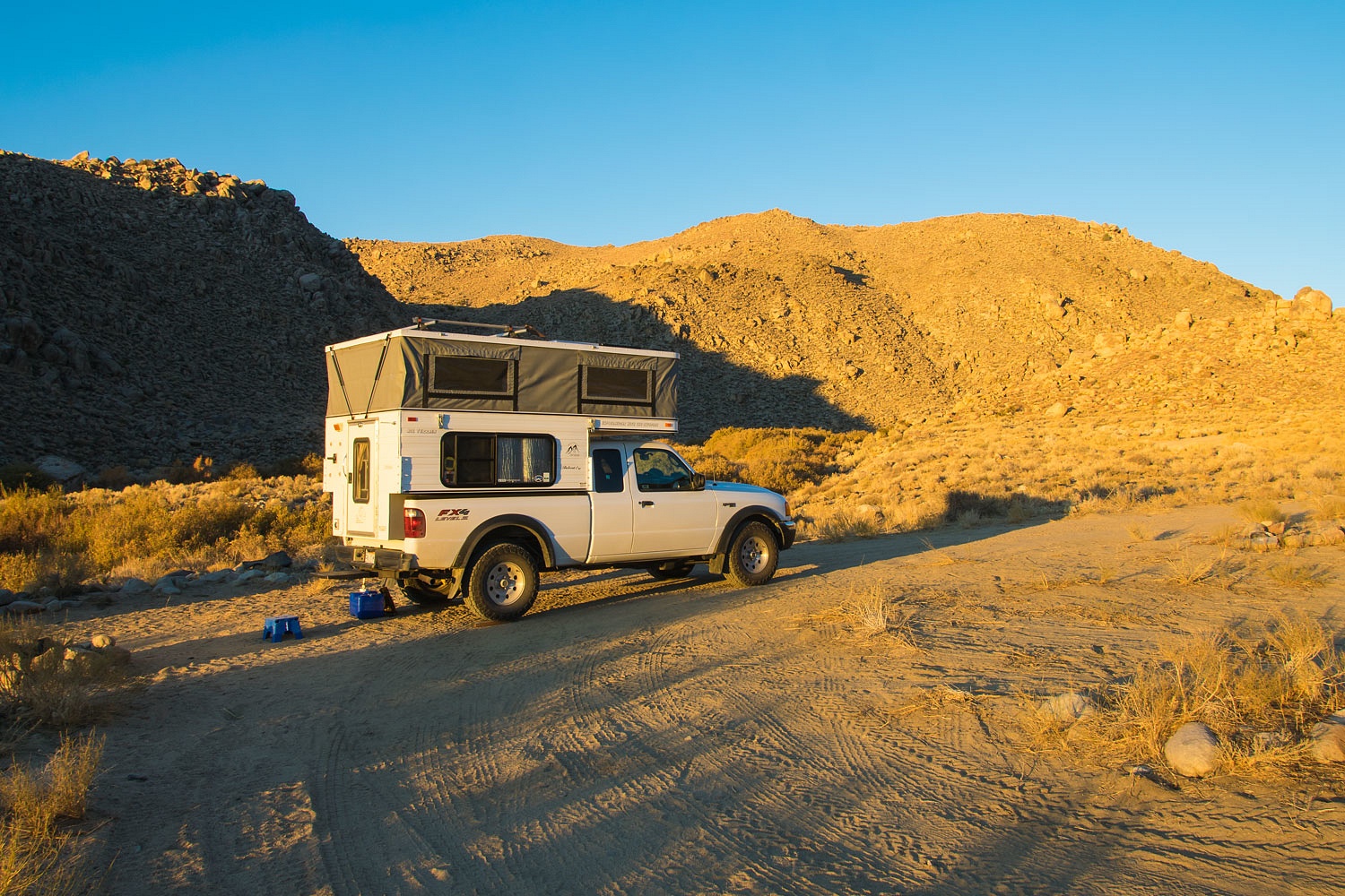
We were alone. We picked a spot to camp and leveled the truck. This was our view at dinner.
The night was quiet. We slept well........................until a little after one am. Something shook the truck hard. It woke us. It felt like someone had pushed the driver's side corner of the cabover hard with a foot of movement. It was quiet outside, no wind and no sound of any creature stirring. Who shook the truck? I was out at first light the next morning.
I checked for tracks around the truck, specifically bigfoot tracks as that was the only creature big enough and high enough to rock the truck with such force. I recently noticed on the Internet that bigfoot is displaying an interest in pop up campers. There were no bigfoot tracks. No new tracks of any kind.
It had to be ghosts. Was it a warning of some kind? With morning coffee ready, we forgot all about ghosts as the Lady pointed out there was one high point we had not yet climbed. Ghosts - highpoints, ghosts - highpoints, highpoints always win.


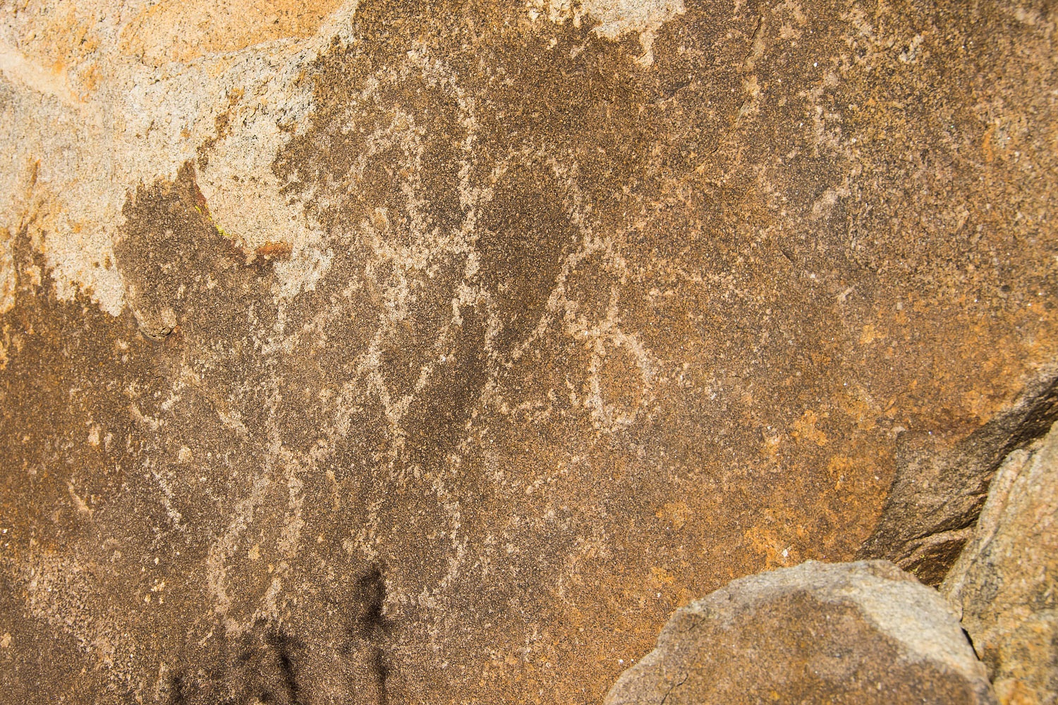
We, off course, scoured for any ancient artwork and came up empty.
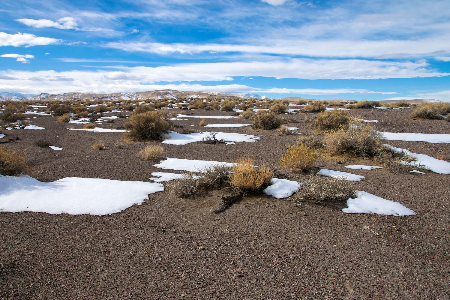
It was Friday. A new storm was hitting at home and the northern Sierra. A Friday afternoon with chain controls and the weekend rush into the Tahoe area made returning home unattractive. We'd spend another night out and sneak home on a sunny Saturday mid day. Where to go for tonight?
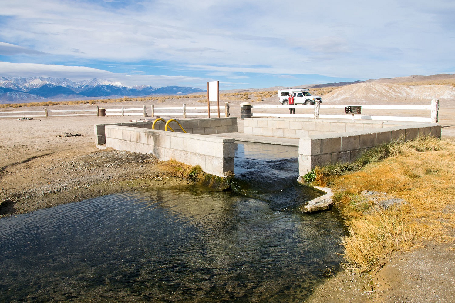
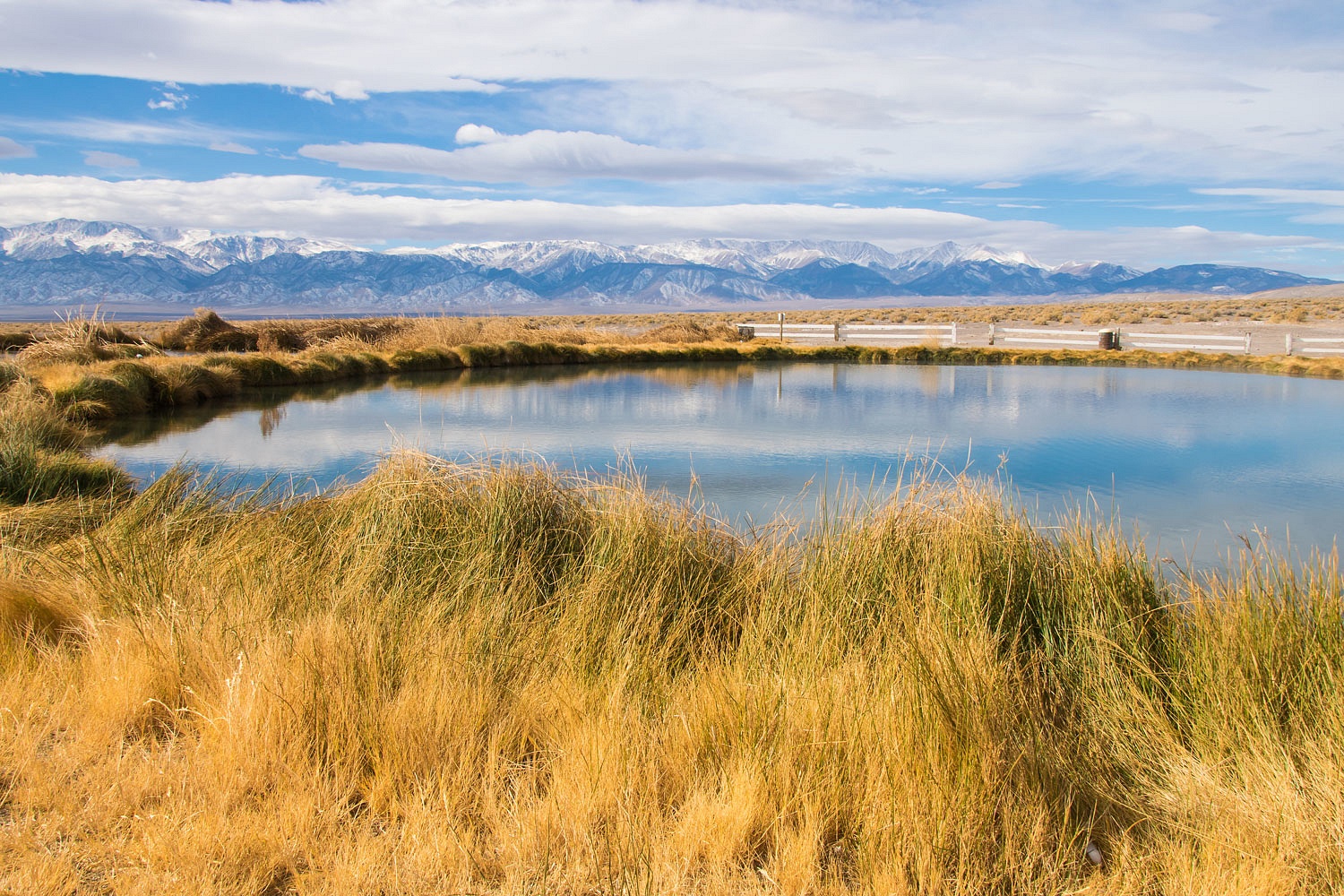
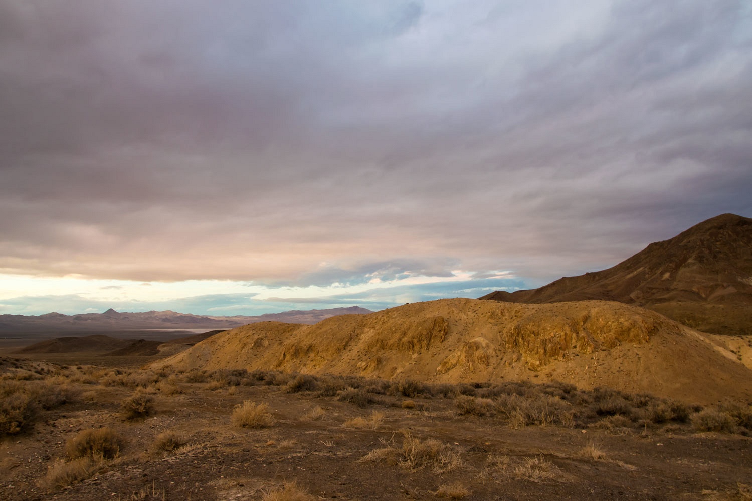
We returned to Fish Lake Valley. The cloud cover was growing. Since we were driving by, we stopped at the Fish Lake Valley flowing hot well.
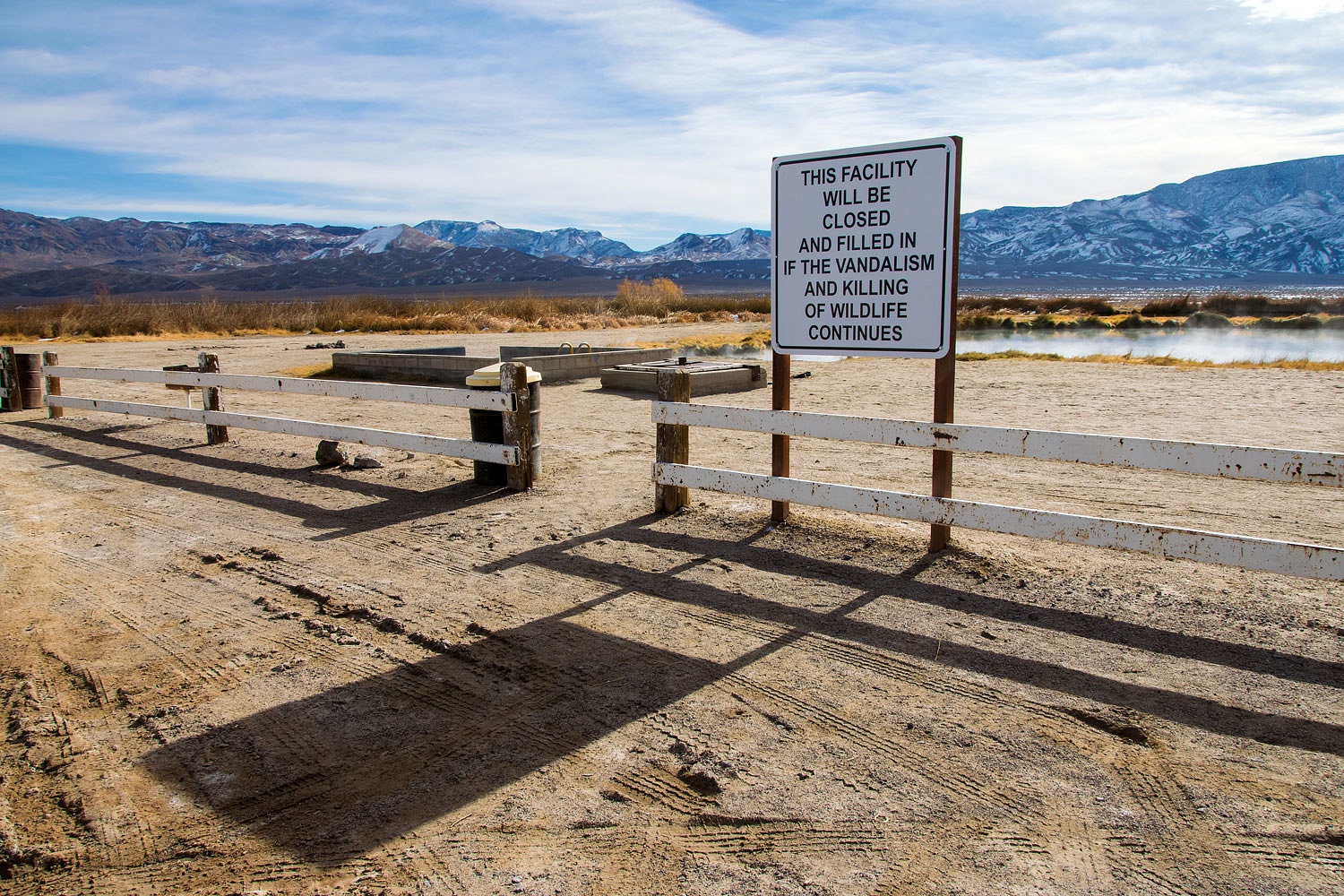
The place was quiet, such a nice surprise. Usually this place has large encampments of motorhomes and toy haulers with a nightmare of thrillcraft ripping across the landscape. This can be a very unpleasant place and that sign about killing wildlife and vandalism is understandable. Actually, this time the area looked in better shape than we've seen previously. An energy company drilled an exploratory geothermal well here. Water was hit but not hot enough for energy production. The water flows out of the soaking tub and into two manmade fresh water ponds.
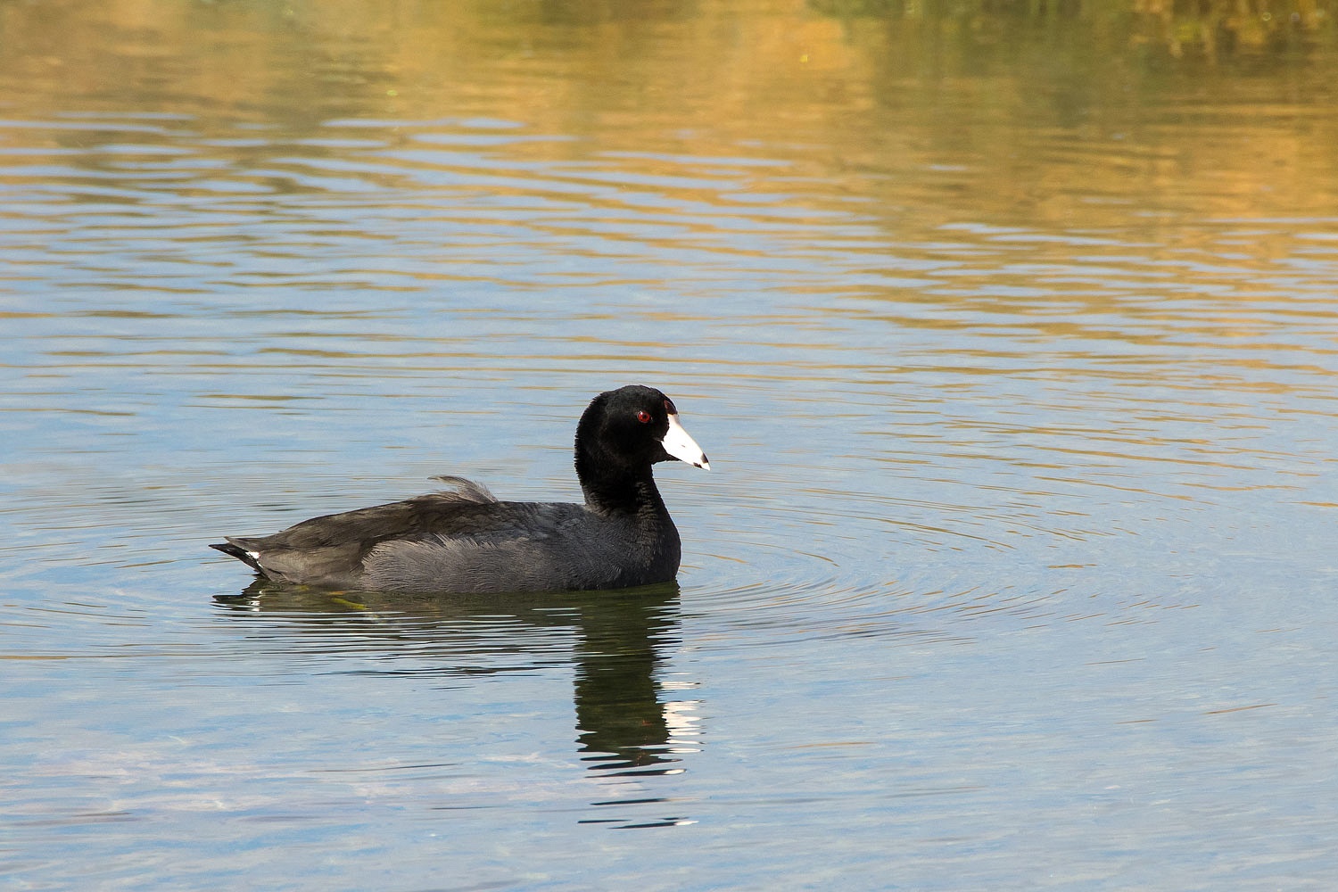
A codgery of coots was enjoying the water this morning.
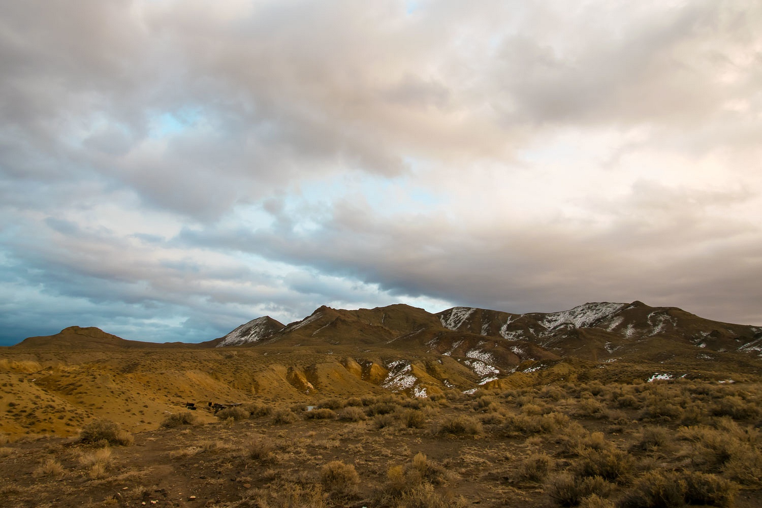
From the flowing well we drove through the volcanic hills.
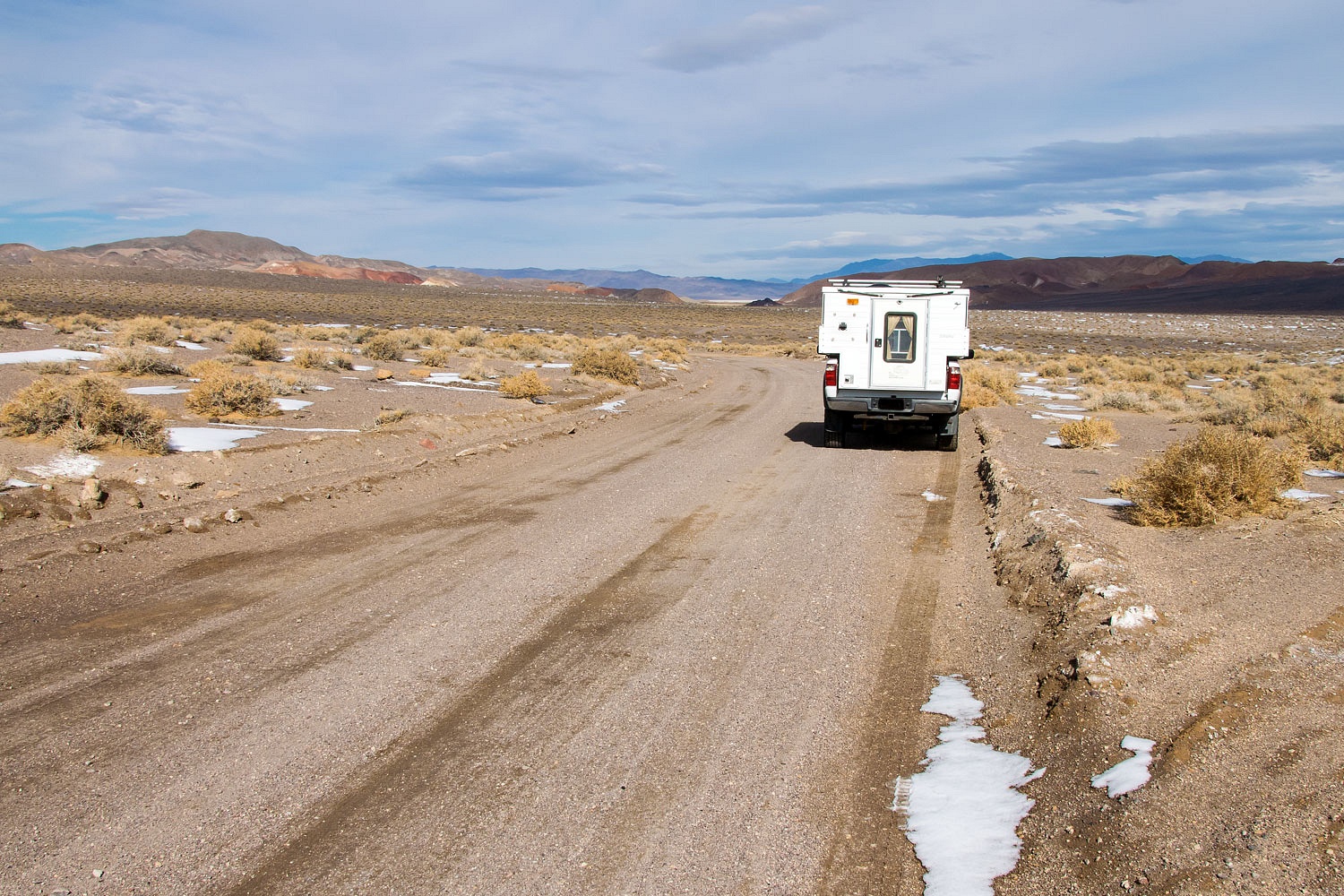
We rejoined pavement and filled the gas tank in Hawthorne. We still hadn't thought of a spot to spend the night. I surveyed the mountain ranges surrounding Walker Lake. I had an idea.
"Let's spend the night at Poinsettia again," I offered. "It's on the other side of that mountain range." I pointed, "And its dirt the whole way. I don't expect there's a chance we'll see anyone even on a Friday night."
"Let's go!" the Lady agreed and then asked, "We can see the Blue Sphinx from there, right?"
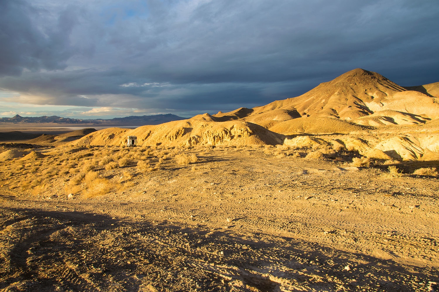
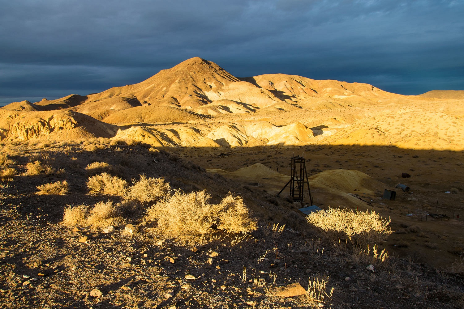
A few hours later, late in the afternoon with threatening dark clouds, we had our camp set up.
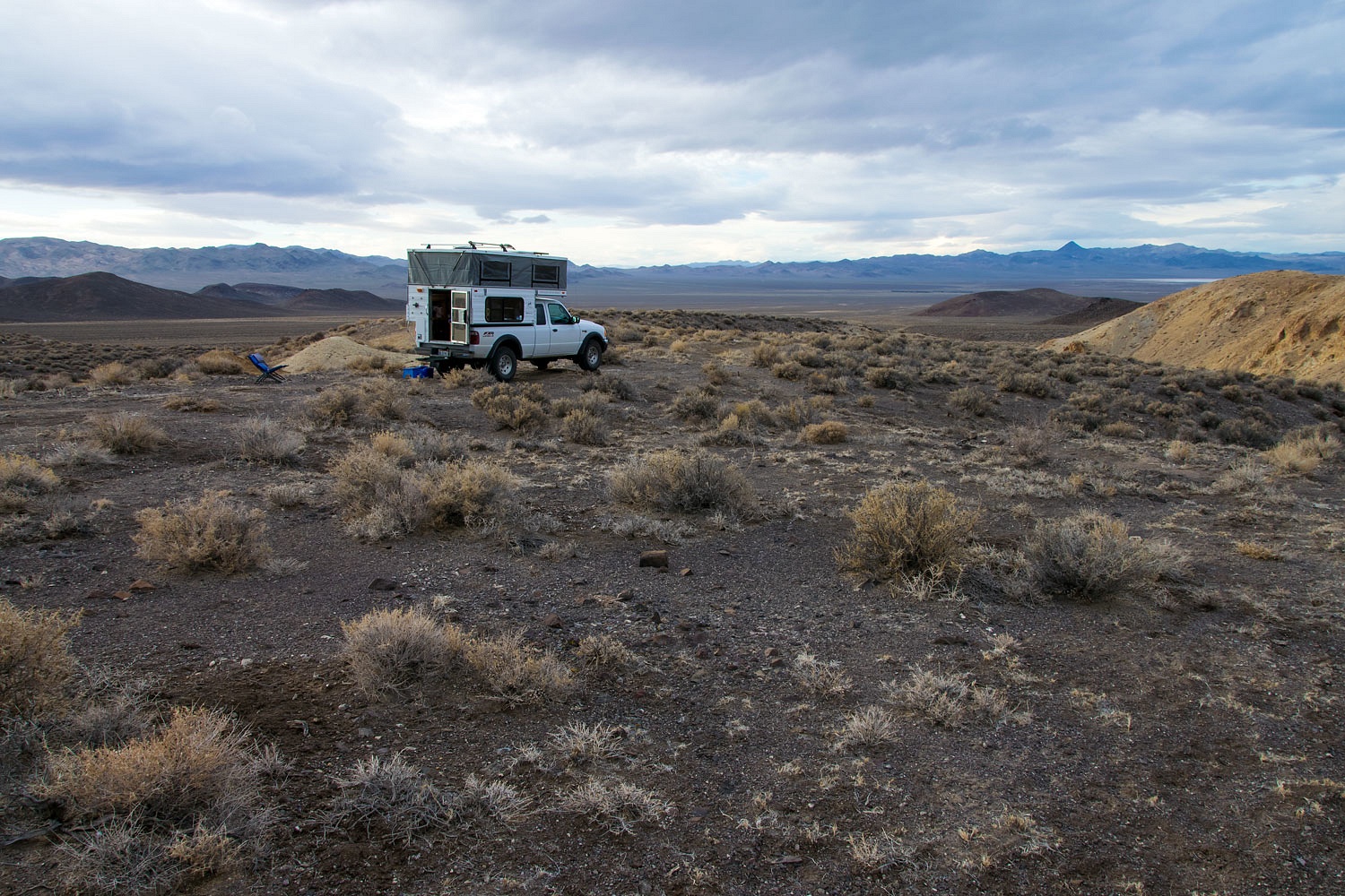
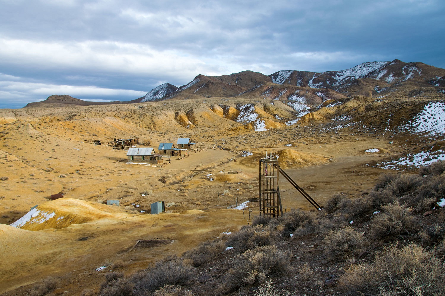
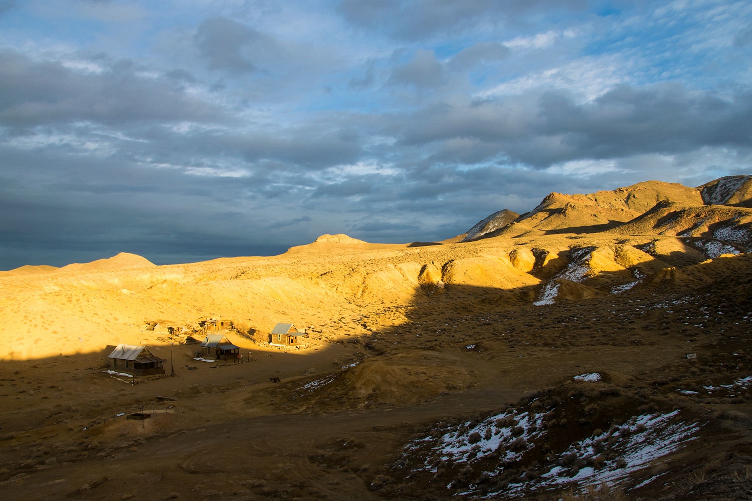
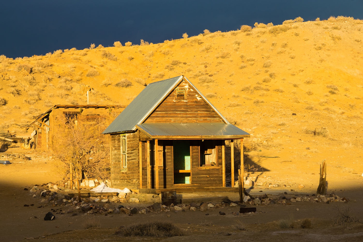
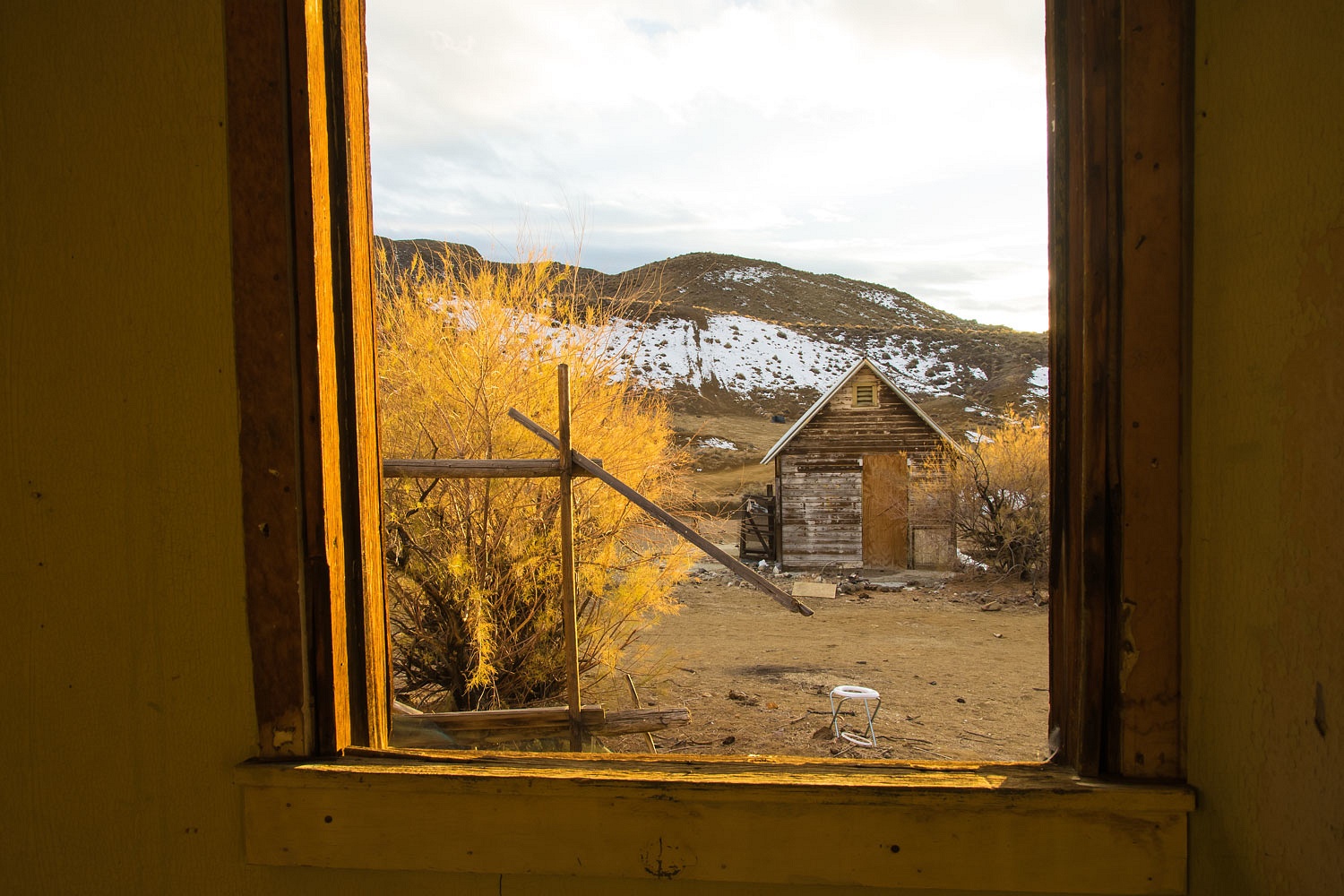
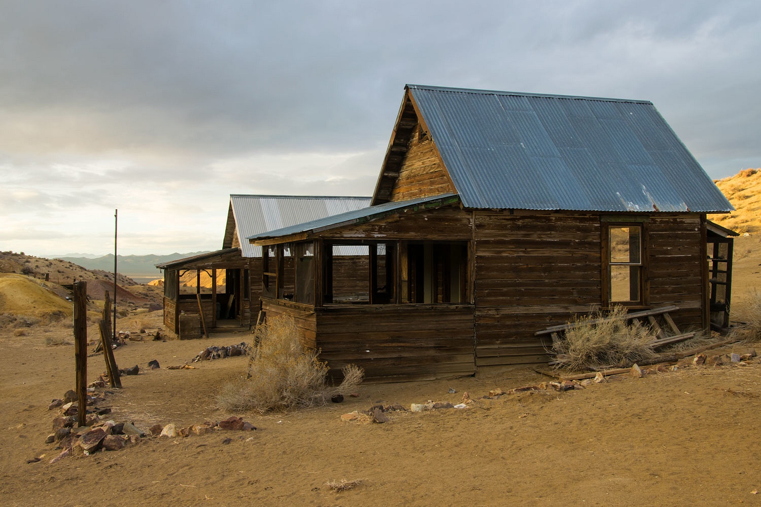
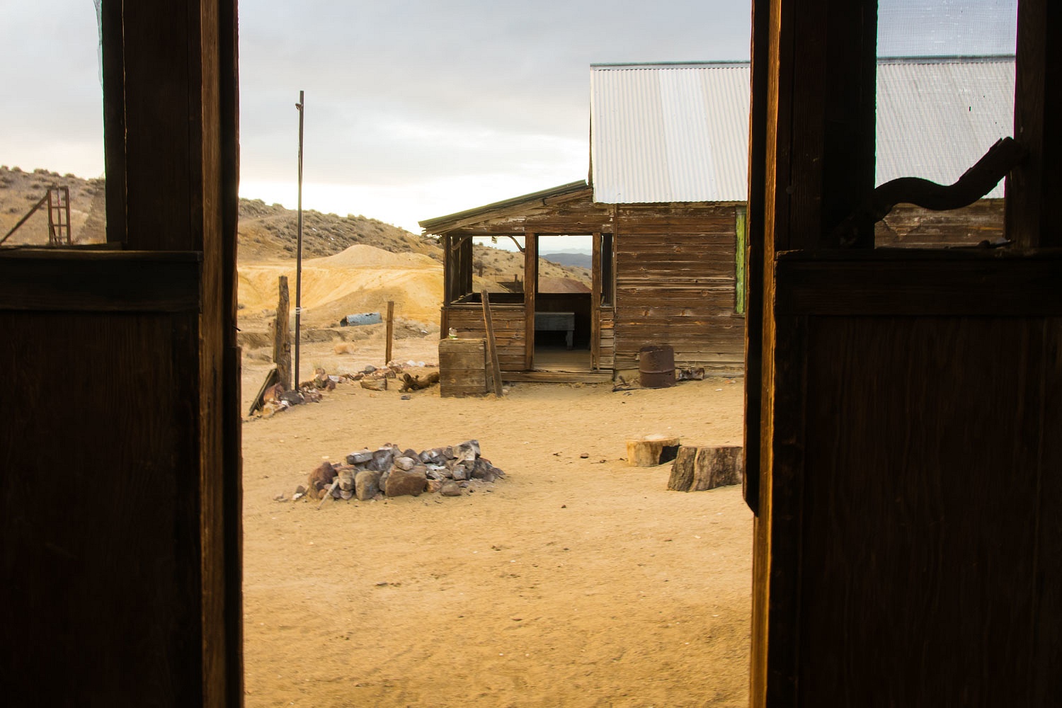
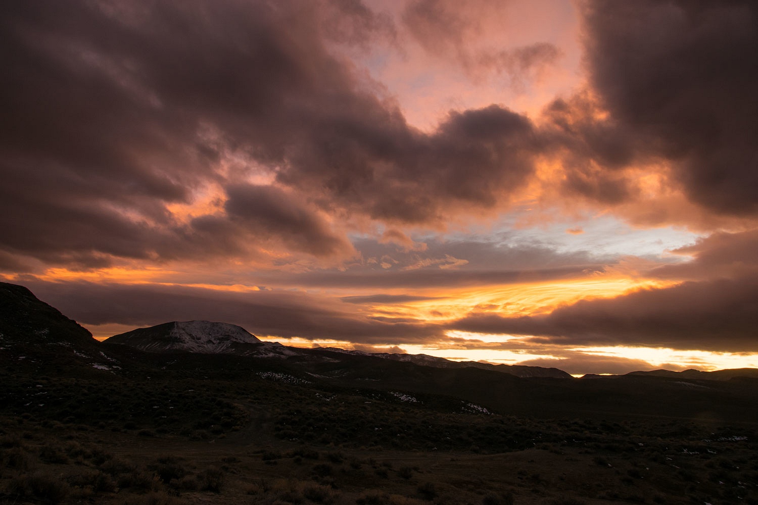
Poinsettia is the remains of a small cinnabar mining operation. At one time a boy scout group adopted caring for the buildings. It looks like those days are over. As it is over most of Nevada, new mine claims are posted here. The realization this could all become an huge open pit mine - like Rawhide to the north that took that ghost town - probably dampens enthusiasm for upkeep.
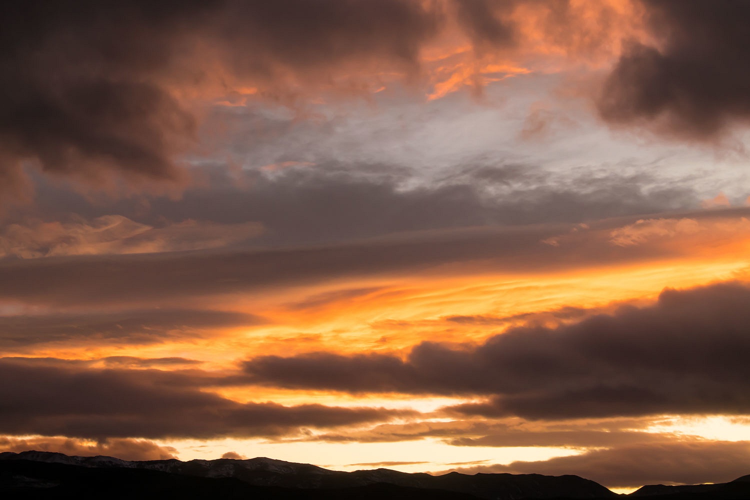
The dramatic sky worked over the ghost town.


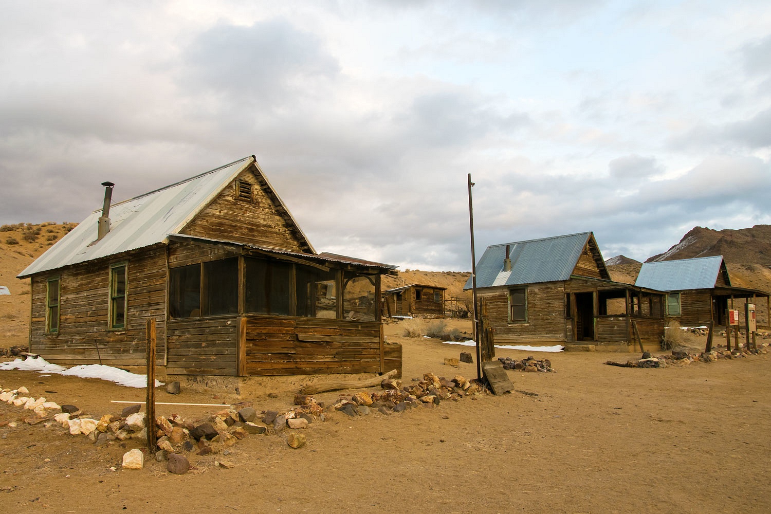
We wandered back to camp as darkness came.
With the clouds the night was dark, very dark. No stars. No shooters. We climbed into the camper for a game of scramble. The Lady whooped me, whooped me good. There was no shaking of the camper during the night, no bigfoot, no ghosts.
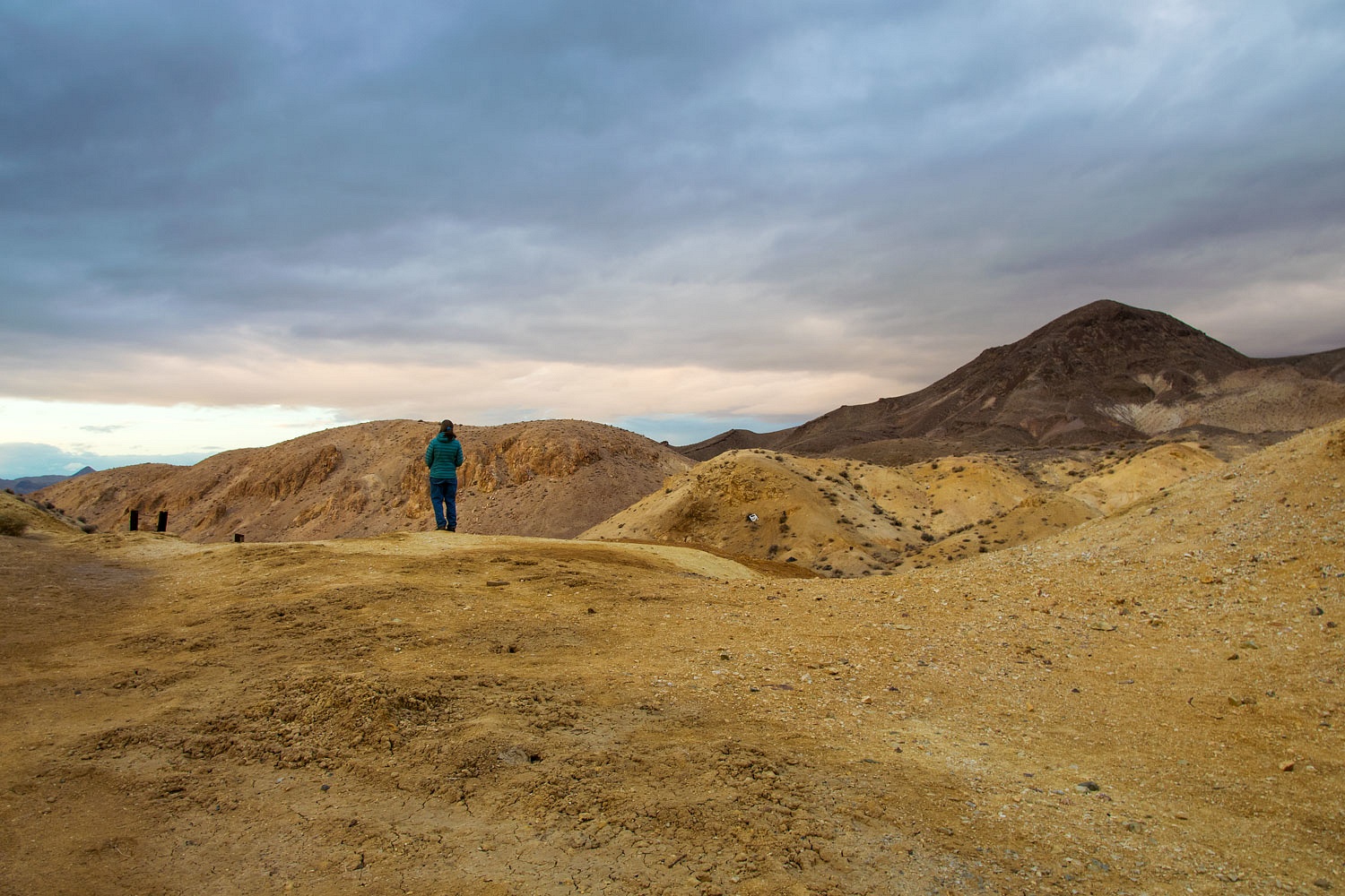
Saturday morning dawned clear. We walked up to the spring - as noted on the USGS topo map - with our morning coffee.
Our drive home Saturday morning was uneventful and easy. With no hurry, we arrived home mid afternoon.
The mystery of the shaking truck was solved. Early Friday morning, November 13, a 5.5 magnitude earthquake hit. The epicenter was in the same area of the 6.5 quake that shook several months before. The epicenter was 54 miles to the northeast from our camp. No bigfoot. No ghosts.
What a great trip retracing a place from a book written long ago. You had me a bit worried about exploring that area in the future with the staken truck. Nice to hear what it was in the end. Thanks as always for sharing your adventures.
ReplyDeleteYou are very welcome. Thanks for commenting!
DeleteA "codgery of coots" -- brilliant! And happy birthday, too. As always, a great story and wonderful pictures. How lucky we are, in this terrible time, to be healthy enough to keep adventuring.
ReplyDelete