please remember you can click on a photo to see a larger version & highlighted text are links to further information
Batting A
Thousand - Confessions of a Geocacher
I remember
when the first handheld GPS units were introduced for sale to the public. Adept
at map & compass navigation skills, we were eager to see how these
contraptions could aid our outdoor pursuits. A friend who worked for the USFS
bought a Garmin unit, loaned it to me, asked me to figure out how to use it,
and if it proved useful he'd purchase a few for his crews. The Lady & I and
a close friend, Mike, spent a weekend wandering and climbing through Desolation
Wilderness and putting the unit to work. The key I was
after was the ability to move back and forward with map, compass, and GPS unit.
Building an understanding of coordinate systems and the different map datums
helped get all three to speak the same language. We were heavily involved with
search and rescue at that time and were also land navigation instructors for
several organizations. We bought a handheld GPS unit and entered the battery
age.
Soon after,
a rocket scientist friend, Grant, introduced us to the new game of geocaching.
Grant was
into handheld GPS because his rocket motors put the global positioning satellites into orbit. He had hidden a couple of
geocaches on local mountaintops and invited us to find them. The Lady and our
friend, Mike, spent the Lady's summer break days searching for caches. They
became dedicated geocachers. I was instructed to be their scribe on the website
to log their finds and to help in finding new posted caches in our area and so
I learned about the Internet. The geocaching website was the first time
"ski3pin" appeared as a username, the Lady's handle. Mike was
"old free heel."
We were
active the first years and then slowly lost interest. In the early years, to us it
seemed, geocachers placed caches at interesting spots, fun places to visit.
Times changed, many of the newer caches were uninteresting to us so we moved on. And,
besides, we always are not at a loss to find other fun things to do.
Our friends
Muir Trek & Outdoor Woman remain avid
geocachers. On our last visit to their new spread in Montana they presented us
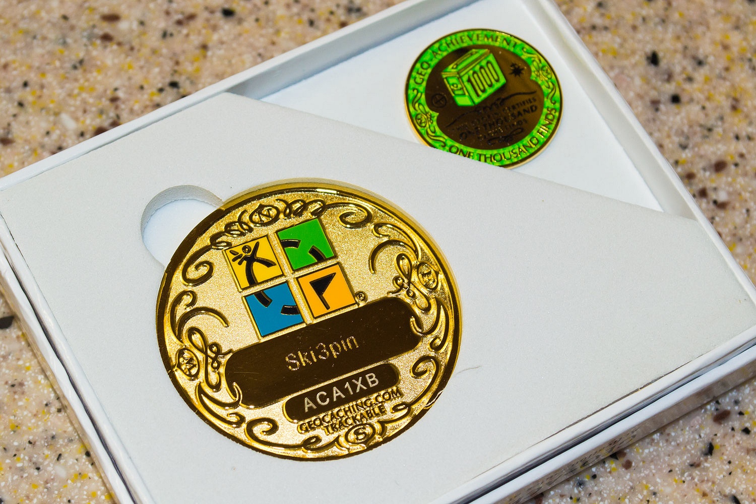
with a gift, a one thousand geocache coin. Our stats
had long ago stagnated at 940 finds. Years back they had bought this coin to
present to us, anticipating us to soon reach this milestone. They gave up, but held
on to it, and then decided to give it to us anyway.
We needed to
make amends. We could not keep a geocaching coin we did not earn. We had a free
weekend. We could make our good friends happy. We'd head into Nevada. Could we
reach that magic 1000 number in two days?
We left home
predawn on Saturday morning with our first stop breakfast at the Roadrunner
Cafe in Dayton, Nevada, a small neighborhood kind of place and an environment
you can sometimes feel like an outsider. The usual line of older men were at the
counter, comfortable sipping at their coffee, mopping up syrup with pancakes,
and taking in the conversation. The place was full this early morning and with
the hard walls and ceiling, it was loud. Add in the rock music on the radio and
our ears hurt. The conversation was animated and punctuated with sudden sharp
cackles of laughter from the waitress. Discretion forbids me to share the surprising
topic bantered about. Our breakfast was good
but we were happy to get outside and back into quiet.
Geocache
number one was under bushes alongside highway 50 near the "Welcome to
Dayton" sign. The second cache was exactly the kind that caused us to lose
interest in geocaching - it was up in the spoils dump on the hilltop
overlooking Dayton, a trashy hangout for kids drinking and a place to walk your
dog with no need to pick up its feces. It was somewhere in a pile of rocks. We
did not find it.
The caches
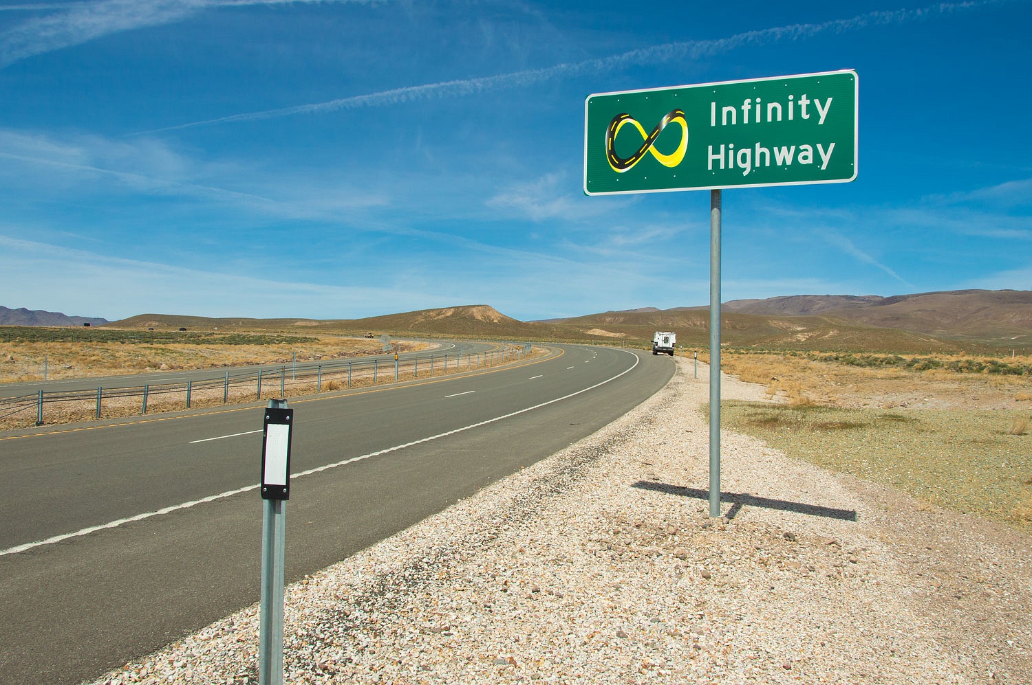
improved as we headed east. We also found a new highway we could stay on
forever.
Unfortunately
it was also a highway we could not get off of. With a fence in between the
north and south bound lanes, there was no way to turn around. Once again,
discretion forbids me to share how we handled this problem.
Staying on
main routes is not our style, so I had added as many caches as I could in
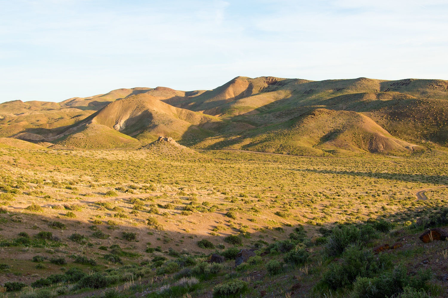
backcountry locations. Our favorite was on a point overlooking Adrian Valley
south of the Carson River.
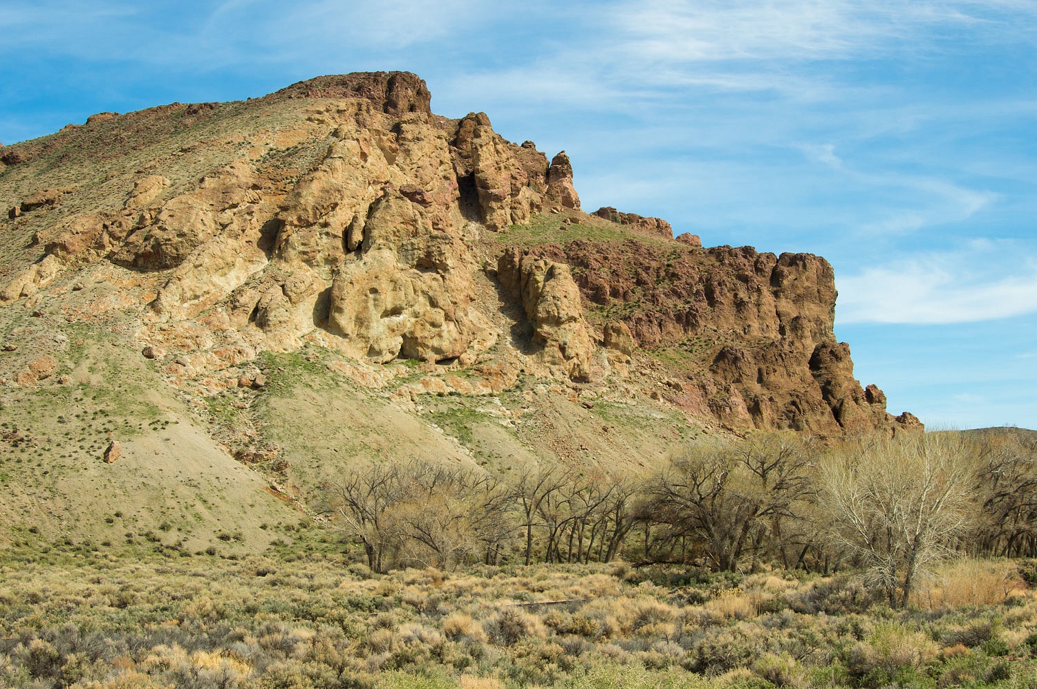
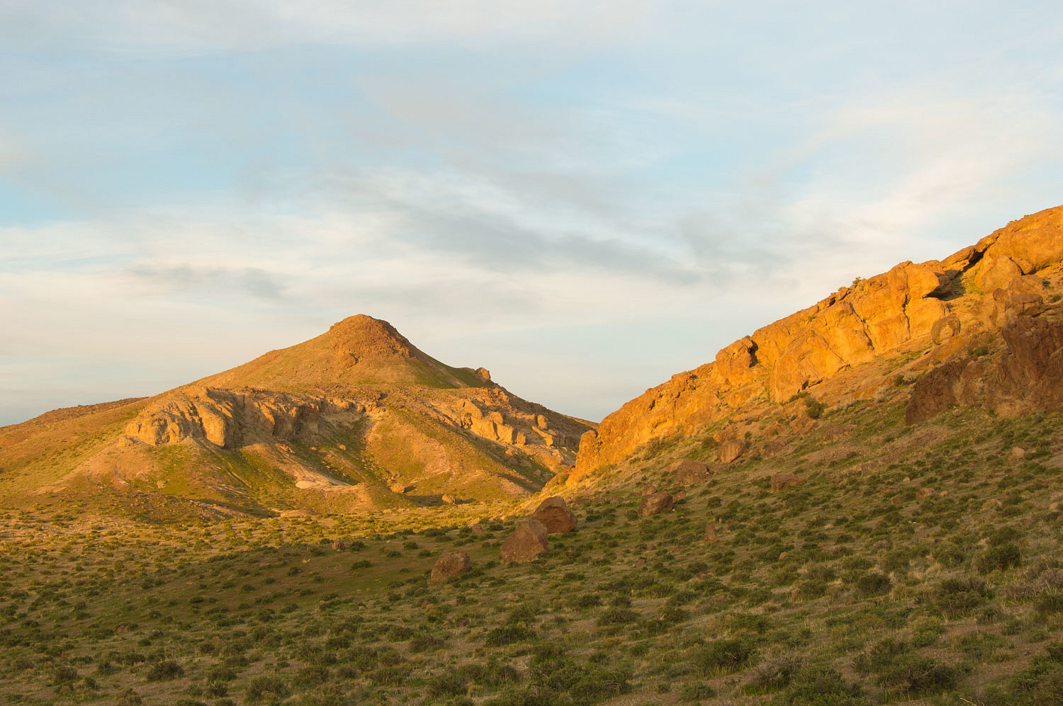
The lion
rises above Churchill Station Spring, an old stop along the Carson & Colorado Railway.
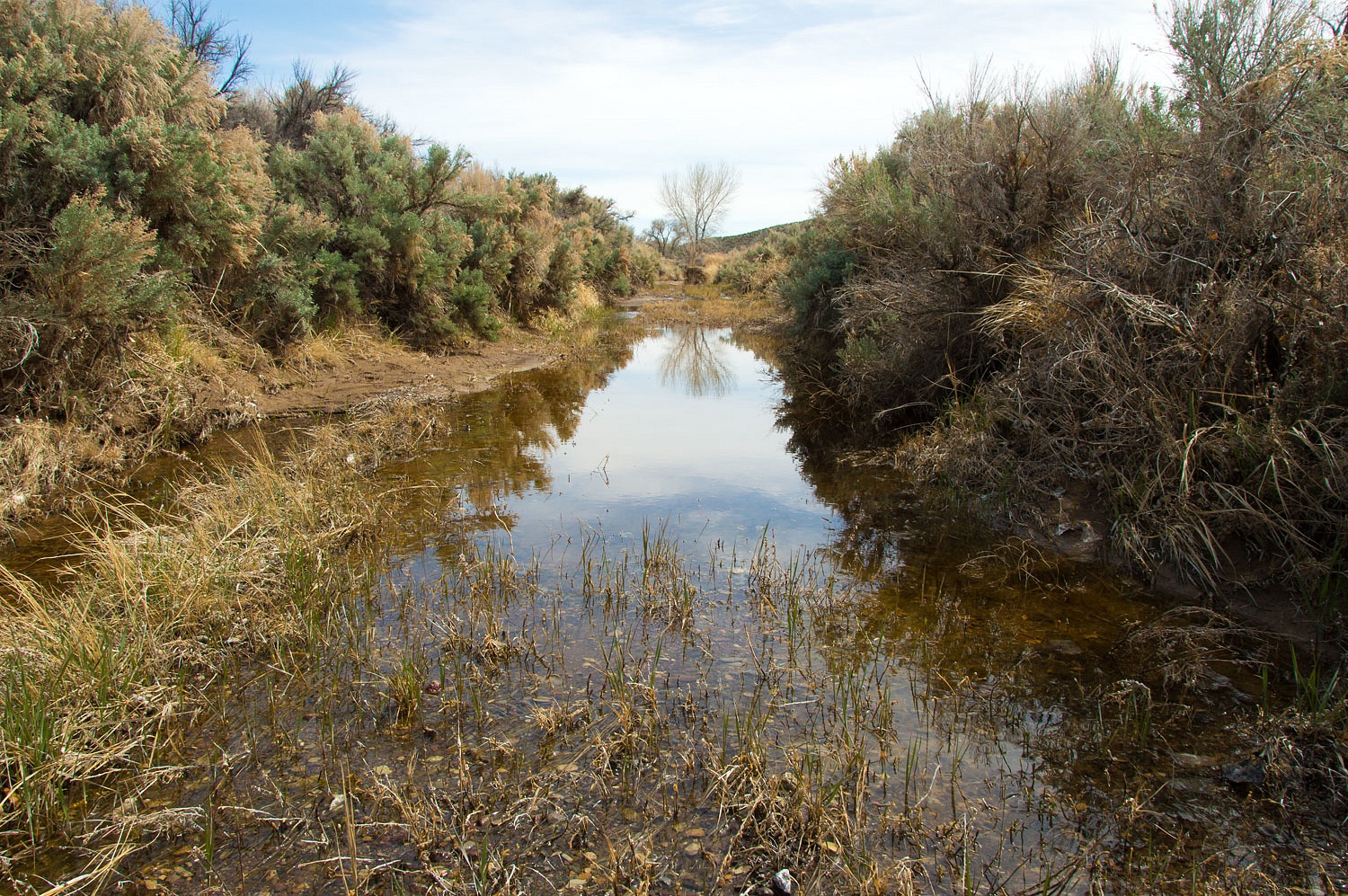
We were
surprised to find surface water in Adrian Creek.
Next we
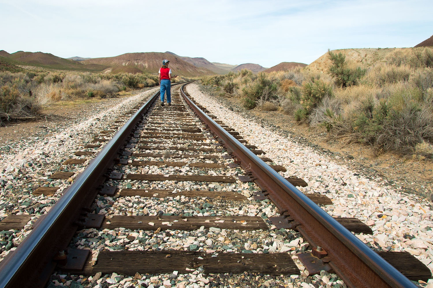
crossed the railroad tracks. Southern Pacific bought the Carson & Colorado.
The northern 140 miles of the route was converted from narrow gauge to standard
gauge in 1905. This was mostly due to the mining boom in Tonopah.
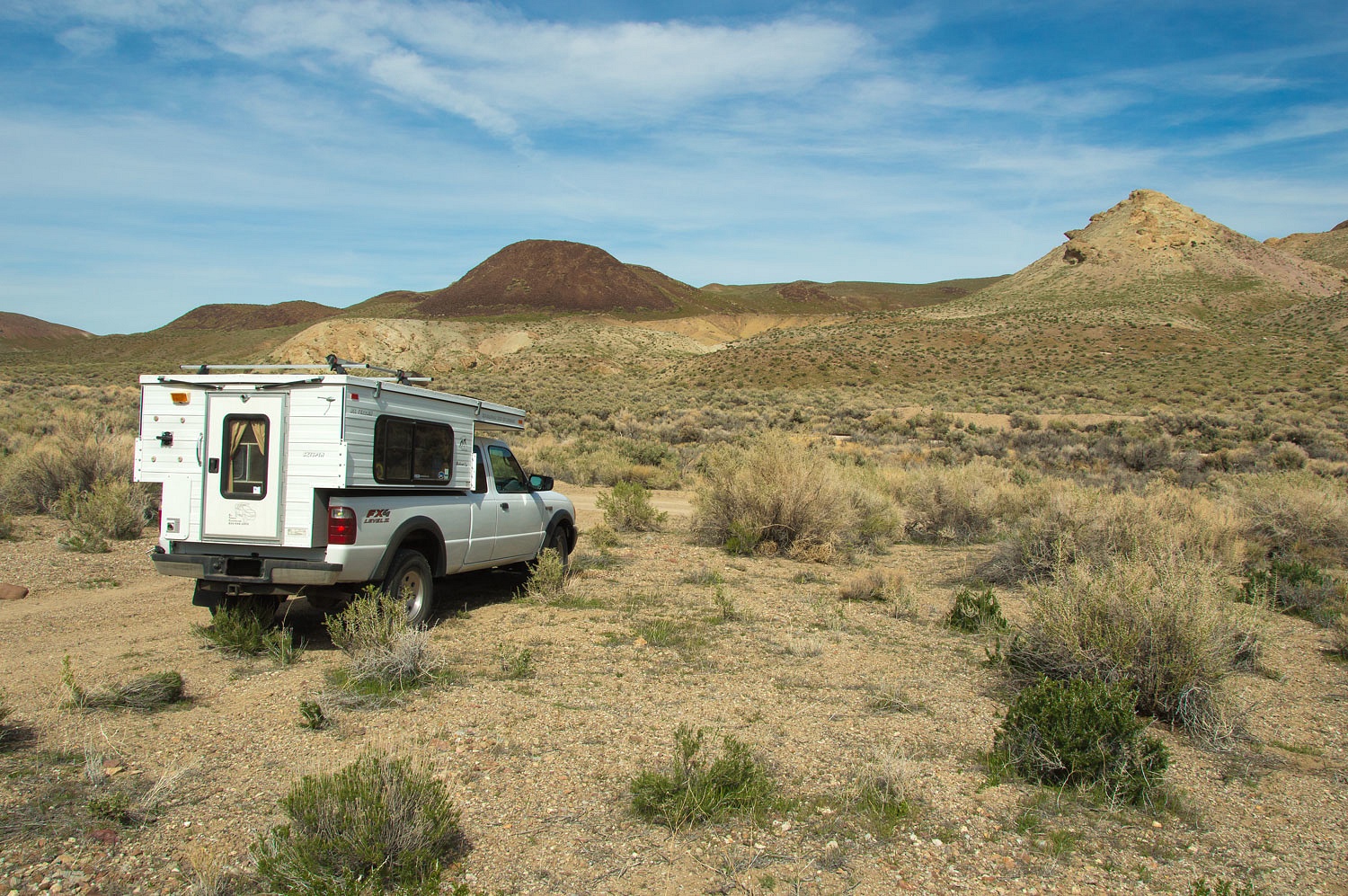
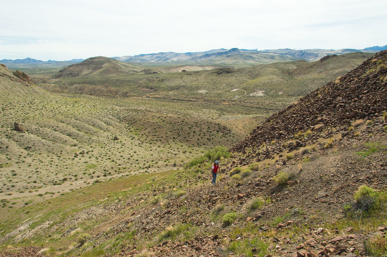
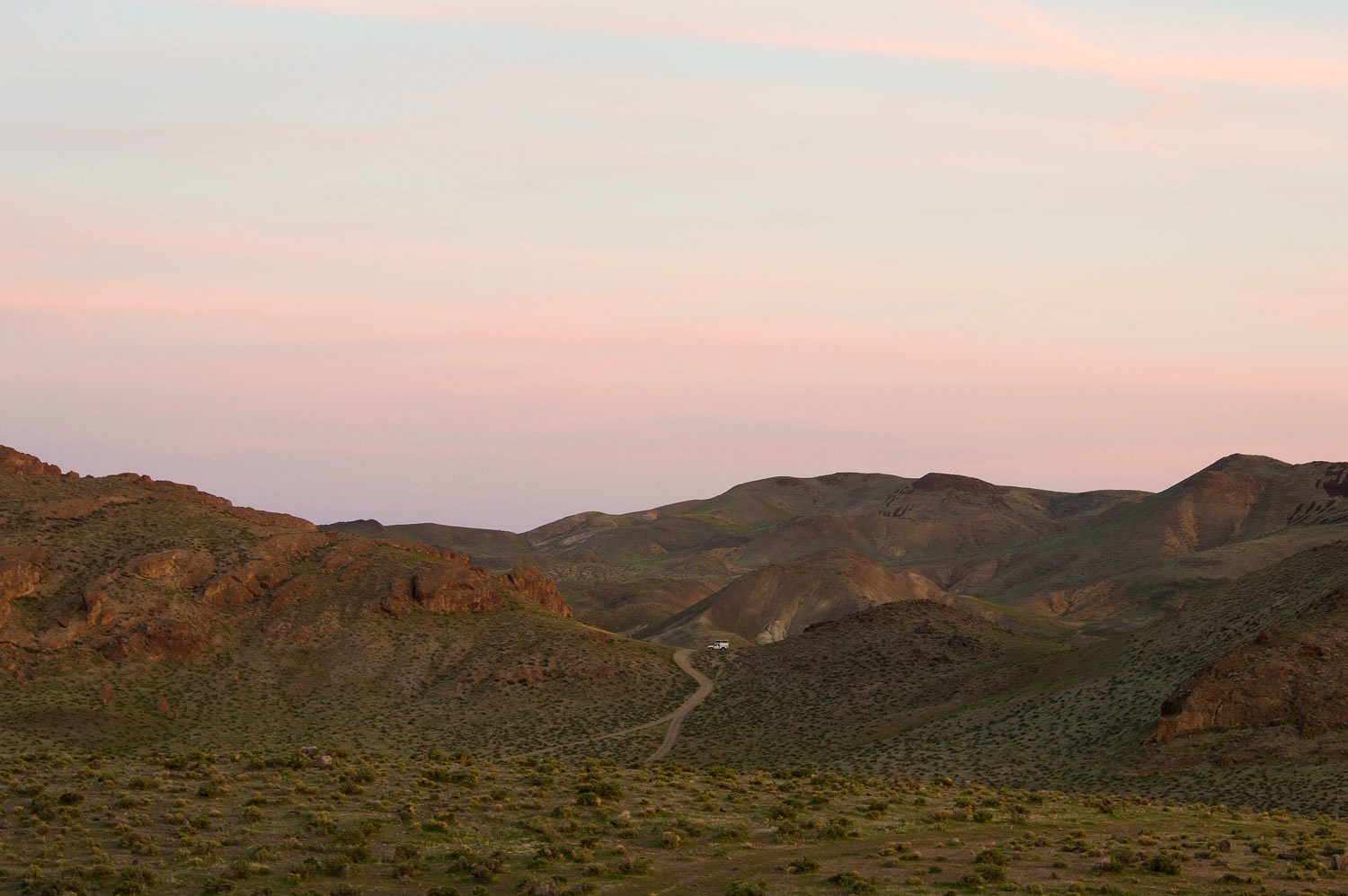
The Lady
loves to climb. Our truck is visible to the right in the distance.
She is never
without her see mores.
We returned
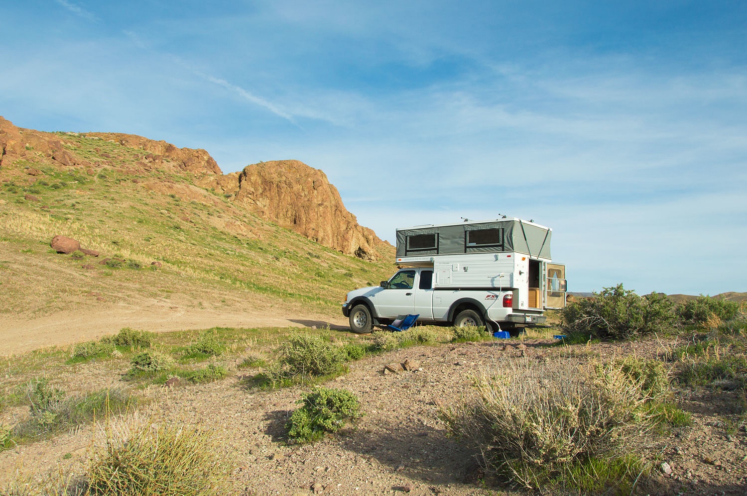
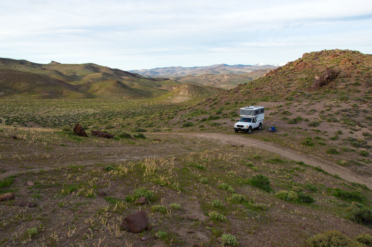
to the truck and discovered it was 4 pm, a good time to search out a spot to
camp for the night. The requirements were a high spot with a view and no chance
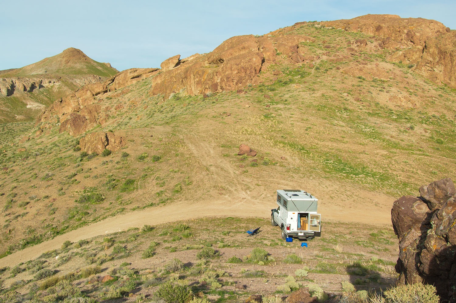
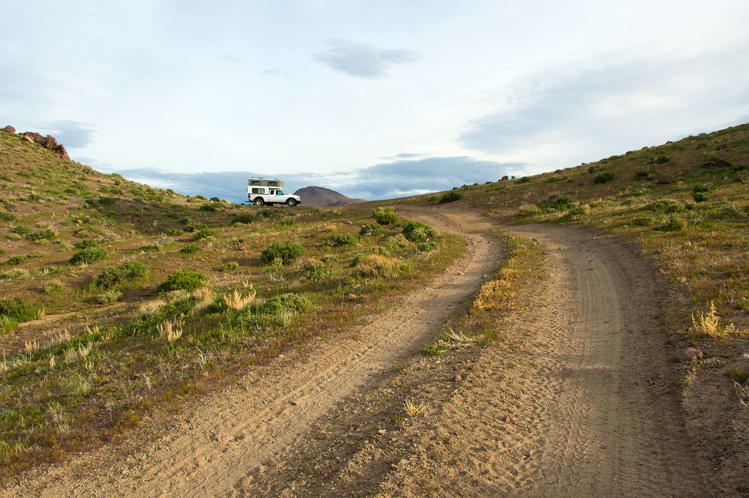
of neighbors. A side road climbed to a saddle with just enough room to park.
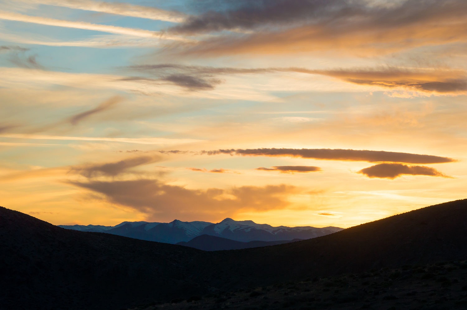
The long
shadows of early evening were perfect for proper relaxation.
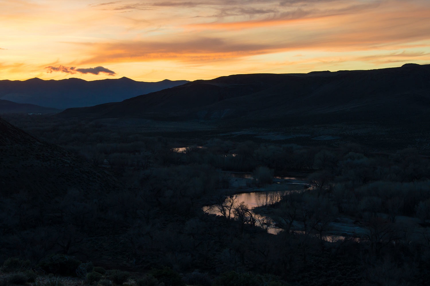
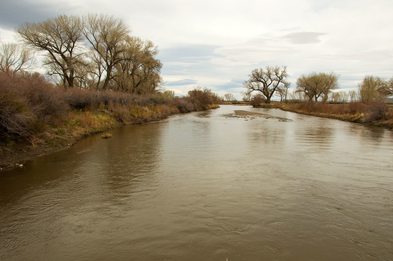
Fort Churchill along the Carson River was below us to the north. I was
excited about our location because we were on the start of the Sonora/Walker River Route of the California Trail. In 1852 a
group from the Gold Rush town of Columbia enticed
immigrants on the California Trail to try a new route over what would become Sonora
Pass bisecting the Sierra Nevada Crest and lead them to the Columbia area. The
route left the Carson River, climbed a hill, dropped into Adrian Valley, then
intersected the Walker River where it began the climb over the Sierra crest.
We walked
after dinner along the old route. We listened for the sounds of stock grazing,
groups gathered around cooking fires, and maybe, the sounds of children playing
- voices from the past.
We climbed
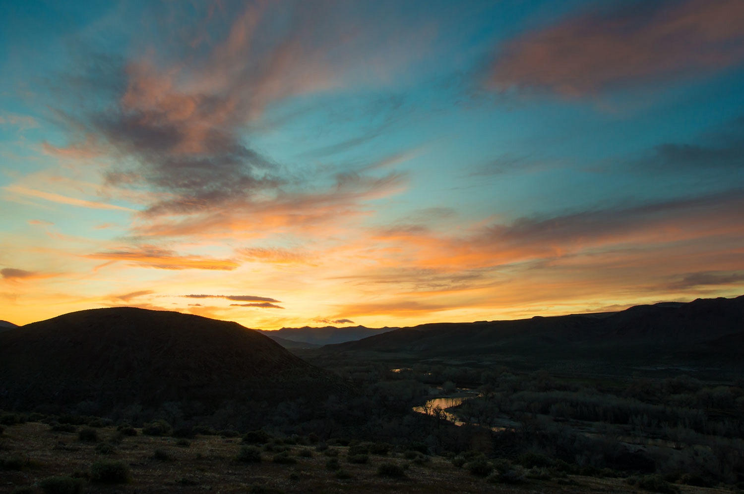
the last hill overlooking the Carson River just as darkness came.
The night
was quiet. The overnight temperature dropped only to the low 40's, allowing us
to sleep with the windows open all night. Nevada spring mornings can be
spectacular.
Our
geocaching route took us approximately along the old Sonora Trail. We stopped
along the West Walker River south of Yerington. We imagined how lush the vast
Mason Valley would have been welcomed by those first immigrants so long ago.
We reversed
course now and turned downstream along the Walker after it joined with the East
Walker. We made our way south to the shores of Walker Lake. We had cell signal
so we texted the geocaching countdown to our friends Muir Trek & Outdoor
Woman - 997, 998, 999..........................
Our last
cache of the day was appropriate enough, "The Old Guy and the Crapper".
Our mission
was complete. It was around 4:30 in the afternoon. We filled up with gas in
Hawthorne and headed south to higher terrain. We knew a lonely spot, our kind of
place to spend the night.
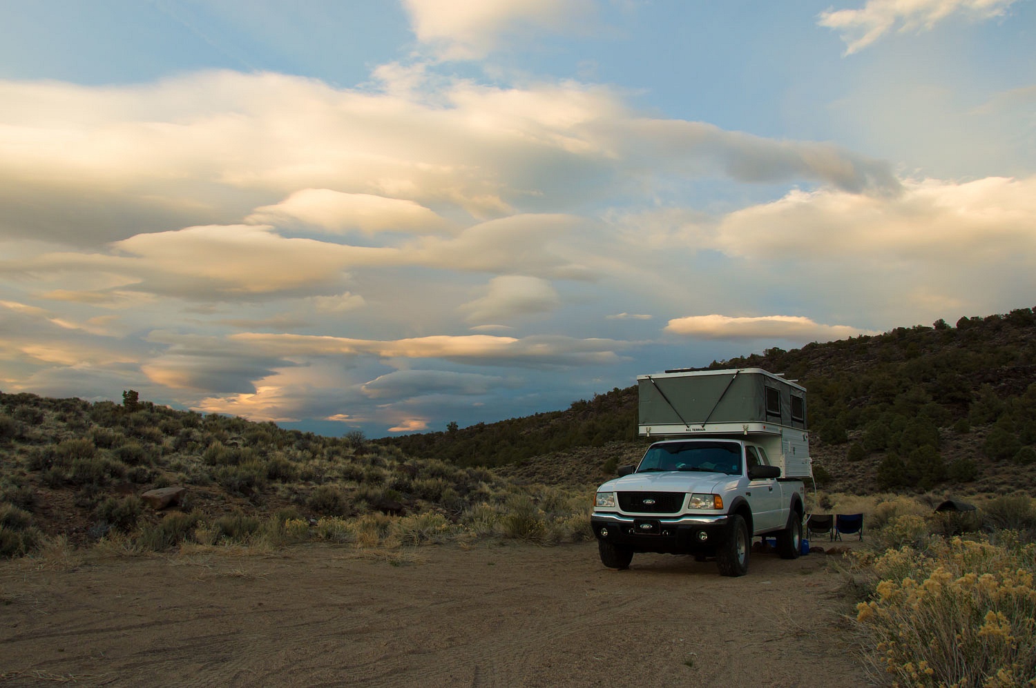
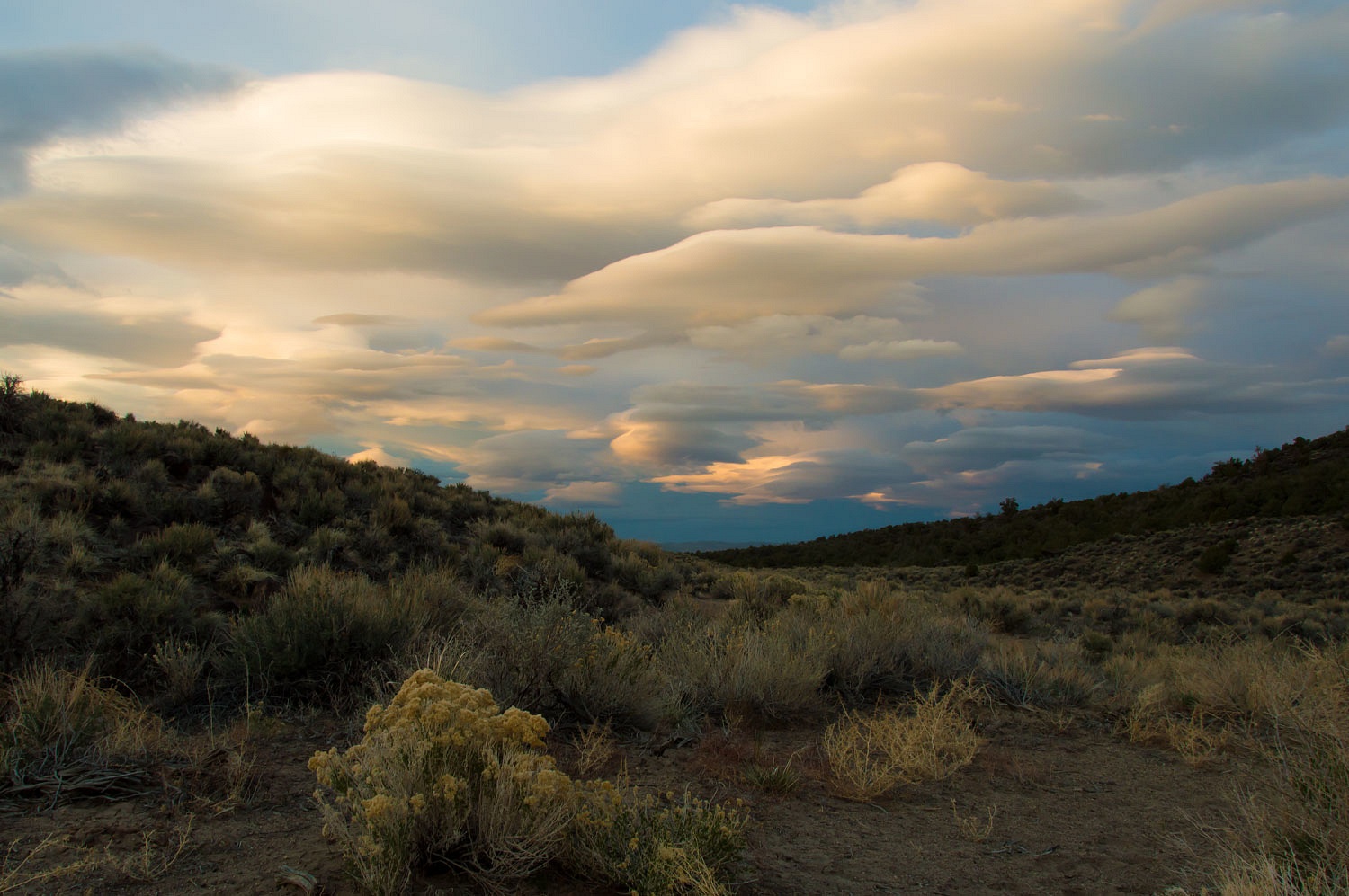
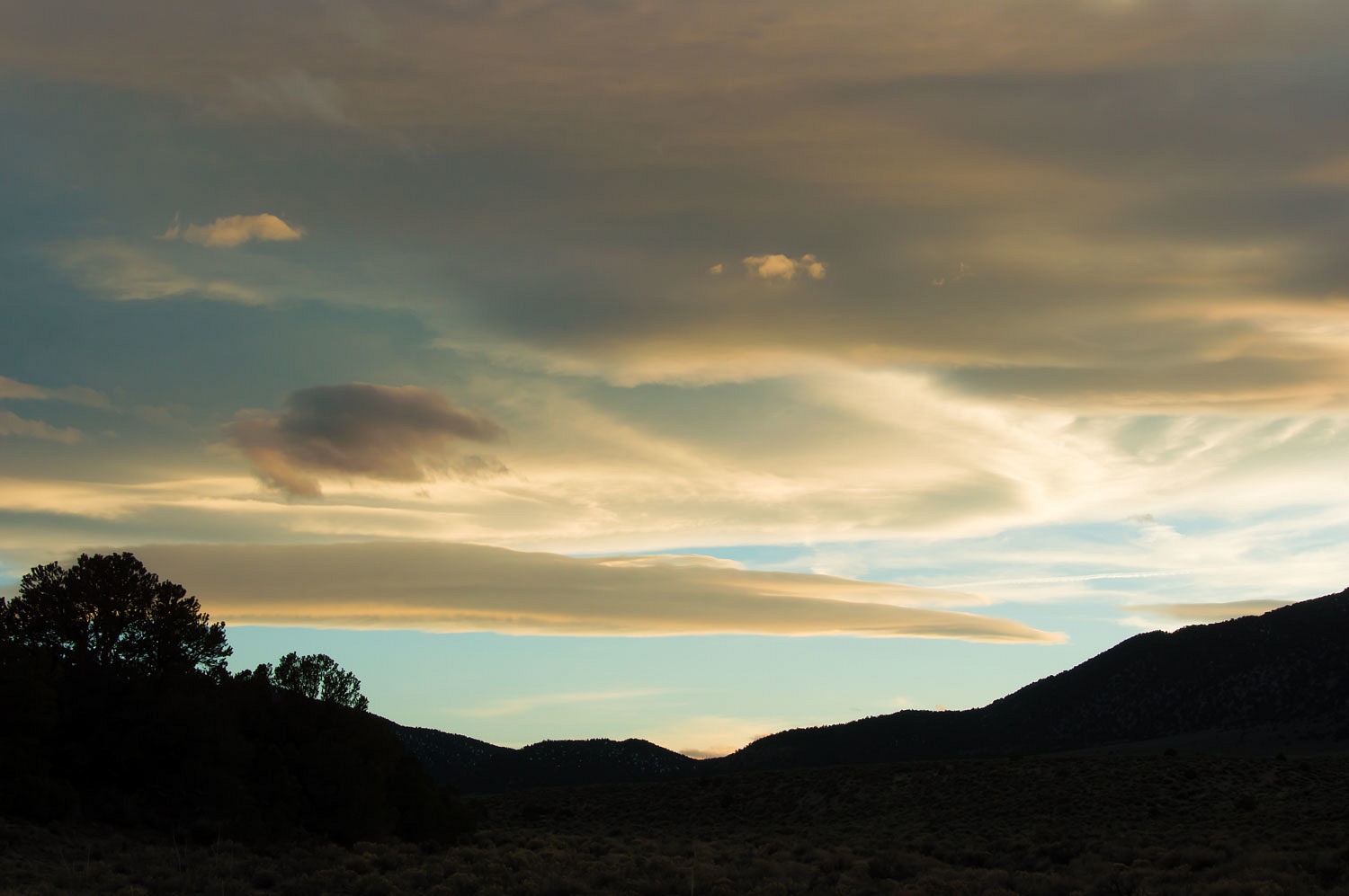
The wind
shaped clouds told of high winds aloft, a sign of a coming storm due in Monday.
I cannot
overstate how much we love nights spent in solitude at places like this. We
walked well into the night but soon even the bright half moon that center
punched the sky above was dimmed by the building cloud bank.
We returned
home Monday - just beating the storm - pleased that we had made our friends
happy and finally earned that coin after so many years. And, on top of that we
had spent another weekend in Nevada!


Congratulations on returning to the search and finding inspiration to continue the tradition. I look forward to #2000 sometime in the future.
ReplyDeleteThanks David!
DeleteSpectacular shot of the Carson River at sunset!
ReplyDeleteThank you, Dan! It was a beautiful evening.
DeleteI used to cache a lot when my kids were younger. I may need to fire up the old GPS again too. Also, the last cache you found could have been named after me...
ReplyDeleteThanks Shane!
Delete