please remember you can click on a photo to see a larger version
Time
The wind
rocked the camper as we slept. It wasn't too bad, probably only around 15 to 20
mph but it was constant. We were parked on the crest of the Funeral Mountains,
an exposed place to camp so the wind was expected, and where we were - let's
just say it was well worth it. This was a trip during spring break into a
remote section of Death Valley National Park and we would not see another
person during our three days of exploration here. How did this all come about
and what was our plan?
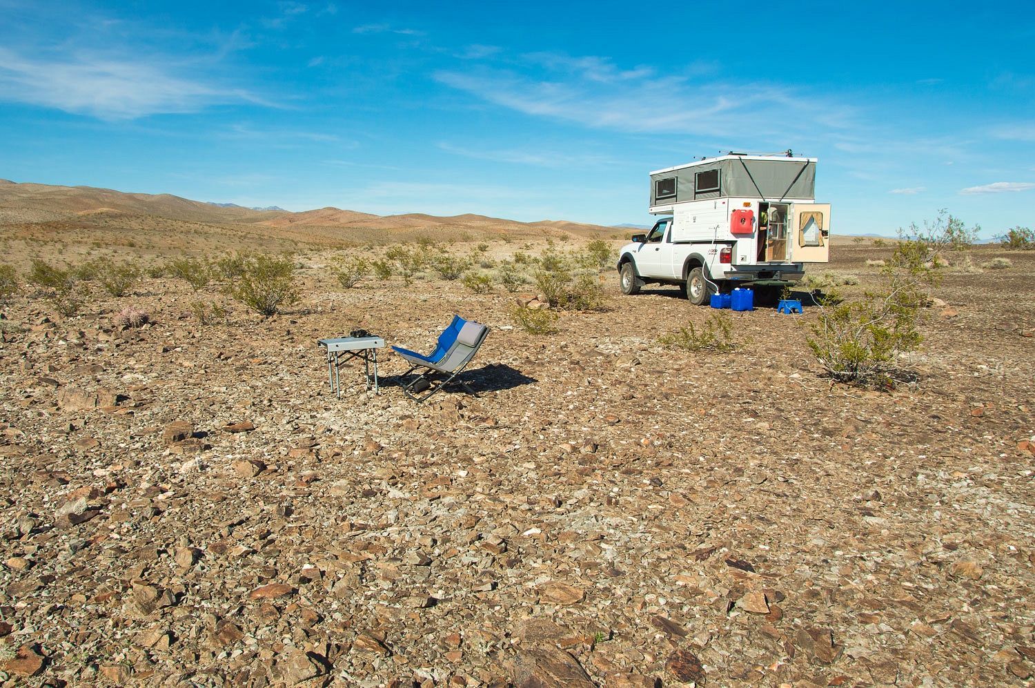
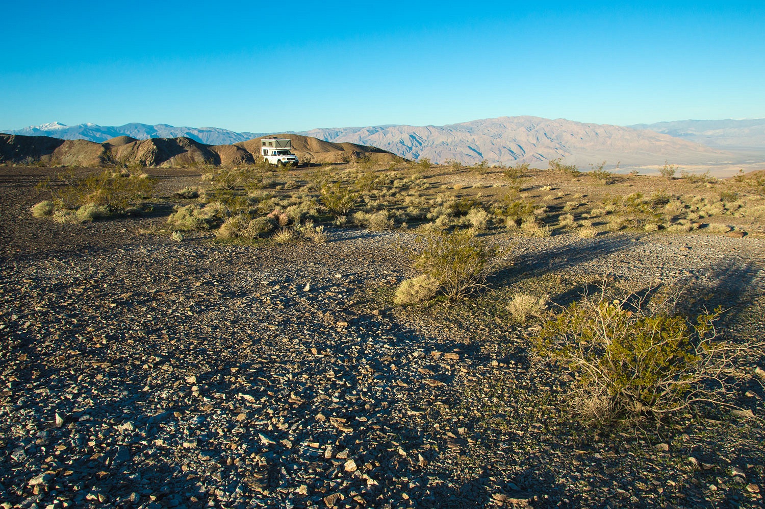
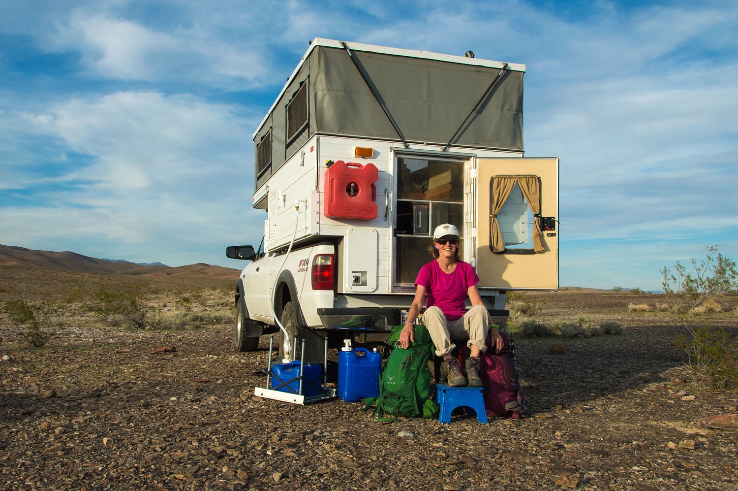
Our campsite
after our arrival Wednesday afternoon.
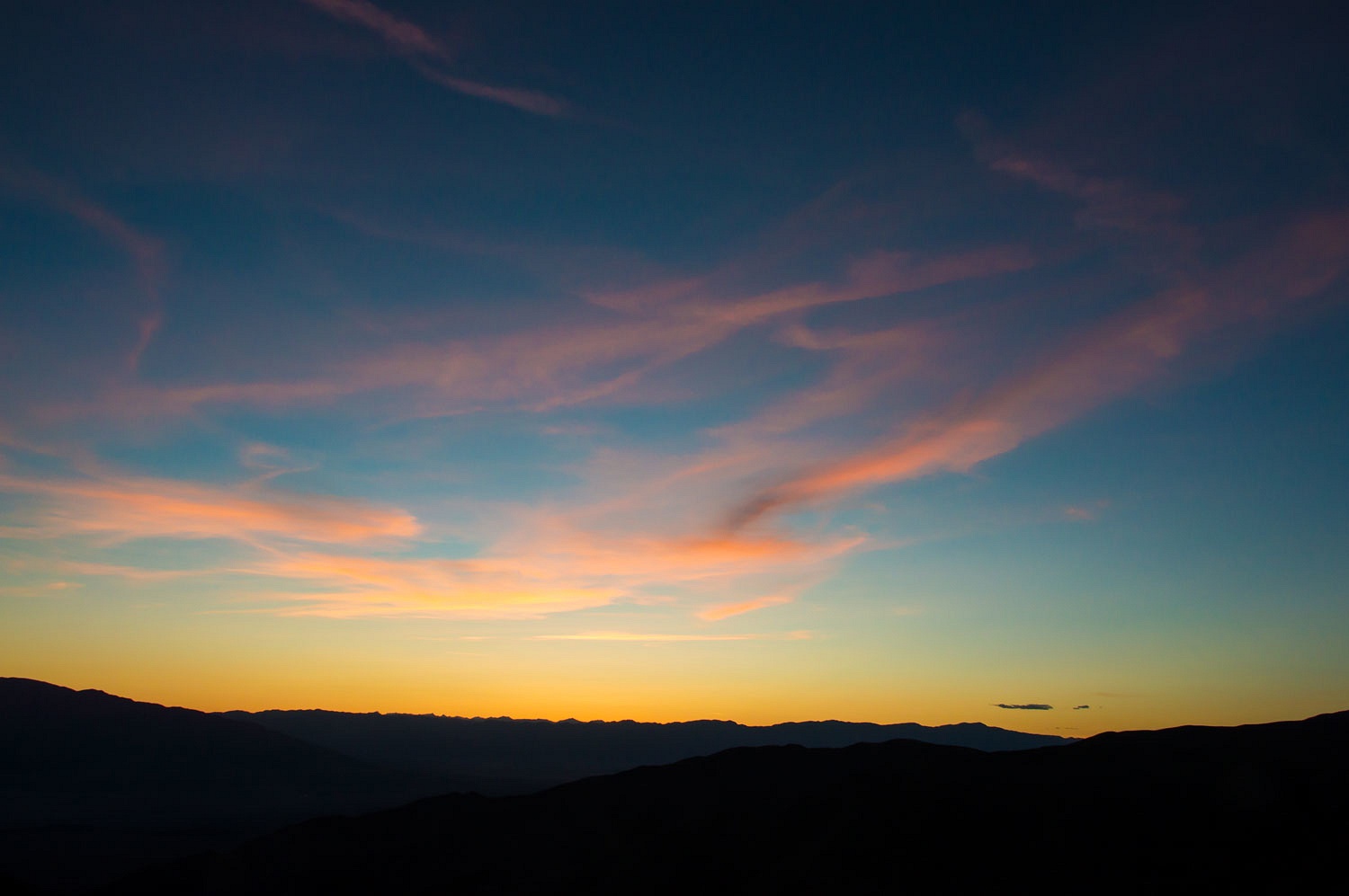
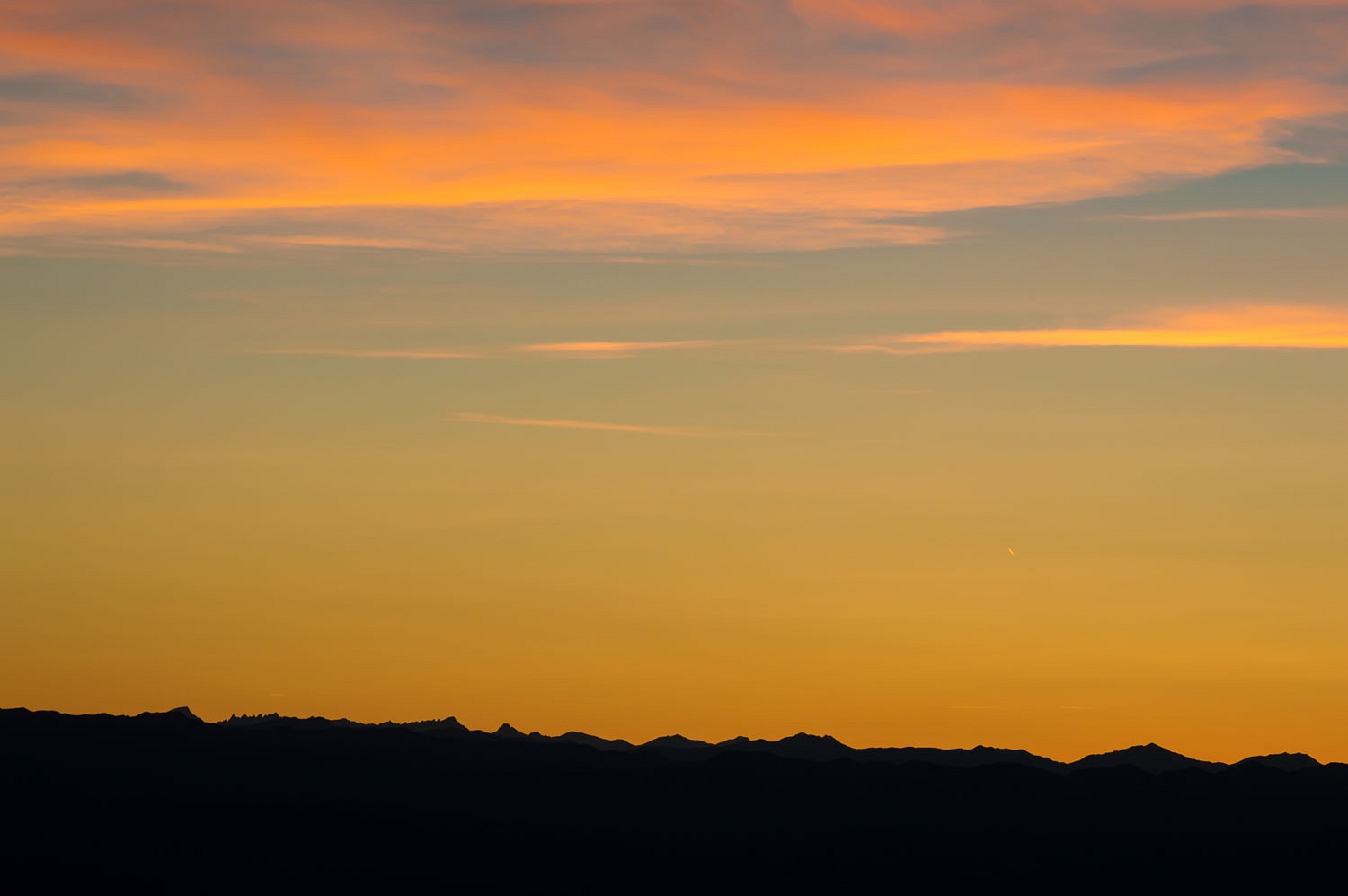
Our first
evening was spectacular.
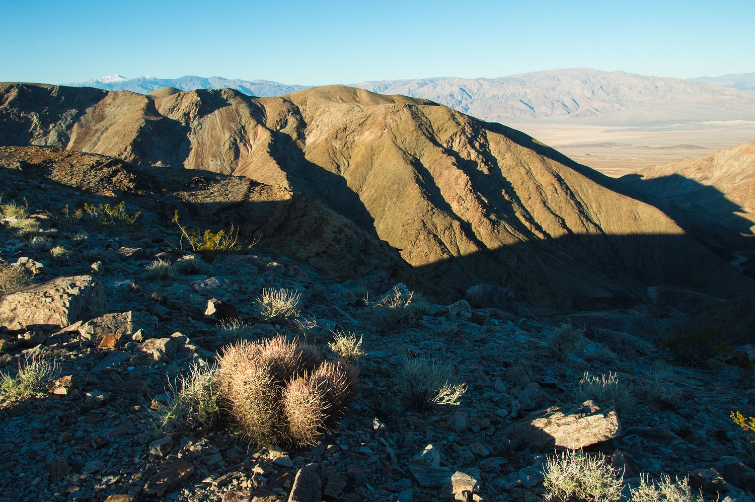
Mount
Whitney on the Sierra Crest was visible from our campsite - the high peak a
third of the way in from the left.
The wind was
a bit better in the morning.
The Lady
found us a great place to enjoy our morning coffee.
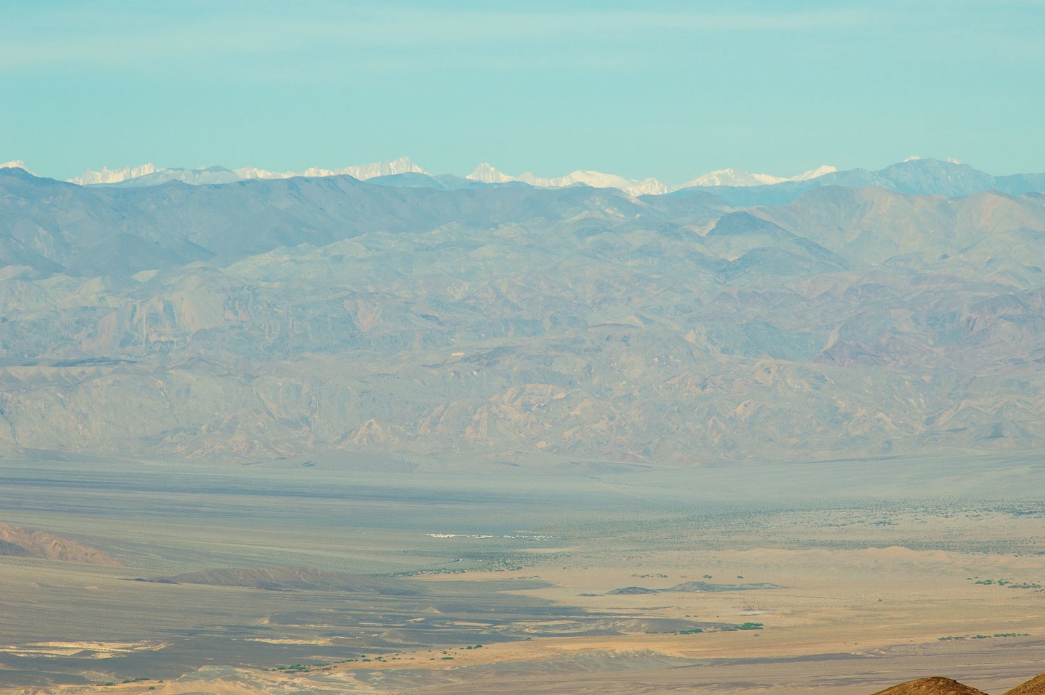
A telephoto
shot reveals Mesquite Sand Dunes, Stovepipe Wells, the Cottonwood Mountains,
the Inyo Mountains, with the Sierra Crest and Mount Whitney beyond.
Today -
Thursday - we had a canyon to explore.
In our story
about our Point Reyes trip I mentioned that I know how to make the Lady happy.
The opposite is, of course, also true. The Lady knows how to make me happy.
Besides a round or two of Tease a Geezer, a good way is to turn me loose
planning an adventure into the unknown. I first saw it on our topo map, a low
spot along the crest of the Funeral Mountains. A canyon climbed out of Death
Valley up to the crest of the Funeral Mountains and the terrain on the east
side looked relatively gentle. Erasing all the current roads and letting my
mind drift back in time, this looked like a good route that ancient Native
Americans might take. This could be an interesting canyon to explore, all the
way from Death Valley to the crest of the Funerals. I checked it out on Google
Earth. A very faint road was visible. Was it drivable? Would it provide workable
access to both the bottom and top of the canyon? Could we find it on the
ground? The unknown. And the canyon itself, would it prove interesting enough
to justify all the effort? The unknown.
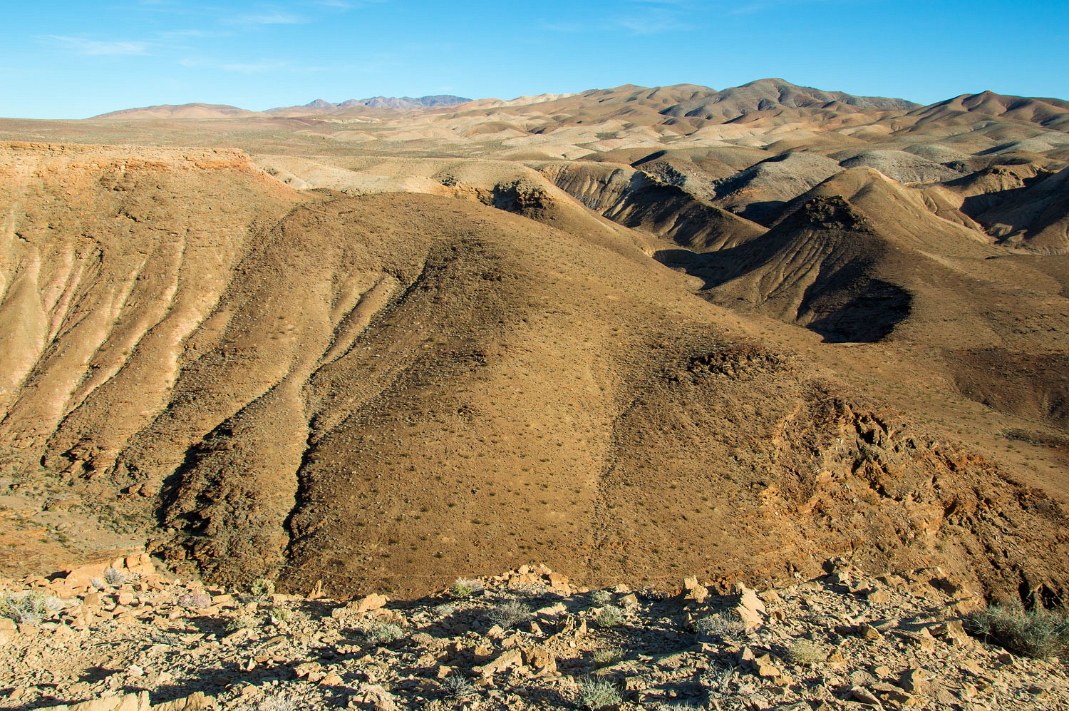
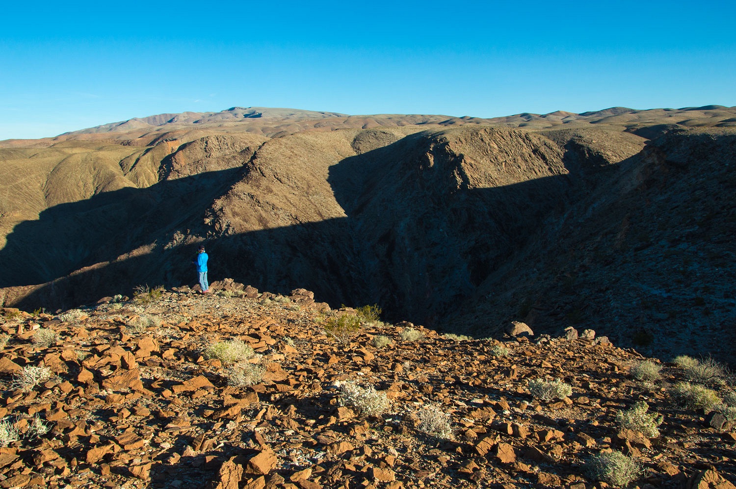
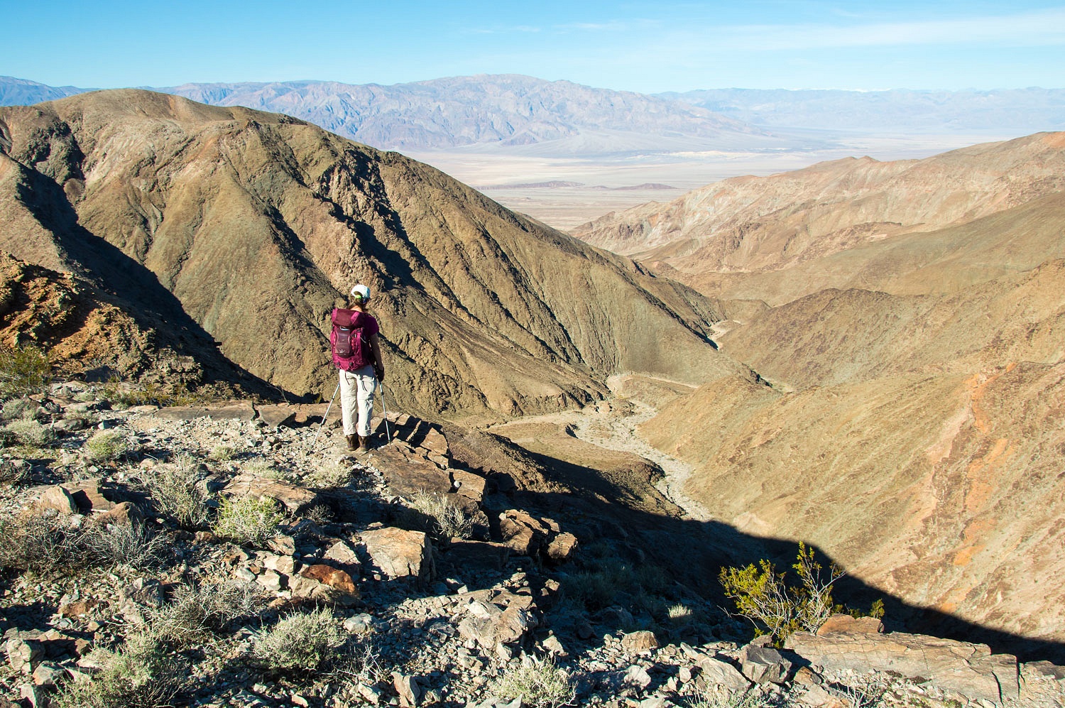
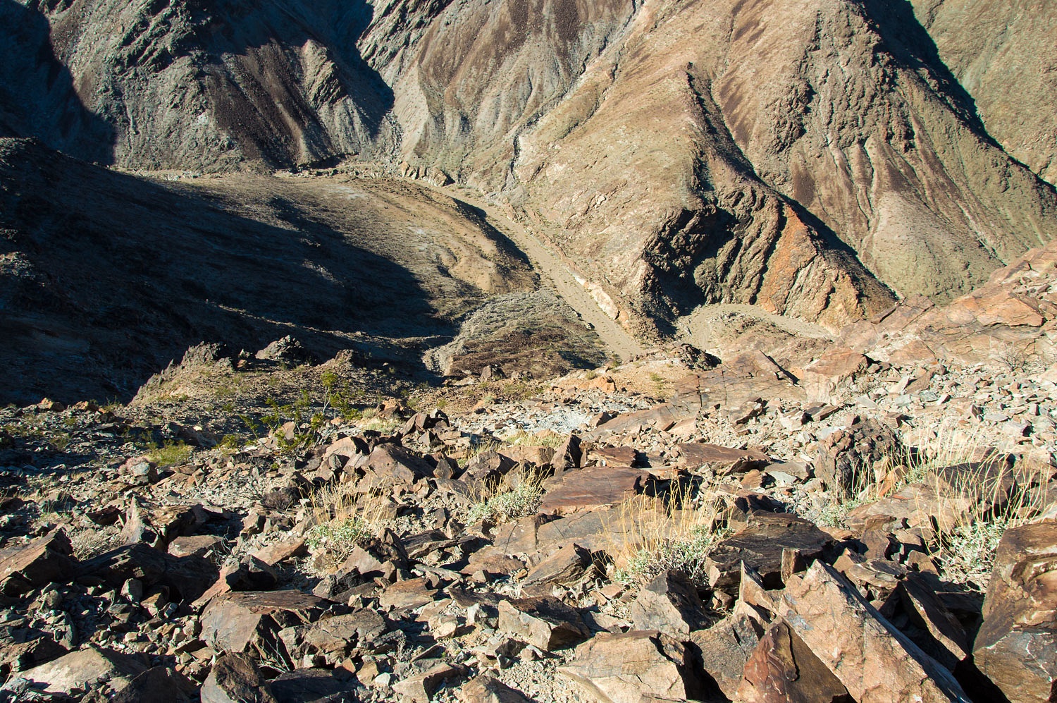
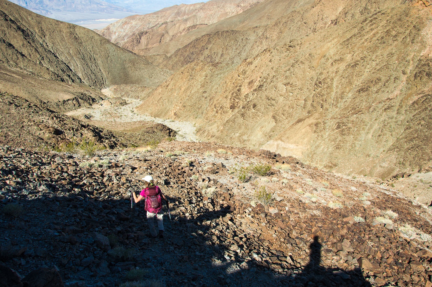
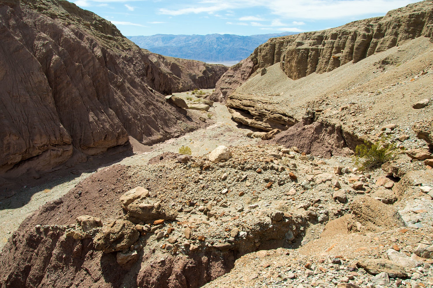
First we had
to solve the problem on how to get into the canyon. Our campsite sat 900
vertical feet above the canyon bottom below.
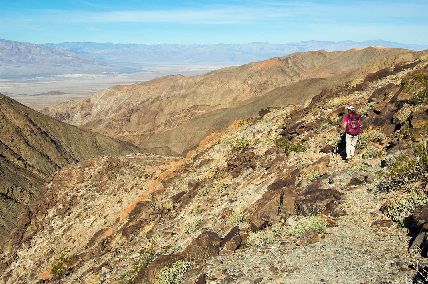
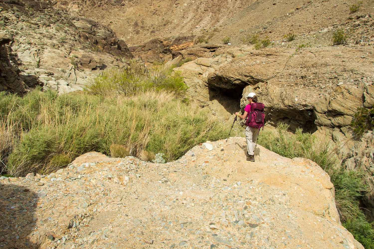
With care,
we worked our way down.
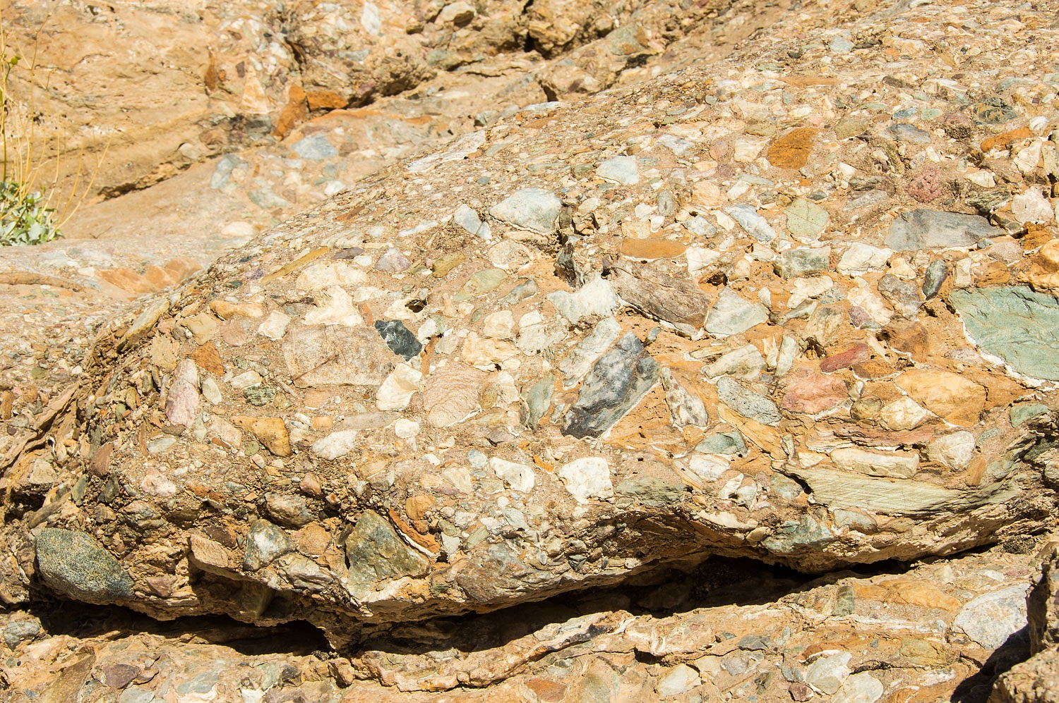
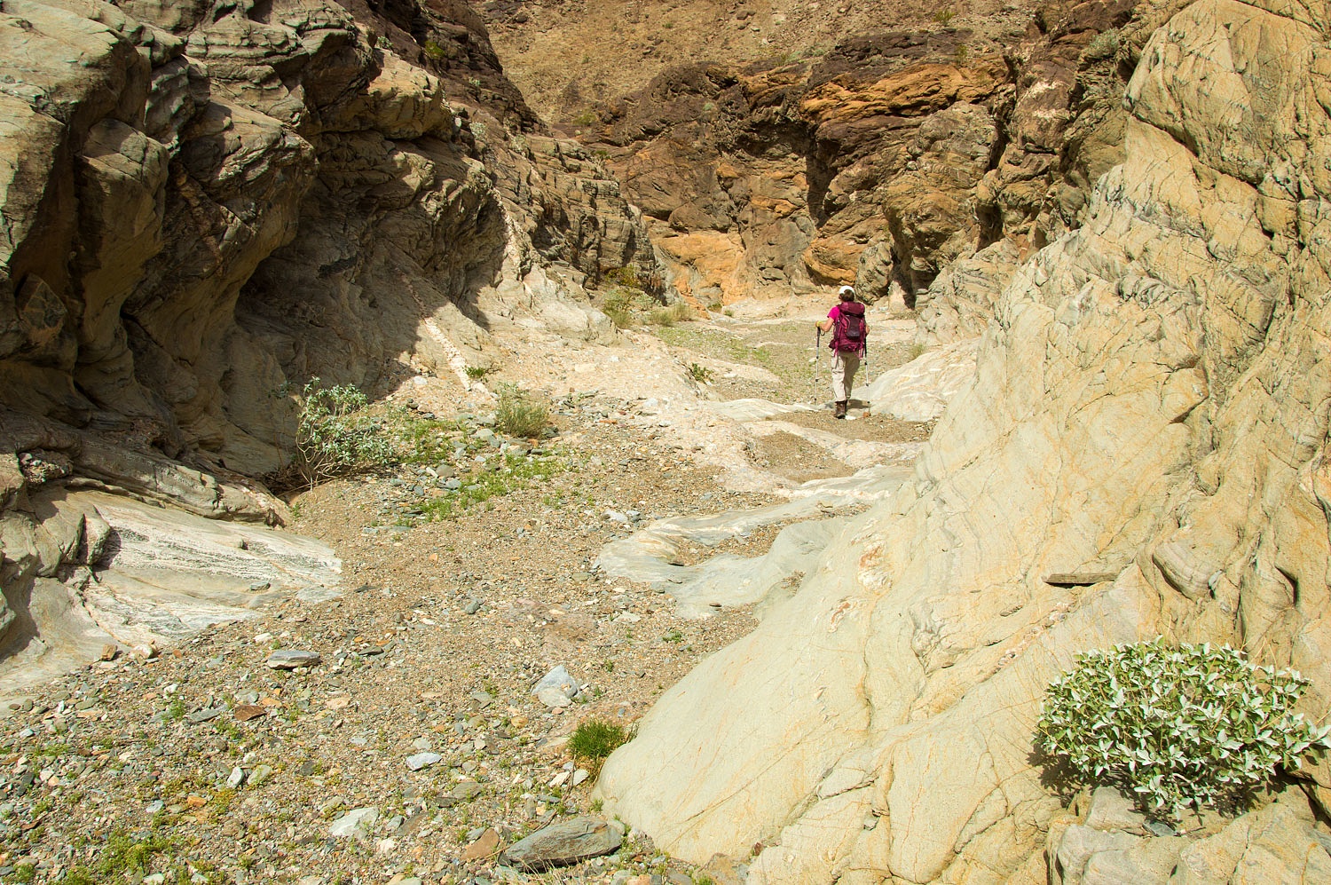
We found the
canyon bottom filled with a wonderful layer of breccia.
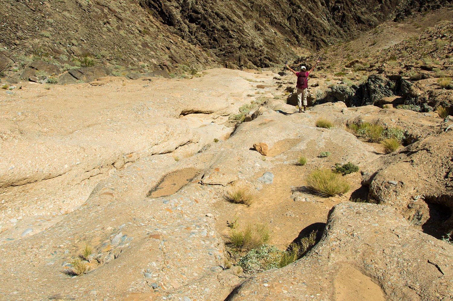
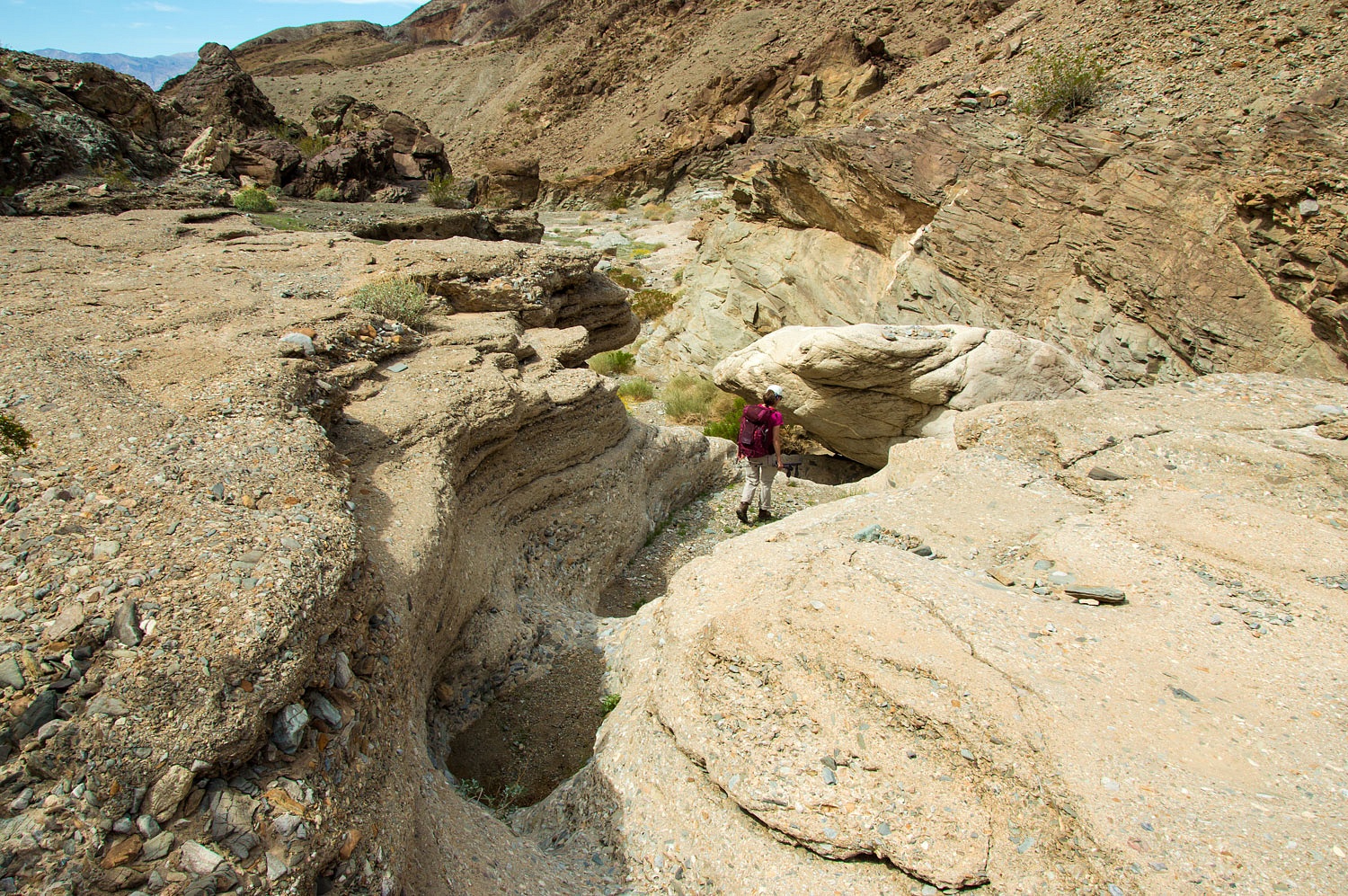
This was a
highlight of the canyon. In many places troughs, channels, and mini canyons were
cut into this breccia layer. The Lady was in heaven.
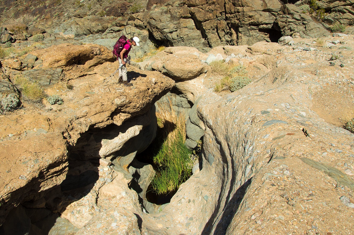
We found
four springs along the canyon, making this canyon a mecca for wildlife.
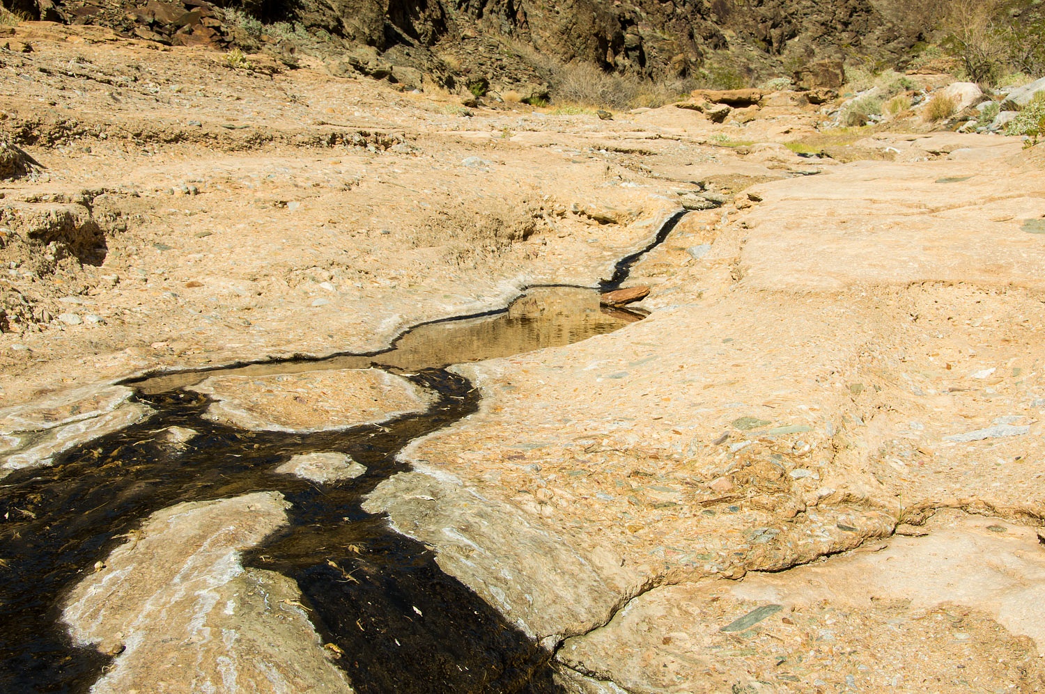
Each spring
showed much use by bighorn sheep as evidenced by an abundance of pellets
littering the areas. On the 7.5 topo map each is labeled "spring". We
decided on the designation "S Cubed". We numbered them starting at
the lowest spring. The spring pictured above is "S Cubed Three", as
in Sheep Scat Spring Number Three. Of course, we didn't quite say it out loud
that way.
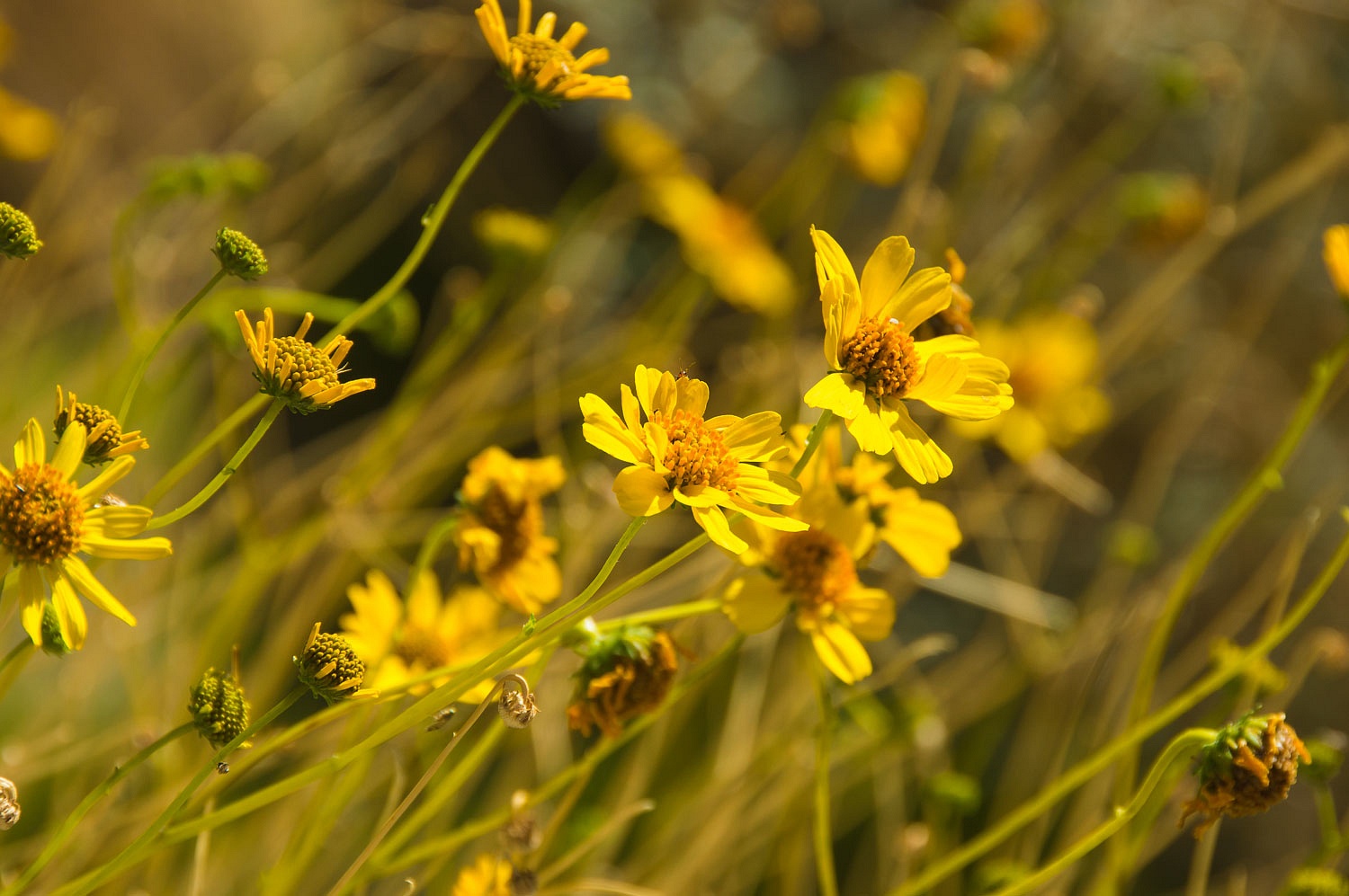
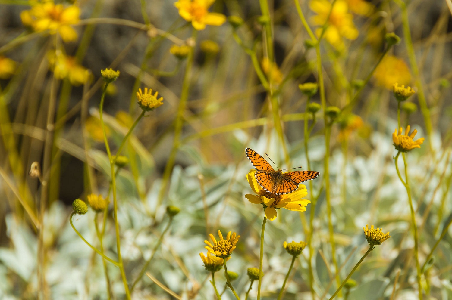
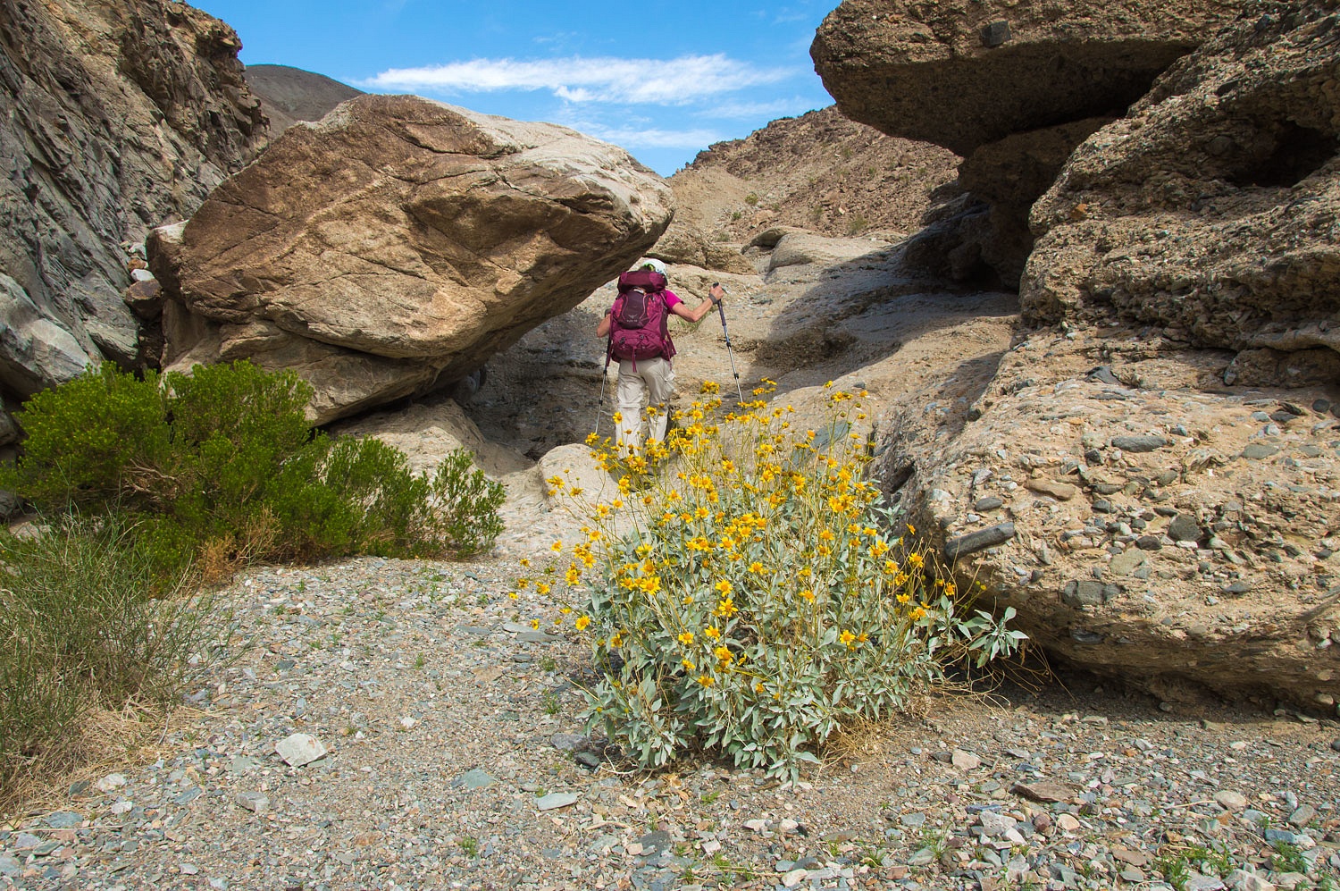
The
Brittlebrush was amazing at S³3.
It was a delight to work our way down the canyon.
S³2 was
choked with vegetation.
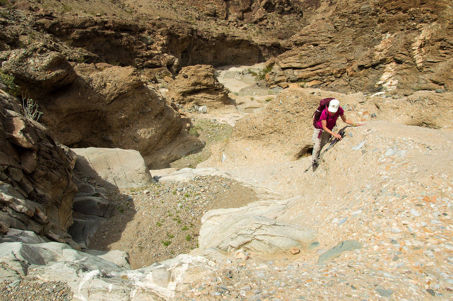
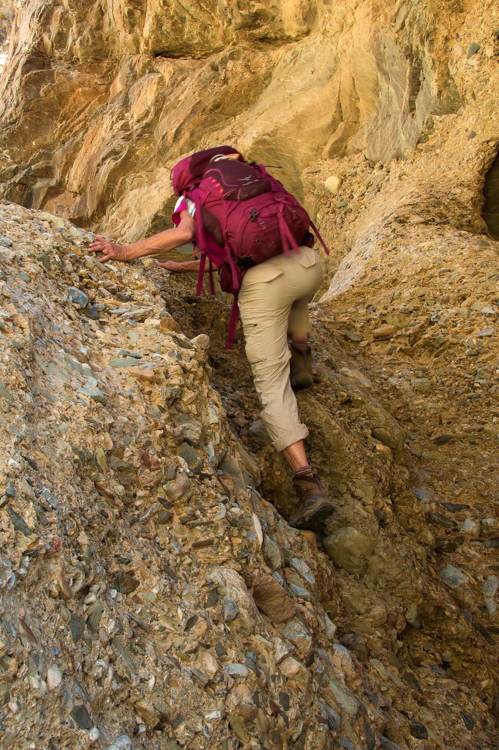
The fun
climbs continued as we descended the canyon.
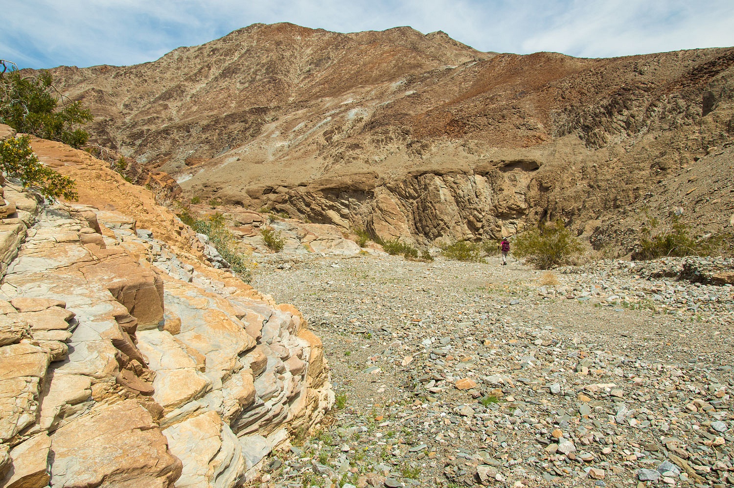
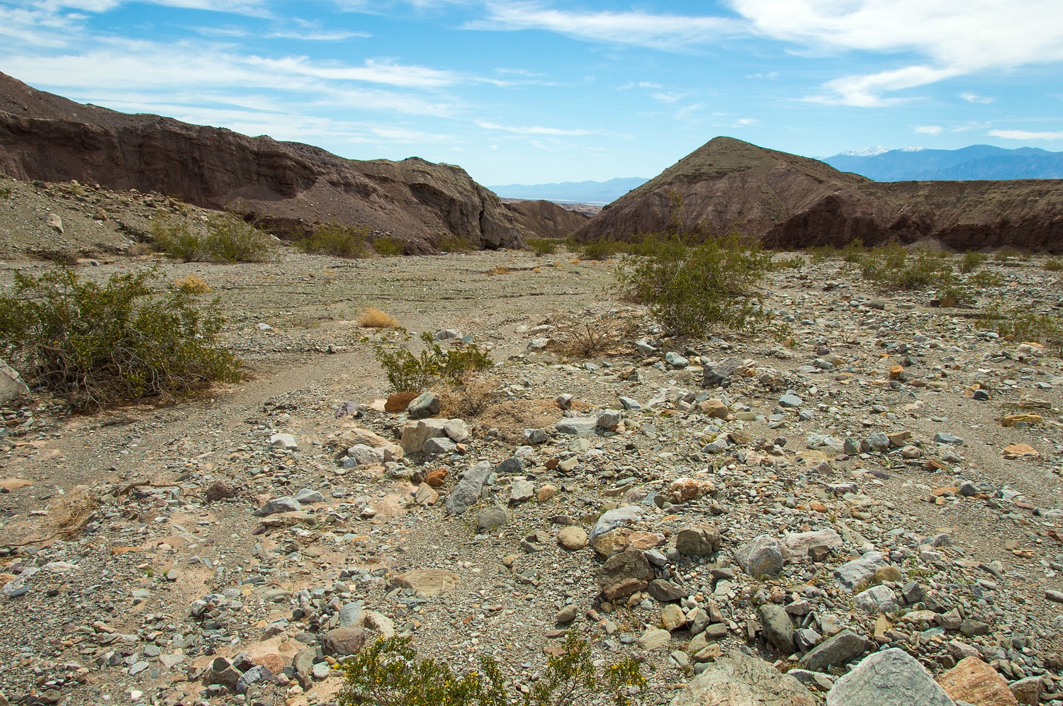
We reached a
section where the canyon opened up into a broad wash.
The day had
warmed here into the mid eighties. We took a break in the shade. The creosote
was in bloom.
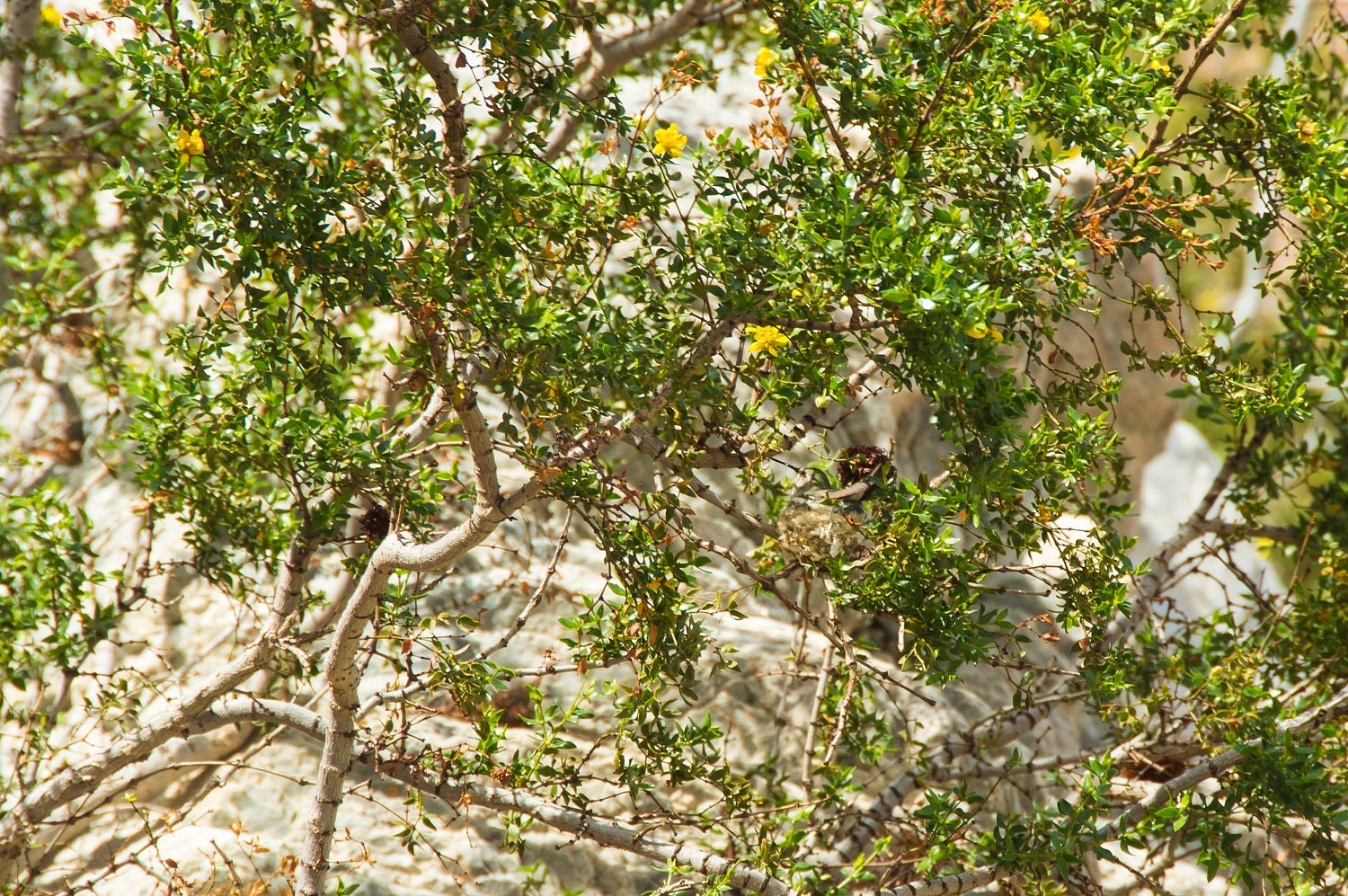
While snacking,
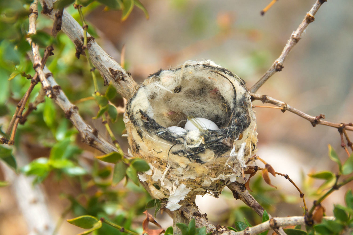
I noticed a flutter in a creosote bush. It was a hummingbird. The Lady
confirmed it with her see mores and added it was on a nest. We did not want to
disturb so this was my best shot with the telephoto. It was well camouflaged.
The tiny creature flew off on a break from the nest and we took a very quick look inside.
This nest
was just a little bit larger than a quarter.
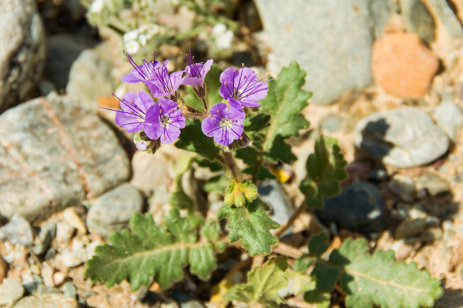
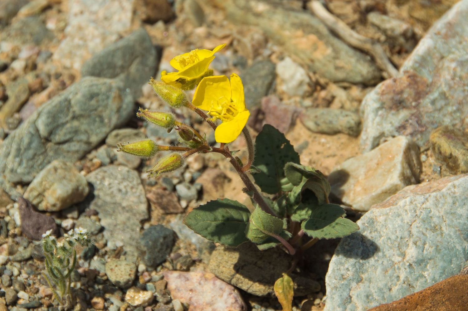
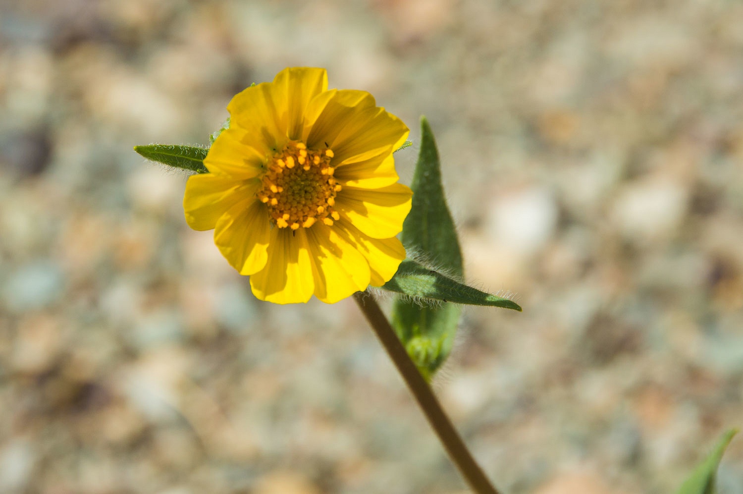
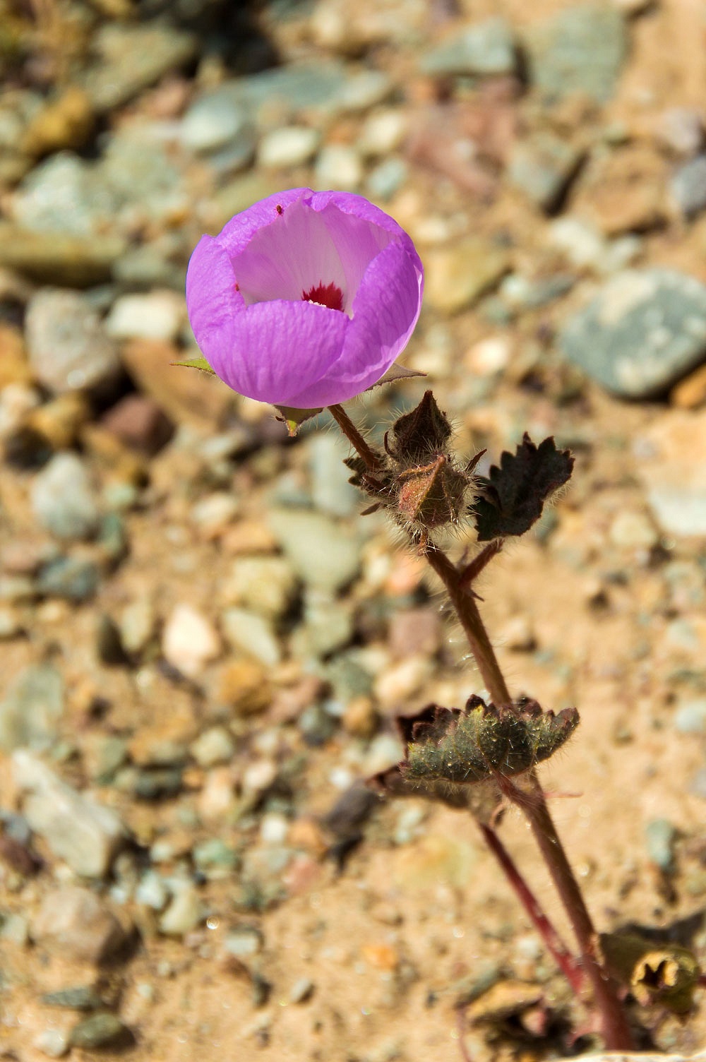
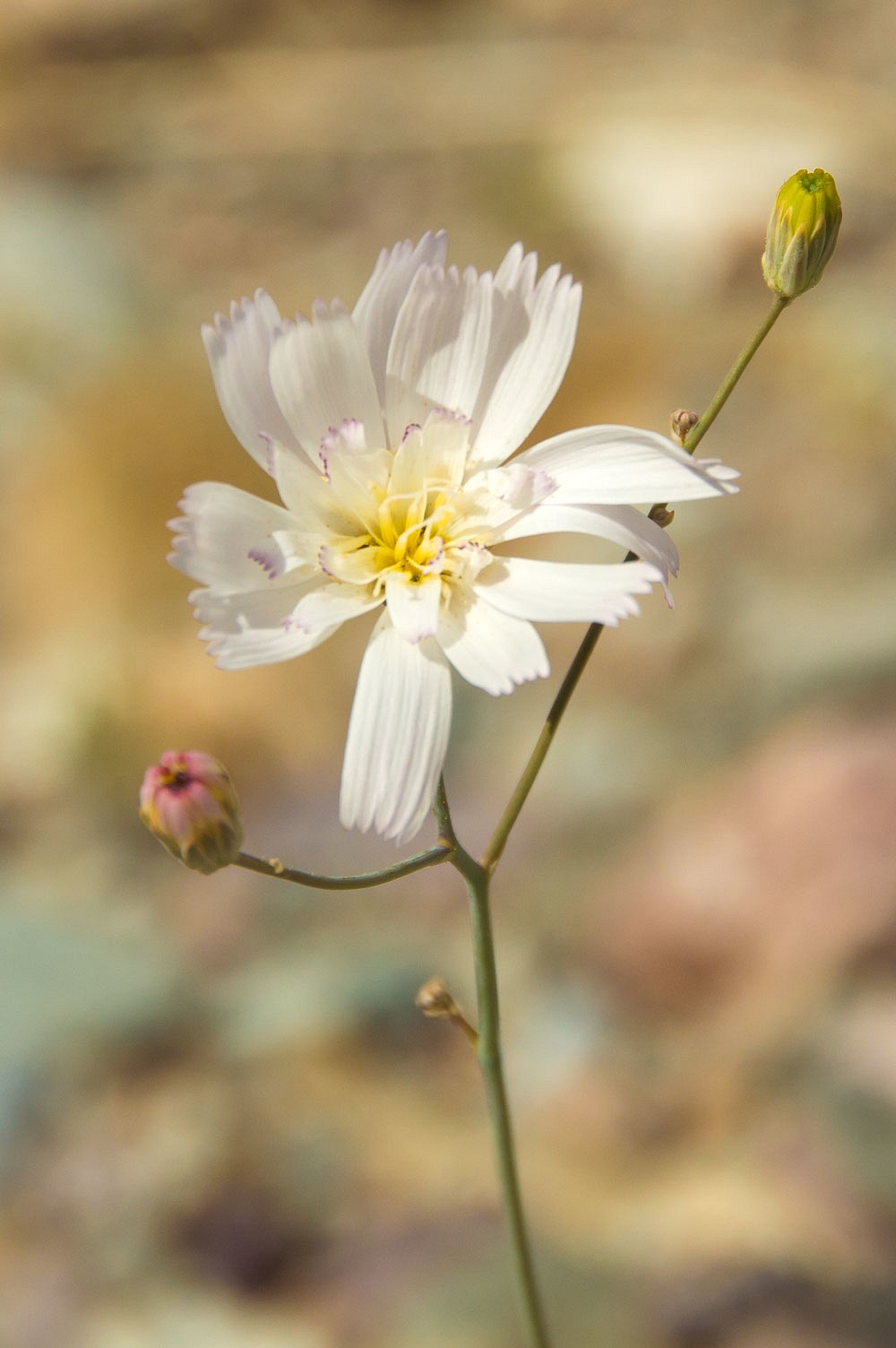
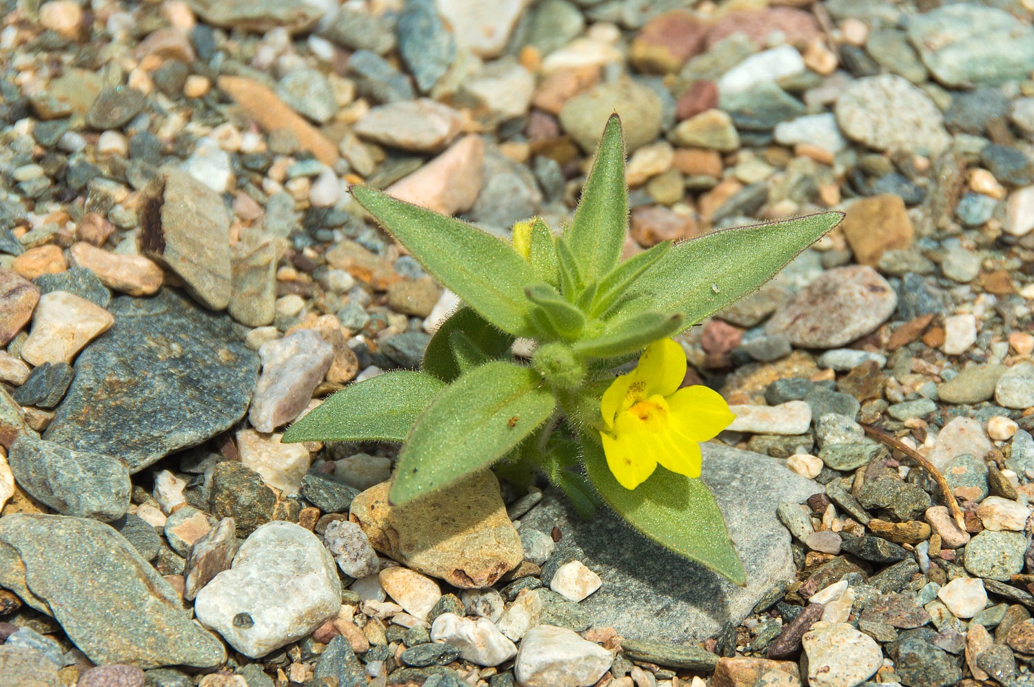
The lower
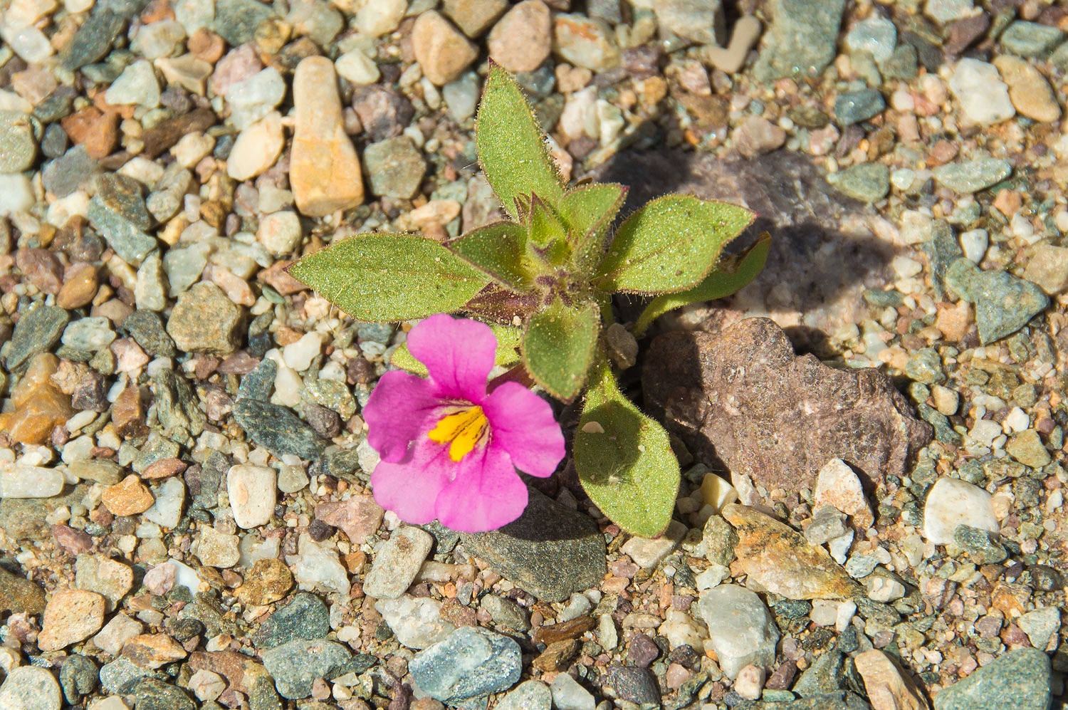
section of the canyon had a nice display of desert wildflowers.
Desert Fivespot - the Lady's favorite Death Valley flower
Gravel Ghost
- my favorite Death Valley Flower
And one I
need help with identifying.
Edit - Thanks Alley-Kat on WTW for supplying the identification as Golden Desert Snapdragon.
Edit - Thanks Alley-Kat on WTW for supplying the identification as Golden Desert Snapdragon.
Near the end
of our journey down the canyon we came upon evidence of a massive uplift of the
western side of the Funerals along with down cutting into fanglomerates and
layers in the ancient alluvium.
We reached the mouth of this canyon where it entered Death Valley.
From the
Death Valley side, hiking to this canyon mouth is over 4 miles one way.We didn't expect to see anyone and we were correct.
We turned
around and returned up the canyon, immersed in the solitude, beauty, and
challenges.
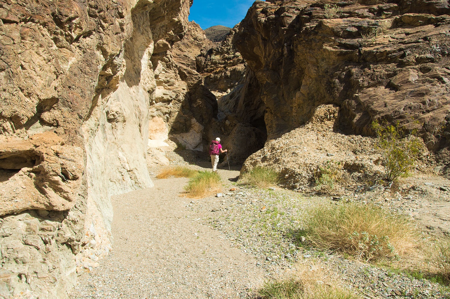
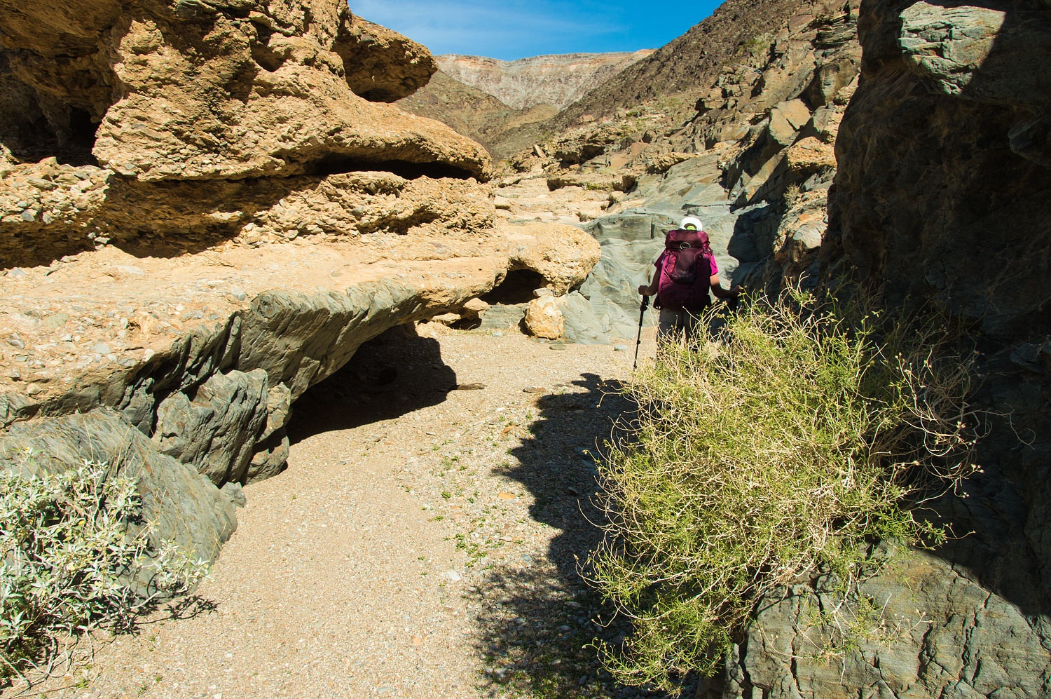
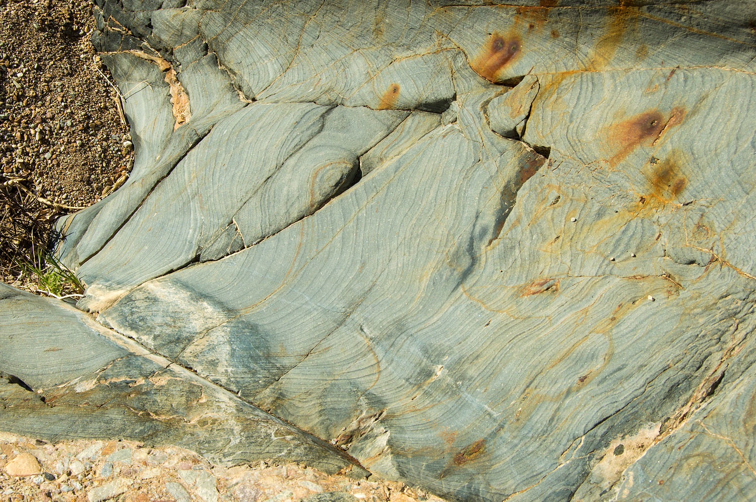
It was striking
how the breccia was cemented over a green colored limestone in the central canyon.
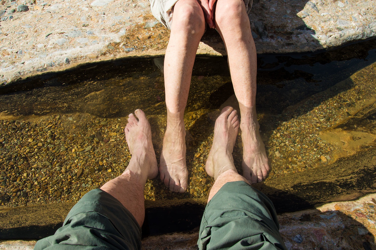
Back at S³3 with
its flowing water, we enjoyed cooling off in the surprisingly cool water.
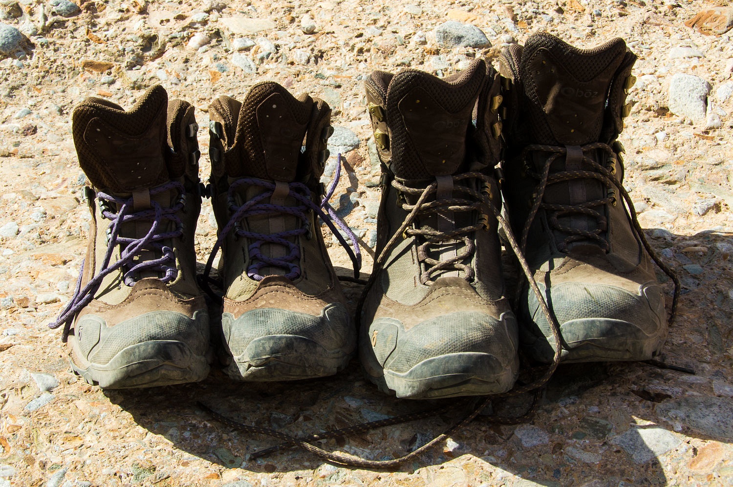
The Lady had
talked me into getting a lighter pair of boots for desert day hikes. She got a
pair also. The UPS guy delivered them the evening before we left on this trip.
Twelve miles over rough terrain and they were broken in nicely.
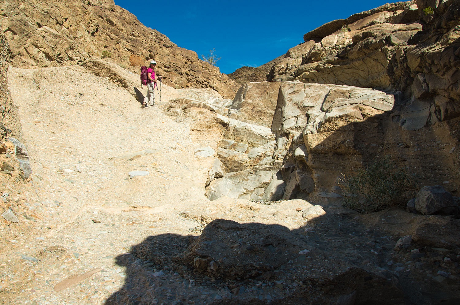
Late in the afternoon
we were back where we needed to work out a route up to our ridge top campsite.
We started
up the side canyon to the left. After climbing over and around large boulders
and rubble - and a 25 foot pour over
that required some easy Class 5 work - we decided on the direct approach. Yes,
800 vertical feet, pretty much straight up.
We arrived
safe and sound back at our cozy camp a little after six. We thoroughly enjoyed
our day of exploration and were excited about exploring the upper part of the
canyon the next day.
But first we
had to survive the "Night of the
Ticks".............................................
Our
adventure continues in Part Two - please Click Here.


Oh my, night of the ticks! I hate those things.
ReplyDeleteGreat TR... Nice find with the hummer nest!
WS