
The Question
- When the ground shakes, can you tell if it is caused by an earthquake or by
the denotation of a nuclear bomb? Take some time. Let that question sink in.
I grew up
during the early atomic age and the Cold War. When I was 6 months old my father
moved my mom and my four older brothers and me to Southern California. This was
in 1953. One of my childhood memories is my dad loading all of us into the
family's Ford station wagon one evening and driving high into the San Gabriel Mountains in hopes of seeing the flash of an atomic bomb exploded in a test over in
Nevada. I remember the Civil Defense films and I remember the fear. I remember
talk of building personal bomb shelters in back yards. I remember our preacher's
wife consumed with fear of dying in a nuclear holocaust. I was a young boy and
her fear disturbed and confused me. Of all people, wouldn't she be at peace and not afraid of the
opportunity to slide on over into the arms of jesus?
Who had The
Bomb? Who was doing testing like we were? Test ban treaties were
being signed and how could we tell if everyone was playing by the rules? When the
ground shakes, you can get to wondering.
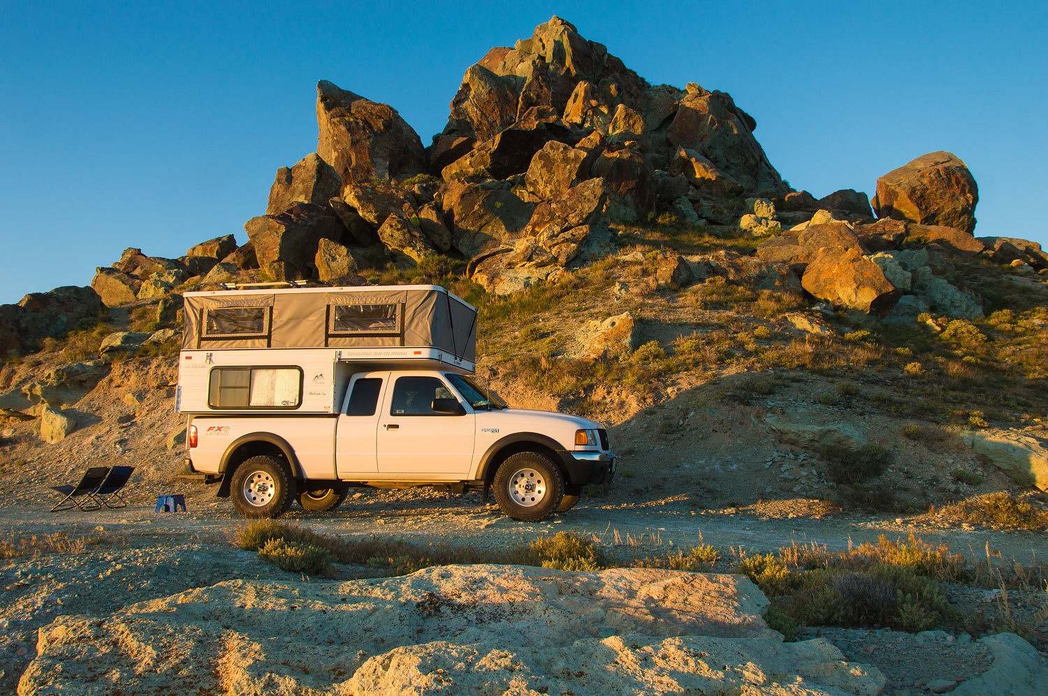
We had a
free weekend and headed over into Nevada. We would be investigating and
pondering The Question.
We enjoyed a Mexican dinner in Fallon and continued east on highway 50. We settled
into a secluded dispersed camp spot for the night. Morning revealed we were
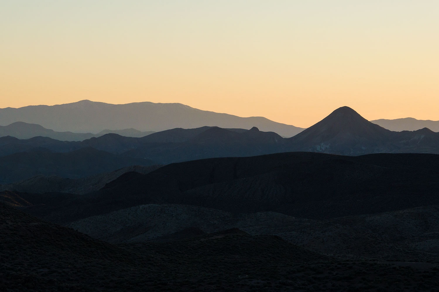
in the heart of the Great Basin.
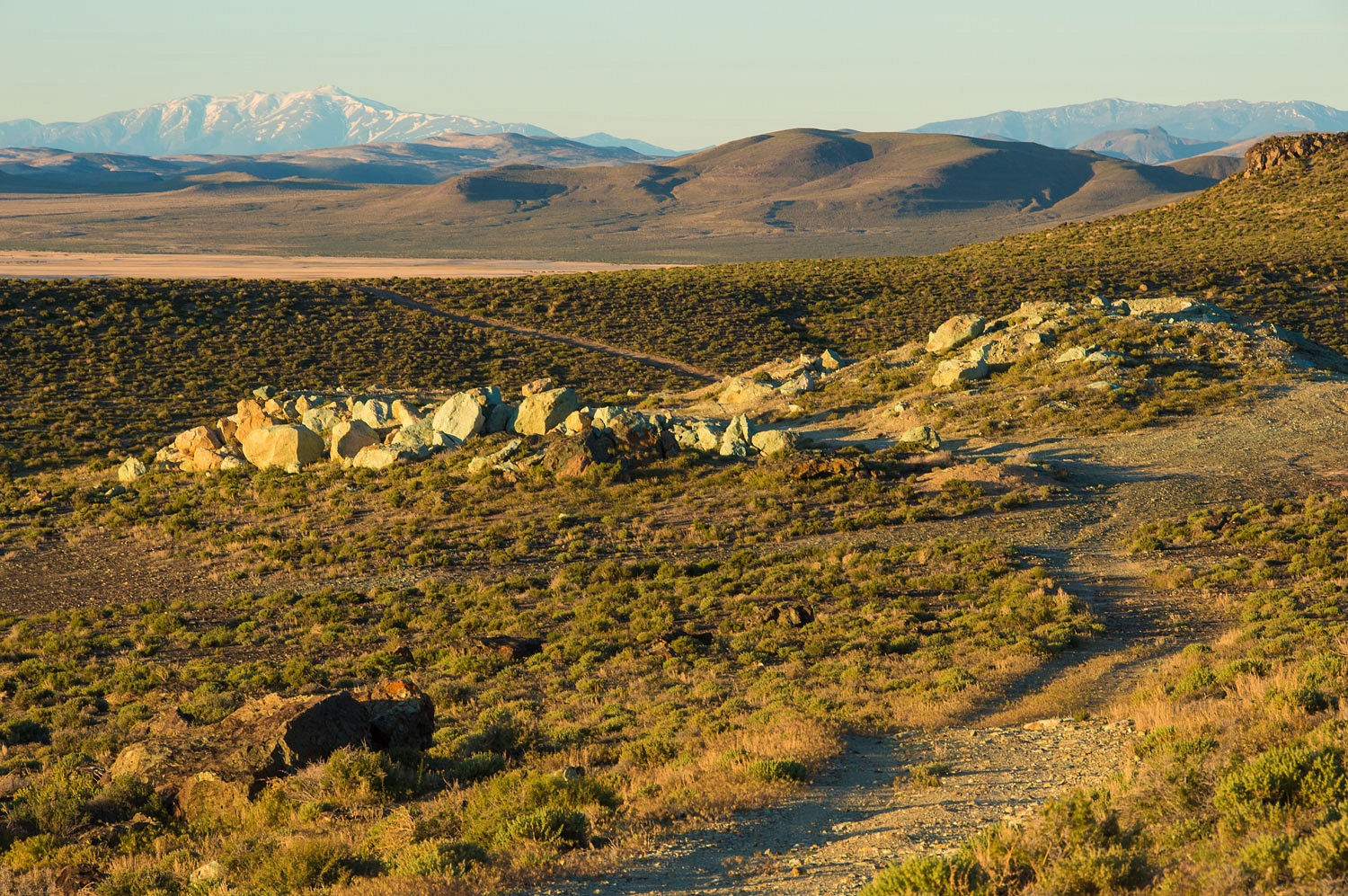
In the early
morning light we walked the road that led down into the Carson Sink, the basin
end of the Carson River.
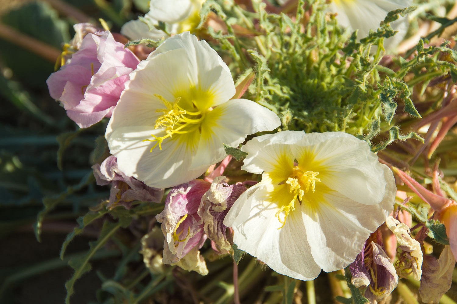
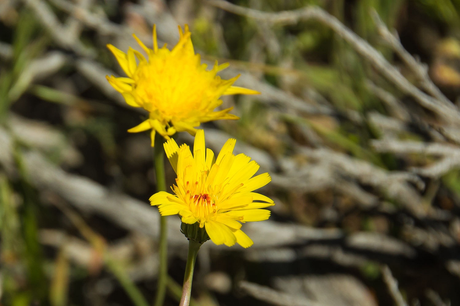
The sandy
areas held wonderful displays of the night blooming flowers of Evening
Primrose.
Nevada is
home to the Nuclear Test Site that most of us are familiar with, where the
majority of test denotations of nuclear devices were carried out. Two nuclear
tests were conducted in Nevada outside the Test Site. One was in central Nevada
and the second was in the Sand Springs Range, 27 miles to the southeast of
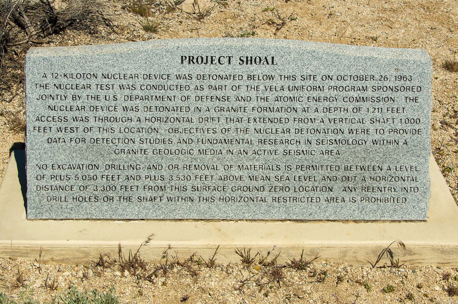
Fallon. We were heading into the Sand Springs Range, the site of Project Shoal,
where a 12.5 kiloton nuclear device was detonated 1200 feet underground on October
26, 1963.
Here is a glimpse back in time -
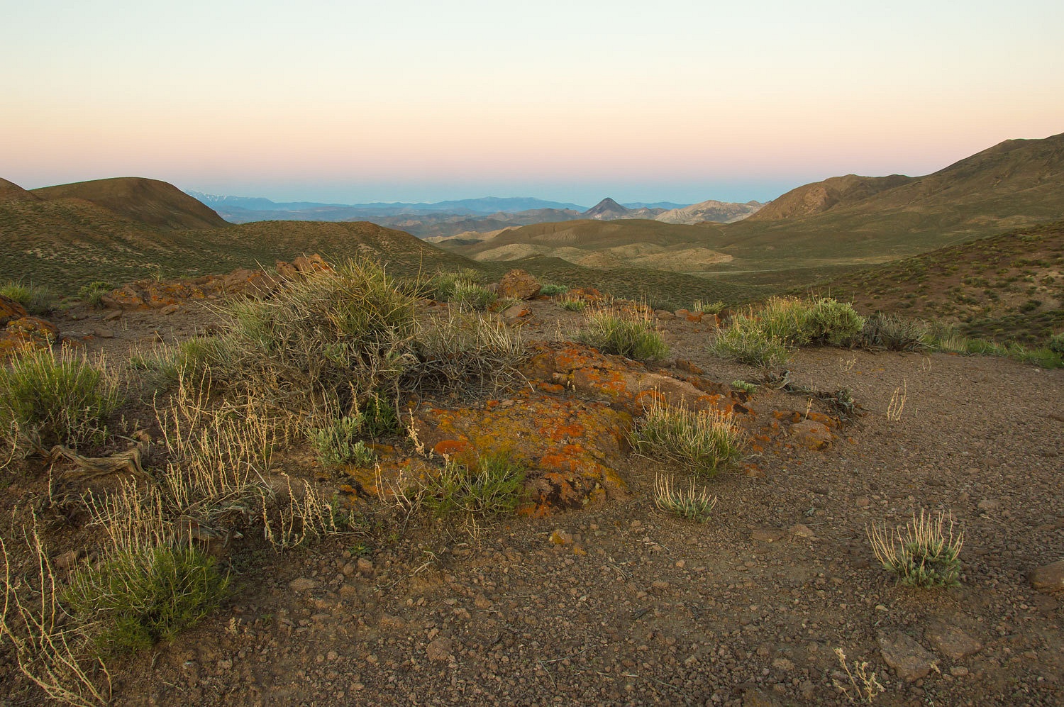
The Sand
Springs Range is a north-south running uplifted block of granite bordered by
faults, typical of the Basin & Range area. The region is seismically active. An example is the historic 1954 Dixie Valley - Fairview Peak earthquakes.
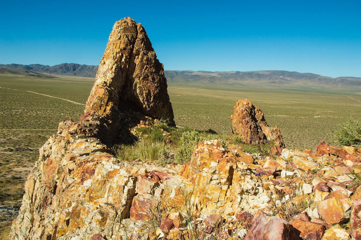
We first
explored along the western side of the Sand Springs Range. Rising from the valley
along the edge of the range was a fin of rock, standing tall against the
ravages of erosion.
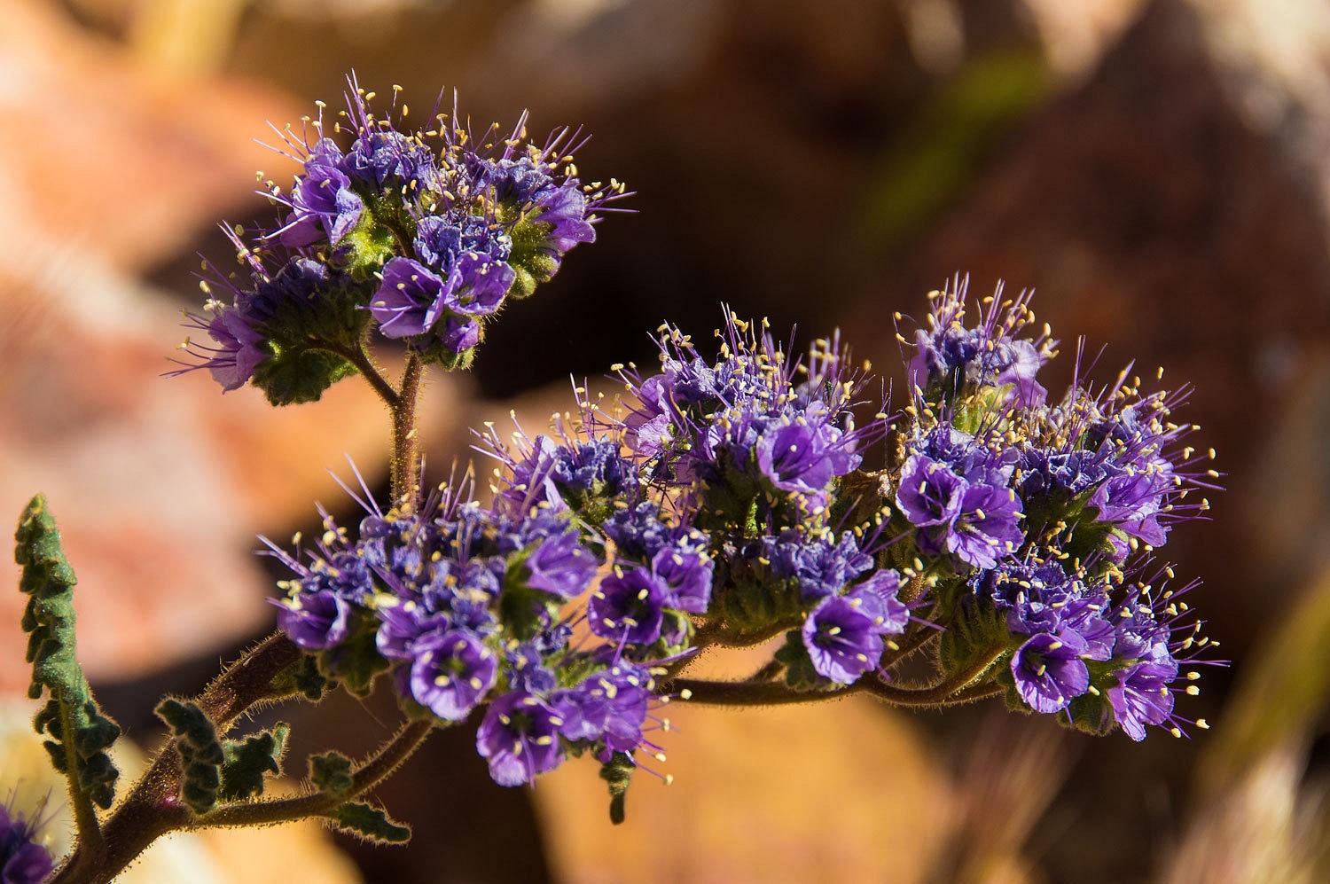
This bowl
held a spring time garden of phacelia.
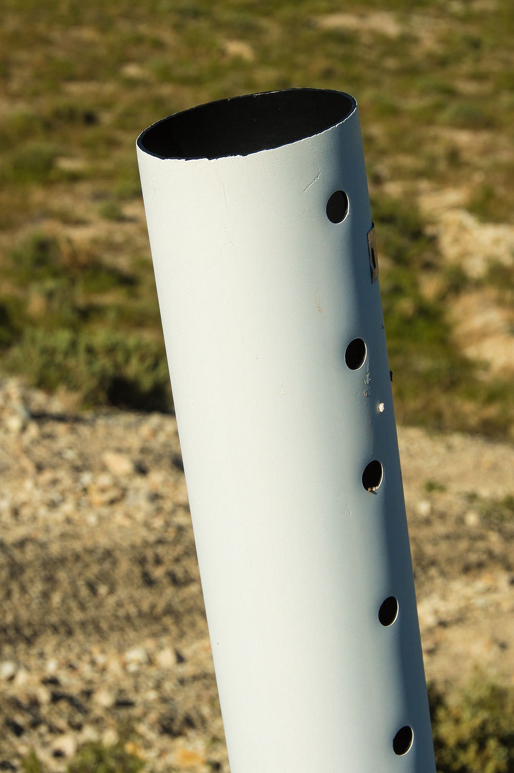
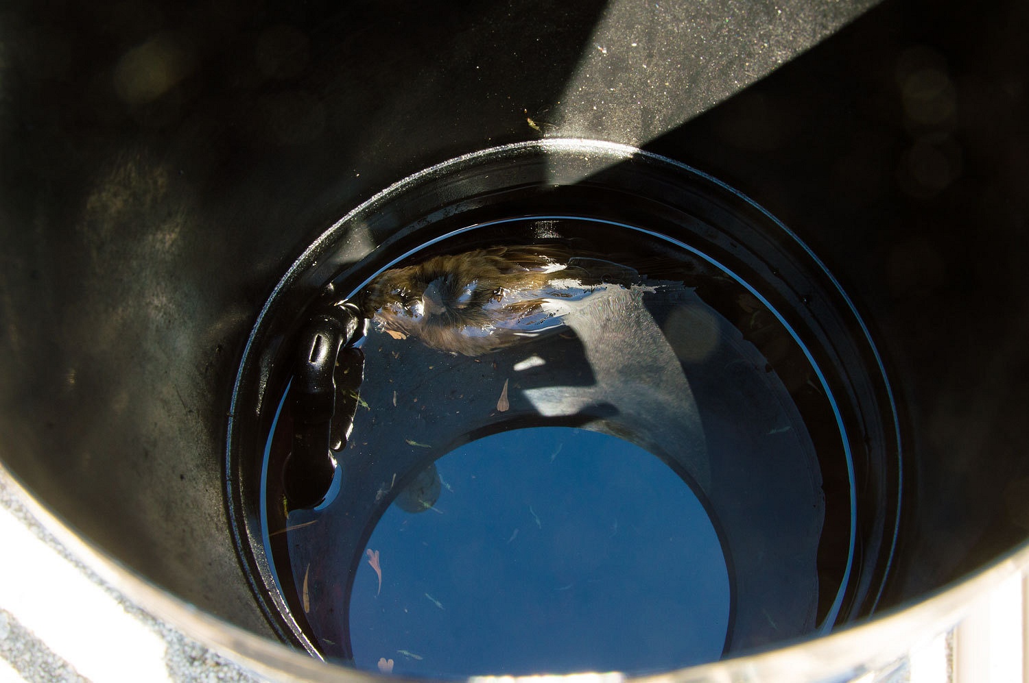
The area is
littered with open end PVC pipe use to mark mining claims. These pipes trap and kill birds, reptiles,
and animals and are now illegal in many states including Nevada. Jim Boone - birdandhike.com - is active in the effort to remove these posts from public land.
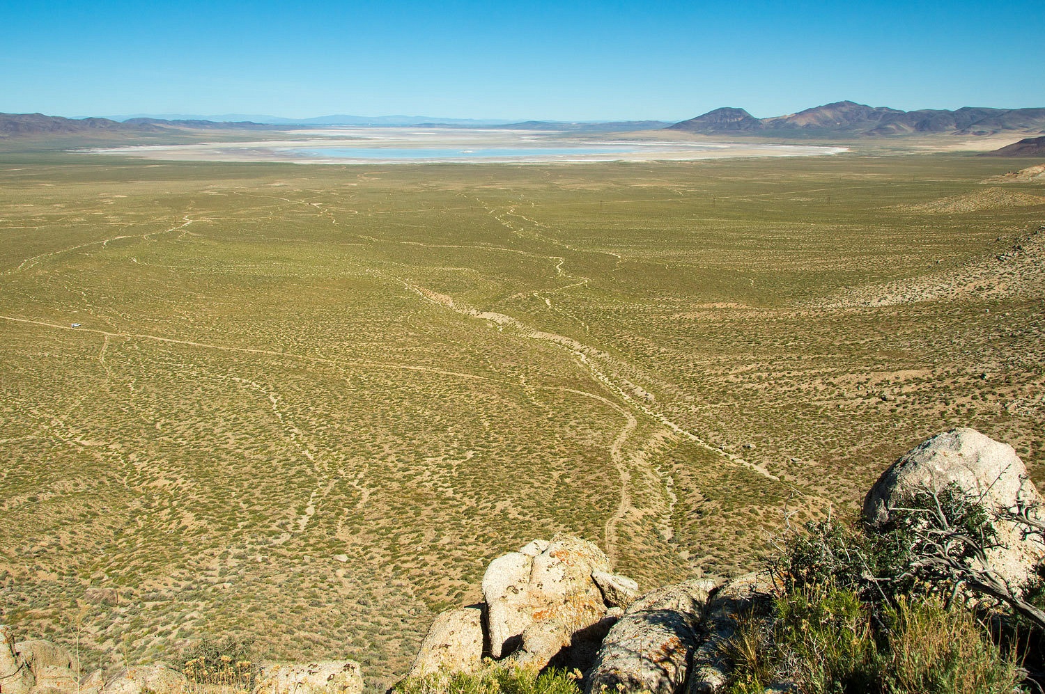
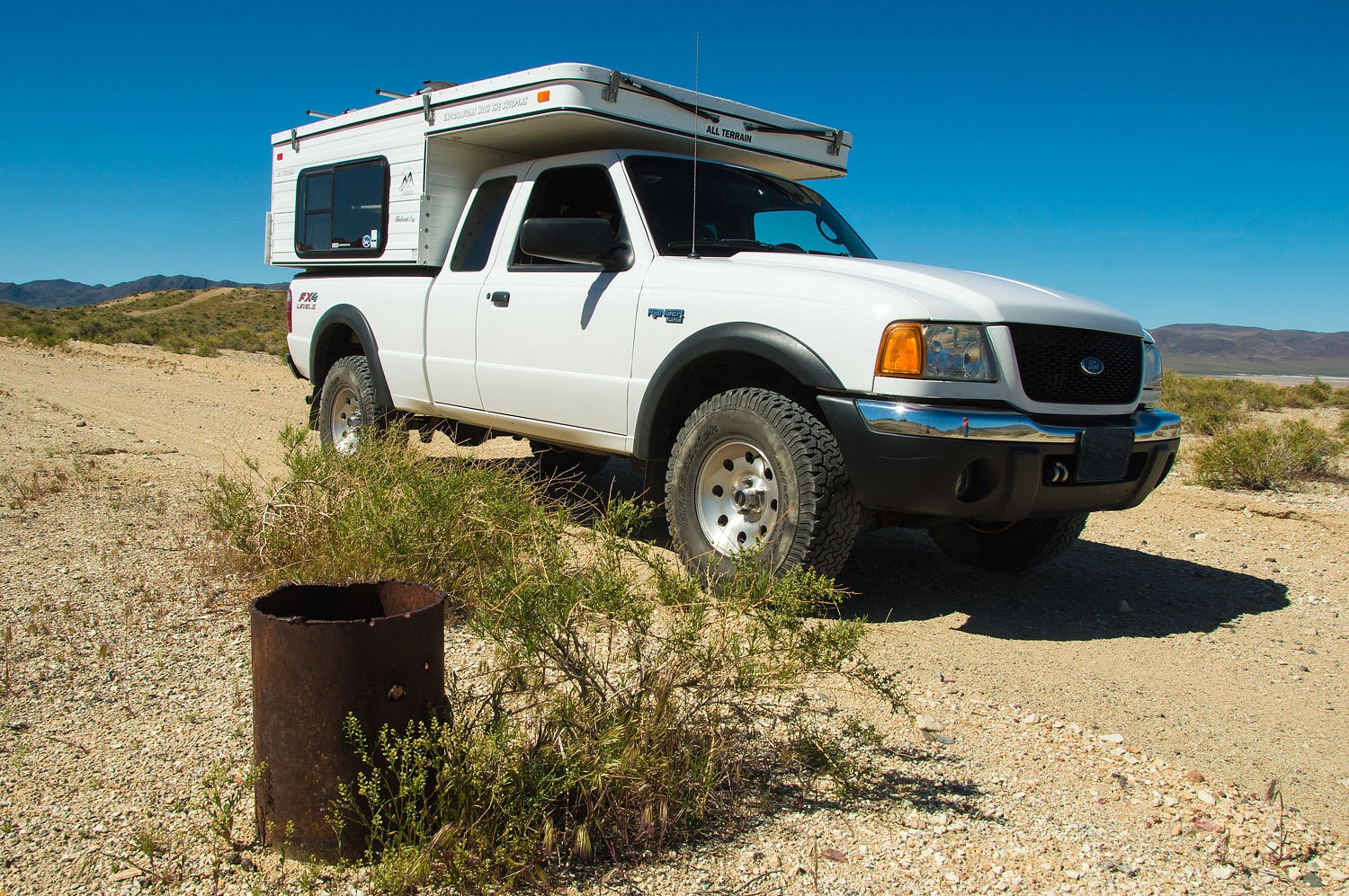
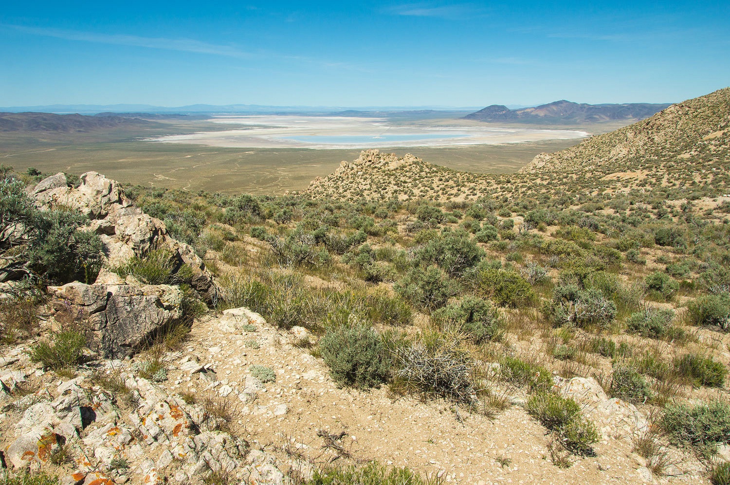
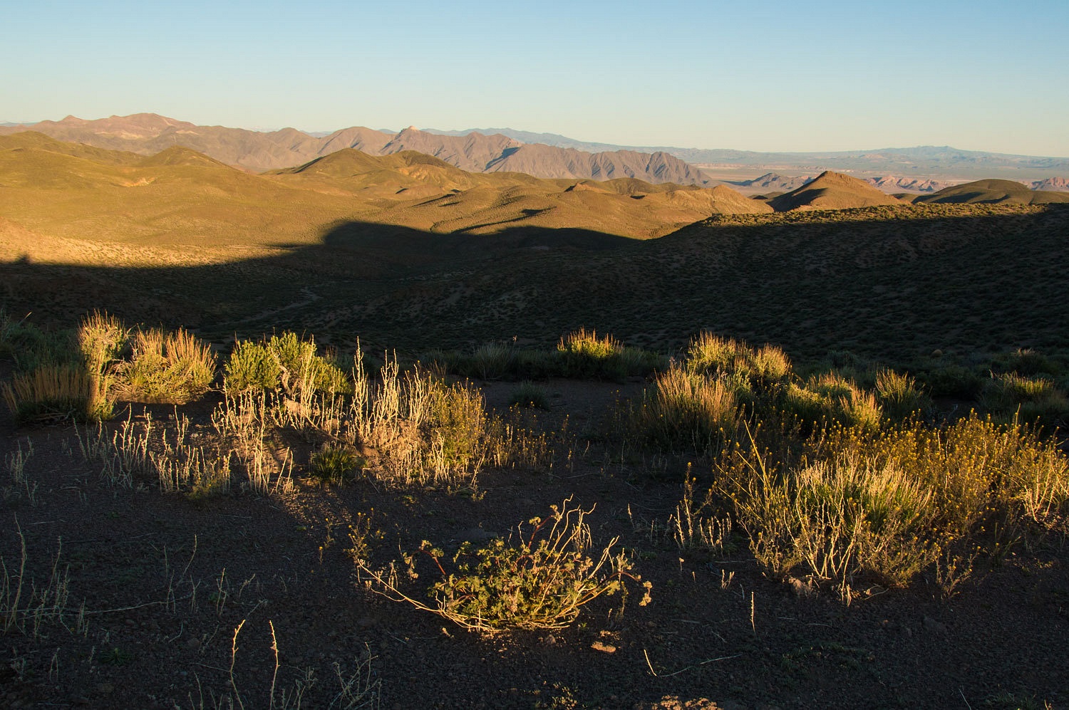
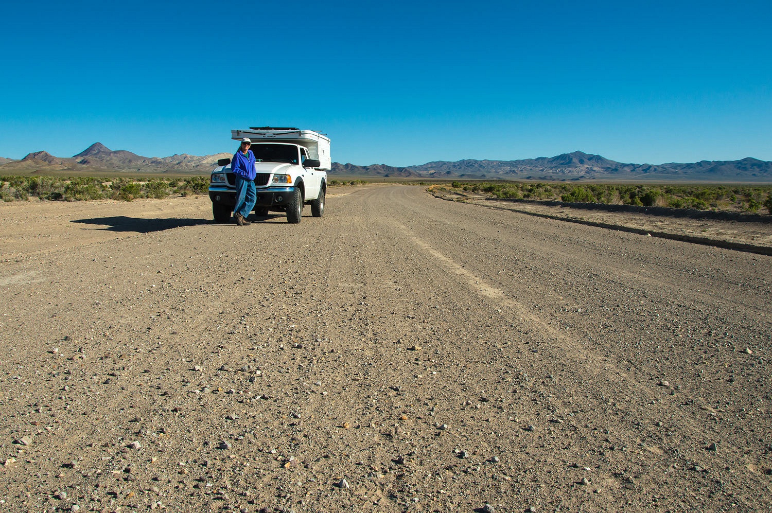
We climbed the rugged granite shoulder of the mountain range and looked northwest
across the Carson Sink and on to Fallon. Our truck is the tiny spot on the far
left center.
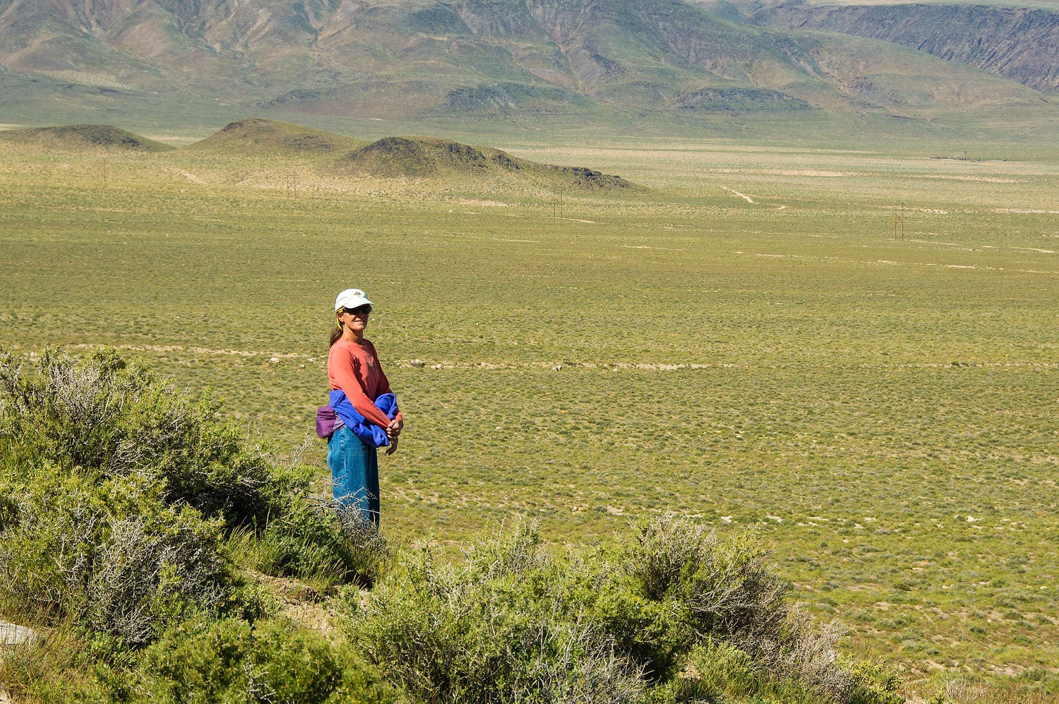
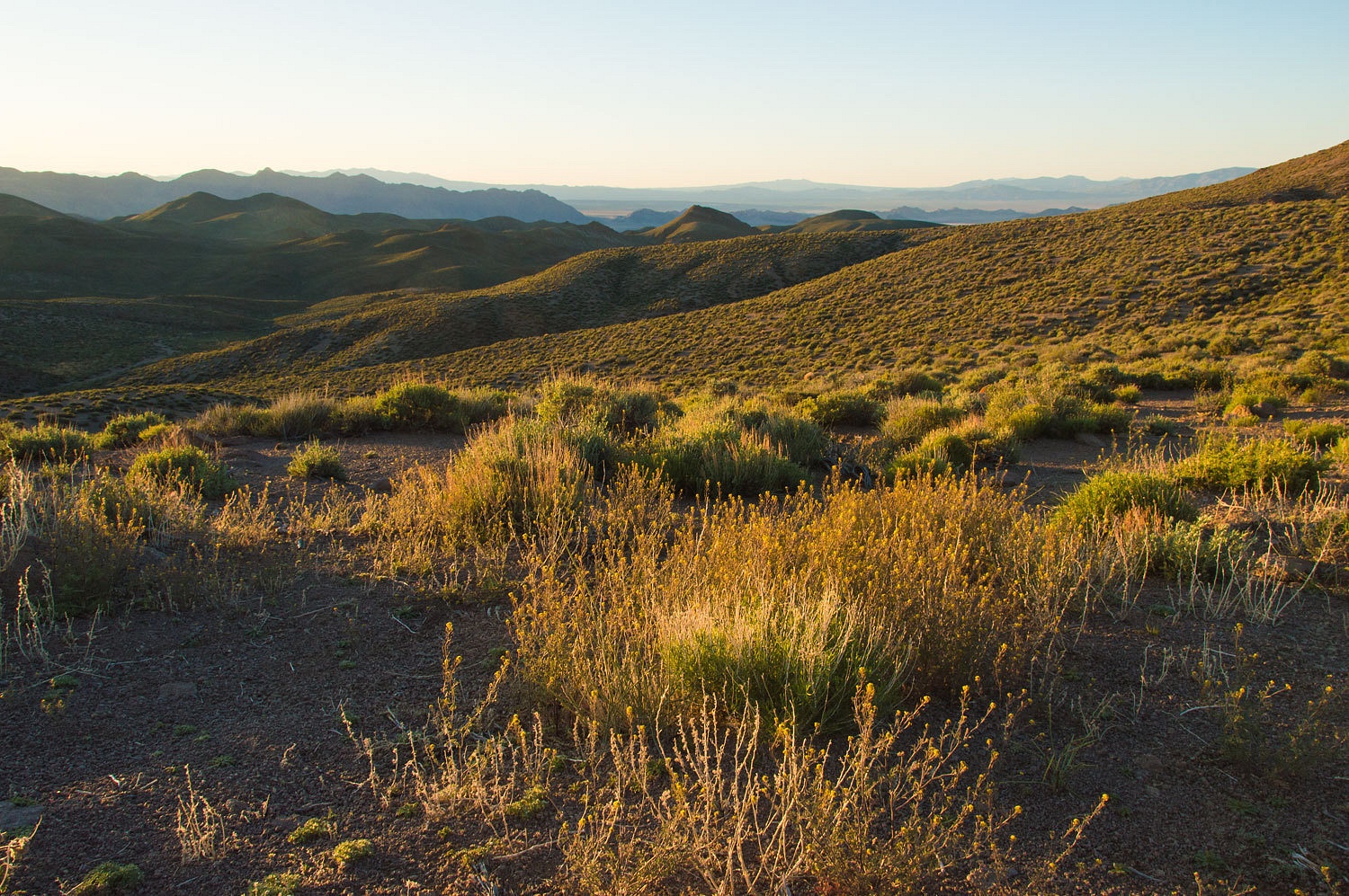
We were
taken with the spring time green around us.
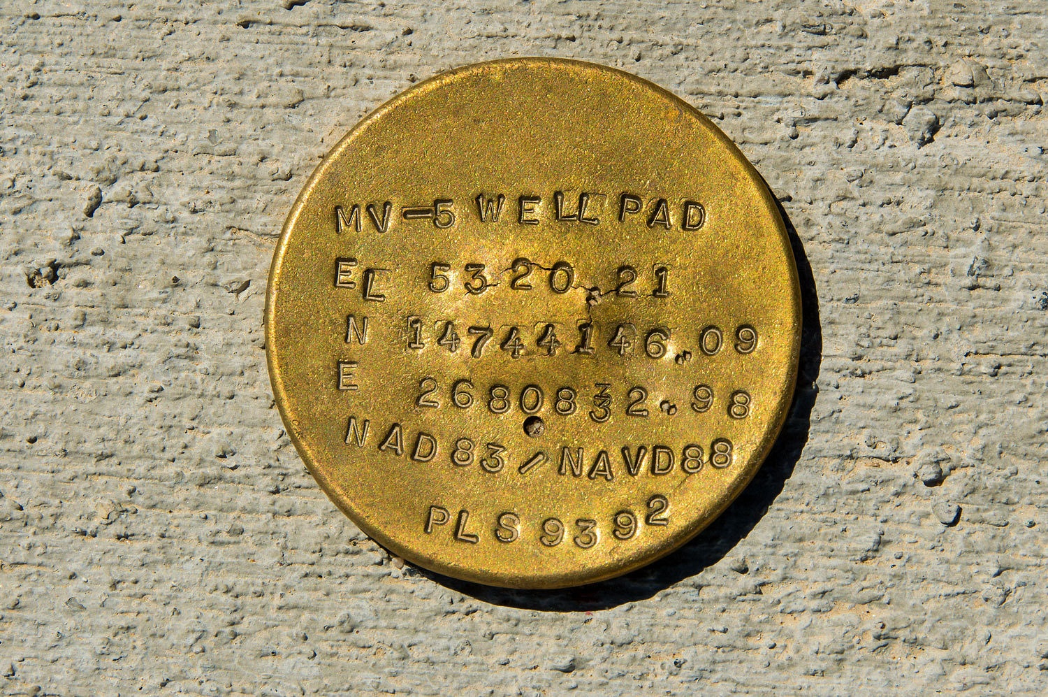
The 7.5 USGS
topo has several man made features in this area between
Fallon and the nuclear blast site. They bear catchy names such as "drill
hole", "Atomic Well", and "AEC Well" that suggested a
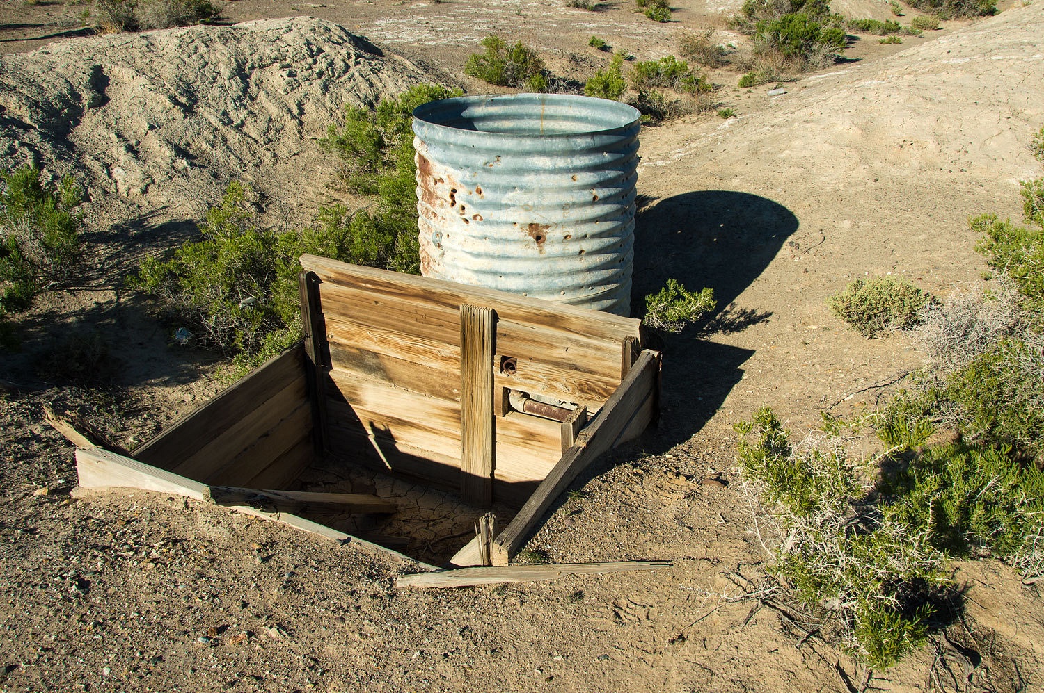
need to monitor ground water movement and possible radioactive contamination. We found the "Atomic Well.".
Back to The
Question - here's my understanding. Project Vela was a United States program to
develop and implement ways to detect nuclear blasts. The project was threefold
- seismic, atmospheric, and satellite. Vela Uniform was the seismic element of the
project and included seven different nuclear device detonations to analyze data
to recognize the seismic signature of a blast and pinpoint its location.
Project Shoal was the first of the series.
A pdf Project Shoal Fact Sheet can be downloaded by Clicking This Link
We entered the Project Shoal site that sits in Gote Flats. The access road climbs up the aptly named GZ Canyon. No signs point the way or announce you are entering a nuclear test site. We arrived at ground zero.
We entered the Project Shoal site that sits in Gote Flats. The access road climbs up the aptly named GZ Canyon. No signs point the way or announce you are entering a nuclear test site. We arrived at ground zero.
We last
visited here in 2006. Much has changed in recent years. Our government is spending a lot of money out here. Numerous new monitoring
wells are now in place.
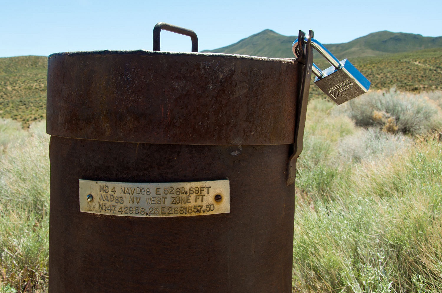
All are
locked with brand new padlocks. The
locks, wells, and equipment show no markings designating a responsible agency.
This link
from the DOE Office of Legacy Management shows a link to a map of the
monitoring wells, information, and a link to several current documents - Shoal, Nevada, Site, A Nevada Offsite
I looked over
several of the documents and my take is that observed ground water movement does not
match predictions or models and more monitoring is necessary. These types of
findings, letters, plans, and possible escape of radioactive contaminants will
continue to be the legacy we all inherit from these experiments with atomic weapons.
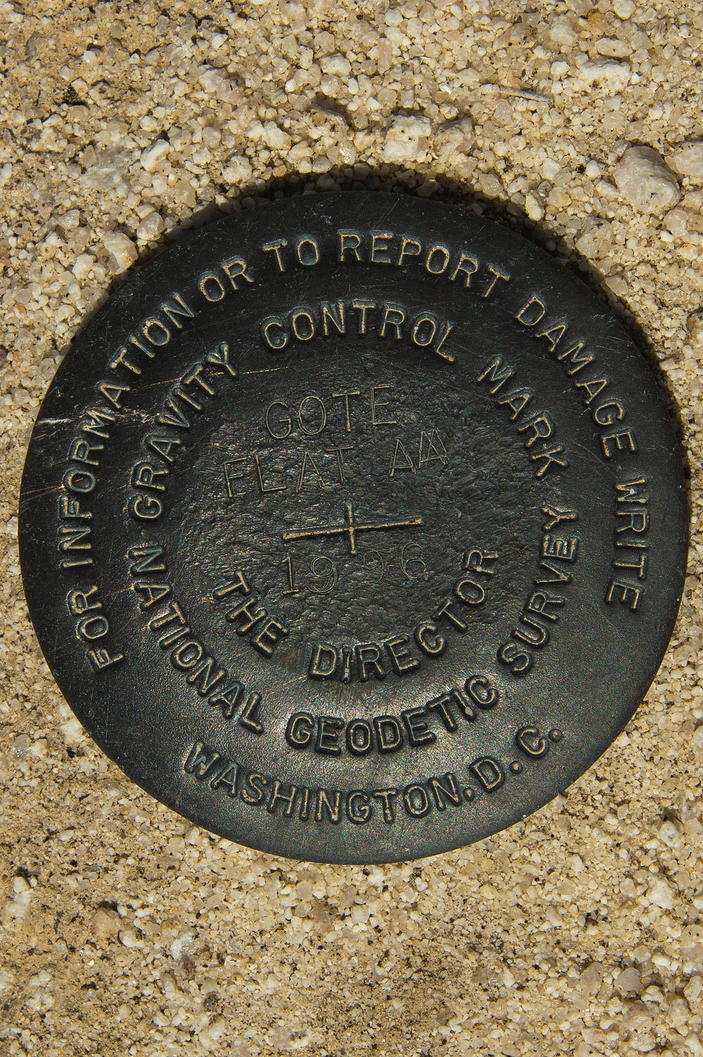
We found this
bench mark at ground zero. This is our first encounter with a "Gravity
Control Mark". A little research and I believe this is part of a project
to develop a gravity-based vertical datum - GRAV-D - fascinating stuff!
We drove up
a 4x4 road to an overview of the area.
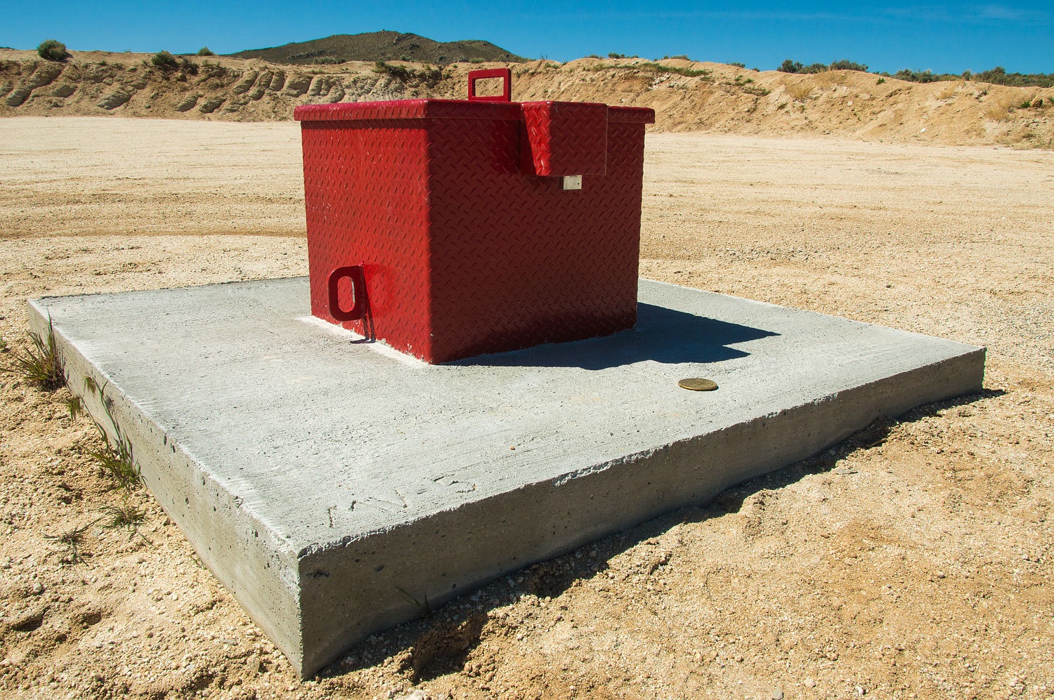
Below us I spotted
another new piece of equipment.
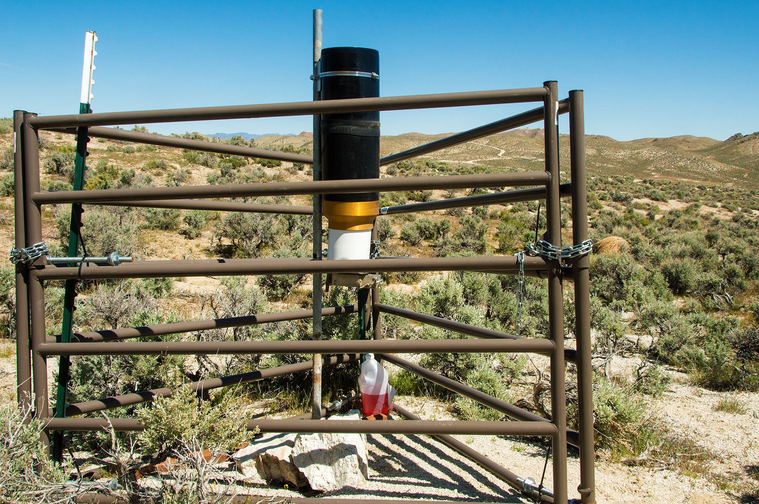
I wanted to
jump to the conclusion that we had found sophisticated equipment to measure
radiation in airborne dust from the site.
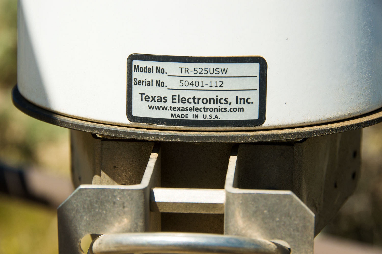
We had only found
a rain gauge.
But,
unfortunately, a rain gauge that kills birds.
I was not surprised when the Lady said, "Let's go to the top of the
ridge and see where we were this morning!" Up we went until we topped out
and the view again stretched out over the Carson Sink.
In a swale
below the ridge we discovered a new guzzler that was placed in the summer of
2014 for bighorn sheep.
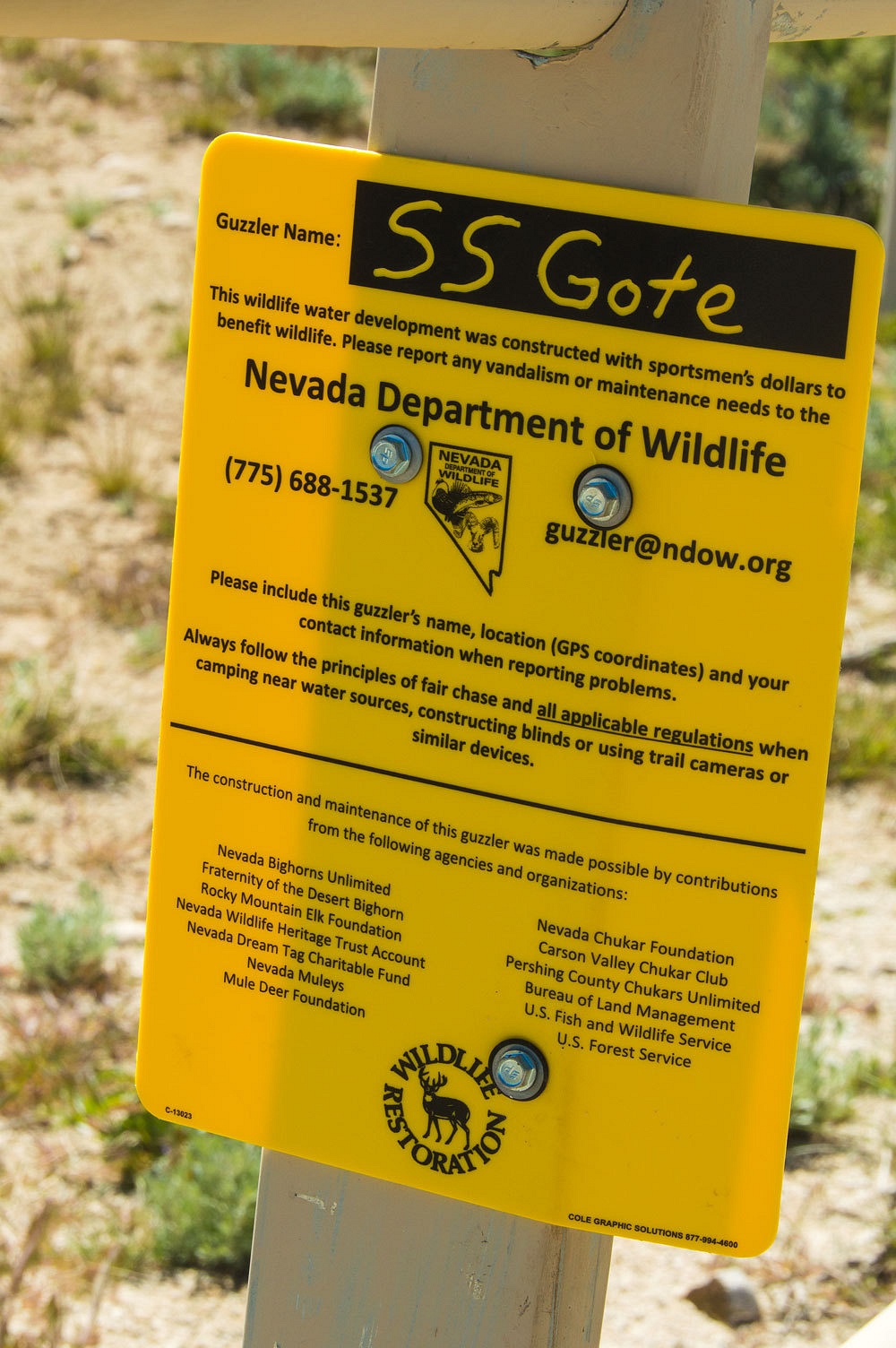
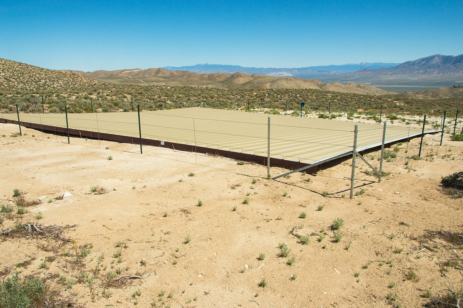
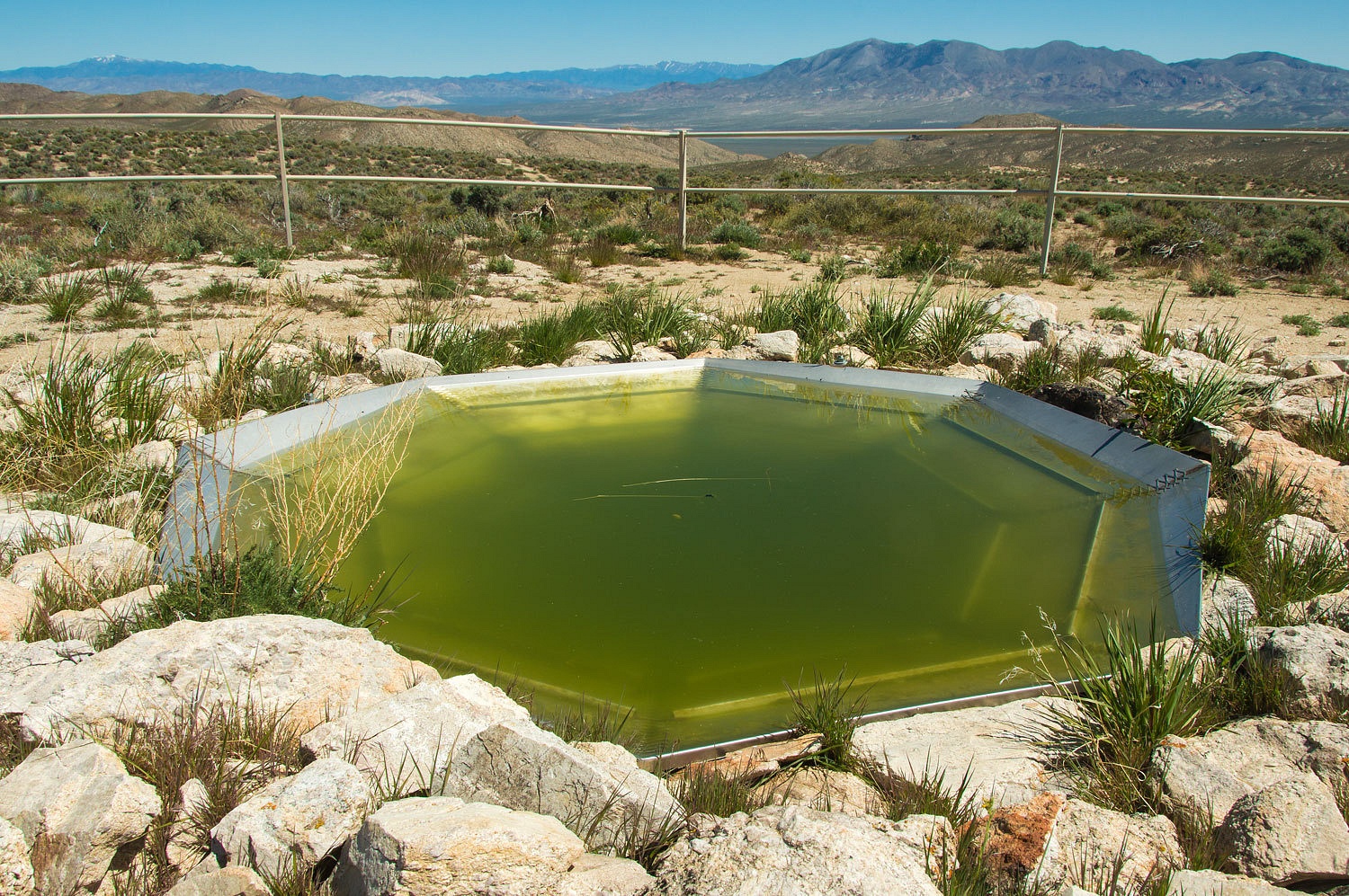
As you would
expect in a state where water is the most precious commodity, the placement of
guzzlers is controversial.
Our initial
plan was to camp the night in this area. Staying could provide us the opportunity to observe the
legendary glow in the dark jack rabbits. In the distance we saw a spectacular possible
camp spot. We drove the 4x4 road that led into
the area of the camp spot and found it washed out with a gaping eight foot drop off. Plan A wouldn't work. We
moved on in the late afternoon to Plan B.
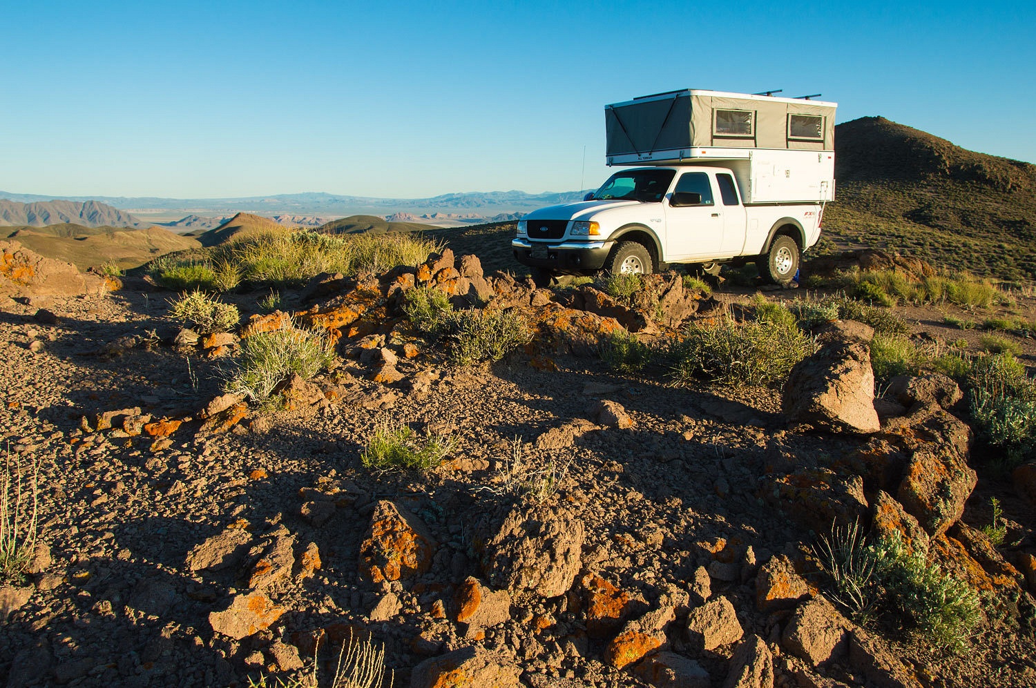
We drove out
of the Sand Springs Range and down Fairview Valley. We climbed the ridge leading to Little Bell Flats and found a trace of a road leading to a hilltop.
It was a perfect spot for the night.
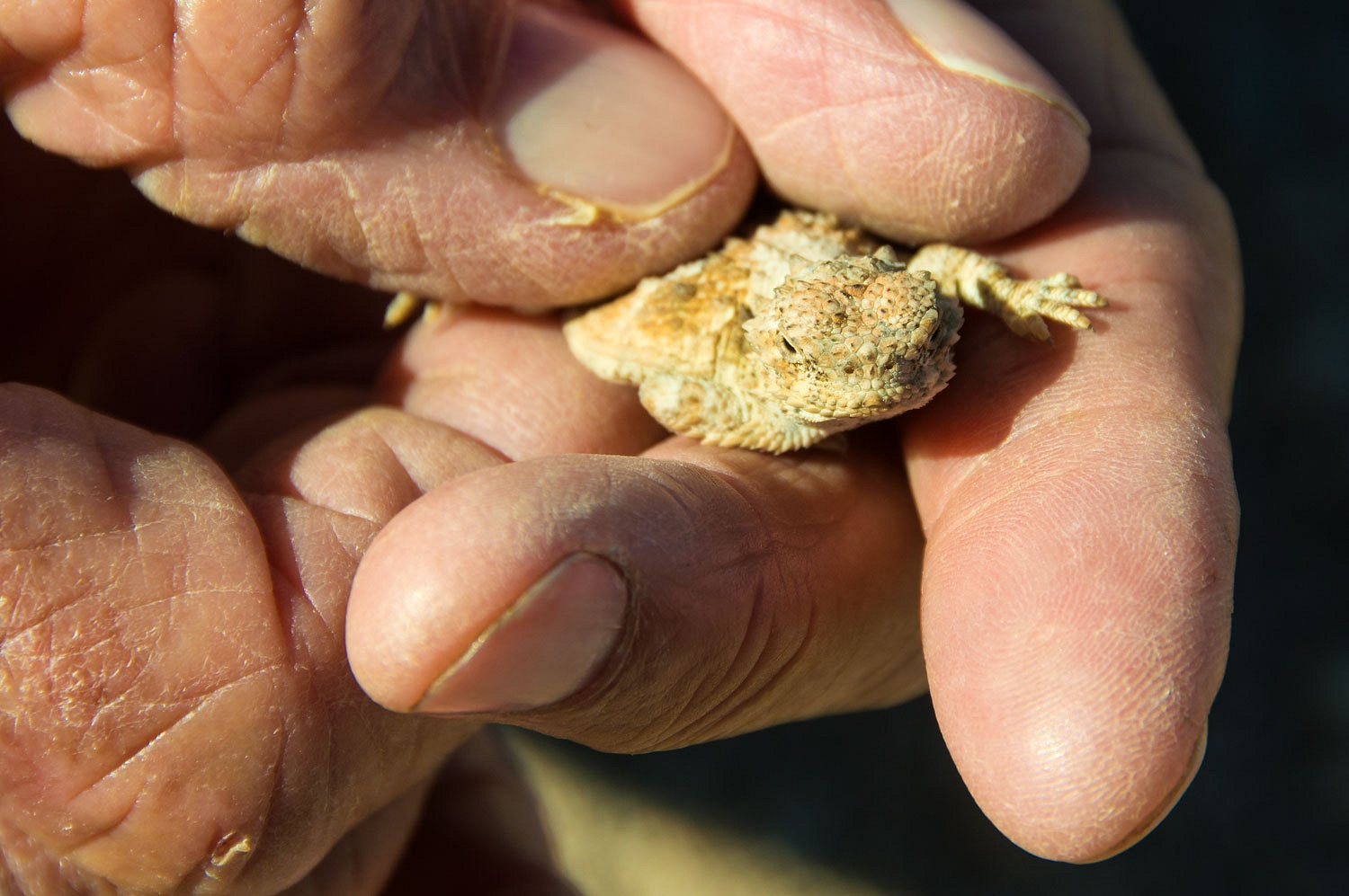
The cutest
tiny horned lizard was the guardian.
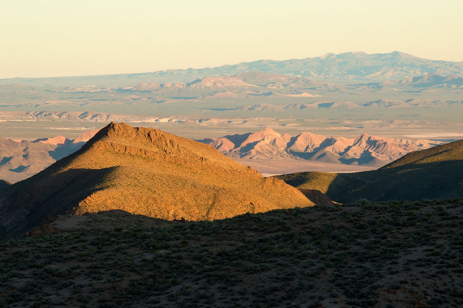
We sat in
the late afternoon light and let the quiet and solitude work its way deep inside us. We
consulted our Nevada Benchmark map and oriented ourselves to the seemingly
never ending range after range of mountains surrounding us.
Staying at
this very special place deserved a very special dinner, the Lady's most
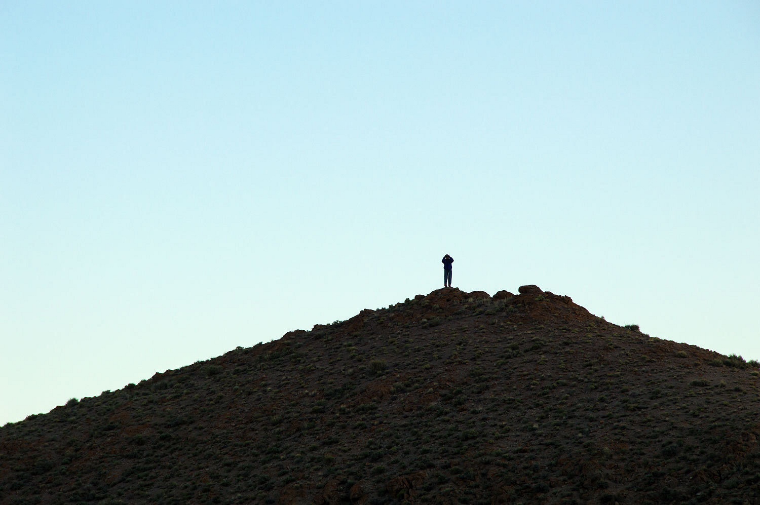
favorite - breakfast for supper. This meant I cooked. As I started in making
pancakes and eggs, the Lady called to me from outside, "I'm going to
wander as you slave away cooking!" Her destination was not too hard to
guess although it took the telephoto lens to document.
We walked a
few miles in the evening and watched the light dim, the quiet settle into every
crease and fold in the landscape, and the stars pop out above us.
We returned
to camp and sat out in our chairs, a wonderful and memorable evening.
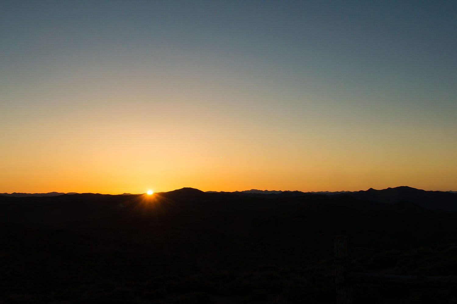
Walking before dawn, we witnessed another arrival of sunlight.
While
looking at the benchmark map the evening before, we saw three locations to the south we'd like to investigate on Sunday - Deadhorse Well, The
Car Frame Windmill, and the ghost town of Rawhide.
Deadhorse
Well was easy to find, although it lacked a dead horse.
It was a beautiful spring morning in Nevada and almost nothing is more comforting to us than to drive
for mile after mile after mile and never see another vehicle.
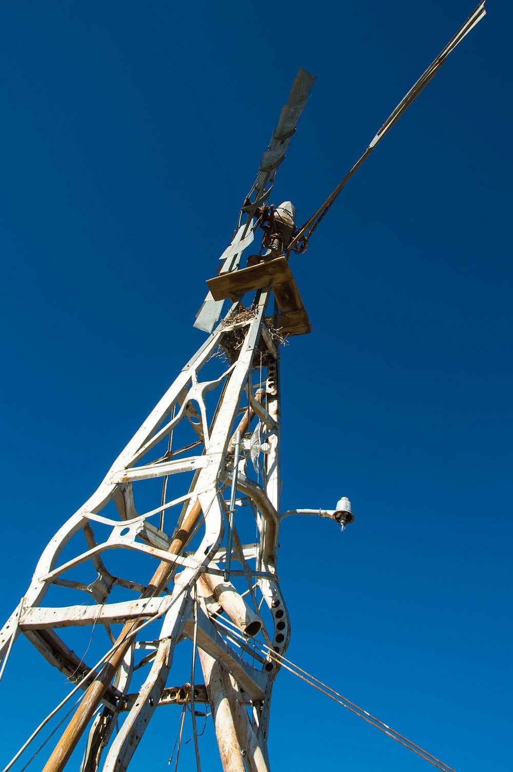
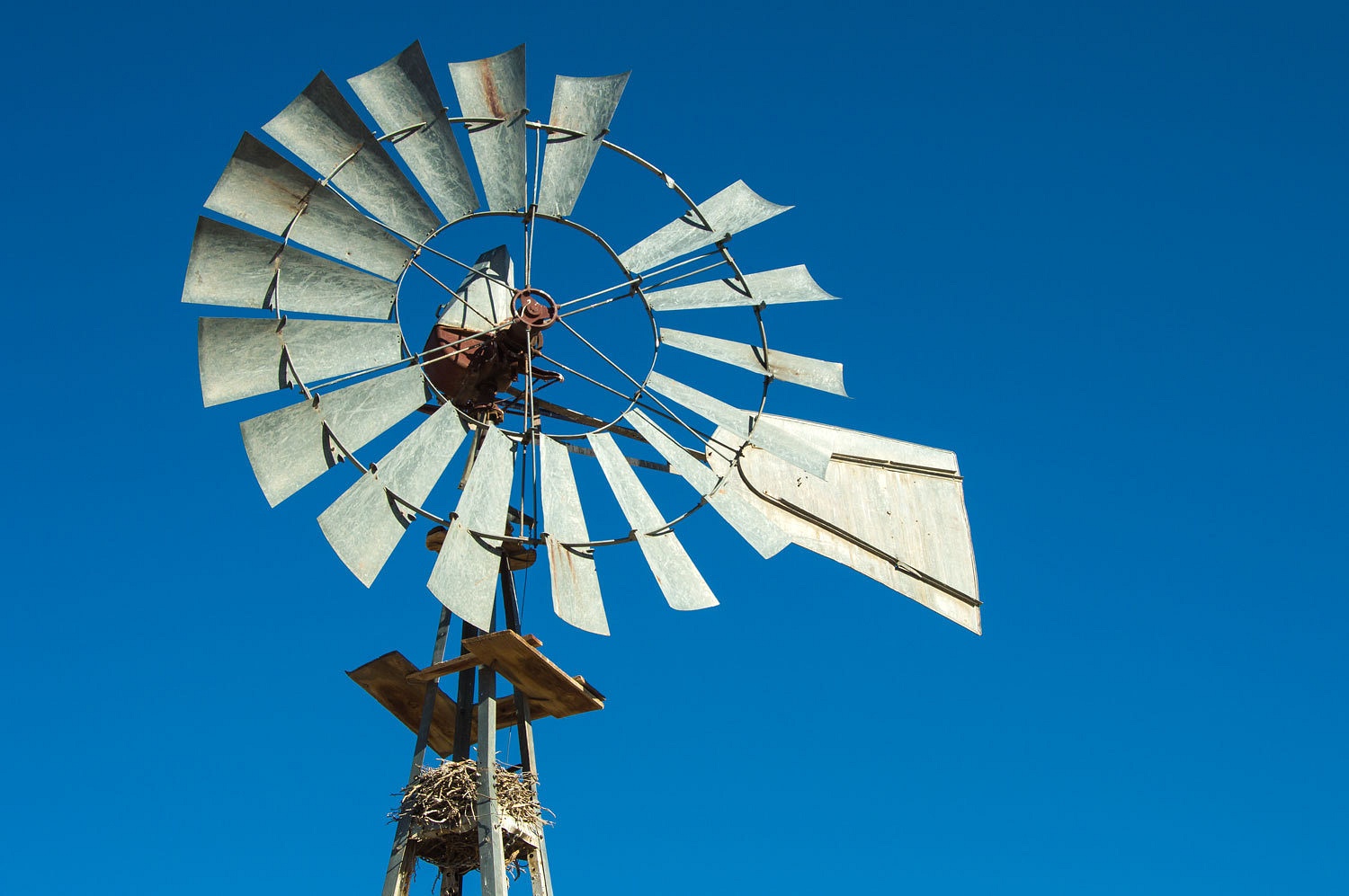
The world
famous Car Frame Windmill lived up to our expectations as a monument to the new
term "re-purposing".
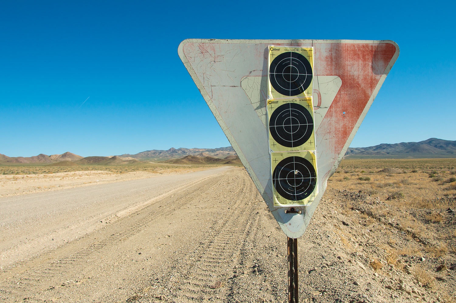
We
backtracked to the turnoff to Rawhide. We marveled at how thoughtful Mineral
County is by providing targets on road signs. If dickheads are shooting holes in signs, they might as well work on their accuracy.
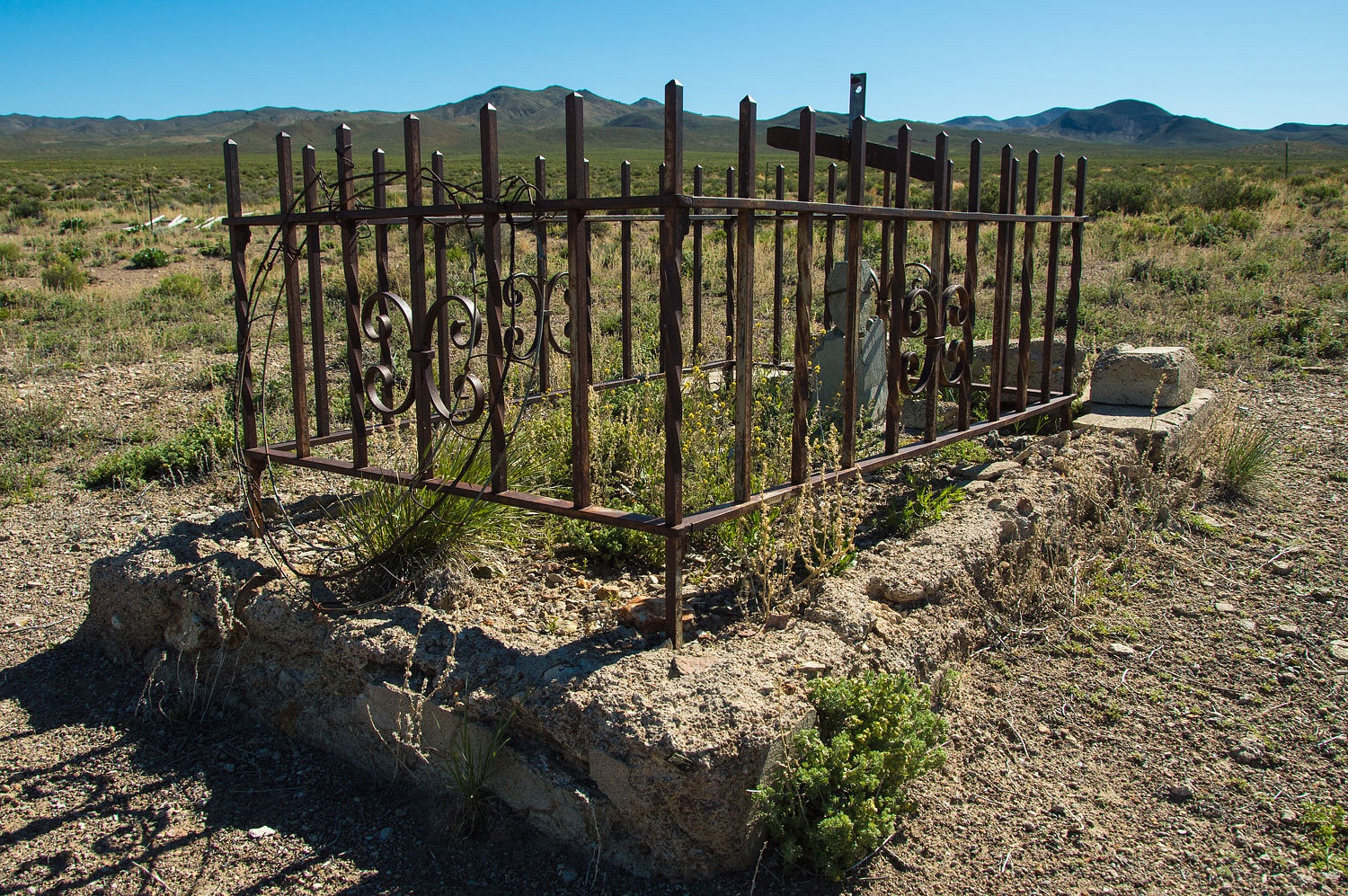
Rawhide was
gone. Not a trace remains.
The lonely
Rawhide cemetery is about one mile north. Bruce Evans, born in 1866, is the only resident
with a readable headstone. A small plot holds the remains of someone's dear
child, now almost forgotten.
It was time
to turn our truck toward home. We had a late lunch in Dayton's "Our Park", a nicely named stop along highway 50. Nevada remains one of
our favorite getaway destinations, always full of mysteries and questions to
investigate.
Thanks for coming along with us.
Thanks Monte.A great rid along.Keep traveling and posting.
ReplyDeleteFrank
Thanks Frank, we are happy you are enjoying these tales of our travels!
DeleteA wonderful sense of space in your photos -- big sky, big horizon, endless landscape. (Very appealing to someone stuck in an urban wasteland, at least temporarily.) And as for that USGS marker, remember what Dick Tracy used to say: "The nation that controls gravity will control the universe." It looks like we're on our way with those gravity control marks!
ReplyDelete"All reasonable precautions..." That quote in the video got my attention. Fun, interesting, and a very unusual place. Thanks for posting.
ReplyDelete