
please remember you can click on a photo to see a larger version
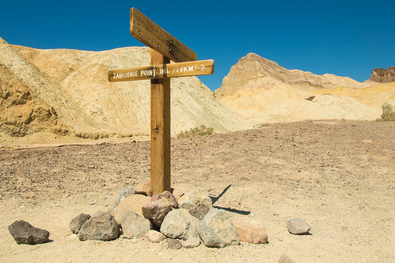
Gowers Gulch - Golden Canyon
Prior to the
trip the Spiders had suggested visiting one or two of the more
"touristy" attractions in the National Park. We suggested one of our
favorite hikes - Golden Canyon Gowers Gulch Loop. It is gorgeous terrain
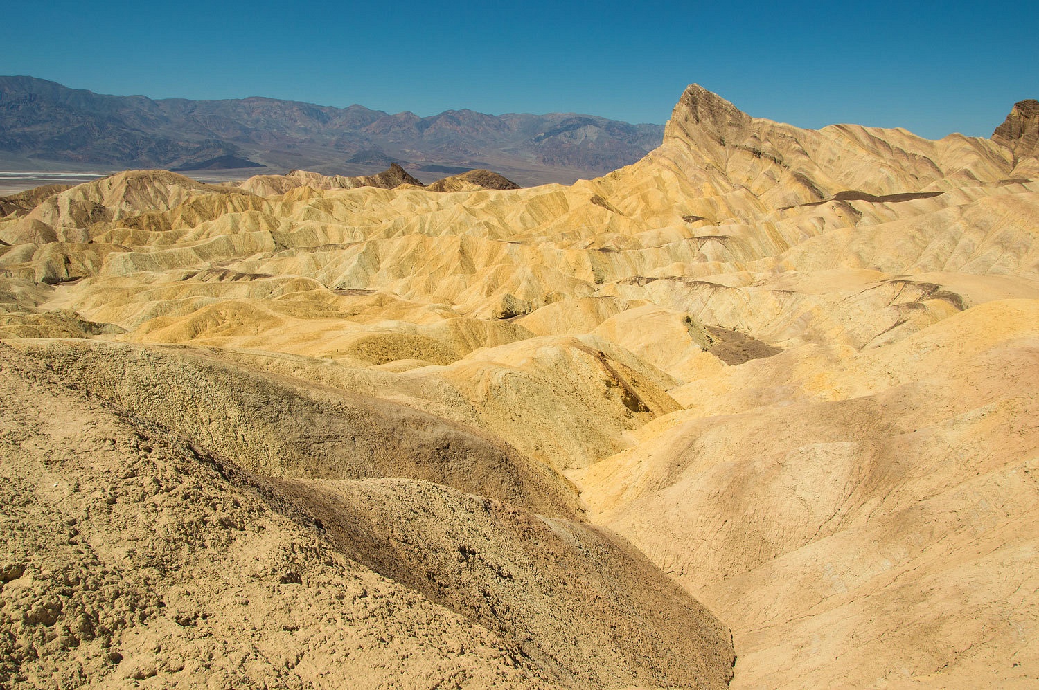
immersed in a different array of geology. If you have visited Zabriskie Point,
you have looked down into this wonderful country. This hike takes you through
the heart of it. There are a couple of ways to do this loop. We decided to
start from Zabriskie Point, drop into Gowers Gulch and hike it down to Death
Valley, loop over to Golden Canyon's mouth, and hike it back up to Zabriskie
Point.
Gowers Gulch has been changed by man. In an effort to save the infrastructure - important things like the Furnace Creek Inn -
at the mouth of Furnace Creek Wash from floods (they happen more often than you
would imagine), Furnace Creek Wash has been diverted into Gowers Gulch. Walk
just south from the Zabriskie Point parking and look at the broad deep wash
that immediately enters a narrow canyon.
It must be
amazing to see flood waters pouring into here. We tried this direct route but were soon blocked by a 12 foot pour over,
maybe doable to down climb but it was wet and muddy in the shadows.
We retreated
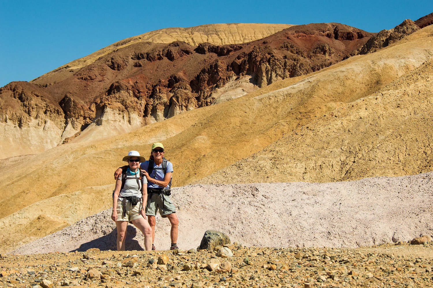
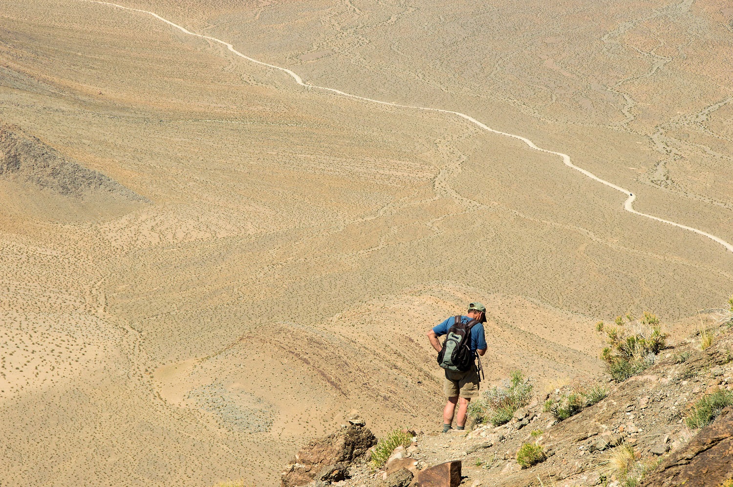
and started down the trail from Zabriskie. The Lady oriented Mom Spider to our
route ahead.
We dropped a
mile down to the intersection with the trail coming up from Golden Canyon.
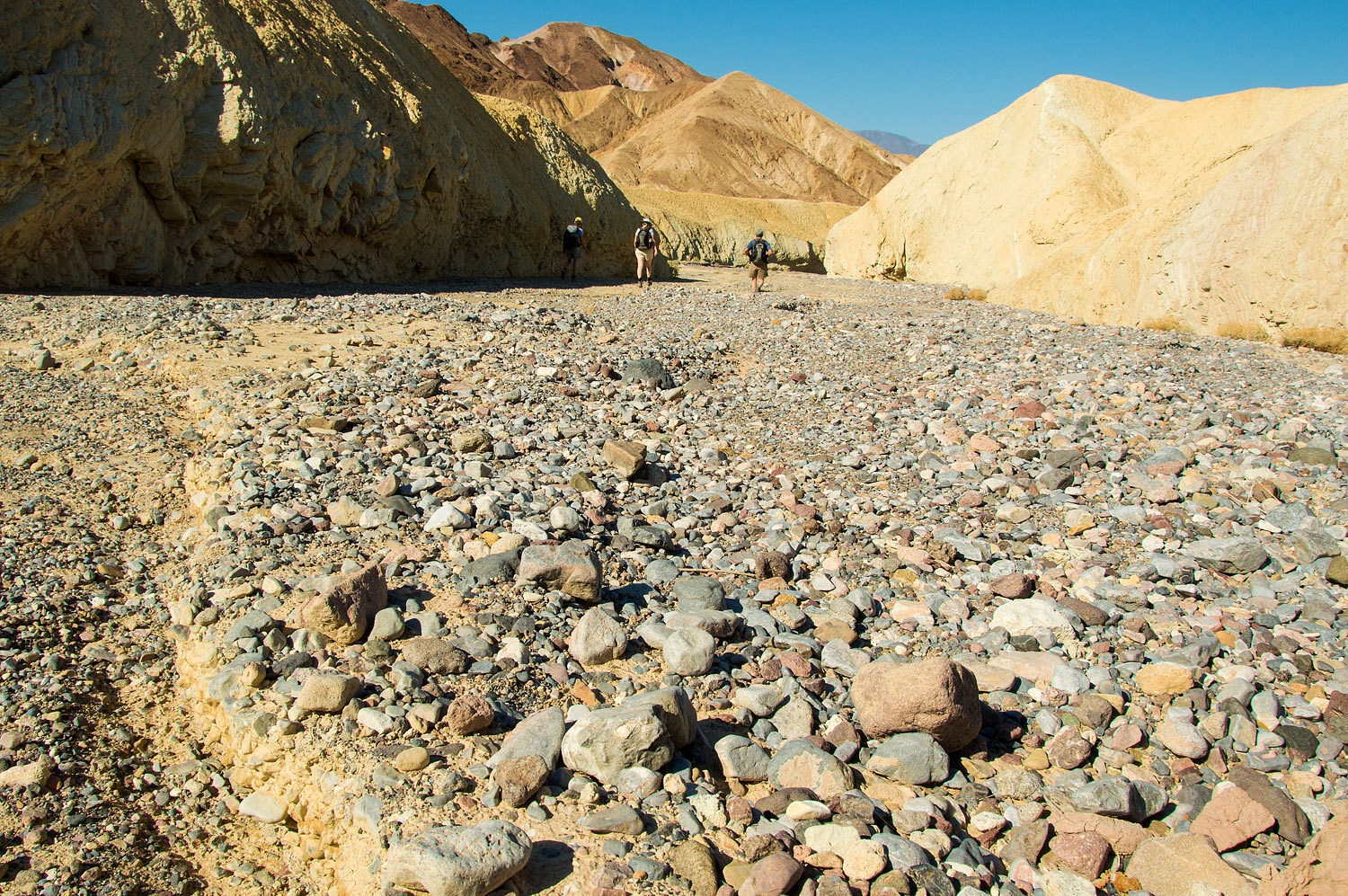
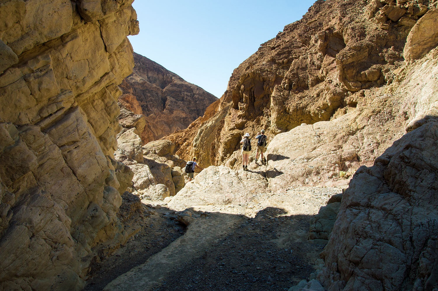
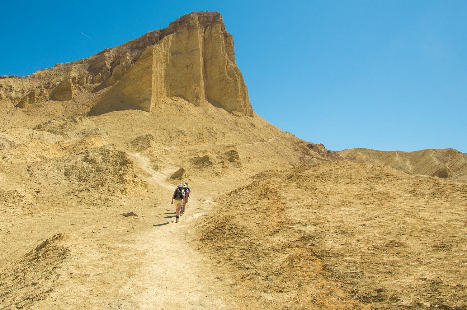
We headed down this side wash and entered Gowers Gulch.The geology
instantly grabbed us.
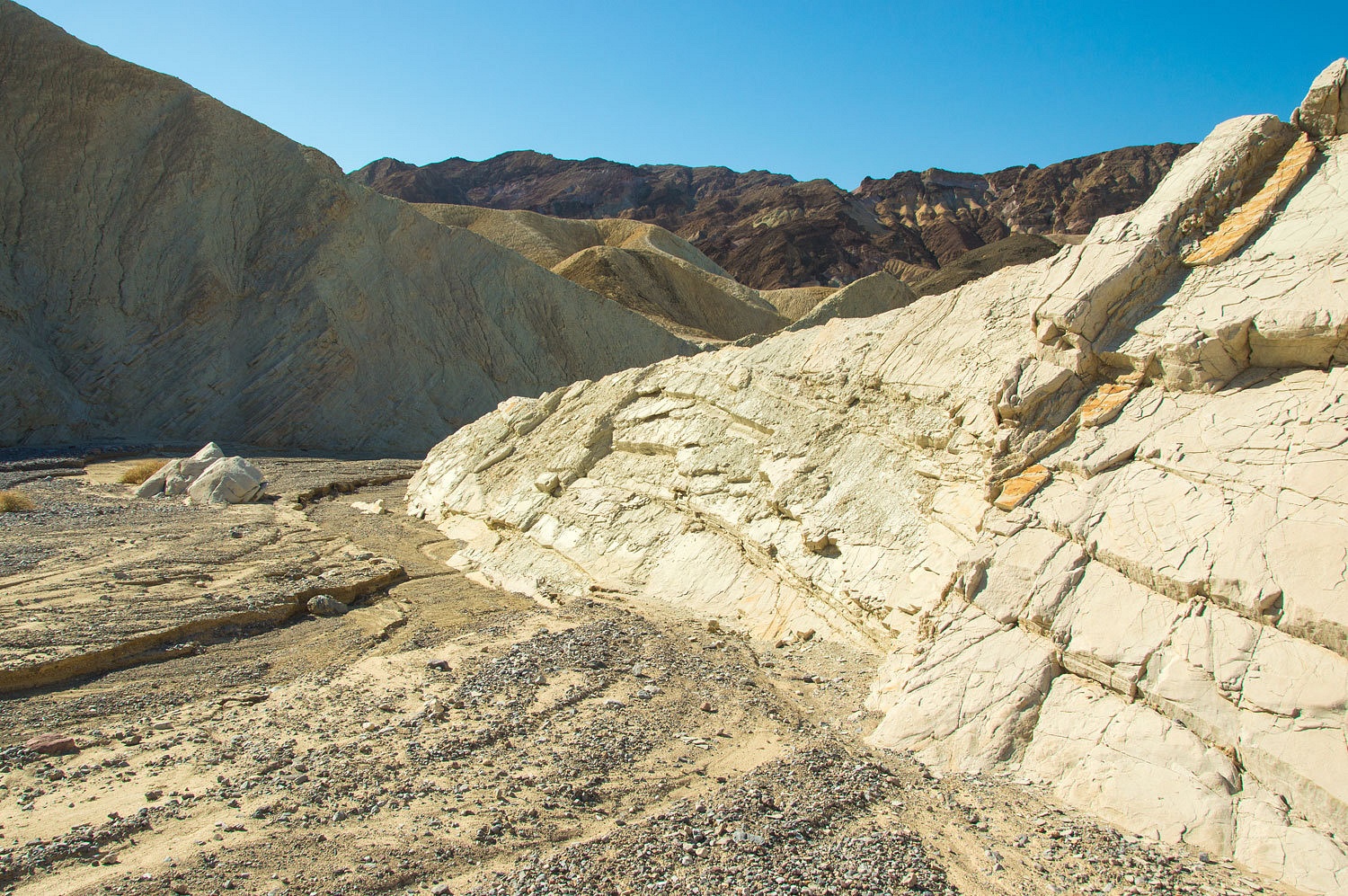
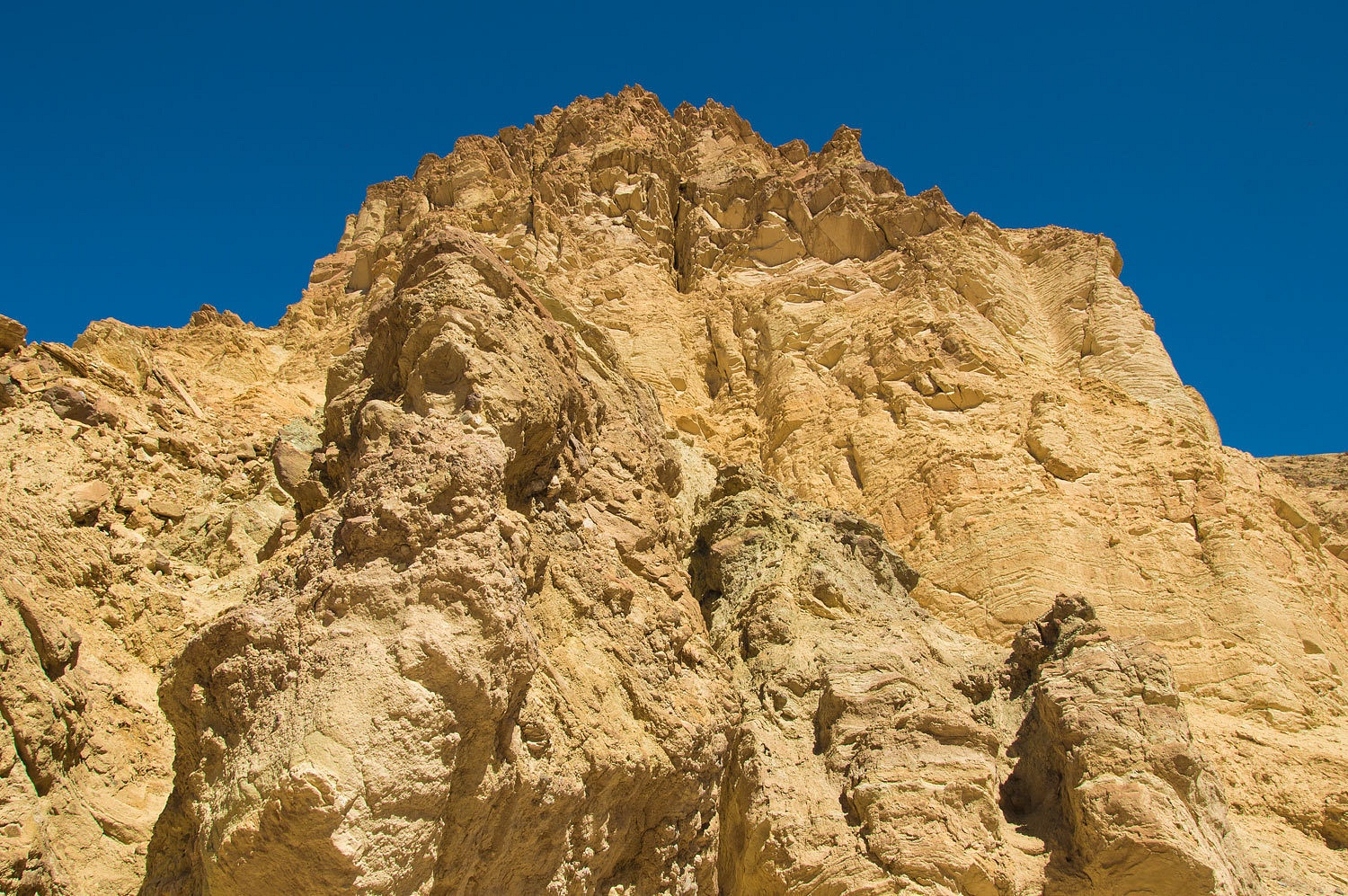
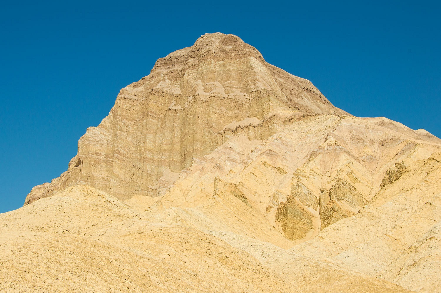
Manley
Beacon came into view to the north.
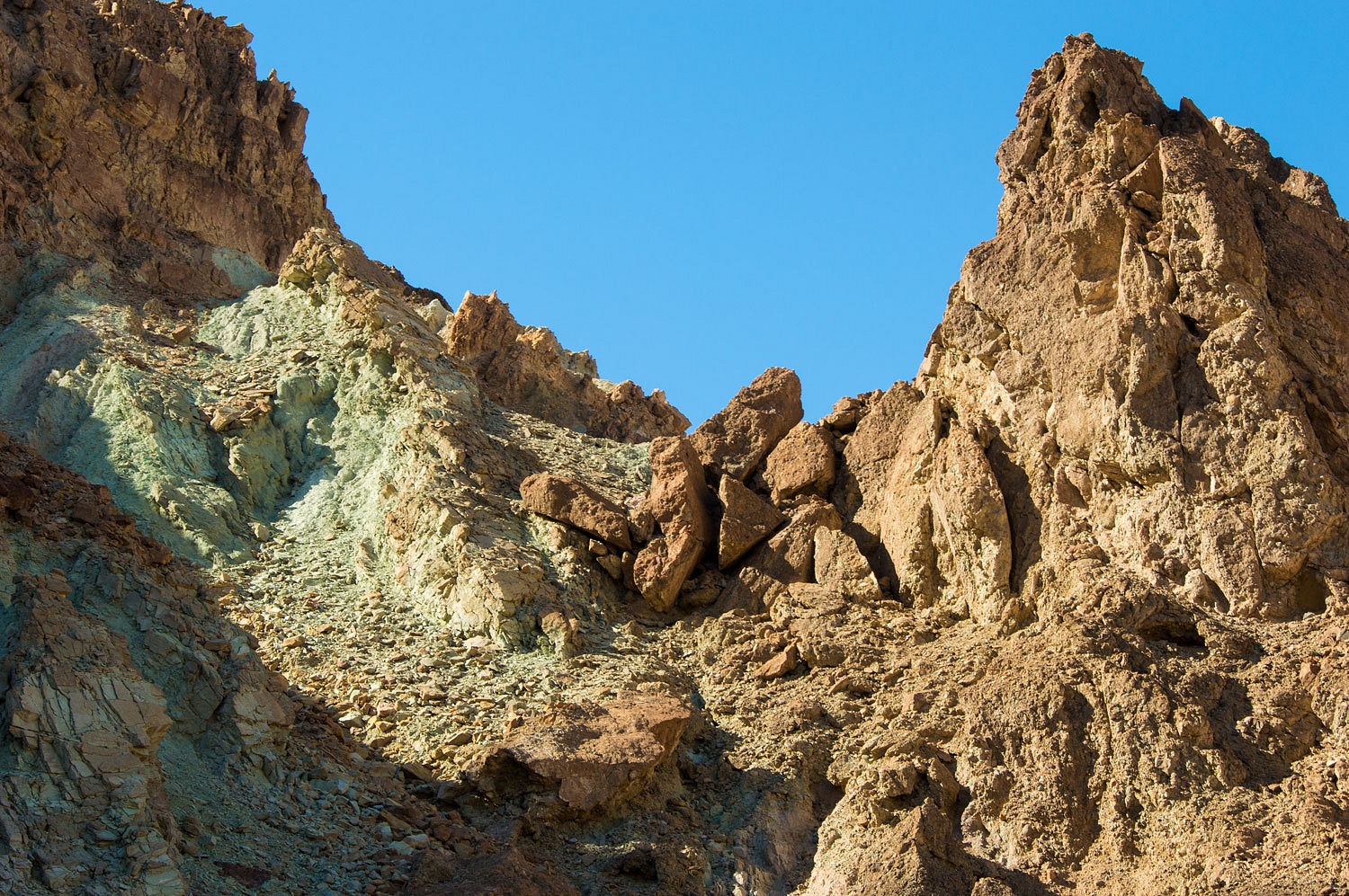
The hills to
the south of Gowers are the backside of the Artists Palette area. The colors
were outstanding above us.
As we
dropped in elevation we hit a band of interesting conglomerate that had offset
faulting.

The colors became
richer.
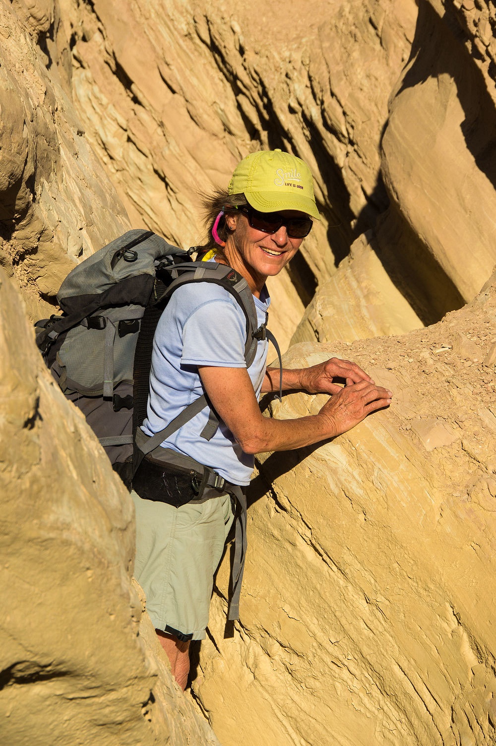
The canyon
narrowed and we did a bit of fun scrambling.
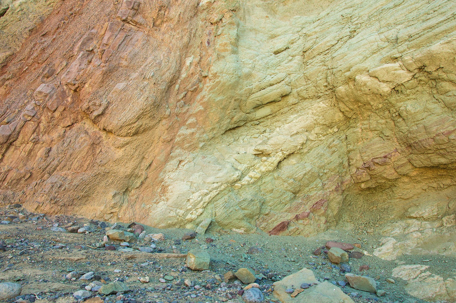
A different
conglomerate/breccia was exposed.
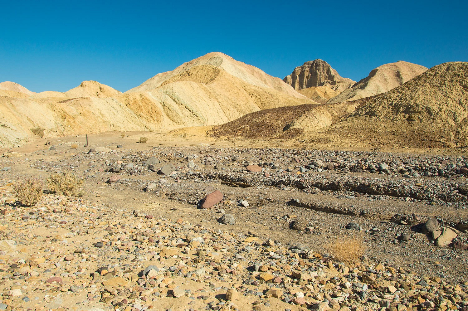
The lower
section of Gowers always seems to glow.

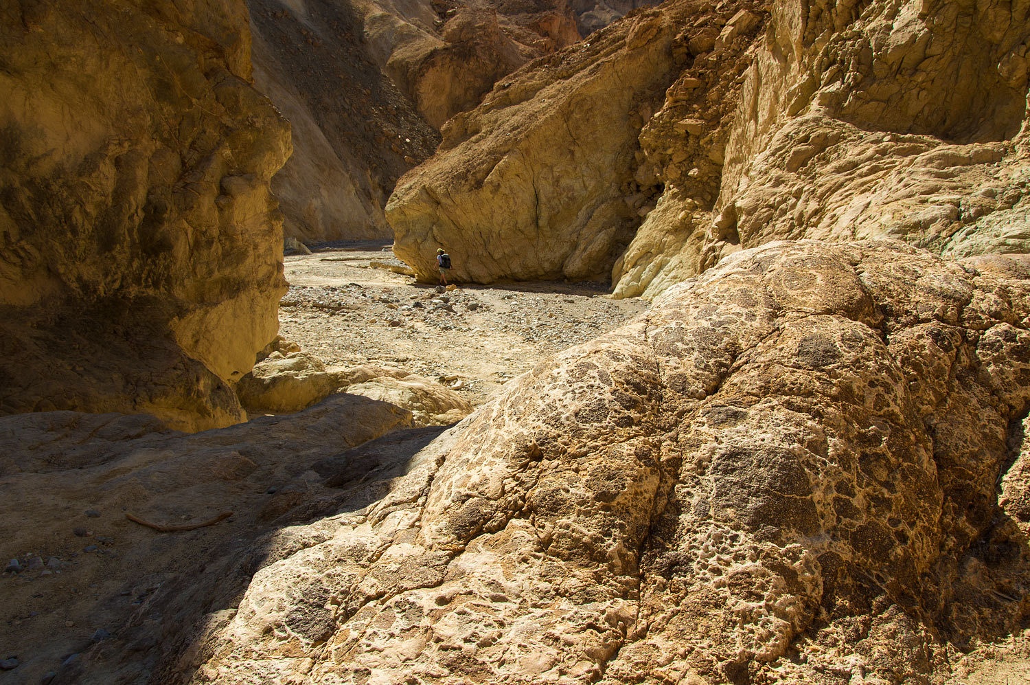
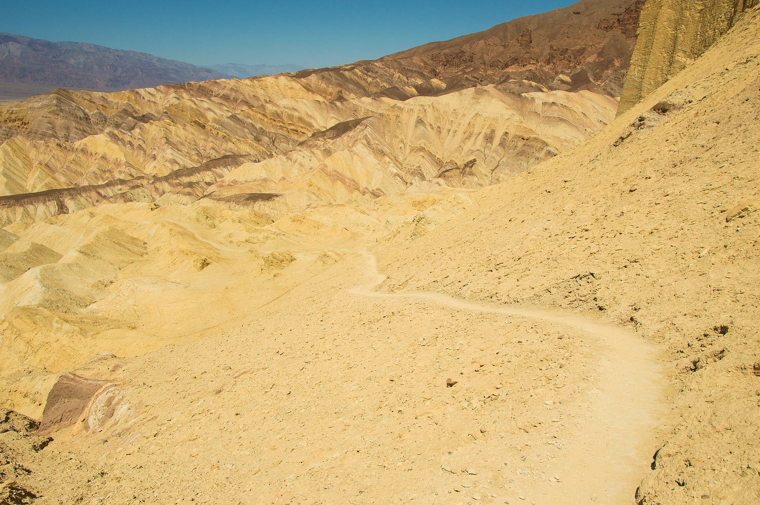
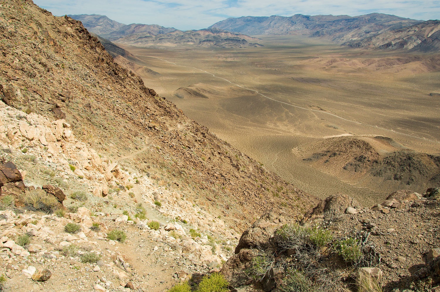
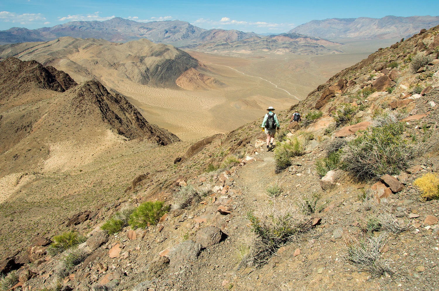
We were
nearing the mouth of Gowers. The canyon narrows and ends with a large 40 foot
pour over.

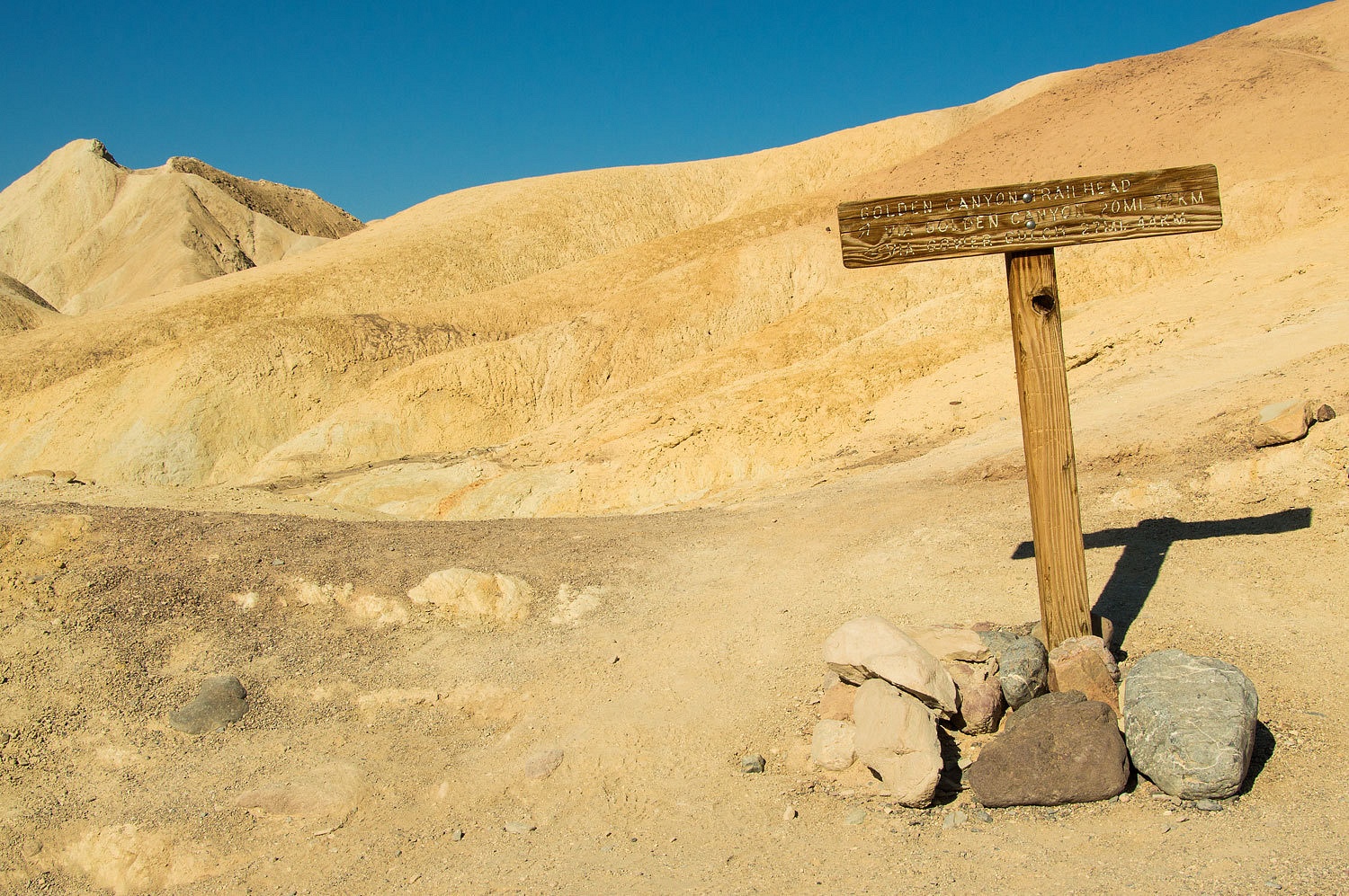
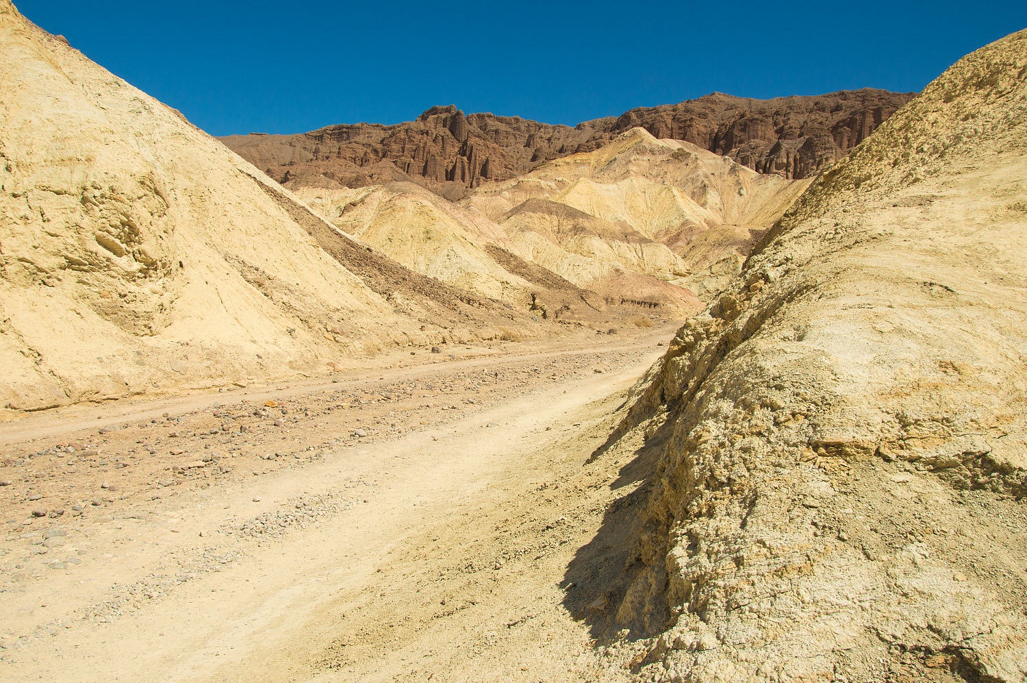
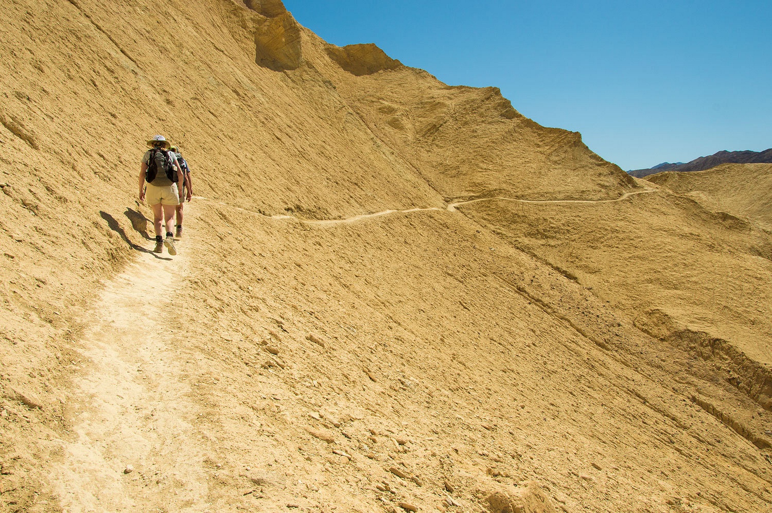
A wide trail
circumvents the drop off and heads north toward Golden Canyon.
It was an
easy and colorful walk along the mountain front.
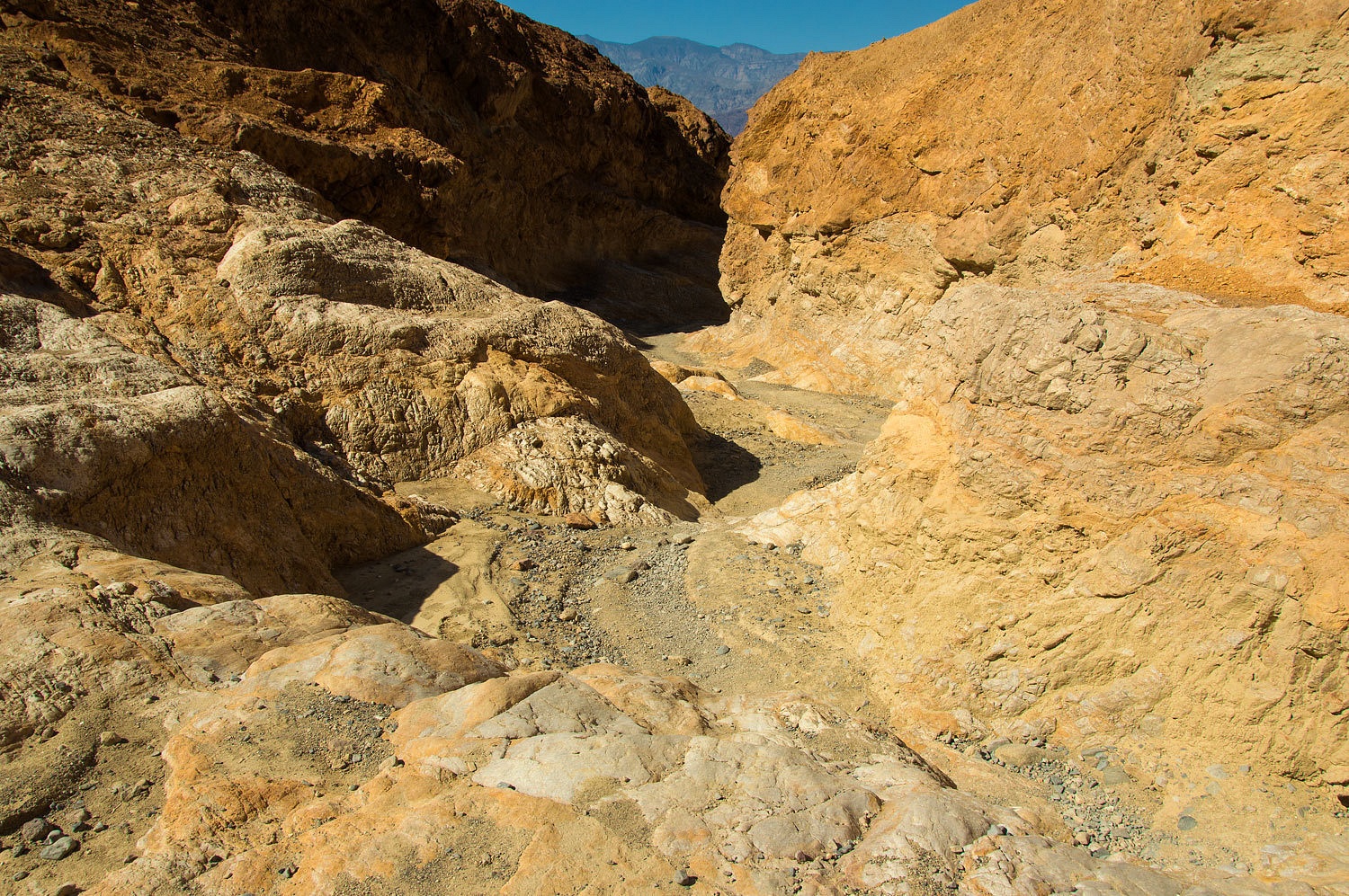
We entered
Golden Canyon.
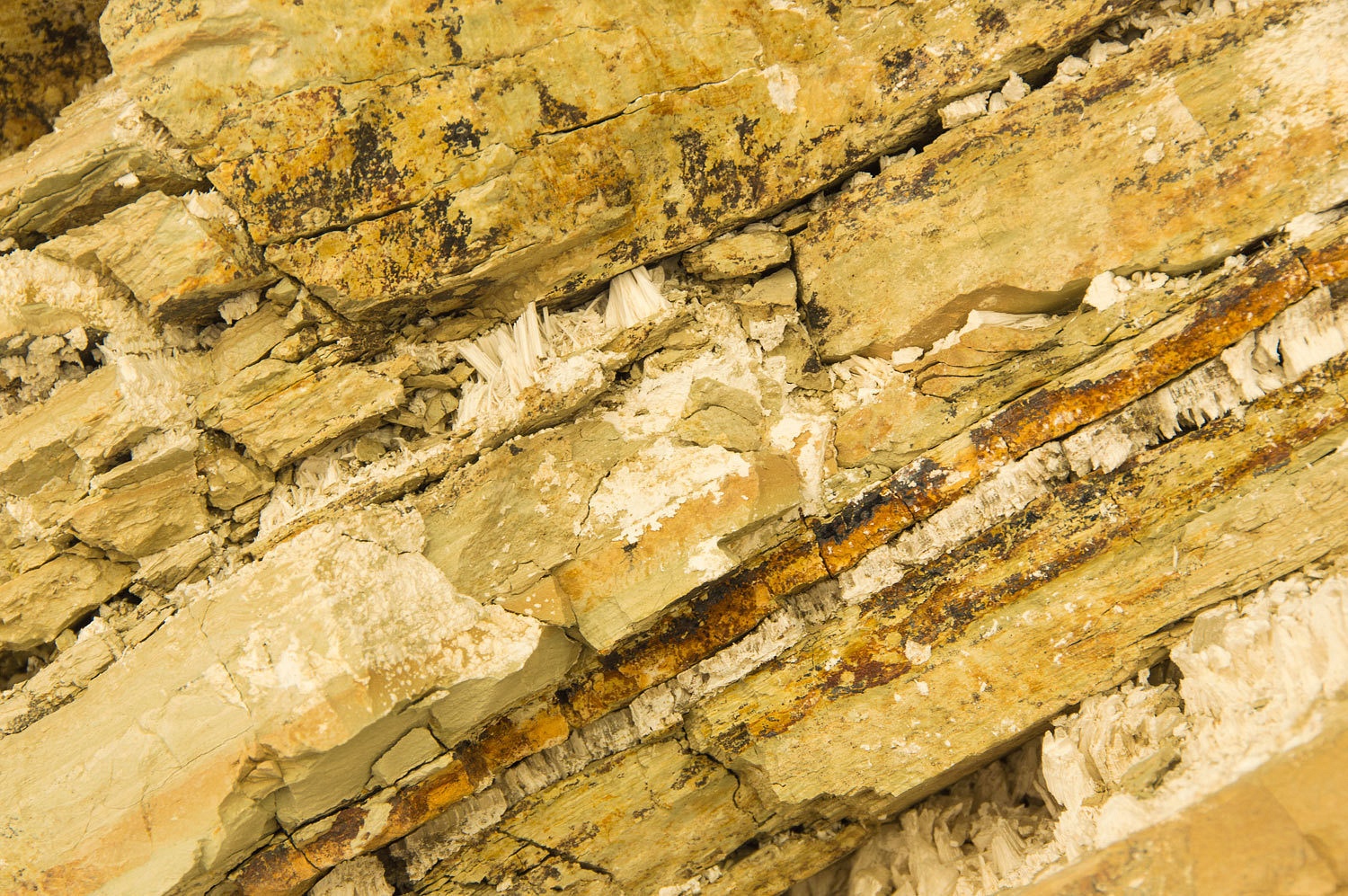
At a rest
spot I noticed interesting layers with vertical white crystals.
The main
fork of Golden Canyon ends at the Red Cathedral.
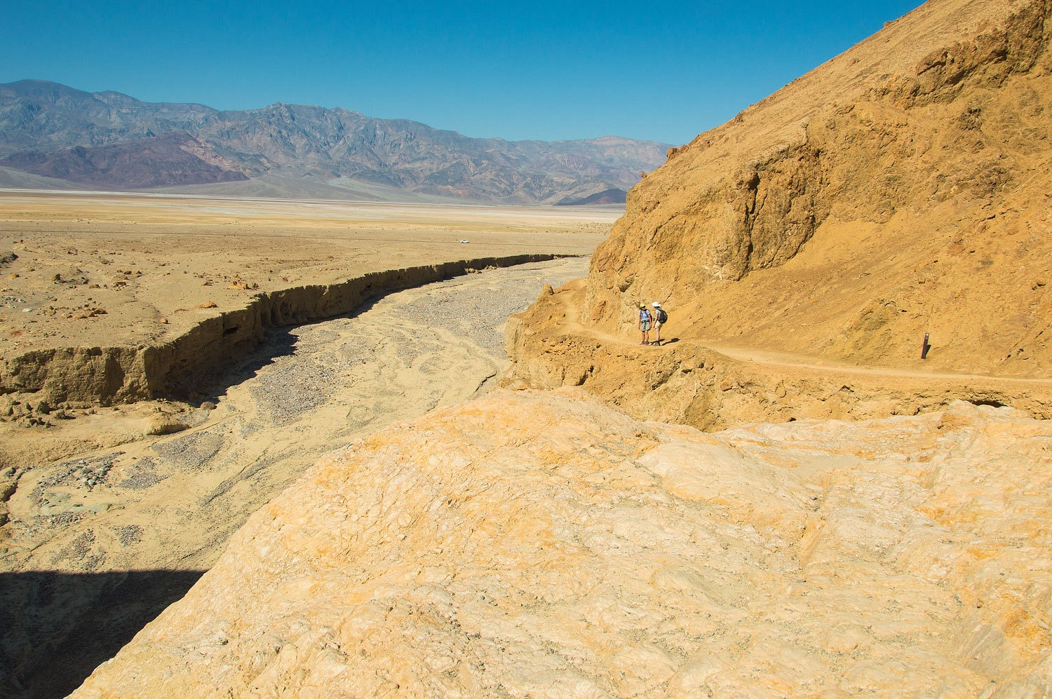
We turned
east on the trail back to Zabriskie Point. It goes high along Manley Beacon.
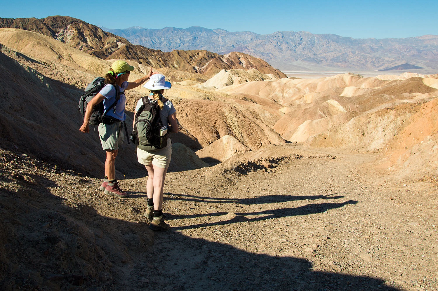
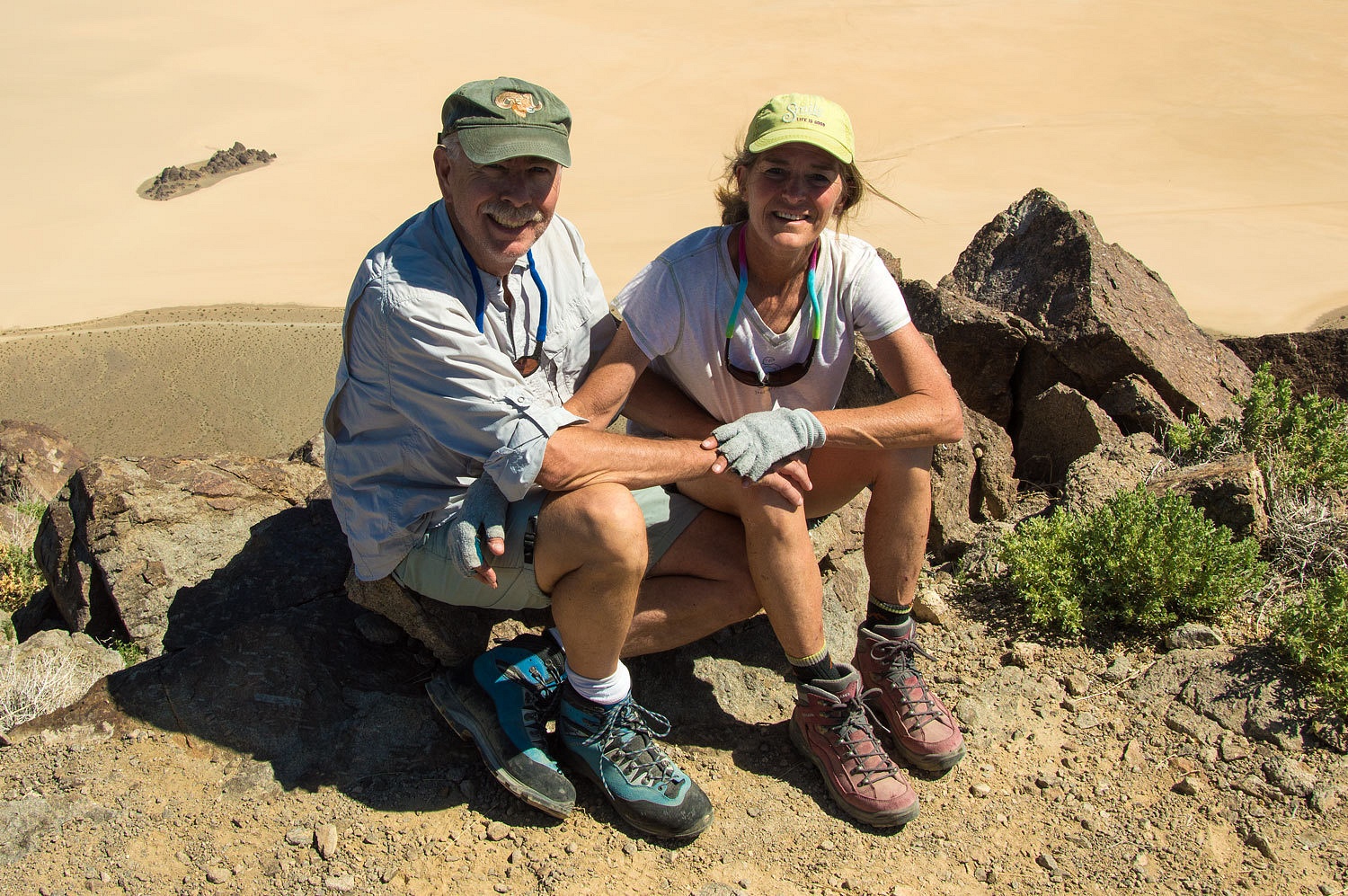
At the high
point we met two young women from Germany.
The women inquired
about the trail and said they were doing the loop they had heard about. We
filled them in on the route and gave them an estimate on the time it could
take. The Lady asked about how much water they were carrying and how much
they were drinking. The temperature by now had reached 95°. They said they had
plenty. They continued on their way.
The trail dropped
back down into a sub wash of Gowers Gulch.
The young
women caught up with us. They had turned around. They thanked us for talking
with them and after thinking it over had decided it would be best to turn back.
We said we were pleased they had made that decision, people really need to be
extremely careful with the heat. They walked with us as we returned to
Zabriskie Point.
The young
women climbed into their Volkswagen rental and headed to Dante's View, their
next stop on the way back to Las Vegas. This was a day trip for them.
It was
around 1 pm now and we headed north to grab a campsite at Mesquite Springs. It
was about 10° cooler at Mesquite and the evening was very pleasant.
Ubehebe Peak


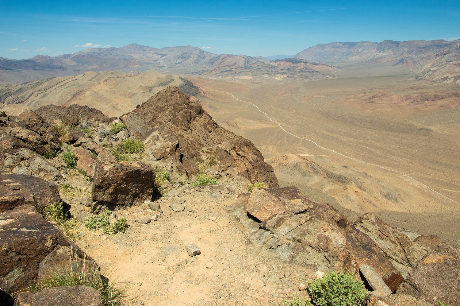

Ubehebe Peak
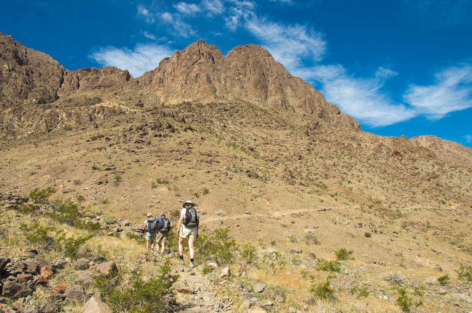
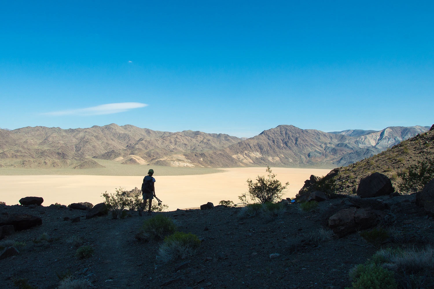
Early the
next morning we headed for the Racetrack area. First up was an adventure on the
Lady's list. On our first trip here in December 2009, the Lady spotted the high
point to the west - Ubehebe Peak. It was a cold late December morning. We had woke
to an overnight temperature of 8° and decided not to do the climb after walking
the perimeter of the Racetrack Playa. The Lady does not forget. "I want to do
Ubehebe Peak," she said. "I want to climb Ubehebe!" Today was
her day.
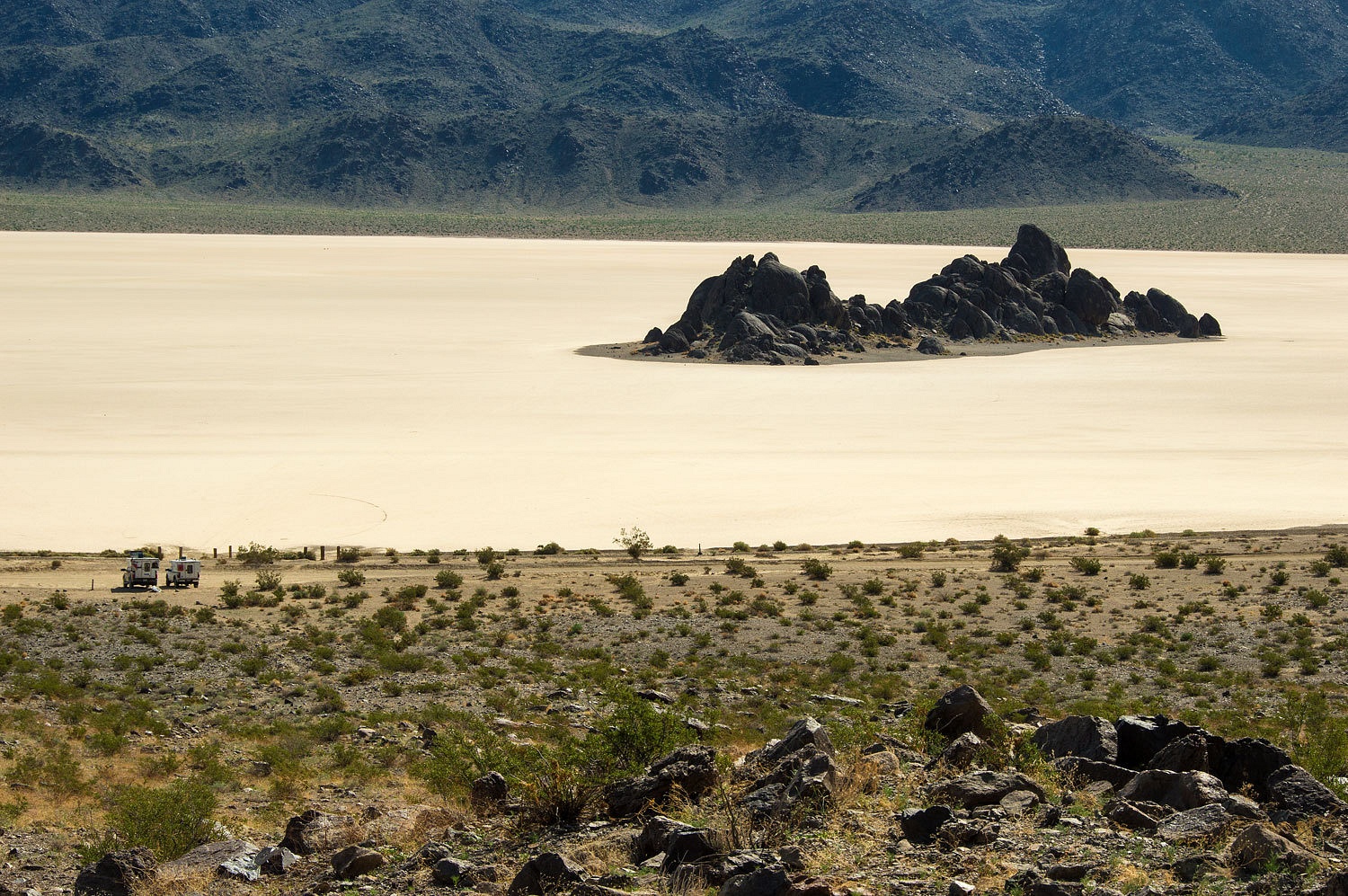
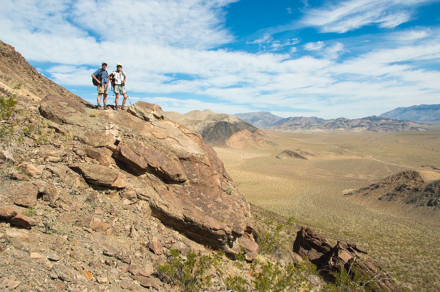
We parked at
the Grandstand parking area.
The
Grandstand could wait for later. We were going up.
That's the
twin summit of Little Ubehebe above. The main peak is to the left (south).
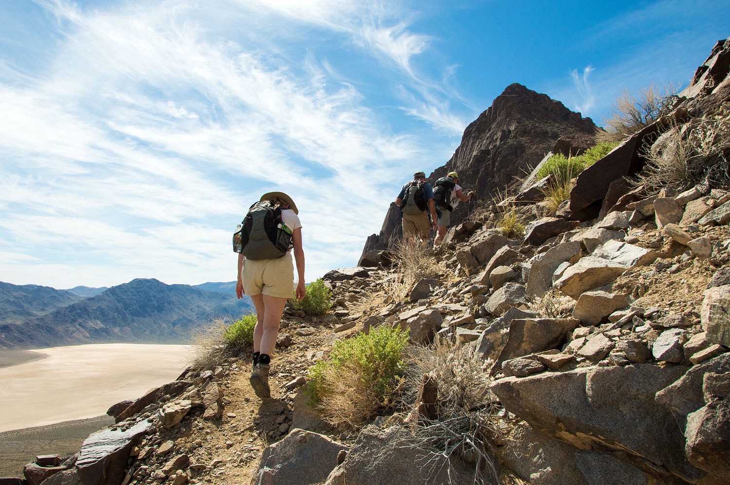
The trail
has some excellent trail work. Digonnet reports in his book that this was built
as a mule trail and supply route to copper mines on the opposite side of the
ridge. It is a nice grade, geared for stock.
Within an
hour we were approaching the first saddle.
The
temperatures were pleasant. The heat earlier in the week was calming down.
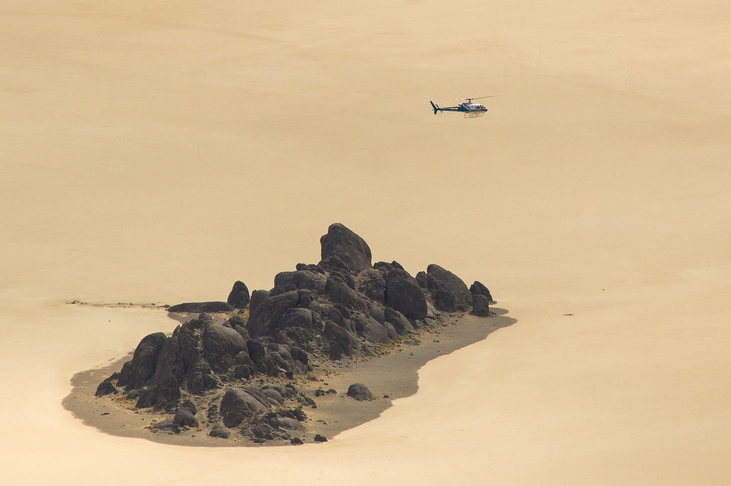
We took a
nice break, took in the views, and just enjoyed being in this special place. I
walked over to a view point and was greeted by a familiar sound. I searched the
sky. The basin was echoing the sound all around. I knew it was there and I
finally spotted it, a CHP helicopter just off the deck of the playa.
We have
worked many times with H-20 (identifier/call name for the California Highway Patrol helicopter that
works in our area at home) in the winter on rescues. Skilled professionals, it
is a pleasure working with them. Brace yourself, I'm in story mode. Several
years ago we were responding to help a female snowshoer with a dislocated hip.
Yeah, that hurts. They had spent a night out in a storm. It was a planned
overnight trip so they were prepared. We launched at dawn to find them, make
contact, assess, and get her out. The storm broke in the early morning and we
heard H-20 was enroute. That was a "thank you jesus" moment (and say
it like an evangelical preacher). Pulling
an injured person in a sled is doable but if a helicopter can pick them up, it
sure is faster transport to advanced medical aid, and saves a great deal of
work. I was leader of our team of skiers. H-20 couldn't locate the four people
(two couples) from the air so we went into search mode. I sent the Lady and one
of our EMT's to meet up with the helicopter at the area the group was reported
to be. The rest of our team broke up to search possible locations. It turned
out the folks were where we thought but were hiding from the helicopter.
"We never thought you'd send a helicopter!" was their reasoning. The
Lady and the EMT helped with the woman and helicopter as the rest of us moved
in their direction. Usually in these situations, the helicopter transports only
the injured. We were going to help get the remainder of the group out and also the
woman's backpack and equipment. The Lady informed me on our tactical frequency
that H-20 was going to do a few trips ferrying out the group and all their
gear. "Why are they doing that?" the Lady asked. I replied I figured
they had no other calls to respond to, the Sacramento Valley was all fogged in,
and it was turning into a beautiful day up here. I finished with a question,
"If you were them, where would you want to be?" I and the rest of our
team met up with the Lady just as H-20 was leaving for the last time. I asked
the Lady to brief us all on how it went. After a quick wrap up she said,
"They wanted to come back and airlift all of us out. I told them that was
nuts. We got two feet of powder overnight. We're skiing!"
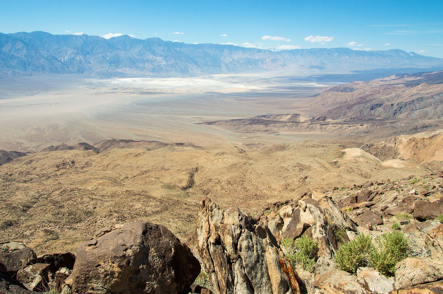
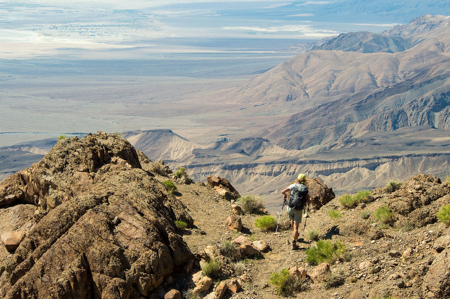
This is a
great hike. The views are tremendous.
As we
started out again, a little friend was keeping track of us.
On the
Saline Valley side of the ridge, the main trail (at least what looked like the
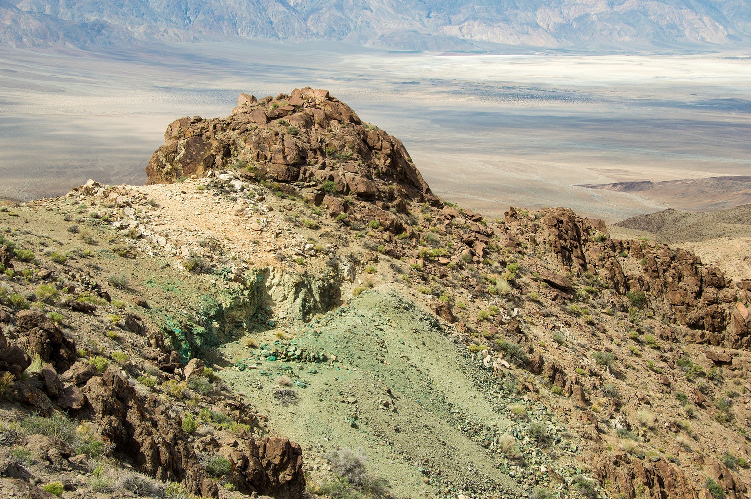
main trail) led to a copper prospect.
The actual
trail to the top of Ubehebe climbs steeply up the flanks of Little Ubehebe almost
to the twin summits and then steeply drops to the saddle between Little and
Ubehebe peaks. After exploring around all the beautiful blue and green rocks,
we climbed cross country up to the saddle. The views only got better.
There is a
bit of climbing to get to the next saddle and the view of the route up Ubehebe
looks a bit gnarly, but it goes and actually not too bad at all. We were on top
with views into Saline Valley..........
.....................the
Racetrack Road...........................
.........................and
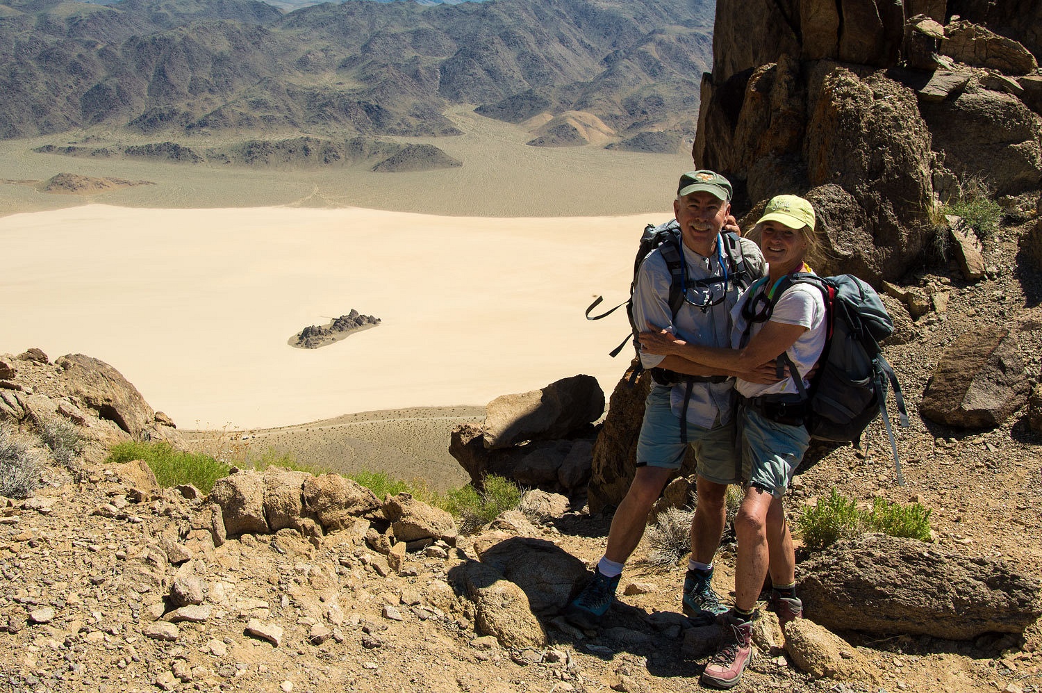
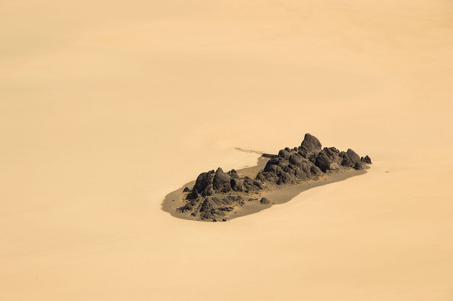
the Grandstand straight down from our perch.
All too soon
it was time to head back down. The afternoon light made for a wonderful
descent.
It was around
four pm when we returned to our trucks. Parrot Man with the Macaw was busy into
conversation with Barking Spider who acted like it was common place to see a
guy in a Hawaiian shirt covered with parrots with a huge Macaw on a leash on
the edge of the Racetrack Playa. Little did Barking Spider know the Lady and I on
a little private walk would soon run into Somona in the red dress. But that's
coming up in Part Three.
For Part Three, please Click Here
For Part Three, please Click Here
No comments:
Post a Comment