please remember you can click on a photo to see a larger version
We had
canceled our plans for travel over the Fourth of July holiday. After some busy
days, on Sunday we wanted to take a day hike, get away, just the two of us. “Let’s
just run up to Emigrant Lake, get into the high country,” was my suggestion.
Emigrant Lake sits in a high basin just west of Carson Pass, just off of the historic
Carson Route of the California Trail. I’ve always been interested in western
history, but when I discovered my great-great grandfather, Sam, succumbed to California
fever and headed west on the overland trail from Iowa in 1864, my interest doubled. And living close,
its fun to get away and actually see the route taken by so many.
Many have
heard of Carson Pass but few realize the actual high point of the route was to
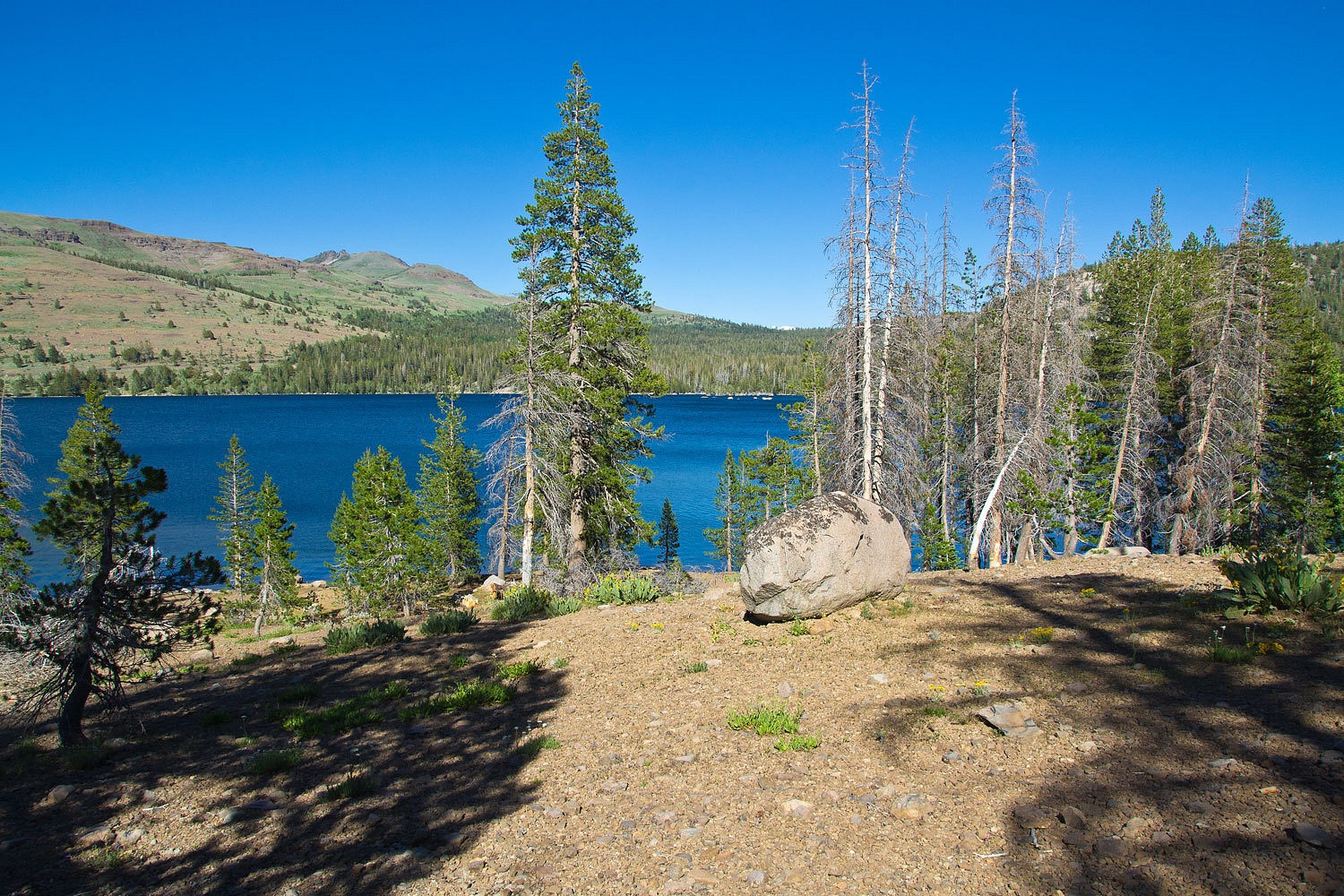
the west over West Pass. We started our hike at Caples Reservoir. During
pioneer times, prior to its impoundment by Pacific Gas & Electric, this
basin held two smaller lakes – Twin Lakes – and the emigrant route ran west
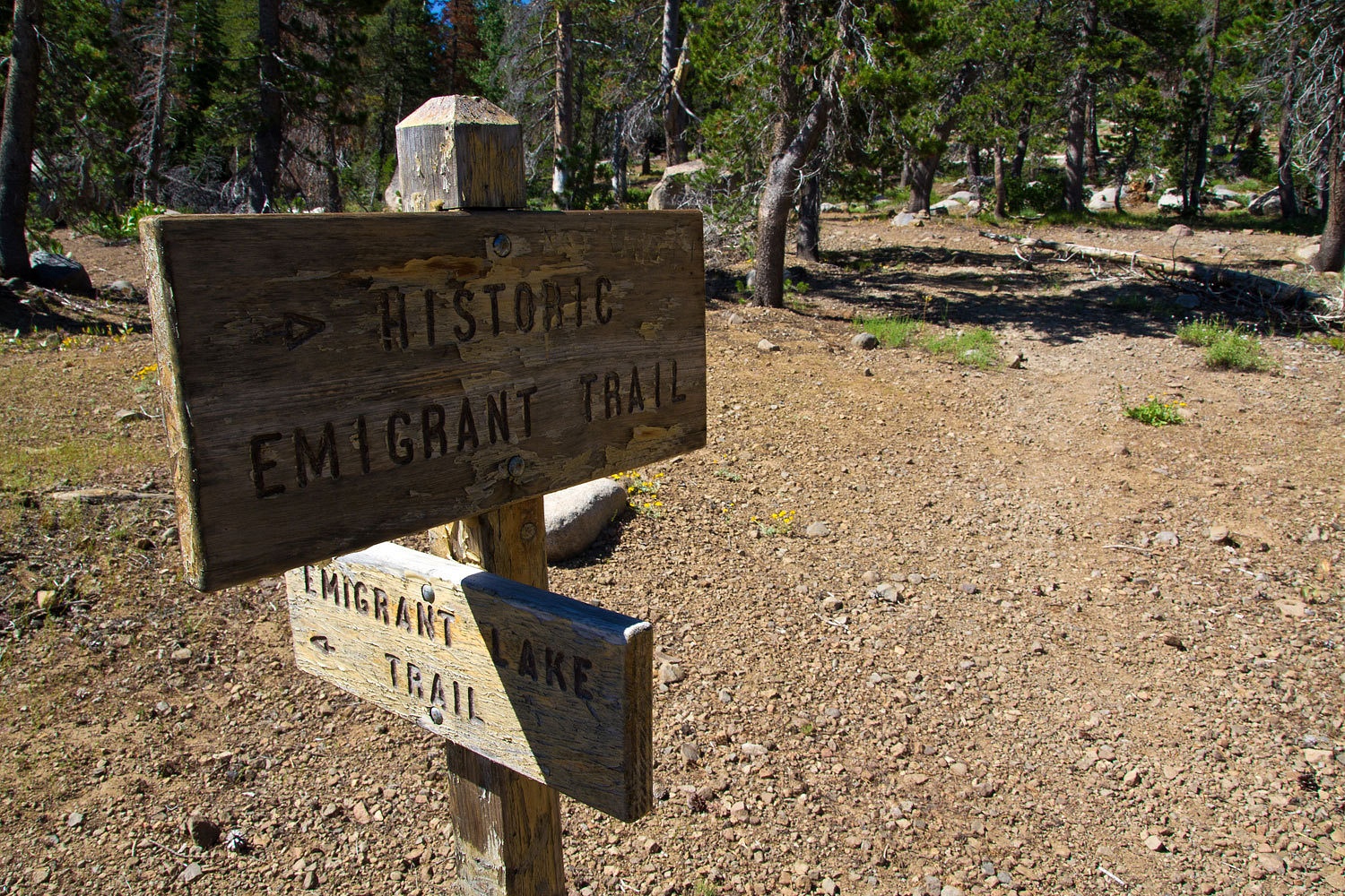
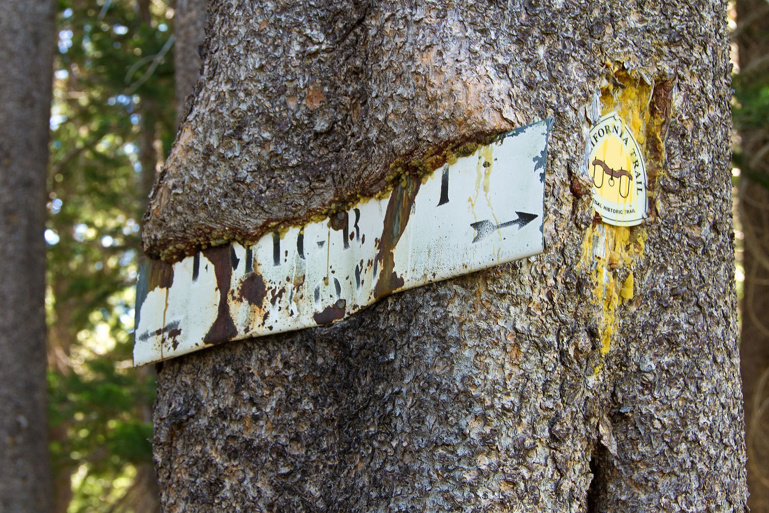
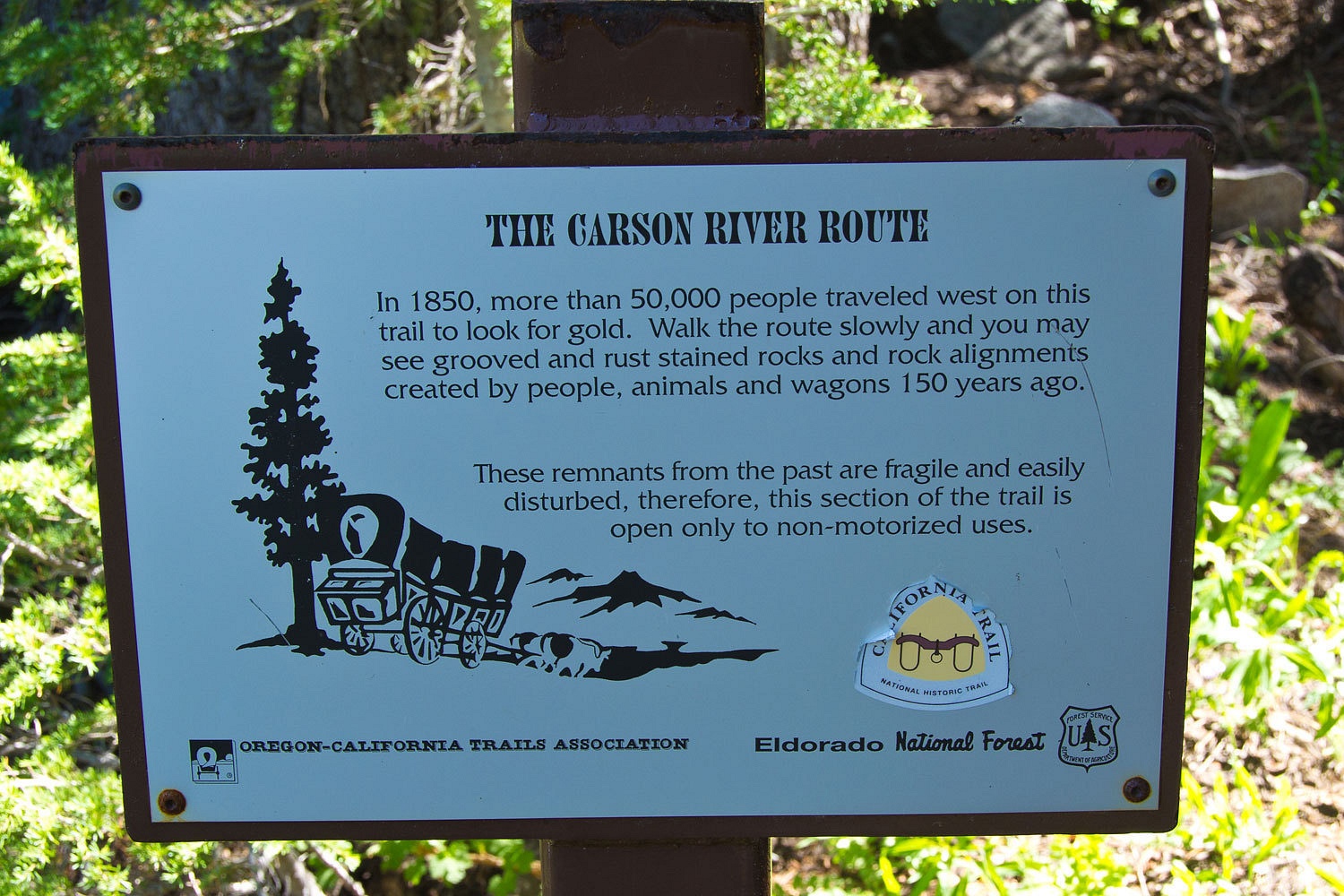
between them. The route is marked where it comes out of Caples.
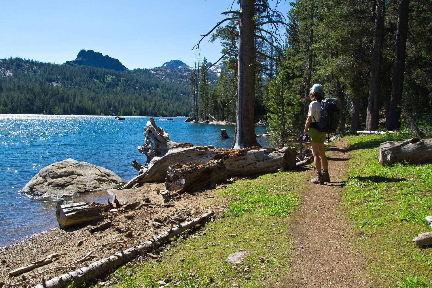
The trail
along the reservoir is popular and beautiful.
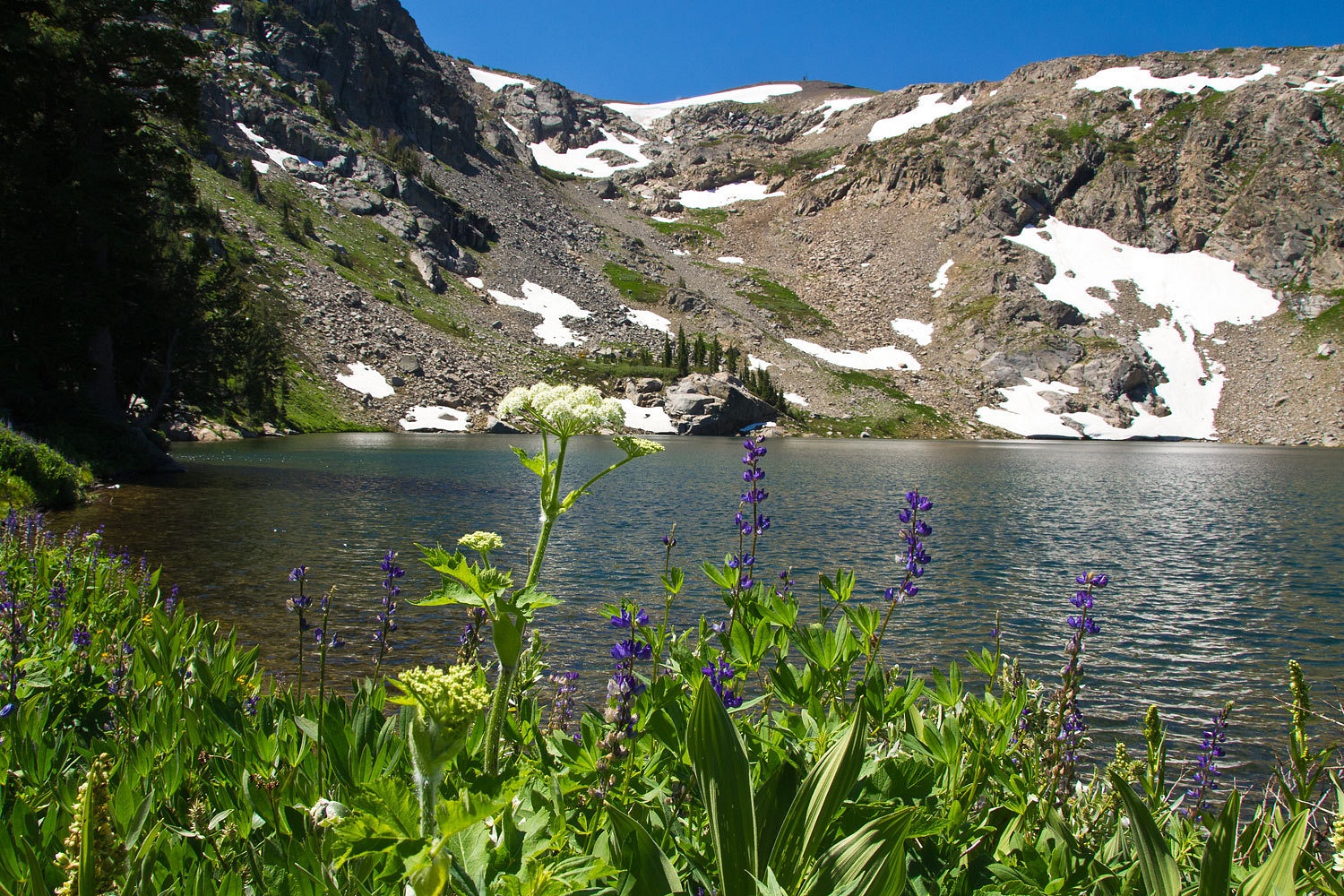
We continued
on the trail to Emigrant Lake.
After
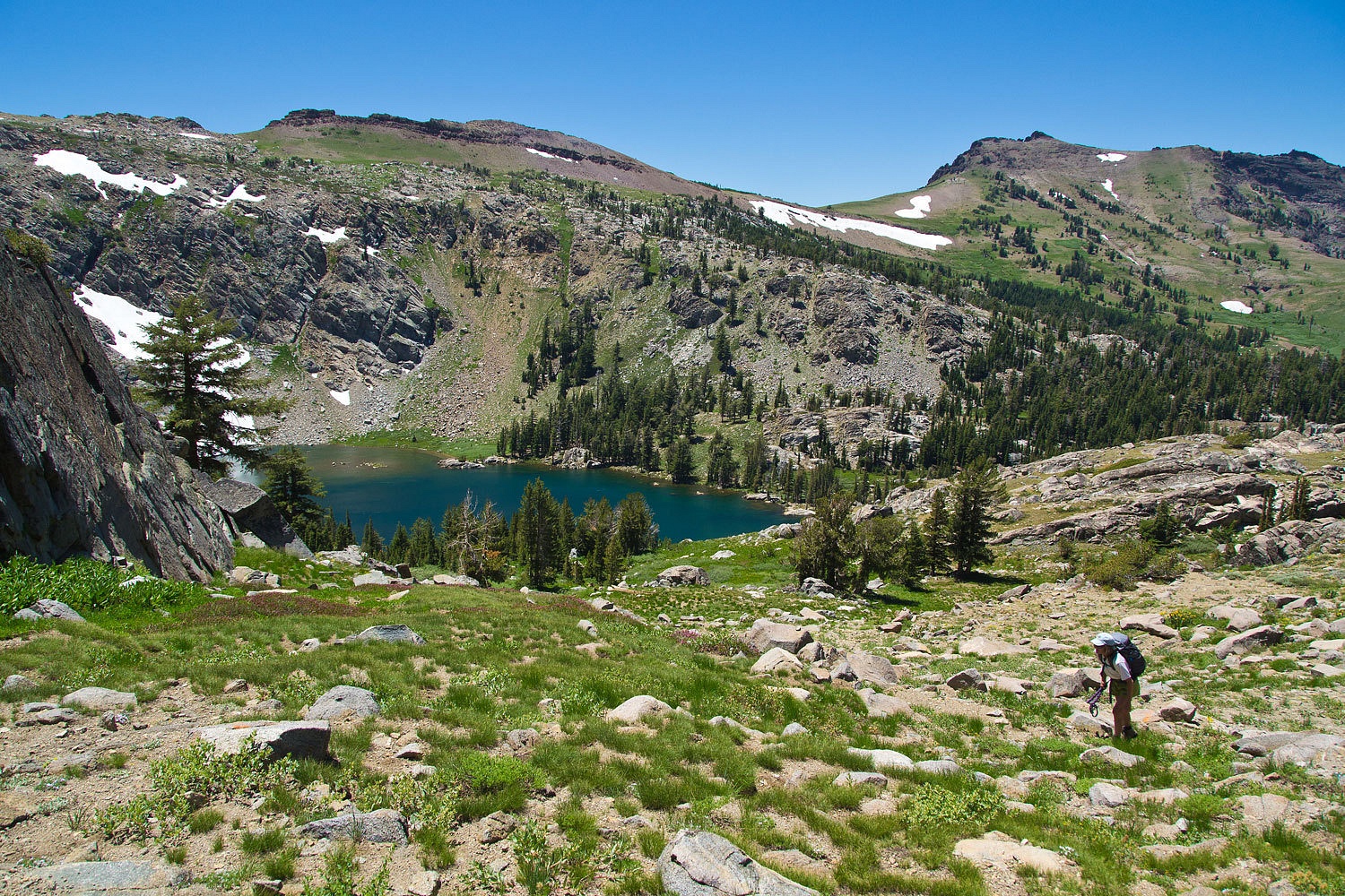
relaxing, snacking, and snoozing for a while, we decided to climb out of the
basin toward the east.
This is one
of our favorite slopes to ski in the winter when we ski from Carson Pass
to Emigrant Lake and then out along the west shore of Caples Reservoir.
We continued
cross country reaching the top of an intermediate granite ridge. The views are
expansive as you climb.
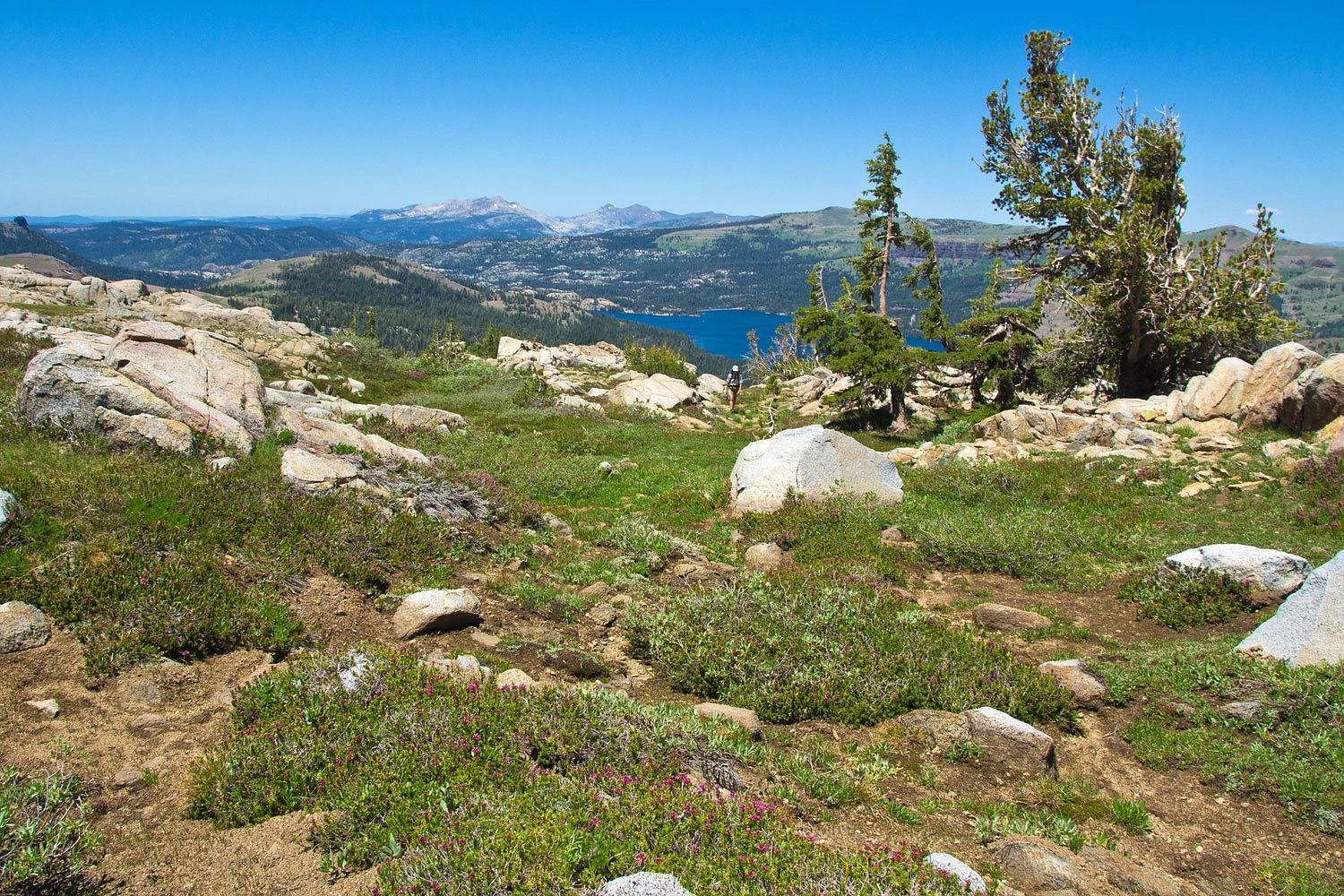
Caples Reservoir
was now far below.
We topped
out on the main ridge between the South Fork of the American River drainage and
the Mokelumne River. This view is to the southeast into Mokelumne Wilderness.
Round Top Peak is on the left.
We needed to
climb this rocky summit so we could make the turn to the west.
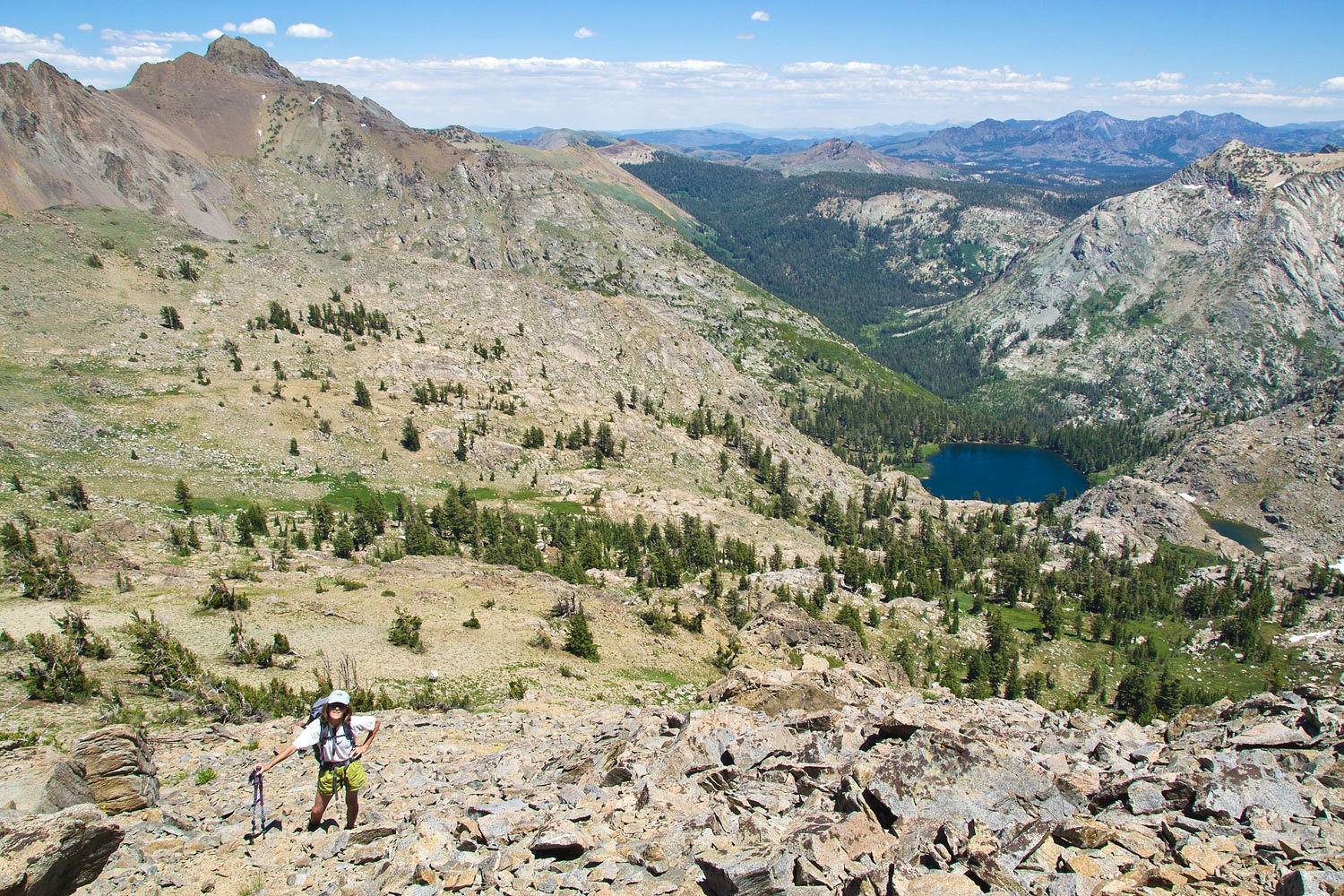
Fourth of
July Lake was below with Summit City Canyon beyond.
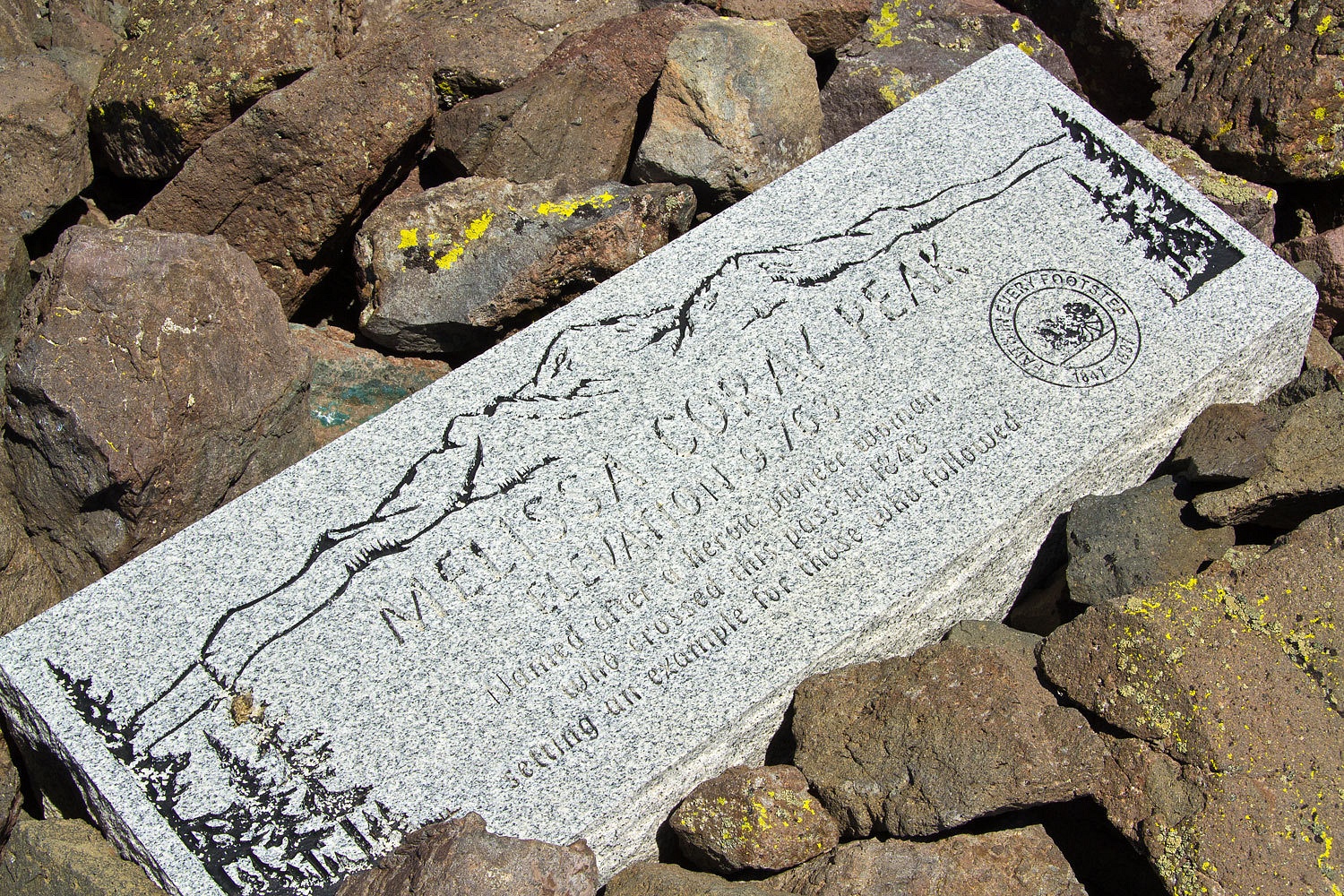
We traversed
to the west and hit the summit of Melissa Coray Peak.
West Pass
and the emigrant trail lay below, to the west, between Melissa Coray and
Covered Wagon Peak.
Here’s a
view to the north and east. The smoke column is from the Bison Fire in the Pine
Nut Mountains to the east of Gardnerville, Nevada.
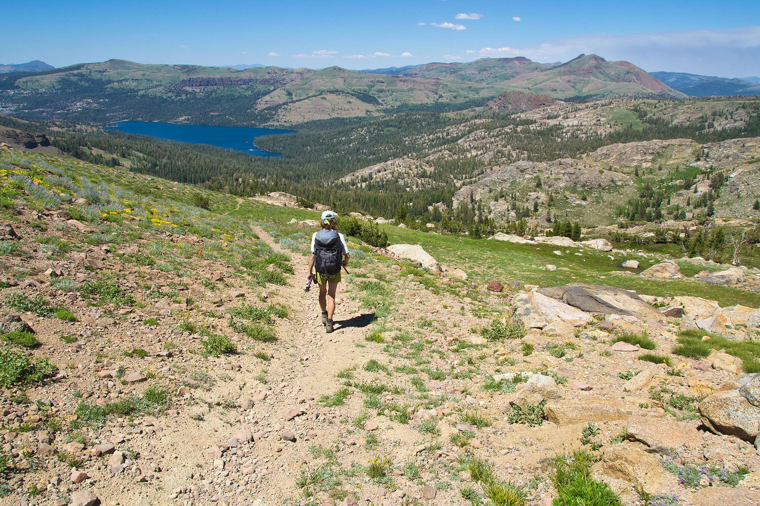
We headed
down the trail back toward the northeast and down into Emigrant Valley.
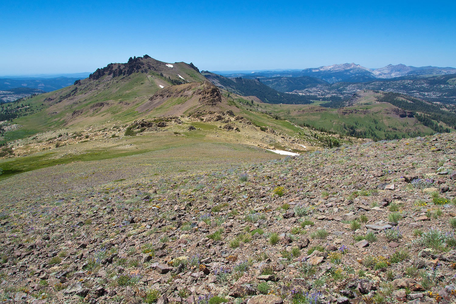
Here a panorama
shot to the east. We had climbed out of Emigrant Lake basin up the slope in the
far left bottom third and climbed the long granite ridge line. We then
traversed over to the top of Melissa Coray Peak (with the small weather
station, the aerometer keeps getting blown off in the winter).
It is steep
terrain down to Emigrant Valley.
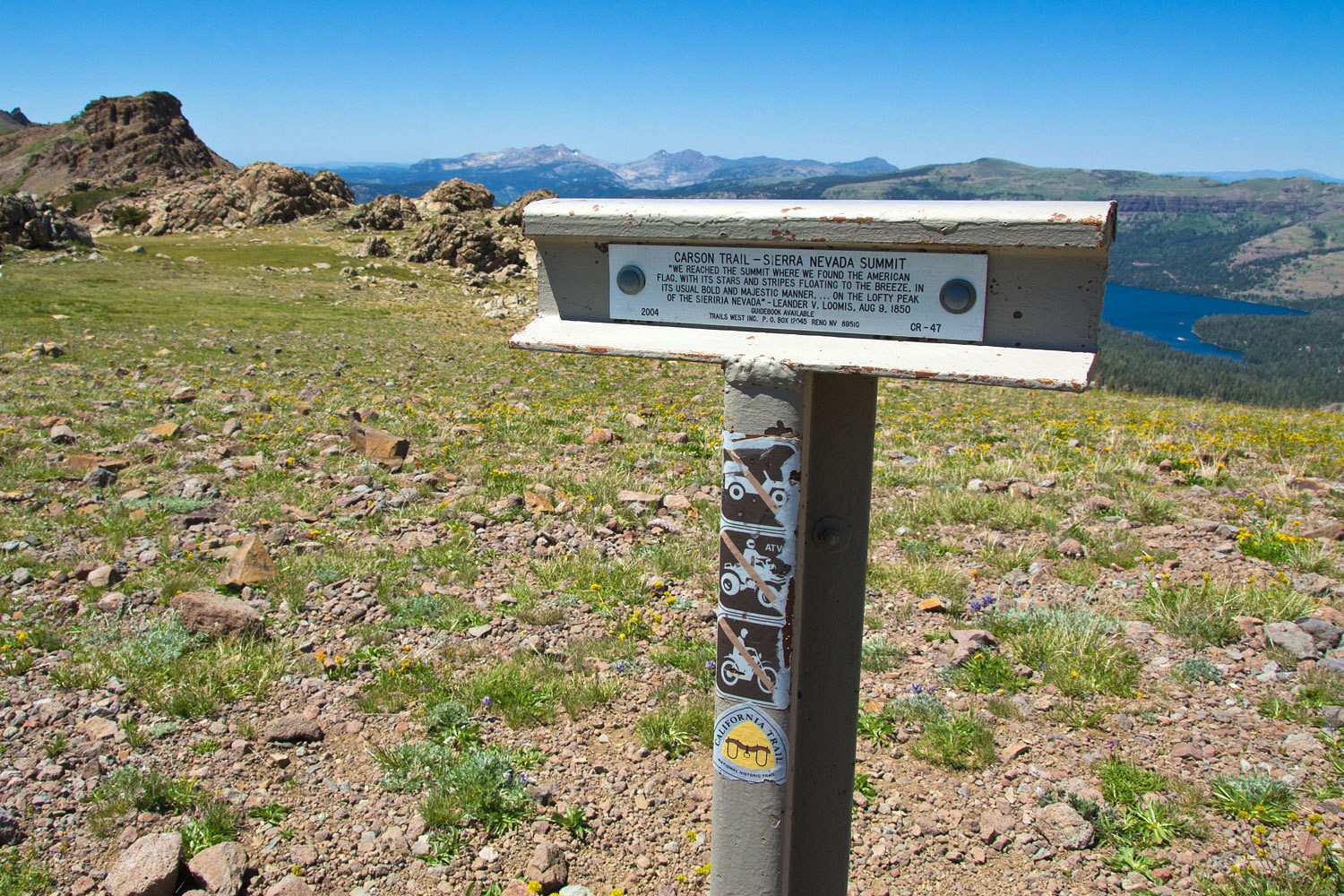
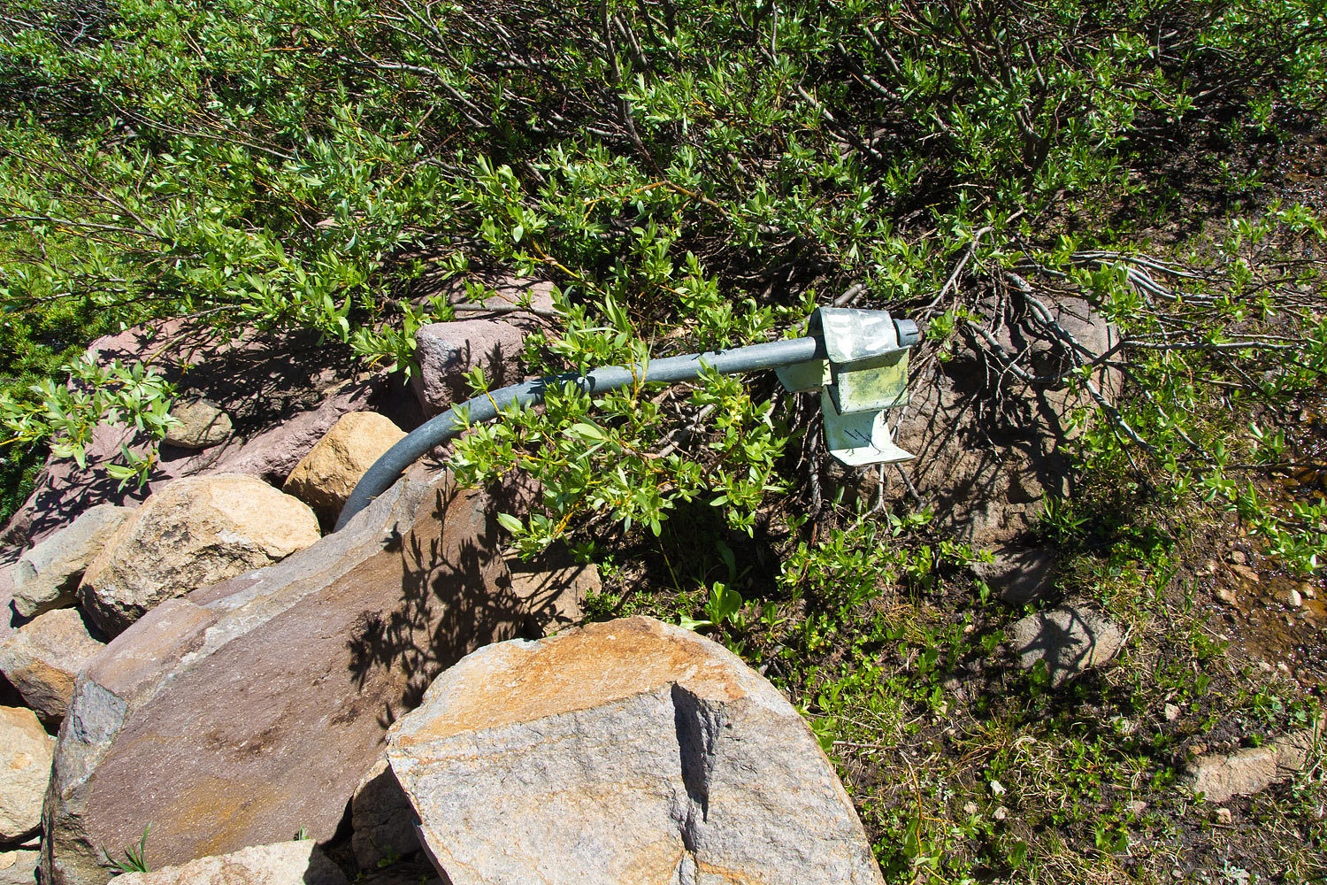
In the past,
the trail in this open area was marked with three sided signs on pipes. Most
have been crushed illustrating the power of the annual snow load.
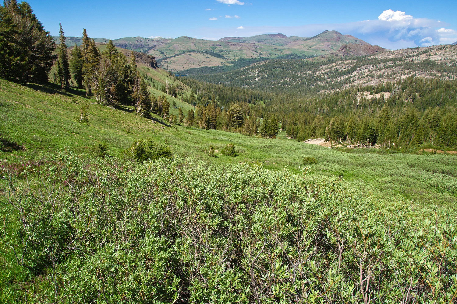
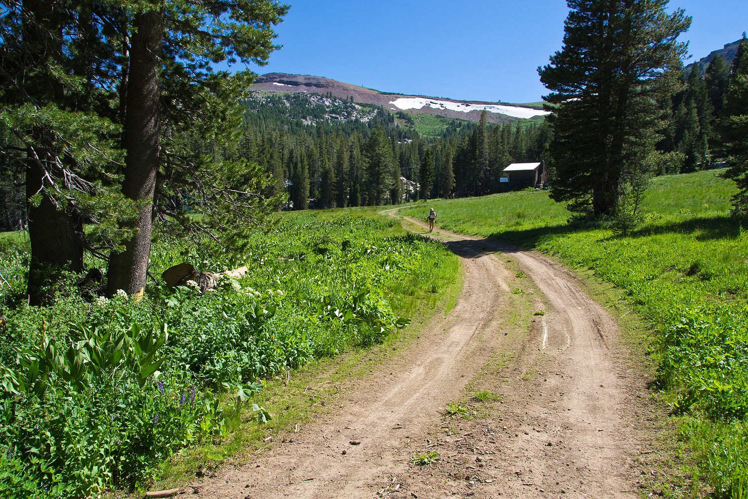
Emigrant
Valley is lush and green with snow melt. Chair 4 at the Kirkwood Ski Resort is
in this valley, a busy and noisy place in the winter.
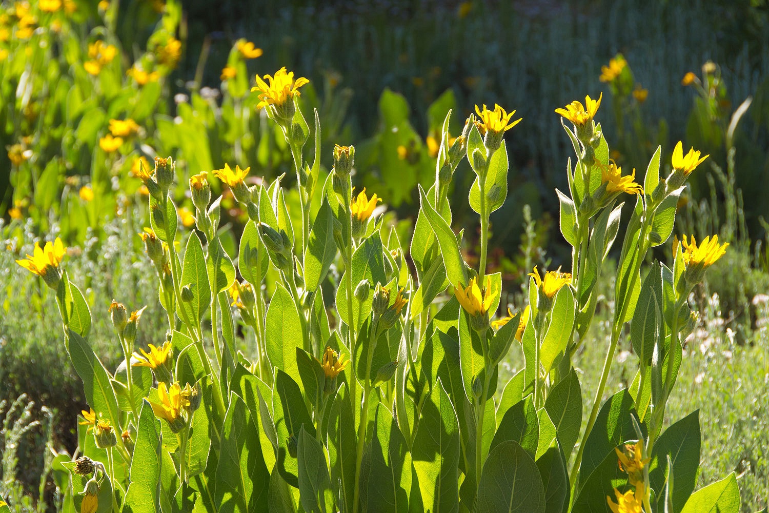
This trail
is not used much and is easy to lose through this area. In places the vegetation
is waist deep. The wildflowers were nice including the Arrow-leafed
Balsam-root.
After
leaving the valley at the bottom of chair 4………………………………………………
………………………………………….we
dropped cross country down to the Emigrant Lake trail and intersected our route
back along Caples Reservoir. This view is to the east and Carson Pass. This is where
the emigrant trail ran between the two Twin Lakes.
We returned
to our vehicle late in the afternoon. The holiday road traffic had thinned
considerably making for an easy and quick return home. We do like our backyard.









Interesting post. Gorgeous country.
ReplyDelete