
please remember you can click on a photo to see a larger version
It was late Friday night, well late for us at least. We were in bed. It was warm, all the windows were open. “Want to go somewhere this weekend?” the Lady asked. “We can’t go away next weekend. You are cooking a big dinner for Mom for Mother’s Day.”
“Is that the
way to think about Mother’s Day, it gets in the way of camping?” I smiled but I
got the look nevertheless.
“You know
what I mean,” she went on. “Where can we go? I love just spending the night
away in the camper.”
“Ebbetts
Pass is open. It’s been years since we’ve been up there. There are a couple of
things I want to check out for fly fishing and exploration and there was build
over the Sierra Crest to the south of us today. We could catch a thunderstorm.
Don’t know much about dispersed camping or if any of the side roads up high are
open. They may be snow covered.”
“We’ll find
out!” the Lady said. “Let’s just pack the truck after breakfast in the morning
and go!”
That was
settled.
Up at the
Lady’s usual wakeup time, coffee, breakfast, check the packs, add a little food
to the camper – the water tank was already full – and we were on our way a
little after six. The early morning was clear and beautiful. We topped off the
gas tank in Markleeville, just to be on the safe side, and headed up the East Fork
of the Carson River. The river was higher than last weekend and the usual
spring rafting trips from Hangman’s Bridge down to 395 are on. It was hard not
to turn left for Monitor Pass – habit – as we headed up Highway 4.
The Flintstone
Cabin near the top was quiet, our friends were not home. Kinney Reservoir was
still snow covered as was the Pacific Crest Trailhead parking area. At Ebbetts
Pass we were greeted with the familiar view of Folger Peak to the southwest.
Snow cover was much more spotty on the sunny, windward west side of the pass.
Just down
from the pass is the turn off for Highland Lakes. We headed in and were soon
stopped by a deep snow bank. It had been plowed through once by a large truck.
The sun exposed sections were clear, the road dropped in elevation, but the shaded
areas in timber needed to be checked out. Although paved, the road is narrow
and turning around with the truck could be difficult and involve a lot of
backing up. We parked the truck and walked. There were a few more snow banks
that looked passable and we were evaluating based on if we could get back up
the road. We were surprised we could make it to the bottom at the North Fork of
the Mokelumne River. The Lady continued walking and I went back and got the
truck.
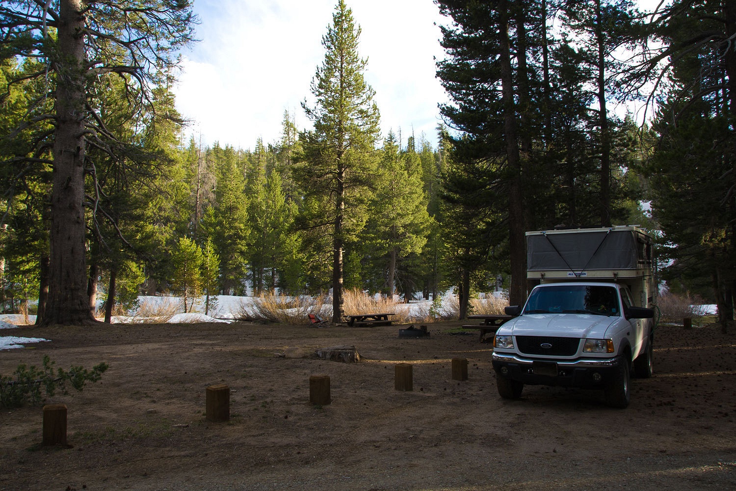
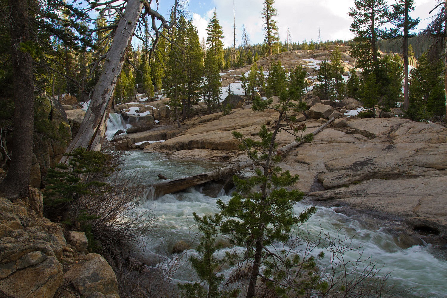
The small Bloomfield
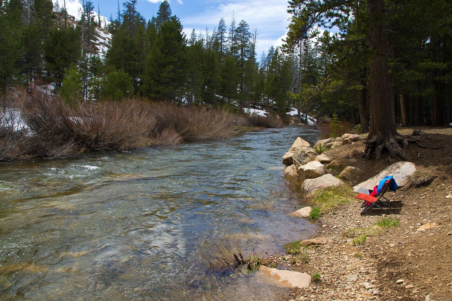
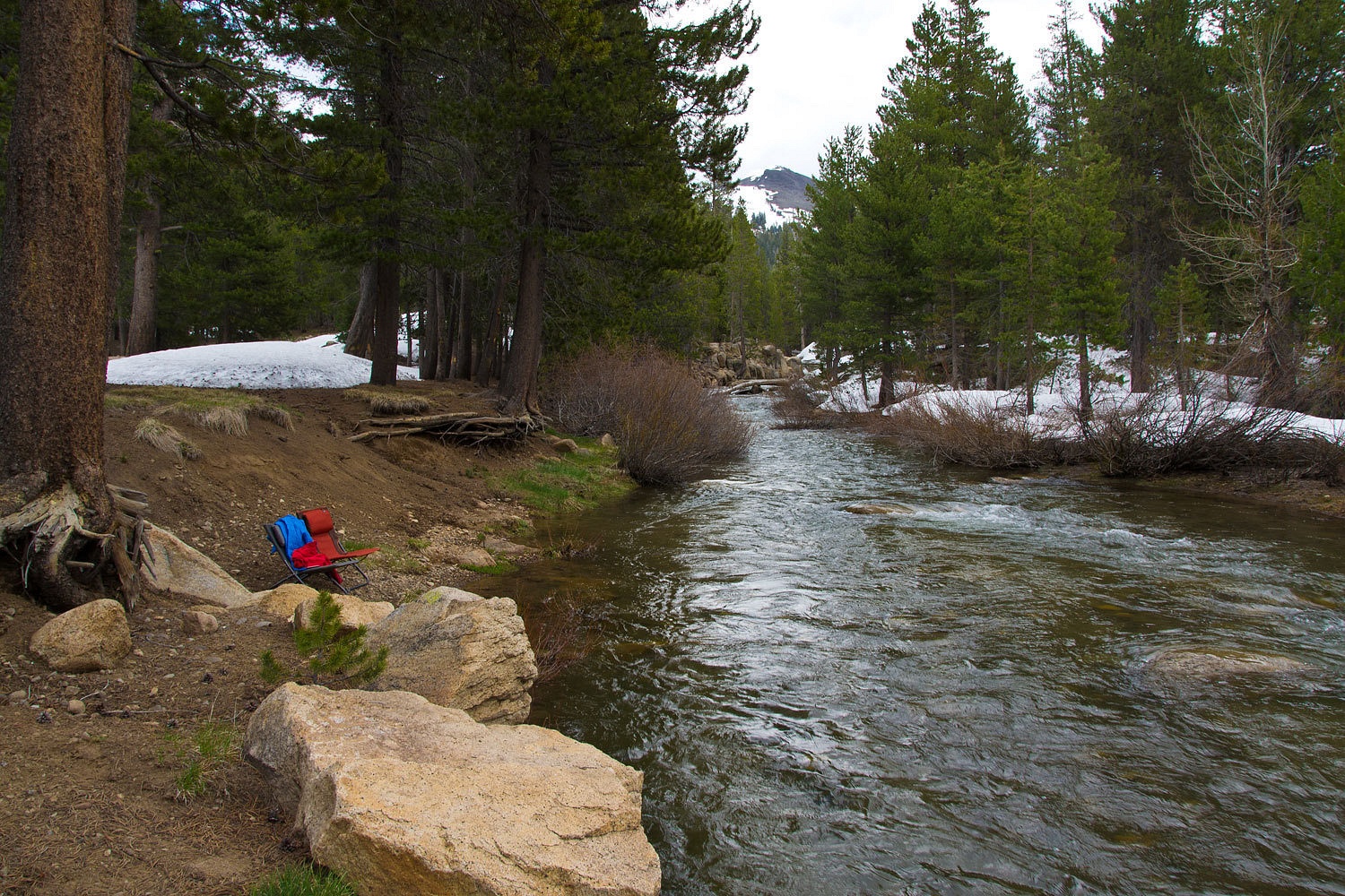
Campground sits on the edge of the Mokelumne. It was mostly covered with snow
but two sites looked usable. We kept this in mind as a possible spot for the
night. Highlands Lake Road was now completely snow covered and impassable.
We walked up
and explored along the Mokelumne River. Just above is Bloomfield Meadow. This
area of the North Fork of the Mokelumne River is mentioned in Bill Sunderland’s
Fly Fishing the Sierra Nevada and was one of my objectives for this
recon trip.
It was
around midmorning. We explored the area hiking and then headed further west on Highway
4. We returned around mid afternoon.
The North
Fork and area was very nice and we were alone.
Bloomfield looks
to an upcountry campground where the water system is turned off for the winter.
The campground is not locked up and a fee is not charged in the off season. You are required to
pack out trash year round.
Although we usually
prefer dispersed spots, this was the only open area. It would do nicely and we
figured we’d have no company. We were right.
The clouds
built in the sky but there were no indications it would turn into an afternoon
thunderstorm. As we explored Bloomfield Meadow, shafts of sunlight would break
through the clouds.
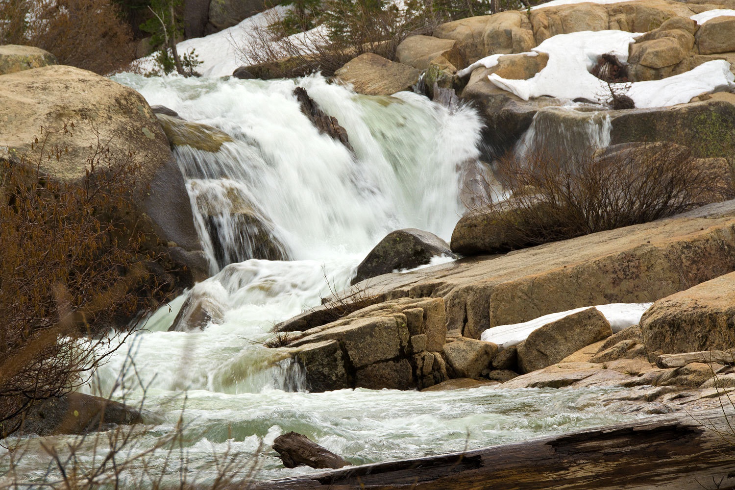
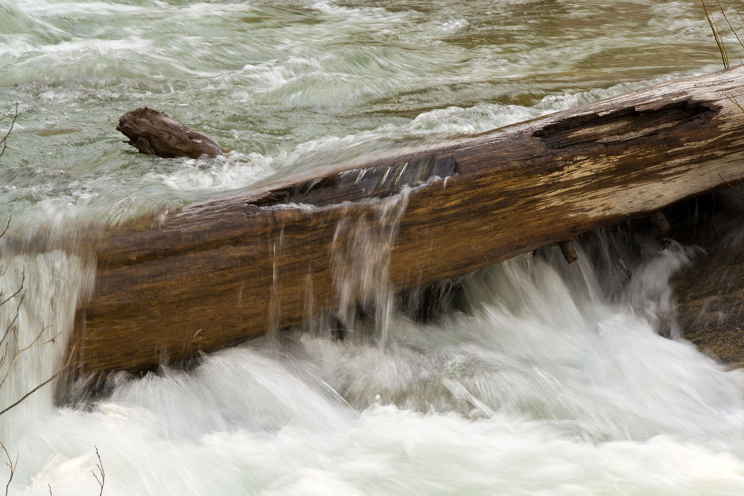
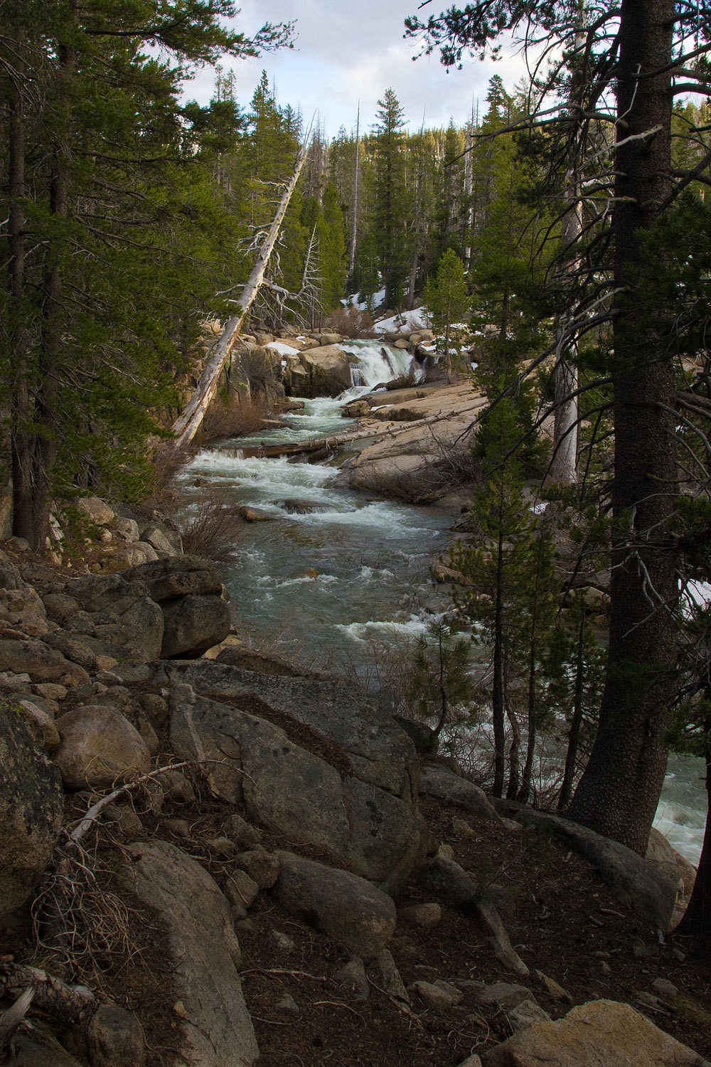
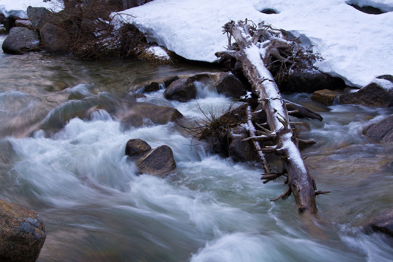
After dinner
we found an unmarked use trail that took us down into the gorge below camp. We found
wonderful cascades.
The
afternoon thunderstorm never materialized. We turned in after dark, the sound
of the river lulling us into deep sleep………………………..until 2 am. The blinding
flash woke both of us. The clash of thunder rocked the truck and echoed down
the canyon before we even had a chance to think to count the seconds between
lightning and thunder. The storm we had hoped for was right on top of us. All
strikes were within a mile. After an initial burst of rain pounded the
roof and then a lull in the electrical display, we made a quick trip outside while
we could. A dusting of snow had fallen. Back safely in our new fleece sheets,
the storm wound up again and unleashed its fury. The night was black with the
thick cloud cover. The flashes of lightning were blinding and the thunder
deafening as it rolled across the Sierra Crest. It was marvelous. We did not
sleep.
The storm
must have abated just before dawn and we drifted into a deep sleep. We were
surprised by the morning light outside our windows, a bit later than our usual
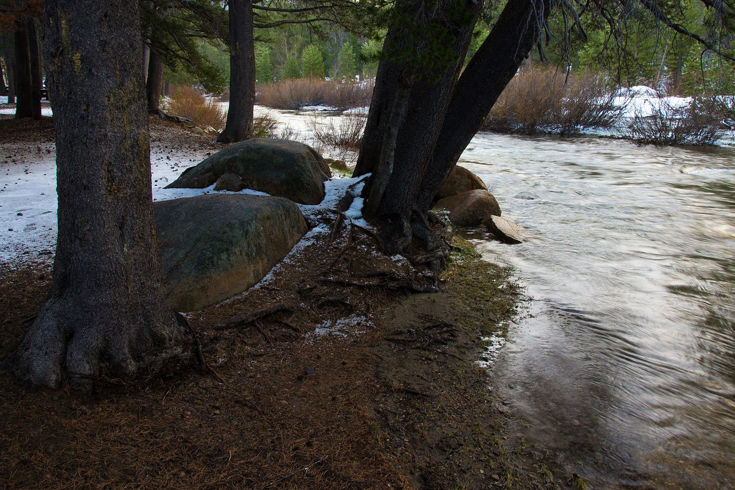
wake up. The trees were dripping. There was an inch of large hail on the
ground. Clouds still filled the sky. It was cold (33°) and wet.
This was a
morning for buckwheat pancakes with fresh strawberries. Our chairs were along
the river, low clouds, an occasional snow flake, olive-sided flycatchers and
mountain chickadees, were our companions.
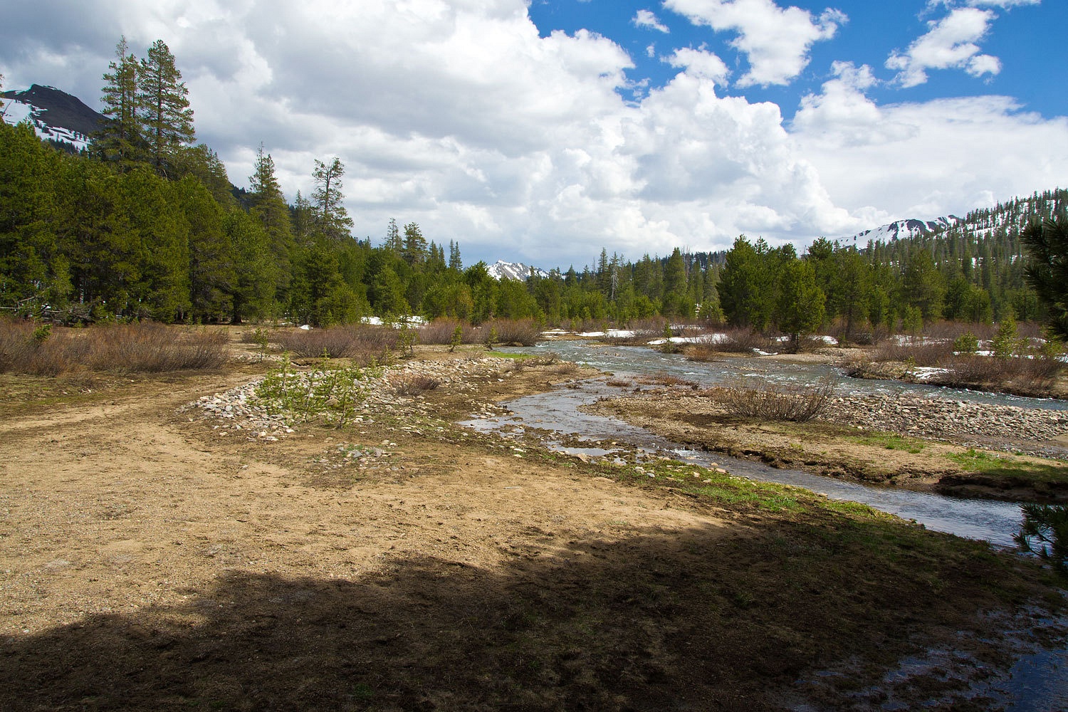
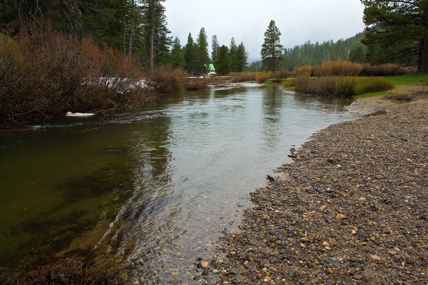
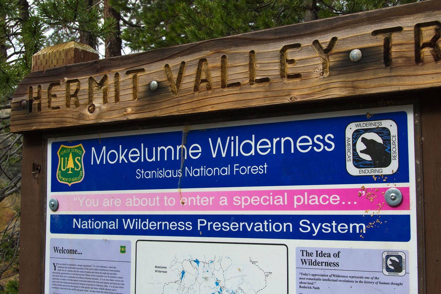
We broke
camp and drove down highway 4 a short distance to Hermit Valley.

During gold
rush times Calaveras County tried to entice emigrants off of the Carson Route of
the California Trail at Hope Valley to head south on this new route and come directly
to their Mother Lode towns. The route did have historic significance as the
probable route taken by Jedediah Smith in 1827 in crossing the Sierra Nevada
west to east. An excellent (albeit scholarly) book on early transportation
across the Sierra Nevada is the University of California Press’ Sierra Crossing: First Roads to California.
This morning
the clouds hung low over Hermit Valley and the North Fork of the Mokelumne
River.
Our
objective was the trailhead into the Mokelumne Wilderness.
A short way
down the trail is an older sign.
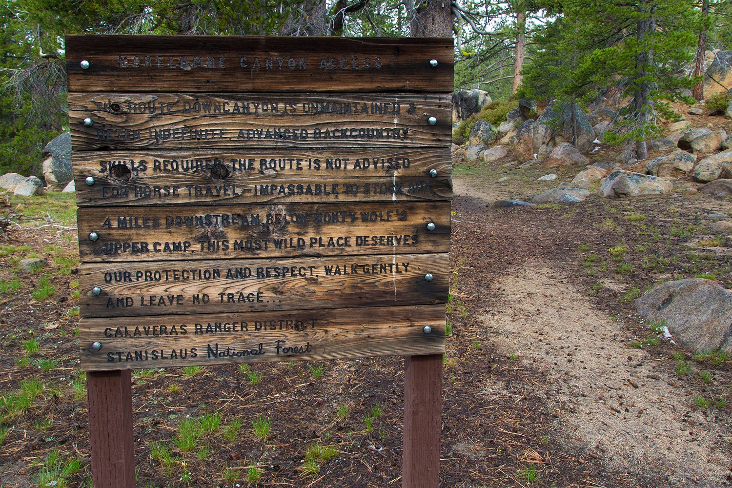
With the
recent (and continuing) storm, all was wet and clean.
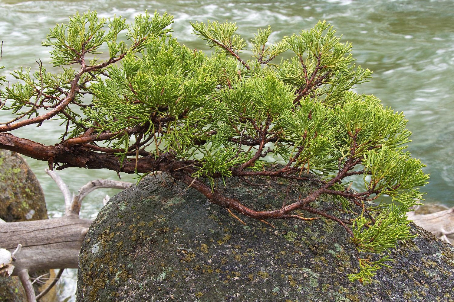
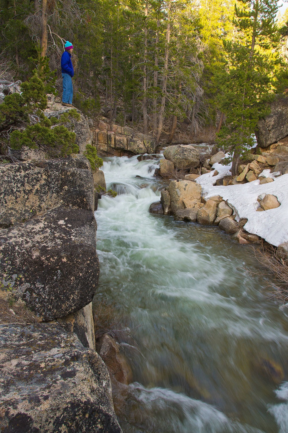
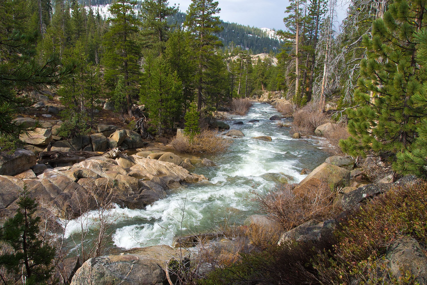
The trail travels
along the river as it flows into its deepening canyon. We hiked and watched the
sun break through the clouds.
We had made a quick trip with the camper. We had a wonderful night of solitude. We had
experienced another mountain storm. We had reacquainted ourselves with close by
treasures. And, even with a return to cold spring weather in the mountains,
aquatic insects were stirring. A few small stone flies took wing along with a
tiny mayfly. This is an area we could disappear into.
Wow,Ski& Lady.That is some of our favorite area,since our cabin is west at Dorrington we spend a lot of time all along this pass.It never gets old.Haven't gone back to Highlands lakes for a couple years.
ReplyDeleteThere are Golden trout in the first lake,very hard to catch though.
Enjoyed your pictures.We were just up at Hermits Meadow week end before last.The water is not very high seems like about the same level as last October when I fished it.
Thanks for the pictures.
Frank
Sounds like a wonderful sierra get-away. Love those granite lined streams. Looking forward to getting back up into the mountains... soon. Envious of your mid night storm, or maybe not ;-) Exciting and a bit scary?
ReplyDelete