
please remember you can click on a photo to see a larger version
“Look out your windshield, straight ahead of you,” I said to my buddy Barking Spider.
He had just
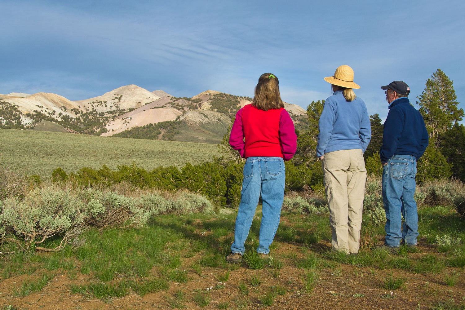
climbed in his truck after the four of us had enjoyed a walk along Heenan Reservoir
below Highway 89’s Monitor Pass. I was standing between our trucks and had just
closed our passenger door after opening it for the Lady to get in. That’s when I
saw it. I could see Barking was looking too far out, “No, right in
front of you, about 20 feet away.”
“Whoa!” he
exclaimed.
Barking and
the Mrs. wanted to do a weekend trip with us. We had bantered about a few possibilities
as to where to go and decided on continuing our exploration of the Sweetwater
Mountains north of Bridgeport. It was close by, the area receives comparatively
little visitor pressure, and the geology and landscape are interesting. We took
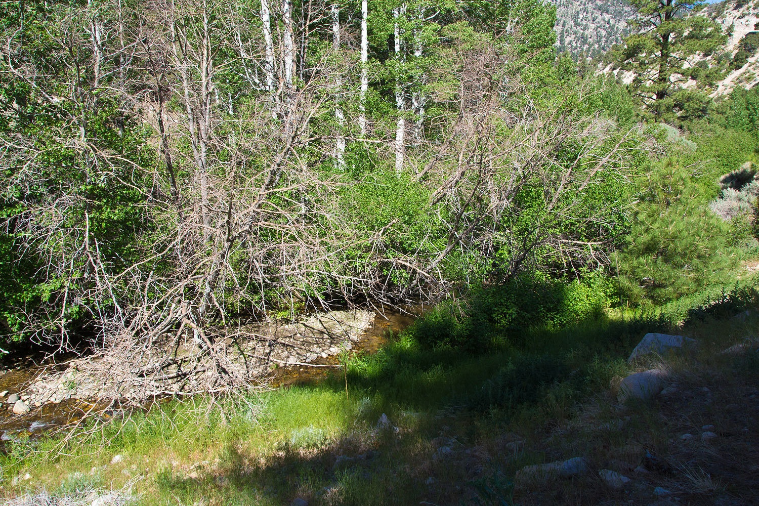
our time traveling and enjoyed checking places out along our route. This included
Heenan. We walked along the reservoir and spotted the bald eagle nest but saw
no activity. Near the end of our walk an adult bald appeared over the water and splashed
down twice but was unsuccessful in coming up with a trout.
We looked at
tracks, saw an abundance of western tent caterpillars nests, and enjoyed the
warm morning. I was hanging back and watching for cruising trout along the
shore. And there they were, coming at me. I called for the others to come back
and get a look at these Lahontan Cutthroats. They were surprised at the size of these
two trout, well in the neighborhood of 20 inches long.
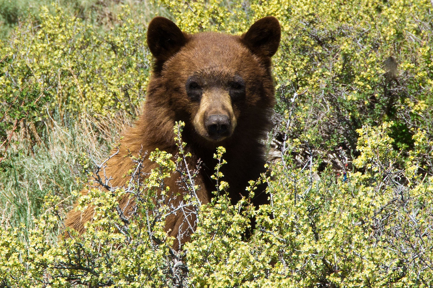
That brings us to the bear. It appeared to be
occupied with eating something off the brush. We assumed it was tent caterpillars.
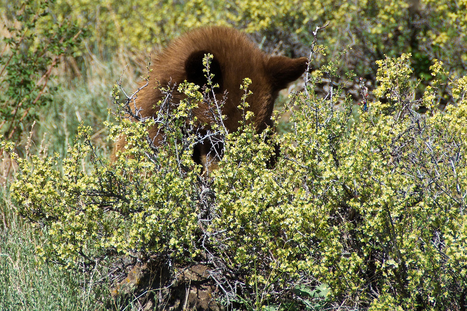
It was
unconcerned with our presence. Our voices and movements near our vehicles did
not provoke any noticeable aggressive or defensive responses. It would look up occasionally
and check on us.

All of us in
our group have experienced many encounters with bear. We took photos, enjoyed watching
it, and then hopped in our trucks, continued on our way, leaving our new friend
busy being a bear.
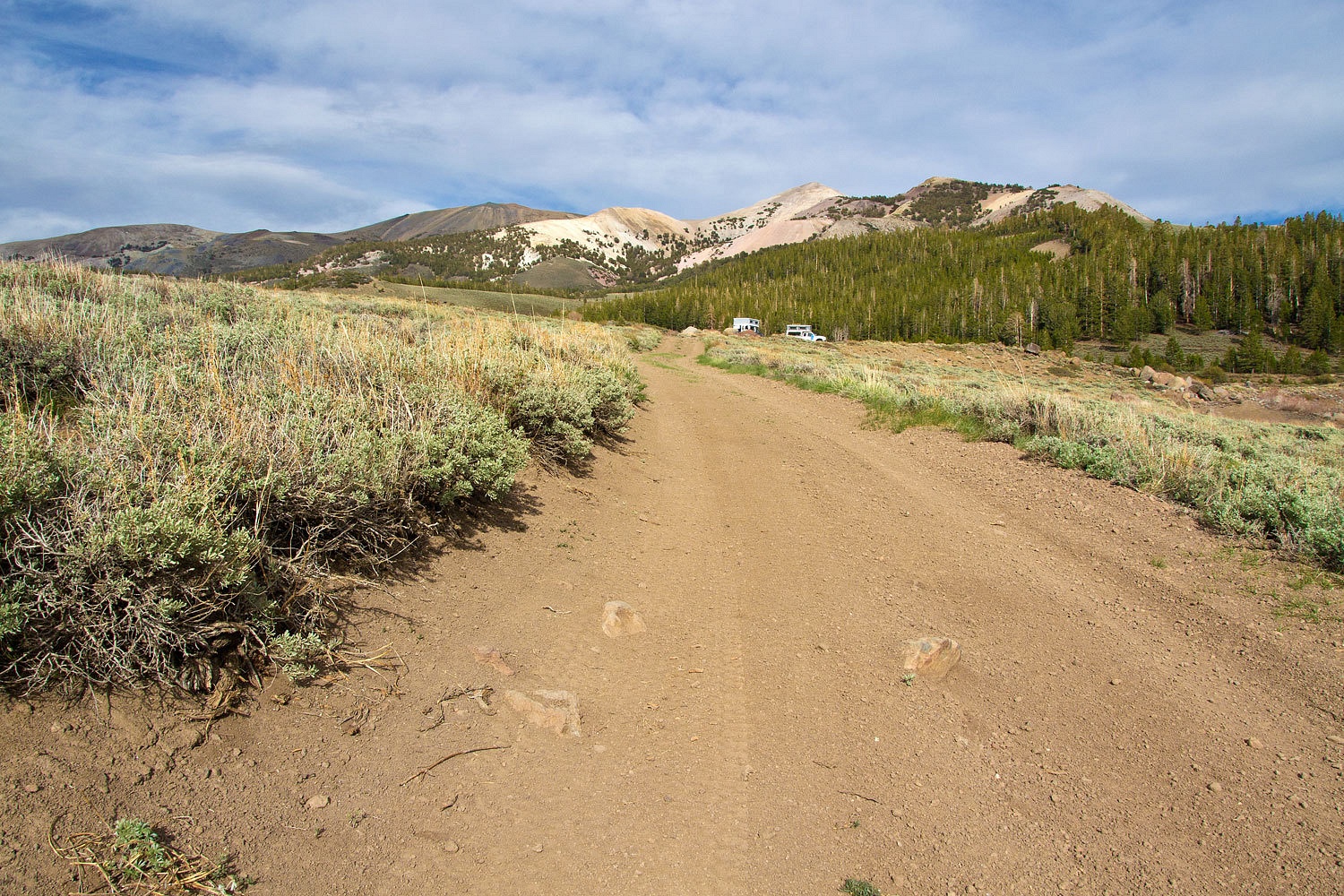
We headed
over Monitor Pass and then south on 395. Bircham Flat Road, then Lava Springs Road
found us up at 9200 feet in the Sweetwater Mountains and at Lobdell Reservoir. I’ll just be frank here,
please be tolerant. Lobdell Reservoir is an abomination, a sad remnant of past poor land use
practices. It once was a high mountain meadow that was excavated out with with bulldozers and the
dirt pushed out to form earthen dams around three quarters of the shore. There
is stark evidence that one dam has catastrophically failed in the past, digging
out a huge gully as the flow made its way into Deep Creek. To my unprofessional
eye it does not appear that any of this meets current dam safety
requirements and may not be allowed to fill. Both ditches that once diverted nearby creeks into the reservoir are
now abandoned. It appears that water is now only allowed to be held in the
excavated hole and no longer contained by the dams except at the outlet down
Desert Creek.
We set up
camp above the east side of the reservoir.
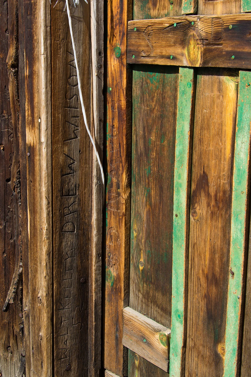
Before
dinner we walked over to an abandoned cabin back in the trees above one of the
ditches. The road in is clearly marked as closed to vehicles. We carefully
opened the door and saw this is one rat and mouse infested cabin and we quickly
dubbed it a “Hanta Hotel.” The last people to use the area left stacks of garbage
filled black trash bags in the adjoining shed for animals to rummage through.
The animals did, thoroughly. This is a very sad place. At least the doorway
showed some history.
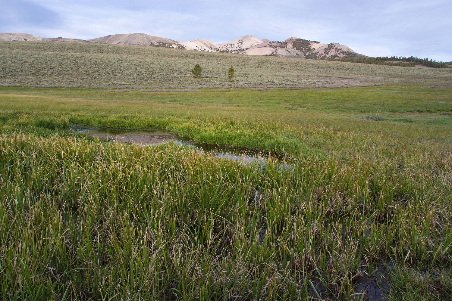
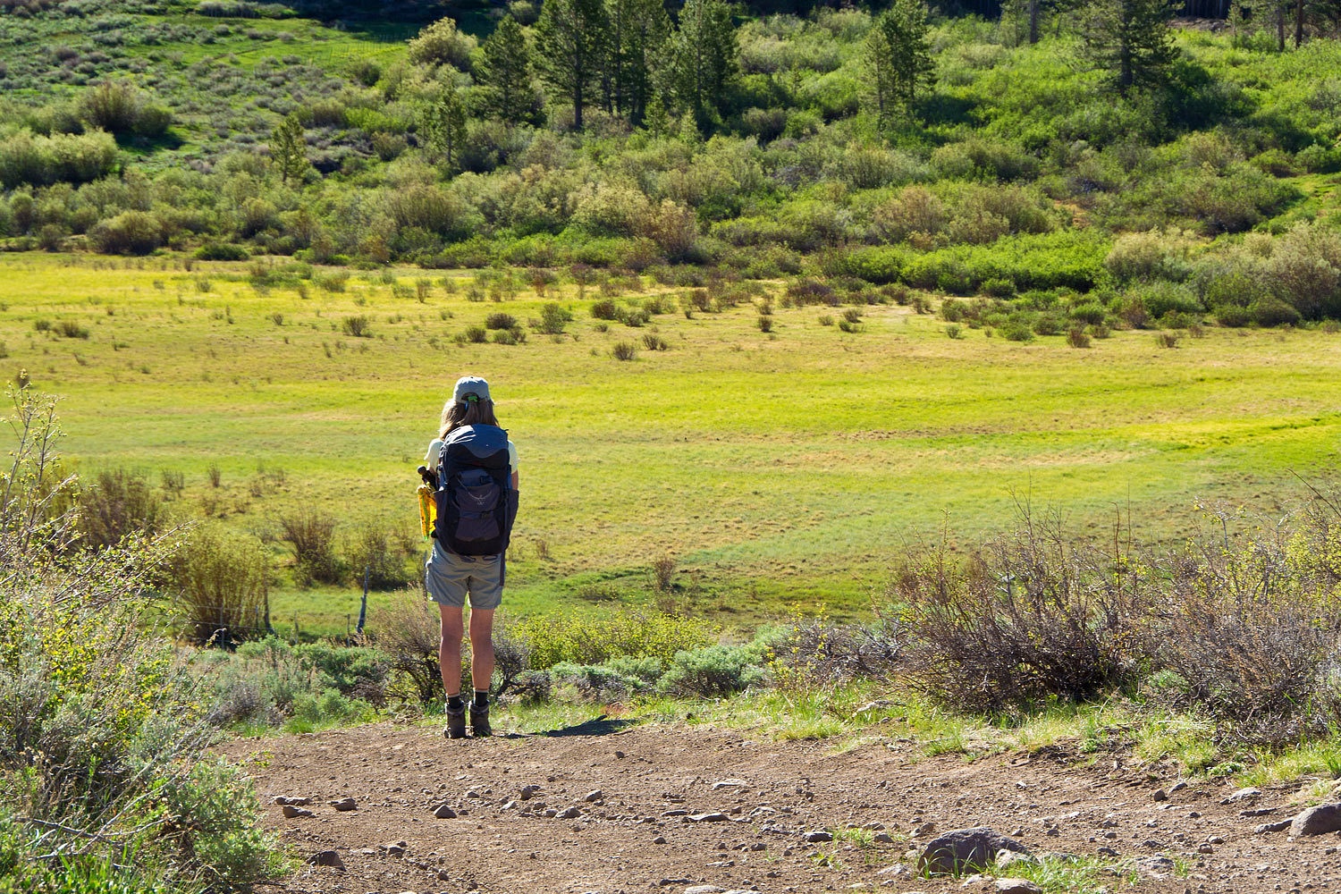
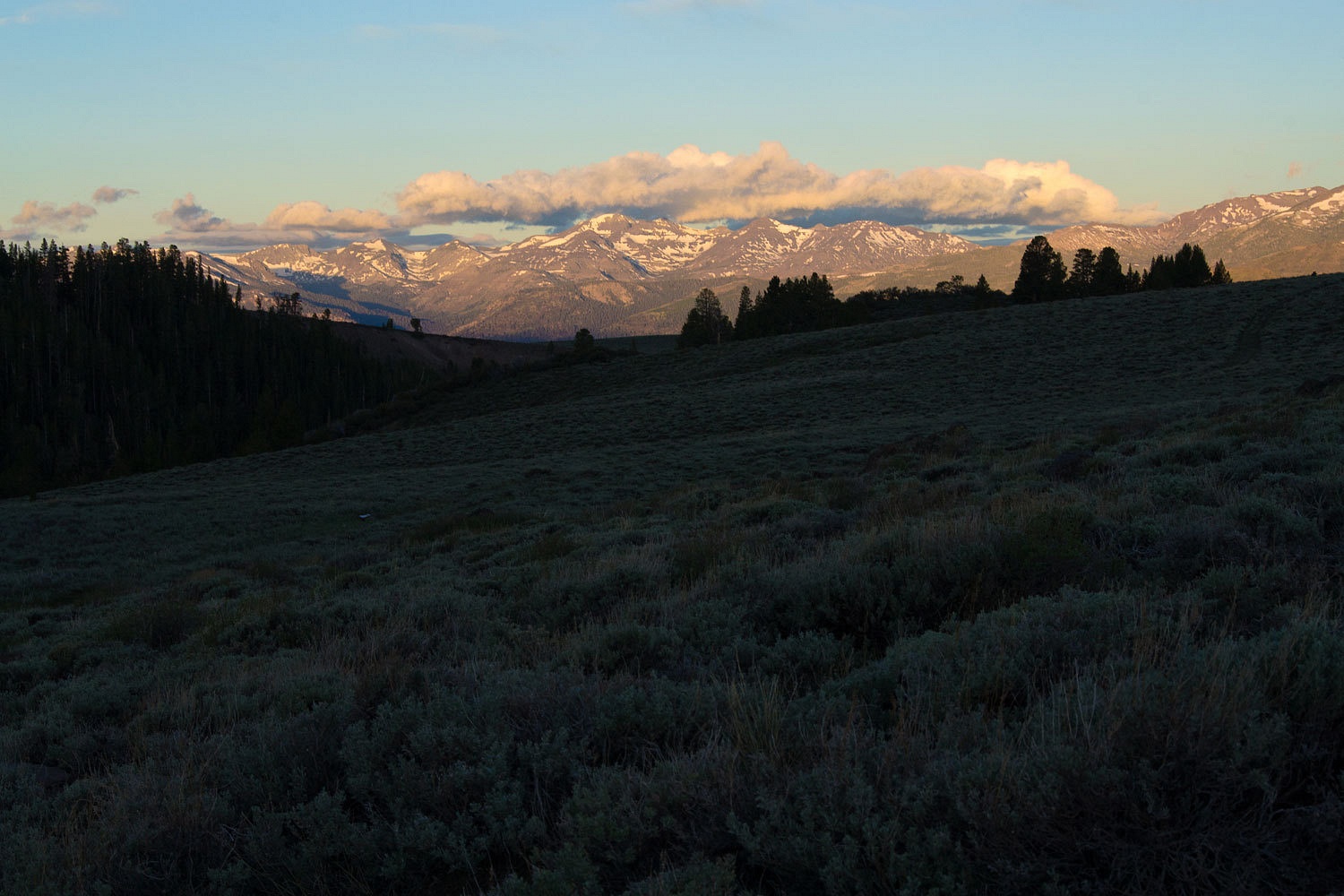
After dinner
we walked the extensive meadow system to the north.
A pronghorn high
tailed it out of here, leaving only a little dust and a blur along its exit. We
were excited about getting a fleeting glimpse. The meadows gave us clues what
the area now covered by Lobdell might have been like.
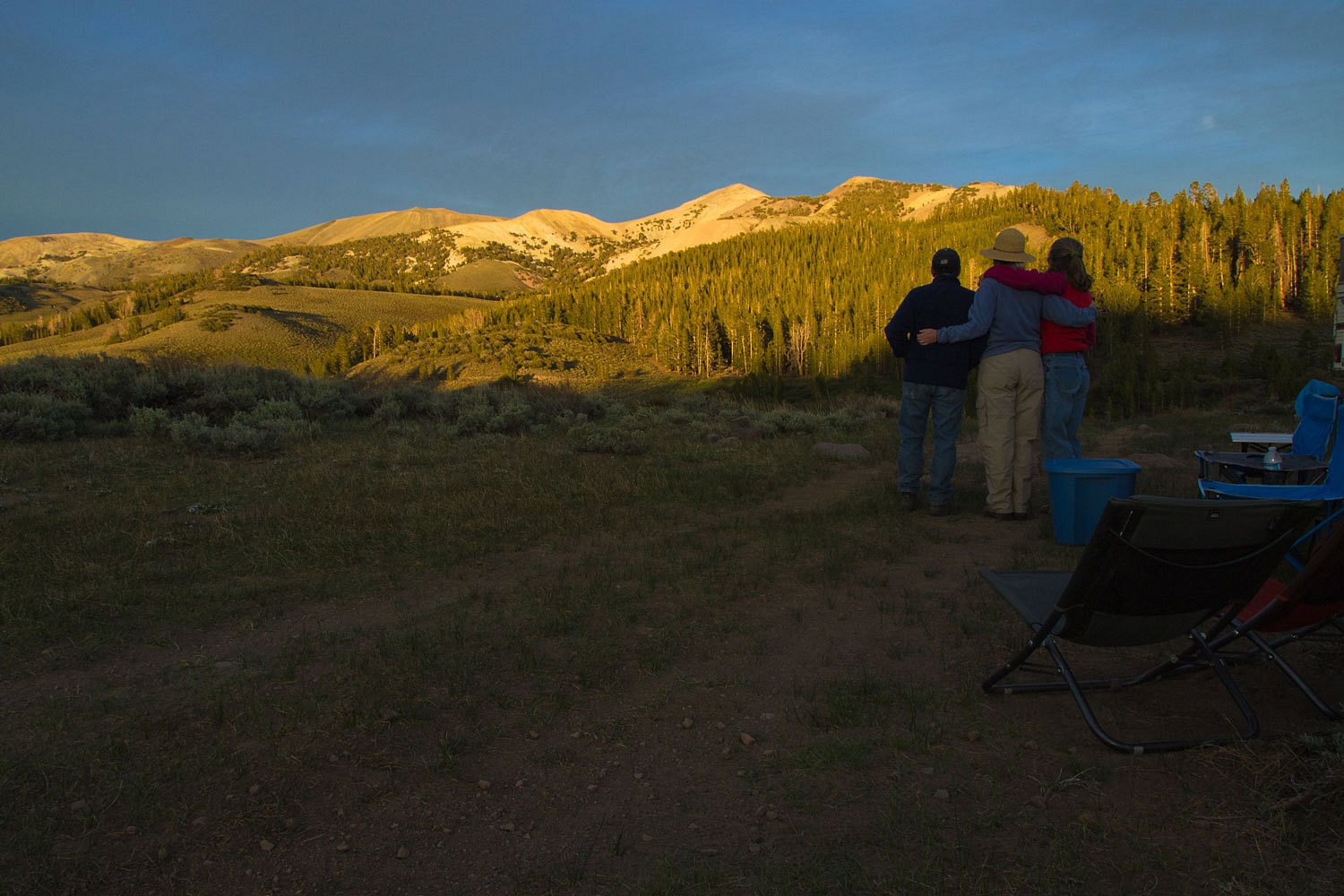
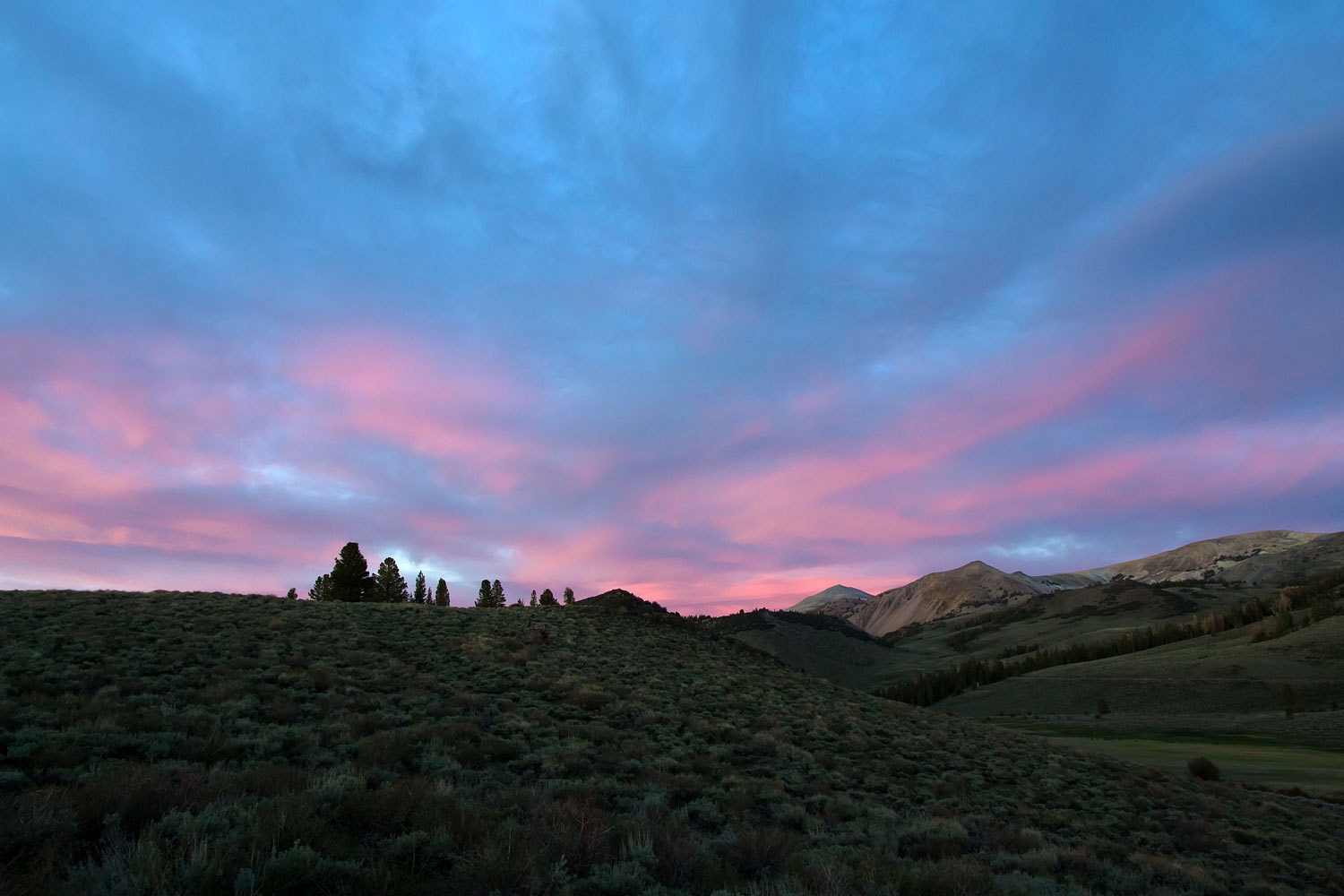
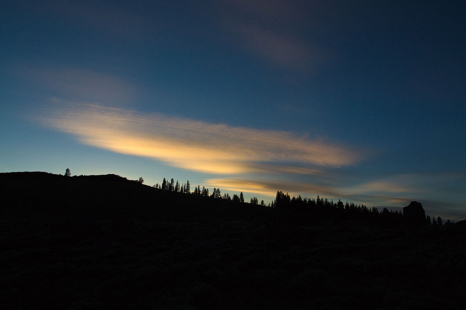
As the
sun set we headed back to our camp.

It was windy
and we noticed the effects of the waves coming off the mountains on the east
side.
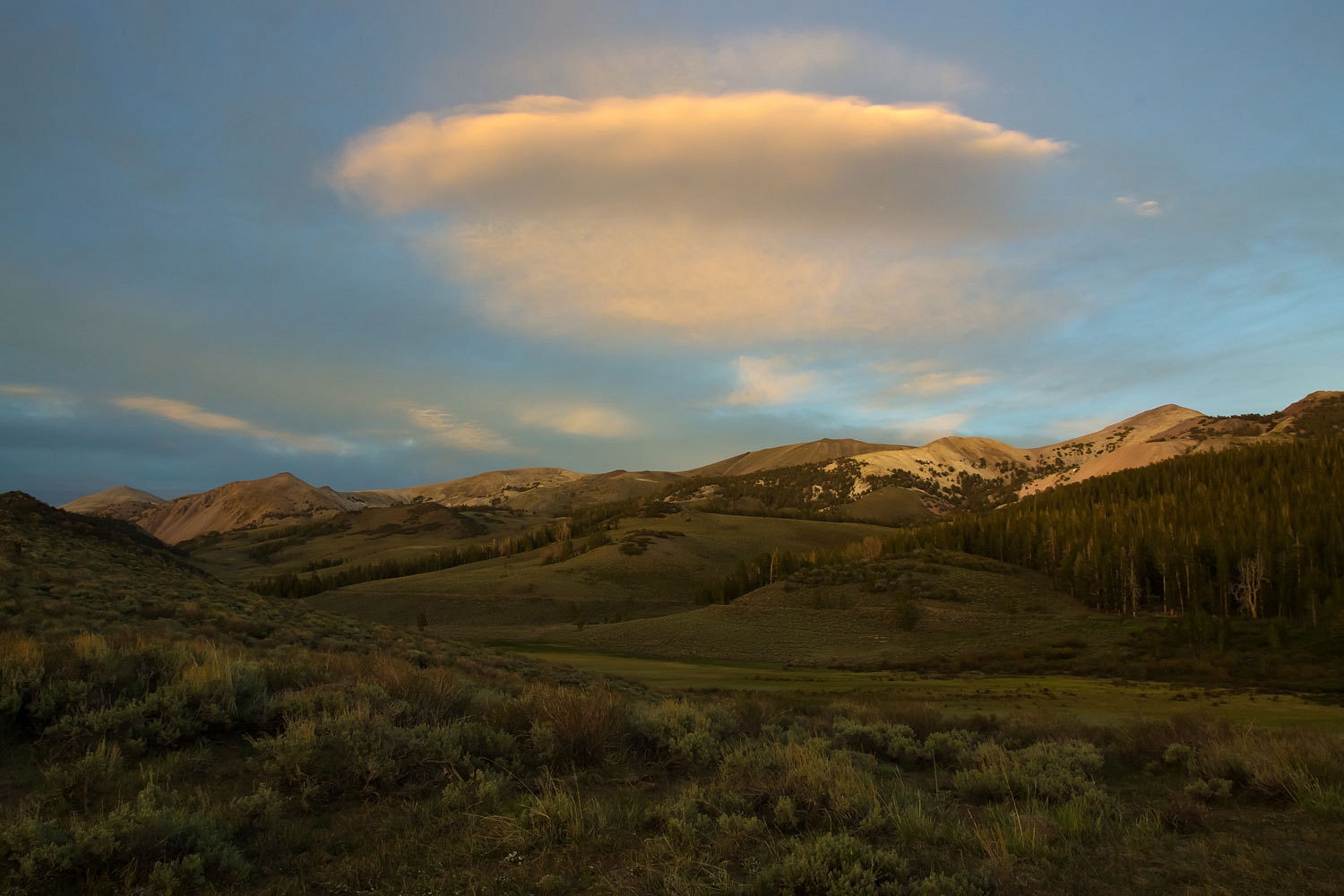
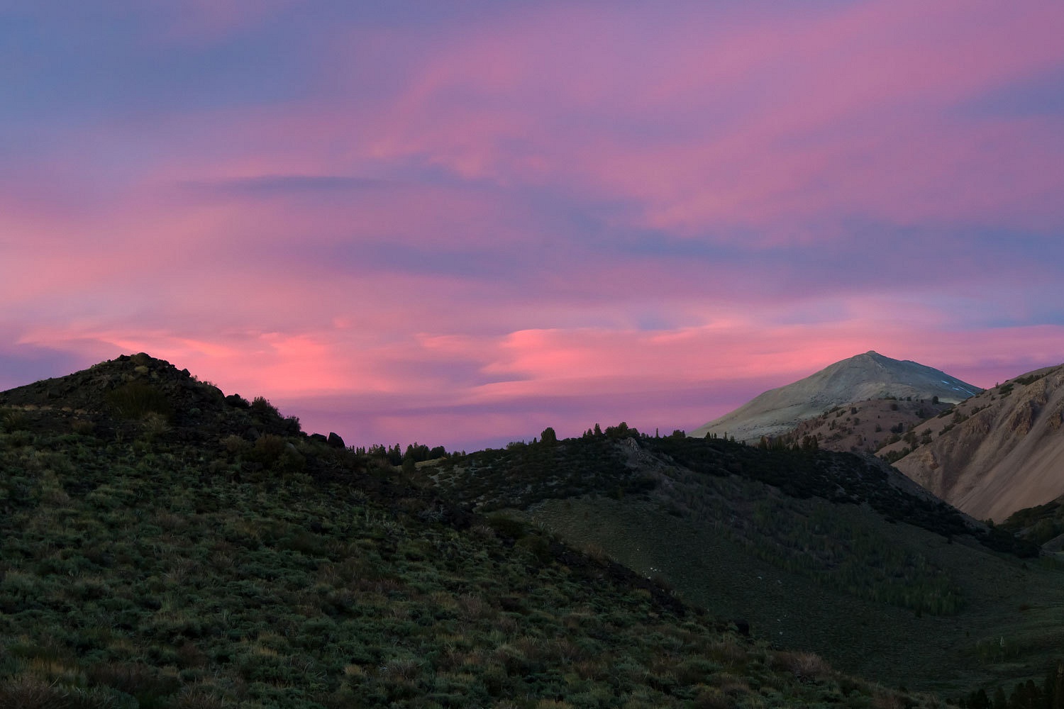
The evening
light was spectacular.
The moon
rose along the crest of the Sweetwaters and into the pink clouds.
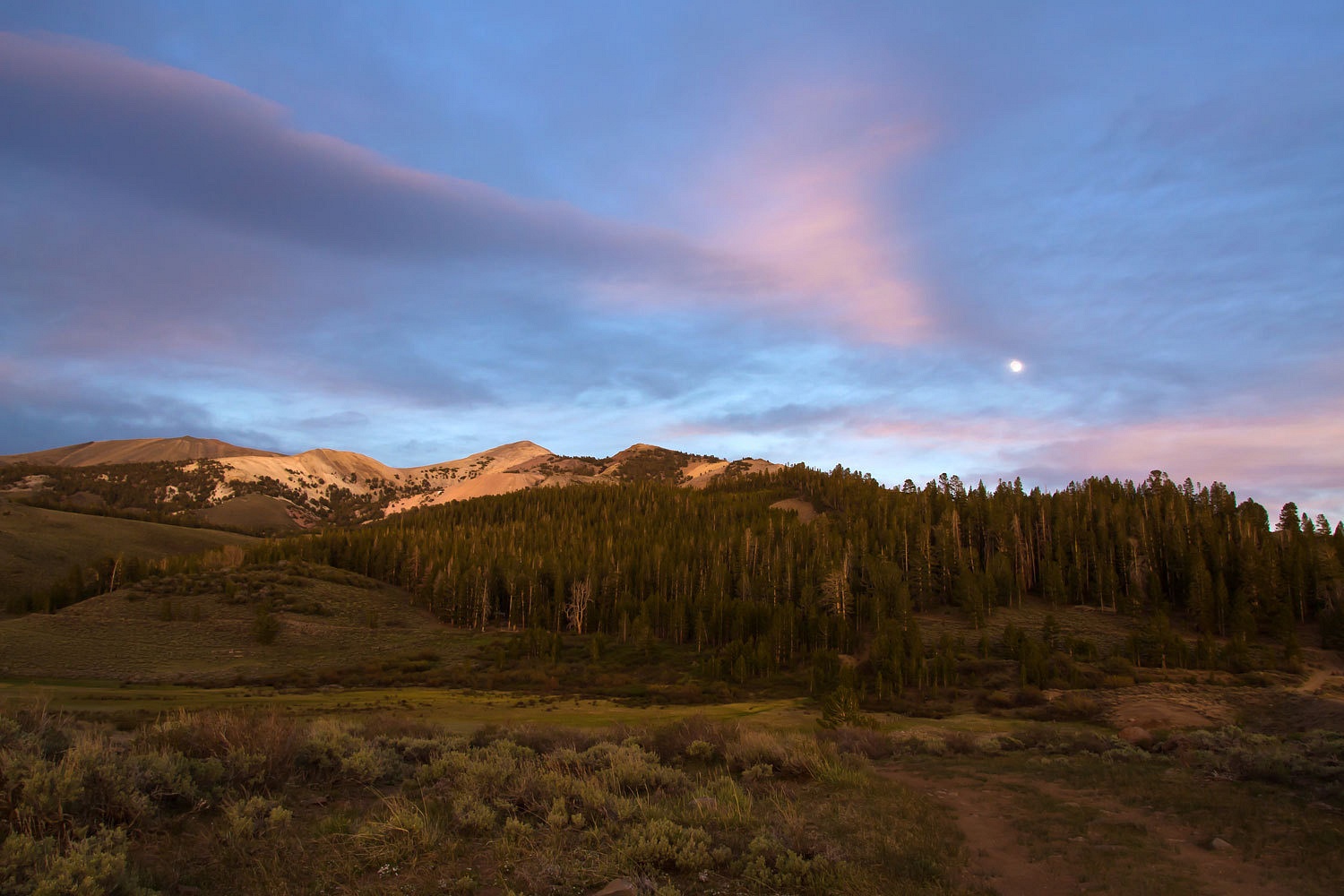
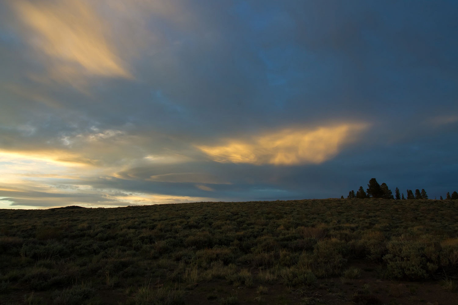
It just got
better.
And then it
was time to turn in for the night.

The next
morning we were ready to head to the top of the Sweetwater Mountains.
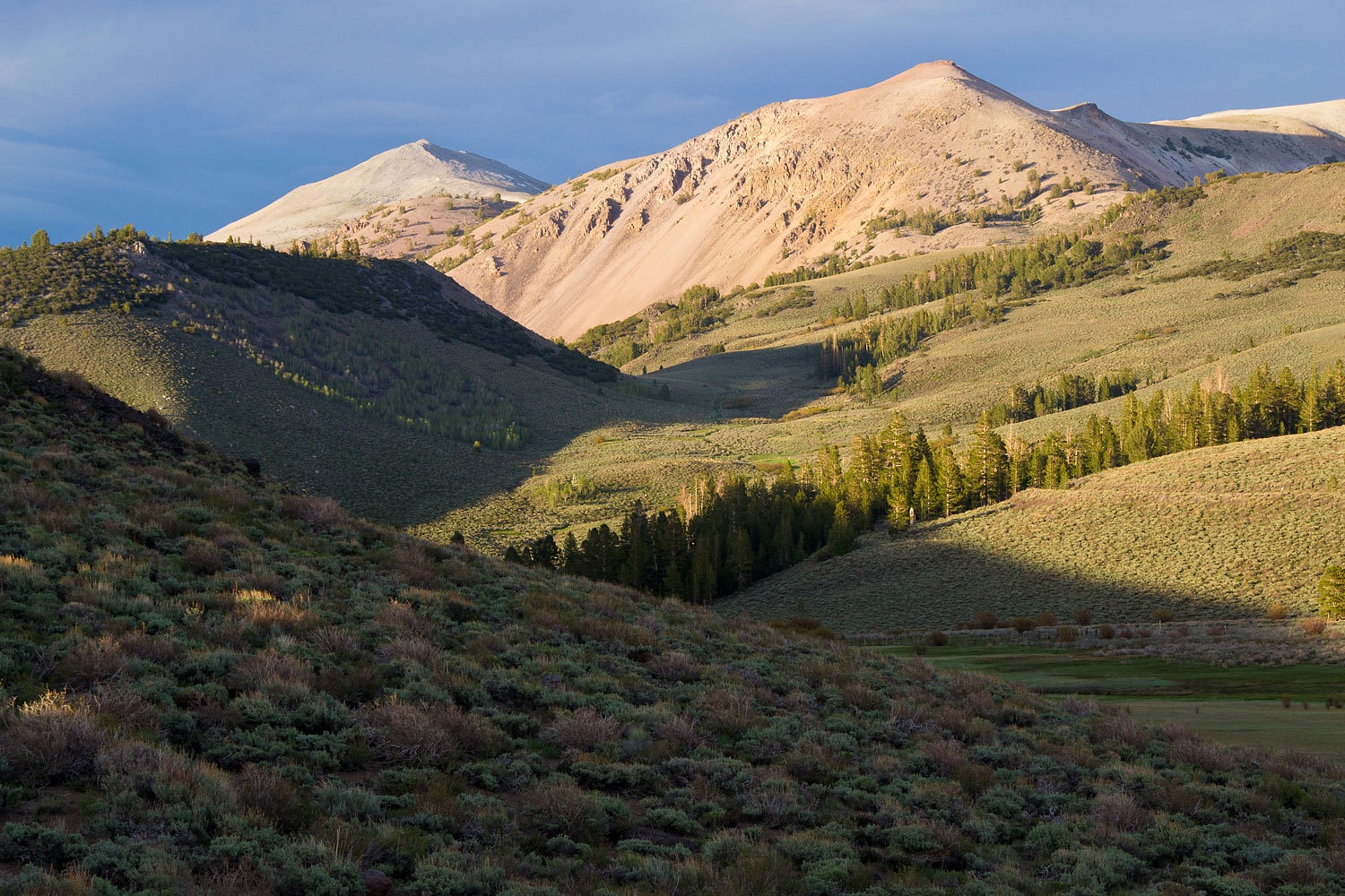
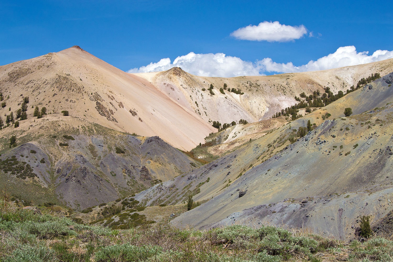
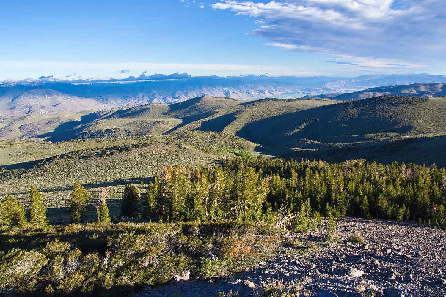
The views as
we climbed were incredible in the clean air.
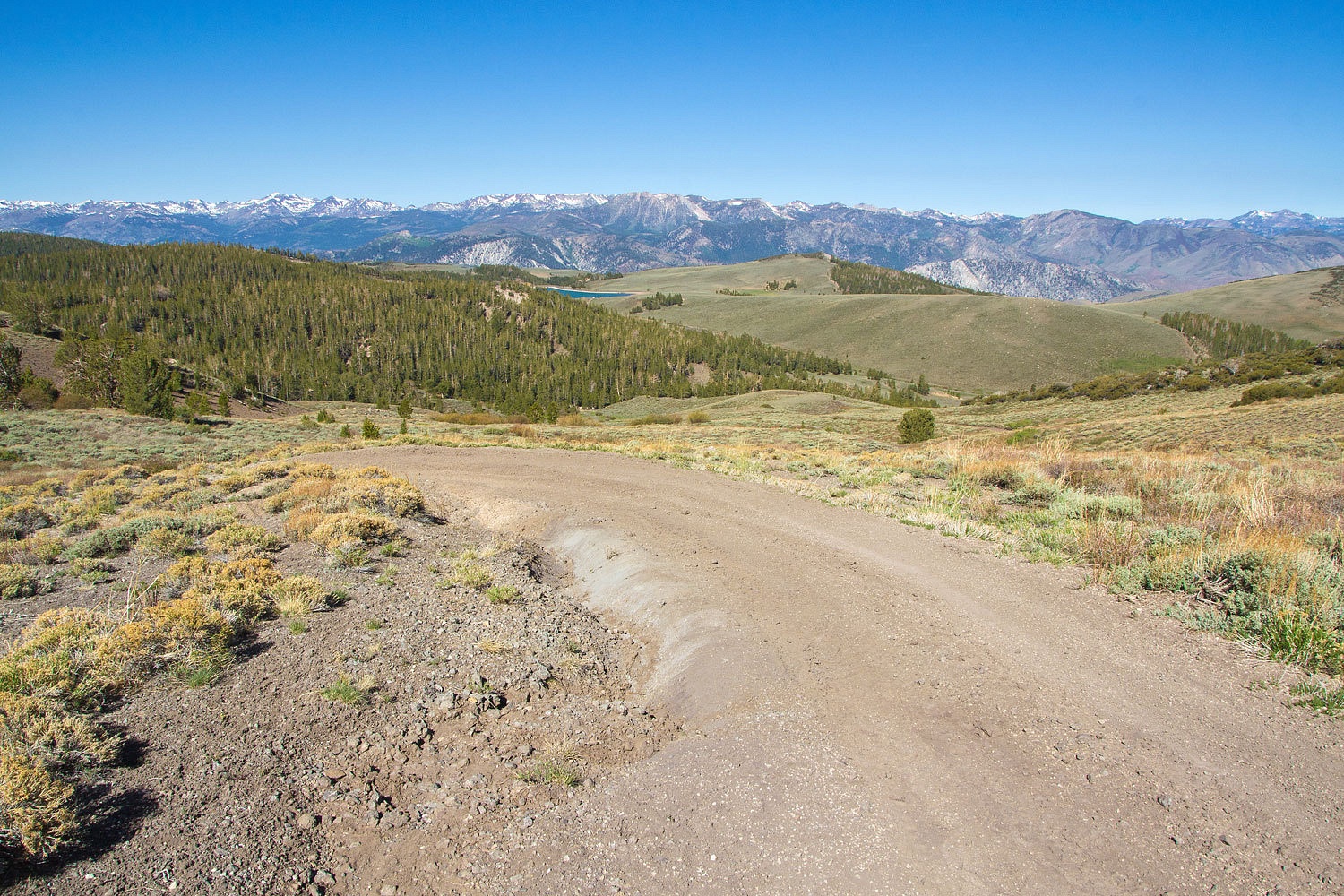
Our route
took us into the high East Fork of Desert Creek.
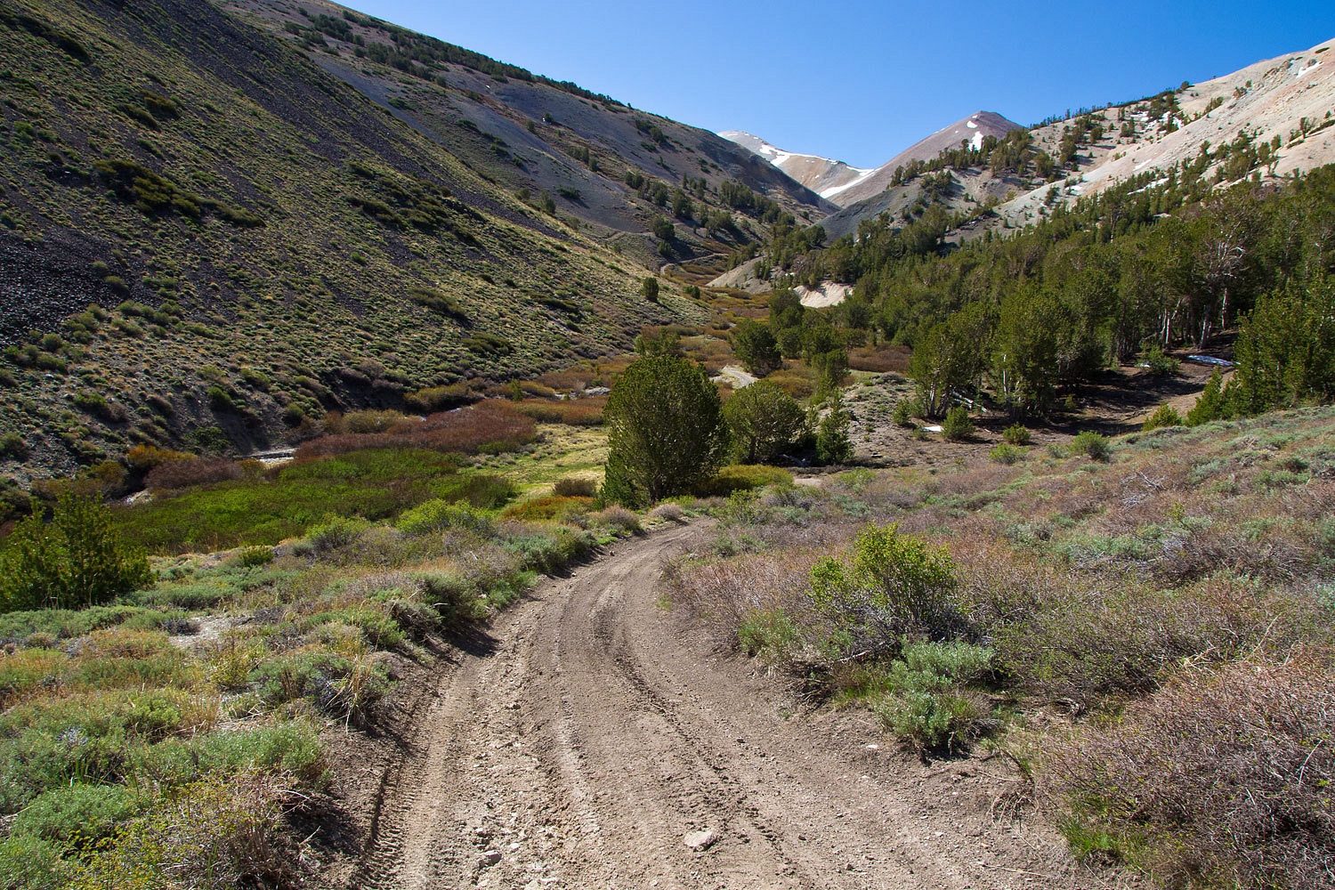
At the first
switchback is a prospect area were prospecting was done with bulldozers and
lots of explosives. Debris has moved all the way down filling the creek bed.
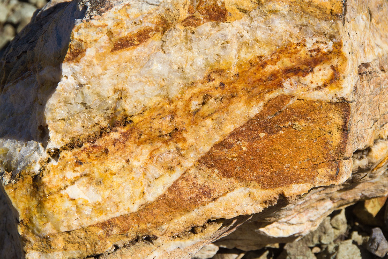
We found
what we figured they were looking for.
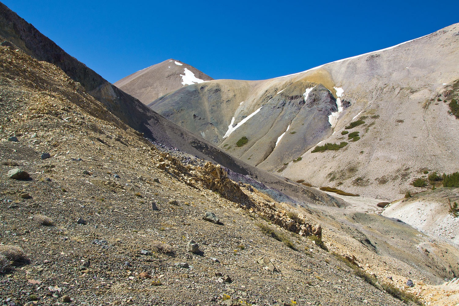
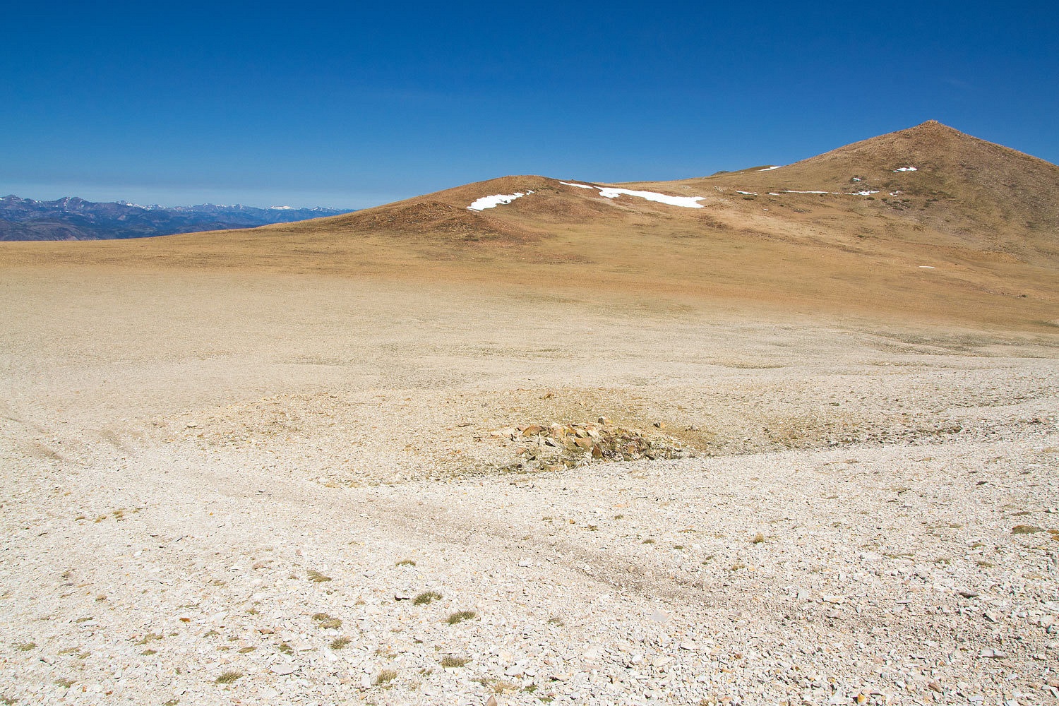
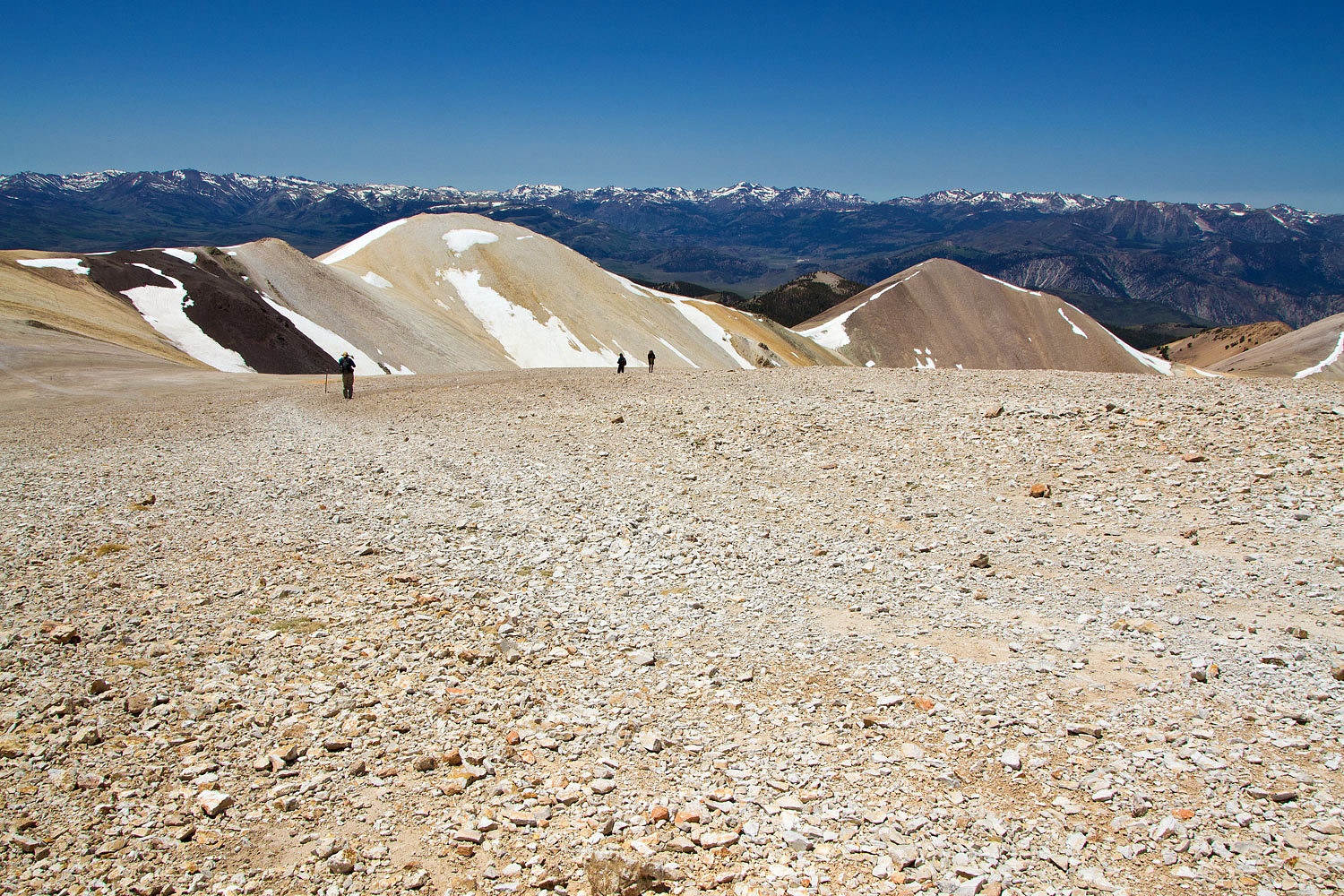
The route
climbs until it hits a broad plateau above timberline and finally the summit of
Mount Patterson is visible.

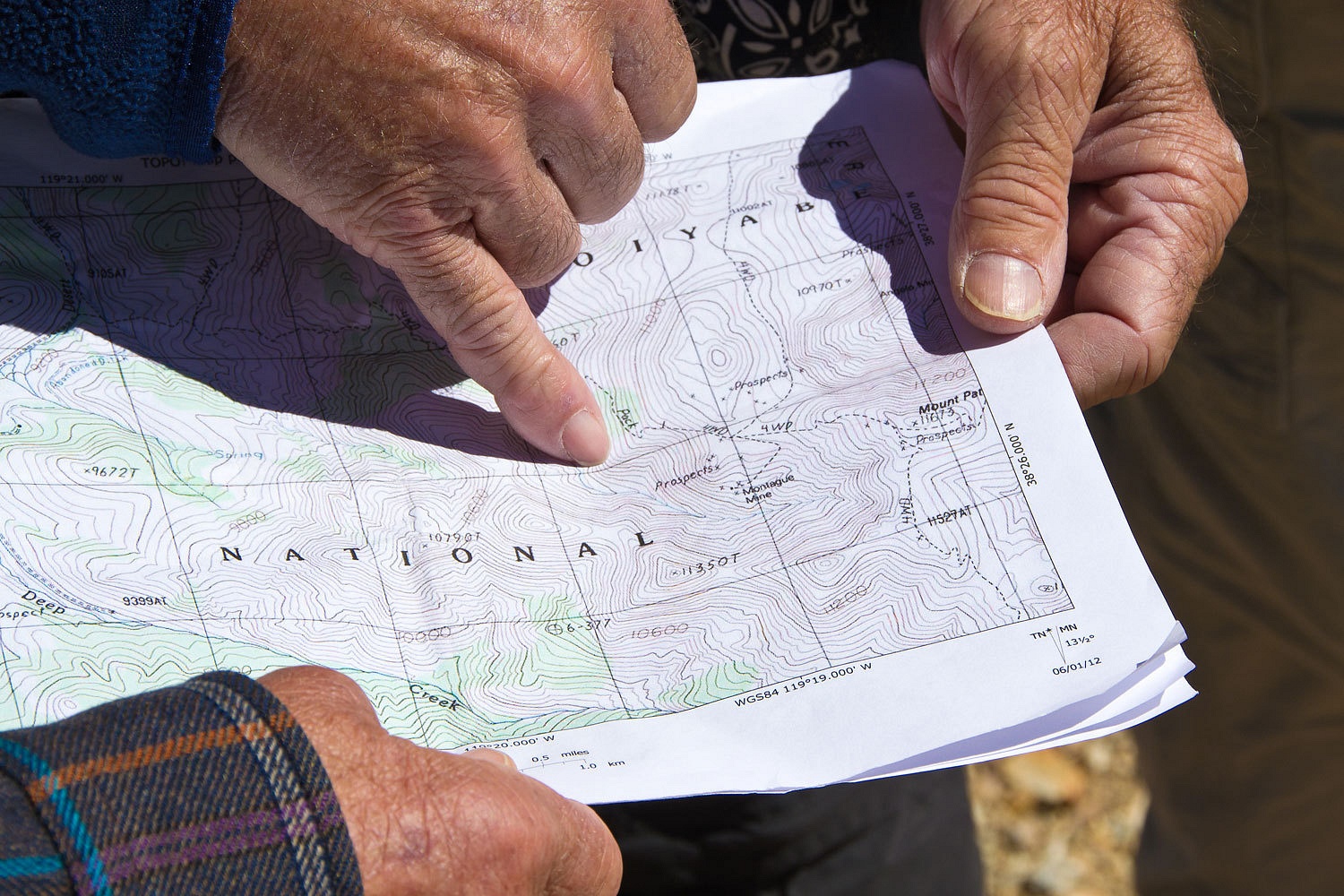
We continued
to consult our topo maps to track our progress and identify nearby features.
The crest of
the Sweetwater Mountains just stunned us with their beauty.

How lucky we
were to be up here, alone, in this grand place.

Soon we were
on the top of Mount Patterson at 11,673 feet.
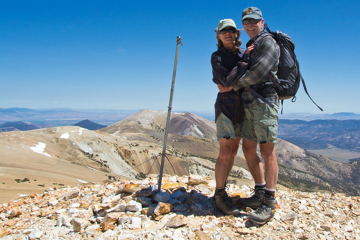

The wind was
howling. We found a depression just off the summit to take refuge.
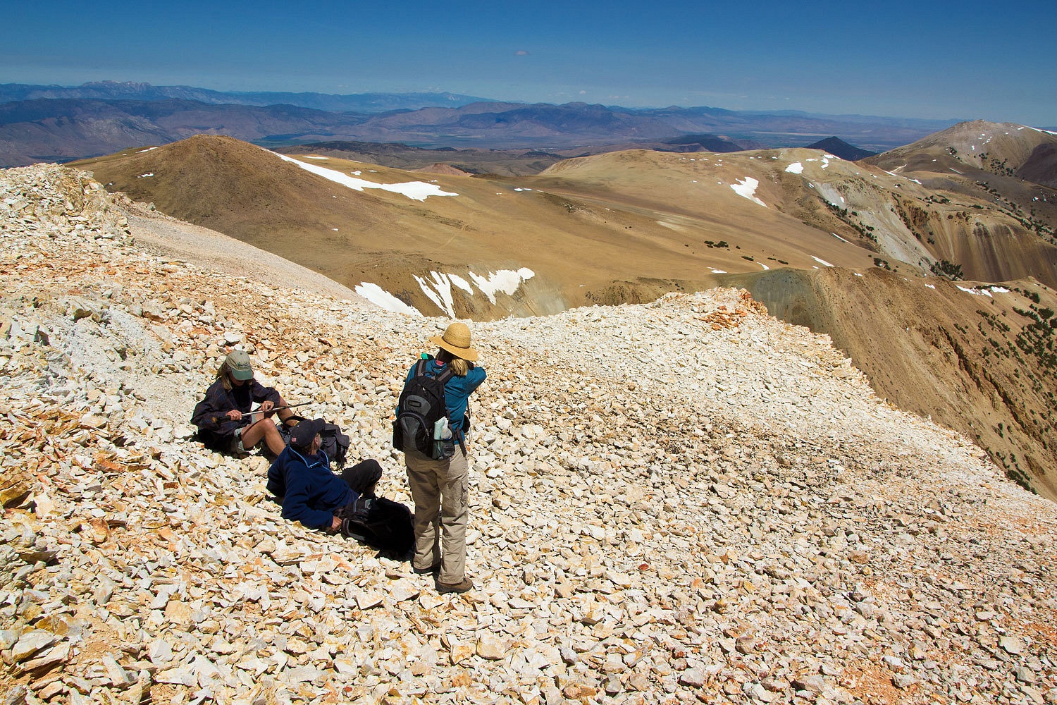
We started
our trek back down into the full force of the wind.
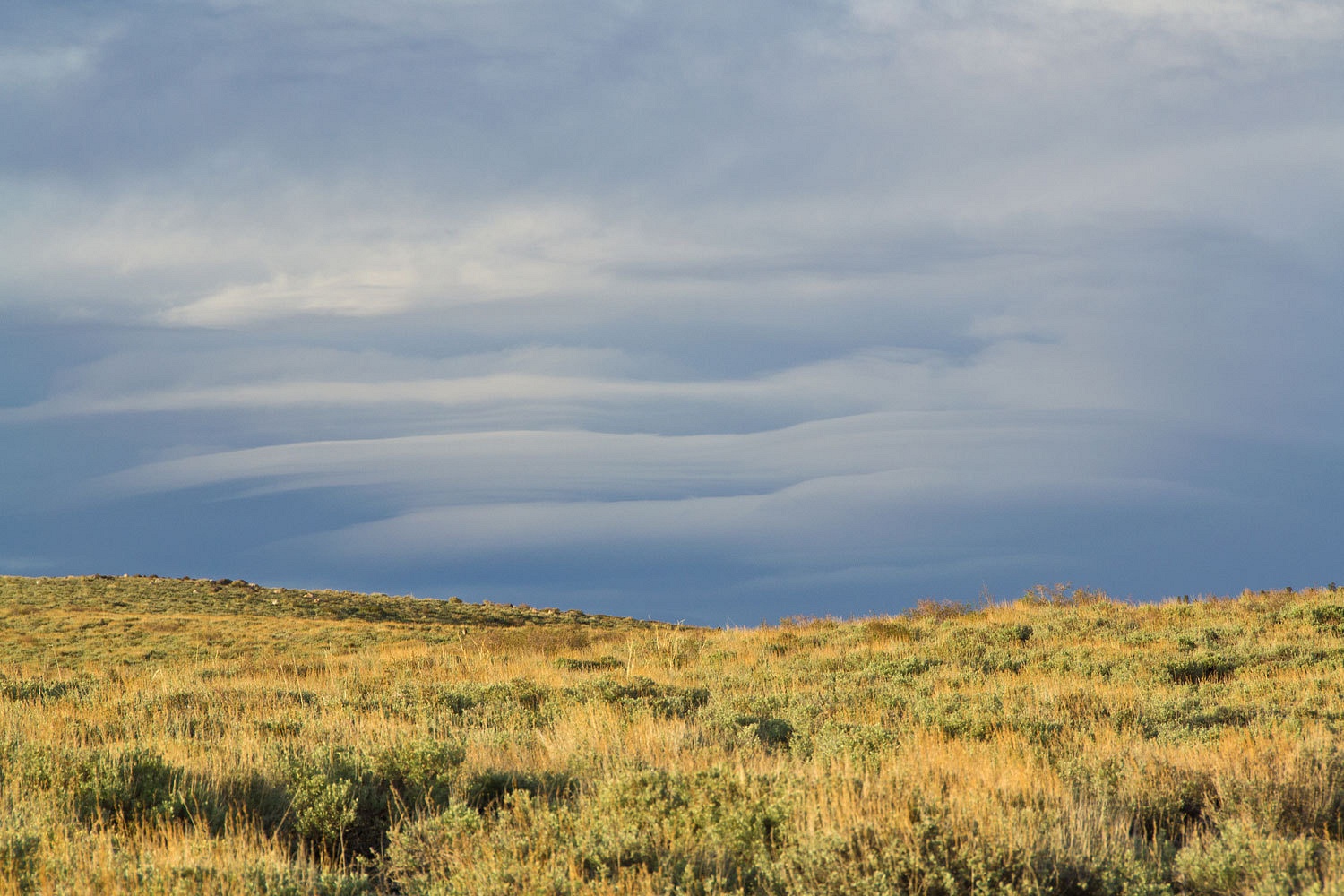
There was
just a hint of build to the east.
Back at camp
we awaited the evening light and our rituals of relaxing wanderings.


The next
morning showed signs of the approaching storm with clouds working their way
over the Sierra crest.

Between cups
of morning coffee we made our way to a nearby high spot.
On our way
home we made a quick stop to check on history. Only a few years ago pieces of
Fremont’s long lost cannon were found in Deep Creek.
We wanted to
familiarize ourselves with the area. You can find more information about the
discovery here: Fremont’s Cannon.
It had been
a great weekend exploring new places and reaching new heights.
Postscript –
A couple of things to consider if you are visiting the Sweetwater Mountains.
Although there is very clear signage directing visitors to stay on designated
routes (and there are lots of designated routes – ones with numbers) with their vehicles, it was
very disheartening to see much evidence that many blatantly disregard this
direction. We found places where vehicles had recently driven directly across
meadows and streams far from any road. In areas above timberline, such as off the summit of Mount
Patterson, vehicles have driven straight down and up in several places off the
designated route. On the broad plateau below the summit vehicles have plowed
donut circles. We saw several places where routes were clearly marked as closed
with fresh tire tracks past the signs. There is also evidence that these high meadows
are used for grazing allotments. We did not see any cattle or sheep, but I
would expect that around July 15th animals could be moved into this
high country for grazing. Be forewarned about another side to the sweet Sweetwater Mountains.
Hello, Followed your username from the Mt Jefferson post on my blog to yours. The two of us seem to visit some of the same peaks. We explored the Sweetwaters in 2008. Thanks for the link about Fremont's Cannon. I did not know that it had been found. Cheers.
ReplyDelete