please remember you can click on a photo to see a larger version
The wind
built throughout the night coming down canyon from the east. When we dropped
into Death Valley it was shrouded in windblown dust. Not a good day to head
south on the West Side Road. We decided on an experiment. We wondered if the
winds were accelerated down the long valley troughs. Perhaps the wind would be
more bearable up country?
We have long
wanted to explore the Chloride City area and find the old trail that connects
to the top of the Keane Wonder Mine. We headed up Daylight Pass and turned onto
the Monarch Canyon Road and took a left to head to Chloride City. I suspect
that the road condition has deteriorated since the last edition of Mitchell's
Death Valley SUV Trails book.
The winds were not too bad up high but dark
low clouds were moving in from the north.
We parked at
the intersection with the Chloride Cliff Road that comes in from Beatty. We
wanted to stretch the legs and scout out the climb ahead. The clouds had built
to a towering black wall that was fast approaching. We still stood in sunlight but were
pelted with wind driven sheets of rain. It was marvelously dramatic! But,
probably not the best idea to venture into new terrain.
We decided
to check out the much easier route in from Beatty and dropped onto the edge of
the Armargosa Valley. The storm winds were roaring through the valley from the
north, dark clouds above and occasional short blasts of rain.
We filled up
with gas in Beatty and had lunch. The clouds were clearing and moving fast so
we decided to see if weather and wind were calming some over in Death Valley.
We were
correct. Death Valley had cleared and winds were tolerable. We headed to our
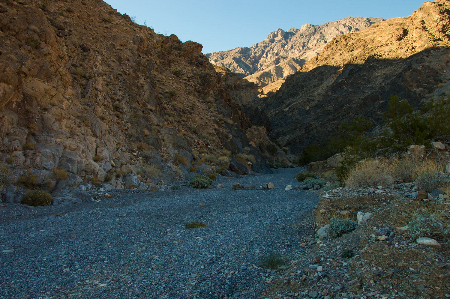
next destination - up Trail Canyon Road on the east side of the Panamint Range.
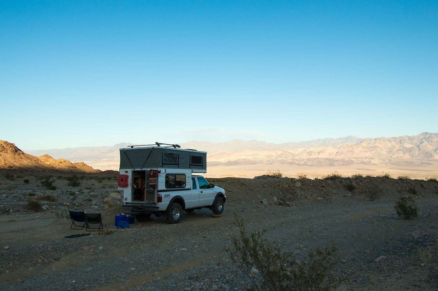
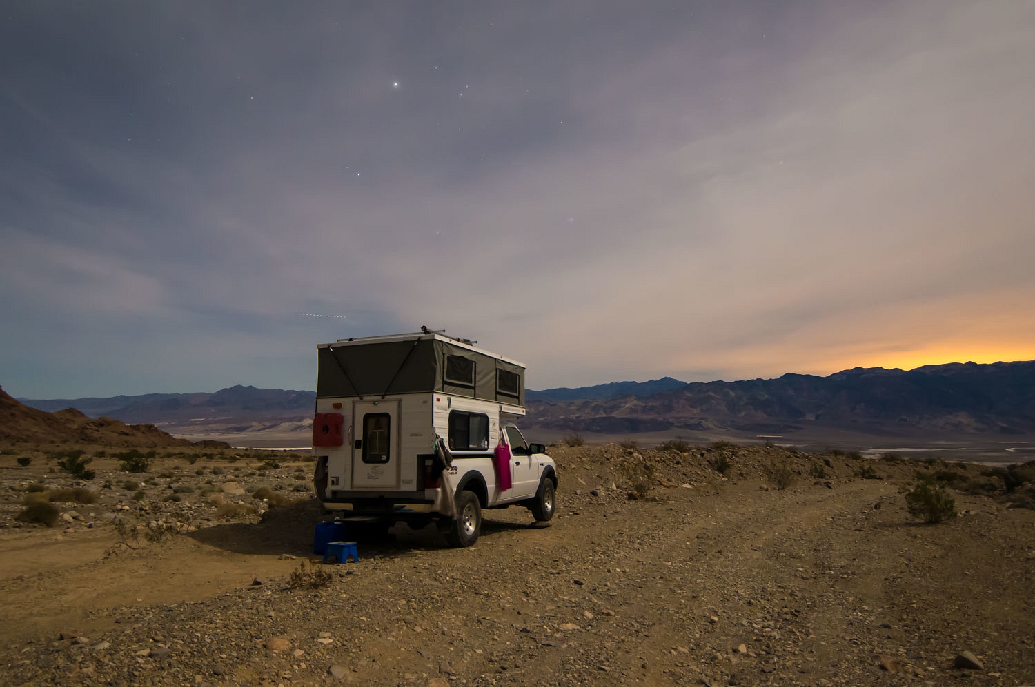
We were
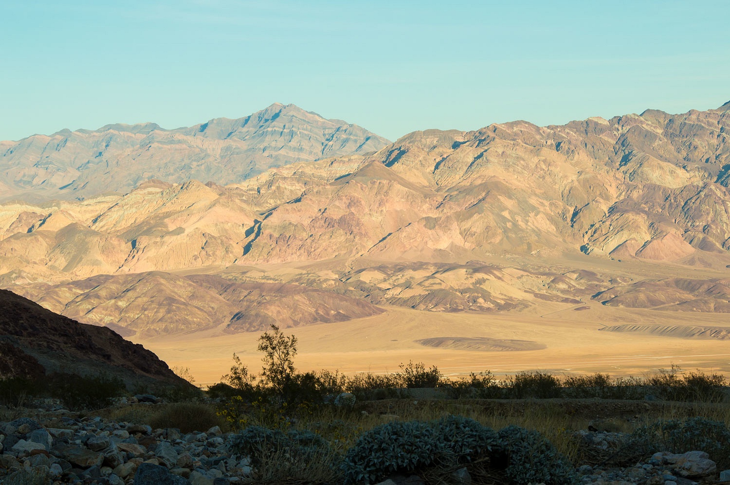
alone as we picked out a campsite high on the alluvial fan before the road
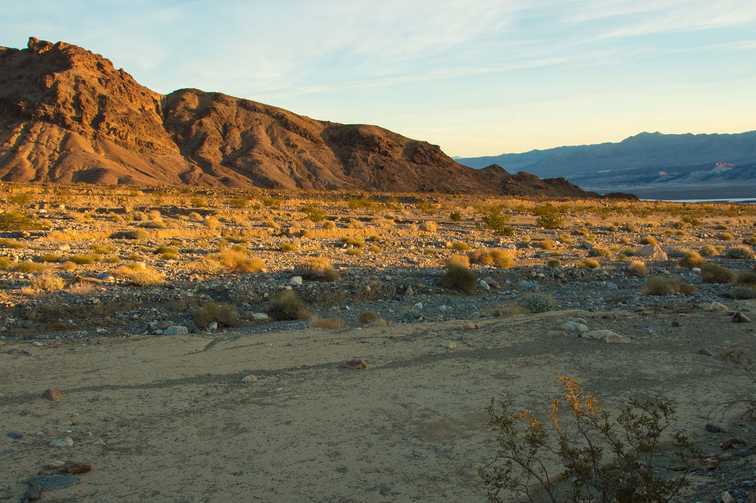
drops into the wash. Although the sun leaves here around 3:30 pm, the vistas
are spectacular.
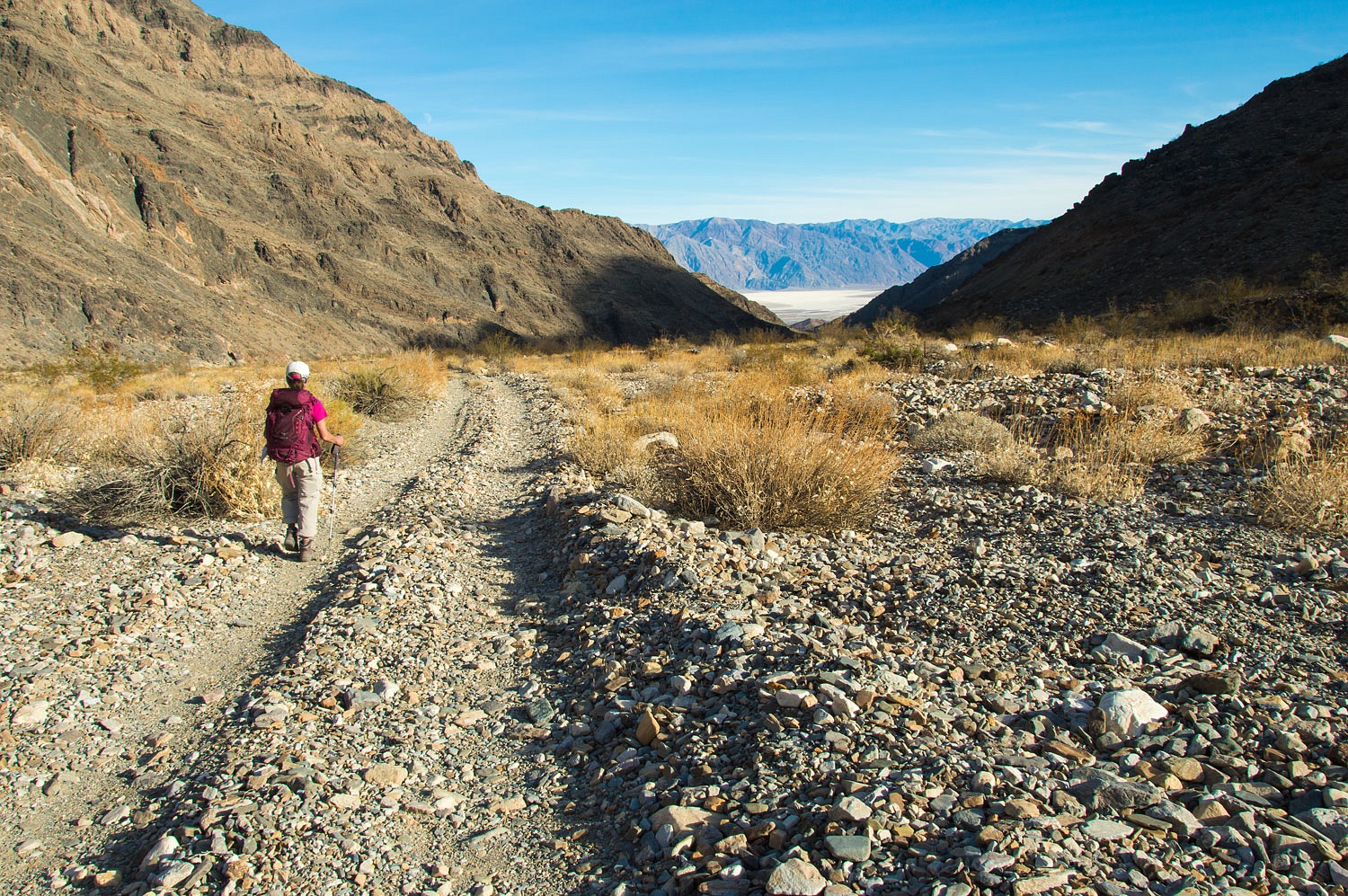
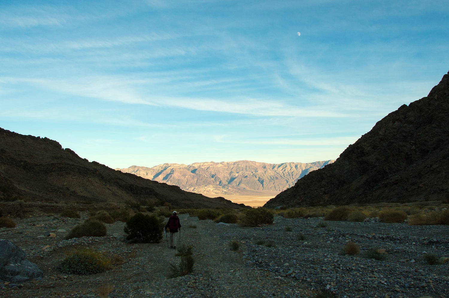
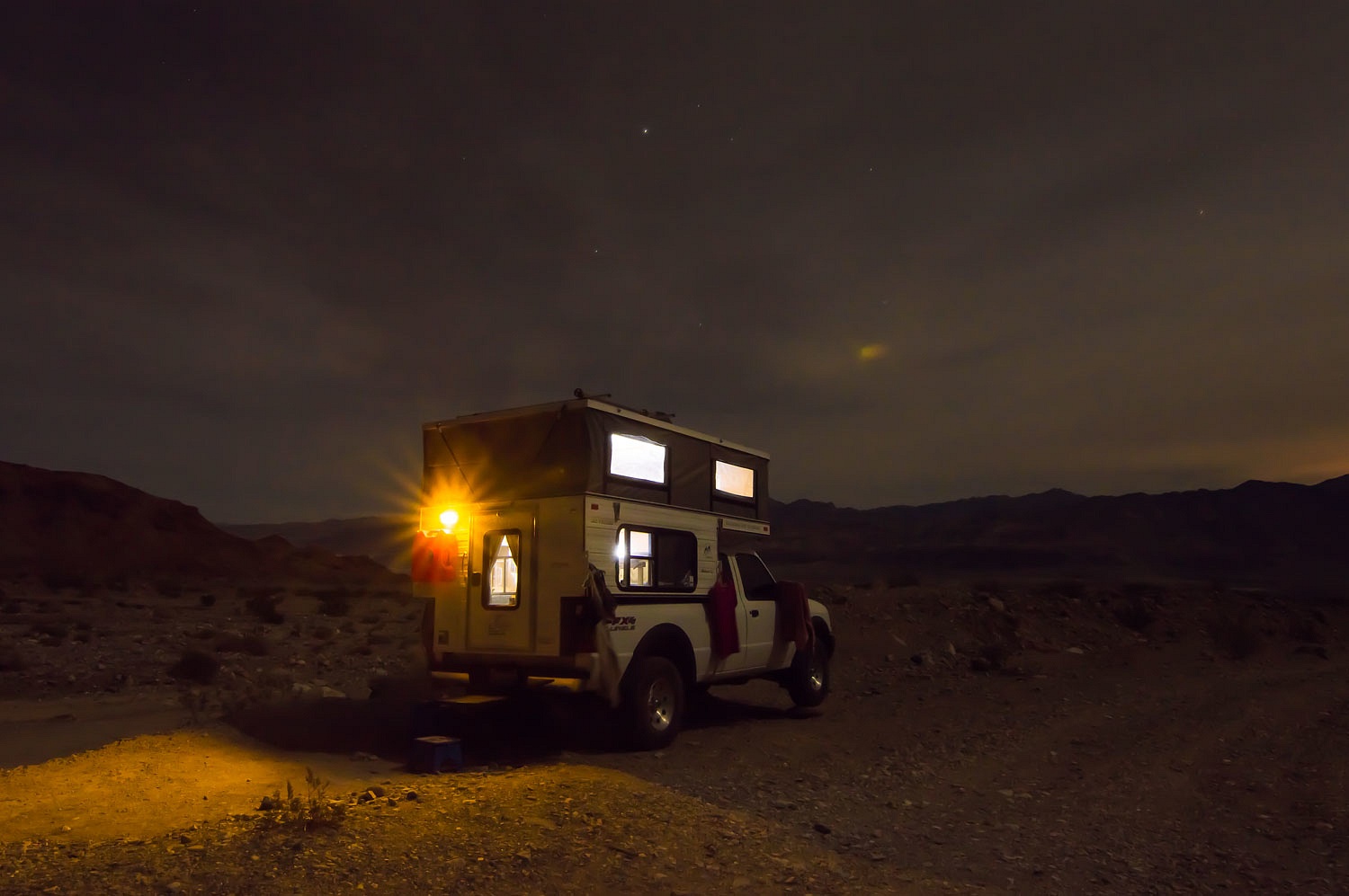
We walked up
the canyon at night. The moon was a waxing half and directly overhead; a
brightly lit night.
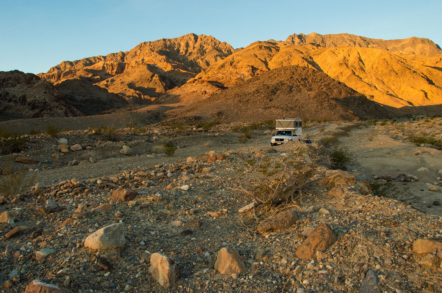
Our high
spot received early sunlight the next morning.
Perhaps
because of my recent bout of flu and the Lady's "touch of a cold", we
were feeling lazy. We wanted the luxury of leaving camp all set up, a cozy
refuge for whenever we returned. So we decided to do all our exploring on foot.
Besides, there were things we were looking for along the canyon that could be
easily missed while trapped in a vehicle.
There are
two side canyons that look quite interesting for future explorations.
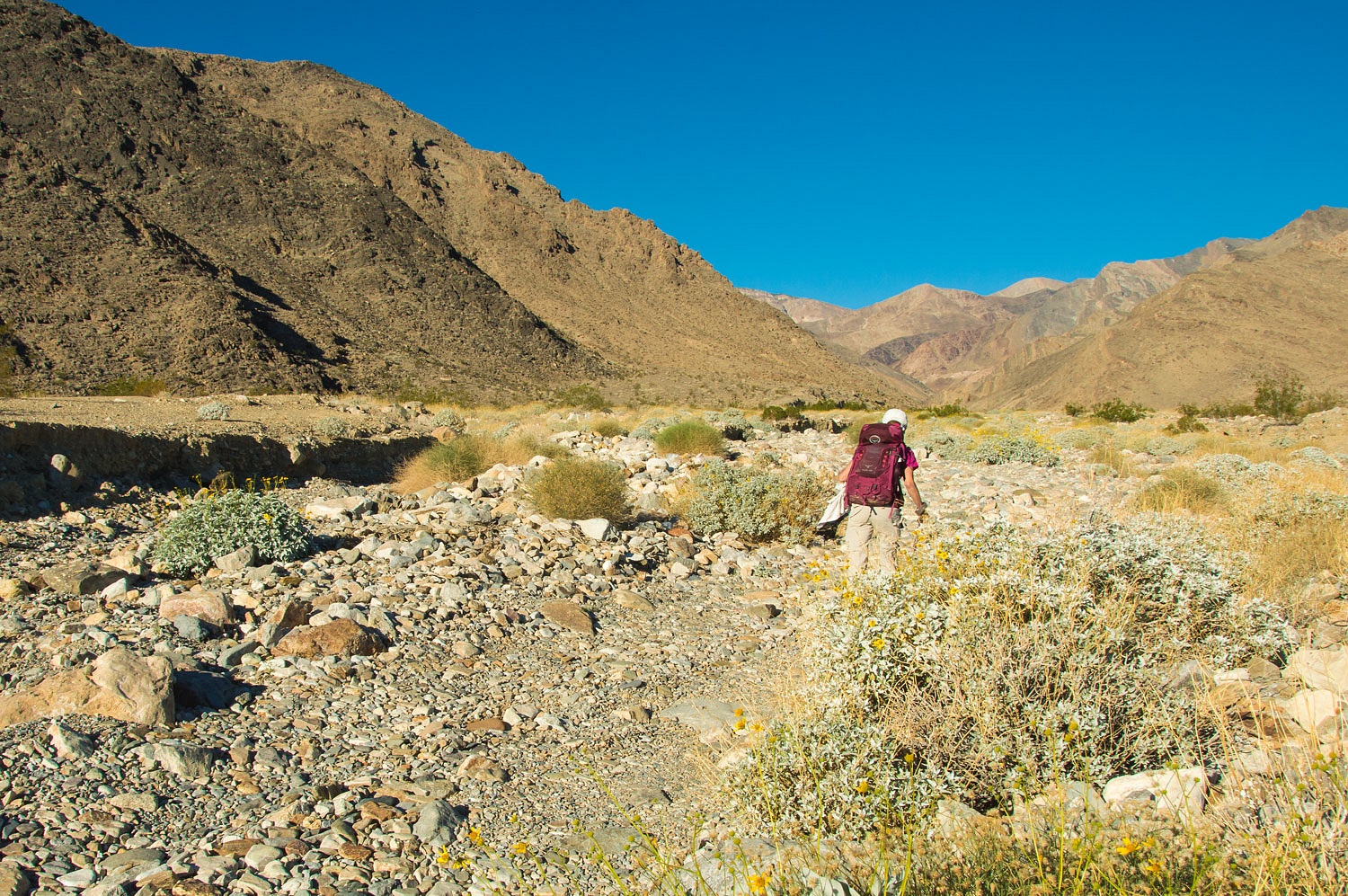
Ascending
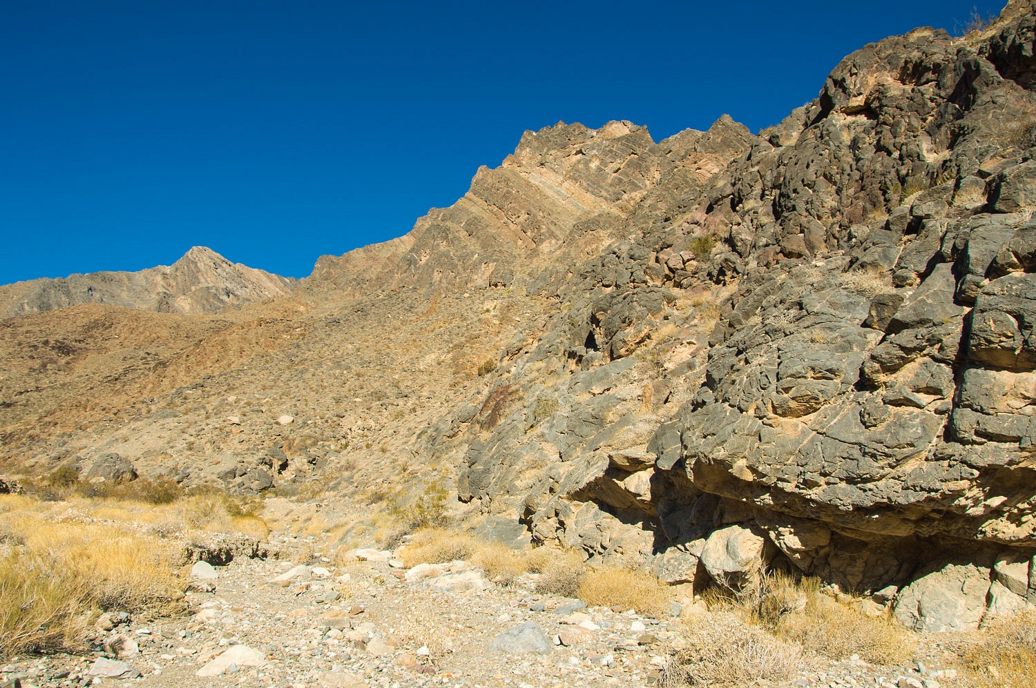
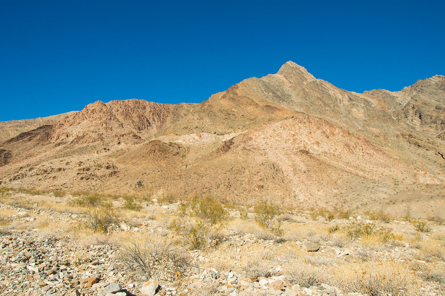
Trail Canyon is a geologic trip back in time. Because the layers in the rock
dip into Death Valley, you encounter older and older rock as you climb. I
believe one of the guide books mentions that we would cross a time period of
250 million years.
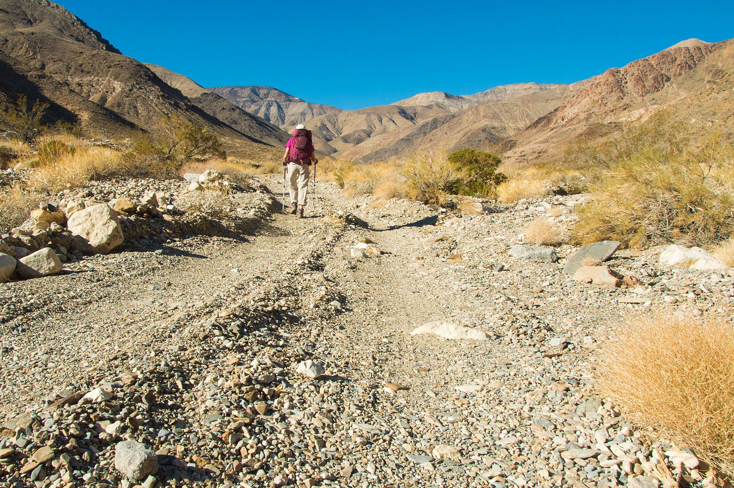
A little
over five miles up was the confluence of the North, Middle, and South fork of
the canyon. Visible up the North Fork was the top of the long abandoned -
washed out, slide prone - road that once climbed up to Aguereberry Point
This road
was constructed in the 1950's as a transport route for tungsten ore from the
mines in Trail Canyon. It was last passable in the early 1970's.
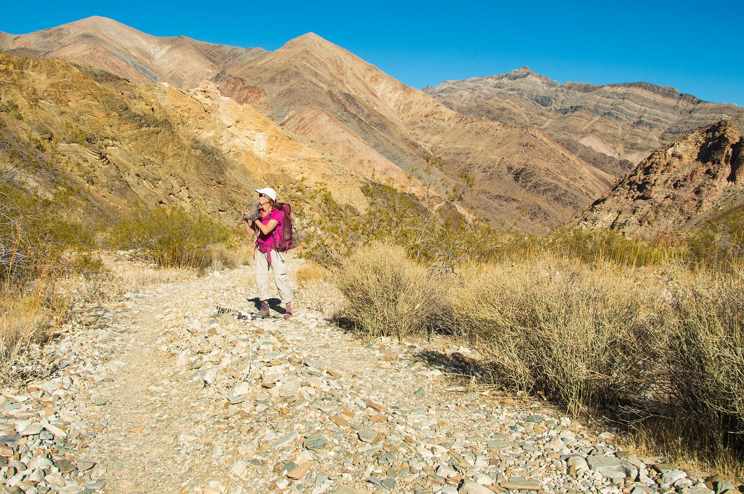
Climbing up
the South Fork, the Lady stopped to remove a stone from her boot.
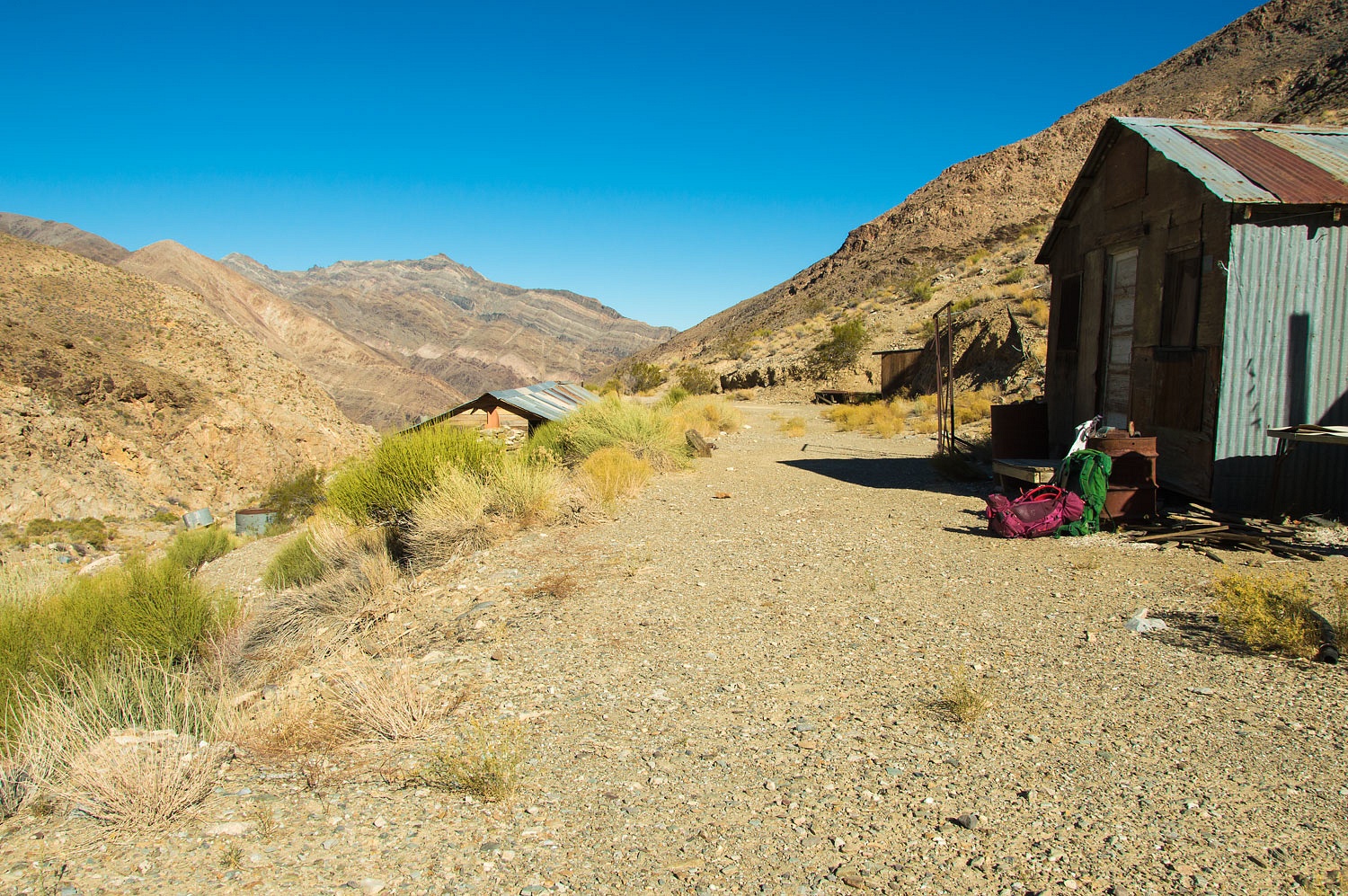
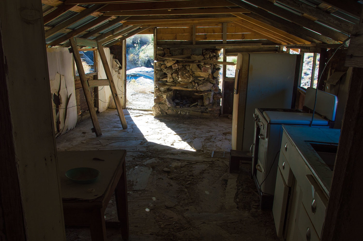
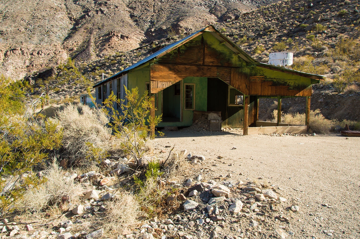
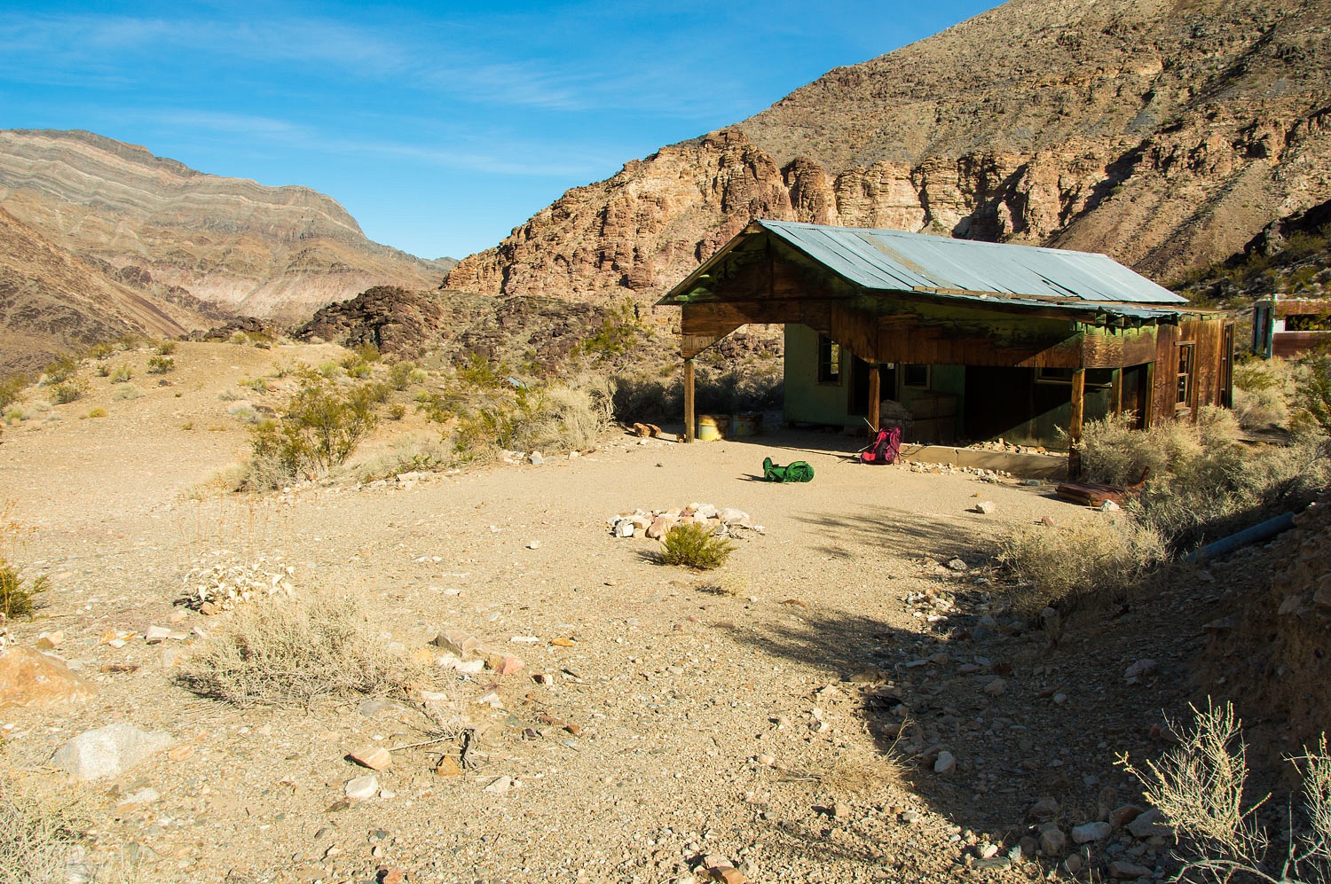
The road
ends at the McBride Camp. This is a more recent mining camp, similar to Uncle
Erv's place.
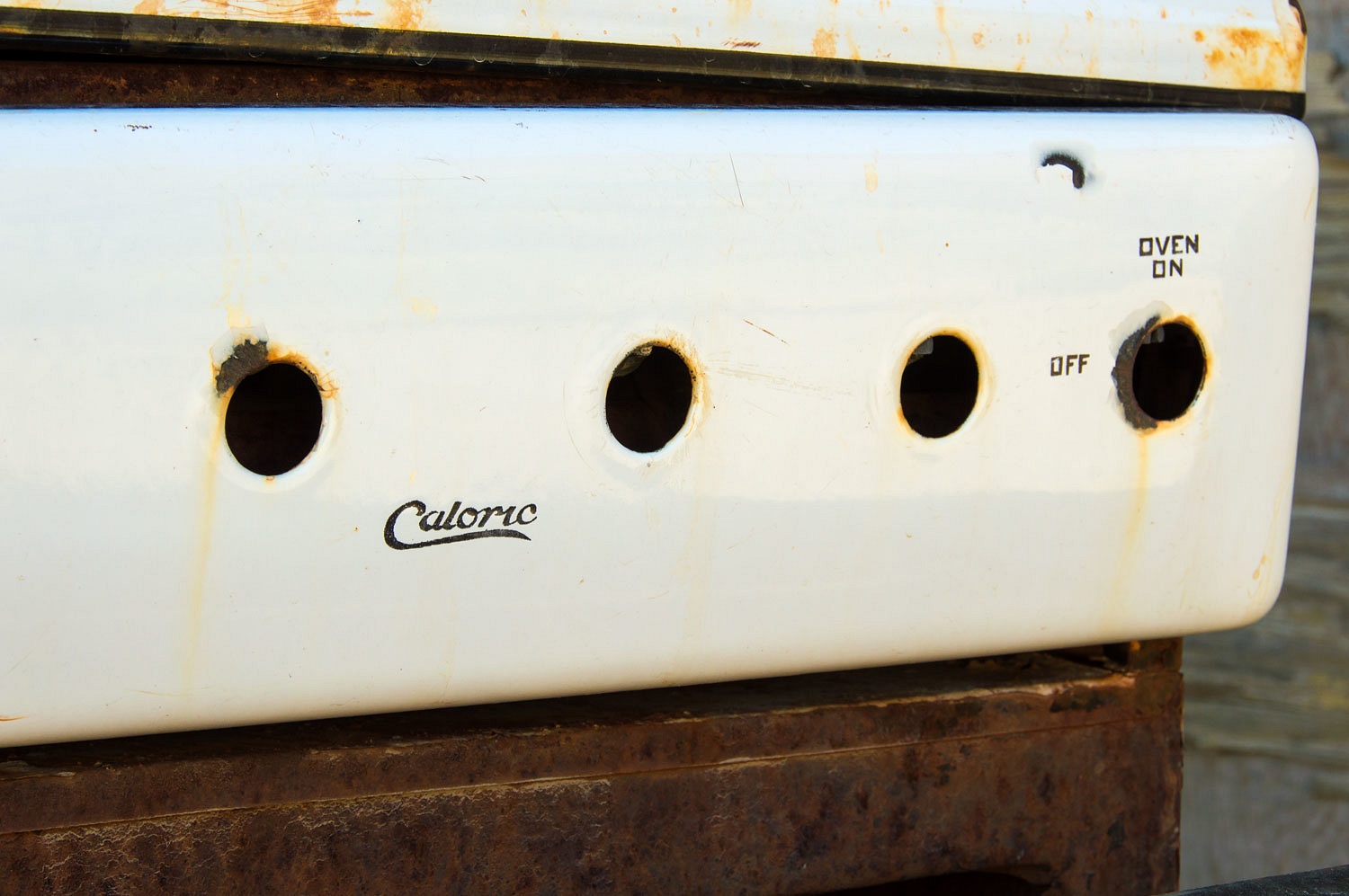
The
buildings boasted flush toilets and showers and got me wondering where the
plumbing drains went. I did not go looking.
We were
surprised that we just missed SunMan. With the
Teds, that would have been an unprecedented two Truck Camper Magazine
celebrities in one trip!
The McBride
Camp was a bit over seven miles from our camp and a gain of 3200 vertical feet - not
counting the 250 million years.
On our hike
up the South Fork I noticed a faint trail that could be a shortcut over to the
Broken Pick Millsite. It worked out great as we crested a saddle and dropped into
these ruins.
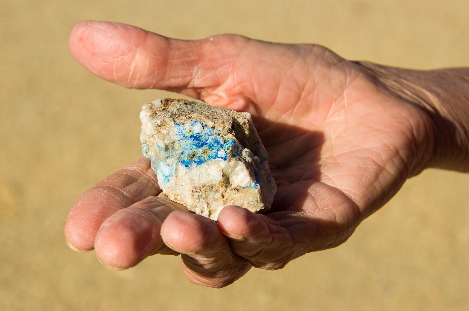
The quartz
samples lying about were beautiful.
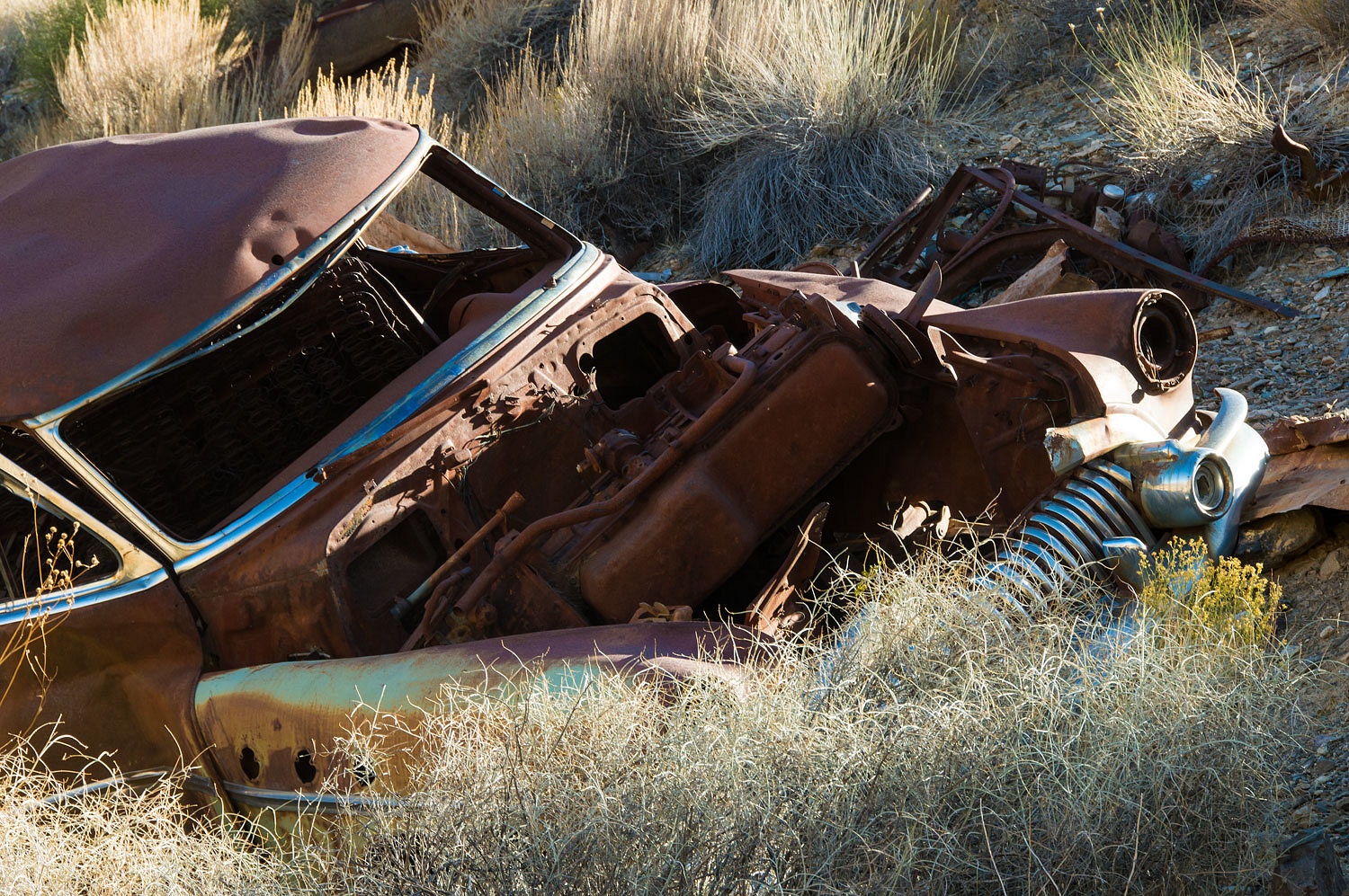
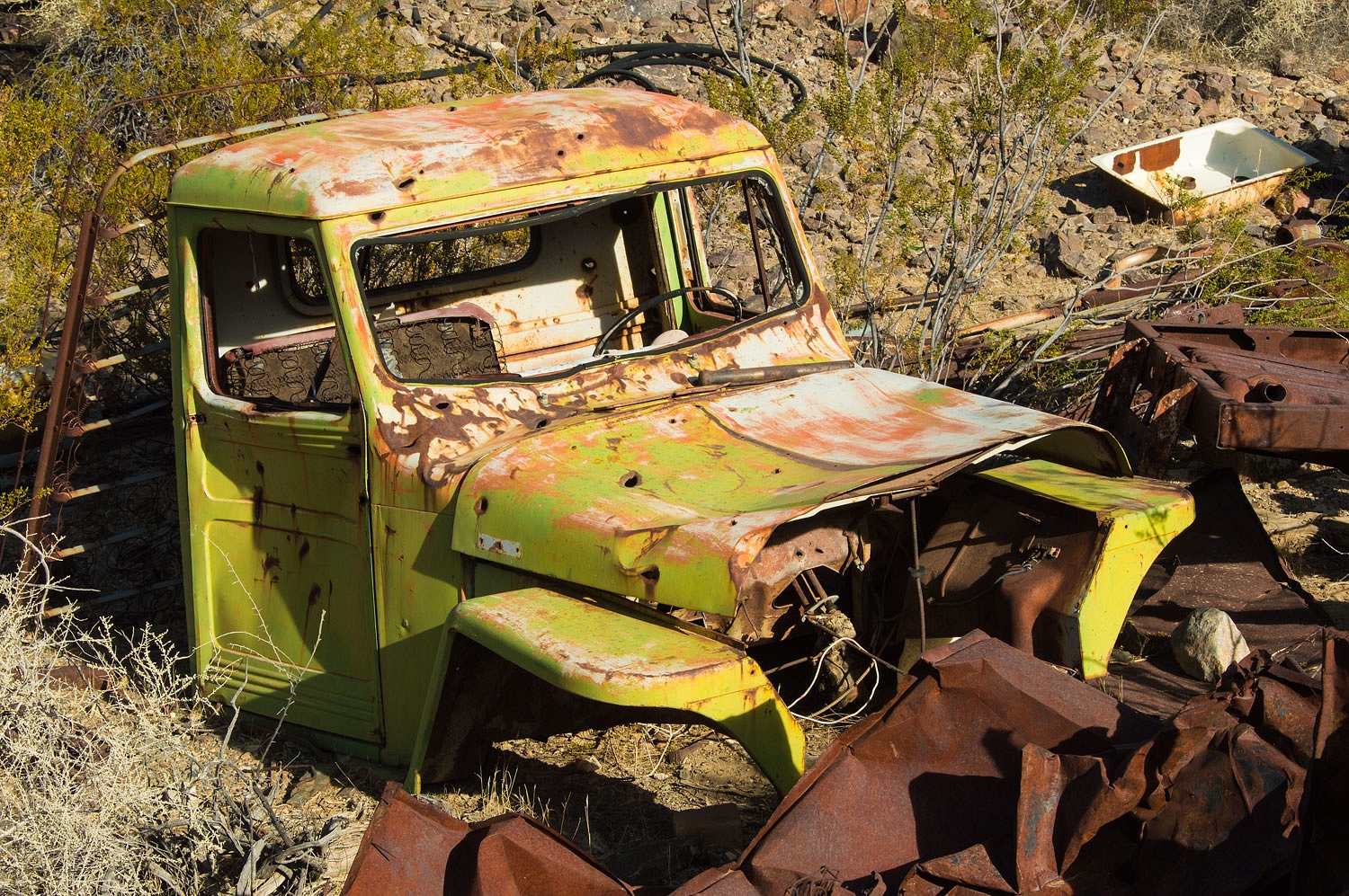
The old
Willys was the centerpiece of the junkyard.
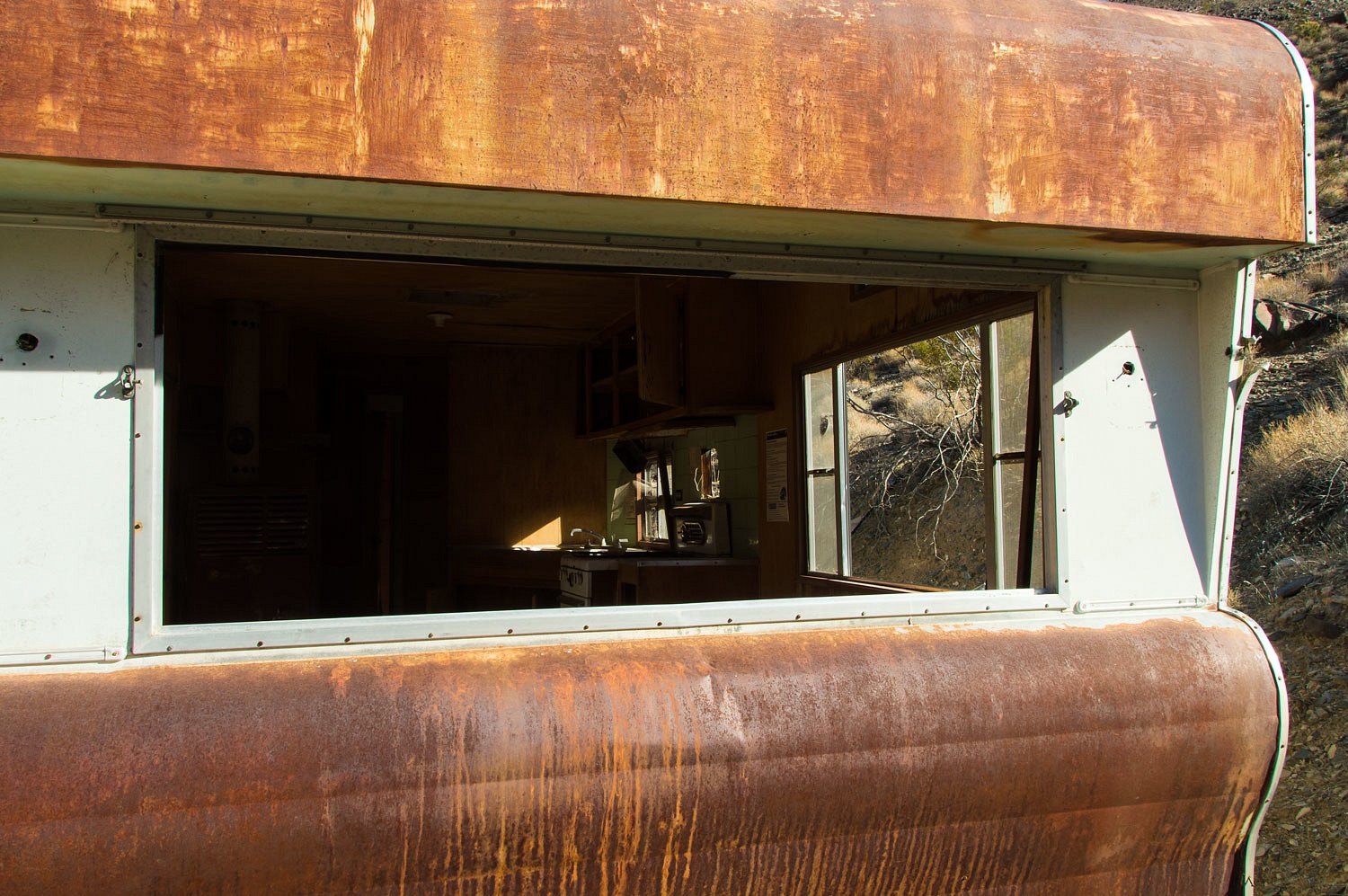
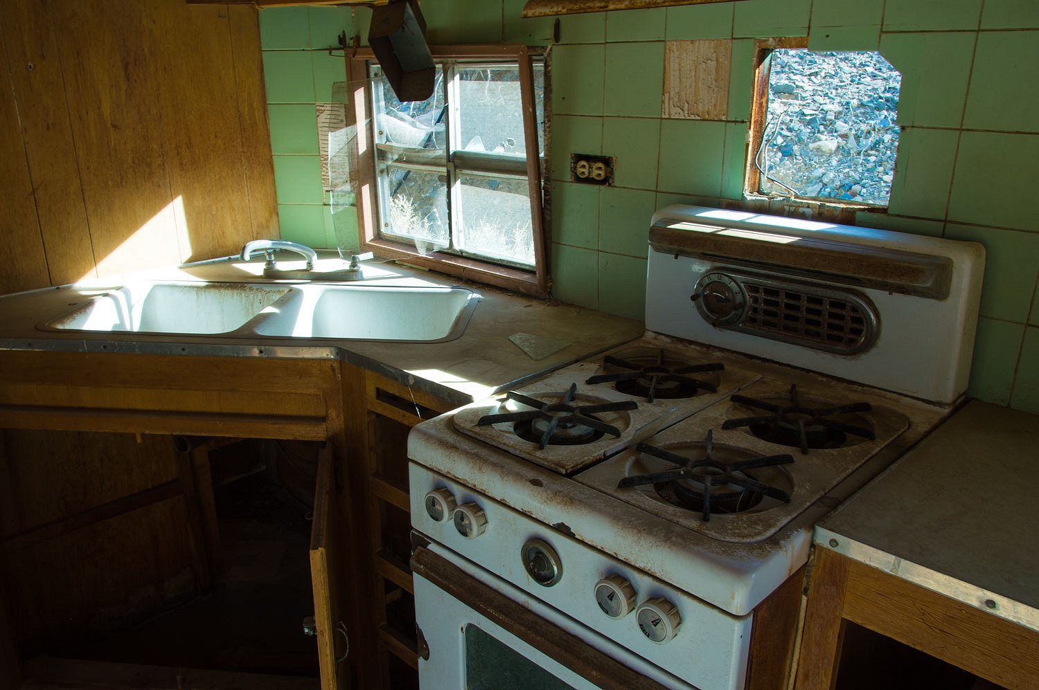
We found the
large trailer intriguing.
Since it had
a bathroom complete with a small bath tub, I was wondering if it may have been
hauled up here by an enterprising madam, a mobile bordello, to harvest money
from these miners with long lonely nights with only the coyote's song for
company.
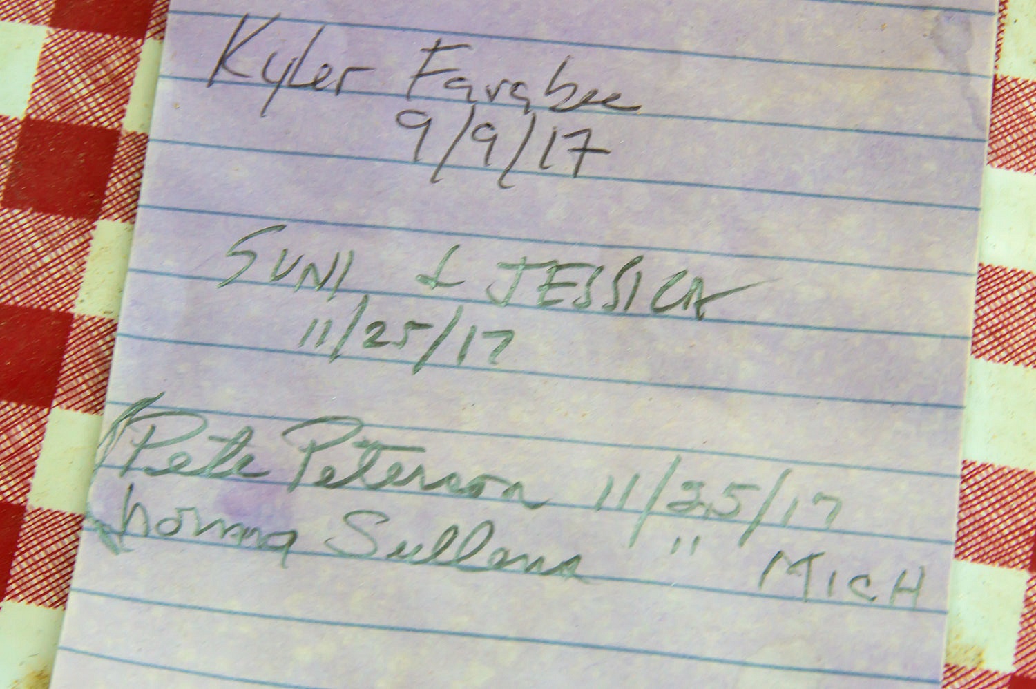
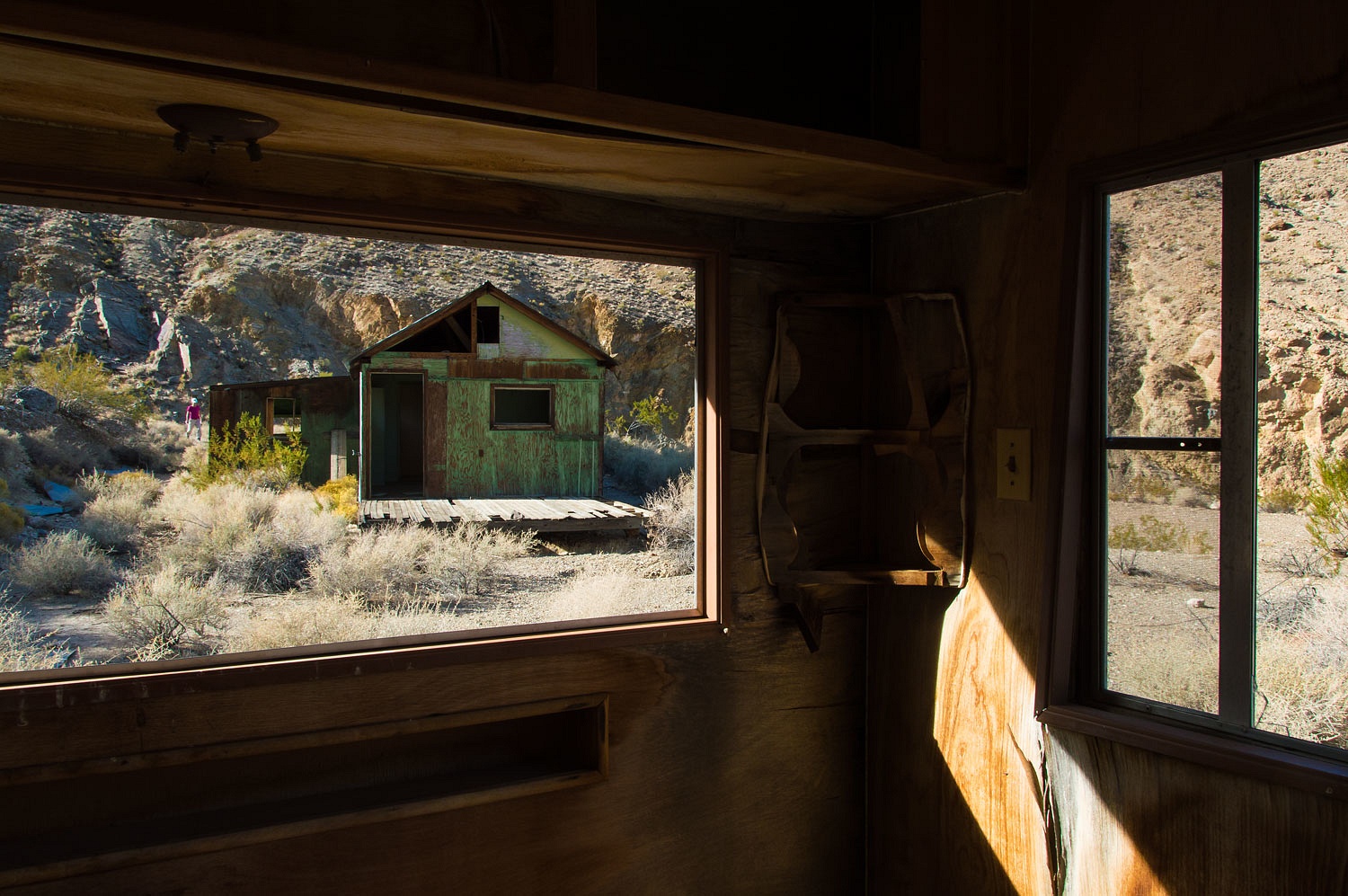
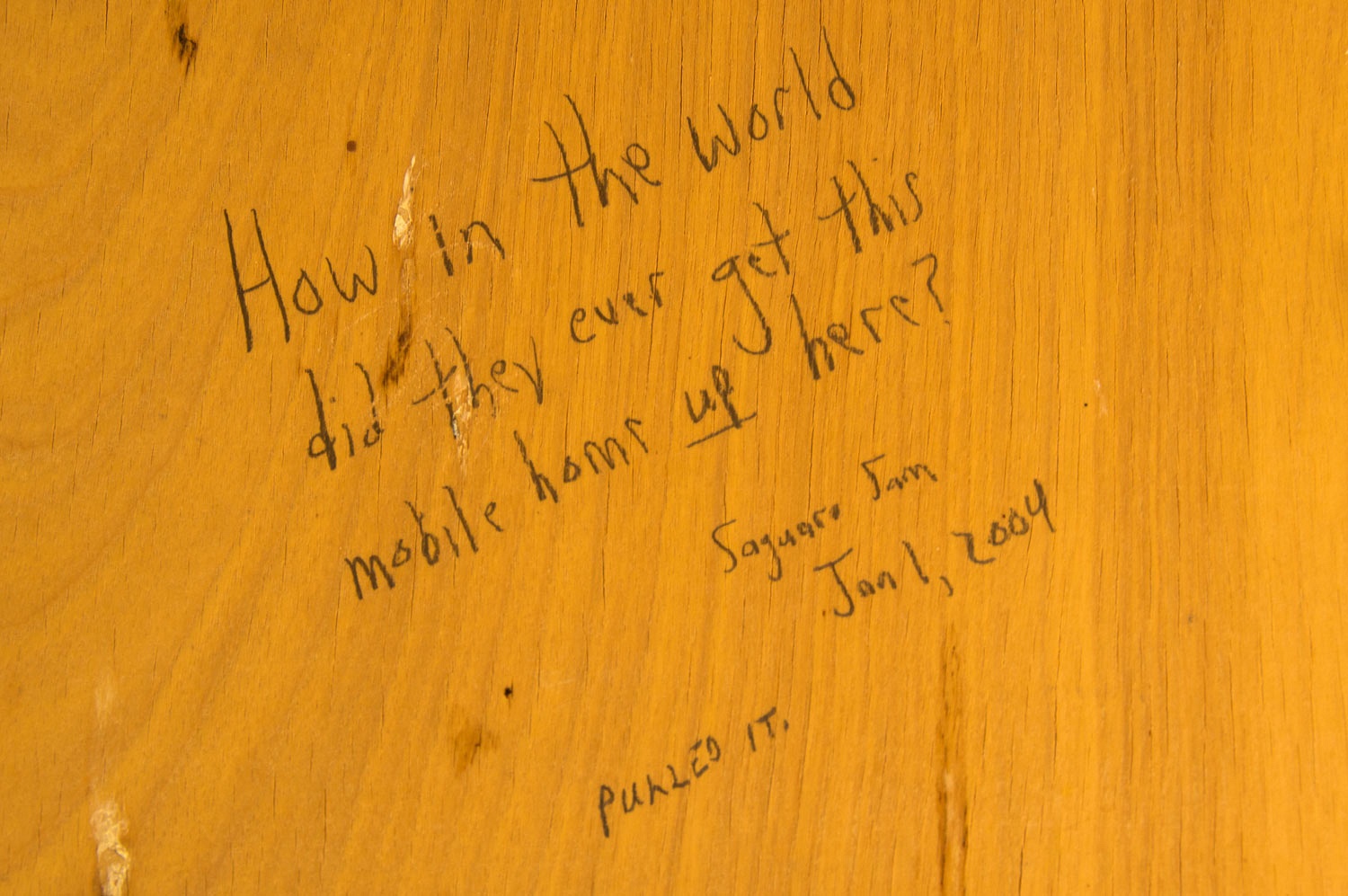
Others had
questions about the trailer also.
Me? I would
have liked to watch it come down the road from Aguereberry Point.
We headed
back down after exploring a couple other spots and enjoyed the solitude and
lengthening shadows.
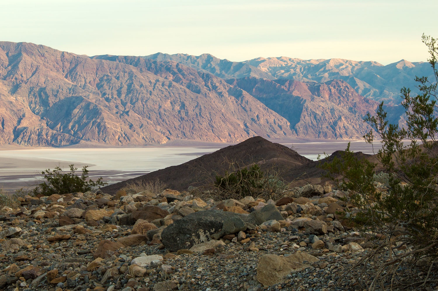
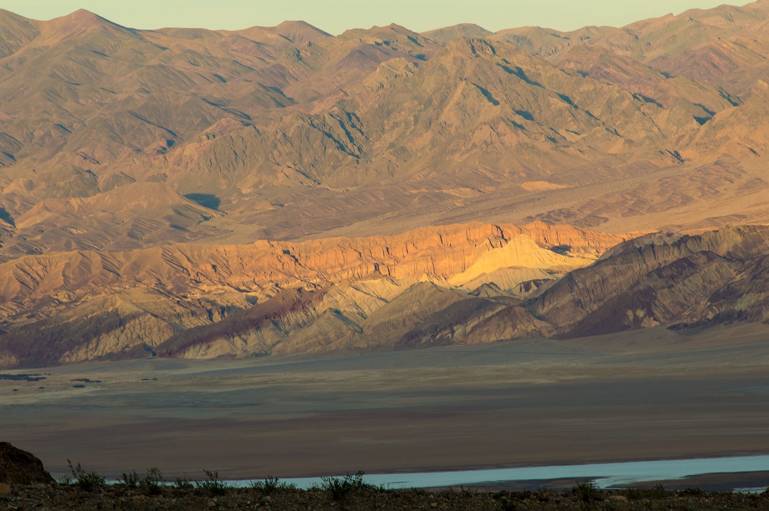
The views
were amazing from our perch above Death Valley. Across from us was Artist
Palette..........
.
..................Badwater and Dante's View
....................and
Manley Beacon.
This was a
fine place to immerse ourselves in a desert night.
We packed up
and headed back toward home Wednesday morning. The day ended up kind of like
déjà vu all over again.
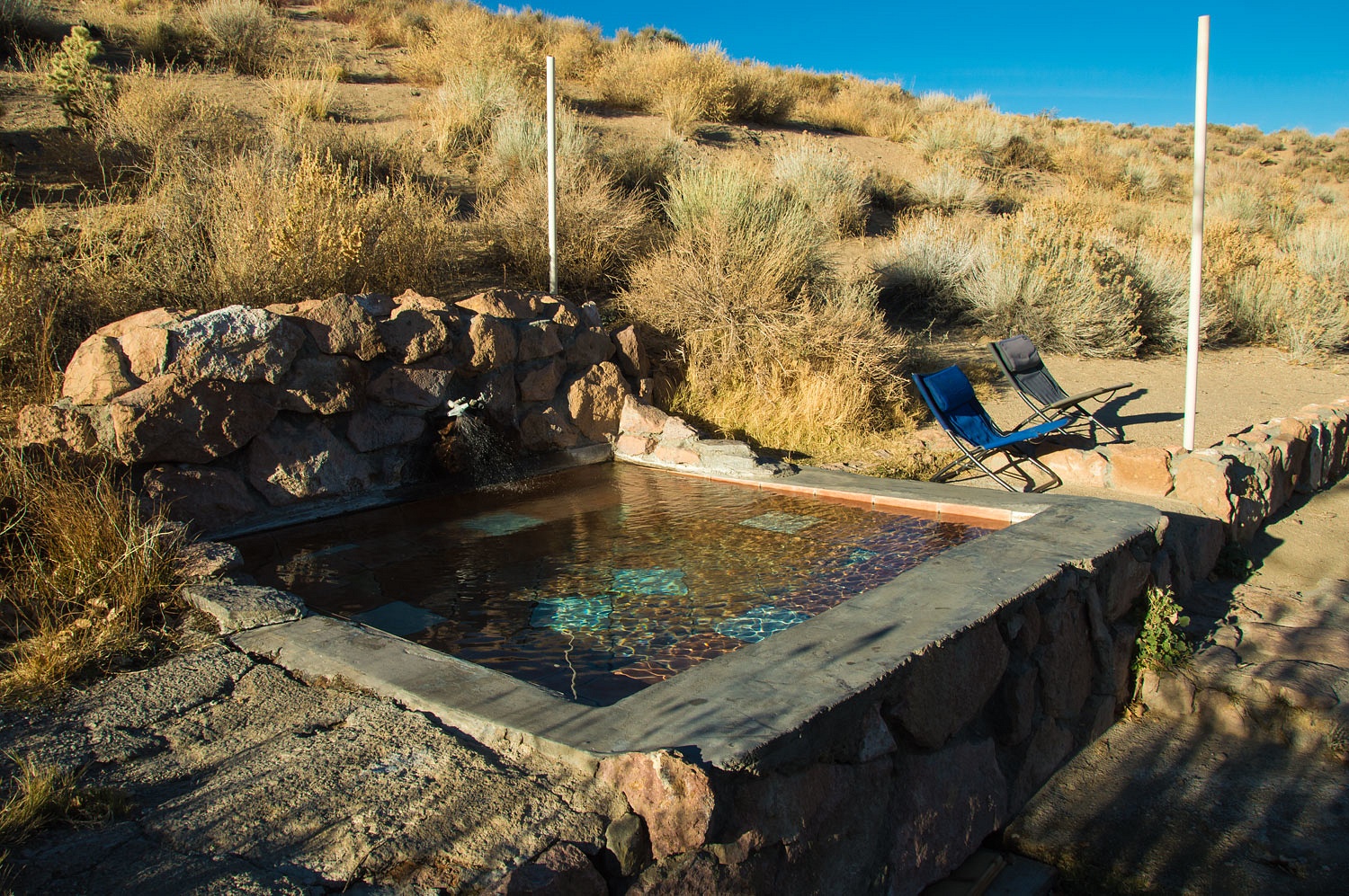
"It
doesn't hurt to check!" the Lady said as we walked into the office at
Benton Hot Springs.
"Are we
going to get lucky again?" the Lady asked.
"I'm
looking out the window at this beautiful weather. The board's behind me. What
do you see?" the fellow sitting at the desk asked.
"That
we'll have the whole campground to ourselves unless you get another walk
in!" the Lady replied.
This was
pure decadence. The waters, sky, surroundings, and company were perfect.
It dropped
to 30° overnight, 29° colder than the previous night in Trail Canyon. It was
hard to leave the tub of hot spring water in the morning. Again we were lazy.
The Lady suggested breakfast at the Hays Street in Bridgeport on our way home.
It is open
again as a Mexican restaurant after being closed for three years. No more
cinnamon rolls but the breakfasts were good. We'll stop again.
This was our
return to Death Valley. Looking at the Lady's list of places she wants to
visit, I believe we will be back to Death Valley
again................................

